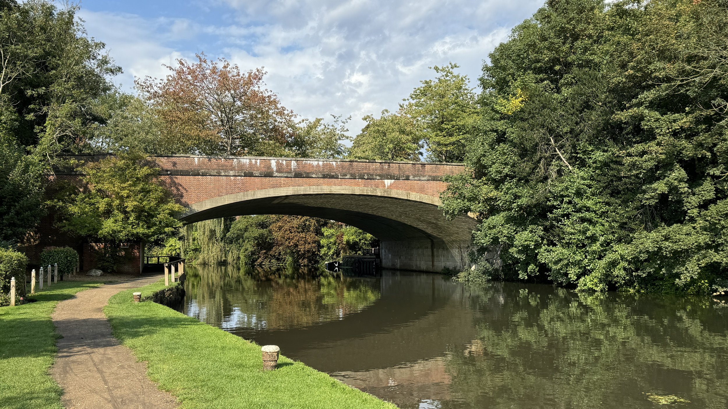
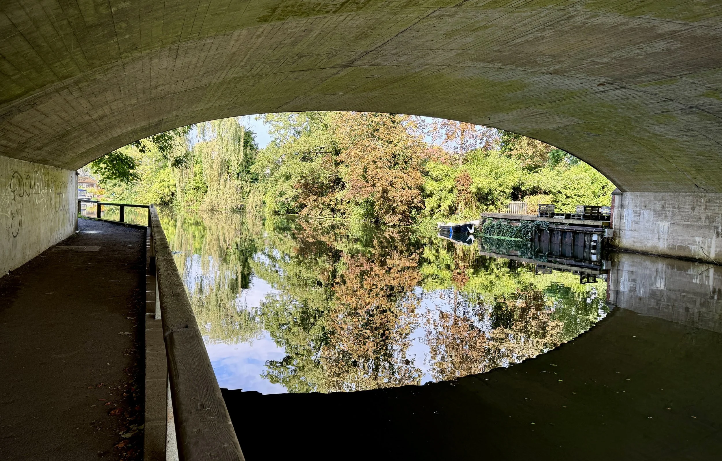
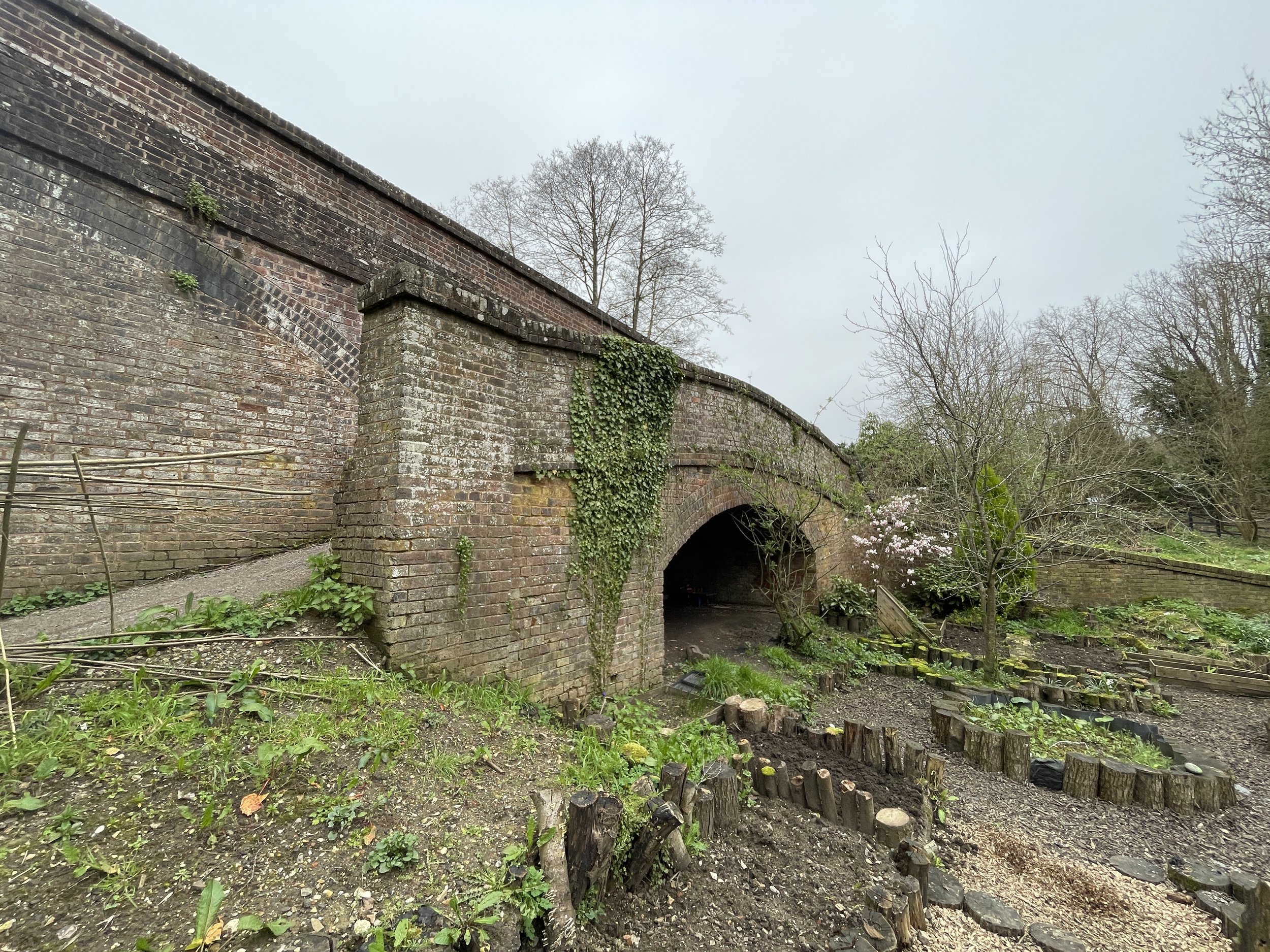
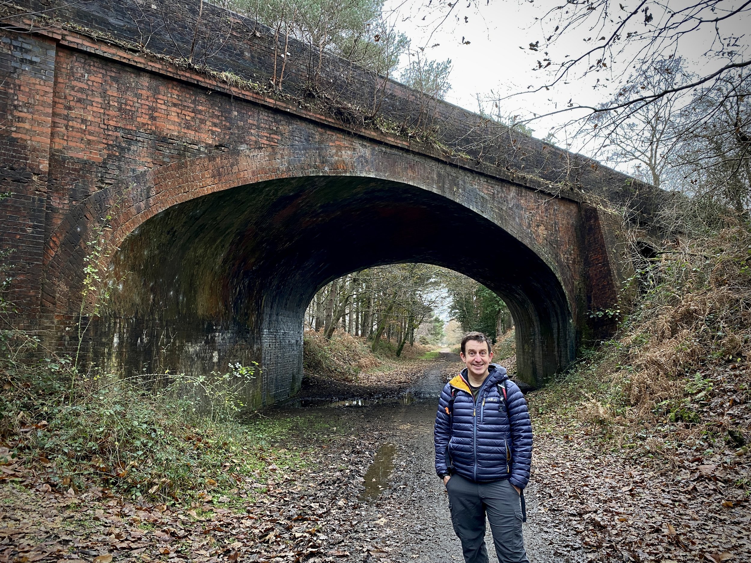
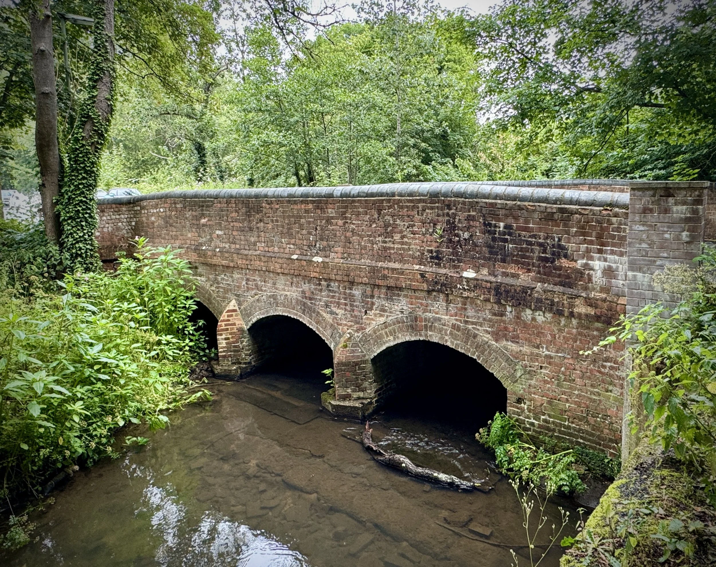
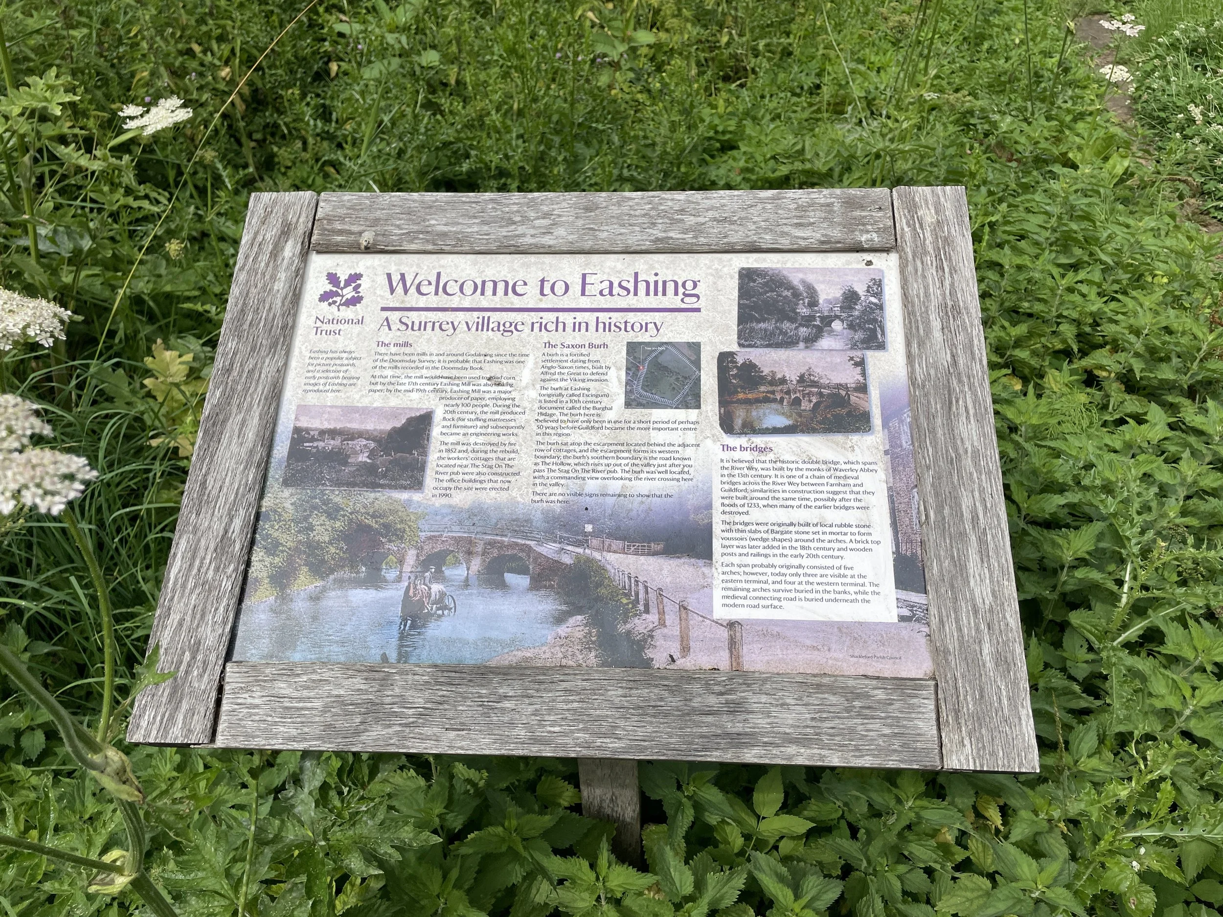
Old Eashing Bridge
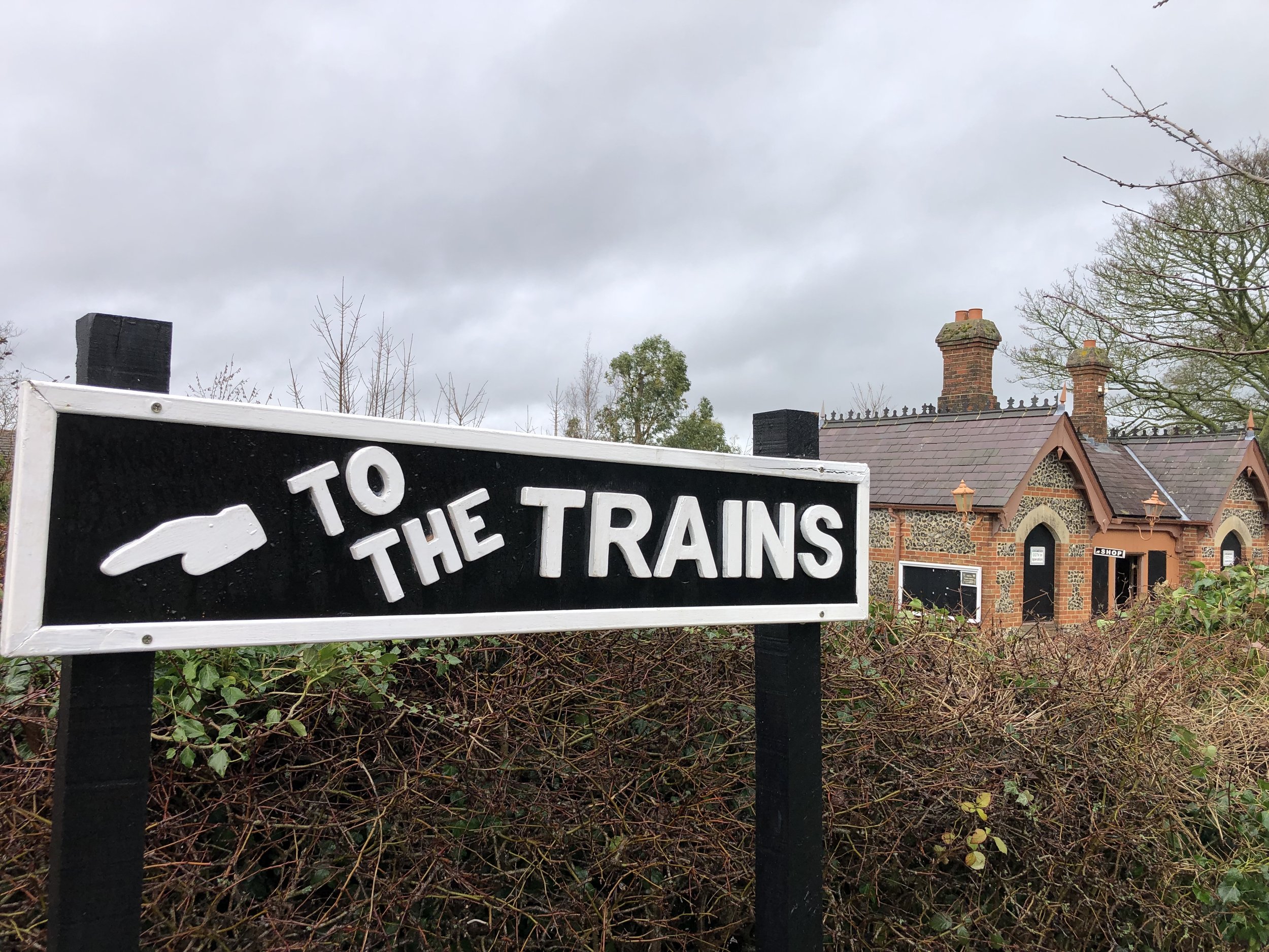
Start and Finish: Crown Court Car Park, 41 The Burys, Godalming, GU7 1HR
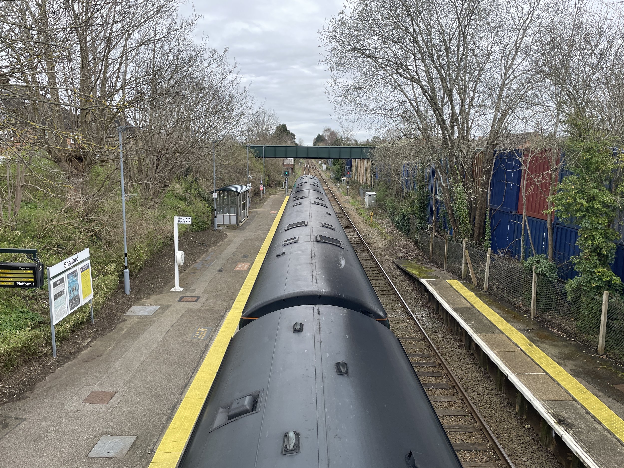
Alternative Start and Finish: Godalming Station, Godalming GU7 1EU
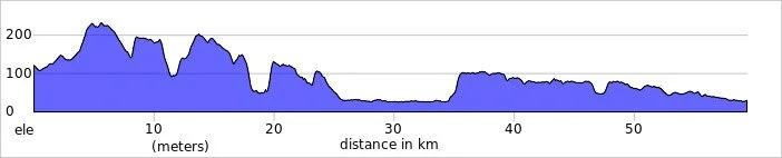
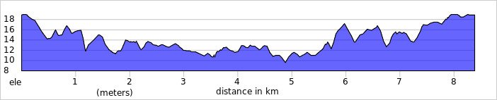
Distance: 8.2 km (5.1 miles)
Elevation Change: +/- 90m
GPX File: get via Buy Me a Coffee
Other Routes Touched (walk): The Fox Way, Salgassens Path
Other Routes Touched (cycle): Surrey Cycleway
Cafe / pubs on route: Several at the start and end at Godalming. Plus: The Stag on the River (just off route at 4.2 km in)
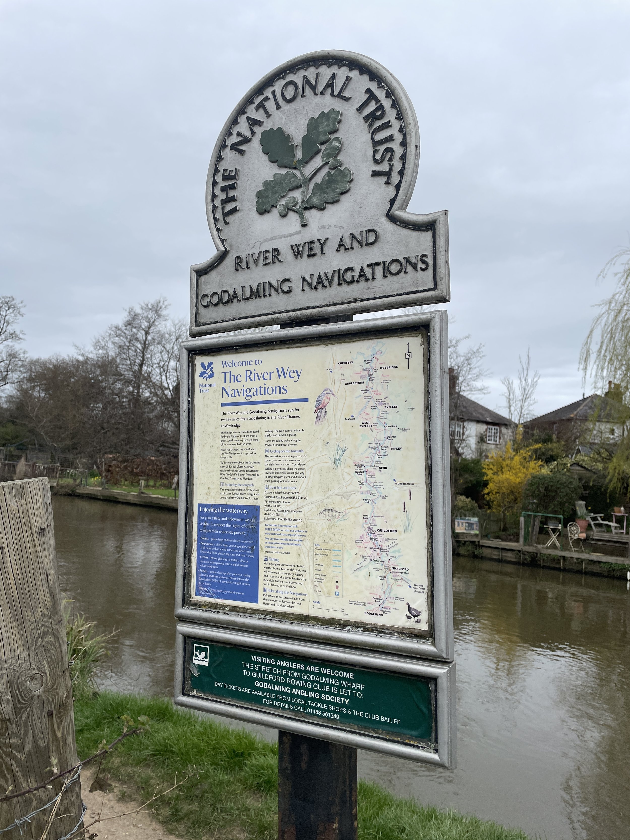
Map: Guildford & Farnham Map | Godalming & Farnborough | Ordnance Survey | OS Explorer Map 145
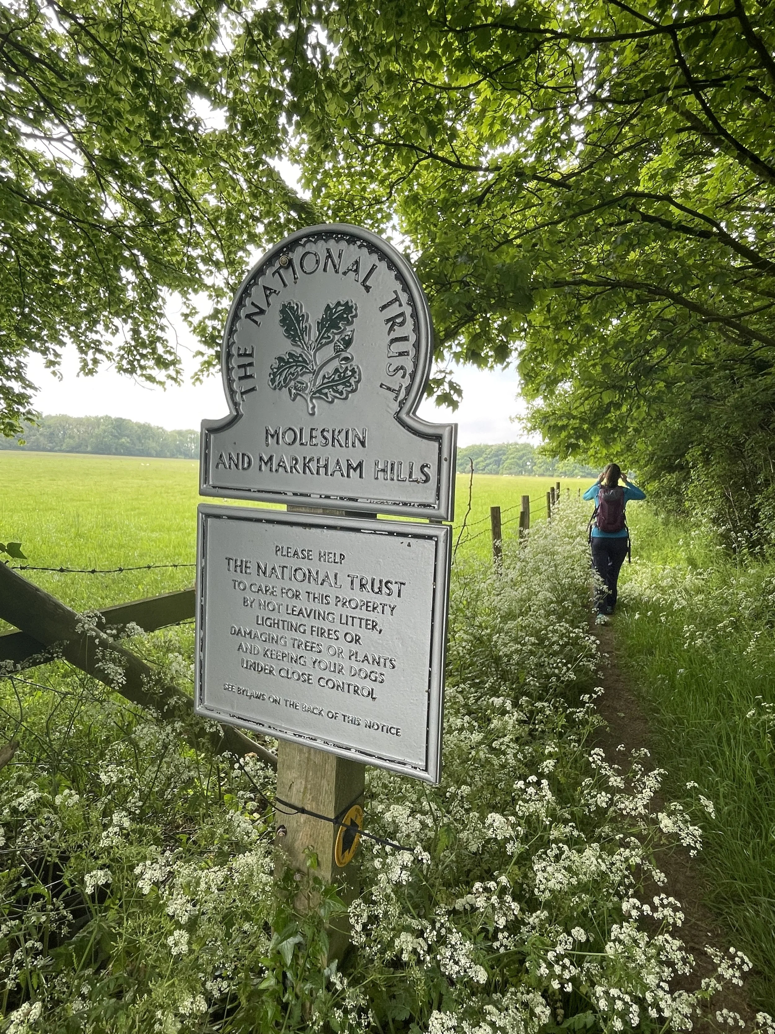
Links: Wey Navigation, River Wey, Godalming, Eashing, Eashing National Trust
This is the ninth and last of a series of short circular walks along the River Wey and the Wey Navigation canal in Surrey. The guidance below will help you navigate but don’t use it as a fully accurate turn-by-turn guide. Always take a map and/or a GPX route and prepare well for the weather and terrain.
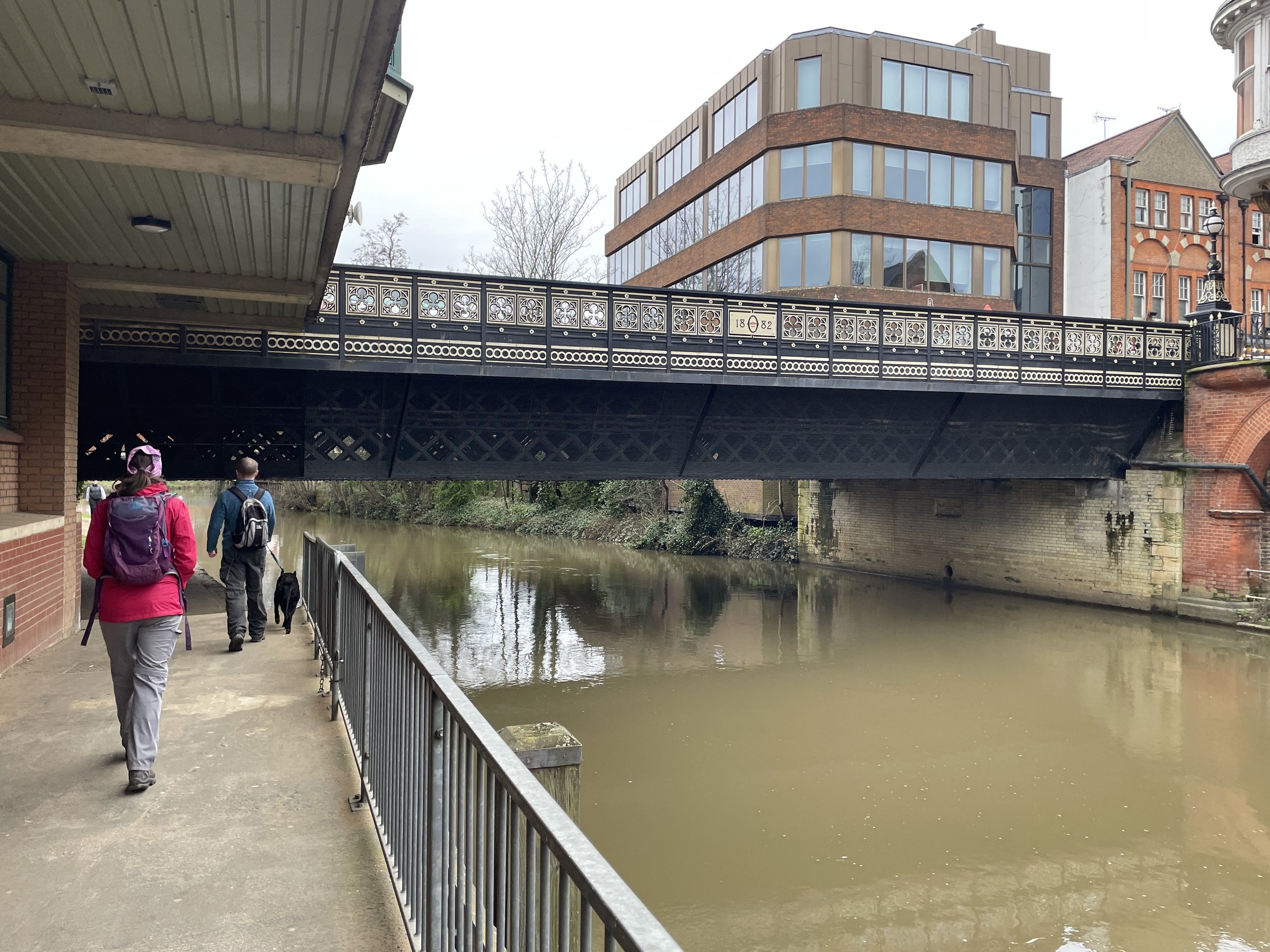
This walk picks up where section 8 left off at Godalming Station. If you’re driving there’s large car parks either at the station or at the Crown Court in the town centre. If you’re starting from the station head north onto Westbrook Road and take the Fox Way in an easterly direction to Borough Road. If you’re starting from the Crown Court Car Park then follow the Fox way in a westerly direction from the north-western corner of the car park to reach Borough Road.
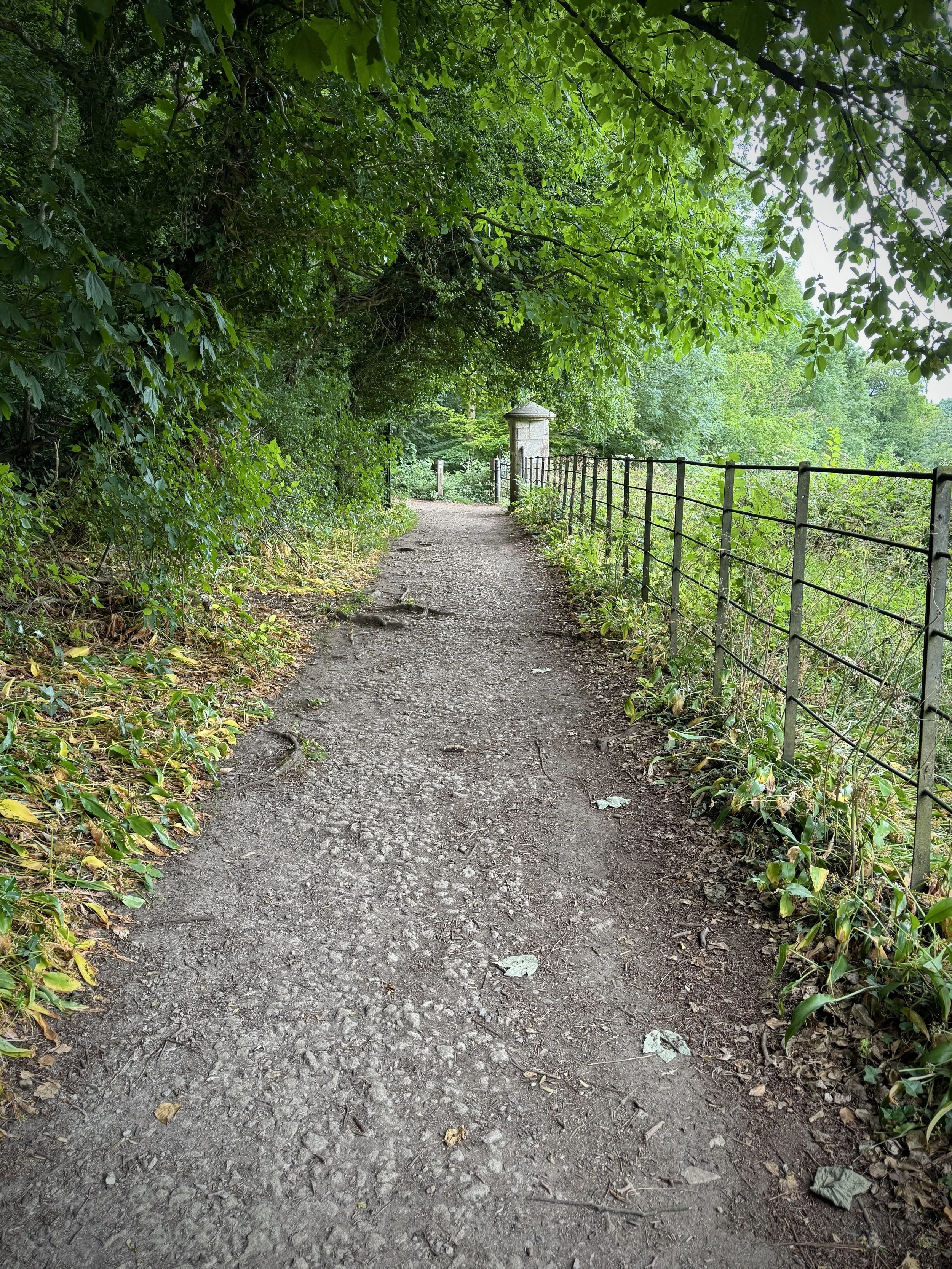
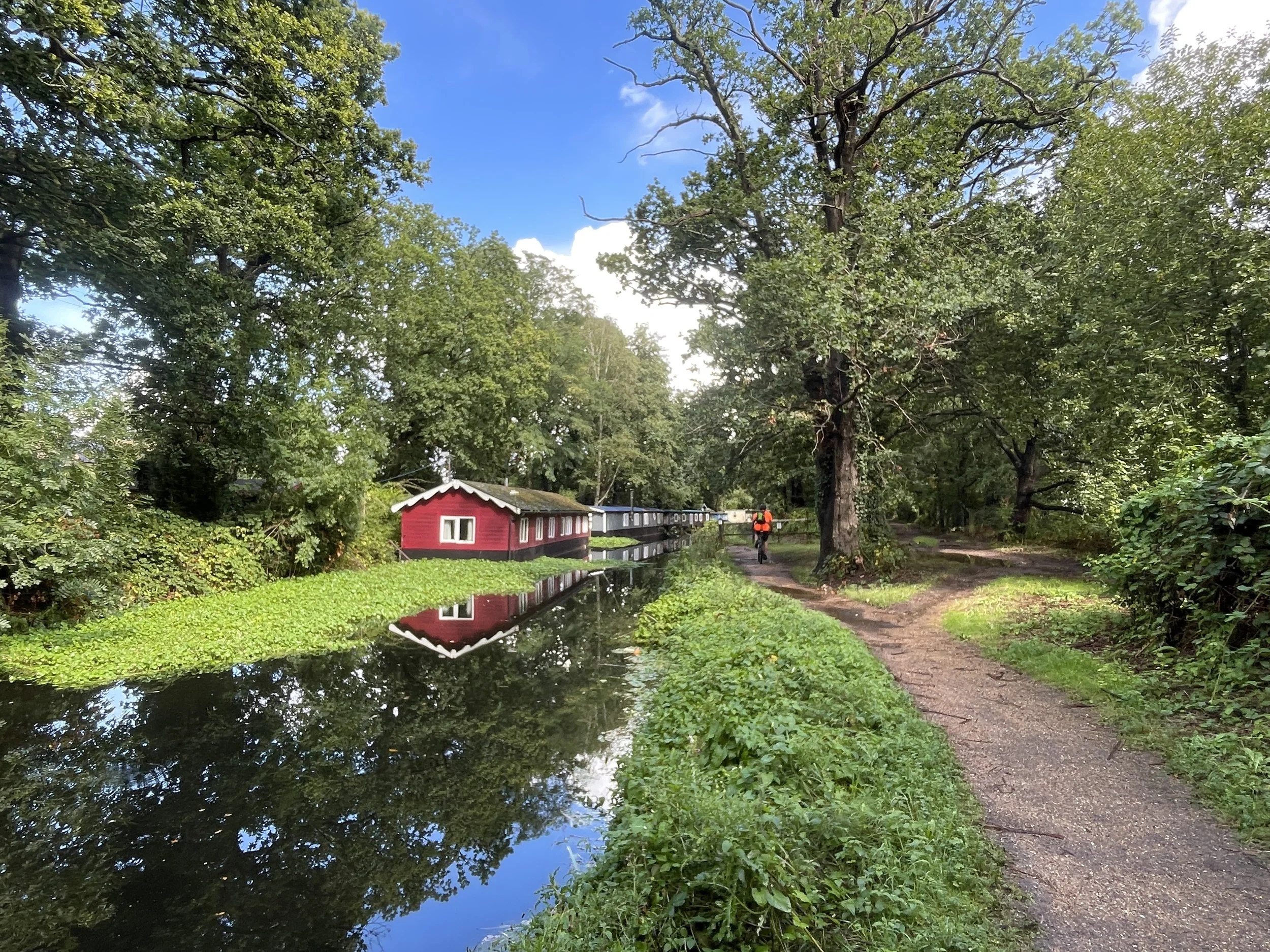
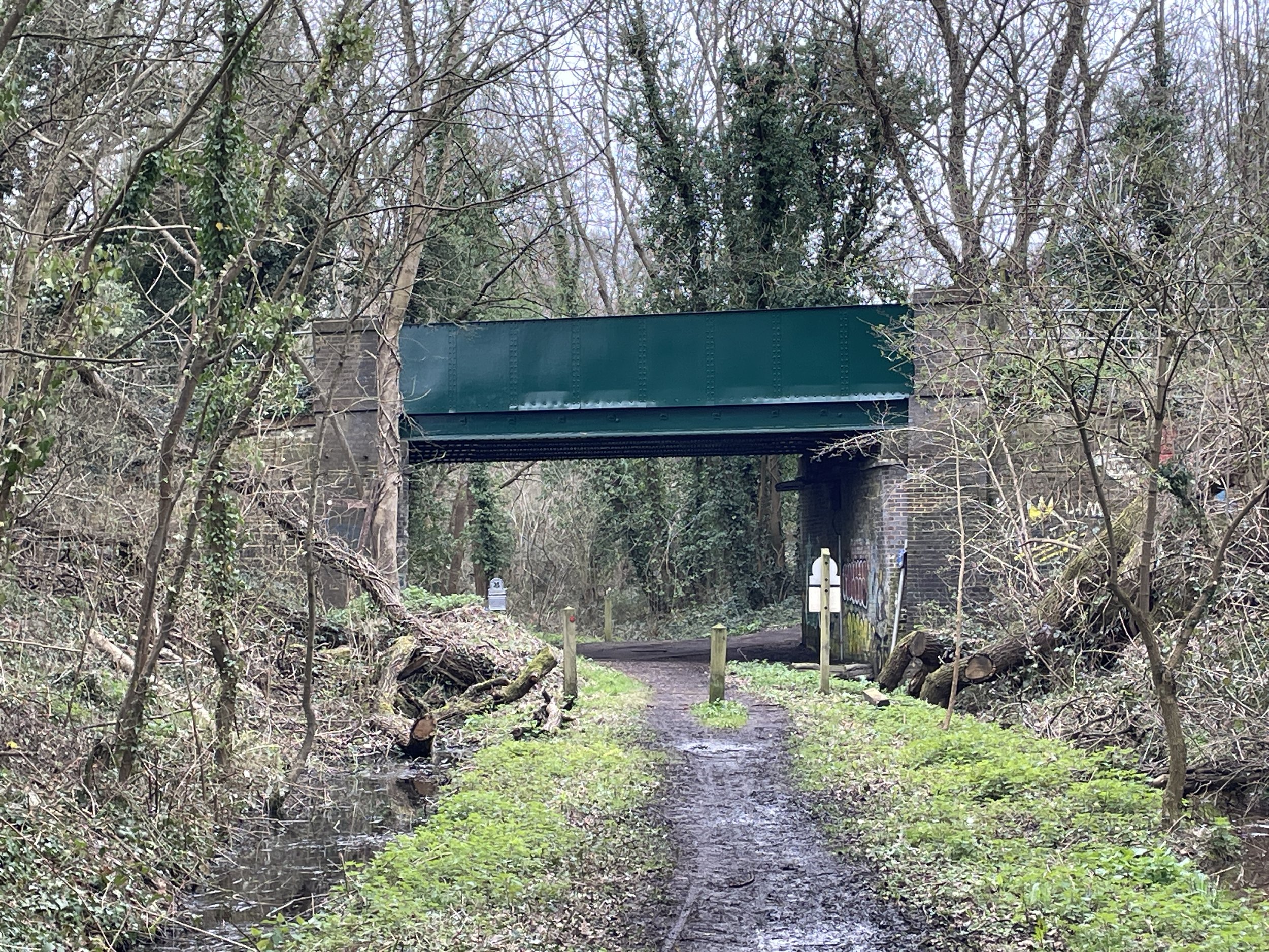
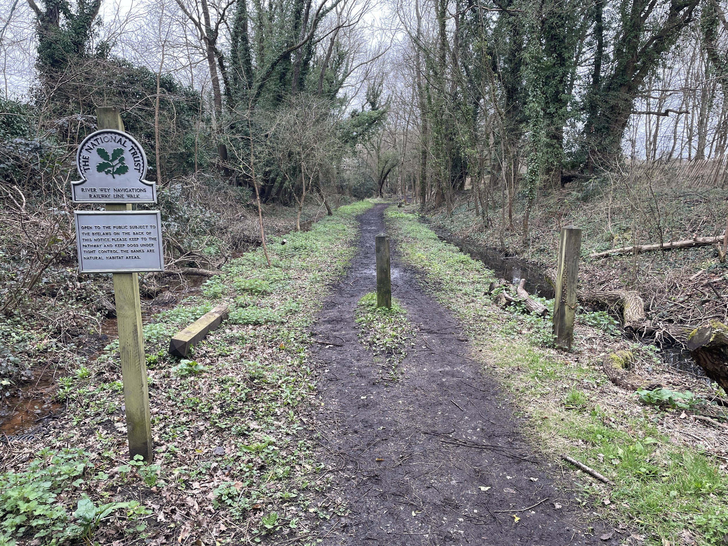
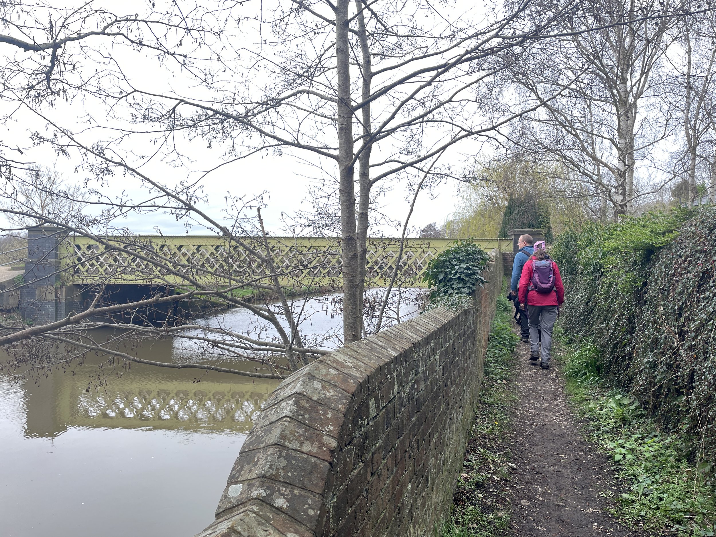
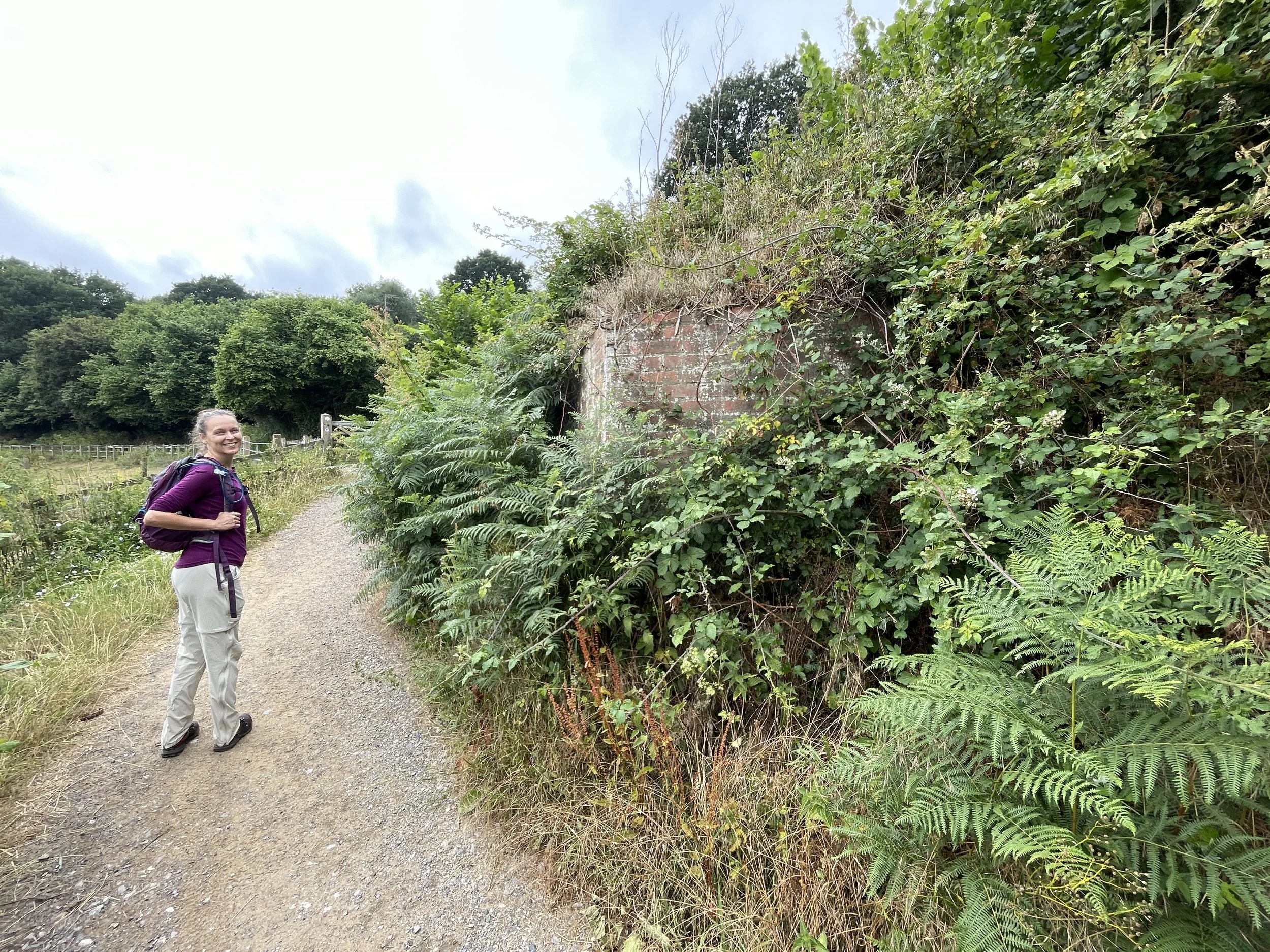
Follow the path on the left hand side of Borough Road in a northerly direction then cross under the railway bridge. You’ll soon cross a cross bridge over Hell Ditch, a series of drainage channels following the northern side of the Wey near the town. Take the first path on the left after the railway bridge to leave Borough Road and follow Salgassens Path parallel to Hell Ditch.
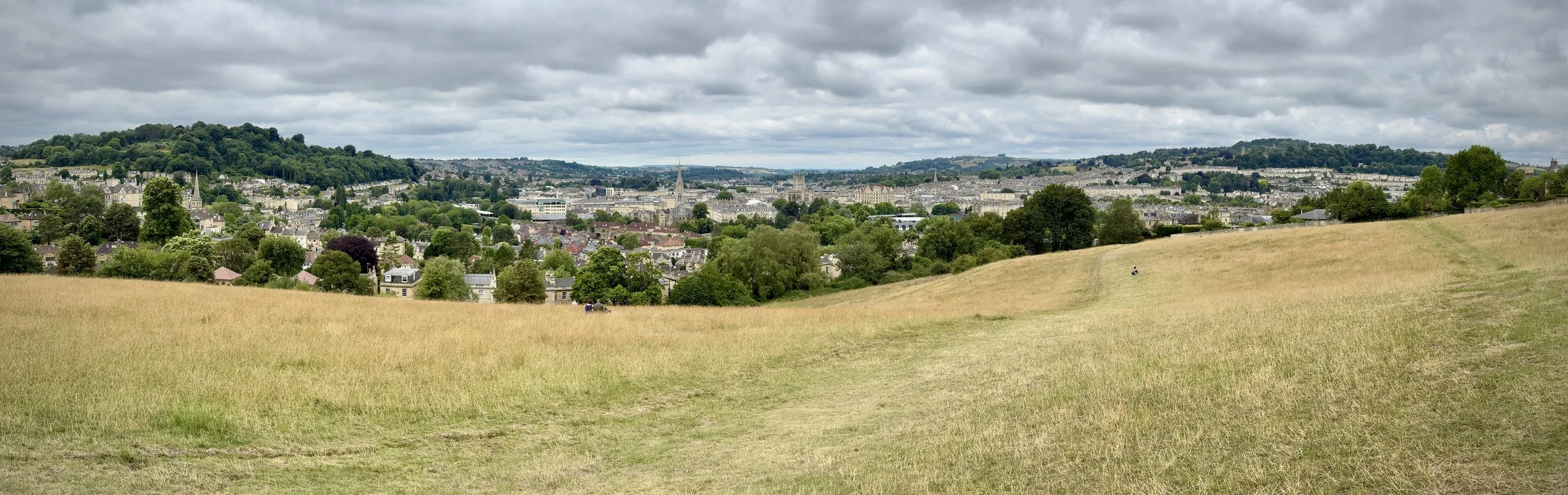
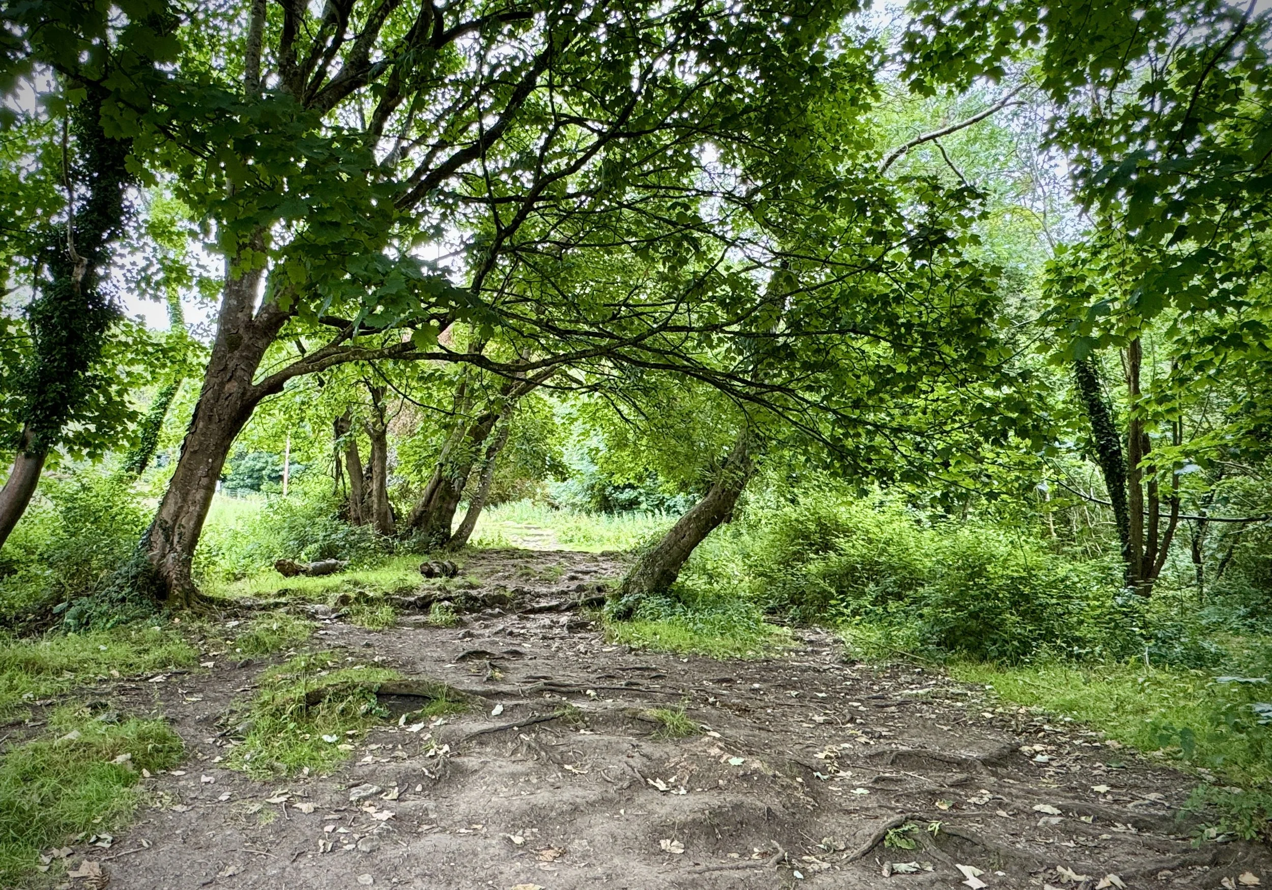
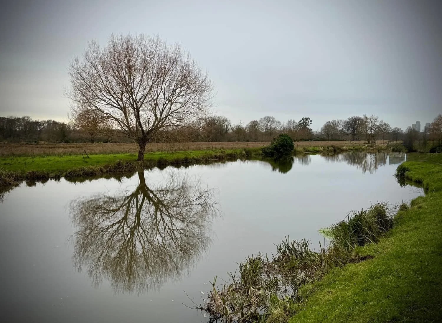
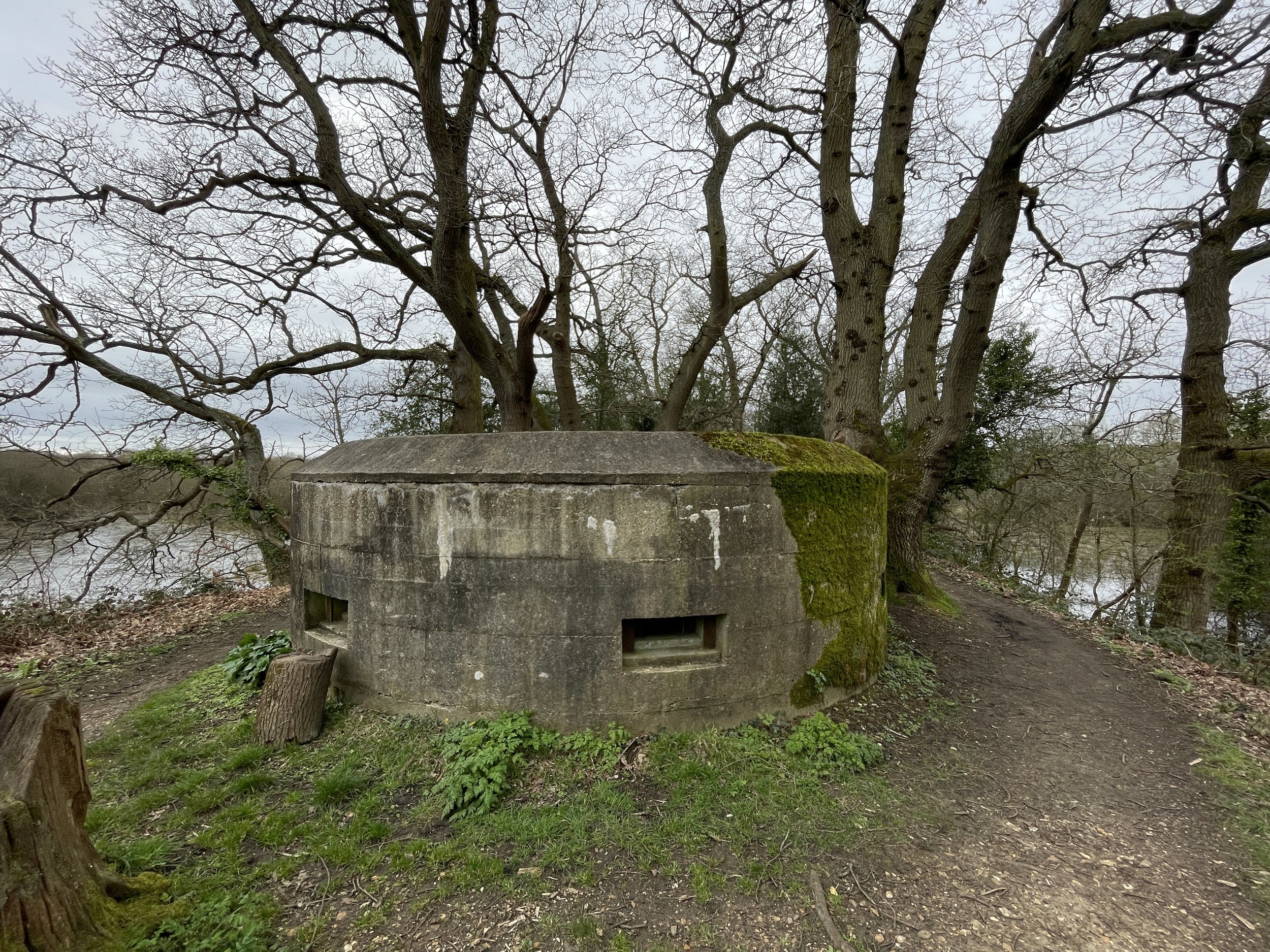
This westerly-heading part of the walk is a quiet, pleasant section running by or close to the Wey as it meanders away from the town. We were there on a dry day buy I could imagine it being quite boggy after rain. There were a few bits that had recently been cut back and would likely be overgrown early summer.
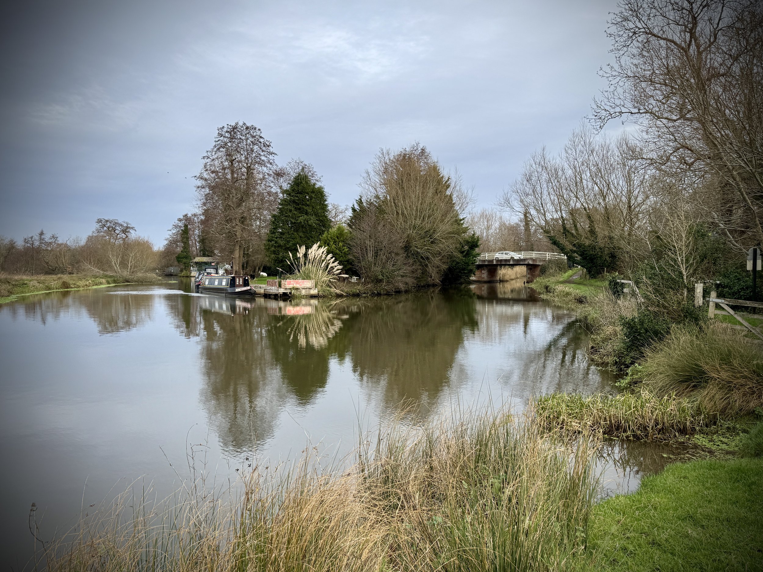
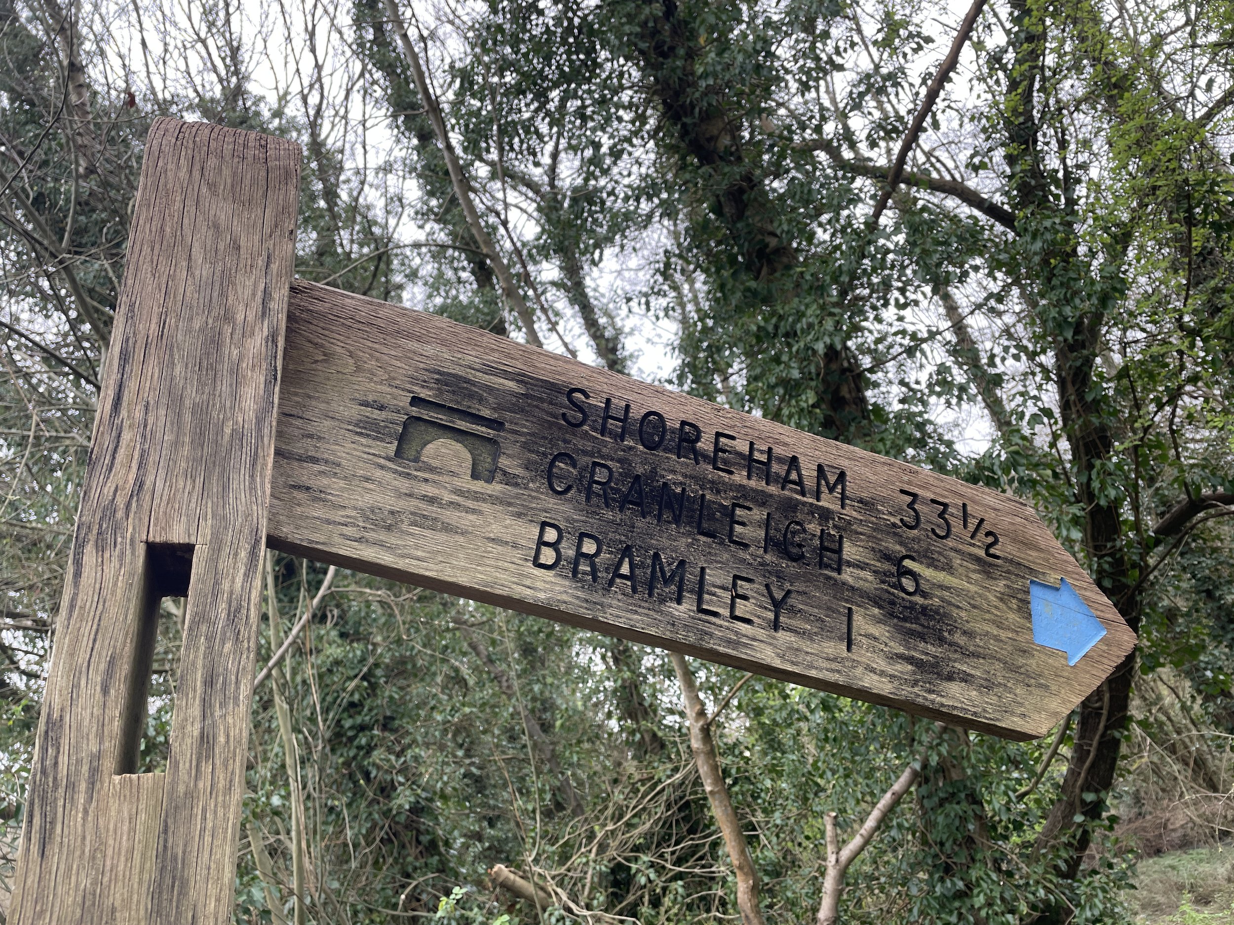
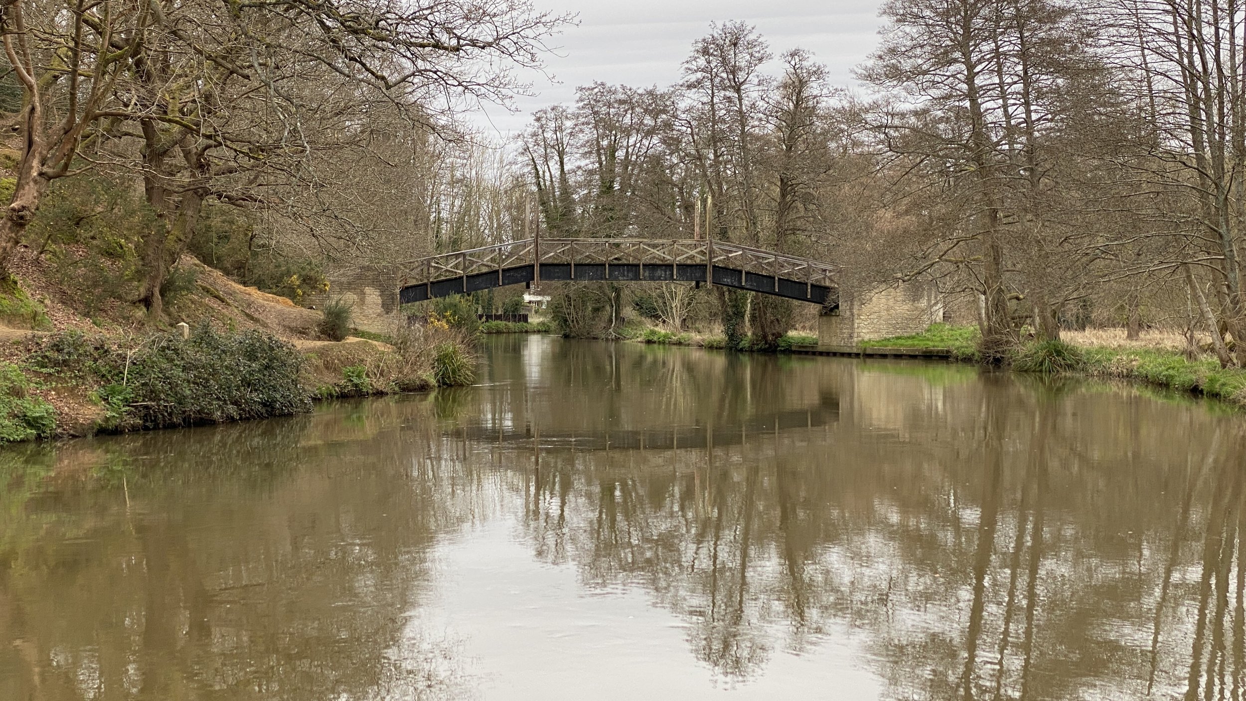
Around the 4km mark the path ends at the road through Lower Eashing, rejoining the Fox Way. Take a left to follow the road over the National Trust Old Eashing Bridges. Take a right after the bridge to visit The Stag on The River pub. As well as a good place to rest half-way, this is the end of the walkable route next to the River Wey.
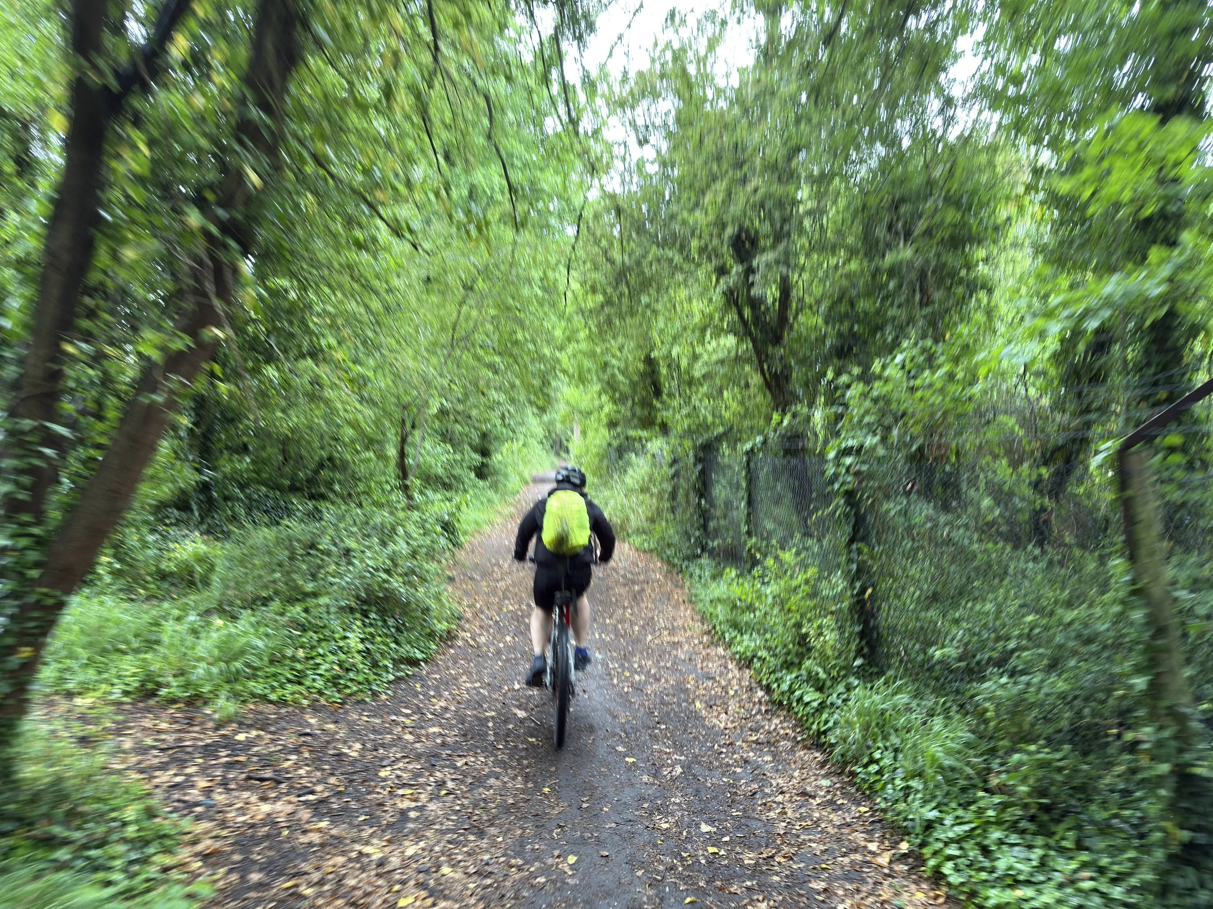
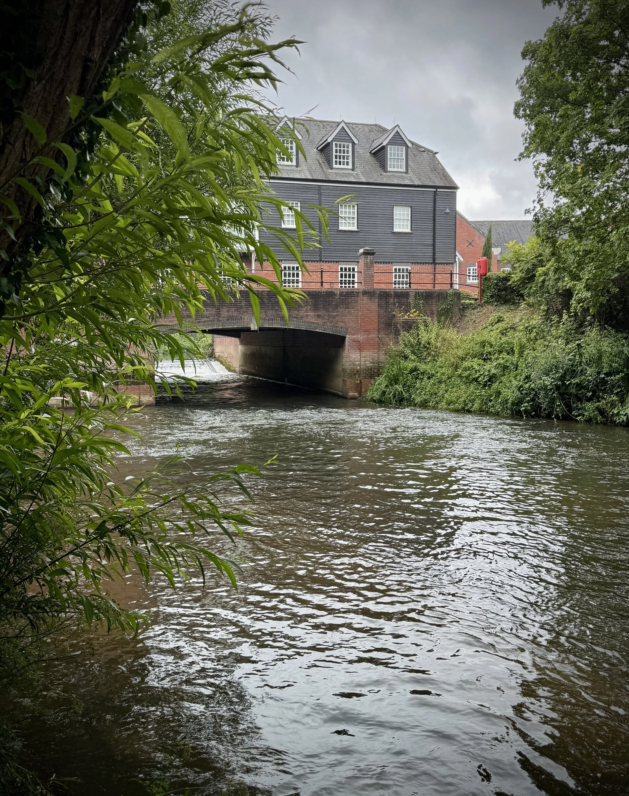
For the return section retrace your steps back to Eashing Bridge and follow the Fox Way. You’ll keep to the southern bank of the river for 200 metres before zig-zagging in an easterly direction back towards Godalming. When you reach New Way at the 6.5 km mark you have a choice: either take a left to follow the Fox Way back to Godalming Station or, the slightly longer route taking a right onto New Way to follow the railway line to Ockford Road then following Grove Road to Godalming High Street. I recommend taking the slightly longer route via the High Street to explore the old market town.


Previous section (north): Walking the River Wey Part 8: Guildford to Godalming