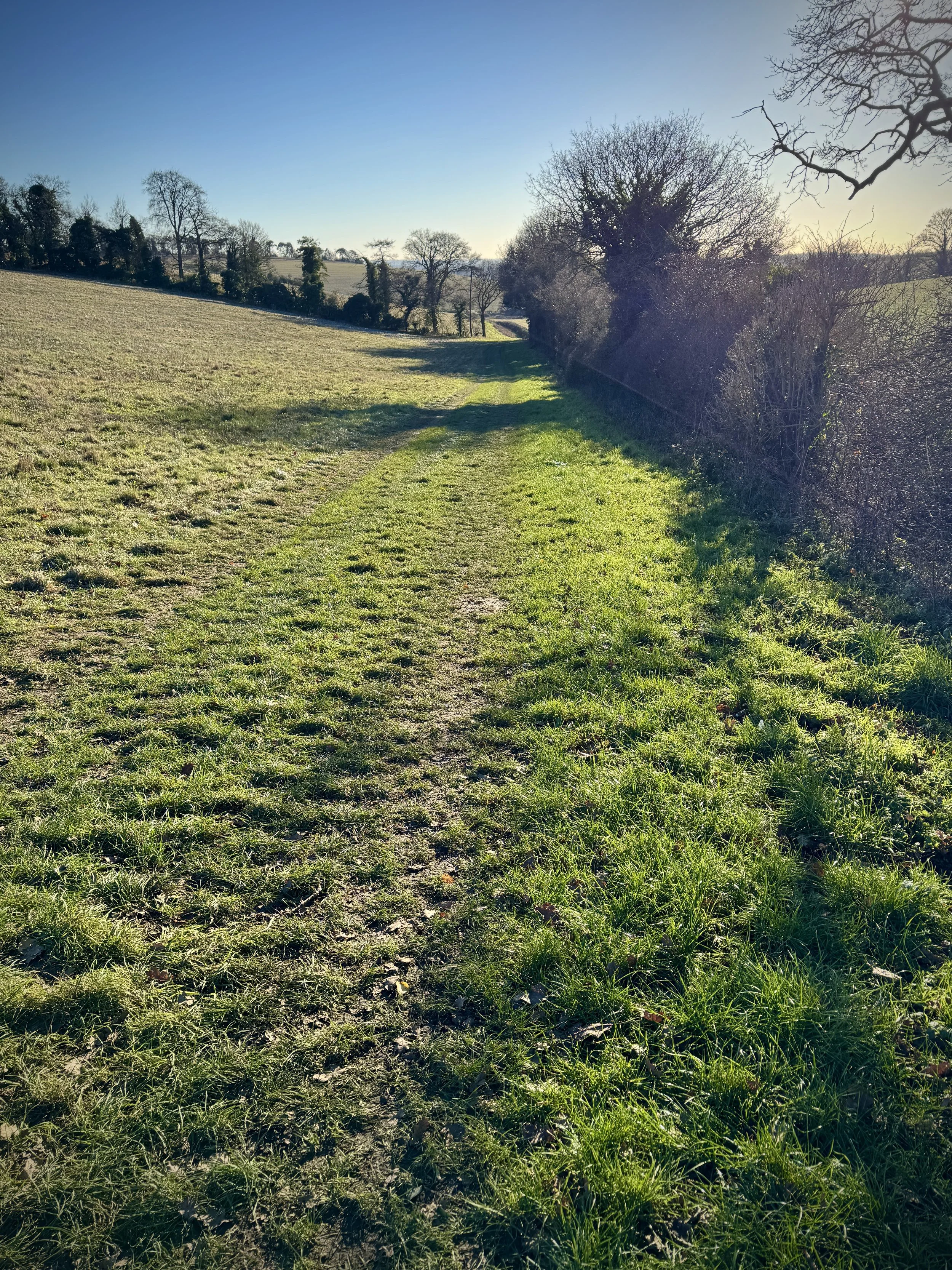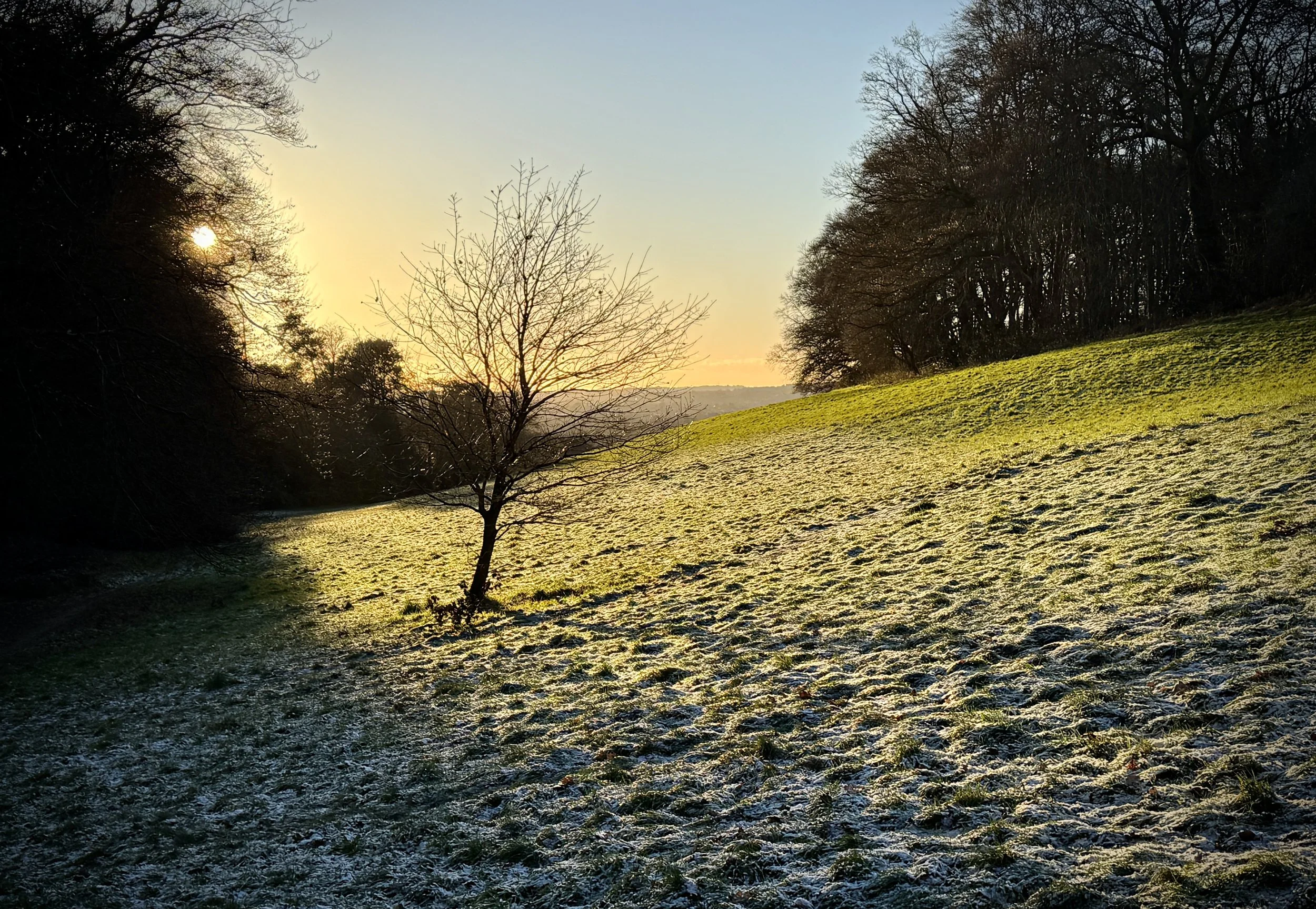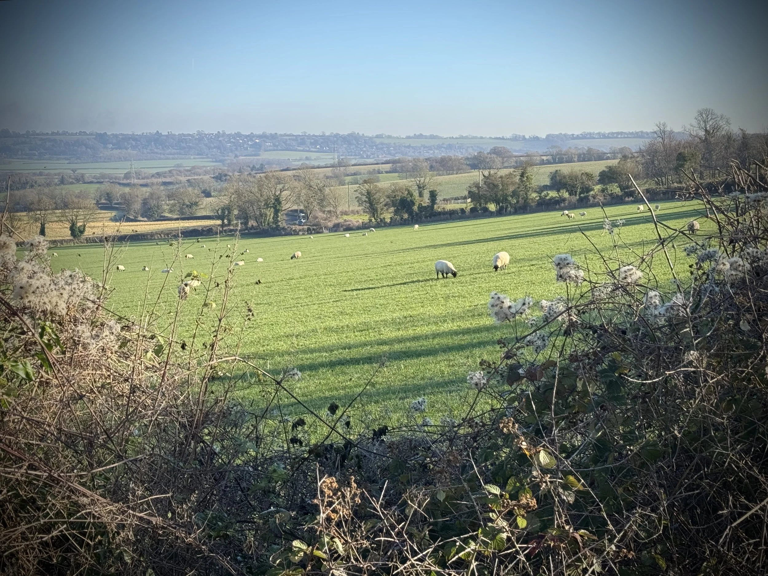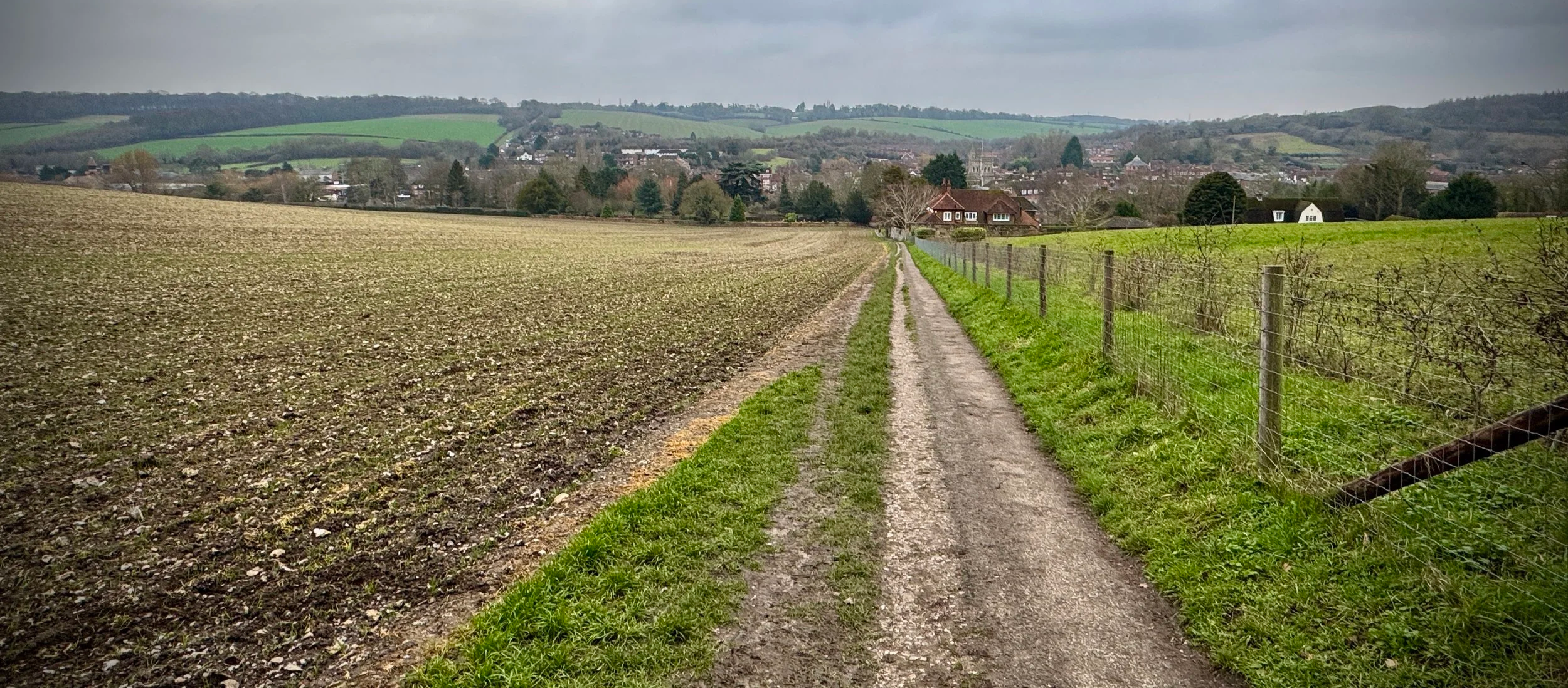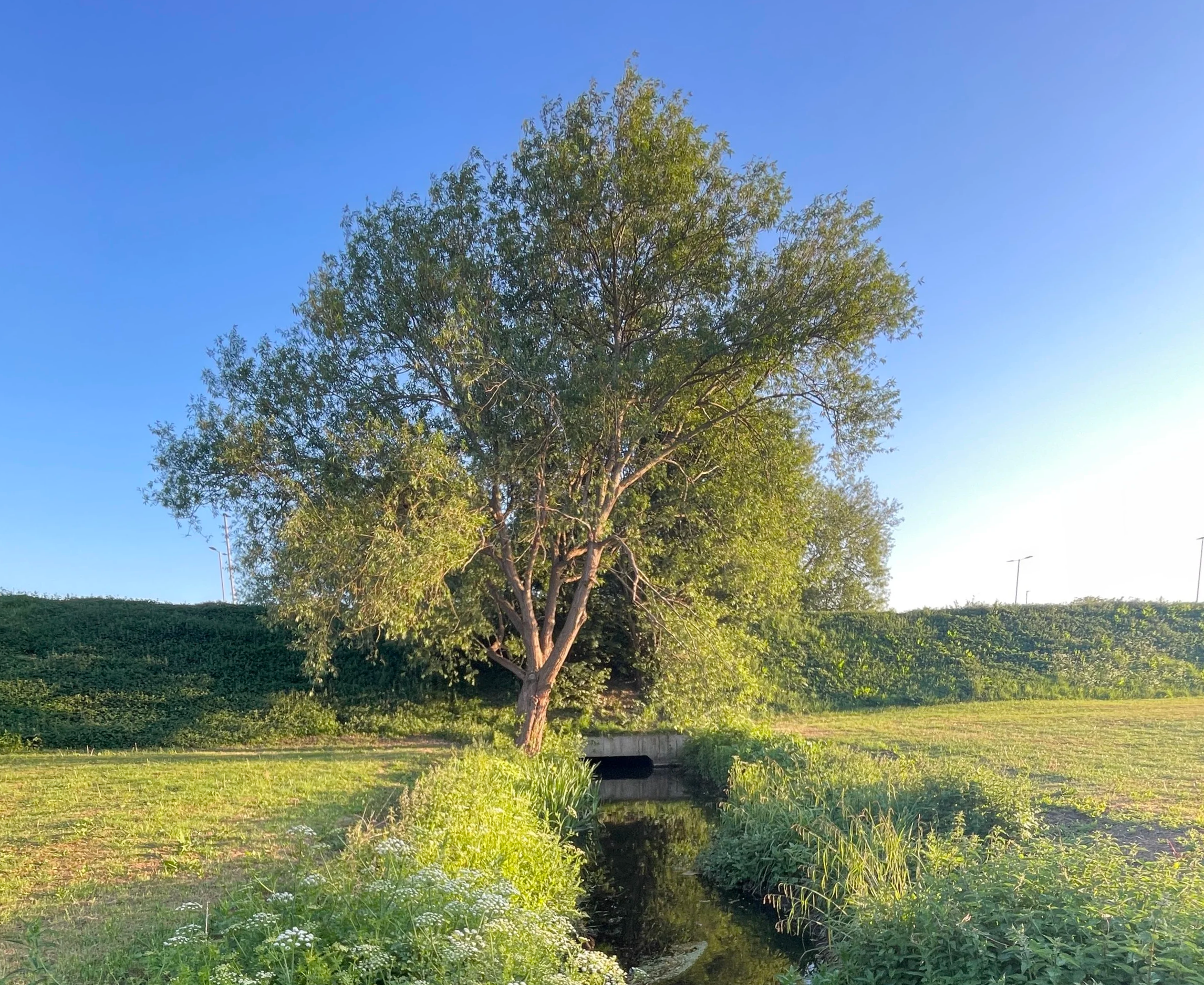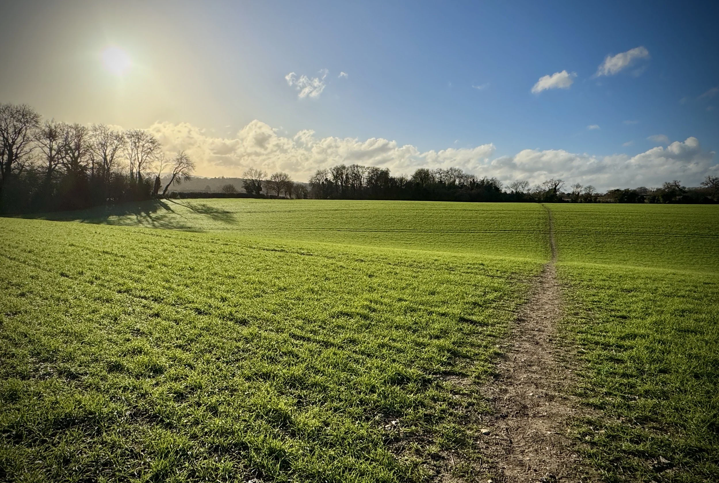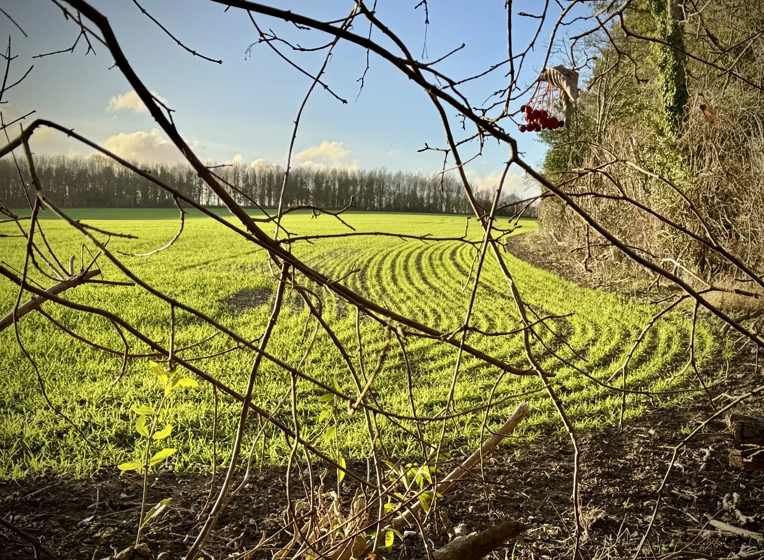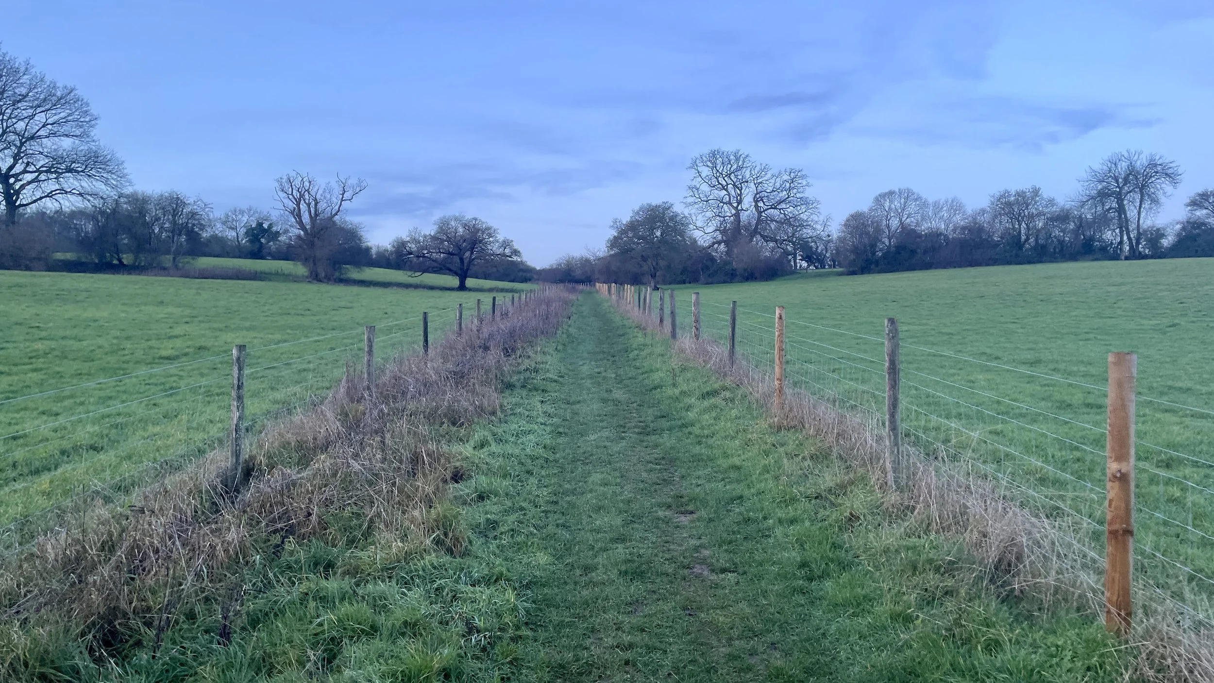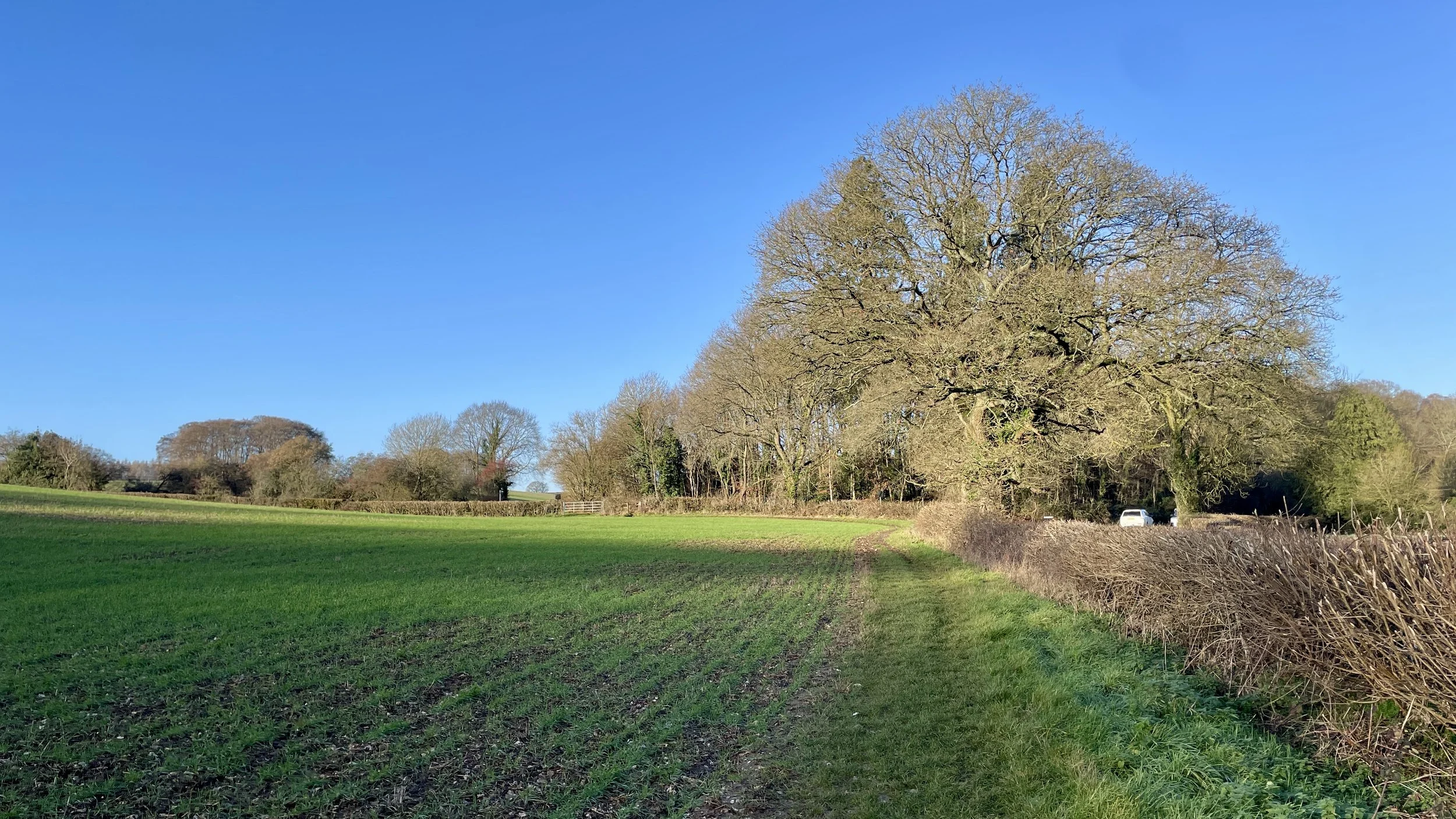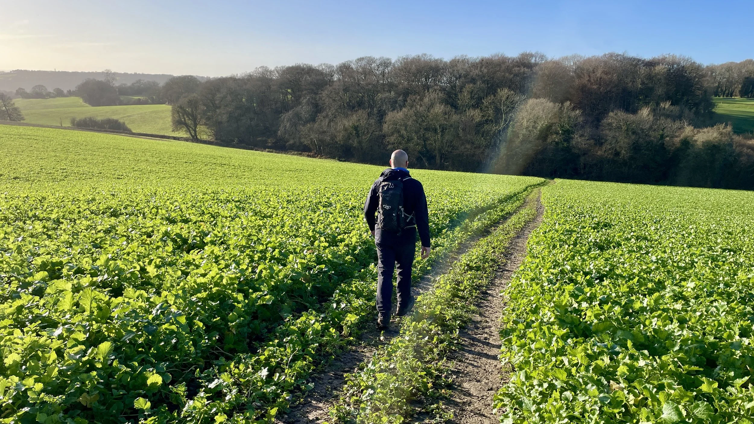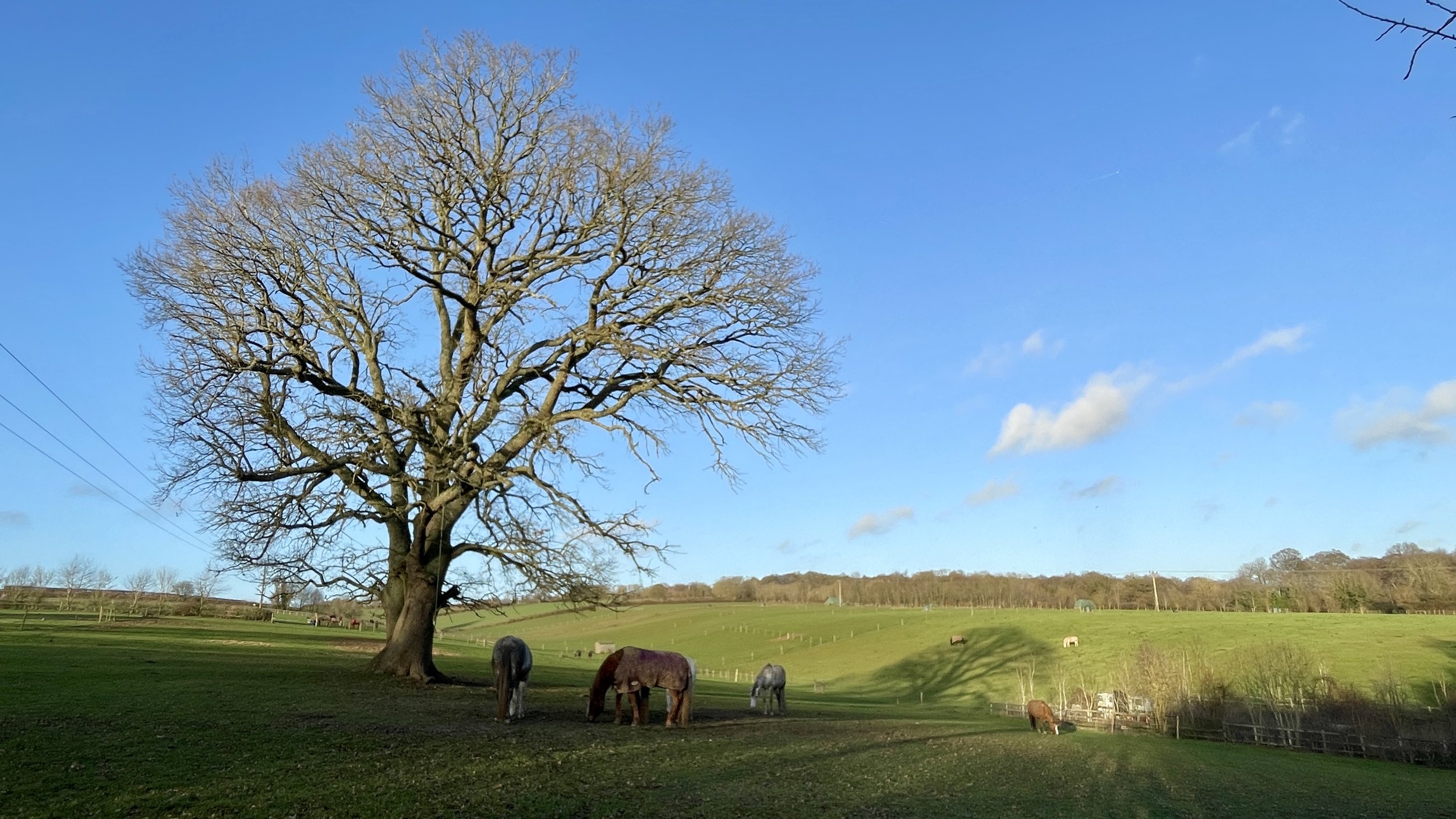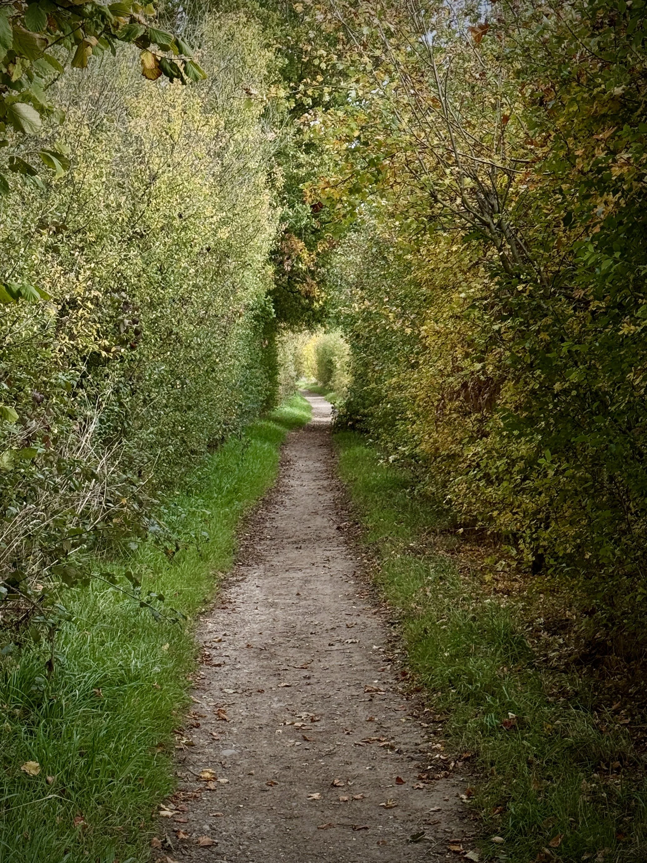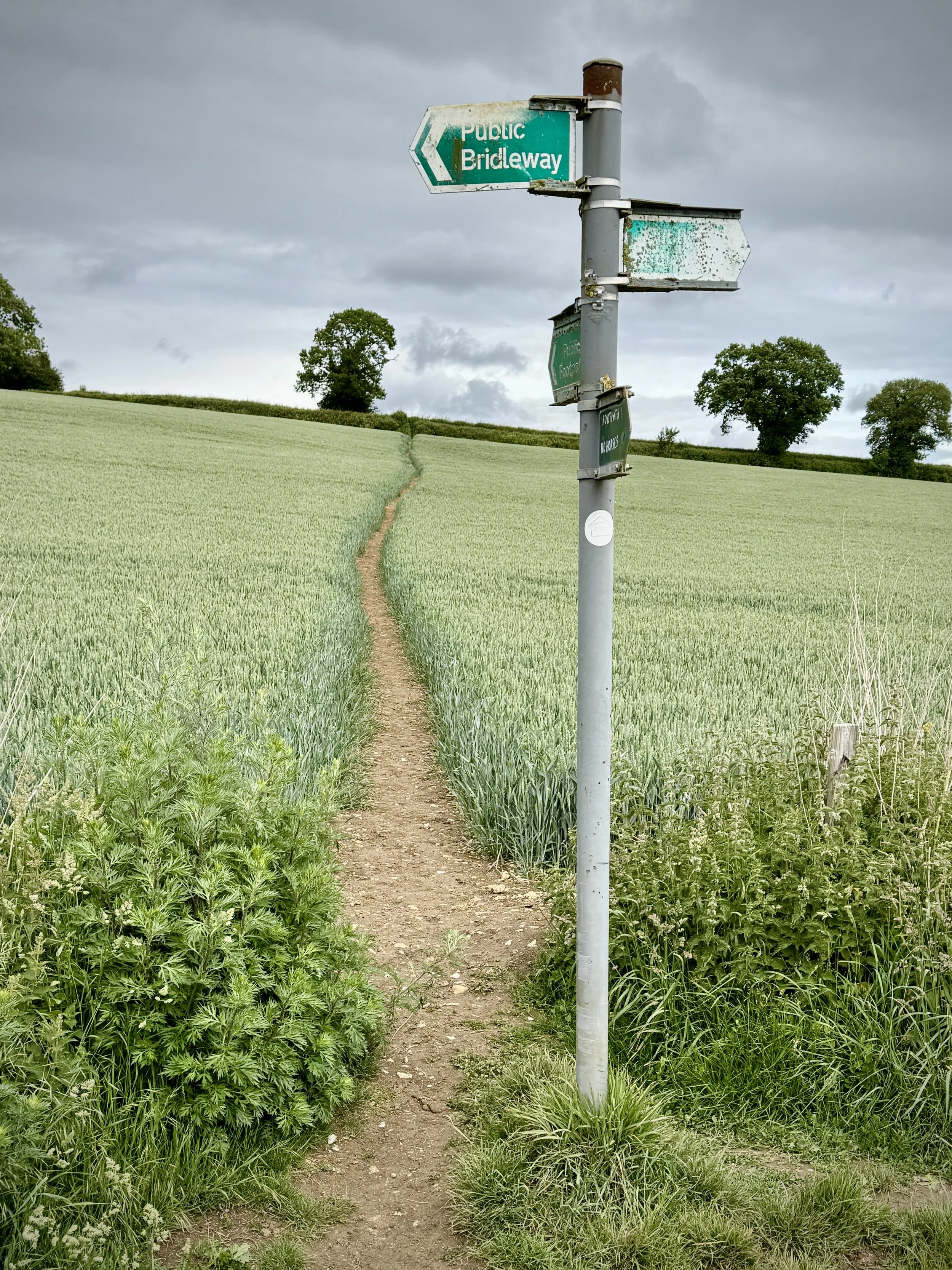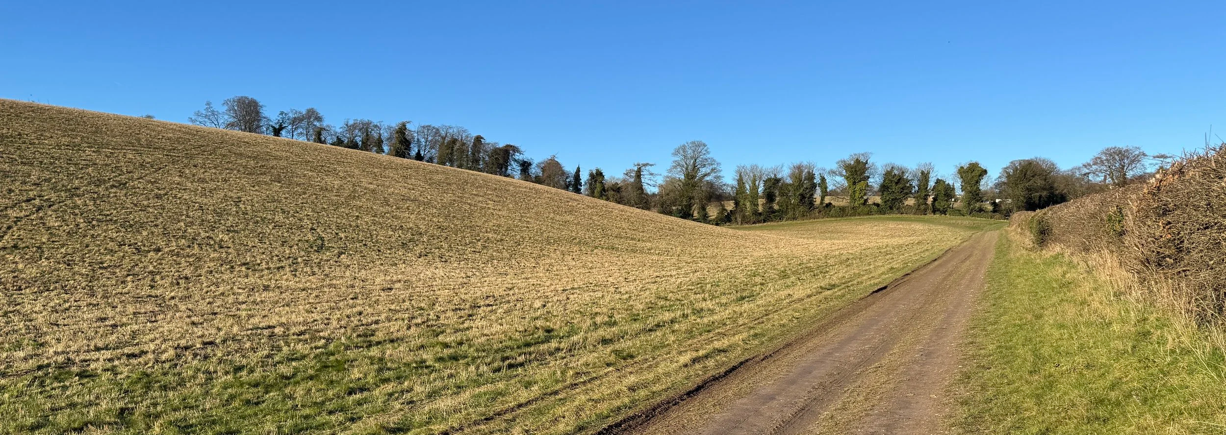
Farmland near Sheepridge
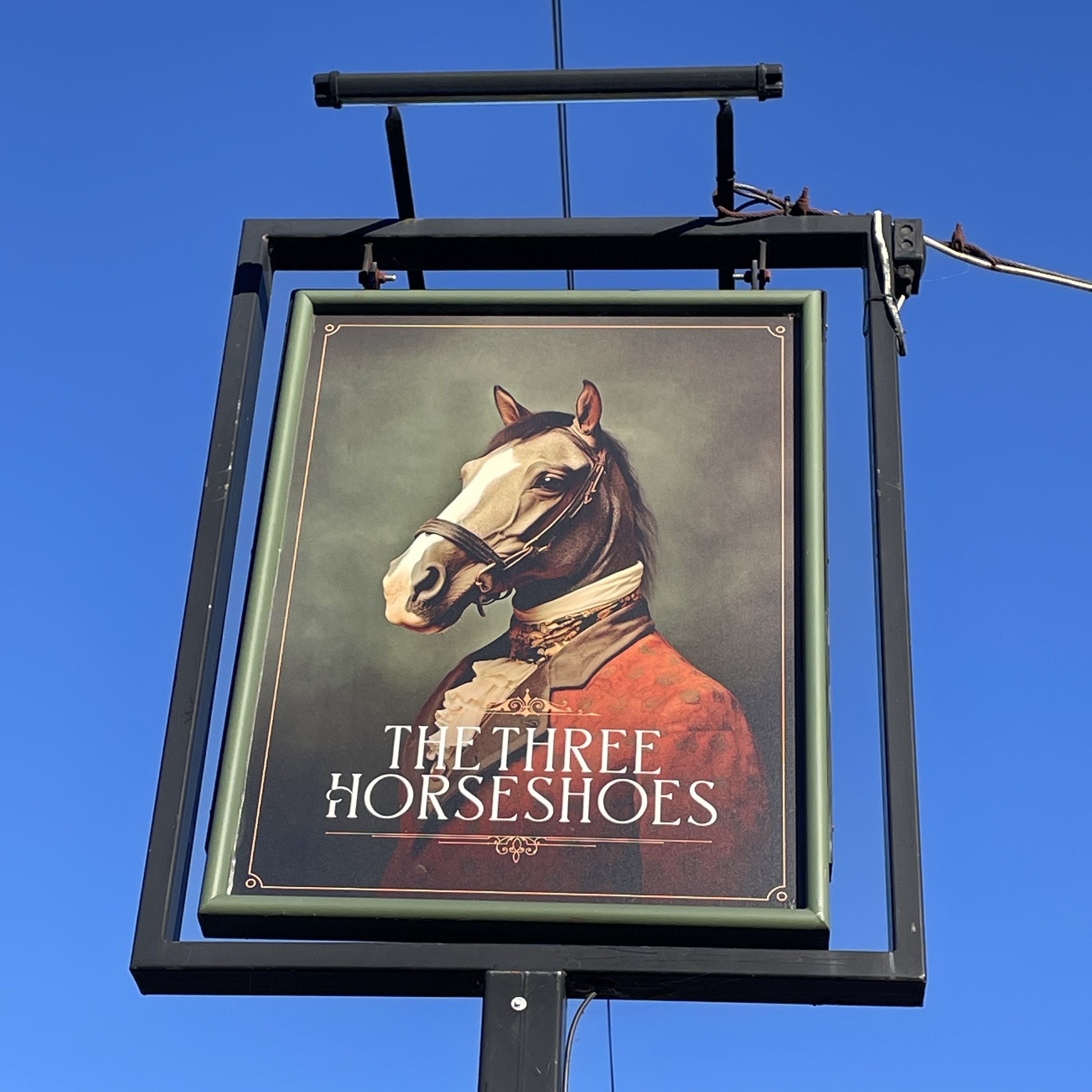
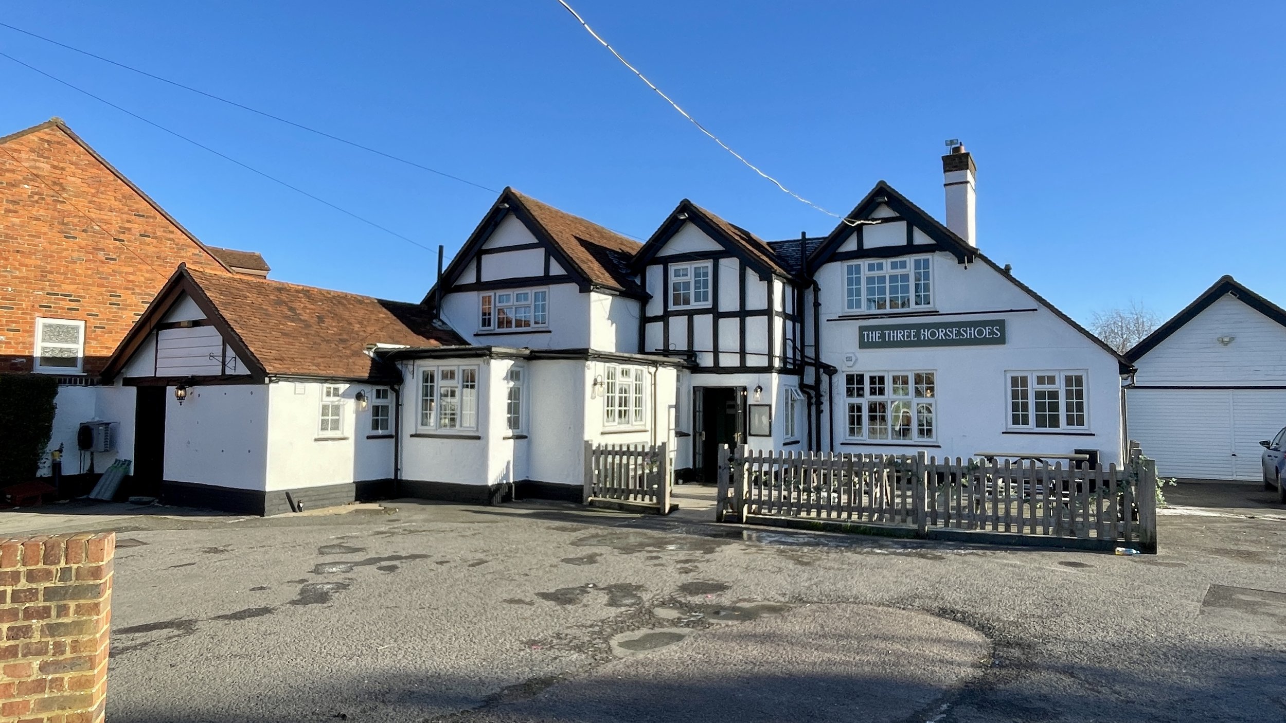
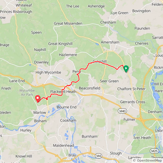
Start & Finish: On street parking near The Three Horseshoes pub, Treadaway Road, Flackwell Heath, HP10 9PG
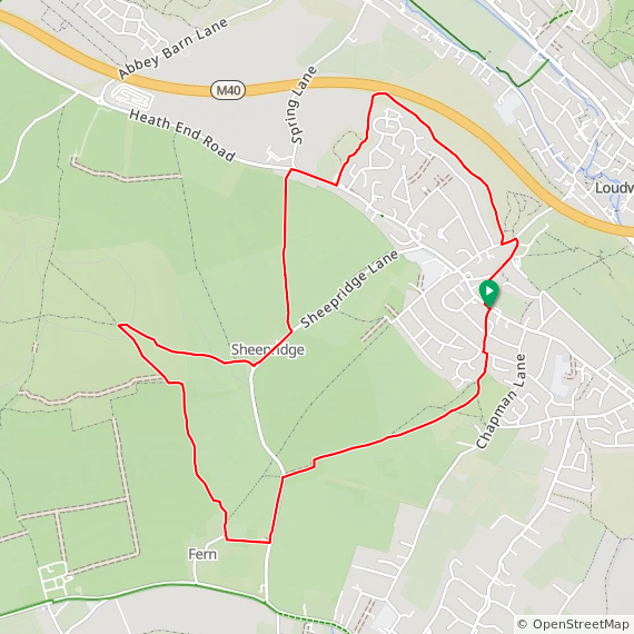
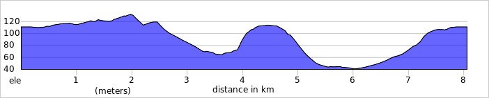
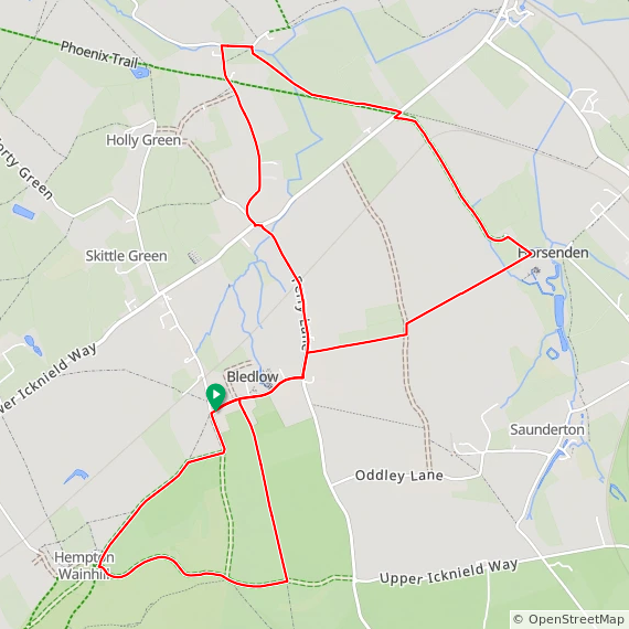
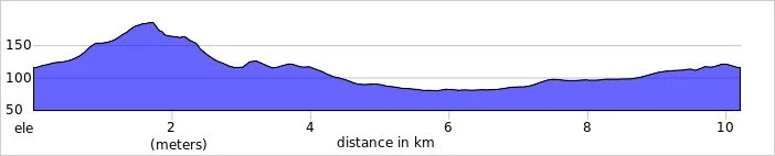
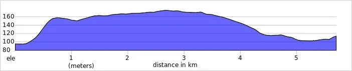
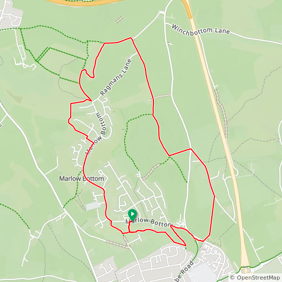
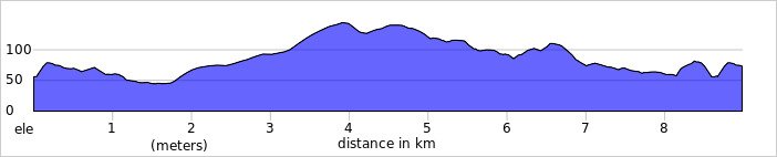
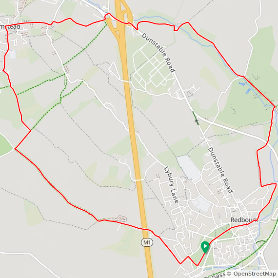
Distance: 8.1 km (5 miles)
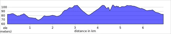
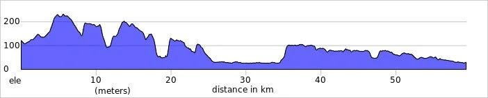
Elevation change: +/- 139m
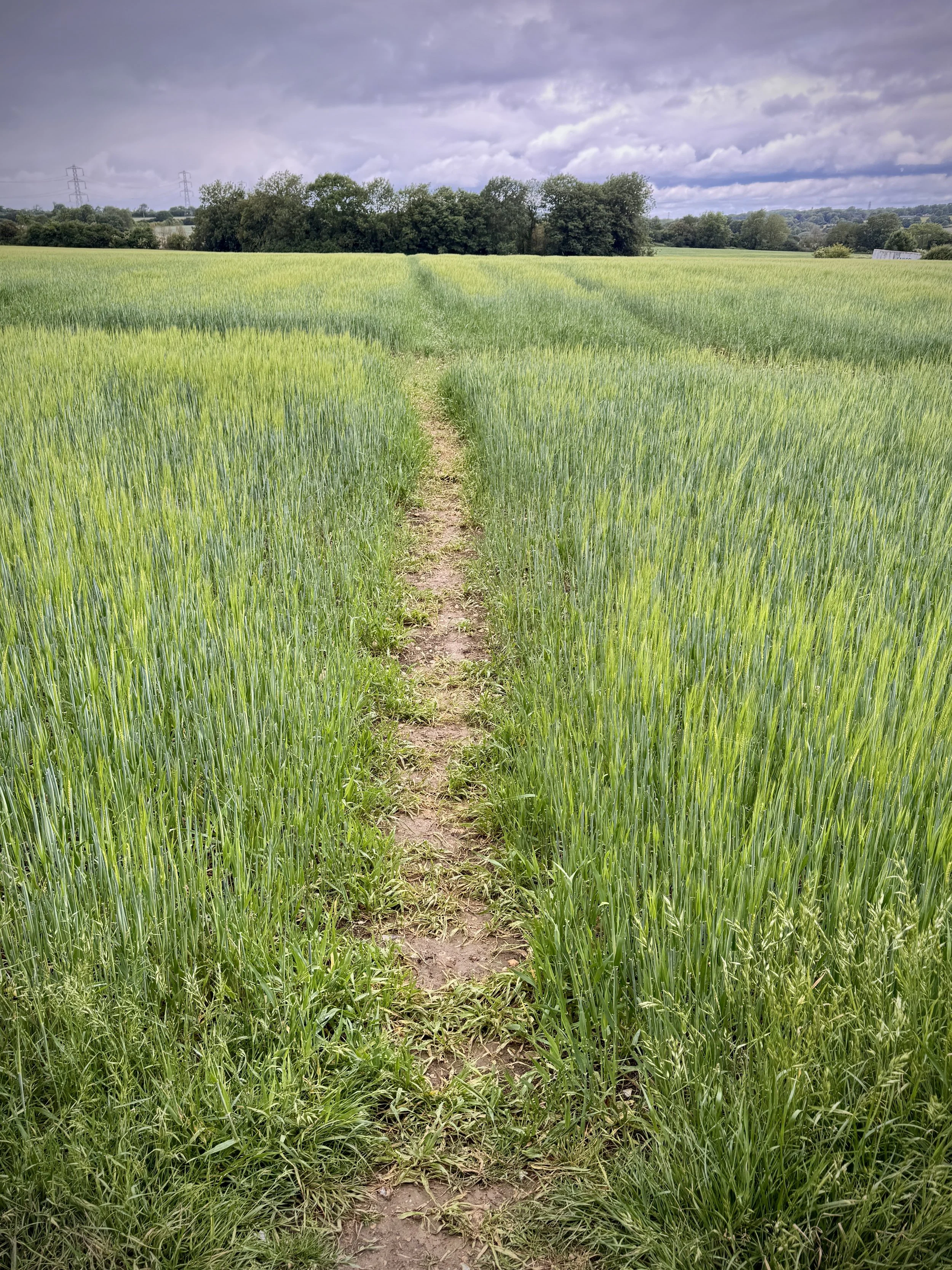
Terrain: Field-edge paths, ancient woodland trails, quiet country lanes, and village footpaths with some moderate ascents.
GPX File: get via Buy Me a Coffee
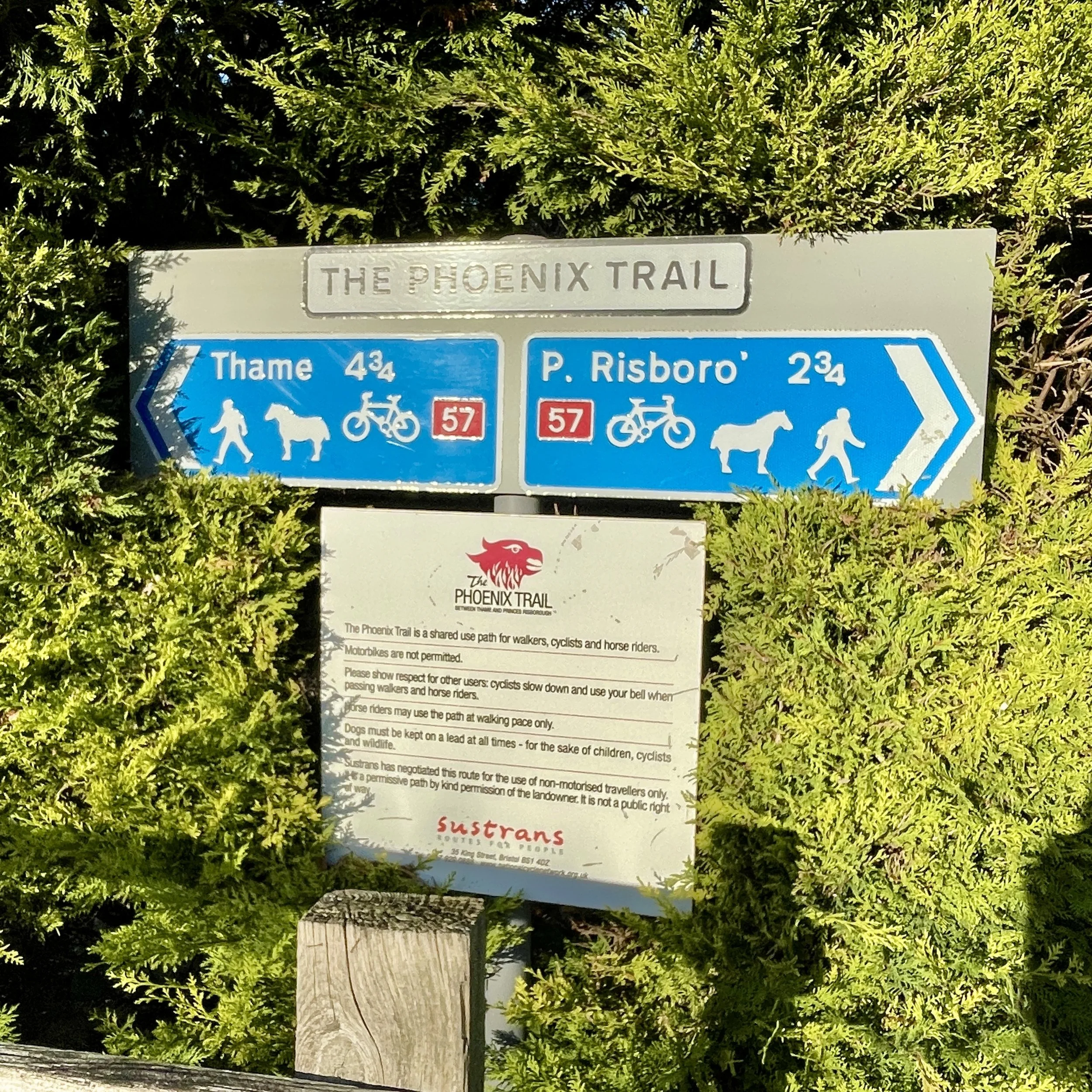
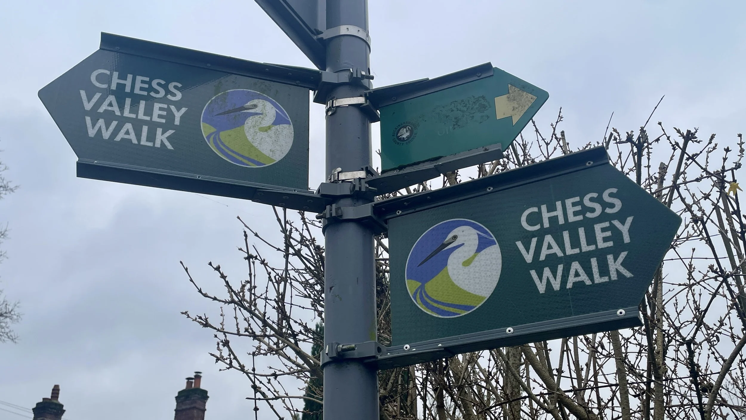
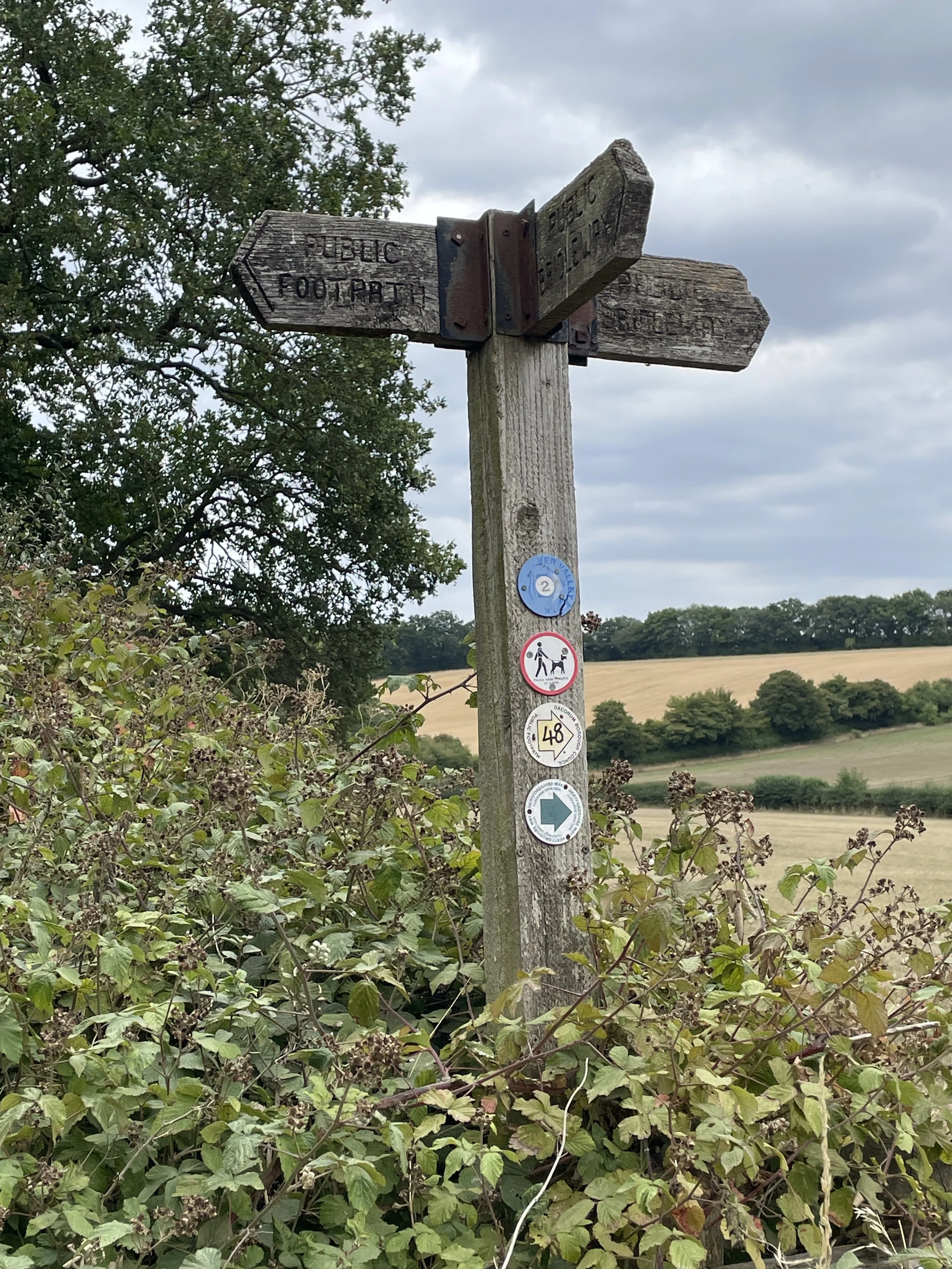
Other routes touched (walk): Chiltern Way
Other routes touched (cycle): None
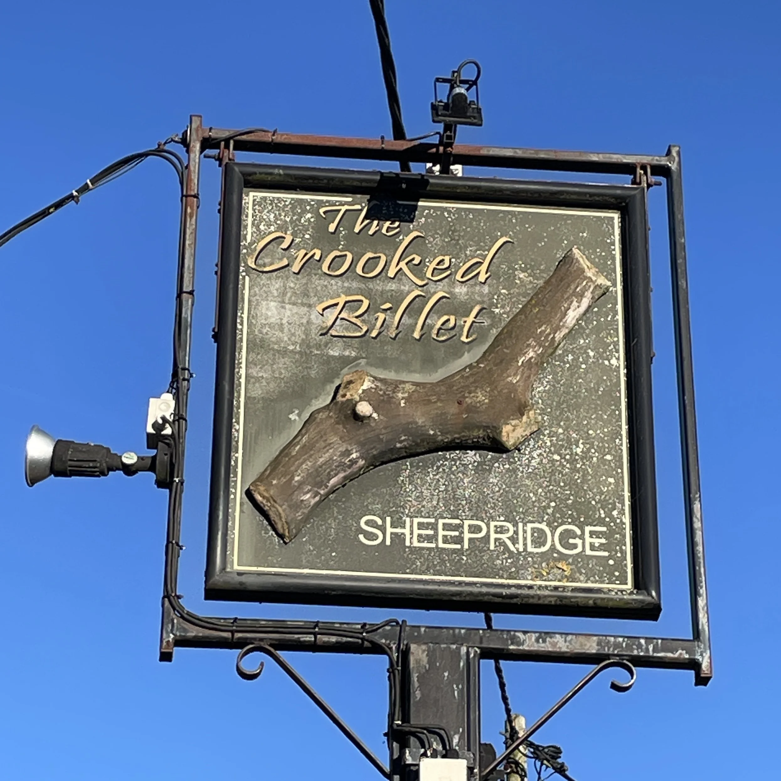
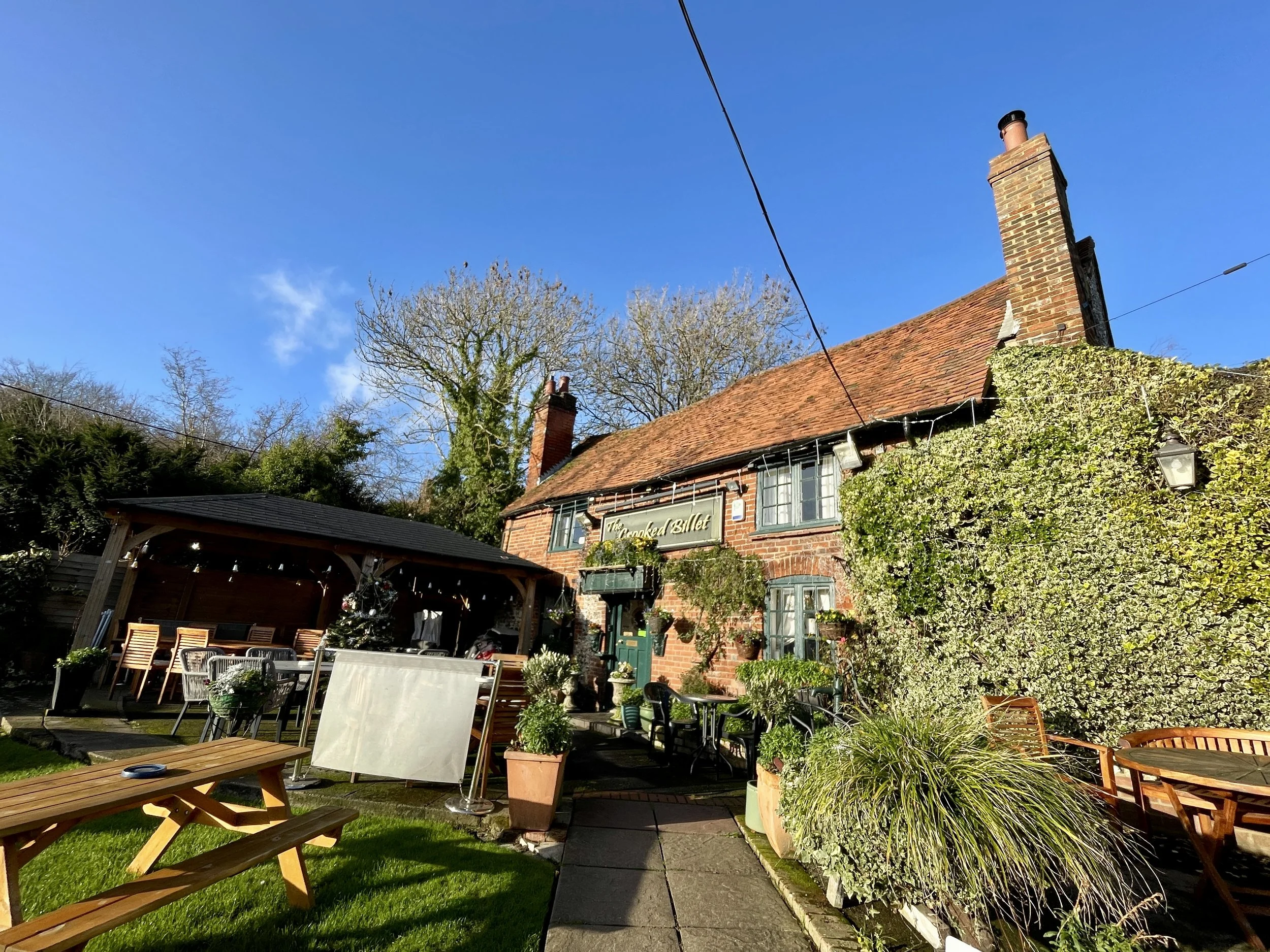
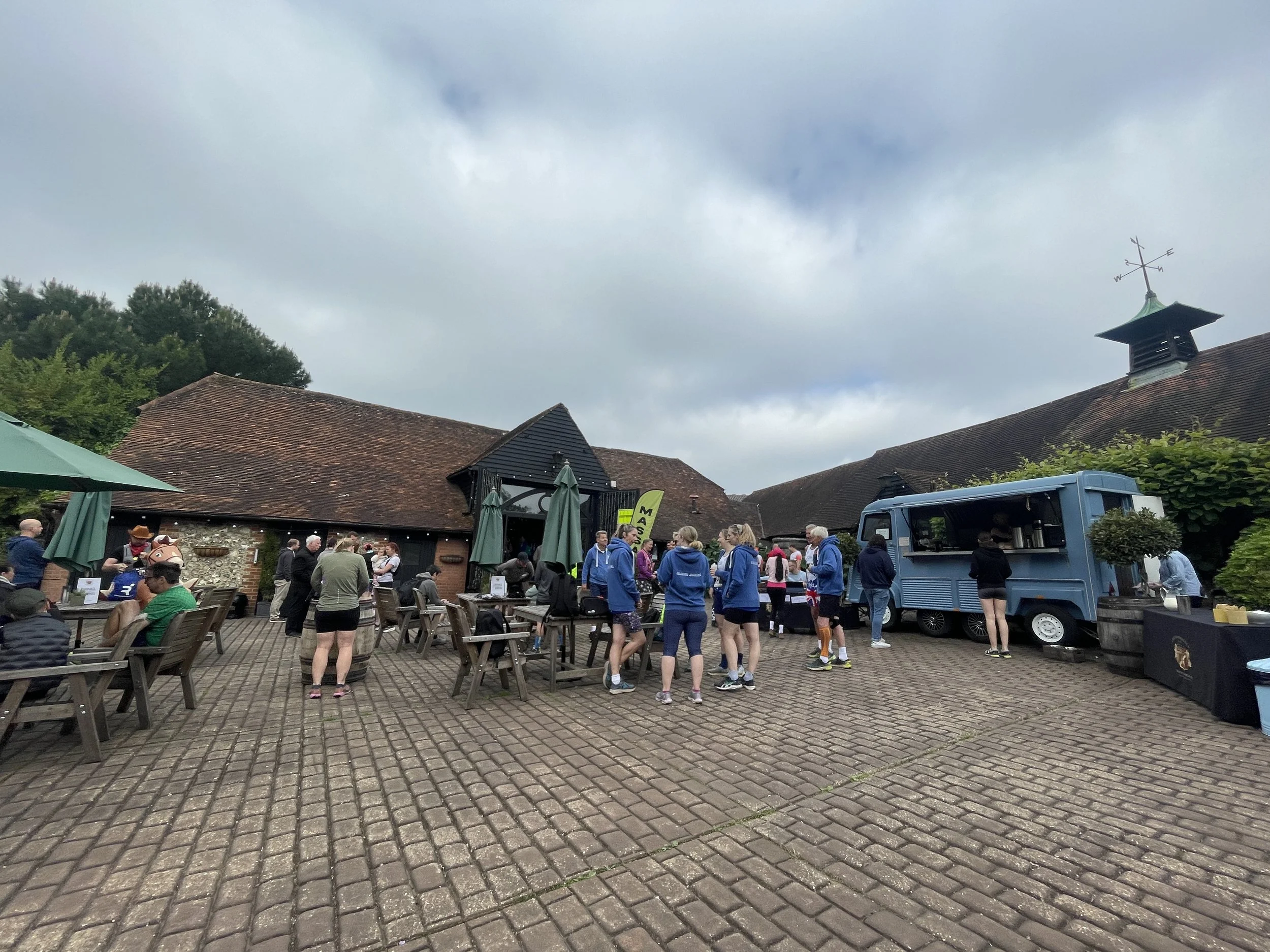
Pubs / Cafes on route: Several in Flackwell Heath at the start and end. We stopped at The Crooked Billet, Sheepridge, 3.3 km in
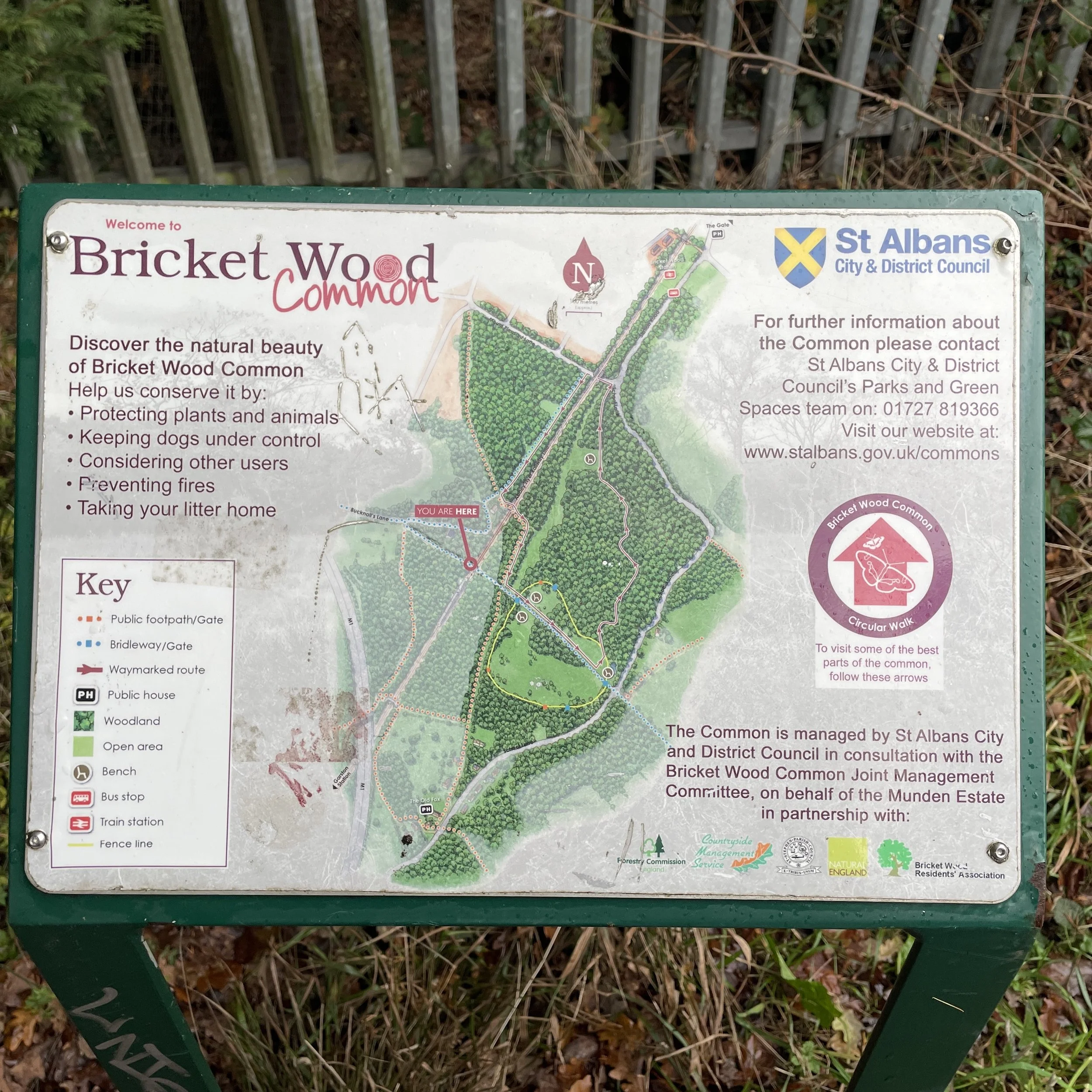
Map: Chiltern Hills East Map | High Wycombe, Maidenhead & Rickmansworth | Ordnance Survey | OS Explorer Map 172
Links: Flackwell Heath, Sheepridge, Little Marlow
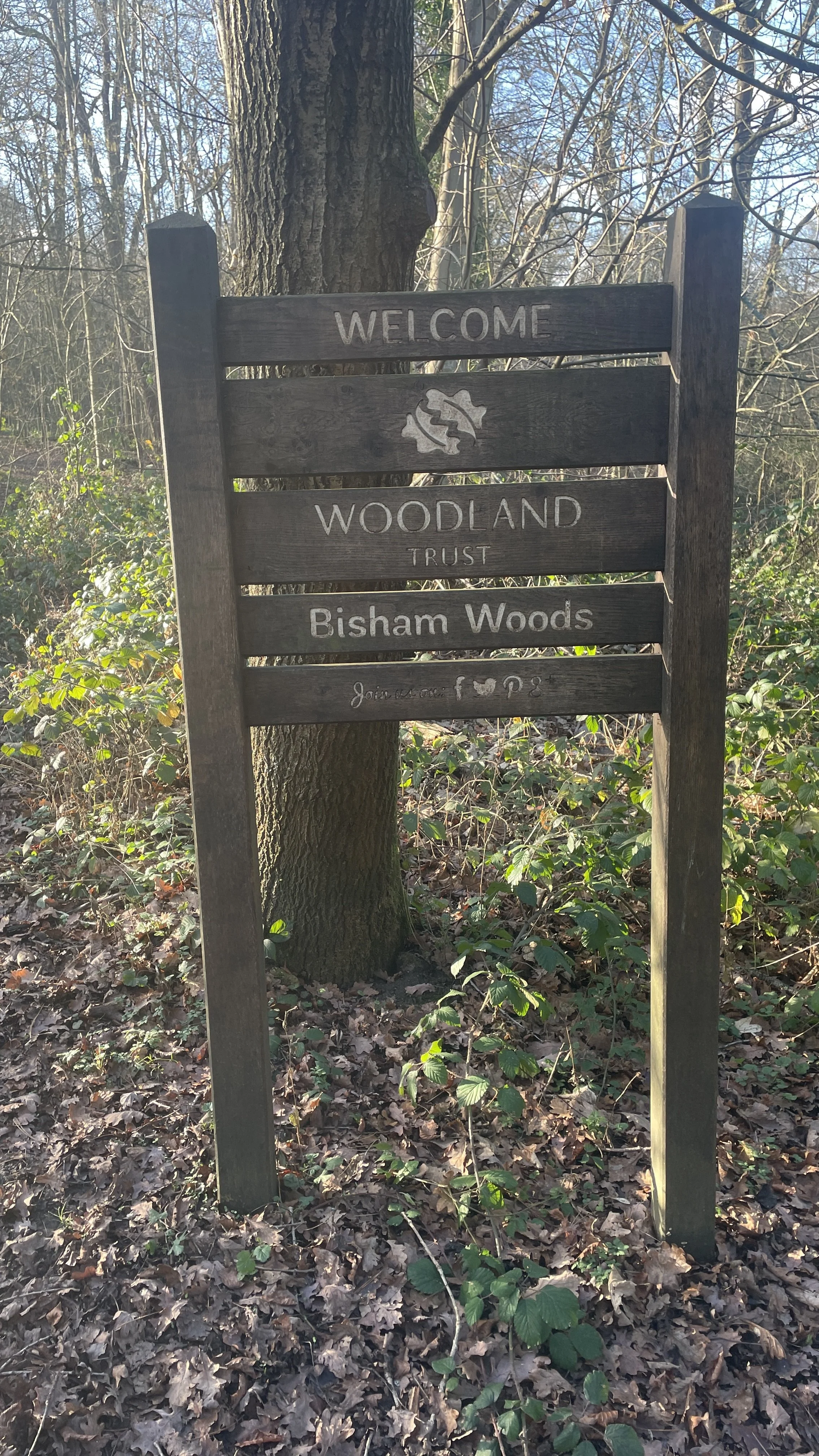
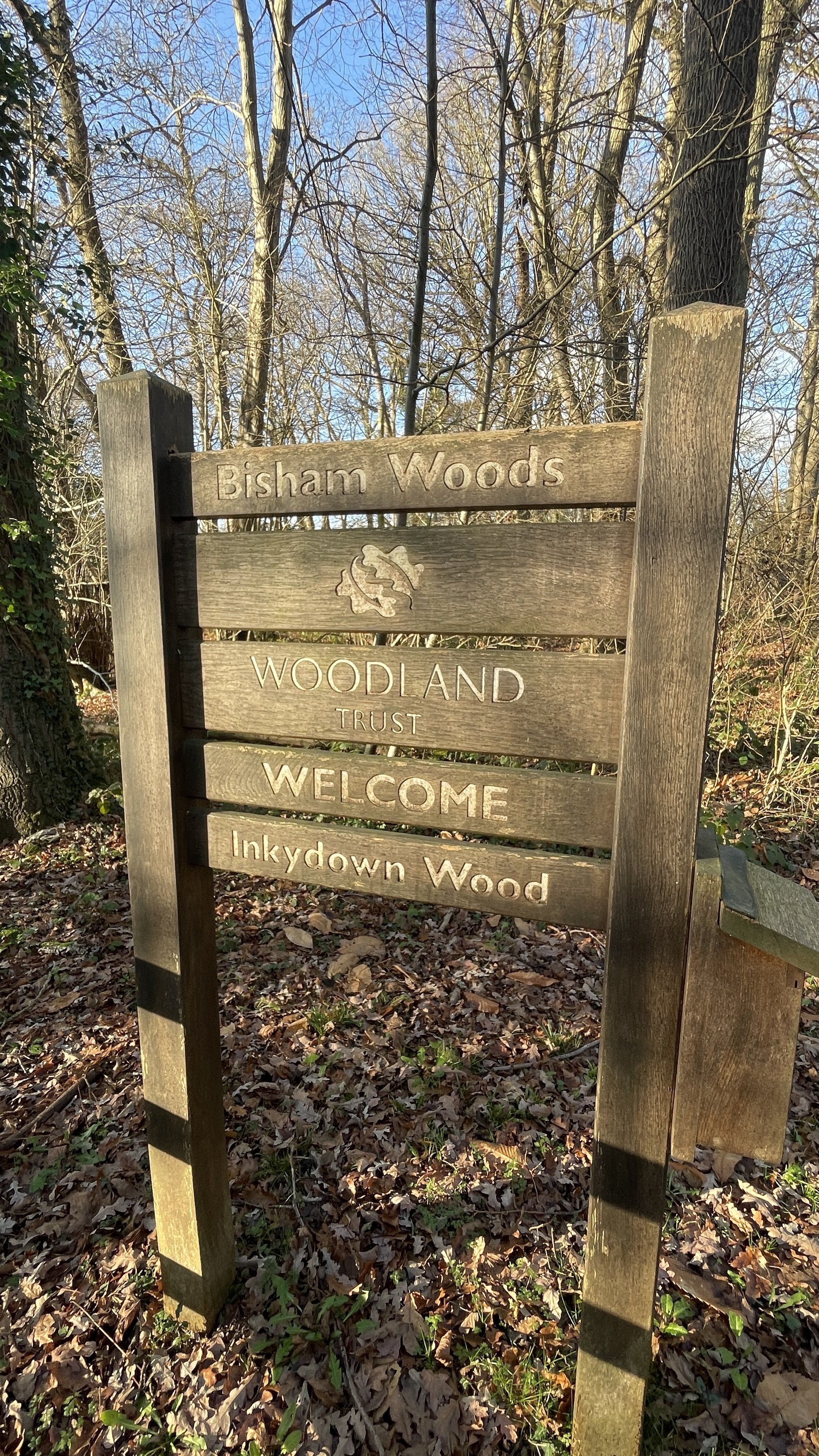
This is part of a series of short circular walks in the Chilterns. This is centred around Flackwell Heath, a large village perched on a ridge overlooking the Wye Valley and takes in the small villages of Sheepridge and Fern.
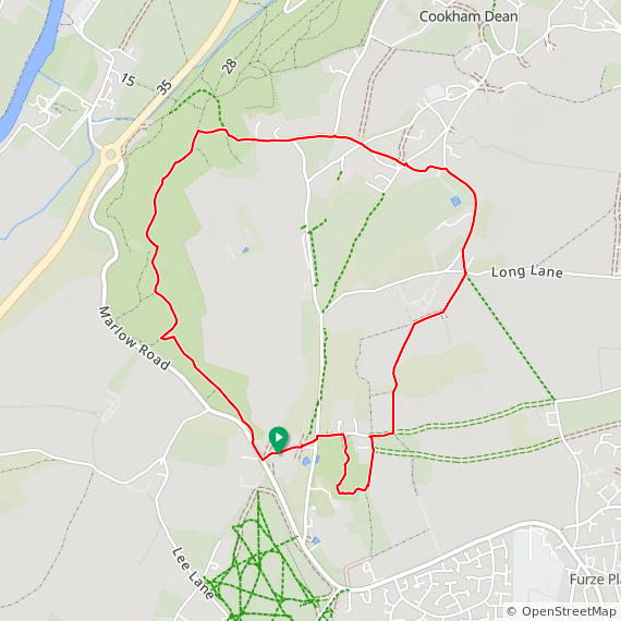
Walking Directions
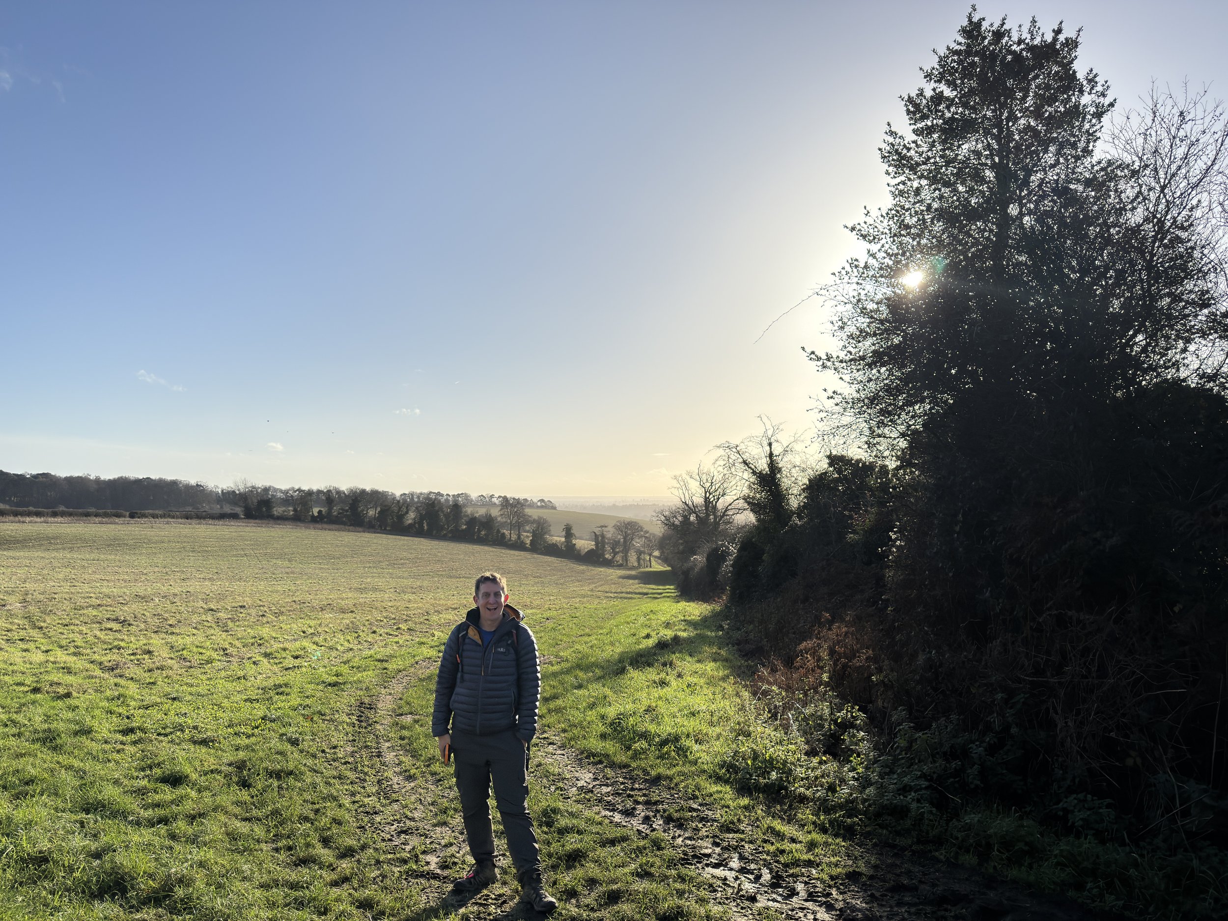
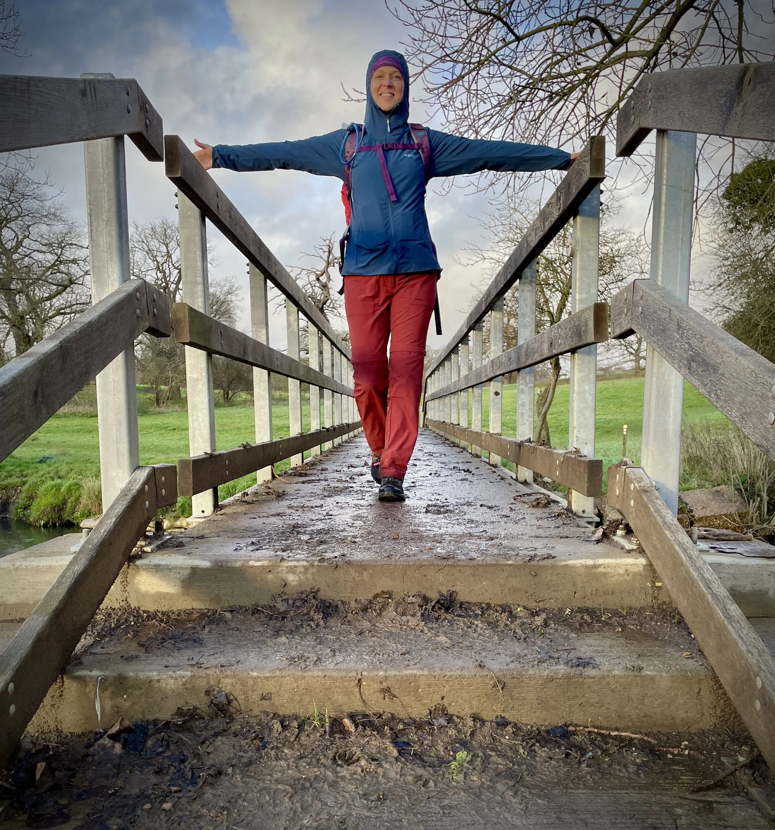
For this walk we parked on the Treadaway Road near the Three Horseshoes pub. The guidance below will help you navigate but don’t use it as a fully accurate turn-by-turn guide. Always take a map and/or a GPX route and prepare well for the weather and terrain.
Start at Treadaway Road: Begin by following Treadaway Road in a north-easterly direction from near The Three Horseshoes pub until you reach the junction with Swains Lane.
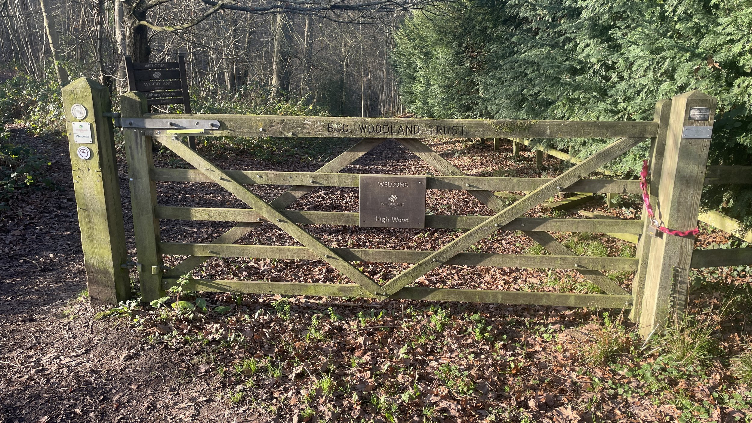
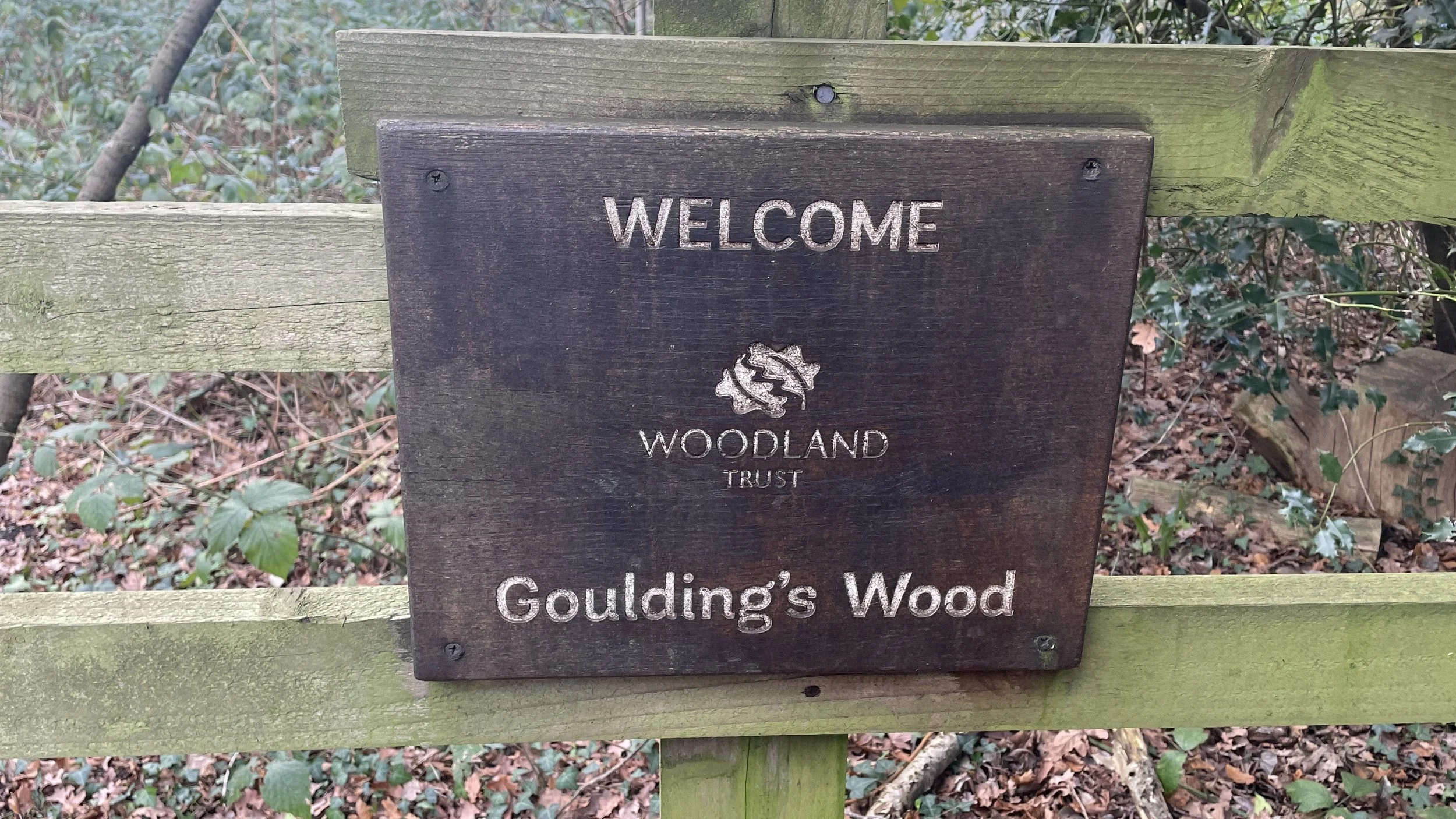
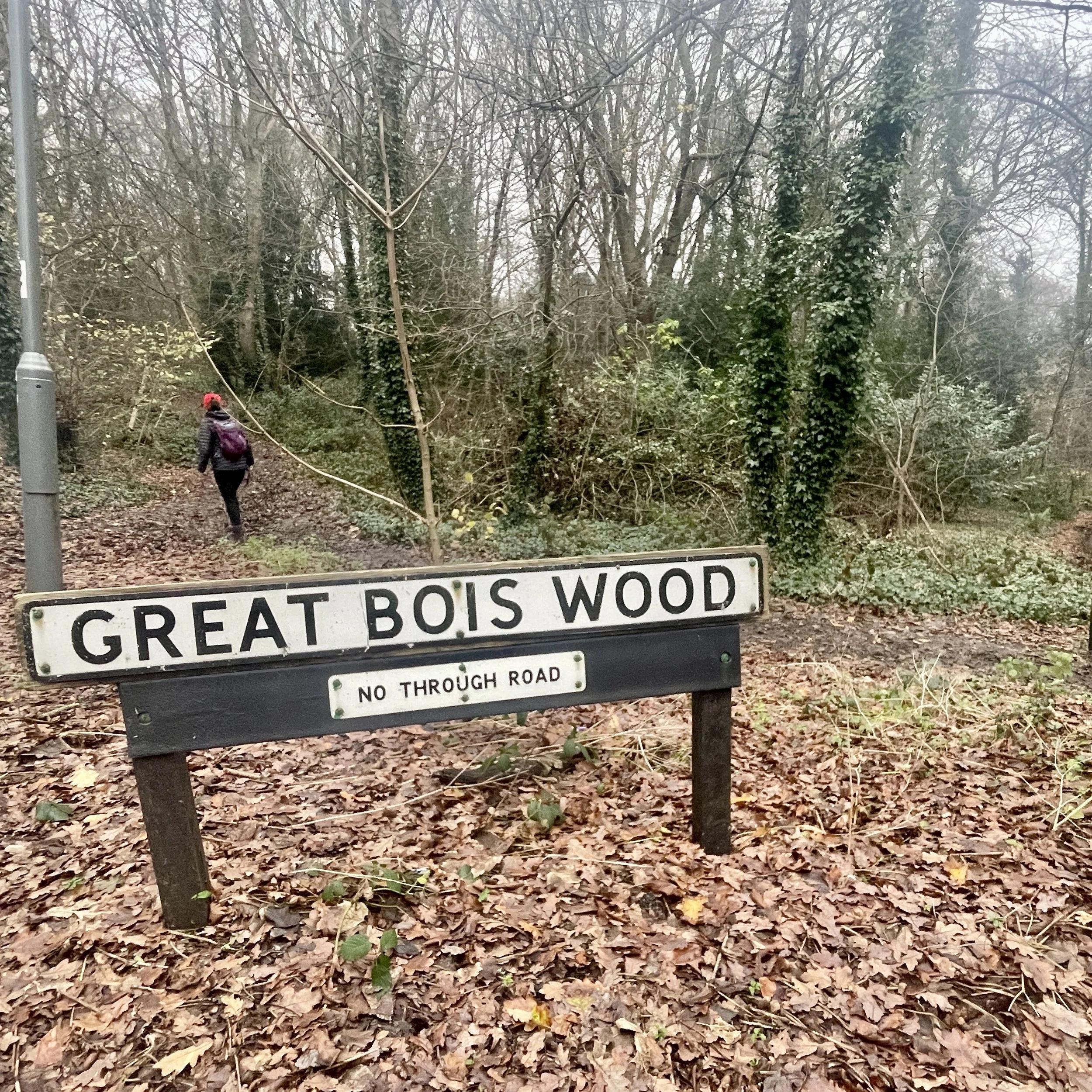
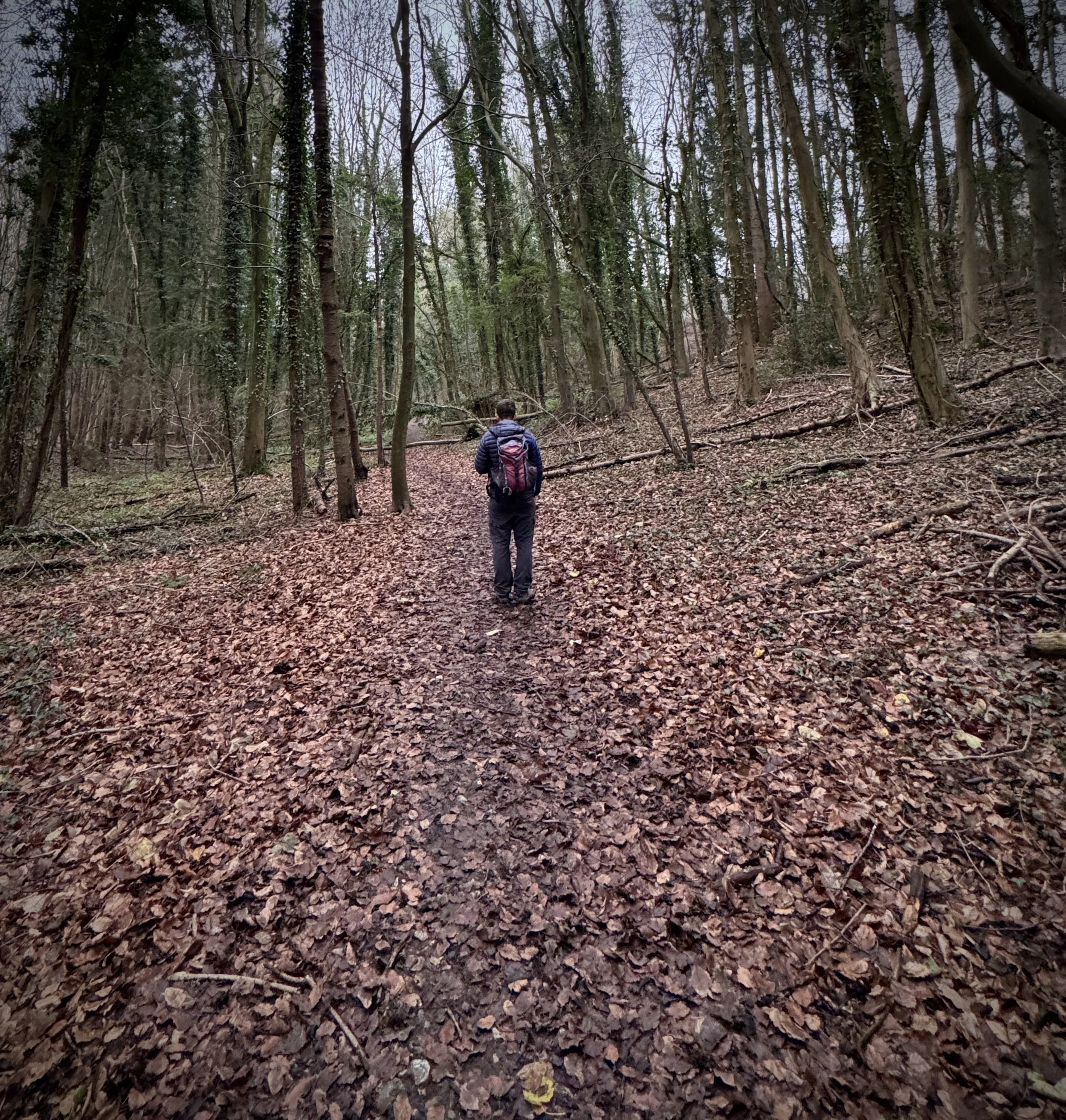
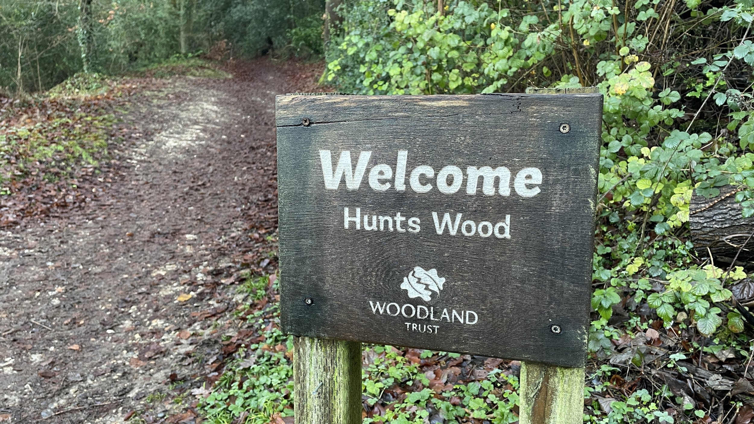
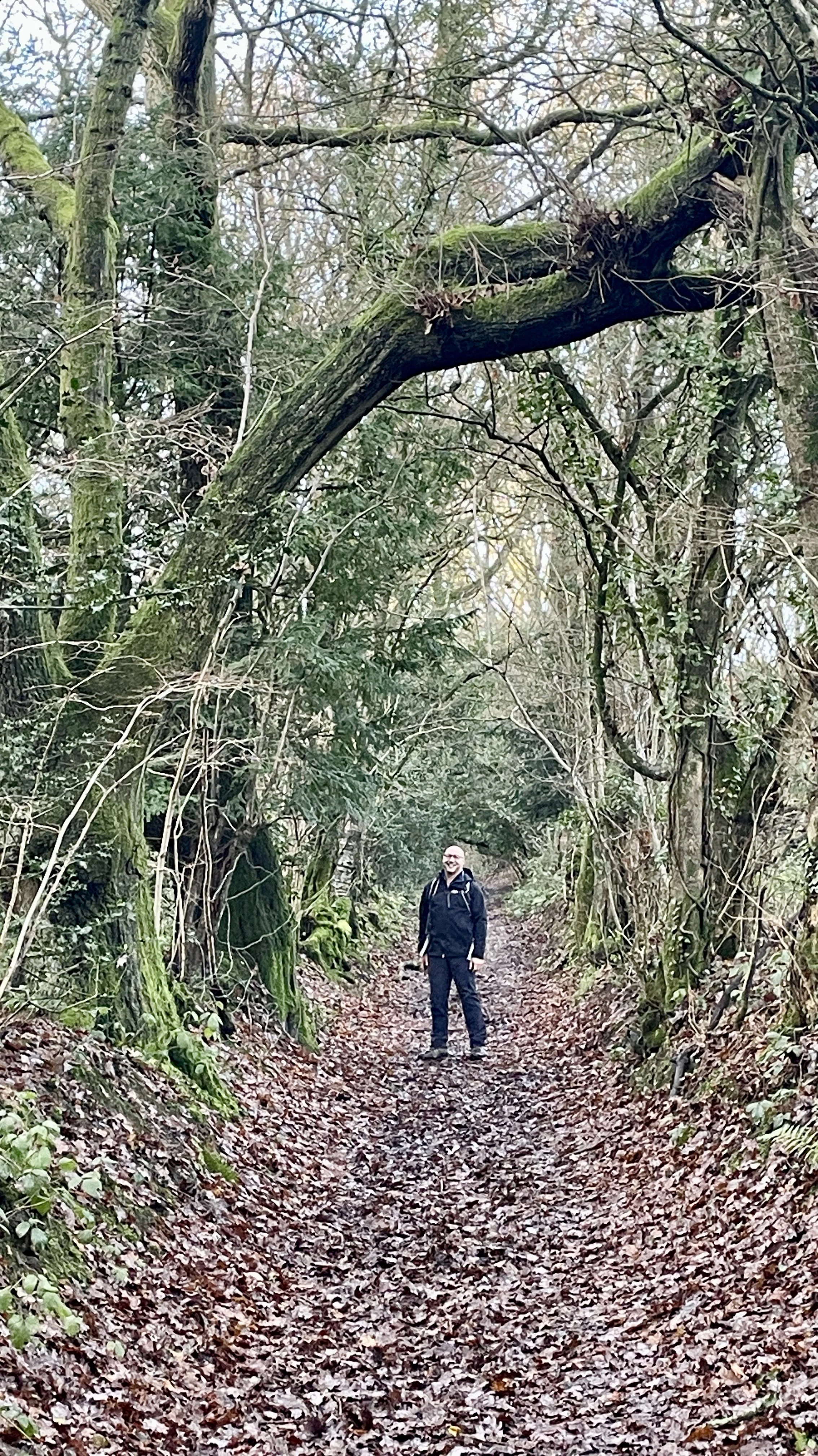
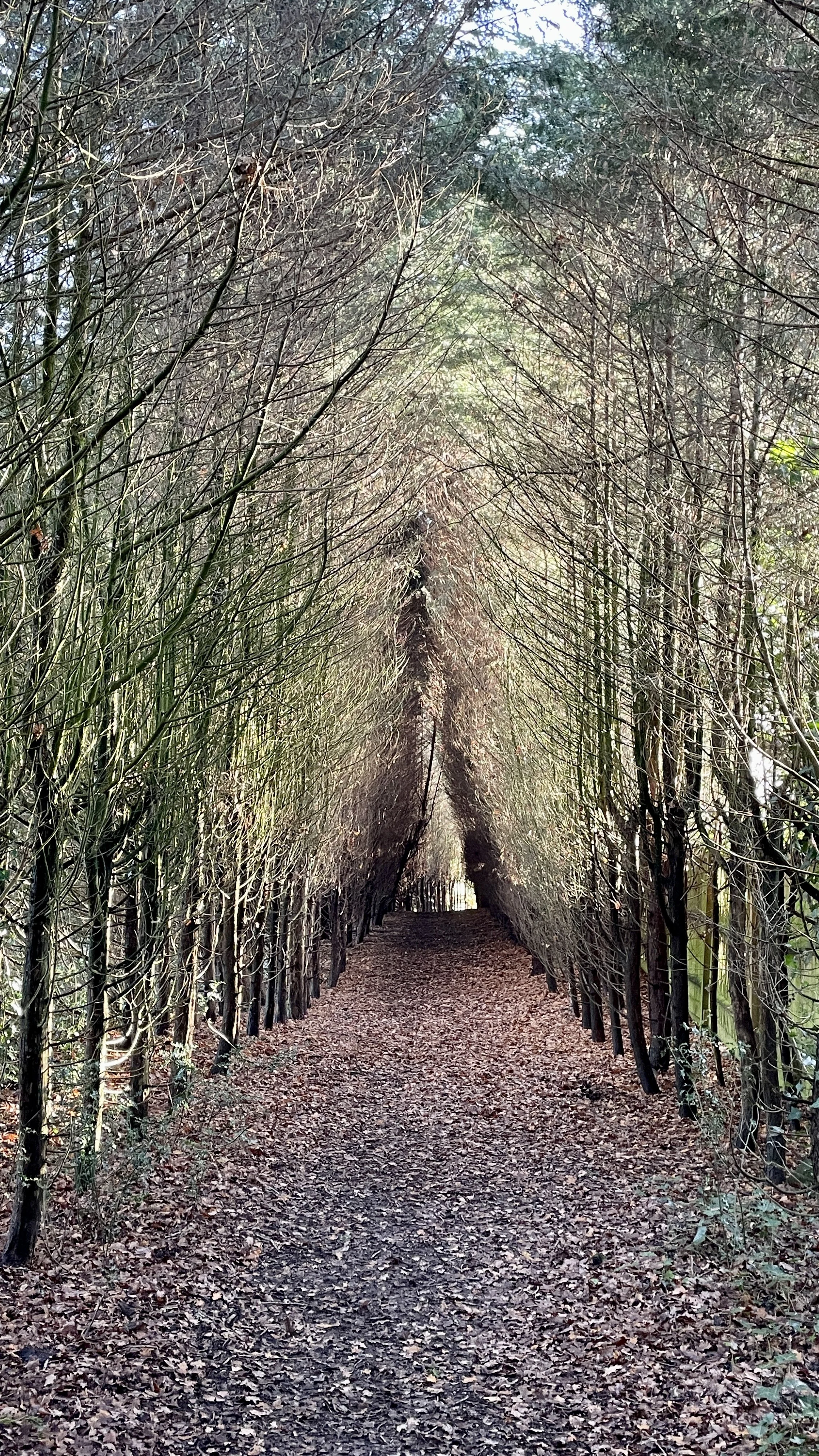
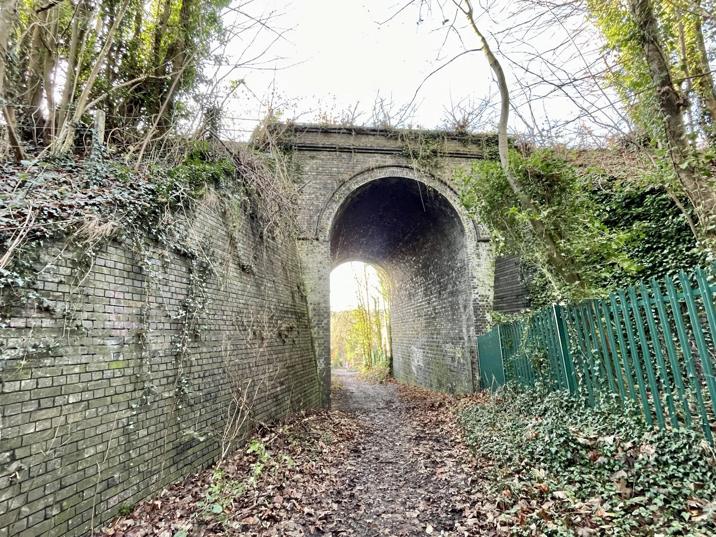
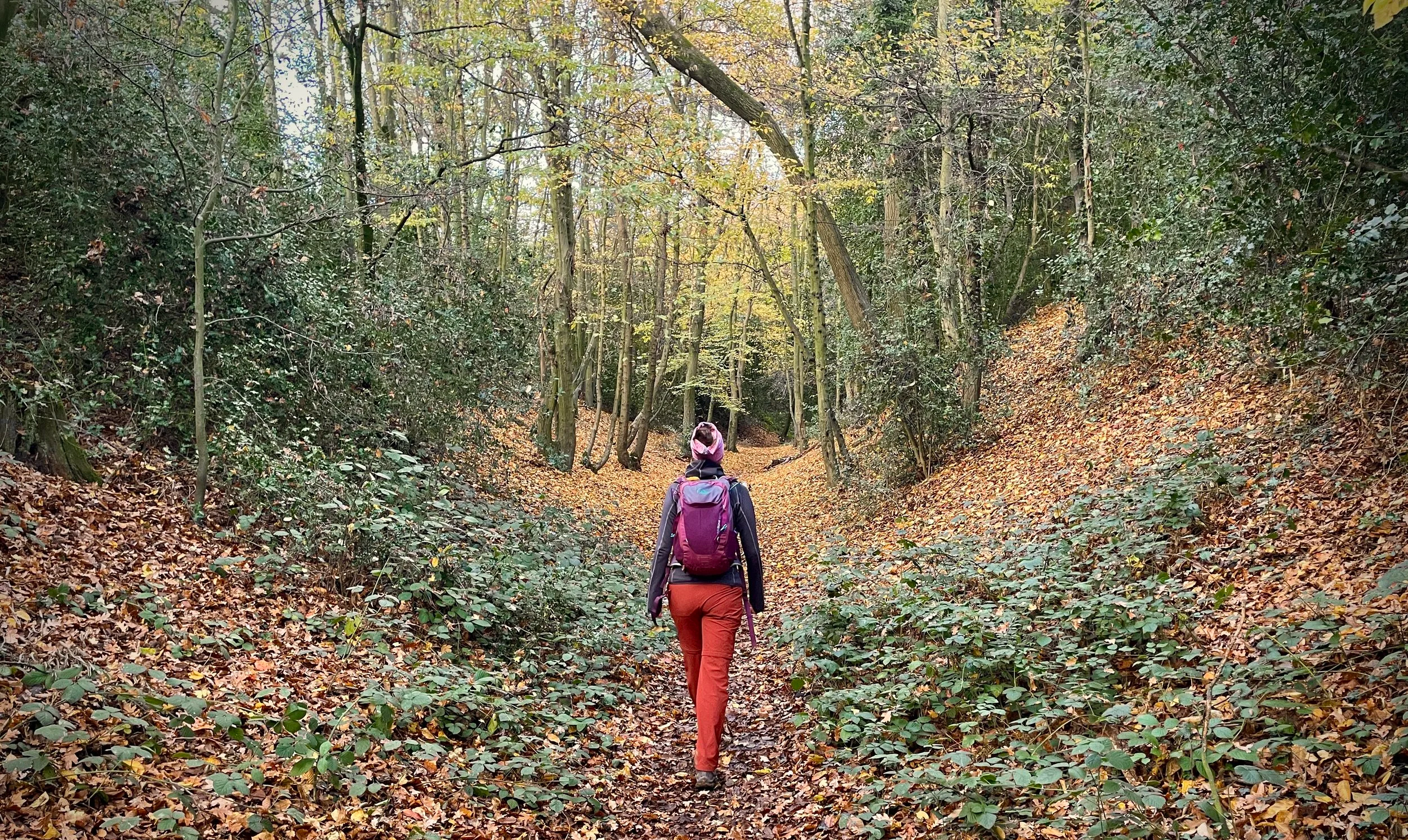
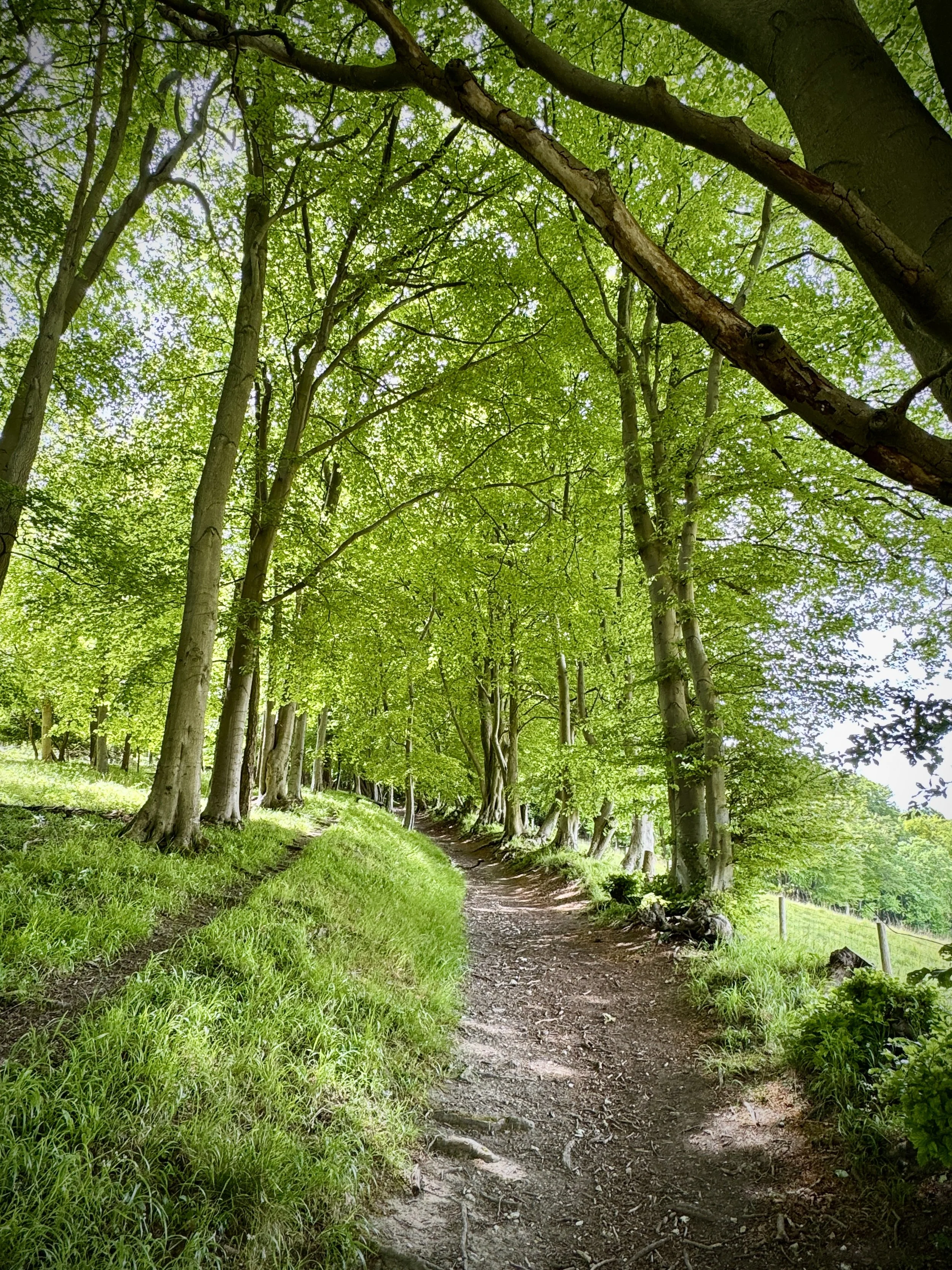
Enter the Woods: Cross the junction and take the footpath leading through the woodland in a northerly direction.
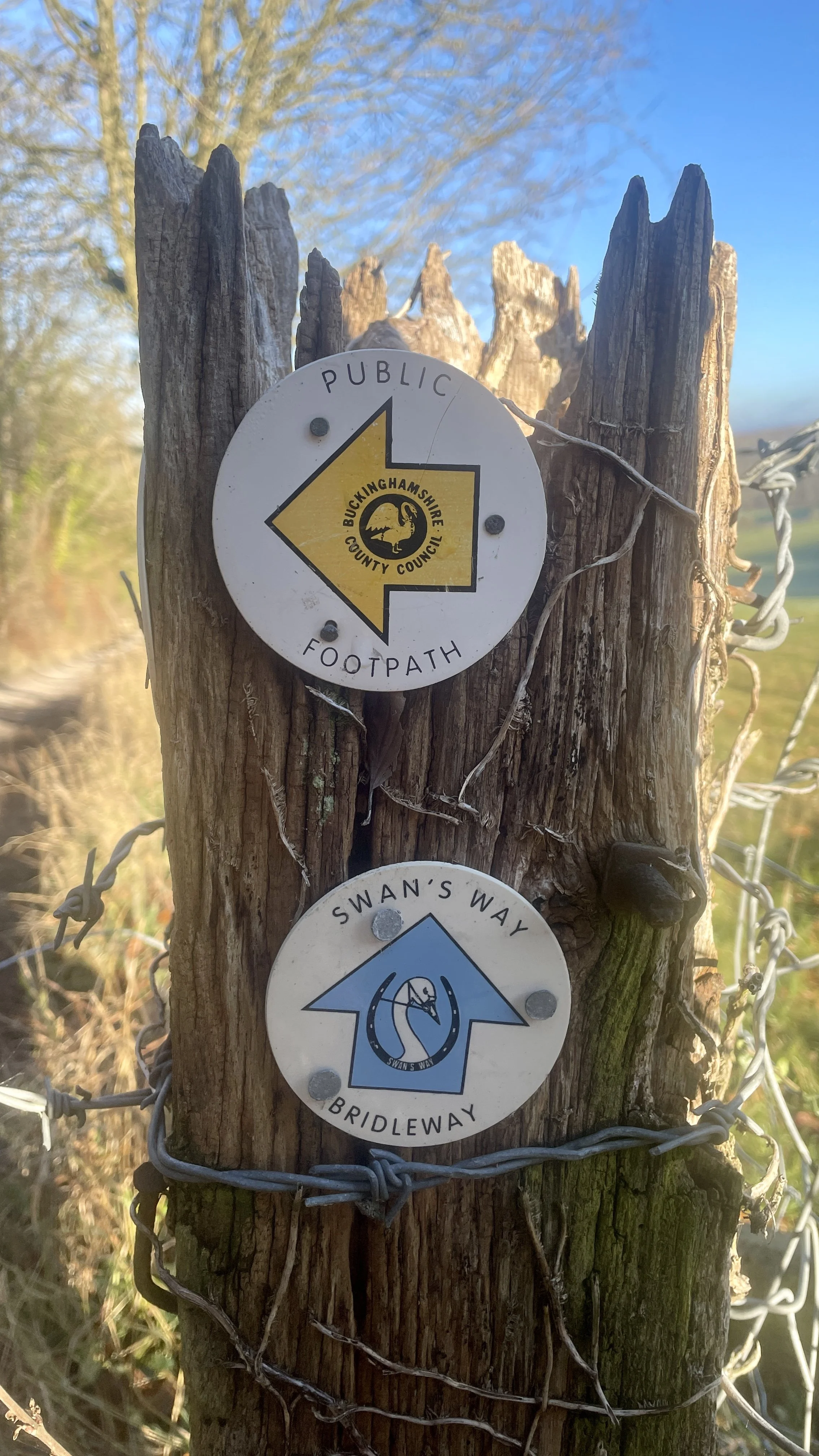
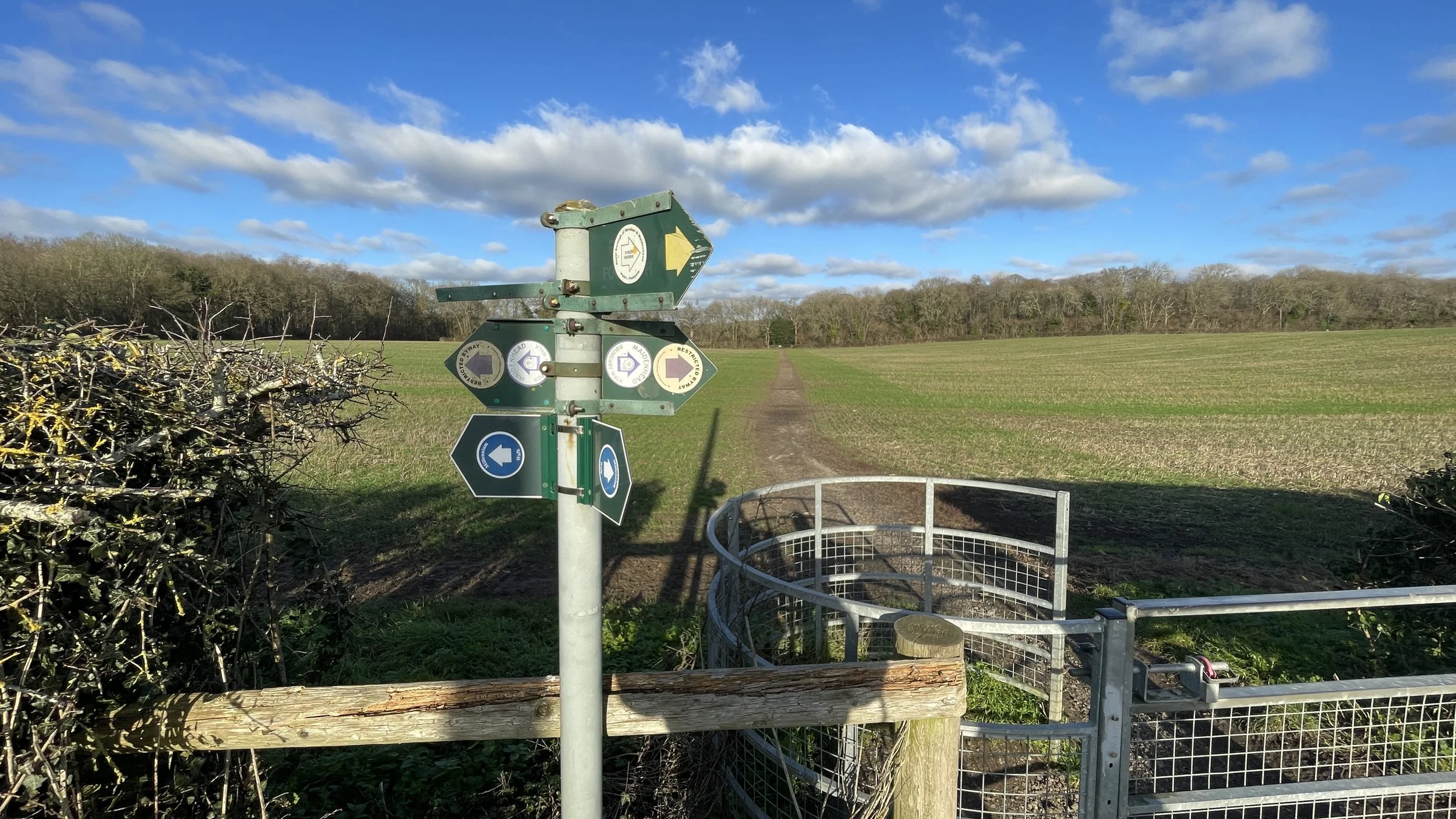
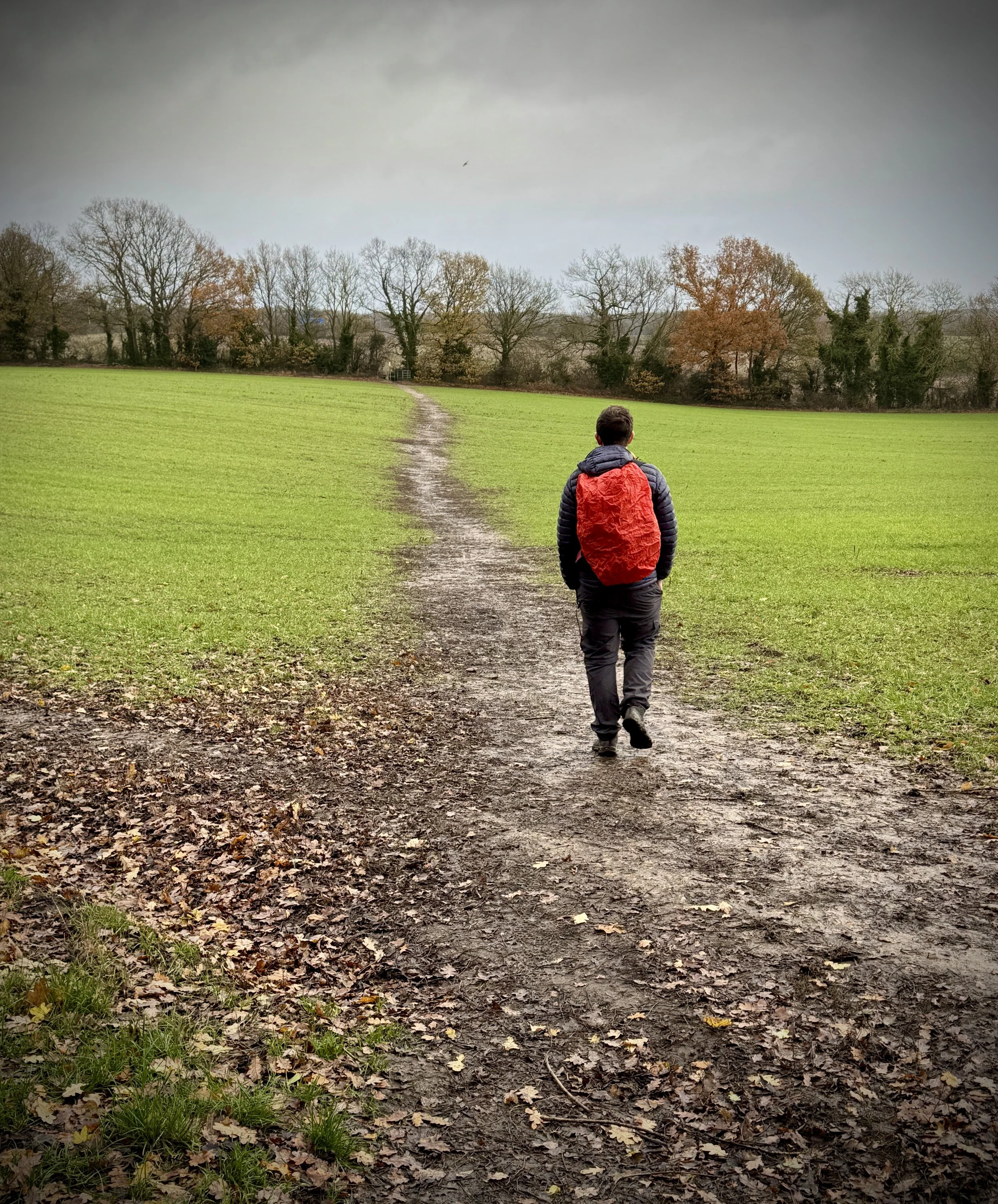
Join the Chiltern Way: Upon reaching the M40 underpass, you have reached the Chiltern Way. Turn left to follow this trail south-west along a field edge, then through further woodland until you reach Heath End Road.
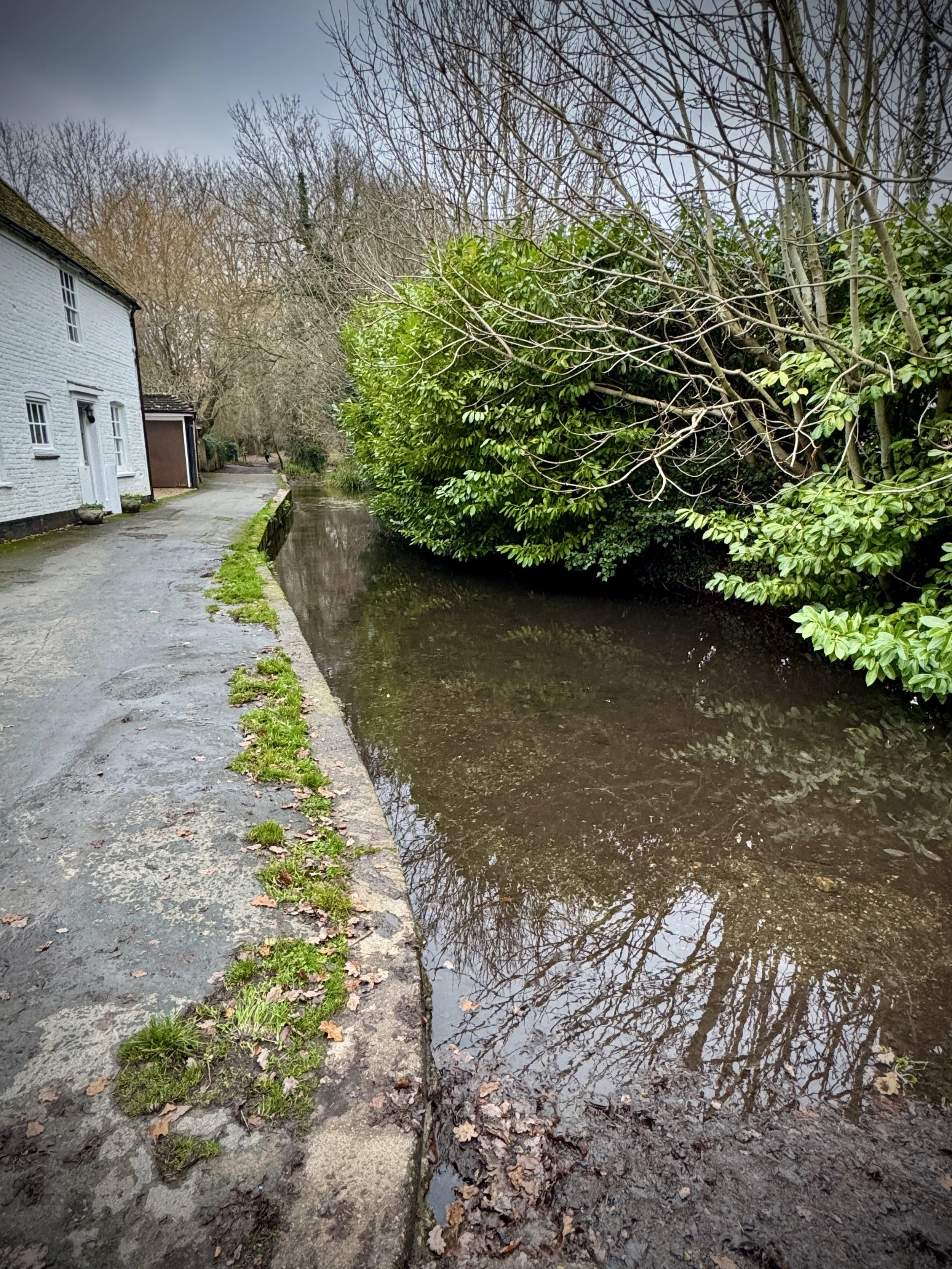
Descent to Sheepridge: Turn right onto Heath End Road for 250m, then take the footpath on your left. Continue following the Chiltern Way as it descends along the edge of a field down to Sheepridge Lane.
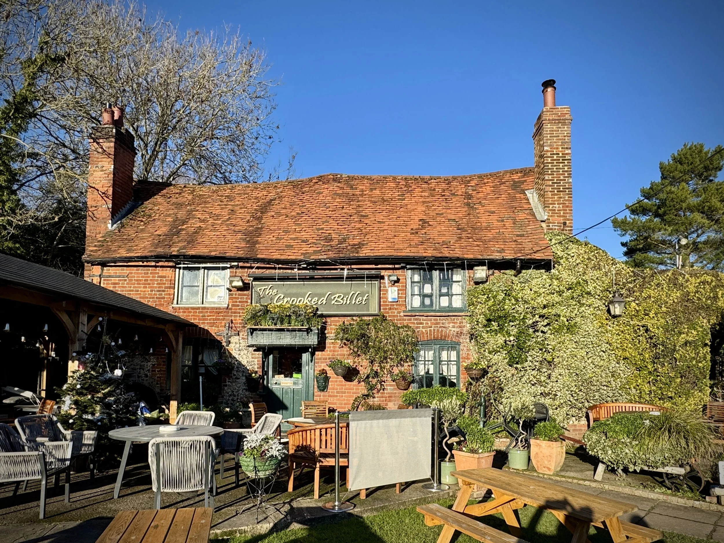
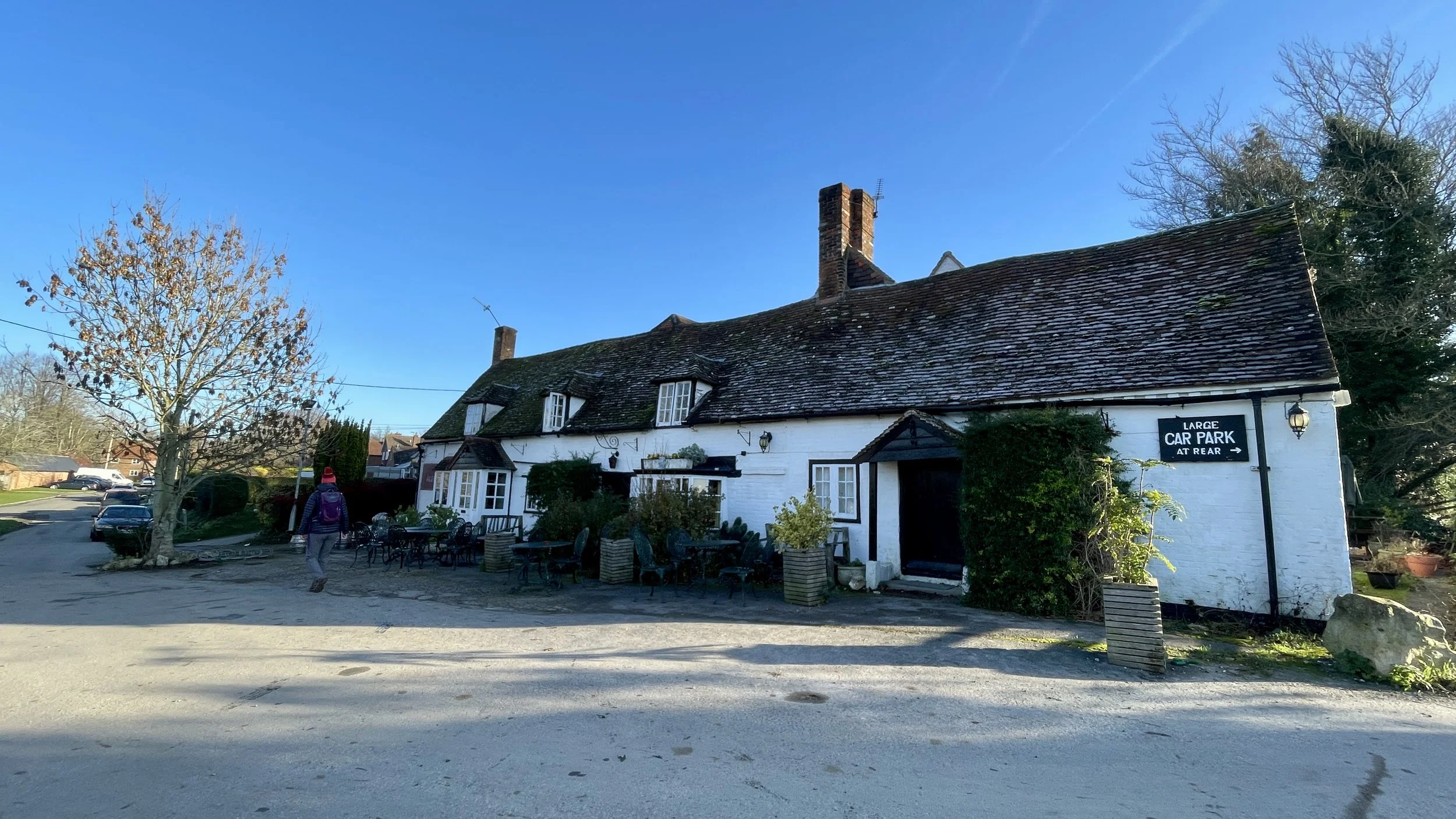
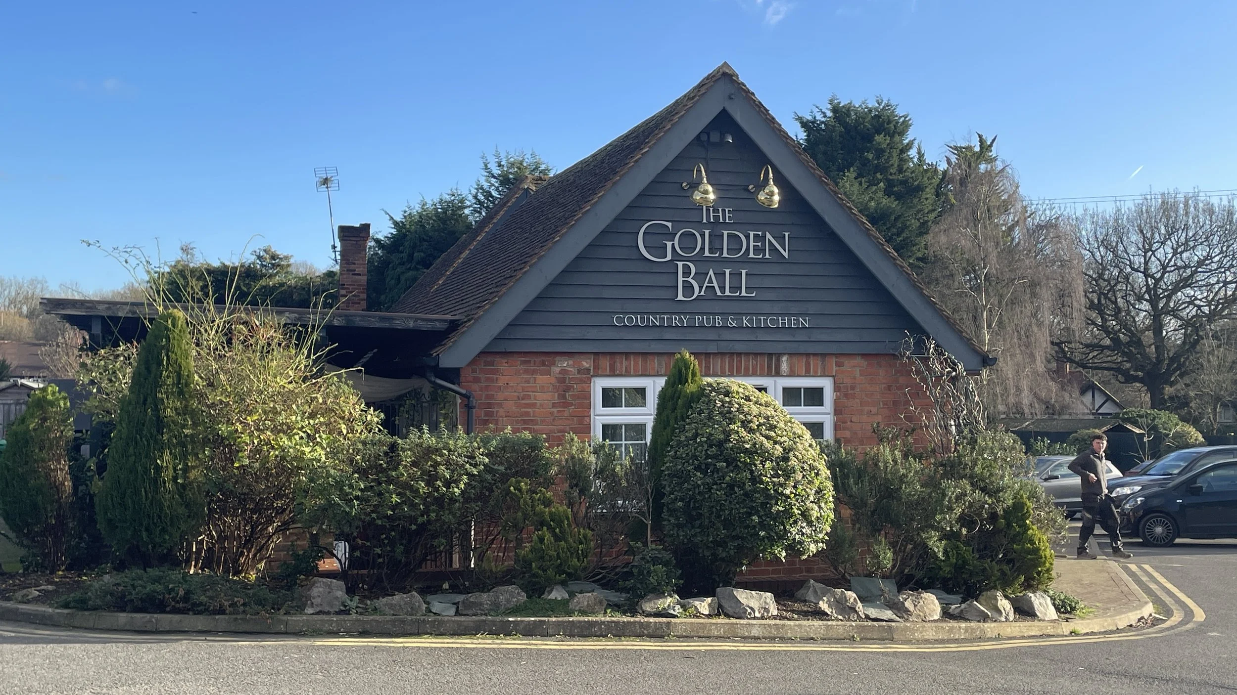
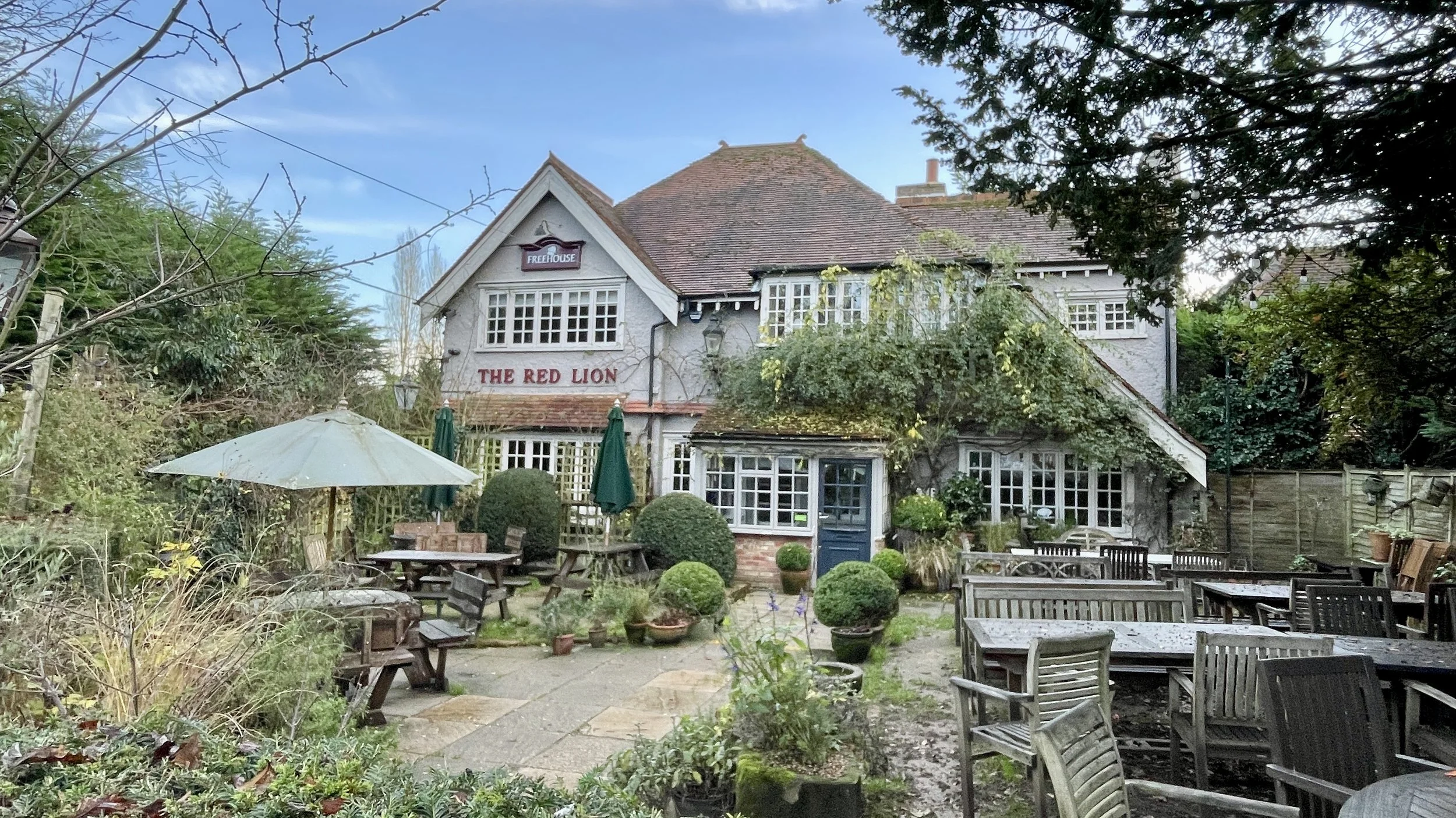
The Crooked Billet: Turn right onto Sheepridge Lane and walk south-west to reach The Crooked Billet pub, an ideal halfway stop approximately 3.3 km into the walk.
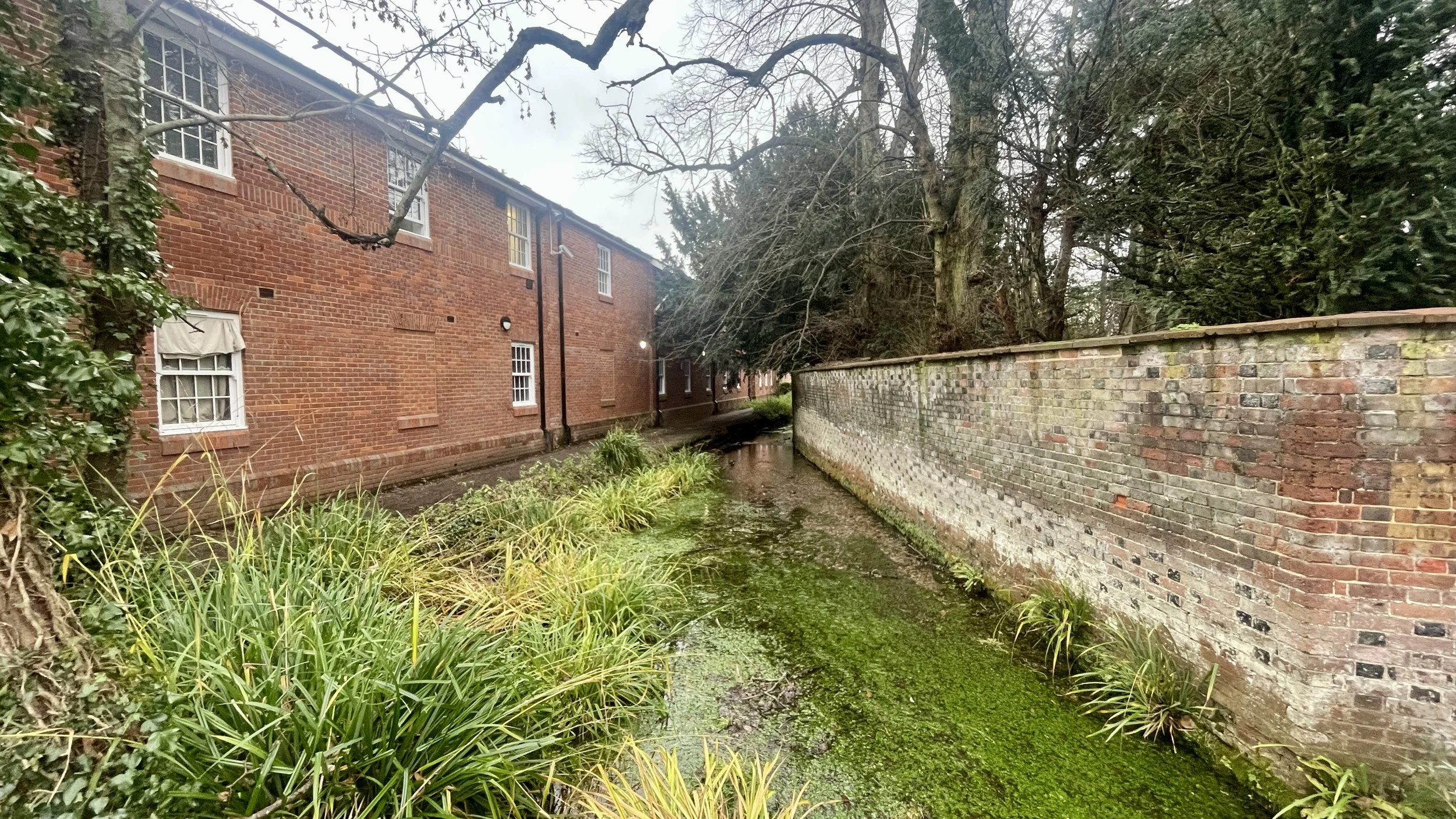
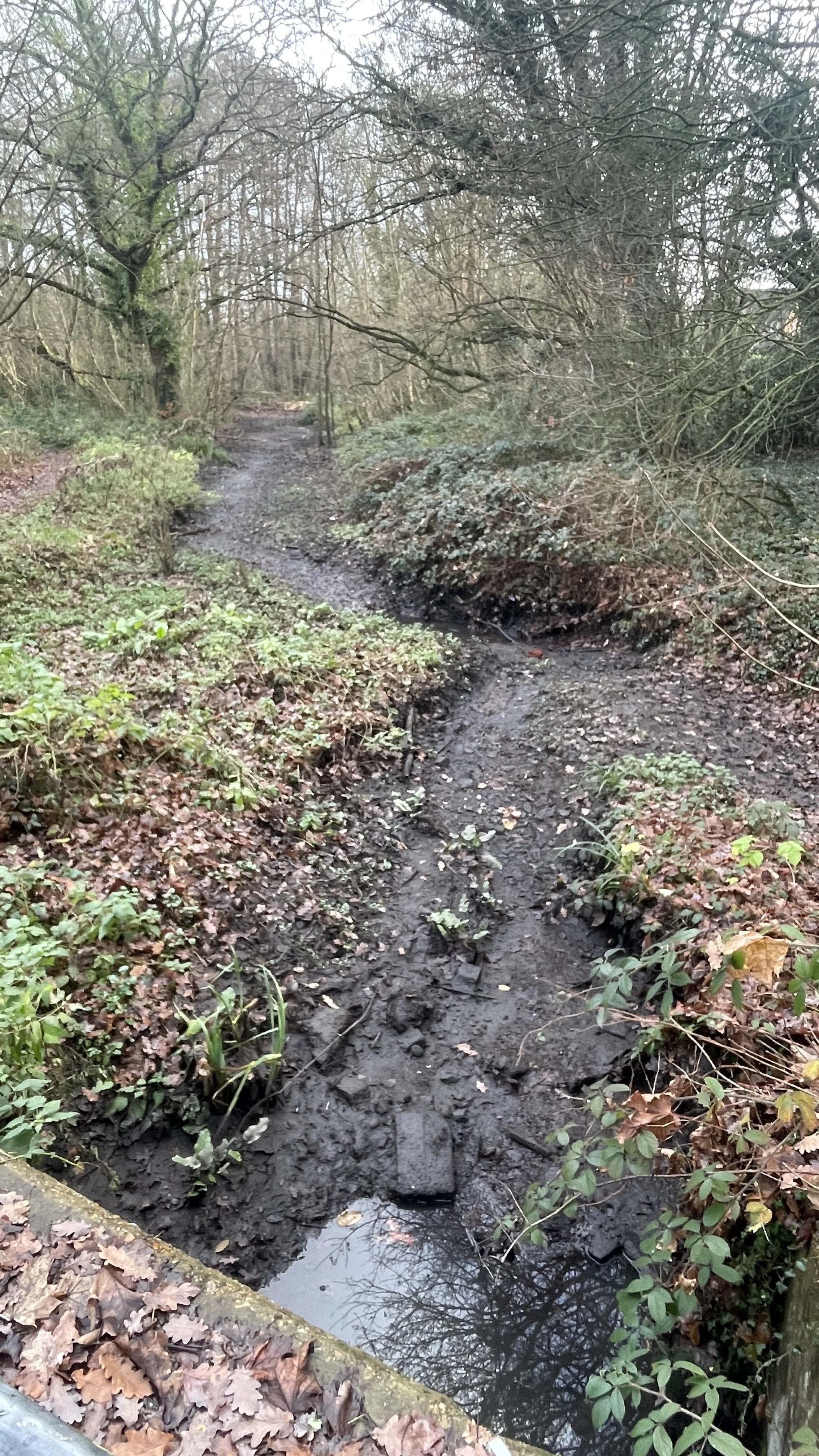
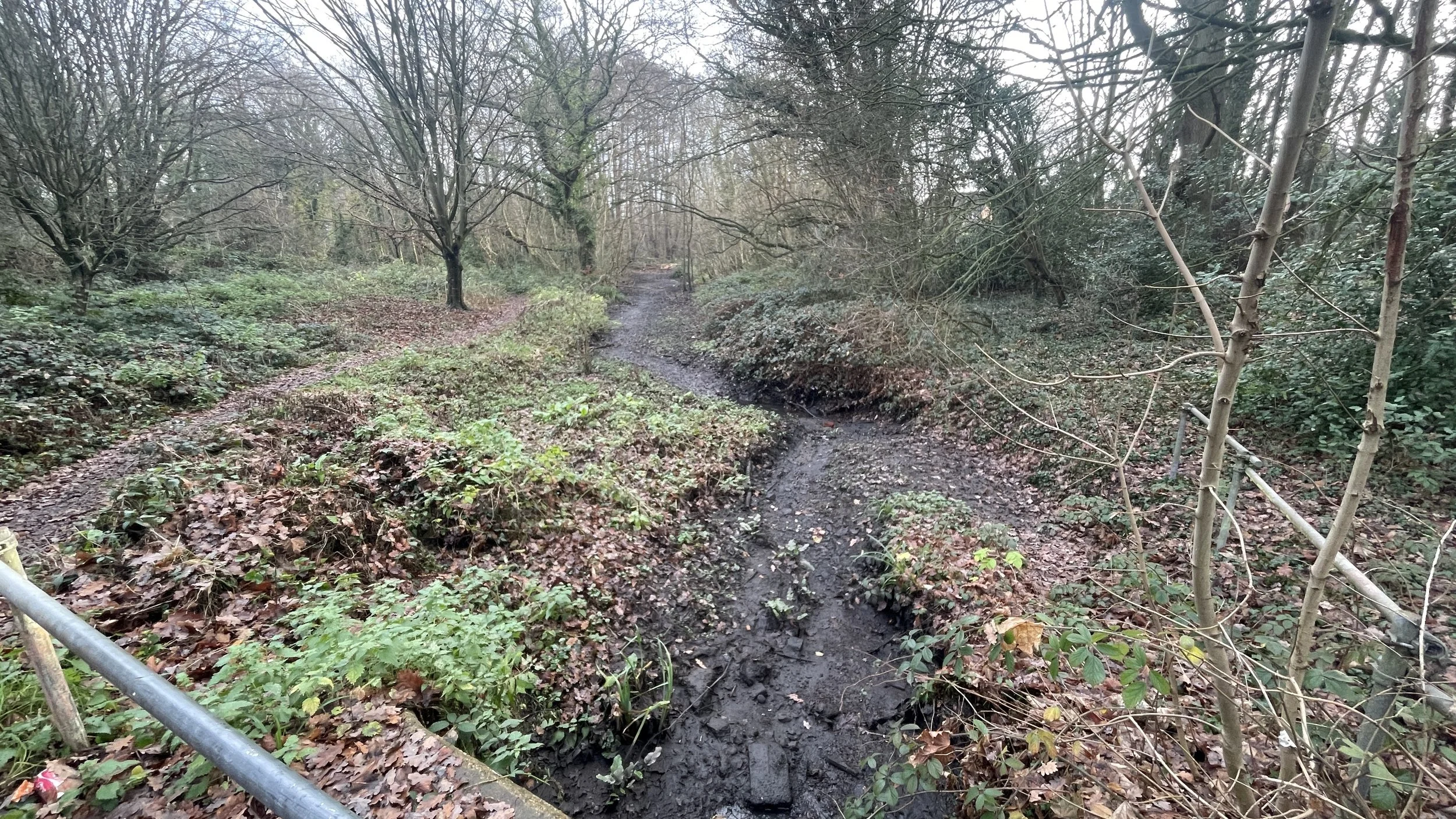
Ascend through Woodland: After the pub, take a right off Sheepridge Lane to ascend through the woods. After roughly 800m, reach a path junction where you will turn left, leaving the Chiltern Way to descend through a mix of woodland and farmland toward Fern Lane.
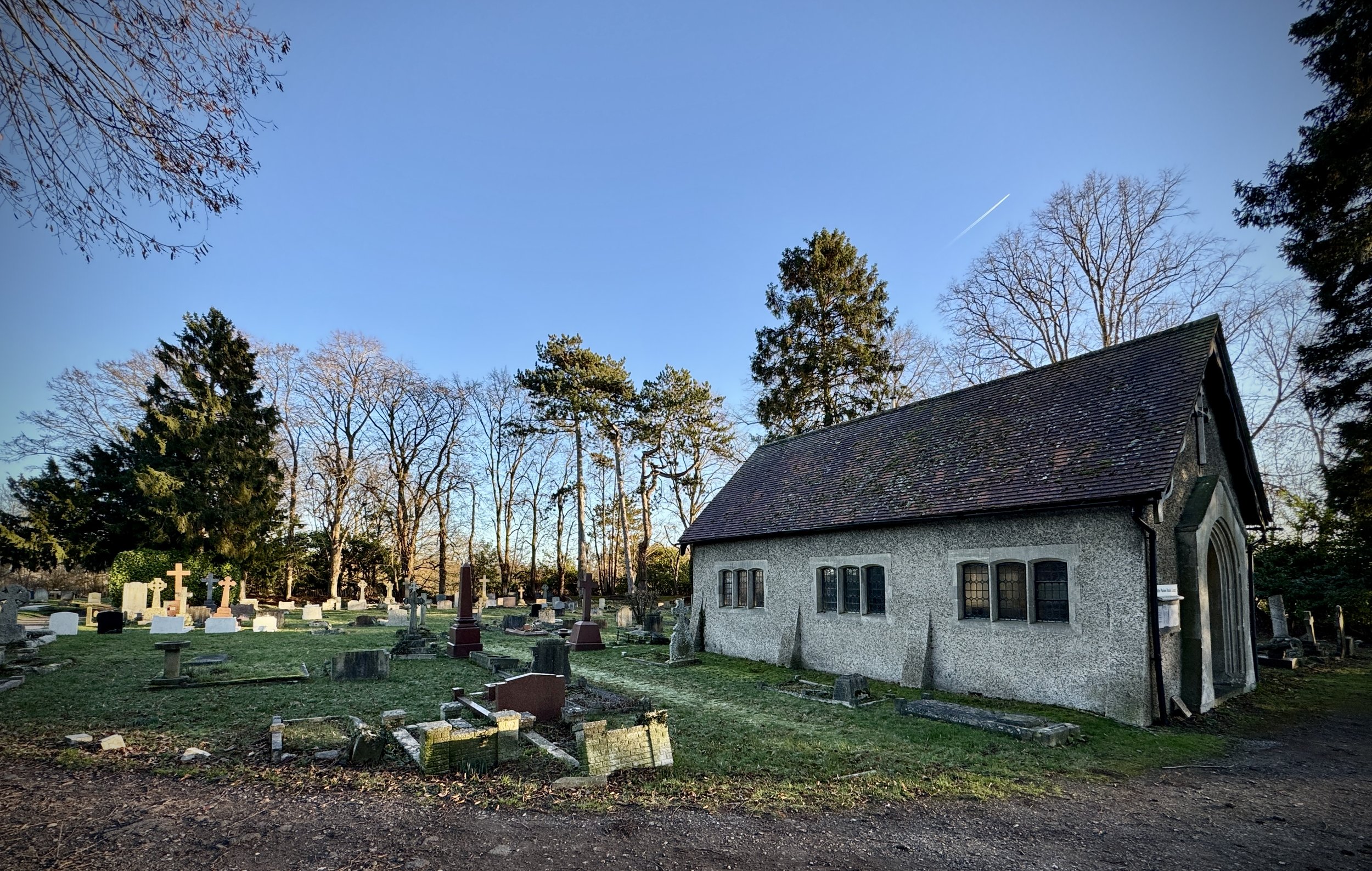
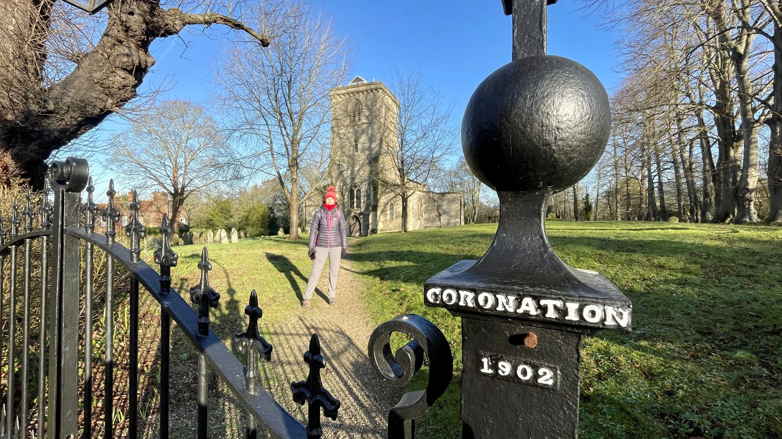
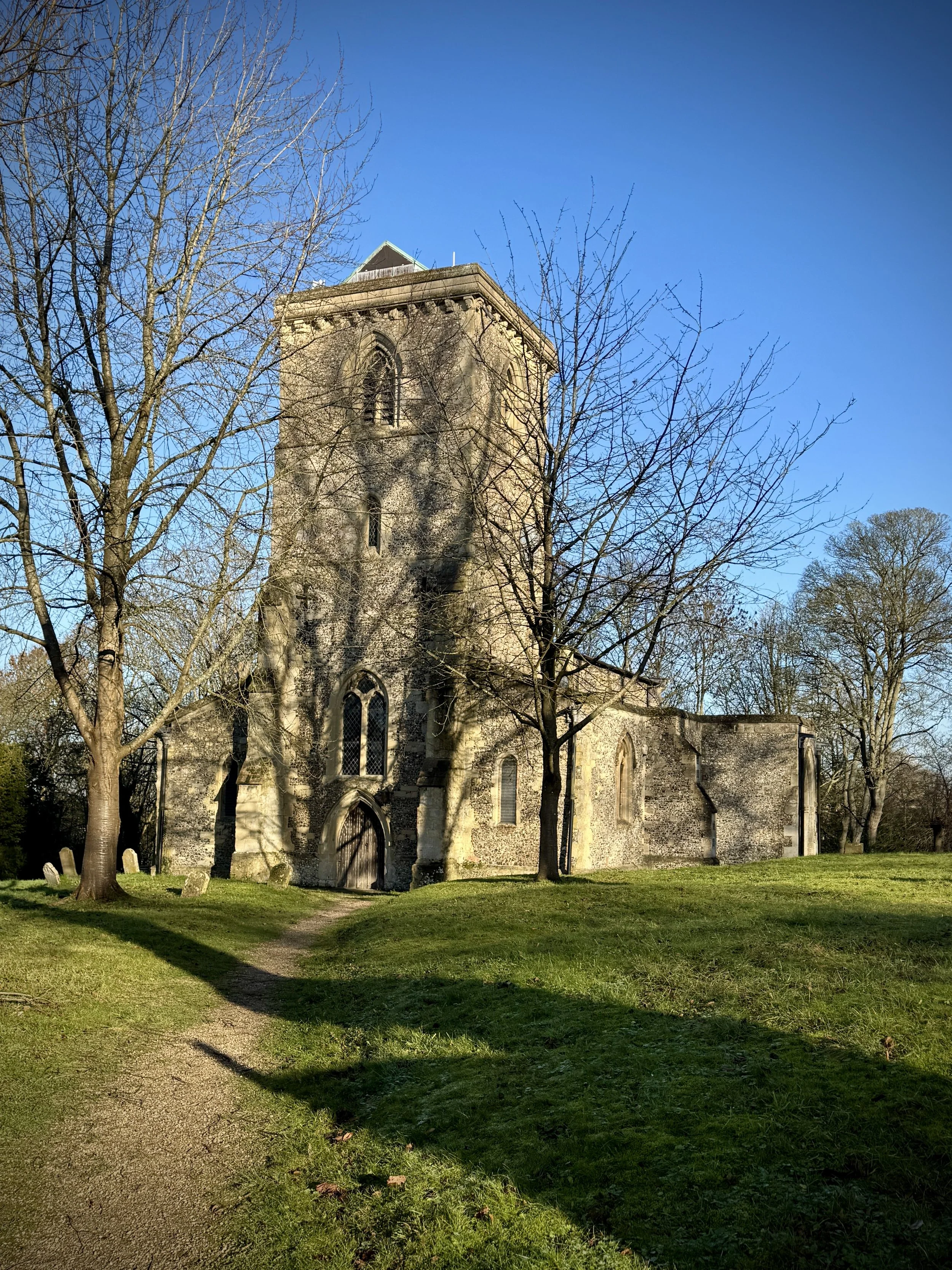
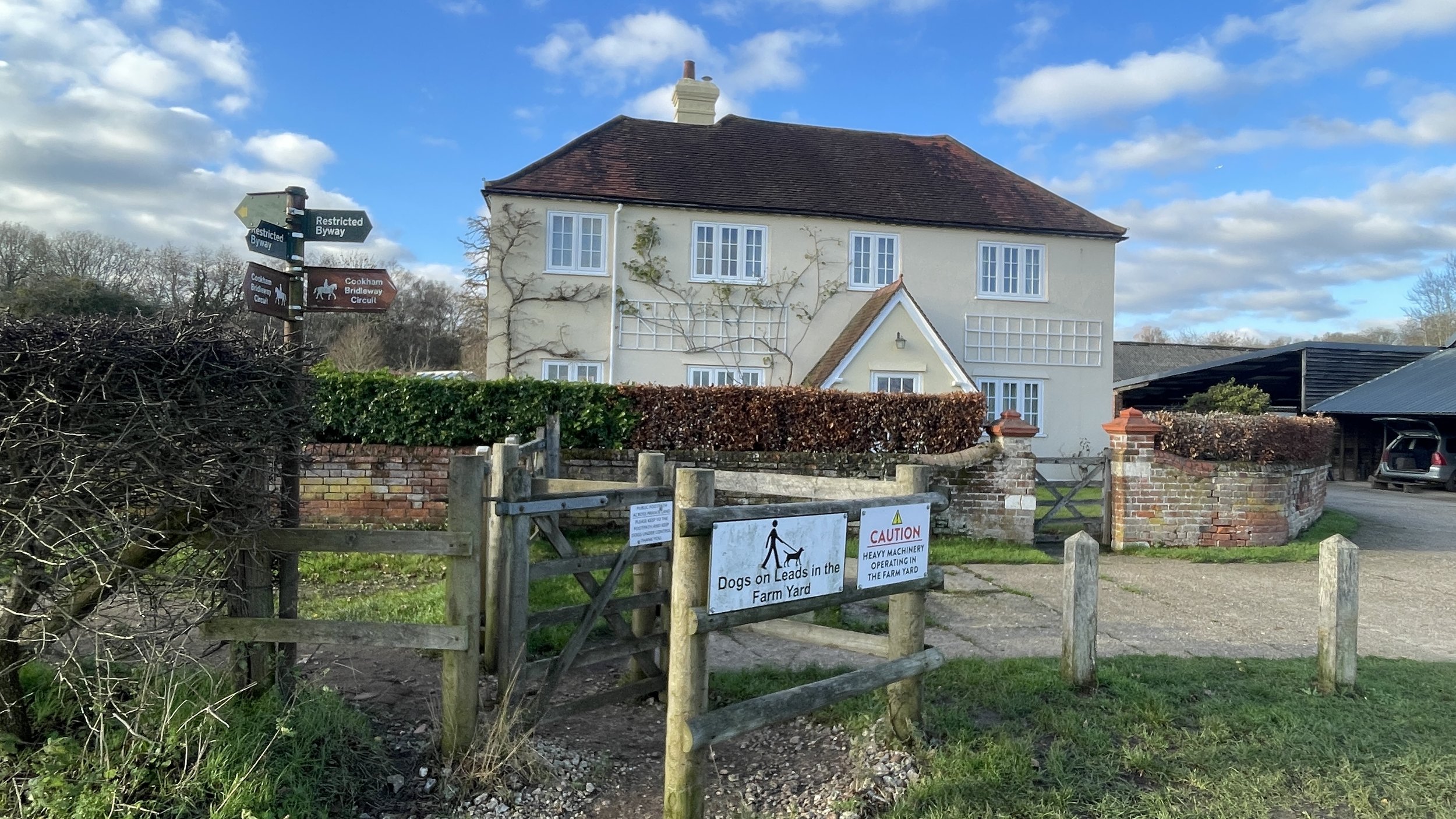
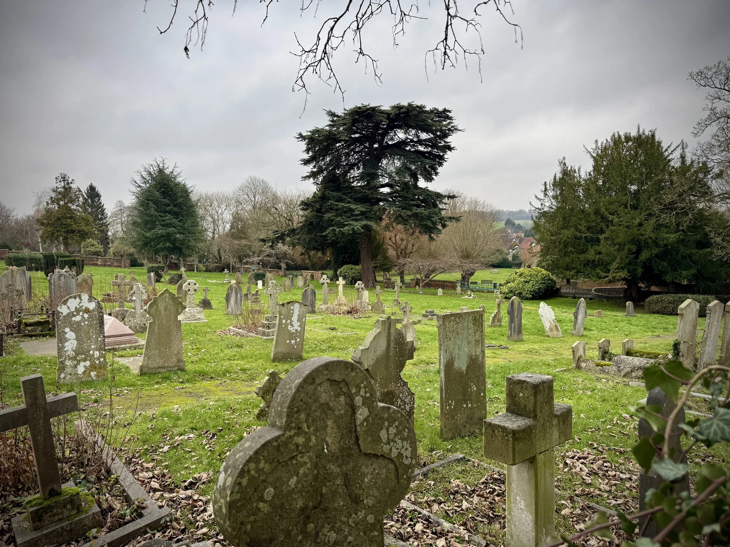
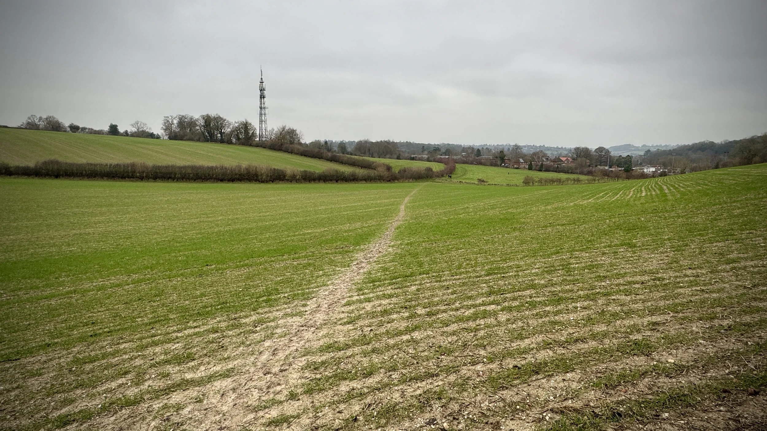
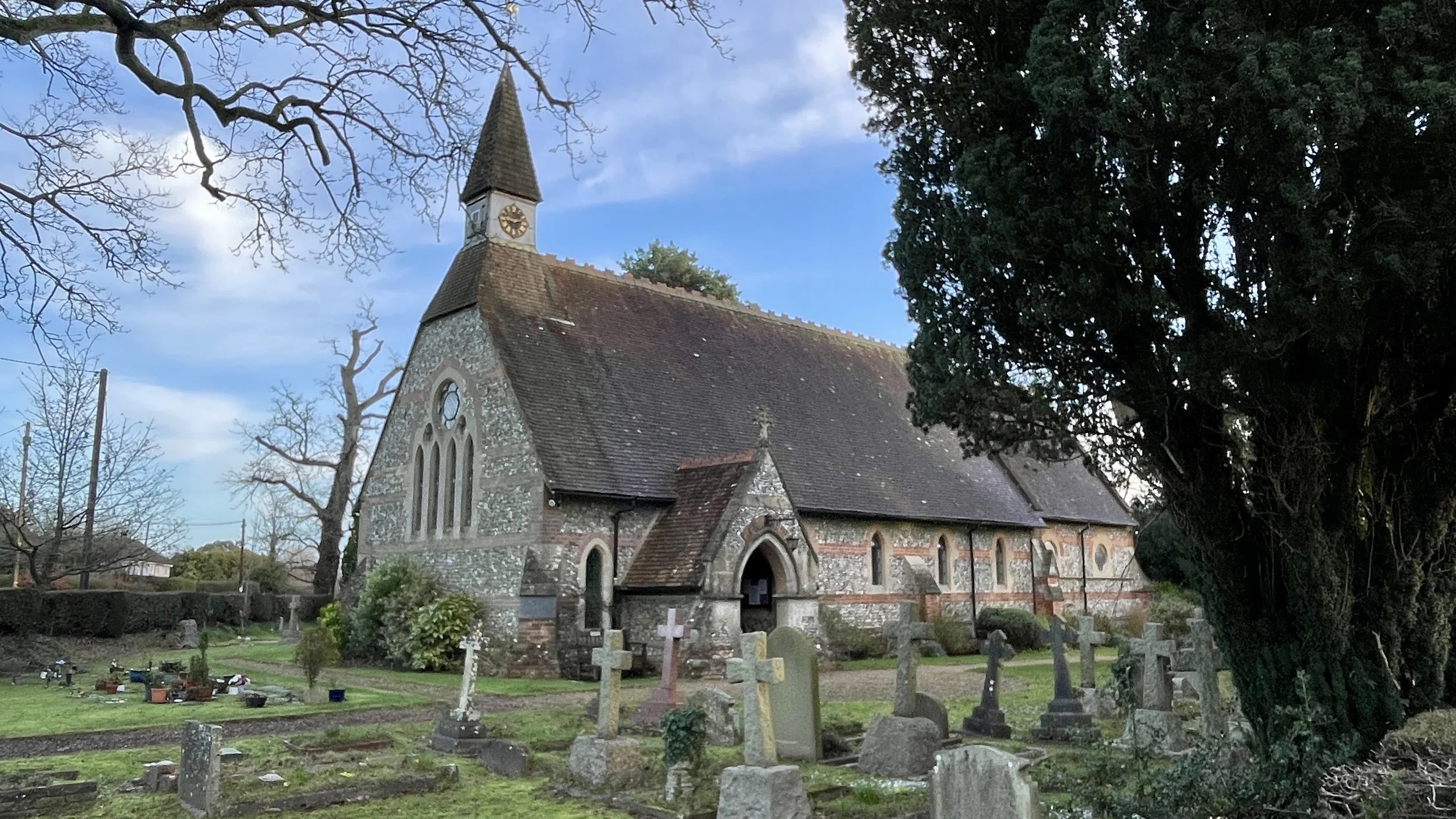
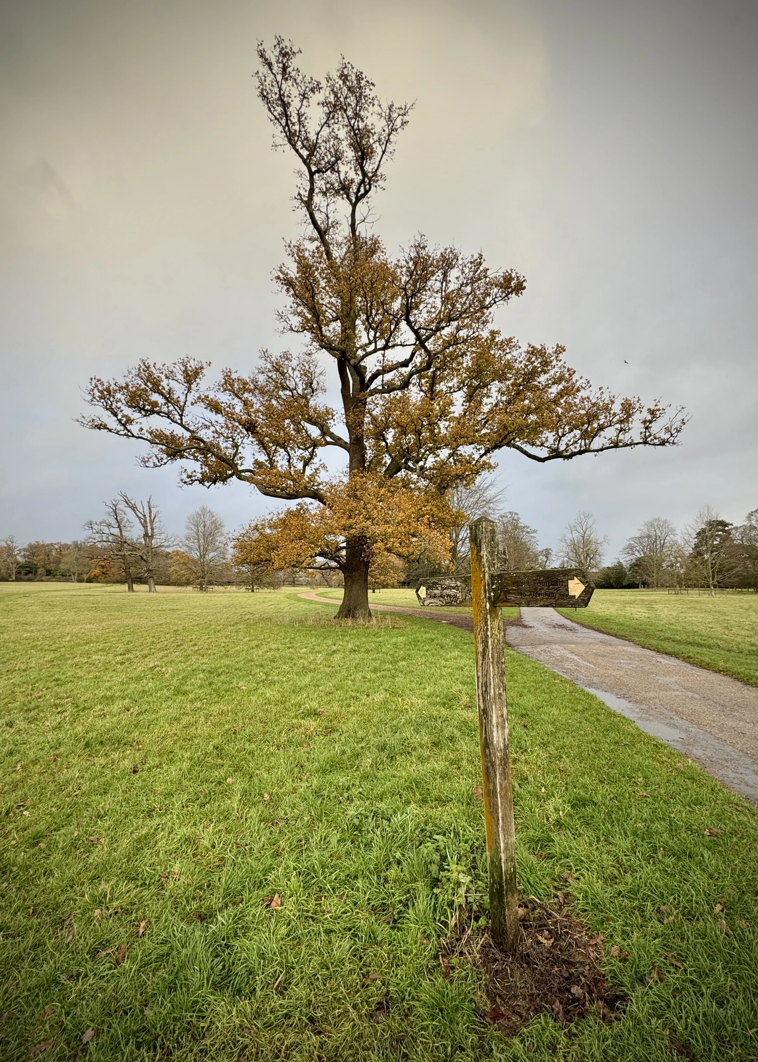
Little Marlow Cemetery: Walk through Little Marlow Cemetery to return to Sheepridge Lane. Turn left and follow the lane north until it curves; here, carefully cross over and take the footpath through the farm.
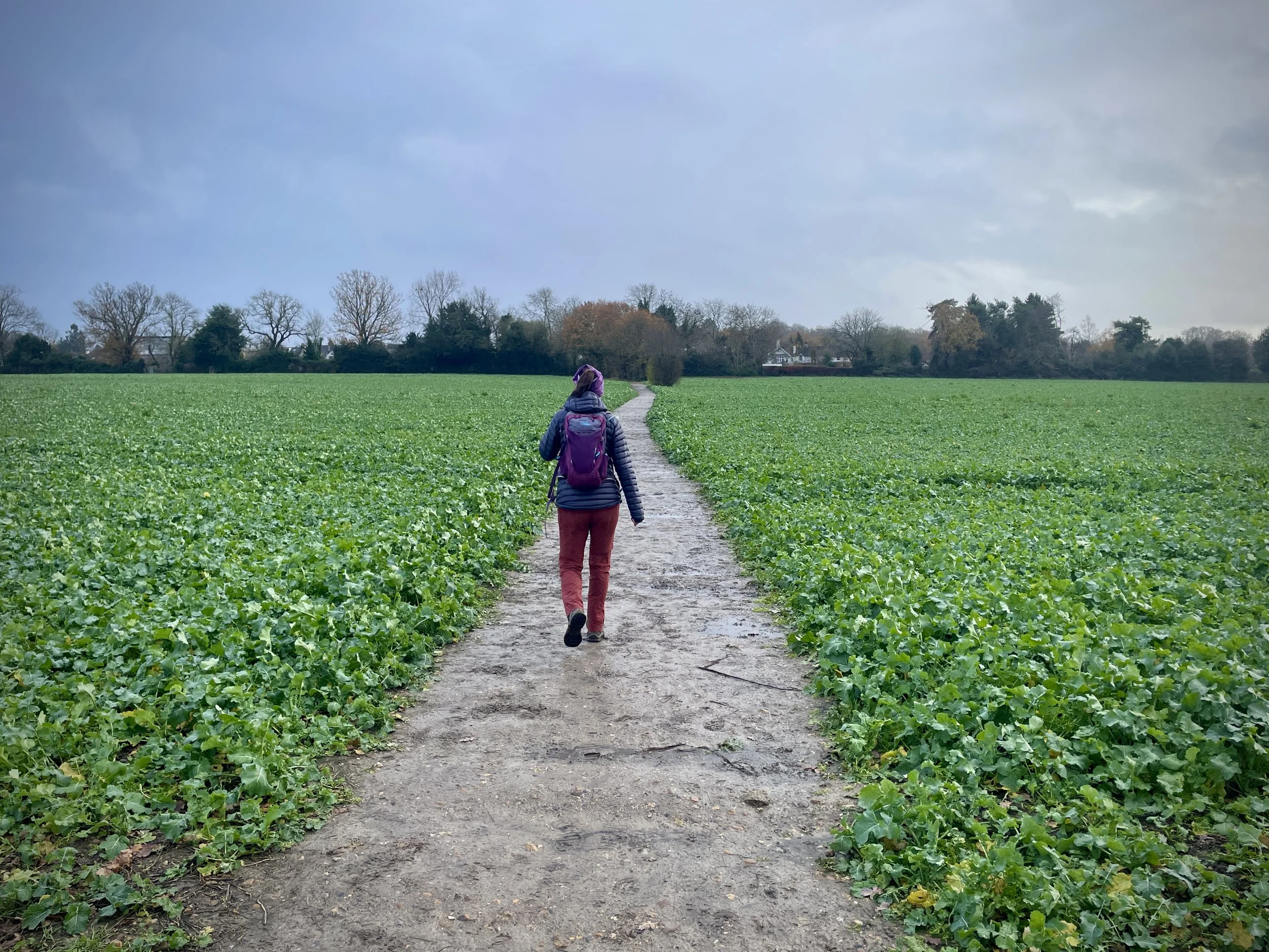
Return to Flackwell Heath: Follow the farm path all the way back to Sedgemoor Lane. Continue north through the village via Sedgemoor Road, Hedley Road, Straight Bit, and The Common to return to the start on Treadaway Road.
Points of Interest along or near to the Route
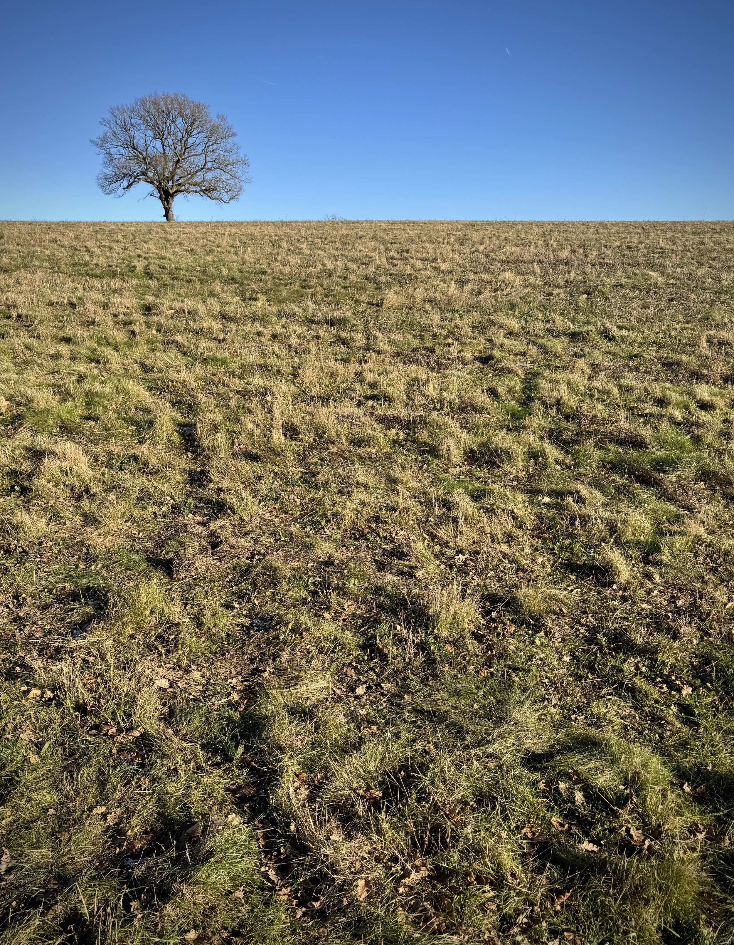
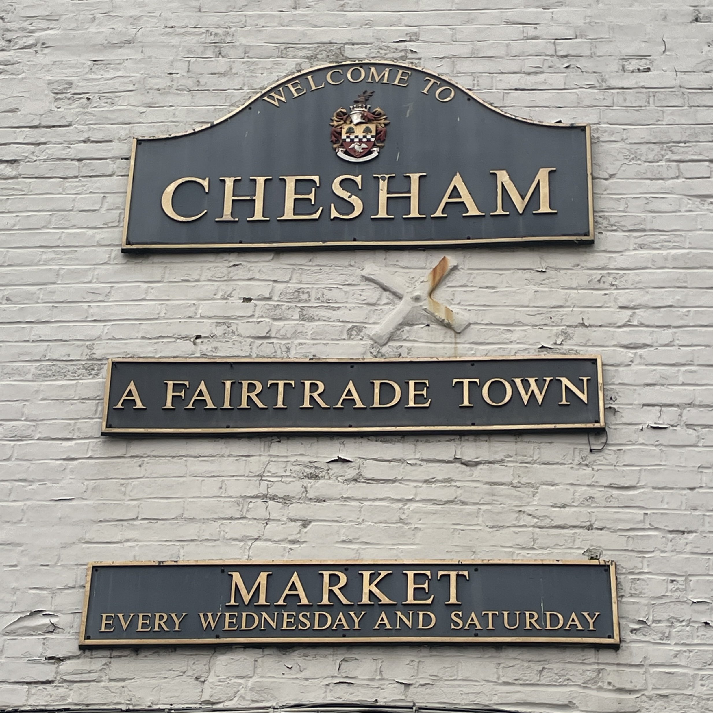
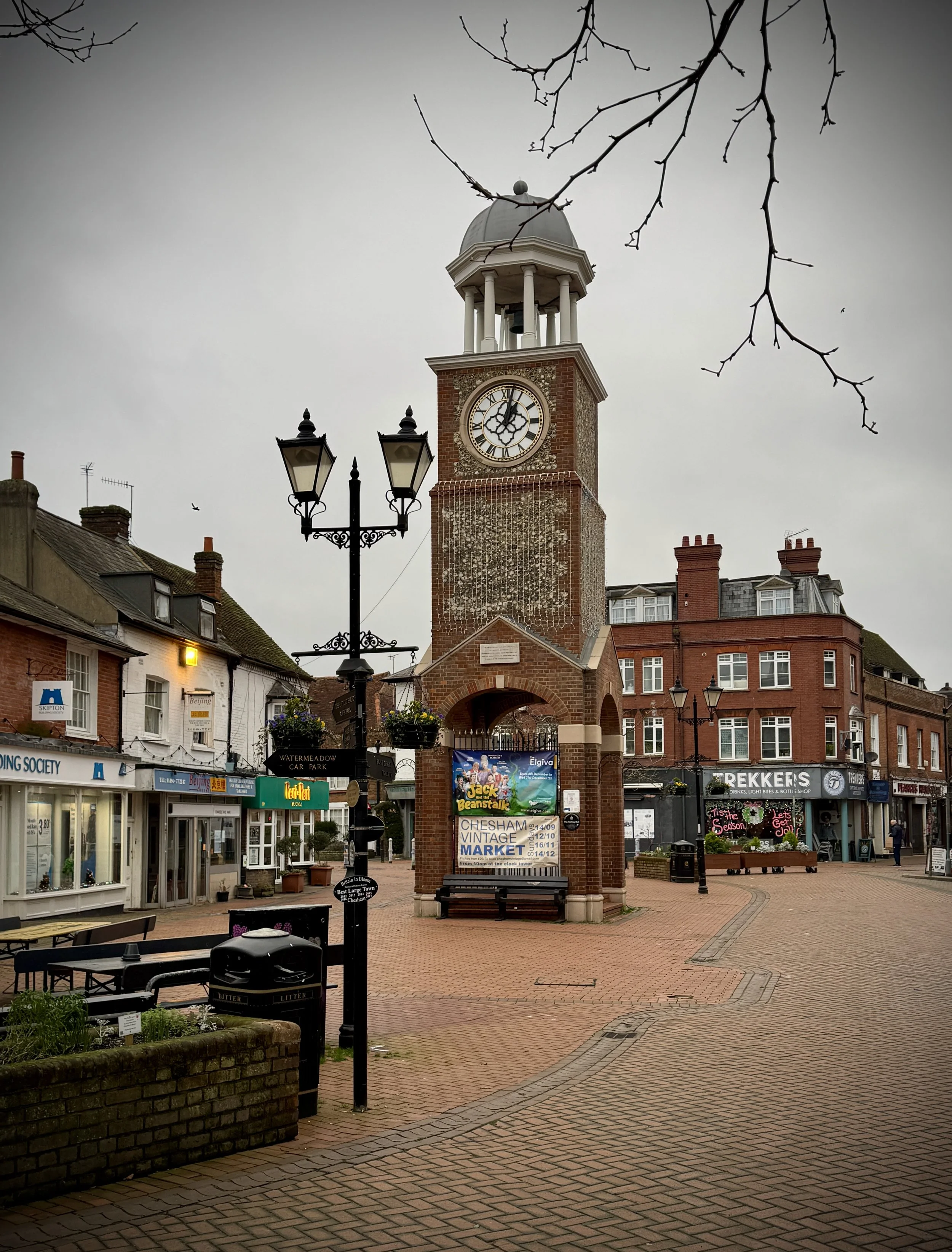
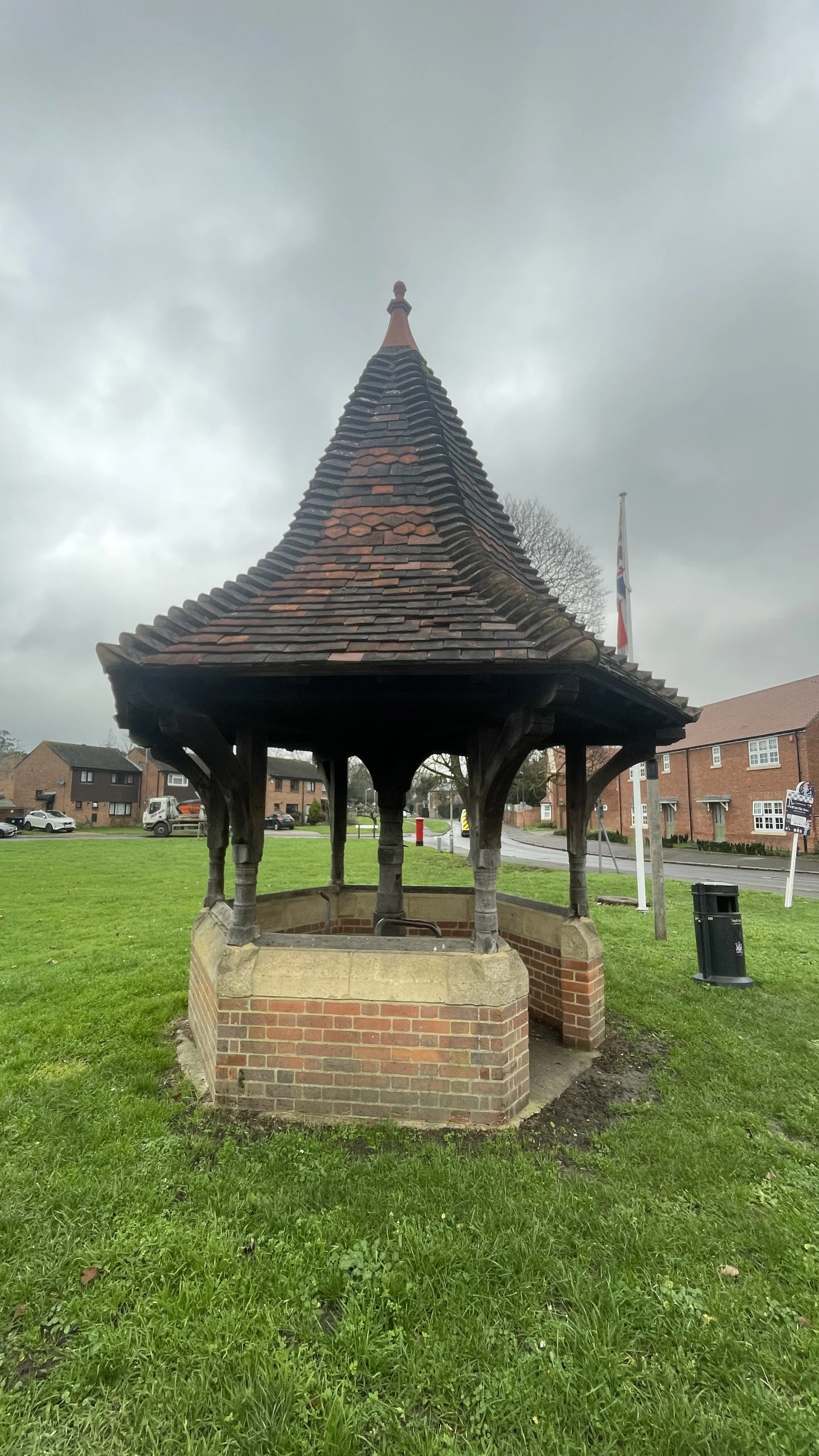
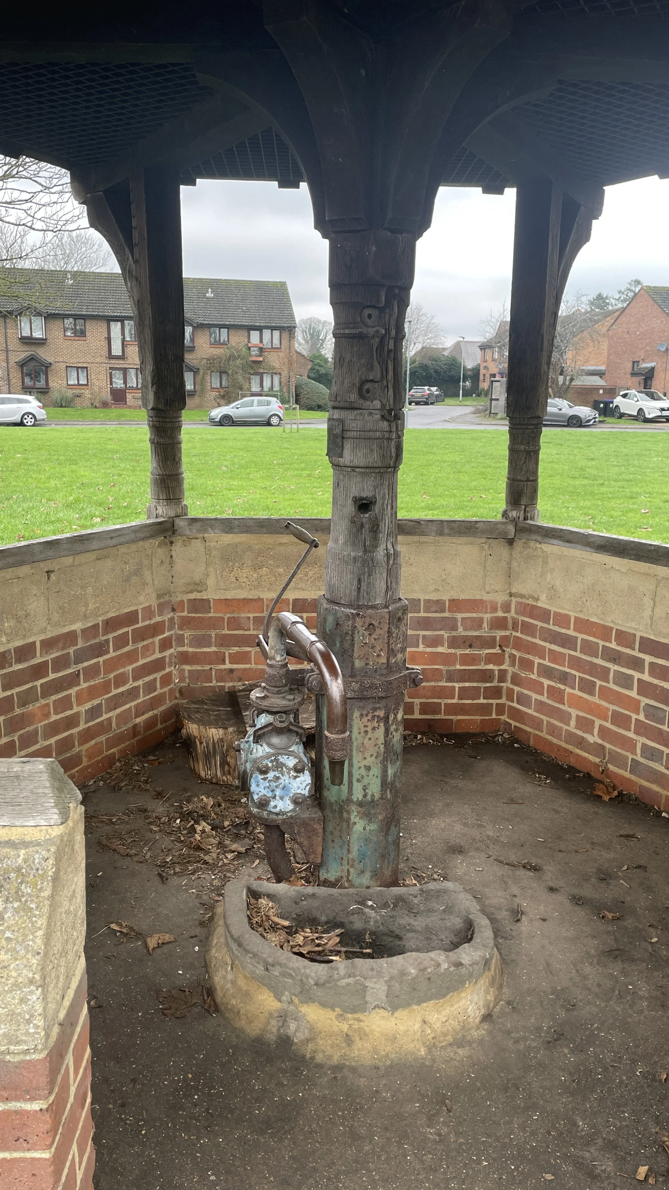
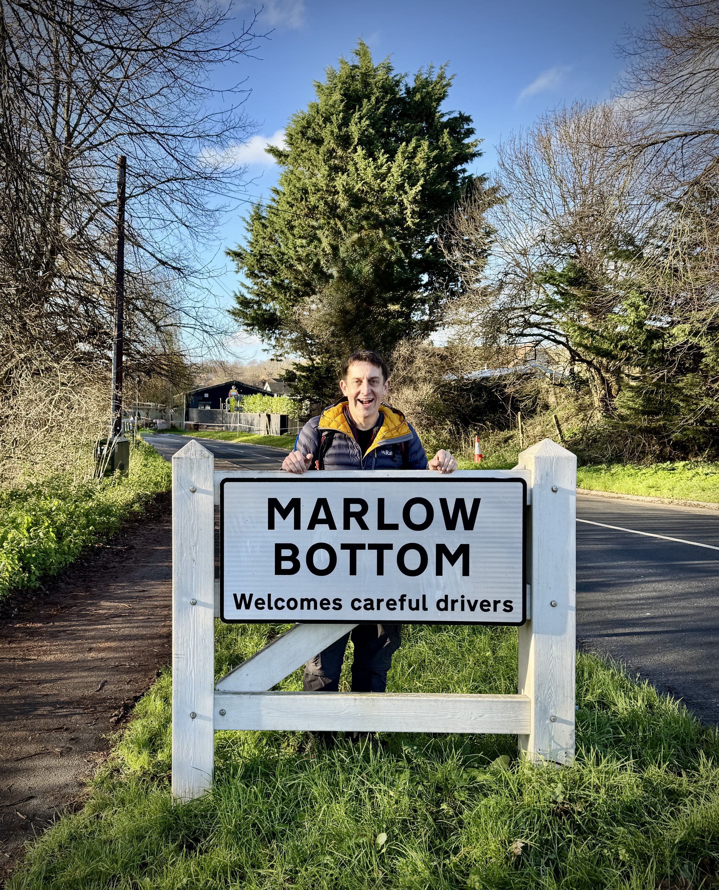
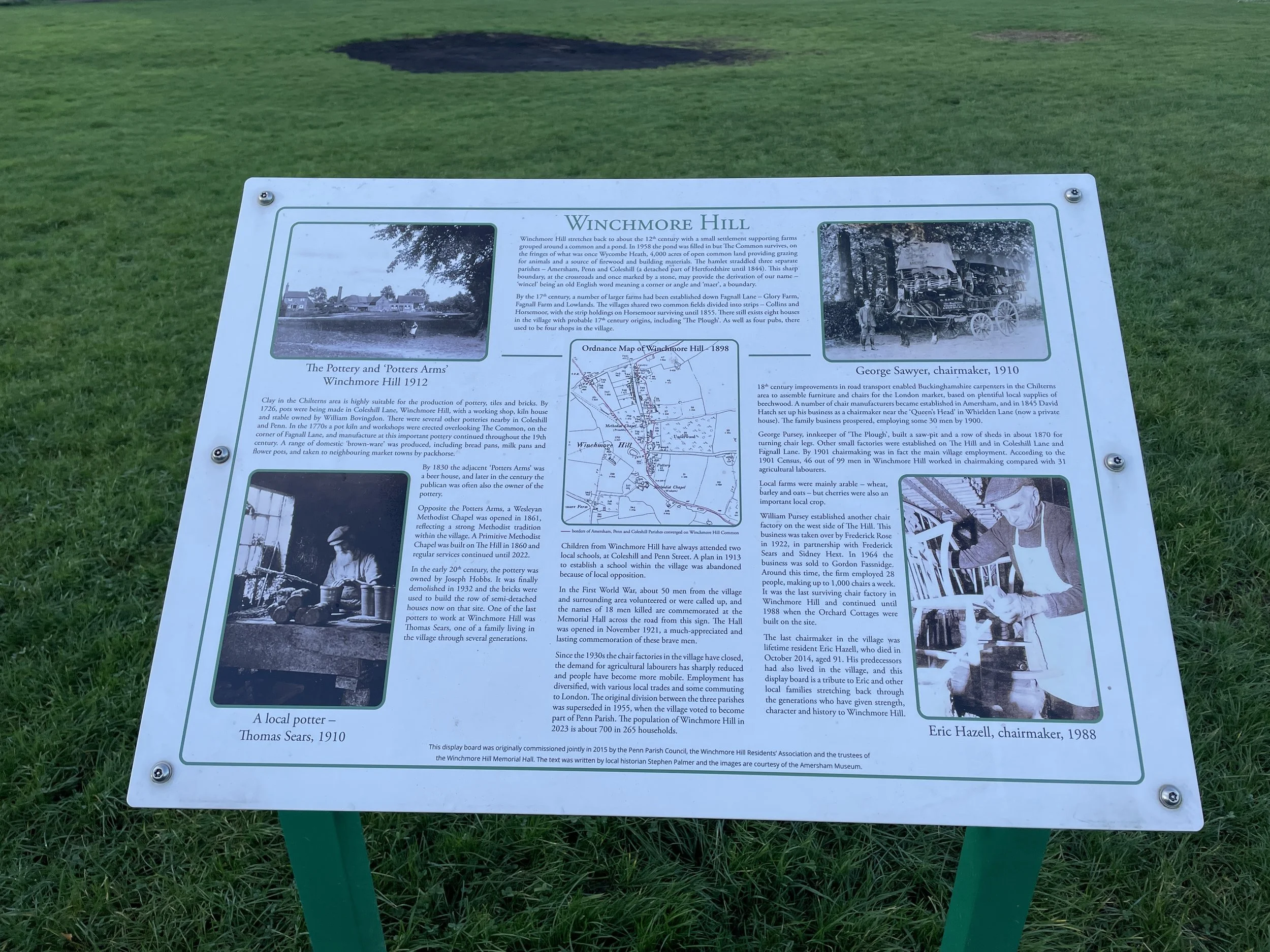
Flackwell Heath: The starting and ending point of your journey. Historically known for its cherry orchards, the village sits at an elevation of approximately 111 metres, providing a high vantage point before you begin your descent. The village was once the centre of the local cherry-growing industry. Look out for remaining orchards or older trees on the boundaries of the common.
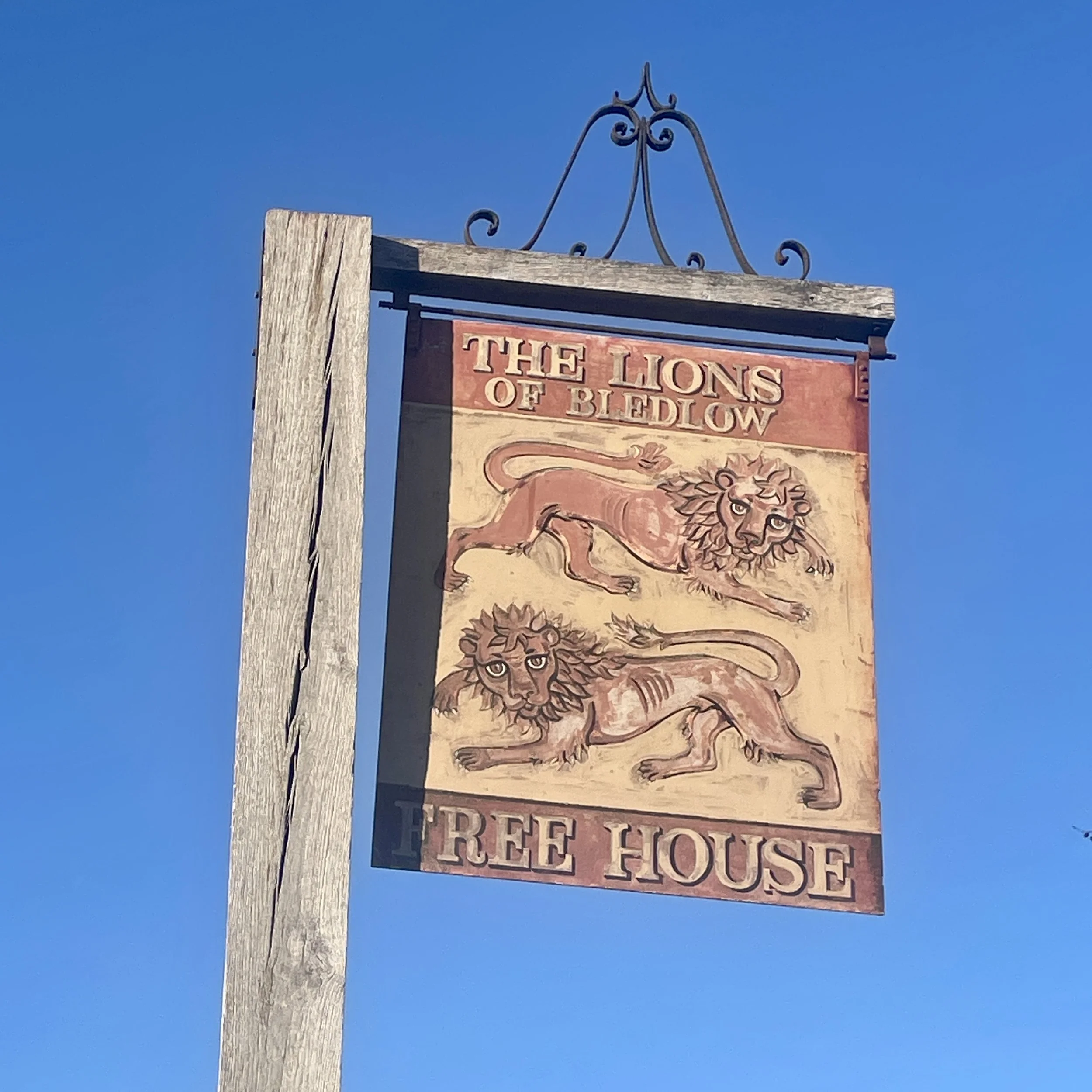
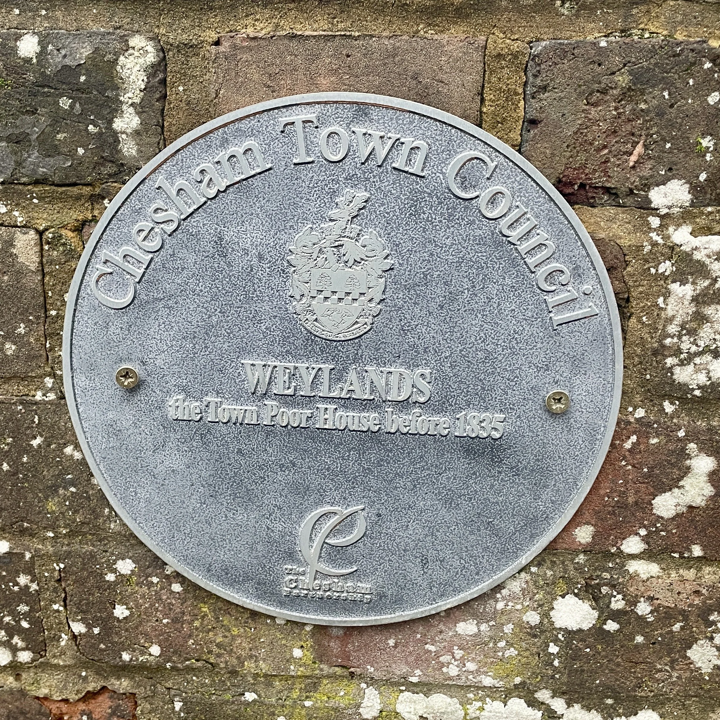
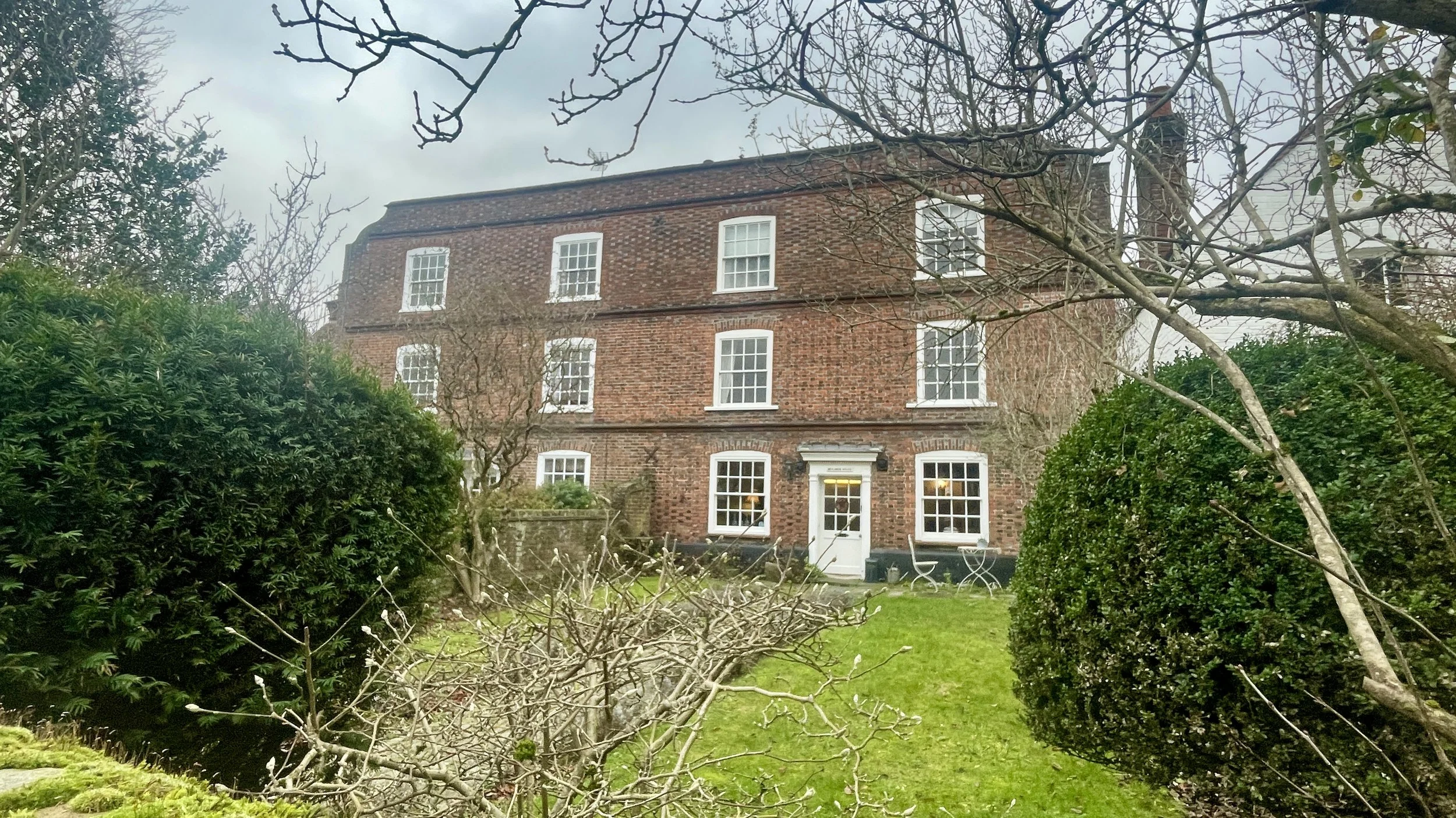
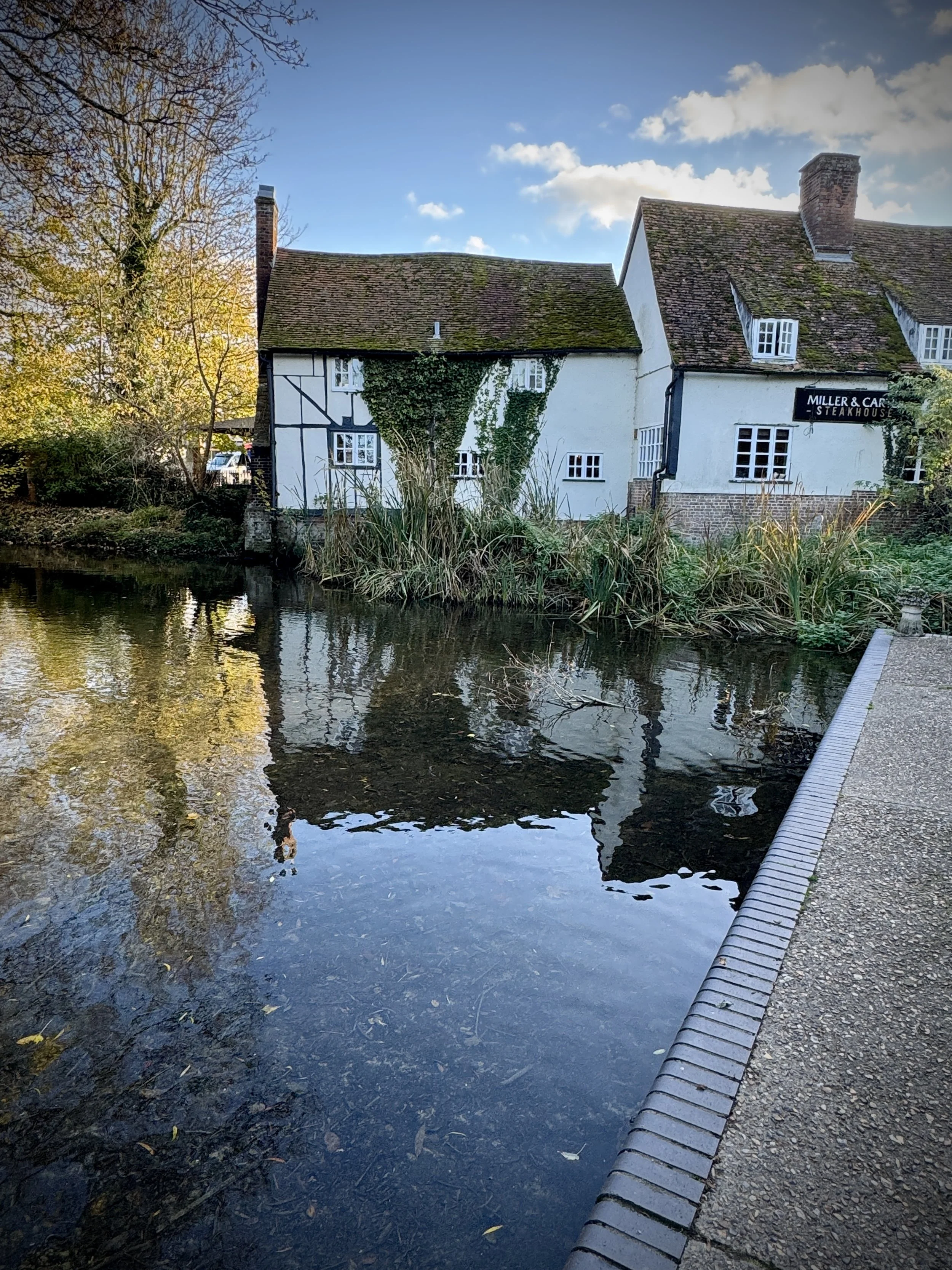
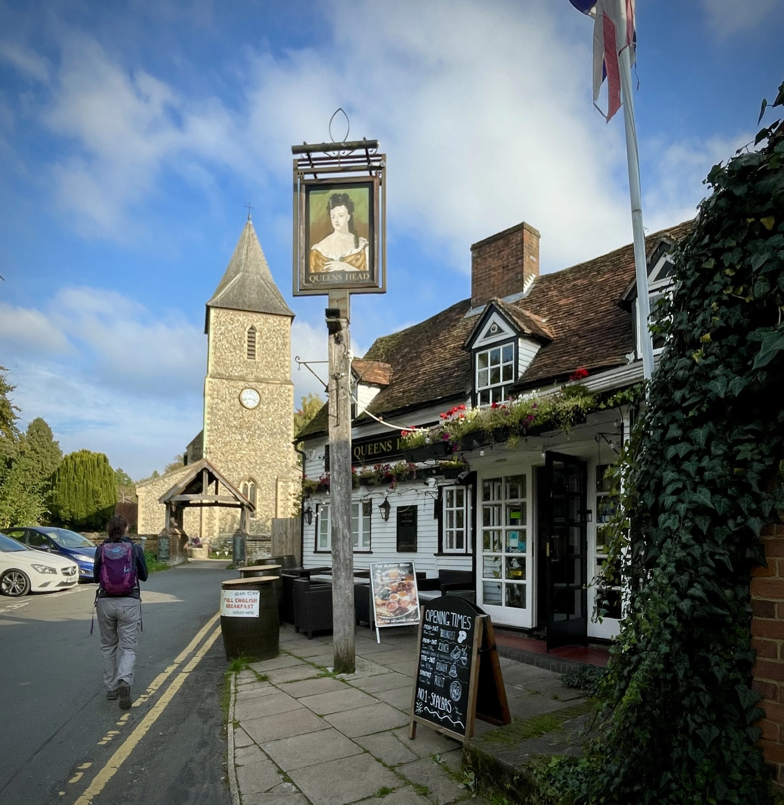
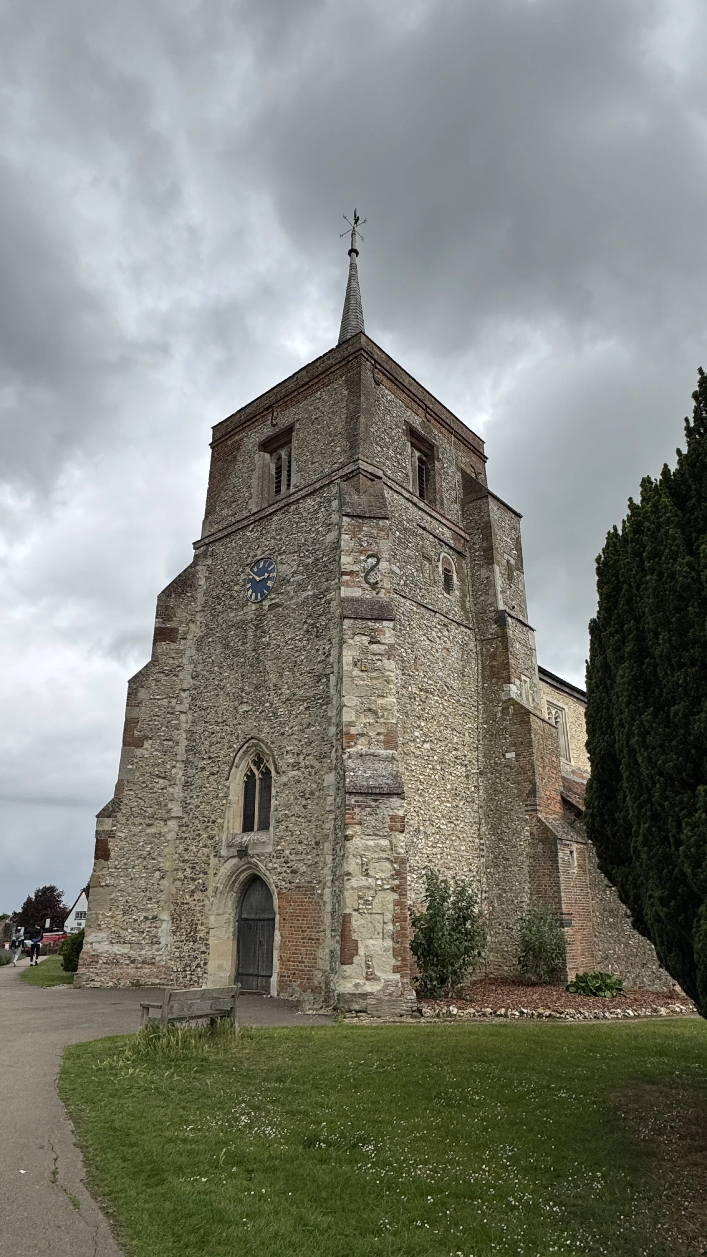
The Crooked Billet: This historic pub in Sheepridge dates back to the 16th century. It is a quintessential timber-framed Chilterns building, famously offering a traditional atmosphere that feels worlds away from the nearby busy roads.
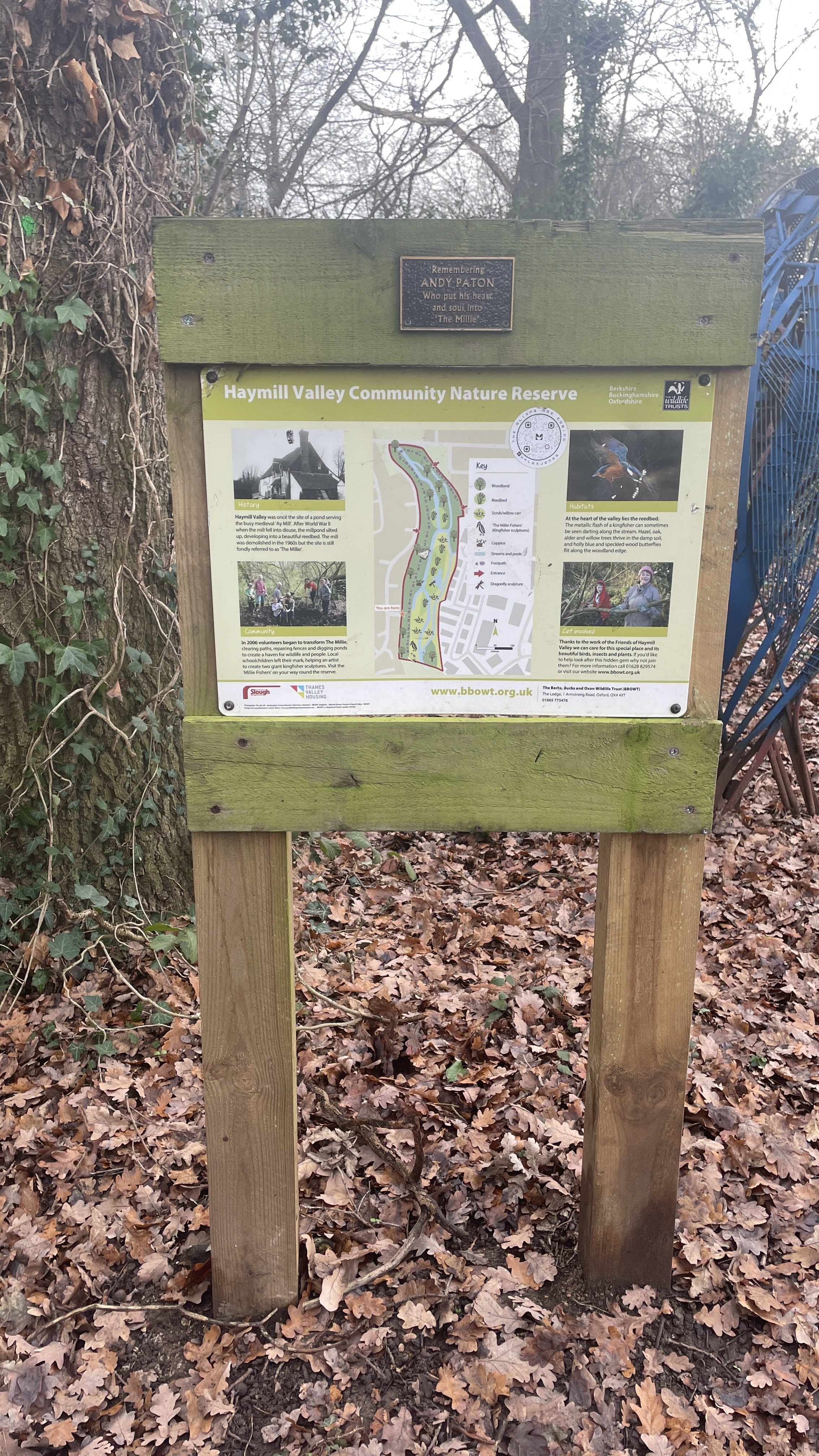
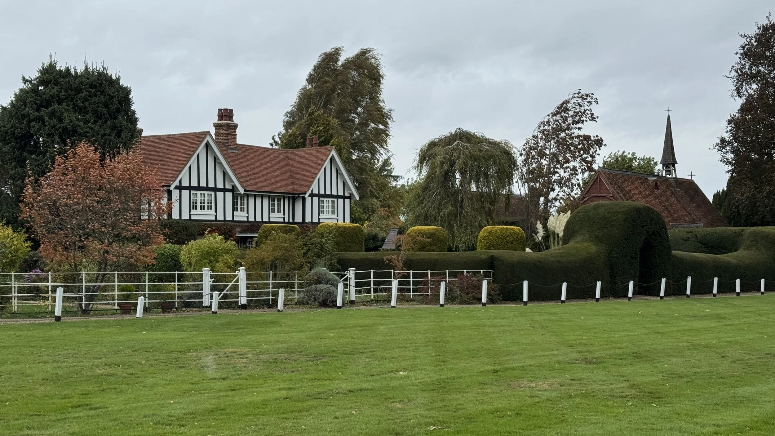
Little Marlow Cemetery & Parish: While the walk passes the cemetery, the village of Little Marlow itself is just to the south. The area is notable for its film history, having been used as a location for various productions, including The Vicar of Dibley.
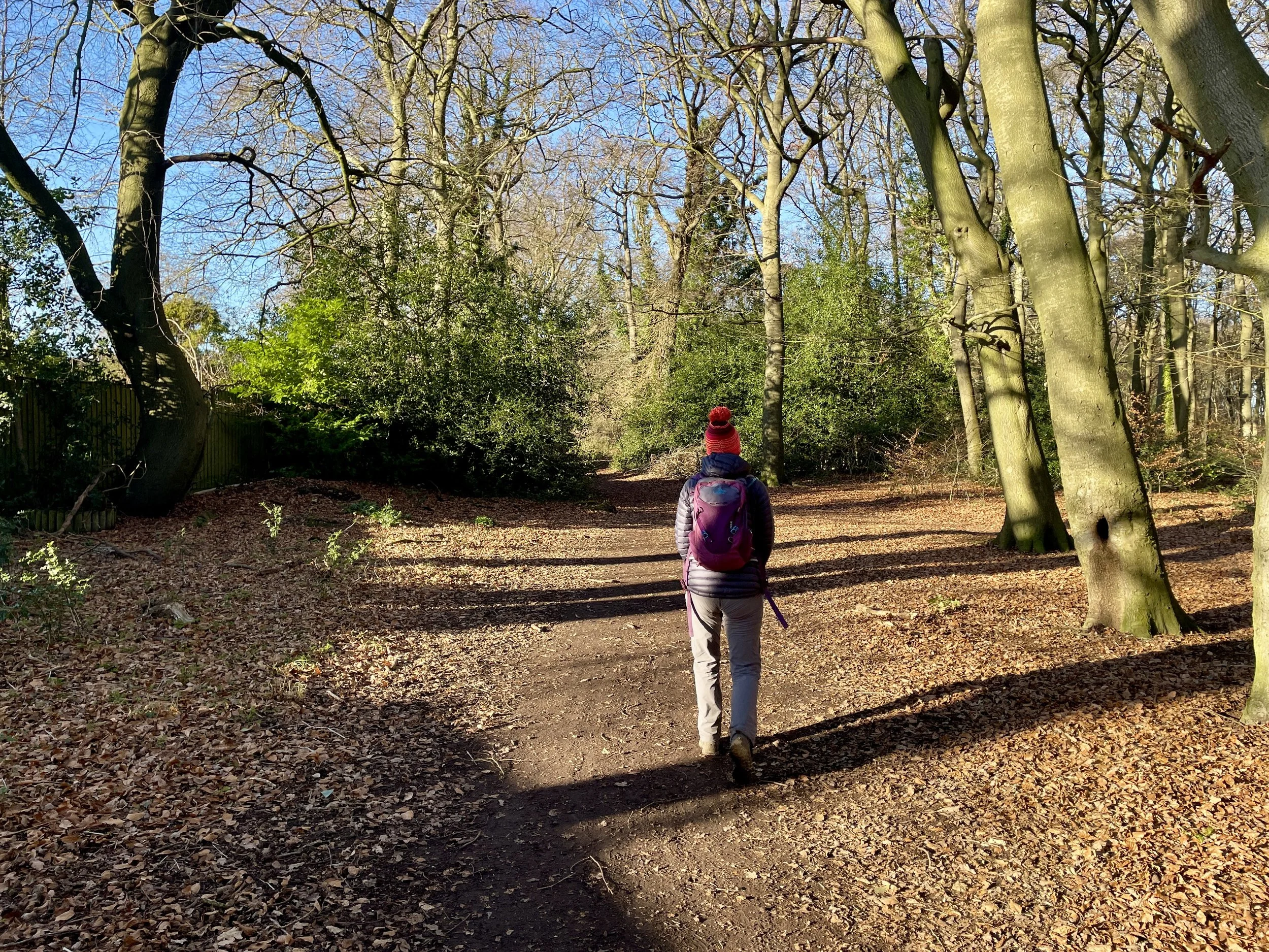
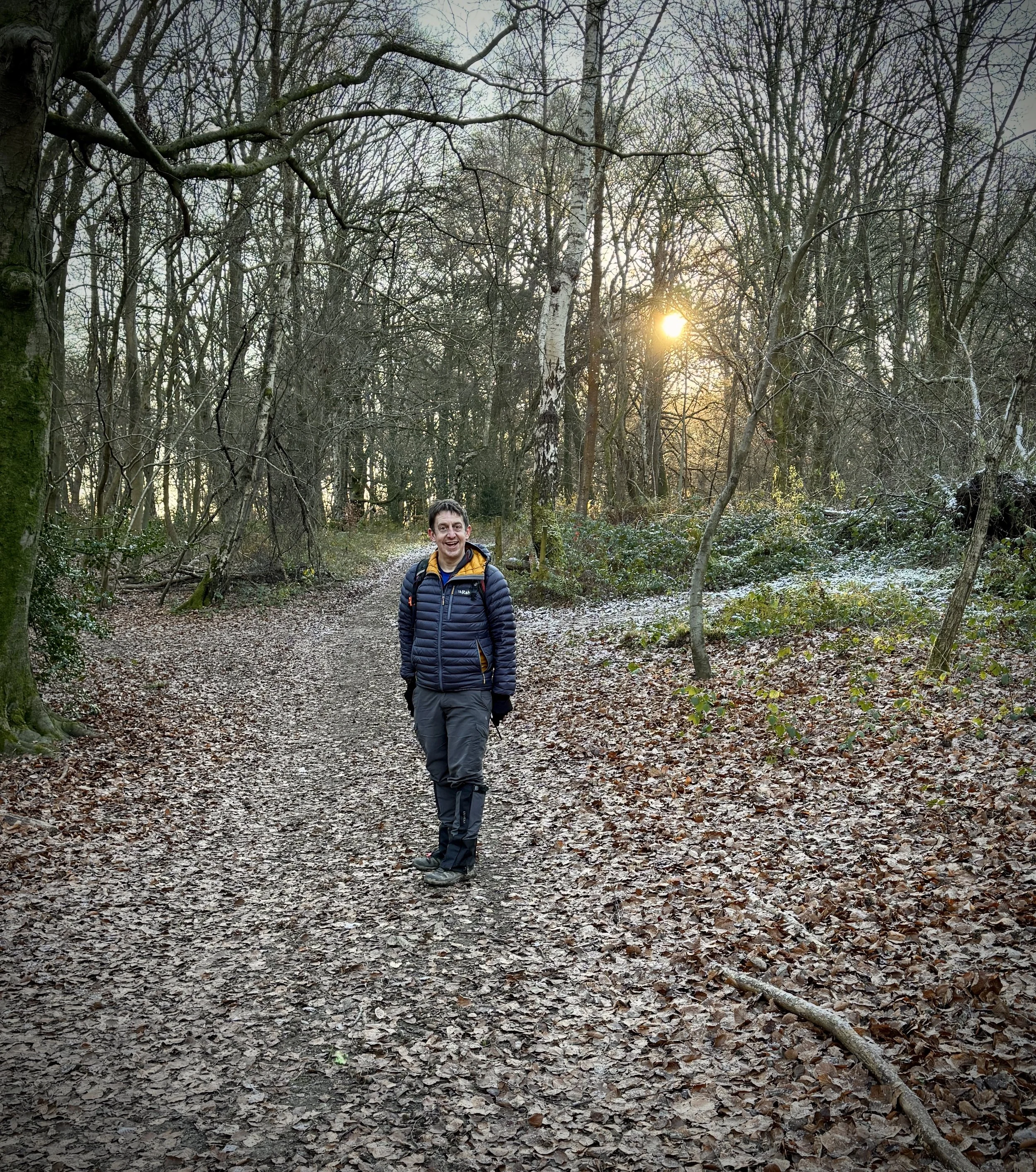
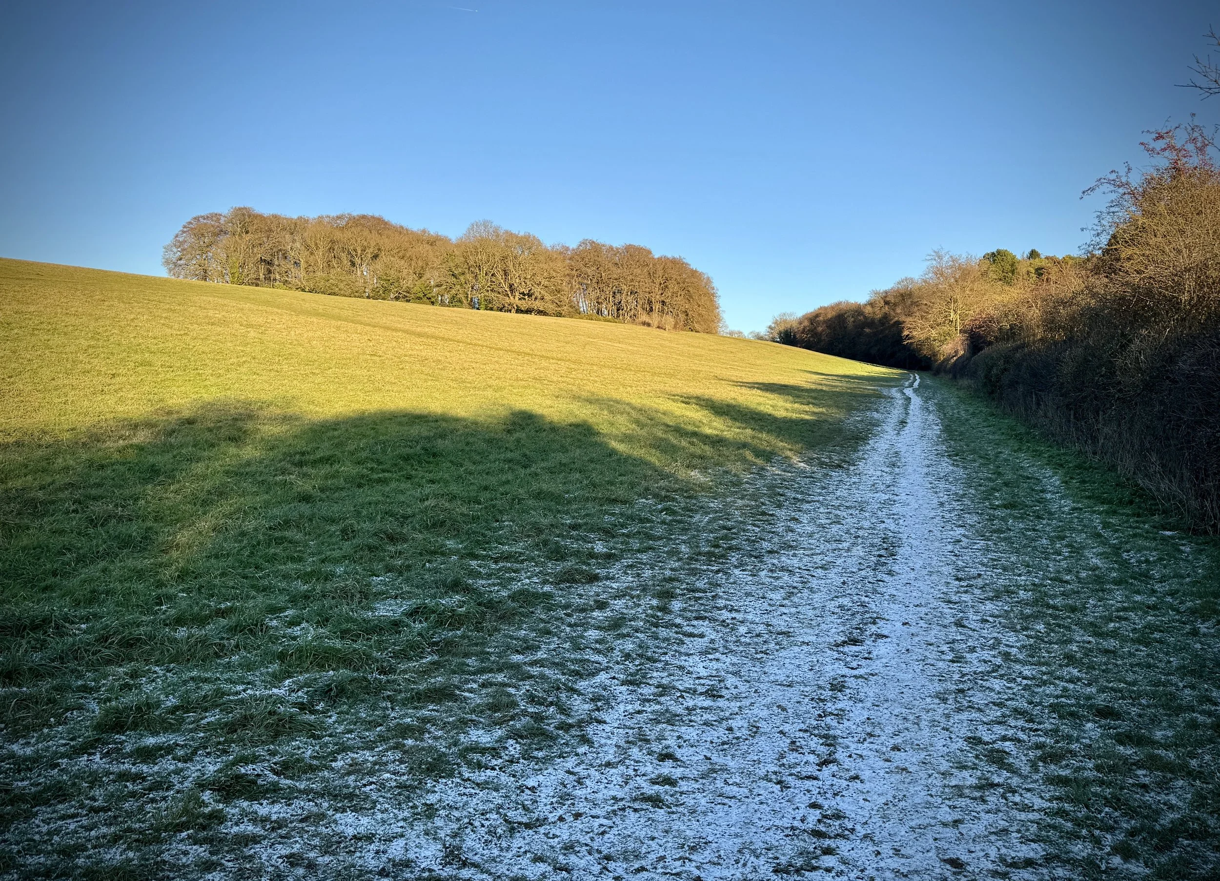
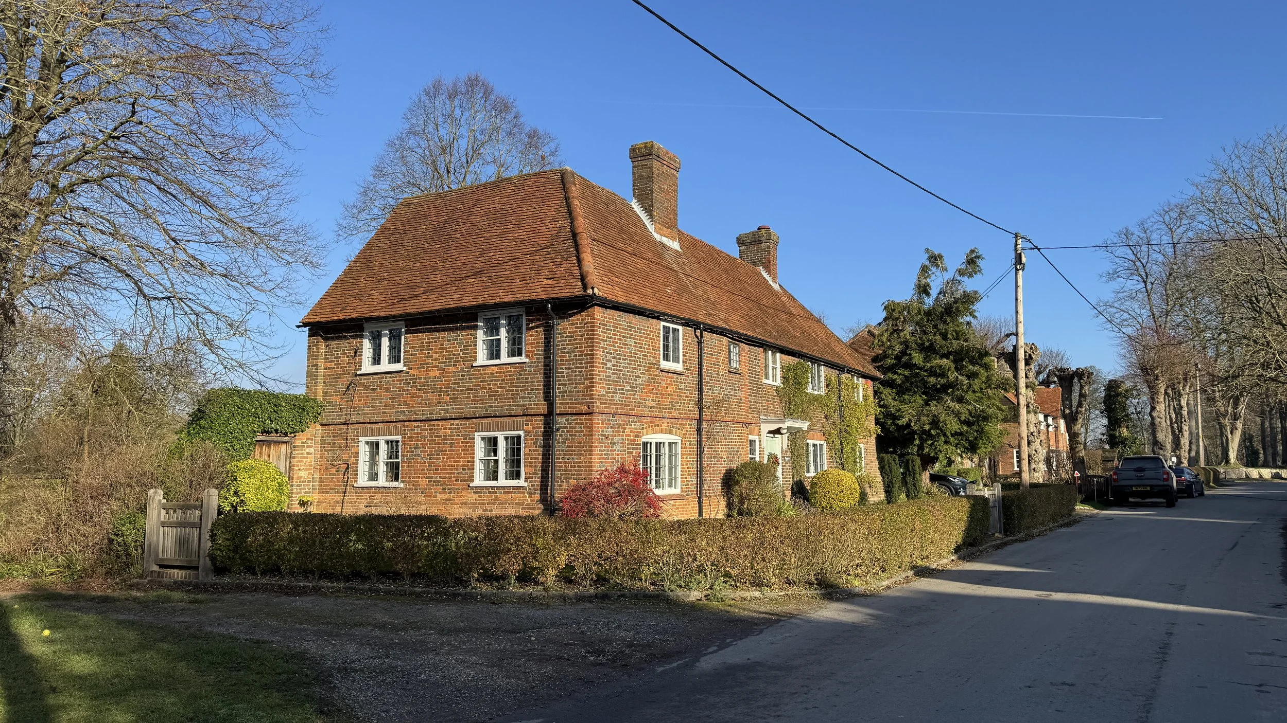
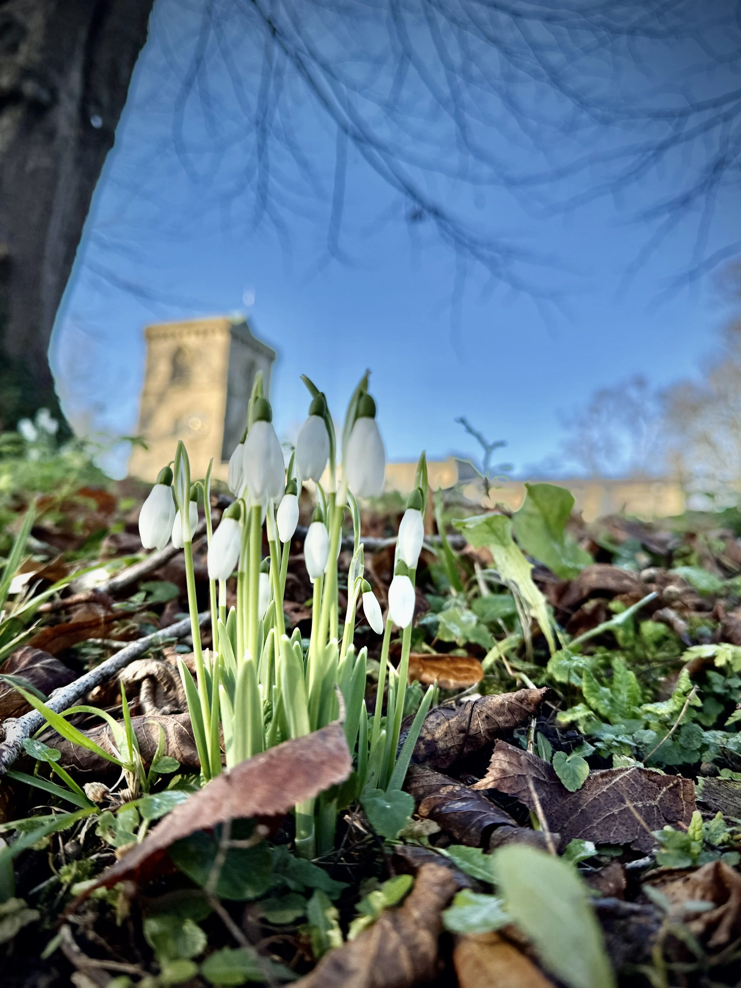
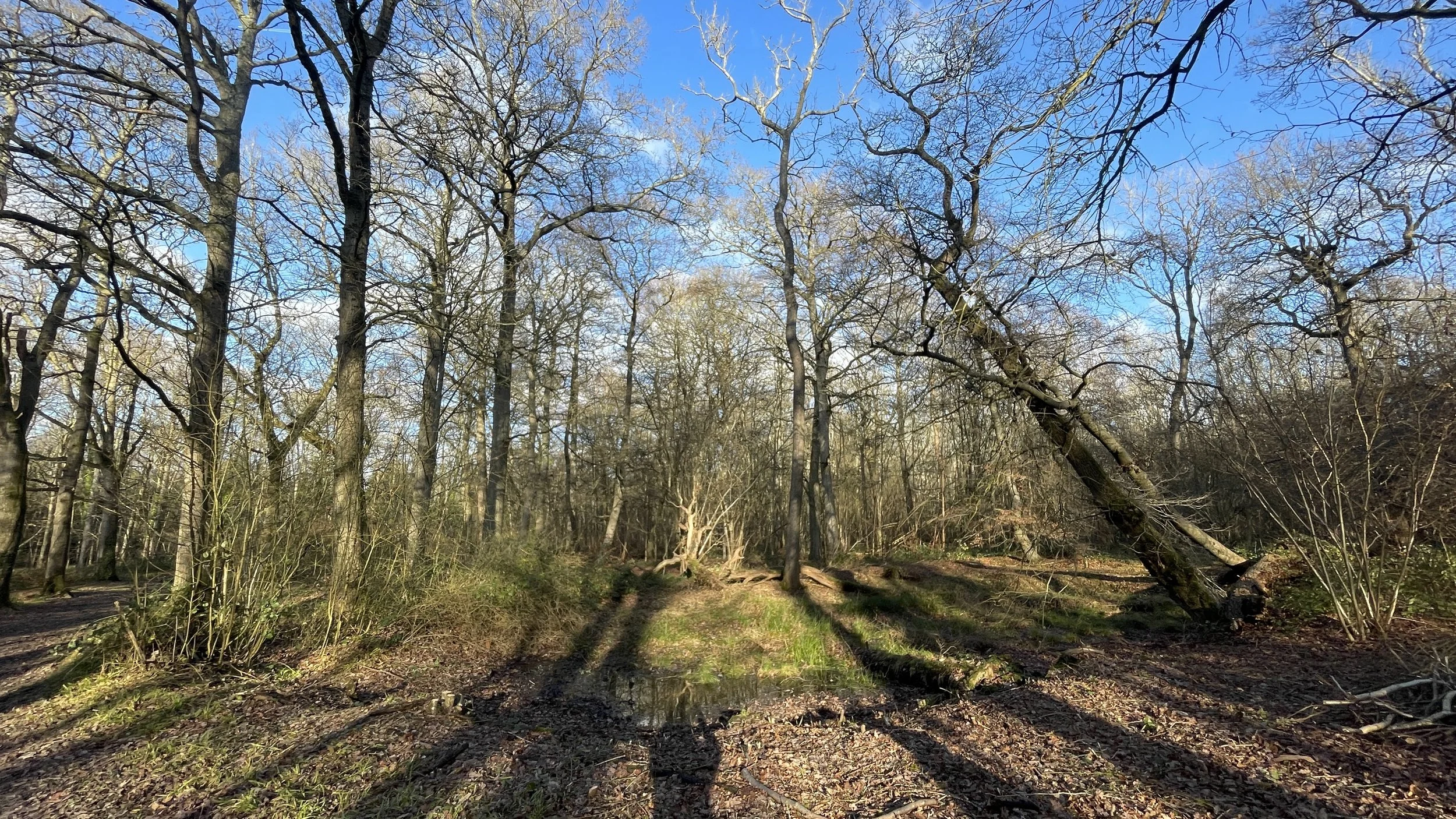
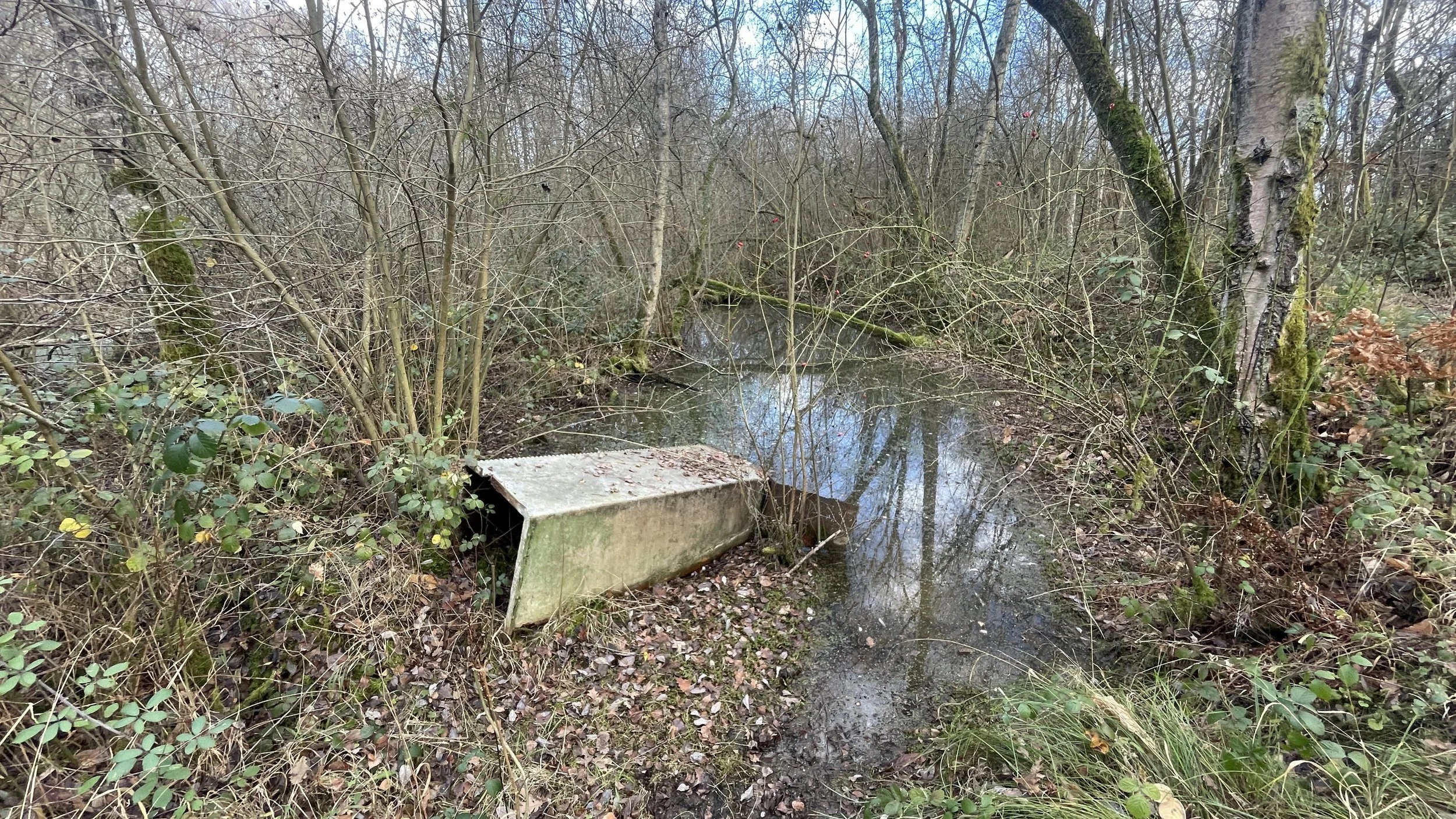
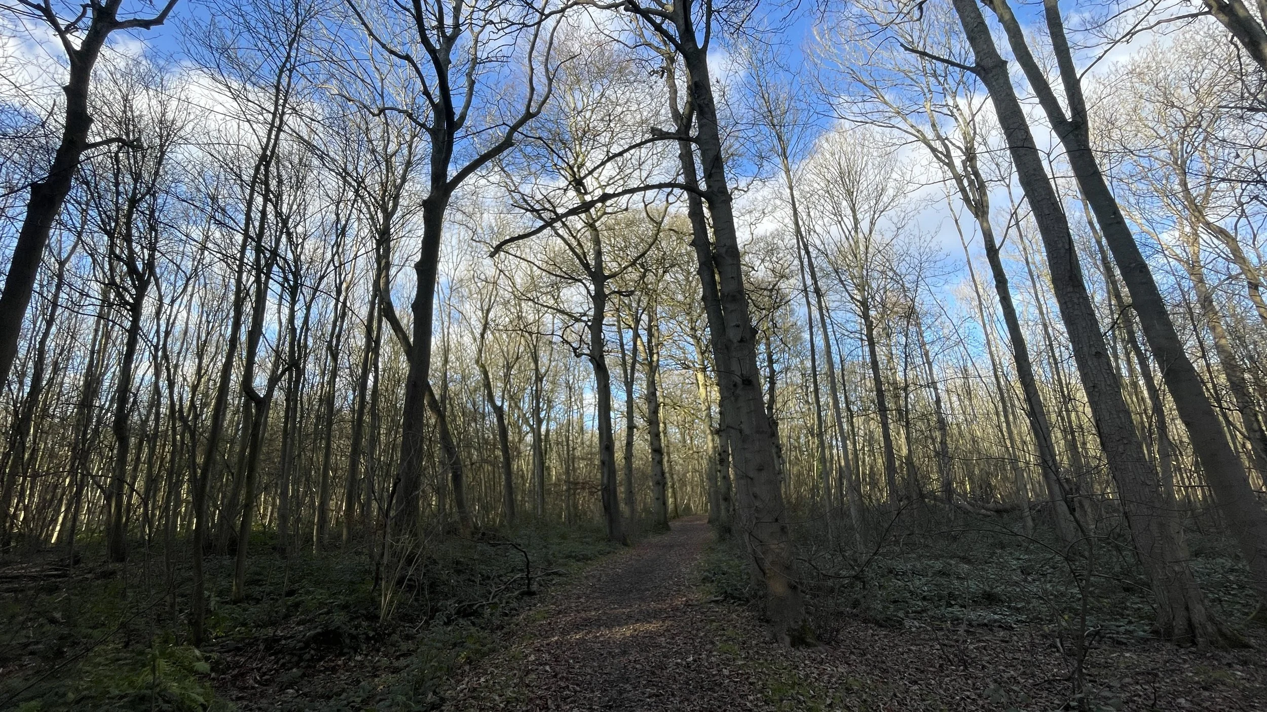
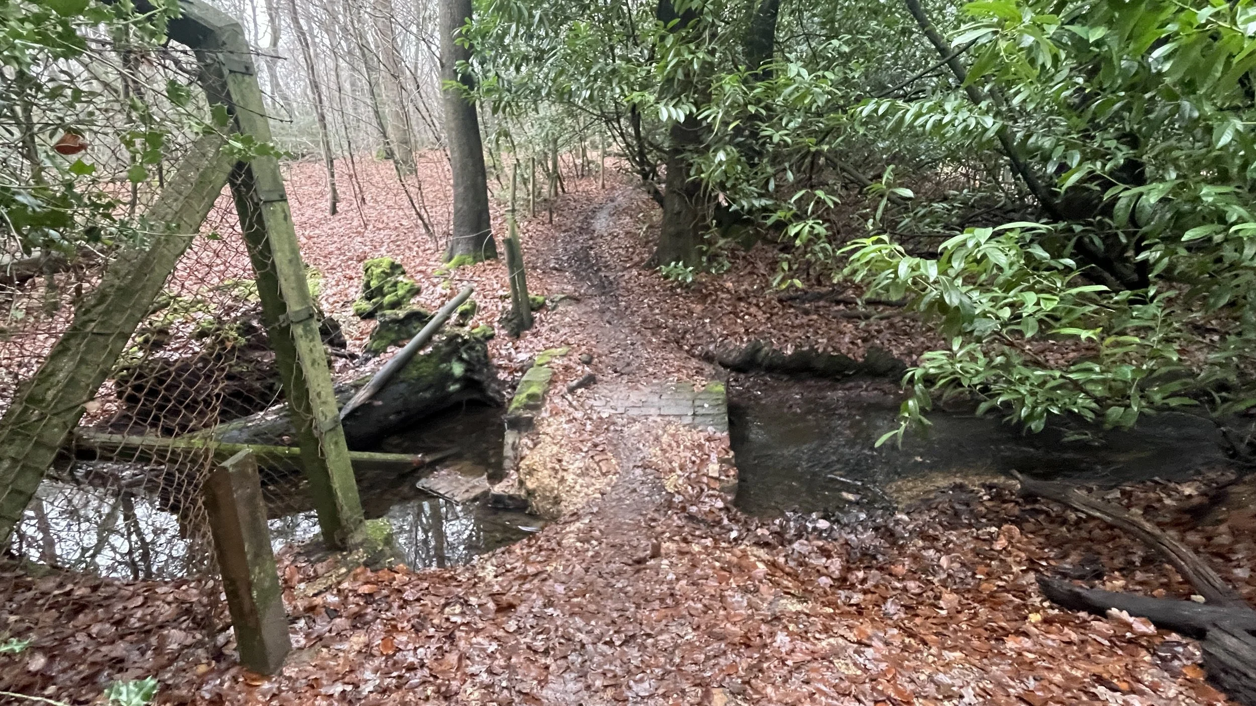
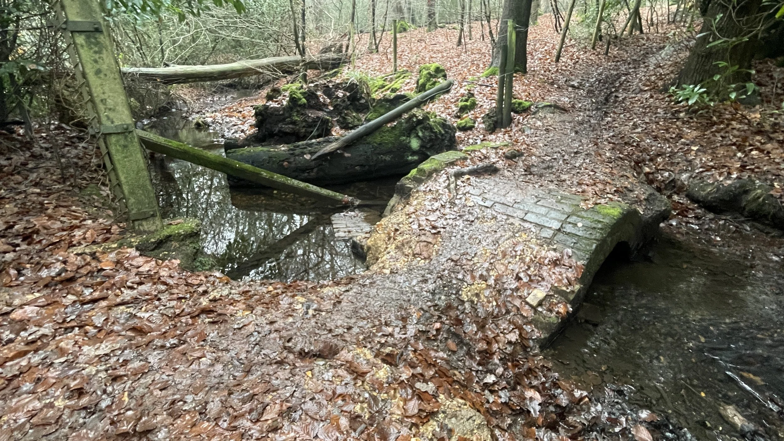
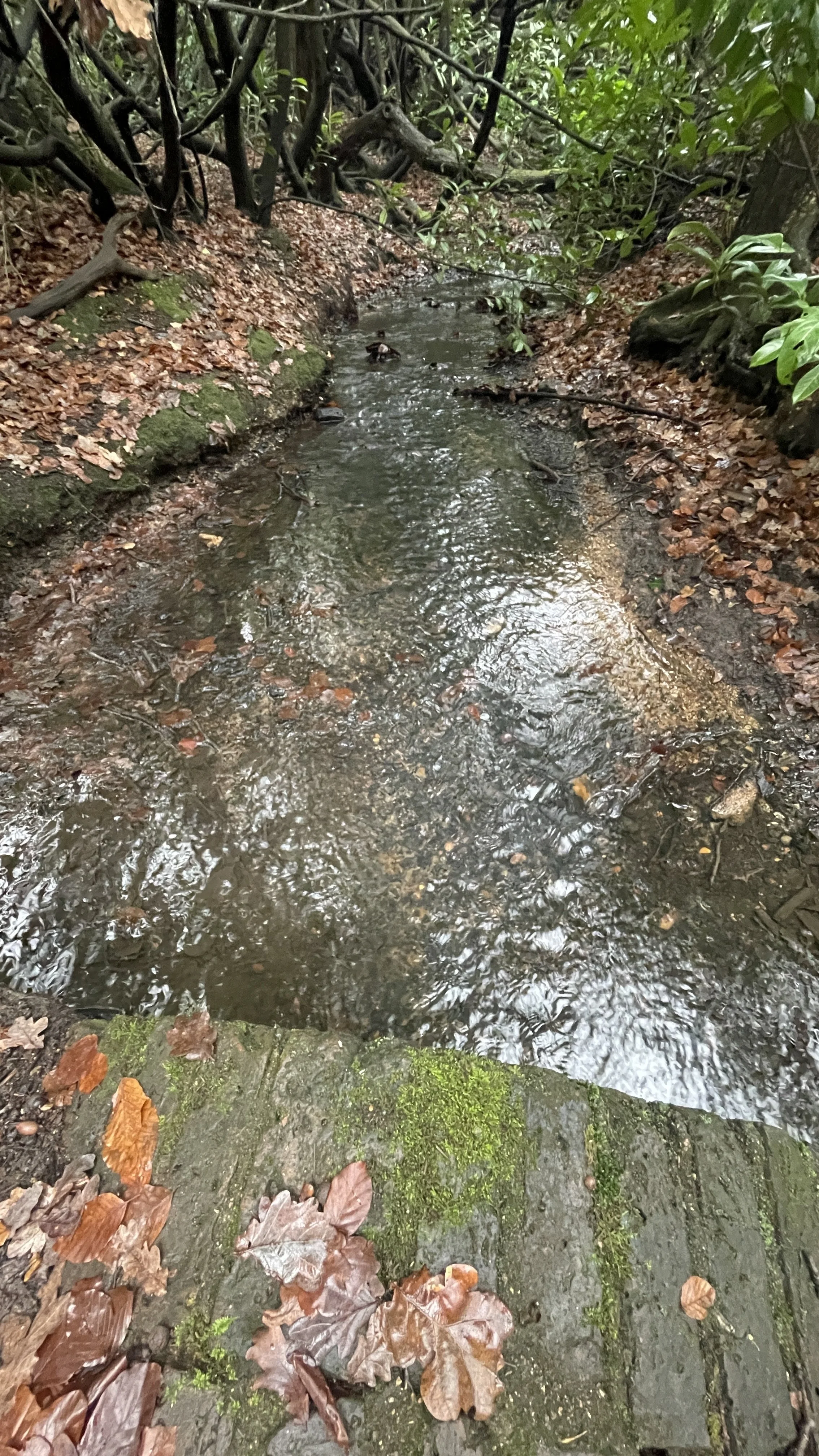
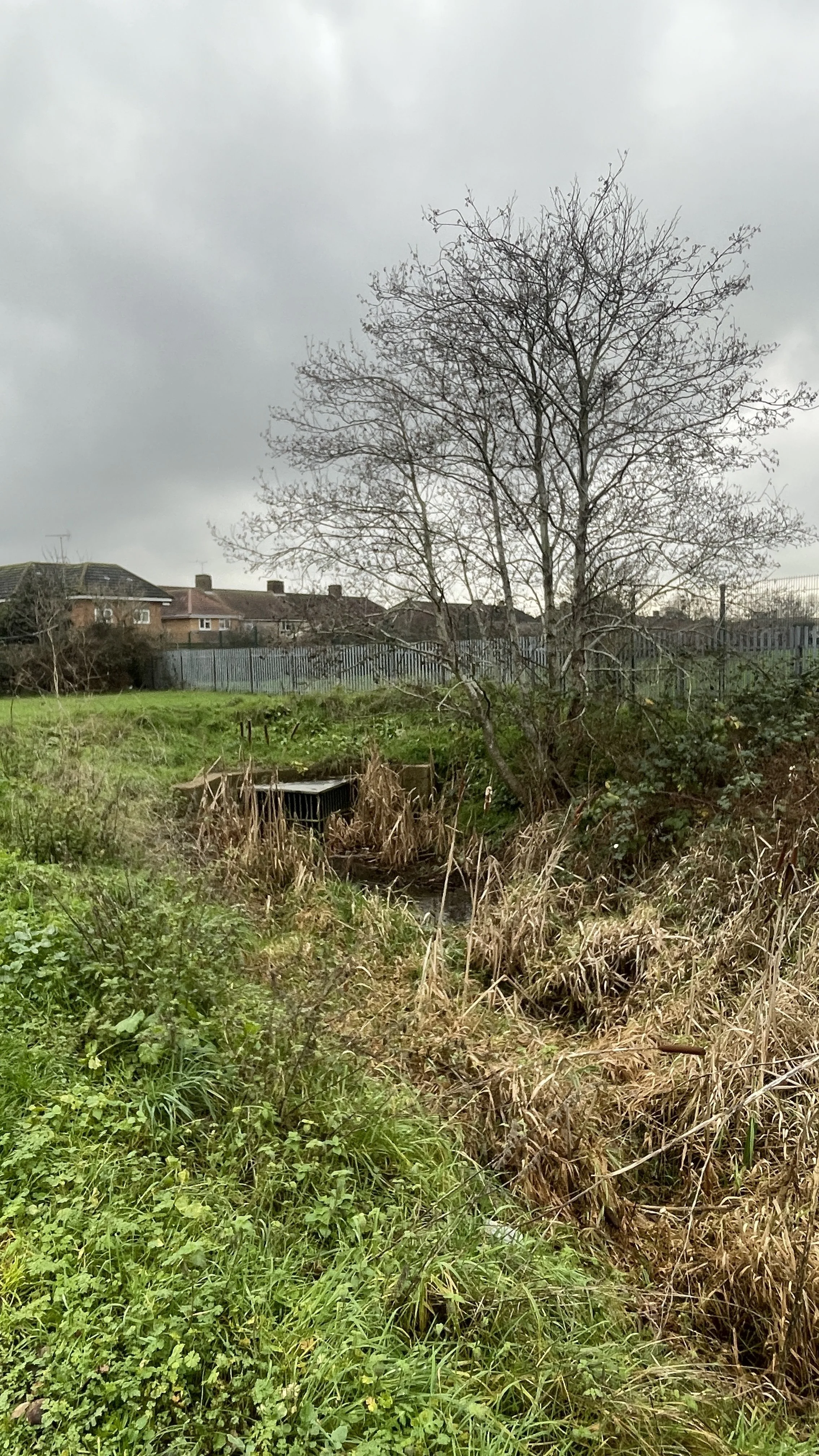
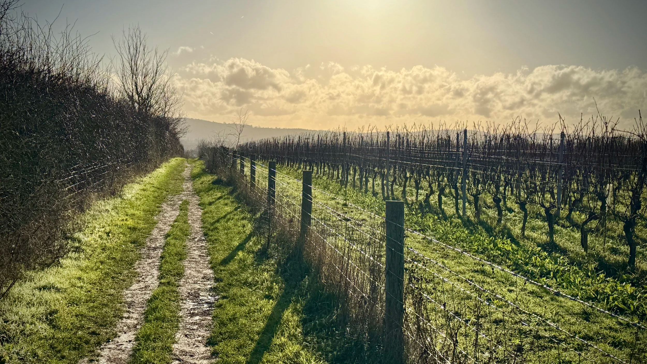
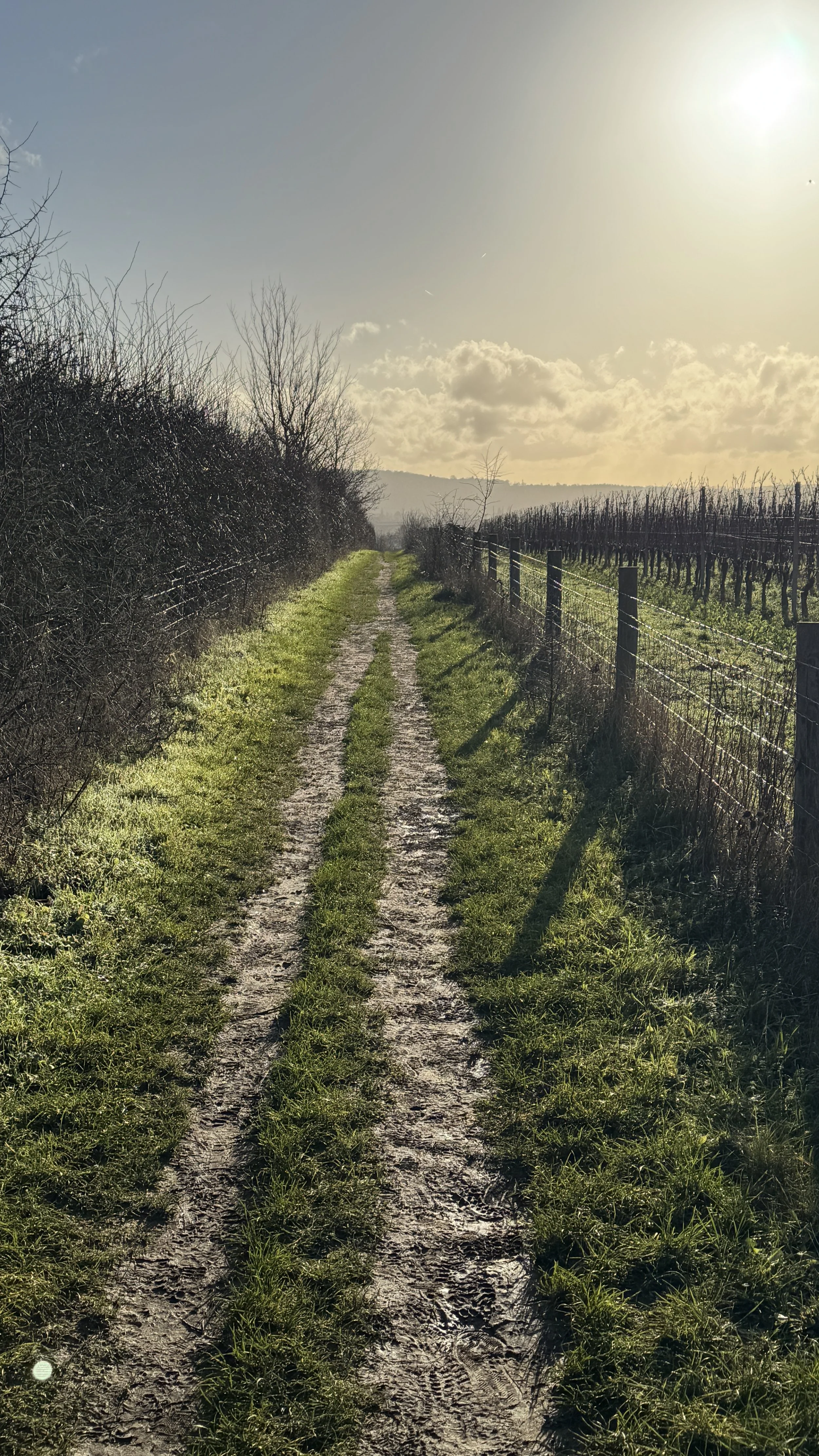
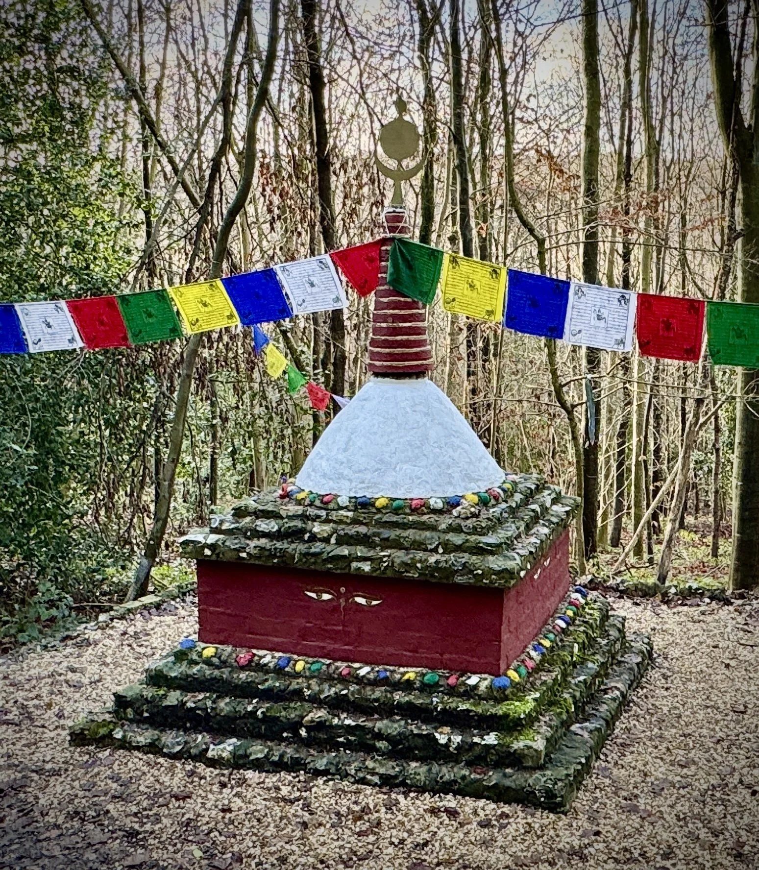
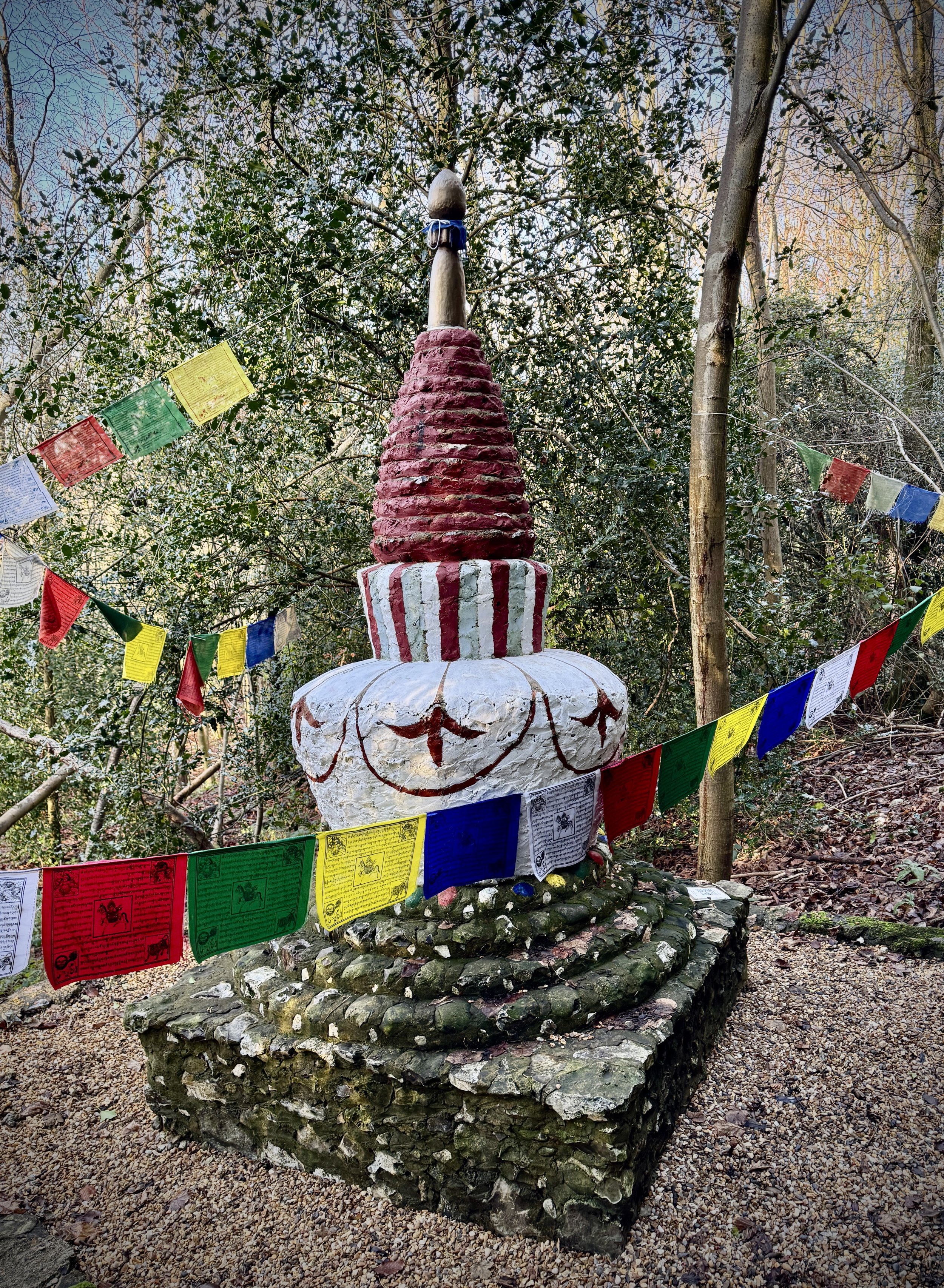
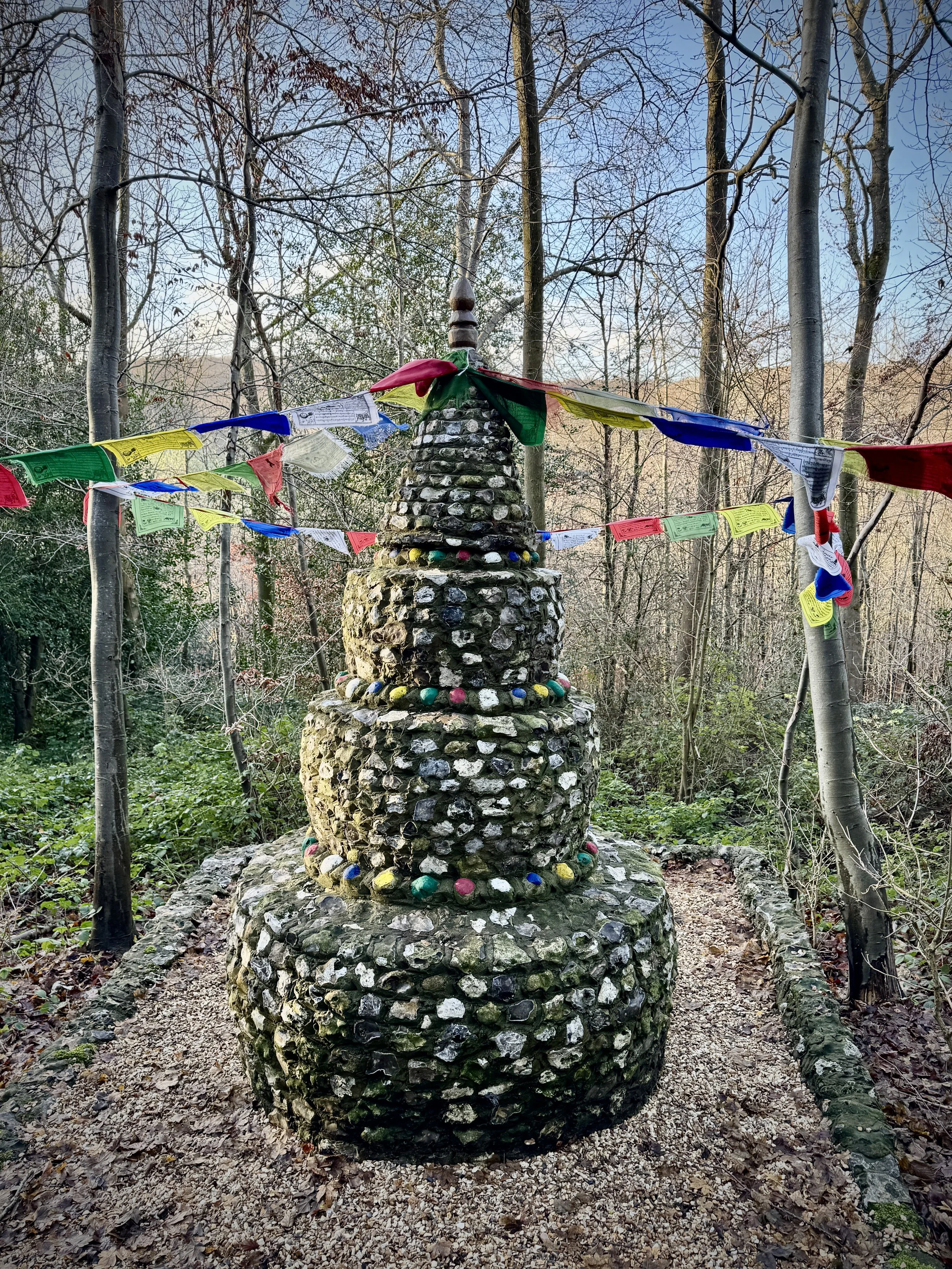
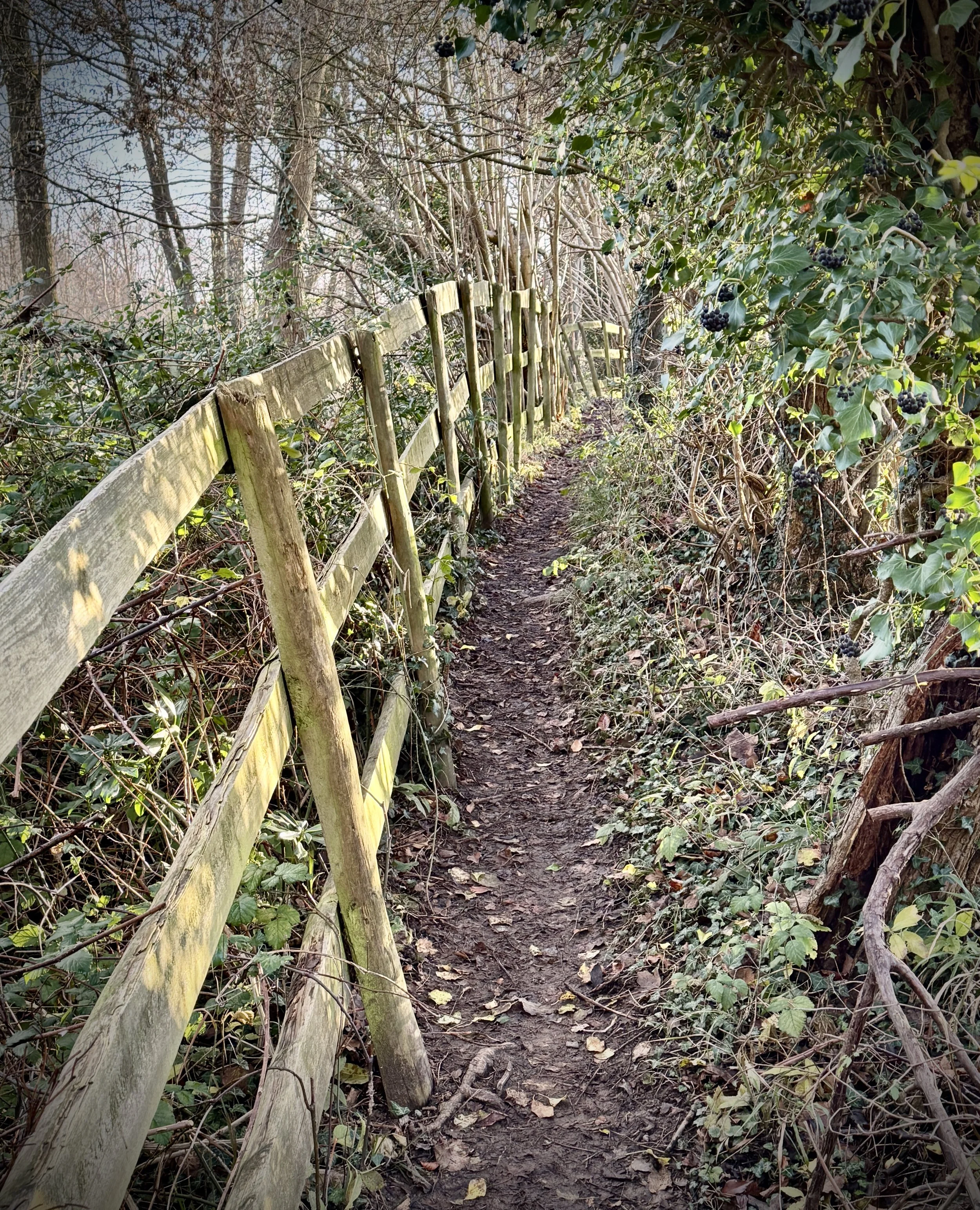
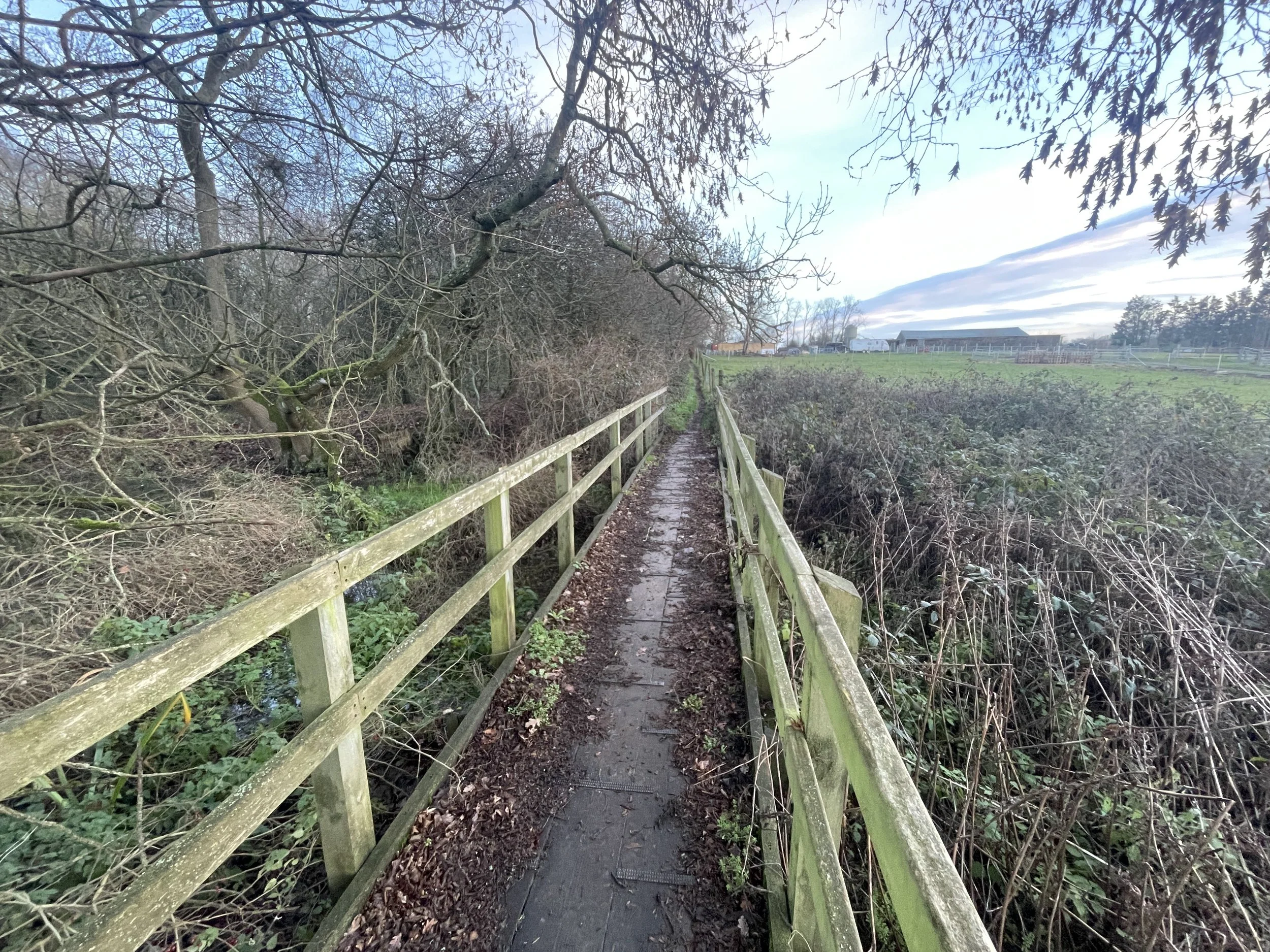
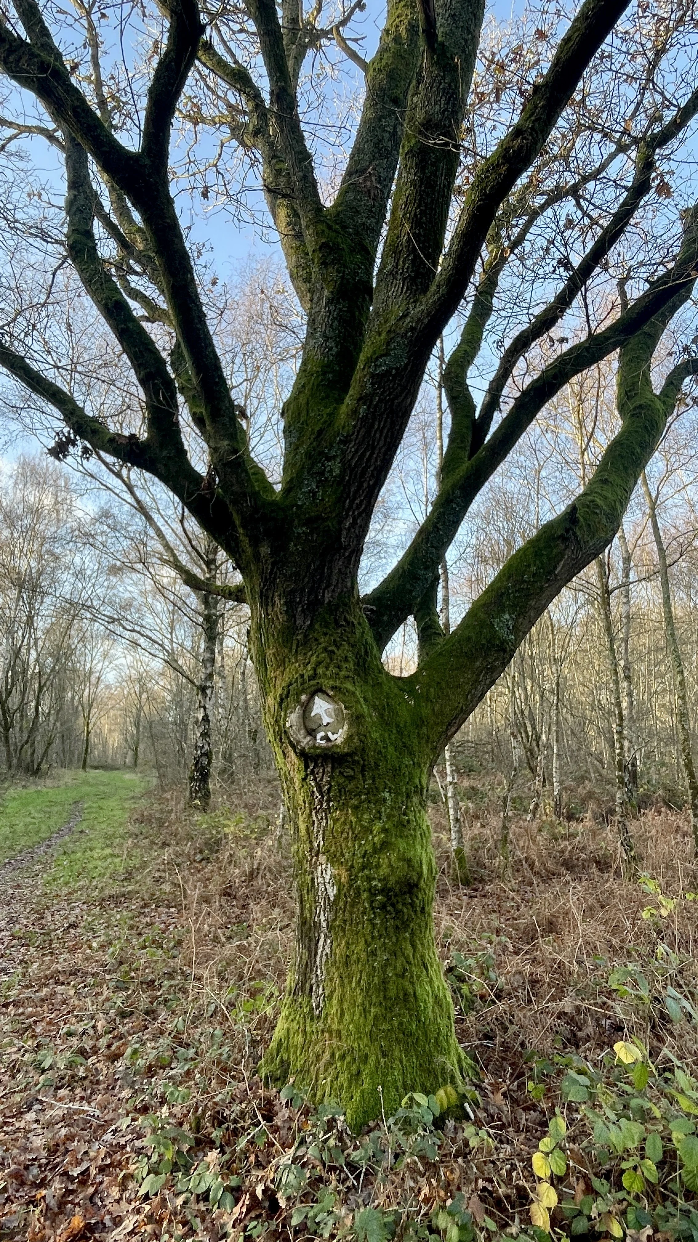
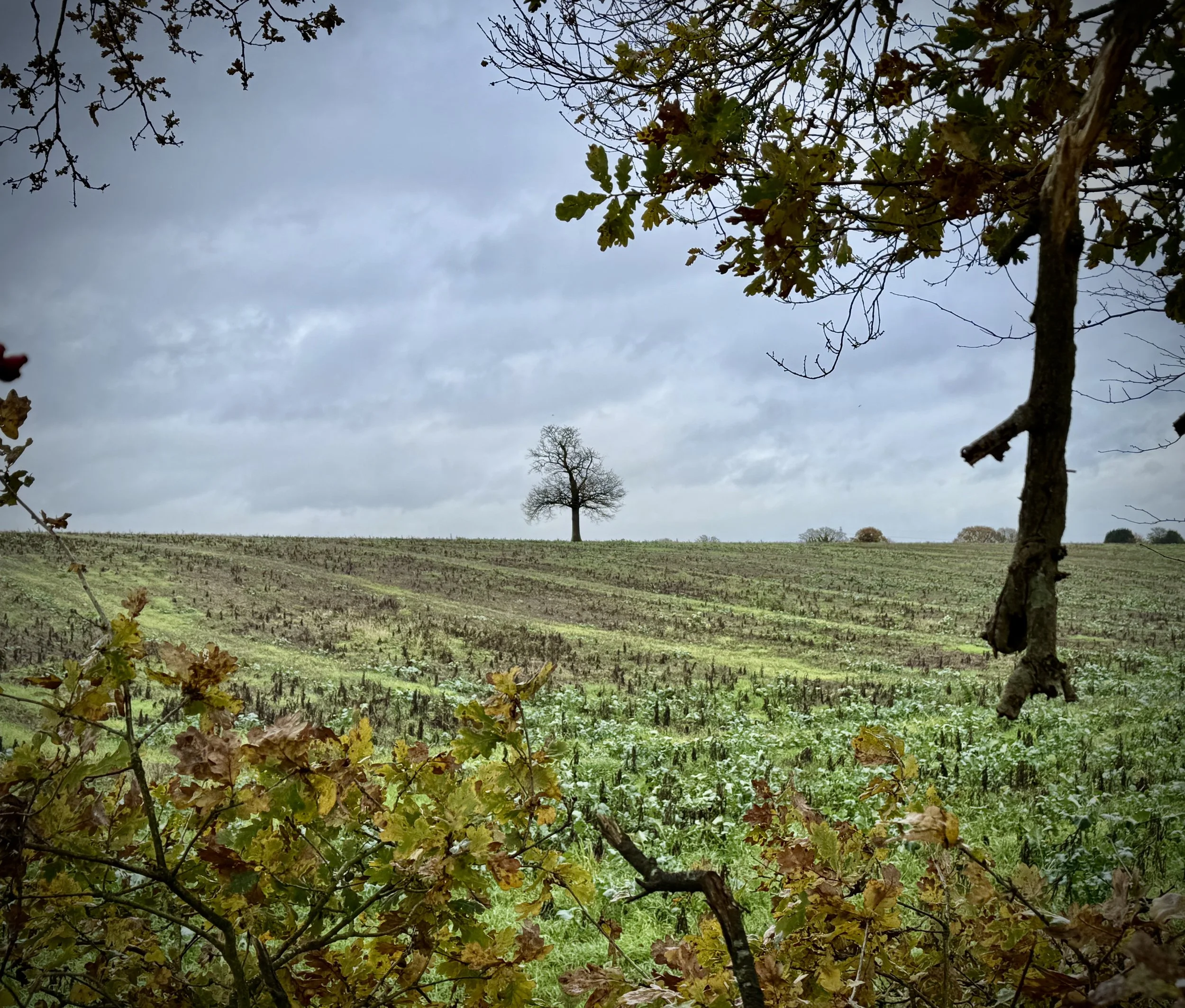
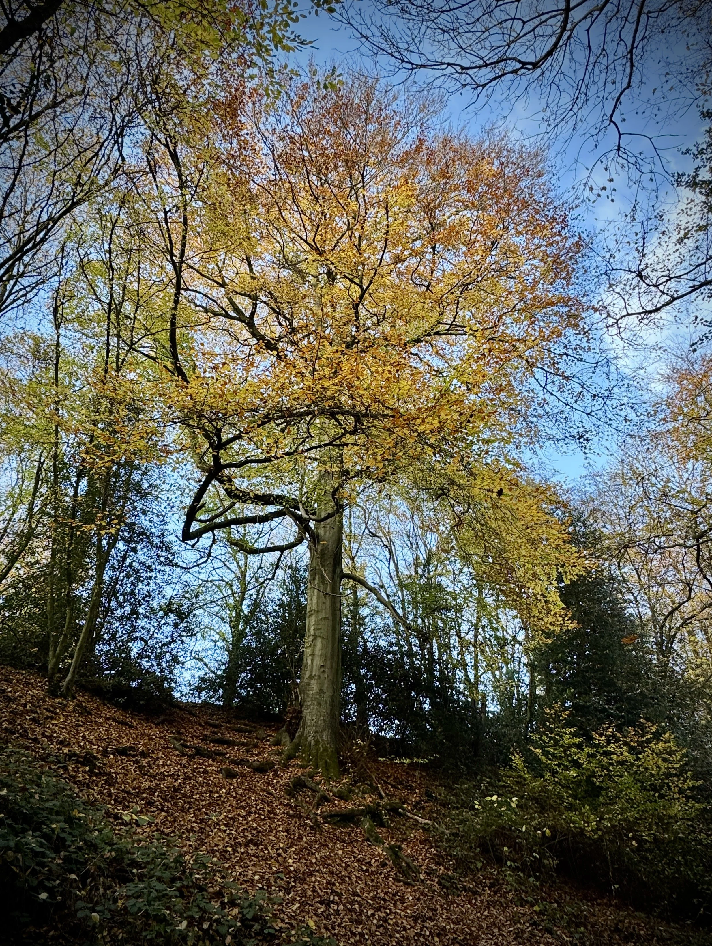
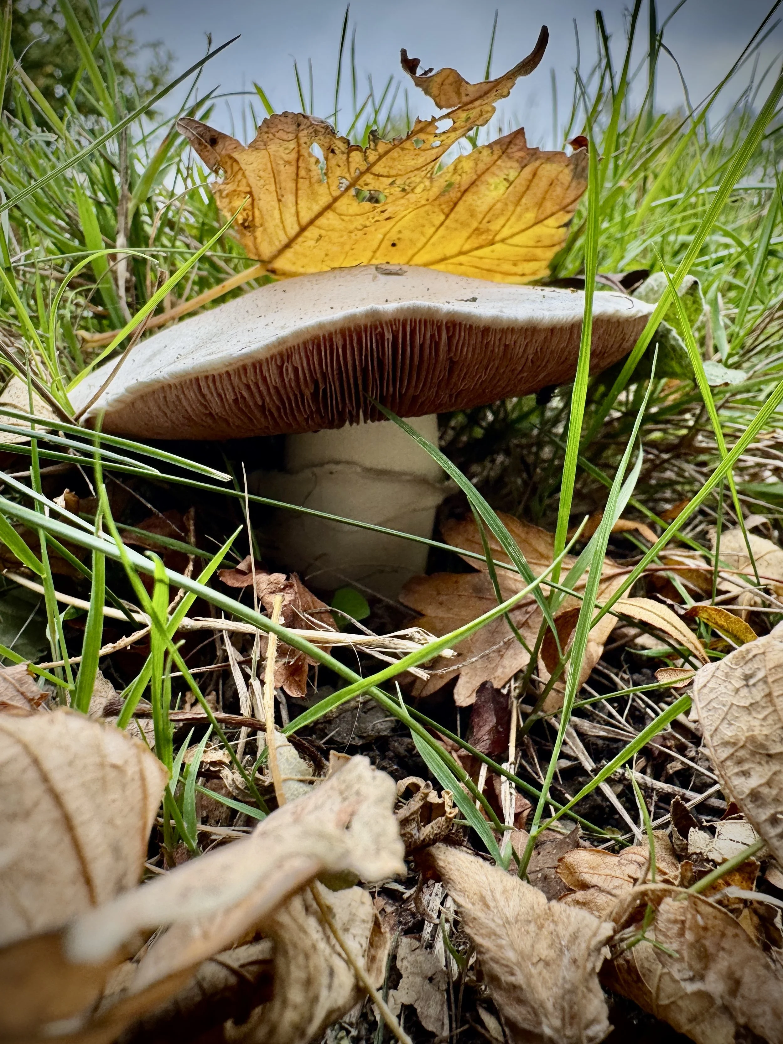
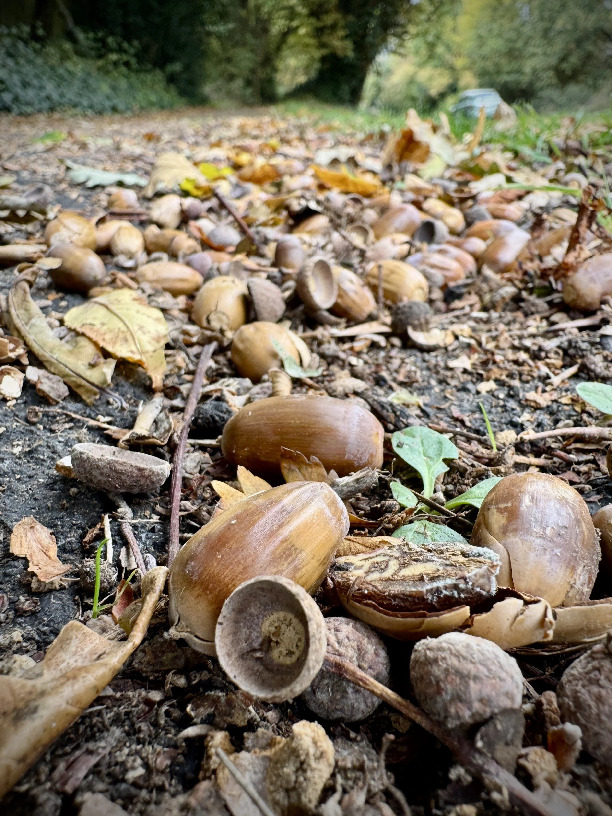
Ancient Hedgerows and Wooded Paths: A significant portion of the walk follows established boundary lines and sheltered tracks. These paths are typical of the ancient agricultural landscape of the area, offering a tranquil environment and a chance to spot local wildlife.
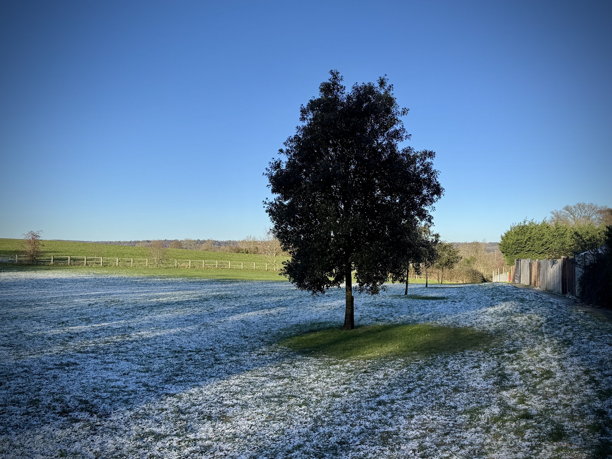
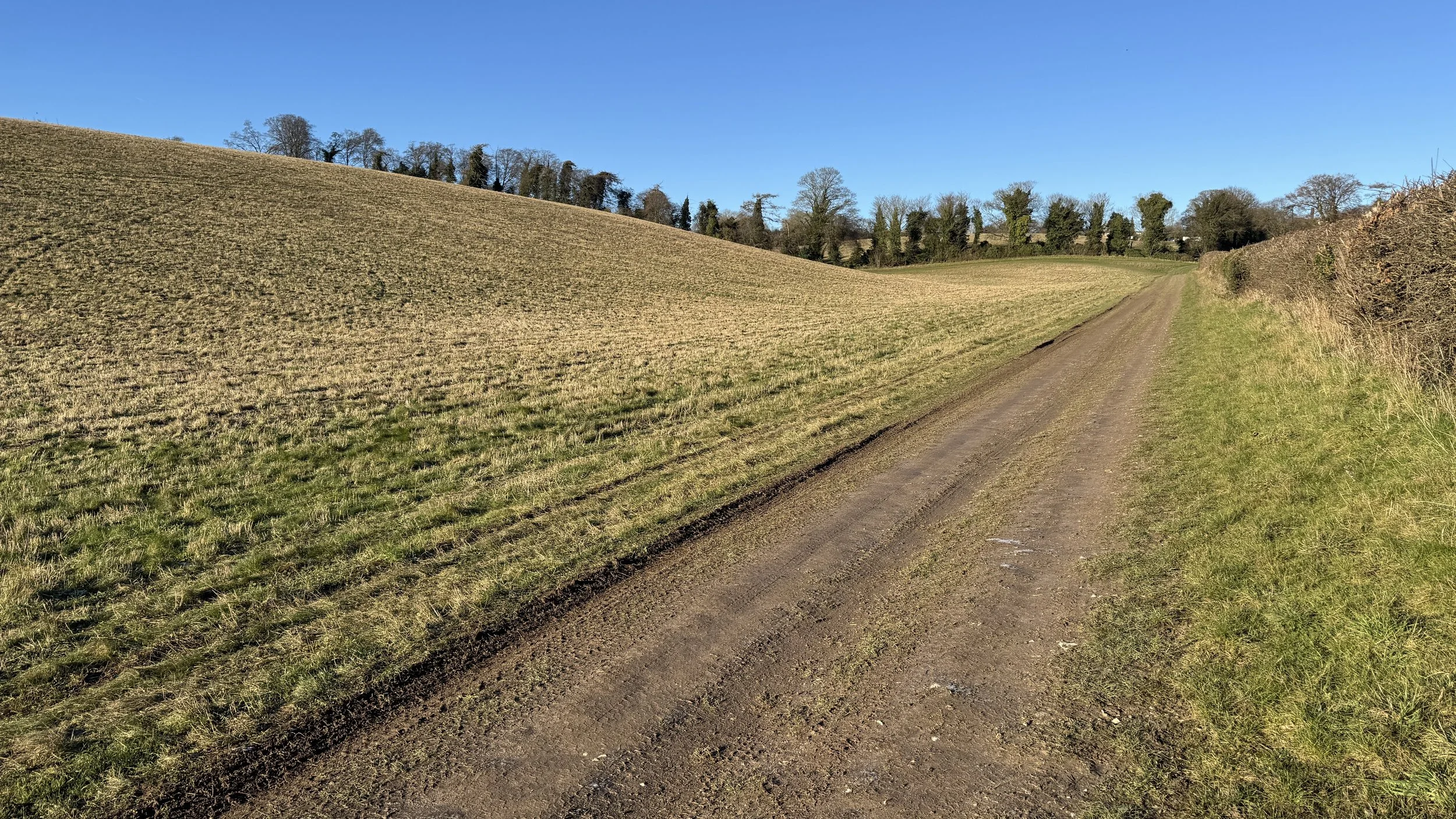
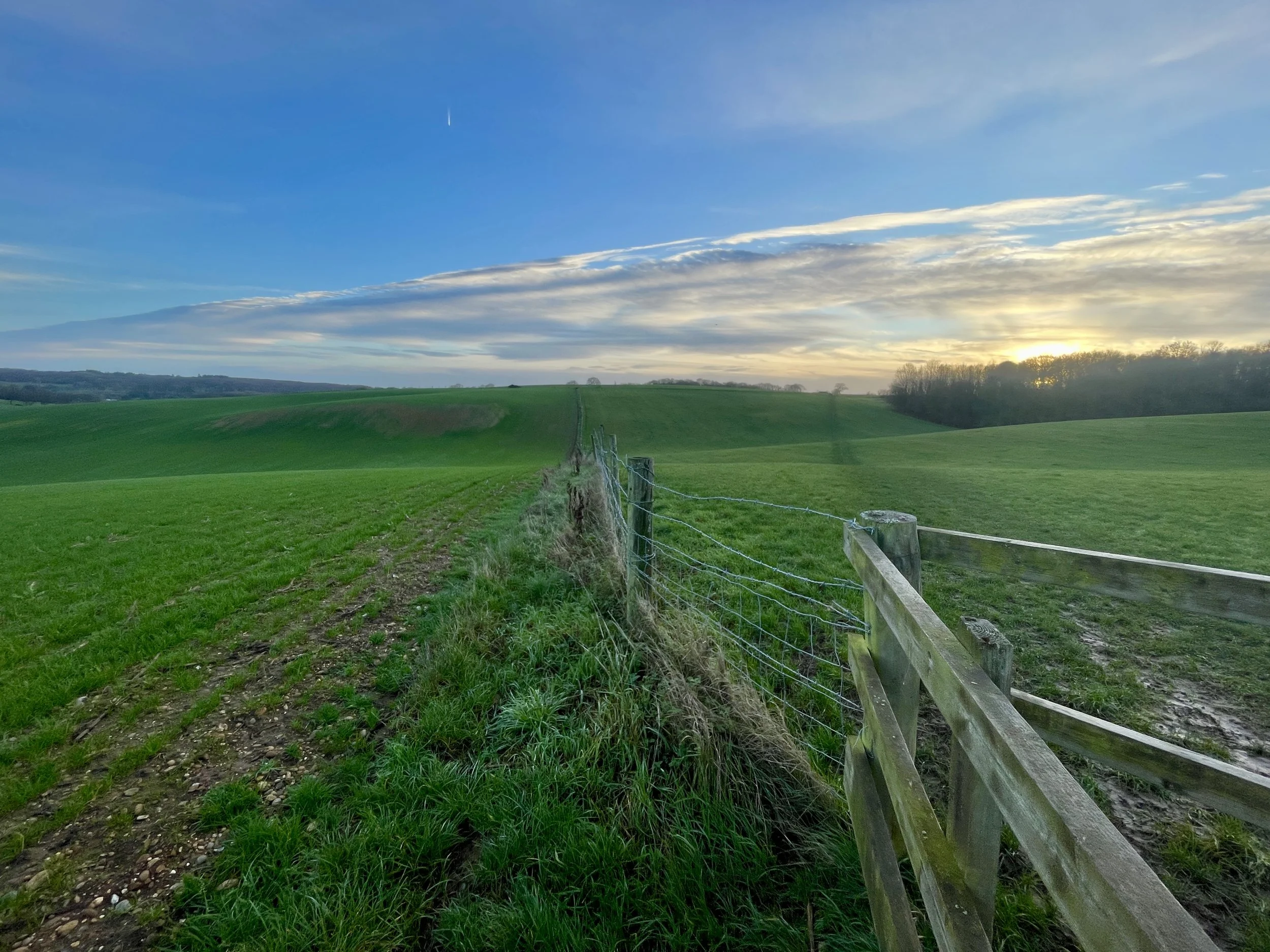
Rolling Countryside Views: As the trail loops back toward Flackwell Heath, the elevation changes—dropping as low as 40 metres near the valley floor—provide expansive views of the surrounding hills and the patchwork of fields that define this part of the Chilterns.