Posts tagged Thames
Walking the River Wey Part 1: Weybridge and Desborough Island

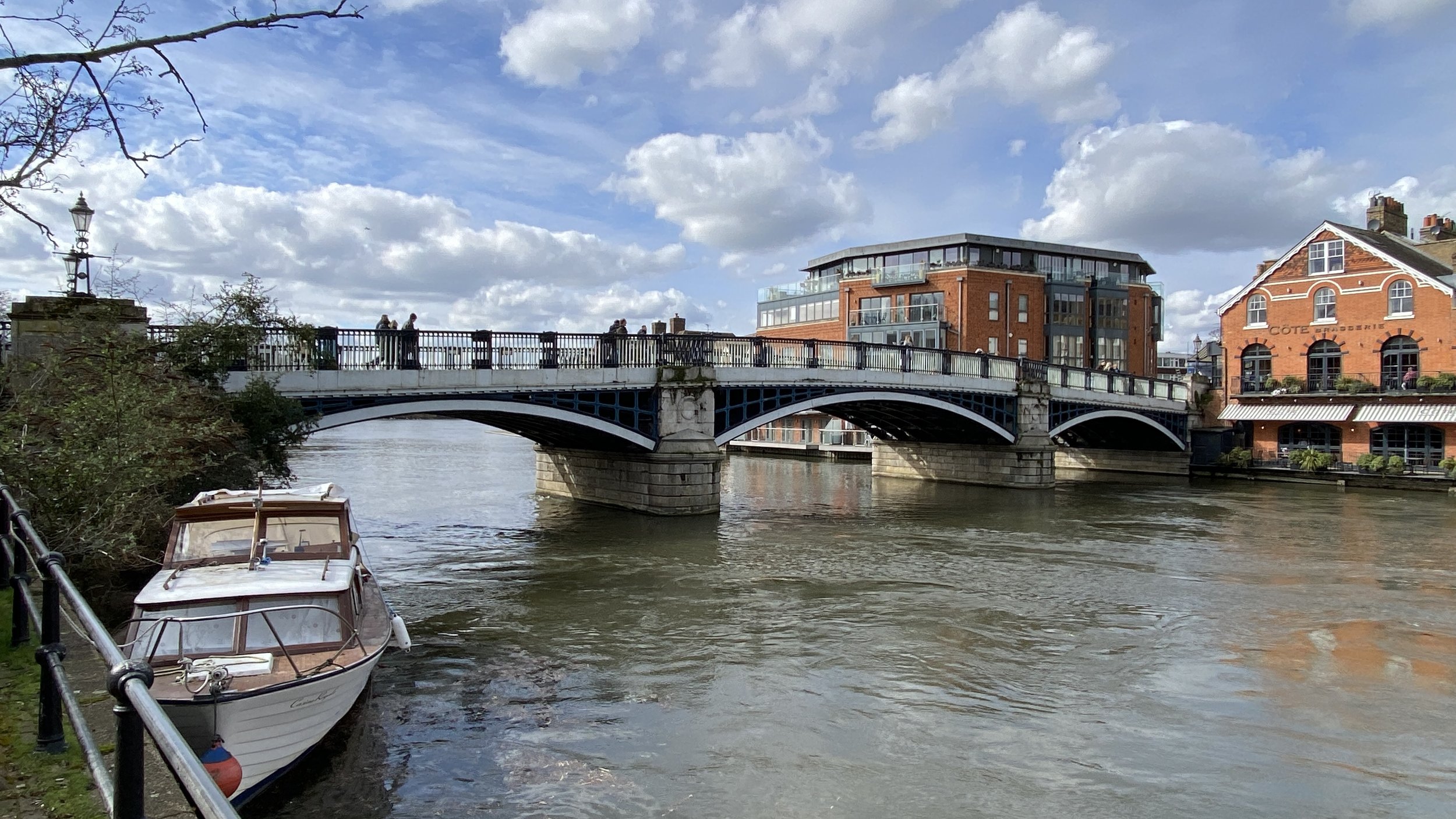
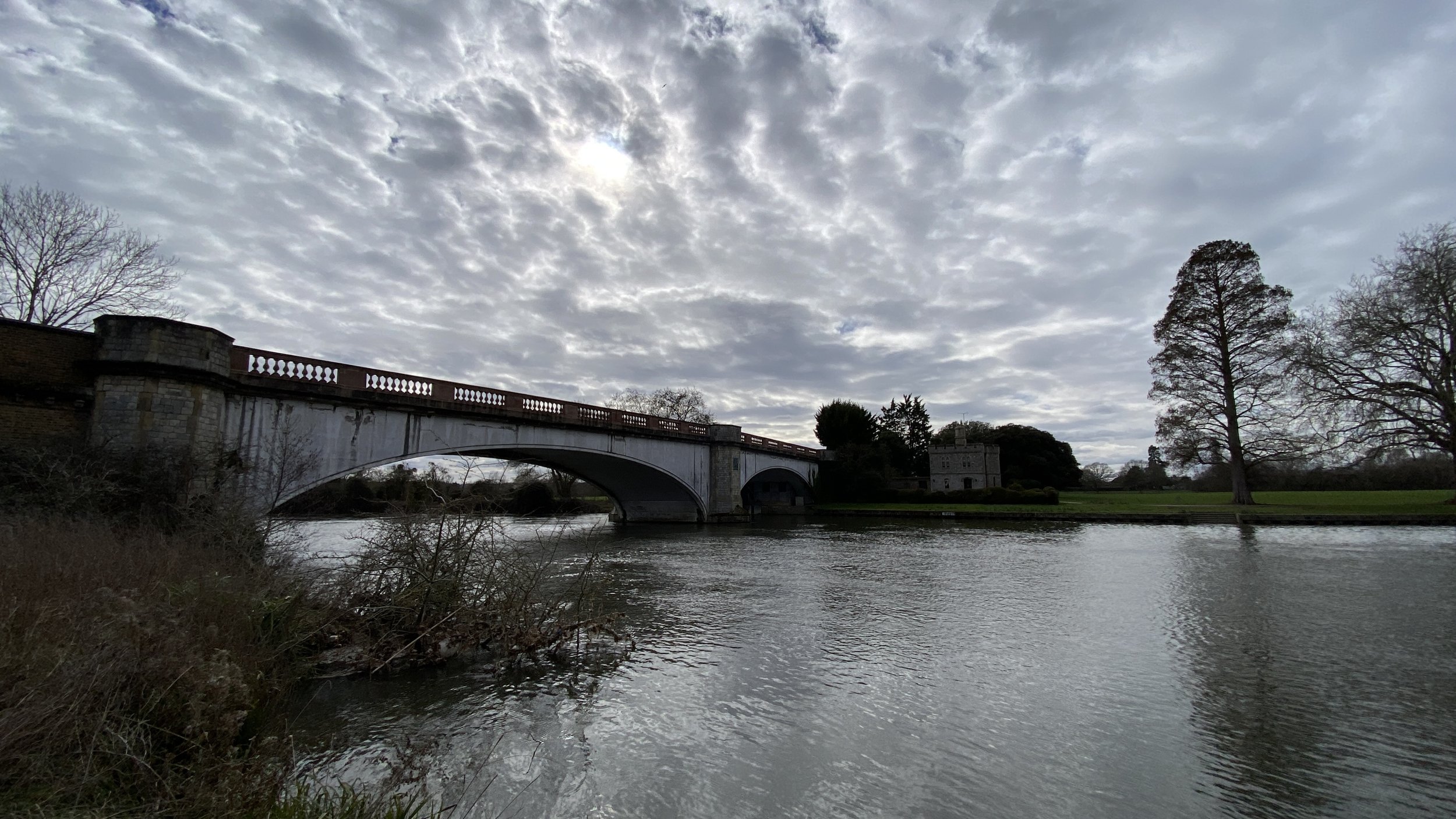
The Old Wey Bridge


Start & Finish: Churchfield Car Park, Churchfield Road, Weybridge, KT13 8DB
Distance:
8.4 km (5.2 miles)
Elevation Change: +/- 34m
GPX File: get via Buy Me a Coffee
Other Routes Touched (walk): Wey Navigation Footpath, Locks and Levels, Thames Path
Other Routes Touched (cycle): NCN 4
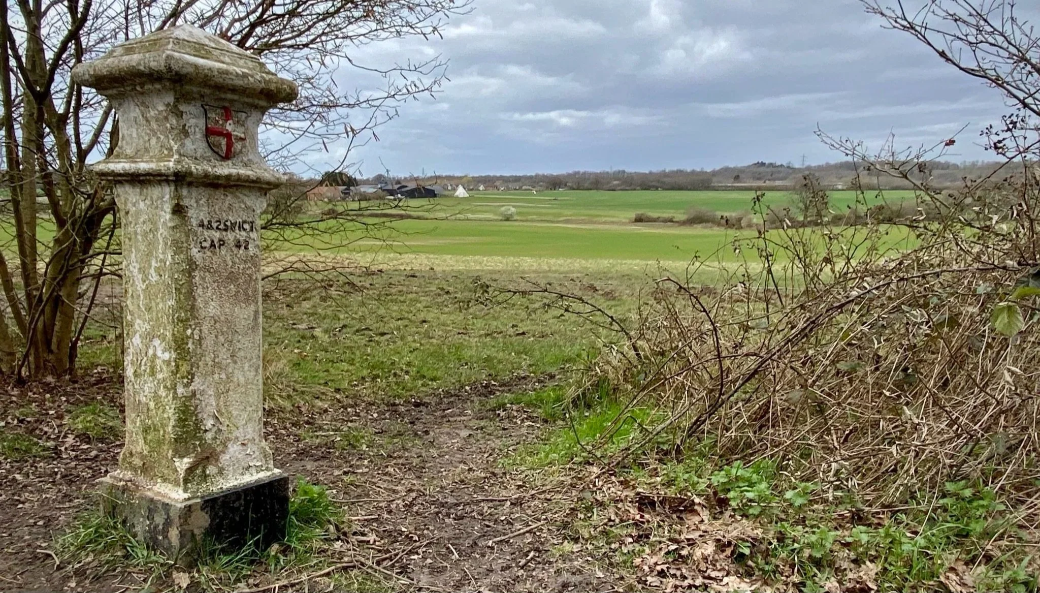
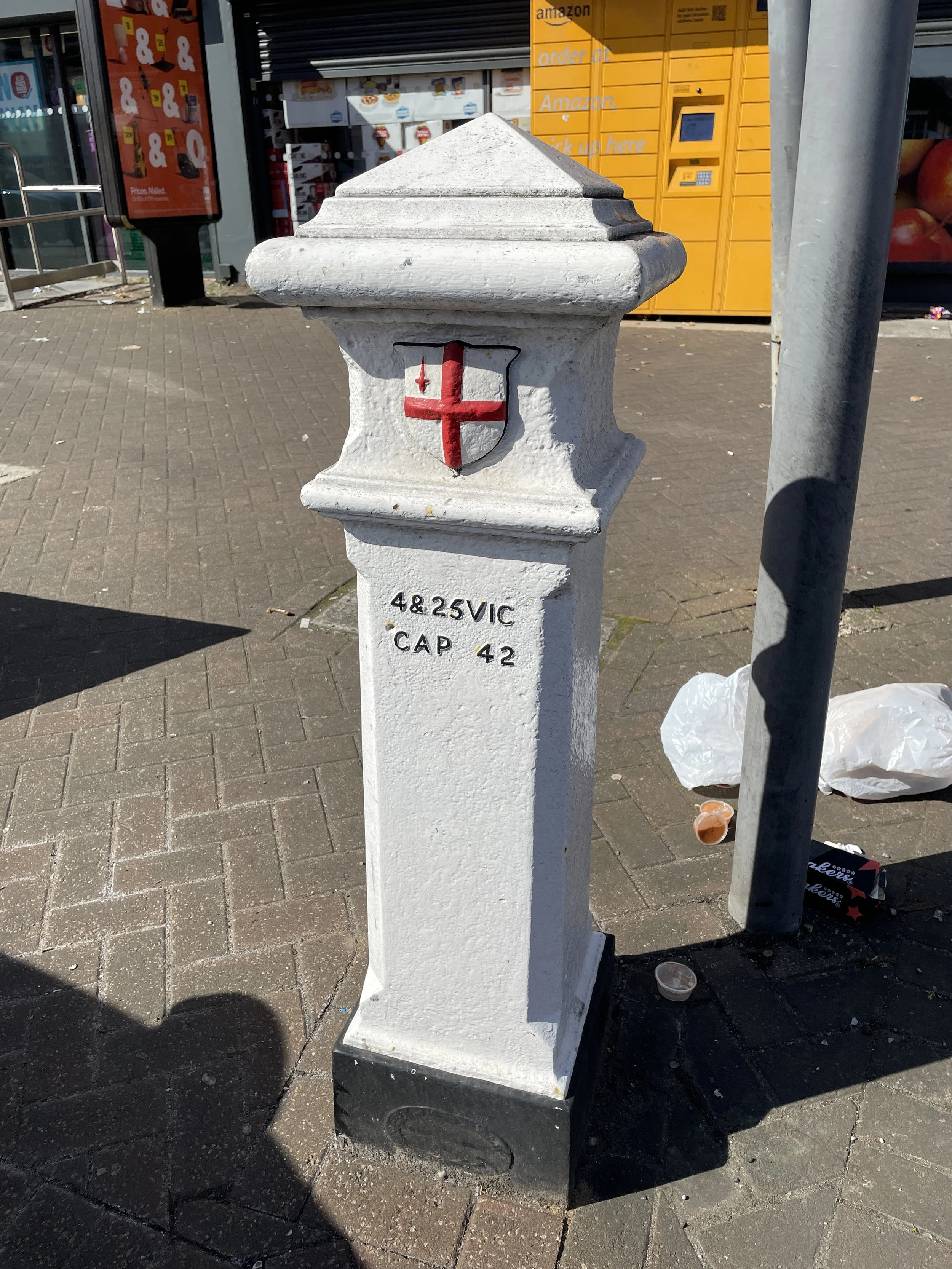
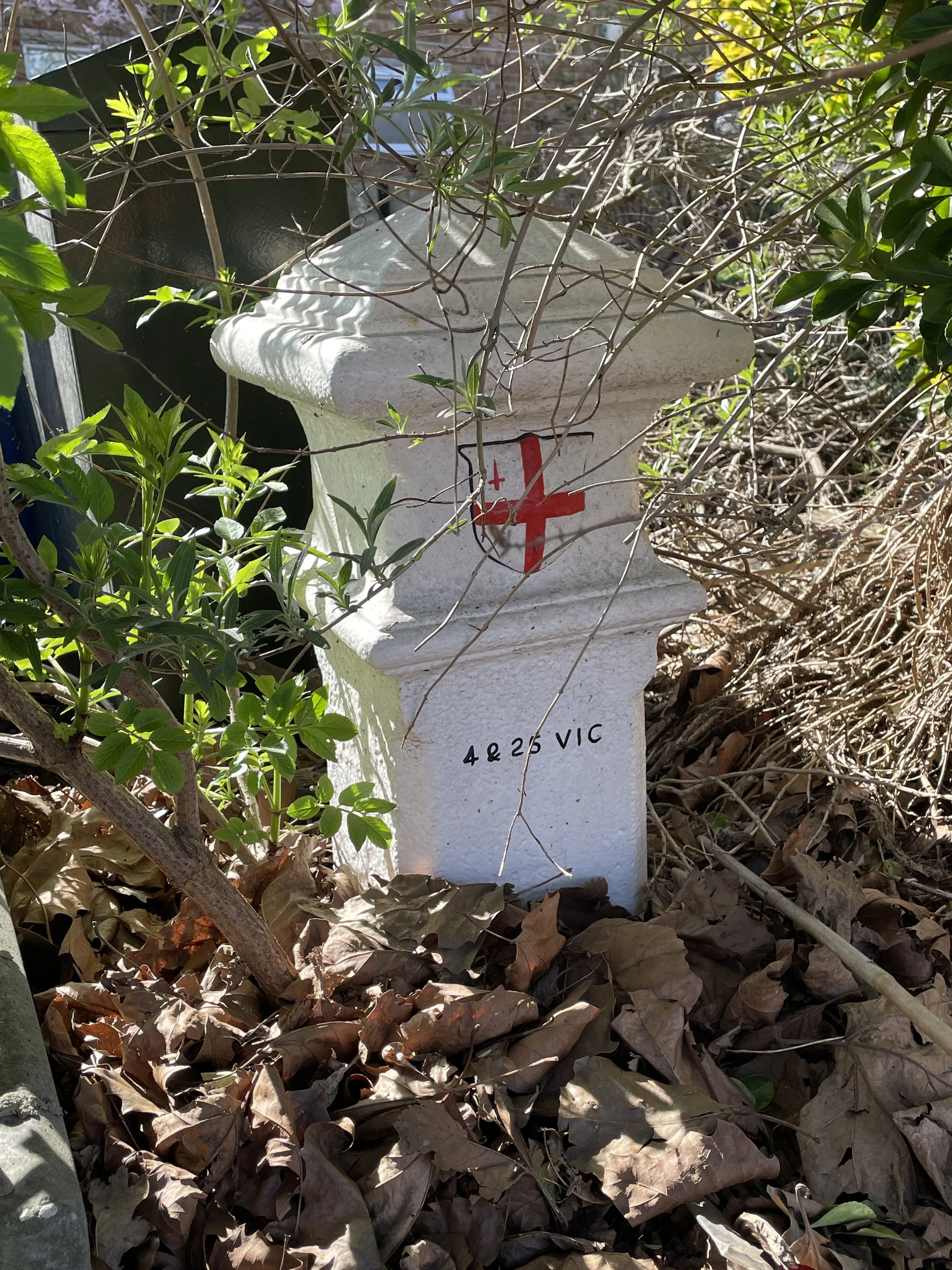
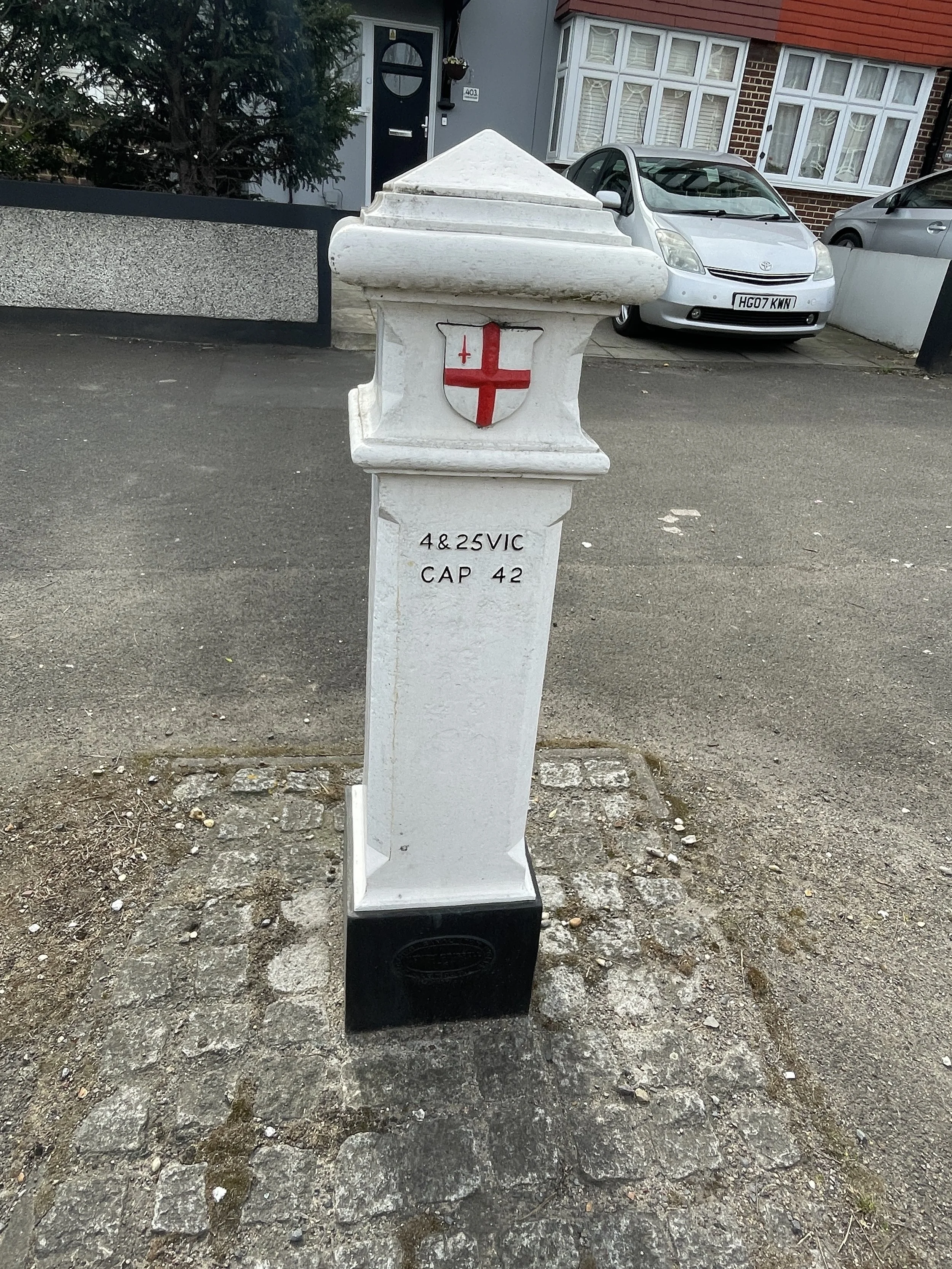
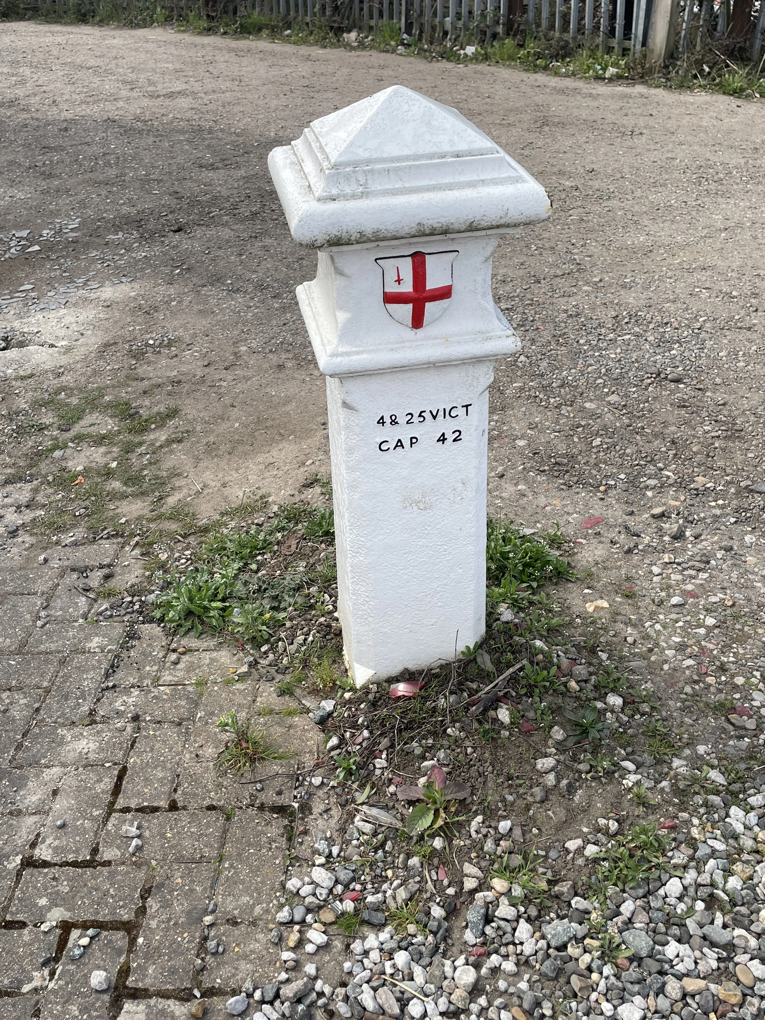
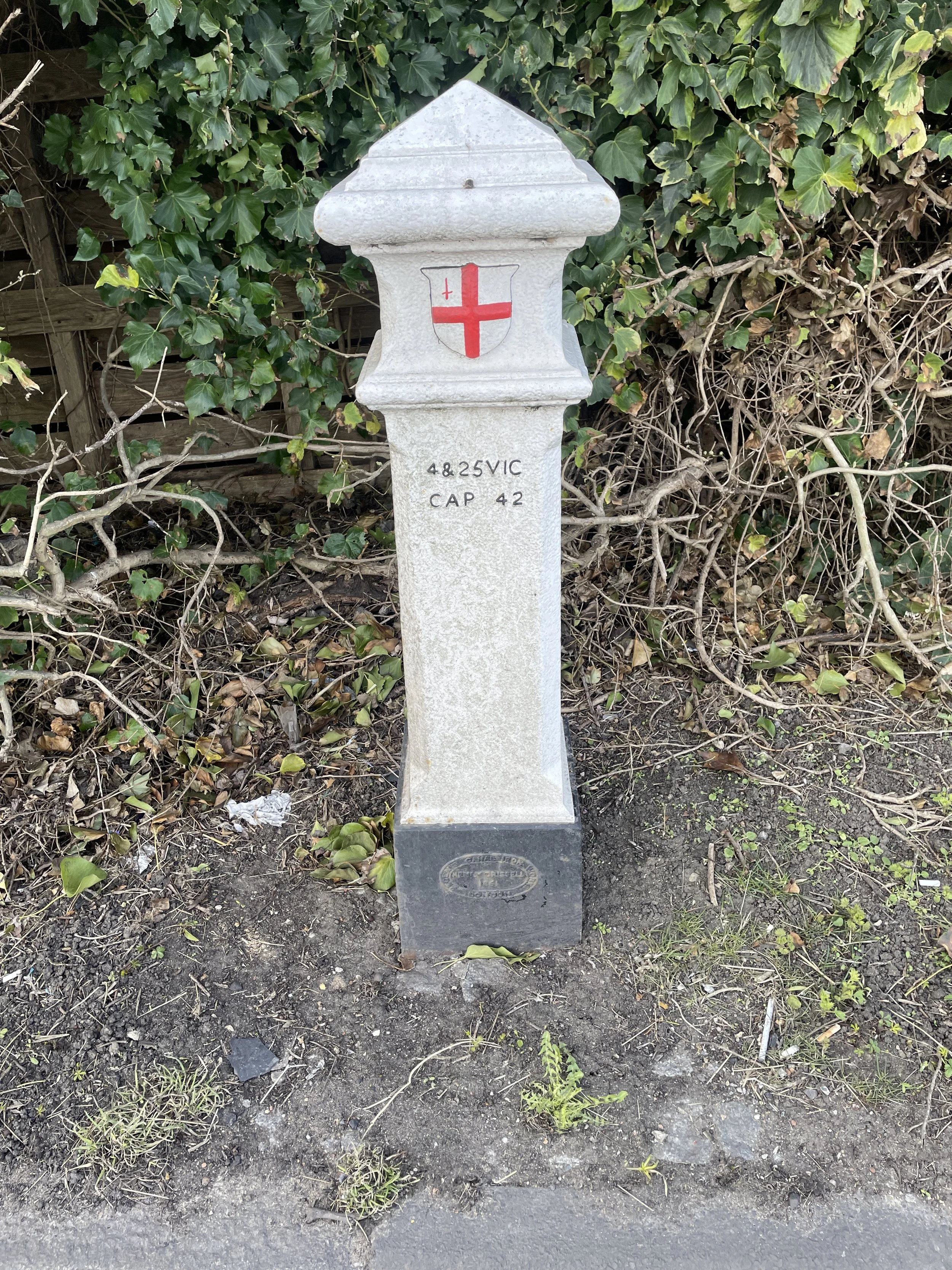
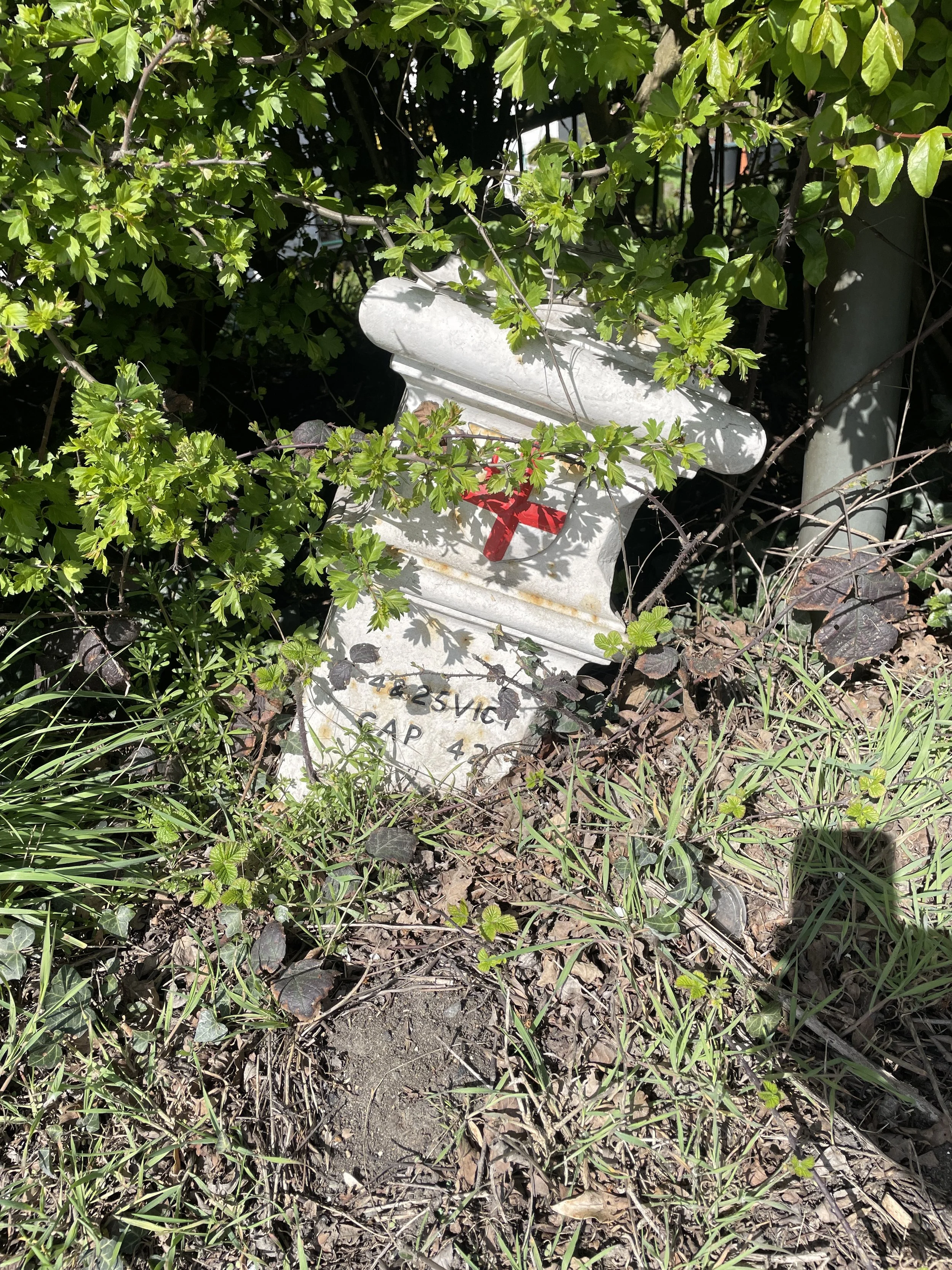
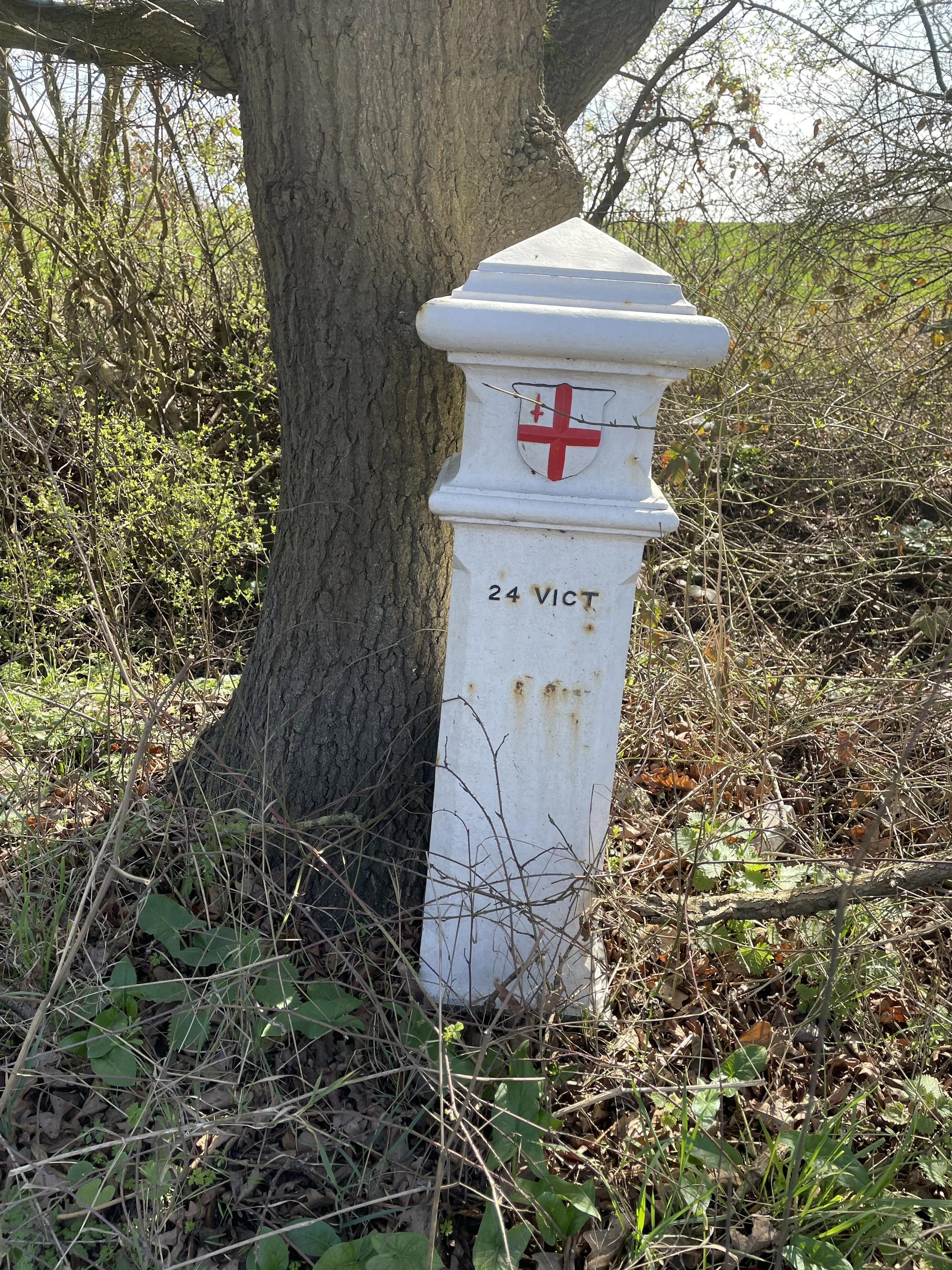
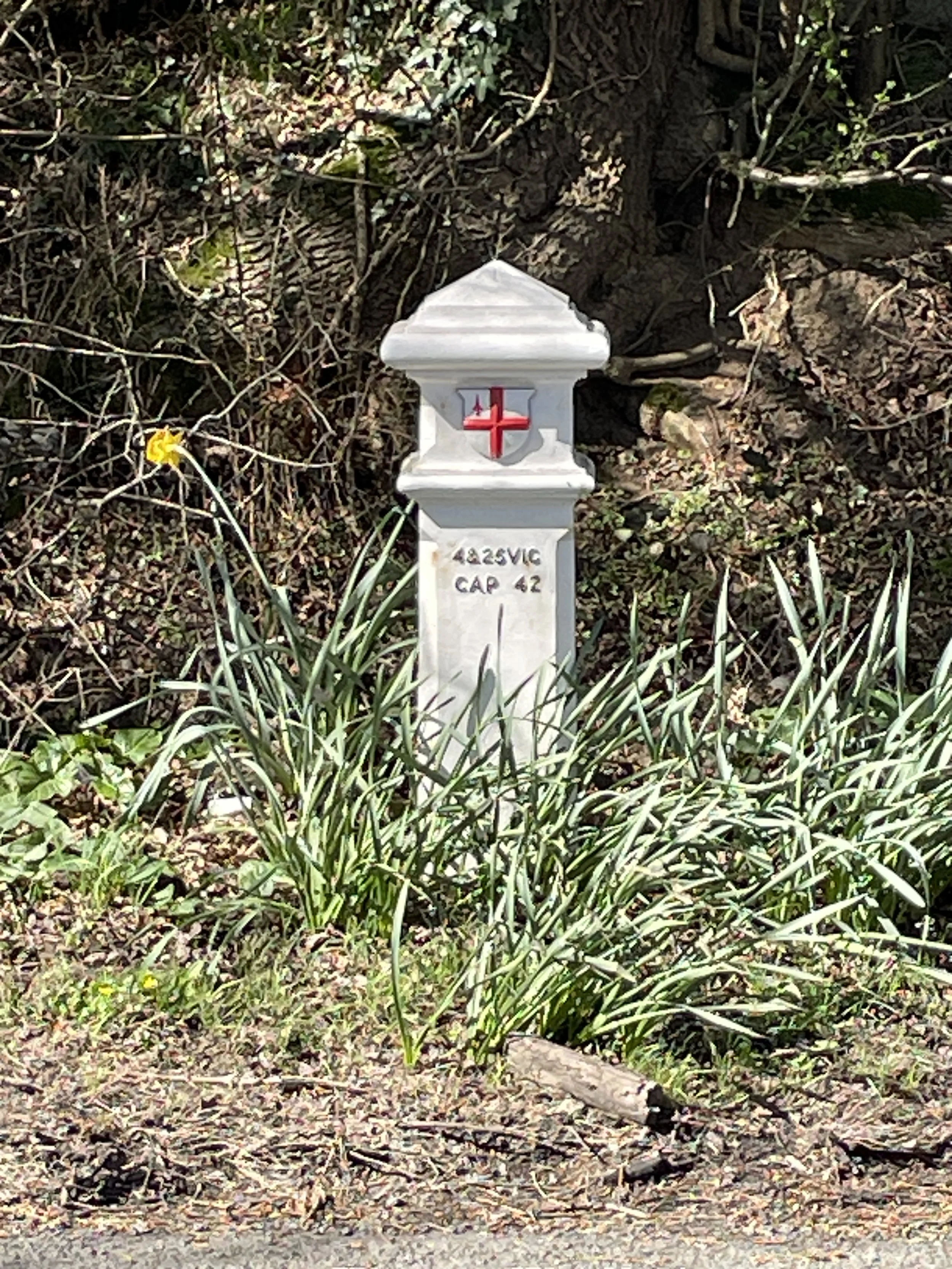
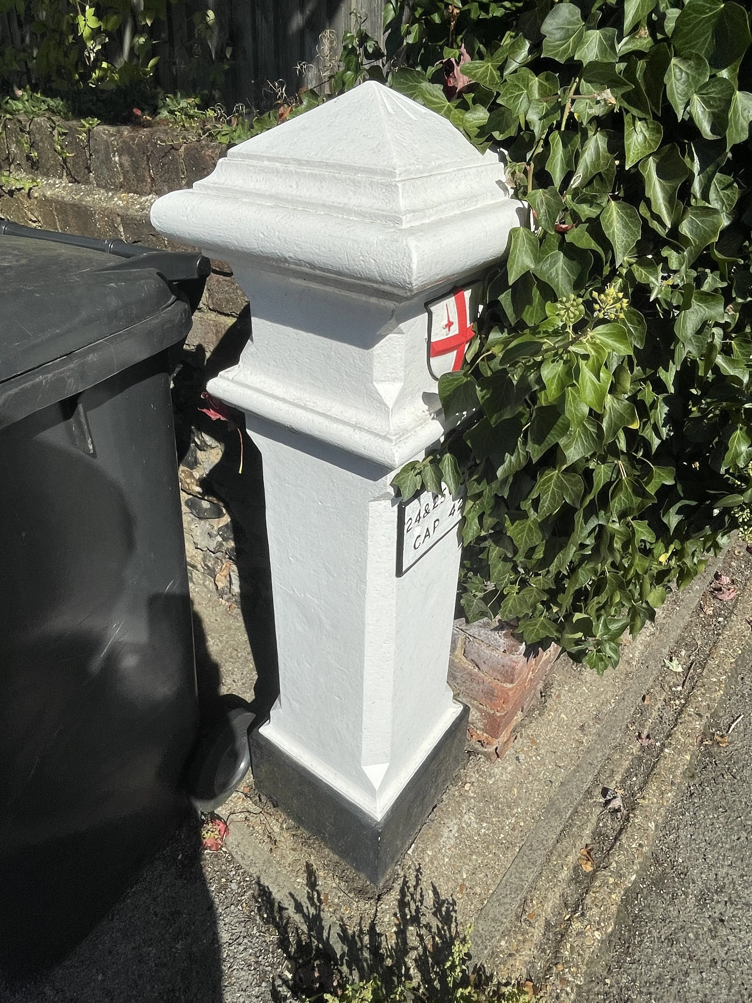
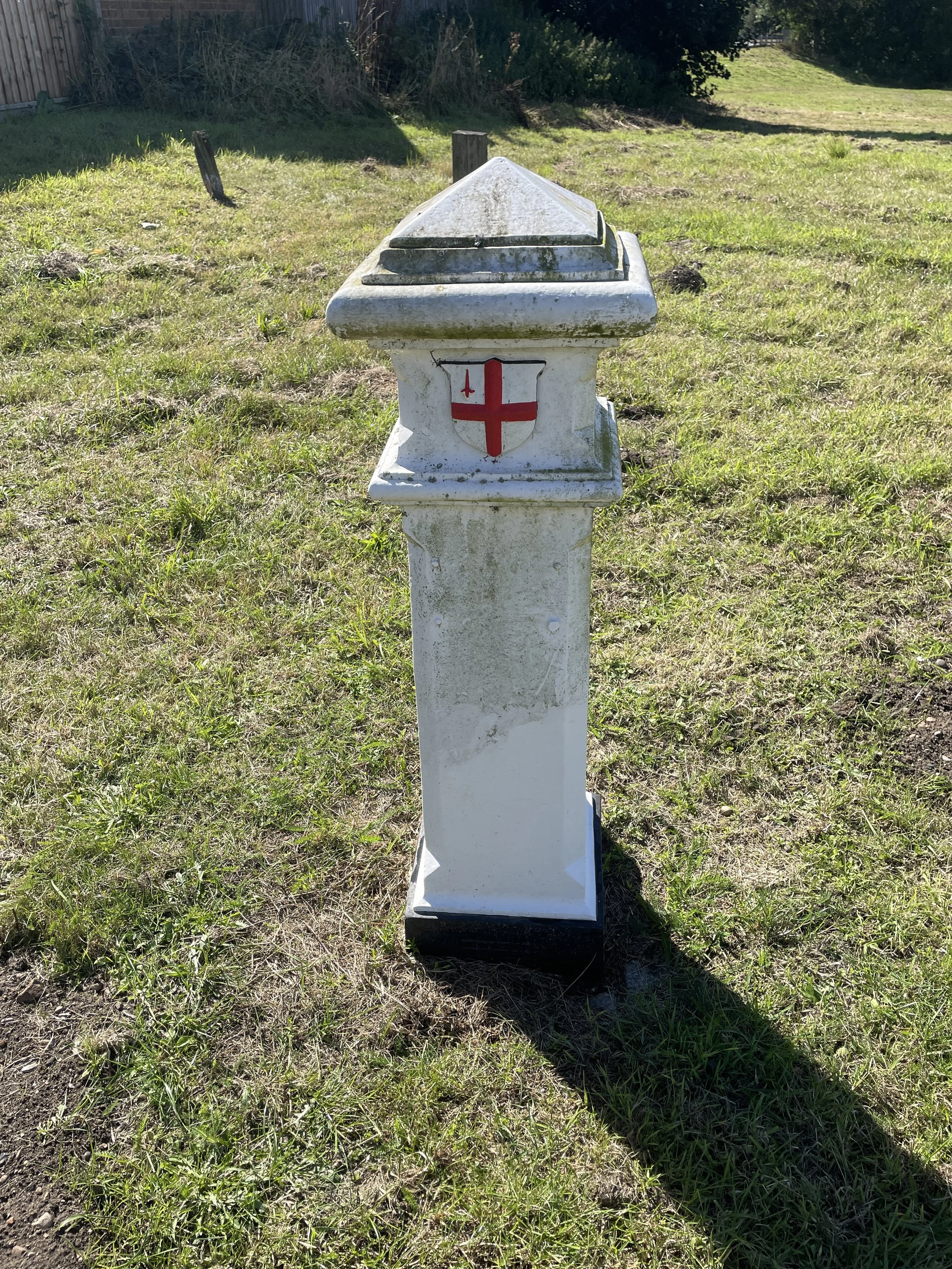
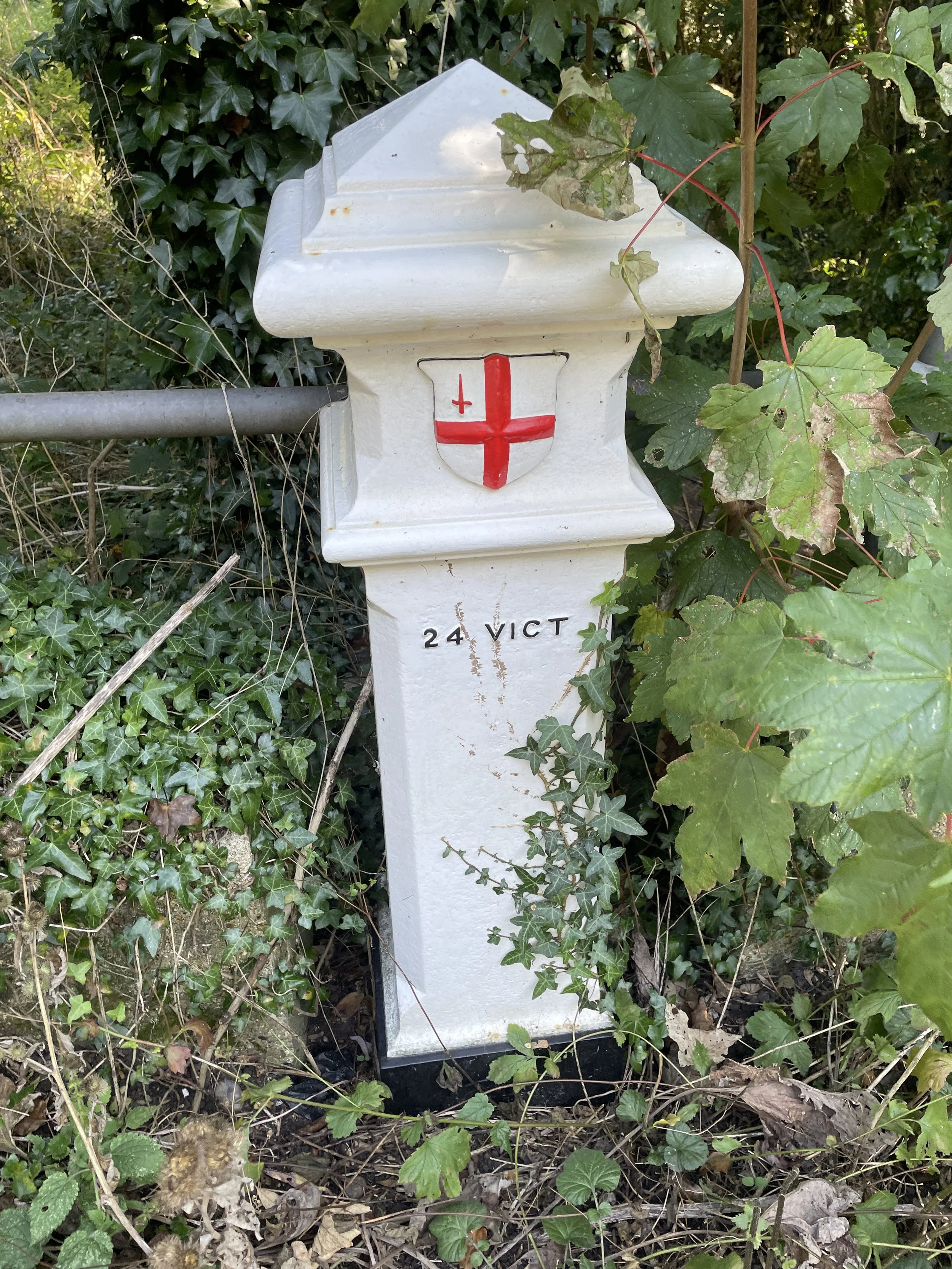
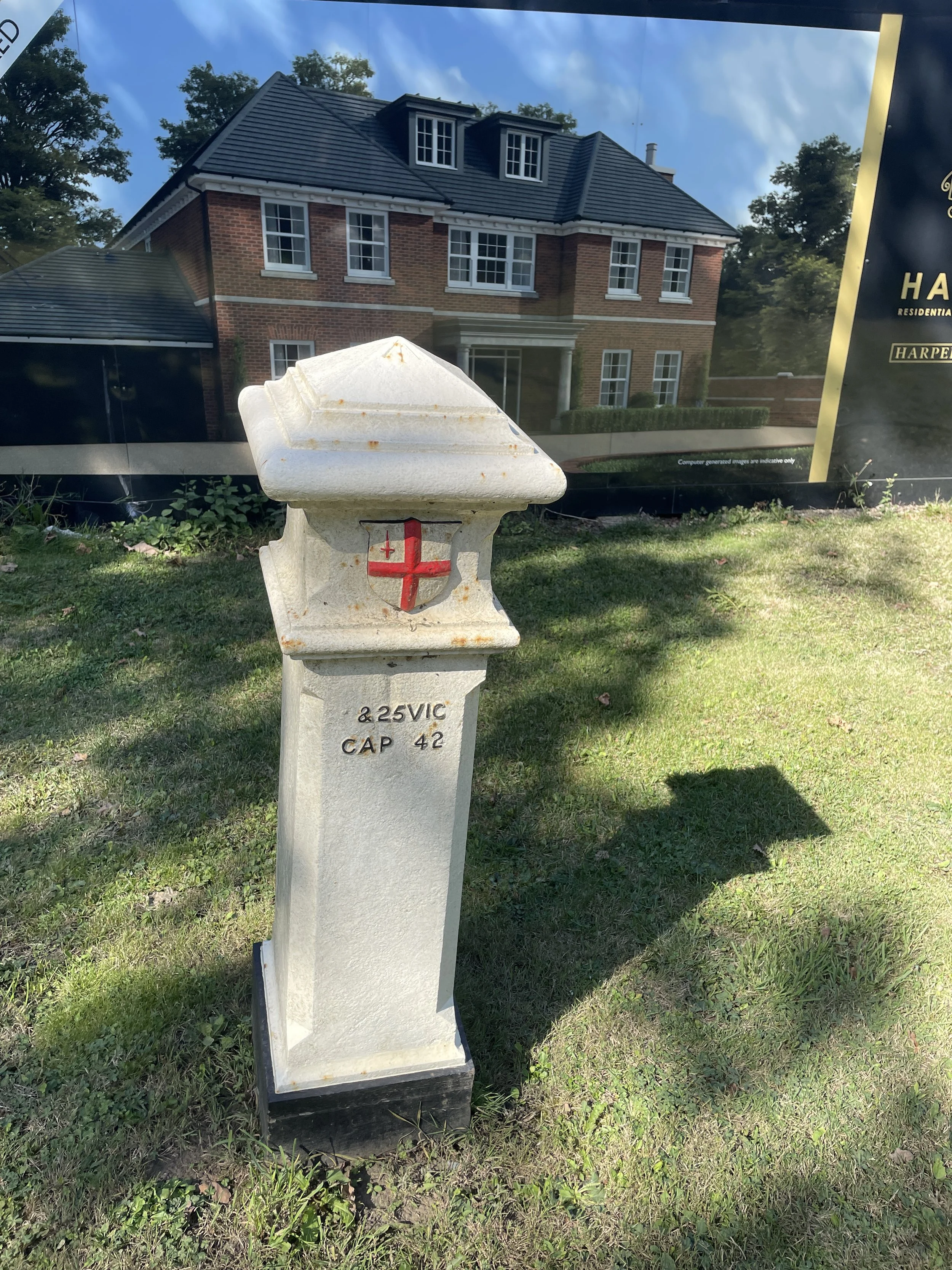
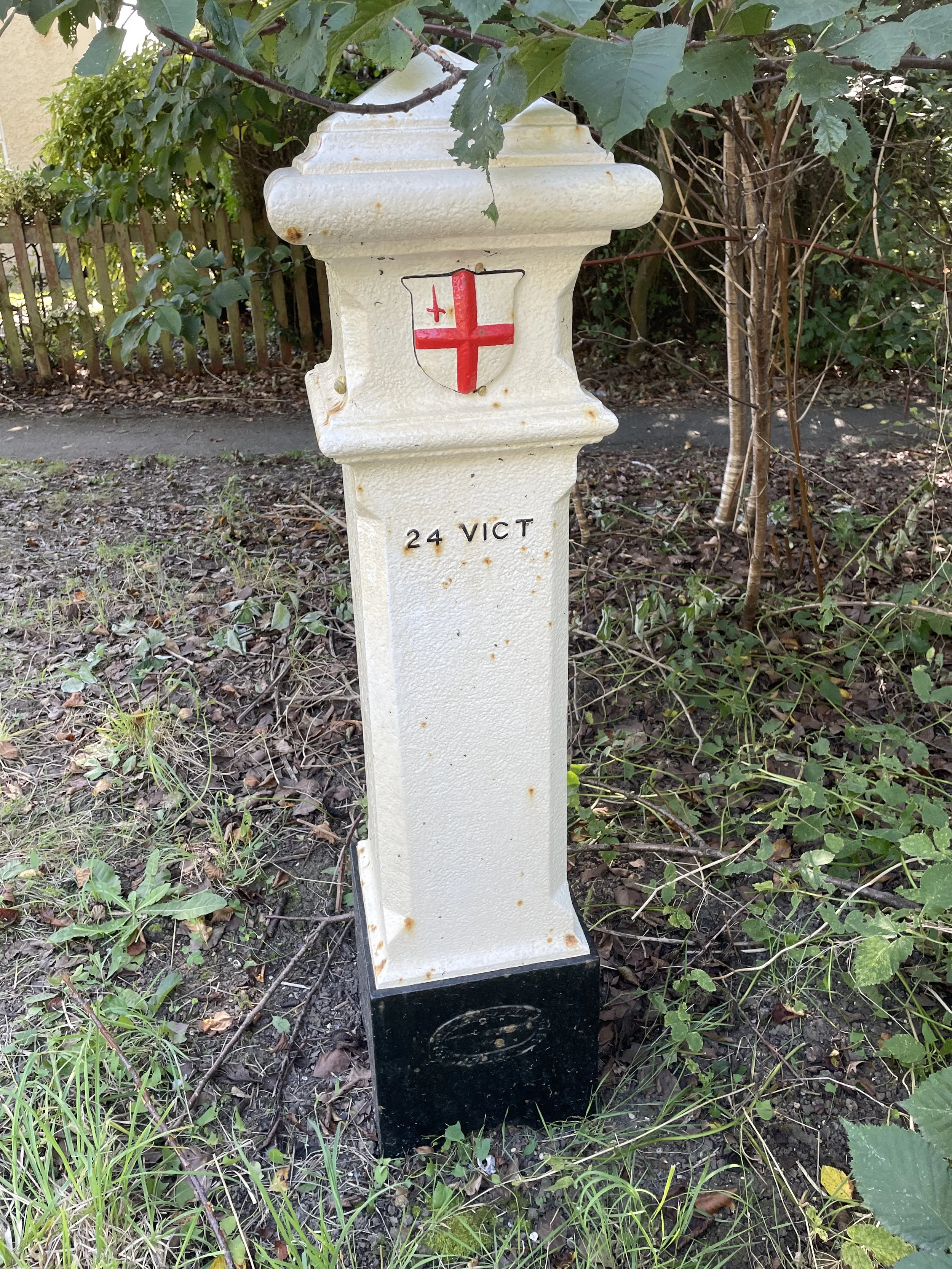
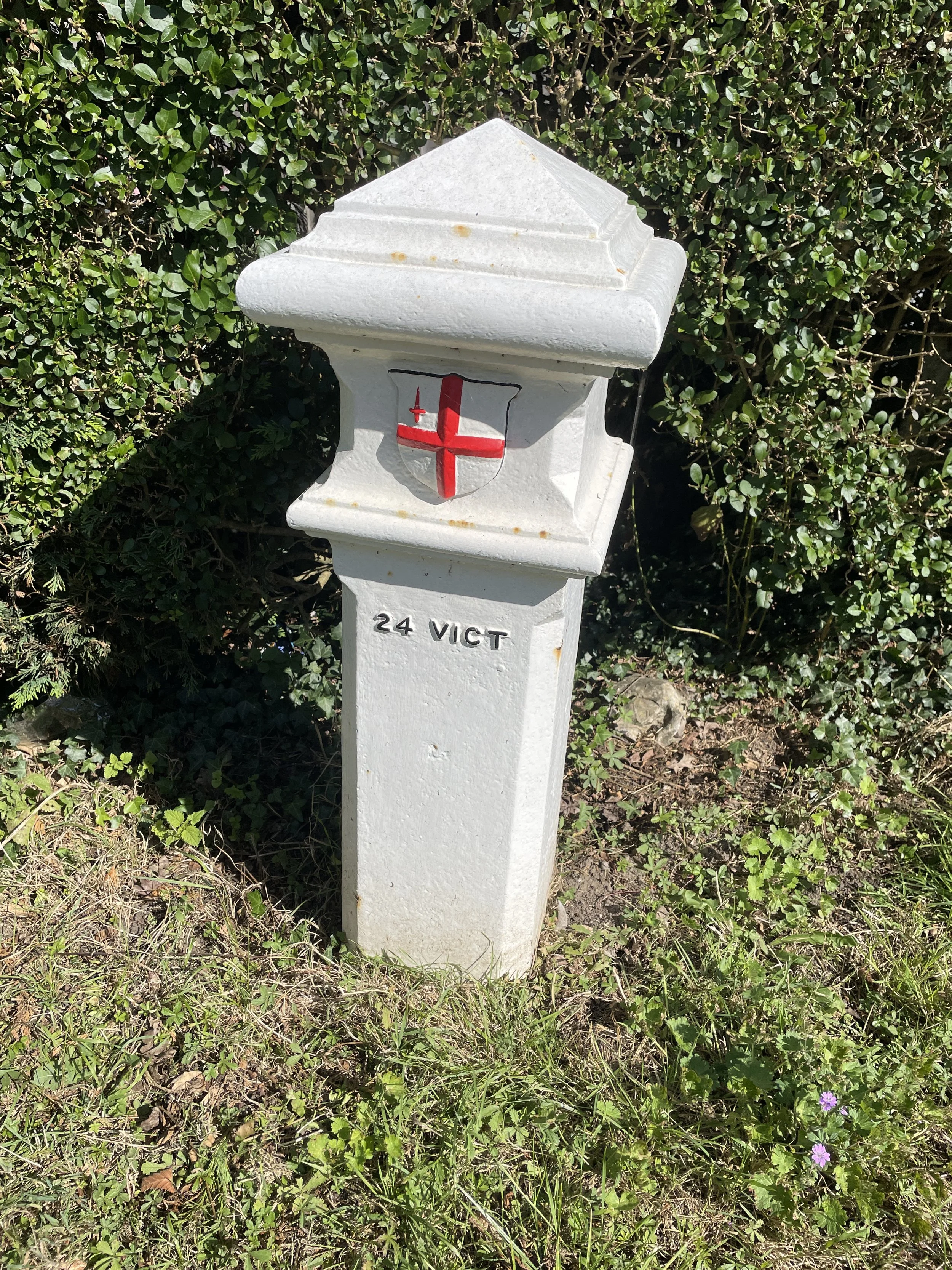
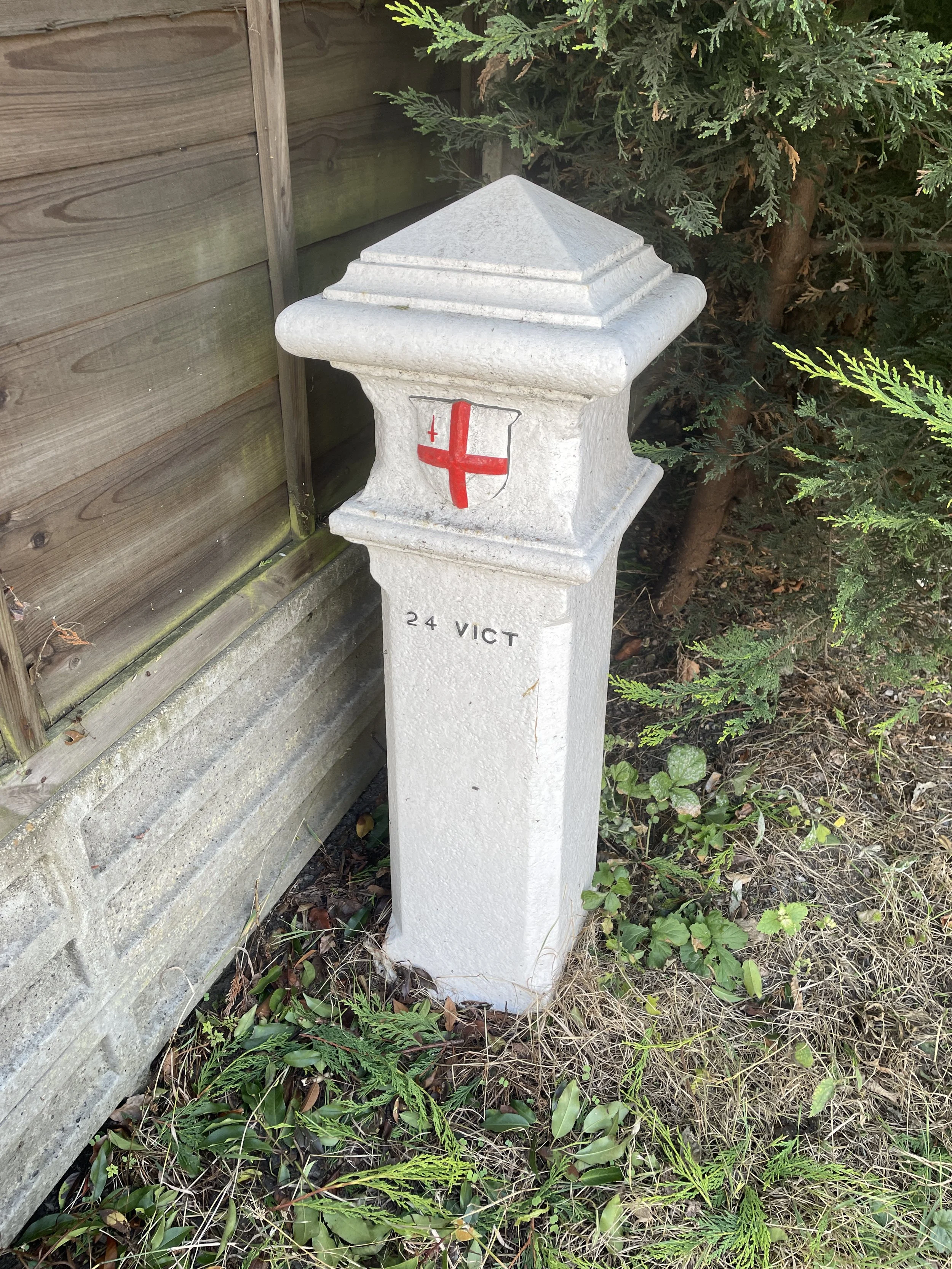
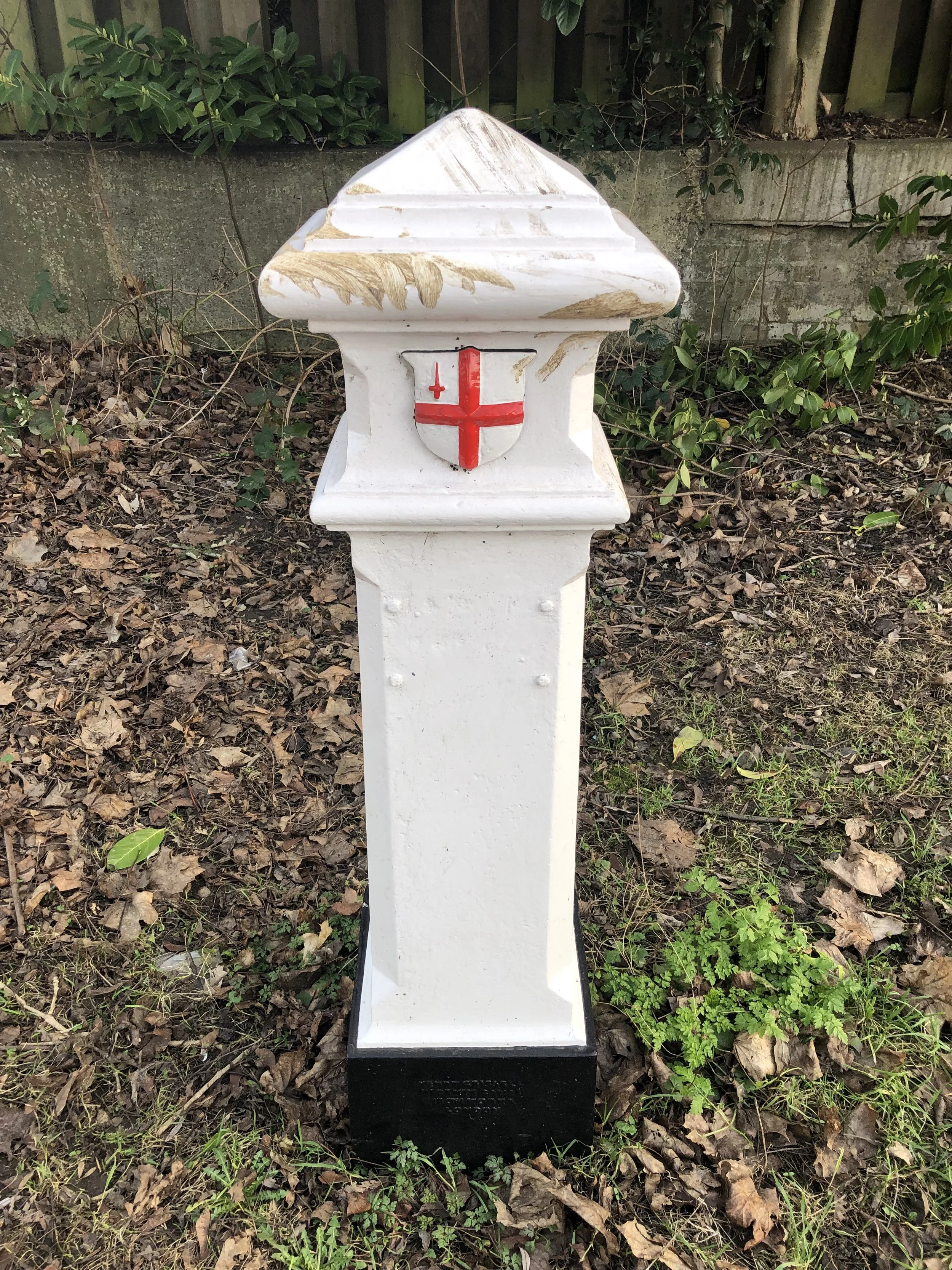
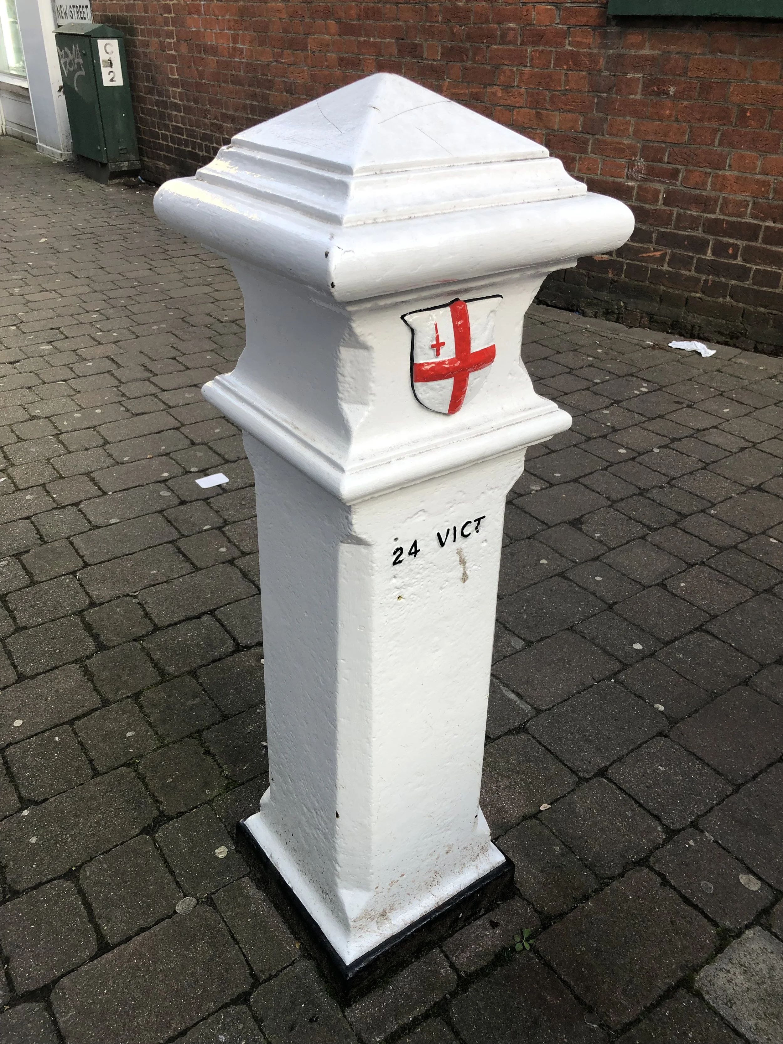
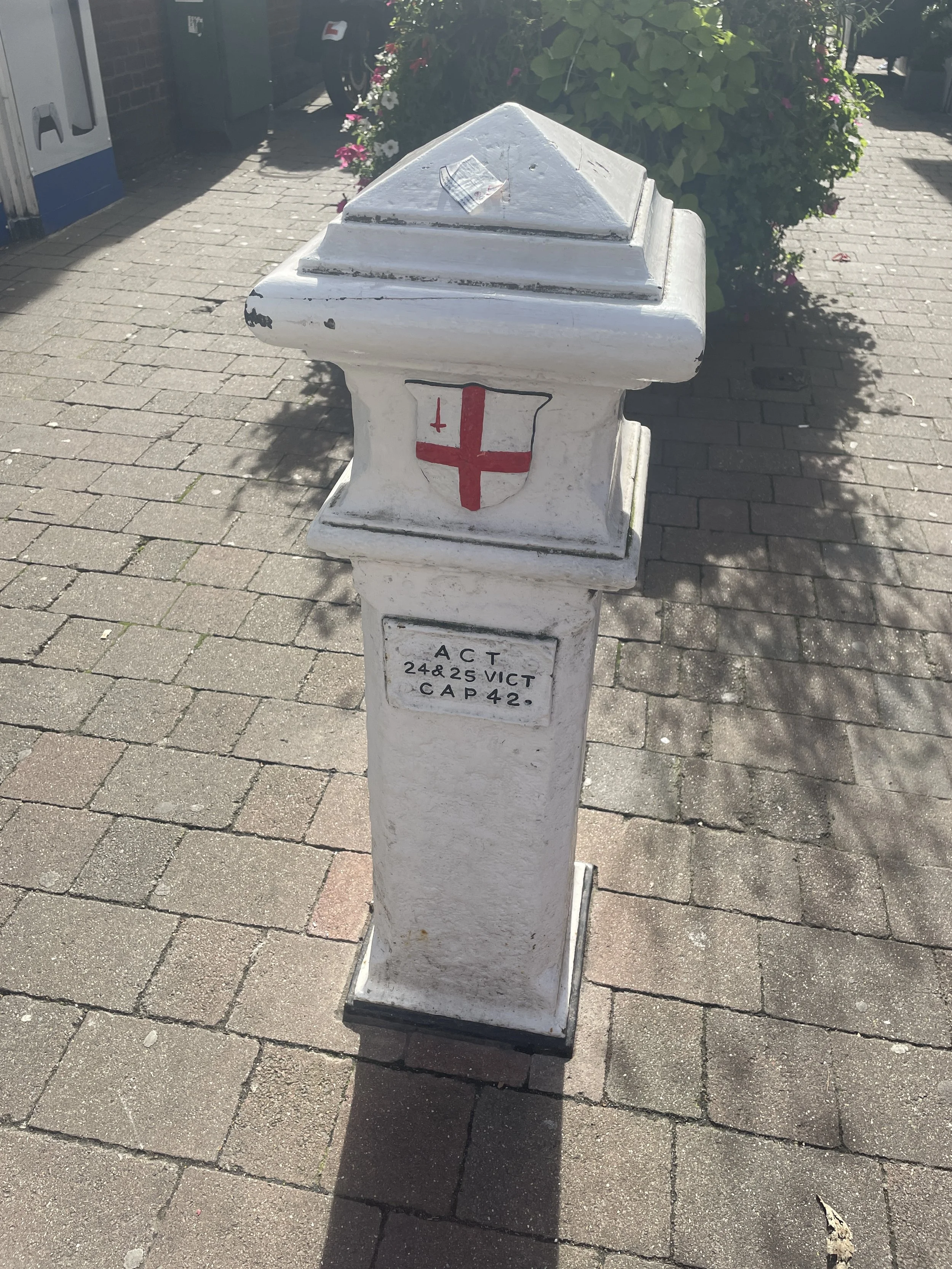
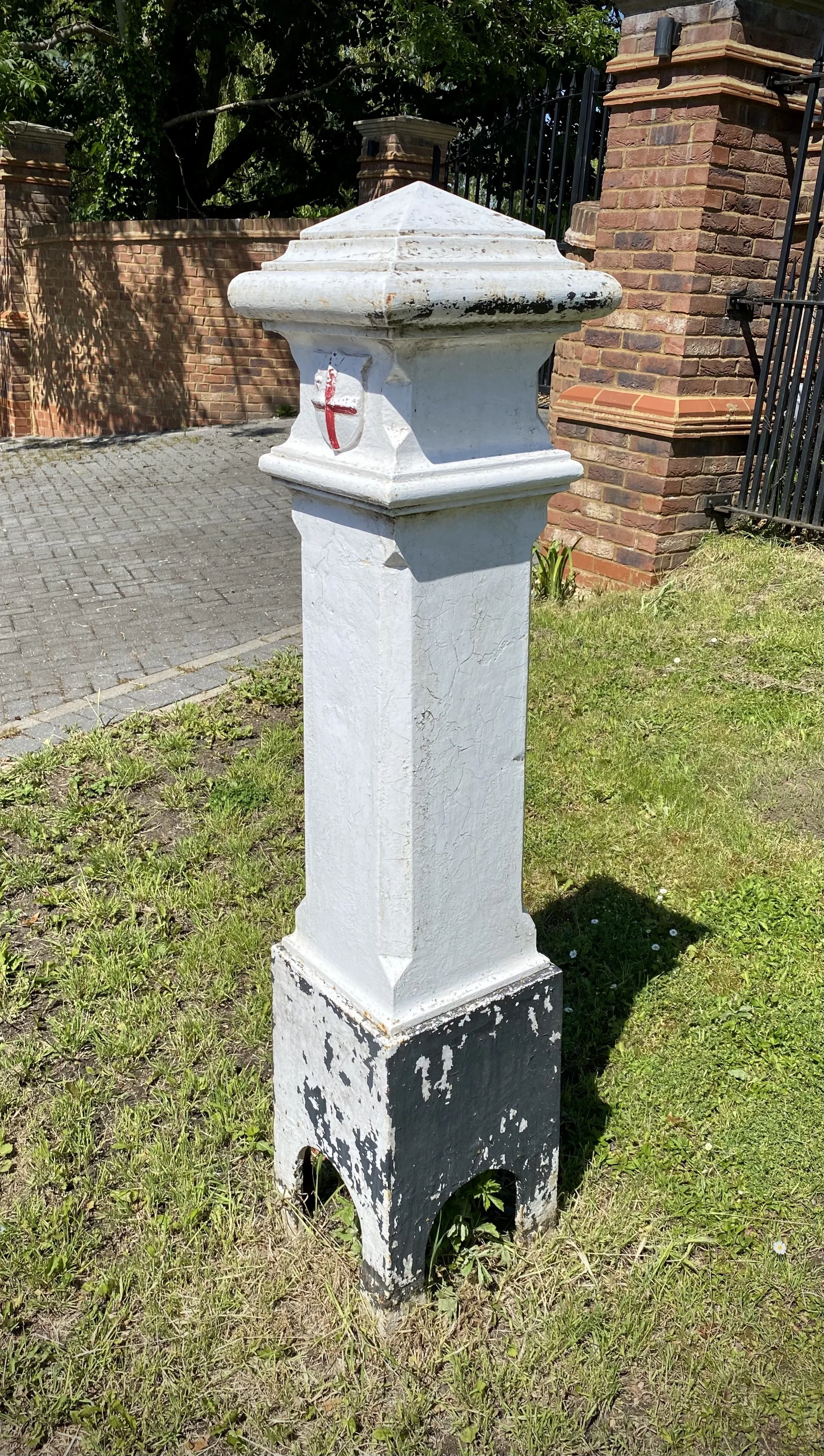
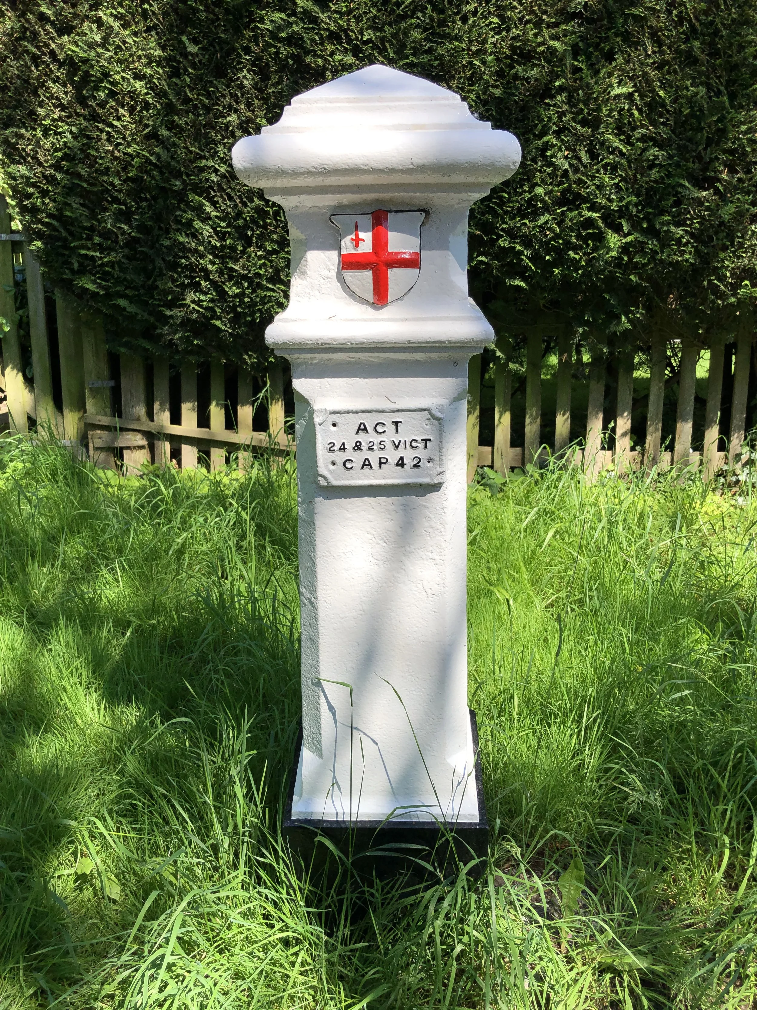
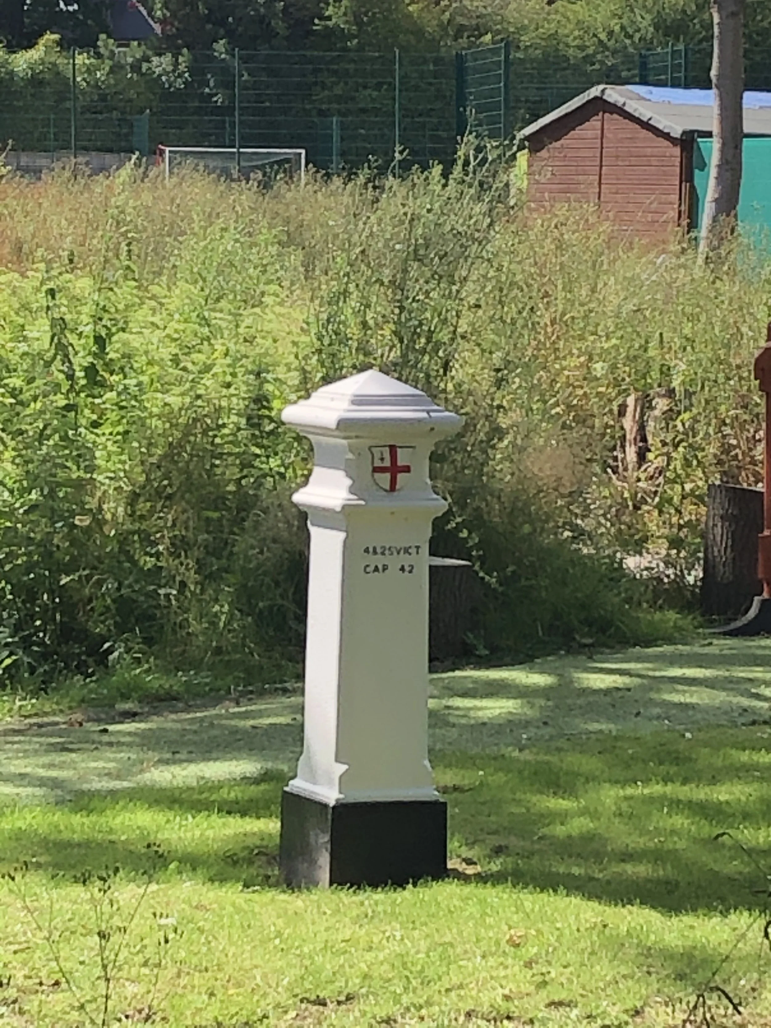
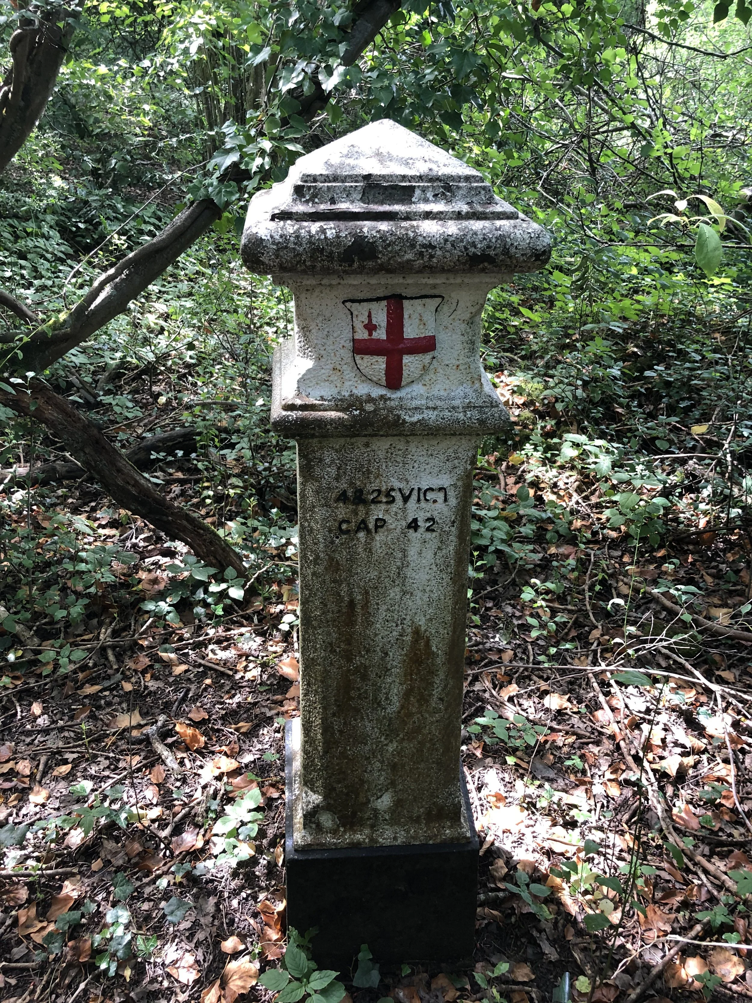
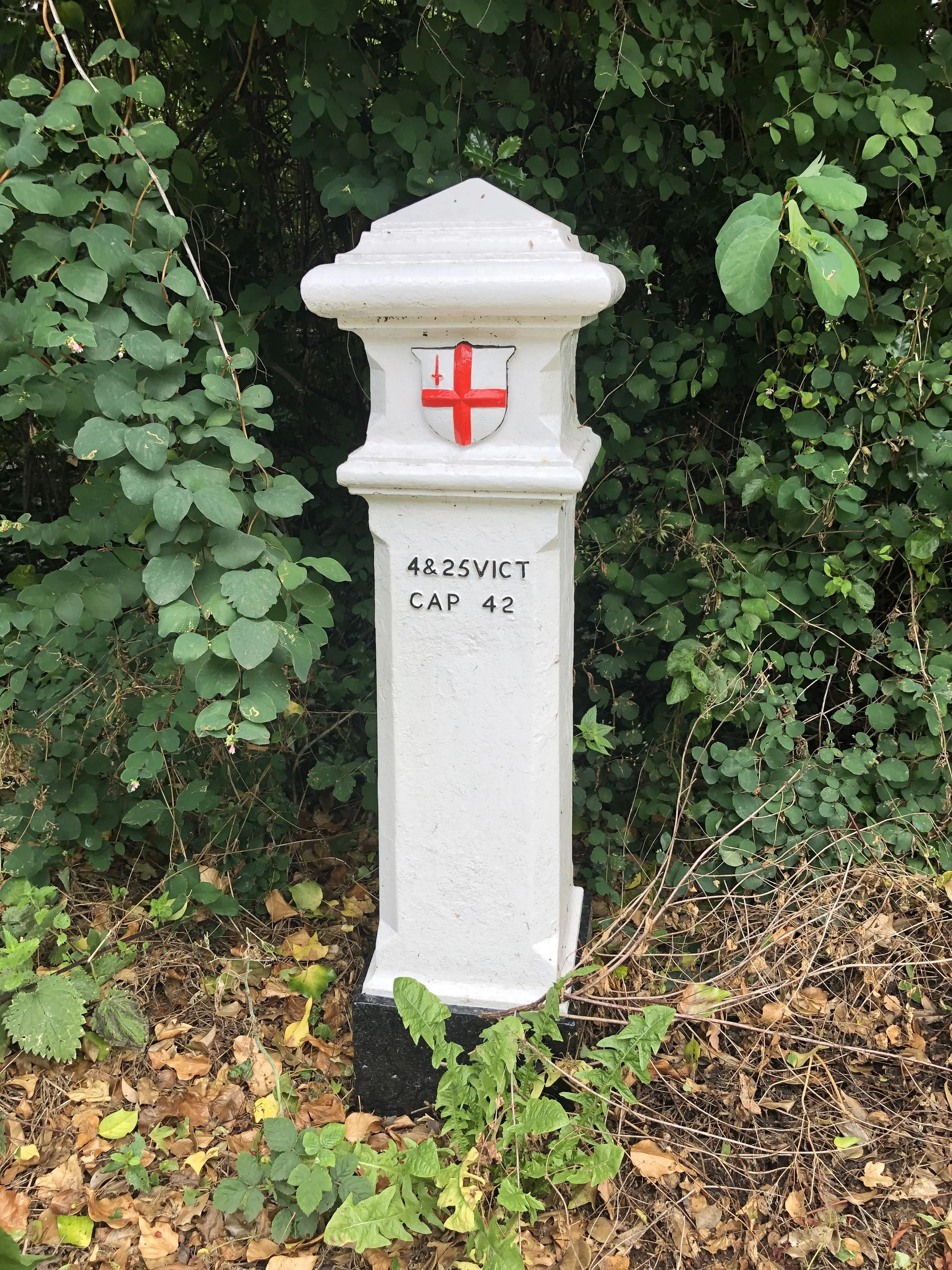
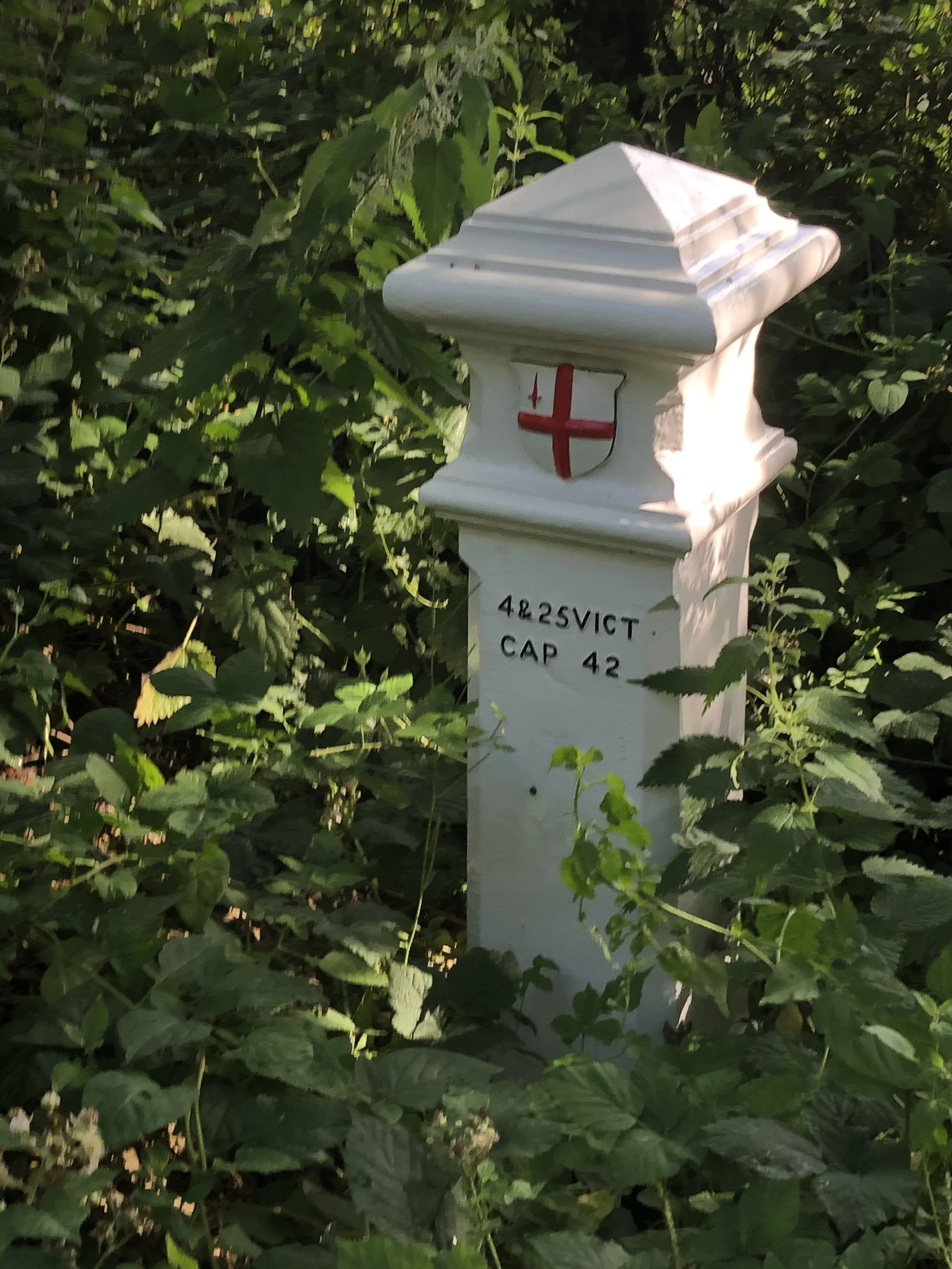
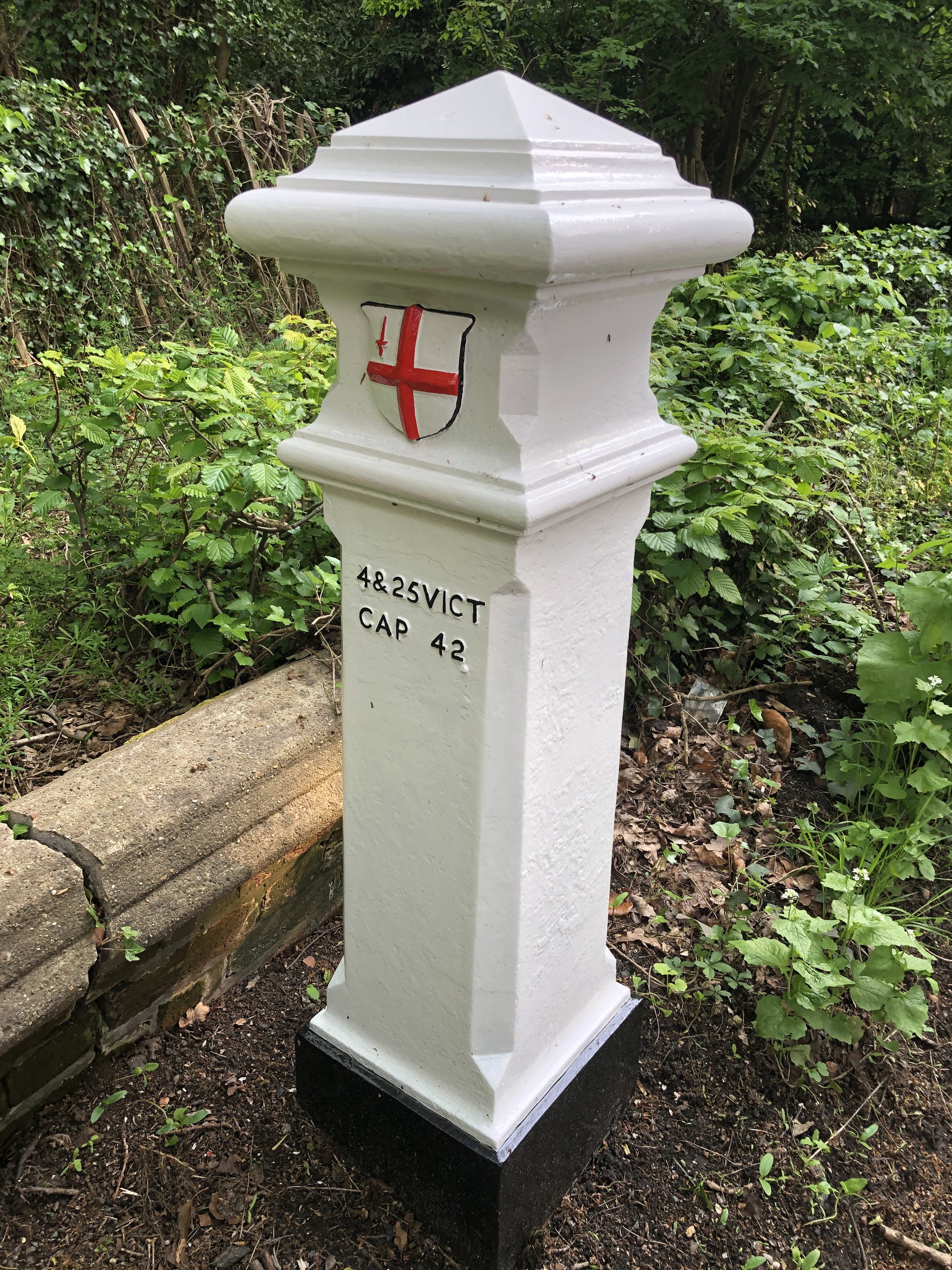
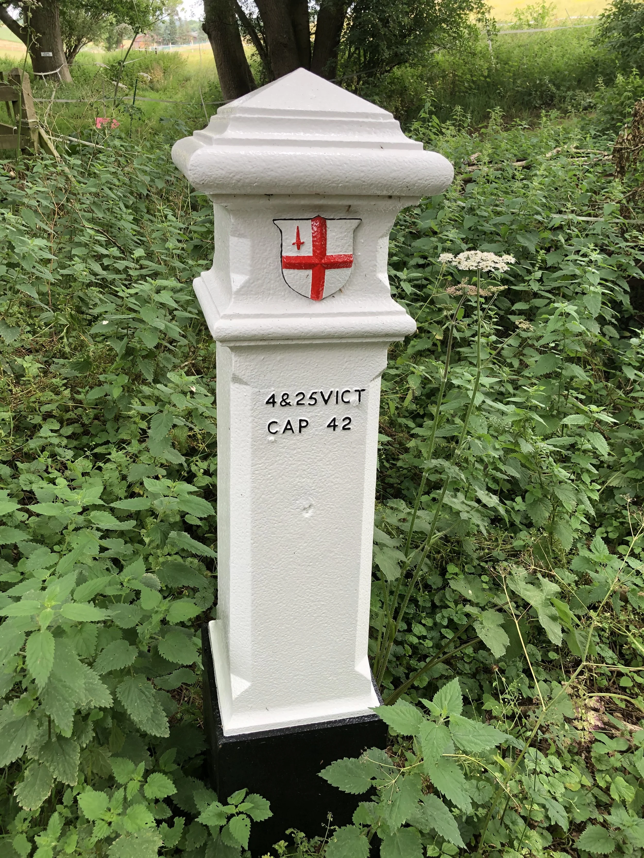
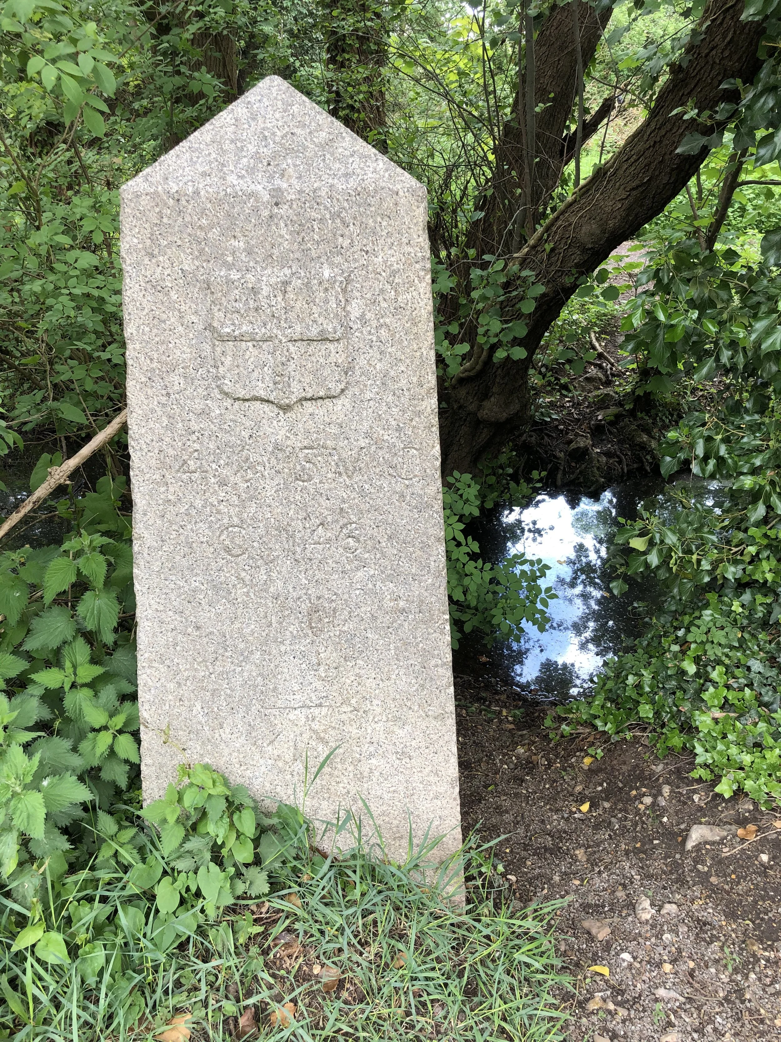
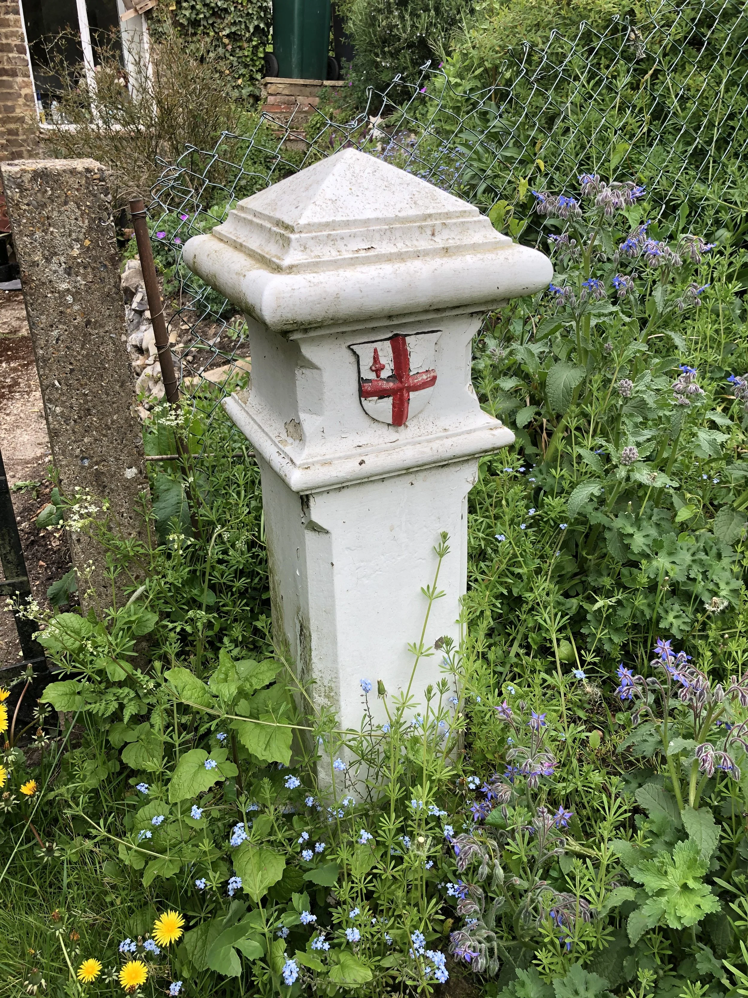
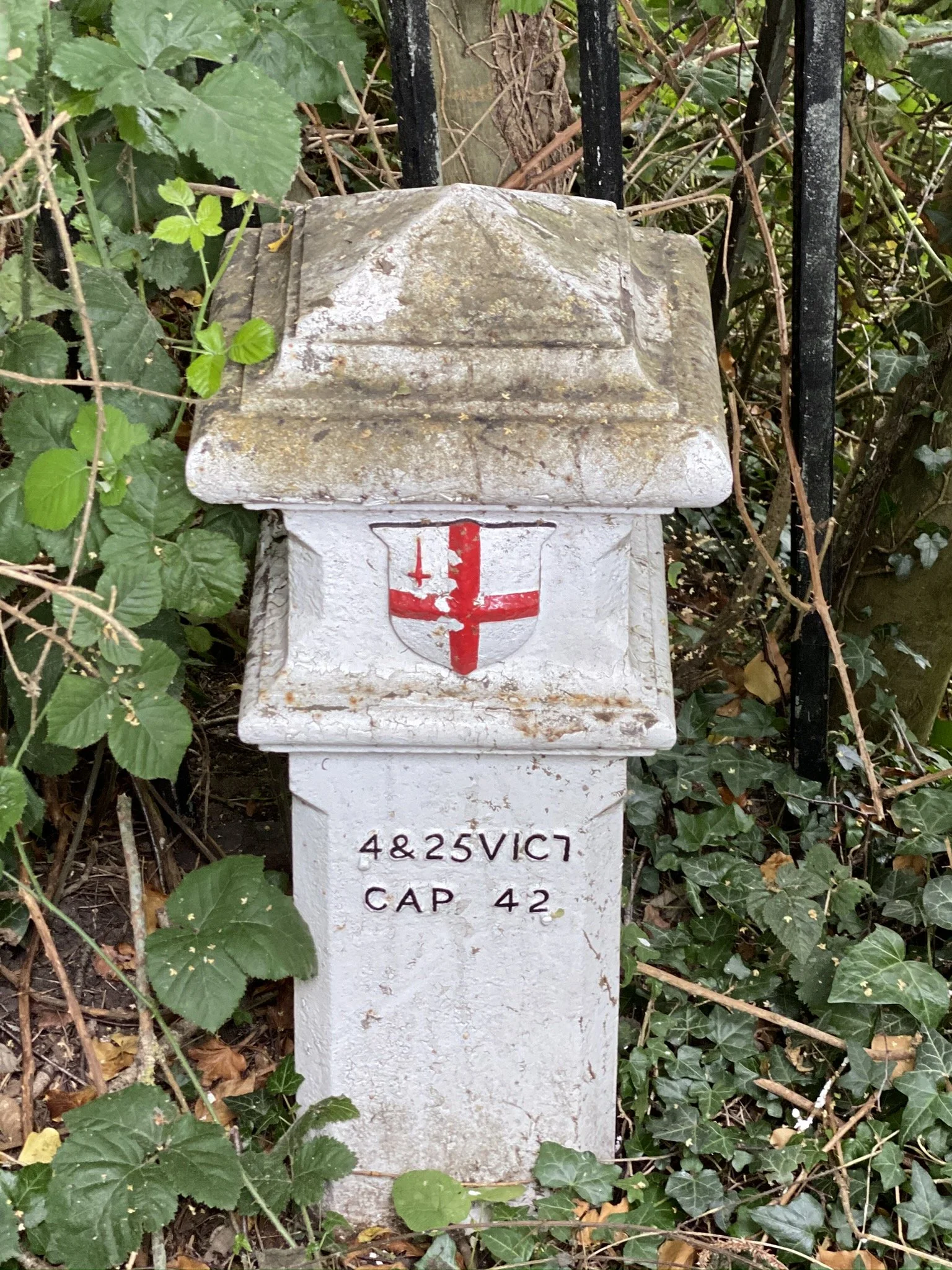
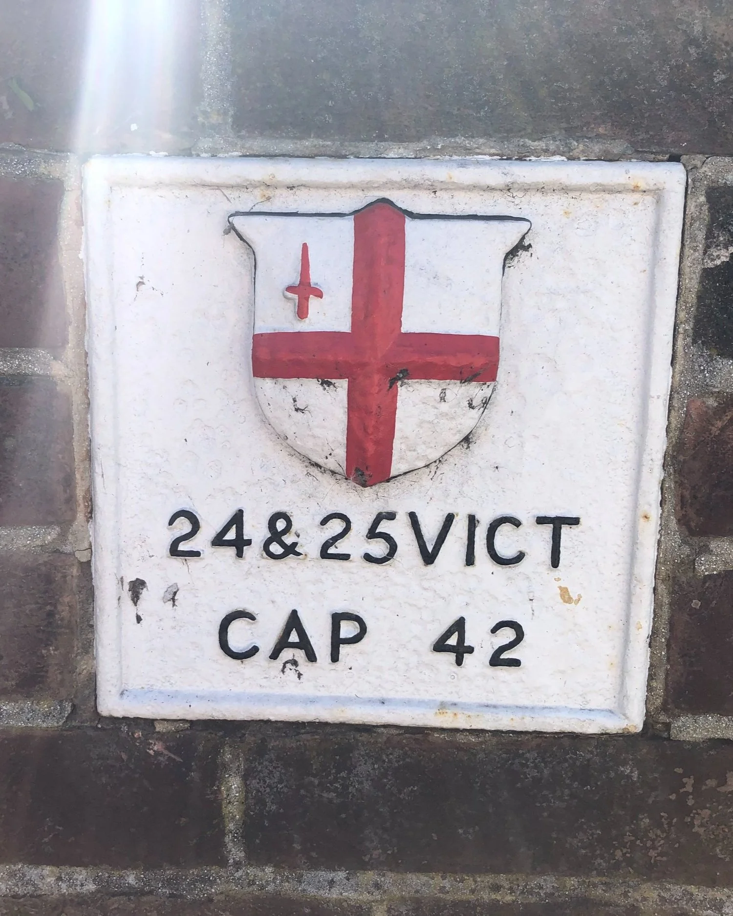
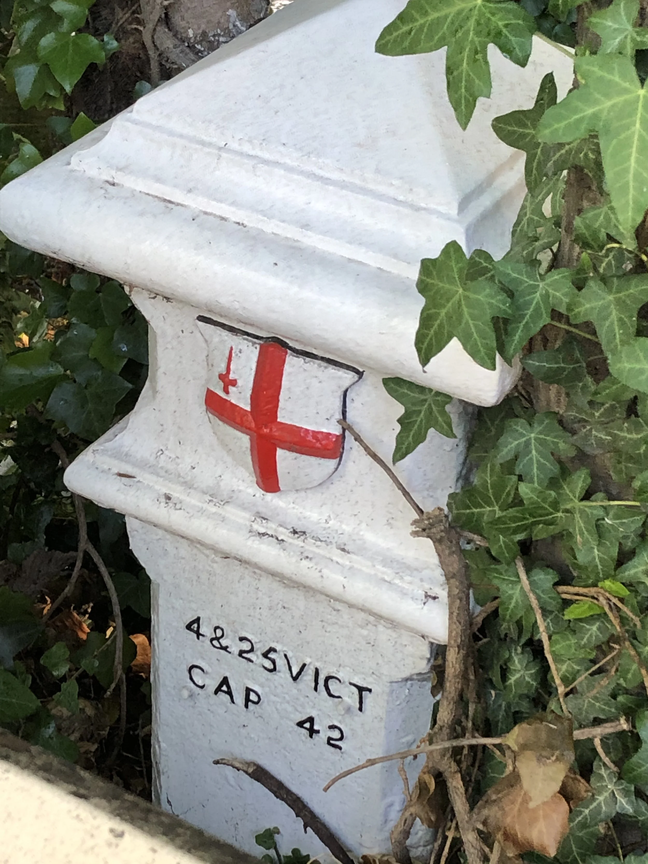
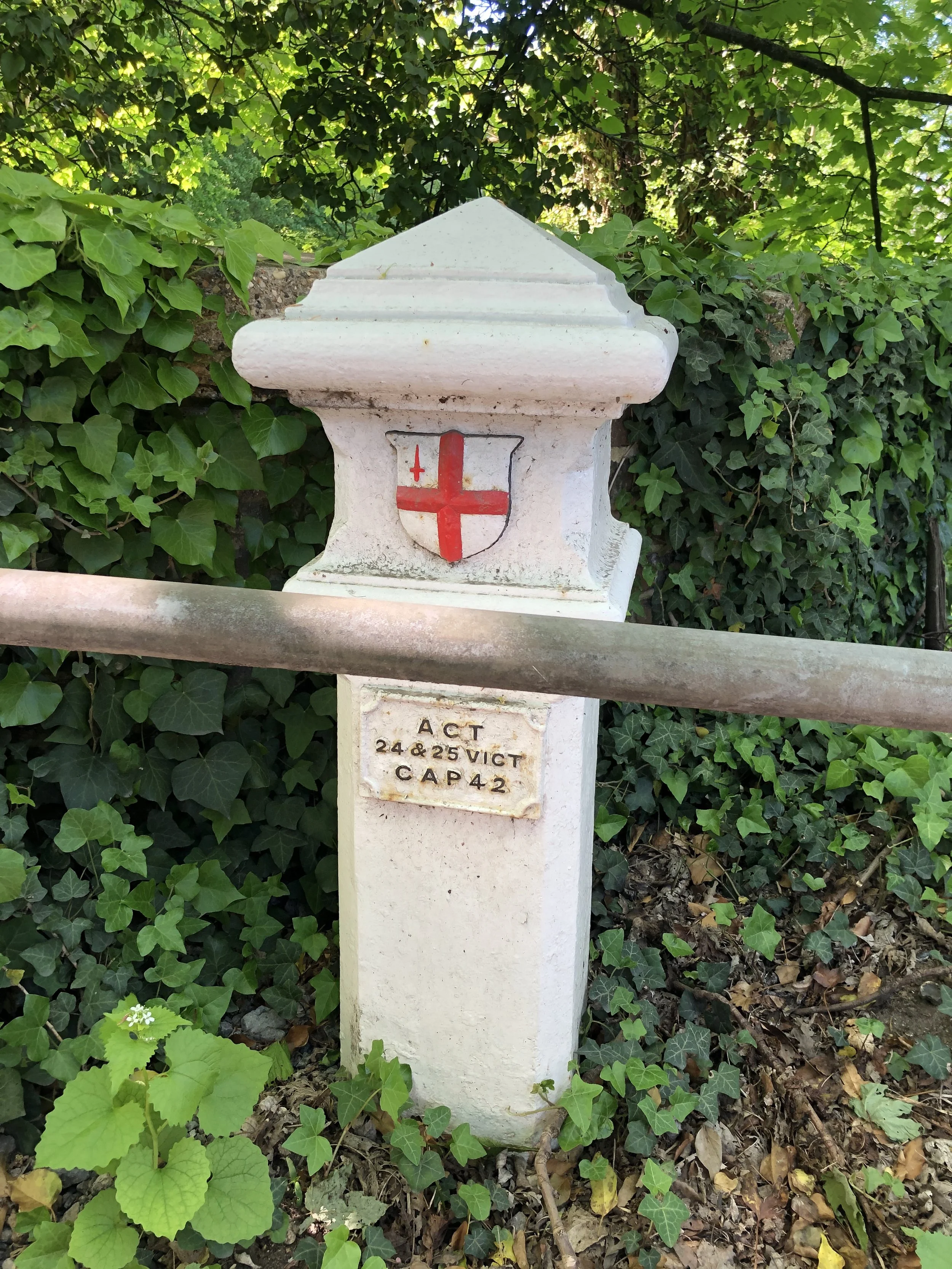
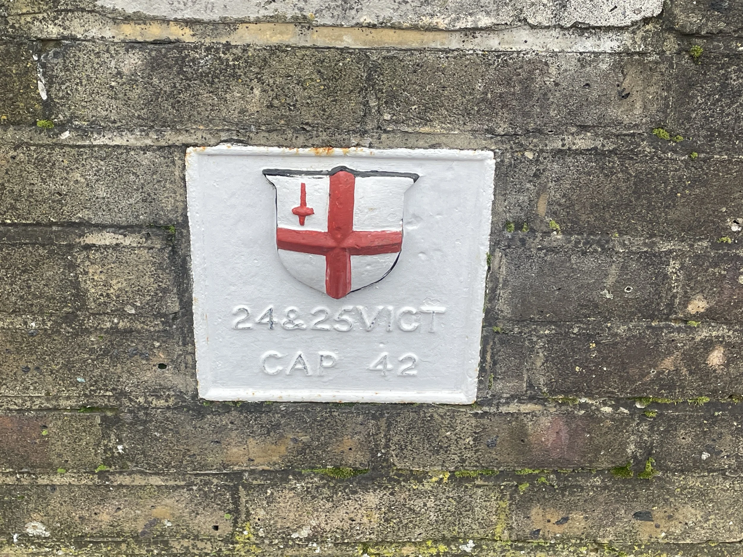
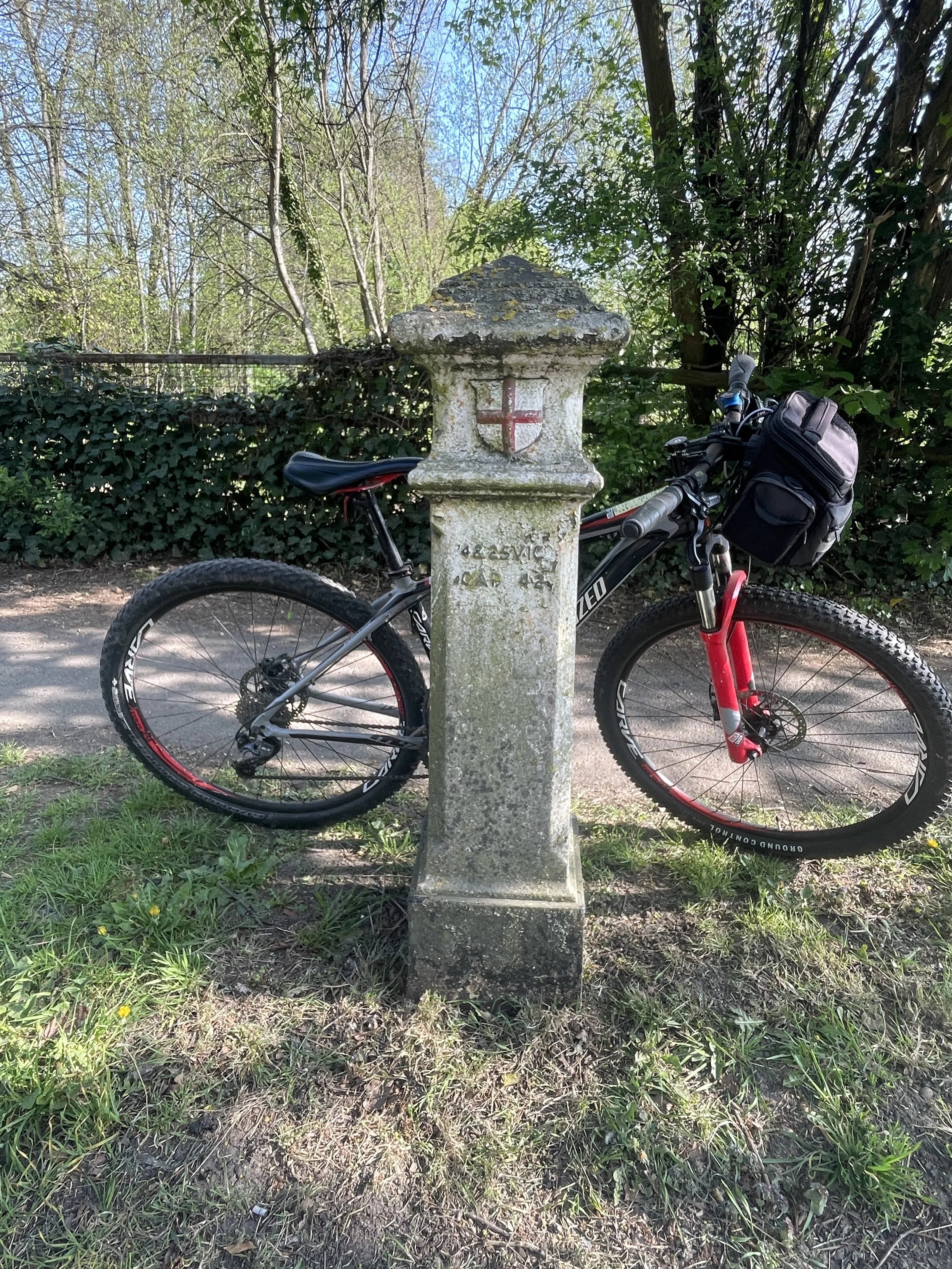
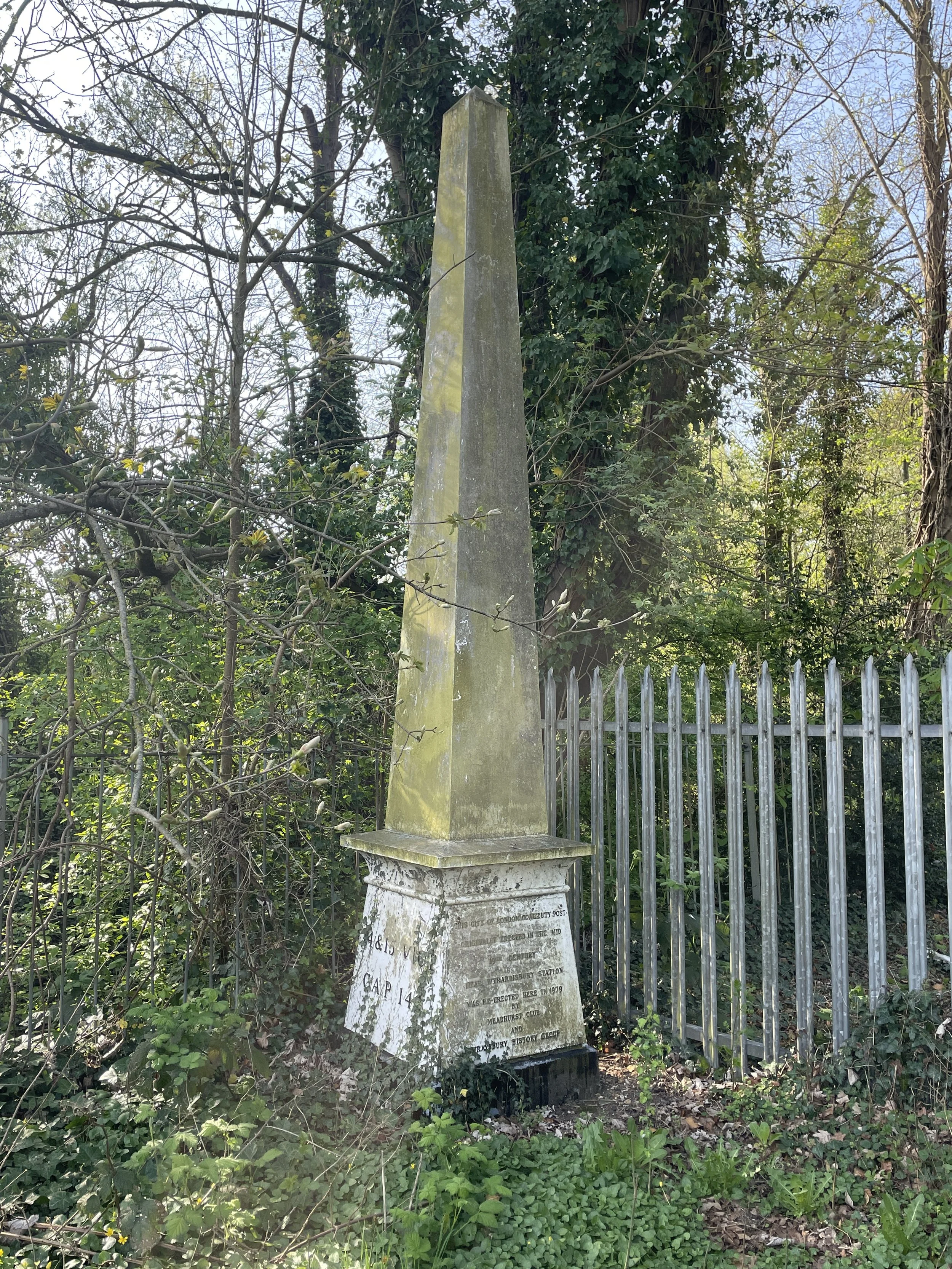
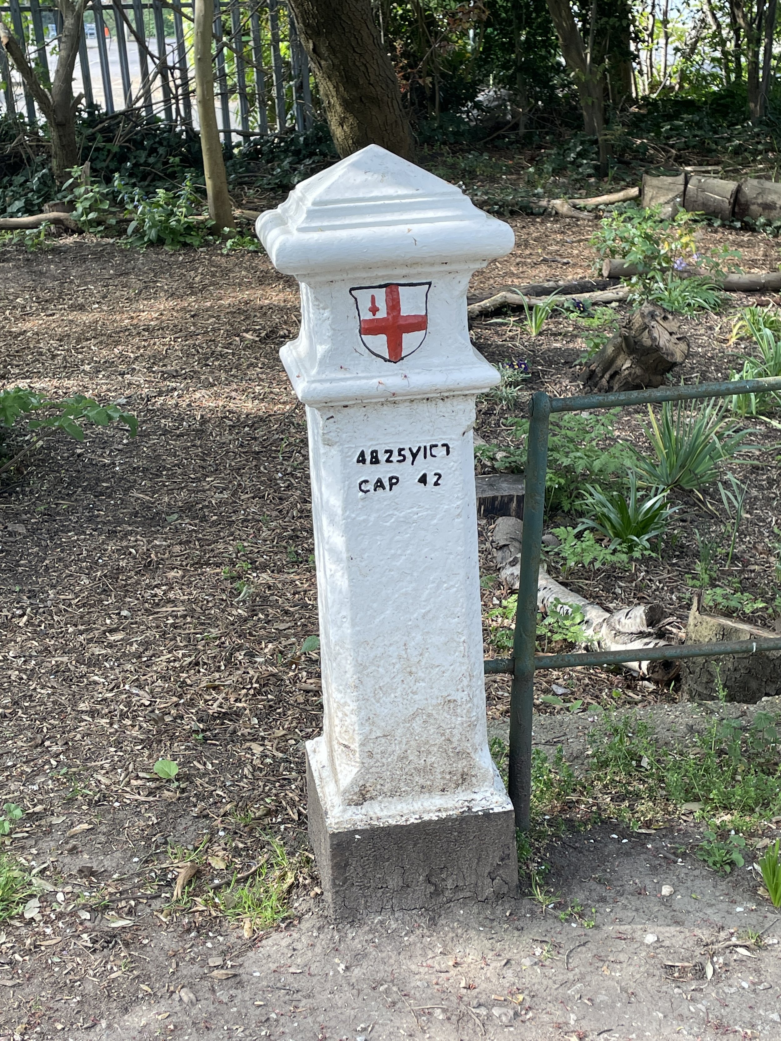
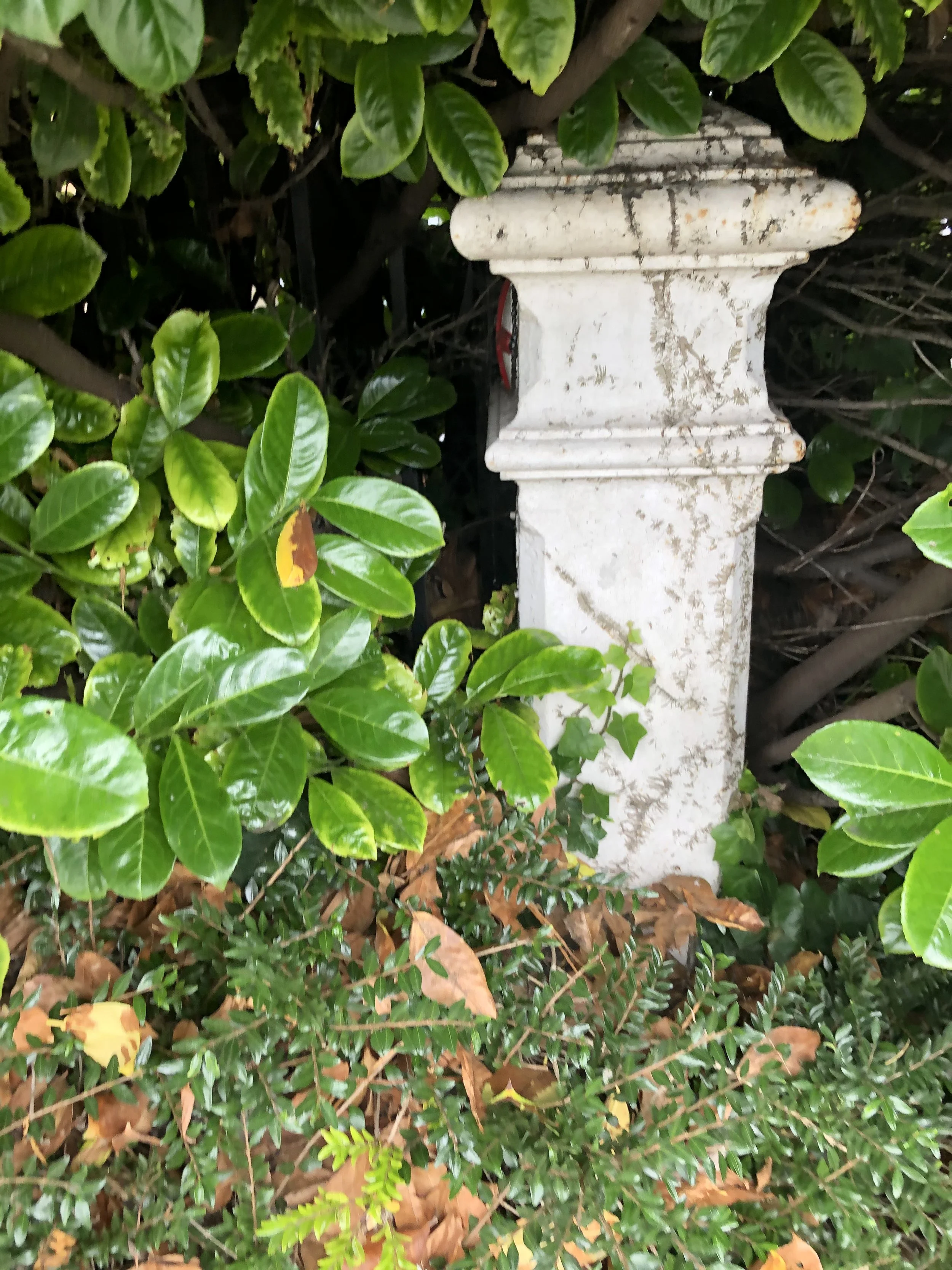
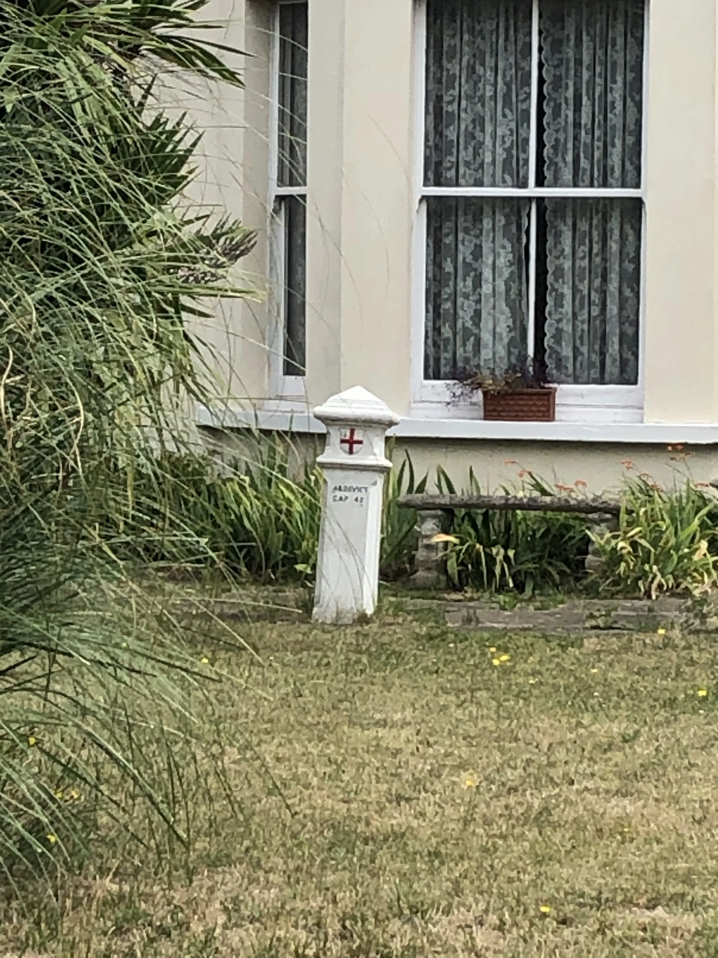
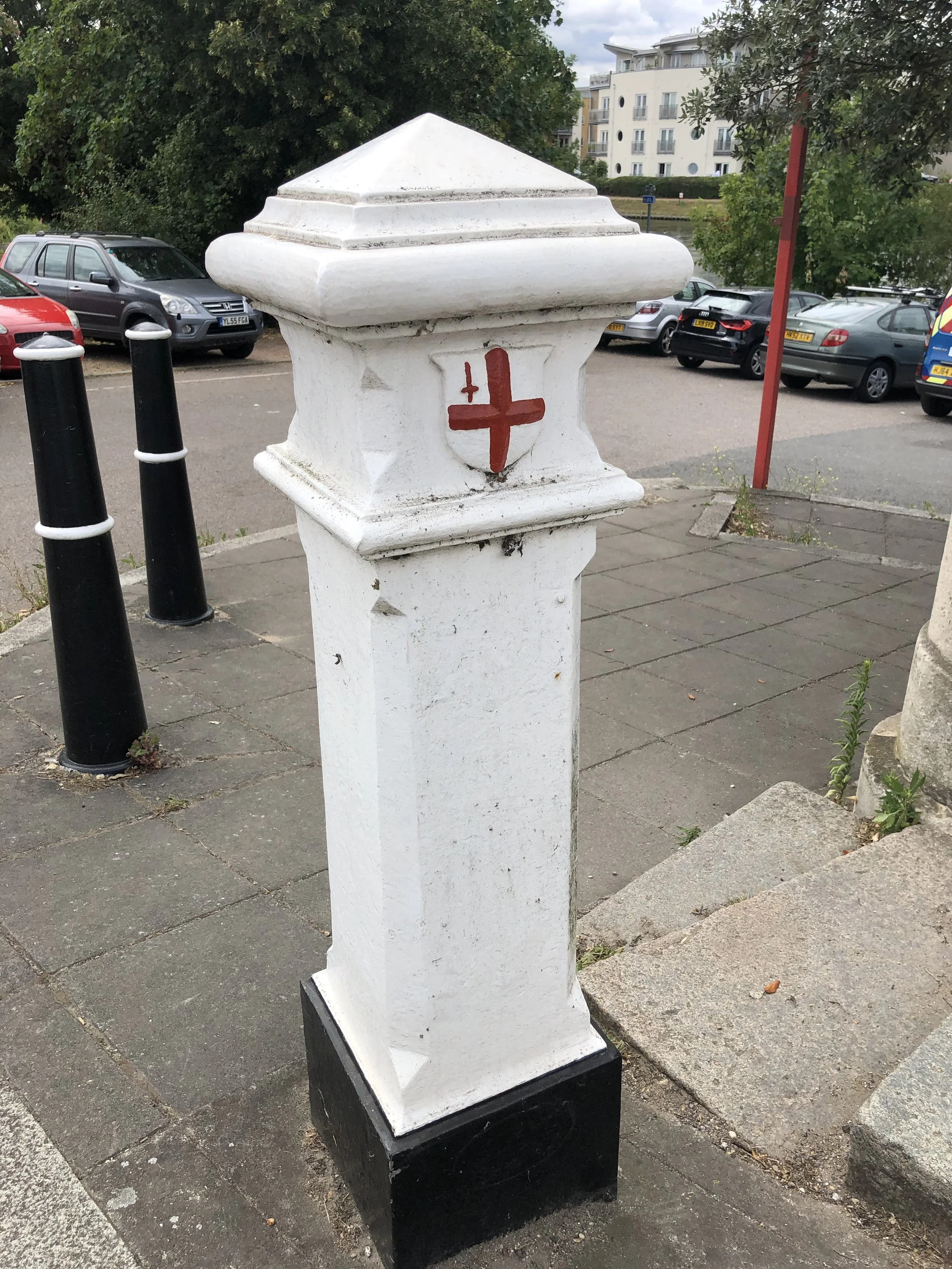
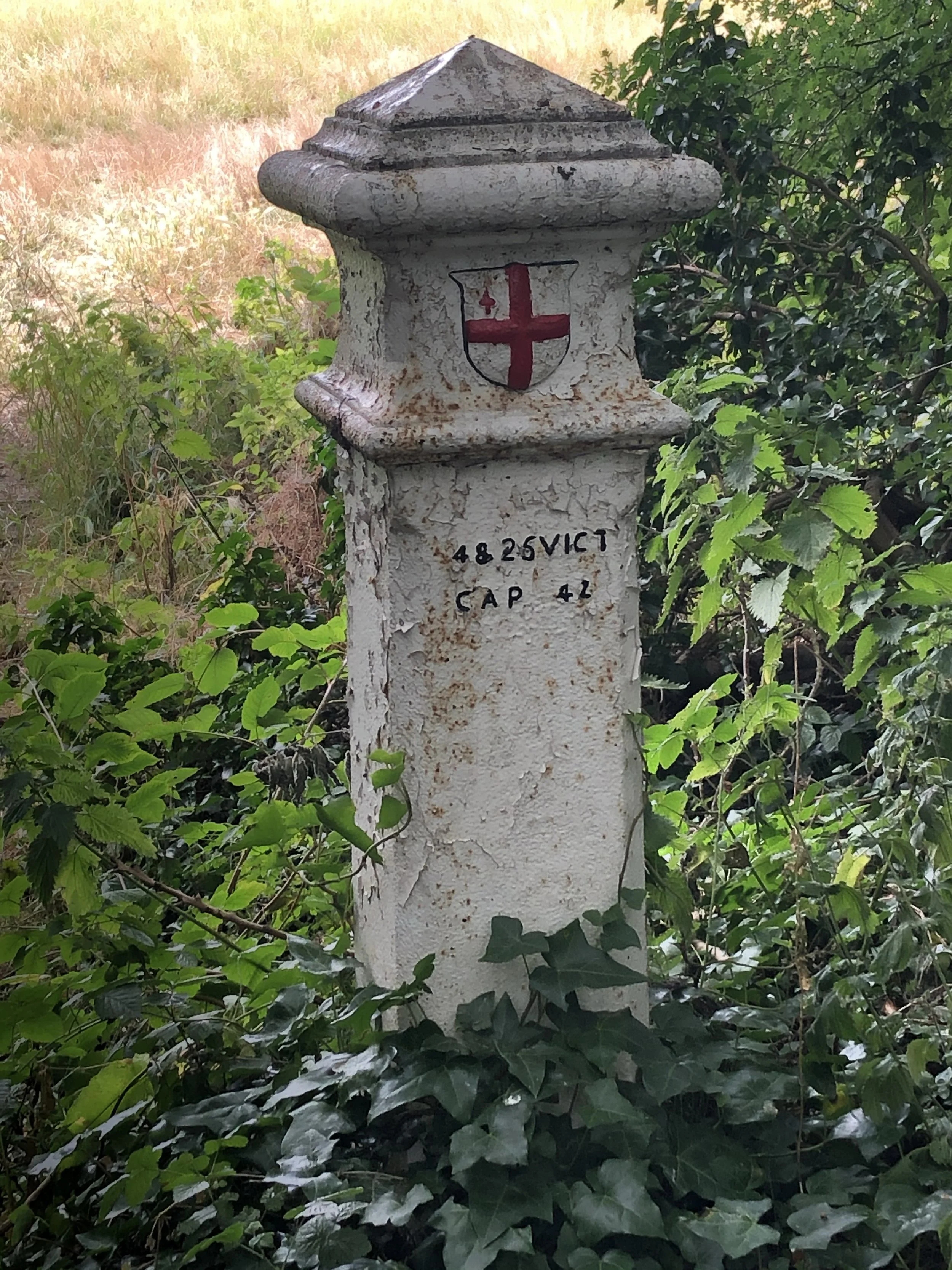
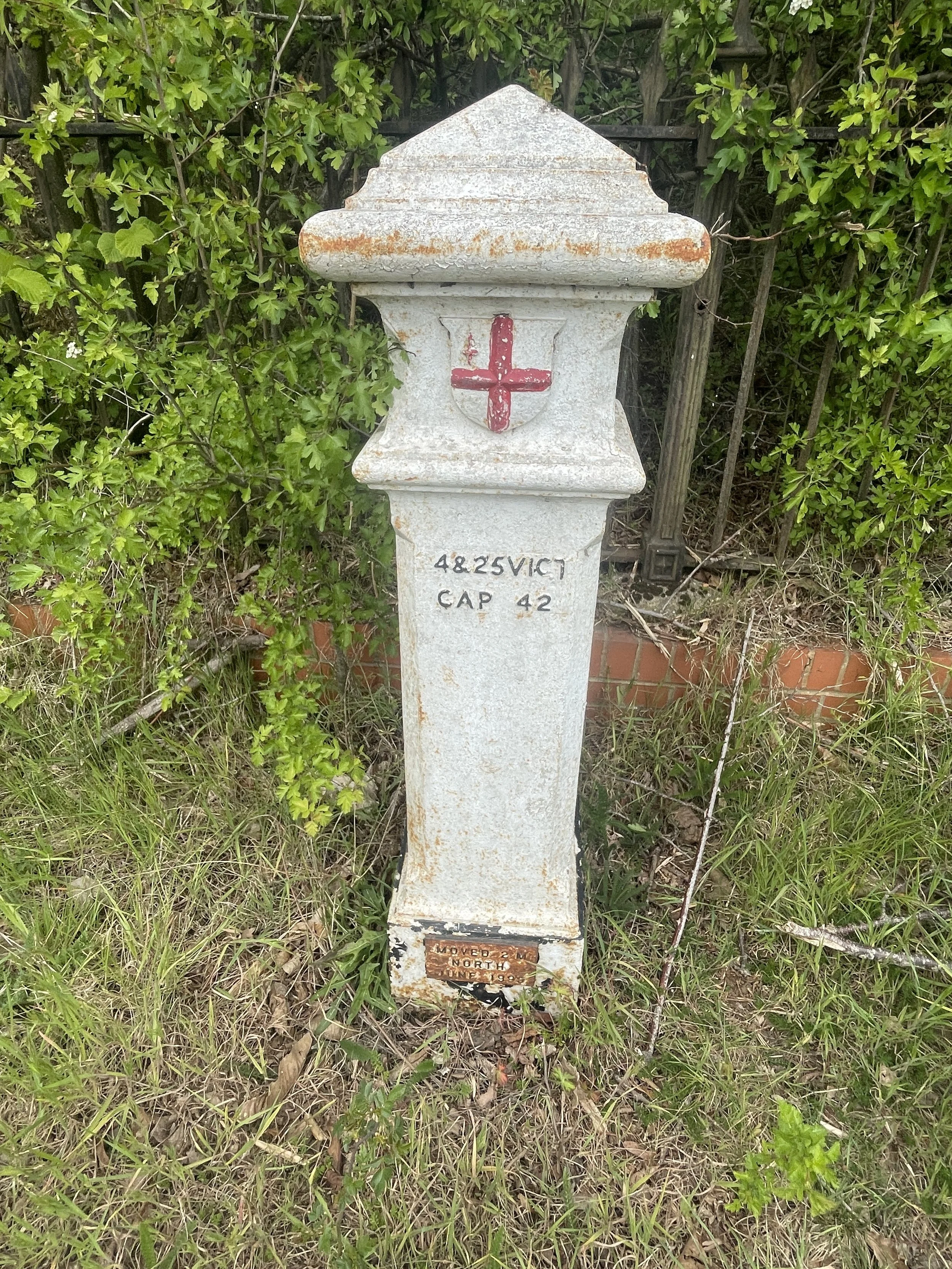
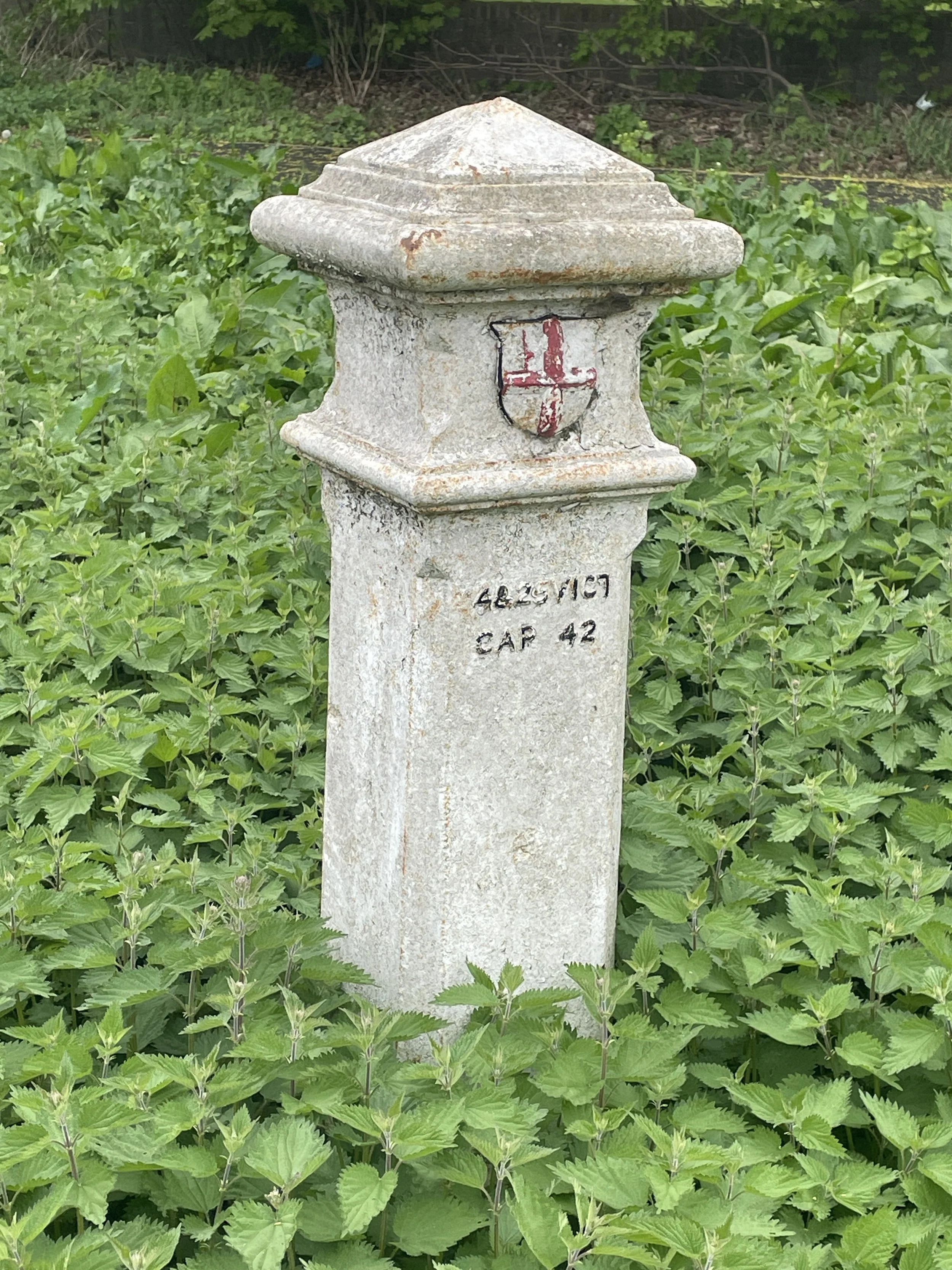
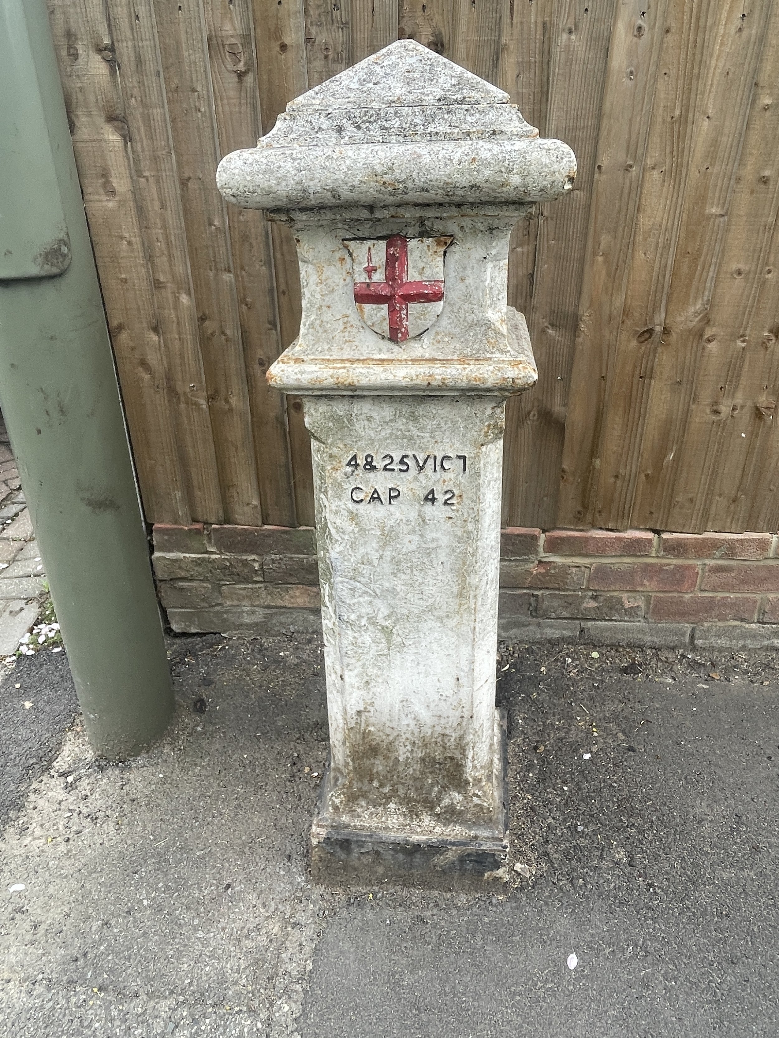
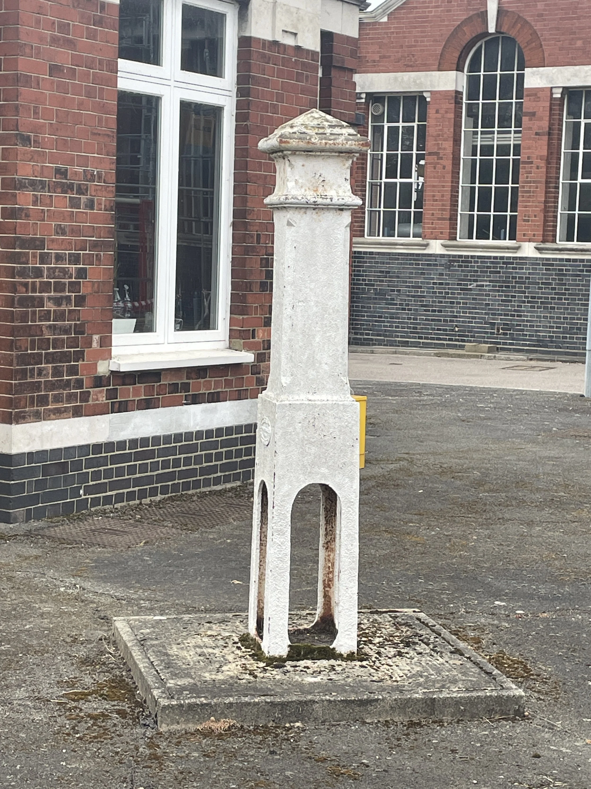
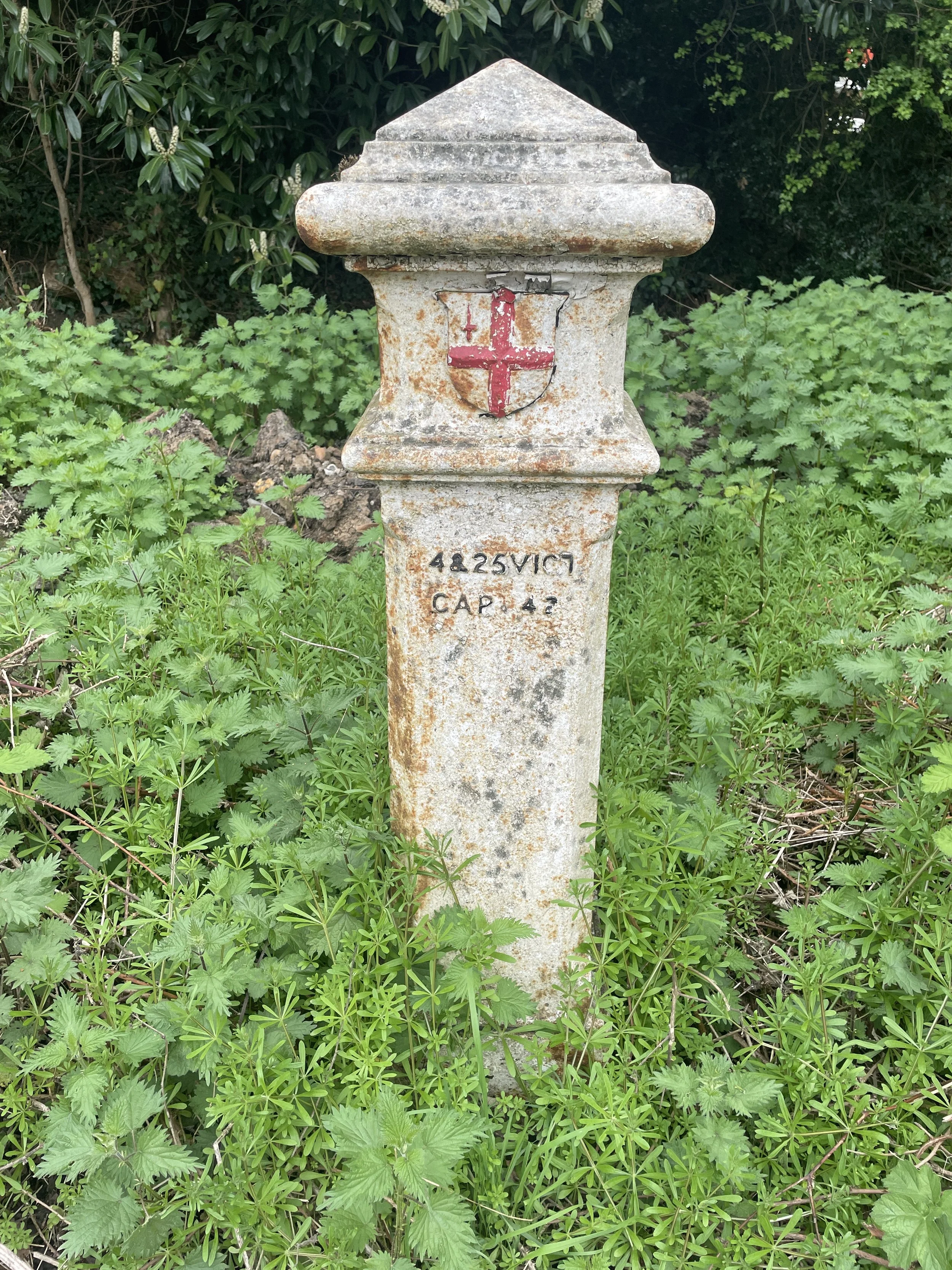
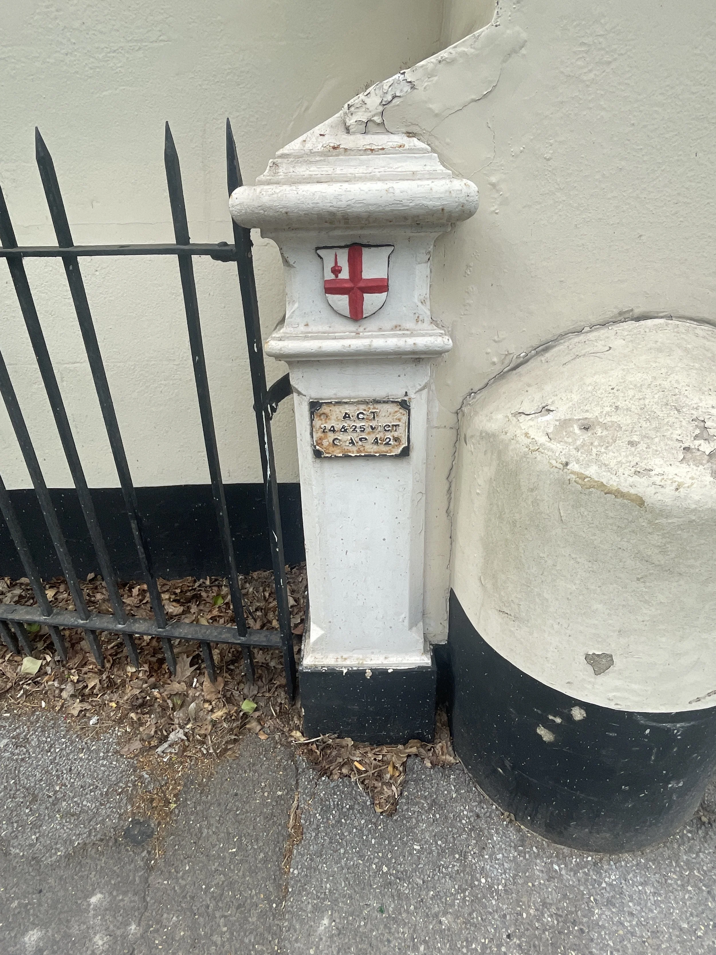
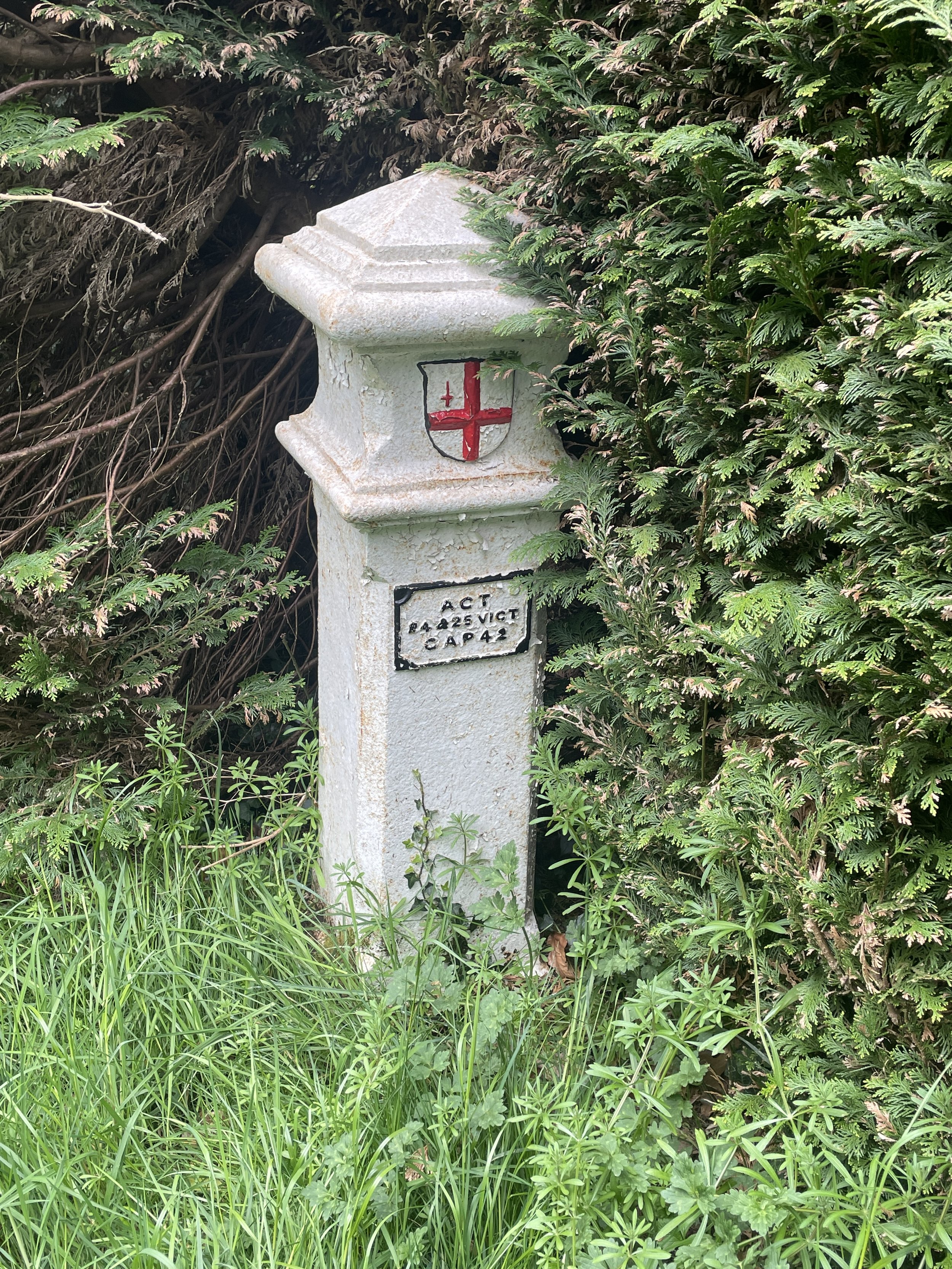
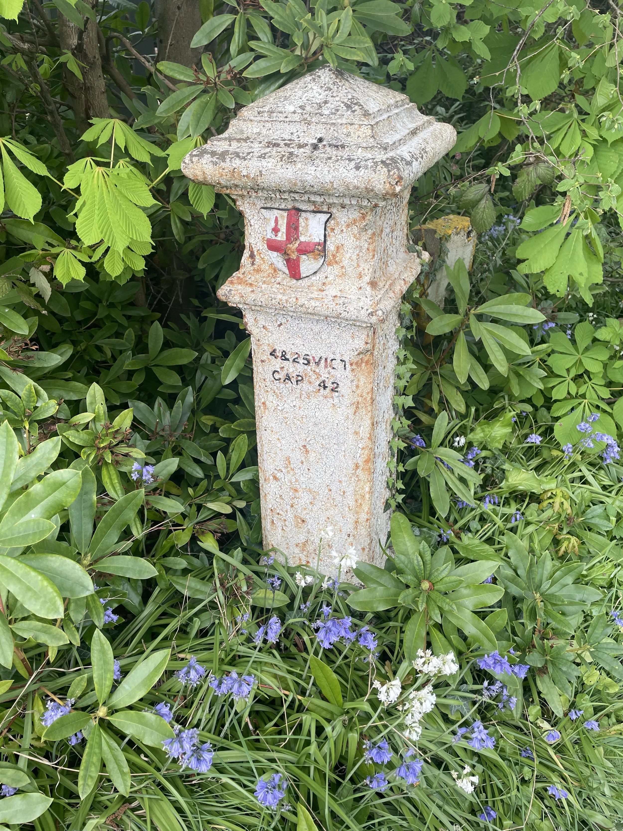
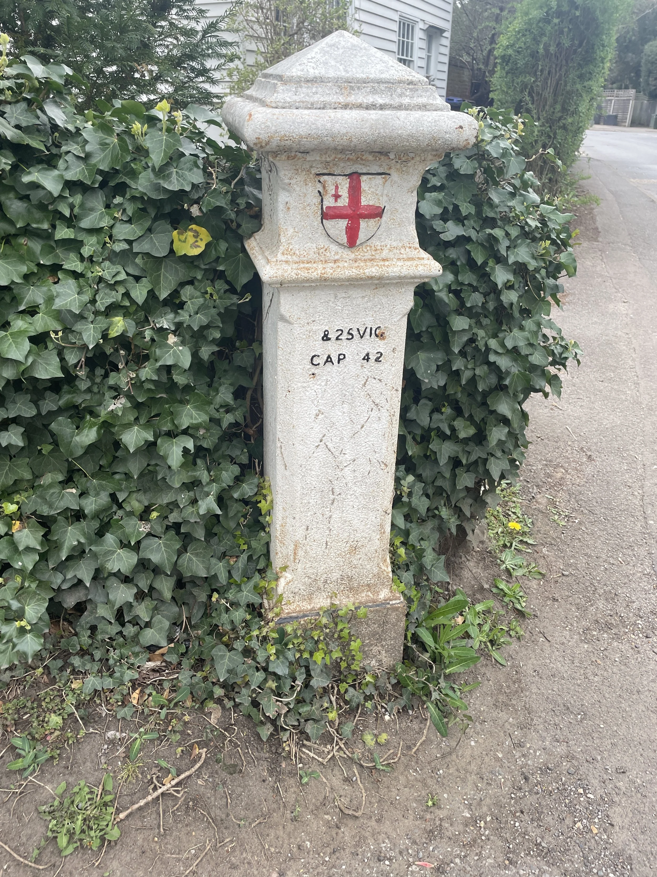
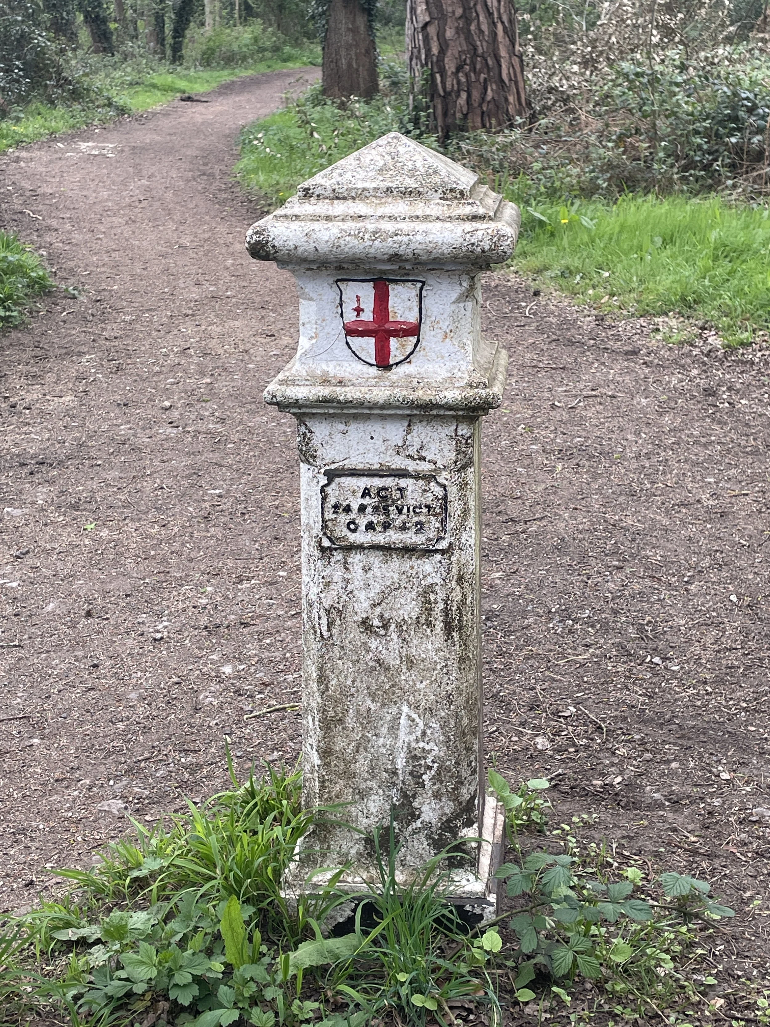
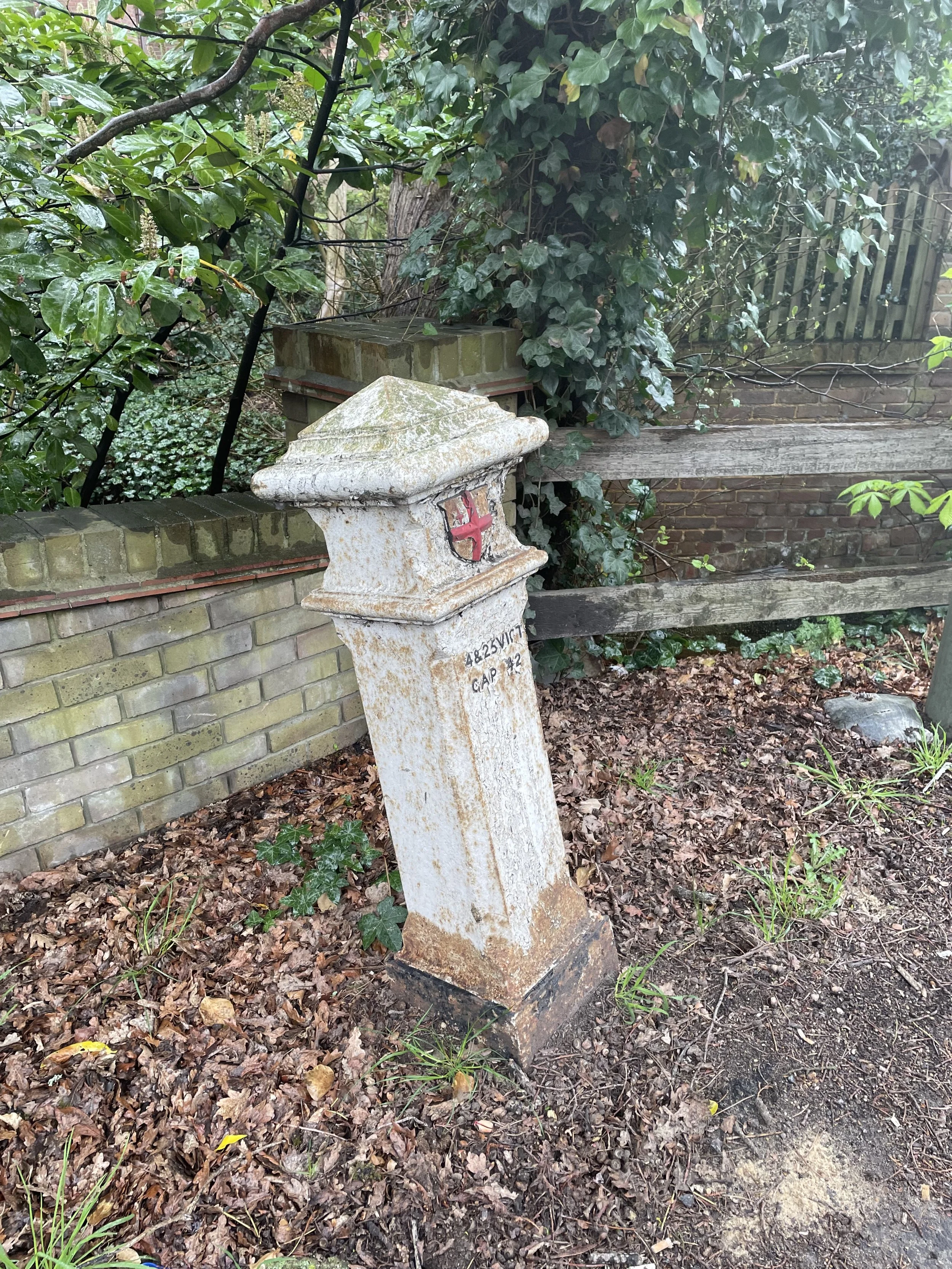
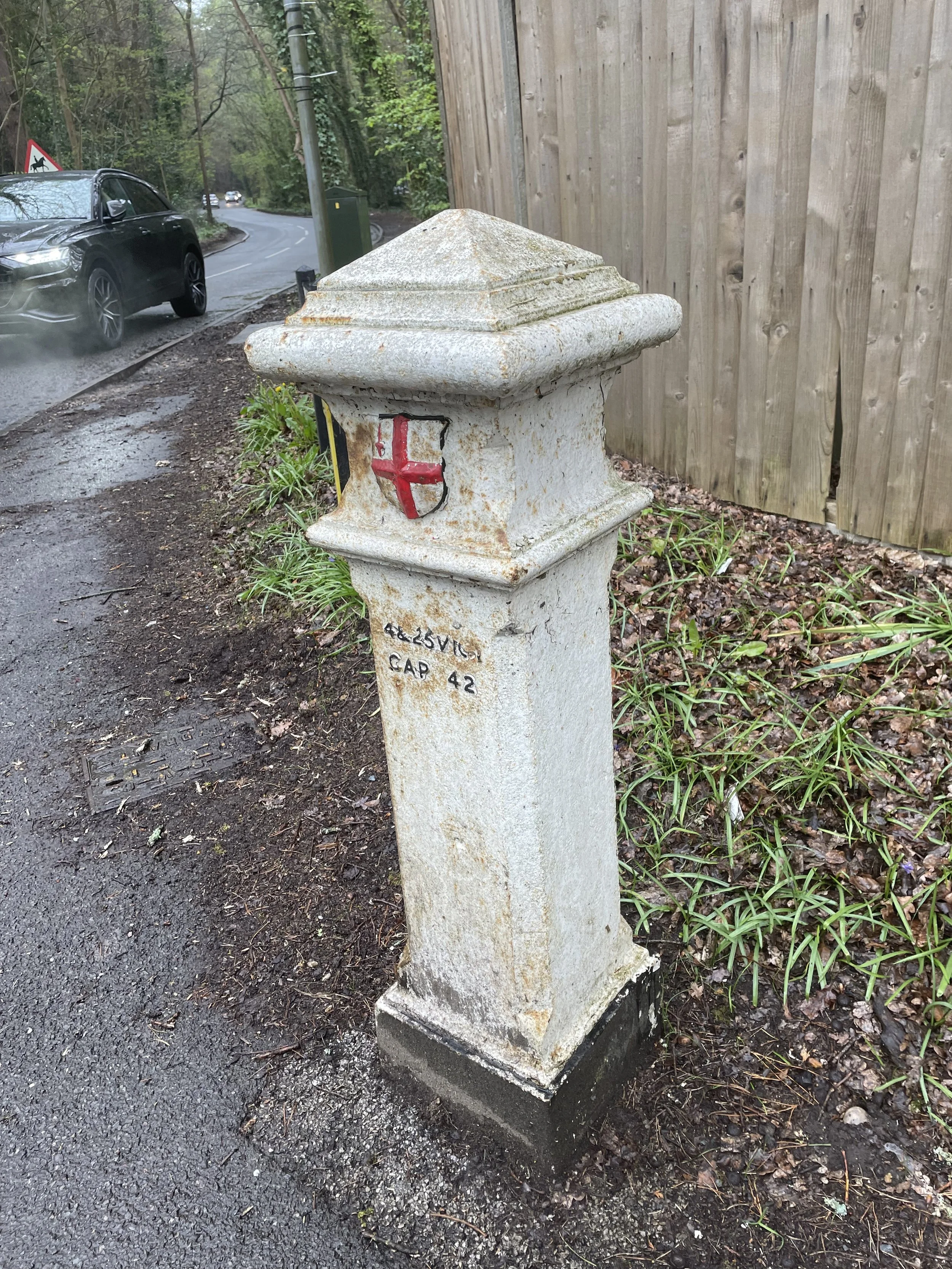
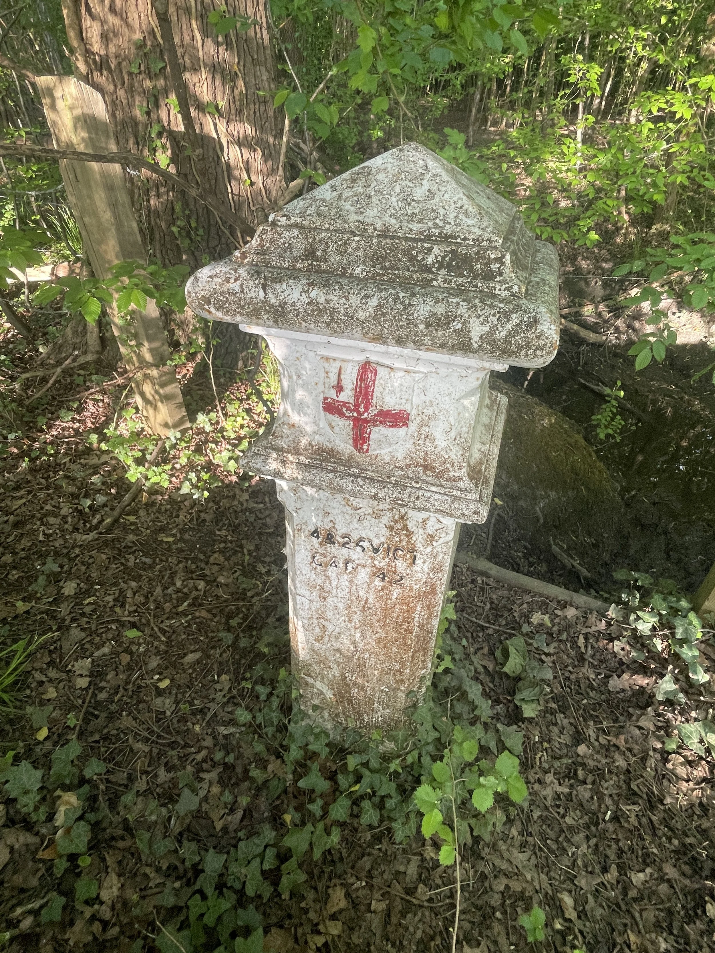
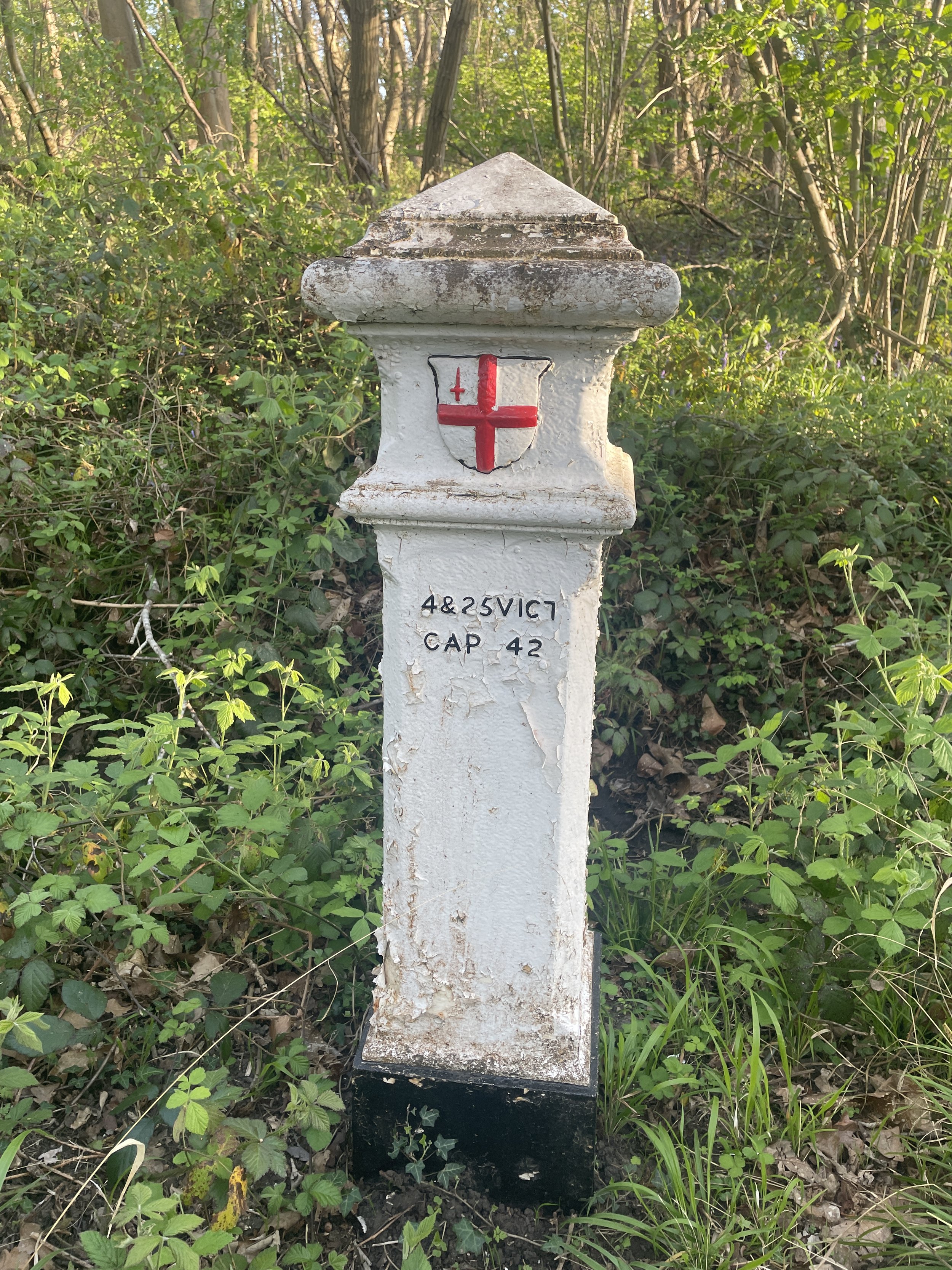
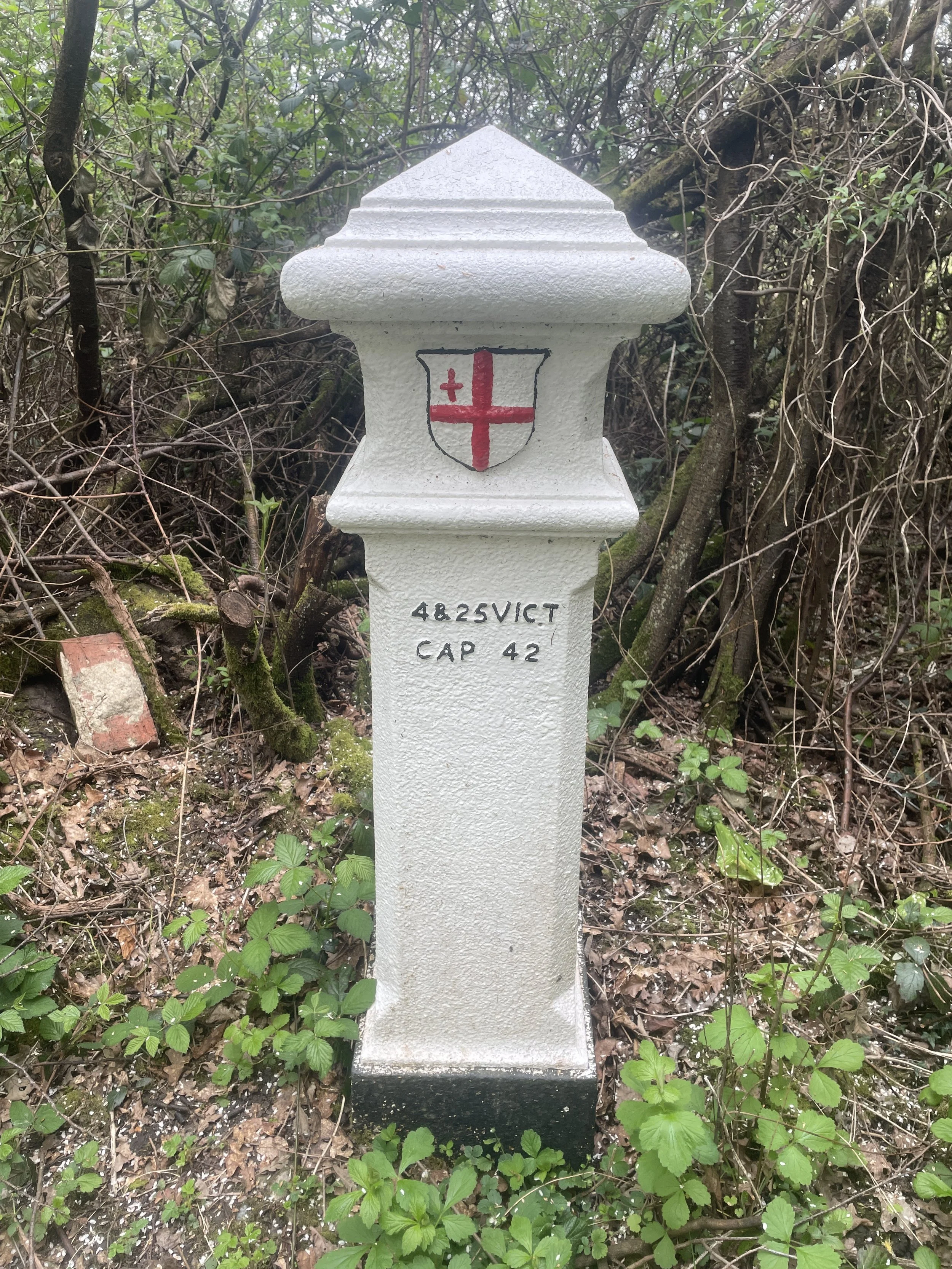
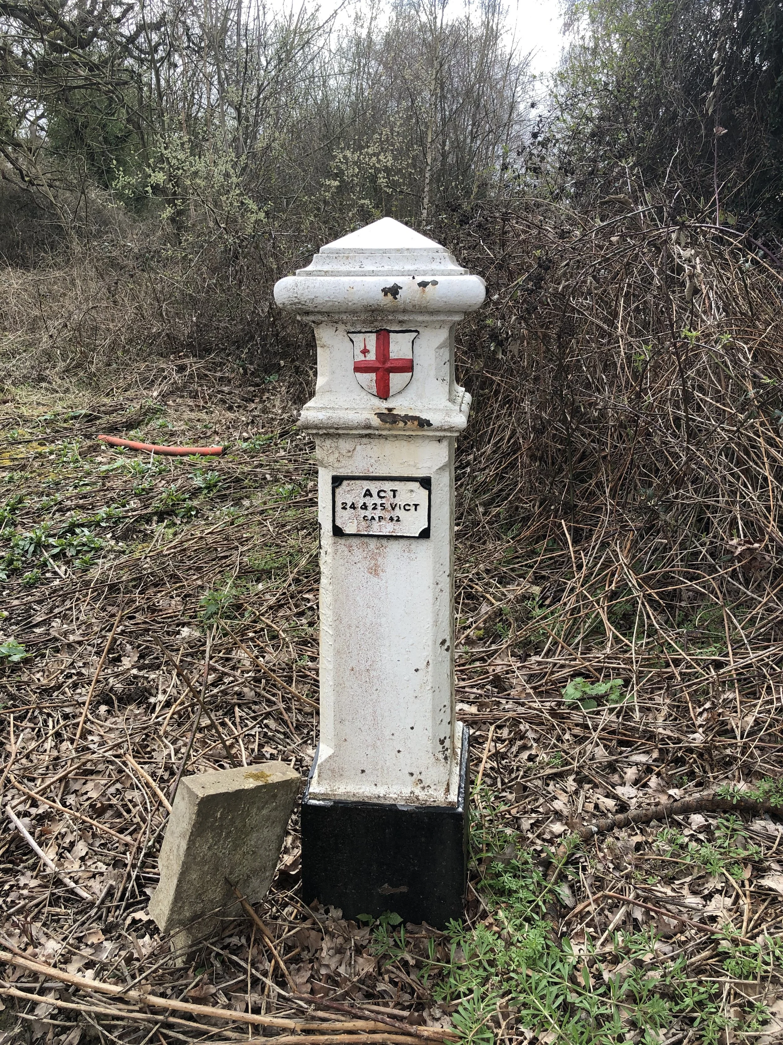
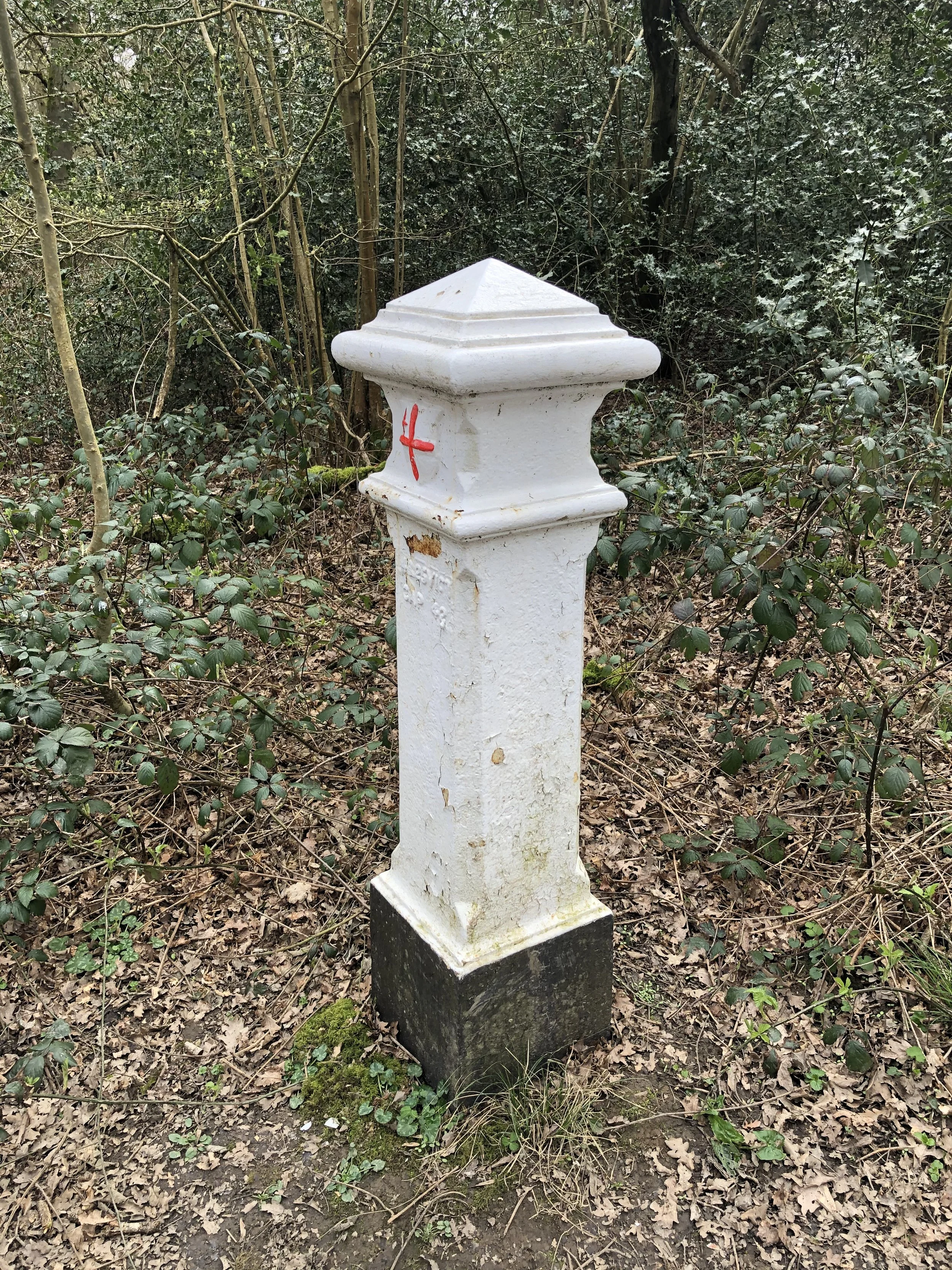
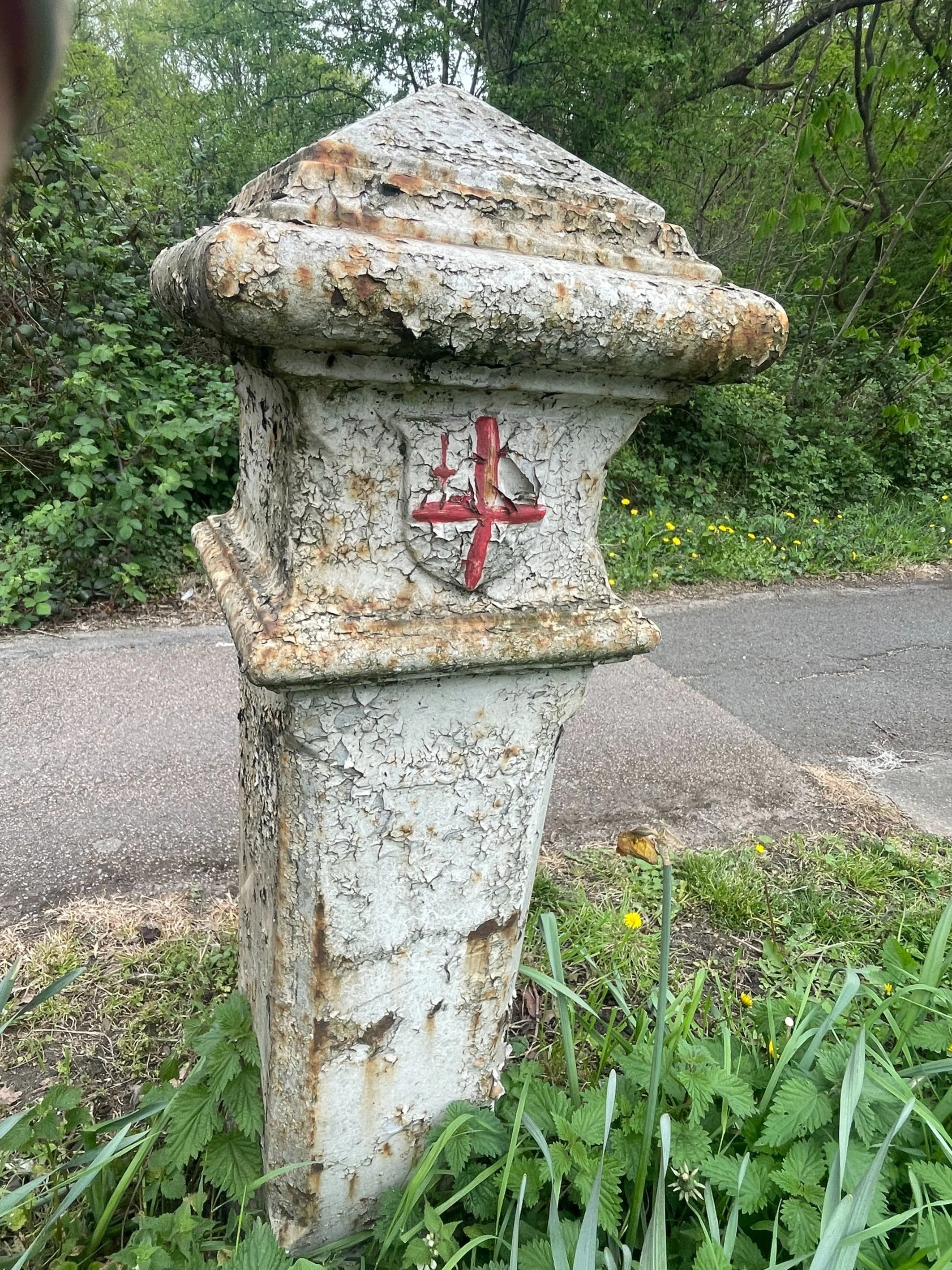
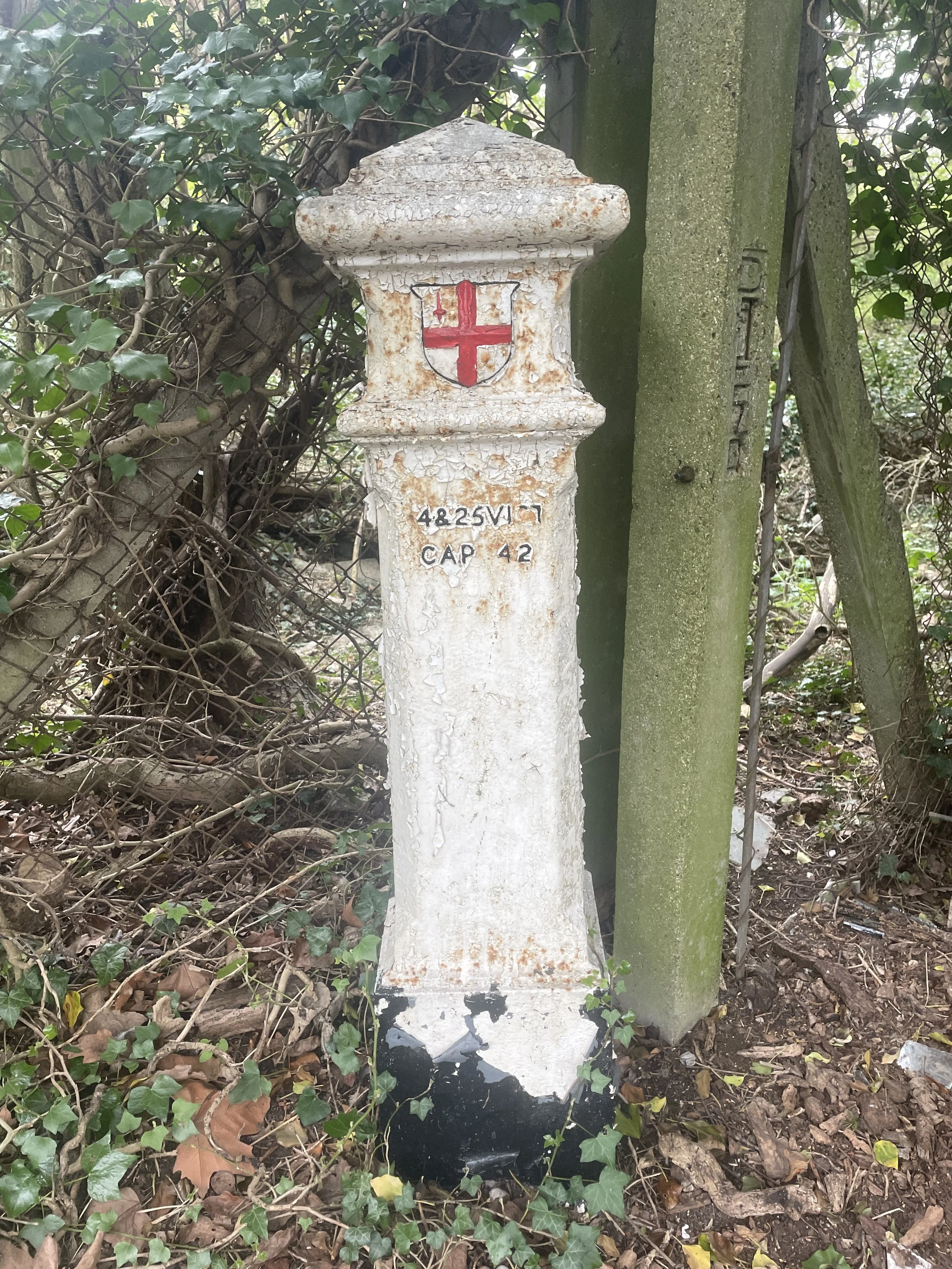
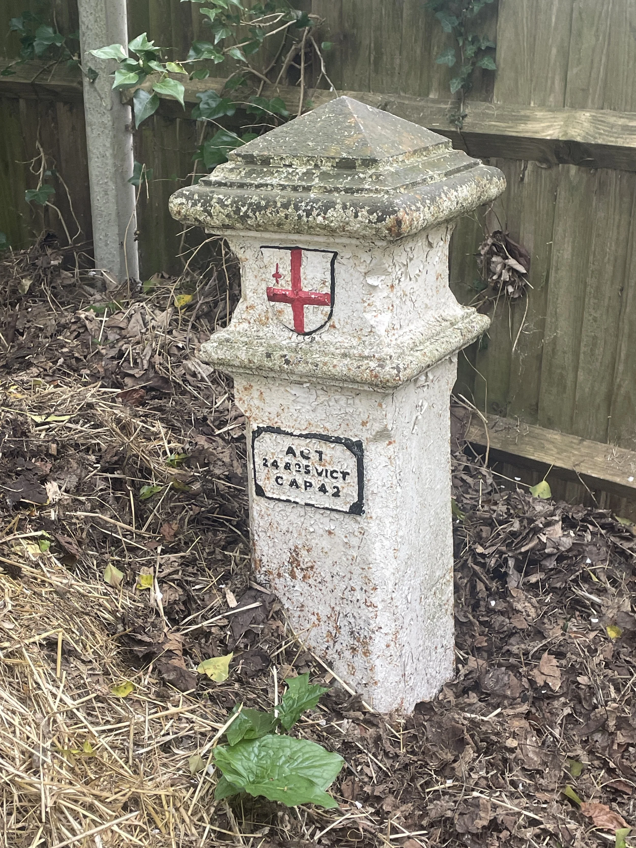
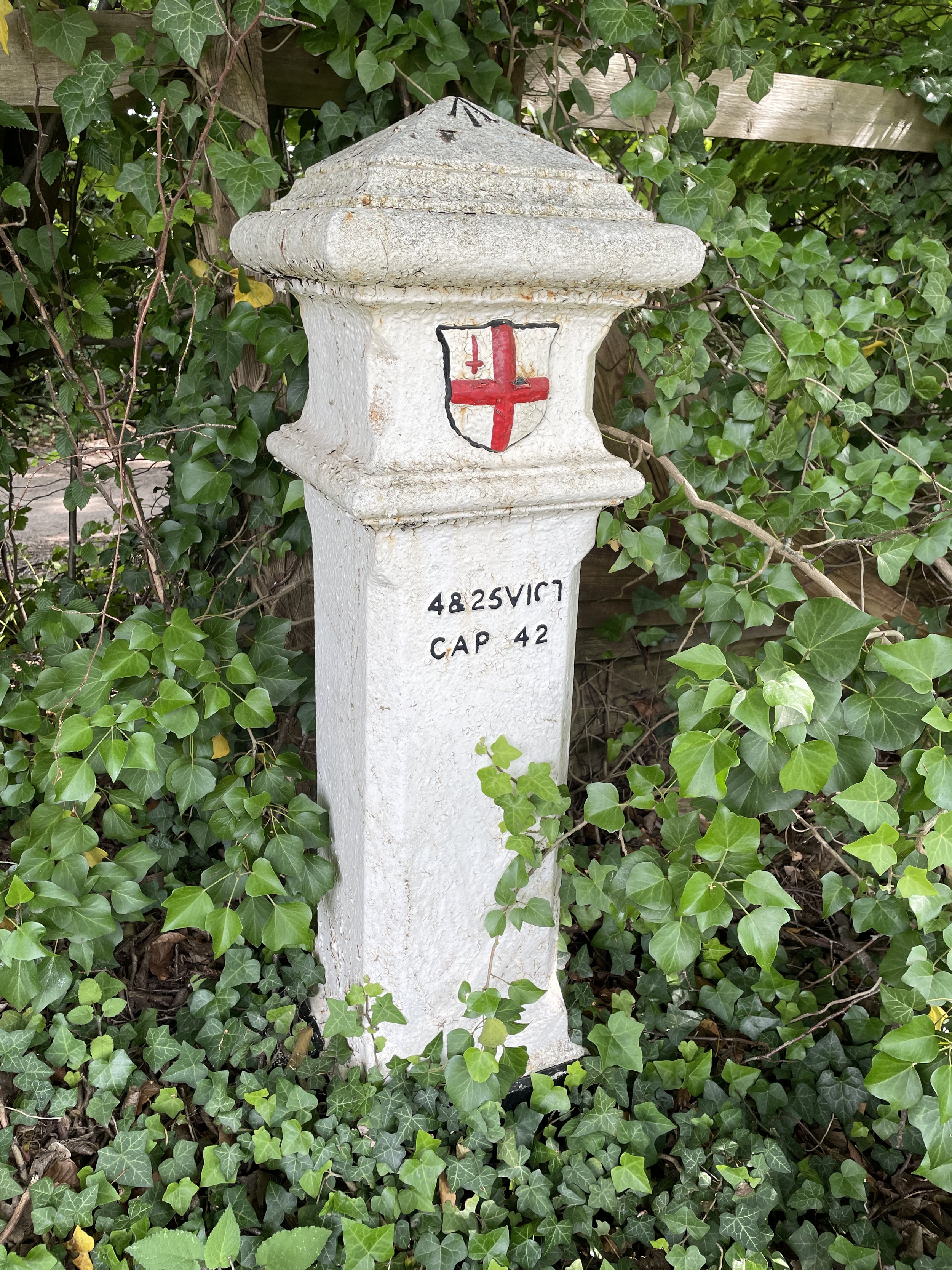
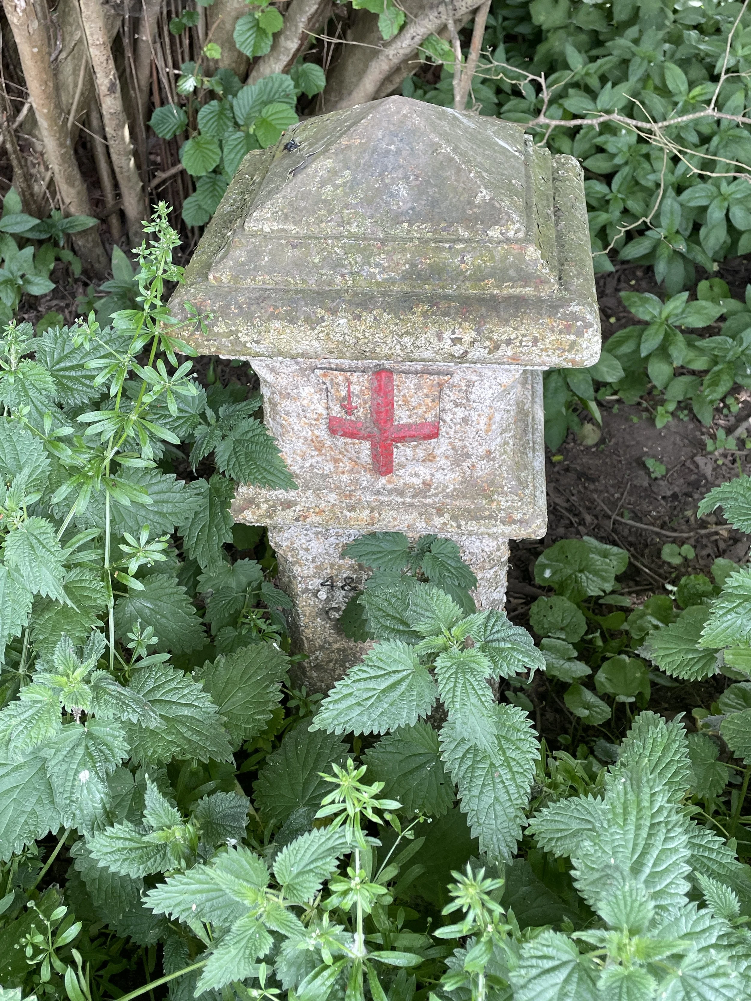
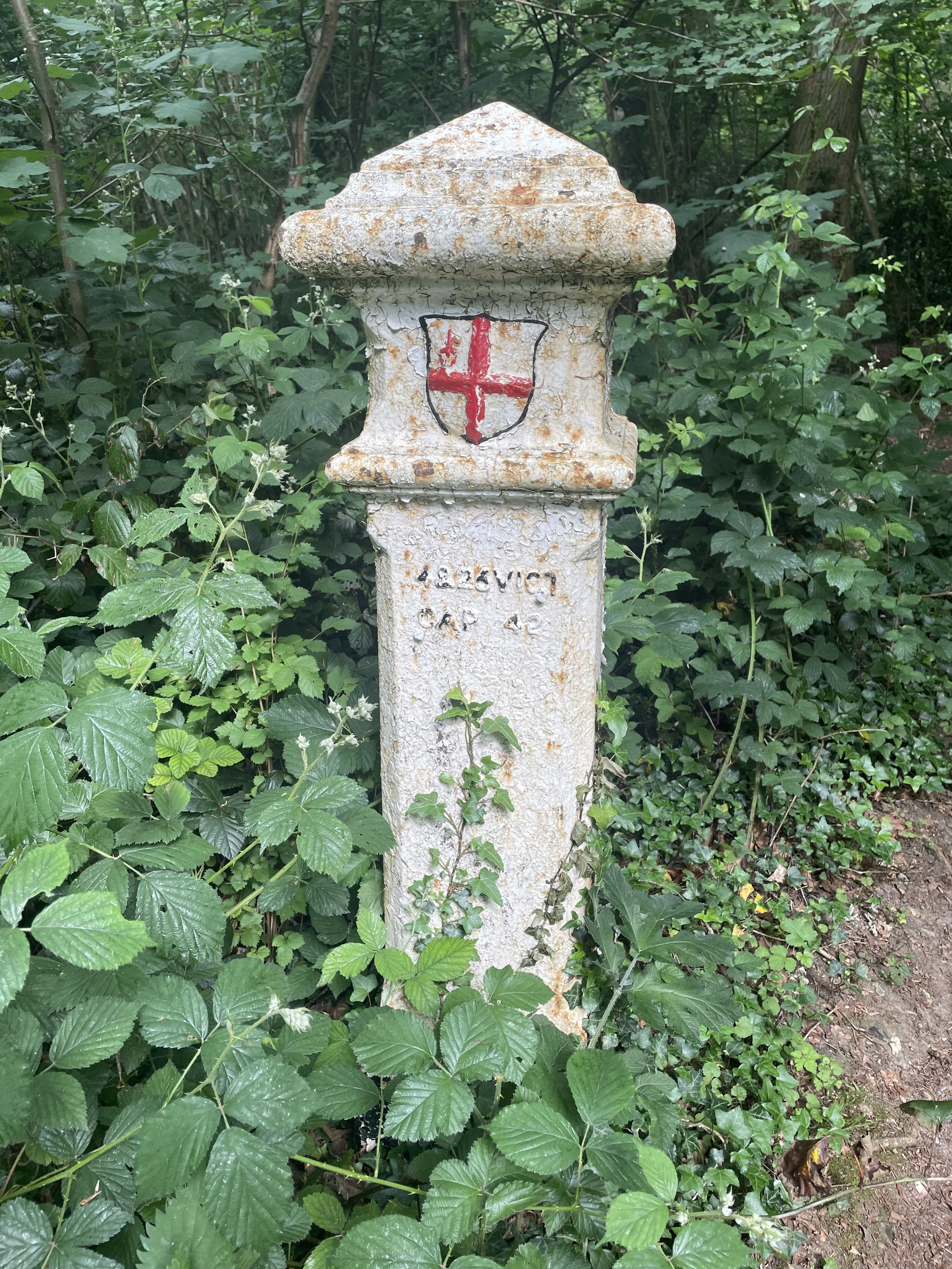
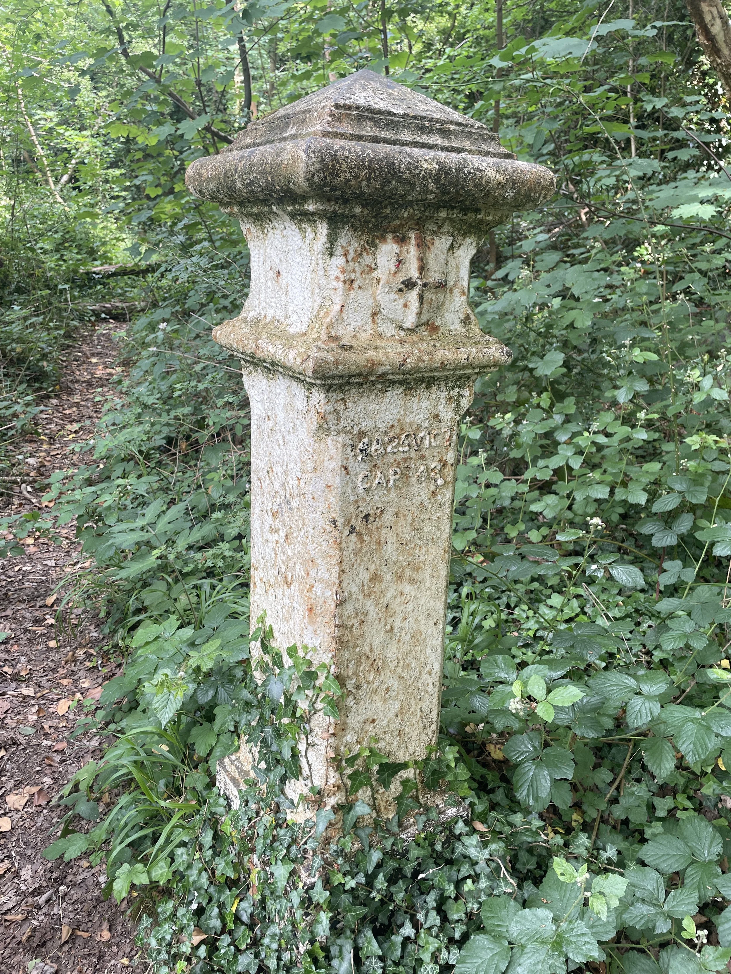
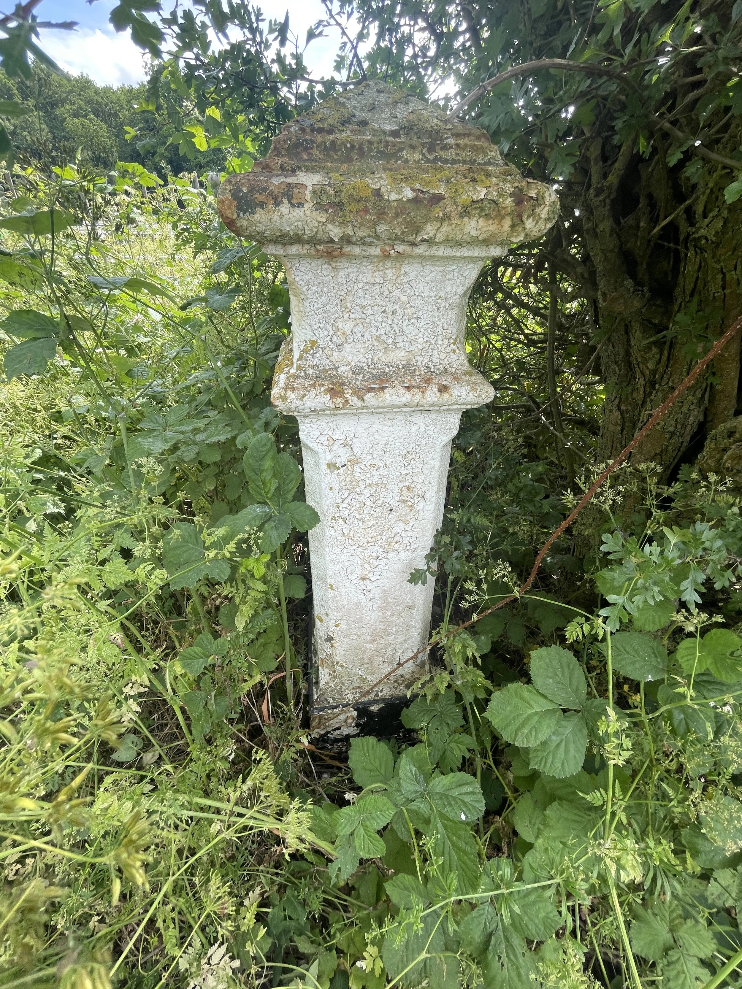
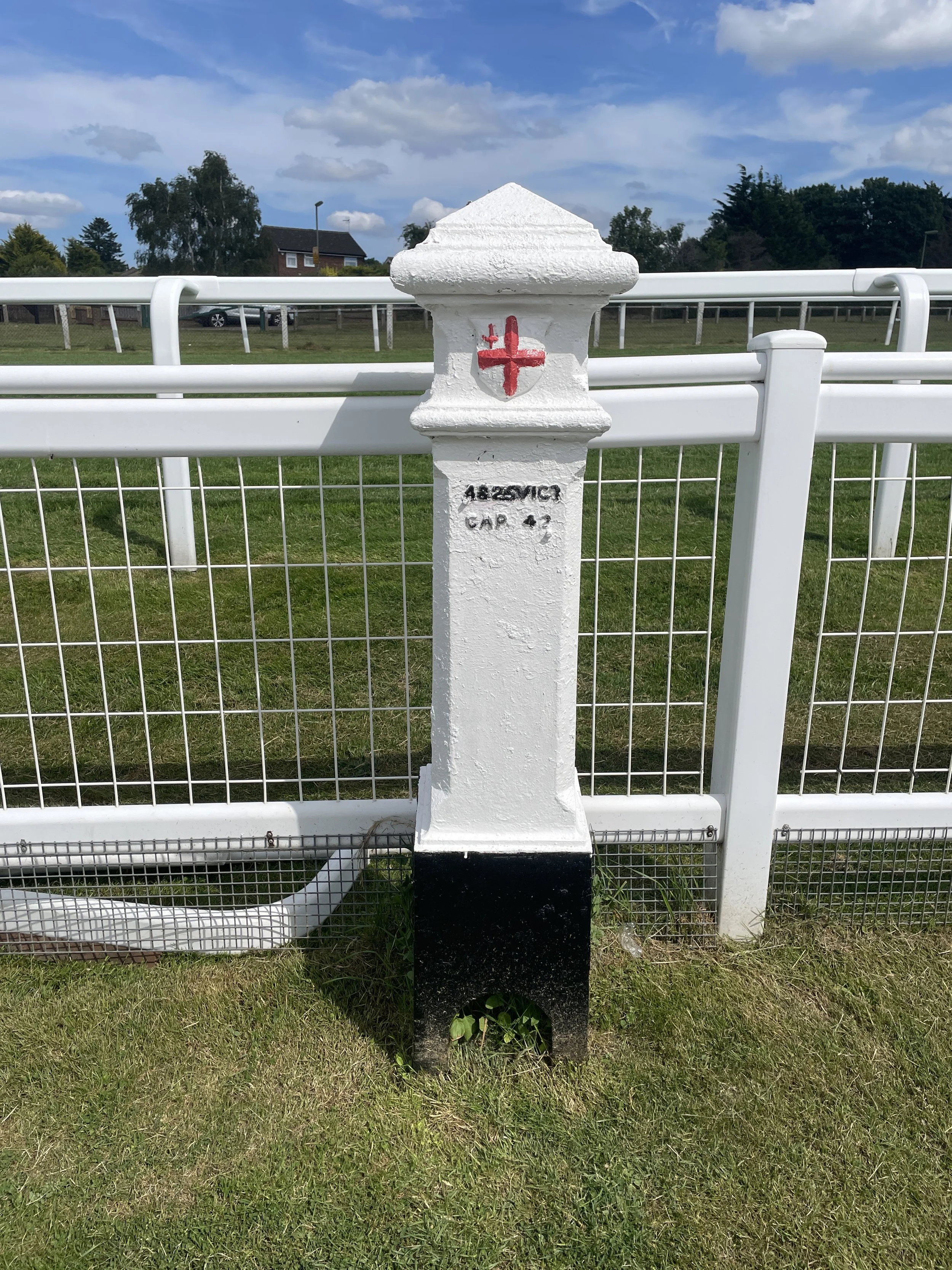
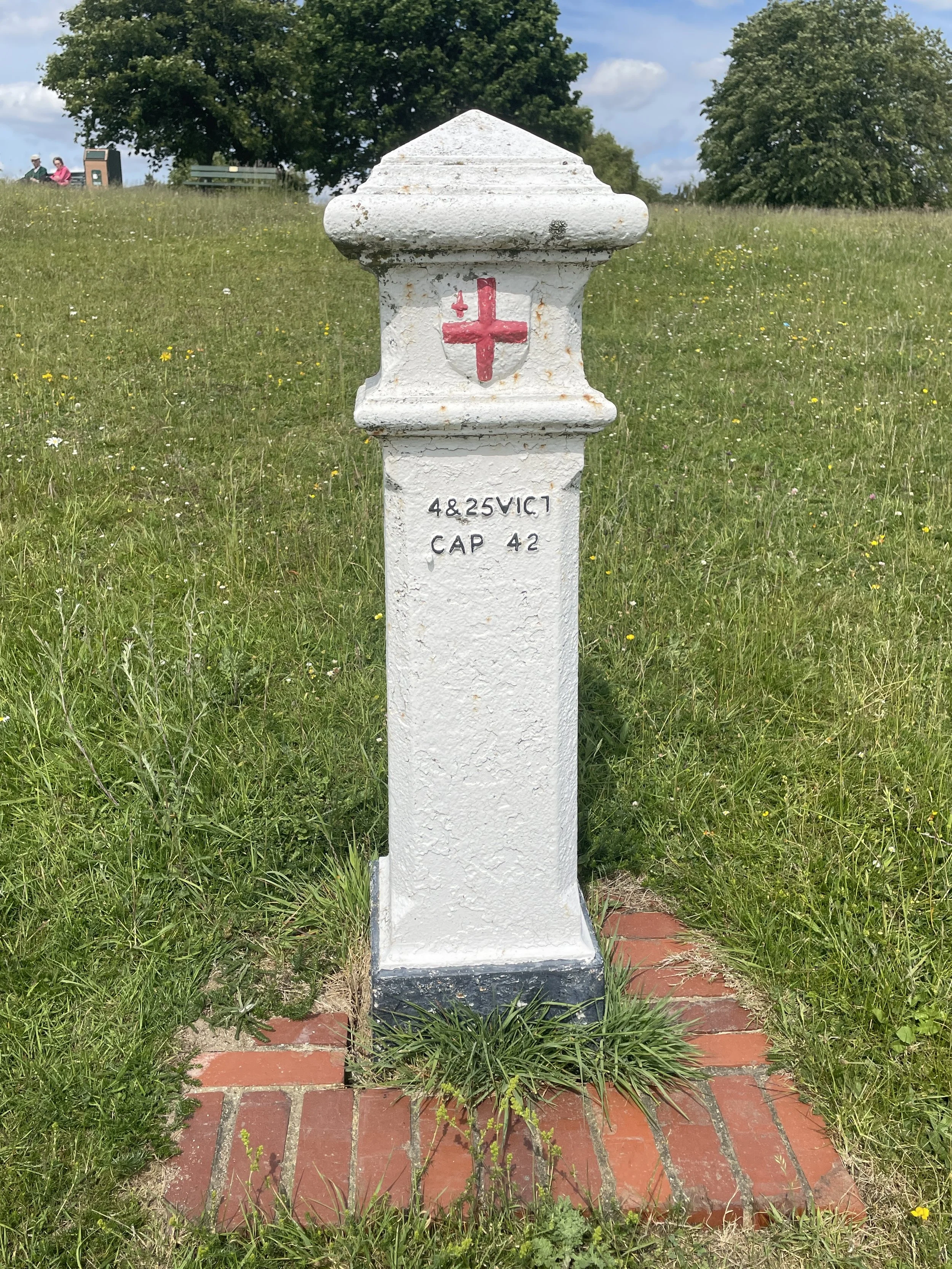
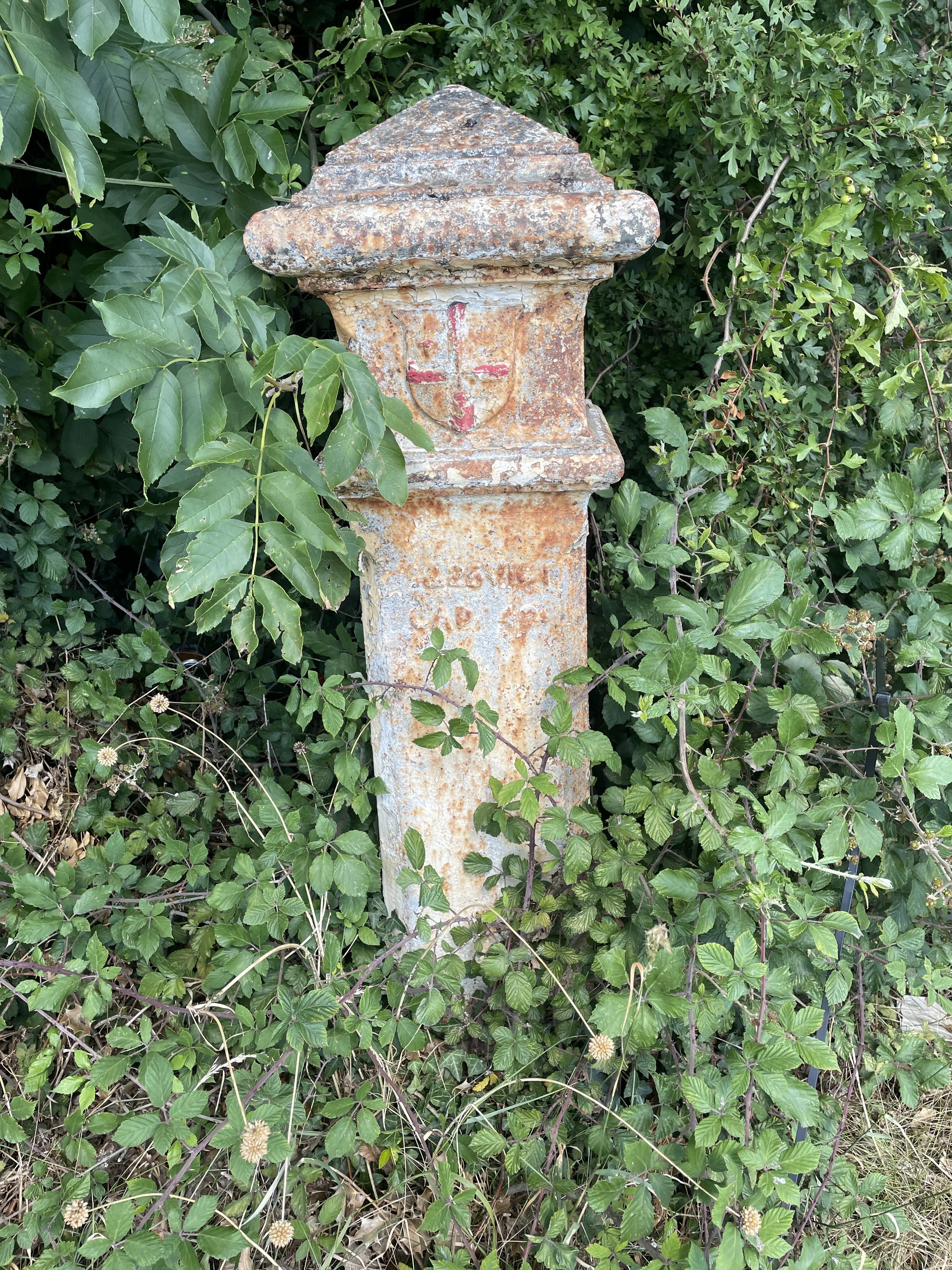
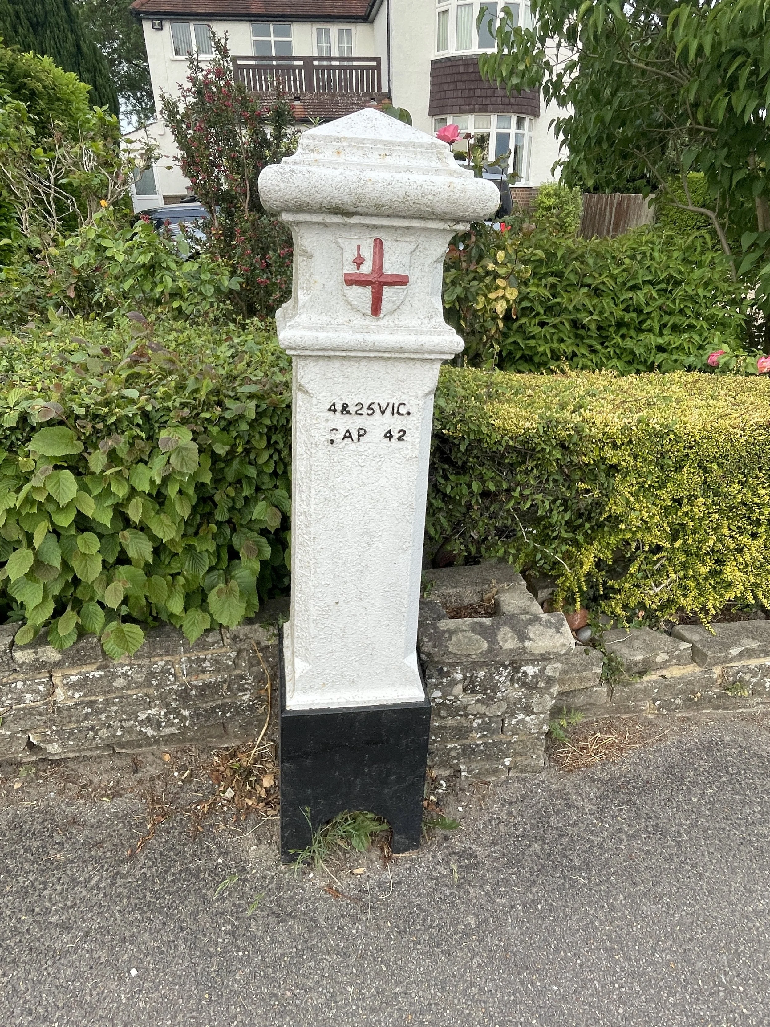
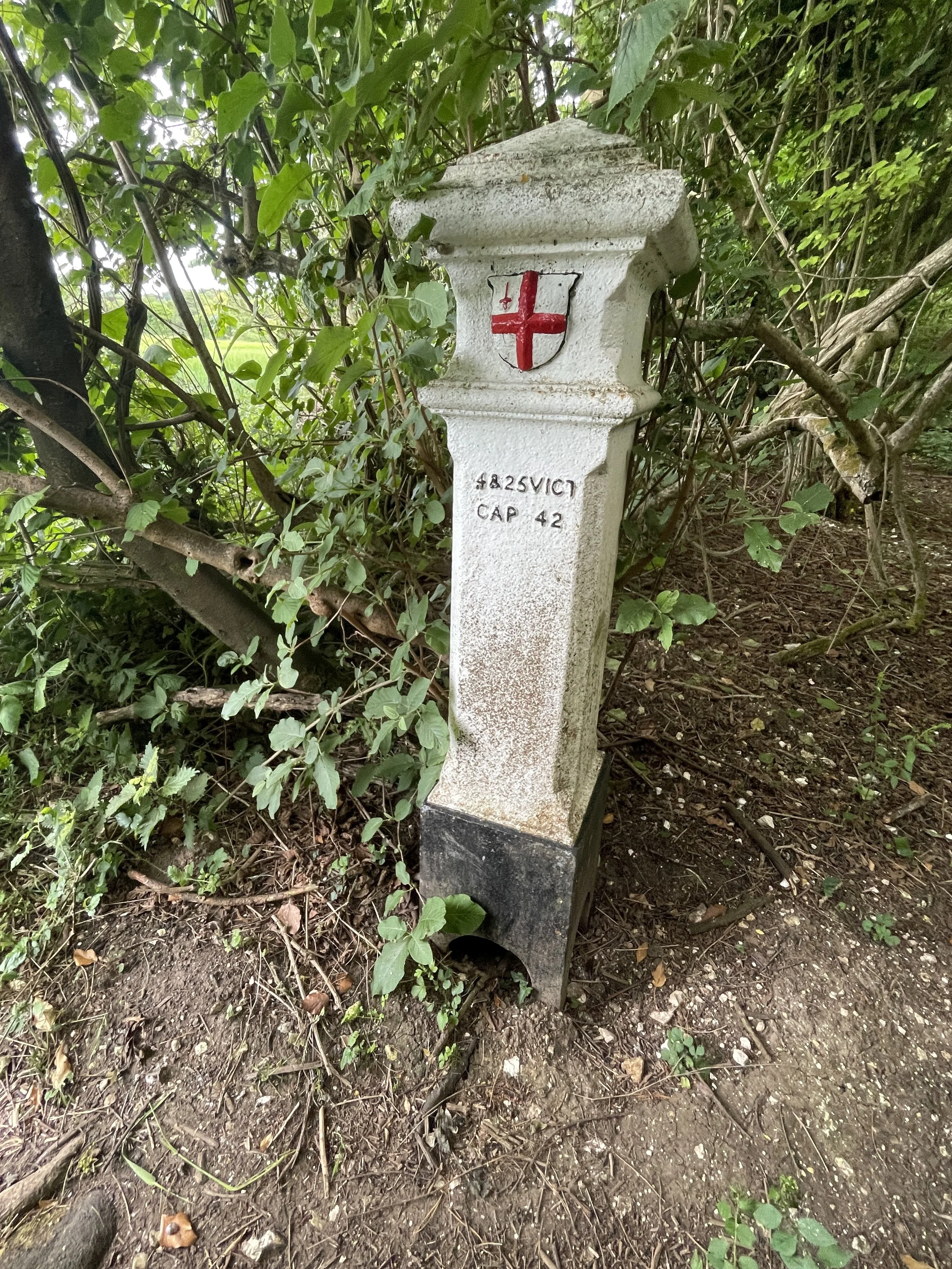
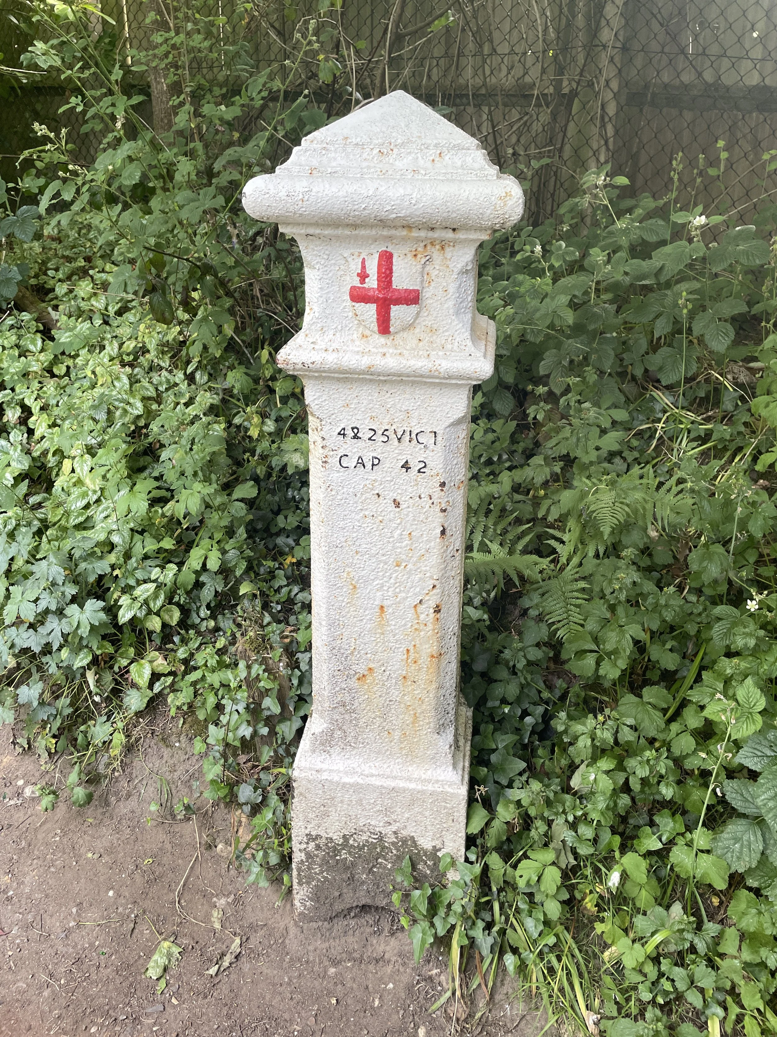
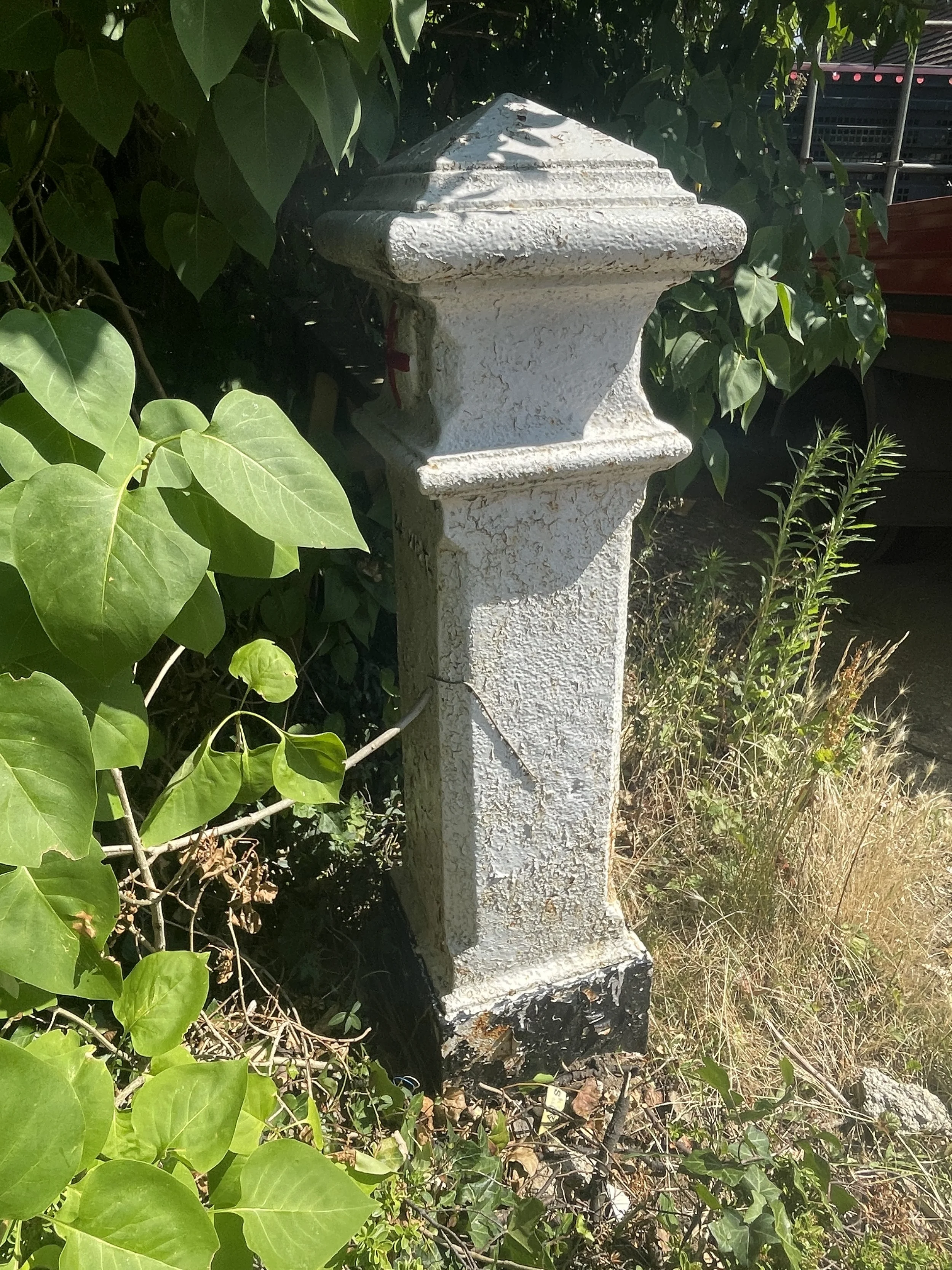
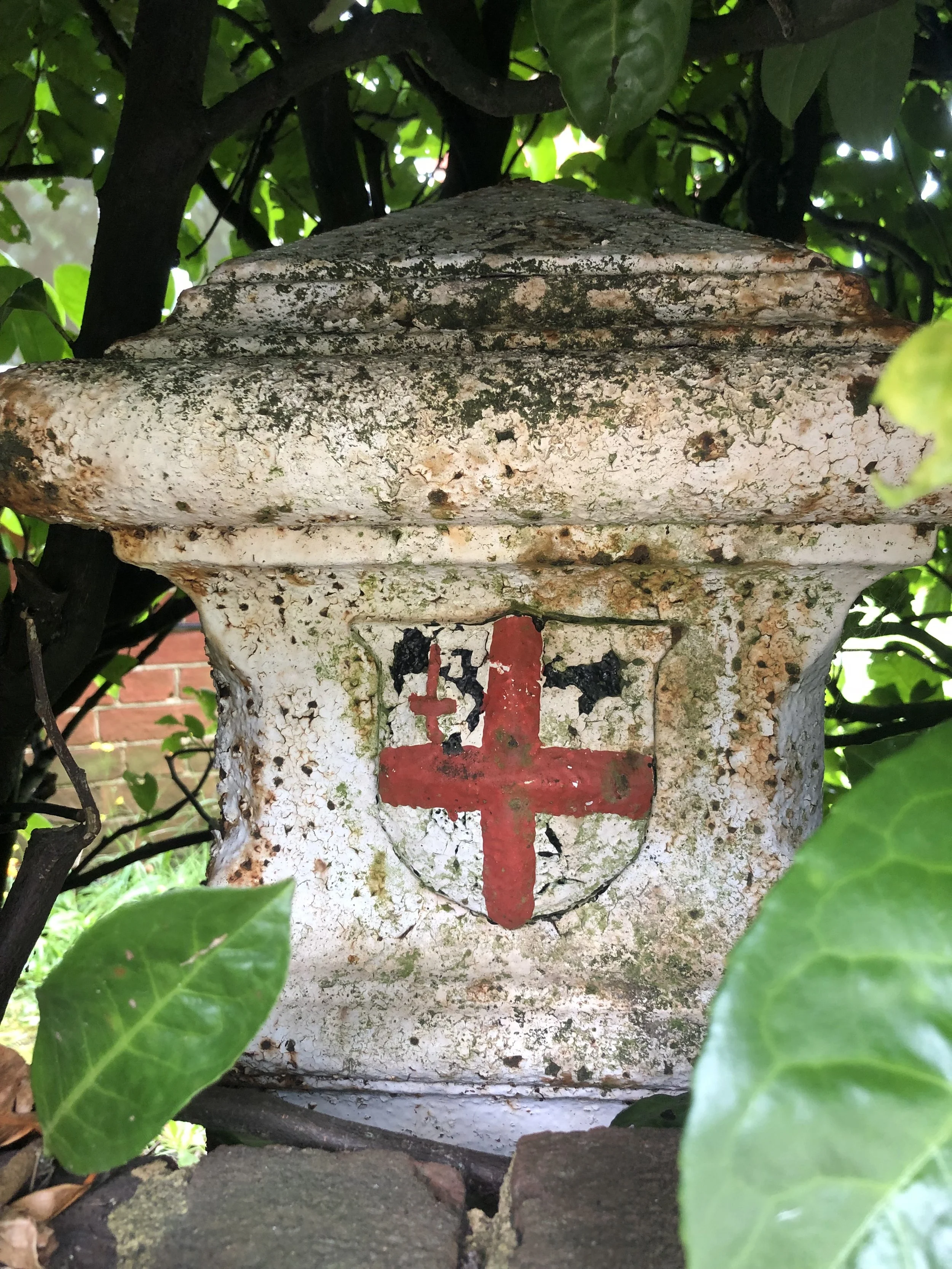
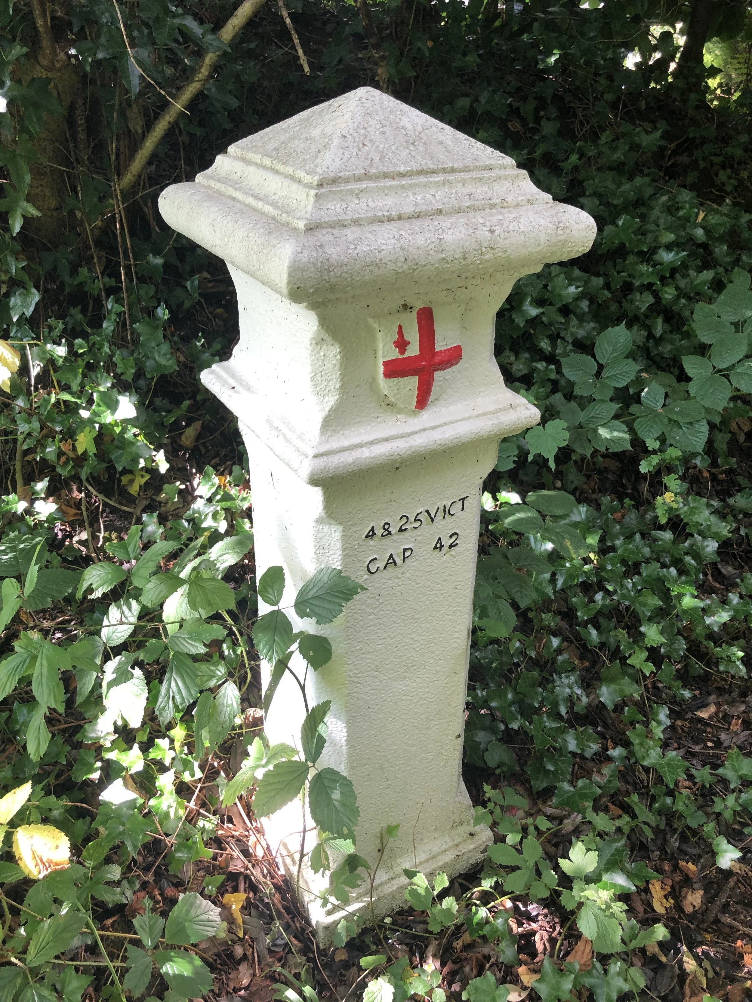
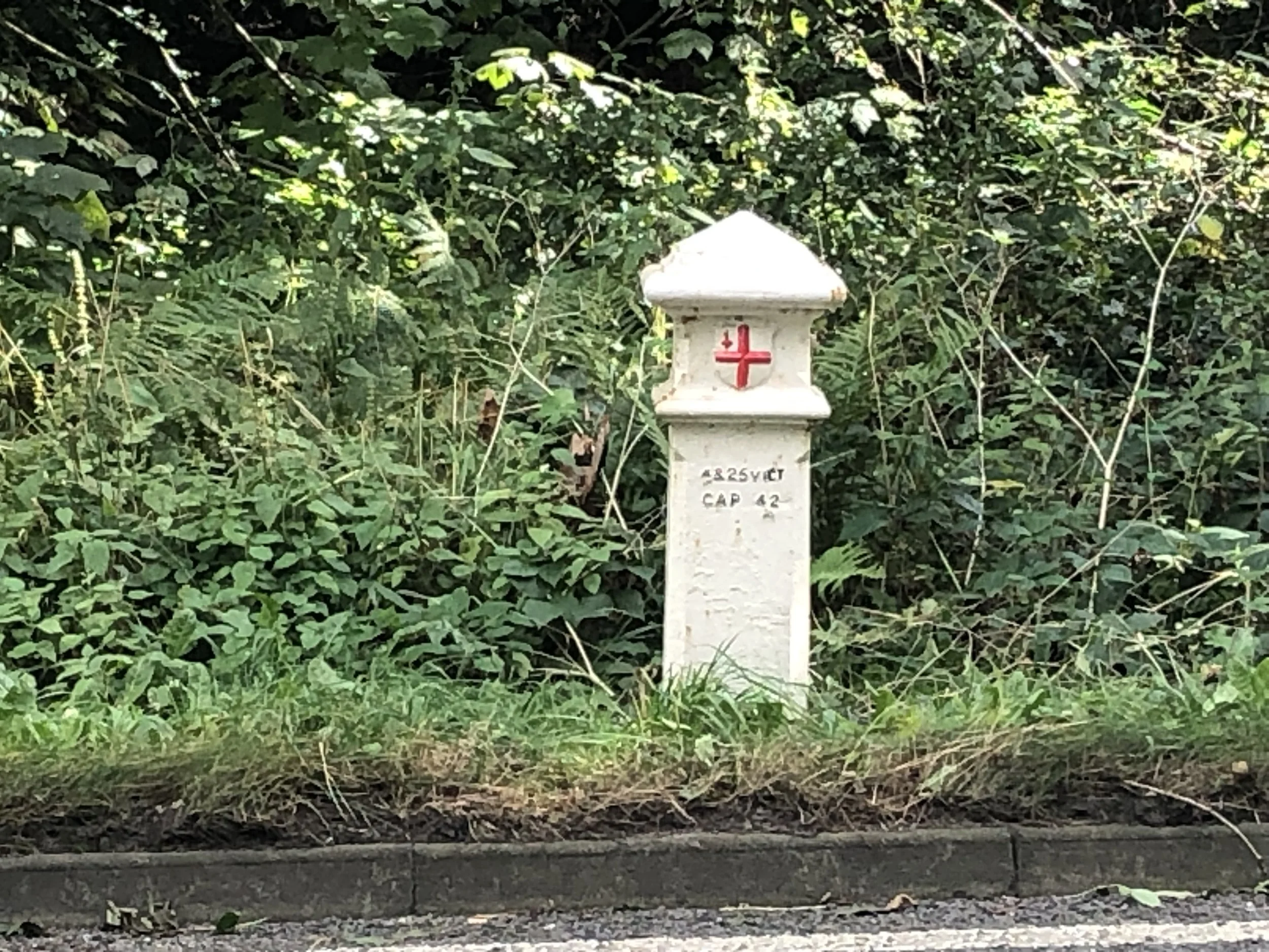
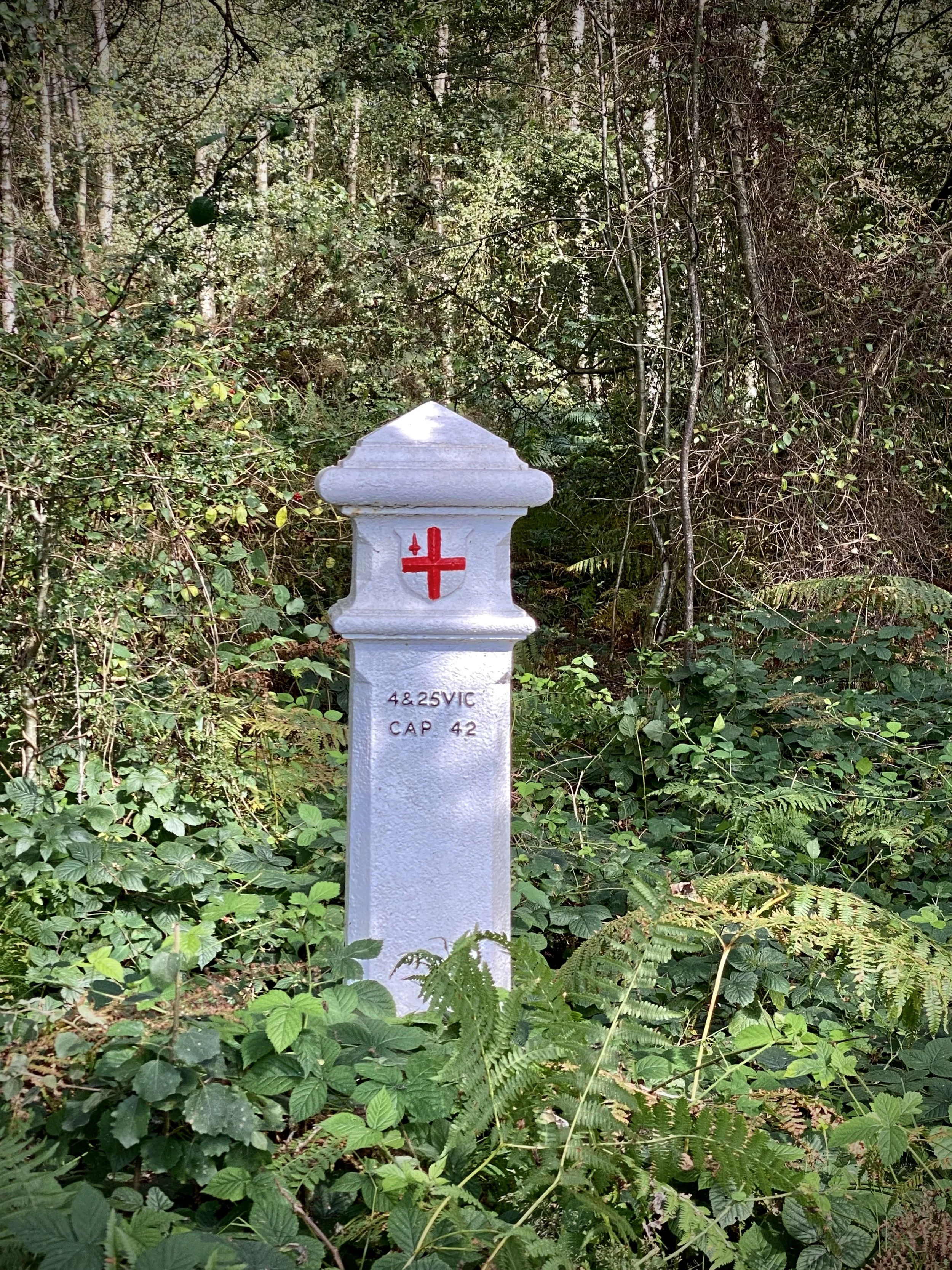
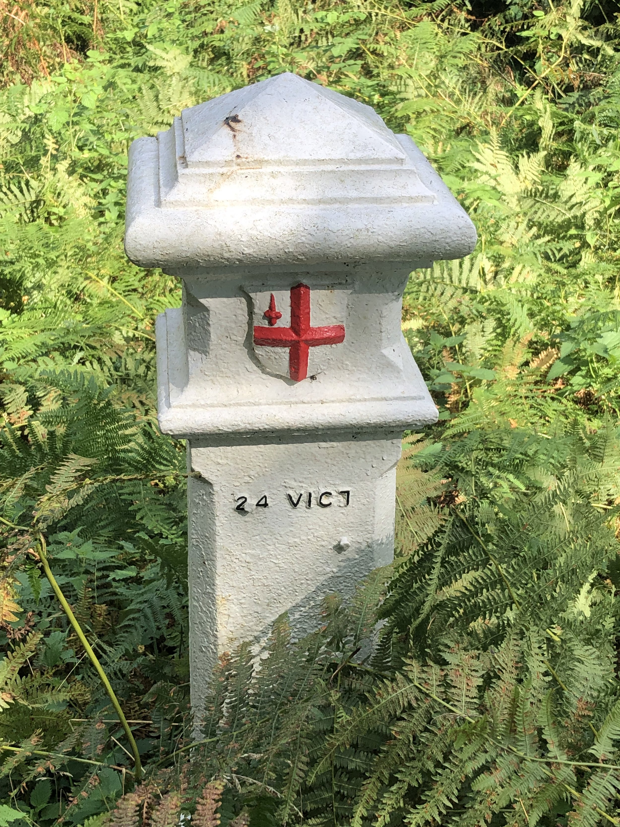
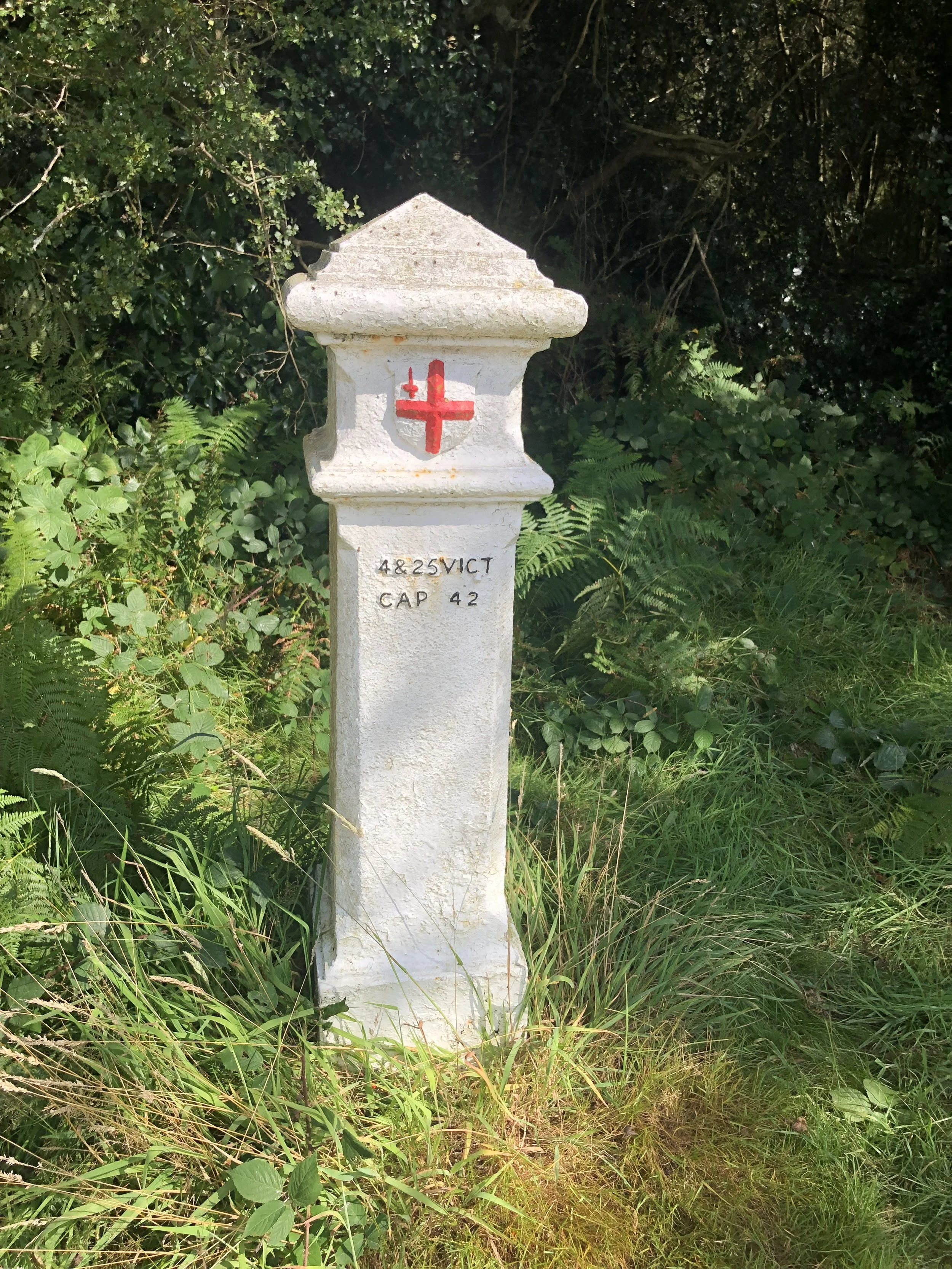
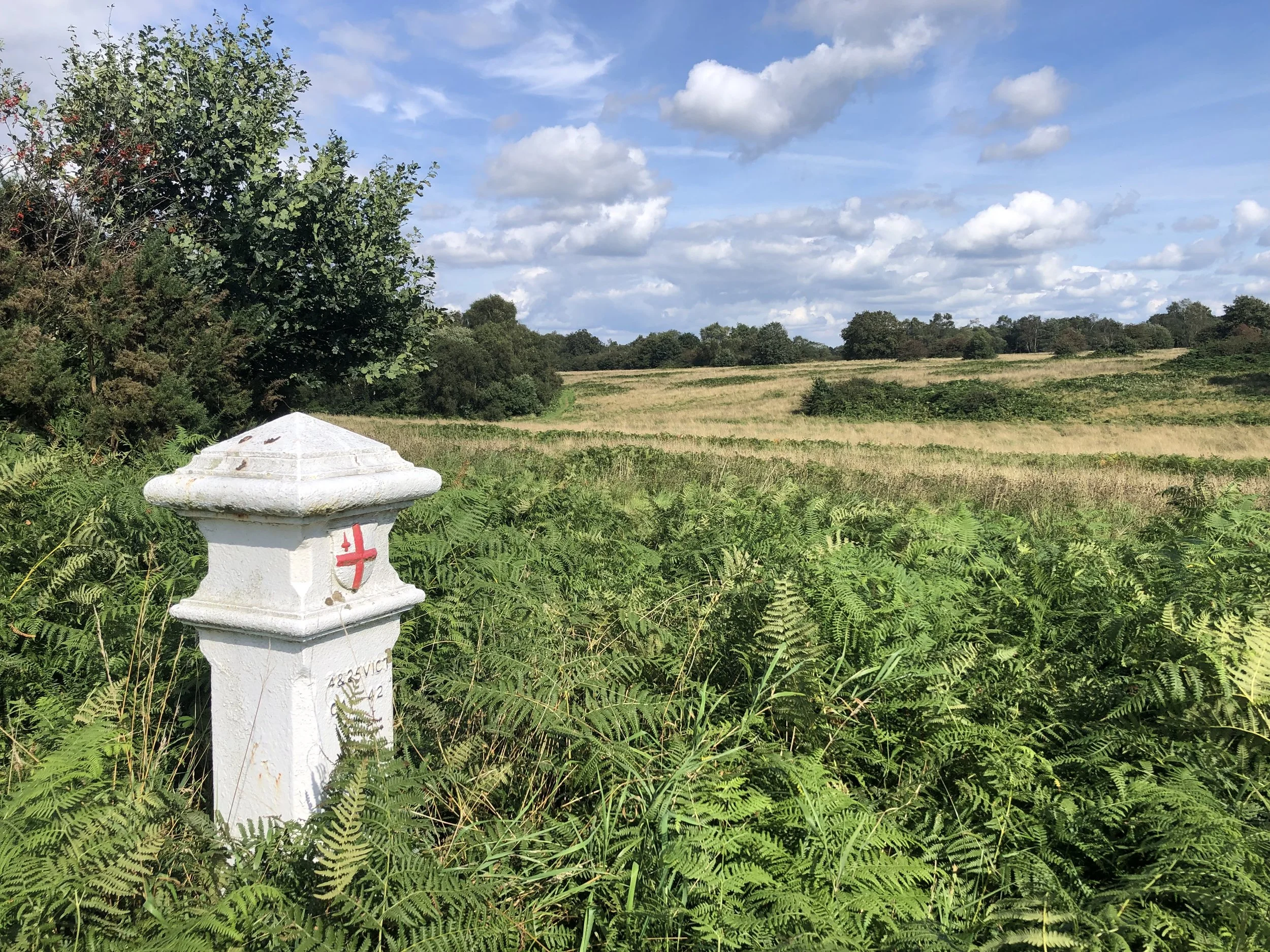
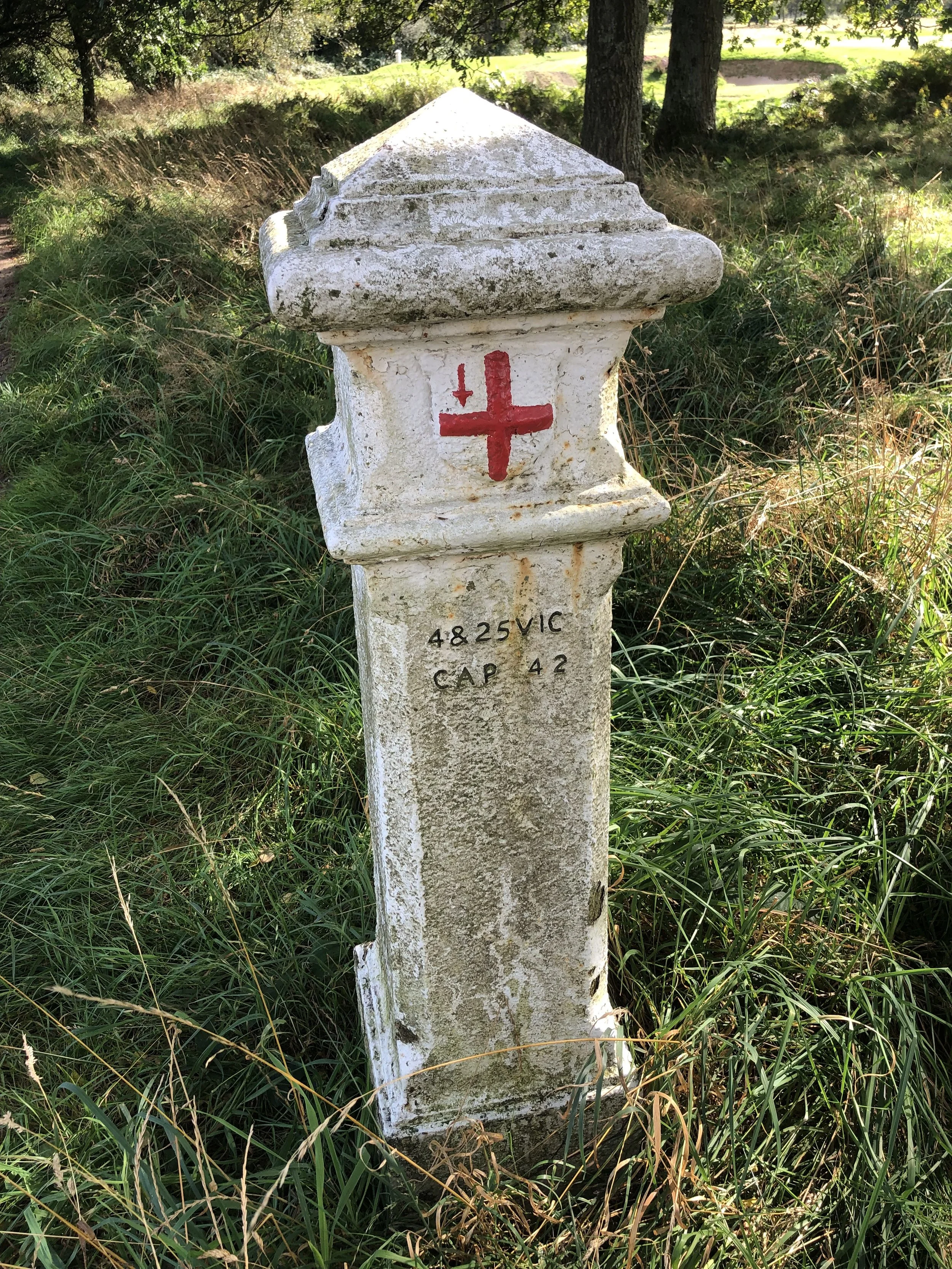
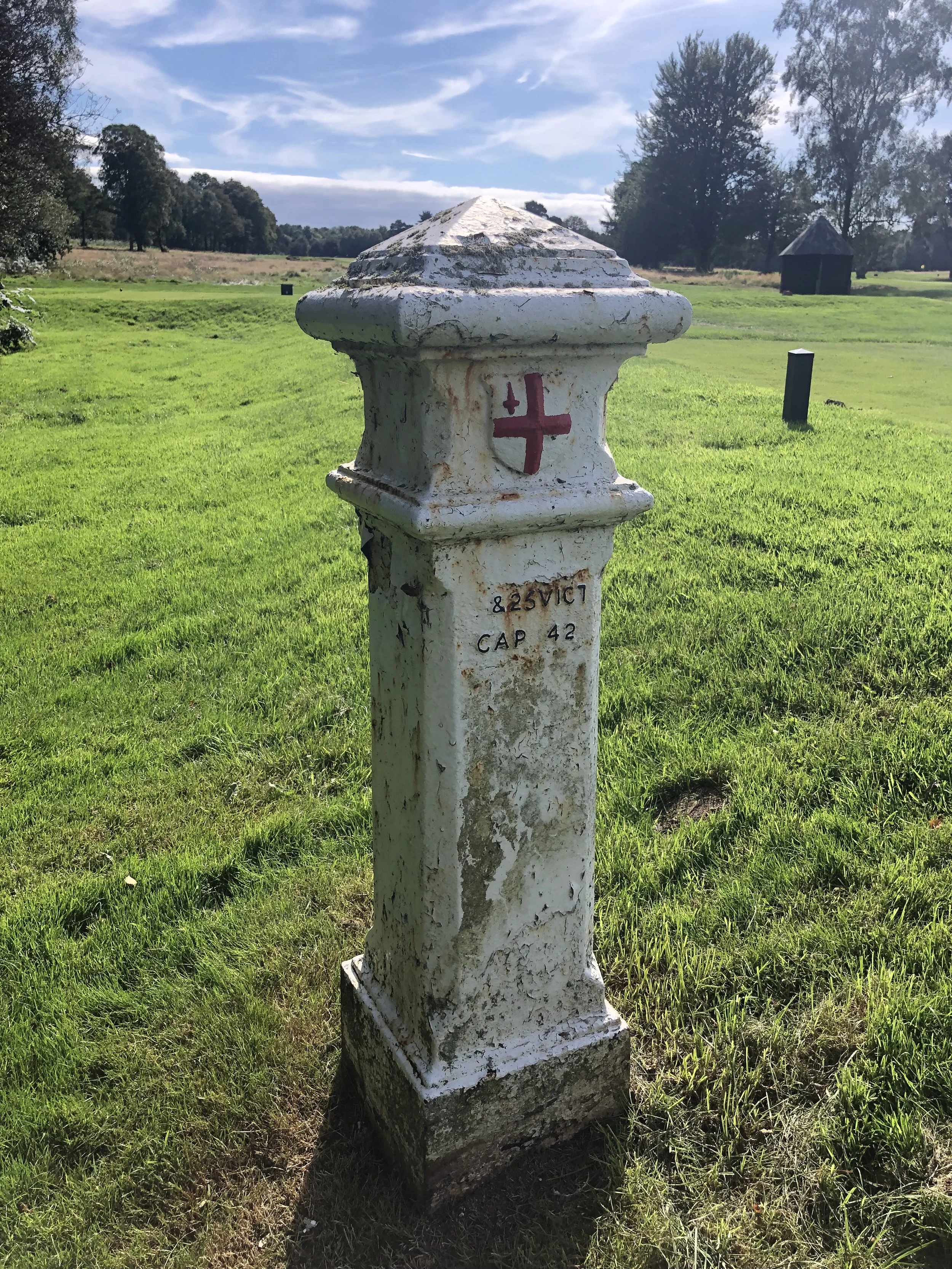
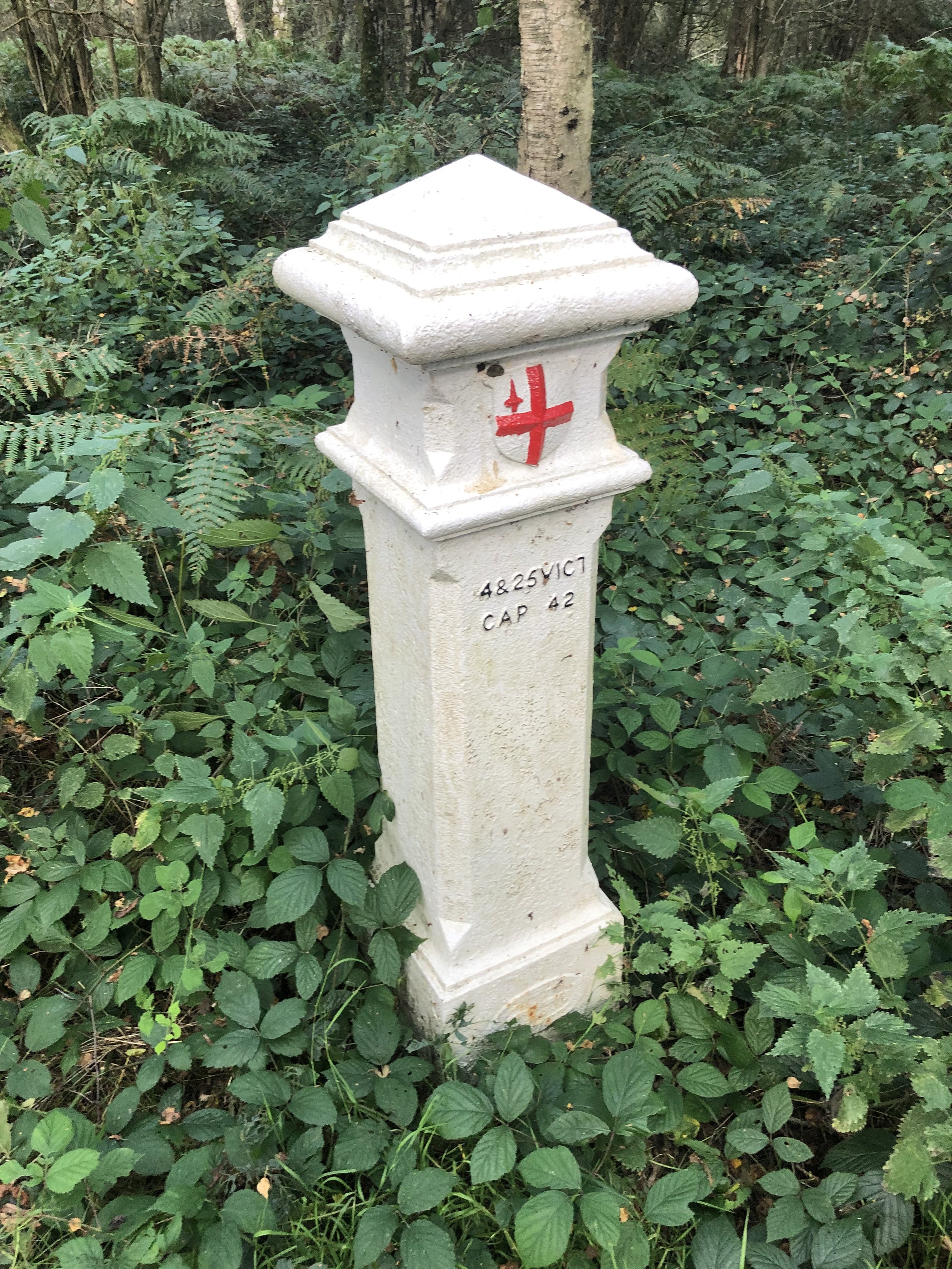
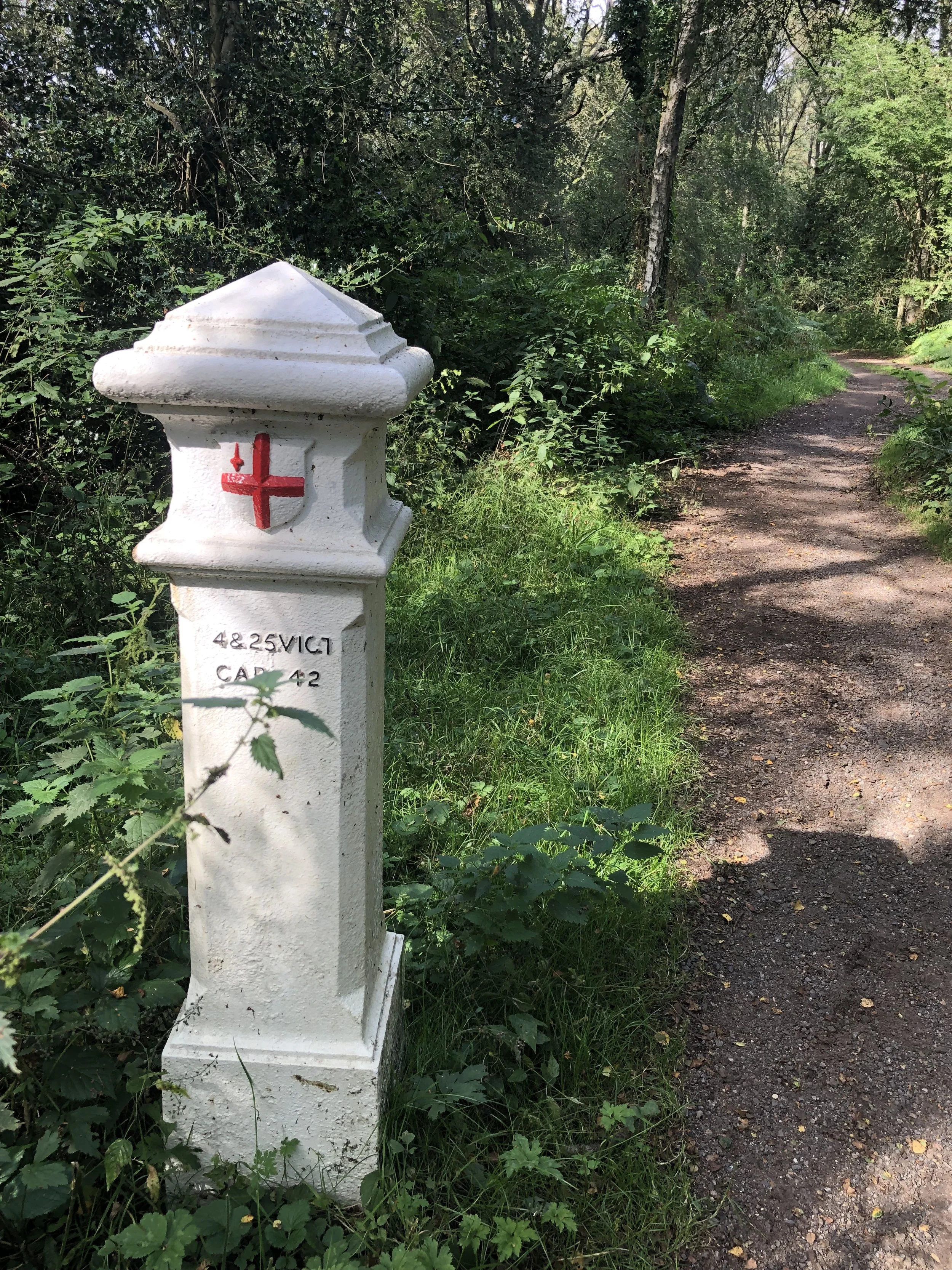
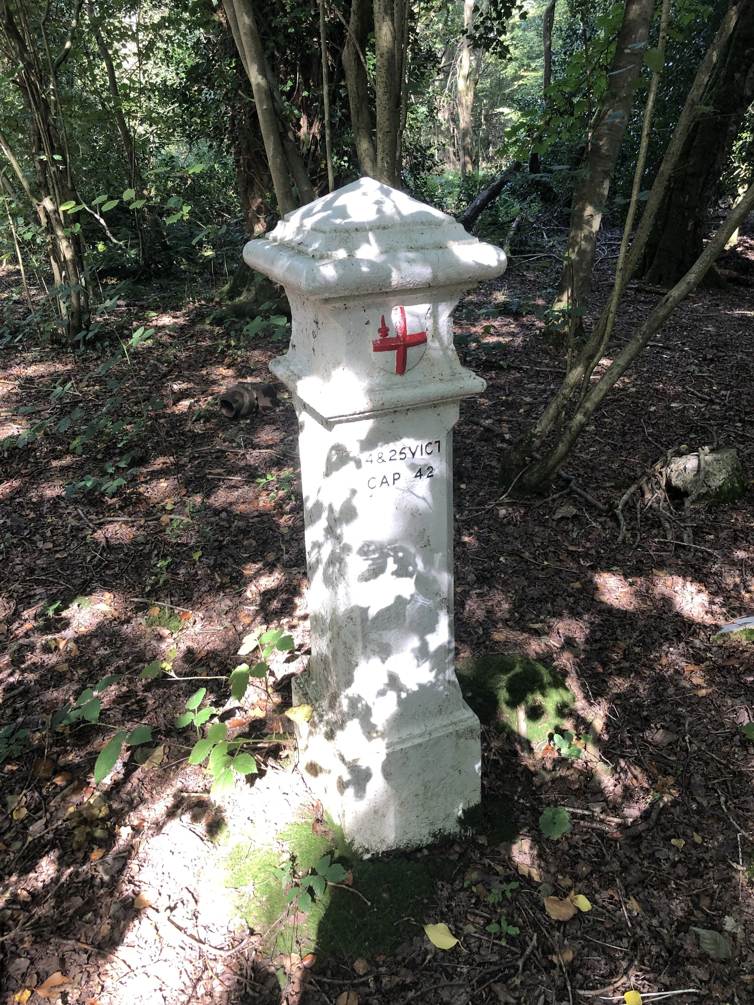
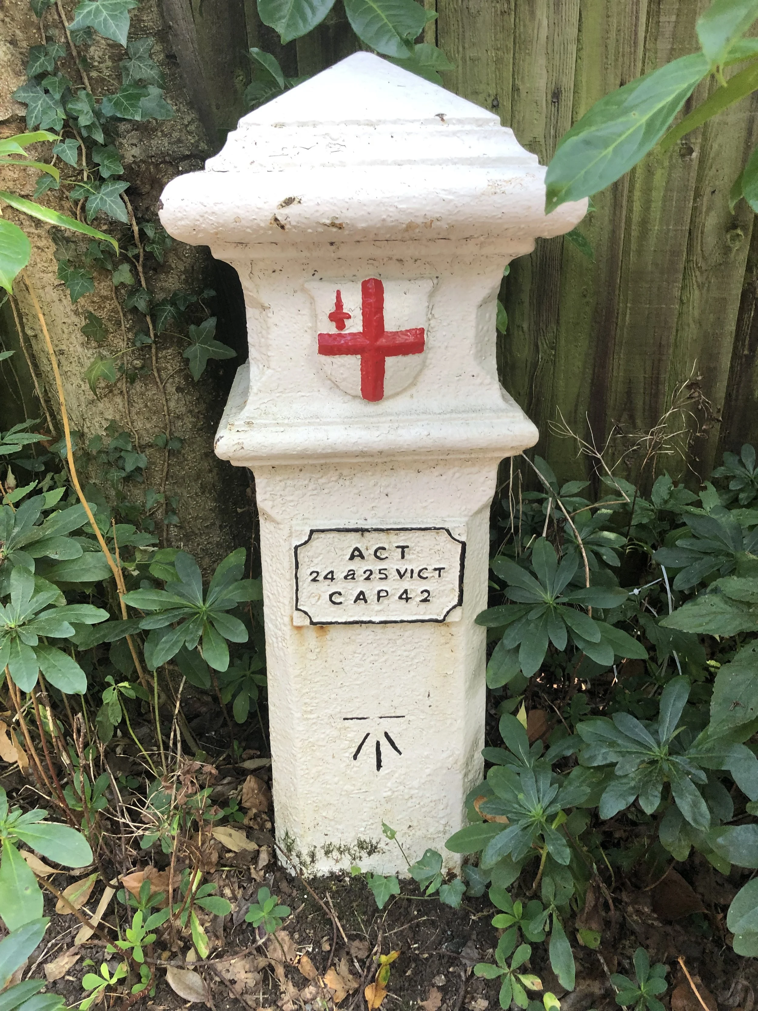
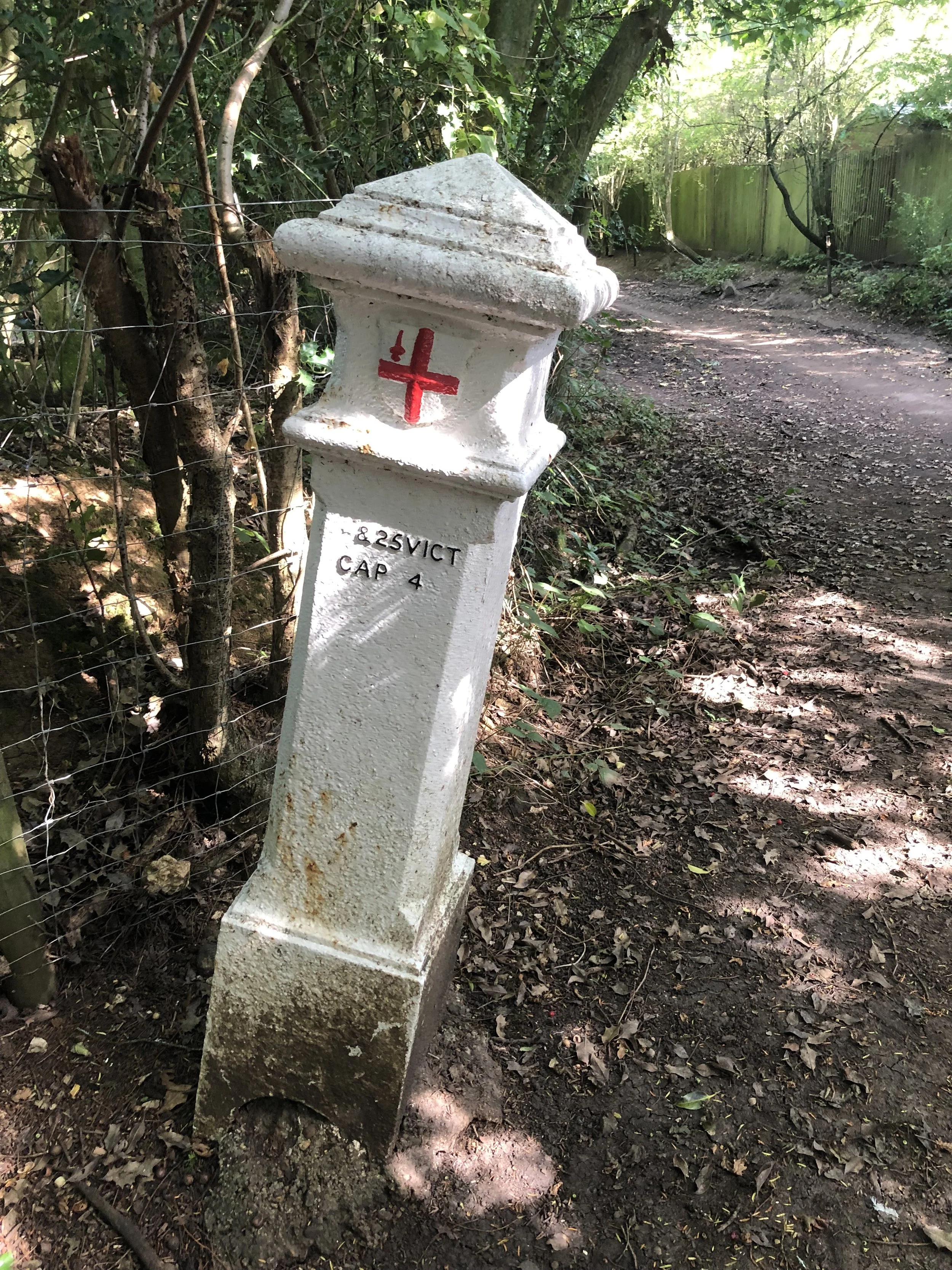
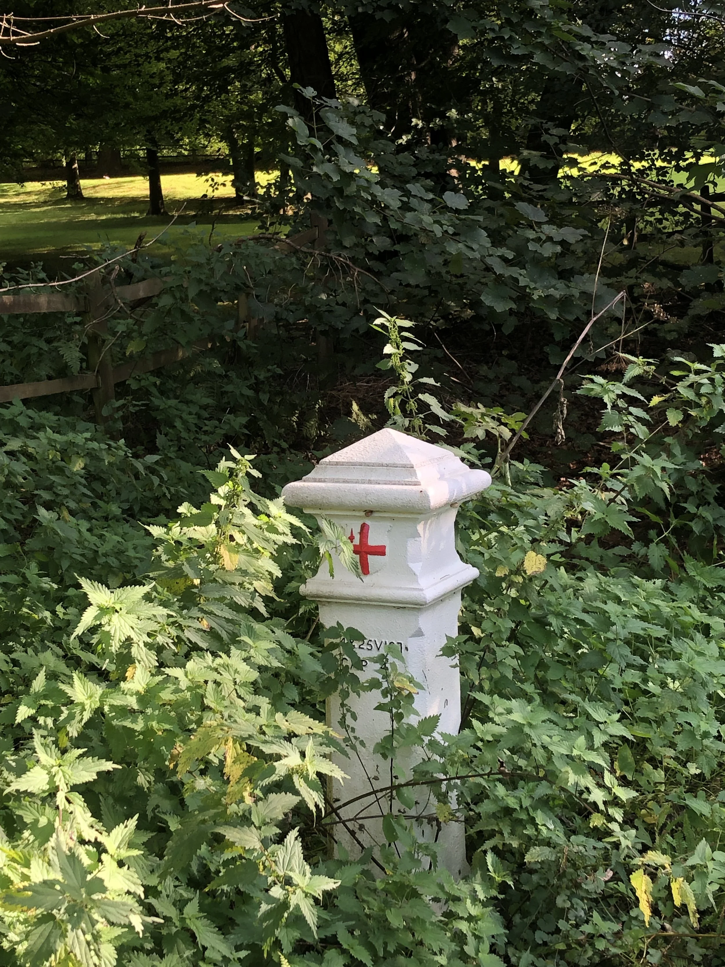
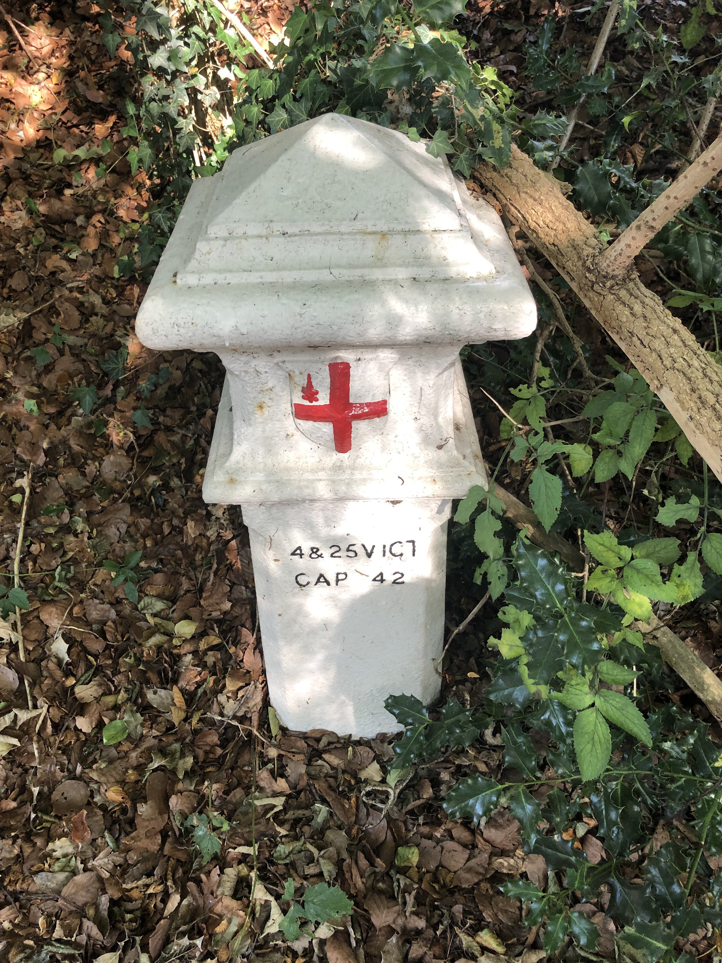
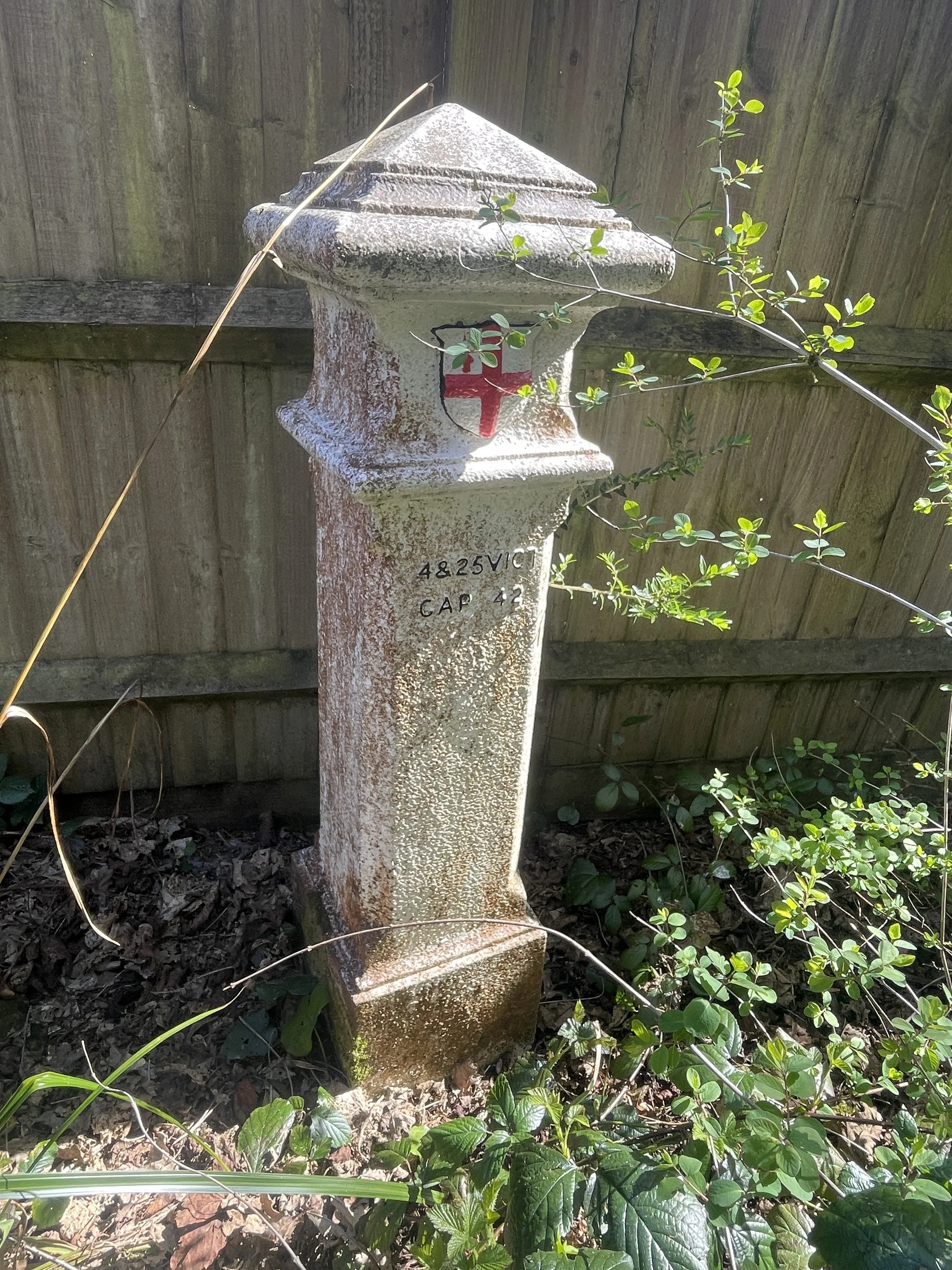
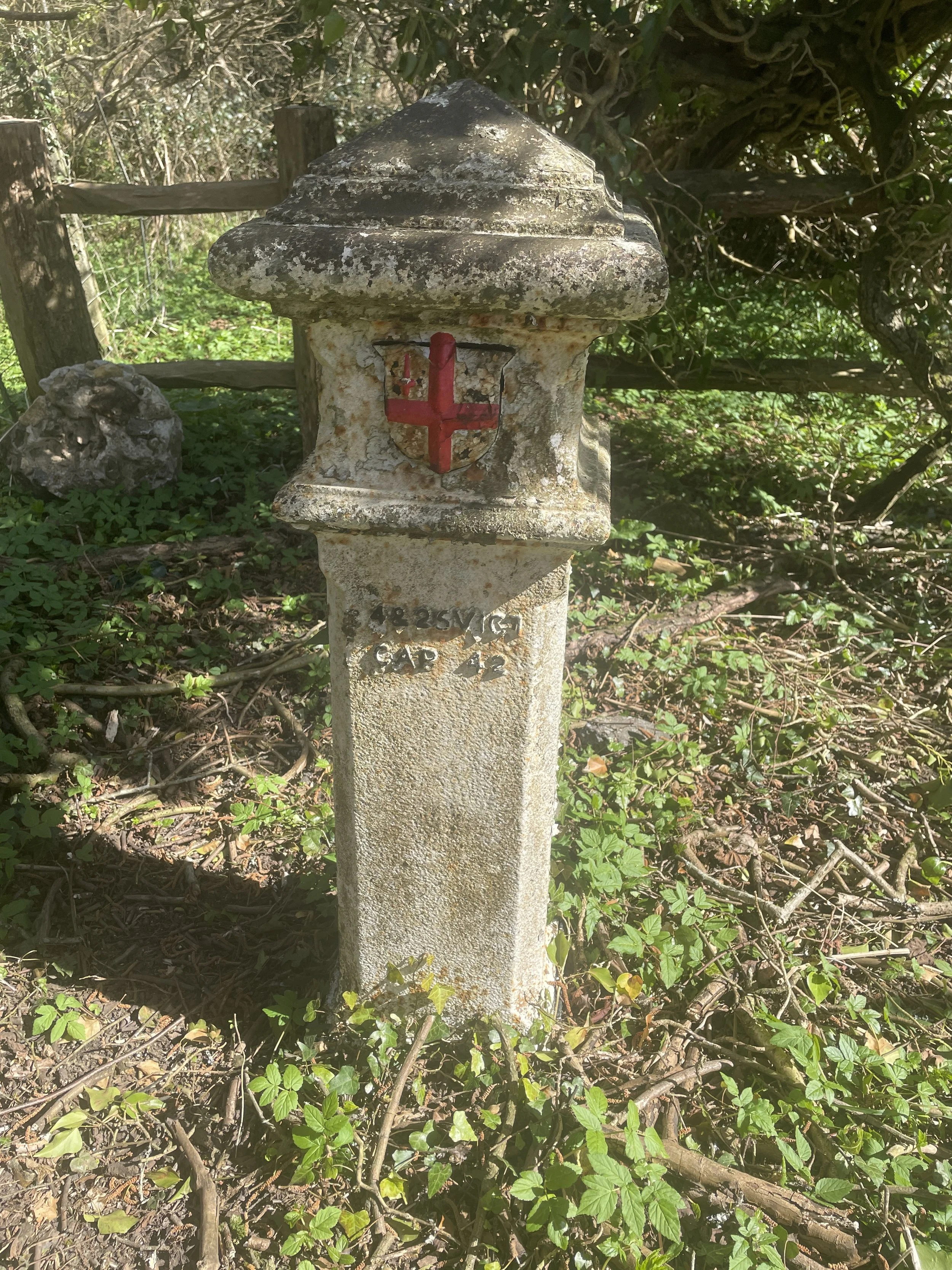
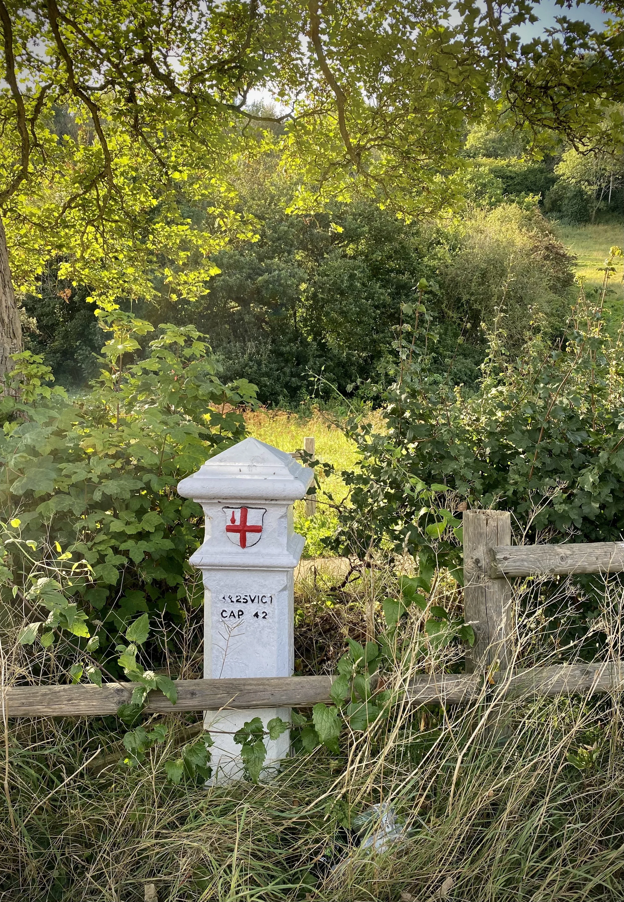
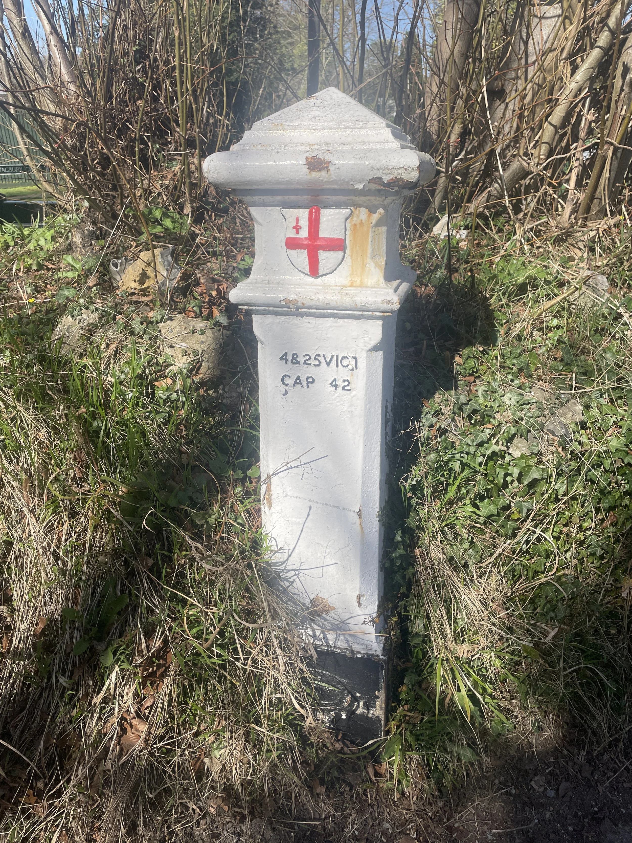
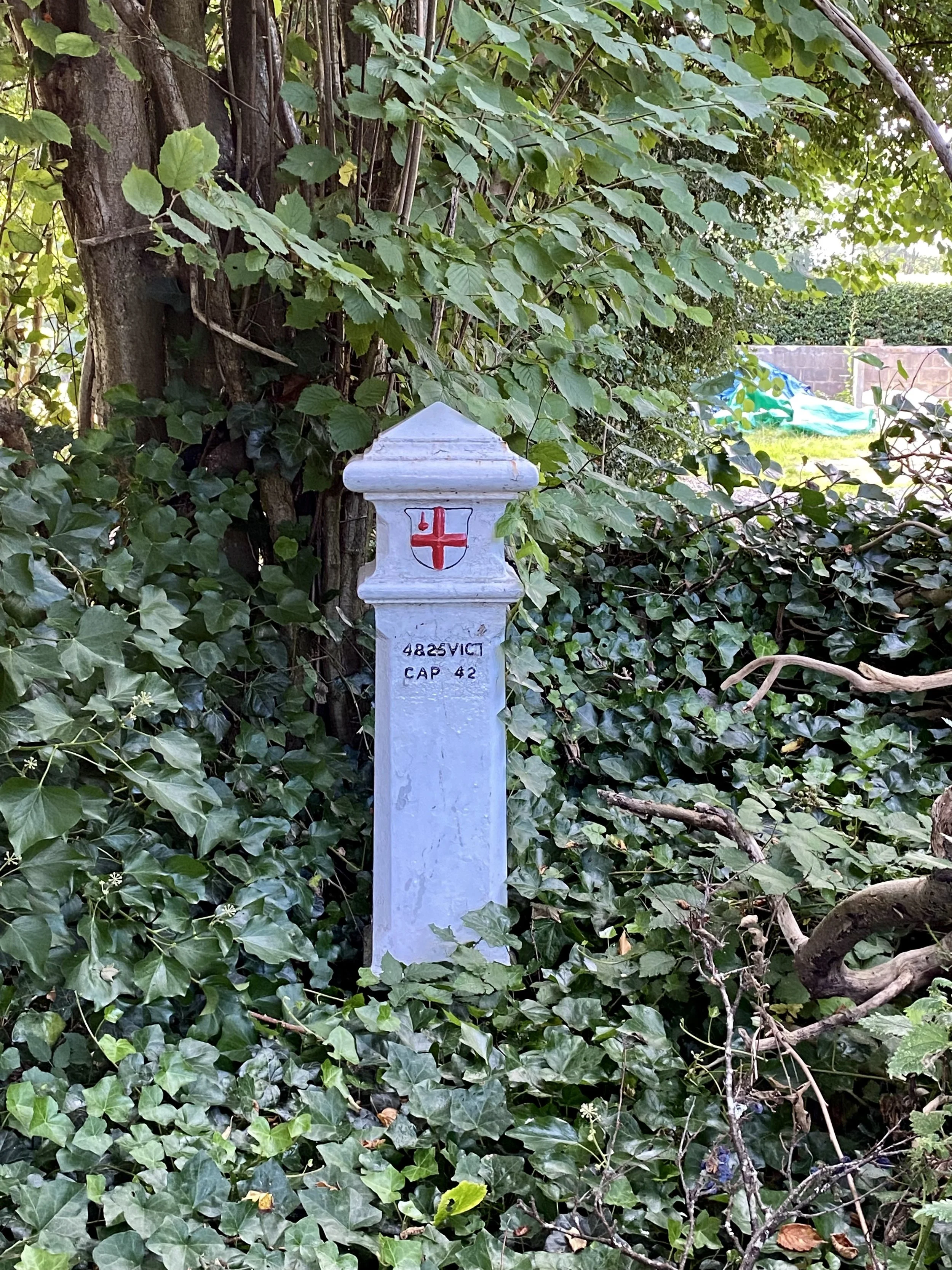
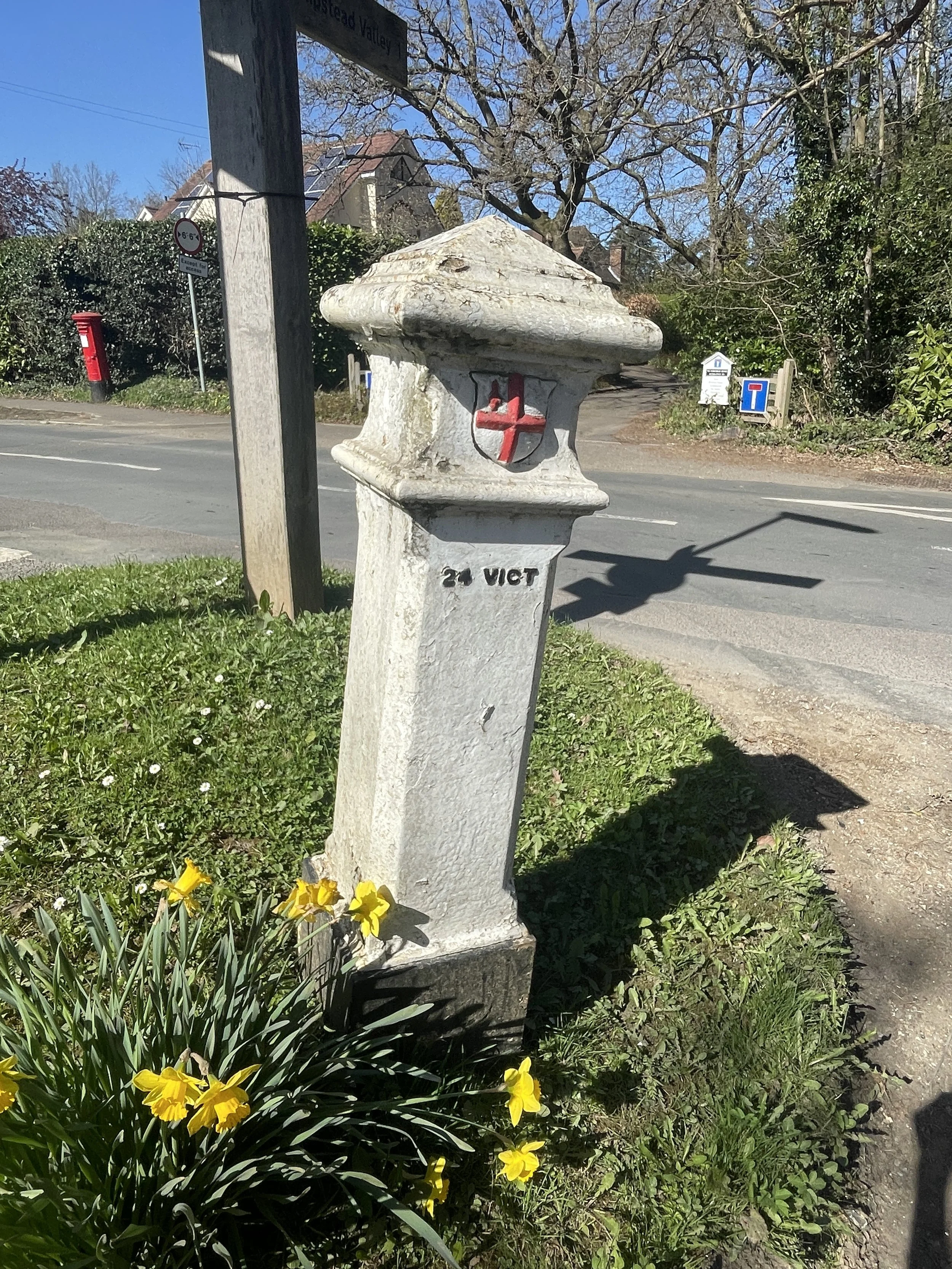
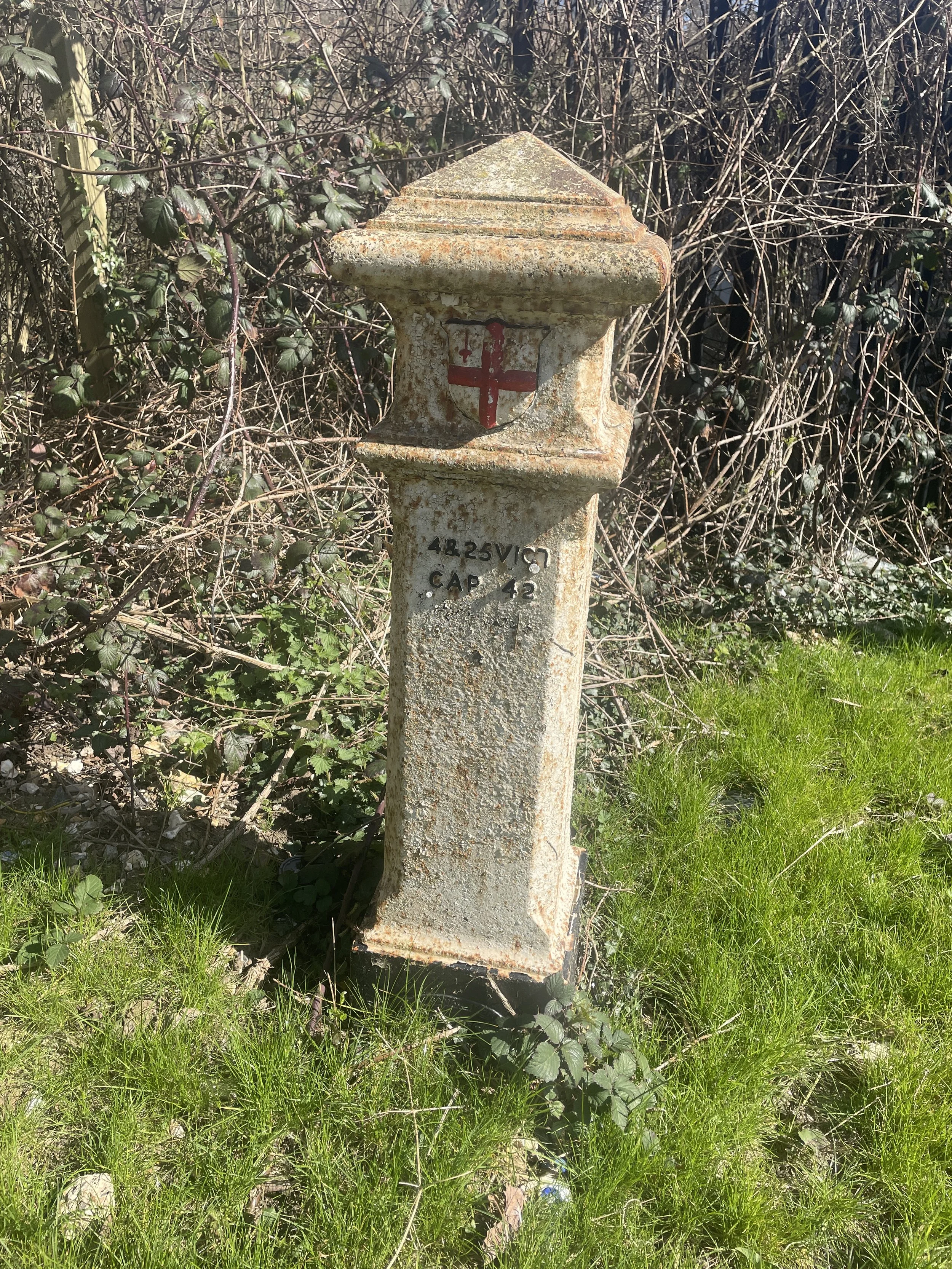
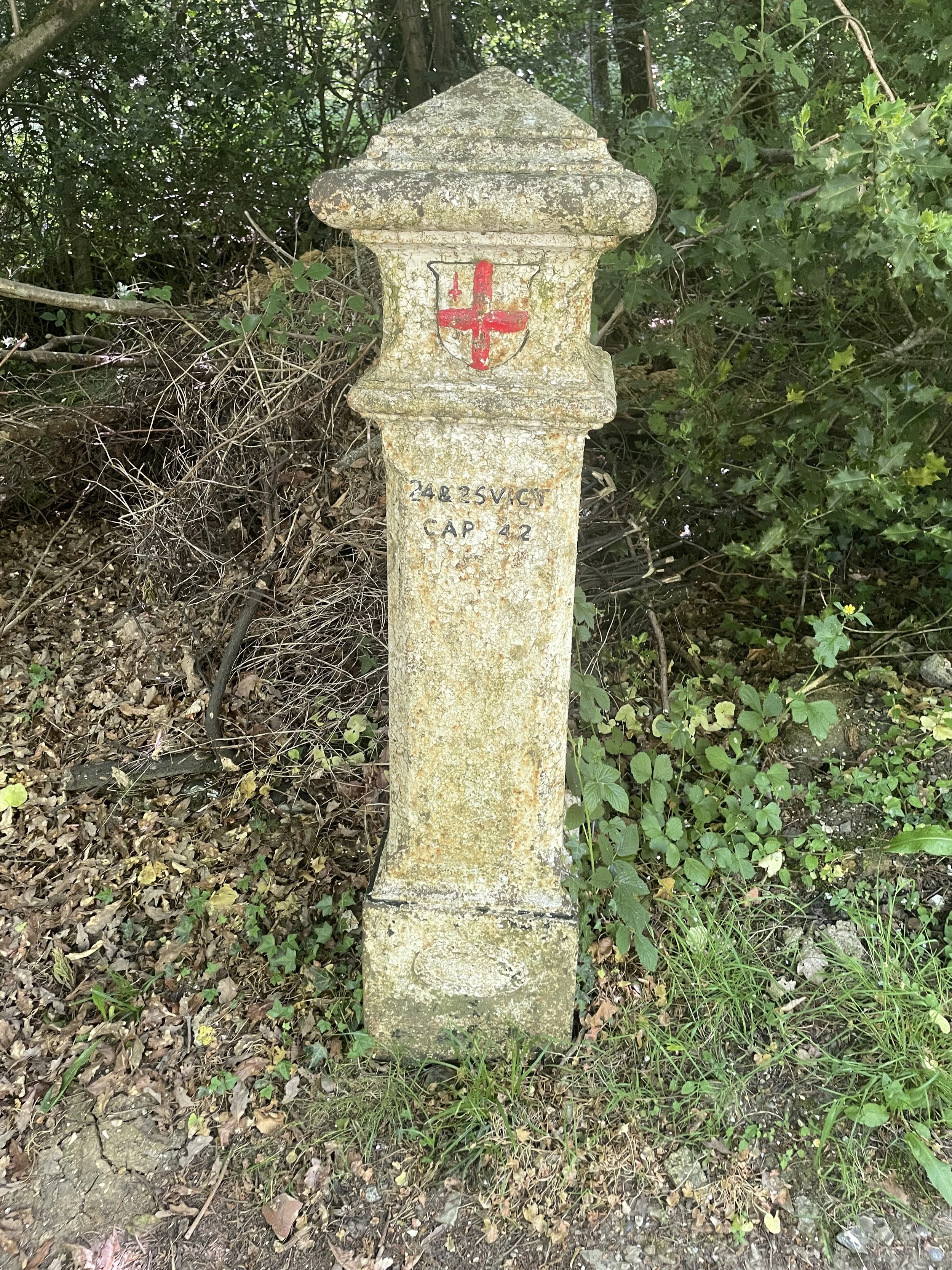
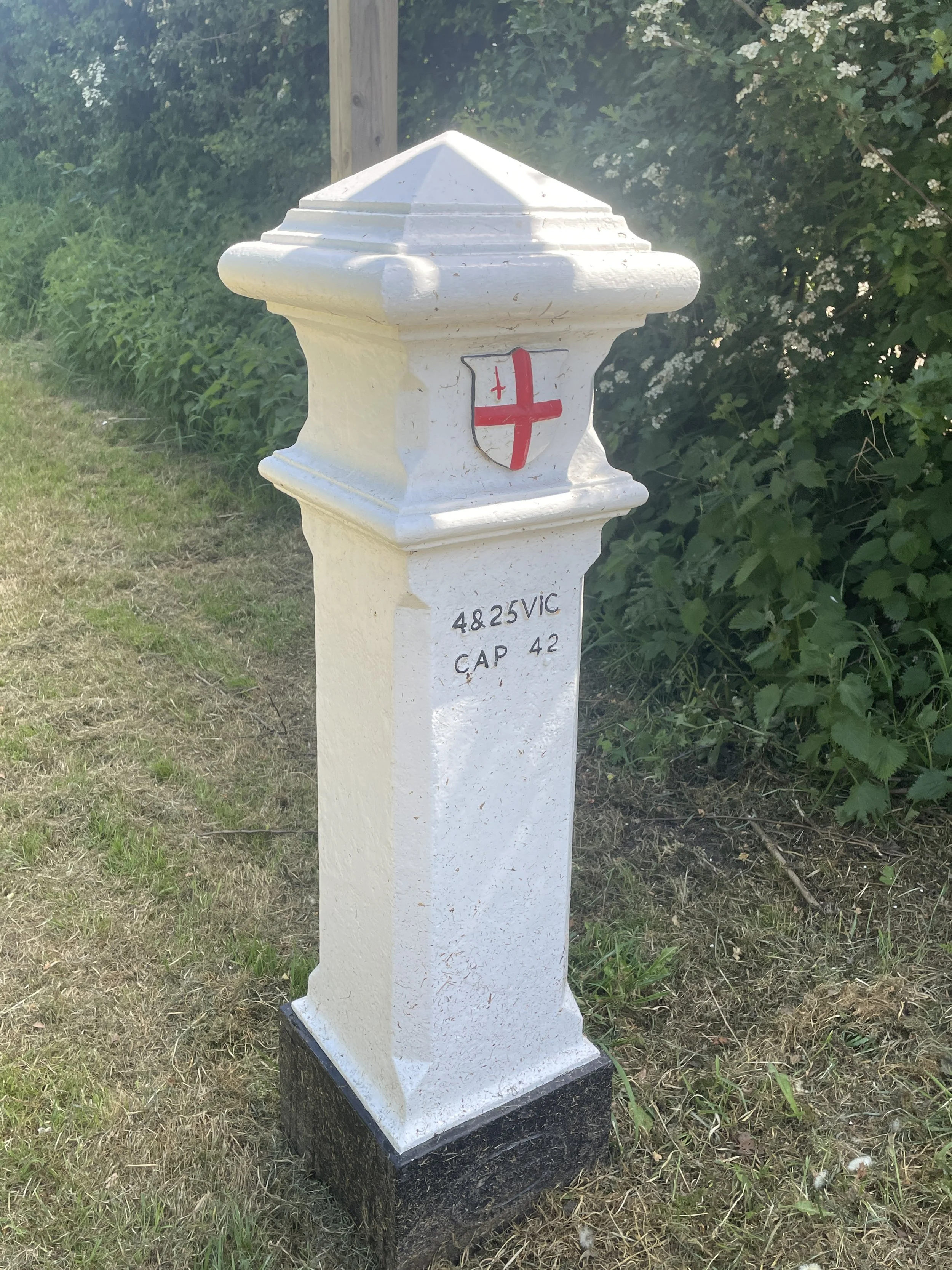
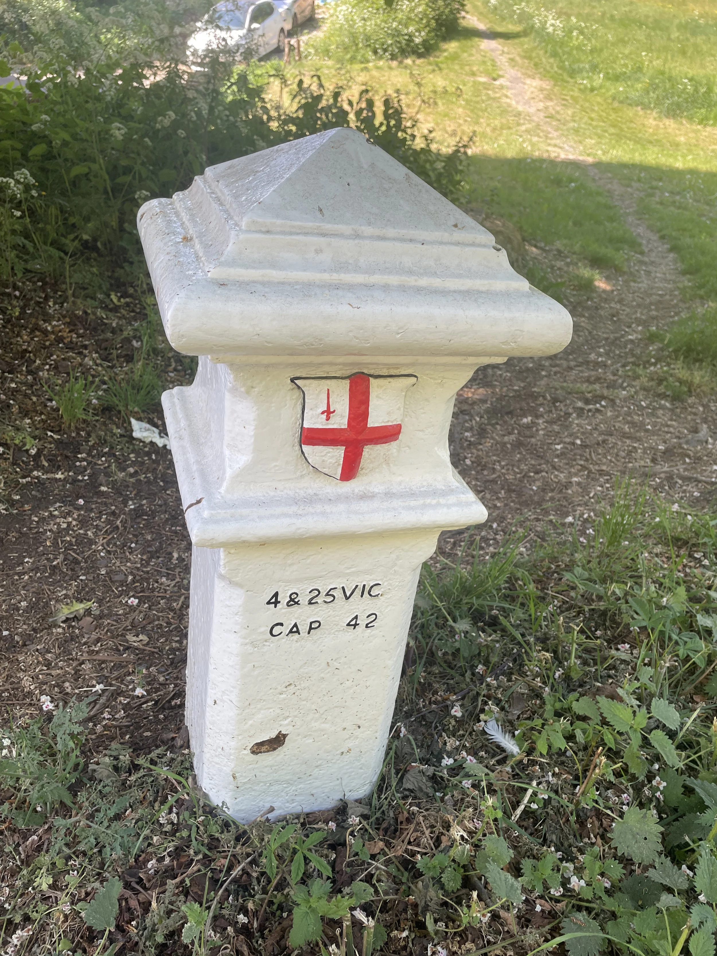
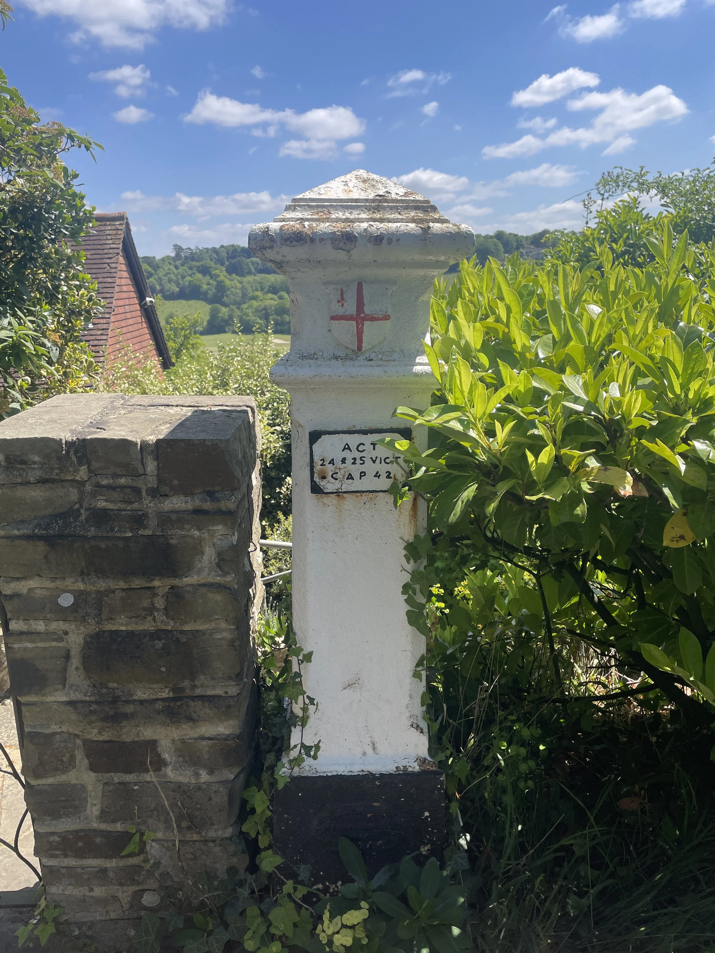
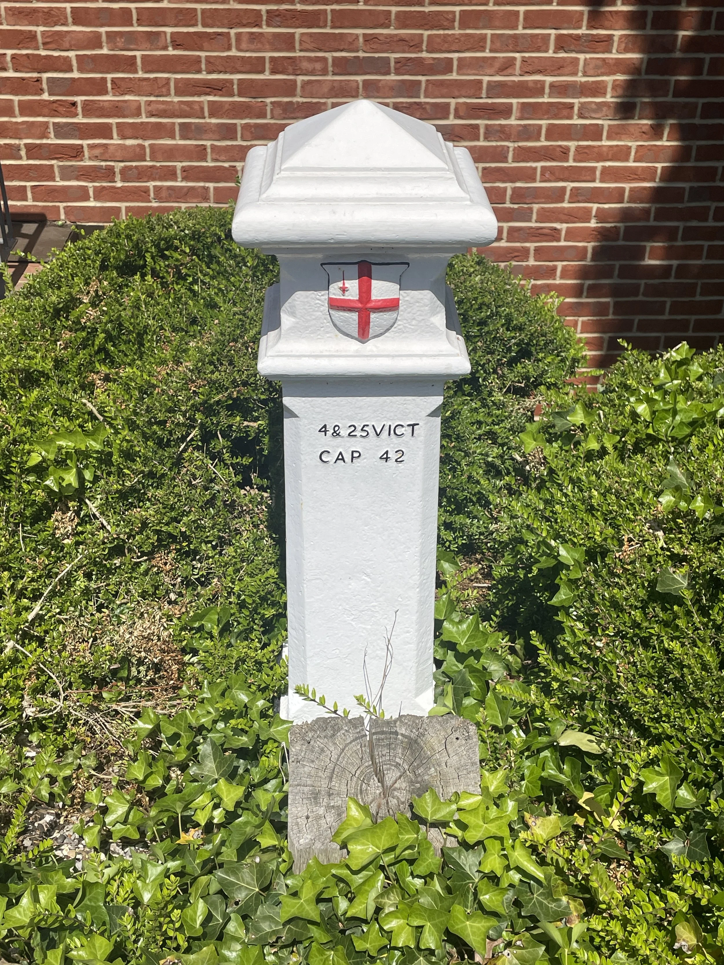
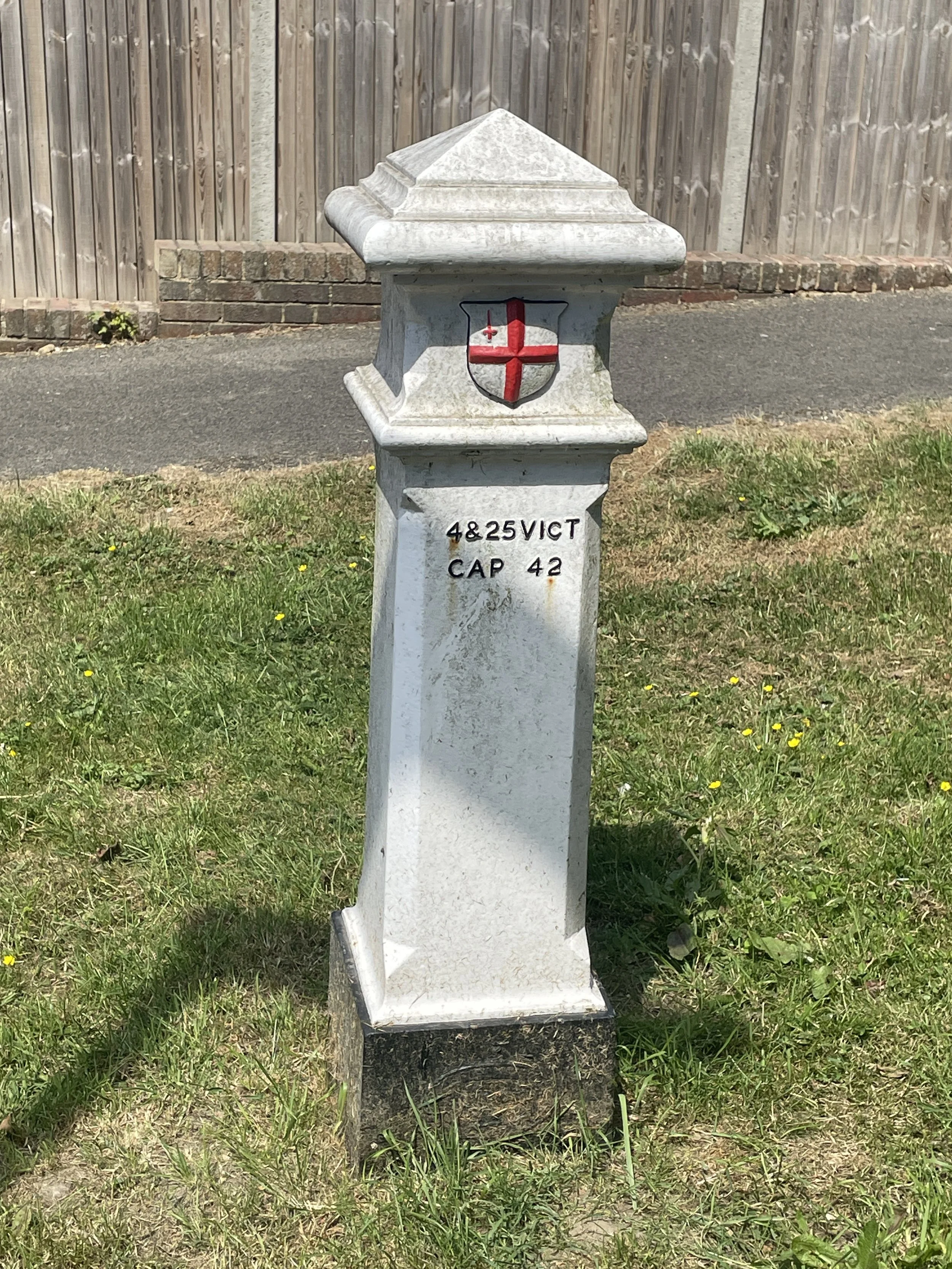
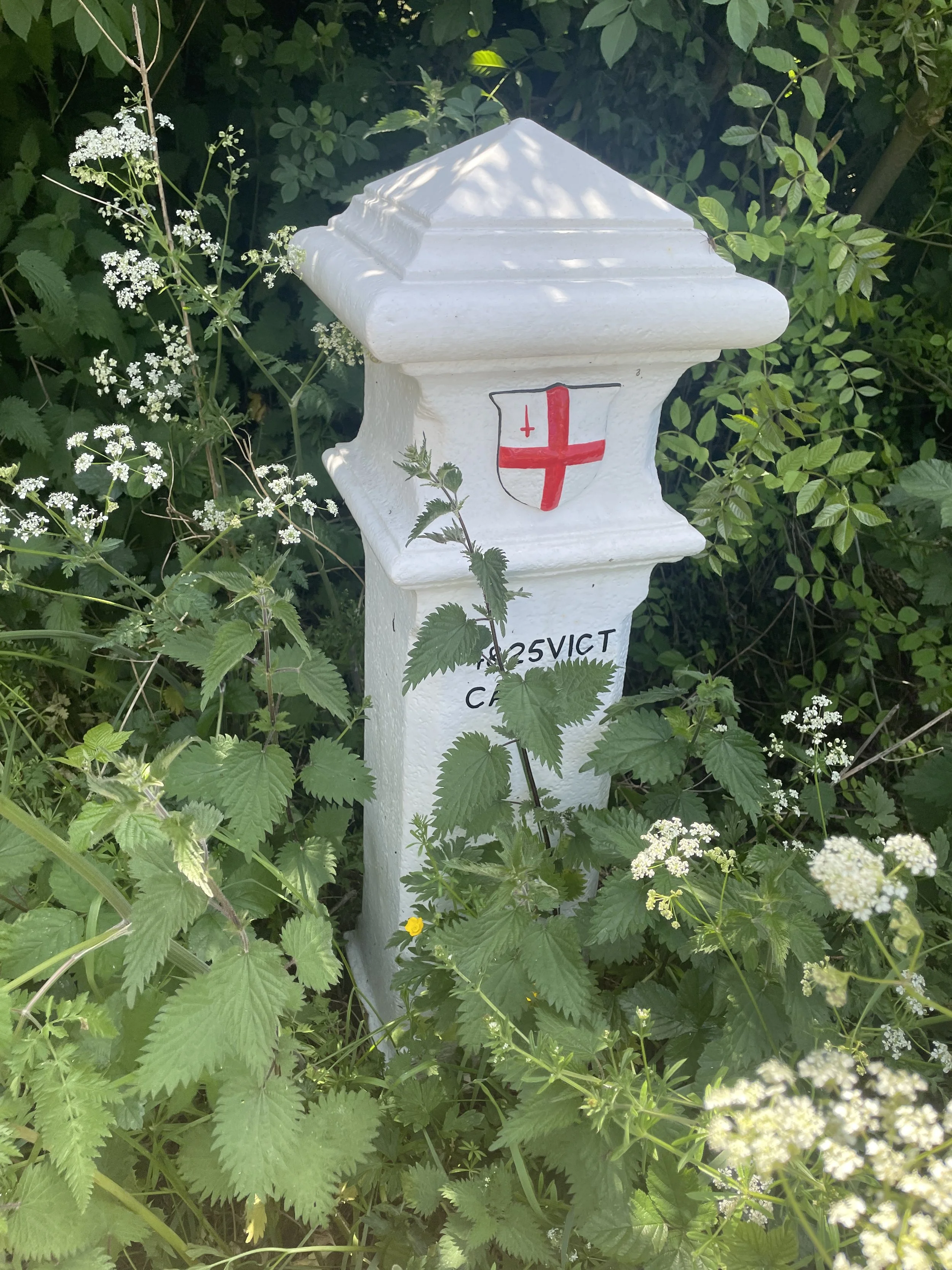
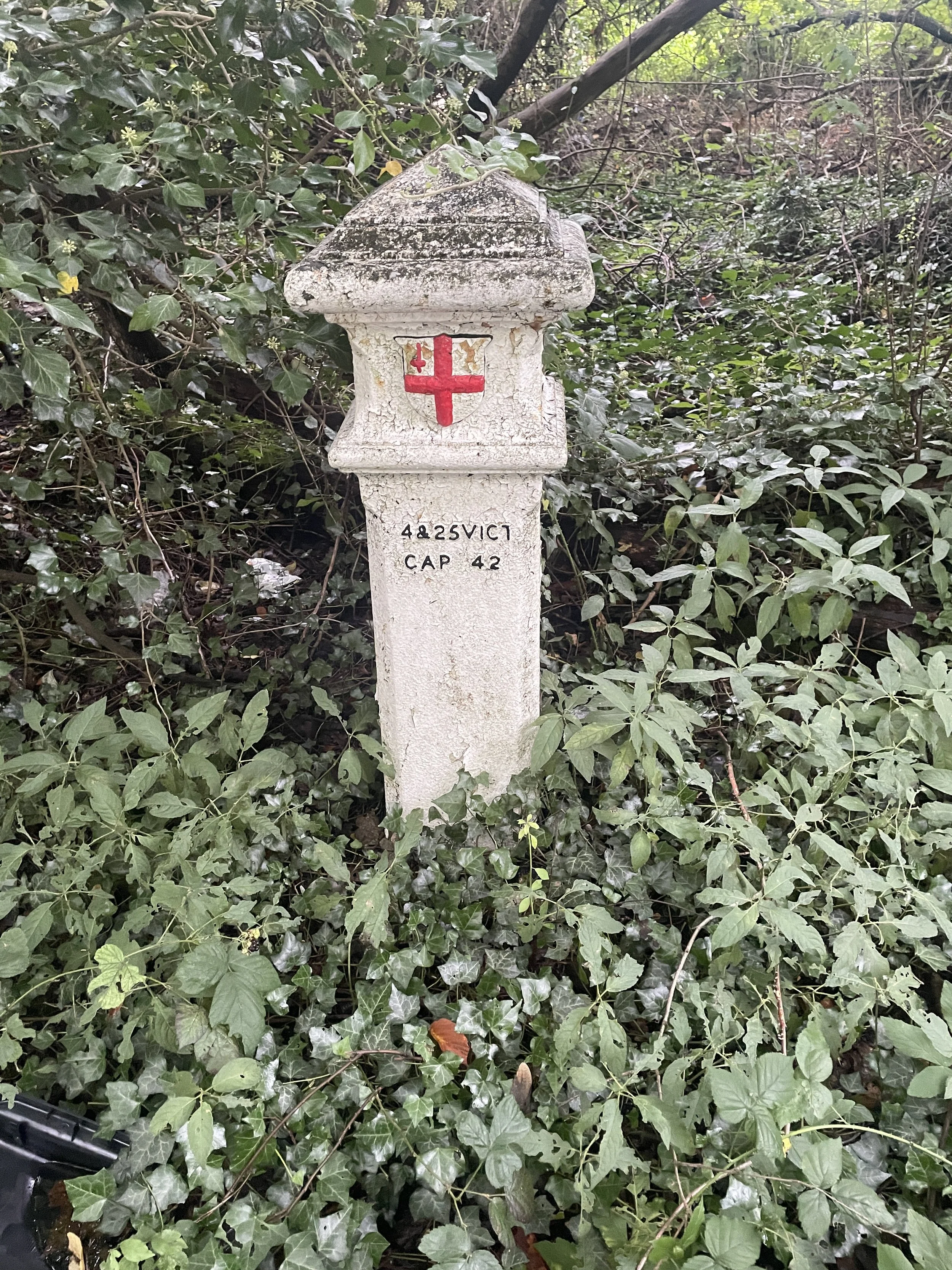
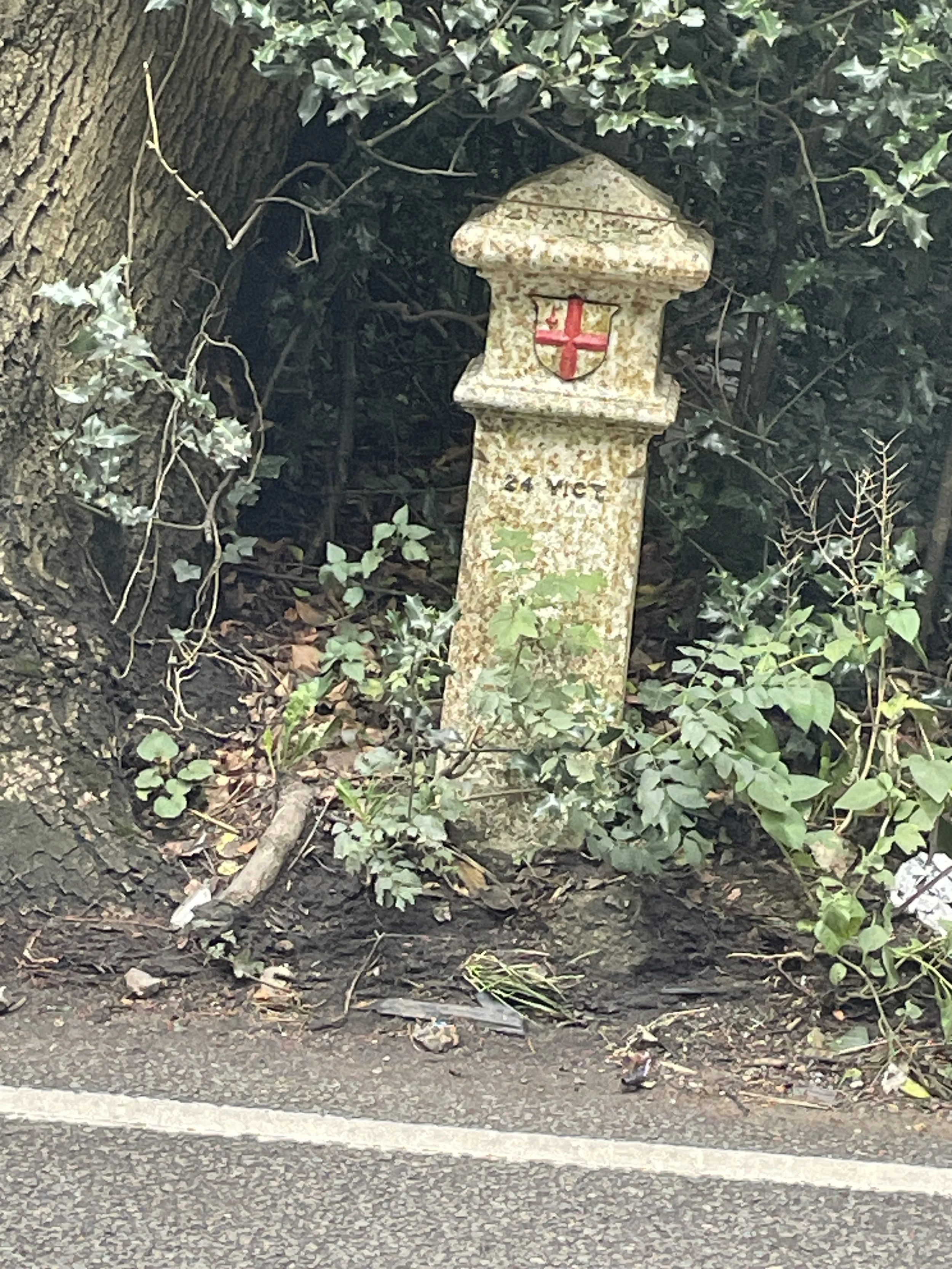
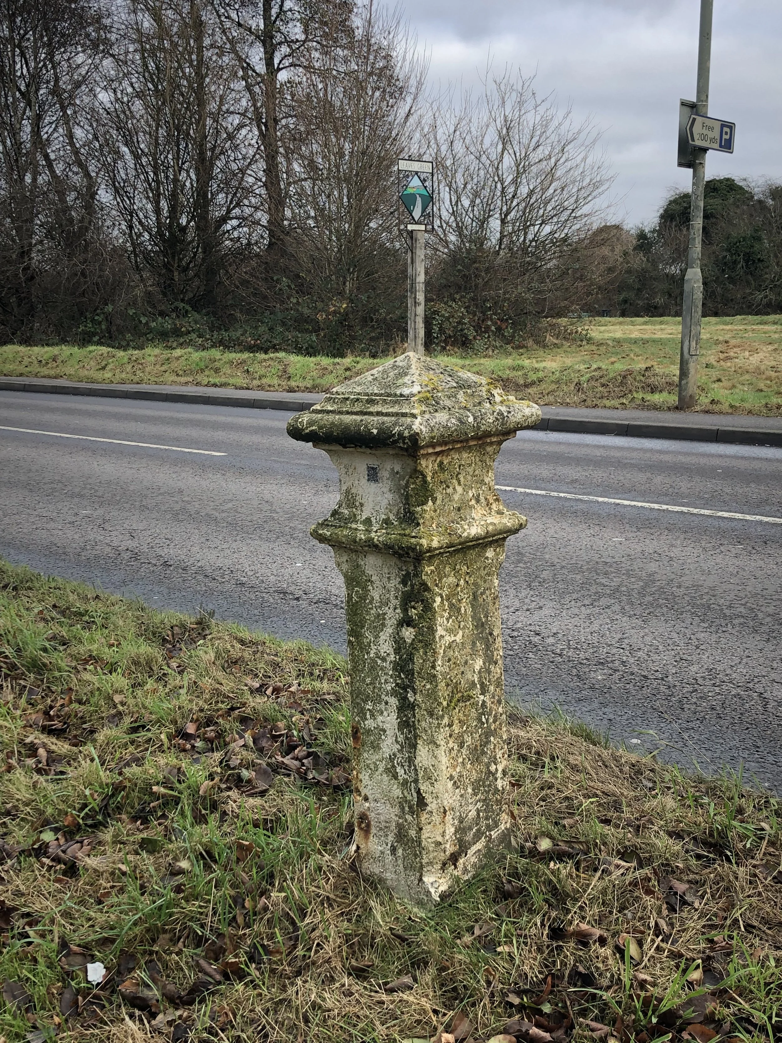
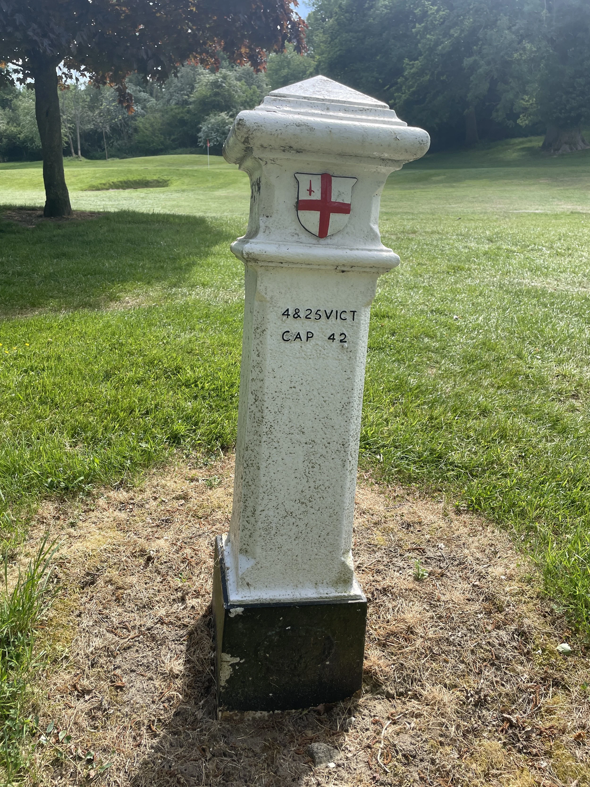
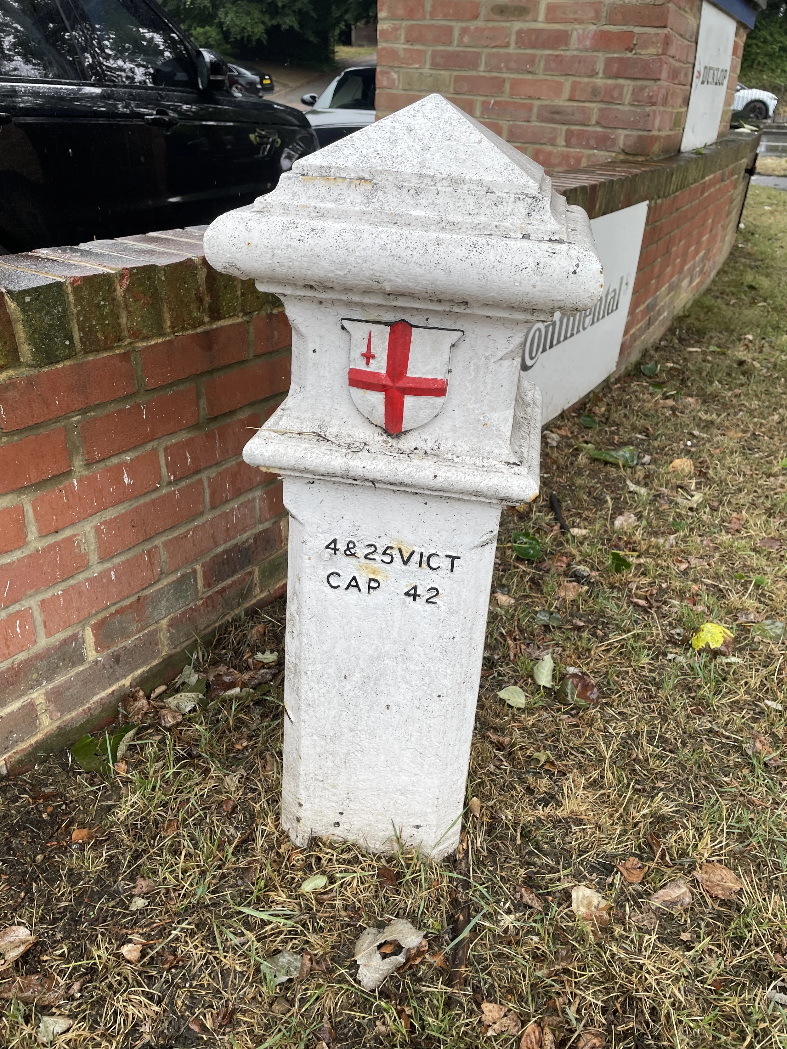
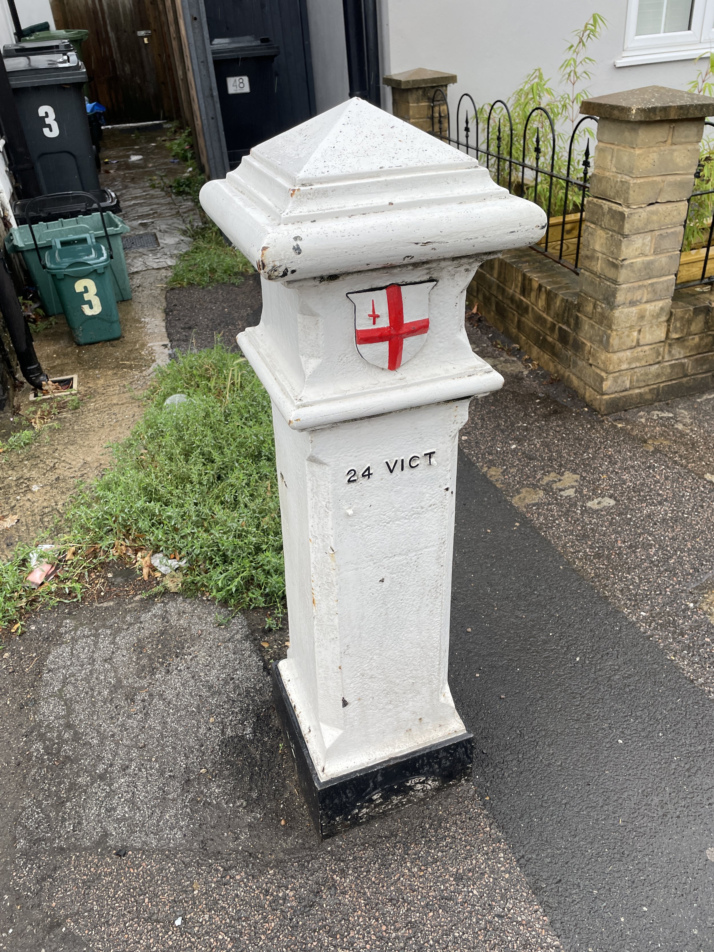
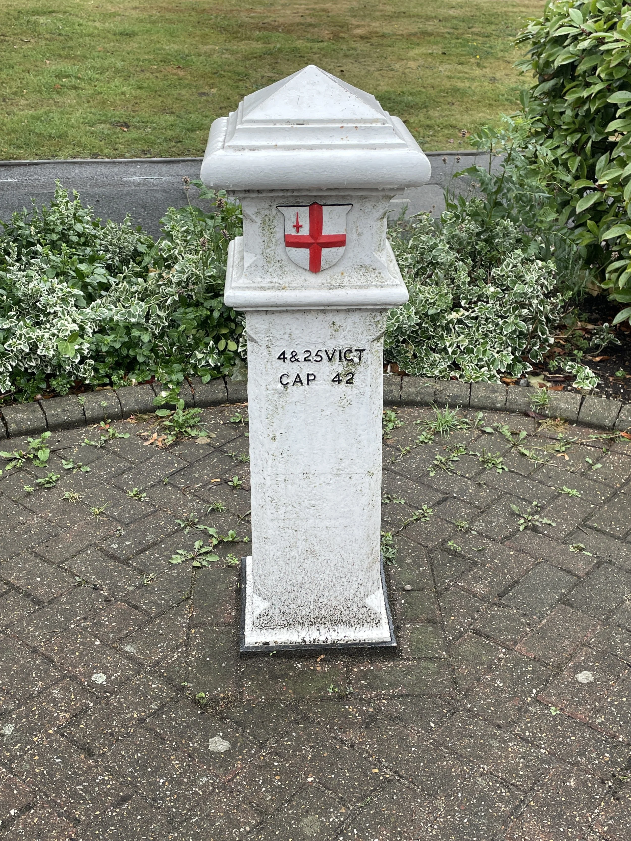
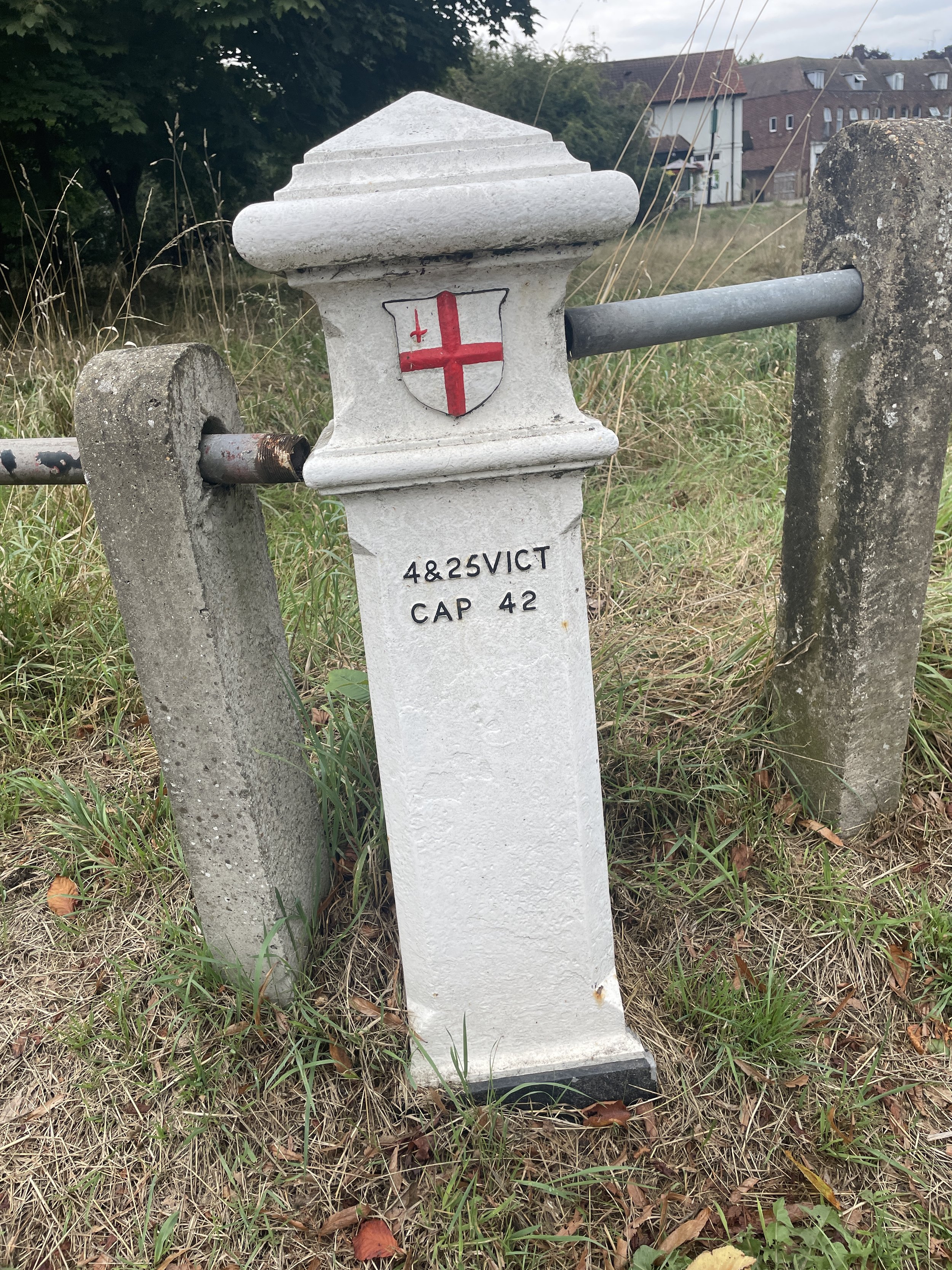
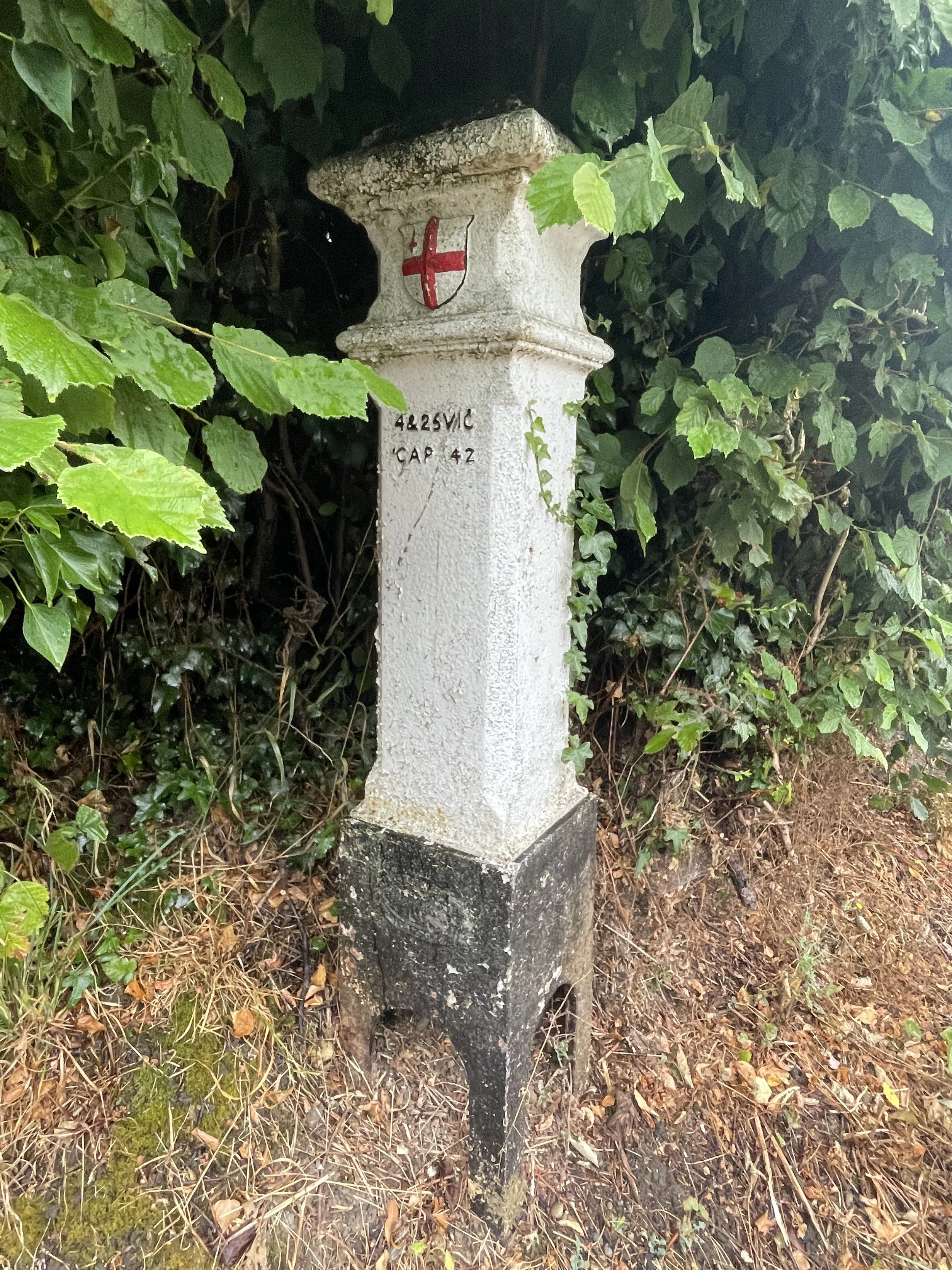
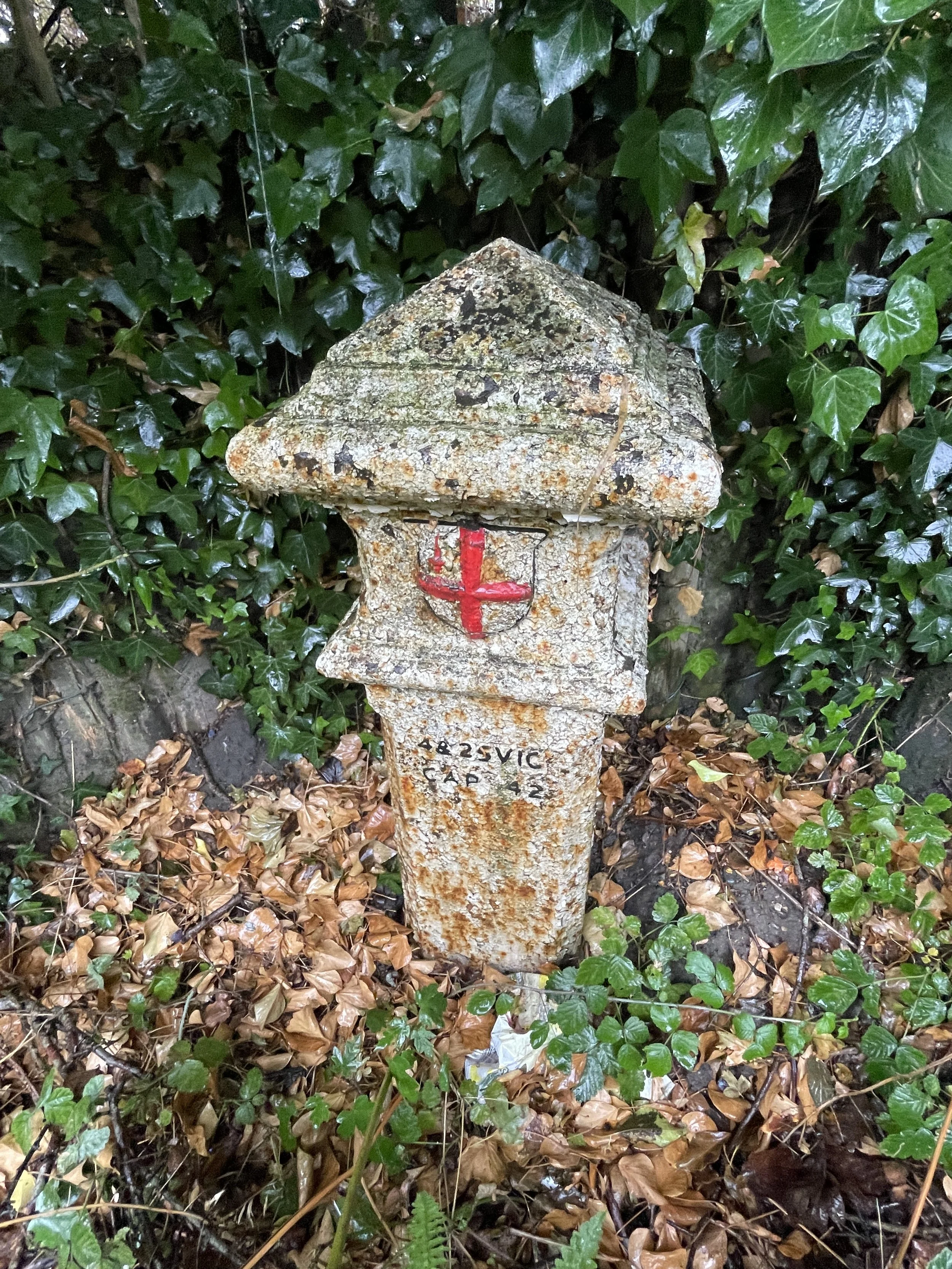
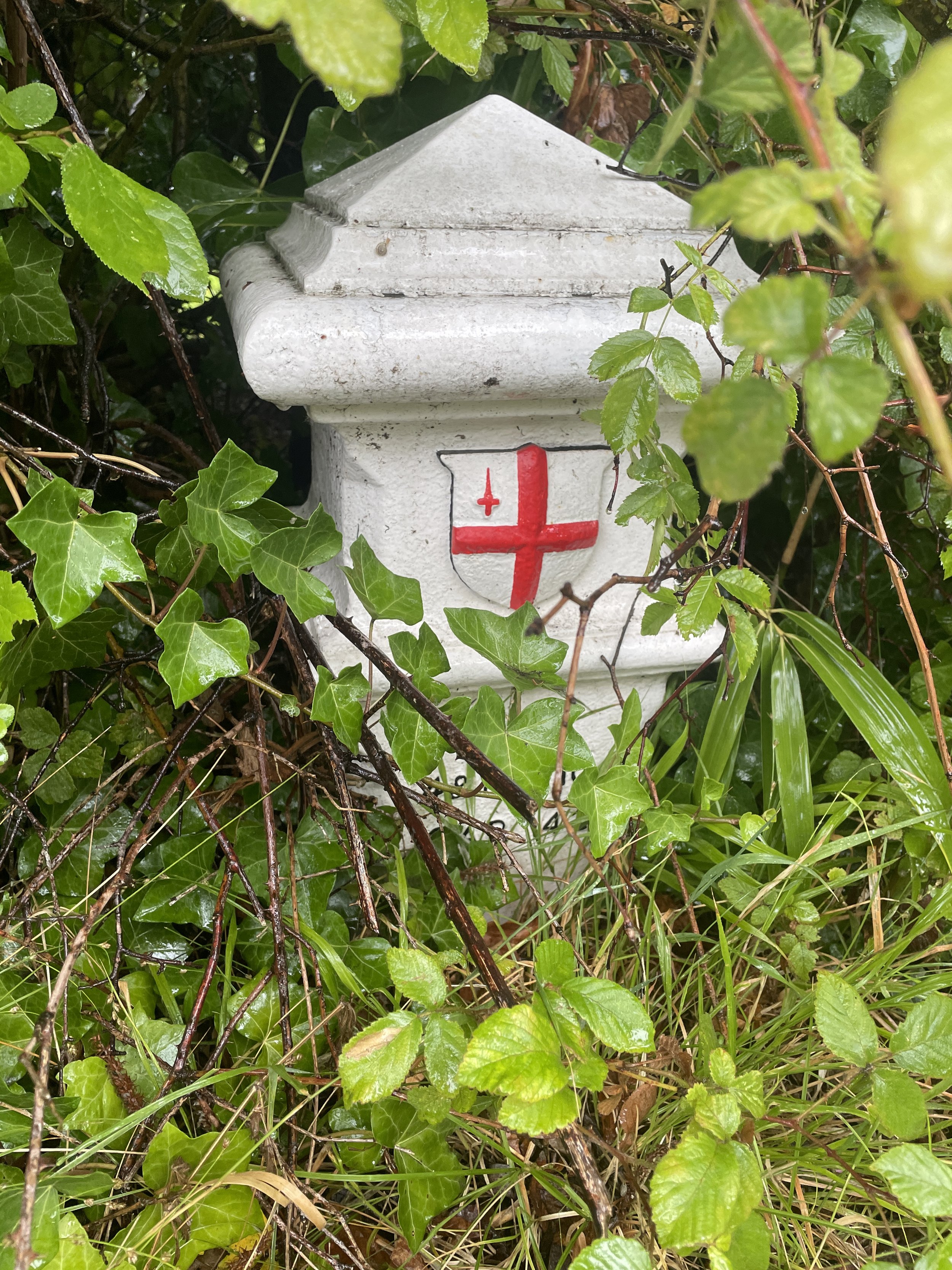
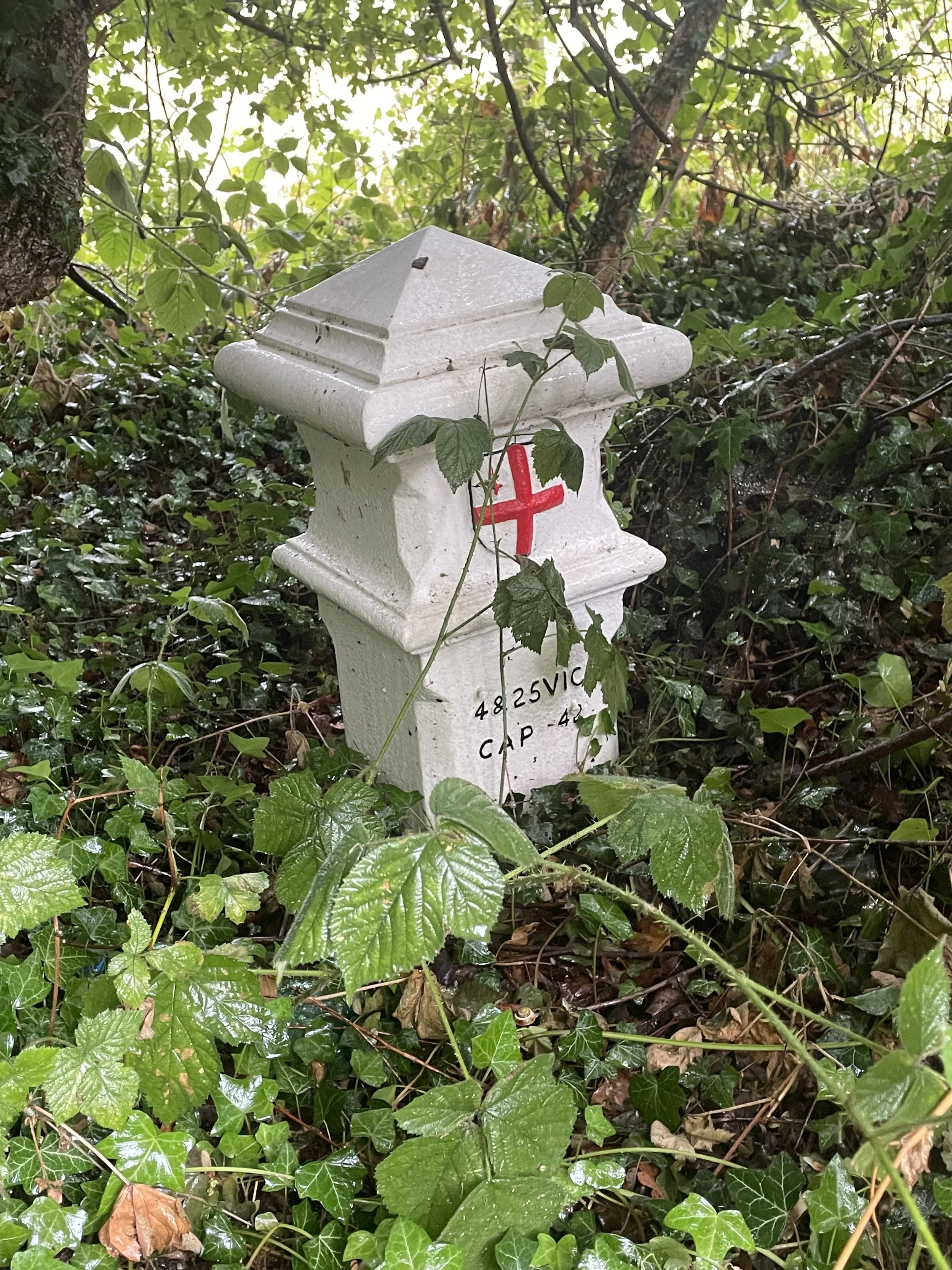
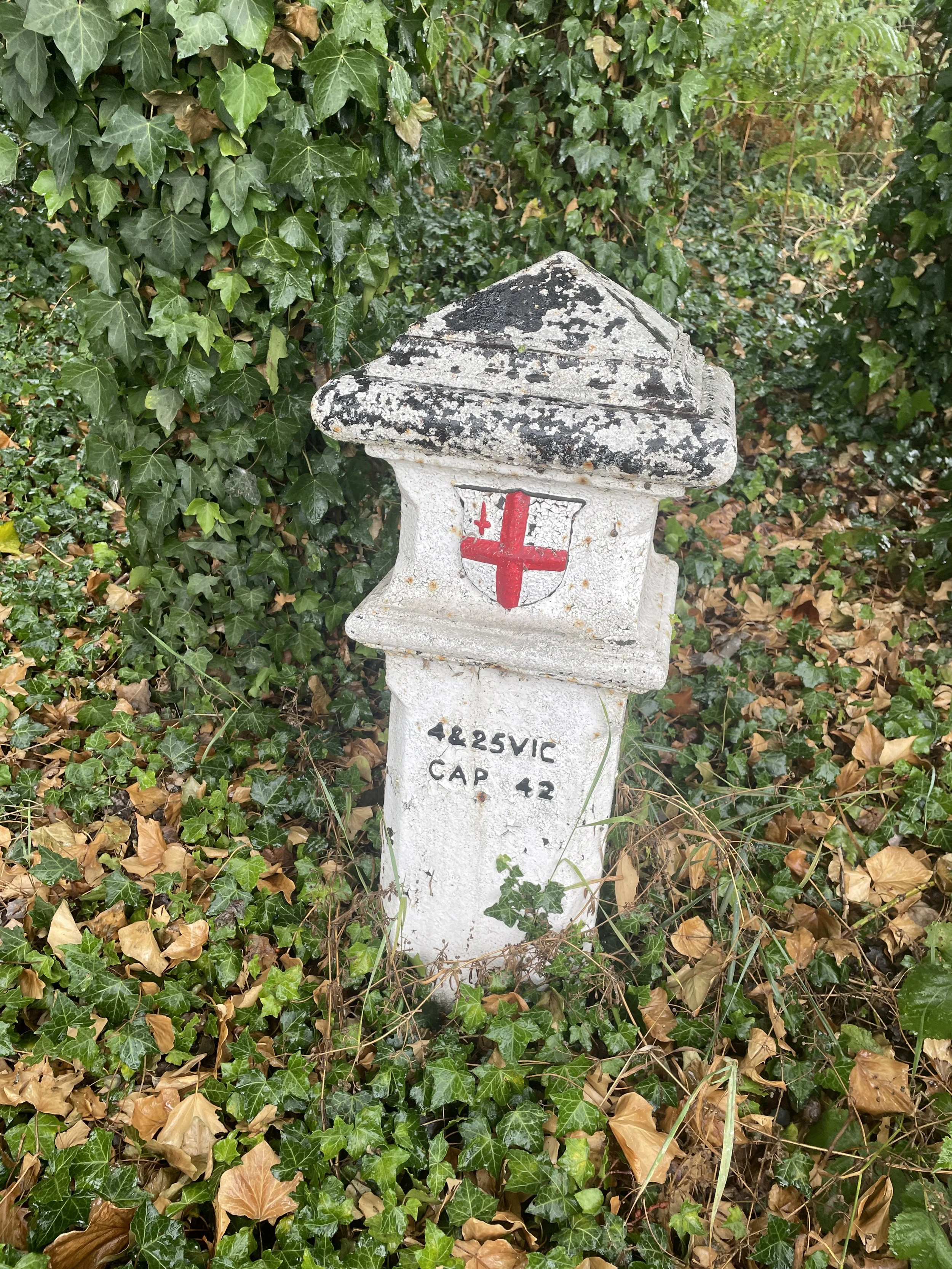
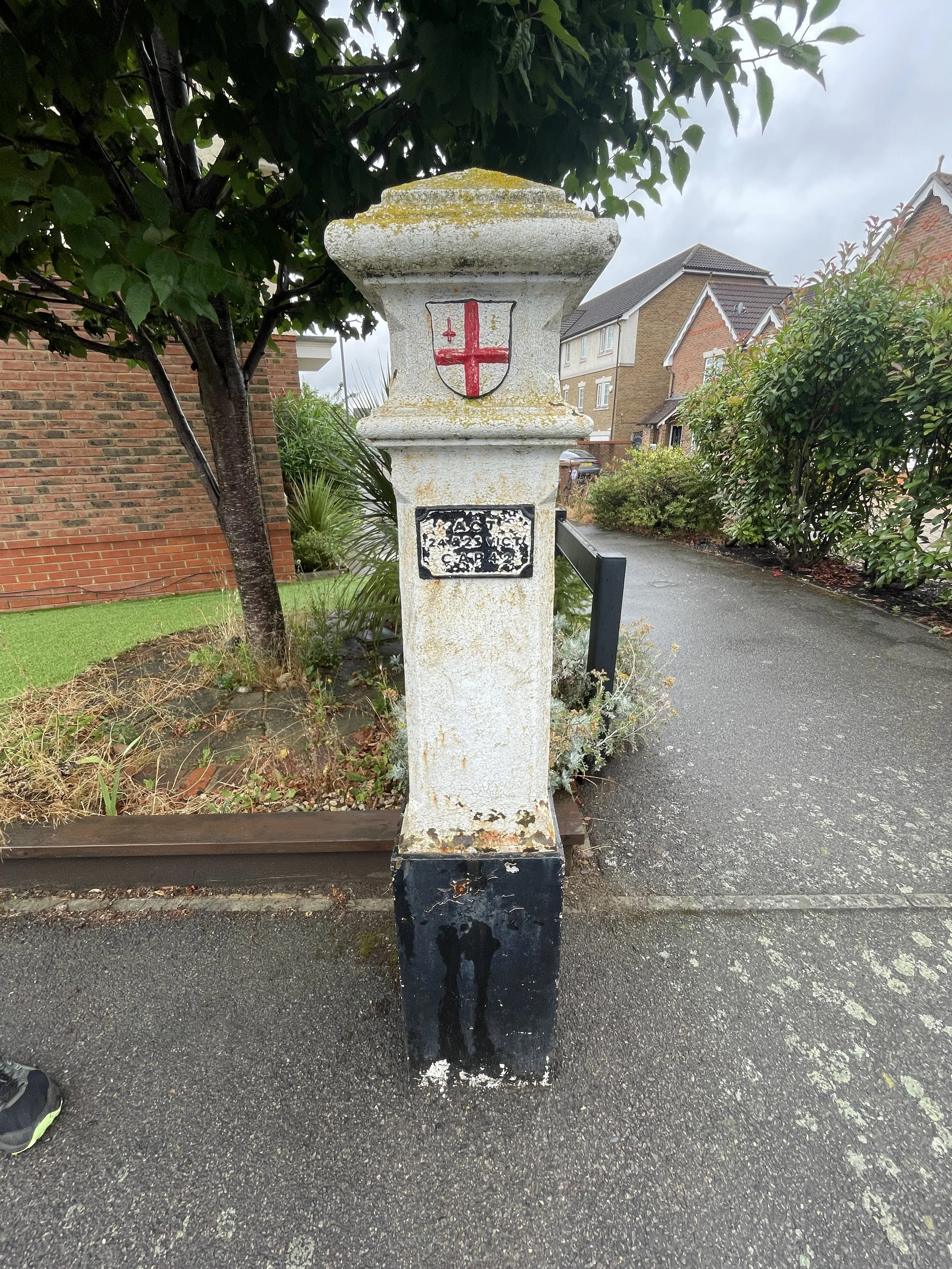
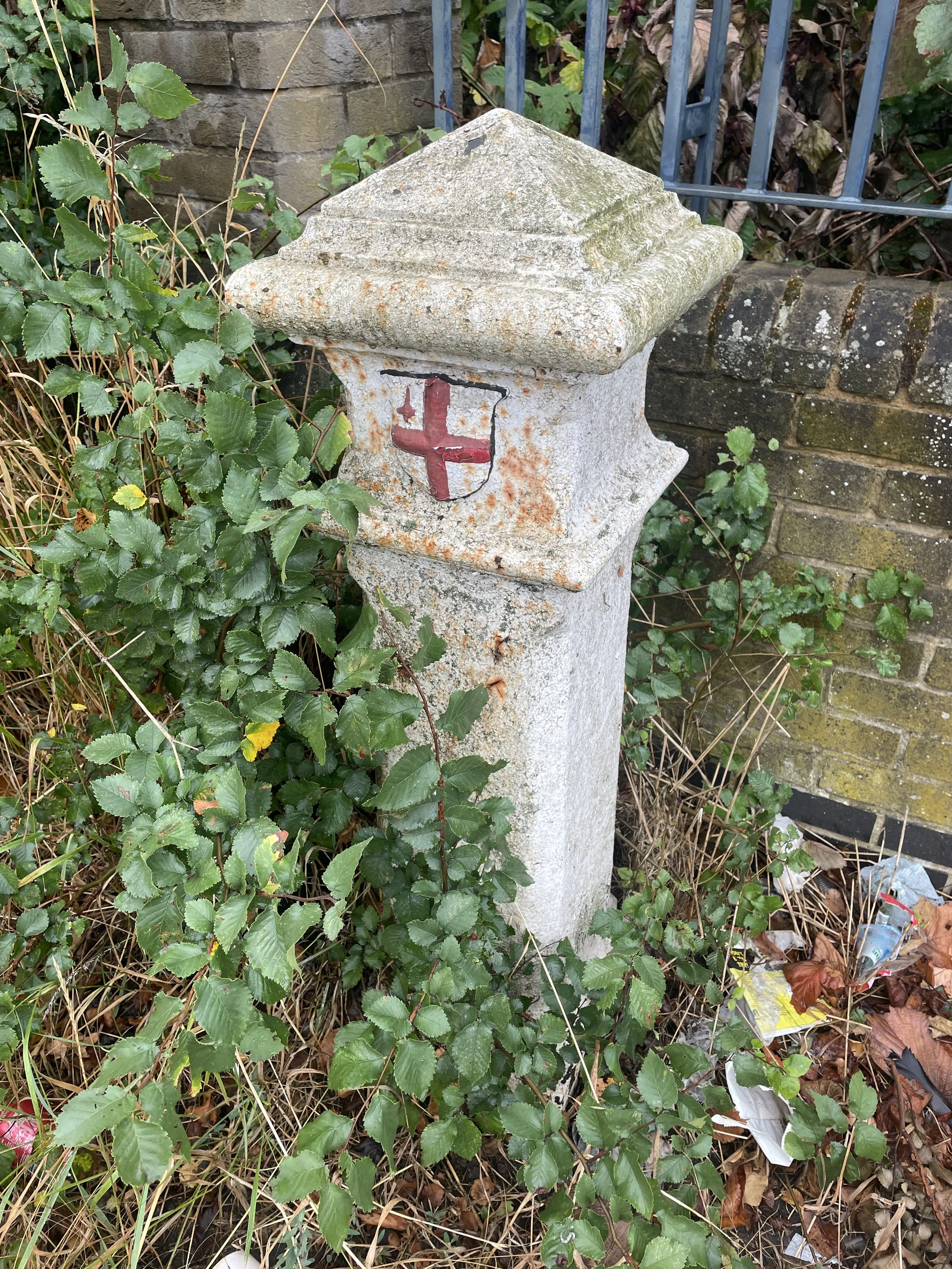
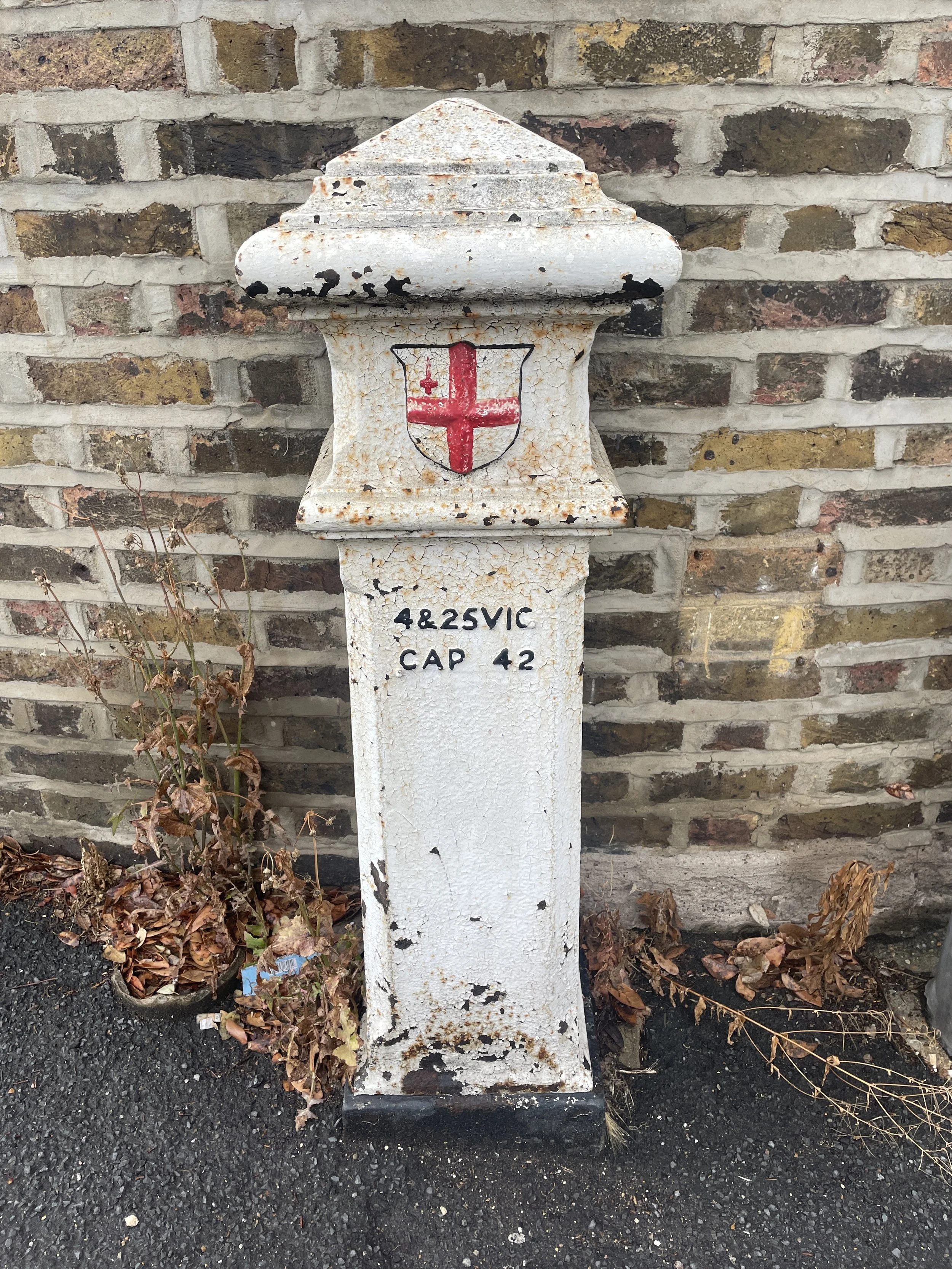
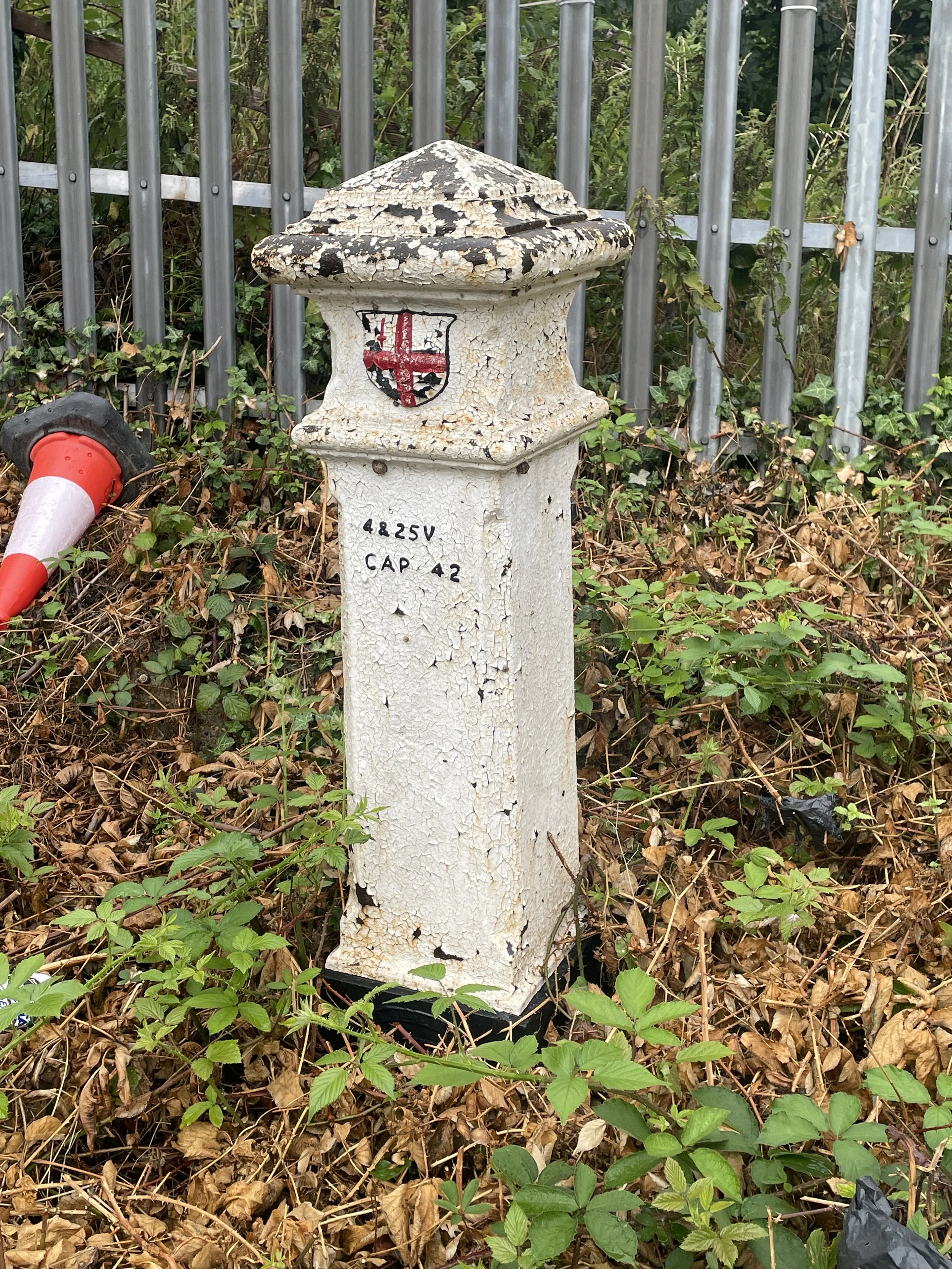
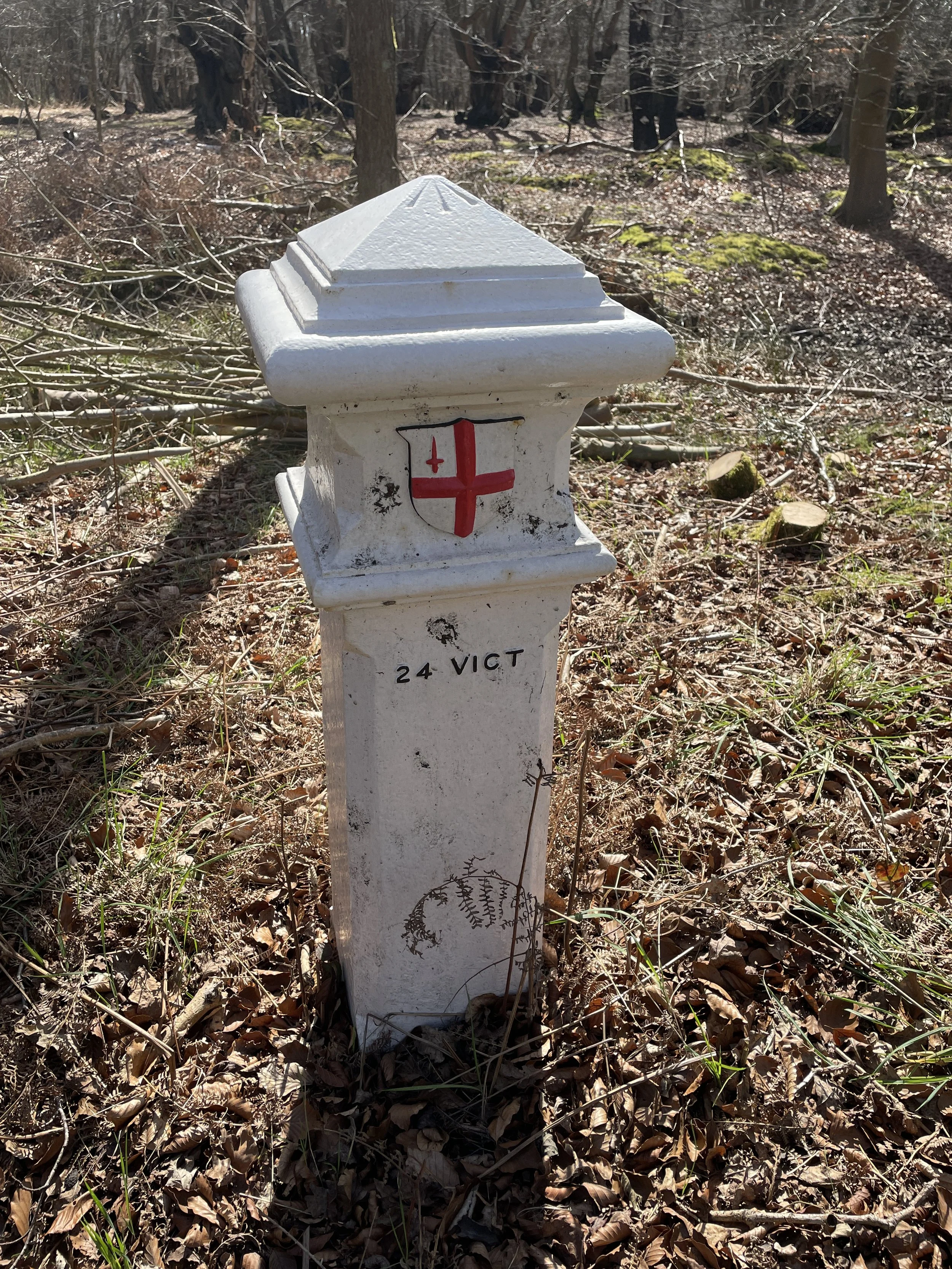
London Coal Duty Posts: 91, 92, 93
Cafe / pub on route: Several in Weybridge Town Centre, The Old Crown and The Minnow (2.2 km in), D'Oyly's (2.7 km in)
Map: OS Explorer Map (160) Windsor, Weybridge & Bracknell
Links: Weybridge, Wey Navigation, River Wey, River Wey and Godalming Navigations (National Trust), D'Oyly Carte Island, Desborough Island, Desborough Cut,


This is the first of a series of short circular walks along the River Wey and the Wey Navigation canal in Surrey. The guidance below will help you navigate but don’t use it as a fully accurate turn-by-turn guide. Always take a map and/or a GPX route and prepare well for the weather and terrain.

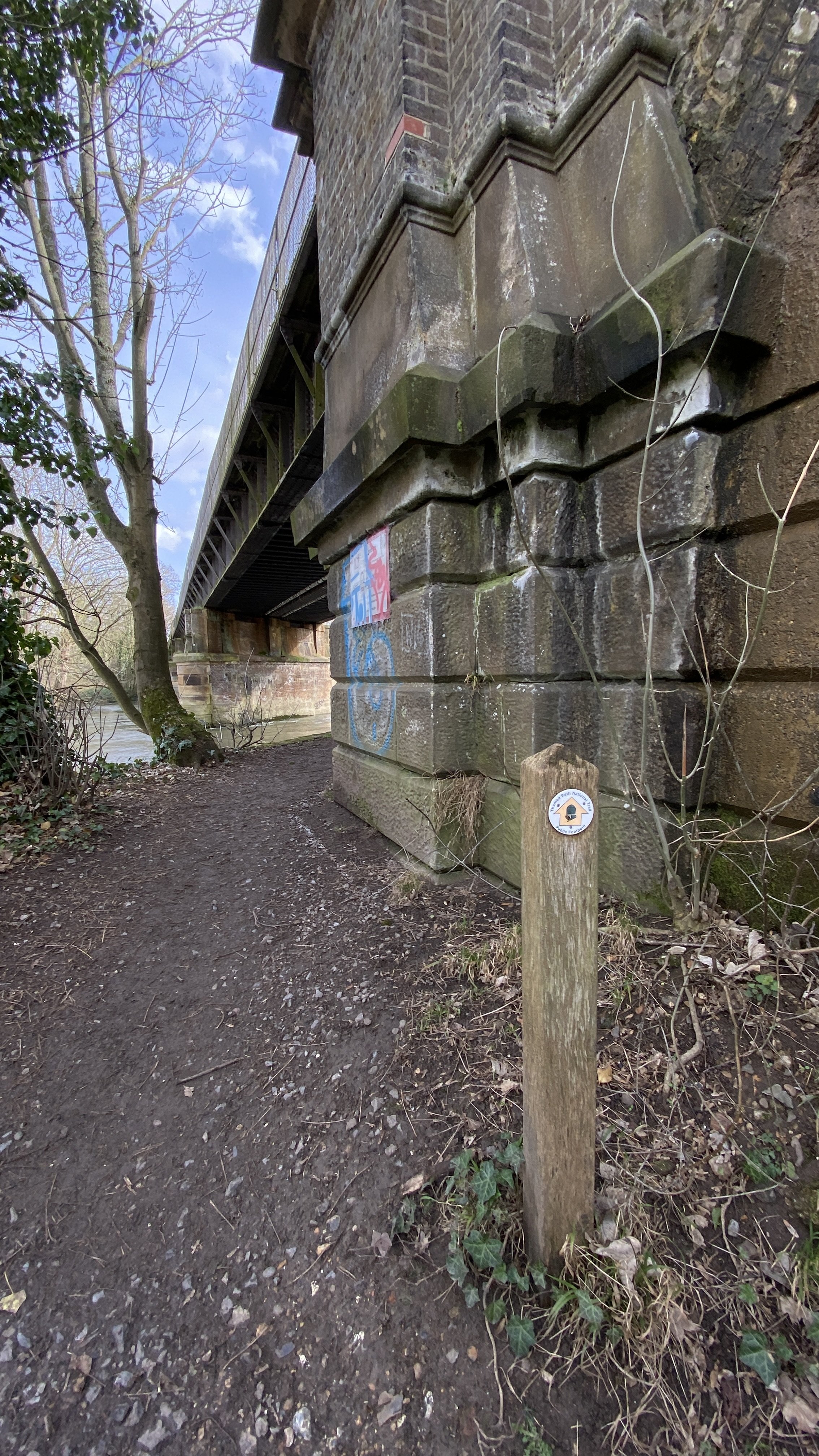
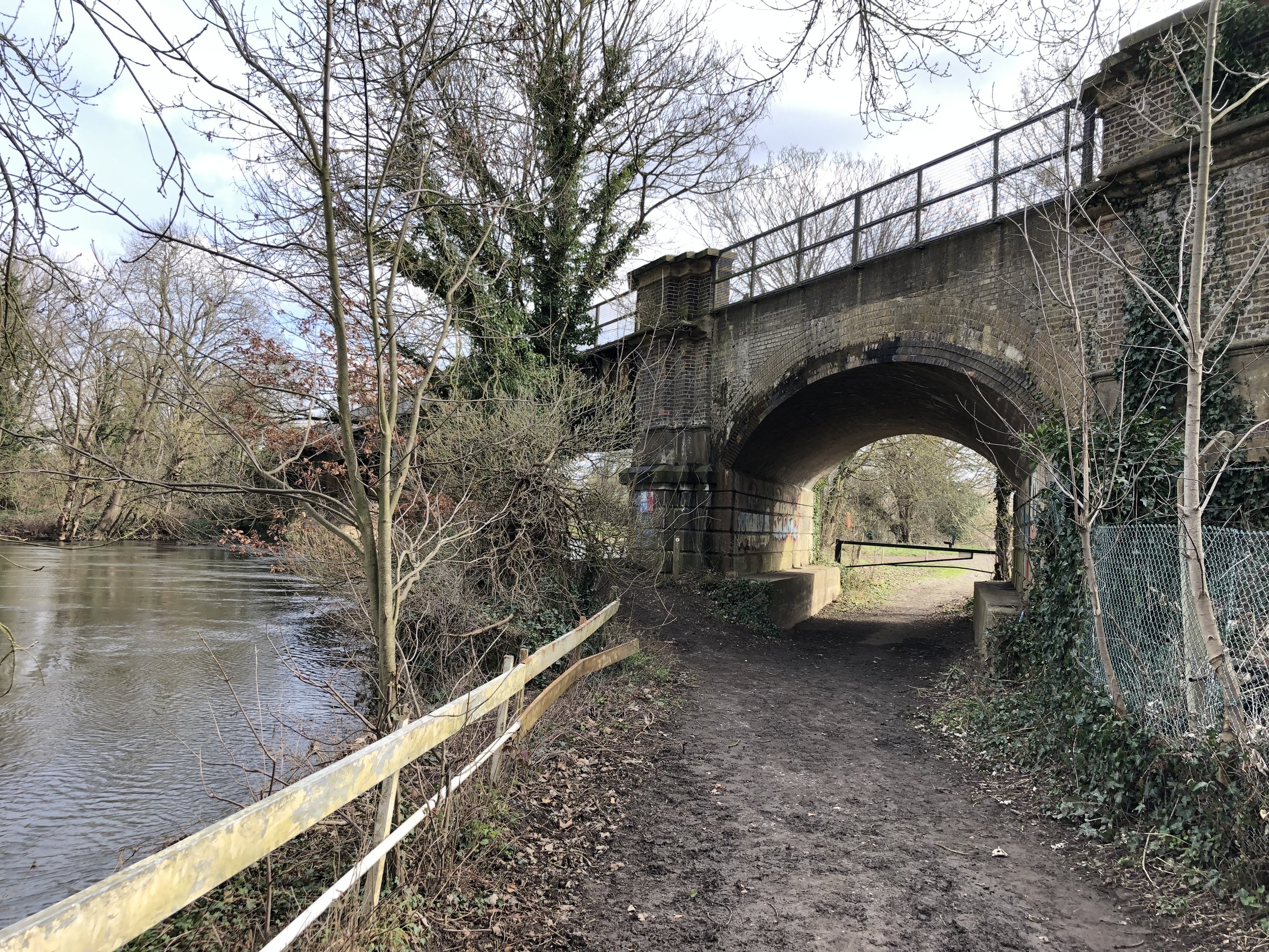
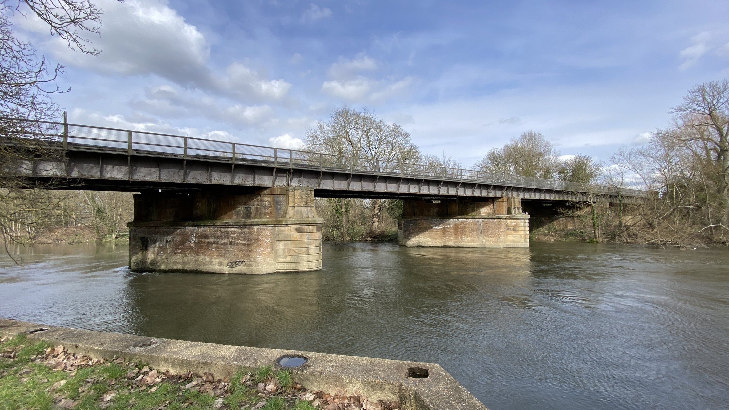
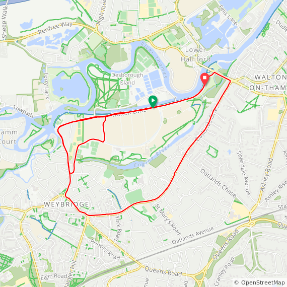
This walk starts at the Churchfields Car Park in Weybridge town centre. Walk along Church Street in a south-westerly direction then take a right onto Bridge Street. Soon you’ll cross the old Wey Bridge which the town took its name from. The bridge crosses over both the River Wey and the Wey Navigation. Once over the bridge take a right to step down to the Wey Navigation footpath to follow it in a northerly direction towards the confluence with the River Thames. You’ll pass a lot of large, expensive houses on the route. At 1.6 km into the walk you’ll reach Thames Lock, the final lock on the Wey Navigation. Cross over to the right hand side of the lock and follow the path that crosses over the River Wey onto Church Walk. Take a left onto Church Walk, cross over Jessamy Road and follow the path to Thames Street. Take a left onto Thames Street, heading north and pass the Old Crown and The Minnow pubs. Take a left into the small car park next to the Rowing Club to join the path by the River Thames.

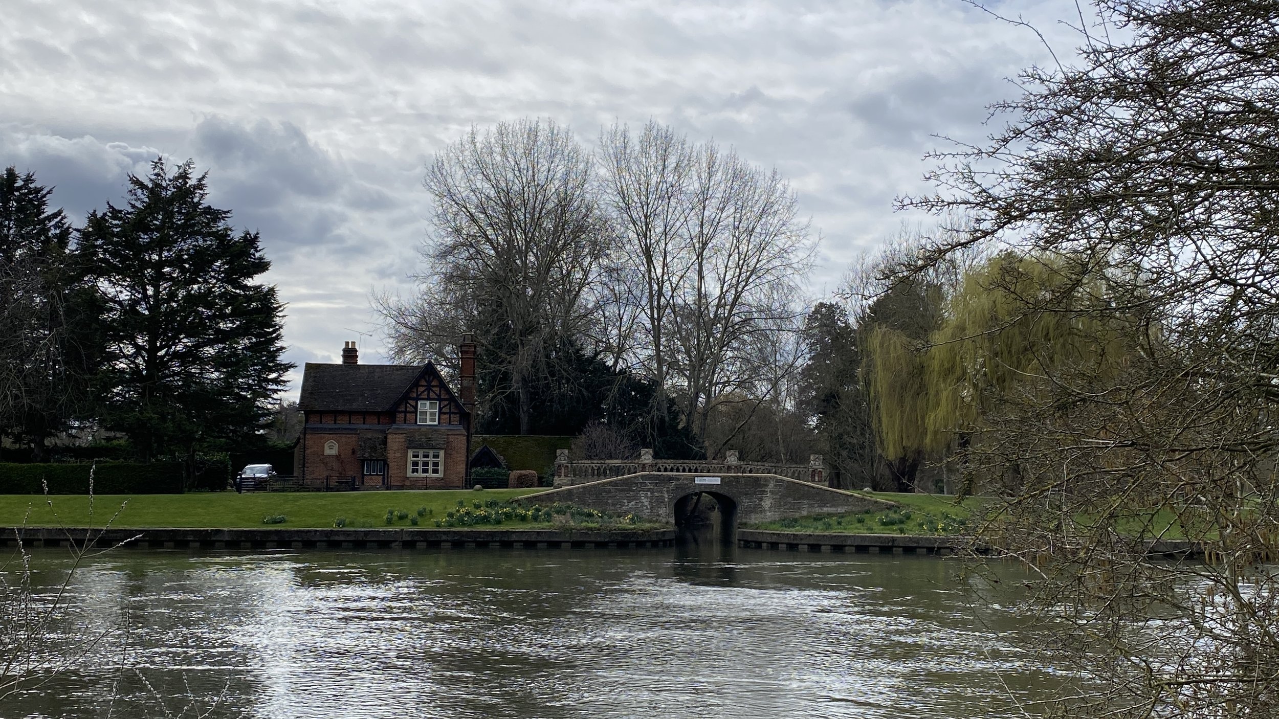
Follow the path by the Thames in a north-easterly direction. Soon you'll pass the small ferry where you’ll pick up the Thames Path National Trail. Next you’ll pass D’Oyly Carte Island where there a good, and often busy, cafe. Just after D’Oyly Carte Island, you’ll reach the Desborough Cut, an artificial channel, completed in the 1930s, that bypasses a meandering stretch of the Thames near Shepperton. The Thames Path National Trail follows the Cut, but for this walk we crossed over the Walton Lane bridge to follow the path along the northern side of Desborough Island to stay close to the original course of The Thames.

At the eastern end of Desborough Island cross over the bridge and walk down the steps to rejoin the Thames Path. After 100m, cross over Walton Lane to pick up Broad Water Walk, a path that follows the southern edge of the Engine River and Broad Water lake. Follow this path in a westerly direction until you reach Grenside Road. Take a left to follow Grenside Road south, onto Thames Street, then High Street where you’re back at the start of the walk at Weybridge town centre.


Cycling The Basingstoke Canal

Where the Basingstoke Canal meets the Wey Navigation at New Haw


Start: Greywell Tunnel, 134 Hook Road, Greywell, Hook, RG29 1BY
Finish
: Thames Towpath parking, 91 Thames St, Weybridge, KT13 8LR
Distance: 55.6 km (34.5 miles)
Elevation change: +246m / -318m. Net -72m
GPX File: get via Buy Me a Coffee
Other routes touched (walk): Three Castles Path, Blackwater Valley Path, River Wey Navigation Path, Locks and Levels,
Other routes touched (cycle): NCN 221, 223, 4,
Pubs / Cafes on route: The Fox and Goose at the start. Several just off-route but we stopped in Fleet (16 km in) and Woking (43.5 km in) and The Old Crown near the end.
Maps:
-
Basingstoke, Alton & Whitchurch Map | Odiham, Overton & Hook | Ordnance Survey | OS Explorer Map 144
- Guildford & Farnham Map | Godalming & Farnborough | Ordnance Survey | OS Explorer Map 145
- Windsor, Weybridge & Bracknell Map | Thames Path | Ordnance Survey | OS Explorer Map 160
Links: Basingstoke Canal, Greywell, Greywell Tunnel, Odiham Castle, Fleet, Woking, Aldershot, Mytchett, River Wey Navigation, River Wey


The Basingstoke Canal is a navigable waterway that runs through Hampshire and Surrey. Originally built in the late 18th century to transport goods between Basingstoke and the Thames, the canal fell into disuse in the mid-20th century. The first 10 km from Basingstoke to the Greywell Tunnel is either completely lost or unnavigable. Most of the eastern side of the canal after is navigable albeit the first couple of km only suitable for canoes and paddleboards.

We completed the full length of the canal in 2 sections. The first section was a walk of the “lost” part from Basingstoke to Greywell and the section section a tow-path cycle ride from Greywell to the Thames. See my previous post for the first section and read on for part 2.

The first point of interest is only 1 km into the ride. On the left hand side of the path you’ll find the ruins of Odiham Castle, build in the early 1200s for King John. I had already visited it on a Three Castles Path walk a few years ago but it had a bit of restoration work since then.

Our trip was on a misty late-summer Sunday morning which made for a very pleasant quiet ride along the misty canal. Cycling in this direction shows the gradual increase of its use from overgrown and empty at Greywell to an active use at Woking. The canal takes it’s time to get to the Thames, meandering around the contours on a consistent level at the start before a much straighter and steeper descent at the end.

Navigation is super-simple (just stick to the tow-path) and there’s lots of options just off the path for food stops. We stopped at Fleet and Woking, both big towns, although there’s other choices if you keep an eye on the map.

The Basingstoke Canal ends at Woodham Junction near Byfleet and New Haw railway station. Here the canal joins the Wey Navigation and its where the Waterloo to Basingstoke railway line crosses under the M25. This is an obvious place to stop if you just want to complete the Basingstoke Canal and you also have the option here to return to Basingstoke by train.

We weren’t done yet though as we wanted to reach the Thames. We crossed the small bridge over the Wey Navigation and took a left to follow the towpath on the eastern side toward Weybridge. The Wey Navigation meets the River Wey 4km north of Woodham Junction. Keep to the towpath on the western edge of the Wey Navigation to the end point at the confluence of the Wey and the Thames.


Walking The Limehouse Cut and Hertford Union Canal

House Mill


Start: Canary Wharf Station, Canada Square, London, E14 5AB
Finish
: Bethnal Green Underground Station, Cambridge Heath Road, Bethnal Green, London, E2 0ET
Distance: 10.6 km (6.6 miles)
Elevation change: + 58m / -53m. Net -5m
GPX File: get via Buy Me a Coffee
Other routes touched (walk): Thames Path, Greenwich Meridian Trail, Lee Valley Walk, Jubilee Greenway, Capital Ring, London to Walsingham Camino, Regents Canal Towpath
Other routes touched (cycle): Prime Meridian Cycle Route, NCN 1, 13, C2
Pubs / Cafes on route: Several at the Start and End at Canary Wharf and Bethnal Green. Also the Cafe at House Mill (5.1 km in) and several at the junction of the Lee Navigation and Hertford Canal (7.3 km in)
Map: London North Map | The City, West End, Enfield, Ealing, Harrow & Watford | Ordnance Survey | OS Explorer Map 173
Links: Canary Wharf, Limehouse Basin, Limehouse Cut, Bow Locks, Lee Navigation, House Mill, Hertford Union Canal, Regent’s Canal, Bethnal Green


This is a short, flat and interesting canal-side walk in the east of London. For us it was an epilog to the Regent’s Canal walk that we completed the previous year as it takes in 2 short canals that both intersect with the eastern end of the Regent’s. We started the walk from Canary Wharf Elizabeth Line Station but if you want to shorten it by 2 km you could also start from Limehouse DLR Station.

From Canary Wharf walk in a westerly direction across Cabot Square and Westferry Circus to the north bank of the river Thames. Take a right and follow the Thames Path to Limehouse Basin. Take a right into the basin, keeping to the eastern edge of the marina until you get to the Limehouse Cut.

The Limehouse Cut was constructed in the early 19th century to relieve congestion on the River Thames and provide a more direct route for barges carrying goods to and from the city. The Cut is just over 2km and, initially straight then turns in a curve to Bow Locks, where the Lee Navigation meets Bow Creek. On this walk you’ll follow the path between the Lee Navigation and Bow Creek to reach House Mill at the entrance Three Mills Island. The House Mill is the largest tidal mill standing in Britain and and has a small exhibition and cafe if you’re ready for a rest at this half-way point in the walk.

After House Mill cross over to the western side of the Lee Navigation and continue north along the towpath. You’ll pass through some derelict post-industrial land in various stages of redevelopment before reaching the Olympic Park. Here you’ll find several canal-side options for food, all of which were too busy when we arrived on a Saturday afternoon.

Cross over to the western side of the canal at White Post Lane, take left then a right onto the Hertford Union Canal. The Hertford Union was built to transport goods between Hertford and London, connecting the Lee Navigation to the Regent’s Canal. It’s just over a mile long an passes between Victoria Park on the northern side and housing on the south.

When you reach the Regent’s Canal, take a left and walk south for 200m then cross over the Roman Road Bridge. Follow Roman Road for 1km to the end of the walk at Bethnal Green Underground Station.


RideLondon 2024

Brian and I, somewhere in Essex. Photo by Sportograf


RideLondon had been on my back-burner for years. It began life in 2013 as Prudential RideLondon, following the route of the 2012 Olympics road race from London to the Surrey Hills and back. In the early years it was so popular that there was a ballot for places. I didn't get in for a years, then missed a few as it coincided with our summer holiday dates, then I kind of forgot about it.

The route changed completely in 2022 when it moved from Surrey to Essex. There was also no ballot and the date changed to late May. After my friend Brian did it in 2023 it soon came back to the top of my list.

It had been a long time since I'd done an organised cycling event, preferring self-organised bike-packing adventures instead. I didn't doubt that I could do the distance but I was concerned about what bike I would take. A light road bike is the obvious choice but I had one stolen a few years back. My only other one is very old and permanently lives on my turbo-trainer for Zwifting. Rather than go through the faff of renting a bike I decided to go on my mountain bike. It's really heavy and definitely not intended for 100 miles of road, but I love riding it. I decided that the extra effort was worth the time and cost saved from other options.

The event day was awesome. It was expertly organised with 25,000 cyclists getting though 103 miles of closed roads. The route follows a diverse mix of Central London to Canary Wharf, the East End through Newham and a long stretch of the A12 dual carriageway before the more pleasant North-London suburbs and quiet Essex countryside.

Brian and I kept together for the first 70 miles then I slipped back a bit and stopped for a few minutes to pick up some more water. Brian would have waited but his RideLondon app showed me as being ahead of him so he powered on.

Brian arrived at the Tower Bridge finish line 20 minutes head of me. After the official timings had filtered out the welfare stop, our finish times were only 9 minutes apart. Given the heaviness of the bike I had I was very pleased.

Completing RideLondon takes me to 2 out of the 3 events that I need for the London Classics Medal. I already had the London Marathon in the bag so it's just the 2 mile Serpentine Swim to complete. I just need to learn how to swim now ....


Walking The Shakespeare's Way Part 10: Marlow and Harleyford

Pullingshill Wood


Start & Finish: Entrance to Higginson Park off High Street, Marlow, SL7 2AB
Distance: 10.2 km (6.3 miles)
Elevation change: +/- 94m
Shakespeare’s Way section covered: Pullingshill Wood to The Thames Path at Marlow: 3.4 km
GPX File: get via Buy Me a Coffee
Other routes touched (walk): Thames Path, Shakespeare’s Way, Chiltern Way
Other routes touched (cycle): None
Pubs / Cafes on route: Cafe in Higginson Park at start and finish. Harleyford Golf Club bar (4km in). Many in Marlow High Street.
Map: Chiltern Hills East Map | High Wycombe, Maidenshead & Rickmansworth | Ordnance Survey | OS Explorer Map 172
Links: Marlow, Harleyford, Harleyford Estate, Pullingshill Wood & Marlow Common


The Shakespeare’s Way is a 235 km / 146 mile mile long-distance path connecting Shakespeare's birthplace in Stratford-upon-Avon with the Shakespeare's Globe (Theatre), Southwark, London. A 34km section of the path cuts through the Chiltern Hills National Landscape in a south-easterly direction. Our walks take in short sections of the Shakespeare’s Way and loop back to the start on other paths. The Shakespeare’s Way is reasonably well marked however you’ll need a map or GPX route to keep on track for the return sections of the loops. The guidance below will help but don’t use it as a fully accurate turn-by-turn guide.

For this walk we parked at Pound Lane car park at the northern end of Higginson Park. From here follow the Thames Path in a south-westerly direction for just over 2km. Take a right onto Harleyford Lane and follow it for 1km to to a T junction. Take a left and follow the footpath in a westerly direction through the Harleyford Estate. Approximately 600m past the Golf Course Club House you’ll reach a path junction in the woods. Take a right here and follow the path to the A4155 Henley Road. Cross over the A4155 and take a right onto Thames Reach. This will curve round to the north through RAF housing.

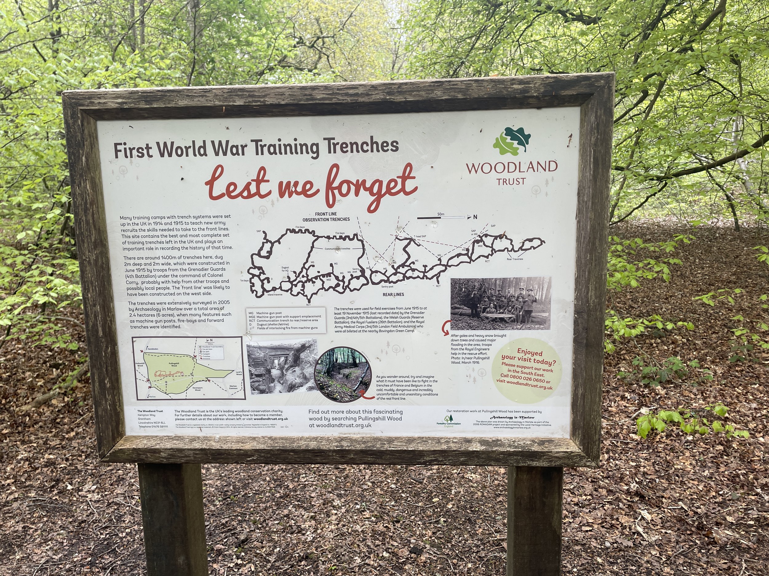
Continue along Thames Reach then North Close and into the footpath into Hog and Hollowhill Nature Reserve. Continue in a northerly direction into Pullingshill Woods. Look out for the information board detailing the woods’ history as a WW1 trench training. Shortly after the information board you’ll reach the junction with the Chiltern Way/Shakespeare’s Way.

Take a right onto Chiltern Way/Shakespeare’s Way and follow the path in a south-easterly direction. After ~300 the Chiltern Way and Shakespeare’s Way split. Leave the Chiltern Way and keep on the Shakespeare’s Way continuing in a south-easterly direction. When you reach the A4155 Henley Road, cross over and follow Pound Lane all the way back to the Pound Lane car park at Higginson Park.


Shakespeare’s Way Previous Section (west): Bovingdon Green and Shillingridge Wood

Shakespeare’s Way Next Section (east): Marlow Donkey


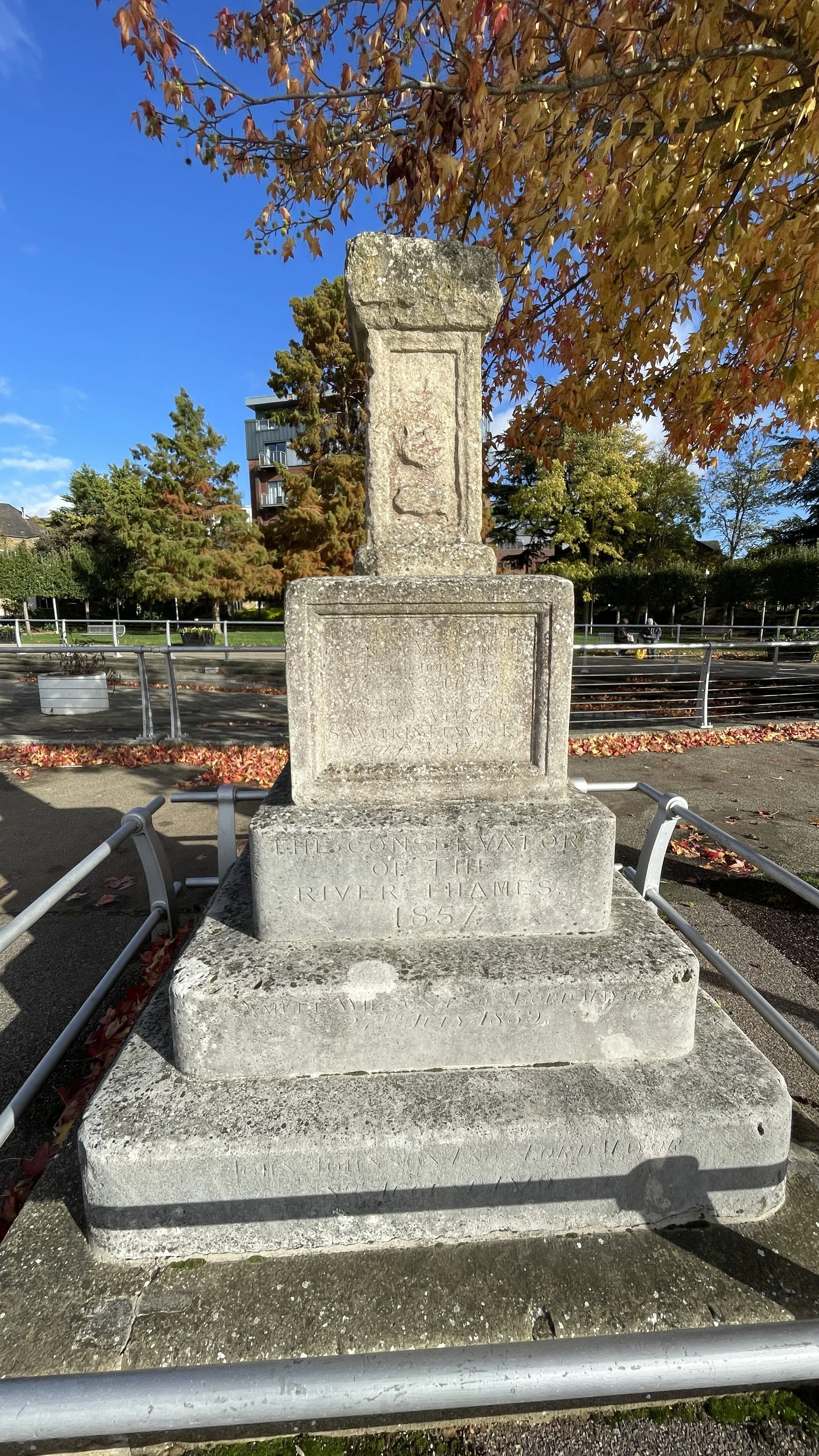
Cycling The Thames Estuary: Thames Barrier to Margate

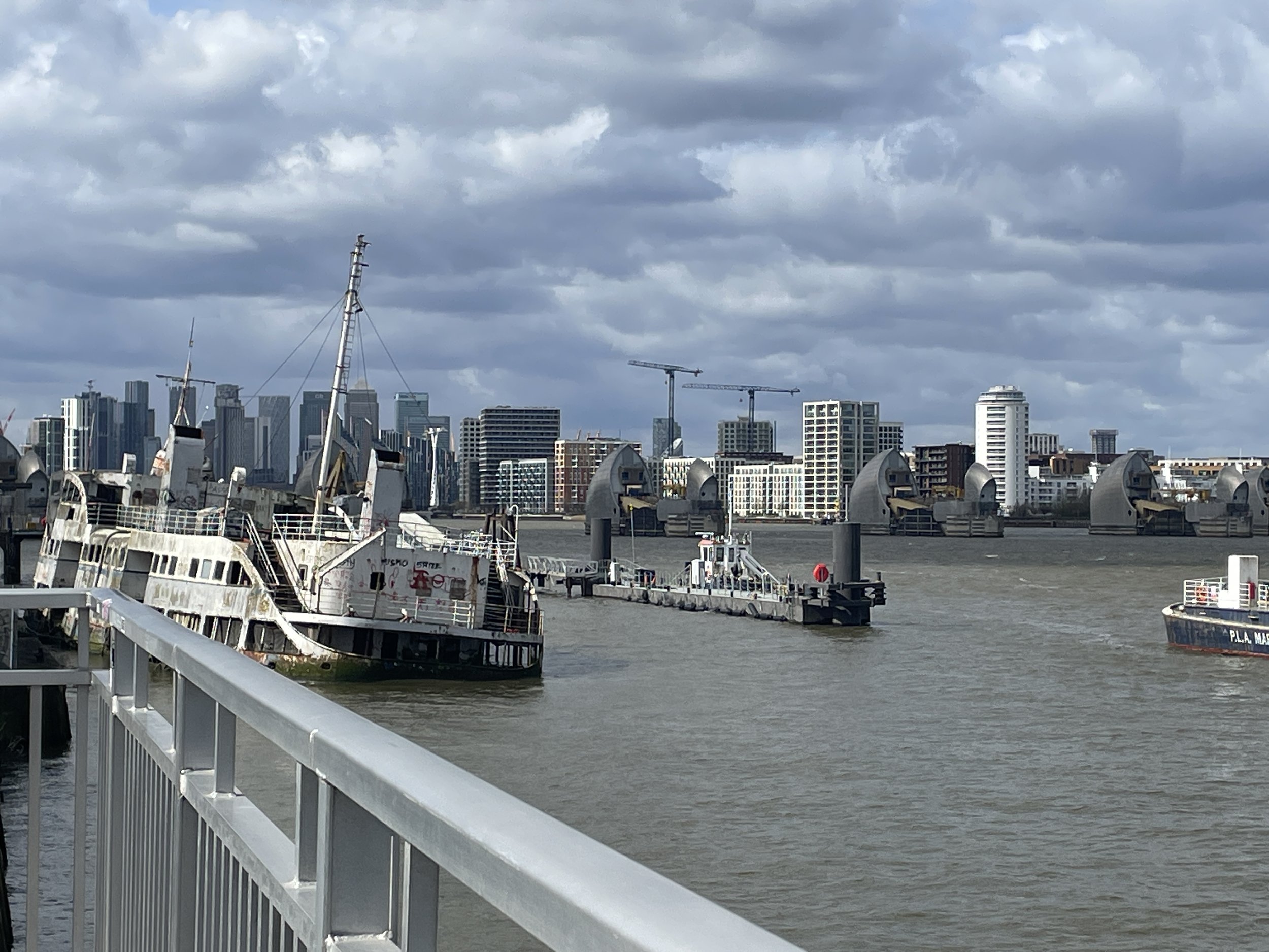
The Thames Barrier, London


This was a trip that had been at the back of my mind for 30 years. Back in the summer of 1994 I cycled the length of the Thames from the source near Kemble in Gloucestershire to the Thames Barrier near Woolwich, London. The last day was a long one and we ended up at the Barrier after dark. At the time we had considered the adventure to be complete. A few years later I started to plan a second part: from the Barrier east along the Thames Estuary to Margate.

Over the intervening years I got more excited about other trips. I also either lost contact with a few of the old Thames Path gang or they got preoccupied with having babies. Early in 2024 the stars aligned and the Estuary adventure popped up to the top of my cycling backlog.

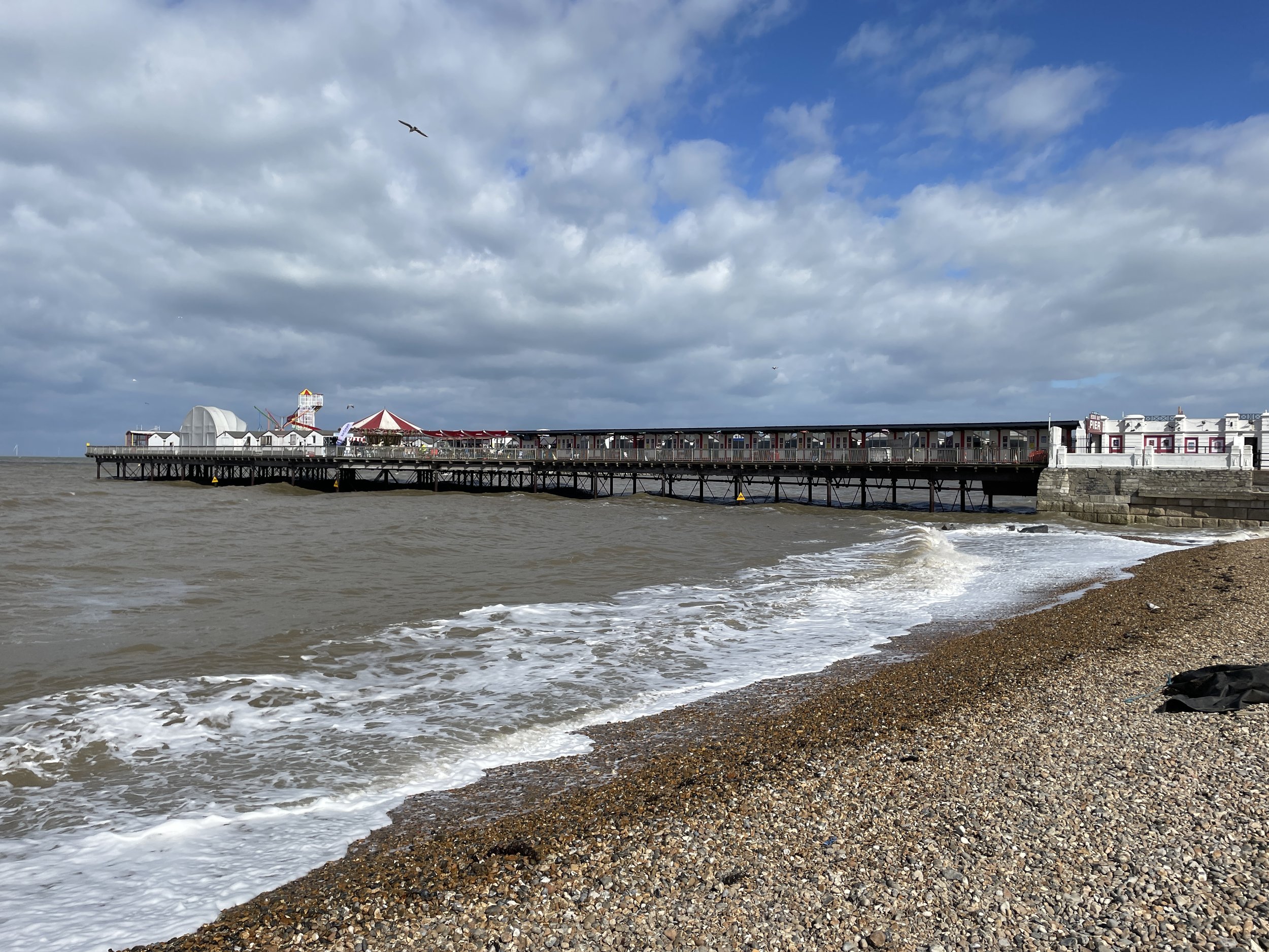
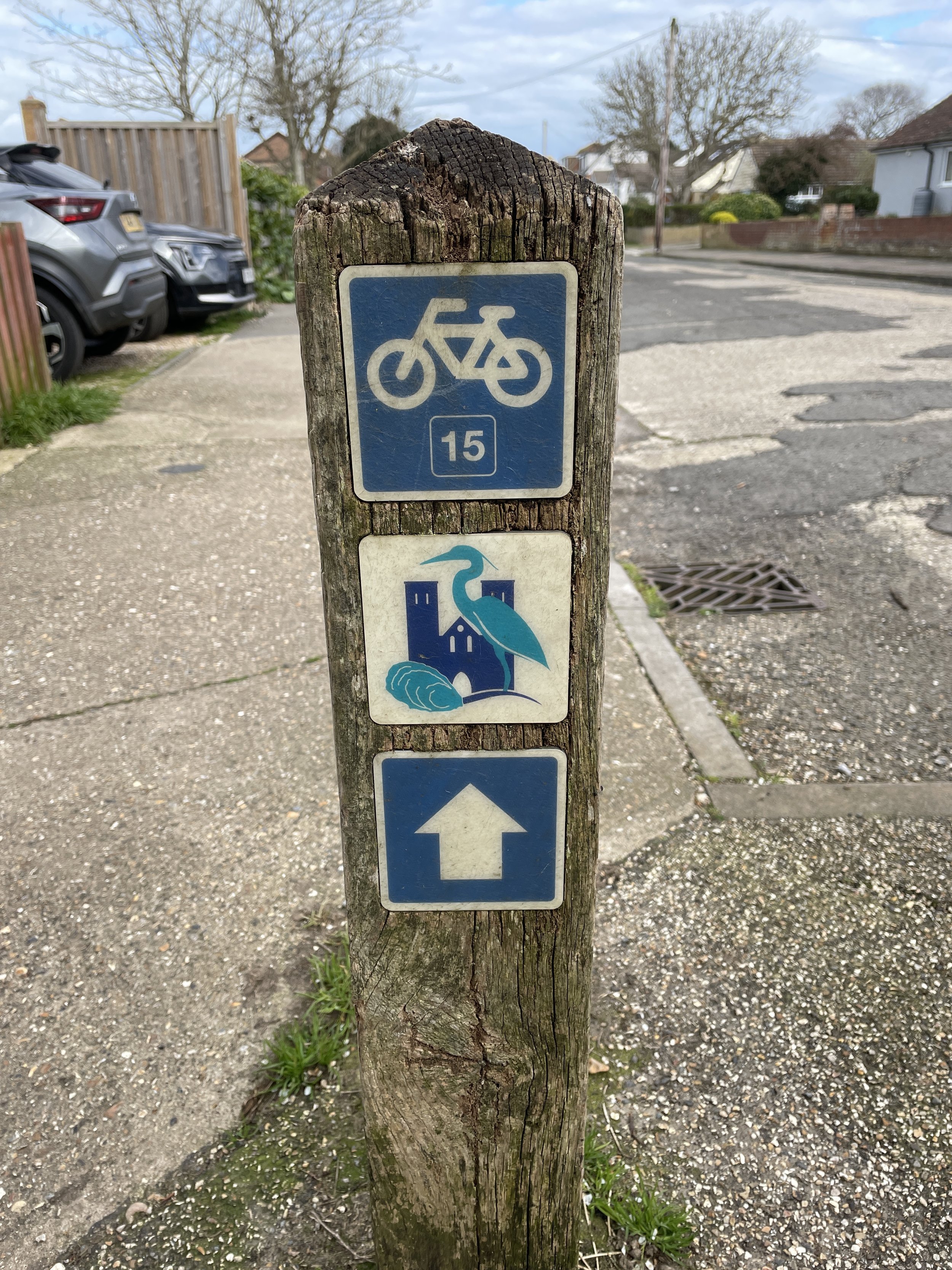
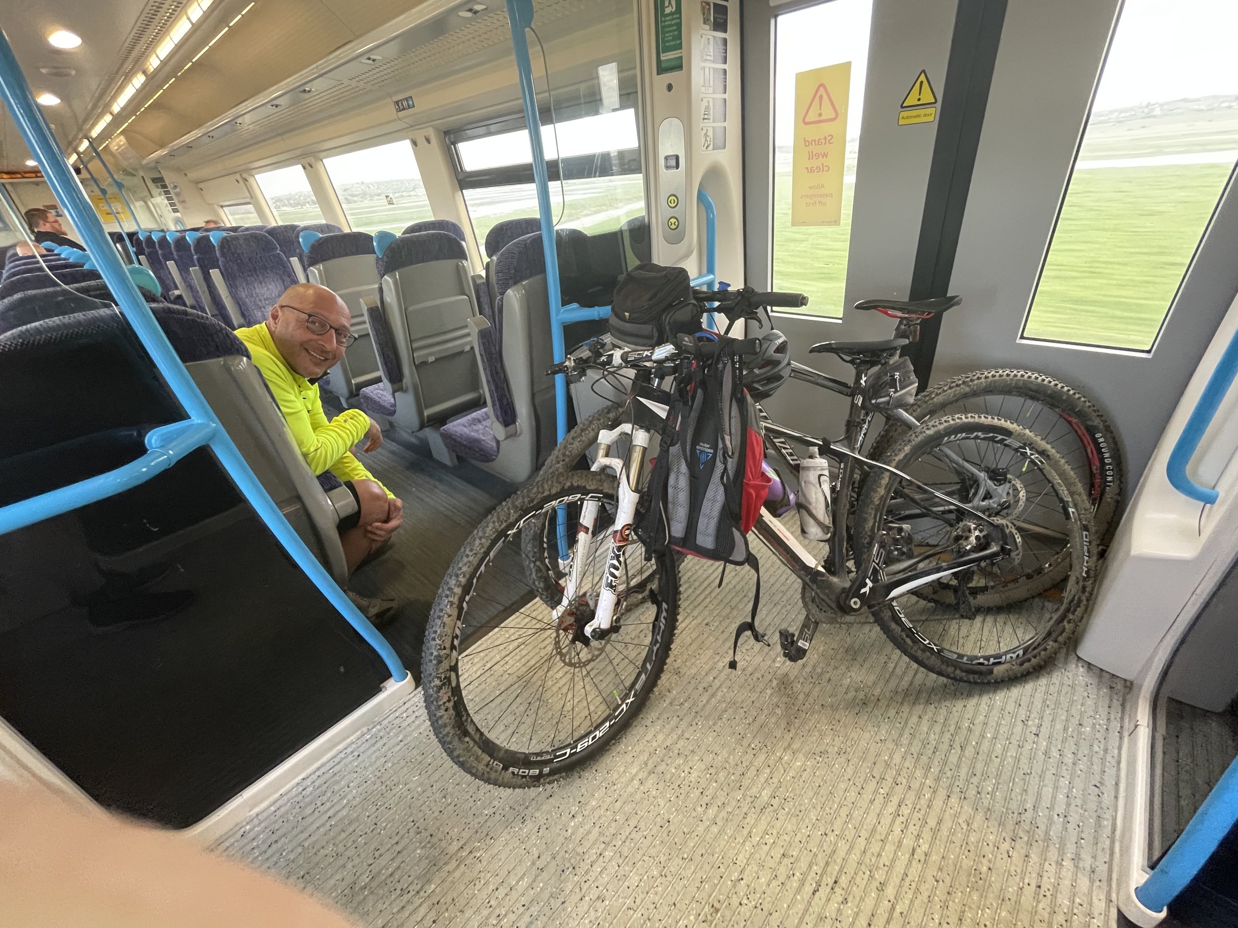
The route to Margate mostly follows NCN Route 1 with a bit of the Route 15 Viking Way at the end. It also runs parallel to the main rail line between London and Margate making trip logistics fairly simple. We did it over a weekend, staying both the Friday and Saturday night at the Chatham/Gillingham Victory Pier Premier Inn.


Day 1: Thames Barrier to Chatham

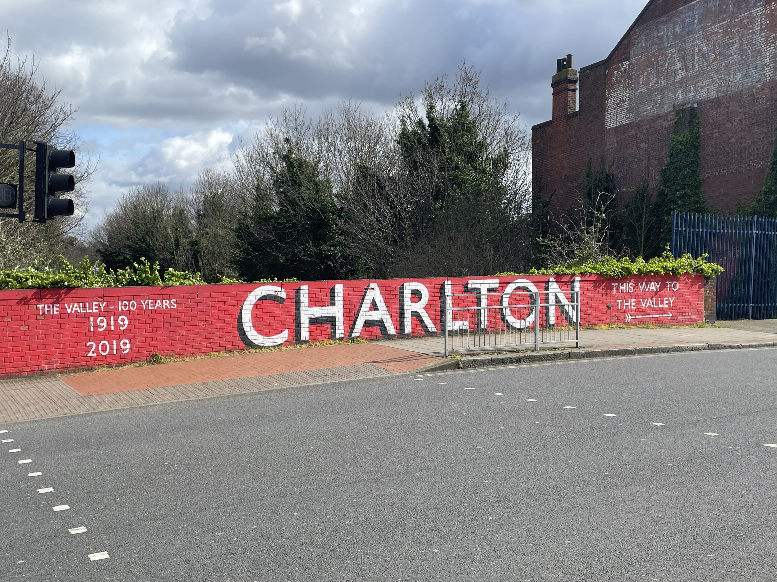
Start: Charlton Railway Station, London, SE7 7QG, United Kingdom
Finish: Premier Inn Chatham/Gillingham (Victory Pier) hotel, Blake Avenue, Gillingham, ME7 1GB, United Kingdom
Distance: 62.8 km (39 miles)
Elevation change: + 408m / -409m (Net +1m)
GPX File: get via Buy Me a Coffee
Other routes touched (walk): Thames Path, Capital Ring, Jubilee Greenway, Green Chain Walk, London Loop. Cray River Way, Hoo Peninsula Path, Weald Way, Thames and Medway Canal Towpath, Saxon Shore Way, England Coast Path, Strood Community Trail,
Other routes touched (cycle): NCN 1, 125, 179, Q14
Pubs / Cafes on route: At Woolwich Arsenal (4km in), Erith (15km in), Dartford (25km in), Gravesend (39 km in), Rochester (57km in), Chatham (59km in)
Maps:
- Greenwich & Gravesend Map | East End, Docklands, Bromley, Sidcup & Thurrock | Ordnance Survey | OS Explorer Map 162
- Gravesend & Rochester Map | Hoo Peninsula | Ordnance Survey | OS Explorer Map 163
Links:
Charlton, Thames Barrier, Woolwich Arsenal, Erith, Dartford, Gravesend, Thames and Medway Canal, Rochester, Chatham, Gillingham


Like all Saturdays the day started with a parkrun, this time at Great Lines Heritage park, just over a mile from from the hotel. From there we headed to Chatham Station to get the train to Charlton. The Thames Barrier is a 1.4km ride from Charlton Station.

Navigation is straightforward, keeping to the NCN Route 1 all the way to Chatham. The first 20km hugs the riverside passing a mix of pleasant gentrified areas like Woolwich Arsenal and ugly industrial parts. After Erith the Route 1 cuts south away from the river to Dartford avoiding the entrance to the Queen Elizabeth Bridge. We had planned a coffee and cake stop in Dartford but nothing inspired us so we carried on. By the time we reached Gravesend we were really hungry and, as pubs were open by then, were optimistic about finding food. We found Gravesend equally inspiring so didn’t stop there either.

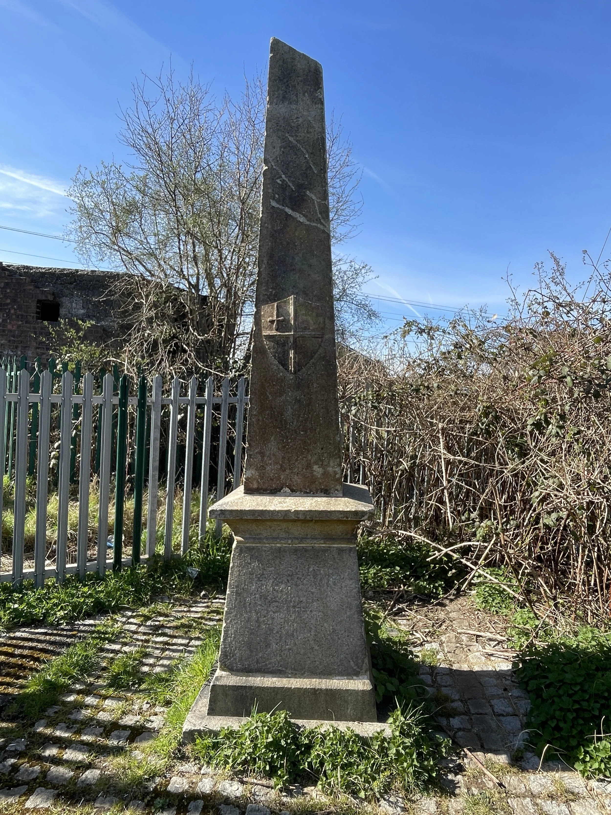
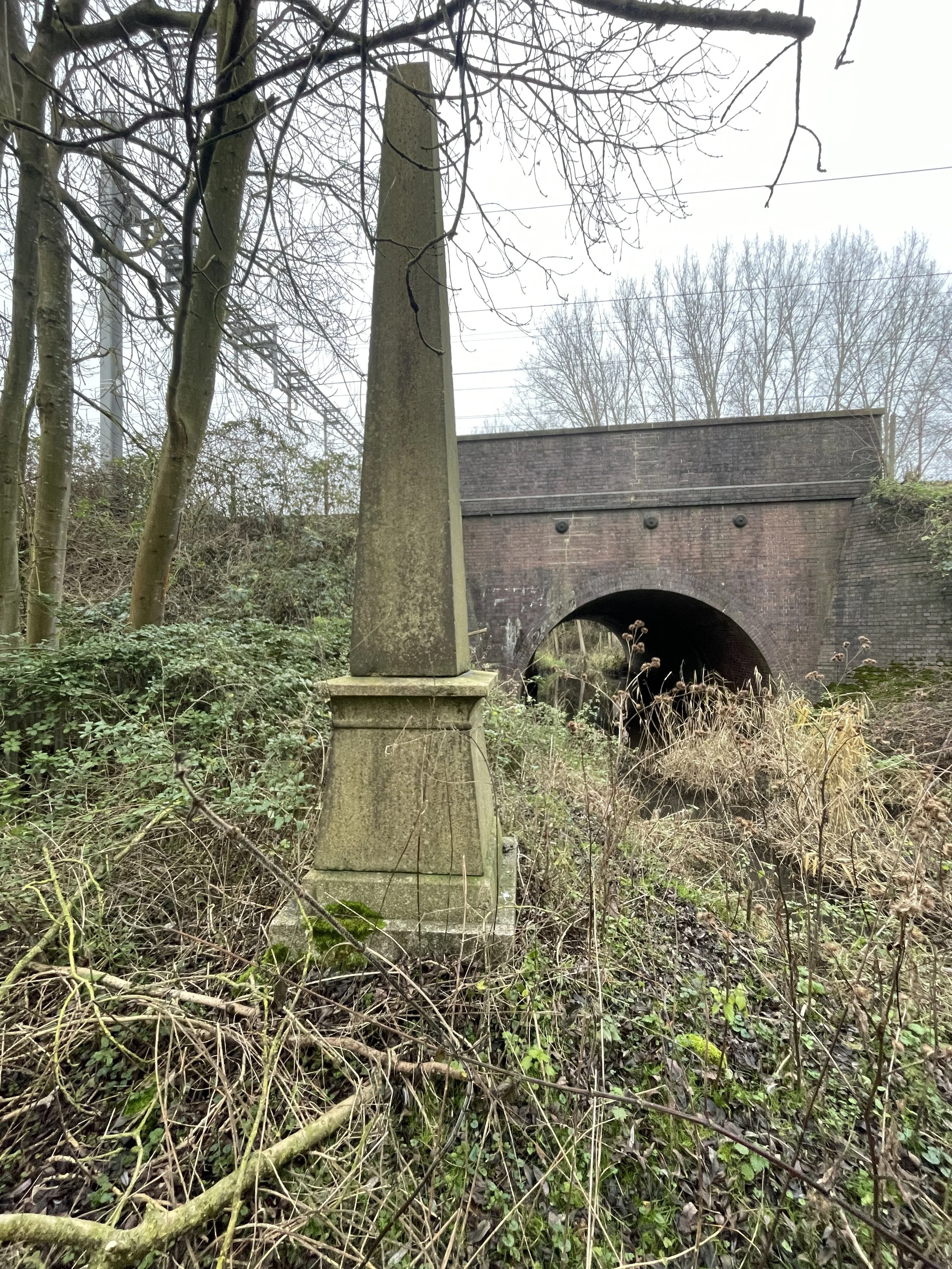
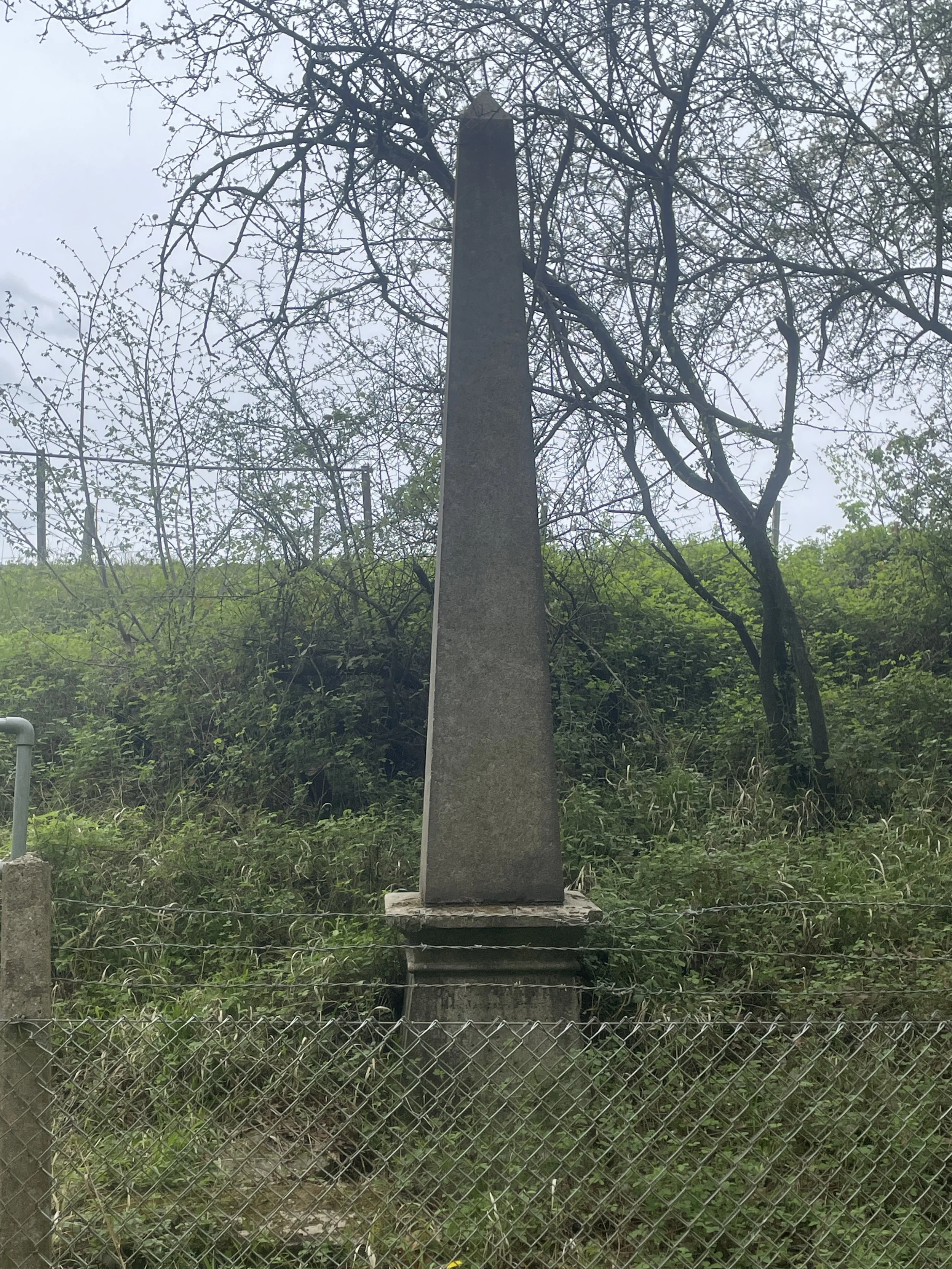
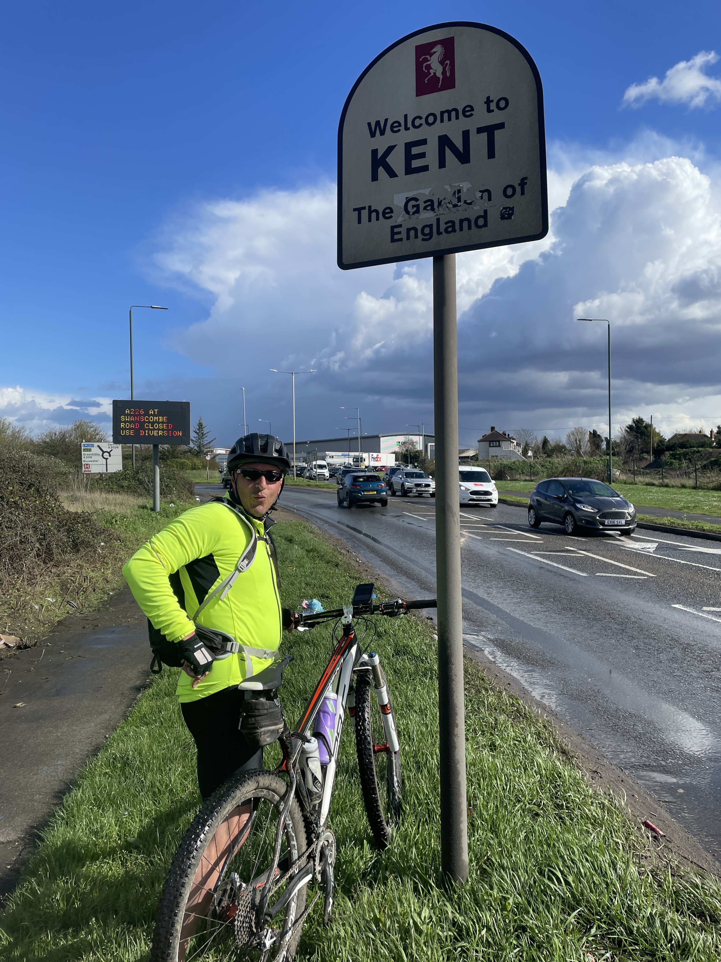
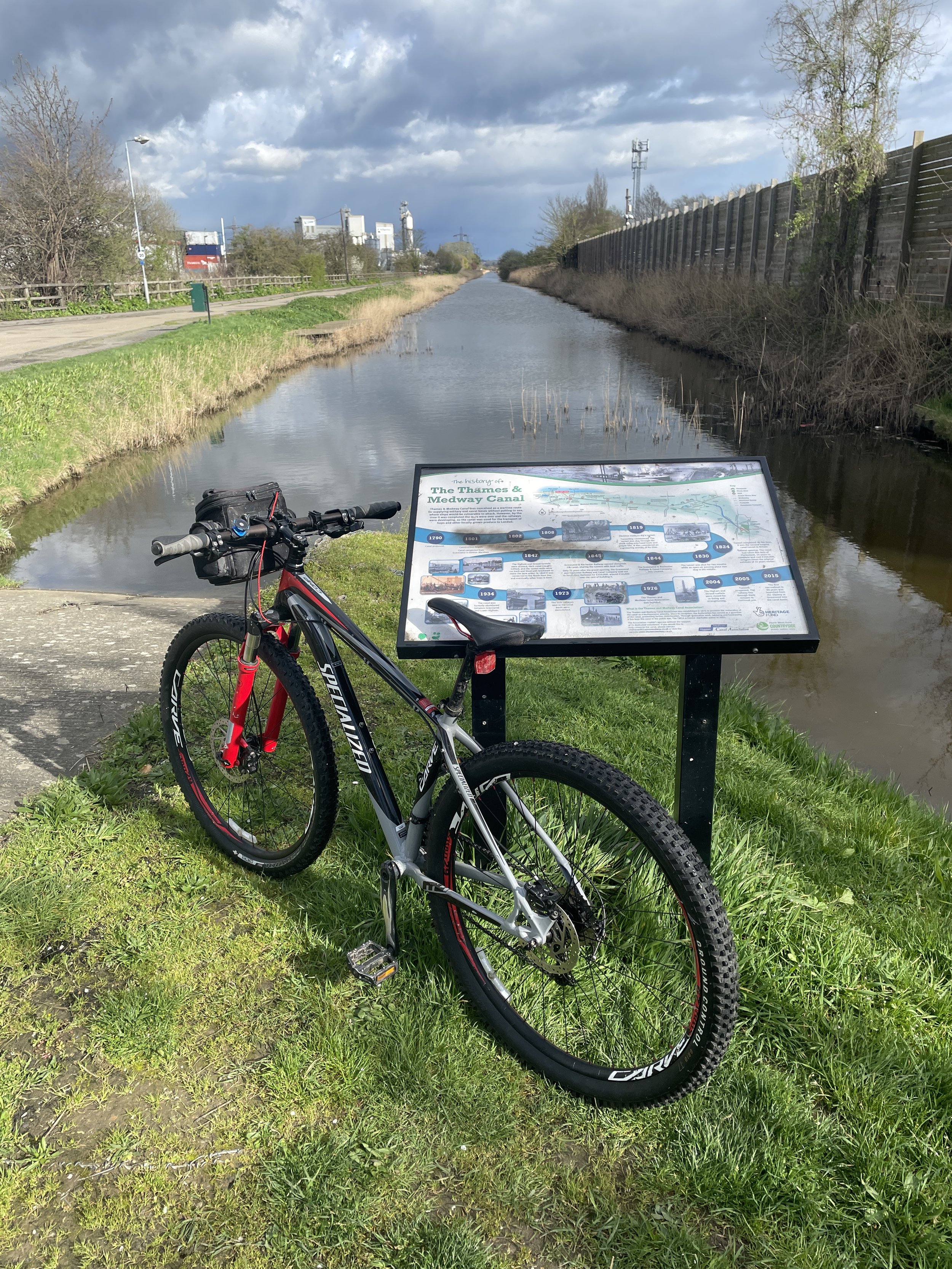
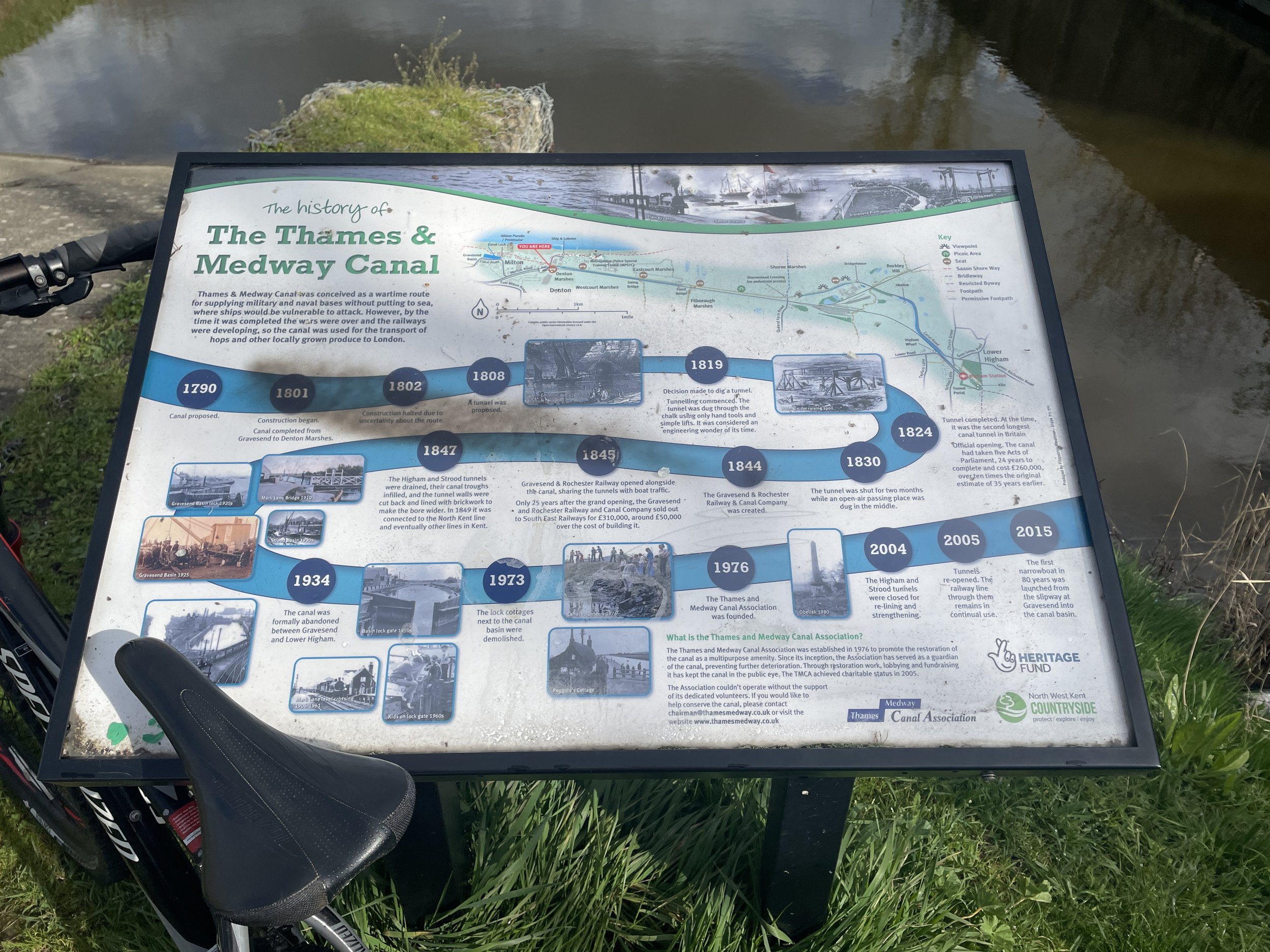
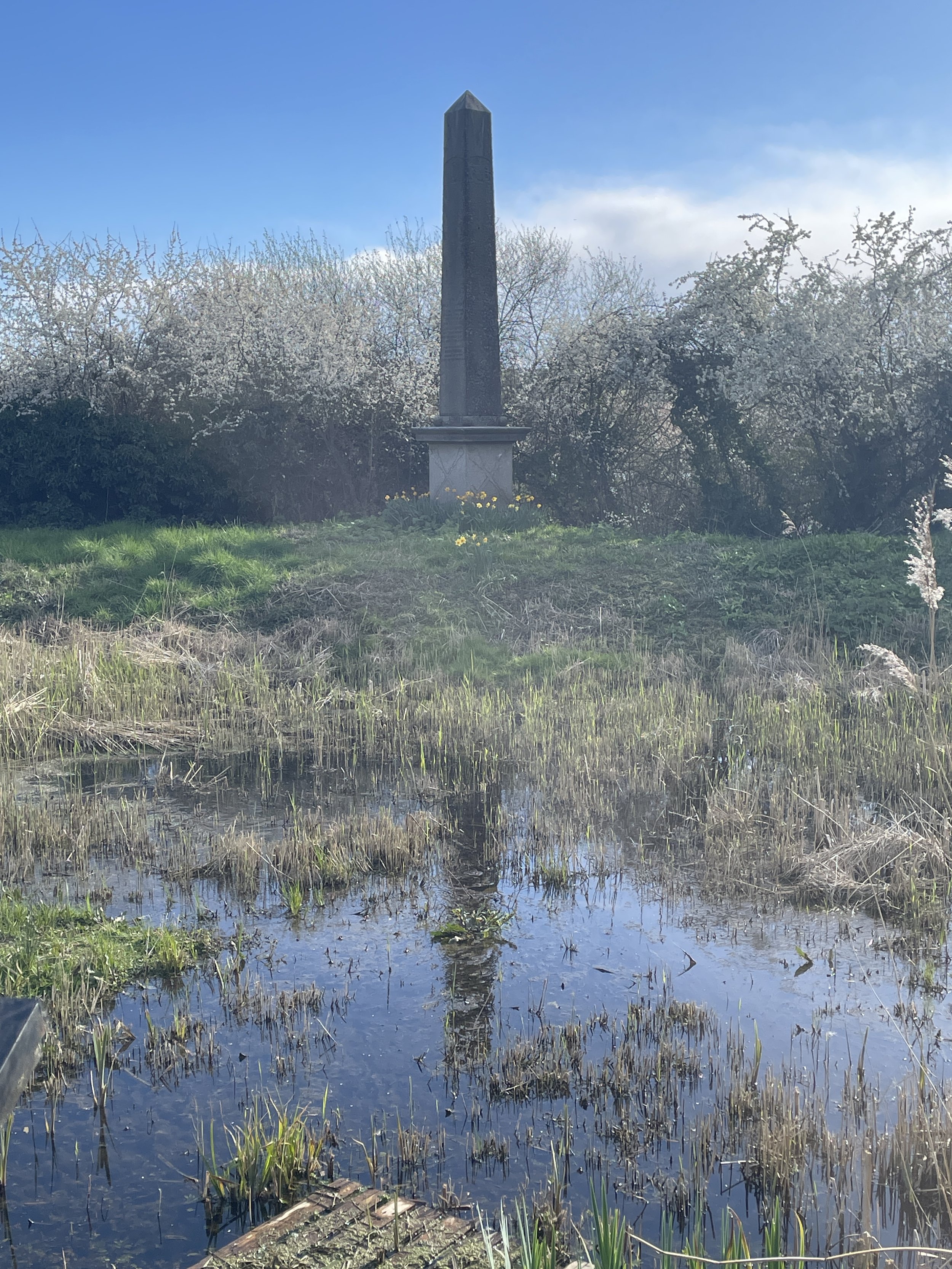
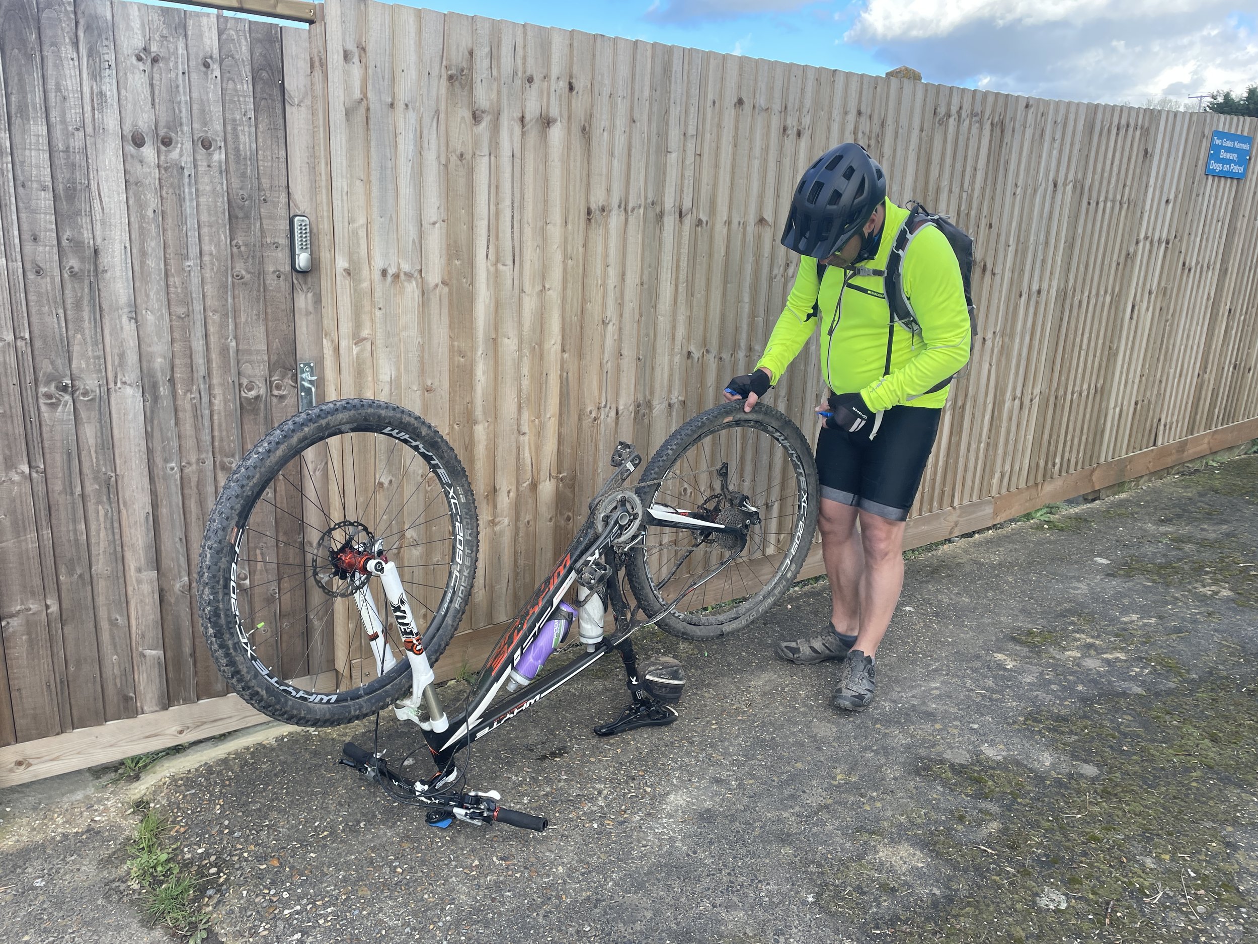
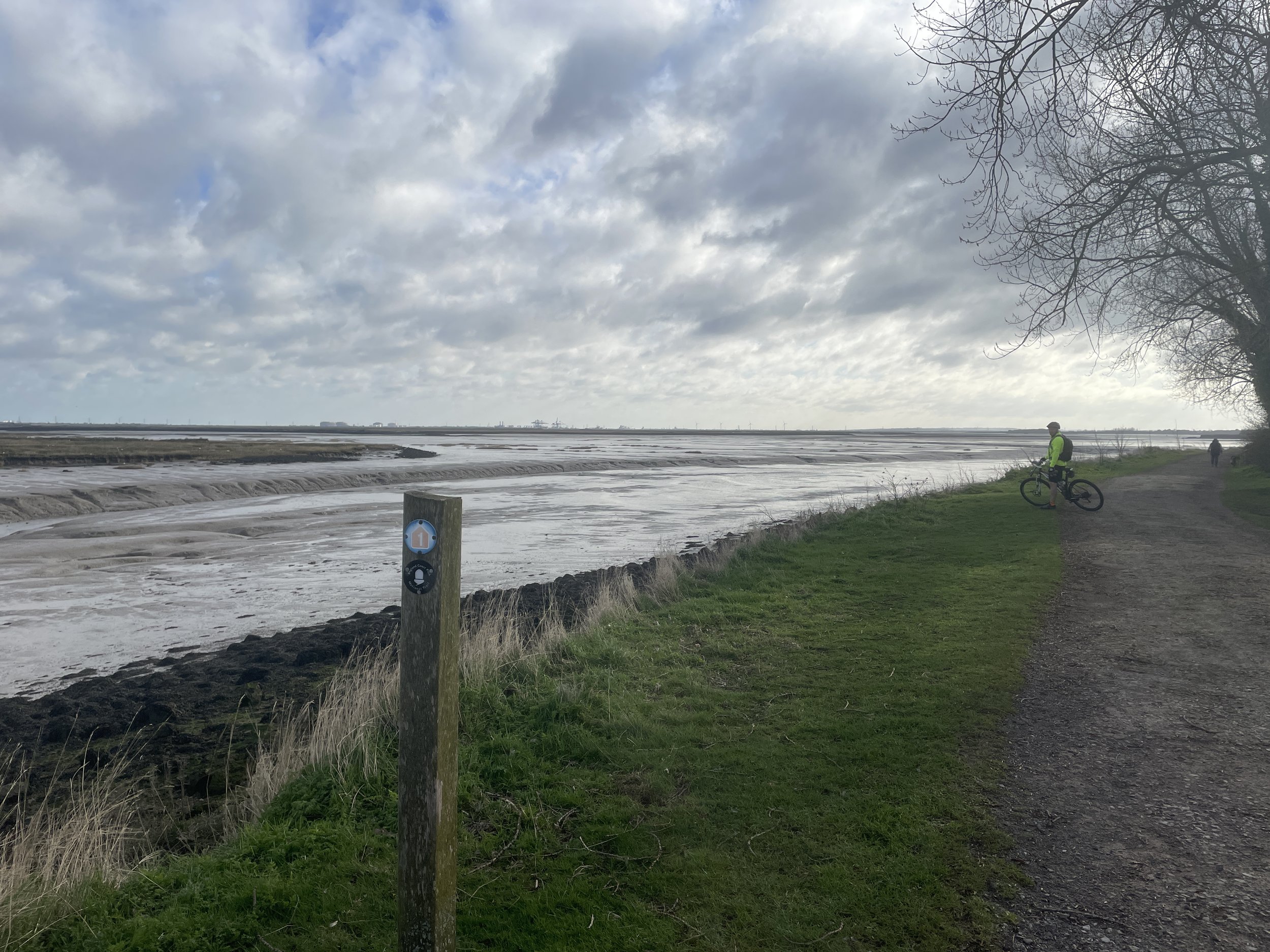
After Gravesend the scenery becomes much more pleasant. With the Route 1 following the disused Thames and Medway Canal. Watch out for the obelisk that marks the half-way point between the cities of London and Rochester. The Route 1 leaves the canal at Lower Higham which, conveniently for us, also has a train station. Brian was having problems with his wheel after several punctures and we’d run out of options to fix it at the road-side. Here we decided that Brian would head to Chatham by train and I would finish the first day on my own.

As it turned out Brian missed one of the best parts of the first day. The final section included quiet countryside and a descent down to Rochester. Had we kept together we would have stopped in Rochester for food ahead of the final few miles. I decided that I was on a mission to beat Brian’s train journey back to Chatham so I wasn’t hanging around. A 20 minute wait for the train meant that I was back at the hotel before Brian arrived at Halfords in Chatham. With a newly fixed wheel and fresh supplies of inner-tubes we were now ready for Day 2.


Day 2: Chatham to Margate

Start: Premier Inn Chatham/Gillingham (Victory Pier) hotel, Blake Avenue, Gillingham, ME7 1GB, United Kingdom
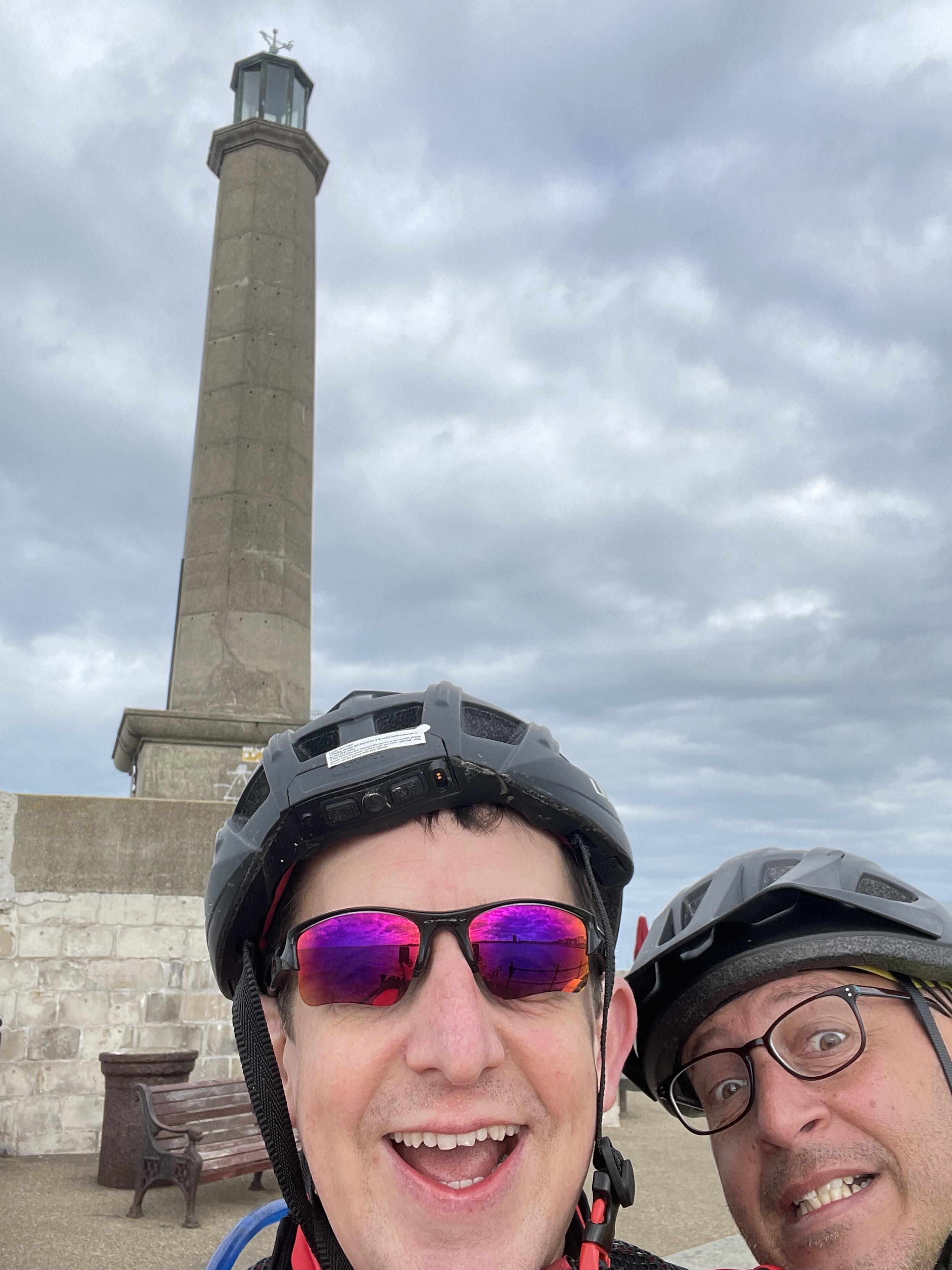
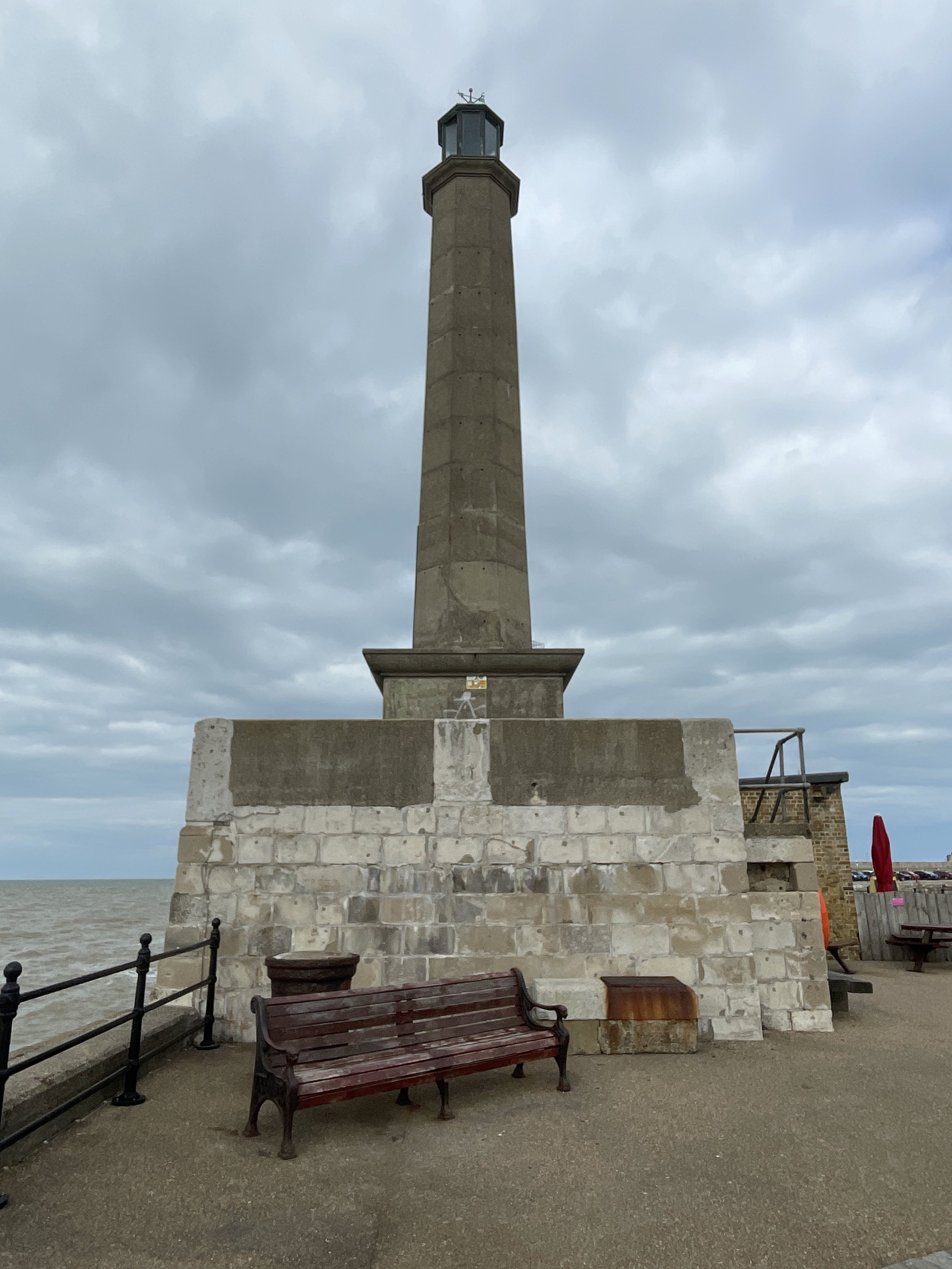
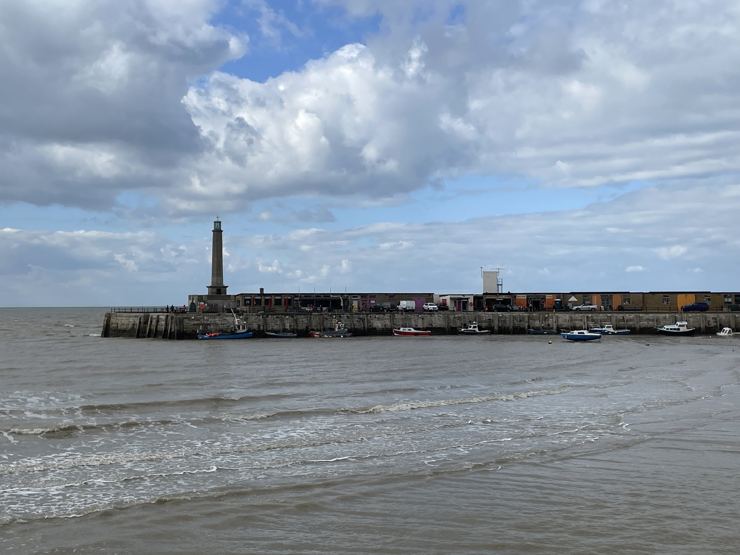
Finish: Margate Lighthouse, Harbour Arm, Margate, CT9 1AP
Distance: 87 km (54 miles)
Elevation change: + 514m / -513m (Net -1m)
GPX File: get via Buy Me a Coffee
Other routes touched (walk): Saxon Shore Way, England Coast Path, Swale Heritage Trail, Invicta Way, Wantsum Walk,
Other routes touched (cycle): NCN 1, 174, 15: Viking Coastal Trail
Pubs / Cafes on route: At Sittingbourne (22km in), Faversham (40km in), Whitstable (59km in), Herne Bay (66km in), Westgate-on-Sea (83km in) and Margate.
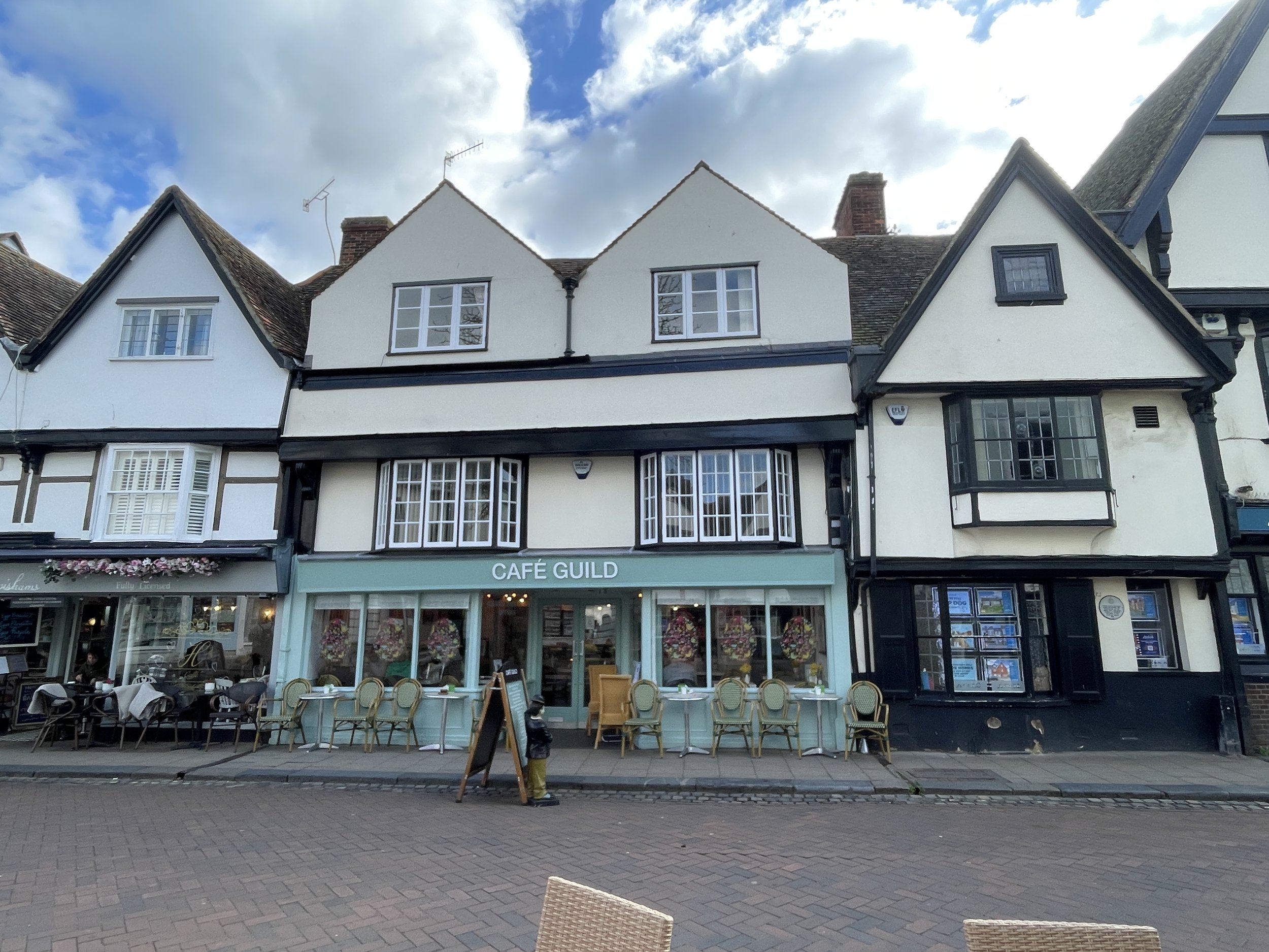
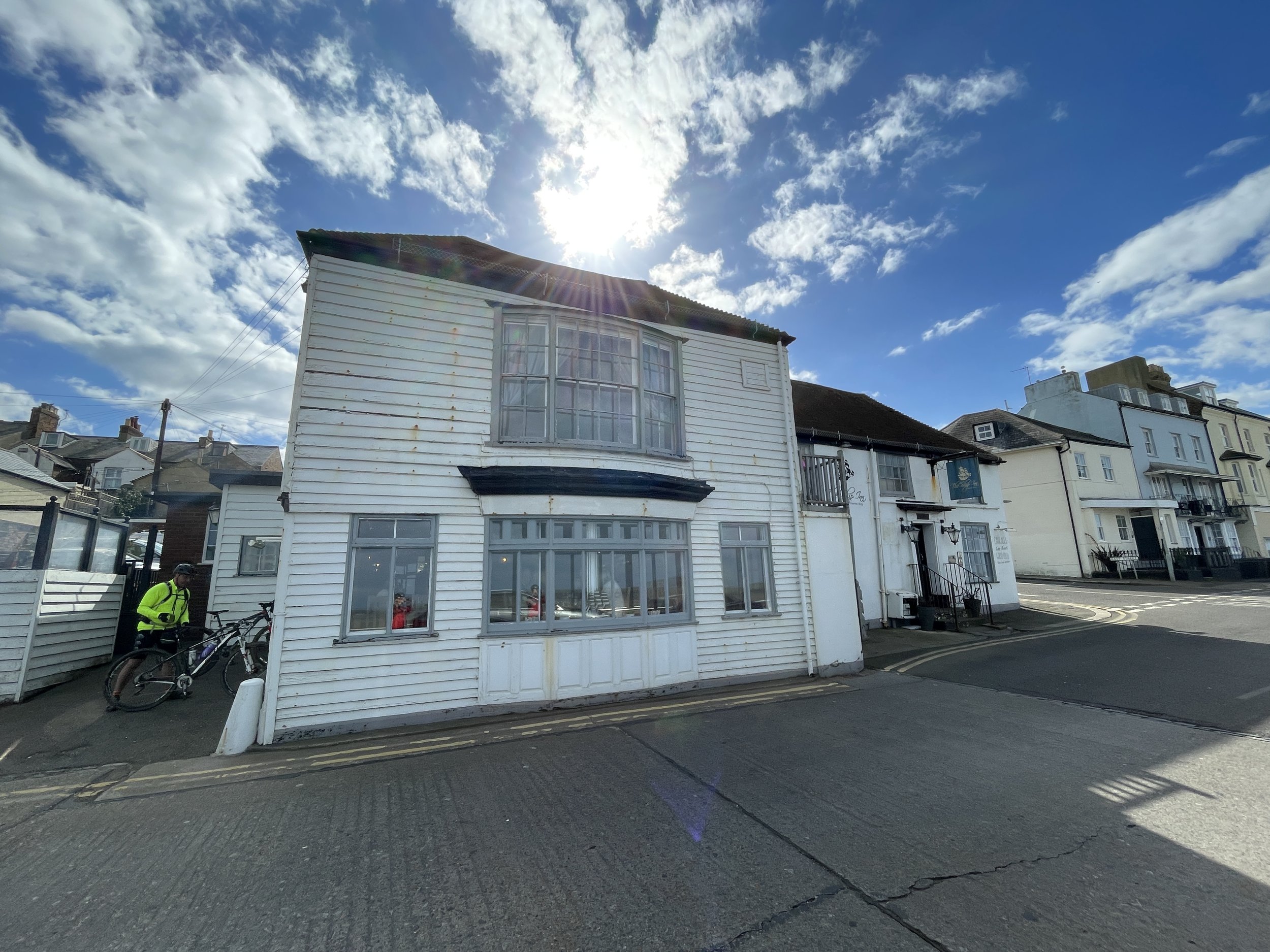
- We stopped at Cafe Guild in Faverham (40 km in) and The Ship Inn, Herne Bay (66km in)
Maps:
- Gravesend & Rochester Map | Hoo Peninsula | Ordnance Survey | OS Explorer Map 163
- Sittingbourne & Faversham Map | Isle of Sheppey | Ordnance Survey | OS Explorer Map 149
- Canterbury & Isle of Thanet Map | Herne Bay, Deal & Whitstable | Ordnance Survey | OS Explorer Map 150
Links:
Sittingbourne, Faversham, Crab & Winkle Way, Whitstable, Herne Bay, Reculver, Westgate-on-Sea, Margate, Margate Lighthouse


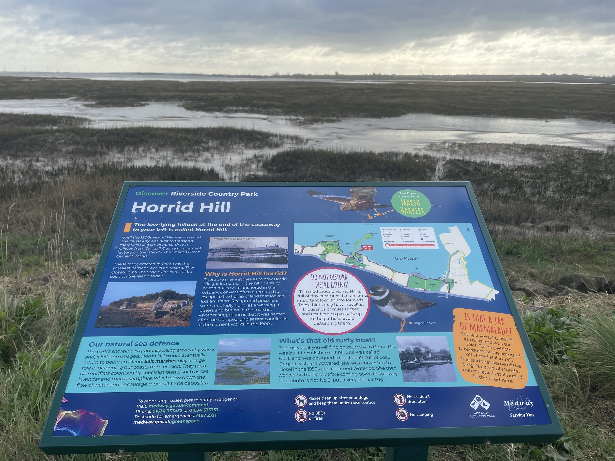
Shortly after leaving the Chatham/Gillingham area, the Route 1 passes through Riverside Country Park. It was very popular with dog walkers early that Sunday morning so it was a good chance to take it slow as we warmed up for the day. After the Country Park the route cuts away from the estuary from Rainham to Sittingbourne.

Sittingbourne was our original plan for a breakfast stop but we were similarly uninspired by food options as we were on day 1. By the time we arrived in Faversham with 40km down we were starving. It was worth the wait though as Faversham is a very nice old Kent market town with several good cafes.

After Faversham the route heads back towards the coast then takes a detour up the steepest hill of the route to bypass Whitstable Town Centre. After a well-earned descent we reached the Crab & Winkle Way, a disused railway that once connected Whitstable to Canterbury. This was the point where we left the NCN 1, which follows the old railway line to the south. Instead we followed the Crab & Winkle Way north to join the Route 15 Viking Way at the Whistable coast.

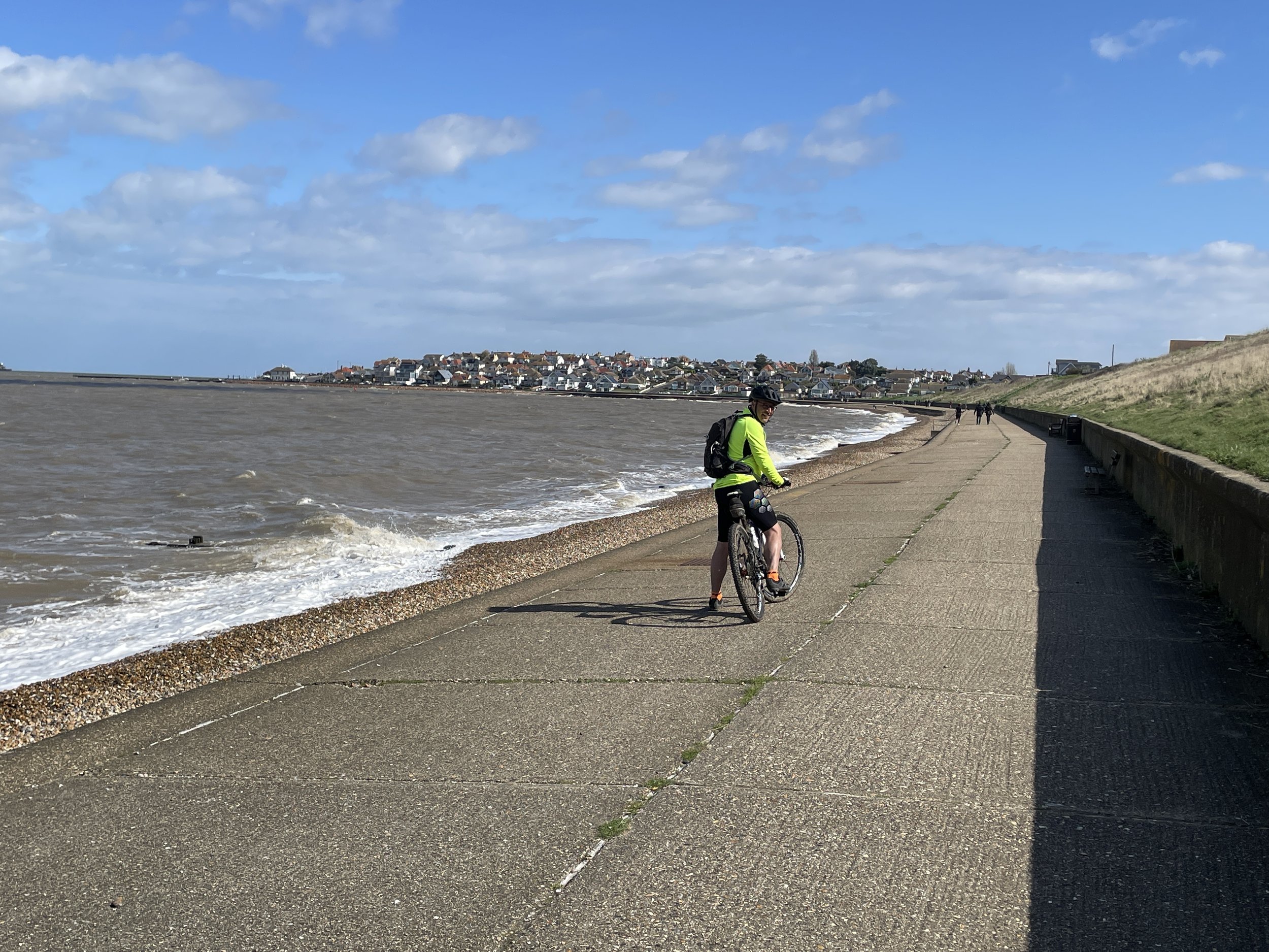
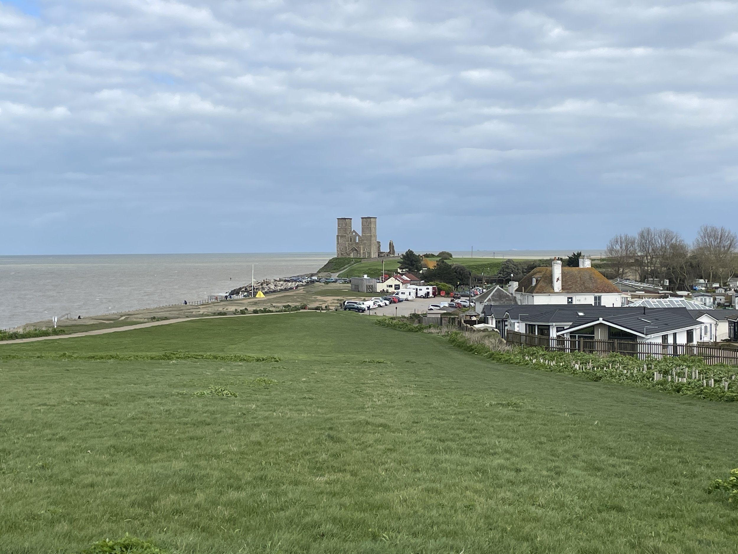
The last 28km along the Viking Way from Whitstable to Margate was my favourite section of the whole route. This section keeps to the coast along flat boulevards passing seaside towns and the remains of Reculver Towers. We had made good time so we stopped for a while at a pub in Herne Bay to gaze across the estuary and contemplate future adventures.

Our 2-day adventure finished at Margate Lighthouse, an obvious place to mark the end of the Estuary adventure. We really enjoyed the trip and, baring the wheel & puncture issues at the end of day one, found it pretty easy going. I still didn’t get the sense of completion though. Yes, we had cycled the estuary to complete the Thames Path, but we had now left the southern section of the NCN Route 1 uncompleted. Within a couple of days I was already planning the next 2 day adventure to complete both the NCN Route 1 from Whitstable to Dover and the rest of the Viking Way.


The Full 2-Day Route


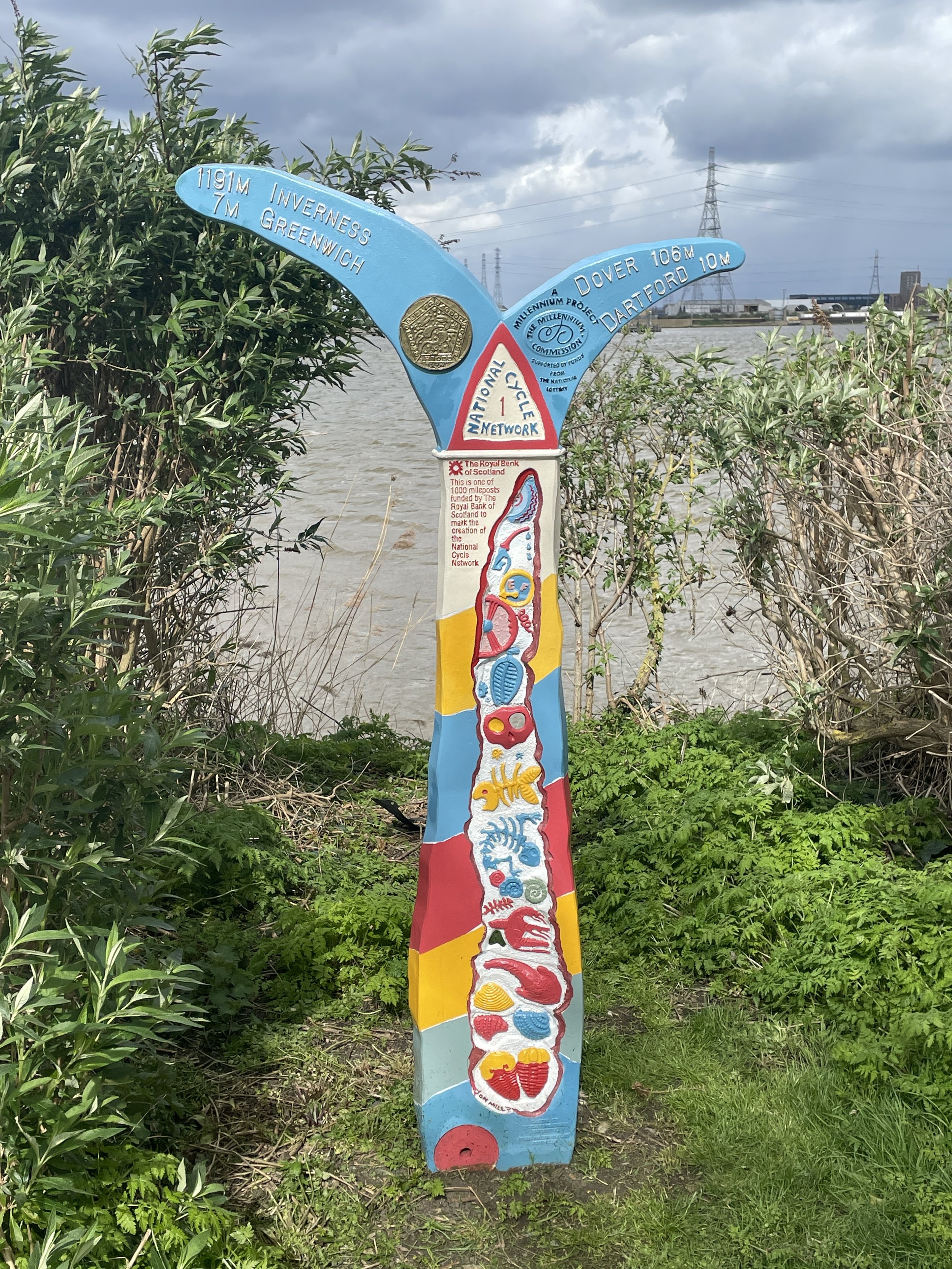
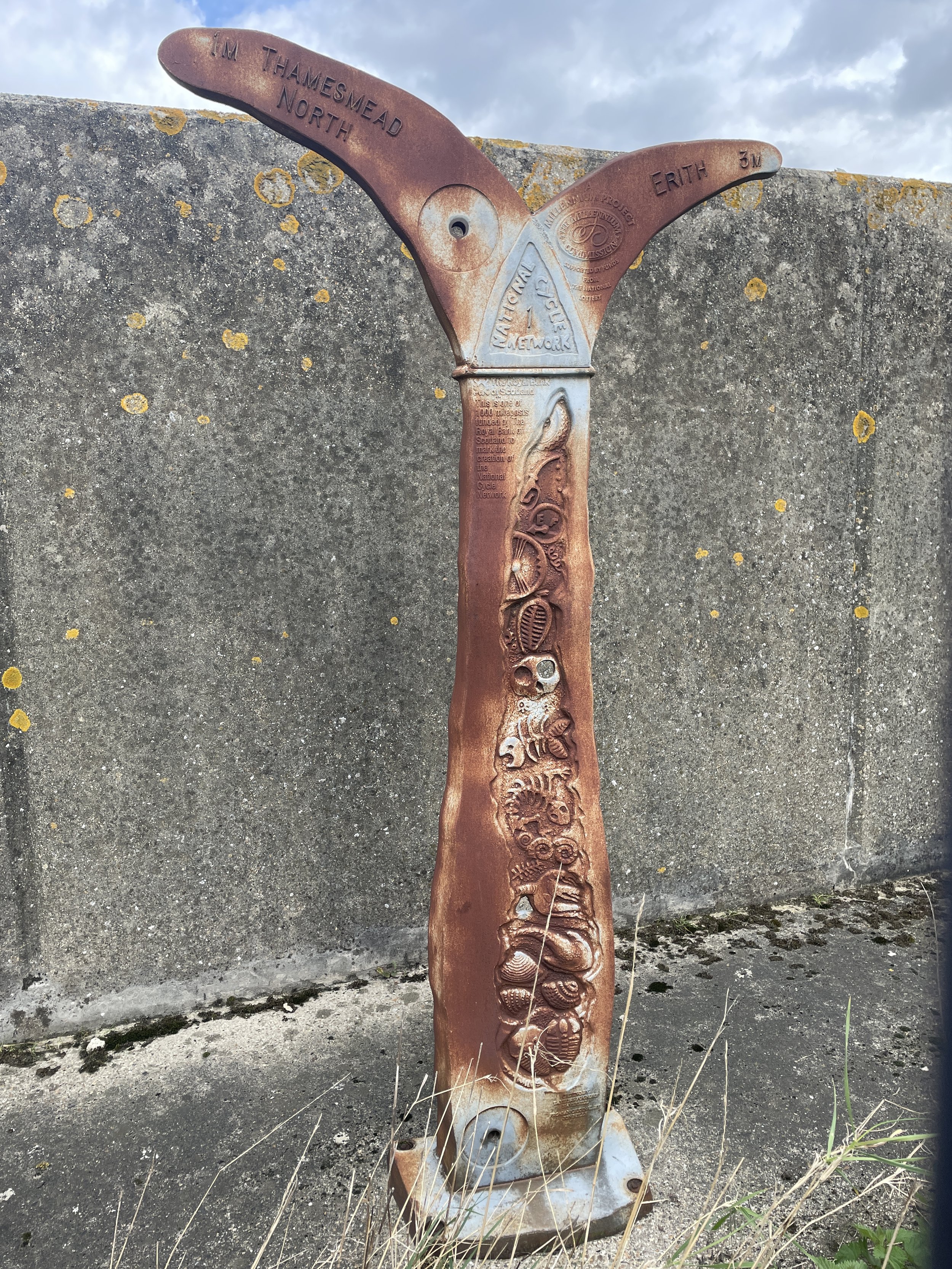
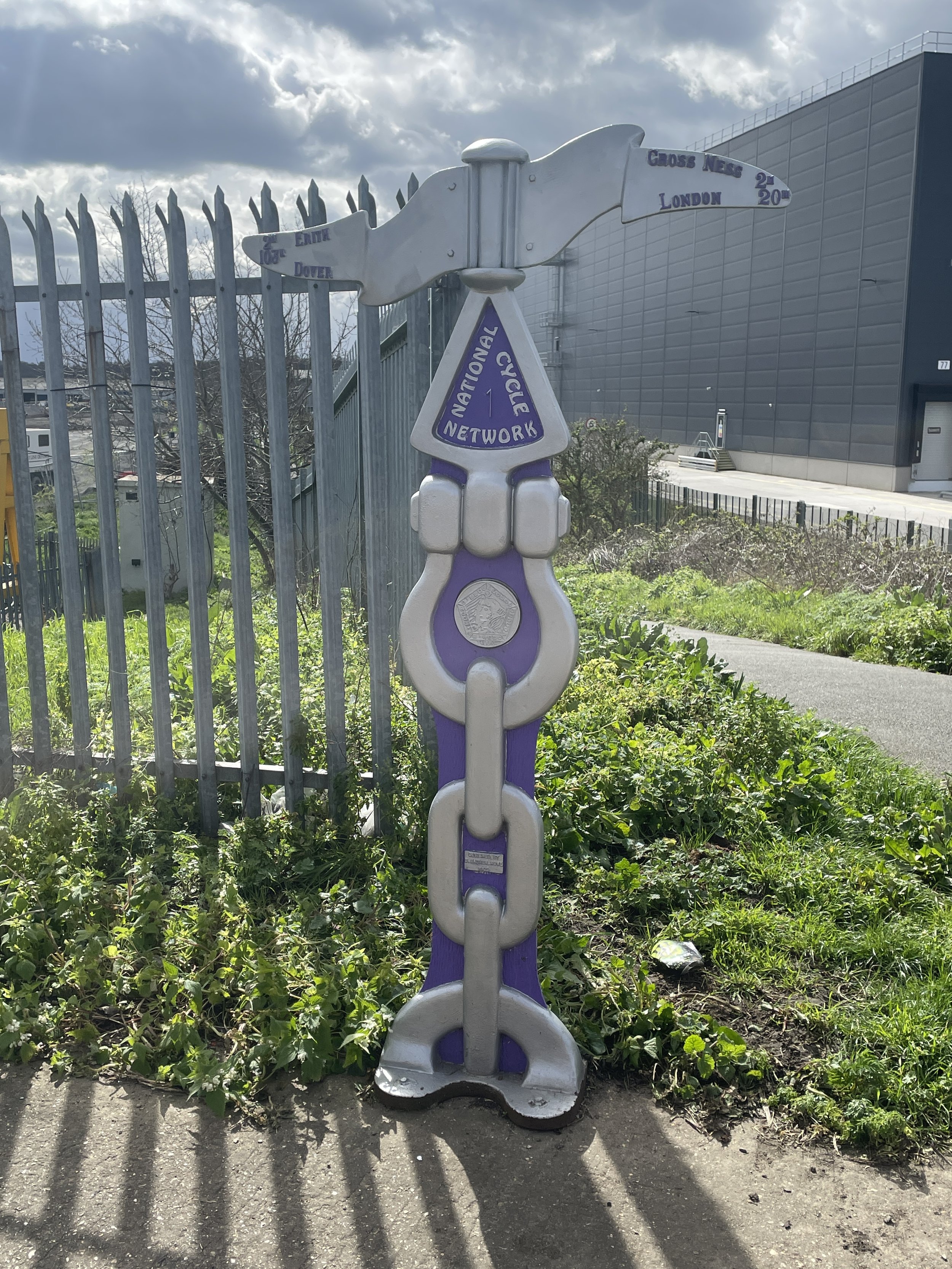
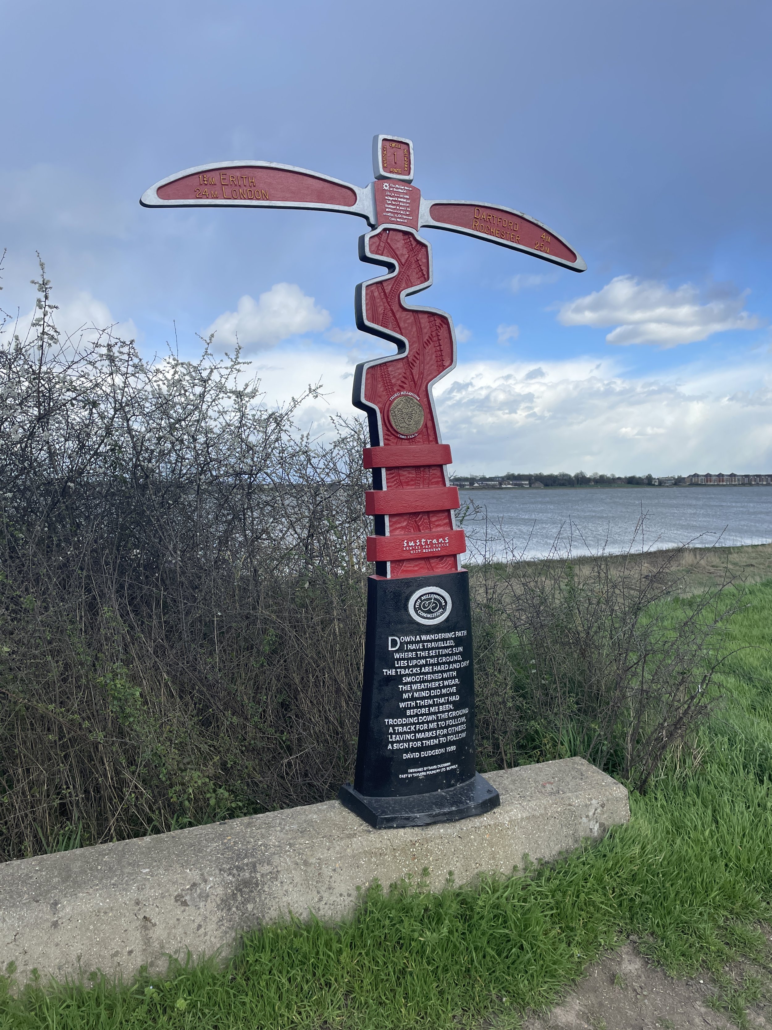
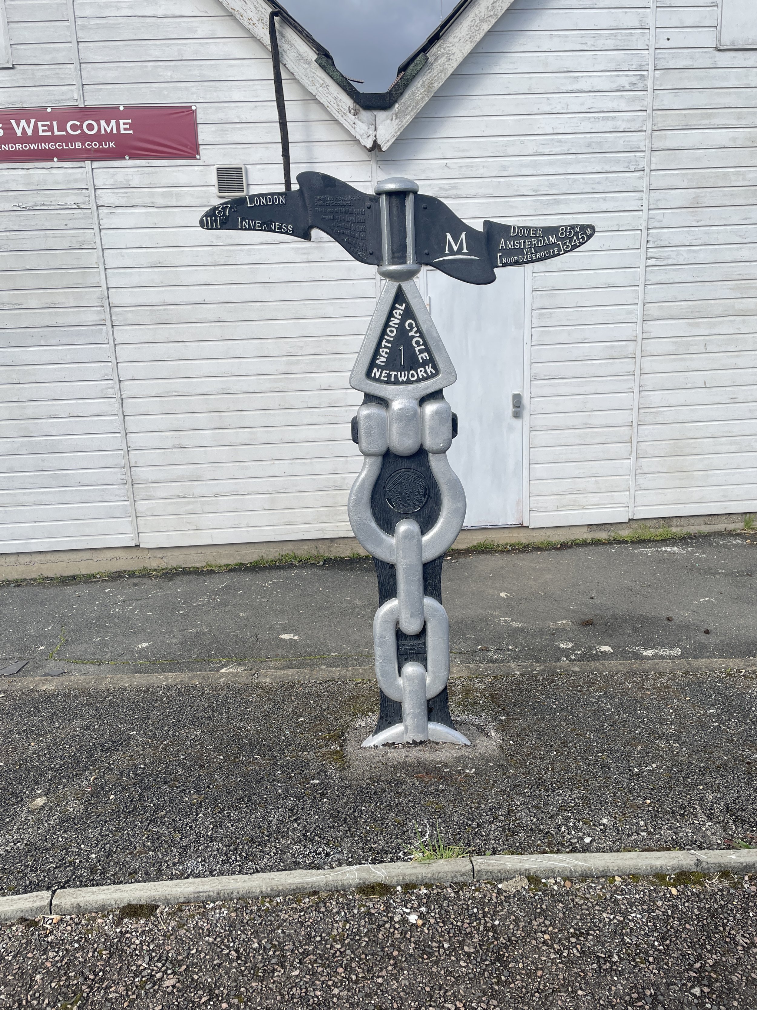
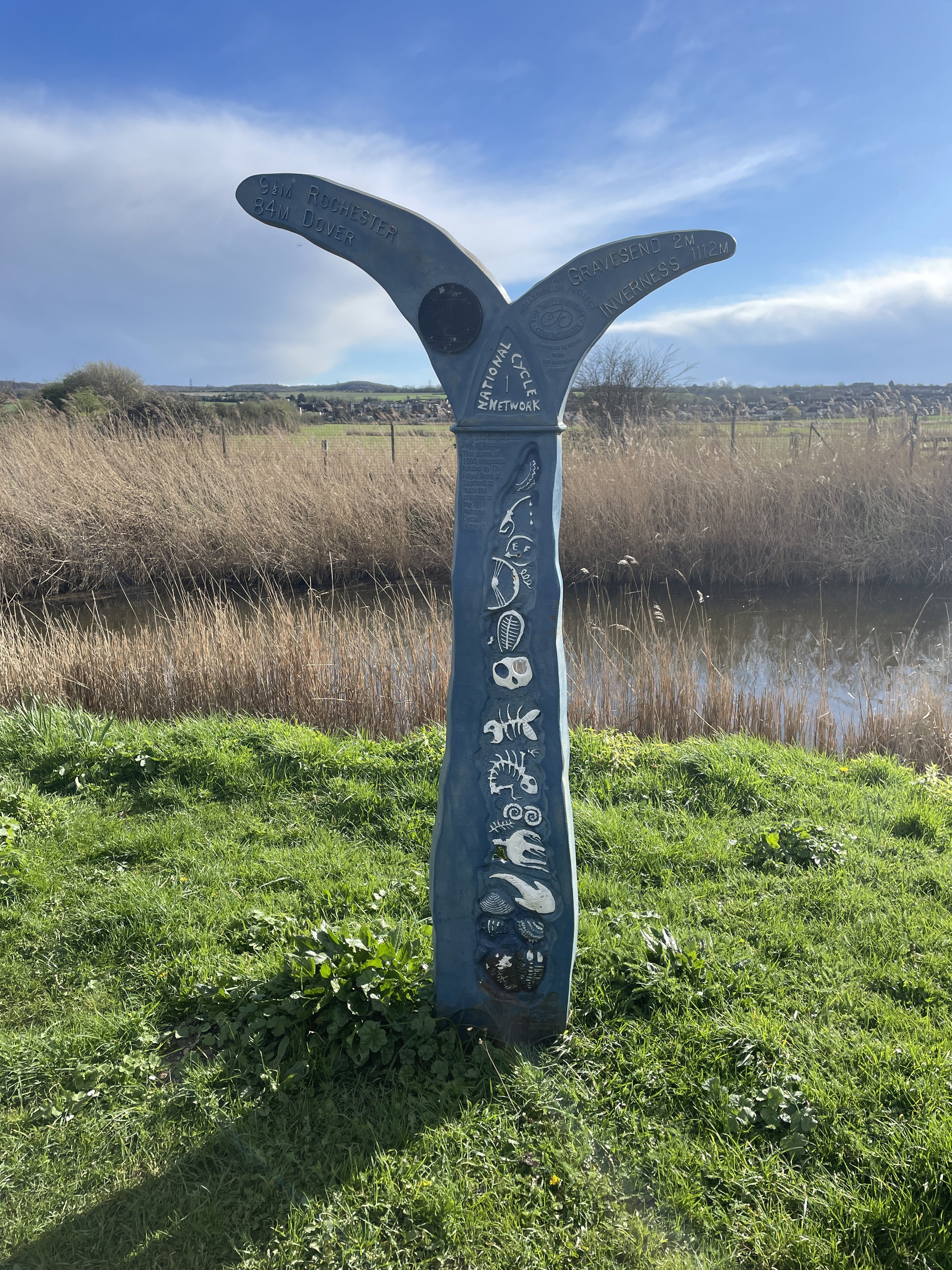
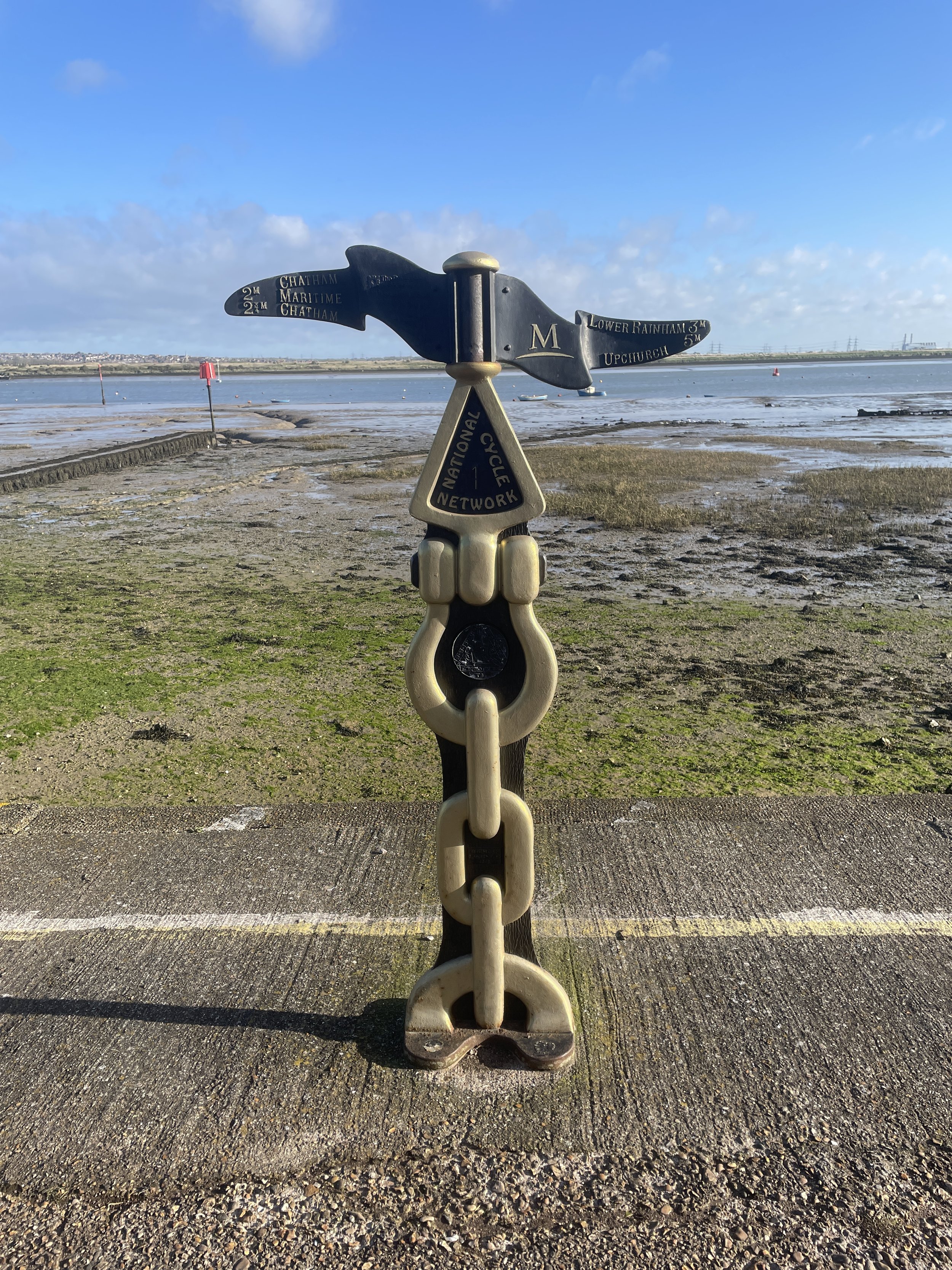
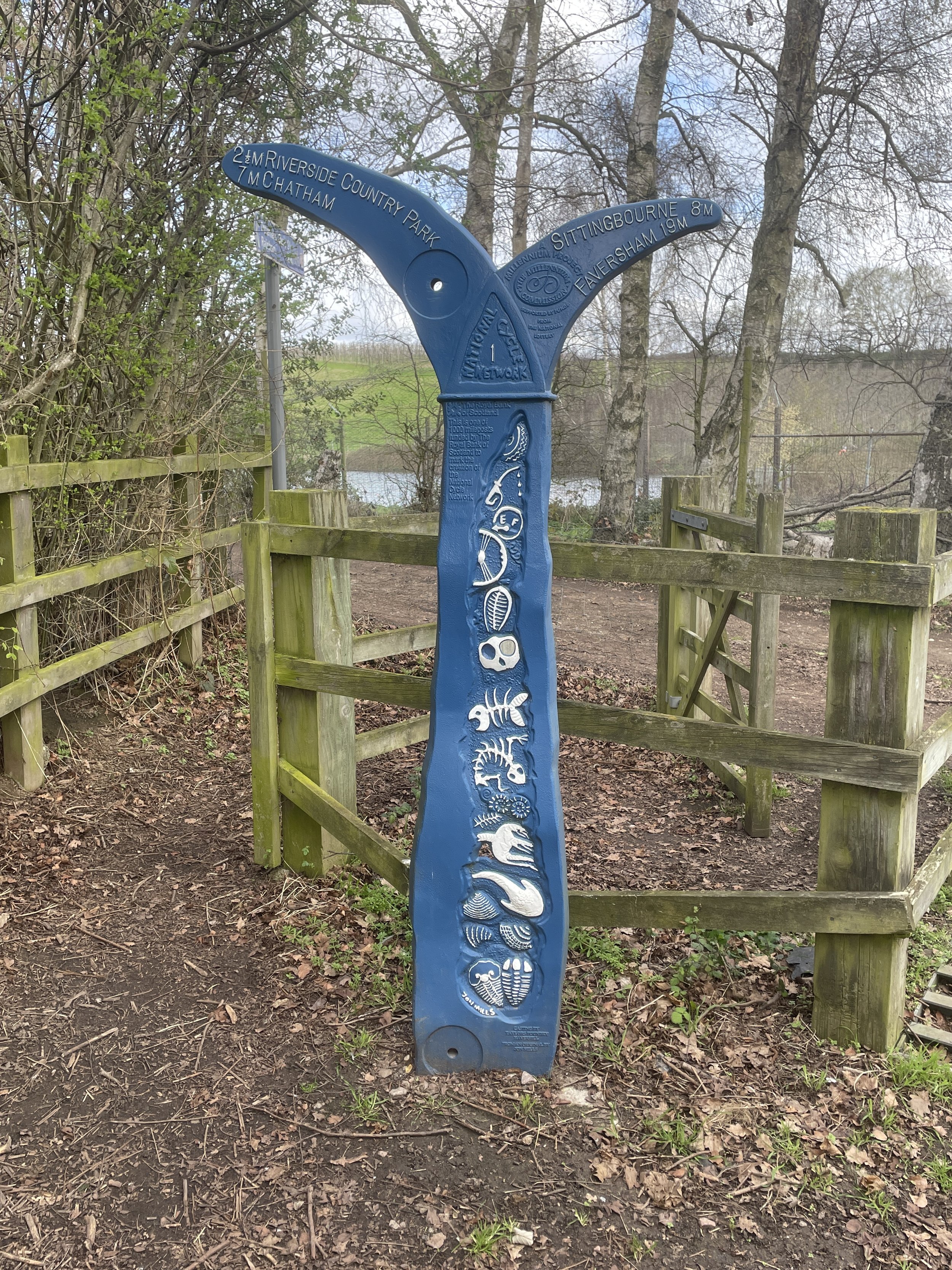
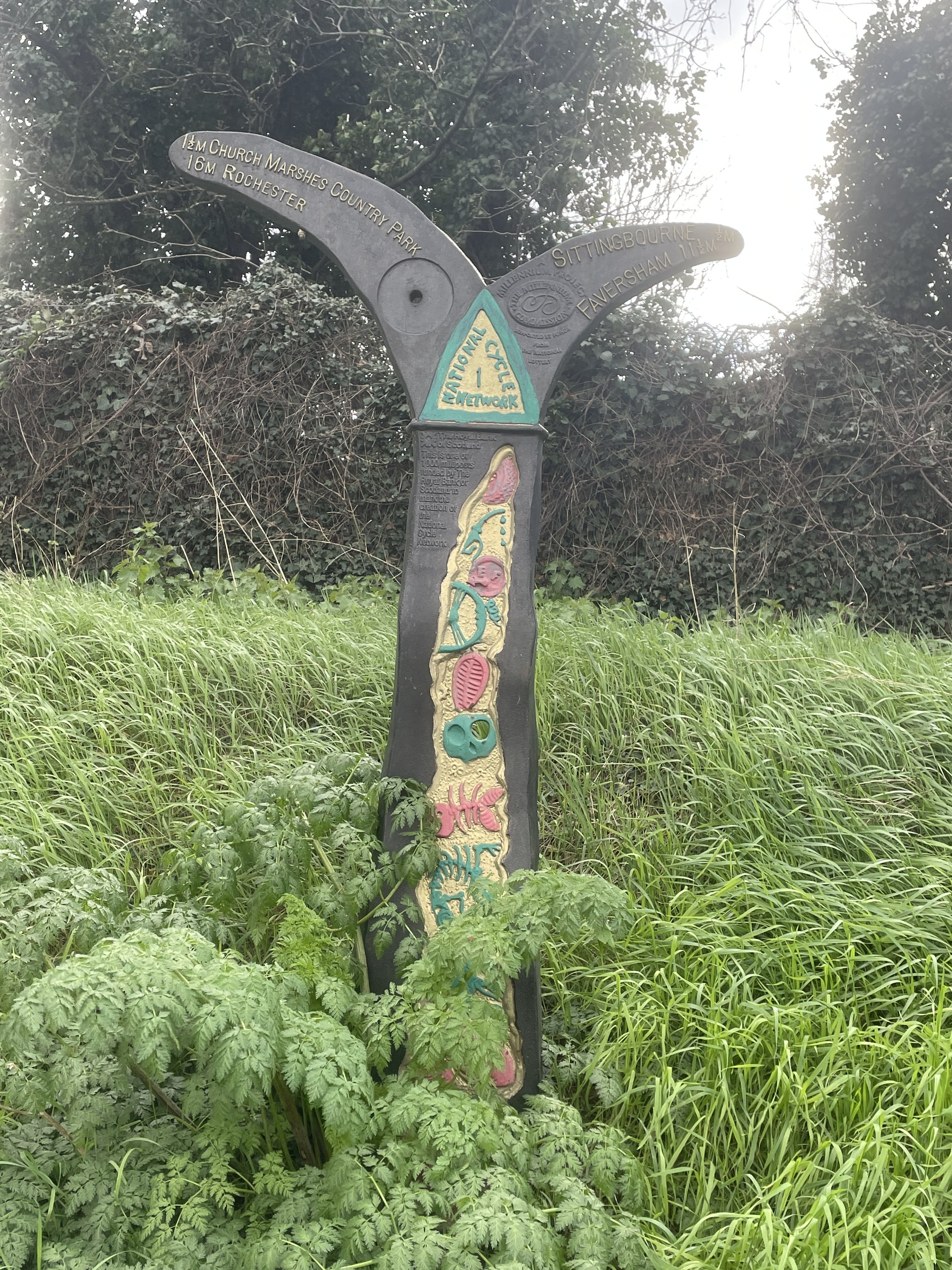
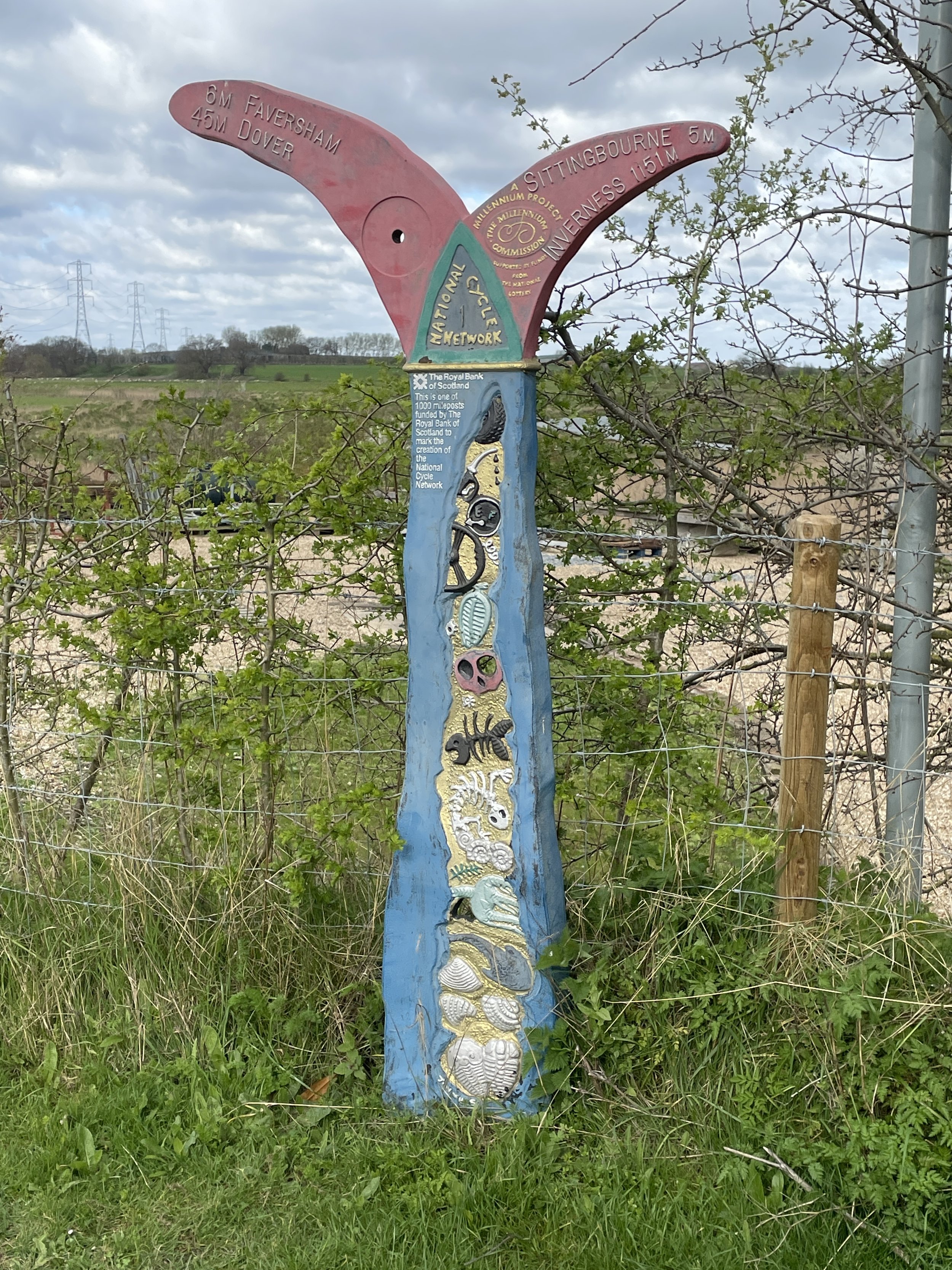
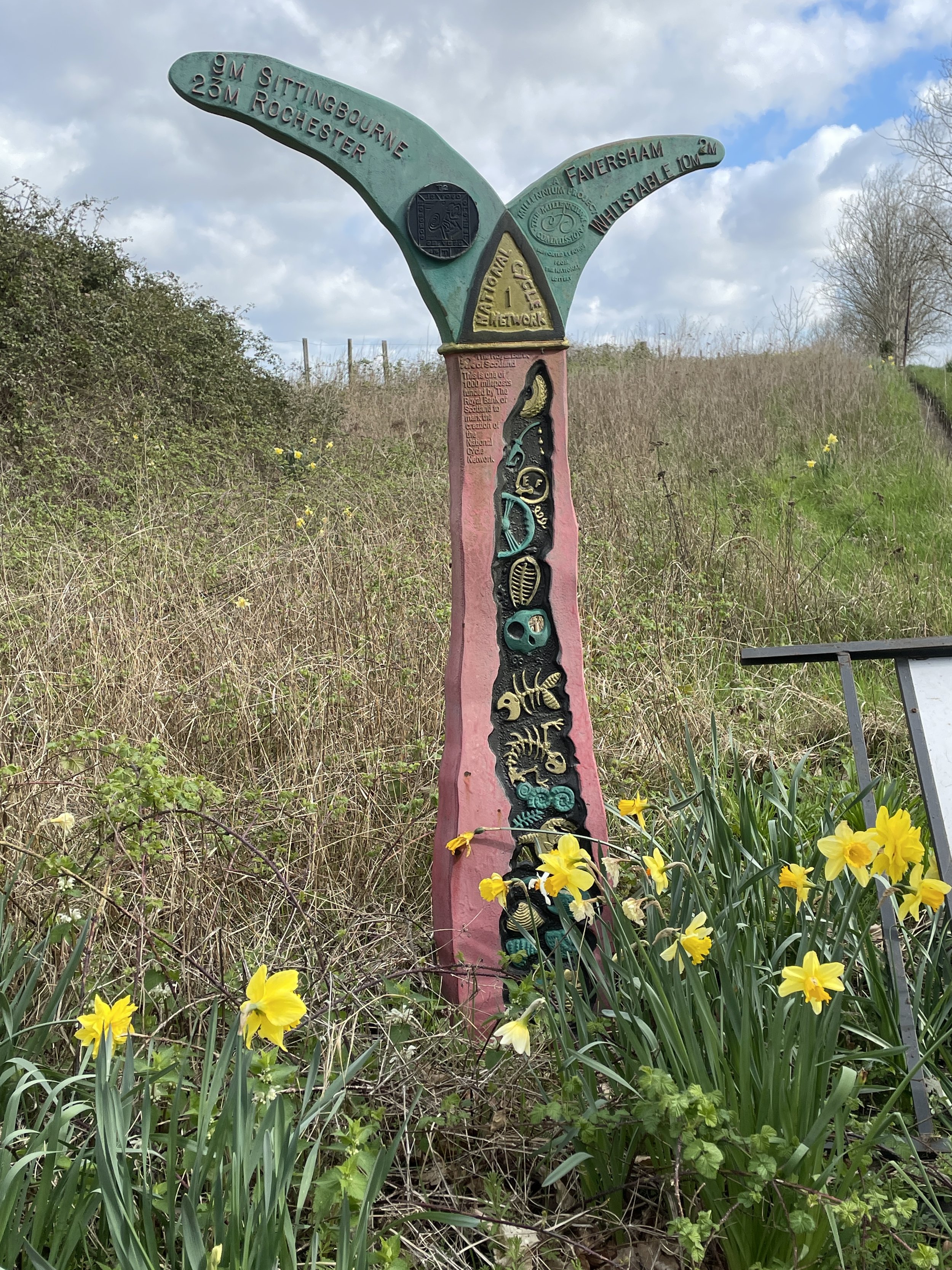
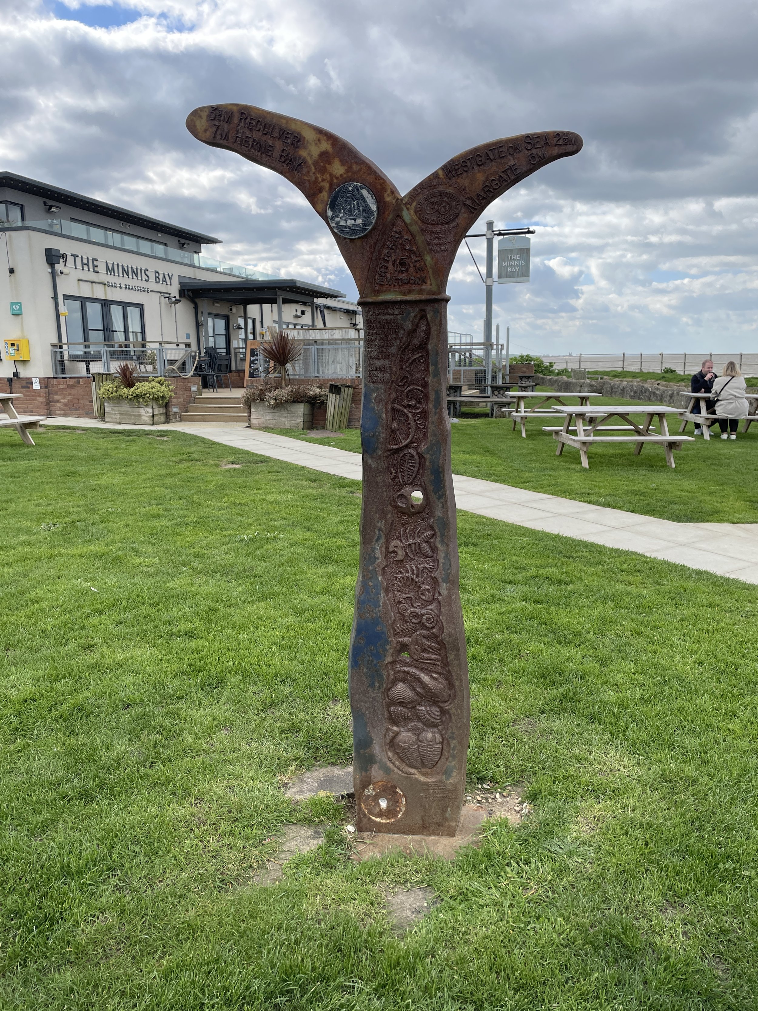
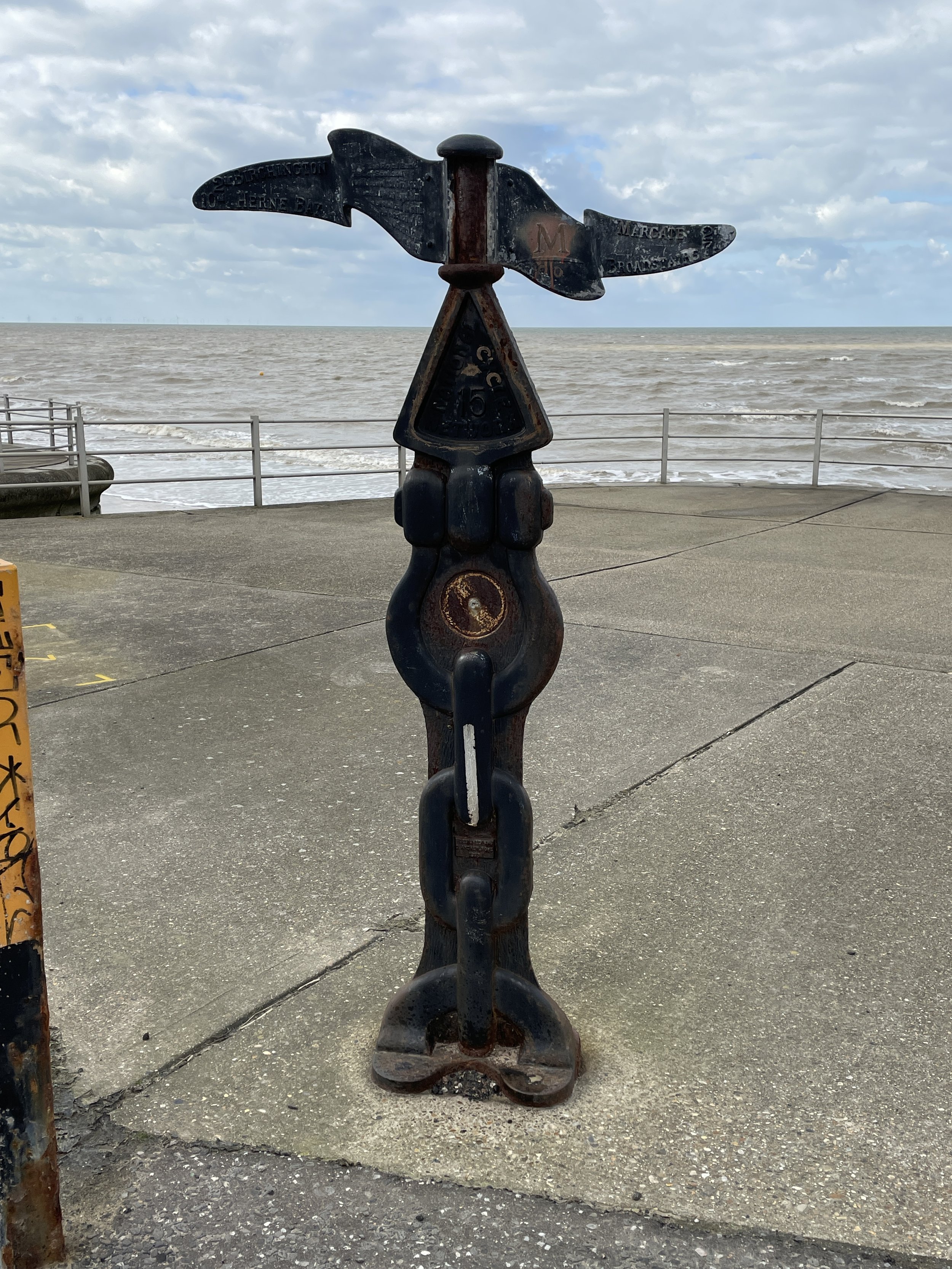
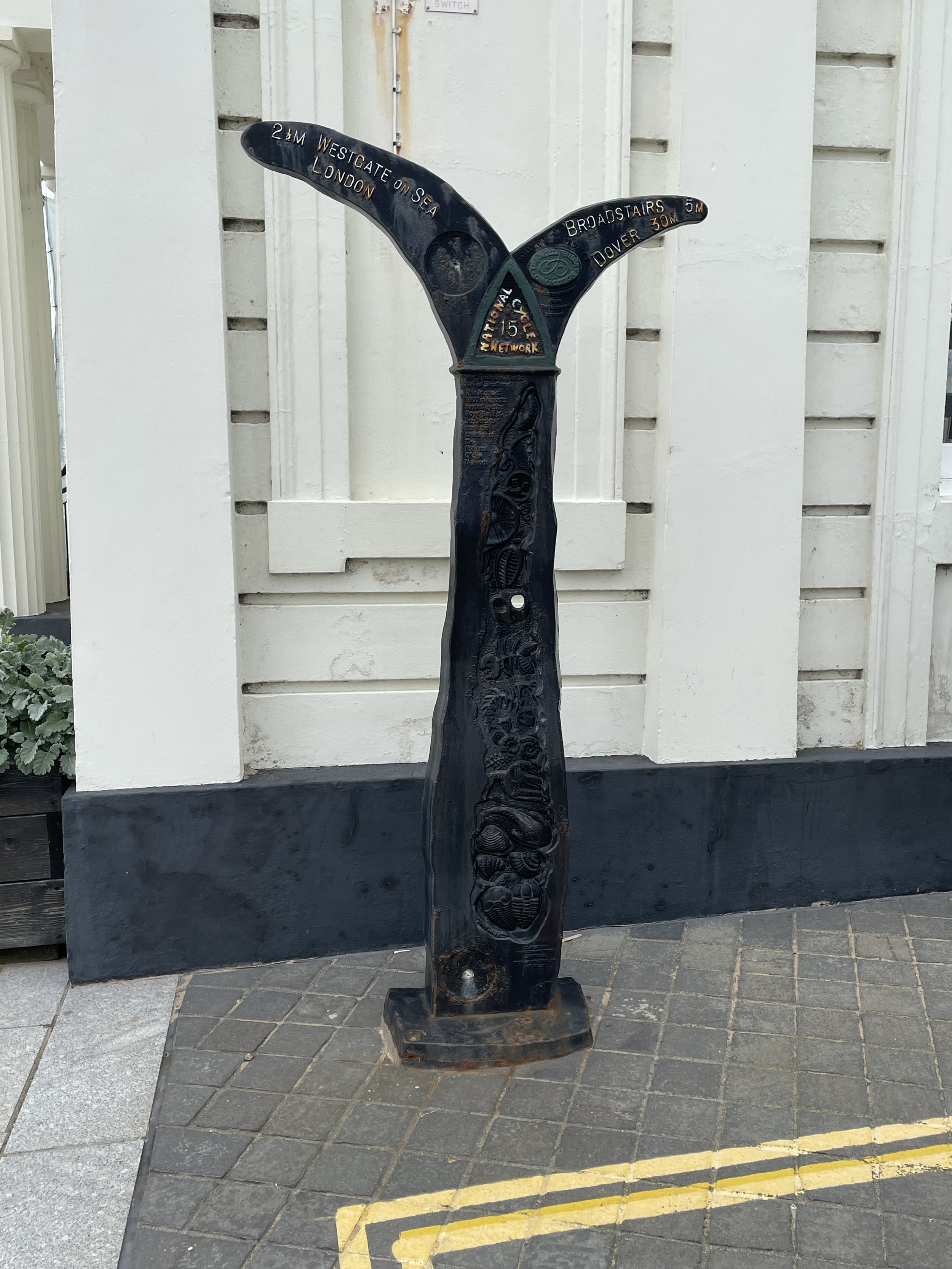
The Millennium Mileposts

Dotting the UK's National Cycle Network are over 1,000 unique markers known as the Millennium Mileposts. Unveiled in 2000, these cast-iron sculptures are more than just waymarkers. Designed by four artists, one from each nation of the UK, they celebrate the diversity of the cycling routes. These artistic mileposts come in various shapes and can be found in both bustling towns and scenic landscapes, adding a touch of artistic charm to a cycling adventure. Here’s the 14 Mileposts that I spotted on the 2 day estuary adventure.


Walking The Shakespeare's Way Part 12: Bourne End, Cookham and Wooburn

River Thames at Cookham


Start & Finish: Wakeman Road Car Park, 2A Wakeman Road, Bourne End, SL8 5SX
Distance: 8.2 km (5.1 miles)
Elevation change: +/- 83m
Shakespeare’s Way section covered: Bourne End Rail Bridge to Broad Lane, Widmoor: 3.9 km
GPX File: get via Buy Me a Coffee
Other routes touched (walk): Thames Path, Shakespeare’s Way, Beeches Way, Chiltern Way Berkshire Loop, High Wycombe to Bourne End Disused Railway
Other routes touched (cycle): N/A
Pubs / Cafes on route: Several in Bourne End and Cookham village centres. Also The Ferry (2.4 km in), The Garibaldi (3.7 km in), Chequers Inn (5.3 km in),
Map: OS Explorer Map (172) Chiltern Hills East
Links: Bourne End, Cookham, Wooburn


The Shakespeare’s Way is a 235 km / 146 mile mile long-distance path connecting Shakespeare's birthplace in Stratford-upon-Avon with the Shakespeare's Globe (Theatre), Southwark, London. A 34km section of the path cuts through the Chiltern Hills National Landscape in a south-easterly direction. Our walks take in short sections of the Shakespeare’s Way and loop back to the start on other paths. The Shakespeare’s Way is reasonably well marked however you’ll need a map or GPX route to keep on track for the return sections of the loops. The guidance below will help but don’t use it as a fully accurate turn-by-turn guide.

For this walk we parked at Wakeman Road Car Park in Bourne End and walked to the River Thames via the footpath to the left of the station. At the Thames cross over the railway bridge and, at the bottom of the steps, take a right to follow the Thames Path in a southerly direction.

Leave the Thames Path at Cookham Bridge and cross over to the north side of the Thames to follow Ferry Lane north. Here you have 2 choices: to follow The Beeches Way by taking the first path on the right after the bridge or to take an alternative route via Hedsor Road. Both options come together around the 5km mark at the top of Harvest Hill. We had already done the Beeches Way option so we took the alternative described below.

Continue north along Ferry Lane the take a right onto Hedsor Road, following it for ~500m to take a left onto Heavens Lea. Cross over Hedsor Hill (road) to follow Harvest Hill (road) in a north-easterly direction to Kiln Lane. Take a left onto Kiln Lane then a right onto a footpath just before the Chequers pub. Follow this footpath all the way down to Wooburn Park then cross over the River Wye and Town Lane.

Take the path to the left of Spake Oak depot to reach the disused Wycombe to Bourne End Railway Line. Follow this in a south-westerly direction to the end at the A4155 Cores End Road. Follow this back to the car park in Bourne End.


Shakespeare’s Way Previous Section (west): Marlow Donkey
Shakespeare’s Way Next Section (east): Beeches Way


Windsor Home Park Circular Walk

Approaching Windsor Castle on the Long Walk


Start & Finish: Windsor & Eton Bridge, Thames Street, Windsor SL4 1PX
Distance: 9 km (5.6 miles)
Elevation change: + / - 42 m
GPX File: get via Buy Me a Coffee
Other routes touched (walk): Thames Path
Other routes touched (cycle): N/A
Pubs / Cafes on route:
Coffee Shop at Windsor Farm Shop (5.4 km in), many in Windsor Town Centre
Map: OS Explorer Map (160) Windsor, Weybridge & Bracknell
Links: Windsor, Windsor Home Park, Datchet, The Long Walk


This is part of a series of short circular walks containing the Thames Path National Trail. This one connects the 4th section of the Thames Path and Jubilee River series with the Runnymede and Old Windsor Circular. It’s also a great circuit of the perimeter of Windsor Castle and Home Park.

The walk starts at Windsor and Eton Bridge near Windsor Town Centre and follows the Thames Path in a north-easterly direction on the south side of the river. The first 1.3 km follows a path between the river and the railway line to Staines, passing Romney Lock. After the bridge that takes the rail line across the river the path follows the edge of the public part of Home Park. Continue following the river until Victoria Bridge. This is as far as you can go on the south side as Home Park becomes the private gardens of Windsor Castle the on other side of Victoria Bridge.

Cross over Victoria Bridge and take the path on the right to follow the Thames on the northern side. Here you’ll be able to see into the private areas of Home Park on the opposite side. The Thames Path joins the B470 after Datchet Golf Club and follows it for 130 metres, before briefly returning to the banks of the Thames for a short section to Albert Bridge. Cross Over Albert Bridge and follow the B3021 until the Old Windsor Roundabout. The Windsor Farm Shop is a good place to stop for a rest at this point.

At the Old Windsor Roundabout take a right and follow the A308 for 130 metres until you reach the Long Walk. Take a right onto the Long Walk to follow it all the way to the end at the castle. Here you’ll get great views of the castle ahead of you, the rest of the long walk behind you and the Frogmore Estate to the right.

At the end of the Long Walk, take a left onto Park Street, and continue onto High Street and Thames Street all the way back to the start at the Thames.


Chiltern Walks: Hambleden and Medmenham

River Thames between Mill End and Medmenham


Start & Finish: Car park next to the Stag and Huntsman, Hambleden, Henley-on-Thames RG9 6RP
Distance: 9.1 km (5.6 miles)
Elevation change: +/- 85m
GPX File: get via Buy Me a Coffee
Other routes touched (walk): The Chiltern Way, Shakespeare’s Way
Other routes touched (cycle): None
Pubs / Cafes on route: The Stag and Huntsman at the start and finish
Map: OS Explorer 171: Chiltern Hills West, Henley-on-Thames and Wallingford
Links: Hambleden, Medmenham


This is part of a series of short circular walks in the Chilterns. The guidance below will help you navigate but don’t use it as a fully accurate turn-by-turn guide. Always take a map and/or a GPX route and prepare well for the weather and terrain.

For this walk we parked in the private car park behind the Stag and Huntsman. Although there’s free on-street parking in the village, it gets very busy and takes away from the old-fashioned feel of the village. The car-park, at time of writing, can be paid only by phone via an app or text.

From the car-park walk through the village past the church and the village stores to the small bridge over the Hambleden Brook. Immediately after the bridge take a footpath on the left that crosses fields and follows the Hambleden Brook in a southerly direction. The path ends 1.3 km from the car-park at a small road leading to Rotten Row. Take a right onto this road then a left onto Skirmett Road. Continue along the pavement on Skirmett Road until it ends at the A4155.
Take a left onto the A4155 and follow it for 100m. Cross over the road and into a small parking area to the left of the last house on the south side of the A4155. Walk through the car park then take a left onto a path that leads to Ferry Lane. Continue along Ferry Lane to the end where there’s a footpath junction. Take a right to follow the path along the side of the field towards the river. Follow the path next to the river for 2.2 km until you reach the small bridge over a stream at (a different) Ferry Lane.

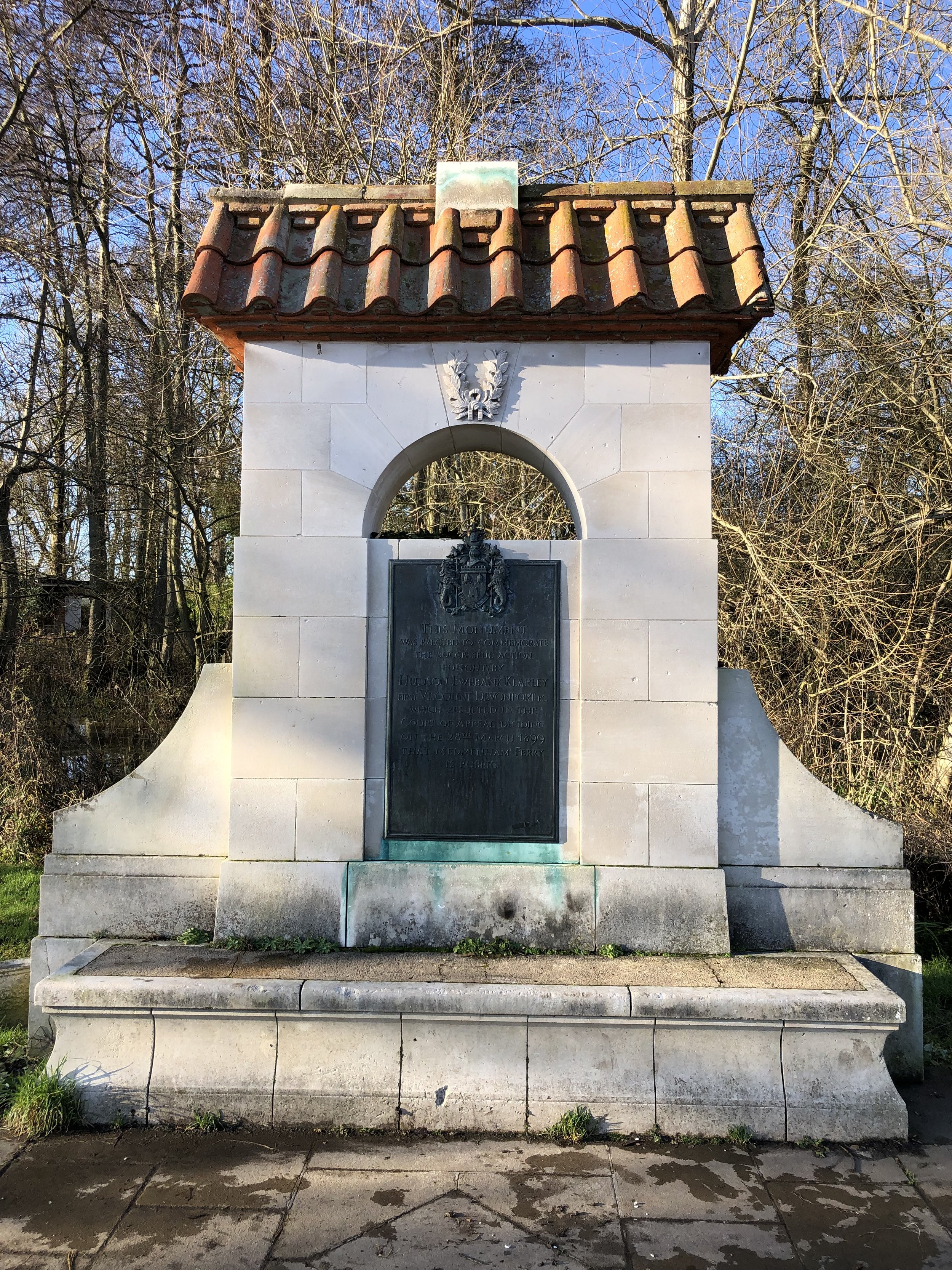
Here’s you’ll find an elaborate monument to a legal case regarding the ferry that used to cross the river here. The inscription says “This monument was erected to commemorate the successful action fought by Hudson Ewbank Kearley First Viscount Devonport which resulted in the Court of Appeal deciding on the 28th of March 1899 that Medmenham Ferry is public”.

Take a left onto Ferry Lane, following it for 300m until you reach a footpath on the left opposite the last house on the right. Follow this footpath until you meet the access road to the large estate to the left of the footpath. The access road is private but there’s a footpath that runs parallel to it on it’s western edge. Follow this path in a northerly direction until a path juction near a stream. Cross over the stream and continue along the path in a north-westerly direction to meet the A4155.

Cross over the A4155 to take the first footpath on the right. This leads steeply up a hill into woodland that’s part of the Hambleden Estate. Keep to the right at the first footpath junction on the hill to takes the path that leads to the small road to Rotten Row. Cross over and continue along the footpath until you’re back at Hanbleden.


Walking the City of London Boundary

View of the Thames from the southern border of The City at the City/Tower Hamlets/Southwark Tri-point

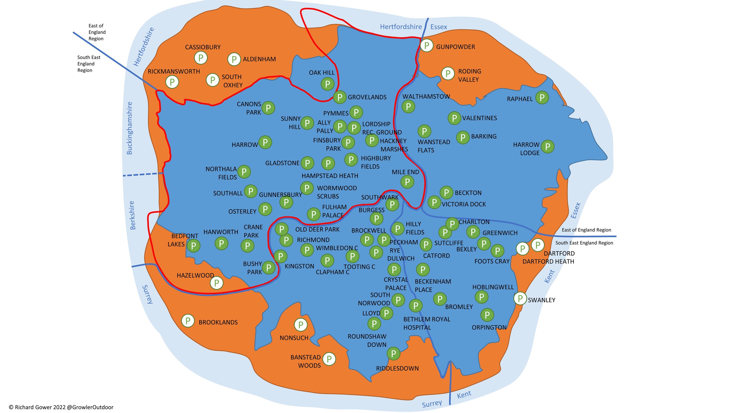
The City of London is a unique place in the UK’s geography and governance. It’s part of Greater London but not one of the 32 London Boroughs. It’s inside a city but is a city itself. It’s a Ceremonial County and was within the boundaries of the Historic County of Middlesex but was self-governing.

The City is nicknamed the Square Mile as it’s internal area is 1.12 m² (2.9 km² ). The boundary is less that 11 km with negligible elevation change which makes it a very manageable walk of approximately 3 hours. As as walk it’s also fascinating as you’ll pass the 14 dragons that guard the boundary, 7 tri-points with the London Boroughs and the highest point of the City of London.

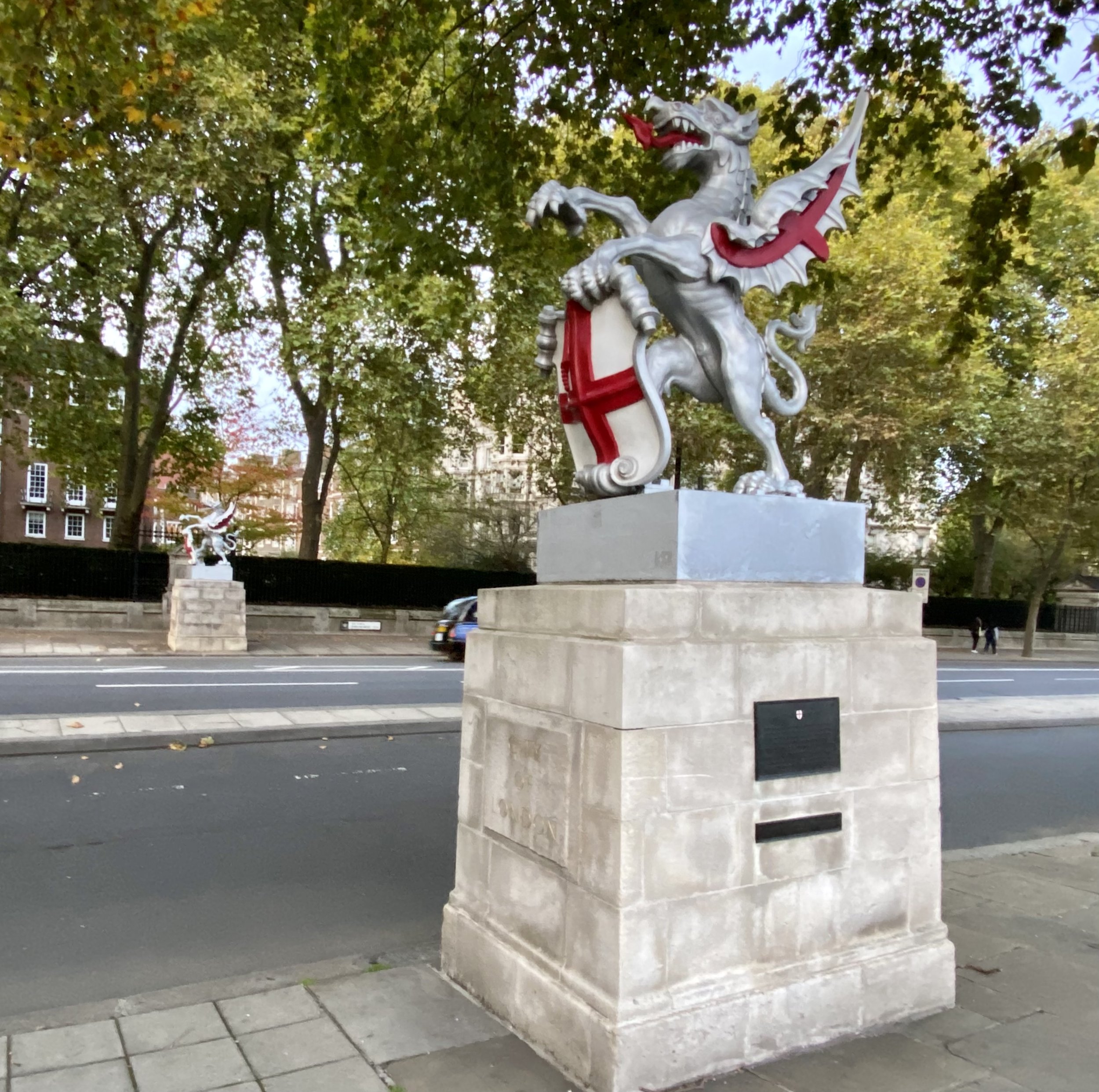
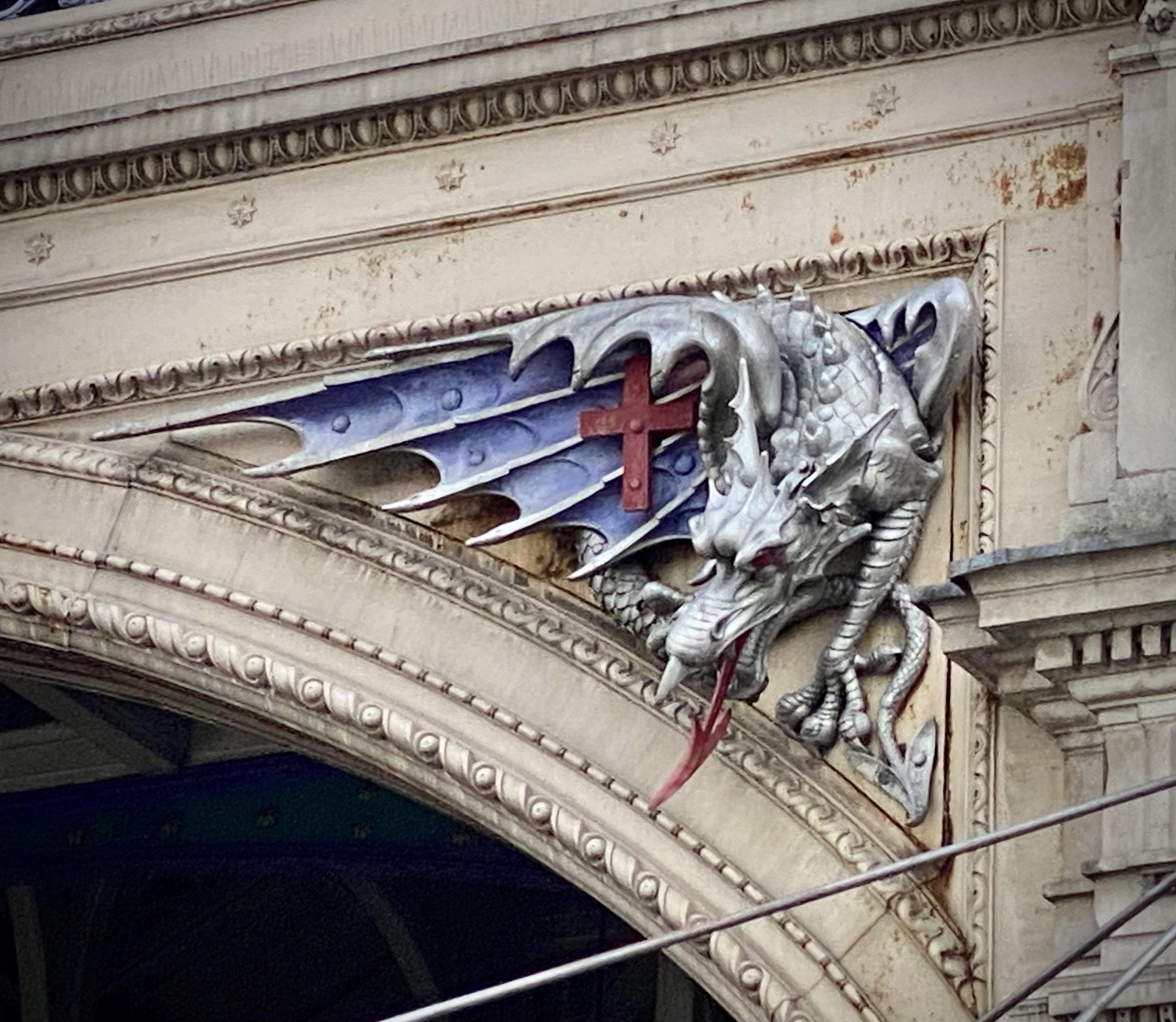
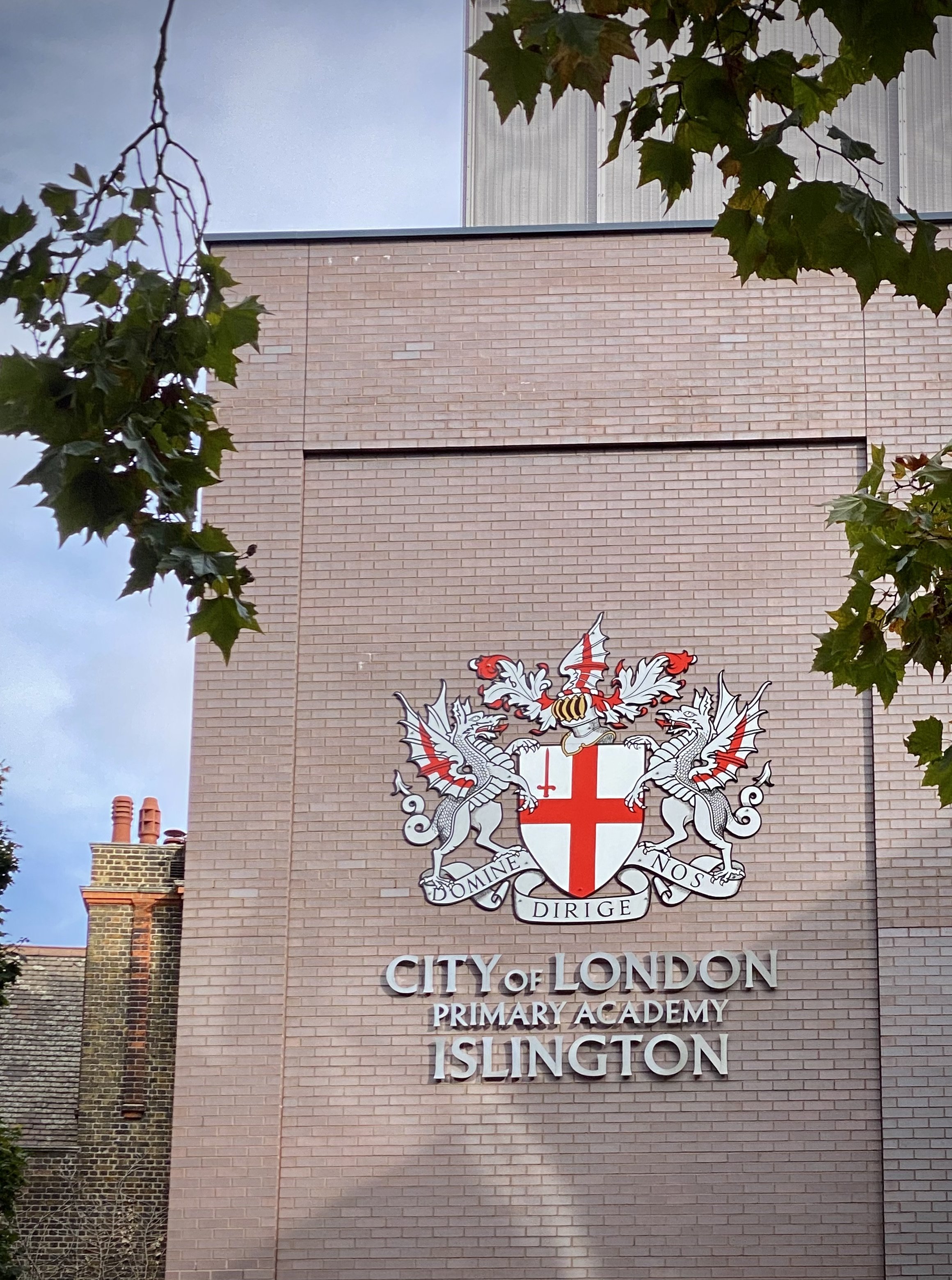
The dragons are cast iron statues the guard the main road entrances to the City of London. They were designed and installed in the 1960s. For a more detailed history of the dragons, see the post on IanVisits.

The page below describes the walk that we did in October 2022. Directions start at the Victoria Embankment Dragon, close to Temple Station, but there’s several other good starting points close to tube or rail stations. Let me know if you spot an error or have an interesting fact about the boundary to share. I’ll donate £1 to one of my causes for each update to the page.


Start & Finish: At the Embankment Dragons, Victoria Embankment, Temple, London, WC2R 2PN
Distance: 10.6 km (6.6 miles)
Elevation change: +/- 89m
GPX File: get via Buy Me a Coffee
Other routes touched (walk): Thames Path, Jubilee Walkway, Jack The Ripper Walk, Jubilee Greenway
Other routes touched (cycle): CS 3,7, C2,6
Map: London North Map | The City, West End, Enfield, Ealing, Harrow & Watford | Ordnance Survey | OS Explorer Map 173
Links: City of London, Dragon Boundary Mark

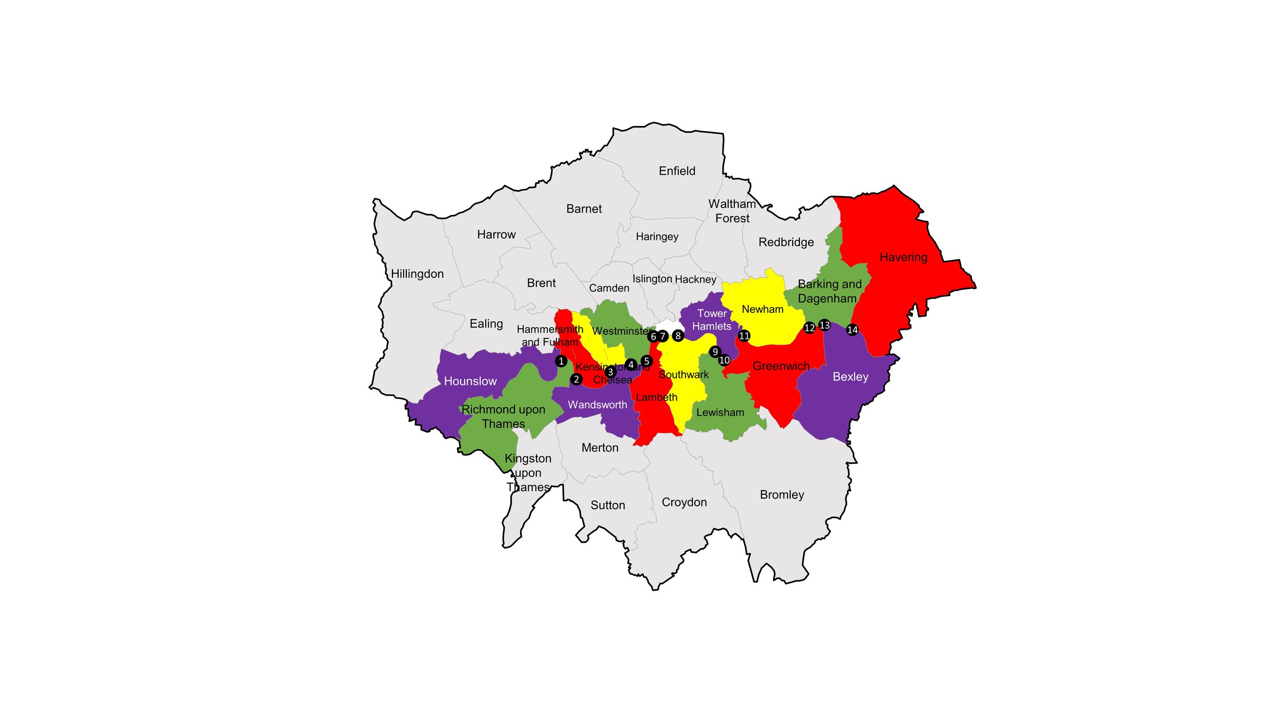
Route of the boundary walk showing locations of the Dragons (liliac icon), Tri-points (brown icon) and high point (red icon)


The City / Borough Tri-Points

Our boundary walk was partly inspired by David Natzler’s project to visit the Borough Tri-Points of Greater London. David’s project, documented in this blog post, visits 32 points where three London Borough’s connect. The City of London isn’t a borough so the 7 Tri-Points of the City with 2 boroughs was out of scope for that project. Given that all 7 of these are on the City of London boundary I wanted to find them all.

David had the great idea of using an oak sprig in photos of each Tri-Point. I wanted to do something slightly different and used a fridge magnet of a London postbox to show the Tri-Point location. Scroll down to see details and the photo of each Tri-Point at the relevant part of the walk.


Dragons 1 & 2: Embankment

Type: Twins, either side of Victoria Embankment, mounted on stone pedestals.
Distance into walk
: 0 km
Address: Victoria Embankment, Temple, London, WC2R 2PN.
Nearest Station: Temple (Circle, District)
Coordinates: 51°30'40.0"N 0°06'41.5"W
Links: Victoria Embankment, Inner Temple Gardens


Dragon 3: Temple Bar

Type: Large single dragon on top of a memorial obelisk.
Distance into walk
: 0.4 km
Address: The Strand, Temple, London, EC4A 2LT
Nearest Stations: Temple (Circle, District) or City Thameslink
Coordinates: 51°30'49.4"N 0°06'42.9"W
Directions from previous point: Right onto Temple Place, up the Milford Lane steps, along Essex Street, right onto The Strand. Note that the boundary runs through the buildings east of Essex Street. Essex Street itself is actually in the City of Westminster.
Links: Temple Bar, Temple Bar Memorial, Royal Courts of Justice


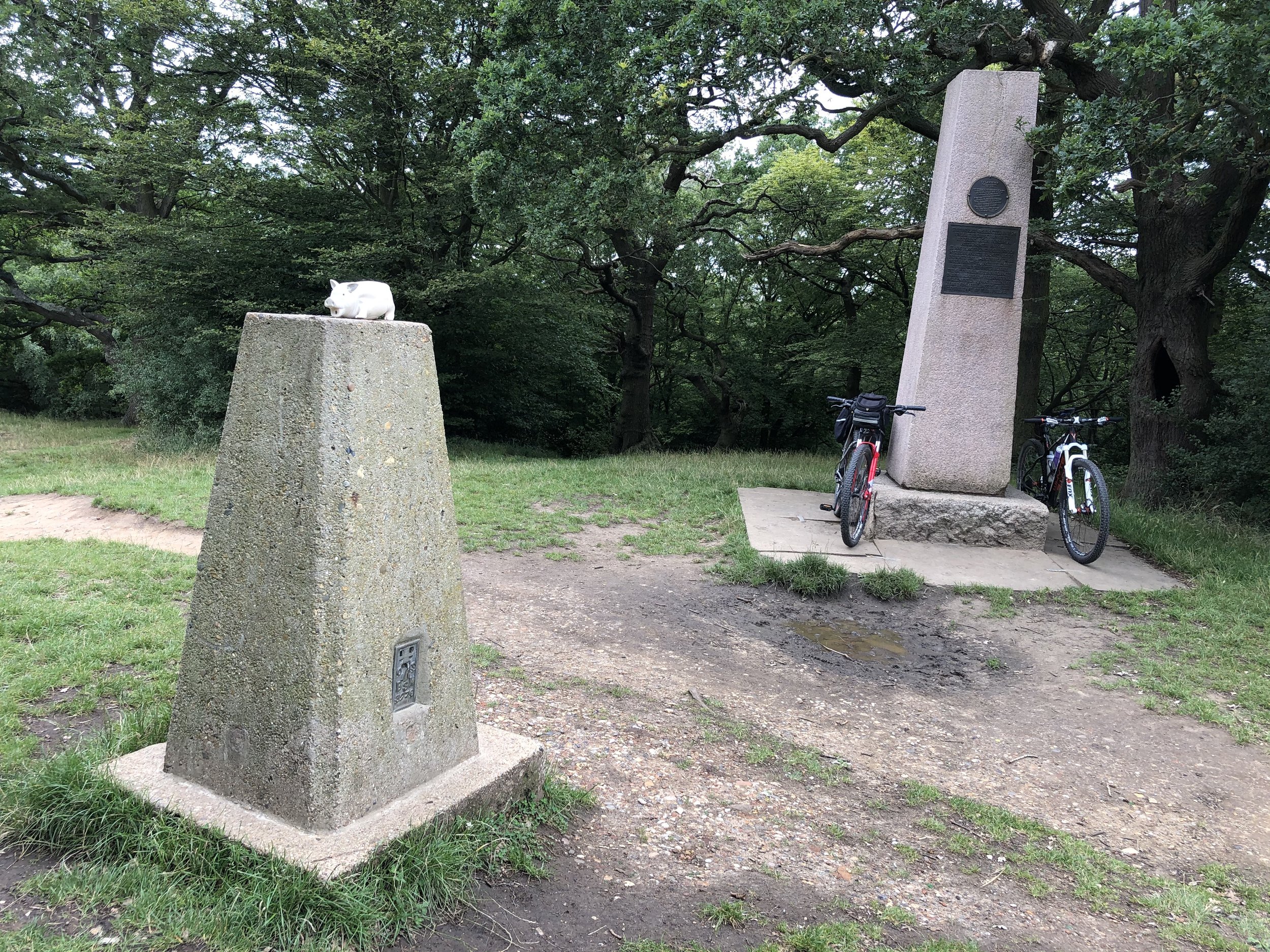
City of London High Point

Distance into walk: 1 km
Address: Junction of Chancery Lane and High Holborn.
Nearest Station: Chancery Lane (Central)
Coordinates: 51°31'05.3"N 0°06'49.5"W
Directions from previous point: Left onto Chancery Lane, continue to the junction with High Holborn.
See this related post for more details and photos of the City of London High Point


Dragons 4 & 5: High Holborn

Type: Twin dragons on stone plinths either side of the road.
Distance into walk
: 1.2 km
Address: Either side of High Holborn near exit to Chancery Lane Underground. Staple Inn 5, London, WC1V 7QH.
Nearest Station: Chancery Lane (Central)
Coordinates: 51°31'05.1"N 0°06'40.7"W
Directions from previous point: Turn right out of Chancery Lane onto High Holborn, continue east.
Links: Chancery Lane, High Holborn

This one is often referred to as the Chancery Lane Dragon, however High Holborn is a more accurate name for its location.


Tri-Point: City of London / Westminster / Camden

Distance into walk: 1.3 km
Address: Between the two carriageways of High Holborn at the corner of High Holborn and Furnival Street, WC1V 7QU.
Nearest Station: Chancery Lane (Central)
Coordinates: 51°31'05.0"N 0°06'37.6"W
Directions from previous point: Continue east along High Holborn.
Links: City of Westminster, Camden


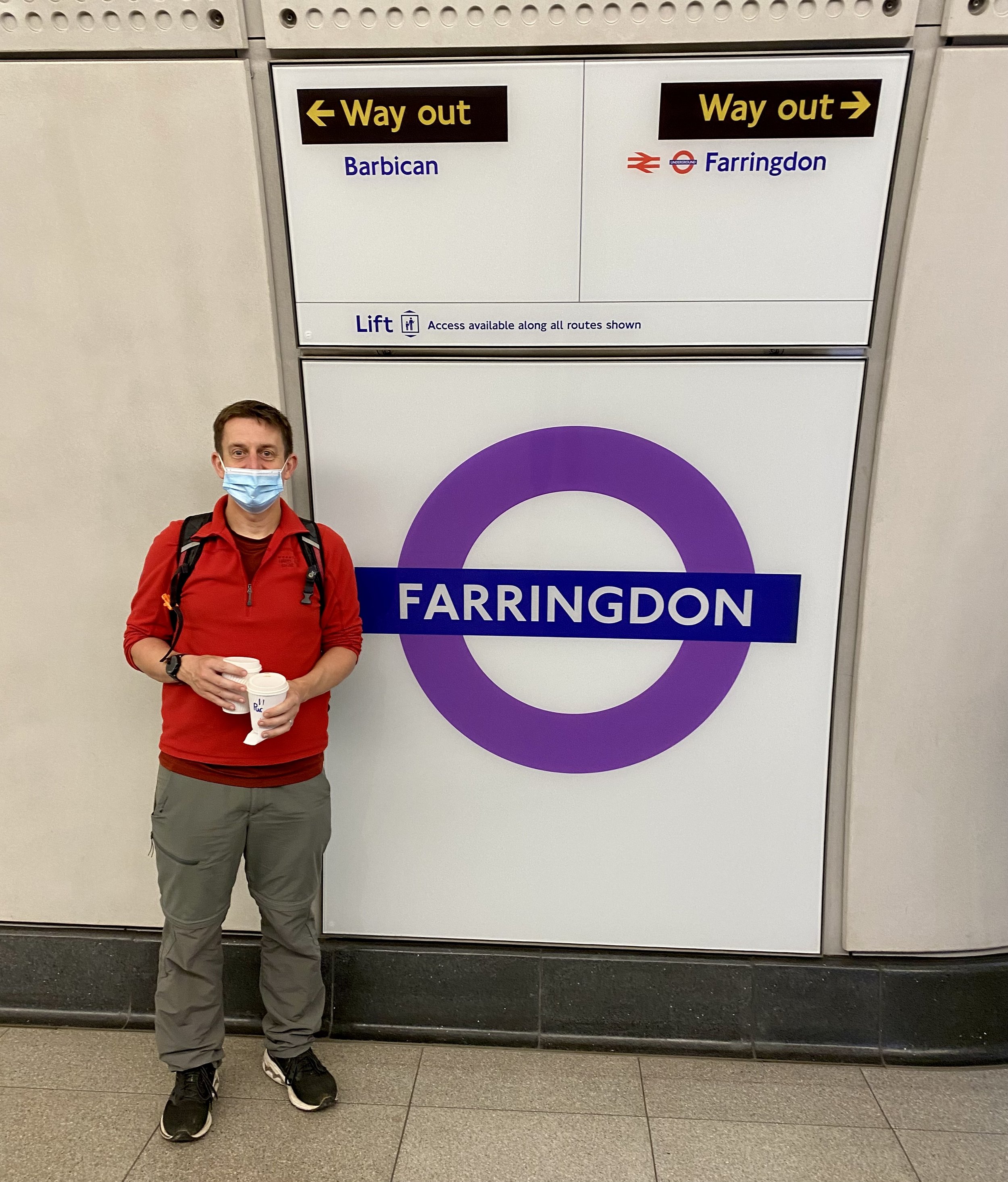
Dragon 6: Farringdon

Type: Single dragon on a pedestal.
Distance into walk
: 1.7 km
Address: South side of junction of Charterhouse Street and Furnival Street, EC4A 4LL.
Nearest Station: Farringdon (Circle, Hammersmith & City, Metropolitan, Elizabeth Line, Thameslink)
Coordinates: 51°31'06.6"N 0°06'19.1"W
Directions from previous point: Turn left onto Charterhouse Street at Junction of High Holborn/Hatton Garden/Charterhouse/New Fetter Lane.
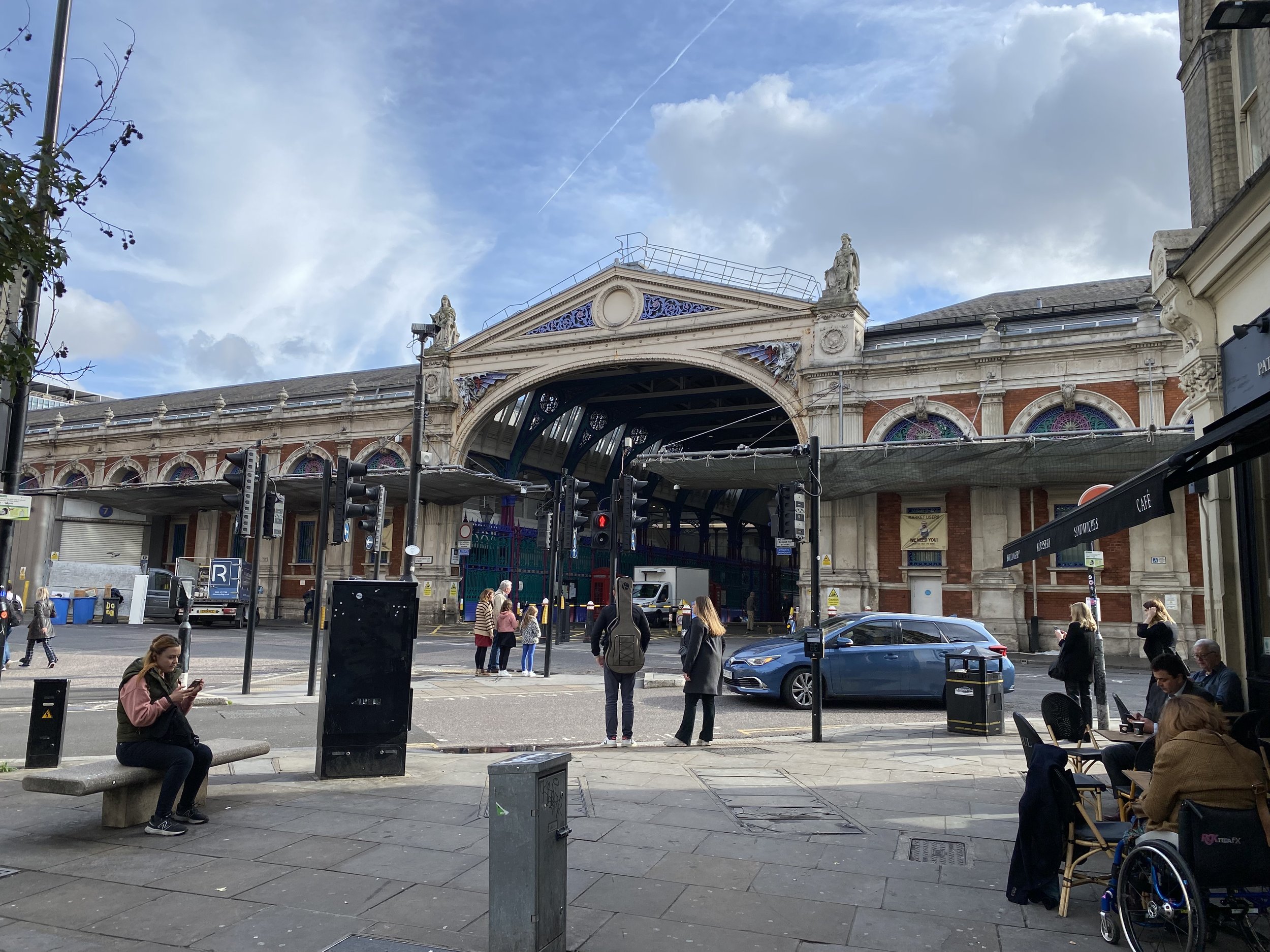
Links: Farringdon, Smithfield, Smithfield Market

Look out for the 2 “bonus” dragons either side of the arch at the entrance to Smithfield Market on Charterhouse Street.


Tri-Point: City of London / Camden / Islington

Distance into walk: 1.7 km
Address: South side of junction of Charterhouse Street and Furnival Street, EC4A 4LL.
Nearest Station: Farringdon (Circle, Hammersmith & City, Metropolitan, Elizabeth Line, Thameslink)
Coordinates: 51°31'06.6"N 0°06'19.1"W
Directions from previous point: N/A - at Farringdon Dragon.
Links: Camden, Islington


Dragon 7: Barbican

Type: Single dragon on a pedestal.
Distance into walk
: 2.5 km
Address: Junction of A1 Goswell Road and Baltic Street West. 38 Goswell Road, Golden Lane Estate, London, EC1M 7AA.
Nearest Station: Barbican (Circle, Hammersmith & City, Metropolitan)
Coordinates: 51°31'06.6"N 0°06'19.1"W
Directions from previous point: Continue along Charterhouse Street until end, turn left onto A1 Goswell Road, continue north.
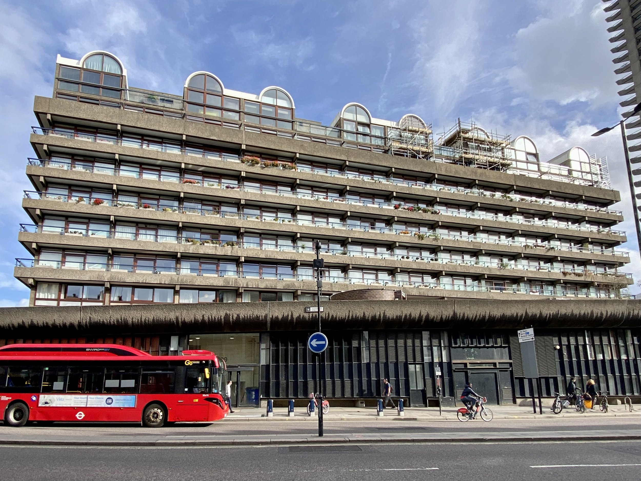
Links: Barbican, Barbican Estate, Golden Lane Estate


Dragon 8: Moorgate

Type: Single dragon on a pedestal.
Distance into walk
: 3.6 km
Address: South-east side of junction of Ropemaker Street/A501 Moorgate/South Place, EC2M 2RB.
Nearest Station: Moorgate (National Rail)
Coordinates: 51°31'08.5"N 0°05'15.9"W
Directions from previous point: Turn right into Baltic Street West, onto Baltic Street East, right onto Golden Lane, Left onto B100 Beech Street, onto B100 Chiswell Street, right onto Moor Lane, left onto Ropemaker Street.
Links: Moorgate

At the time that we visited in October 2022 the Moorgate Dragon was looking shiny and new having been recently replaced. The original had been removed to allow room for lorries accessing the construction site for Crossrail / The Elizabeth Line.


Tri-Point: City of London / Islington / Hackney

Distance into walk: 3.9 km
Address: North-West Corner of Finsbury Square / Sun Street and Wilson Street, EC2M 2PA.
Nearest Station: Liverpool Street (Circle, Hammersmith & City, Metropolitan, Central, Elizabeth Line, Overground, National Rail)
Coordinates: 51°31'13.2"N 0°05'06.9"W
Directions from previous point: Continue east along South Place, left onto Wilson Street, continue to junction with Sun Street.
Links: Islington, Hackney


Dragon 9: Bishopsgate

Type: Single dragon on a pedestal.
Distance into walk
: 4.5 km
Address: Corner of Worship Street and A10 Norton Foldgate.
Nearest Station: Liverpool Street (Circle, Hammersmith & City, Metropolitan, Central, Elizabeth Line, Overground, National Rail)
Coordinates: 51°31'08.5"N 0°05'15.9"W
Directions from previous point: Turn right onto Sun Street, curve to the left onto Appold Street, right onto Worship Street.
Links: Bishopsgate

This one is often referred to as the Liverpool Street Dragon, however Bishopsgate is a more accurate name for its location.


Tri-Point: City of London / Hackney / Tower Hamlets

Distance into walk: 4.5 km
Address: East side of A10 Shoreditch High Street opposite junction with Worship Street.
Nearest Station: Liverpool Street (Circle, Hammersmith & City, Metropolitan, Central, Elizabeth Line, Overground, National Rail)
Coordinates: 51°31'17.4"N 0°04'42.5"W
Directions from previous point: Opposite side of A10 North Foldgate to the Liverpool Street Dragon.
Links: Hackney, Tower Hamlets


Dragon 10: Aldgate

Type: Single dragon on a pedestal.
Distance into walk
: 5.5 km
Address: South-west corner of Middlesex Street and Aldgate High Street, E1 8AX.
Nearest Stations: Aldgate (Circle, Metropolitan) and Aldgate East (District, Hammersmith & City)
Coordinates: 51°31'08.5"N 0°05'15.9"W
Directions from previous point: Turn right out of Worship Street onto A10 North Foldgate, left onto Brushfield Street, right onto Fort Street, (briefly) right onto Artillery Lane, left onto Sandy’s Row, left onto Middlesex Street, left onto St Botolph Street.
Links: Aldgate


Dragon 11: Tower Hill

Type: Single dragon on a pedestal.
Distance into walk
: 6.6 km
Address: South side of Byward Street/Tower Hill, at 1 Tower Hill Terrace, London, EC3N 4EE.
Nearest Station: Tower Hill (Circle, District)
Coordinates: 51°30'34.1"N 0°04'43.1"W
Directions from previous point: Cross over Aldgate High Street onto A1210 Mansell Street, right onto Shorter Street, cross over The Minories and follow the north side of Trinity Square Gardens to Tower Hill (road). Cross over to South Side of Tower Hill (road).
Links: Tower Hill, Tower of London


Tri-Point: City of London / Tower Hamlets / Southwark

Distance into walk: 6.8 km
Address: In River Thames between west end of Millennium Pier (north-side) and east end of HMS Belfast (south-side).
Nearest Station: Tower Hill (Circle, District)
Coordinates: 51°30'24.7"N 0°04'48.7"W
Directions from previous point: Turn right onto Tower Hill Terrace, continue onto Petty Wales then to the Thames Path.
Links: Tower Hamlets, Southwark


Dragon 12 and 13: London Bridge

Type: Twin dragons on stone plinths either side of southern entrance to bridge.
Distance into walk
: 7.7 km
Address: On A3 London Bridge (road) at south end of #1 London Bridge (plus twin on opposite side of road), SE1 9AJ.
Nearest Station: London Bridge (Jubilee, Northern)
Coordinates: 51°30'23.6"N 0°05'16.5"W
Directions from previous point: Follow Thames Path in a westerly direction to London Bridge. Cross bridge to south side.
Links: London Bridge. Other bridges between London and Blackfriars: Southwark Bridge, Millennium Bridge.

The actual boundary of the City of London runs through the middle of the Thames between the City/Tower Hamlets/Southwark Tri-Point in the east and the City/Southwark/Lambeth Tri-Point in the west. Both London Bridge and Blackfriars Bridge are wholly within the City boundary and are overseen by the City of London Corporation (through Bridge House Estates). Two other bridges, between these: Southwark Bridge and Millennium Bridge are not part of the City of London, however the northern half of each is within the river boundary.


Dragon 14: Blackfriars Bridge

Type: Single dragon on a pedestal.
Distance into walk
: 9.7 km
Address: Middle of carriageway at southern end of A2021 Blackfriars Bridge (road), SE1 9UD.
Nearest Station: Blackfriars (Circle, District, Thameslink, National Rail)
Coordinates: 51°30'30.7"N 0°06'15.8"W
Directions from previous point: Cross back over London Bridge to north side of the Thames, continue along Thames Path in a westerly direction to Blackfriars Bridge. Cross bridge to south side.
Links: Blackfriars Bridge


Tri-Point: City of London / Southwark / Lambeth

Distance into walk: 10.5 km
Address: In River Thames between Inner Temple Gardens (north-side) and west end of the Oxo Building (south-side).
Nearest Stations: Temple (Circle, District) or Blackfriars (Circle, District, Thameslink, National Rail)
Coordinates: 51°30'35.2"N 0°06'41.3"W
Directions from previous point: Cross back over Blackfriars Bridge to north side of the Thames, continue along Thames Path in a westerly direction.
Links: Southwark, Lambeth


Tri-Point: City of London / Lambeth / Westminster

Distance into walk: 10.6 km
Address: In River Thames between east end of HQS Wellington (north-side) and The London Studios (south-side).
Nearest Station: Temple (Circle, District)
Coordinates: 51°30'35.5"N 0°06'33.1"W
Directions from previous point: Continue along Thames Path in a westerly direction.
Links: Lambeth, City of Westminster


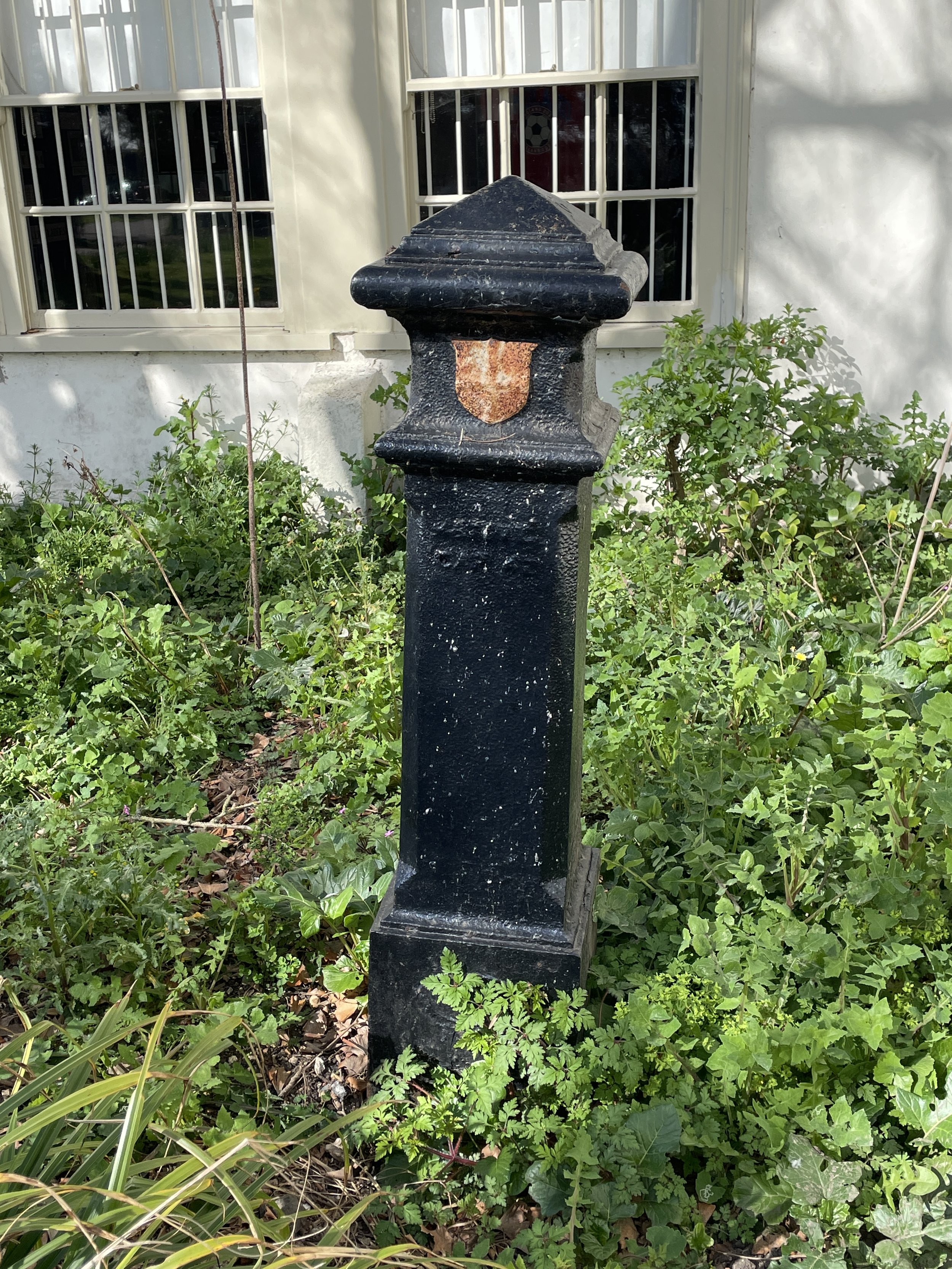
A Load of Bollards

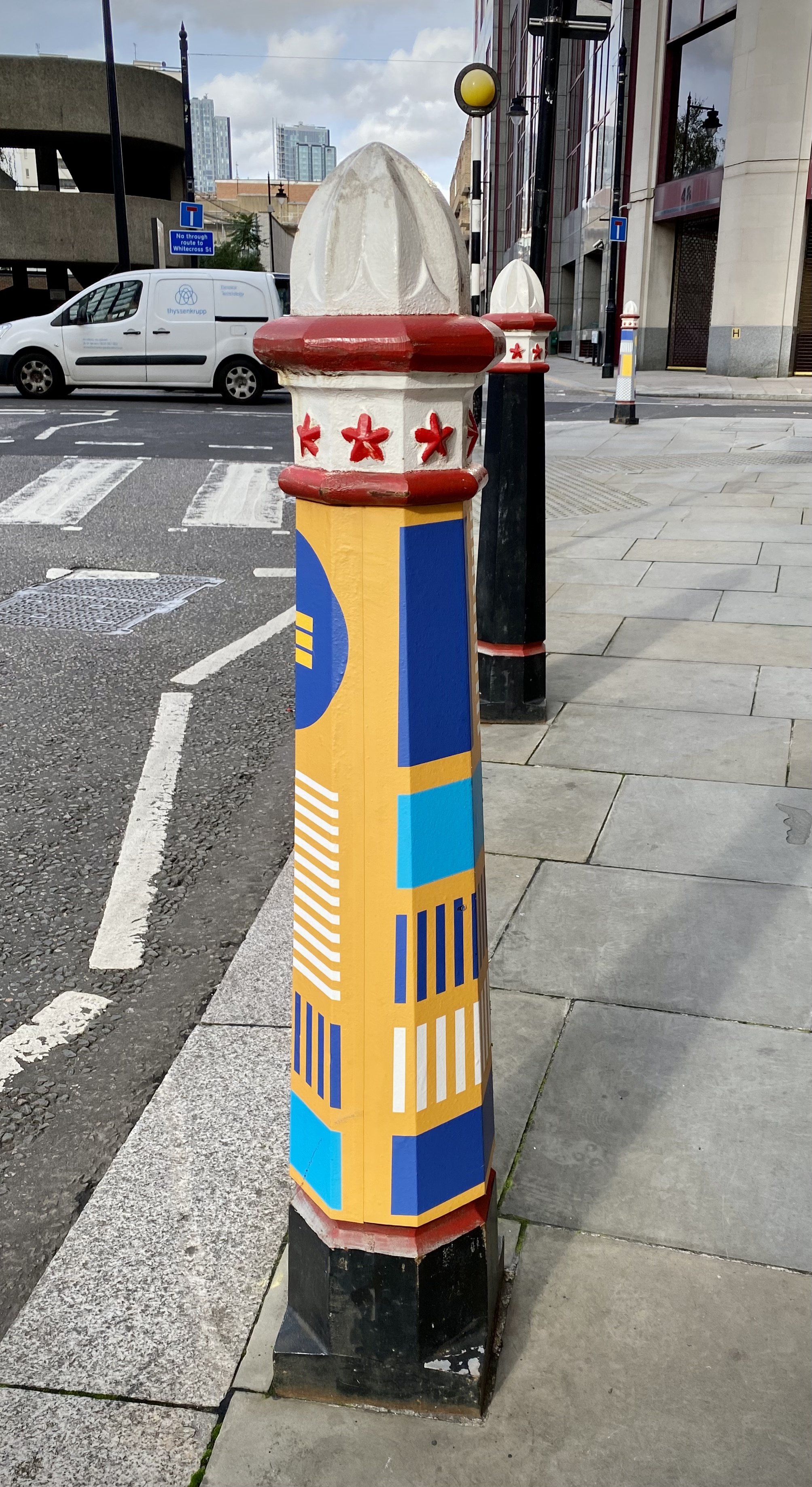
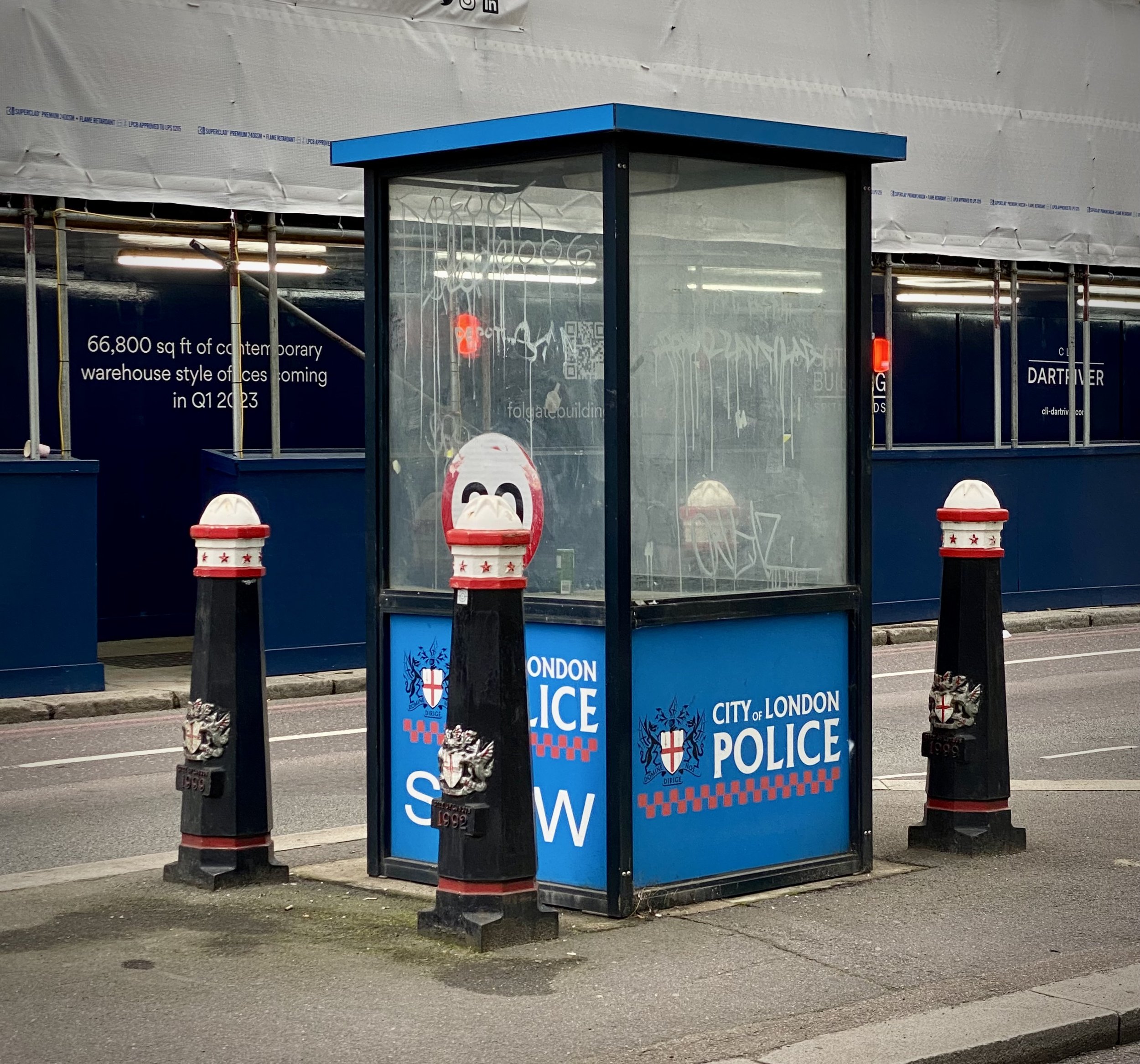
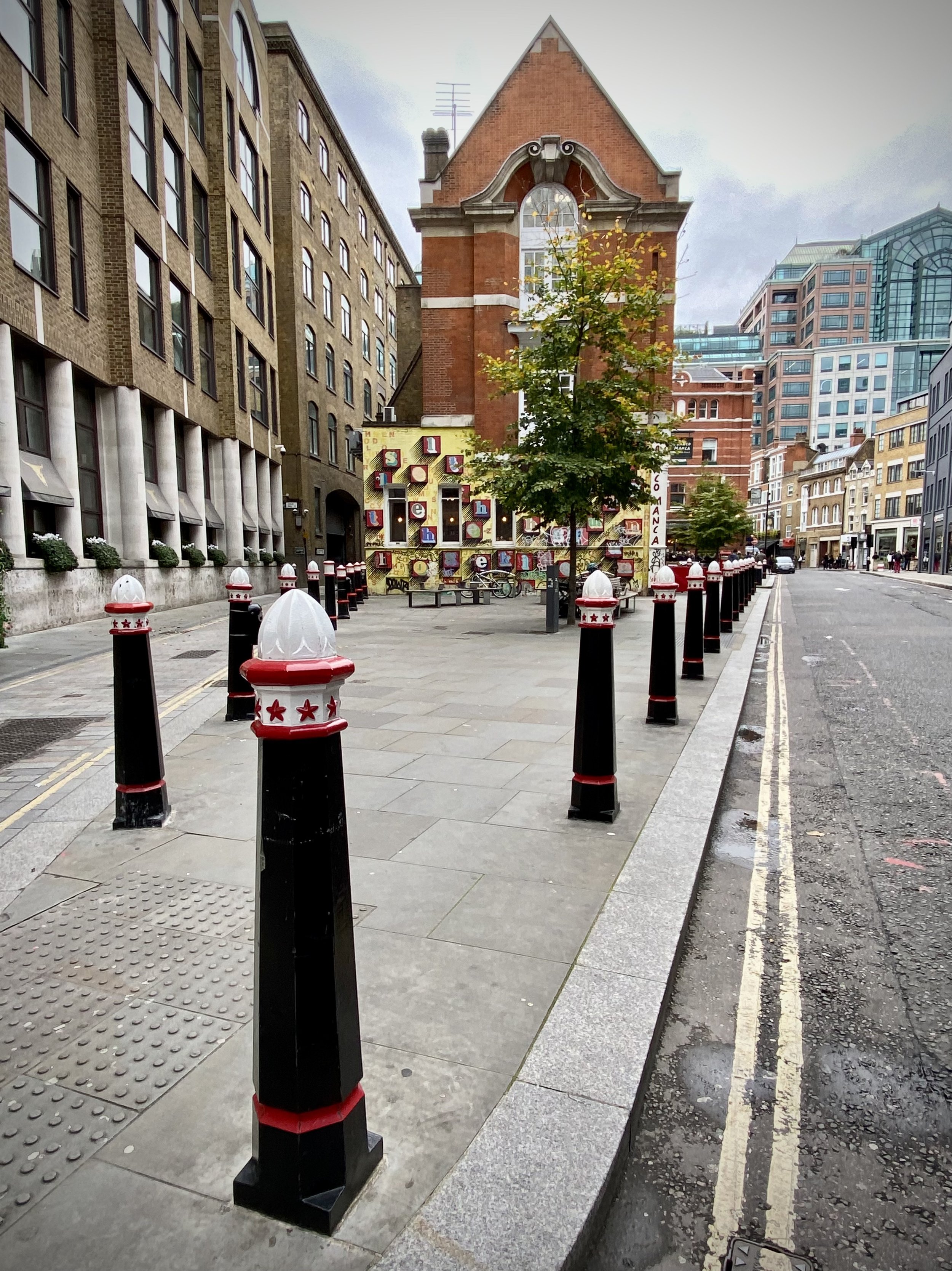
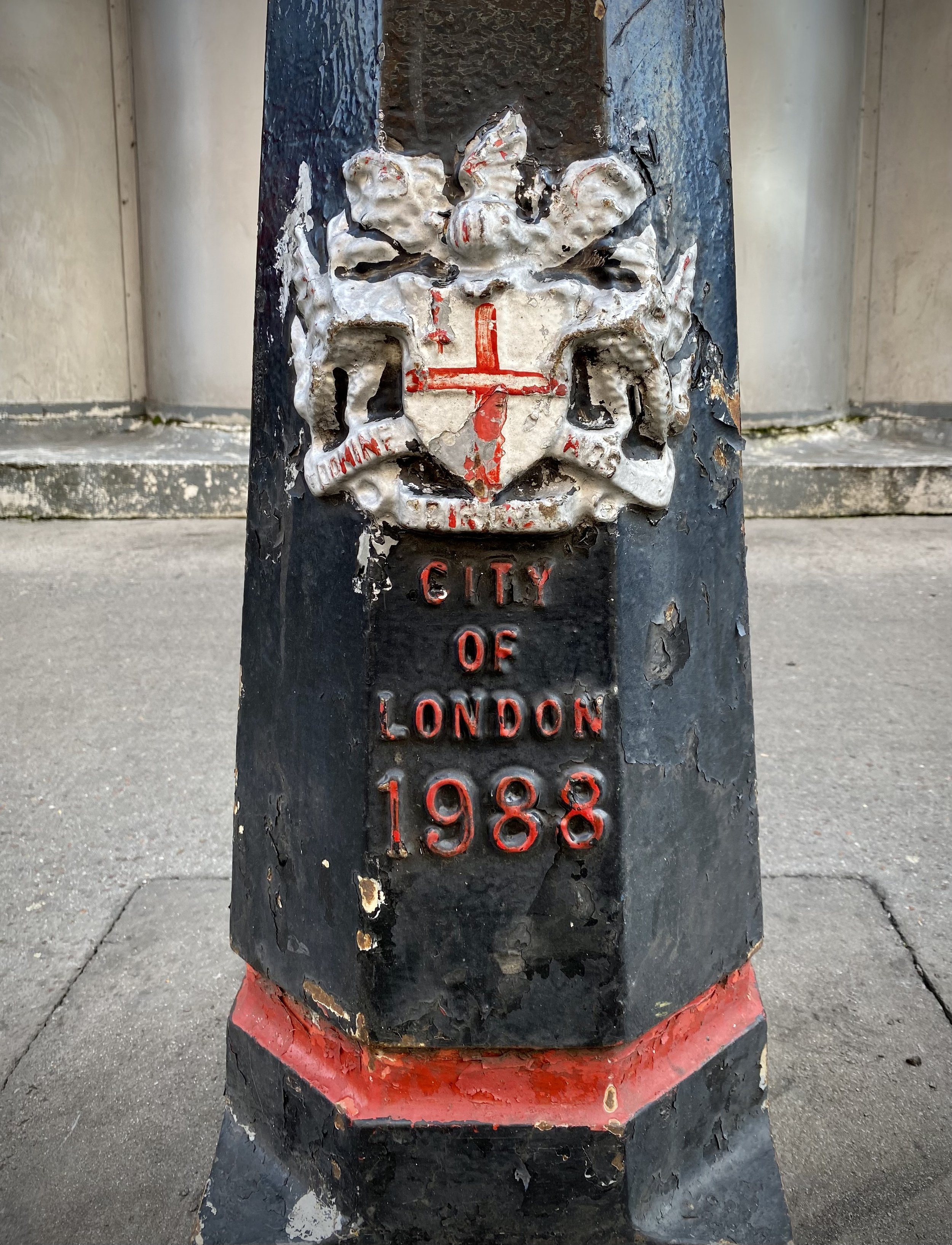
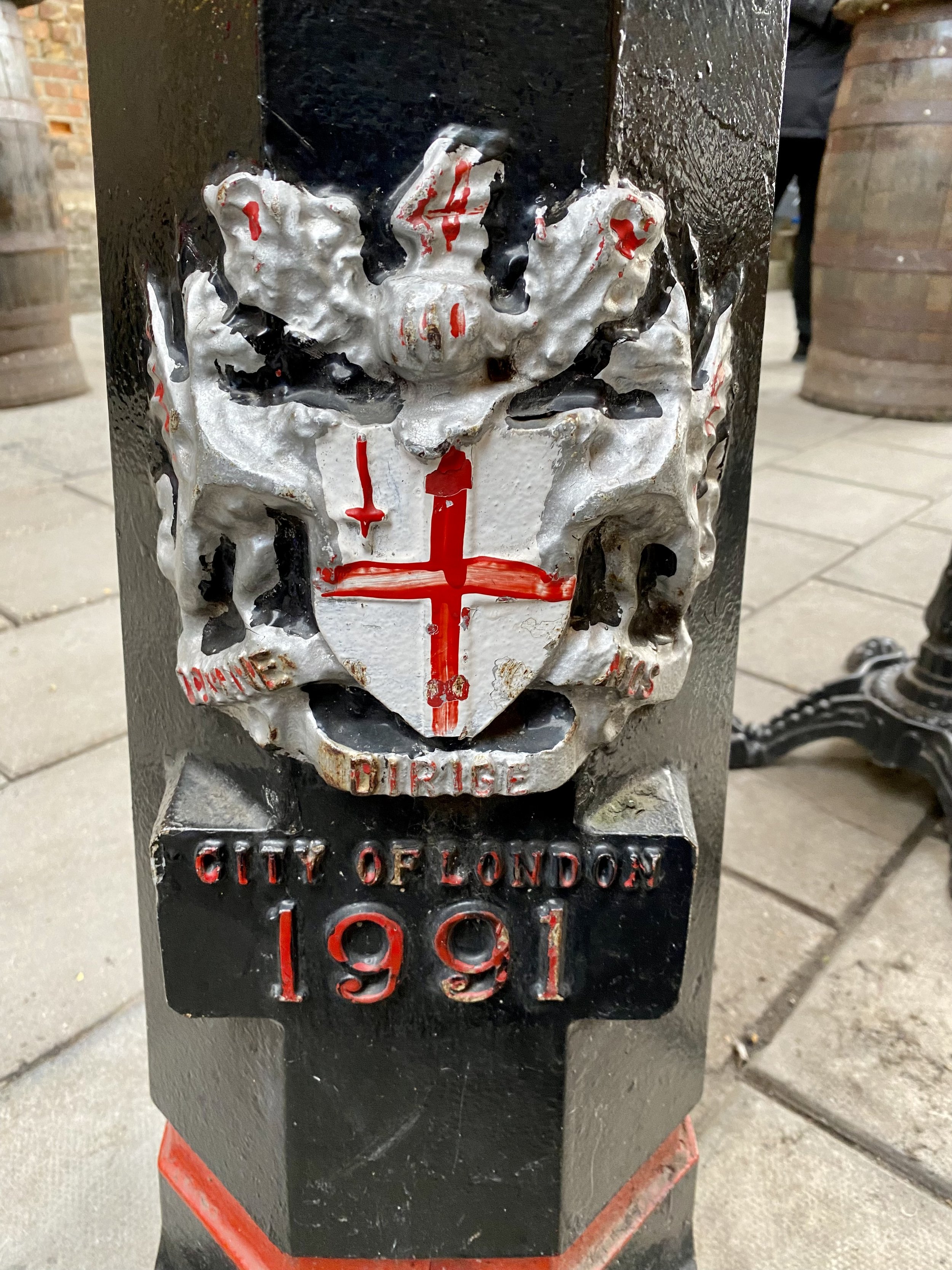
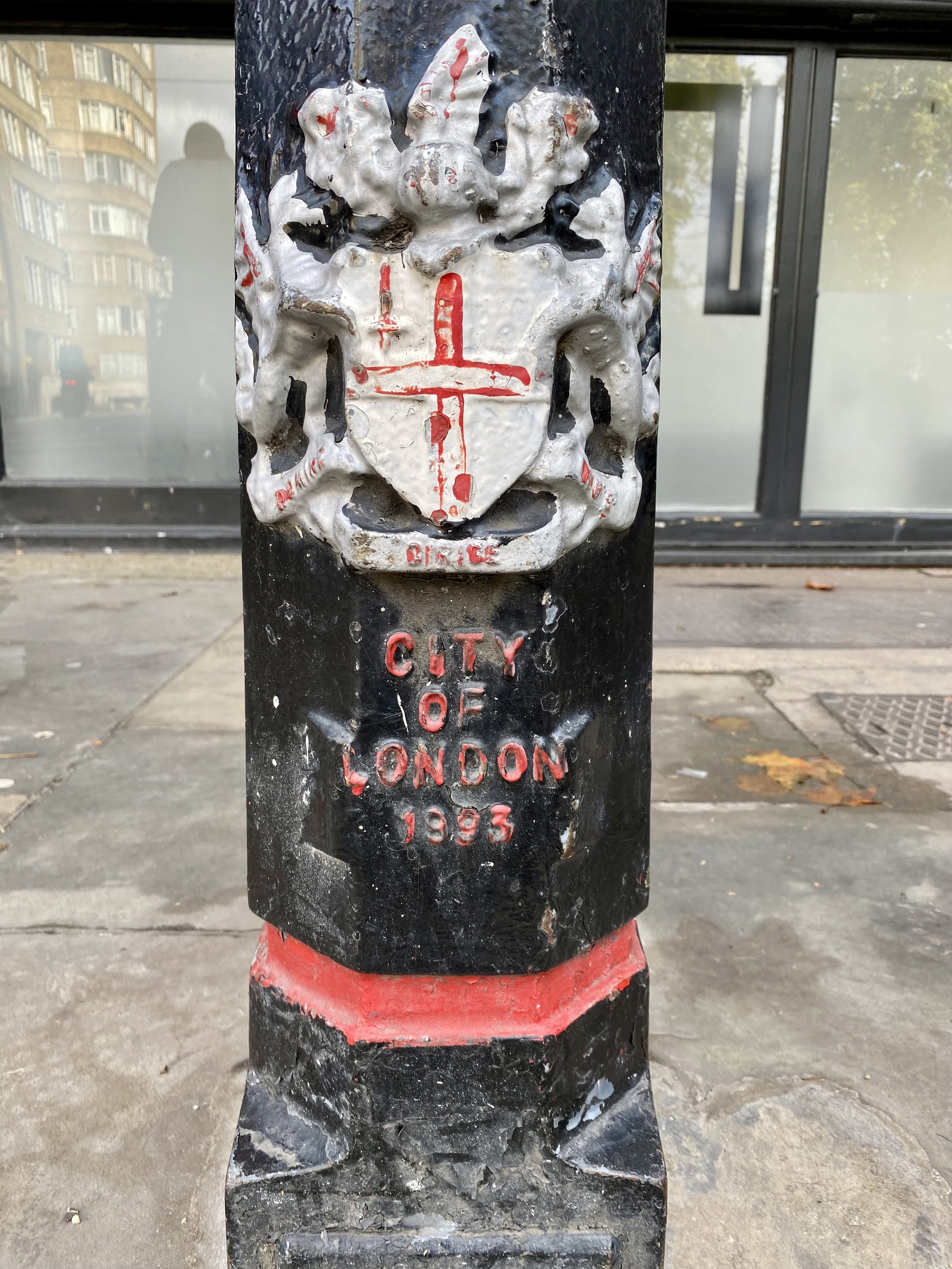
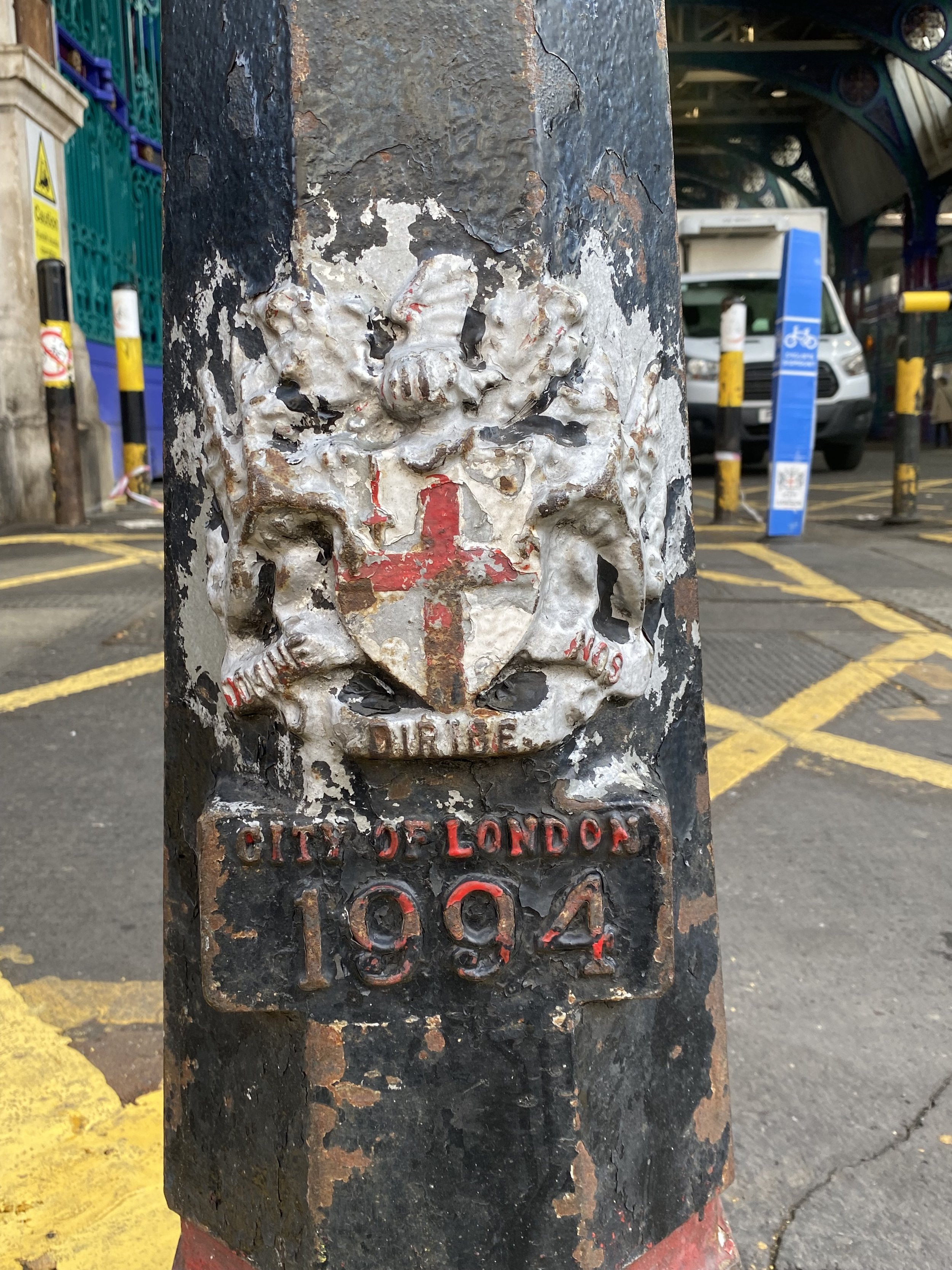
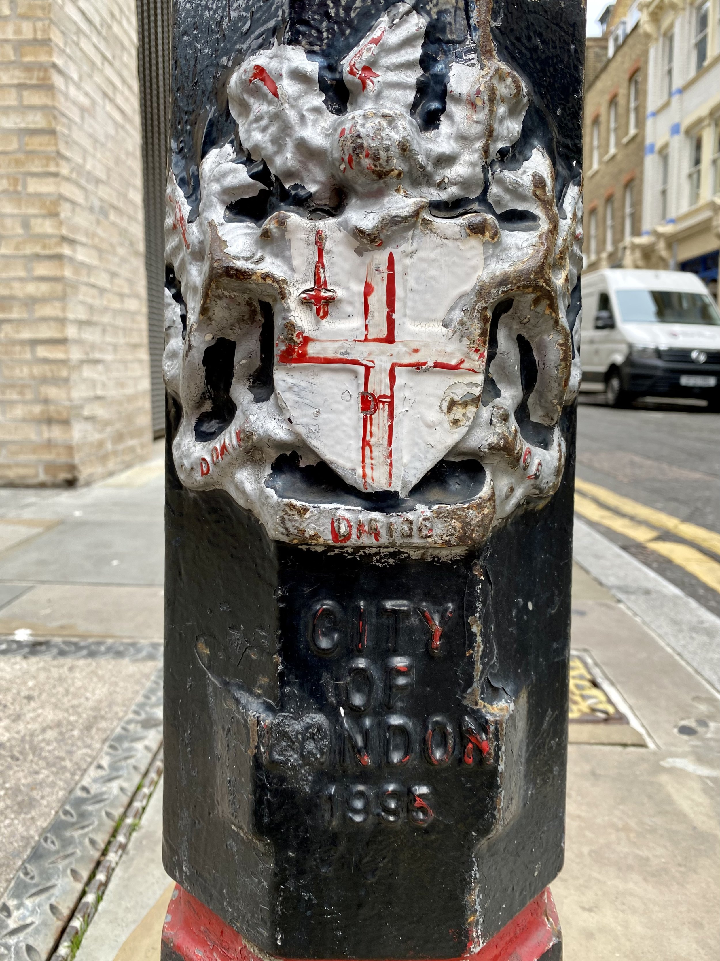
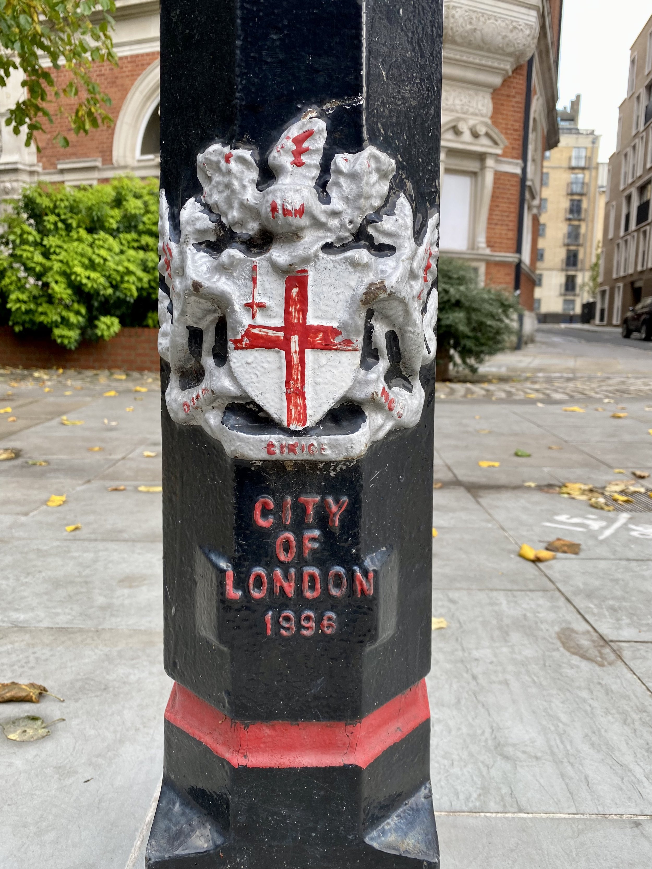
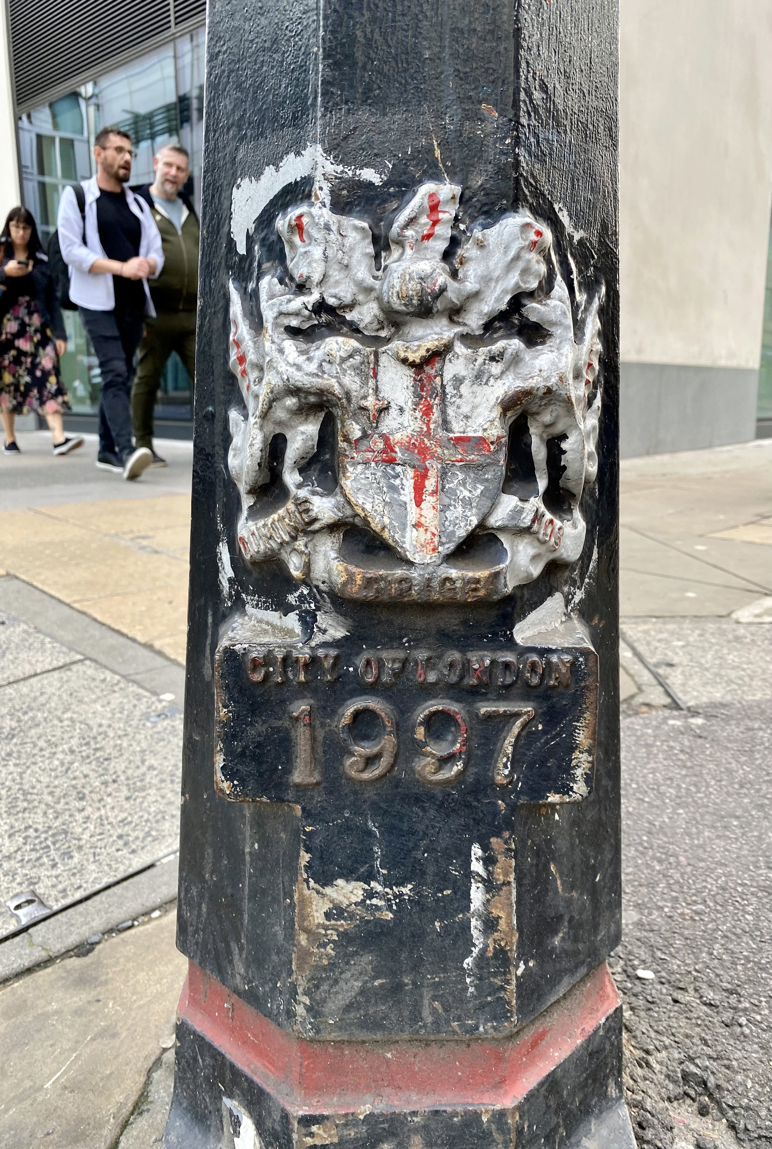
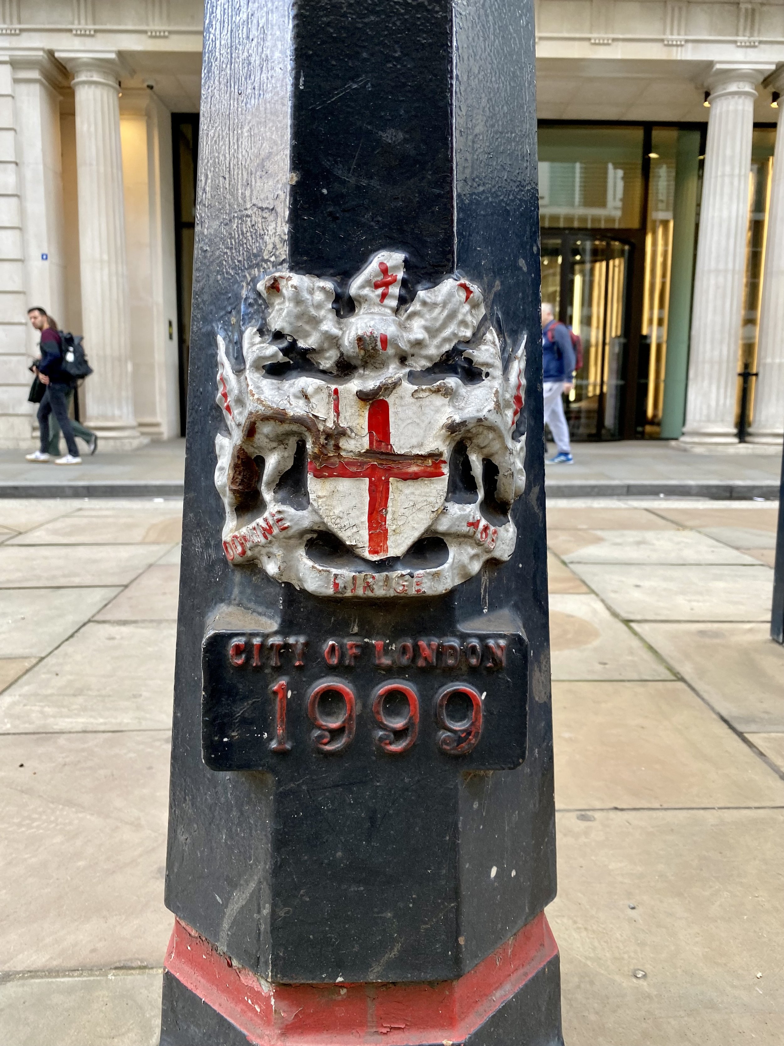
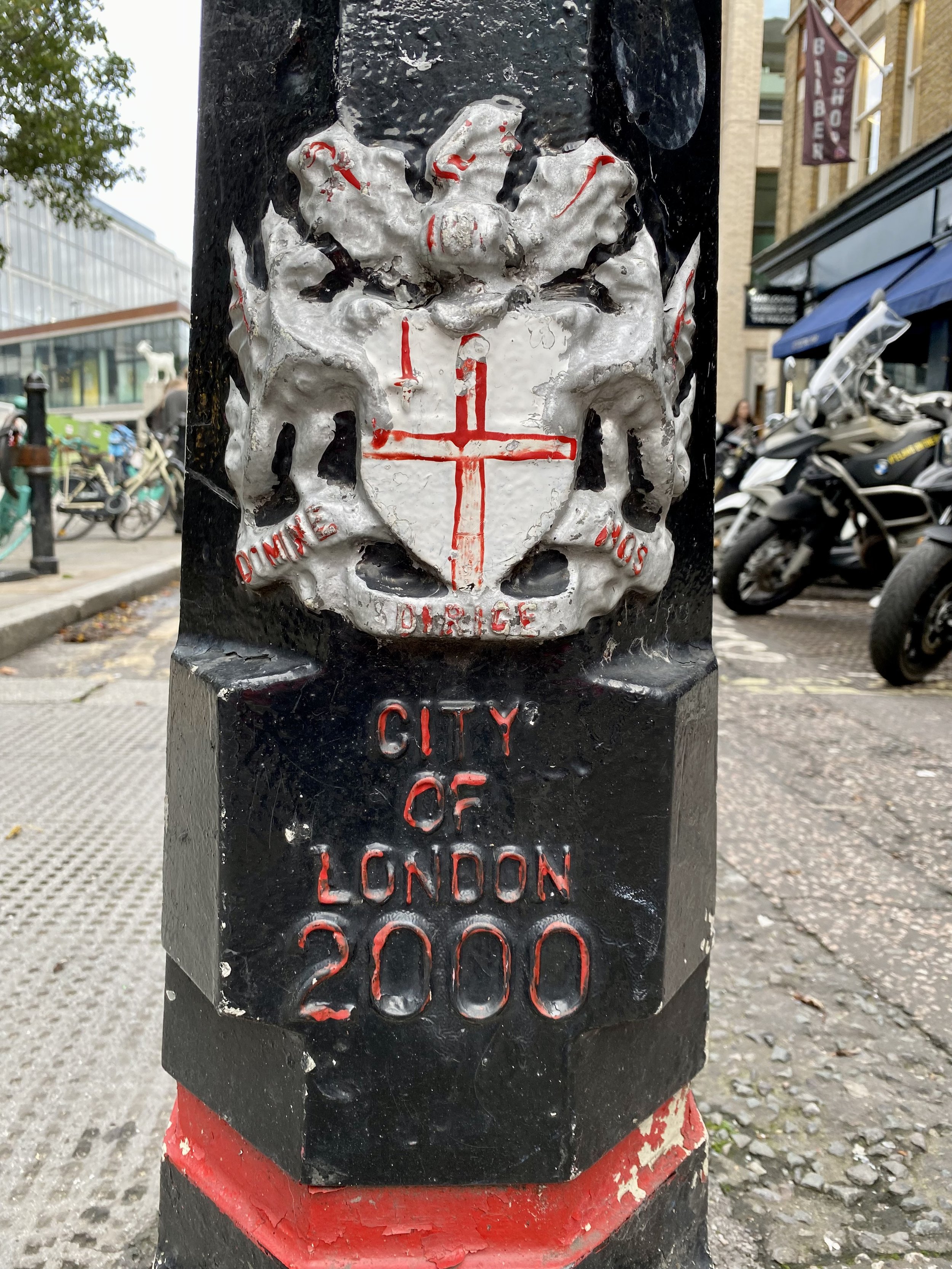
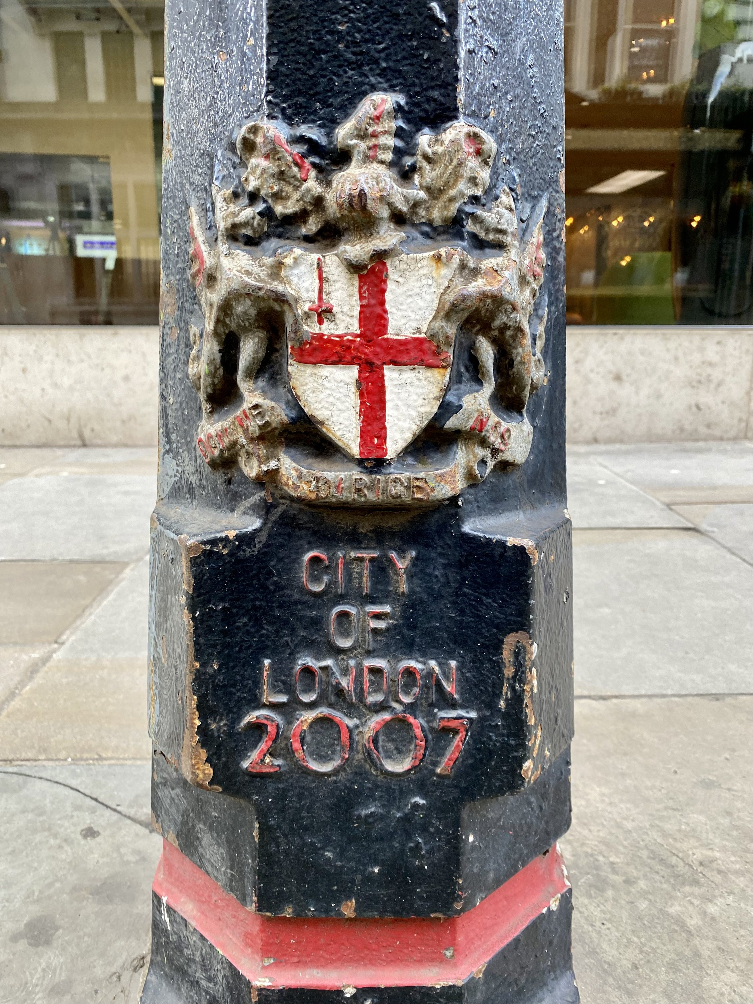
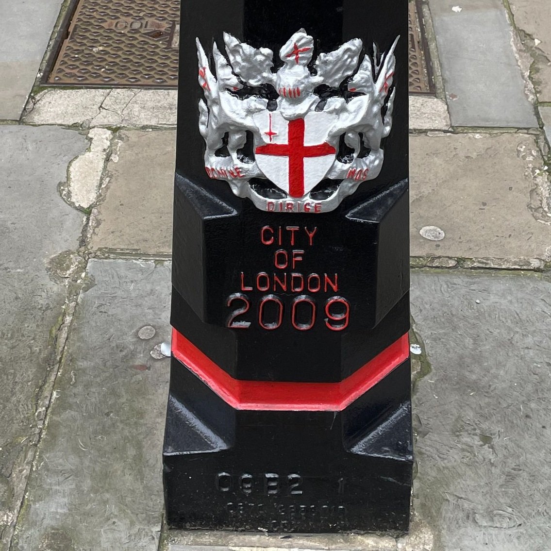
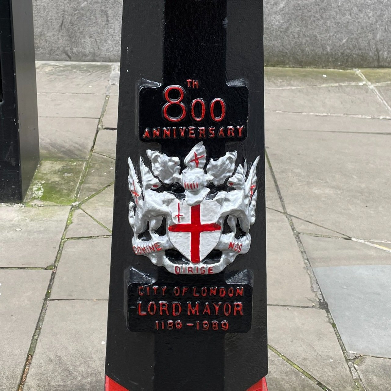
If collecting the dragons, the tri-points and the high point isn’t geeky enough for you, there’s also the bollards. We noticed that most of the bollards have a date at the bottom and decided to see if we could get the full set. We completed 1991 through to 2000 plus 1988 and 2007.


More London posts


Winter Hill and Cookham Dean Circular Walk

View to Hedsor from Winter Hill Golf Course


Start & Finish: Cookham Moor Public Car Park, 2 High Street, Cookham, SL6 9SG
Distance: 10.1 km (6.3 miles)
Elevation change: +/- 118m
GPX File: get via Buy Me a Coffee
Other routes touched (walk): Thames Path, Shakespeare’s Way, The Chiltern Way Berkshire Loop
Other routes touched (cycle): Round Berkshire Cycle Route
Pubs / Cafes on route: The Bounty, Bourne End, The Mole and Badger, Cookham Dean
Map: OS Explorer Map (172) Chiltern Hills East
Links: Cookham, Bourne End, Winter Hill, Cookham Dean, National Trust Maidenhead and Cookham Commons


This is a short circular walk mixing the flat ground of the Thames Path and a loop of nearby Winter Hill. Start at the National Trust Car Park (free to members) on Cookham Moor and walk in a northerly direction to the Thames. Take a left and follow the Thames Path in a northerly direction until the Bourne End rail bridge. Leave the Thames Path here as it crosses the bridge and keep to the south side of the Thames, now starting to curve toward the west.

After 3 km from the Car Park, the path takes a right-angle behind some riverside houses. Cross the field heading south-east to and take the path that climbs the hill heading in a south-westerly direction. Follow this path for 1.6 km until you reach Quarry Wood Road. Along the way you’ll see some great views across the river to Little Marlow and the Chiltern Hills beyond.
When you reach Quarry Wood Road take a right onto it and follow it for approx 100 metres and cross over to a footpath on the left hand side of the road. Be very careful here as there’s no pavement on this road and cars can be quite fast. Be visible and keep to the right facing oncoming traffic.
Follow the path in Quarry Wood in a south-westerly direction for 200 metres to a path junction. Take a left and follow this path for another 200 metres to the corner with Quarry Wood Road. Take a right and follow the path on the south-eastern edge of the Wood for 300 metres. Cross Over Grubwood Lane and take the path through the field, up the hill next to the llama enclosure. Continue to the woods at the top of the hill where you’ll now be on the Chiltern Way Berkshire Extension.
Once in the Woods, take a left and follow the Chiltern Way. This will take you past the Mole And Badger pub, round the Cricket Common and down to Dean Lane. Follow Dean Lane in an easterly direction to Alleyns Lane having left the Chiltern Way. Follow Alleyns Lane to Broadcuts Lane, then continue over the lane and along the path to Terry’s Lane. Continue over the next field to rejoin the Chiltern Way Berkshire Extension. Take the right hand path to follow the Chiltern Way across Winter Hill Golf Course to the bridge over the railway.

Once over the railway take a right and follow the path to Terry’s Lane. Take a path on the left and follow this to the east then south, following Stroud Water back to the National Trust Car Park.


Walking The Oxfordshire Way: The Chilterns Section

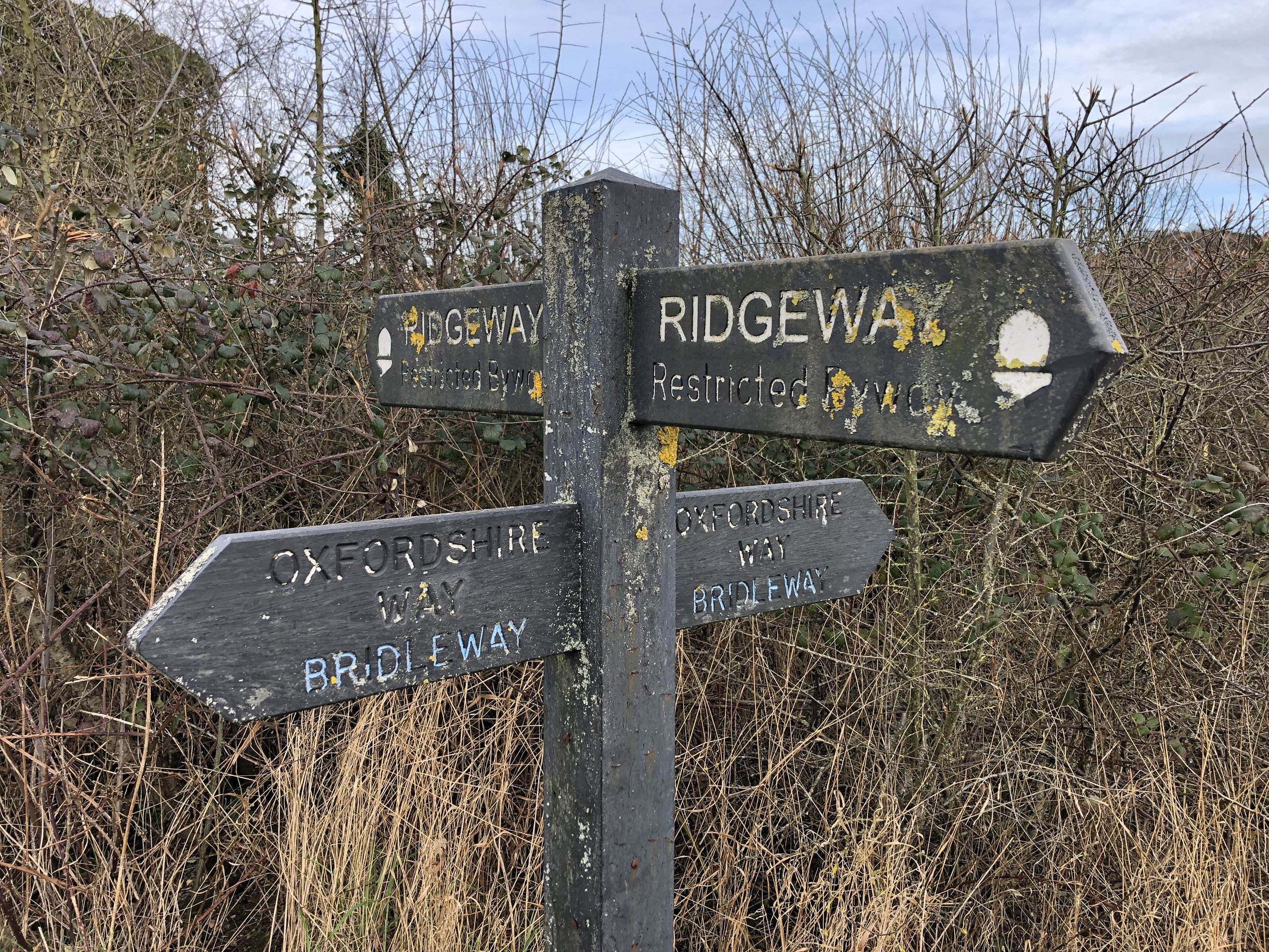
Intersection of The Ridgeway and The Oxfordshire way at the north edge of The Chilterns AONB

The Oxfordshire Way is a 66 mile long-distance path connecting Bourton-on-the-Water in the Cotswolds with Henley-on-Thames. The first 18km on the southern end stretch from the Thames Path at Henley to The Ridgeway at Watlington through the Chiltern Hills AONB. Here’s how to walk the Chilterns section either as a point-to-point or in a series of 4 short circular walks. The guidance below will help you navigate but don’t use it as a fully accurate turn-by-turn guide. Always take a map and/or a GPX route and prepare well for the weather and terrain.


Point to Point: Henley to Watlington

Start: Henley Bridge, White Hill, Henley-on-Thames, RG9 3HG
Finish: Junction of Station Road and Watlington Road, OX49 5RR
Distance: 17.8 km (11 miles)
Elevation change: + 378 / - 298m. Net -80m
GPX File: get via Buy Me a Coffee
Other routes touched (walk): Thames Path, Shakespeare’s Way, The Chiltern Way, The Chiltern Way Southern Extension, The Ridgeway
Other routes touched (cycle): Chilterns Cycleway
Pubs / Cafes on route: Several in Henley and Watlington High Streets, plus: The Rainbow Inn (Middle Assendon), The Fox and Hounds (Christmas Common)
Map: Chiltern Hills West Map | Henley-on-Thames & Wallingford | Ordnance Survey | OS Explorer Map 171
Links: Henley-on-Thames, Middle Assendon, Bix, Maidensgrove, Pishill, Christmas Common, Watlington

If you’re attempting the Chilterns section as a point-to-point the first decision is how to get back to the start. I didn’t find any practical public transport solutions of less than 3 hours and multiple changes. It’s only a 20 minute drive between the two towns though so the best options are either a 2-car shuffle or to get a taxi.

This first section starts at Henley Bridge, where the Oxfordshire Way meets the Thames Path. From here, walk up Hart Street in a westerly direction and turn right onto Bell Street. Continue along Bell Street until the mini-roundabout, crossing this onto Northfield End. After 300m, and 1km into the route, take the footpath on the right, following it diagonally up the hill to a wooded area.
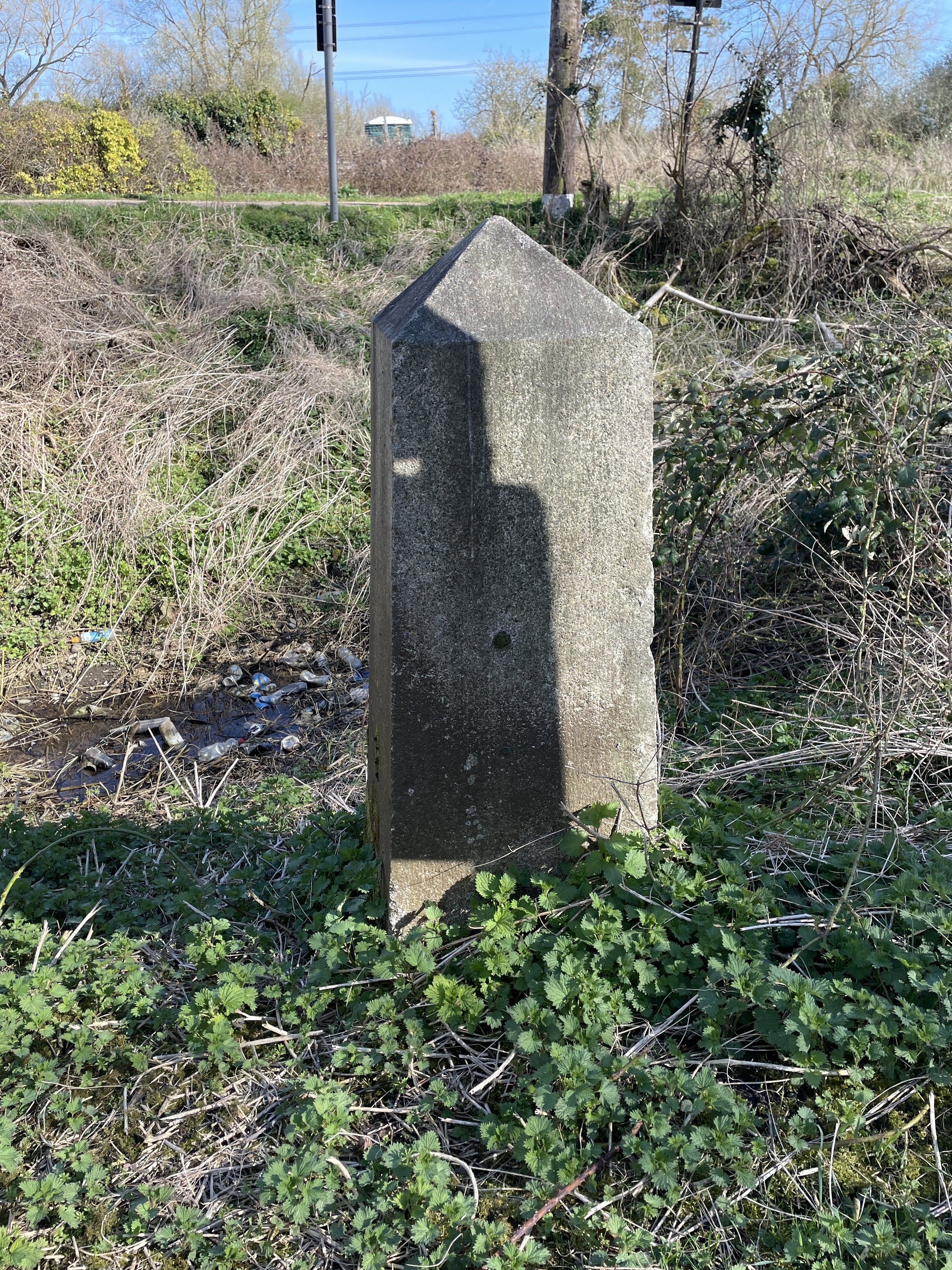
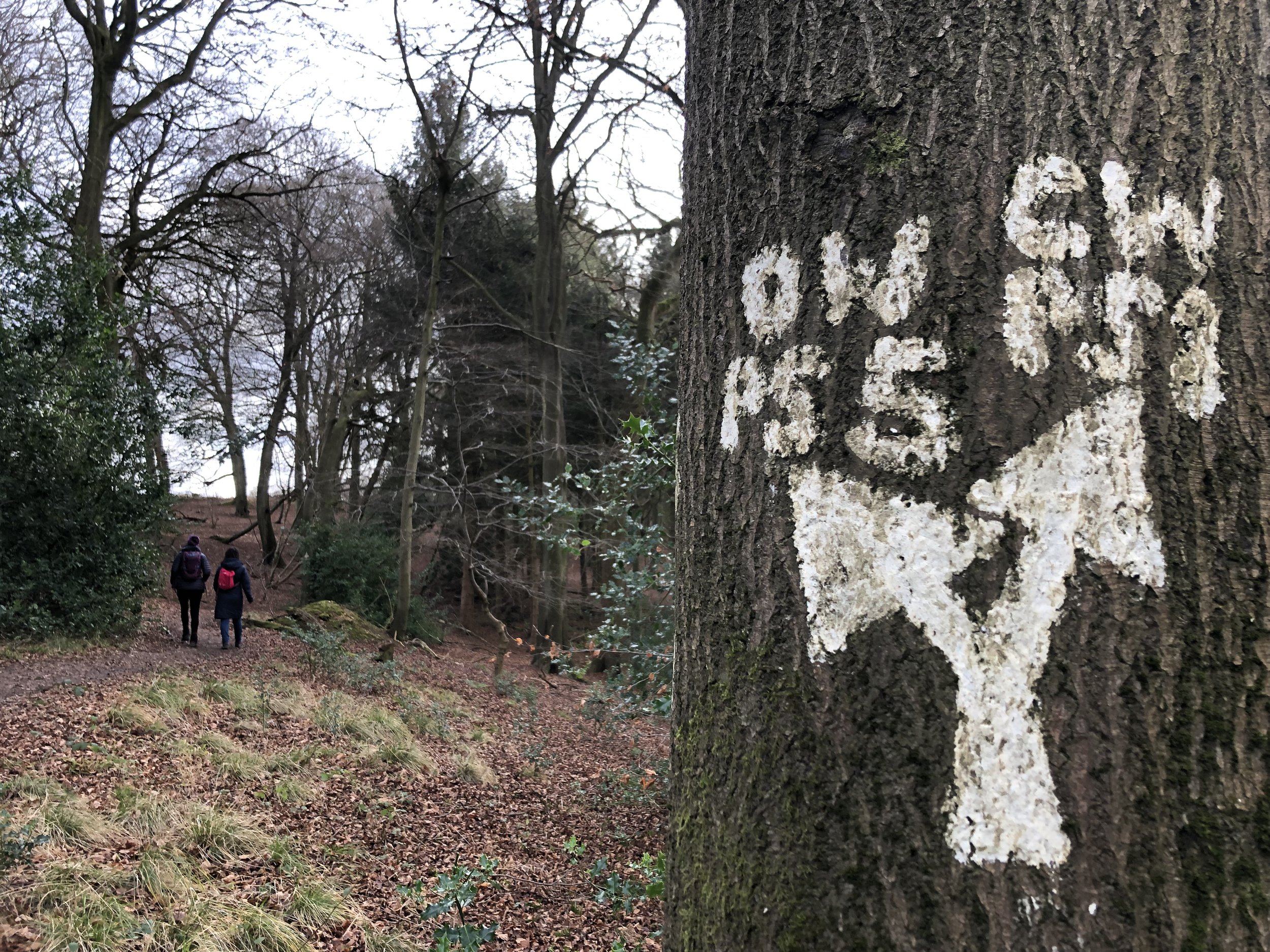
From here, navigation is pretty straightforward after leaving Henley. There’s a lot of footpath roundels labelled with the Oxfordshire Way and white painted arrows on trees through wooded sections. Be careful of these though as other connecting routes like the Chiltern Way use similar arrows.

For the final section you’ll descent a steep hill down from Christmas Common that joins Station Road. You’ll cross The Ridgeway and 1km later you’ll reach the B4009 Watlington Road. There’s not much here so a sensible end is to leave the Oxfordshire Way by taking a left onto the B4009 and follow it for 800m to Watlington High Street.
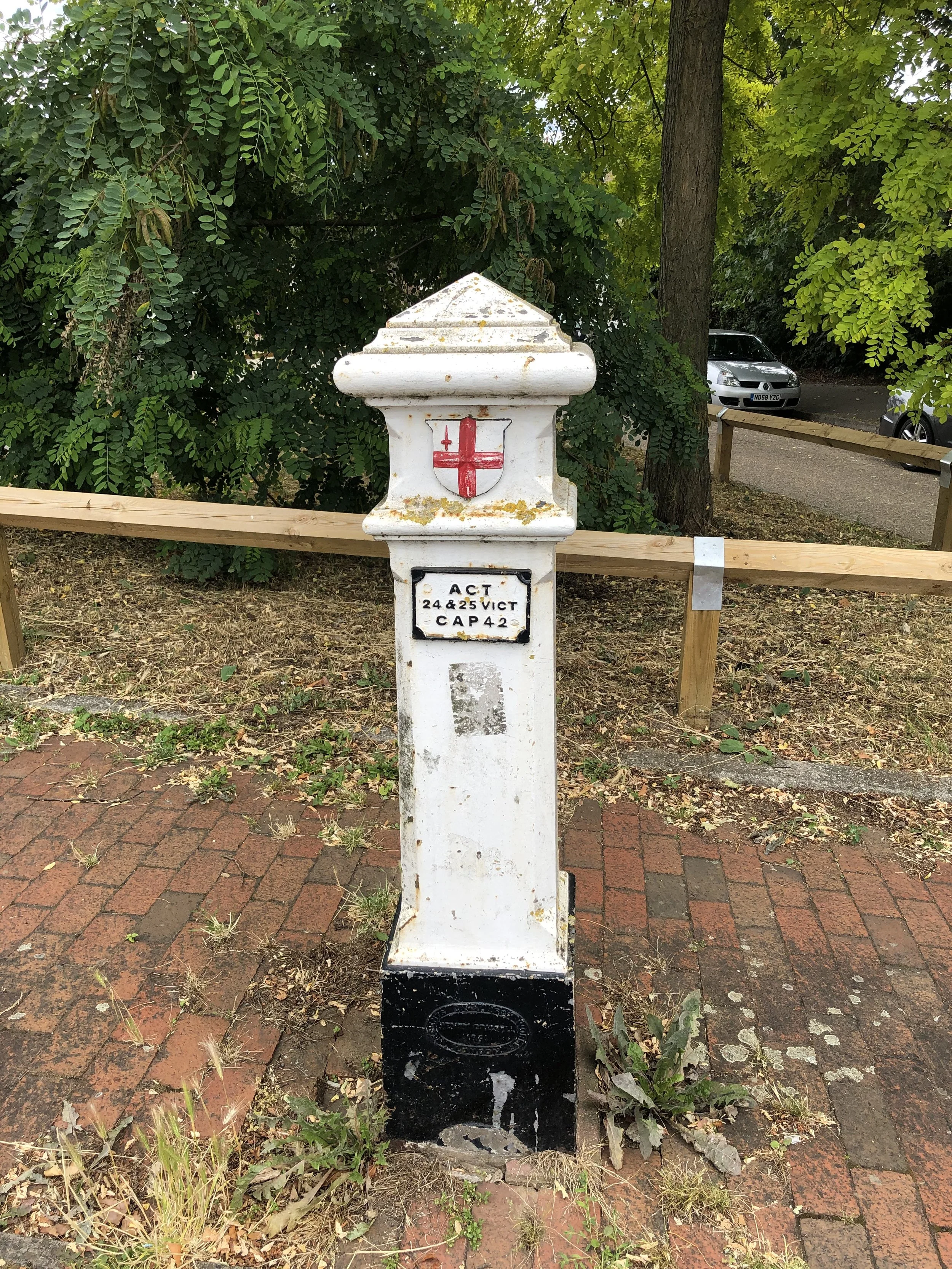
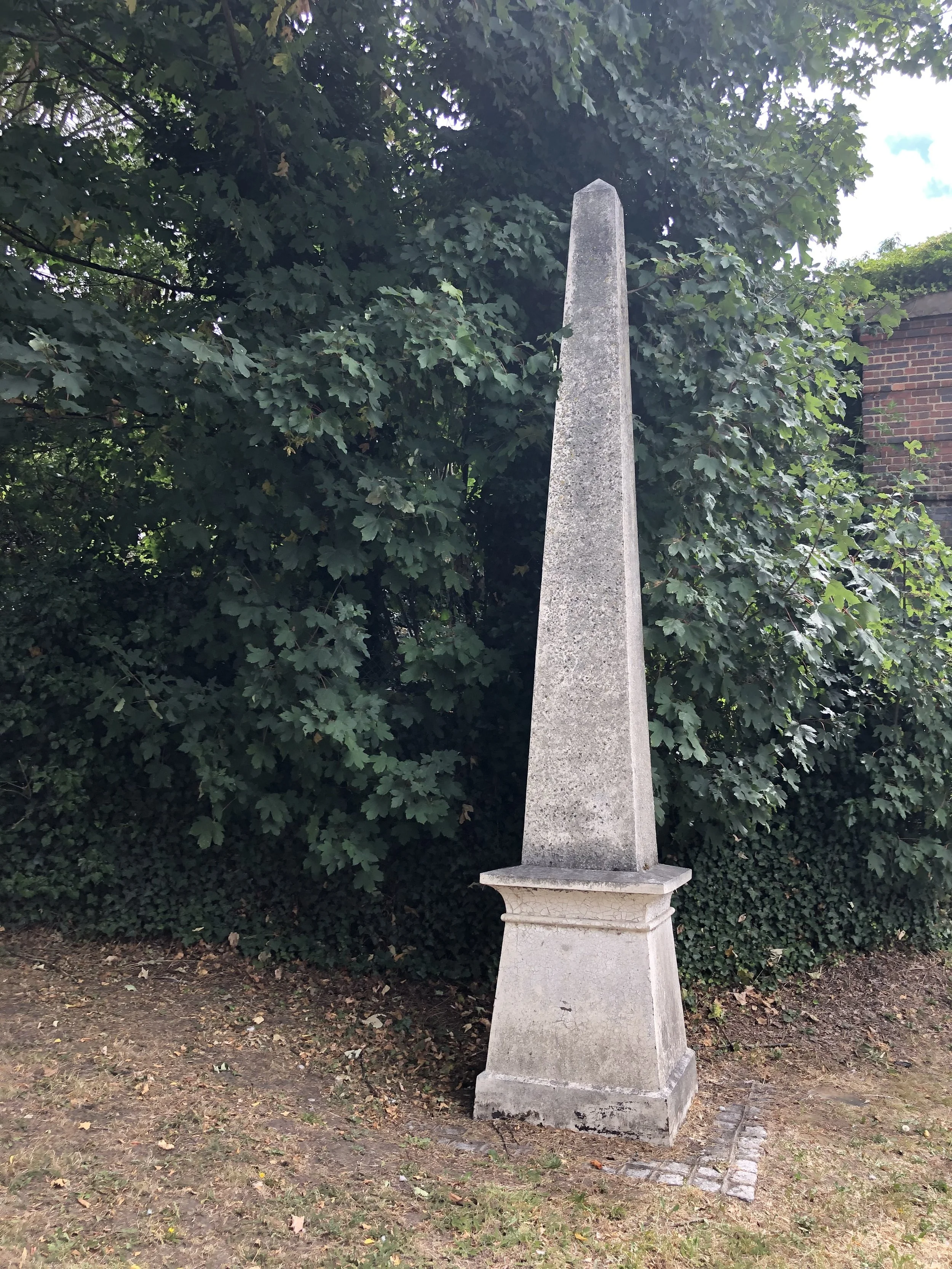

Walking The Oxfordshire Way Chilterns Section in 5 Circular Routes

If you’re not up for an 18km walk in one go, you can take in the Oxfordshire way in 5 circular walks of between 8 and 11 km each. We chose this option, completing all 5 sections in winter 2021/22. The advantage of this option is exploring more of the villages and side paths to the west of the main route. As with the point-to-point option, public transport options are very limited so driving to the start points of each is more practical.

Each number refers to a circular walk below. Base map: Esri Topo via RideWithGPS

Click on the link in the title of each route to go to the detailed page for each route.

Route 1: Henley, Middle Assendon and Lambridge Wood.

  • Covers The Oxfordshire Way from Henley on Thames to Middle Assendon

  • Distance = 10.9 km (6.8 miles). +/- 185m elevation change.

Route 2: Middle Assendon, Bix and Crocker End

  • Covers The Oxfordshire Way from Middle Assendon to Maidensgrove

  • Distance = 10.9 km (6.8 miles). +/- 190m elevation change.

Route 3: Russell's Water, Pishill and Maidensgrove

  • Covers The Oxfordshire Way from Maidensgrove to (near) Hollandridge Farm

  • Distance = 9.2 km (5.7 miles). +/- 166m Elevation change

Route 4: Christmas Common, Watlington Hill and Greenfield

  • Covers The Oxfordshire Way from Hollandridge Farm to The Ridgeway near Watlington

  • Distance = 10.9km km (6.8 miles). +/- 239m Elevation change.

Route 5: Watlington and The Ridgeway

  • Covers The Oxfordshire Way from The Ridgeway to Watlington Road

  • Distance: 7.9 km (4.9 miles). +/- 59m elevation change.


Walking Trails in The Colne Valley

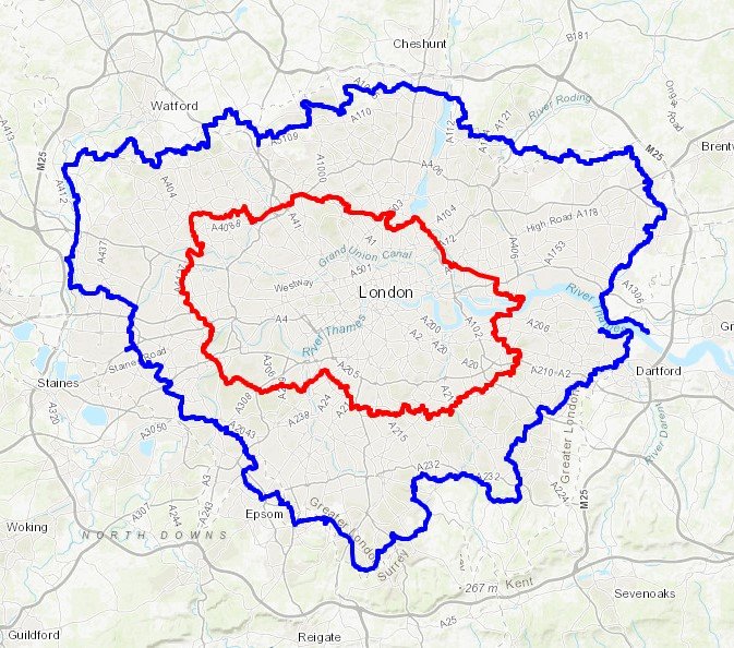
The Colne Valley Regional park is a fascinating mix of countryside and industry to the west of London. As the name suggests, it follows the River Colne and stretches from Rickmansworth in the north to Staines in the south. Rickmansworth is where the Colne picks up the waters carried by the Chess, Gade and Ver from the central Chilterns. Exploring further down the valley you’ll find rivers, streams canals and lakes before the waters reach the Thames at Staines.

There’s a lot of industry too, with the park cut through with the M25, M4, M40, train and tube lines and, under construction, HS2. For those, like the Colne Valley Landscape Partnership who protect the park, it’s a never-ending mission. For unspoilt beauty, the nearby Chiltern Hills AONB is the place to go. For interesting walks, diverse landscapes and accessibility to London, there’s a lot to do in the Colne Valley.

Living nearby and needing to stay local during the Covid lockdowns, I spent a lot of time exploring the Colne Valley Trails. Most are medium-distance point-to-point trails that can be completed in short sections or one long summer day. Although we had the benefit of use of 2 cars for our trips, the start and end of most of the trails or sections can also be accessed by public transport.

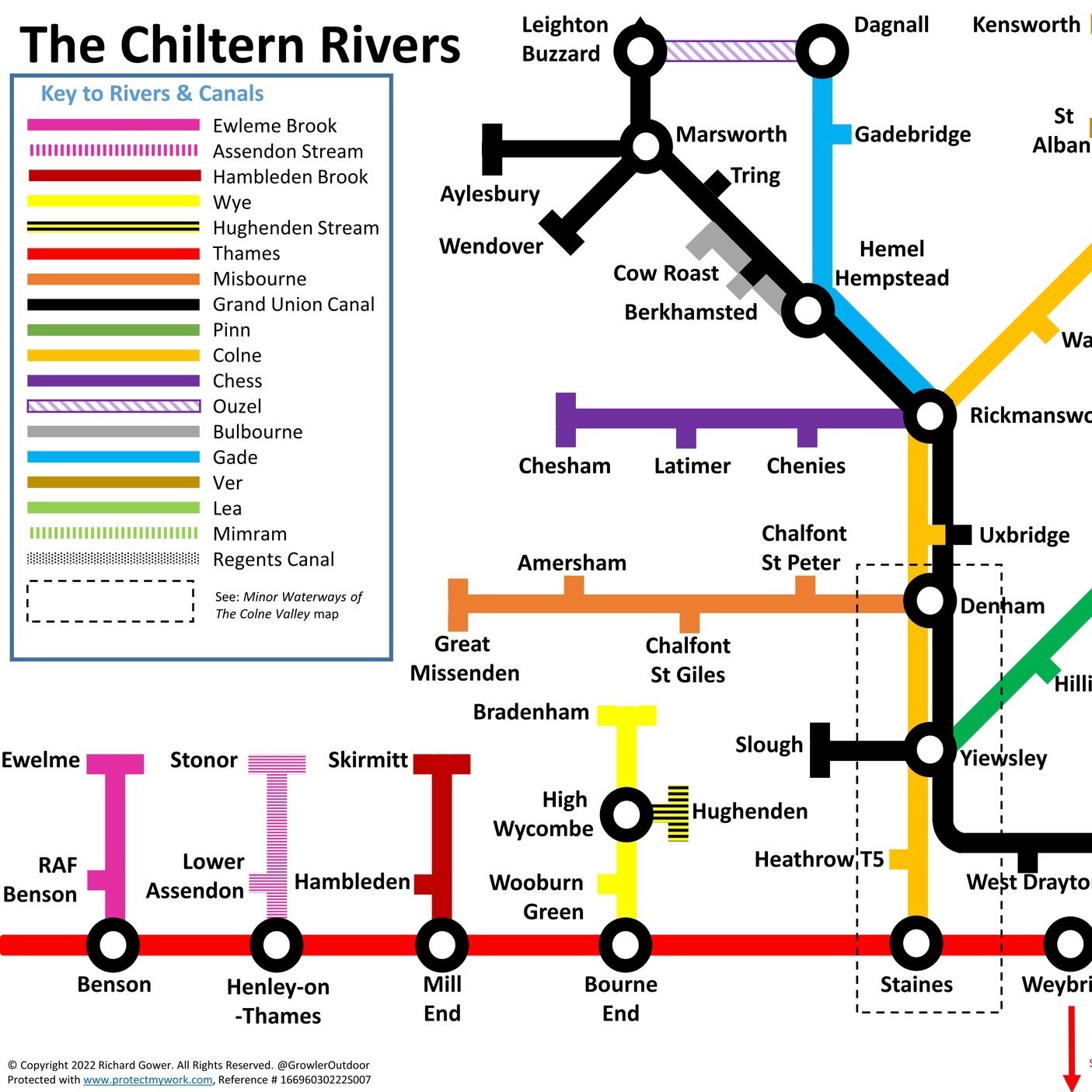
Here’s the map of the routes with links to each below.


The Trails

  • Beeches Way. Runs for 27 km from Cookham to West Drayton. The Shakespeare’s Way follows the Beeches Way through the Colne Valley

  • Celandine Route. Runs for 19 km along the River Pinn from Pinner to the Grand Union Canal at Yiewsley

  • Chess Valley Walk. Runs for 16 km along the River Chess from Chesham to Rickmansworth.

  • Colne Valley Trail. Runs for 33 km along the River Colne from Rickmansworth to Staines. The southern parts of the trail are called the Colne Valley Way.

  • Grand Union Canal Towpath. Runs for 220 km from Birmingham to London.

  • Hillingdon Trail. Runs for 32 km from Springwell Lock on the Grand Union to Cranford Park near Heathrow.

  • London Loop. Runs for 242 km in a circle around London.

  • Slough Arm Canal. Runs for 10km from Slough to Yiewsley.

  • Thames Path. Runs for 298 km from Kemble in Gloucestershire to the Thames Estuary, east of London.


Aston and Crazies Hill Circular Walk

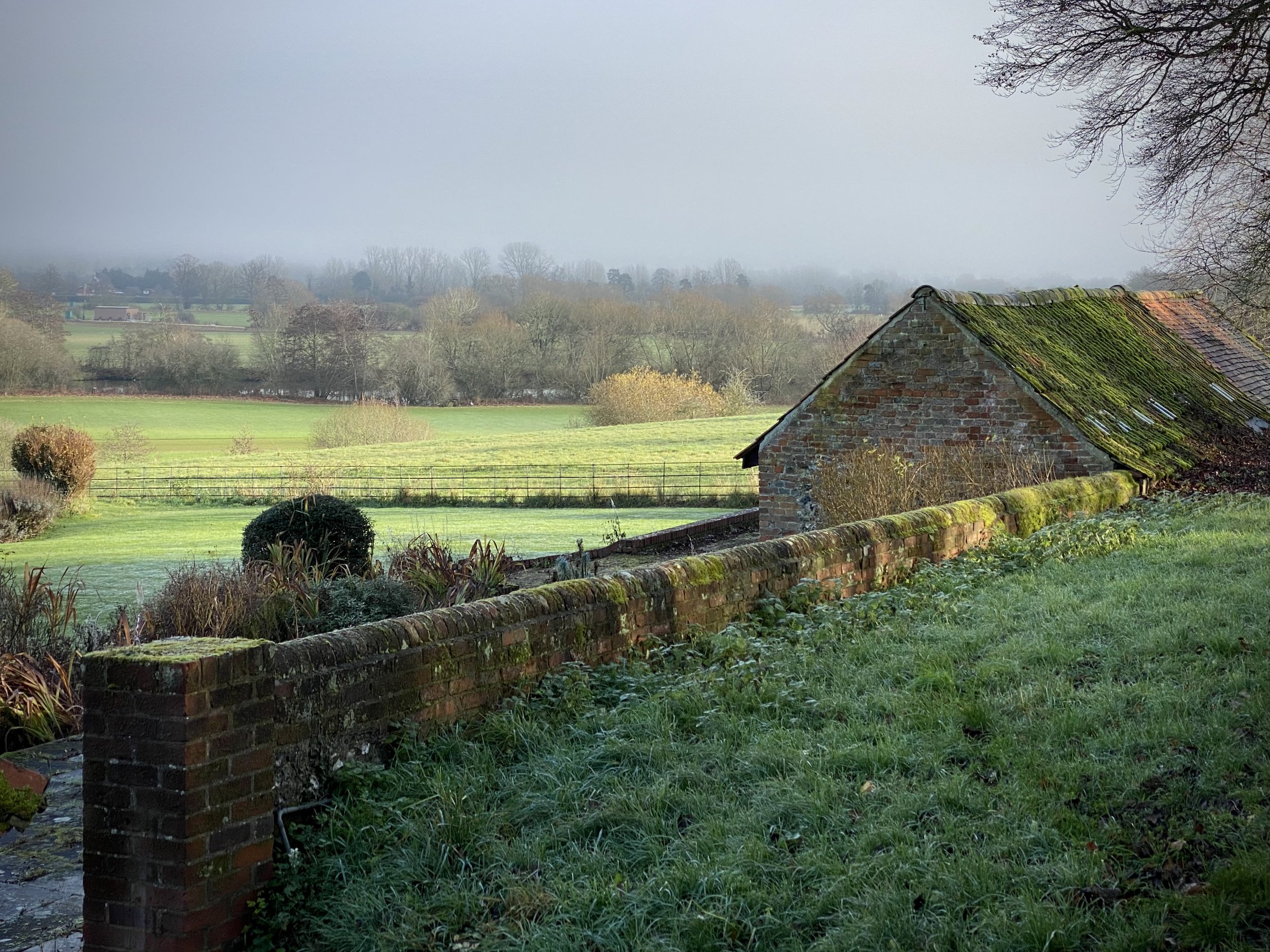
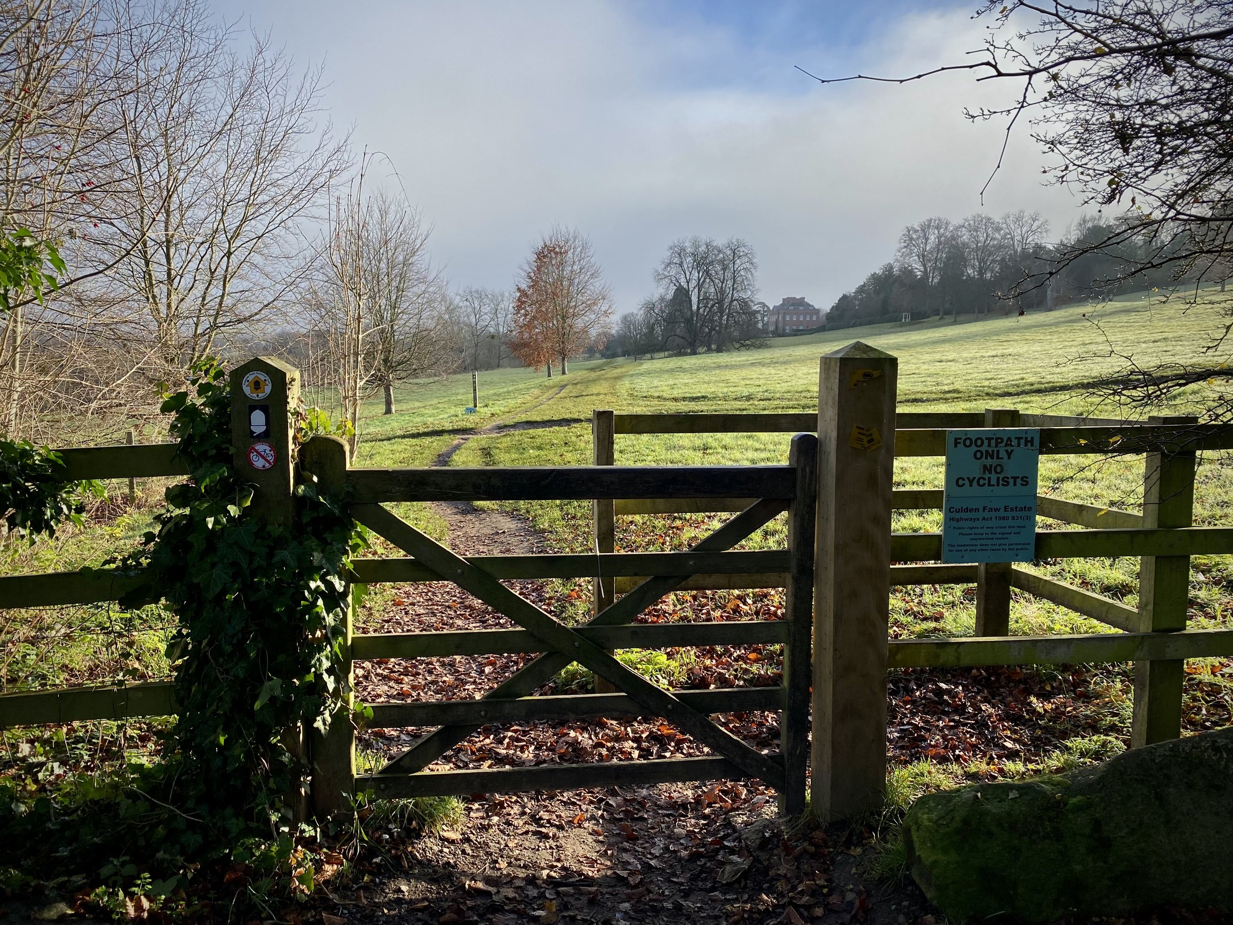
Thames Path at Culden Faw


Start & Finish: The Flower Pot Hotel, Aston, Henley-on-Thames, RG9 3DG
Distance: 12.4 km (7.7 miles)
Elevation change: +/- 116m
GPX File: get via Buy Me a Coffee
Other routes touched (walk): Thames Path, Wokingham Way, The Chiltern Way Berkshire Loop
Other routes touched (cycle): Round Berkshire Cycle Route, NCN 4
Other Pubs / Cafes on route: None
Map: OS Explorer Map (171) Chiltern Hills West, Henley-on-Thames and Wallingford
Links: Aston, Culden Faw, Crazies Hill


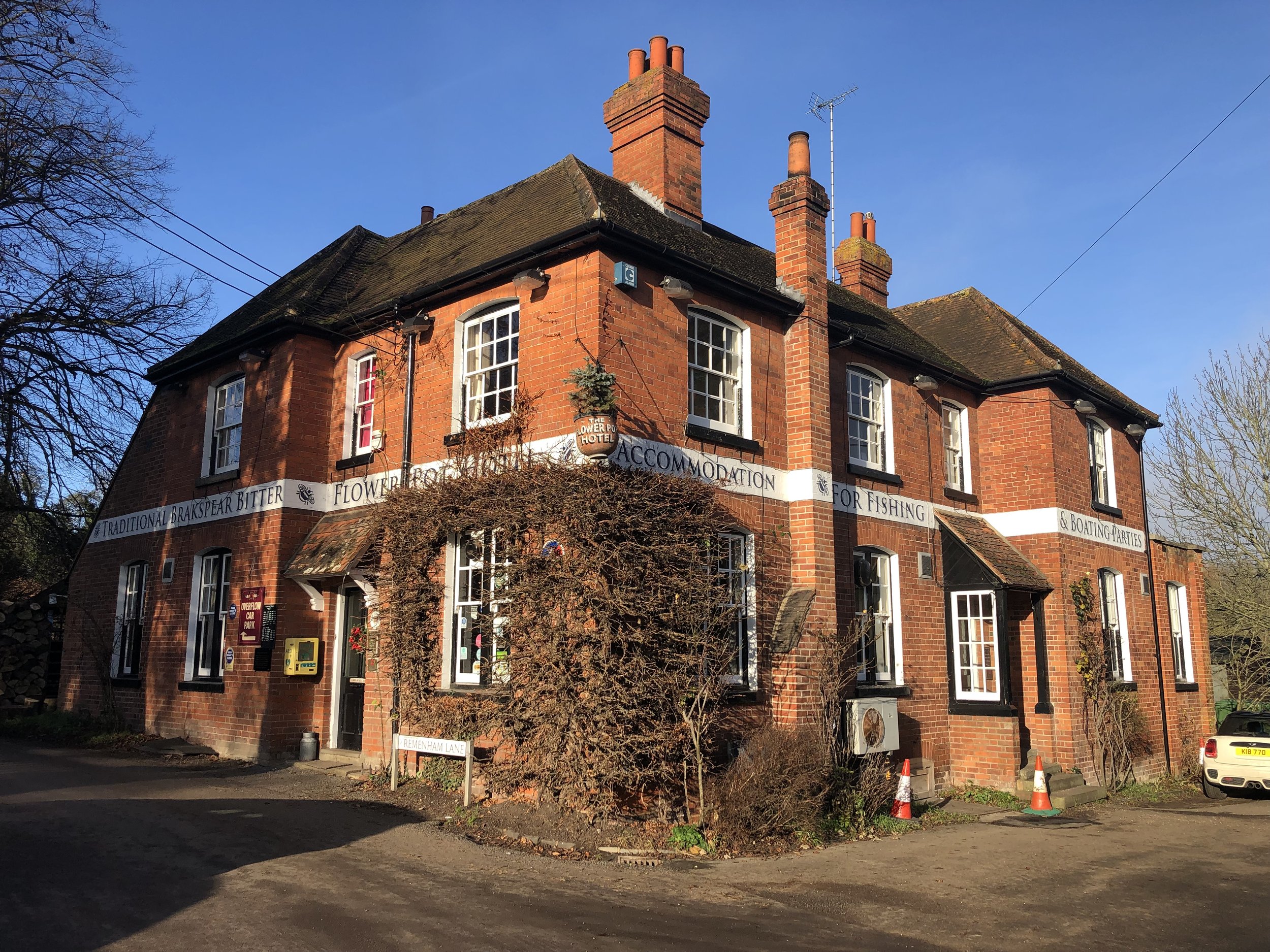
For our final Thames Path walk of the year we returned to the Flower Pot Hotel in Aston. From the pub follow the Thames Path south for 100m along Aston Lane, then take the path on the left to cross the Culden Faw Estate. This is a big landowner in the Henley area and you’ll be on the Thames Path through the estate for 3 km. When you reach Frogmill, take a right, leaving the Thames Path and follow Black Boy Lane south to the Black Boy Pub on the A4130.

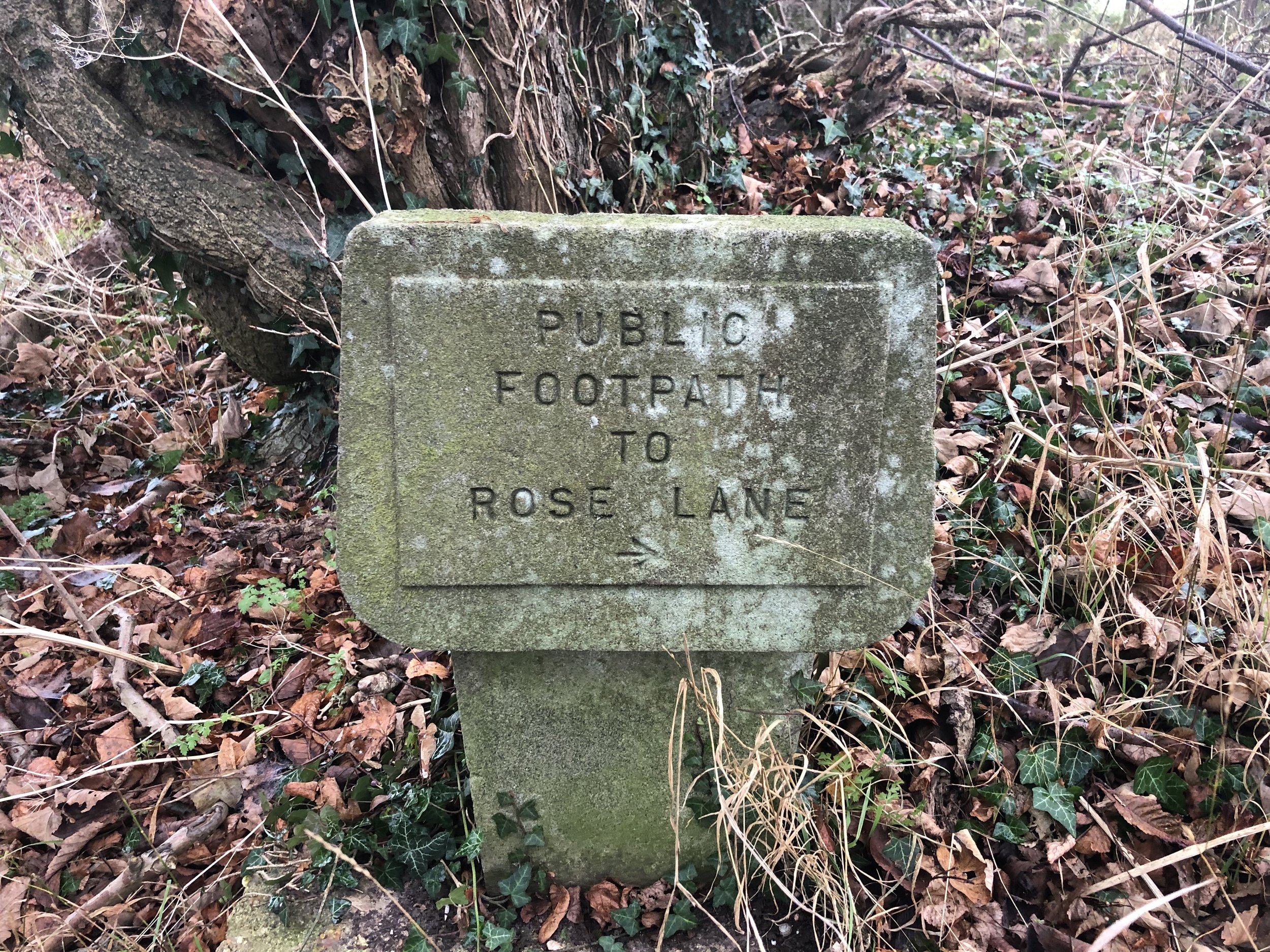
Carefully cross the A4130 and take the footpath, still on the Wokingham Way up the hill for 1.5 km. When you see an old stone sign saying “public footpath to Rose Lane”, take a right following the direction of the sign. Continue along this path, past the farm to Rose Lane. Take a left onto Rose Lane, cross over Warren Row Road at the junction and over Hatch Gate Lane at the next junction. Approximately 200 metres along Highfield Lane take the first path on the right along the edge of a horse field. You’re now on the Chiltern Way Berkshire Loop which you’ll follow through Crazies Hill, Cockpole Green, Culham, over the A4130 and back into the Culham Faw Estate. When the Chiltern Way Berkshire loop meets the Thames Path again, take a left and retrace your original steps back to the Flower Pot.


Henley-on-Thames, Remenham and Aston
Temple Island

Temple Island


Start & Finish: Henley Bridge, White Hill, Henley-on-Thames, RG9 3HG
Distance: 8.4 km (5.2 miles)
Elevation change: +/- 54m
GPX File: get via Buy Me a Coffee
Other routes touched (walk): Thames Path, The Wokingham Way, The Chiltern Way Berkshire Loop,
Other routes touched (cycle): None
Pubs / Cafes on route: The Flower Pot, Aston
Map: Chiltern Hills West Map | Henley-on-Thames & Wallingford | Ordnance Survey | OS Explorer Map 171
Links: Henley-on-Thames, Remenham and Aston


The latest of our series of short circular walks along the Thames Path starts and end in Henley-on-Thames. Navigation is especially easier as you’re following 2 well-signed trails for most of the route. The first 4.7km follows the Thames Path National Trail on the south side of the river. This is the venue for the Henley Regatta so it’s best to avoid it during the event.

When the Thames Path reaches Aston Ferry Lane, take a right onto the lane and continue for ~500m past the Flower Pot pub. Don’t take the left hand turn to continue on the Thames Path. Immediately after the last house in the village take a right hand turn onto the Chiltern Way Berkshire Extension. Follow this in a south-westerly direction all the way back to Henley Bridge.


route-37175930-map-full.png
elevation_profile.jpg


Buscot Red Walk
Buscot Weir

Buscot Weir


Start & Finish: Buscot National Trust Car Park, Buscot, Faringdon, SN7 8BY
Distance: 5.8 km (3.6 miles)
Elevation change: +/- 23m
GPX File: get via Buy Me a Coffee
Other routes touched (walk): Thames Path
Other routes touched (cycle): None
Pubs / Cafes on route: Buscot National Trust Tea Room
Map: OS Explorer Map (169) Cirencester and Swindon, Fairford and Cricklade
Links: National Trust Buscot and Coleshill Estates, Buscot


This is a pleasant, easy to navigate walk on National Trust land near Lechlade.

Start at the NT Cark Park (free to members) and walk north to the weir. Cross over the weir to the north side of the Thames and follow the Thames Path east until you reach the next footbridge. Look out for the two WW2 Pill Boxes along the path. On the south side of the Thames you’ll pass a small white building that was once an Inn and now a boat club. From here follow the red NT roundels on paths through fields in a south/south-westerly direction back to the weir. Retrace your steps to the car park.

route-36902791-map-full.png
elevation_profile.jpg

Cycling The Prime Meridian
View to the north from the Greenwich Observatory: National Maritime Museum and Isle of Dogs in the background

View to the north from the Greenwich Observatory: National Maritime Museum and Isle of Dogs in the background


The Prime Meridian, also known as the Greenwich Meridian, is the line of longitude defined as 0°. It’s the line that divides East and West. It’s also a line that I asked myself one Christmas: “can that be cycled"?”. The answer is “no” as it’s a dead-straight line with buildings inconveniently built along it's path. You can cycle quite close to it though, so that’s what we did.

If you want to walk it, there’s a well-signed path called the Greenwich Meridian Trail. The Trail is also very well described in a series of 4 books by Graham and Hilda Heap. The cycle route that I designed stays as close to the Prime Meridian as possible but avoiding footpaths and opting for quieter country roads over busy main roads. Even if you’re cycling I highly recommend the Greenwich Meridian Trail books as they’re a great guide to the interesting things to see along the way.

Our cycle trip was 8 days in total, averaging 77k (48 miles) per day. That’s a gentler pace than our previous long distance trips such as LEJOG or Titanic Ireland. Although we could have gone further each day we opted for more coffee and cake stops. We also split it into 3 separate trips rather than a single end-to-end. This ended up taking us exactly a year to complete as Covid Lockdowns interrupted our plans and we had to fit the trips in where we could.

We based the start and end of each section based on access to train lines. Fortunately there’s good train connections along the route without significant diversions. The start at Peacehaven is close to Newhaven Station, although Brighton Station, 6.5 miles away, gives better connections to the North. For the end of Day 2 we wanted to get through London and Waltham Abbey is a natural stopping point. There’s a station nearby at Waltham Cross, or more north/south connections 12 miles west at Potters Bar.

For section 2, covering Days 3 and 4 we covered Waltham Abbey to Peterborough. This takes you quite a way off the Meridian but has a lot of north/south rail connections including to Potters Bar and Hull. Picking up from Peterborough on Day 5 for section 3, we cut diagonally north-east to rejoin the Meridian at Fleet. There’s not much to miss in the section between March and Fleet and the route takes in the main Meridian markers.

By the end of Day 6 the Meridian reaches the coast at Cleethorpes. From here the challenge is crossing the Humber Estuary to pick up the Meridian where it rejoins land at Sunk Island. The Greenwich Meridian Trail ends at Cleethorpes and a bus is the most practical means of picking up the route at Patringham on the northern side. For our cycle route we took a long diversion west to cross the Humber Bridge and return on the northern side via Hull. This gives you an unbroken cycle trip, but means that all of day 7 and half of day 8 are off the Meridian. It’s worth it for the crossing of the Humber Bridge and the Hull to Winestead Rail Trail.

The final point of the Prime Meridian at Sand Le Mere is quite different to the start at Peacehaven. There’s no monument to mark the end of your trip … at least not any more. This is one of the most eroded parts of the English coast and the previous marker is long gone. Instead we found a large lump of concrete that was more or less in the right position and decided it was the end point. From here it’s 28k ride back to Hull where you can get the train back home.

See the individual blog posts for each section for photos, maps and stats covering each day.

Links to each section:


The Complete Route

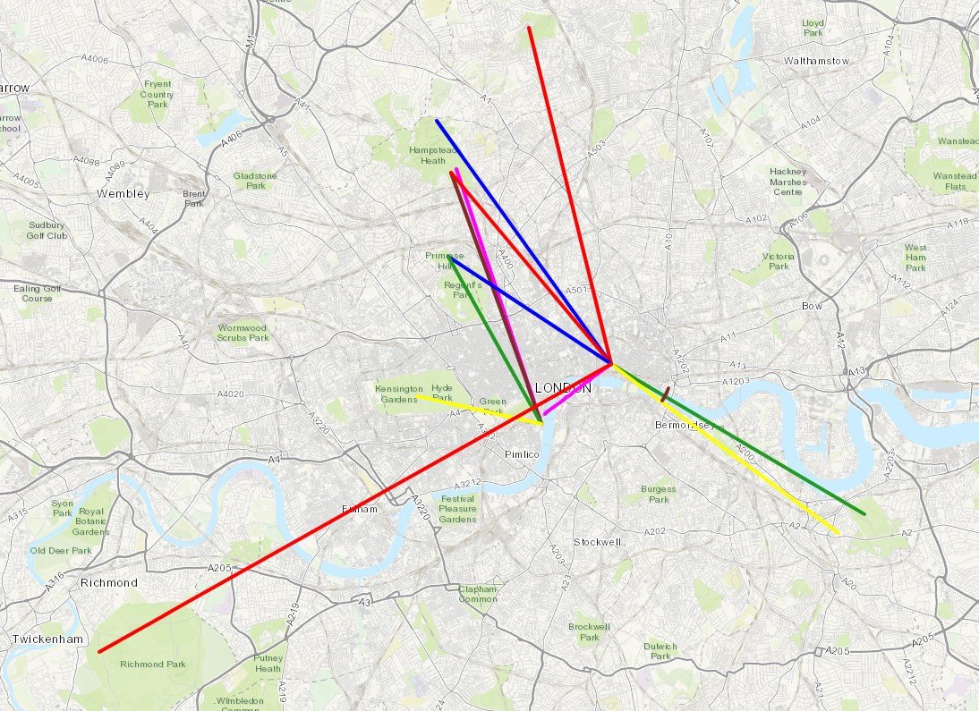
Two maps of the Prime Meridian. Above: Cycle route, each colour representing a different day of the trip. Right: tube-style map showing the cycle route, 0 degrees longitude and the Greenwich Meridian Trail

Two maps of the Prime Meridian. Above: Cycle route, each colour representing a different day of the trip. Right: tube-style map showing the cycle route, 0 degrees longitude and the Greenwich Meridian Trail


Walking the Thames Down Link - Overnight Summer Solstice Trek
IMG_4345.JPG

Start: Box Hill & Westhumble Train Station, Westhumble Sreet, Westhumble, Dorking RH5 6BT
Finish: Kingston Bridge, Kingston upon Thames, KT1 1QN
Distance: 26.3 km (16.3 miles)
Elevation change: +202m /- 241m. Net -39m
GPX File: get via Buy Me a Coffee
Other routes touched (walk): Mole Gap Trail, Ranmore SCC Circular, North Downs Way, Box Hill Hike, Chessington Countryside Walk, Hogsmill Valley Walk. London Loop, Thames Path
Other routes touched (cycle): NCN 22, 4
Pubs / Cafes on route: The Stepping Stones pub in Westhumble, William Bourne pub in Chessington, several in Berrylands and Kingston centres
Map: OS Explorer Map (146) Dorking, Box Hill and Reigate and OS Explorer Map (161) London South, Westminster, Greenwich, Croydon, Esher & Twickenham
Links: Thames Down Link, Westhumble, Box Hill and Westhumble Station, River Mole, Epsom Common, Horton Country Park, Bonesgate Stream, Epsom and Ewell, Hogsmill River, Berrylands, Kingston-upon-Thames


For the last 5 years, a dawn-to-dusk Winter Solstice walk has become a feature of my hiking calendar. It was half-way through our 2020 winter walk where the idea for a dusk-to-dawn Summer Solstice was formed. The idea was simple; find a point-to-point route that we can start at sunset and arrive at the end-point at sunrise.

In the planning stage the obvious route was the Avebury to Stonehenge route described in Andy Bull's Pilgrim Pathways book. At 27 miles it was too far for my walking friends. On hunting for a shorter walk I landed on the Thames Down Link. This is a 16 mile path connecting the North Downs Way at Westhumble to the Thames Path at Kingston-upon-Thames. I'd crossed a part of it recently on the Chessington Countryside walk and was keen to return.

So, on the closest Saturday night to the Summer Solstice, Brian and I arrived at Box Hill and Westhumble station and headed north. The first section was simple: a 50 metre walk to the Stepping Stones pub where we had a table booked at 20:00 for a pre-hike dinner. It was still light when we left the pub but fading fast and the 21:22 sunset arrived as we climbed up to Mickleham Downs.

The weather forecast for the evening looked grim, a continuation of a lot of rain through the previous week. We prepared for the worst but it turned out to be a dry evening where we were. My wife called at 22:30 to check we weren't already lost and soaked. It was chucking it down where she was but perfectly dry on the trail. The sky was clear but a lot of the trail was in narrow wooded paths so we were glad of the several torches that we took along.

The route follows mostly countryside paths with only a few busy roads to cross. If we had gone in the daytime I'm sure the photos would have been impressive, but we mostly only saw dark trees. Nonetheless, it was a quiet, safe route with fairly easy navigation, making it a good choice for a night hike.

The consequence of walking at night is a lack of open cafes and pubs to stop for a rest. We had taken enough food and water, but it did mean that we made a lot faster progress than a day-time trip where we would have stopped for longer. We arrived at the Thames at Kingston at 03:00, a full 1 hour and 44 minutes before sunrise. I had hoped to have taken a sunrise photo from the Thames bridge but neither of us were up for hanging around long enough for sunrise. Instead, we drove back to Westhumble to pick up my car and returned to our respective homes ready to see sunrise from the garden.

As a first Summer Solstice, it was everything we hoped for and it's likely that this will also be an annual event. Our main learning is that we'll need a longer one next time if we're going to arrive at sunrise. Stonehenge 2022?


route-36056186-map-full.png
elevation_profile.jpg

Hurley and Ashley Hill Circular Walk
Hurley Weir

Hurley Weir


Start & Finish: Hurley village Car Park, Maidenhead, SL6 5NB
Distance: 8.9 km (5.5 miles)
Elevation change: +/- 132m
GPX File: get via Buy Me a Coffee
Other routes touched (walk): Thames Path, The Wokingham Way, The Chiltern Way Berkshire Loop, Littlewick Green, Ashley Hill and Knowl Hill Circular Walk
Other routes touched (cycle): Berkshire Cycle Route 52
Pubs / Cafes on route: The Rising Sun Hurley, The Olde Bell Hurley
Map: OS Explorer Map (172) Chiltern Hills East and OS Explorer Map (171) Chiltern Hills West, Henley-on-Thames and Wallingford
Links: Hurley, Ashley Hill


For our latest short Thames Path circular walk we returned to Hurley. There’s a small cark park at the end of High Street opposite St Mary’s church. This gets very busy during summer weekends but there’s a lot of free curb-side parking all along High Street.

Pick up the Thames Path at the north end of High Street and follow it west for 2km to Frogmill. After the river-side houses, take the footpath on the left following it south down Black Boy Lane to the A4130 Henley Road. Turn left onto the A4130 following the pavement in front of the Black Boy pub then carefully cross the road and take the footpath heading south. Follow this path for ~1.5 km up the hill to meet the Chiltern Way Berkshire Loop.
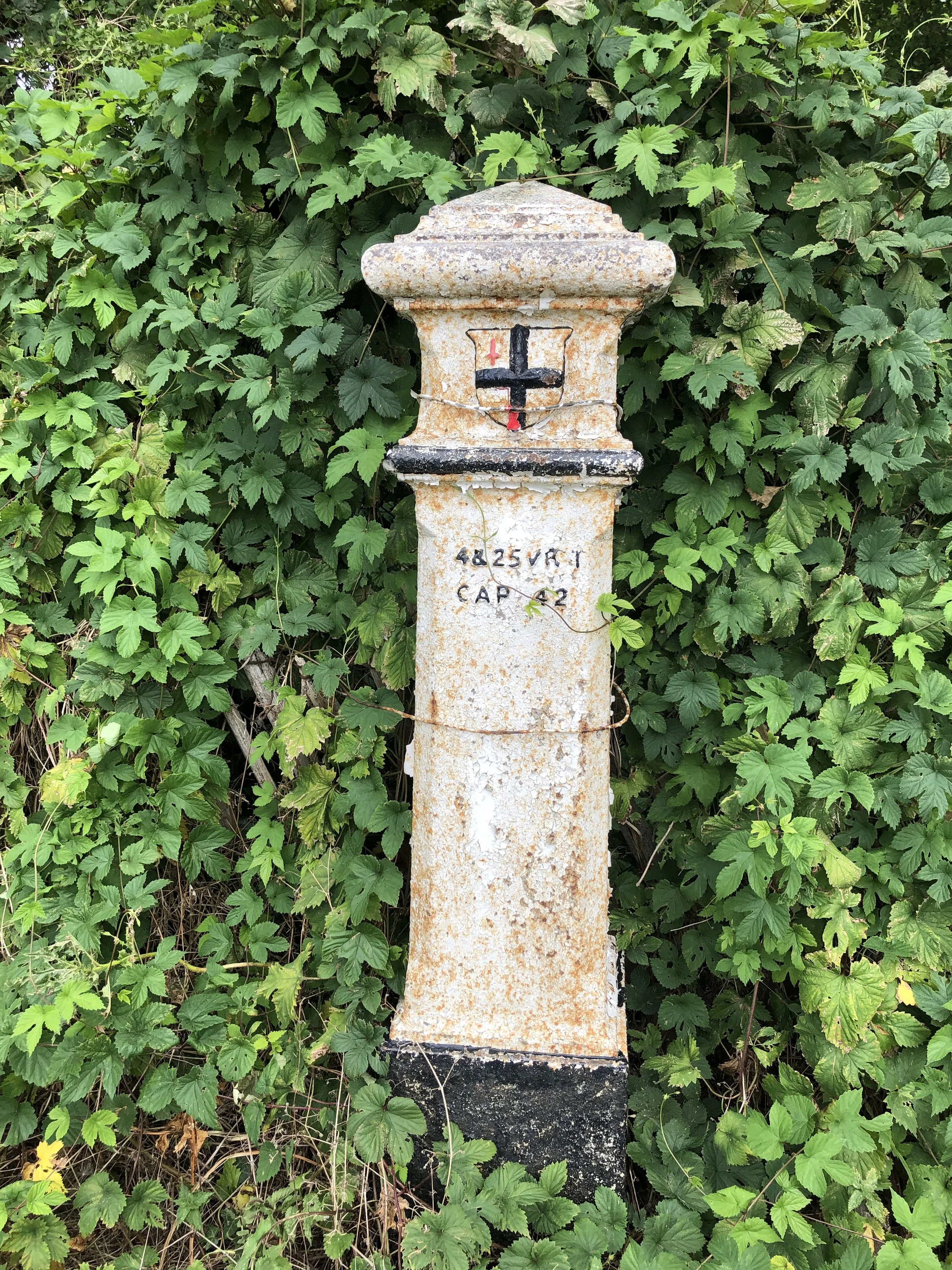
Take a left onto the Chiltern Way Berkshire Loop and follow it to the top of Ashley Hill. Here you’ll pass the house with the inaccessible OS Trig Pillar in its grounds. Continue along the Chiltern Way, now heading down the hill on the eastern side, and take the 2nd footpath on the left. Follow this path for 2km all the way back to the start, via the grounds of the Berkshire College of Agriculture.


route-36100646-map-full.png
elevation_profile (1).jpg