When we think of historical English counties, Kent often conjures images of Canterbury Cathedral, hop fields, and a rich maritime past. But dig a little deeper into its administrative history, and you'll uncover a fascinating and uniquely Kentish set of subdivisions: the Lathes. Similar in concept to Sussex's Rapes, but with an even more ancient lineage, the Lathes of Kent represent a remarkable glimpse into Anglo-Saxon governance and the enduring legacy of early English kingdoms.
The term "Lathe" is believed to derive from an Old English word, possibly related to "læth," meaning a "division" or "district." These were large administrative and judicial units that predate the Norman Conquest, likely evolving during the Anglo-Saxon Kingdom of Kent. Unlike the more uniform shires that became common across much of England, the Lathes were particular to Kent and functioned as significant regional groupings, each with its own local assembly (or moot) and a degree of administrative autonomy. They effectively served as a tier of governance between the individual hundred (a smaller administrative unit) and the county as a whole.
Historically, Kent was divided into five main Lathes, each stretching roughly from the coast inland:
Sutton-at-Hone: The westernmost lathe, encompassing areas now part of Greater London.
Aylesford: Centred on the ancient crossing point of the River Medway at Aylesford.
Scray (or Shirley): A large central lathe, extending across much of mid-Kent.
St Augustine: Named after St Augustine's Abbey in Canterbury, reflecting its ecclesiastical importance.
Shepway: The southernmost lathe, bordering the coast and the Romney Marsh.
Having visited the high points of the Sussex Rapes in the previous year I set about visiting the high points of the Kent Lathes. I couldn’t find an established list of the Lathe High Points so I worked them out based on Trigpointing.uk and Peakbagger logs. Although I’m reasonably confident that these are the Lathe High Points, please leave a comment or reach me via the Contact form if you know of a different high point for any of the Lathes.


Lathe of Sutton-at-Hone
Highest Point: Betsom’s Hill
OS Trig Pillar: N/A
Links: Blog Post, Wikipedia, Wikishire, Peakbagger, Hillbagging
Flag Image Source: British County Flags

Lathe of Aylesford
Highest Point: Wrotham
OS Trig Pillar: TP7083 - Wrotham
Links: Blog Post, Wikishire, Peakbagger, Hillbagging
Flag Image Source: British County Flags

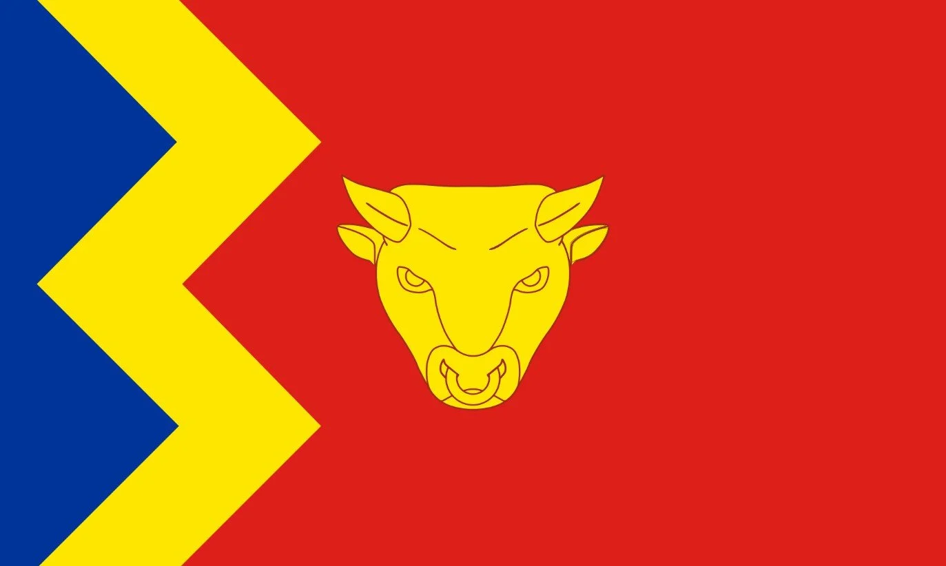
Lathe of Scray
Highest Point: Kingswood
OS Trig Pillar: TP4236 - Kingswood
Links: Blog Post, Wikipedia, Wikishire
Flag Image Source: British County Flags

Lathe of St Augustine
Highest Point: Farthingloe
OS Trig Pillar: TP3122 - Farthingloe
Links: Blog Post, Wikipedia, Wikishire
Flag Image Source: British County Flags

Lathe of Shepway
Highest Point: Paddlesworth
OS Trig Pillar: TP0449 - Paddlesworth
Links: Blog Post, Wikipedia, Wikishire
Flag Image Source: British County Flags