Chiltern Walks: Marlow Donkey
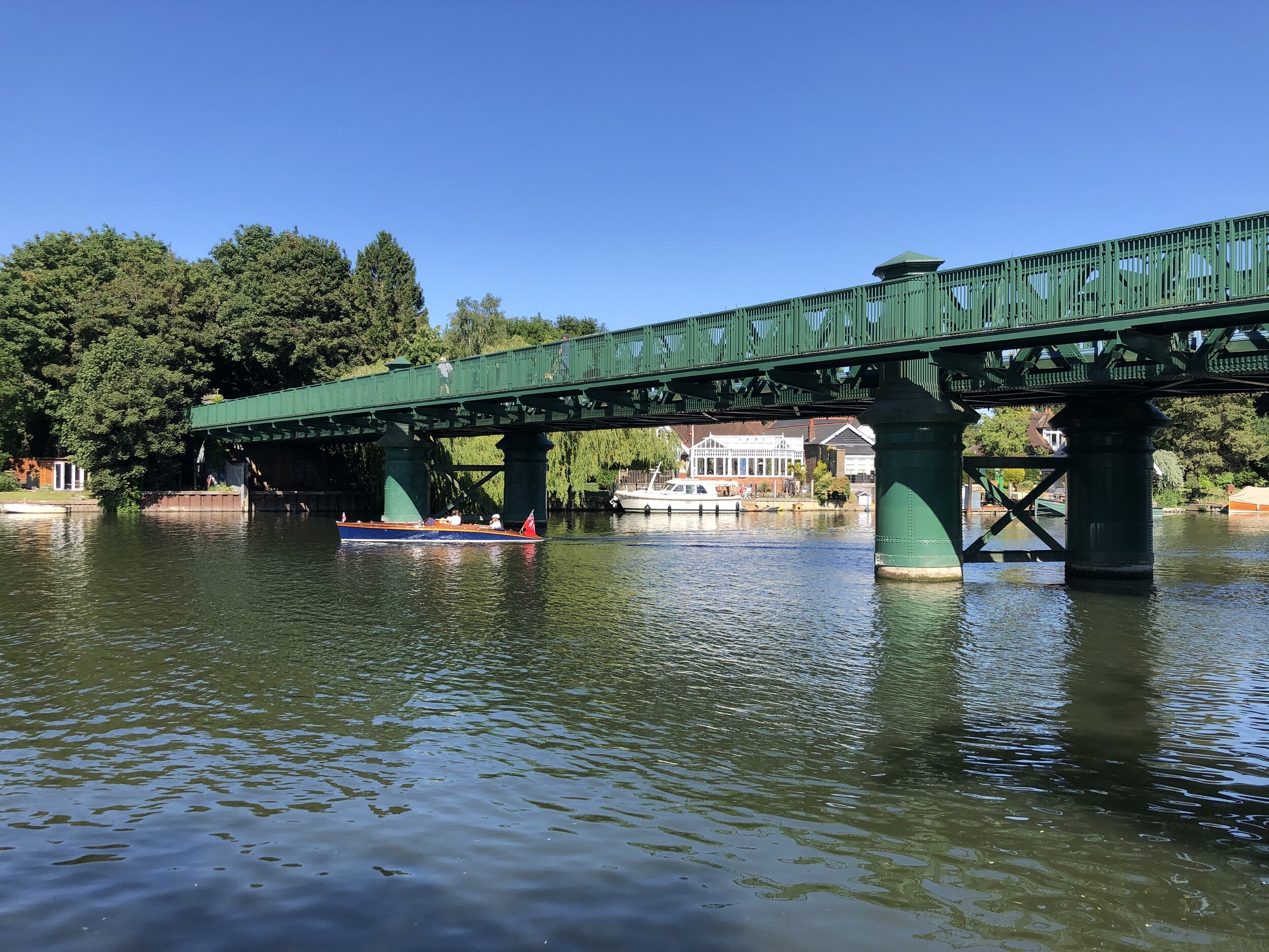
Marlow Bridge over the Thames
Start & Finish: Bourne End Railway Station, 1 Station Road, Wooburn Green, Bourne End, SL8 5RN
Distance: 11.4 km (7 miles)
Elevation change: +/- 65m
Shakespeare’s Way section covered: The Thames Path at Marlow to Bourne End Rail Bridge: 3.4 km
GPX File: get via Buy Me a Coffee
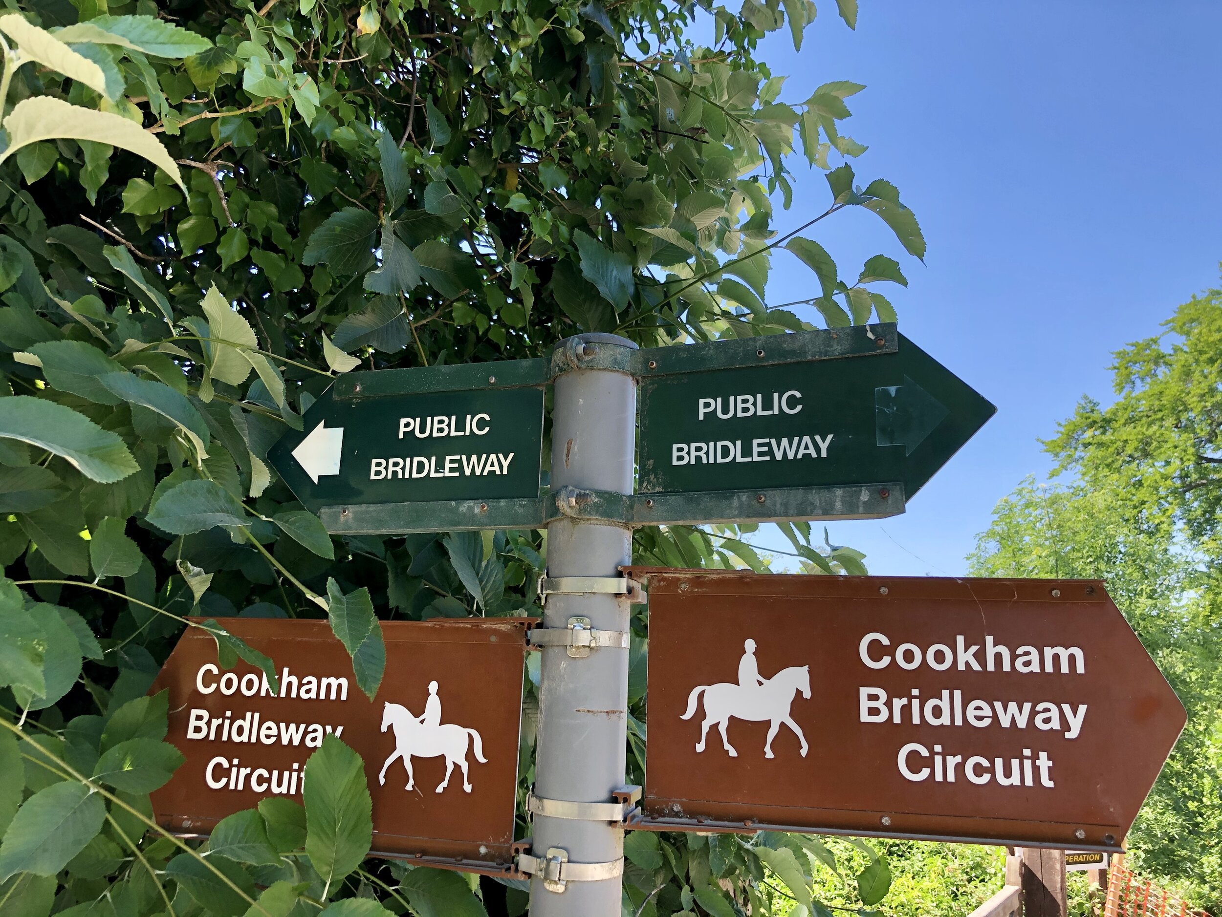
Other routes touched (walk): Thames Path, Shakespeare’s Way, The Chiltern Way Berkshire Loop, Cookham Bridleway Circuit
Other routes touched (cycle): N/A
Pubs / Cafes on route: The Marlow Donkey, The Bounty at Bourne End
Map: OS Explorer Map (172) Chiltern Hills East
Links: Maidenhead - Marlow Passengers’ Association History, Marlow Branch Line, Bourne End Station, Marlow Station, Marlow Bridge, National Trust Winter Hill and Cockmarsh
The Shakespeare’s Way is a 235 km / 146 mile mile long-distance path connecting Shakespeare's birthplace in Stratford-upon-Avon with the Shakespeare's Globe (Theatre), Southwark, London. A 34km section of the path cuts through the Chiltern Hills National Landscape in a south-easterly direction. Our walks take in short sections of the Shakespeare’s Way and loop back to the start on other paths. The Shakespeare’s Way is reasonably well marked however you’ll need a map or GPX route to keep on track for the return sections of the loops. The guidance below will help but don’t use it as a fully accurate turn-by-turn guide.
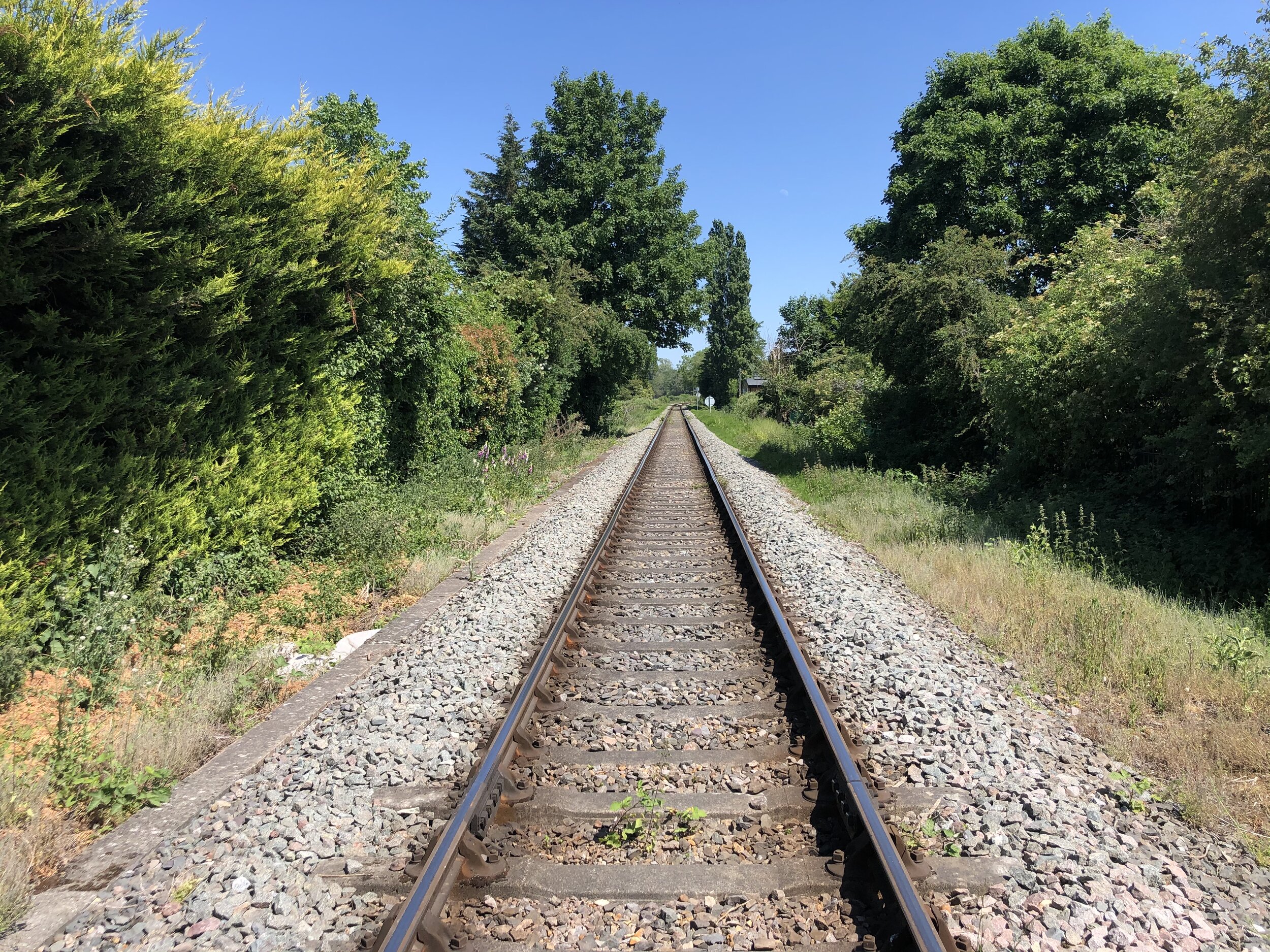
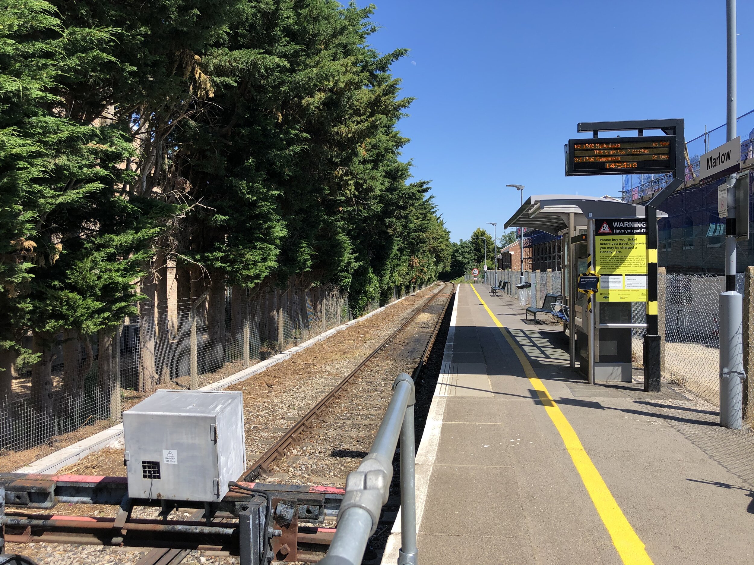
As well as being part of the Shakespeare’s Way collection, we also did it as a continuation of the Wycombe to Bourne End Railway Disused Railway Walk. This time we were following an intact rail line that joins Marlow to Maidenhead via Bourne End. The Maidenhead section will come another time but, for now, we were doing a circular walk based on the “Marlow Donkey” section from Bourne End to Marlow. The notes below describe the anti-clockwise route initially following the train line from Bourne End to Marlow. If you’re following the Shakespeare’s Way collection in a north-west to south-east direction, then reverse the route.
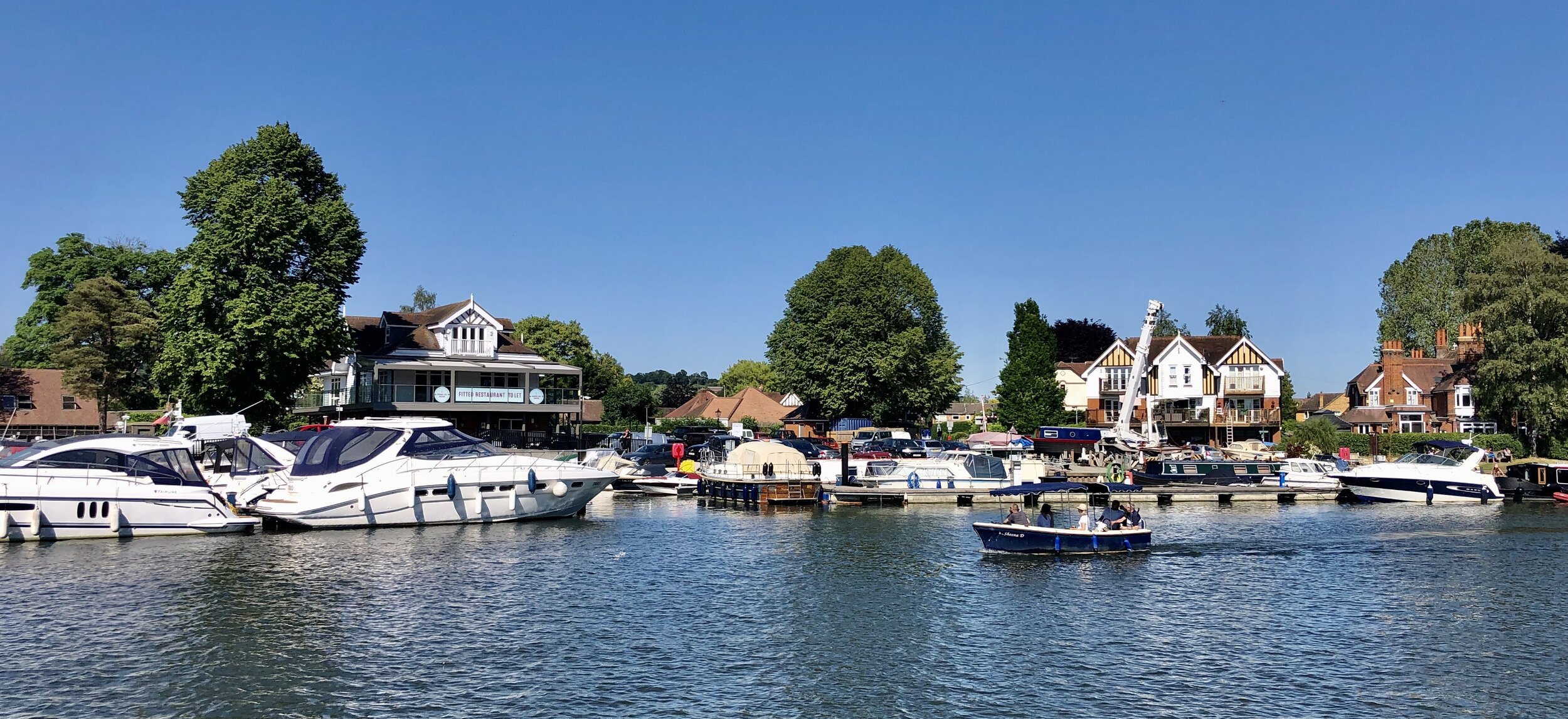
From the car park at Bourne End Station, follow a footpath in a south-westerly direction to meet the bridge where the line to Maidenhead crosses the Thames. The rail line will be on your right and you’ll pass the section where it splits to head north to Marlow. At the river crossing take the stairs down to the Thames path, turn right and cross underneath the railway bridge. Continue along a narrow path to Bourne End Marina. The rail route passes behind some very nice houses on the riverfront and over level crossings connecting the marina to the town centre.
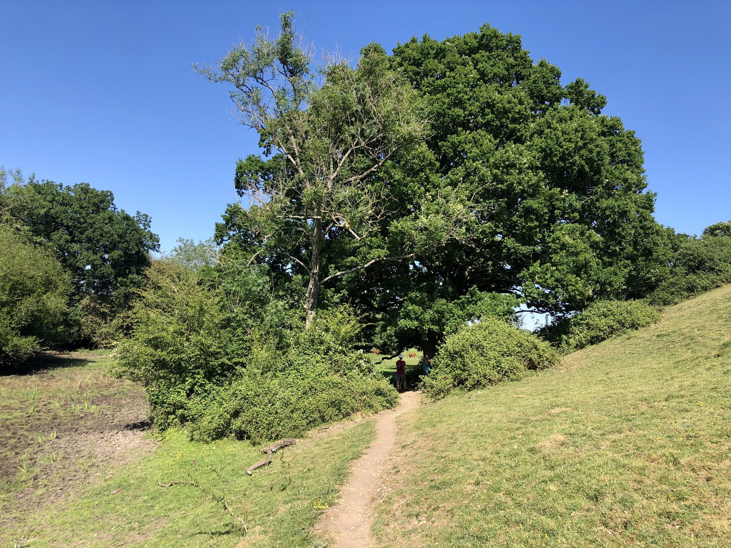
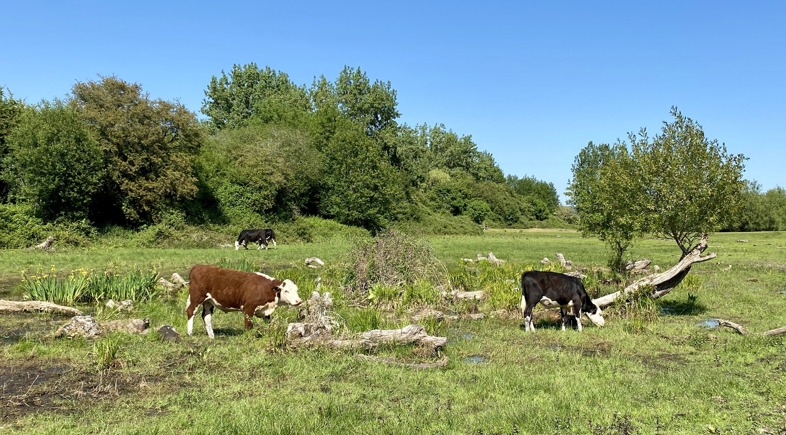
Further along the Thames Path you’ll cross Spade Oak Meadow and cow-filled farmland. The rail line stays close from the river for about 3 km until it curves round to the West at Marlow Rugby Club. At this point you have 2 choices, one to follow the course of the train line to Marlow Station and the other to keep close to the river, following the Thames Path and Shakespeare’s Way. Both options reconnect at Marlow Bridge.
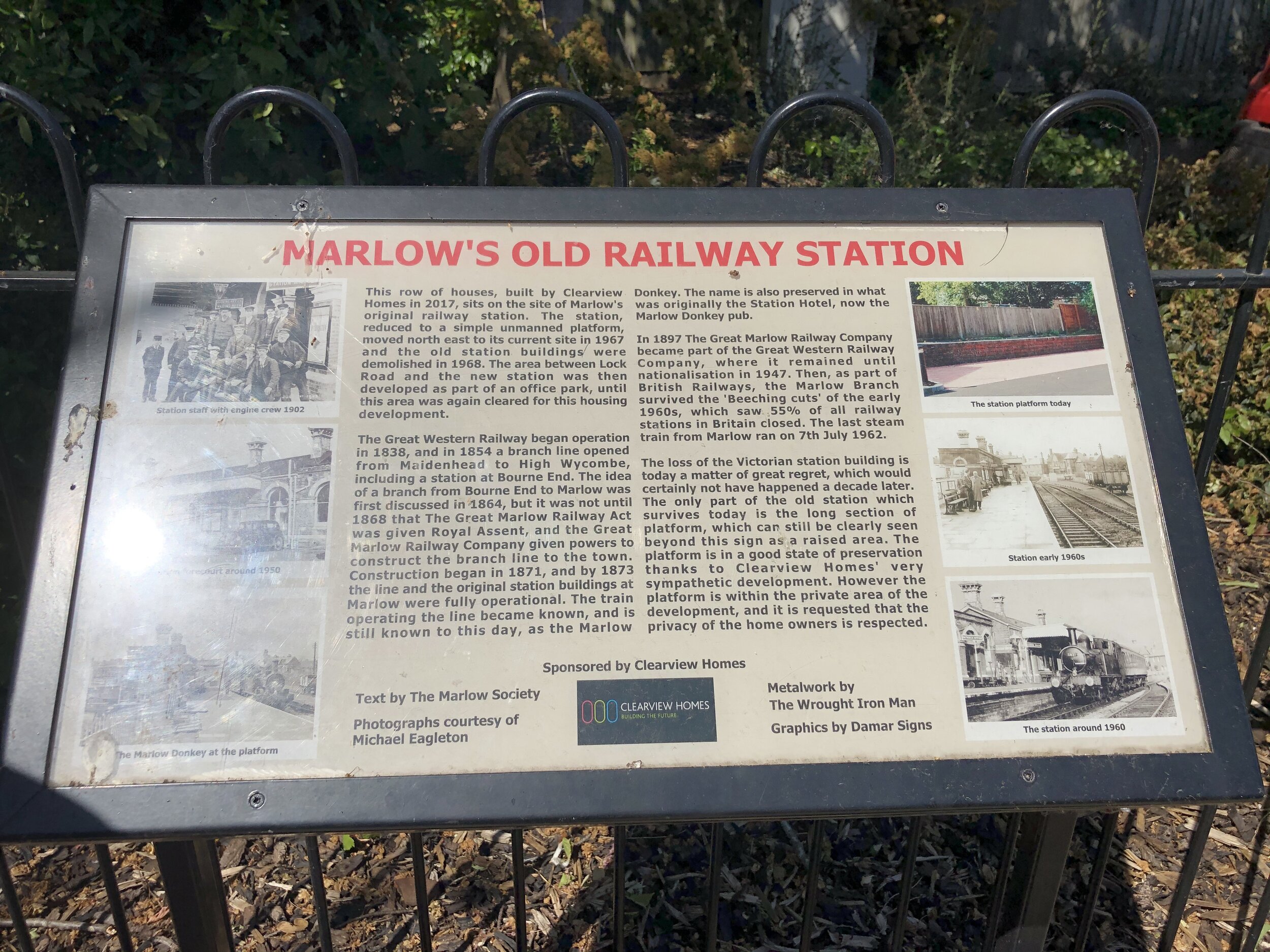
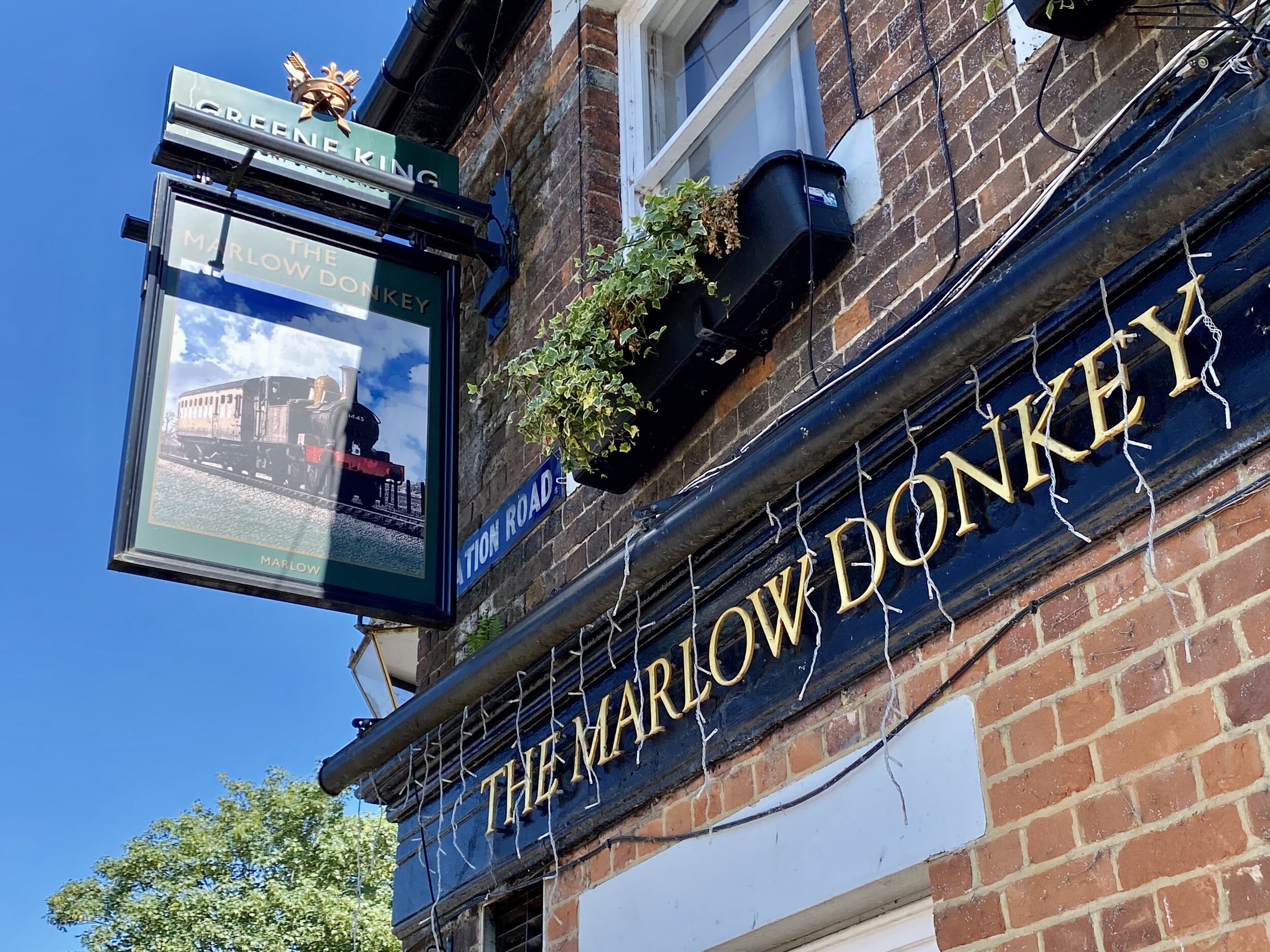
If you’re following the train line, leave the Thames Path to follow a path between the Rugby Club and the rail line. After the A404 underpass the rail line continues behind houses and you’ll need to follow Gosmore Lane, Riverpark Drive and Lock Road to keep as close as possible to the line. The Marlow Donkey Pub sits at the corner of Lock Road and Station Approach. If you divert for a few minutes down Station Approach you can find an information board about the original station on the left hand side and the uninspiring new Marlow Station a bit further down. Back at the Marlow Donkey pub you can continue the walk down Station Road, left onto Mill Road and right onto the Thames Path as it passes through some narrow alleys to the Marlow Road (High Street) at All Saints Church. Take a left here to cross Marlow Bridge.
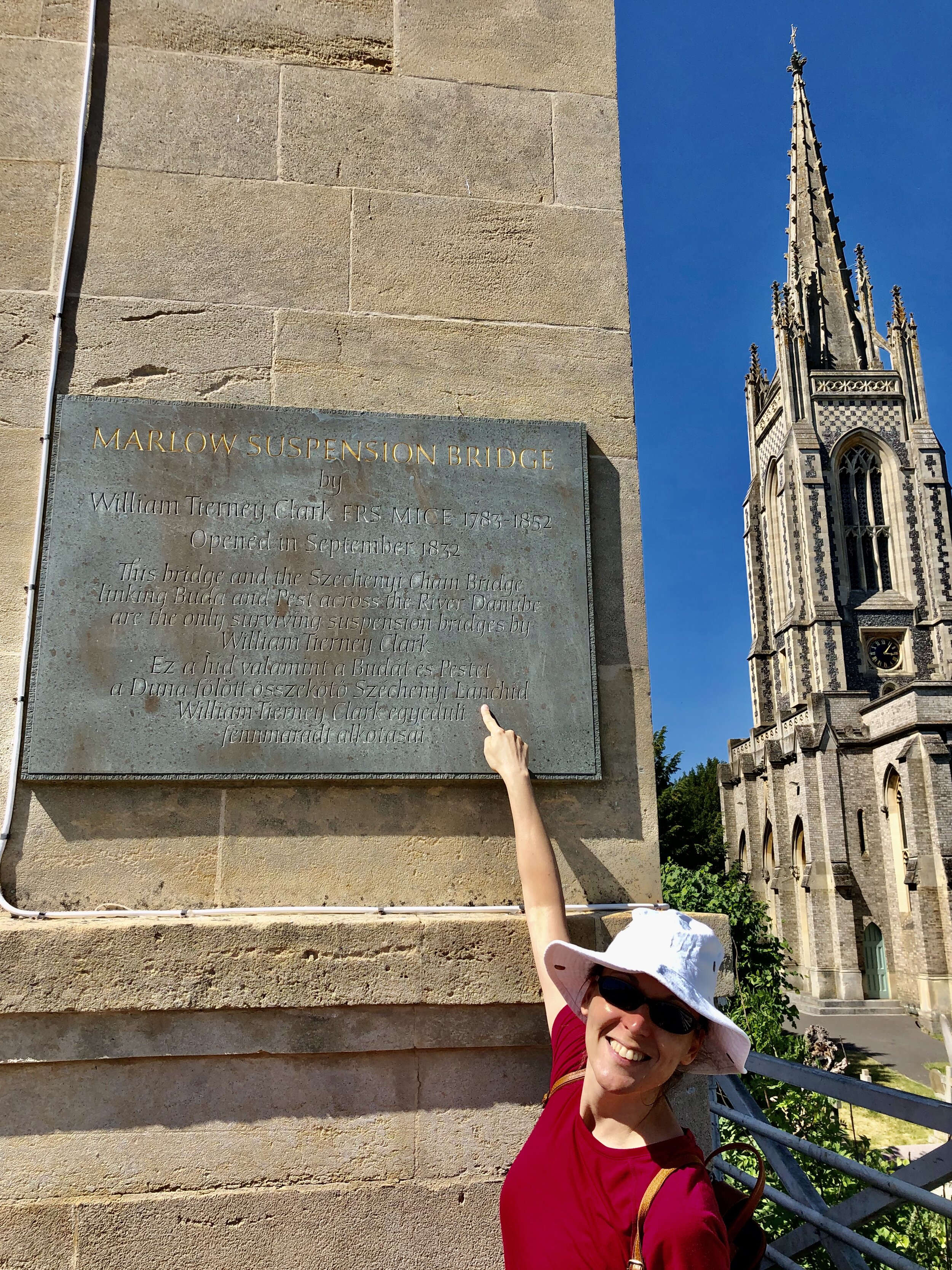
Crossing Marlow Bridge is always a point of interest for us due to Timea’s Hungarian heritage. The bridge was designed by William Tierney Clark and is a smaller version of the Chain Bridge that crosses the Danube in the heart of Budapest. Look out for a plaque on the north-east pillar of Marlow Bridge with text both in English and Hungarian.
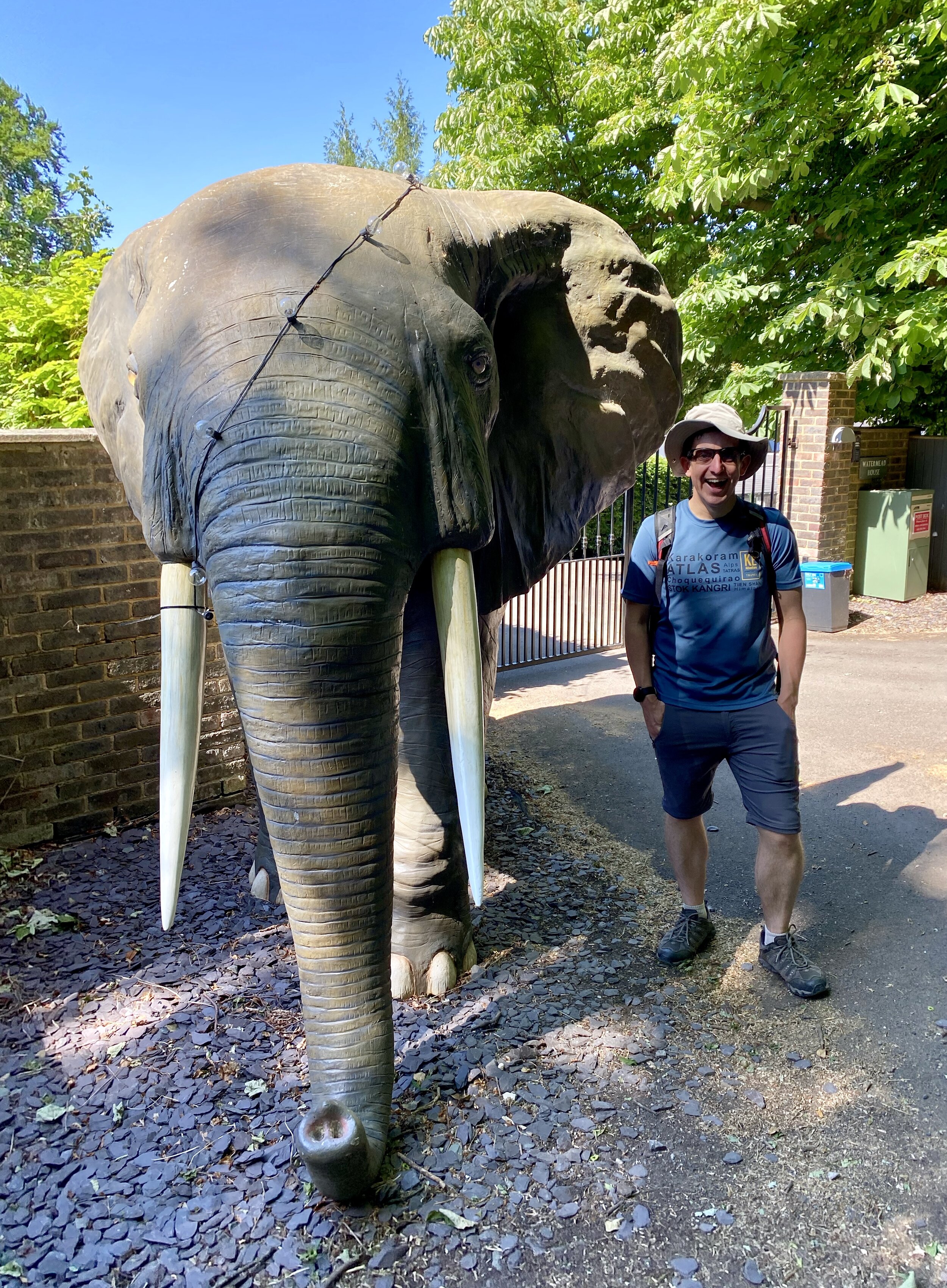
Continuing south after the bridge you’ll pass The Compleat Angler hotel and take a left onto Quarry Wood Road. Continue for ~1 km until the foot of the hill. Be careful of cars here as there’s no pavement in this section. Pass a small bridge over a stream take the left hand footpath at the point where Quarry Wood Road takes a sharp right. From here continue past lovely riverside houses and woodland at the base of Winter Hill. Beware of the elephant!
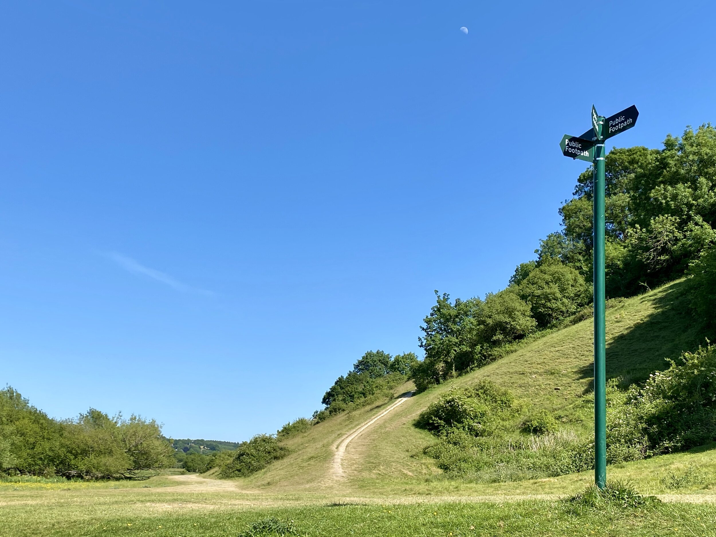
At ~2.5 km from leaving Quarry Wood Road you’ll see a tall metal footpath sign in the middle of a field and at the bottom of a steep uphill path. Take a sharp left here and continue to the track behind the riverside houses. Continue East along this path following the Thames back to the Bourne End Rail Bridge. The quirky pirate themed Bounty Pub before the bridge is a great place for a drink to celebrate (nearly) completing their loop. To get back to the start at Bourne End Station cross the rail bridge back to the north side of the Thames and retrace your steps from the start of the route.
Part 3 of the Wycombe-Maidenhead Rail Trilogy will come soon with the Bourne End To Maidenhead section.
Shakespeare’s Way previous section (north): Marlow and Harleyford
Shakespeare’s Way next section (south): Bourne End, Cookham and Wooburn

