Train out, walk back: The Chinnor and Princes Risborough Railway

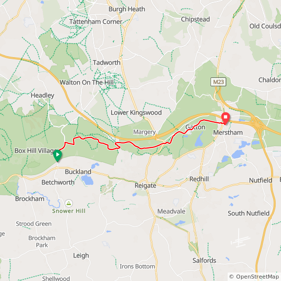
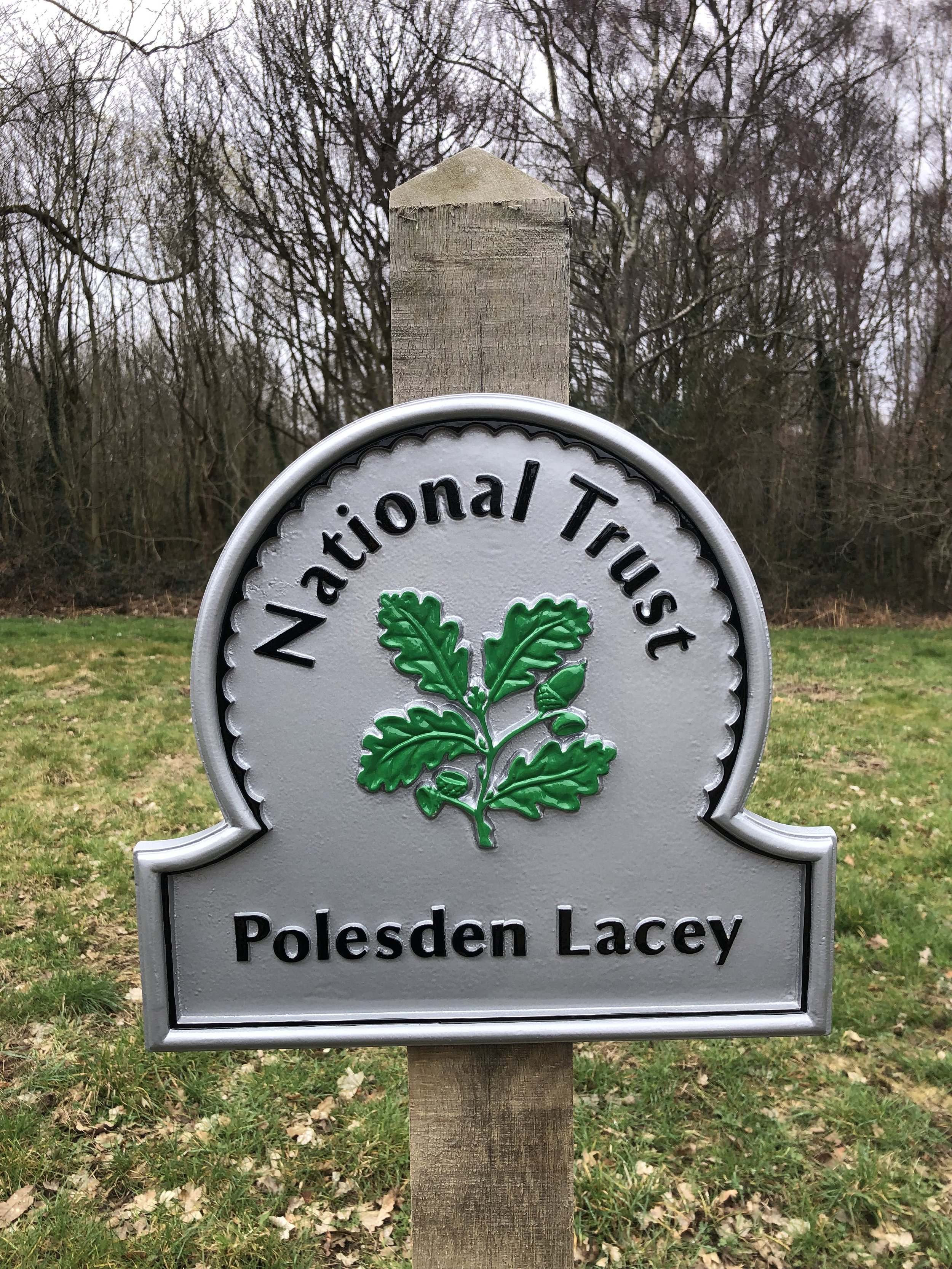
Start: Princes Risborough Station, Station Approach, Princes Risborough, HP27 9DN
Finish
: Chinnor Railway Station, Station Road, Chinnor, OX38 4ER
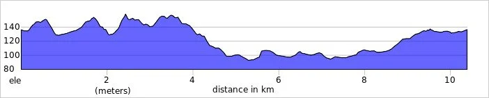
Distance: 6.3 km (3.9 miles)
Elevation change: +73m / -46m. Net = +27m
GPX File: get via Buy Me a Coffee
Other routes touched (walk): Risborough Blue Route, The Chiltern Way, Midshires Way, The Ridgeway, Wildlife Walk
Other routes touched (cycle): NCN 57
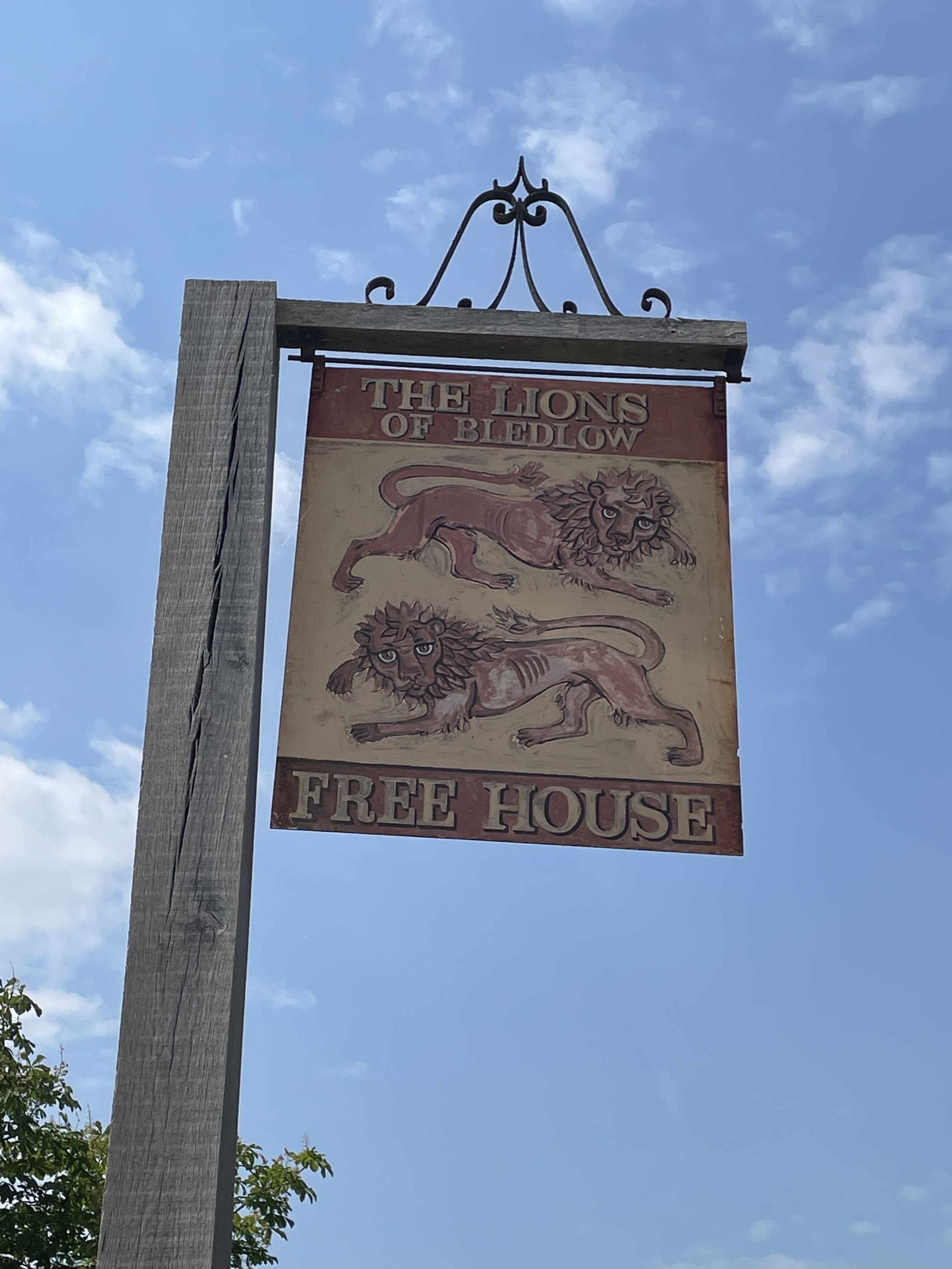
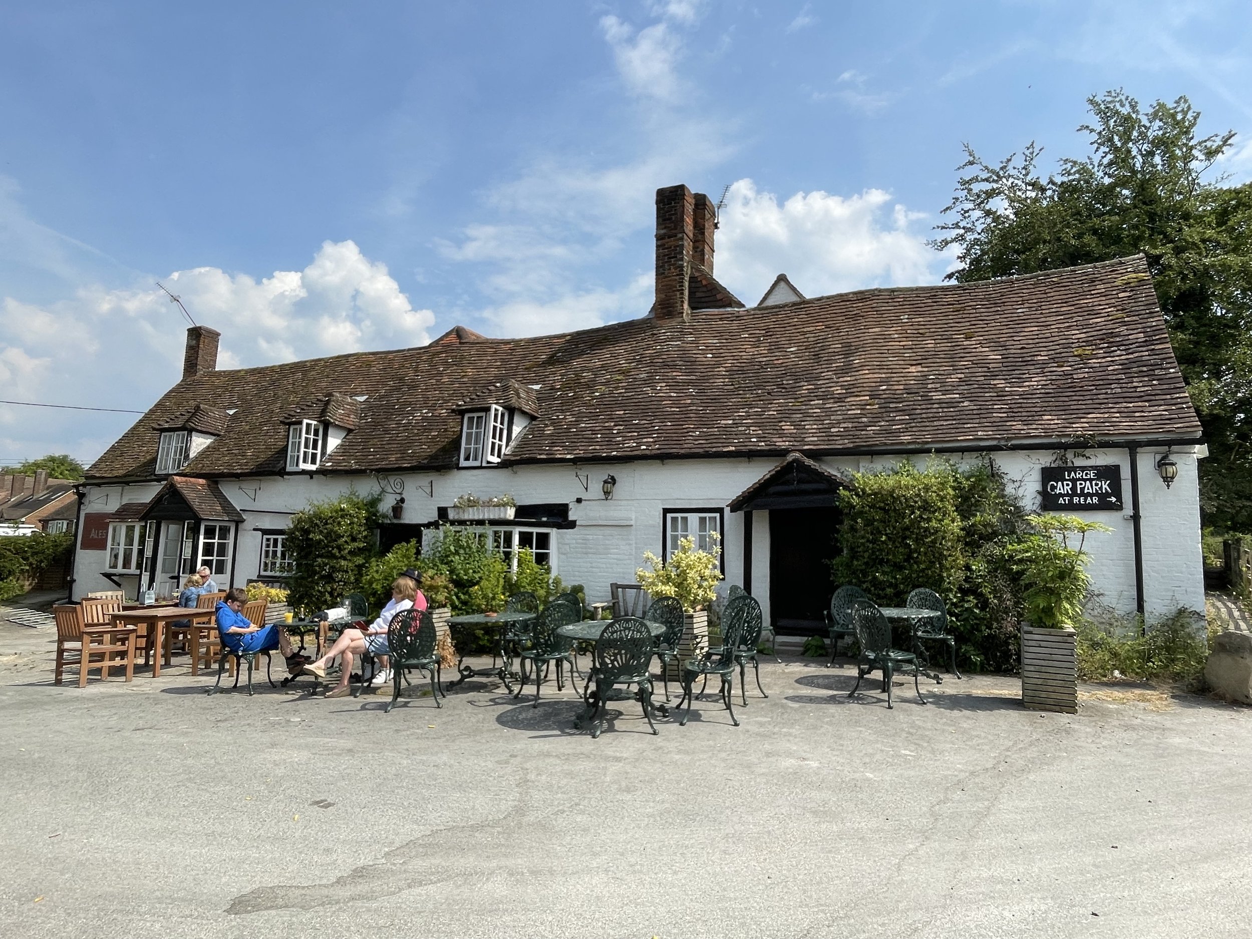
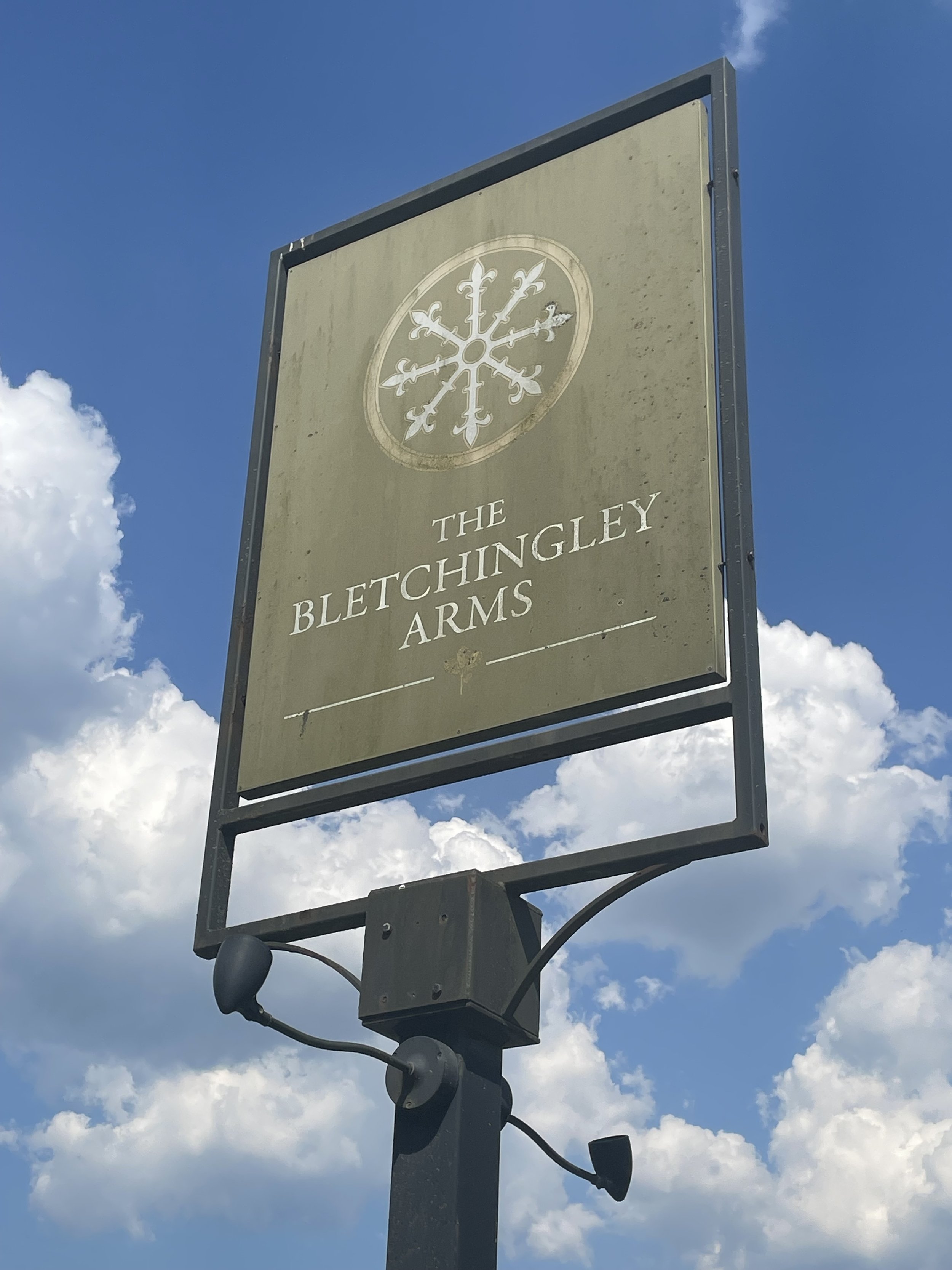
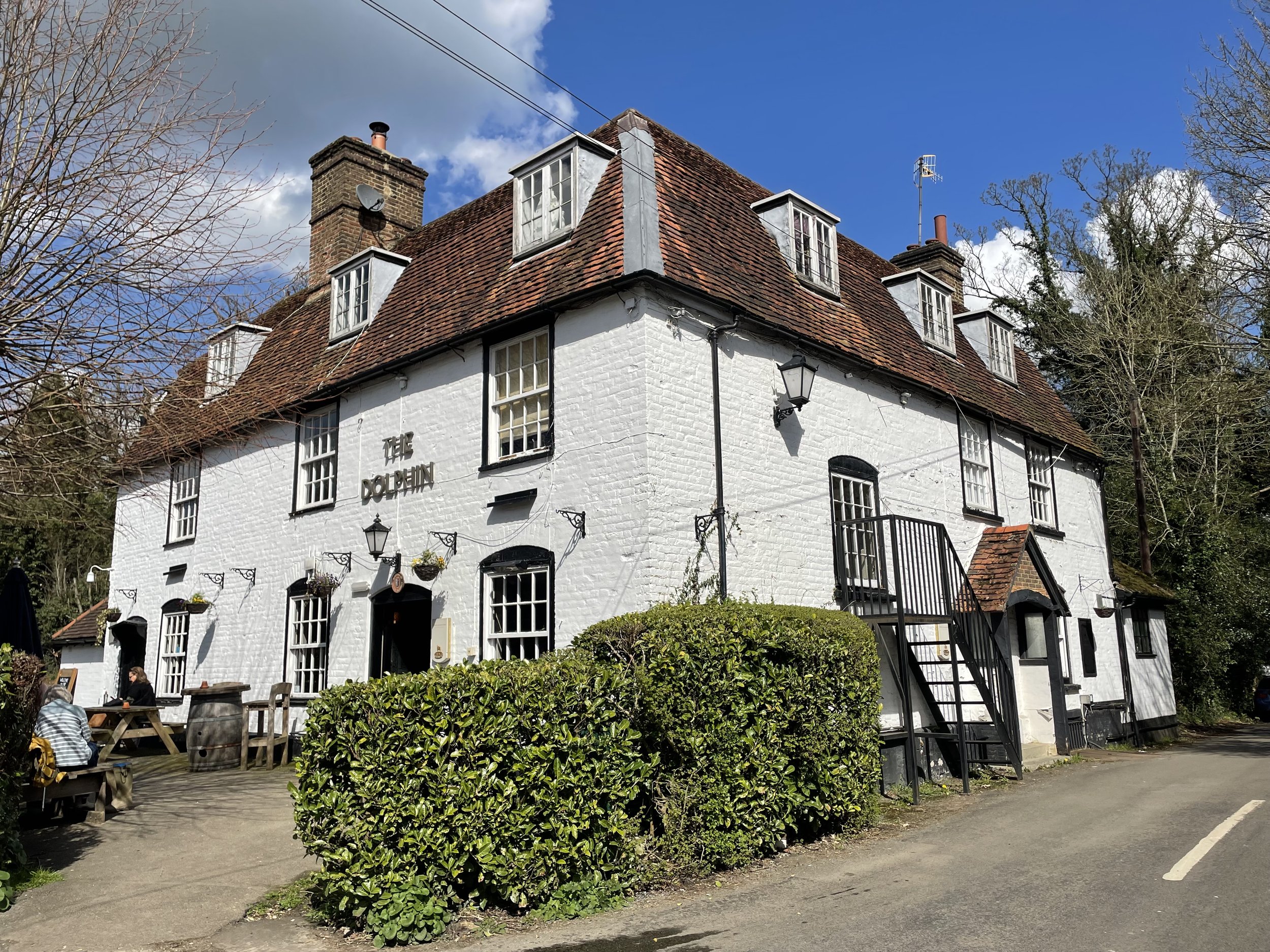
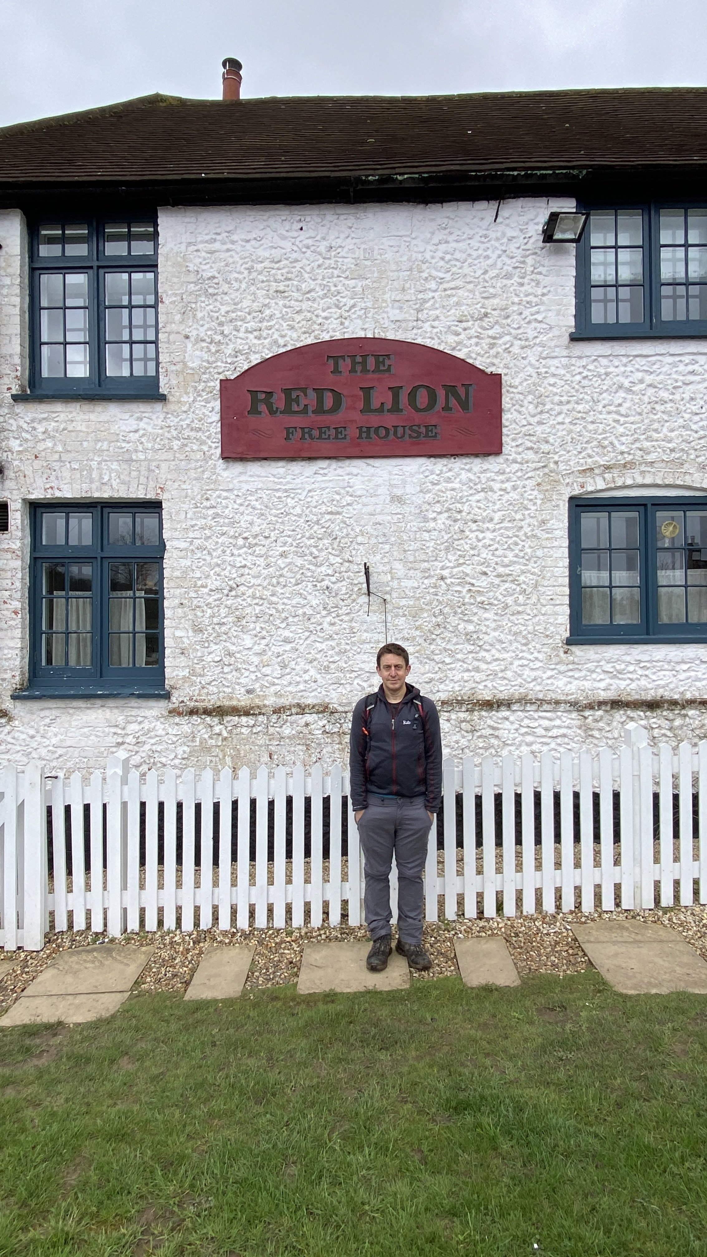
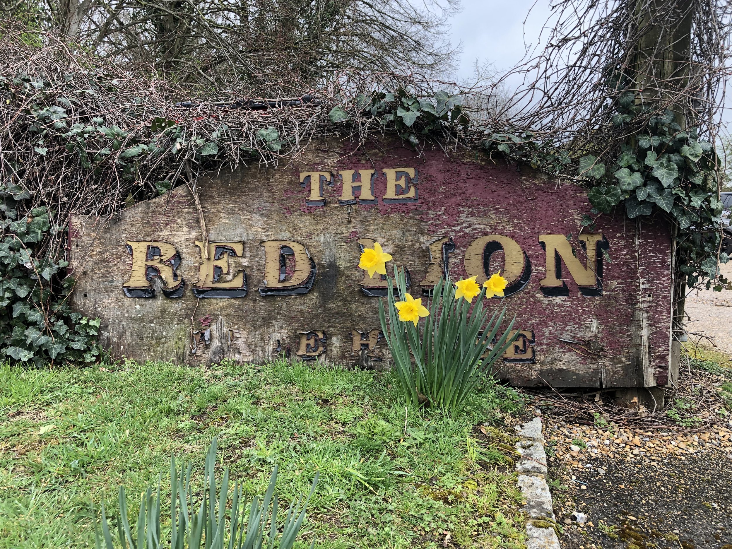
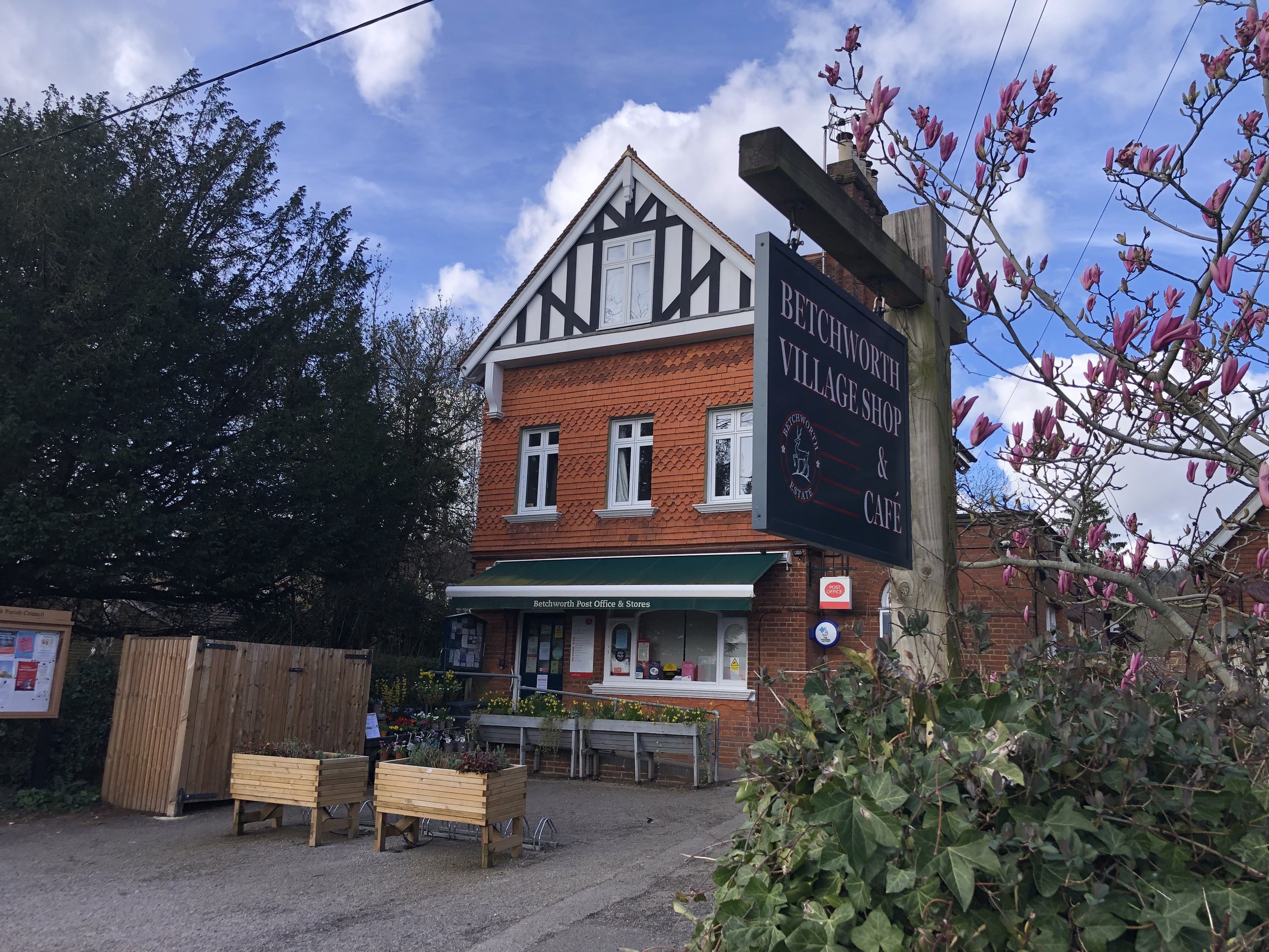
Pubs / Cafes on route: Lions of Bledlow (3.4 km in)
Map: Chiltern Hills North Map | Aylesbury, Berkhamsted & Chesham | Ordnance Survey | OS Explorer Map 181
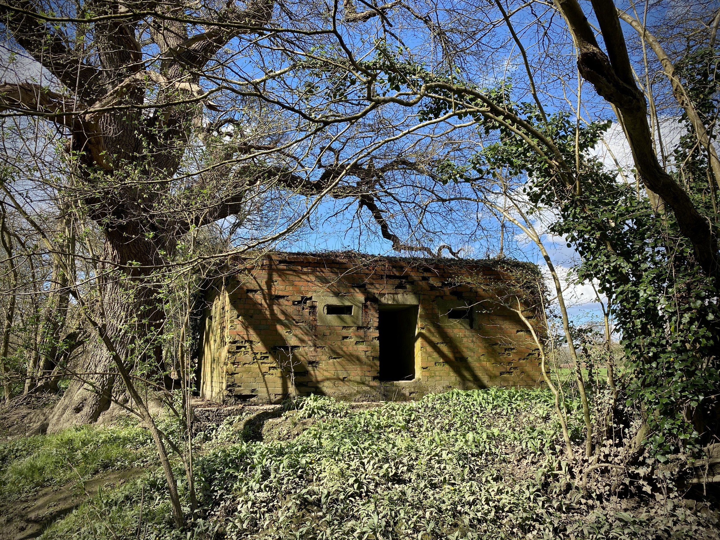
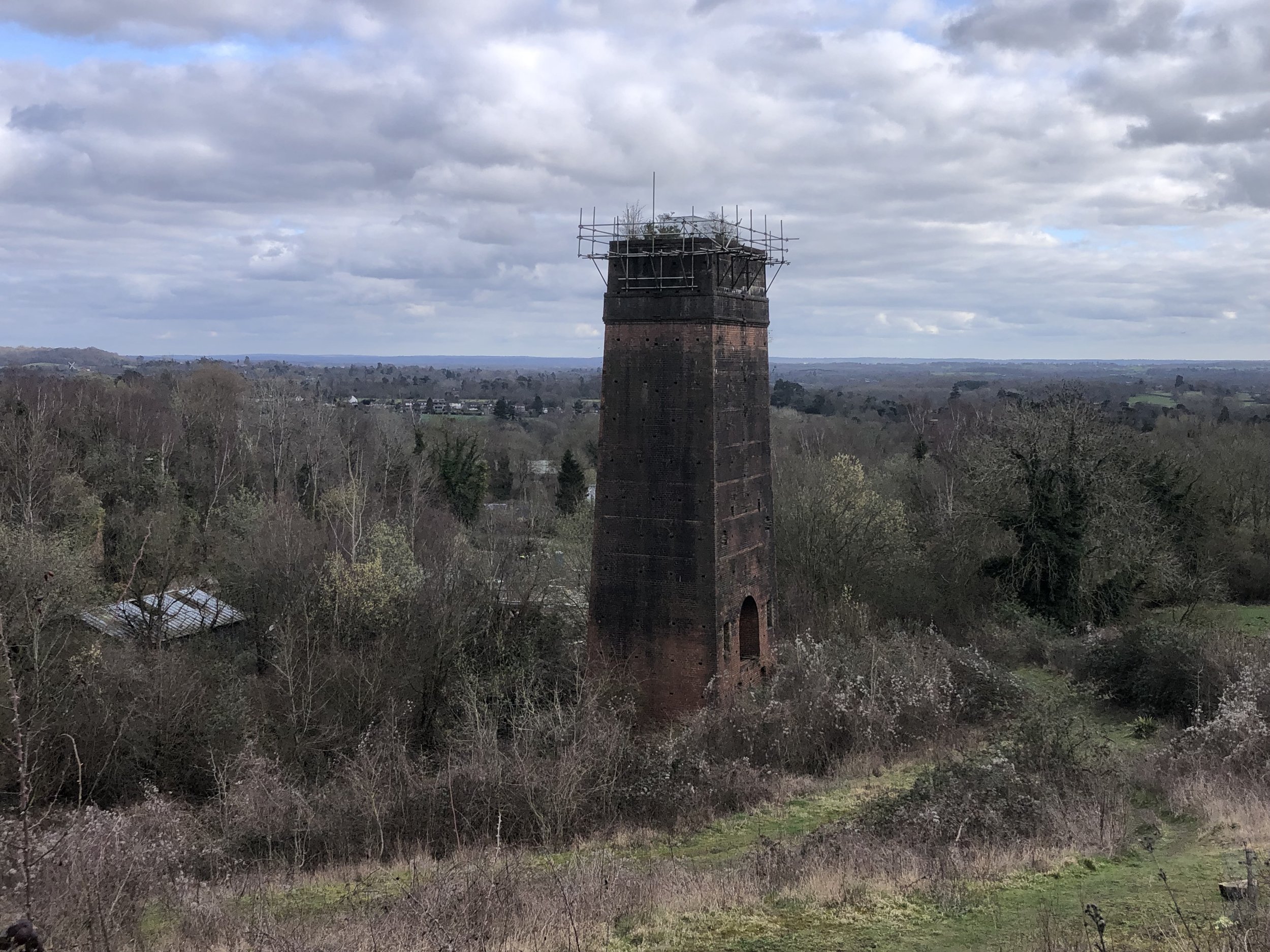
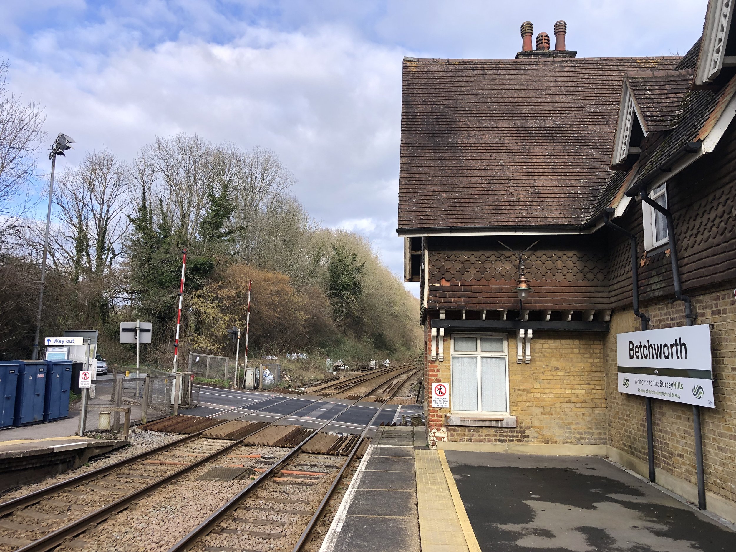
Links: Chinnor and Princes Risborough Historic Railway, Watlington and Princes Risborough Railway, Chinnor, Princes Risborough, Bledlow


The Chinnor and Princes Risborough Historic Railway runs on a section of the old Princes Risborough to Watlington line. I’ve passed by it many times on walks and cycle rides in the area but never taken a trip on the restored section. We decided to take a ride on it to celebrate our friend gaining her British Citizenship as a part of an English-themed summer day out. The guidance below will help you navigate but don’t use it as a fully accurate turn-by-turn guide. Always take a map and/or a GPX route and prepare well for the weather and terrain.

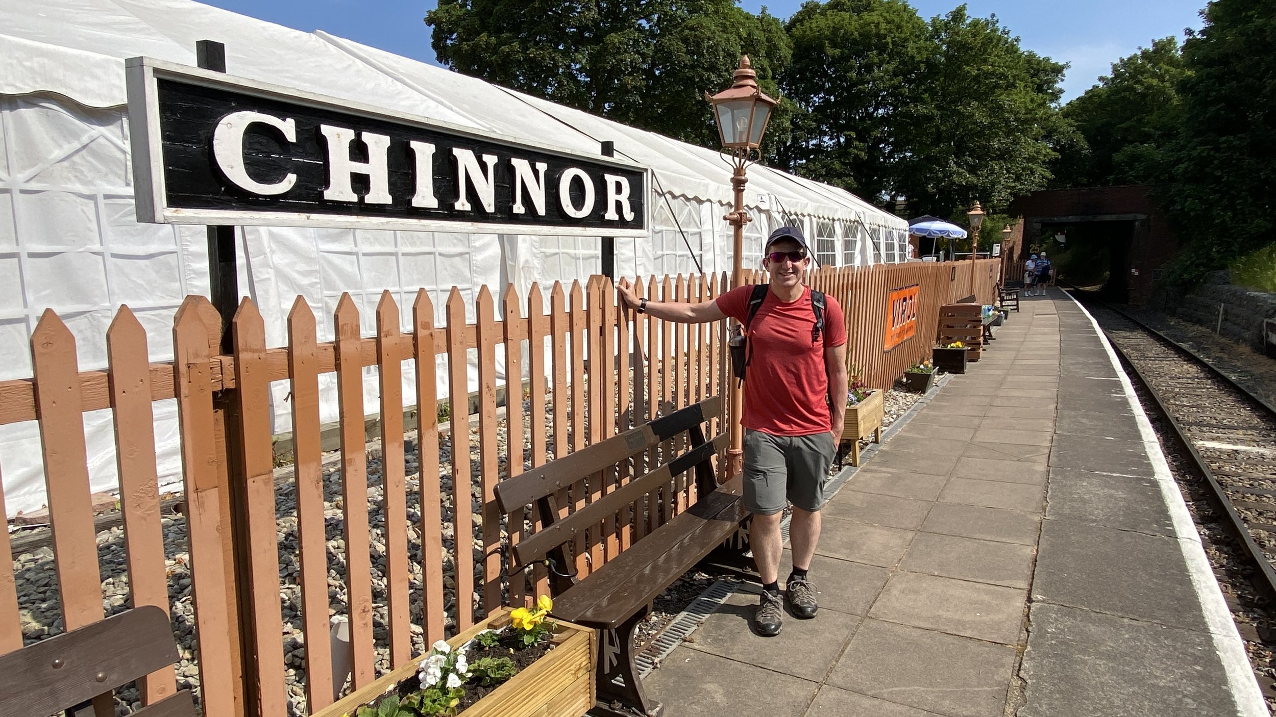
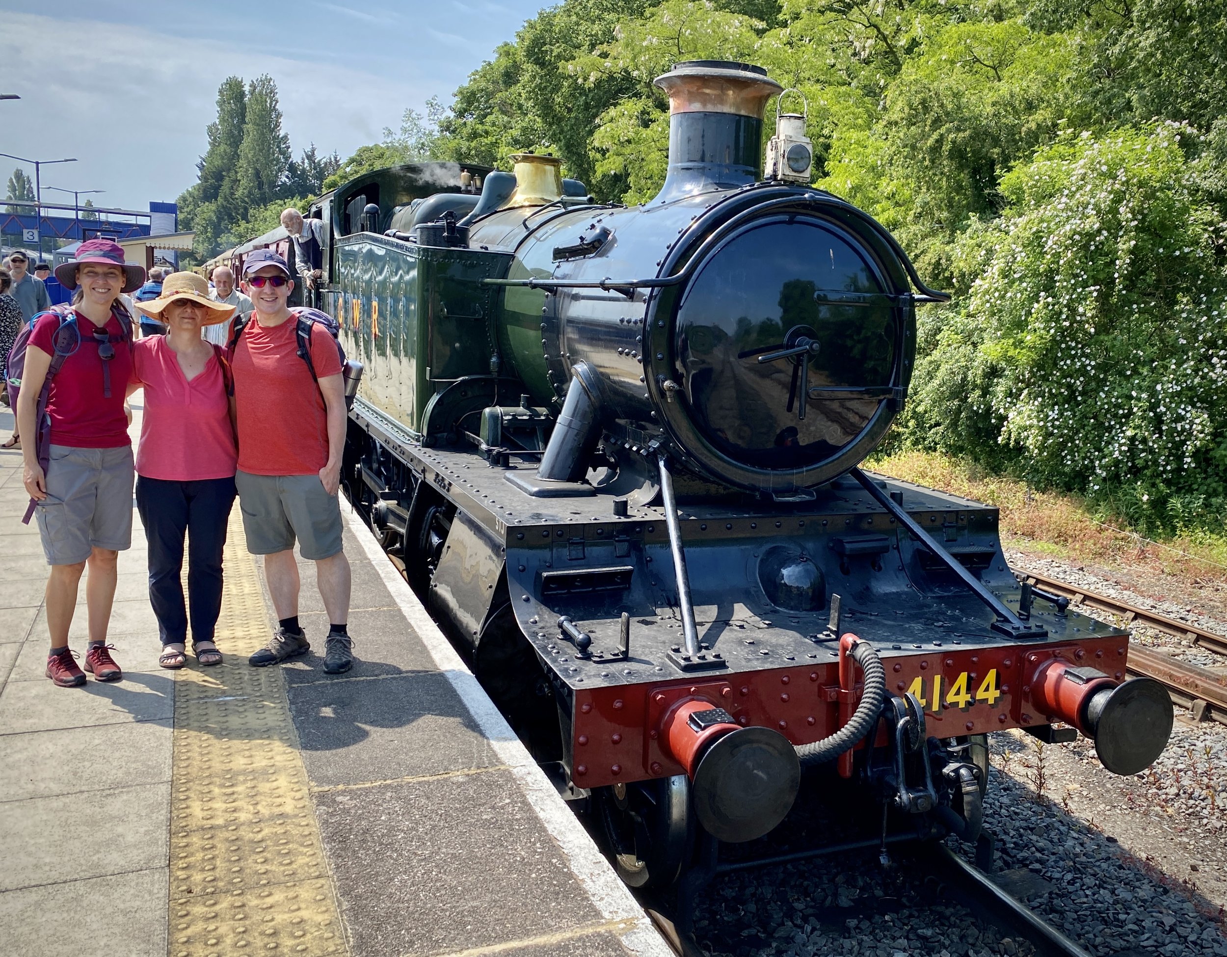
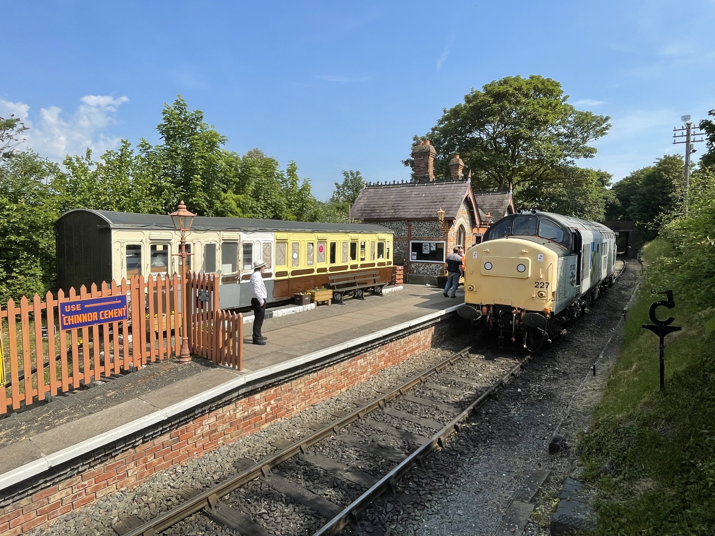
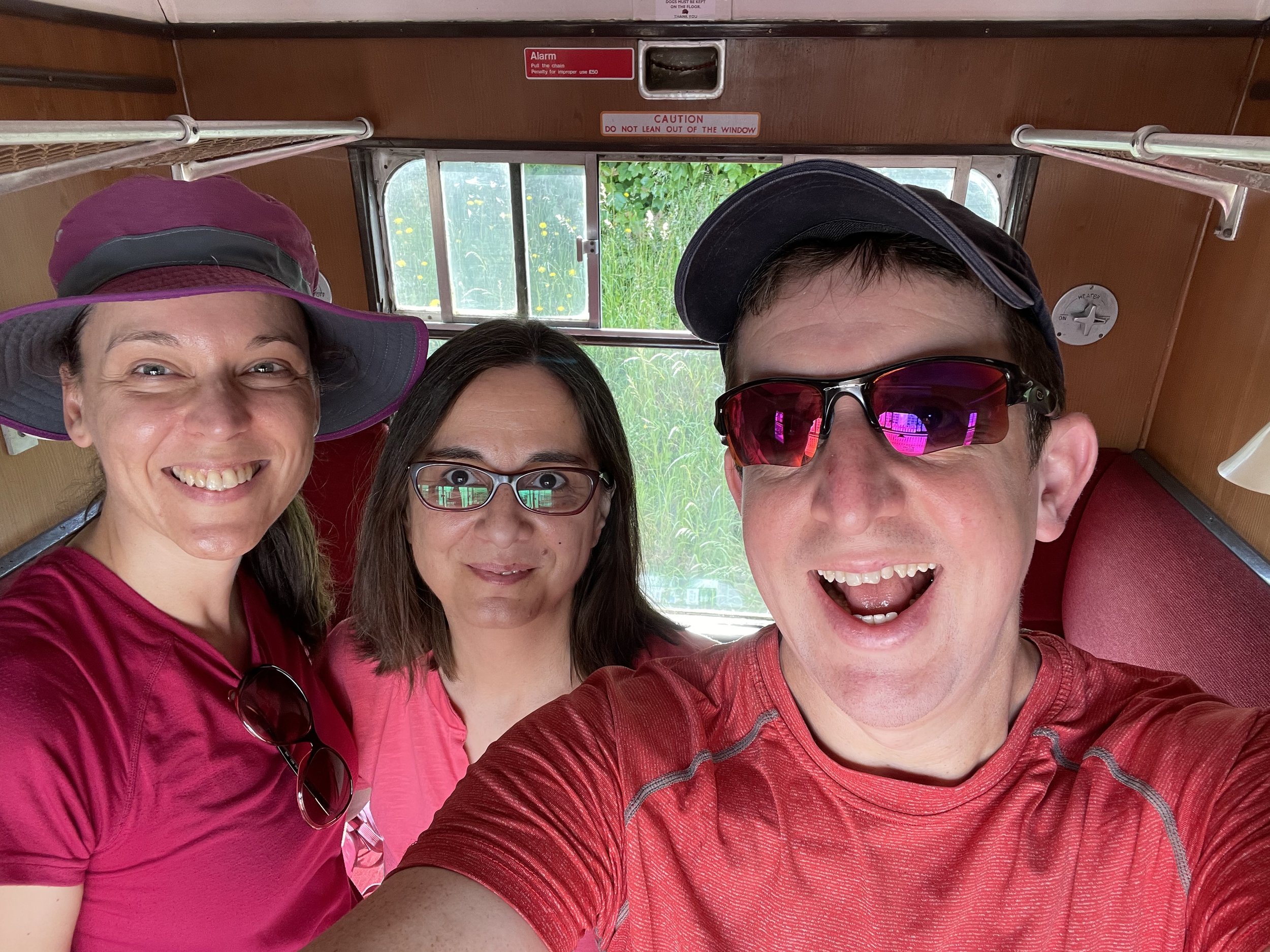
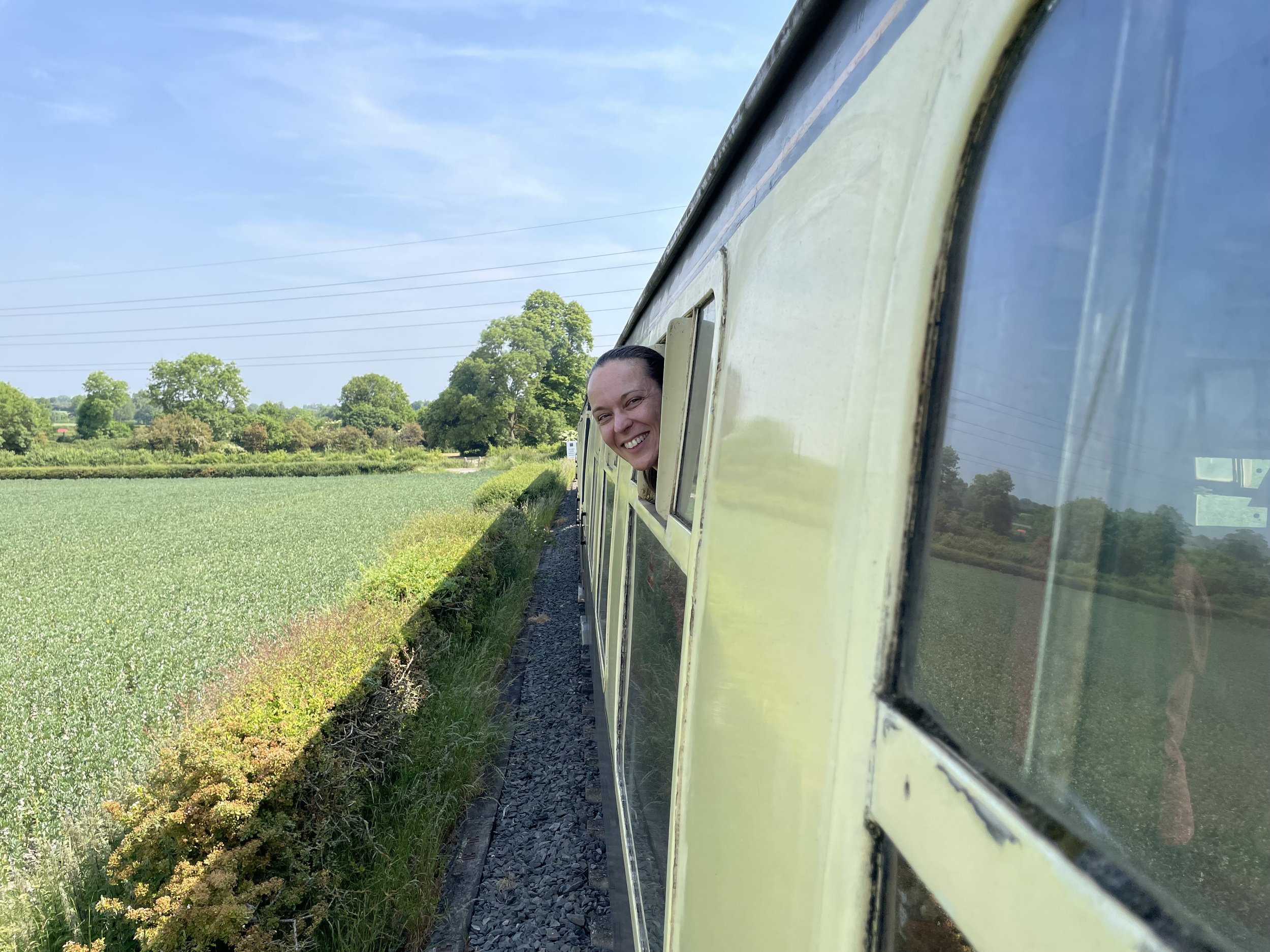
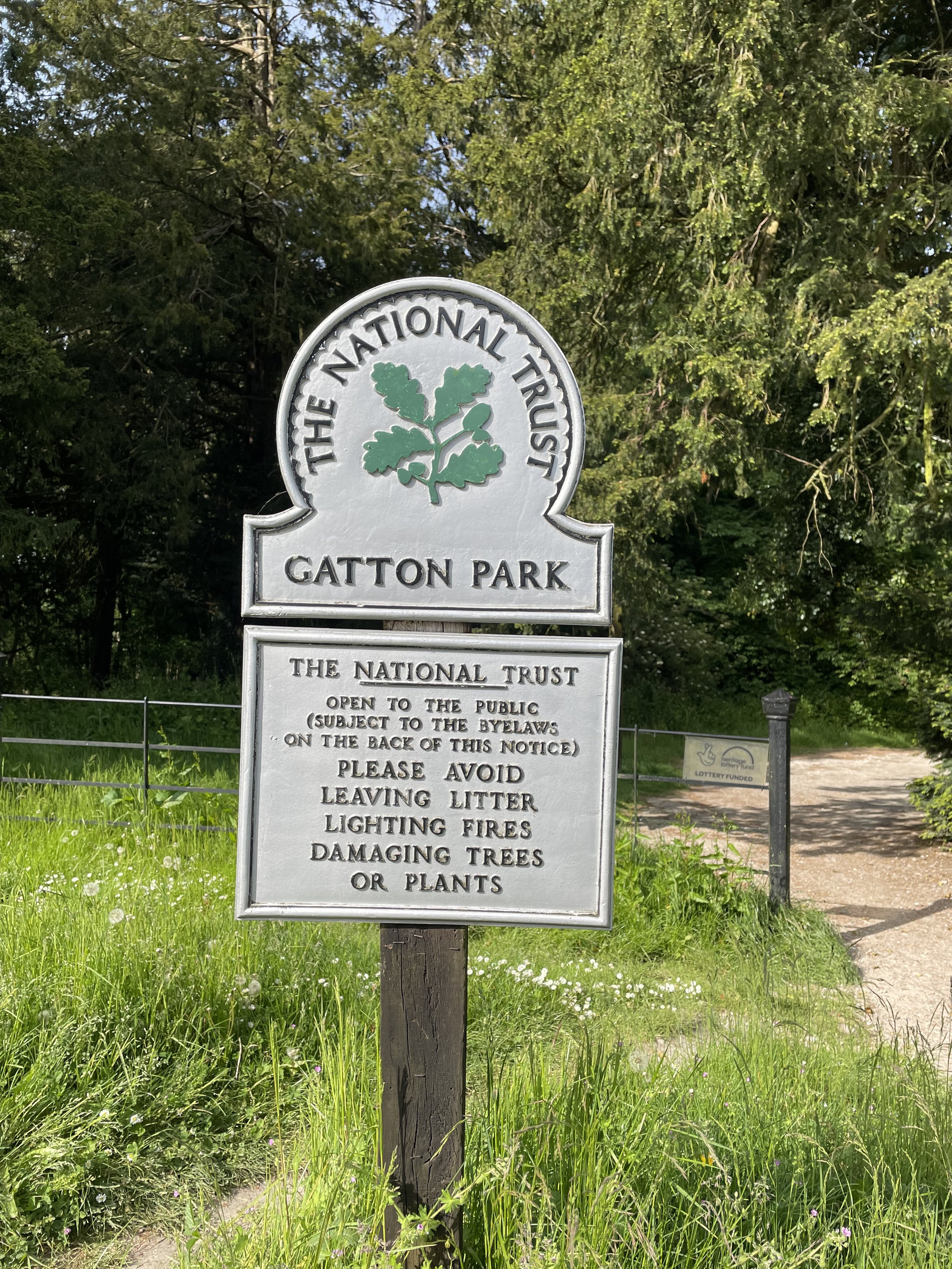
The historic railway visitor centre at Chinnor station is the best place to start. The station is lovingly preserved and staffed by volunteers who obviously love what they do. There’s a choice of a steam or diesel powered trip to Princes Risborough. We planned a trip on the steam powered train but it was a hot day after a few dry weeks and they decided not to use the steam engine due to a fire risk.

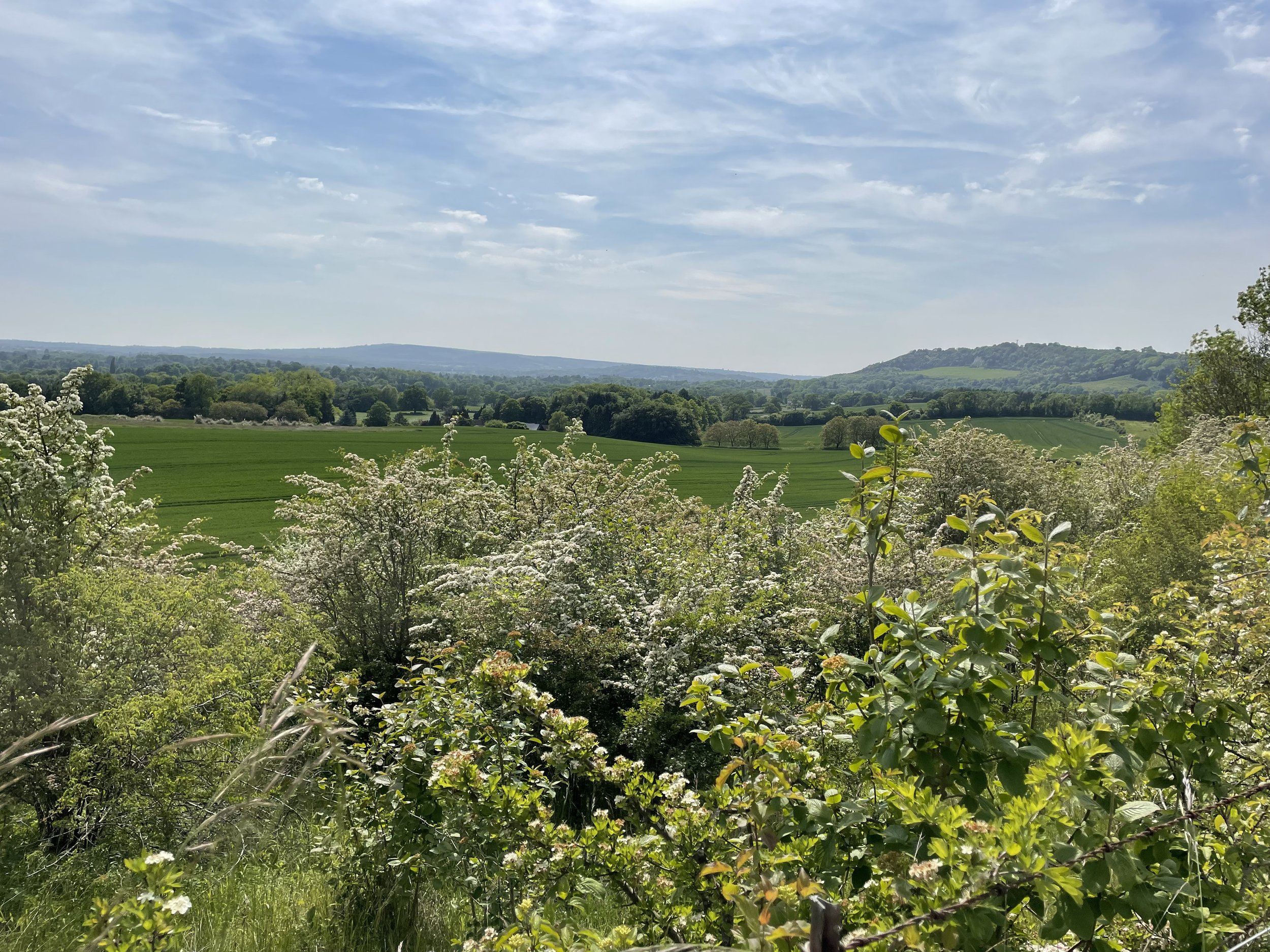
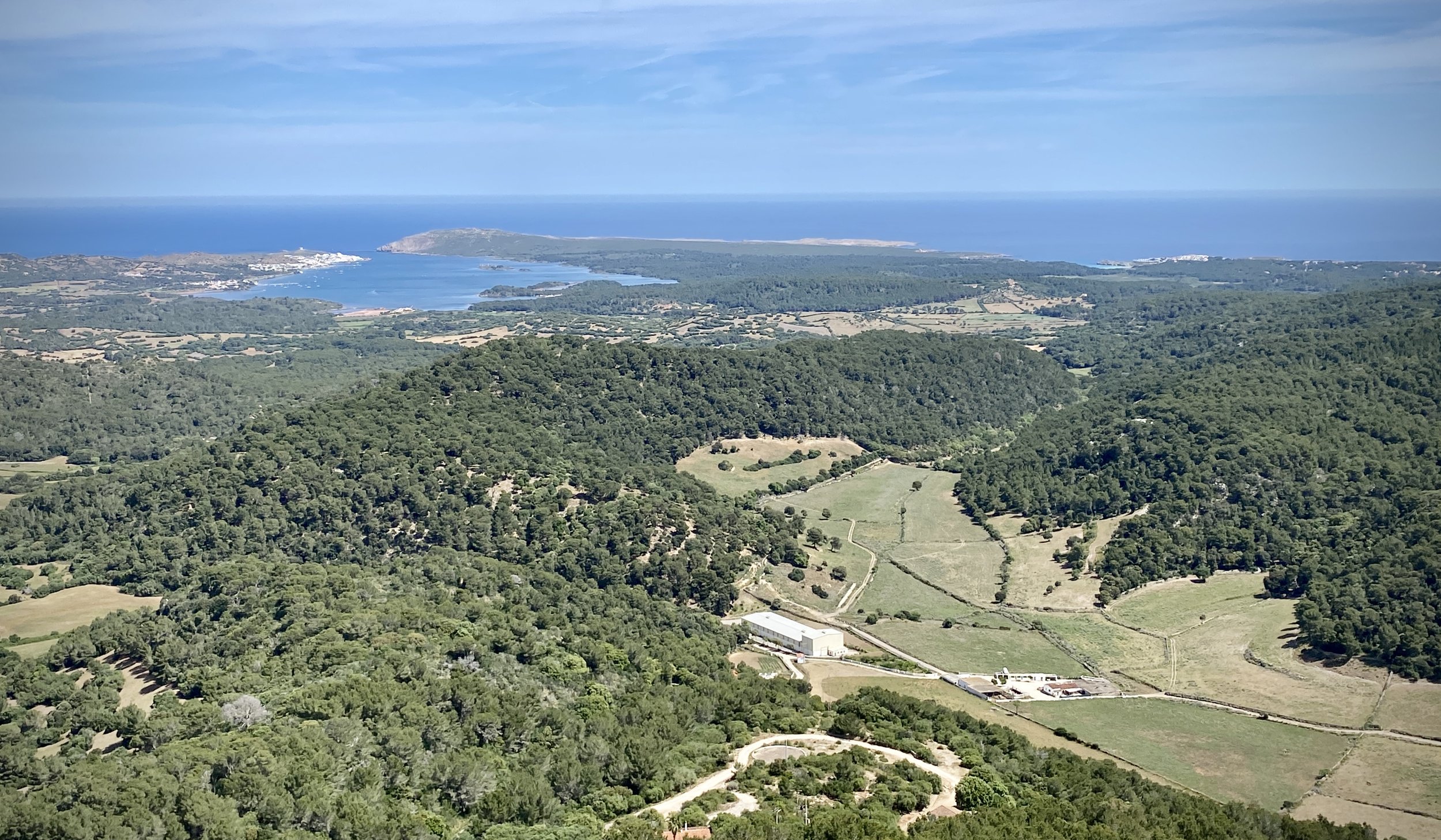
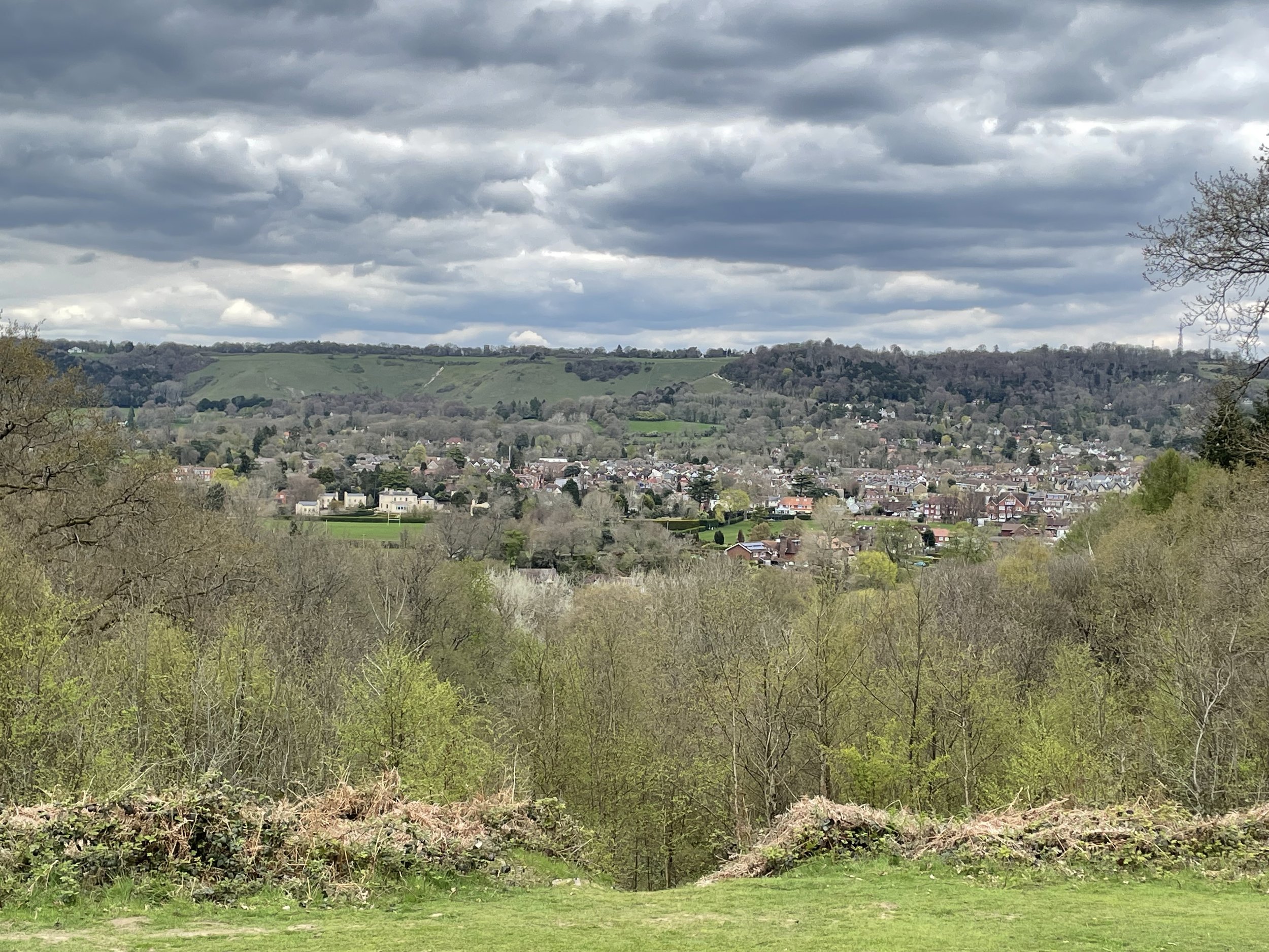
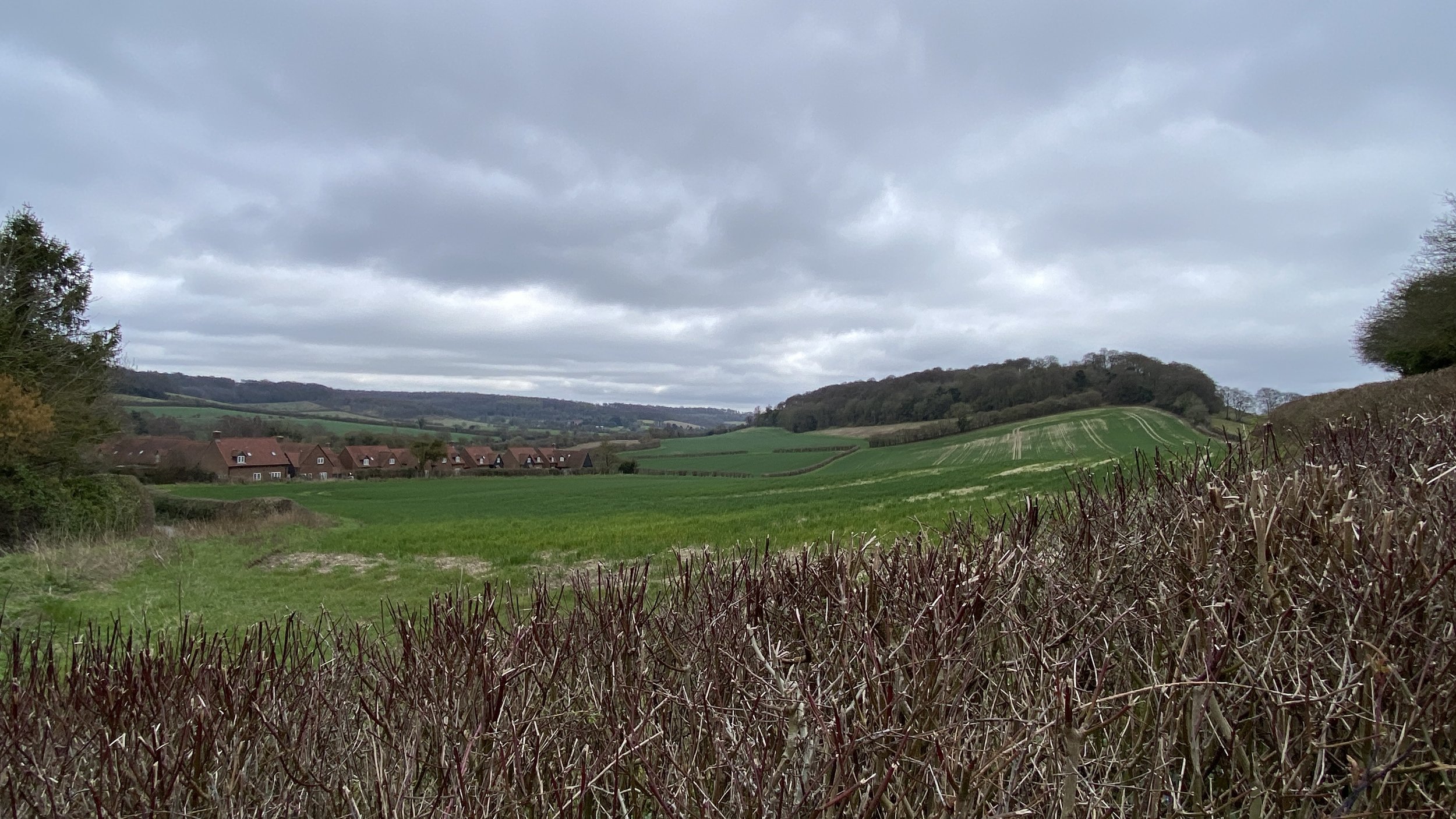
I loved the trip more than I expected. The old carriages reminded me of when I used to take the train from Maidenhead to London with my Dad when I was growing up in the ‘80s. It was a short distance but took around 30 minutes due to having to stop for the gates to be opened at the various road crossings and a section of track shared with mainline trains. It was great to go at a slower pace to enjoy the experience and see the Chiltern Hills roll by on the right hand side of the train.

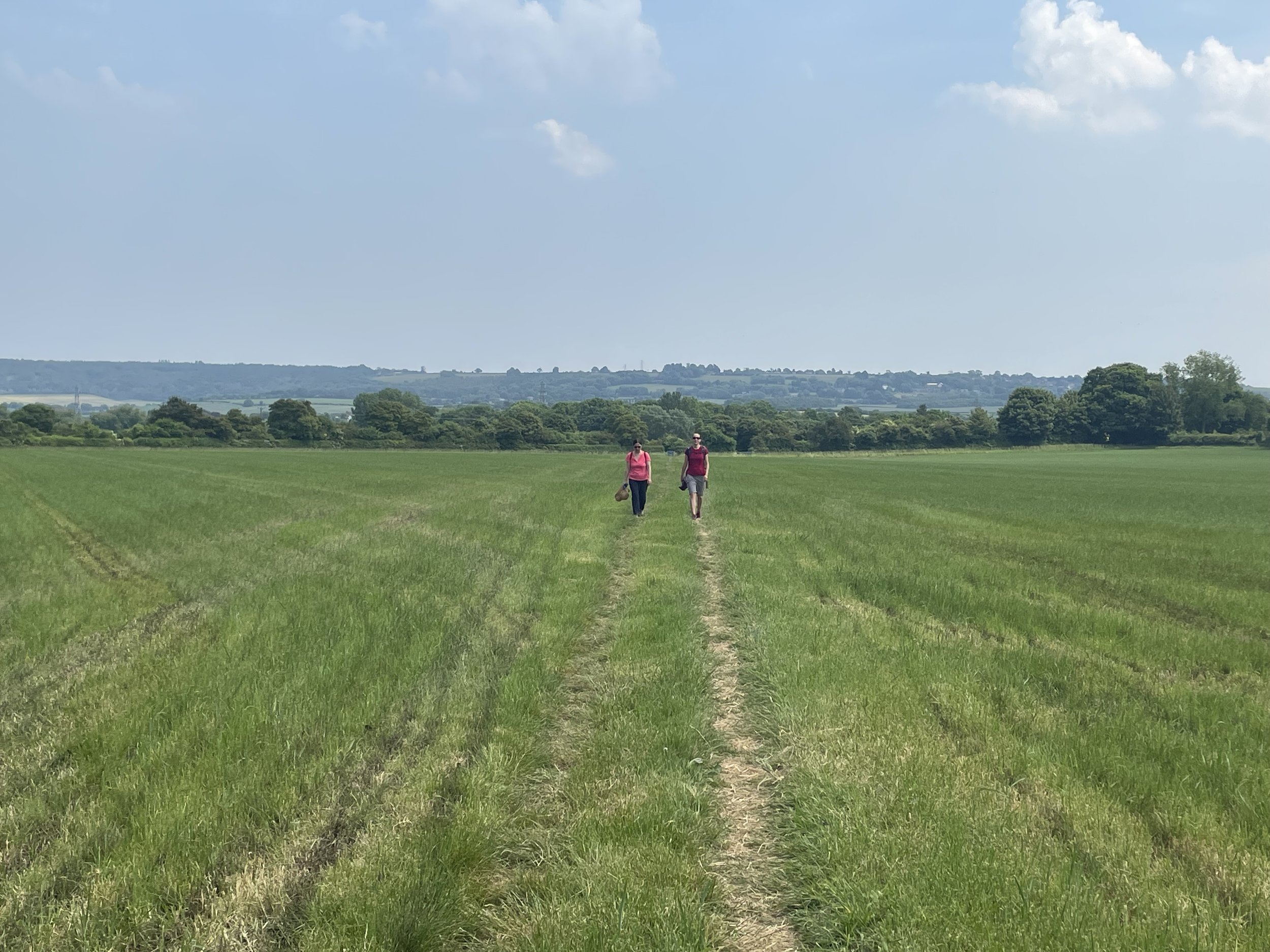
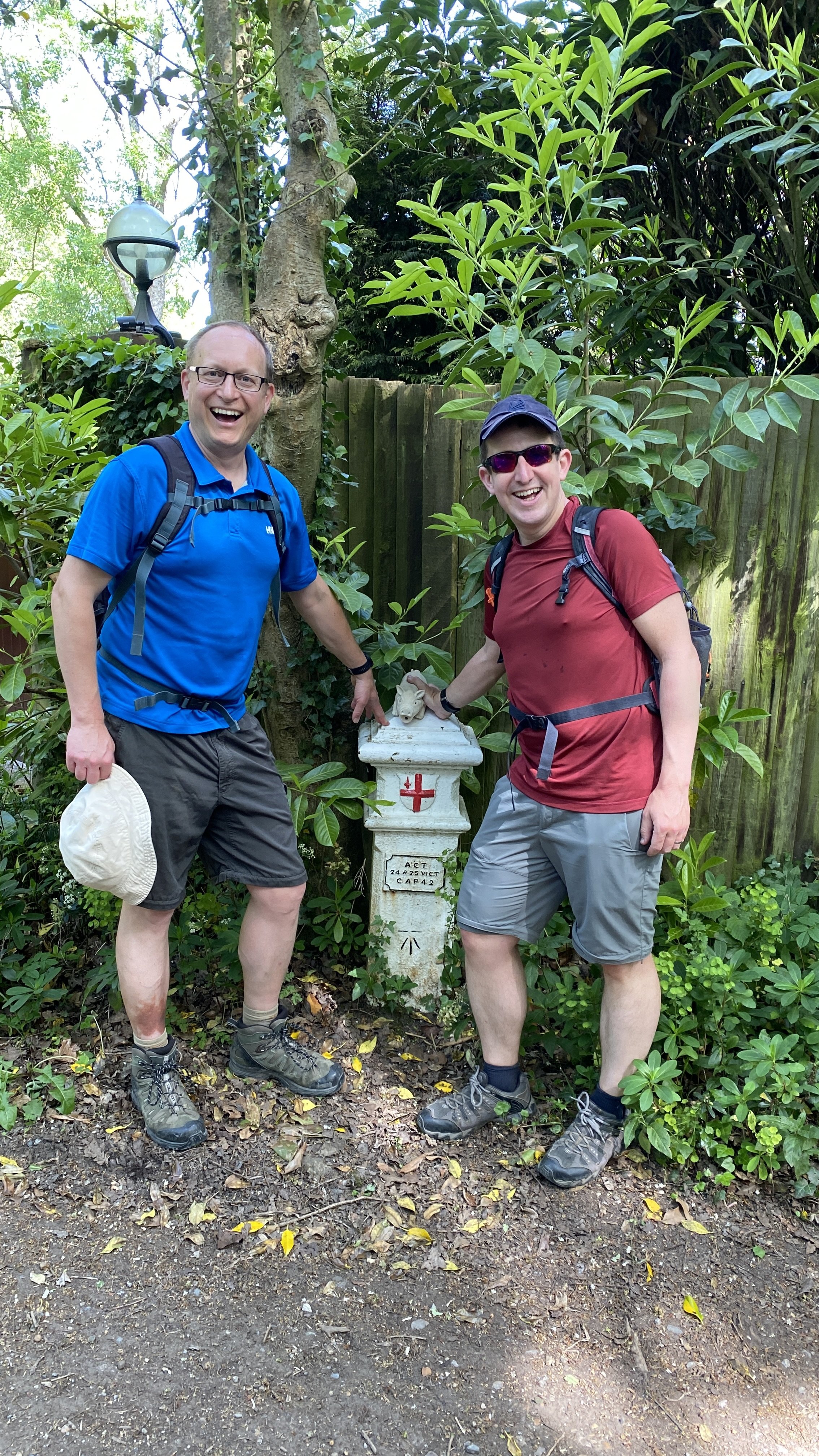
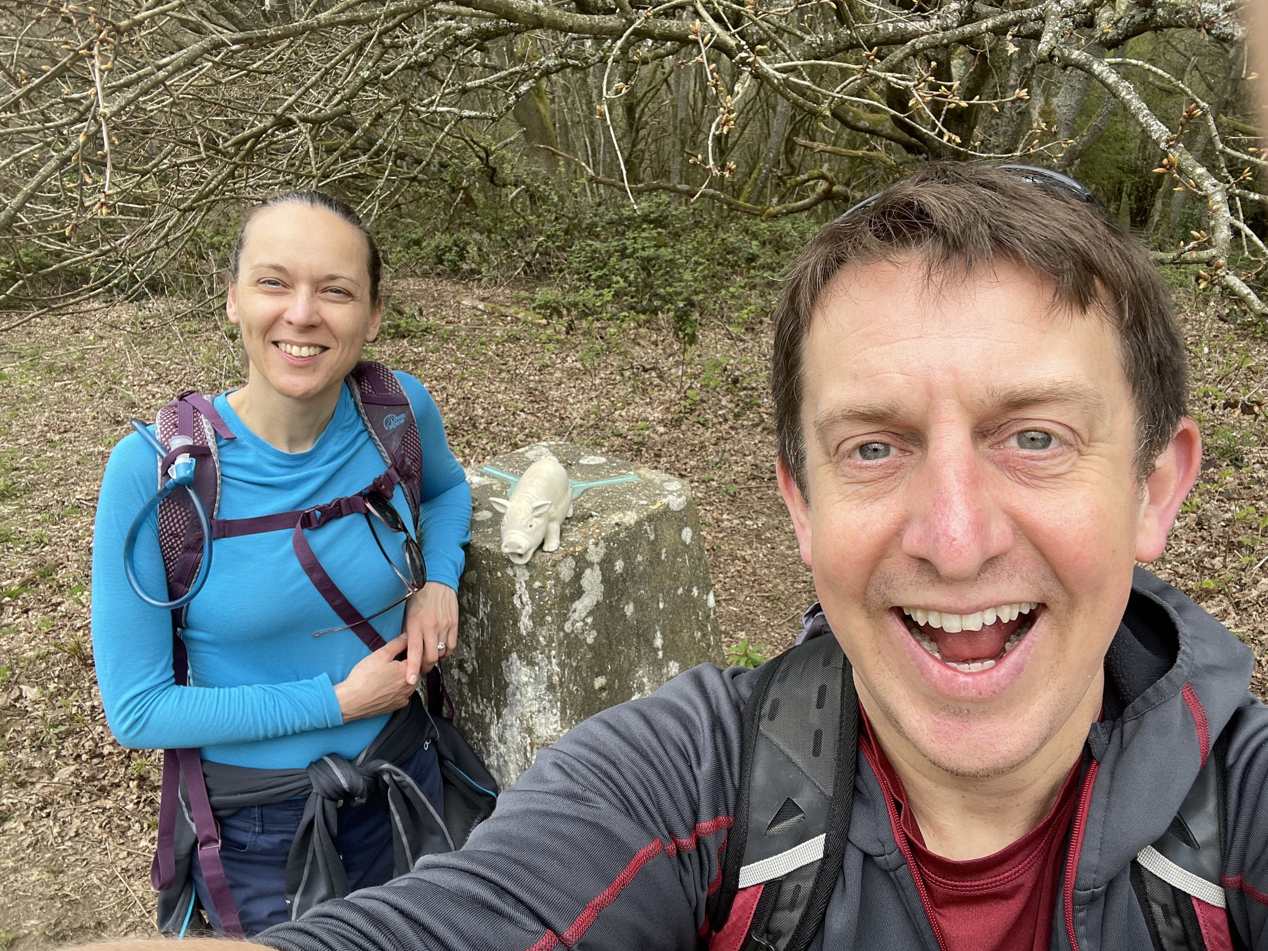
The entry ticket includes a return trip to Chinnor but we decided to walk back instead, having a picnic on the way.

The route back

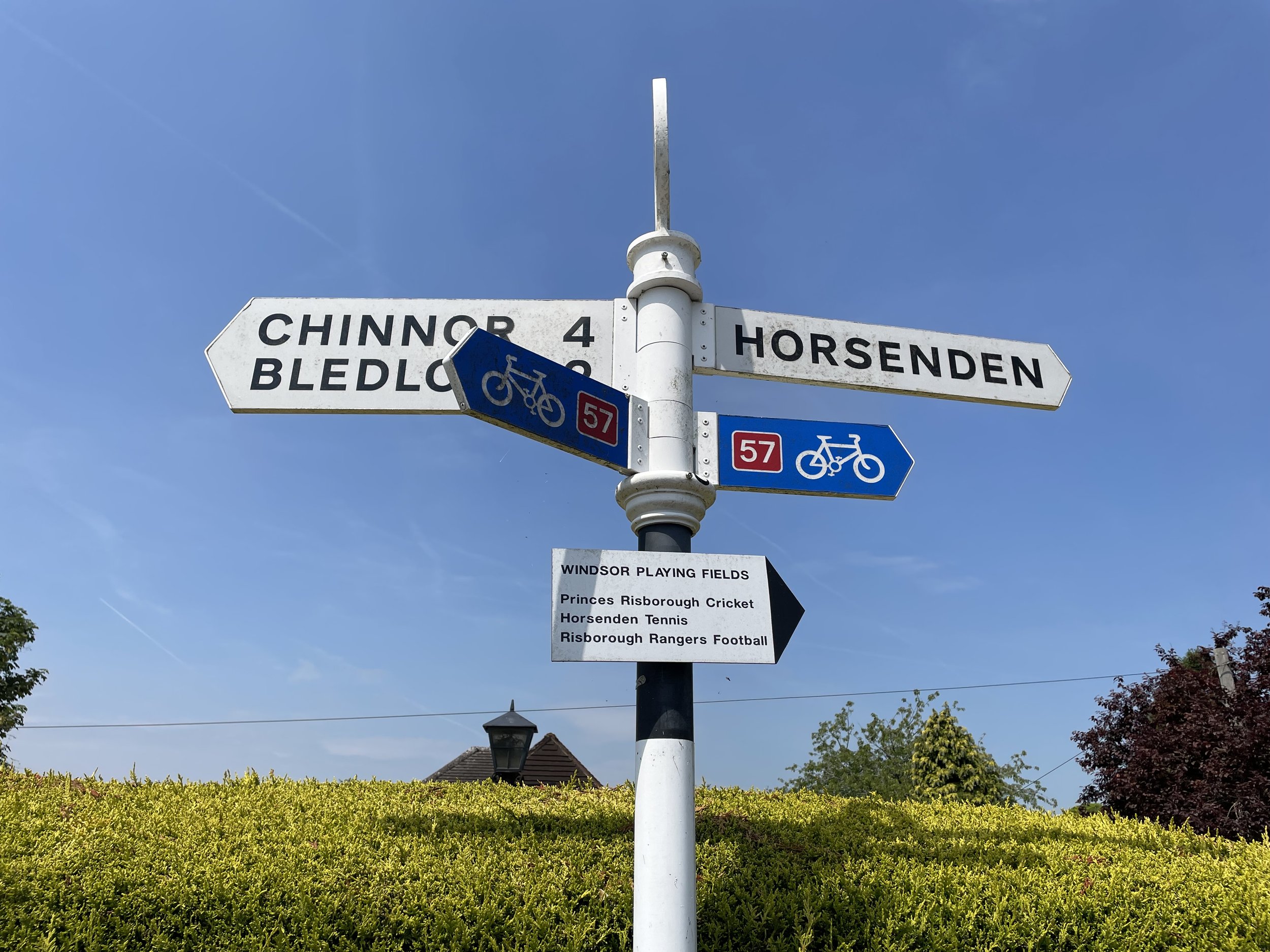
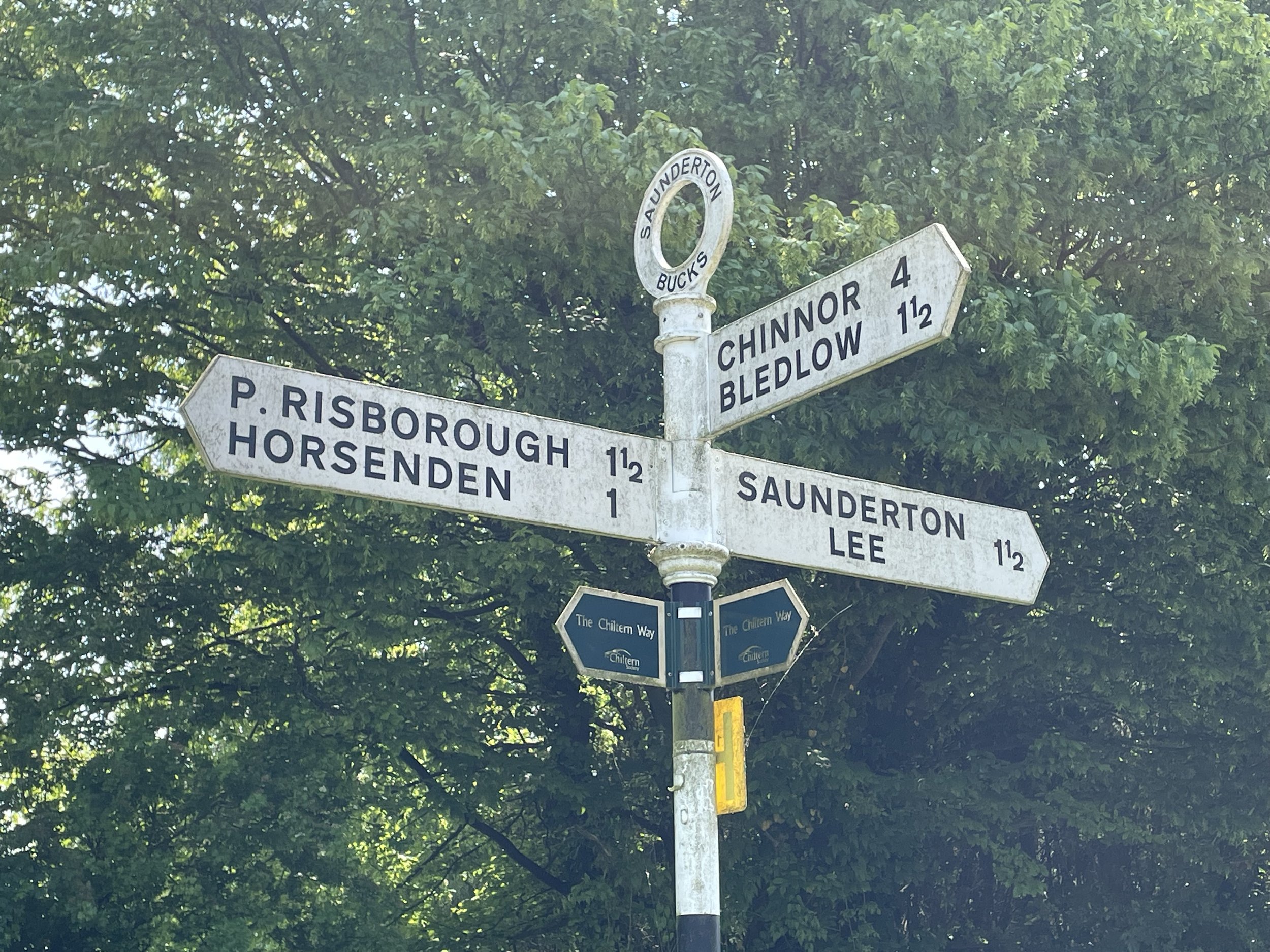
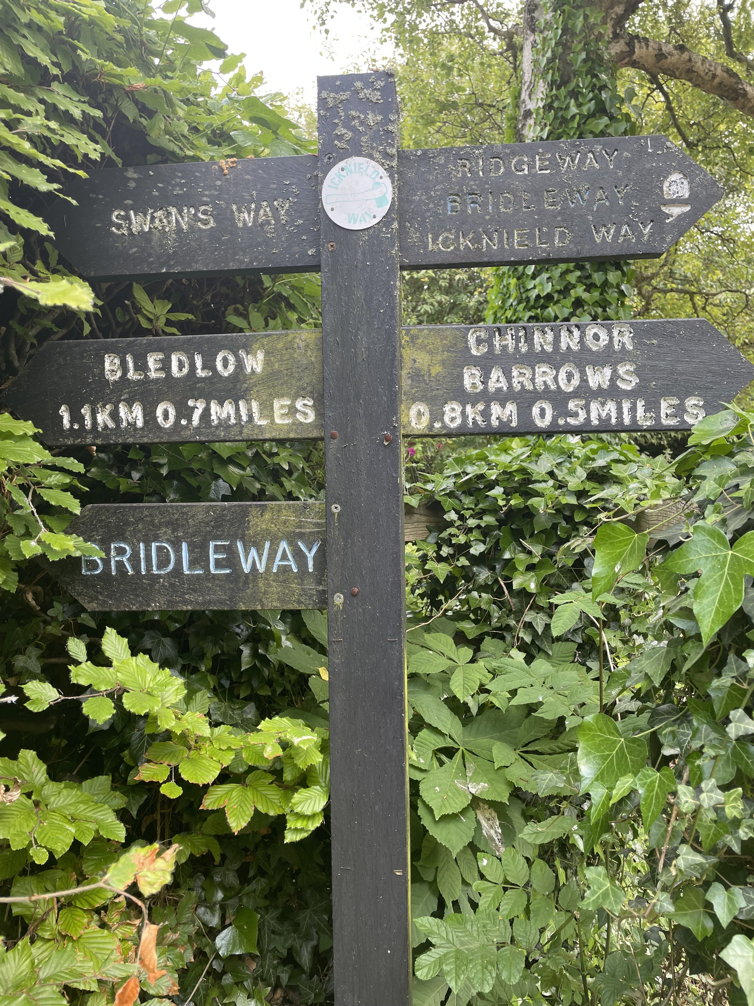
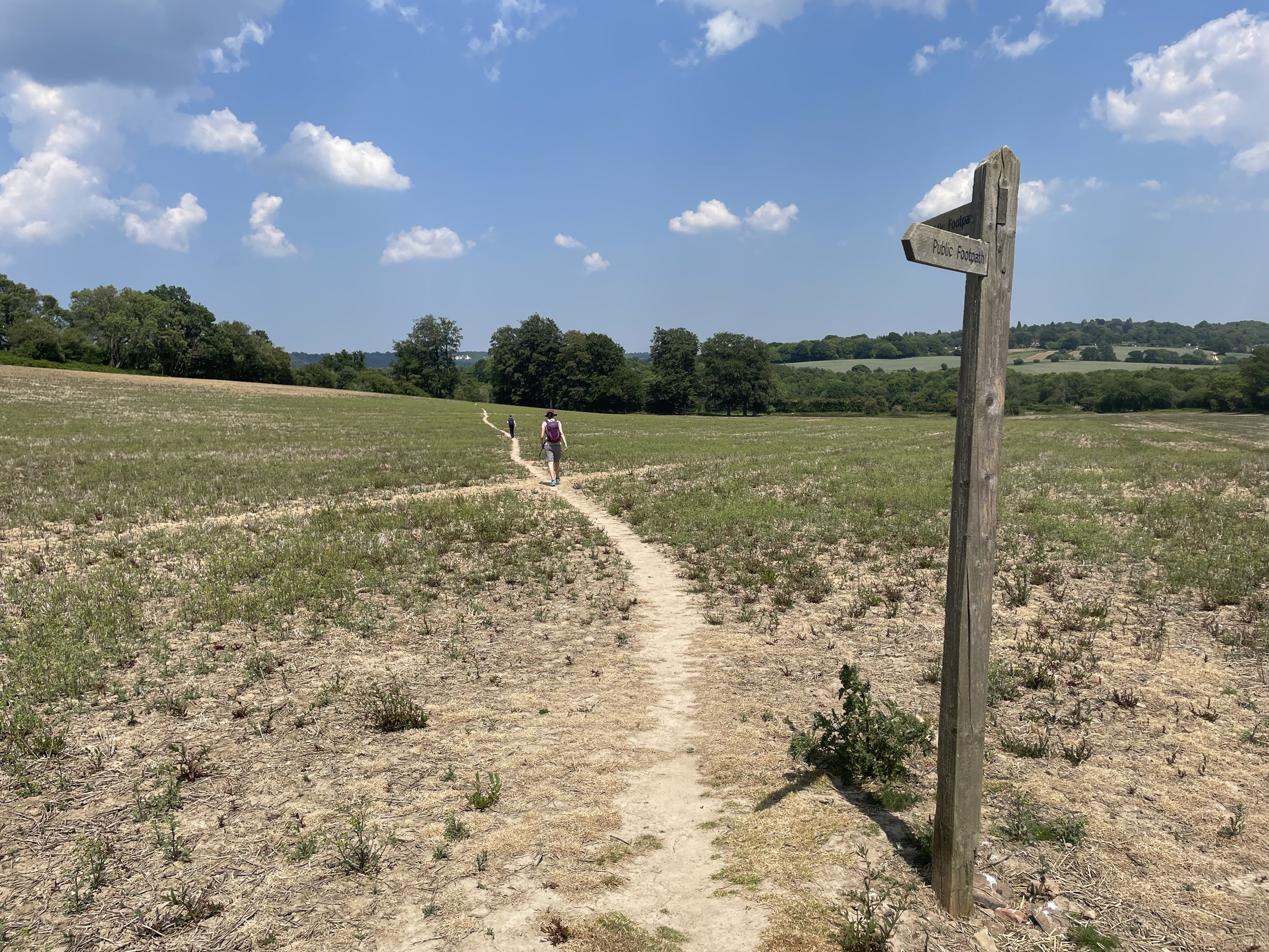
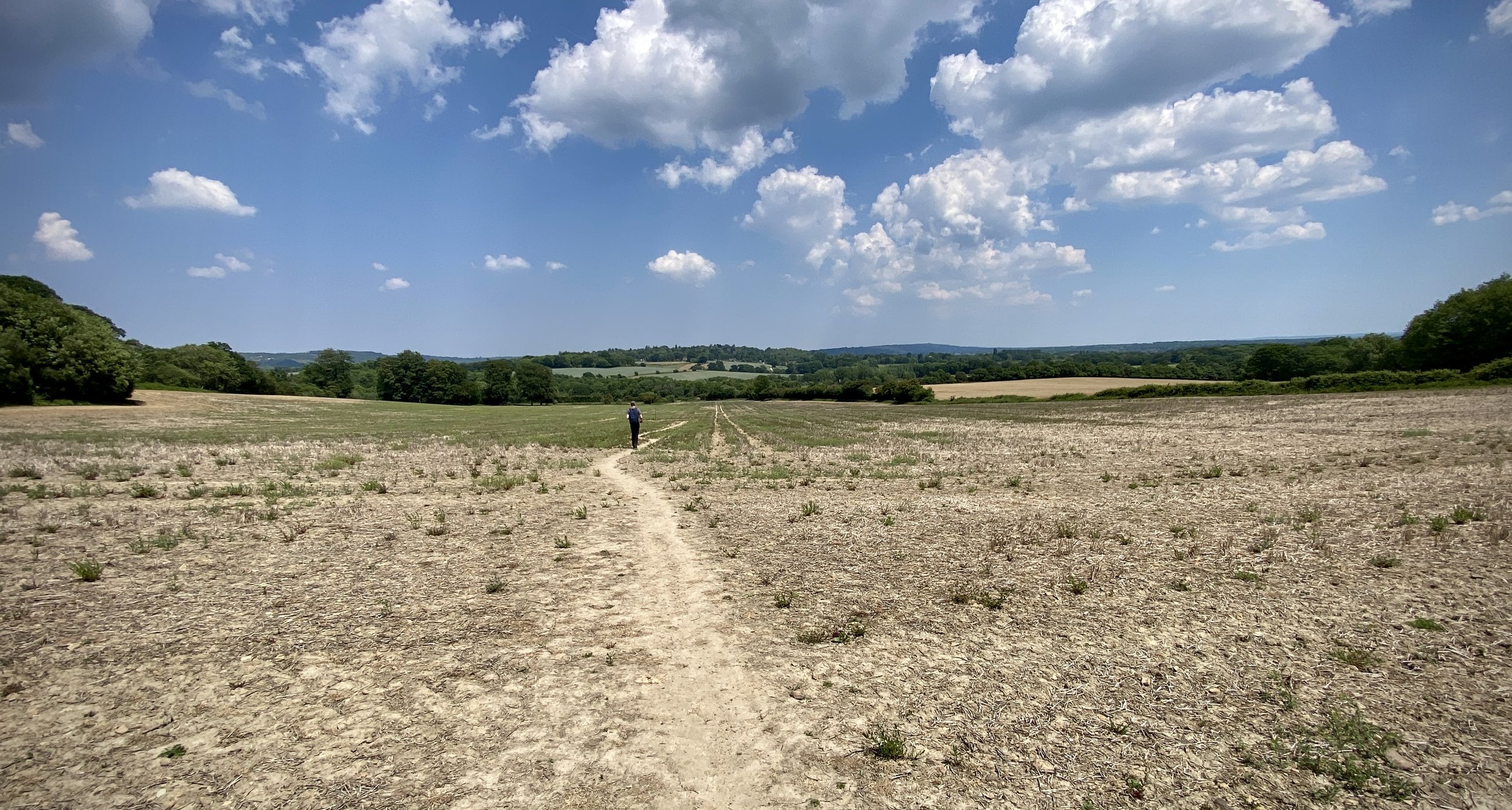
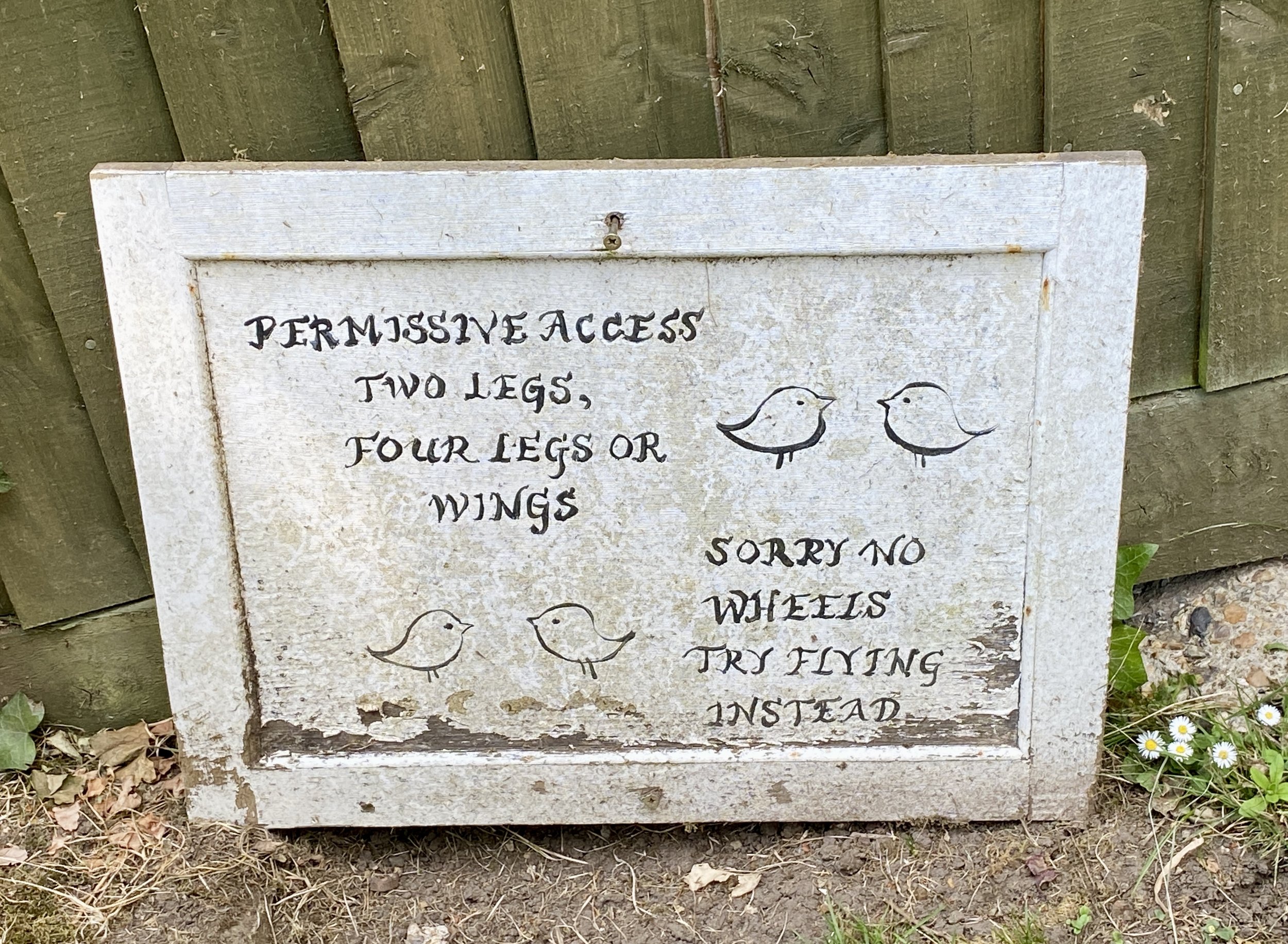
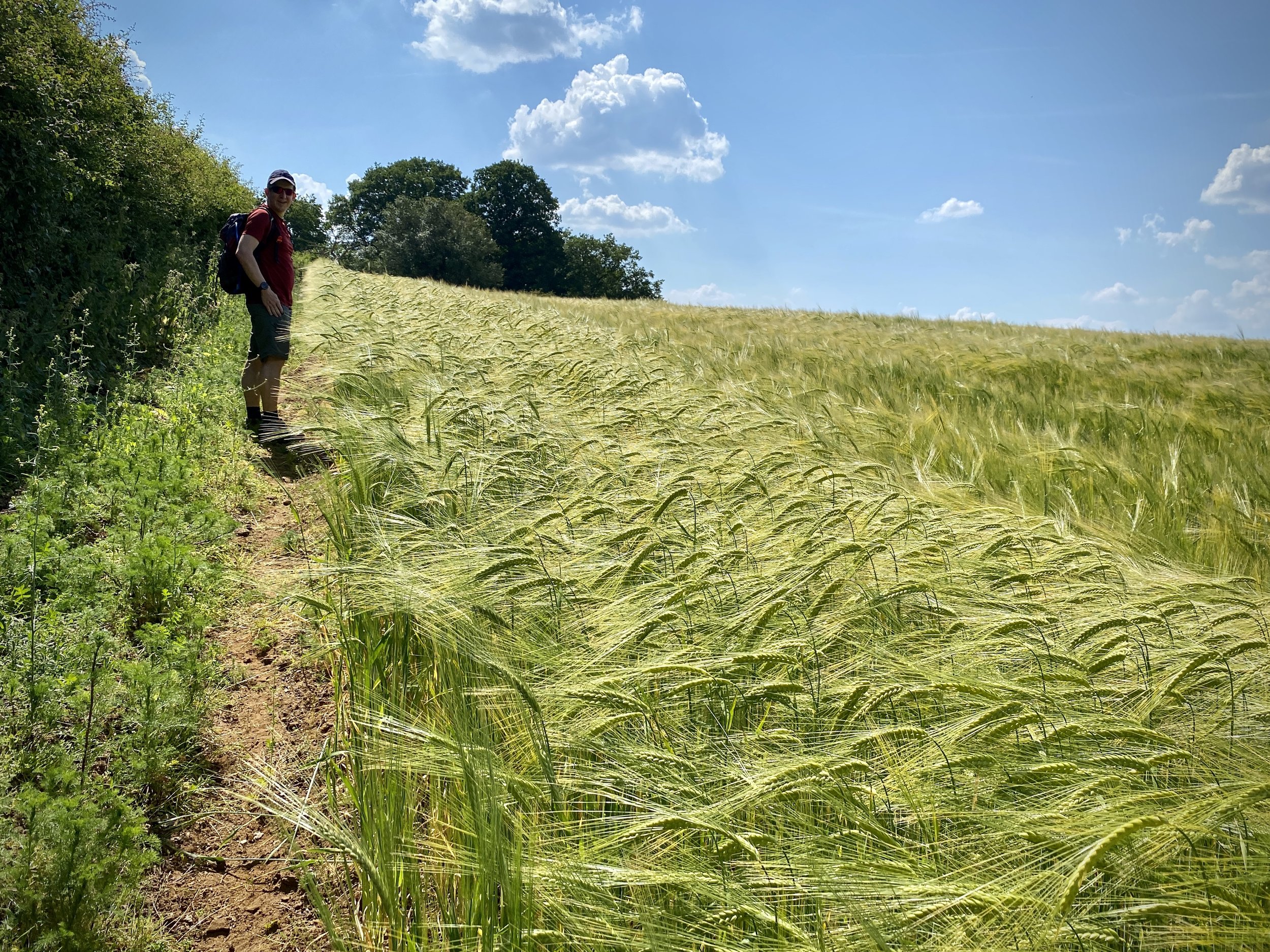
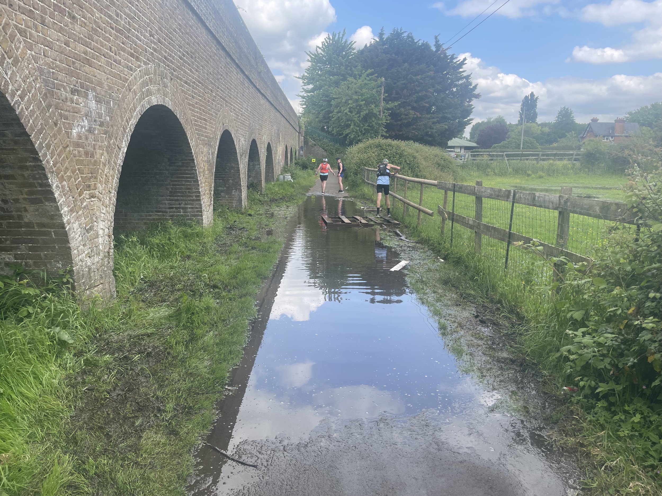
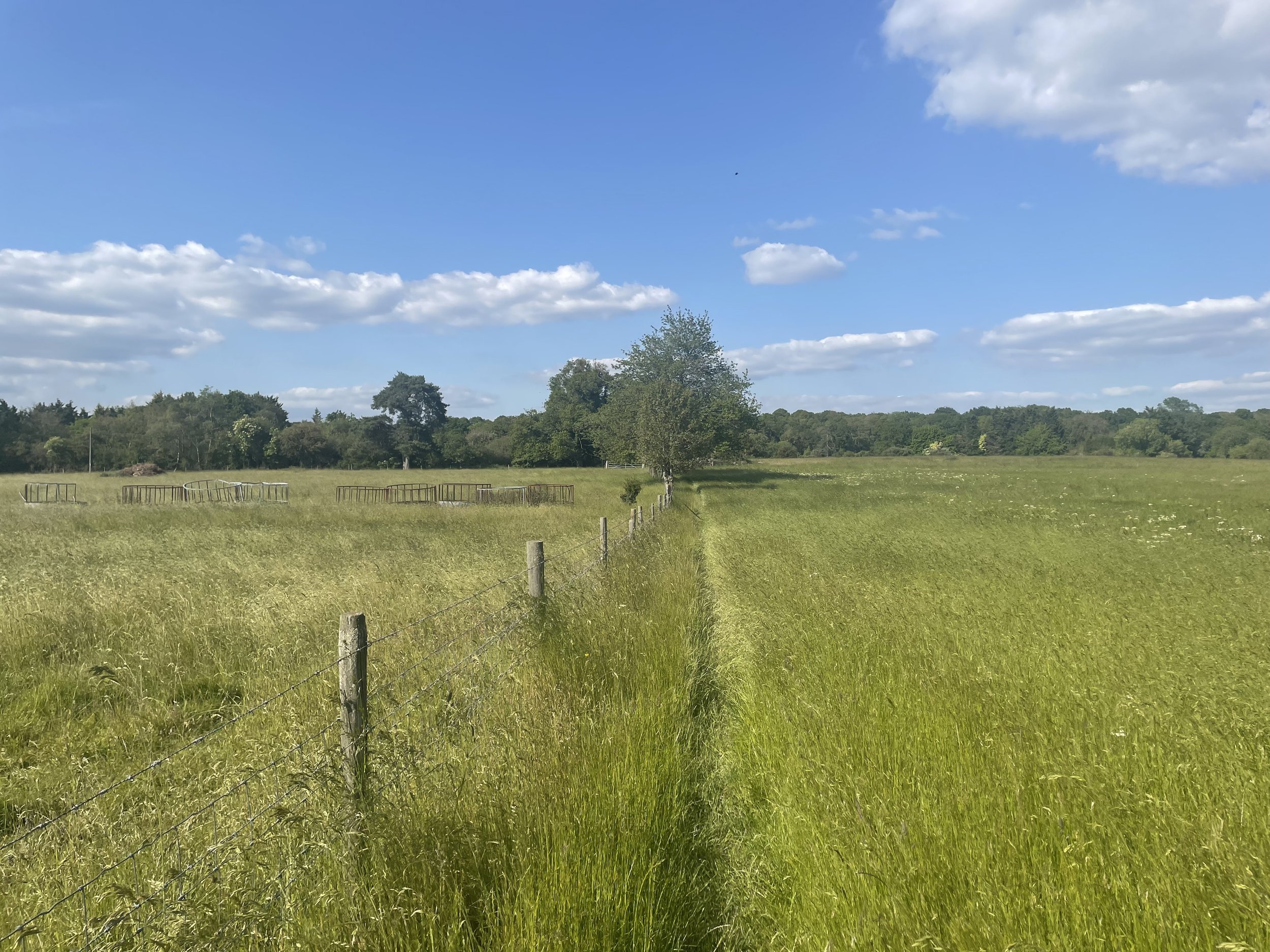
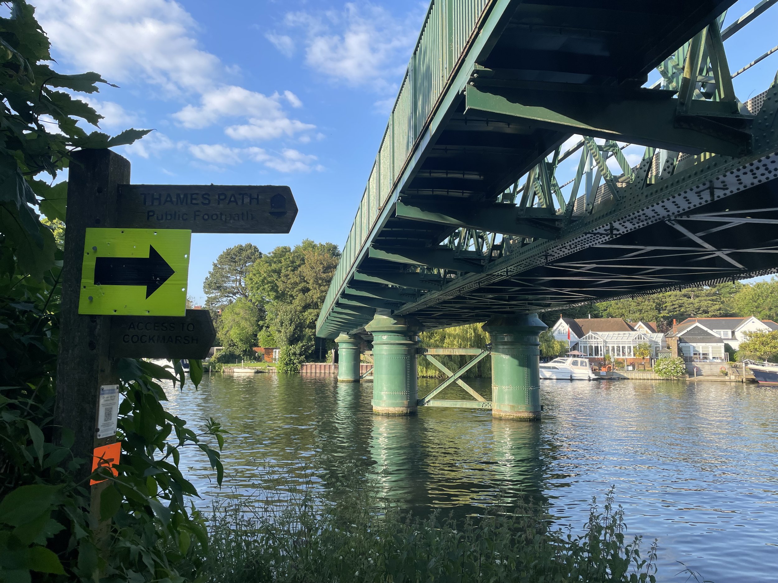
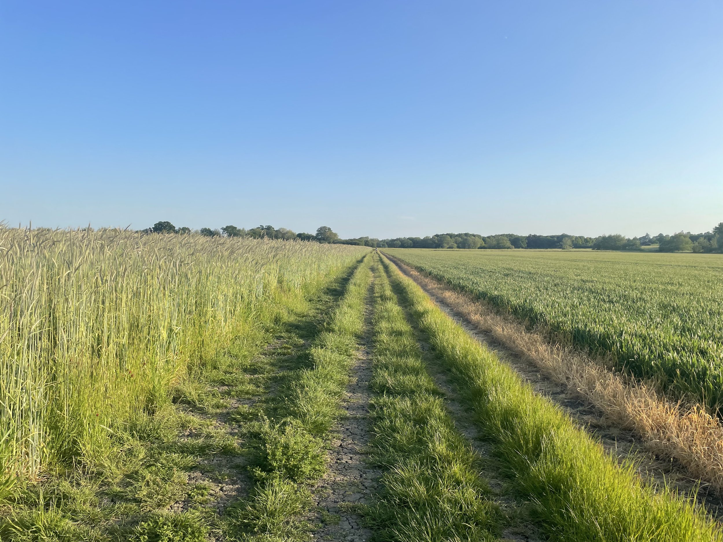
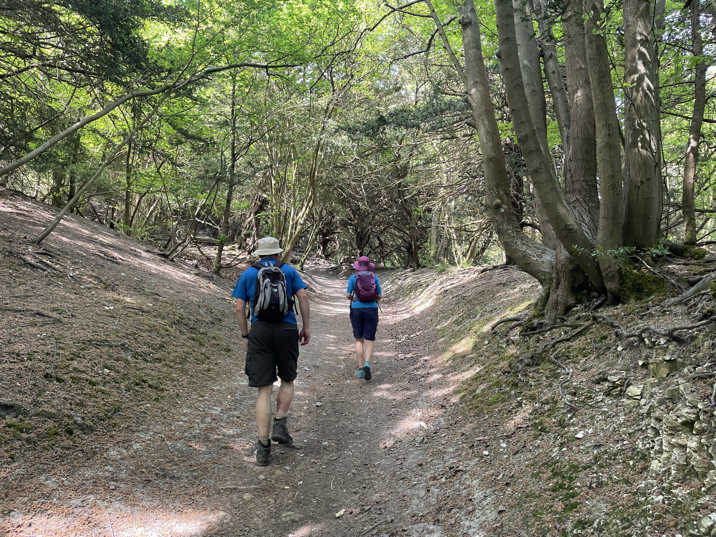
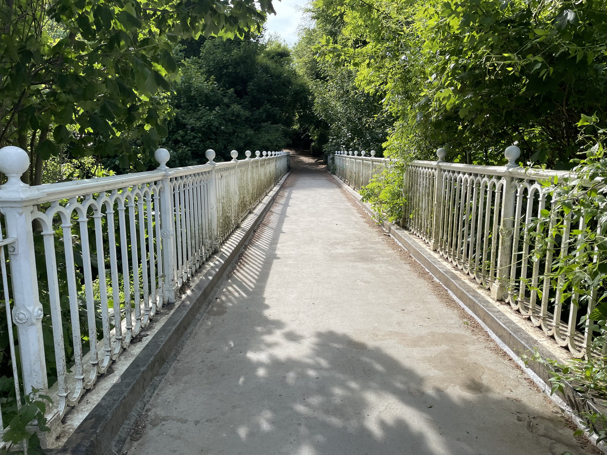
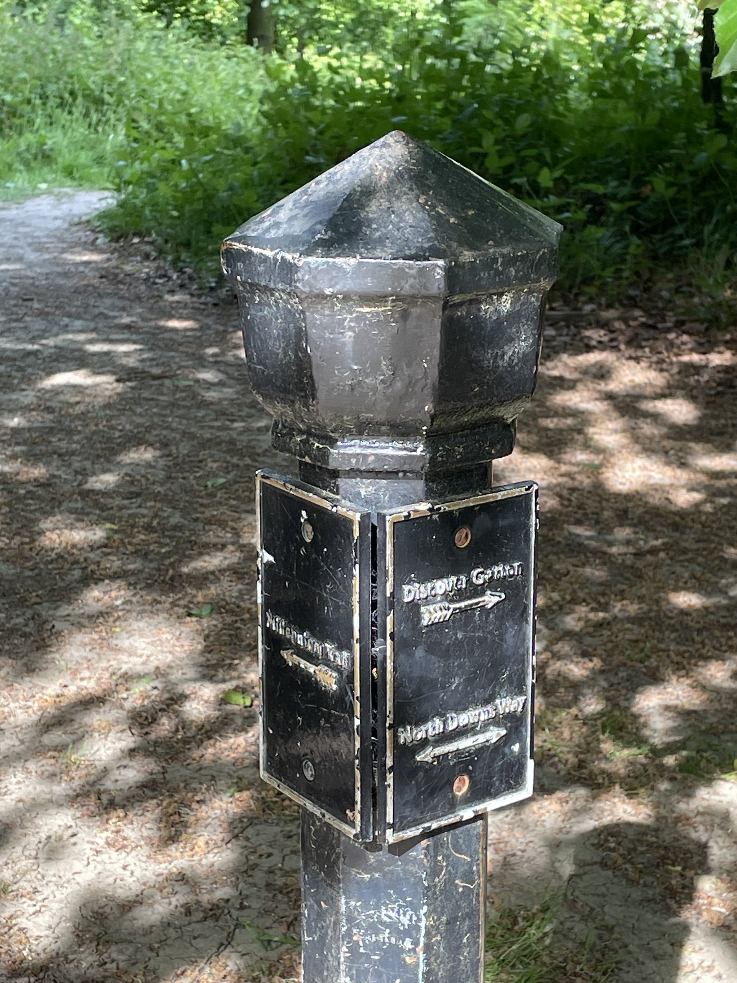
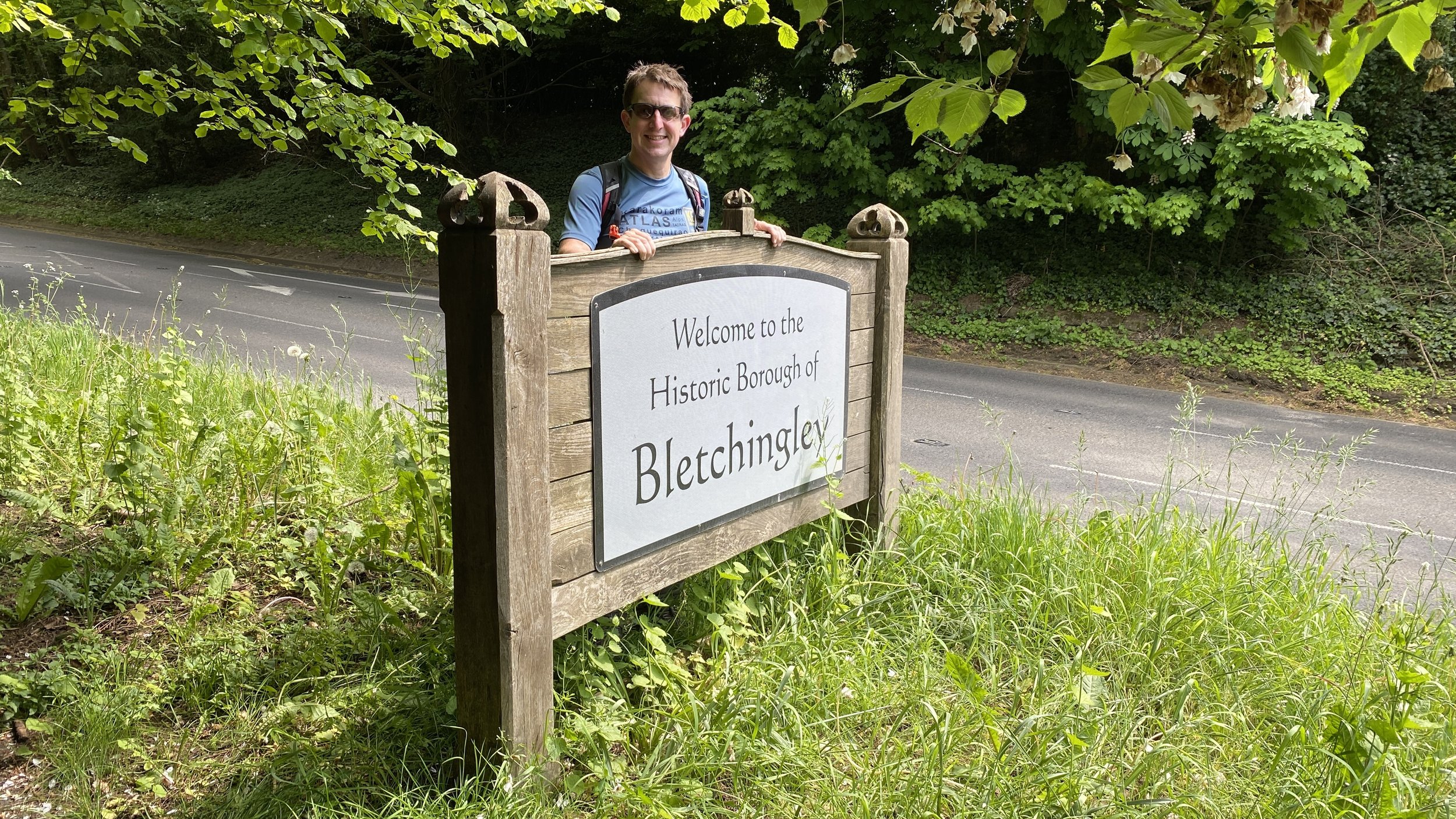
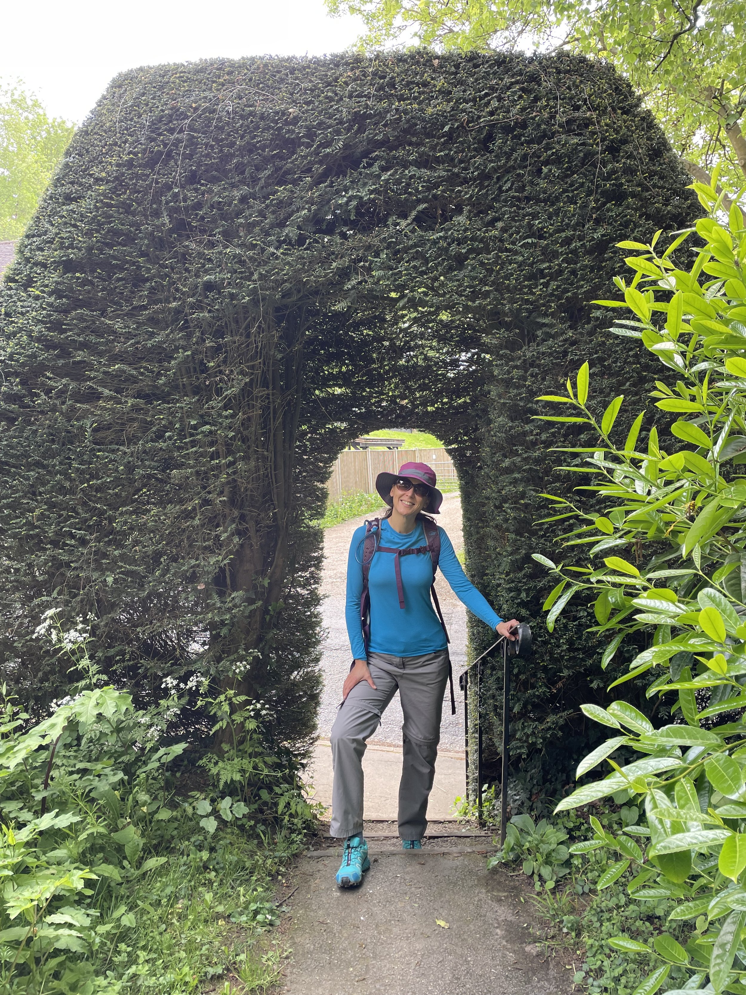
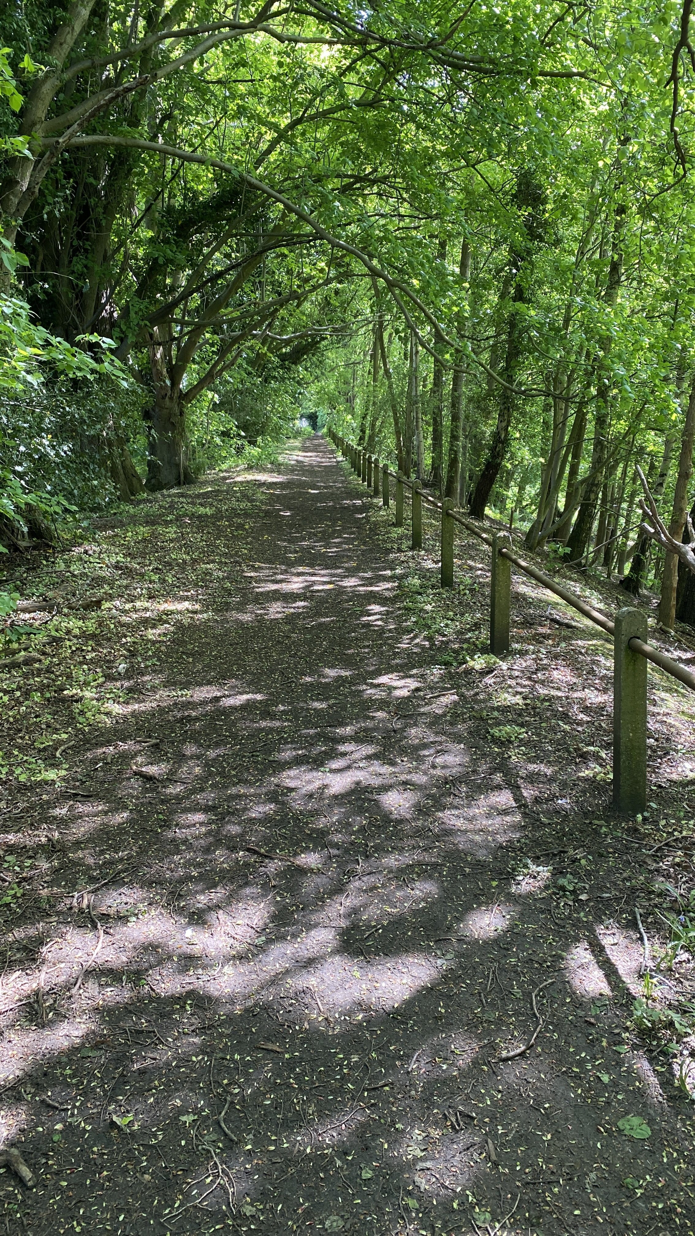
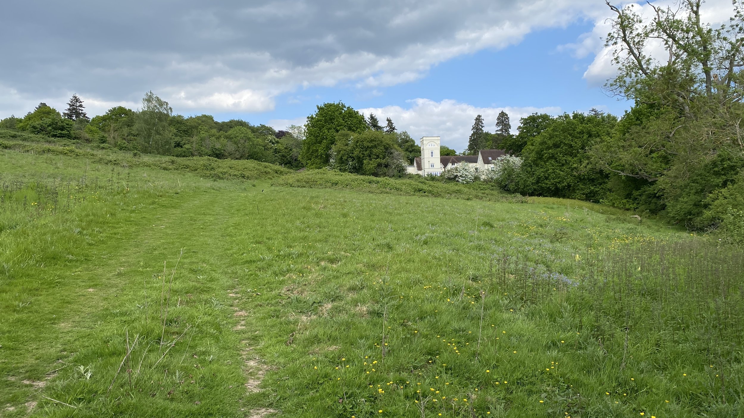
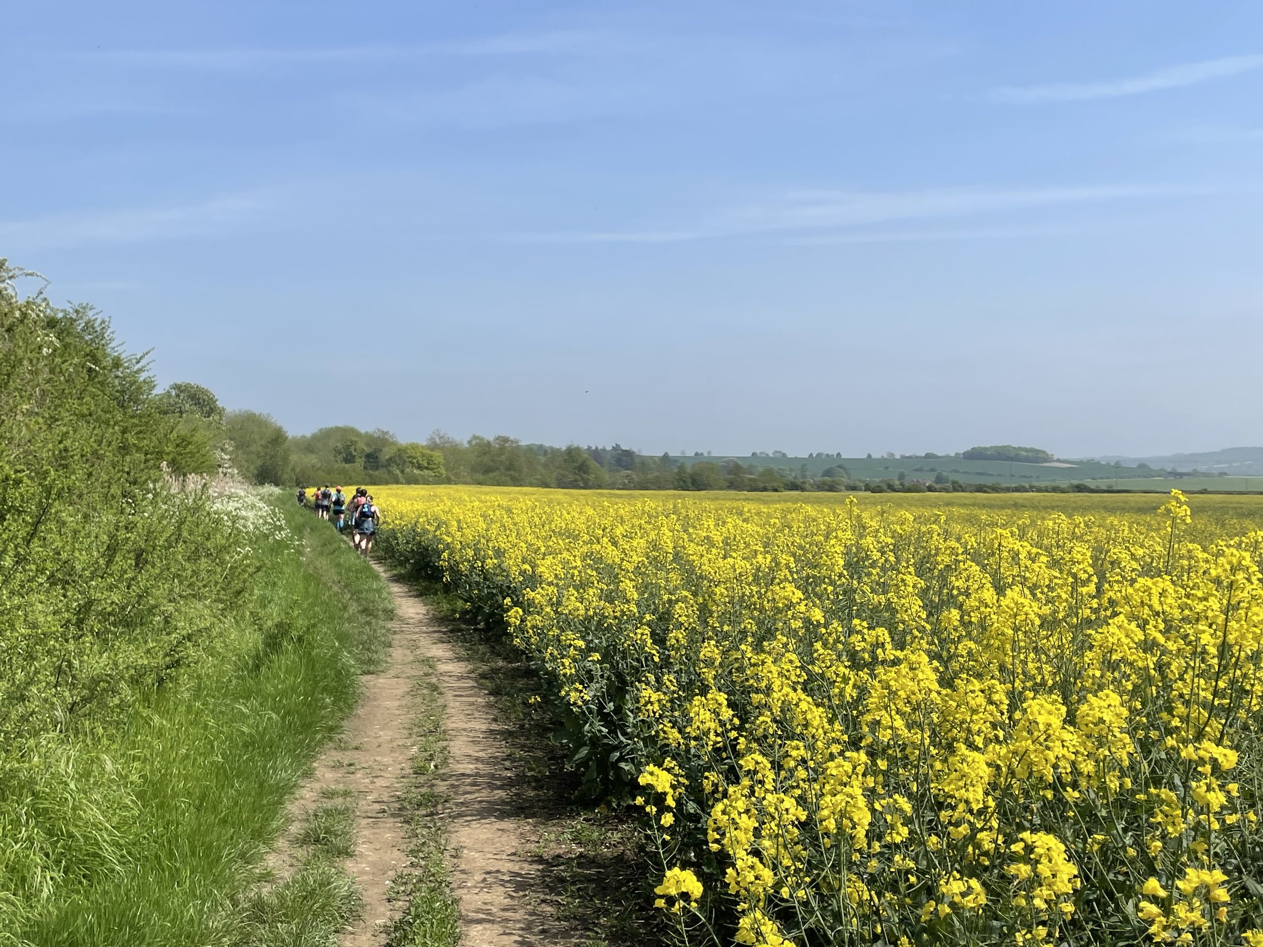
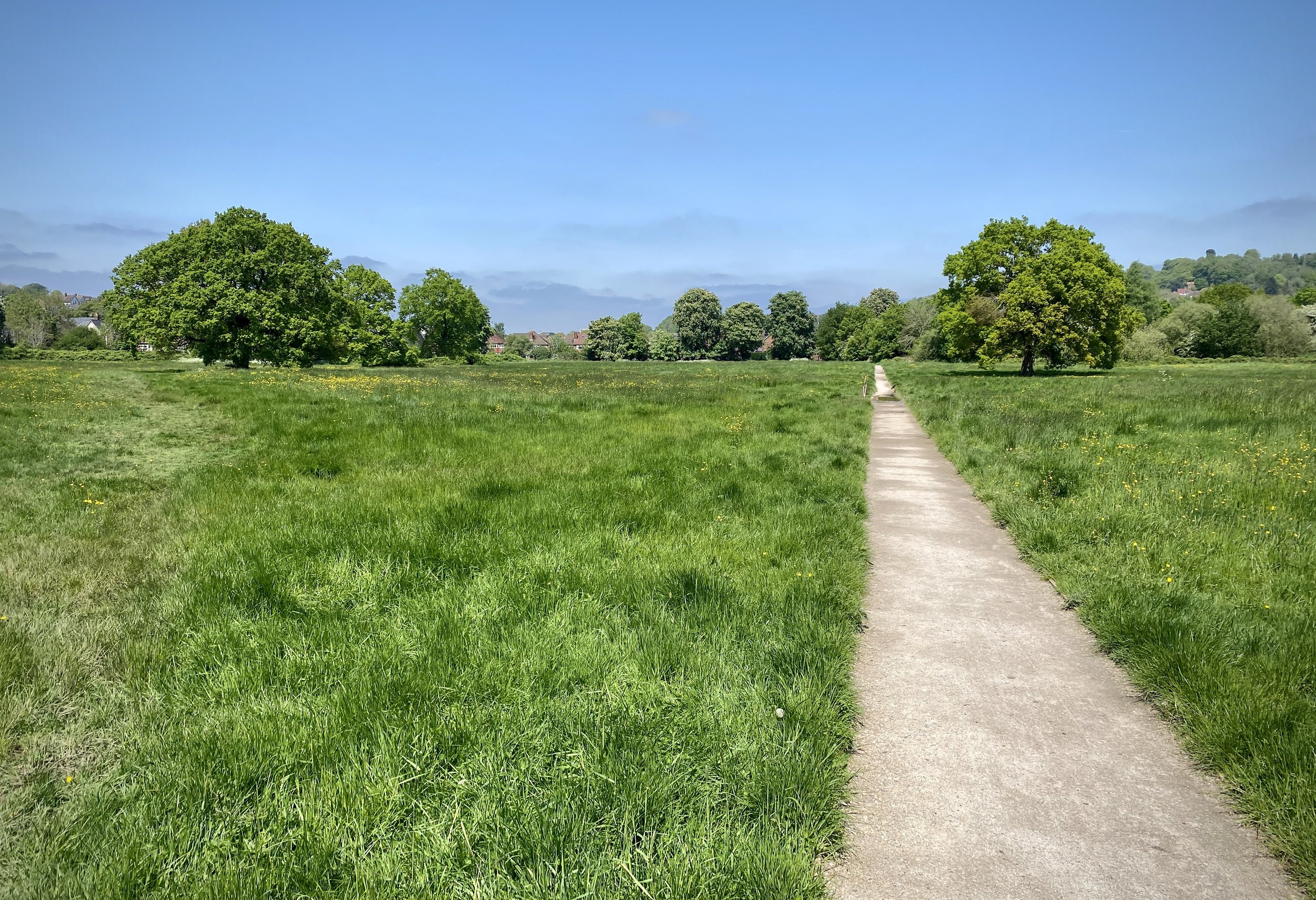
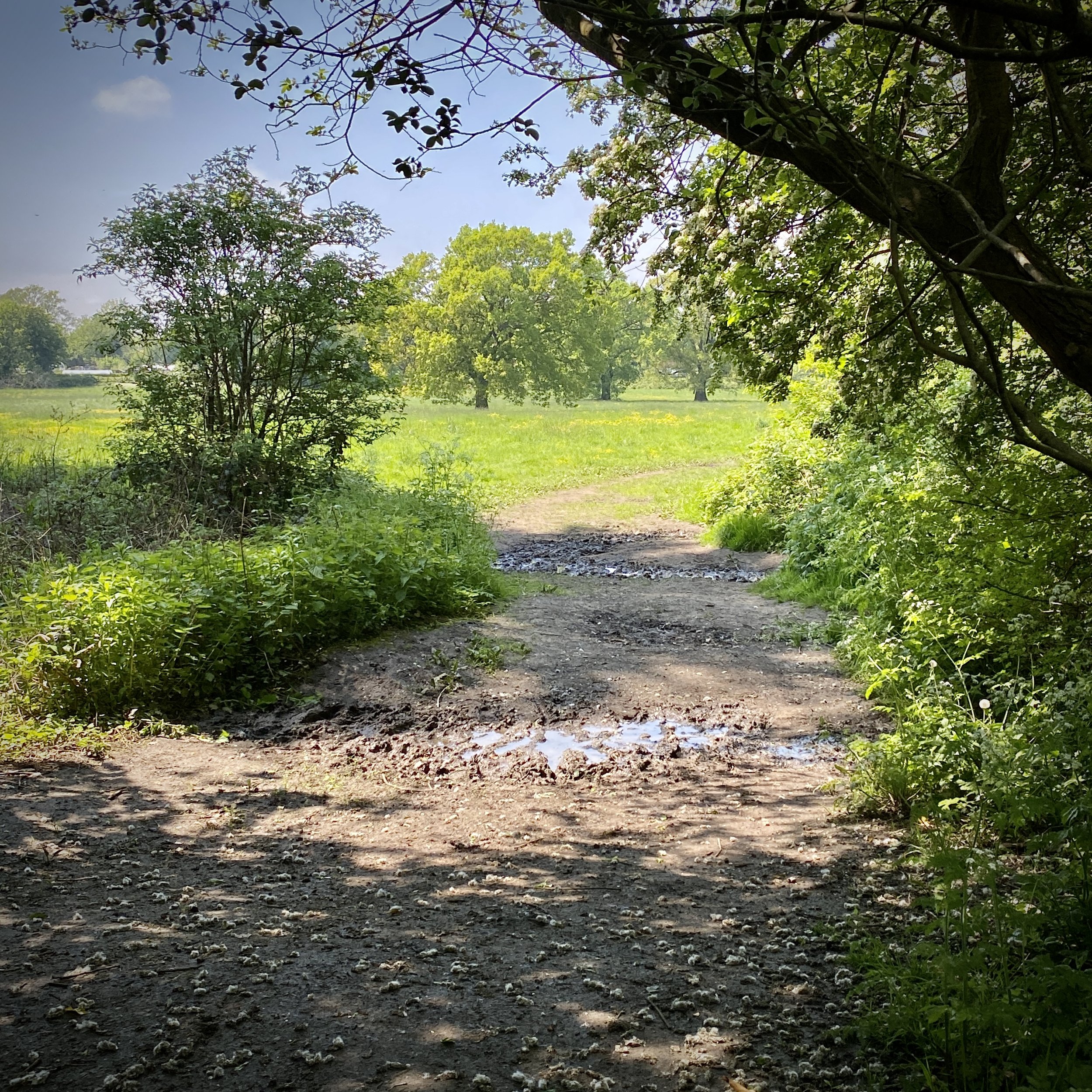
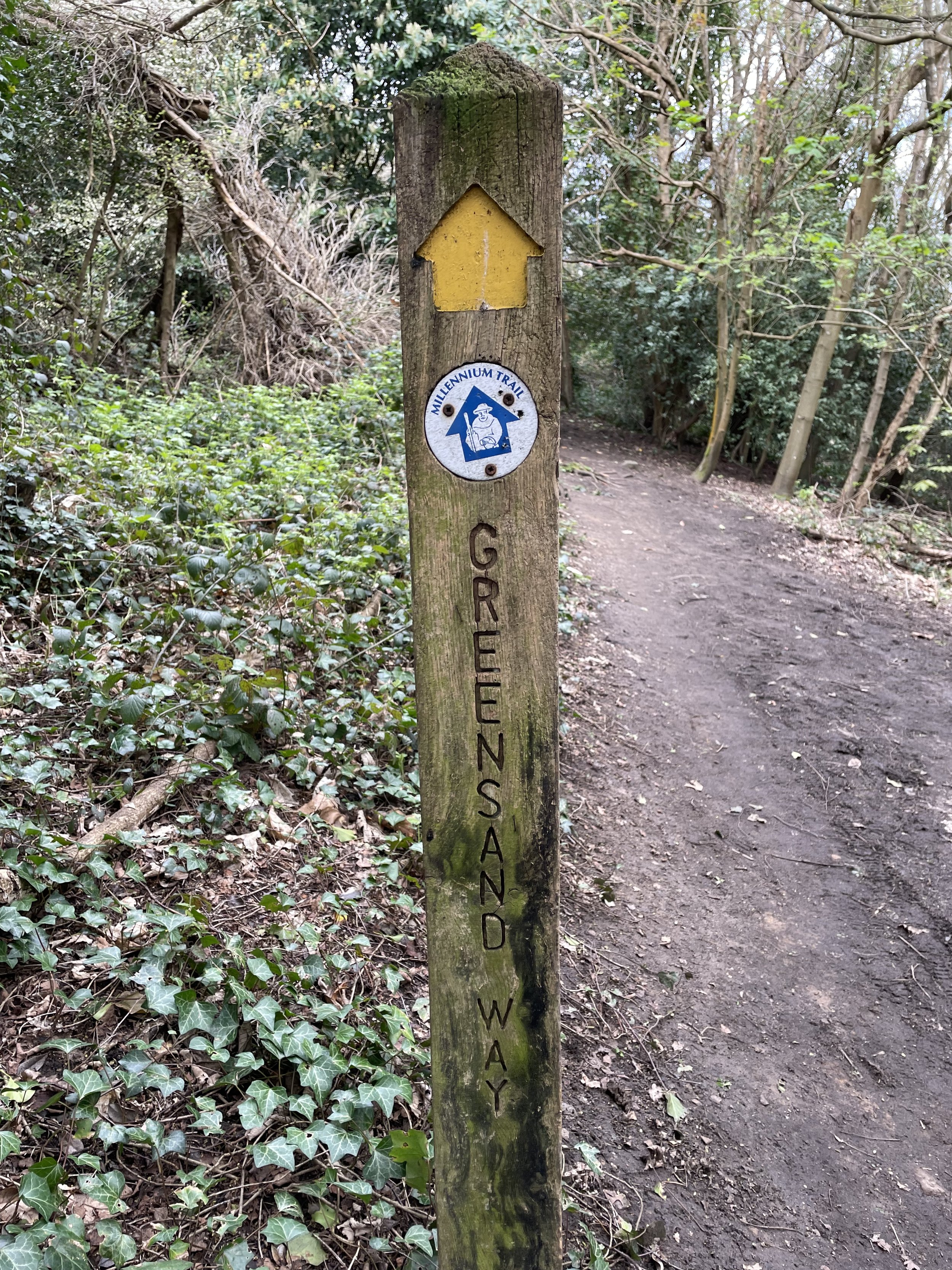
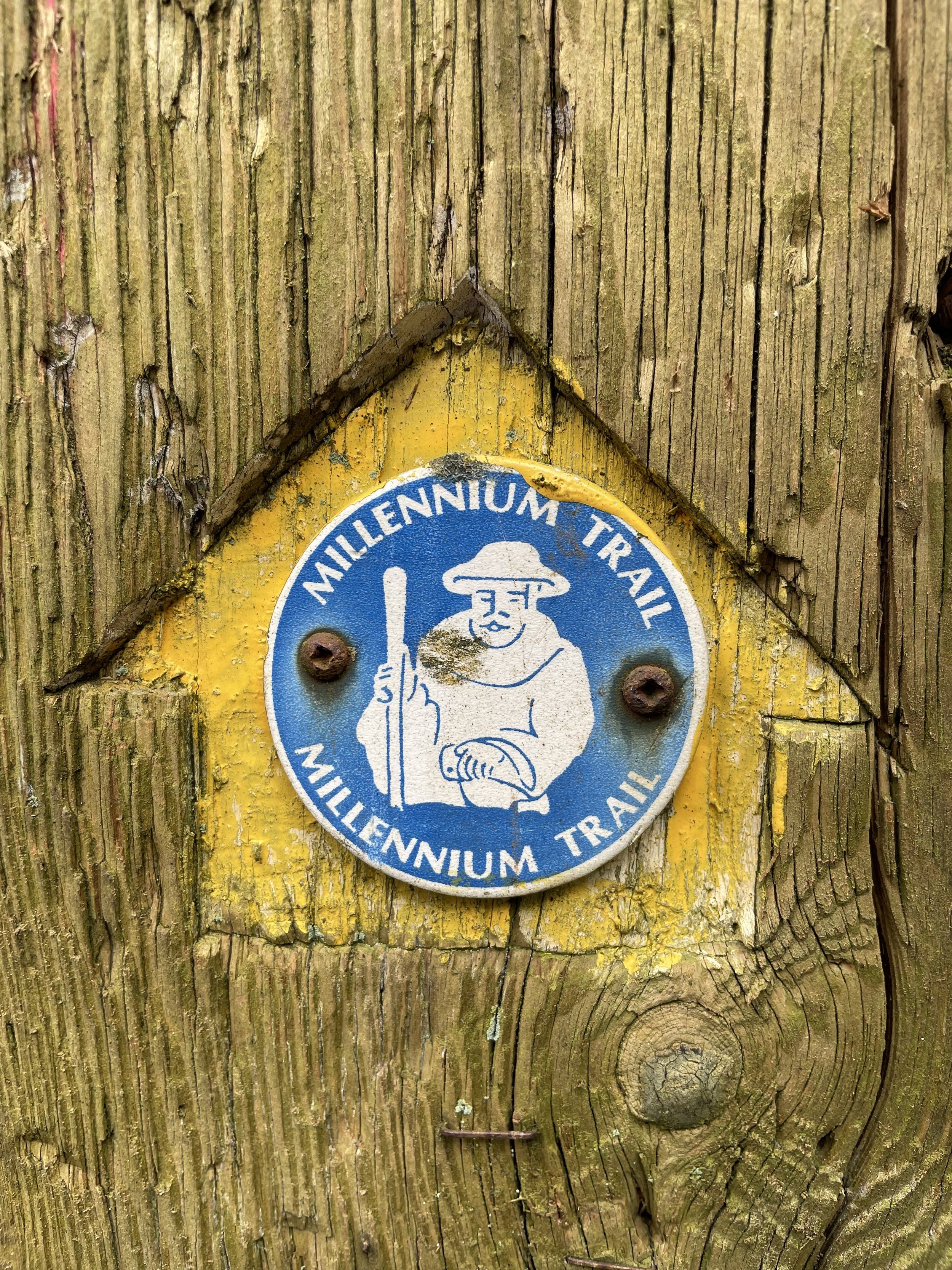
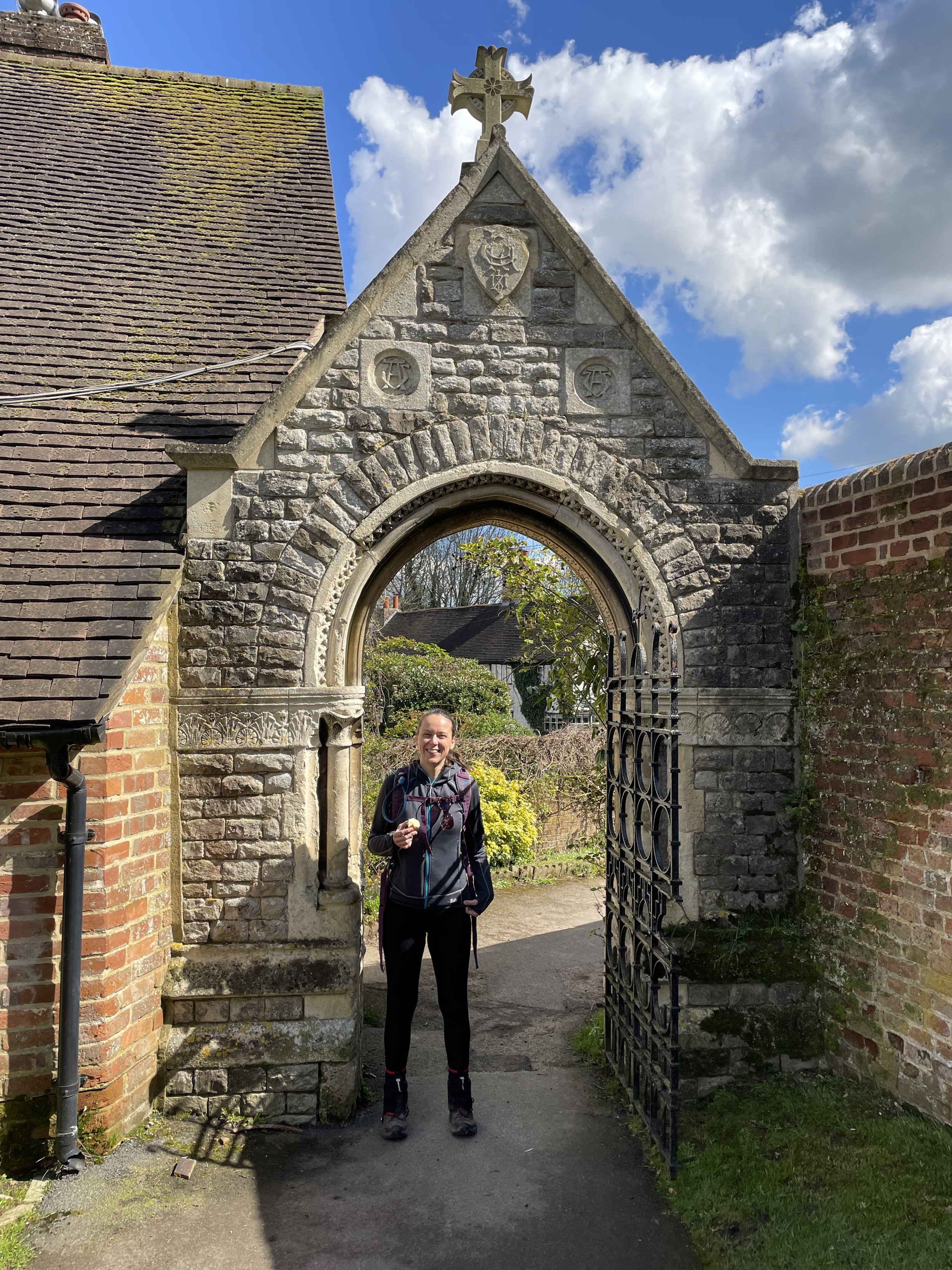
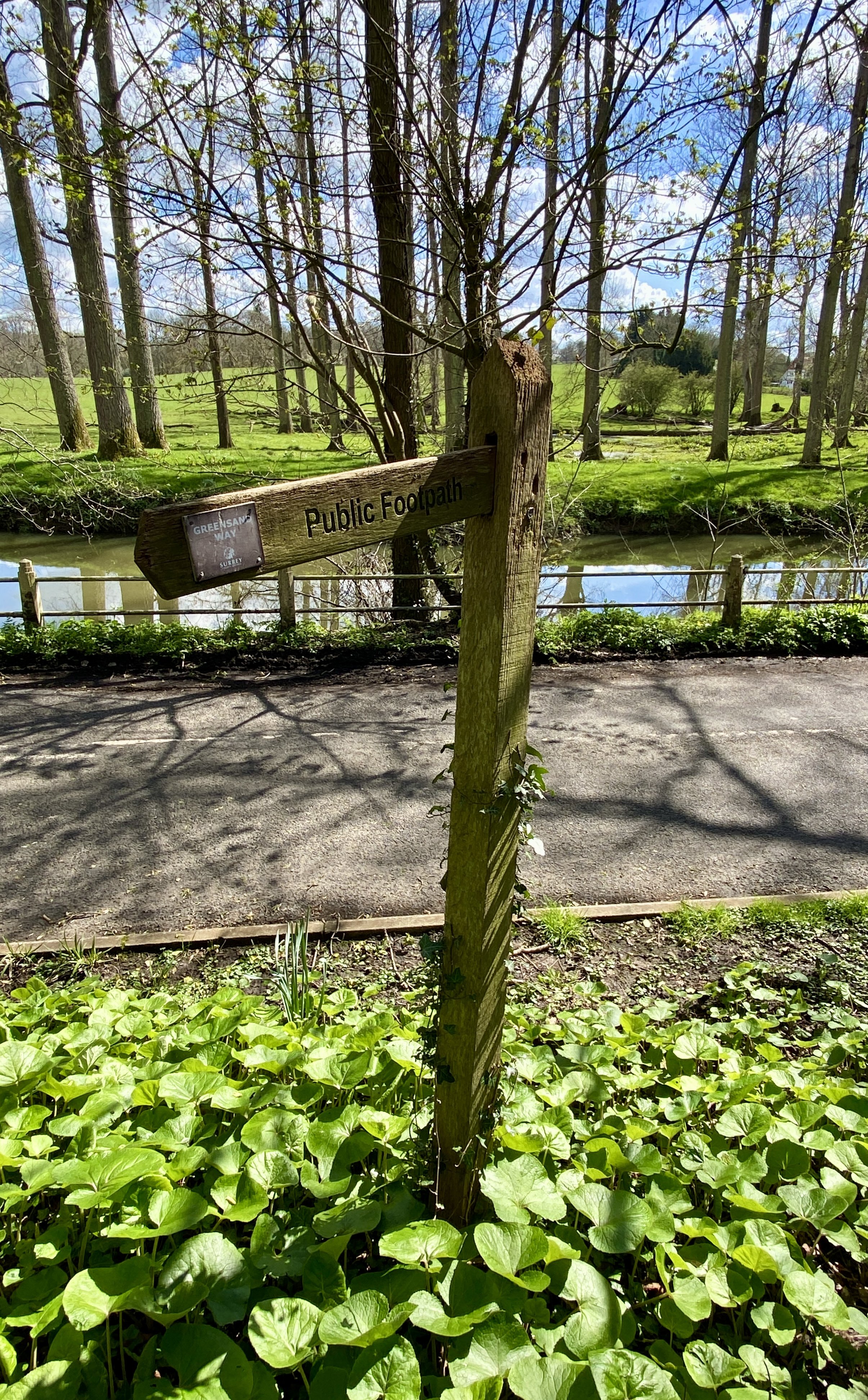
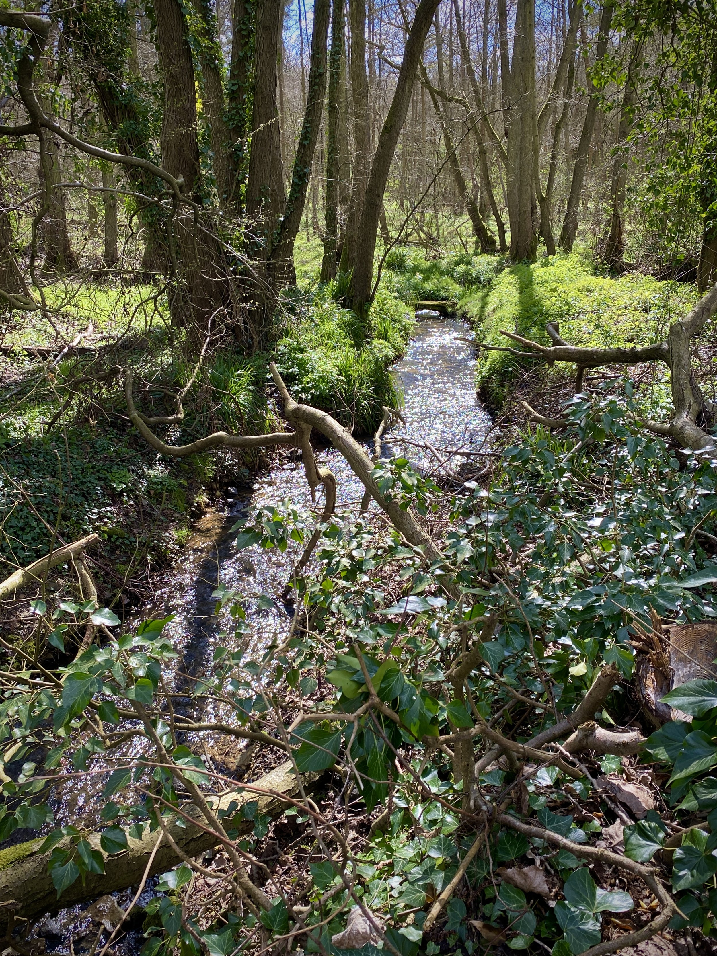
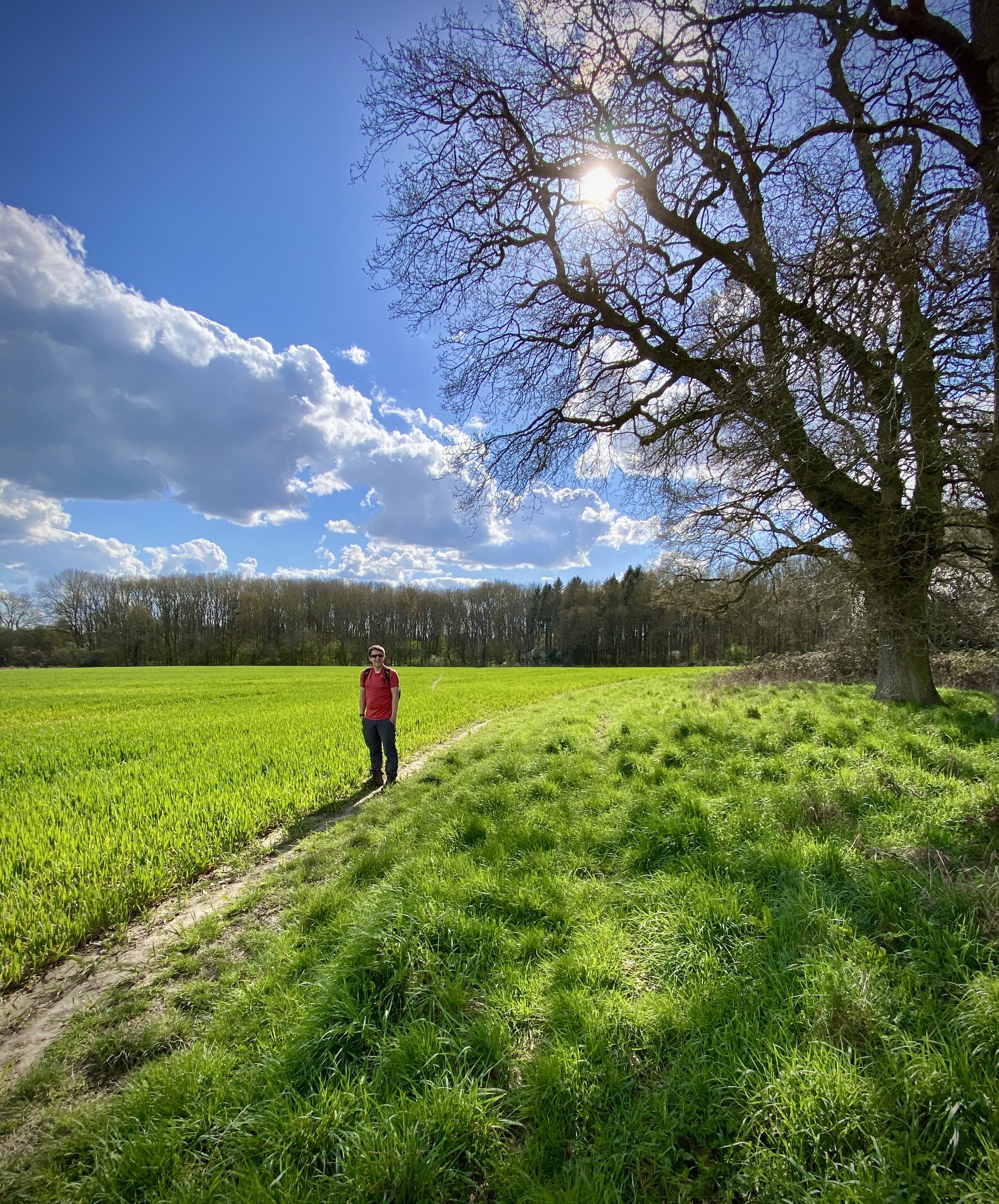
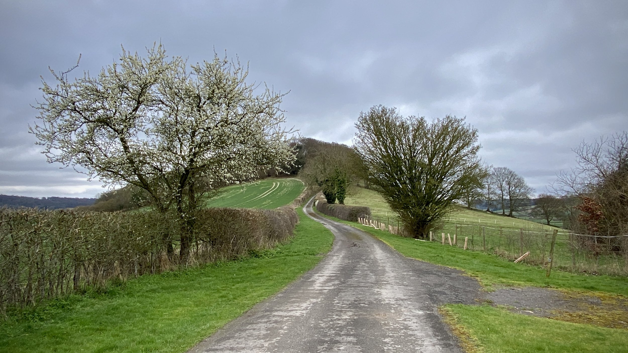
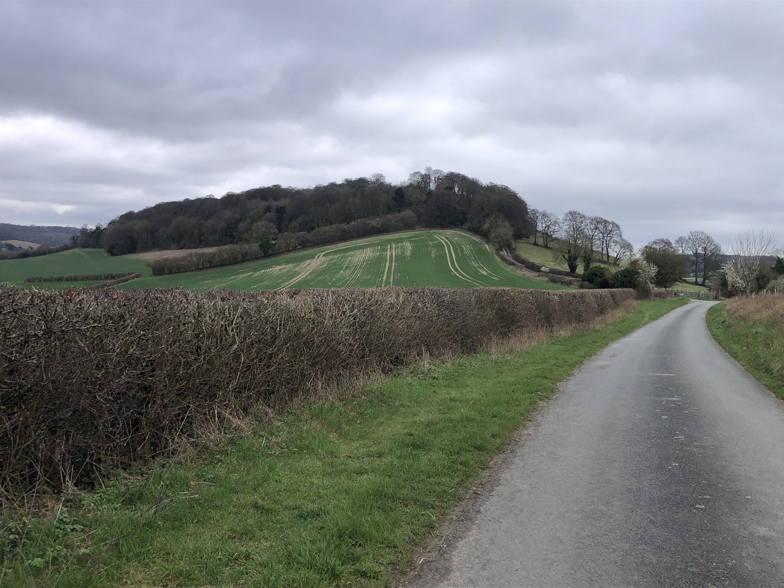
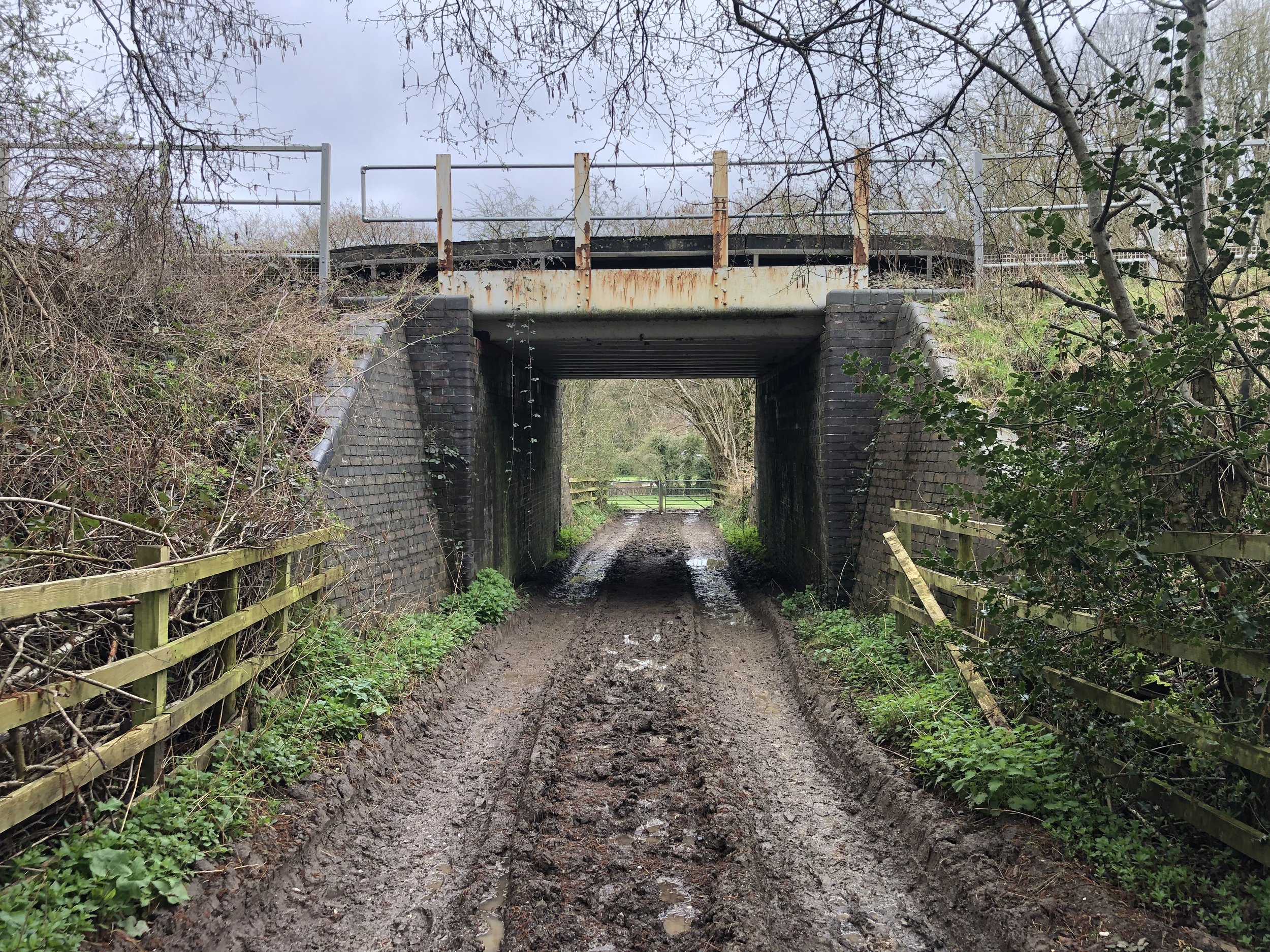
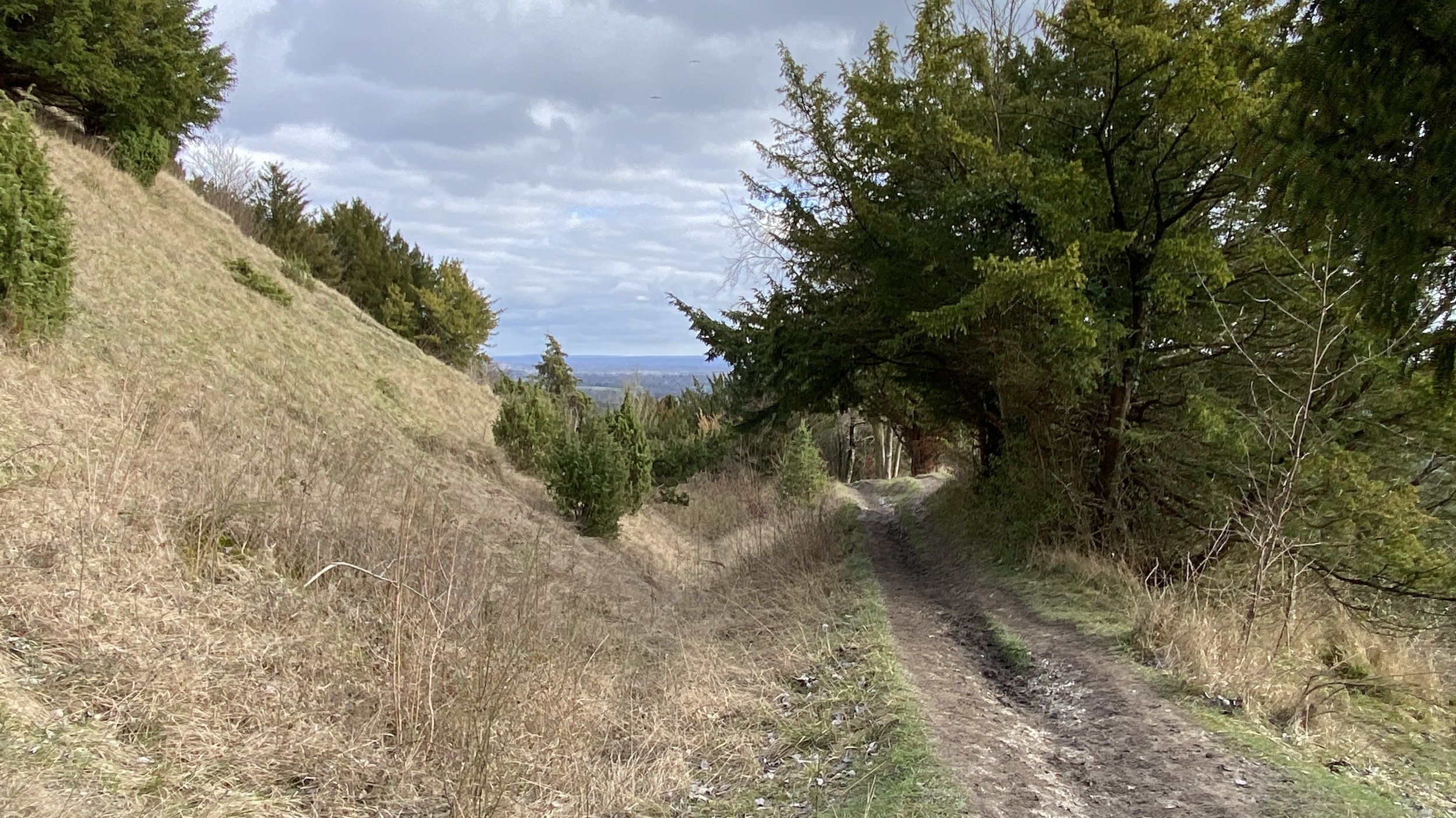
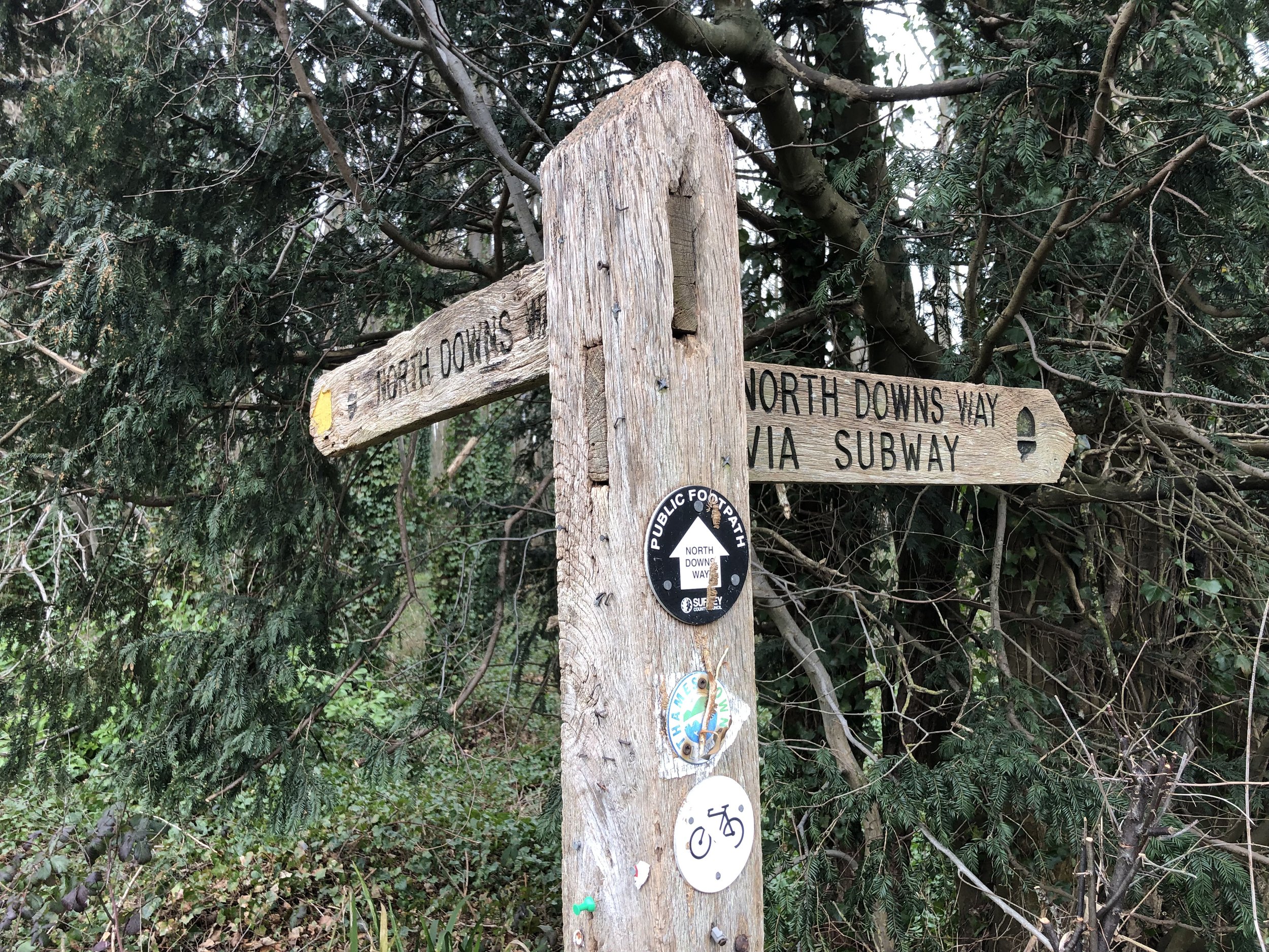
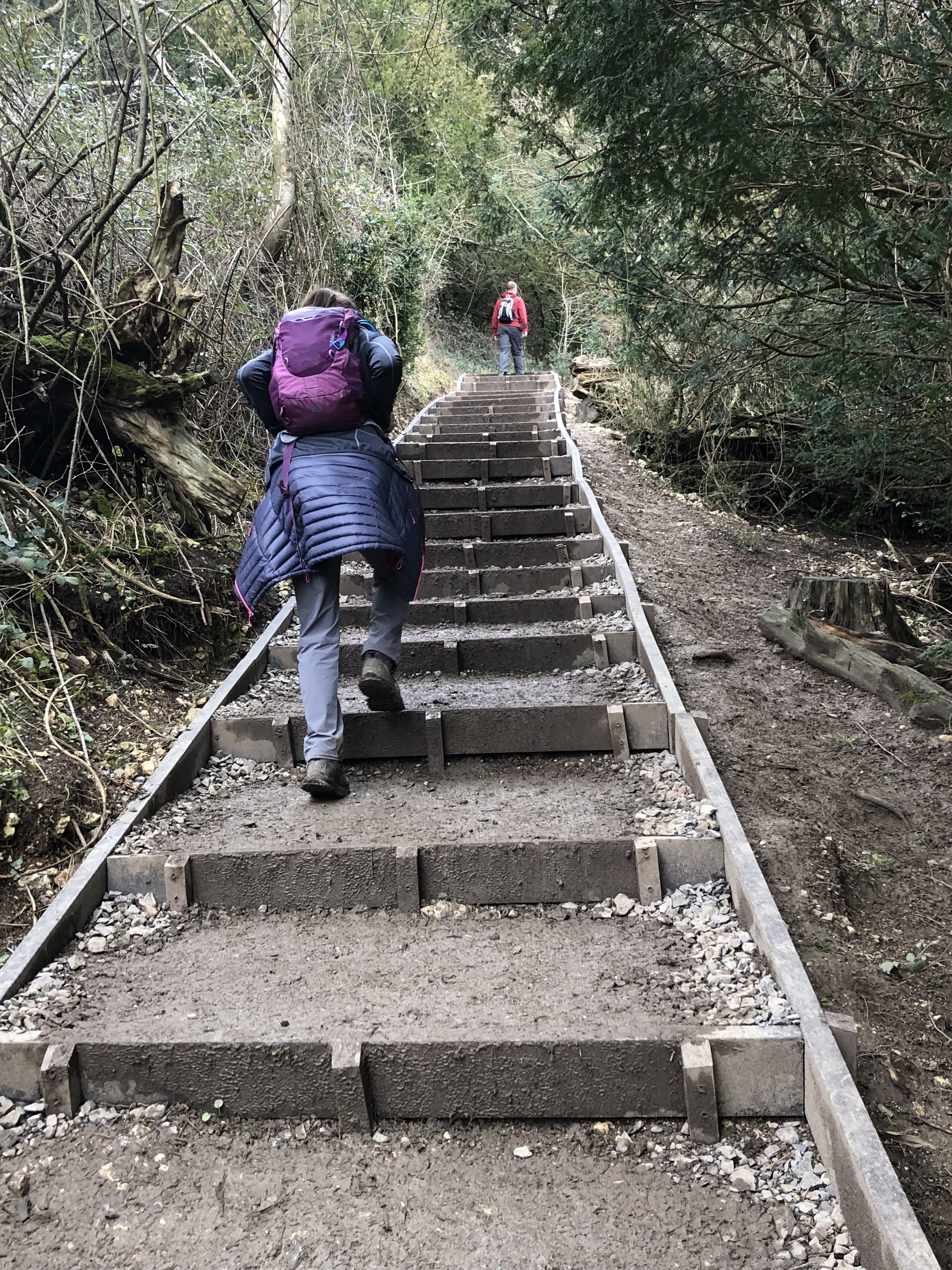
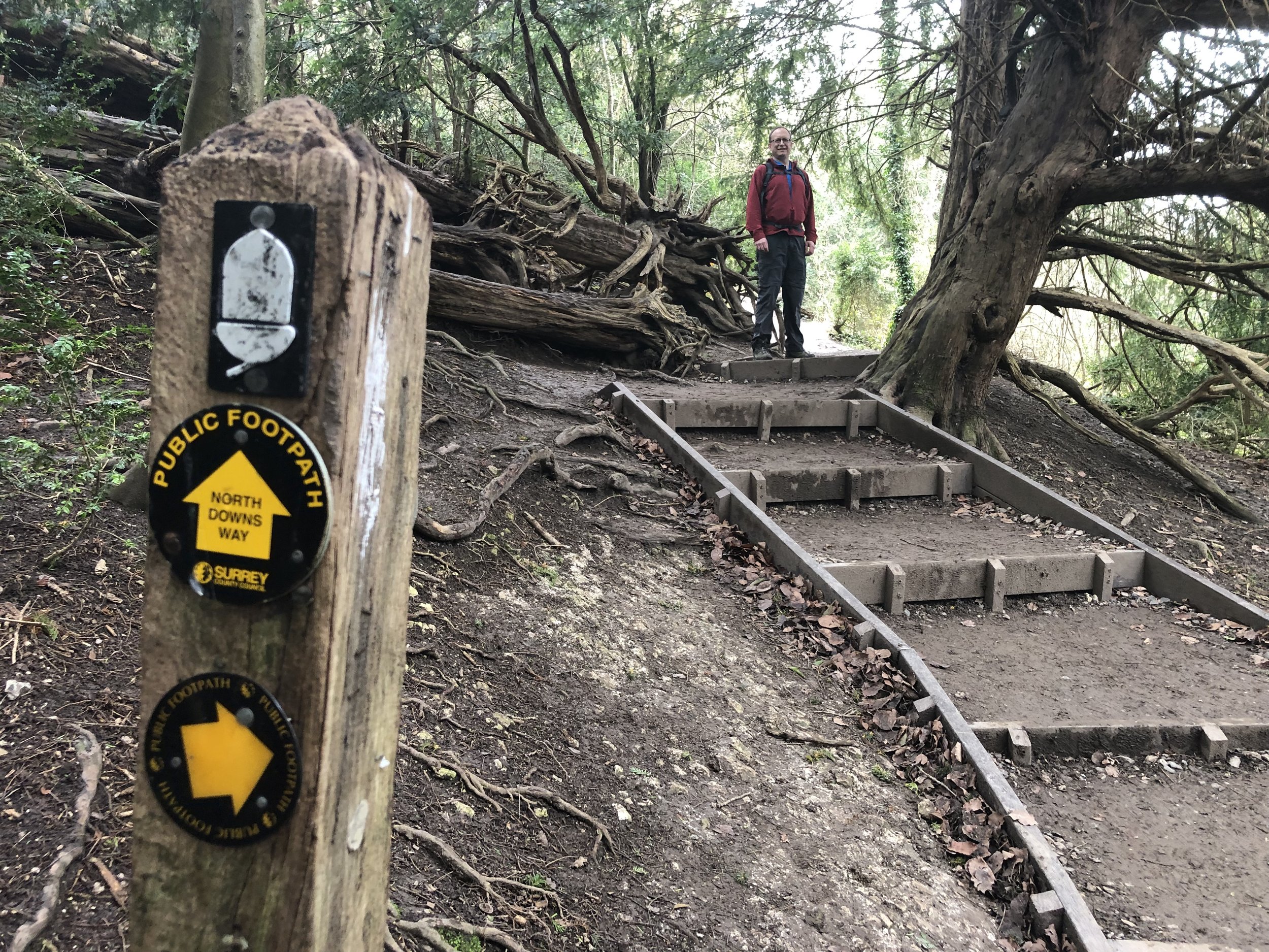
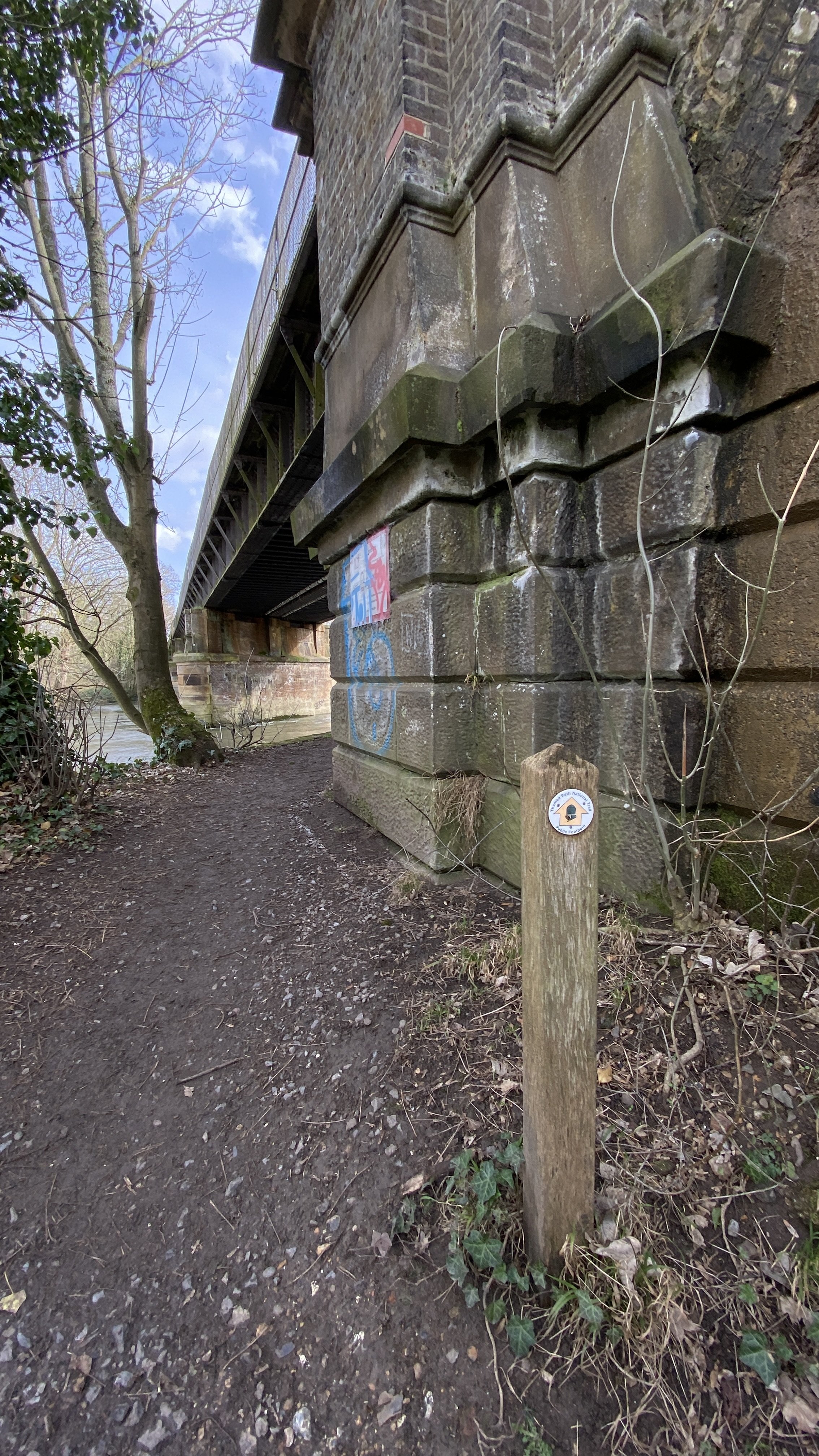
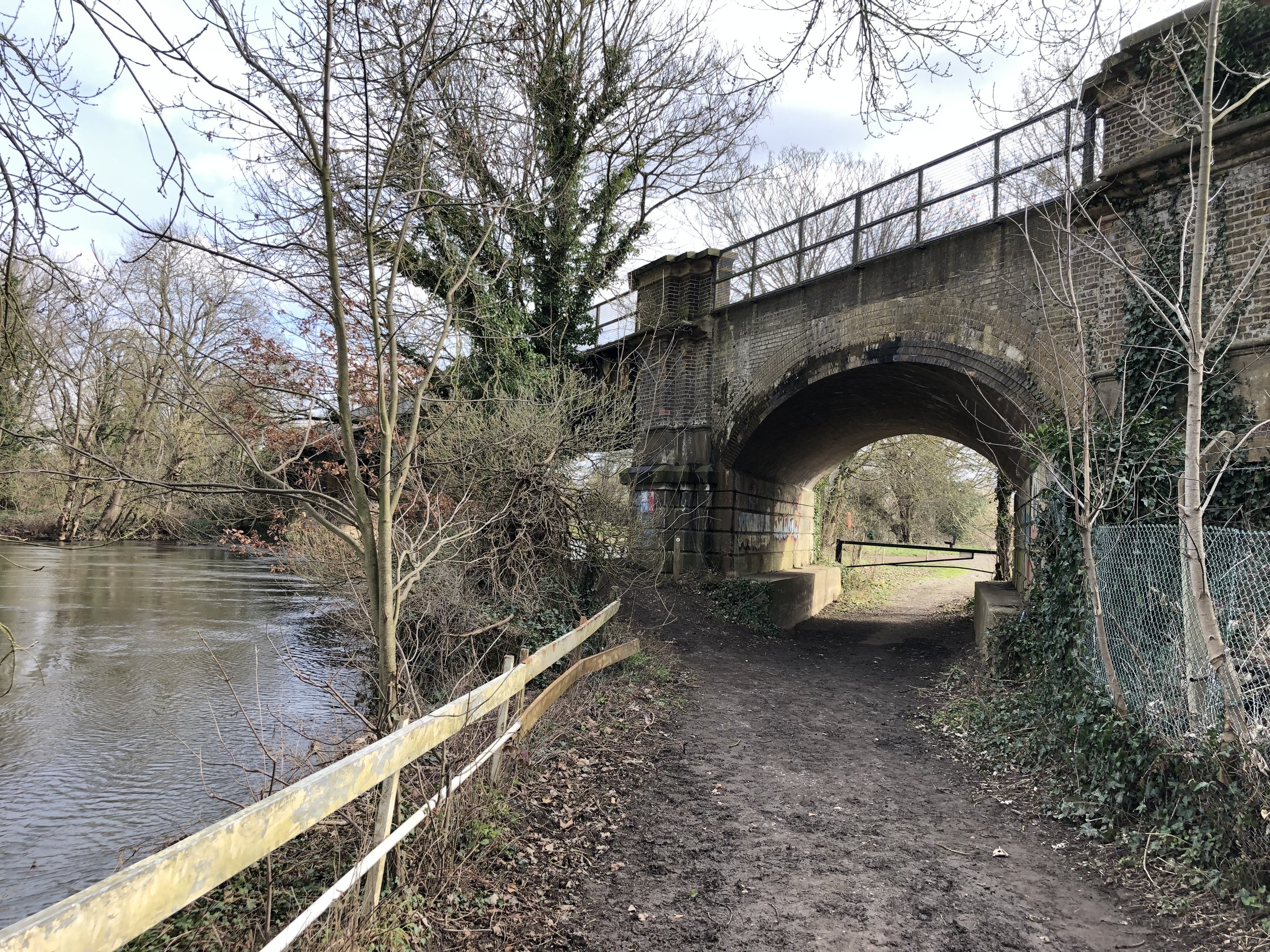
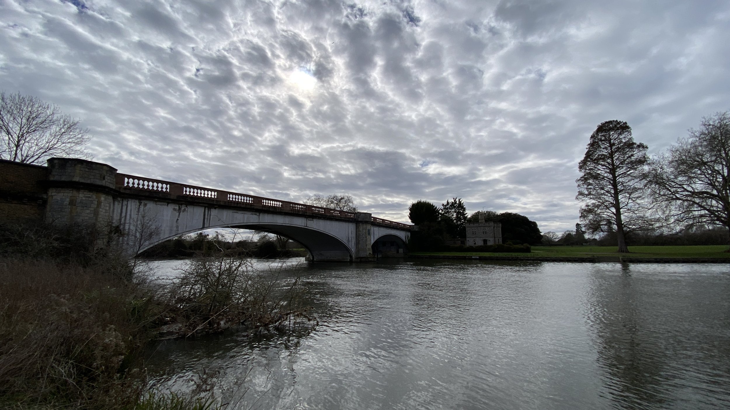
When exiting Princes Risborough Station look out for the footpath opposite the station building before the entrance to the car park. Follow this path south to Picts Lane then take a right to cross the bridge over the railway. Continue along Bledlow Road for 400 metres then take a footpath on the left, following the Risborough Blue Route trail. Take the first path on the right to pick up the Chiltern Way and follow this all the way to the village of Bledlow.

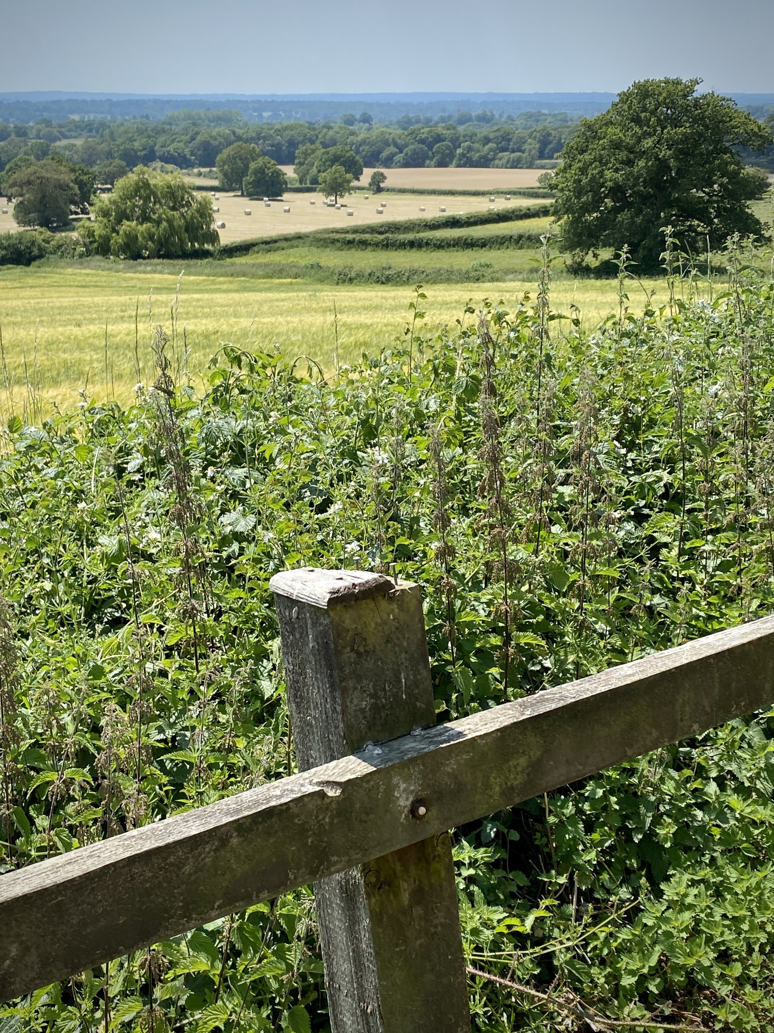
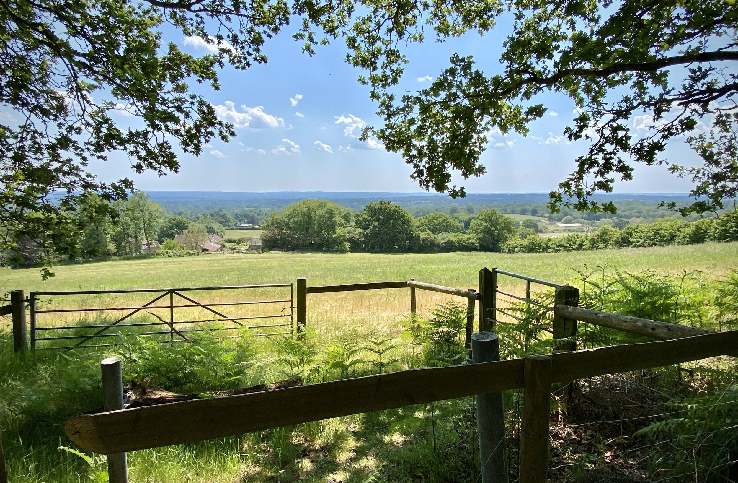
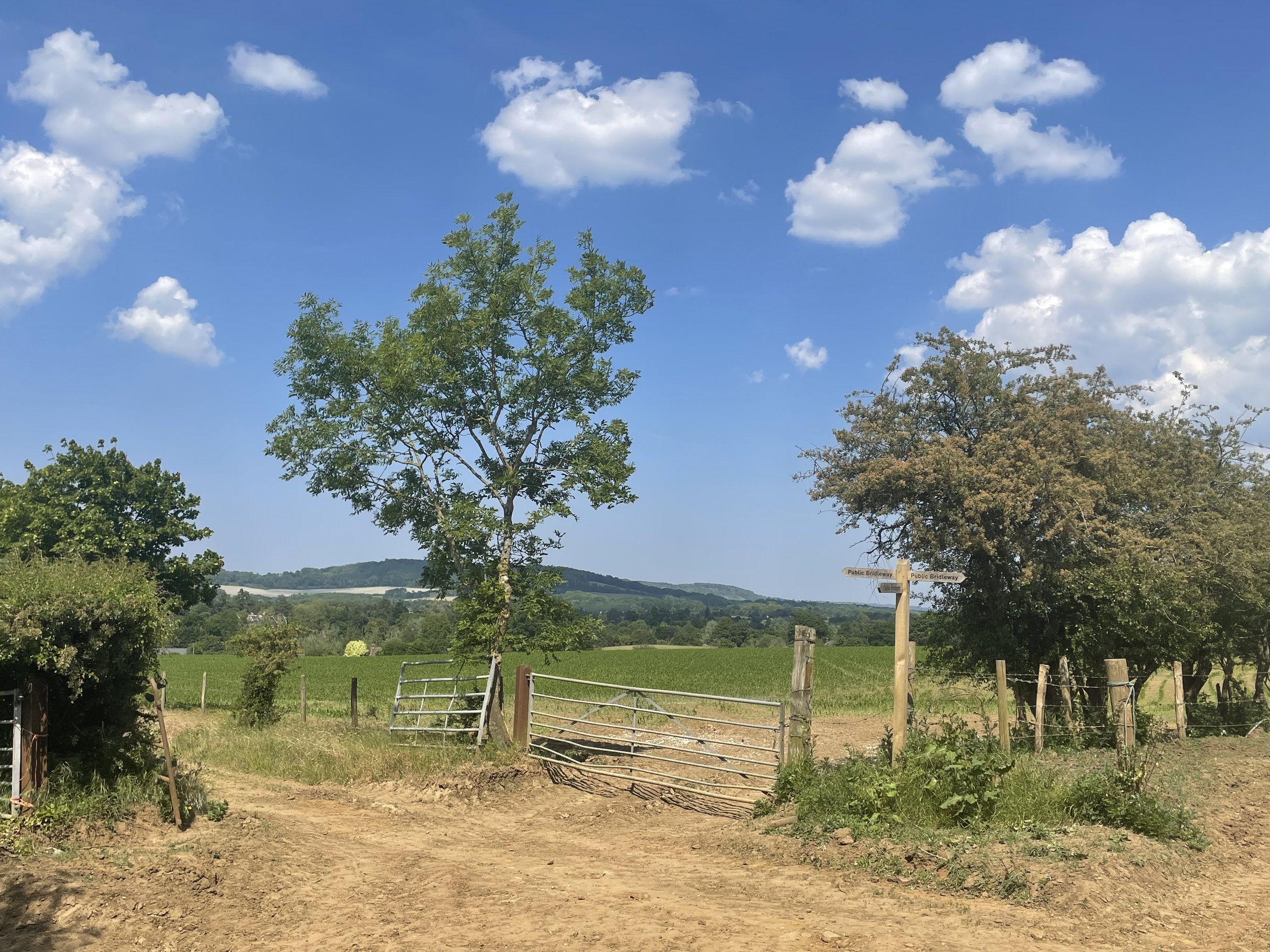
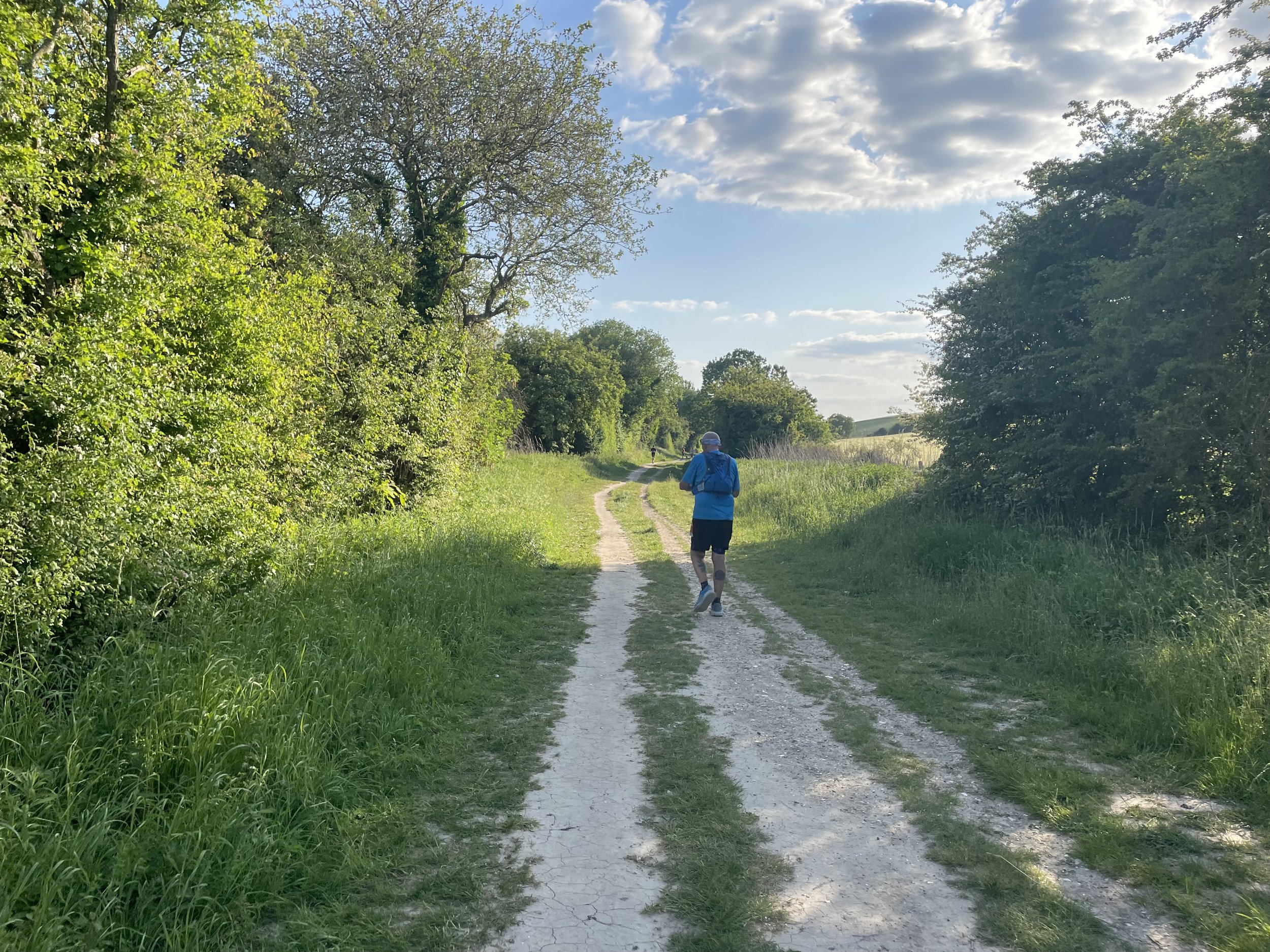
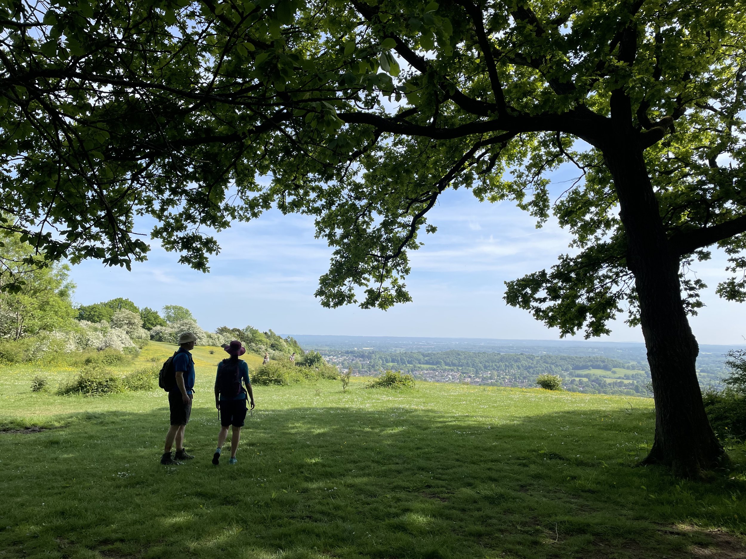
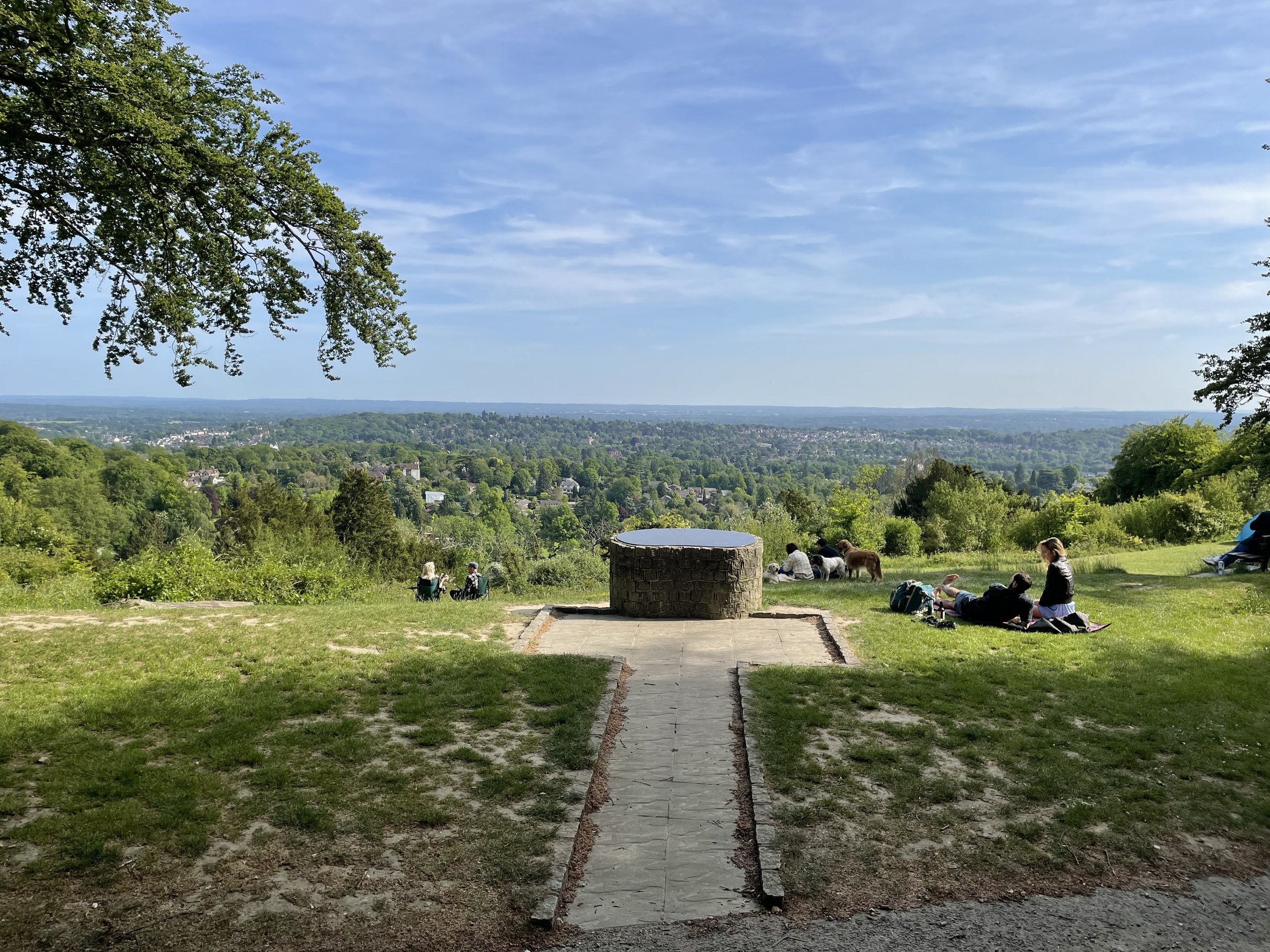
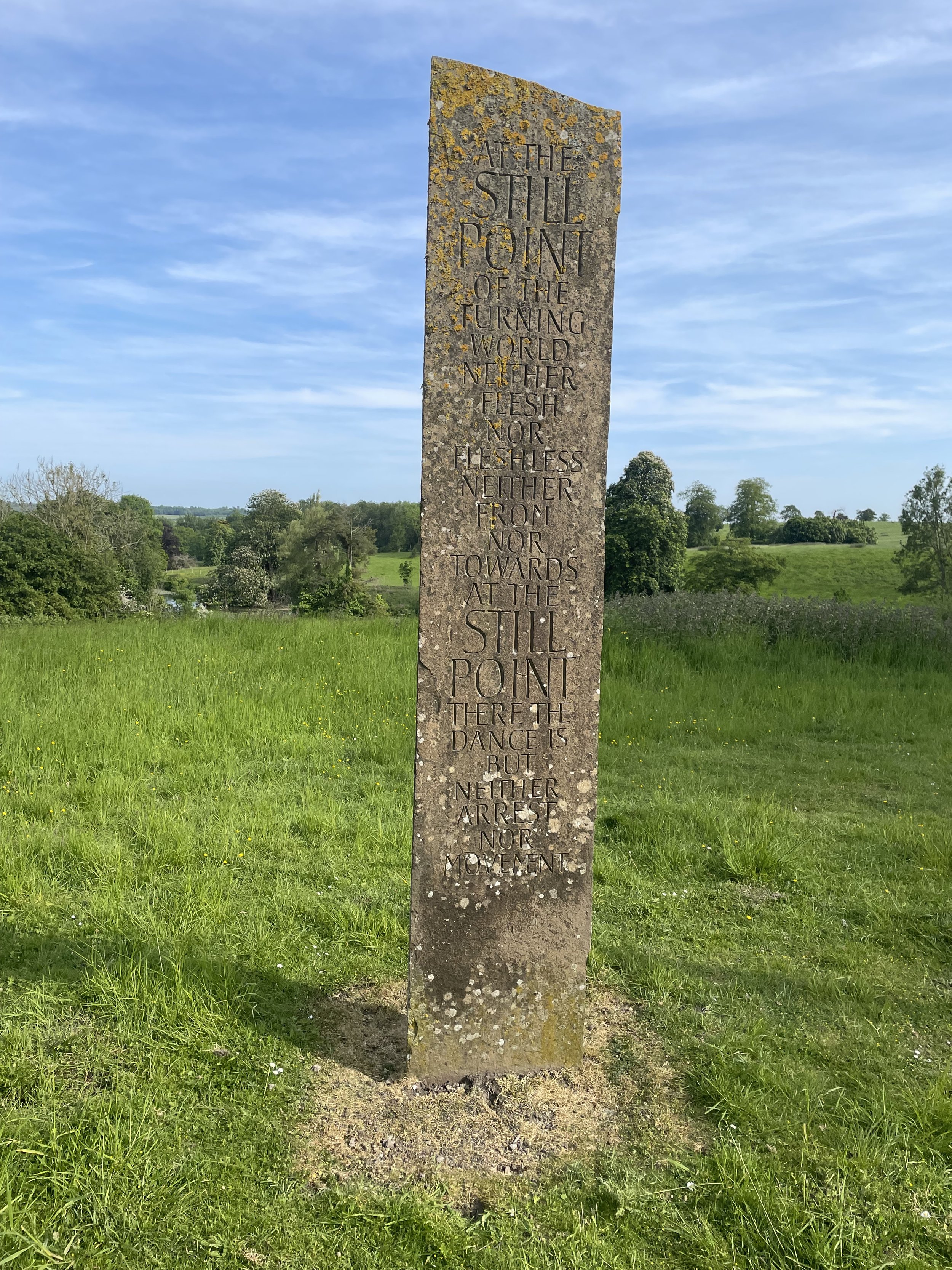
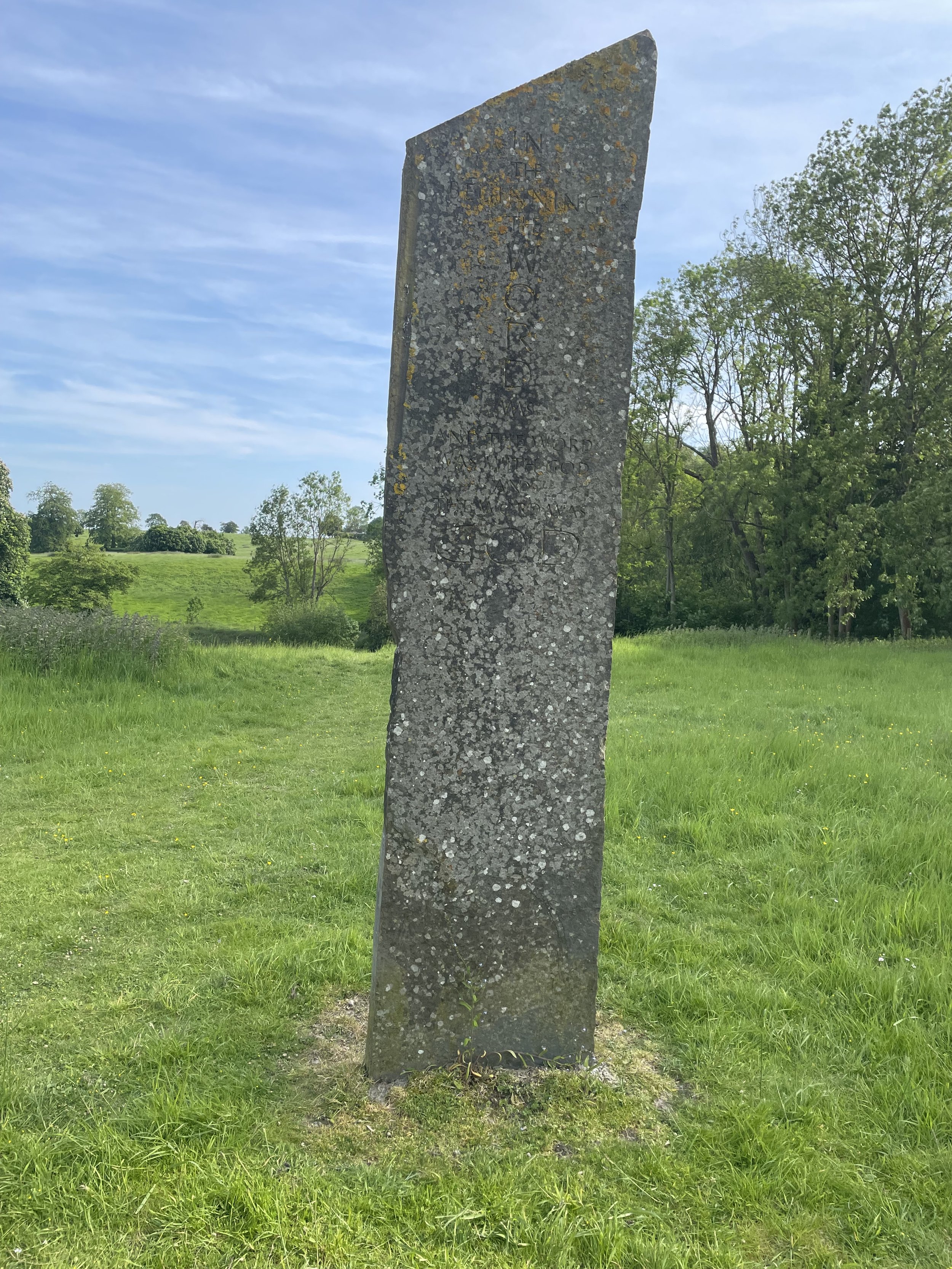
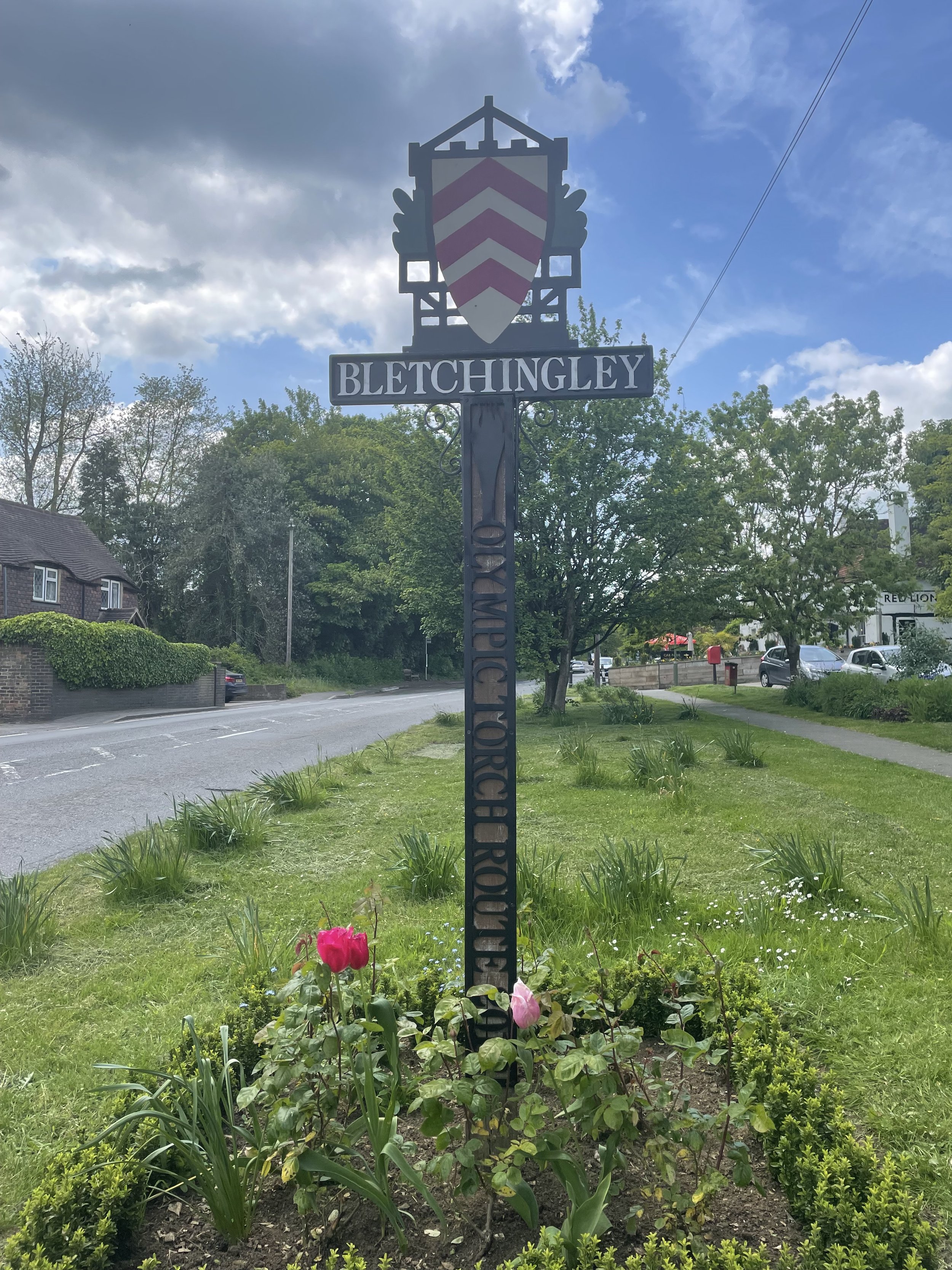
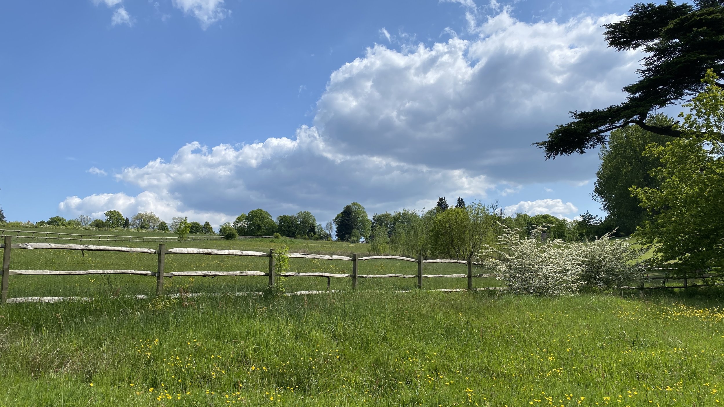
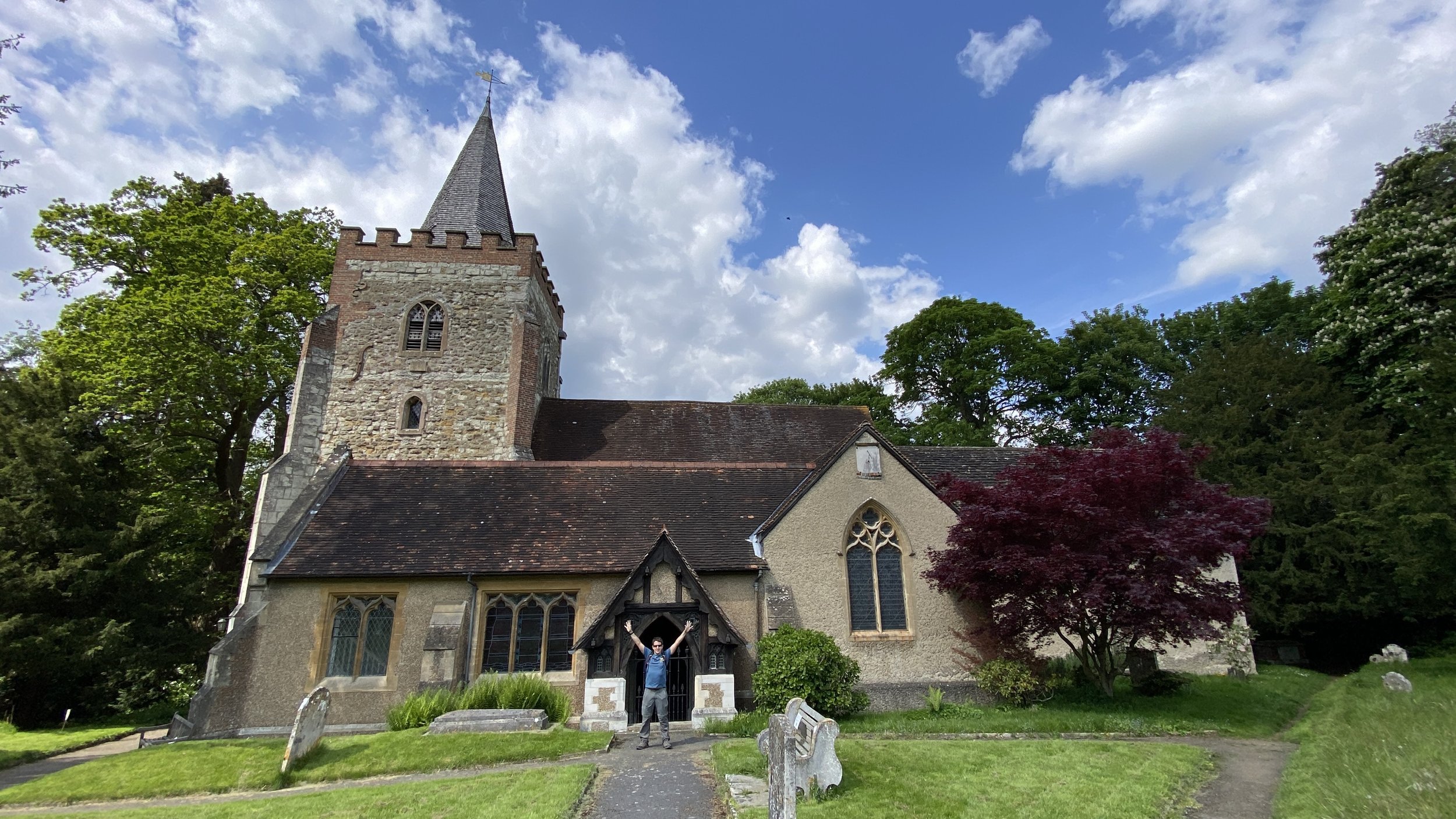
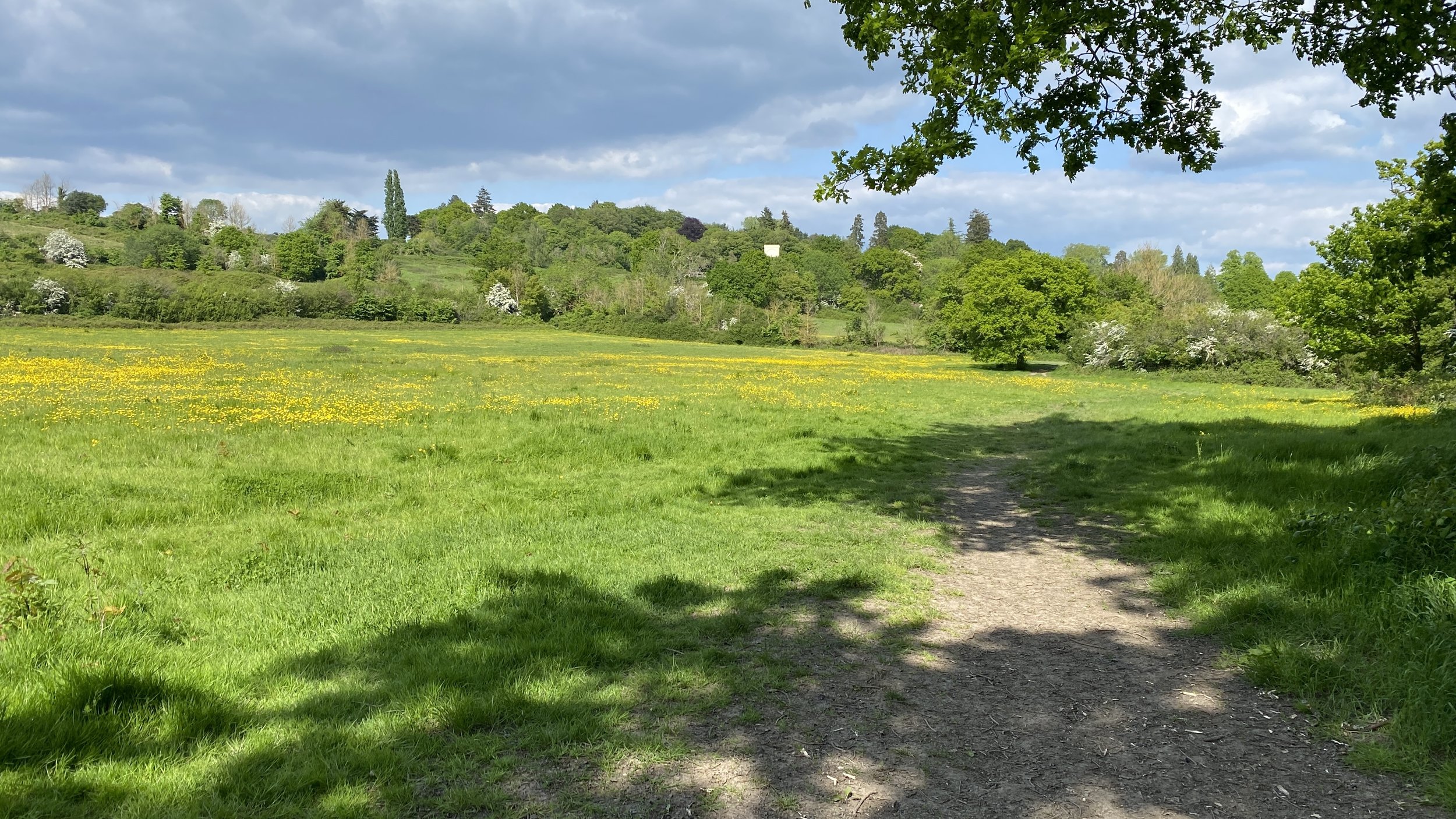
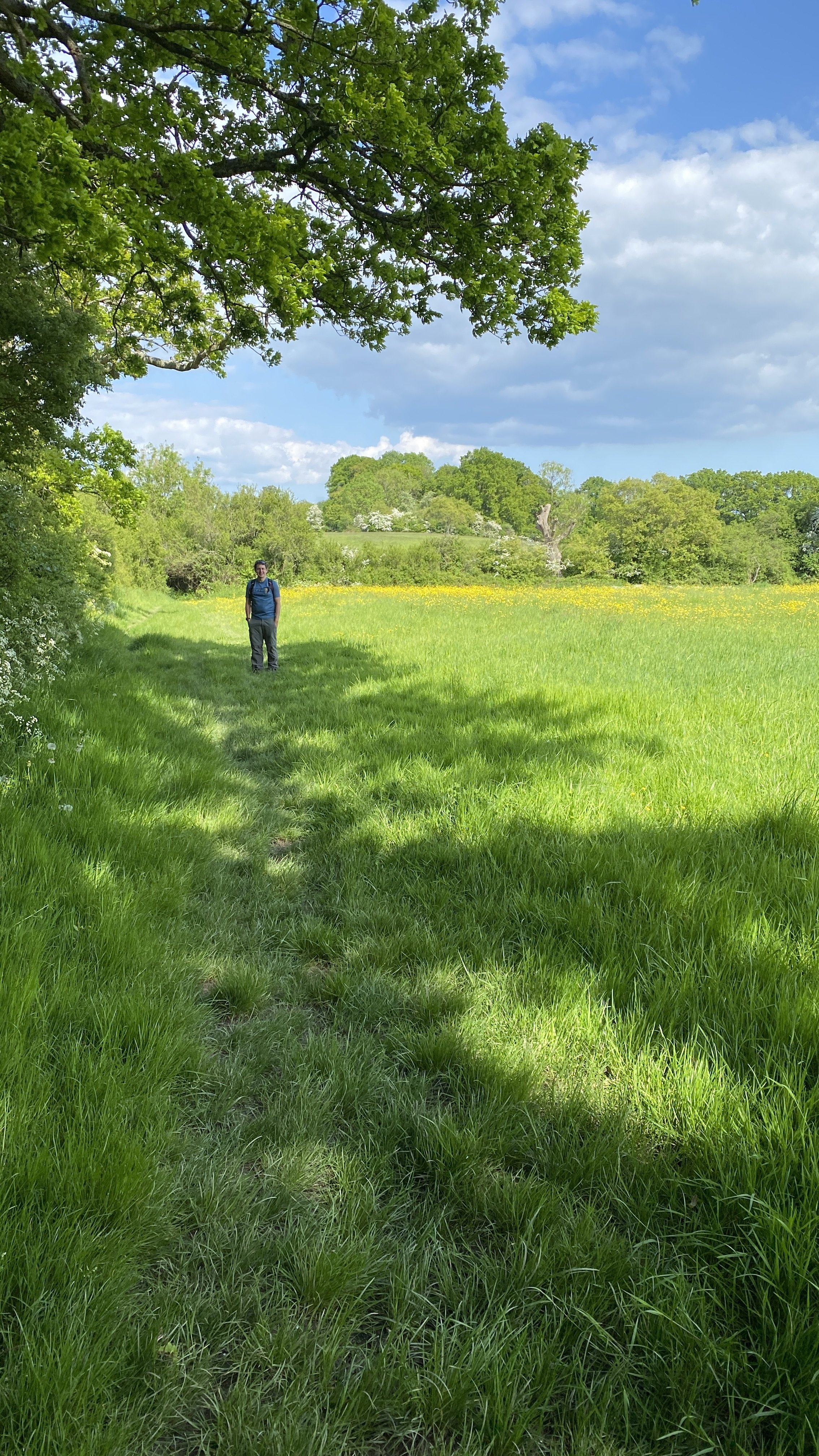
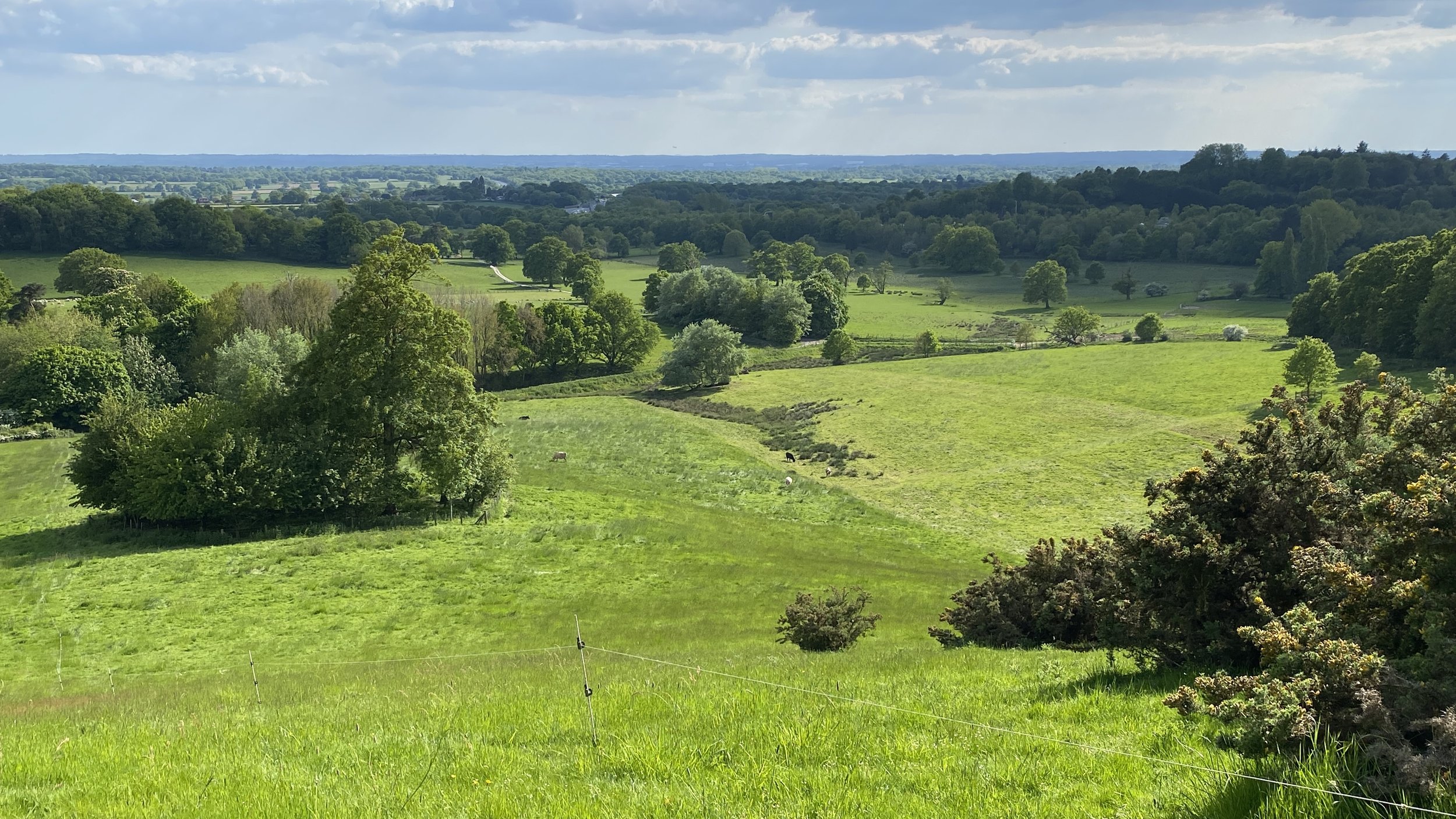
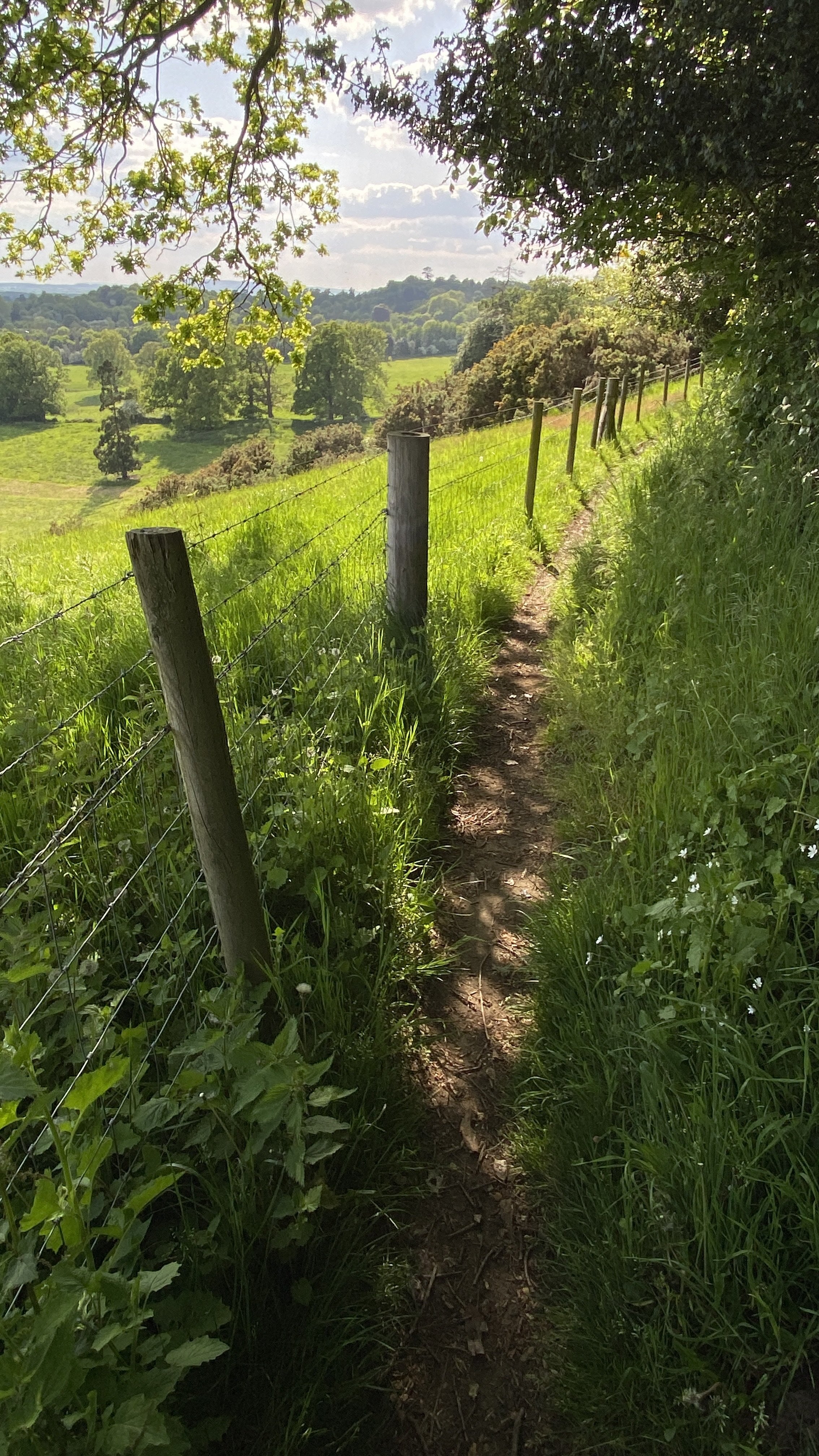
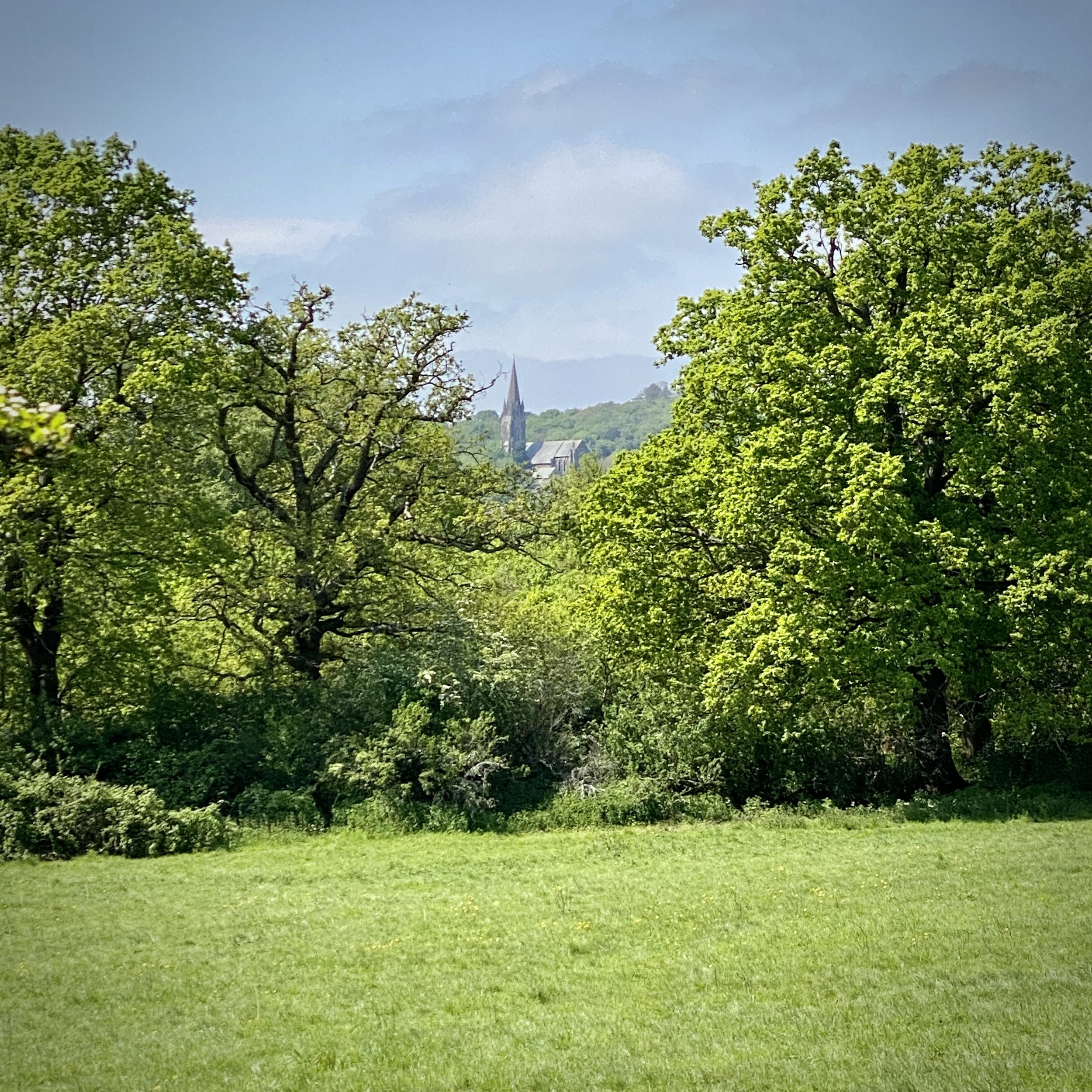
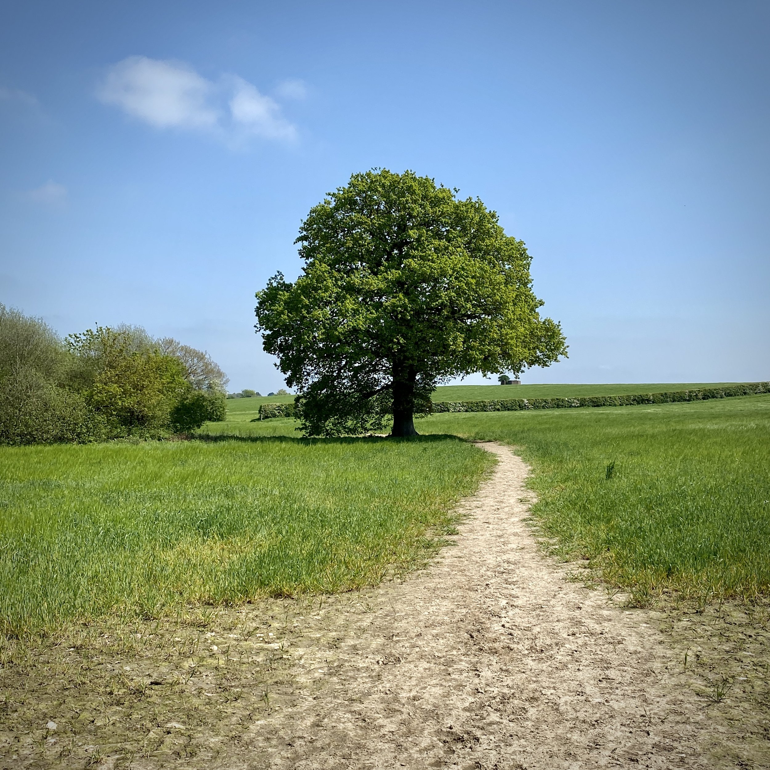
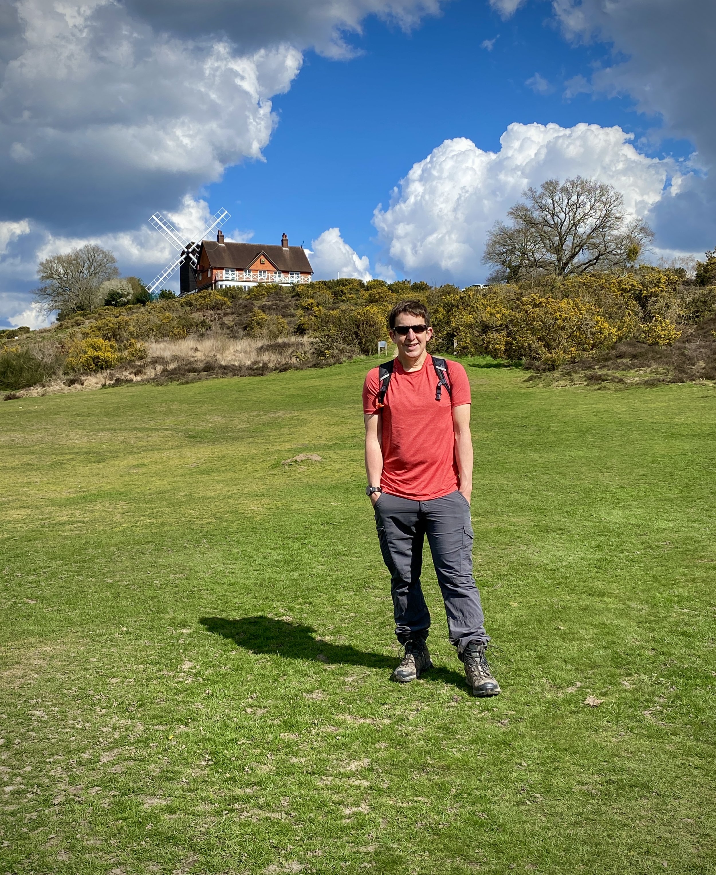
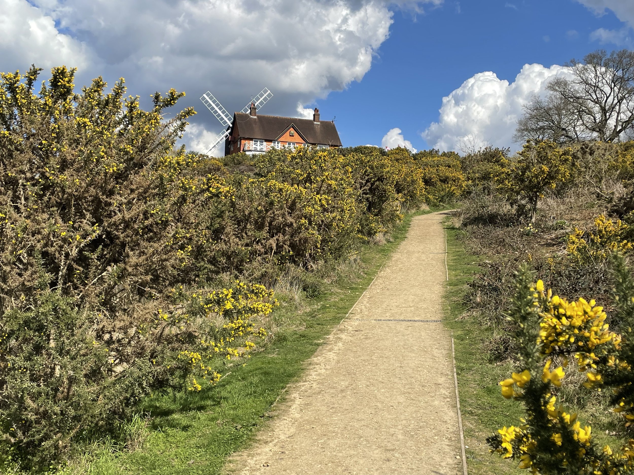
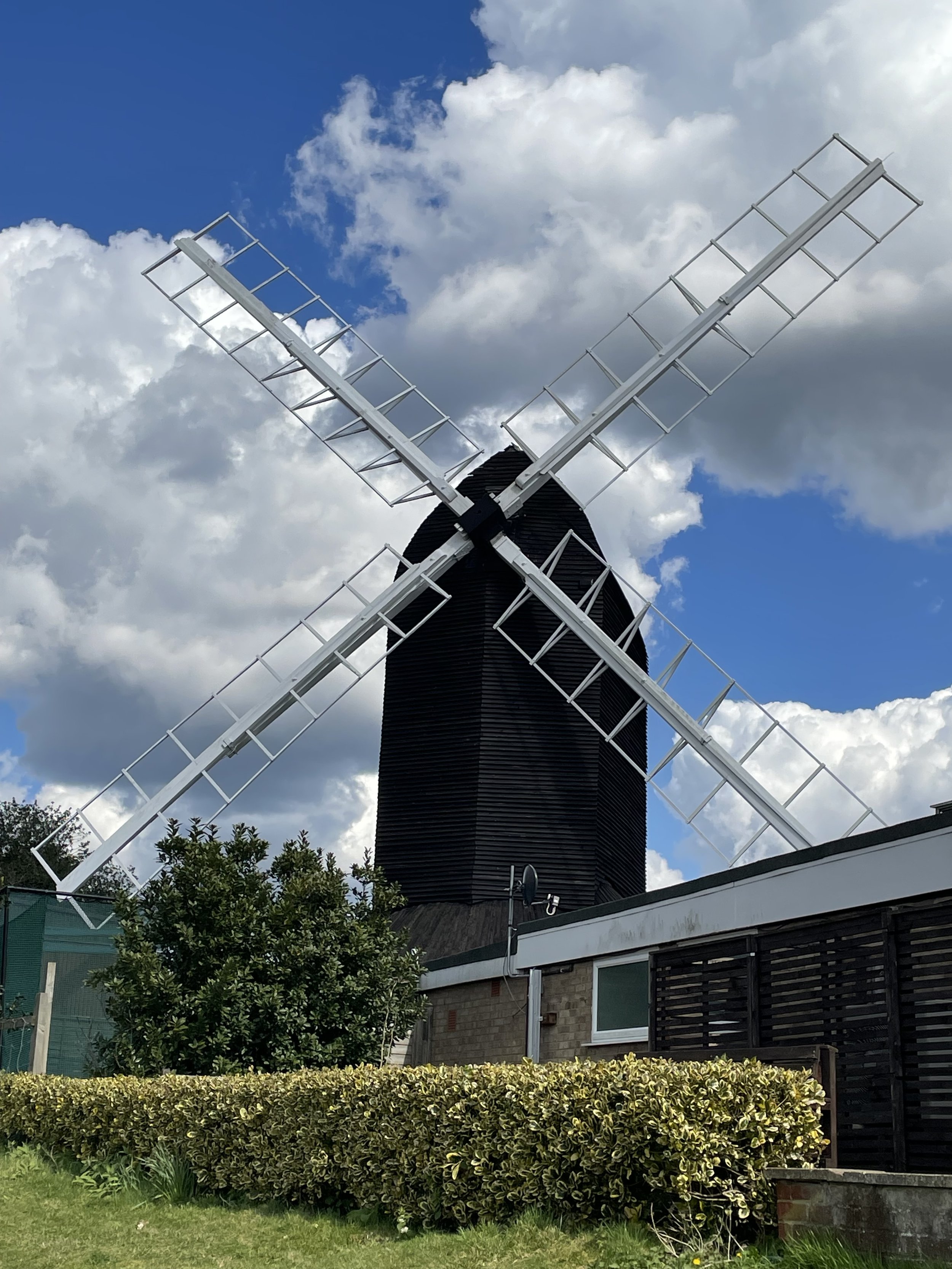
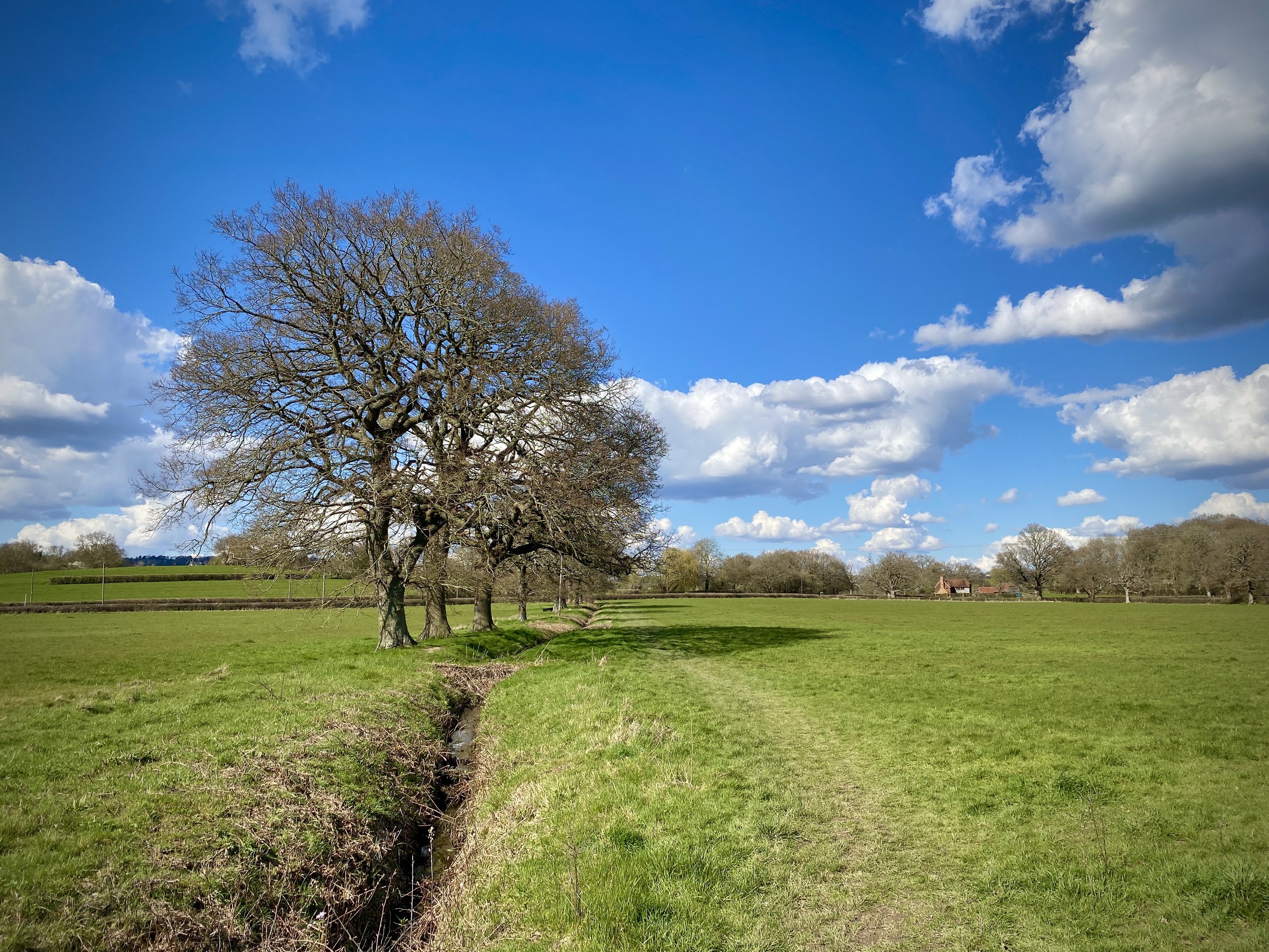
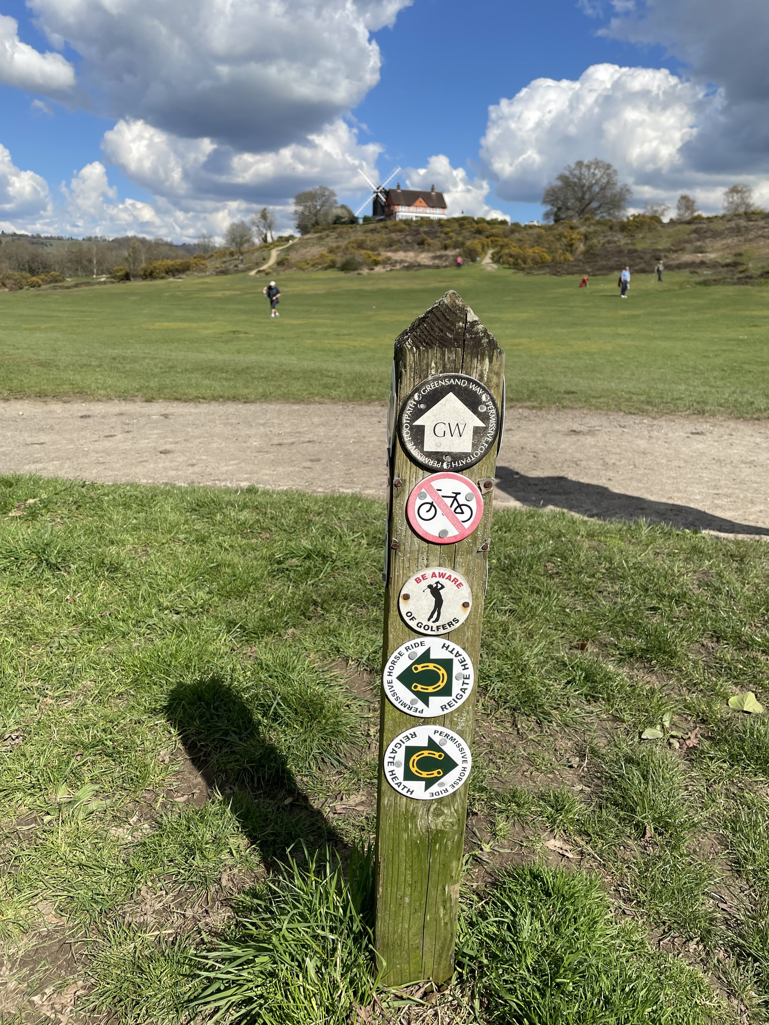
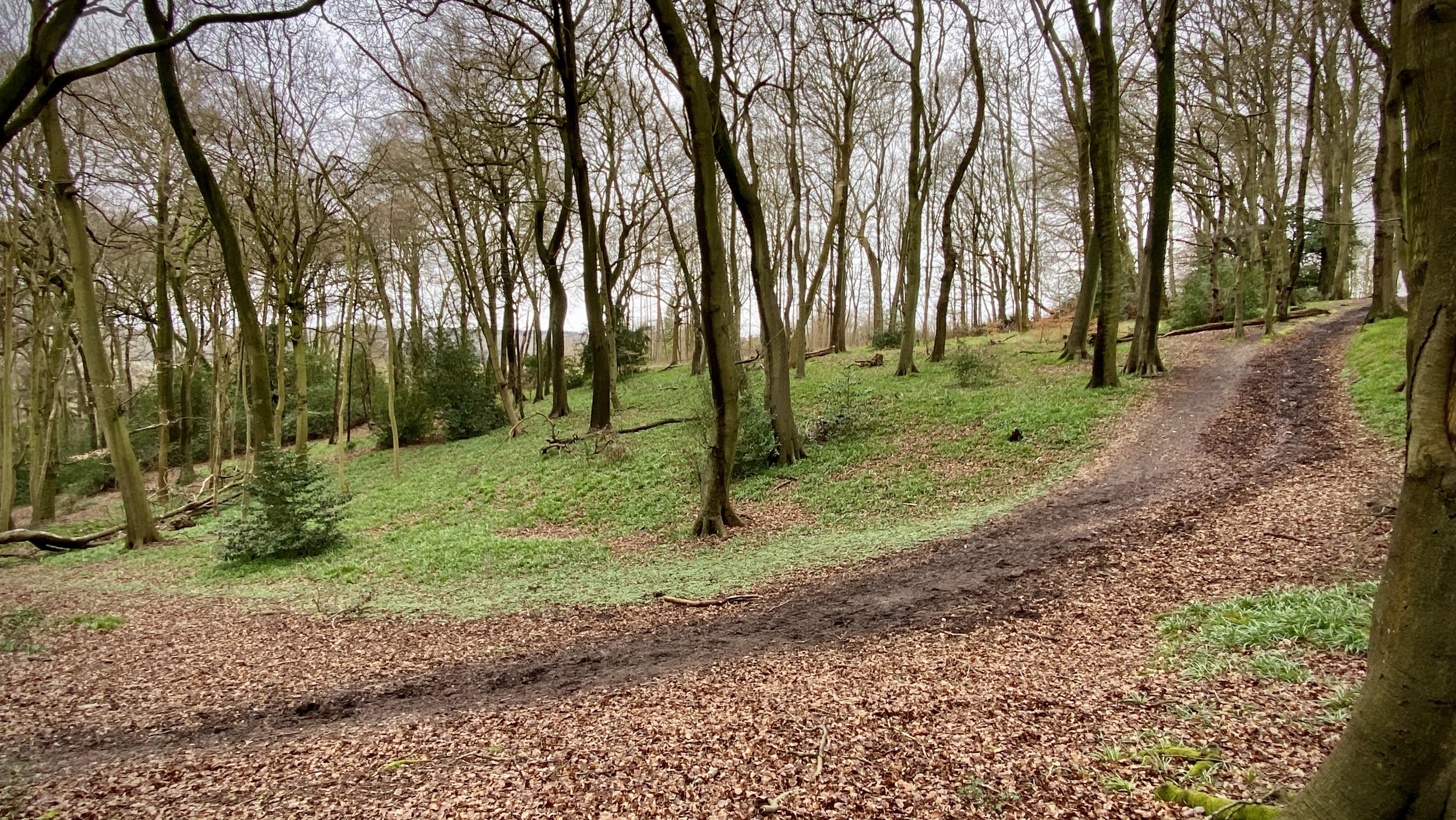
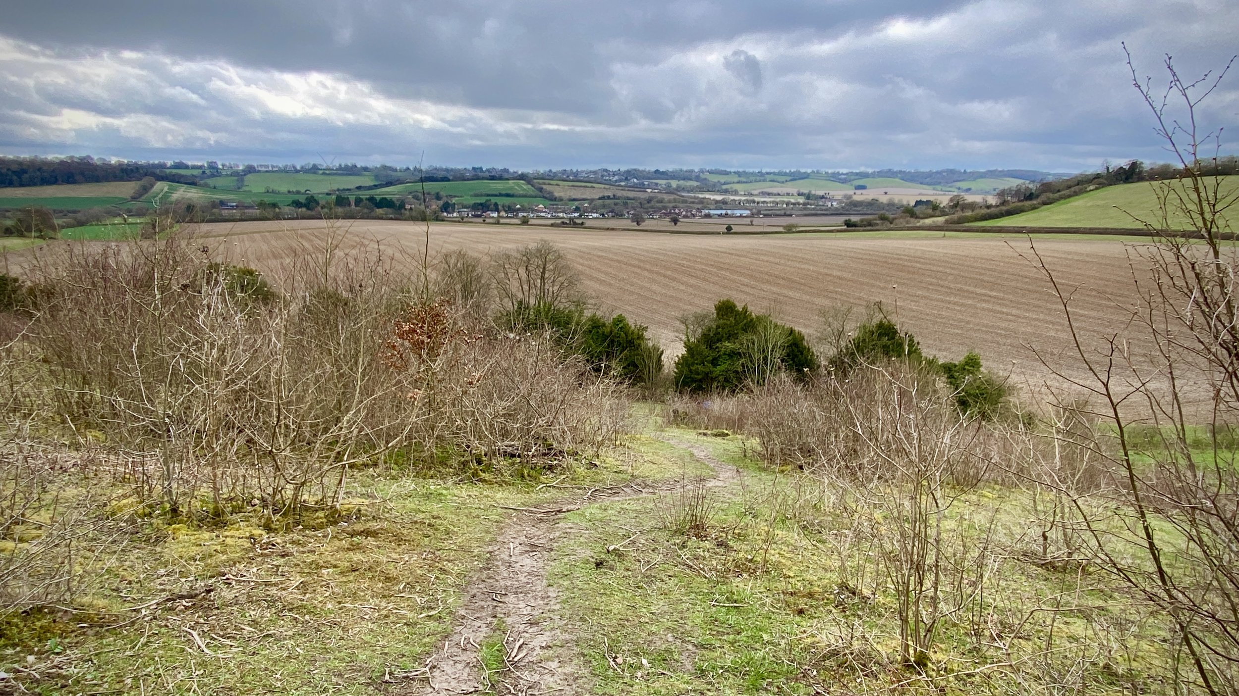
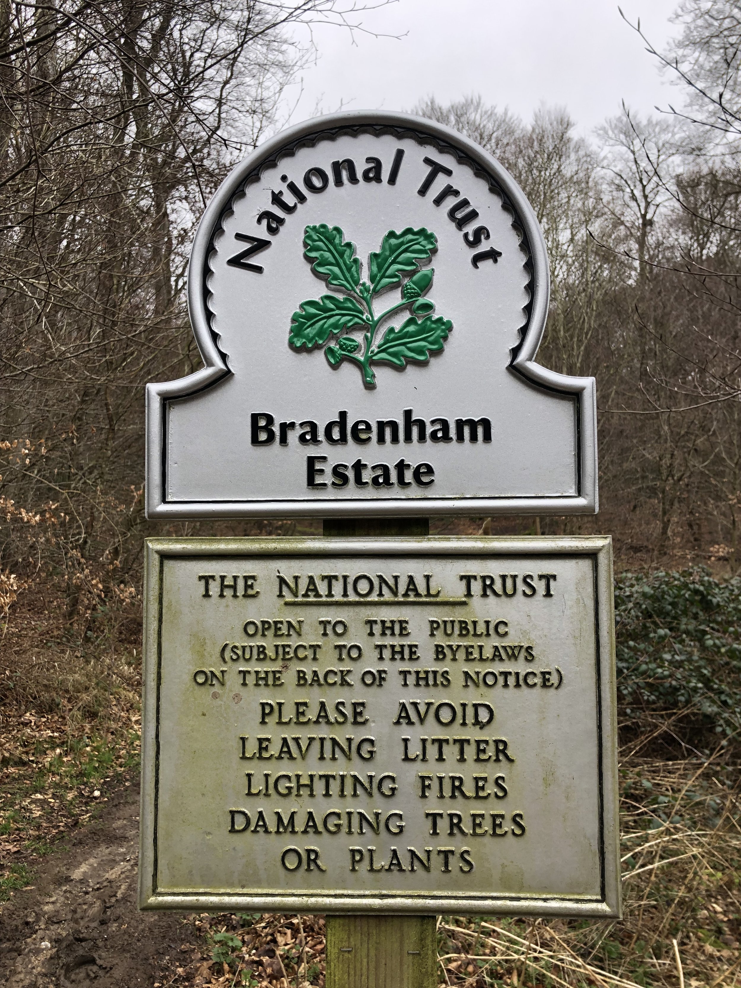
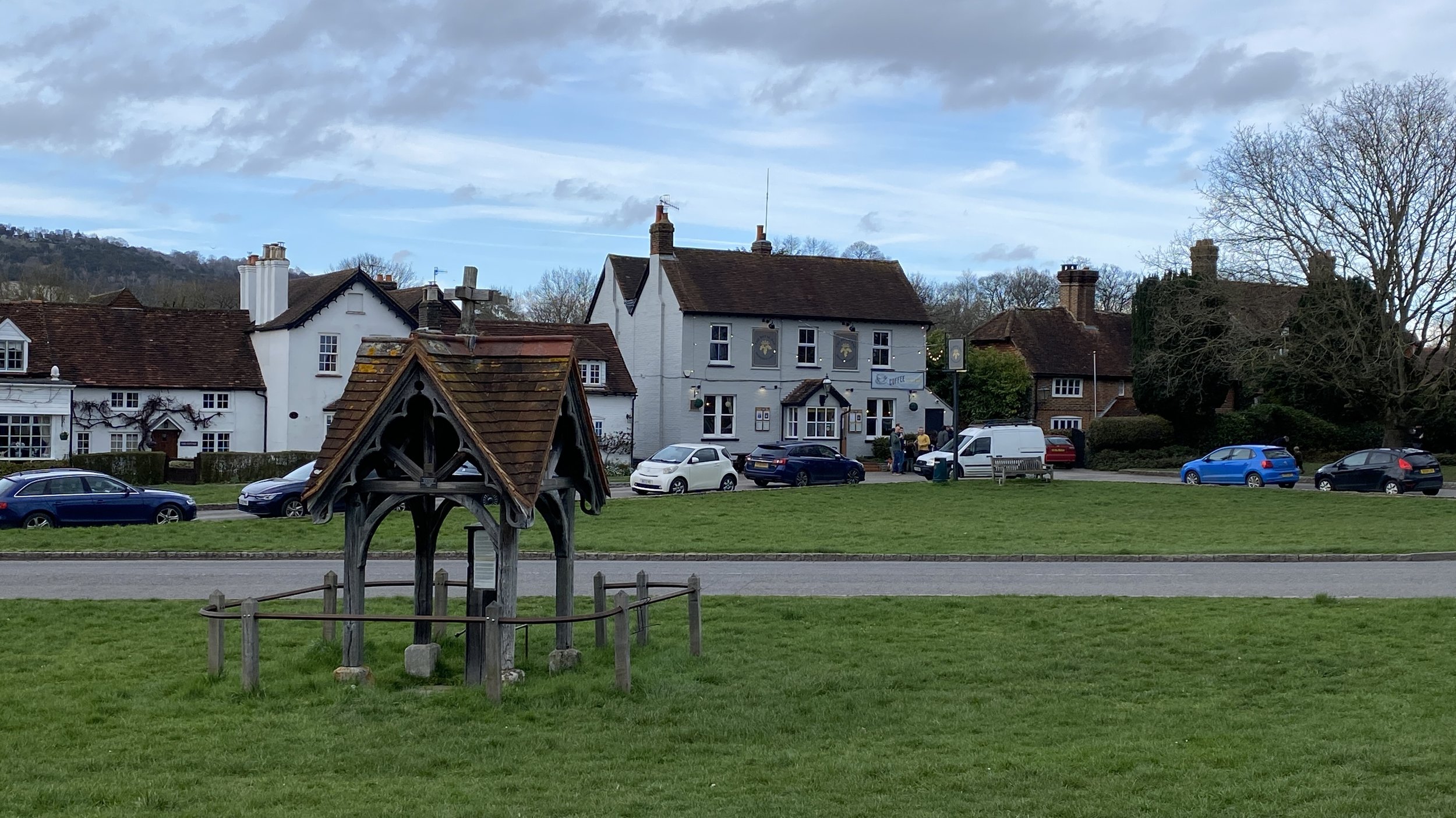
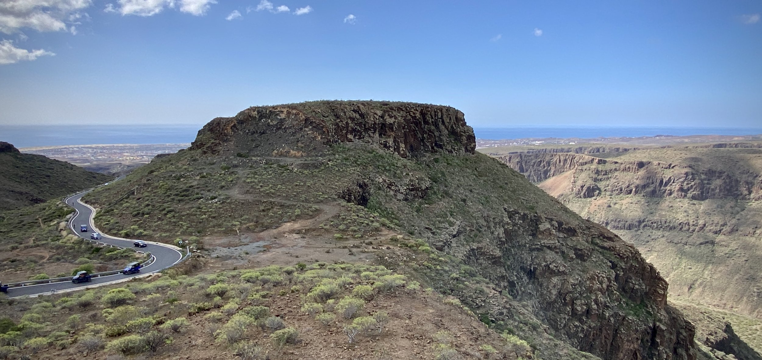
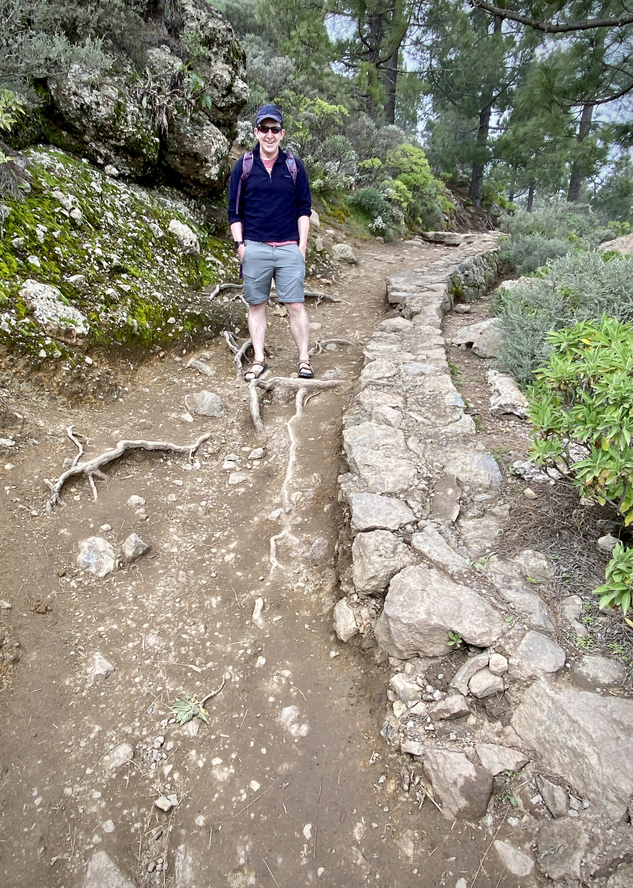
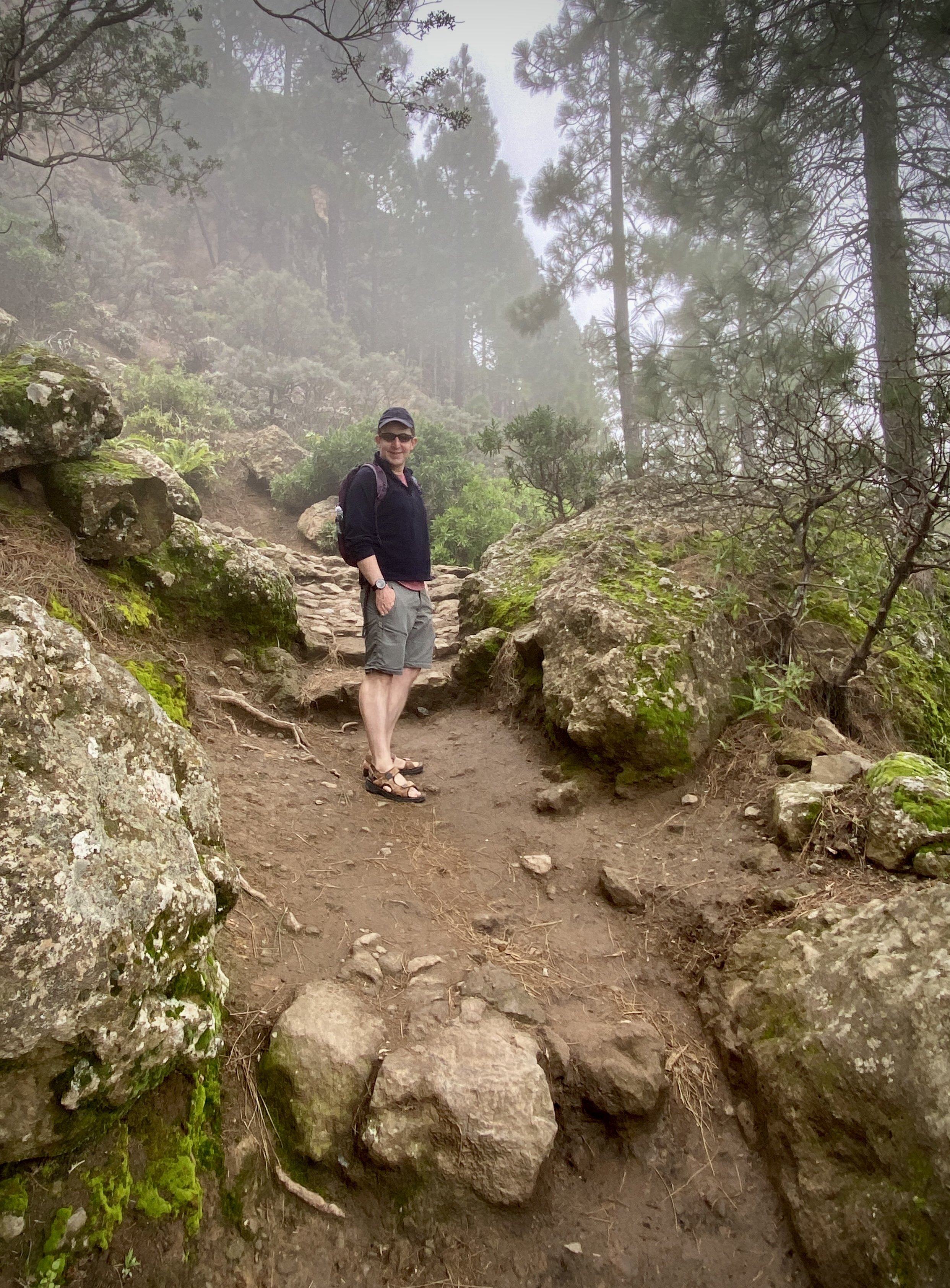
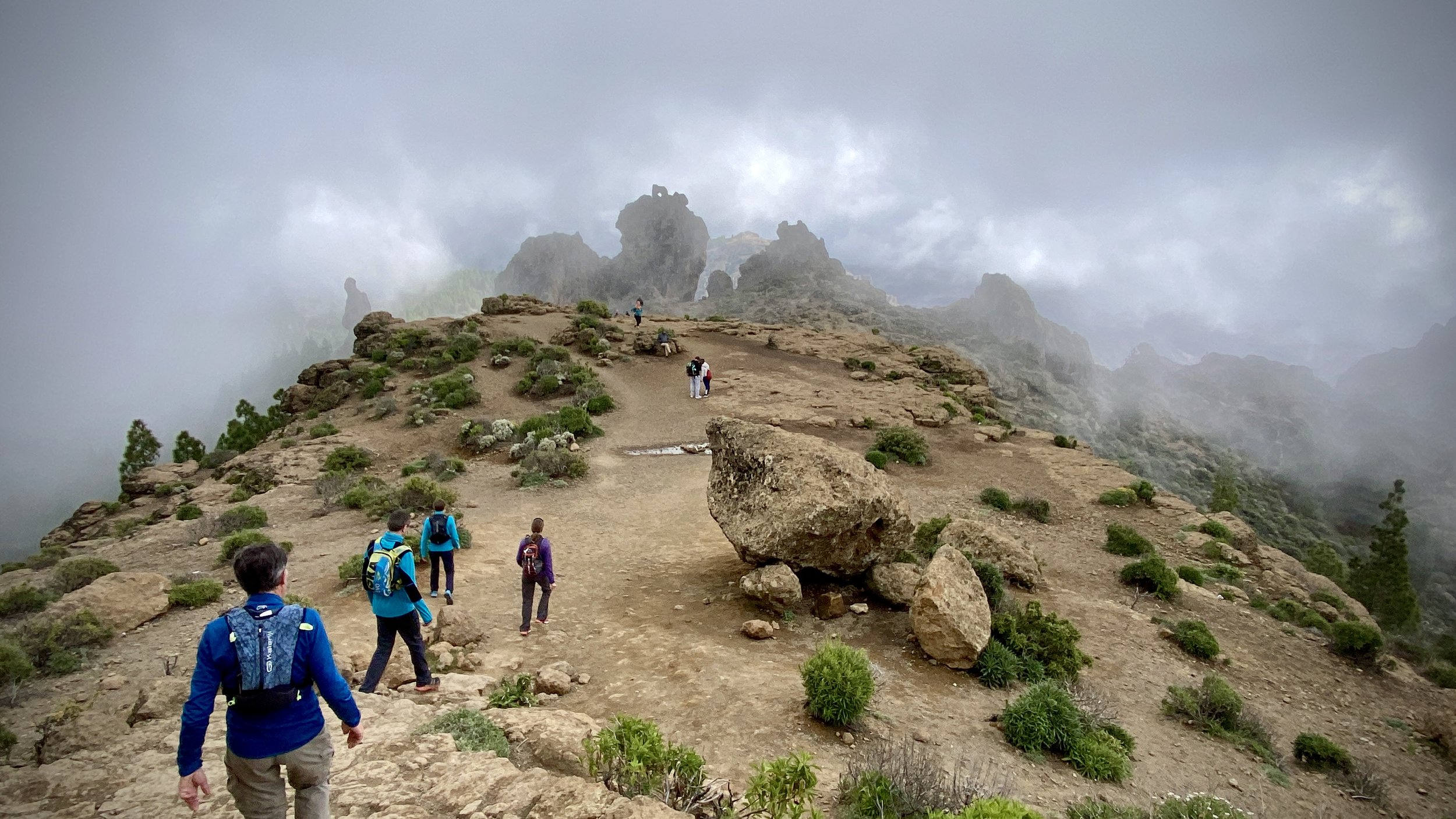
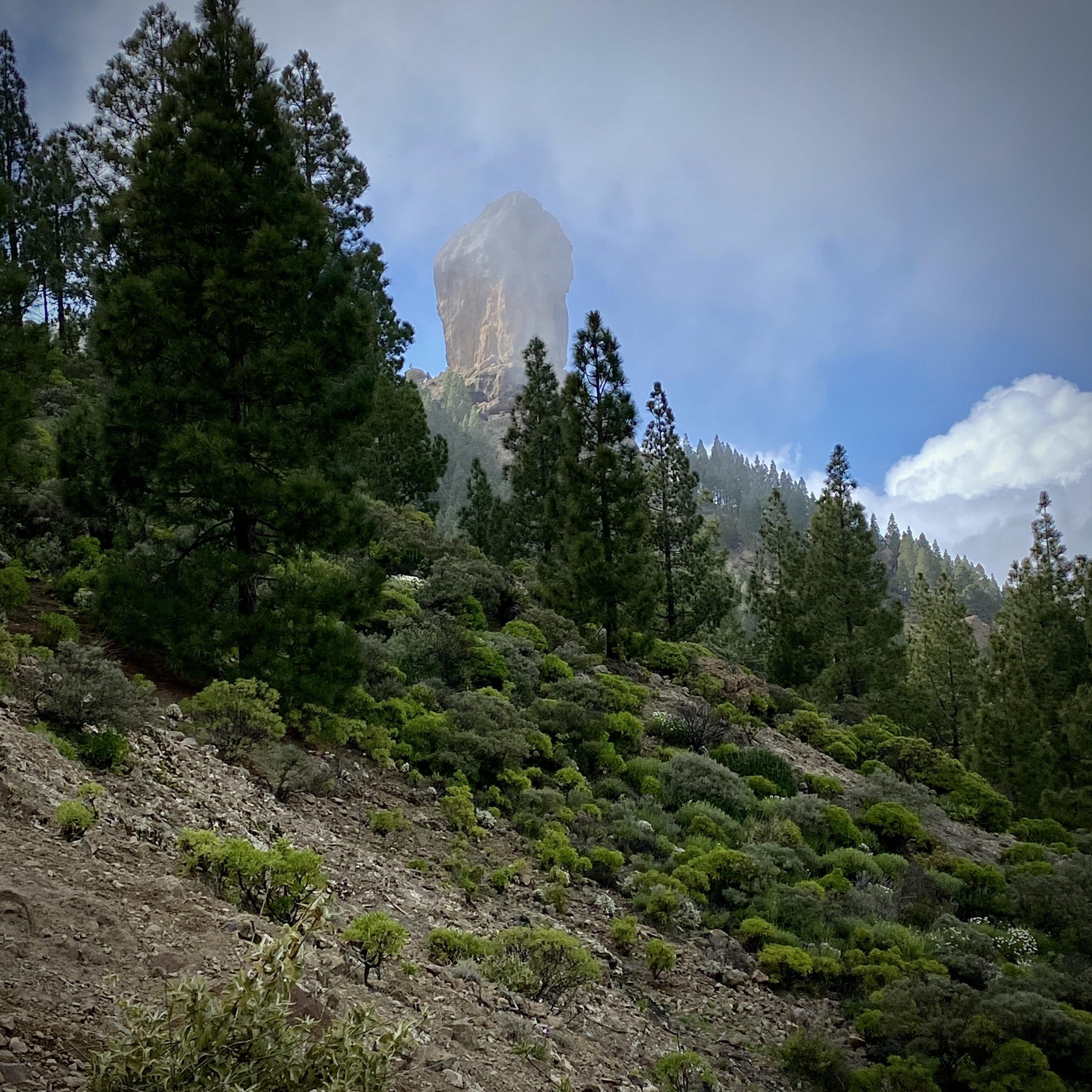
Keep following Church End Road through Bledlow to the Lions of Bledlow Pub, now leaving the Chiltern Way. The Lions is a great old pub to stop for a rest at this half-way point. After the pub take a footpath diagonally across a field in a south-westerly direction. Keep heading in the direction on the track that follows the Midshires Way up the hill to Bledlow Ridge. Here you’ll join the Ridgeway which you’ll follow until it meets Hill Road. Take a right onto Hill Road to follow it in a north-westerly direction back to Chinnor station. There’s no pavement on the first half of this section of Hill Road and a safer route is to follow the edge of The Rec (playing field) to exit onto Hill Road where the pavement starts.

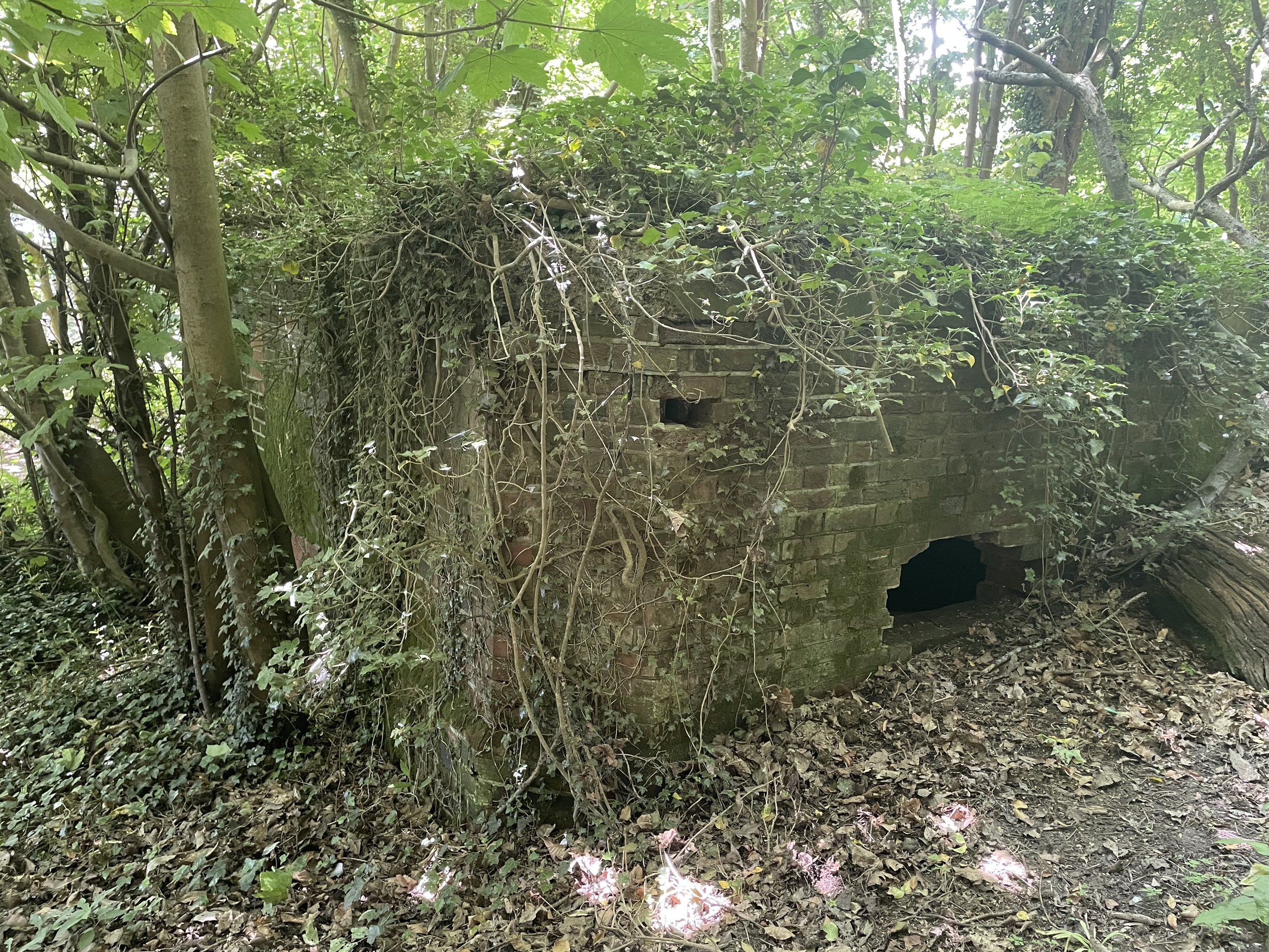
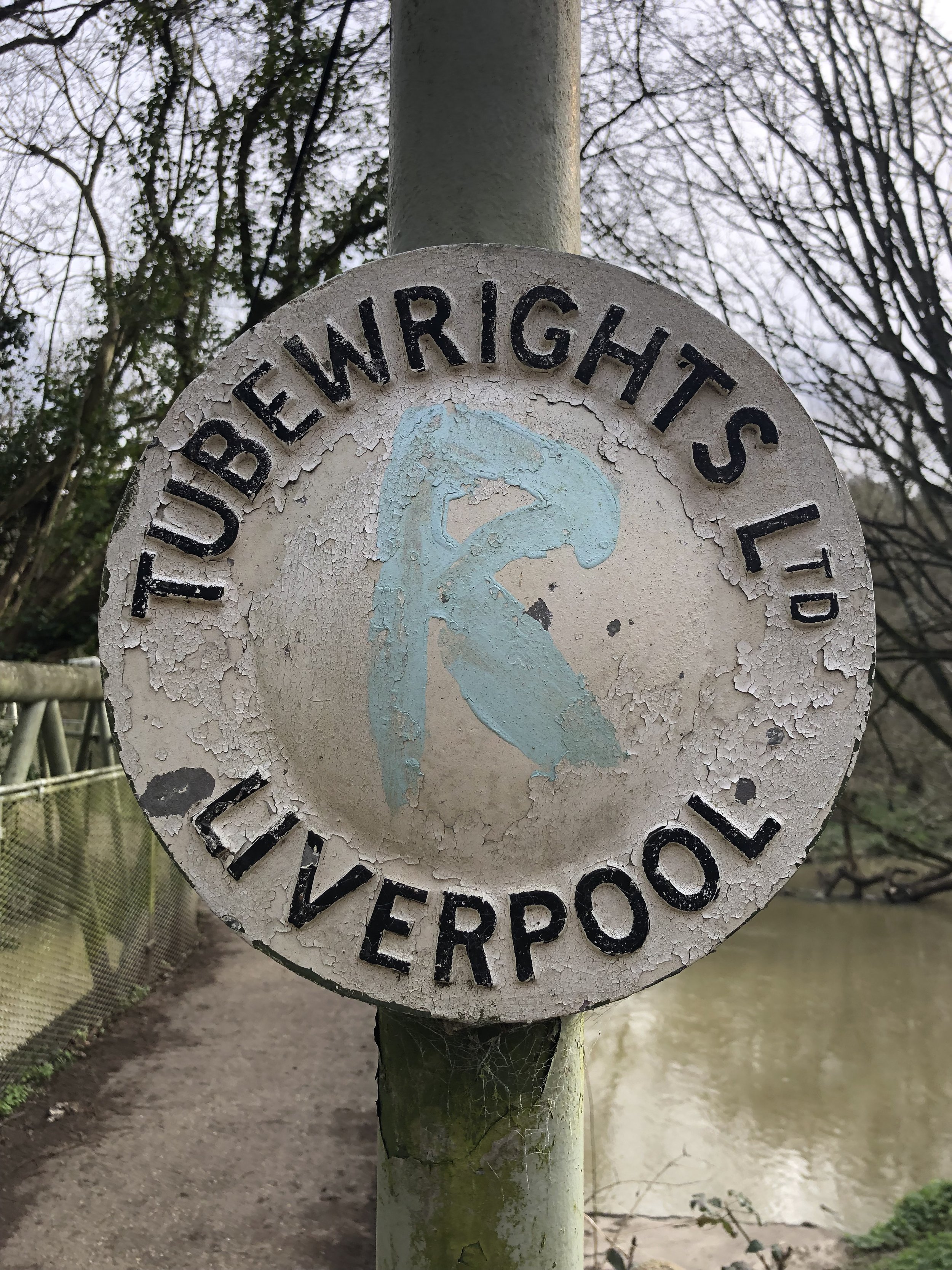
See my post on Cycling The Phoenix Trail and Watlington and Princes Risborough Railway for more on the disused line and the stations along the way.


Walking The Greensand Way Part 18 - Bletchingley and Godstone

View to the North Downs ridge near Godstone


Start & Finish: High Street, Bletchingley, Redhill, RH1 4PA
Distance: 10.4 km (6.5 miles)
Elevation change: +/- 143m
Greensand Way section covered: St Catherine’s Open Space to Leigh Mill Fly Fishing Lane: 5.5 km
GPX File: get via Buy Me a Coffee
Other routes touched (walk): None
Other routes touched (cycle): Surrey Cycleway
Pubs / Cafes on route: The Bletchingley Arms (at end)
Map: Dorking, Box Hill & Reigate Map | Leatherhead & Caterham | Ordnance Survey | OS Explorer Map 146
Links: Bletchlingley, Godstone


This is the eighteenth of a series of short circular walks featuring the Greensand Way. The full trail is a long distance path stretching from Haslemere in Surrey to Ham Street in Kent. Our walks take in short sections of the Greensand Way and loop back to the start on other paths. The Greensand Way is well sign posted however you’ll need a map or GPX route to keep on track for the return sections of the loops. The guidance below will help but don’t use it as a fully accurate turn-by-turn guide.

For this section we returned to Bletchingley High Street to park in the same place as in section 17. From here we retraced our steps back to St Catherine’s Open Space to rejoin the Greensand Way. This 5 km section of the trail stays high on the ridge on the edge of woodland then descends to lower ground, crossing a field to Eastbourne Road. You’ll leave the Greensand Way on the section by taking a left hand footpath just before the A22 Godstone bypass. Follow this path north until it reaches the A22 and cross over VERY CAREFULLY. The A22 is a very busy road so you’ll need to wait for a good gap between cars in both directions. If you don’t want to cross this road there an alternative path 200m to the east at Leigh Place that avoids this crossing.

If you have crossed the A22 you’ll soon be crossing it again on the return section, however this is through a safe underpass to the north. Once back on the western side of the A22, follow Leigh Place Lane to Church Lane then continue west through paths and small roads to Pinewood Autos on the south side of Ivy Lane. Take the footpath to the left of Pinewood autos, following it south for 400m to a path junction. Take a right to follow paths along the edge of farmland to Rabies Heath Road. Follow Rabies Heath Road in a westerly direction to Godstone Road where you can take a left onto it back to Bletchley High Street.


Race The Sun 50k Ultra Marathon

View North to the Chilterns from the top of the descent to Checkpoint 4 at Wooburn Town


When: June 3rd 2023
Start and Finish
: North Maidenhead Cricket Club, SL6 8SP
Distance: 51 km (32 miles)
Elevation change: +/- 207m
GPX File: get via Buy Me a Coffee
Other routes touched (walk): The Green Way, Maidenhead Boundary Walk, Thames Path, Jubilee River Path, Beeches Way, Shakespeare’s Way, Chiltern Way Berkshire Loop, Wycombe to Bourne End Disused Railway
Other routes touched (cycle): NCN 4, 50, 61, Round Berkshire Cycle Route, Beeches Cycleway
Maps:
- Chiltern Hills East Map | High Wycombe, Maidenshead & Rickmansworth | Ordnance Survey | OS Explorer Map 172
- Windsor, Weybridge & Bracknell Map | Thames Path | Ordnance Survey | OS Explorer Map 160
Finish time
: 7 hours 52 minutes 28 seconds
Links: Maidenhead, Cookham, River Thames, Bray, Jubilee River, Taplow, Burnham, Burnham Beeches, Wooburn, Bourne End


This was my 12th Ultra and the second of a 2-part series of local ~50 km Ultras with 3 weeks between them. My legs were back to normal after the recent Goring Gap Run and I was hoping to crack my sub-7 hour target for a 50 km. With a relatively flat course and dry conditions it should have been fine. However, my running nemesis: the sun was also out and it was a very hot one.

Signing up for this race was a no-brainer as it started and ended in Maidenhead where I grew up and took in trails that I’m very familiar with. The original route also went within 100 metres of my house. The final published course took a different route on the second half but still on home ground. My friend Mark wanted to join too as he grew up within half a mile of the start but other friends’ wedding plans took him away for the weekend.

The concept for this race was to start at midday on a Saturday and to finish before sunset at 21:24. This also meant that I could fit-in a parkun in the morning and get to the start line with time to spare to get showered and changed. Timea though this was a crazy idea but I did my best to explain that it was “perfectly normal”. I had done much longer Ultras in the past so the best way to think about it was that it was a 55 km Ultra with a long break between the first 5 km and the rest of it .

The first third of the race was pretty straightforward with a pleasant cross-country run to Cookham and a section of the Thames Path to Windsor. I kept a steady running pace and the heat wasn’t too bad. At 19 km, between the Thames and the Jubilee River, there was a flooded stream crossing the path with no means to keep dry. The only way through it was to get our feet wet. With very dry conditions for the few weeks before I didn’t think of bringing spare socks so I knew this would be trouble. My shoes and feet dried quickly but I knew that there would be trouble ahead.

From 20 km the heat kicked in and my running was over for the day, replaced by a power-march. Somewhere around 40 km I could feel the impact of getting my feet wet earlier with blisters forming on both feet. I knew that my sub-7 hour target wasn’t going to happen so it was now about finishing. It was a tough final 10 km but the finish line eventually came and I completed in 7 hours 52 minutes. I can never be disappointed with a finish time. Just completing is always enough and I was well within the sunset cut-off time.


Walking The North Downs Way Part 5 - Betchworth to Merstham

Reigate Hill Viewpoint at National Trust Gatton Park


Start: Betchworth Station, Betchworth RH3 7BZ
Finish
: Merstham Station, Station Rd, Merstham, Redhill, RH1 3ED
Distance: 11.1 km (6.9 miles)
Elevation change: +206m / -197m. Net -9m
GPX File: get via Buy Me a Coffee
Other routes touched (walk): N/A
Other routes touched (cycle): N/A
London Coal Duty Posts: 151, 152
Pubs / Cafes on route: Junction 8 Café in the car park for National Trust Gatton Hill (7.4 km in). The Feathers is at the end of the route before you get to Merstham Station
Map: Dorking, Box Hill & Reigate Map | Leatherhead & Caterham | Ordnance Survey | OS Explorer Map 146
Guidebook: The North Downs Way National Trail from Farnham to Dover (Cicerone)
Links: Betchworth, Colley Hill, National Trust Reigate Hill and Gatton Park, B17 Crash Memorial, Reigate Fort, Gatton Park, Millennium Stones at Gatton Park, The Royal Alexandra and Albert School, Merstham


This is the fifth of a series of short point-to-point walks along the North Downs Way. The full trail is a long distance path stretching from Farnham in Surrey to Dover in Kent. Our walks took in short sections of 10 km to 13 km which we did with a friend over the course of a couple of years when our schedules coincided. The North Downs Way is well sign-posted however I highly recommend taking a map or GPX route to keep you on track. The Cicerone book on the trail is a great guide to the points of interest along the way.

For this section we left one car at the end of the walk at Merstham Station and another at the start near Betchworth Station. From Betchworth it was a short walk north up Station Road to rejoin the North Downs Way from where we left it on Section 4. The first 5km is along a tree-lined path gently ascending to the base of Buckland Hill. This is followed by a steep ascent up Buckland Hill to the southern end of Mogador Road. Here you’ll find the first of 2 London Coal Duty Posts, the most southerly in London. Although these posts marked a boundary of London at the time, the North Downs Way never crosses the current boundary of Greater London.

Having ascended back up to the North Downs ridge, the trail stays high for another 2 km. This is an especially interesting part of the trail with several things to see along the way. First up is Colley Hill, a great place to stop for a picnic and look out over the stunning panorama to the south. There’s also the Colley Hill Water Tower, the Inglis Memorial, the Wing Tips Crash Memorial and Reigate Fort.

At 7.4 km into the walk you’ll cross over the A217 on the Reigate hill footbridge and into National Trust Gatton Park. There’s a café, toilets and another great viewpoint here. The trail descents for ~2 km through Gatton Park to the Millennium Stones at the south-western edge of the Royal Alexandra and Albert School. Follow the North Downs Way through the school, through Reigate Hill Golf Club, Merstham Cricket Club and into Merstham Town. This is the end of Section 5.


The National Trust Sections


The Millennium Stones at Gatton Park


Walking The Greensand Way Part 17 - Nutfield and Bletchingley

View to the south from the Greensand Way near Bletchingly


Start & Finish: High Street, Bletchingley, Redhill, RH1 4PA
Distance: 9.9 km (6.1 miles)
Elevation change: +/- 164m
Greensand Way section covered: Sandy Lane to St Catherine’s Open Space: 4.8 km
GPX File: get via Buy Me a Coffee
Other routes touched (walk): Tandridge Border Path
Other routes touched (cycle): Surrey Cycleway
Pubs / Cafes on route: The Red Lion Bletchingley (0.5 km in), Cafe at Priory Farm Garden Centre (3.7 km in), The Bletchingley Arms (at end)
Map: Dorking, Box Hill & Reigate Map | Leatherhead & Caterham | Ordnance Survey | OS Explorer Map 146
Links: Bletchlingley, Nutfield


This is the seventeenth of a series of short circular walks featuring the Greensand Way. The full trail is a long distance path stretching from Haslemere in Surrey to Ham Street in Kent. Our walks take in short sections of the Greensand Way and loop back to the start on other paths. The Greensand Way is well sign posted however you’ll need a map or GPX route to keep on track for the return sections of the loops. The guidance below will help but don’t use it as a fully accurate turn-by-turn guide.

For this section we parked at Bletchingley High Street where there’s ample free parking. From here we followed the A25 (High Street then Castle Street) in a westerly direction until it crossed over the M23. From here the shortest option is to continue along the A25 to Nutfield Memorial Hall, however we opted for a quieter route taking a footpath to the right just after the M23 bridge. This follows paths through woods and farmland, St Peter and St Paul’s Church, then back to the A25 at the Memorial Hall.

Leave the A25 by heading south down Mid Street, then first right onto Sandy Lane. Follow Sandy Lane for 900m until your reconnect with the Greensand Way where you left it on the previous section. Follow the Greensand Way heading east back to St. Catherine’s Open Space south of Bletchingley. This will be at the 9km mark in the walk. Leave the Greensand Way here and follow paths for 1 km back to Bletchingley High Street.


Goring Gap 52k Ultra Marathon

When: May 14th 2023
Start and Finish
: Mapledurham House, Mapledurham, Reading, RG4 7TR
Distance: 52 km (32 miles)
Elevation change: +/- 313m
GPX File: get via Buy Me a Coffee
Other routes touched (walk): Chiltern Way, Thames Path, The Ridgeway
Map: Chiltern Hills West Map | Henley-on-Thames & Wallingford | Ordnance Survey | OS Explorer Map 171
Finish time
: 7 hours 32 minutes 51 seconds
Links: River Thames, Mapledurham House, Caversham, Reading, Purley on Thames, Pangbourne, Whitchurch on Thames, Goring on Thames, South Stoke, North Stoke, Moulsford, Streatley


This was my 11th Ultra and my third with my friend Mark. It was also the first of a 2-part series of local ~50km Ultras with 3 weeks between them.

It was a beautiful course starting at Mapledurham House on the north bank of the Thames near Reading. From there we headed east to cross the Thames at Caversham to follow the Thames Path north towards Wallingford. I had covered most of the route before either on short Thames Path or Chilterns trips or on the Race To The Stones Ultra back in 2016.

It was a very nice early summer day which made the views over the Thames, and the villages on the way, stunning to run through. It was also hot though and, not being a fan of warm weather running, the heat slowed me down significantly. Mark and I kept together until around 12km then I started to lose sight of him. My slow run became a fast walk around the half-way point and I could feel that my sub-7 hour target would be challenging. I might have made it but 50km turned out to be actually 52km with a hill at the end so I missed by target by half an hour. Mark, on the other hand, had an excellent run and finished a full 50 minutes ahead of me.


Walking The Greensand Way Part 16 - Earlswood and Nutfield Priory

View St. John the Evangelist Church, Earlswood and Redhill Common


Start & Finish: St John the Evangelist Church, Redhill, Church Rd, Redhill, RH1 6QA
Distance: 8.8 km (5.5 miles)
Elevation change: +/- 165m
Greensand Way section covered: Mountview Drive to Sandy Lane: 5.0 km
GPX File: get via Buy Me a Coffee
Other routes touched (walk): Reigate and Banstead Millennium Trail
Other routes touched (cycle): NCN 21
Pubs / Cafes on route: The Plough, 11 Church Rd, Redhill (near start and end)
Map: Dorking, Box Hill & Reigate Map | Leatherhead & Caterham | Ordnance Survey | OS Explorer Map 146
Links: Redhill Common, Earlswood, Nutfield Priory


This is the sixteenth of a series of short circular walks featuring the Greensand Way. The full trail is a long distance path stretching from Haslemere in Surrey to Ham Street in Kent. Our walks take in short sections of the Greensand Way and loop back to the start on other paths. The Greensand Way is well sign posted however you’ll need a map or GPX route to keep on track for the return sections of the loops. The guidance below will help but don’t use it as a fully accurate turn-by-turn guide.

For this section we parked near St John the Evangelist Church, Redhill and took the footpath up the hill to the top of Redhill Common. This meets the viewpoint from Section 15 where you can see Earlswood, Gatwick Airport and the South Downs in the distance. From the viewpoint, descend the hill retracing your route up the hill from Section 15 until you rejoin the Greensand Way at Mountview Drive.

From Mountview Drive follow the Greensand Way for 5.0 km to Sandy Lane. When you reach Kingsmill Lane, 5 km into the walk, the Greensand Way takes a left turn towards the north following the road. Be careful here as there’s no pavement and some tight corners on the road. Keep an eye out for traffic coming either way. Continue north from Kingsmill Lane onto Bower Lane then take a right onto Sandy Lane at the top of the hill. Follow Sandy Lane towards the east for just 120m until you meet the point where the Greensand Way leaves the road on a footpath to the right. This is the end of the Greensand Way part of this section. Retrace your steps to the junction with Bower Lane and Sandy Lane and continue onto Hogtrough Lane.

Walk in a westerly direction along Hogtrough Lane then onto Philanthrophic Road. There’s also no pavement here and, although it’s quiet, be aware of cars from either direction. Philanthropic Road will take you back into Earlwood and to the start via St John’s Road and a short footpath back to Church Road.


El Toro - Menorca Island High Point

View to the north from El Toro


Significance: High point of the island of Menorca
Elevation: 358m
Date climbed: 6th May 2023
Coordinates: 39° 59' 6'' N, 4° 6' 48'' E
Links: Wikipedia, Peakbagger

Bagging Menorca’s high point is very easy. There’s a wide well-maintained road from Es Mercadal and a large car-park at the top near the high point. Although it’s a low elevation as high-points go, the whole island is pretty flat so you get great views from the top, including the other Balearic Islands of Mallorca and Ibiza.

The name El Toro means "the bull" in Catalan and the mountain is said to have been named after a bull that was killed by a hunter in the 13th century. Other than the views you’ll also find the Sanctuary of the Verge del Toro (built in the 17th century) a cafe and souvenir shop, a large statue of Jesus and a lot of communications masts.


Cycling The Semaphore Line: Portsmouth to London

HMS Warrior at the Portmouth Historic Dockyard


The idea for this trip came from a short walk that I did a few years ago in Surrey called Discover Downside. Half way through the walk we came across the Chatley Heath Semphore Tower, the best preserved of a series of towers that formed a line between London and Portsmouth in the 1800s. As I was reading the information board a new adventure started forming. I didn’t have to say anything I could almost hear my wife’s eyes rolling and wondering “what’s he up to now?”.

As described on the Chatley Heath information board: “In 1792, Frenchman Claude Chappe invented the Semaphore using moveable arms on a T-shaped mast. The British Initially stuck with their existing shutter or ball signalling systems even though they were less effective. In 1814 the Admiralty prematurely decommissioned their existing signalling stations. After Napoleon’s escape from Elba and the Battle of Waterloo in 1815, the governament decided to reinstate a signal line from London to Portsmouth Dockyard. They chose to use the semaphore system invested by Sir Home Riggs Popham, as the most advanced of the day.”

“The Chatley Heath Tower was the fifth station in the 75 mile long line, which started on the roof of the Admiraly in Whitehall. It was to have been the junction for a further line to Plymouth, but this was never completed. […] The invention of the electric telegraph in 1839 meant the end for the mechanical semaphore. New telegraph lines were laid alongside the railways and messages travelled instantly down the wires. In 1847 the semaphore line was decommissioned and the mast dismantled.”

Over the next year the back-of-my-mind potential trip became a fully-planned weekend cycle trip for spring 2023. It turned out to be a weekend adventure with a Friday evening drive down to Portsmouth, a long Saturday ride to Godalming and a shorter section on the Sunday before heading back home. The original plan was to take the bikes down to Portsmouth by train but some organizational faffing meant that we left it too late to book and there we no bike spaces available. Instead we did a one-way van rental which was slightly more expensive than the trains would have been but got us there more quickly with less hassle.

The choice of doing the trip from Portsmouth to London rather than the other way around was mostly based on getting in a new (for me) parkrun at Southsea on the Saturday morning. Arriving in London on Sunday afternoon also gave us a shorter journey home.

I need to credit the excellent account of walking the Semaphore Line in the Jont.org.uk blog. This blog was invaluable in the planning process and provides more detail on the stations and route between them than I have covered here. In my post below I’ve covered some key details of the semaphore stations it’s not intended to be a turn-by-turn route guide. I’ll be happy to share my GPX files for the 2 days in return for a virtual coffee.


Day 1: Portsmouth to Godalming

Start: Semaphore Building, HMNB Portsmouth, Victory Gate, HM Naval Base, Portsmouth, PO1 3LJ
Finish: A3100 Meadrow (road), Godalming, GU7 3HS
Distance: 88 km (55 miles)
Elevation change: + 1,301m / -1265m (Net +36m)
GPX File: get via Buy Me a Coffee
Other routes touched (walk): Solent Way, The Shipwright’s Way, Langstone Harbour Waterfront Route, Wayfarers Way, Sussex Border Path, Monarch’s Way, Octagon Way, South Downs Way, The Serpent Trail, New Lipchis Way, Grayswood Walk, Greensand Way, The Fox Way
Other routes touched (cycle): NCN 2, 22, 222, Surrey Cycleway


Semaphore Station 1: Portsmouth Historic Dockyard

Condition: The Semaphore Building was destroyed by fire in 1913, but it was rebuilt in 1930.
Distance into route
: 0 km
Address: Semaphore Building, HMNB Portsmouth, Victory Gate, HM Naval Base, Portsmouth, PO1 3LJ
Coordinates: 50°47'60"N 1°6'36"W
Grid Reference: SU 62826 00415
Elevation: 1m
Map: Meon Valley Map | Portsmouth, Gosport & Fareham | Ordnance Survey | OS Explorer Map OL3
Links: Jont Blog Post, Portsmouth, Portsmouth Historic Dockyard

To get close to the Semaphore Building you need to pay to enter the Historic Dockyard. It’s well worth visiting but I had been before a few years ago and didn’t need to go back. The tower is tall though and can be easily seen from outside of the Historic Dockyard.


Semaphore Station 2: The Square Tower

Condition: Well maintained and now used for hosting functions such as weddings, christenings and funerals.
Distance into route
: 1.7 km
Address: Broad St, Old Portsmouth, Portsmouth PO1 2ND
Coordinates: 50°47'22.0"N 1°06'23.0"W
Grid Reference: SZ 63076 99244
Elevation: 2m
Map:
Meon Valley Map | Portsmouth, Gosport & Fareham | Ordnance Survey | OS Explorer Map OL3
Links: Jont Blog Post, The Square Tower, Old Portsmouth

There seems to be some ambiguity about whether this was the first/last semaphore tower in the chain vs the one at Portsmouth Historic Dockyard. For the purposes of this trip there was no need to decide as it’s easy to visit both.


Semaphore Station 3: Lumps Fort

Condition: Demolished after World War 1, now a Japanese Rose Garden and a Model Village
Distance into route
: 5.0 km
Address: Japanse Garden, Southsea, Portsmouth, Southsea PO4 9RU
Coordinates: 50°46'52.0"N 1°04'04.6"W
Grid Reference: SZ 65807 98359
Elevation: 5m
Map: Meon Valley Map | Portsmouth, Gosport & Fareham | Ordnance Survey | OS Explorer Map OL3
Links: Jont Blog Post, Lumps Fort, Southsea


Semaphore Station 4: Camp Down

Condition: Demolished, now a waste transfer facility.
Distance into route
: 18.1 km
Address: L&S Waste Management Limited, Portsdown Hill Road, Farlington, Redoubt PO6 1BW
Coordinates: 50°51'13.0"N 1°01'34.0"W
Grid Reference: SU 68648 06449
Elevation: 60m
Map: Meon Valley Map | Portsmouth, Gosport & Fareham | Ordnance Survey | OS Explorer Map OL3
Links: Jont Blog Post, Camp Down, Portsdown Hill


Semaphore Station 5: Compton Down

Condition: Building now a private house without a tower.
Distance into route
: 33.9 km
Address: Telegraph House, Telegraph Hill, Compton, Chichester, PO18 9QL
Coordinates: 50°55'40.0"N 0°53'12.0"W
Grid Reference: SU 78332 14861
Elevation: 161m
Map: Chichester Map | South Harting & Selsey | Ordnance Survey | OS Explorer Map OL08
Links: Jont Blog Post, Compton Down, Compton


Semaphore Station 6: Beacon Hill

Condition: Intact, now a private house visible from the lane.
Distance into route
: 43.4 km
Address: Telegraph House, North Marden, Chichester, PO18 9JX
Coordinates: 50°57'03.0"N 0°50'55.0"W
Grid Reference: SU 80980 17445
Elevation: 190m
Map: Chichester Map | South Harting & Selsey | Ordnance Survey | OS Explorer Map OL08
Links: Jont Blog Post, Beacon Hill, West Sussex


Semaphore Station 7: Older Hill (Holder Hill)

Condition: Building possibly still remains but within private property.
Distance into route
: 57.5 km
Address: Pine Hill House, Telegraph Hill, Midhurst, GU29 0BN
Coordinates: 51°01'50.0"N 0°45'34.0"W
Grid Reference: SU 87081 26429
Elevation: 203m
Map: Haslemere & Petersfield Map | Midhurst & Selborne | Ordnance Survey | OS Explorer Map OL33
Links: Jont Blog Post, Woolbedding


Semaphore Station 8: Haste Hill

Condition: Demolished. Property became the Royal Naval Signals School then Whitwell Hatch Hotel and now private apartments.
Distance into route
: 69.1 km
Address: Whitwell Hatch, Scotland Lane, Haslemere, GU27 3AW
Coordinates: 51°04'51.0"N 0°42'17.0"W
Grid Reference: SU 90828 32065
Elevation: 206m
Map: Haslemere & Petersfield Map | Midhurst & Selborne | Ordnance Survey | OS Explorer Map OL33
Links: Jont Blog Post, Haste Hill


Semaphore Station 9: Bannicle Hill

Condition: Demolished, likely replaced by Hill House.
Distance into route
: 77 km
Address: The Hill House, Church Lane, Witley, Godalming
Coordinates: 51°08'12.0"N 0°39'36.0"W
Grid Reference: SU 93847 38347
Elevation: 147m
Map: Haslemere & Petersfield Map | Midhurst & Selborne | Ordnance Survey | OS Explorer Map OL33
Links: Jont Blog Post, Witley


Day 2: Godalming to The Admiralty, London

Start: A3100 Meadrow (road), Godalming, GU7 3HS
Finish: Admiralty House, Whitehall, London, SW1A 2AY
Distance: 62.3 km (38.7 miles)
Elevation change: + 435m / -458m (Net -23m)
GPX File: get via Buy Me a Coffee
Other routes touched (walk): Wey-South Path, The Scholar’s Trail, North Downs Way, The Fox Way, Hogsmill Valley Walk, Thames Down Link, Beverley Brook Walk, Thames Path, Jubilee Walkway
Other routes touched (cycle): NCN 2, 223, 4, Surrey Cycleway, C30, C3


Semaphore Station 10: Pewley Hill

Condition: Restored and now a listed building and a private house.
Distance into route (Day 2)
: 7 km / Full Route: 95 km
Address: Semaphore House, Pewley Hill, Guildford, GU1 3SN
Coordinates: 51°13'59.0"N 0°33'57.0"W
Grid Reference: TQ 00231 49197
Elevation: 112m
Map: Guildford & Farnham Map | Godalming & Farnborough | Ordnance Survey | OS Explorer Map 145
Links: Jont Blog Post, Pewley Hill, Semaphore House (Historic England), Semaphore House (British Listed Buildings)


Semaphore Station 11: Chatley Heath

Condition: Restored and now managed by the Landmark Trust.
Distance into route (Day 2)
: 22.6 km / Full Route: 110.6 km
Address: Pointers Road, Cobham, KT11 1PQ
Coordinates: 51°18'55.0"N 0°26'18.0"W
Grid Reference: TQ 08941 58501
Elevation: 55m
Map: Guildford & Farnham Map | Godalming & Farnborough | Ordnance Survey | OS Explorer Map 145
Links: Jont Blog Post, Chatley Heath, The Semaphore Tower (Landmark Trust),


Semaphore Station 12: Coopers Hill

Condition: Restored, now a private house.
Distance into route (Day 2)
: 35.5 km / Full Route: 124.3 km
Address: Semaphore House, Esher, KT10 0DX
Coordinates: 51°22'11.0"N 0°20'17.0"W
Grid Reference: TQ 15793 64726
Elevation: 49m
Map: London South Map | Westminster, Greenwich, Croydon, Esher & Twickenham | Ordnance Survey | OS Explorer Map 161
Links: Jont Blog Post, Claygate, Esher


Semaphore Station 13: Coombe Warren

Condition: Demolished, replaced by a large private house called Telegraph Cottage.
Distance into route (Day 2)
: 45 km / Full Route: 133.8 km
Address: Telegraph Cottage, Warren Road, Kingston upon Thames, KT2 7LF
Coordinates: 51°25'15.0"N 0°16'05.0"W
Grid Reference: TQ 20523 70523
Elevation: 53m
Map: London South Map | Westminster, Greenwich, Croydon, Esher & Twickenham | Ordnance Survey | OS Explorer Map 161
Links: Jont Blog Post, Coombe, Kingston upon Thames


Semaphore Station 14: Putney Heath

Condition: Demolished, presumably replaced by the Telegraph Pub
Distance into route (Day 2)
: 50 km / Full Route: 138.8 km
Address: The Telegraph, Putney Heath, London SW15 3TU
Coordinates: 51°26'55.0"N 0°13'34.0"W
Grid Reference: TQ 23359 73661
Elevation: 53m
Map: London South Map | Westminster, Greenwich, Croydon, Esher & Twickenham | Ordnance Survey | OS Explorer Map 161
Links: Jont Blog Post, The Telegrpaph Pub,


Semaphore Station 15: Chelsea

Condition: Tower no longer there / presumed site of this tower.
Distance into route (Day 2)
: 57.8 km / Full Route: 146.6 km
Address: Royal Hospital Chelsea, Royal Hospital Road, London SW3 4SR
Coordinates: 51°29'16.0"N 0°09'31.0"W
Grid Reference: TQ 27938 78142
Elevation: 6m
Map: London South Map | Westminster, Greenwich, Croydon, Esher & Twickenham | Ordnance Survey | OS Explorer Map 161
Links: Jont Blog Post, Royal Hospital Chelsea,

An alternative location of this telegraph station is the Duke of York's Headquarters, now the Saatchi Gallery. We dodged traffic on a very busy Sunday to visit both.


Semaphore Station 16: The Admiralty

Condition: Admiralty buildings still intact and in use by various government departments.
Distance into route (Day 2)
: 62.3 km / Full Route: 151.1 km
Address: Old Admiralty Building, London, SW1A 2AY
Coordinates: 51°30'22.0"N 0°07'43.0"W
Grid Reference: TQ 29979 80241
Elevation: 5m
Map: London South Map | Westminster, Greenwich, Croydon, Esher & Twickenham | Ordnance Survey | OS Explorer Map 161
Links: Jont Blog Post, Admiralty buildings, Horseguards Parade, Whitehall

A good learning from us if you’re planning to end your ride at The Admiralty is to not do it just as the London Marathon is finishing. It was only a few days before our trip that I discovered the dates clashed. The London Marathon uses Horseguards Parade as a post-race meeting spot for family and friends so it’s really busy. We still managed to get to our finish spot though after a bit of navigation around blocked off streets.


The Full 2-Day Route


Elevations of each Semaphore Station in metres

Day 2 cycling route elevation map

Day 2 cycling route elevation map


Walking The Greensand Way Part 15 - Reigate and Redhill Common

View from Redhill Common across to St. John the Evangelist Church and Earlswood


Start & Finish: Bell St Car Park, 83 Bell Street, Reigate, RH2 7AN
Distance: 9.1 km (5.6 miles)
Elevation change: +/- 136m
Greensand Way section covered: Littleton Lane to Mountview Drive: 3.8 km
GPX File: get via Buy Me a Coffee
Other routes touched (walk): Mills and Pillboxes Trail, Reigate and Banstead Millennium Trail
Other routes touched (cycle): N/A
OS Trig Pillar: TP5634 - Reigate Park
Pubs / Cafes on route: Several in Reigate Centre, Skimmington Castle (2.1 km in)
Map: Dorking, Box Hill & Reigate Map | Leatherhead & Caterham | Ordnance Survey | OS Explorer Map 146
Links: Reigate, Reigate Priory Park, Redhill Common


This is the fifteenth of a series of short circular walks featuring the Greensand Way. The full trail is a long distance path stretching from Haslemere in Surrey to Ham Street in Kent. Our walks take in short sections of the Greensand Way and loop back to the start on other paths. The Greensand Way is well sign posted however you’ll need a map or GPX route to keep on track for the return sections of the loops. The guidance below will help but don’t use it as a fully accurate turn-by-turn guide.

For this section we parked in Reigate town centre and followed High Street then West Street in a westerly direction until the Black Horse pub. Take a left here onto Flanchard Road and continue in a south-westerly direction. You’ll now be on a spur of the Greensand Way that connects to the main section on the Greensand Way at the Skimmington Castle pub. You’ll also follow the middle of section 14 of this series for 400m after Skimmington Castle.

Follow the Greensand Way signs as the route curves to the east, following Littleton Lane to Park Lane. Cross over Park Lane and ascend the hill into the wooded area of Reigate Park. Continue heading east to the OS Trig Pillar and the Vogan Memorial obelisk. After this, the route decends out of the woods to Cockshot Hill and winds its way through some pleasant residential areas of eastern Reigate.

When you reach the junction of Ridgemount Way and Mountview Drive you’ll be at the end of this section of the Greensand Way. Rather than following the Greensand Way south, turn left here, following a footpath up a hill with houses on your left and woods on the right. At the top of the hill you’ll reach Redhill Common where you can find a bench with a great view over to Earlswood and the south (see banner photo at the top of this post).

Exit Redhill Common by heading west onto Hightrees Road, descending to Chart Lane. Take a right onto Chart Lane, following it in a north-westerly direction onto Churchfield Road then West Road, Lesbourne Road to the A217 Bell Street. Cross over the A217 into Priory Park, cutting across it back to Reigate Town Centre. The main feature of the park is Reigate Priory, an historic site that has been used for a variety of purposes over the centuries. The priory was originally founded in the early 13th century by the Augustinian order. It was dissolved by Henry VIII in the 16th century, and the buildings were subsequently used as a private residence, a school, and a museum.


Walking The Greensand Way Part 14 - Betchworth and Reigate Heath

View across the River Mole to the North Downs


Start & Finish: St Michael's Church, The Street, Betchworth, RH3 7DN
Distance: 9.6 km (5.9 miles)
Elevation change: +/- 98m
Greensand Way section covered: St Michael’s Church, Betchworth to Littleton Lane: 4.1 km
GPX File: get via Buy Me a Coffee
Other routes touched (walk): Mills and Pillboxes Trail
Other routes touched (cycle): Surrey Cycleway
OS Trig Pillar: TP5633 - Reigate Heath
Pubs / Cafes on route: The Dolphin, Betchworth (at start and end), Skimmington Castle (3.8 km in),
Map: Dorking, Box Hill & Reigate Map | Leatherhead & Caterham | Ordnance Survey | OS Explorer Map 146
Links: Betchworth, River Mole, Reigate Heath


This is the fourteenth of a series of short circular walks featuring the Greensand Way. The full trail is a long distance path stretching from Haslemere in Surrey to Ham Street in Kent. Our walks take in short sections of the Greensand Way and loop back to the start on other paths. The Greensand Way is well sign posted however you’ll need a map or GPX route to keep on track for the return sections of the loops. The guidance below will help but don’t use it as a fully accurate turn-by-turn guide.

For this section we parked at St Michael’s Church in Betchworth. This was our parking space for Section 13 where we took an anti-clockwise route back to pick up the Greensand Way at Dorking. This time we were on a clockwise route, starting with the Greensand Way section before looping back.

From the church the Greensand Way crosses over The Street and down Wonkam Lane. As with previous sections the Greensand Way signage is good so navigation is straightforward as long as you keep track of the signs. After 2km you’ll join the Mills and Pillboxes Trail up to Reigate Heath. You’ll pass through the golf course and up to the club house house where there’s a place to rest, an OS Trig Pillar, a great view to the North Downs and an old Windmill.

After the windmill the Greensand Way splits from the Mills and Pillboxes walk and heads south then east to the Skimmington Castle pub. The Mills and Pillboxes Trail re-connects with the Greensand Way here. Take a right after the pub to continue south again at Littleton Lane. Here you’ll be 4.1 km into the route and the end of this section of the Greensand Way.

For the return section to Betchworth follow the Mills and Pillboxes route as it curves to the south-west. At 6 km into the route leave the Mills and Pillboxes Trail and continue south, crossing the River Mole and following a path towards the south and west and across Snowerhill Road. Cross the field and, after 600m, take a path heading north. This will take you to Wellhouse Lane where you’ll take a right, following the road for ~30m before taking a left-hand path into another field. Following this path in a north/north-easterly direction into Dendy’s Wood to the east of the River Mole. When you meet Snowerhill Road gain take a left to the cross the River Mole over a narrow bridge. The road will curve to the north after the bridge and will become The Street, returning you to the start at Betchworth.


Brighton Marathon

When: April 2nd 2023
WhereBrighton and Hove
Course: Road route from Preston Park to Hove Lawns, along the sea-front and some residential areas.
Start: Preston Park, Preston Road, Brighton and Hove, Brighton, BN1 6SD
Finish: Hove beach, Adelaide Crescent, Brighton and Hove, BN3 2JJ
Distance: 42.2 km (26.2 miles)
Elevation change: +285m / -385m. Net: -20m
Other routes touched (walk): Monarch’s Way, Mid Sussex Link, Newhaven-Brighton Clifftop Path
Other routes touched (cycle): NCN 2, 20
Finish time
: 4:59
Links: Brighton Marathon, Brighton, Hove, Preston Park


This was my first Marathon distance in 7 years and the first road Marathon since for 12 years. I much prefer trail Ultras now but I still felt that I hadn’t had my fill of the Marathon distance. I was also weirdly not happy with having done 4 Marathons and wanted a rounder number. When my friend Mark messaged me a month before to say that Brighton had released some extra tickets, I didn’t have to think too much about it.

The only thing that I had to think a bit more about was my predicted finish time when was I completing the entry form. My previous road Marathons were 4:41, 4:27 and 4:51, with the tougher trail Beachy Head Marathon at 5:36. Given that several years had passed and not having enough time to train and rest, I knew that I would be slower. I wanted to get in within 5 hours so I put down 4:59 on the entry form. Mark did the same and we were entered into the Pink Wave.

During the race the first third felt good. The chilly start was just right for me and I kept just ahead of my planned pace all the way. For the second third Mark went off ahead but not too far and I could see him whenever there was a turnaround on an out-and-back section. I was still just ahead of the 4:30 pacers and feeling good that I might finish at around 4:40, averaging my previous road Marathon times.

By 16 miles I was starting to feel the heat. There were a lot of water stations and I poured a lot of water over my head to cool me down but I was definitely feeling it. At 17 miles the route took a small loop around Brunswick Square with a slight incline and I “hit the wall”. I wasn’t able to run up the hill so did a fast walk. This broke my pace and I found it difficult to getting running again. The next 6 miles were tough as the route went through residential sections of Hove away from the coast. I tried some run/walk sections but got cramp whenever I tried to run, so I stayed at a determined fast walk. In the meantime, the 4:40 and 4:45 have both overtaken me by the time the route returned to the sea-front.

With 2km to go I could see the 5 hour pacer getting closer and closer over my shoulder. I found some new energy and motivation and was able to get back up to a run. I crossed the finish line at 4:59:23, just 37 seconds within the 5 hour mark. My friend Mark had an amazing 1st Marathon, finishing over half an hour head of me and beating my Marathon PB by 2 minutes.

I loved the day despite the tough last 9 miles. It did confirm, though, that I trail Ultras are more my thing. Maybe I’ll do another Marathon in the future but it will need to be an epic one.


Chiltern Walks: Saunderton and Bradenham

Saunderton


Start & Finish: Saunderton Station Car Park, Saunderton, High Wycombe
Distance: 7.8 km (4.8 miles)
Elevation change: +/- 170m
GPX File: get via Buy Me a Coffee
Other routes touched (walk): None
Other routes touched (cycle): Chilterns Cycleway
Pubs / Cafes on route: The Red Lion Tea Room, Bradenham (2 km in), The Golden Cross, Saunderton (at end)
Map: OS Explorer Map (172) Chiltern Hills East
Links: Saunderton, Bradenham, Bradenham National Trust


This is part of a series of short circular walks in the Chilterns. The guidance below will help you navigate but don’t use it as a fully accurate turn-by-turn guide. Always take a map and/or a GPX route and prepare well for the weather and terrain.

For this walk we parked at Saunderton Station and took a right onto Slough Lane, ascending to the entrance to Nobles Farm. This is private property but you can follow the Public Right of Way along the drive until a footpath intersects it. Take a left onto the path and descend the hill to the A4010 Wycombe Road.

Carefully cross over the A4010 to the Red Lion Pub. This is now a tea room and a great place to stop for a rest. Walk up Bradenham Wood Lane until the start of the cricket green then take the path that leads around the south-eastern side of Bradenham Manor. Various paths will lead off the the east, but keep on the western trail until it leads you back to Bradenham Wood Lane. Cross over the road and continue heading west through Bradenham Woods.

Follow paths around the northern edge of the woods where you’ll see the perimeter of RAF High Wycombe. There’s a lot of different paths through this wood so a GPX file or OS map are essential to keep you on track. After 6 km take a sharp right at a footpath junction to start descending, first through the woods, then a field that leads down to Smalldean Lane. Follow the path at the north-western edge of Smalldean Lane towards the south-west and exit the field onto Smalldean Lane behind The Residence (an old office building since converted into apartments).

Cross over the A4010 onto Slough Lane and back to the start at Saunderton Station.


Walking The Greensand Way Part 13 - Brockham and Betchworth

St Michael’s Church, Betchworth


Start & Finish: St Michael's Church, The Street, Betchworth, RH3 7DN
Distance: 10.4 km (6.5 miles)
Elevation change: +/- 149m
Greensand Way section covered: Punchbowl Lane to St Michael’s Church, Betchworth: 3.9 km
GPX File: get via Buy Me a Coffee
Other routes touched (walk): The Box Hill Hike
Other routes touched (cycle): Surrey Cycleway
Pubs / Cafes on route: Cafe at Hillier Garden Centre (4.9 km in), The Royal Oak Brockham or The Grumpy Mole, Brockham (both 9.1 km in)
Map: Dorking, Box Hill & Reigate Map | Leatherhead & Caterham | Ordnance Survey | OS Explorer Map 146
Links: National Trust Box Hill, Betchworth Quarry and Lime Kilns, Betchworth, Brockham, Dorking, River Mole


This is the thirteenth of a series of short circular walks featuring the Greensand Way. The full trail is a long distance path stretching from Haslemere in Surrey to Ham Street in Kent. Our walks take in short sections of the Greensand Way and loop back to the start on other paths. The Greensand Way is well sign posted however you’ll need a map or GPX route to keep on track for the return sections of the loops. The guidance below will help but don’t use it as a fully accurate turn-by-turn guide.

For this section we parked at St Michael’s Church in Betchworth and followed the path that heads north out of the village. Initially the path runs parallel to The Street, the road that runs through the village, then curves away to the north-west. Cross over the Old Reigate Road and keep to the path that runs to the left (west) of the Post Office. Keeping on the path you’ll (carefully) cross over the busy A25 Reigate Road, over a bridge crossing the railway line, then a steady ascent up to Brockham Quarry Woods. As soon as you enter the woods take a sharp left onto a path that runs in a westerly direction along the base of the woods. This takes you through the remains of the old Lime Works with some interesting information signs telling the history of them.

Continue heading west for just over 2km until you reach Boxhill Road. Take a left onto the road, now heading south for 1 km to Hillier Garden Centre and the A25. Carefully cross over the A25 following the small road towards the Golf Club. Before the Golf Club Car park take a right onto a footpath that runs along the north side of the Golf Club buildings and into woodland. After approximately 1 km you’ll reach Punchbowl Lane where you’ll take a left onto the lane heading south.

Shortly down Punchbowl Lane you’ll pick up again on the route of the Greensand Way and you can follow the GSW signs all the way back to St Michael’s Church in Betchworth. At around 9 km into the walk you’ll pass through the pretty village of Brockham where there’s pubs on route for a rest before the final 1.5 km back to the start.


Walking The North Downs Way Part 4 - Ranmore Common to Betchworth

View over Denbies Vinyard and across to Dorking


Start: Ranmore Common East Car Park, Wotton, Dorking, RH5 6SR
Finish
: Betchworth Station, Betchworth RH3 7BZ
Distance: 10 km (6.2 miles)
Elevation change: +192m / -292m. Net -100m
GPX File: get via Buy Me a Coffee
Other routes touched (walk): Ranmore SCC Circular, Mole Gap Trail, Leith Hill Greenway, NT Stepping Stone Path, The Box Hill Hike
Other routes touched (cycle): NCN 2, 22, Surrey Cycleway
Pubs / Cafes on route: None directly on route, but just off are: Denbies Vinyard (3.5 km in), National Trust Boxhill (6 km in), Smith & Western (6.7 km in)
Map: Dorking, Box Hill & Reigate Map | Leatherhead & Caterham | Ordnance Survey | OS Explorer Map 146
Guidebook: The North Downs Way National Trail from Farnham to Dover (Cicerone)
Links: Ranmore Common, Denbies Vinyard, National Trust Stepping Stones, National Trust Box Hill, Betchworth Quarry and Lime Kilns, Betchworth


This is the fourth of a series of short point-to-point walks along the North Downs Way. The full trail is a long distance path stretching from Farnham in Surrey to Dover in Kent. Our walks took in short sections of 10 km to 13 km which we did with a friend over the course of a couple of years when our schedules coincided. The North Downs Way is well sign-posted however I highly recommend taking a map or GPX route to keep you on track. The Cicerone book on the trail is a great guide to the points of interest along the way.

For this section we left one car at the National Trust Car Park at Ranmore Common and another at the end near Betchworth Station. Although there’s no parking at the station itself there’s room for several cars at the start of The Quarry (road) to the north of the station.

From the Ranmore Common Car Park return to the North Downs Way at the viewpoint and take a left heading east then a left to follow the path that crosses over the Ranmore Road and onto the road called North Downs Way. Continue in a north easterly direction, passing St Barnabas Church. Shortly after the junction with Ranmore Common Road, take a right off the road and onto an unnamed farm road. Continue following the North Downs Way as it snakes around Denbies Vinyard, descending to the A24.

The A24 is a very busy dual carriageway connecting Dorking to Leatherhead and the M25. The safest route is to follow the path along the A24 north for 500m, cross under the subway at Westhumble and return south on the other side. We skipped this additional 1km by crossing straight over the road, pausing on the central grass verge. Be VERY careful if you do this though as cars and motorcycles pass by very quickly.

Once over the A24 the trail passes into the National Trust areas of Box Hill. The trail passes straight over the Stepping Stones that cross the River Mole. This is great in dry summer months but we were there in March after heavy rain and the stones were completely submerged. When the stones are inpassable you can cross over a bridge to the north of the stones. Once on the north side of the River Mole continue along the North Downs Way in an easterly direction along the south side of Box Hill. Some sections here are pretty steep so take it slow. If you need a break here you can divert from the trail at the top of Box Hill to the National Trust Visitors’ Centre and café.

The final 2 km is a more gentle descent from Box Hill Village. Here you can see the remains of Betchworth Quarry and Lime Kilns to the south of the path. When you reach Station Road you’ll be at the end of this section of the North Downs Way. Betchworth Station is 350m to the south of trail.


Windsor Home Park Circular Walk

Approaching Windsor Castle on the Long Walk


Start & Finish: Windsor & Eton Bridge, Thames Street, Windsor SL4 1PX
Distance: 9 km (5.6 miles)
Elevation change: + / - 42 m
GPX File: get via Buy Me a Coffee
Other routes touched (walk): Thames Path
Other routes touched (cycle): N/A
Pubs / Cafes on route:
Coffee Shop at Windsor Farm Shop (5.4 km in), many in Windsor Town Centre
Map: OS Explorer Map (160) Windsor, Weybridge & Bracknell
Links: Windsor, Windsor Home Park, Datchet, The Long Walk


This is part of a series of short circular walks containing the Thames Path National Trail. This one connects the 4th section of the Thames Path and Jubilee River series with the Runnymede and Old Windsor Circular. It’s also a great circuit of the perimeter of Windsor Castle and Home Park.

The walk starts at Windsor and Eton Bridge near Windsor Town Centre and follows the Thames Path in a north-easterly direction on the south side of the river. The first 1.3 km follows a path between the river and the railway line to Staines, passing Romney Lock. After the bridge that takes the rail line across the river the path follows the edge of the public part of Home Park. Continue following the river until Victoria Bridge. This is as far as you can go on the south side as Home Park becomes the private gardens of Windsor Castle the on other side of Victoria Bridge.

Cross over Victoria Bridge and take the path on the right to follow the Thames on the northern side. Here you’ll be able to see into the private areas of Home Park on the opposite side. The Thames Path joins the B470 after Datchet Golf Club and follows it for 130 metres, before briefly returning to the banks of the Thames for a short section to Albert Bridge. Cross Over Albert Bridge and follow the B3021 until the Old Windsor Roundabout. The Windsor Farm Shop is a good place to stop for a rest at this point.

At the Old Windsor Roundabout take a right and follow the A308 for 130 metres until you reach the Long Walk. Take a right onto the Long Walk to follow it all the way to the end at the castle. Here you’ll get great views of the castle ahead of you, the rest of the long walk behind you and the Frogmore Estate to the right.

At the end of the Long Walk, take a left onto Park Street, and continue onto High Street and Thames Street all the way back to the start at the Thames.


Walking The Pirbright Circular and Brookwood Cemetery

Brookwood Cemetery: graves along the route of the old Necropolis Railway


This was a two-for-one trip for us to walk the Pirbright Circular and visit the disused railway station at Brookwood. Both are distinct and interesting destinations in their own right and can be easily combined into a same-day trip.


The Pirbright Circular

Start / Finish: Pirbright Village Green, Ave De Cagny, Pirbright, Woking GU24 0JE
Distance:
6.6 km (4.1 miles)
Elevation Change: +/- 45m
GPX File: get via Buy Me a Coffee
Other Routes Touched (walk): None
Cafe / pub on route: Around Pirbright Green: The Cricketers on the Green, White Hart Pirbright
Map: Guildford & Farnham Map | Godalming & Farnborough | Ordnance Survey | OS Explorer Map 145
Links: Pirbright, Surrey CC Pirbright Circular Leaflet

This is an easy, scenic walk around the boundary of the village of Pirbright. This was our latest walk in the Explore Surrey series whose website is a rich source of information about getting out and about in the county. As with all of their routes, their PDFs have all the details so I won’t cover them again here.

If you’re arriving by train to Brookwood Station it’s a 2 km walk to Pirbright Green around the outside of the cemetary. An alternative route is to enter the cemetery from the entrance on the south side of the train station and walk through the cemetery to Pirbright Green.


Brookwood Cemetery and The Necropolis Railway

Visiting the disused station at Brookwood Cemetery had been on my list for a while having watched the 2 YouTube videos embedded below. I recommend watching them both to understand more about the Cemetery and the Necropolis Railway before you go.

The best way to track down the old railway and station is to arrive by train to Brookwood Station from Waterloo. We were short on time and coming from outside of London so arrived by car and parked just inside the main gates at the entrance to the southern side of the cemetery off Cemetary Pales road. From here you can follow the path of the old railway as it curves to the south-east.

When we arrived at the old South Station, now part of a monastery, we met a monk and his dog taking the bins out. It seemed like he was quite familiar with people visiting the old station and gave us a bit of the history.

More on the railway: Wikipedia, Brookwood Cemetery Society


Gran Canaria: Then and Now

Five years ago Timea and I visited Tenerife for our February end-of-winter getaway. One of the highlights was recreating some of the old photos from when I used to visit there with my family when I was growing up. Here’s the results. Five years later we booked Gran Canaria for our winter break and decided to do the same.

We went to Tenerife a lot as a family in the ‘80s as my parents shared an apartment there with my dad’s business partner and his family. We only went to Gran Canaria once and I’m guessing that it was 1983 when I was 7, going on 8. That would put it at exactly 40 years before I returned with Timea. I only had one memory of the inside of the hotel that we stayed in, plus a small collections of scanned in photos.


Flight to Gran Canaria

1983: Small boy, big window

2023: Big boy, small window


Hotel Paraiso Maspalomas

Coming back to Maspalomas after 40 years I assumed that the hotel that we stayed in might not still be there. As it turned out there’s a lot of very old hotels in the resort, mixed with some very modern luxury ones. After having a walk down the sea-front and not finding it, we decided to ask one of the older gentlemen who worked on reception at the hotel where we were staying. As it turned out he knew it well and actually worked there in the ‘80s, maybe at the time I was there before. He pin pointed it on a map for us and we visited there a few days later.

When we drove towards it the white and yellow curved balconies were obvious. Very little had changed since 1983 and much of the décor probably hasn’t been updated since then. The major difference is that it’s now a private apartment block rather than a hotel.

1983: View to the hotel rooms from the pool

2023: Same view. Rooms are now private apartments

1983: Dad looking out to the pool bar from our hotel room

2023: Pointing at the approximate location of the original room

1983: The big atrium inside the hotel

2023

1983: Me and Lisa (sister) in the atrium

2023

1983: In the pool

2023: Slightly pained expression due to sun in my eyes

1983: Me and dad in the pool

2023

1983: Me with my Nintendo Game and Watch. Likely Super Mario Bros. and Donkey Kong

2023: Nintendo replaced by iPhone. You can’t see it but I have the original photo (left) on the iPhone screen

1983: The water slide between the pools

2023: Slides barred off, presumably due to a health and safety incident


Barranco de Guayadeque

Apart from the hotel the other batch of old photos that I had were from a ravine where we went on a donkey safari. The only clue that I had was one photo displaying a sign for Bar Vega. I looked it up on Google Maps and it’s still there, although now called Restaurante Vega. The roads have had an upgrade in the past 40 years and it now takes only 35 minutes to get there from Maspalomas.

The ravine is famous for its cave dwellings where people have lived in the rocks for 100s of years. As we drove up the ravine road I remembered walking along a path past some of the cave houses. The road is only passable to tourist traffic until the restaurants, after which it continues as a narrower local road further up into the mountains.

Our first stop was Bar Vega where we easily found the spot from the original photo. We stayed there for lunch and showed the hold photos to the son of the owner. They told us that the other bar photos that we had were from the Restaurant La Era next door so we visited that too. The owner of La Era was very excited to see the old photos as asked to send her copied. She also told us about the Donkey Safari which we did in the ‘80s but no no longer operates.

1983: Bar Vega overlooking the Barranco (ravine) de Guyadeque

2023: Same view, same bar

1983: Restaurante La Era, next to Bar Vega

2023: Restaurante La Era. Original table and music area is now a bar

1983: Restaurante La Era overlooking the ravine

2023: Same spot - notice the stone pillar behind me

1983: overlooking the terraces just down the hill from the restaurants

2023: Old stone wall replace by a fence


Here’s a great clip from the 1980s travel show Wish You Were Here? featuring Playa del Ingles. I remember watching this show when I was growing up and it’s likely that we would have seen this clip before we went to Gran Canaria in 1983.

Playa del Ingles is the older part of a now continuous resort that includes the towns of San Agustín, San Fernando and Meloneras and is most commonly referred to as Maspalomas. For our return trip in 2023 we stayed in a newer hotel near the Dunes. We walked the 2 km to the centre of Playa del Ingles to find it looking much the same as in the Wish You Were Here? clip. The old hotels and bars are still there and still as tacky as you’d expect.

Don’t get put off though as the newer developments to the west are much nicer. We’re definitely not into beach holidays but found Maspolomas to be a great location for exploring the island by car. You can access most of the island within an hour’s drive.


Roque Nublo and Pico de las Nieves, Gran Canaria

Ascent to Roque Nublo from La Goleta


While we were in Gran Canaria for a short winter break we escaped the coast for a day to head into the mountains. Our main destination was the high-point of the island, but there’s a lot of interesting places to stop along the way. As Camino enthusiasts we would have loved to have walked the 67 km Camino de Gran Canaria from Maspolomas to Galdar, but this was a relaxing holiday rather than an adventure. We got to see some of the Camino though as the road to the island high-point runs parallel to the southern half of the walking route. The Camino starts at the Faro (lighthouse) in Meloneras on the western side of Maspolomas and we had already visited it after a walk across the dunes on our first day.

For our roadtrip to the high-point we took the GC-60 north out of Maspolomas. There’s a few interesting places to stop along the way:

  • Mirador Astronómico de la Degollada de las Yeguas. 12km out from Maspolomas, this is a viewpoint with amazing view both back to the coast and of the Barranco de Fataga. It is situated at an altitude of 1,480 meters, making it one of the best places on the island to observe the stars and the night sky.

  • Necrópolis de Arteara. 16km out from Maspolomas, this is an ancient burial site considered one of the most important pre-Hispanic archaeological sites in the Canary Islands. The site consists of over 900 tombs that were used by the Guanches, the aboriginal people of the Canary Islands. The tombs are arranged in a circular pattern and are made of stone slabs and boulders.

  • San Bartolomé de Tirajana. 16km out from Maspolomas, this is a pretty village in the mountains that’s a great place to stop for lunch on the trip. Don’t miss the Tunte Catholic Church (Iglesia San Bartolomé), a natural stop on the Camino route.


Roque Nublo

Start / Finish: Roque Nublo Trailhead, GC-600, 35299 San Bartolomé de Tirajana, Las Palmas
Distance:
3.1 km (1.9 miles)
Elevation Change: +/- 151m
GPX File: get via Buy Me a Coffee
Other Routes Touched (walk): Route is along the S-70. Crosses the S-51 at the trailhead
Cafe / pub on route: Food van at trailhead by the road.
Map: Gran Canaria Tour and Trail Super-Durable Map
Guidebook: Walking on Gran Canaria: 45 day walks including five days on the GR131 coast-to-coast route (Cicerone Walking Guides)
Links: Roque Nublo, Tejeda

42 km out from Maspolomas, this is a famous volcanic rock formation located in the centre of the island. It stands at an impressive height of 80 meters and is a popular attraction for visitors to the island. Roque Nublo is a volcanic formation that dates back millions of years and is considered a sacred site by the aboriginal people of the Canary Islands, the Guanches.

The top Roque Nublo is the third altitude of the island of Gran Canaria, although accessing the summit requires rock climbing. For the rest of us the 2 mile oute-and-back walk from the parking spot on the GC600 is spectacular enough.


Pico de las Nieves

Also known as: Los Pechos
Significance:
2nd highest peak on Gran Canaria
Elevation: 1,951m
Date “climbed”: 20th February 2023
Coordinates: 27° 57' 43'' N, 15° 34' 18'' W

Start / Finish: Parking at Pico de los Pozos viewpoint, 35299 Gran Canaria
Distance:
0.1 km (0.1 miles)
Elevation Change: +/- 2m
GPX File: get via Buy Me a Coffee
Other Routes Touched (walk): S-20, S-37 and S-50
Cafe / pub on route: Food van in car-park.
Map: Gran Canaria Tour and Trail Super-Durable Map
Guidebook: Walking on Gran Canaria: 45 day walks including five days on the GR131 coast-to-coast route (Cicerone Walking Guides)
Links: Pico de las Nieves, Morro de la Agujereada, Province of Las Palmas, Peakbagger: Pico de las Nieves

50 km out from Maspolomas, Pico de las Nieves was the main attraction for our day in the mountains. The summit was considered the highest peak on the island, and it was the high point that I found on my initial research about the island. It’s actually the 2nd highest peak of Gran Canaria, behind the neighboring Morro de la Agujereada (at 1,956m).

You can access the summit as a quick drive-by as there’s a road to a car-park very close to the top. From the car-park it’s a short climb up some steps to the stone pillar that marks the summit.

When you look across to Morro de la Agujereada it’s a wonder how anyone would have thought that Pico de las Nieves was higher. As much as I would have loved to have summited the real high point, it’s another one, like Roque Nublo, for the rock climbers.


To return to Maspolomas by car from Pico de las Nieves, continue east along the GC-130 then take the GC-120 from Cazadores towards the Airport. Take the GC-1 south to Maspolomas. Total driving time approx 1 hour.