Posts tagged Canary Islands
Walking to the Tajogiante Crater, La Palma

Tajogiante Crater


Tajogiante

Also known as: Jedey or Cabeza de Vaca
Significance:
New crater formed by the 2021 La Palma eruption.
Elevation: 1,120m. At the time it was not possible to access the highest point.
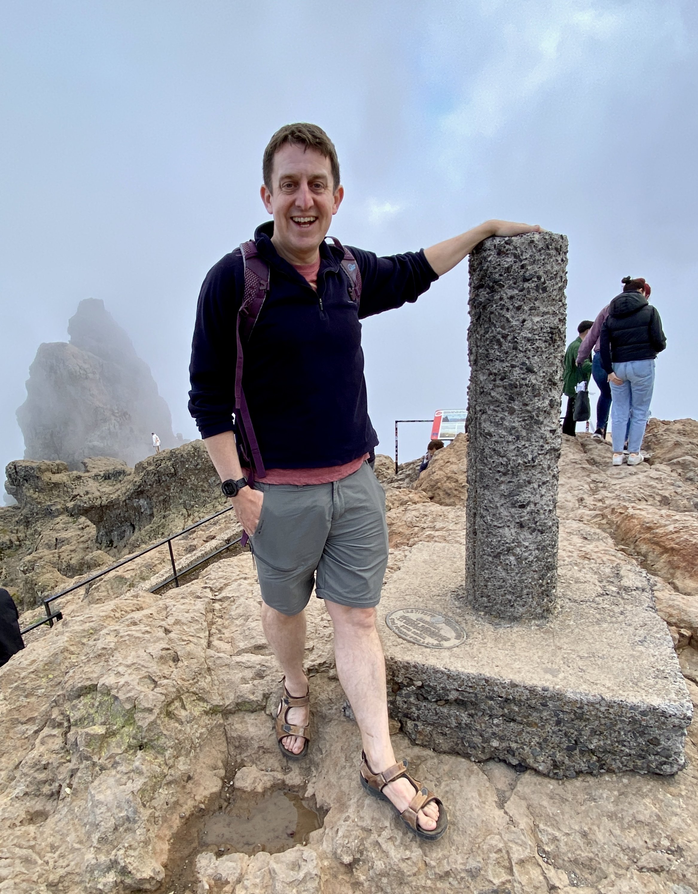
Date “climbed”: February 25th 2025
Coordinates: 28°36′46″N 17°51′58″W

Start / Finish: Parking spot on the LP-301
Distance:
7.5 km (4.7 miles)
Elevation Change: +/- 305m
GPX File: get via Buy Me a Coffee
Other Routes Touched (walk): Camino Cabeza de Voca, PR LP 14 El Paso - Refugio del Pilar. SL LP Coladas de San Juan - Llano de Jable
Cafe / pub on route: None
Links: Wikipedia (La Palma, Tajogiante), Centro de interpretación Caños de Fuego


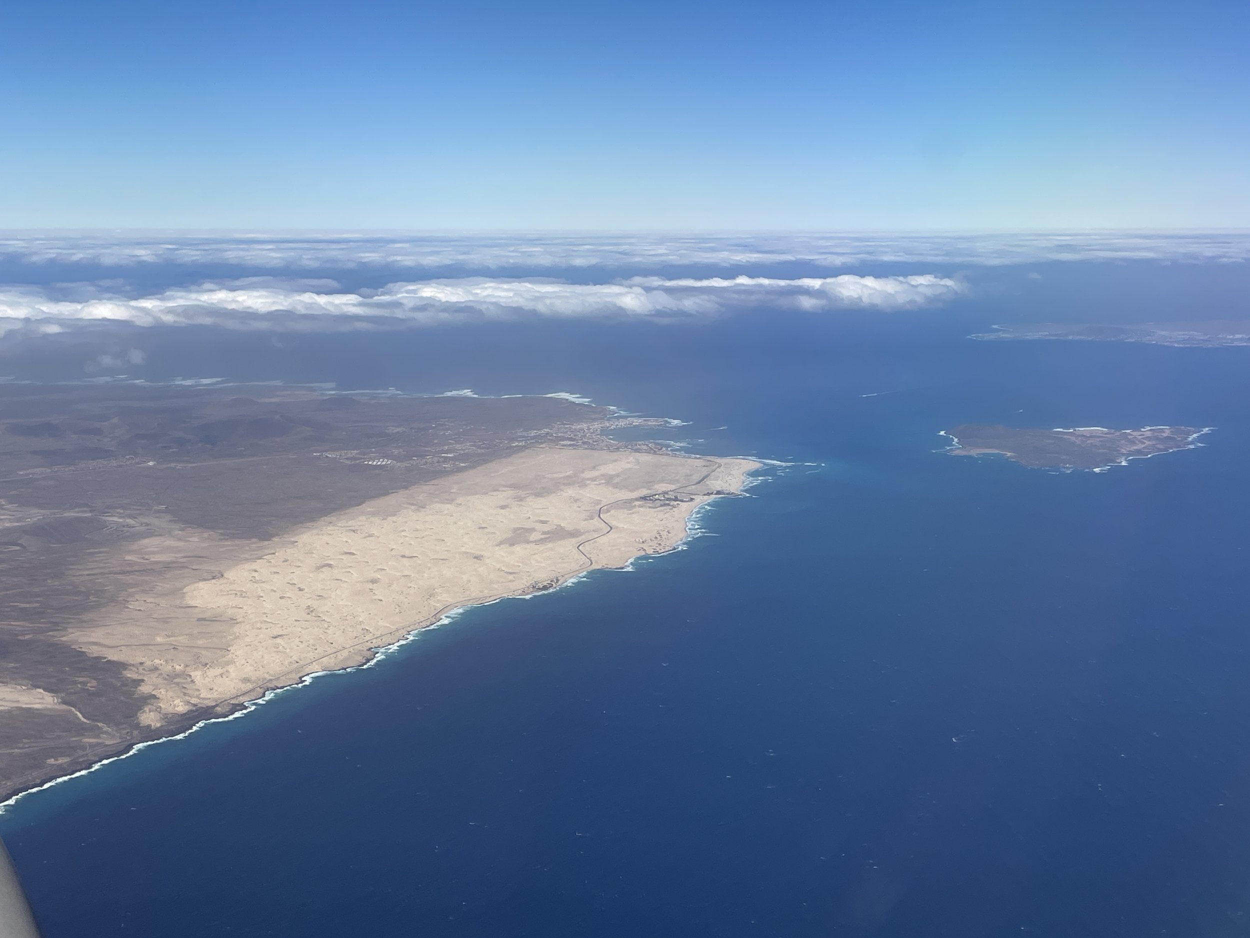
A highlight of our 2025 winter-sun trip to La Palma was learning about Tajogiante, the new volcano created after the island’s 2021 eruption. We had booked our hotel in Puerto Naos in the south-west the island not knowing how impacted the town was by the eruption. We soon found out on our drive from the airport along a newly built highway across the lava fields.

The best place to learn about the eruption and its after-effects is the Visitors’ Centre (Centro de interpretación Caños de Fuego) near Las Manchas. The knowledgeable staff, videos and displays describe the events of both the 2021 and 1971 eruptions. You can also visit one of the lava tubes with a guide and walk along the raised platform over the lava fields. You can visit the larger lava tube (Cueva de Las Palomas) but you’ll need to use a separate tour company. You can find details of these companies at the Visitor Centre reception. Several of them also do the guided tours to the Tajogiante Crater.

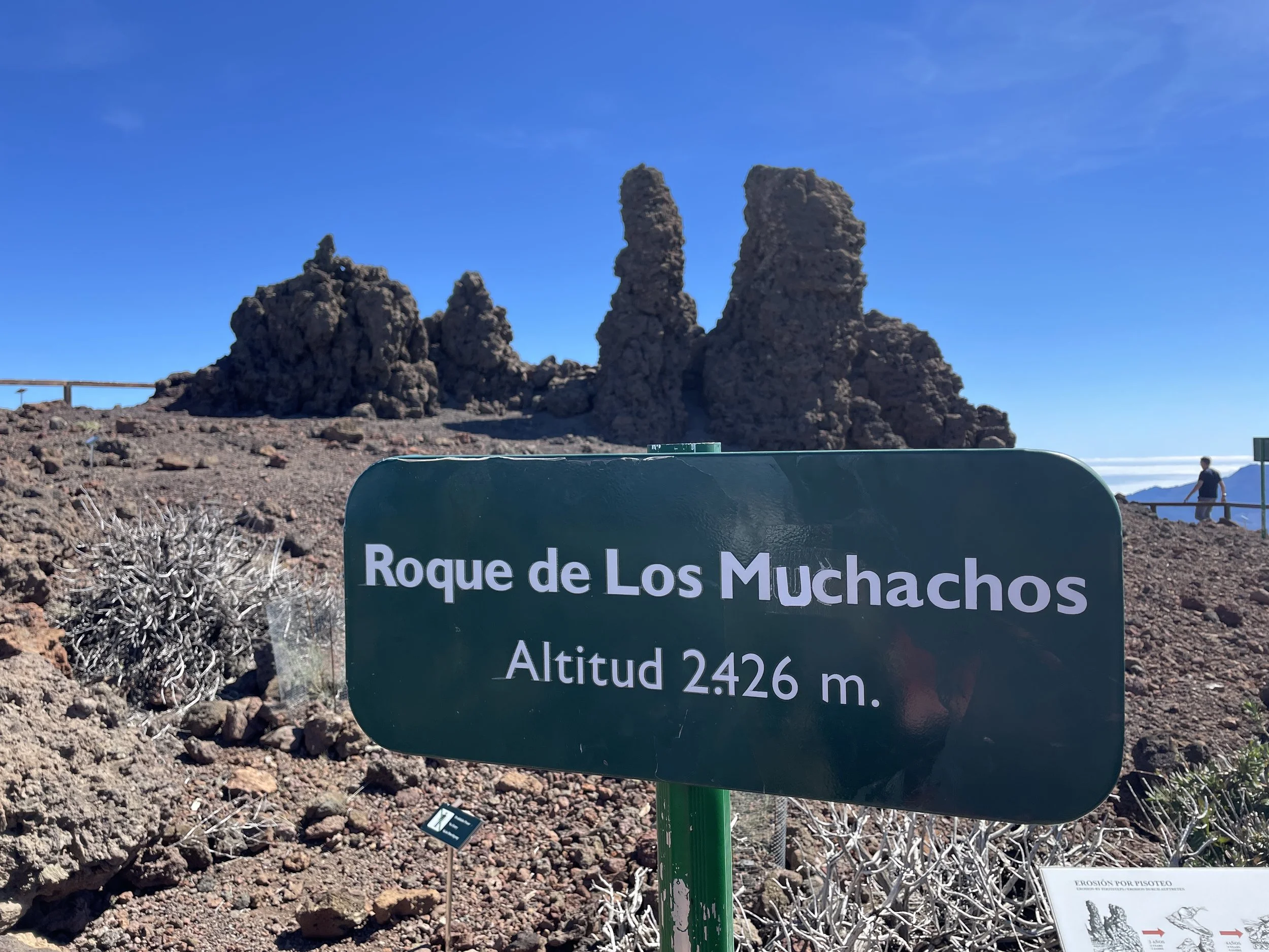
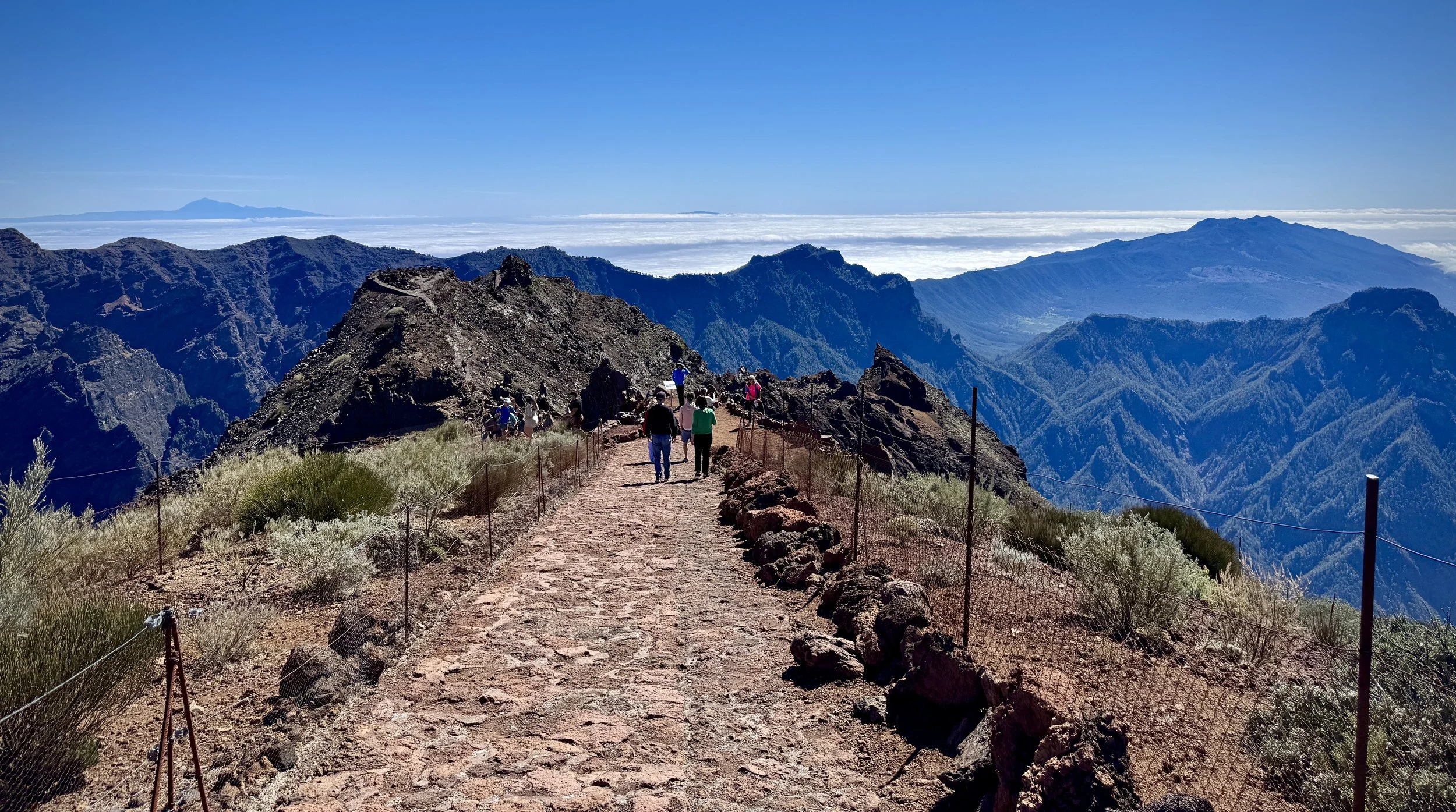
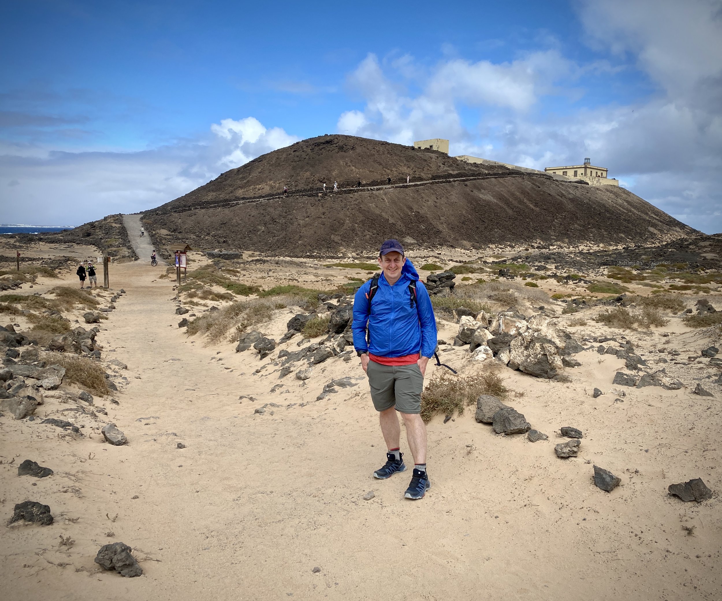
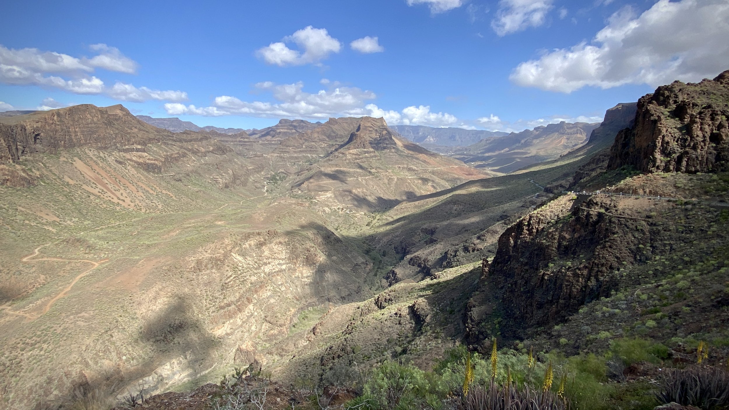
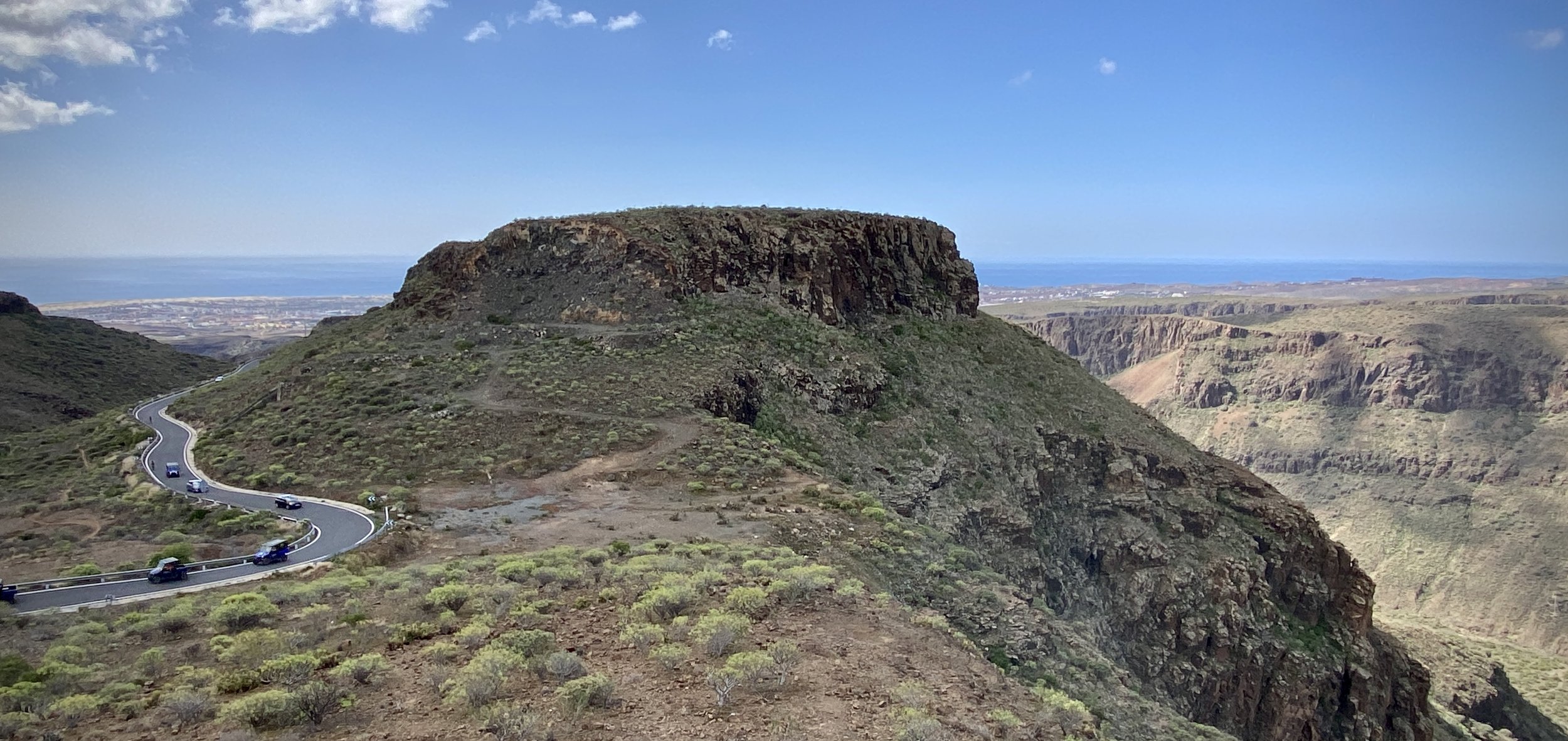
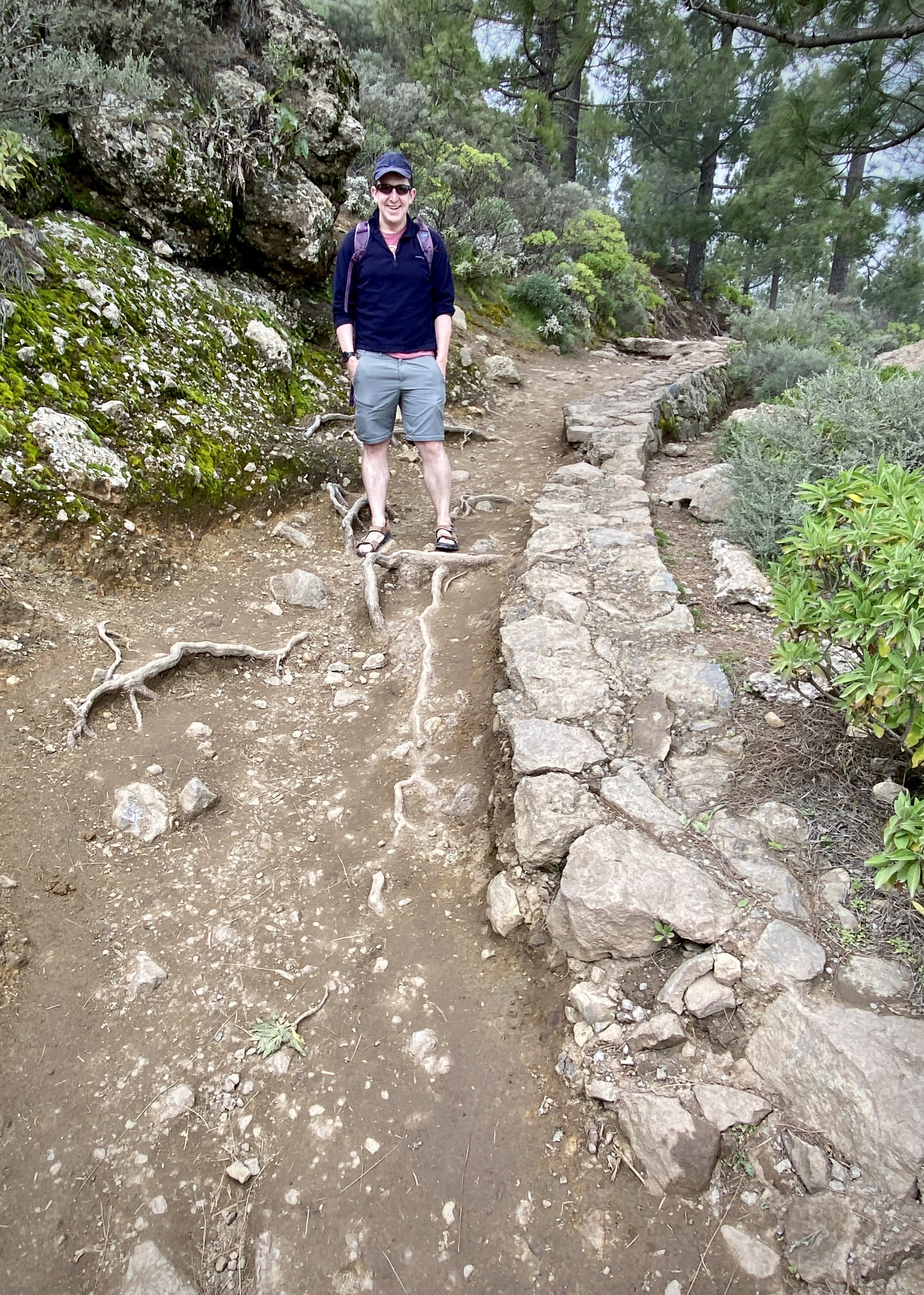
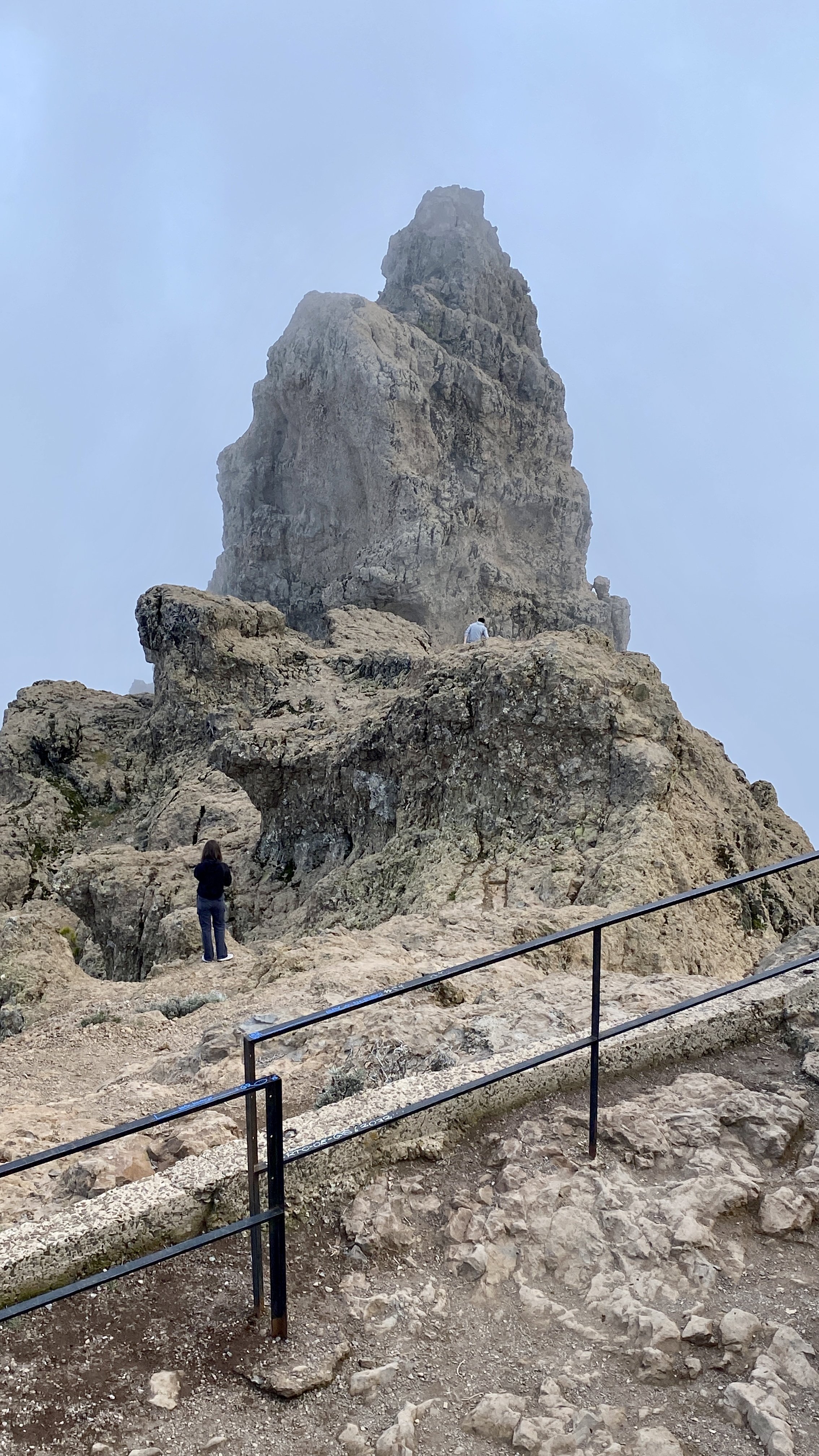
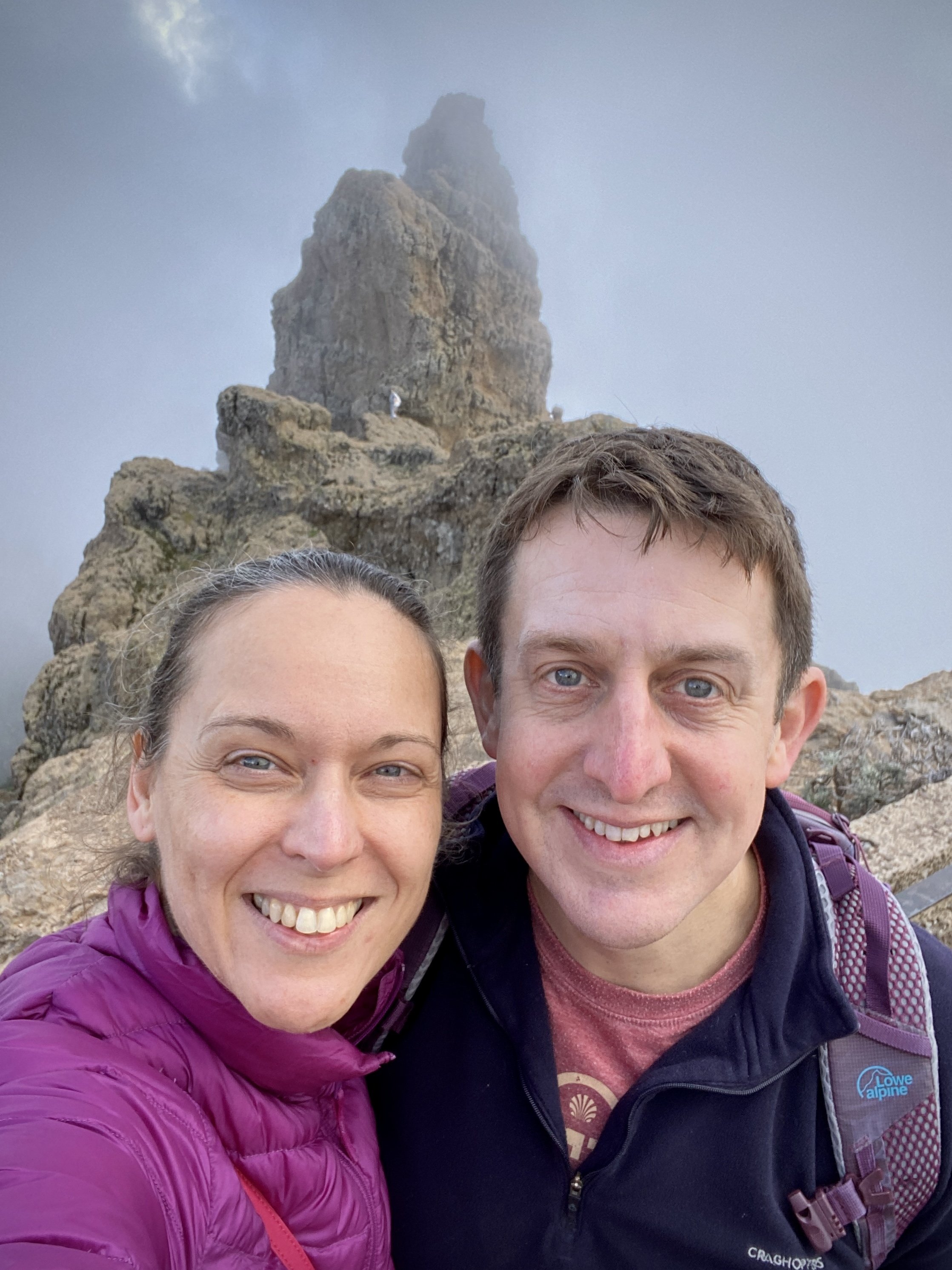
We chose La Palma Natural for our 3-hour guided walk to the crater. Note that you can’t do the walk without an authorised guide and you’ll be stopped by a ranger at the hut near the start of the walk. We met our guide plus the 4 other guest at the Tourist Office in El Paso and were driven to trail-head on the LP-301 road. From there it’s a beautiful 4 km walk descending down to the nearest point you can get to the crater. As with the Roque de los Muchachos trip earlier in the week, we were blessed with warm, dry weather and a clear sky so the views were amazing. The return to the start followed a different route, gradually ascending to the road.


Roque de los Muchachos, La Palma High Point

View to Tenerife from Roque de Los Muchachos


Roque de los Muchachos

English Translation: “Rock of the Boys”
Significance:
Highest point on the Island of La Palma, Canaries, Spain
Elevation: 2,428m
Date “climbed”: February 23rd 2025
Coordinates: 28° 45' 15'' N, 17° 53' 5'' W

Start / Finish: Small parking area at Mirador de Roque de los Muchachos, Ctra. al Roque de los Muchachos, 38788, Santa Cruz de Tenerife
Distance:
1.3 km (0.8 miles)
Elevation Change: +/- 84m
GPX File: get via Buy Me a Coffee
Other Routes Touched (walk): GR 131 El Baston
Cafe / pub on route: None, nearest refreshments are vending machines at the Observatory Visitors Centre
Map: La Palma Tour & Trail Super-Durable Map (David Brown)
Guidebook: La Palma and El Hierro Walking Guide (Sunflower Guides)
Links: Wikipedia (La Palma, Roque de los Muchachos), Peakbagger,


At the end of February we always escape the UK winter to go somewhere warm for Timea’s birthday. The Canary Islands have been a good choice for us for winter sun and we’ve been working our way through them one per year. As well as a bit of relaxation we always attempt to tick off each island’s highest point. Unfortunately, often due to weather, we’ve missed out on a few of the summits. That’s why I was excited to see that you can drive to La Palma’s highest point. I wasn’t completely sure that we would reach it though. My friend Joel had visited the island 6 weeks before and the the access road was closed. The weather was on our side with no issues getting to the top.

While you’re there, it’s well worth visiting the space observatories located near the high point. We booked a 90 minute tour with Ad Astra which included a tour of the Gran Telescopio Canarias, the largest optical-infrared telescope in the world. The high point is a 10 minute drive from the Observatory visitor centre.

The main thing to know about the car at the high point is that it’s very small and gets very busy, especially right after the Observatory tours. We made a point of leaving the Observatory Visitor Centre straight after the tour had finished to get ahead of everyone else. The car park was full when we got there but we only had to wait a few minutes to get a space. Those that came after us had to wait on the tricky hair-pin bends for spaces to become available. We found the guy at the top in the hut to be especially unhelpful at managing the traffic so Timea had to get out to be an unofficial car park supervisor. Without that nobody would have got in or out for ages.

Once parked you’ll find the Trig Pillar at the northern edge of the lot with great views across to the observatories. From here you can take a 1.3 km out-and-back walk down to the Mirador del Espigón del Roque. We were especially lucky as it was a clear day and we had views across to Tenerife, La Gomera and El Hierro.


Isla de Lobos, Fuerteventura

Punta Martiño Lighthouse on the northern tip of the island


The Canary Islands are a regular choice for us to spend our end-of-winter holidays. They’re always warm in February and, at 4 hours flight time, they’re about as far as we want to travel for a one week trip.

Our goal for these trips is always resting over adventure and I’ve learned not to get over-excited about ticking off everything on the islands. We’ve missed most of the highest points either due to weather or length of walk. Due to this we’ve managed to successfully miss the highest points on Tenerife, Lanzarote and La Gomera. We did manage to get to the Gran Canaria summit although that’s only the highest accessible point very close to the actual high point.

So, on our week in Fuerteventura I had written off the high point even before we left the UK. Pico de la Zarza is not a very difficult hike but it was too long and too hot for our relaxing break. I added it to the list of the other Canary High Points to cover later on a different type of trip at at a different time of year.

My need for high point bagging ended up being satisfied by a trip to a small island just off the north coast of Fuerteventura. Isla de Lobos is a 5k / 15 minute ferry ride from Corralejo harbour. It has well-marked hiking trails totaling 10k and an out-and-back ascent of Montaña La Caldera.

We took the 12:30 foot ferry run by Naviera Nortour. By the time all the tourists had stopped their faffing on and off the boat it was 13:00 before we started the hike. This gave us a full 3 hours on the island before needing to be back at 16:00 for the 16:15 return ferry.

We had read on other blogs that the 10k circuit takes 2 and a quarter hours to complete. That would be a very fast pace, especially if including the high point. We walked at a steady pace, stopped for lunch 15 minutes at the lighthouse and took the full 3 hours.

We took the anticlockwise route having seen a recommendation in another blog post that this would be the less popular route. Everyone with us that day must have read the same post as most people were going the same was as us.

A few minutes later east of the ferry pier is El Puertito where there’s a pretty bay and a restaurant. We passed through it quickly as it was already crowded. From there we took a side route from the main path that takes in Las Lagunitas.

The paths around the island are well maintained and mostly flat. When you get to the lighthouse be prepared for a short climb up the hill. You’re now roughly half way into the walk and a good place for photos and a rest.

After the lighthouse return to the base and take the right hand path, now on GR131. After 3.5 km you’ll reach the spur to climb the hill to the high point. If you don’t fancy it you can carry straight on back to the ferry pier.

The weather had changed for the second half of our walk and we had some light rain on the approach. As we started ascending the rain stopped and some heavy wind started. Timea got to around 100m of elevation and decided that was enough for her as she didn’t want to be blown off back to the mainland.

I continued the remaining 10 mins to the summit to reach the Trig Pillar, get a few photos and tried not to be blown off. Even that day there were great views to both Fuerteventura and Lanzarote but I didn’t hang around for long to admire them.

From the path junction to the Montaña it’s another 20 minutes walk back to the ferry pier.

With a new island and a high point bagged I was now happy to head back to the hotel to relax for the rest of the trip.


The Hike

Start / Finish: Lobos Island Ferry Pier
Distance:
9.9 km (6.1 miles)
Elevation Change: +/- 128m
GPX File: get via Buy Me a Coffee
Other Routes Touched (walk): GR131 Camino Natural de Fuerteventura
Cafe / pub on route: Chiringuito Lobos Antoñito El Farero, 600m from the Ferry Pier
Guidebook: Walking on Lanzarote and Fuerteventura (Cicerone)
Links: Fuerteventura, Corralejo, Lobos Island


Montaña La Caldera

Also known as: Caldera de Lobos
Significance:
Highest point on Isla de Lobos
Elevation: 127m (although listed as 124m on Peakbagger)
Date “climbed”: February 23rd 2024
Coordinates: 28° 45' 6'' N, 13° 49' 49'' W
Links: Peakbagger


Isla de Lobos from above


Gran Canaria: Then and Now

Five years ago Timea and I visited Tenerife for our February end-of-winter getaway. One of the highlights was recreating some of the old photos from when I used to visit there with my family when I was growing up. Here’s the results. Five years later we booked Gran Canaria for our winter break and decided to do the same.

We went to Tenerife a lot as a family in the ‘80s as my parents shared an apartment there with my dad’s business partner and his family. We only went to Gran Canaria once and I’m guessing that it was 1983 when I was 7, going on 8. That would put it at exactly 40 years before I returned with Timea. I only had one memory of the inside of the hotel that we stayed in, plus a small collections of scanned in photos.


Flight to Gran Canaria

1983: Small boy, big window

2023: Big boy, small window


Hotel Paraiso Maspalomas

Coming back to Maspalomas after 40 years I assumed that the hotel that we stayed in might not still be there. As it turned out there’s a lot of very old hotels in the resort, mixed with some very modern luxury ones. After having a walk down the sea-front and not finding it, we decided to ask one of the older gentlemen who worked on reception at the hotel where we were staying. As it turned out he knew it well and actually worked there in the ‘80s, maybe at the time I was there before. He pin pointed it on a map for us and we visited there a few days later.

When we drove towards it the white and yellow curved balconies were obvious. Very little had changed since 1983 and much of the décor probably hasn’t been updated since then. The major difference is that it’s now a private apartment block rather than a hotel.

1983: View to the hotel rooms from the pool

2023: Same view. Rooms are now private apartments

1983: Dad looking out to the pool bar from our hotel room

2023: Pointing at the approximate location of the original room

1983: The big atrium inside the hotel

2023

1983: Me and Lisa (sister) in the atrium

2023

1983: In the pool

2023: Slightly pained expression due to sun in my eyes

1983: Me and dad in the pool

2023

1983: Me with my Nintendo Game and Watch. Likely Super Mario Bros. and Donkey Kong

2023: Nintendo replaced by iPhone. You can’t see it but I have the original photo (left) on the iPhone screen

1983: The water slide between the pools

2023: Slides barred off, presumably due to a health and safety incident


Barranco de Guayadeque

Apart from the hotel the other batch of old photos that I had were from a ravine where we went on a donkey safari. The only clue that I had was one photo displaying a sign for Bar Vega. I looked it up on Google Maps and it’s still there, although now called Restaurante Vega. The roads have had an upgrade in the past 40 years and it now takes only 35 minutes to get there from Maspalomas.

The ravine is famous for its cave dwellings where people have lived in the rocks for 100s of years. As we drove up the ravine road I remembered walking along a path past some of the cave houses. The road is only passable to tourist traffic until the restaurants, after which it continues as a narrower local road further up into the mountains.

Our first stop was Bar Vega where we easily found the spot from the original photo. We stayed there for lunch and showed the hold photos to the son of the owner. They told us that the other bar photos that we had were from the Restaurant La Era next door so we visited that too. The owner of La Era was very excited to see the old photos as asked to send her copied. She also told us about the Donkey Safari which we did in the ‘80s but no no longer operates.

1983: Bar Vega overlooking the Barranco (ravine) de Guyadeque

2023: Same view, same bar

1983: Restaurante La Era, next to Bar Vega

2023: Restaurante La Era. Original table and music area is now a bar

1983: Restaurante La Era overlooking the ravine

2023: Same spot - notice the stone pillar behind me

1983: overlooking the terraces just down the hill from the restaurants

2023: Old stone wall replace by a fence


Here’s a great clip from the 1980s travel show Wish You Were Here? featuring Playa del Ingles. I remember watching this show when I was growing up and it’s likely that we would have seen this clip before we went to Gran Canaria in 1983.

Playa del Ingles is the older part of a now continuous resort that includes the towns of San Agustín, San Fernando and Meloneras and is most commonly referred to as Maspalomas. For our return trip in 2023 we stayed in a newer hotel near the Dunes. We walked the 2 km to the centre of Playa del Ingles to find it looking much the same as in the Wish You Were Here? clip. The old hotels and bars are still there and still as tacky as you’d expect.

Don’t get put off though as the newer developments to the west are much nicer. We’re definitely not into beach holidays but found Maspolomas to be a great location for exploring the island by car. You can access most of the island within an hour’s drive.


Roque Nublo and Pico de las Nieves, Gran Canaria

Ascent to Roque Nublo from La Goleta


While we were in Gran Canaria for a short winter break we escaped the coast for a day to head into the mountains. Our main destination was the high-point of the island, but there’s a lot of interesting places to stop along the way. As Camino enthusiasts we would have loved to have walked the 67 km Camino de Gran Canaria from Maspolomas to Galdar, but this was a relaxing holiday rather than an adventure. We got to see some of the Camino though as the road to the island high-point runs parallel to the southern half of the walking route. The Camino starts at the Faro (lighthouse) in Meloneras on the western side of Maspolomas and we had already visited it after a walk across the dunes on our first day.

For our roadtrip to the high-point we took the GC-60 north out of Maspolomas. There’s a few interesting places to stop along the way:

  • Mirador Astronómico de la Degollada de las Yeguas. 12km out from Maspolomas, this is a viewpoint with amazing view both back to the coast and of the Barranco de Fataga. It is situated at an altitude of 1,480 meters, making it one of the best places on the island to observe the stars and the night sky.

  • Necrópolis de Arteara. 16km out from Maspolomas, this is an ancient burial site considered one of the most important pre-Hispanic archaeological sites in the Canary Islands. The site consists of over 900 tombs that were used by the Guanches, the aboriginal people of the Canary Islands. The tombs are arranged in a circular pattern and are made of stone slabs and boulders.

  • San Bartolomé de Tirajana. 16km out from Maspolomas, this is a pretty village in the mountains that’s a great place to stop for lunch on the trip. Don’t miss the Tunte Catholic Church (Iglesia San Bartolomé), a natural stop on the Camino route.


Roque Nublo

Start / Finish: Roque Nublo Trailhead, GC-600, 35299 San Bartolomé de Tirajana, Las Palmas
Distance:
3.1 km (1.9 miles)
Elevation Change: +/- 151m
GPX File: get via Buy Me a Coffee
Other Routes Touched (walk): Route is along the S-70. Crosses the S-51 at the trailhead
Cafe / pub on route: Food van at trailhead by the road.
Map: Gran Canaria Tour and Trail Super-Durable Map
Guidebook: Walking on Gran Canaria: 45 day walks including five days on the GR131 coast-to-coast route (Cicerone Walking Guides)
Links: Roque Nublo, Tejeda

42 km out from Maspolomas, this is a famous volcanic rock formation located in the centre of the island. It stands at an impressive height of 80 meters and is a popular attraction for visitors to the island. Roque Nublo is a volcanic formation that dates back millions of years and is considered a sacred site by the aboriginal people of the Canary Islands, the Guanches.

The top Roque Nublo is the third altitude of the island of Gran Canaria, although accessing the summit requires rock climbing. For the rest of us the 2 mile oute-and-back walk from the parking spot on the GC600 is spectacular enough.


Pico de las Nieves

Also known as: Los Pechos
Significance:
2nd highest peak on Gran Canaria
Elevation: 1,951m
Date “climbed”: 20th February 2023
Coordinates: 27° 57' 43'' N, 15° 34' 18'' W

Start / Finish: Parking at Pico de los Pozos viewpoint, 35299 Gran Canaria
Distance:
0.1 km (0.1 miles)
Elevation Change: +/- 2m
GPX File: get via Buy Me a Coffee
Other Routes Touched (walk): S-20, S-37 and S-50
Cafe / pub on route: Food van in car-park.
Map: Gran Canaria Tour and Trail Super-Durable Map
Guidebook: Walking on Gran Canaria: 45 day walks including five days on the GR131 coast-to-coast route (Cicerone Walking Guides)
Links: Pico de las Nieves, Morro de la Agujereada, Province of Las Palmas, Peakbagger: Pico de las Nieves

50 km out from Maspolomas, Pico de las Nieves was the main attraction for our day in the mountains. The summit was considered the highest peak on the island, and it was the high point that I found on my initial research about the island. It’s actually the 2nd highest peak of Gran Canaria, behind the neighboring Morro de la Agujereada (at 1,956m).

You can access the summit as a quick drive-by as there’s a road to a car-park very close to the top. From the car-park it’s a short climb up some steps to the stone pillar that marks the summit.

When you look across to Morro de la Agujereada it’s a wonder how anyone would have thought that Pico de las Nieves was higher. As much as I would have loved to have summited the real high point, it’s another one, like Roque Nublo, for the rock climbers.


To return to Maspolomas by car from Pico de las Nieves, continue east along the GC-130 then take the GC-120 from Cazadores towards the Airport. Take the GC-1 south to Maspolomas. Total driving time approx 1 hour.


Tenerife & La Gomera: Then & Now

Coming back to Tenerife wasn't very appealing to me until recently. I must have been there about 20 times with my family when I was growing up. My parents had a half share in an apartment in Las Americas with my Dad's’ business partner’s family . We had some great times there and it was the setting for some of my fondest memories.

I only got the travel bug in my mid twenties and since then I’ve been on a mission to see the world. I developed a rule about not going back to places, so Tenerife never got a look in. It was going to Madeira last year and walking the Levadas that started to change my mind. I realised that I’d only seen holiday resort Tenerife, not the outdoor wonderland that most tourists never visit. It was time to return and to show Timi the holiday places of my childhood.

First up, a 5 mile walk of the resort to recreate some old moments...


Playa de las Americas

Playa de las Americas beach - early 1980s 

Playa de las Americas beach - early 1980s 

2018

2018

Dad: view to Villamar, Bouganville Playa and Gran Tinerfe - early 1980s

Dad: view to Villamar, Bouganville Playa and Gran Tinerfe - early 1980s

2018: Same view from lower position. Upper walkway now closed for building works.

2018: Same view from lower position. Upper walkway now closed for building works.

Dad: view to Parque Santiago 1,2,4 and Conquistador - late 1980s

Dad: view to Parque Santiago 1,2,4 and Conquistador - late 1980s

Richard - 2018

Richard - 2018

Los Angeles cafe & view to Roque del Conde mountain: mid 1980s

Los Angeles cafe & view to Roque del Conde mountain: mid 1980s

Flanagans: the scene of some epic 1980s dad dancing.

Flanagans: the scene of some epic 1980s dad dancing.

Cafe amazingly still there in 2018. Mountain obscured by palm trees

Cafe amazingly still there in 2018. Mountain obscured by palm trees

2018: Flanagan's is long gone. Still classy though.

2018: Flanagan's is long gone. Still classy though.


Parque Santiago 3

Parque Santiago 3 was the resort where my parents shared an apartment with the Blore's, the family of my dad's business partner. 

Mum in front of Parque Santiago 3 being built in the 1980s

Mum in front of Parque Santiago 3 being built in the 1980s

Mum: late 1980s. The big ugly block in the distance is the now-demolished Europa hotel

Mum: late 1980s. The big ugly block in the distance is the now-demolished Europa hotel

Timi in 2018

Timi in 2018

Same bridge 30 years later.

Same bridge 30 years later.

Late 1980s: Perfecting my smug grin

Late 1980s: Perfecting my smug grin

2018: Smugness comes naturally now. Bigger me, bigger tree. 

2018: Smugness comes naturally now. Bigger me, bigger tree. 


Mount Teide Cable Car

Summit of Teide, early 1980s

Summit of Teide, early 1980s

2018: slightly different angle, bit colder, but still there.

2018: slightly different angle, bit colder, but still there.

Old cable car: mid 1980s

Old cable car: mid 1980s

2018: new cable car. Click here for the Teide website's history of the cable car

2018: new cable car. Click here for the Teide website's history of the cable car

1980s low tech sign on the cable car station

1980s low tech sign on the cable car station

2018: same building, new tech.

2018: same building, new tech.


Dragon Tree, Icod de los Vinos

800 year old Dragon Tree in 1980s

800 year old Dragon Tree in 1980s

835 year old Dragon Tree.

835 year old Dragon Tree.


La Gomera

Roque de Agando - mid 1980s, rocking the Comic Relief T-shirt

Roque de Agando - mid 1980s, rocking the Comic Relief T-shirt

Ruins of old banana harbour - mid 1980s

Ruins of old banana harbour - mid 1980s

View of Tenerife from La Gomera ferry: mid 1980s

View of Tenerife from La Gomera ferry: mid 1980s

Roque de Agando - looking a bit older in 2018

Roque de Agando - looking a bit older in 2018

2018 - still ruined but looks like someone lives there now.

2018 - still ruined but looks like someone lives there now.

2018: much more development. Think there's a volcano in there somewhere.

2018: much more development. Think there's a volcano in there somewhere.


And finally, one of my favourite photos: The Gowers and The Blores at the Santiago 3 apartment before a night out (late '80s). Sadly, no 2018 recreation for this one as not all of the original cast are still with us. 

ERNE6501.JPG

Not Walking to Teide and Alto de Garajonay
Mt Teide

Mt Teide


Mt Teide

Significance: High point of Tenerife, The Canary Islands and Spain
Summit height: 3,717m
Highest point reached: 3,555m
Guidebook: Europe’s High Points (Cicerone)


I don’t remember much about visiting Mt Teide. I’ve definitely been before, at least to the bottom of the Teleferico (cable car). Judging from the old photos it must have been about 35 years ago.

I do remember talking with my dad about going up again when I was an early teenager. This was in my less adventurous days and I was scared when my dad told me that the air would be thinner up there. I had this fear that it would be too thin for him and he would have a heart attack. I realised today that he would have been about the same age as I am now ... which I’ve now decided is really really young.

So, on my first trip back in over 20 years and with a well developed adventure obsession, I had to make it to the top. I’d made all the plans: permit, pre booked tickets, all the right clothing. The only problem was that it was February and the trail from the upper cable car station was shut due to ice.

Despite the near miss of reaching the summit, Timi and I had an amazing day. We ticked off the Teide National Park UNESCO site and got some amazing photos of the peak and Los Roques de Garcia before the clouds came down.

I was a bit disappointed in not getting to the top but February is always a risk. It’s was the same reason we didn’t get to Mt Olympus in Cyprus 3 years ago. After all, our mission for the week was to have a relaxing end of winter break, not to get to the summit. Anway, I figured that we would have better luck climbing Alto de Garajonay on Friday.

IMG_0842.JPG

Alto de Garajonay

Significance: High point of La Gomera
Summit height: 1,487m
Highest point reached: 1,250m


Whilst a Teide trip is simple to organise, La Gomera is trickier. We wanted a 1 day trip from where we were staying in Costa Adeje, Tenerife. I started researching 6 weeks before. The first company that I emailed obviously hadn’t got the knack of using computers. After 2 weeks with no reply to my enquiry I emailed again. Apparently their reply was stuck in their draft folder. They sent me as brief an email as they could muster, so I replied with a few basic questions. No response.

With a bit more research I found another company that had a few interesting trekking options on their website. I picked one and paid online, giving all the details they asked for, including the hotel where we were staying it. It was a good sign that I got a response straight away, but strange that they were asking me again where I was staying. I told them our hotel name and within minutes got a refund with a blunt email saying I that I could not join the trip as I was not staying on the island. After a bit of back and forth with me trying to explain how god customer service works, I gave up.

Attempt #3 was prompted by an email from my hotel asking if there was anything they could do to help with our upcoming stay. They even had an Experience Centre with a dedicated email address. I wrote to them to explain what we wanted to do on La Gomera. No reply. Was the island was actively trying to discourage tourists? By now I’d given up hope of making arrangements in advance and decided to chill out and sort out when I got to Tenerife.

Once we’d arrived at the hotel and settled in Timi and I went to the hotel’s Experience Centre to ask about La Gomera. Having not quite got to the top of Teide we were determined to bag at least one island summit. I asked whether the jeep safari they offered would go to Alto de Garajonay, the highest point on the island. The guy made a phone call and confirmed that yes, it definitely did. Result.

On the day of the trip we were picked up early and taken on the ferry from Los Cristianos to San Sebastián de la Gomera. Soon after arriving the jeep convoy stopped at a nearby viewpoint and the main guide explained the day’s agenda. It all sounded great but was a bit odd that he didn’t mention to stop at the summit. I asked him about it... “no, unfortunately we don’t go there, it’s a bit of a hike and no tour company goes there.” I was, as you could imagine, not amused.

The tour itself was OK but not special and certainly nothing to make up for the lack of summiting. We did the usual stops for the Aloe Vera Farm, Banana Plantation, local lunch and Botanical Gardens. All fairly interesting but not worth the money we’d paid for, especially as I’d been there before. So close.

Back at the hotel I made sure they understood my frustration and eventually got my money back. I’ll spare you the details here as my Tripadvisor review explains it well.

So, the learning for La Gomera is not to go with an excursion if you want to get to the high point. Don’t believe anyone who tells you they go there unless you’re sure they completely understand that Alto de Garajonay doesn’t mean just the National Park that surrounds it. You may have better luck than I did with a local company on Gomera, just don’t expect good customer service.

We plan to go back but we’ll organise it ourselves now that we know what to do and where to go. The best plan seems to be to go by ferry on foot and hire a car on La. Gomera. Our first plan had been to take our Tenerife based rental car over on the ferry, then we found out that most rental companies don’t allow it. The island roads from the port to the national park are good and there’s several parking spots around the trail to the summit. We will probably stay on the island for a few days and check out the many other trails too.

IMG_6159.JPG

So close

Roque de Agando - volcanic plug, a highlight of the centre of La Gomera

Roque de Agando - volcanic plug, a highlight of the centre of La Gomera