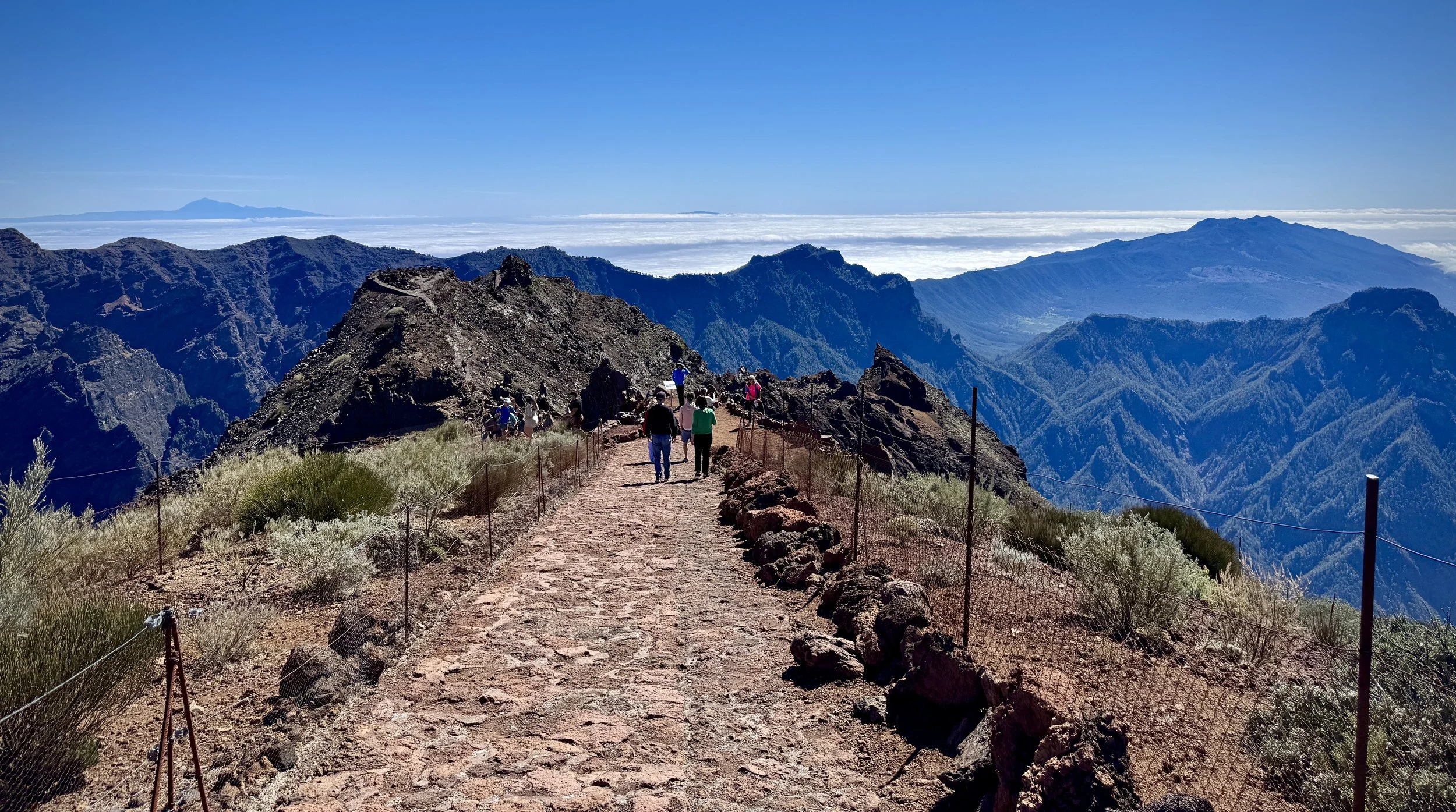
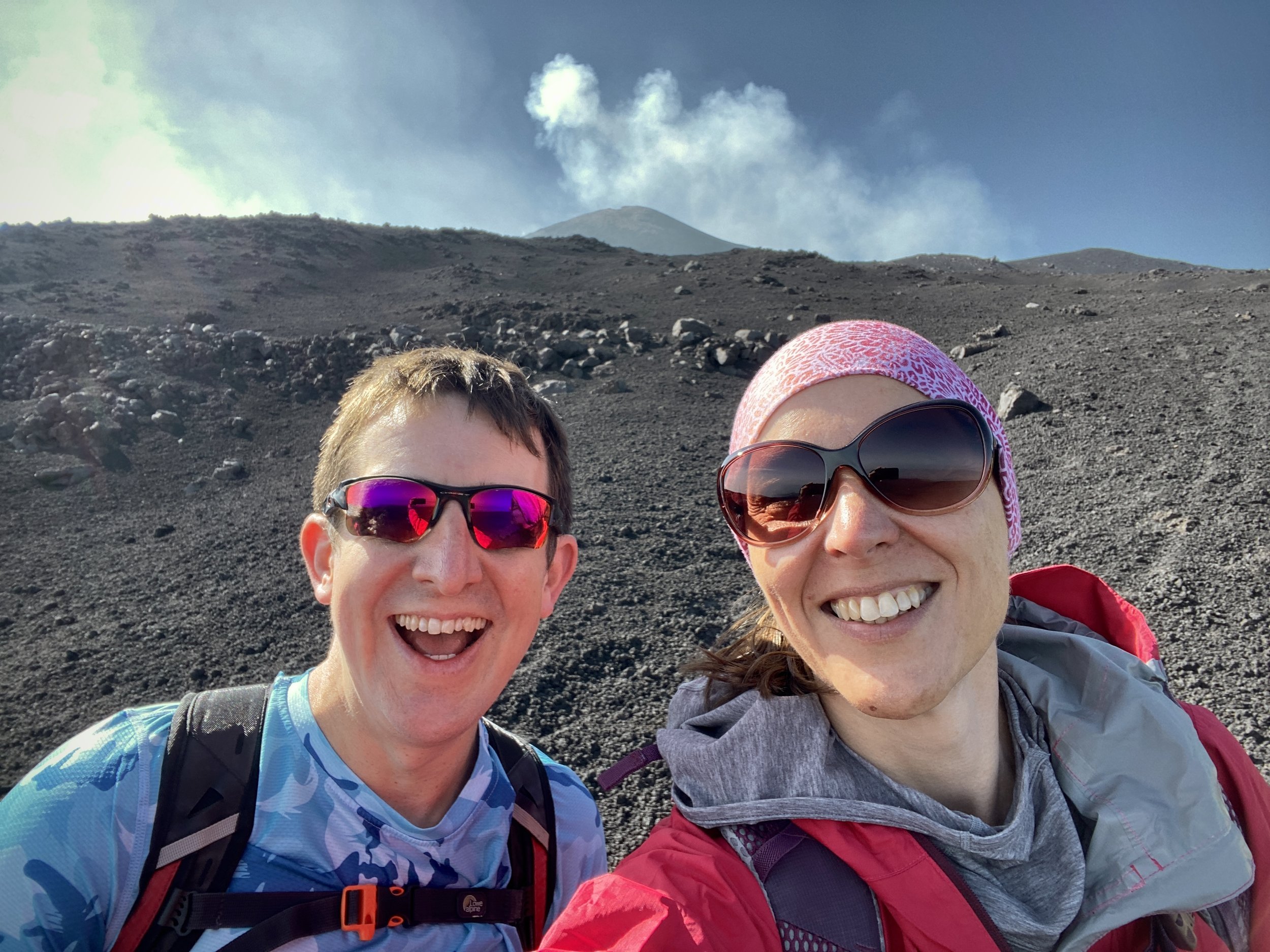
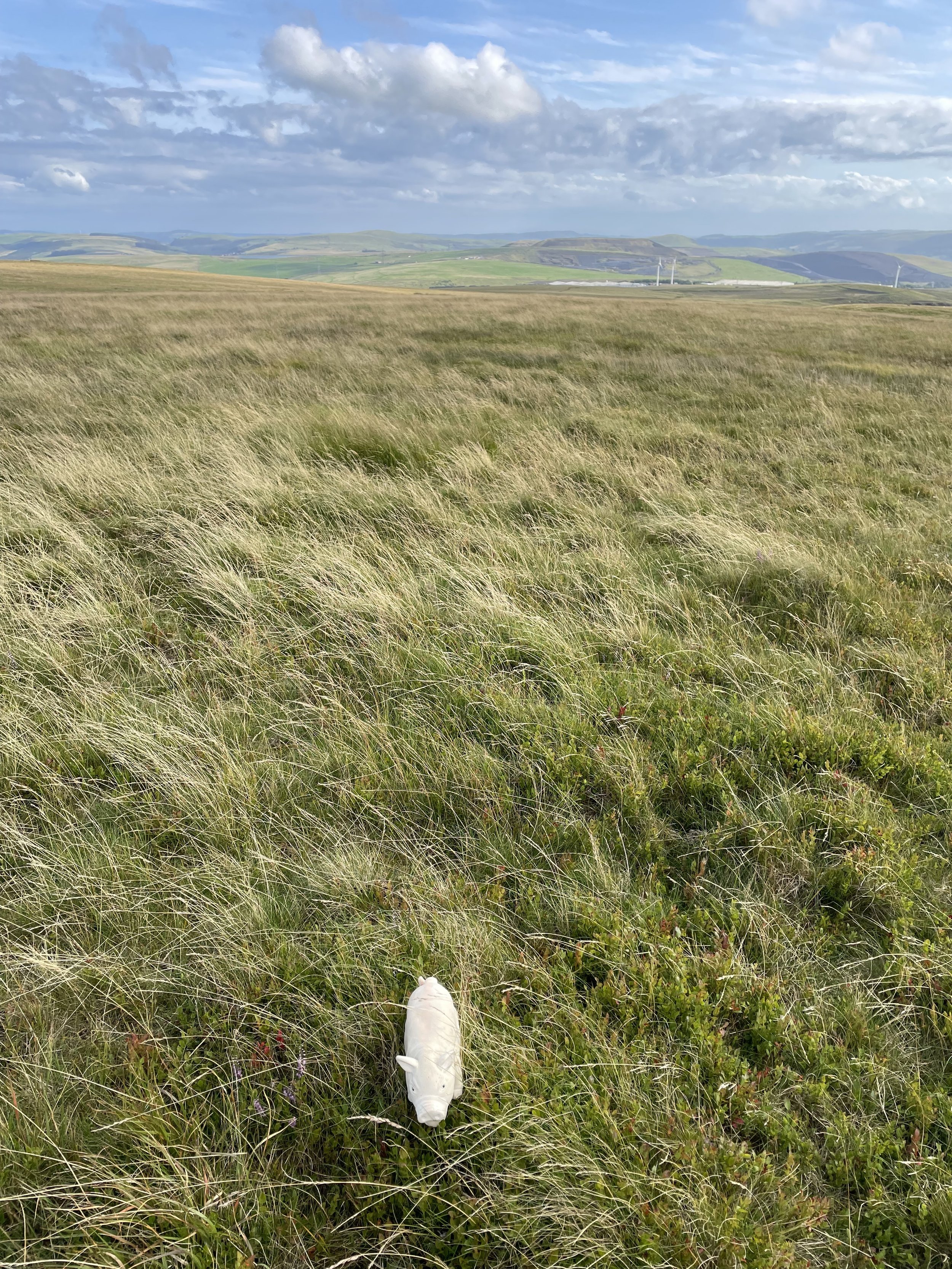
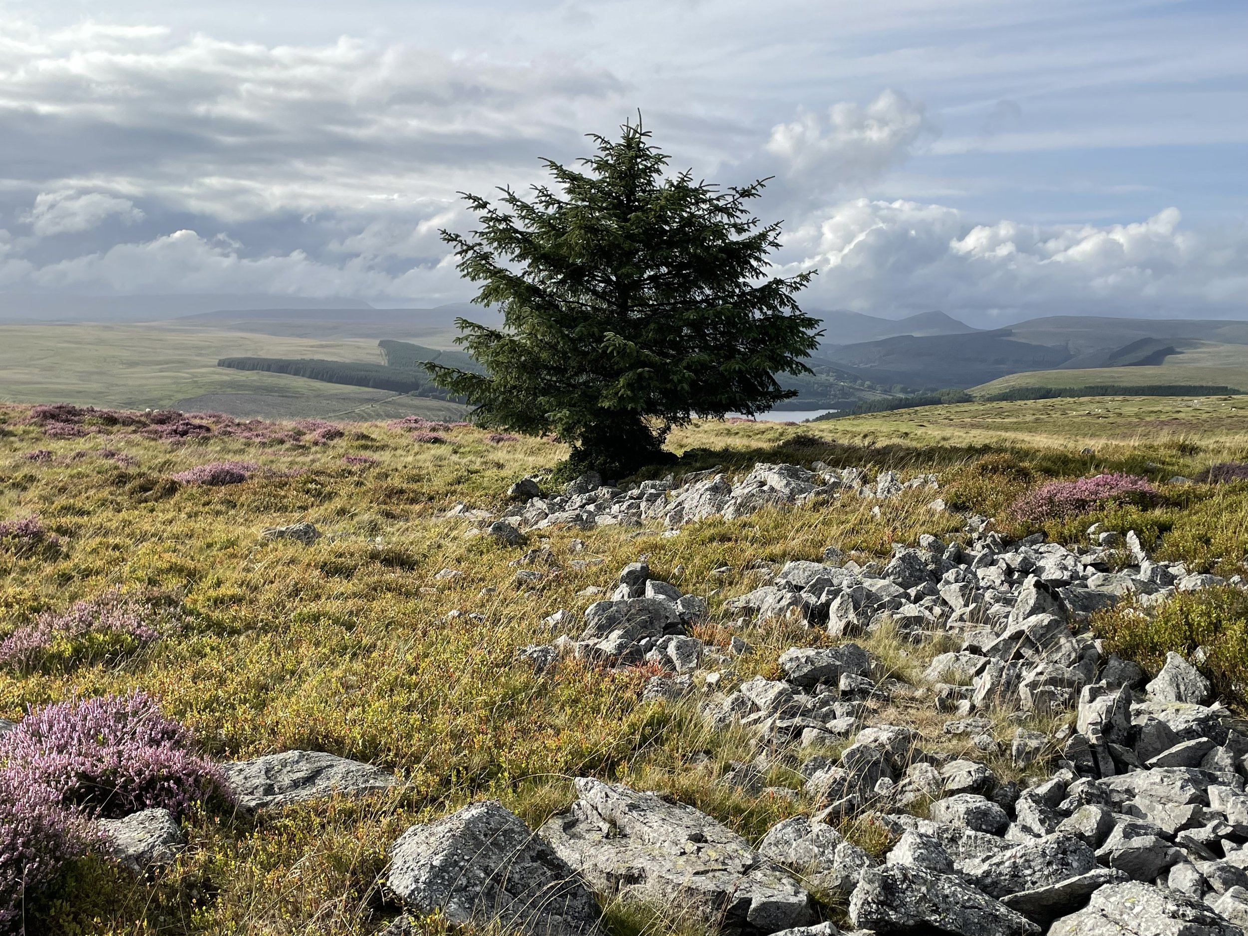
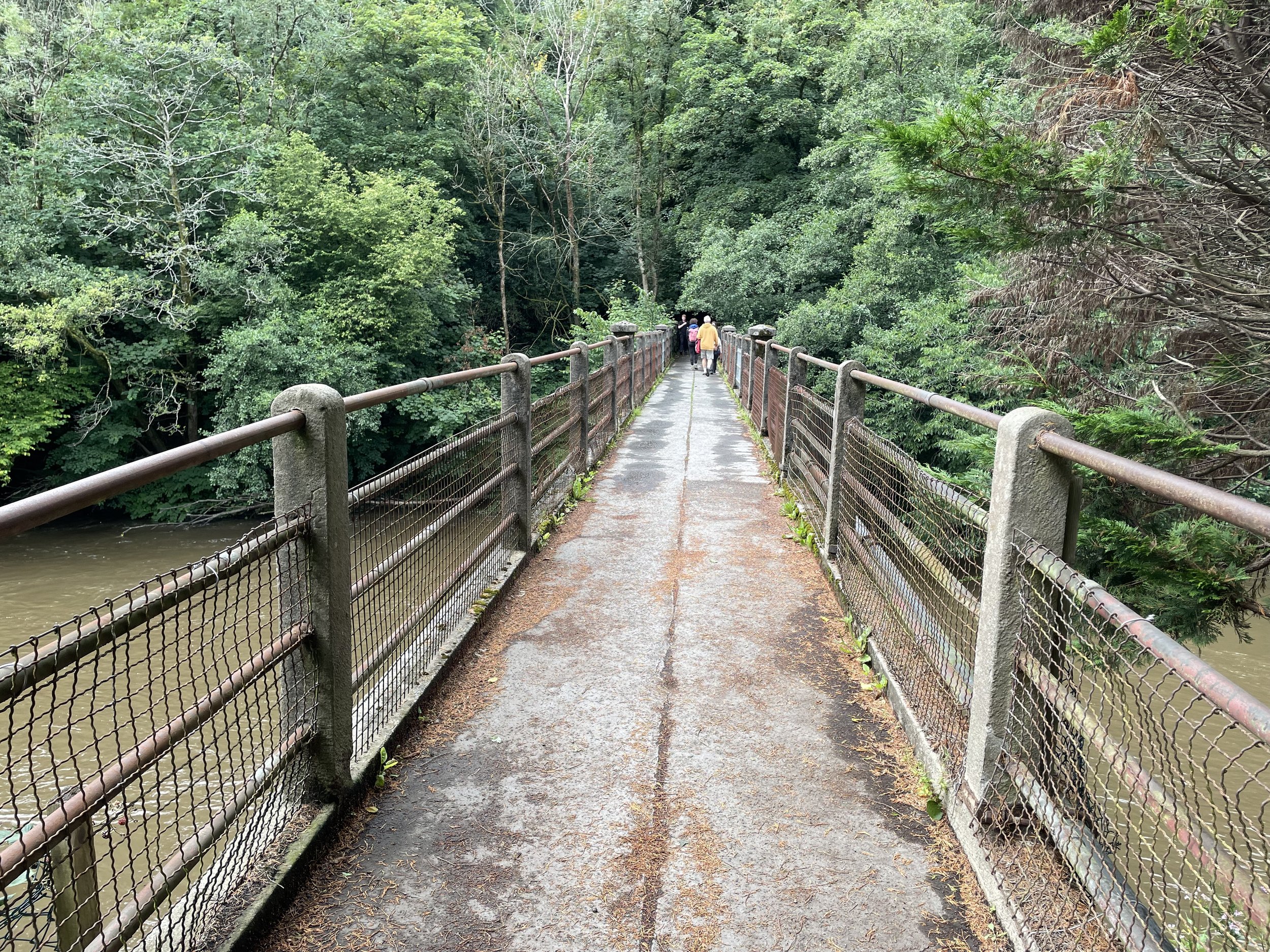
Ascent to Macdui with Loch Morlich in the background
Also Known As: Beinn Macduibh
Significance: Historic County Top for Aberdeenshire & Banffshire
Member of: UK County Tops, Scotland County/Unitary Authority High Points, Marilyns, Munros
Nearest Higher Neighbour: Ben Nevis
Elevation: 1,309m
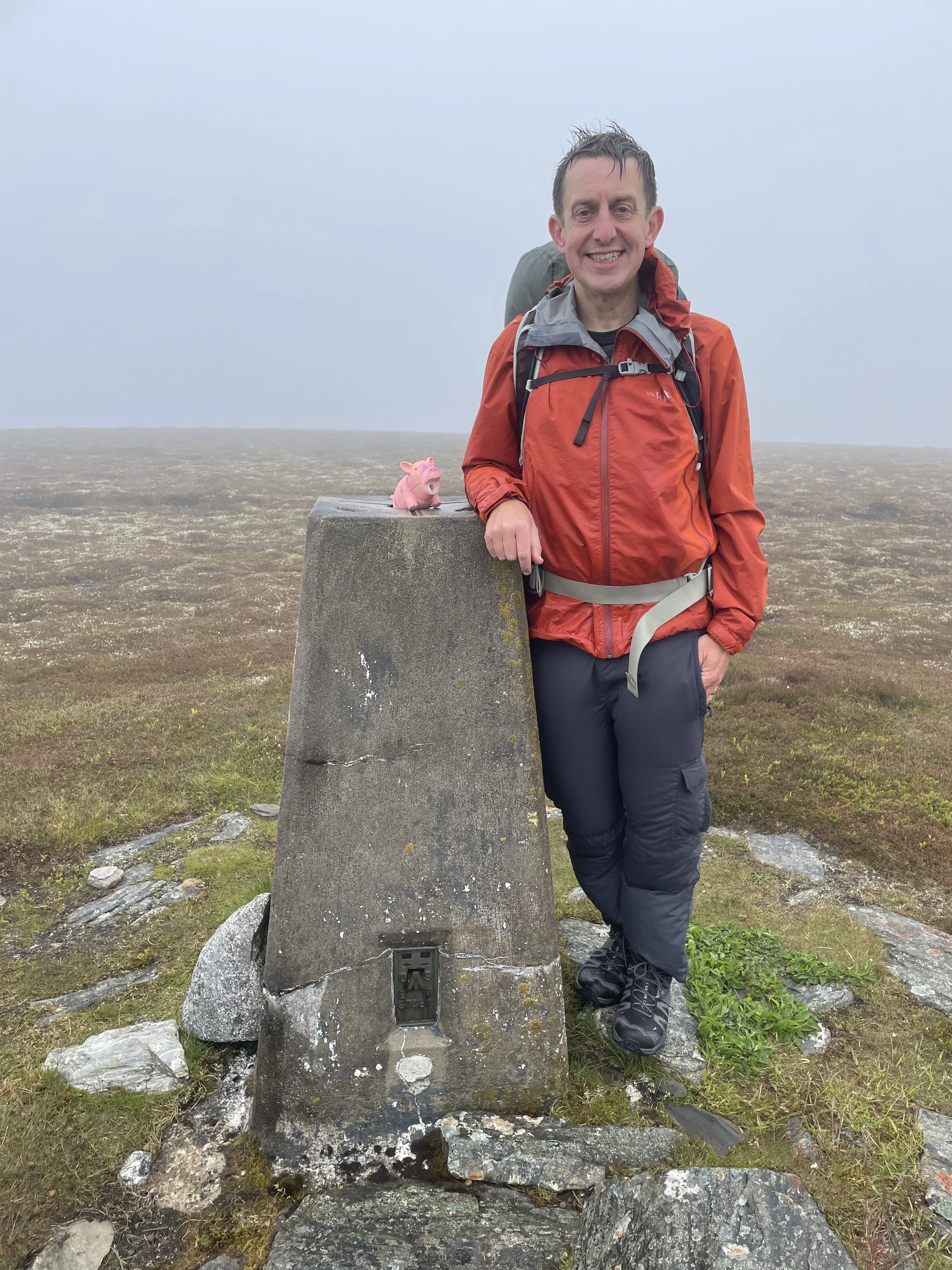
Date climbed: June 13th 2025
Coordinates: 57° 4' 14'' N, 3° 40' 9'' W
Route Start & Finish: Cairngorm Mountain Upper Cas Car Park, Aviemore, PH22 1RB
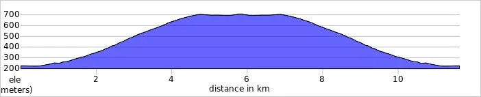
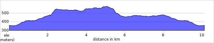
Route Distance: 17.4 km (10.8 miles)
Route Elevation change: +/- 1.027m
Subsidiary tops on route: Ben Macdui - North Top (1,295m), Cairn Lochan (1,215m), Stob Coire an t-Sneachda (1,176m), Cairn Gorm - Fiacaill a' Choire Chois (1,141m), Cairn Gorm (1,244m)
GPX File: get via Buy Me a Coffee
Other routes touched (walk): Cairn Gorm Trail, Miadan Path
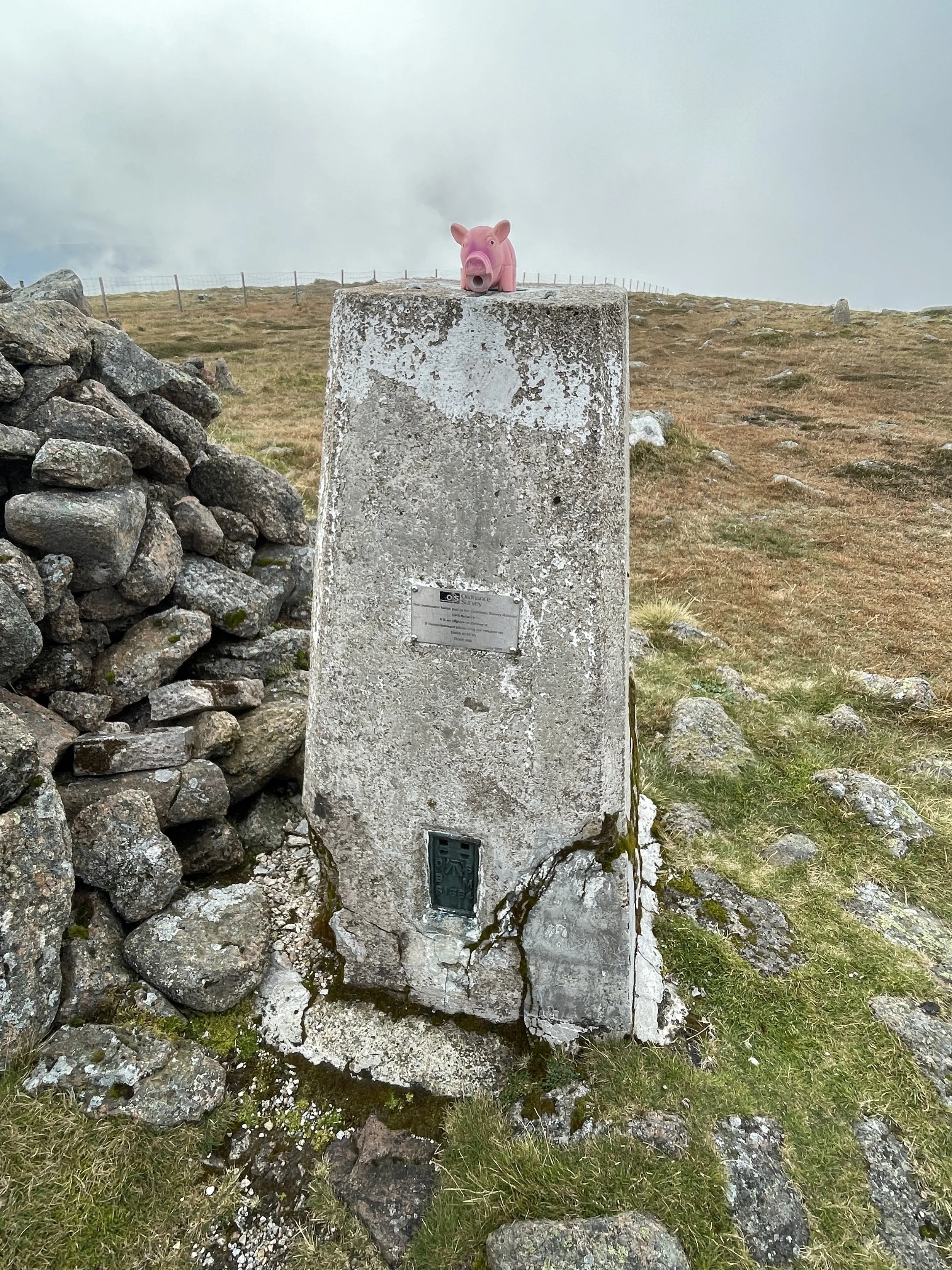
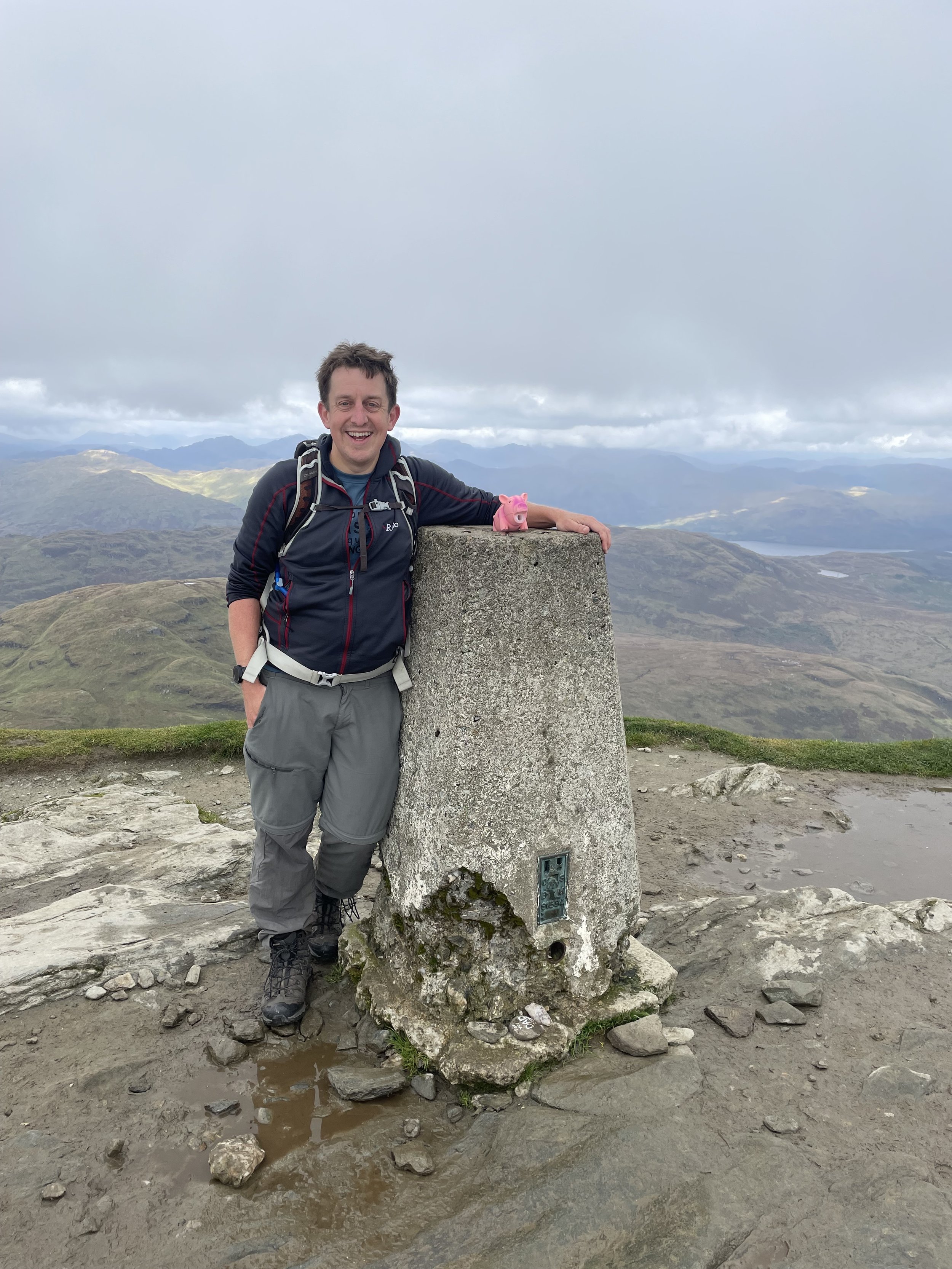
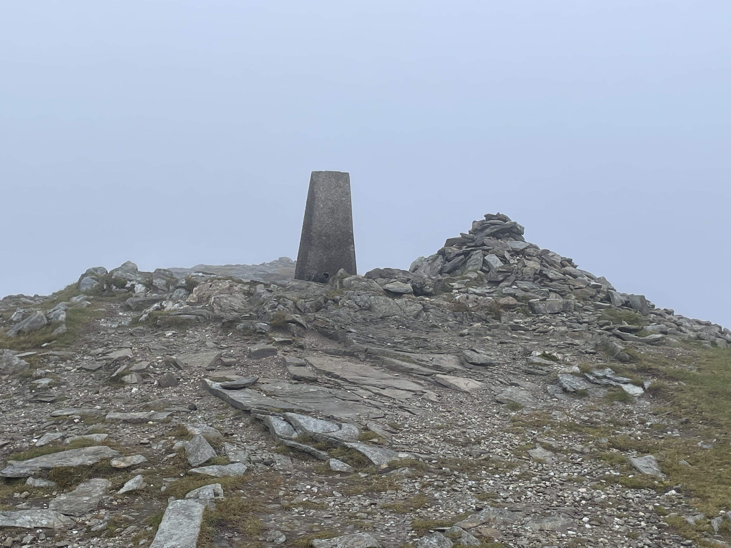
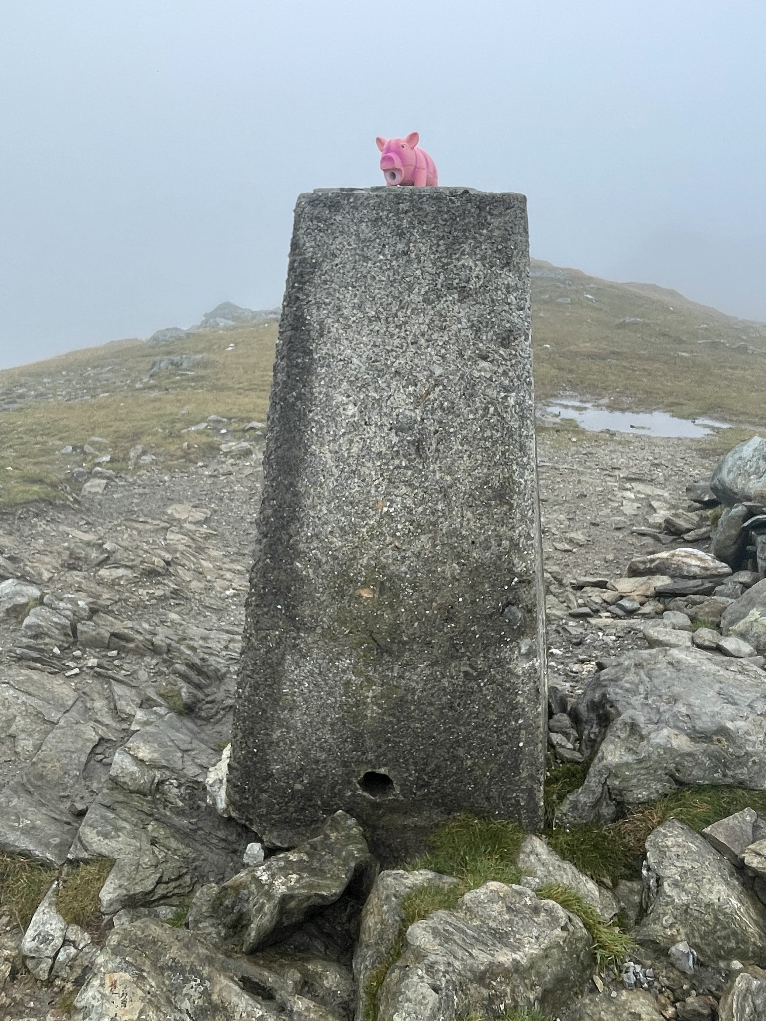
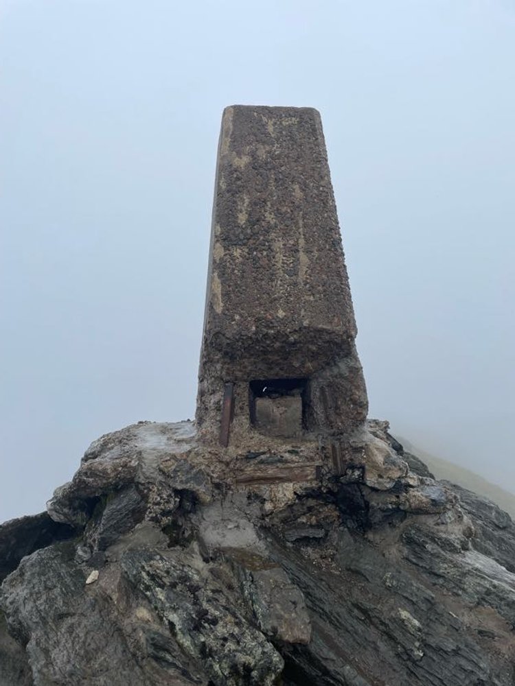
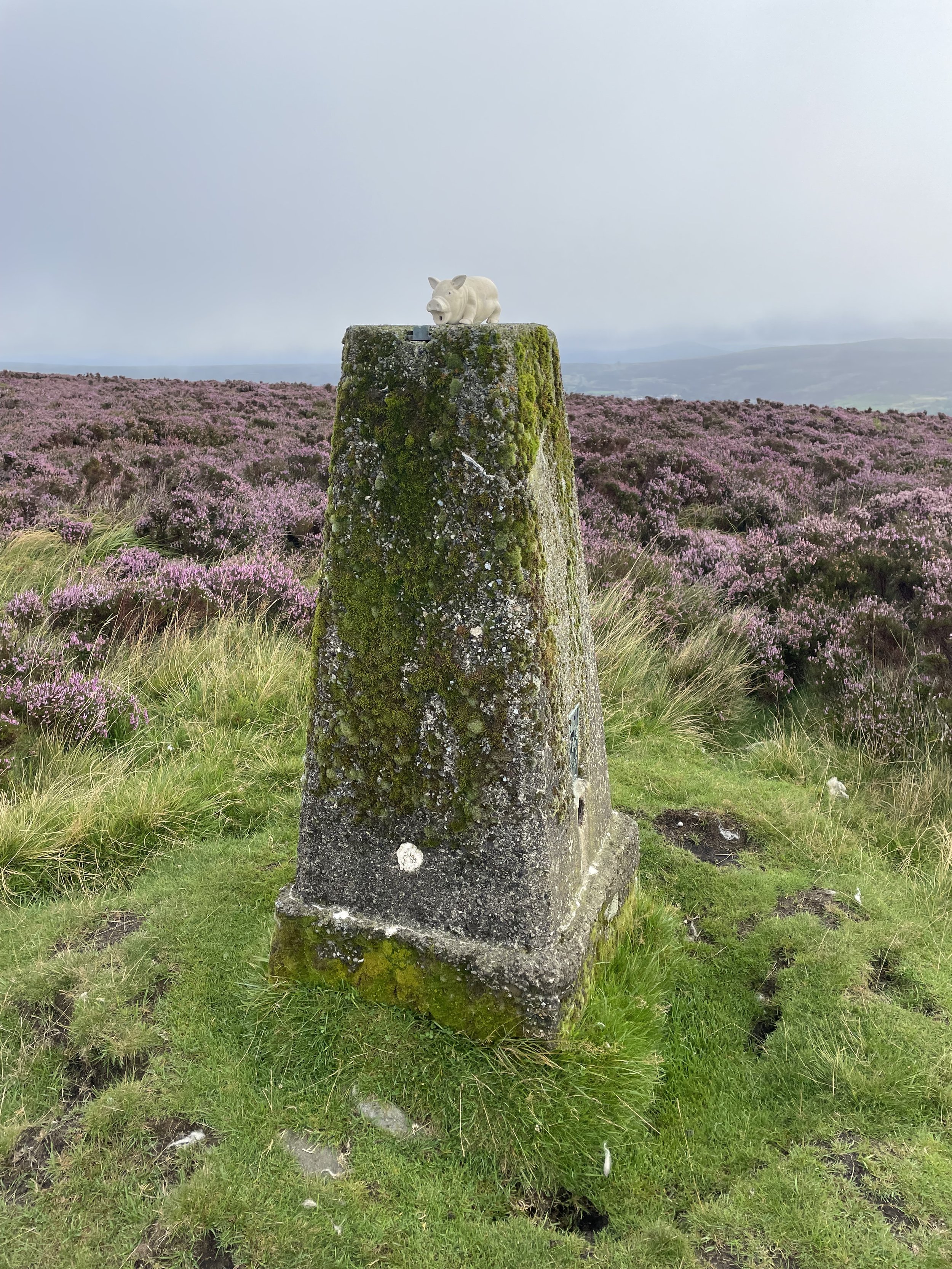
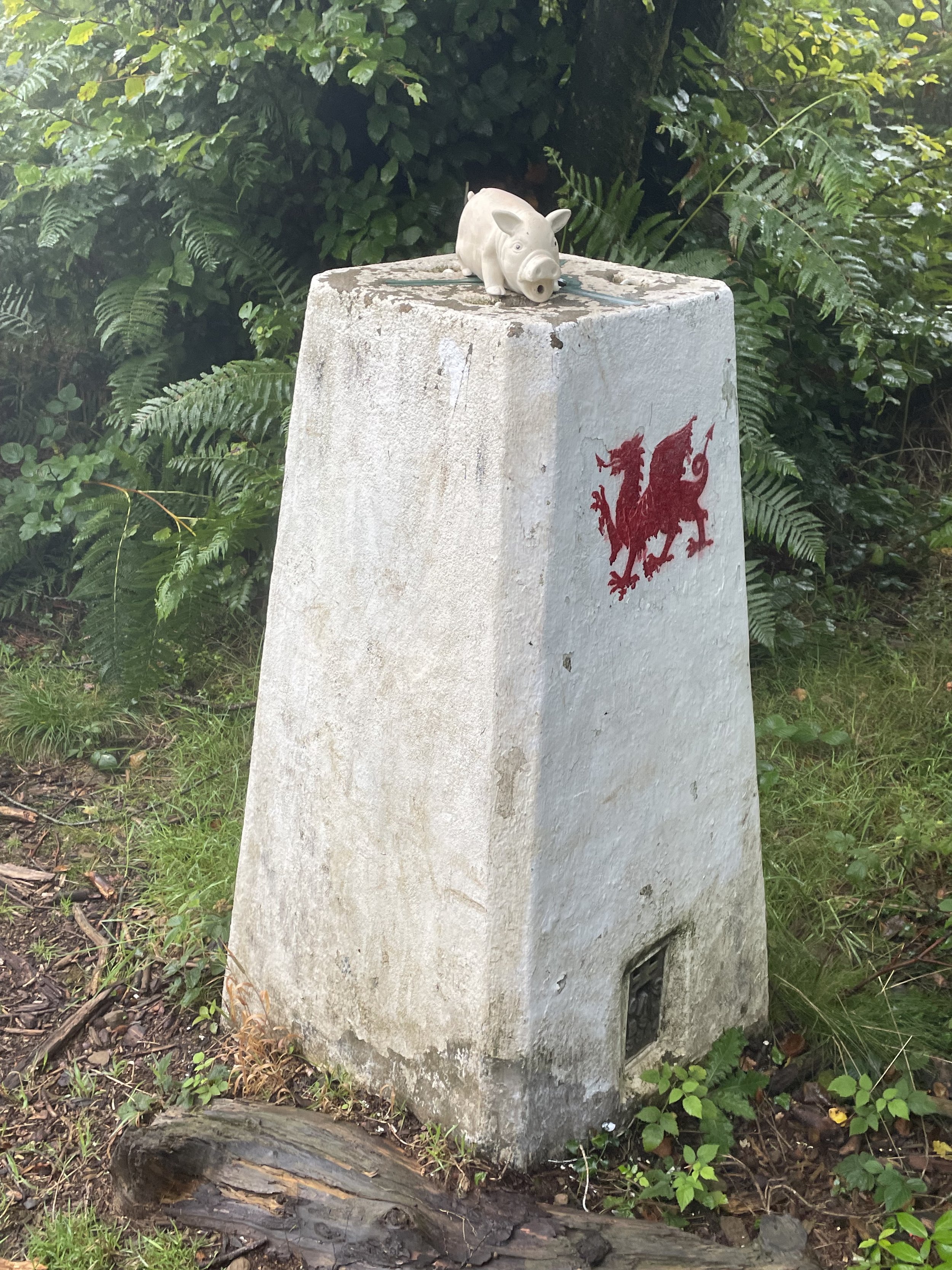
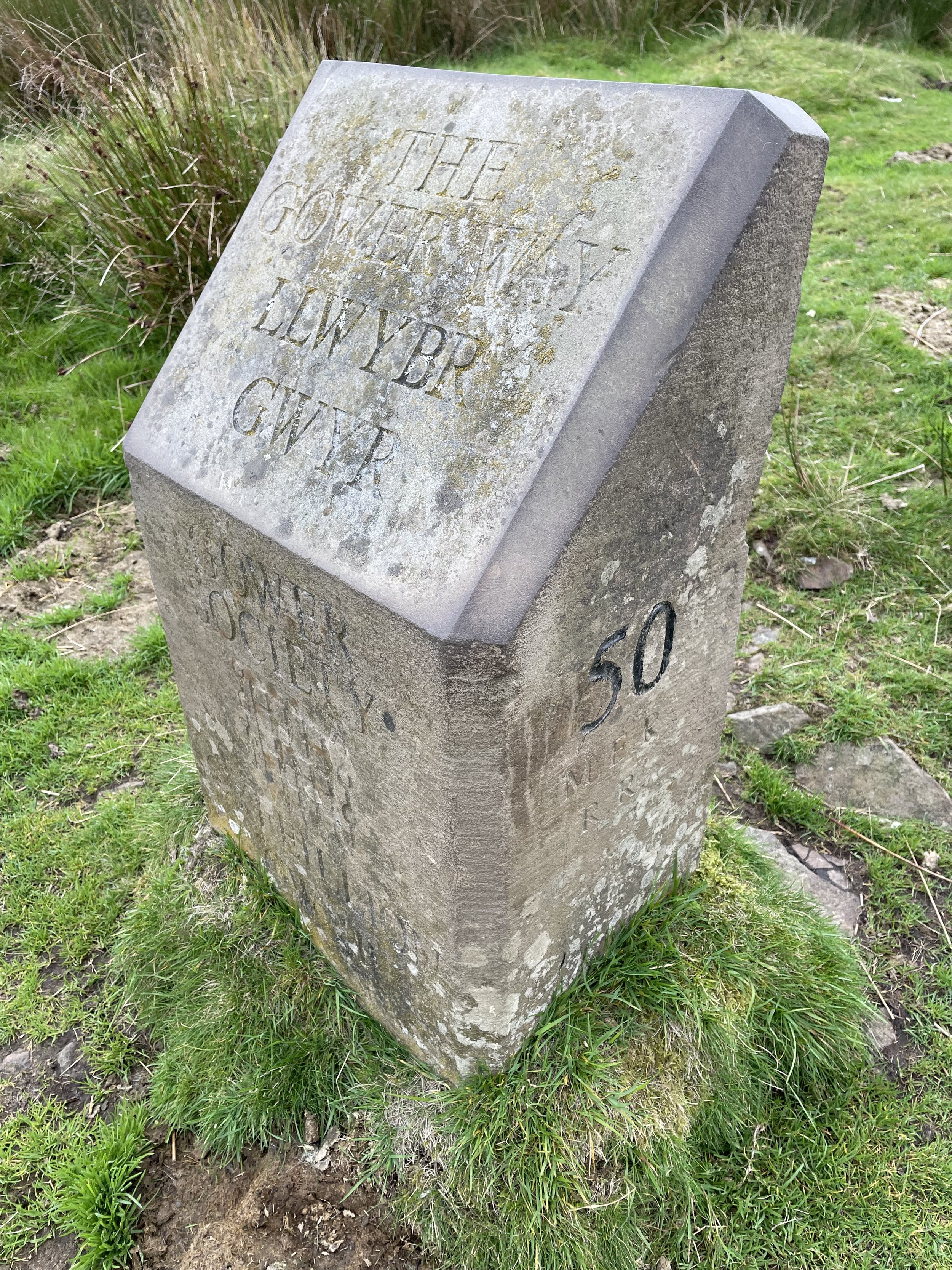
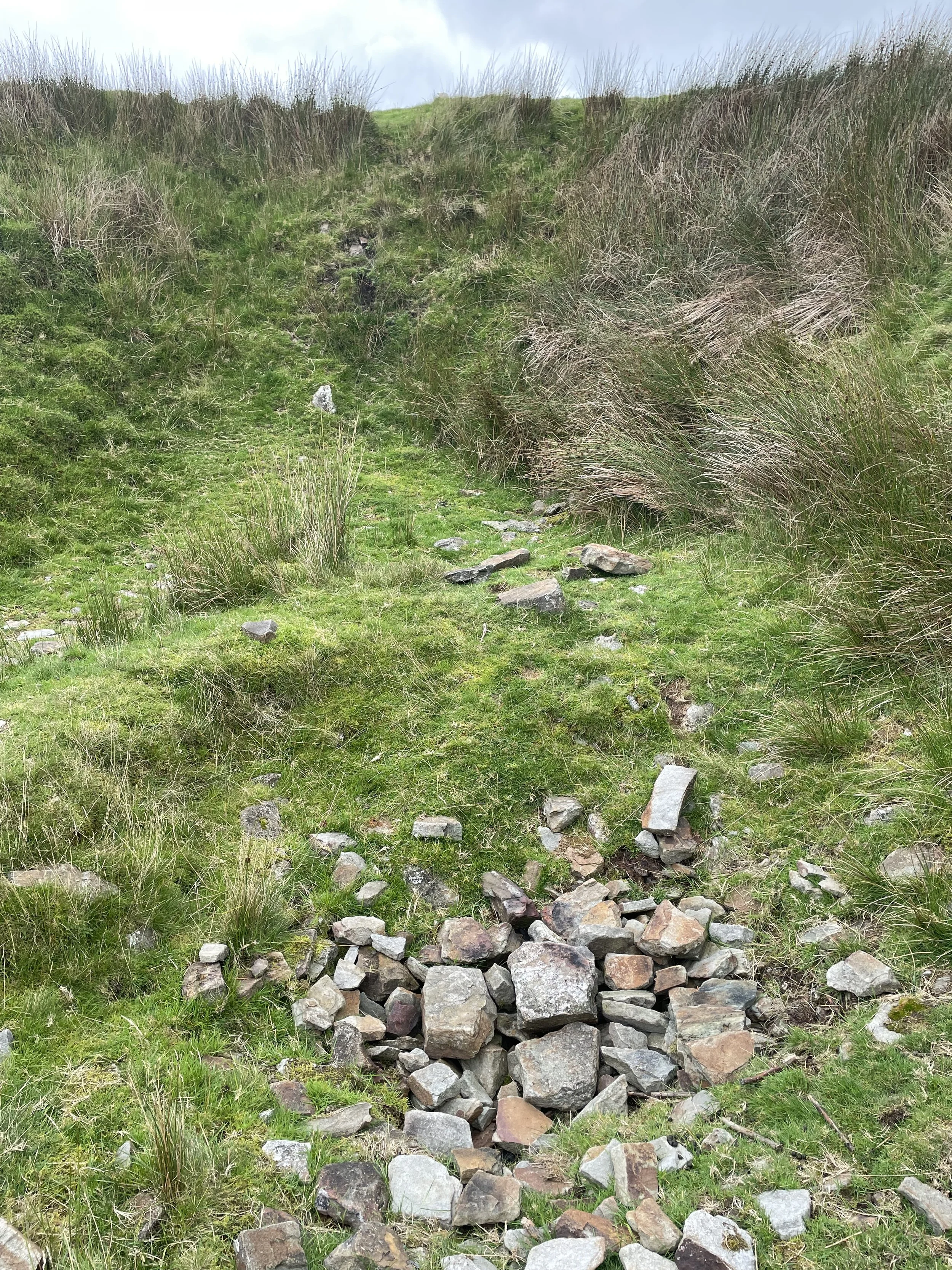
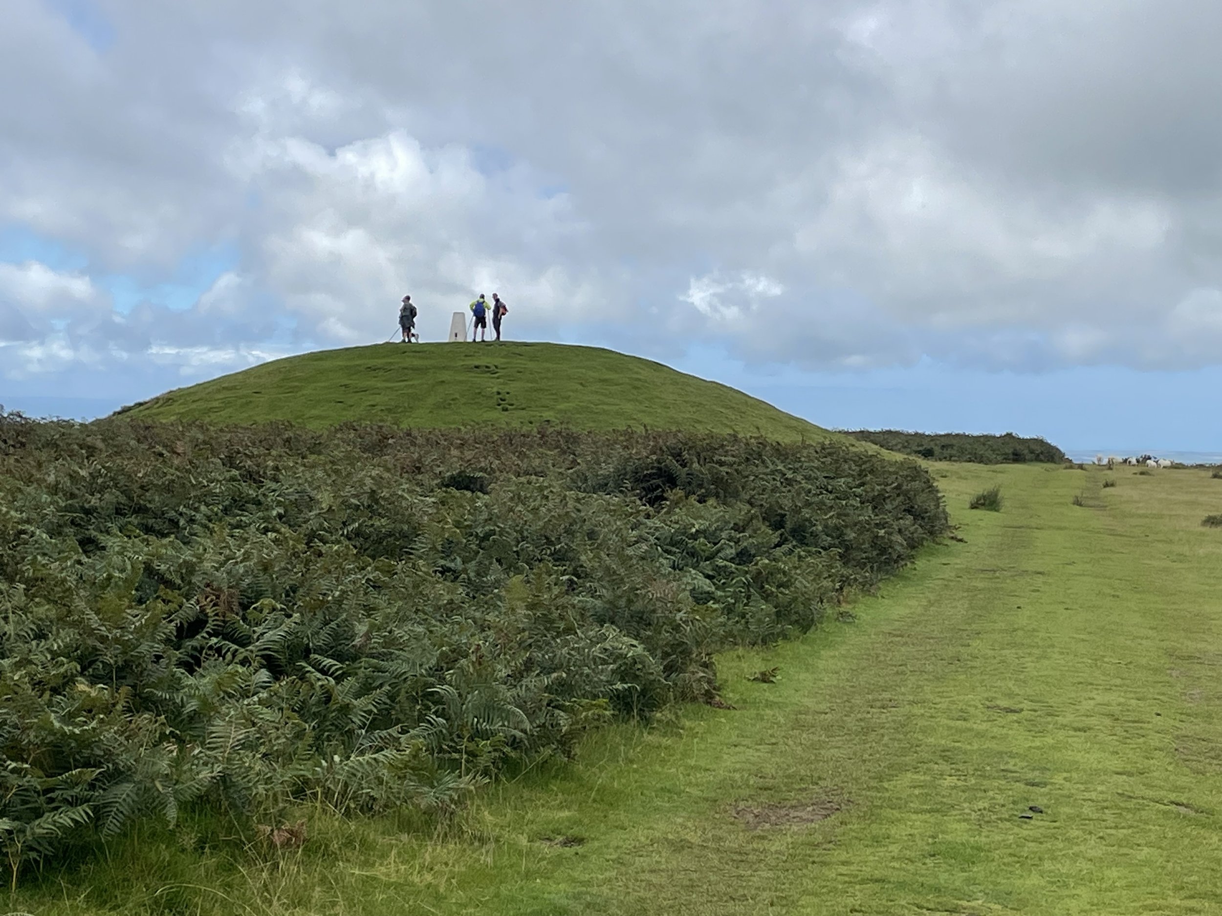
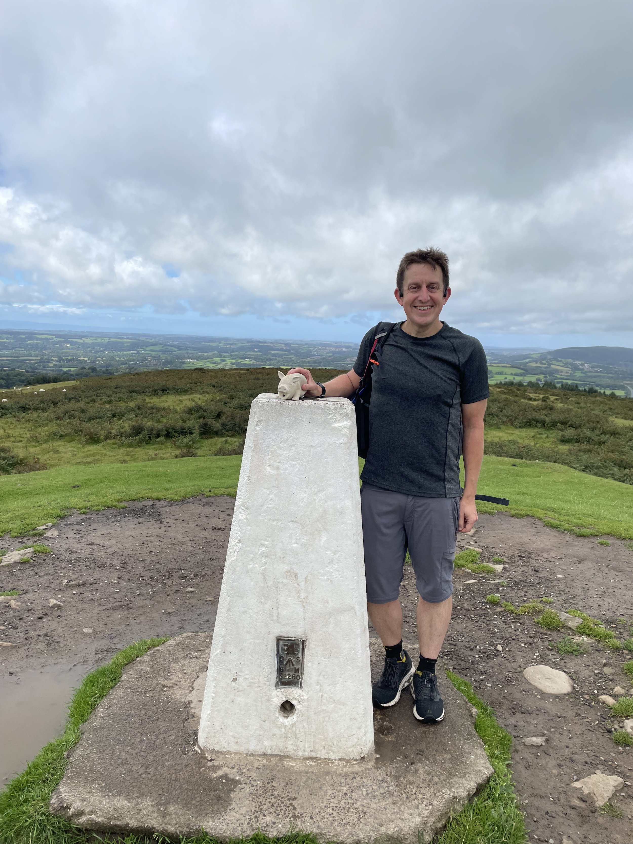
OS Trig Pillar: TP1286 - Ben Macdhui
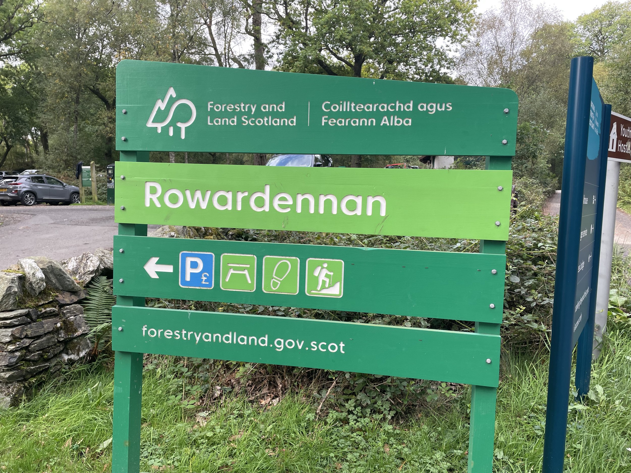
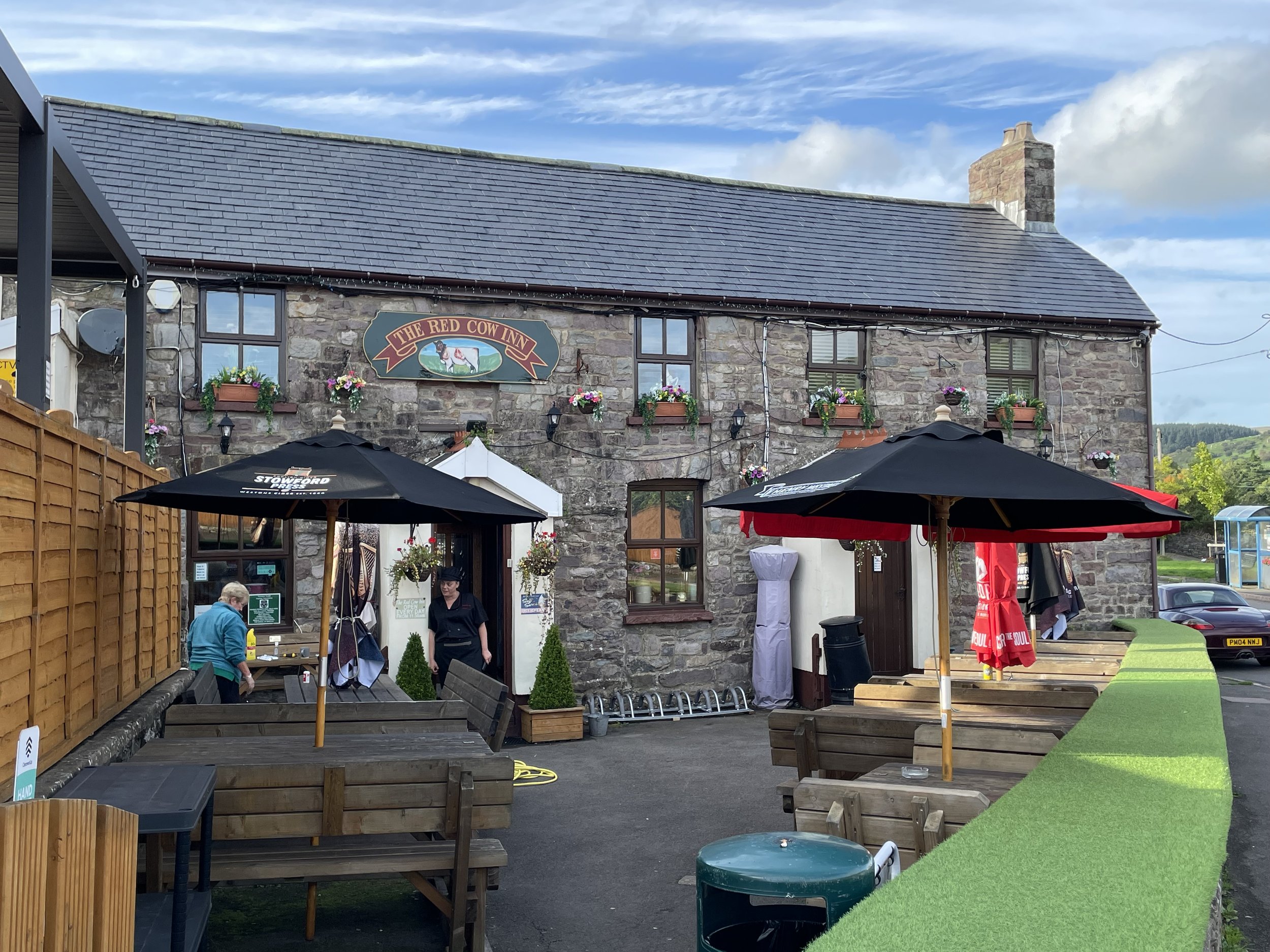
Pubs / Cafes on route: Cairngorm Cafe at Cairngorm Mountain Base Station and at Ptarmigan Station
Map: Cairn Gorm & Aviemore: Sheet 403 (OS Explorer Map)
Links: Wikipedia: (Aberdeenshire / Banffshire / Ben Macdui), Peakbagger, Hillbagging
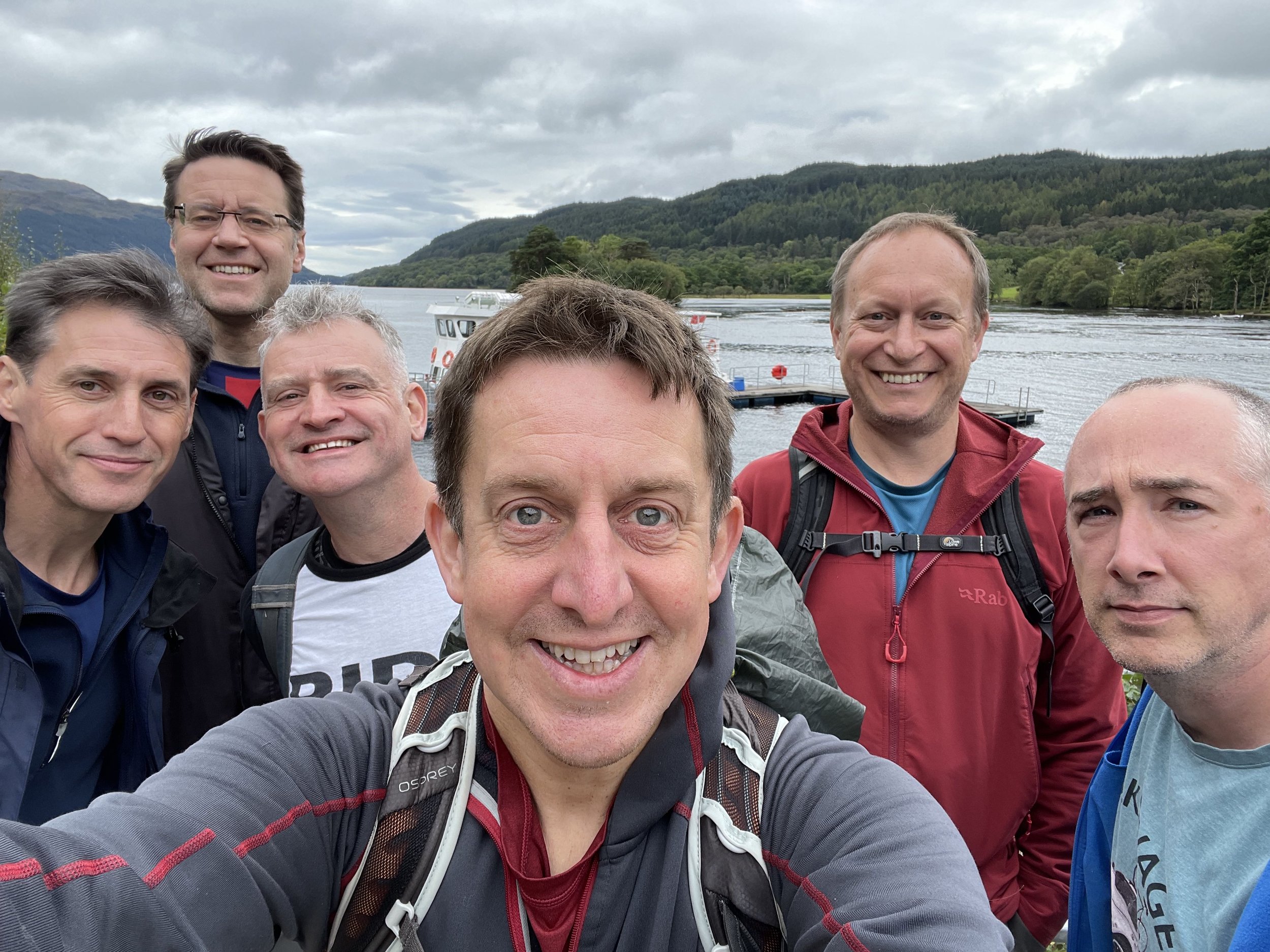
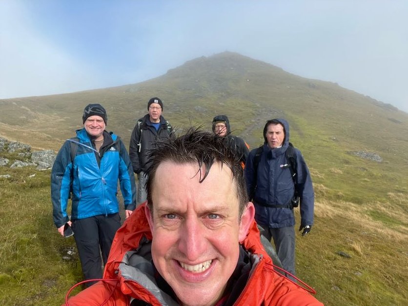
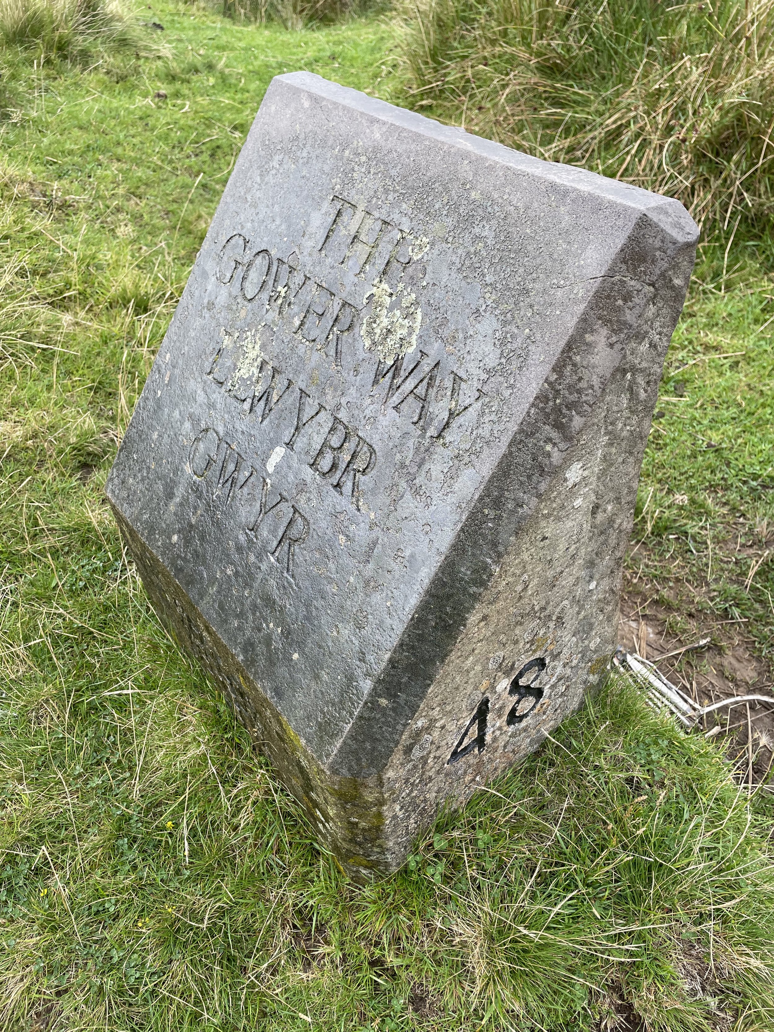
Ben Macdui is the Historic County Top for both Banffshire and Aberdeenshire and the 2nd highest of all of the UK County Tops. We bagged it in 2025 on our annual County Top weekend trip, along with the Historic County Tops of Nairnshire and Morayshire.
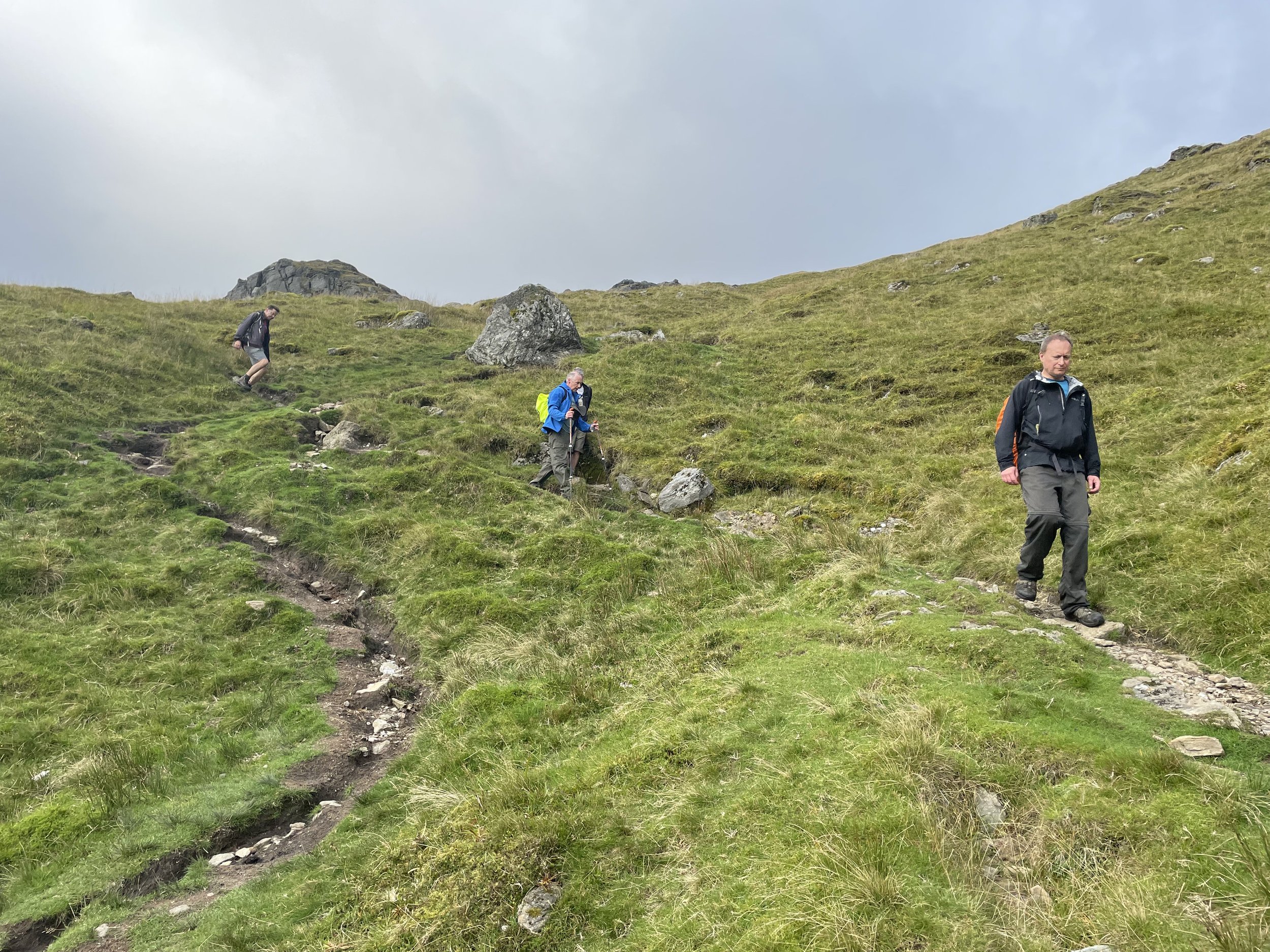
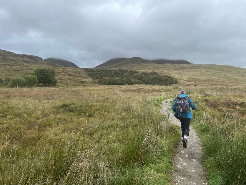
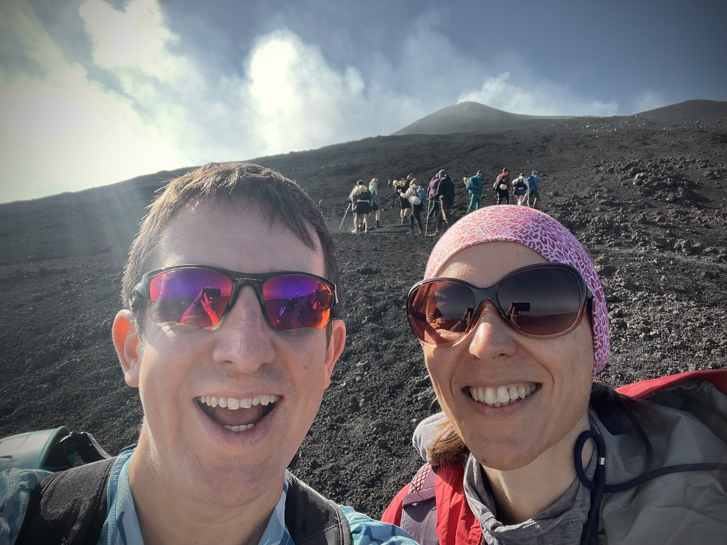
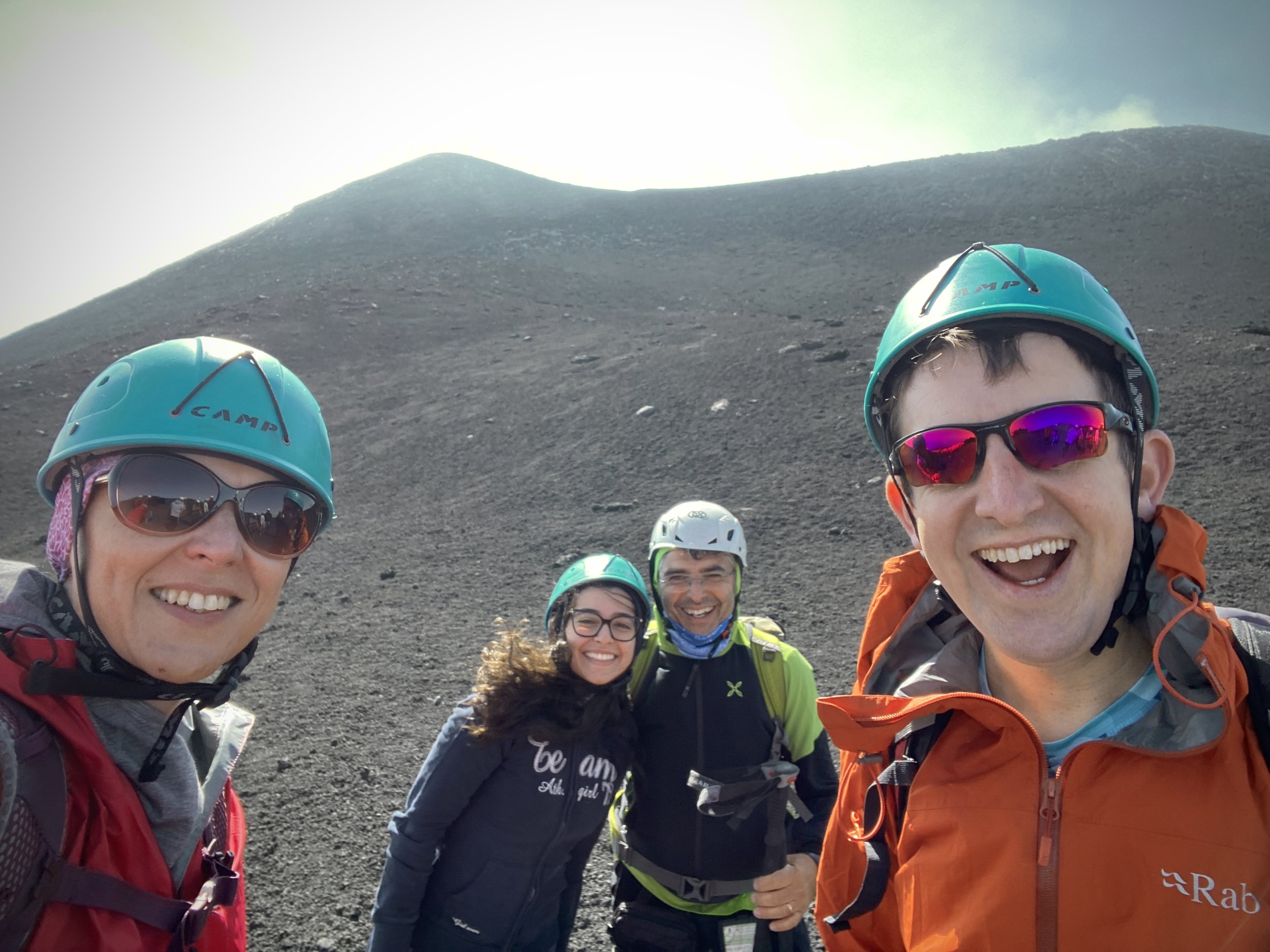
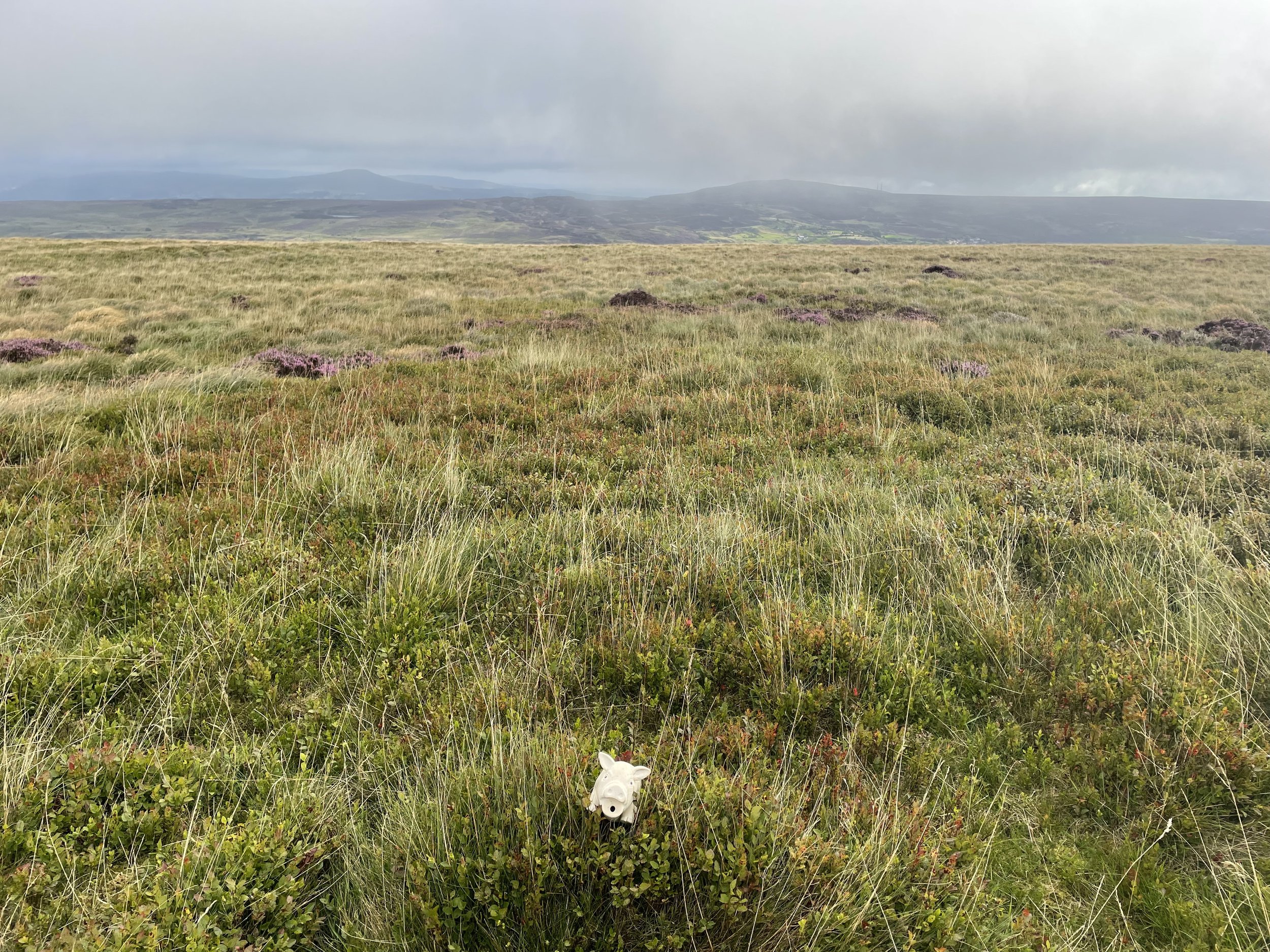
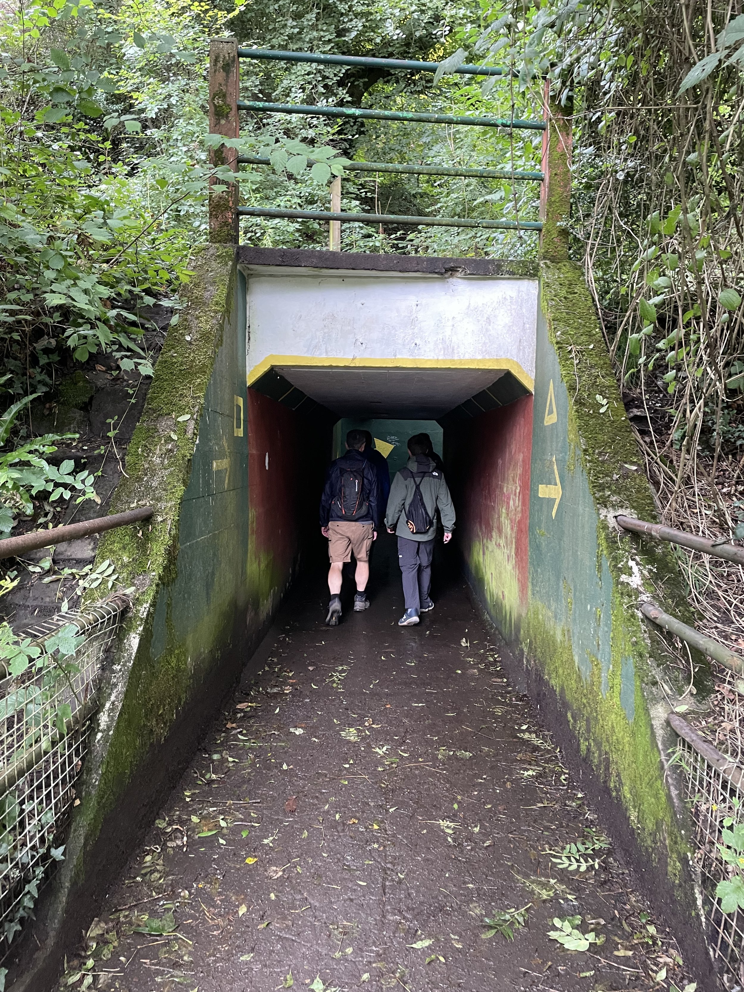
This was The Big One of our annual Scottish County Tops trips so far. Having worked our way through the southern Scottish summits it was now time to take on the 2nd highest summit in the UK. It was also the reason why we changed our trips from the end of September to mid-June. The Cairngorm plateau can be glorious in fine weather but dangerous in poor visibility. Moving to June would give us a highler chance of good weather and more hours of light to complete the trip. There’s several ways that you can approach Ben MacDui but we opted for a route that took in several other nearby peaks plus a trip on the Cairngorm Funicular.
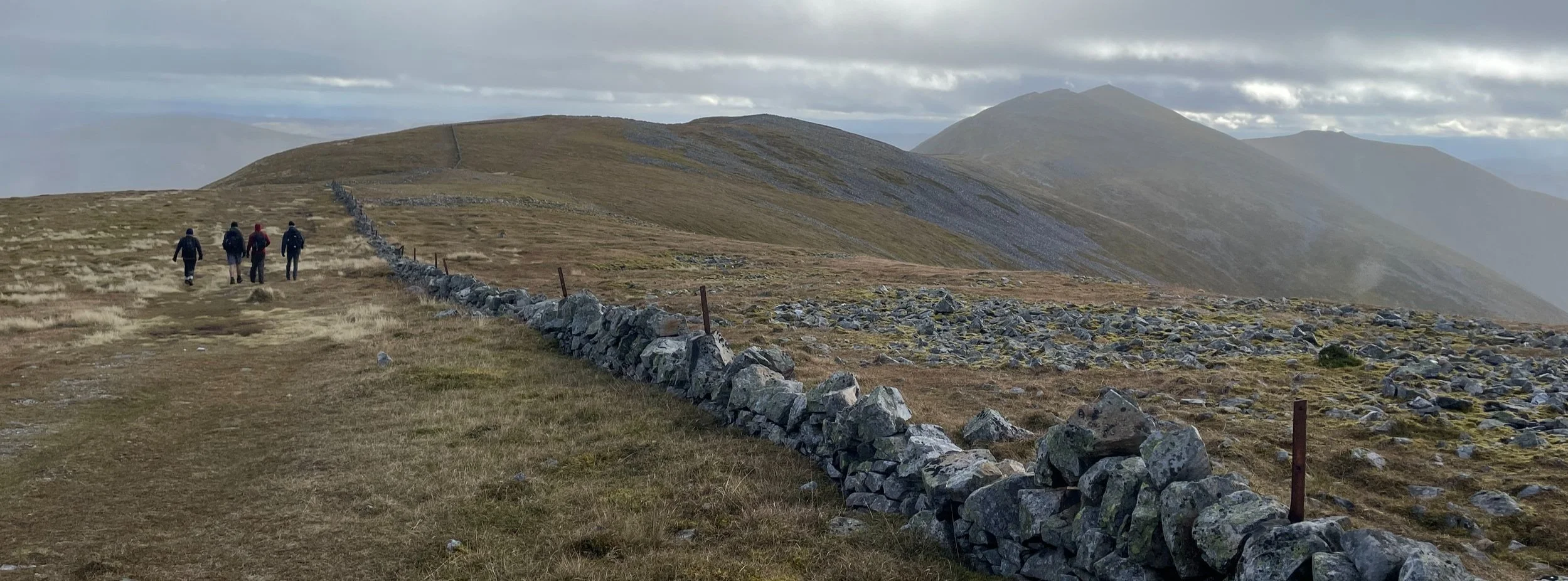
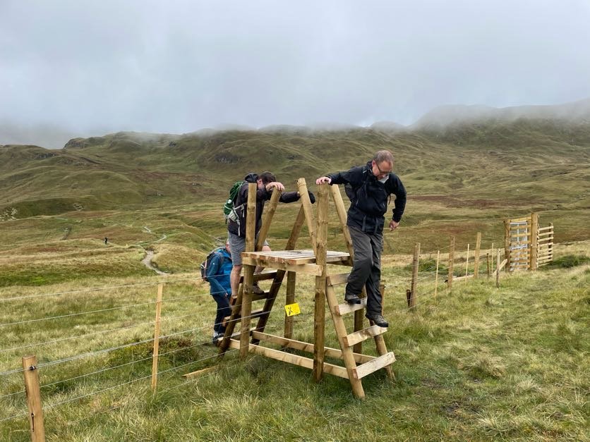
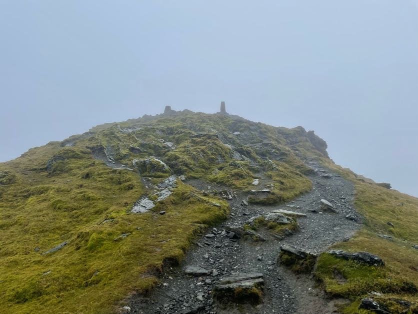
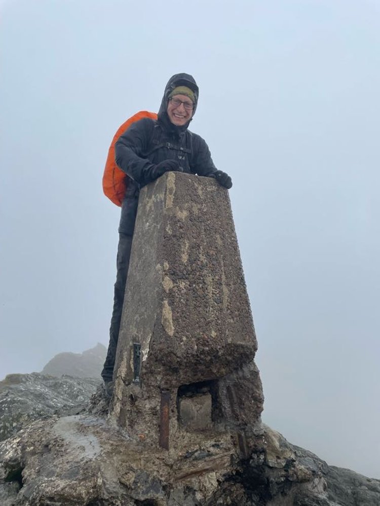
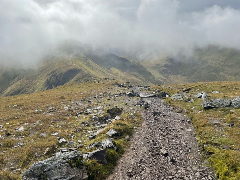
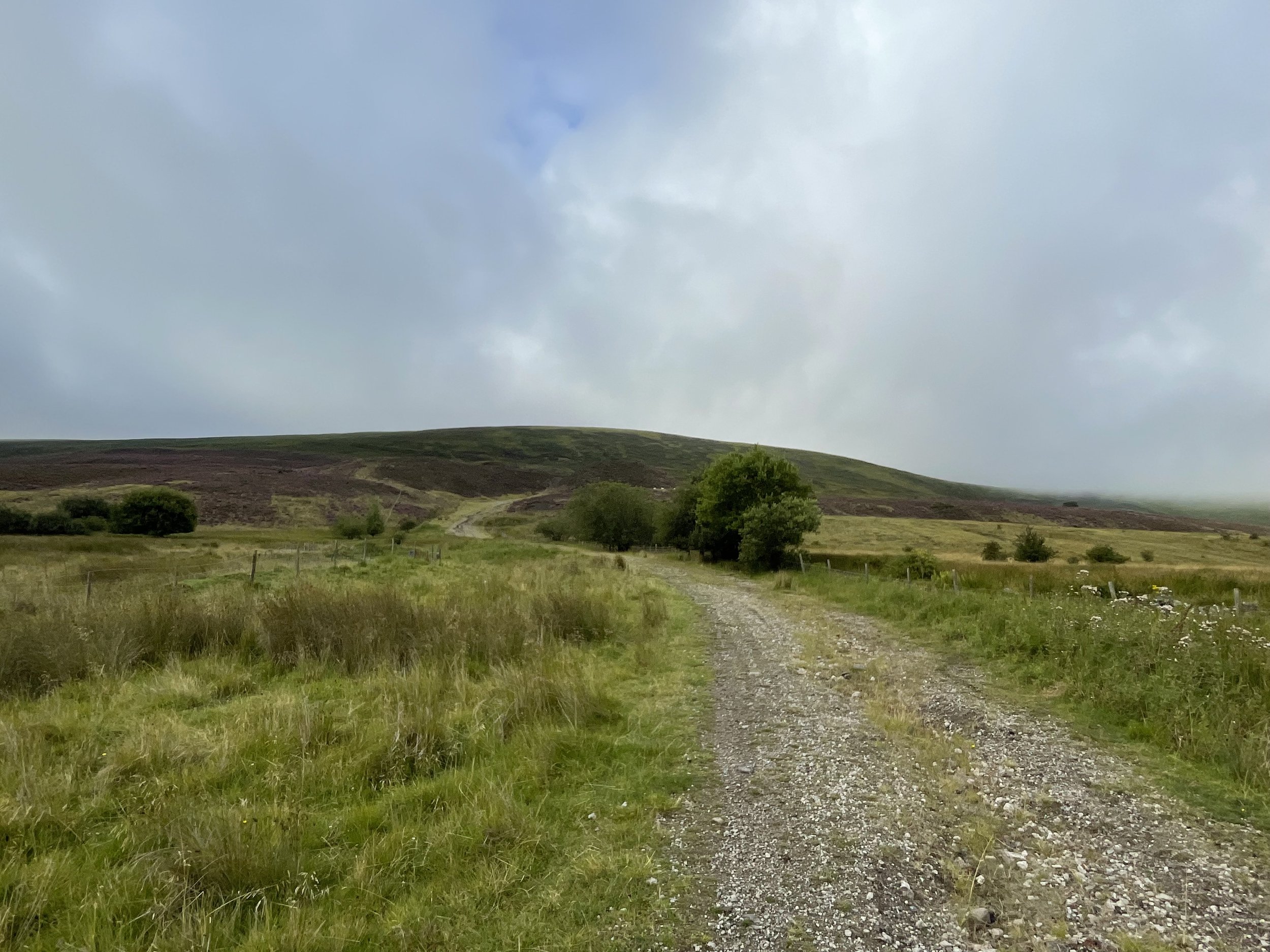
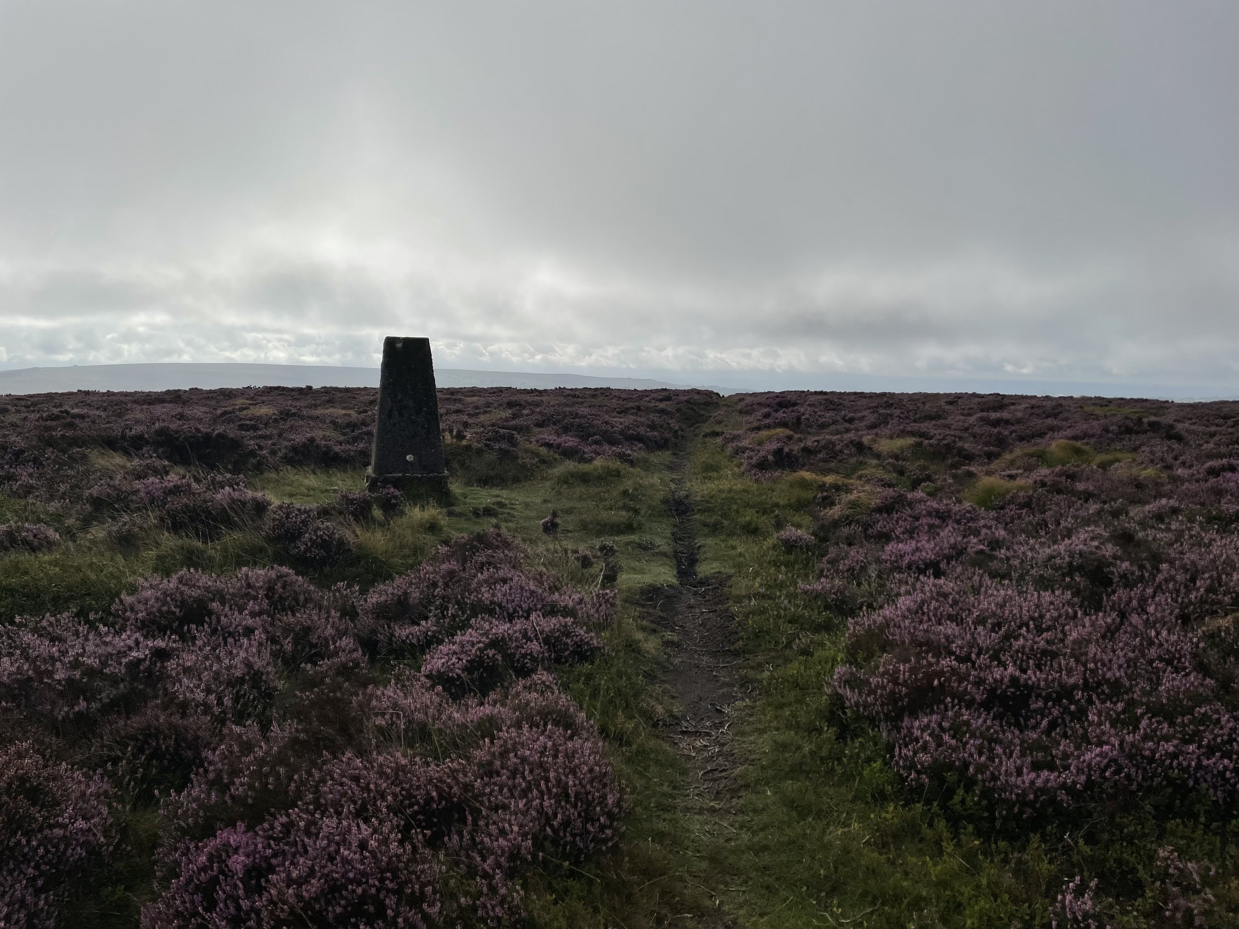
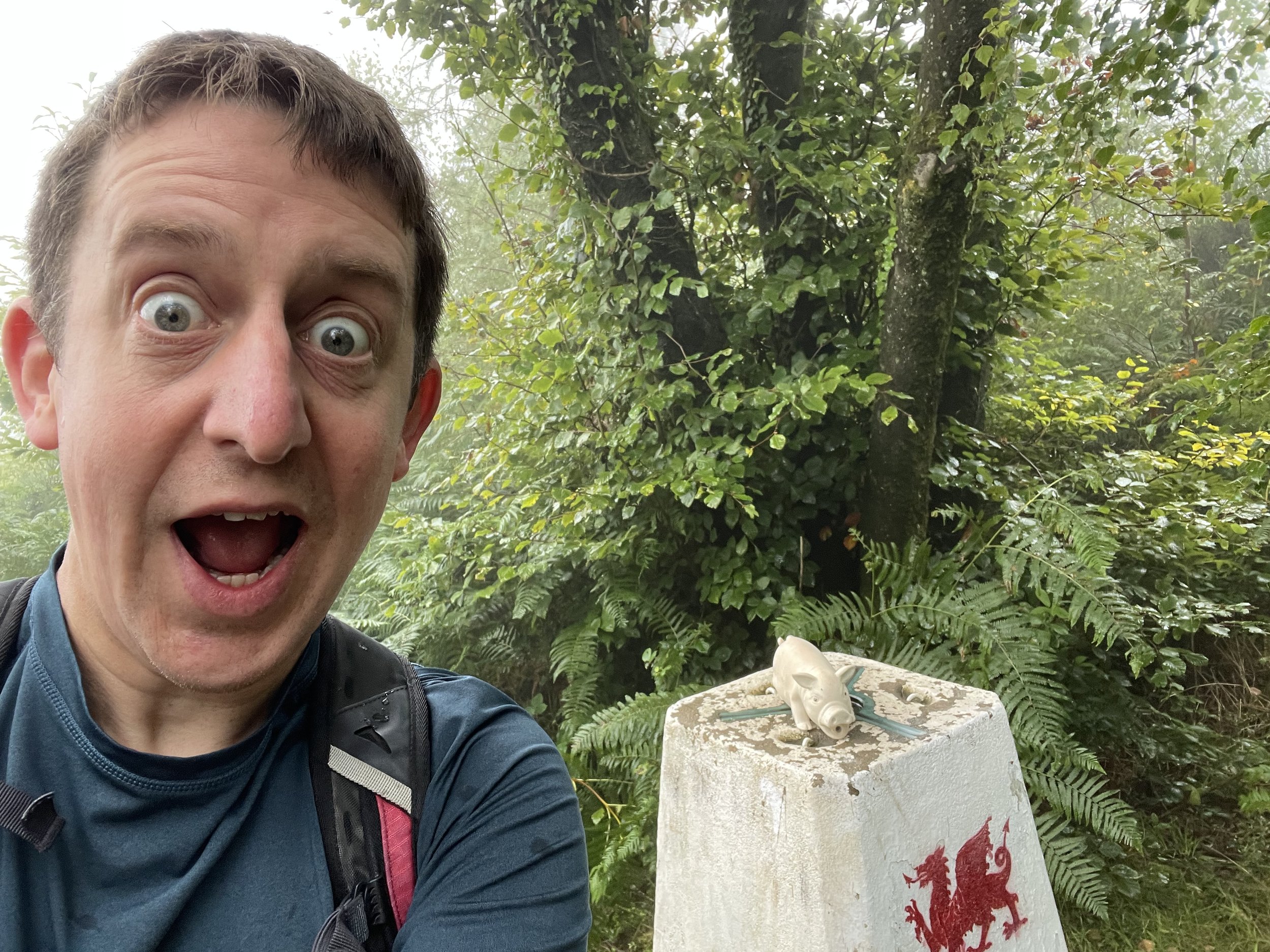
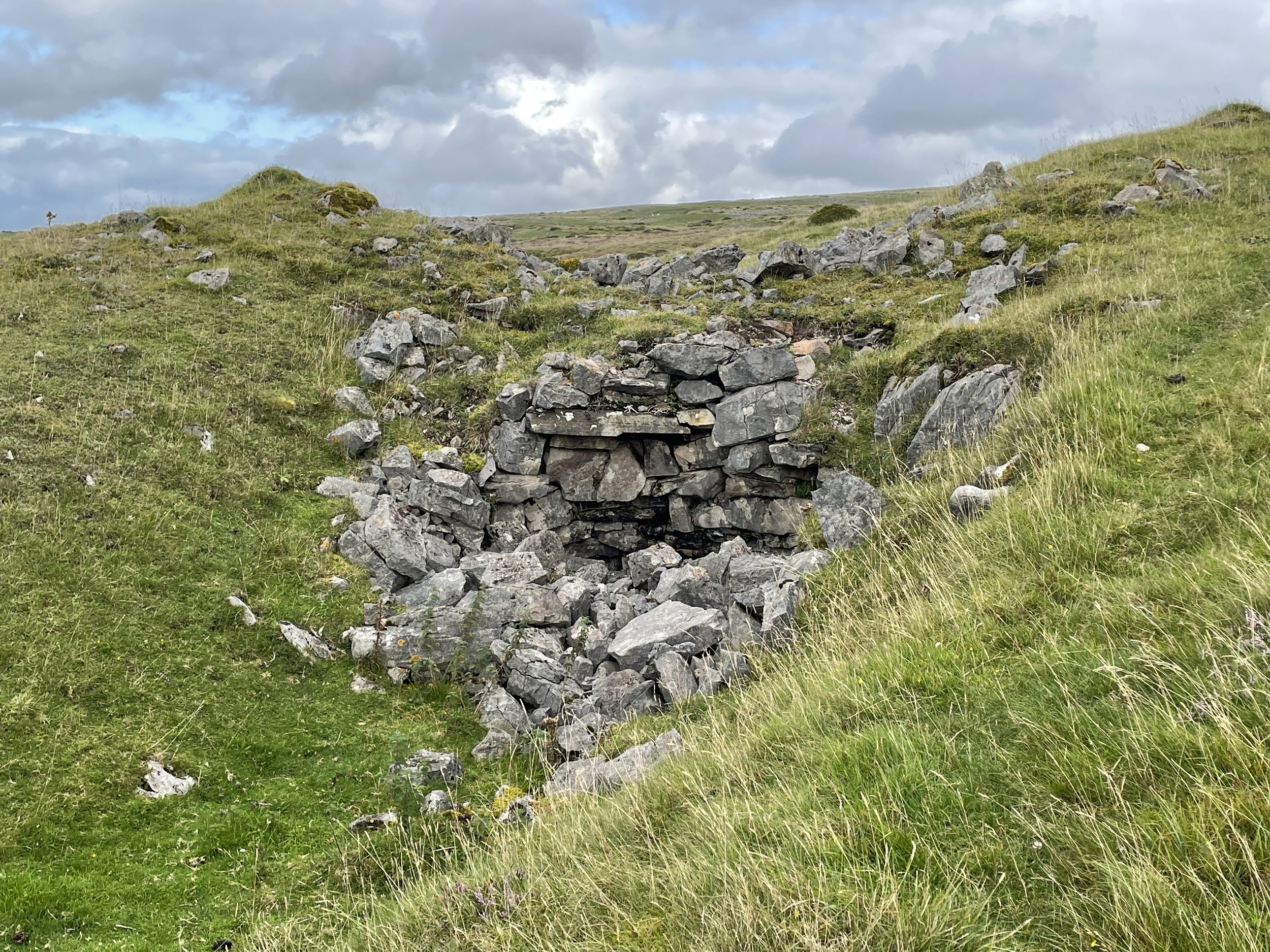
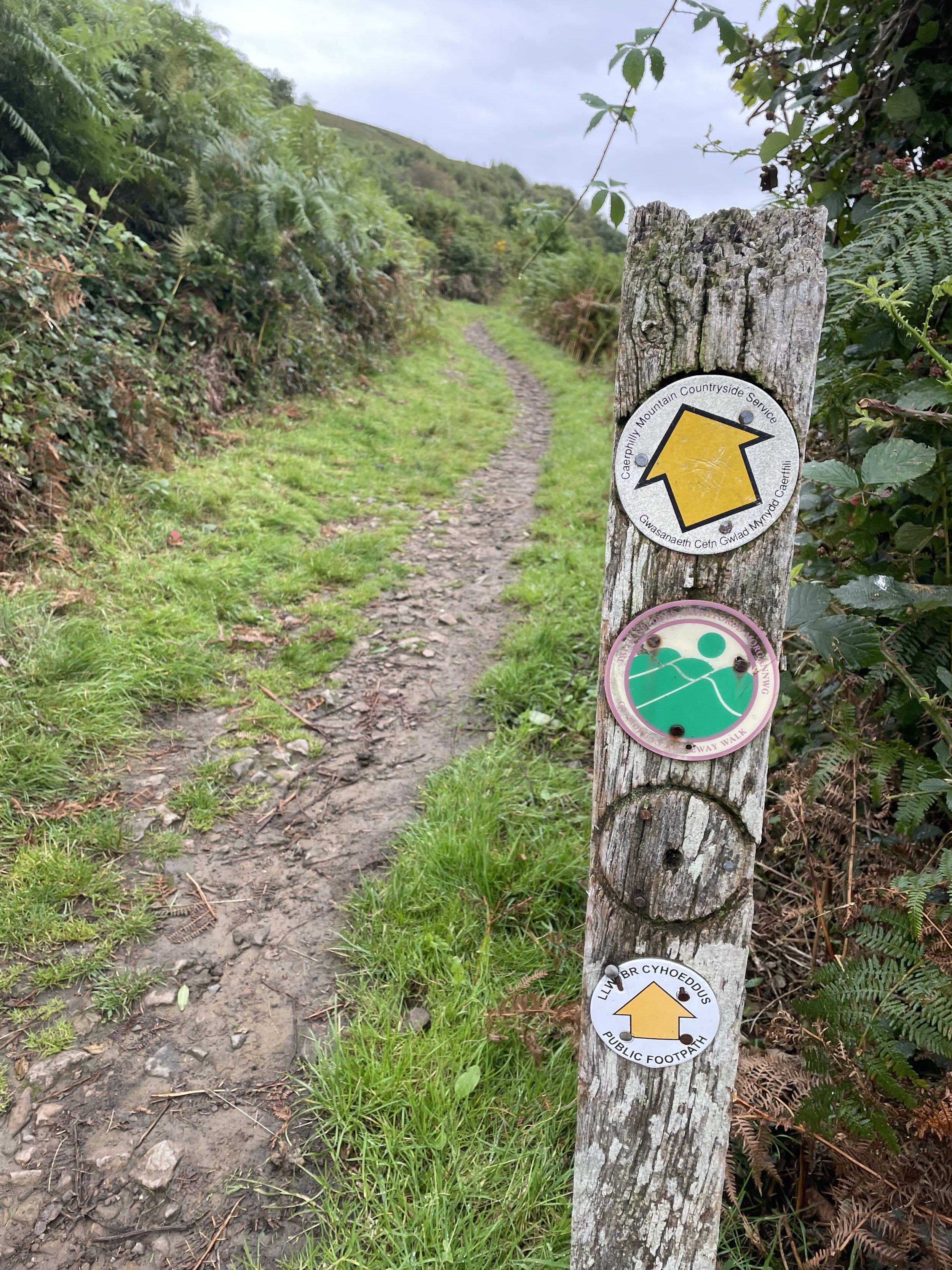
Starting from the car park at the Cairngorm Mountain ski centre cross over the end of the ski runs to take the Cairn Gorm Trail in a south-westerly direction. After 4 km you’ll reach a split in the path where you’ll leave the Cairn Gorm Trail to keep on the Miadan Path heading south. You’ll reach the Trig Pillar at the summit of Ben Macdui after 8.5 km from the start.
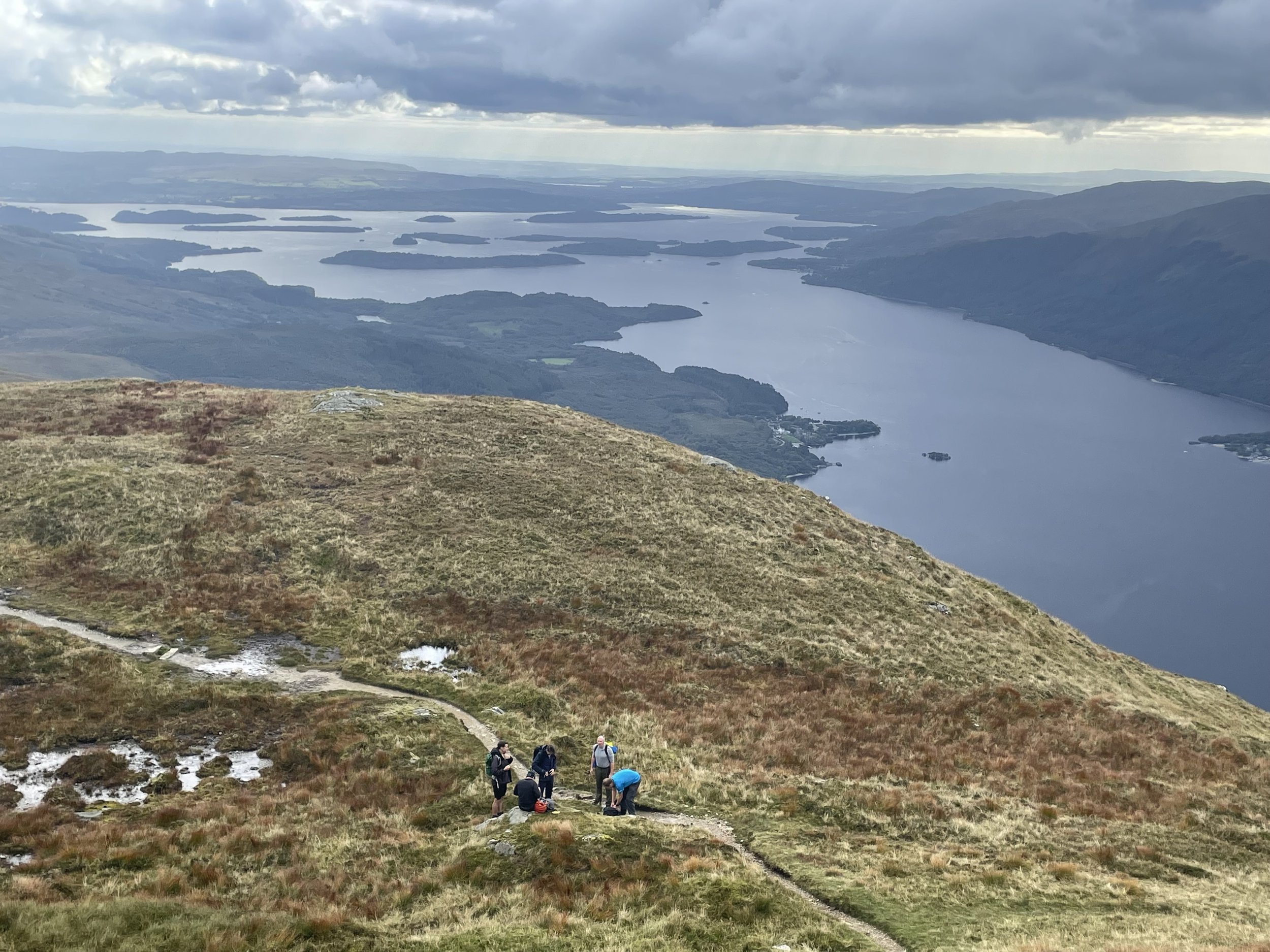
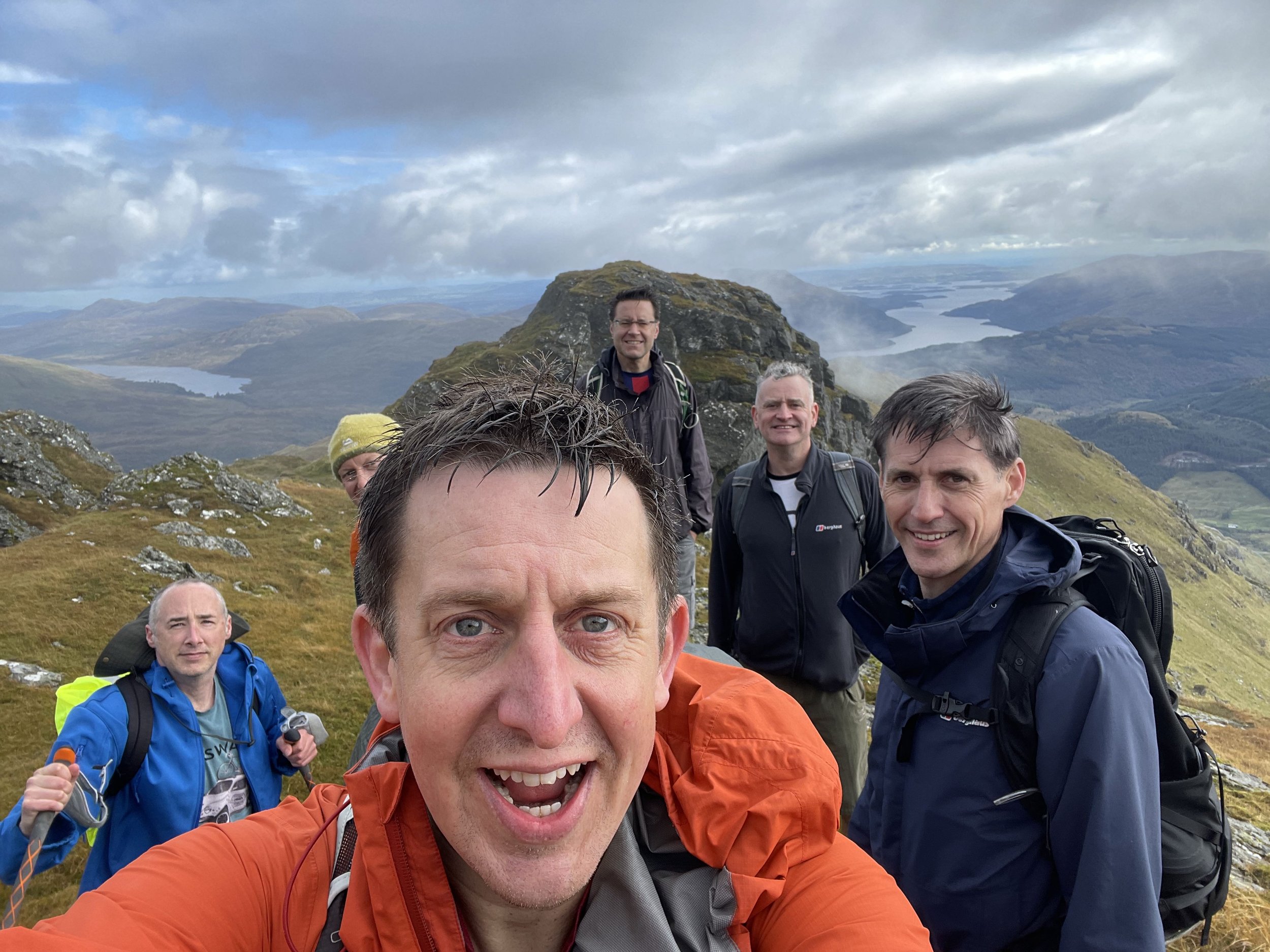
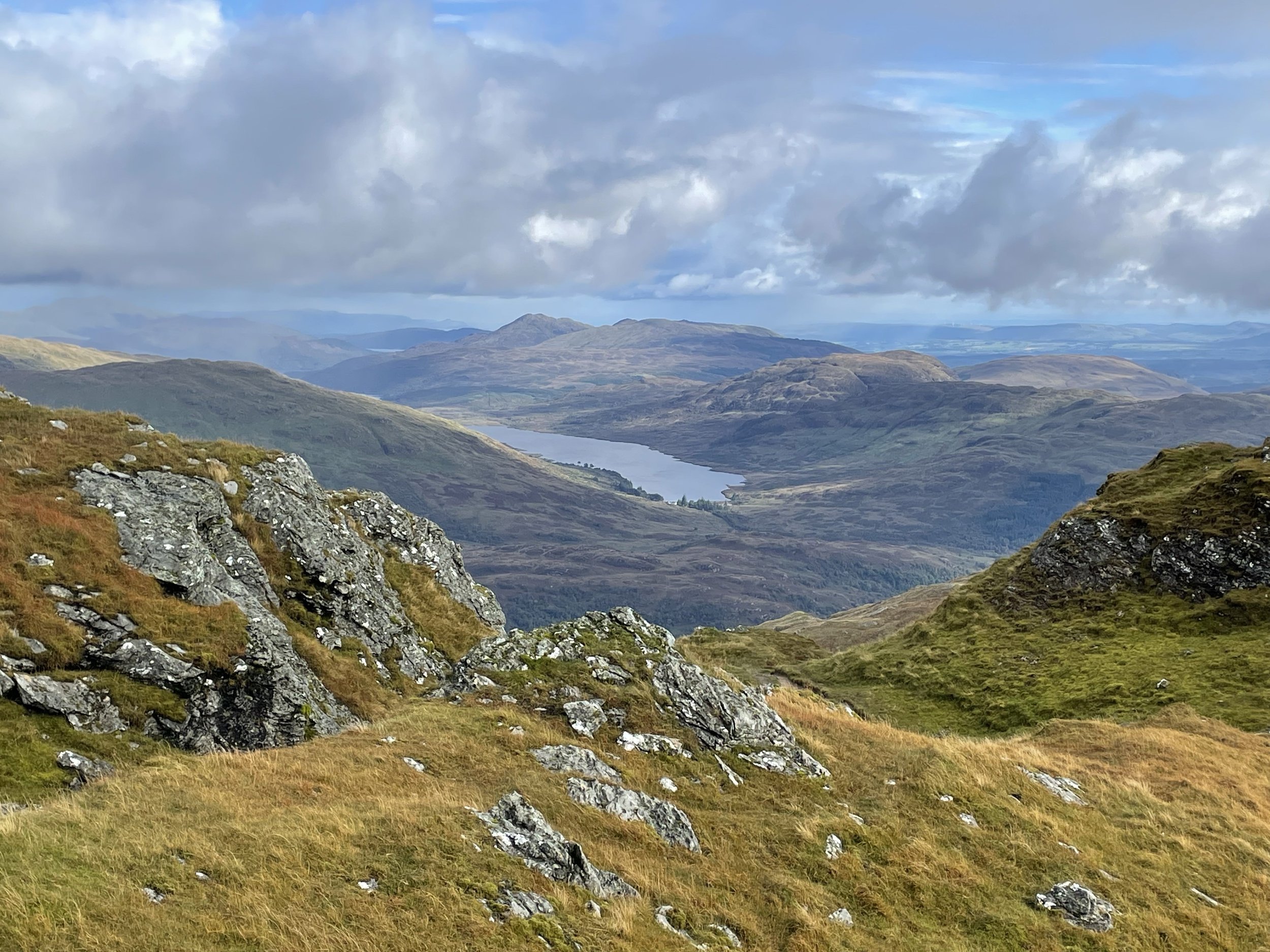
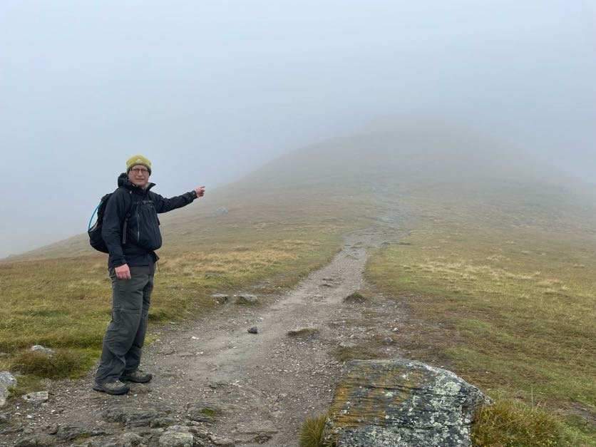
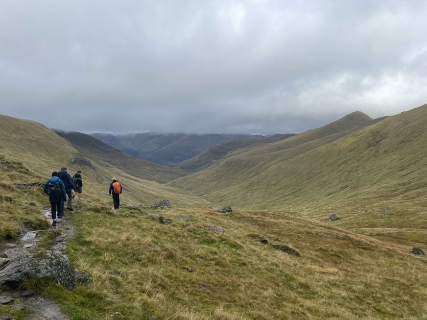
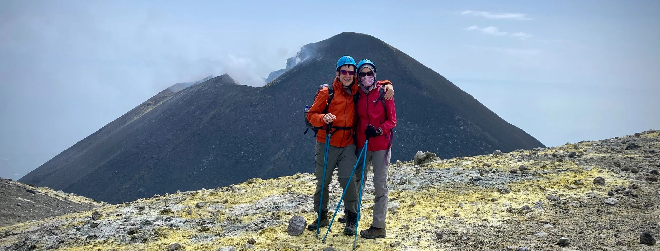
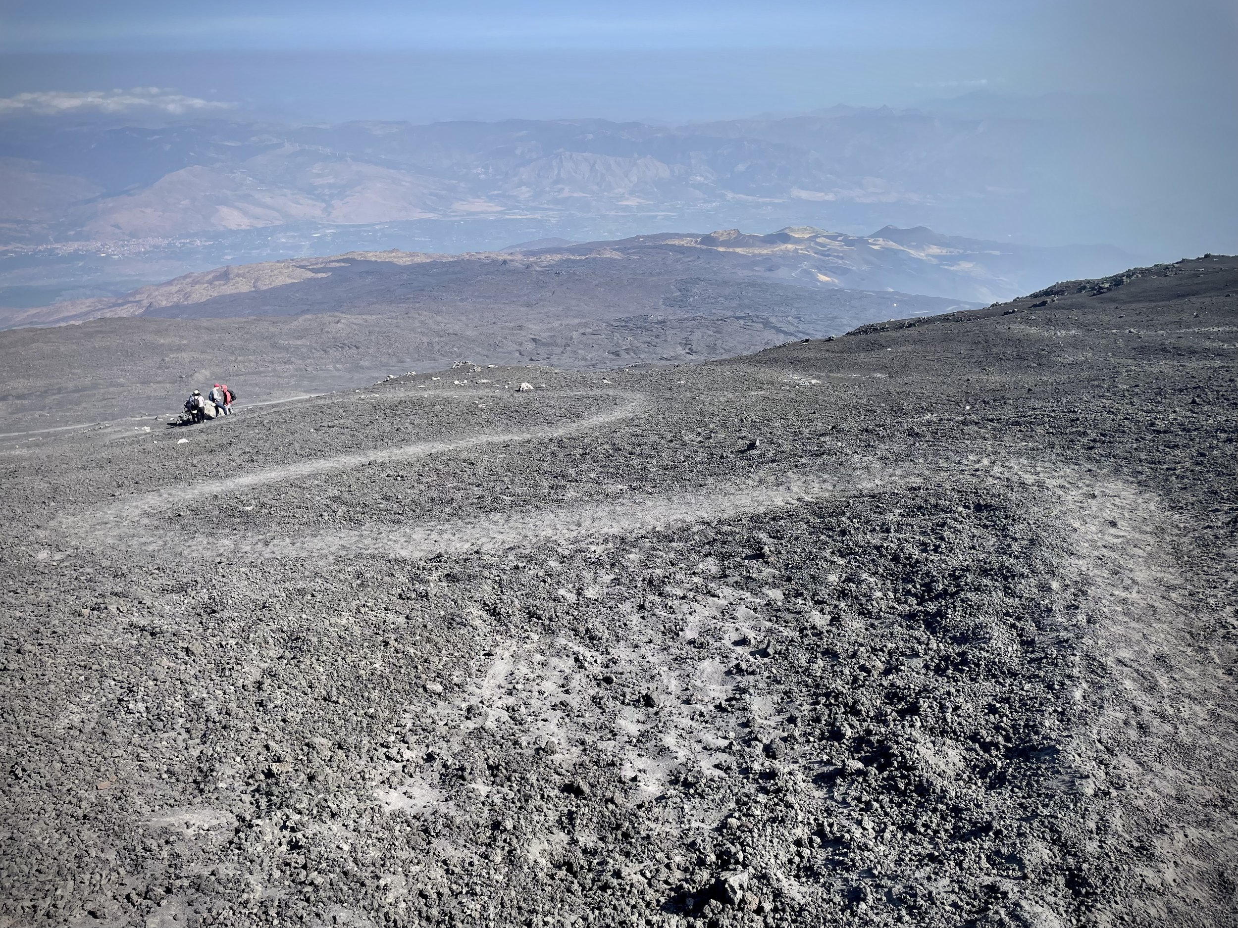
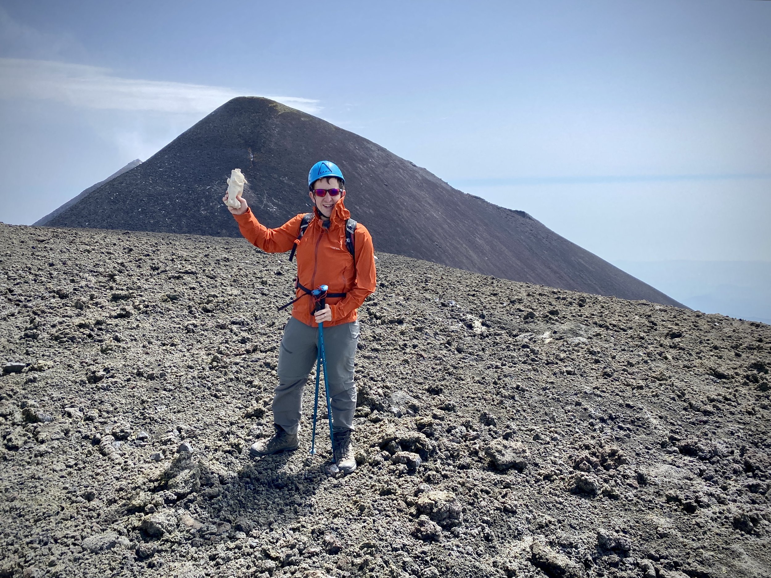
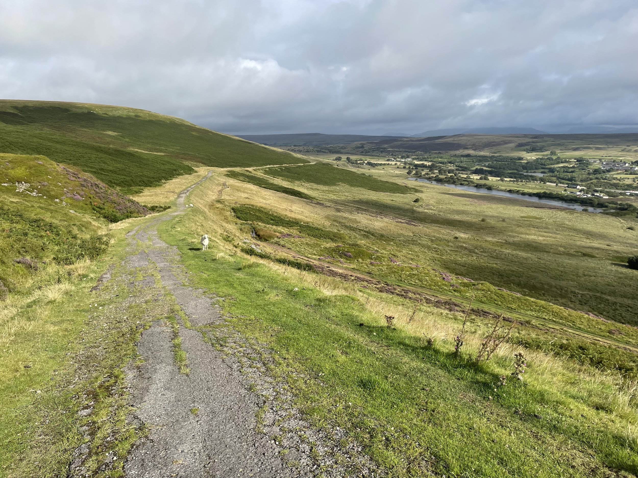
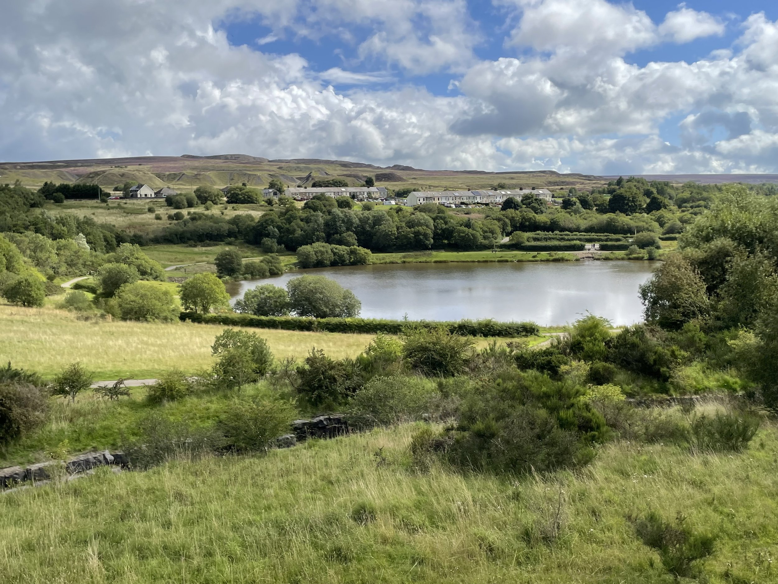
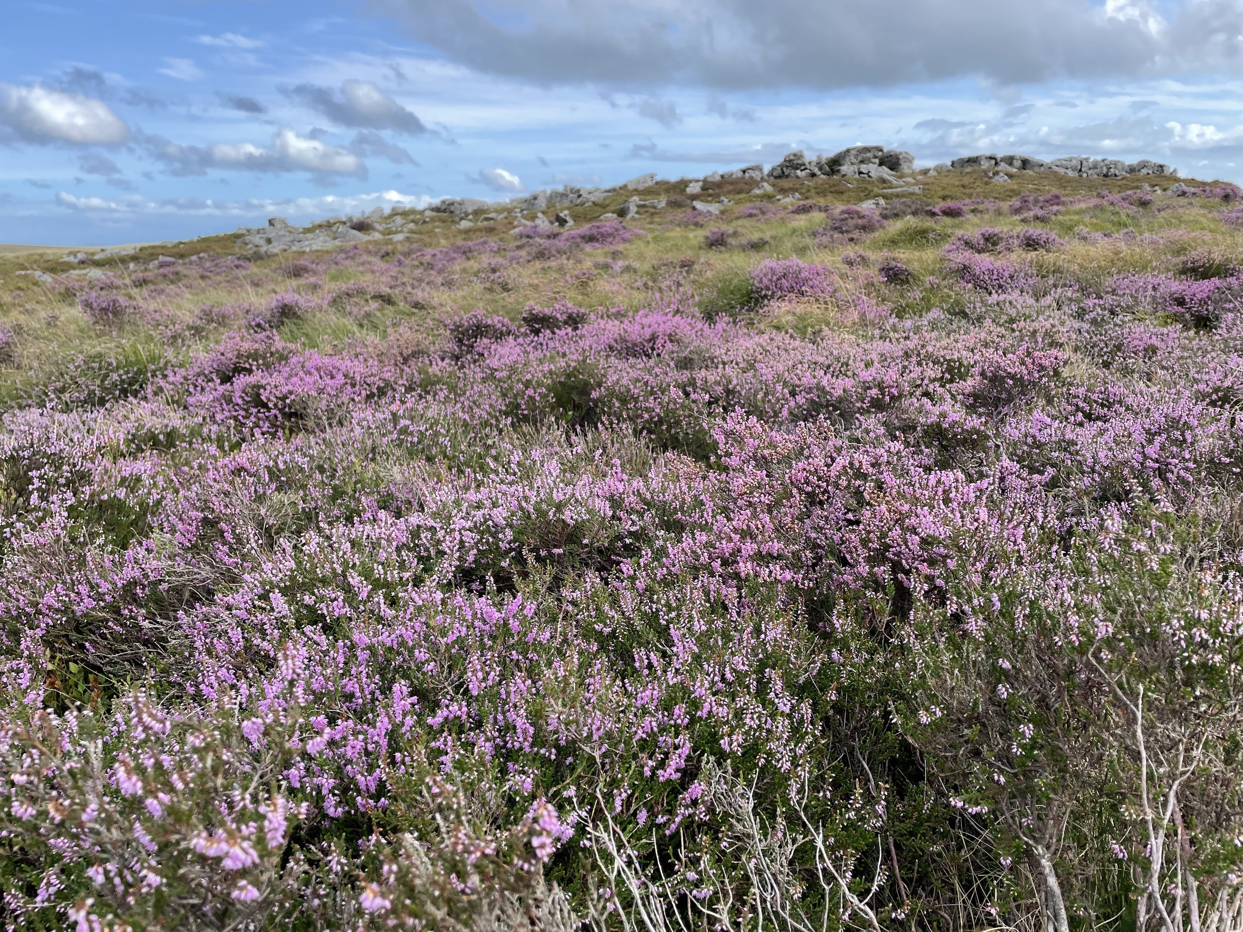
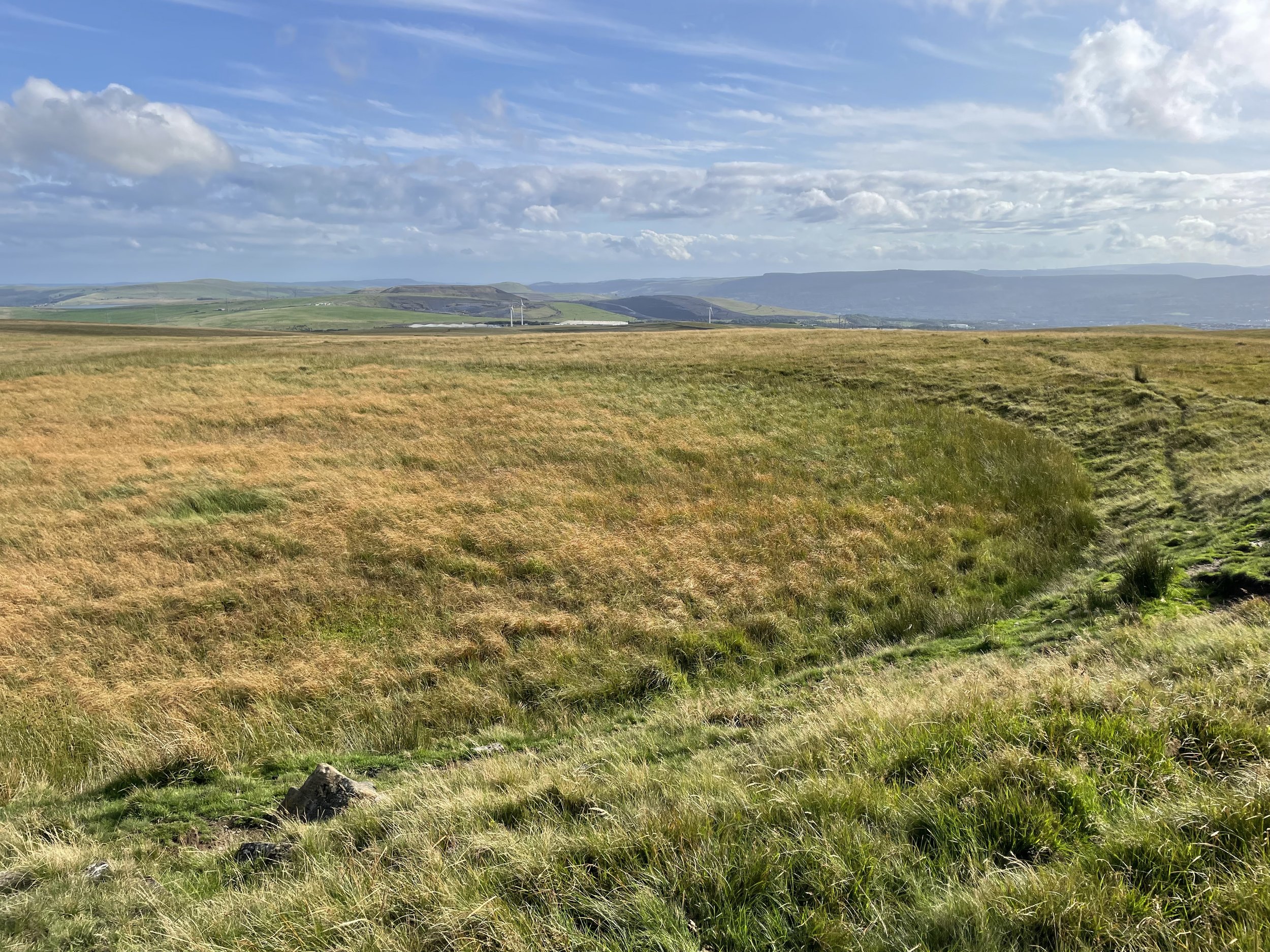
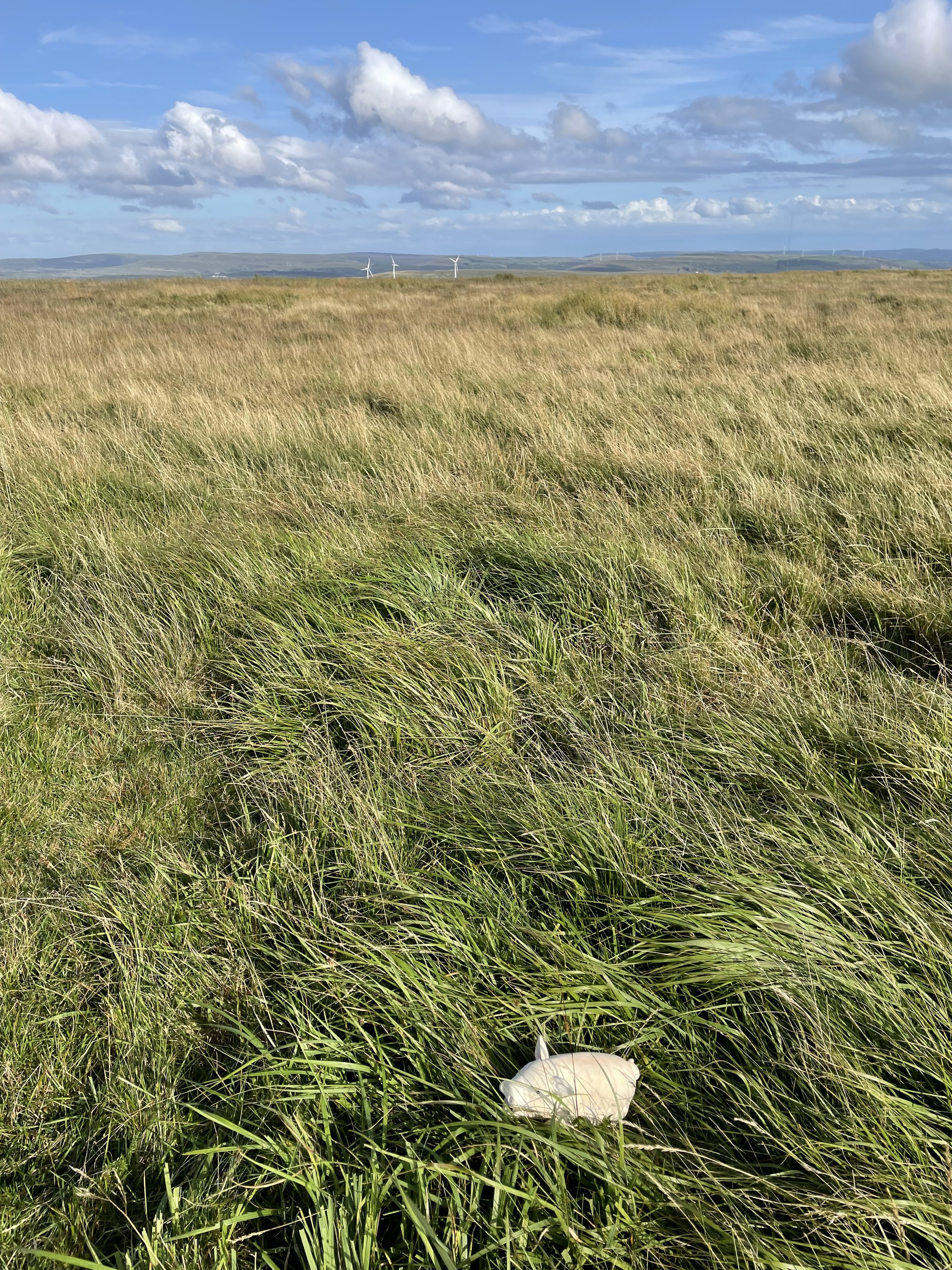
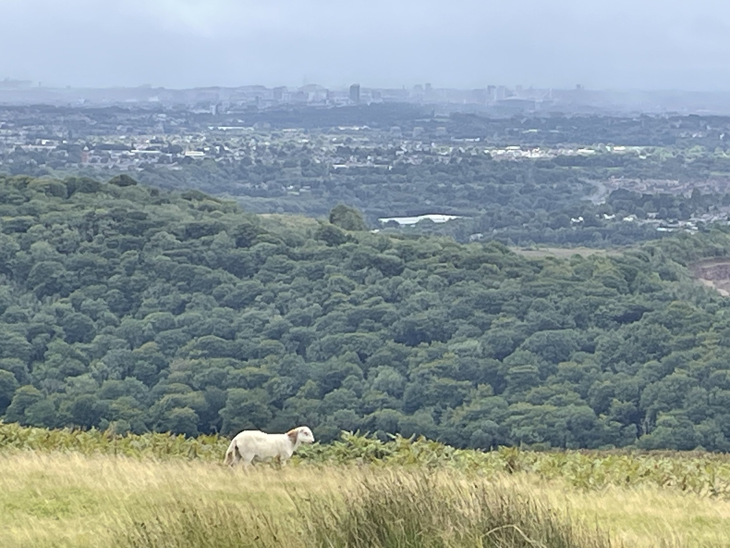
At the summit we were grateful that we’d chosen to do the trip in June and that we had swapped from a rainy Saturday to a bright, dry Sunday. The views across the National Park were spectacular and made up for many cloudy ascents of UK high points in the past.
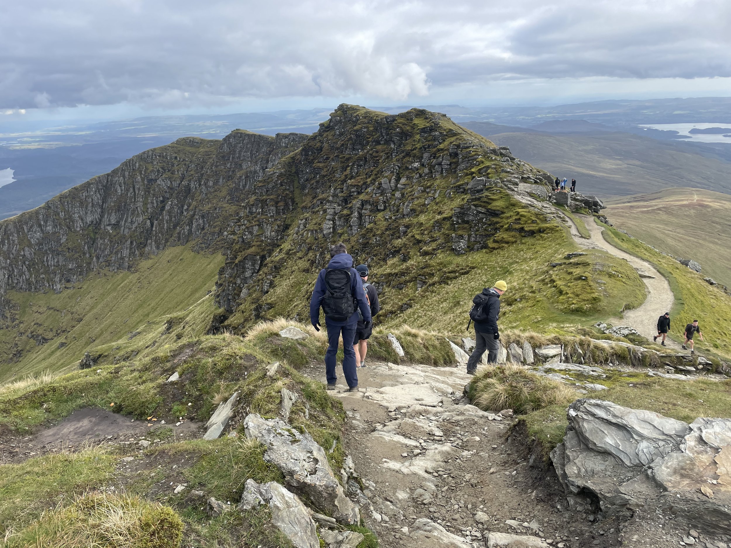
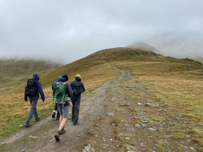
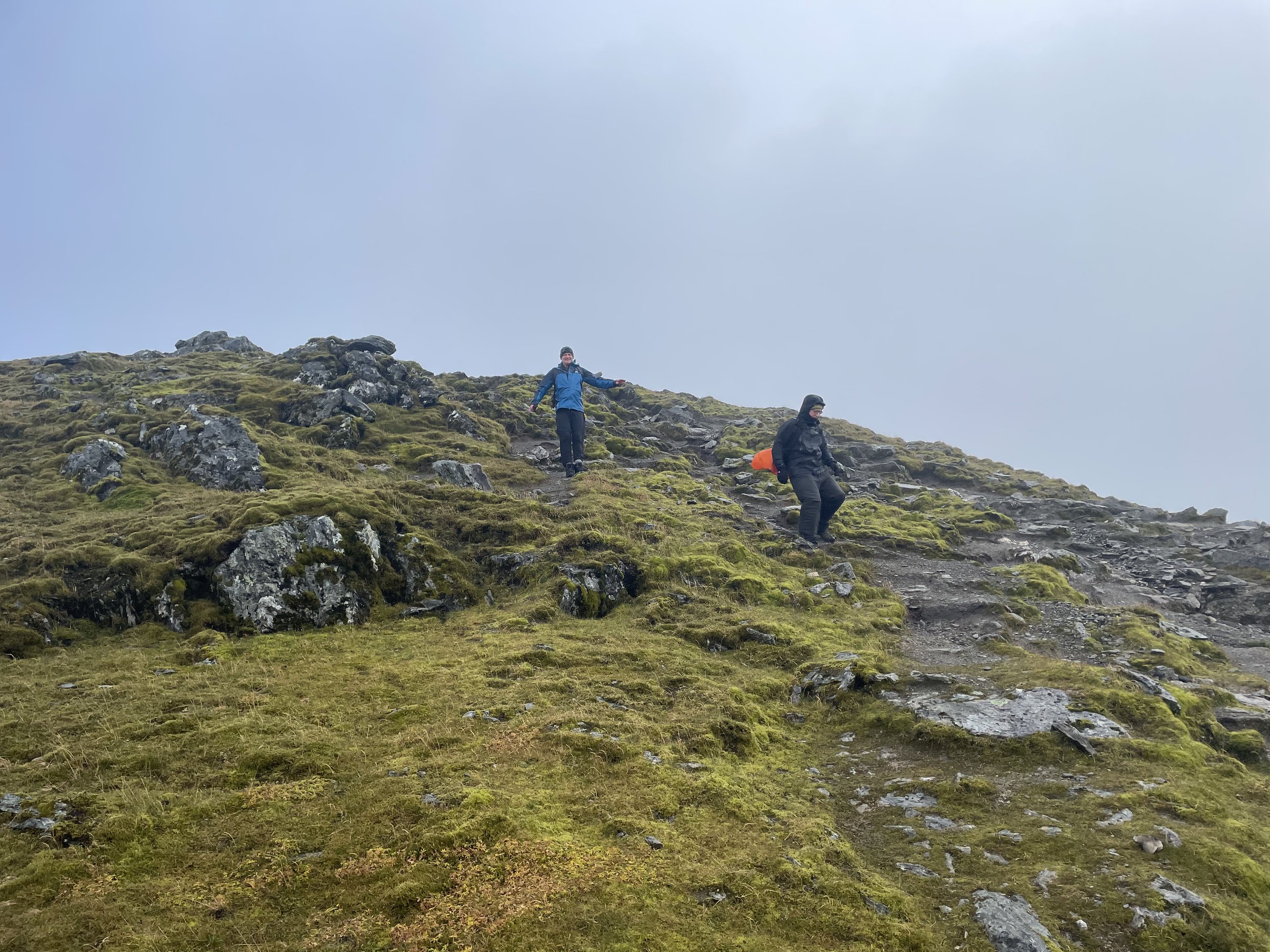
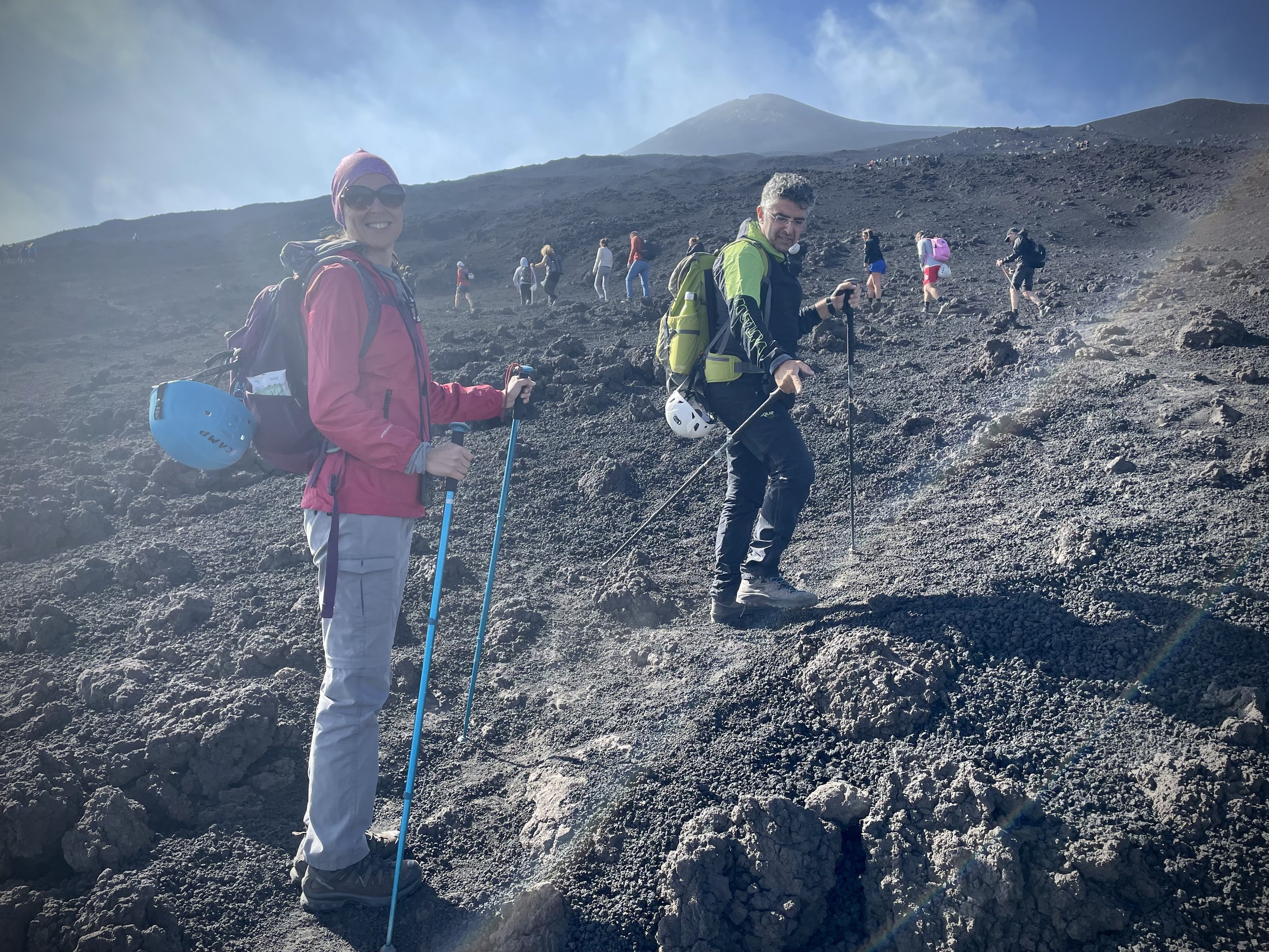
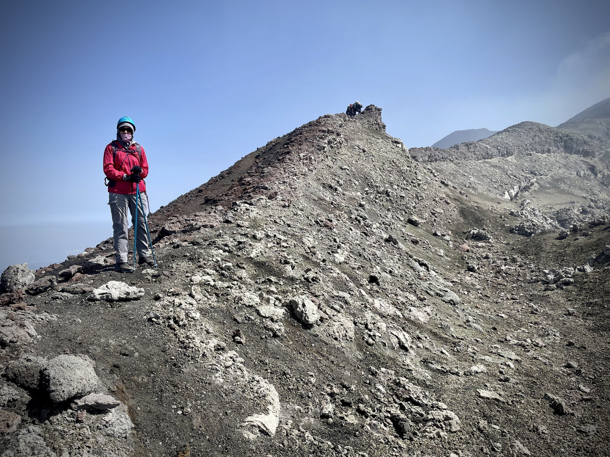
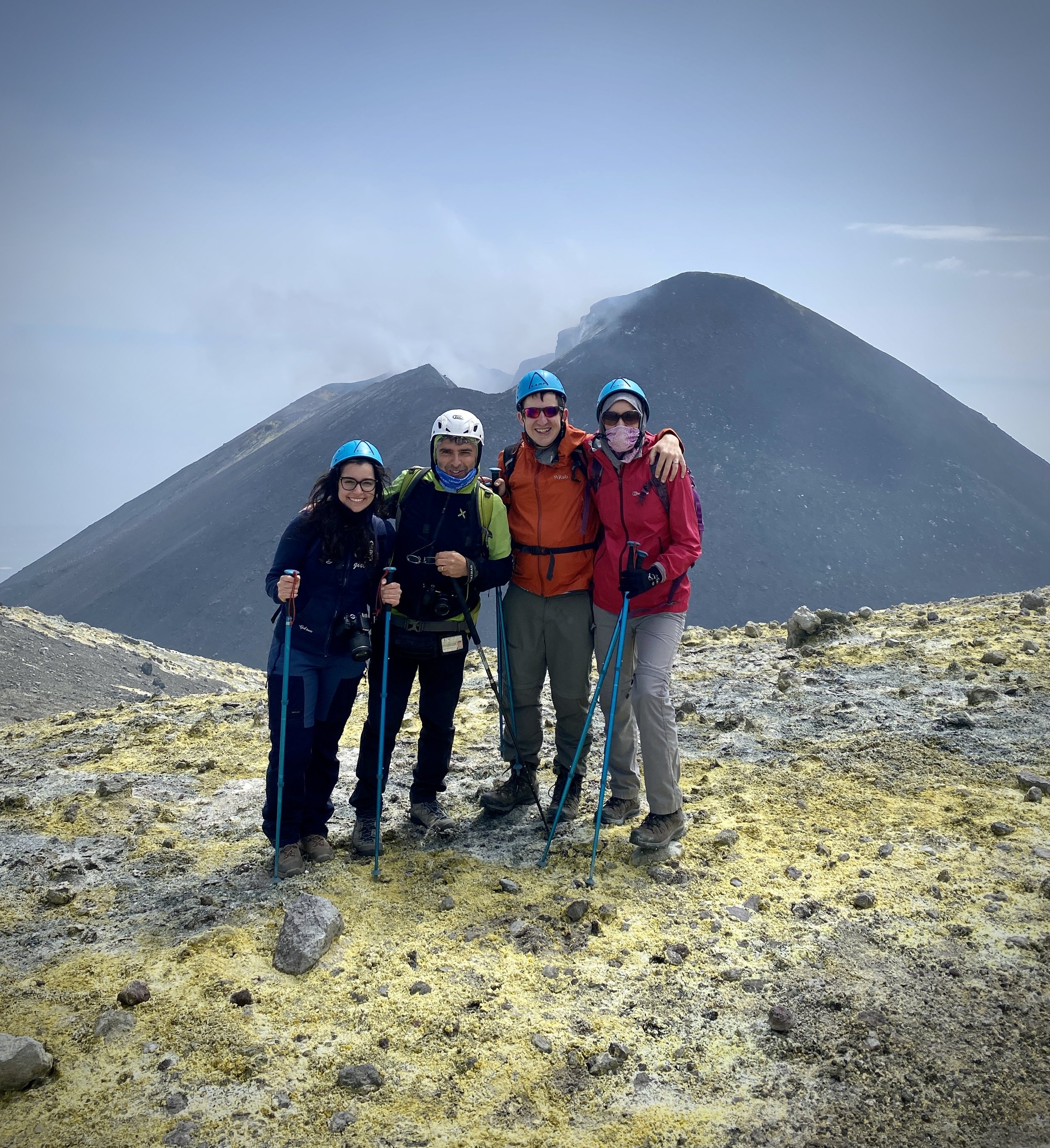
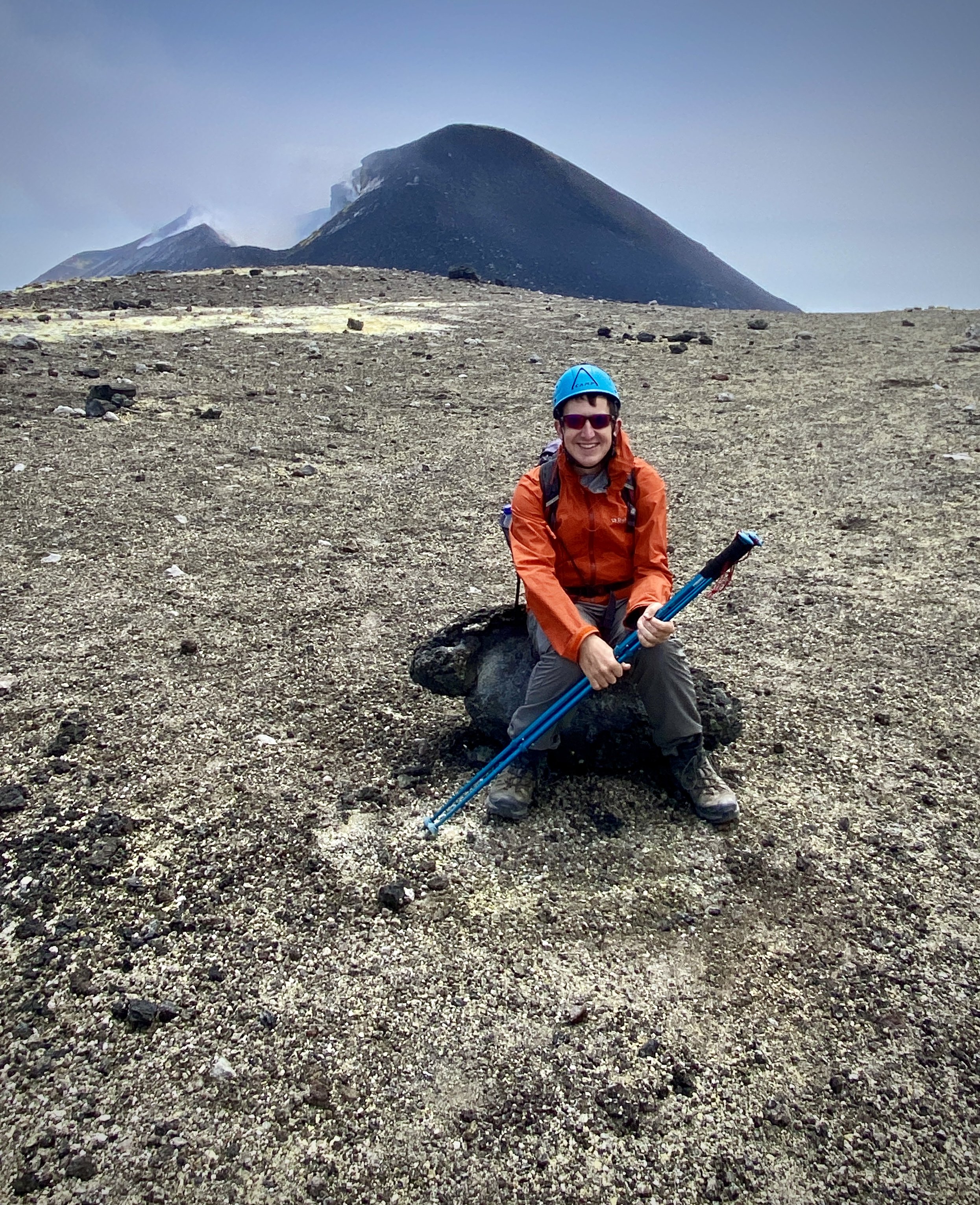
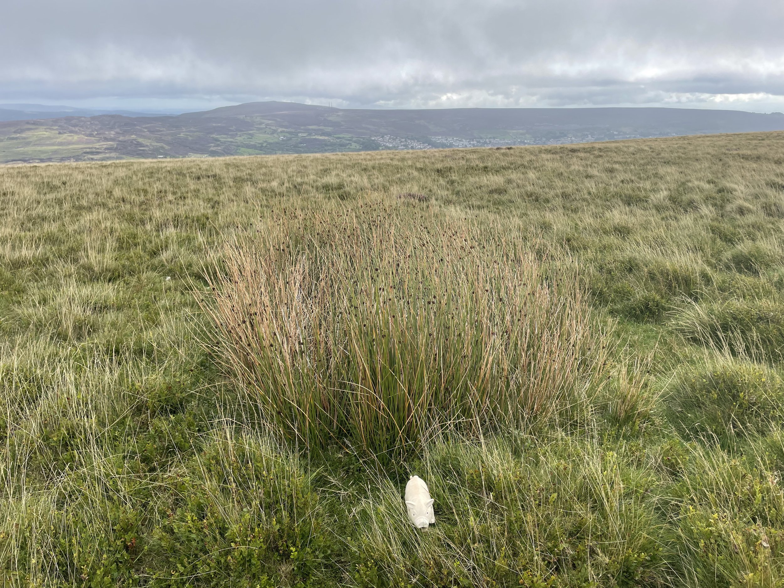
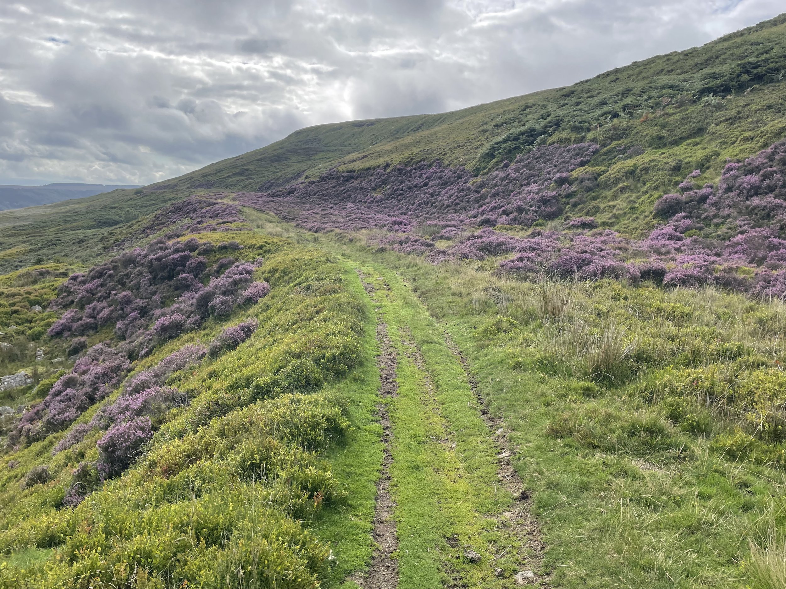
On a day of poor visibility the obvious route back would be to return the same way to the Base Station. As we had great weather and it was still early in the day we kept to our best-case plan and took the interesting route back, bagging more summits on the way. First up was Ben Macdui North-Top. This is just 700m from Ben Macdui summit and only 16m lower in elevation. From here you can decend carefully taking a north-westerly curve down the slope to rejoin the Miadan Path. Soon you’ll reach a split in the path where you’ll take the right-hand path heading north. At the 12 km mark leave the path to take a bearing up the slope to rejoin the Cairn Gorm Trail at the summit of Cairn Lochan.
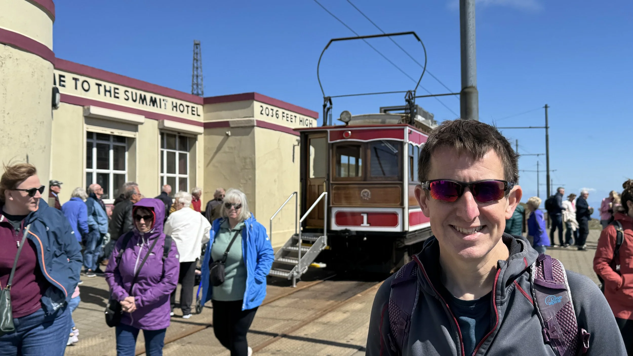
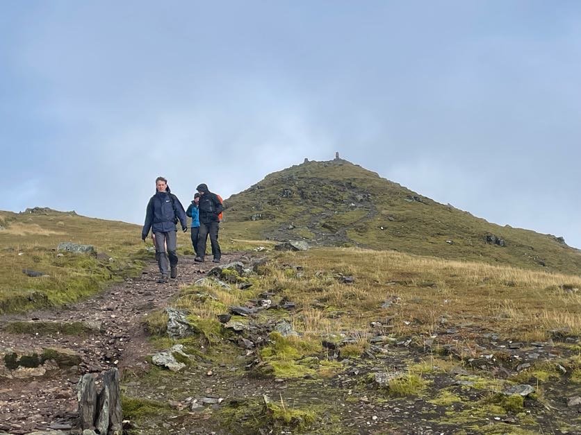
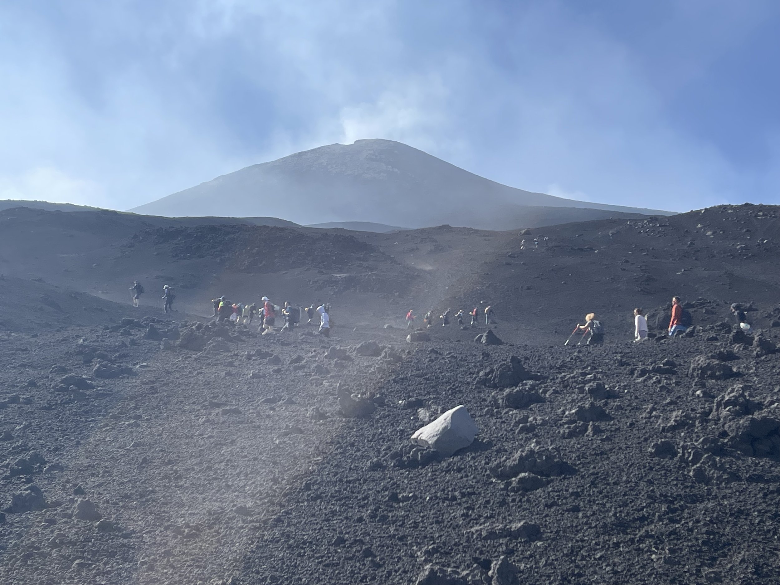
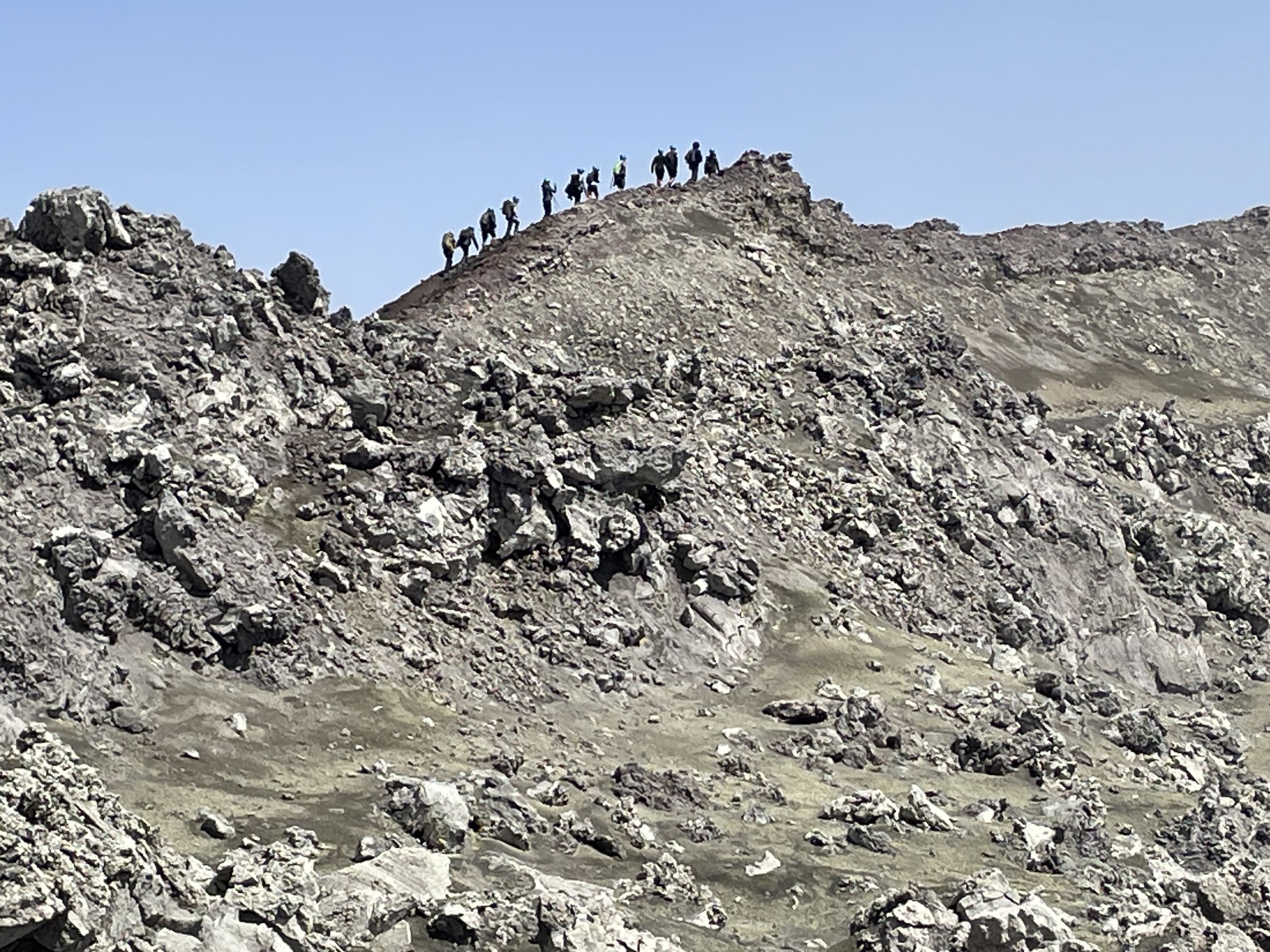
After Cairn Lochan continue along the Cairn Gorm Trail in a north-easterly direction to the summit of Stob Coire an t-Sneachda then continue towards Cairn Gorm Mountain. Along the way you can take a minor diversion off the Trail to bag Fiacaill a' Choire Chois. After bagging Cairn Gorm, the 6th highest Munro, descend in a northerly direction to the Ptarmigan Station to visit the cafe, exhibition and the Funicular.
If you’re planning to take the Funicular check first that it’s running and don’t leave it too late in the day. We arrived an hour before the last train and were able to get onto one around 30 minutes after we arrived. If you miss the train or it’s not running you can also walk down via the Cairn Gorm Trail. Also note that you can only descend via the Funicular if you’ve been hiking as they don’t allow anyone out onto the hills if you’re using the train to ascend.