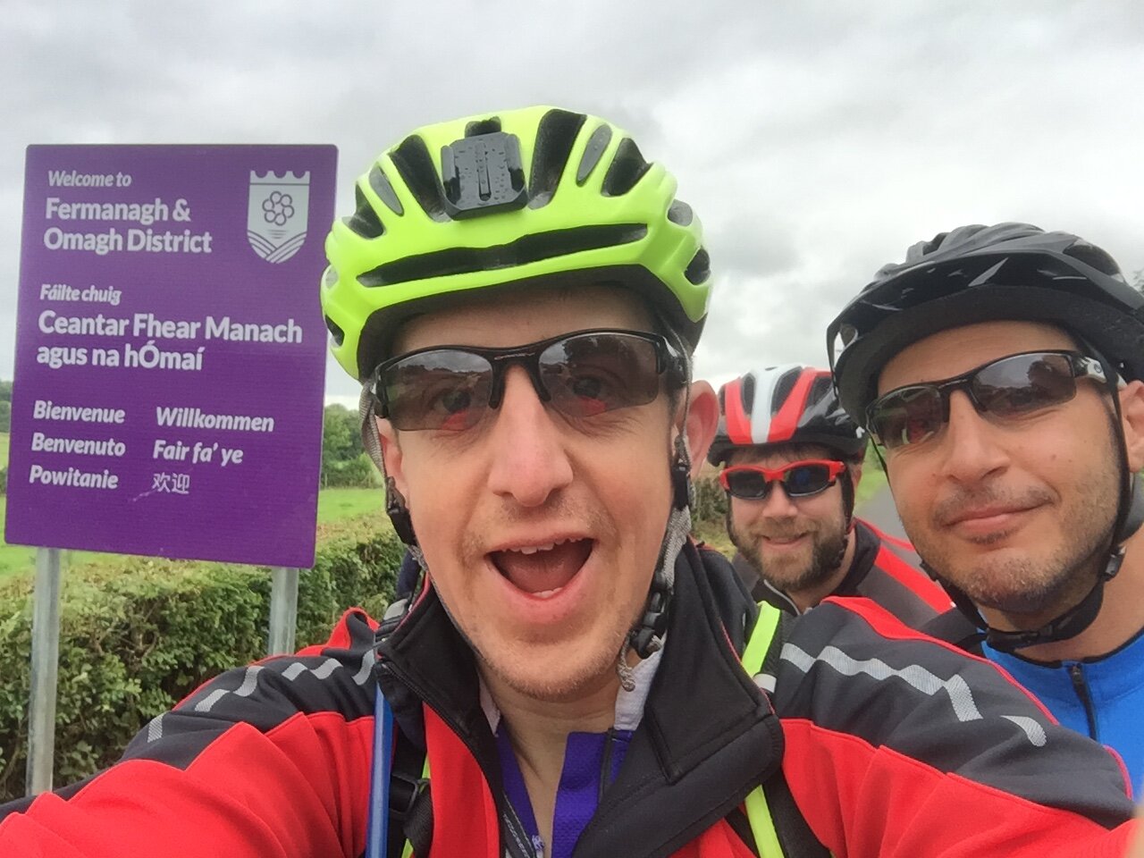
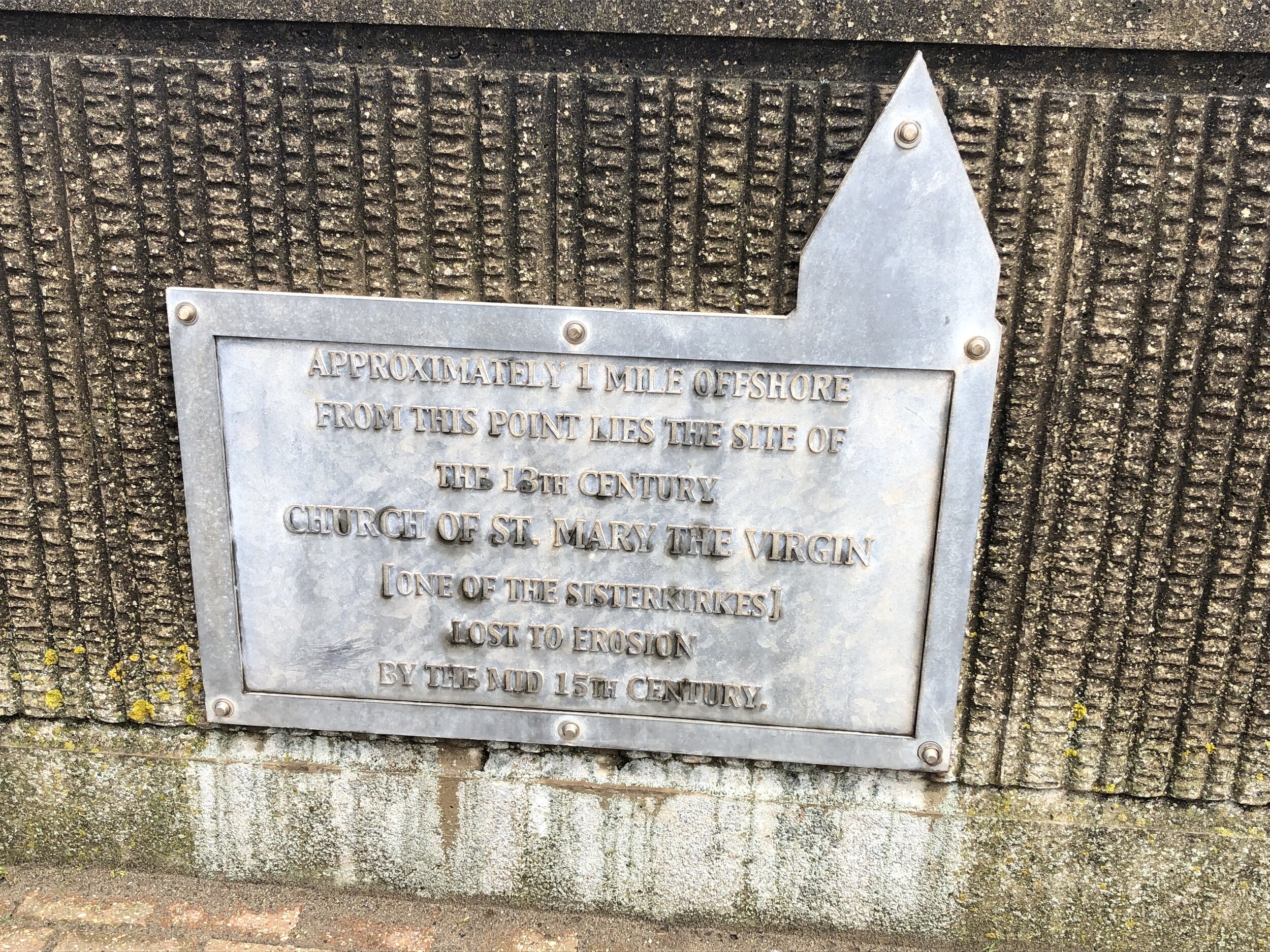
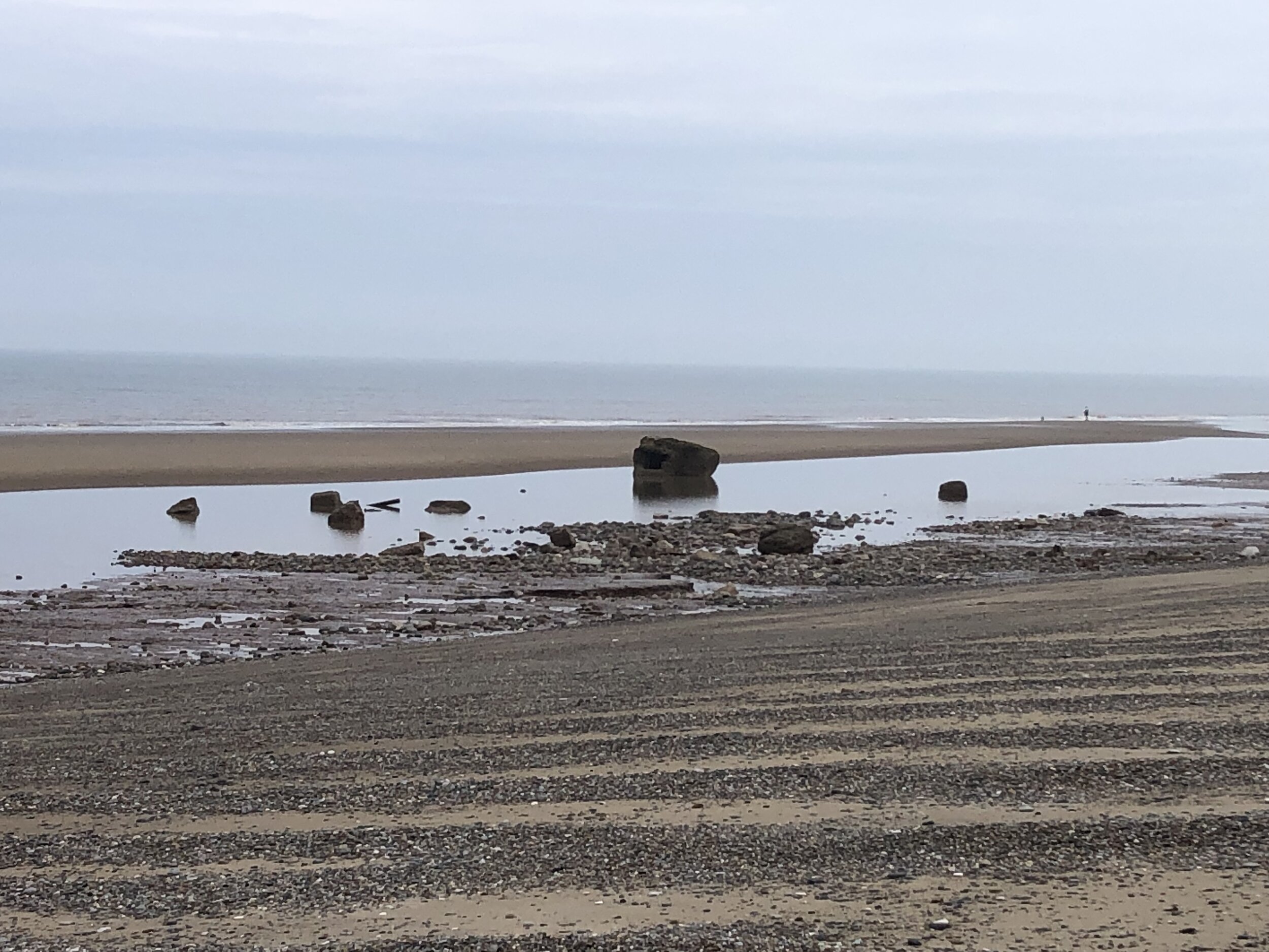
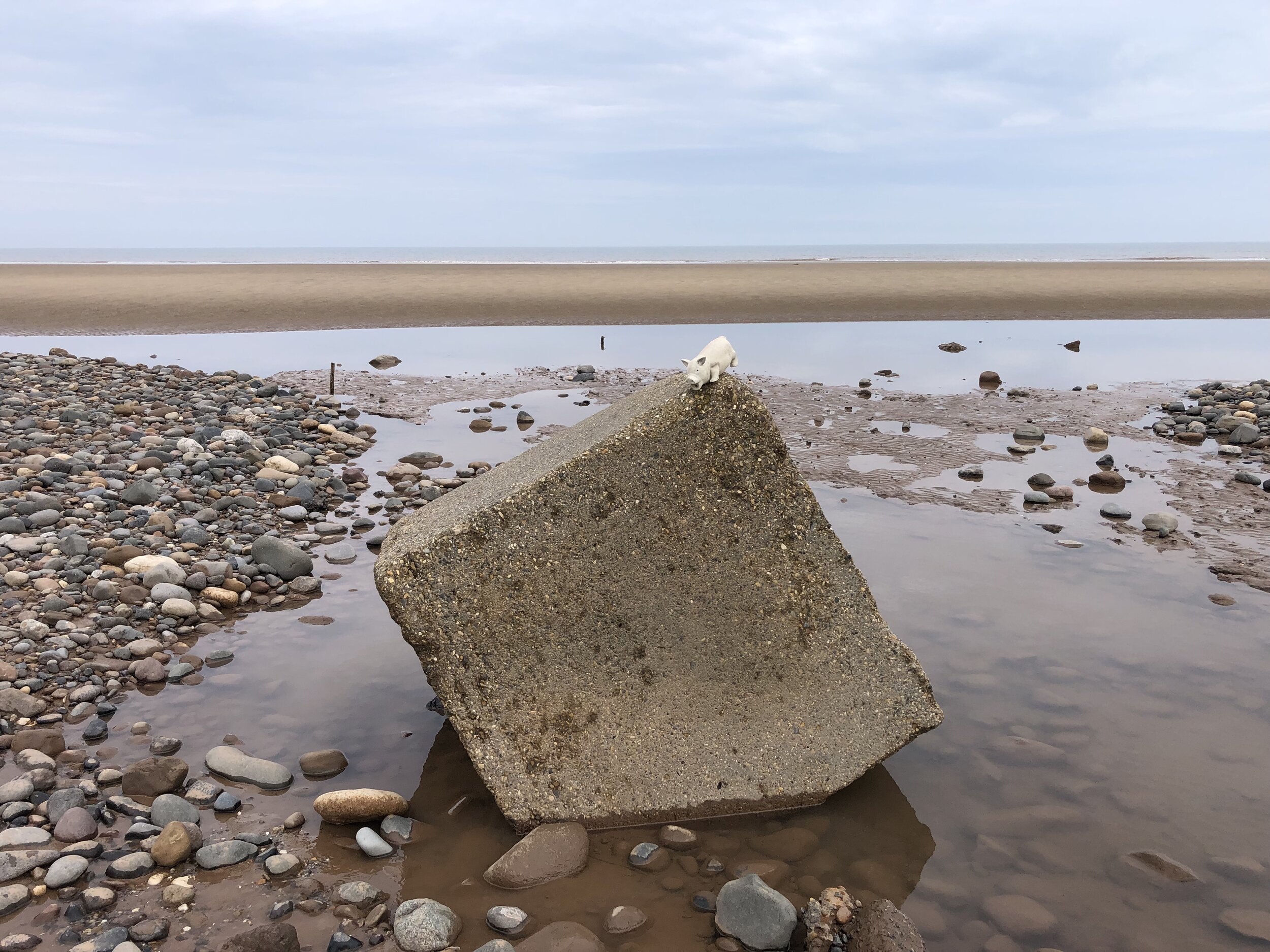
Sand Le Mere: the most northerly point of the Prime Meridian on mainland UK
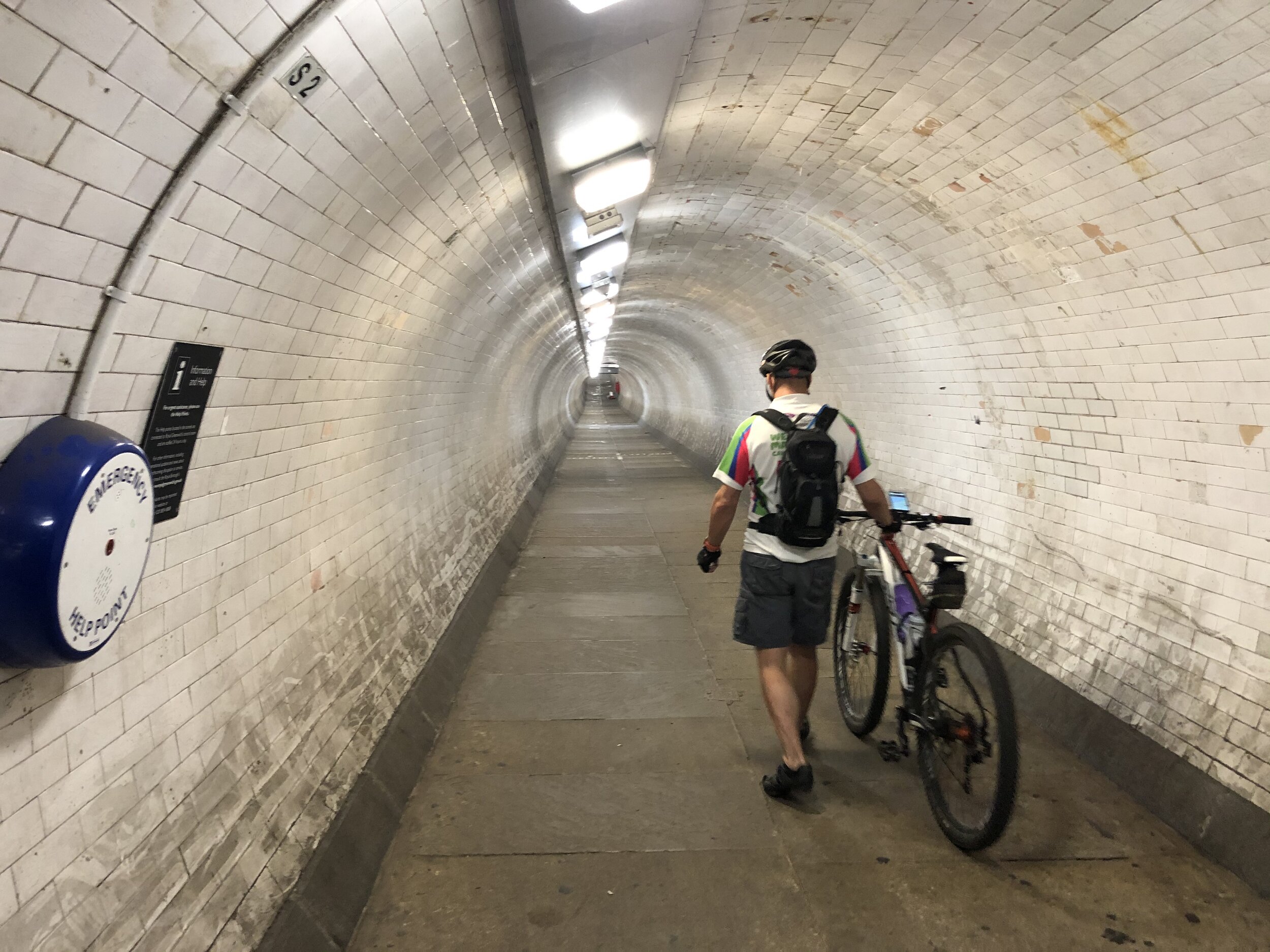
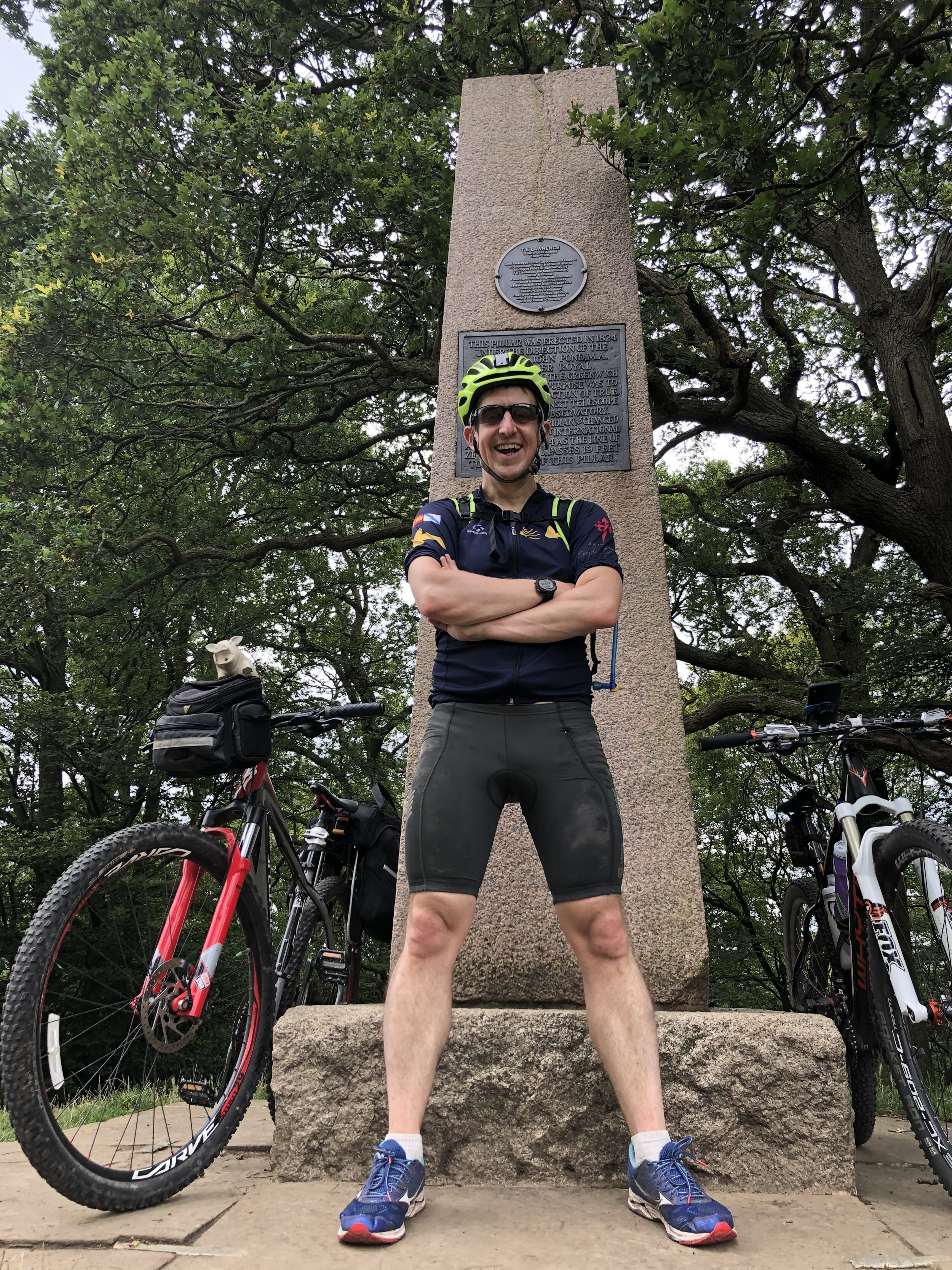
The Prime Meridian, also known as the Greenwich Meridian, is the line of longitude defined as 0°. It’s the line that divides East and West. It’s also a line that I asked myself: “can that be cycled"?”. The answer is “no” as it’s a dead-straight line with buildings inconveniently built along it's path. You can cycle quite close to it though, so that’s what we did.
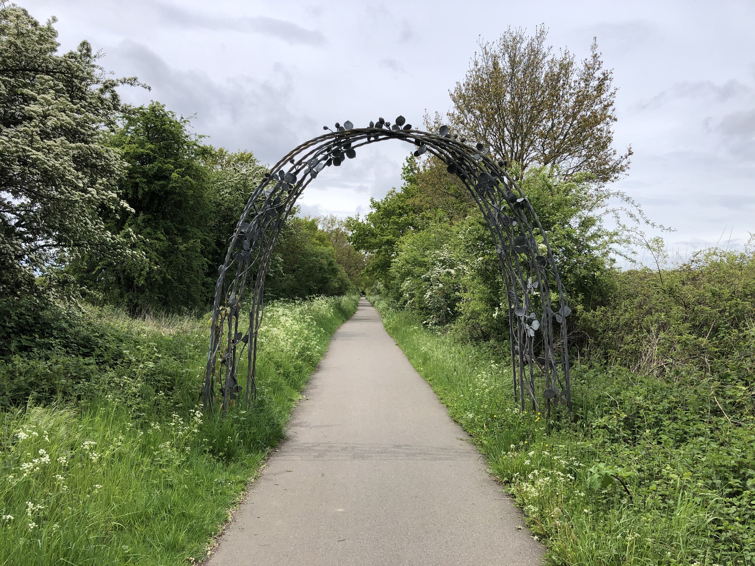
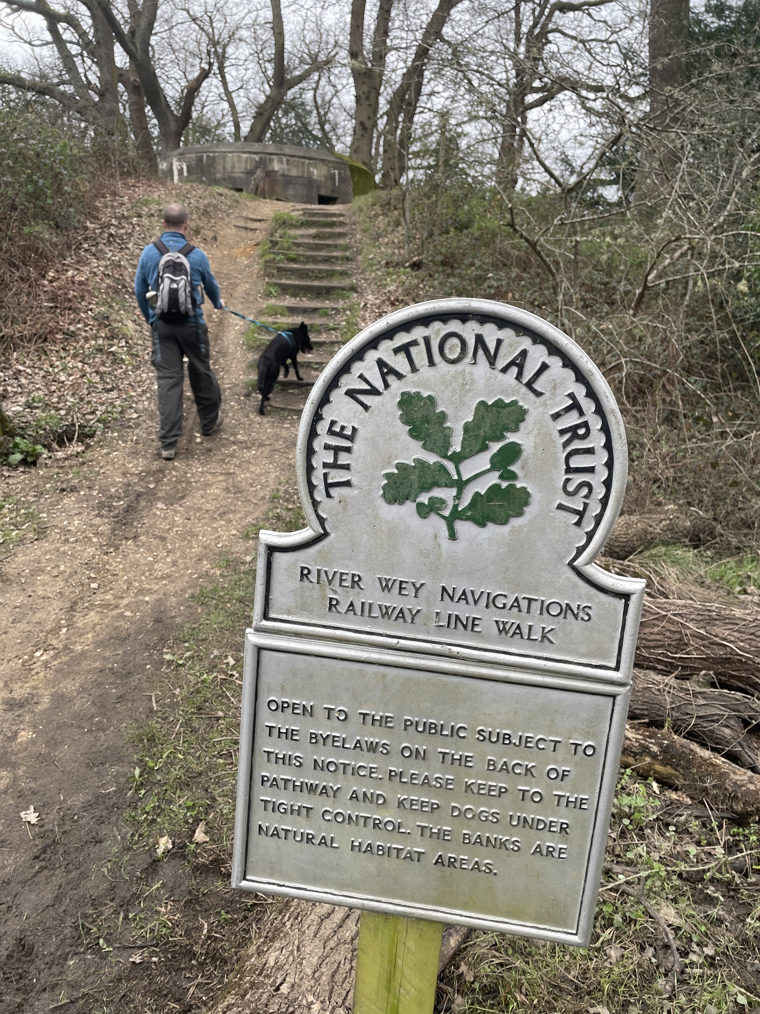
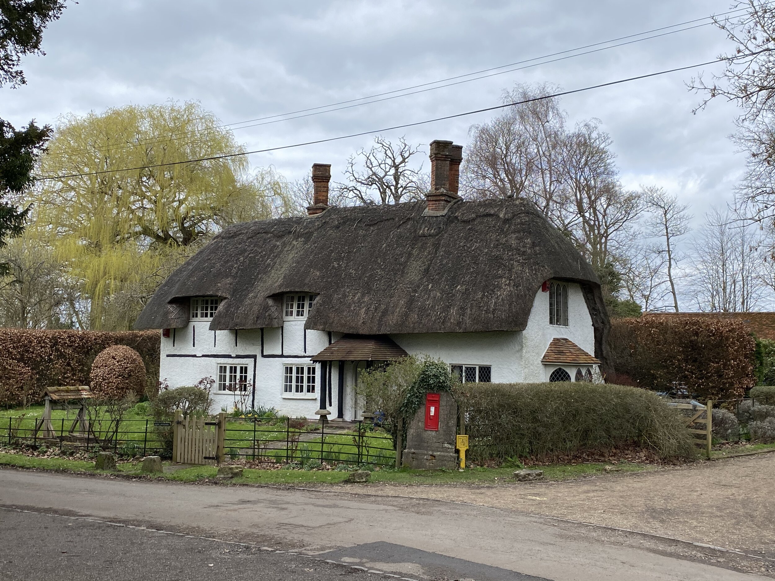
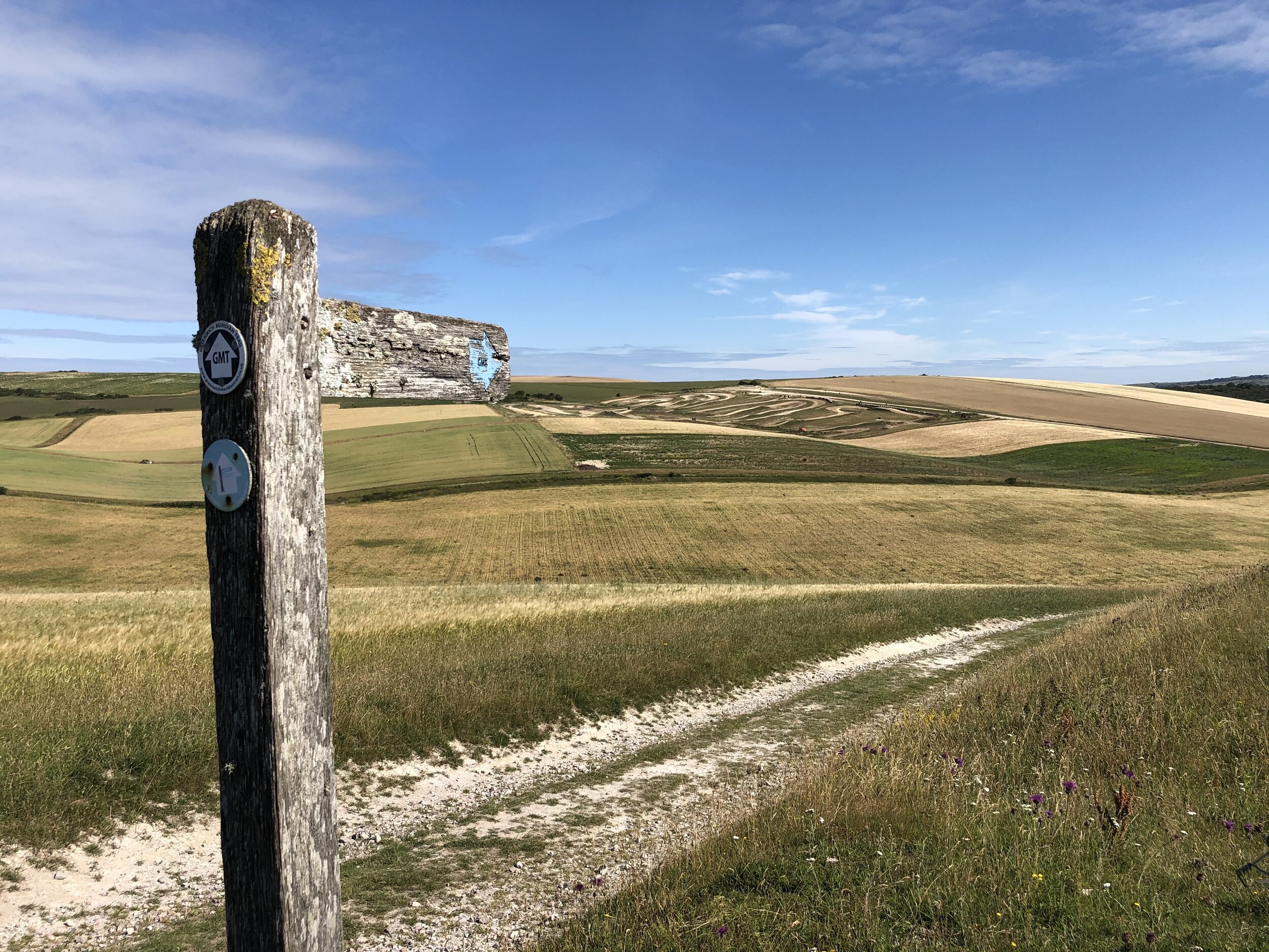
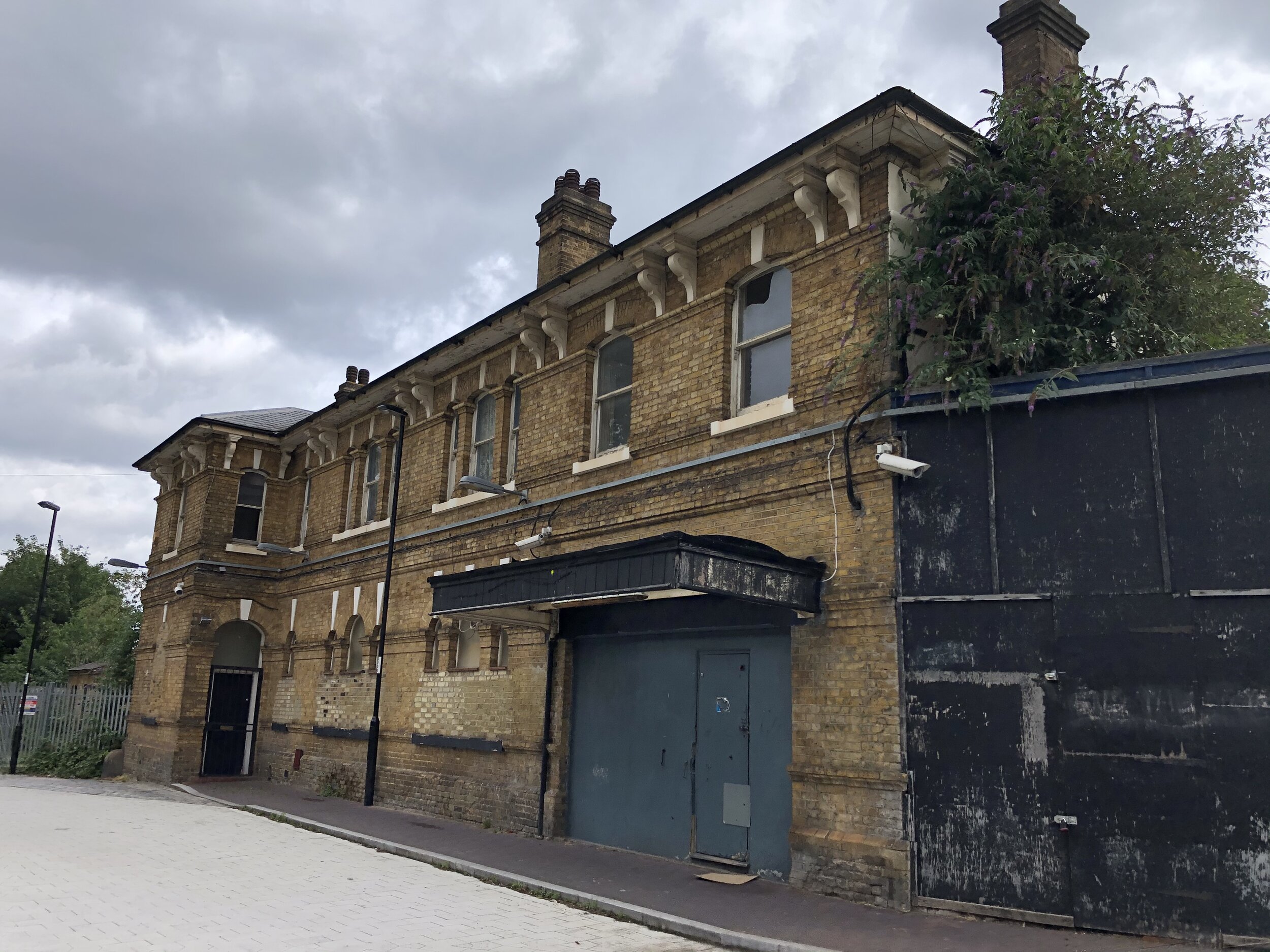
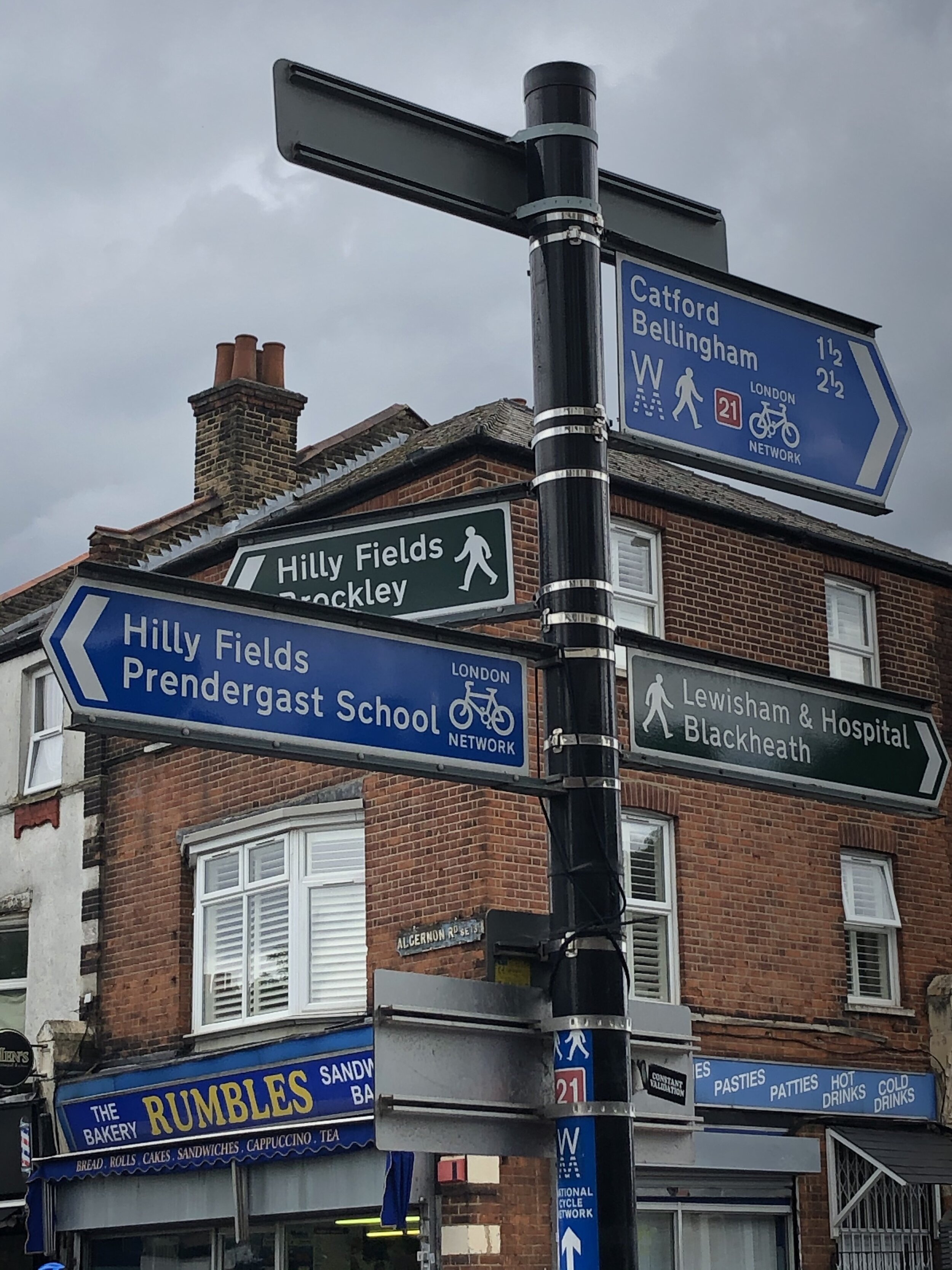
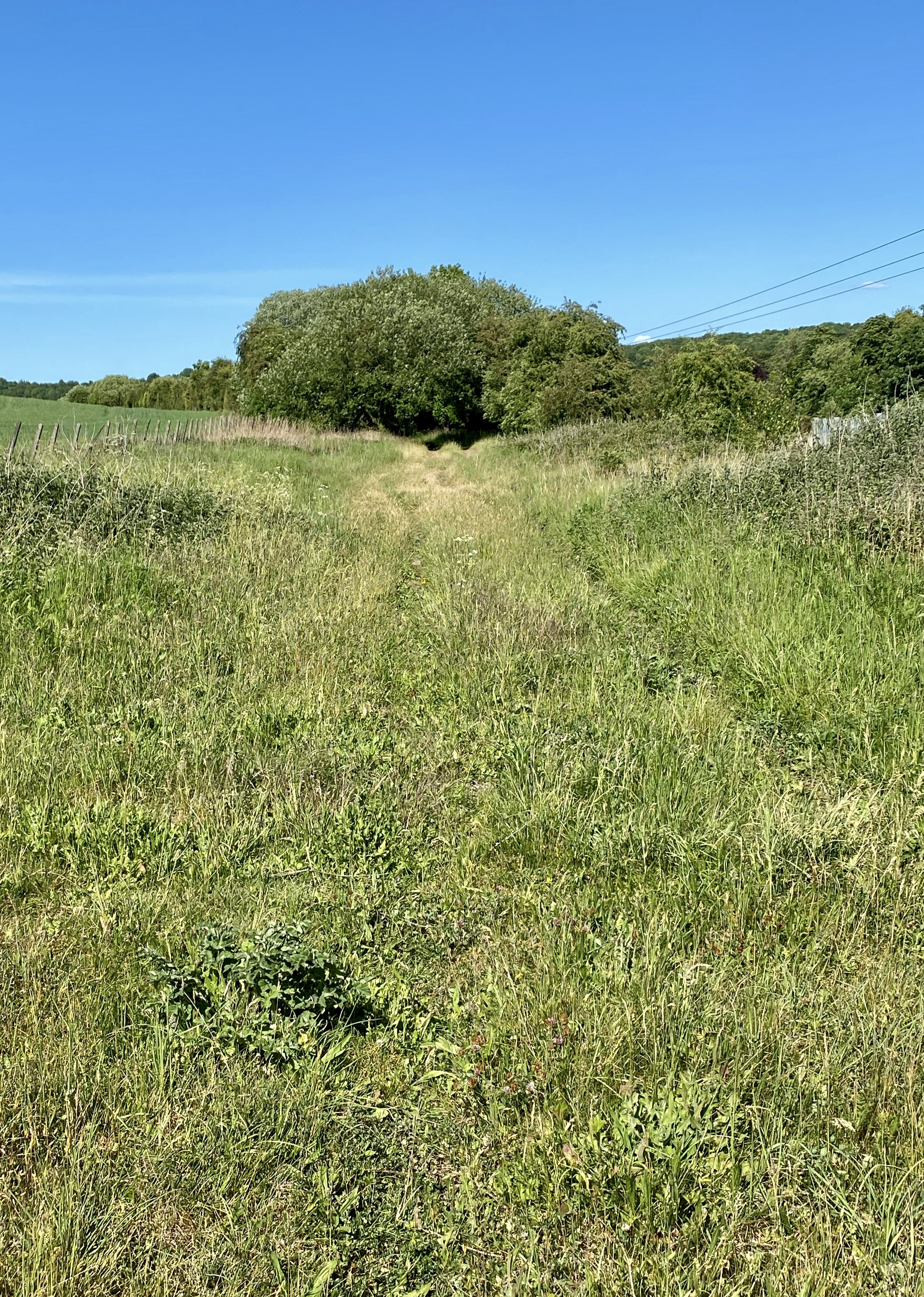
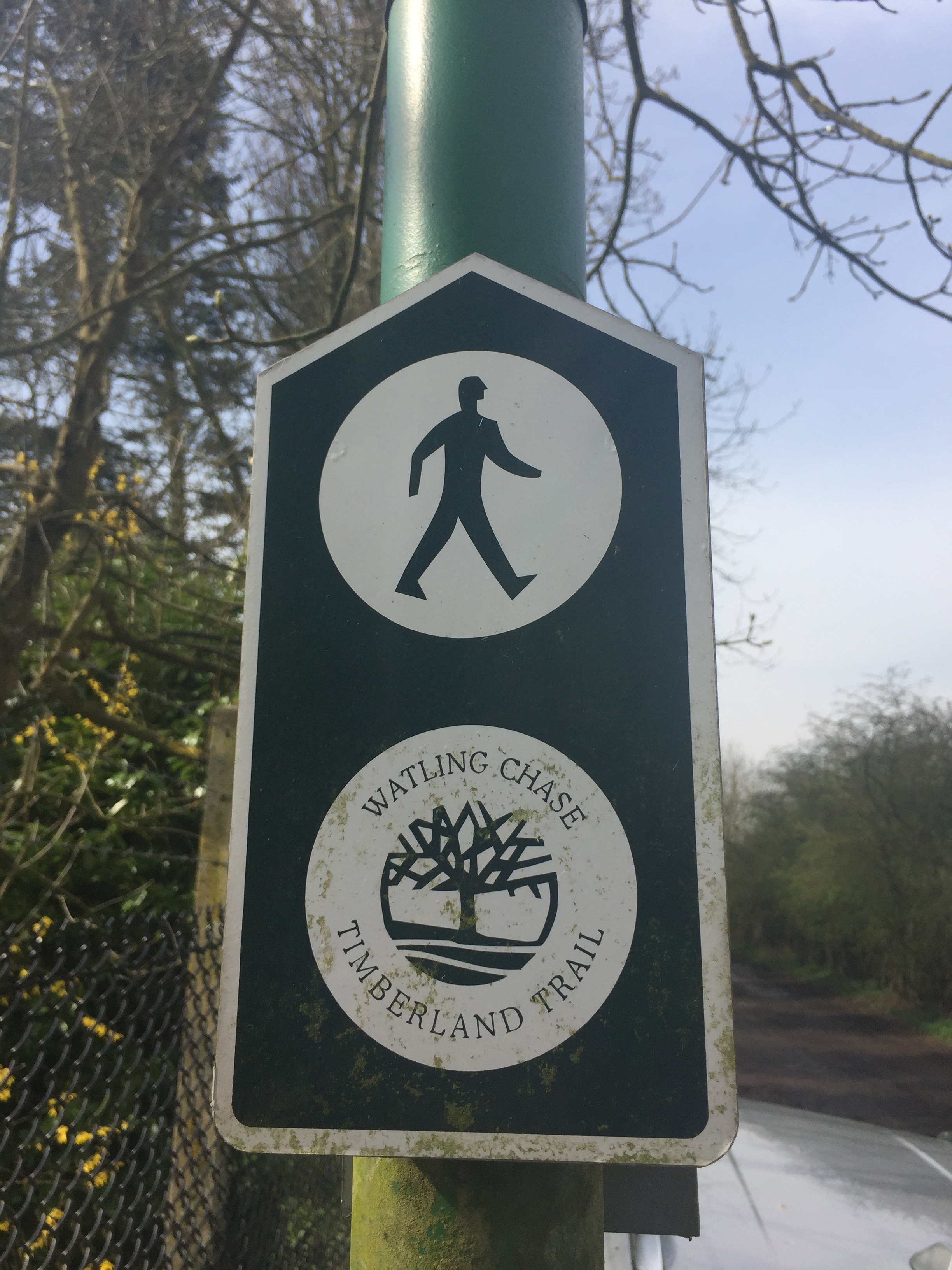
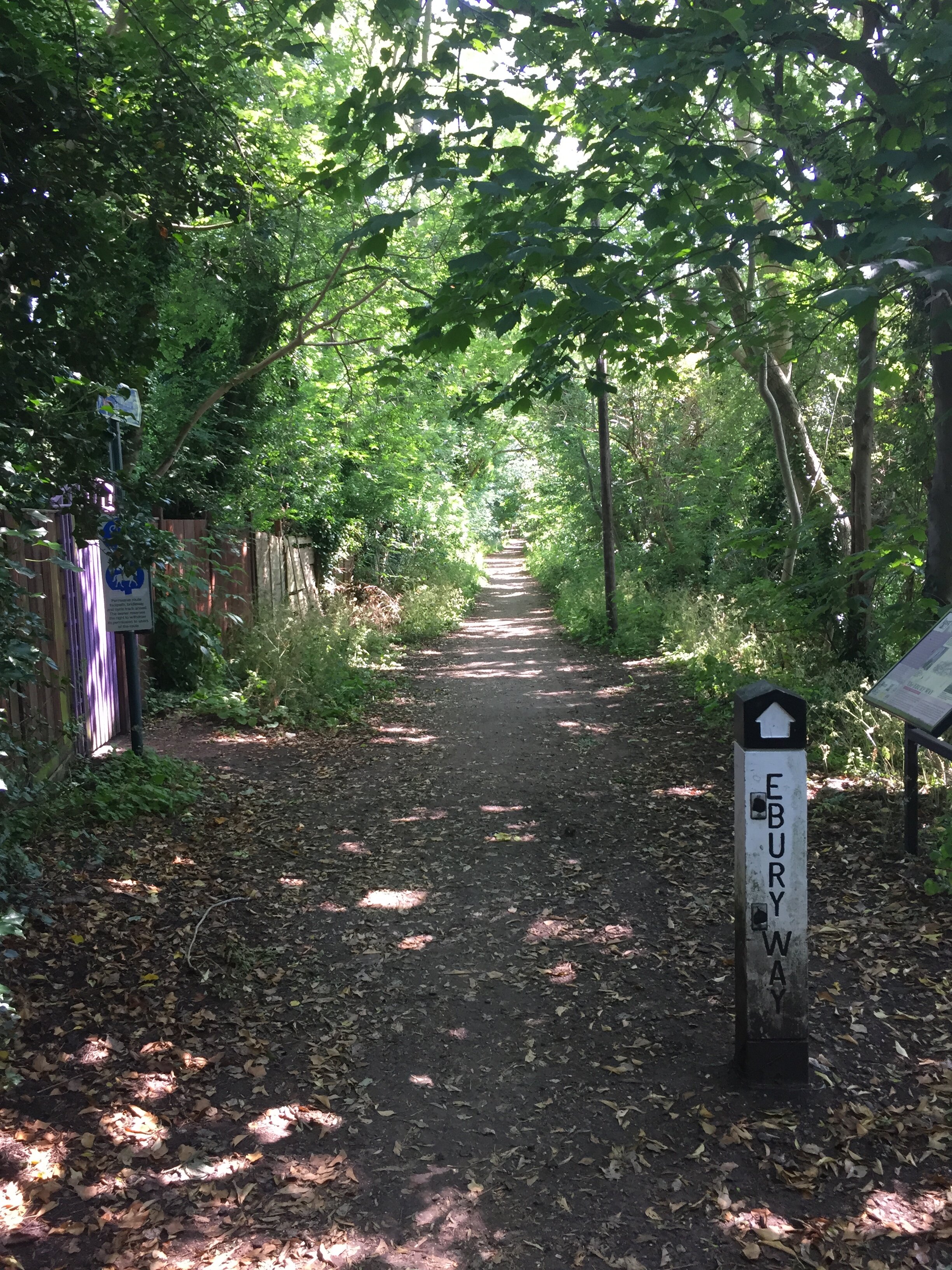
If you want to walk it, there’s a well-signed path called the Greenwich Meridian Trail. The Trail is also very well described in a series of 4 books by Graham and Hilda Heap. The cycle route that I designed stays as close to the Prime Meridian as possible but avoiding footpaths and opting for quieter country roads over busy main roads. Even if you’re cycling I highly recommend the Greenwich Meridian Trail books as they’re a great guide to the interesting things to see along the way.
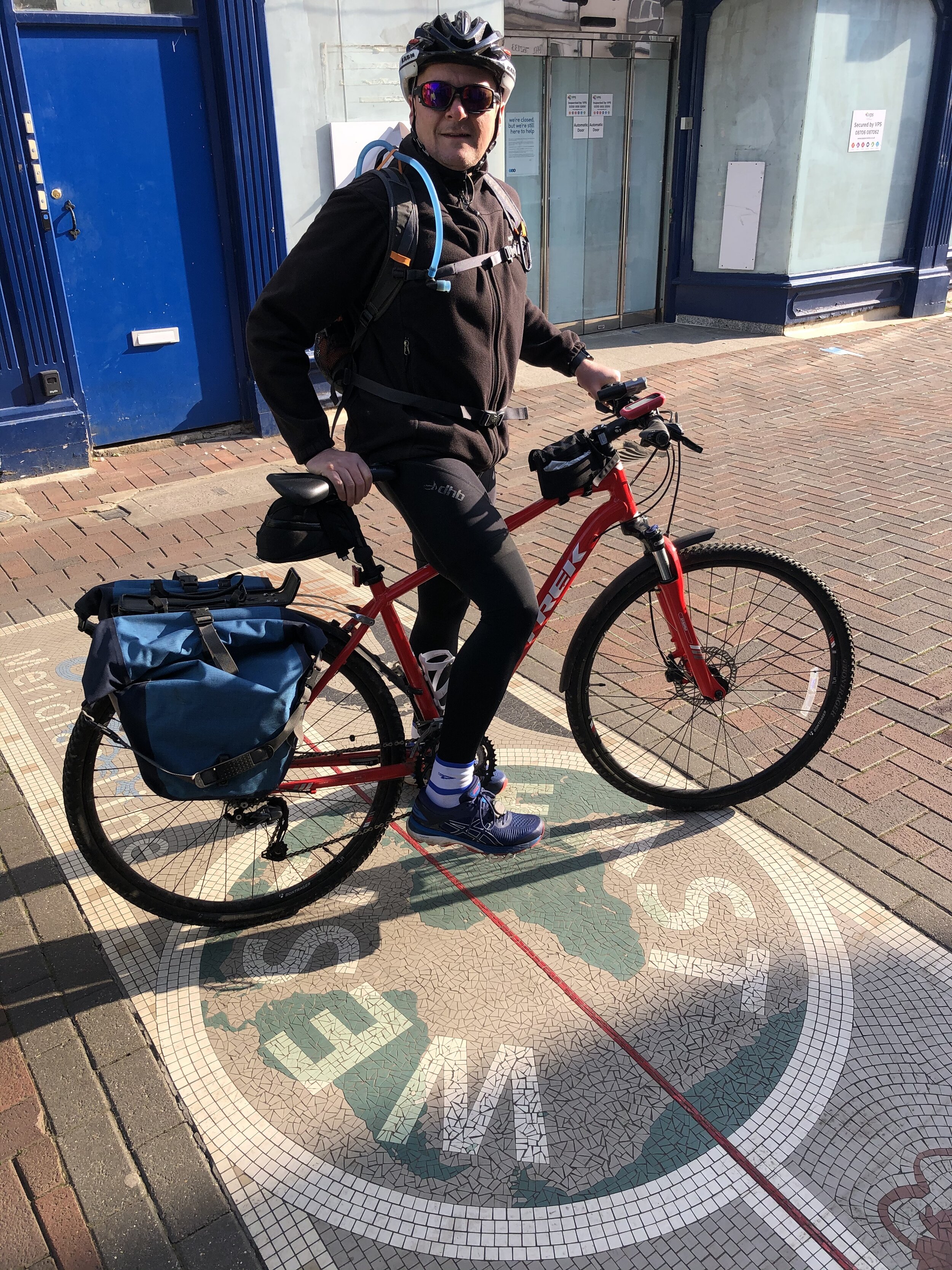
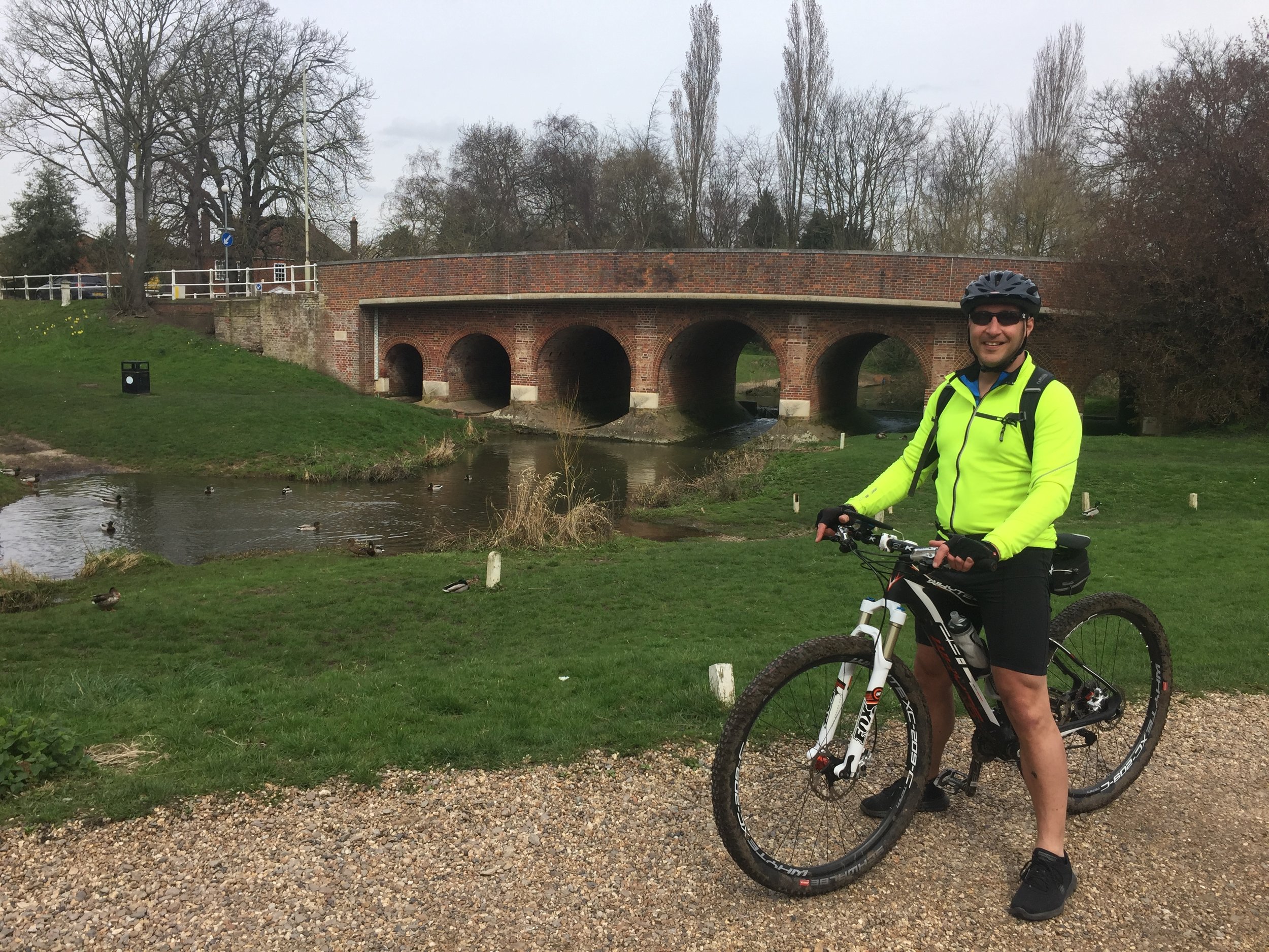
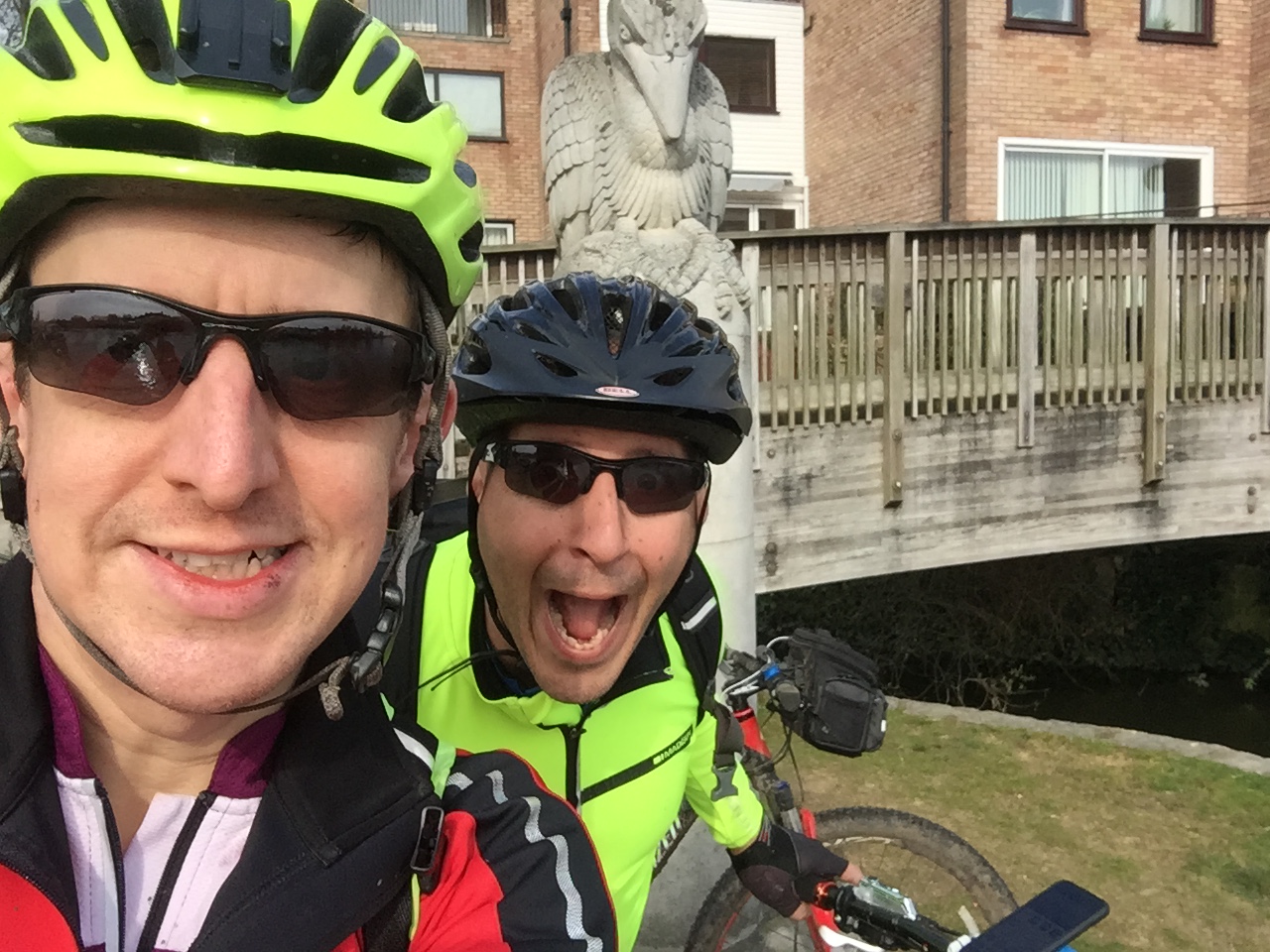
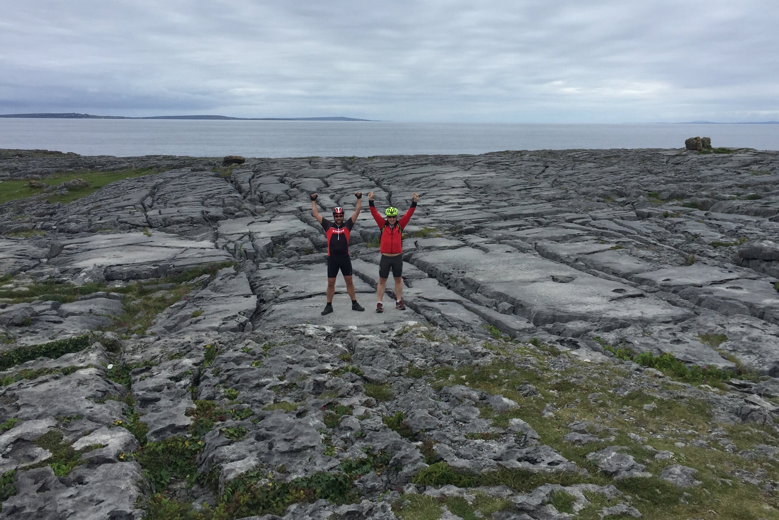
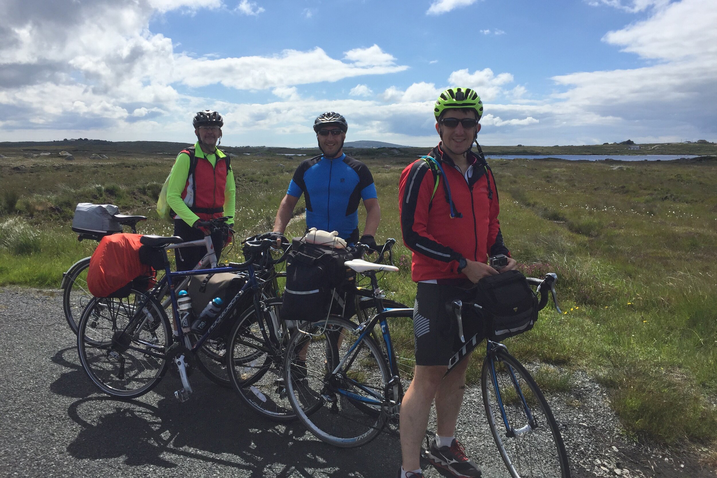
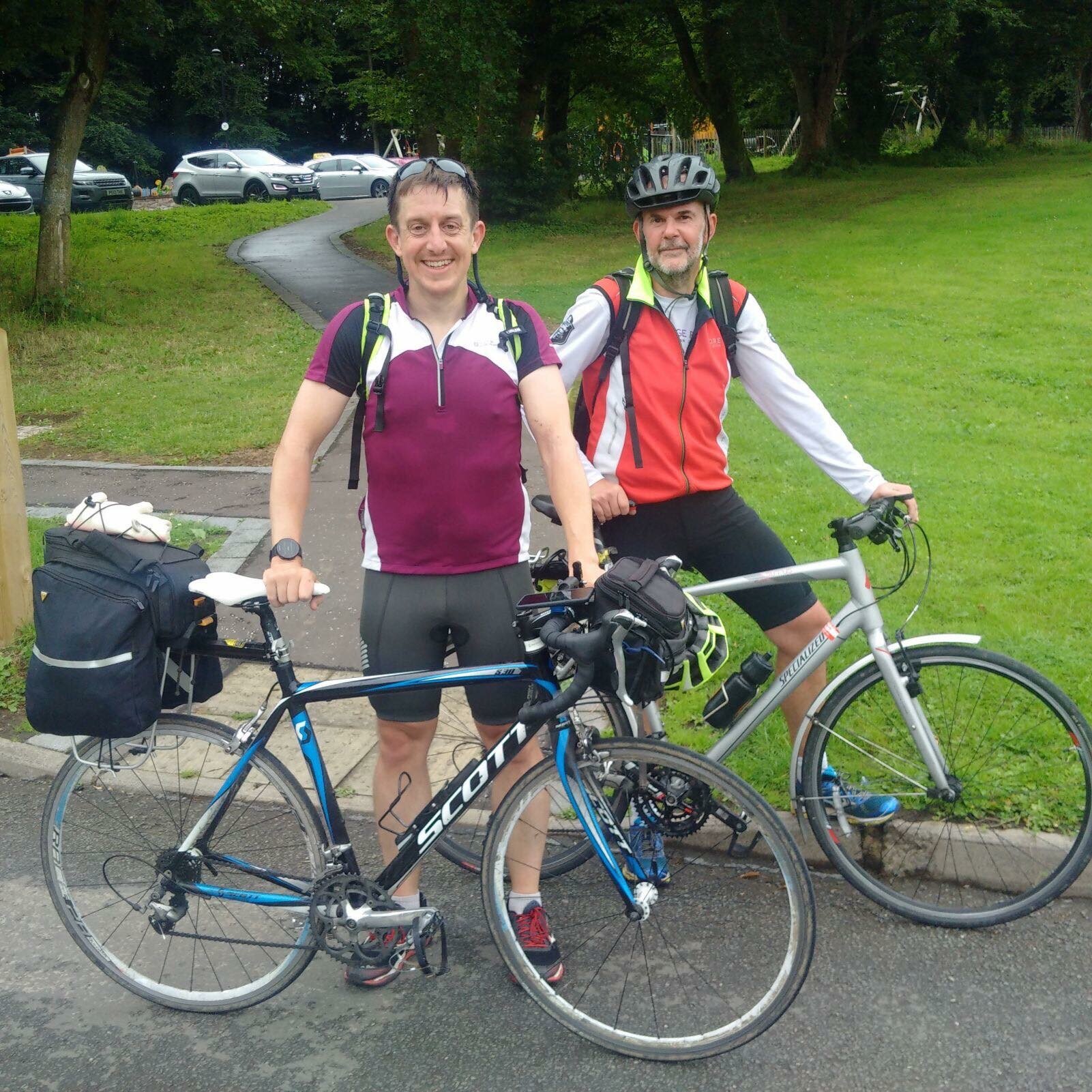
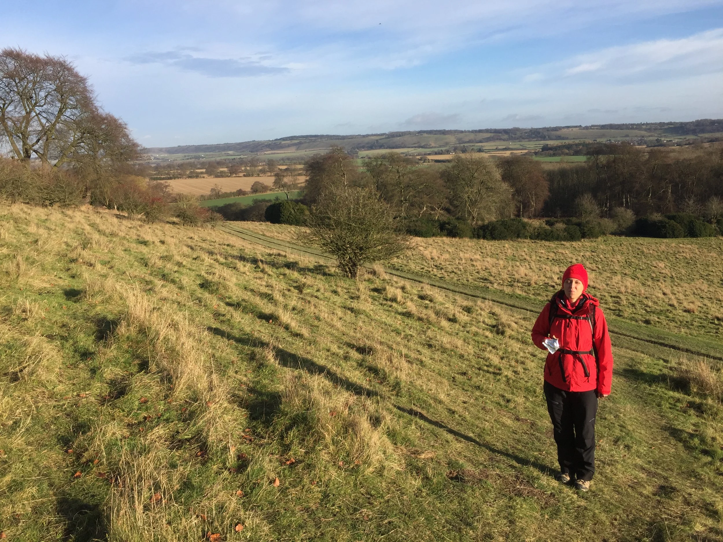
It had been a year since Brian and I cycled the first part and three months since part 2 with Ray. As the rest of the route was now a lot further away from where we live in the south, this would be one final trip to complete the full route.
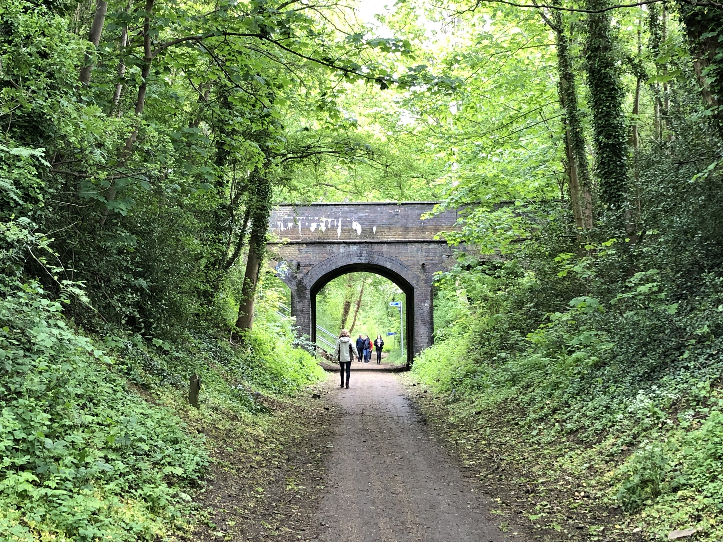
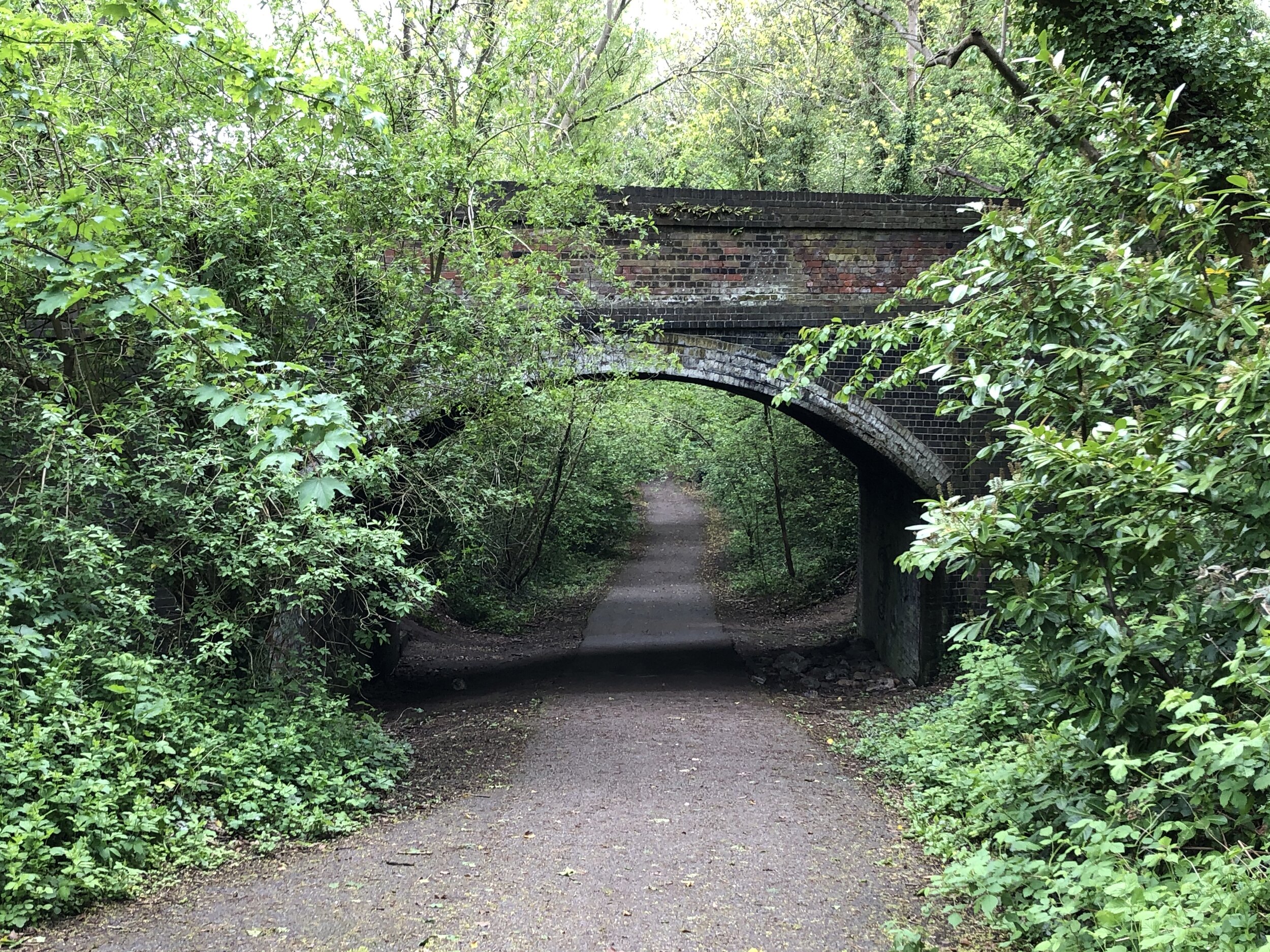
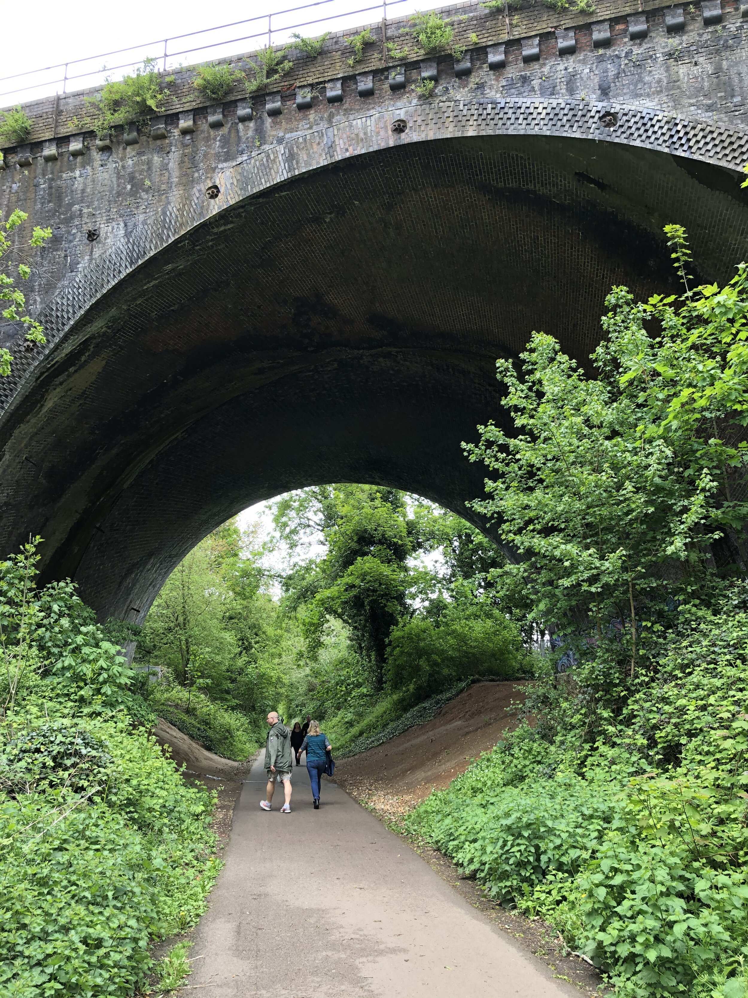
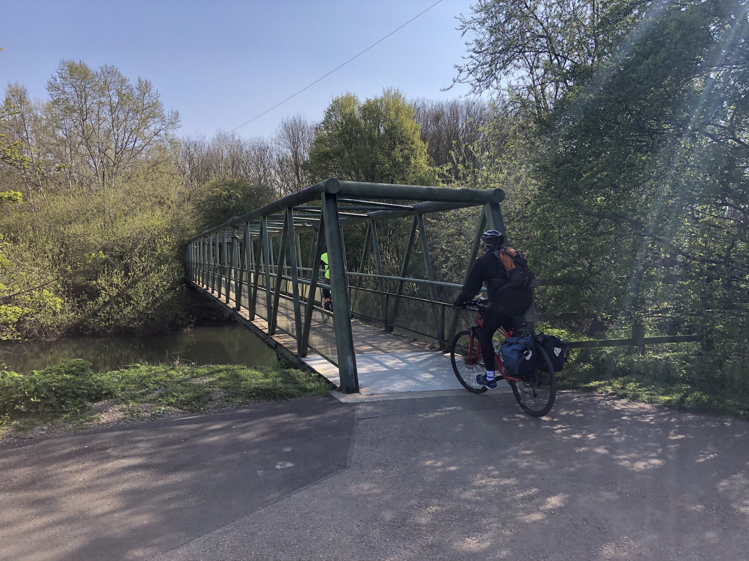
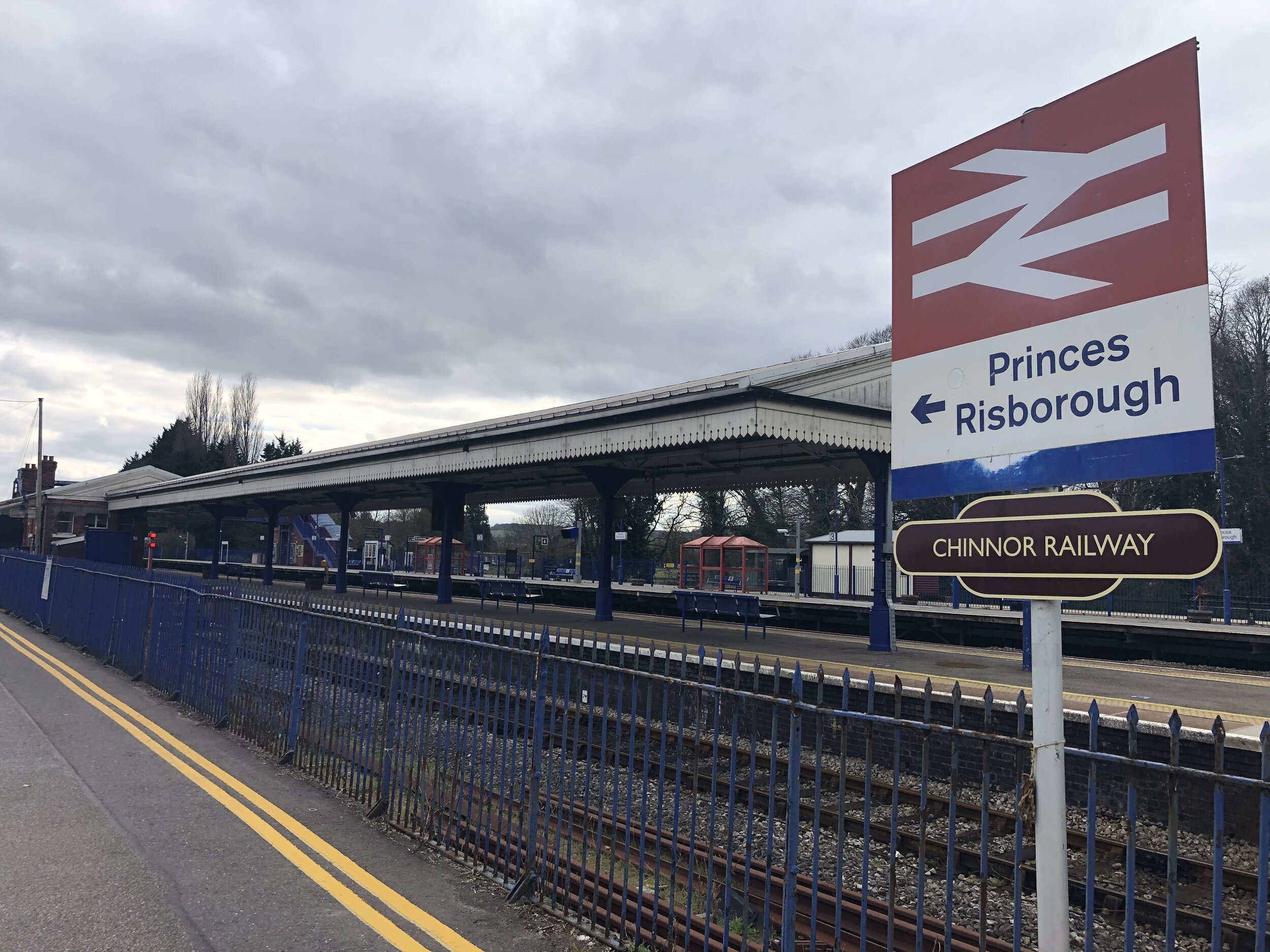
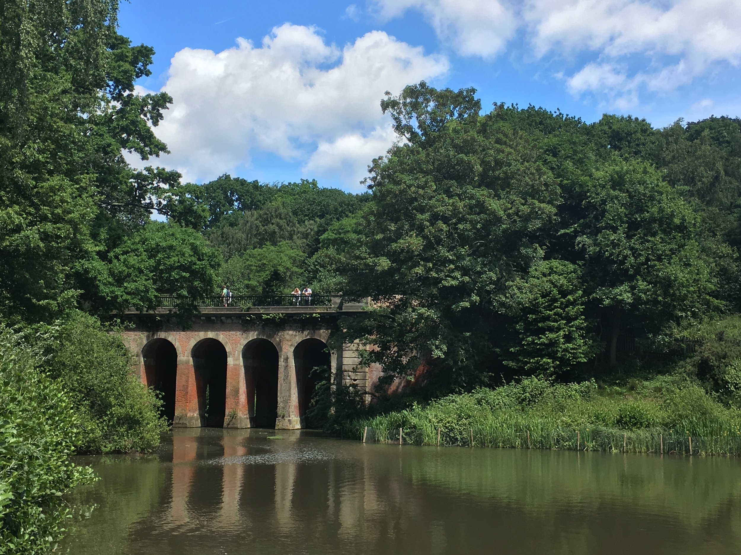
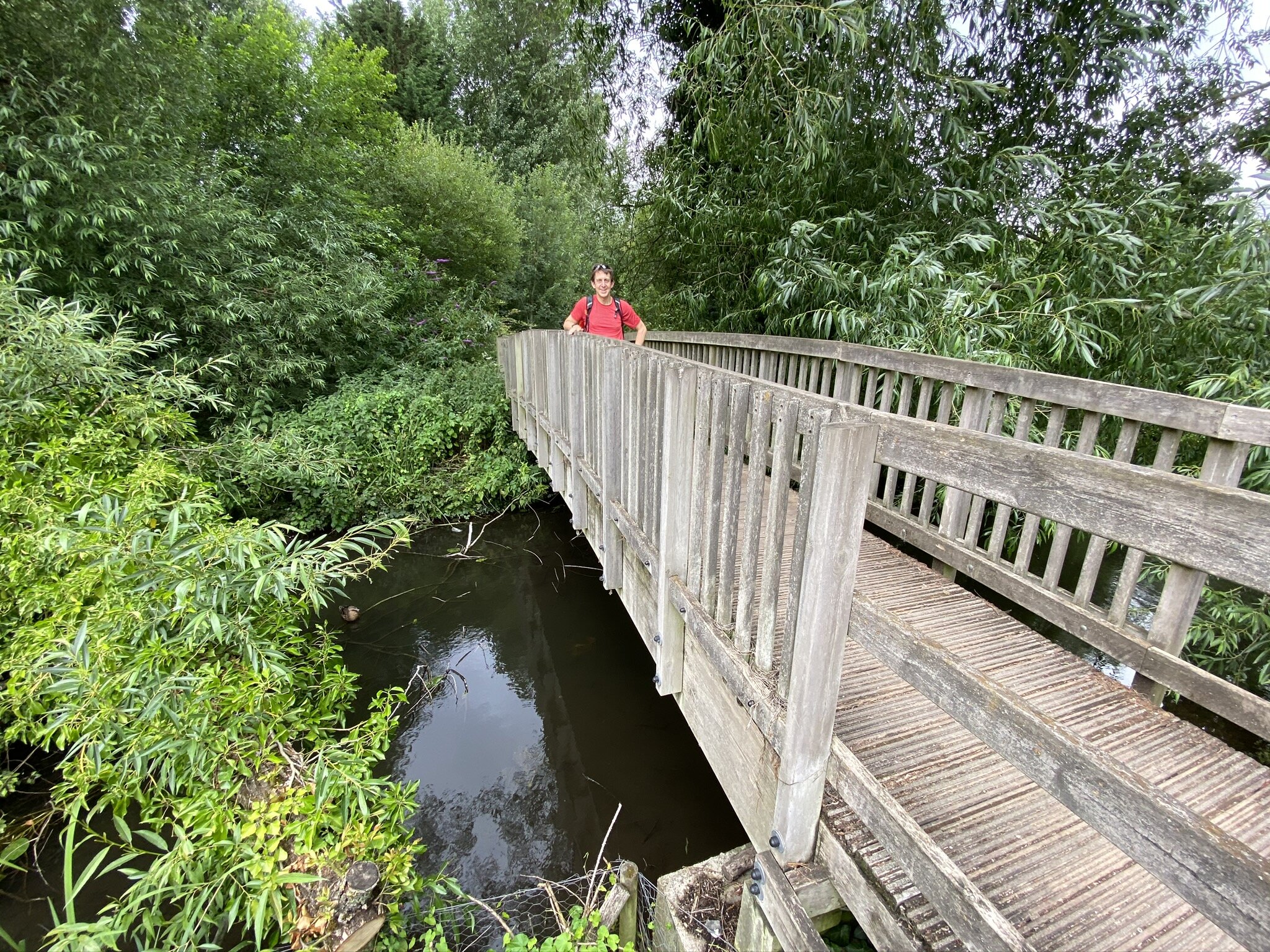
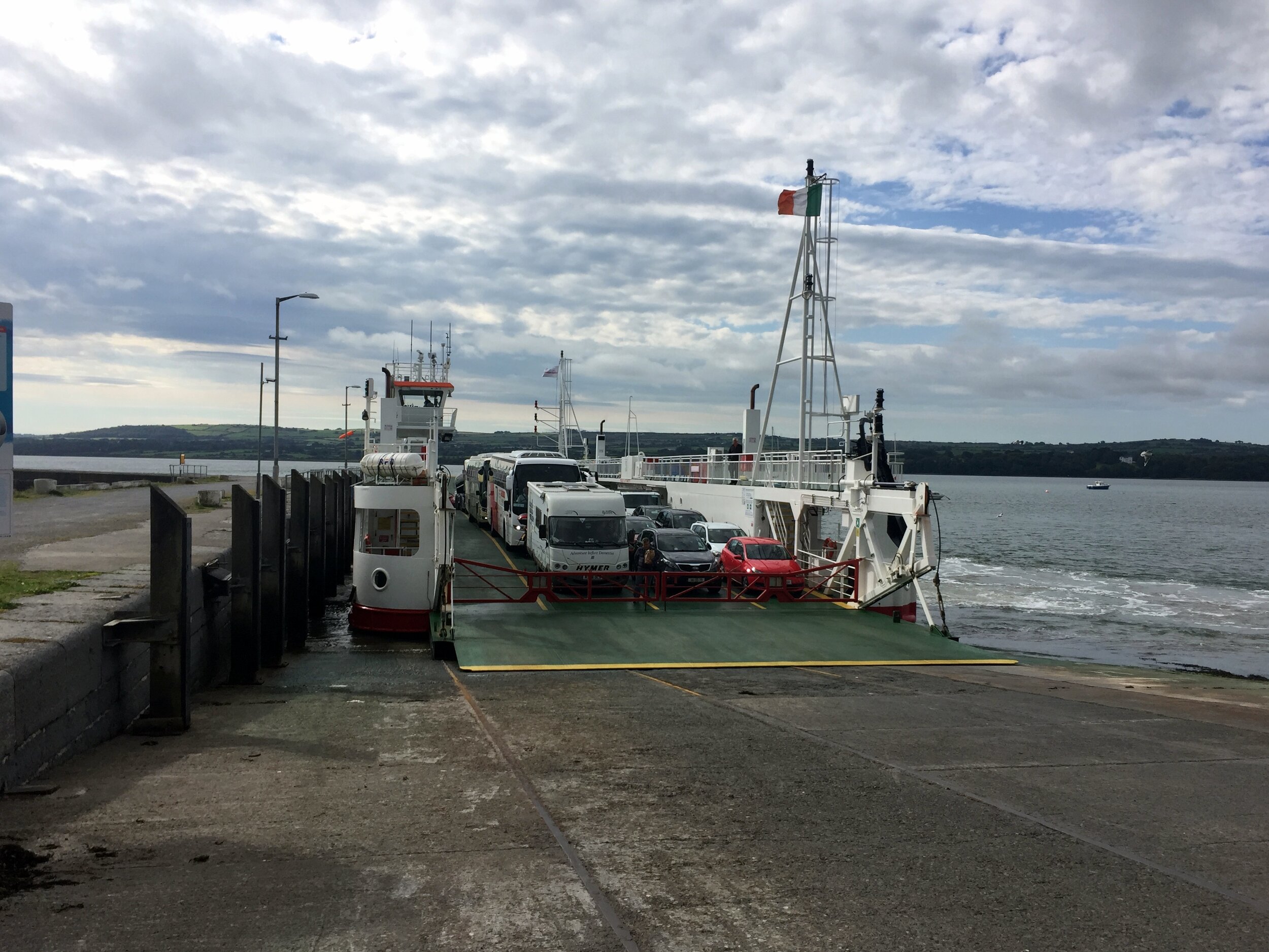
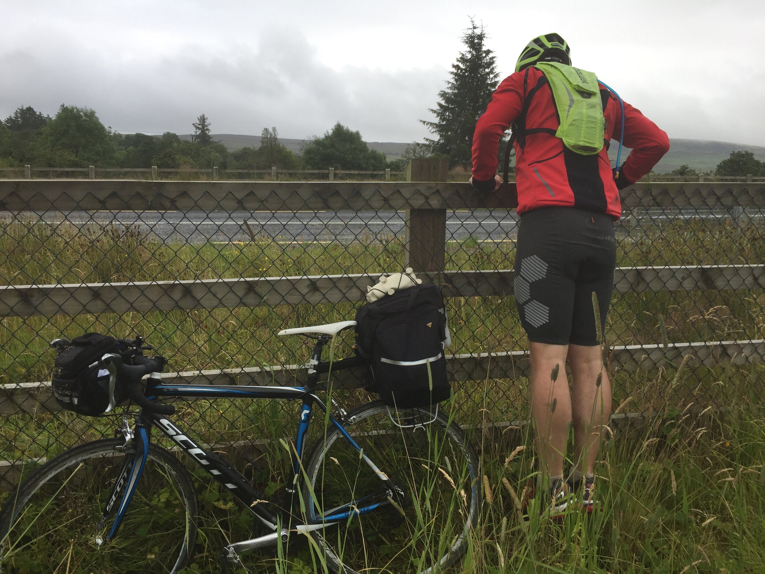
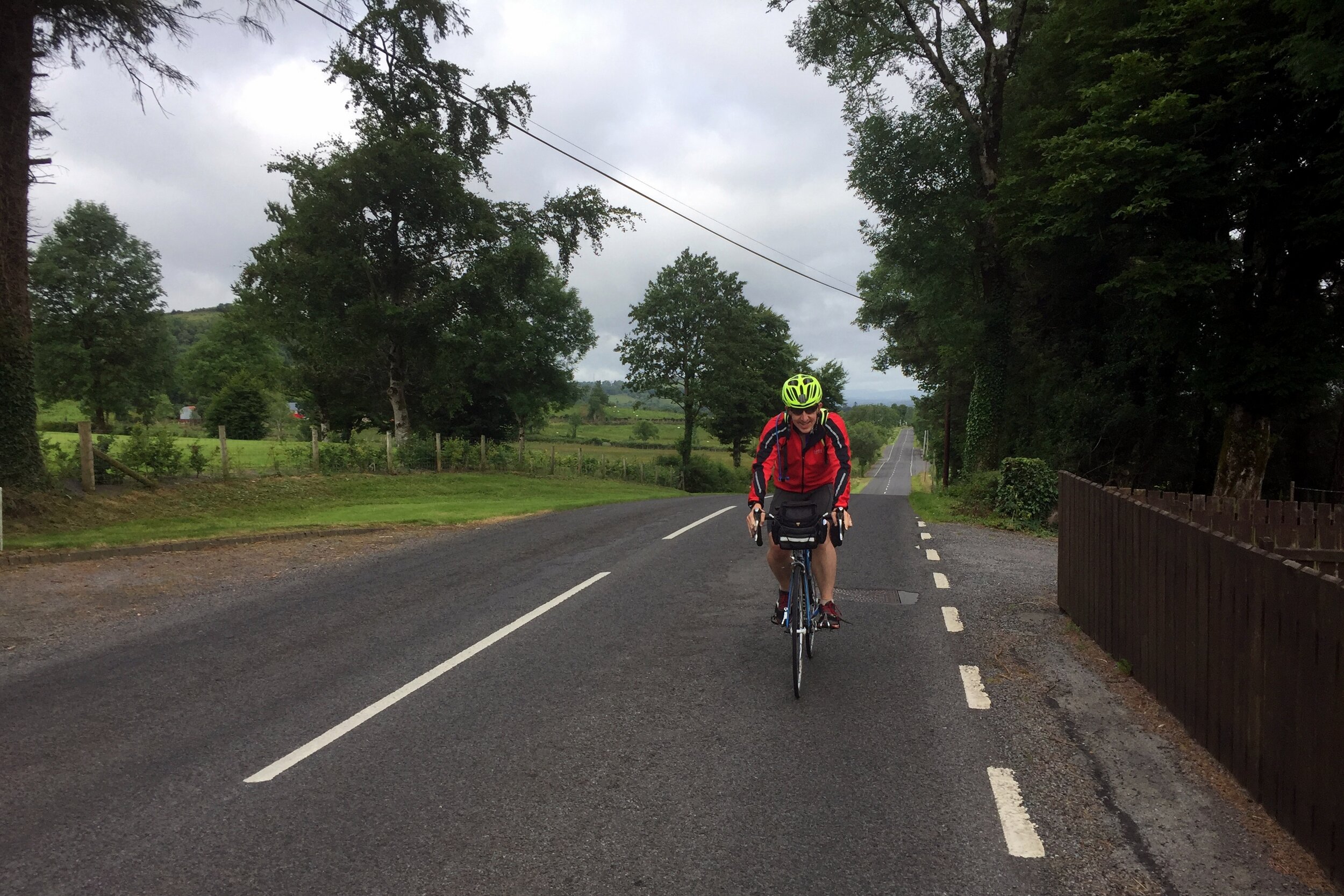
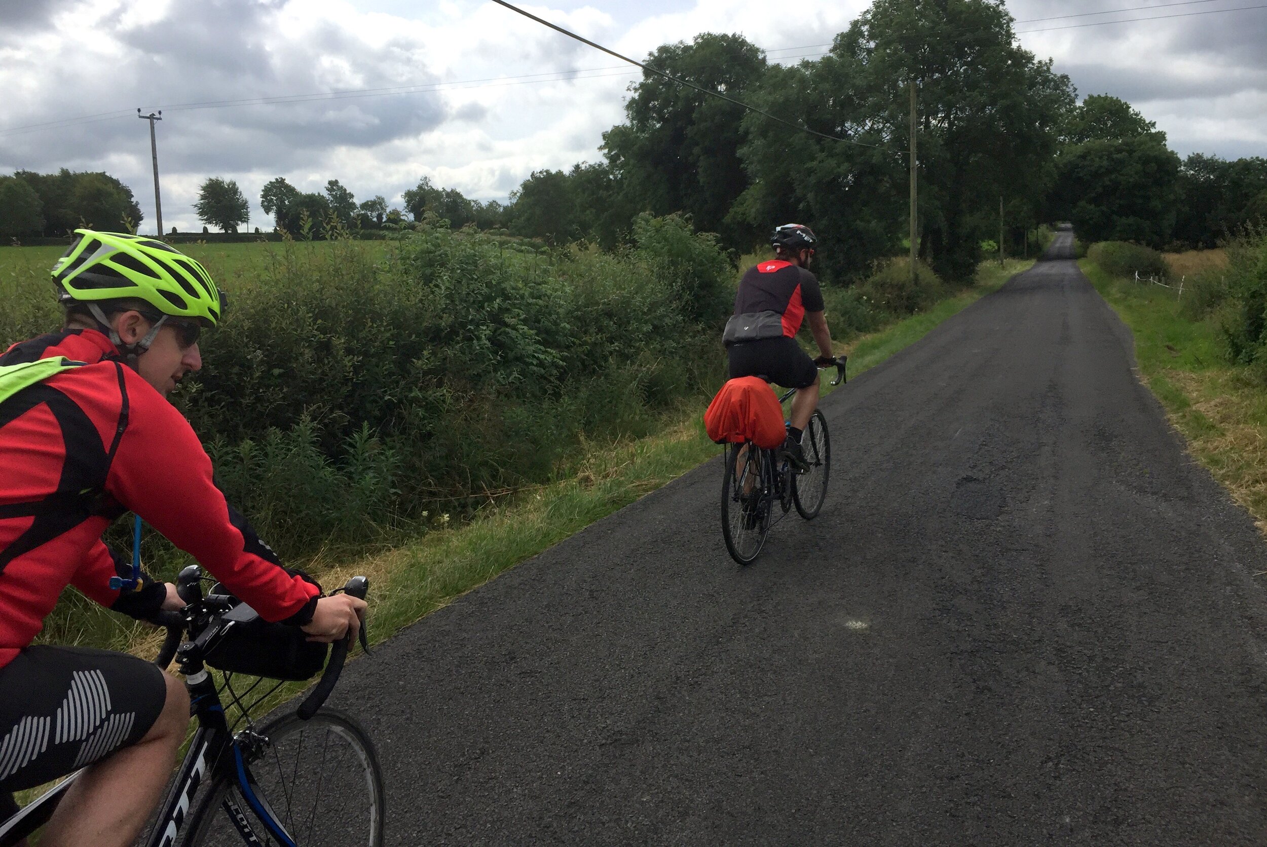
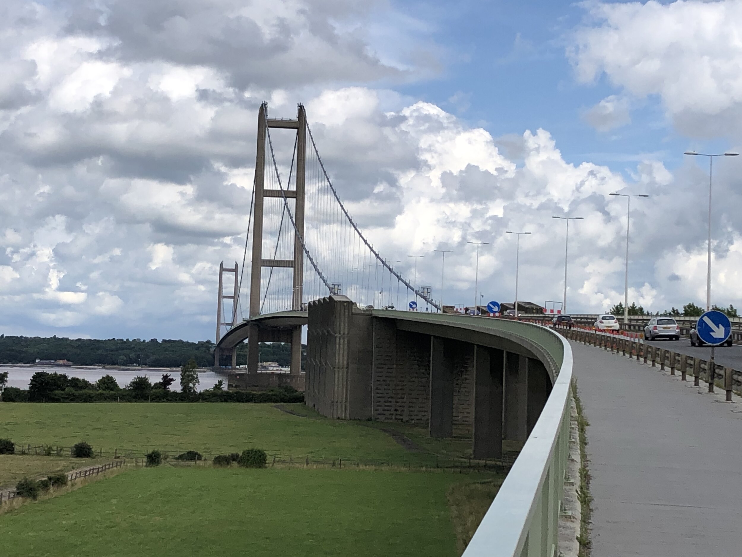
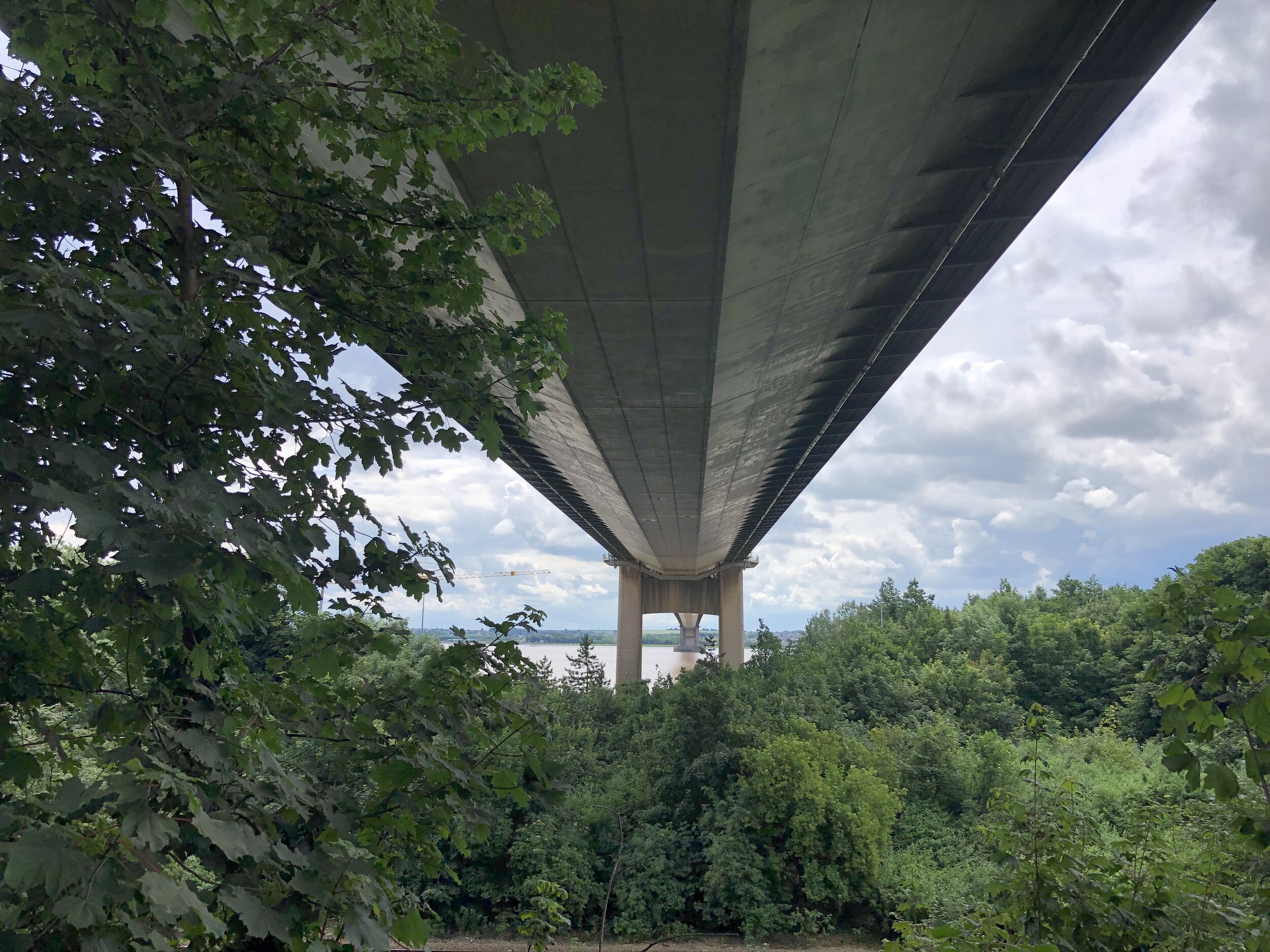
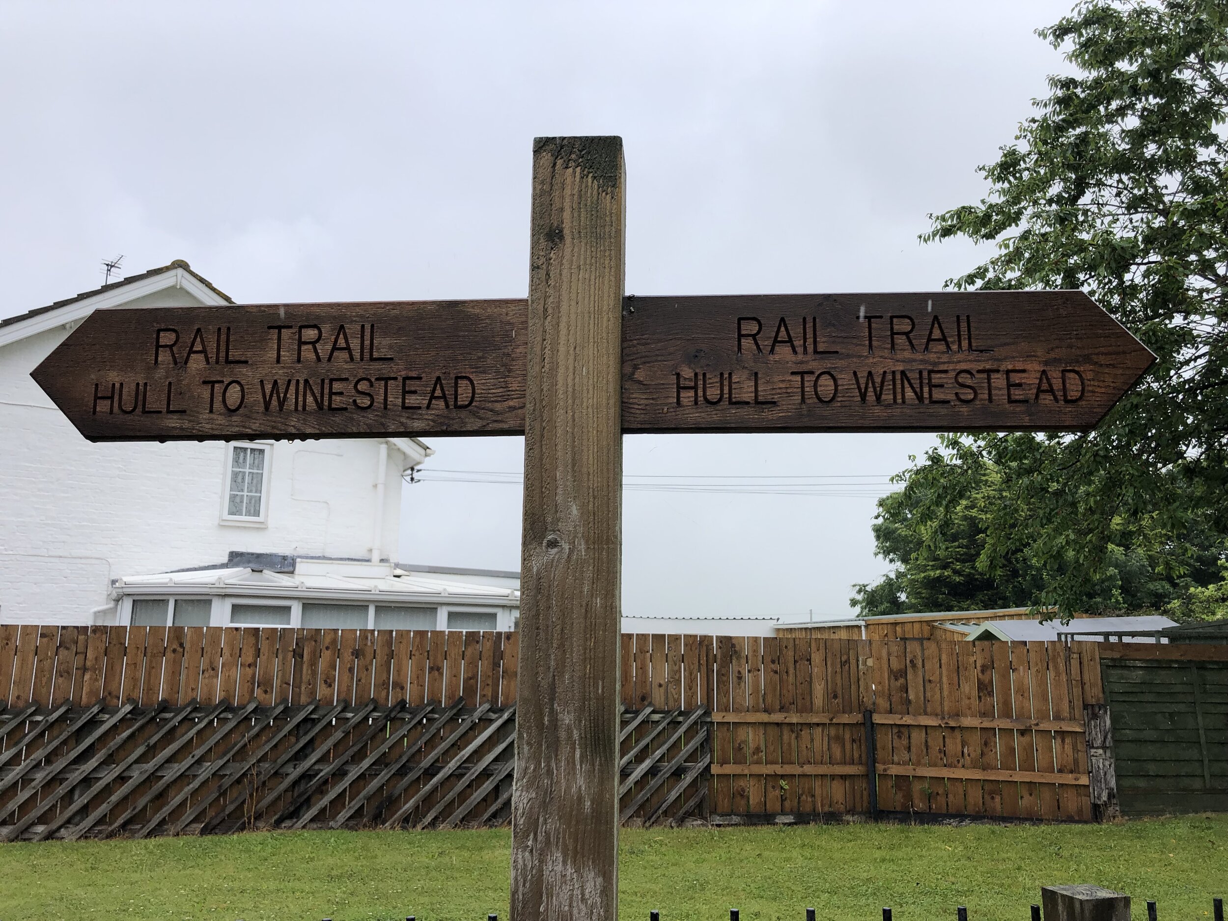
For most of the full 8-day trip most of the cycle route keeps close to both the actual Prime Meridian and the Greenwich Meridian (walking) Trail. The challenge at the end of the trip is getting around or across the Humber Estuary which cuts through the route between Cleethorpes and Sunk Island. The Greenwich Meridian Trail ends at Cleethorpes and a bus is the most practical means of picking up the route at Patringham on the North. For our cycle route we took a long diversion west to cross the Humber Bridge and return on the northern side via Hull. This gives you an unbroken cycle trip, but means that all of day 7 and half of day 8 are off the Meridian. It’s worth it though for the crossing of the Humber Bridge and the Hull to Winestead Rail Trail.
Day numbers below are for the total Prime Meridian trip starting in Peacehaven.
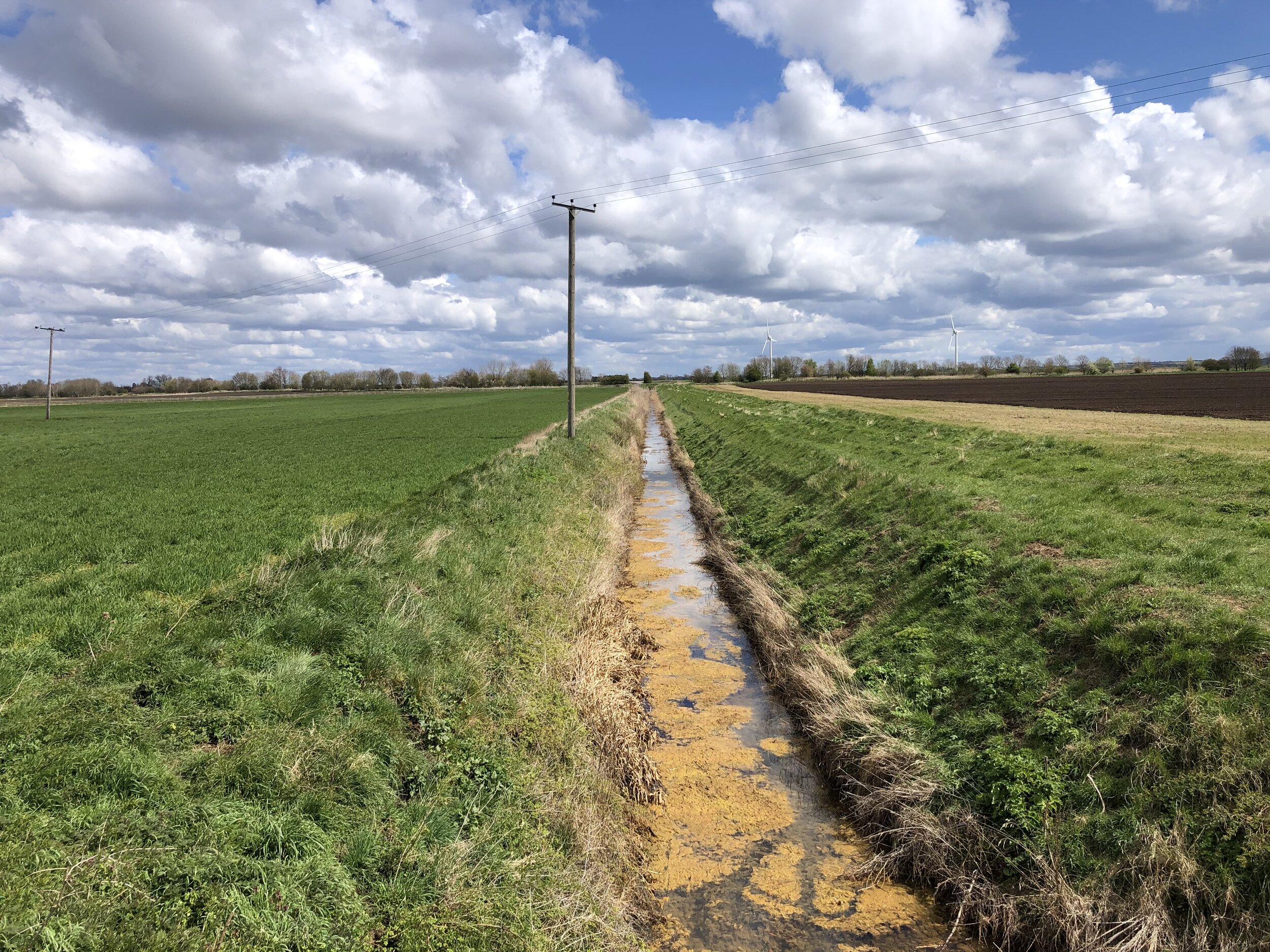
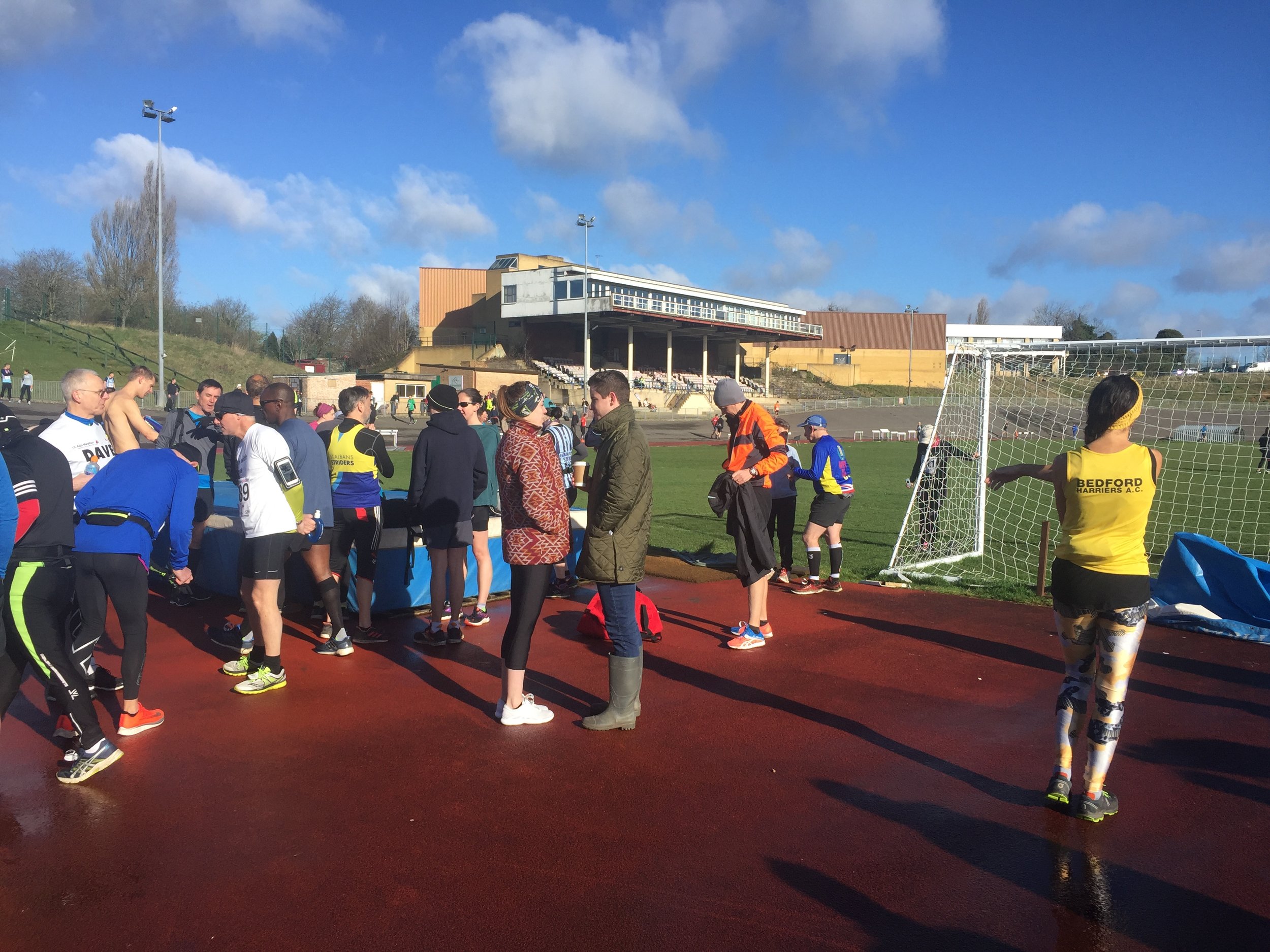
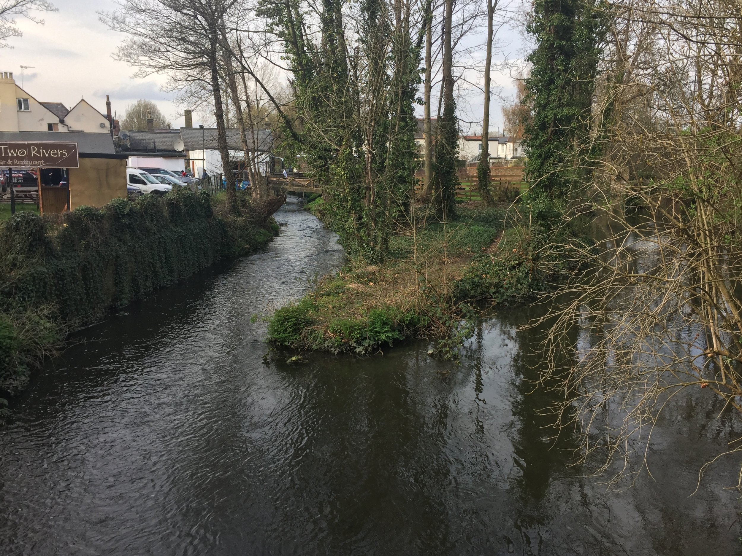
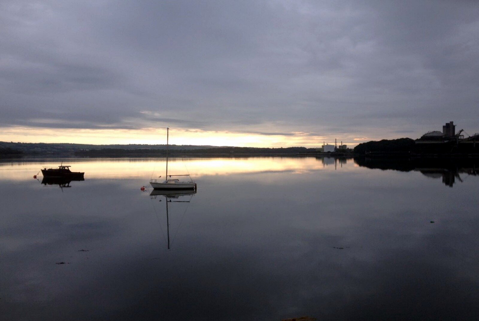
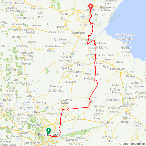
Day 5: Peterborough to Boston
Start: Peterborough Railway Station, Peterborough, PE1 1QL, United Kingdom
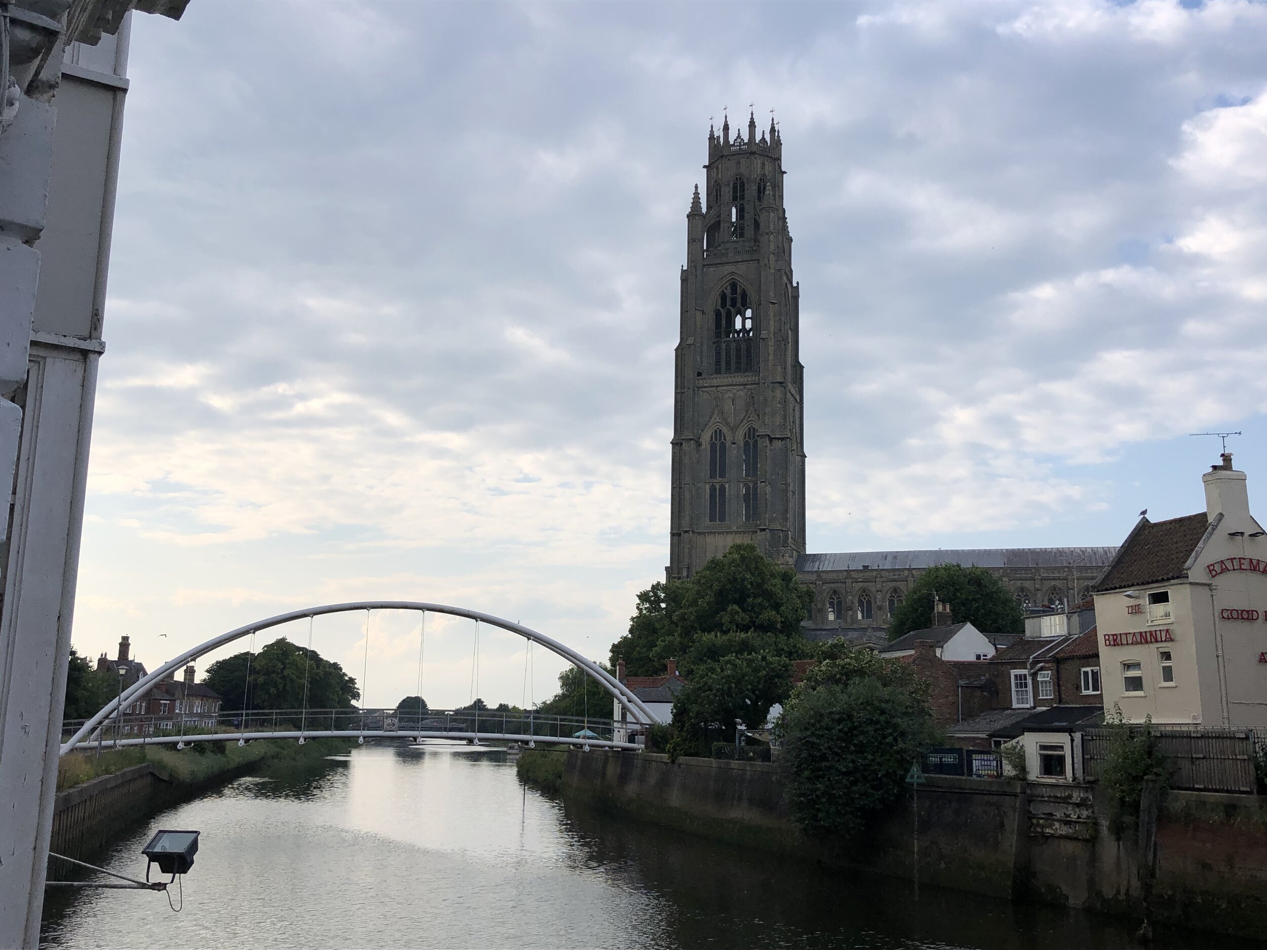
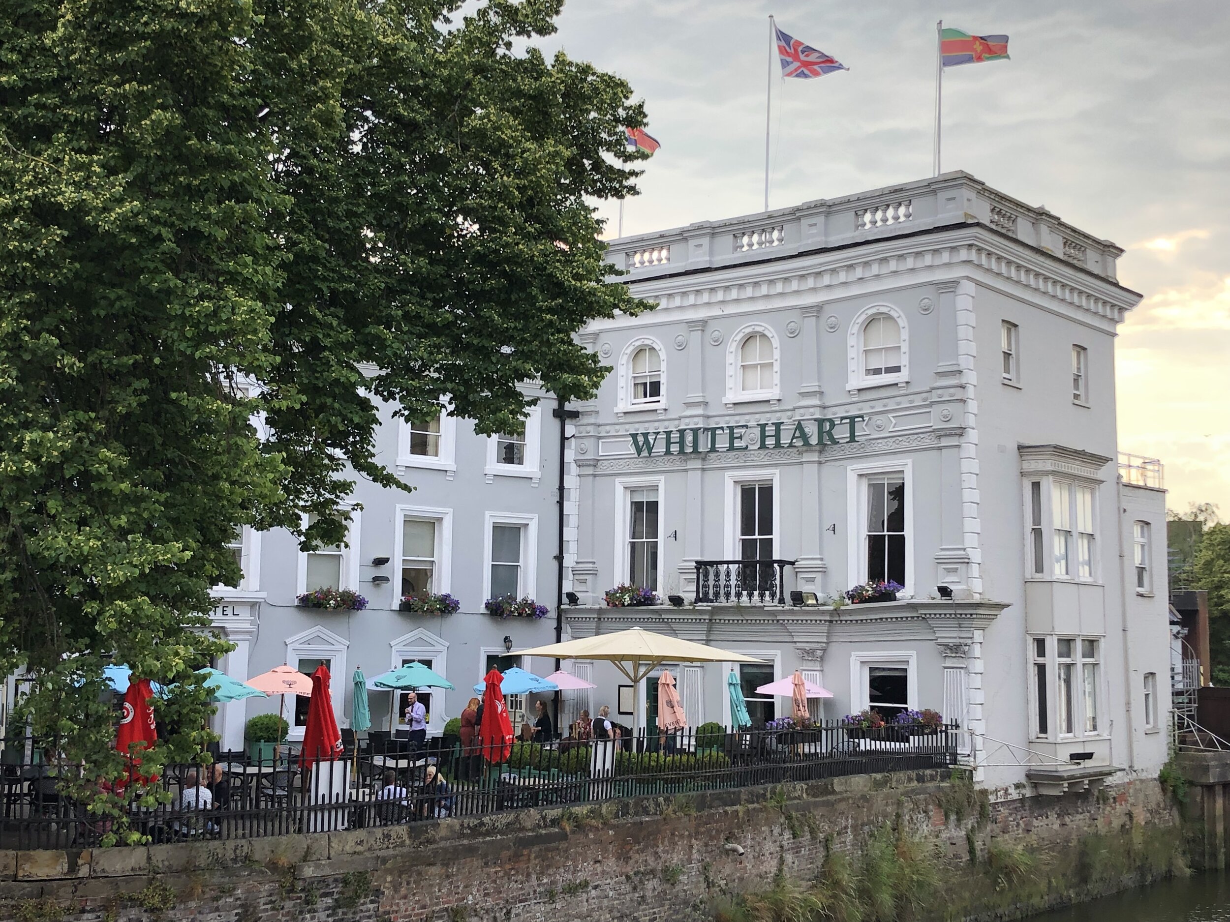
Finish: The White Hart Hotel, 1-5 High Street, Boston, PE21 8SH
Distance: 77 km (47.8 miles)
Elevation change: + 140m / -142m (Net -2m)
GPX File: get via Buy Me a Coffee
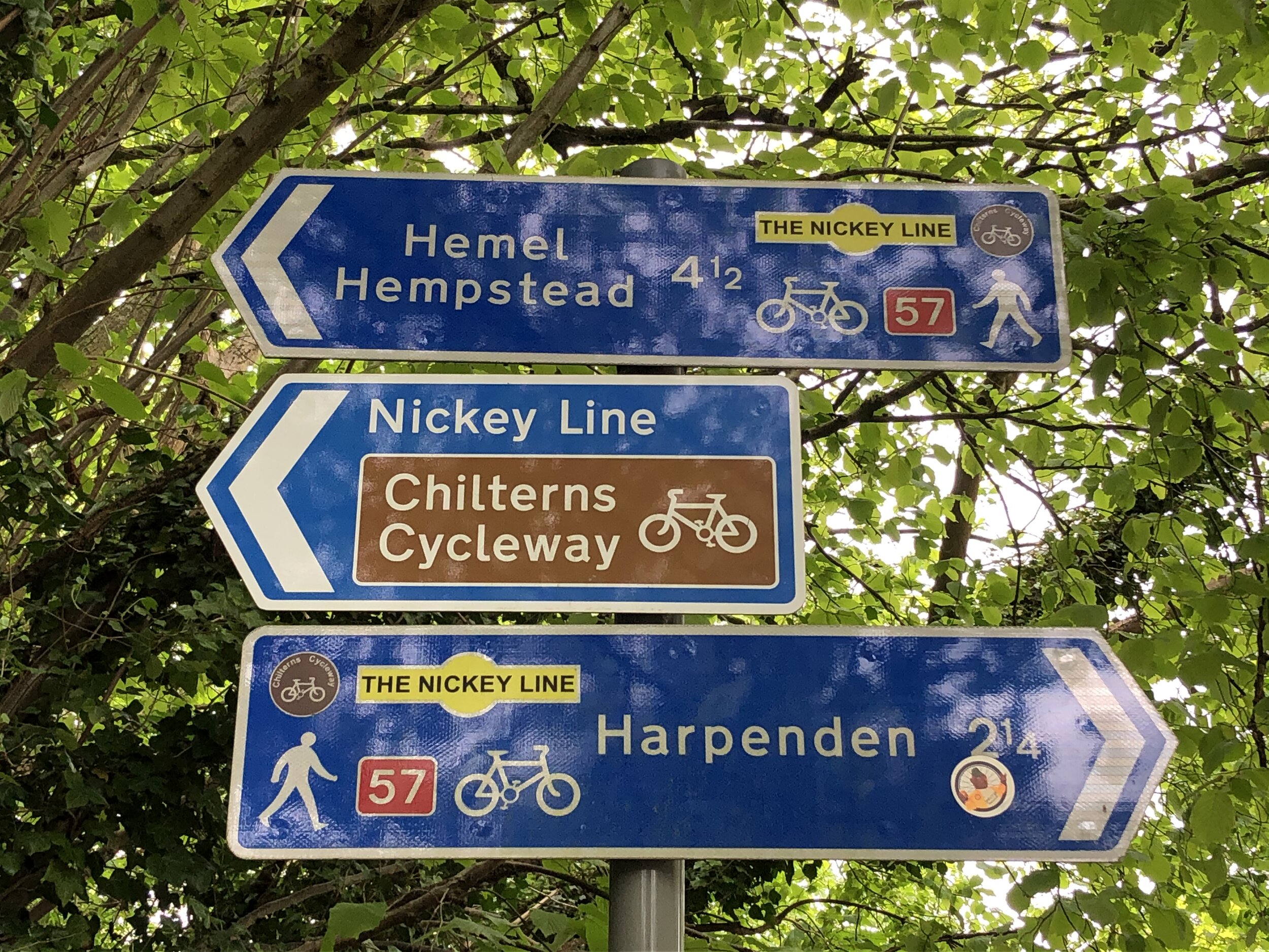
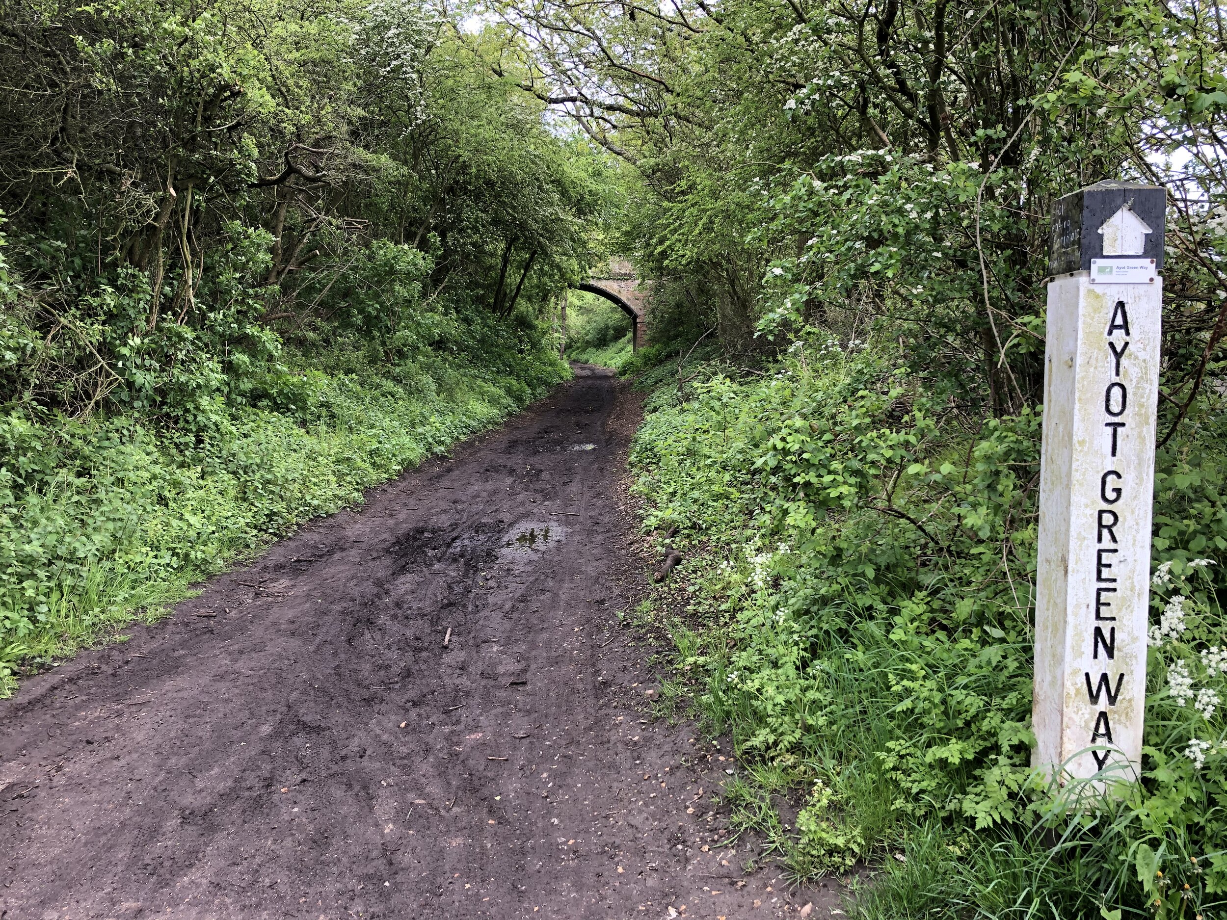
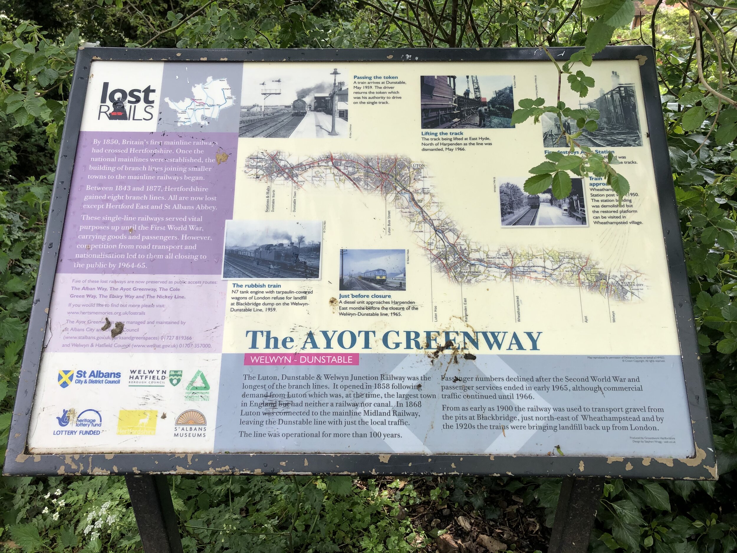
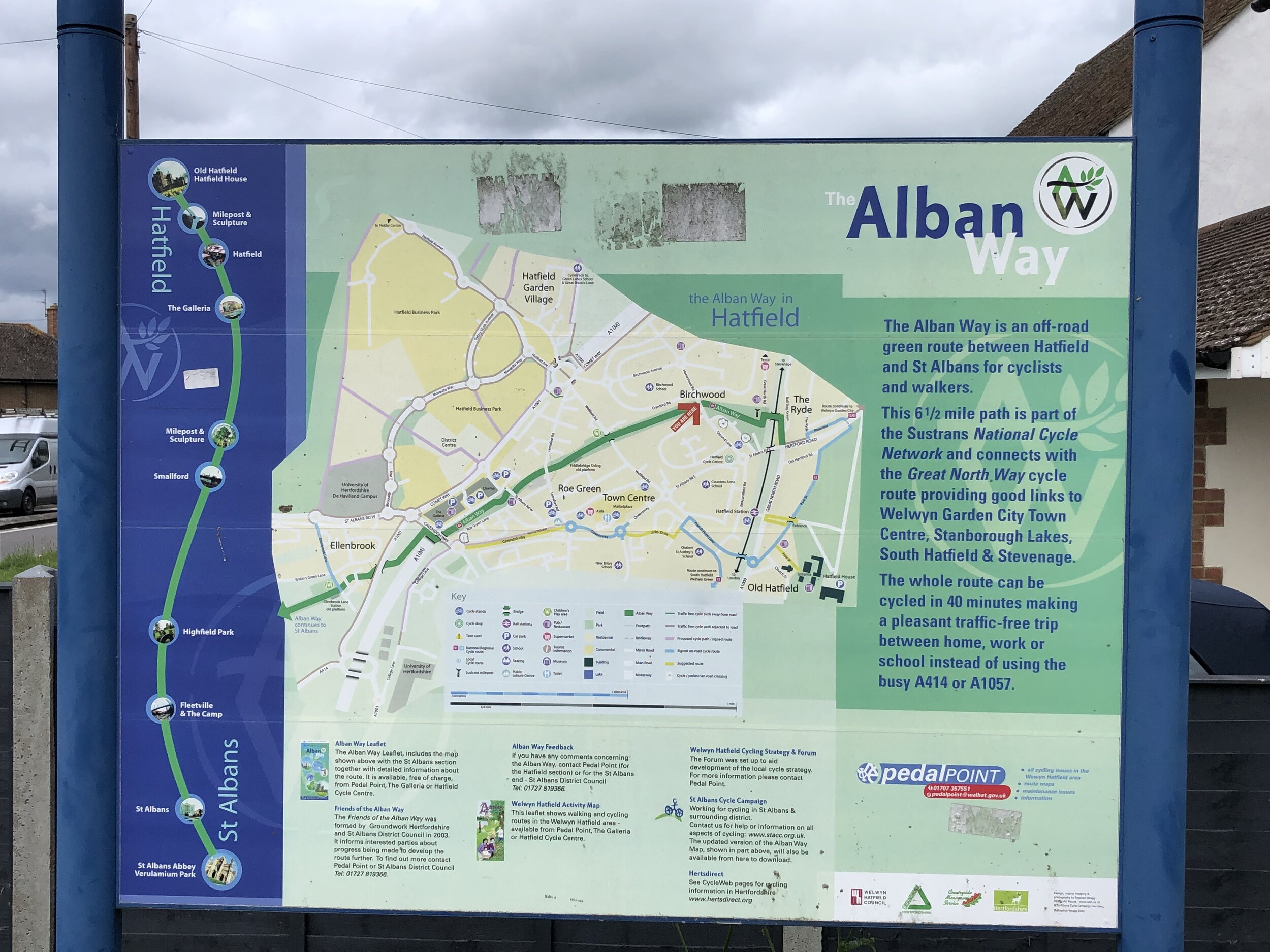
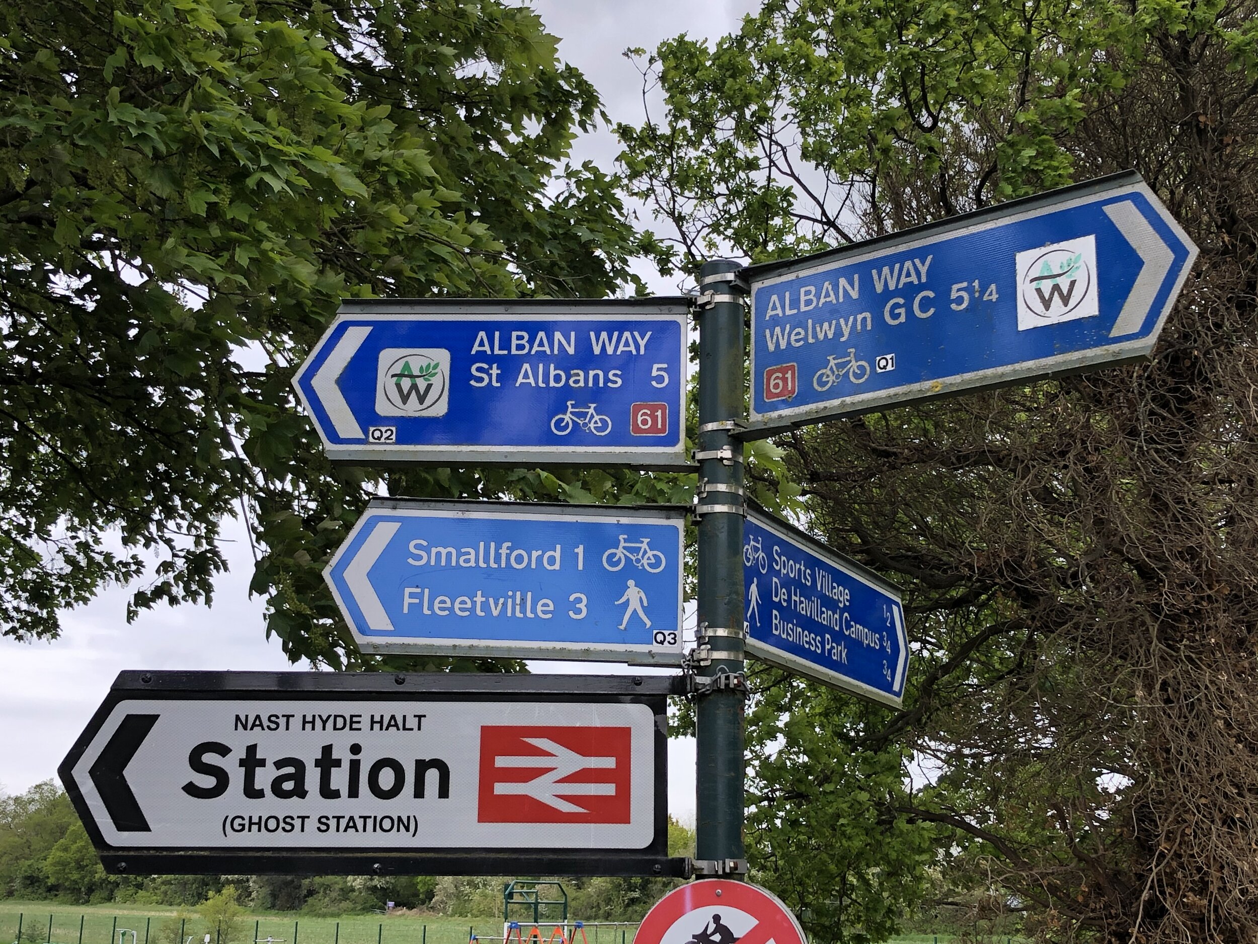
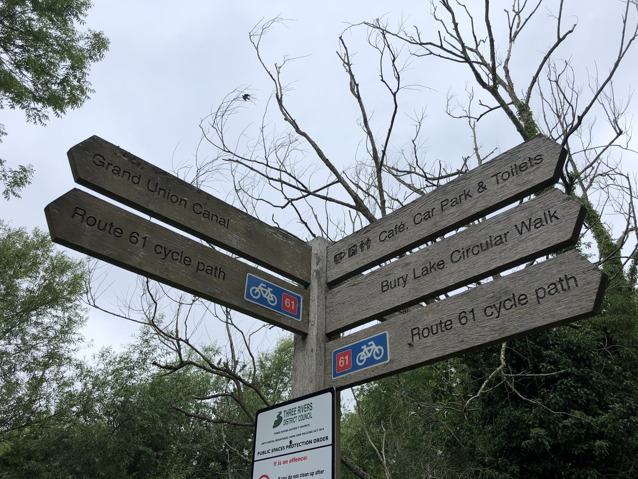
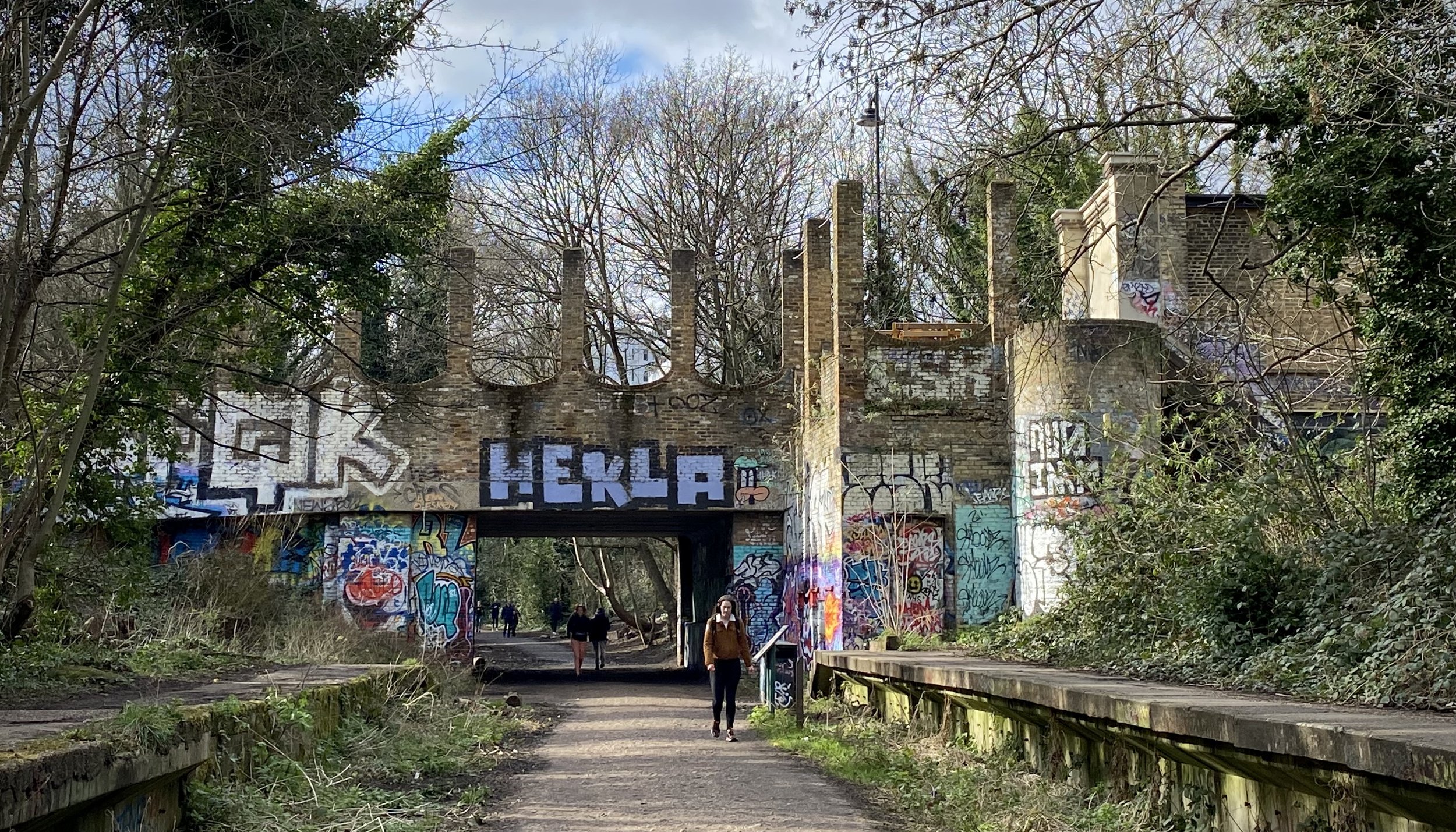
Other routes touched (walk): Greenwich Meridian Trail, Nene Way, Macmillan Way,
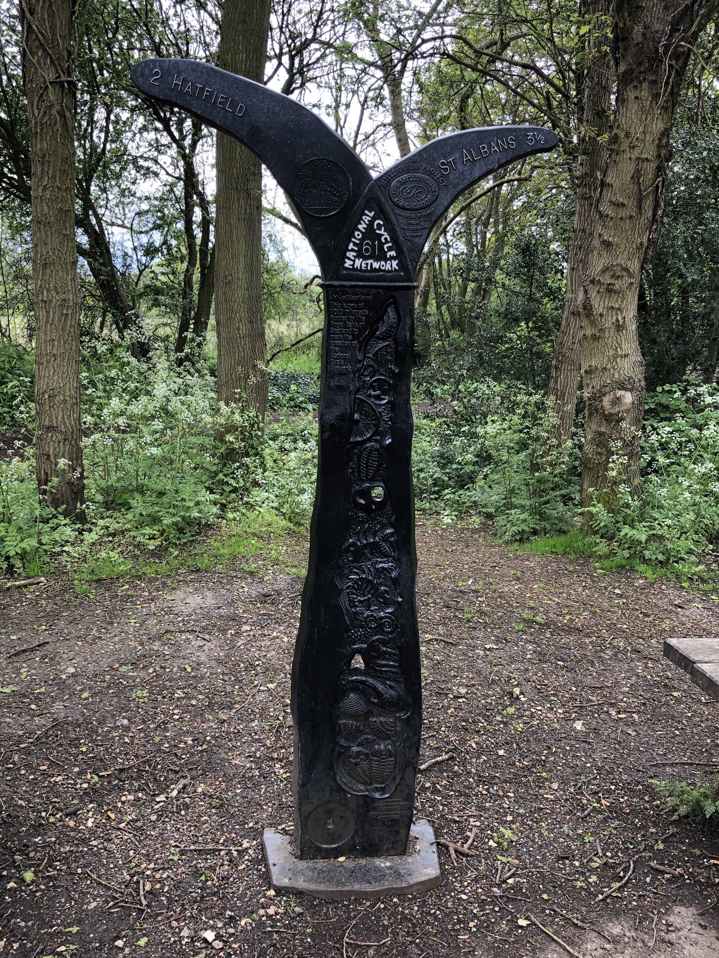
Other routes touched (cycle): NCN 1, 12, 63, Peterborough Green Wheel
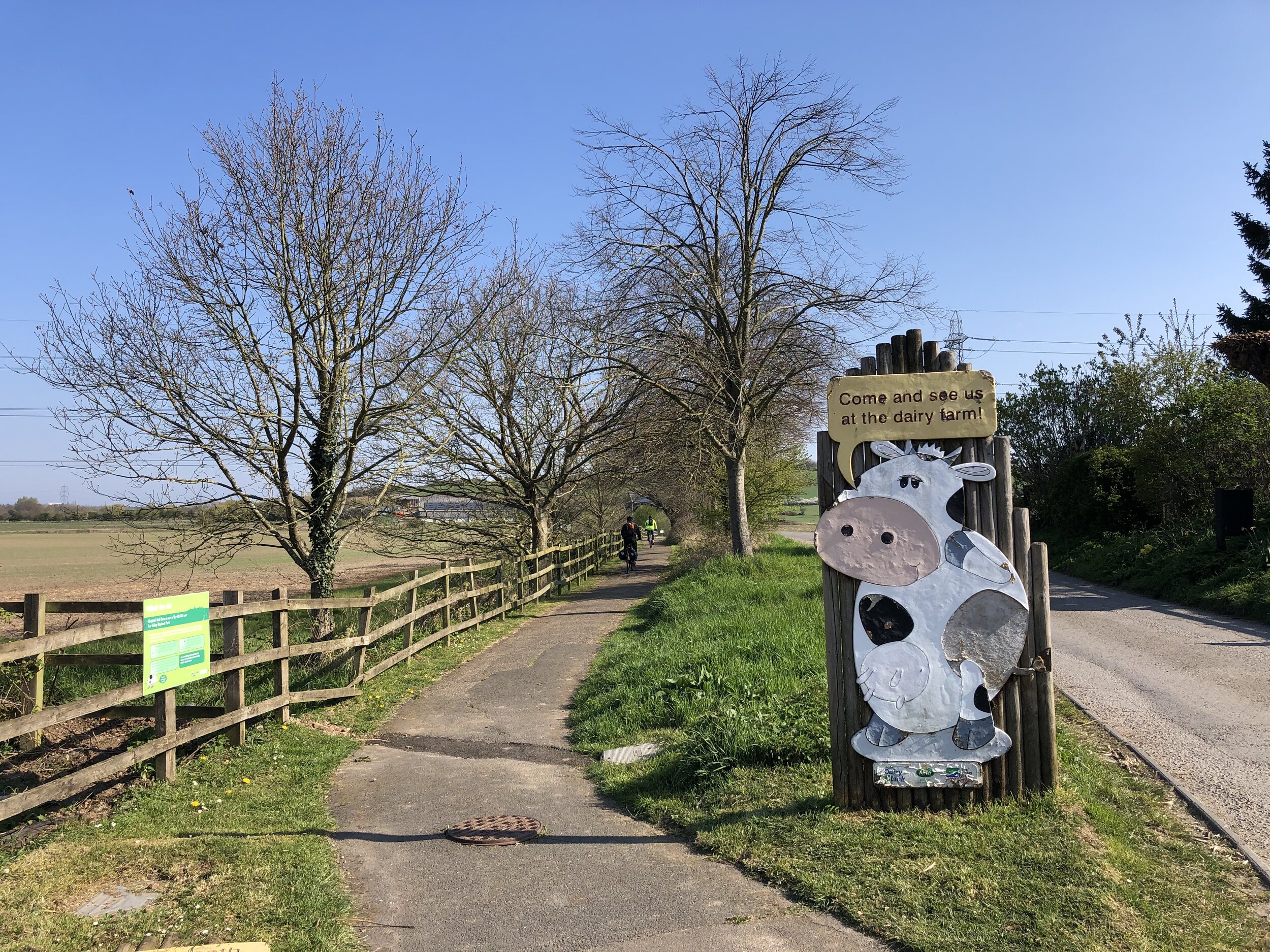
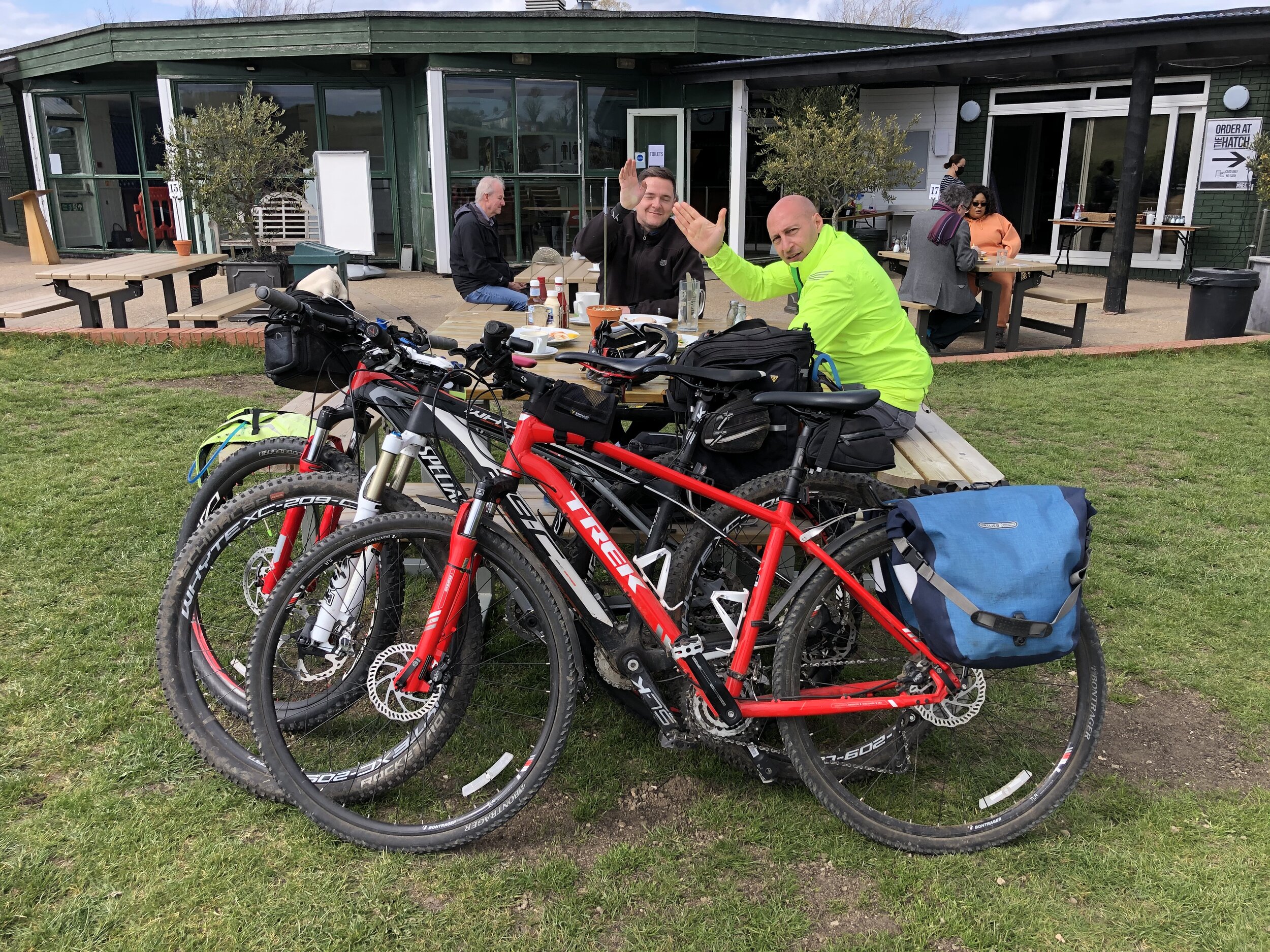
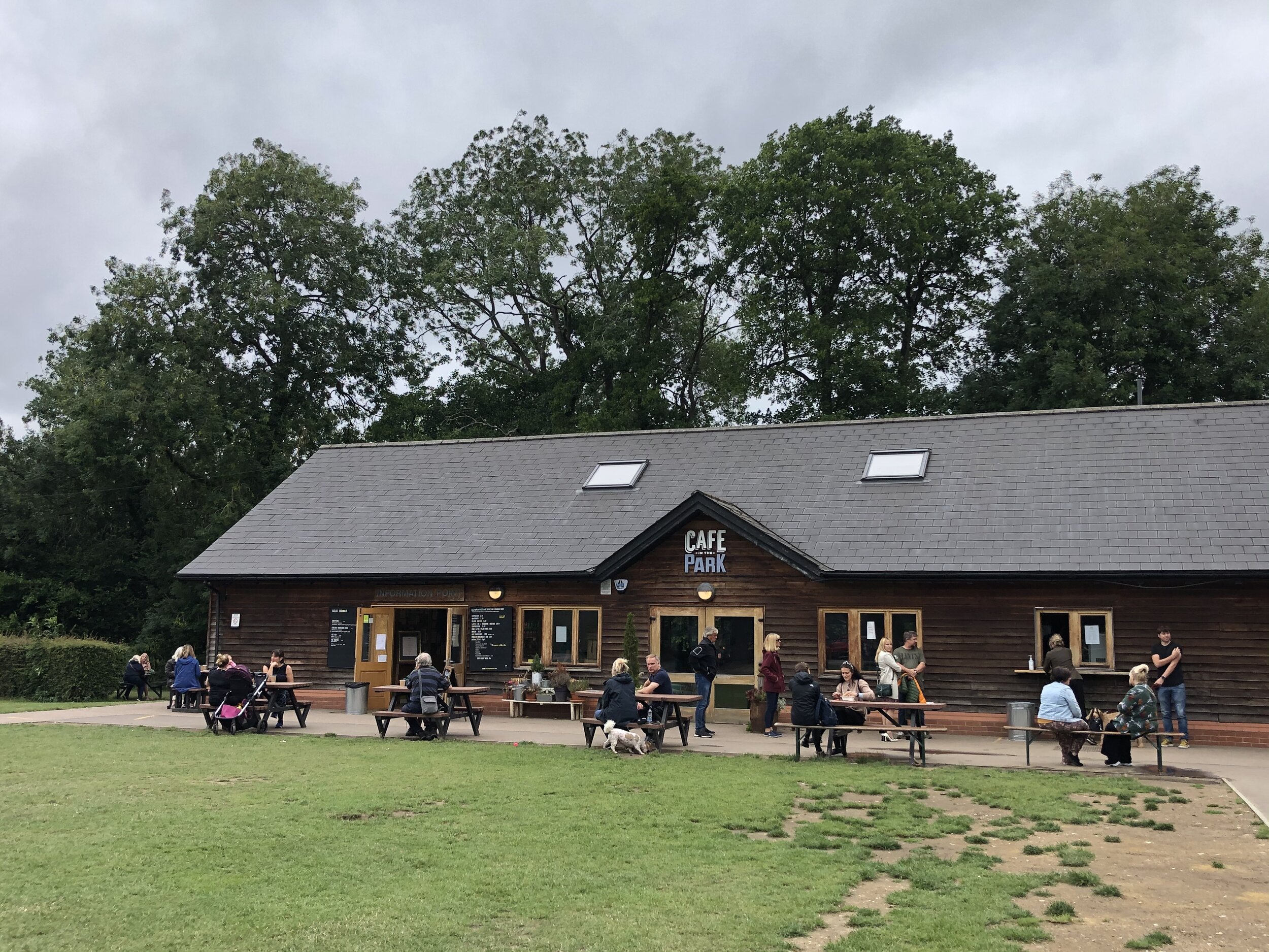
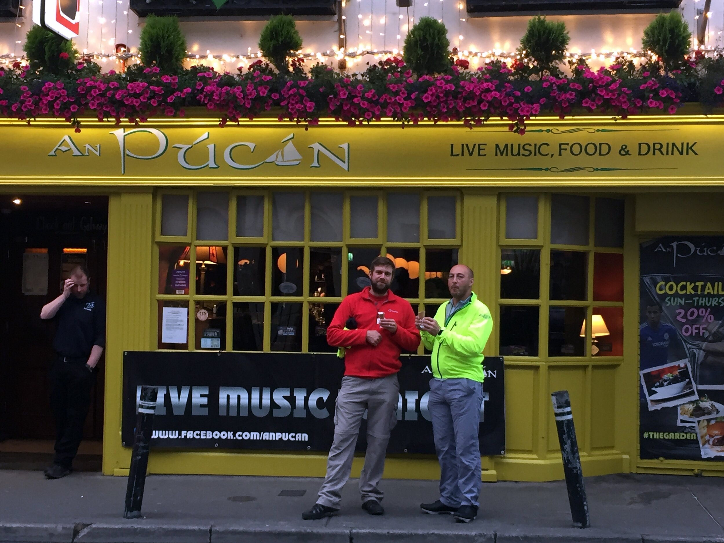
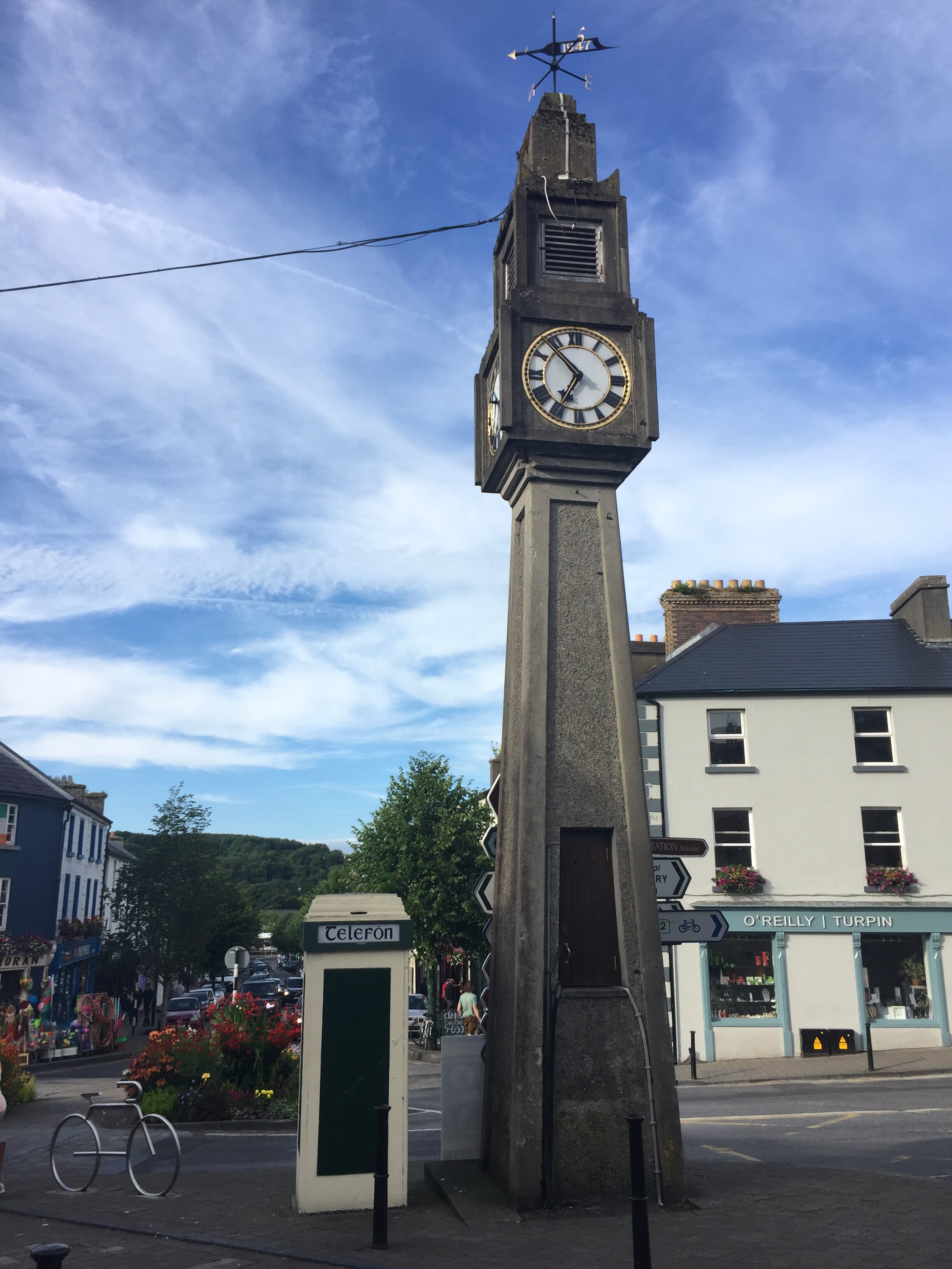
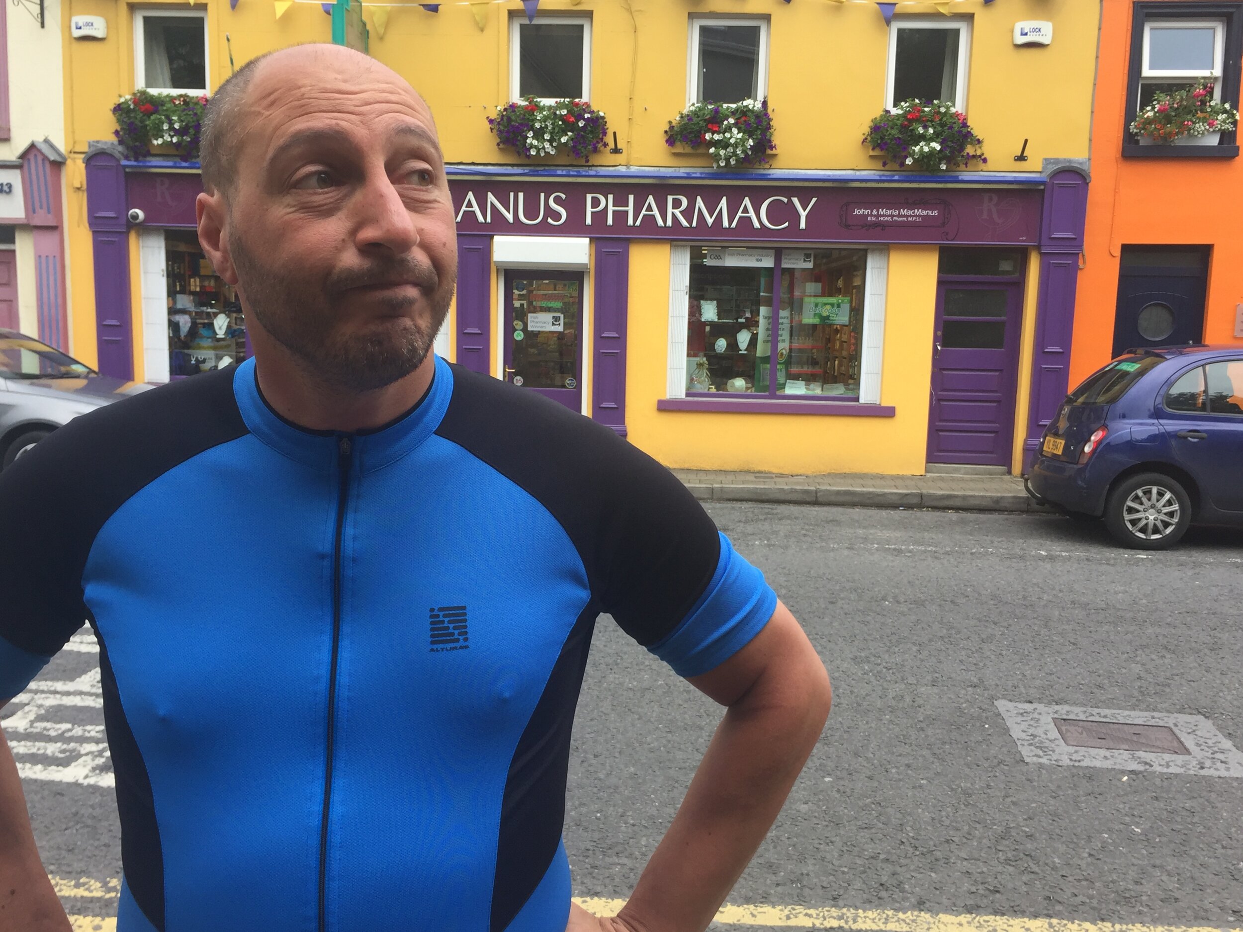
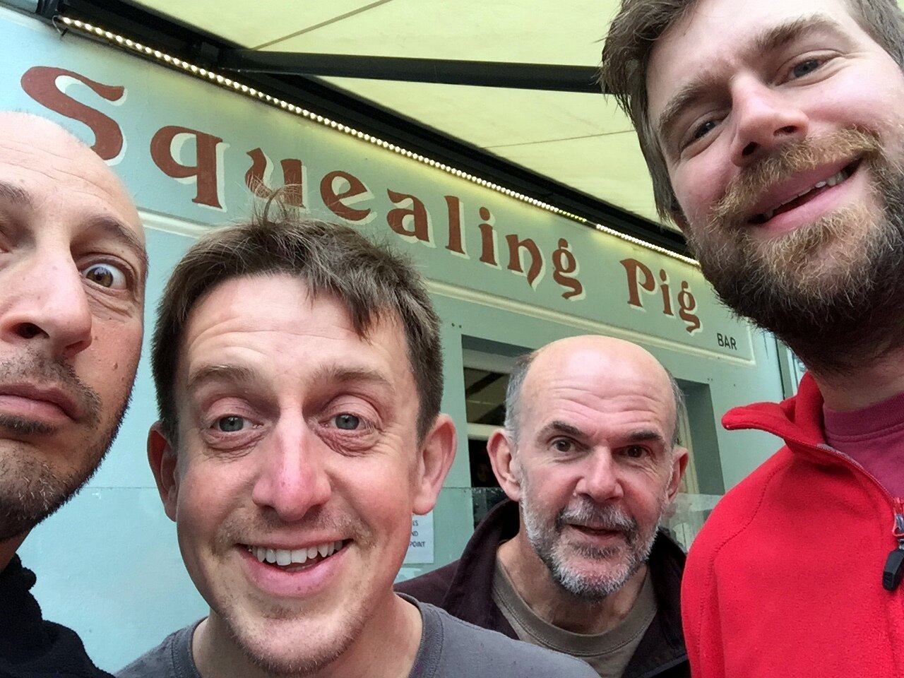
Pubs / Cafes on route: Several in Holbeach High Street (approx 45k in)
Maps:
- OS Explorer Map (235) Wisbech and Peterborough North
- OS Explorer Map (249) Spalding and Holbeach
- OS Explorer Map (261) Boston
Guidebook: Greenwich Meridian Trail Book 3: Hardwick to Boston
Links: Wikipedia: Prime Meridian, The Greenwich Meridian, Greenwich Meridian Trail, Peterborough, Holbeach, Boston
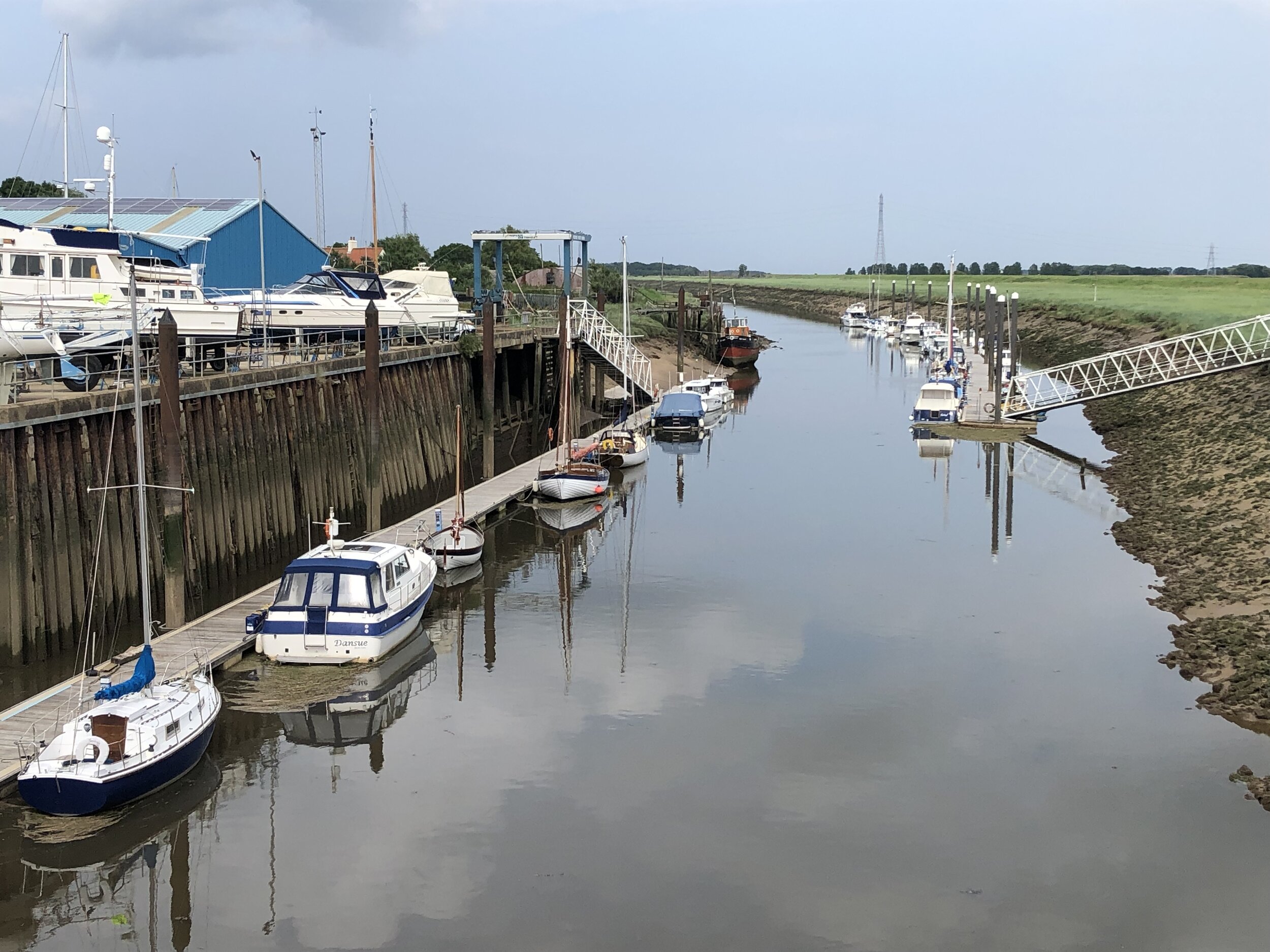
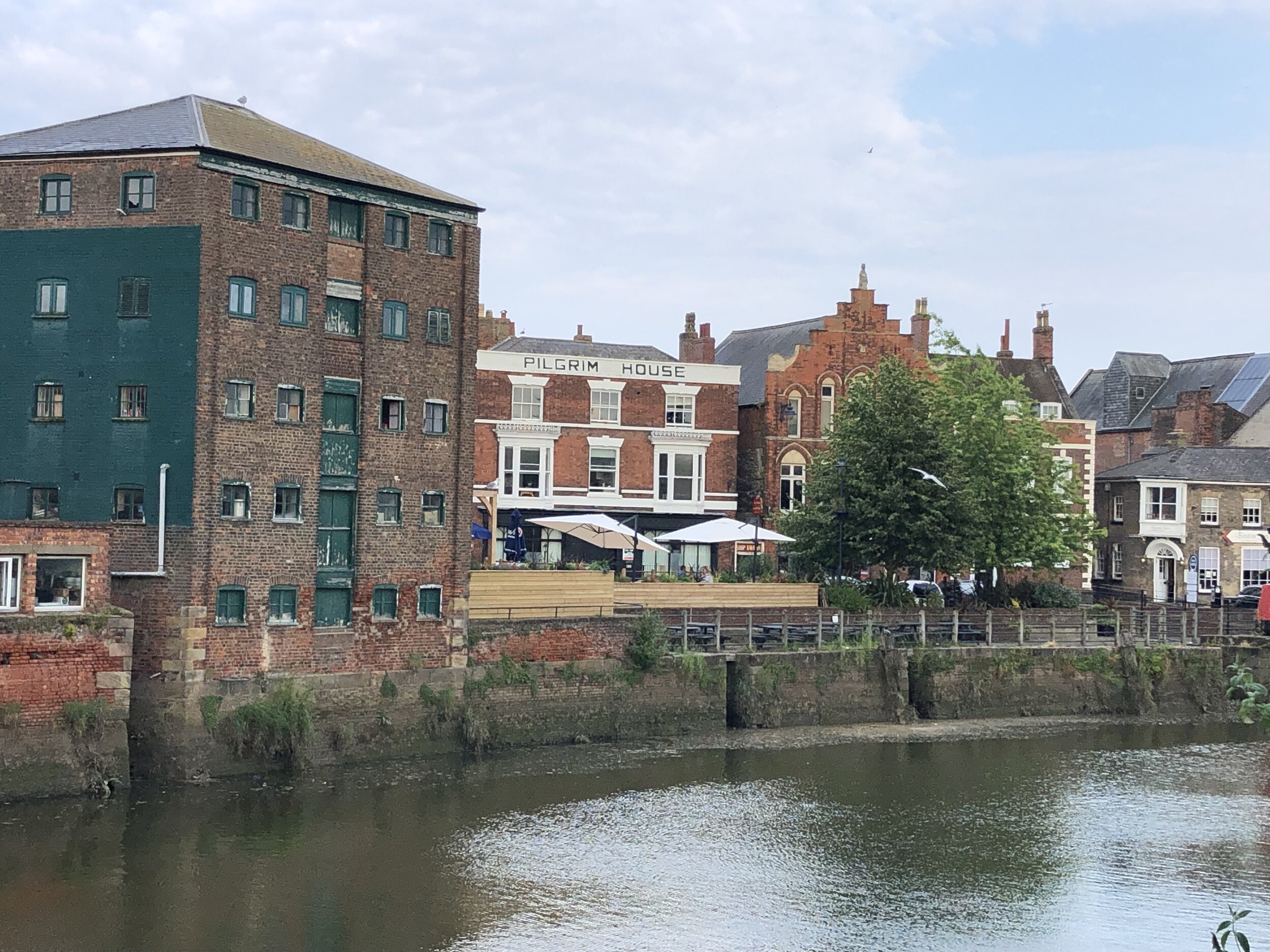

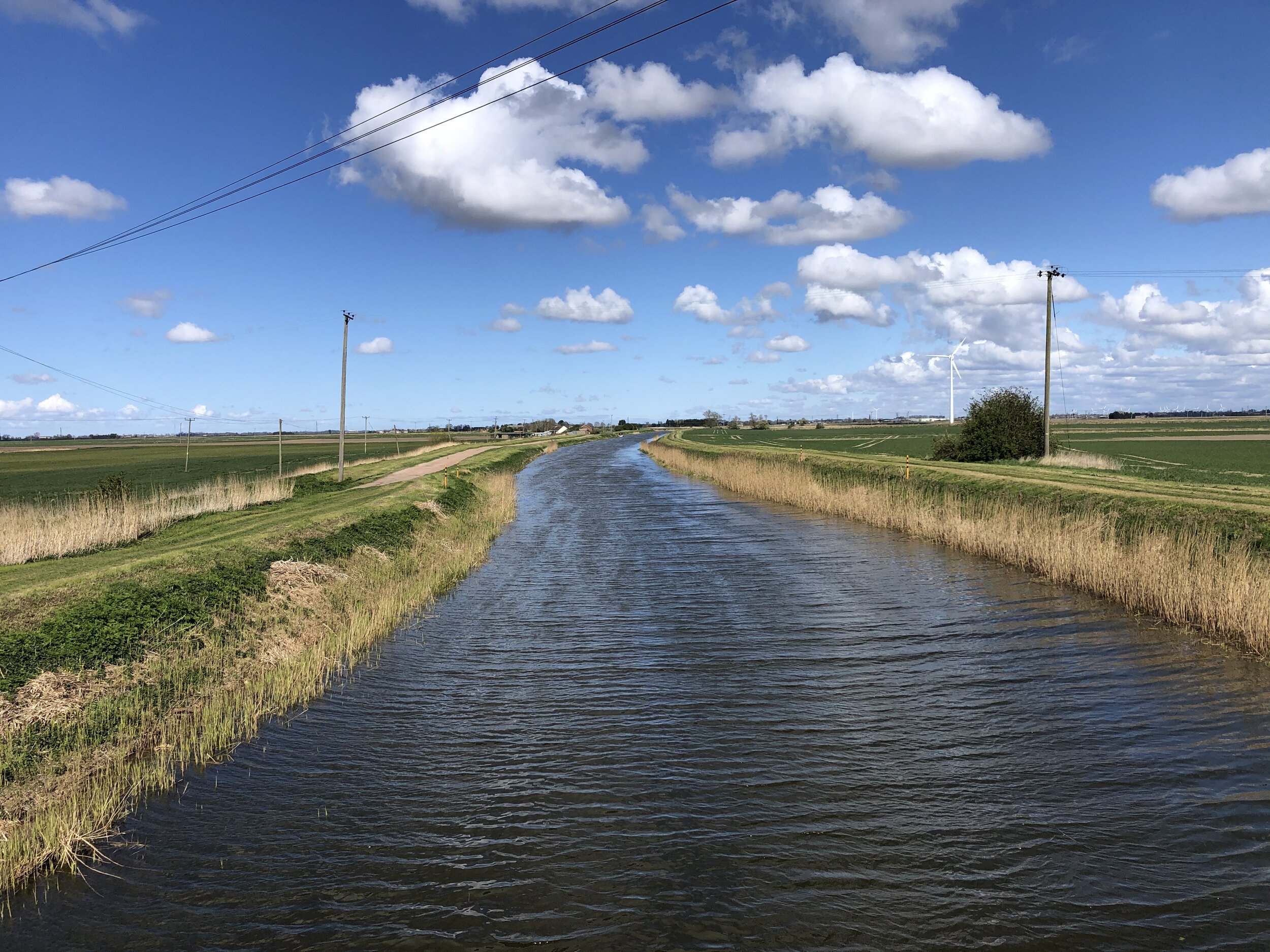
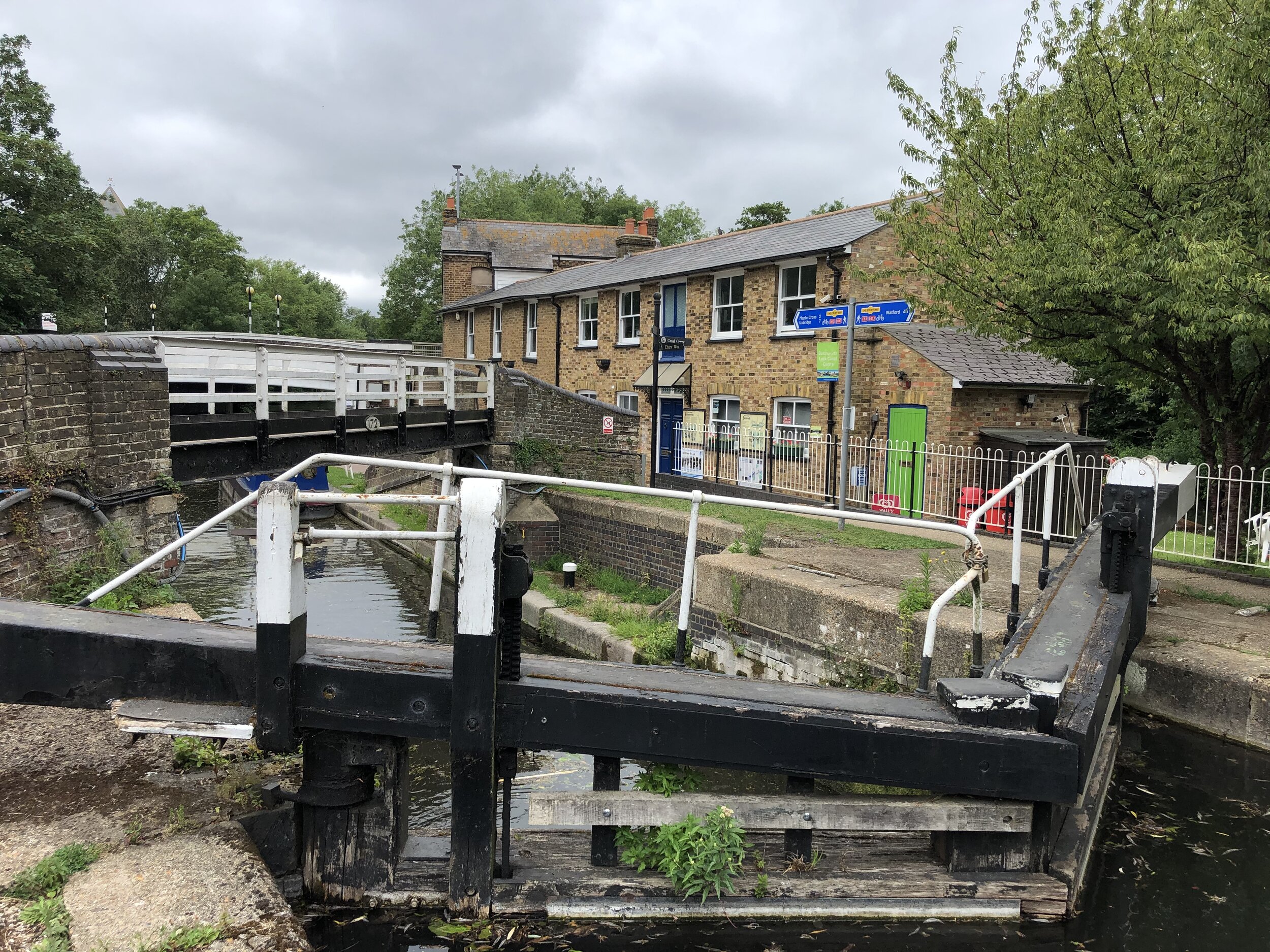
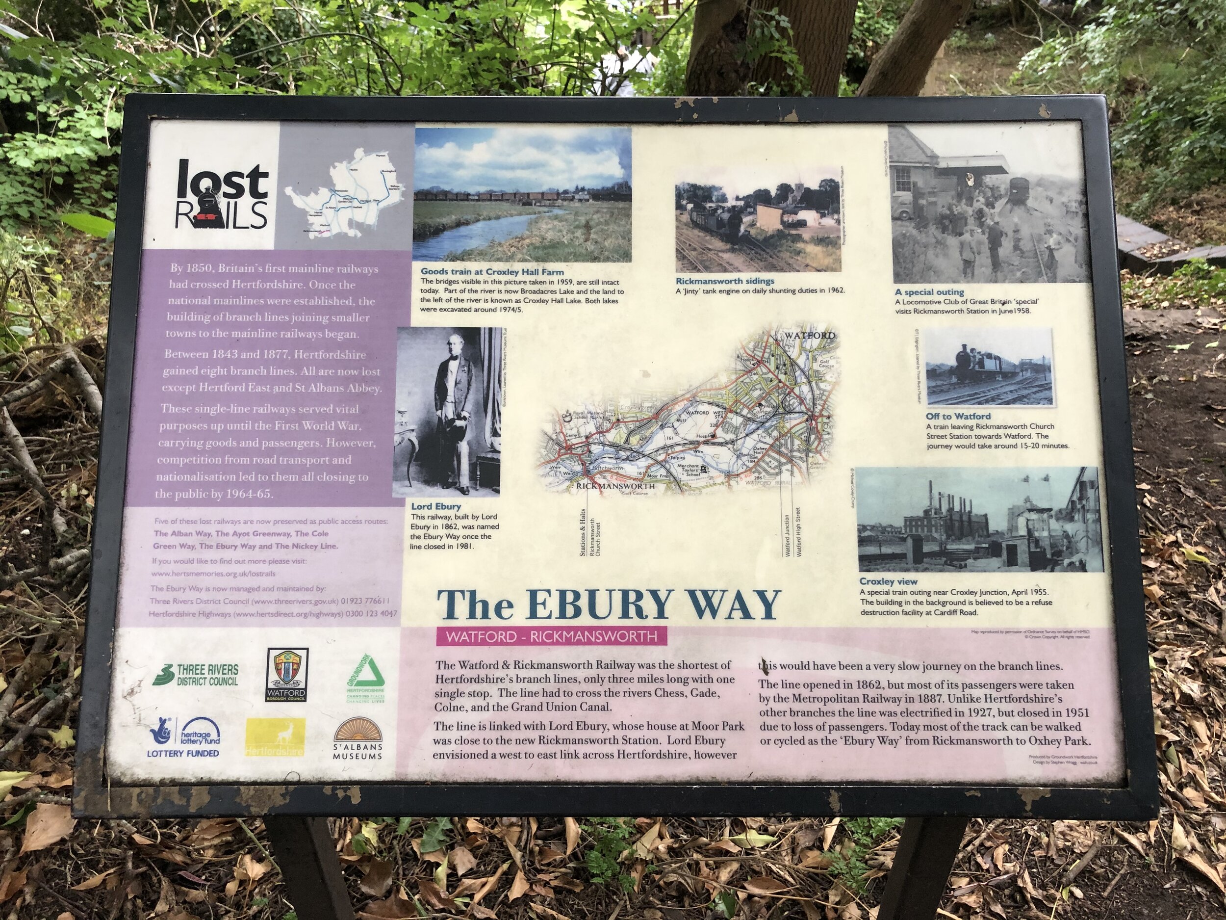
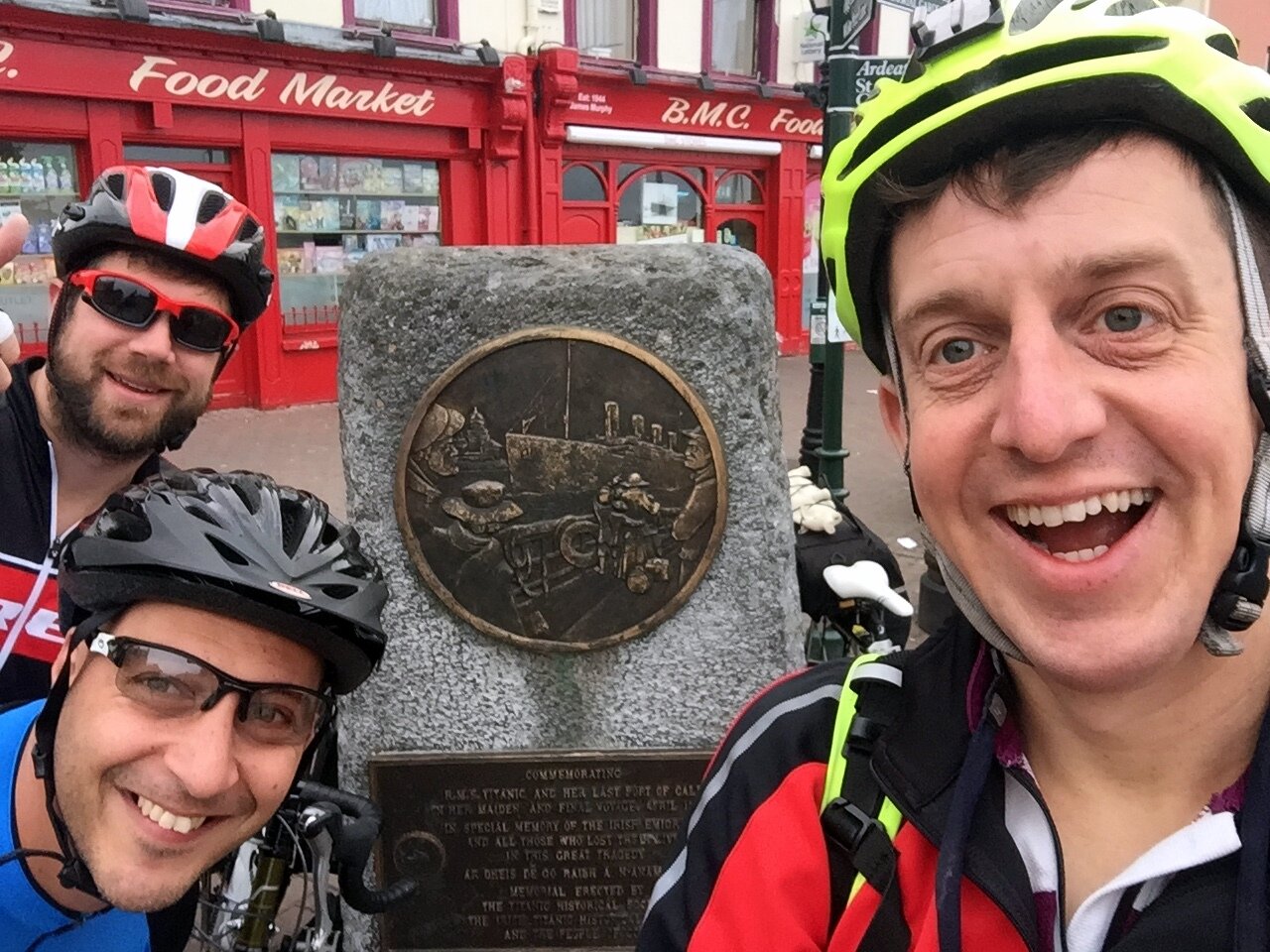
Day 6: Boston to Grimsby
Start: The White Hart Hotel, 1-5 High Street, Boston, PE21 8SH
Finish: St James Hotel, Freshney Place, St James Square, Grimsby, DN31 1EP
Distance: 91.6 km (57 miles)
Elevation change: + 595m / -597m (Net -2m)
GPX File: get via Buy Me a Coffee
Other routes touched (walk): Greenwich Meridian Trail, Macmillan Way, Lincolnshire Wolds Way, Silver Lincs Way
Other routes touched (cycle): NCN 1, 110
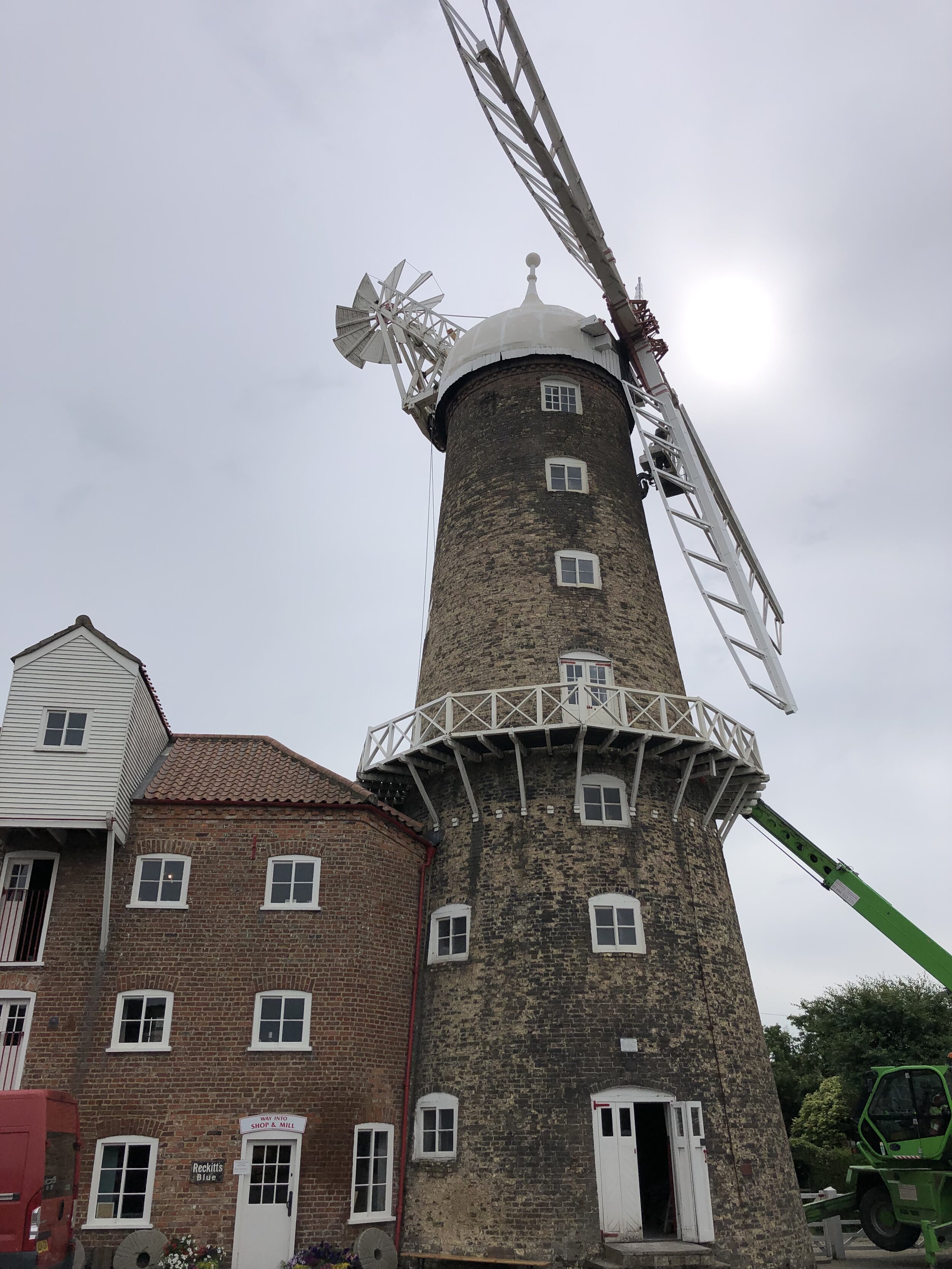
Pubs / Cafes on route: Cafe at the Lincolnshire Aviation Heritage Centre (PE23 4DE) - free entry to the cafe. Several pubs and cafes in Louth.
Maps:
- OS Explorer Map (261) Boston
- OS Explorer Map 273 Lincolnshire Wolds South
- OS Explorer Map (282) Lincolnshire Wolds North
- OS Explorer Map (284) Grimsby, Cleethorpes and Immingham, Caistor and North Thoresby
Guidebook: Greenwich Meridian Trail Book 4: Boston to Sand Le Mere
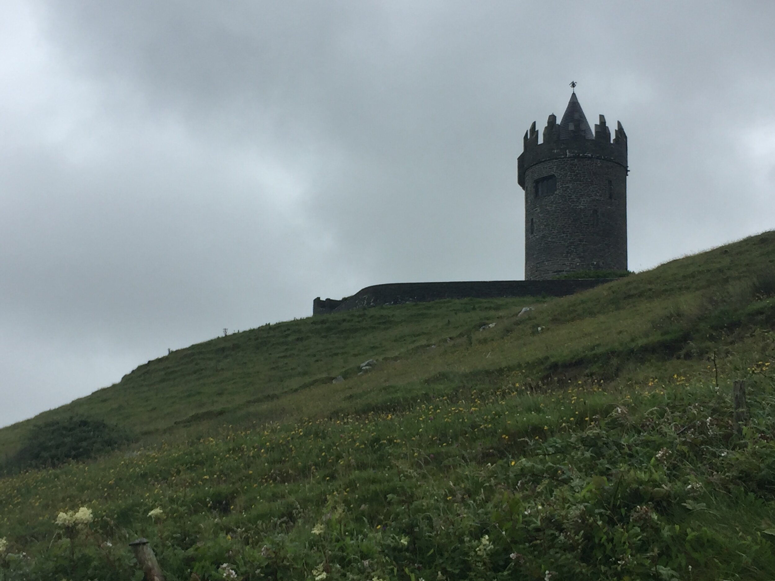
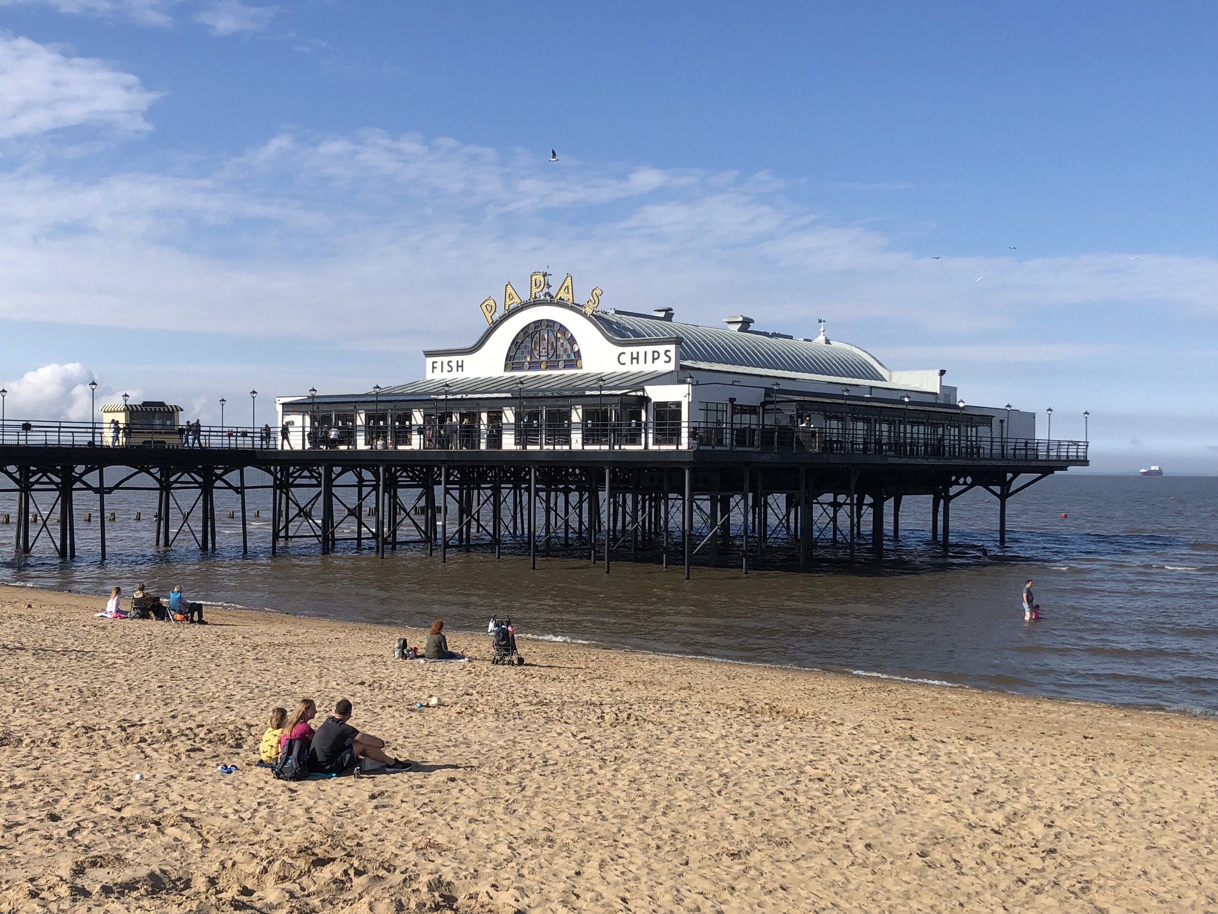
Links: Wikipedia: Prime Meridian, The Greenwich Meridian, Greenwich Meridian Trail, Boston, Lincolnshire Aviation Heritage Centre, Old Bollingbroke, Louth, Cleethorpes, Grimsby


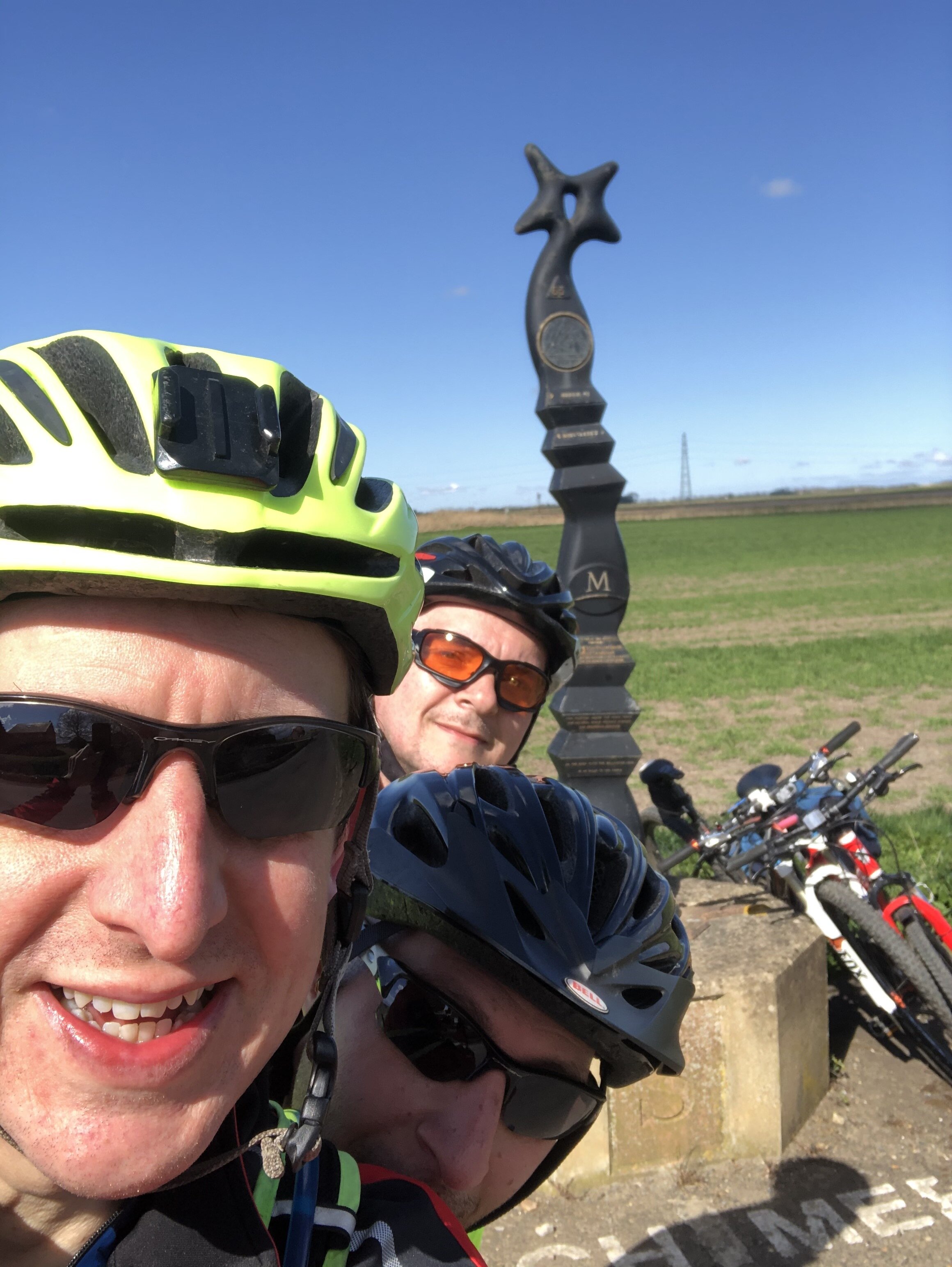
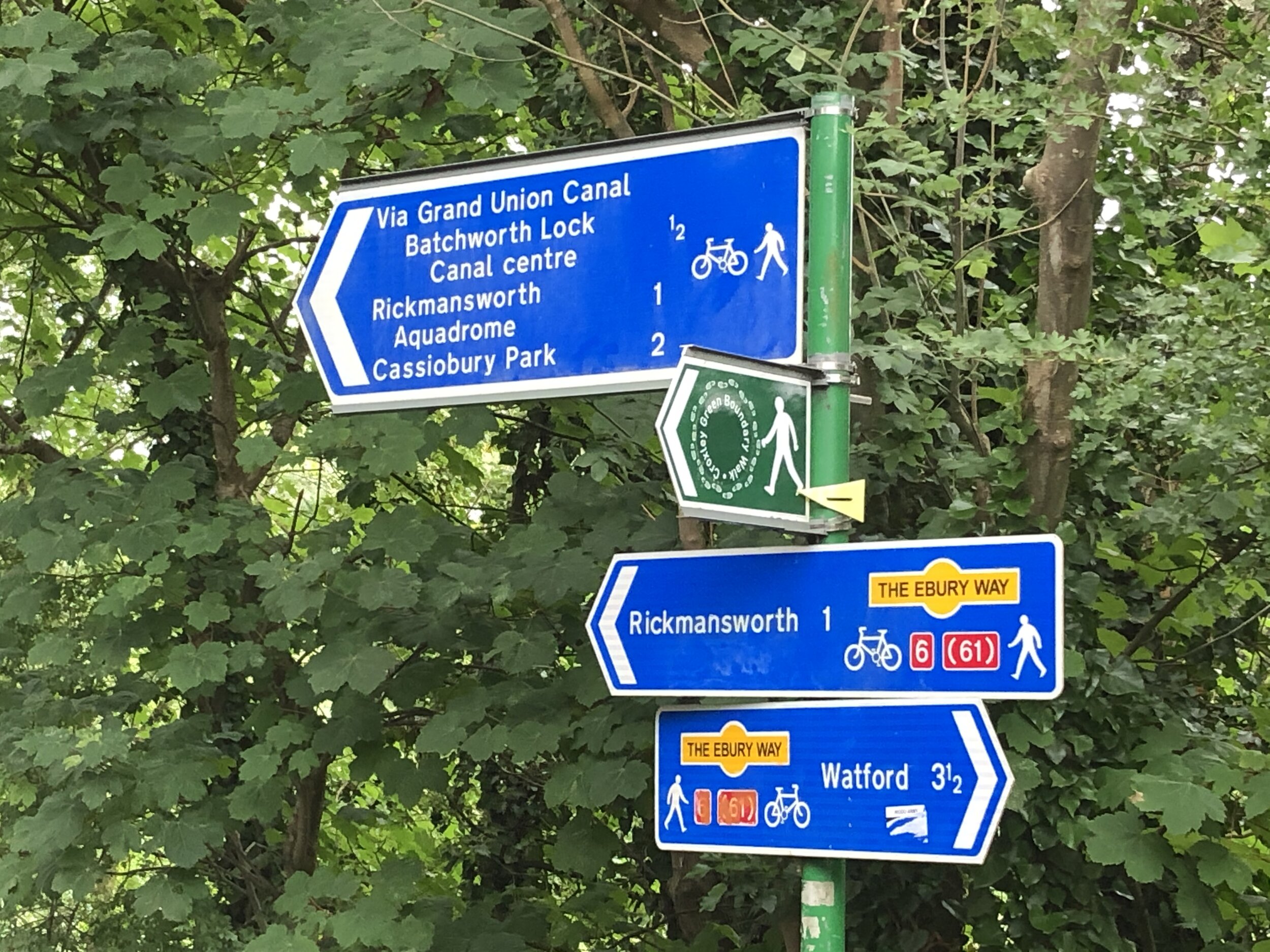
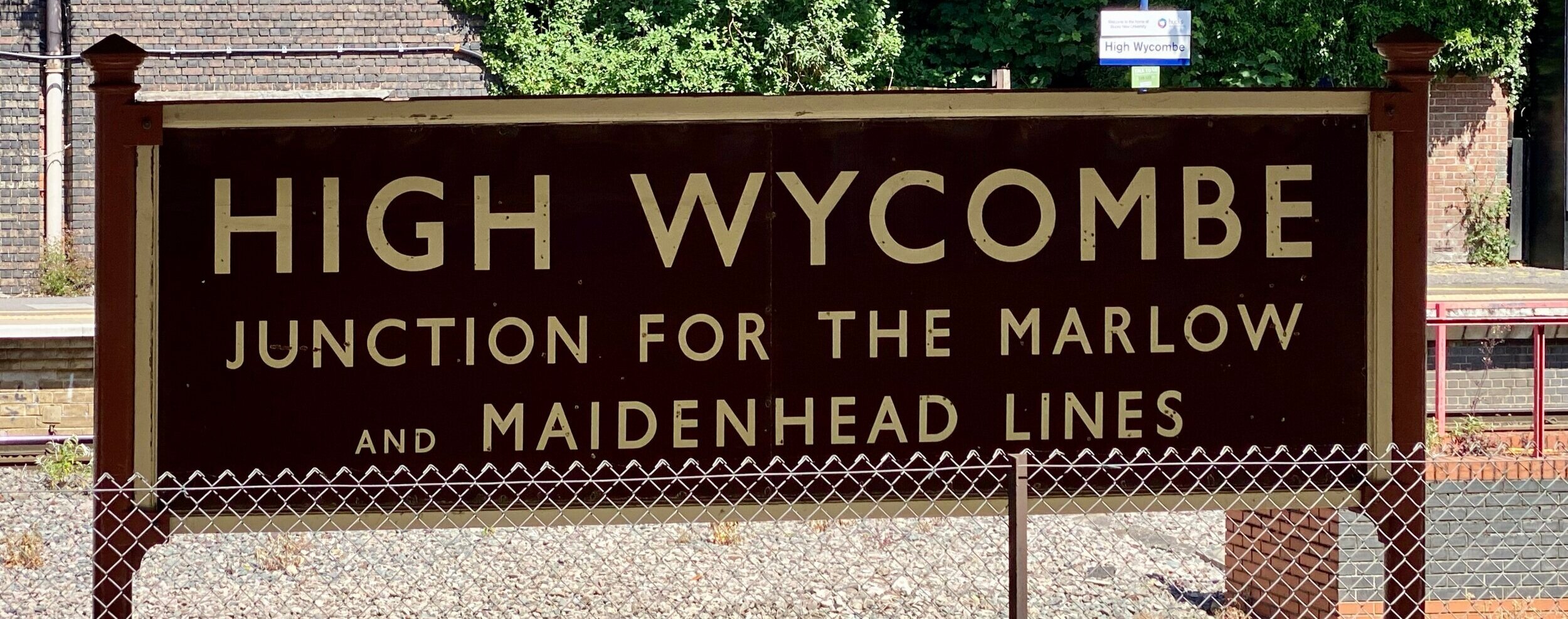
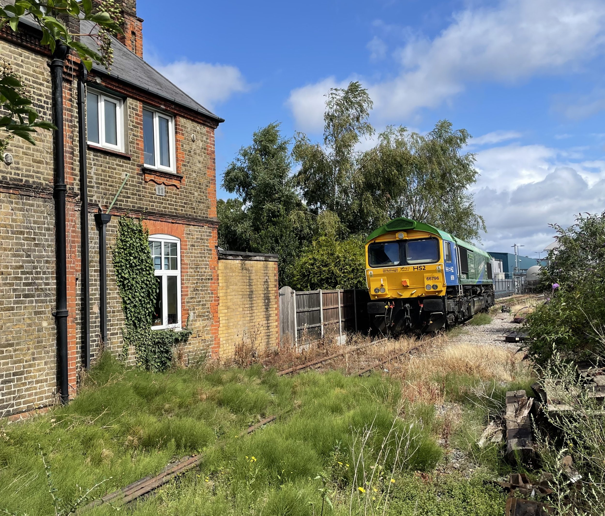
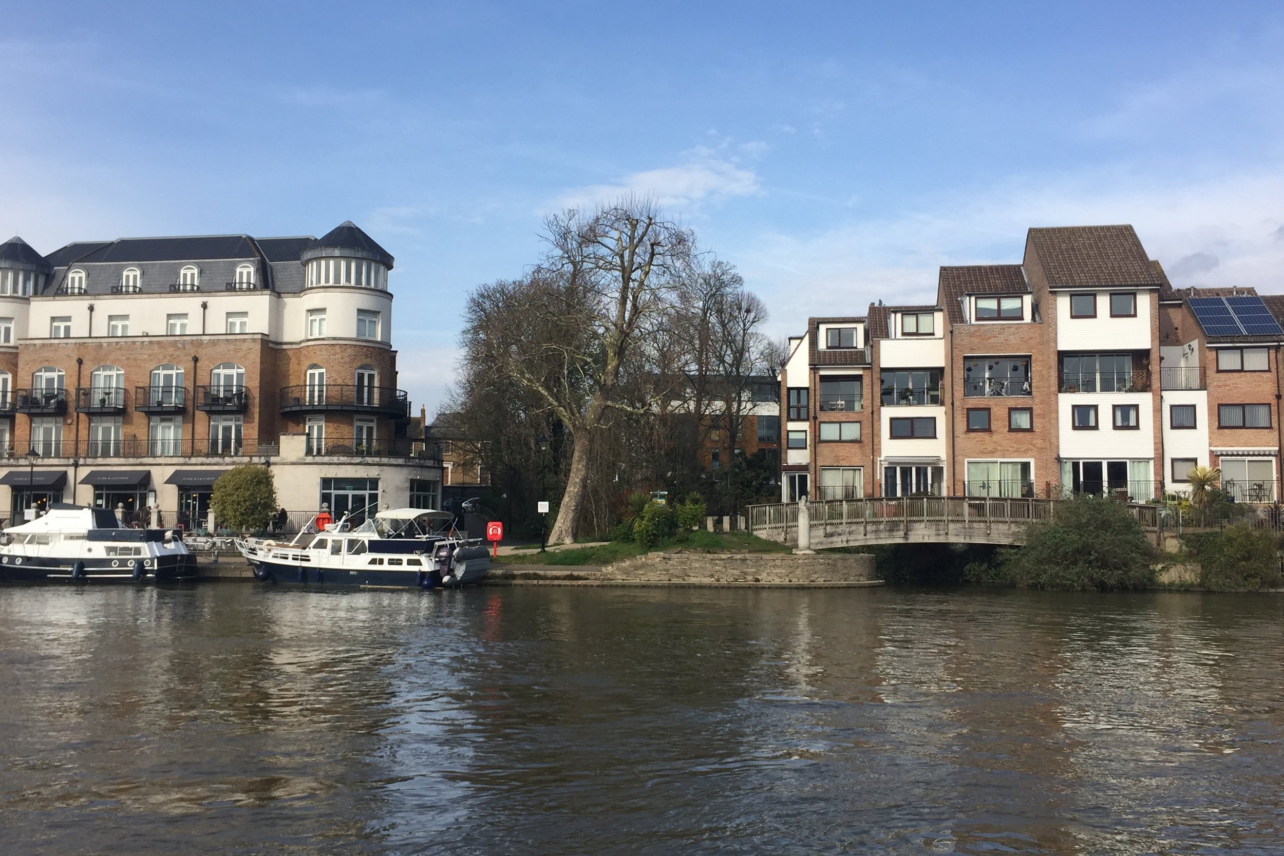
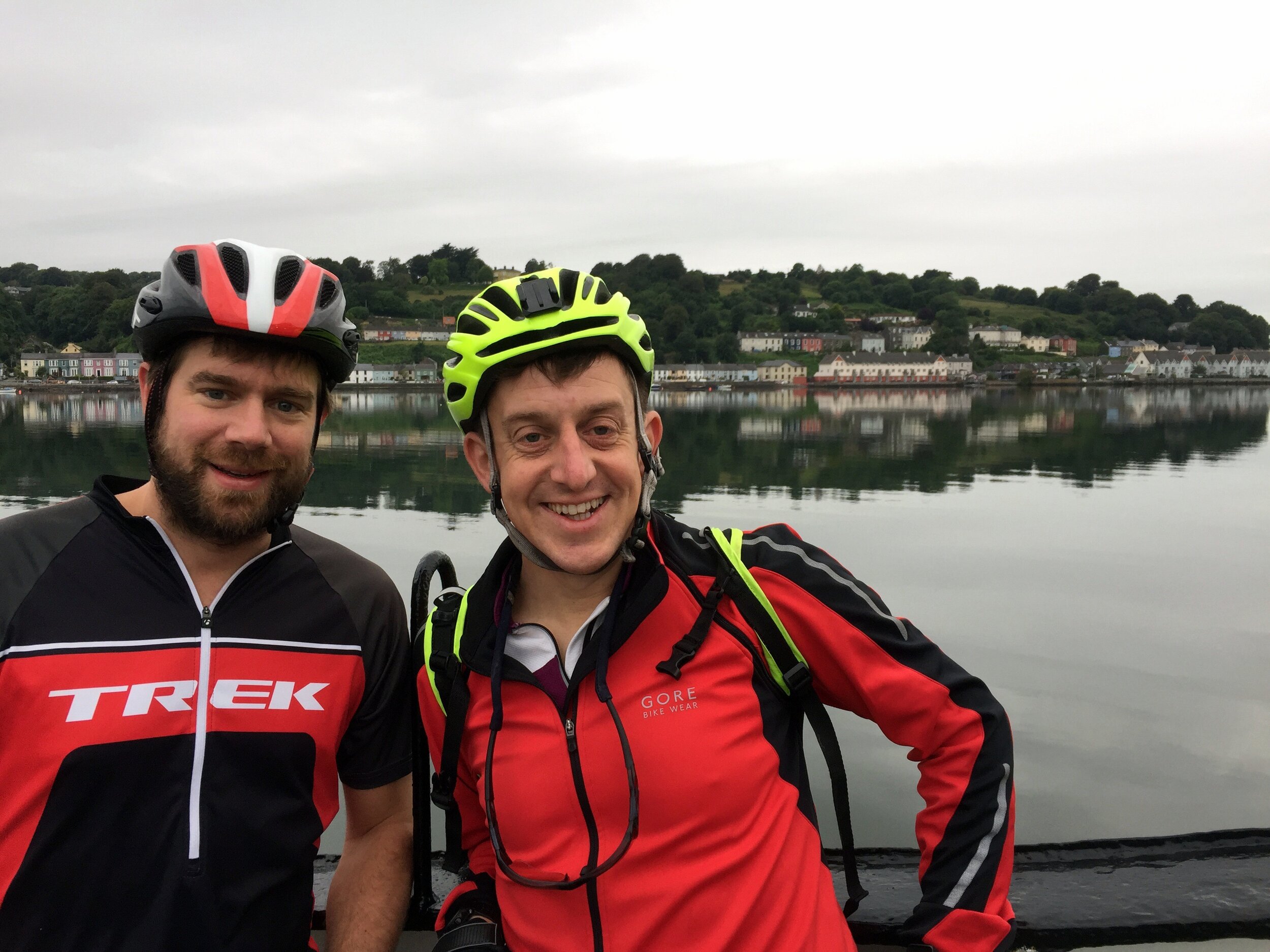
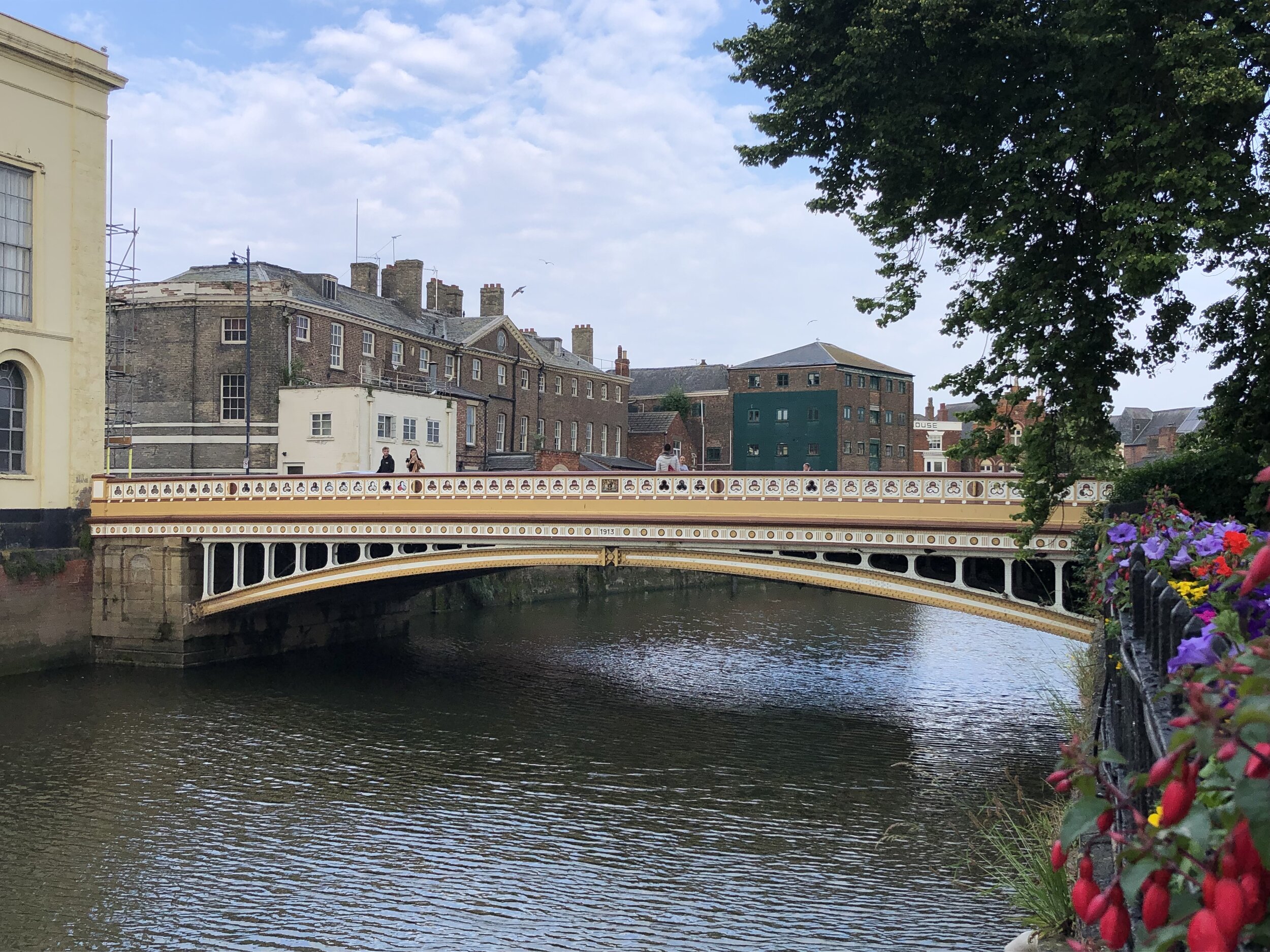
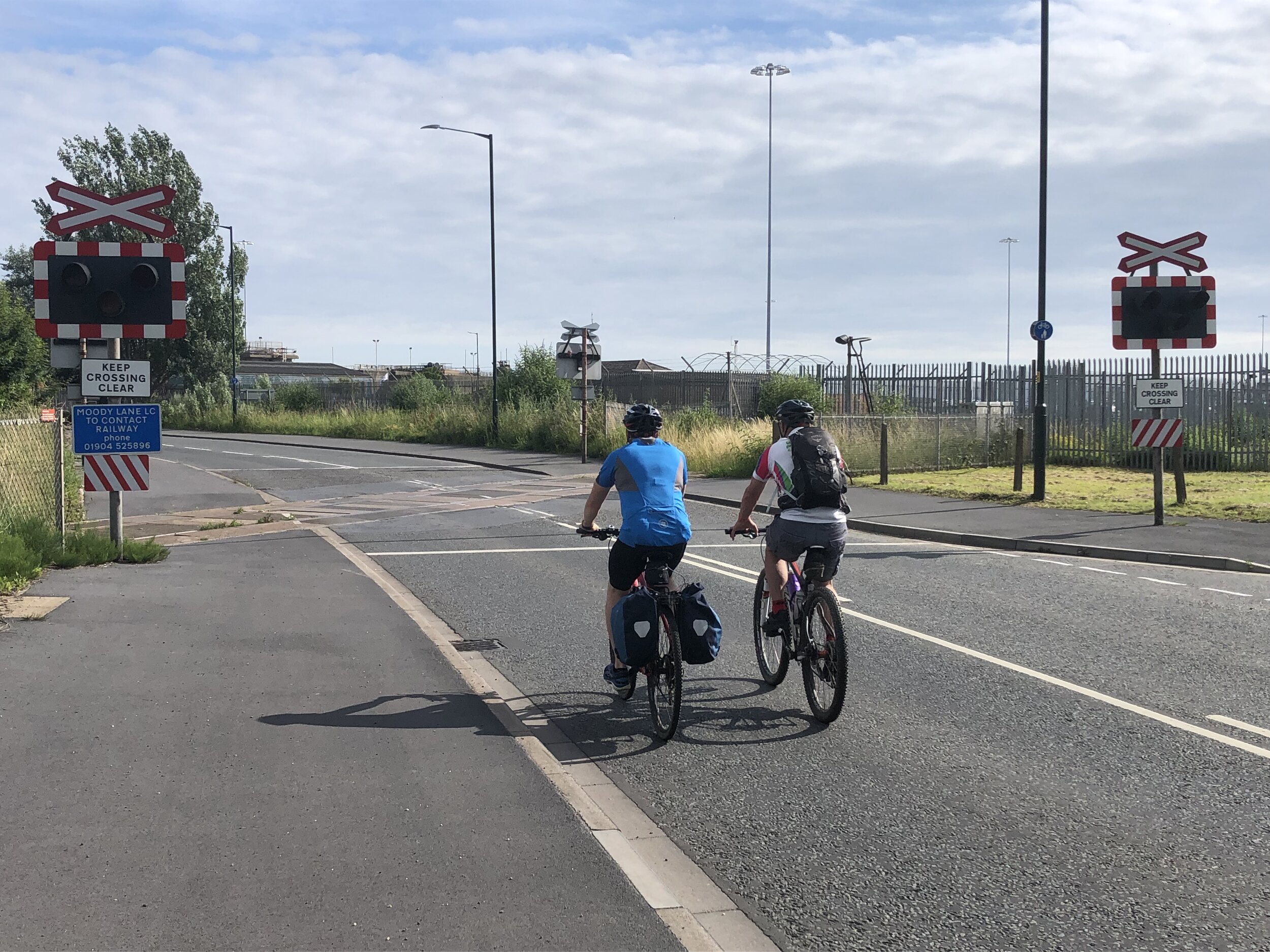
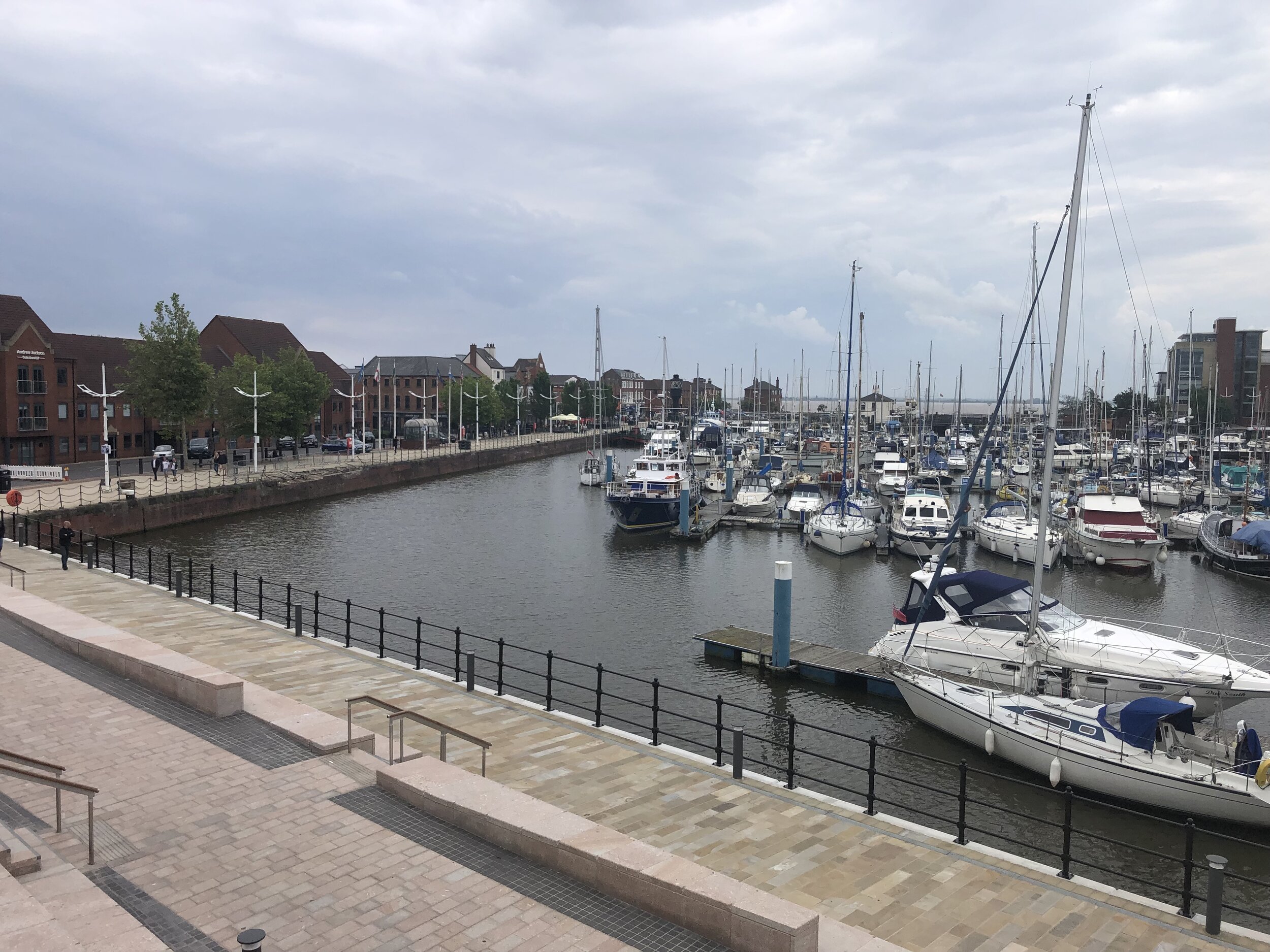
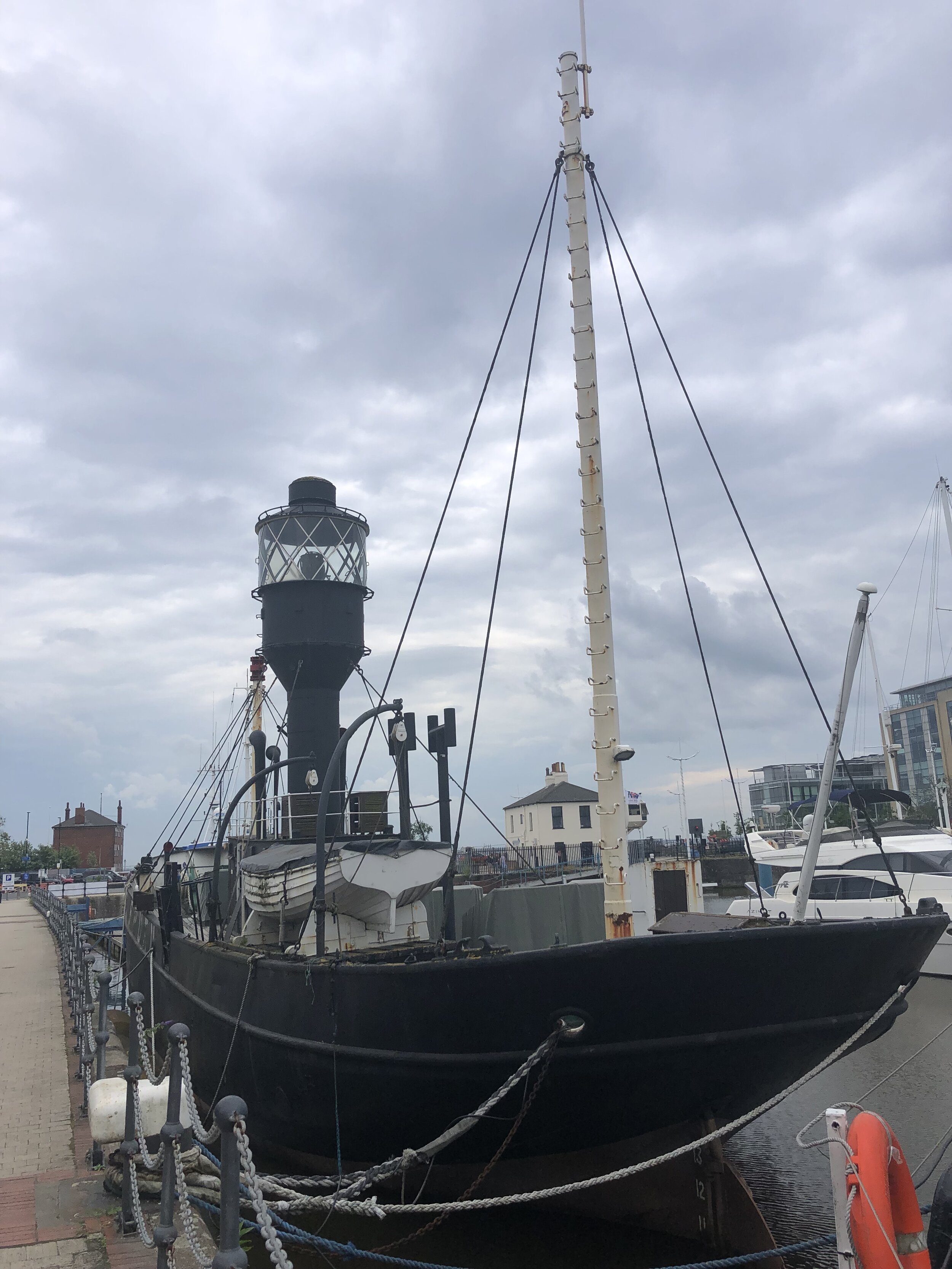
Day 7: Grimsby to Hull
Start: St James Hotel, Freshney Place, St James Square, Grimsby, DN31 1EP
Finish: The Gilson Hotel, 11 Anlaby Road, Hull, HU1 2PJ
Distance: 51 km (32 miles)
Elevation change: + 193m / -194m (Net -1m)
GPX File: get via Buy Me a Coffee
Other routes touched (walk): Trans Pennine Trail, Yorkshire Wolds Way
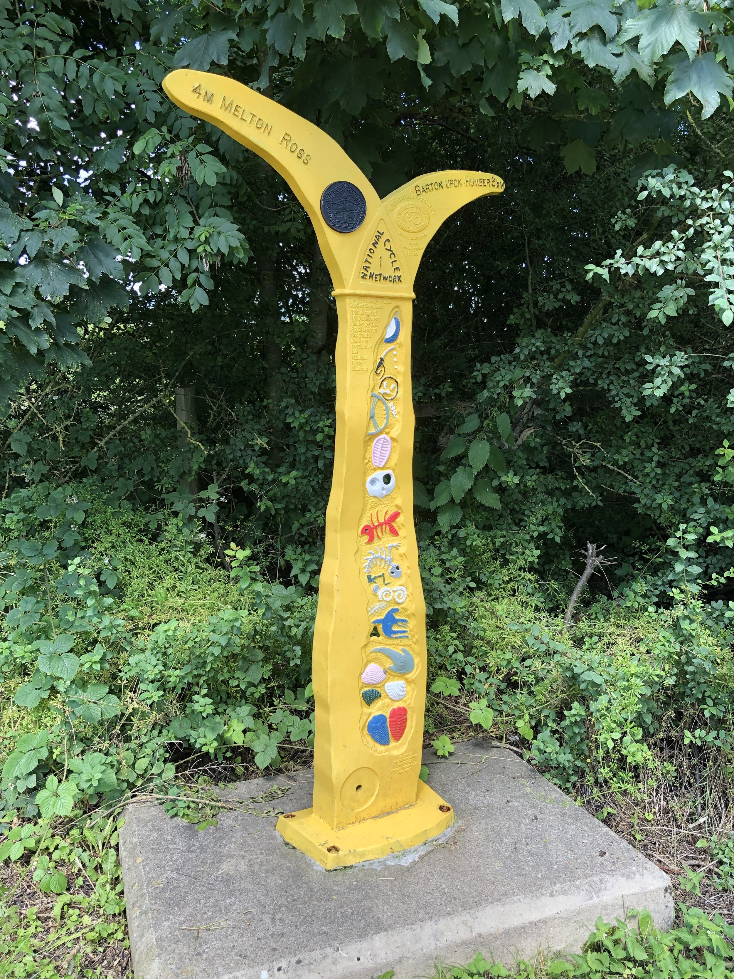
Other routes touched (cycle): NCN 1, 65
Pubs / Cafes on route: Cafe at Deepdale Garden Centre (DN18 6ED)
Maps:
- OS Explorer Map (284) Grimsby, Cleethorpes and Immingham, Caistor and North Thoresby
- OS Explorer Map (281) Ancholme Valley
- OS Explorer Map (293) Kingston-upon-Hull and Beverley
Guidebook: N/A: not covered by the Greenwich Meridian Trail books.
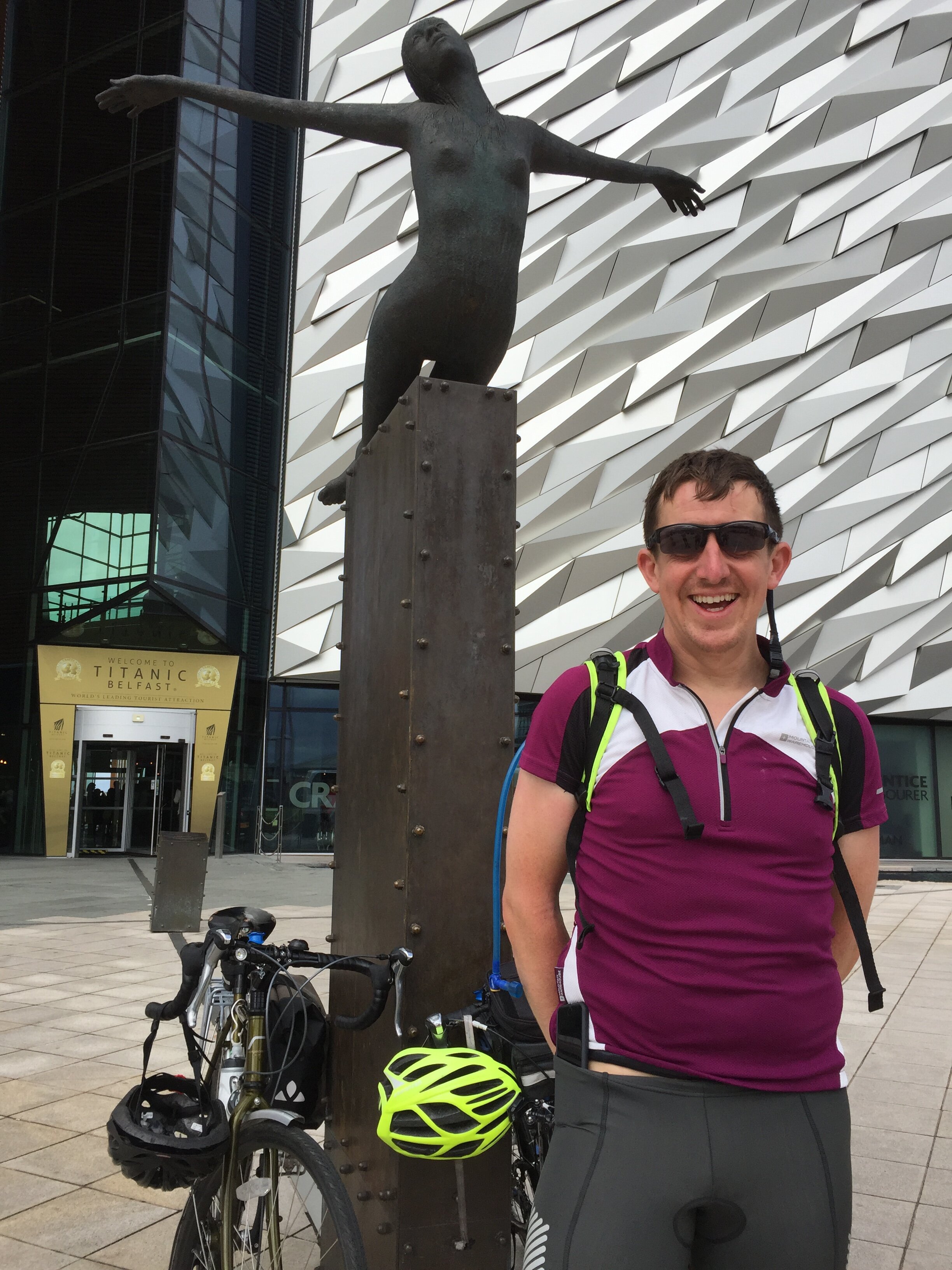
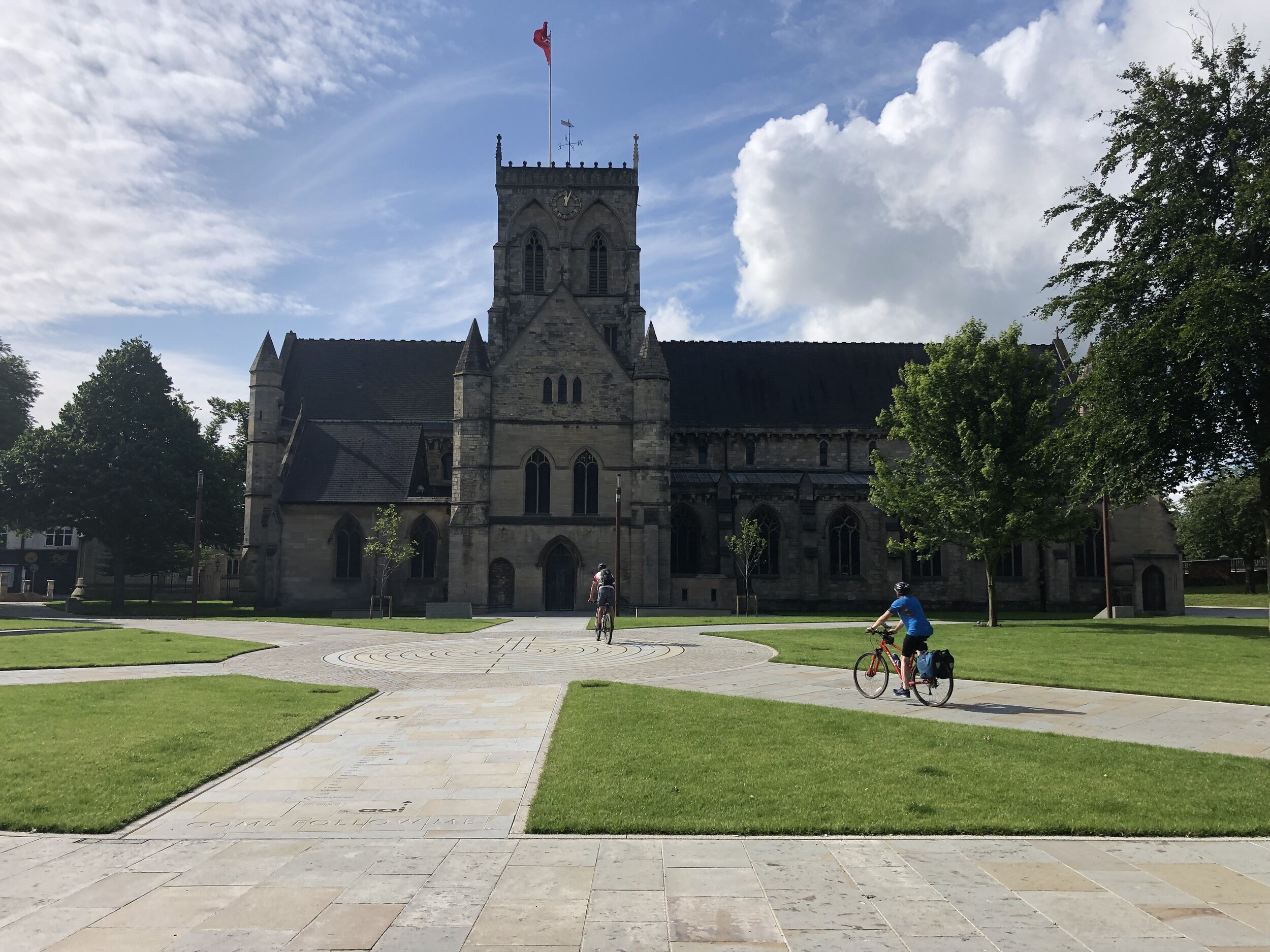
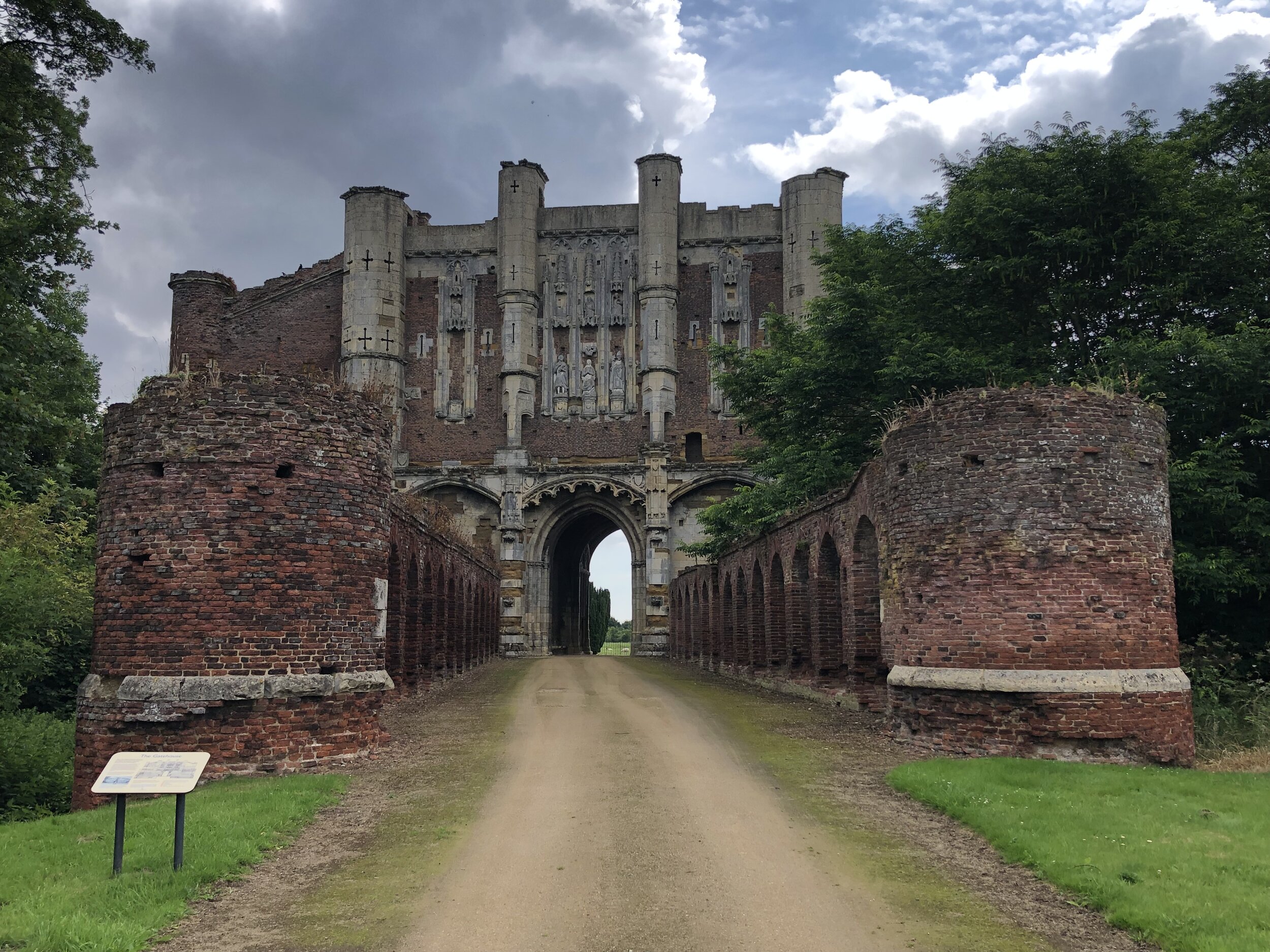
Links: Wikipedia: Prime Meridian, The Greenwich Meridian, Greenwich Meridian Trail, Grimsby, Immingham Docks, Thornton Abbey, Barton-upon-Humber, Humber Bridge, Kingston-upon-Hull


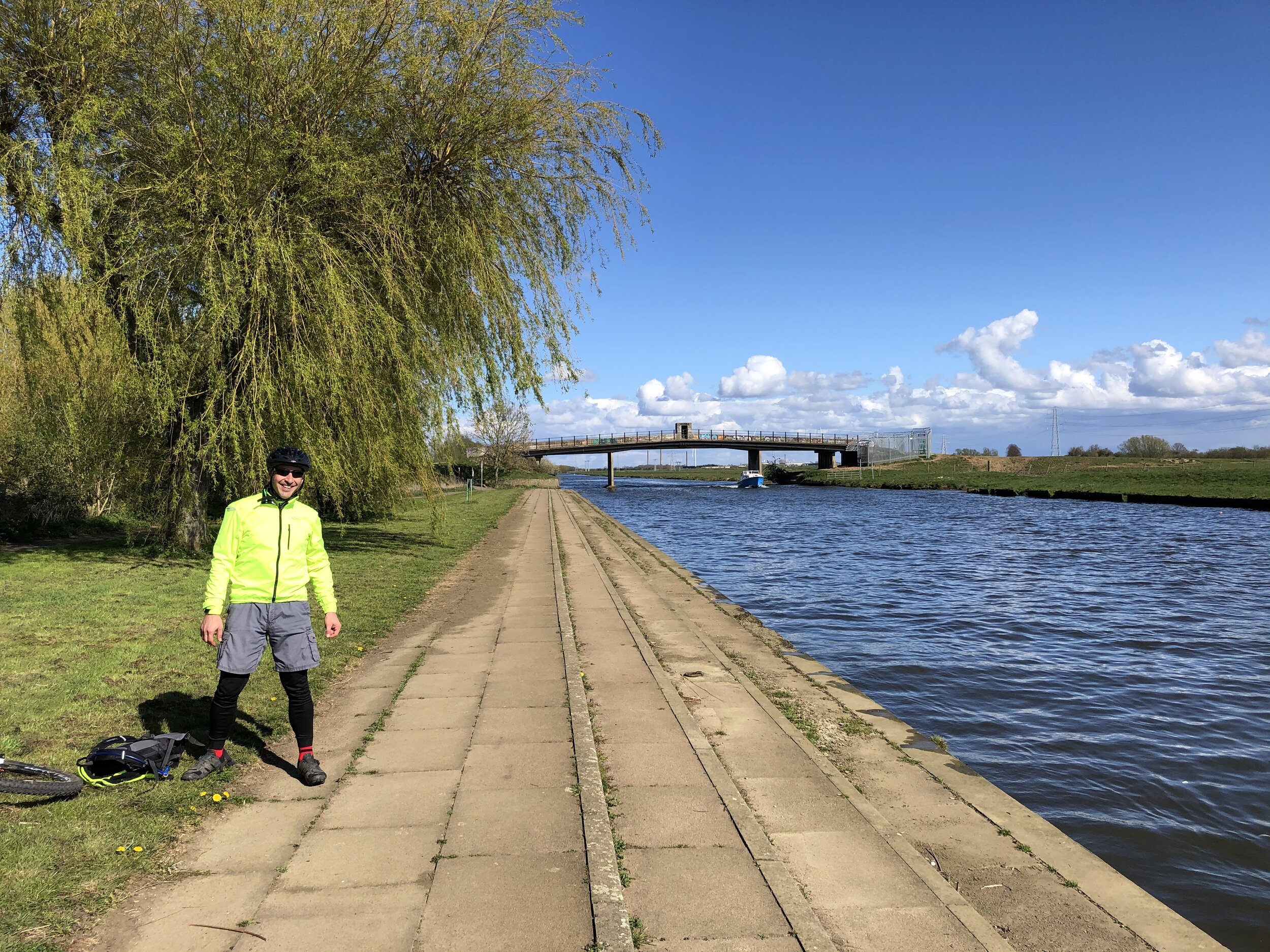
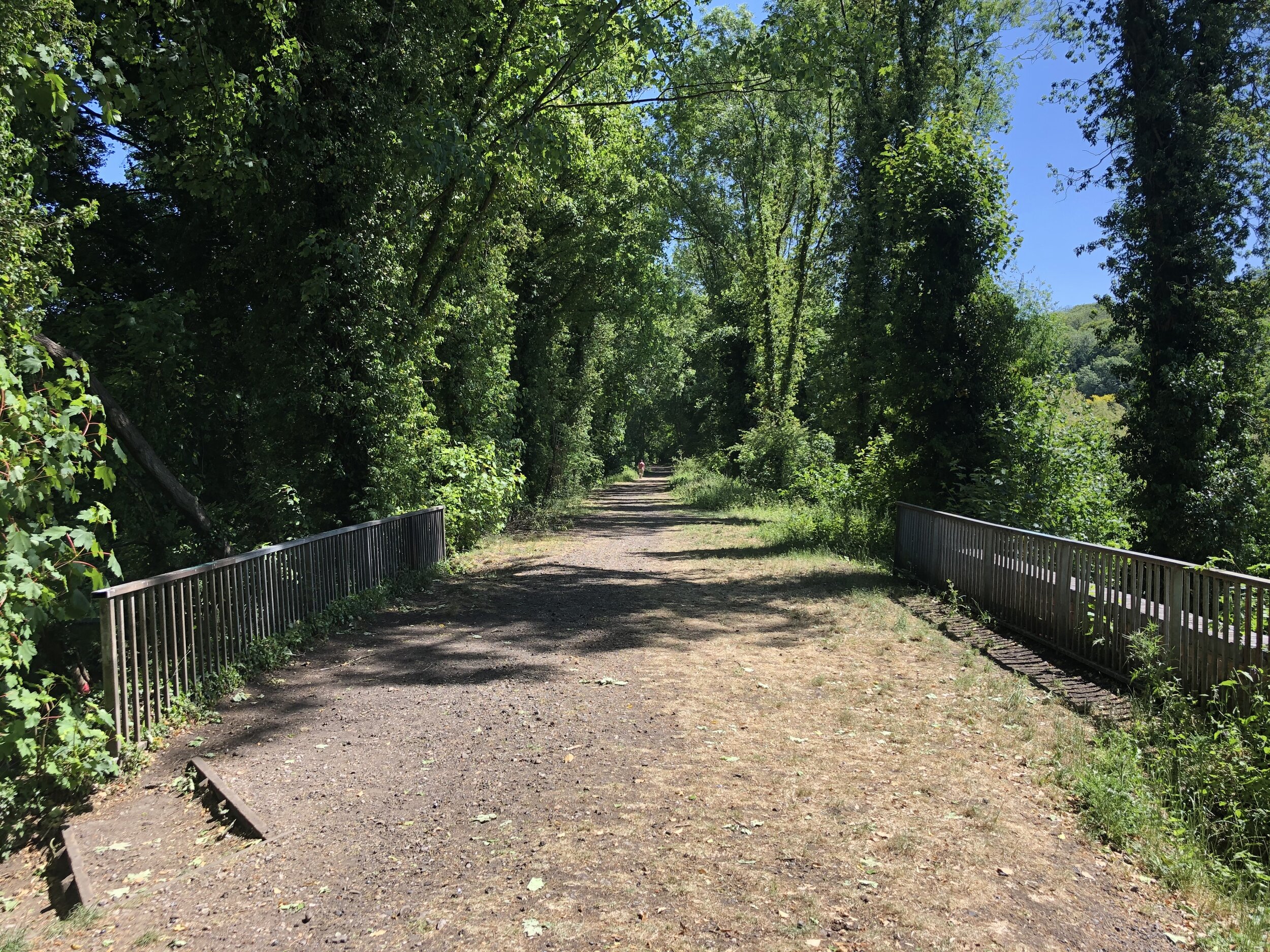
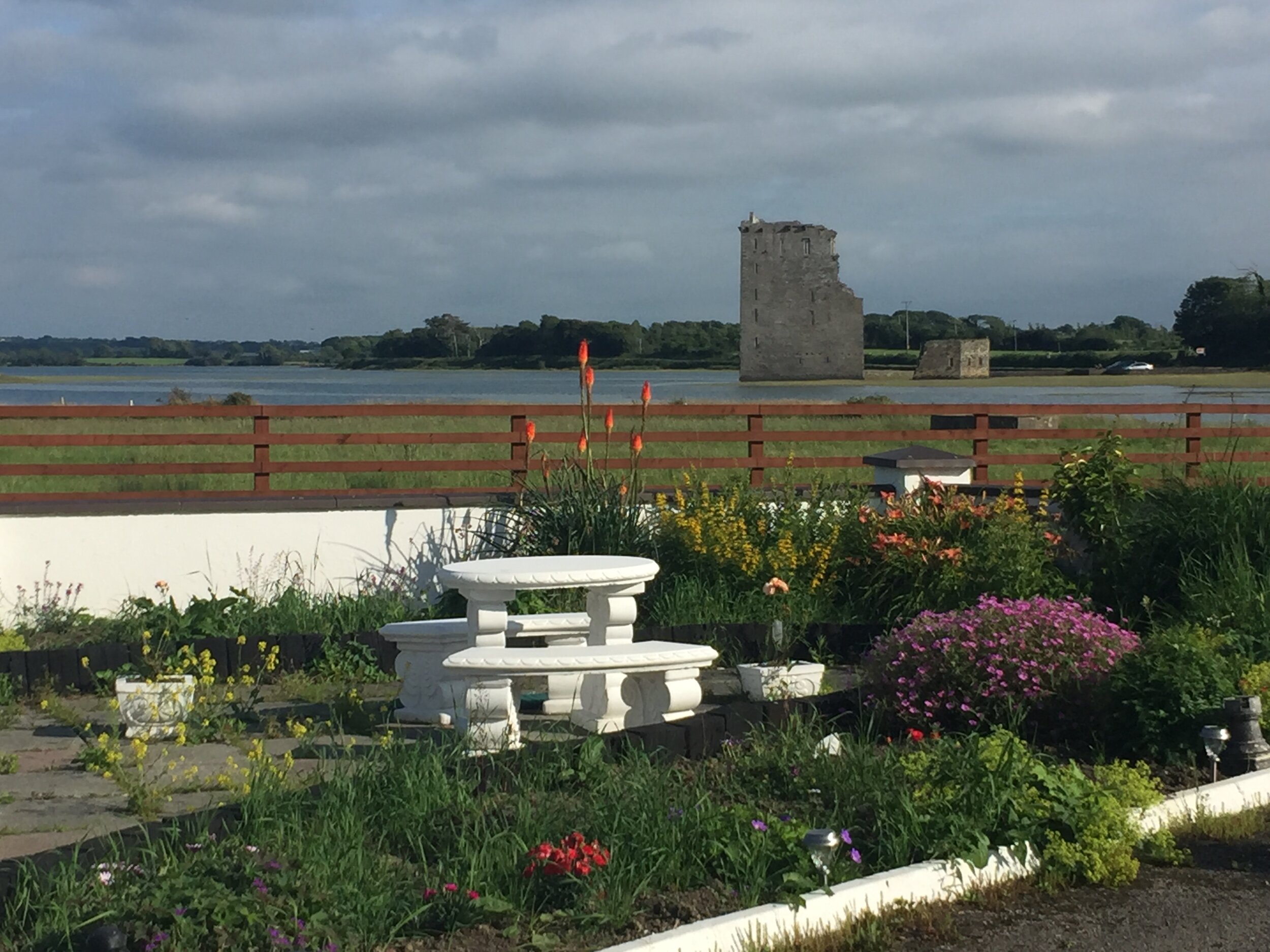
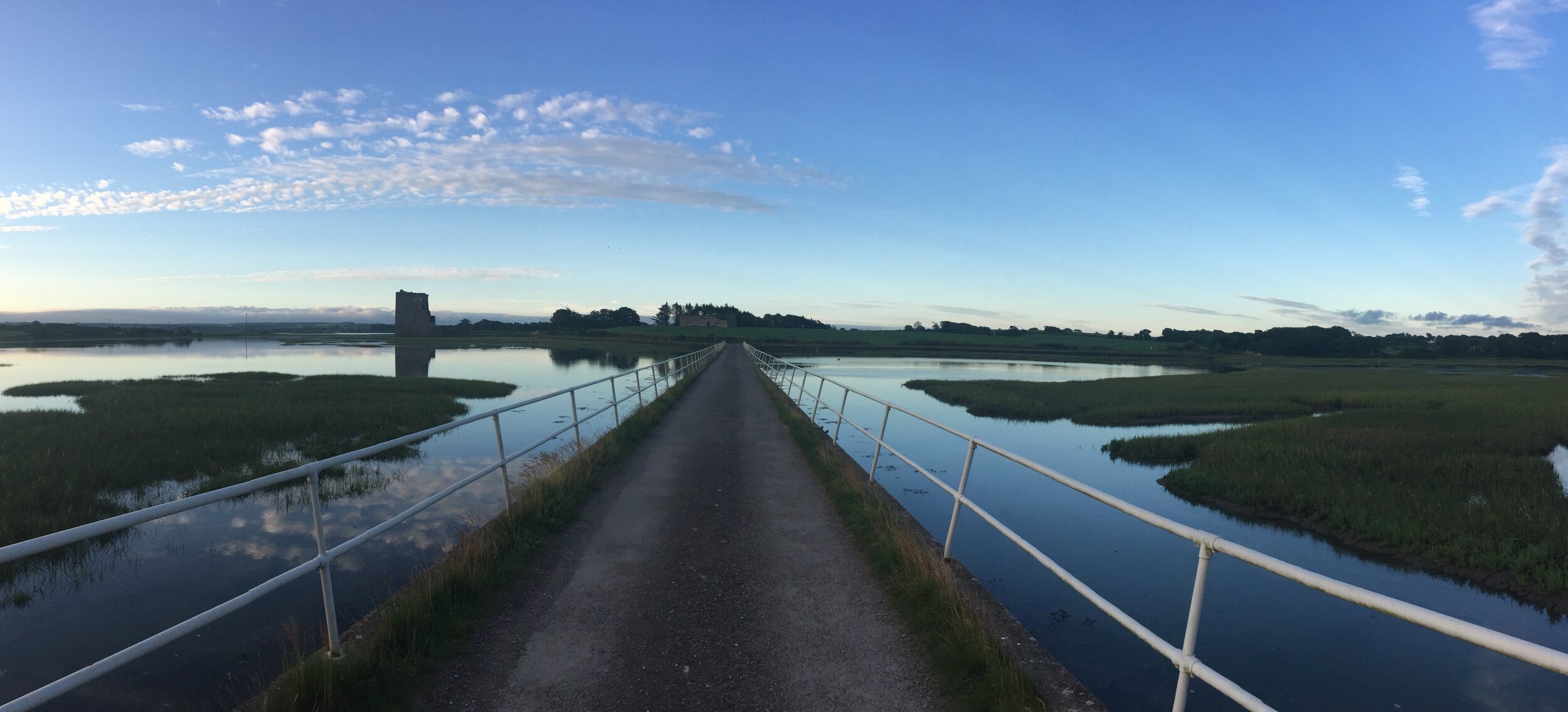
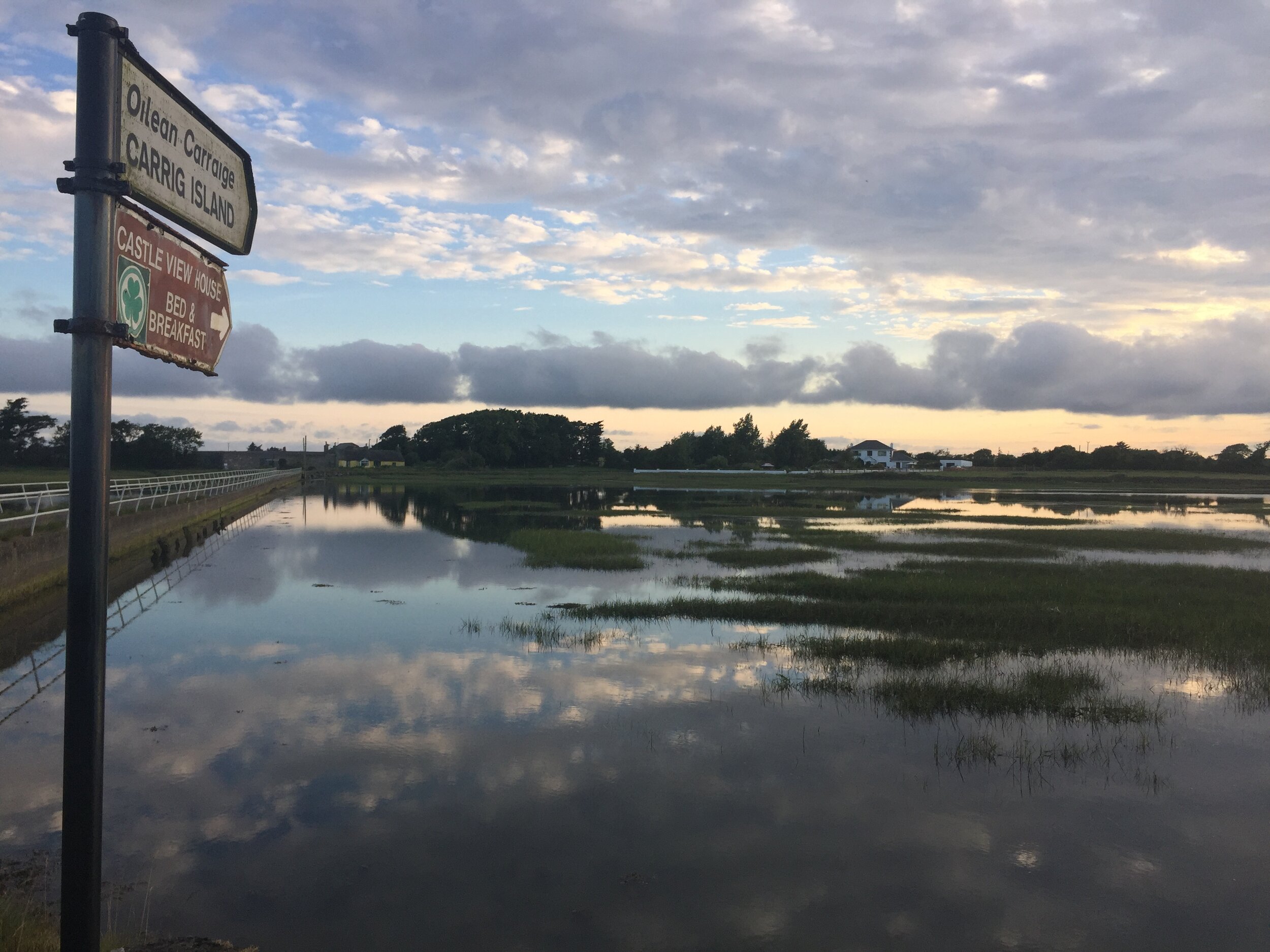
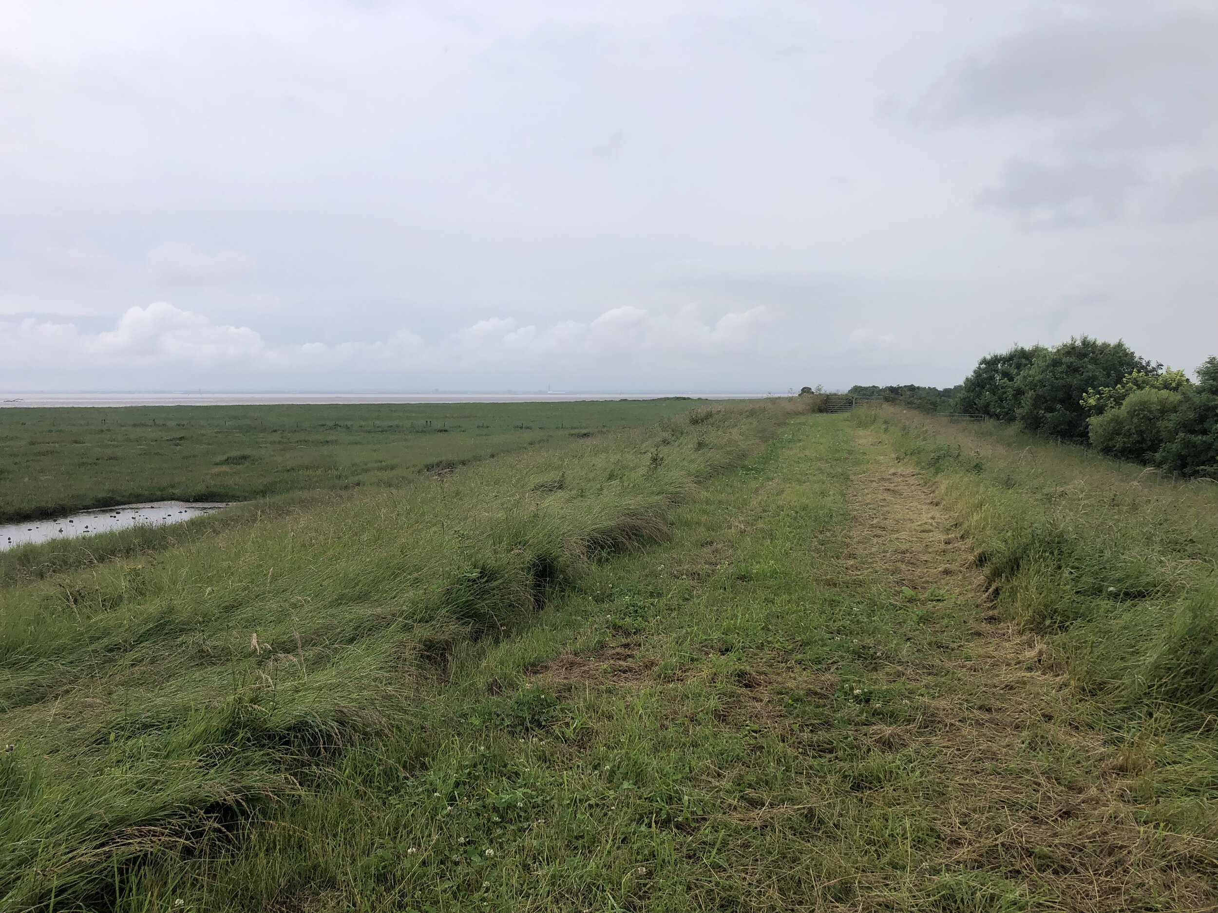
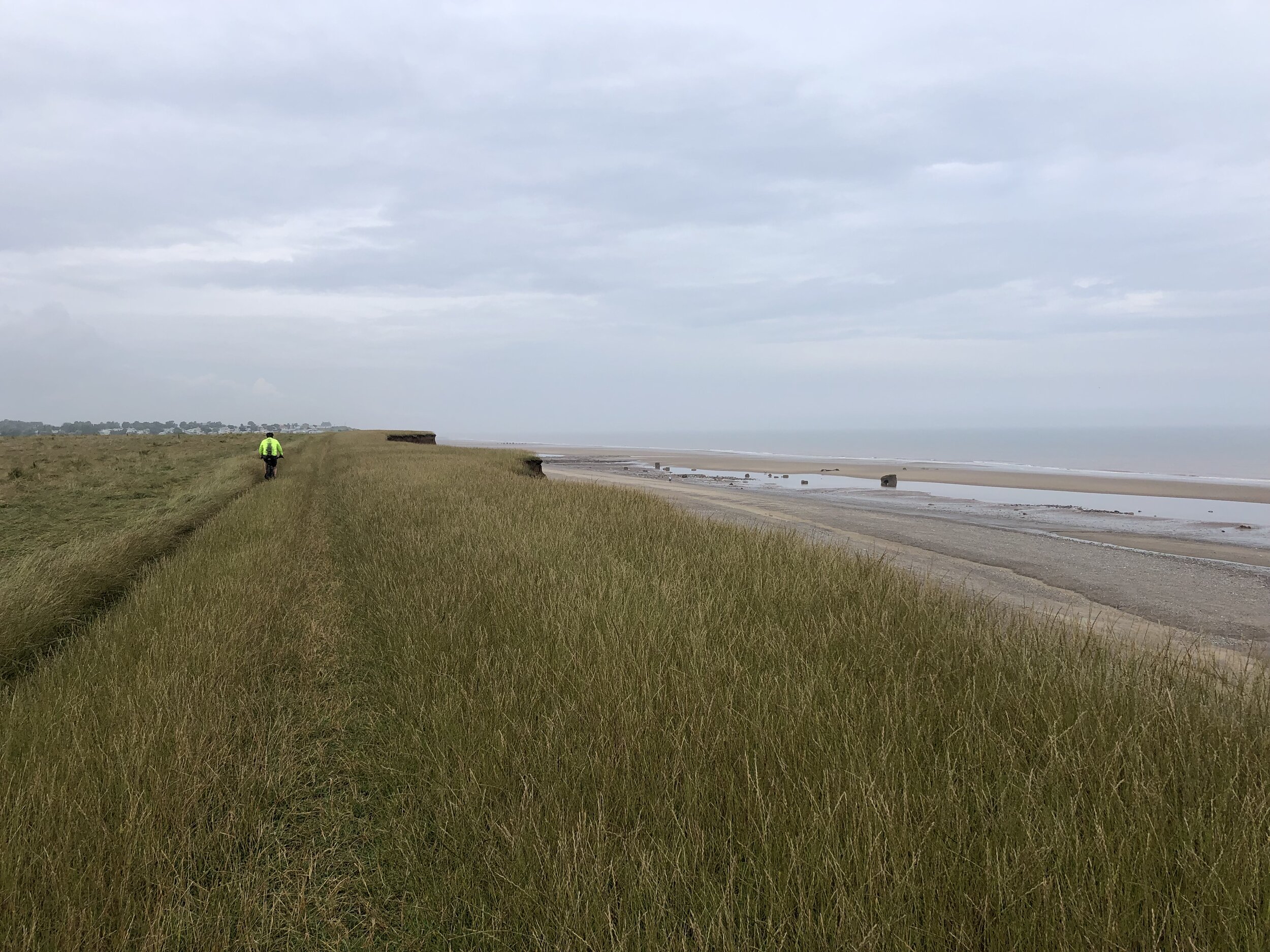
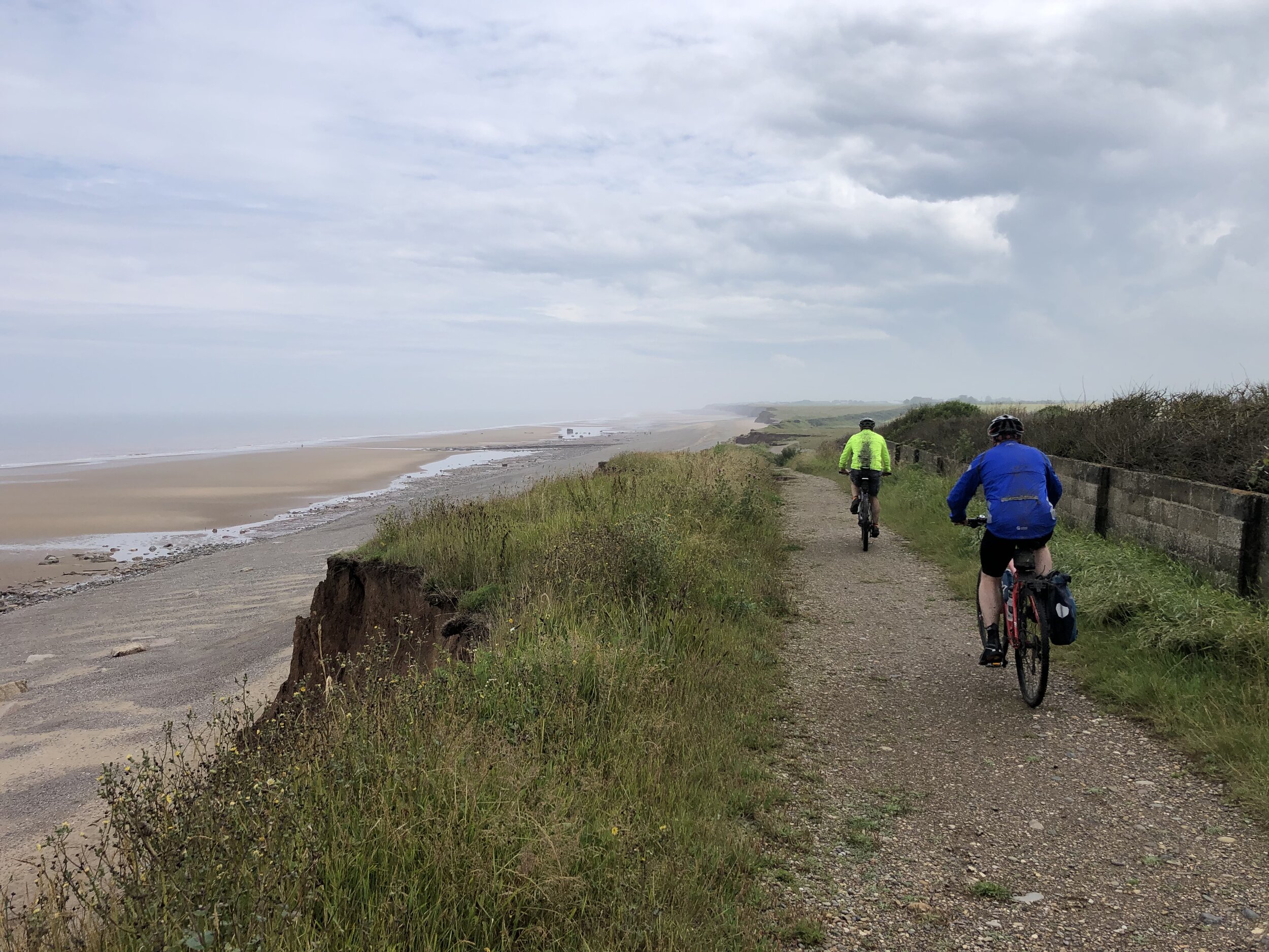
Day 8: Hull to Sand Le Mere
Start: The Gilson Hotel, 11 Anlaby Road, Hull, HU1 2PJ
Finish: Sand Le Mere Beach, Roos, Hull, HU12 0JF
Distance: 65 km (40.4 miles)
Elevation change: + 143m / -148m (Net -5m)
GPX File: get via Buy Me a Coffee
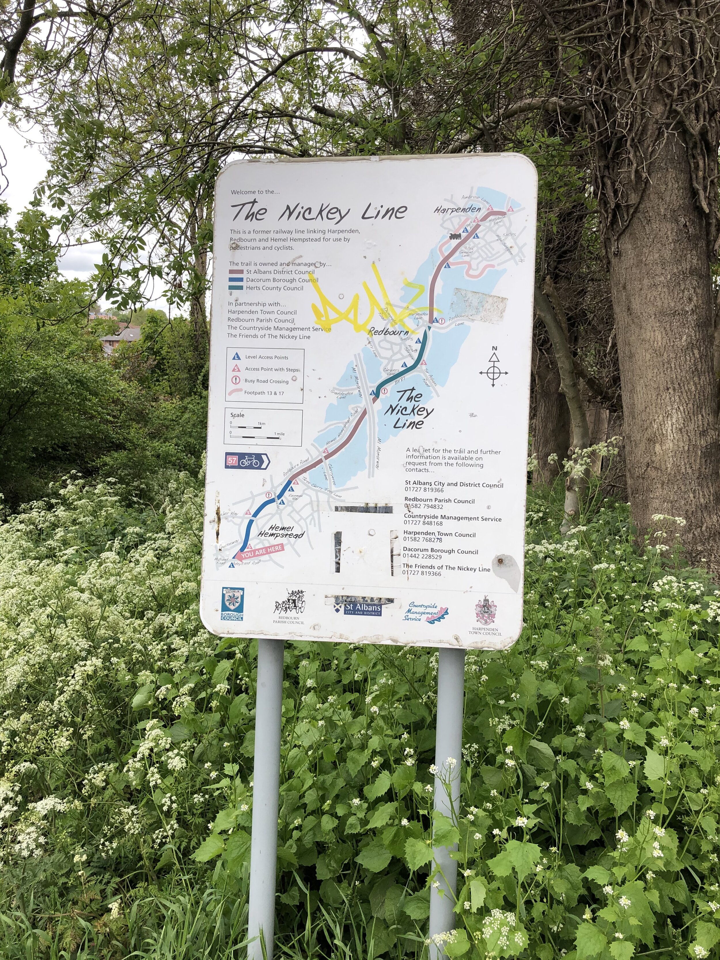
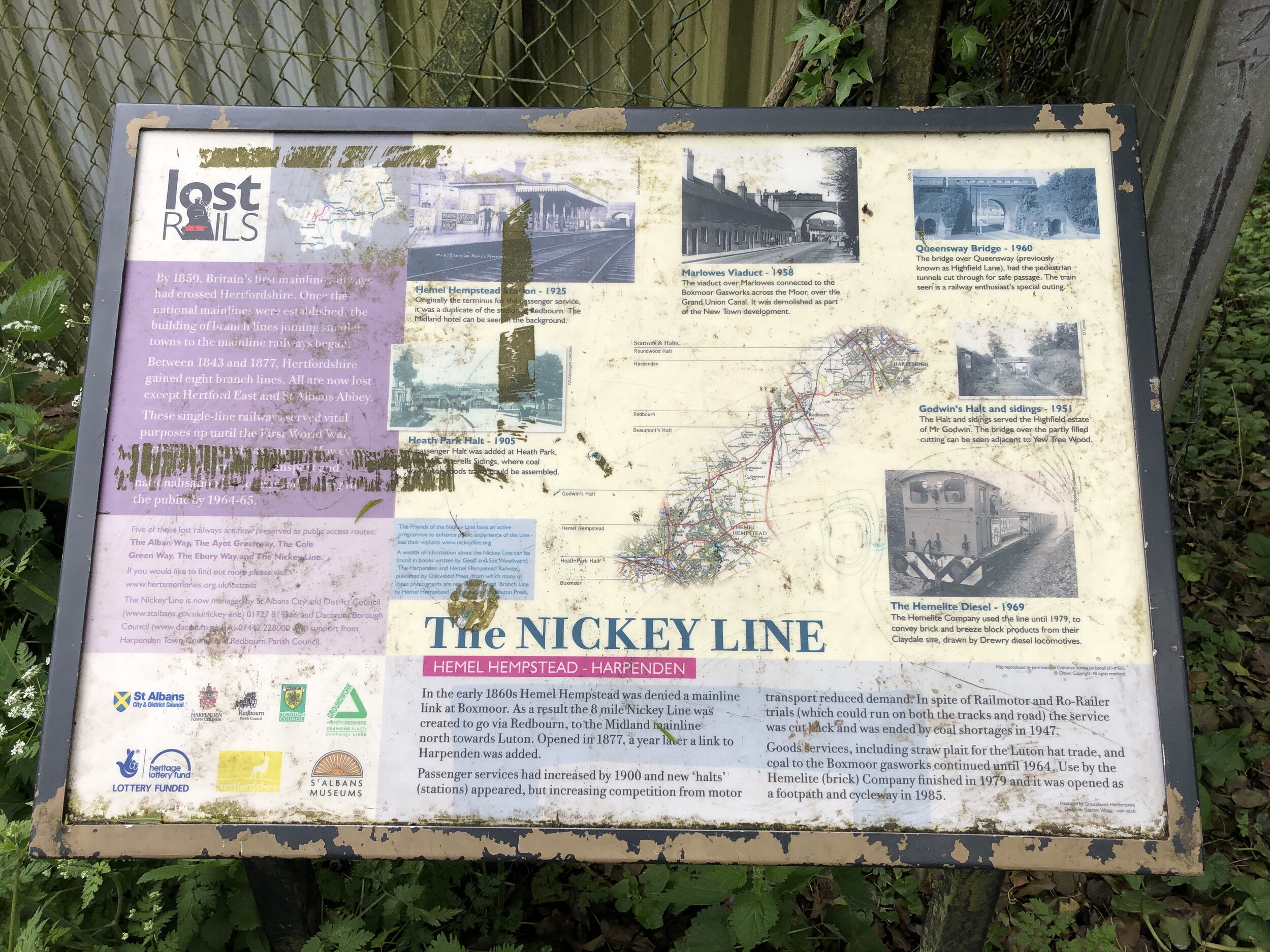
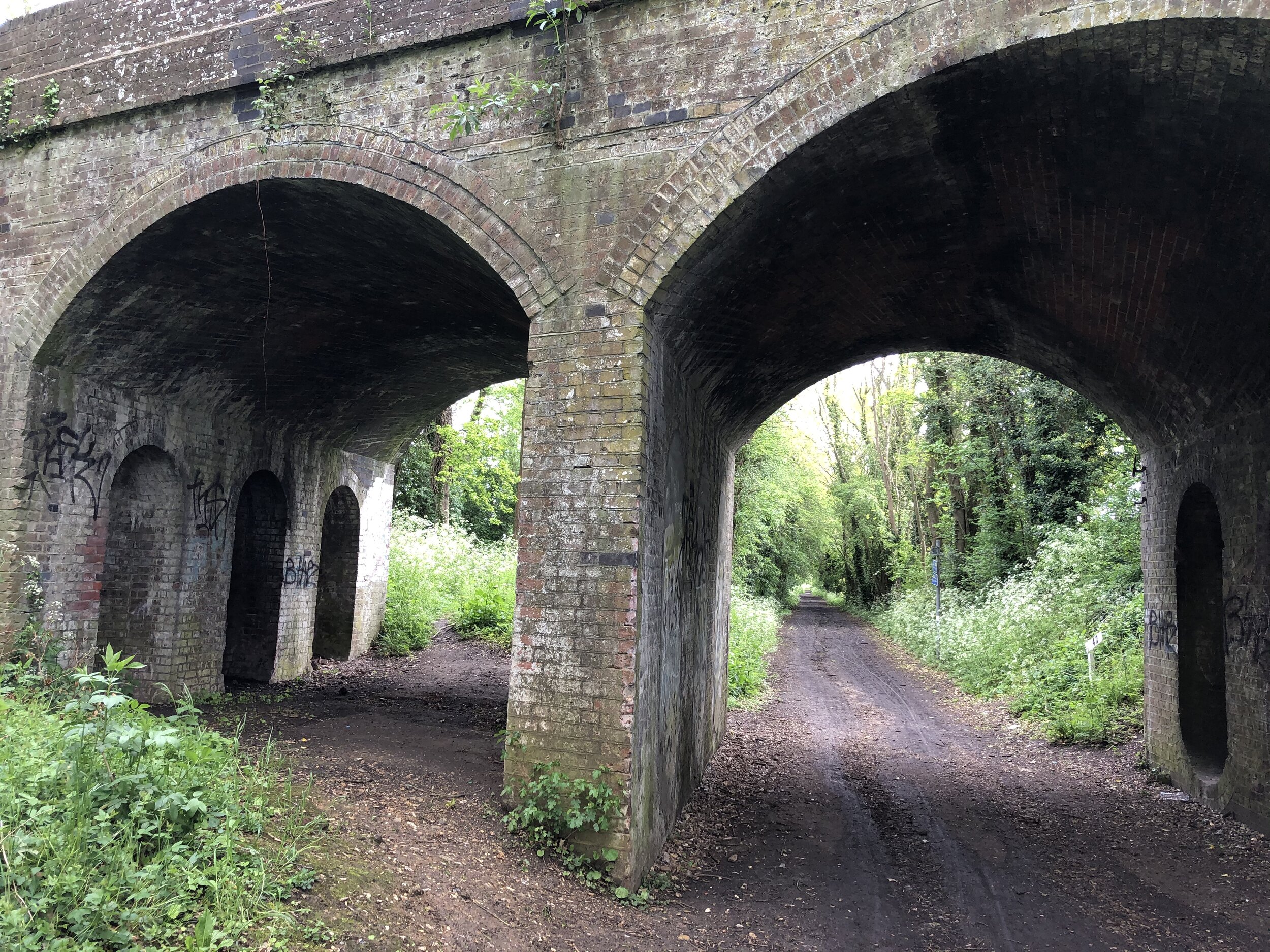
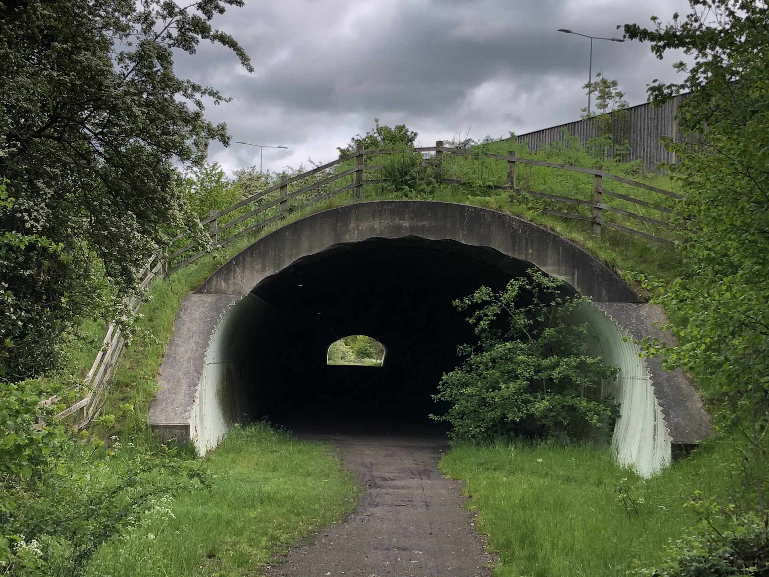
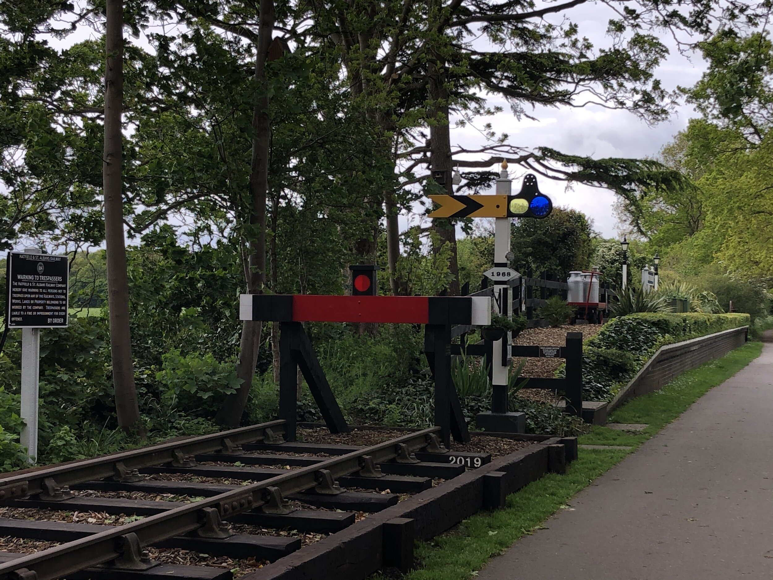
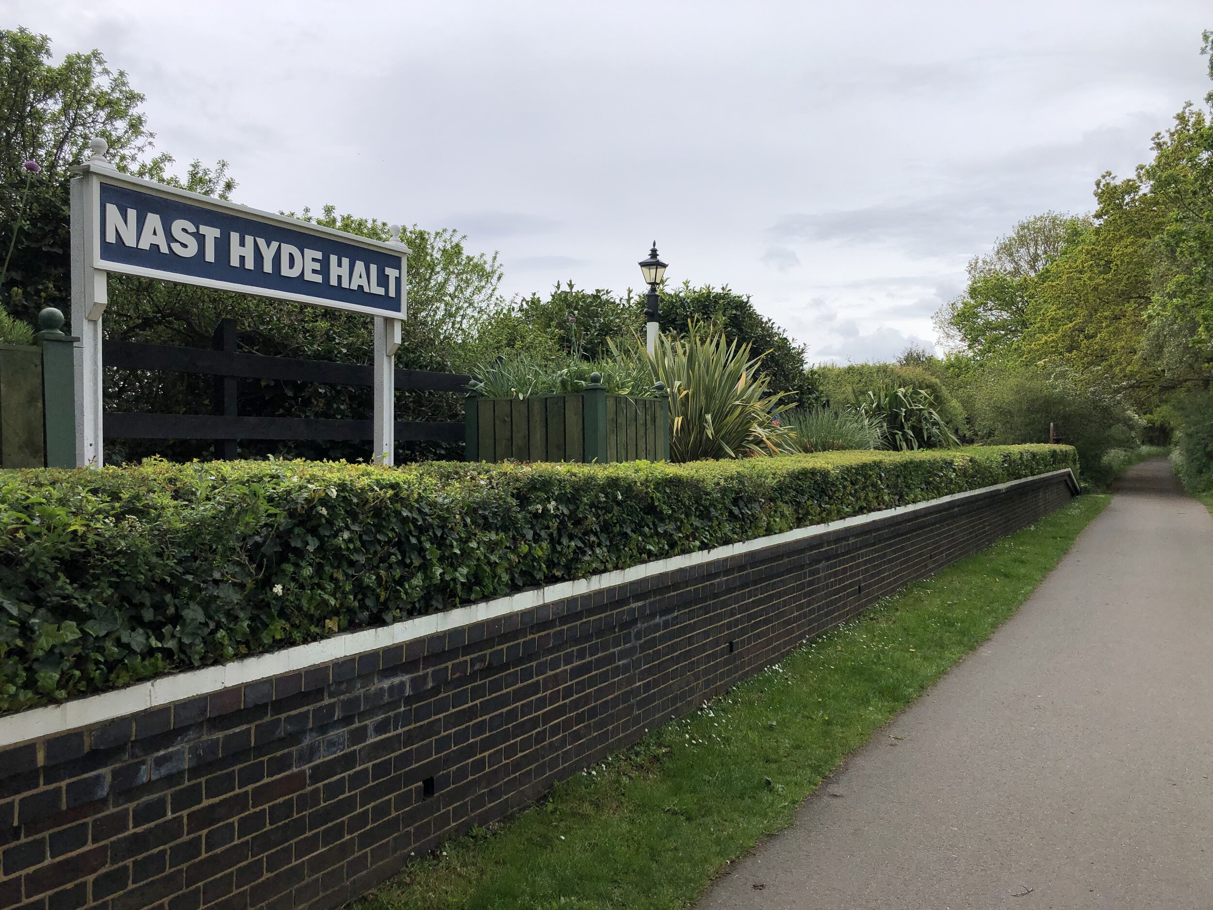
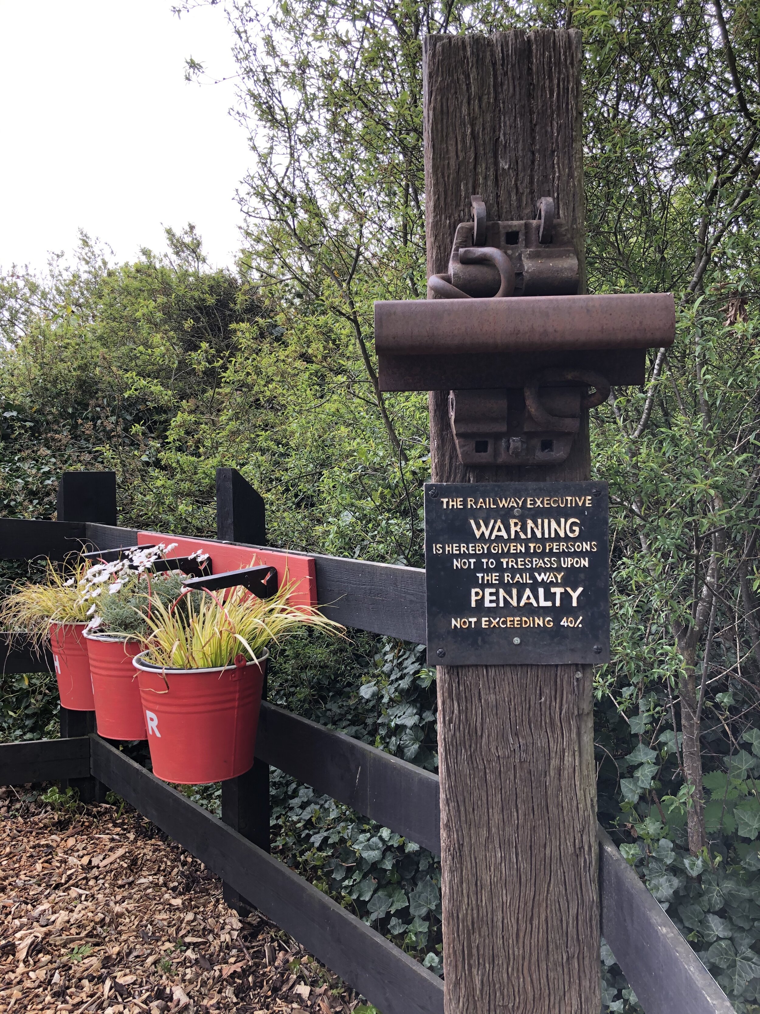
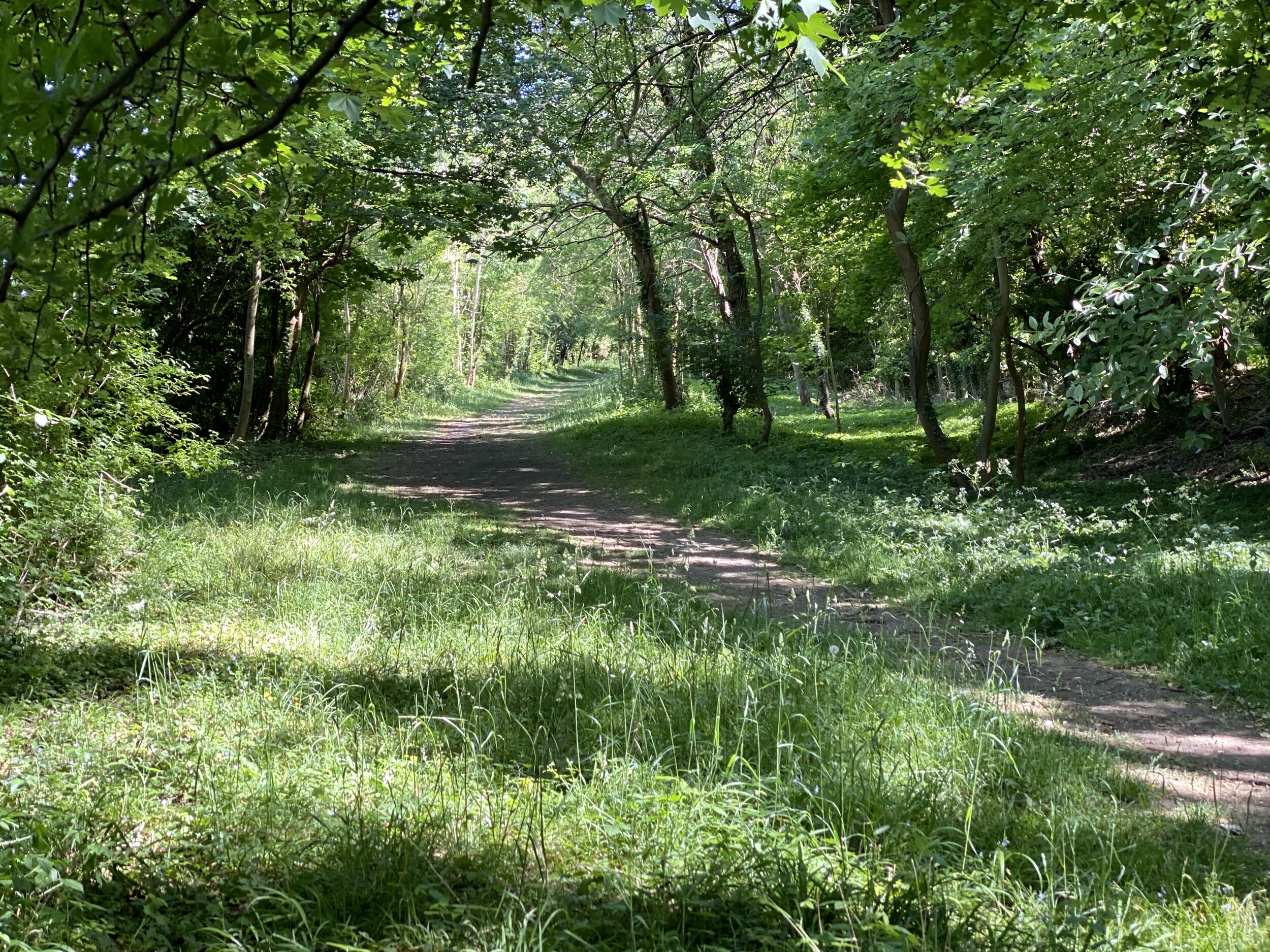
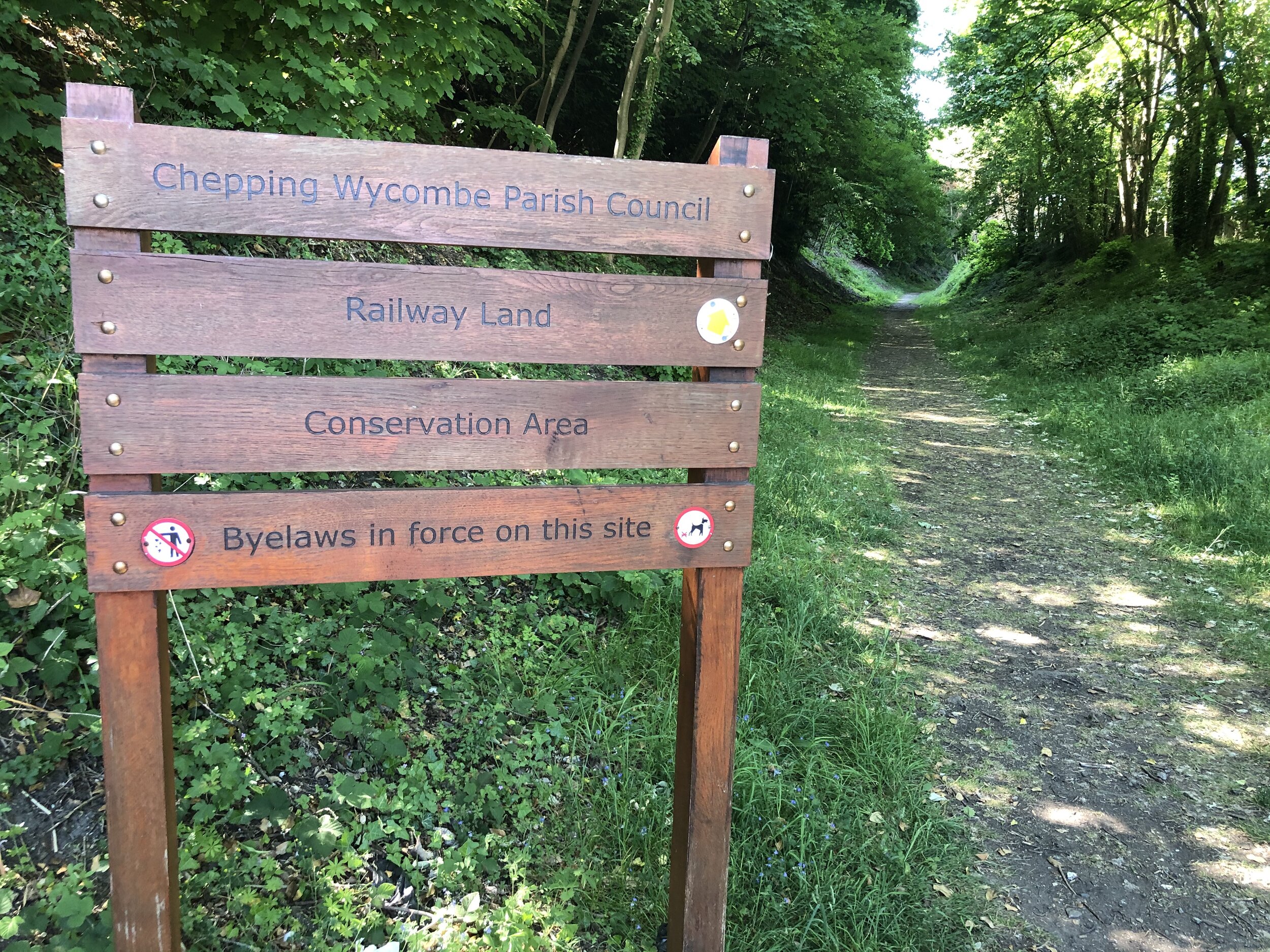
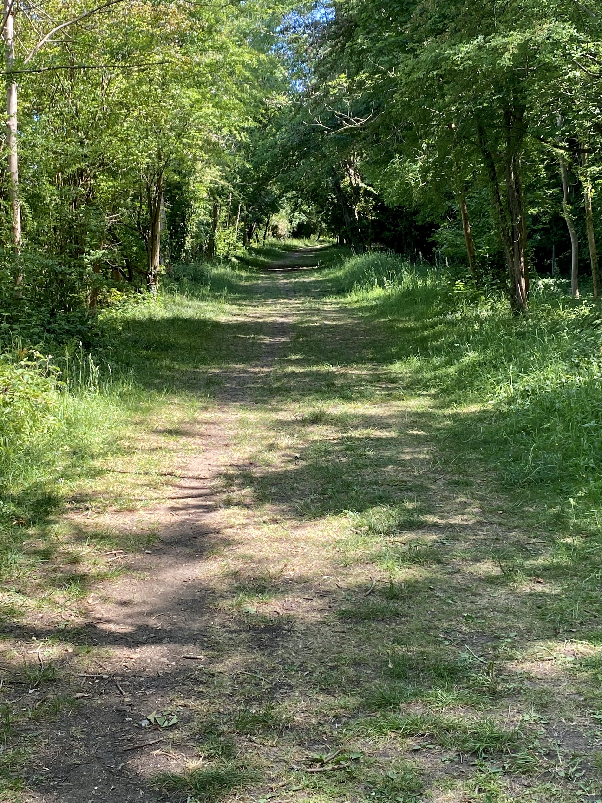
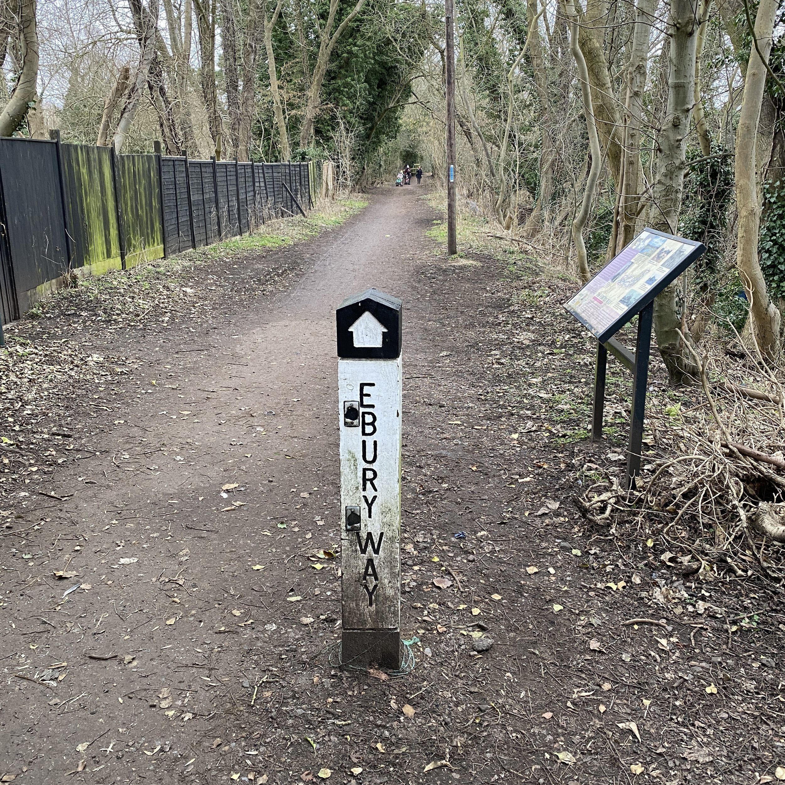
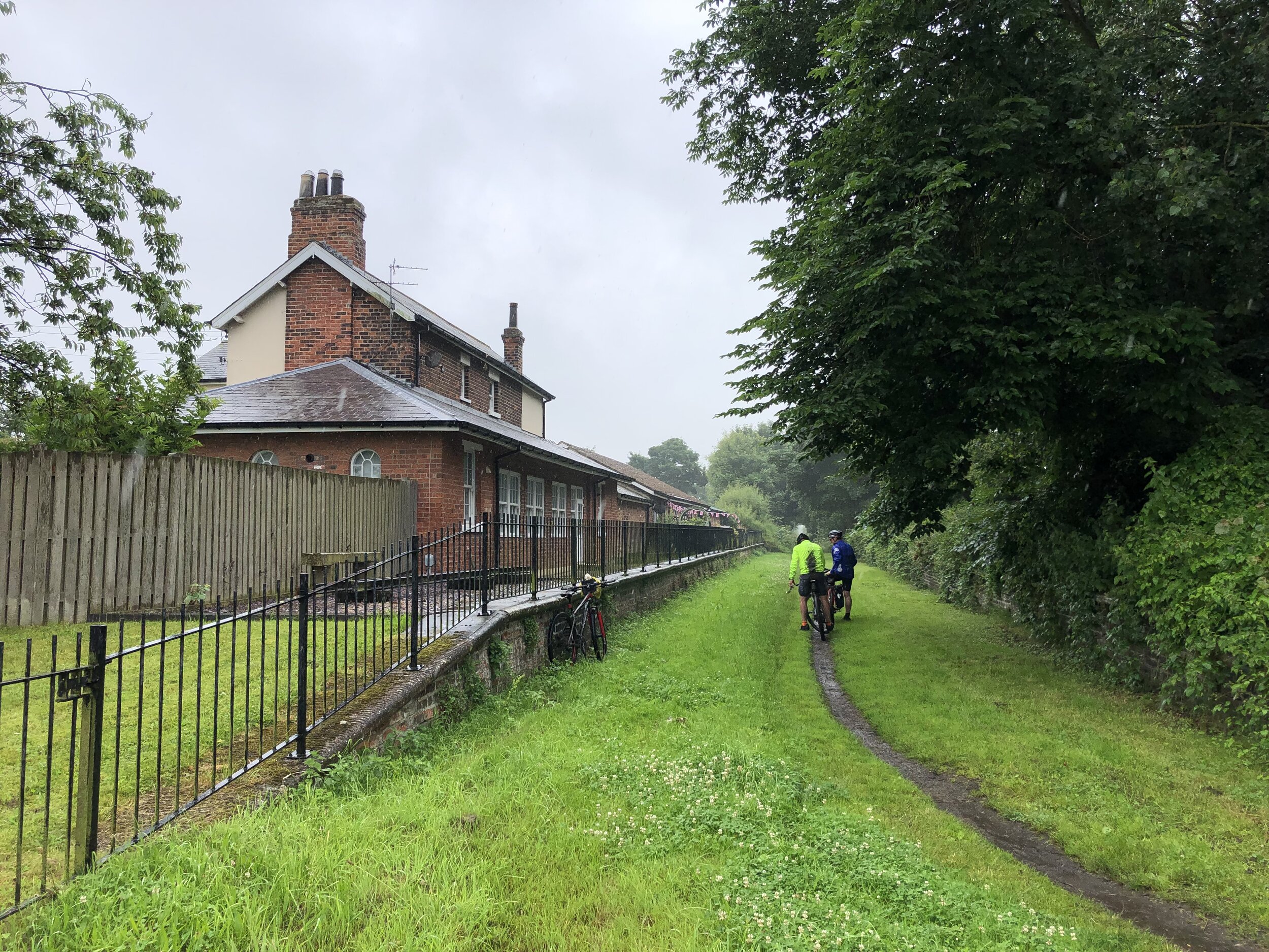
Other routes touched (walk): Hull Fish Trail, Wilberforce Way, Hull to Winestead Rail Trail, Greenwich Meridian Trail
Other routes touched (cycle): NCN 1, 66, National Byway
Pubs / Cafes on route: several in Patringham Village Centre
Maps:
- OS Explorer Map (293) Kingston-upon-Hull and Beverley
- OS Explorer Map (292) Withernsea and Spurn Head
Guidebook: Greenwich Meridian Trail Book 4: Boston to Sand Le Mere
Links: Wikipedia: Prime Meridian, The Greenwich Meridian, Greenwich Meridian Trail, Kingston-upon-Hull, Sunk Island, Patringham, Withernsea


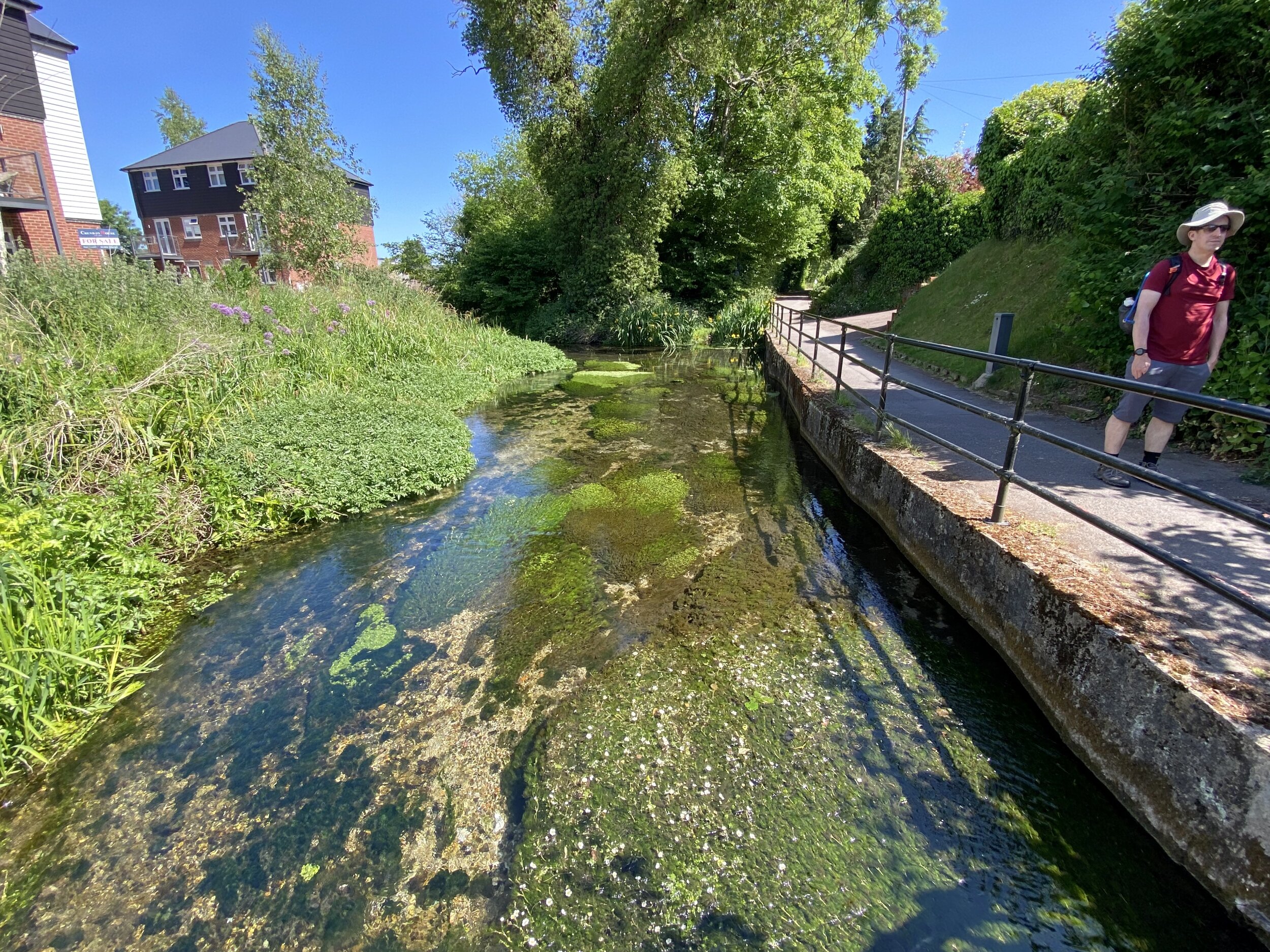
Return to Hull from Sand Le Mere
Start: Sand Le Mere Beach, Roos, Hull, HU12 0JF
Finish: Hull Station, Paragon Station, Ferensway, Hull HU1 3QX
Distance: 27.8 km (17.3 miles)
Elevation change: + 80m / -77m (Net +3m)
GPX File: get via Buy Me a Coffee
Other routes touched (walk): Hull Fish Trail, Wilberforce Way, Hull to Winestead Rail Trail
Other routes touched (cycle): NCN 1, 66, National Byway
Pubs / Cafes on route: Nags Head, Preston (HU12 8TT)
Maps:
- OS Explorer Map (292) Withernsea and Spurn Head
- OS Explorer Map (293) Kingston-upon-Hull and Beverley
Links: Kingston-upon-Hull
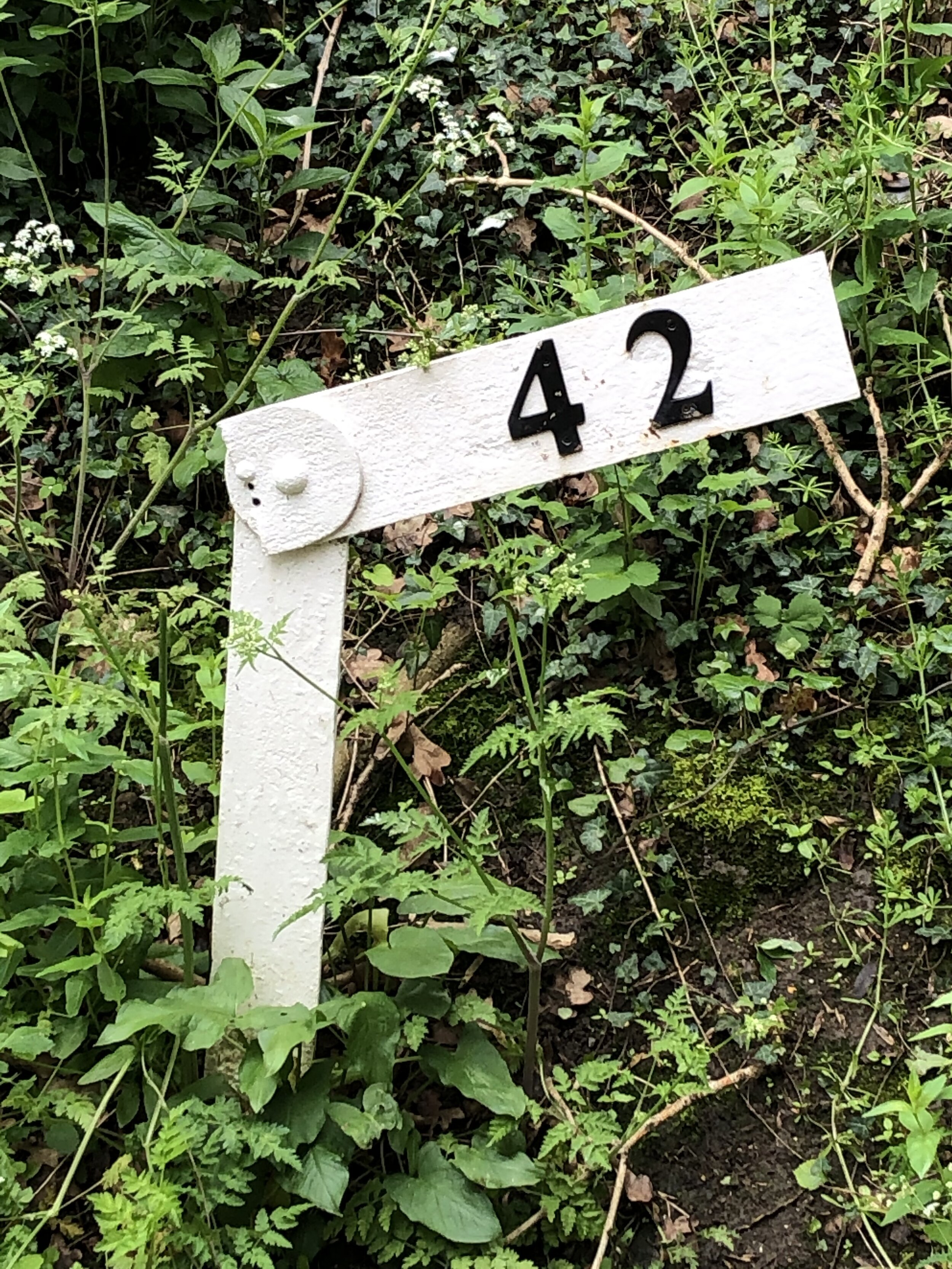
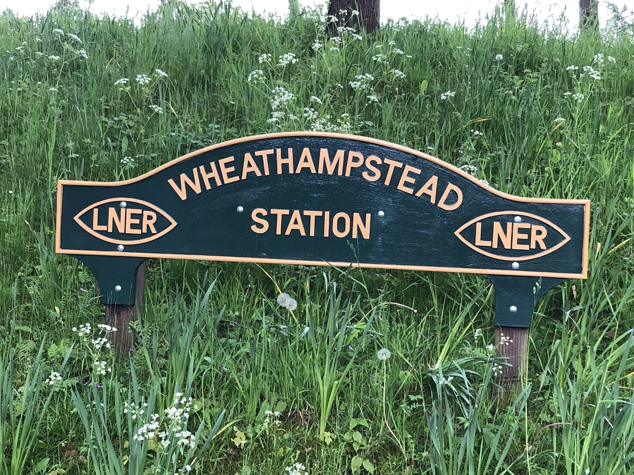
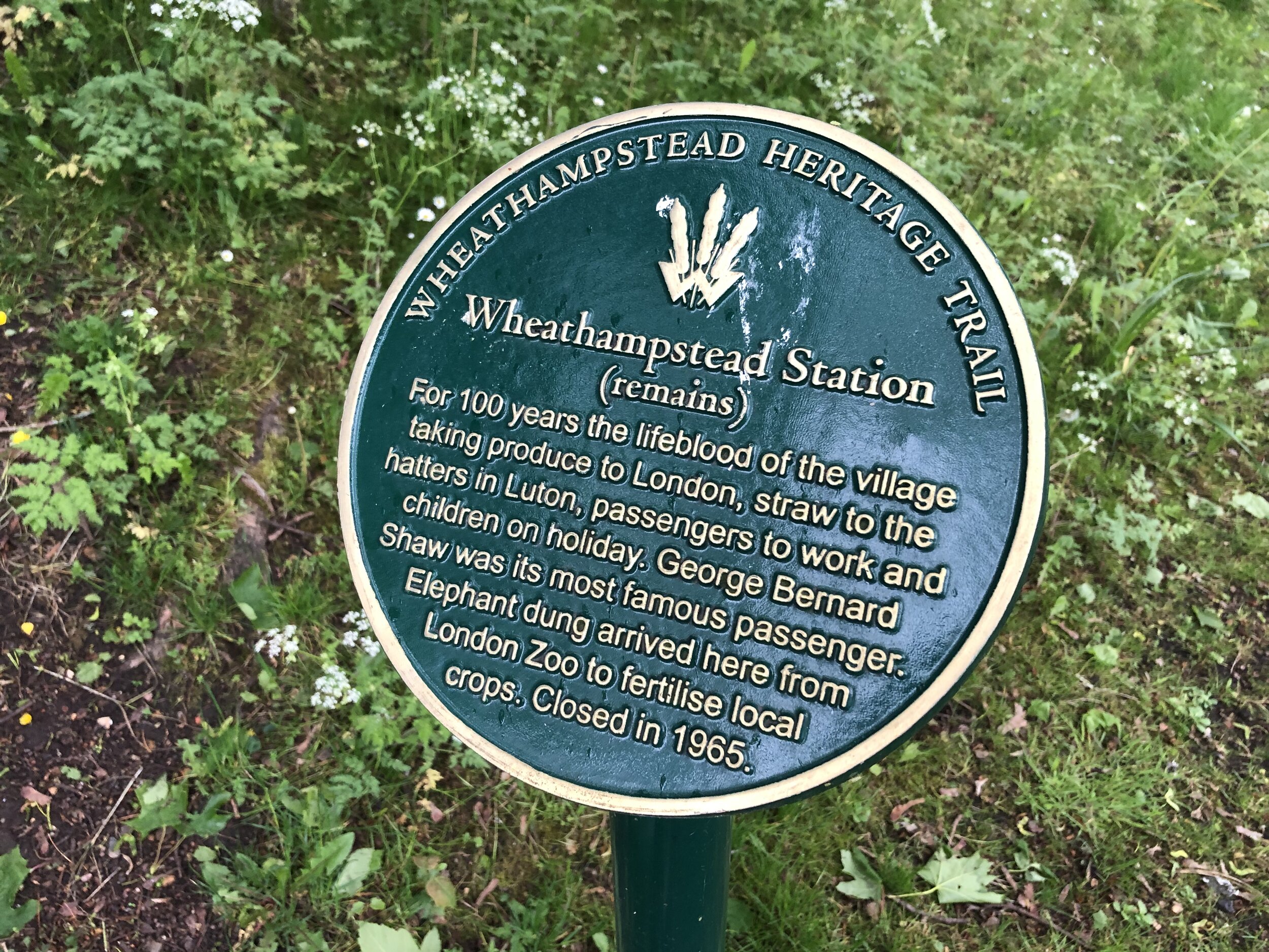
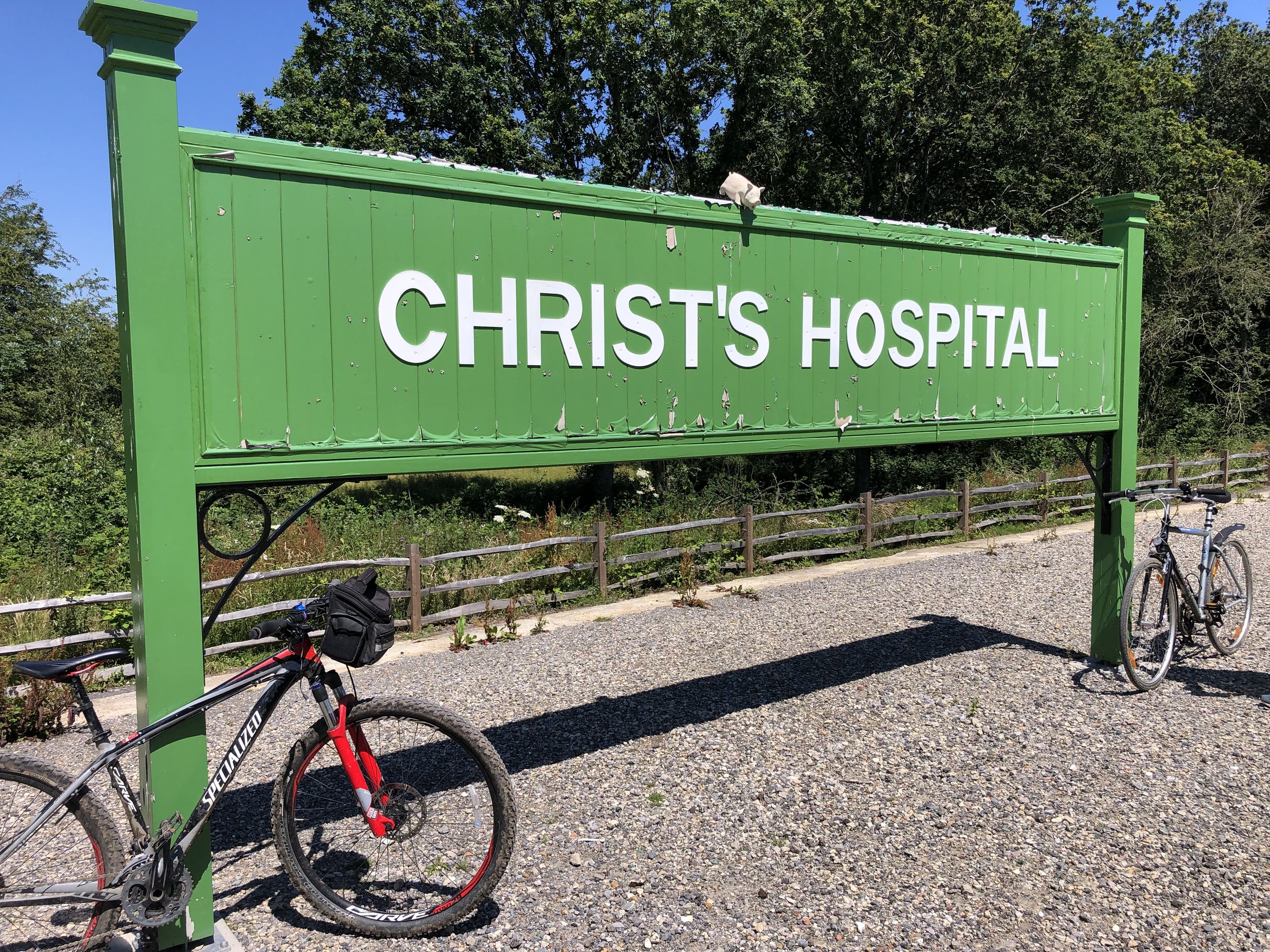
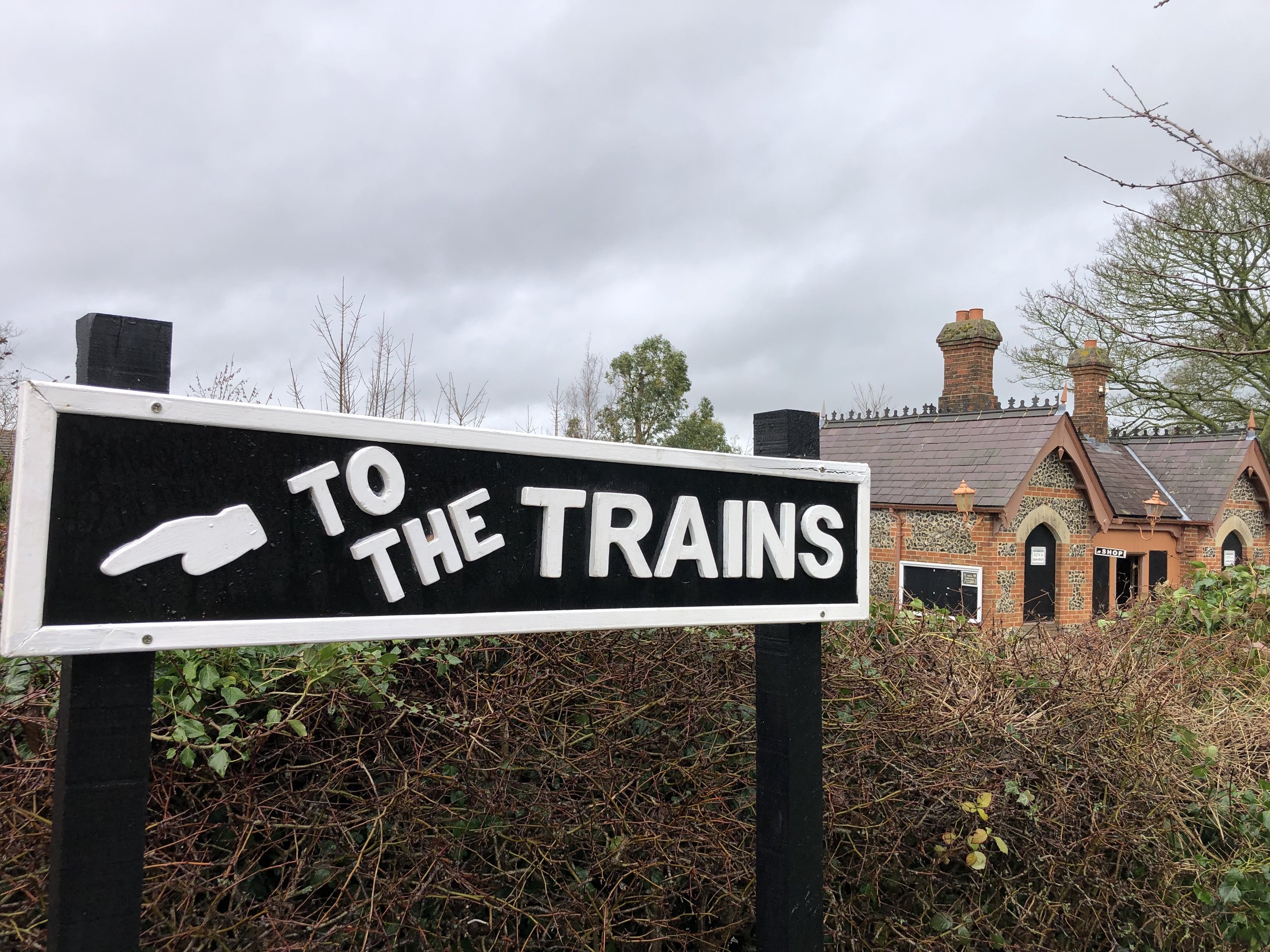
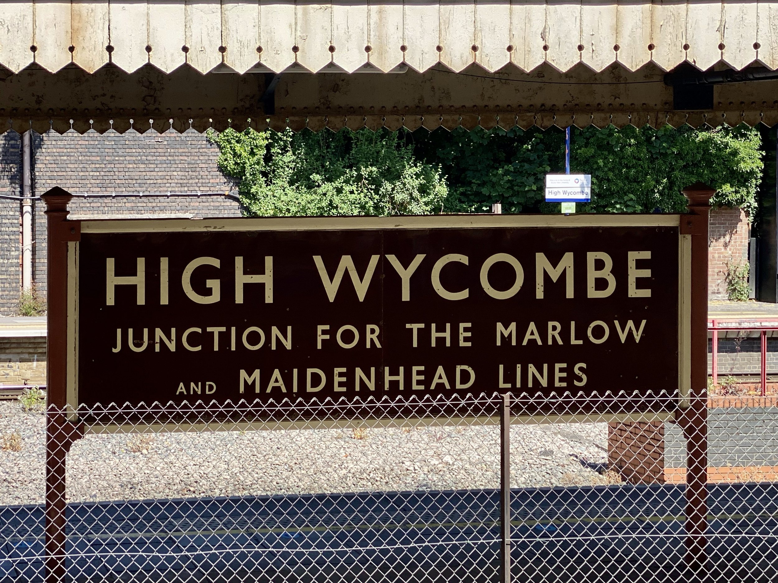
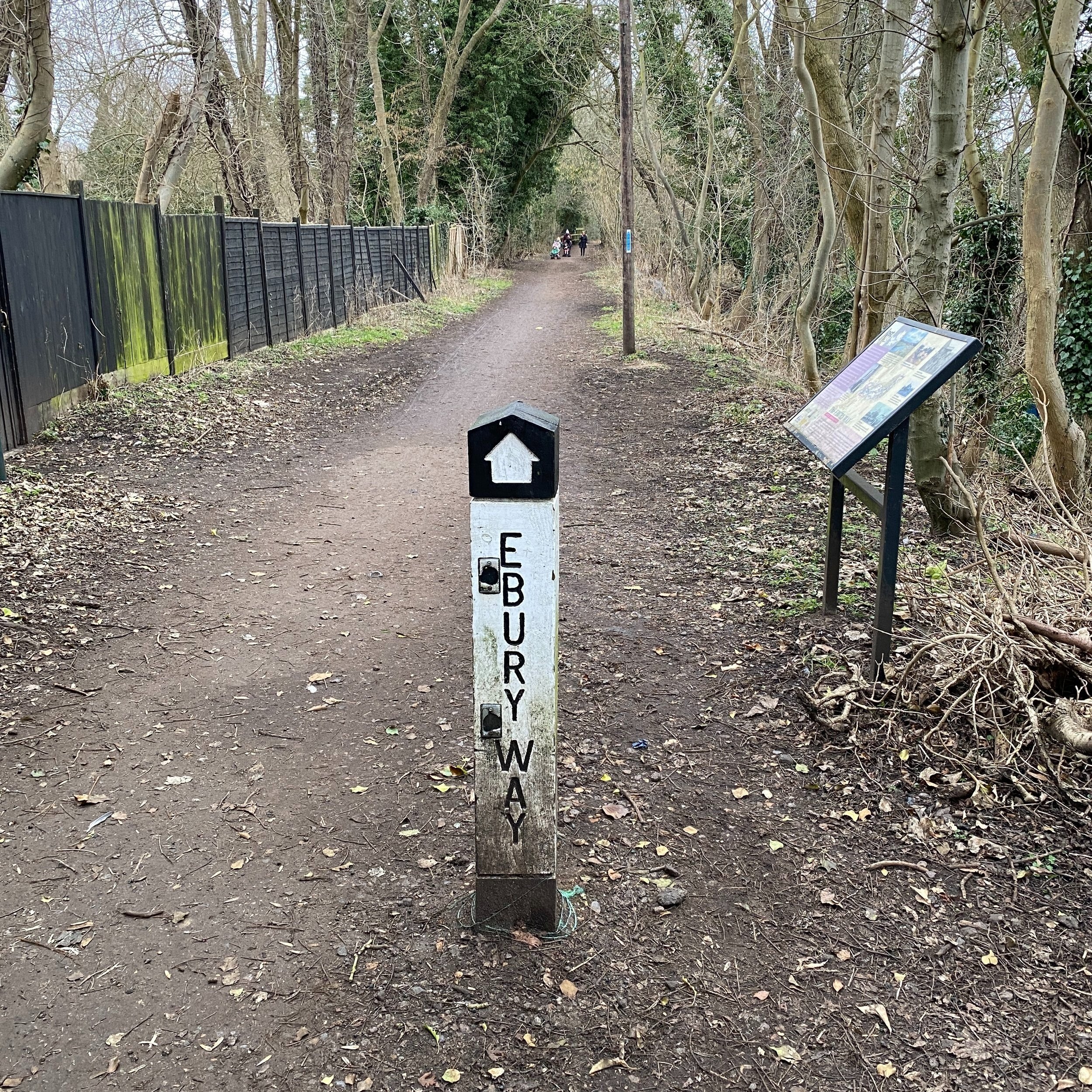
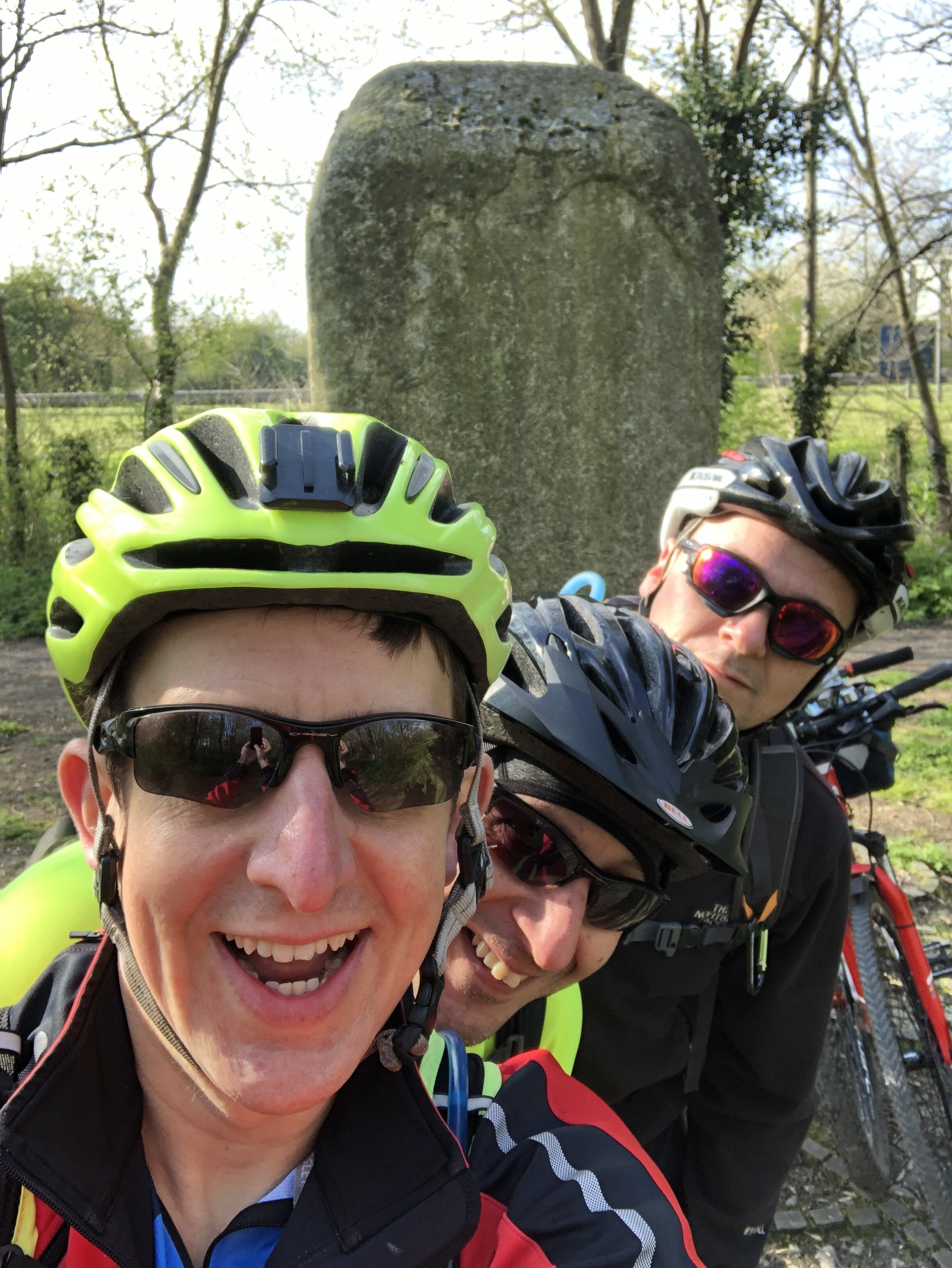
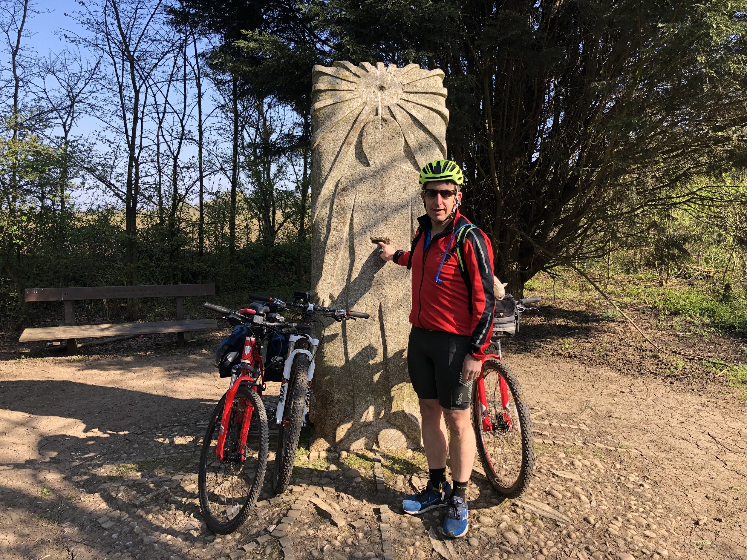
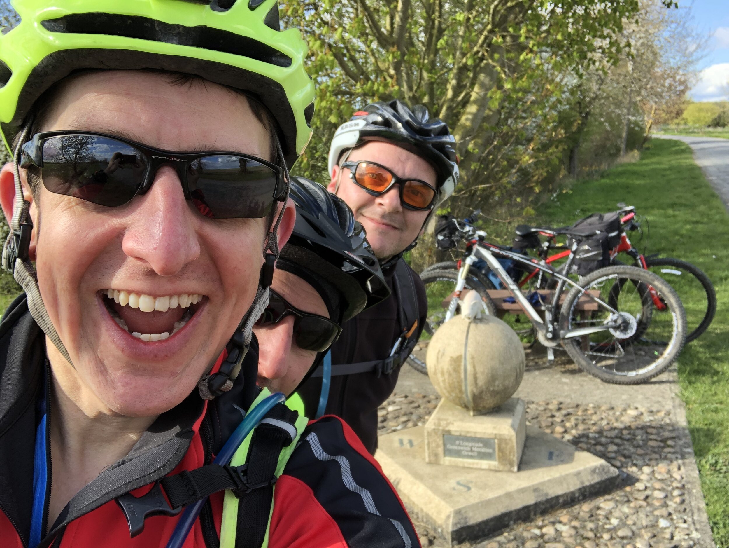
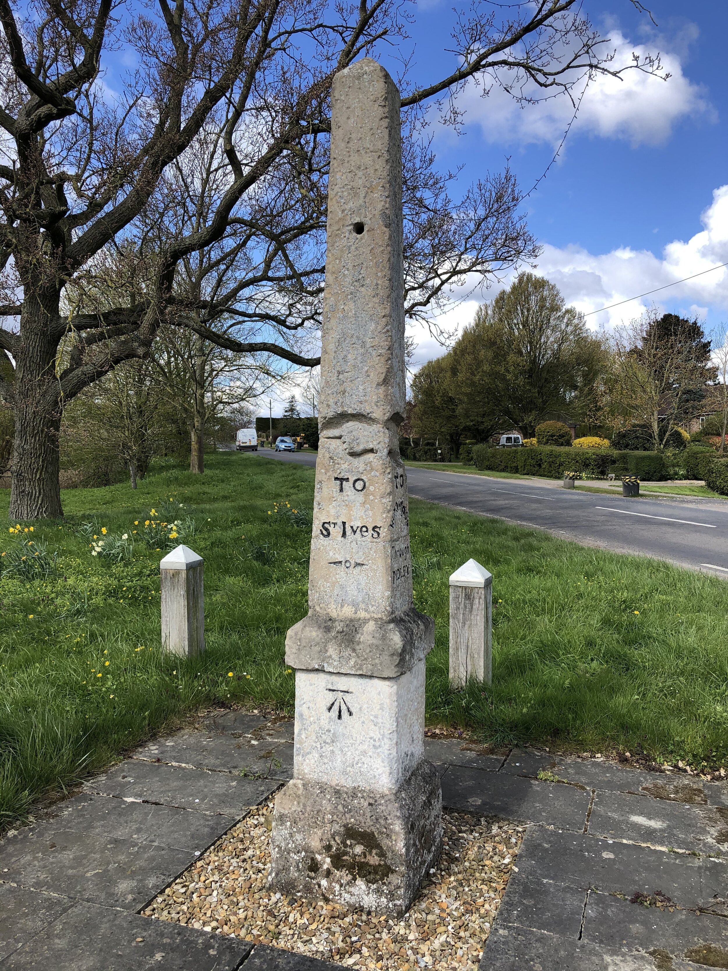
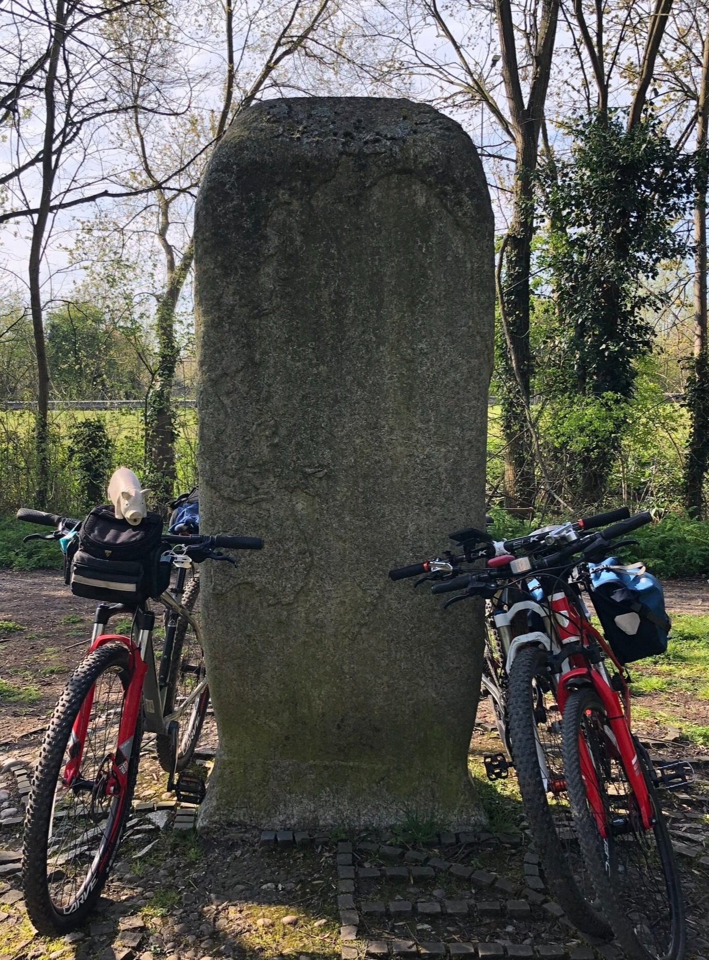
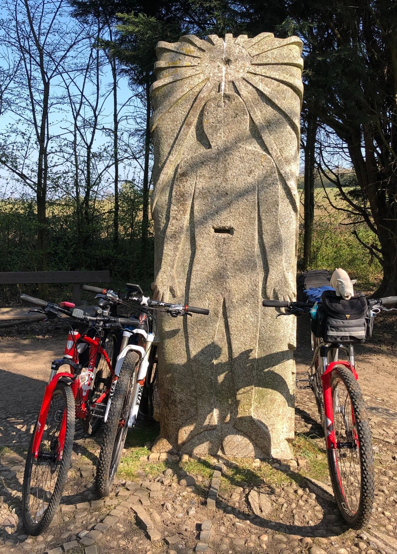
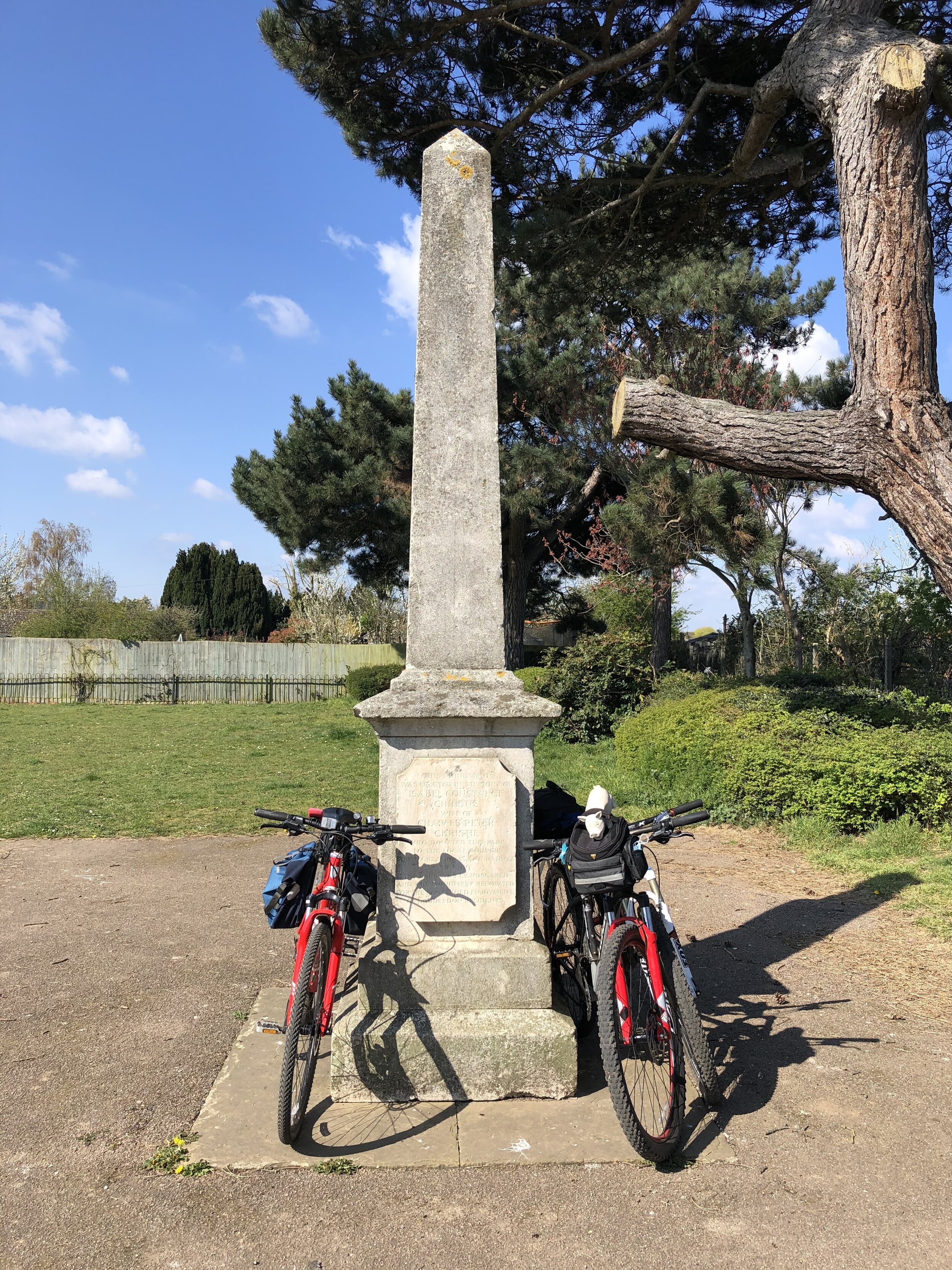
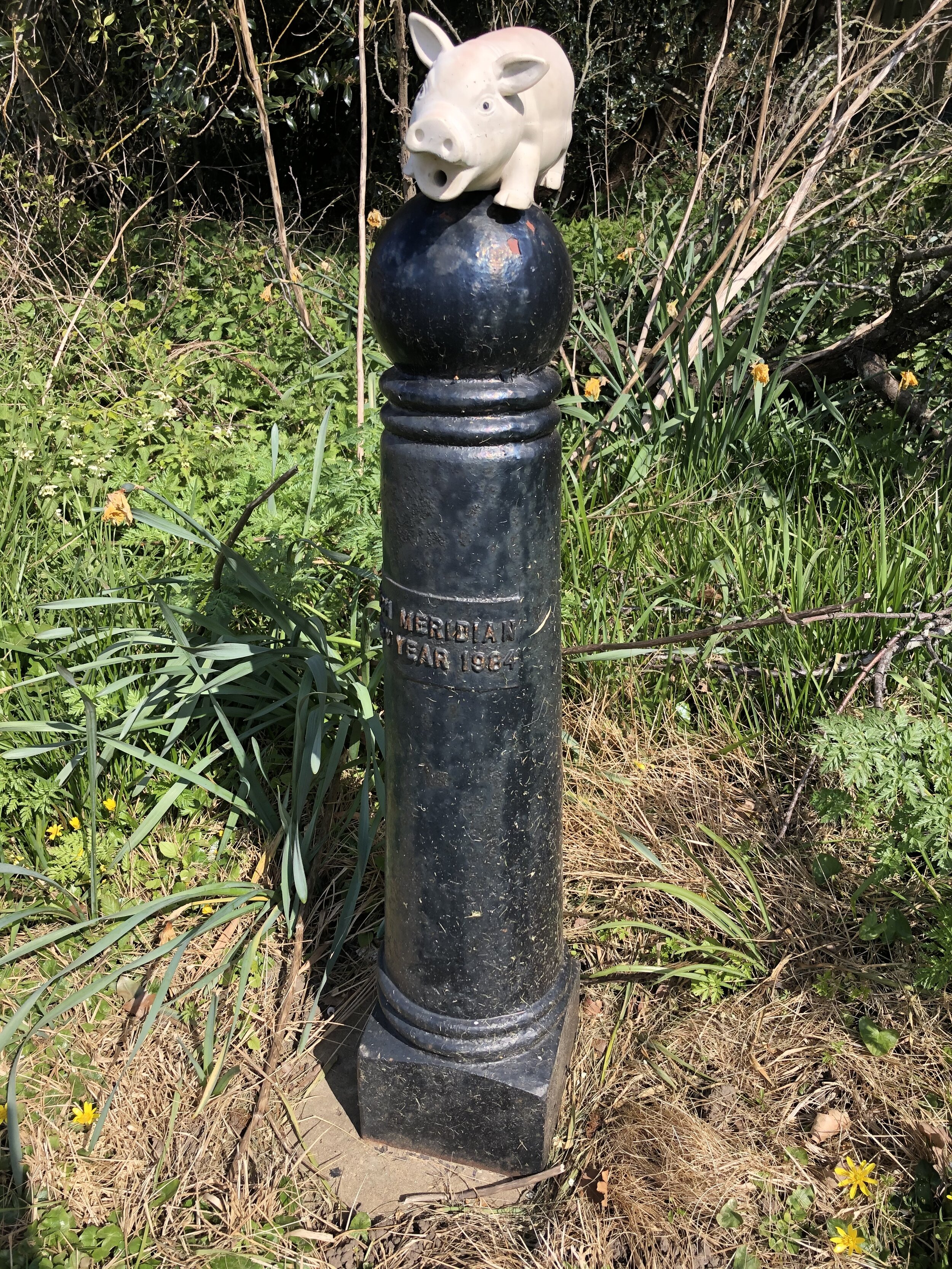
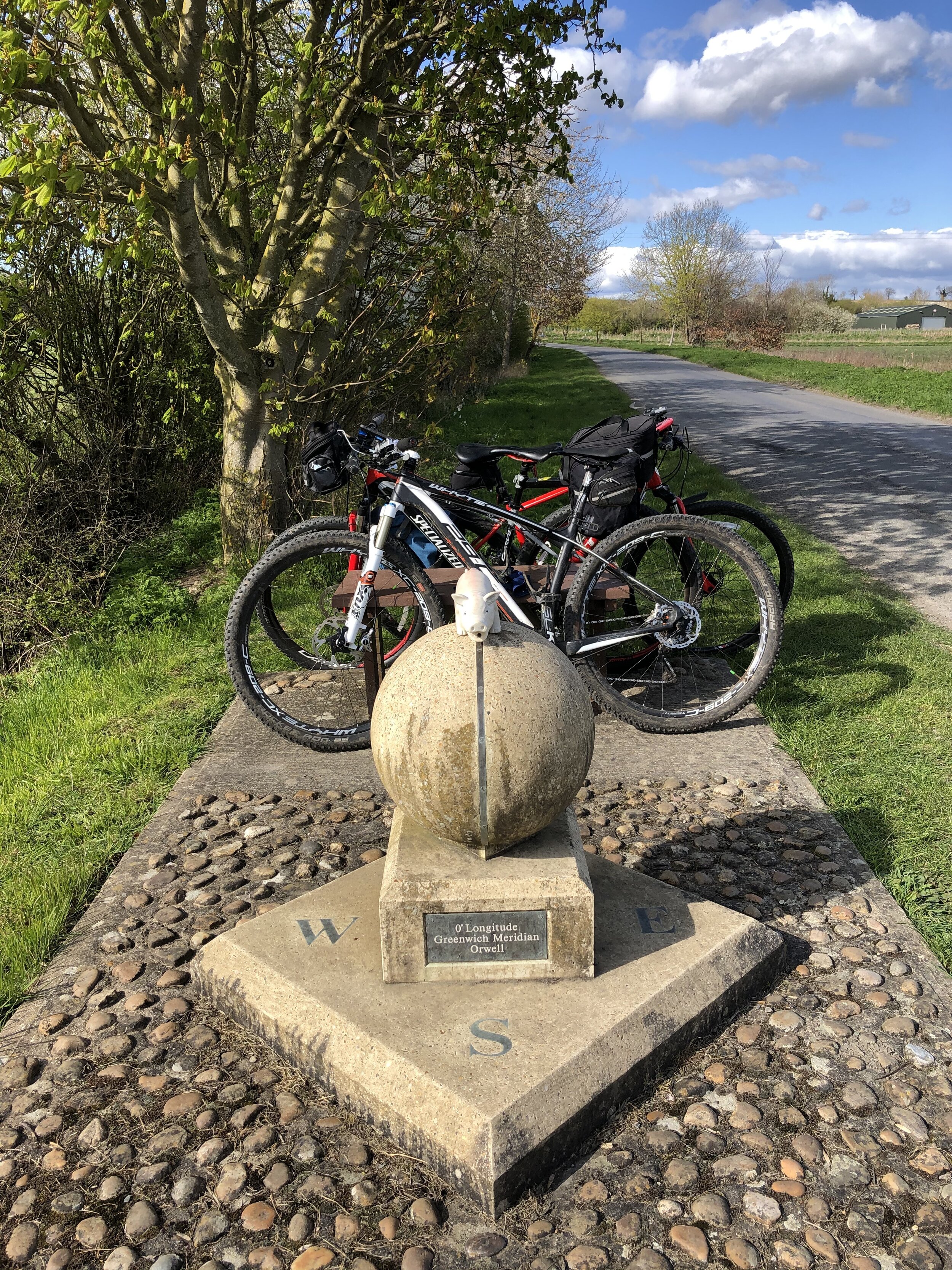
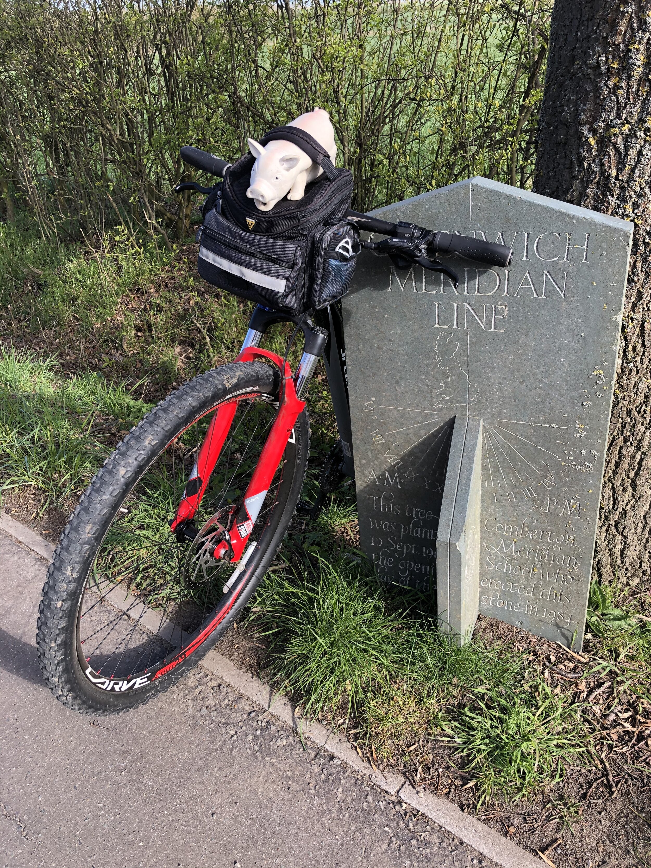
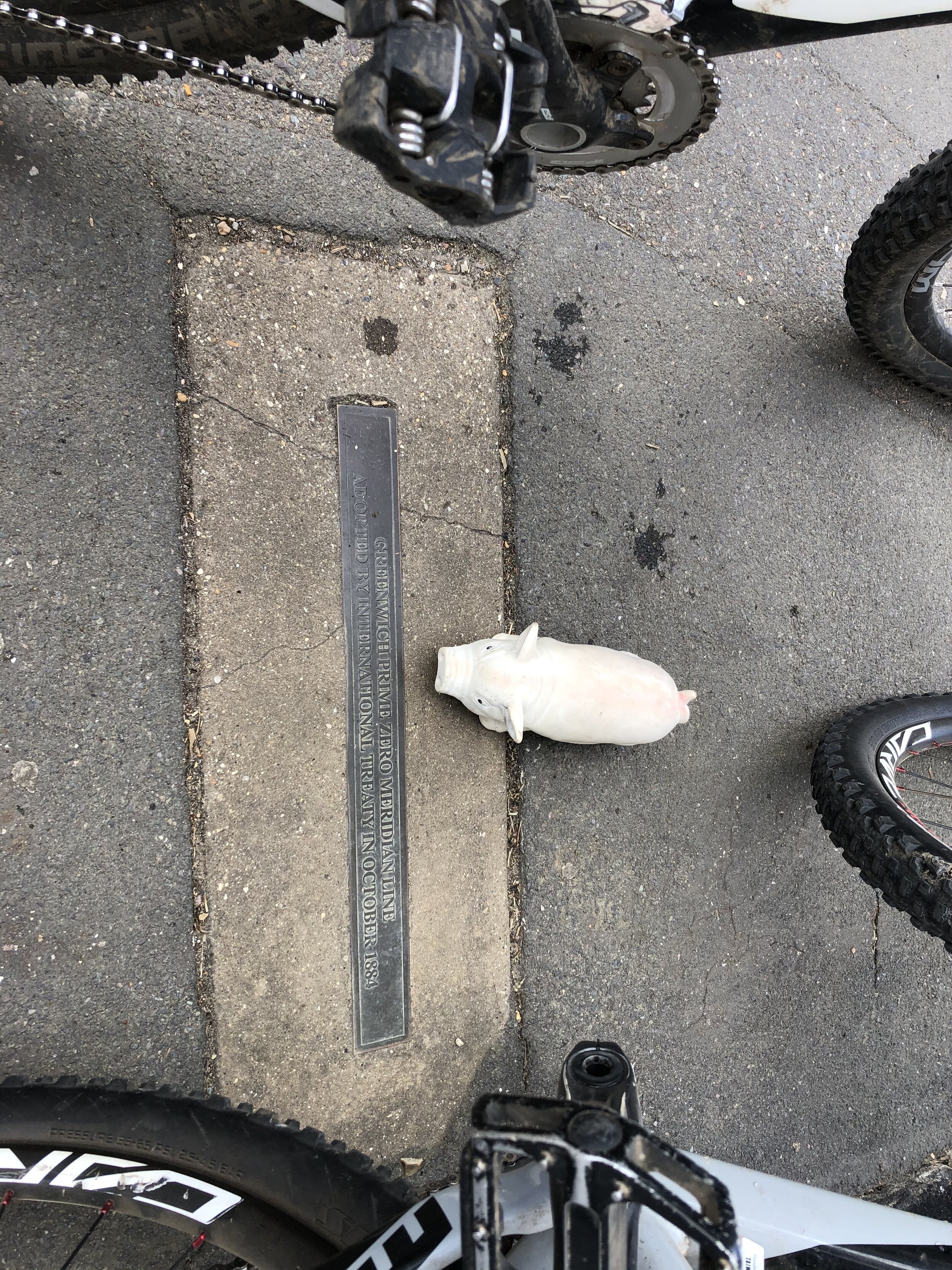
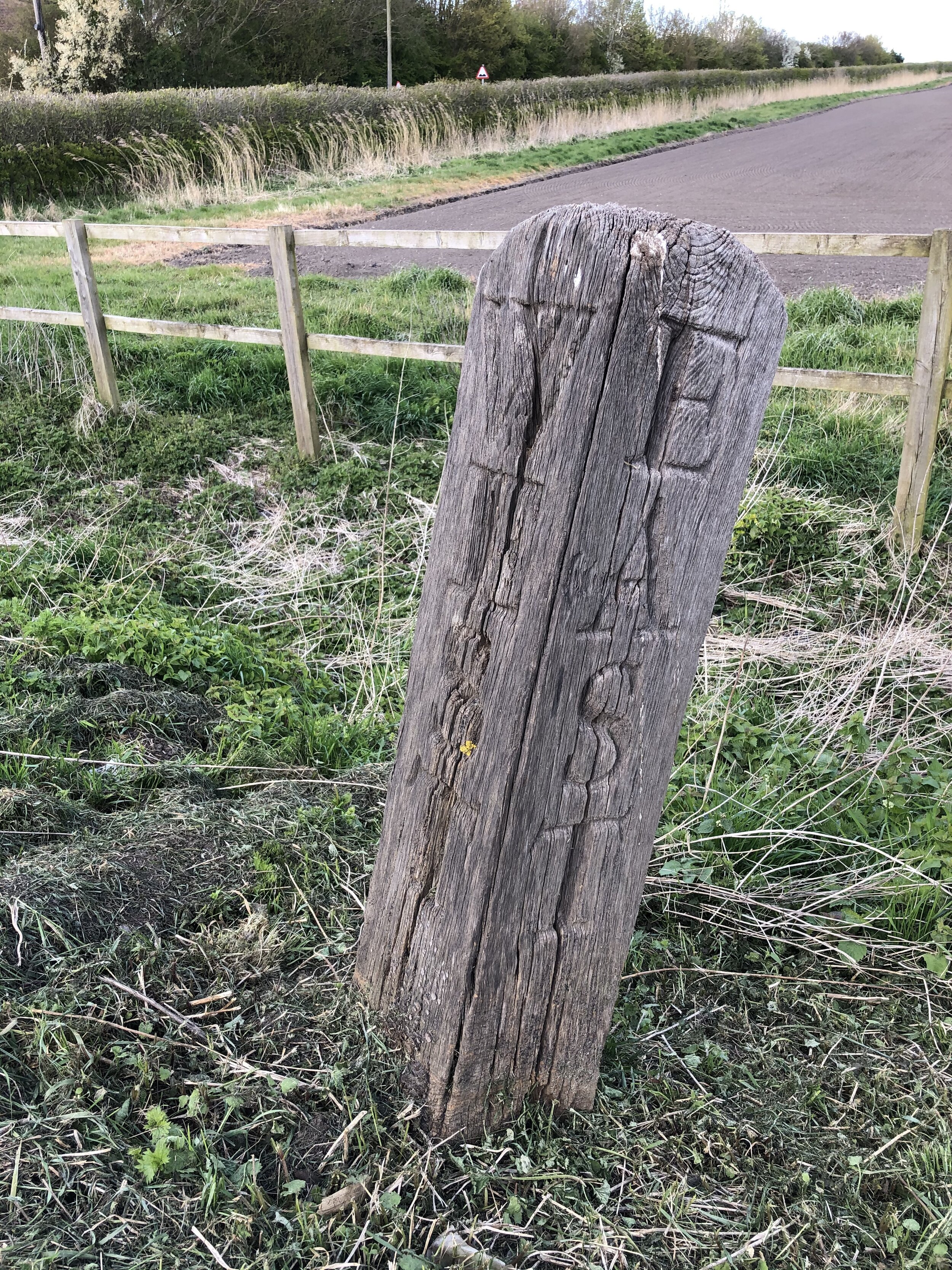
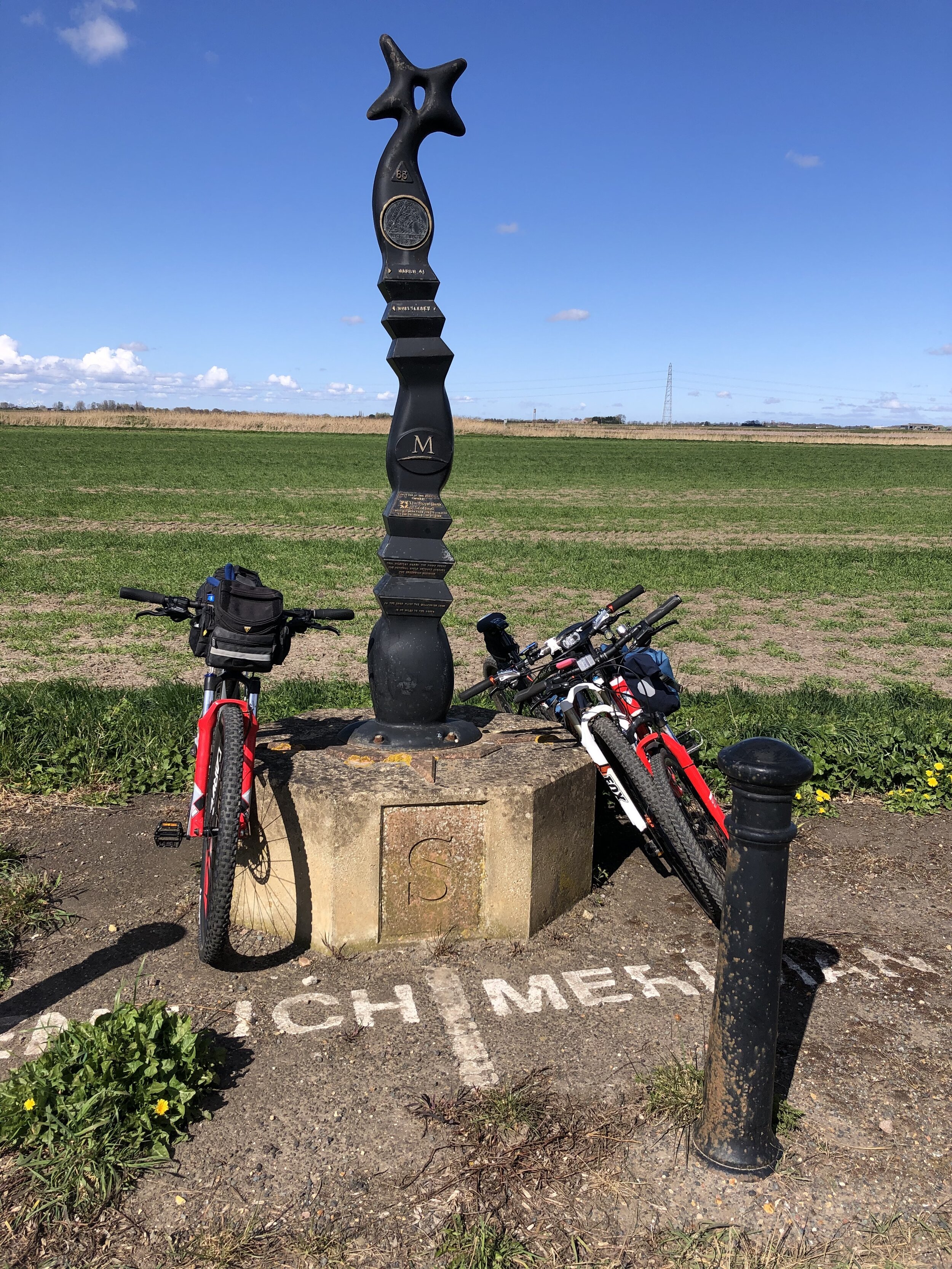
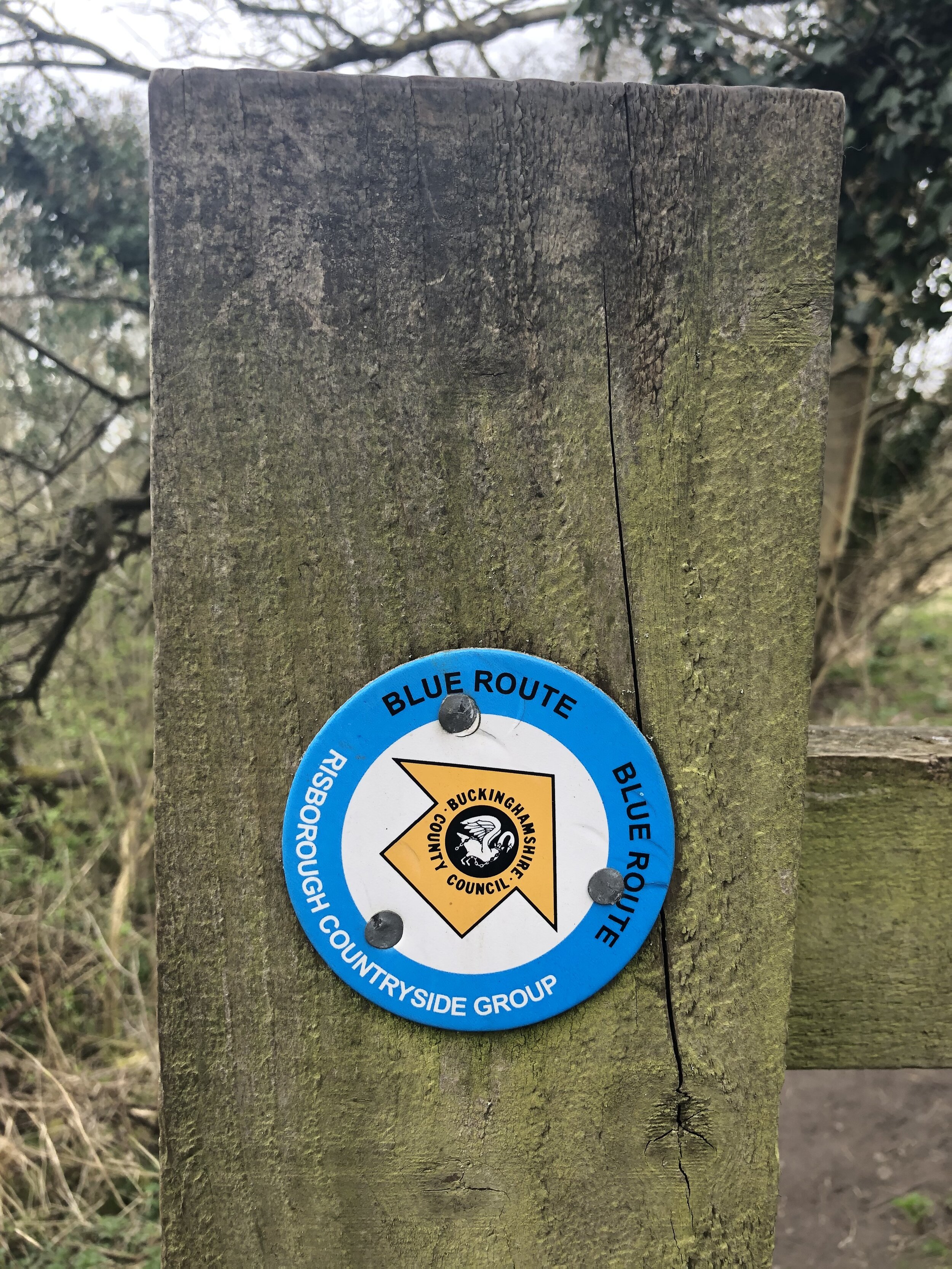
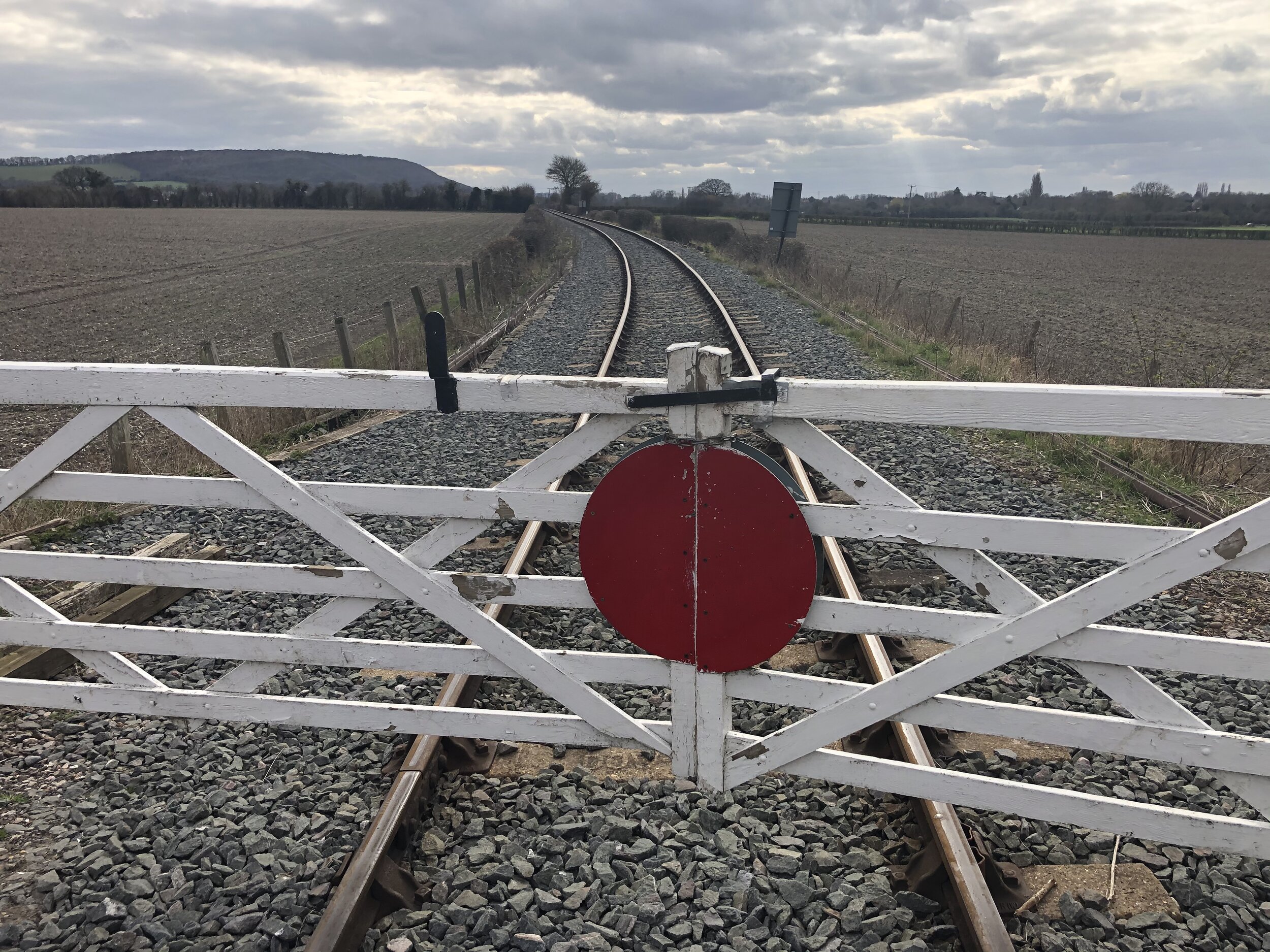
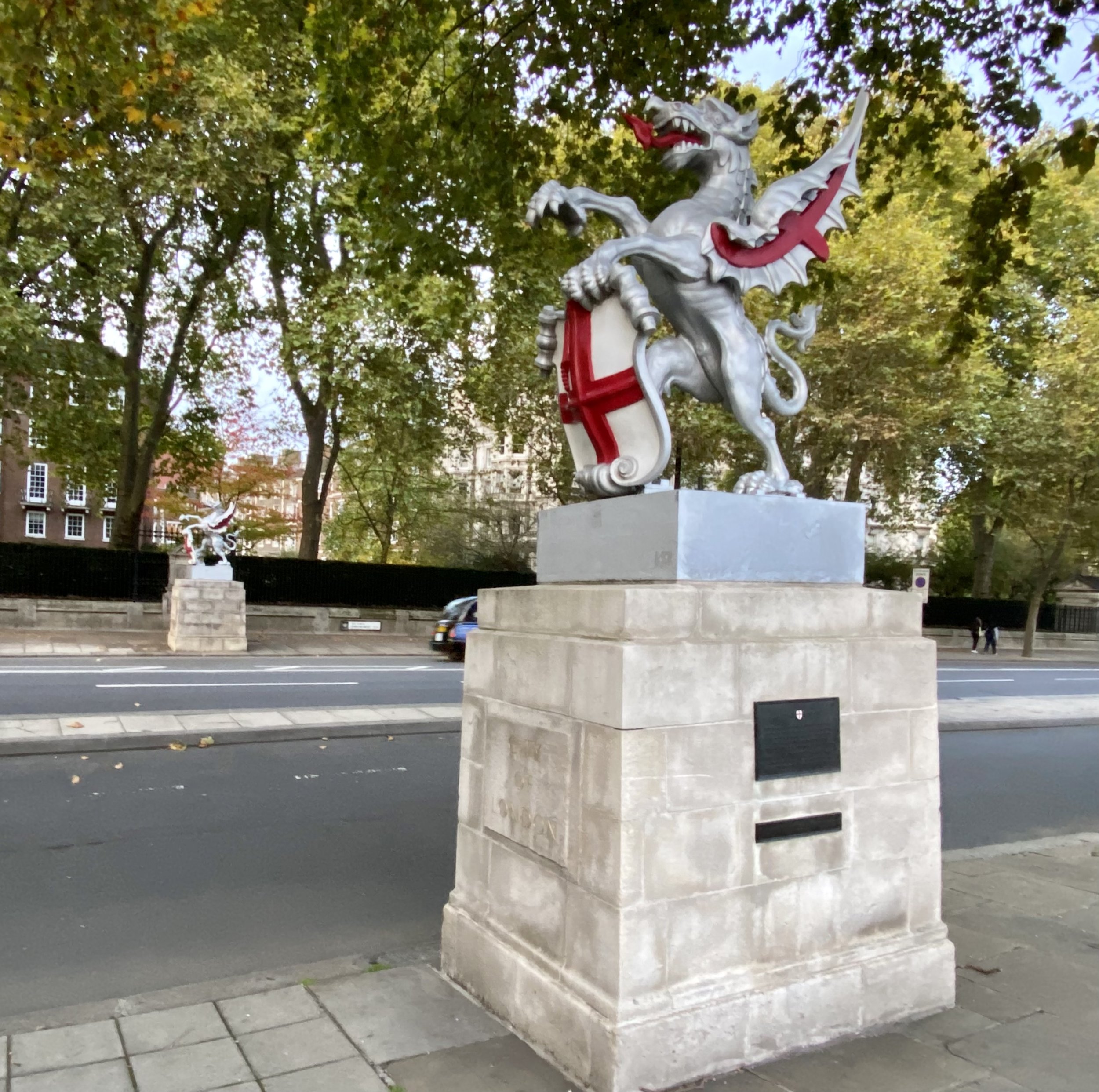
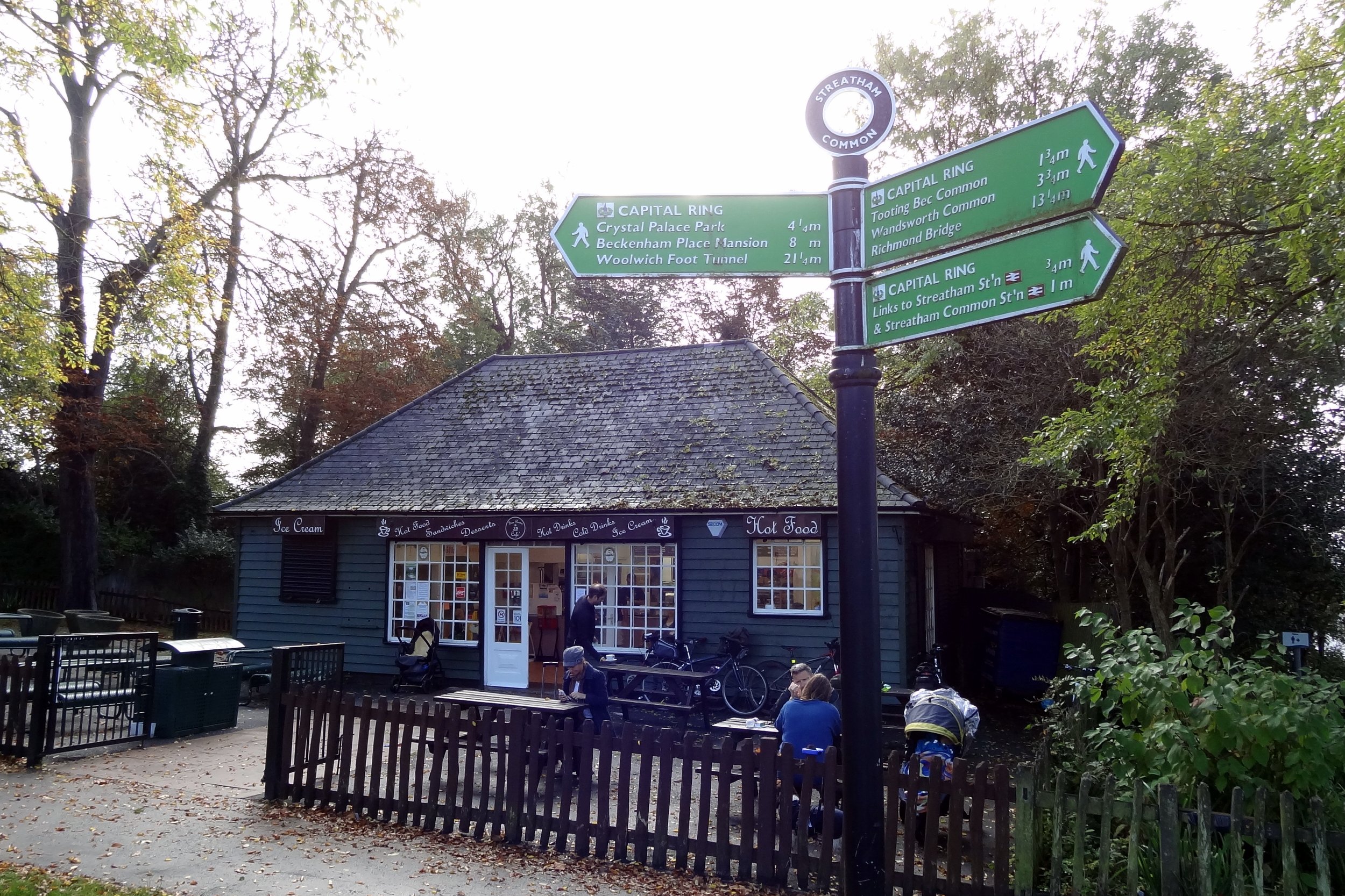
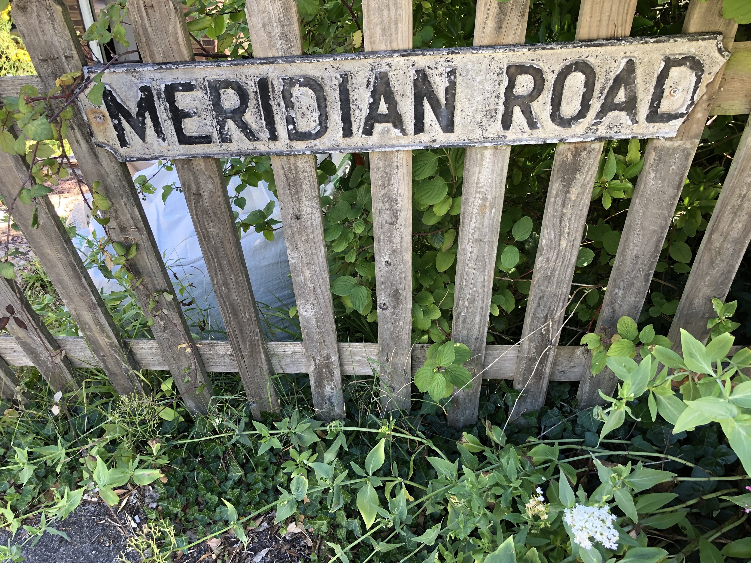
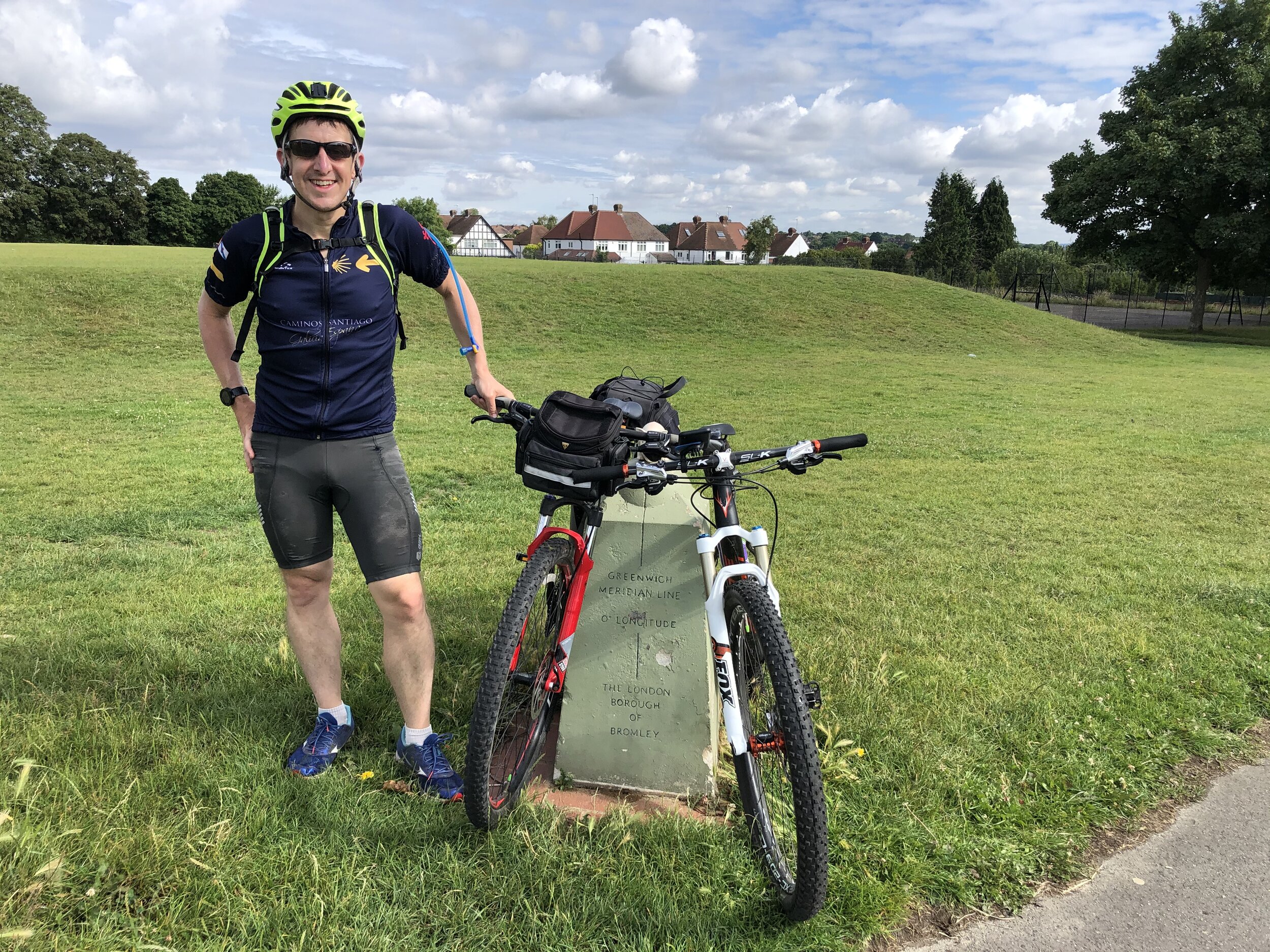
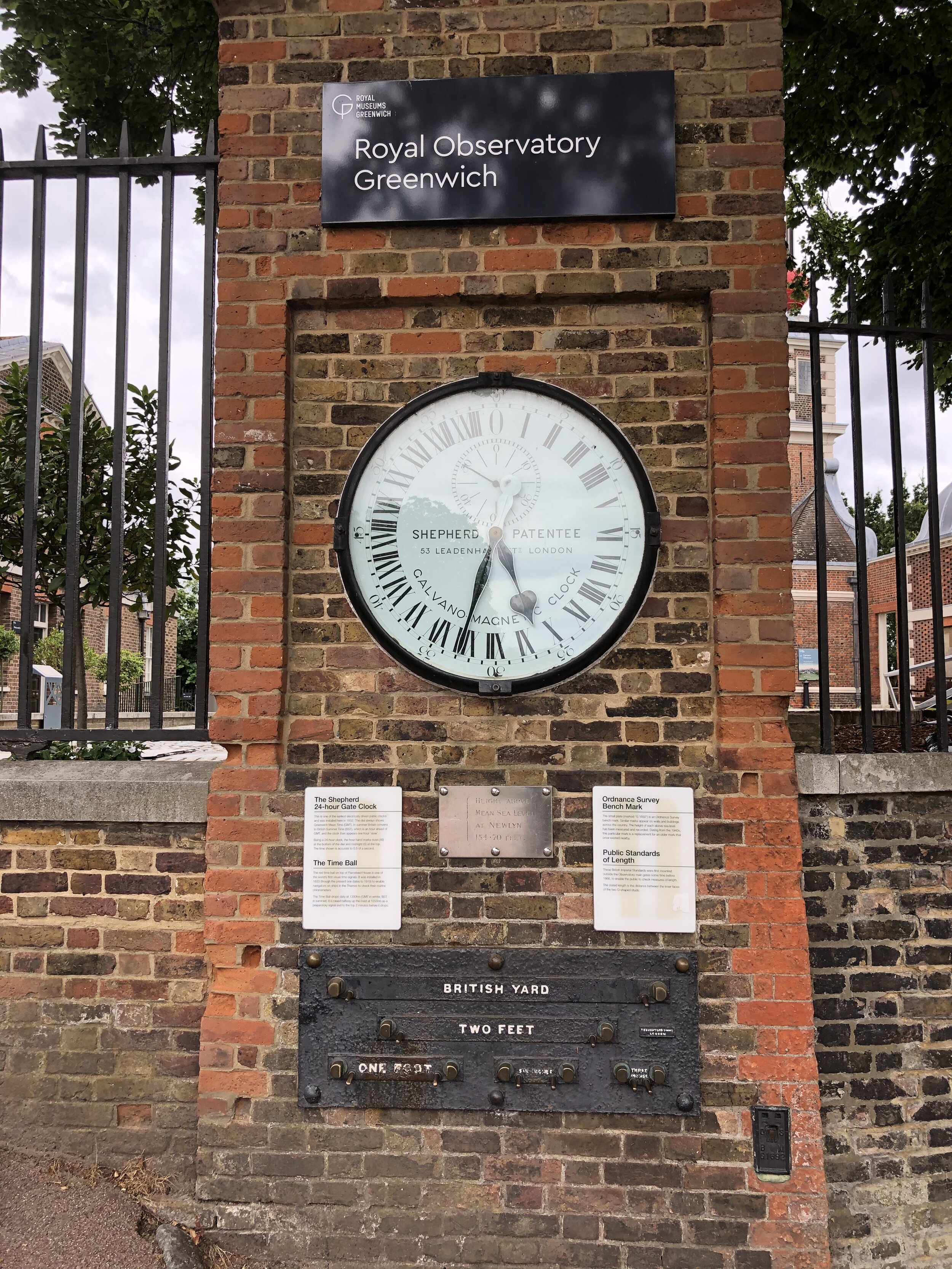
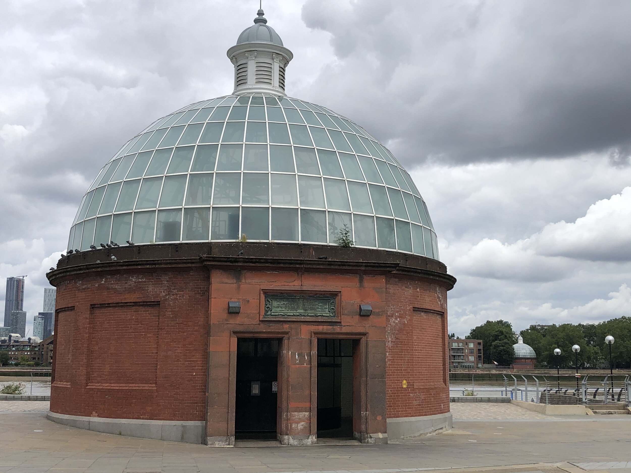
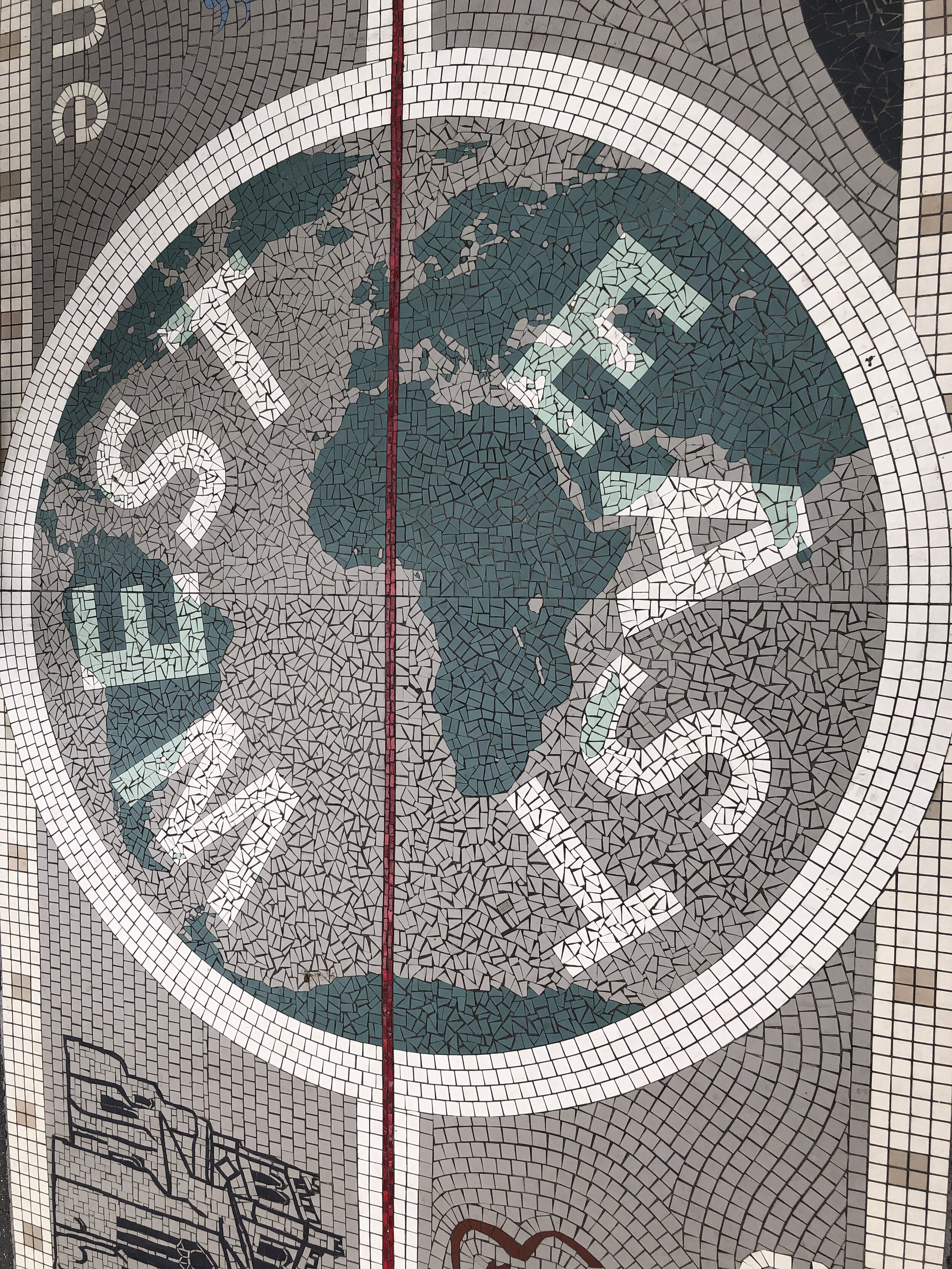
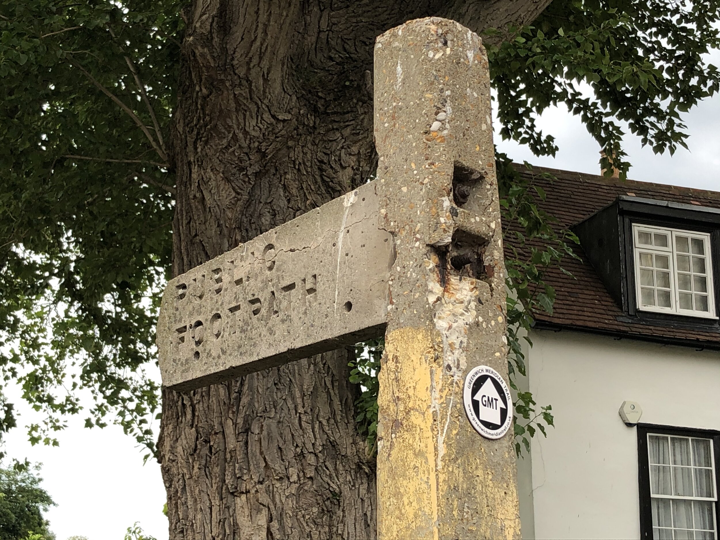
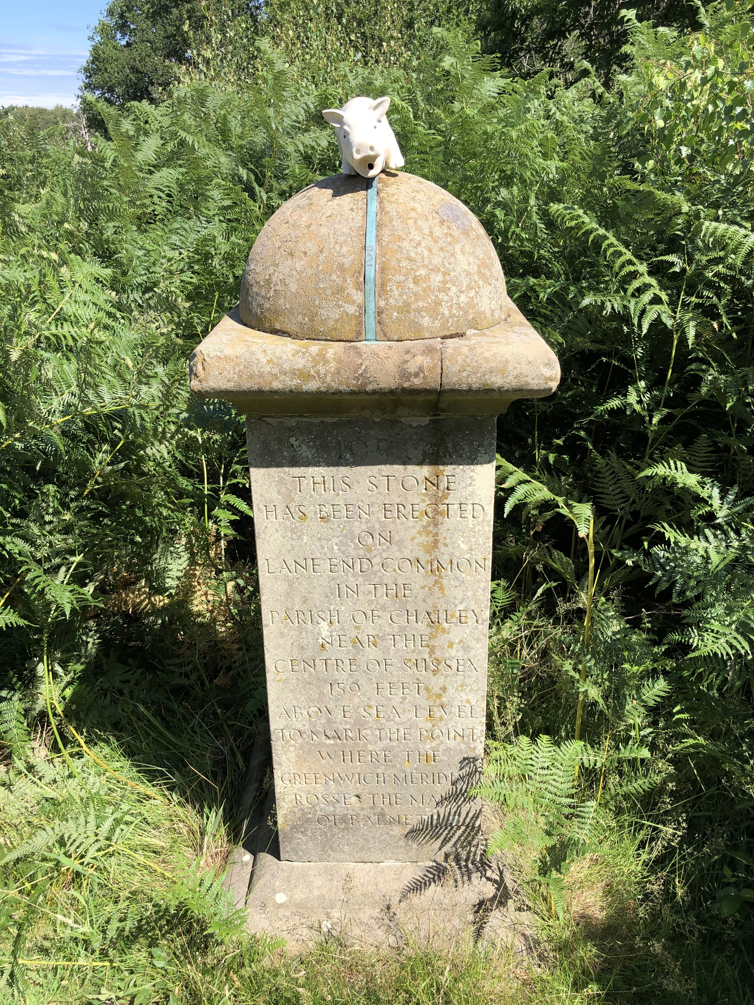
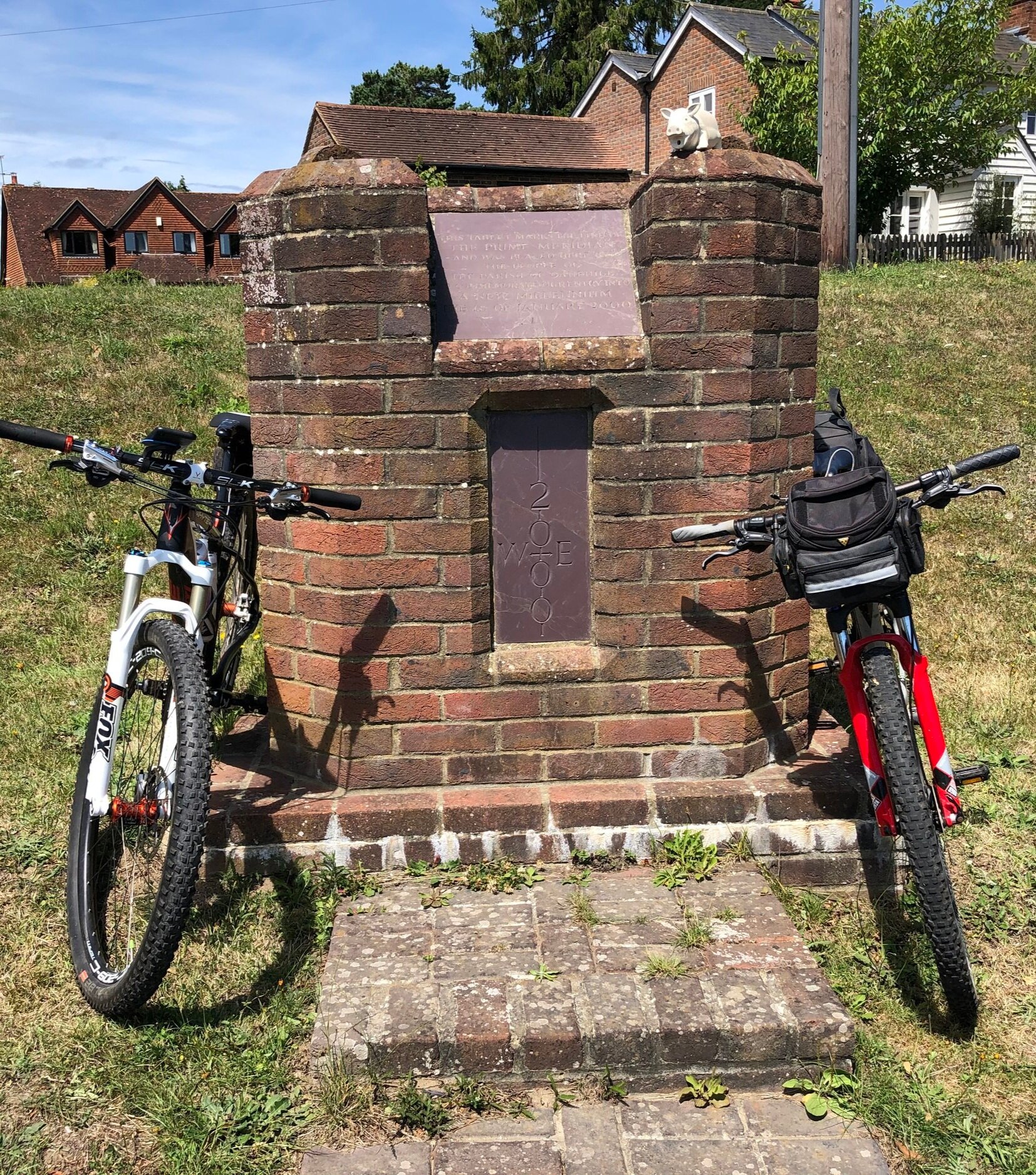
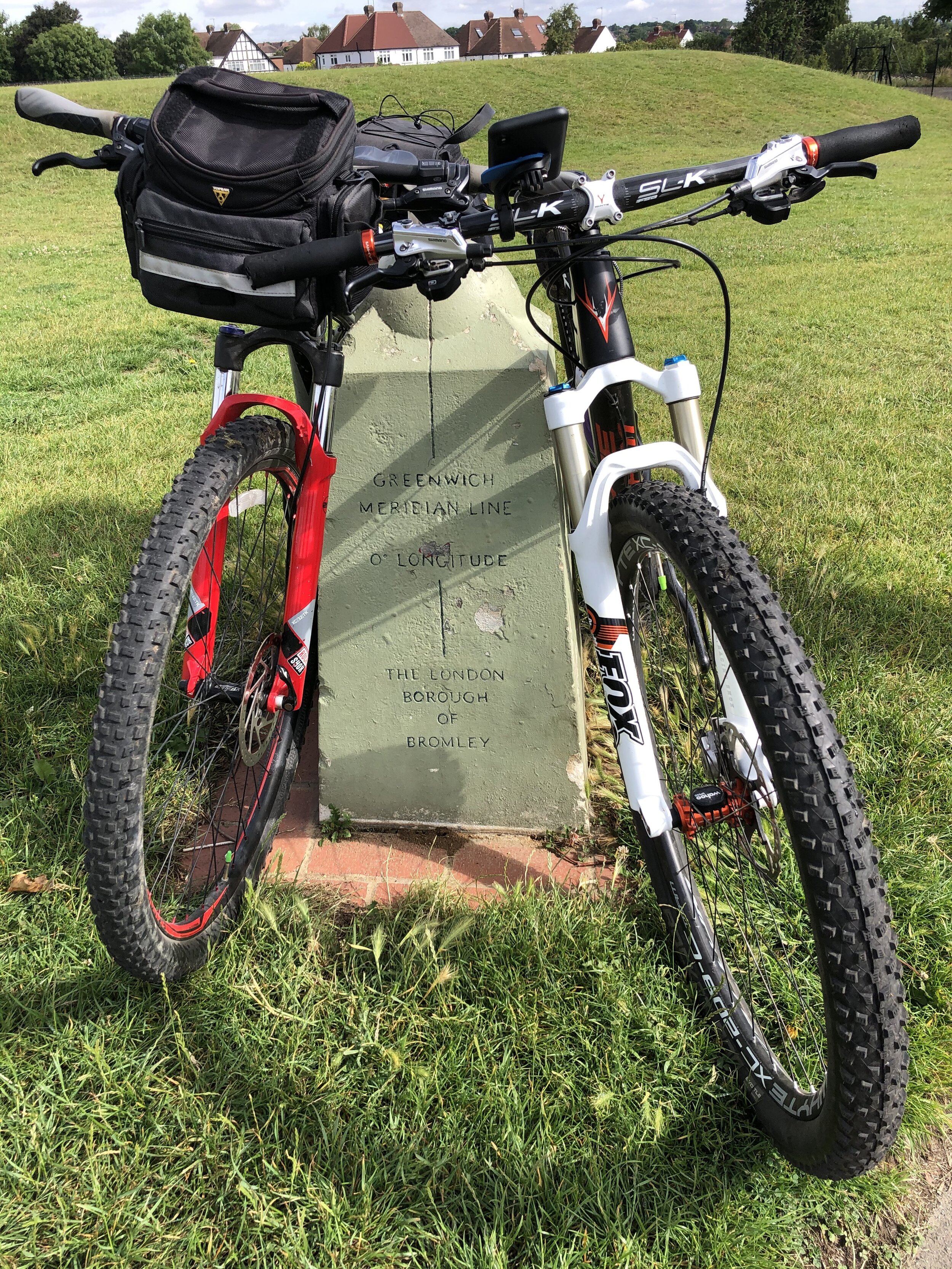
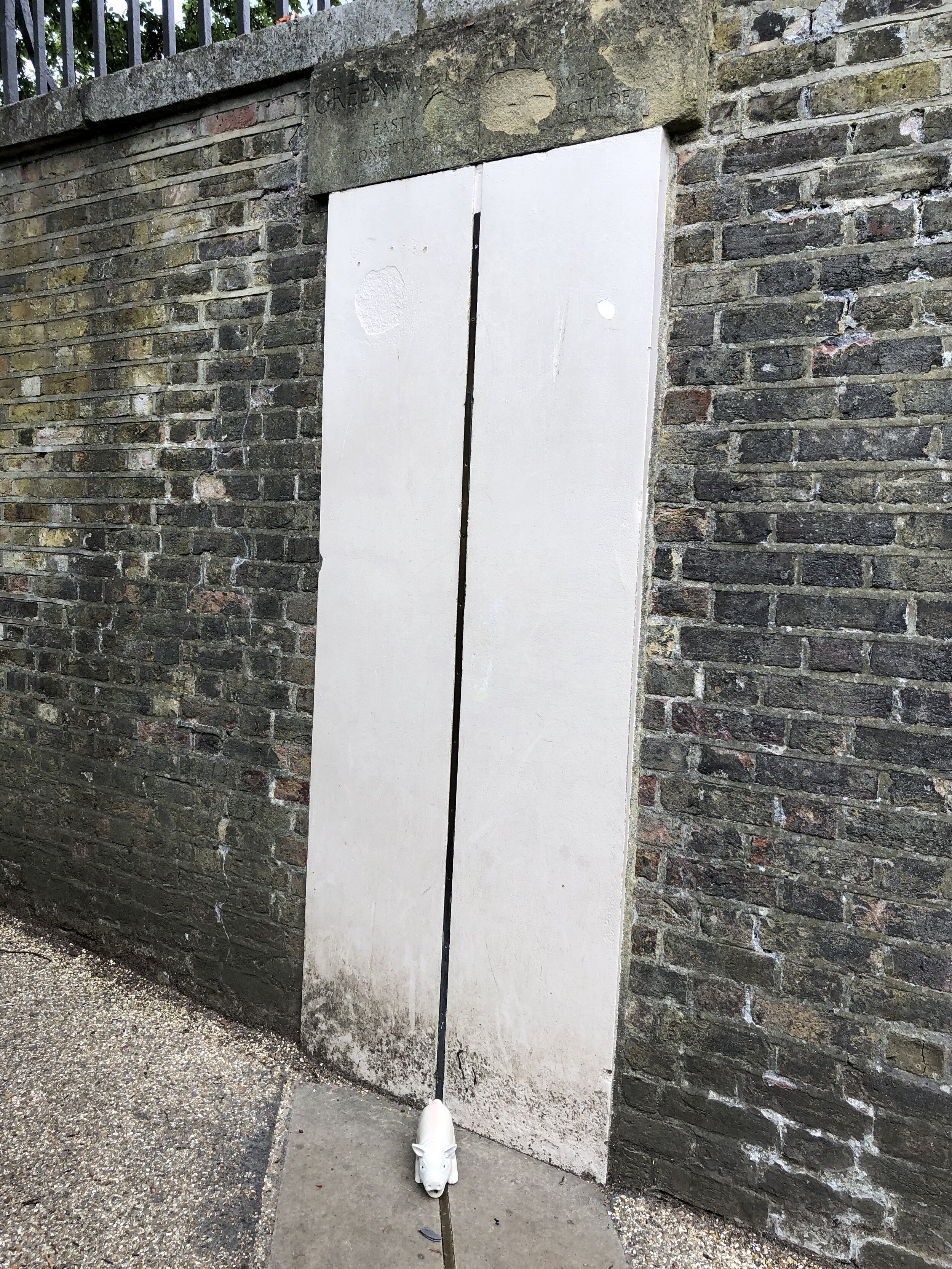
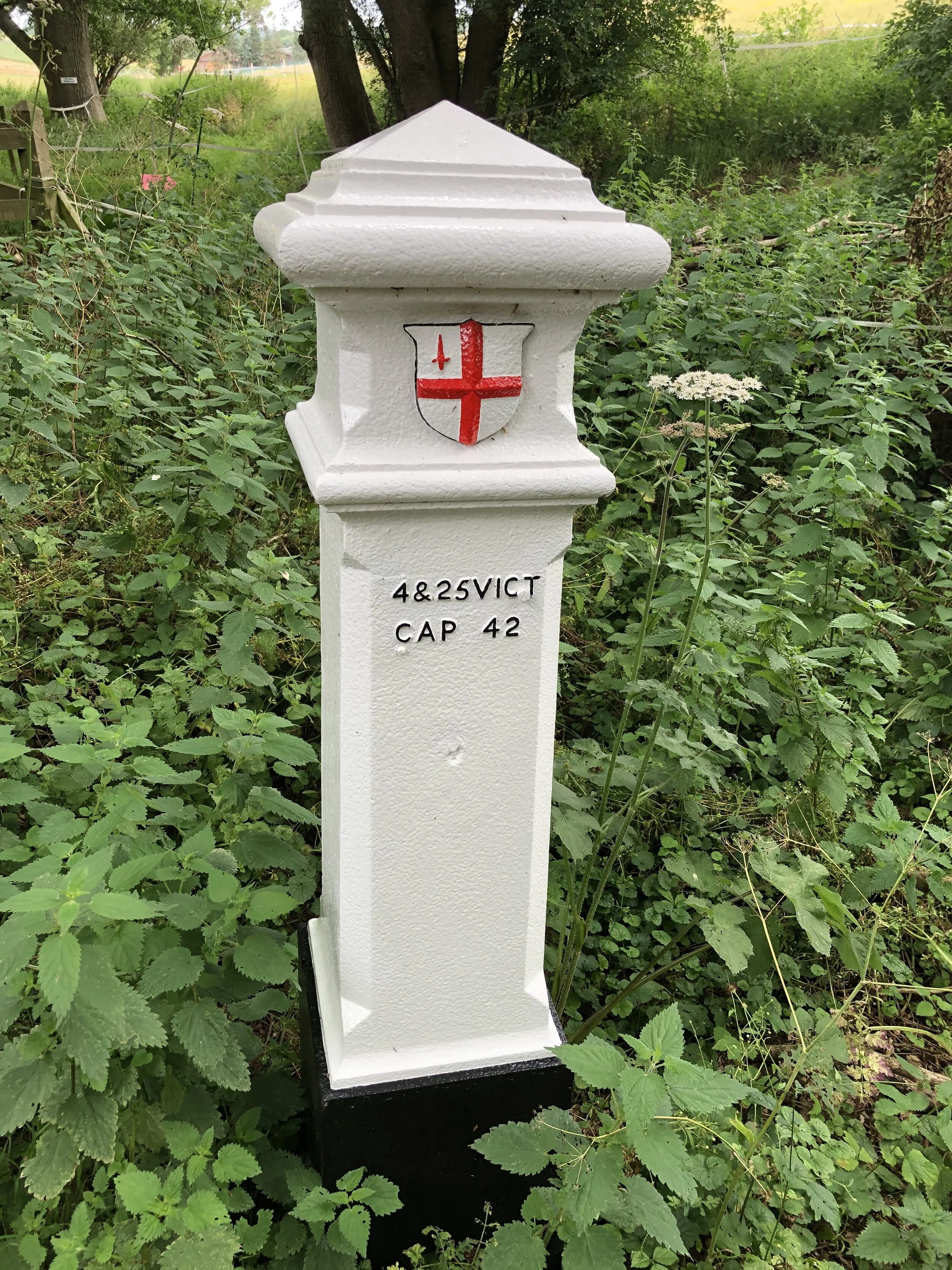
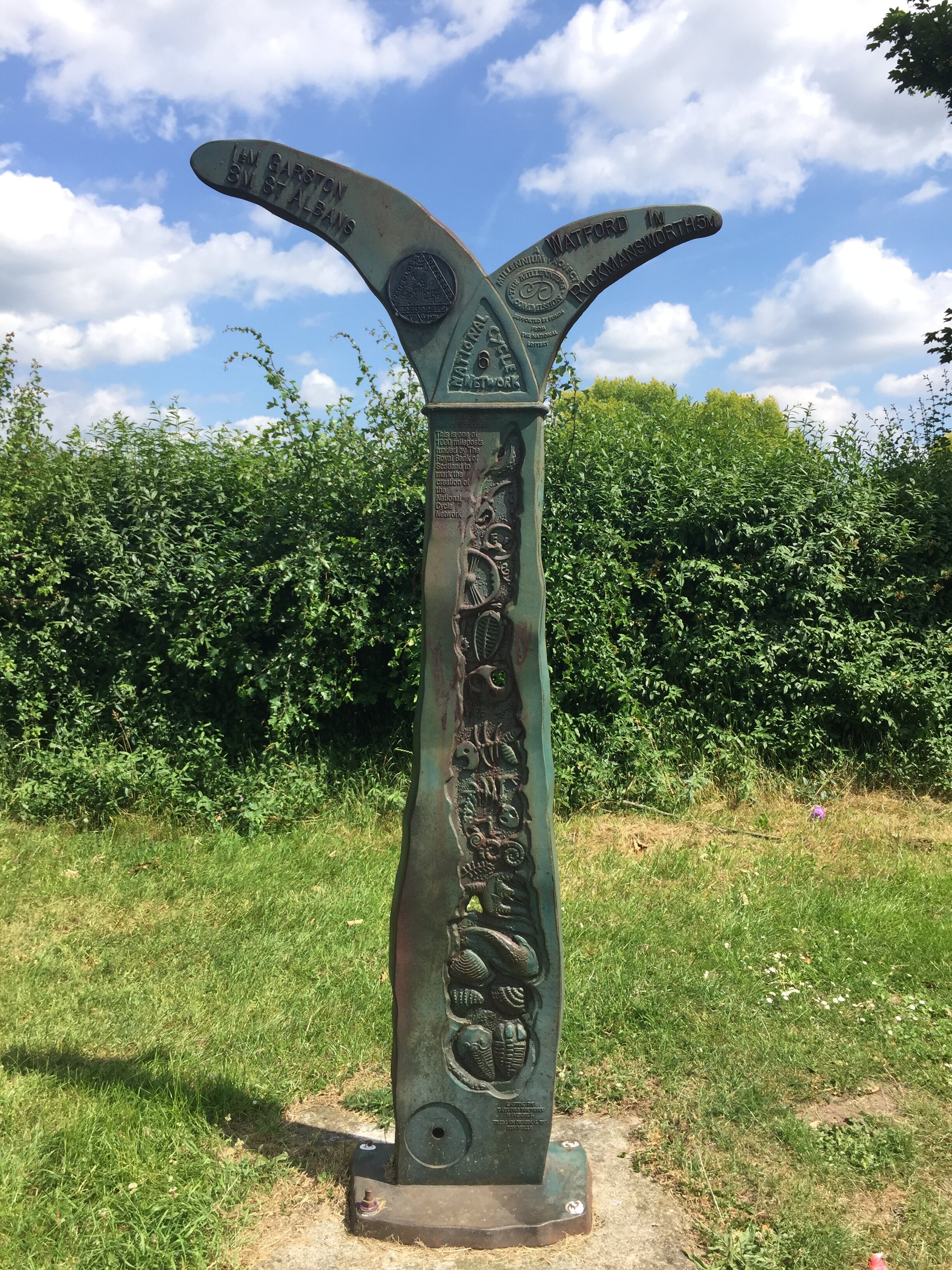
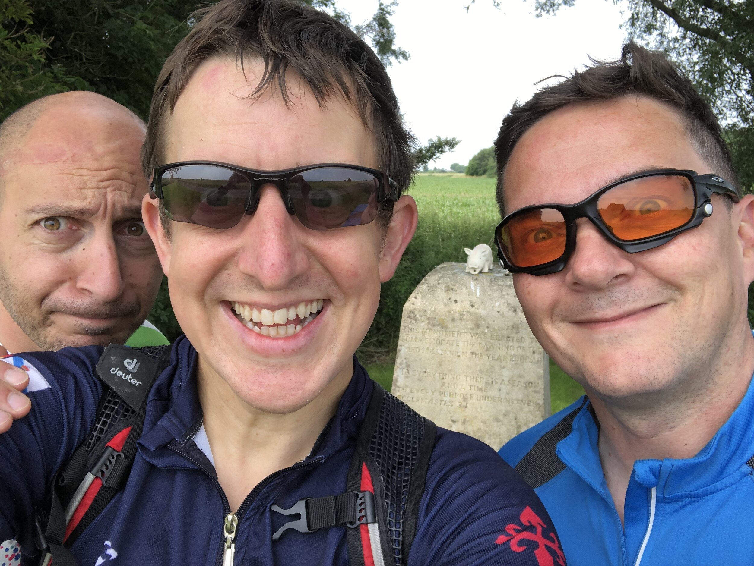
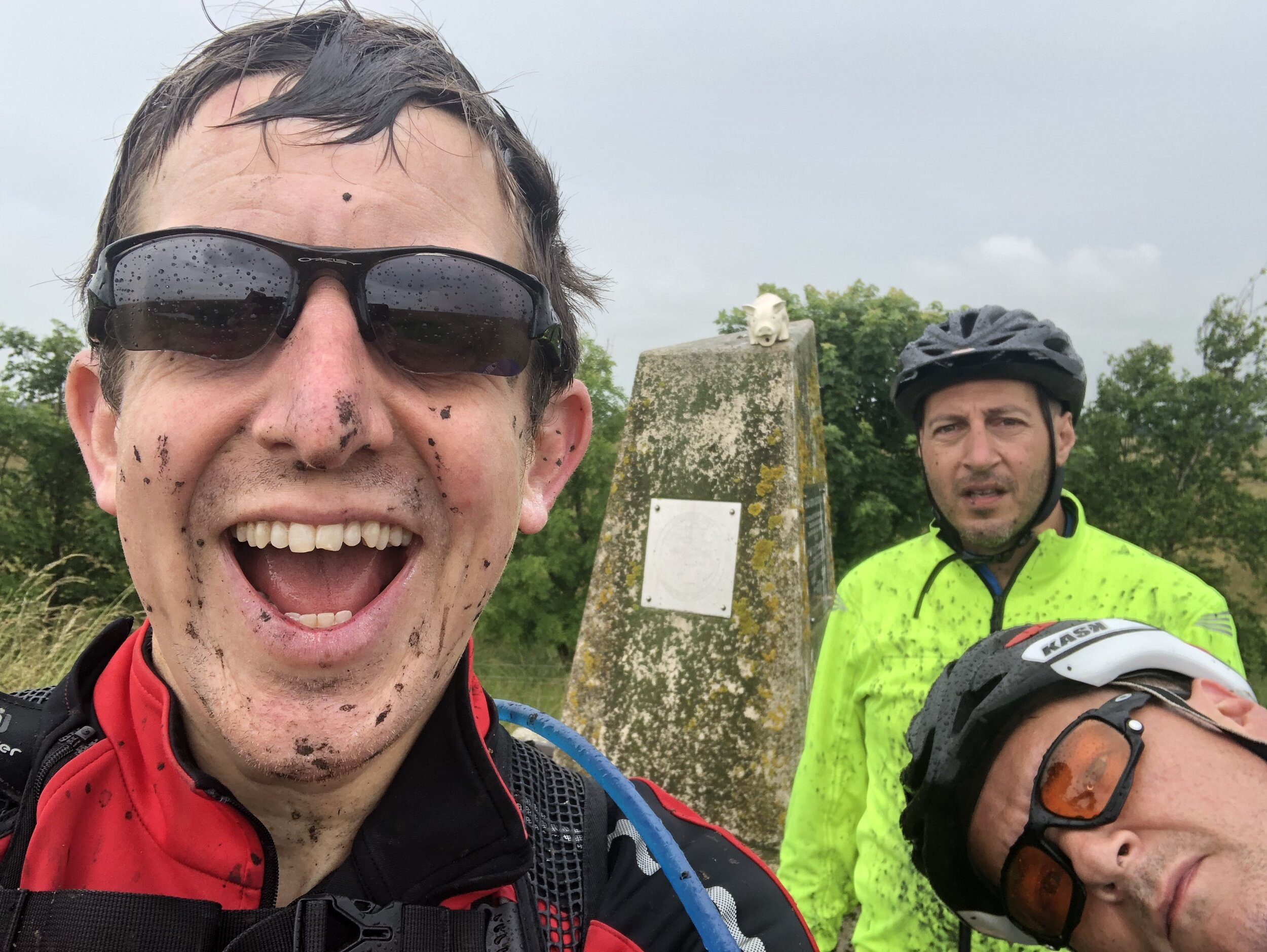
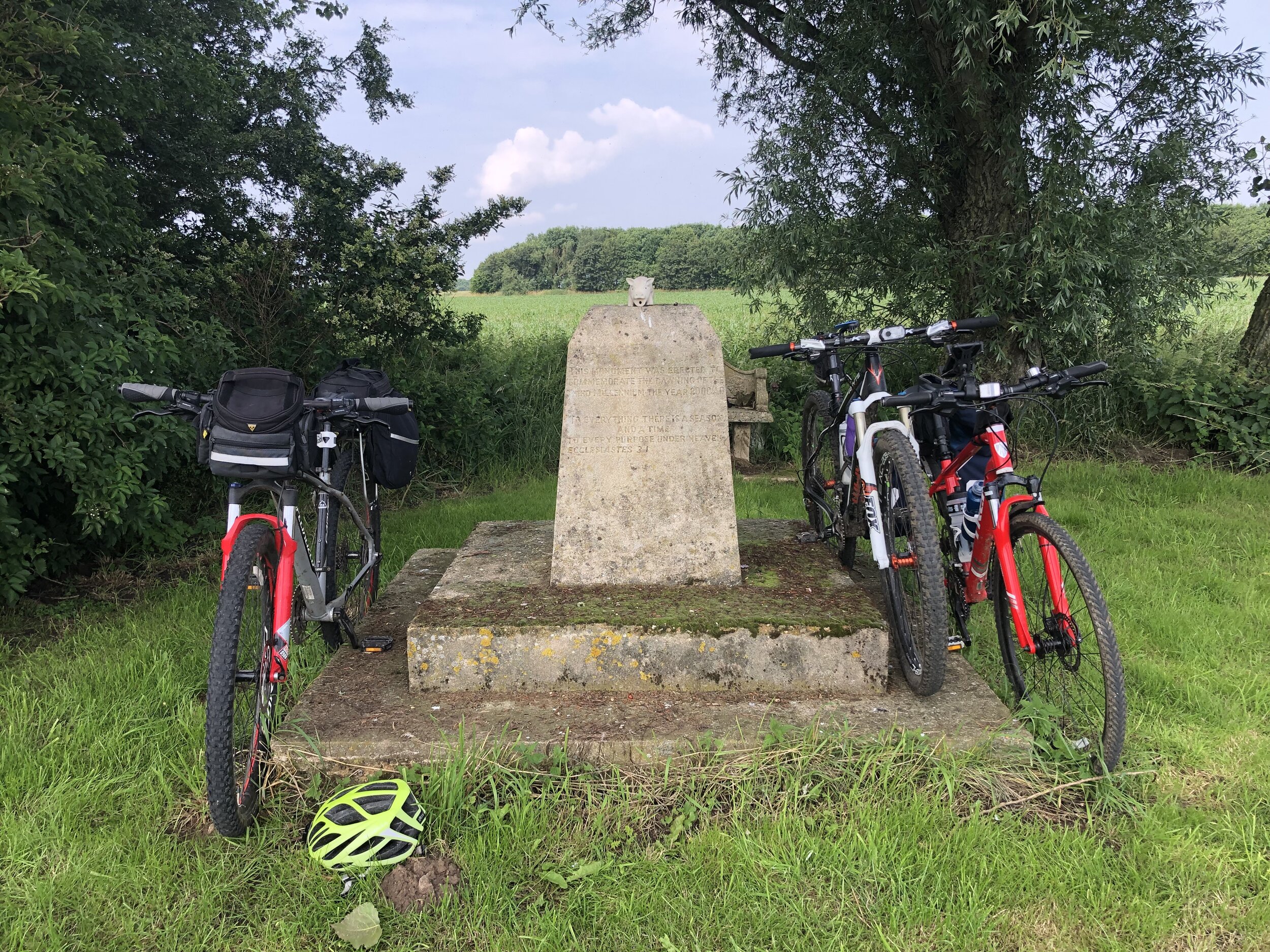
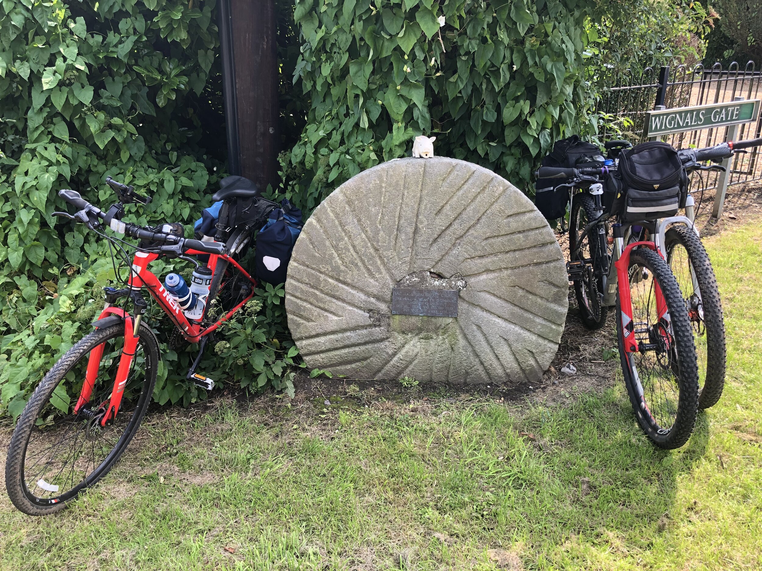
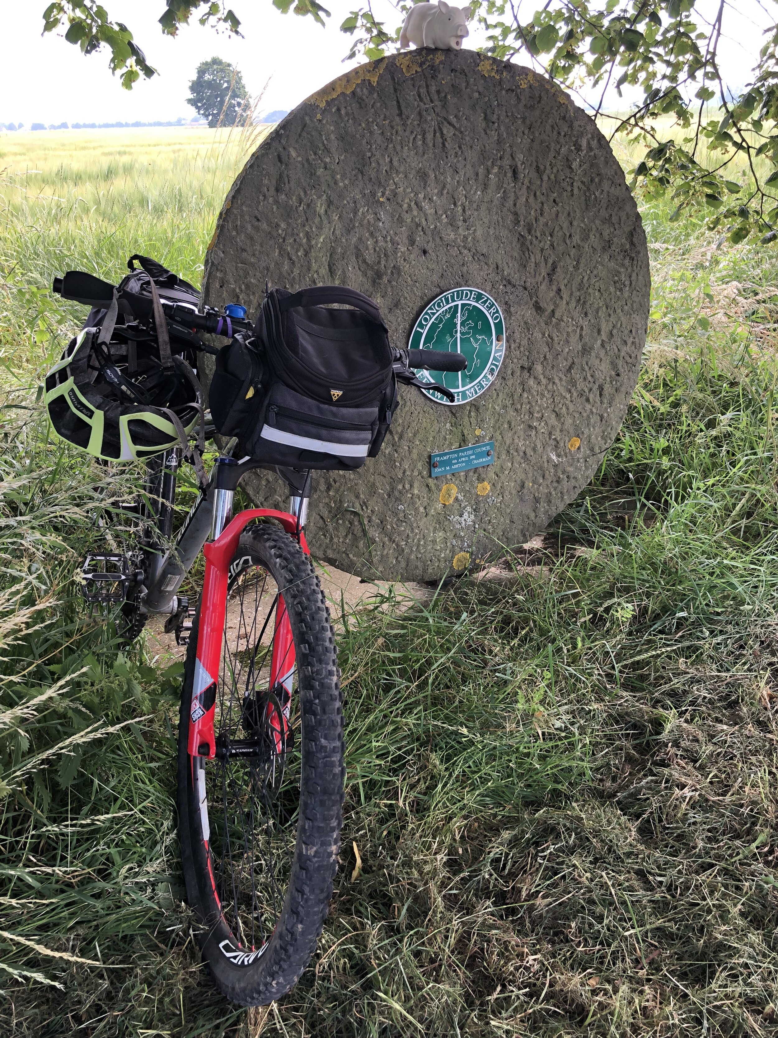
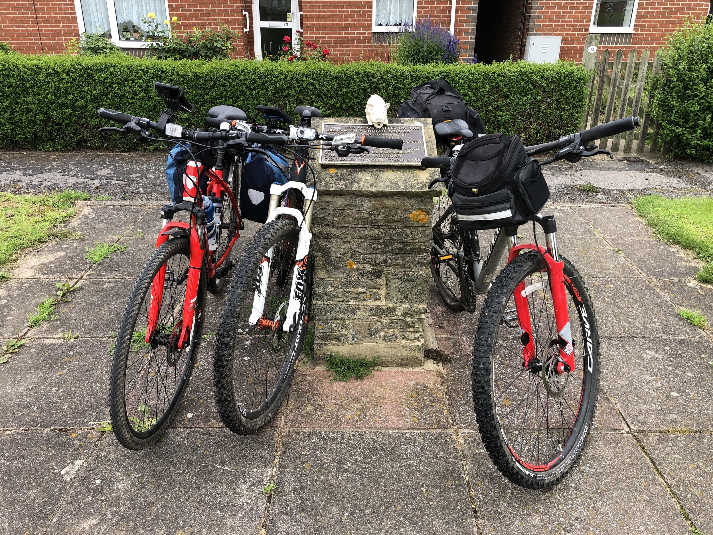
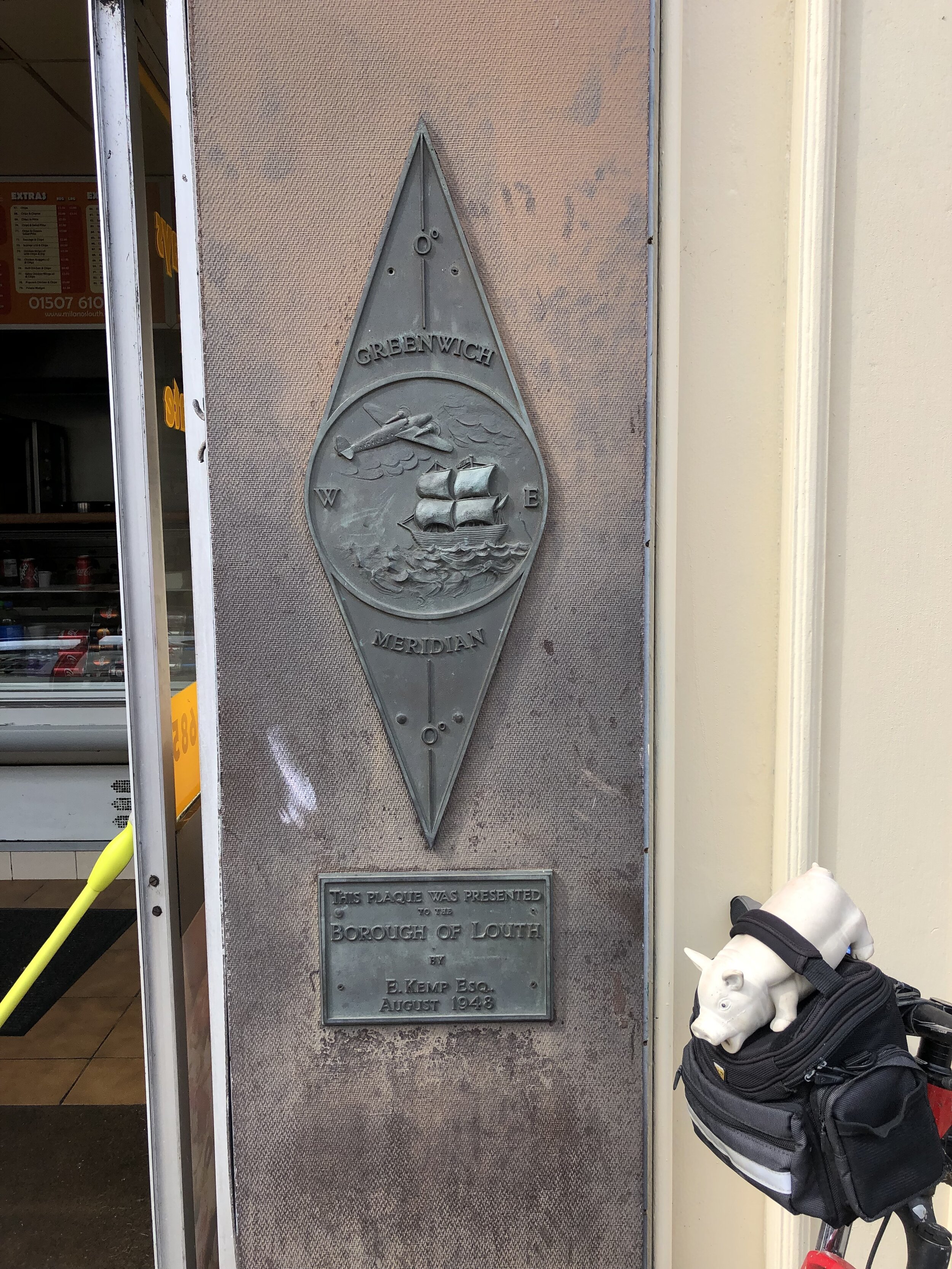
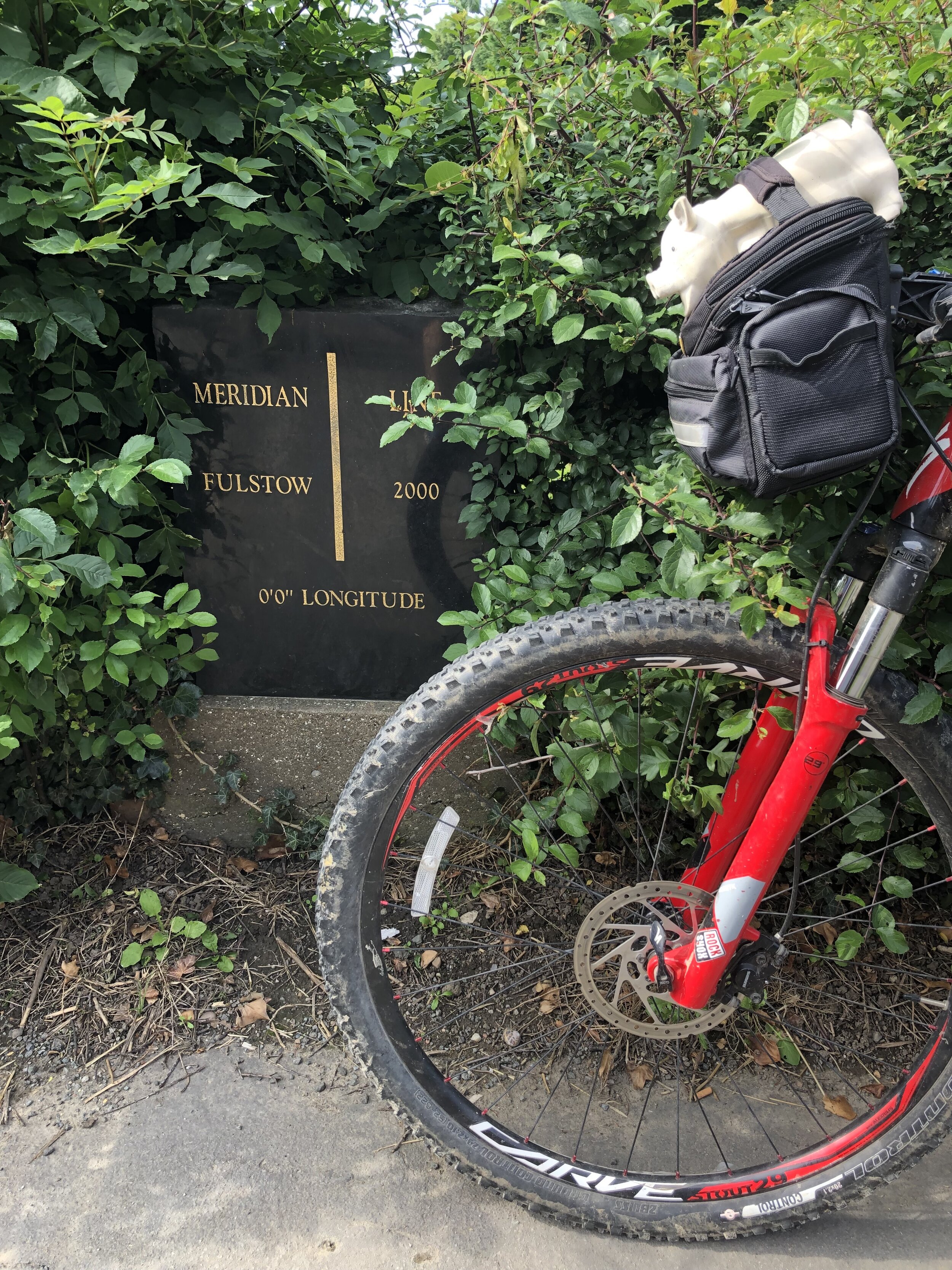
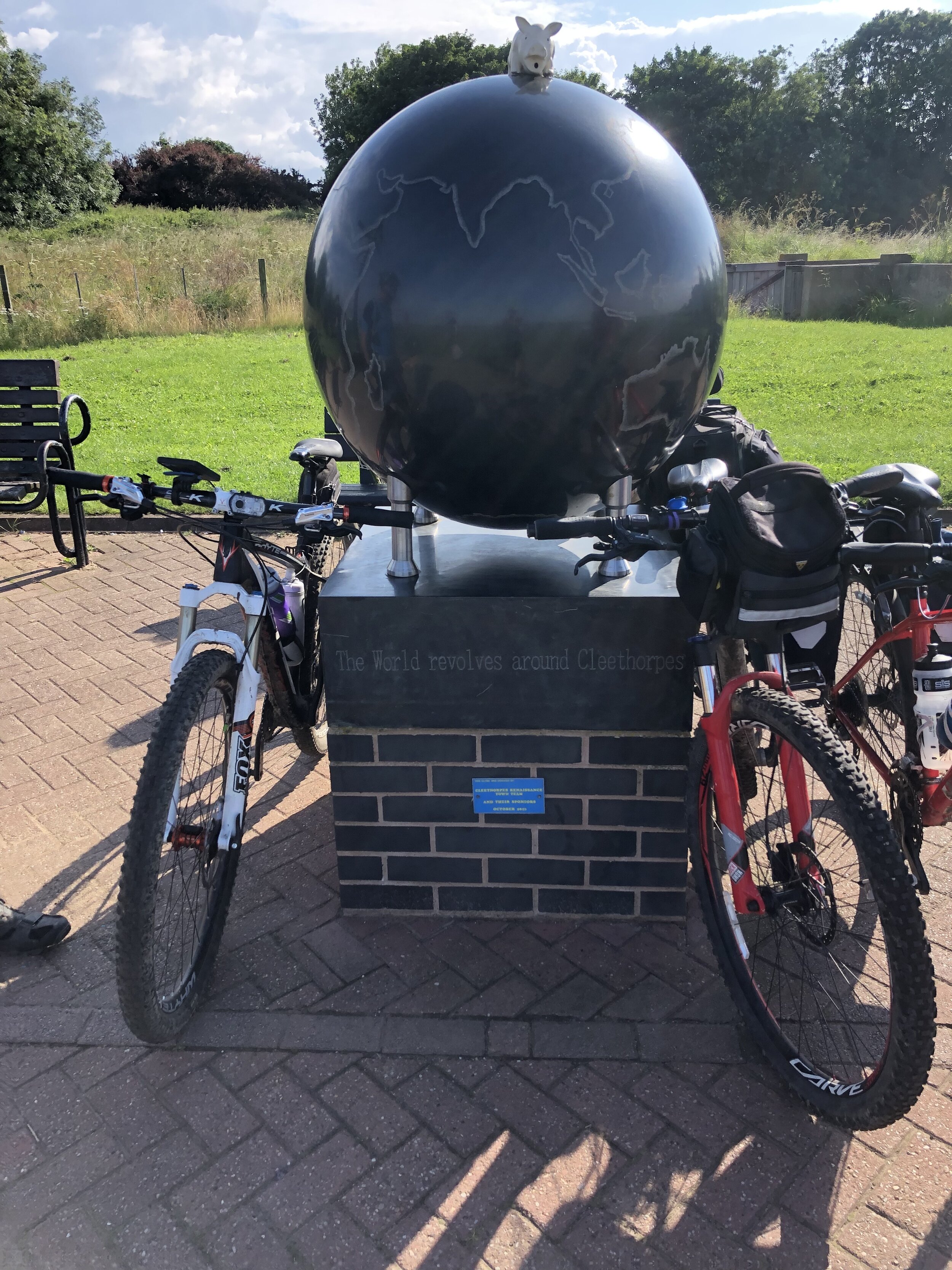
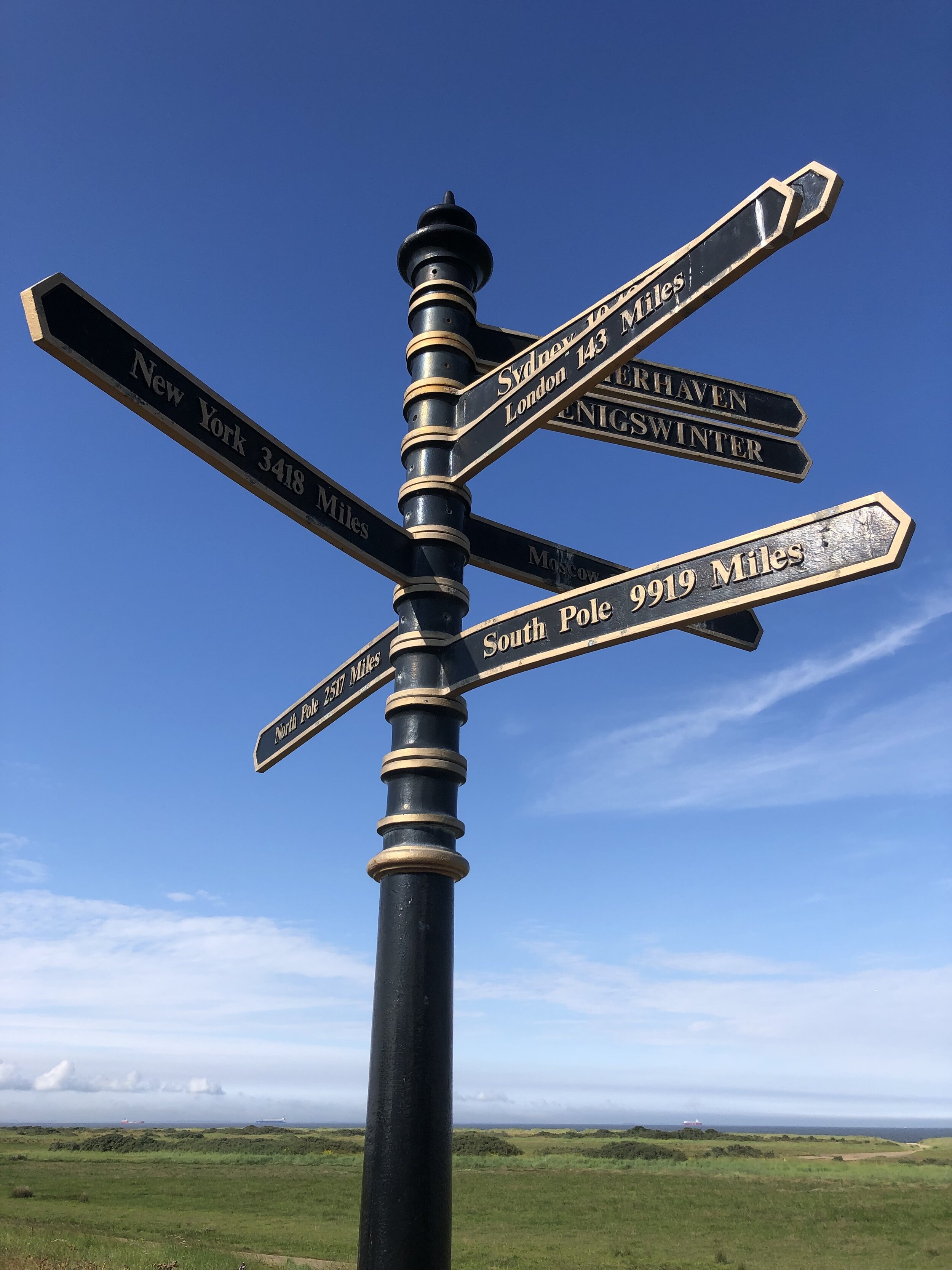
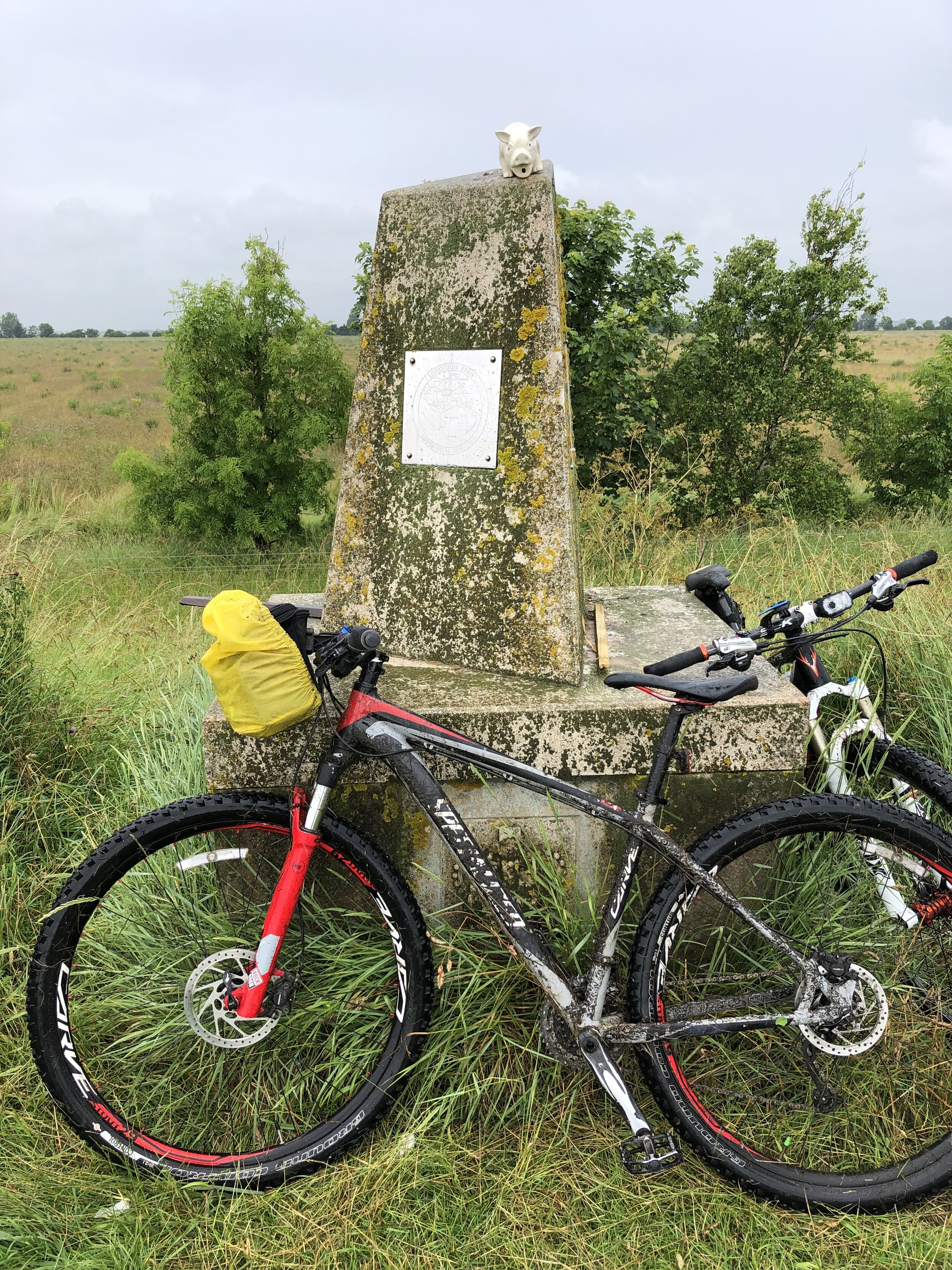
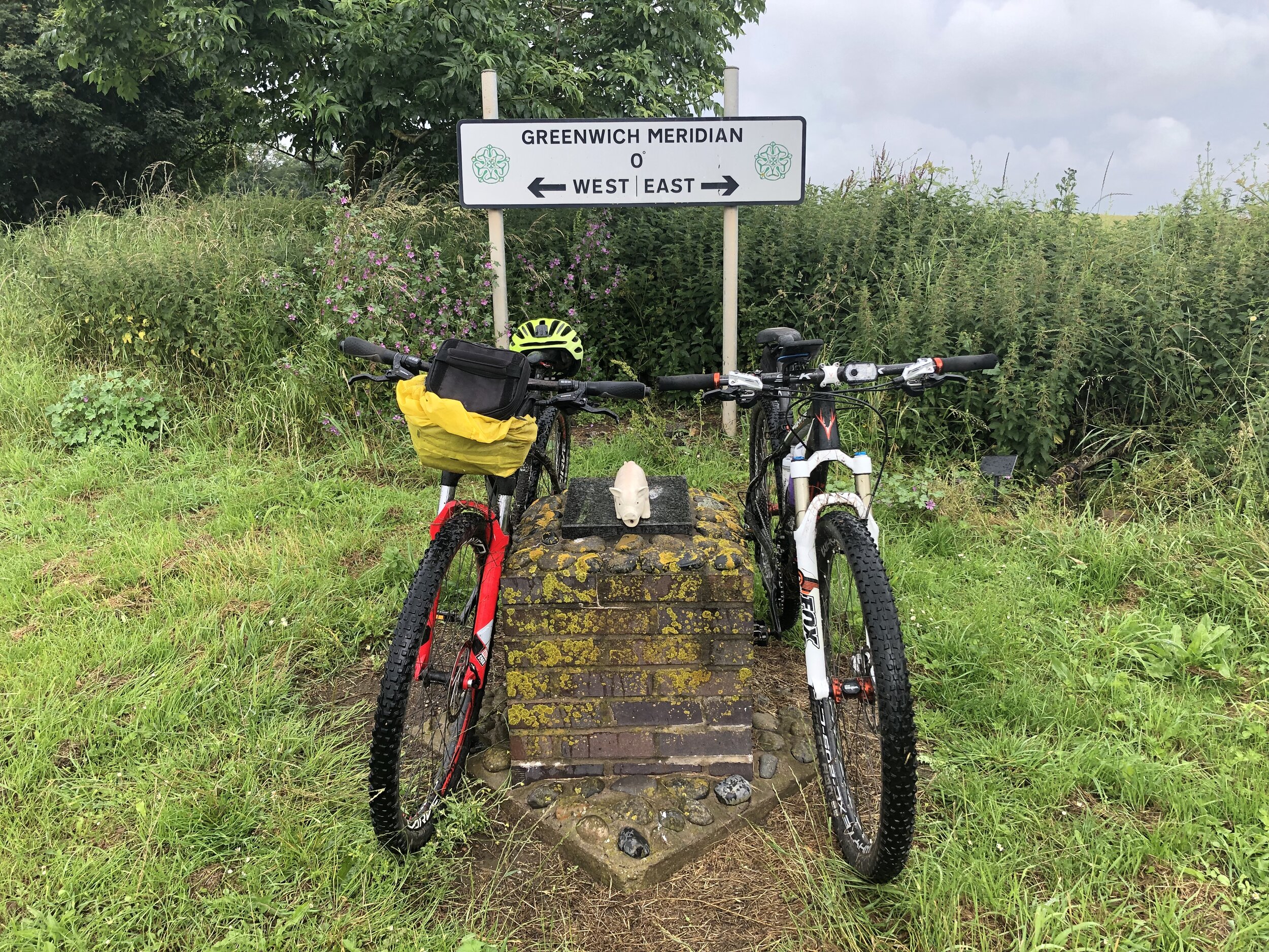
Prime Meridian Markers on the route
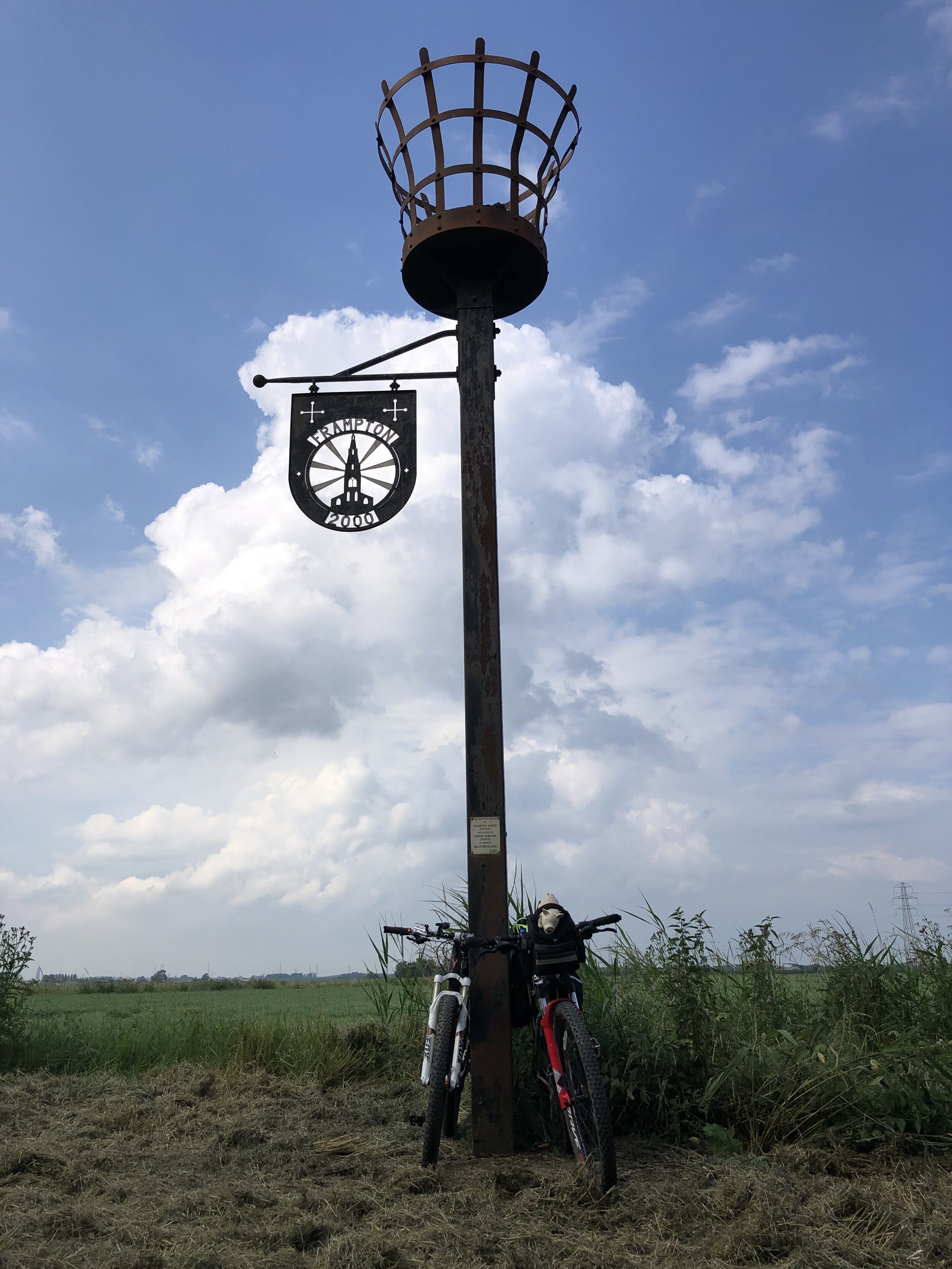
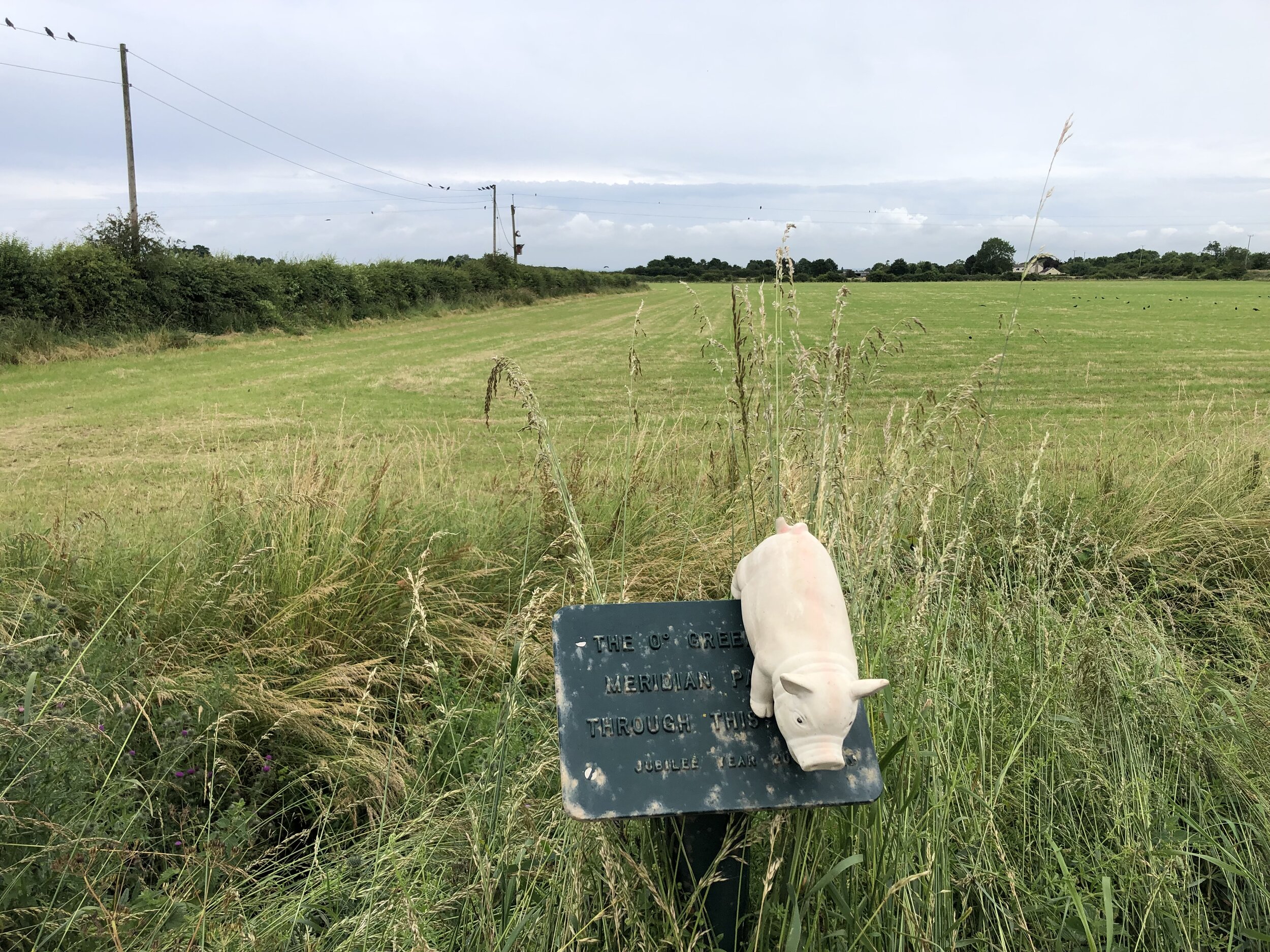
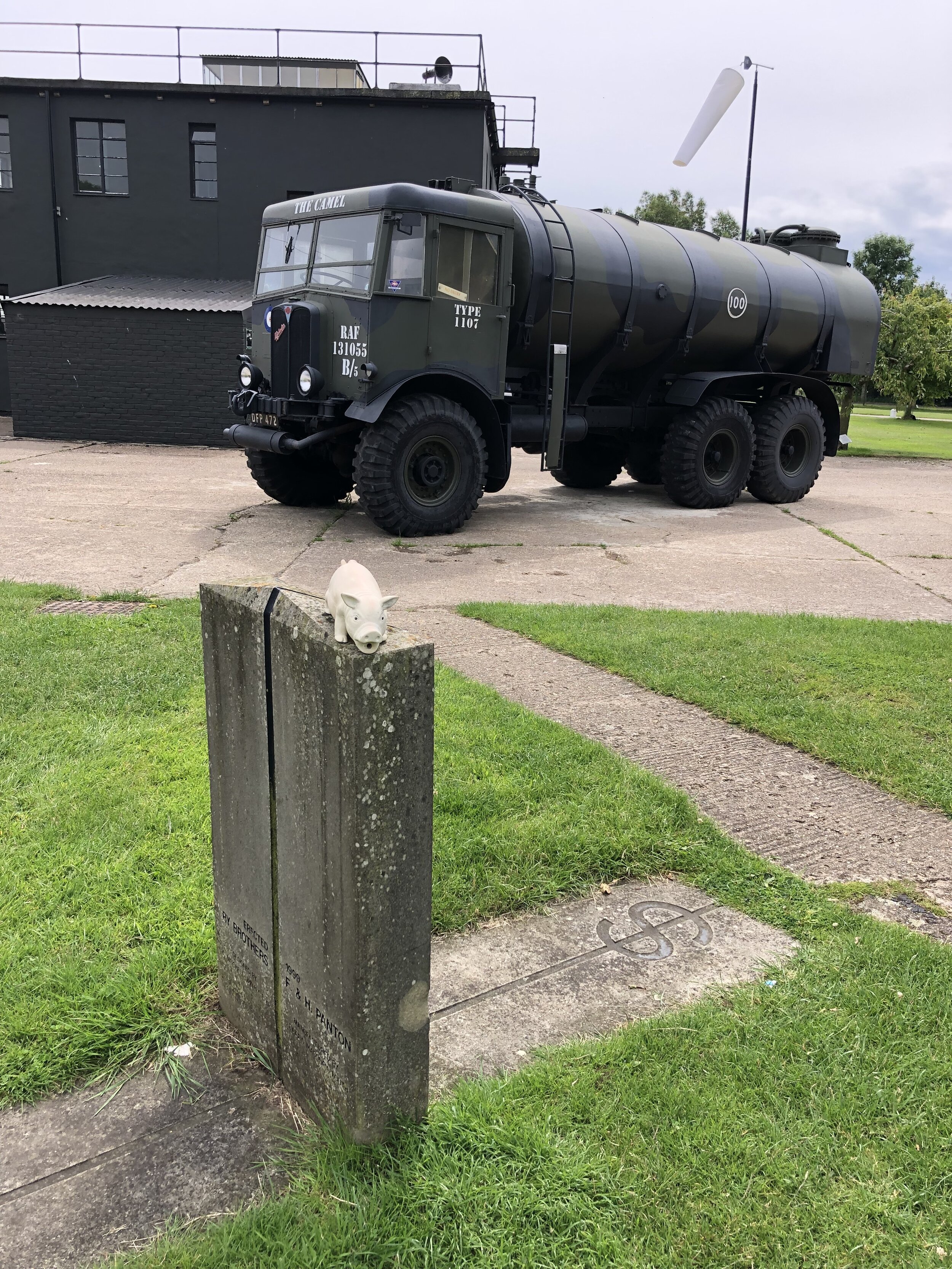
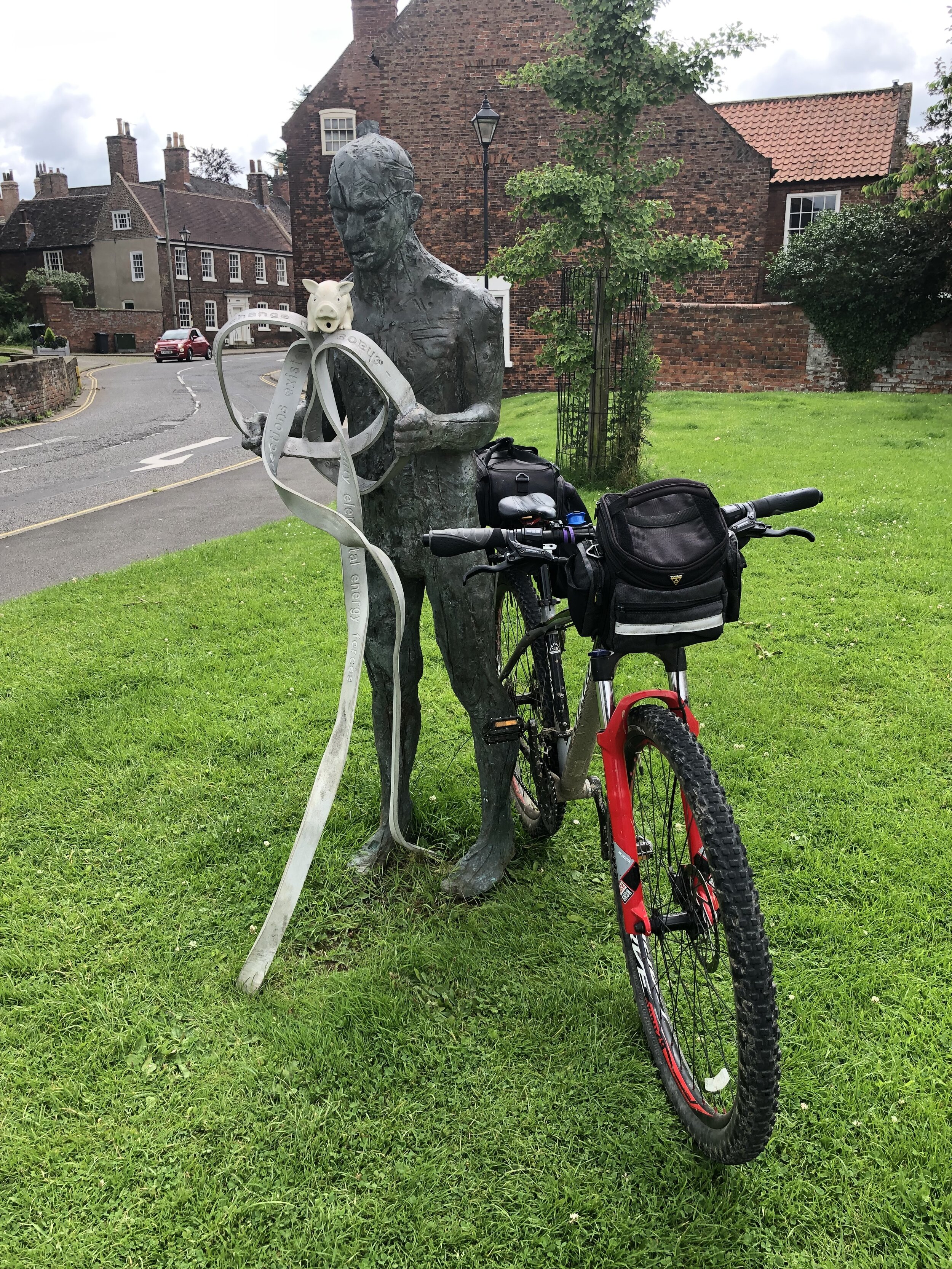
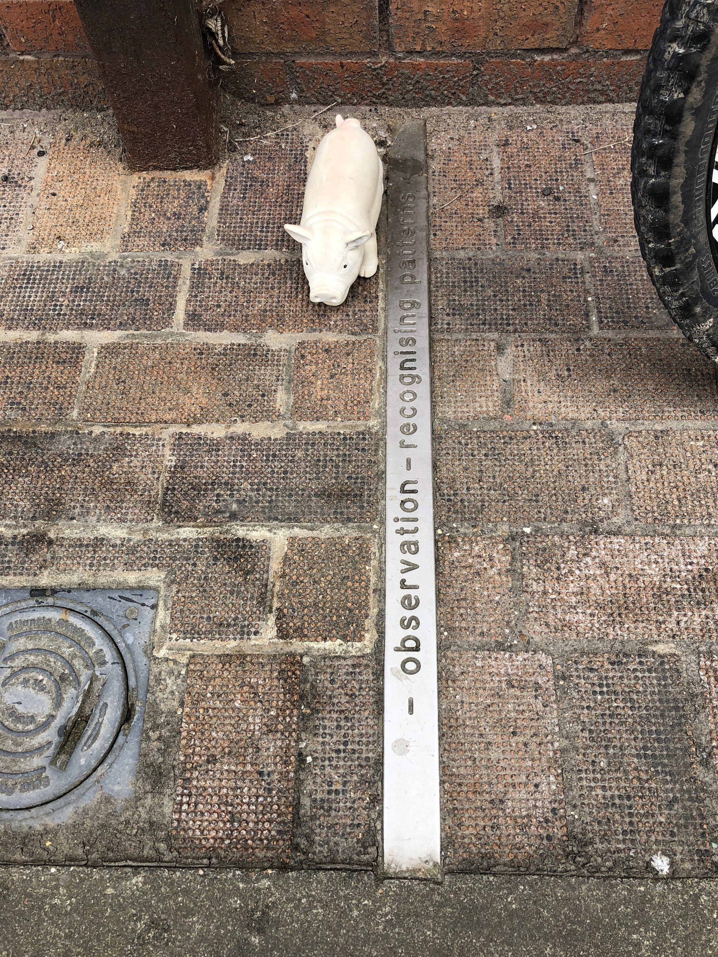
Row 2 (LEFT TO RIGHT):
Row 1 (LEFT TO RIGHT):
Row 4 (LEFT TO RIGHT):
Sand le Mere lump of concrete (not the missing pillar)
Row 3 (LEFT TO RIGHT):
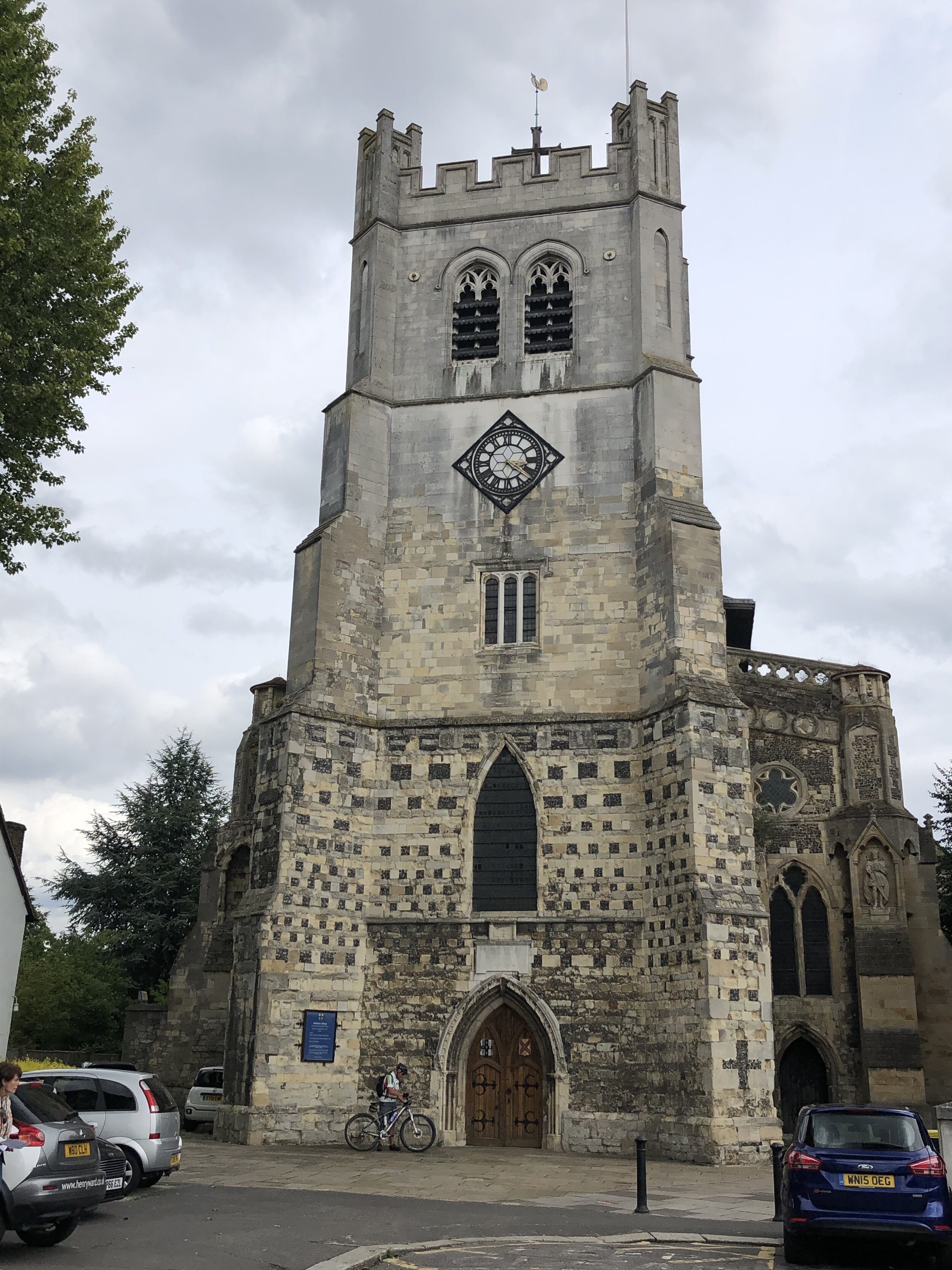
Previous section: Waltham Abbey to Peterborough