Cycling The River Colne

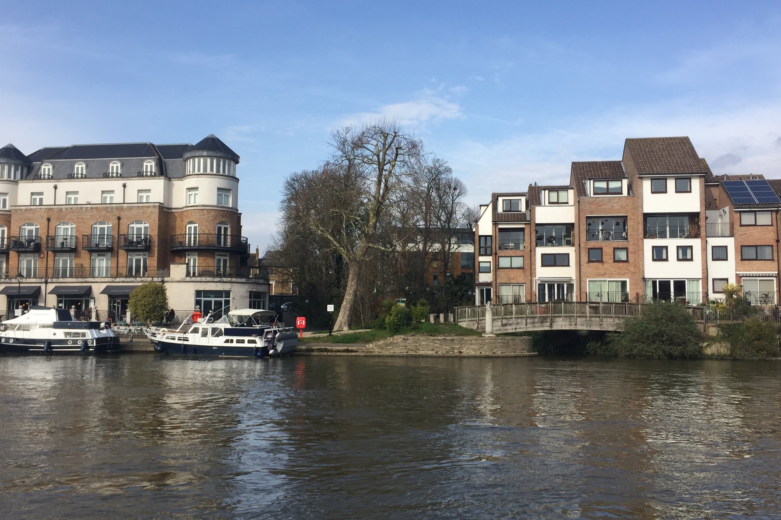
Colne meets the Thames at Staines
Part of the Chiltern Rivers Series
River start: North Mymms Park in Hertfordshire.
River end: Confluence with the River Thames in Staines, Surrey
River length: 18 km (11.2 miles)
Cycle route start / end: parking in North Mimms town centre, Hertfordshire / River Thames in Staines.
Cycle route length: 57.8 km (36 miles)
Cycle route elevation change: +182m / -262m. Net -80m
GPX File: get via Buy Me a Coffee
Other routes touched (walk): Hertfordshire Way, Grand Union Canal Towpath, London Loop, Beeches Way, Colne Valley Trail, Thames Path
Other routes touched (cycle): NCN 12, 4, 6, 61
Map: OS Explorer Map (182) St. Albans and Hatfield / OS Explorer Map (172) Chiltern Hills East / OS Explorer Map (160) Windsor, Weybridge & Bracknell
Links: River Colne, Welham Green, North Mymms, Rickmansworth, Staines
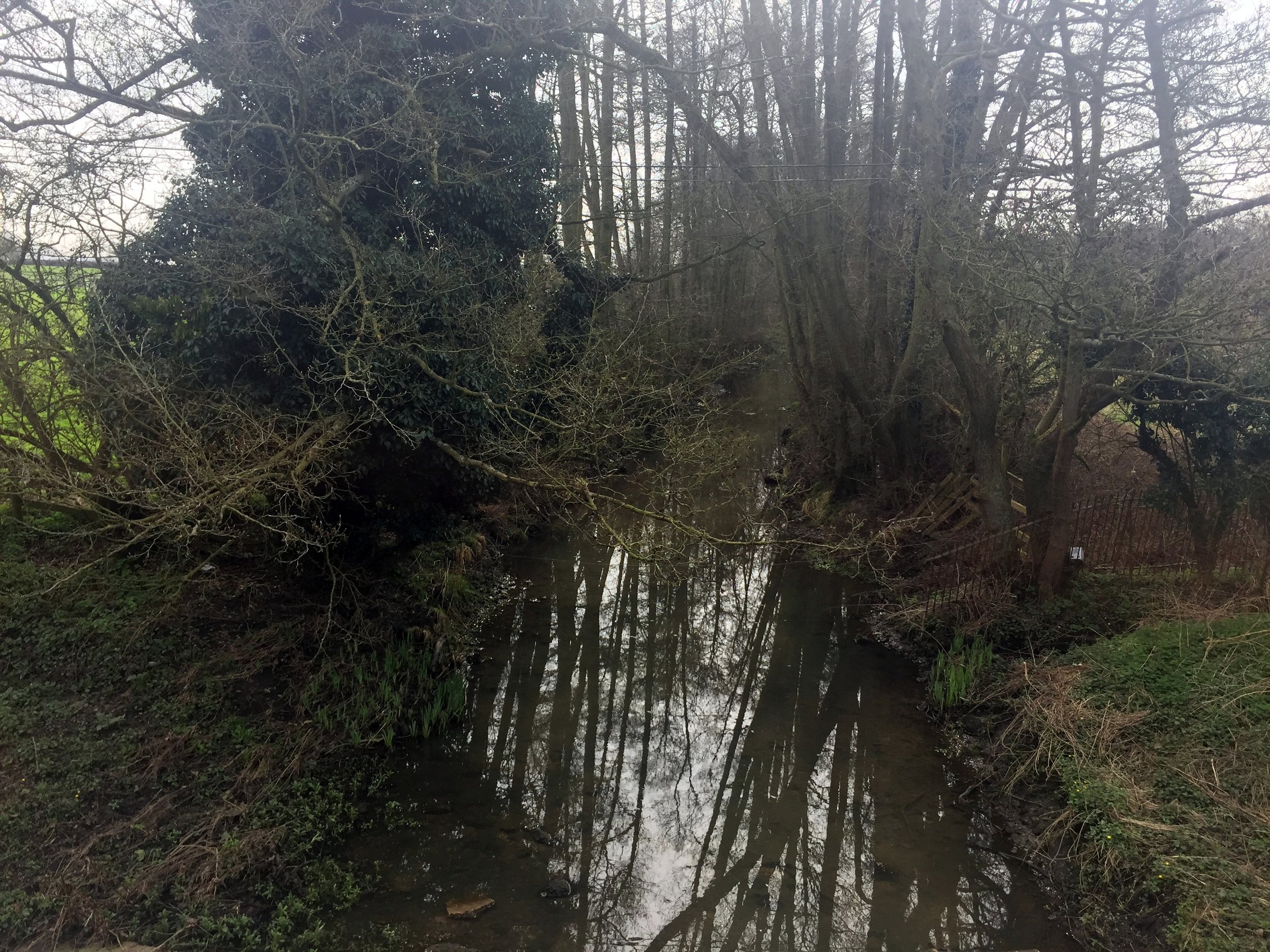
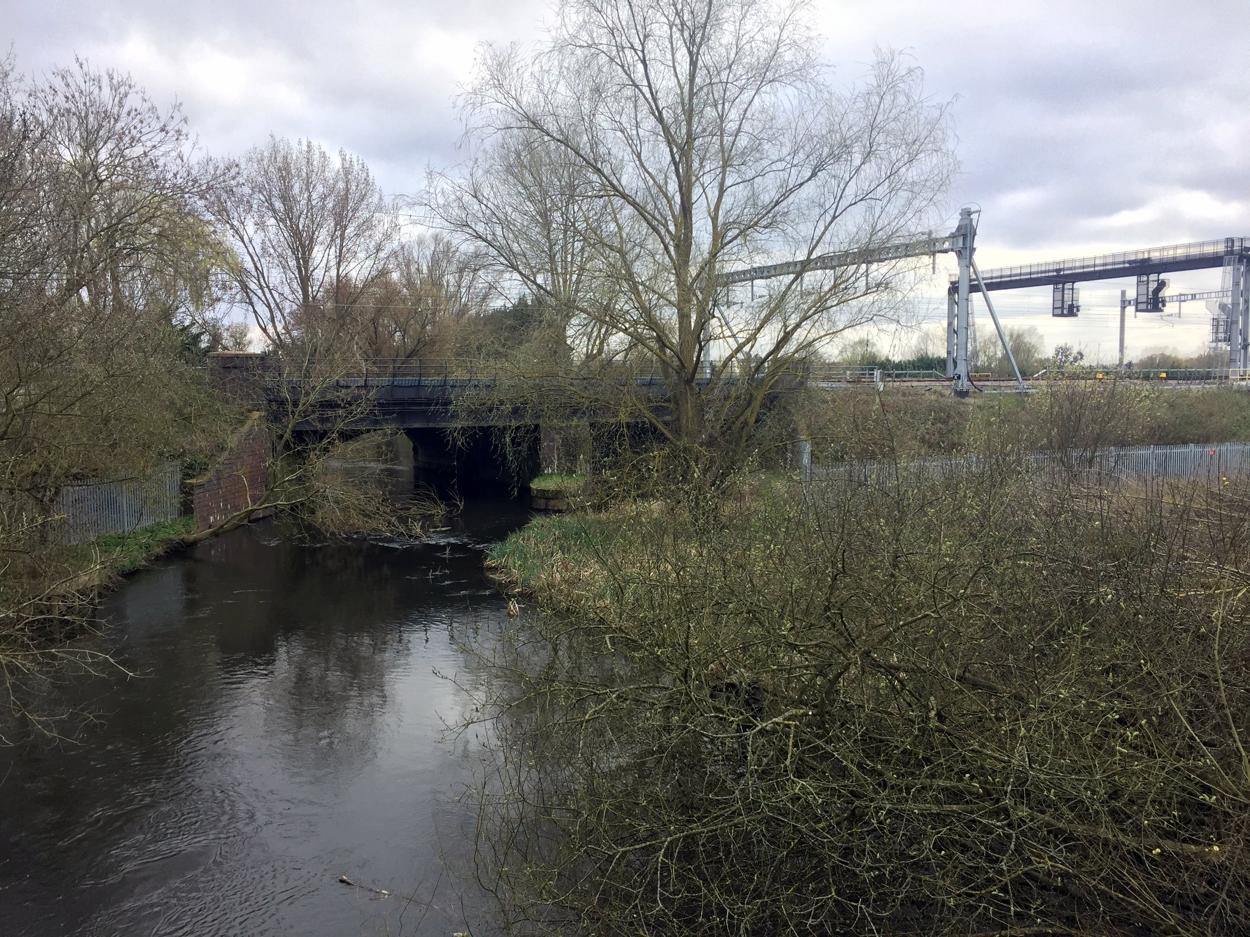
The Colne is the daddy of the Chiltern Rivers. The Lee may be longer, but the Colne tells the real story of the Chilterns. From its start at North Mymms, the river flows south through Hertfordshire, Buckinghamshire, meeting the Thames at Staines in Surrey. Along the way it picks up water from smaller rivers such as the Ver, the Gade, the Chess , the Pinn and the Misbourne. Travel along these and you'll see some of the best scenery of the region.
The cycle route that I devised was awesome. I was fully prepared to get lost, stuck in the mud or work around non-cycle paths. As it turned out, it was a challenging but hugely enjoyable combination of trails, country roads, canal towpath and interesting industrial wasteland.
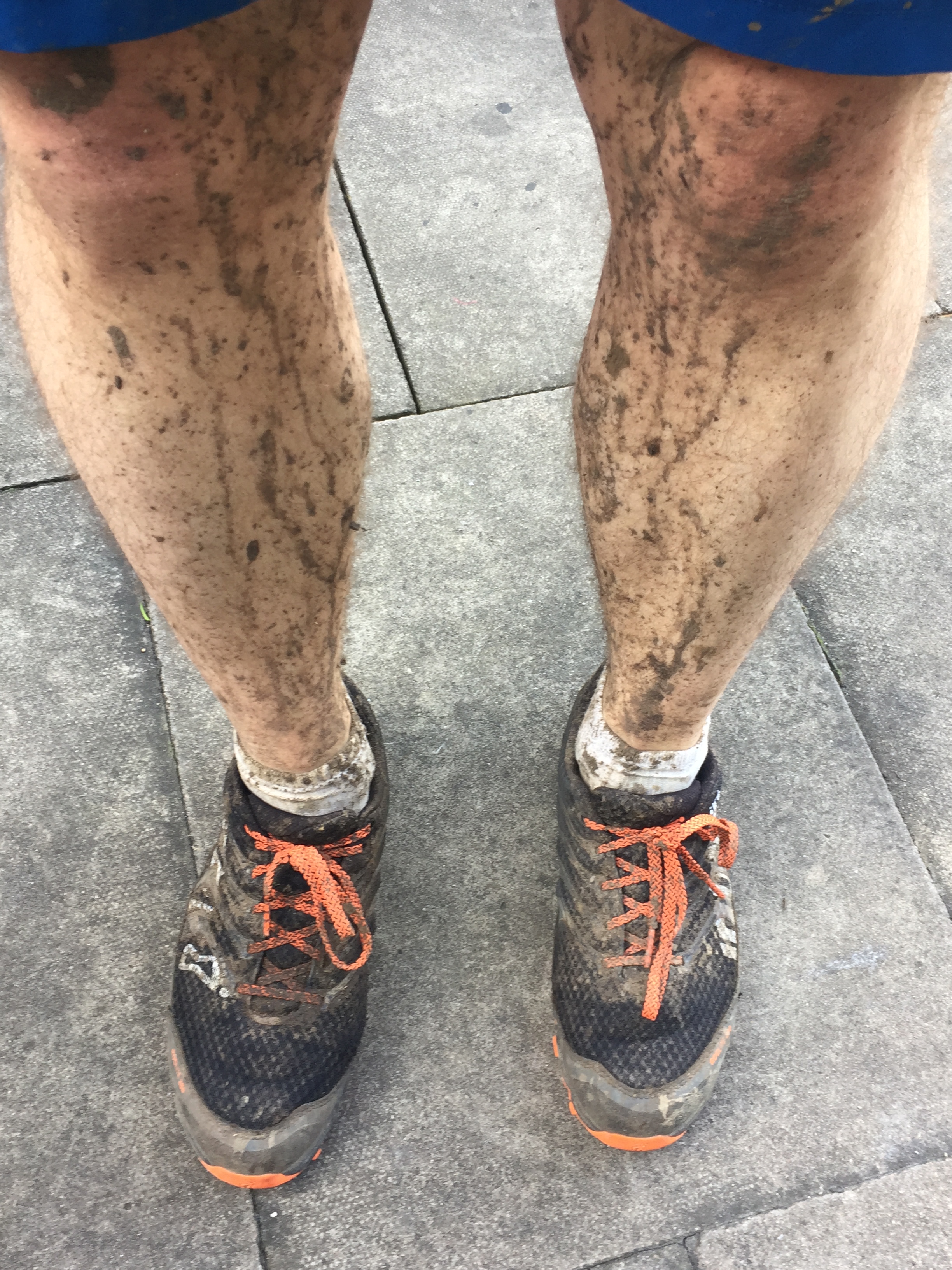
Unlike some of the other Chiltern Rivers, its possible to stay pretty close to the river itself. There's not one waymarked route to follow, but stringing a few together will get you there. Its complicated, so take a bike sat-nav and don't even think of attempting it on a road bike. Its muddy. And awesome.
How to do it.
Roughly its the following, but don't just rely on this. Take a map or GPX file.
Start at Welham Green, Hertordshire.
Follow Dixons Hill Road / Tolgate Road / Coursers road out of town.
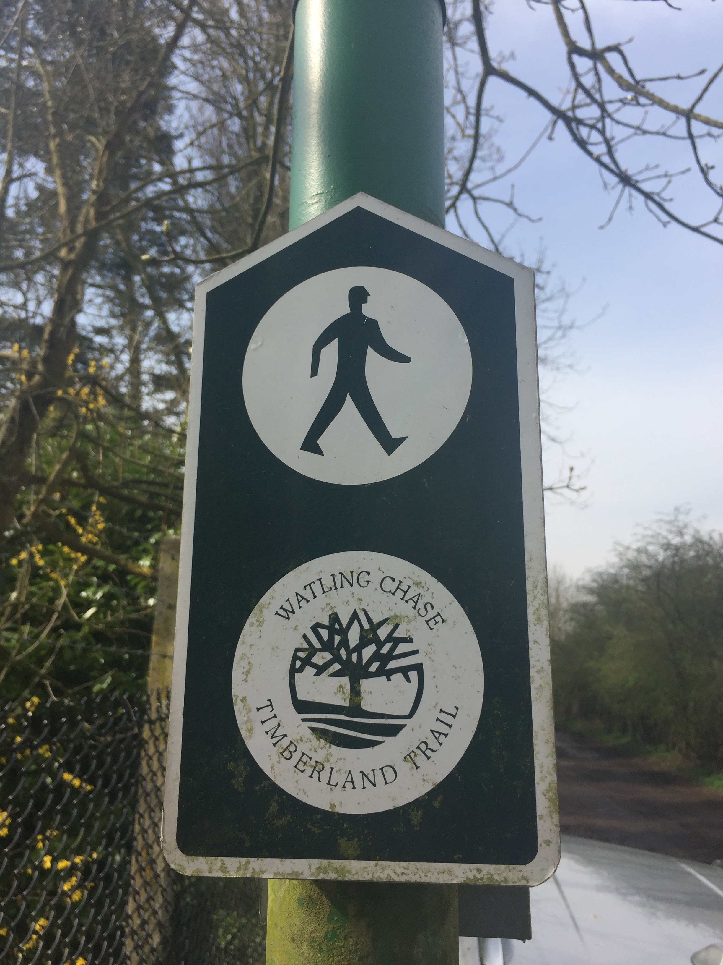
Cross the fields, following the river until you get to the Watling Chase Timberland Trail
Follow the Trail to Lowbell Lane, crossing under the A1081
Passing through London Colney, take Shelney Lane over the M25
Follow Harper Lane to Watling Street, briefly turning right, then left onto a Bridleway
When passing though a farm/equestrian centre please dismount and walk the bikes through. The natives are friendly, but sounds like they have had a bad experience with people ignoring the "no cycles" sign.
Follow School Lane over the M1 to Garston.
By now you will be on NCN 61. Follow this all the to the Malt Shovel Pub on the Grand Union Canal at Iver.
This stretch of the NCN 61 also follows the Abbey Way and Ebury Way
Turn right off the canal then left onto Old Mill Lane.
Take the right hand path around Little Britain Lake, Following London Loop (section 1) then the Beeches Way to the Colne Valley Way
When the Colne Valley Way reaches Thorney Mill Road, take a left onto it until Wise Lane
Follow Wise Lane then the Colne Valley Trail onto Harmonsworth Moor.
Cross under the M4, then over the A4 through Stanwell Moor and under the A30.
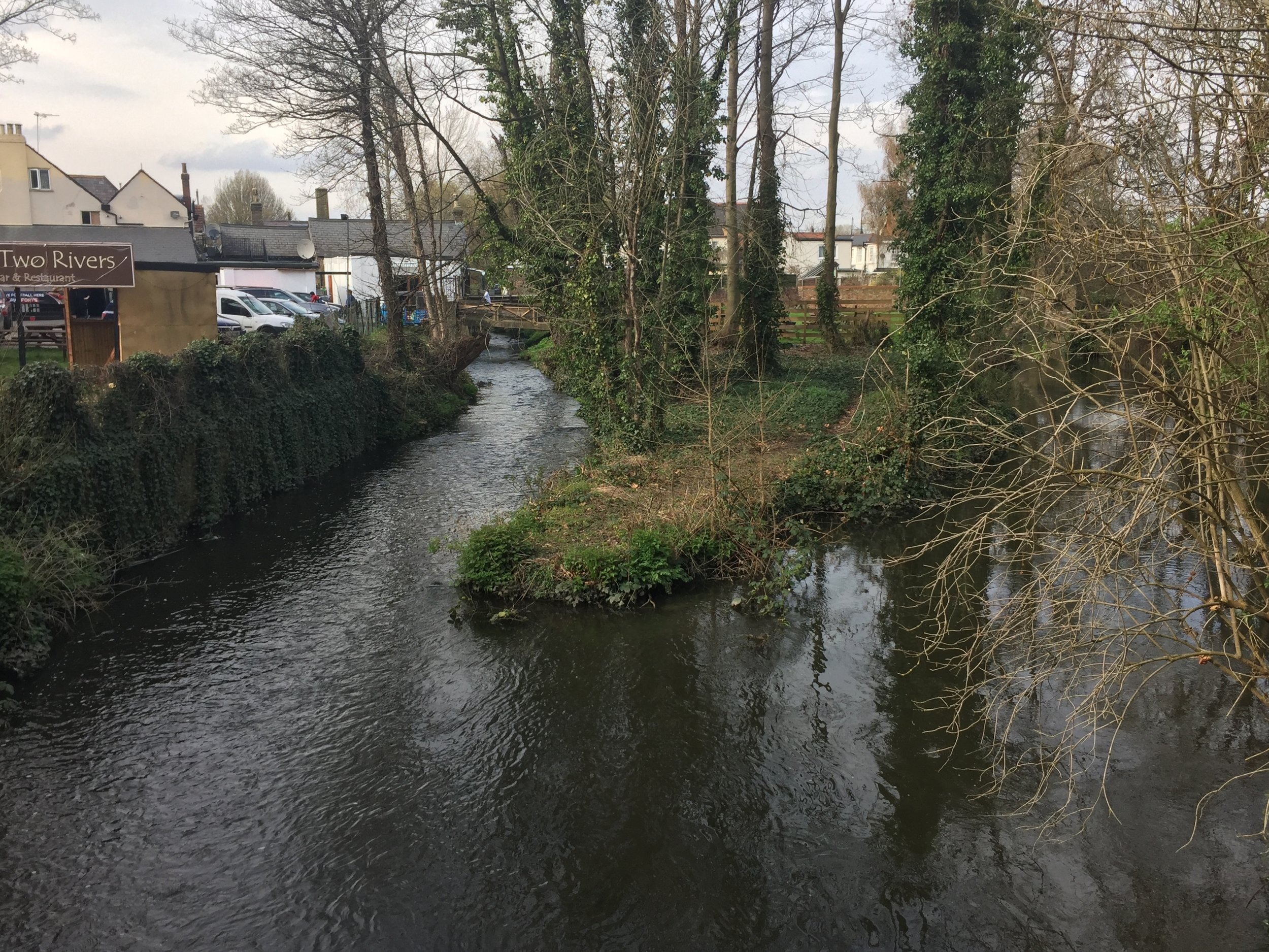
Once past the A30, its a wiggle through Staines to the end of the river at the Thames opposite the Swan Hotel.
Recommended Lunch Stop
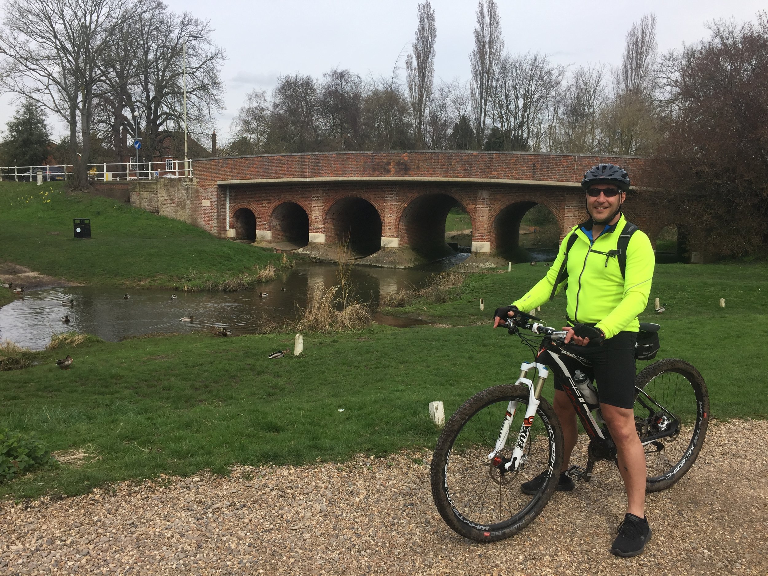
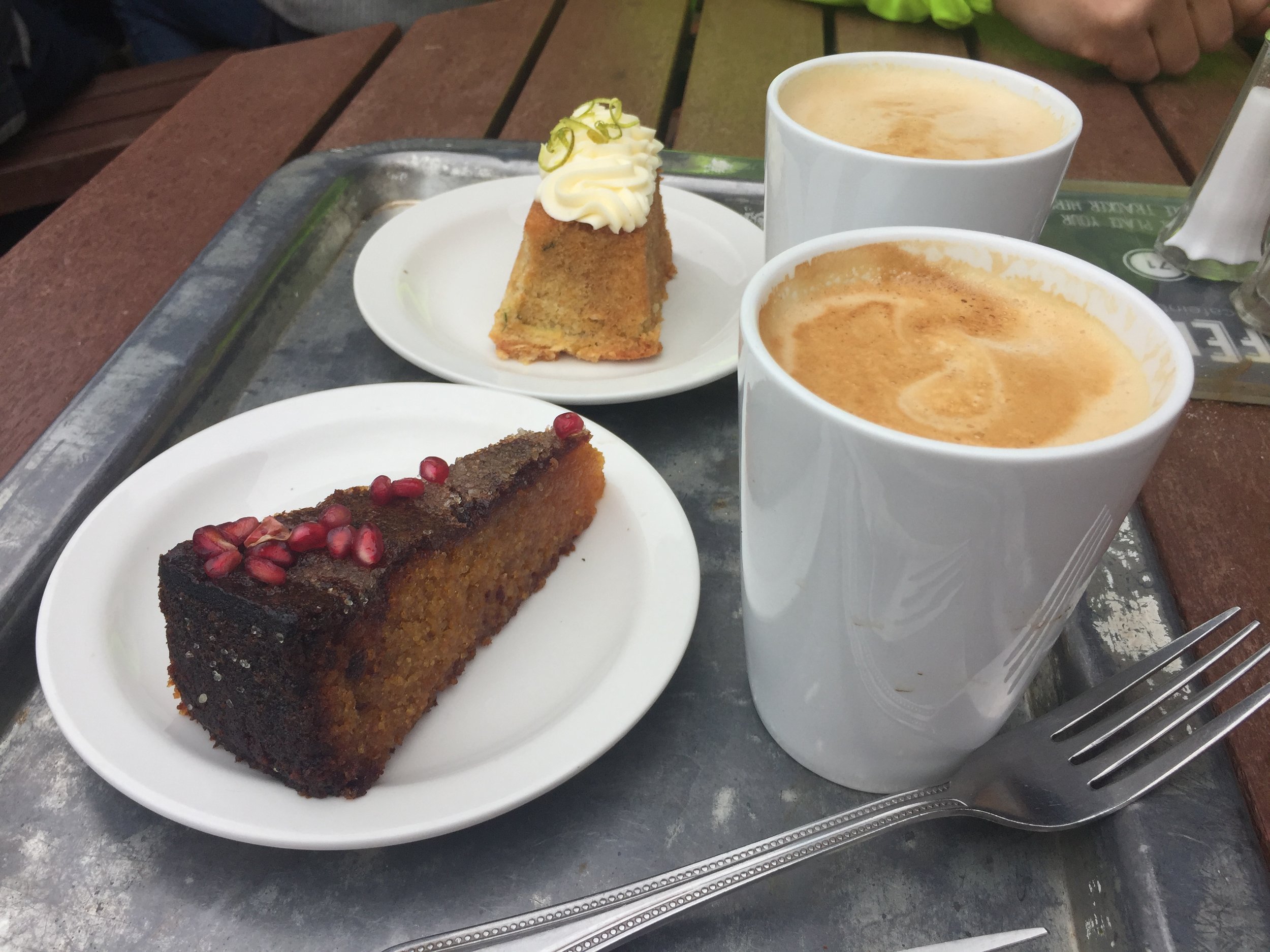
The Cafe in The Park at Rickmansworth Aquadrome is a great half-way stopping point. Their Courgette and Lime cake is amazing.
Elevation for cycle route