Posts tagged Thames
Chiltern Walks: Marlow Donkey
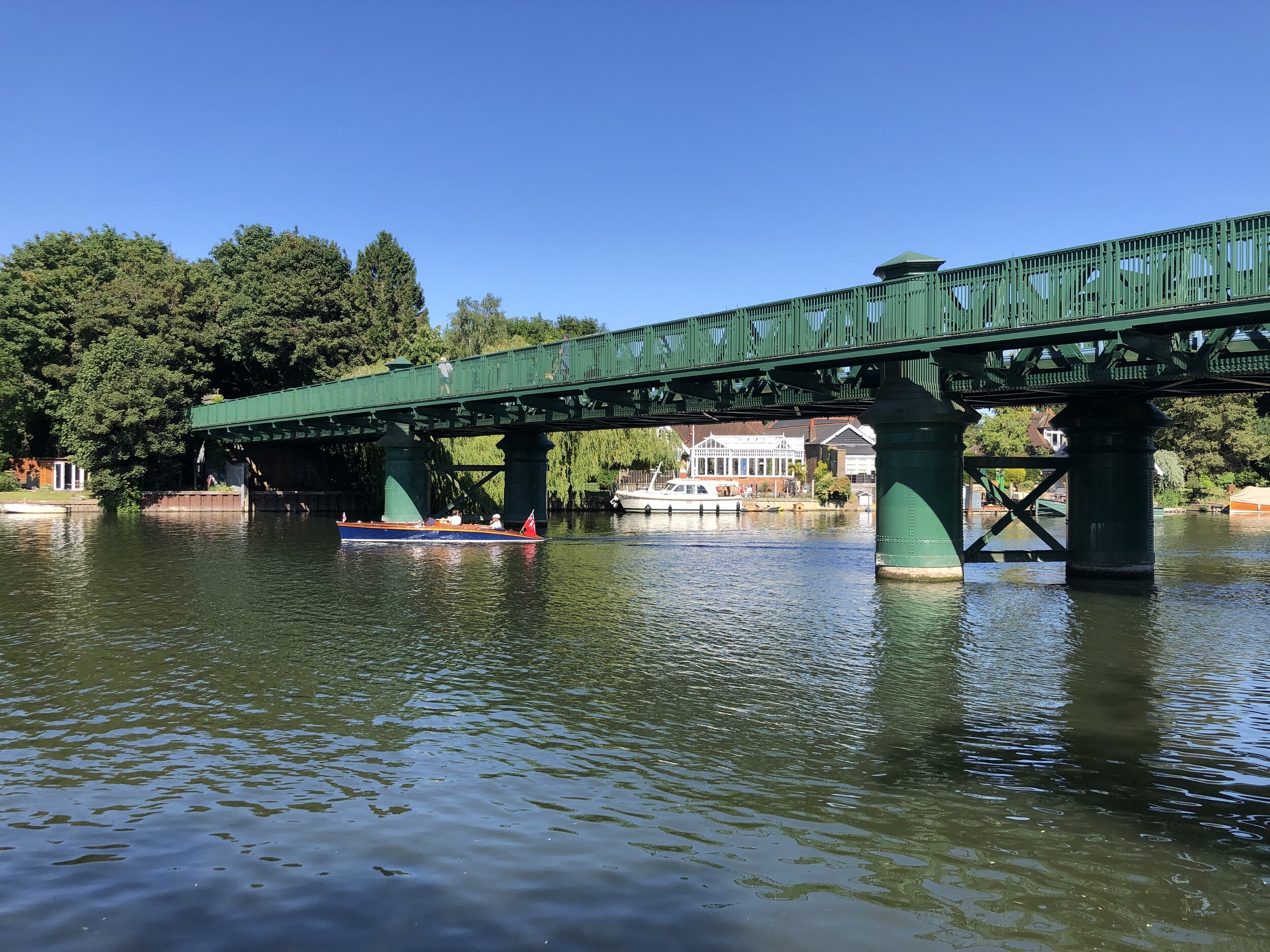
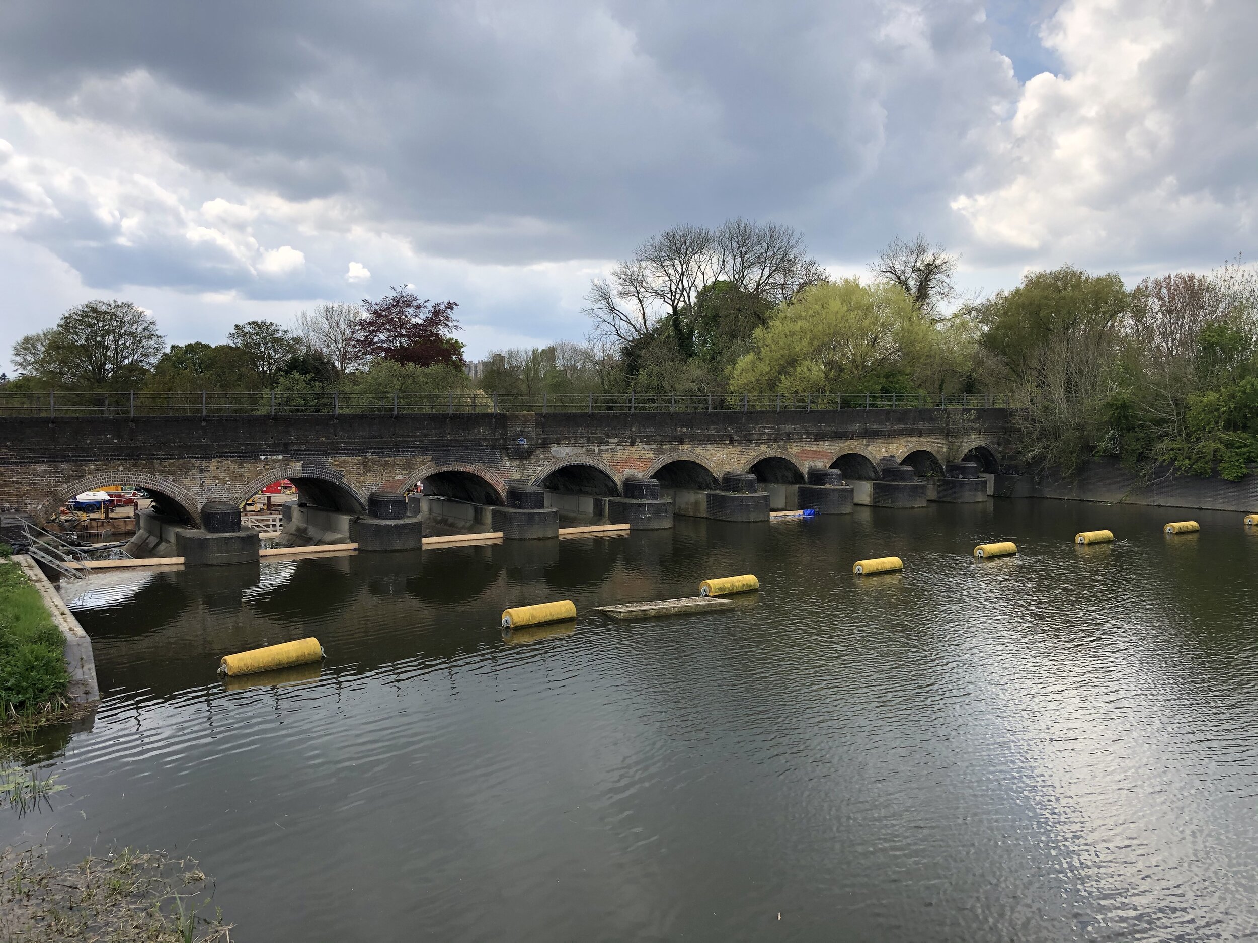
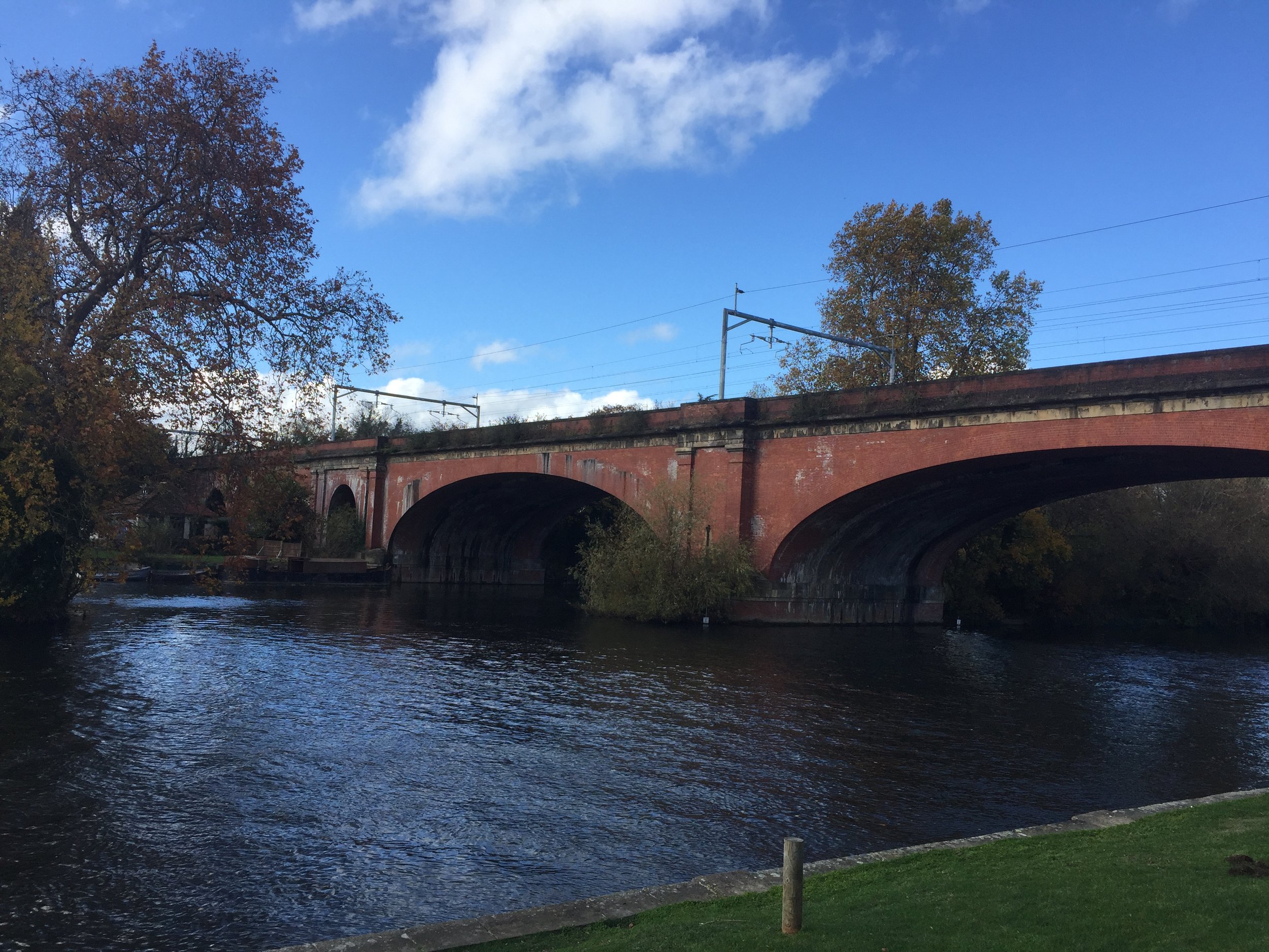
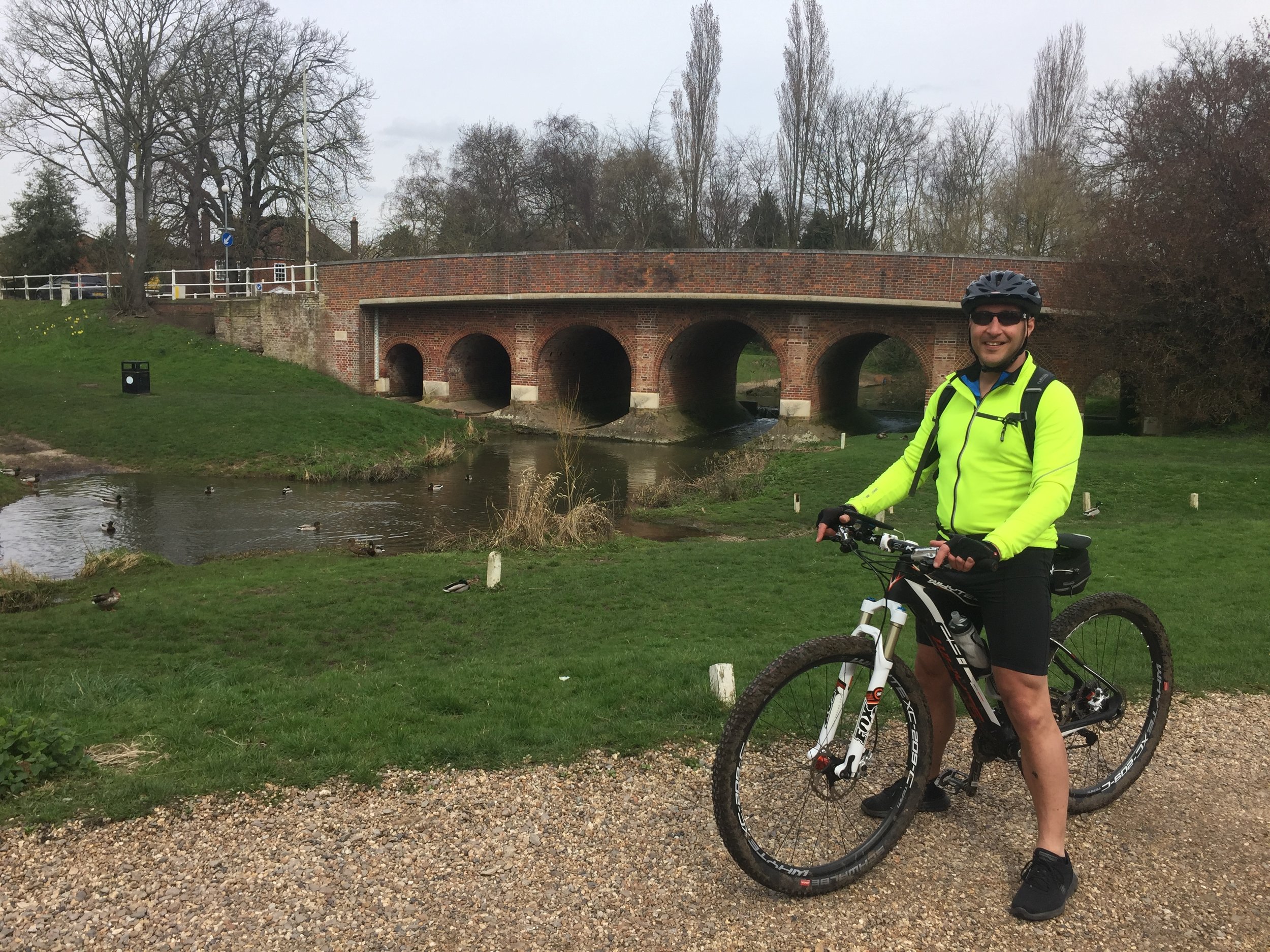
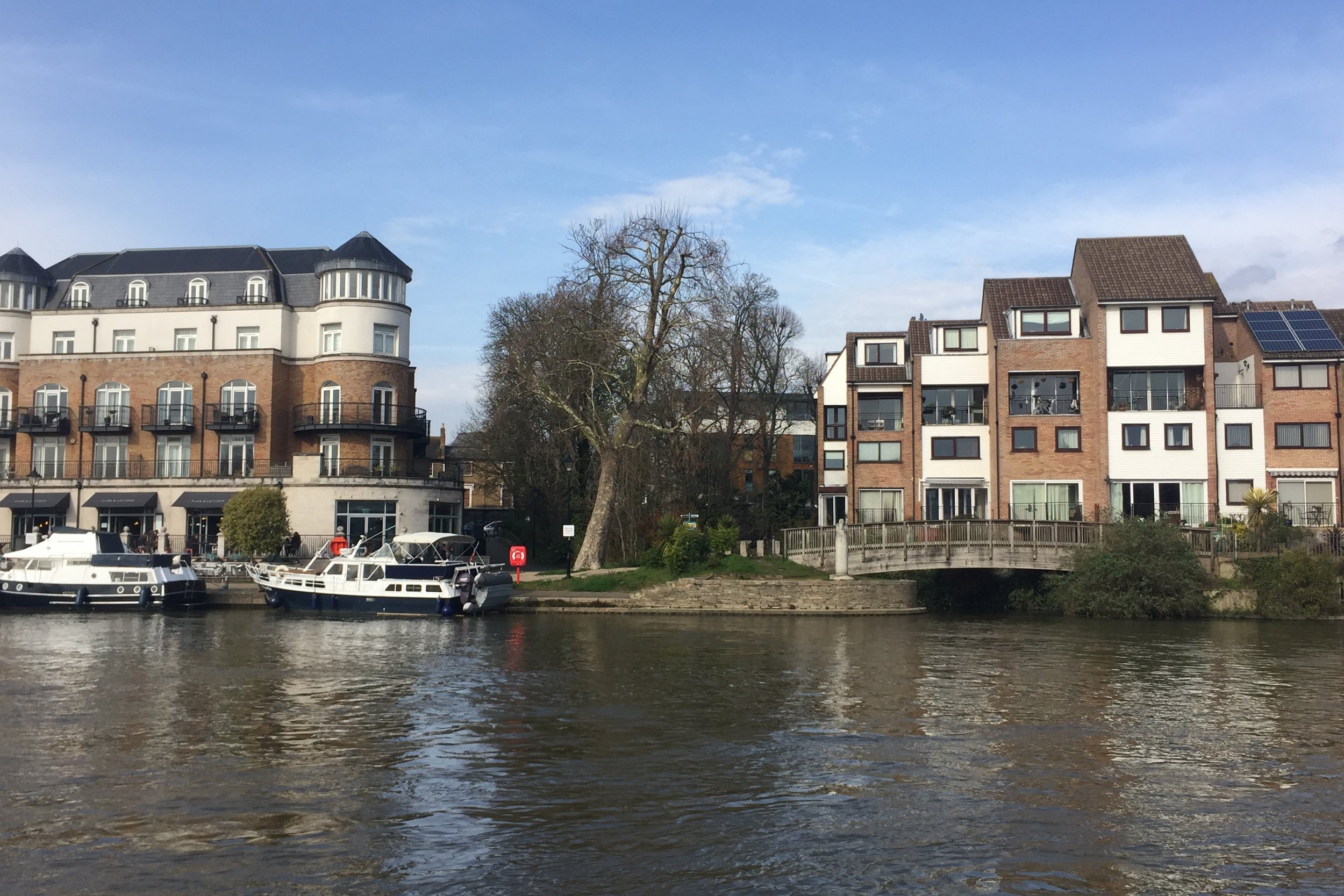
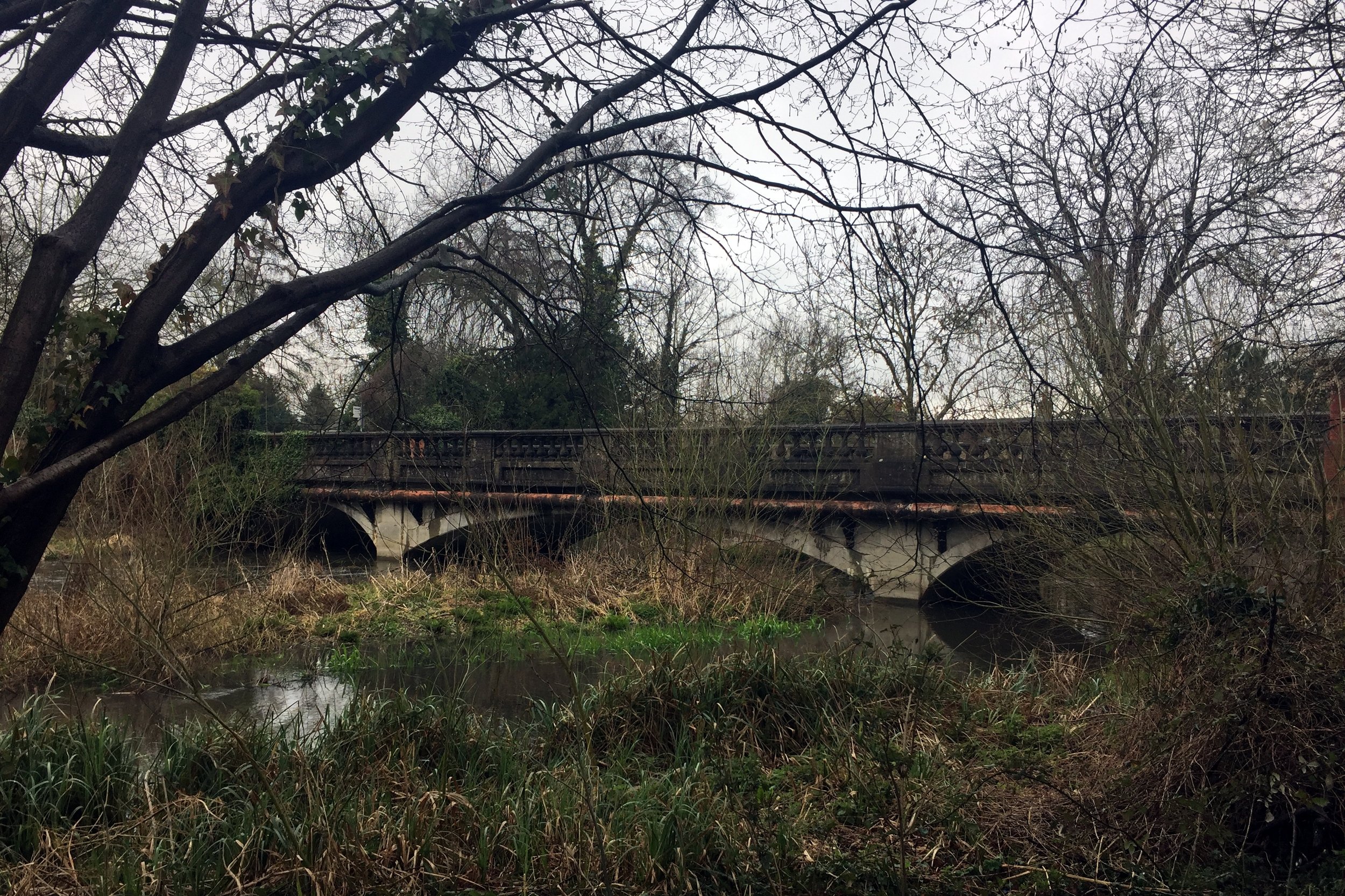
Marlow Bridge over the Thames

Marlow Bridge over the Thames


Start & Finish: Bourne End Railway Station, 1 Station Road, Wooburn Green, Bourne End, SL8 5RN
Distance: 11.4 km (7 miles)
Elevation change: +/- 65m
Shakespeare’s Way section covered: The Thames Path at Marlow to Bourne End Rail Bridge: 3.4 km
GPX File: get via Buy Me a Coffee
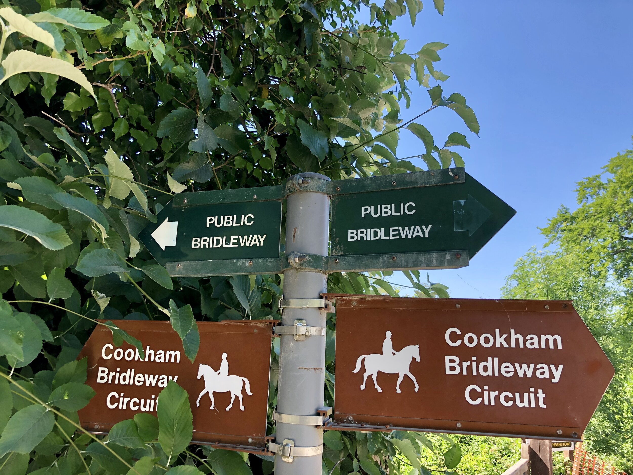
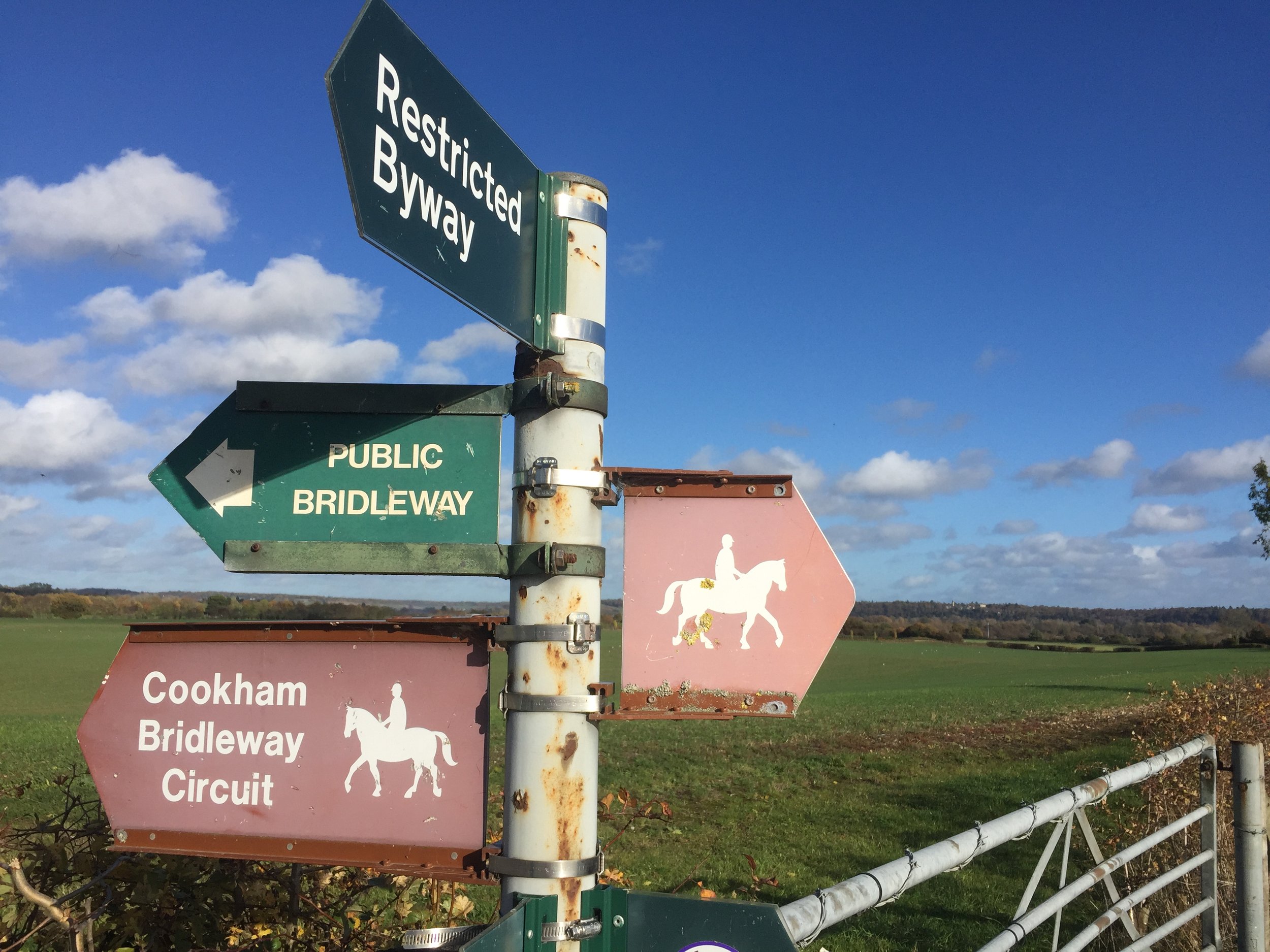
Other routes touched (walk): Thames Path, Shakespeare’s Way, The Chiltern Way Berkshire Loop, Cookham Bridleway Circuit
Other routes touched (cycle): N/A
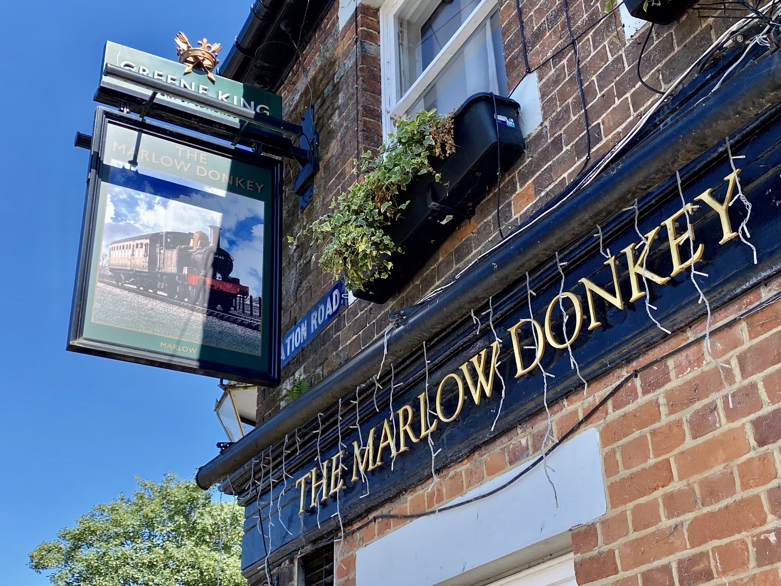
Pubs / Cafes on route: The Marlow Donkey, The Bounty at Bourne End
Map: OS Explorer Map (172) Chiltern Hills East
Links: Maidenhead - Marlow Passengers’ Association History, Marlow Branch Line, Bourne End Station, Marlow Station, Marlow Bridge, National Trust Winter Hill and Cockmarsh


The Shakespeare’s Way is a 235 km / 146 mile mile long-distance path connecting Shakespeare's birthplace in Stratford-upon-Avon with the Shakespeare's Globe (Theatre), Southwark, London. A 34km section of the path cuts through the Chiltern Hills National Landscape in a south-easterly direction. Our walks take in short sections of the Shakespeare’s Way and loop back to the start on other paths. The Shakespeare’s Way is reasonably well marked however you’ll need a map or GPX route to keep on track for the return sections of the loops. The guidance below will help but don’t use it as a fully accurate turn-by-turn guide.

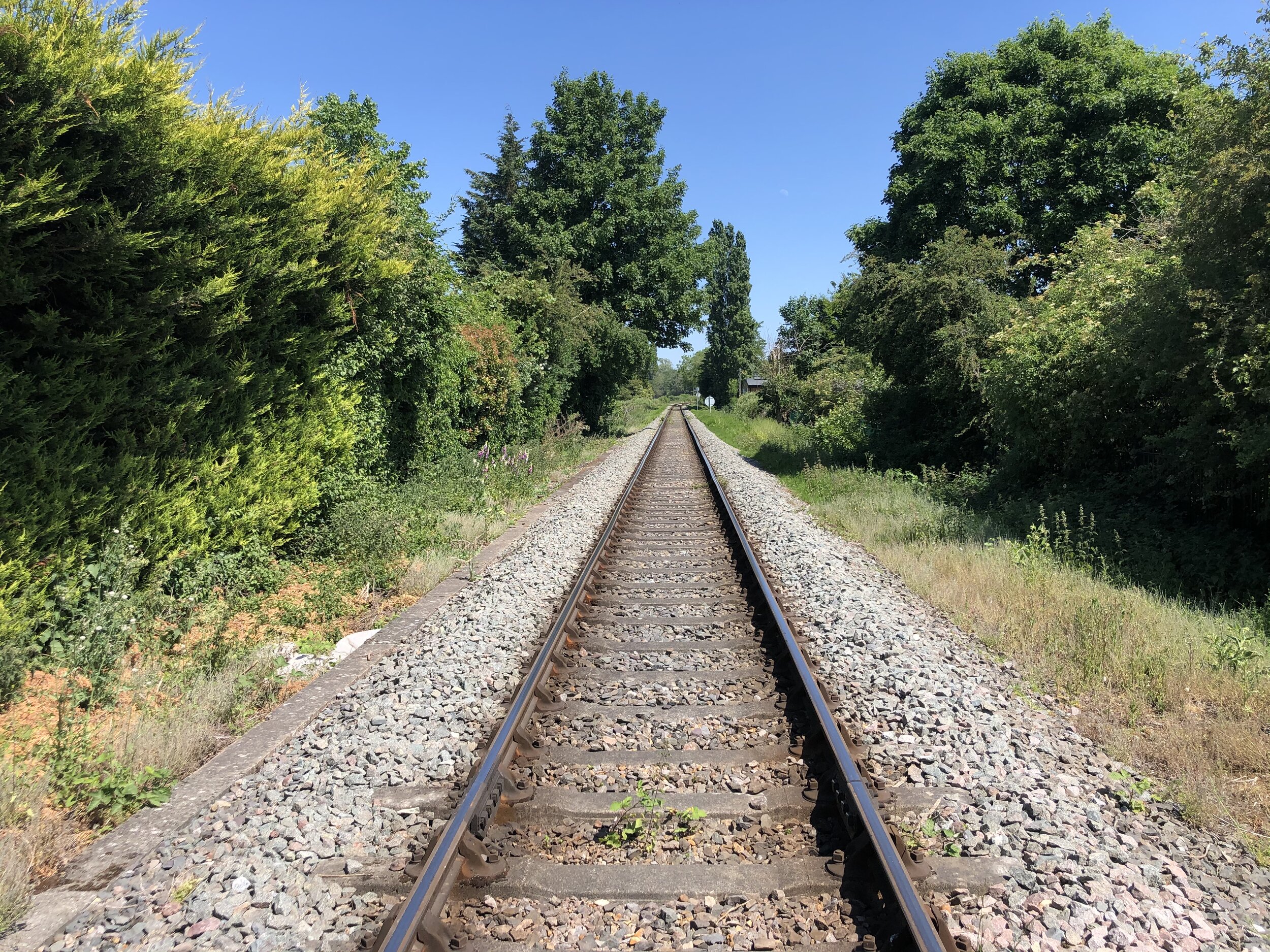
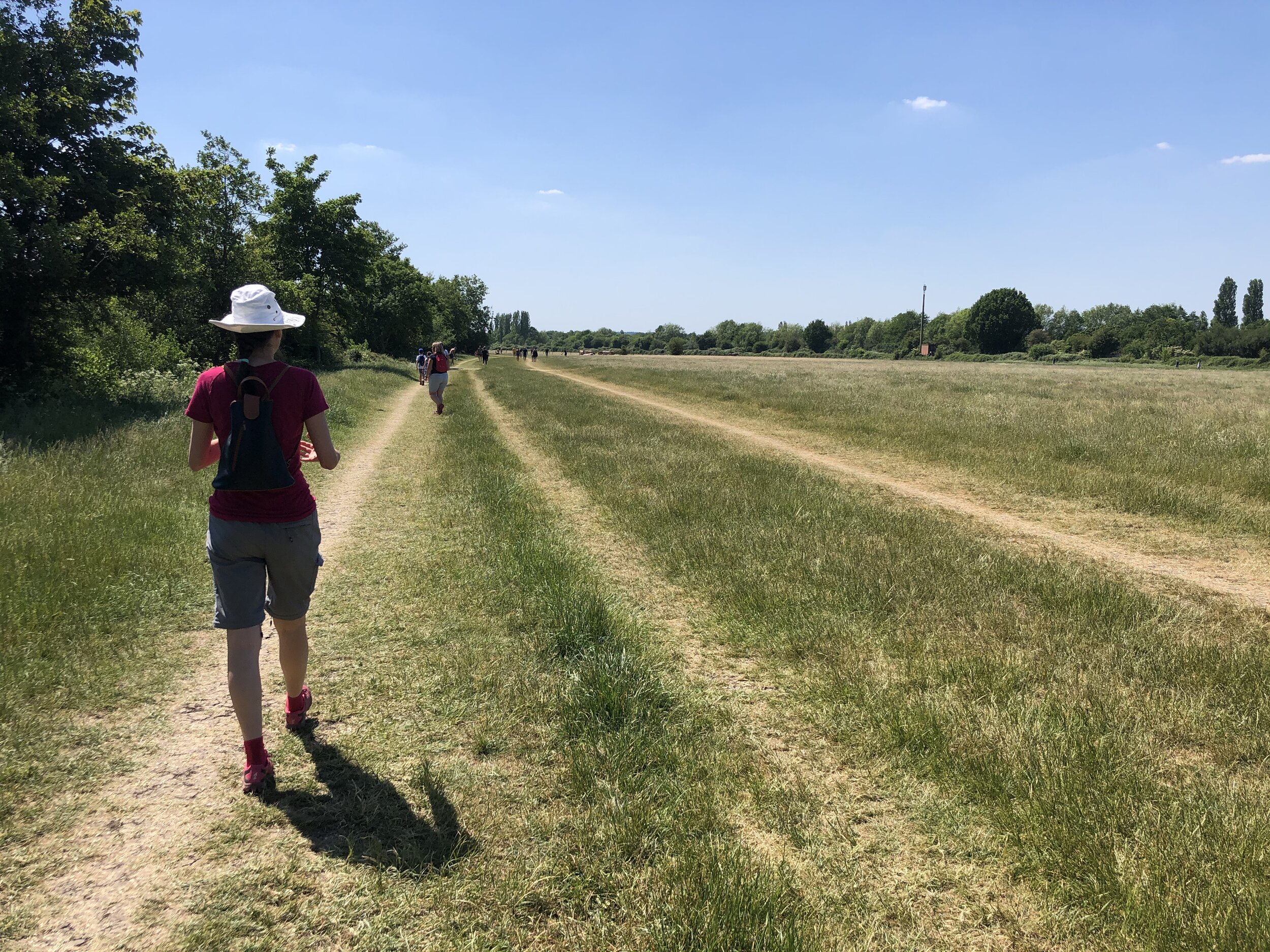
As well as being part of the Shakespeare’s Way collection, we also did it as a continuation of the Wycombe to Bourne End Railway Disused Railway Walk. This time we were following an intact rail line that joins Marlow to Maidenhead via Bourne End. The Maidenhead section will come another time but, for now, we were doing a circular walk based on the “Marlow Donkey” section from Bourne End to Marlow. The notes below describe the anti-clockwise route initially following the train line from Bourne End to Marlow. If you’re following the Shakespeare’s Way collection in a north-west to south-east direction, then reverse the route.

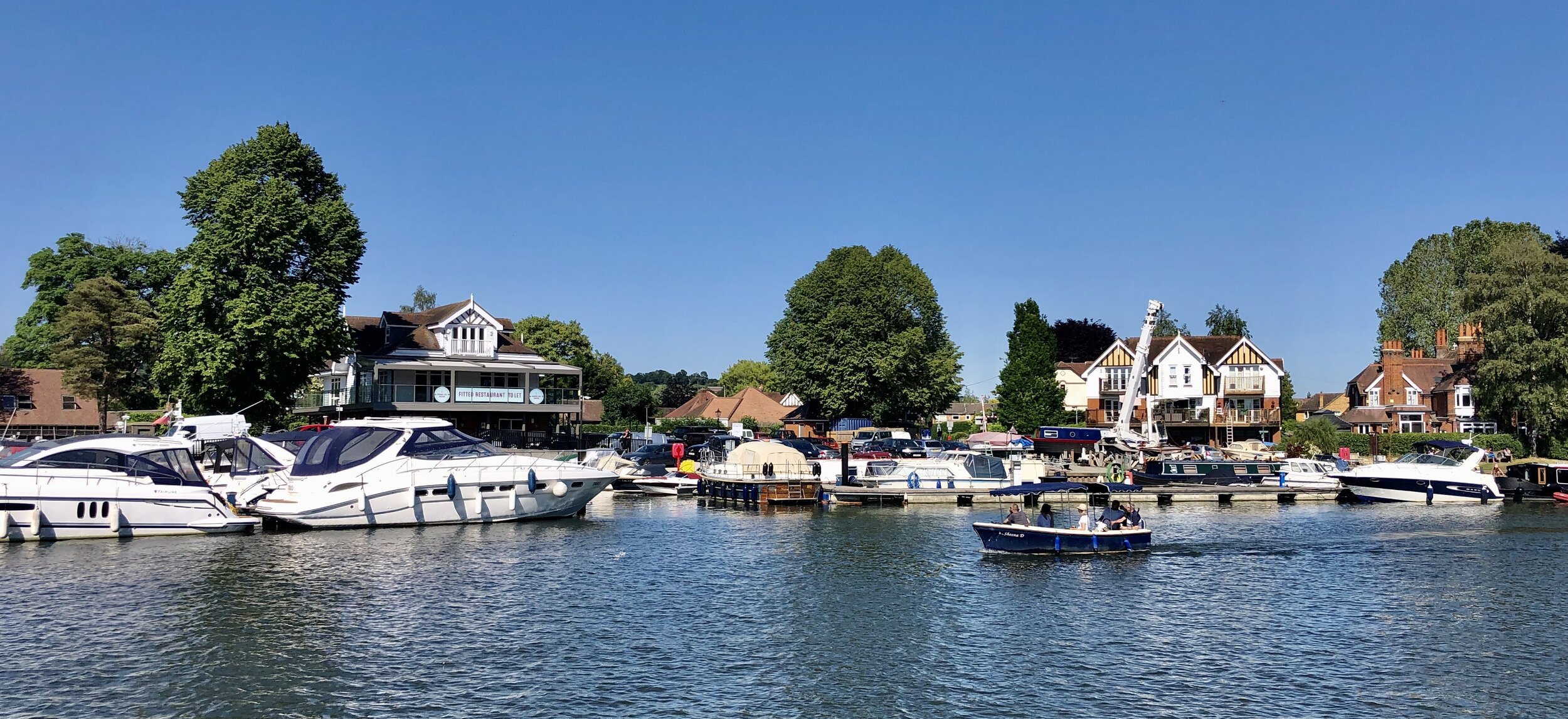
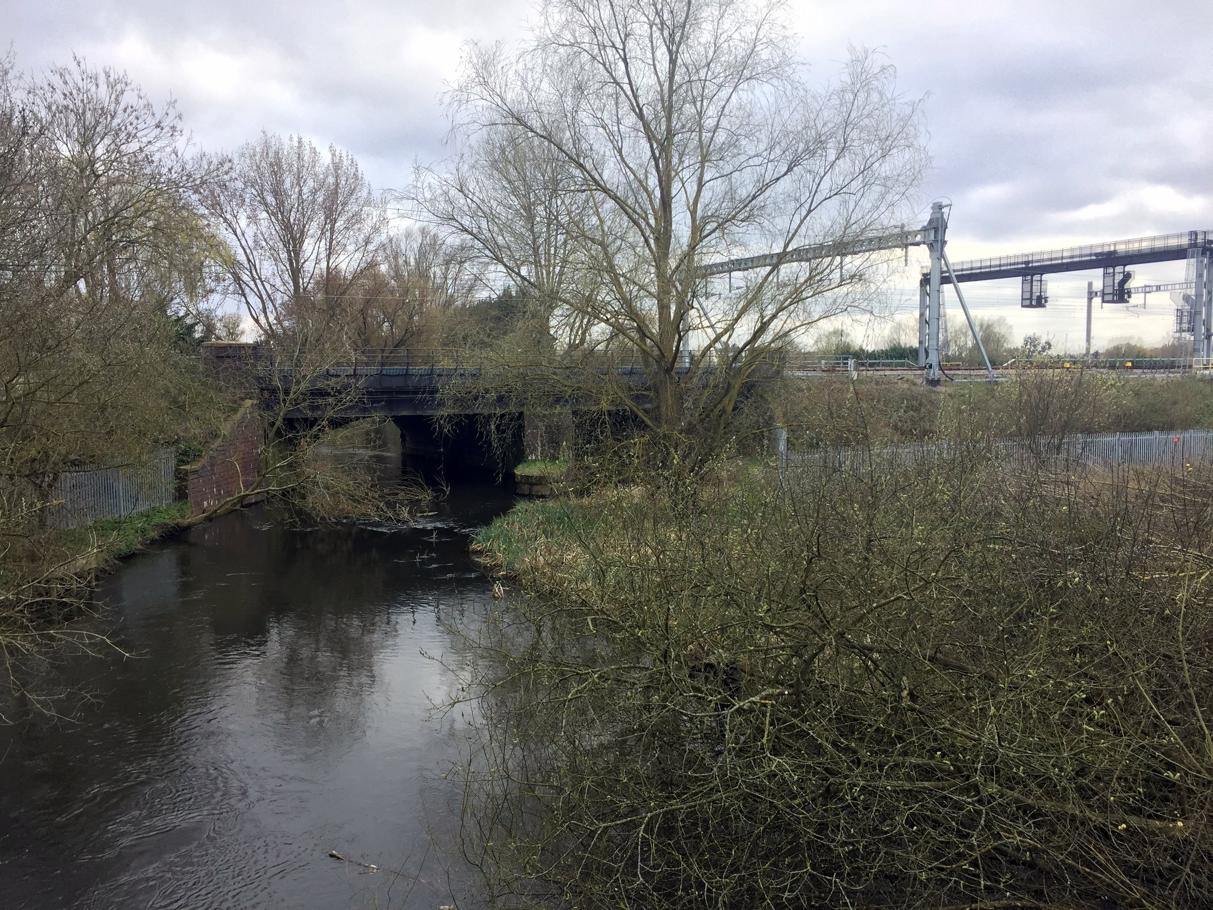
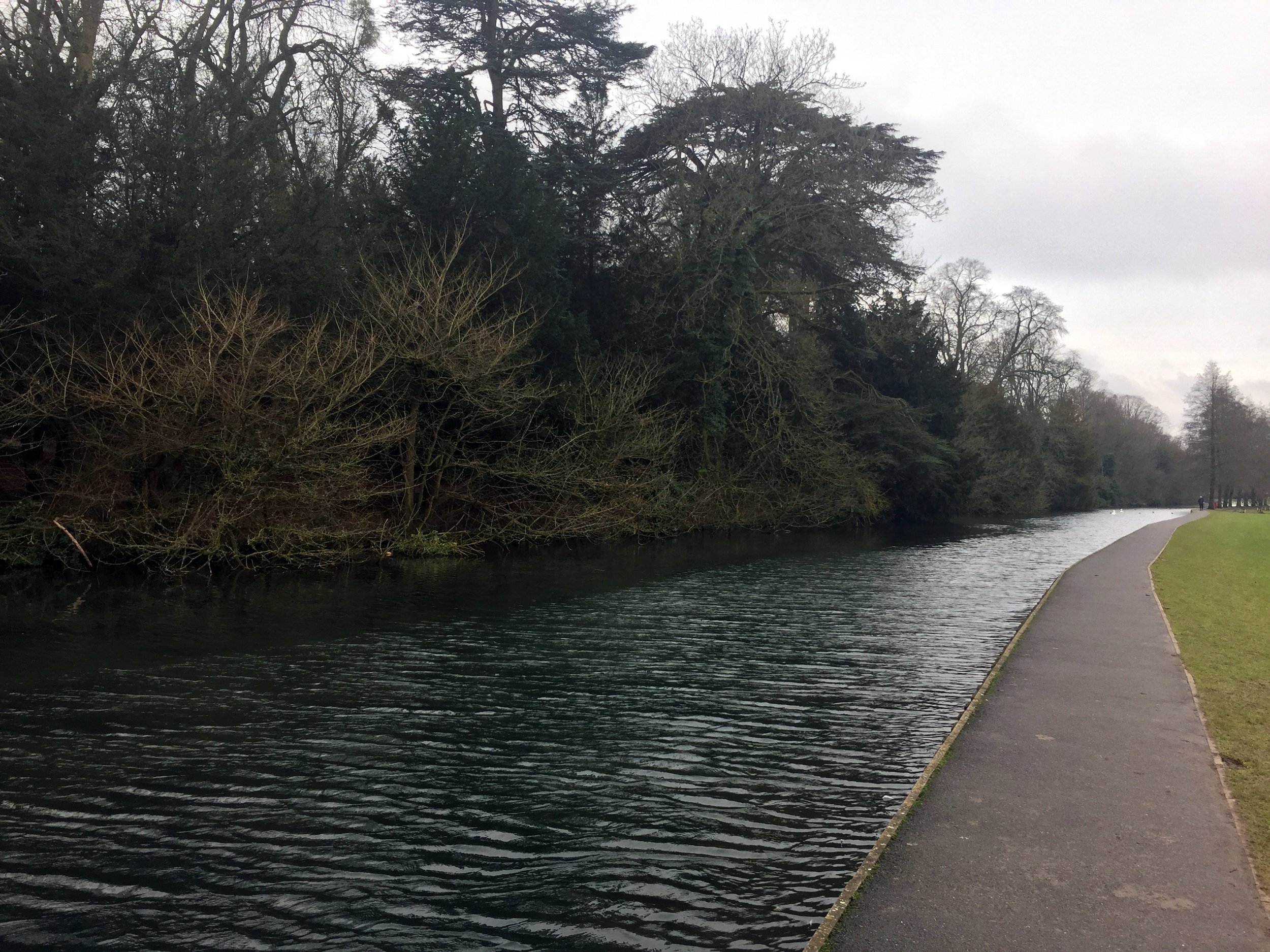
From the car park at Bourne End Station, follow a footpath in a south-westerly direction to meet the bridge where the line to Maidenhead crosses the Thames. The rail line will be on your right and you’ll pass the section where it splits to head north to Marlow. At the river crossing take the stairs down to the Thames path, turn right and cross underneath the railway bridge. Continue along a narrow path to Bourne End Marina. The rail route passes behind some very nice houses on the riverfront and over level crossings connecting the marina to the town centre.

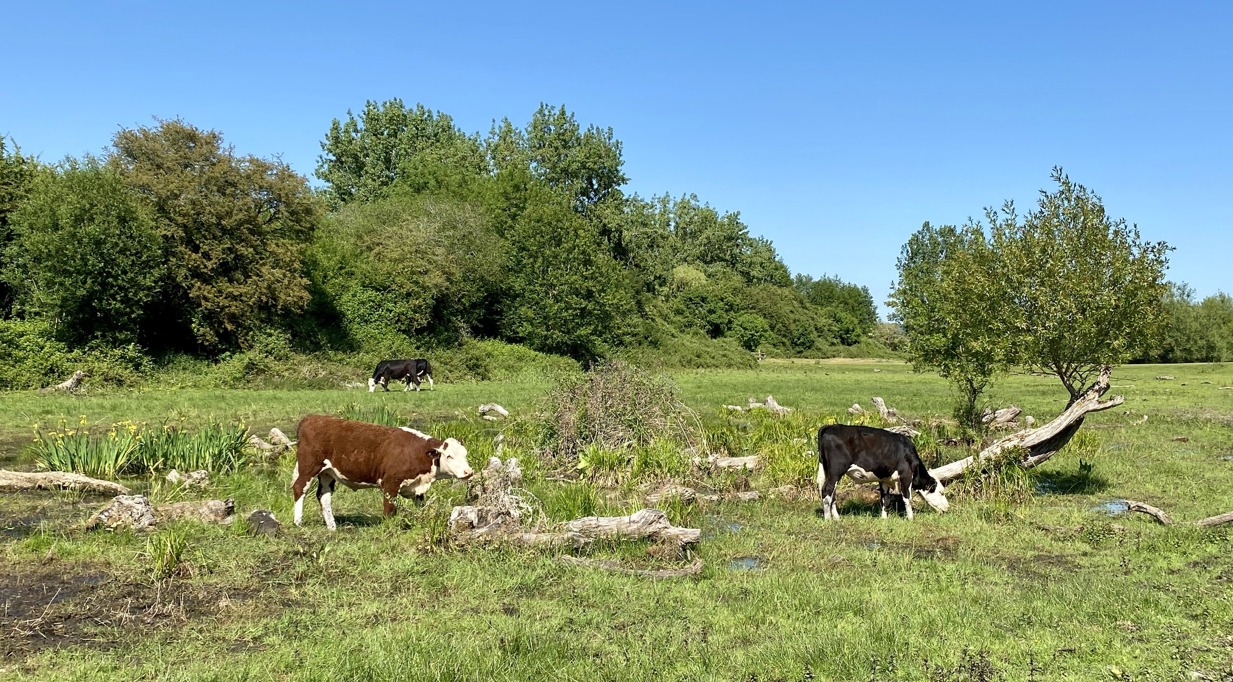
Further along the Thames Path you’ll cross Spade Oak Meadow and cow-filled farmland. The rail line stays close from the river for about 3 km until it curves round to the West at Marlow Rugby Club. At this point you have 2 choices, one to follow the course of the train line to Marlow Station and the other to keep close to the river, following the Thames Path and Shakespeare’s Way. Both options reconnect at Marlow Bridge.

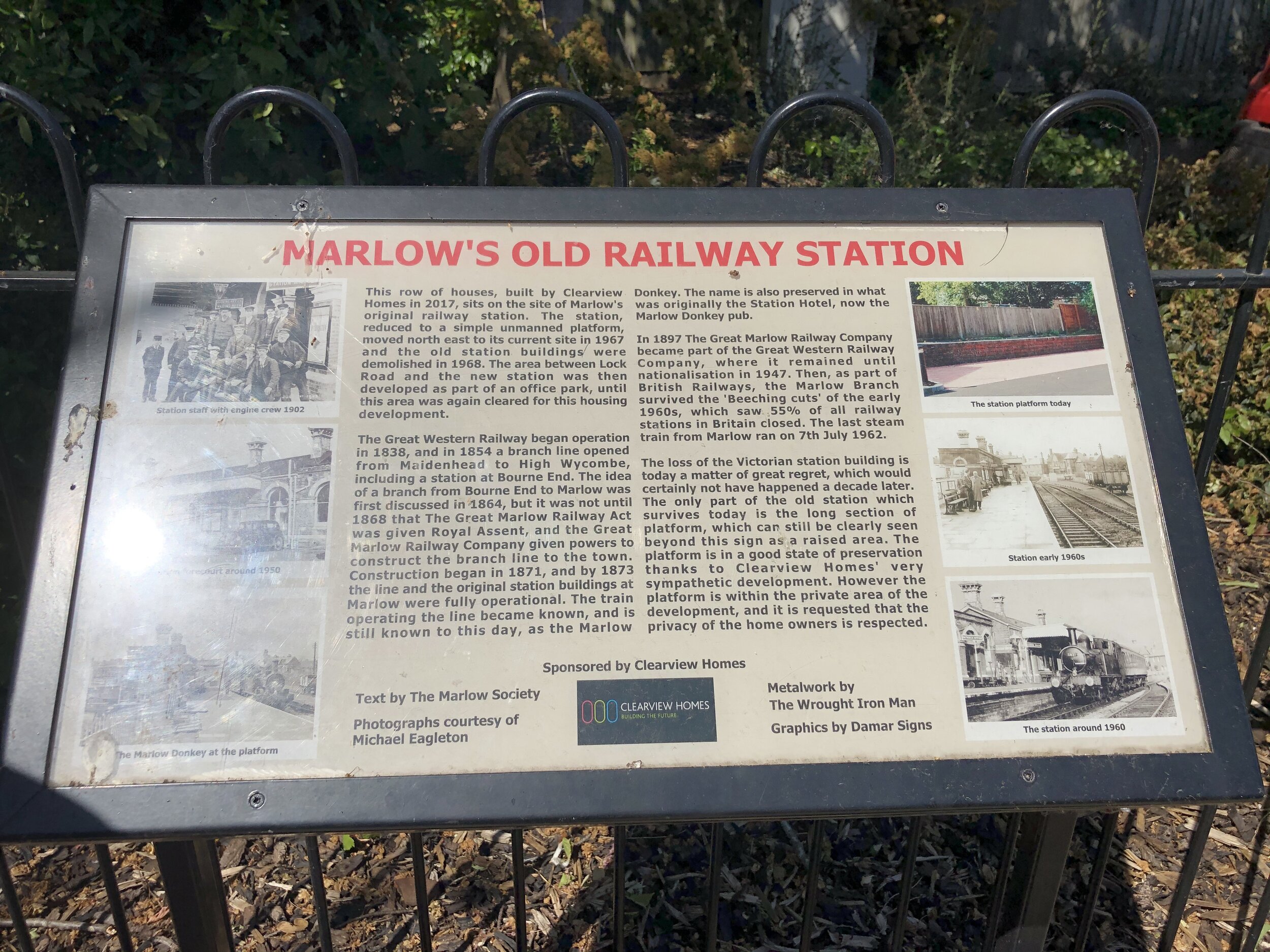
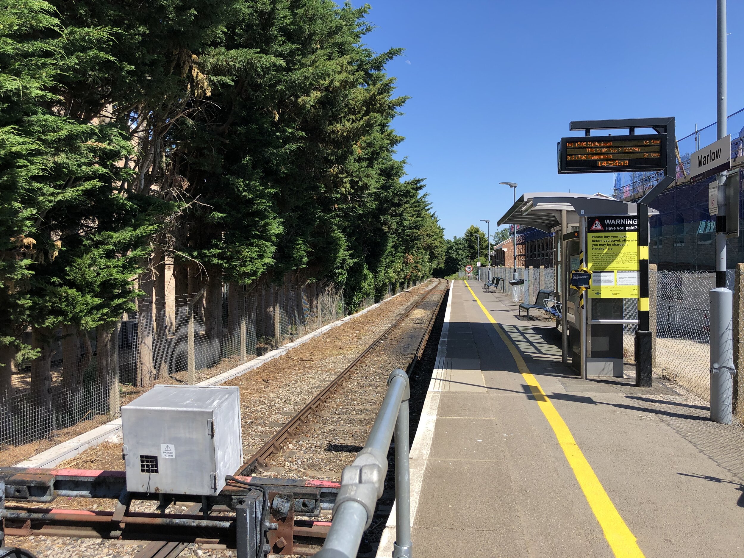
If you’re following the train line, leave the Thames Path to follow a path between the Rugby Club and the rail line. After the A404 underpass the rail line continues behind houses and you’ll need to follow Gosmore Lane, Riverpark Drive and Lock Road to keep as close as possible to the line. The Marlow Donkey Pub sits at the corner of Lock Road and Station Approach. If you divert for a few minutes down Station Approach you can find an information board about the original station on the left hand side and the uninspiring new Marlow Station a bit further down. Back at the Marlow Donkey pub you can continue the walk down Station Road, left onto Mill Road and right onto the Thames Path as it passes through some narrow alleys to the Marlow Road (High Street) at All Saints Church. Take a left here to cross Marlow Bridge.

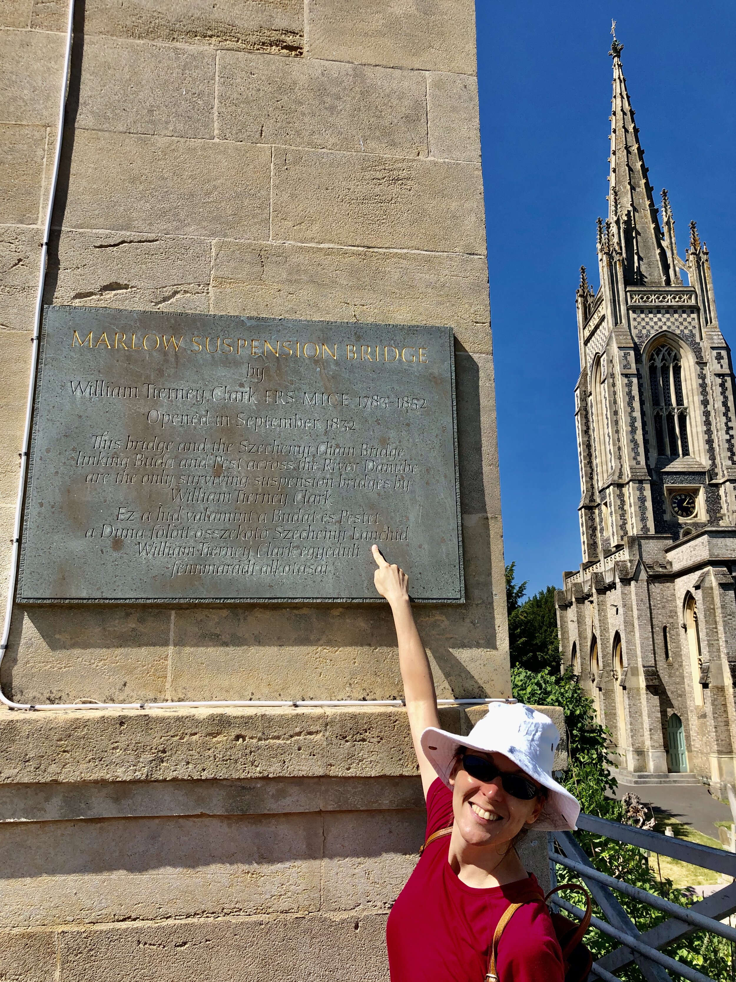
Crossing Marlow Bridge is always a point of interest for us due to Timea’s Hungarian heritage. The bridge was designed by William Tierney Clark and is a smaller version of the Chain Bridge that crosses the Danube in the heart of Budapest. Look out for a plaque on the north-east pillar of Marlow Bridge with text both in English and Hungarian.

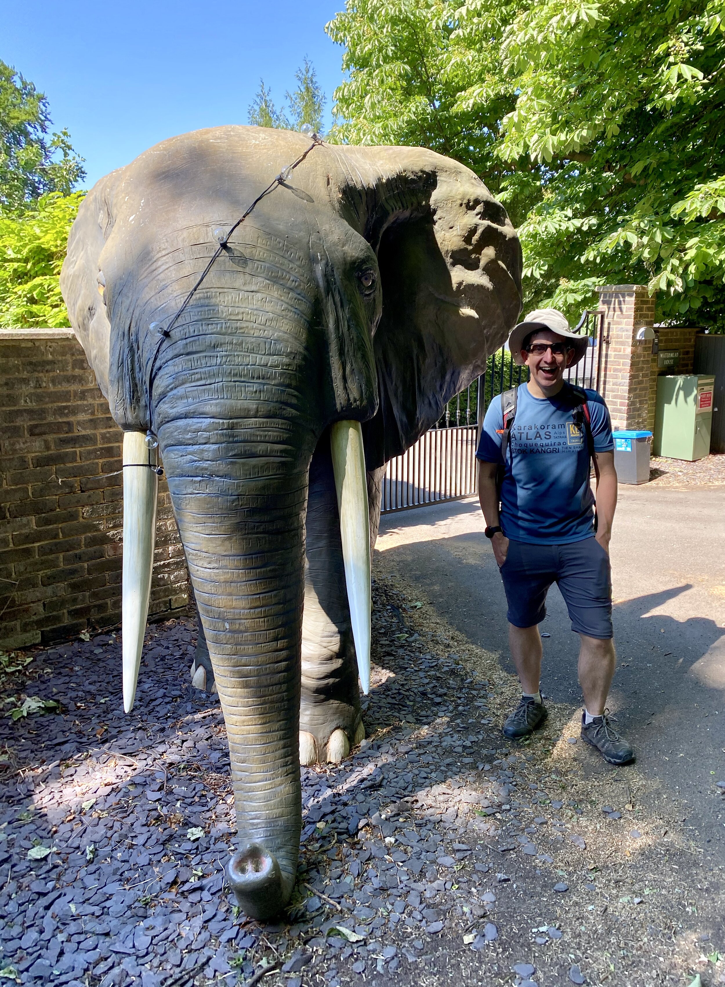
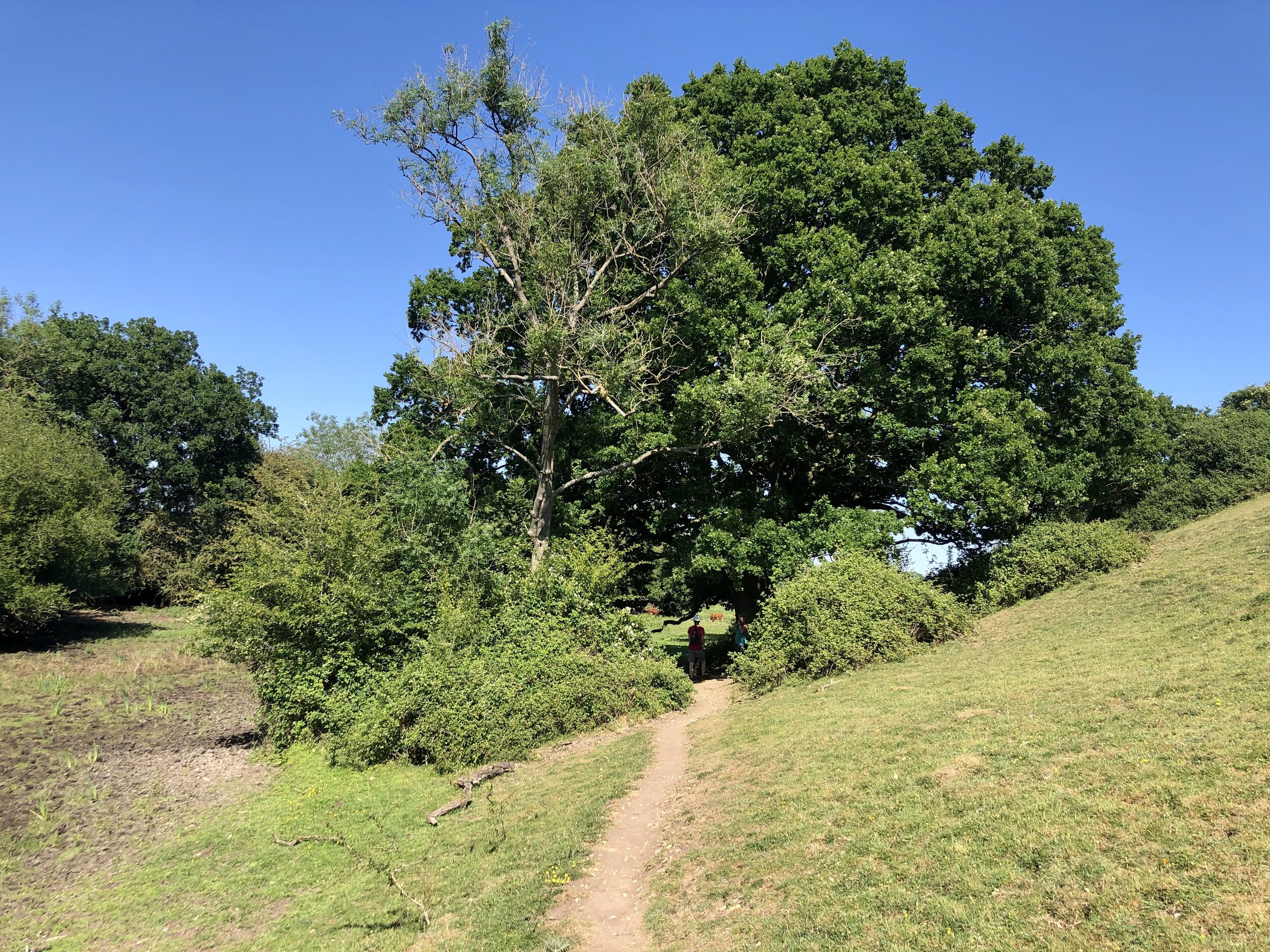
Continuing south after the bridge you’ll pass The Compleat Angler hotel and take a left onto Quarry Wood Road. Continue for ~1 km until the foot of the hill. Be careful of cars here as there’s no pavement in this section. Pass a small bridge over a stream take the left hand footpath at the point where Quarry Wood Road takes a sharp right. From here continue past lovely riverside houses and woodland at the base of Winter Hill. Beware of the elephant!

At ~2.5 km from leaving Quarry Wood Road you’ll see a tall metal footpath sign in the middle of a field and at the bottom of a steep uphill path. Take a sharp left here and continue to the track behind the riverside houses. Continue East along this path following the Thames back to the Bourne End Rail Bridge. The quirky pirate themed Bounty Pub before the bridge is a great place for a drink to celebrate (nearly) completing their loop. To get back to the start at Bourne End Station cross the rail bridge back to the north side of the Thames and retrace your steps from the start of the route.

Part 3 of the Wycombe-Maidenhead Rail Trilogy will come soon with the Bourne End To Maidenhead section.


Shakespeare’s Way previous section (north): Marlow and Harleyford
Shakespeare’s Way next section (south): Bourne End, Cookham and Wooburn

The Chiltern Rivers

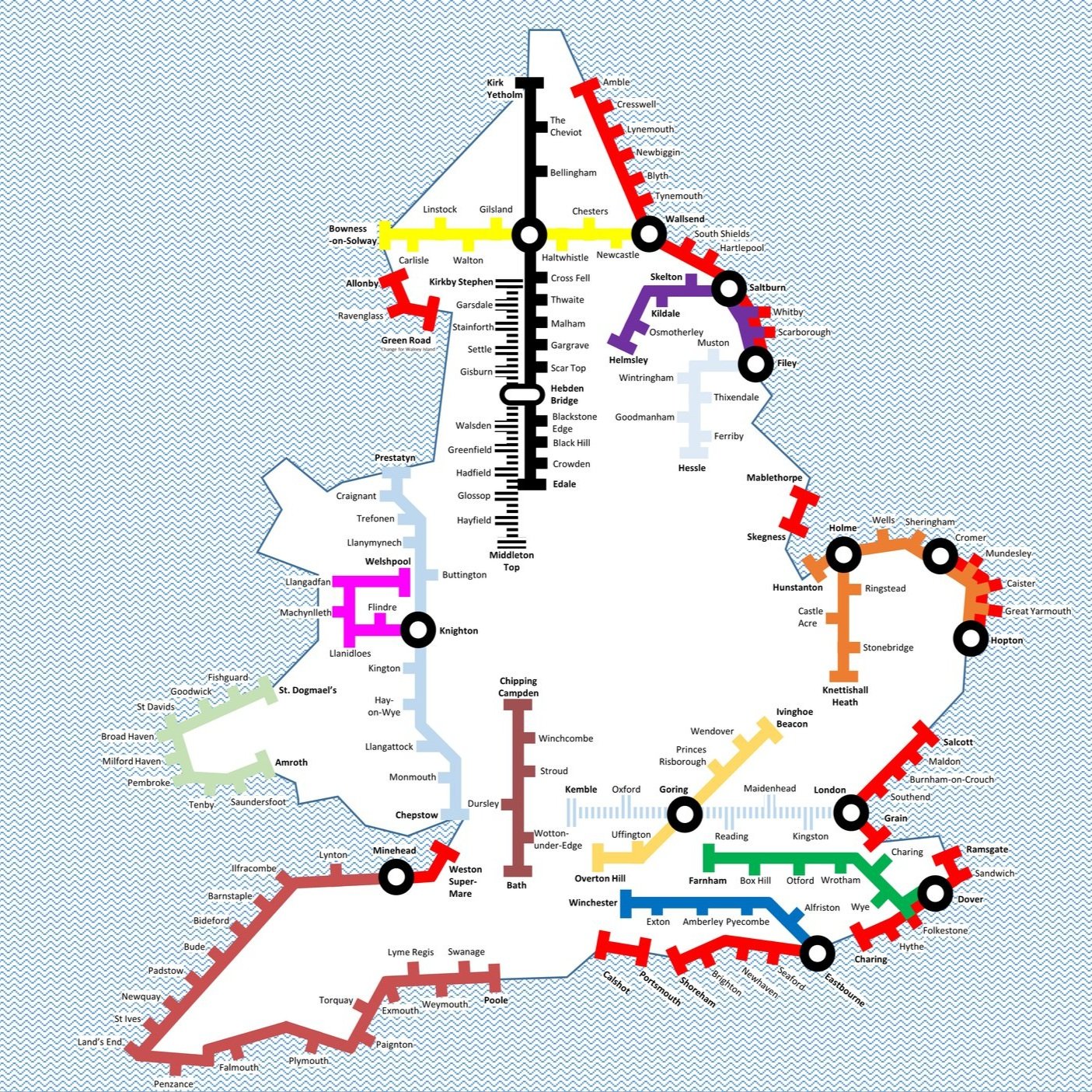
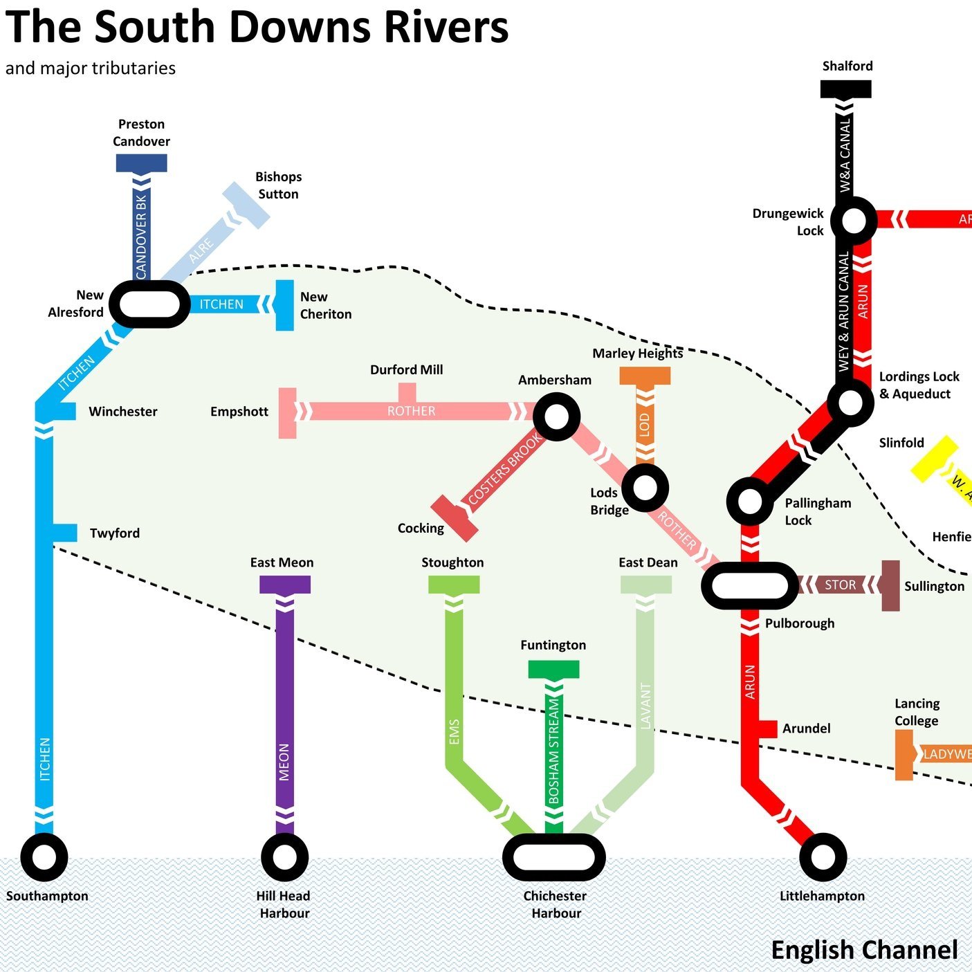
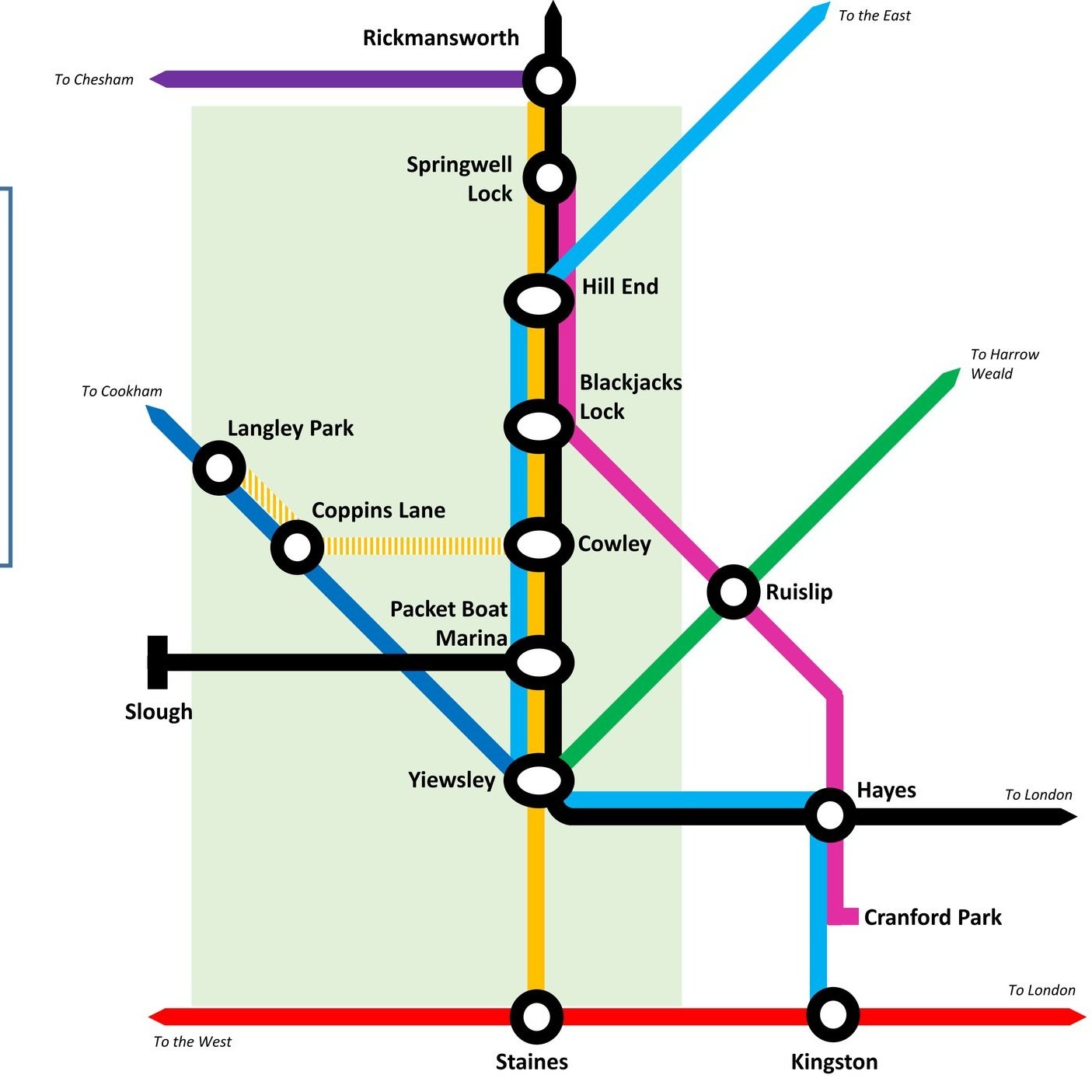
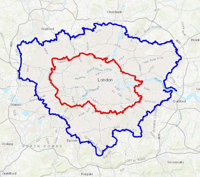
Here’s a Tube-style map of the rivers of the Chiltern Hills AONB and “Greater Chilterns Area”. Let me know if you spot any mistakes and I’ll donate £1 per correction to one of my causes. If you would like a printable PDF version, please Buy Me a Coffee and send me your e-mail via the Contact page. All copies for personal, not commercial use.


It started in 2016 with my Winter Solstice walk along the River Chess. I loved the walk and soon my mind turned to contemplating how many rivers there were in the Chilterns. More importantly, how many of them could be walked, cycled or ran? Over the following few weeks I went on a desk-based adventure researching the source and mouth of every waterway in the area. Unlike the Chess most of them don’t have a well-signed path following them. For these I started planning cycle trips to discover them. These would be circular routes, one section keeping as close as possible to the river, and the other section a return trip along quiet country lanes.

Each trip took me to places I’d not been to before. It also taught me a lot about the geography of an area that I’d grown up near but knew little about. I could see first hand how the rivers formed the valleys that cut through the chalk hills. I also discovered how many of the towns and villages that I knew so well were named after the river that runs through them.

The tricky part what knowing when the adventure would come to an end. Every time I got close I discovered a new stream that I never heard of and had to find that one too. I also had to make a decision about what would classify as a Chiltern River. The main criteria was that either the source had to be in the Chiltern Hills AONB and / or most of the river’s length had to be through the Greater Chilterns area. Some didn’t quite match this but I included them anyway. The Lea, for example, originates North of Luton in the gap between the 2 sections of the AONB. From here it flows away from the Chilterns to meet the Thames on the other side of London. It still felt like a Chiltern River though so I included it. I’m very happy that I did as the cycle trip along it was one of the most enjoyable of the set.

There’s a few that I didn’t include. The Flit and the Hiz both touch the Greater Chilterns area but originate outside of it. I may explore them later but for now I’m happy to give them a miss. I’m sure that there will be other rivers, streams or waterways that I have missed. If you know of any and have a recommendation for an adventure that includes them, post a note in the comments section below.

Scroll down for maps, links to blog posts for each river-based trip and a section on Chilterns towns that take their names from the rivers.


Click on the linked river name below to see the blog post for each river-based trip.

  • Alderbourne: Source in Fulmer, runs ~5 miles to the Colne Brook at Iver Heath, Buckinghamshire

  • Ash: Splits from the Colne on Staines Moor, runs ~6.2 miles to meet the Thames at Walton-on-Thames, Surrey

  • Assendon Stream: Source in Stonor, runs ~4 miles to the River Thames at Henley-on-Thames, Oxfordshire

  • Bulbourne: Source at Cow Roast, runs ~7 miles to the River Gade at Two Waters, Apsley, Hertfordshire

  • Chess: Source in Chesham Vale, Buckinghamshire, runs ~11 miles to the River Colne at Rickmansworth, Hertfordshire

  • Colne: Source near North Mymms, Hertfordshire, runs ~11.2 miles to the the Thames at Staines, Surrey

  • Colne Brook: Splits from the Colne at Uxbridge Moor, Greater London, runs ~9 miles to the Thames at Hythe End near Staines, Surrey

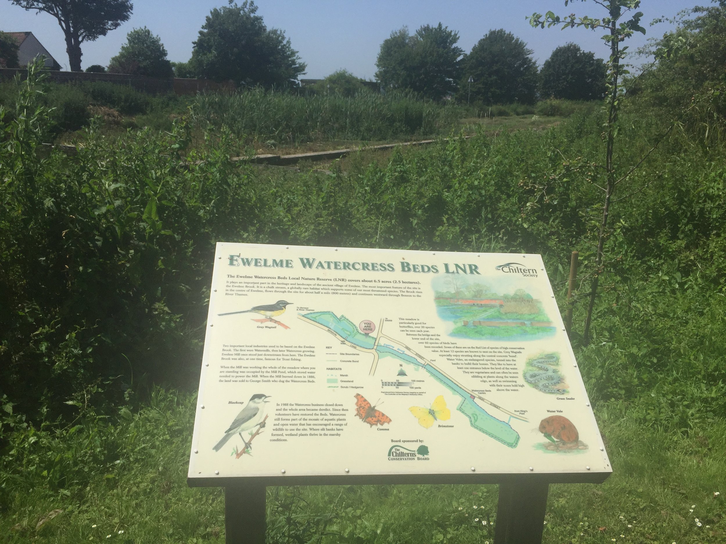
  • Ewelme Brook: Source in Ewelme Village, runs ~2 miles to the Thames near Benson Lock, Oxfordshire

  • Frays River: Splits from the Colne at West Drayton, Greater London, runs ~5.5 miles and rejoins the Colne near Staines, Surrey

  • Gade: Source at Dagnall, Buckinghamshire, runs ~16 miles to the Colne at Rickmansworth, Hertfordshire

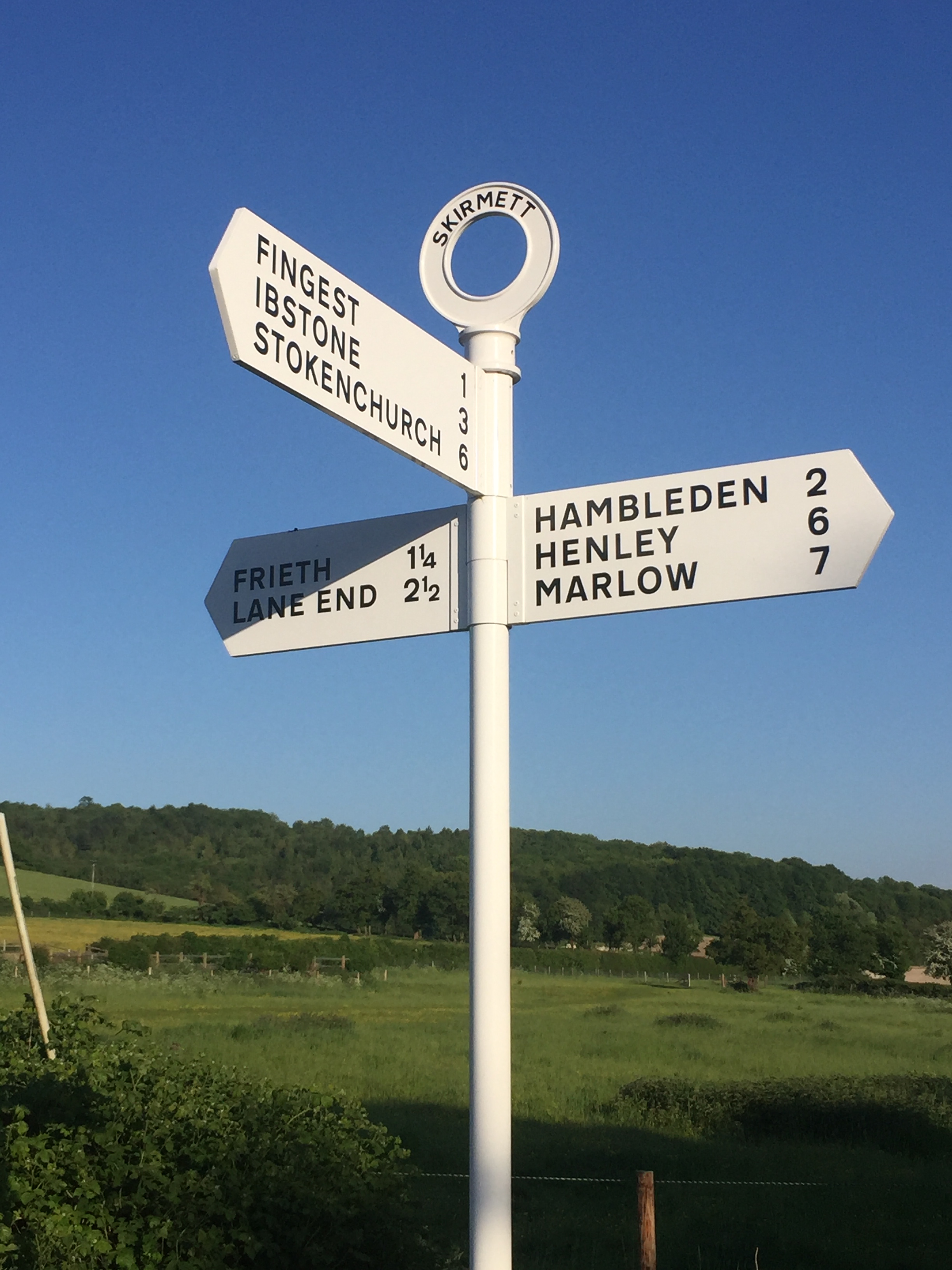
  • Hambleden Brook: Source at Skirmett, runs 4.1 miles to meet the Thames at Mill End, Buckinghamshire

  • Hugenden Stream: Sourced from springs near Hughenden Village, runs ~2.2 miles to meet the Wye in High Wycombe

  • Lea: Source in Leagrave, Bedfordshire, runs 42 miles to meet the Thames at Leamouth, Greater London

  • Mimram: Source near Whitwell, runs 12 miles to the River Lea at Hertford, Hertfordshire

  • Misbourne: Source at Great Missenden, runs ~17 miles to the Colne at Denham, Buckinghamshire

  • Ouzel: Source at Dagnall, runs 20 miles to join the River Great Ouse at Newport Pagnell, Buckinghamshire

  • Pinn: Source at Pinner, runs approx, 11.4 miles joining the Grand Union and the Frays at Yiewsley, Greater London

  • Wraysbury: Splits from the Colne at West Drayton, runs ~5.5 miles and rejoins the Colne near the confluence with the Thames at Staines, Surrey

  • Ver: Source at Kensworth, Bedfordshire, runs ~15 miles to the Colne at Bricket Wood, Hertfordshire

  • Wye: Source at Bradenham, runs 9 miles to the Thames at Bourne End, Buckinghamshire


Canals & other man made waterways

Wendover Arm Canal

Wendover Arm Canal


Chilterns Towns Taking Their Name from the Rivers.

  • Ashford - River Ash

  • Bricket Wood - Rivers Ver and Colne: "Bright-coloured small island or piece of marshland"

  • Bourne End (Buckinghamshire) - River Wye

  • Bourne End (Hertfordshire) - Bourne Gutter, a short stream that flows into the Bulbourne near Hemel Hempstead

  • Chalfont St. Giles - River Misbourne. Chalfont means "spring frequented by calves"

  • Chalfont St. Peter - River Misbourne. Chalfont means "spring frequented by calves"

  • Colnebrook - Colne Brook (obviously)

  • Colney - River Colne. Also London Colney, Colney Heath

  • Fordbridge - River Ash

  • Fulmer - Alderbourne. Means "Mere or lake frequented by birds", possibly due to the small lakes feeding the river at the end of Framewood Road

  • Gadebridge - River Gade

  • Great Gaddesden - River Gade

  • Great Missenden - River Misbourne

  • Halliford (Upper and Lower) - River Ash. Means “holy ford”

  • Little Missenden - River Misbourne

  • Leagrave - River Lee (possibly - alternative meaning exist that are not connected to the river)

  • Longford - River Colne and Wraysbury: "Long Ford across the river"

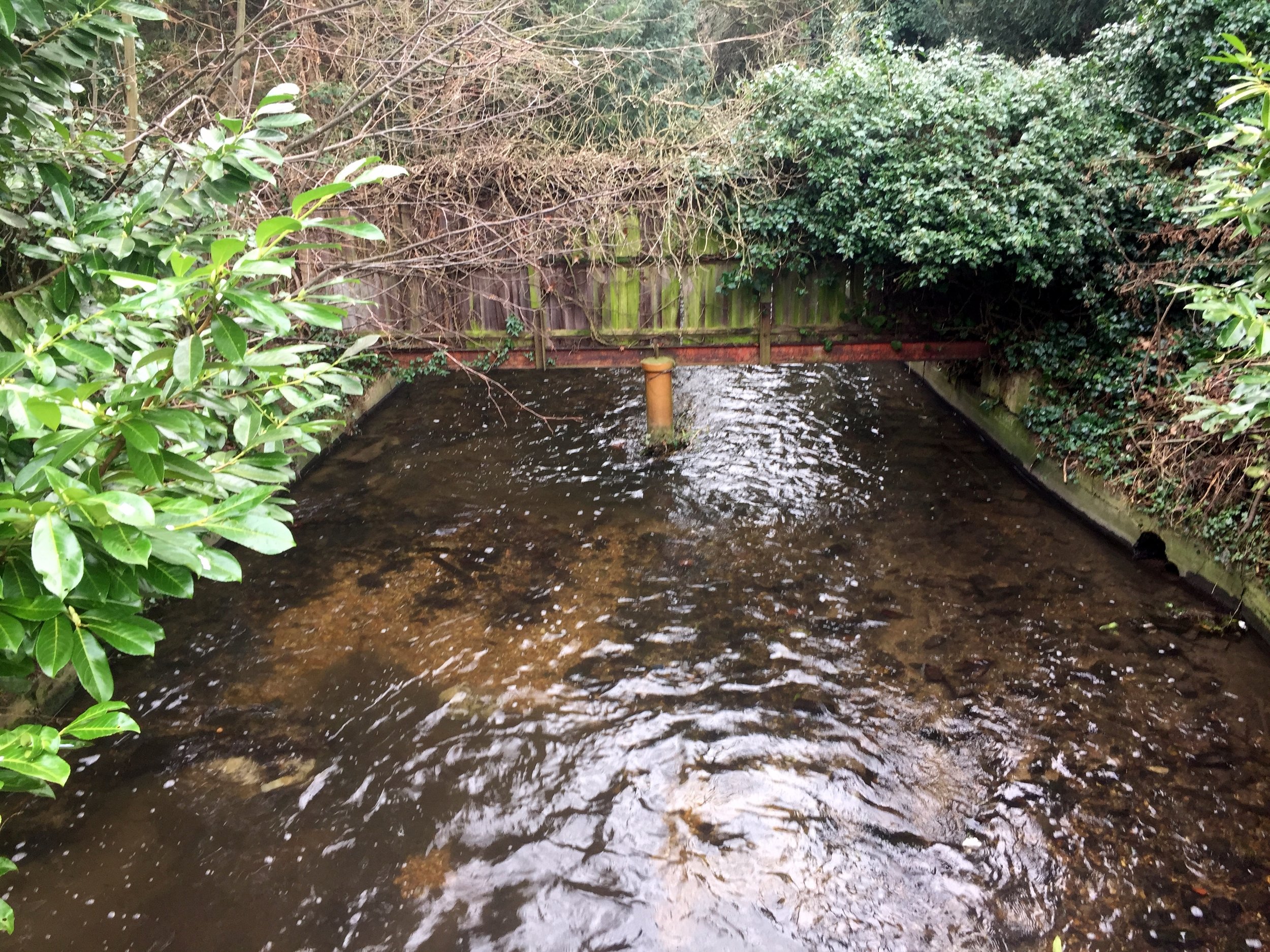
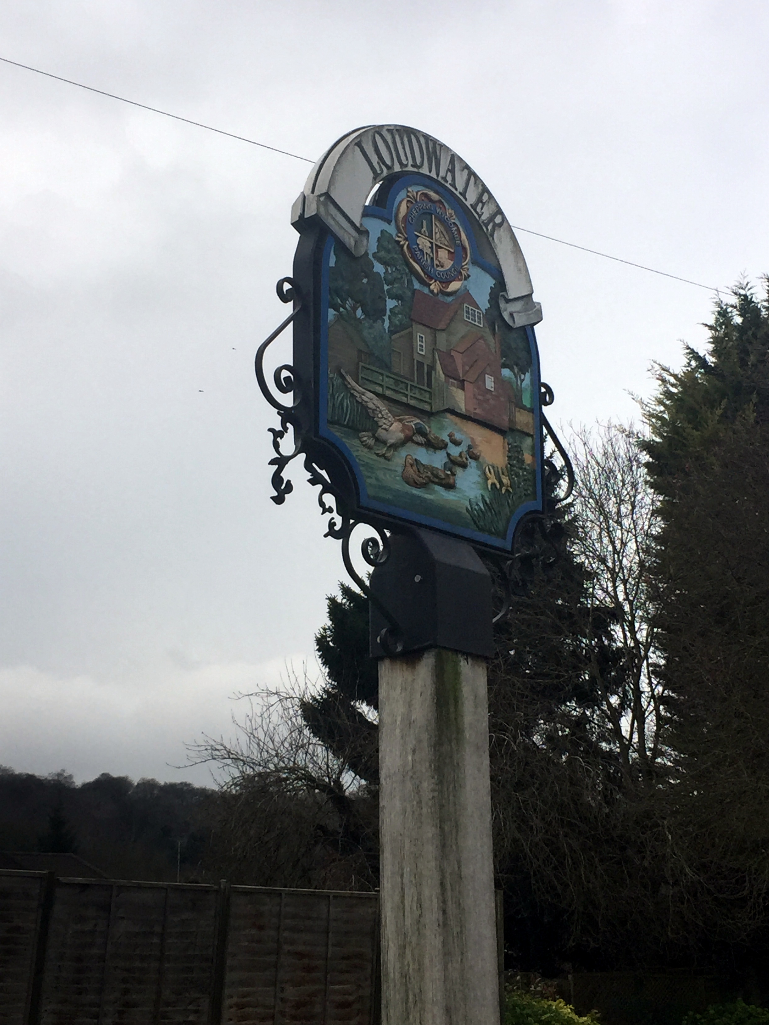
  • Loudwater - River Wye

  • Luton - River Lee: "Farmstead on the River Lee"

  • Pinner - River Pinn

  • Redbourne - River Ver: "reedy stream", reedy could be a derivation of Reade who owned the manor in the 16th century

  • Ruislip - River Pinn (could also be Yeading Brook): "leaping place across a river where rushes grow"

  • High Wycombe - River Wye

  • St Albans (Roman name = Verulamium) - River Ver

  • Stanwell - River Colne - "Stoney spring or stream"

  • Two Waters - Rivers Gade and Bulbourne

  • Watford - River Colne - "Ford used when hunting"

  • Wooburn Green - River Wye

  • Wraysbury - Wraysbury River. River could be named after the town. Strangely the river doesn't go through the town, although the Colne Brook Does

  • Uxbridge - River Colne: "Bridge of the tribe called the Wixan"

Primary sources: A Dictionary of British Place Names (Mills) and Wikipedia


Tube-style Maps


Cycling The NCN Route 4


ConnectING Routes


Cycling The Ewelme Brook
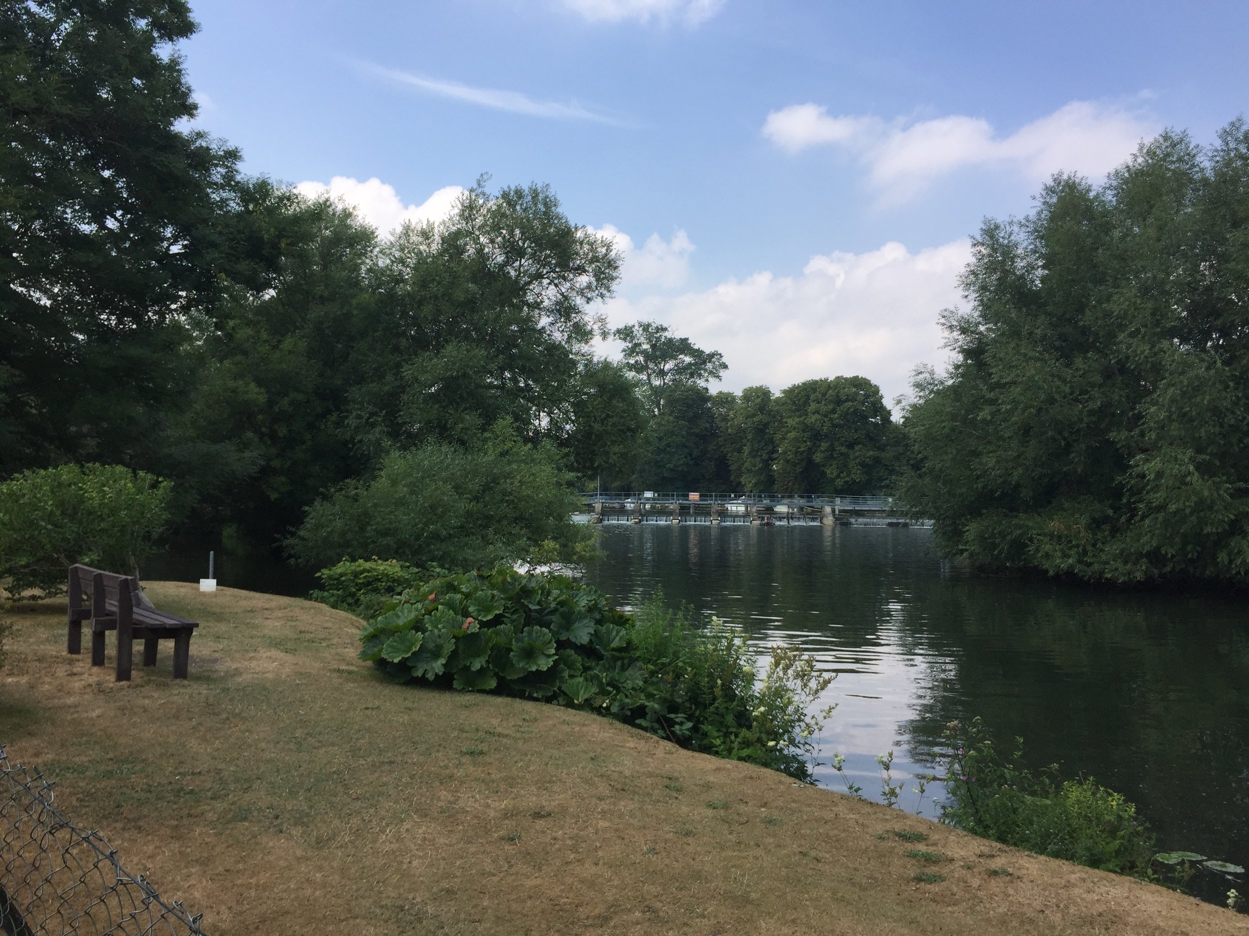
Weir near Benson Lock

Weir near Benson Lock


Part of the Chiltern Rivers Series
River start:
Ewelme Village, Oxfordshire
River end: Confluence with the Thames just North of Benson Lock
River length: 3.7 km (2.3 miles)
Cycle route start / end: Circular from parking space near pond in Ewelme Village
Cycle route length: 12 km (~7.5 miles)
Cycle route elevation change: +/- 130m
GPX File: get via Buy Me a Coffee
Other routes touched (walk): Thames Path
Other routes touched (cycle): Chilterns Cycleway
Map: OS Explorer Map (171) Chiltern Hills West, Henley-on-Thames and Wallingford
Links: Ewelme, Benson, RAF Benson, South Chilterns Catchment Partnership: Ewelme Stream


After my New Years trip along the Mimram I was happy to claim my Chilterns Rivers project completed. Then I remembered the Ewelme Brook .... and then discovered the Ouzel too. This project would take a bit longer.

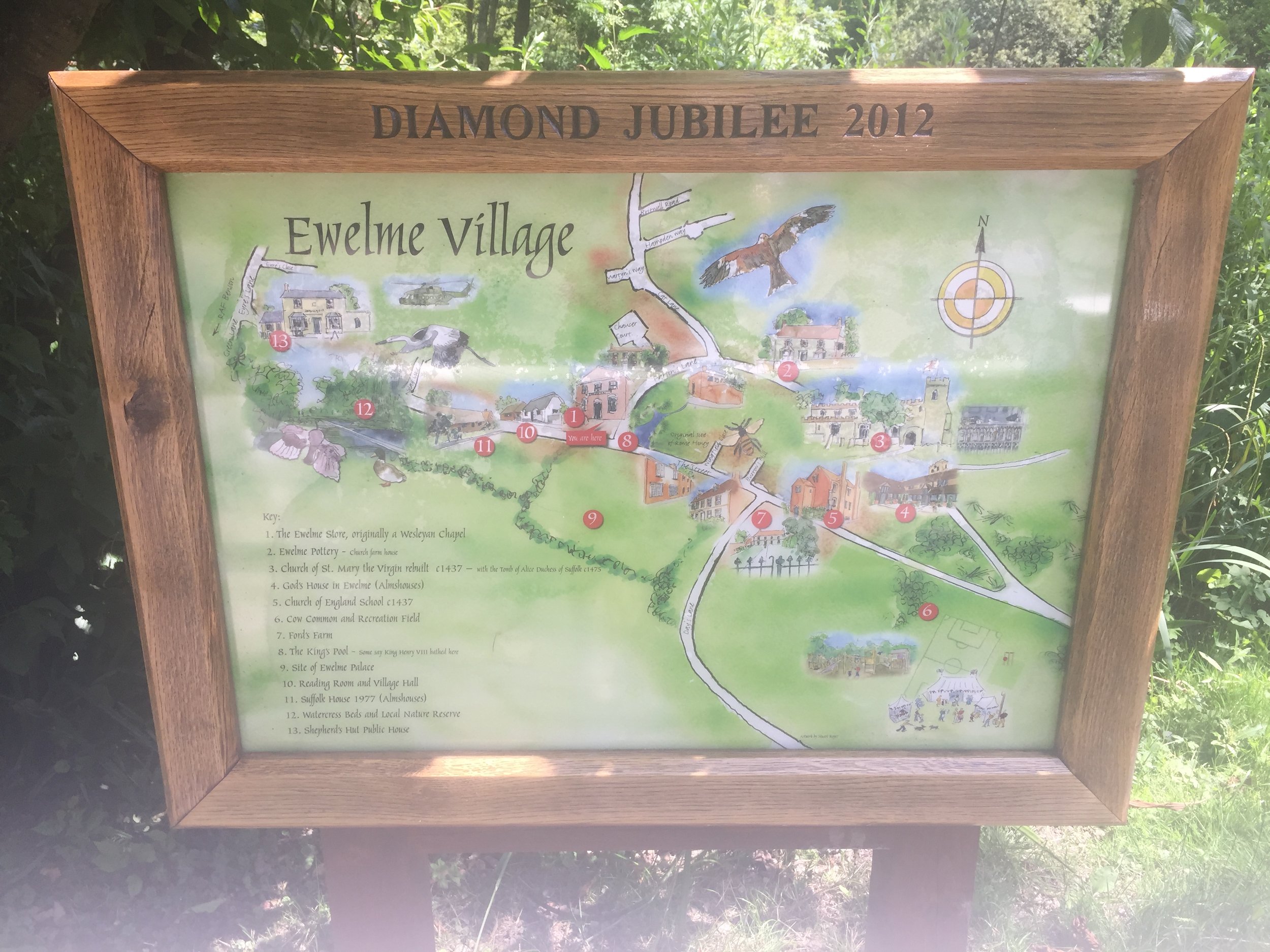
Even after remembering the Ewelme Brook I nearly didn’t bother going there. It’s only 2 miles long and it's on the far Western edge of Chilterns. Didn’t really seem worth the effort of getting there. It was only the coincidence of doing a tourist visit to a nearby parkrun that got me there.

I was so glad I did. It’s beautiful. Ewelme is a lovely Chilterns village most people have never heard of. Given the low readership of my blog that likely to remain the case for a while. Having said that, Ewelme was an unlikely location for a recent episode of Black Mirror so it may be attracting more geeks like me.

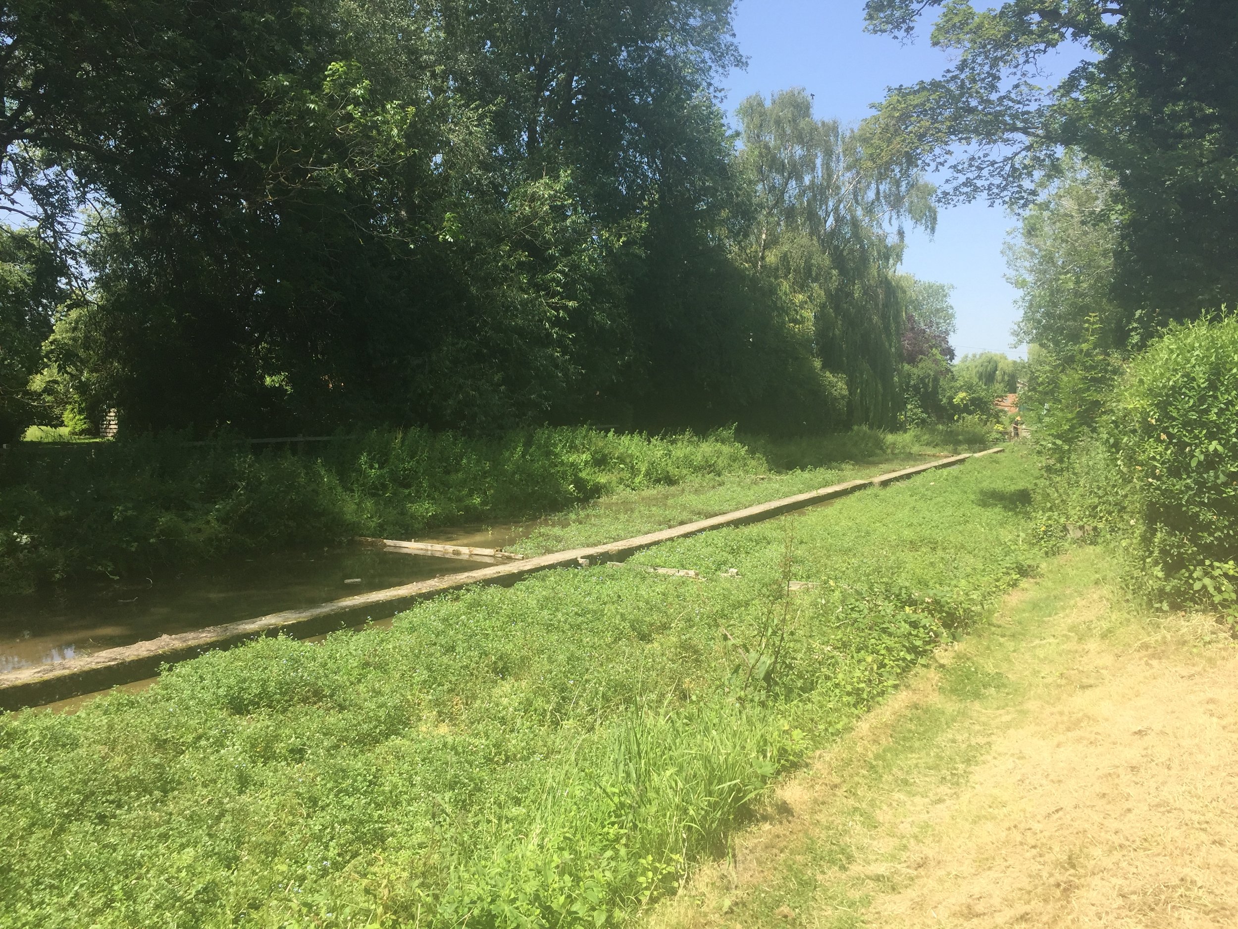
There’s not a lot online about the Ewelme Brook so I wasn’t sure where the exact source was. The village pond seemed like a good a place as any to start and it more or less matched the start of the Brook on the map.

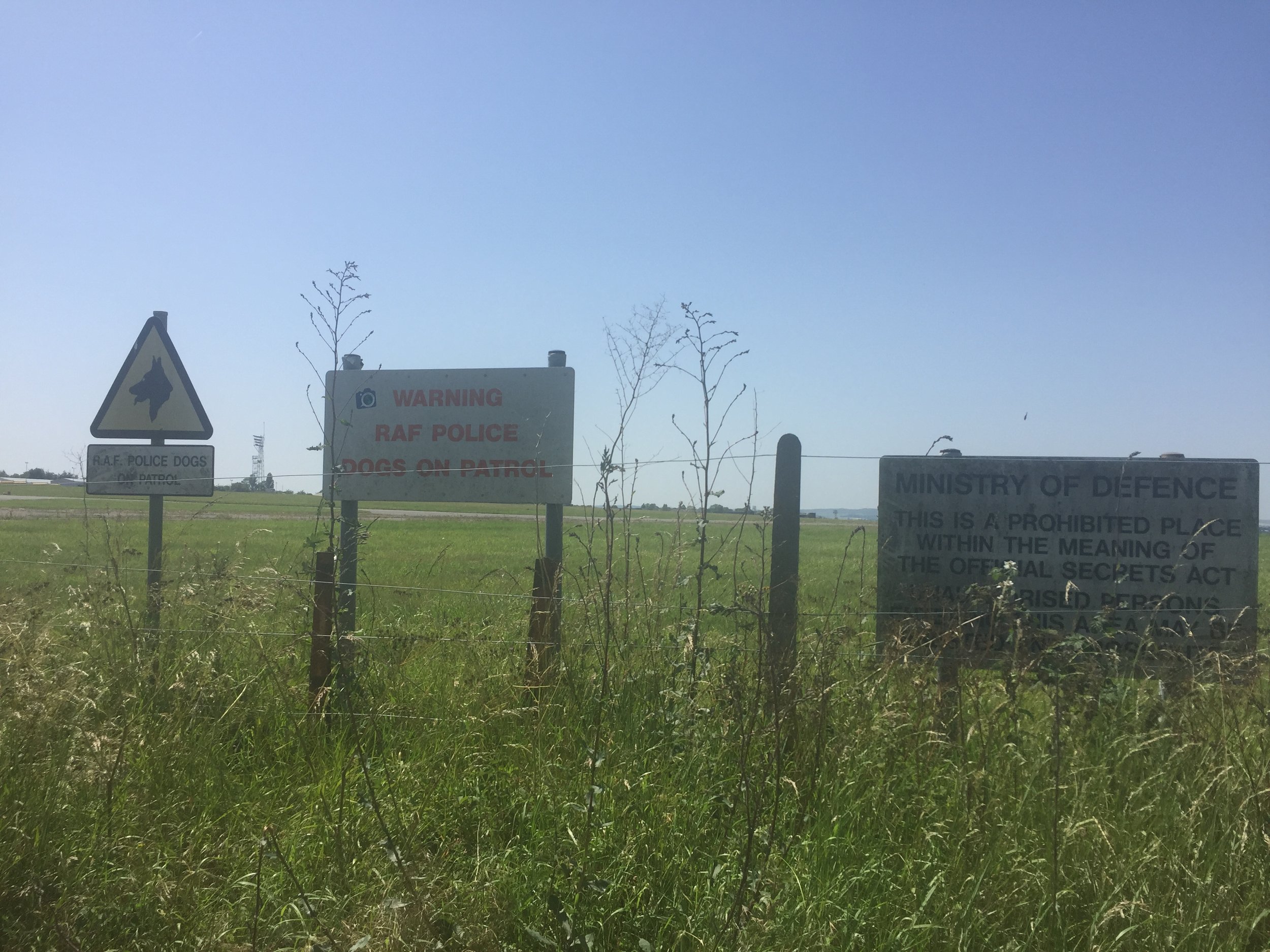
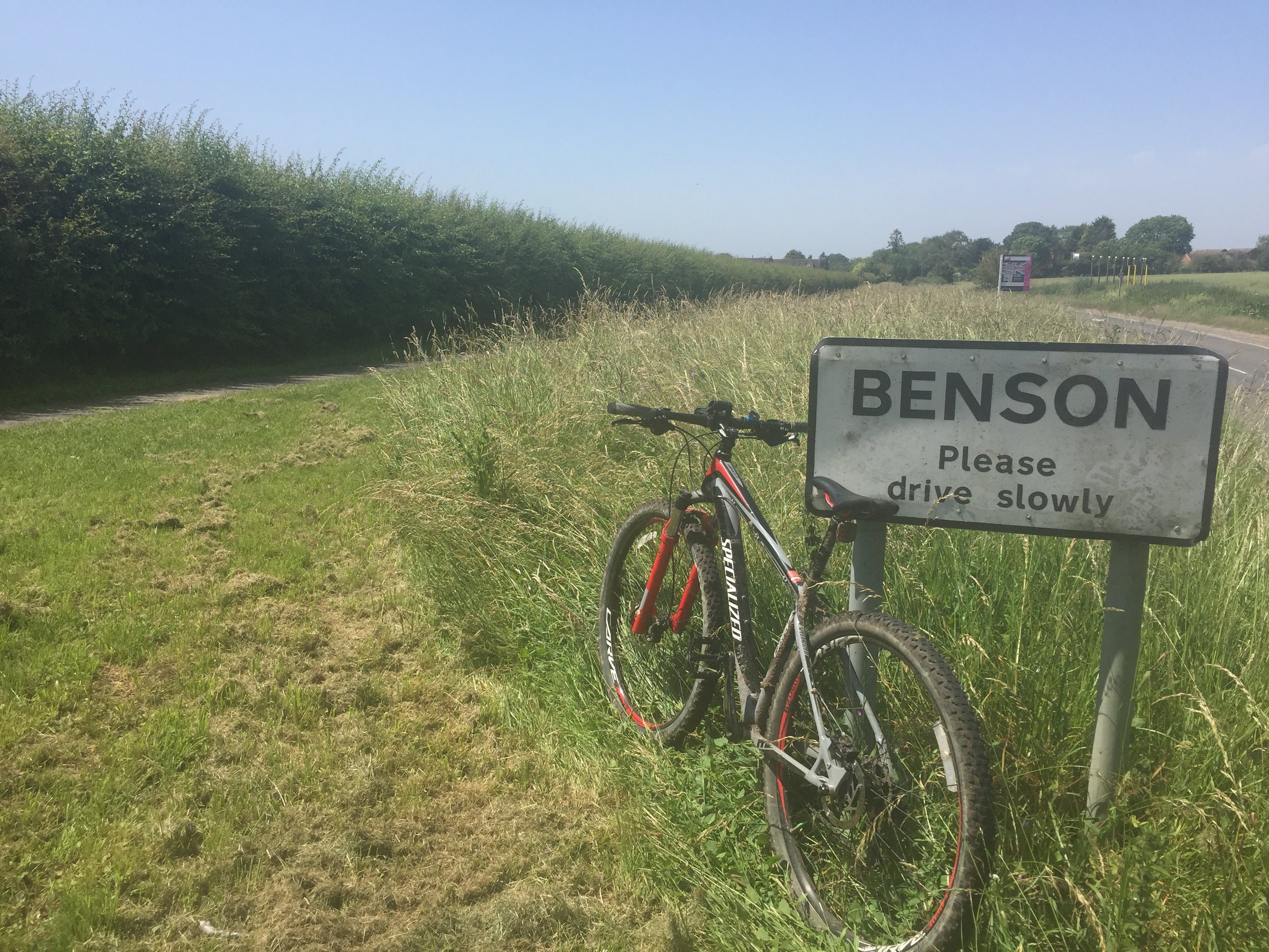
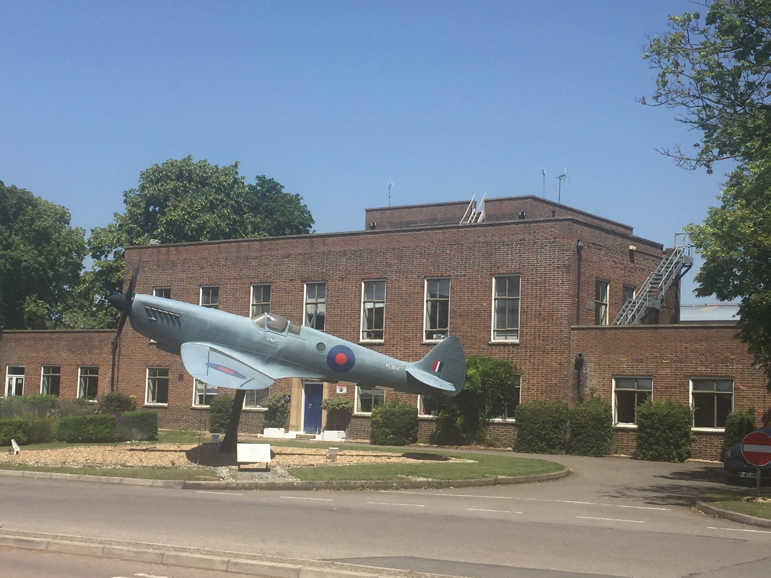
From the pond the Ewelme-Benson road follows tightly to the Brook for most of its course to the end. At 1 km in you'll reach the boundary of Benson RAF base and several signs at the end of the runway to keep people out. At Benson High Street the Brook disappears from the road, appearing again as it crosses under a small lane parallel to the A4074.

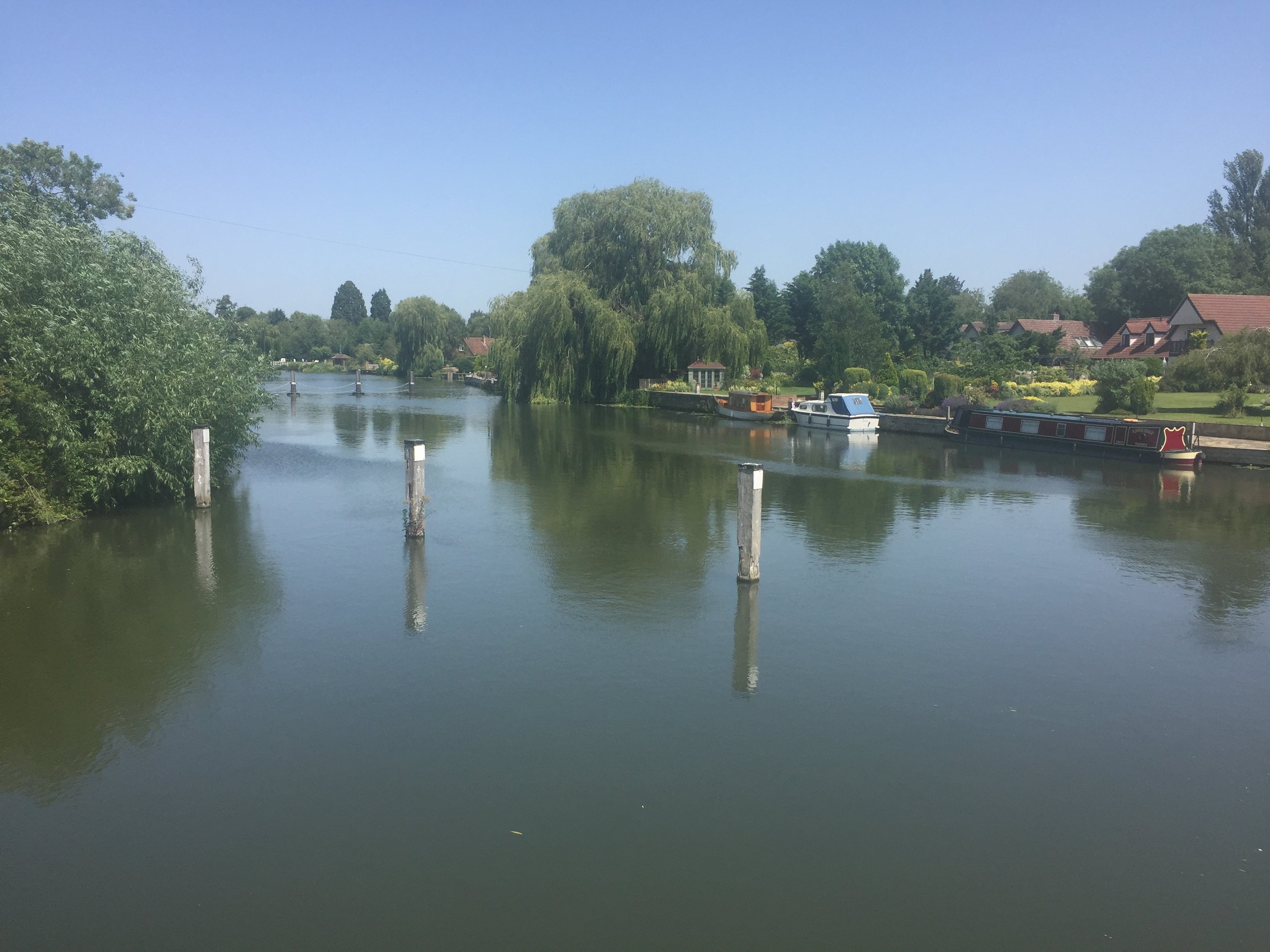
The confluence with the Thames appears to be in the back garden of a private house called Silver Waters, although you can see the Thames from the lane. For a better view continue south for about 100 meters to a footpath that takes the Thames Path across Benson Lock.

Rather than retrace my steps (treads?) I made a loop of the trip by continuing south until Clacks Lane. At the T-Junction turn left onto Beggarsbush Lane which takes you through Benson RAF vase and back to Ewelme.


blue shows the course of the river, red shows the cycle route.

Elevation for cycle route

Elevation for cycle route


Thames Path & Jubilee River Walk - Eton and Datchet
View across the Thames from Home Park to the confluence with the Jubilee River

View across the Thames from Home Park to the confluence with the Jubilee River


Start / Finish: Car park at the Jubilee River Riverside Centre, Slough Road, SL1 2BP
Distance: 7.4 km (4.6 miles)
Elevation change: +/- 22m
GPX File: get via Buy Me a Coffee
Other Routes Touched (walk): Thames Path, Jubilee River Path
Other Routes Touched (cycle): NCN 4, 61
Pubs / Cafes on route: Many either side of Eton Bridge
Map: OS Explorer 160 Windsor, Weybridge & Bracknell
Links: Jubilee River, Windsor, Eton, Eton College, Datchet


The Jubilee River is a man-made channel built in the late 1990s and early 2000s to take overflow from the River Thames to prevent flooding around Maidenhead, Windsor, and Eton. The path along side it passes through wildlife and woodland making a easy, pleasant walk or cycle. It also runs parallel and close to the Thames, allowing for several combinations of short trips that take in both.

This is the fourth of a series of 4 circular walks of roughly 10 km that take in sections of both the Jubilee River and Thames Path. This one starts at the small car park at the Riverside Centre on the Jubilee River north of Eton.

The first 1 km from the car-park follows NCN Route 61 before it diverts north toward the Grand Union. Here, keep on the Jubilee River heading south-east after the footbridge, crossing over Eton Road, under the railway line and into Datchet Golf Club. The confluence with the Thames is hidden from the path by high hedges that border the golf course. When you cross the bridge on King Edward II Avenue look back along the east bank and you can see the junction of the rivers.

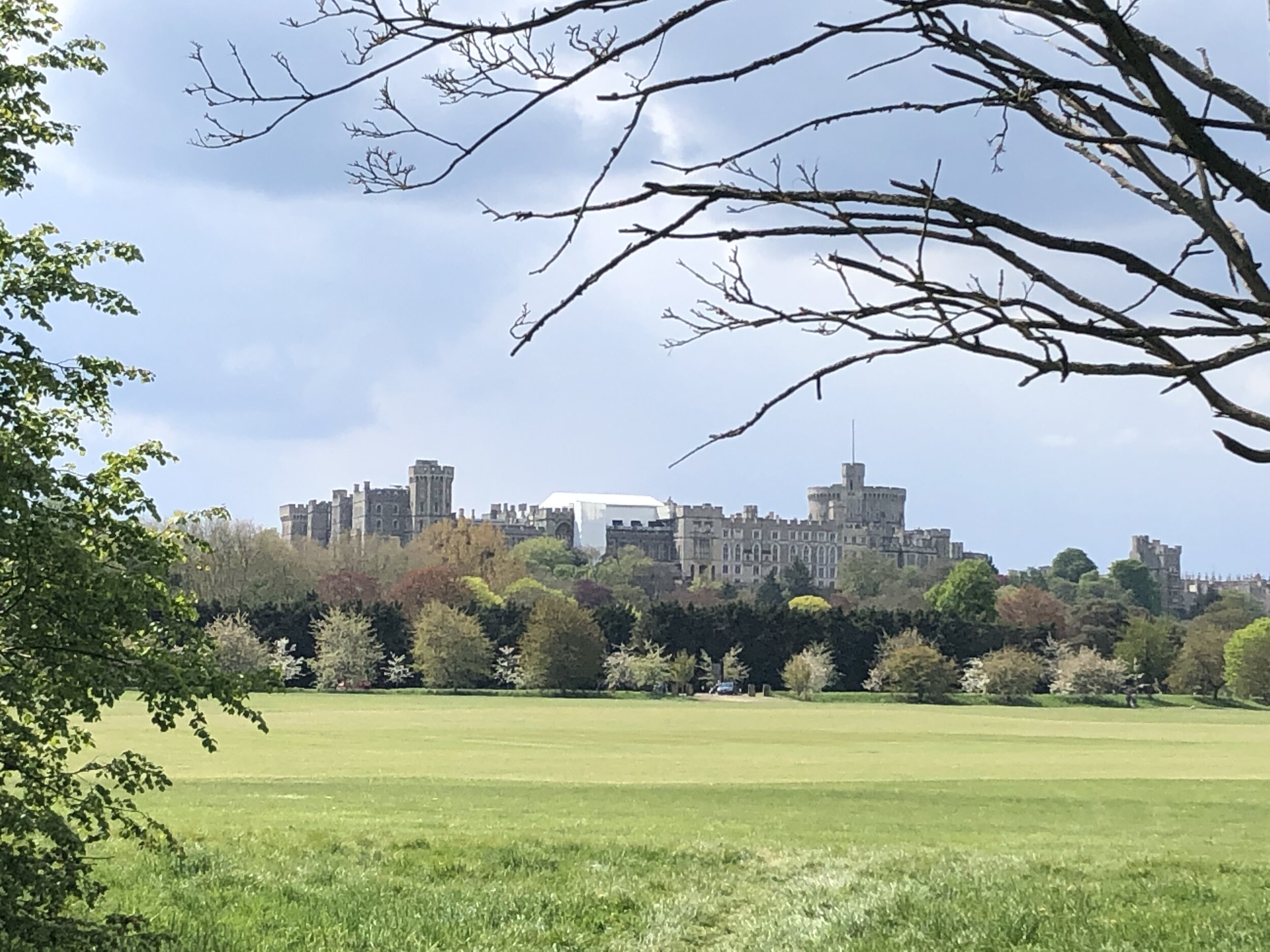
On the bridge you’ll also get a great view of Windsor Castle and, to the south, the private areas of the Castle estate. Immediately after bridge, turn right onto Home Park and follow the Thames Path as it bends round towards Eton Bridge. After crossing under the railway line for a second time the path crosses a light industrial area containing a boat repair yard and Romney Lock. Despite living near Windsor for most of my life I didn’t even know there was a lock there as you can easily miss it. After the lock the path follows the edge of the Railway Station car-park and opens out to Windsor Riverside.

Here's a good point in the trip to take a break and there’s loads of choice on either side of Eton Bridge. The route continues back on the Eton side of the bridge with a couple of options. The short option would be to follow Eton High Street / B3022 as it will take you directly back to the start. A longer but more interesting alternative is to take a left turn off Eton High Street through Church Close. This takes you on paths round the back of the college buildings and playing fields, then along the Slough/Windsor railway spur leading back to the Jubilee River west of the car park.


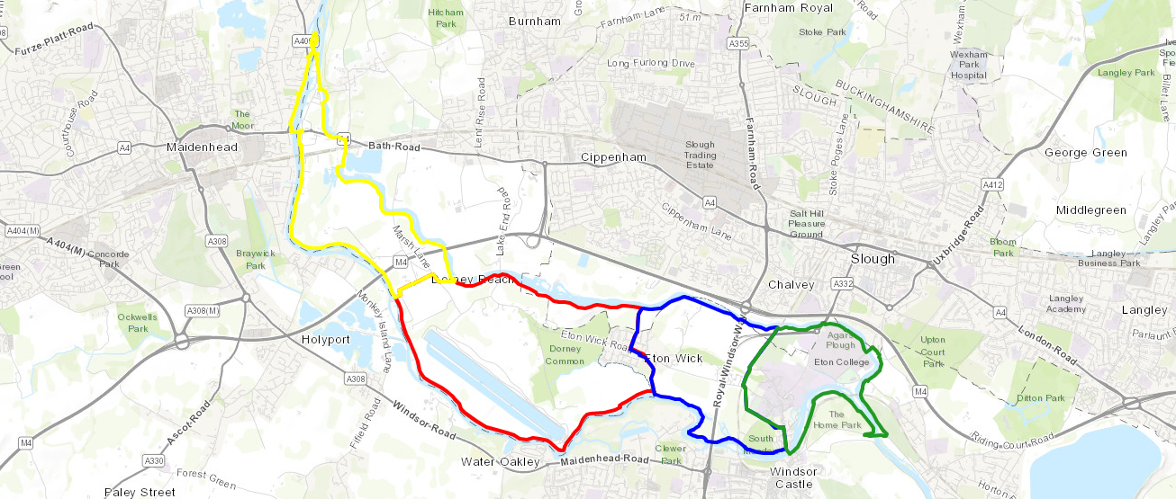
The Complete Route: Thames Path & Jubilee River Walks

Left to right: Maidenhead to Datchet in 4 sections. Map base: ESRI Topo via Ride With GPS

Yellow = Maidenhead & Bray, Red = Dorney & Eton Wick, Blue = Eton Wick and Eton, Greet = Eton and Datchet


Cycling The Maidenhead Boundary
IMG_8913.jpg

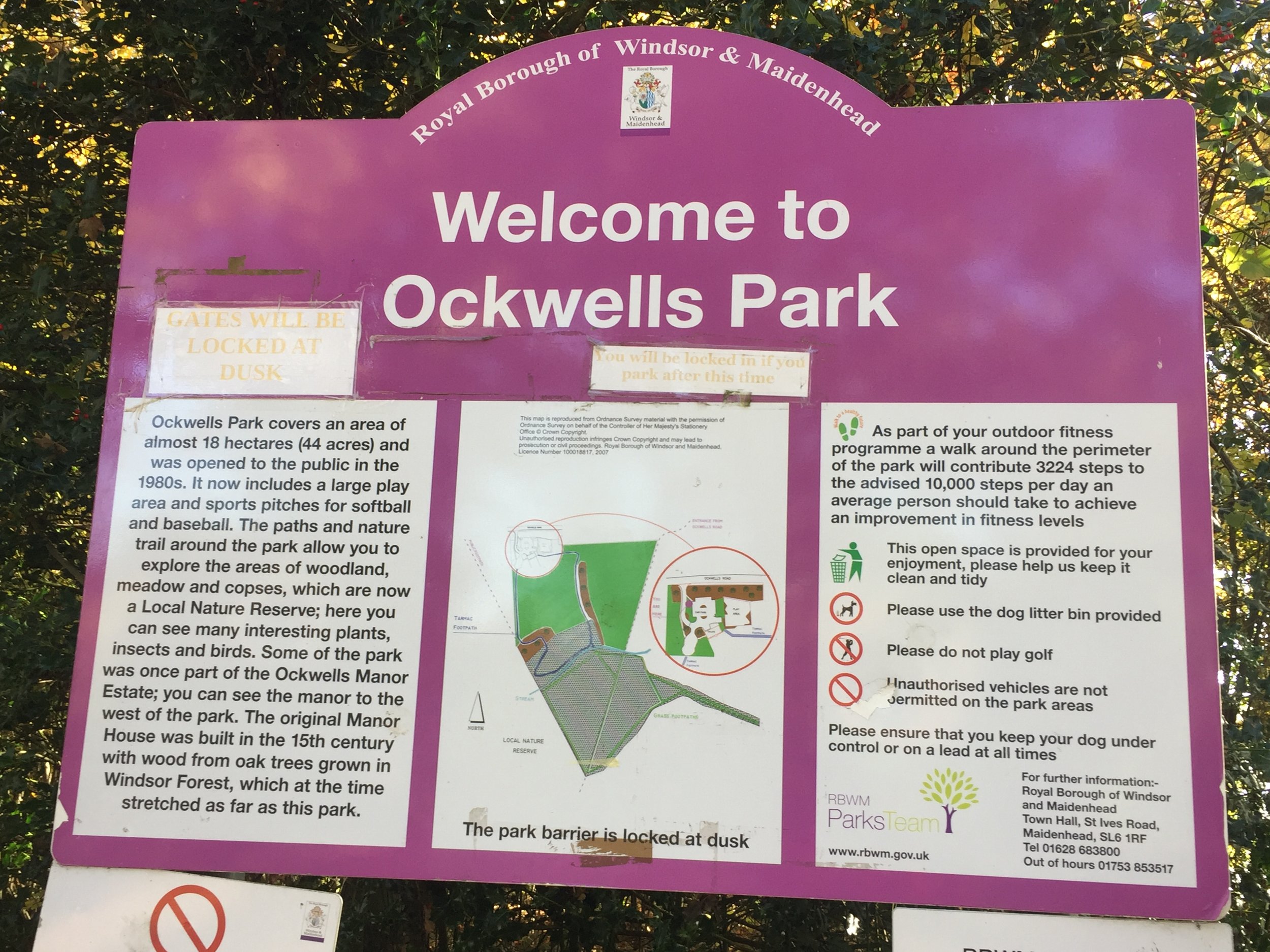
Start/Finish: Ockwells Park, Maidenhead SL6 3YX
Distance:
23.3 km (14.5 miles)
Elevation Change: +/- 209m
GPX File: get via Buy Me a Coffee
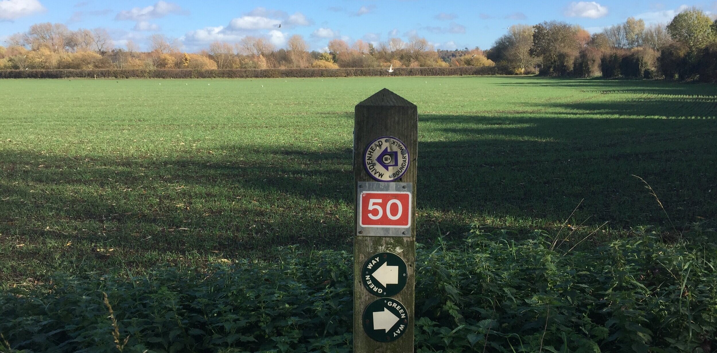
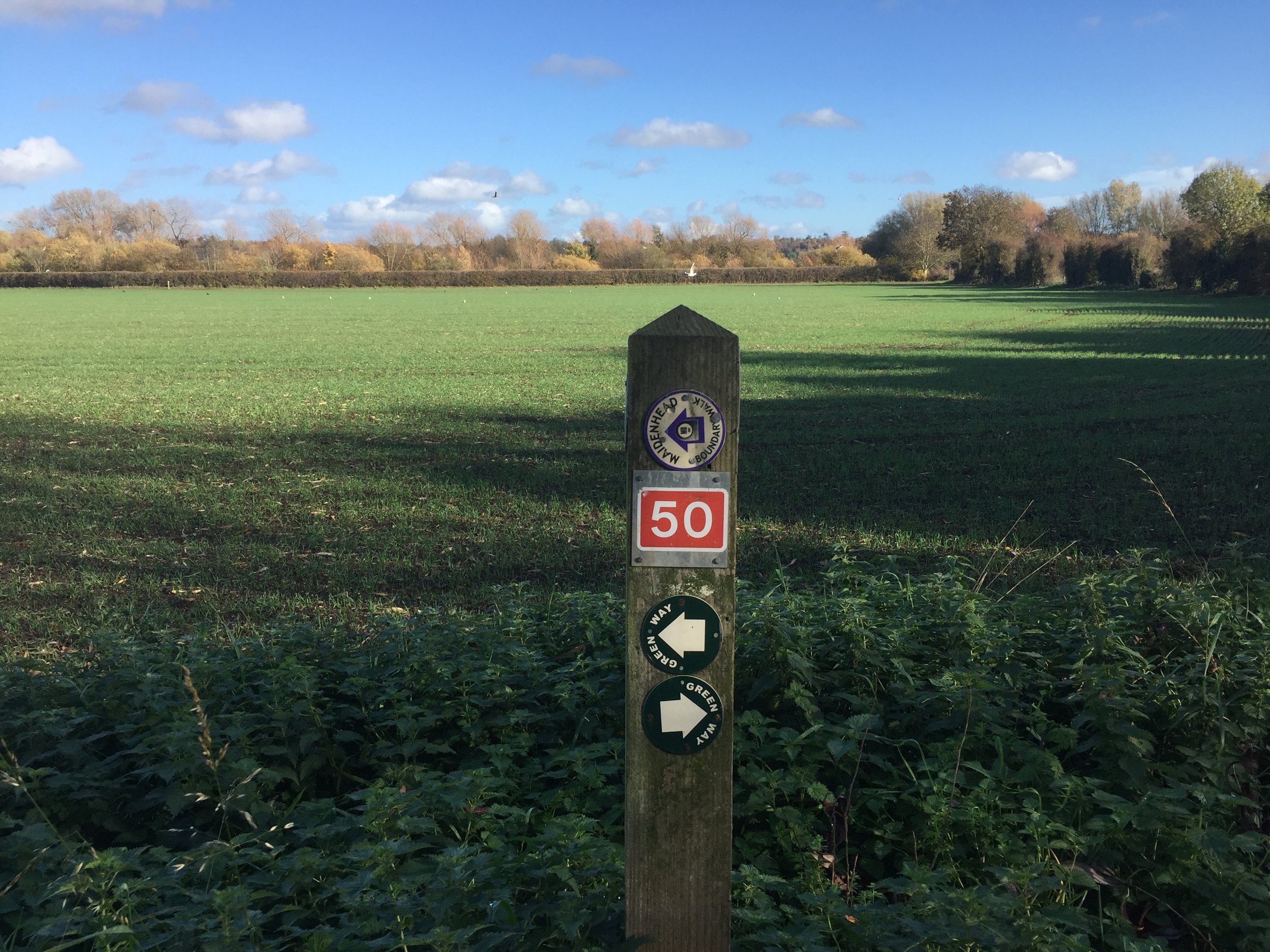
Other Routes Touched (Cycle): NCN 4, 50
Other Routes Touched (Walk): Thames Path, Chiltern Way Berkshire Loop, Green Way West,
Map: OS Explorer Map (172) Chiltern Hills East and OS Explorer Map (160) Windsor, Weybridge & Bracknell
Links: http://boundarywalk.org.uk/, Boundary Walk Route PDF with detailed instructions
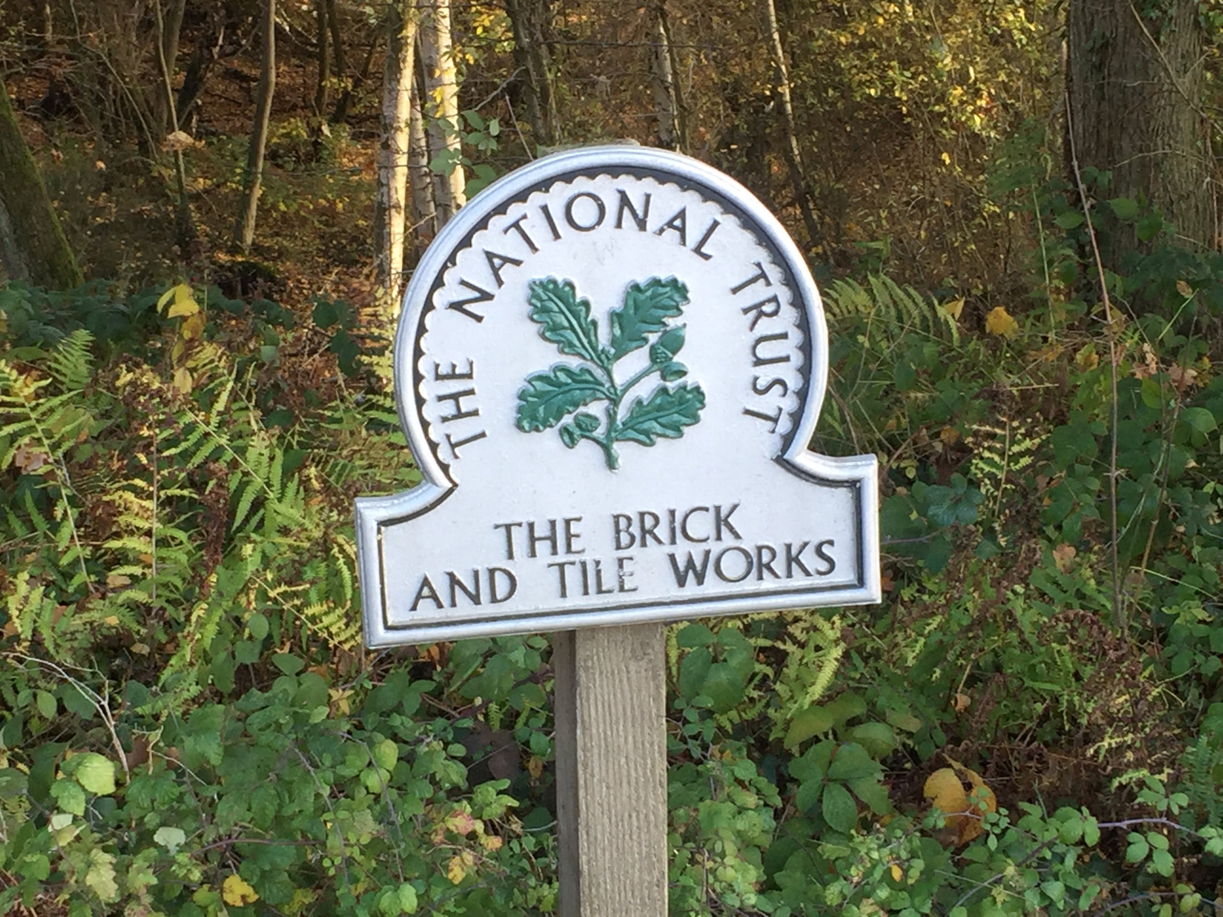
- National Trust Maidenhead & Cookham Commons, National Trust Brick and Tile Works


The Maidenhead Boundary Walk is a well signposted route around my hometown. In my not-so-adventurous days growing up there I remember the annual charity walk passing near my home and thinking “why would anyone want to walk all that way?”. Nowadays 15 miles is well within “Short micro-adventure” territory and I was keen to cycle it as soon as I saw the route mapped on RideWithGPS.

Although its obviously designed as a walk, its very cycle-friendly with only 1 section on the Thames Path that’s not for cycling (see below). The rest is mostly quiet roads and bridleways with a few kissing gates thrown in, but large enough to get your bike through. The off-road parts can get muddy so take a Mountain Bike.

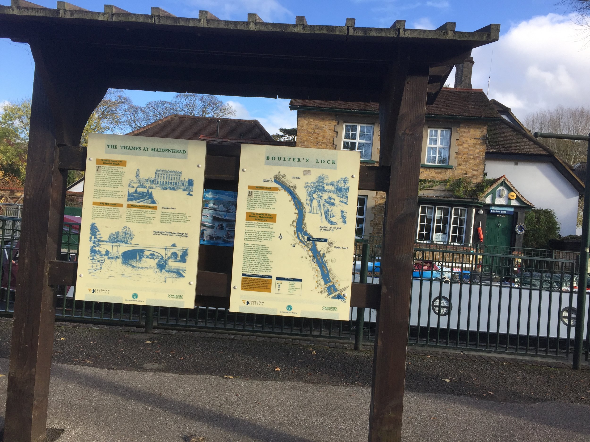
The charity walk starts at Boulters Lock, however I chose Ockwells Park as a better start and end point. This has easy access from the M4, free parking and a cafe with toilets. Its also the mid-point of the Southern section of the route. From here head West following small roads and a path to the Shire Horse pub at the A4.

The western section heads North through National Trust land, passing through Maidenhead Thicket, Pinkneys Green and the old Brick and Tile Works. This is the highest point on the route at 85m. From here the route descends toward the Thames with views of Cliveden to the East and Windsor Castle to the South-East. The whole of the Eastern section follows the Thames Path, crossing over from the West Bank to the East Bank at the A4 Maidenhead Road Crossing. You’ll cross back over the Thames on the noisy M4 crossing at Dorney Reach.

Back on the Southern section, the route passes through Bray, Braywick and Maidenhead Golf Course before crossing over the A404M footbridge and returning to Ockwells Park.

This was a really pleasant couple of hours cycling for an Autumn Sunday afternoon

Below: location of the recommended start point at Ockwells Park


Cycle Diversion

The only section that doesn’t allow cycling was at KM 14 where Islet Road becomes a footpath to the Thames. I got off and pushed, however if you want to stay on your bike, just keep on the A4094 Lower Cookham Road and don’t take the left turn onto Islet Road. I recommend sticking to the route and taking the short walk along the Thames for some nice views.

Take lower Cookham Road to avoid cycle ban on Thames Path

Predator Seabreacher Adventure

This was my birthday present from The Wife: a trip round and under Victoria Dock, London in a metal killer whale. As I was strapping myself into it the guy looked at my voucher and told us that they don’t sell the 30 minute version any more as too many people were throwing up inside. I was fine as we’d already bought it but I just wished that he’d told me after. Don’t do this if you’re remotely sea-sick, claustrophobic or hung-over (they also have a long list of other conditions on their risk assessment). For anyone else, its awesome. Check out the video and imagine half an hour of the same.

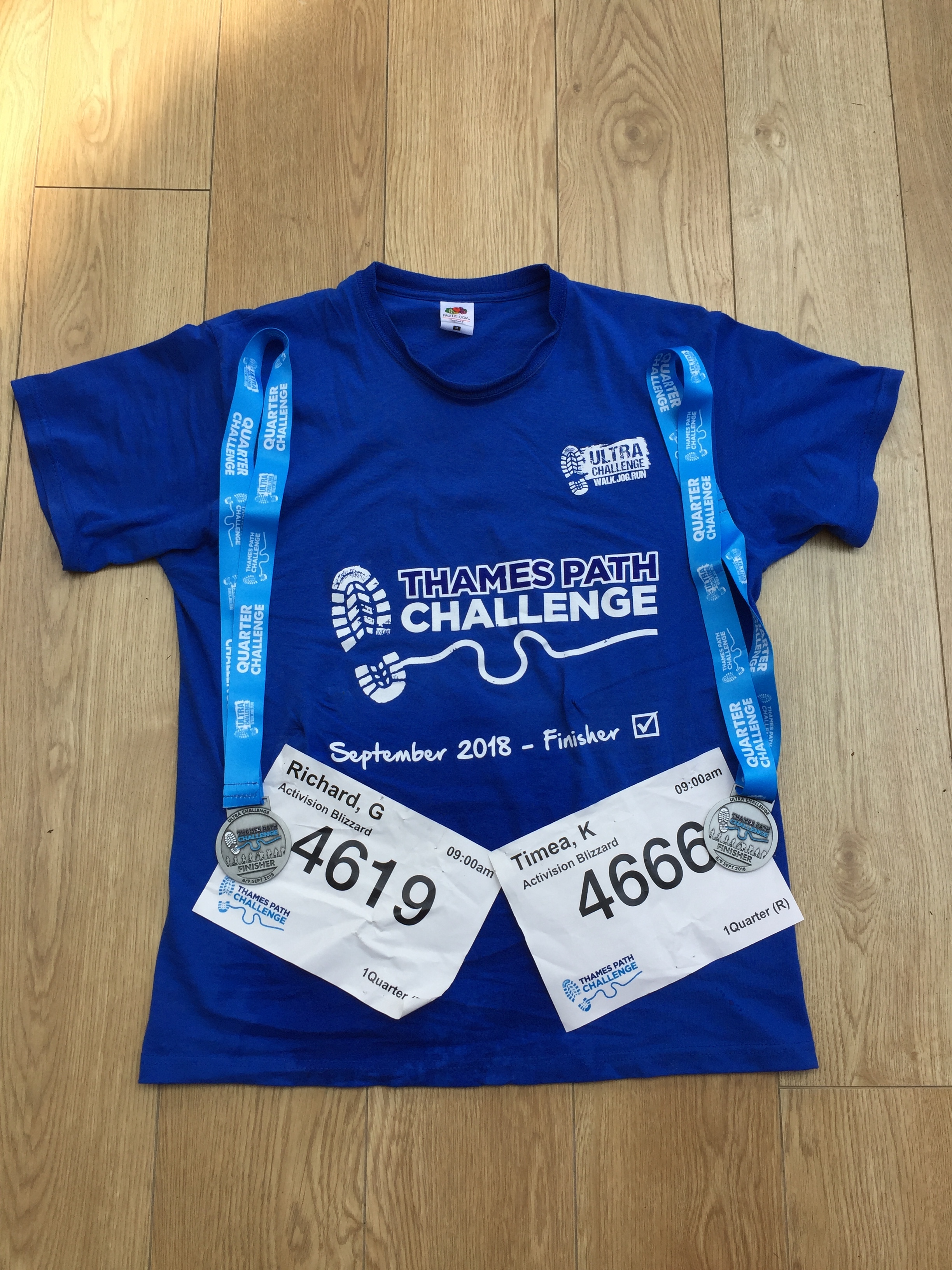
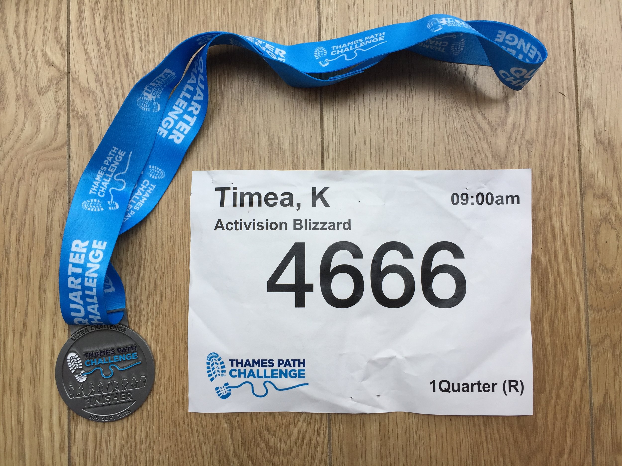
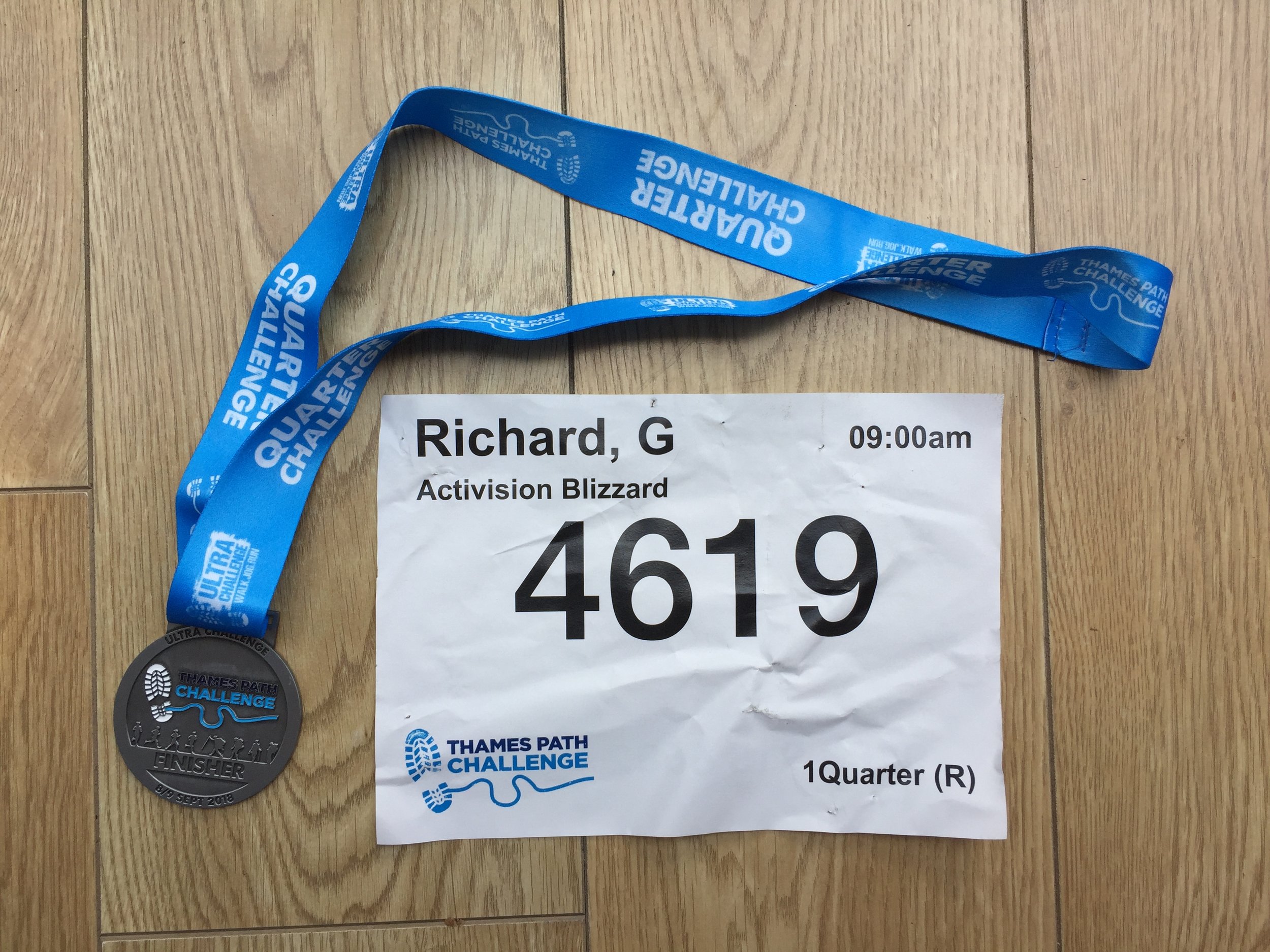
Thames Path Challenge 28k

When: September 8th 2018
Where: Bishop's Park, Fulham, London, UK
Course: Thames Path from Bishop's Park to Hurst Park, West Molesey, Surrey
Other Trails touched (walk): Thames Path, Beverley Brook Walk, Capital Ring
Other Trails touched (cycle): NCN 4,
Finish time
: 7 hours 16 mins (Walk)

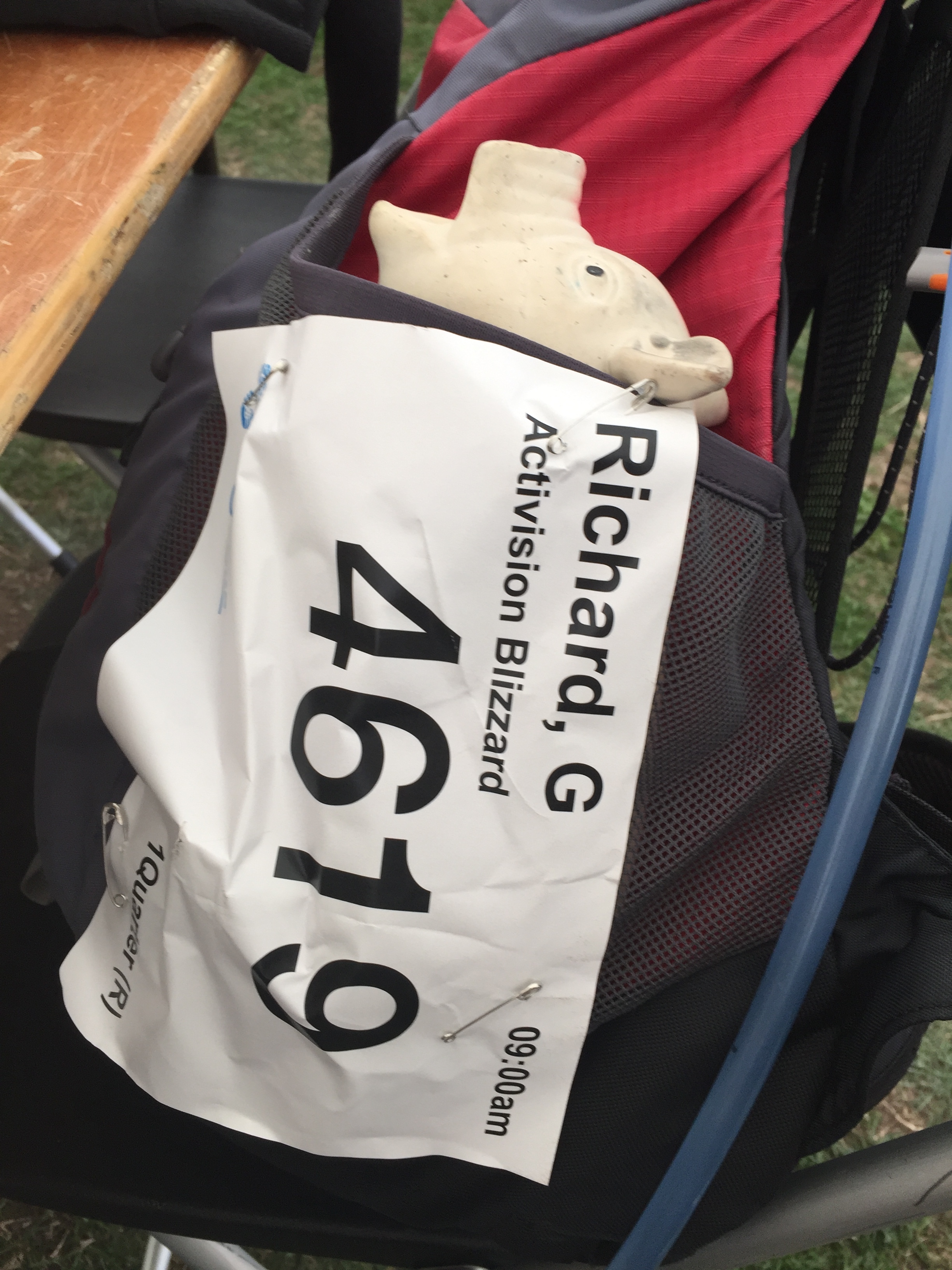
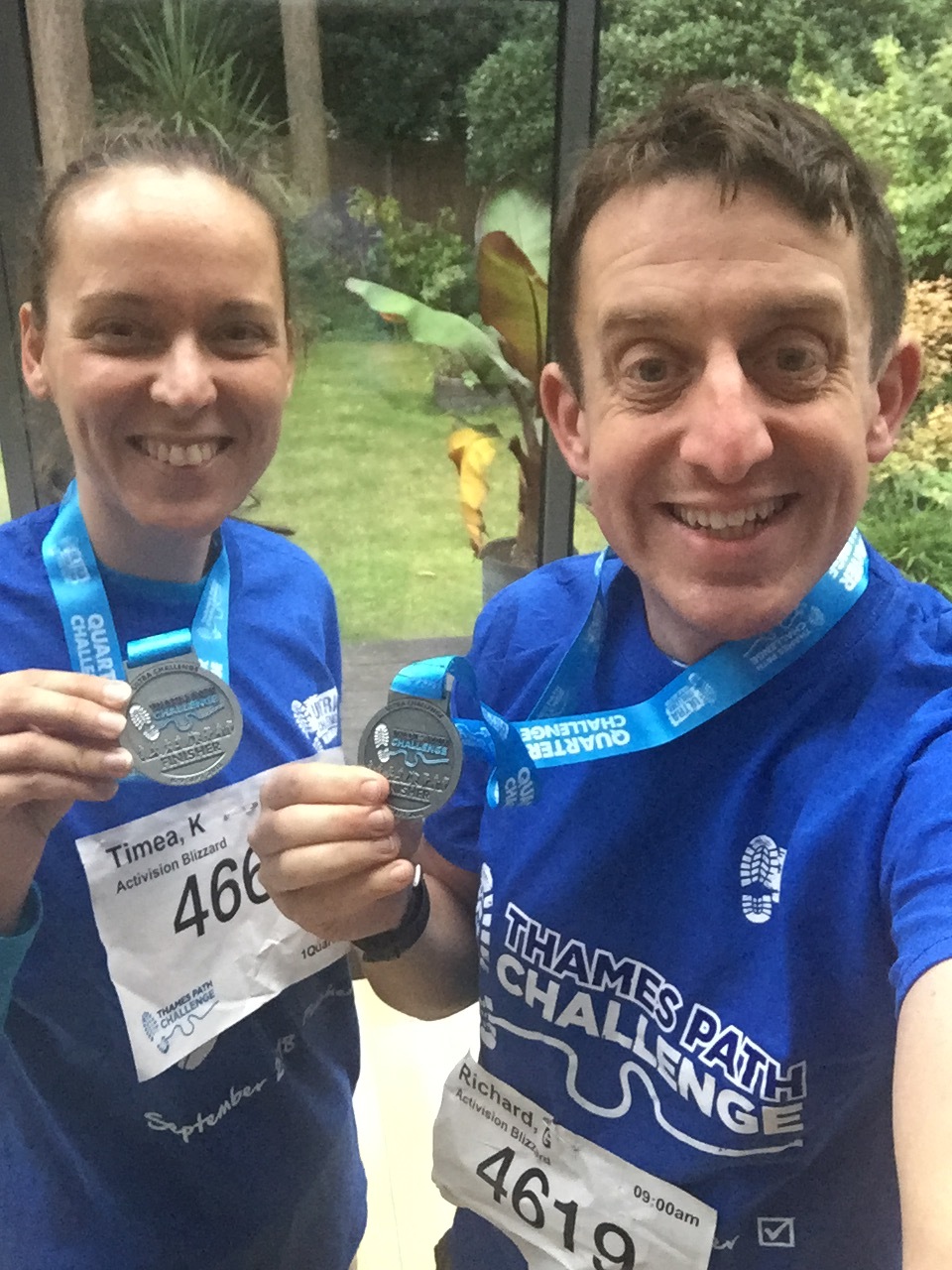
This was a return to the Thames Path for my first long-distance walk with Timea and the start of our training for next year's Camino. We were part of a group from Timi's company, Activision, some of whom did the 50k or 100k options. Just like the Threshold series that I'm more familiar with, this was a really well organised event from Action Challenges


Cycling The River Crane & The Hounslow Baseline

A geek cycling microadventure along the River Crane and Hounslow Baseline on sections of the London Loop, Capital Ring and Thames Path.

IMG_8131.jpg


The idea for this trip came whilst reading Mike Parker's book, Map Addict. In his fascinating and funny account of all things map-related Chapter 2 covers the beginnings of the Ordnance Survey. Prior to the establishment of the Ordnance Survey General William Roy pioneered the techniques that would later be used to map all of the UK. The Hounslow Baseline was the first point to point measurement and was chosen “because of its vicinity to the capital and the Royal Observatory at Greenwich, its great extent, and the extraordinary levelness of its surface, without local obstruction whatever to render measurements difficult.”

I won't go into the rest of the story as its well documented elsewhere and Mike Parker's book is a great place to start. Instead, this blog post describes a ~50k circular cycle adventure that explores the Hounslow Baseline and the nearby River Crane.  


The River Crane

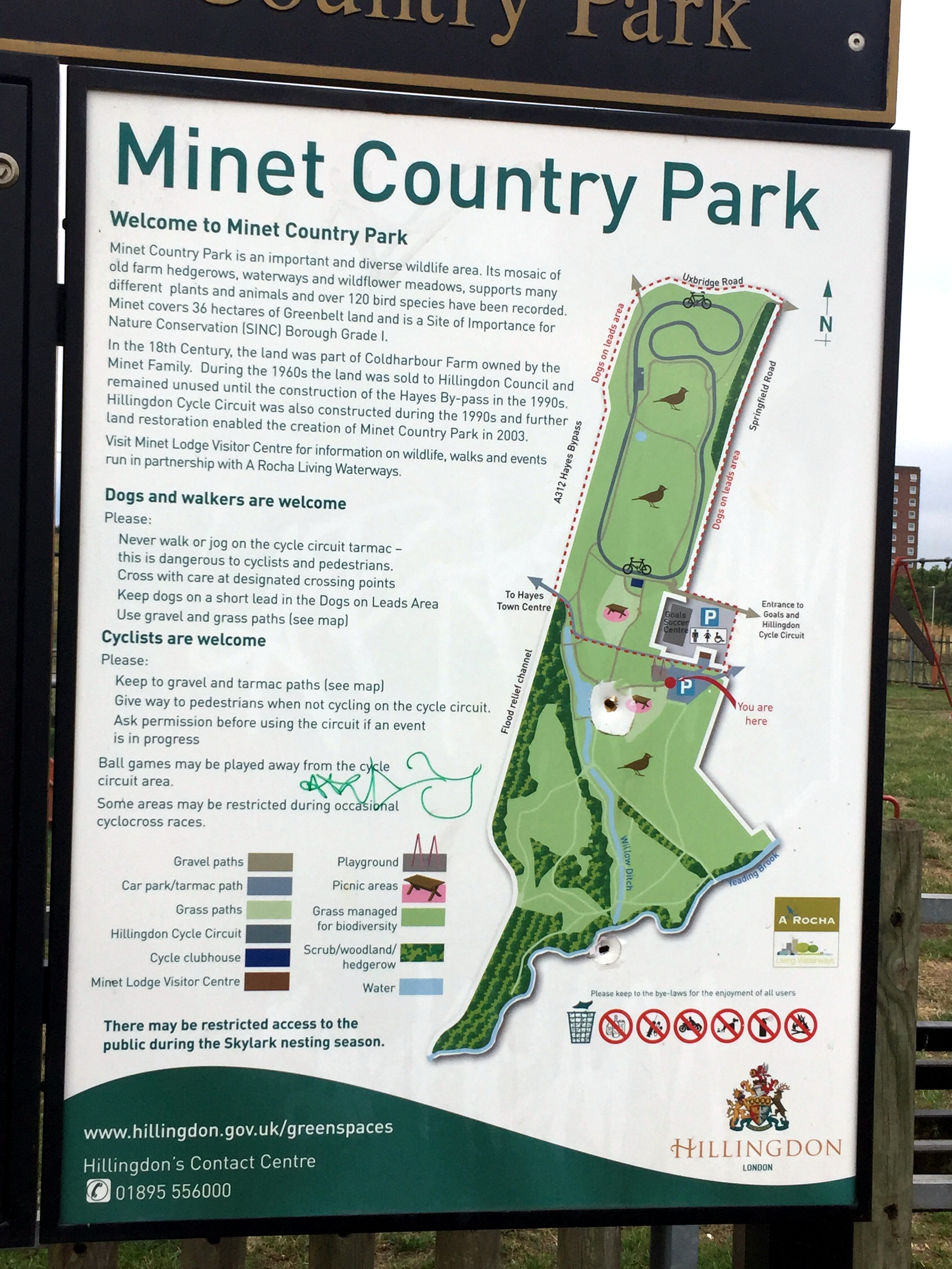
The best place to start is the car-park at Minet Country Park in Hayes. A few hundred metres West you'll cross a bridge giving the first sight of the Crane.  The source is further North in the park but you can't see it so its not worth venturing further. 

  • From the bridge continue North-West through the Parkway underpass, then take a left and follow the cycle path that runs parallel to the Parkway.

  • The Parkway will cross over the Grand Union Canal and mainline railway. Don't forget to marvel at the industrial wasteland along the way. Once you have crossed the Grand Union Canal you'll also be on the well-signed London Loop which you can follow for much of the route of the Crane.

  • Take a right at the roundabout, then first left at the Crane Pub onto Watersplash Lane.

  • From Watersplash Lane you'll enter Cranford Park, the first of a chain of parks and green spaces that follow the Crane for most of its course.

  • At around KM 5 you'll cross over the A4 Bath Road then through a small housing estate in Cranford before re-entering the park.

  • At KM 7 you'll reach the A30, a busy dual carriageway with a solid central reservation. Unless you want to risk cutting across you'll need to cycle West for ~1km to the nearest crossing then back on the other side.

  • Once over the A30 continue along the green spaces including The Causeway, Donkey Wood, Brazil Mill Meadows, and Pevensey Road Nature Reserve then into Crane Park, home of Crane parkrun.

  • The Crane passes under the A316 and B358 as they cut across Crane Park. After the B358 continue alongside the River Crane but don't follow the London Loop signs as they leave the Crane at this point.

  • Continue through Crane Park and Kneller Gardens into Twickenham. From here is harder to stay next to the river so you'll need to navigate through several residential streets. This is where a map and a GPX file is essential.

  • The Crane eventually meets the Thames next to an apartment block off Railshead Road. Take the footpath next to the Capital Ring sign to see the confluence of the 2 rivers.


The Thames Path & Capital Ring at St Margarets

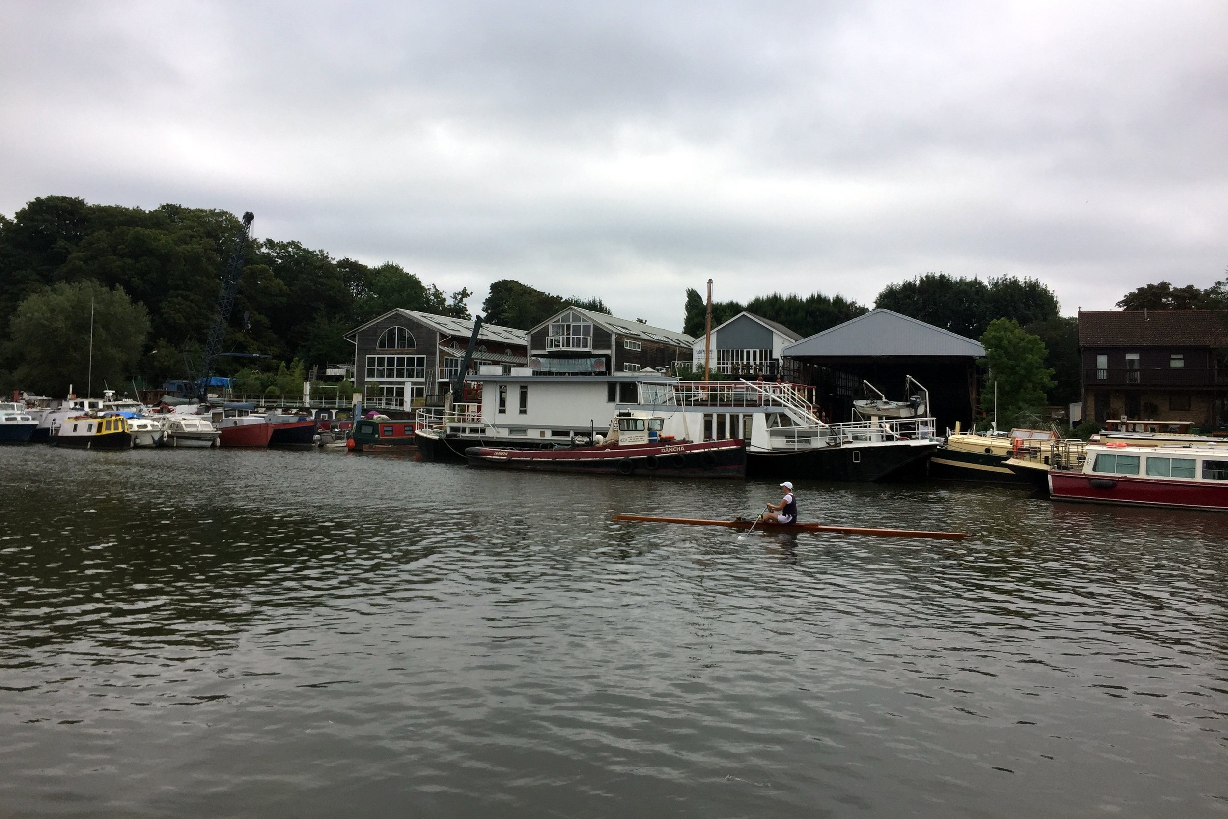
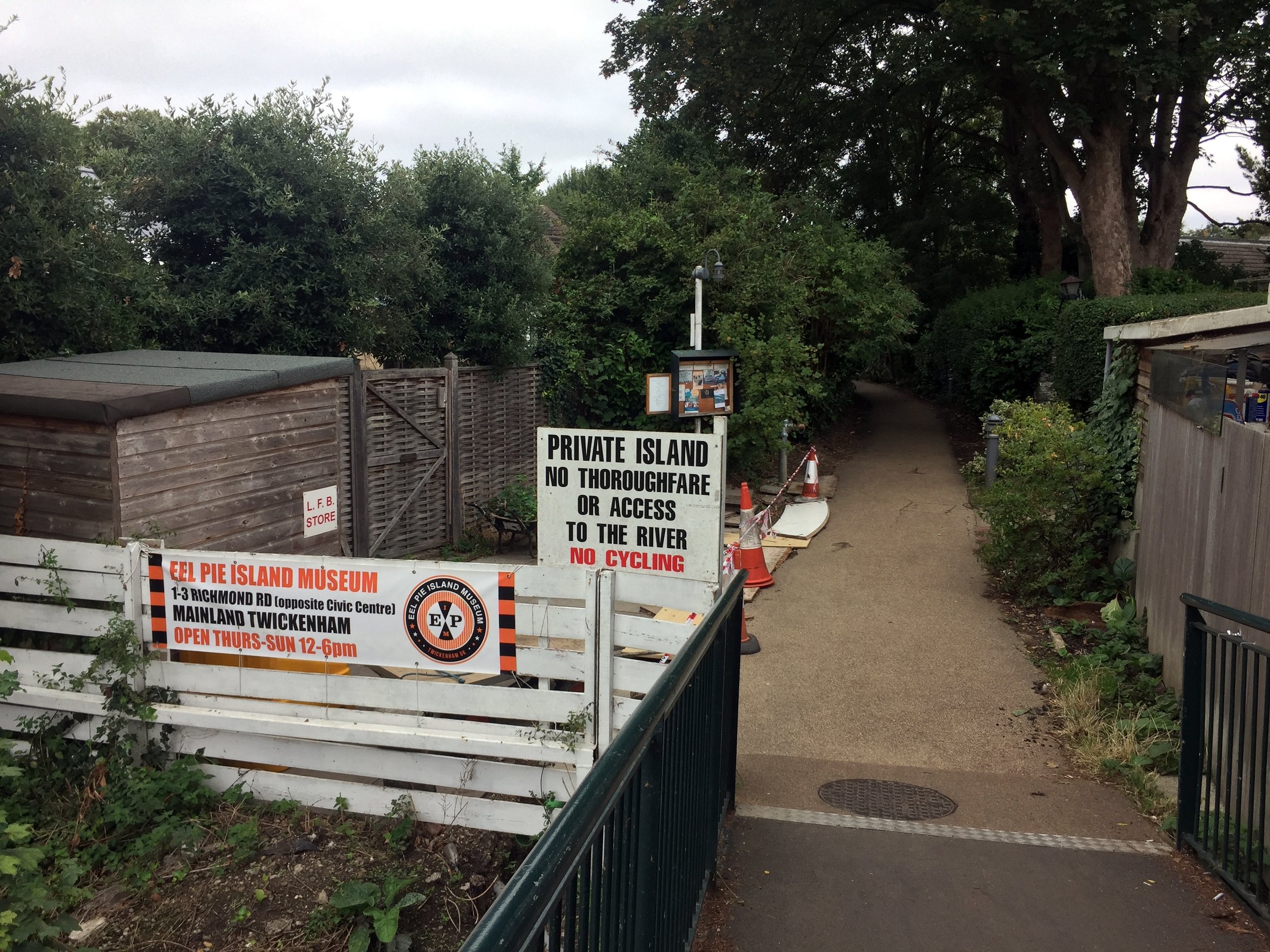
From the end of the Crane there's 2 options to get you to the Hounslow Baseline: a direct but busy road route through St Margarets, Twickenham and Strawberry Hill or a marginally longer but more scenic Thames Path route. Taking the latter (as I did) also takes you along 500m of the Capital Ring before it crosses Richmond Lock Footbridge.  A stop at the Barmy Arms and a visit to Eel Pie Island make a great half-way rest stop for the trip.

From The Thames Path opposite Eel Pie Island:

  • Turn right onto Wharf Lane, then left onto Heath Road and left onto Hampton Road.

  • Continue along Hampton Road for approx 2 KM, taking a right onto Burtons Road.

  • Continue along Burtons Road, taking a left onto St. James' Road an continue all the way to the junction of Windmill Road and The A312.

  • Turn left onto the A312 (Uxbridge Road) and look out for a small footpath on the right near a zebra crossing.

  • Follow the footpath into a small cul-de-sac called Roy Grove where you'll find the South-Eastern end of the Hounslow Baseline.


The Hounslow Baseline

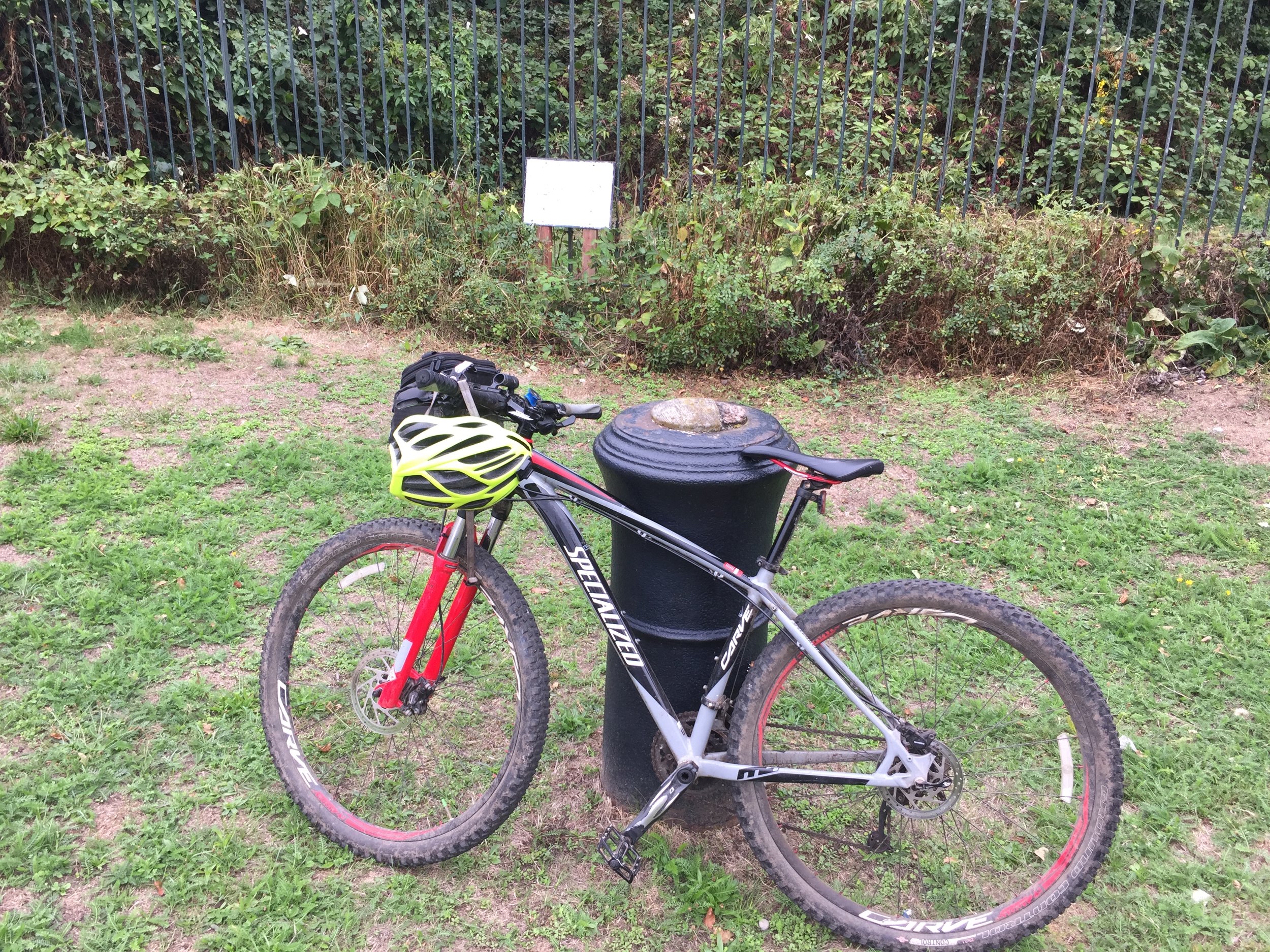
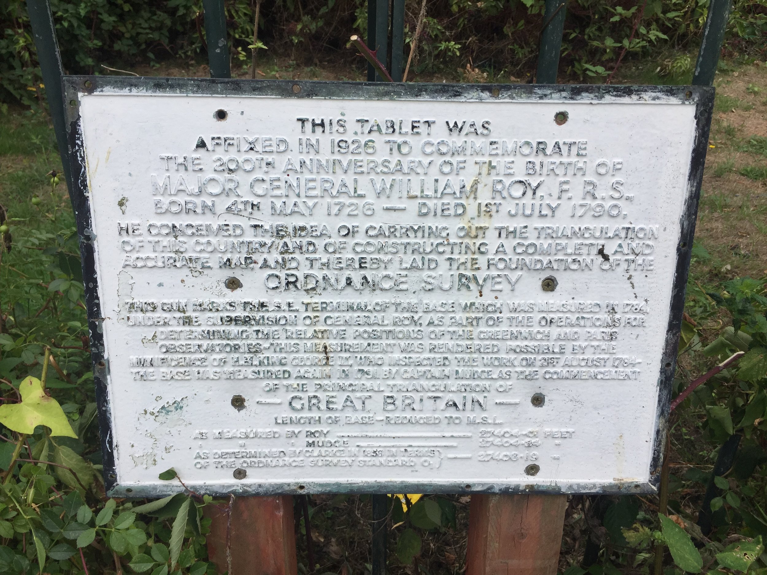
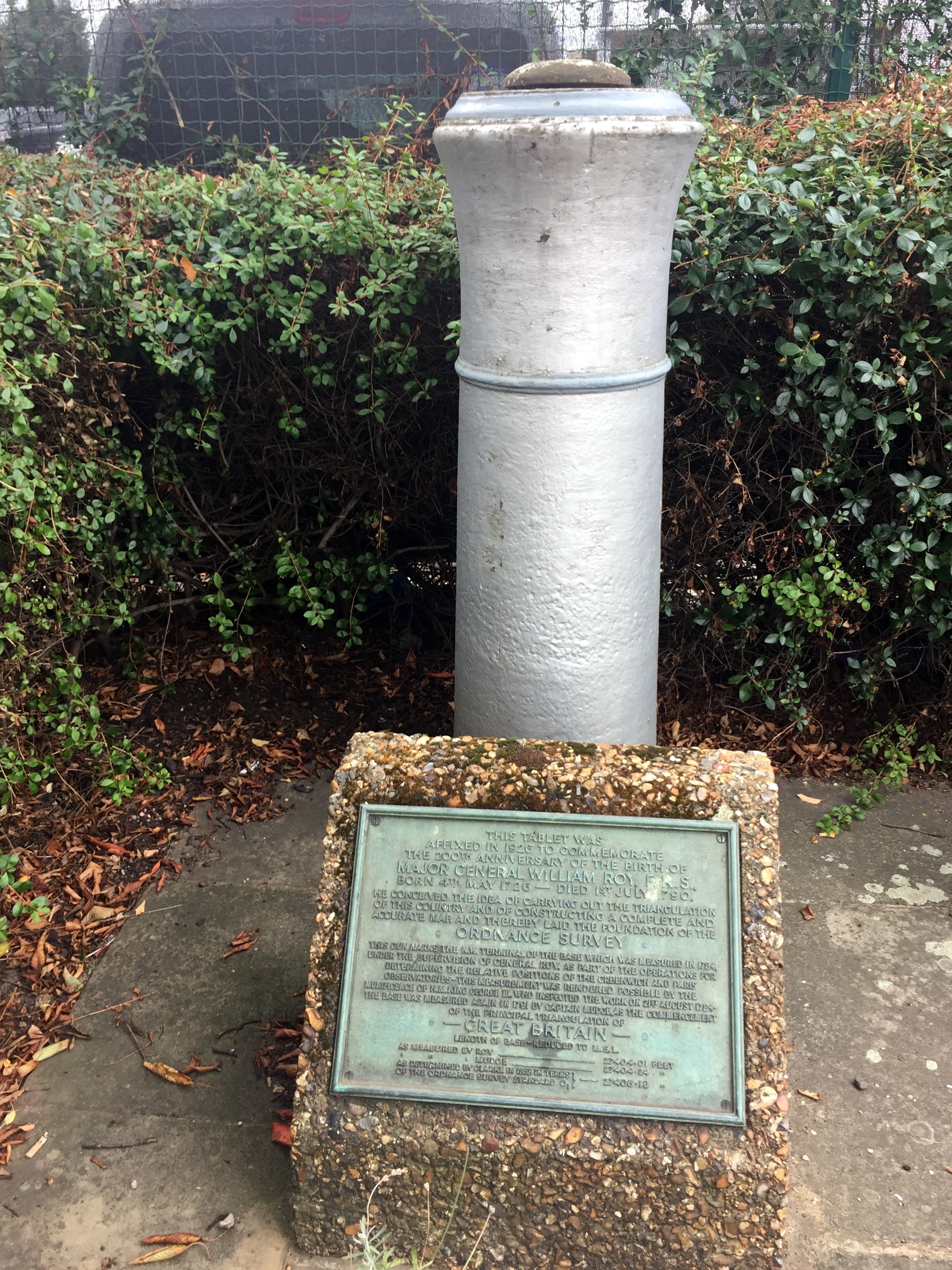
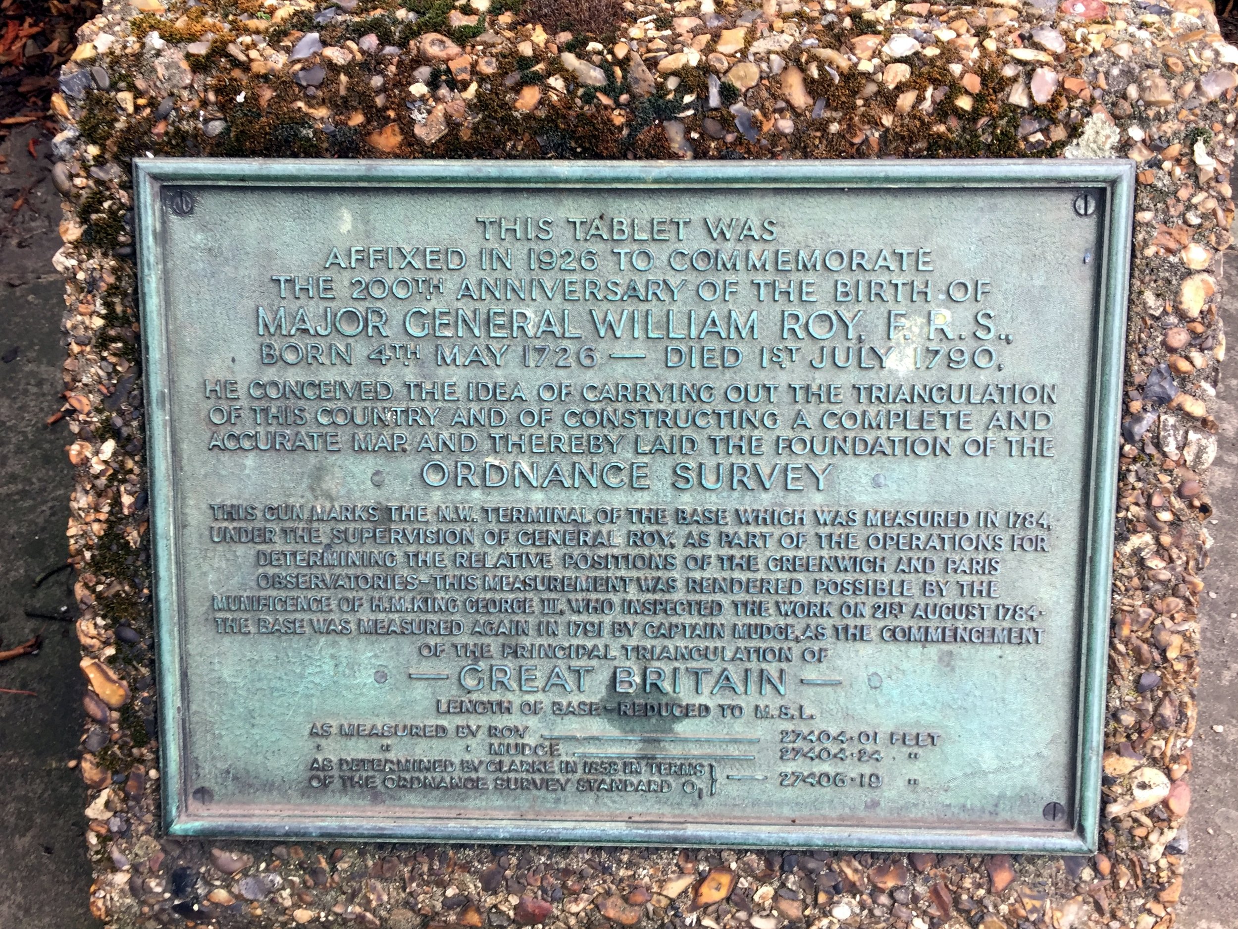
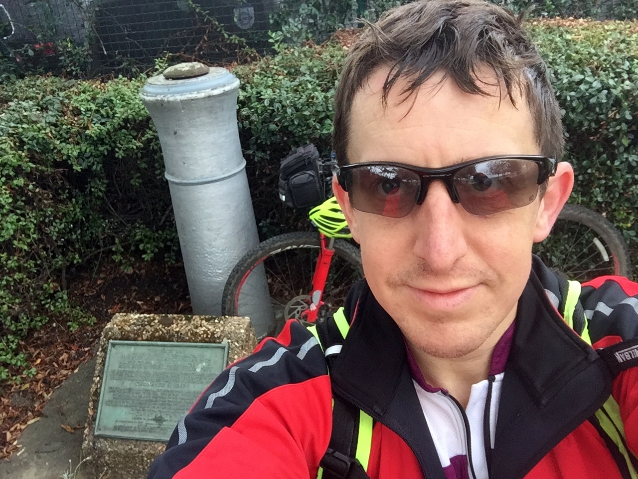
The street name, Roy Grove, is the first clue that you've found the right place. The actual monument is on the opposite side of the turning circle in an unloved patch of grass between 2 houses. The monument is a barrel of a cannon sticking the ground, next to a plaque describing the life and work of Major General William Roy. To cycle the Baseline:

  • Return back down the footpath and take a left onto the A312 Uxbridge Road.

  • Follow the A312 for ~7 KM until it crosses the A30 and reaches the Hatton Cross Roundabout at Heathrow. The road name will change several times along the route from Uxbridge Road, to Hampton Road West, Harlington Road East and Faggs Road. There's very little navigation to do as its a pretty straight route, presumably following the original Baseline.

  • At the Hatton Cross Roundabout take the 4th exit onto Envoy Avenue, then left onto the Eastern Perimetre road. This is a bit of a diversion from the original route of the Baseline but unfortunately necessary as the airport is not keen on people cycling across the runways.

  • The Eastern Perimeter Road will become the Northern Perimeter Road. Follow this until the junction of Nene Road.

  • The end of the Baseline is on a grassy triangle of the North East side of this junction.

The monument, a twin of the South West one at Roy Grove, is in the far corner of the grassy triangle. You can barely see it from the road so you'd have to be looking for it to notice it. The rest of the site is now a Heathrow Business parking car park. The area could have been used for another 25 parking spaces with hundreds of thousands of pounds of revenue. Its nice that a little-visited monument has been preserved there instead.

I've read a few opinions that the Ordnance Survey should do more to preserve and promote the 2 monuments that are so important to their history. I don't agree. It seems fitting that they are hard to find and you'd need a map and some navigation skills to find them.


Doomed Village

From the monument it's just over 7 KM back to Minet Park. The easiest way is to continue North over Nene Road, crossing the A4 and taking the A408 through Sipson. This is one of the "Doomed Villages" that will be lost to the future expansion of the airport. As you pass by Sipson Close, look left as this will be the end of the proposed 3rd runway. I've been through here a few times in the past and normally see "Stop Heathrow Expansion" banners on most roads, presumably preaching to the converted. Maybe the lack of them this time is due to the increasingly lost cause of trying to stop the inevitable?

  • From the A408, turn right onto Sipson Lane, then left at the roundbout onto the High Street.

  • Turn right at the A437 North Hyde Road and continue until the Parkway roundabout from the start of the trip.

  • Retrace the route along the cycle path next to the Parkway, crossing back under into Minet Park


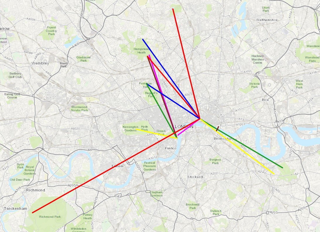
Red = course of the River Crane, Yellow = cycle route, Blue = Hounslow Baseline. Green = (approx) future site of proposed Heathrow 3rd runway

Elevation plan of the cycle route (marked as yellow in the map)

Elevation plan of the cycle route (marked as yellow in the map)


Cycling The River Pang
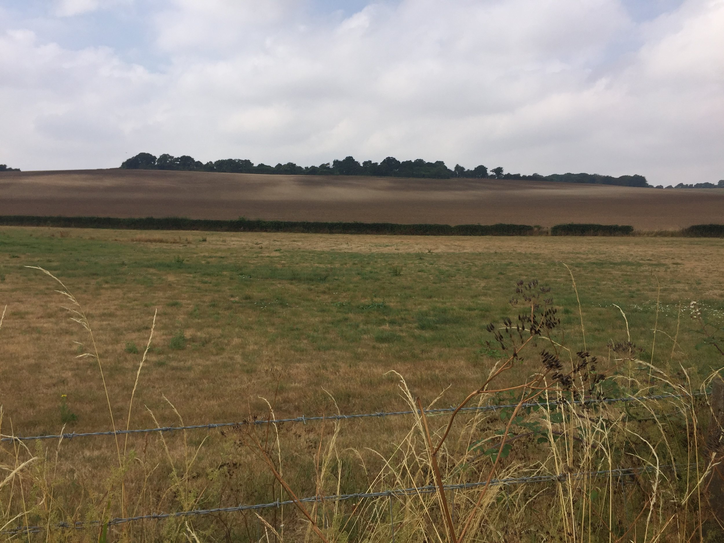
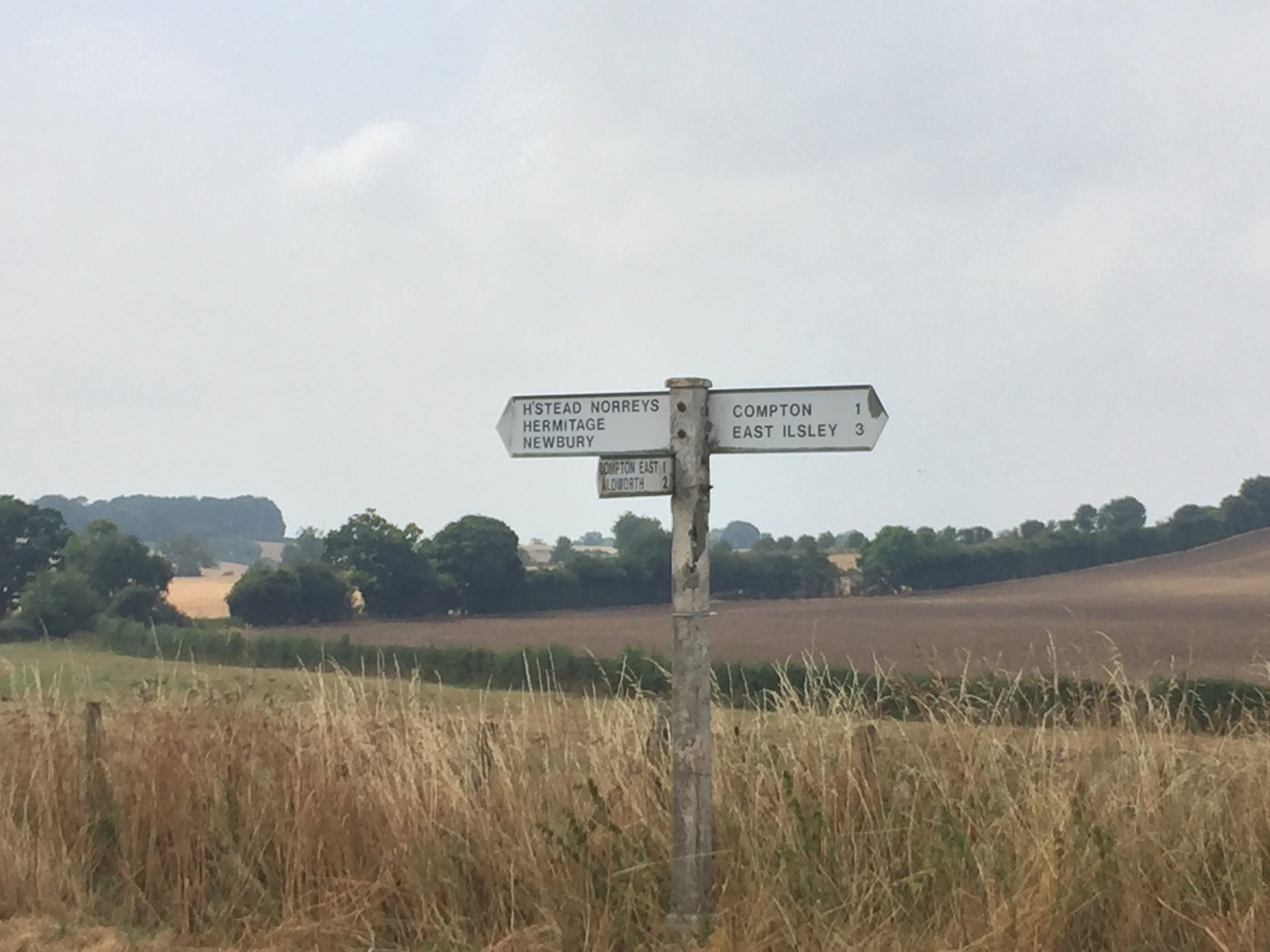
Near the source of the Pang

Near the source of the Pang


River start: Between Compton and Hampstead Norreys
River end: Confluence with the Thames at Pangbourne
River length: 23 km (14 miles)
Cycle Route Start & Finish:
Cycle Route Distance: 37 km (23 miles)
Cycle Route Elevation change: + / - 273m
GPX File: get via Buy Me a Coffee
Other routes touched (walk): Thames Path
Other routes touched (cycle): Round Berkshire Cycle Route
Map:
OS Explorer Map (159) Reading, Wokingham and Pangbourne
Links: River Pang, Compton, Pangbourne


The River Pang is a small tributary of the Thames in West Berkshire. The source is between Compton and Hampstead Norreys and from there it runs 23k / 14 miles to meet the Thames at Pangbourne. I cycled the length as a part of a 38k / 24 circular, also taking in villages to the north or the river including Ashampstead and Upper Basildon. For the first 8 miles, the river stays close to country roads, but from Bucklebery its tough to stay close to its course. There's some good walking options that take non-cycleable footpaths for the rest of the route to Pangbourne. Its a pleasant ride along mostly quiet country lanes. 

Circular route, anticlockwise, starting and ending in Pangbourne. How To:

  1. A good place to park is the Short-stay shoppers car-park off Ferry lane. From here...

  2. Take Whitchurch Road (B471) south, taking a right at the roundabout onto the High Street. Follow this to the next roundabout and take a left onto Tidmarsh Road,

  3. Follow Tidmarsh Road for nearly 4 miles, crossing over the M4, then take the first right onto Common Hill

  4. Follow Common Hill to Bradfield, taking a left onto Ashamptstead Road. You'll shortly cross over the Pang at some old mill buildings.

  5. Take a left onto Back Lane. Follow this all the way to the junction of Cock Lane. Take a right then immediately left onto Bucklebury Road.

  6. Follow Bucklebury Road for approx. 2 miles, taking a left into Bucklebury.

  7. After the village, take a right on the main road, then first right again and cross the ford.

  8. After the ford, take the first left onto Brocks Lane. The Pang will stay to the left of you from here on.

  9. Continue along Brocks Lane until it the junction of Everington Lane just after the M4 underpass.

  10. Take a right onto Everington Lane, then immediately left onto Yattendon Road.

  11. Join the B4009 through Hampstead Norreys. The (mainly dry) source of the Pang is in the fields on the left hand side of the road about 1.5 miles from the village.

  12. To return to Pangbourne .... take the first right onto Coombe Road.

  13. After about half a mile take a right onto a Bridleway that runs along the right hand side of a field. This is steep and narrow: good for mountain bikes or walking.

  14. The Bridleway will meet Thorn Hill, follow this to Aldworth road, continuing on this as it passes The Four Points pub.

  15. After 4 miles, turn right onto Whitemoor Lane. This is a steep hill up to Ashampstead Road.

  16. Turn right onto Ashampstead Road and follow it, merging onto Aldworth Road. Continue onto Pangbourne Road.

  17. Follow Pangbourne Road down the hill to the Town Centre.

  18. Turn left onto Tidmarsh Road, then cross over the roundabout onto Station Road / Shooters Hill.

  19. Immediately after the railway bridge, turn right onto a footpath. This will take you to the confluence of the Pang and the Thames.

  20. Continue along the footpath to the back of the car park where you started.

Alternatives for walkers are:

  • At point #, continue over the roundabout and take The Moors, a small road to the left of WHSmith. This becomes a footpath that stays close to the Pang, returning to Tidmarsh Road.

  • At point #4, turn left at the mill buildings in Bradfield and follow the Berkshire Circular Walks footpath to Bucklebury.

Red = route of the River Pang, Blue = circular cycle route.

Cycling The Hambleden Brook
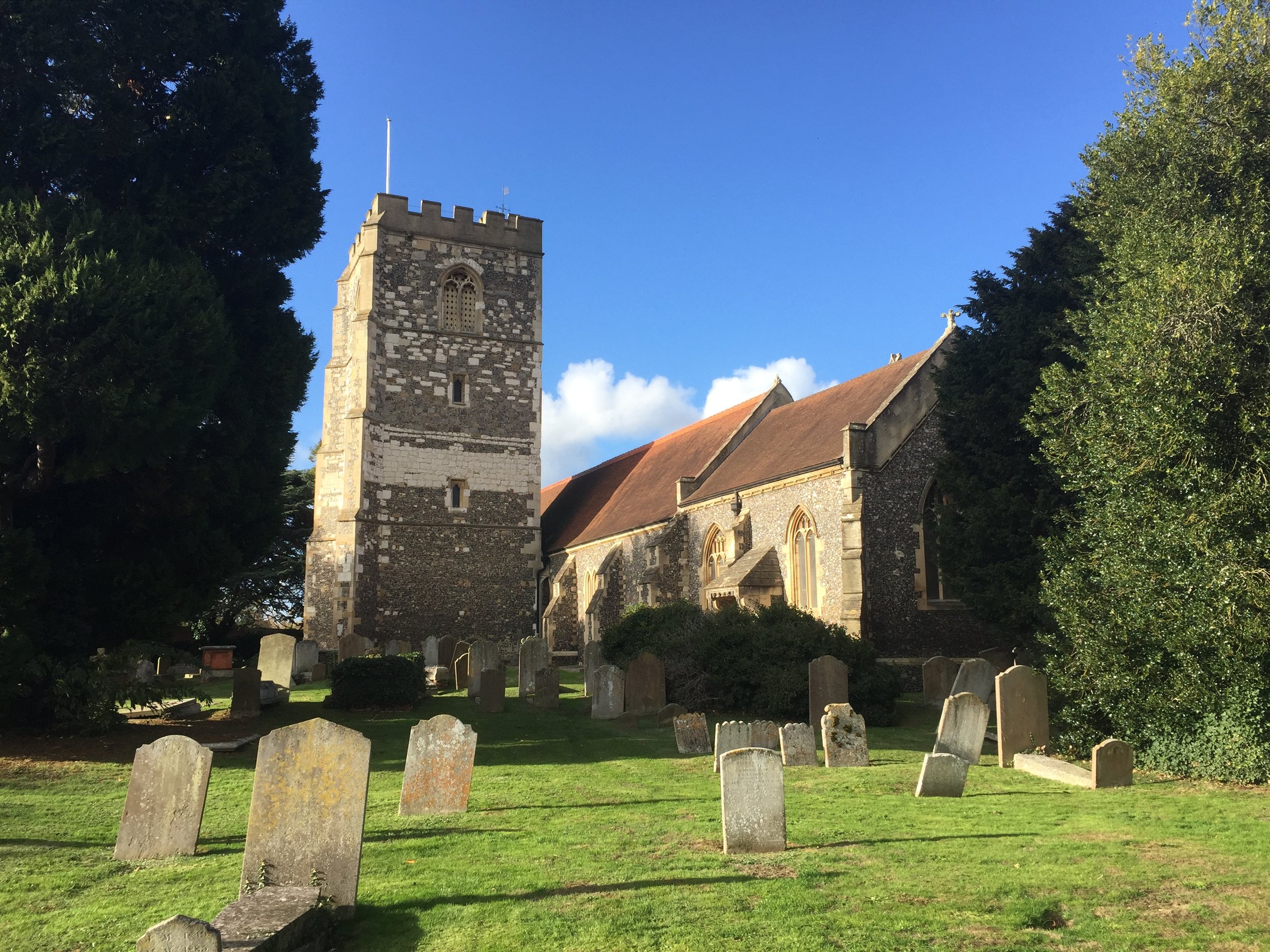
Hambleden Church

Hambleden Church


Part of the Chiltern Rivers Series
River start:
Near junction of Watery Lane and Fingest Lane, North Skirmett, Oxfordshire
River end: Confluence with the River Thames at Mill End, Buckinghamshire
River length: 6.6 km (4.1 miles)
Cycle route start / end: Henley-on-Thames Town Centre
Cycle route length: 23.3 km (14.5 miles)
Cycle route ascent: +/- 240m
GPX File: get via Buy Me a Coffee
Other routes touched (walk): Oxfordshire Way, Shakespeare’s Way, Chiltern Way, The Wokingham Way, Thames Path
Other routes touched (cycle): Chilterns Cycleway
Map: OS Explorer Map (171) Chiltern Hills West, Henley-on-Thames and Wallingford
Links: Hambleden Brook, Skirmett, Hambleden


The Hambleden Brook is a 4.1 mile chalk stream running from Skirmett to Mill End near Henley on Thames. There's loads of options for scenic walks in the area, but I chose a 14.5 mile circular cycle route also taking in Henley, Lower Assendon and Fawley.

How To:

The maps below show a start & end point at the source of the Brook at Skirmett, however I recommend starting in Henley where there are a lot of parking options. From Henley Town Centre:

  • Head north-west on the A4120 toward Wallington & Nettlebed. This is a fairly busy road but there's protected cycle path on the left for most of the way.

  • Just before the A4120 becomes a dual carriageway, turn right onto the B480 toward Assendons and Stonor, then first left following the Chilterns Cycleway.

  • Follow the Chilterns Cycleway north for approx 5k through Fawley to the T-junction at Dudley Lane. Turn right, away from the Cycleway.

  • Take first right onto Drovers Lane, following it to Southend, turning right through the village.

  • Follow the steep Bridleway down to Dolesden Lane, and follow this right / east toward Fingest.

  • At the intersection of Dolesden Lane and Holloway Lane, turn right onto Watery Lane, following this until it meets Fingest Lane.

  • The source of the Hambleden Brook is in the field on the right hand side of Watery Lane, just before you reach Fingest Lane. As you turn right onto Fingest Lane, you'll see a dry ditch which follows the course of the Brook.

  • Follow Fingest Lane with the Brook on your right, past the Frog at Skirmett a recommended lunch stop.

  • Just past the Frog, Fingest Lane crosses a bridge over the Hambleden Brook and the road becomes Skirmett Lane.

  • Follow Skirmett Lane towards Hambleden, but turn left onto Colstrope Lane where you'll cross another bridge over the Brook.

  • After a short, steep section take a right and continue south toward Hambleden.

  • Re-join Skirmett Lane just past Hambleden Village and continue to A4155 at Mill End. Cross this and cut through the houses to Hambleden Marina.

  • Here you can walk your bike over the weir to Hamblden Lock, meeting the Thames Path. Follow this all the way back to Henley

Blue = course of the Hambleden Brook, Red = cycle route

Elevation of the circular route based on starting at the source of the Brook (rather than Henley)


Cycling The River Colne
Colne meets the Thames at Staines

Colne meets the Thames at Staines


Part of the Chiltern Rivers Series
River start:
North Mymms Park in Hertfordshire.
River end: Confluence with the River Thames in Staines, Surrey
River length: 18 km (11.2 miles)
Cycle route start / end: parking in North Mimms town centre, Hertfordshire / River Thames in Staines.
Cycle route length: 57.8 km (36 miles)
Cycle route elevation change: +182m / -262m. Net -80m
GPX File: get via Buy Me a Coffee
Other routes touched (walk): Hertfordshire Way, Grand Union Canal Towpath, London Loop, Beeches Way, Colne Valley Trail, Thames Path
Other routes touched (cycle): NCN 12, 4, 6, 61
Map: OS Explorer Map (182) St. Albans and Hatfield / OS Explorer Map (172) Chiltern Hills East / OS Explorer Map (160) Windsor, Weybridge & Bracknell
Links: River Colne, Welham Green, North Mymms, Rickmansworth, Staines


The Colne is the daddy of the Chiltern Rivers. The Lee may be longer, but the Colne tells the real story of the Chilterns. From its start at North Mymms, the river flows south through Hertfordshire, Buckinghamshire, meeting the Thames at Staines in Surrey. Along the way it picks up water from smaller rivers such as the Ver, the Gade, the Chess , the Pinn and the Misbourne. Travel along these and you'll see some of the best scenery of the region.

The cycle route that I devised was awesome. I was fully prepared to get lost, stuck in the mud or work around non-cycle paths. As it turned out, it was a challenging but hugely enjoyable combination of trails, country roads, canal towpath and interesting industrial wasteland.

Unlike some of the other Chiltern Rivers, its possible to stay pretty close to the river itself. There's not one waymarked route to follow, but stringing a few together will get you there. Its complicated, so take a bike sat-nav and don't even think of attempting it on a road bike. Its muddy. And awesome.

How to do it.

Roughly its the following, but don't just rely on this. Take a map or GPX file.

  • Start at Welham Green, Hertordshire.

  • Follow Dixons Hill Road / Tolgate Road / Coursers road out of town.

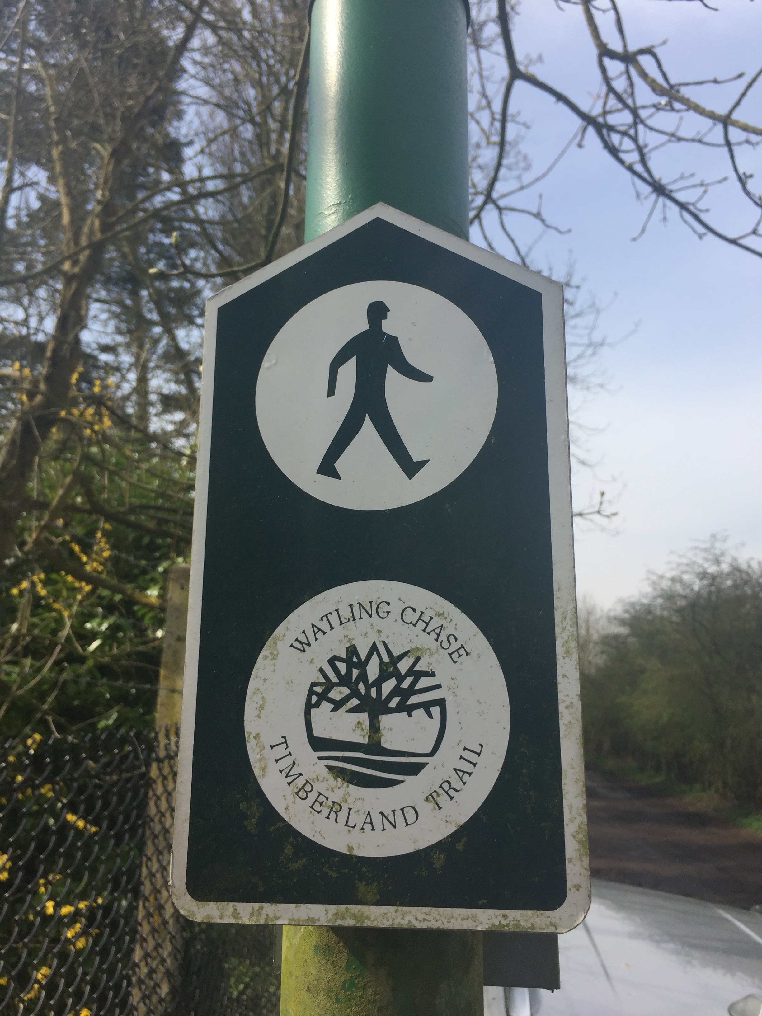
  • Cross the fields, following the river until you get to the Watling Chase Timberland Trail

  • Follow the Trail to Lowbell Lane, crossing under the A1081

  • Passing through London Colney, take Shelney Lane over the M25

  • Follow Harper Lane to Watling Street, briefly turning right, then left onto a Bridleway

  • When passing though a farm/equestrian centre please dismount and walk the bikes through. The natives are friendly, but sounds like they have had a bad experience with people ignoring the "no cycles" sign.

  • Follow School Lane over the M1 to Garston.

  • By now you will be on NCN 61. Follow this all the to the Malt Shovel Pub on the Grand Union Canal at Iver.

  • This stretch of the NCN 61 also follows the Abbey Way and Ebury Way

  • Turn right off the canal then left onto Old Mill Lane.

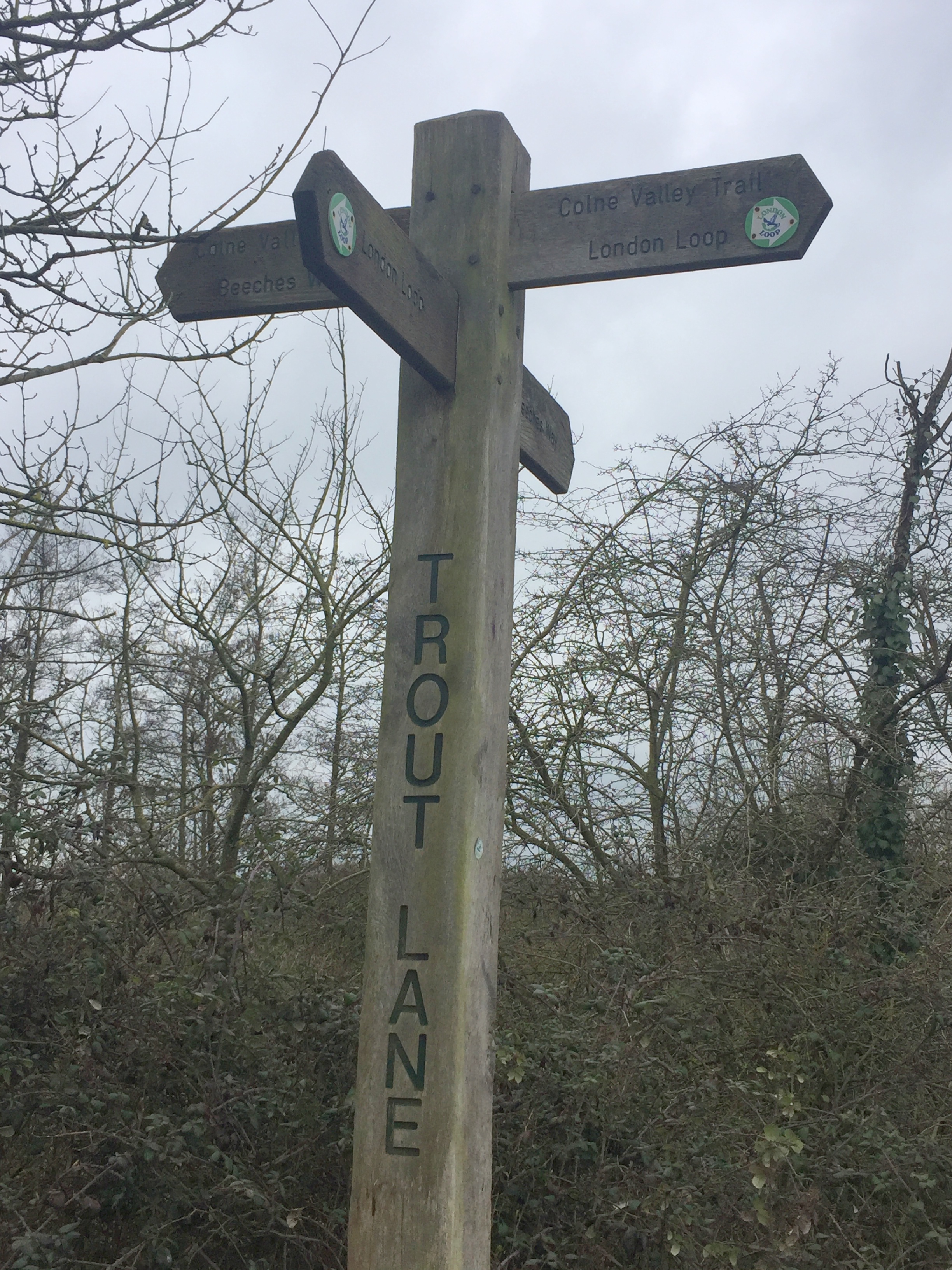
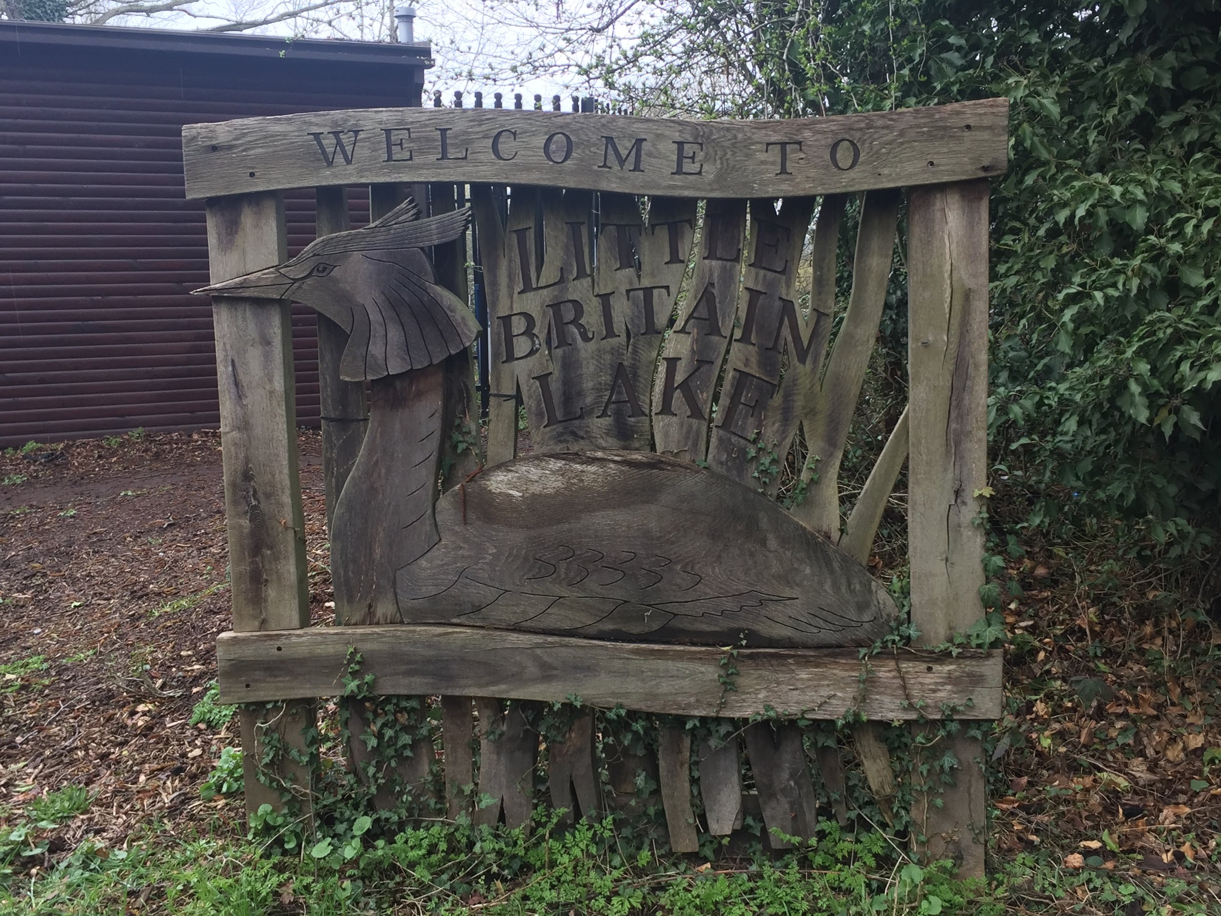
  • Take the right hand path around Little Britain Lake, Following London Loop (section 1) then the Beeches Way to the Colne Valley Way

  • When the Colne Valley Way reaches Thorney Mill Road, take a left onto it until Wise Lane

  • Follow Wise Lane then the Colne Valley Trail onto Harmonsworth Moor.

  • Cross under the M4, then over the A4 through Stanwell Moor and under the A30.

  • Once past the A30, its a wiggle through Staines to the end of the river at the Thames opposite the Swan Hotel.


Recommended Lunch Stop

The Cafe in The Park at Rickmansworth Aquadrome is a great half-way stopping point. Their Courgette and Lime cake is amazing.

Elevation for cycle route


Cycling The Colne Brook, Wraysbury & Frays Rivers
Northern end of the route where the River Frays ducks under the Grand Union and meets the River Colne

Northern end of the route where the River Frays ducks under the Grand Union and meets the River Colne


Part of the Chiltern Rivers Series
Rivers start, end & length:
- Colne Brook:
Splits from the Colne at Uxbridge Moor, runs 14.4 km (9 miles) to the Thames at Hythe End near Staines, Surrey
- Wraysbury: Splits from the Colne at West Drayton, runs ~9 km (5.5 miles) and rejoins the Colne near the confluence with the Thames at Staines, Surrey
- Frays: Splits from the Colne at Uxbridge Moor, runs ~9 km (5.5 miles) and rejoins the Colne near the confluence with the Thames at West Drayton, Middlesex
Cycle route start / end: Colne Visitors Centre, Denham, Uxbridge, UB9 5PG
Cycle route length: 46 km (28.5 miles)
Cycle route elevation change: +/- 149m
GPX File: get via Buy Me a Coffee
Other routes touched (walk): Grand Union Canal Towpath, London Loop, Beeches Way, Colne Valley Trail, Thames Path
Other routes touched (cycle): NCN 4, 6, 61
Map: OS Explorer Map (172) Chiltern Hills East, OS Explorer Map (160) Windsor, Weybridge & Bracknell
Links: Colne Brook, Wraysbury River, Frays River, Uxbridge, West Drayton, Staines


This route is not pretty, but it is interesting. This is the lower Colne Valley, a land of marshland, rivers and moors sliced and diced by motorways, rail lines and dirty industry. It’s a place that few people discover and why would they? The Chilterns surround it to the north west and Windsor Great Park is not far to the south. What this area lacks in beauty it makes up for in intrigue. It’s a chance to get lost in a place you’ve wizzed by on the way to somewhere else.

I'd made a failed attempt at this trip in January. It's been a winter of cancelled running events and I've added a few extra kilos. I was eager to get back on my bike for another attempt and a short window in a rainy Easter weekend gave me a chance. It was wet, muddy and cold. I loved it.

The best place to start the trip is car park at the Colne Valley Regional Park Visitors Centre. From here, its a 2.5 mile cycle down the Grand Union to the start of the Colne Brook. You can see the split from the River Colne from a bridge on the A4007 at Cowley. About 500m further on, a footpath next to the M25 follows the end of the Alderbourne before it meets the Colne Brook. The cycle route stays as close to the river as possible, passing through Iver, Thorney Park Golf Course, Colnebrook village and the back of Heathrow T5 industrial estates.

Once past Heathrow the route gets more pleasant as it weaves through the Wraysbury reservoirs, emerging at Hythe End. After passing the start of the Staines Reservoirs Aqueduct, the route joins the footbridge on the M25 river crossing. From here you can see the confluence with the Thames opposite the Runnymede Hotel.

After a short ride east along the Thames, cross back over the river and you'll find the point where the River Colne reaches the Thames near the old Town Hall. The junction of the Colne and the Wraysbury can be seen from a bridge off Church Street a couple of hundred meters to the north.

From Staines, the cycle route stays in sight of the Wraysbury river for most of the route except for a diversion around a grotty industrial estate at the back of T5. The start of the river at West Drayton is within a stone's throw of the end of the Fray's River. This end of the Frays is hard to keep close to, so the route diverts through West Drayton and Yiewsley before meeting the river at Little Britain Lake. From here the river can be tracked pretty closely through Uxbridge up to the junction with the Colne at Denham Lock.

Yellow = Cycle Route, Red = River Colne Brook, Blue = Wraysbury River, Green = River Frays

Elevation for cycle route


Walking The River Fleet
Hampstead Heath

Hampstead Heath


Start: Heath Brow Car Park 12 North End Way, Hampstead, London, NW3 7ES
Finish: Blackfriars Bridge, River Thames, London, EC4Y 0AF
Distance: 10.4 km (6.5 Miles)
Elevation change: +40m / -161m. Net -121m
GPX File: get via Buy Me a Coffee
Other Routes Touched (walk): Jubilee Greenway, Regents Canal Towpath, Thames Path
Other Routes Touched (cycle): CS3, C6
Map: OS Explorer 173 London North
Guidebooks: London's Lost Rivers: A Walker's Guide, London's Lost Rivers, London's Hidden Rivers: A walker's guide to the subterranean waterways of London
Links: Wikipedia, Londonist Video
See also: Walking The River Wandle


For today's London lost river trip we walked the length of the Fleet from Hampstead Heath to the Thames. The Fleet used the flow through the centre of London until it was covered up in the 1700's, much of it becoming a sewer. Nowadays only parts of it are visible near the source at Hampstead. Despite the lack of actual river, walking the route is a nice couple of hours through some interesting parts of the city.

We mostly followed the route described in Tom Bolton's book London's Lost Rivers. Our main diversion from this was to visit Camden Lock at 3 miles in, then follow the Regents Canal to King's Cross station. The distance is roughly the same but it's a more pleasant walk than the back roads that more closely follow the route.

There's loads of interesting London history along the route. I won't cover it here as Tom Bolton's book is a very thorough guide and well worth taking with you. The Londonist video (linked below) is also a good primer for the trip.

Getting there and back is pretty straightforward. We parked at Heath Brow Car Park (NW3 7ES) which is right next to the start of the western source at Whitestone Pond. Although convenient, it's also expensive at £20 for the 6 hours we needed for the complete round trip. The best route back is via Underground, taking the Circle or District from Blackfriars to Embankment, then the Northern Line to Hampstead, less than half a mile walk from the car park.


More London posts


Walking The River Wandle Trail

Start: East Croydon Station, Croydon CR0 1LF
Finish: Thames Path at Wandsworth, SW18 1EJ
Distance: 21.2 km (13.2 miles)
Elevation change: +55m / -117m. Net -62m
GPX File: get via Buy Me a Coffee
Other routes touched (walk): Vanguard Way, Wandle Oaks Link, Capital Ring, Thames Path
Other routes touched (cycle): NCN 20
Map: OS Explorer Map (161) London South, Westminster, Greenwich, Croydon, Esher & Twickenham
Guidebooks:
- London's Lost Rivers: A Walker's Guide by Tom Bolton
- London's Lost Rivers by Paul Talling
- London's Hidden Rivers: A walker's guide to the subterranean waterways of London by David Fathers
Links: River Wandle, Croydon, Carshalton, Morden Hall Park National Trust, Wandsworth


Just like last week's Lea River trip, this one started in a grim New Town and ended at the Thames in London. There may be be some pleasant parts of Croydon but they're not on the route of the Wandle.

I was following the river, along the course described in Tom Bolton's London's Lost Rivers. Unlike the other rivers described in the book, the Wandle is mostly still visible, the rest having been covered up and/or converted to sewers. Once you leave Croydon, its a very pleasant walk, run or cycle through some hidden parts of the capital.

The route starts at the 120 year old Swan and Sugarloaf at the south end of Croydon High Street. Once a historic pub and hotel, its now a Tesco Express in a dingy part of town. The river has been covered up in this area, so the best plan is to head north quickly. If you're not bothered about visiting the source, the Wandle car-park, slightly further up, is alternative place to start. 

The Wandle becomes visible about half a mile in at the south-east corner of Wandle Park. The pleasant part of the trip only really starts at Waddon Ponds where the signs for the Wandle Trail begin.

The river meanders ~11 miles through parks and industrial areas before reaching the Thames at Wandsworth. In between there's Beddingon Park, Ravensbury Park and Morden Hall National Trust, amongst others as nice places to stop for a rest.

The confluence with the Thames is just north of Wandsworth centre. I've crossed the bridge several times on the Thames Path, not realising what it was. From here I picked up a Boris Bike (TFL Santander Cycle) just round the corner at Smuggler's Way and took a 6 mile route via the Thames Path to Victoria Station. Regular trains go from here to West Croydon.

elevation_profile.jpg

Cycling The River Lea
Near River Lee Country Park

Near River Lee Country Park


Part of the Chiltern Rivers Series
River Lea start:
Leagrave, Bedfordshire
River Lea end: Leamouth, Greater London
River Lea length: ~42 miles / 68 km
Cycle route start / end: Wardown Park, Luton, Bedfordshire
Cycle route length: ~58 miles / 94 km
Cycle route ascent: +420m / -507m
GPX File: get via Buy Me a Coffee
Other routes touched (walk): Lea Valley Walk, Chiltern Way, Hertfordshire Way, New River Path, Greenwich Meridian Trail, London Loop, Capital Ring, The Greenway, Jubilee Greenway, Regent’s Canal Towpath
Other routes touched (cycle): NCN Routes 1, 12, 57, 6, 61, Chilterns Cycleway, Ayot Greenway
Map: OS Explorer Map (193) Luton and Stevenage, OS Explorer Map (182) St. Albans and Hatfield, OS Explorer Map (174) Epping Forest & Lee Valley, OS Explorer Map (173) London North, The City, West End, Enfield, Ealing, Harrow & Watford
Links: River Lea, Leagrave, Luton, Lee Navigation, Limehouse Basin, Regent’s Canal


It was Easter Saturday and time to start proper training for July's Titanic Ireland cycle adventure. My cycling friends all opted out due to being "broken", "in Germany", "painting" or, strangely, "not fit enough to start training", so I was on my own for this one. 

The route is a combination of National Cycle Routes (NCN), starting near the source of the Lea at Luton and ending at Limehouse Basin at the Thames in London. Getting back is easy enough as the Regent's canal takes you from the Basin to St Pancras station where there are frequent trains back to Luton.

The Lea starts in Leagrave, north of Luton. Although NCN 6 passes through it, I opted to start the trip 2.3 miles down at Wardown Park where the river fills a small lake. Its also the venue for Luton Wardown parkrun which, as it was Saturday, had to be done too. If I were to do the trip again I would start at the source as it’s very close to Leagrave Station which is on the same line to St Pancras. This additional section follows the Lea Valley Walk which is a footpath but there’s good options for cycling on nearby roads.

The trip is a nice combination of NCN routes 6, 57, 12, 61 and 1. It's easily navigable with only a small amount of planning and keeping your eyes out for signs along the way. The first 22 miles to Hertford is mostly disused post-Beeching railway lines, with the remainder following the Lea Navigation Canal.

The River Lea joins the Thames near Canning Town, opposite the Greenwich Peninsula. Cycling right to the confluence is tricky so I opted to follow the Limehouse Cut from Bow Creek to the Limehouse Basin. From there I followed the Regent’s Canal back to King’s Cross station to get the train back to Luton where I had parked my car.

Red = course of the River Lea, Blue = Cycle Route including Regent’s Canal to King’s Cross.

Elevation for cycle route

Elevation for cycle route


Cycling The River Wye, Buckinghamshire
Near the source at West Wycombe Estate

Near the source at West Wycombe Estate


Part of the Chiltern Rivers Series
River start:
Bradenham, Buckinghamshire
River end: Confluence with Thames at Bourne End, Buckinghamshire
River length: 14 km (9 miles)
Cycle route start / end: Parking in Bourne End Village Centre
Cycle route length: 33.6 km (21 miles)
Cycle route ascent: +/- 223m
GPX File: get via Buy Me a Coffee
Other routes touched (walk): Chiltern Way, Wycombe To Bourne End Disused Railway Trail
Other routes touched (cycle): Chilterns Cycleway
Map: OS Explorer Map (172) Chiltern Hills East
Links: River Wye, Bradenham, West Wycombe, High Wycombe, Wooburn Green, Bourne End

For my 3rd Chiltern River after the Chess and the Pinn, I chose the Wye for today's mini cycle adventure. The Wye, unlike its larger Welsh namesake, goes easily unnoticed. Despite having lived within 10 miles of it for most of my life, I'd barely heard of it until recently.

The Wye rises at Bradenham, near West Wycombe, travelling south-east for 9 miles before joining the Thames at Bourne End. The junction with the Thames is on private land so I started my trip on Bourne End High-Street, cycling toward the source.

The first couple of miles is fairly pleasant. After Bourne End, the river follows the A40 to Wooburn Common. From there navigation gets tricky as the river gets lost amidst housing and an unpleasant retail park hiding under the M40 flyover. The route through Loudwater continues along similarly unremarkable territory before a more pleasant cut through the Wycombe Rye park. One particular point of interest is where the Wye crosses under the route of the disused Wycombe to Bourne End Railway. You can see this by taking the small footpath from the A40 up onto the old railway embankment opposite Pinions Road shortly before Wycombe Town Centre.
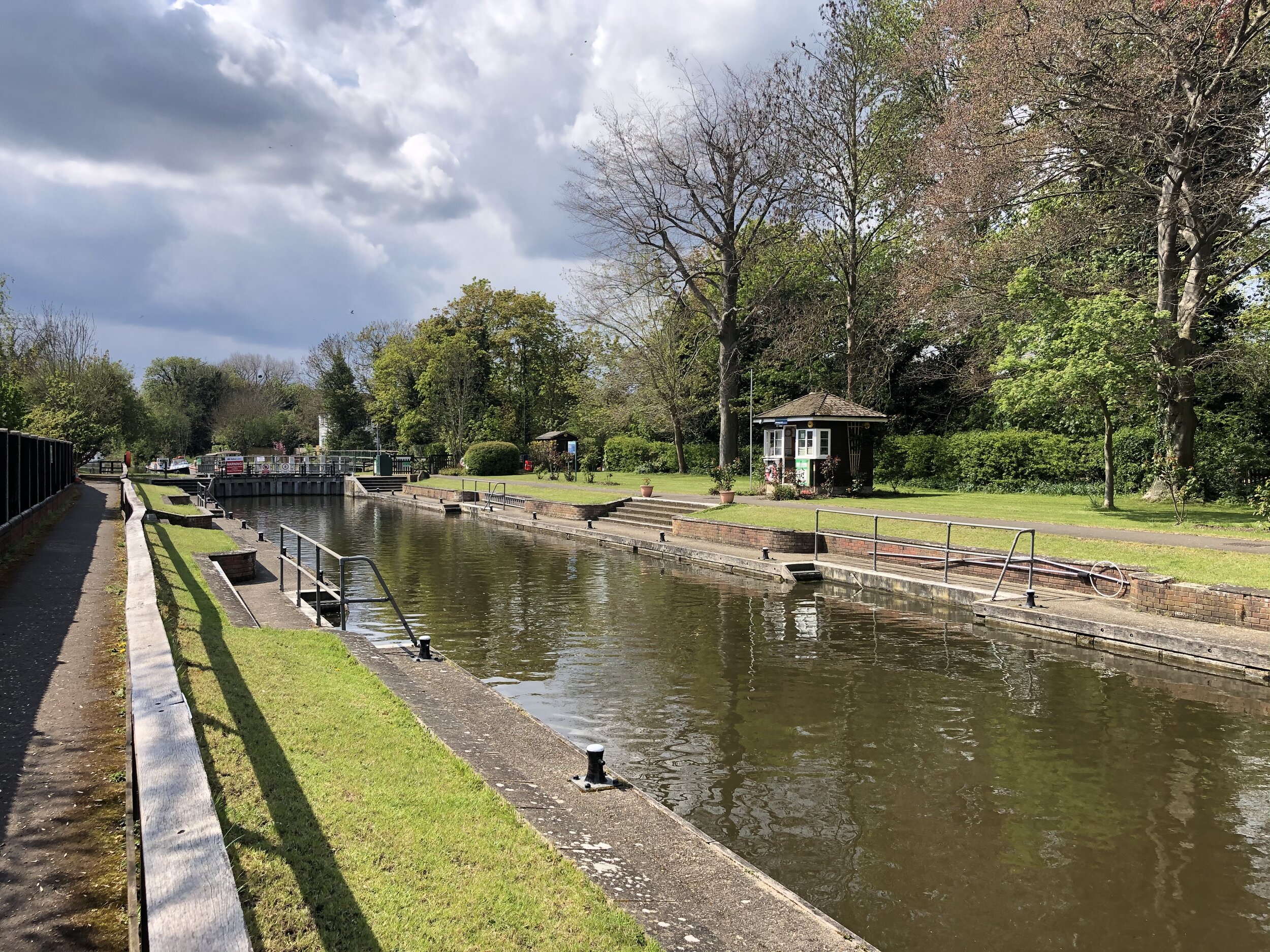
The following mile or so, cutting past High Wycombe Town Centre and the Desborough Estate, is best completed as quickly as possible. It's only at the edge of town, approaching The border with West Wycombe, where there's anything worth slowing down for. The final place to see the Wye is on a bridge looking into the National Trust Estate at West Wycombe where you can see the lake that feeds the river. 

West Wycombe High Street is a good place for a coffee stop before starting the second, much more pleasant, half of the trip. After West Wycombe, the route follows the A40 for a mile or so, joining the Chiltern Cycleway. Bullocks Farm Lane,  now heading back South needs the lowest gear for 10 minutes of slog to the routes highest point.

From here, the Chiltern Countryside comes into its own as pleasant country lanes take you through Wheeler End, Lane End, Freith and down to Marlow. From here the A4155 forms an easy final 3.5 miles back to Bourne End.

Red = course of the river, blue = cycle route

Elevation for cycle route

Elevation for cycle route


Cycling The Grand Union Canal
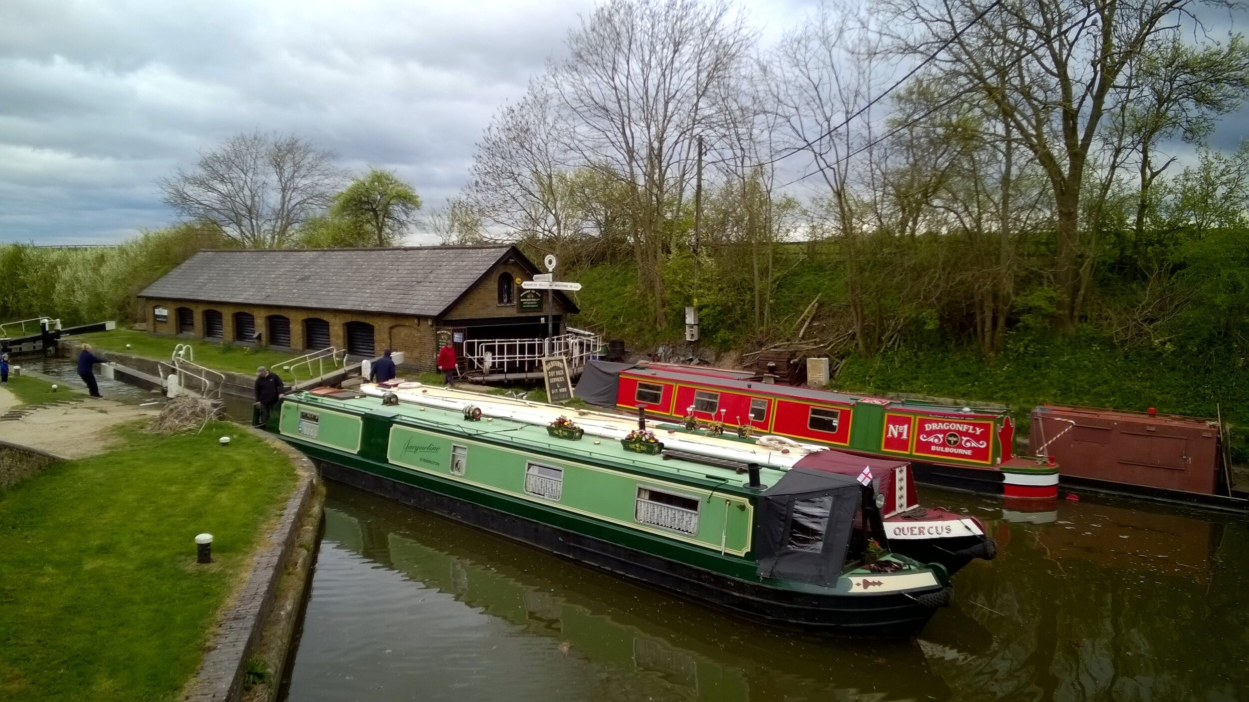
Braunston Junction

Braunston Junction

Starting an 85 miles off-road cycle ride with an epic hangover probably wasn’t a great idea. The 2-day, 150 mile, Grand Union Canal cycle trip was tough enough anyway.

The trip was the main training weekend for the Lands End to John O’Groats trip in July. The plan was to travel up to Birmingham on the Friday night, start cycling on the Saturday morning, and arrive at the end-point in London with an over-night stay in Milton Keynes. That was the plan anyway. Six of us started, one of us finished.


Day 1: Birmingham to Milton Keynes

Start: Old Turn Junction, Birmingham, B1 2HL
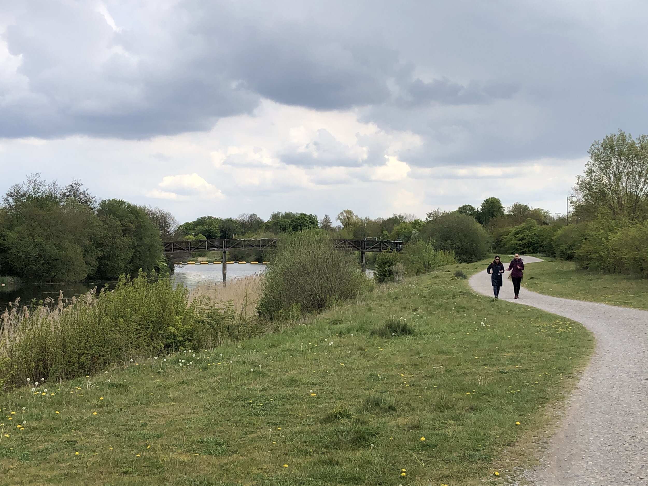
Finish: Campbell Park, 1300 Silbury Blvd, Milton Keynes, MK9 4AD
Distance:
128 km ( 80 miles)
Elevation Change: + 696m / - 766m. Net -70m
GPX File: get via Buy Me a Coffee
Other Routes Touched (Walk): Grand Union Canal Walk, Millstream Way, Millennium Way, Heart of England Way, Shakespeare’s Avon Way, Centenary Way, Oxford Canal Walk, Jurassic Way, Nene Way, Macmillan Way, Midshires Way, Ouse Valley Way, Swans Way
Other Routes Touched (Cycle): NCN 41, 50, 5, 51, 535, 6 / Hanslope Circular Ride
Maps:
- OS Explorer Map (220) Birmingham, Walsall, Solihull and Redditch
- OS Explorer Map (221) Coventry and Warwick, Royal Leamington Spa and Kenilworth
- OS Explorer Map (222) Rugby and Daventry, Southam and Lutterworth
- OS Explorer Map (223) Northampton and Market Harborough
- OS Explorer Map (207) Newport Pagnell and Northampton South
- OS Explorer Map (192) Buckingham and Milton Keynes

The Friday night in Birmingham was the first time the “Lands-End 6” had got together. I got a bit over excited by the event and had a bit too much wine, hence the hangover the next day. This was very much a learning weekend for the group and I had learnt my main lesson very early on.

On Saturday morning we headed off in 2 groups. Neil and I started first, getting to the official start at Salford Junction early so we could take a detour to Edgbaston for Parkrun. The other 4 were just behind, not feeling the need to do a 5k run on top of the 85 miles that day.

The run was fine, a nice park with a friendly crowd, and would have been perfect if my head wasn’t about to explode half-way. By 10:00 we were back on the canal, heading towards the others who were at least an hour further on.

After a promising start, we soon hit a diversion where the towpath was closed for maintenance. A quick look at the guide-book reassured us that we could do a small detour by road then get back on the canal at the next bridge. Somehow we ended up cycling aimlessly around grotty industrial estates before 2 kind ladies took pity on us and helped us get back on track.

Given their head-start we didn’t expect to see the other group until very late in the day or until the end. We actually caught them up just after lunch about 40 miles in, mending what turned out to be Martyn’s second of seven punctures. We had hit a grassy 15 mile section where the hedge had recently been trimmed. The thorns which were previously part of the hedge were now covering the towpath and were finding their way into everyone’s tyres.

The next 3 hours were an inner-tube bloodbath with another 14 punctures across the group. Every time one was fixed we would set off again and someone else would get a flat. It wasn’t long before Brian had the great suggestion of splitting into 2 groups of 3. That way 1 group could make some progress whilst the other fixed punctures. I went ahead with Neil and Reggie and made it 3 miles short of Braunston Junction before Neil’s last inner tube blew. He was in no mood to repair it so walked the bike the final few miles to meet us at the pub at the end.

By now it was clear that we needed a Plan B. The other group was still 8 miles back and not making much progress. They had already decided to come off the canal and take the roads to Milton Keynes. We were further ahead, but had no spare inner tubes for Neil’s bike. His wheels were a different size to Reggie’s and mine so his only option was to get a taxi to Halfords in the next town and stock up on tubes.

By 18:30 we were back in action with 30 miles via roads to the hotel in Milton Keynes. With only 1 more puncture on the way we made it to the hotel by 21:30. The other group had made it there shortly before and had already made it to the bar ready for beers and a post-ride debrief.

Day 1 Elevation

Day 1 Elevation


Day 2: Milton Keynes to Brentford

Start: Campbell Park, 1300 Silbury Blvd, Milton Keynes, MK9 4AD
Finish: The Brewery Tap, 47 Catherine Wheel Rd, Brentford, TW8 8BD
Distance:
95.4 km (59 miles)
Elevation Change: +392m / -460 m. Net -68m
GPX File: get via Buy Me a Coffee
Other Routes Touched (Walk): Greensand Ridge Walk, Two Ridges Link, The Ridgeway, Chiltern Way, Hertfordshire Way, Colne Valley Trail, Hillingdon Trail, London Loop, Beeches Way, Shakespeare’s Way, Capital Ring, Thames Path
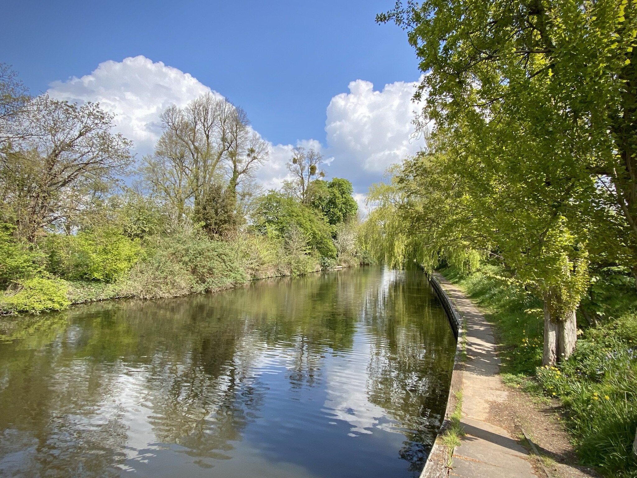
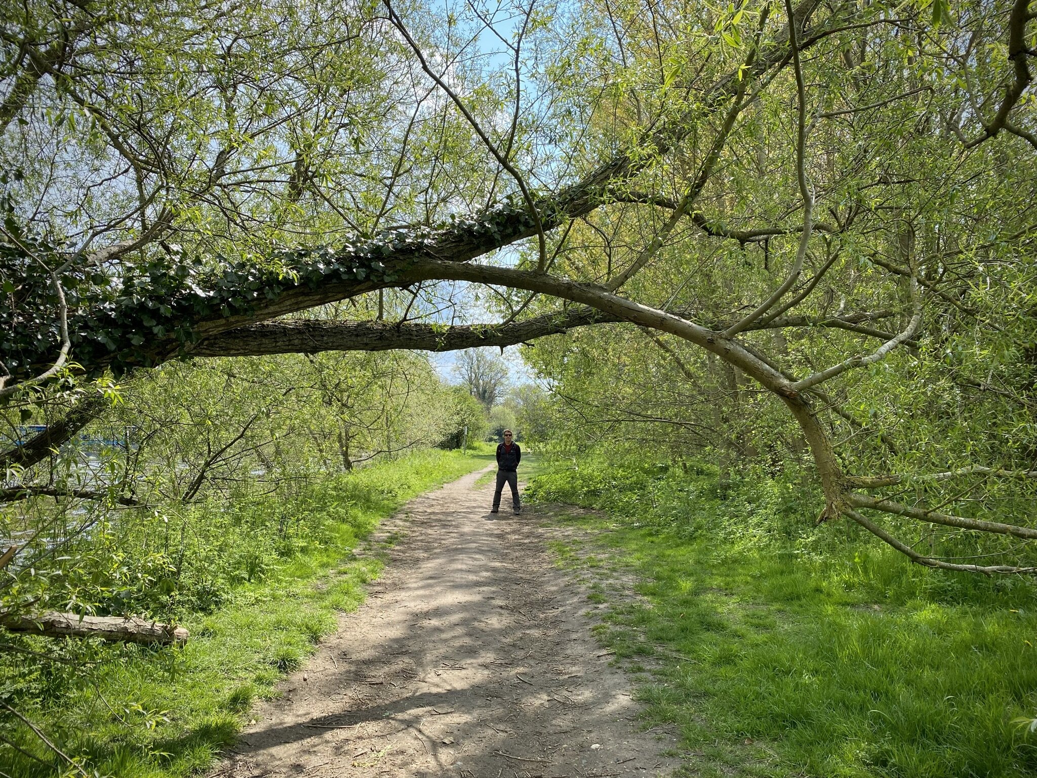
Other Routes Touched (Cycle): NCN 6, 61 / Tring Route 5, Berkhamsted Route 6, Chilterns Cycleway
Maps:
- OS Explorer Map (192) Buckingham and Milton Keynes
- OS Explorer Map (181) Chiltern Hills North
- OS Explorer Map (182) St. Albans and Hatfield
- OS Explorer Map (172) Chiltern Hills East
- OS Explorer Map (160) Windsor, Weybridge & Bracknell
- OS Explorer Map (161) London South, Westminster, Greenwich, Croydon, Esher & Twickenham
- OS Explorer Map (173) London North, The City, West End, Enfield, Ealing, Harrow & Watford

It because clear very quickly that I was going to be on my own for Day 2. The others had got through all of their inner-tubes and continuing along the towpath would have been too risky. It was also a Sunday so waiting for the Bike shops to open would have meant too late a start. No-one seemed too bothered though as the prospect of a leisurely breakfast and an on-road cycle to the nearest train station was more appealing than another day in the saddle.

That night I slept so deeply that I had no idea where I was or what day it was when I work up. For 5 minutes I was convinced that I was on a business trip and it was a work day. Fortunately that turned out not to be the case, but I did have 60 miles of cycling before Brentford.

The towpath from Milton Keynes turned out to be significantly better than our Day 1 experience. Apart from a couple of grassy miles near Leighton Buzzard, it was a solid and thorn-free route all the way. I made good progress, reaching Berkhamsted by noon where Rob, a colleague who lives there, joined my for the final 35 miles.

This last section was on home ground for me and I’d cycled or ran many parts of it before. We reached the end of the canal at Brentford Lock just after 16:00. As with the start of the canal at Salford Junction, the end was quite underwhelming. Despite these being the start and end point of one of Britain’s engineering masterpieces, there was barely anything to celebrate the achievement.

As a learning experience the weekend did its job. The group had its first long distance cycle trip together and got good experience in puncture repairs, what not to pack and in adapting when things go off plan. I didn’t get the puncture repair experience, but I did learn not to ride 85 miles on a massive hangover.

route-26639870-map-full.png
Day 2 Elevation

Day 2 Elevation


The Complete Route

The full 2-day route (excluding diversions)

The Movie


Tips for Cycling The Grand Union Canal

The Route

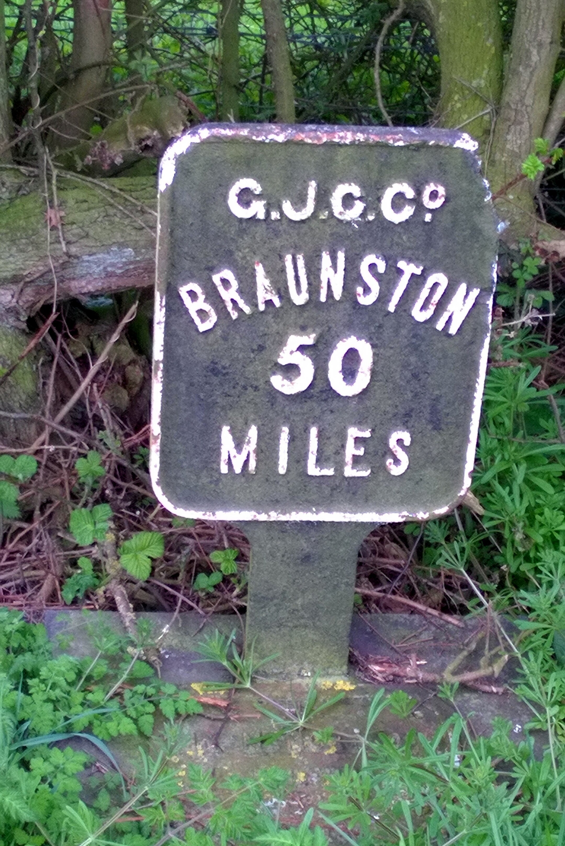
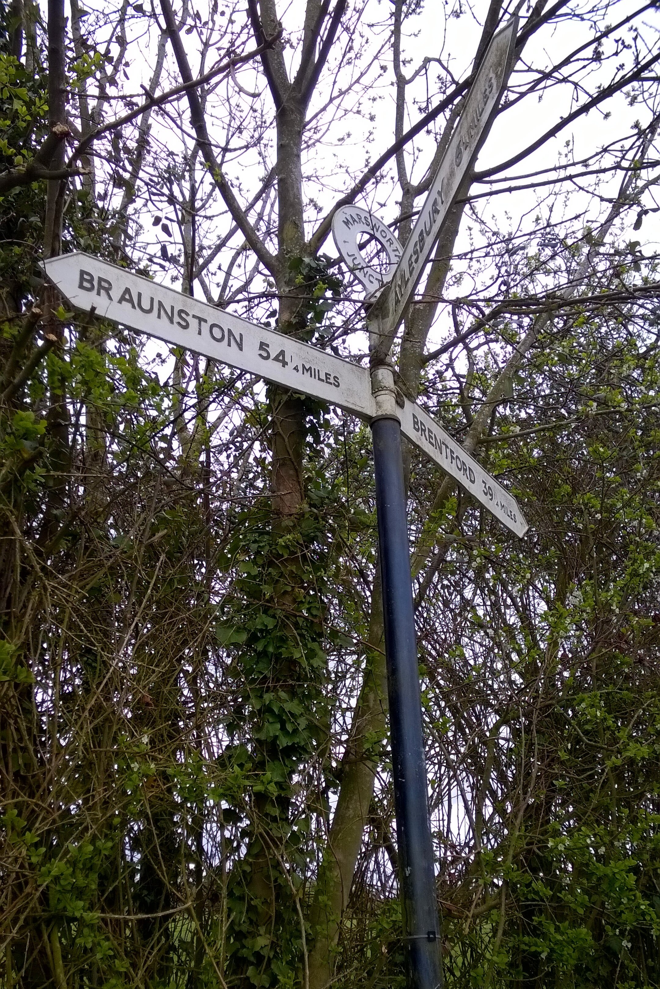
End-to-end the canal is ~150 miles and makes a challenging 2 day or a more leisurely 3 day trip. For either option I recommend Birmingham to Braunston (approx 50 miles) as the target for Day 1. This is the toughest section with the highest chance of punctures so planning to go any further is risky. Braunston is a major junction on the canal and all milestones from London point to it so it makes a good target for a single day. On a 2-day trip Braunston to Brenford is very long but significantly easier than Day 1 due to better paths. For a 3 day trip, Leighton Buzzard is a good Half-way point between Braunston and Brentford.

The Bikes

A mountain bike is essential for this trip due to the "rural" surface for much of the first section. If you can avoid the few weeks after hedge-cutting it will cut down on punctures, but you should expect to get some. Make sure you have good tyres with a healthy tread and ideally use a puncture-proof set. I used Slime inner-tube which self-seal around most punctures. I'm sure that this was a major reason why I was the only one one the group not to get a puncture on the whole trip. Take at least 2 spare inner tubes plus tyre levers etc.

Food and Drink

There's large stretches of the canal without pubs or shops. Although you'll get to a pub eventually its essential to carry enough water and snacks to keep you going.