Posts tagged Wales
100 OS Trig Pillars

A Christmas Day walk in Swinley Forest, Bracknell was the event of my 100th bagged OS Trig Pillar. There was a bit of a debate, mostly with myself, about which Trig would count as my 100th. I’ve only logged pillars that I could either touch or get within a few metres of, not ones that I could only see from a distance. Of those some were listed as “remains” and have been replaced by new monuments. So, my 100th was:


UK Historic County Tops with differently named Trig Pillars


Trig Pillars near parkruns

Trig must be within 2,5km (half a parkrun) of the start line of the event.


parkrun Alphabet Challenge

After 291 parkruns, including 154 different locations, I finally cracked the Alphabet challenge. This is the Holy Grail for many parkrun obsessives, especially those in the parkrun Tourist community. I’d heard about it since I started parkrun 6 years ago, but with a lot fewer events at the time it was really hard. By the time I’d done 100 different events, I’d ticked off 21 letters without any targeted Alphabet bagging. All that remained were I, J, Y and Z. As there’s no X anywhere in the world, it doesn’t count (yet).

With 4 left to go I was now on a mission. At the time there were only 2 "I" parkruns in the country: Inverness and Ipswich. I very nearly did Inverness on our LEJOG adventure but decided against a run that day as we had 105 miles to cycle. A parkrun would have added an extra 5 miles and have delayed our cycle for 2 hours. It wasn’t going to happen. By the time I was planning my trip to Ipswich, a new event called Isabel Trail popped up in Stafford and I pounced on that one.

A weekend trip to Jersey bagged me the J and I got the island’s Half Marathon in on the same weekend. If I’d waited a year I could have used the new Jersey Farm event for my J and avoided a flight. I’m glad I did it though. It gave us a great weekend away and also contributed to my Channel Islands Regionnaire. Y was a relatively easy one. I had the choice of York and Yeovil Montacute. I chose the latter as we were visiting friends in Somerset so Yeovil was a short drive from there.

Then there was Z. Scroll down for the end of the story ……

Alphabeteer Bar Chart.JPG

Events by Letter

… that i had completed by the time I achieved my first alphabet.

Note that Yeovil Montacute has been permanently cancelled. It was one of the events that didn’t come out of the other side of the Covid pause. York, Yarborough Leisure Centre, Y Promenâd parkrun, Aberhonddu, and Y Promenâd, Abermaw are now the UK’s 4 Ys


Zamek w Malborku

This was my second attempt at completing my Alphabet at Malbork. The first try was at the end of August. My parkrun mates and I had been trying to find a mutually convenient date all year. It looked like it wasn’t going to happen but then we found a date that would work as long as we were back by Saturday night before the wives had noticed we were missing.

This would be an especially important trip for Mark. He had come to parkun a bit later and had set himself the challenge of achieving the alphabet in his first 25 events. He claims that he was the first man and second human to have done this.

Shortly before the weekend came I had to make a last minute work trip to New Jersey. I had booked an overnight flight back to London to land at 10:00 on Friday morning. This would give me 3 hours before Neil would need to pick me up for our drive to Luton for the Wizz Air flight to Gdańsk.

After a nightmare trip out to New Jersey I decided that I needed a bit of extra contingency. I paid an extra £300 to get the earlier flight back which would give me another 3 hours. That was plenty of time to make the afternoon flight. What could go wrong?

Lots as it turned out. The combination of a broken plane, a storm and general ineptitude by United meant I was trapped in Newark Airport for 27 hours. I finally landed at Heathrow 23 hours late at 06:30 on Saturday morning. I’d long since missed my opportunity to get to Poland. The faint silver lining was that I didn’t have to miss parkrun altogether. I was still able to get home, get changed and get to Bedford to complete my Bedfordshire County collection.

Seeing how annoyed I was about missing my Malbork trip, Timea (wife) offered to come with me on my second attempt. This was a big deal as she has a general disinterest in running except that it gives her an extra few hours sleep on a Saturday. The following few weeks were a mixture of fighting with United for compensation and planning the return trip.

I’d lost faith in things going to plan after a Summer of flight delays and cancellations. I was checking the parkrun website every day for the 2 weeks leading up to it to make sure it wasn’t cancelled. As it happened all went to plan. The flight was on time, none of the usual nonsense from the rental car company and the hotel was just what we needed.

There were 43 parkrunners there that morning. 11 were locals and 32 were Brits like me who had flown over for the event. Any town with a park that begins with a Z (and definitely those with an X) will do very well from tourist income.

The run itself was great: a simple out and back course along the River Nogat next to the Castle. Once I was finished I popped back to the hotel to wake up the wife, have a quick shower then back to the castle for breakfast. The castle is also a UNESCO World Heritage site so it also gave me a tick on that list too.

There's a few options for a Z in Poland, and several in other countries too. Zamek w Malborku is a really great option for a relatively easy trip from the UK and plenty of other things to do for a weekend away.


More parkrun posts

parkruns are free, weekly, community 5k events all around the world. I started in December 2012 and have been obsessive about it ever since. See my parkrun Collection page for details.

Featured and popular parkrun posts:


Werfa: Bridgend County Top

Unloved Trig Pillar at the summit of Werfa


Also known as: Mynydd Llangeinwyr
Significance:
Highest peak in Bridgend (Present-Day Principal Area). Previously within Historic County of Glamorgan.
Member of: N/A
Parent Peak: Craig y Llyn
Elevation: 568m
Date climbed: June 24th 2019
Coordinates: 51.6412°N 3.5726°W
Route Start / End: Out and back from parking place on A4107
Route Distance: 2.6 km (1.6 miles)
Route Elevation Change: +/- 68m
Subsidiary tops on route: None
GPX File: get via Buy Me a Coffee
Other routes touched: None
OS Trig Pillar: TP0732 - Llangeinor
Map: OS Explorer Map (166) Rhondda and Merthyr Tydfil
Links: Wikipedia (Bridgend), Wikipedia (Mynydd Llangeinwyr), Peakbagger, Hillbagging


We visited Werfa on the way back home from the Western Wales County Top trip. Having conquered both Plynlimon and Foel Cwmceryn in 1 day we had a spare morning before heading back home. We researched the Welsh Present-day County Tops we settled on Werfa, the high point of Bridgend. It ticked off our main criteria of being an actual mountain, not far from the M4 and having a Trig Pillar.

Based on other people's trip logs we parked at a layby on the A4107 and took a bearing up through the fields to the Trig just behind a radio transmitter. In a clear day the massive wind turbine would have been a useful target. Low cloud meant that we could see the bottom 10m of it and only when we were already up close.

From the Trig Pillar we followed the access road back down to the road, crossing it and heading North to Crug Yr Afan, another Trig Pillar. In hindsight the parking spot on the road between the two trigs would have been better. The map here shows the route using that spot.


Western Wales County Tops

View from Aran Fawddwy


“Remote” and “obscure” are relative terms. If you live in Aberystwyth then Arran Fawddwy, Plynlimon and Foel Cwmcerwyn are all local and accessible peaks. If, like the rest of the us, you don’t then they’re a bugger to get to.

Over my 7 years of County Topping I’d managed to pick off the rest of Wales. Snowdon came first and I’d repeated it several times. The rest of the North was ticked in one trip in 2016, the South in 2014 and all between came on weekend adventures over the years. The final 3 are pretty well spaced out so they could only be done on a road trip rather than a single location adventure. If I’d known earlier that this trip would be such fun I’d have tackled these much earlier.

As is mandatory for all weekend trips now, travel happens on a Friday after work. Saturday starts with the nearest parkrun not yet done. This time is was Dolgellau, a beautiful course along the Afon Mawddach river and Madwddach Trail. The Sustrans signs along the route reminded me that I’d passed through here before on my NCN8 end to end Wales trip in 2010.


Arran Fawddwy

Significance: Highest peak in Merionethshire (Historic CT)
Member of: Hewitt, Marilyn, Nuttall
Parent Peak: Snowdon. NHN = Peak 931
Elevation: 907m
Date climbed: June 22nd 2019
Coordinates: 52.7880° N, 3.6881° W
Route Start / End: Out and back from Llanuwchllyn, LL23 7TR
Route Distance: 18.2k / (11.3 miles)
Route Elevation Change: +/- 898m
Subsidiary tops on route: Arran Benllyn (885m), Erw y Ddafad-ddu (872m)
GPX File: get via Buy Me a Coffee
Other routes touched: None
OS Trig Pillar: TP0865 - Aran Fawddwy
Map: OS Explorer Map OL23 Cadair Idris & Llyn Tegid
Guidebook: The UK's County Tops (Jonny Muir)
Links: Wikipedia (Merionethshire), Wikipedia (Aran Fawddwy), Peakbagger, Hillbagging

Llanuwchllyn, our start point for the Arran Fawddwy, walk was only 20 minutes from Dolgellau so we were on the trail by 11:00. We were lucky with the weather and had a the most amazing sunny day with clear skies and view for miles. The 360° view from the summit was a rare prize amongst so many cloudy summit days in my Welsh trekking experience.

Arran Fawddwy is a long but easy trek with only a small bit of scrambling in the last 20 minutes. It’s quiet up there too. At 2976 feet it narrowly misses out on being in the Welsh 3000s and the nearby Cadair Idris gets much more attention. If it wasn’t for it being a County Top I’d likely never have gone there either. That would have been a shame as this was one of my most enjoyable UK hikes in several years.

Once off the mountain we drove an hour South to the YHA at Borth. I didn’t know what to expect when I booked this one. My friend who was in charge of accommodation booking had made such an arse of it, I had to take over with only a month to go. This one was booked on the only criteria that it was near Plynlimon and still available.

As it turned out, Borth was a hidden gem. It’s an old Seaside resort that missed the memo about the need to become cheap and tacky. Our room in the YHA was spacious and had a sea view. Dinner in the seafront Victoria Inn and a beach walk back topped off a perfect adventure day in Wales.


Plynlimon

Also known as: Pumlumon Fawr
Significance: Highest peak in Cardiganshire (Historic CT), High Point of the Preserved County of Dyfed and the Principal area of Ceredigion
Member of: Hewitt, Marilyn, Nuttall
Parent Peak: Pen Y Fan. NHN = Craig Cwm Amarch
Elevation: 752m
Date climbed: June 23rd 2019
Coordinates: 52.4675°N 3.7828°W
Route Start / End: Out and back from parking place on Nant-y-Moch eastern road plus a loop of Pumlumon Fach
Route Distance: 7.7 km (4.8 miles)
Route Elevation Change: +/- 400m
Subsidiary tops on route: Pumlumon Fach (664m)
GPX File: get via Buy Me a Coffee
Other routes touched: none
OS Trig Pillar: TP5480 - Plynlimon
Map: OS Explorer Map (213) Aberystwyth and Cwm Rheidol for Plynlimon
Guidebook: The UK's County Tops (Jonny Muir)
Links: Wikipedia (Cardiganshire), Wikipedia (Plynlimon), Peakbagger, Hillbagging

Plynlimon is just a few miles as the crow flies from Borth. We were driving though so it took a winding 45 minute trip so many hairpin bends and a route around the Nant-y-Moch reservoir.

The start of the trail is a small parking spot on the Maesnant road where it meets a farm track. There's 2 options from here: an out and back following the Maesnant stream or a circuit of the Pumlumon Fach. As we were following Jonny Muir's guide an wanted a more interesting route. We opted for the circular plus a couple of detours to bag the summits of Pumlumon Fach and an unnamed peak nearby.

Plynlimon was a much shorter trek than yesterday's Arran Fawddwy trip so we were back down by lunchtime and quickly on the road towards Newport YHA. Even with a short stop to bag a bonus Trig Pillar near Cardigan we arrived at the YHA by 15:00. I'd not read the check-in instructions so didn't realise that we were 2 hours too early. We could get a whole other mountain bagged in that time.


Foel Cwmcerwyn

Significance: Highest peak in Pembrokeshire (Historic County and Welsh Principal Area), Pembrokeshire Coast National Park High Point
Member of: Marilyn
Parent Peak: Plynlimon. NHN = Garreg Lwyd
Elevation: 536m
Date climbed: June 23rd 2019
Coordinates: 51°56′44″N 4°46′29″W
Route Start / End: Out and back from parking place on B4329
Route Distance: 6 km (3.7 miles)
Route Elevation Change: +/- 135m
Subsidiary tops on route: None
GPX File: get via Buy Me a Coffee
Other routes touched: None
OS Trig Pillar: TP5522 - Prescelly
Map: Ordnance Survey Explorer OL35 North Pembrokeshire
Guidebook: The UK's County Tops (Jonny Muir)
Links: Wikipedia (Pembrokeshire), Wikipedia (Foel Cwmcerwyn), Peakbagger, Hillbagging

By the time wed reached the parking spot for Foel Cwmcerwyn it was proper rainy. The summit was apparently not far away but we couldn't see anything. Sticking to the GPS route and a straightforward path we arrived at the Trig Point in under and hour. The completion of the Welsh County Tops was a bit of an anticlimax in a damp field with views stretching across the nearest 15 metres.


Walking The Monmouthshire & Brecon Canal - Part 1

Start: Brecon Canal Basin, Brecon, LD3 7EY
Finish: Crickhowell High Street, Crickhowell, NP8 1BE
Distance: 25 km (15.5 miles)
Elevation change: +134m / -201m. Net -67m
GPX File: get via Buy Me a Coffee
Other Routes Touched (walk): Taff Trail, Usk Valley Walk
Other Routes Touched (cycle): NCN 8
Maps:
- OS Explorer OL12 Brecon Beacons National Park - Western & Central areas
- OS Explorer OL13 Brecon Beacons National Park - Eastern area
Links: Monmouthshire & Brecon Canal, River Usk, Brecon, Talybont on Usk, Crickhowell


I’d only seen the Monmouth & Brecon Canal a few times before and that was only the basin at Brecon. It’s where I started the Taff Trail many years ago and was the venue for a Landscape Photography course I did in 2012. I never thought about where it went to until recently. Timi and I were staying in the Valley of Ewyas on the Welsh border and I needed a one-day adventure while she spent time with her coaching friends.

I looked at a few options from cycling the whole length of its to walking or running a section. The 16-mile Brecon to Crickhowell section was an obvious choice for a short winter day. There’s an infrequent bus between the towns which helped the logistics for a point-to-point walk.

After a thwarted attempt on Pontypool parkrun I arrived at Crickhowell at 09:30. I’d driven over an hour to get there from our isolated farmhouse only to find that the run was cancelled due to ice. It was especially annoying as I had checked the run’s homepage the day before to see if it was on. It must have been cancelled overnight and, without internet at the farm, I had no way of checking that morning.

With the bus leaving at 10:20 I had a while to fill up on coffee and carrot cake at the Latte-Da cafe next to the bus stop. The last time I’d spent any time in the town was 25 years ago. I remember a cafe there that was a shrine to Cliff Richard. His songs were on constant rotation and there were photos of him all over the walls. It was a quirky place that I hoped was still there but it was now long gone in the history of the town.

After a short bus ride and a 5 minute walk to the canal basin I started my walk. The first section was pretty snowy with some amazing views of Pen-y-fan and its sisters on the first 3 miles. The well kept towpath is dotted with wooden sculptures and information boards depicting the history of the canal.

The route follows the River Usk remaining higher than the river in most parts and crossing it on viaducts several times. The A40 is also close by and, apart from the first couple of miles out of Brecon, it’s distant enough not to spoil a quiet walk.

There were a couple of places, like Talybont on Usk and Llangynidr, with canal-side pubs that would have been nice stops. As it happened I decided to plough on so I could be back at the farm before it got dark.

The first 5 miles were the most interesting then a lot of the route was much the same. That’s why I prefer to cycle along canal towpaths as they’re often a bit samey for the slower speed of walking. Even so, it was a lovely walk and a good use of a chilly winter day.

elevation_profile.jpg
Gower Ultra Marathon
IMG_5278.jpg

When: October 7th 2017
Start & Finish: The St Madoc Centre, Llanmadoc, Swansea, SA3 1DE
Distance
: 79.8 km (49.6 miles)
Elevation: +/- 881m
GPX File: get via Buy Me a Coffee
Other routes touched (walk): Wales Coast Path, The Gower Way
Other routes touched (cycle): NCN 4
Map: OS Explorer Map (164) Gower, Llanelli 
Finish time: 15 hours 30 minutes
Links: Gower Peninsula, Rhossili & South Gower Coast National Trust, The Mumbles


After last year’s Race To The Stones I thought that I had scratched my Ultramarathon itch. That one was the event that first got me excited about doing an Ultra. Now that I had done 2 I was happy that I didn’t need to do more. That feeling lasted 6 weeks until I saw an ad for the Gower Ultra. It had my name all over it. I signed up straight away, 1 year before the race.

A year later and I was still excited. My usual support crew, Timi and Mum, were there. We drove down the night before, staying half a mile from the start. The plan was the same: I would run the first 20 or so miles on my own while they have a leisurely breakfast and we would meet around lunchtime.

The start was great, along sandy dunes leading down to Rhosilli Bay. The tide was half out but slowly coming inwards. Through much of the beach section there was an equal mix of stones and sand. The sand was easier to run on so I kept on it, only moving onto the stones every few minutes when the tide came in further. That worked well ... until it didn’t, with a sleepy lack of concentration resulting in a major soaking from a wave. I was only 3 miles into a 50 mile run and my feet were already drenched.

I was exactly on plan by Port Eynon where I met up with Timi and Mum for the first time. Mobile signal was poor and my texts calling for new socks hadn’t got through. I decided to carry on a get re-socked at the next meeting point at Oxwich Bay. By the time I got there I was already 30 minutes behind, not having factored the cliffs, mud and beach into the plan.

Having learnt from Race To The Stones I had increased my minutes-per-mile on my plan. I reckoned on 13 minutes-per-mile for the first 15 miles with an extra minute per mile for further 10 mile blocks. That seemed pretty realistic when sitting in from of my computer at home. The reality was that this was a tough course and the wettest weather in the event’s history.

By 20 miles the plan had gone out the window. At Langland, where the route leaves the coast, I was 2 hours behind. With a 16.5 hour cut-off I had enough time to take it slow. From here, it was only about finishing.

The inland section began with a marshy common, drenching me again. I had no more dry socks so I had to carry on. I even decided not to look at my feet at the checkpoints. I knew it wasn’t going to be pleasant and seeing them wouldn’t help my motivation.

By the time I reached the north coast it was dark. Something in my trainer popped painfully. Probably a blister, possibly a toe. I was still 15 miles off and now hobbling at a 23-minute-mile pace. Timi and Mum were now stopping every 2 miles, also directing other runners who were wandering off-route in the dark.

The trickiest part was at mile 40 where the route follows a tidal road. The instructions were clear that there was a higher ground alternative. It had been over 12 hours since anyone had read that and, after all, how bad could it be? Pretty bad as it turned out. The tide was coming in pretty fast and was already covering the road. I got to a point where it was up to my knees but decided to carry on as I could see the other side only a few metres away.

A couple of miles further on Timi and Mum were waiting at a junction. They had driven further but had to return as the water was now really deep. They were directing us half a mile up a small lane to the main road on higher ground. We heard later that one girl had attempted the tidal road and had water up to her chest.

The final few miles were a slow muddy slog. My head torch had run out of battery and all the spare batteries so I was using the light on my phone. Cars were roaming around the country lanes at the end looking for lost runners.

After a final steep cliff, I closed the 50 mile loop and crossed he finish line in 15.5 hours. It was by far the hardest and most painful thing I’ve ever done.

Back at the hotel we examined my feet. The burst blister was actually a burst toe and there were deep prune grooves all over. I’ve not posted the photos of them here. You’d not eat for days if you saw them. Needless to say Timi wasn’t impressed. Maybe I’ll leave it a few weeks before signing up for my next one ....


North Wales County Tops

Snowdon

Now that I've done most of the Southern County Tops, the rest are getting higher and further away from home. Expeditions have changed from day-trips to a few days away, bagging multiple tops in one region. The plan for this trip was North West Wales, bagging Snowdon, Holyhead Mountain, Moel Famau and Cadair Berwyn. Ideally we would have also squeezed in Aran Fawddwy but we only had 3 days off work and we wanted to get in some zip-lining action too.


Snowdon

Also known as: Yr Wyddfa
Significance: 
Highest peak in Caernarfonshire (Historic County Top), Gwynedd (Preserved County and Principal Area), Snowdonia National Park High Point, Wales Country Top
Member of: Marilyn, Furth, Hewitt, Nuttall, Welsh 3000s
Parent Peak: Ben Nevis.
Nearest Higher Neighbour: Stob Binnein
Elevation: 1,085m
Date climbed: 25th July 2016 (and several times before) 
Coordinates: 53°4′6.59″N 4°4′34.43″W


Route Start / End: Pen Y Pass car park
Route Distance: 12.4 km (7.7 miles)
Route Elevation Change: +/- 874m
Subsidiary tops on route: Y Lliwedd
GPX File: get via Buy Me a Coffee
Other routes touched (walk): Pyg Track, Llanberis Path, Snowdon Ranger Path, Watkin Path, Miners Track
Other routes touched (cycle): None
OS Trig Pillar: TP6043 - Snowdon Summit
Map: OS Explorer OL17 Snowdon & Conwy Valley
Guidebook: The UK's County Tops (Jonny Muir)
Links: Wikipedia (Caernarfonshire), Wikipedia (Snowdon), Peakbagger, Hillbagging
 

Before the trip I wasn't hugely excited about doing Snowdon again. I'd been up there at least 4 times before and would have rather spent the time on a new peak. Mark, my fellow County Topper, hadn't done it before so we needed to include it. Chris, the third of our group had literally no idea where he was so had no opinion on the matter.

Our plan was to do the Snowdon Horseshoe including the knife-edge Crib Goch. This excited me as I hadn't done any of that route before, normally sticking to the Watkin or Llanberis paths. I was a bit nervous about Crib Goch so I did a bit of Internet research on it the night before. I'm fine with heights but get nervous of slipping so I wanted to find out more about it. It turned out that this kind of research is much the same as looking up the cause of an itchy rash in the Web (You are definitely going to die). Our breakfast time meeting about the route was a good decider to not do it. We were discussing kit and Chris was talking about how proud he was of his new £9.99 waterproofs. He was also not sure about whether he would need to take a backpack or any water. That was it ... Pyg Track to the summit, no Crib Goch.

Despite leaving the B&B early, we soon became an hour and a half behind schedule. The Pen Y Pass Car park gets full really early so we had to go to the next lay-by a couple of miles along the road to Llanberis. The good news was that there’s a regular bus service connecting the stops on the road. The bad news is that non-one, including us, could work out what the bus timetable was telling us. Convinced that the bus would be imminent, we waited an hour before getting into a taxi exactly 30 seconds before the bus came round the corner.

Heading away from Pen Y Pass on the Pyg Track, the sky was overcast and the rain came within 10 minutes. This was further confirmation that our plan to avoid Crib Goch was the best idea ever. I also got the opportunity to stoke my amusement of people on mountains who are unprepared for the the conditions. £9.99 waterproofs were the height of preparedness compared the the walkers in jeans and t shirts and some carrying babies up the highest mountain in Wales.

Just beyond the cloud line we joined the familiar Llanberis Path and reached the summit. Apparently the view is amazing, but in the 5 times I've been there, it's only been dirty fog. After a quick stop at the summit cafe we started the descent along the Watkin Path. I done the Watkin a couple of times in reverse and remember the steep part near the top to be a bit of a wobbly scramble. We must have gone off track on those previous attempts as the path down was significantly more straightforward than I remembered.

At Bwlch Ciliau we left the Watkin and ascended again to Y Lliwedd. This was a new summit for me and, at 898m, it was taller than the majority of County Tops. With some amazing views, my previous disinterest in climbing Snowdon again was long gone.

At the bottom of Lliwedd Bach, the final peak of the Horseshoe,  we joined the Miners Track on relatively flat ground. Mark, who was just ahead of Chris and I, had got talking to a lone walker by the reservoir. The guy had done Crib Goch that morning and still looked petrified by the experience. He'd got to the knife edge relatively easily only to have got caught in a strong downpour right at the top. After our breakfast decision Mark and I were worried about whether missing it would take some of the enjoyment out of the day. As it happened, the day was awesome and the had the added bonus of not shitting ourselves and/or falling off.

Snowdon done ... Next stop: Holyhead Mountain.


Holyhead Mountain

Significance: Highest peak in Anglesey / Isle of Anglesey (Historic County Top, Preserved County, Principal Area and National Landscape)
Member of: Marilyn
Parent Peak: N/A.
Nearest Higher Neighbour: Moel Tryfan
Elevation: 220m
Date climbed: 25th July 2016
Coordinates: 53°18′47″N 4°40′35″W


Route Start / End: Car park opposite Ty Mawr Hut Circles on South Stack Road
Route Distance: 4 km (2.5 miles)
Route Elevation Change: +/- 141m
Subsidiary tops on route: none
GPX File: get via Buy Me a Coffee
Other routes touched (walk): Isle of Anglesey Coastal Path
Other routes touched (cycle): None
OS Trig Pillar: TP3989 - Holyhead
Map: OS Explorer 262 Anglesey West
Guidebook: The UK's County Tops (Jonny Muir)
Links: Wikipedia (Anglesey), Wikipedia (Holyhead Mountain), Peakbagger, Hillbagging

The problem with Holyhead Mountain in that it's a massive pain in the arse to get to. Holyhead an island off an island in the far North West corner of Wales and takes a long time to get there from anywhere other than Snowdonia. At only 220m high and an hour and a half up and down, it not worth the trip unless you’re in the area anyway. Having just completed Snowdon and with several hours of daylight left, we decided to squeeze in Holyhead Mountain before evening beers.

The last time I’d been to Holyhead was in 2010 for the start of the 4-day NCN Route 8 Wales End-To-End cycle trip. Holyhead was once a thriving town supporting the ferry to Dublin, but had long since fallen on hard times. With a fast road and rail connection straight through to the port, there’s now no need to stop in the town. We were staying there overnight before setting off on the ride and really struggled to find anywhere to eat. Only 1 out of 3 shops in the high street were open with the rest either shut or housing a weird local charity. The Anglesey Feral Cat Action Trust was my favourite. If only I’d got the County Top obsession back then I could have bagged Holyhead Mountain then and avoided a return trip.

The walk, like so many of those I’m not expecting much from, turned out to be surprisingly pleasant. From the RSPB car park, its a gentle incline for about 20 minutes towards the big chalky cliff. A relatively straightforward and well sign-posted path leads through beautifully coloured heather to the trig point at the top. We had a warm but cloudy day so couldn’t see all the way to Dublin, just bits of Holyhead harbour and the ferries coming in and out.

elevation_profile - Holyhead Mountain.jpg

Moel Famau

Significance: Highest peak in Flintshire (Historic County Top and Principal Area), High Point of Preserved County of Clwyd, Clwydian Range and Dee Valley National Landscape High Point
Member of: Marilyn
Parent Peak: Moel y Gamelin.
Nearest Higher Neighbour: Cyrn-y-Brain
Elevation: 555m
Date climbed: 26th July 2016
Coordinates: 53°09′16″N 3°15′21″W


Route Start / End: Car park opposite Pen Barras Lodge on Bwlch Pen Barras Road
Route Distance: 4.4 km (2.7 miles)
Route Elevation Change: +/- 271m
Subsidiary tops on route: none
GPX File: get via Buy Me a Coffee
Other routes touched (walk): Offa’s Dyke Path
Other routes touched (cycle): None
OS Trig Pillar: TP0005 - Moel Fammau
Map: OS Explorer 265 Clwydian Range, Prestatyn, Mold & Ruthin
Guidebook: The UK's County Tops (Jonny Muir)
Links: Wikipedia (Flintshire), Wikipedia (Moel Famau), Peakbagger, Hillbagging

 Just like Holyhead Mountain, Moel Famau isn’t a County Top that you’d make a big effort to get to just for itself. The summit itself is surrounded by a Country Park with various routes to the top and nice views. We picked the main route from the car-park at the bottom making the round trip in an hour and a half.

The main highlight of Moel Famau is the ruins of the Jubilee Tower, an Egyptian-style monument built in 1810 to commemorate the Golden Jubilee of George III. It was never completed and the actual tower was destroyed in a storm 1862 leaving the base that you can see today.


Moel Sych

Significance: Highest peak in Montgomeryshire (Historic County Top)
Member of: Marilyn, Nuttall
Parent Peak: Cadair Berwyn
Nearest Higher Neighbour: Cadair Berwyn
Elevation: 827m
Coordinates: 52°52′34″N 3°23′19″W
Links: Wikipedia (Montgomeryshire), Wikipedia (Moel Sych), Peakbagger, Hillbagging

Cadair Berwyn

Significance: Highest peak in Denbighshire (Historic County Top), Wrexham (Council Top)
Member of: Marilyn, Hewitt, Nuttall
Parent Peak: Aran Benllyn
Nearest Higher Neighbour: Aran Benllyn
Elevation: 832m
Coordinates: 52°53′02″N 3°22′49″W
OS Trig Pillar: TP1837 - Cader Berwyn
Links: Wikipedia (Denbighshire), Wikipedia (Cadair Berwyn), Peakbagger, Hillbagging

For both peaks:
Date climbed: 27th July 2016
Route Start / End: Car park at Pistyll Rhaeadr Waterfall
Route Distance: 10.5 km (6.5 miles)
Route Elevation Change: +/- 597m
Subsidiary tops on route: Cadair Berwyn North Top
GPX File: get via Buy Me a Coffee
Other routes touched (walk): None
Other routes touched (cycle): None
Map: OS Explorer 255 Llangollen & Berwyn
Guidebook: The UK's County Tops (Jonny Muir)

Two tops in one trip: this was the highlight of the 5-County Top adventure as it was one that I’d not done before and a long, interesting trek. We’d saved this one for last as it was on our way back down South from our base on Betws-y-Coed.

The obvious starting point is a car park at the base of Tan-y-Pistyll Falls, the longest single-drop waterfall in the UK. Jonny Muir’s book recommends a there-and-back route to Cadiar Berwyn via Moel Sych. We followed this route up, but descended via a parallel path on the East side of the valley, ending up a mile further South from the car park. I definitely recommend this as is a far more interesting walk.

Navigation is easy for most of the route except, we found, for a small section near the top of the waterfall leading up to Moel Sych. It took a couple of attempts to find the small path however once on it, its an obvious route to the summit.

We read that Moel Sych was once considered the County Top of both Montgomeryshire and Denbighshire until someone noticed that Cadair Berwyn was higher and both counties got their own summit. When you’re at the top its obvious which one is the higher and hard to imagine how it too so long to discover it.

The route down follows a path curving down the side of a steep drop. Safe enough on a clear day like we had, however I’d seriously consider returning via the Moel Sych route on a low-visibility winter’s day.  

route-28201389-map-full Moel Sych & Cadair Berwyn.png

For Merionethshire (Aran Fawddwy), see the Western Wales post, linked below


OTHER HIGH POINTS IN North Wales


Great Rhos: Radnorshire County Top
WP_20160101_005.jpg

Significance: Highest peak in Radnorshire (Historic CT)
Member of: Marilyn, Hewitt, Nuttall
Parent Peak: Plynlimon. NHN = Twmpa
Elevation: 660m
Date climbed: New Years Day 2016
Coordinates: 52.2671°N 3.1998°W
Route Start / End: out and back from parking space near church at New Radnor High Street
Route Distance: 6 km (3.7 miles)
Route Elevation Change: +/- 416m
Subsidiary tops on route: none
GPX File: get via Buy Me a Coffee
Other routes touched: none
OS Trig Pillar: TP5567 - Radnor Forest
Map: OS Explorer 200 Llandrindod Wells & Elan Valley & Rhayader
Guidebook: The UK's County Tops (Jonny Muir)
Links: Wikipedia (Radnorshire), Wikipedia (Great Rhos), Peakbagger, Hillbagging

Pretty much no-one that I know has heard of Great Rhos. As a County Top it a bit of an undiscovered gem, sitting on its own in mid-Wales far enough away from both the Brecon Beacons and the Snowdonia peaks.

The obvious route starts from New Radnor where there's ample on-street parking. From the village centre, take the footpaths to the gates of the munition testing range. Cross the stream then take the path to the west of the valley. At the top of the valley you pass a warning sign and the valley disappears behind the Three Riggles. Follow the path north towards the summit until you reach a boundary fence and another warning sign. By this point you've pretty much done all of the elevation and the actual top, marked by a Trig Pilar is best found using a GPS device. 

A nice New Year's Day walk for us with chilly but clear weather at the bottom and yet another cloud covered summit. 

trip-7471905-map-full - Great Rhos.png
elevation_profile - Great Rhos.jpg


Cycling from Land's End To John O'Groats
DSC00540.jpg

The Land’s End To John O’Groats (LEJOG) cycle trip had been on my back burner for a very long time. It started 21 years ago when I was planning my Queen’s Scout Award. The Award was similar to the Duke Of Edinburgh Award and required a big expedition. I chose to do a cycling trip and needed to find a route greater than the 200 mile minimum requirement. Andrew, my expedition partner, and I briefly considered LEJOG but the distance was way more than required and, at the time, seemed like a bit too much effort. Maidenhead, our hometown, to Lands End at 350 miles was more like it.

1993: Maidenhead to Land's End

That summer was amazing. The years have probably erased all memories of the tough spots and any bad weather, so all I remember now is endless sunny days and pleasant glides through the South-West countryside. We cycled 60 miles a day, stayed in Youth Hostels and survived on Diet Coke and White Chocolate Magnum ice-creams. The 6 day trip to Land’s End was my first big adventure and it definitely wasn't going to be the last. Ever since then the full Land’s End To John O’Groats trip was something I had to do ... just not right now.

Right after that trip I started working for Mars and the next few years was all about work and socialising. 4 years living abroad was a whole different adventure in itself and the LEJOG idea sunk into the very back of my mind. It was only in my mid-30s that I started to get back into the outdoors in a big way. After the Kilimanjaro trek in 2013 I started planning my next big trip and the LEJOG idea started to bubble up again. Two more things then happened to bring it right to the front. The first was turning 40 and thoughts around finishing off things that I wanted to do. The second was planning the Growlerthon, my fundraising year in memory of my dad who was diagnosed with lung cancer shortly after Kili. Back burner no more .... I had to do LEJOG.

Putting the team together was relatively easy. Slobby did the trip 2 years before and was up for doing it again. Brian, my Kili buddy, was also an easy “yes”. Brian recruited the rest of the team: Martyn and Ray, both from our office and both with different personal charity and fitness goals, and Reggie, Brian's brother. By early January we had the team together and the next few months was all about training and route planning.

We had all heard of different routes, from the 41 hours record to a very sedate month-long LEJOG pub crawl. 2 weeks seemed the most obvious duration as it was about as much time as we could get off work and the 75 mile average day was very manageable. This plan meant we could stay off the busy A roads as much as possible and get as much scenery in as possible. By the time we all met up in Penzance the evening before the start, we had reached a peak of excitement. We had done all we could to prepare, train and fundraise. Now all we had to do was cycle.

We took Day 1 easy, just 35 miles to Falmouth. A little hilly, but nothing to complain about and a good dose of coastal route scenery. It was the next 2 days, Falmouth to Exford, that were the real test. Most people assume that Scotland is the toughest section for hills, but its actually Devon and Cornwall. This is part of the reason to start at Lands-End so that you can knock off the coastal hills while your legs are fresh. This would have been fine, except that I was still getting used to my new road-bike and I still wasn’t used to the gears. There were several points on the first few days when I thought I’d broken my bike by changing to the wrong gear at the wrong time up a hill.

By Day 4 we’d got into a flow, having got used to being together as a team and perfecting the routine of every day on the road. Each day we would get up at around 7:30, have breakfast, kit-up and tackle the first 15 to 20 miles. Then would come morning break, usually coffee and carrot cake, followed by another 20 miles before lunch. The afternoons were similar: 20 miles, then coffee and cake and the final push through to wherever we were staying that evening. We even got the evenings down to a fine art with some of us sorting out payment for the hostel, some sorting out clothes washing whilst the others showered.

Whilst a lot of the process of doing the trip became routine, the adventure was in the route itself. England, Wales and Scotland unfolded before us, showing us some of the best parts of the countryside. Towards the end of the trip we about our favourite parts but there were too many to bring it down to a short-list. Often we would post on Facebook about that day having been the best of the trip, only for the next day to be just a enjoyable or even better. My video of the highlights is probably the best way to explain how amazing the trip was.

One special moment for me was the evening in Wick, our final overnight stop after our longest day at 105 miles. We were less than 2 cycling hours from John O’Groats so there was already a feeling of celebration. We’d already been spared punctures or major injuries so getting to the end was inevitable, even if we had to walk. Wick really has a sense of being at the end of the country. It was fairly bleak, even in summer, and we wondered what people did there. Over a few pints a a curry we talked about the hilly South-West from 2 weeks ago, the exhilarating downhill rides into Exford, the Strawberry Line to Bristol, crossing the Severn Bridge, The Wye Valley, the ferry across the Mersey, the Lake District, Gretna, Arran, the Great Glenn and the Scottish coast. All very different experiences and even more special to have been able to join them up in one self-powered adventure.

After all of that, the final was a bit of an anti-climax. From Wick, we only had 17 miles to go, normally the distance till our first carrot cake stop. This 17 miles contained the most rain we'd had apart from the Lake District. John O’Groats quickly came and we were greeted by Martyn's family and friends who had followed us since Arran. The next part was ultra efficient, disassembling and boxing up the bikes, driving to Inverness airport and boarding the plane to Gatwick. After 2 weeks of being very present and fully focused on the trip, suddenly it was all over. I’d had a nice sense of completion for the adventure that I'd had in my mind for 21 years, but it didn't feel like an end, more the inspiration for something new. From John O’Groats, there's 2 ways to go, North by boat to Orkney or carry on West to Dunnet Head, the mainland’s most northerly point, then the wild Scottish coast. I'm sure I'll be back for both, but a lot sooner than 21 years.


Day 1: Land’s End to Falmouth

Date: July 6th 2015
Start:
Land’s End Visitors Centre, Sennen, Penzance TR19 7AA
Finish:
Falmouth Lodge Backpackers Hostel, 9 Gyllyngvase Terrace, Falmouth, TR11 4DL
Distance: 60.4 km (37.5 miles)
Elevation change: +757m / - 798 m / Net -41m
GPX File: get via Buy Me a Coffee
Other Routes Touched (Cycle): NCN 3
Other Routes Touched (Walk): South West Coast Path


Day 2: Falmouth to Tintagel

Date: July 7th 2015
Start:
Falmouth Lodge Backpackers Hostel, 9 Gyllyngvase Terrace, Falmouth, TR11 4DL
Finish:
YHA Tintagel, Dunderhole Point, Tintagel PL34 0DW
Distance: 88.8 km (55.2 miles)
Elevation Change: +1,333m / - 1,289 m / Net +44m
GPX File: get via Buy Me a Coffee
Other Routes Touched (Cycle): NCN 3, 32
Other Routes Touched (Walk): South West Coast Path


Day 3: Tintagel to Exford

Date: July 8th 2015
Start:
YHA Tintagel, Dunderhole Point, Tintagel PL34 0DW
Finish:
Exford Hostel, Exemead Stables, Exford, Minehead TA24 7PU
Distance: 118.6 km (73.7 miles)
Elevation change: : +1,641m / - 1,457 m / Net -184m
GPX File: get via Buy Me a Coffee
Other Routes Touched (Cycle): NCN 27, 277, 3, 33
Other Routes Touched (Walk): South West Coast Path, Tarka Trail, Macmillan Way West, Two Moors Way, Exe Valley Way


Day 4: Exford to Bristol

Date: July 9th 2015
Start:
Exford Hostel, Exemead Stables, Exford, Minehead, TA24 7PU
Finish:
YHA Bristol, 14 Narrow Quay, Avon, Bristol BS1 4QA
Distance: 122 km (76 miles)
Elevation change: : +875m / - 1,120 m / Net -245m
GPX File: get via Buy Me a Coffee
Other Routes Touched (Cycle): NCN 26 (The Strawberry Line), 3, 33, 334, 41, 410
Other Routes Touched (Walk): Exe Valley Way, Coleridge Way, Macmillan Way West, River Parrett Trail, The Mendip Trail, West Mendip Way, Round Yatton Walk, River Avon Trail,

route-31000079-map-full.png

Day 5: Bristol to Hereford

Date: July 10th 2015
Start:
YHA Bristol, 14 Narrow Quay, Avon, Bristol BS1 4QA
Finish:
East Friars B&B, 33 Greyfriars Avenue, Hereford, HR4 0BE
Distance: 84 km (52.2 miles)
Elevation change: +1,047m / - 1,007 m / Net +40m
GPX File: get via Buy Me a Coffee
Other Routes Touched (Cycle): NCN 4, 41, 410, 42, 423, 46,
Other Routes Touched (Walk): Bristol Triangular City Walk, Severn Way, Wales Coast Path, Wye Valley Walk, Offa’s Dyke Path, Gloucestershire Way, Herefordshire Trail,


Day 6: Hereford to Chester

Date: July 11th 2015
Start:
East Friars B&B, 33 Greyfriars Avenue, Hereford, HR4 0BE
Finish:
Grotty hotel in Chester City Centre, CH1 3DU
Distance: 149.4 km (92.8 miles)
Elevation change: +1,035m / - 1,066 m / Net -31m
GPX File: get via Buy Me a Coffee
Other Routes Touched (Cycle): NCN 44, 45, 455, 81,
Other Routes Touched (Walk): Herefordshire Trail, Shropshire Way, Jack Mytton Way, Severn Way, Llangolen Canal Towpath, Maelor Way, Marches Way, Baker Way, Two Saints Way, Shropshire Union Canal Towpath,


Day 7: Chester to Morecambe

Date: July 12th 2015
Start:
Grotty hotel in Chester City Centre, CH1 3DU
Finish:
The Morecambe Bay Hotel, 317-318 Marine Rd Central, Morecambe LA4 5AA
Distance: 122.9 km (76.4 miles)
Elevation change: +627m / - 642 m / Net -15m
GPX File: get via Buy Me a Coffee
Other Routes Touched (Cycle): NCN 56, 568, 6, 62, 622, 69, 810,
Other Routes Touched (Walk): Shropshire Union Canal Towpath, Longster Trail, North Cheshire Way, Ribble Way, Lancaster Canal Towpath,


Day 8: Morecambe to Carlisle

Date: July 13th 2015
Start:
The Morecambe Bay Hotel, 317-318 Marine Rd Central, Morecambe LA4 5AA
Finish:
YHA Carlisle (now permanently closed), Bridge Ln, Carlisle CA2 5SR
Distance: 123.2 km (76.5 miles)
Elevation change: +1,172m / - 1,161 m / Net +11m
GPX File: get via Buy Me a Coffee
Other Routes Touched (Cycle): NCN 10, 6, 69, 7, 70, 71, 700
Other Routes Touched (Walk): Lancashire Coastal Way, Cumbria Coastal Way, Coast To Coast Walk, Cumbria Way,


Day 9: Carlisle to New Cumnock

Date: July 14th 2015
Start:
YHA Carlisle (now permanently closed), Bridge Ln, Carlisle CA2 5SR
Finish:
Old School B&B, Dalleagles, New Cumnock, East Ayrshire, KA18 4QW
Distance: 126.5 km (78.6 miles)
Elevation change: +921m / - 707 m / Net -214m
GPX File: get via Buy Me a Coffee
Other Routes Touched (Cycle): NCN 10, 7, 72
Other Routes Touched (Walk): Hadrian’s Wall Path, Annandale Way, Southern Upland Way,


Day 10: New Cumnock to Lochgilphead

Date: July 15th 2015
Start:
Old School B&B, Dalleagles, New Cumnock, East Ayrshire, KA18 4QW
Finish:
Empire Lodge B&B, Union St Lochgilphead, Lochgilphead, PA31 8JS,
Distance: 131.8 km (81.9 miles)
Elevation change: +1,213m / -1,437 m / Net -224m
GPX File: get via Buy Me a Coffee
Other Routes Touched (Cycle): NCN 7, 73, 78
Other Routes Touched (Walk): River Ayr Way, New Town Trail, Arran Coastal Way, Kyntire Way

elevation_profile Day 10C.jpg


Day 11: Lochgilphead to Fort William

Date: July 16th 2015
Start:
Empire Lodge B&B, Union St Lochgilphead, Lochgilphead, PA31 8JS,
Finish:
Glen Nevis Youth Hostel, Glen Nevis, Fort William PH33 6SY
Elevation change: 135.6 km (84.3 miles)
Ascent: +1,554m / -1,535 m / Net -19m
GPX File: get via Buy Me a Coffee
Other Routes Touched (Cycle): NCN 78
Other Routes Touched (Walk): Great Glen Way, West Highland Way


Day 12: Fort William to Inverness

Date: July 17th 2015
Start:
Glen Nevis Youth Hostel, Glen Nevis, Fort William PH33 6SY
Finish:
Inverness Youth Hostel, Victoria Dr, Inverness IV2 3QB
Elevation change: 107.9 km (67 miles)
Ascent: +1,197m / -1,206 m / Net -9m
GPX File: get via Buy Me a Coffee
Other Routes Touched (Cycle): NCN 1, 7, 78
Other Routes Touched (Walk): West Highland Way, East Highland Way, Great Glen Way


Day 13: Inverness to Wick

Date: July 18th 2015
Start:
Inverness Youth Hostel, Victoria Dr, Inverness IV2 3QB
Finish:
Harbour House B&B, 12 Harbour Terrace, Wick KW1 5HB
Distance: 167.1 km (103.8 miles)
Elevation change: +1,471m / - 1,486 m / Net -15m
GPX File: get via Buy Me a Coffee
Other Routes Touched (Cycle): NCN 1
Other Routes Touched (Walk): none


Day 14: Wick to John O’ Groats

Date: July 19th 2015
Start:
Harbour House B&B, 12 Harbour Terrace, Wick KW1 5HB
Finish:
John O’ Groats Visitors Centre, John O' Groats, Wick KW1 4YR
Distance: 27.6 km (17.1 miles)
Elevation change: +203m / - 213 m / Net -10m
GPX File: get via Buy Me a Coffee
Other Routes Touched (Cycle): NCN 1
Other Routes Touched (Walk): none


Chwarel y Fan: Monmouthshire County Top
Summit of Chwarel y Fan

Summit of Chwarel y Fan


Significance: Highest peak in Monmouthshire (Historic CT)
Member of: Hewitt, Nuttall
Parent Peak: Waun Fach. NHN = Pen y Gadair Fawr
Elevation: 679m
Date climbed: 5th April 2015
Coordinates: 51°57′30″N 3°04′51″W 
Route Start / End: Llanthony Priory, Llanvihangel Crucorney, Abergavenny, NP7 8DQ
Route Distance: 14.1 km (8.8 miles)
Route Elevation Change: +/- 470m
Subsidiary tops on route: Bal-Mawr (599m)
GPX File: get via Buy Me a Coffee
Other routes touched (walk): Beacons Way
Other routes touched (cycle): None
Map: OS Explorer OL13 Brecon Beacons National Park
Guidebook: The UK's County Tops (Jonny Muir)
Links: Wikipedia (Monmouthshire), Wikipedia (Chwarel y Fan), Peakbagger, Hillbagging


OTHER HIGH POINTS IN NORTH WALES


Fan Foel: Carmarthenshire County Top
IMG_3574.jpg

Significance: Highest peak in Carmarthenshire (Historic CT)
Member of: N/A
Parent Peak: Fan Brycheiniog. NHN = Fan Brycheiniog - Twr y Fan Foel
Elevation: 781m
Date climbed: April 4th 2015
Coordinates: 51° 53' 14'' N, 3° 42' 49'' W
Route Start / End: Llyn y Fan Fach Car Park, Llanddeusant SA19 9UN
Route Distance: 9.9 km (6.1 miles)
Route Elevation Change: +/- 540m
Subsidiary tops on route: Bannau Sir Gaer (Picws Du), Waun Lefrith
GPX File: get via Buy Me a Coffee
Other routes touched (walk): Beacons Way, South Wales Traverse
Other routes touched (cycle): None
Map: OS Explorer OL12 Brecon Beacons National Park - Western & Central Areas
Guidebook: The UK's County Tops (Jonny Muir)
Links: Wikipedia (Carmarthenshire), Wikipedia (Fan Brycheiniog), Peakbagger, Hillbagging


This one is the highest peak in Carmarthenshire but only counts as a sub-peak of Fan Brycheiniog so it doesn’t count as a Marilyn, Nuttall or Hewitt in its own right. Looking back on this one I wish I’d made the extra effort to bag the higher peak too. Even so, this was an amazing walk on a clear spring day with views for miles. It was much less crowded than the Brecon Beacons too.


route-29027815-map-full.png


Craig y Llyn: Glamorganshire County Top
View from the path to Craig y Llyn

View from the path to Craig y Llyn


Significance: Highest peak in Glamorganshire (Historic CT), High Point of South Glamorgan Preserved County, High Point of Neath Port Talbot Principal Area
Member of: Marilyn
Parent Peak: Fan Nedd
Elevation: 150m
Date climbed: 30th December 2014
Coordinates: 51°42′57″N 3°35′06″W 
Route Start / End: Rhigos Viewpoint, Rhigos Road, Rhigos, CF42 5RY
Route Distance: 5.2 km (3.2 miles)
Route Elevation Change: +/- 126m
Subsidiary tops on route: Craig y Llyn East Slope (590): High Point of Mid Glamorgan Preserved County and Rhondda Cynon Taff Principal Area
GPX File: get via Buy Me a Coffee
Other routes touched (walk): None
Other routes touched (cycle):
NCN 47
Map: OS Explorer Map (166) Rhondda and Merthyr Tydfil
Guidebook: The UK's County Tops (Jonny Muir)
Links: Wikipedia, Peakbagger, Trigpointing


OTHER HIGH POINTS IN Glamorganshire


Black Mountain: Herefordshire County Top

Also Known As: Twyn Llech (Welsh)
Significance: Highest peak in Herefordshire (Historic CT).
Member of: Marilyn, Hewitt, Nuttall
Parent Peak: Waun Fach. NHN = Rhos Dirion
Elevation: 703m
Date climbed: April 20th 2014
Coordinates: 52°00′30″N 3°05′05″W
Route Start / End: Gospel Pass Car Park, Capel-y-ffin, Abergavenny, NP7 7NP
Route Distance: 8 km (5 miles)
Route Elevation Change: +/- 196m
Subsidiary tops on route: Hay Bluff (677m)
GPX File: get via Buy Me a Coffee
Other routes touched: Offa’s Dyke Path
OS Trig Pillar: TP5402 - Pen-Y-Beacon
Map: OS Explorer OL13 Brecon Beacons National Park
Guidebook: The UK's County Tops (Jonny Muir), Walking the County High Points of England (David Bathurst)
Links: Wikipedia (Herefordshire), Wikipedia (Black Mountain), Peakbagger, Hillbagging


If I had known that I’d be returning to the Ewyas valley many times in the future I probably wouldn’t have attempted this on on such a rainy day. As it happened we were on the last day of a long weekend in the Brecon Beacons and I was eager to bag this one.

Although Black Mountain is the high point of Herefordshire, an English County, much of the walk is in Wales. The obvious starting point is the car park at the top of Gospel Pass. From here there’s a well trodden path up the side of the valley to the Hay Bluff Trig Pillar. From the pillar, take the south-easterly path to join Offa’s Dyke. Continue for ~1.2k until you get to the high point. There’s nothing here except for a small group of stones. As visibility was very poor and it was raining a lot, we quickly retraced our steps back to the parking spot.

In the following years a good friend of ours would move to the valley and we have done a lot more walks near there. With better weather and more time I would plan a different walk that includes both Twmpa and Black Mountain.


Cycling the NCN Route 4 from Cardiff to Bath
NCN $ from Bristol to Bath (obviously)

NCN $ from Bristol to Bath (obviously)


Start: The Celtic Ring, Cardiff, Wales
Finish:
Pulteney Bridge, Bridge Street, Bath, BA2 4AT
Planned Distance: 140 km / 87 miles. Actual Distance: 148 km / 92 miles
Planned Elevation Change: +902m / - 883m / Net +19m. Actual Elevation Change: +1,937m / -1,786m / Net + 151m
GPX File: get via Buy Me a Coffee
Other Routes Touched (walk): Taff Trail, Rhymney Valley Ridgeway Walk, Rhymney River Circular, Usk Way, Wales Coast Path, Severn Way, Bristol Triangular City Walk, River Avon Trail, The Dramway, Monarch’s Way
Other Routes Touched (cycle): NCN 8, 41, 410, 42
Links: Sustrans: NCN 8, Sustrans NCN 4, Wikipedia: Newport transporter Bridge


This was meant to be an easy one. My mate Charlie and I had recently completed the NCN 8 from Holyhead to Cardiff plus the NCN 4 from Bath to London. The plan for this one was to connect those 2 previous adventures by completing the NCN 4 section from Cardiff to Bath. This was in the days before we had iPhones and GPS routes to follow. We were familiar with the great signage of the NCN routes, so it was highly unlikely that we would get lost. Right.

The plan was simple: start at Cardiff Harbour, take the NCN 8 North to Nantgarw then pick up the NCN 4 and follow it to Bath. What actually happened is that we found the NCN 4 junction but we took a wrong turn after only 1 km from Nantgarw and started heading South. I was convinced that if we continued heading East we would either find the cycle route again or come to a town where we could re-orientate ourselves. After 30 minutes we entered the outskirts of a large town. I was feeling that my plan was working as it must be Newport. It was only when I saw the roof of the Millennium Stadium that I realised that the plan had gone horribly wrong. We were back in Cardiff having spent a couple of hours on a futile 35 km loop.

Having wasted 2 hours and now back at the start with the whole trip ahead of us we needed a Plan B. Rather than heading back up to the NCN 4 via the 8 we took busy main roads East from Cardiff. It wasn't pretty but it was easy and fast cycling. We picked up the NCN 4 in Maeglas near Newport and we were back on track. This turned out to be a good place to rejoin as we could visit the Newport Transporter Bridge.

The rest of the trip was much more straightforward. The NCN 4 signage is great and we managed to follow it without screwing up like earlier in the day. This is an excellent route with the Severn Bridge crossing and the Bristol& Bath Railway Path as particular highlights.

Planned Route

Actual Route

map+-+NCN+4+Cardiff+To+Bath+-+Fail.jpg

Lôn Las Cymru: Cycling The NCN Route 8 Wales End To End

Cycling the NCN route 8, the Welsh End to End, was my alternative Stag Do. Although I had a more traditional one, my interests at the time were returning to the outdoors and this would end up being more memorable. It was a four day, three person adventure through the the heart of Wales.

The route is also know by its Welsh name, Lôn Las Cymru, which means Wales' Blue Lane. I'd only heard of this name in the last few years so I assume it adopted it since our trip. Whatever the name, it's a great North-South end to end as an alternative to, or warm up for the much longer LEJOG.

Unlike LEJOG the far ends of the route are easily accessible by train. We were travelling up from South East England and took a train from London Euston to Crewe then the North Wales Coast line to Holyhead. The return trip from Cardiff is even more straightforward with many options for trains heading east into England.

Once a busy port town for ferries to Dublin, Holyhead has lost its way in recent years. There's not much reason to stop in town now if you're taking the ferry. We were just staying one night but quickly ran out of things to do. It was a few years before I'd started my UK County Top obsession. If I'd known at the time it would have been a short cycle to Holyhead Mountain to bag the highest point in Anglesea. I returned a few years later to claim it on a tour of the North Wales County Tops.

After a good night's sleep we set off early to find the start of the route and make our way south. Splitting the trip into 4 days gives you enough time to see the country and get enough miles in. It also nice splits into 4 distinctly themed days.

Day 1 is beautiful, cutting through the heart of Anglesea, over the Menai Bridge and across the top of the Llyn Peninular. By contrast, Day 2 is hilly with more dramatic scenery as you curve round the south western edge of the Snowdonia National Park. Day 3 is a gentler descent through mid-Wales through some stunning countryside often overlooked by tourists. Day 5 is the Grand Finale, tracking the Taff Trail through the Breacon Beacons National Park, through the valleys to Cardiff Bay.

For a more detailed description of the route I recommend the section in Big Rides (look out for my own Day 3 photo on page 76).


Day 1: Holyhead To Tremadog

Start: NCN8 Sign on Prince of Wales Road, Holyhead
Finish:
Ty Newydd, 30 Dublin Street, Tremadog, LL49 9RH
Distance: 108 km (67 miles)
Elevation change: +941m / - 945m / Net -4m
GPX File: get via Buy Me a Coffee
Other Routes Touched (Cycle): Giach Anglesey Cycle Path, Lôn Las Cefni,
Other Routes Touched (Walk): Isle of Anglesey Coastal Path, Wales Coast Path, Llŷn Coastal Path,
OS Map(s):
- OS Explorer 262 Anglesey West
- OS Explorer Map (263) Anglesey East
- OS Explorer OL17 Snowdon & Conwy Valley
- OS Explorer Map OL18 Harlech, Porthmadog & Bala/Y Bala
Links: Anglesey, Holyhead, Llanfair­pwllgwyngyll­gogery­chwyrn­drobwll­llan­tysilio­gogo­goch, Menai Bridge, Tremadog

elevation_profile.jpg

Day 2: Tremadog To Llangurig

Start: Ty Newydd, 30 Dublin Street, Tremadog, LL49 9RH
Finish:
Plas Y Bwlch, Llangurig, Nr Llanidloes, SY18 6RT
Distance: 121 km (75 miles)
Elevation change: +2,358m / - 2,073m / Net +285m
GPX File: get via Buy Me a Coffee
Other Routes Touched (Cycle): NCN 82, Mawddach Trail
Other Routes Touched (Walk): Wales Coastal Path, Glyndwrs Way, Severn Way
OS Map(s):
- OS Explorer Map OL18 Harlech, Porthmadog & Bala/Y Bala
- OS Explorer Map OL23 Cadair Idris & Llyn Tegid
- OS Explorer Map 215 Newtown, Llanfair Caereinion
- OS Explorer Map 214 Llanidloes & Newtown
Links: Tremadog, Porthmadog, Dolgellau, Llangurig

elevation_profile (1).jpg

Day 3: Llangurig To Talgarth

Start: Plas Y Bwlch, Llangurig, Nr Llanidloes, SY18 6RT
Finish:
Tower Hotel, The Square, Talgarth, Brecon, LD3 0BW
Distance: 80 km (50 miles)
Elevation change: +851m / - 1,014m / Net -163m
GPX File: get via Buy Me a Coffee
Other Routes Touched (Cycle): NCN 81, 818
Other Routes Touched (Walk): Wye Valley Walk
OS Map(s):
- OS Explorer Map 214 Llanidloes & Newtown
- OS Explorer 200 Llandrindod Wells & Elan Valley & Rhayader
- OS Explorer Map (188) Builth Wells, Painscastle and Talgarth
Links: Llangurig, Rhayader, Newbridge-On-Wye, Builth Wells, Glasbury, Talgarth


Day 4: Talgarth To Cardiff

Start: Tower Hotel, The Square, Talgarth, Brecon, LD3 0BW
Finish:
Celtic Ring, Cardiff Bay
Distance: 103 km (64 miles)
Elevation change: +948m / - 1,065m / Net -117m
GPX File: get via Buy Me a Coffee
Other Routes Touched (Cycle): NCN 4, 47
Other Routes Touched (Walk): Taff Trail, Beacons Way, Pontypridd Circular, Wales Coast Path
OS Map(s):
- OS Explorer Map (188) Builth Wells, Painscastle and Talgarth
- OS Explorer OL13 Brecon Beacons National Park - Eastern Area
- OS Explorer Map (166) Rhondda and Merthyr Tydfil 
- OS Explorer Map (151) Cardiff and Bridgend/Caerdydd a Phen-y-bont ar Ogwr
Links: Talgarth, Brecon, Talybont-on-Usk, Pontsticill, Merthyr Tydfil, Aberfan, Pontypridd, Cardiff


The complete route

Each colour represents an individual day


Pen y Fan: Brecknockshire County Top
DSC00692.jpg

Significance: Highest peak in Brecknockshire (Historic CT), Powys (Preserved County and Principal Area), Brecon Beacons National Park High Point
Member of: Marilyn, Hewitt, Nuttall
Elevation: 886m
Date climbed: April 2005 and several others
Coordinates: 51.8840° N, 3.4364° W
Route Start / End: Circular from Cwn Gwdi car park, Unnamed Road, 8LE, Brecon
Route Distance: 23.6 km (14.6 miles)
Route Elevation Change: +/- 929m
Subsidiary tops on route: Cribyn, Fan y Big, Craig Cwareli, Bwlch y Ddwyallt
GPX File: get via Buy Me a Coffee
Other routes touched (walk): Beacons Way, Taff Trail
Other routes touched (cycle): NCN 8
OS Trig Pillar: TP1610 - Brecon Beacons
Map: OS Explorer OL12 Brecon Beacons National Park - Western & Central Areas
Guidebook: The UK's County Tops (Jonny Muir)
Links: Wikipedia (Brecknockshire), Wikipedia (Pen y Fan), Peakbagger, Hillbagging


In the years before I got married the Pen y Fan, Cribyn and Fan y Big circuit was my Girlfriend Test. If it was looking serious I would "take them up the Brecons" to see if they survived. If they liked it, it was a good sign.

I did The Test on my wife, then girlfriend, in 2002. She passed it, although didn't quite make it all the way back to the car park. I remember her sitting down on a rock 100 metres from the car park and refusing to move. I went ahead and to get the car to pick her up on the way back to Brecon.

Looking back on it, that was quite an ambitious test for a non-walker. Timi is a big trekker now, but not so much back then. I had probably killed her enthusiasm for walking for 10 years until we got into a rhythm of shorter walks.

The route described here is a longer version of the circuit than I used to do for the Girlfriend Test. This was one that I did with a mate a few years later. For the shorter versions of this route, descend on the north-easterly paths from either the summit of Cribyn or Fan y Big and connect back to the east-west road to the Cwn Gwdi car park.


Tryfan & The Glyderau: a night to remember

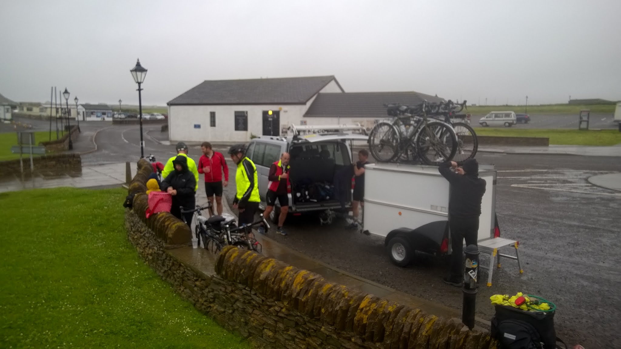
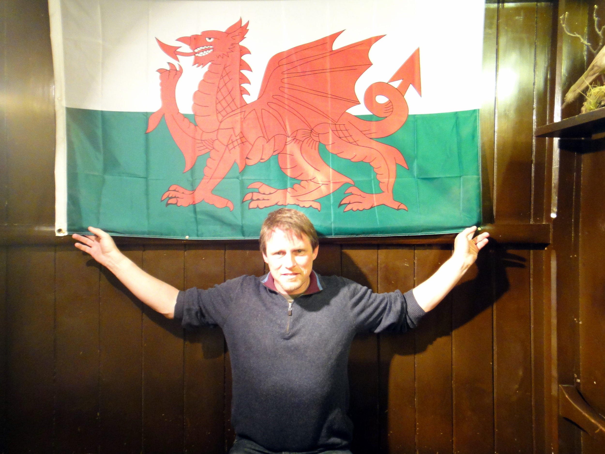
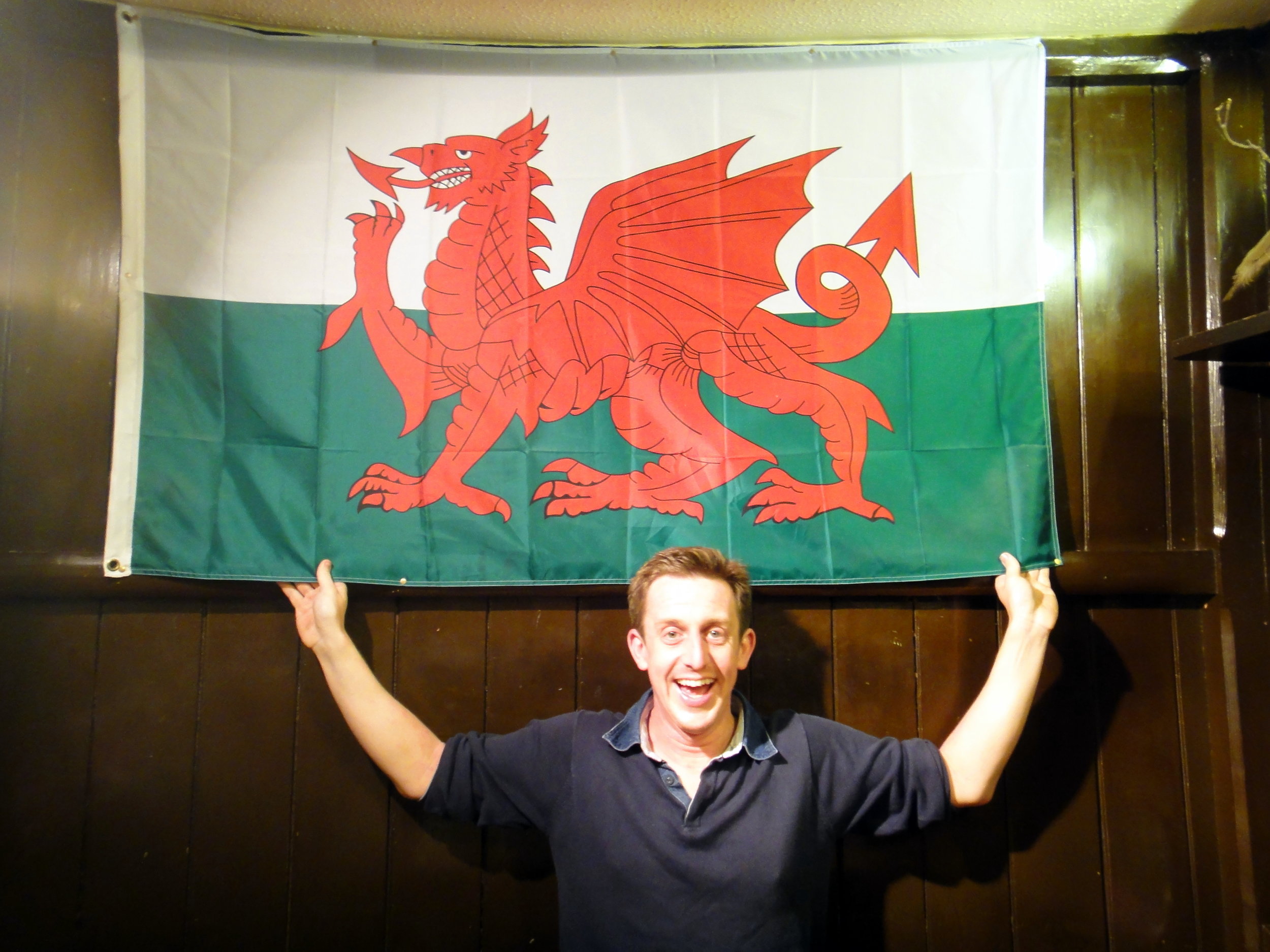
I often brought up "Best Day / Worst Day" as a conversation starter on nights out. With a bit of alcohol it could often be quite revealing about newly found friends. Prior to my wedding day my own Best Day would vary. My Worst Day was always the same: the night we called out Mountain Rescue on the Glyderau.

Although I'd recounted the story many times I've not written about it until now, nearly 30 years later. It was the evening that drilled into me a respect of both the mountains and the need to prepare for any eventuality.

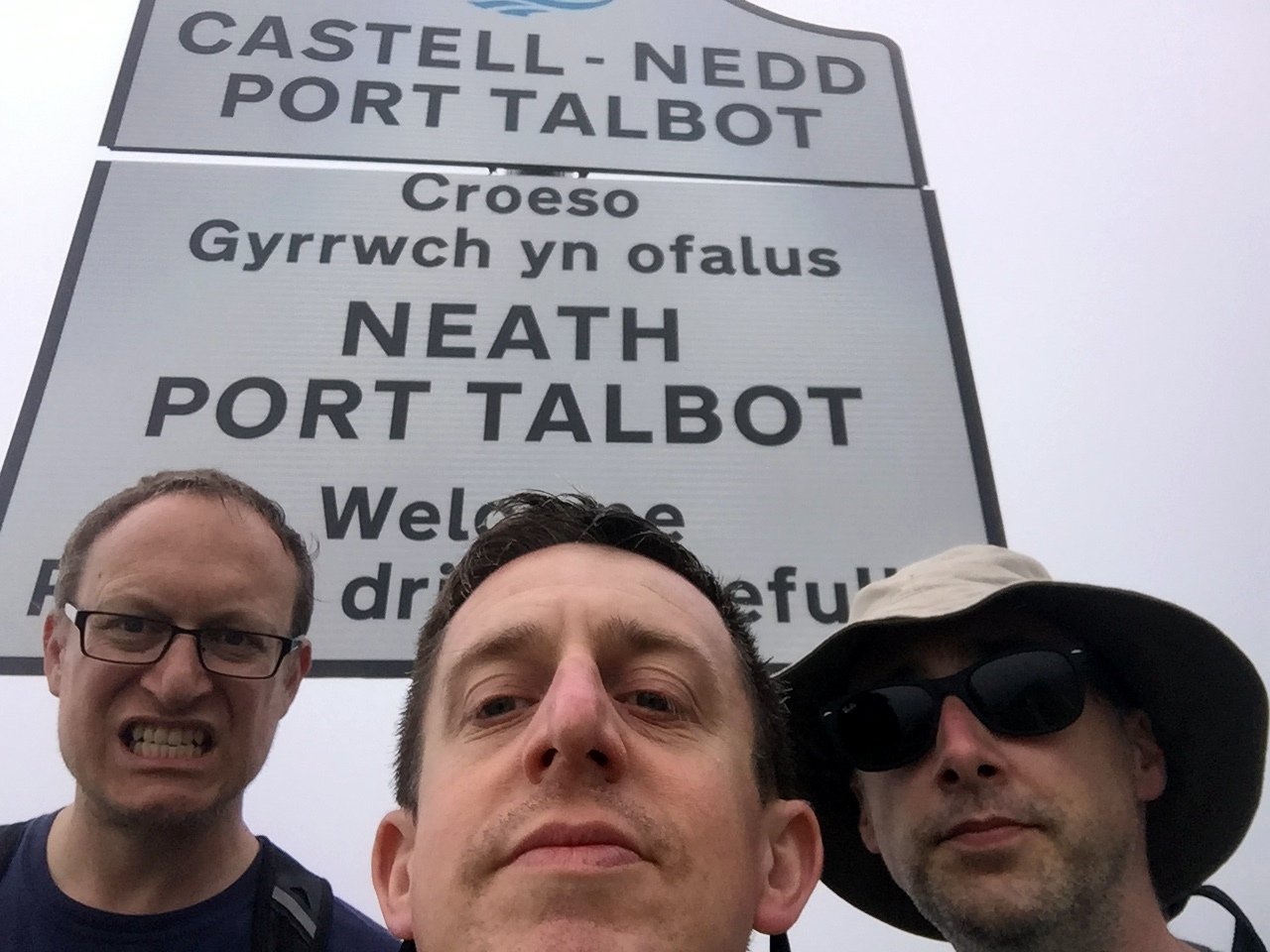
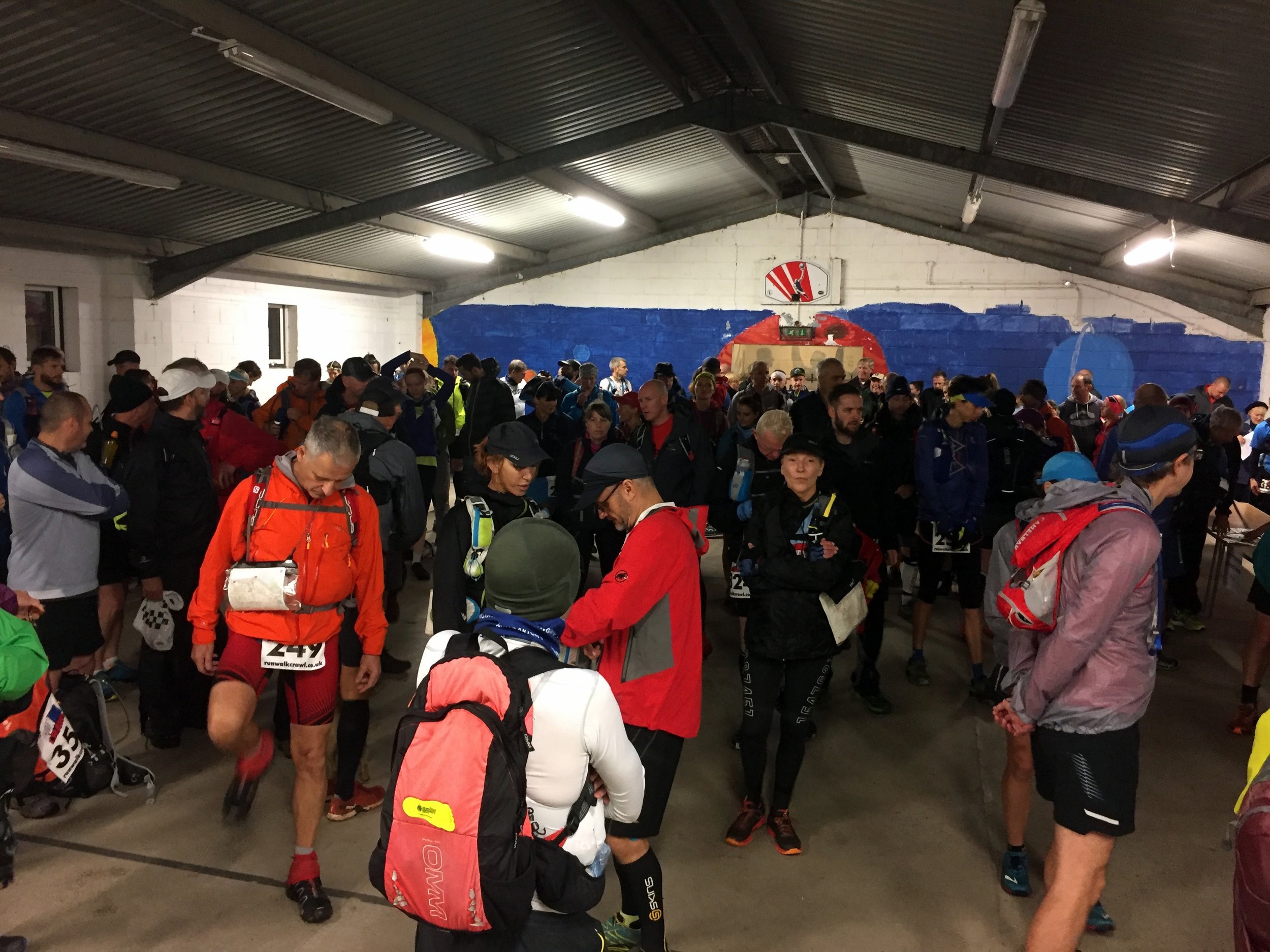
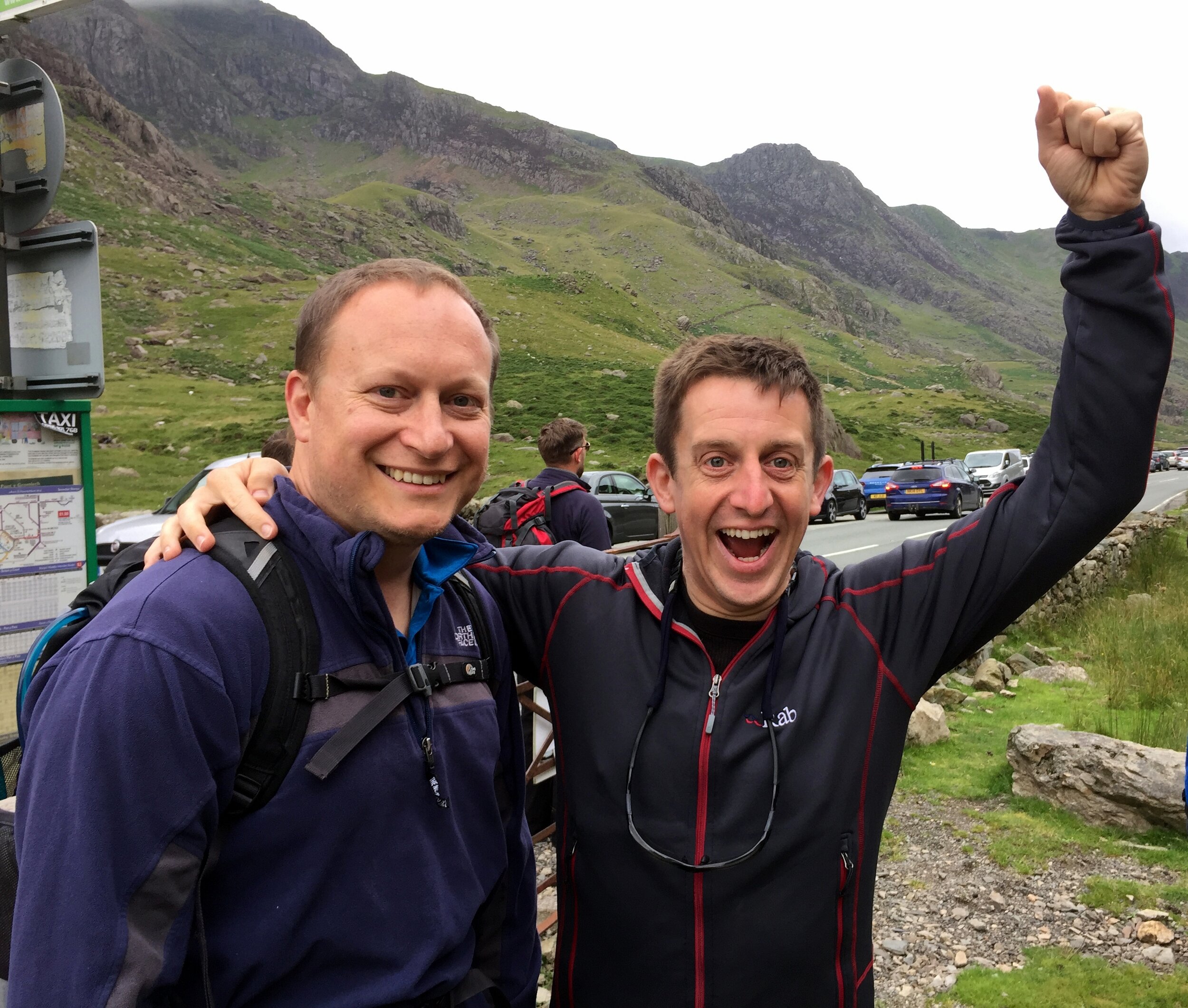
It was March 1993 and I was part of a group of Venture Scouts and leaders on a mountain leadership course. It was a mix of learning about mountain skills, practical experience and an end of winter social event.

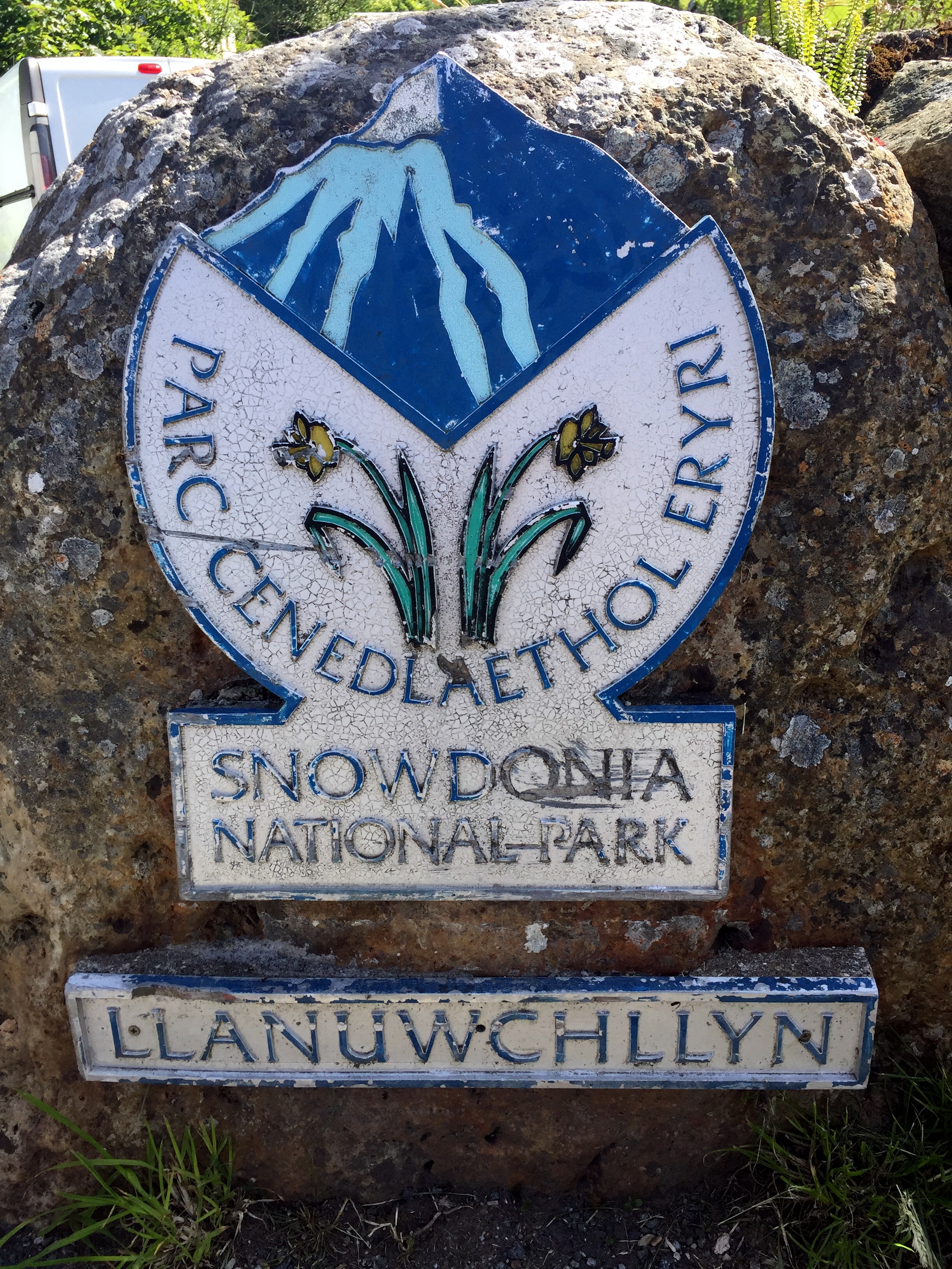
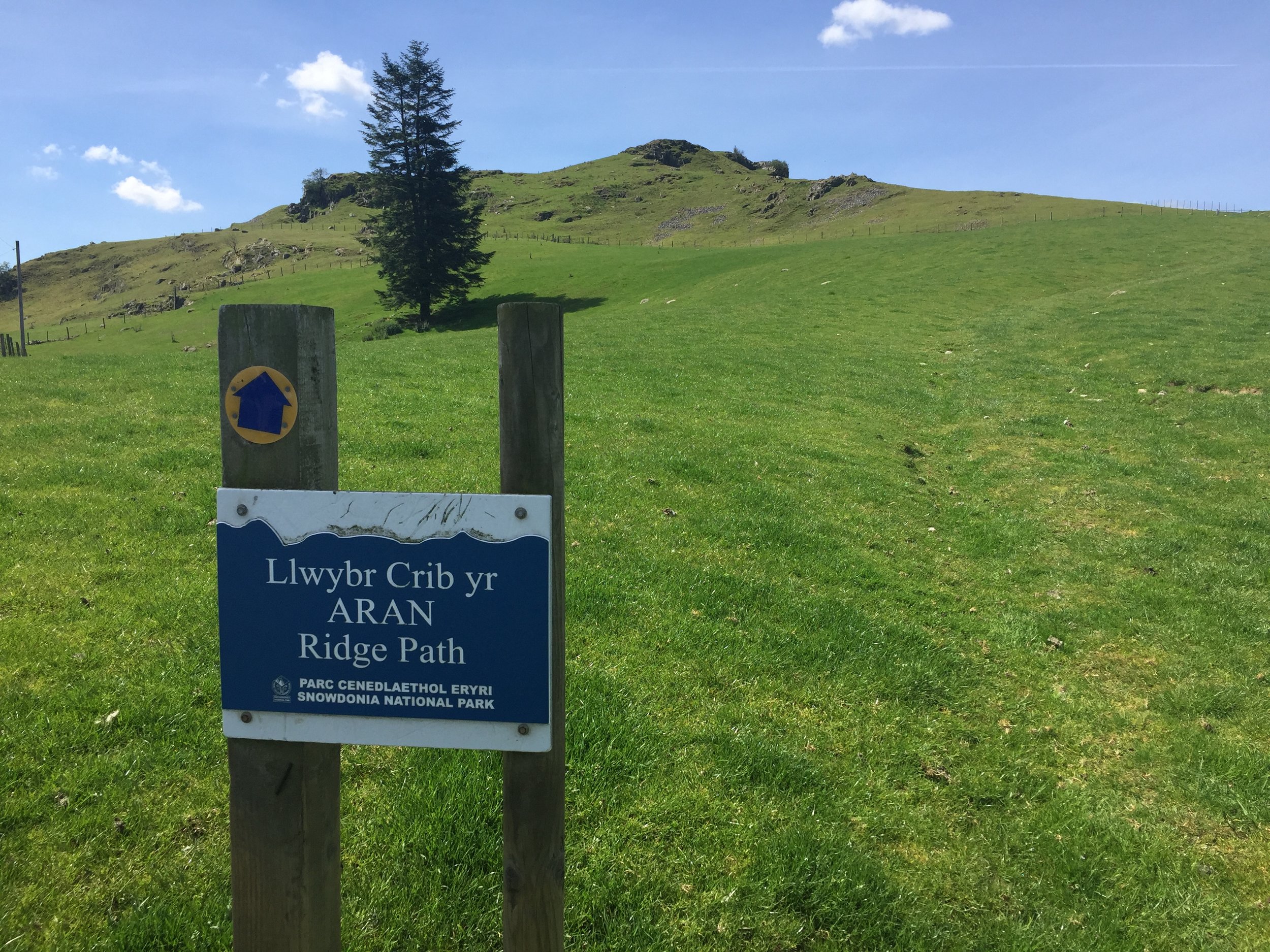
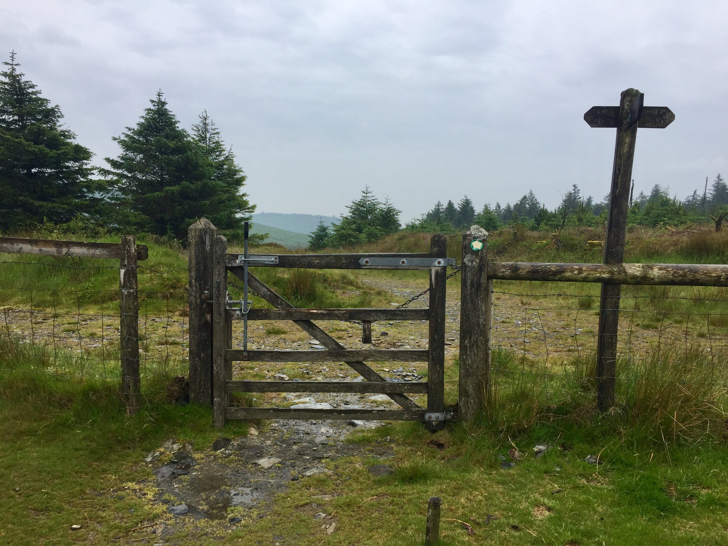
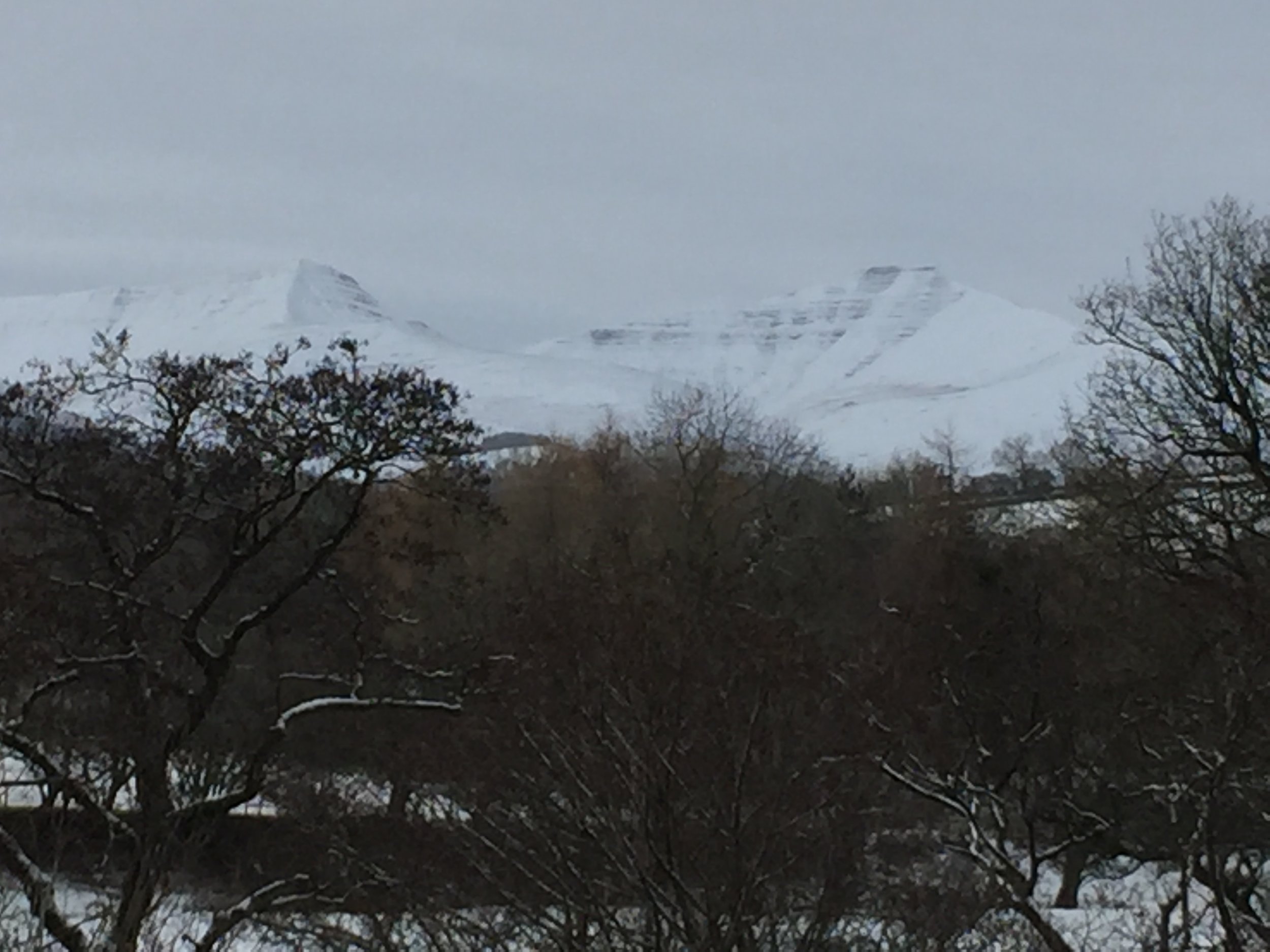
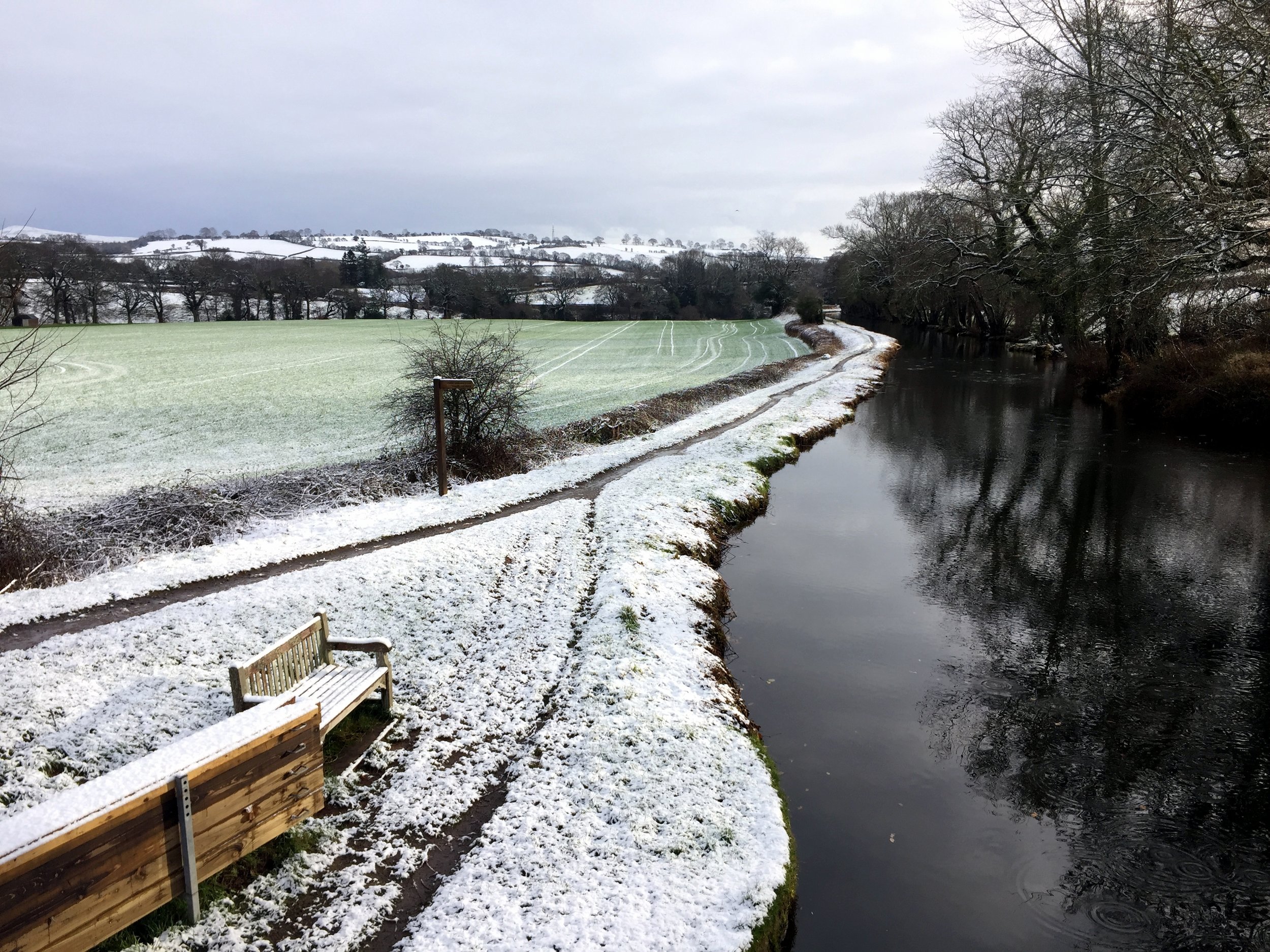
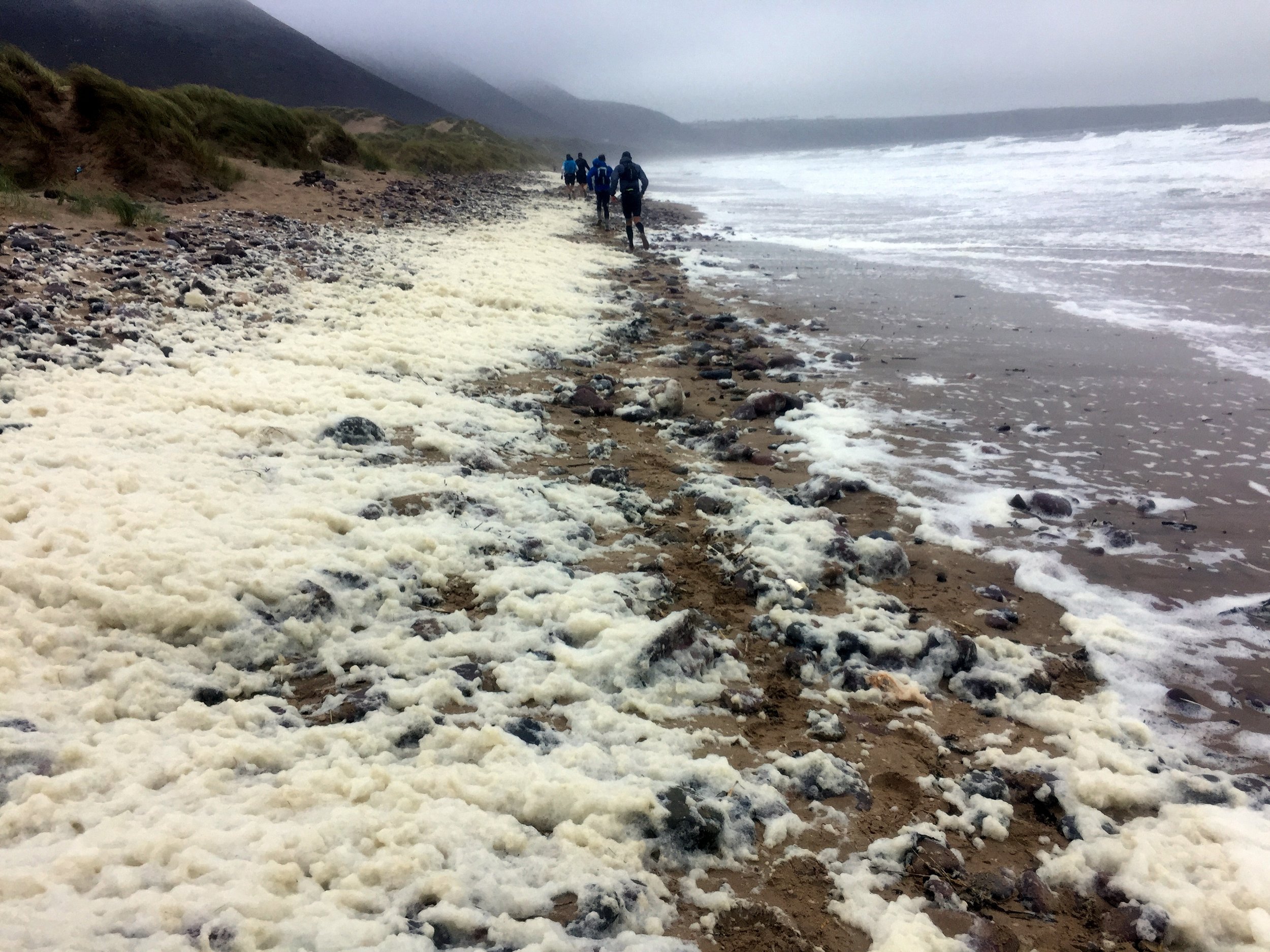
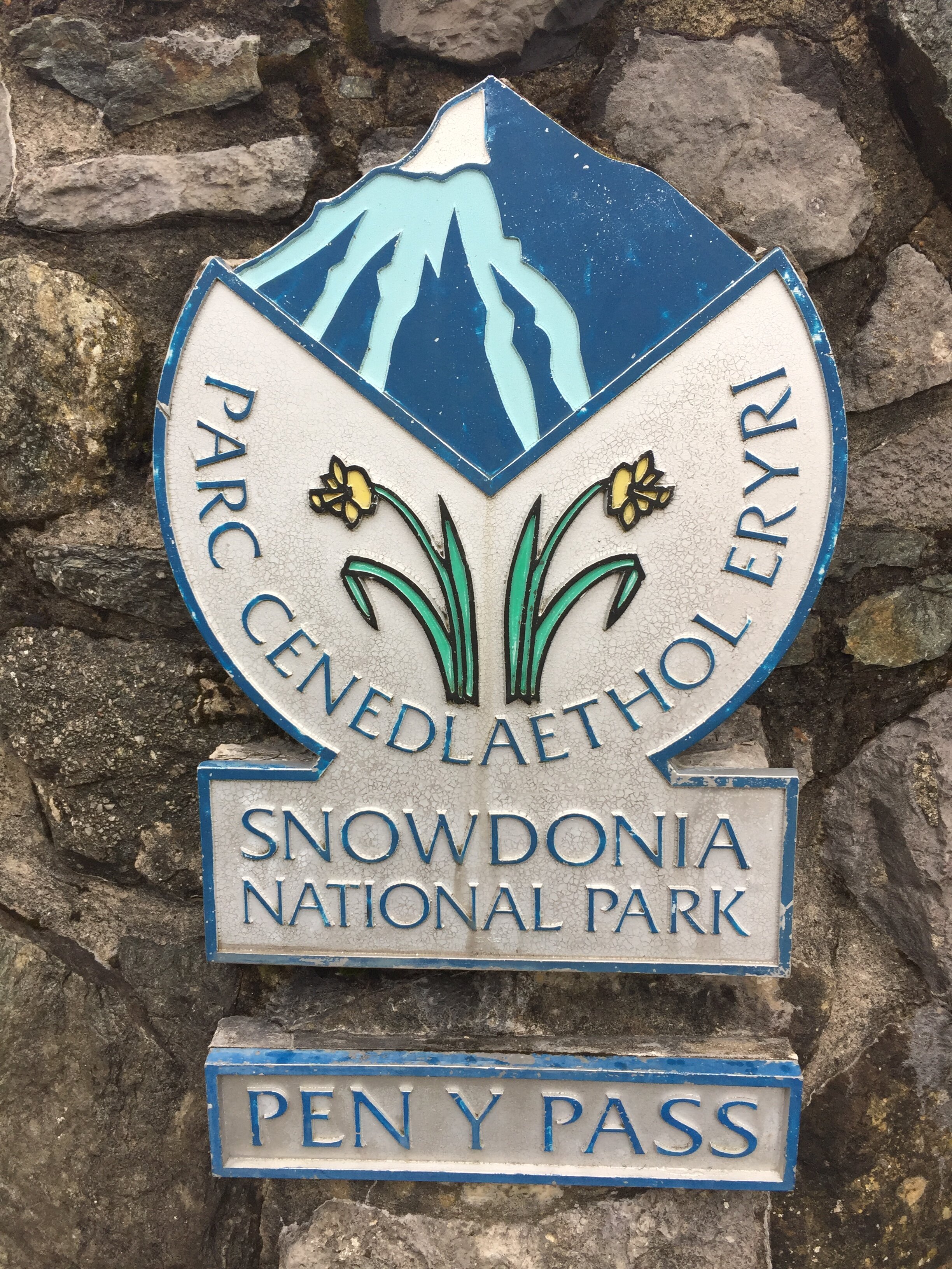
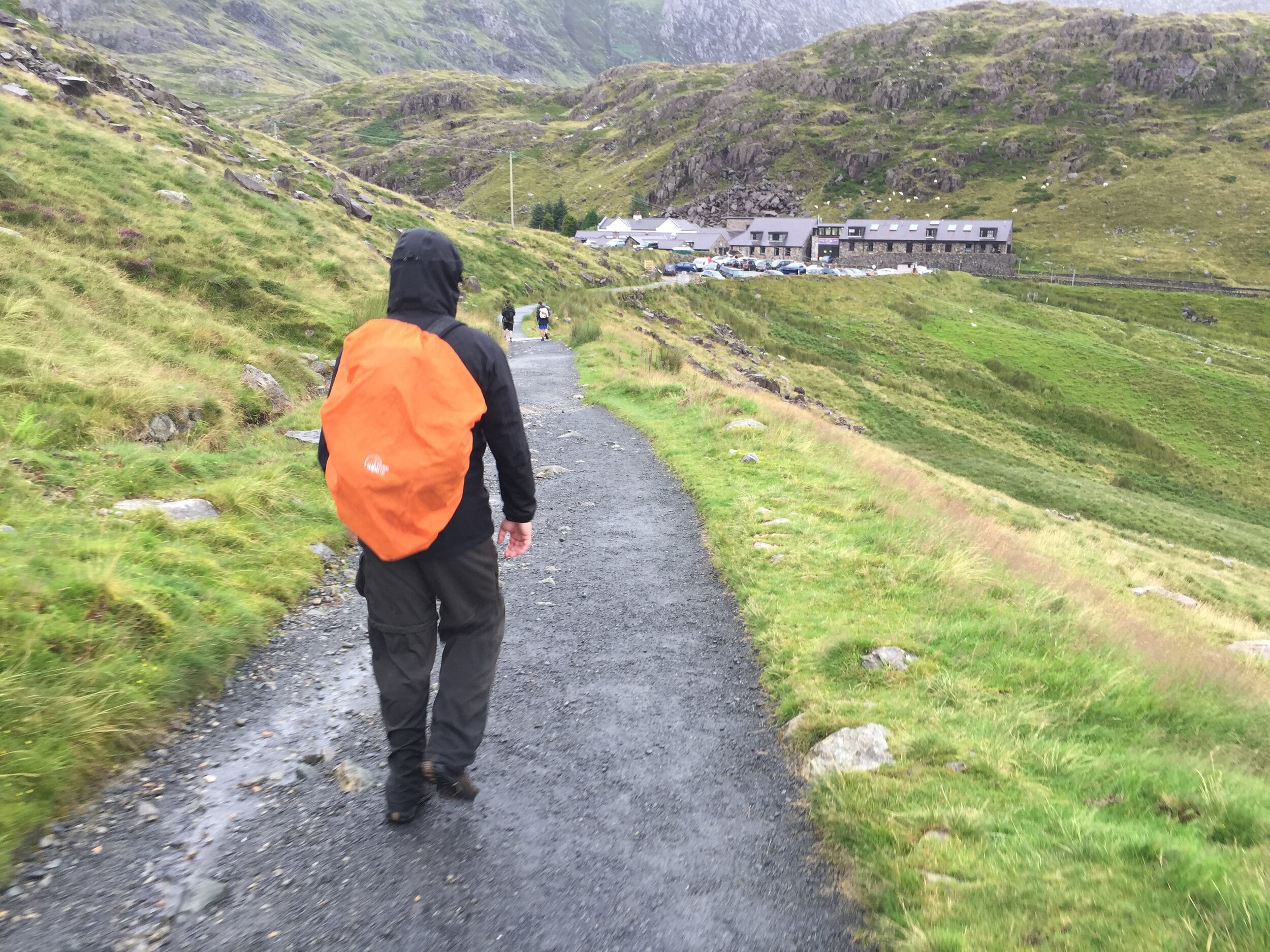
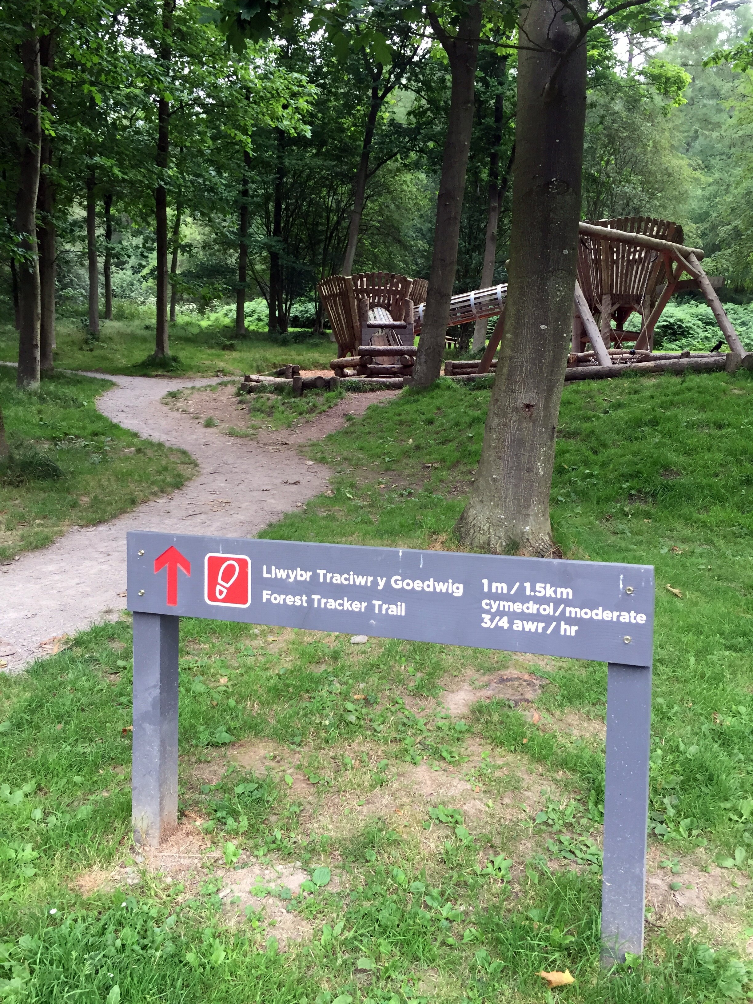
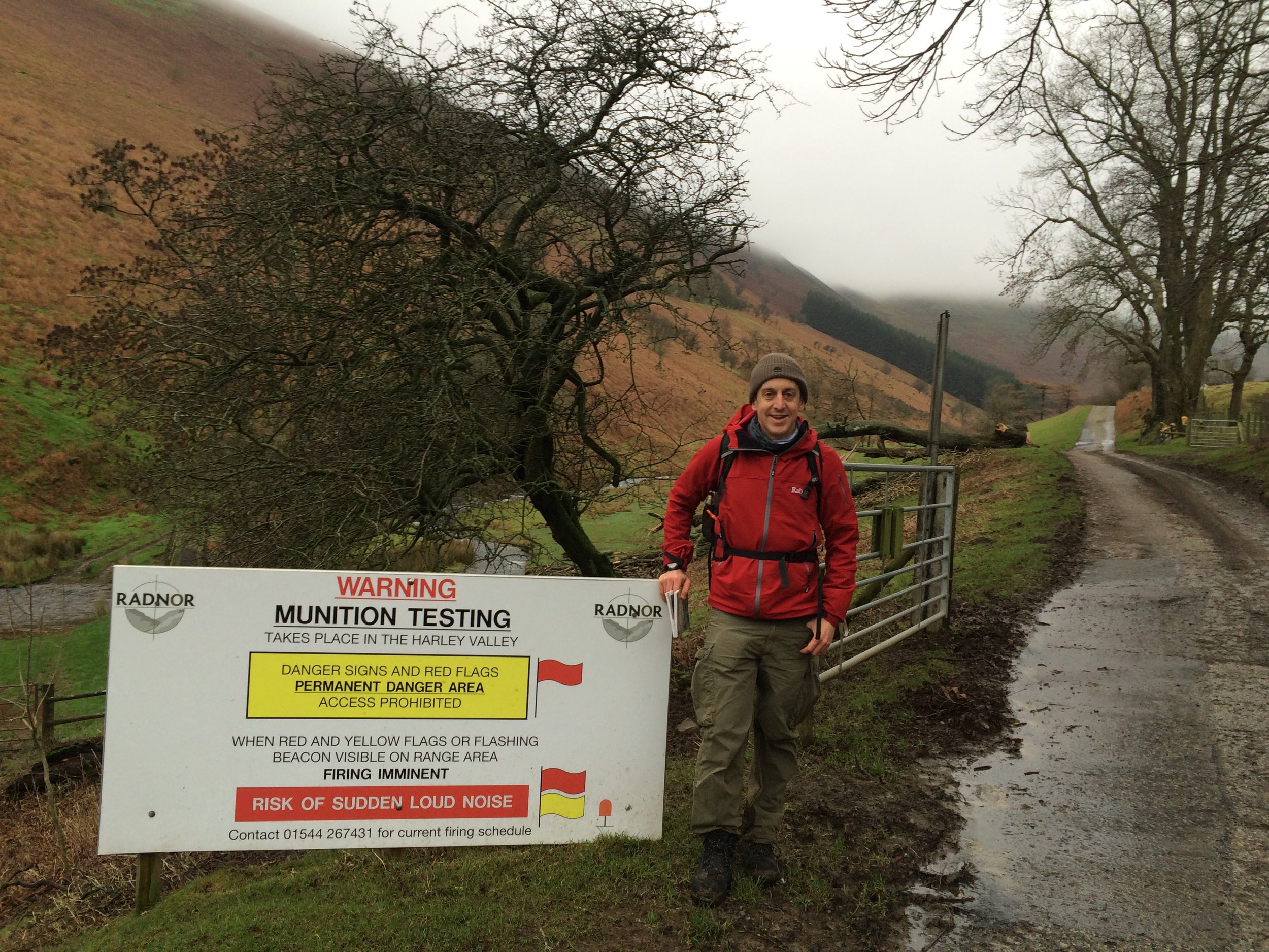
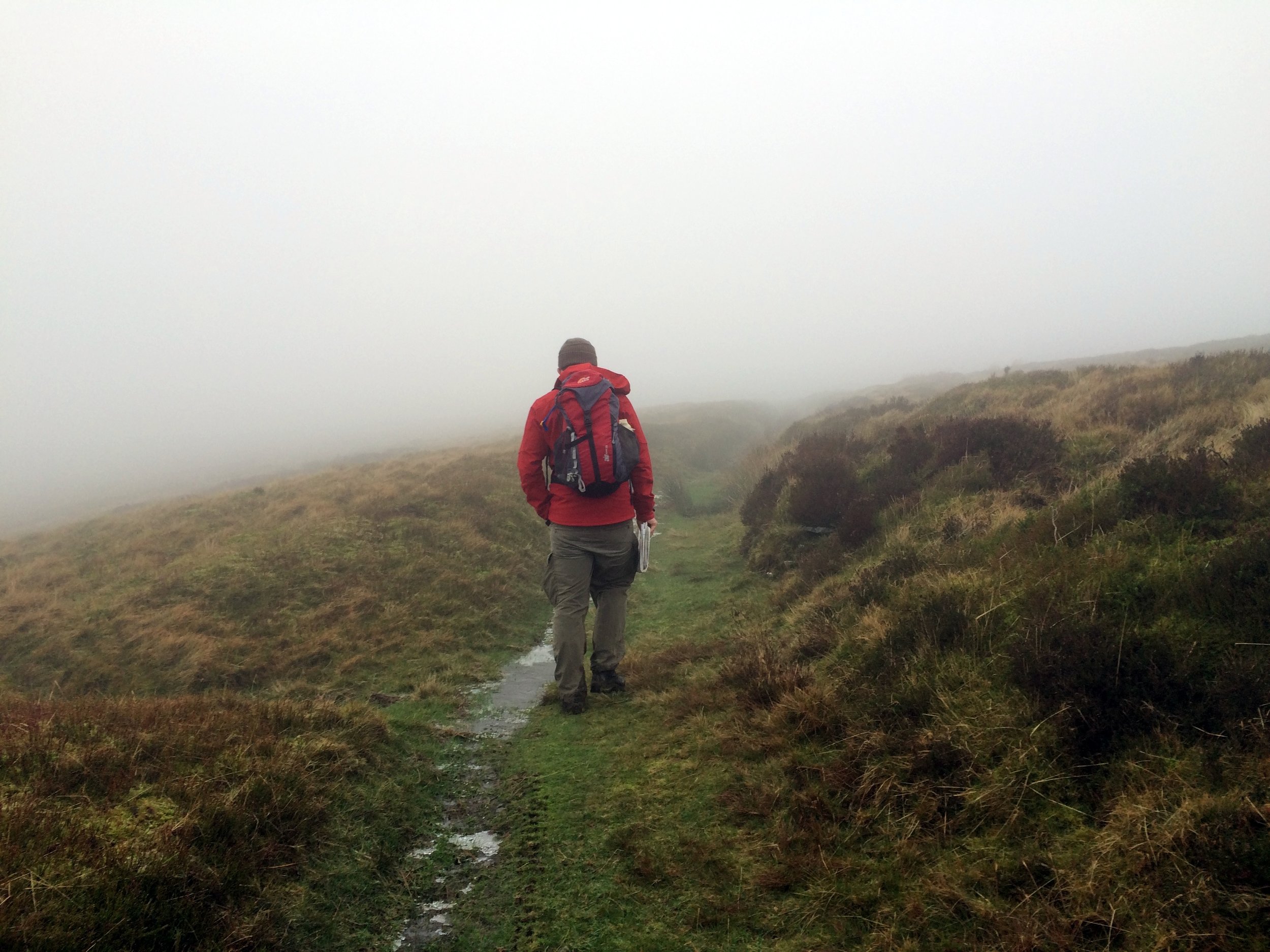
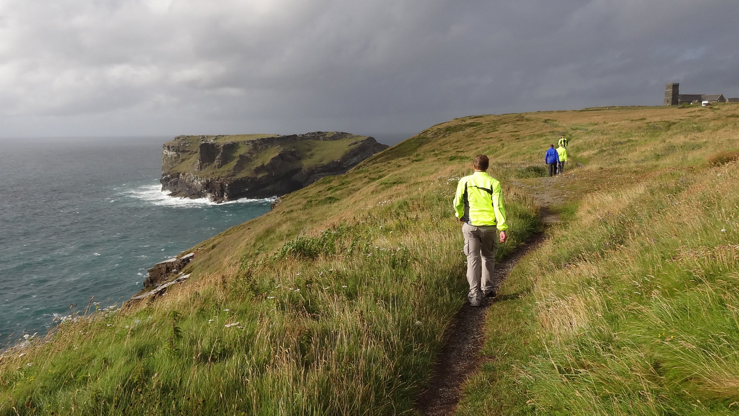
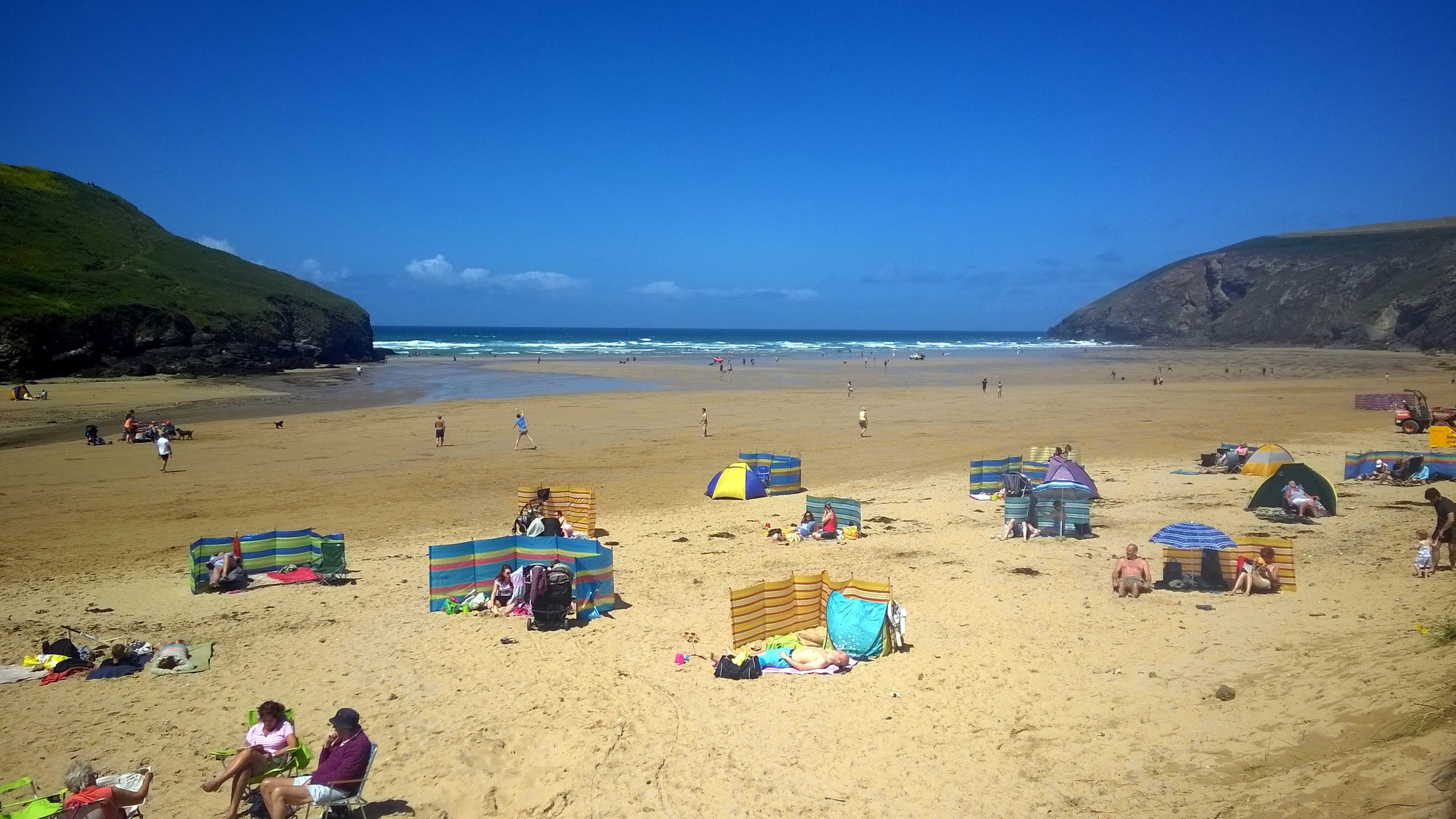
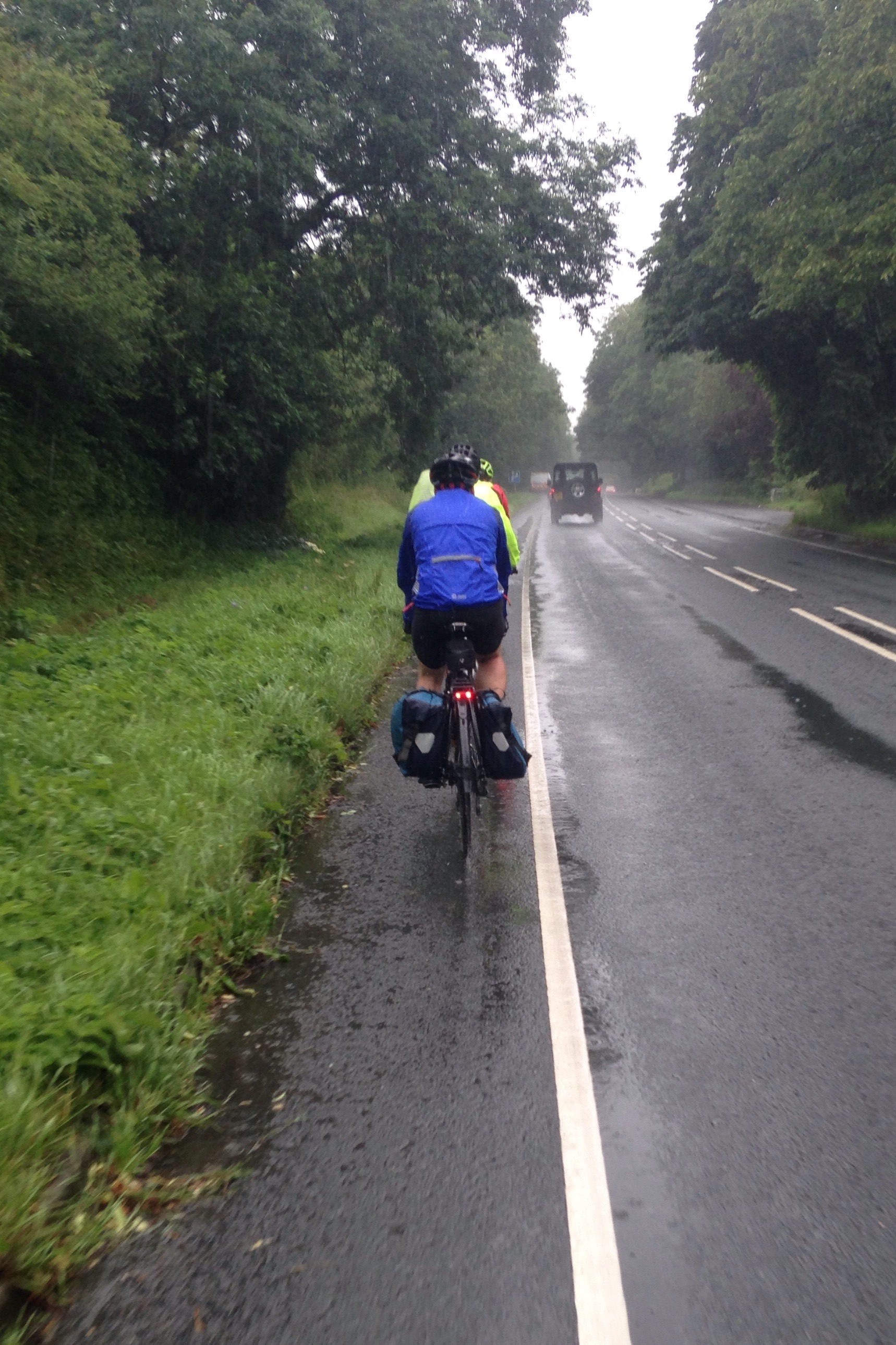
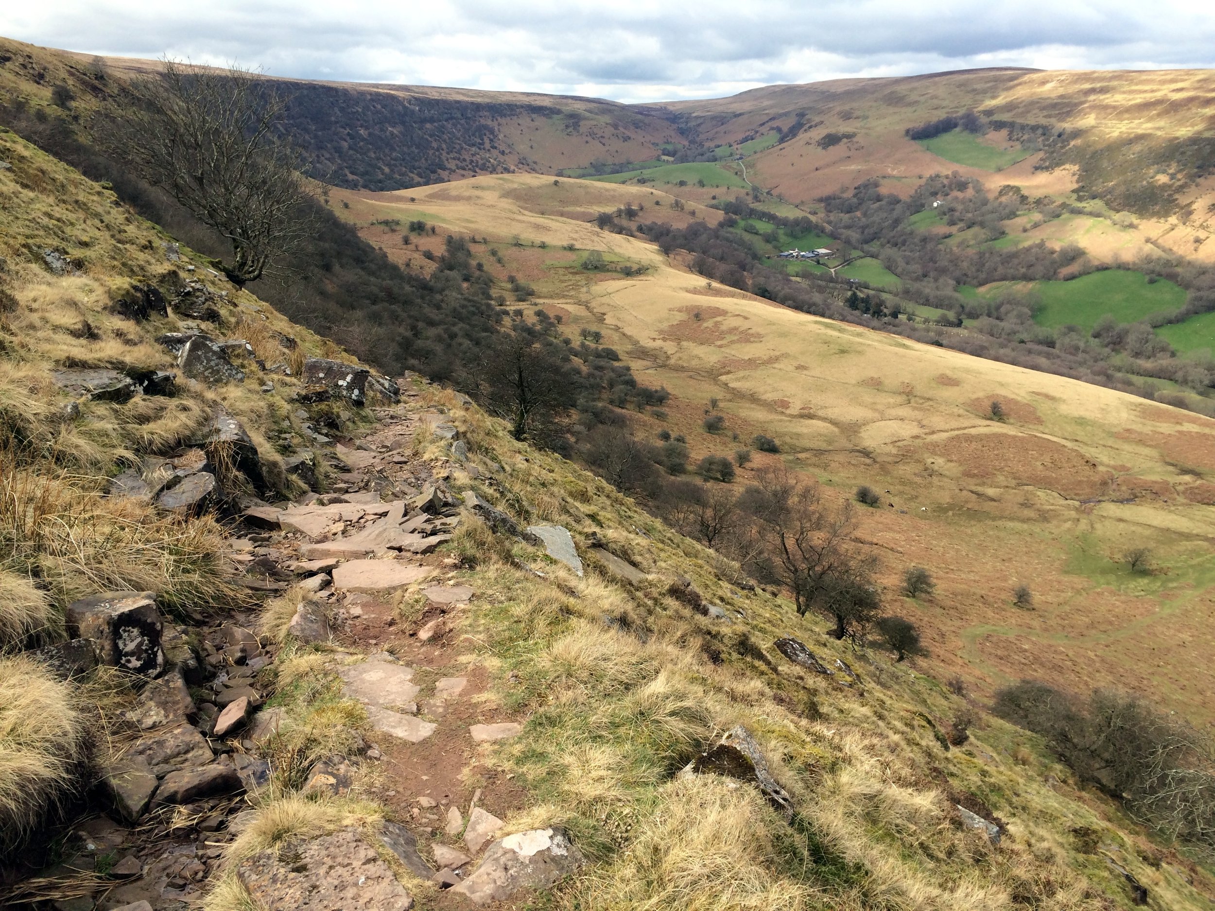
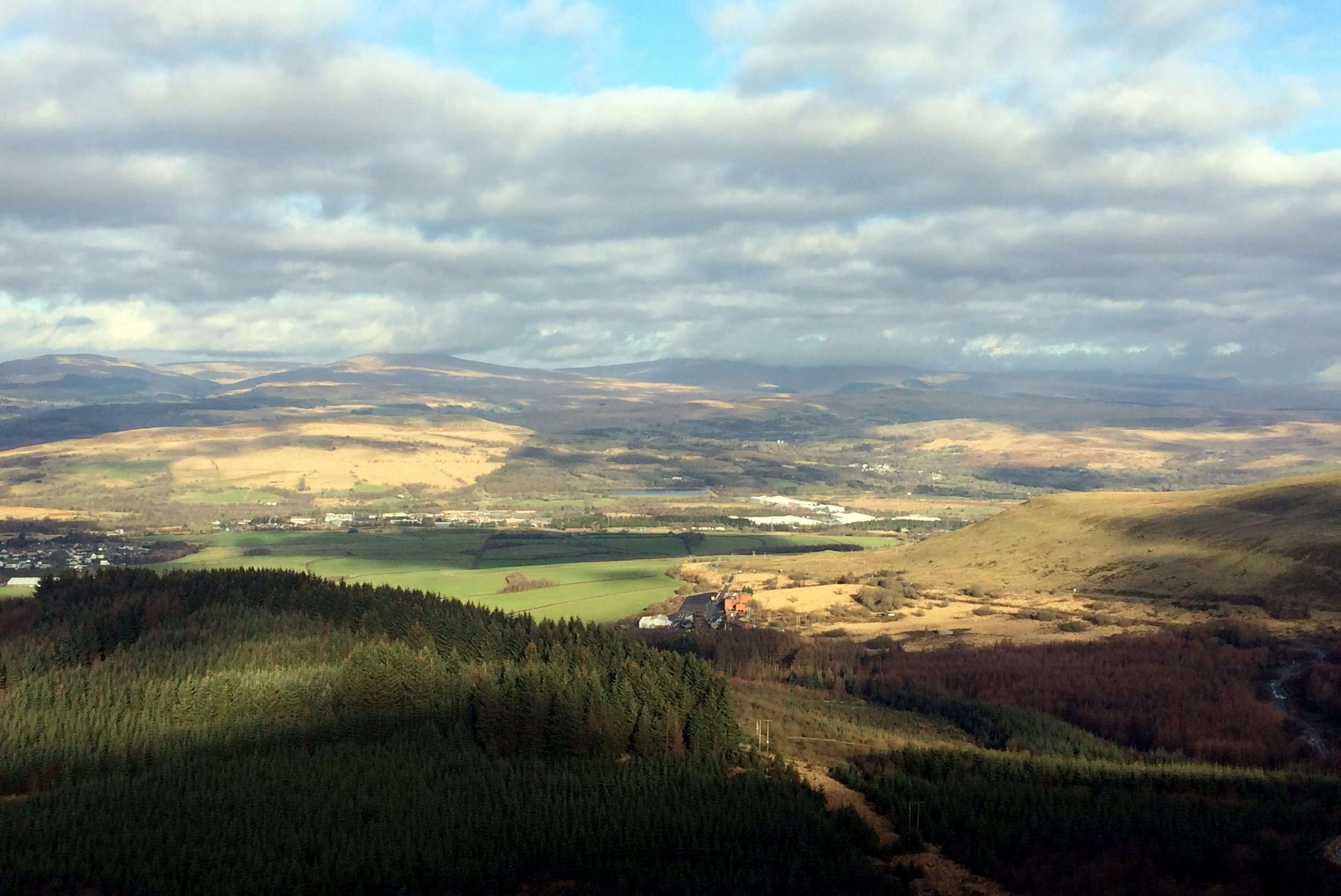
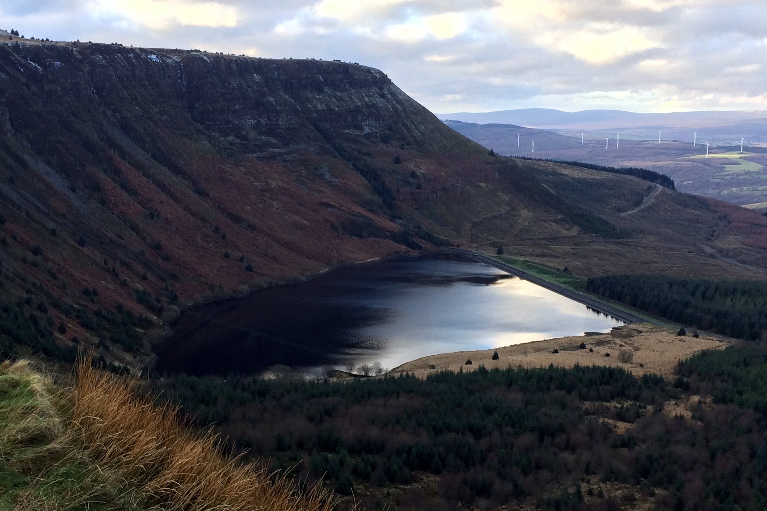
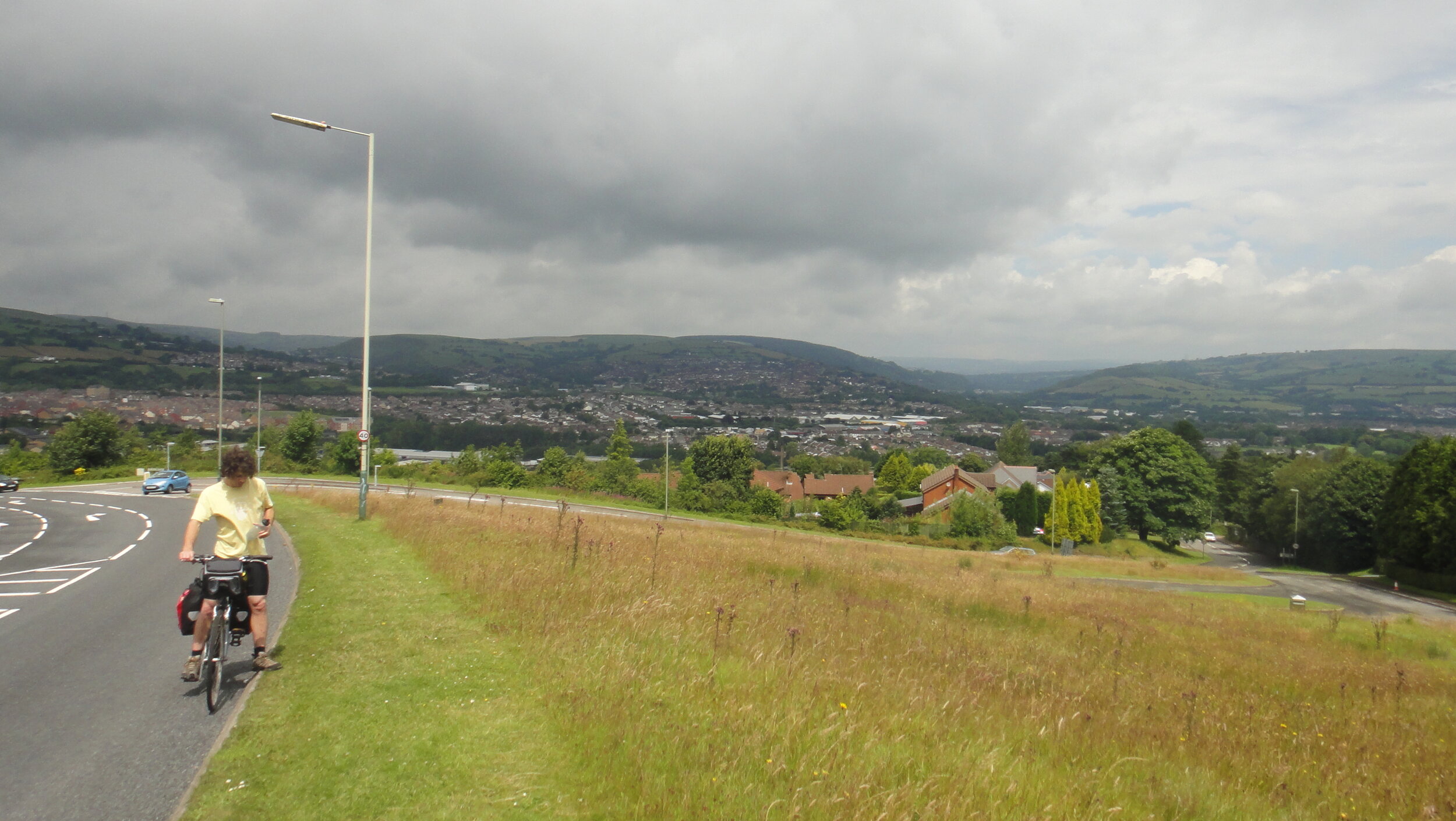
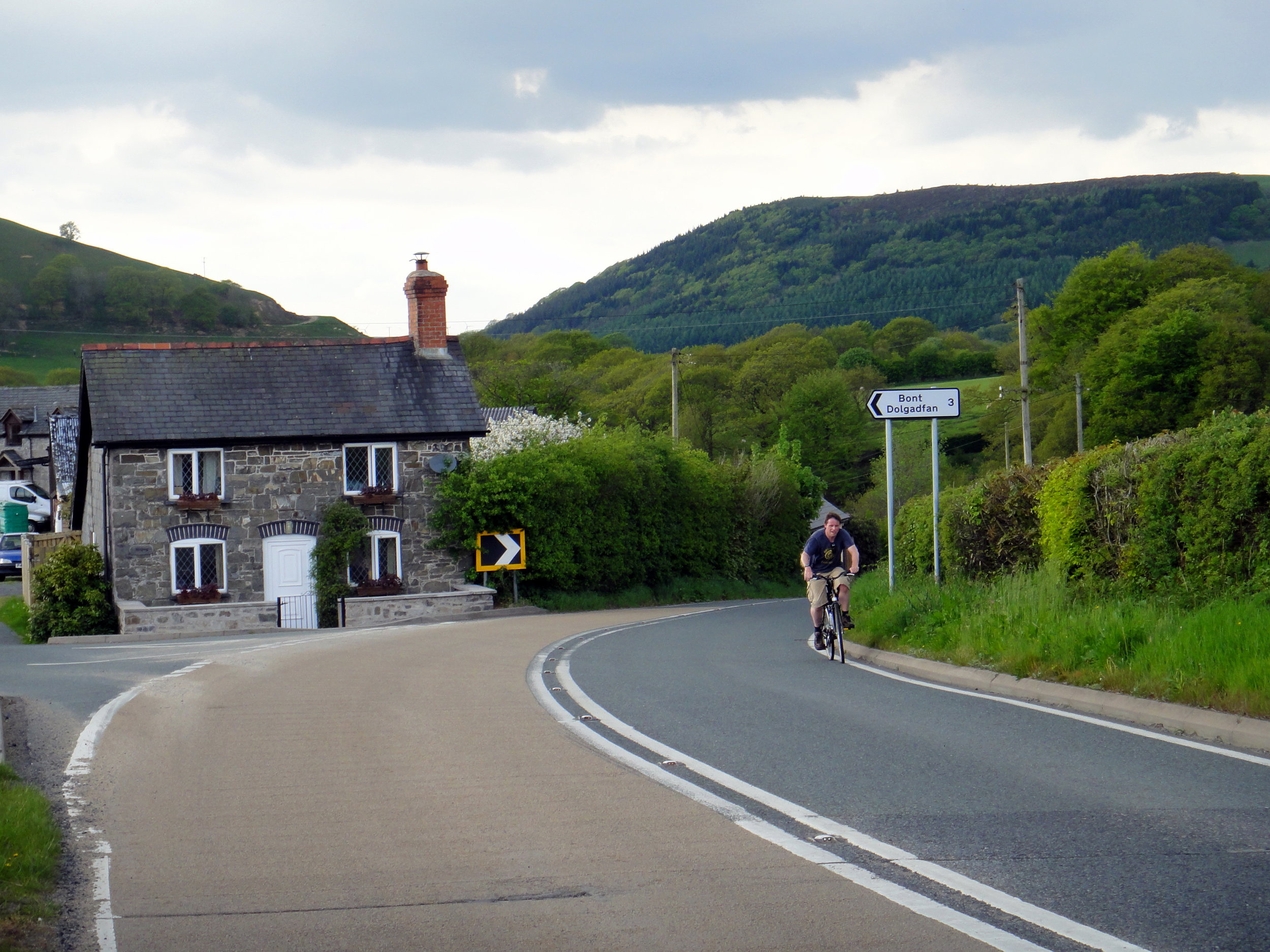
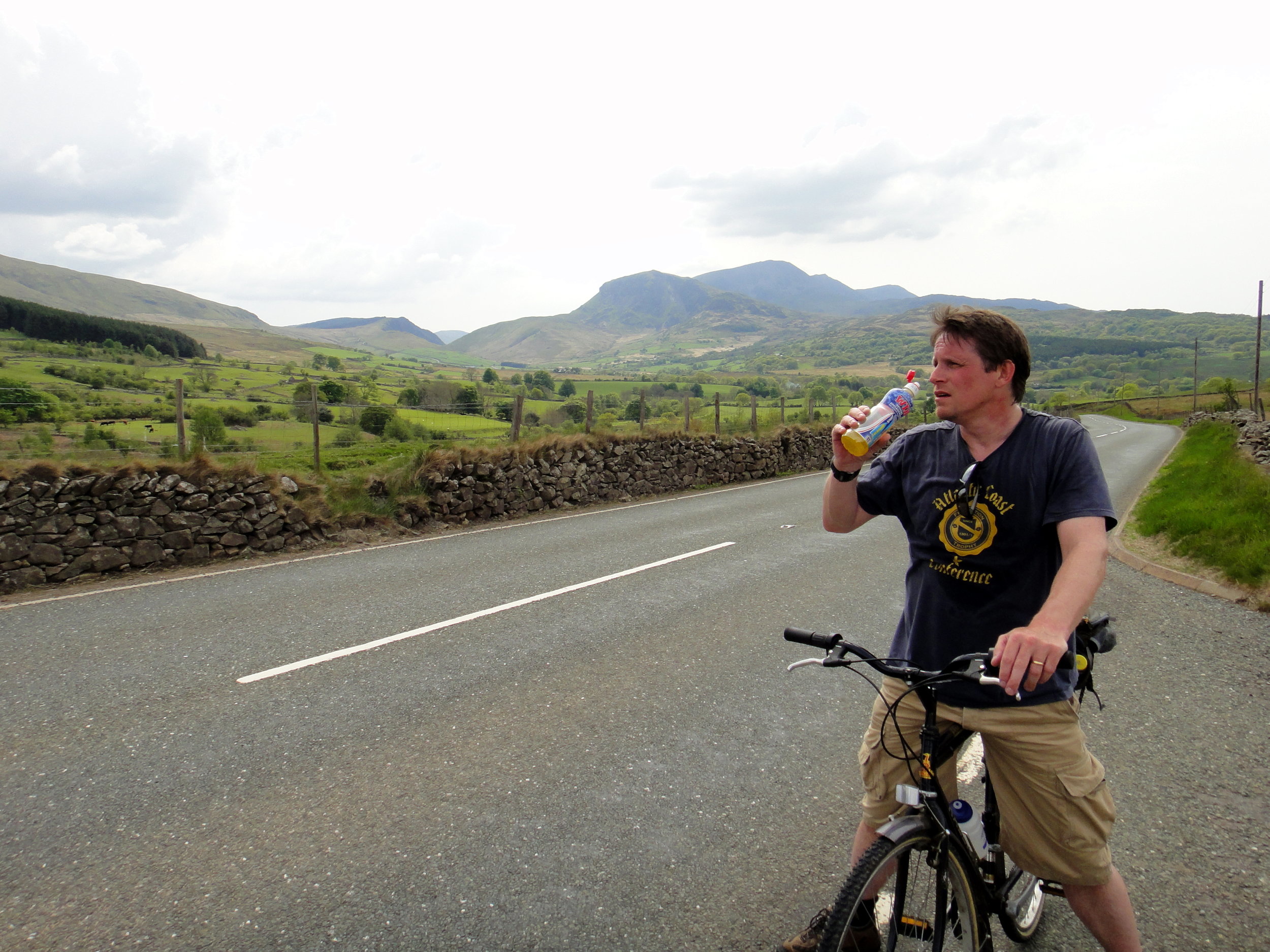
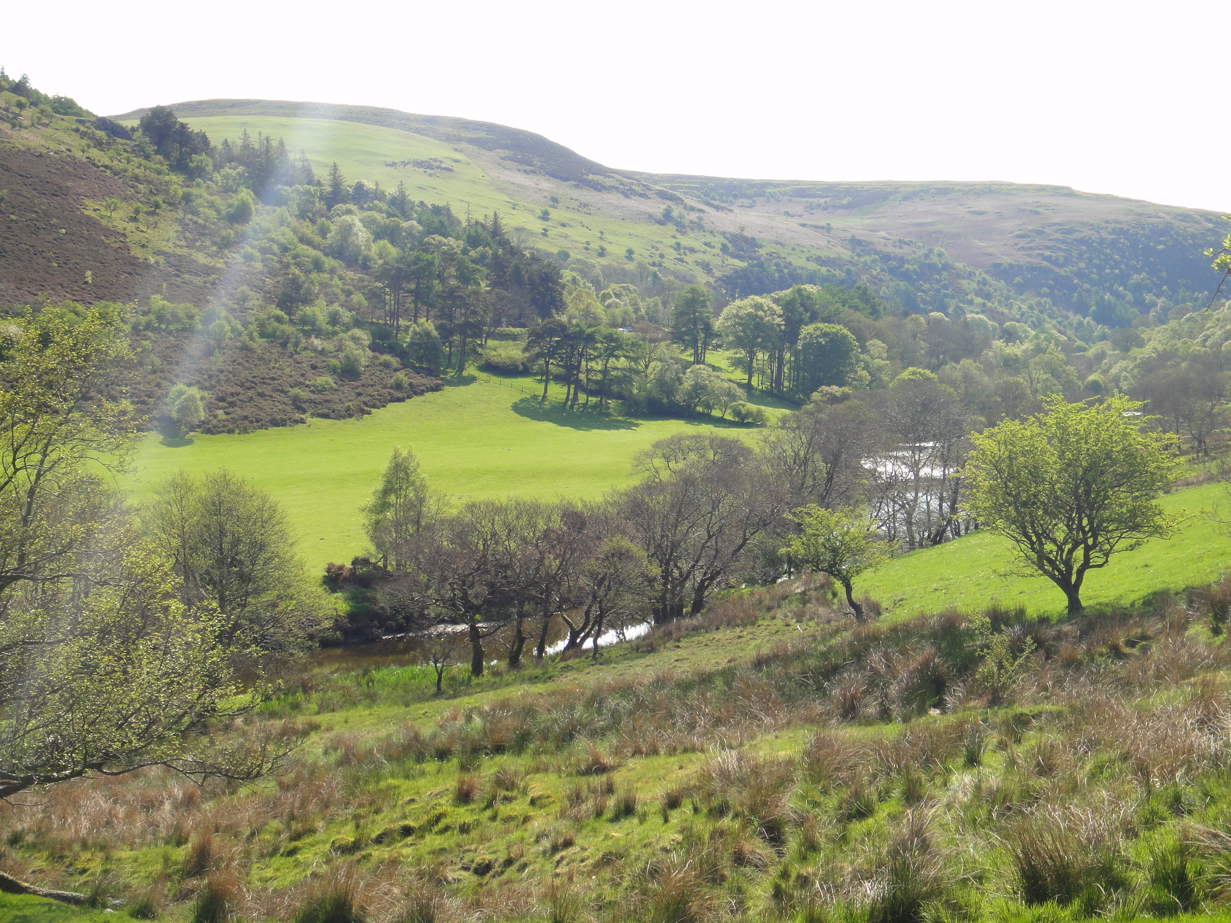
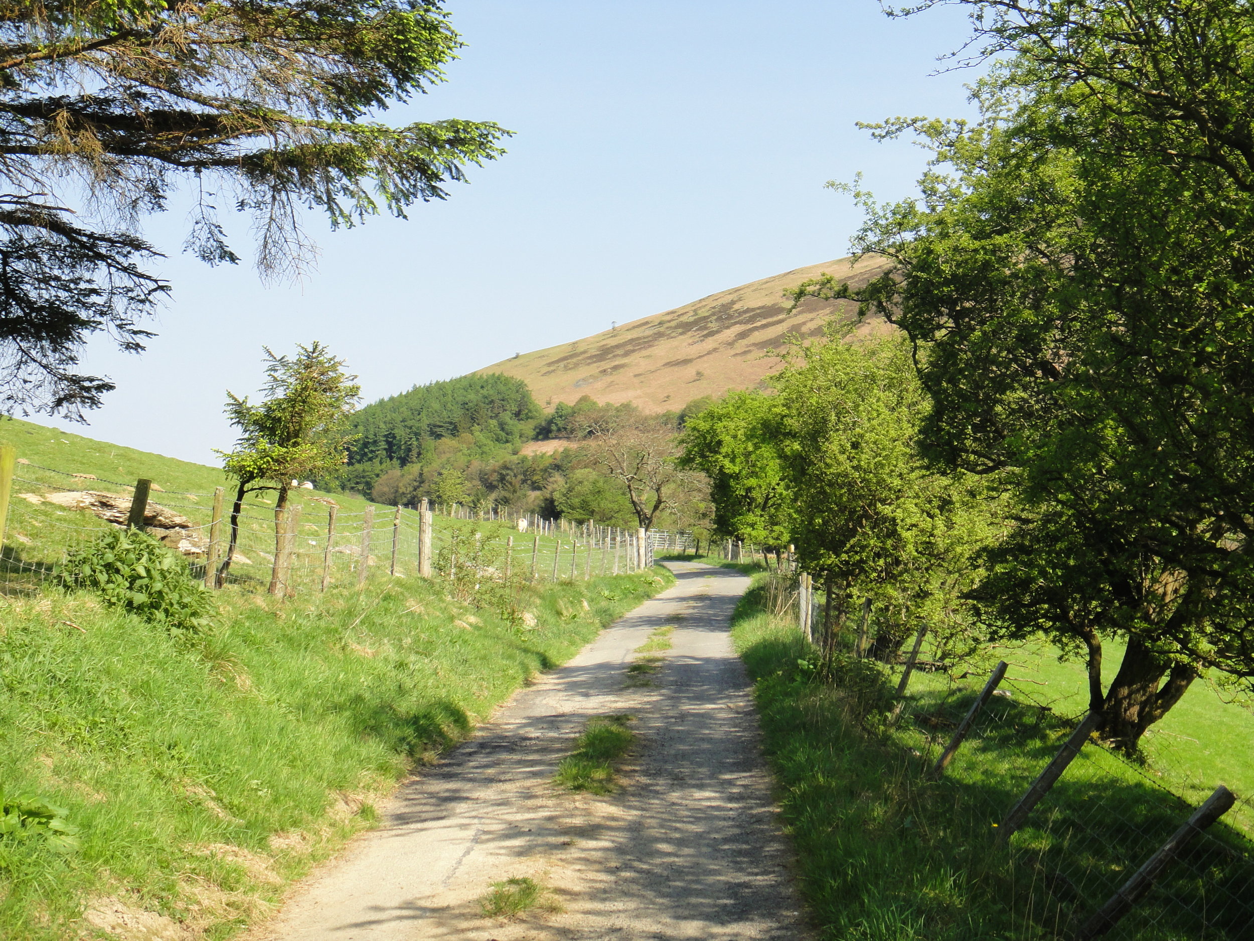
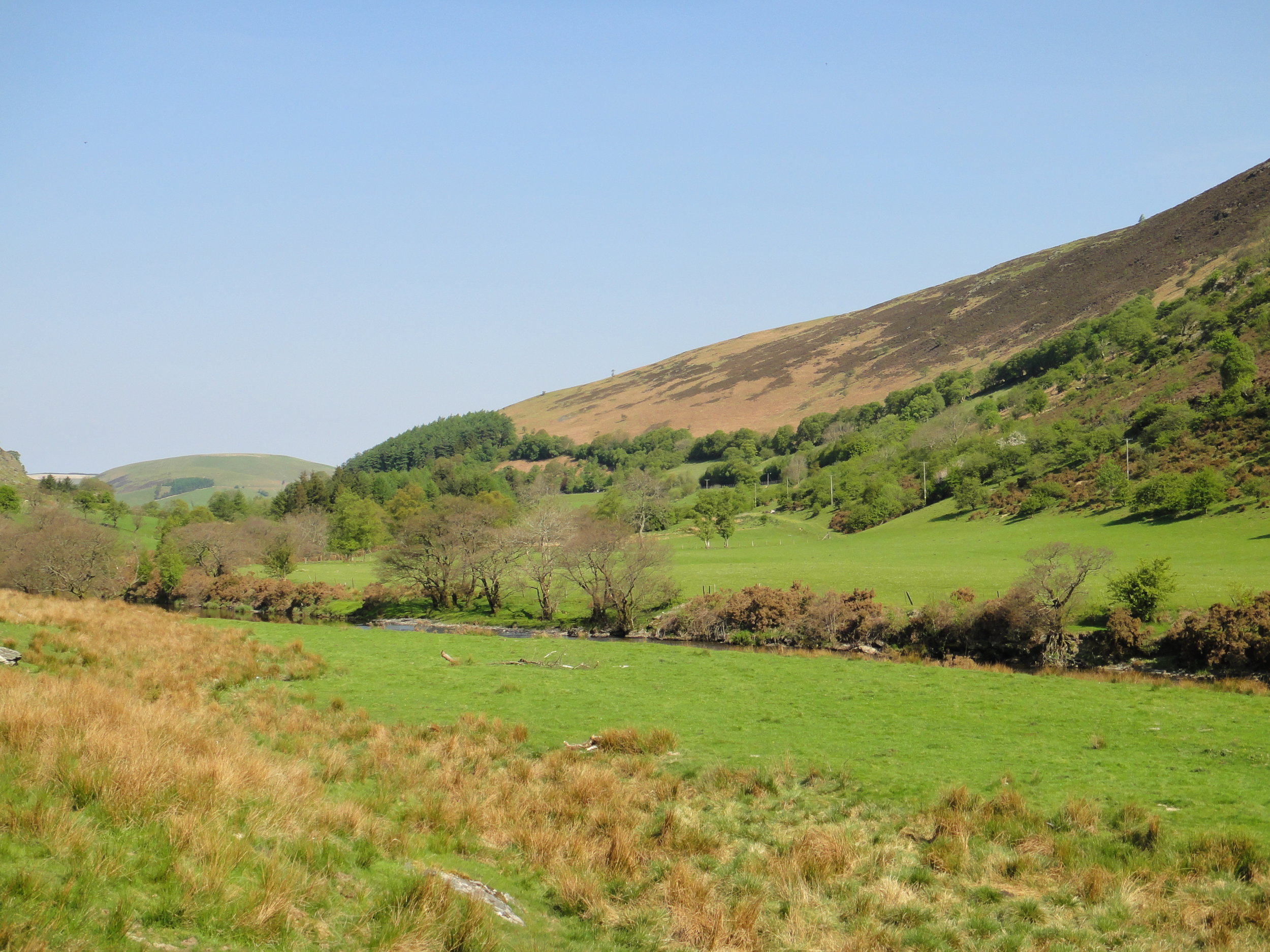
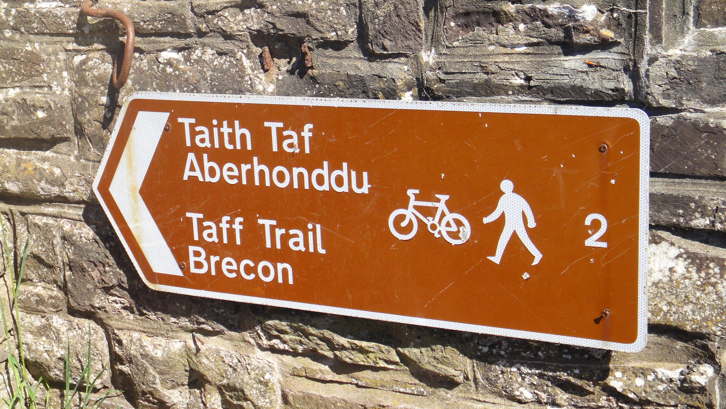
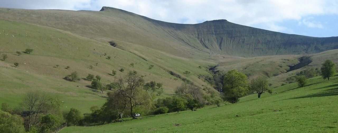
While spring is emerging in a lot for the country, March is still very much winter in Snowdonia. Even in the best of weather this is a place where treks need careful consideration. In winter you really need your wits about you. Detailed planning, appropriate clothing, backup food and escape routes are all essential precautions.

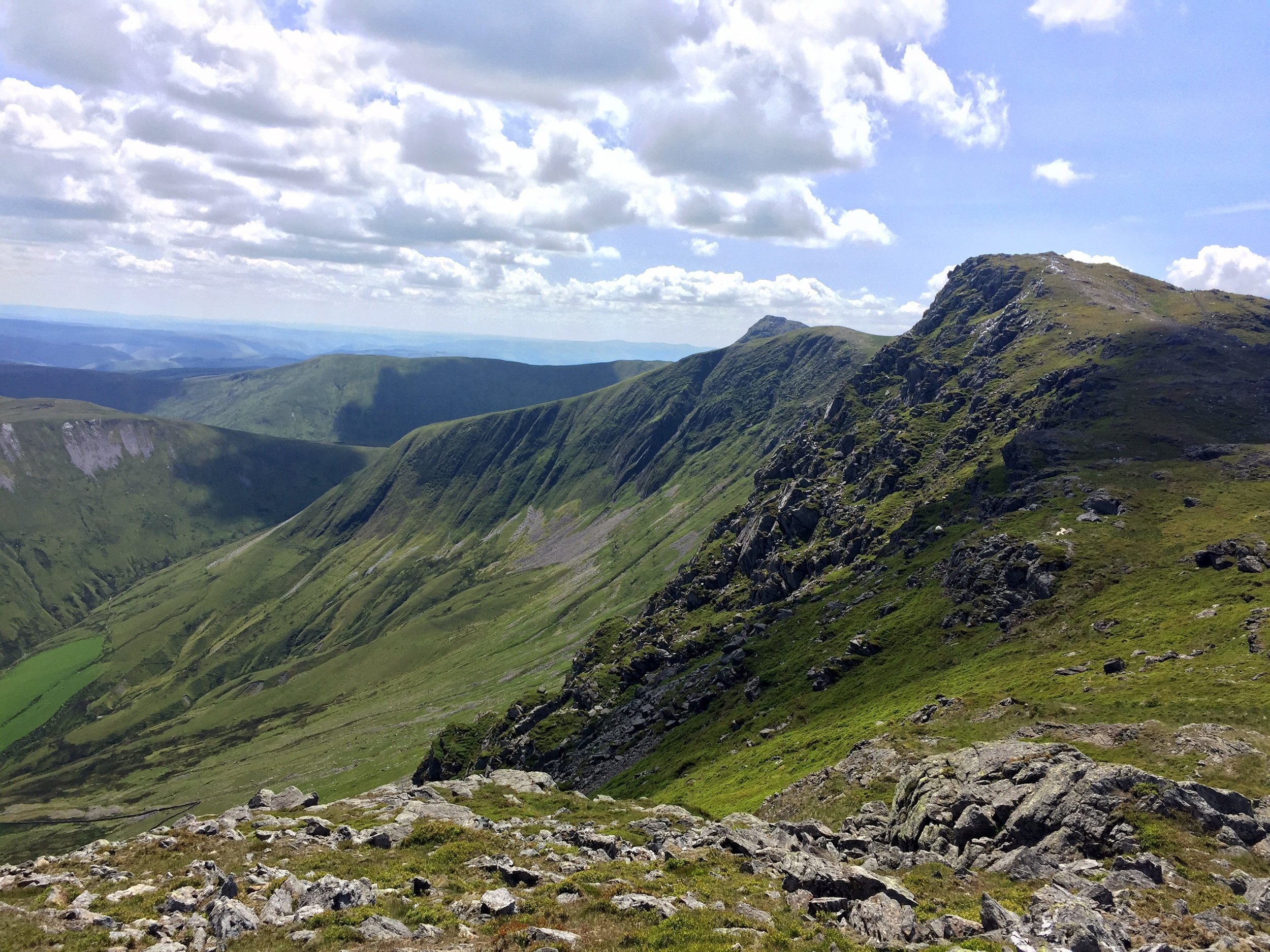
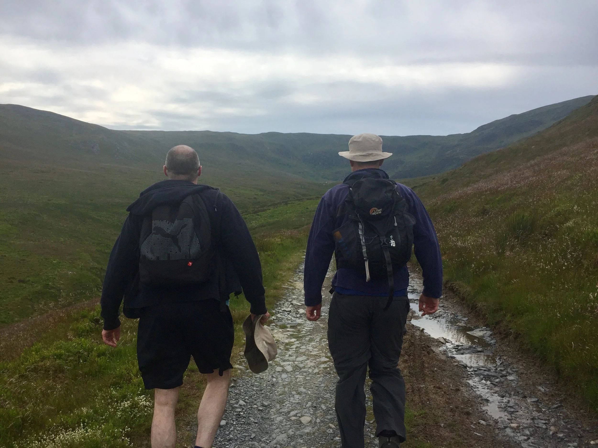
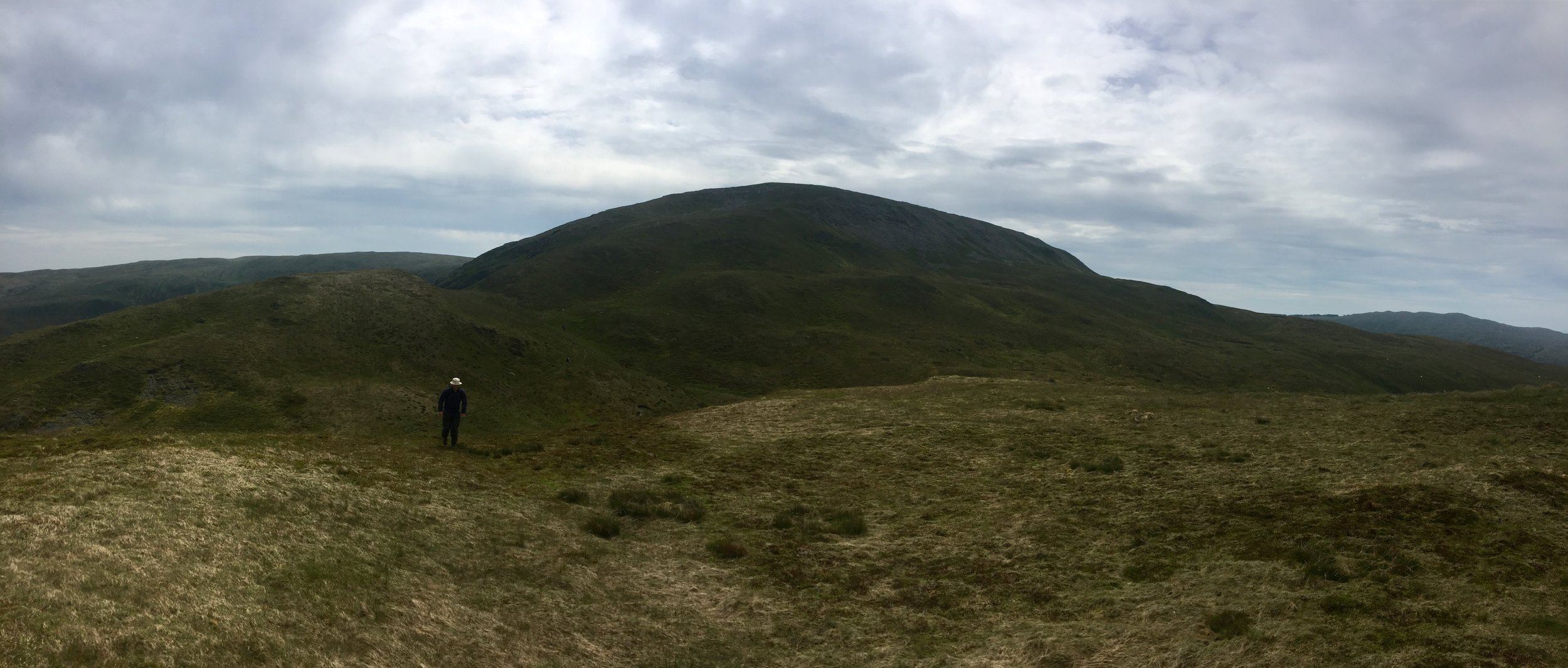
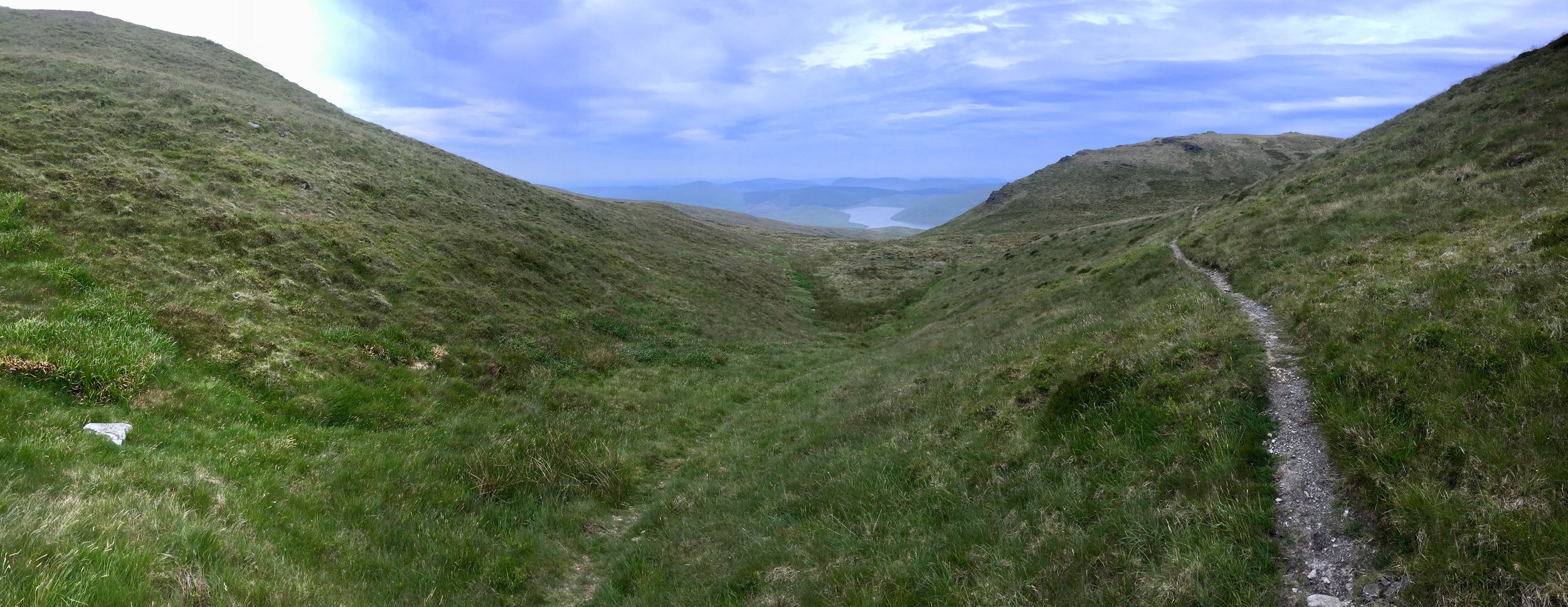
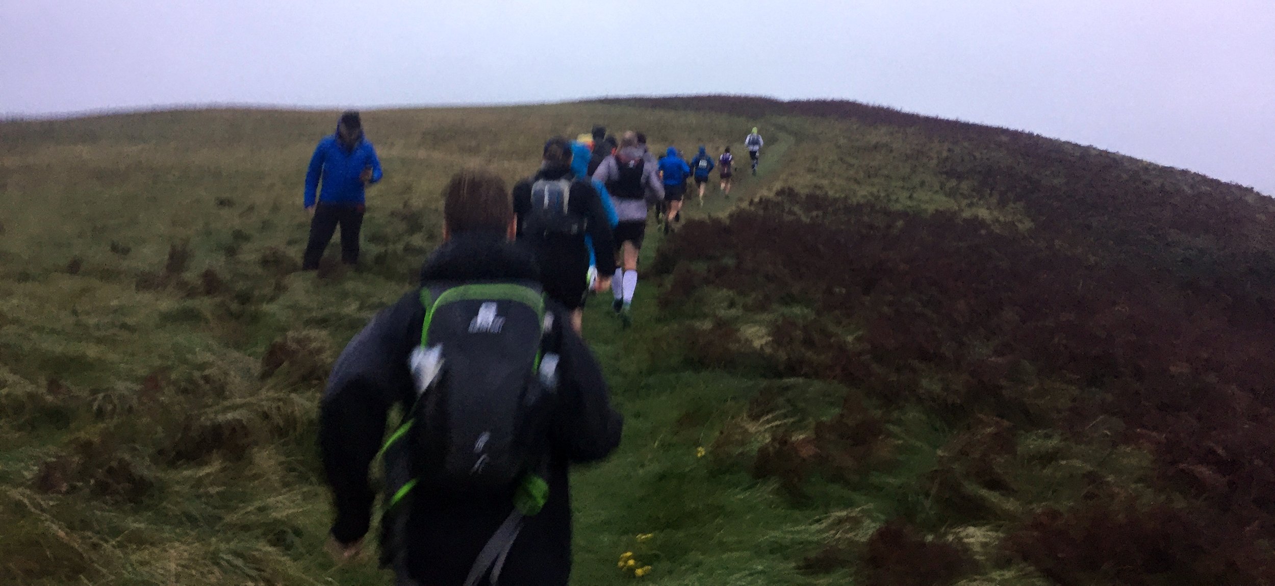
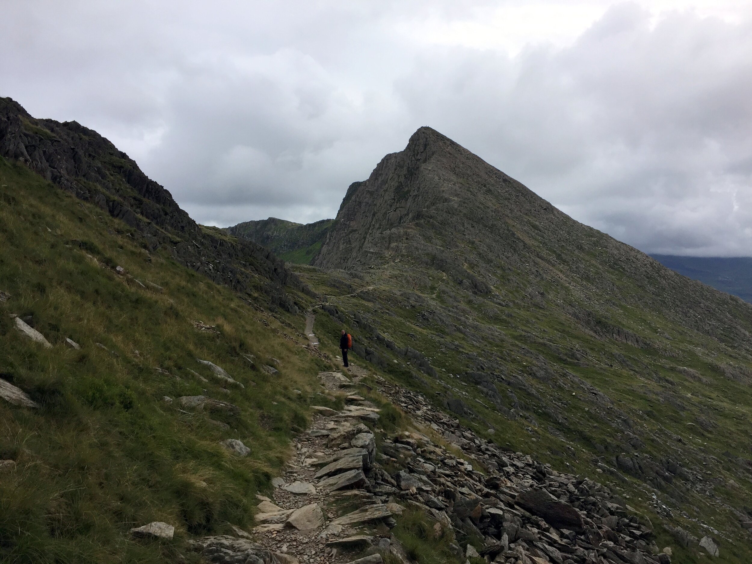
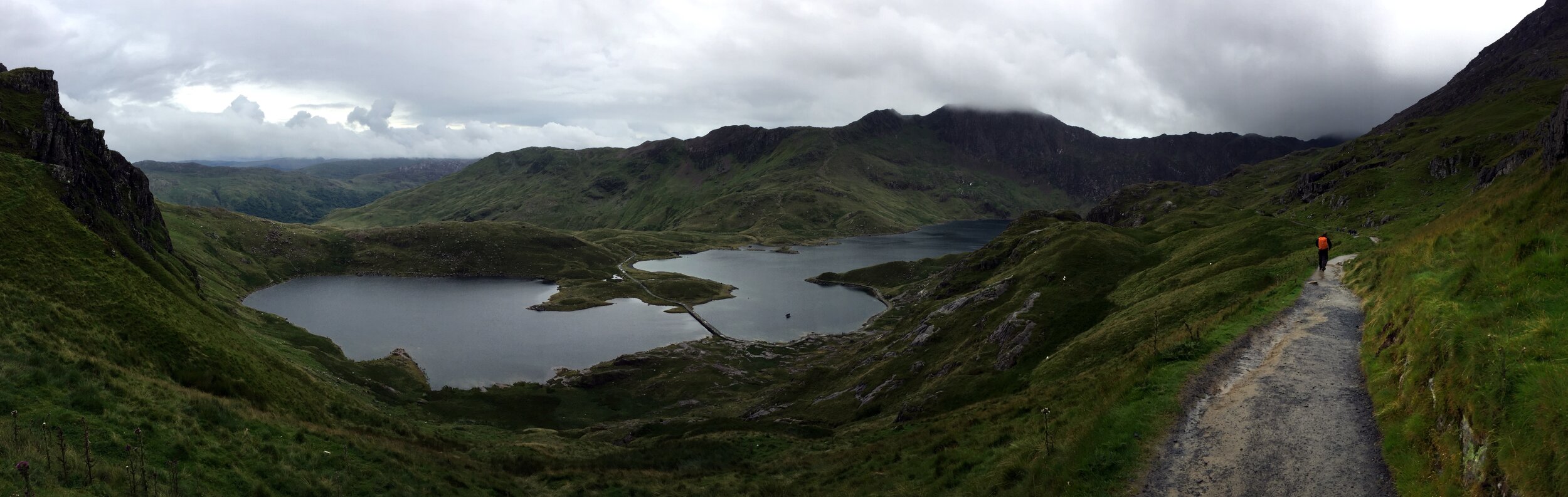
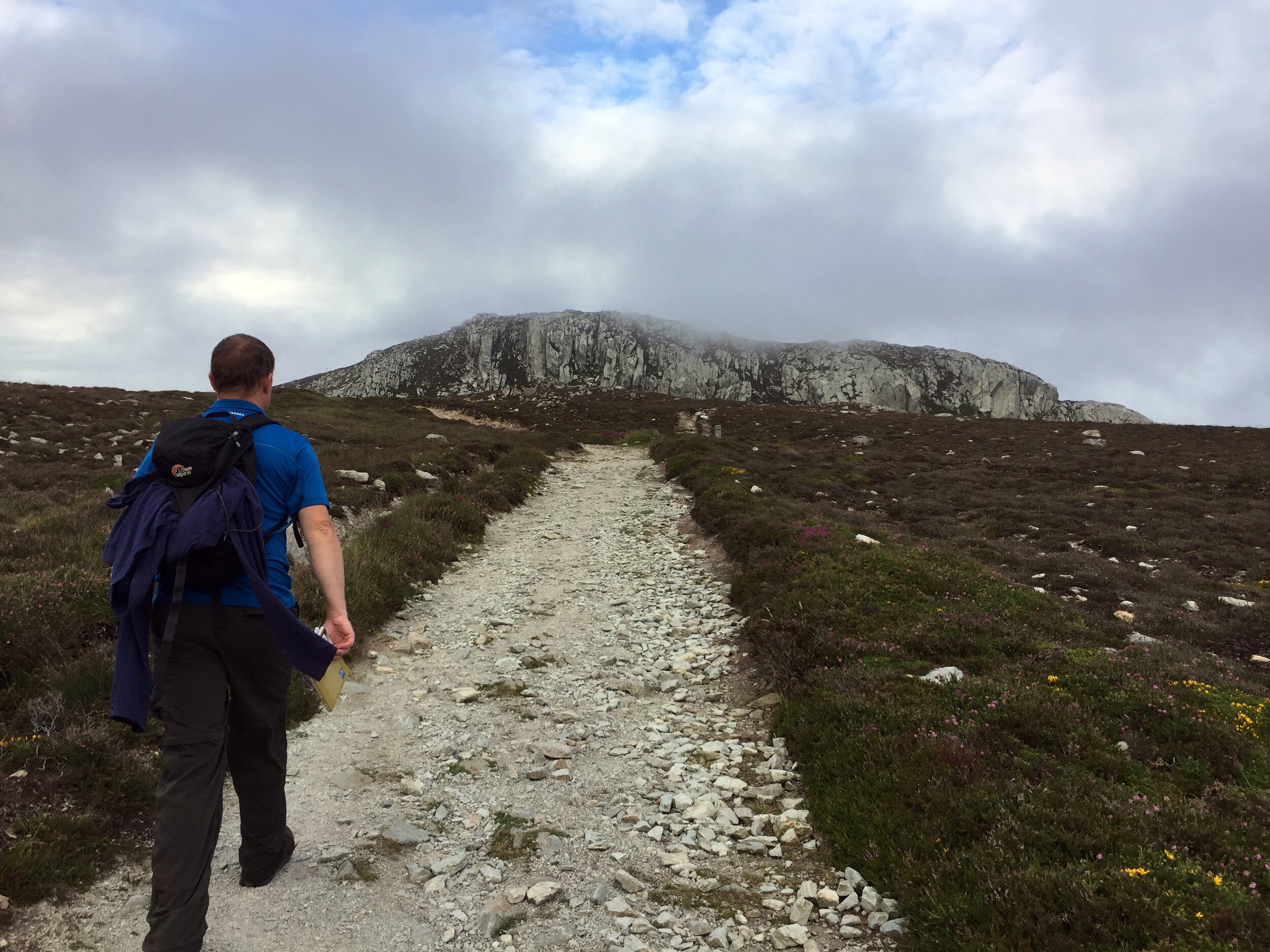
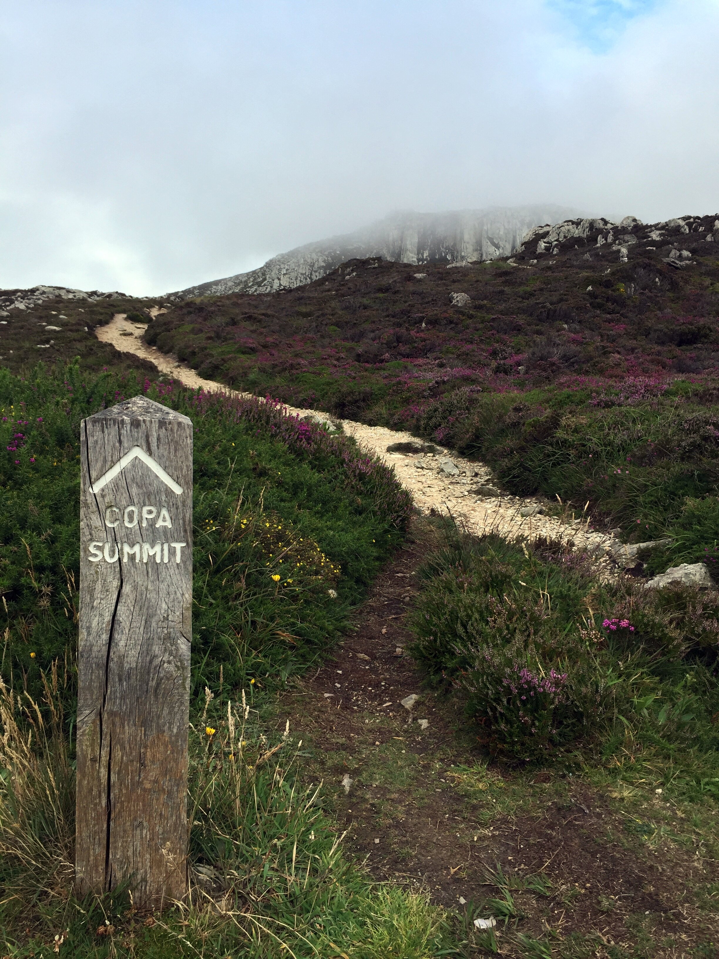
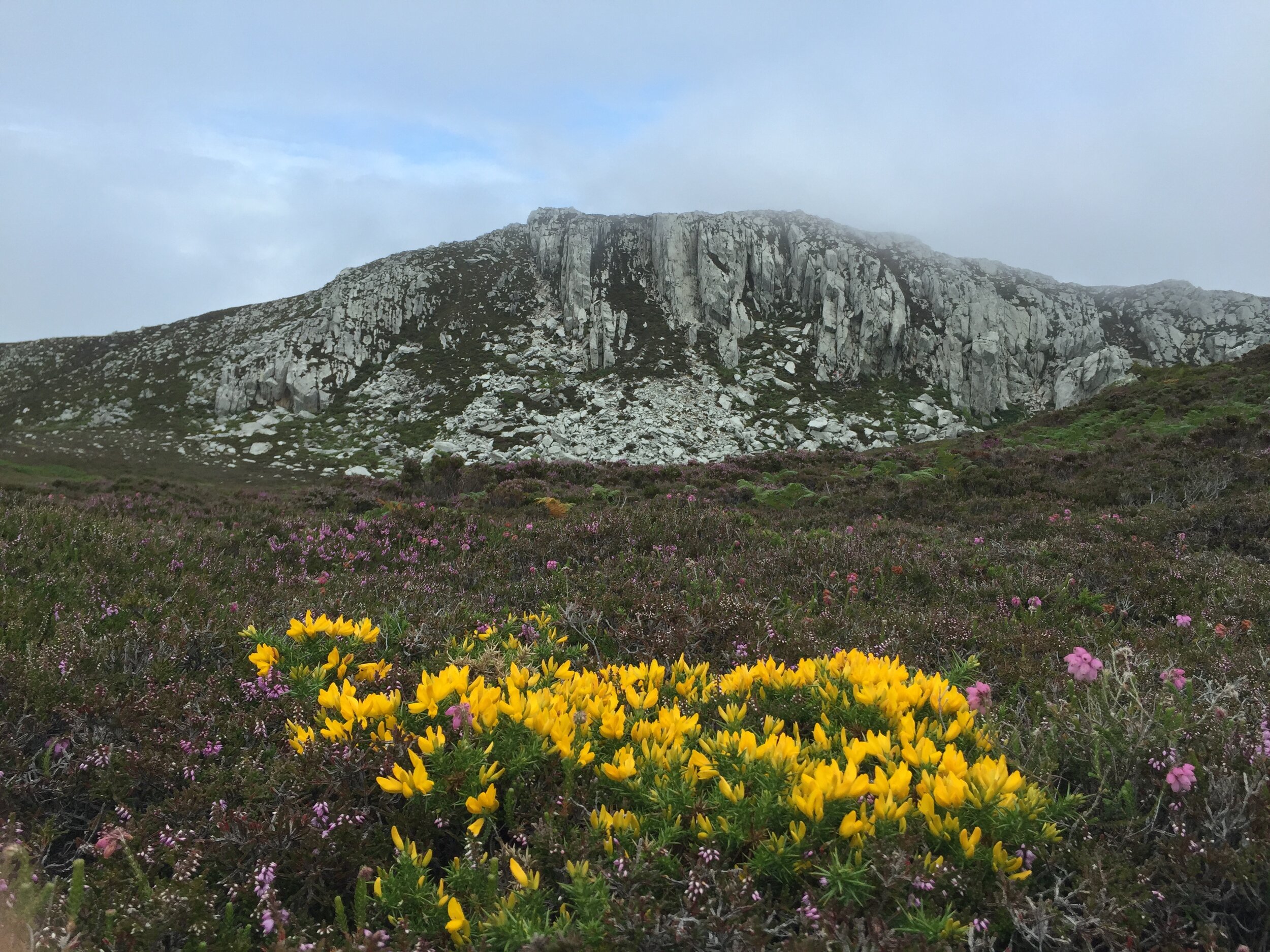
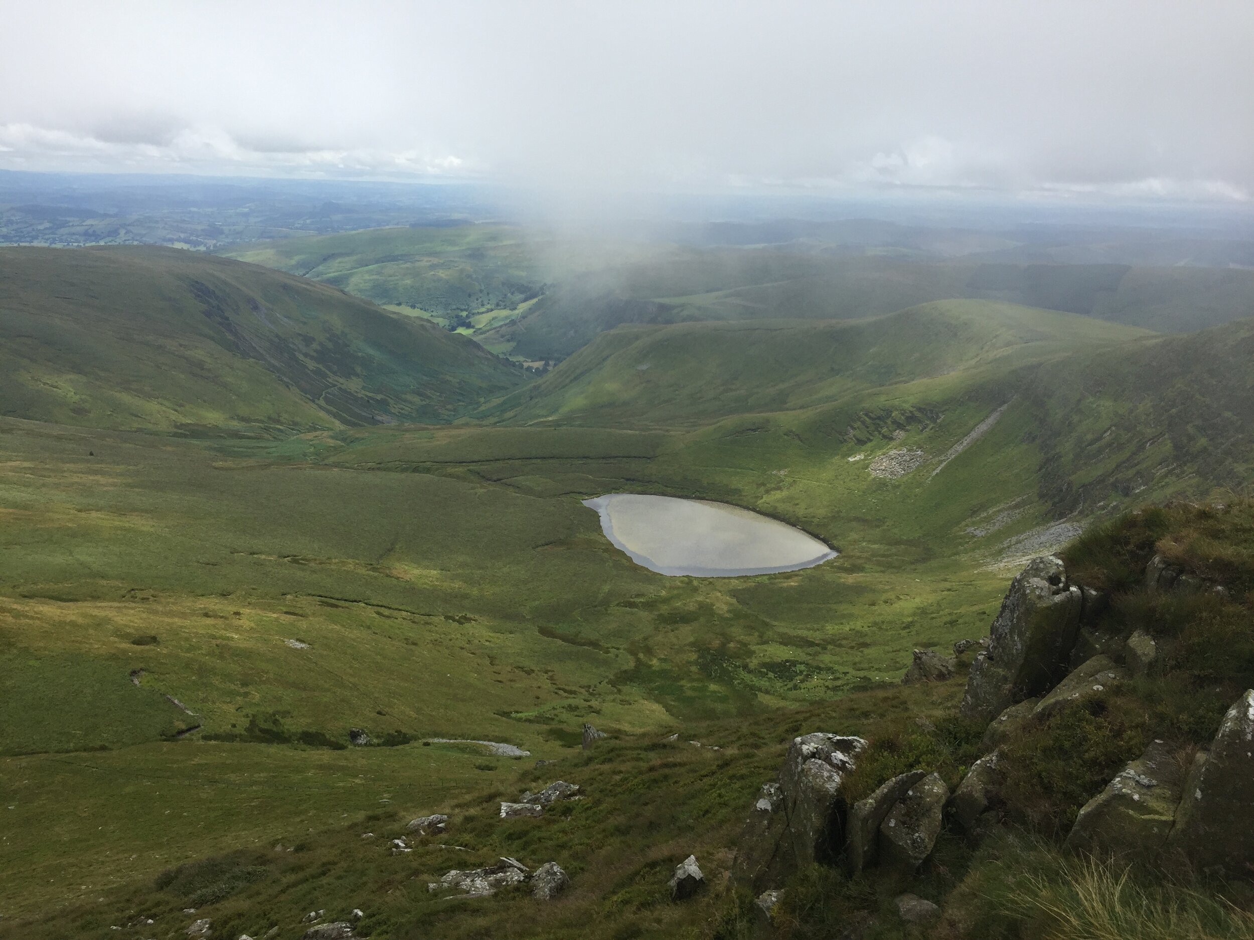
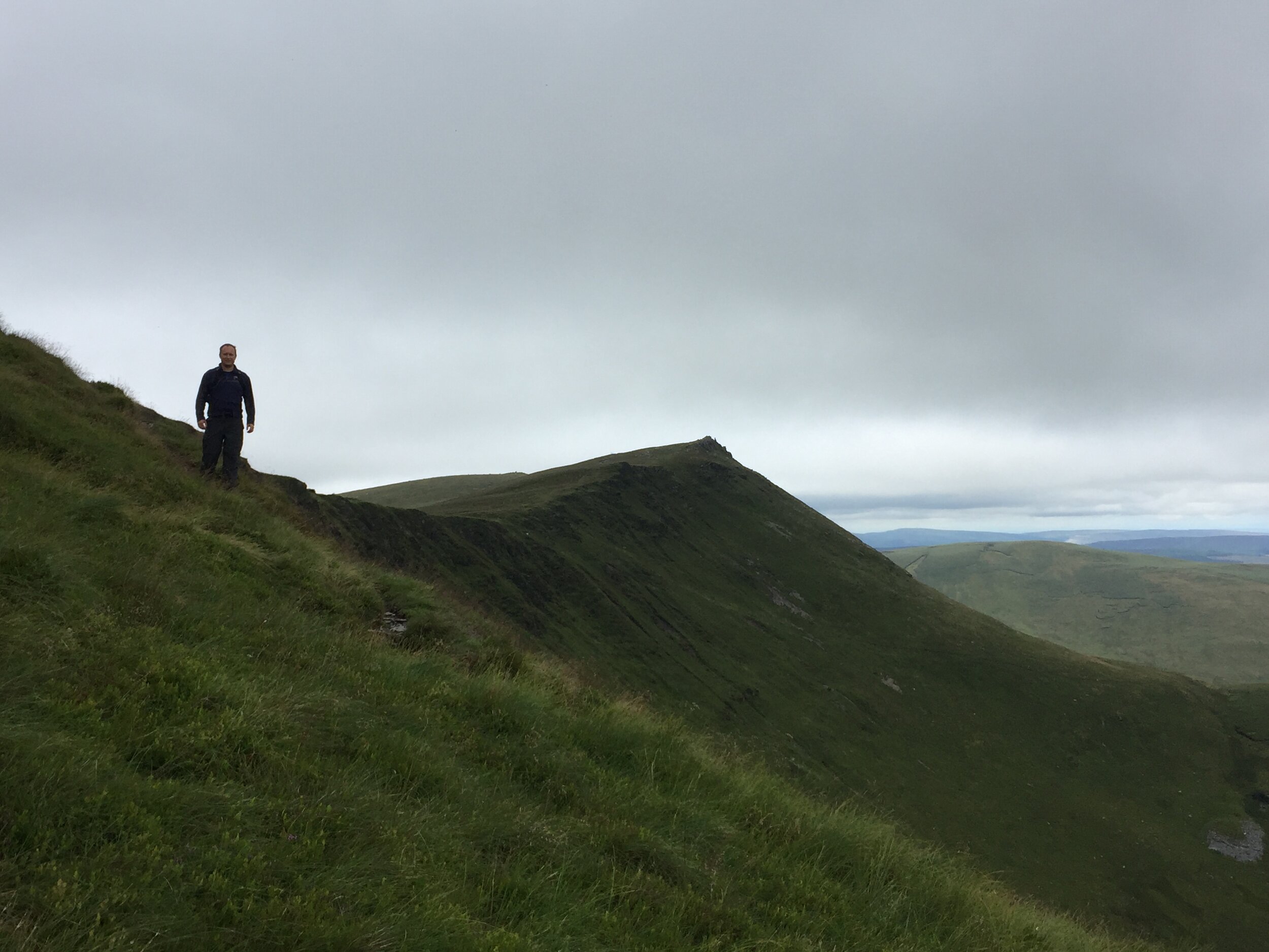
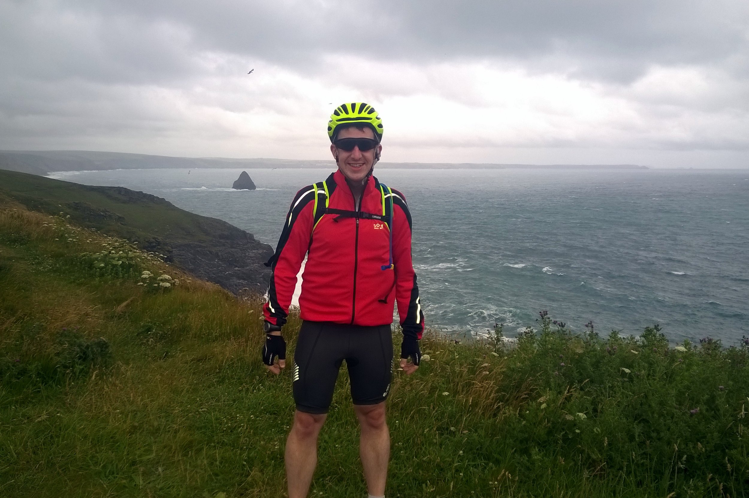
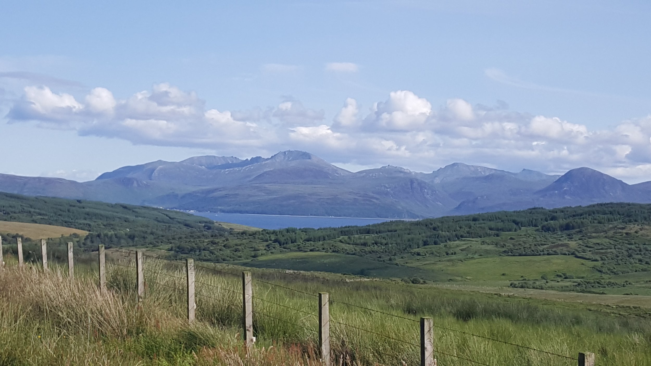
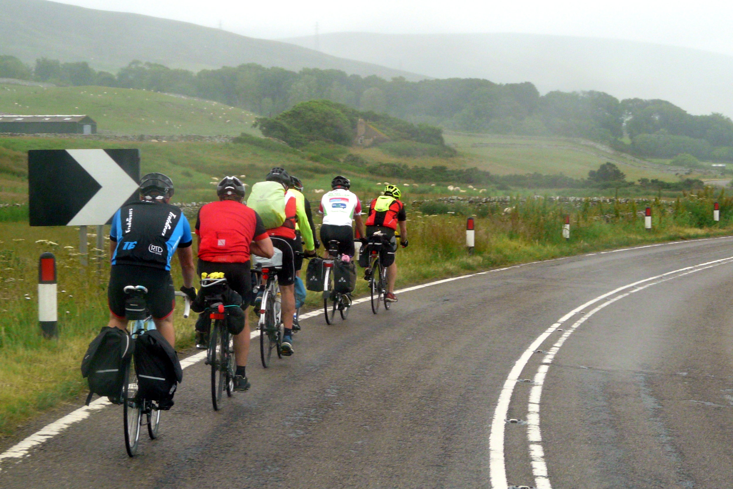
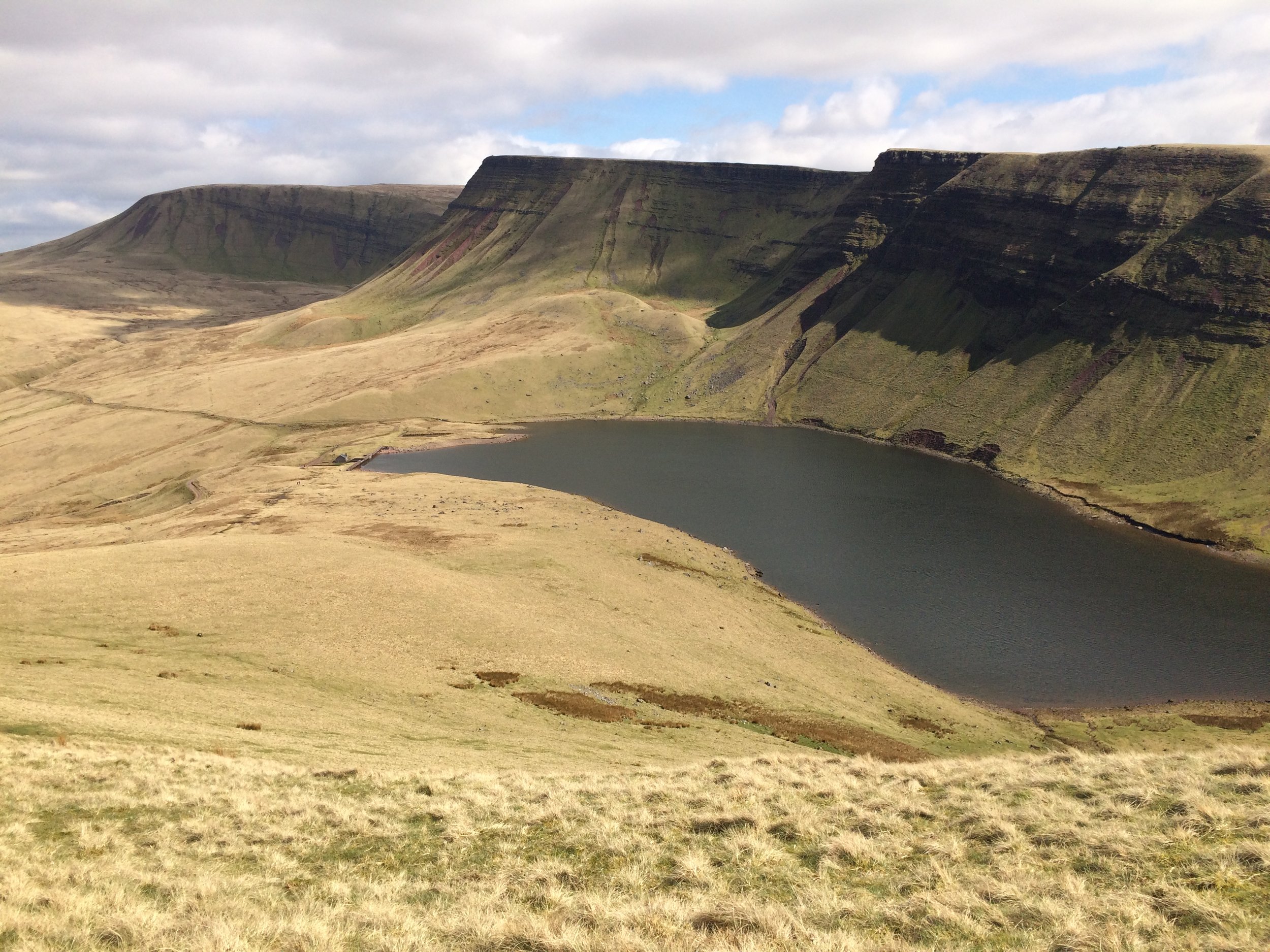
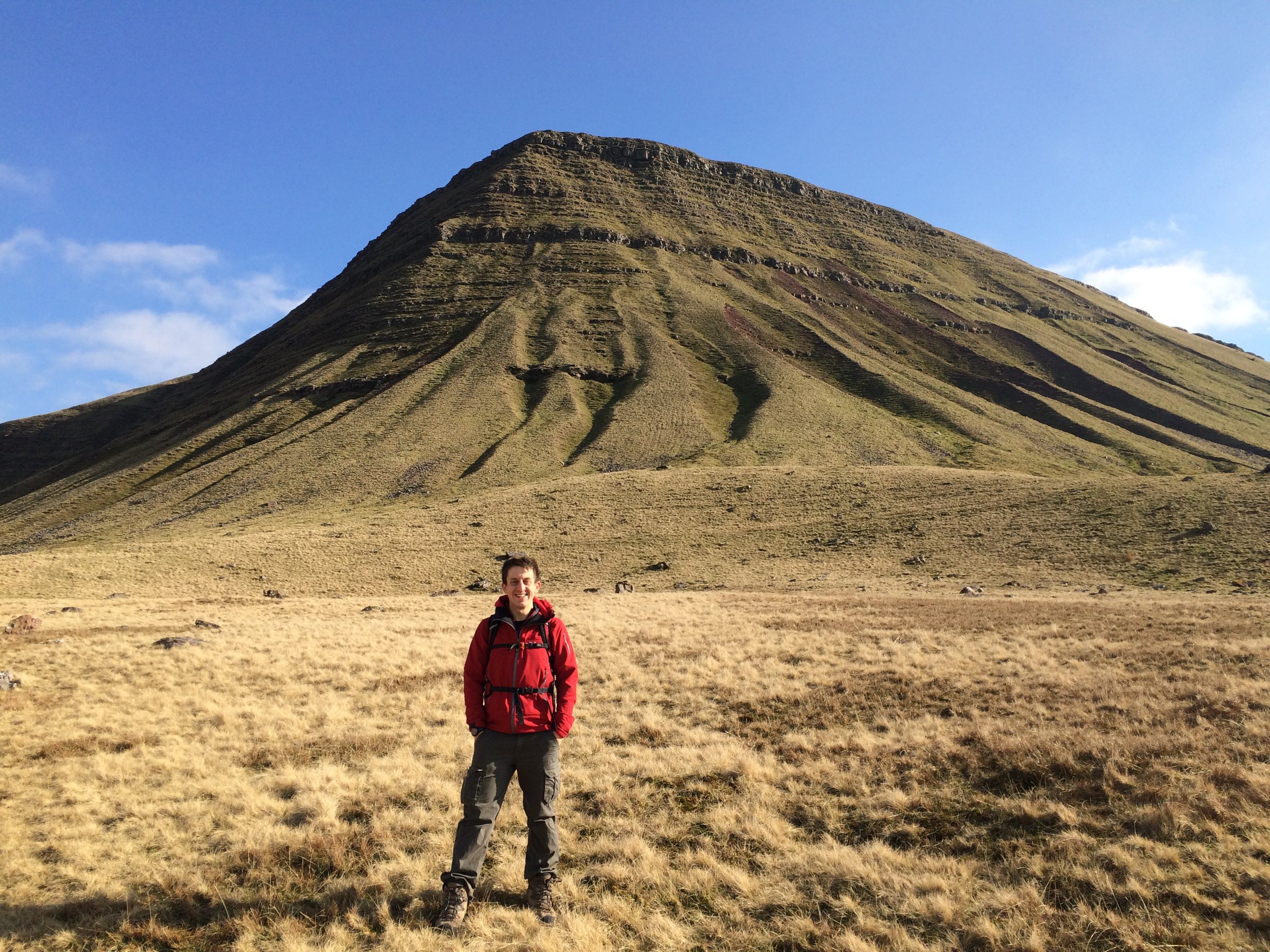
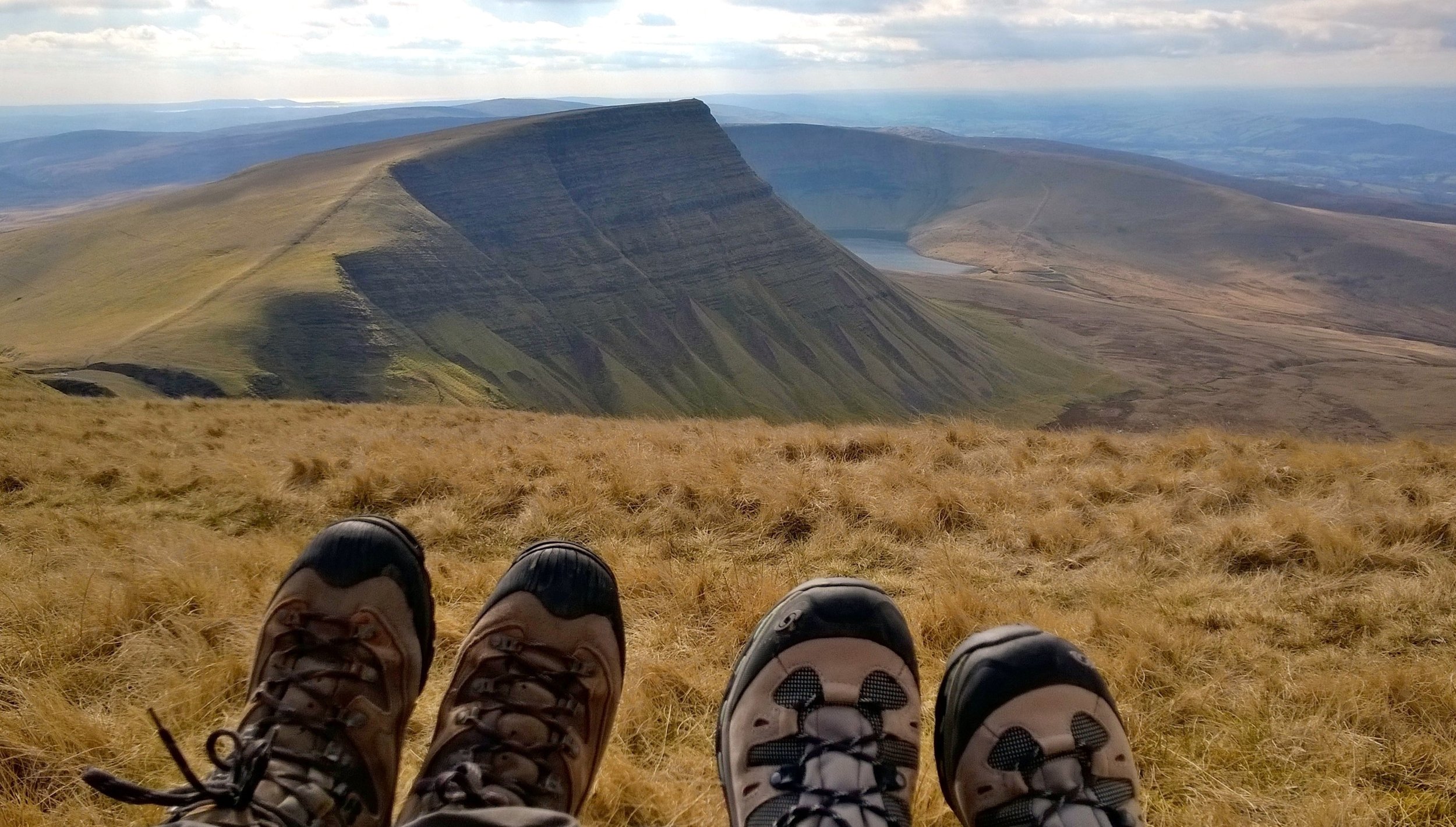
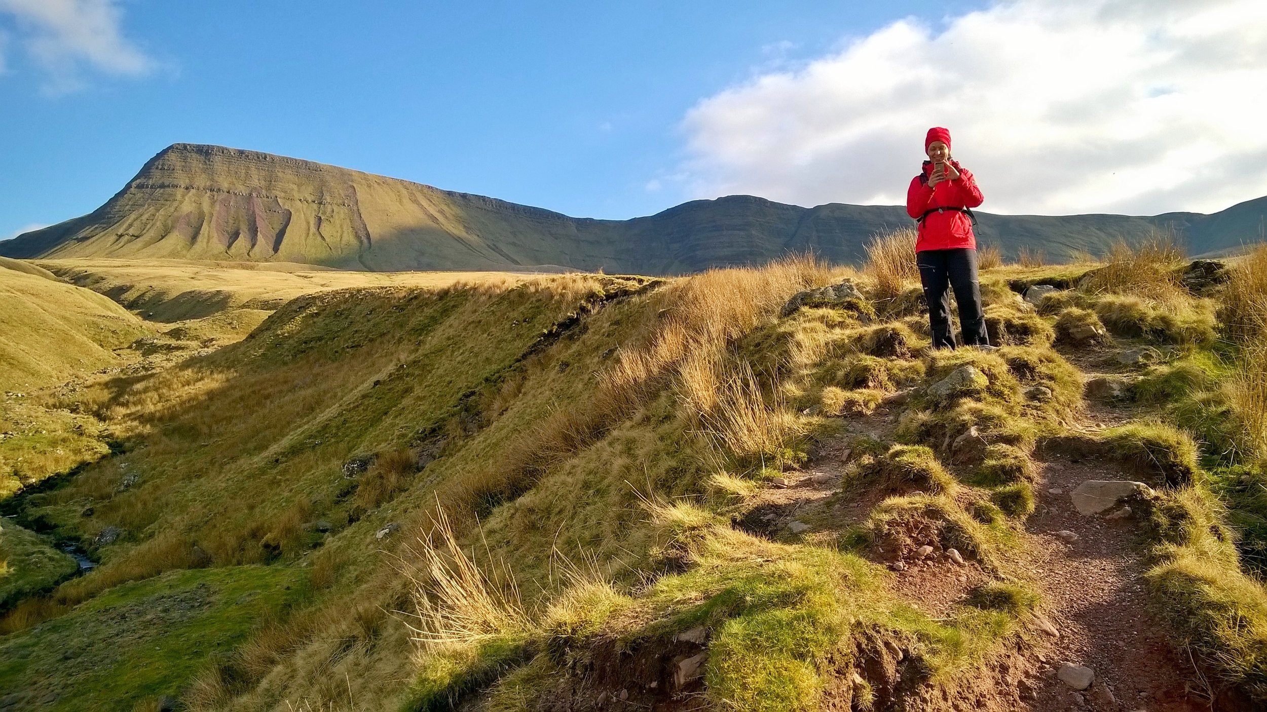
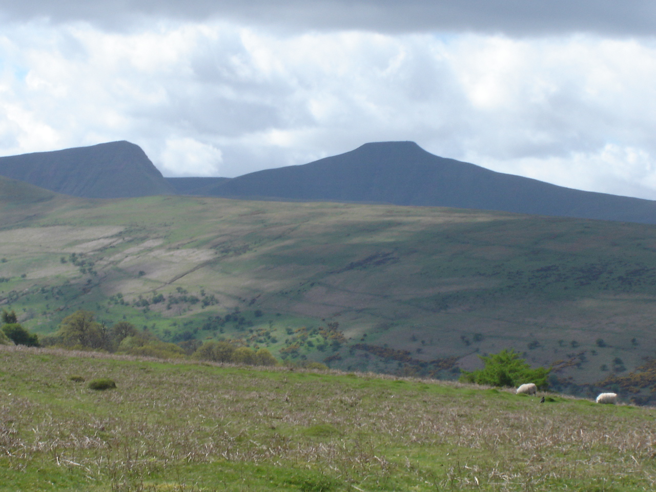
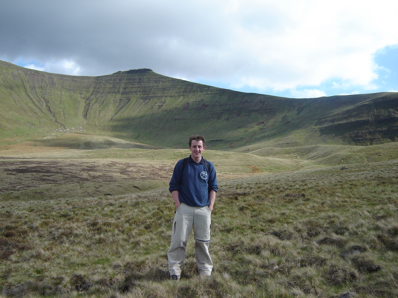
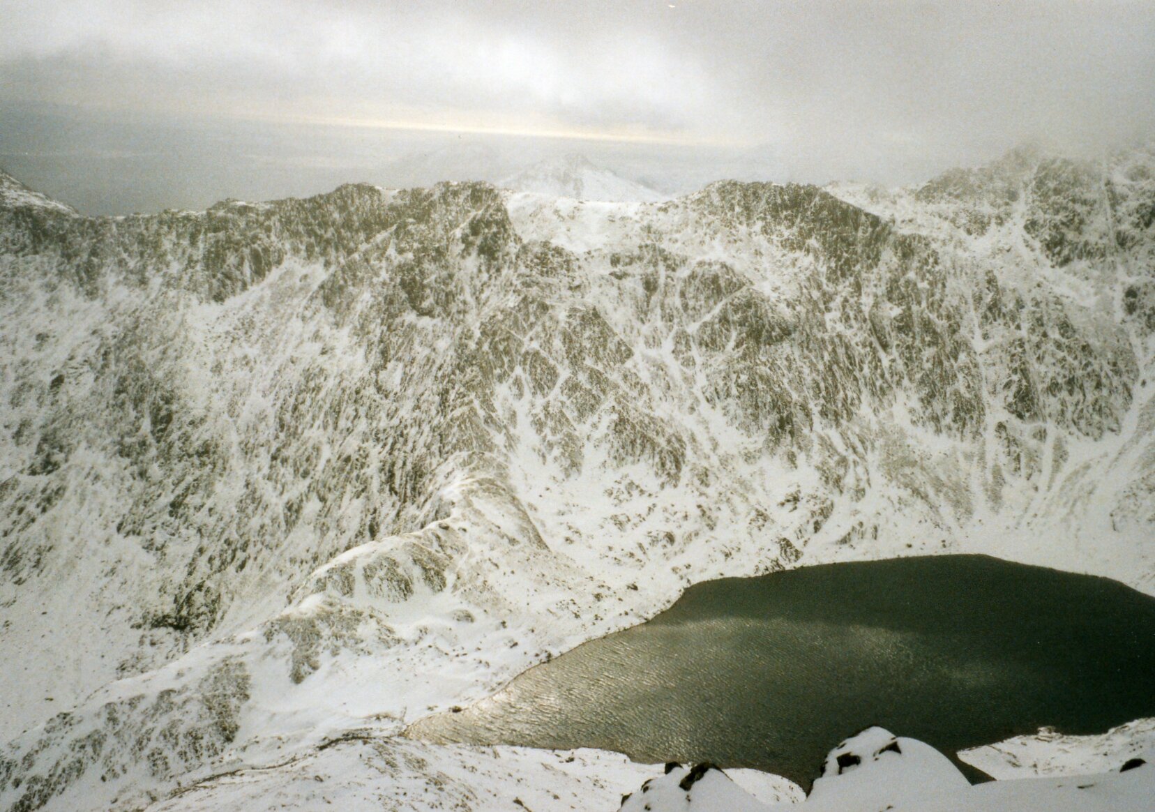
As with the previous 2 years that I'd joined the trip, our main walk was Tryfan and the Glyderau. It's a challenging 10k circular walk taking in 3 summits between 918 and 1001 metres. Each year the weather had closed in and we descended early using our escape routes.

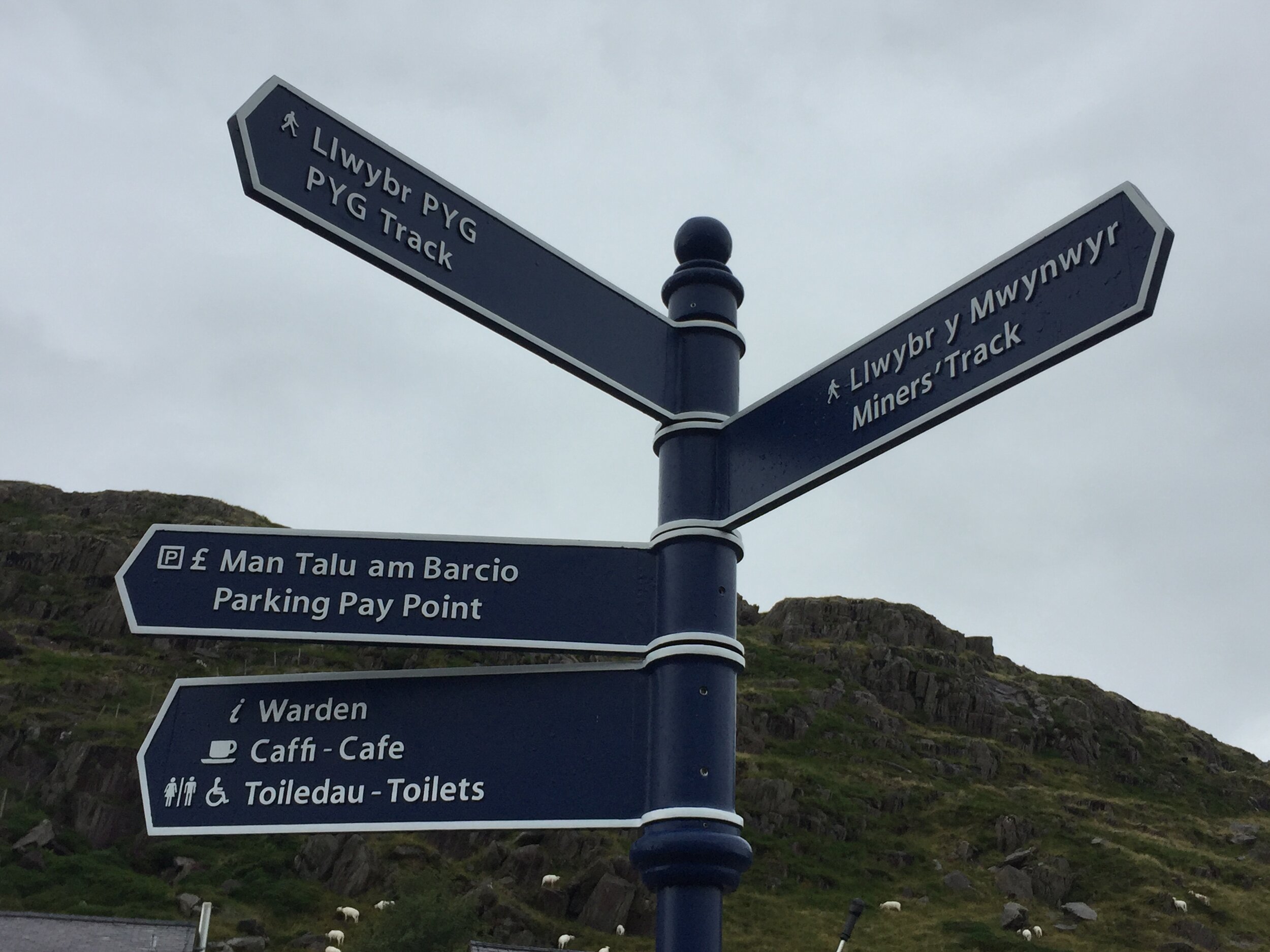
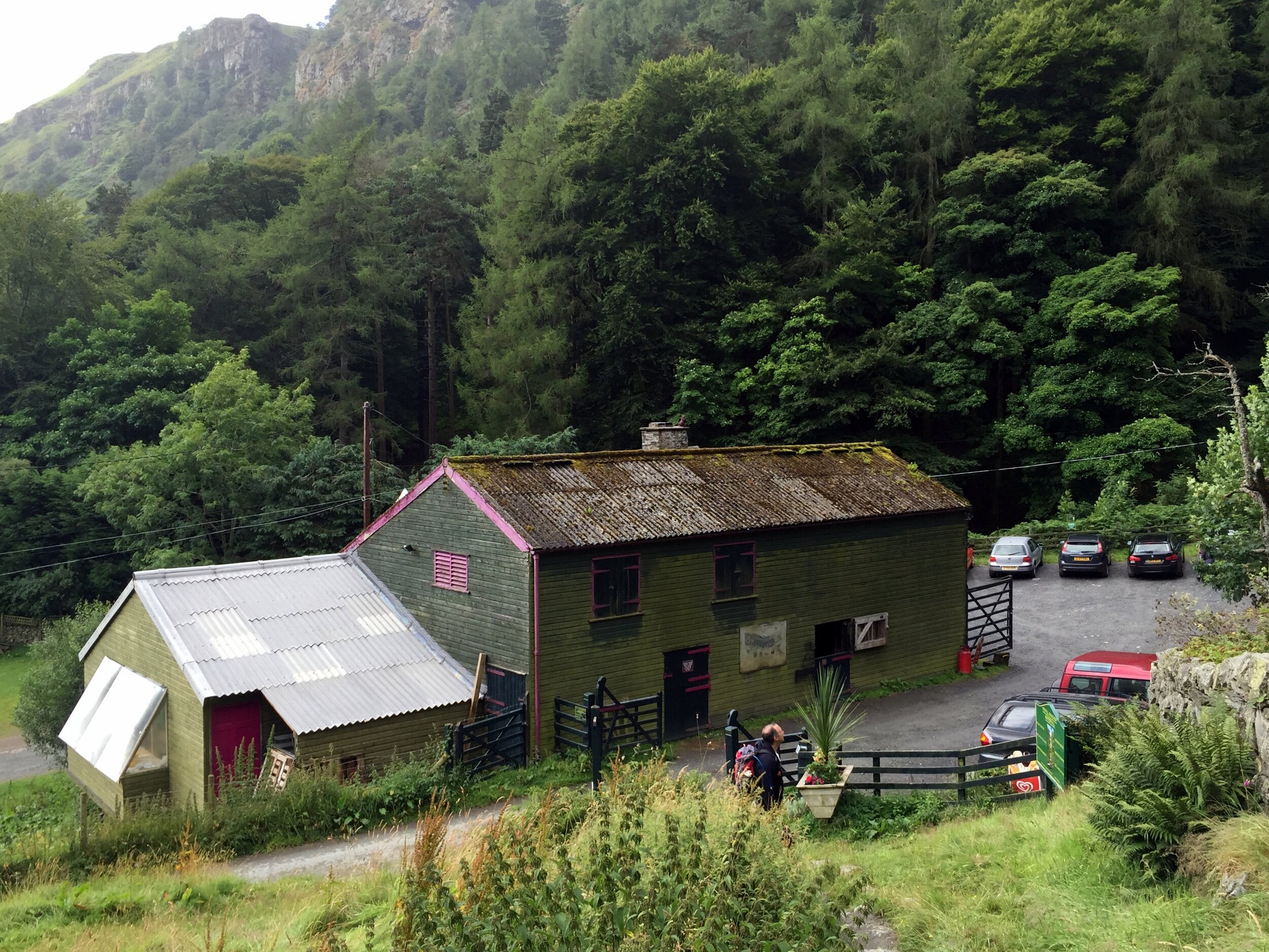
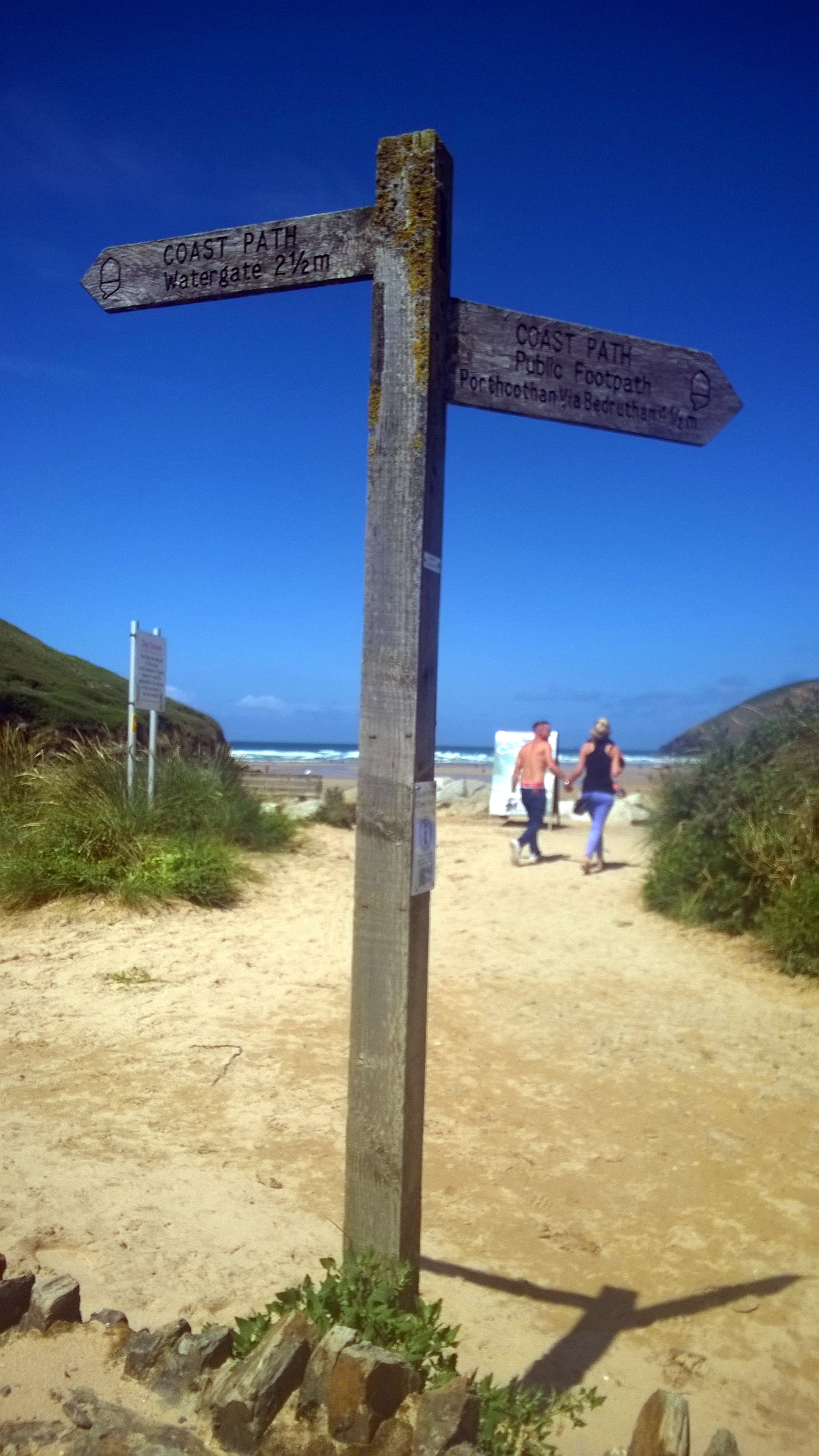
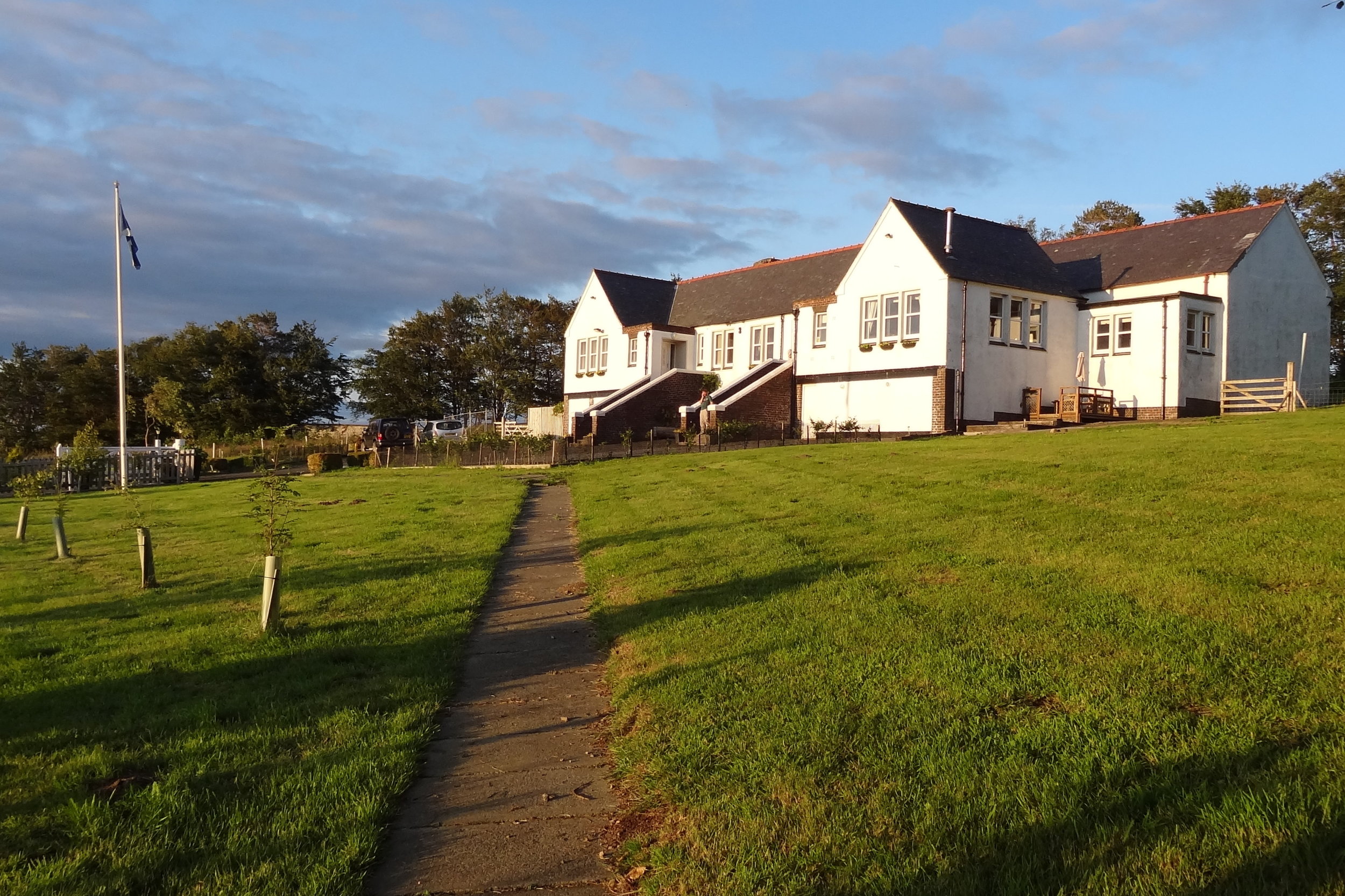
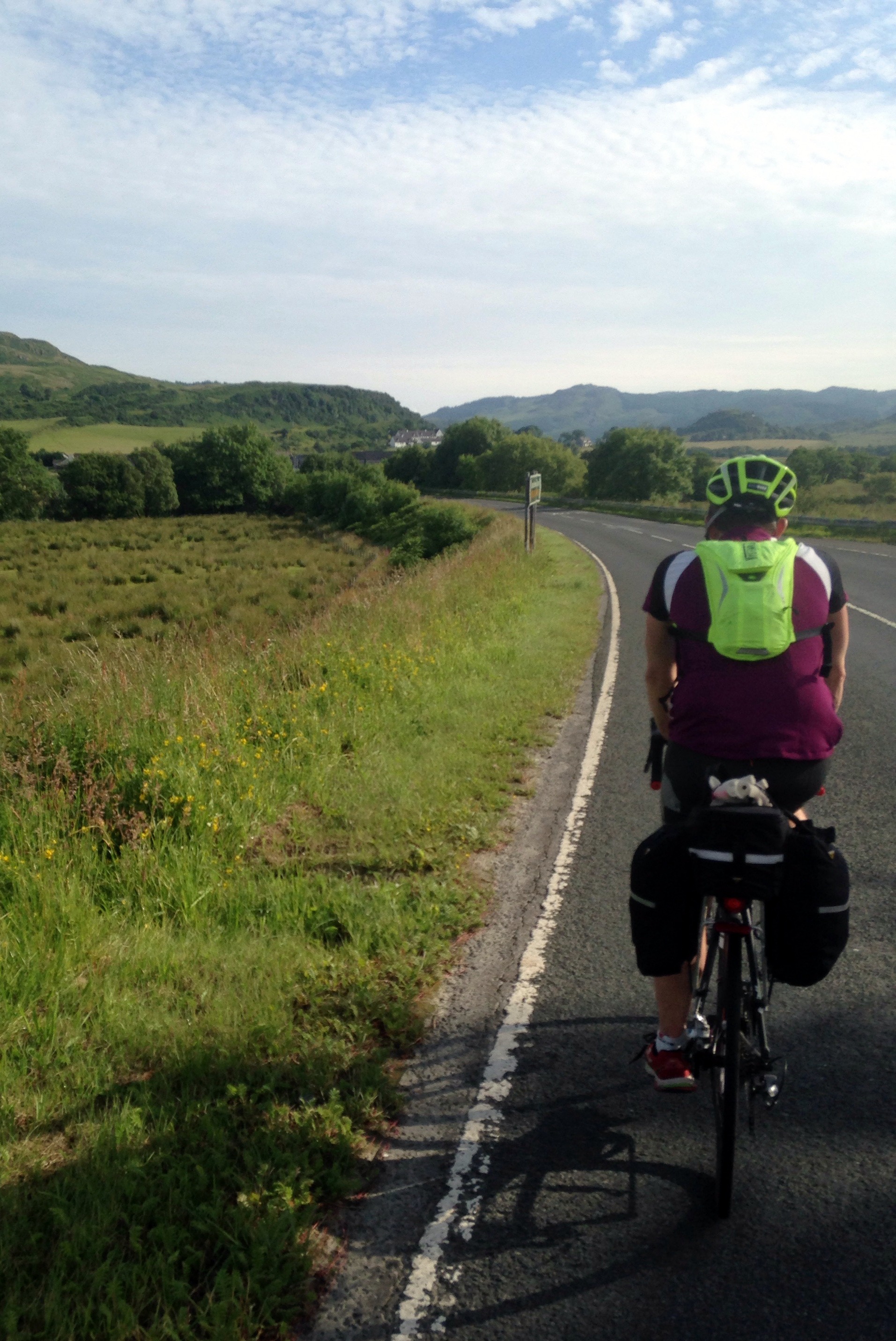
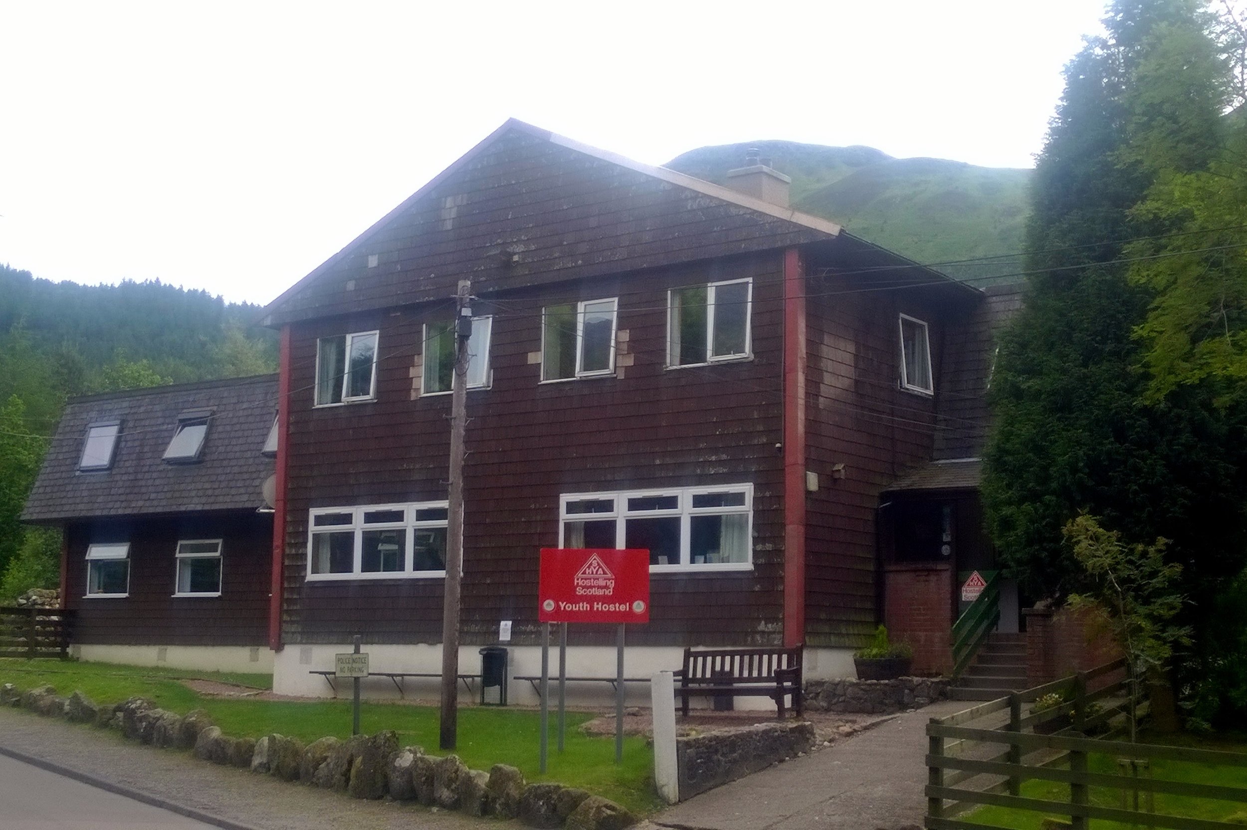
This particular year I was leading a group of 6. As usual we parked at Idwall Cottage Youth Hostel at the western end of Llyn Ogwen. Unlike previous attempts we took a clockwise route taking in Tryfan first.

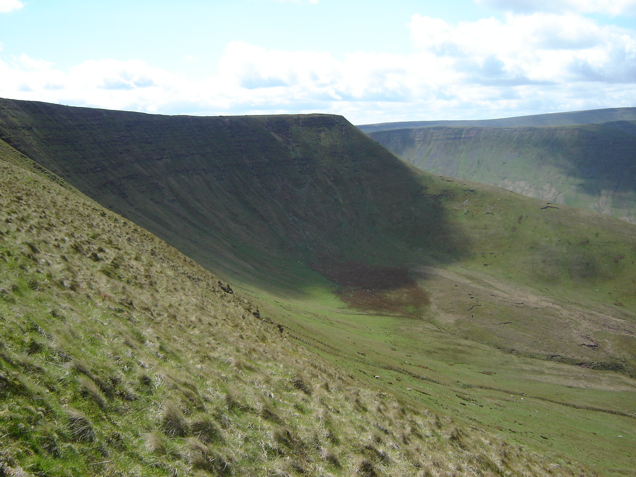
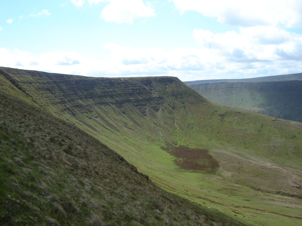
Tryfan is a beast. From a distance it looks like Godzilla and is scary enough to put off many inexperienced hikers. Assuming you're a good scrambler with head for heights, it's relatively straightforward. By contrast we found that climbing Glyder Fawr via the Devil's Kitchen on previous trips much trickier.

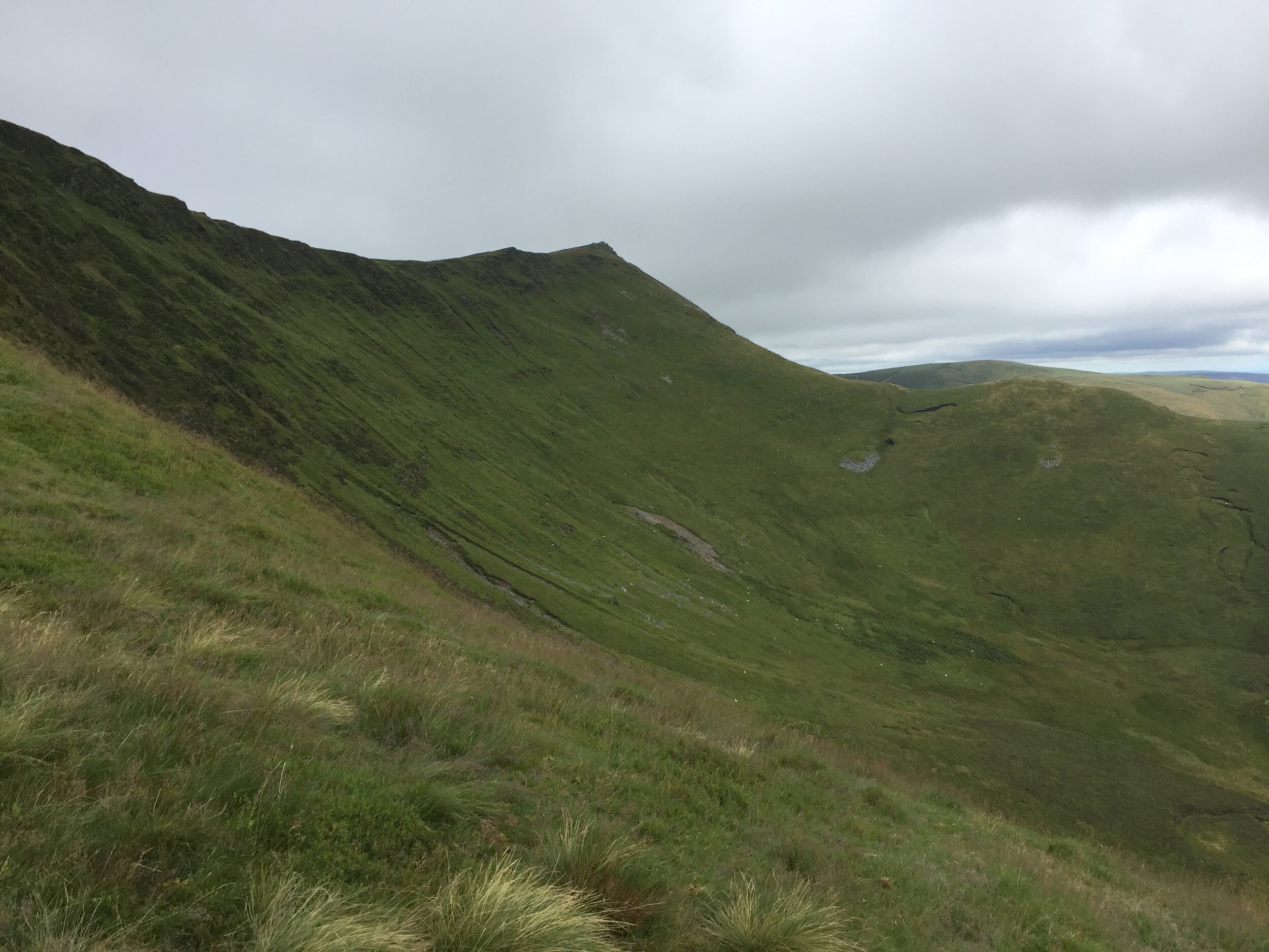
We got up an over Tryan without problems and started heading south toward Glyder Fach. Here we met another group from the same course who had approached from the east on a different route. From here were were on the same route up and over the Glyderau. The other group were friends of ours and we came together as a larger group. This was the main mistake as it led to one large group travelling more slowly than two smaller ones. One girl in the other group was also having knee issues, adding more time to the ascent.

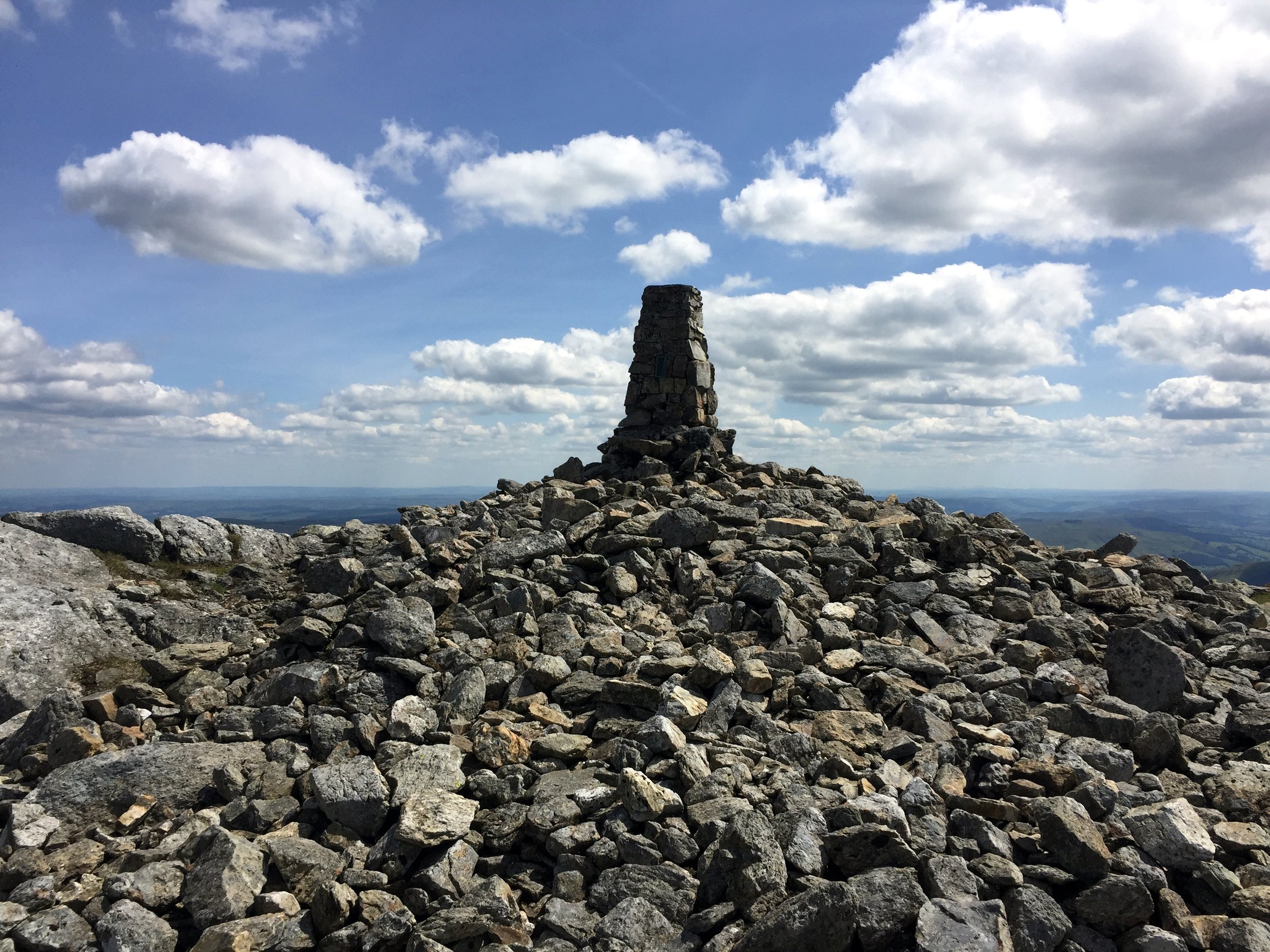
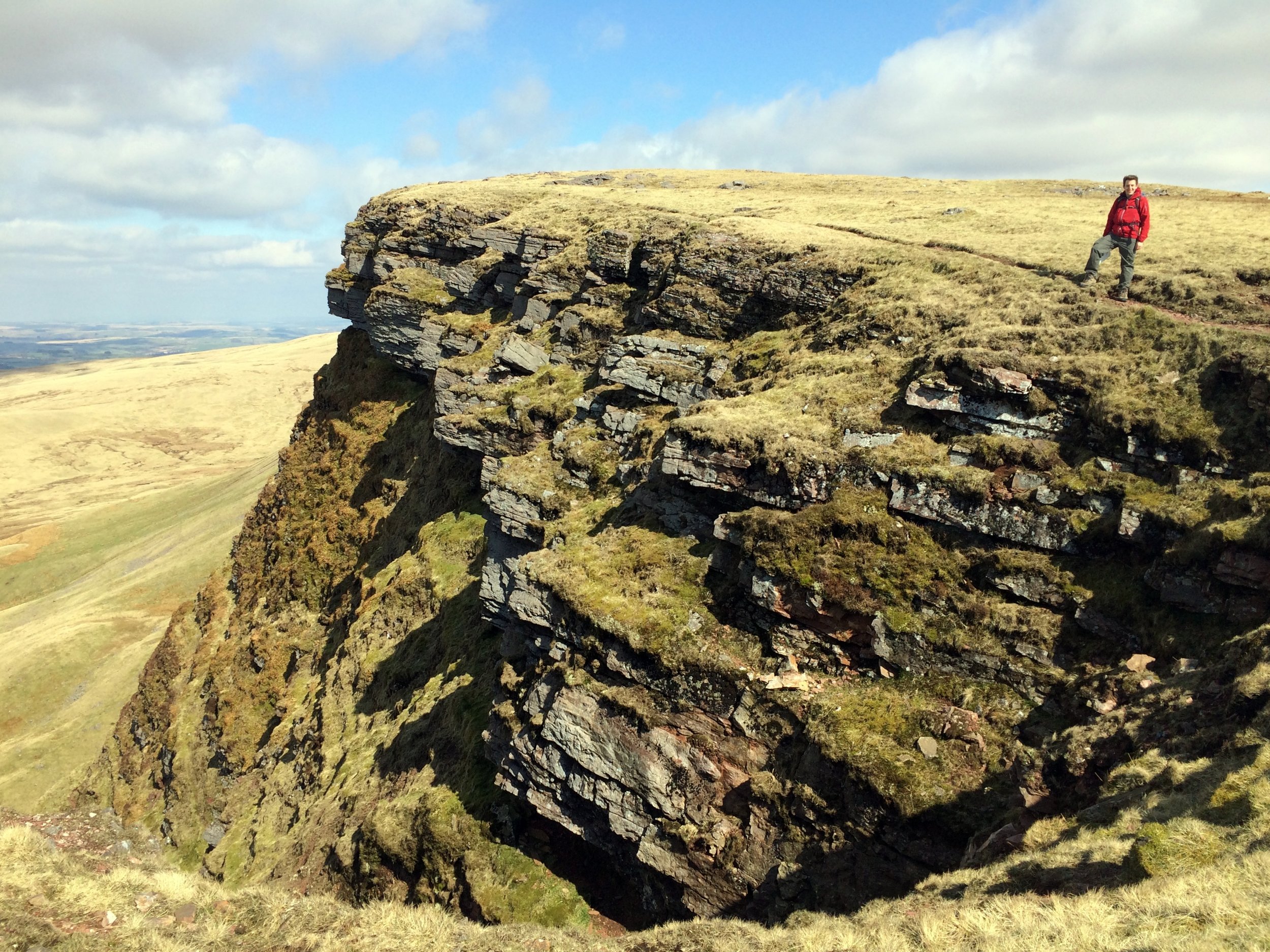
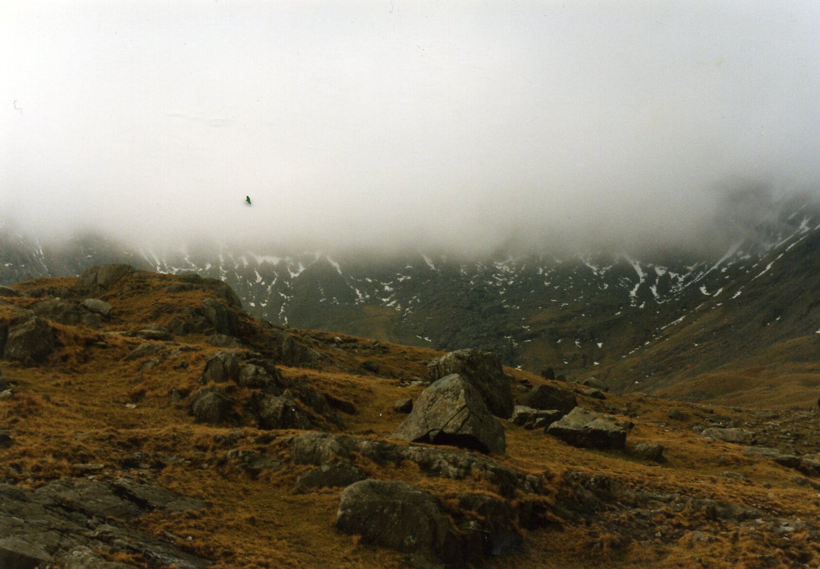
After submitting Glyder Fach the clouds came in. It was cold and we were clearly behind schedule. I made the decision to take the emergency route descending to the north from the next summit, Castell y Gwynt. The route was clear, but had several steep sections. The group stuck together, helping each other down. It was safe but slow.

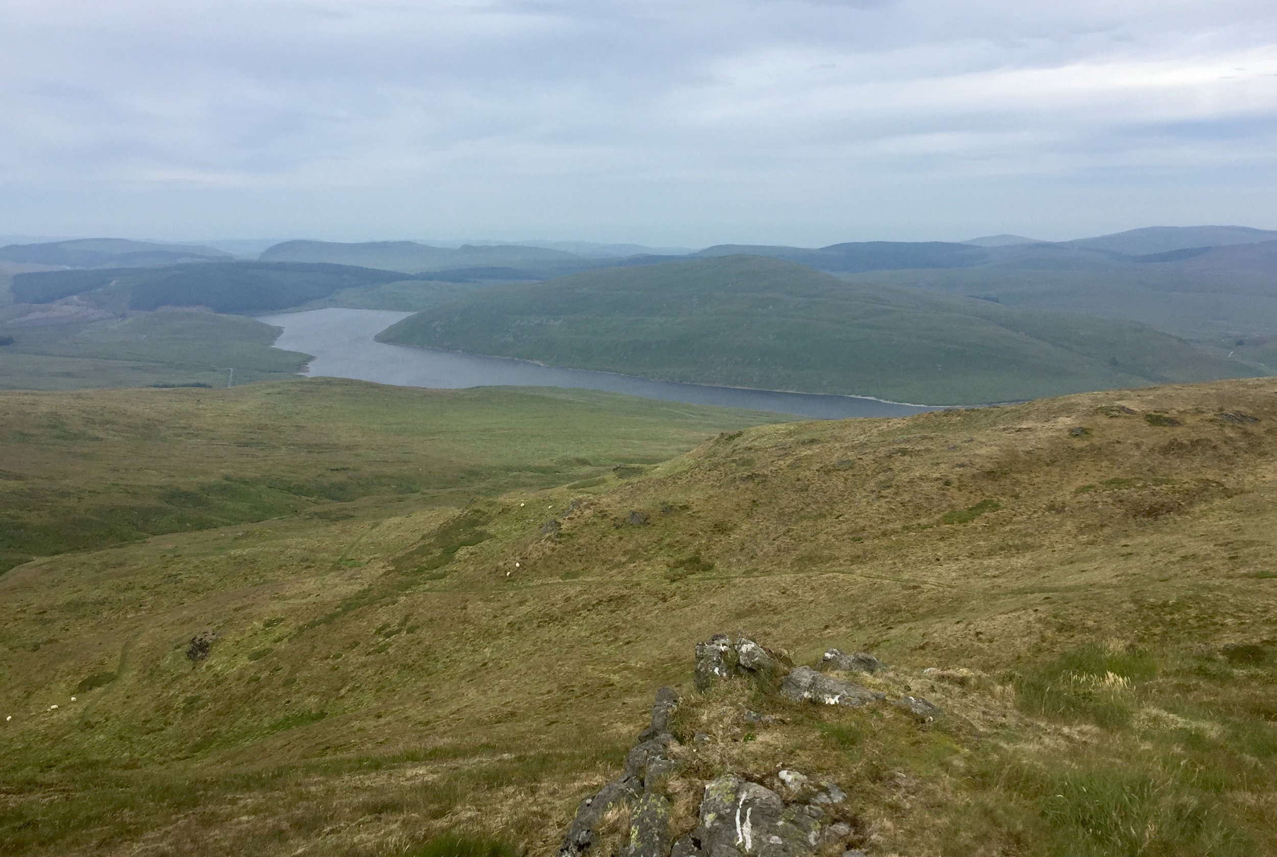
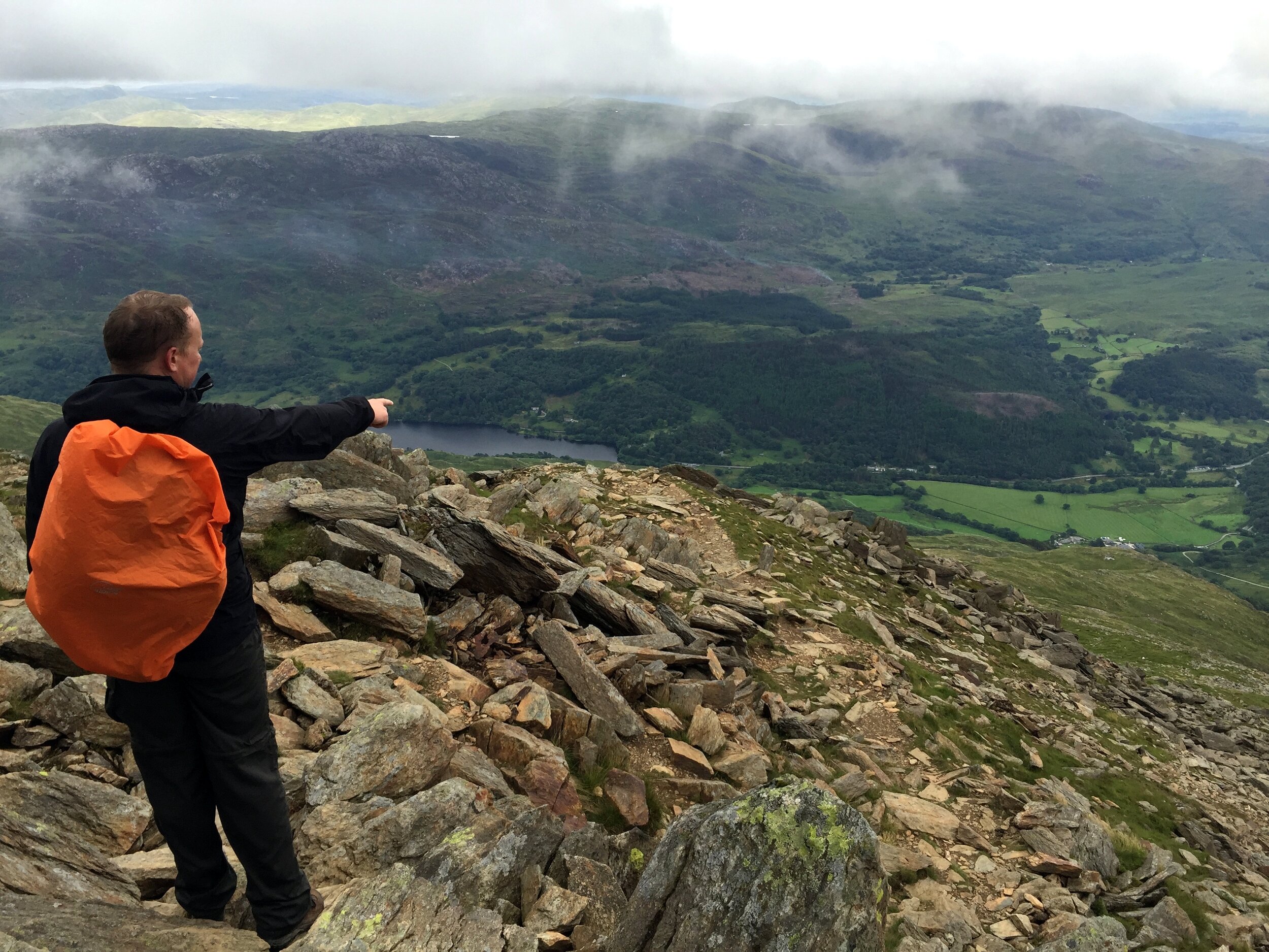
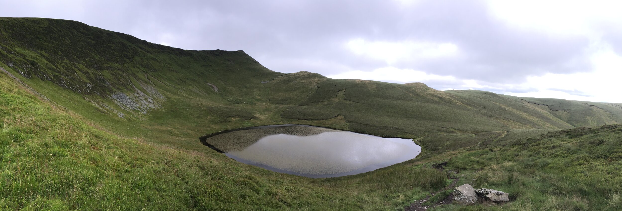
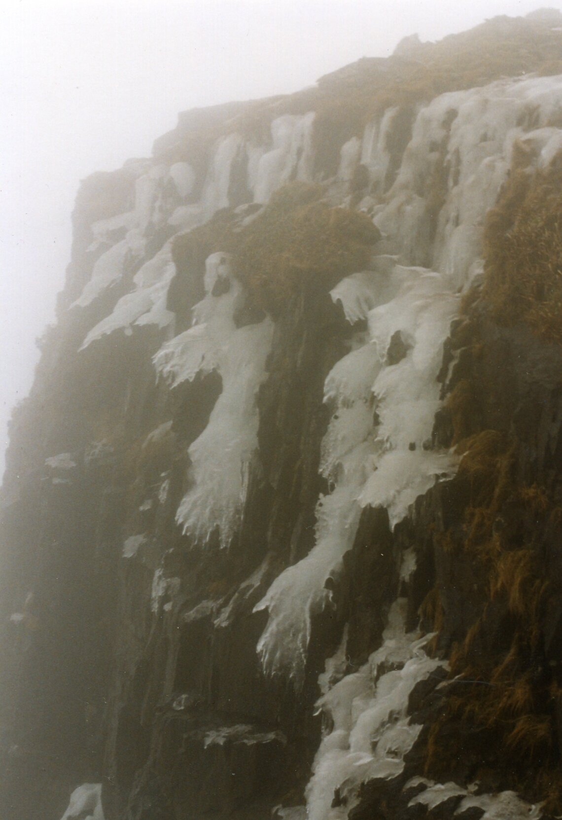
By 16:00 we were not far from the bottom of the mountain. What lay in the middle was a stream and a waterfall over a short but steep cliffs. It would have been doable earlier in the day, but light was quickly fading and it was clear that we were not going to get 14 of us down safely.

The plan was for two of us to make our way down the waterfall to the car park and call for help. The others would stay where they were with two of the oldest in the group in charge to keep them together. They had enough food and clothing so would have been fine as long as they didn't leave that spot.

Chris and I slowly made our way down the waterfall. The rocks were sharp and my trousers got snagged on a few, ripping a large hole in the back. Not far from the base of the falls we found the path that followed the east side of Llyn Idwal to the car park.

By now it was clear to the leaders at the base that we were long past our planned finish time. We met one of those leaders half way back along the lake path as he had come to find us. We took him back to the base of the waterfall to show him where we had come down. The group was not far up and we could clearly see their torch lights.

Chris and I were taken back to the bunkhouse to wait there until the others could be brought down. Meanwhile 17 members of Ogwen Mountain Rescue stopped whatever they were doing that evening and and headed to Llyn Idwal.

The 5 hours between us getting to the bunkhouse and the first of the others returning were nerve-racking. We were safe, but what about the others? They seemed safe enough where we left them but what if they moved and fell? What if something went wrong when they were being helped down? My mind played out the aftermath of a worst case scenario. This was what makes it easy for me to pick this as my Worst Day.

The others slowly came down and arrived at the bunkhouse from 02:00 in the morning. One girl had been screaming and was freaking out the others. They got her down and back first. The others came back by 03:30. Everyone was safe and relieved to be back in the warm.

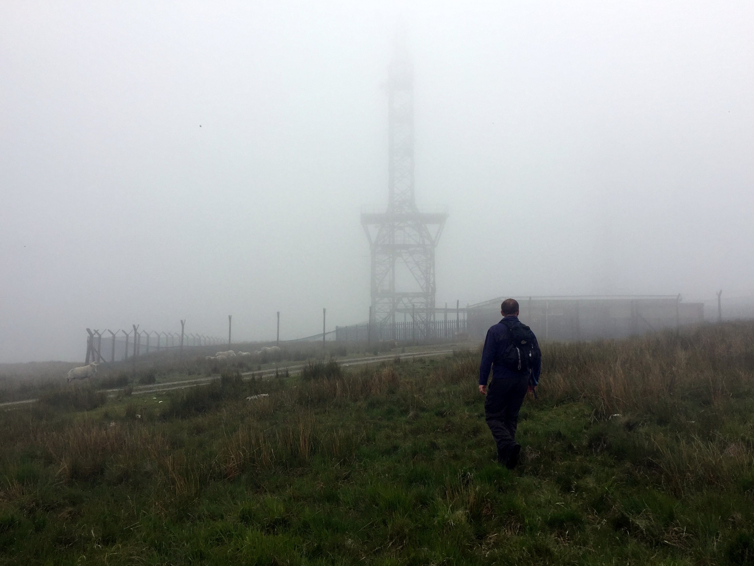
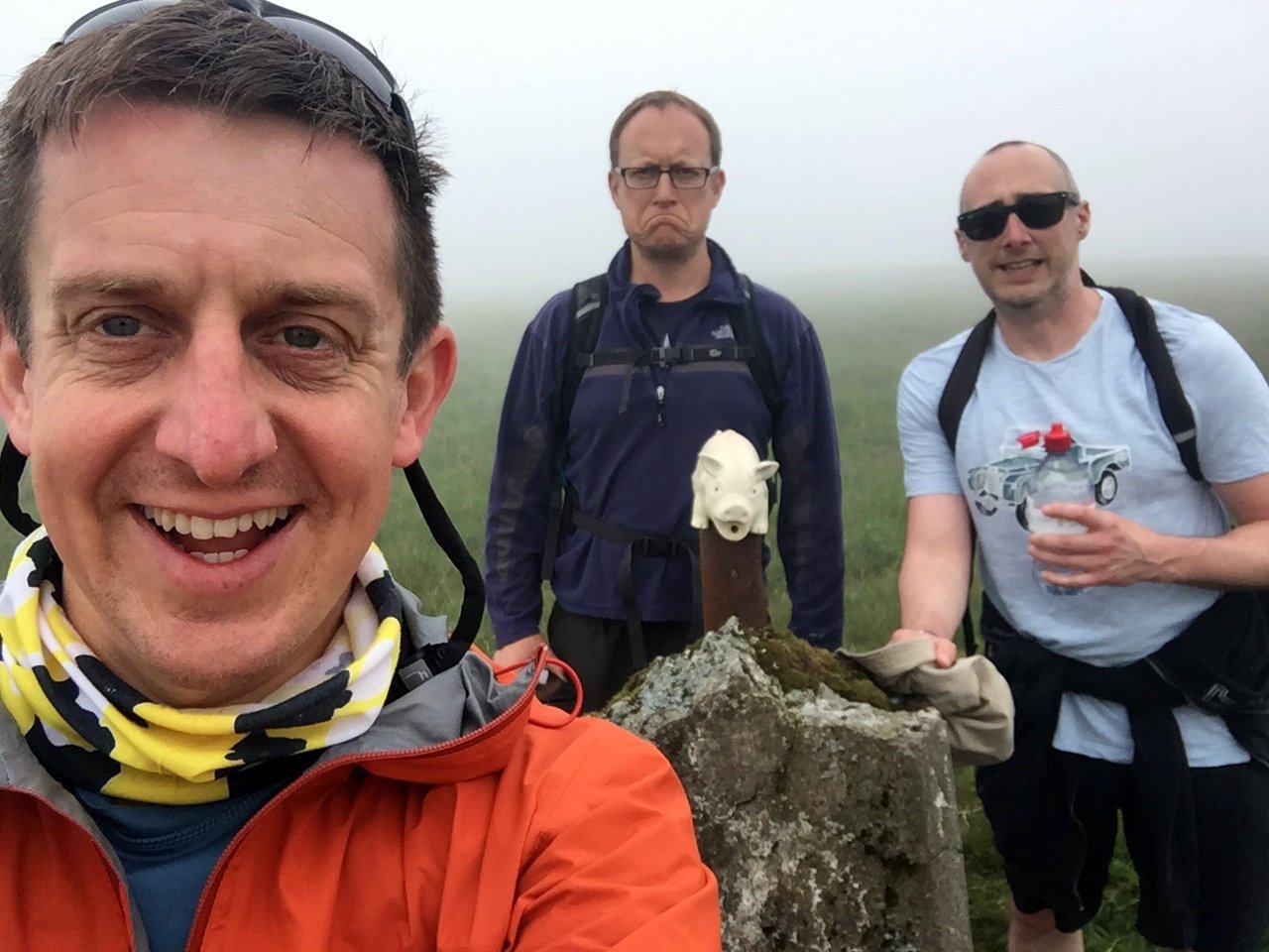
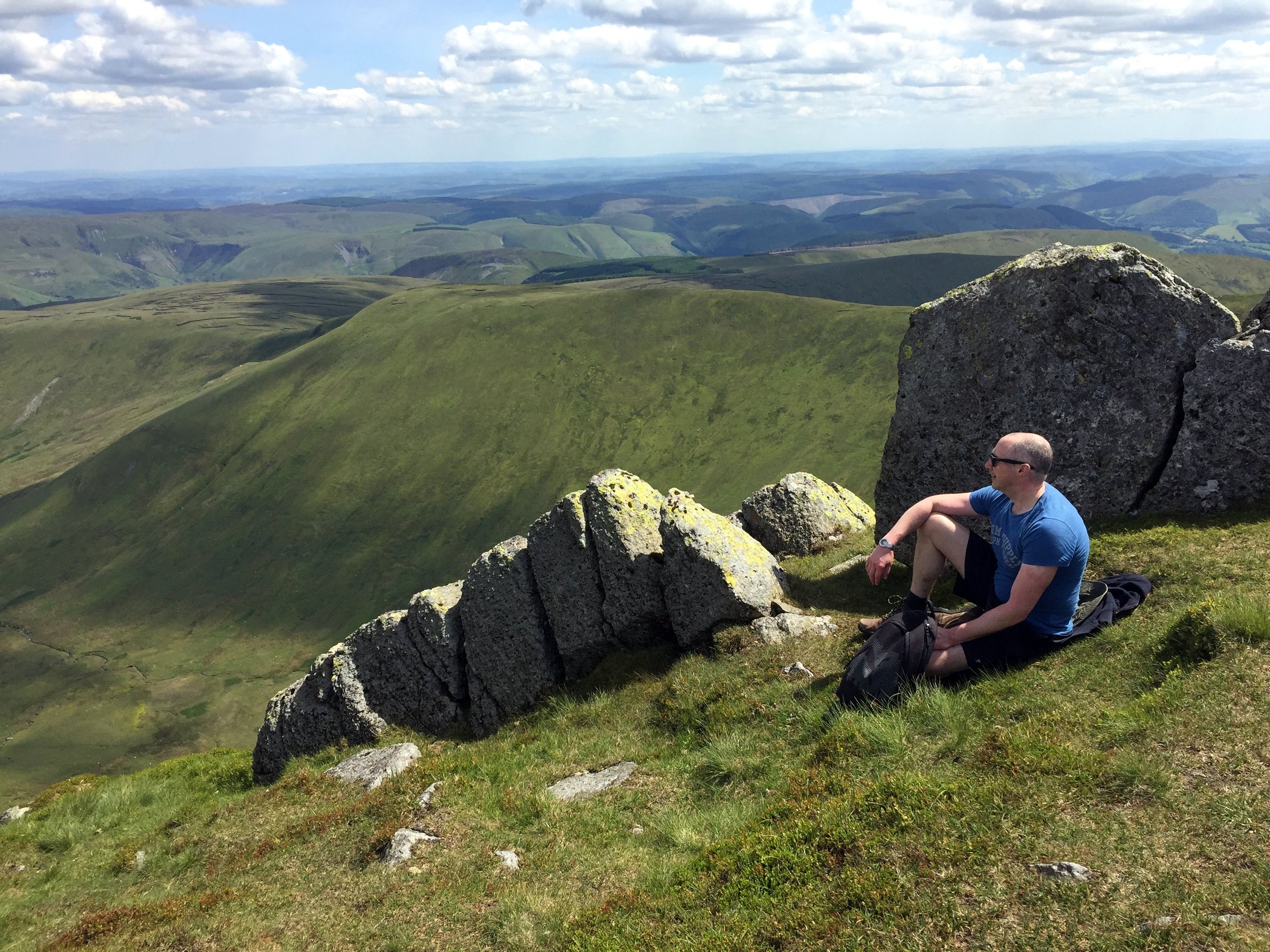
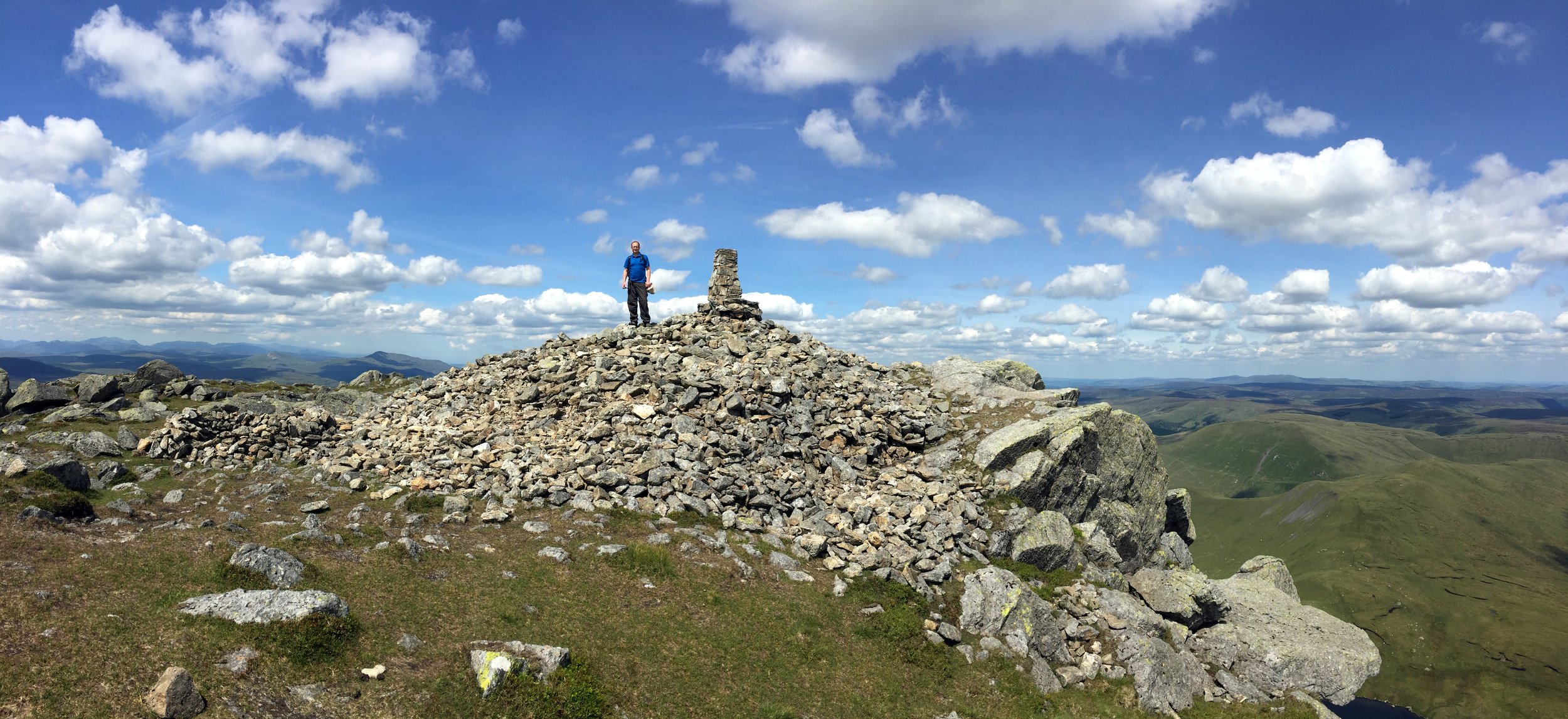
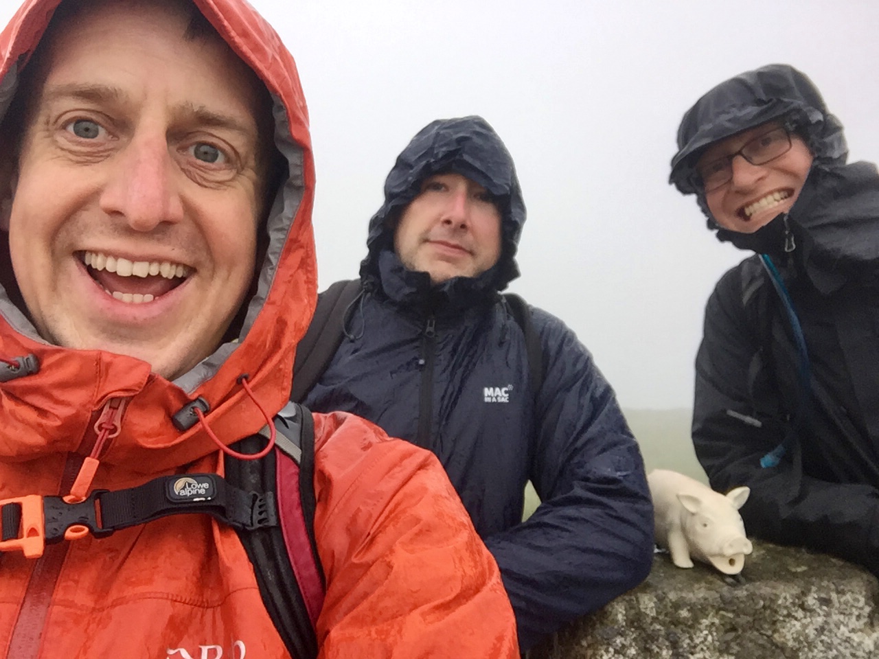
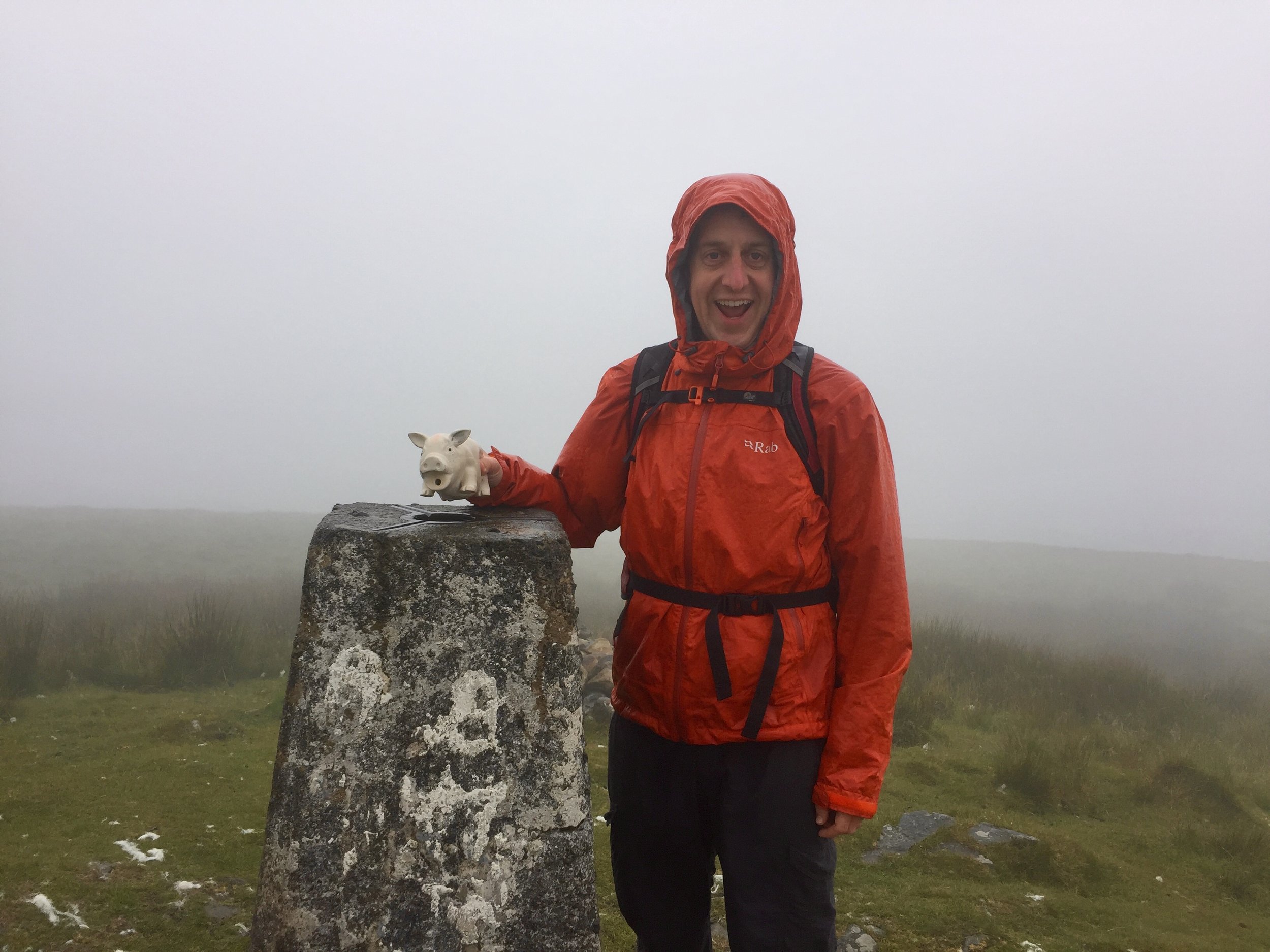
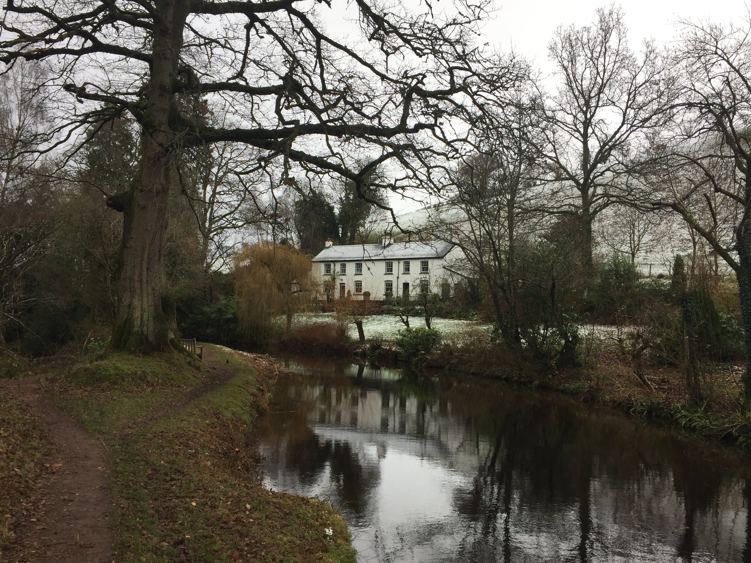
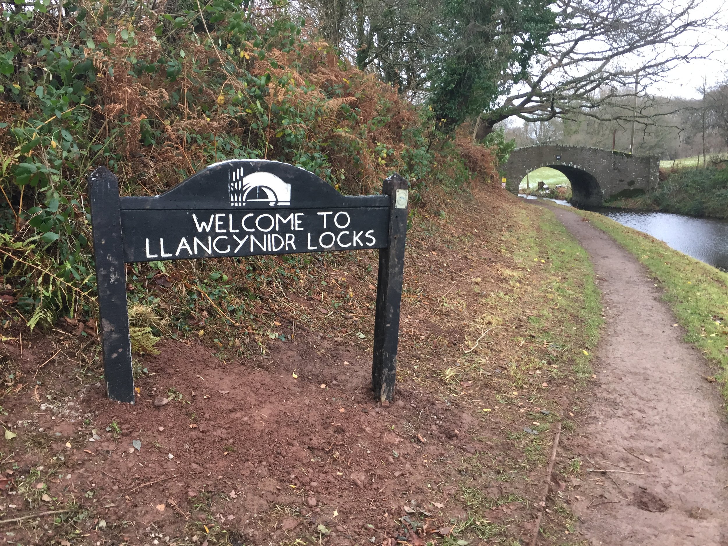
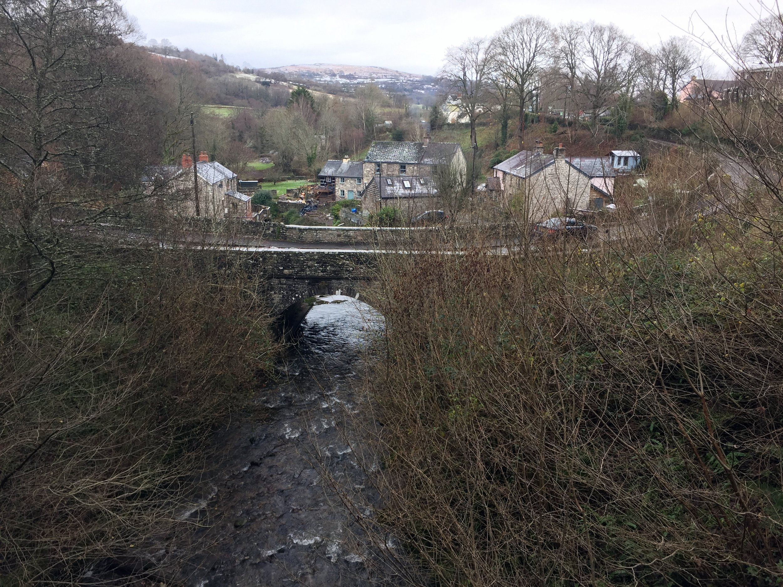
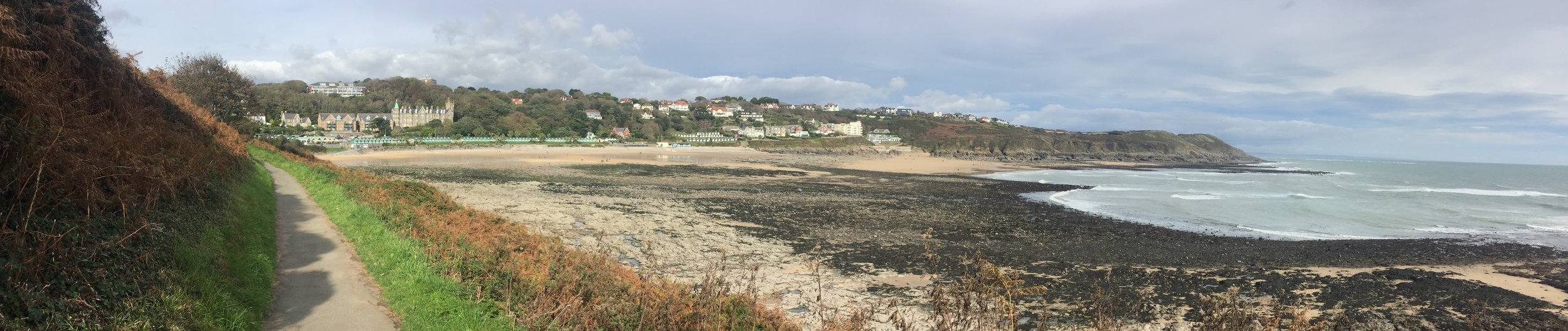
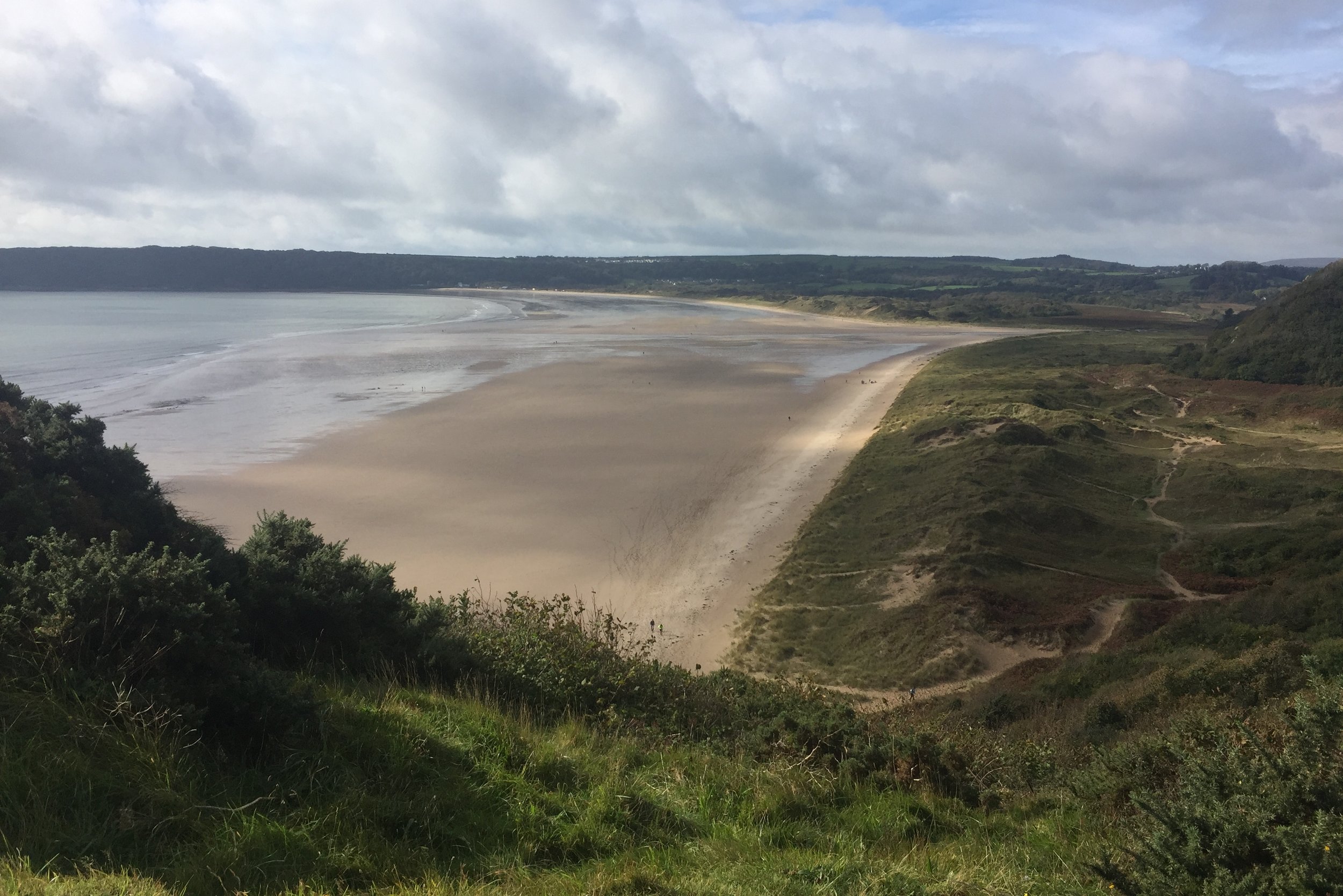
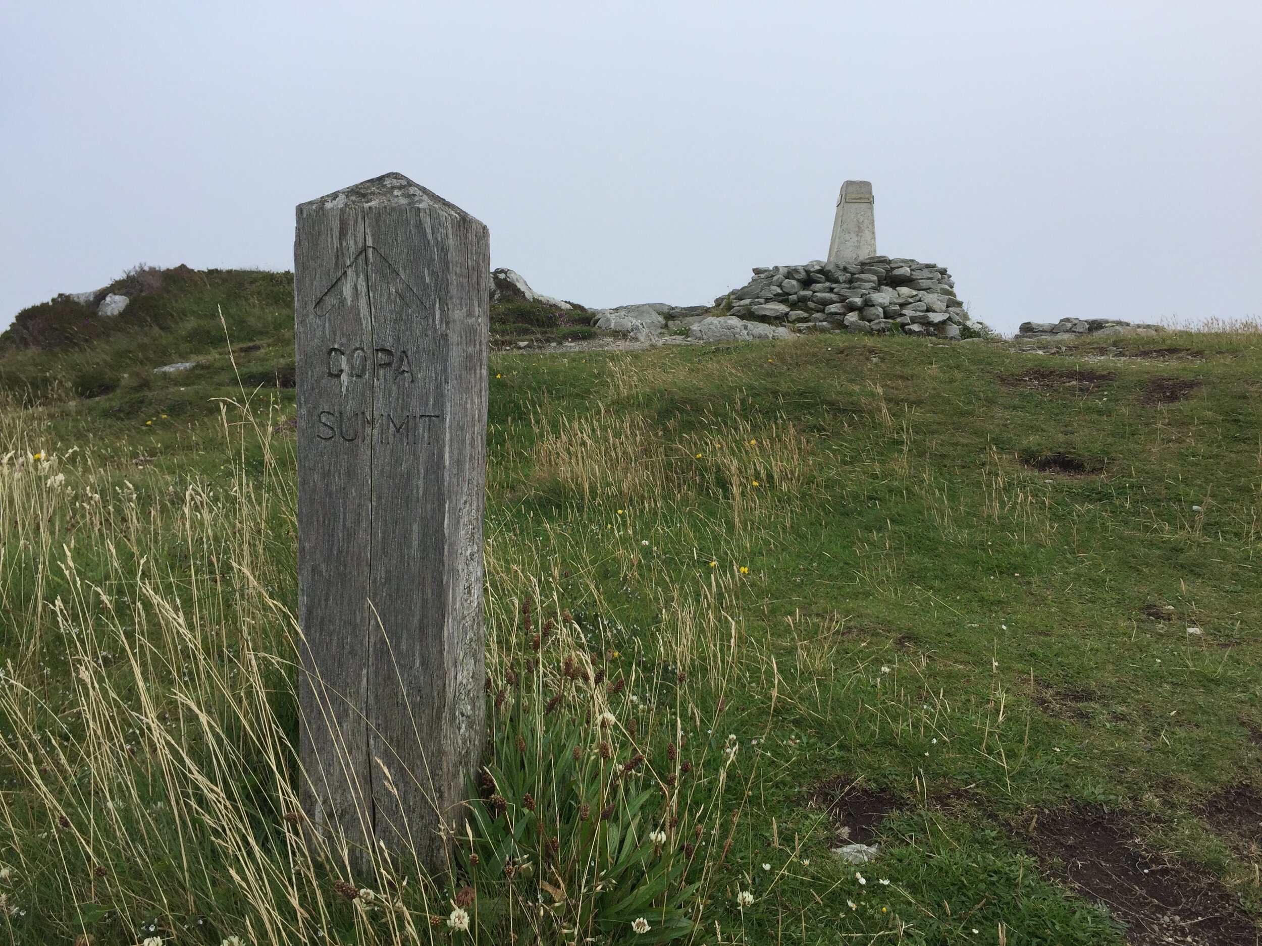
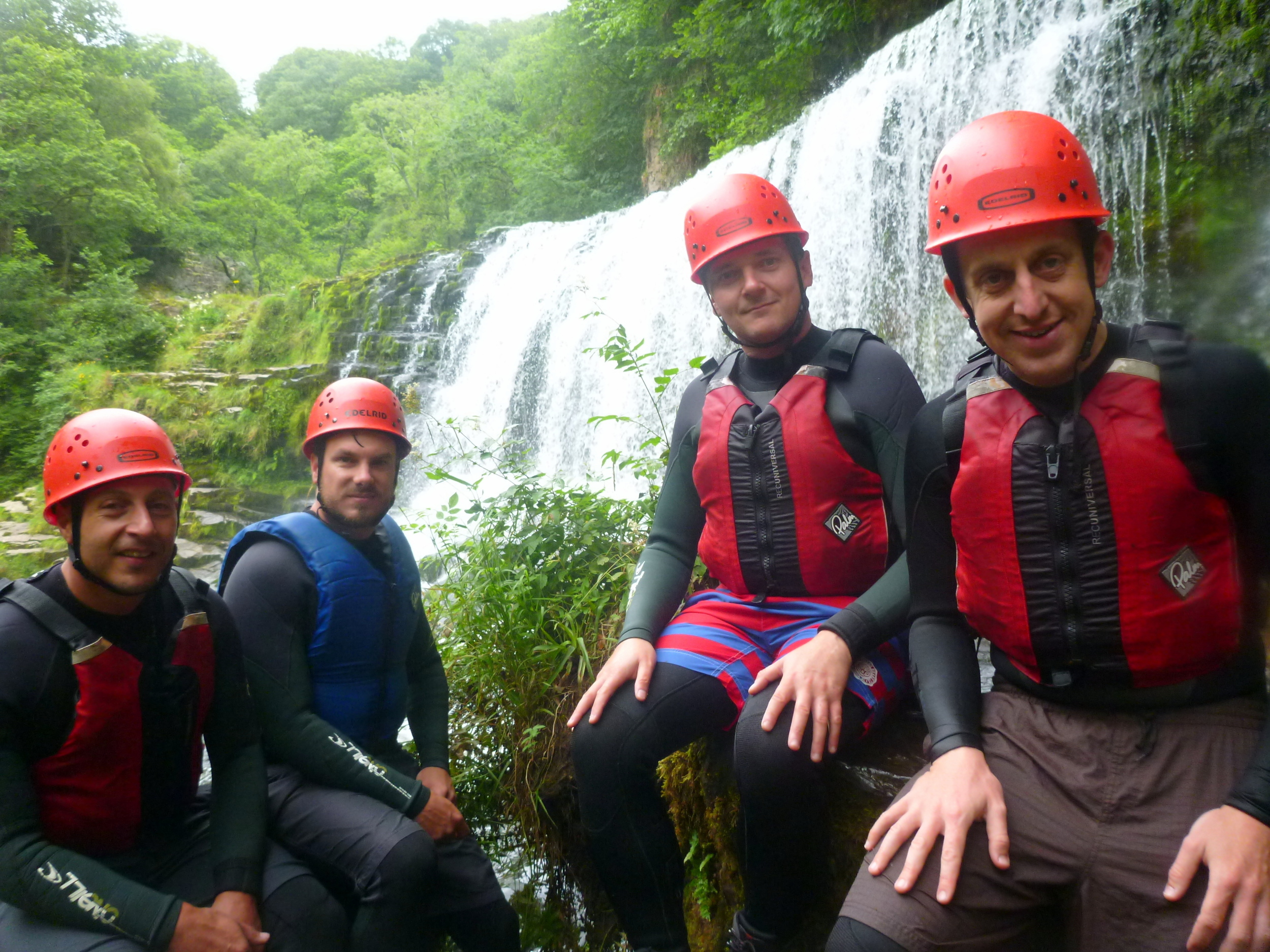
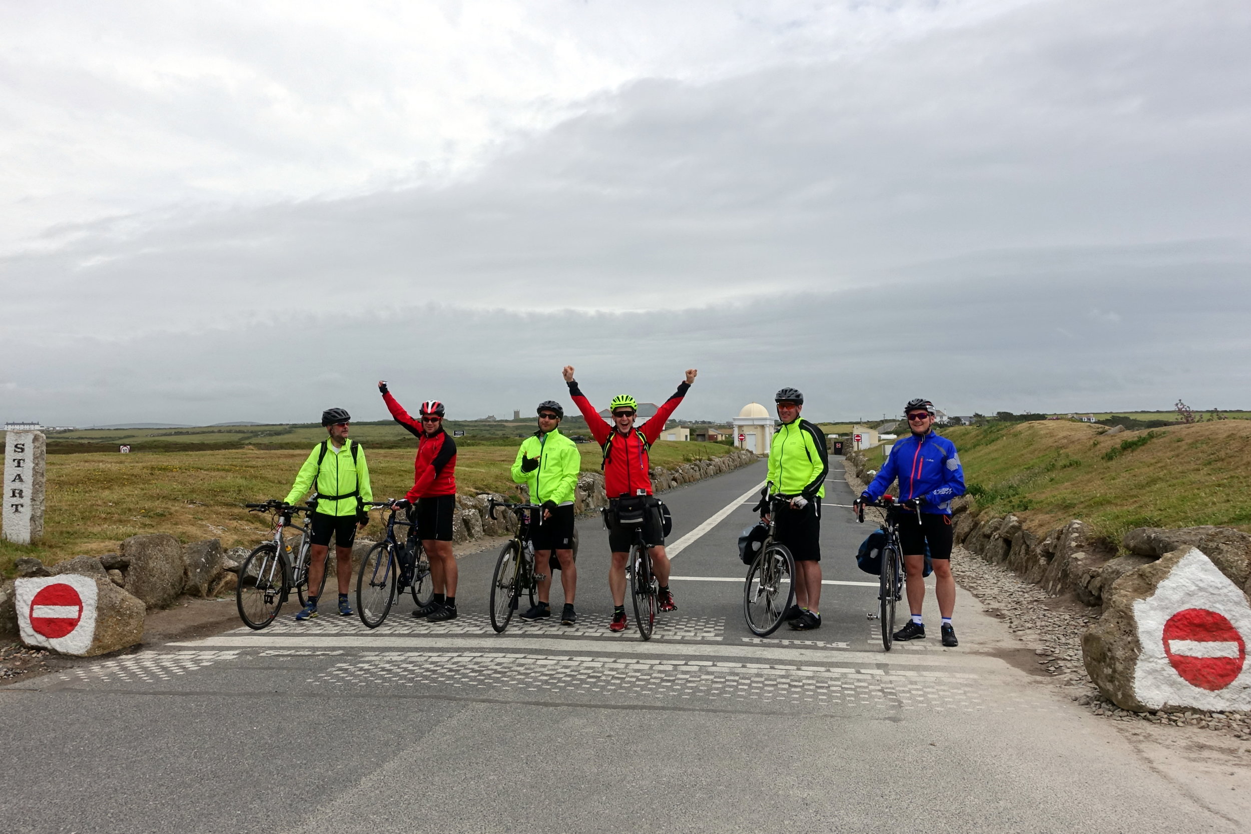
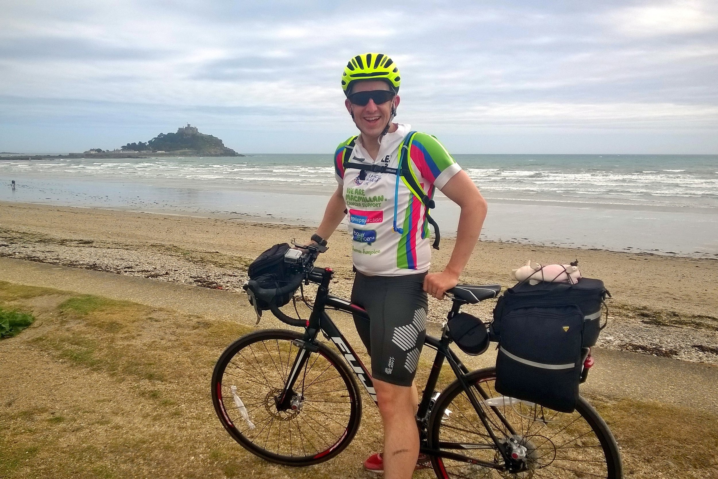
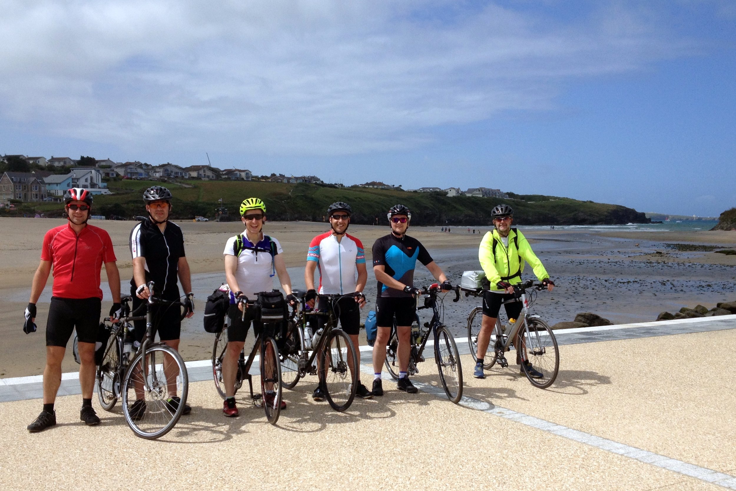
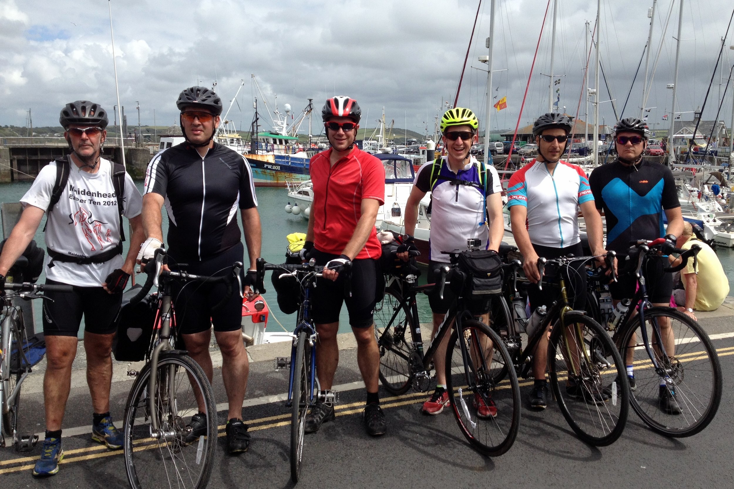
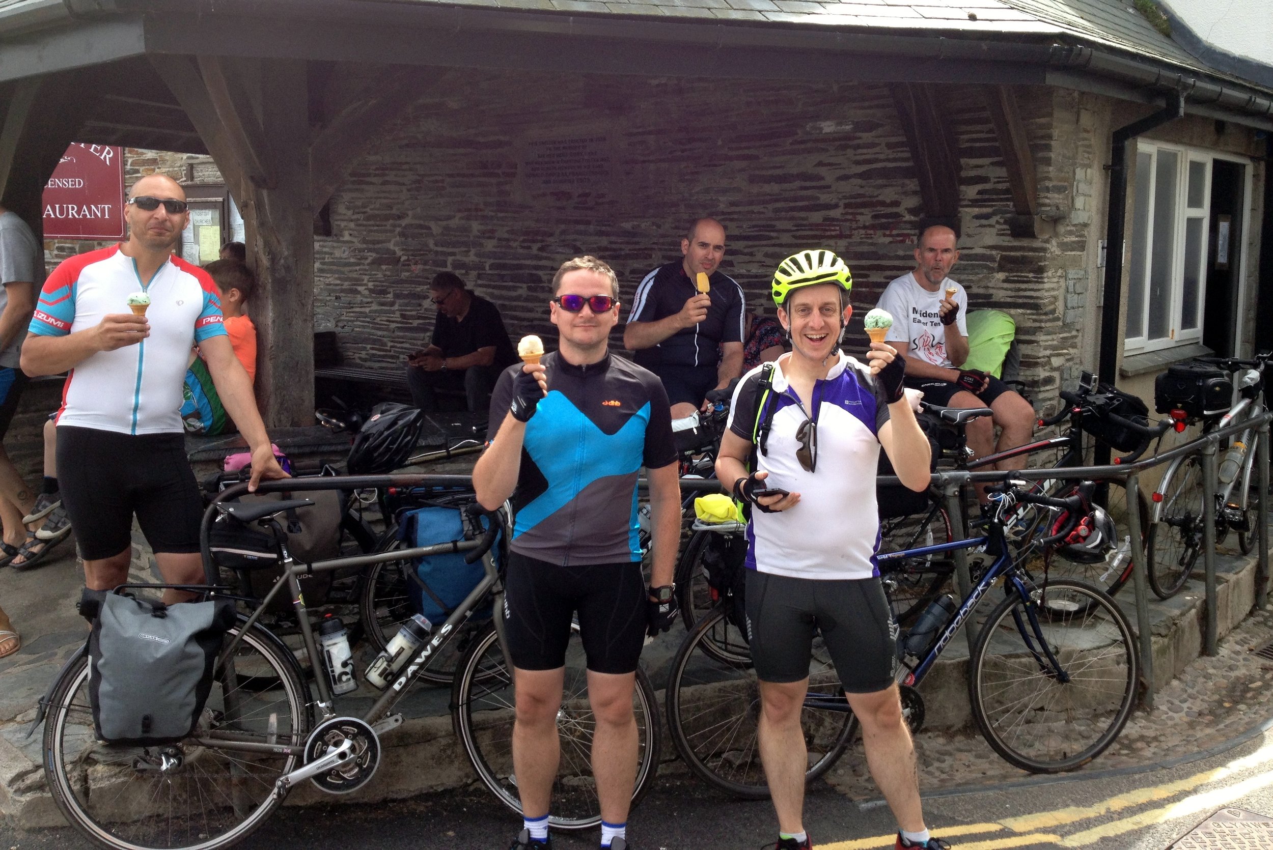
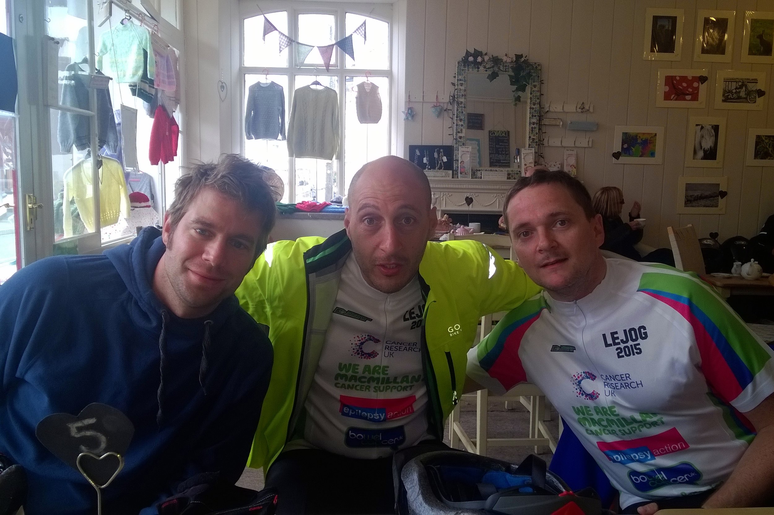
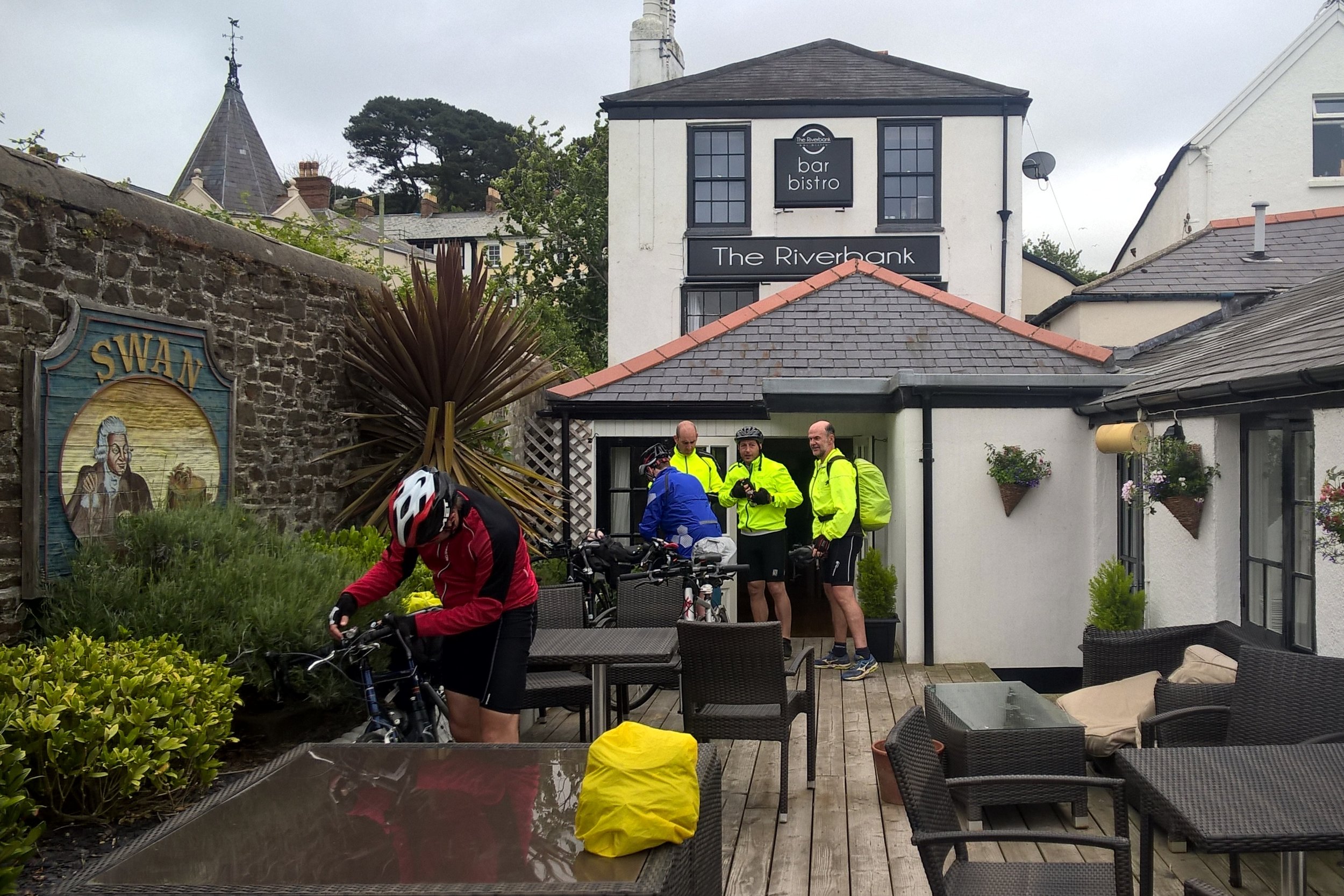
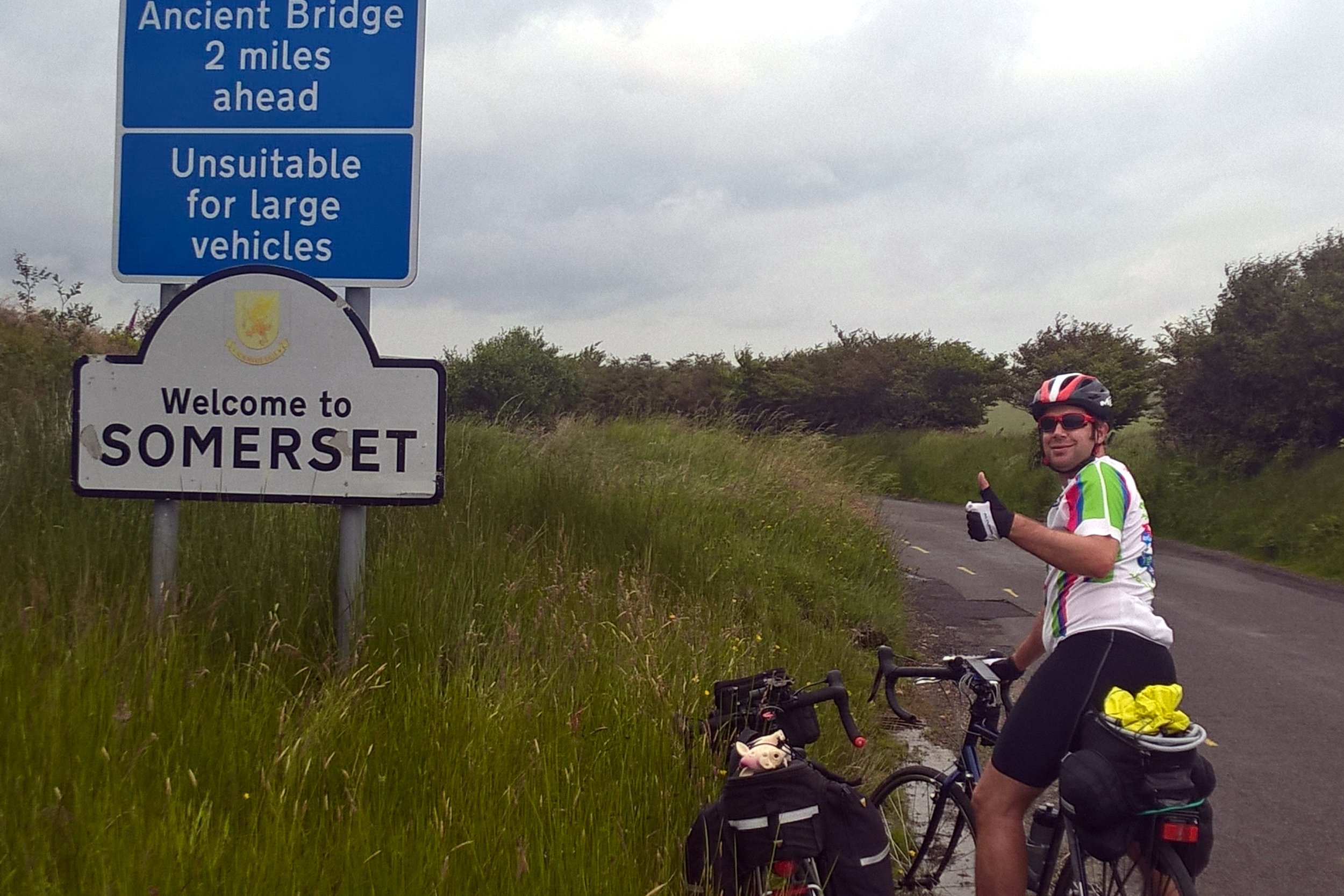
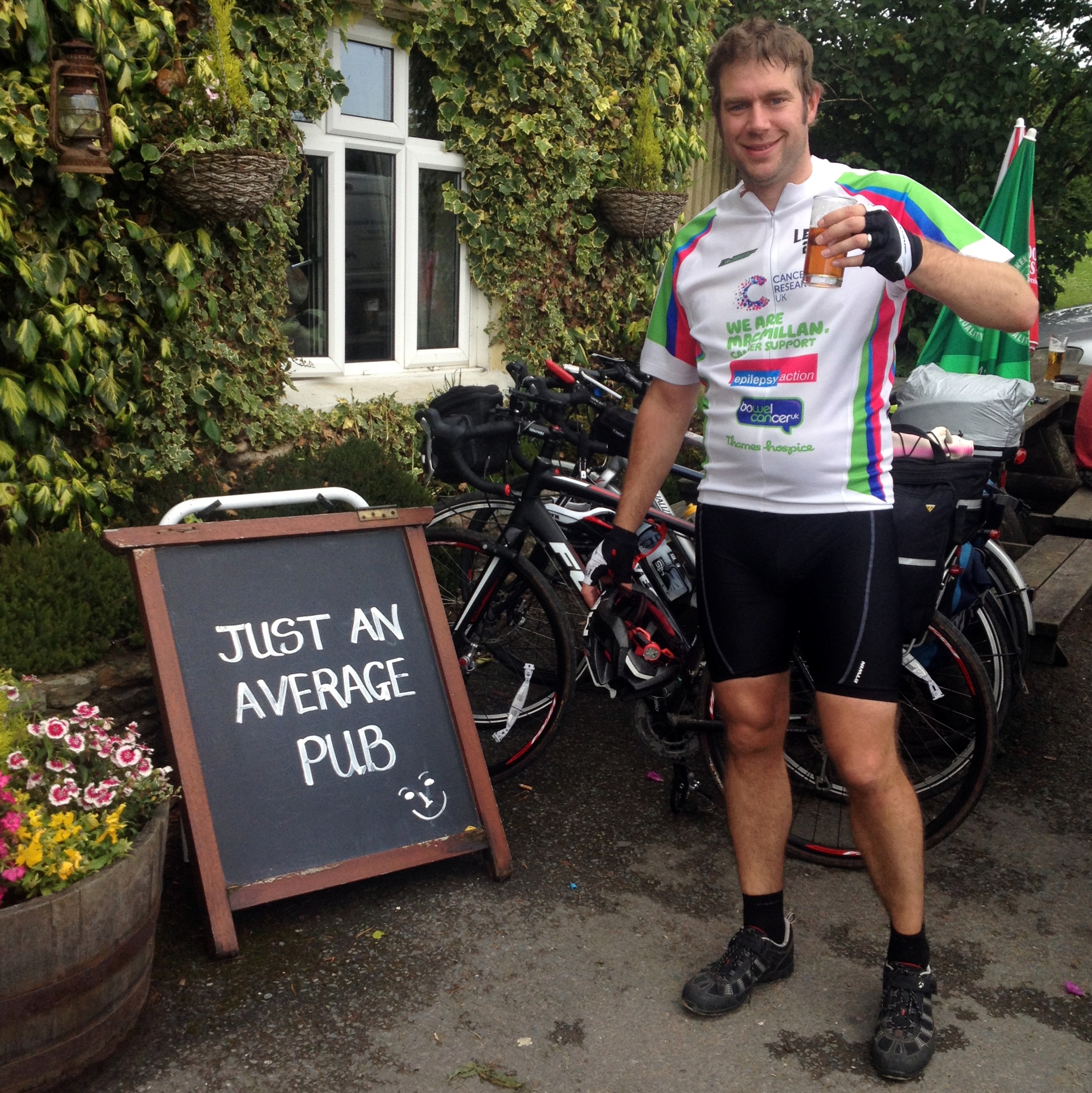
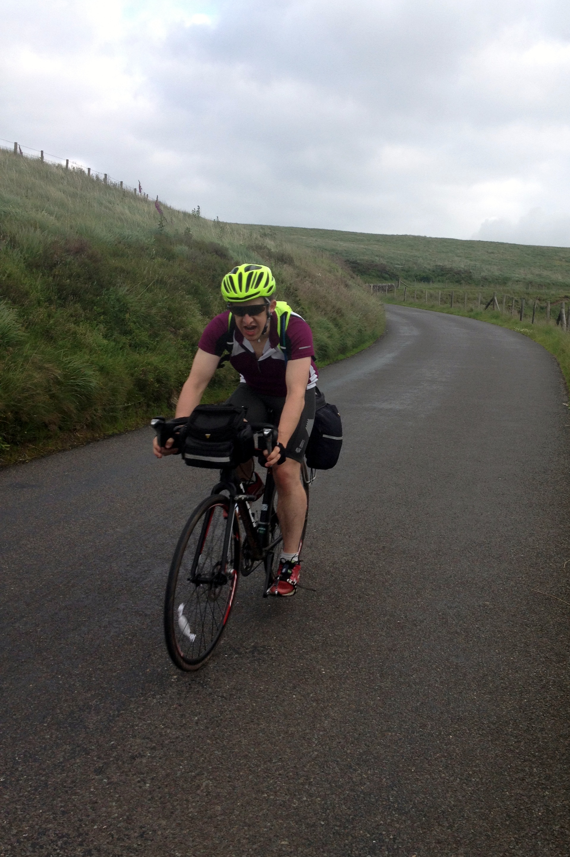
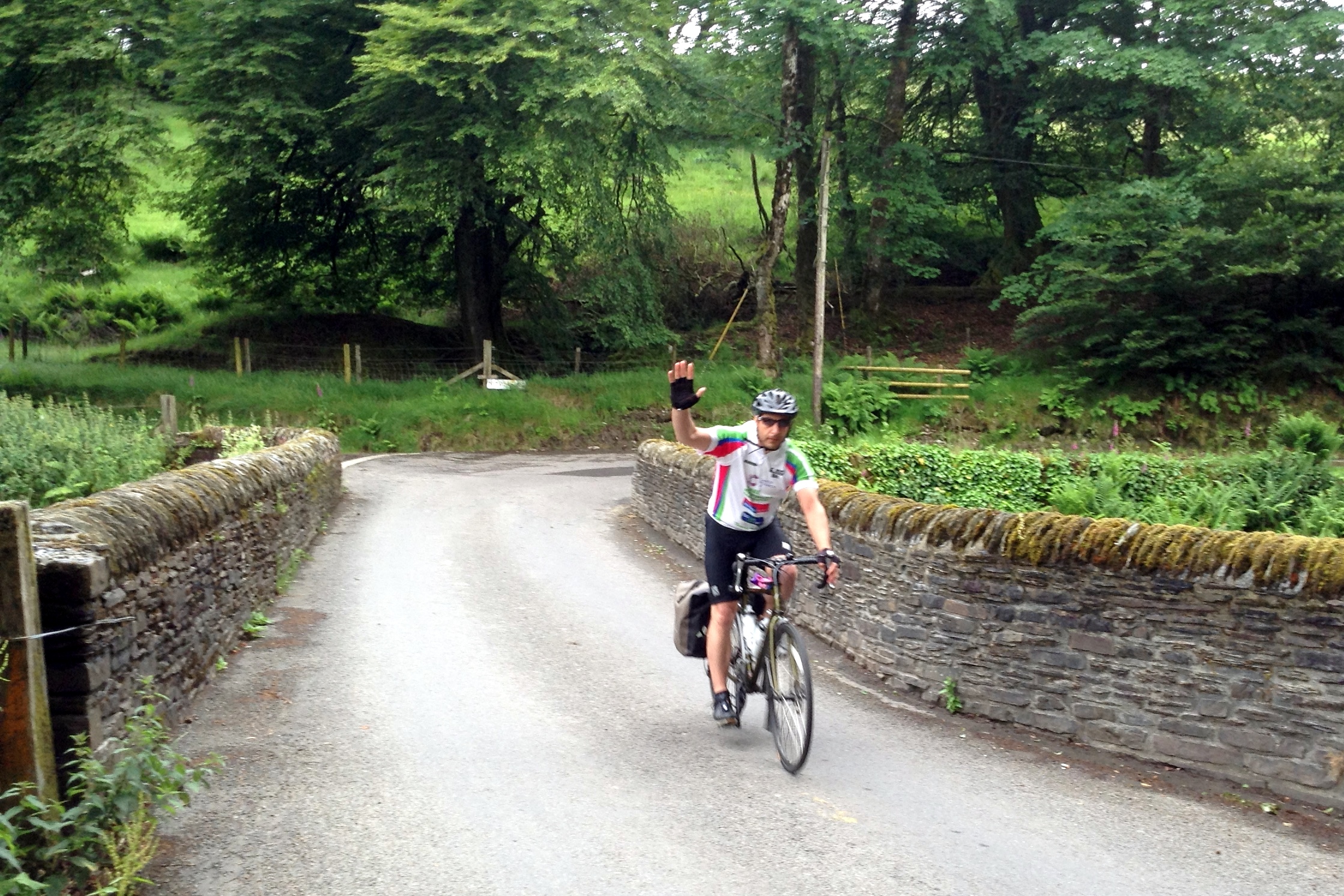
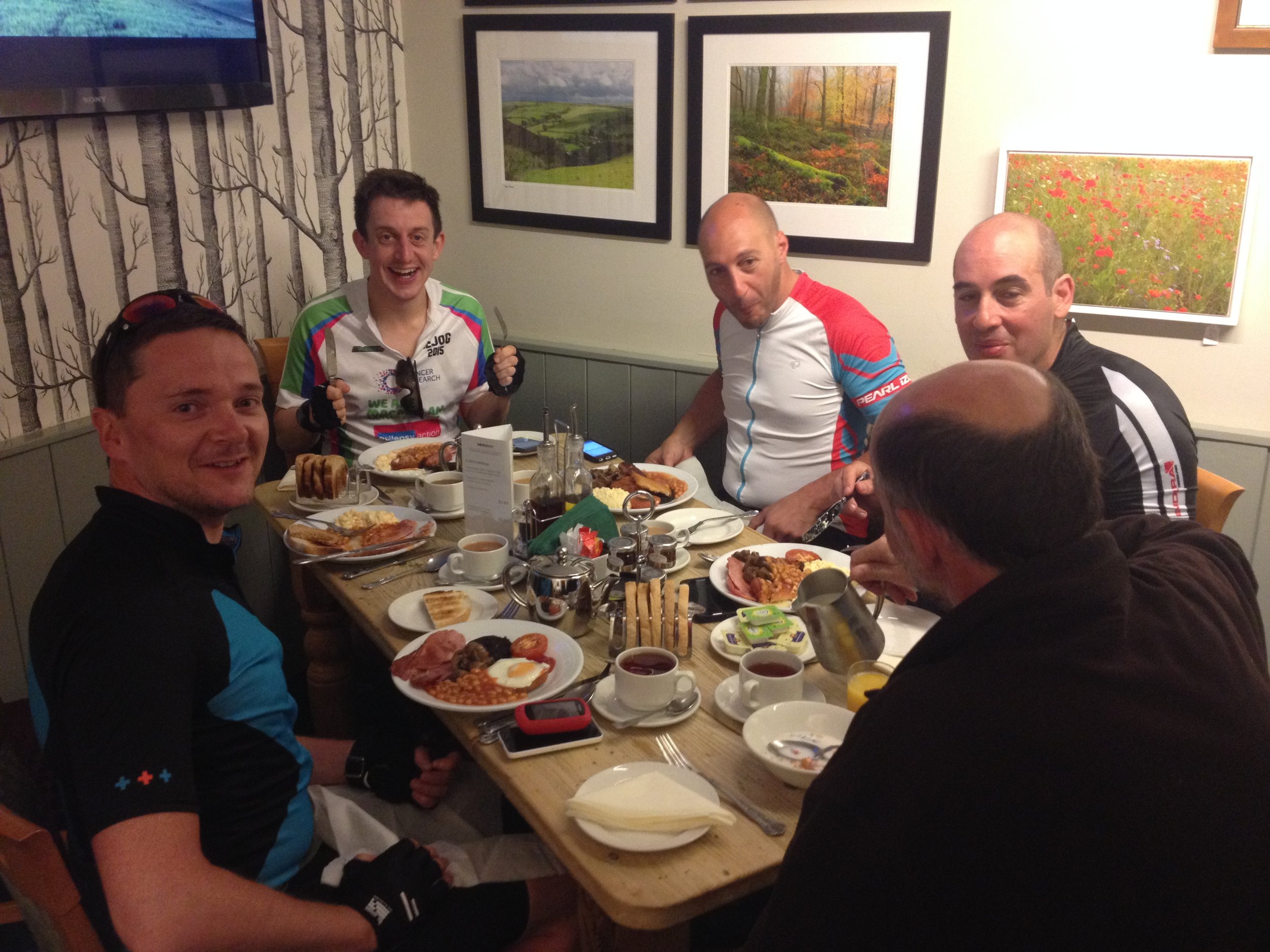
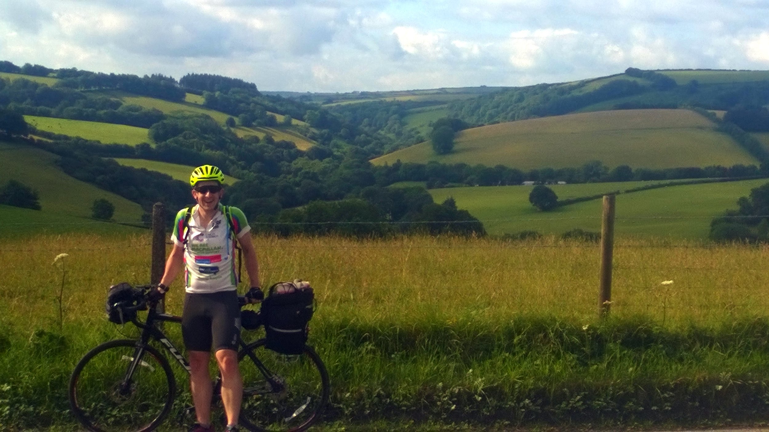
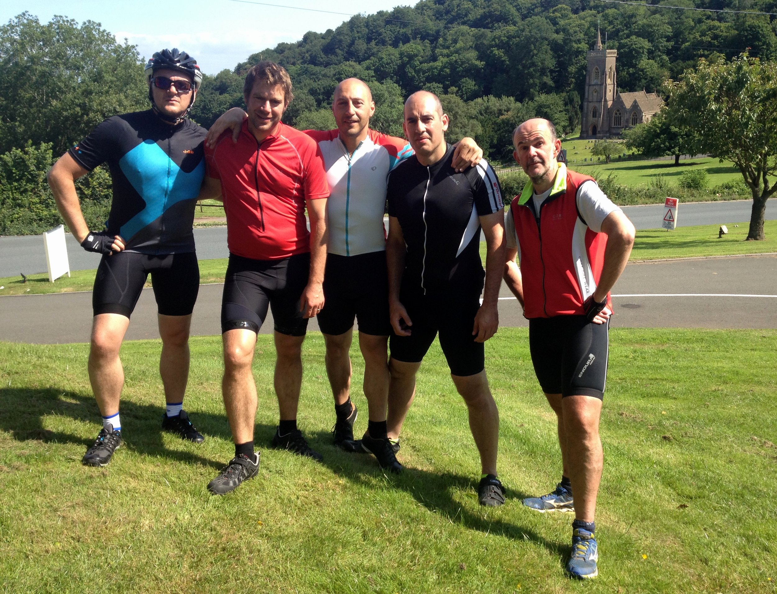
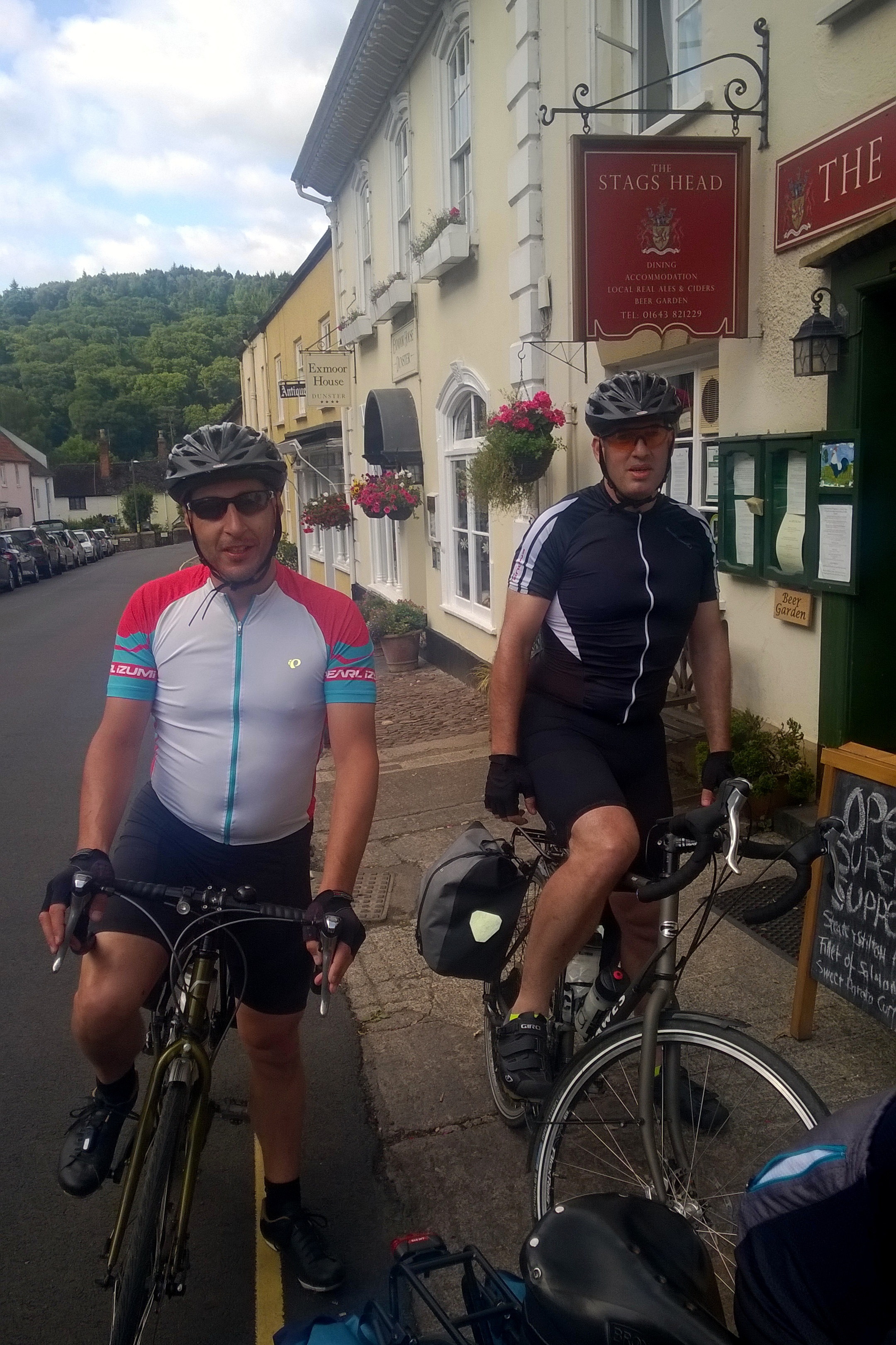
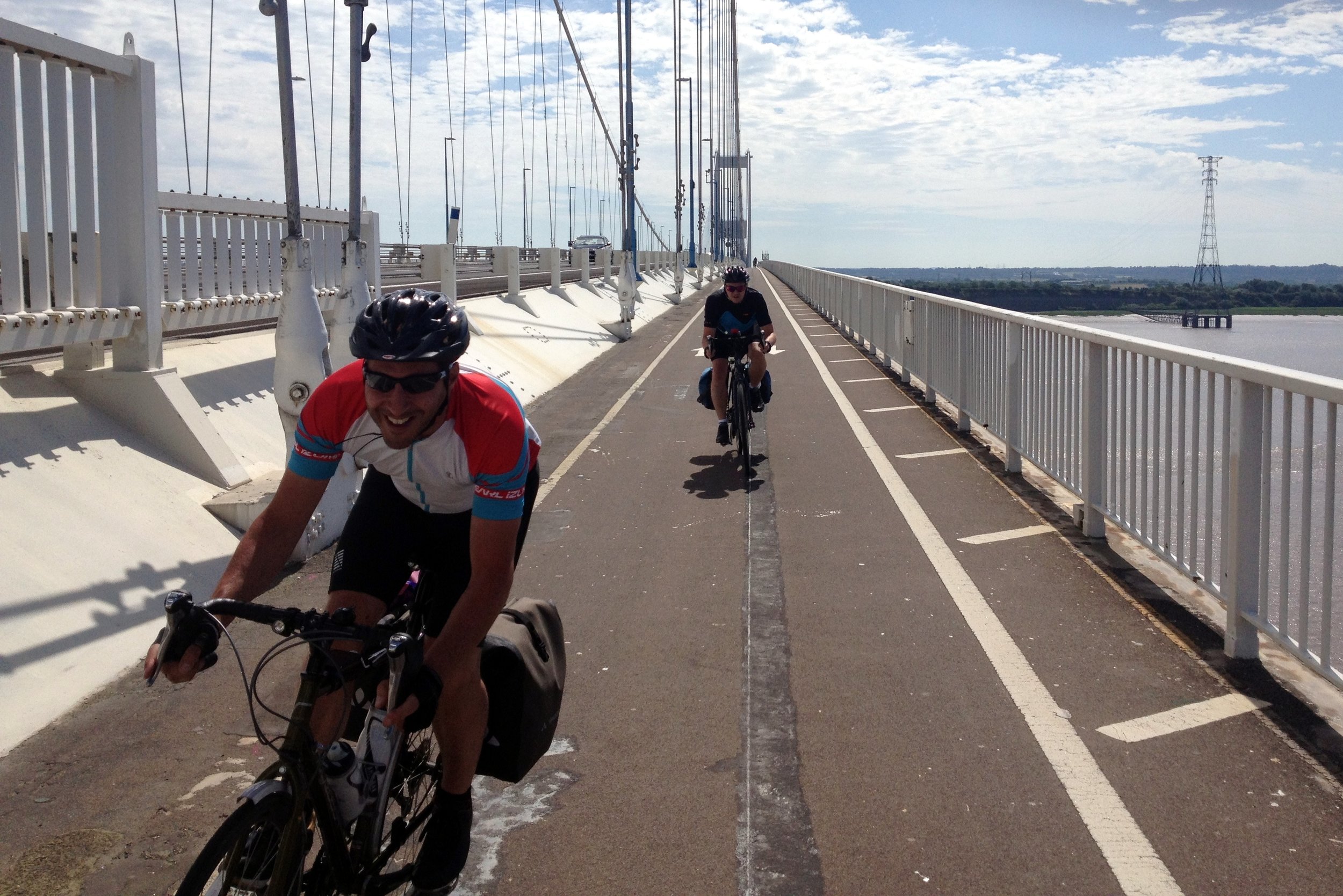
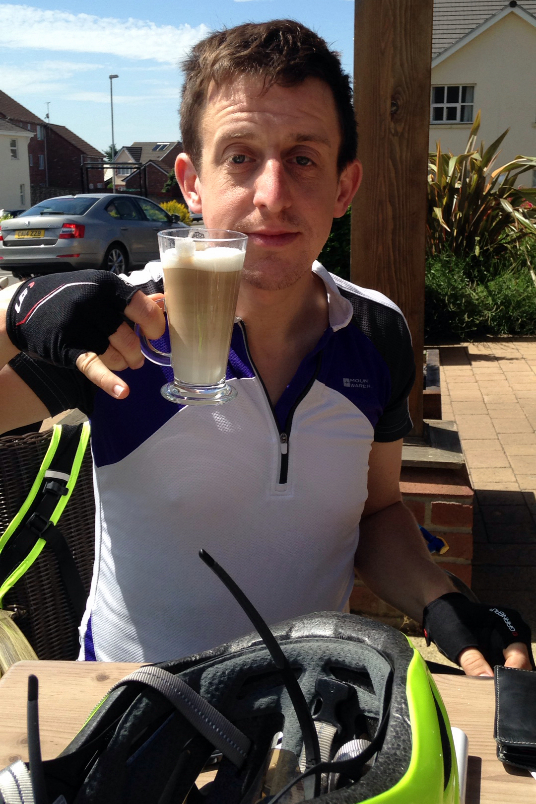
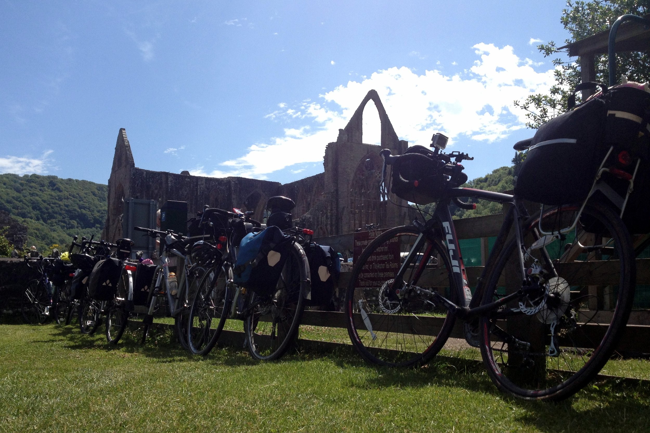
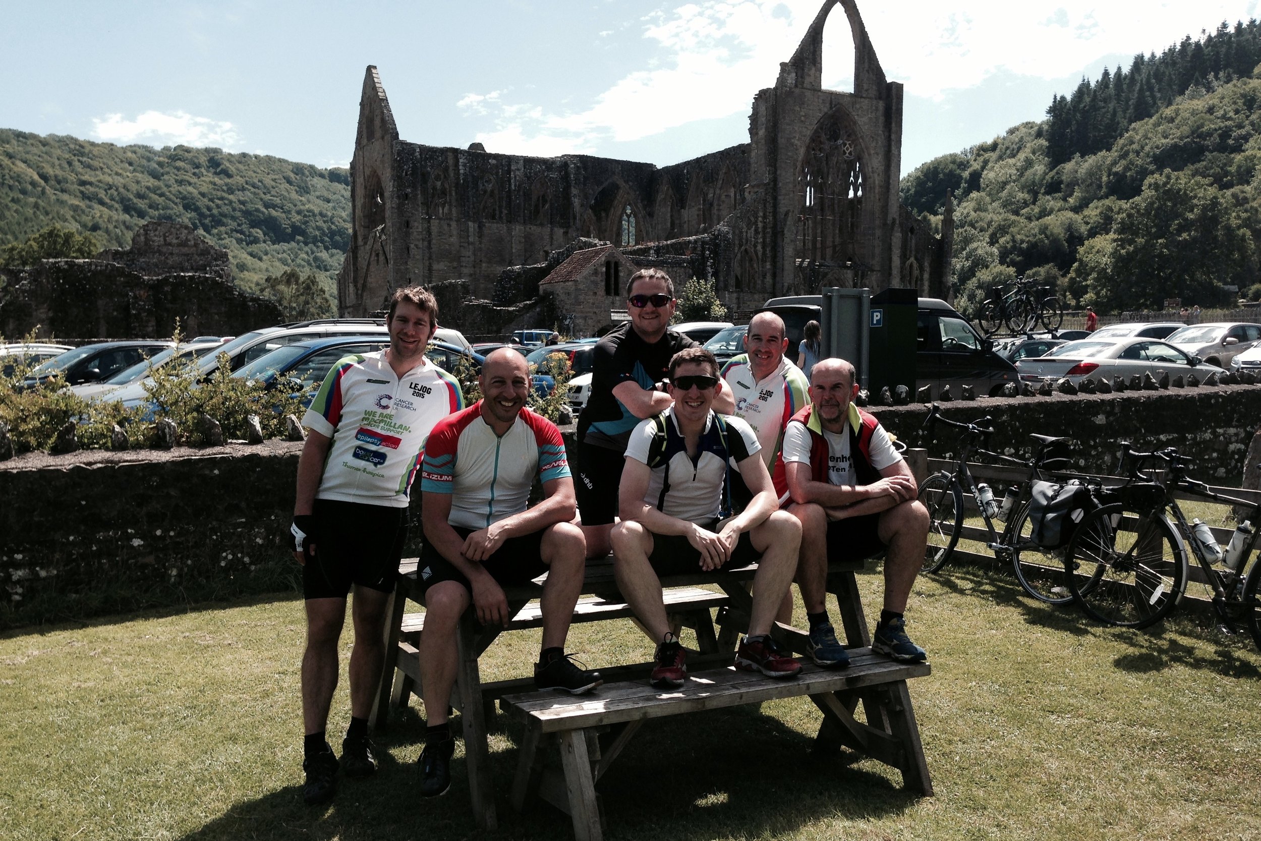
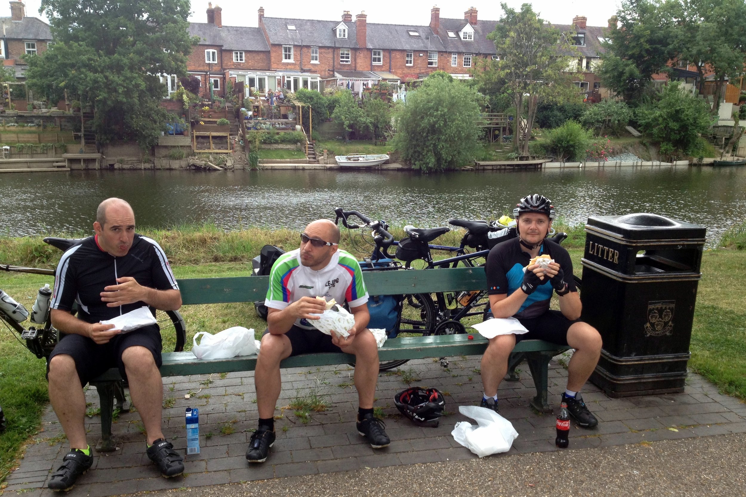
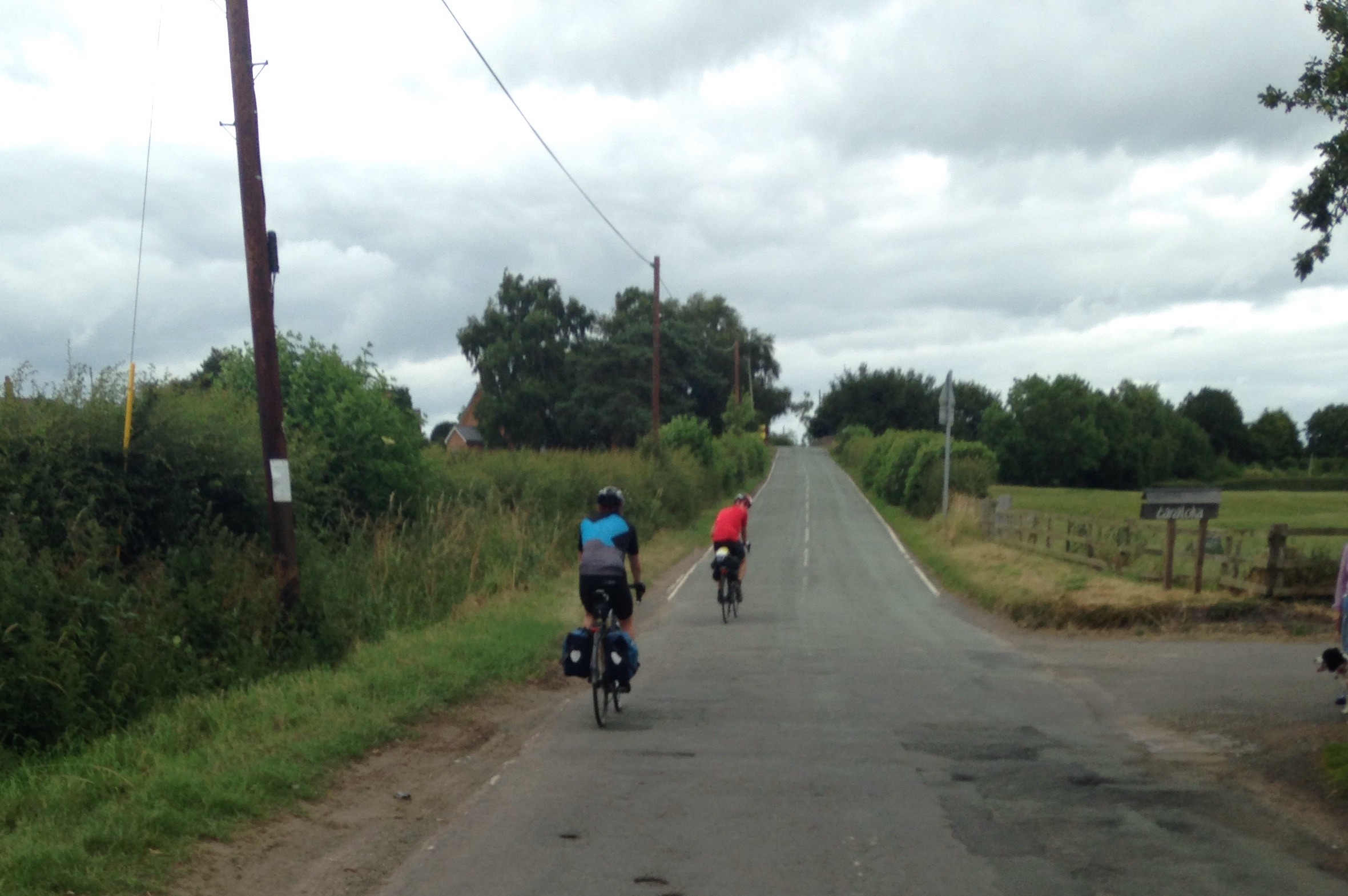
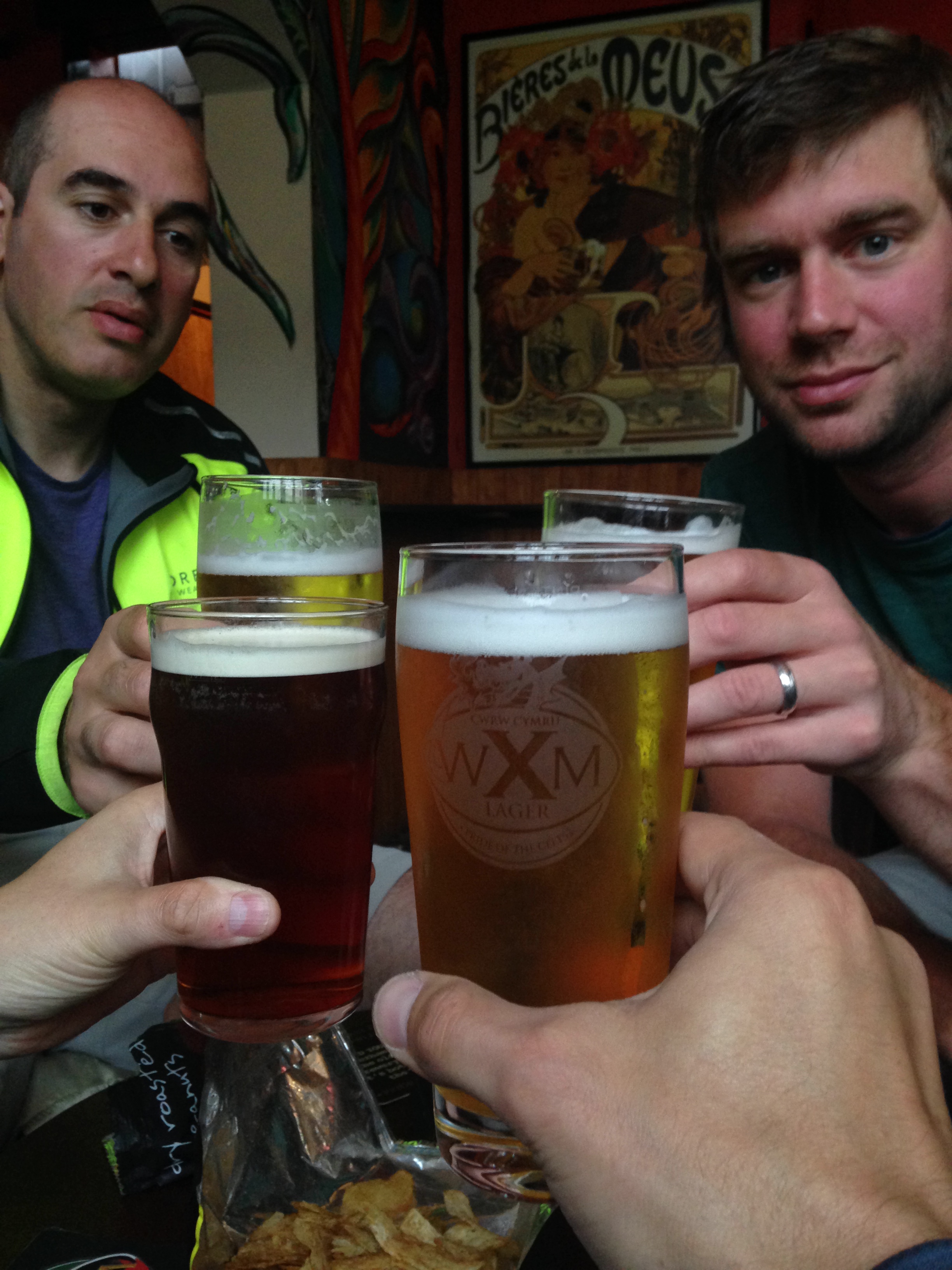
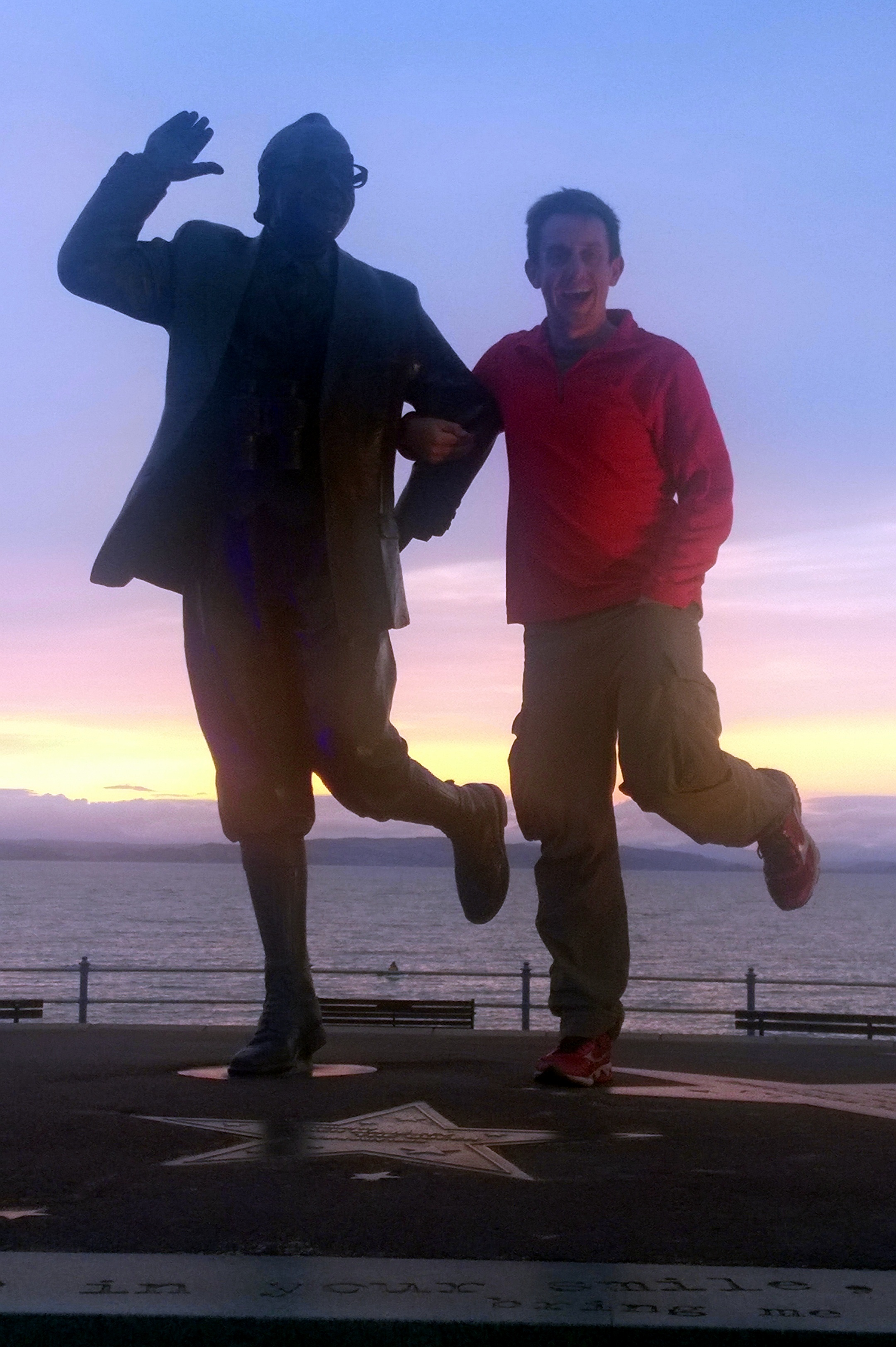
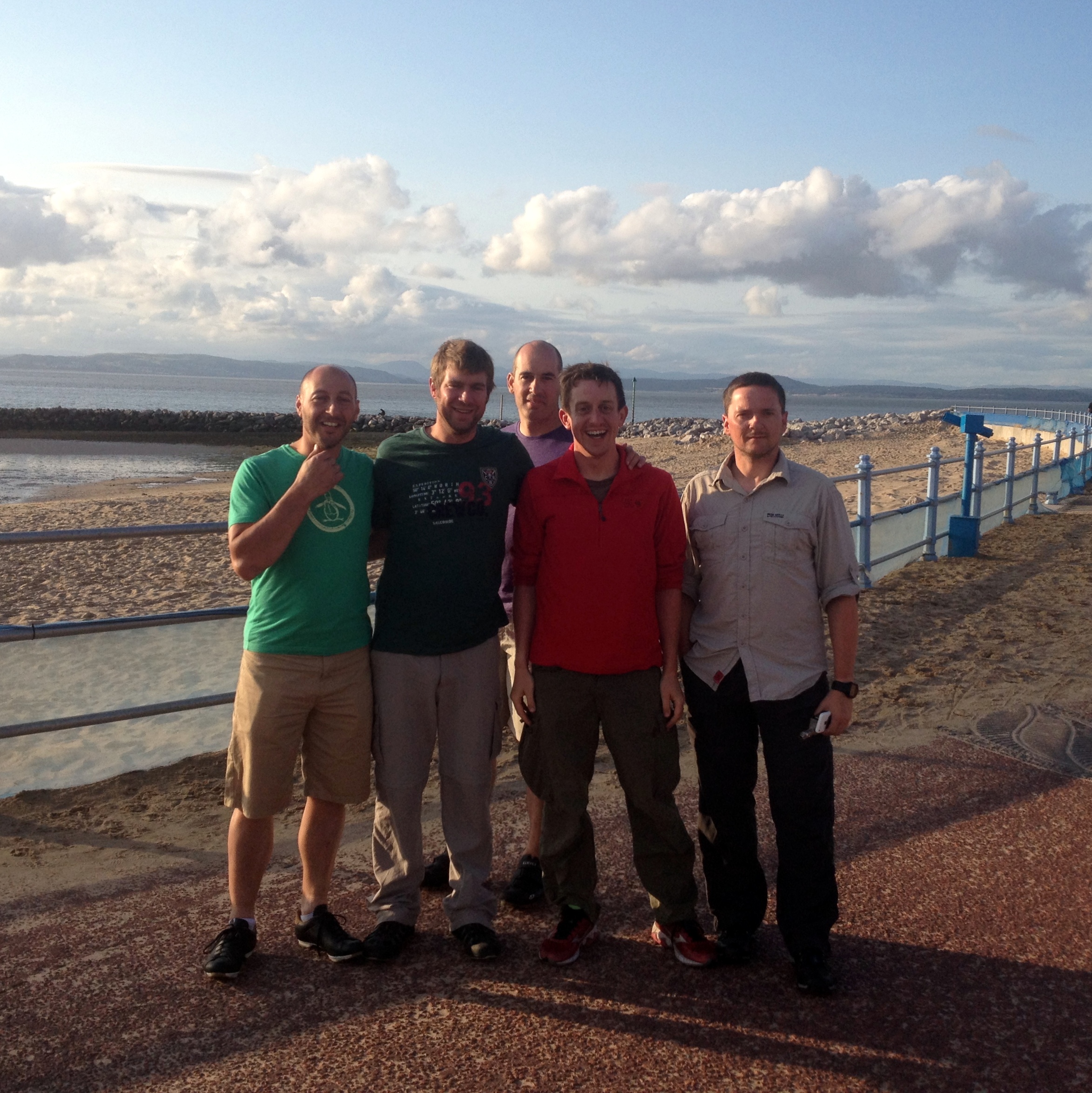
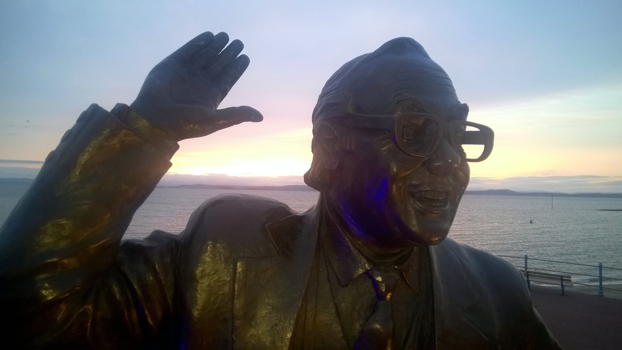
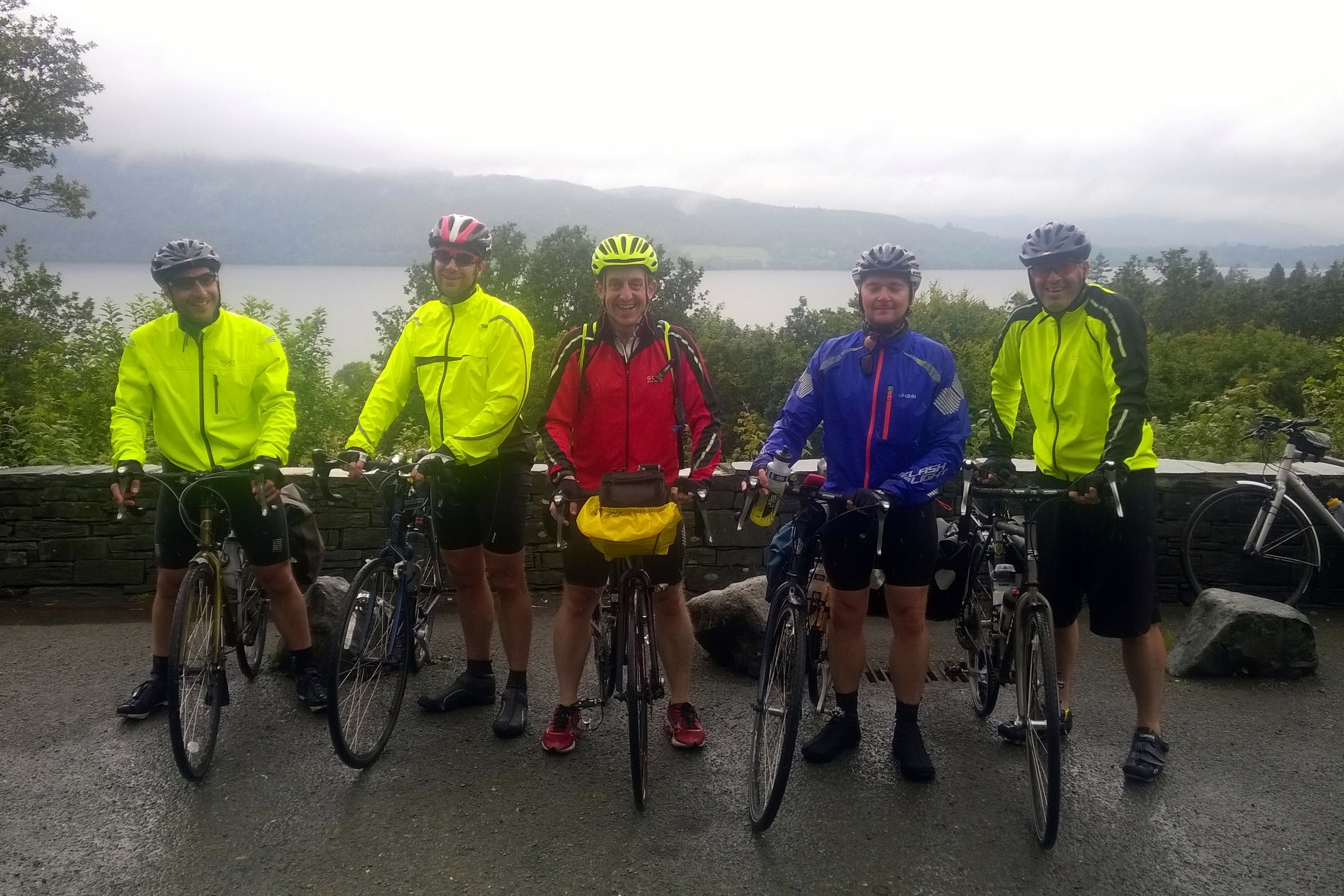
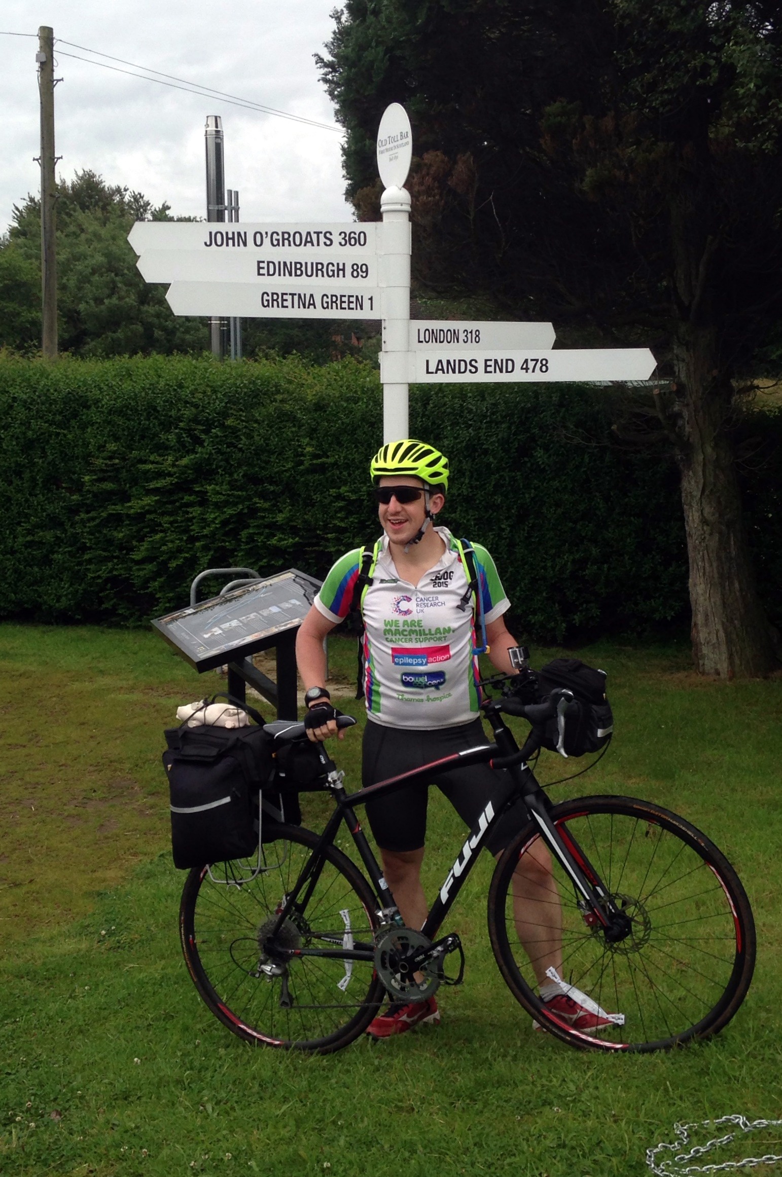
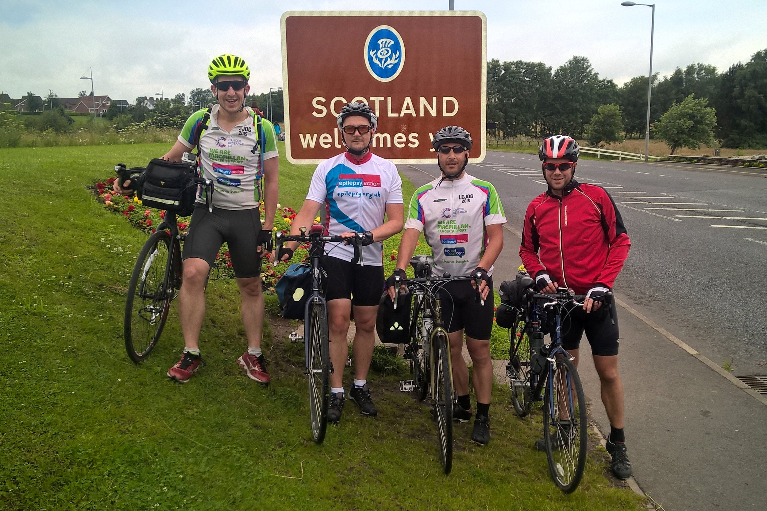
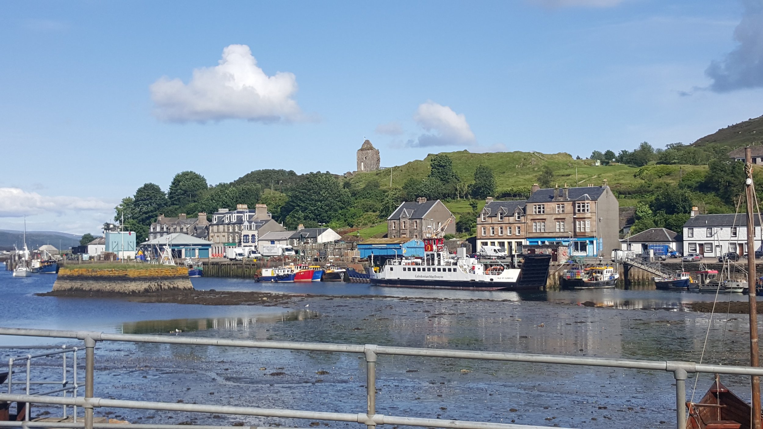
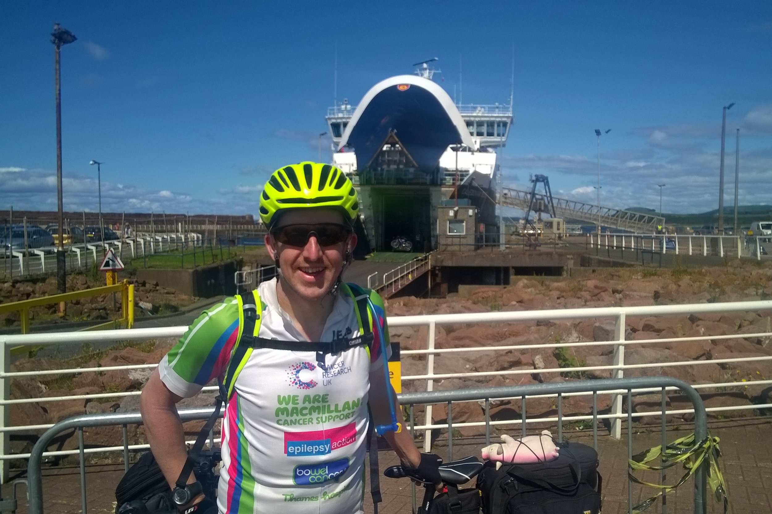
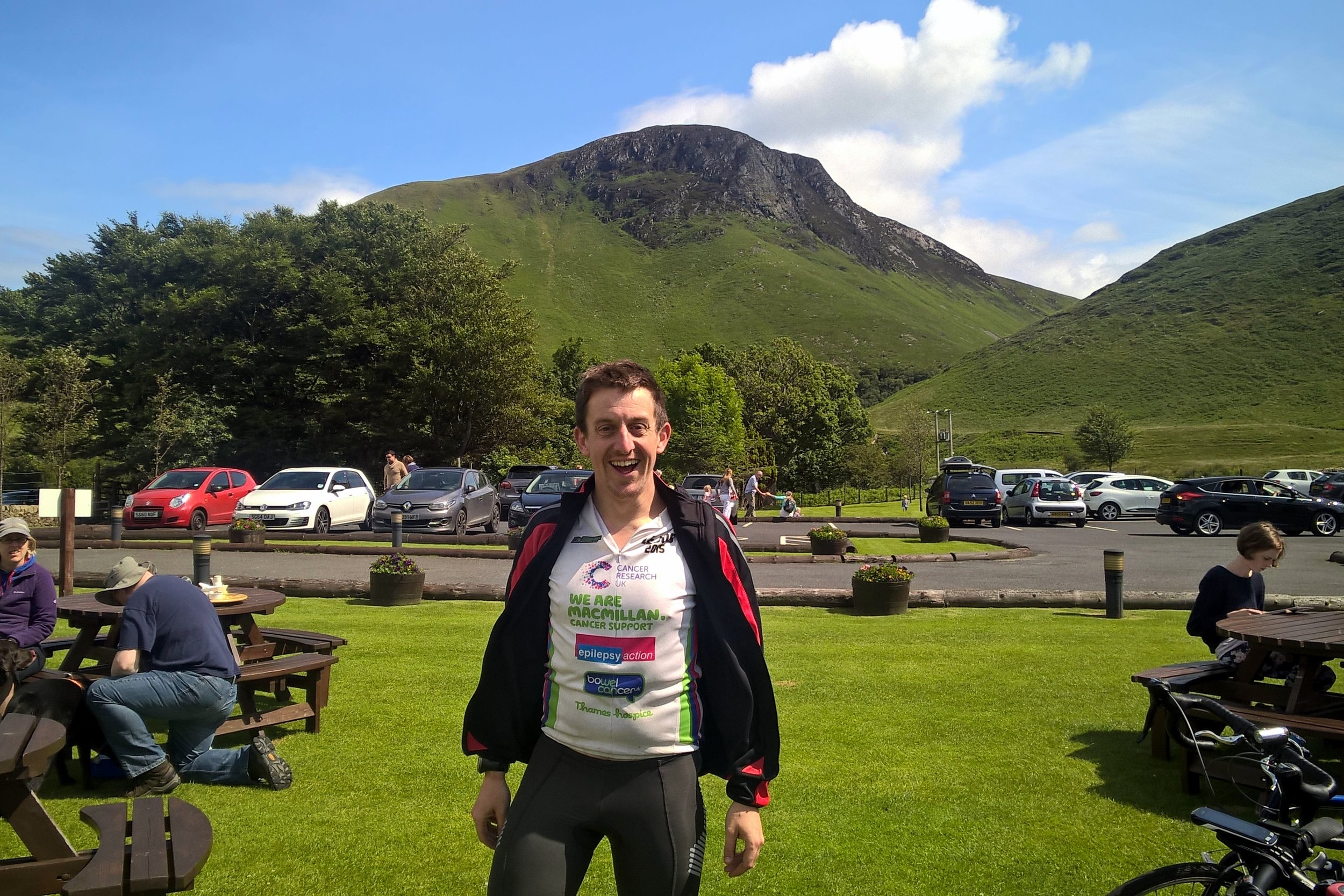
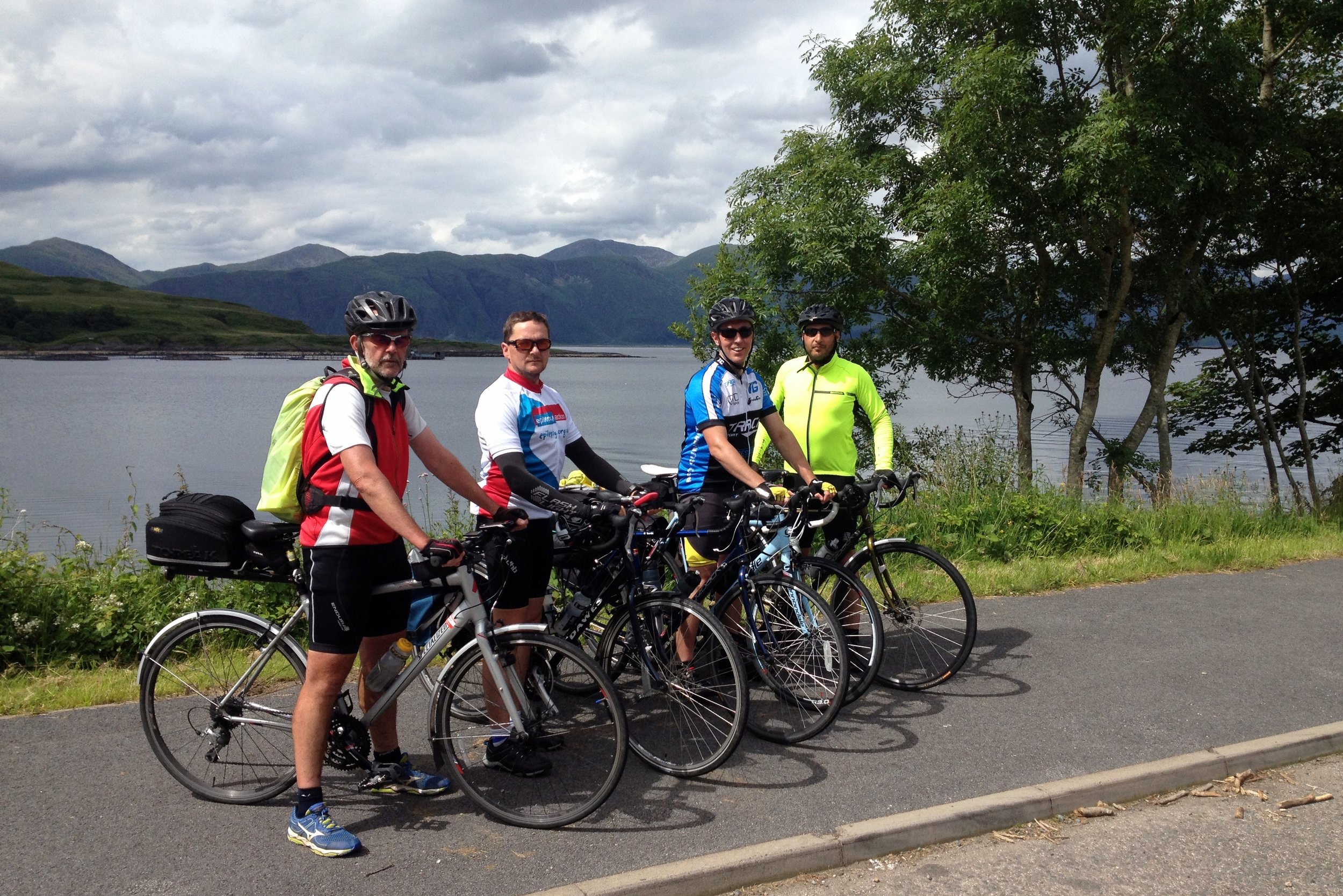
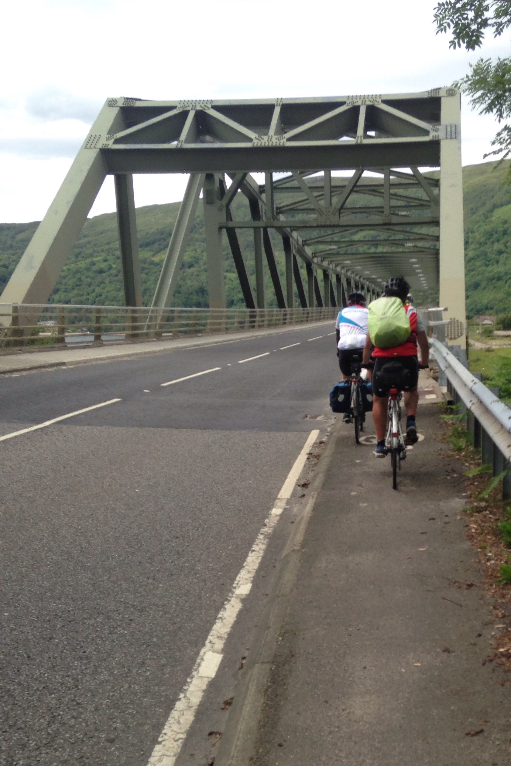
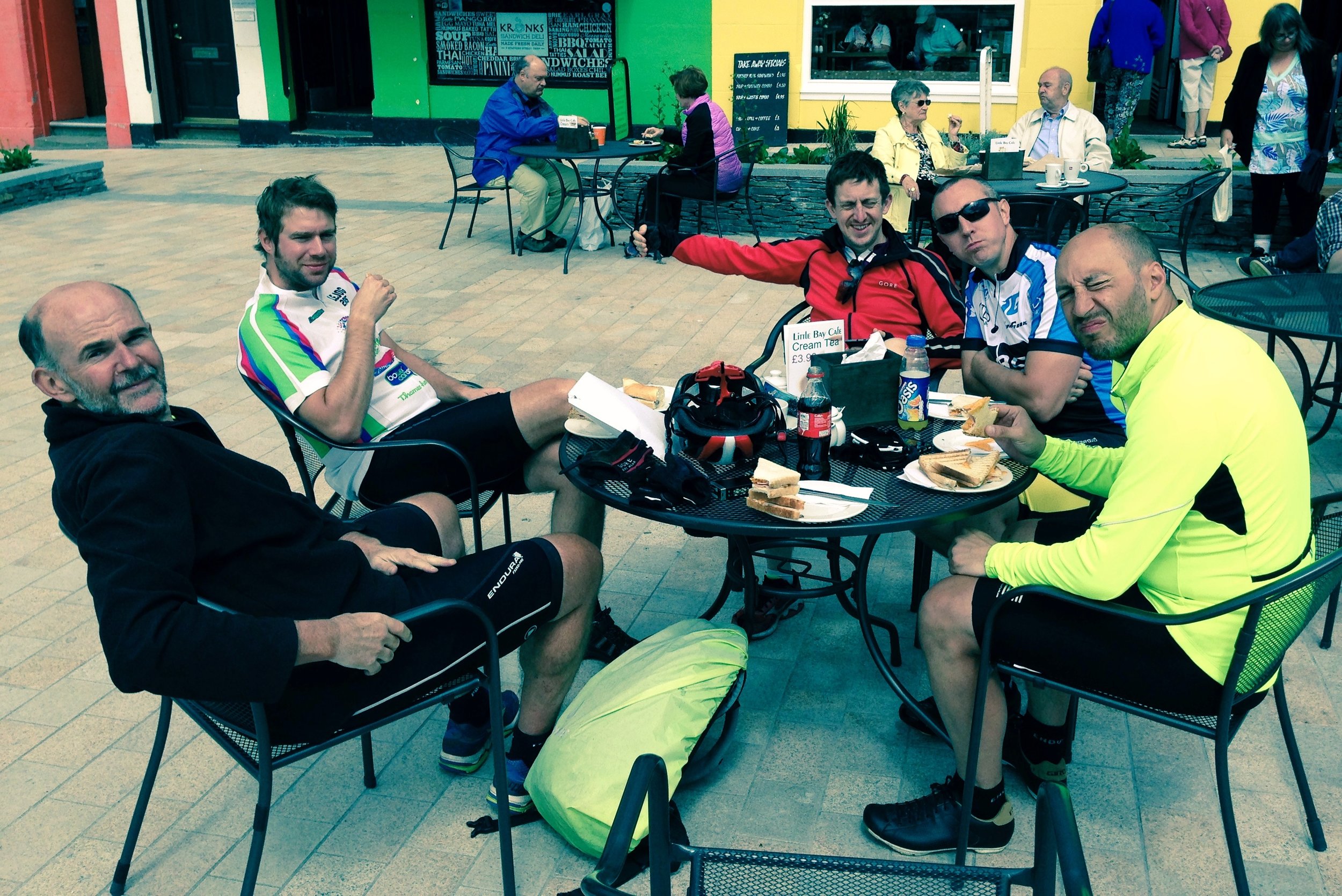
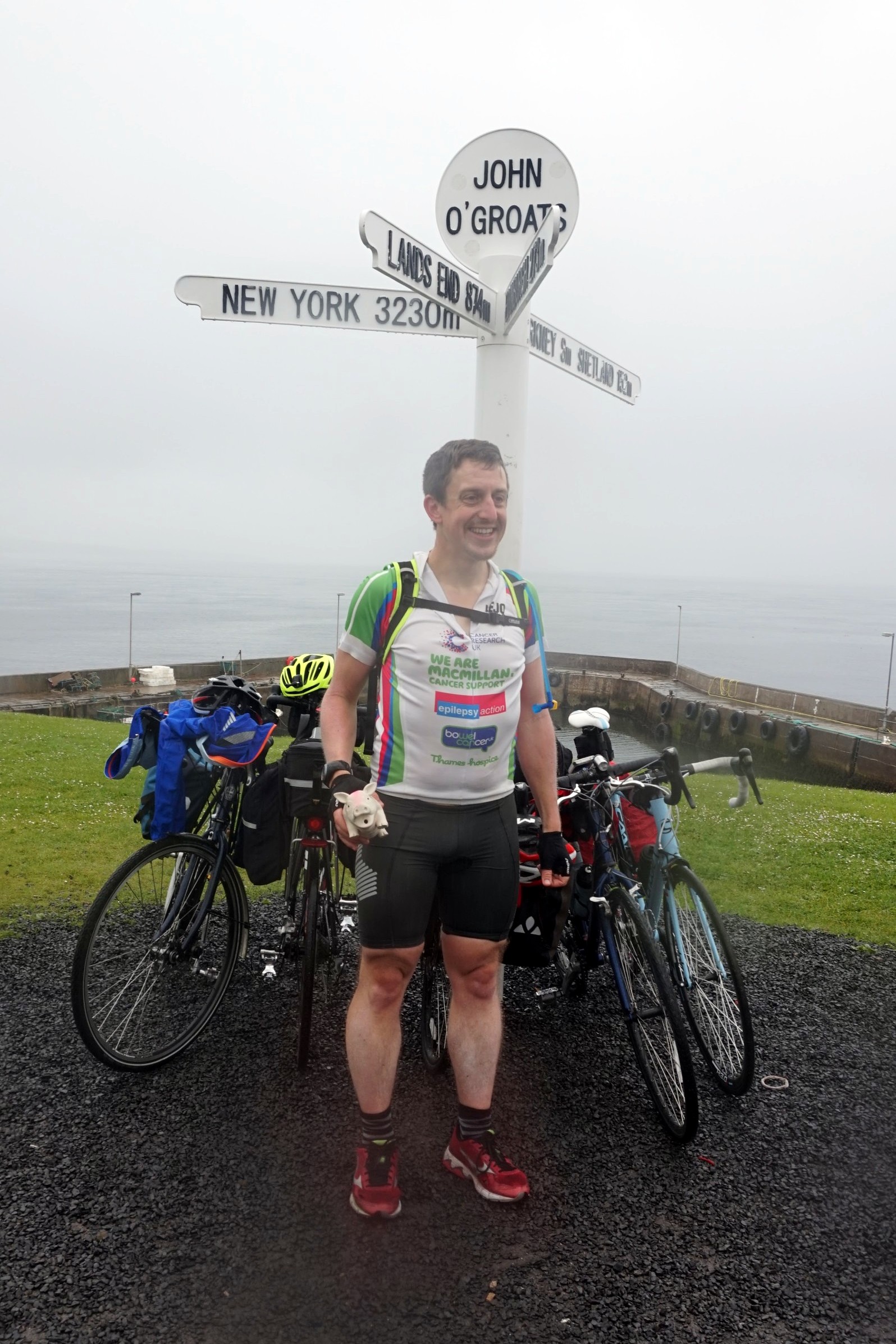
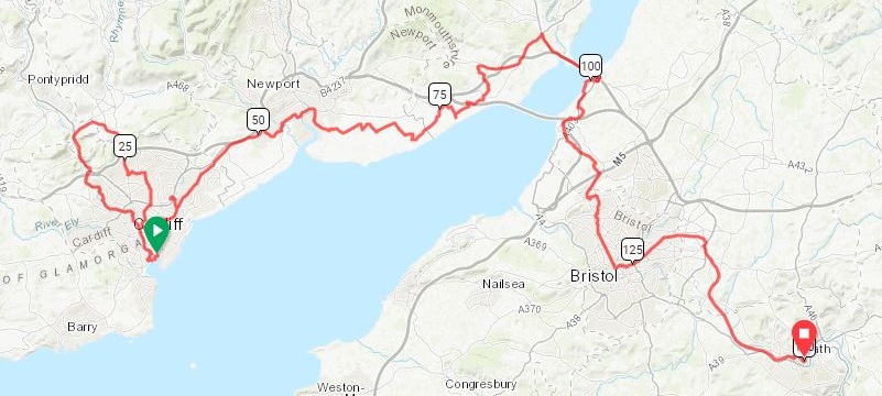
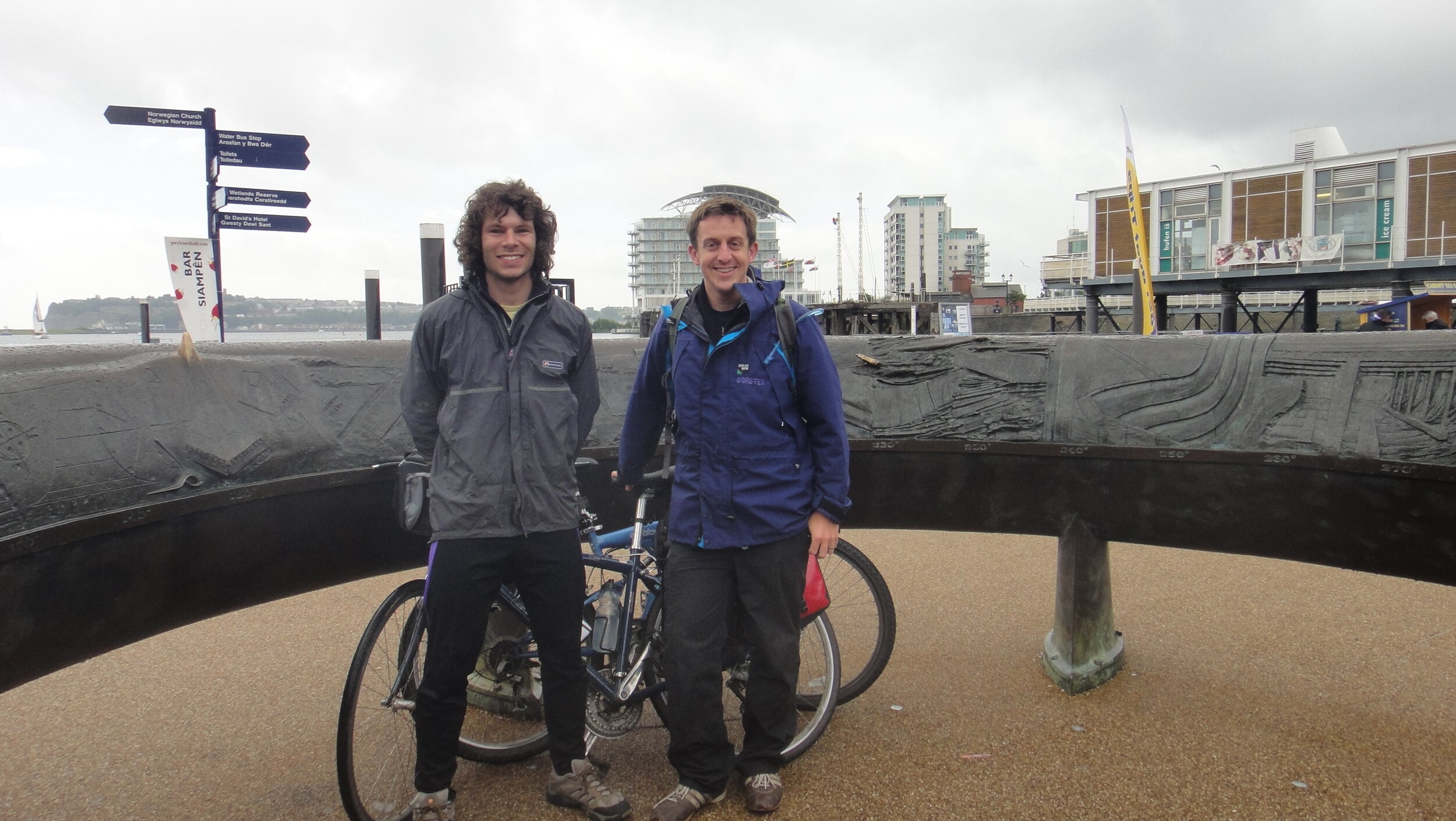
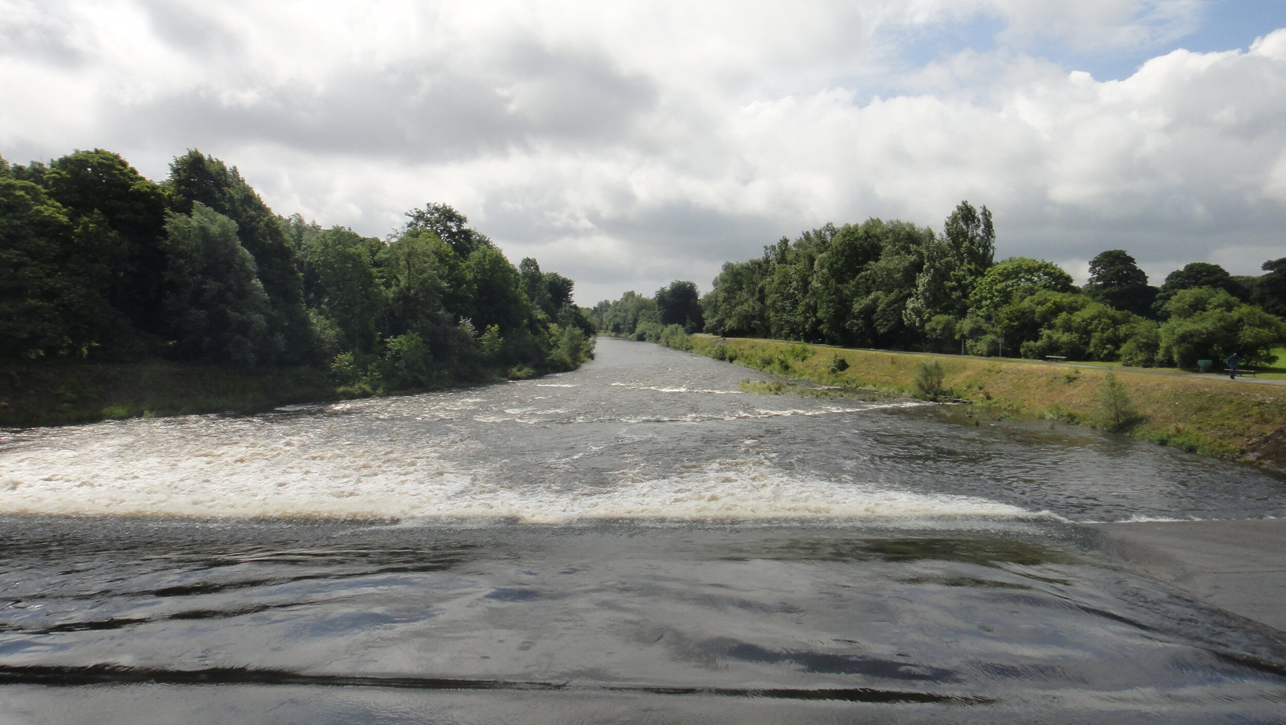
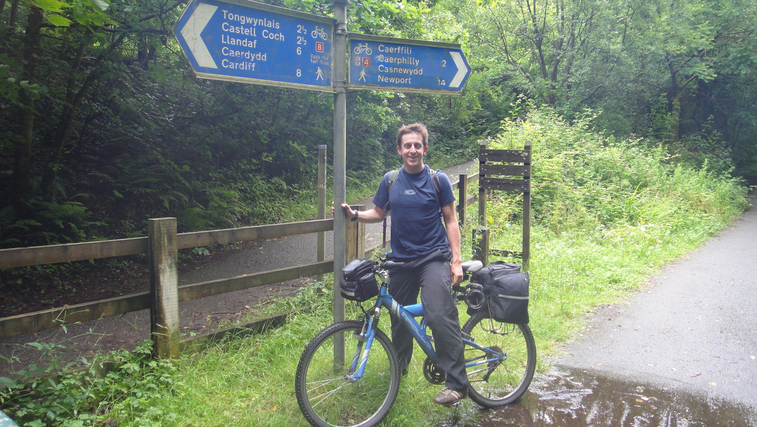
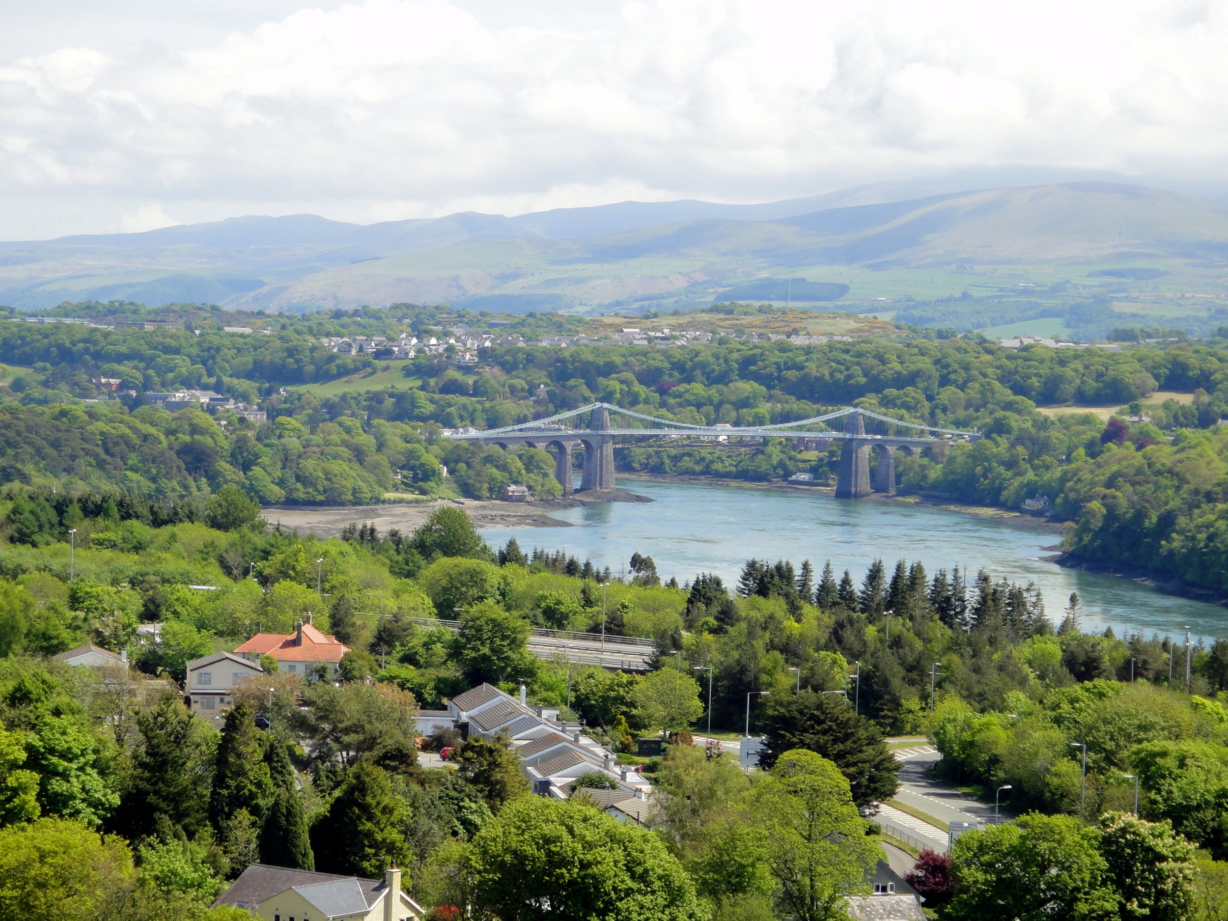
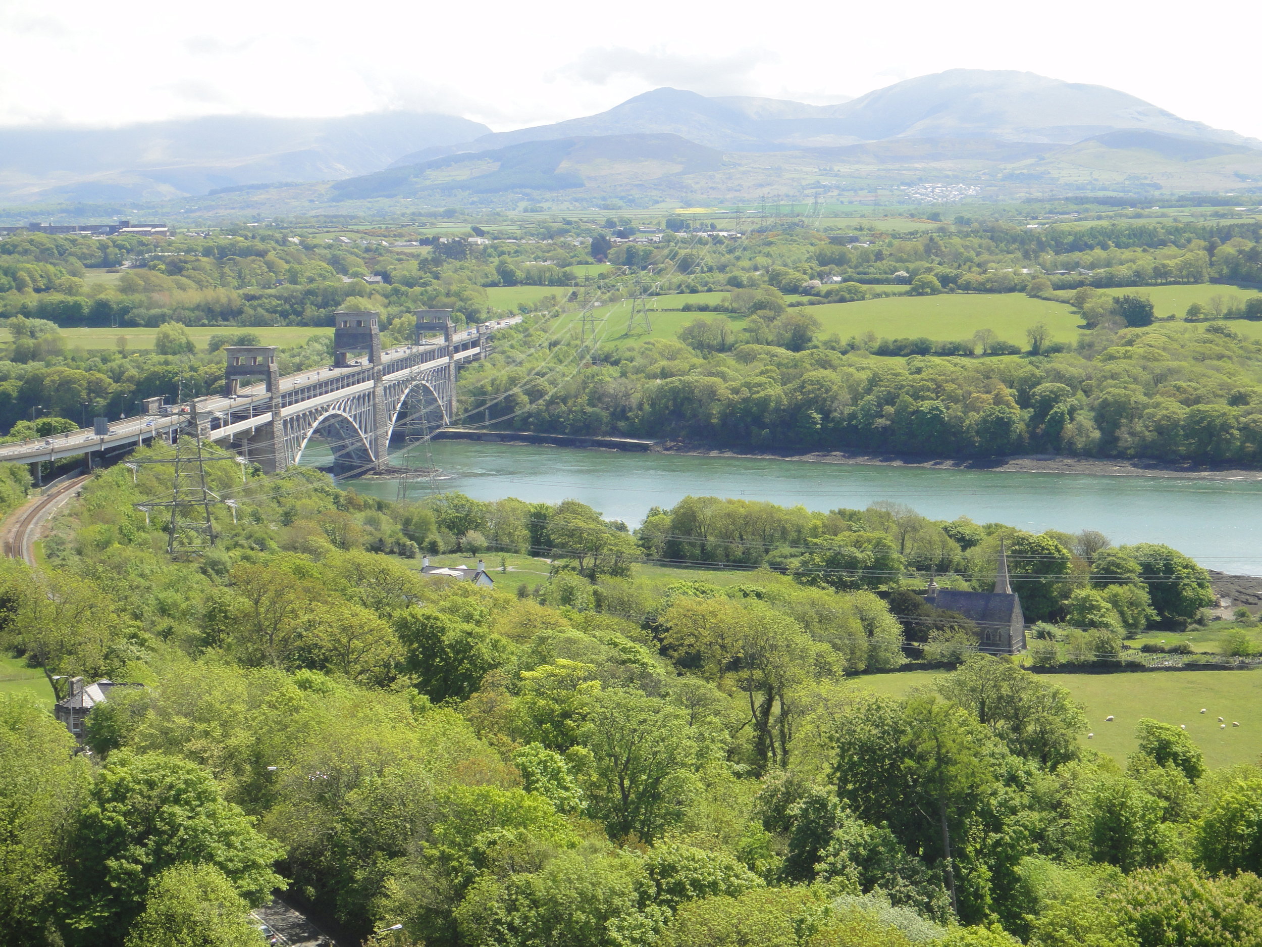
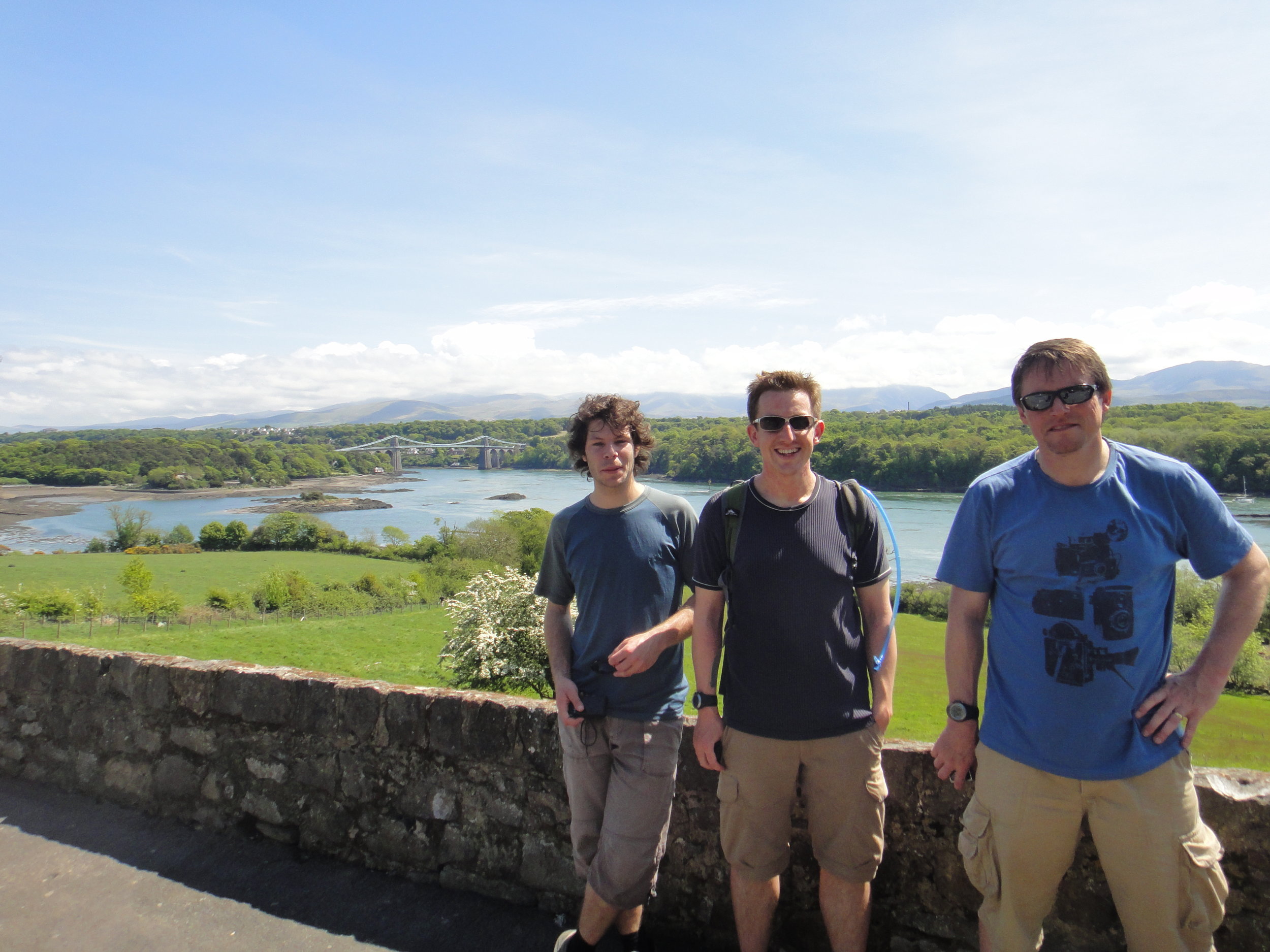
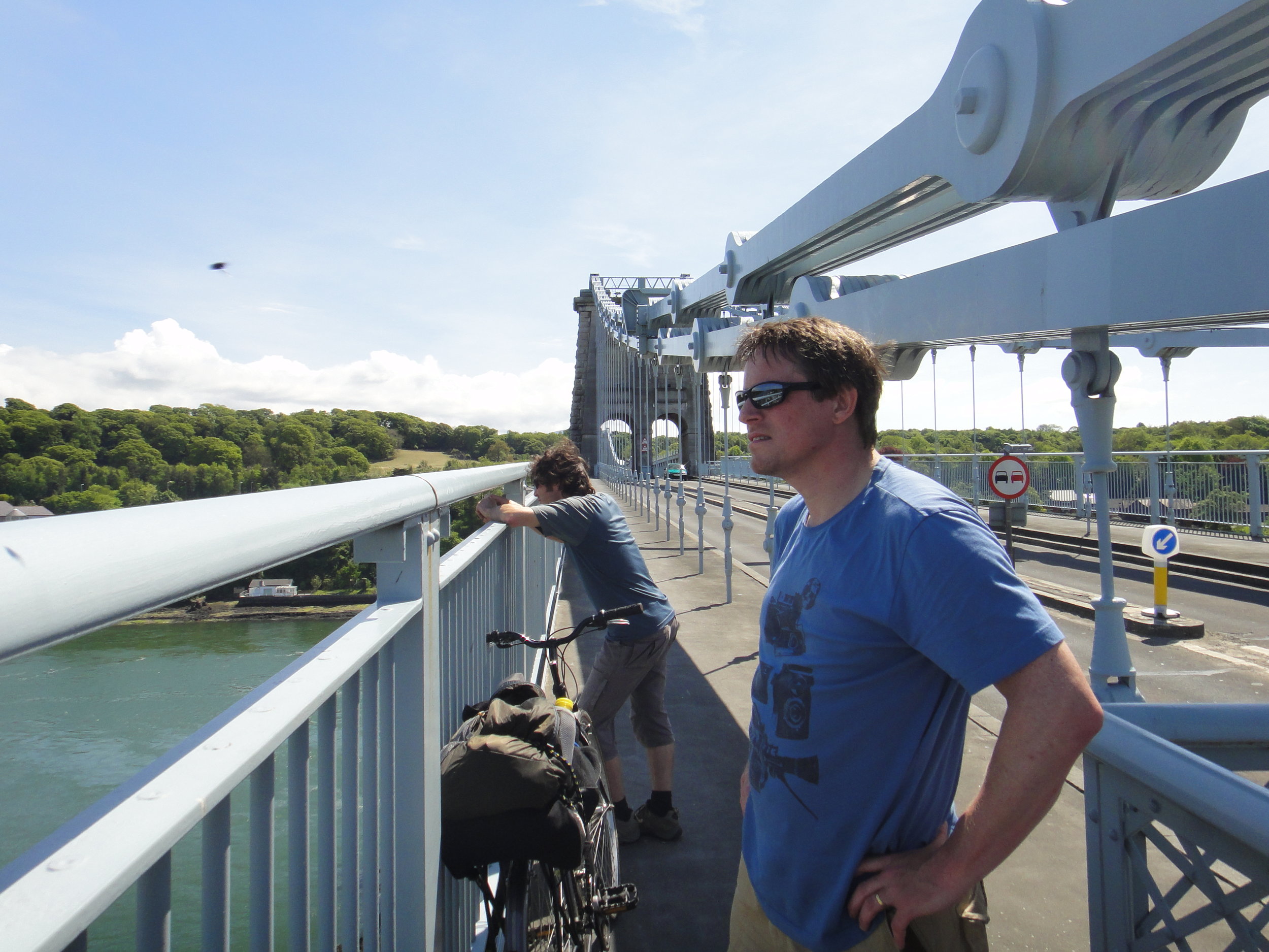
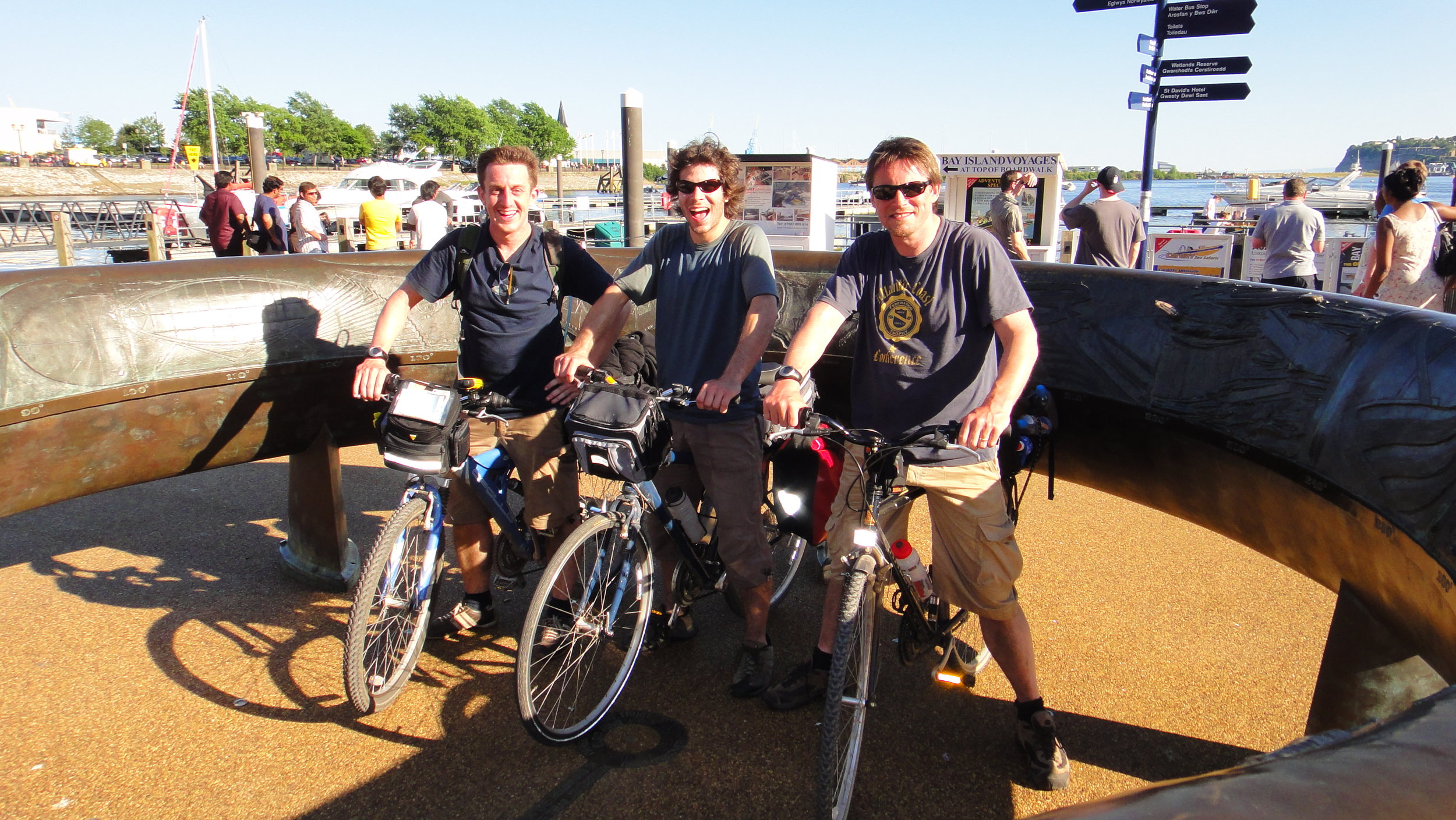
Everyone went through their own process of closure. There was the inevitable inquest run the local Scout region. Some of us did some fund raising for Ogwen Mountain Rescue, this time on the significantly flatter Thames Path. Four of us had a need to complete the route, although doing it in winter wasn't a criteria. We returned in the summer on a clear dry day and finished the full 10k circuit without a hitch.

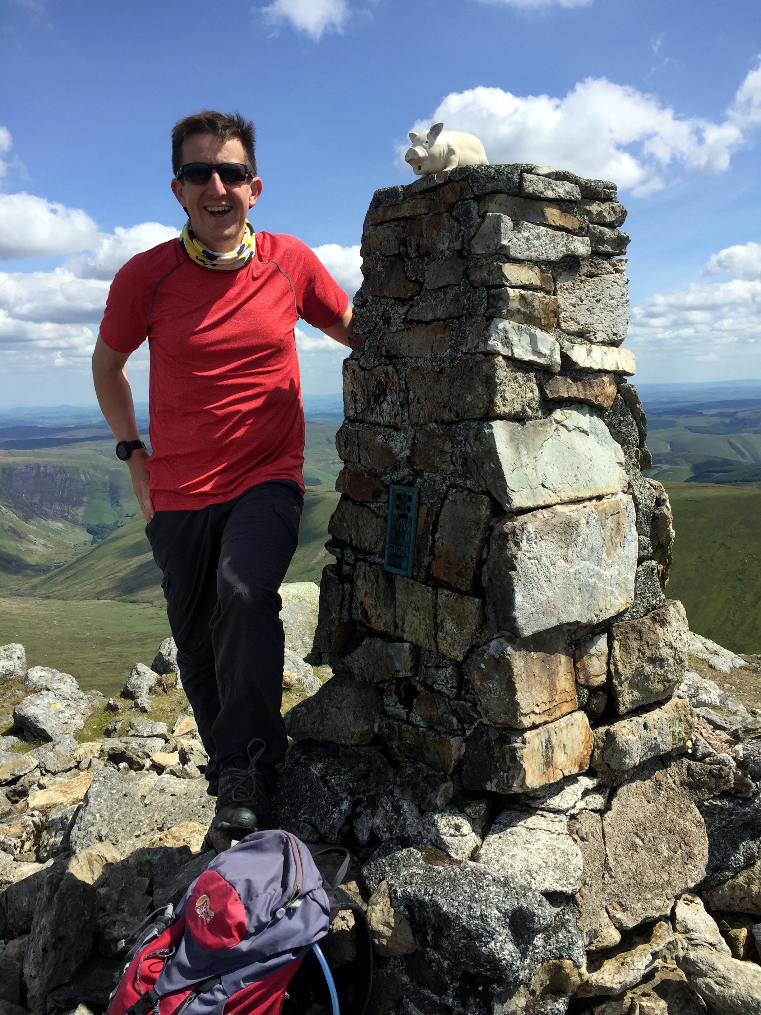
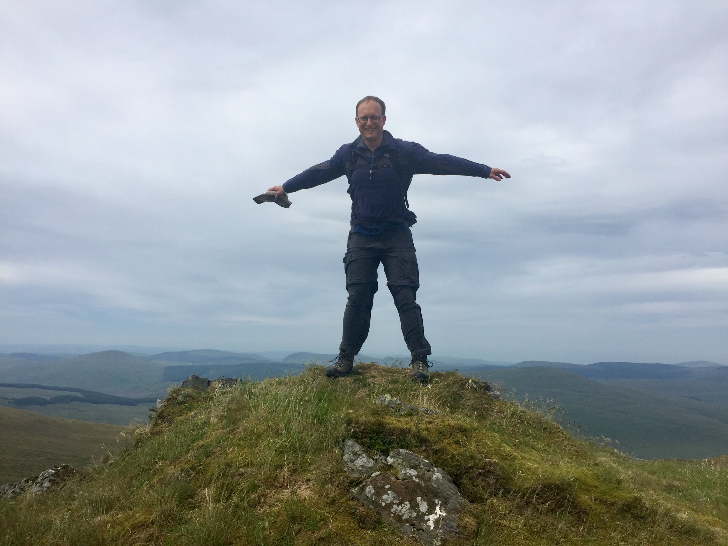
The main legacy for me is in my approach to the mountains. I've done a walking leadership course at Plas-y-Brenin, got better equipment, maps and GPS devices. I only go in smaller groups and in summer conditions. I save the more challenging routes for times when I'm part of a group that's being lead by a qualified guide. Maybe it was my Worst Day, but for the lessons that lead to all the safe treks that I've enjoyed since then, it could be one of the best.


Tryfan

Member of: Marilyn Hewitt, Welsh 3000, Nuttall, Furth
Parent Peak: Glyder Fawr
Elevation: 917m
Coordinates: 53° 6' 54'' N, 3° 59' 51'' W
Links: Wikipedia / Peakbagger / Hillbagging / National Trust


Glyder Fawr

Member of: Marilyn, Hewitt, Welsh 3000s, Nuttall, Furth
Parent Peak: Snowdon
Elevation: 1001m
Coordinates: 53° 6' 5'' N, 4° 1' 45'' W
Links: Wikipedia / Peakbagger / Hillbagging

Glyder Fach

Member of: Hewitt, Welsh 3000s, Nuttall, Furth
Parent Peak: Glyder Fawr
Elevation: 994m
Coordinates: 53° 6' 17'' N, 4° 0' 30'' W
Links: Wikipedia / Peakbagger / Hillbagging


The Route - all peaks

Route Start / End: Ogwen Car Park, Bethesda, Bangor, LL57 3LZ
Route Distance: 9.8km (6 miles)
Route Elevation Change: +/- 857m
Subsidiary tops on route: Castell y Gwynt (972m)
GPX File: get via Buy Me a Coffee
Other routes touched: Welsh 3000s, Snowdonia Slate Trail


route-37149331-map-full  - Tryfan Glyderau.png
elevation_profile - Tryfan Glyderau.jpg