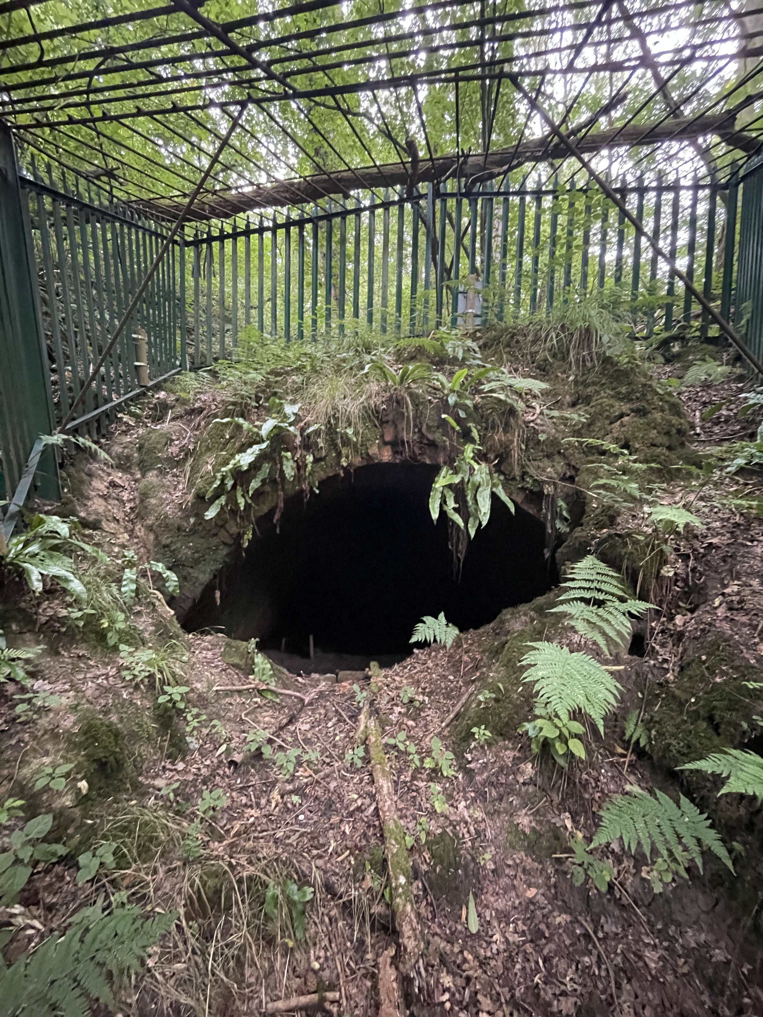
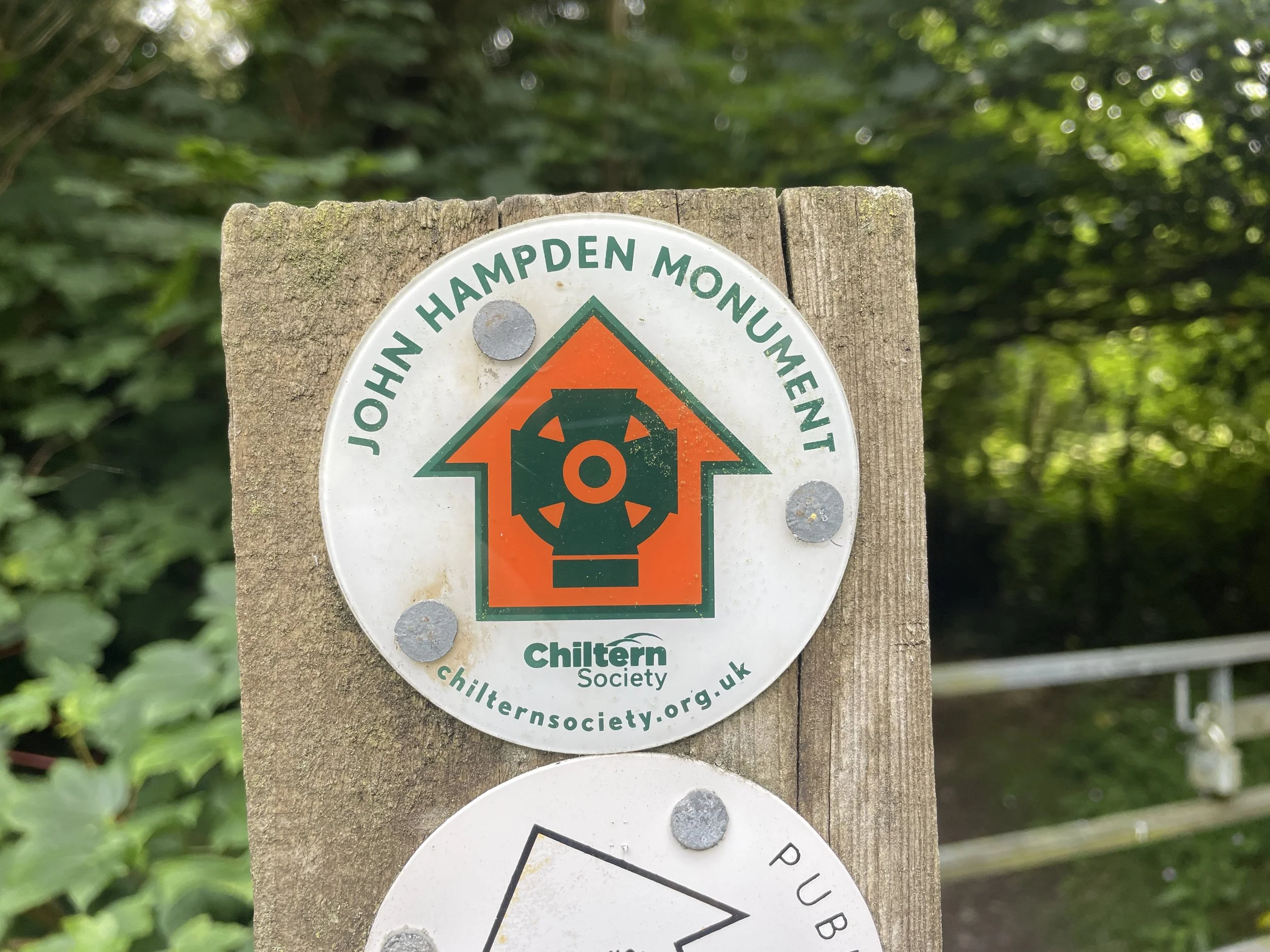
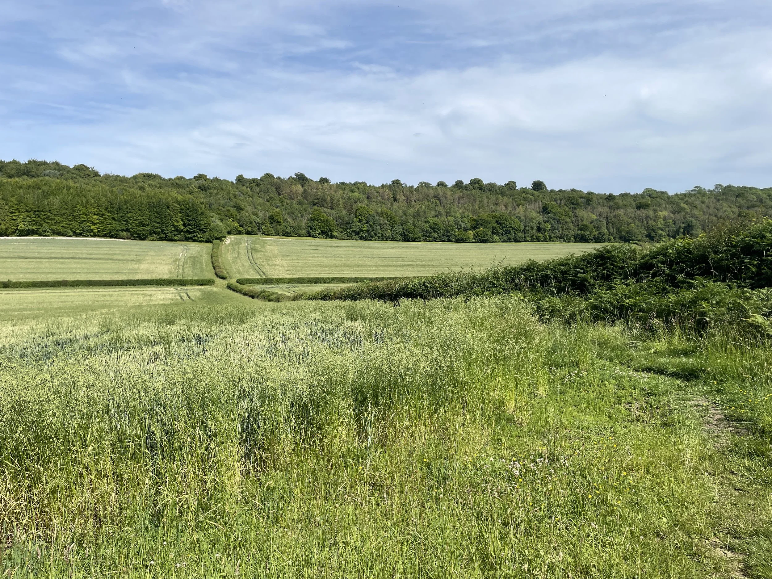
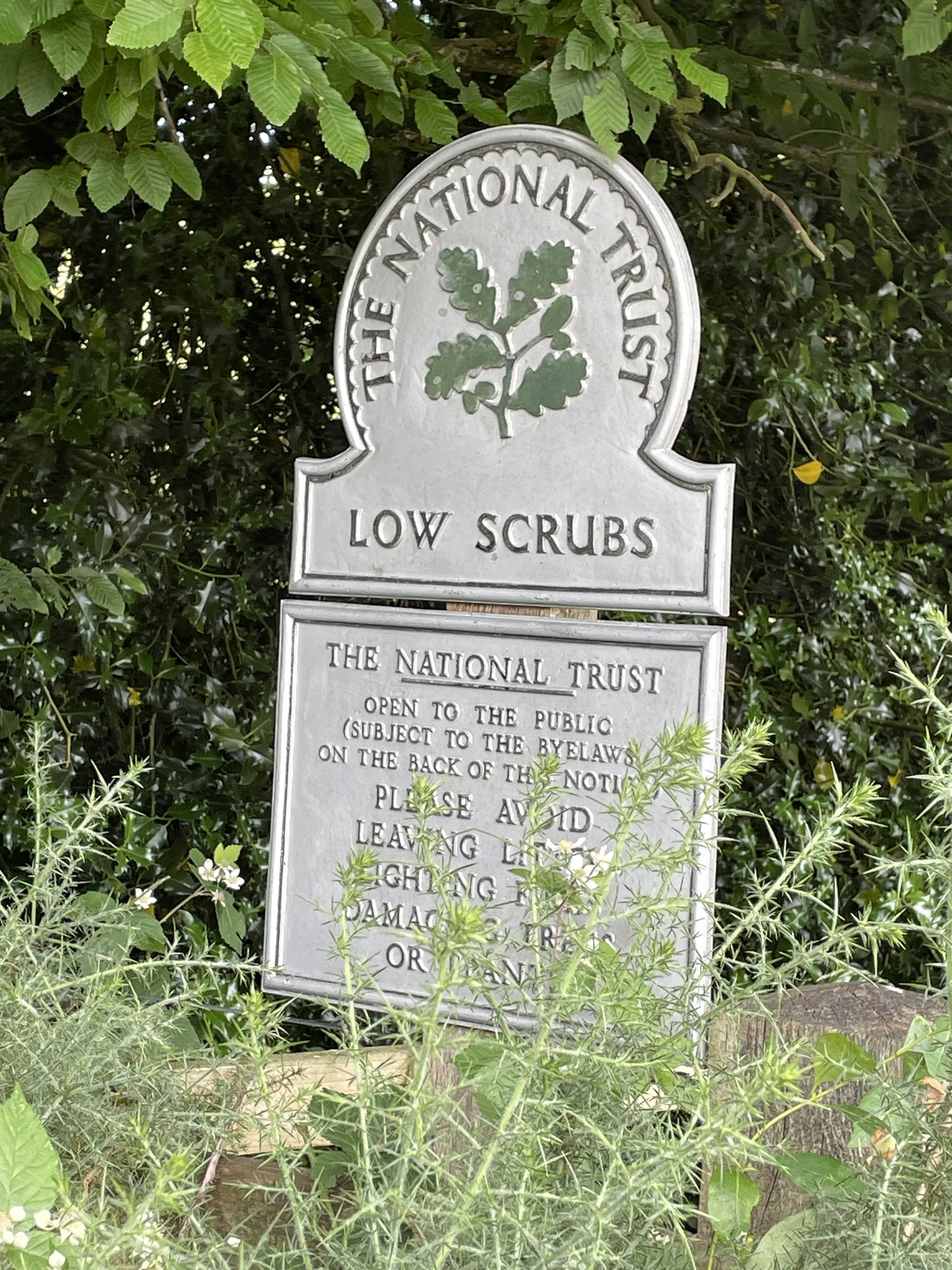
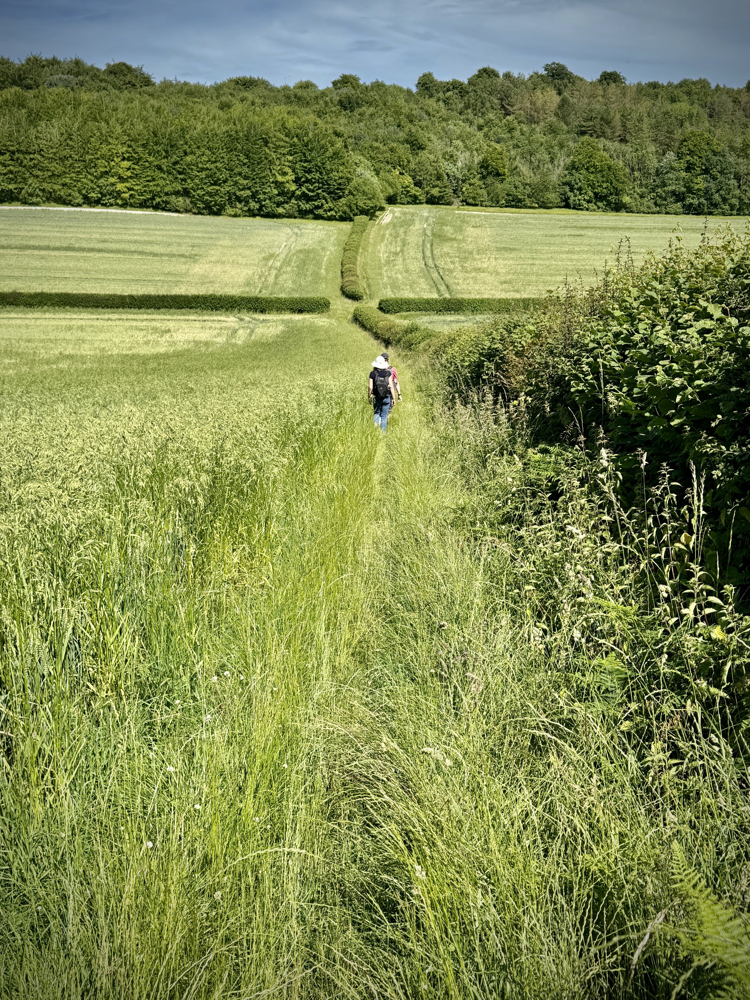
The Basingstoke Canal is a navigable waterway that runs through Hampshire and Surrey. Originally built in the late 18th century to transport goods between Basingstoke and the Thames, the canal fell into disuse in the mid-20th century. The first 10 km from Basingstoke to the Greywell Tunnel is either completely lost or unnavigable. Most of the eastern side of the canal after is navigable albeit the first couple of km only suitable for canoes and paddleboards.
We completed the full length of the canal in 2 sections. The first section was a walk of the “lost” part from Basingstoke to Greywell and the section section a tow-path cycle ride from Greywell to the Thames. See my previous post for the first section and read on for part 2.
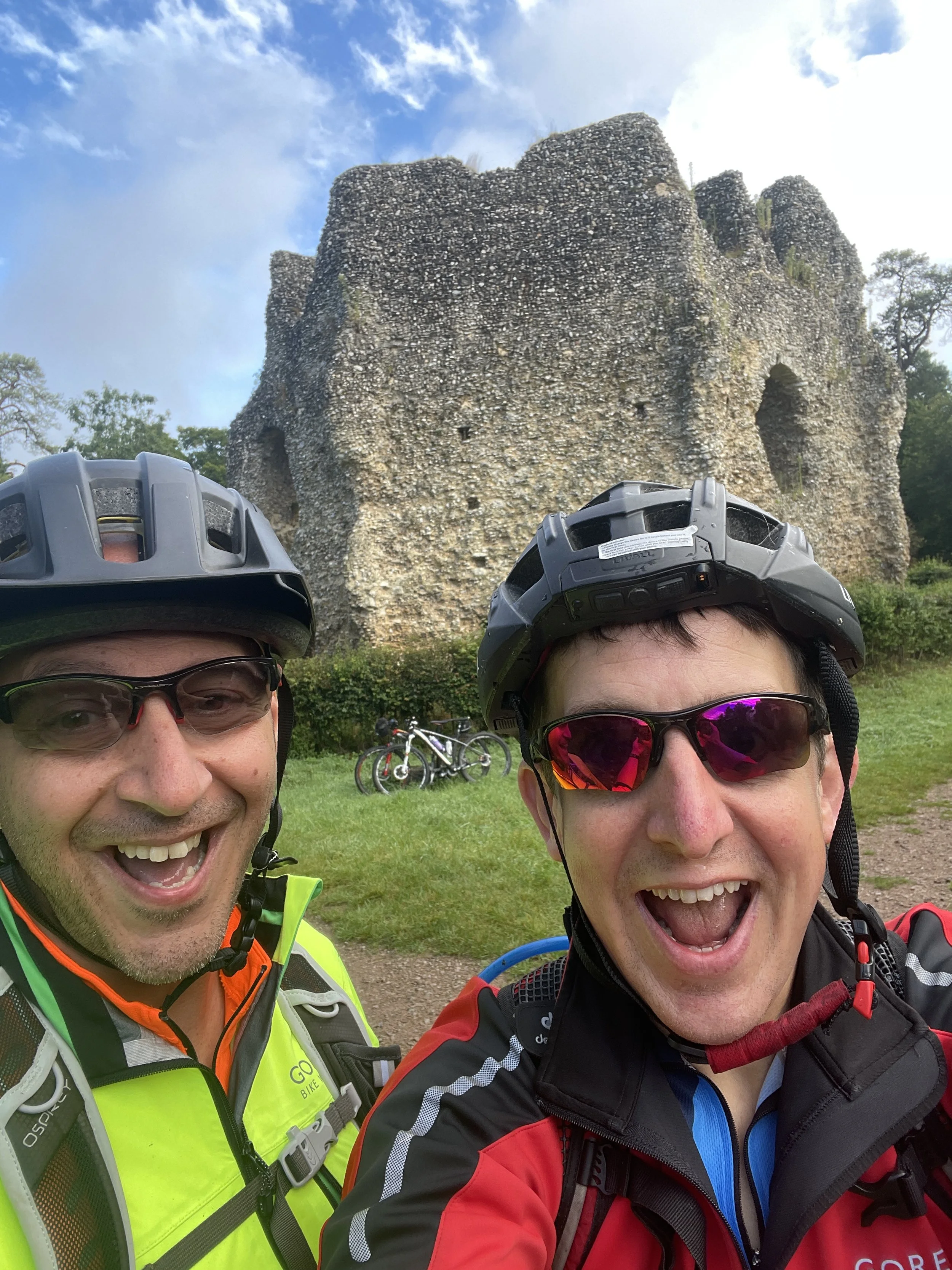
The first point of interest is only 1 km into the ride. On the left hand side of the path you’ll find the ruins of Odiham Castle, build in the early 1200s for King John. I had already visited it on a Three Castles Path walk a few years ago but it had a bit of restoration work since then.
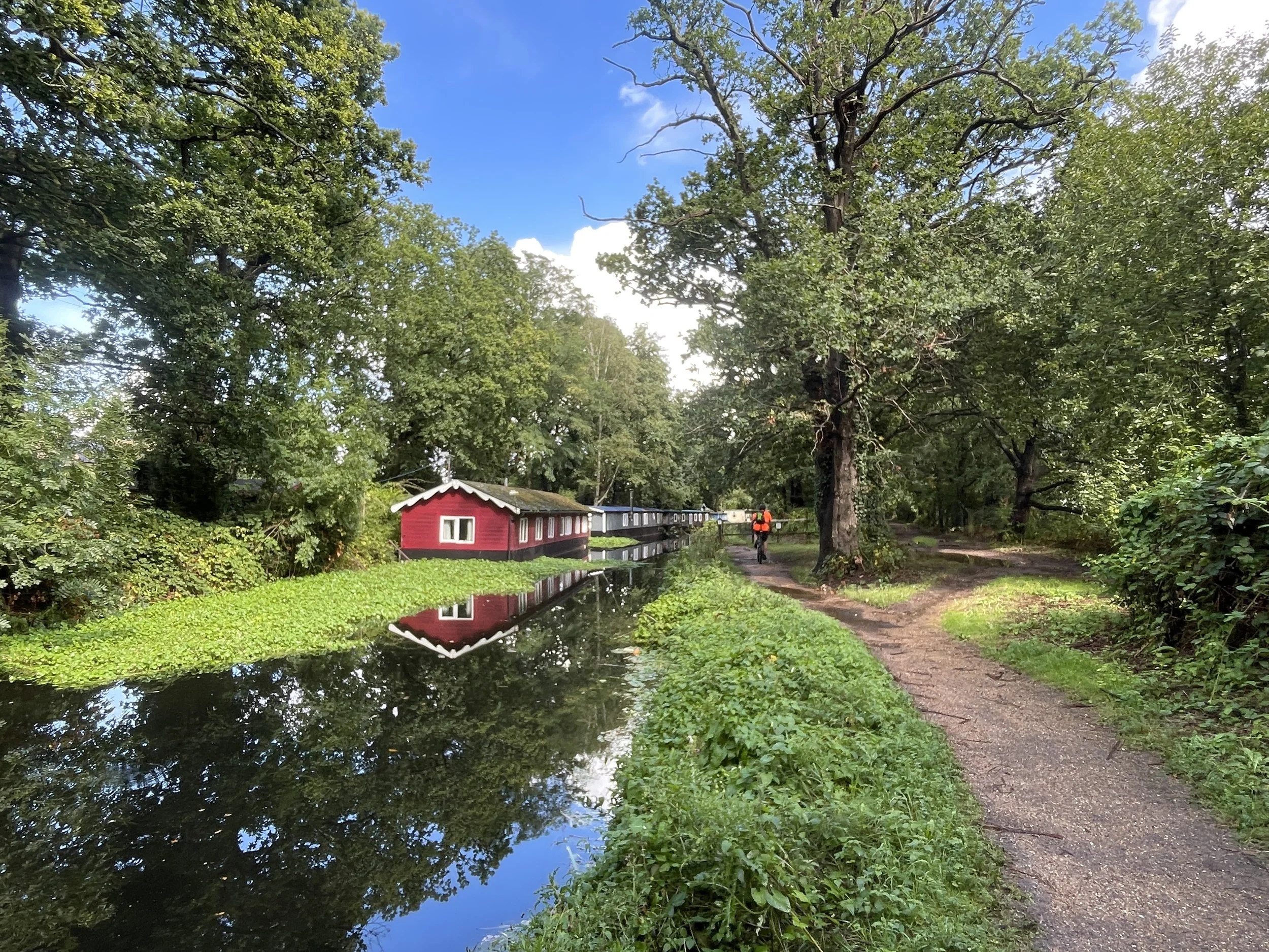
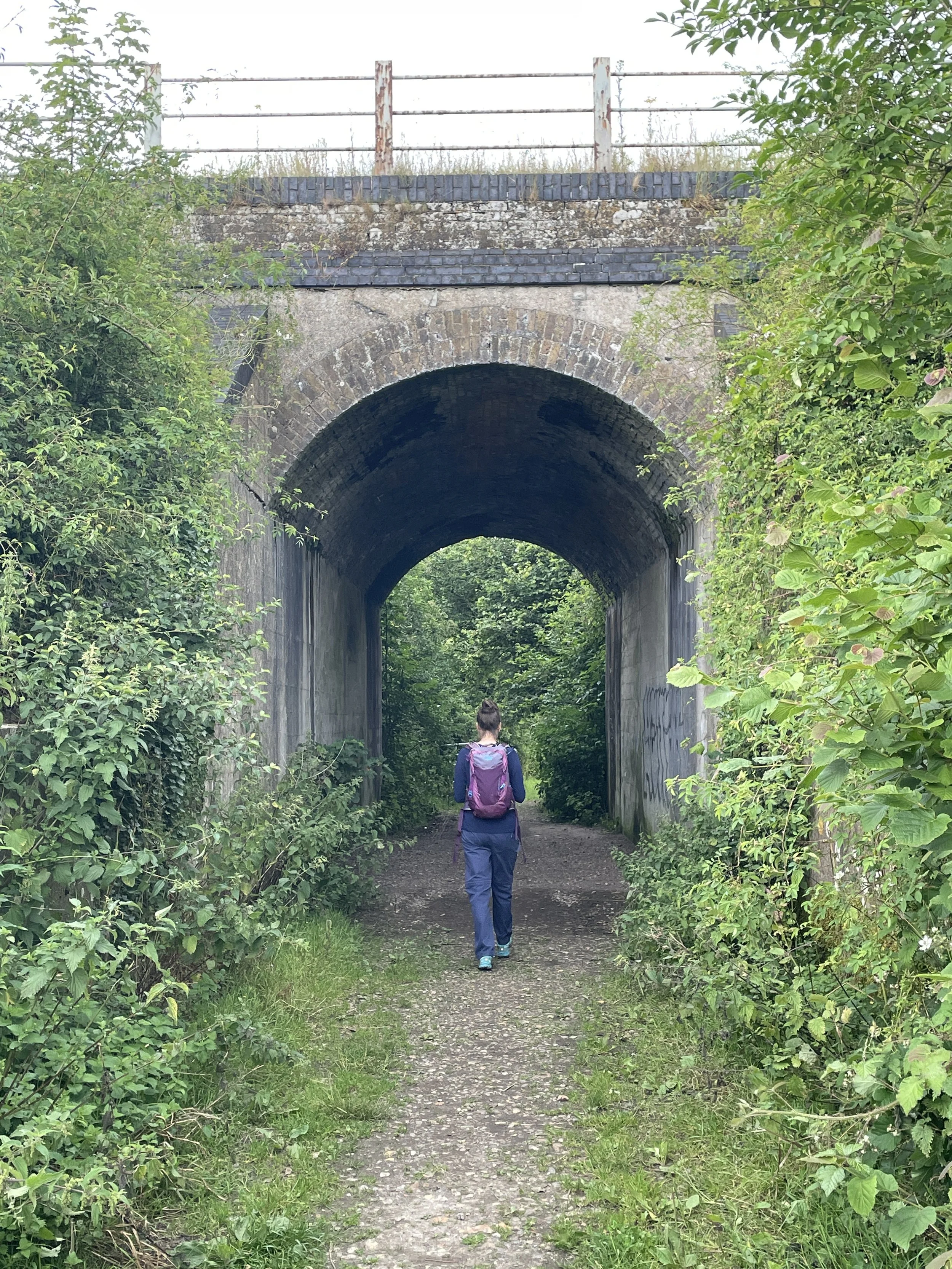
Our trip was on a misty late-summer Sunday morning which made for a very pleasant quiet ride along the misty canal. Cycling in this direction shows the gradual increase of its use from overgrown and empty at Greywell to an active use at Woking. The canal takes it’s time to get to the Thames, meandering around the contours on a consistent level at the start before a much straighter and steeper descent at the end.
Navigation is super-simple (just stick to the tow-path) and there’s lots of options just off the path for food stops. We stopped at Fleet and Woking, both big towns, although there’s other choices if you keep an eye on the map.
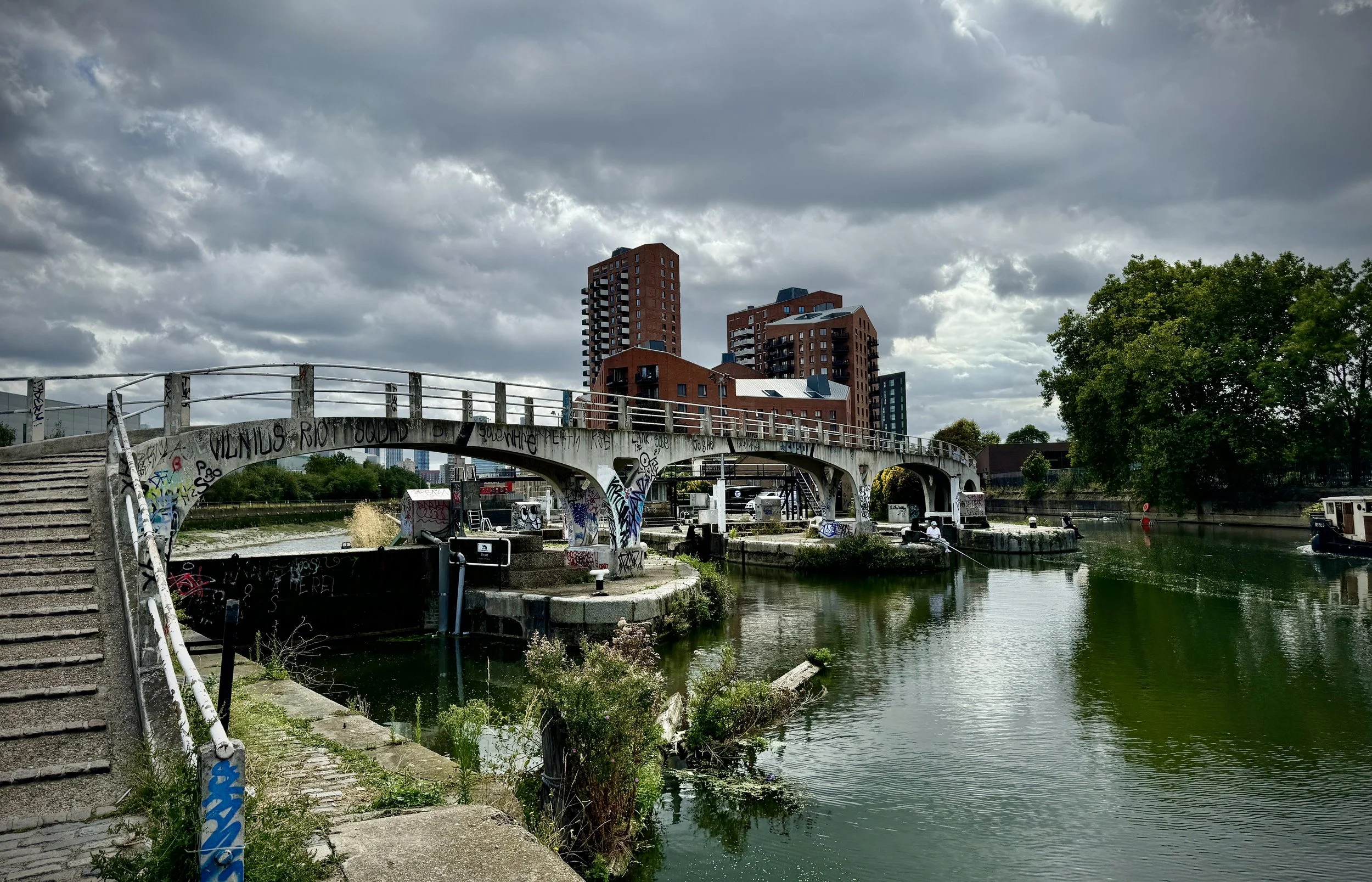
The Basingstoke Canal ends at Woodham Junction near Byfleet and New Haw railway station. Here the canal joins the Wey Navigation and its where the Waterloo to Basingstoke railway line crosses under the M25. This is an obvious place to stop if you just want to complete the Basingstoke Canal and you also have the option here to return to Basingstoke by train.
We weren’t done yet though as we wanted to reach the Thames. We crossed the small bridge over the Wey Navigation and took a left to follow the towpath on the eastern side toward Weybridge. The Wey Navigation meets the River Wey 4km north of Woodham Junction. Keep to the towpath on the western edge of the Wey Navigation to the end point at the confluence of the Wey and the Thames.