Posts tagged England
Hangers Way 50k Ultra Marathon

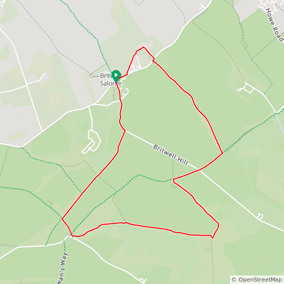
When: June 23rd 2024
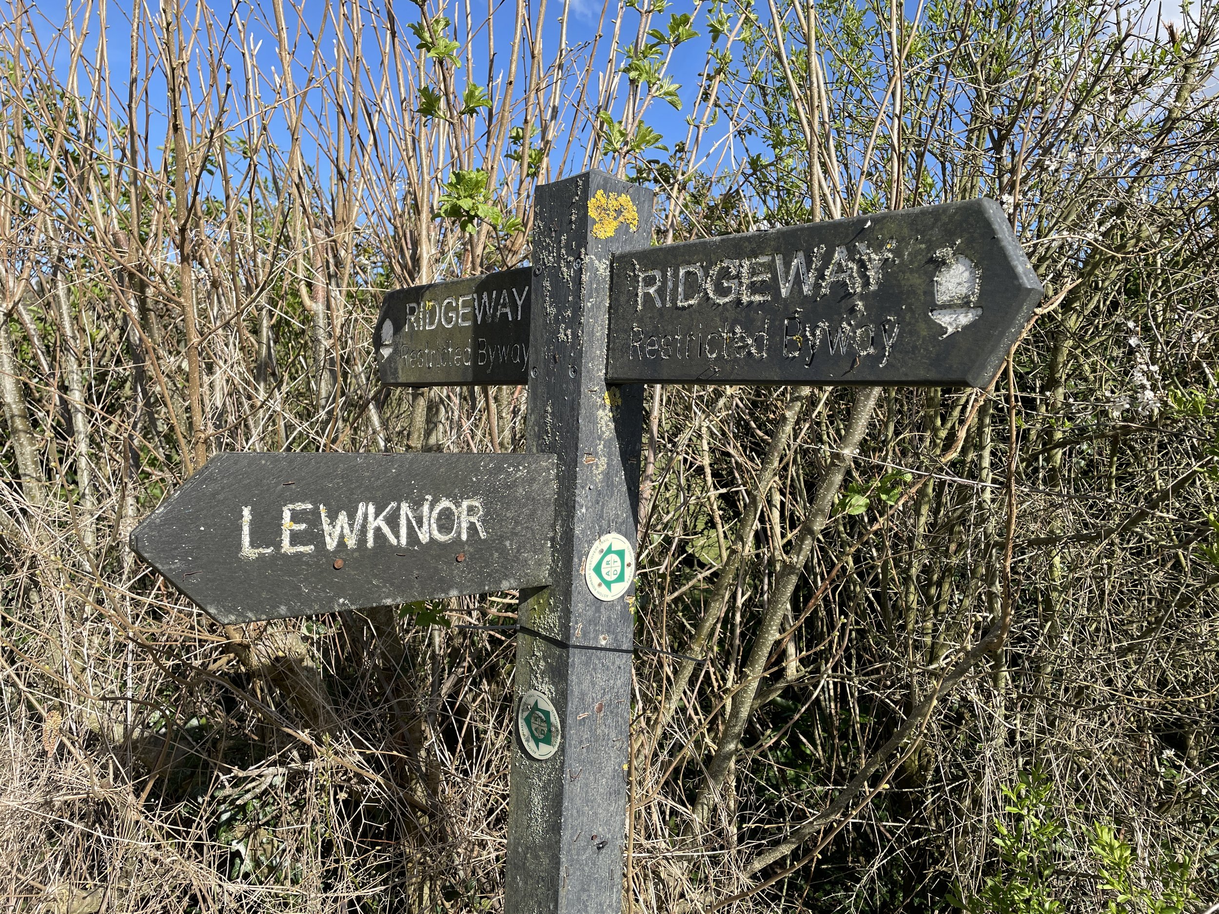
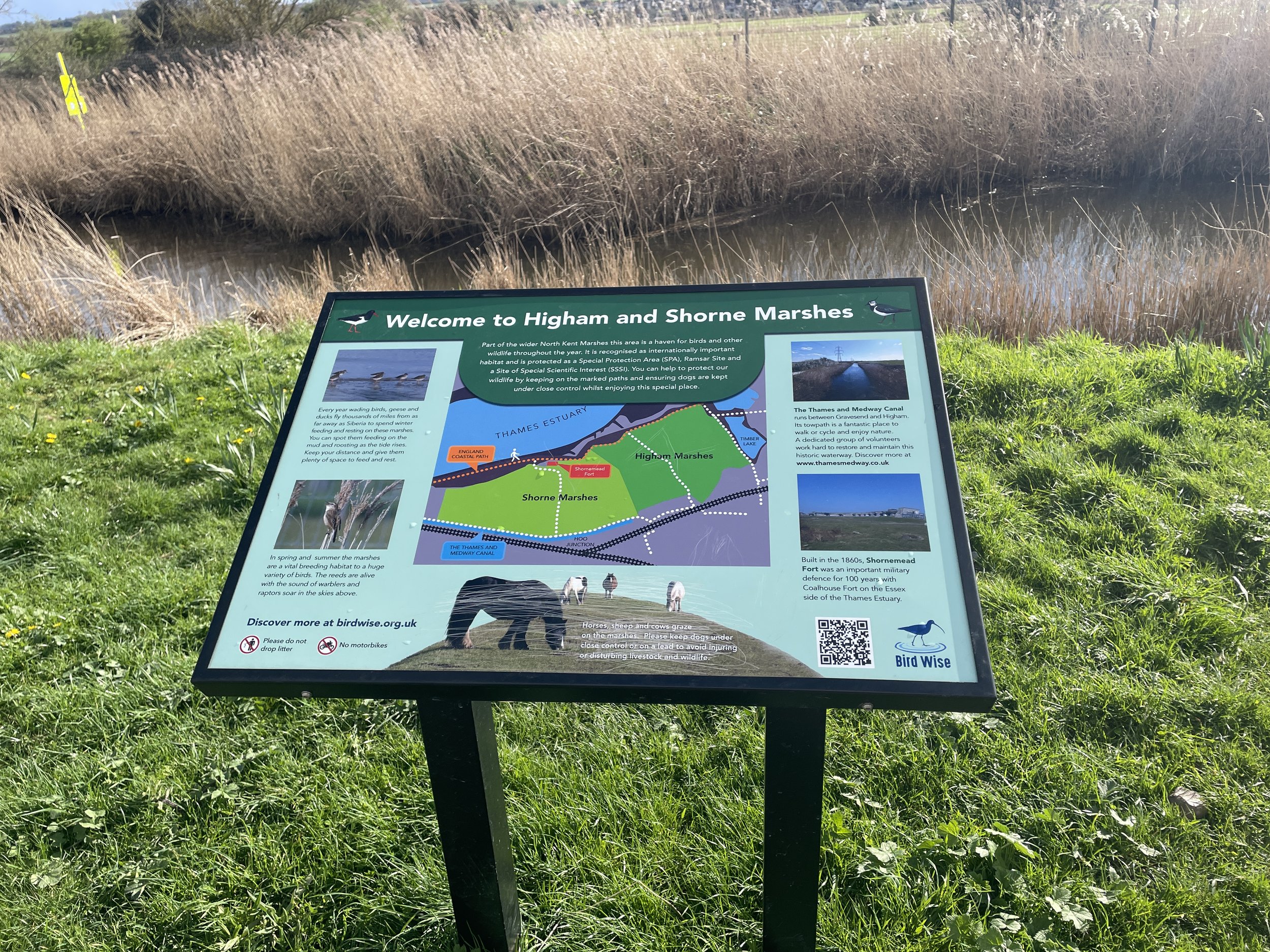
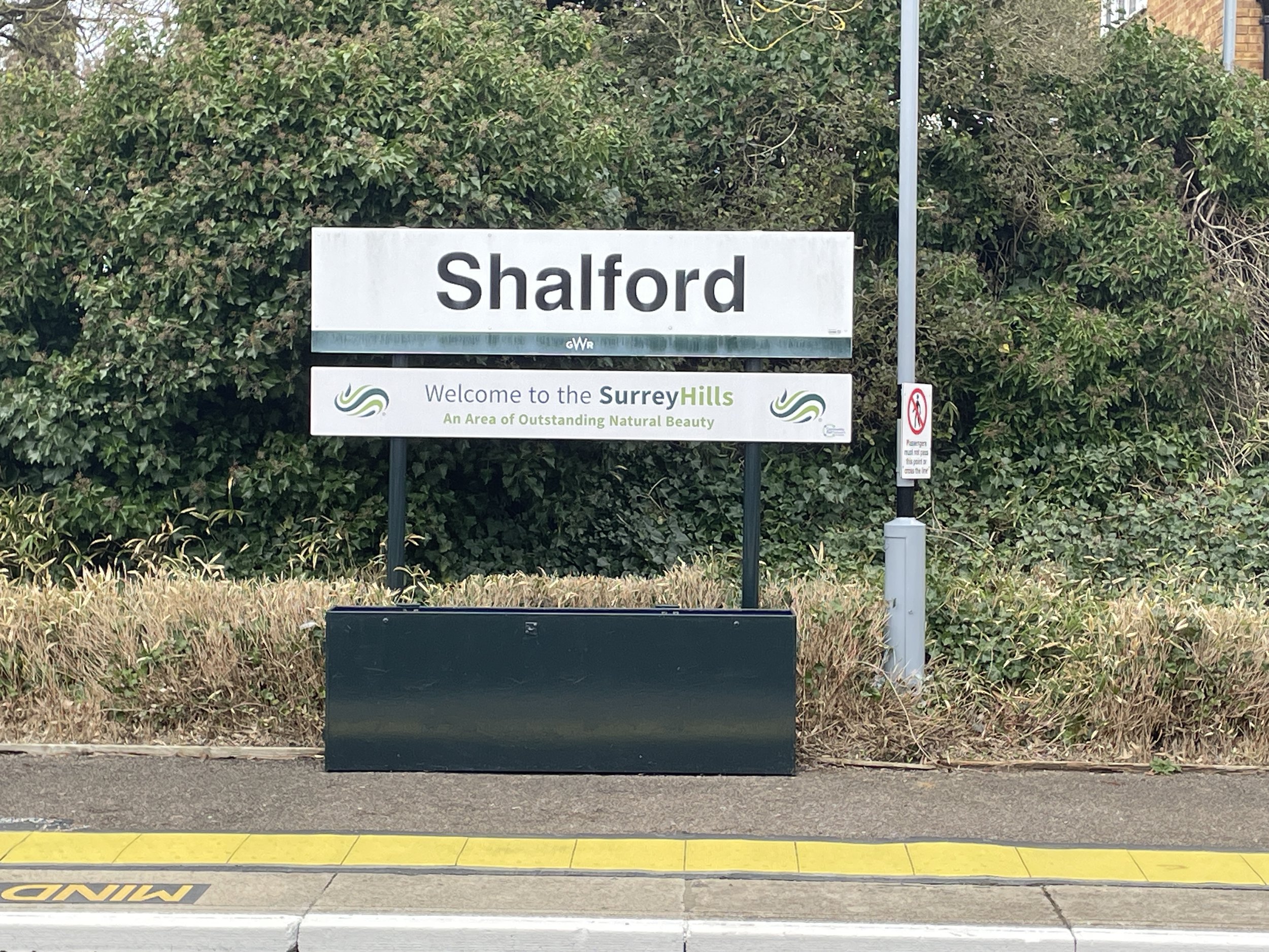
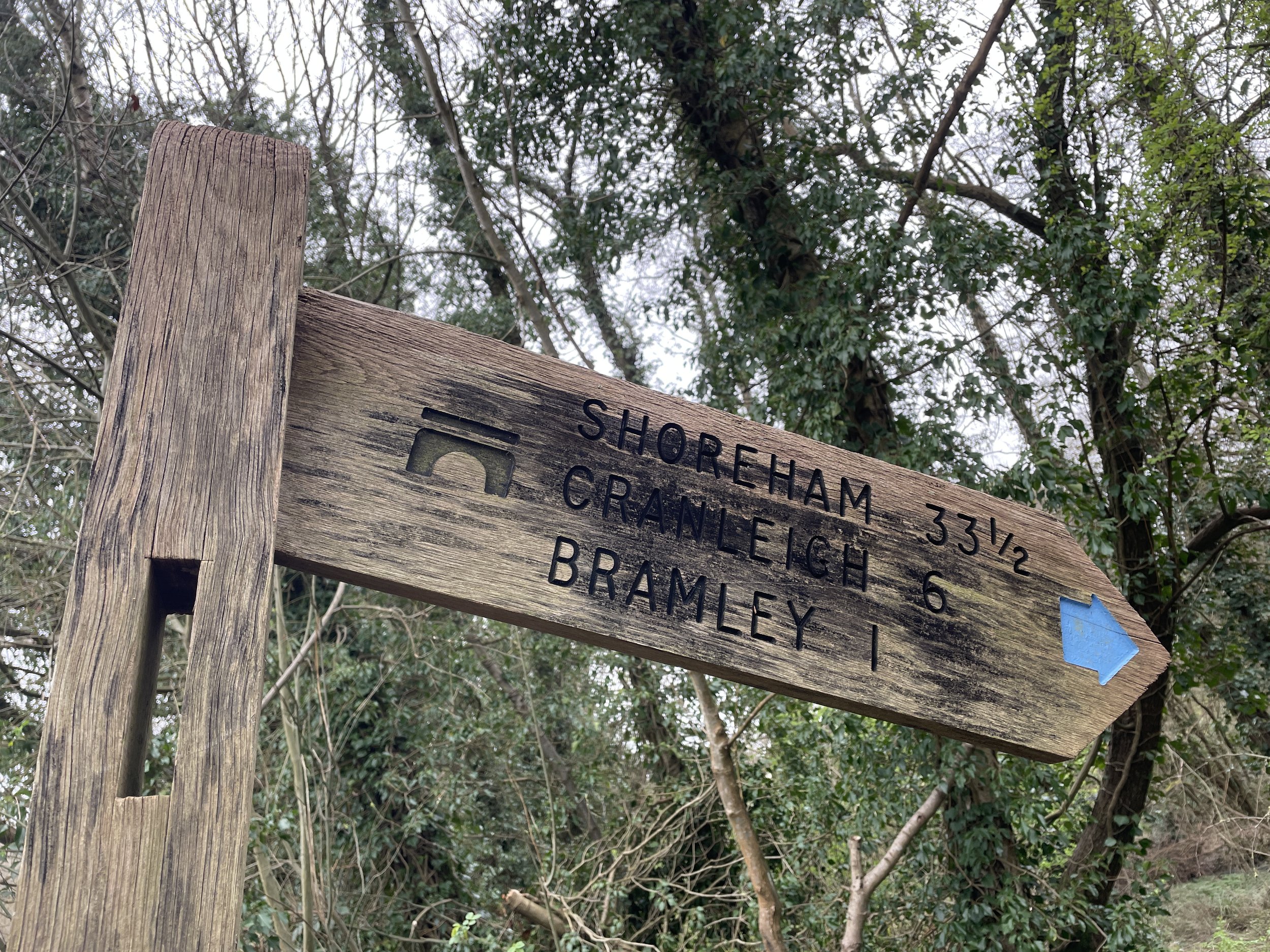
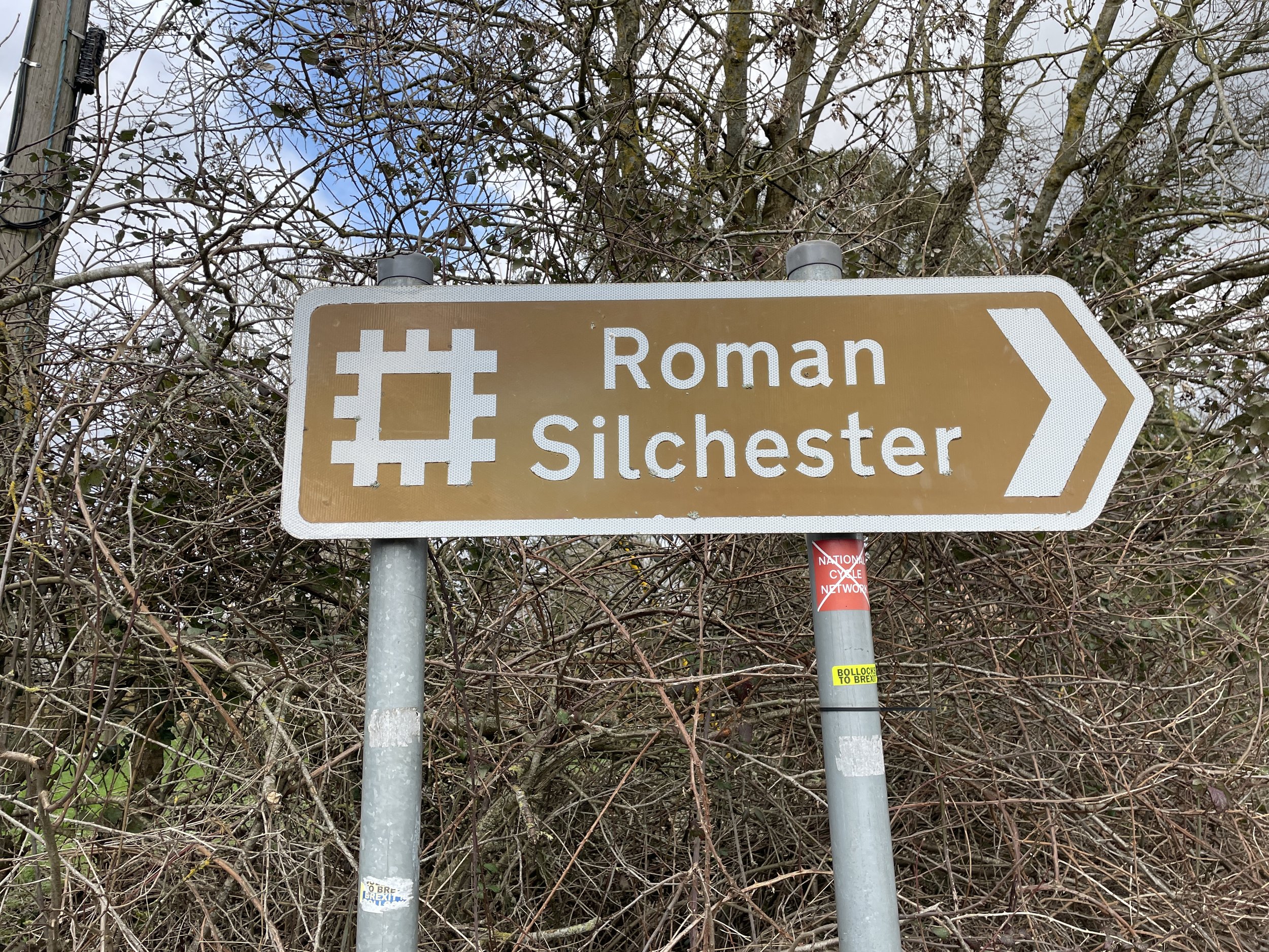
Start:
Alice Holt Forest, Farnham, GU10 4LS
Finish
: Queen Elizabeth Country Park, Gravel Hill, Horndean, PO8 0QE
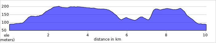
Distance: 50.4 km (31 miles)
Elevation change: +965m / -951m. Net -14m
GPX File: get via Buy Me a Coffee
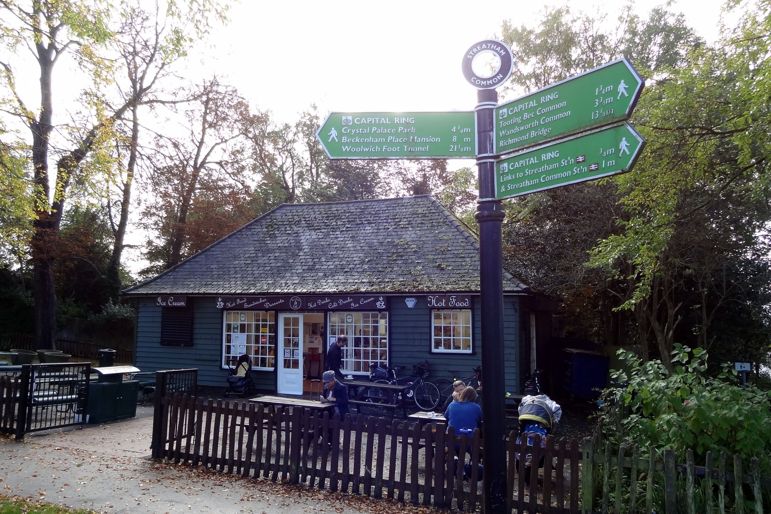
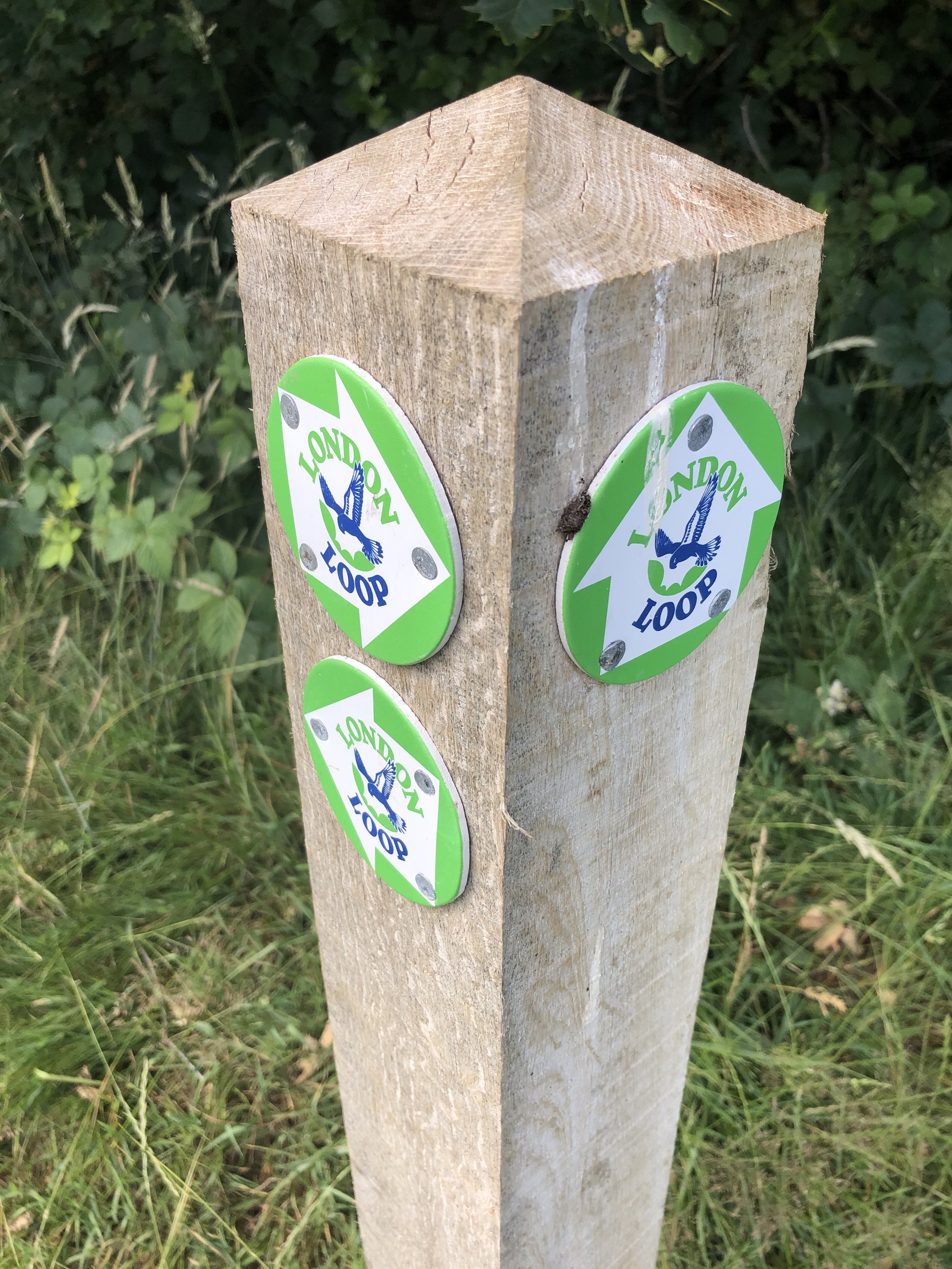
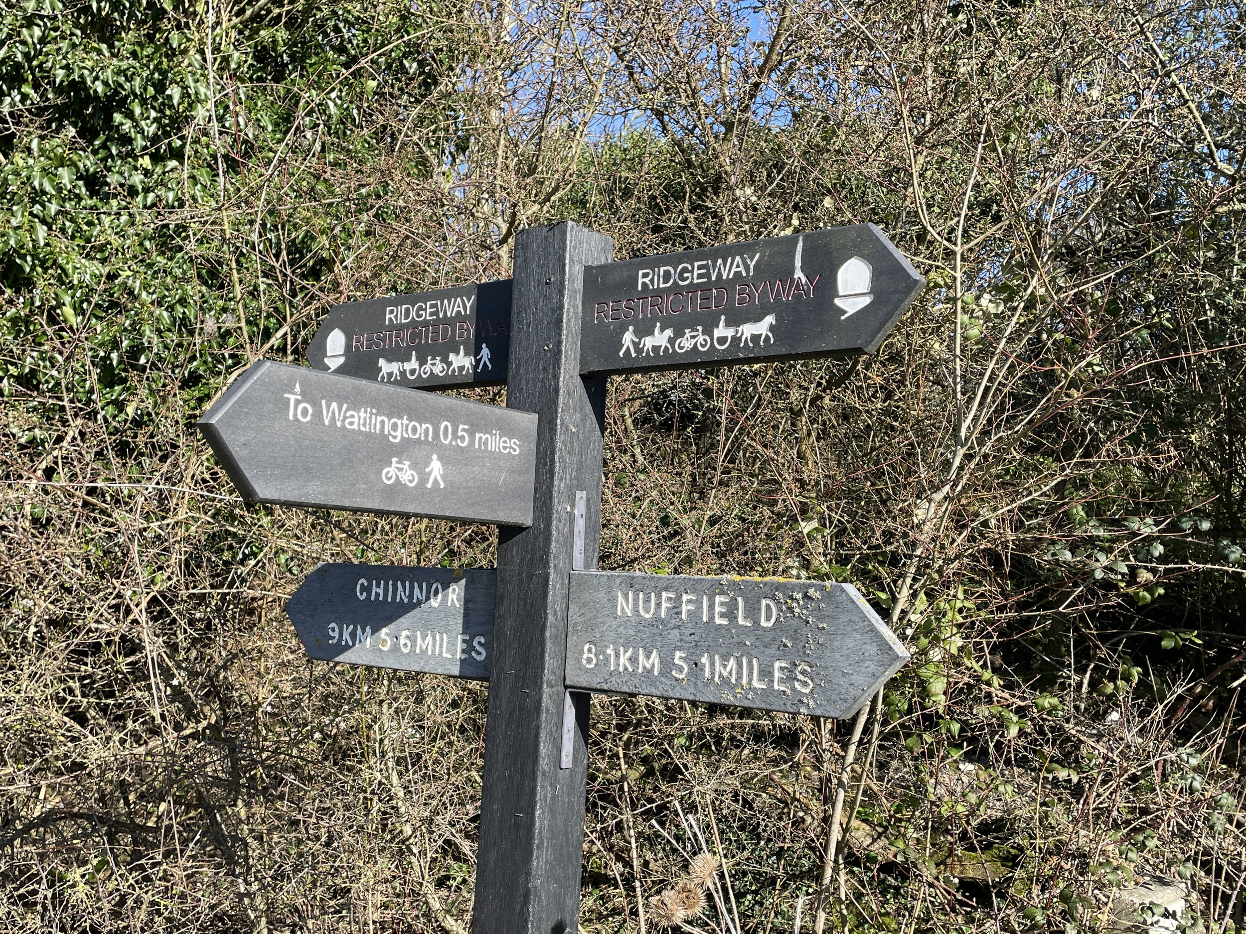
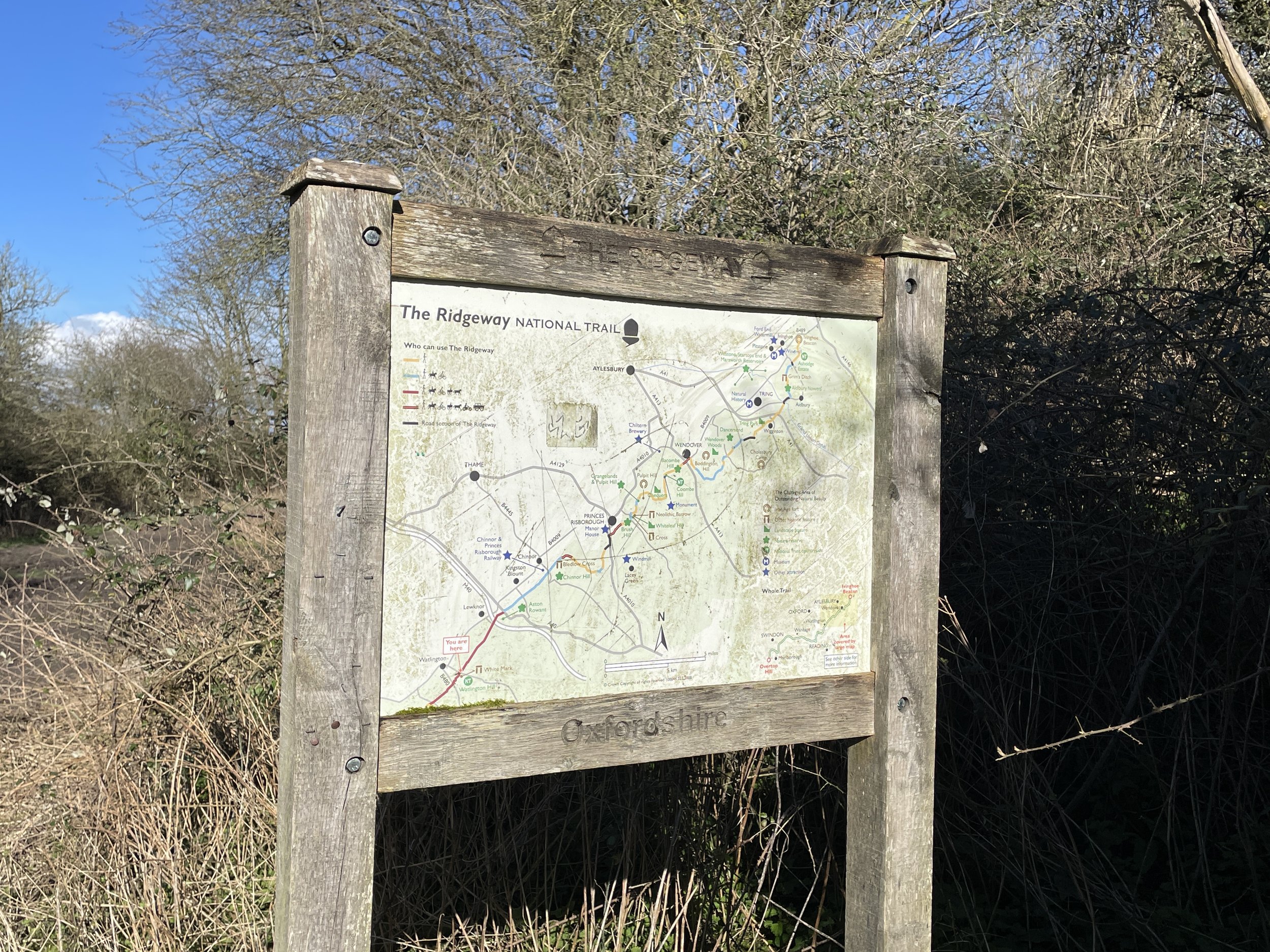
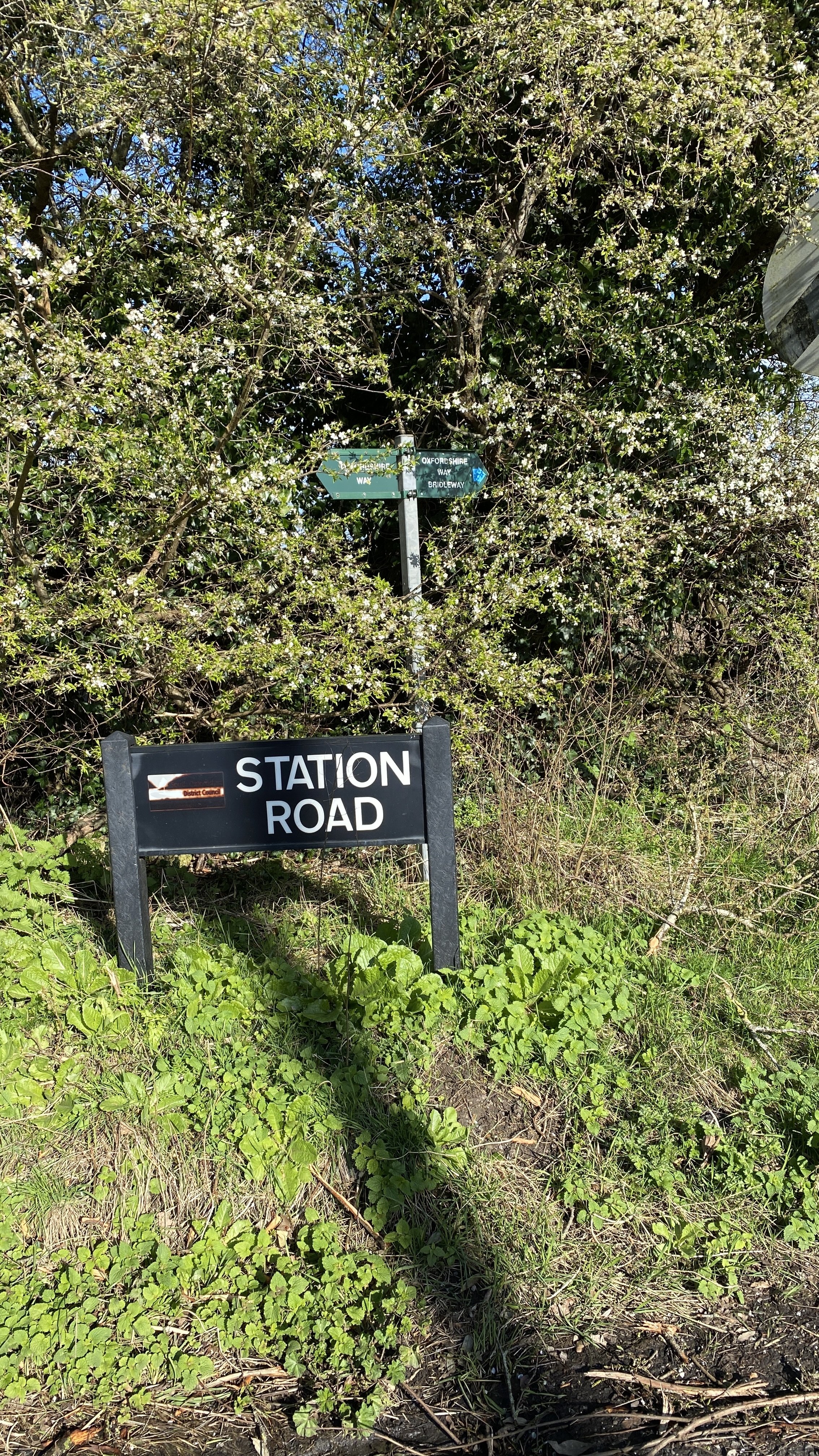
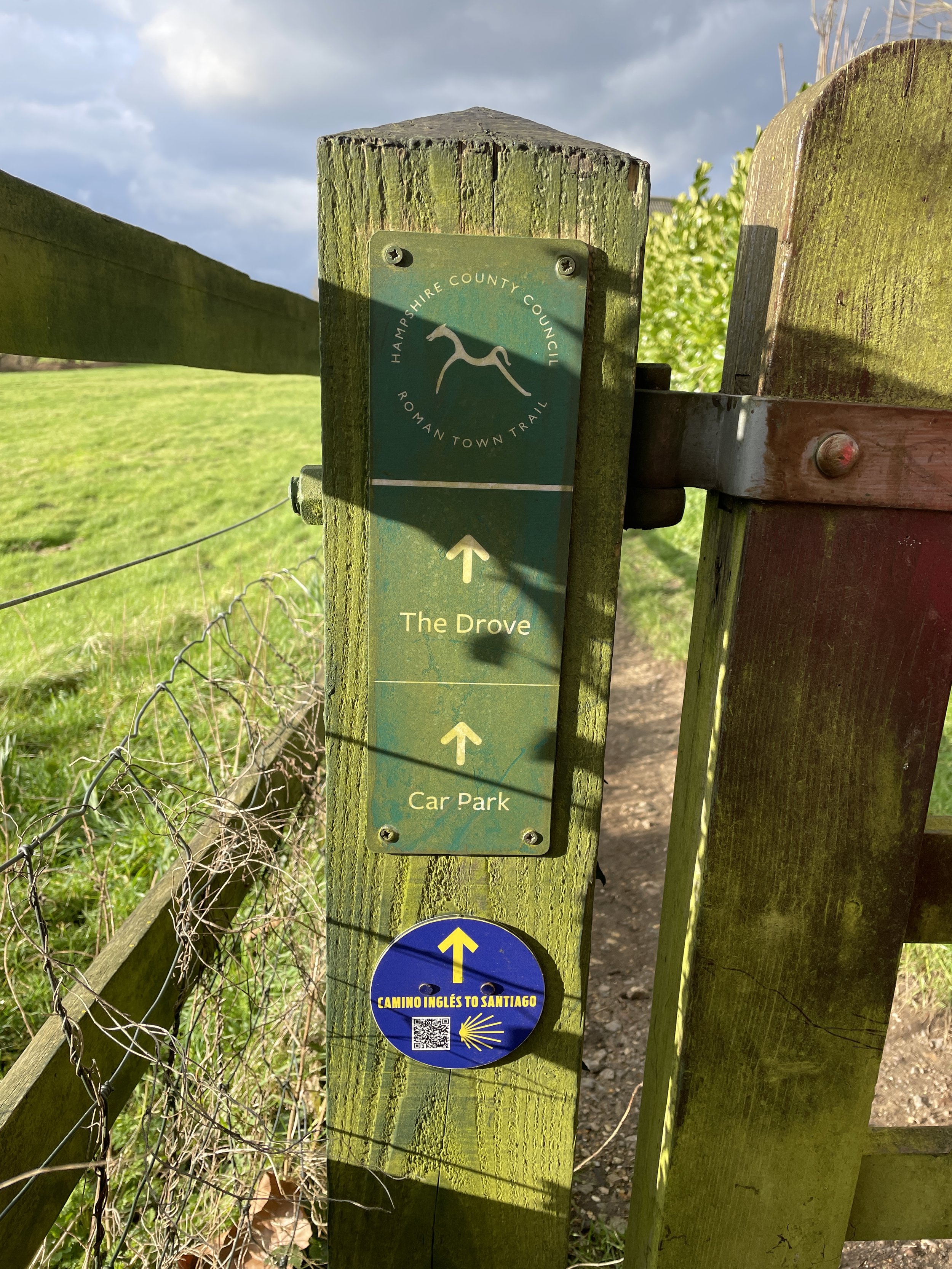
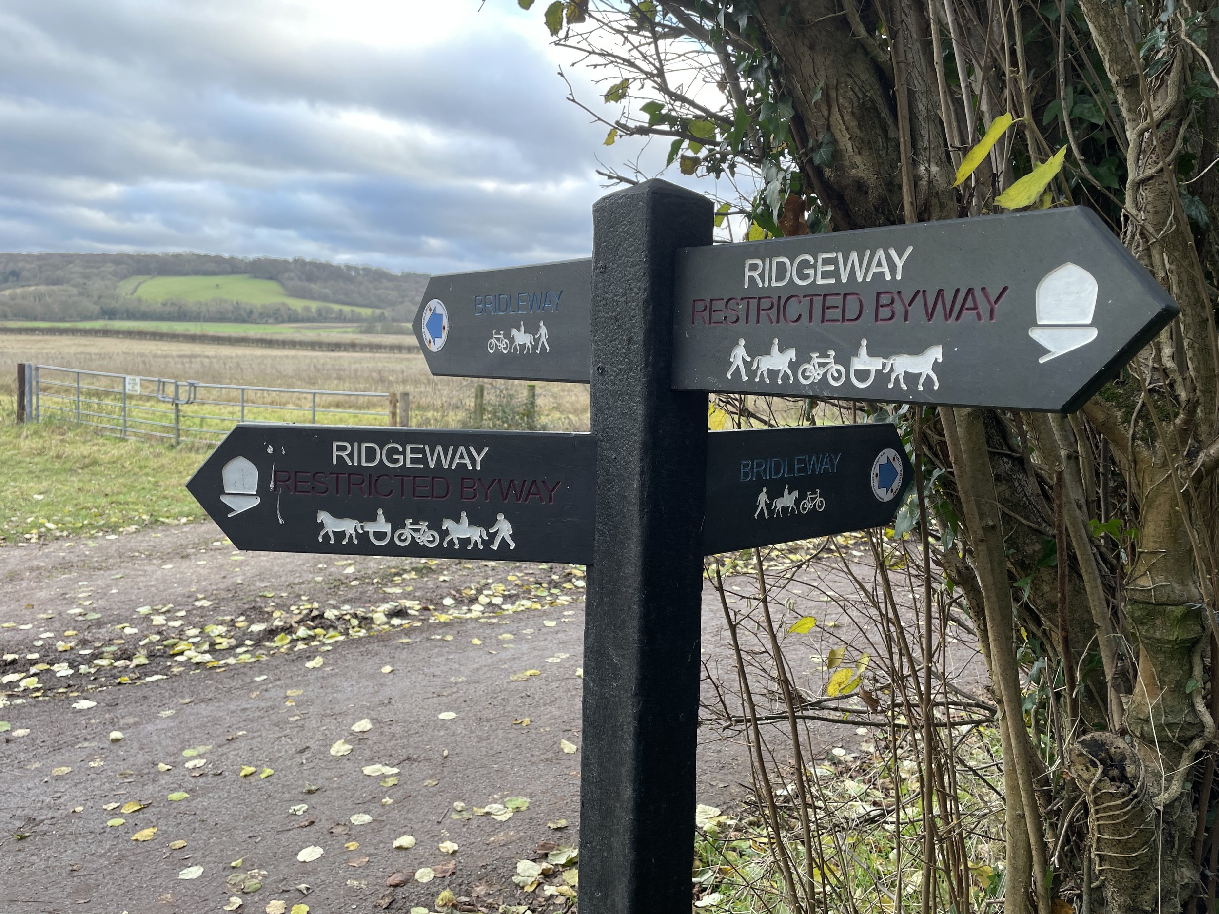
Other routes touched (walk): Hangers Way, The Shipwrights Way, South Downs Way
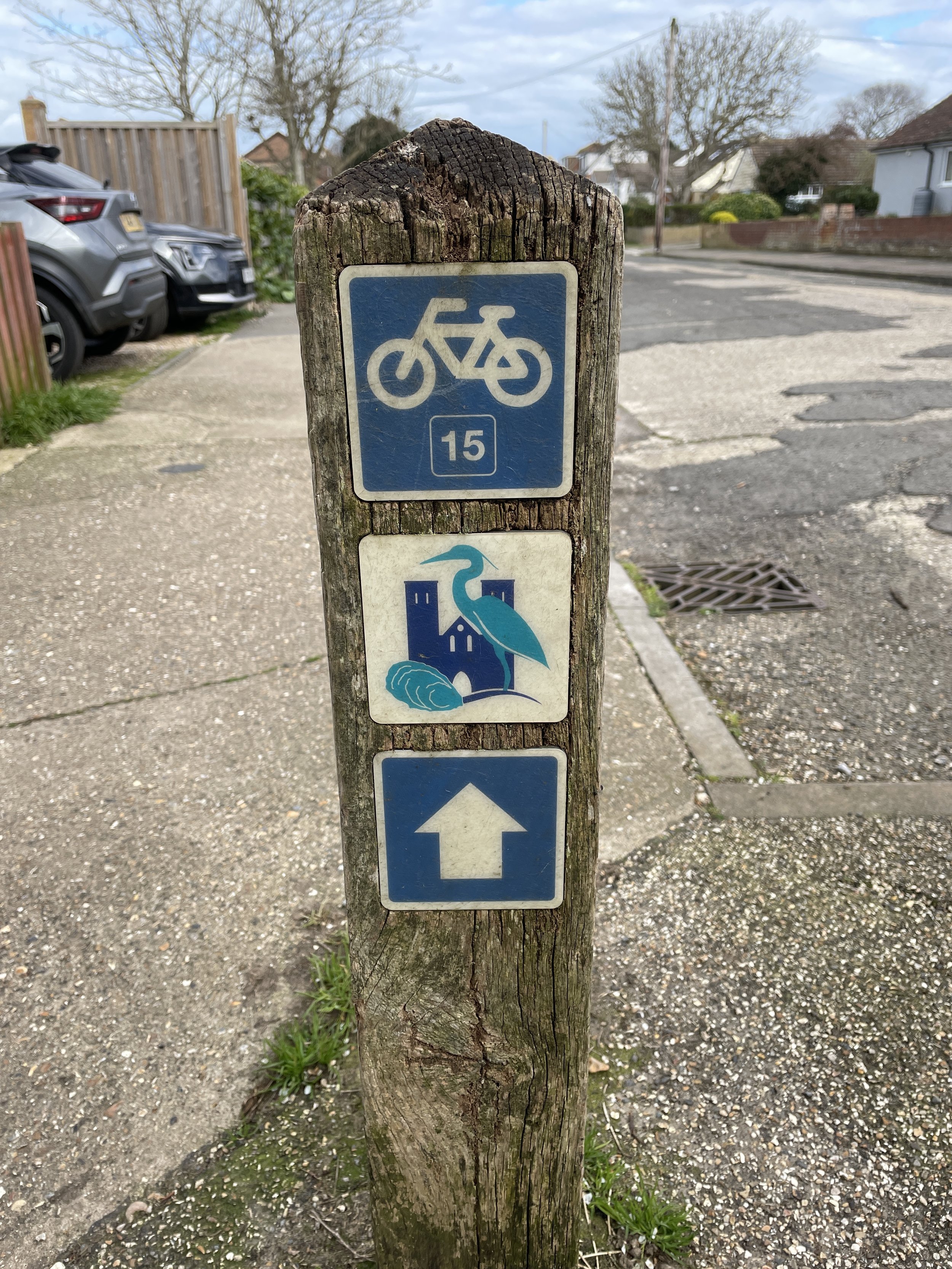
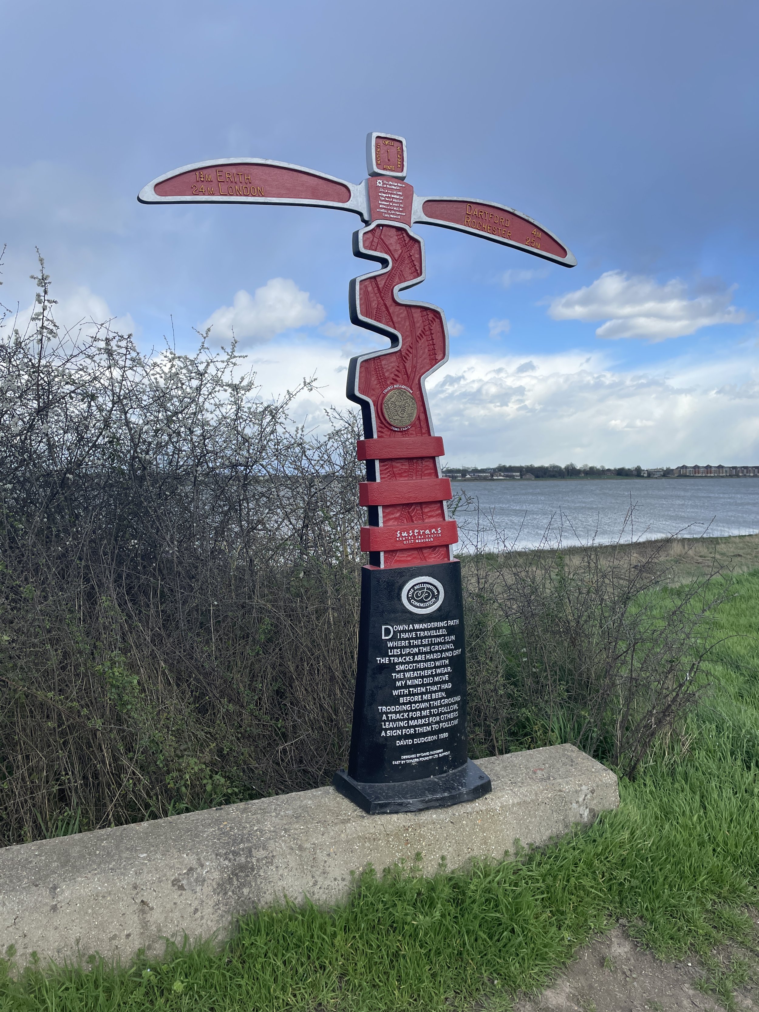
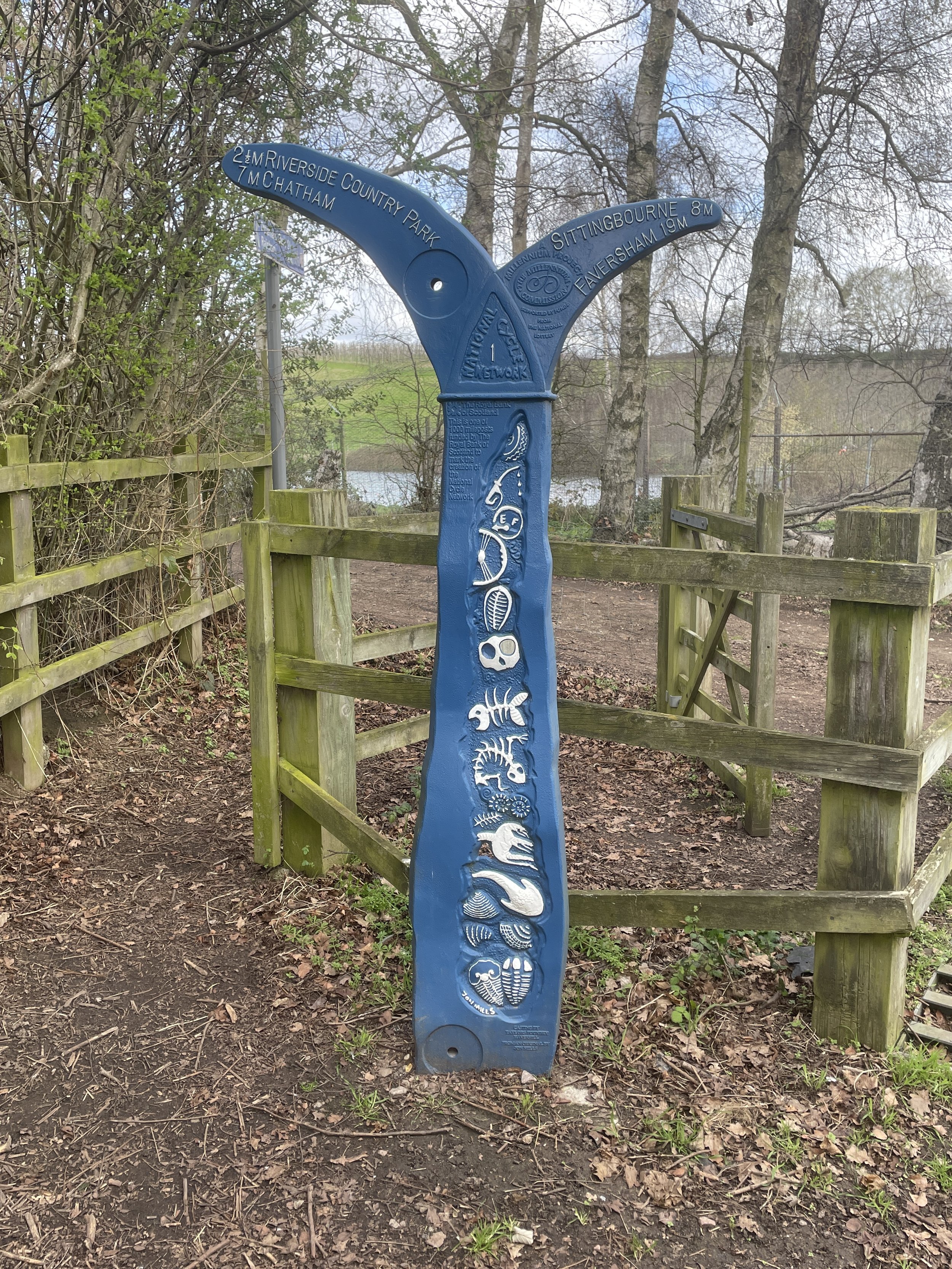
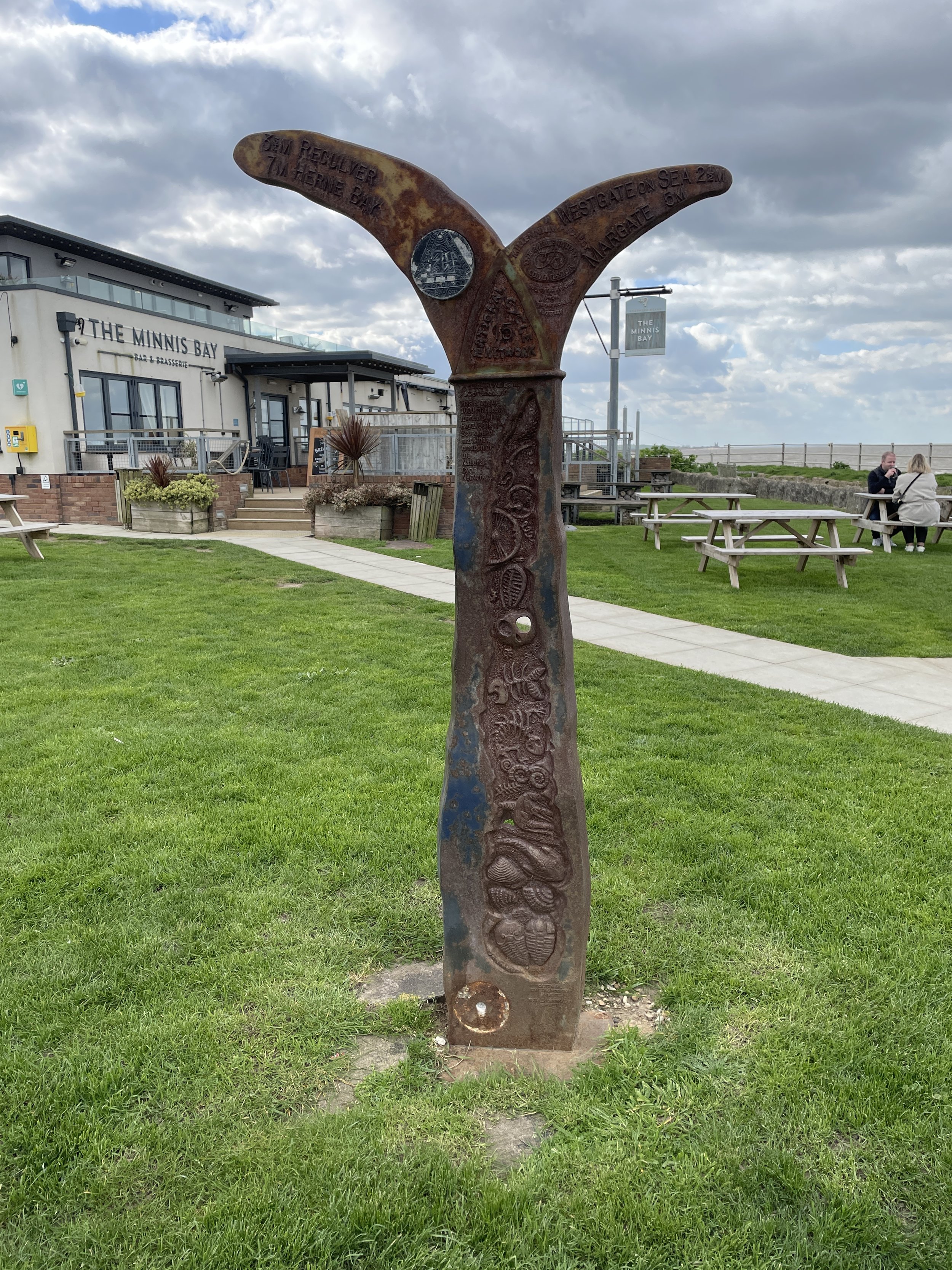
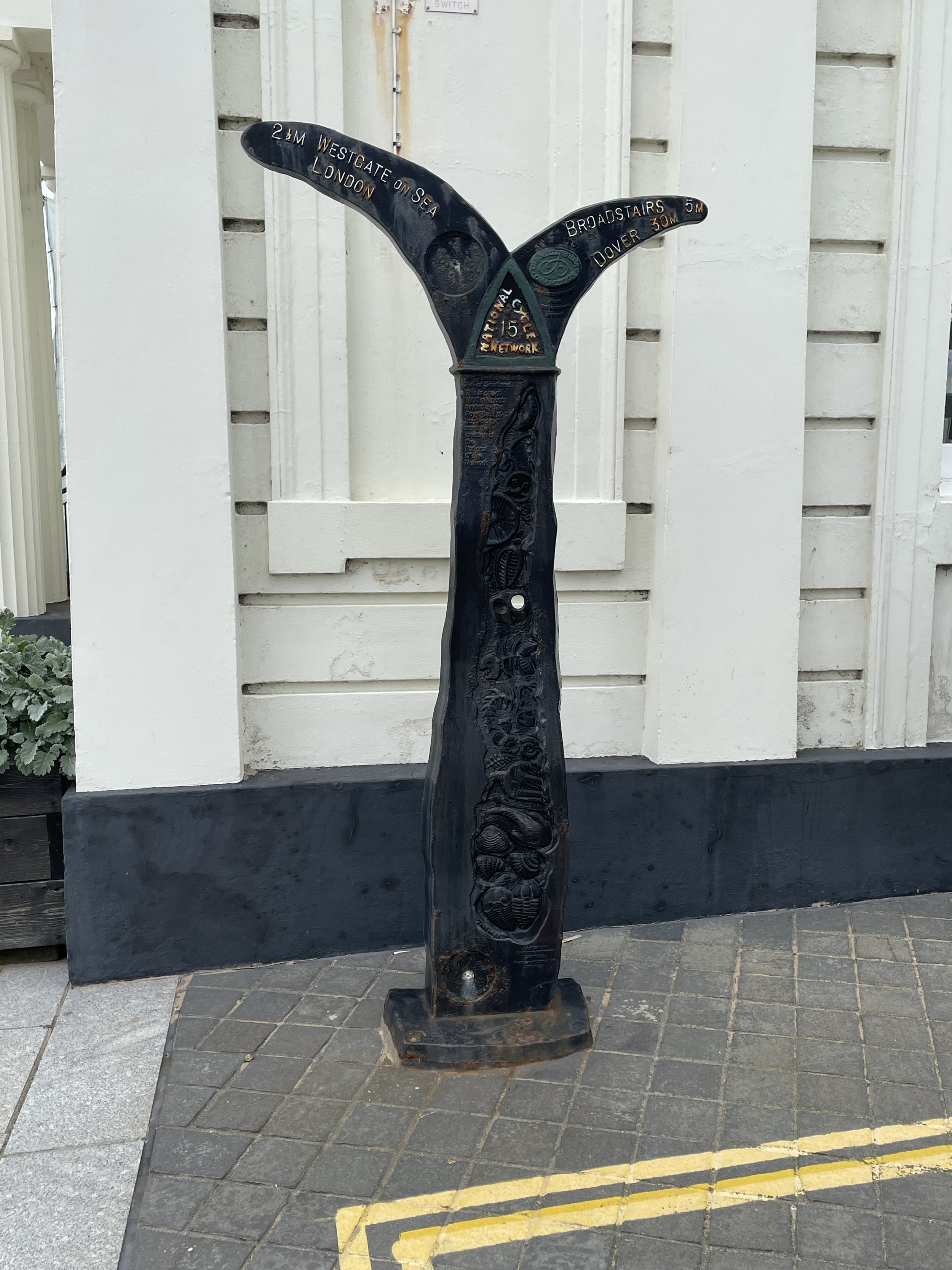
Other routes touched (cycle): NCN 22, 224, East Hampshire Circular Cycle Route
Maps:
- Basingstoke, Alton and Whitchurch: Sheet 144 (OS Explorer Map)
- Haslemere & Petersfield Map | Midhurst & Selborne | Ordnance Survey | OS Explorer Map OL33
- Chichester Map | South Harting & Selsey | Ordnance Survey | OS Explorer Map OL08
Finish time
: 7 hours 57 minutes
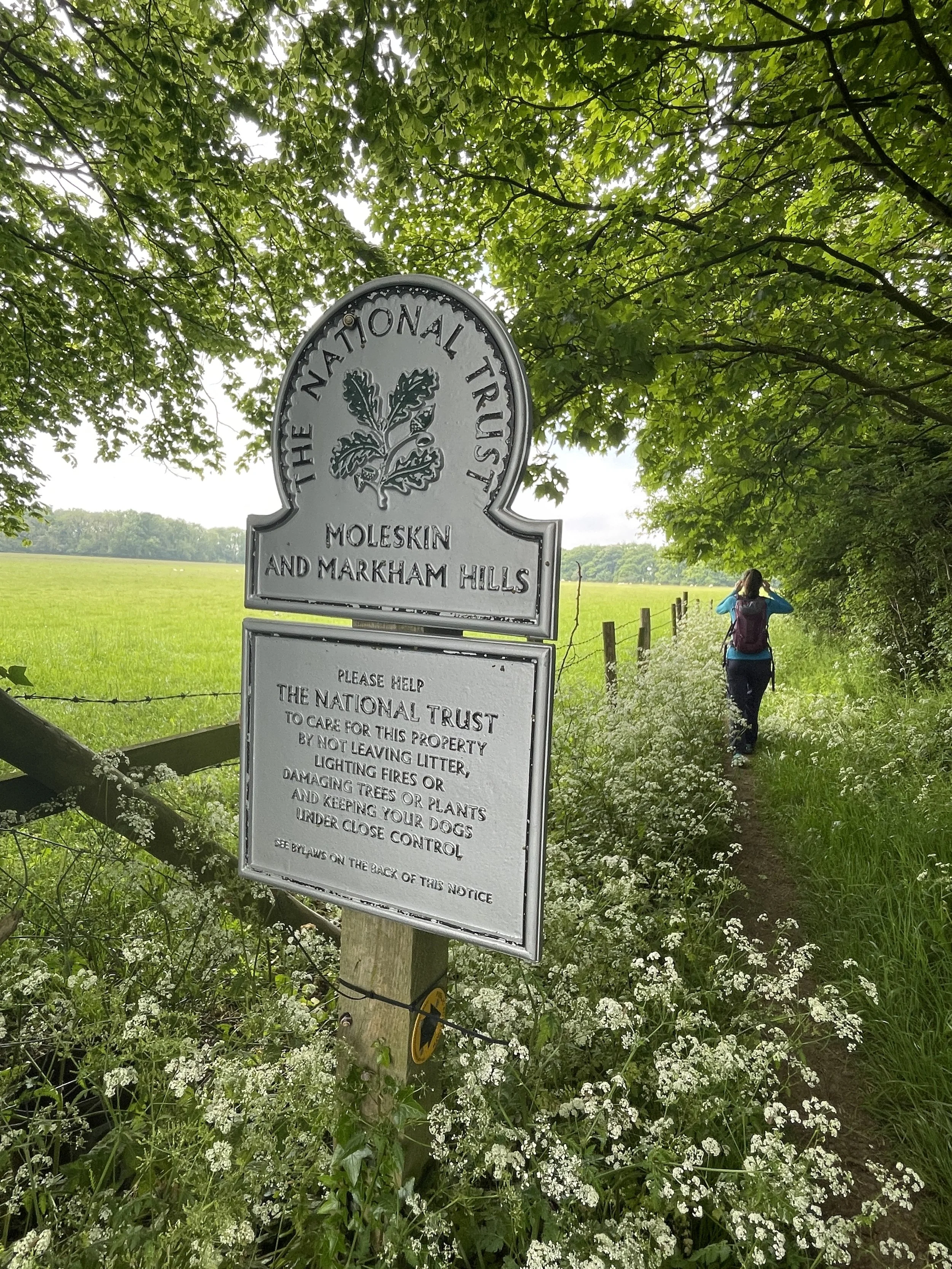
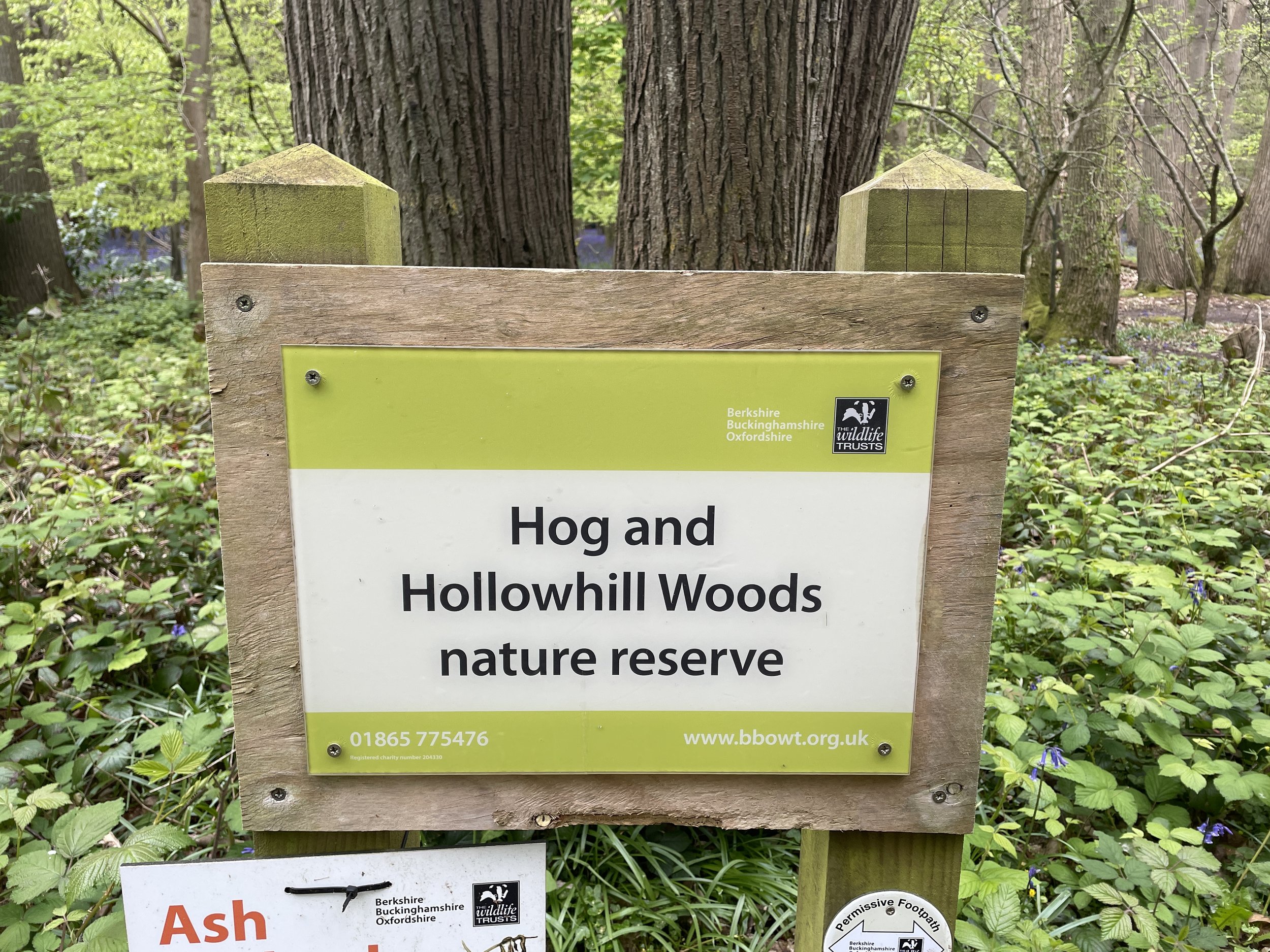
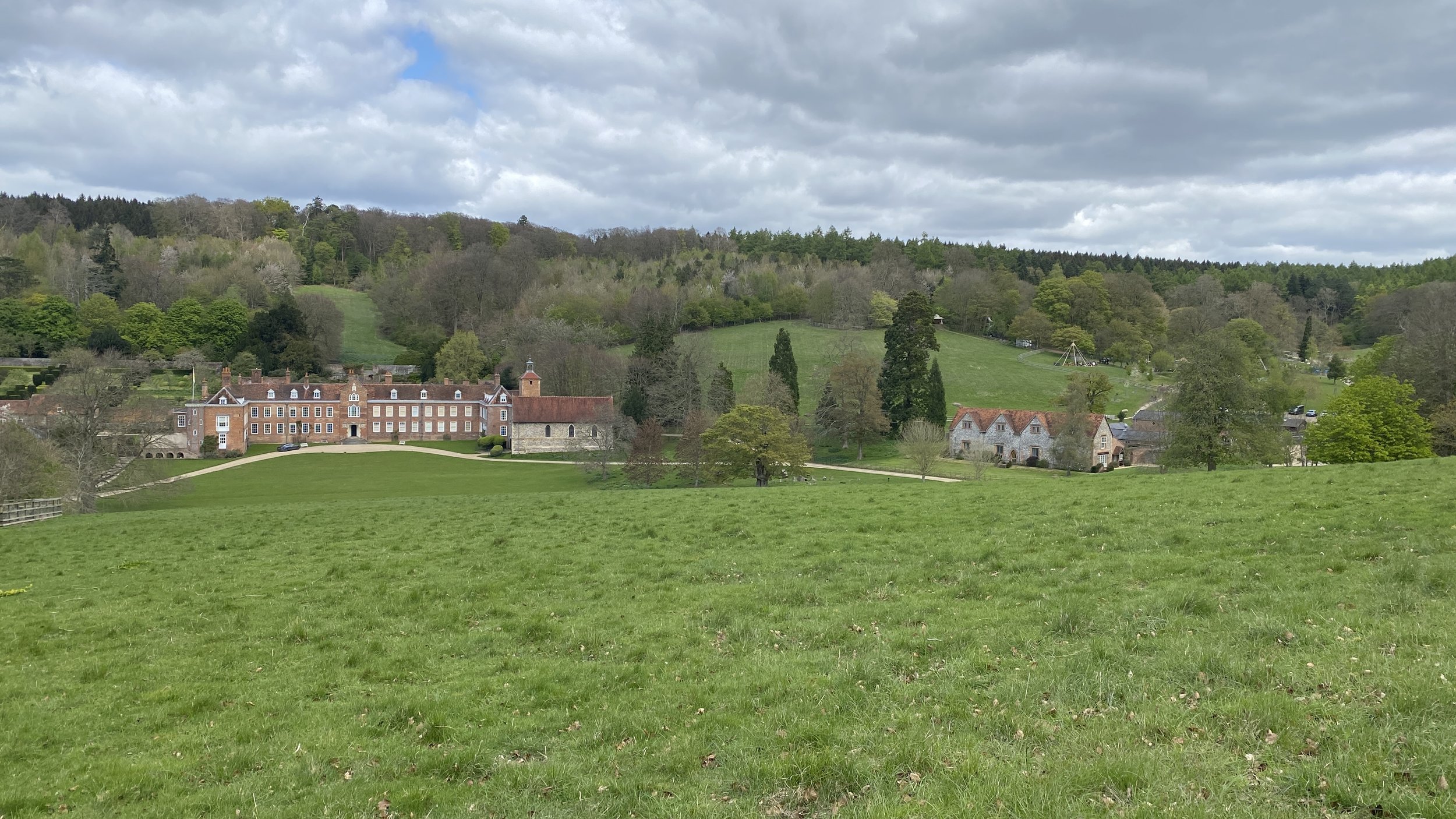
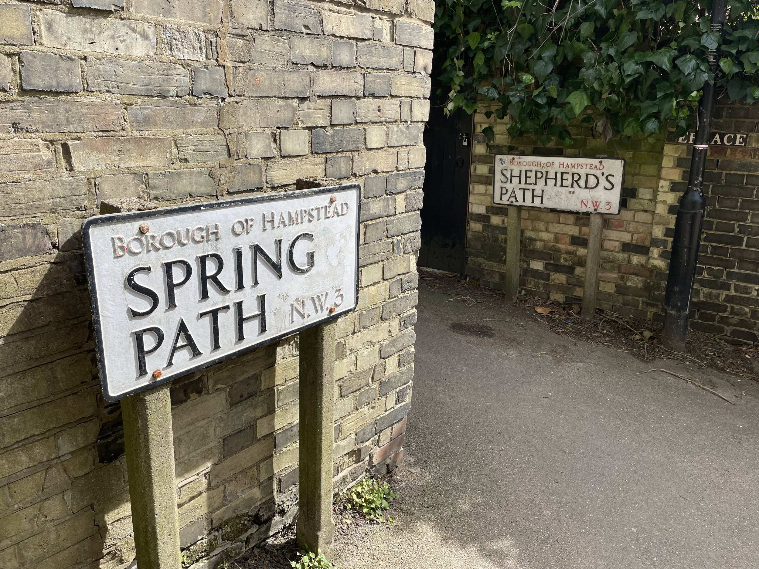
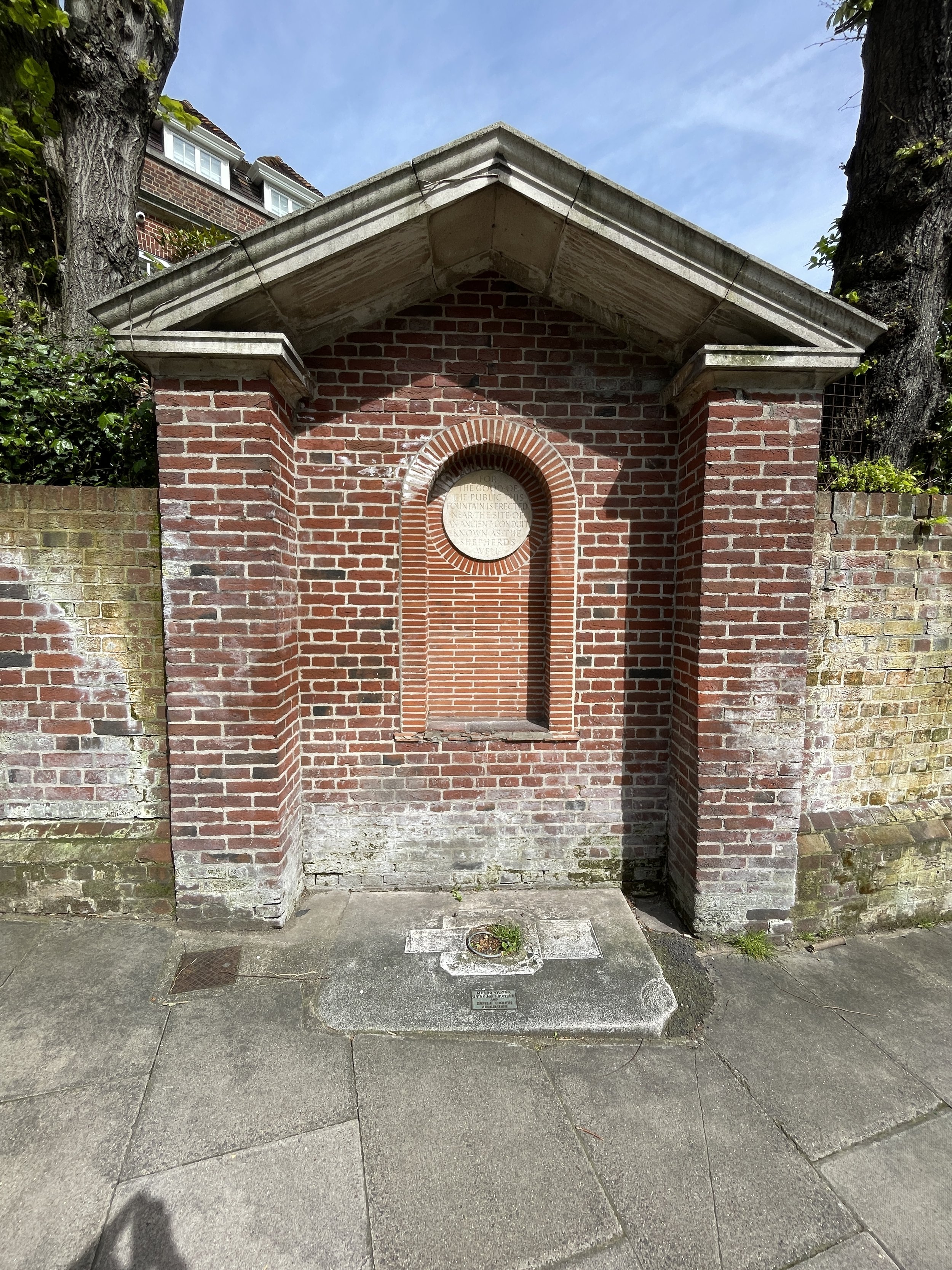
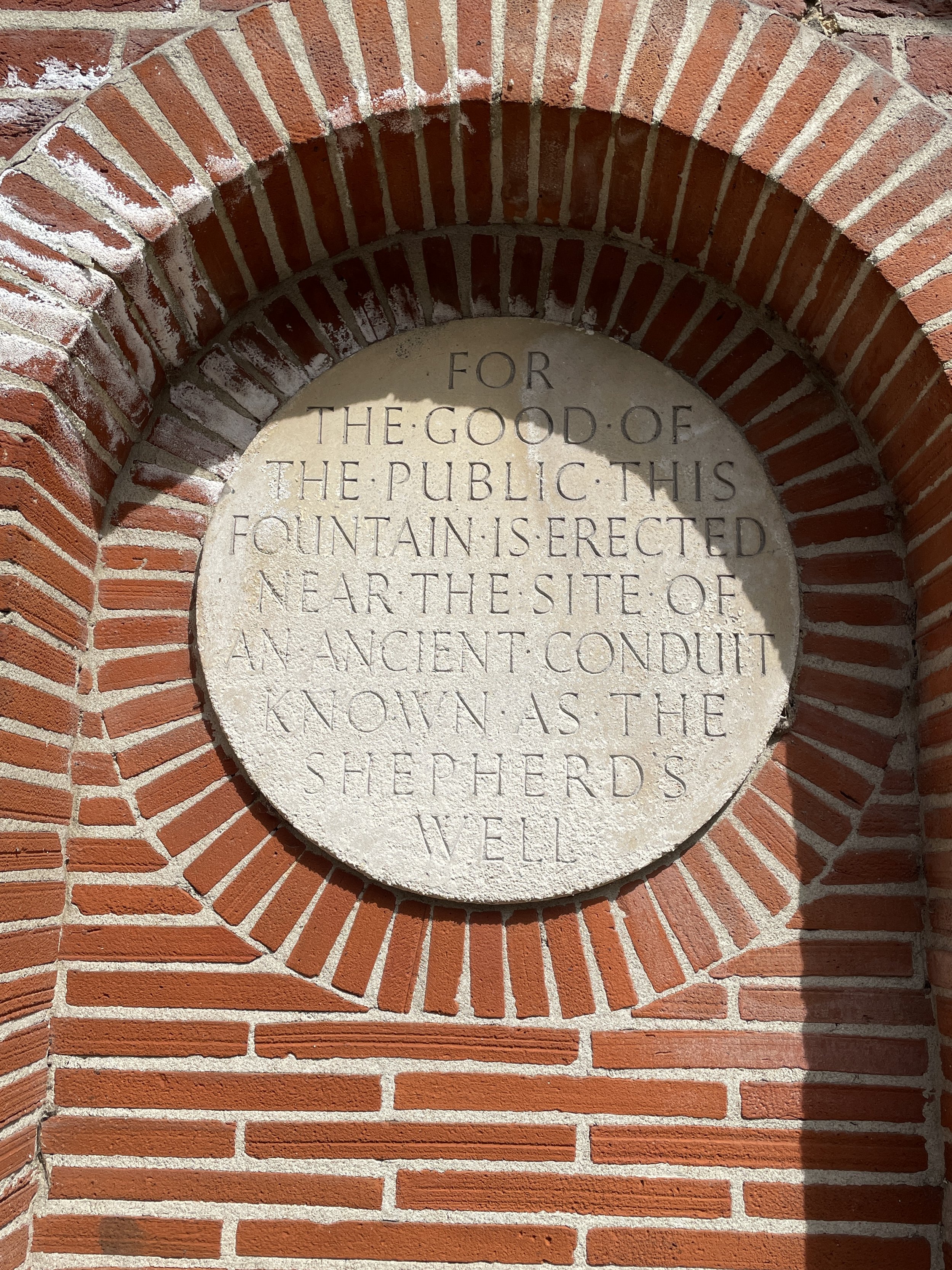
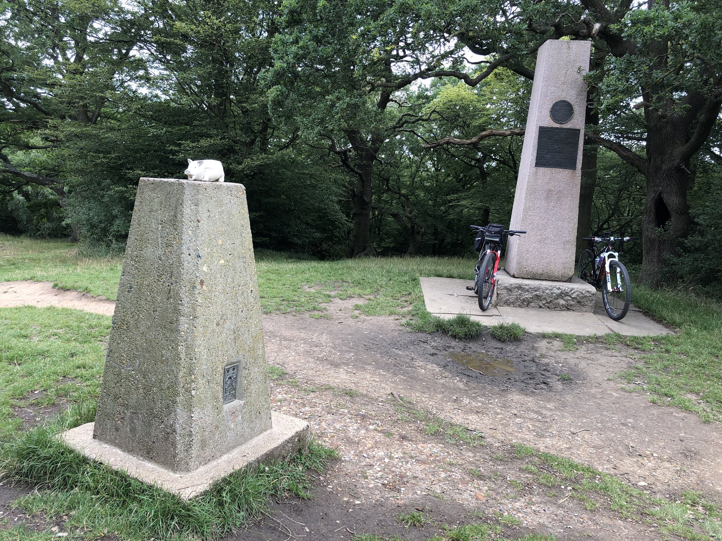
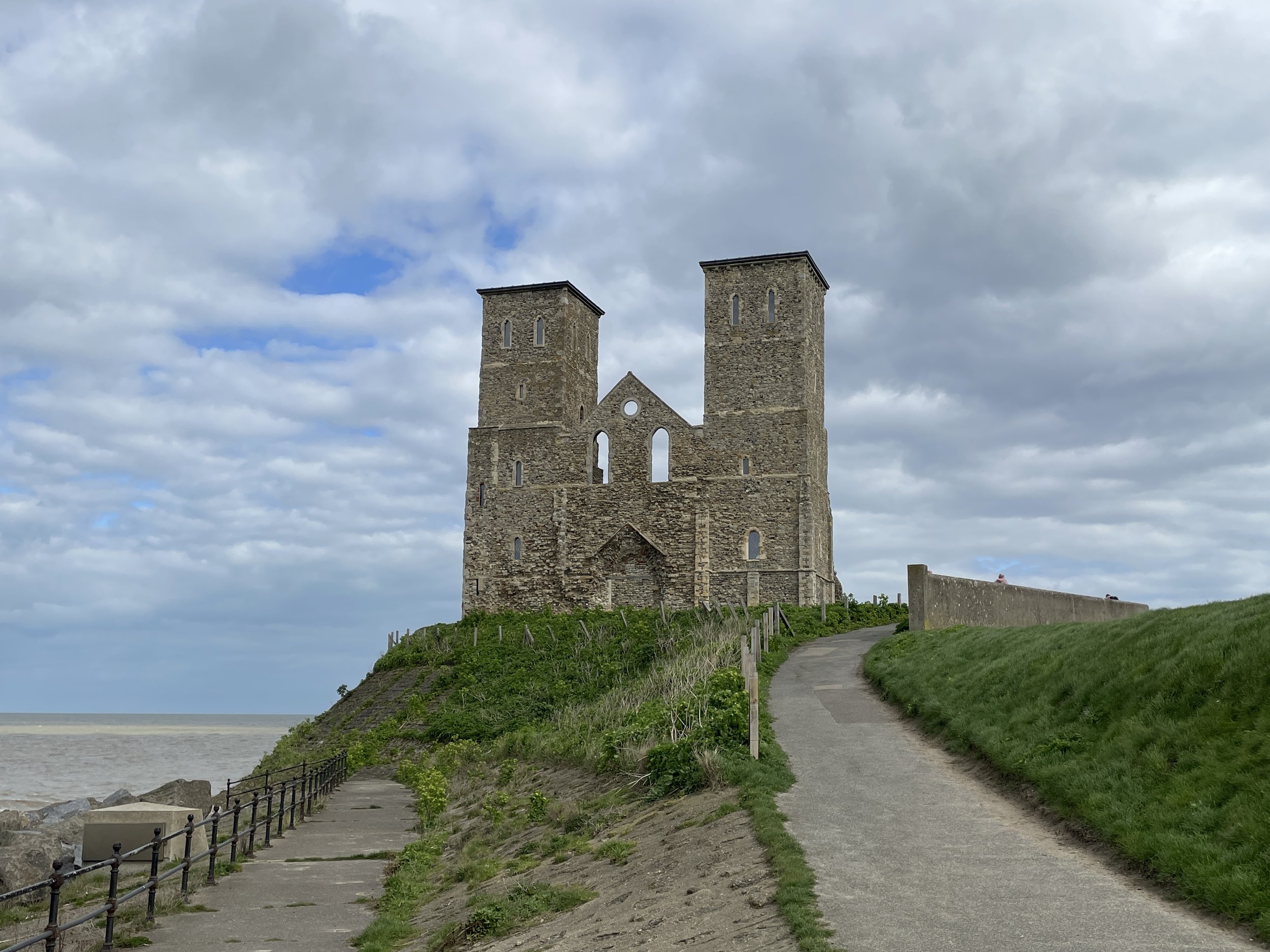
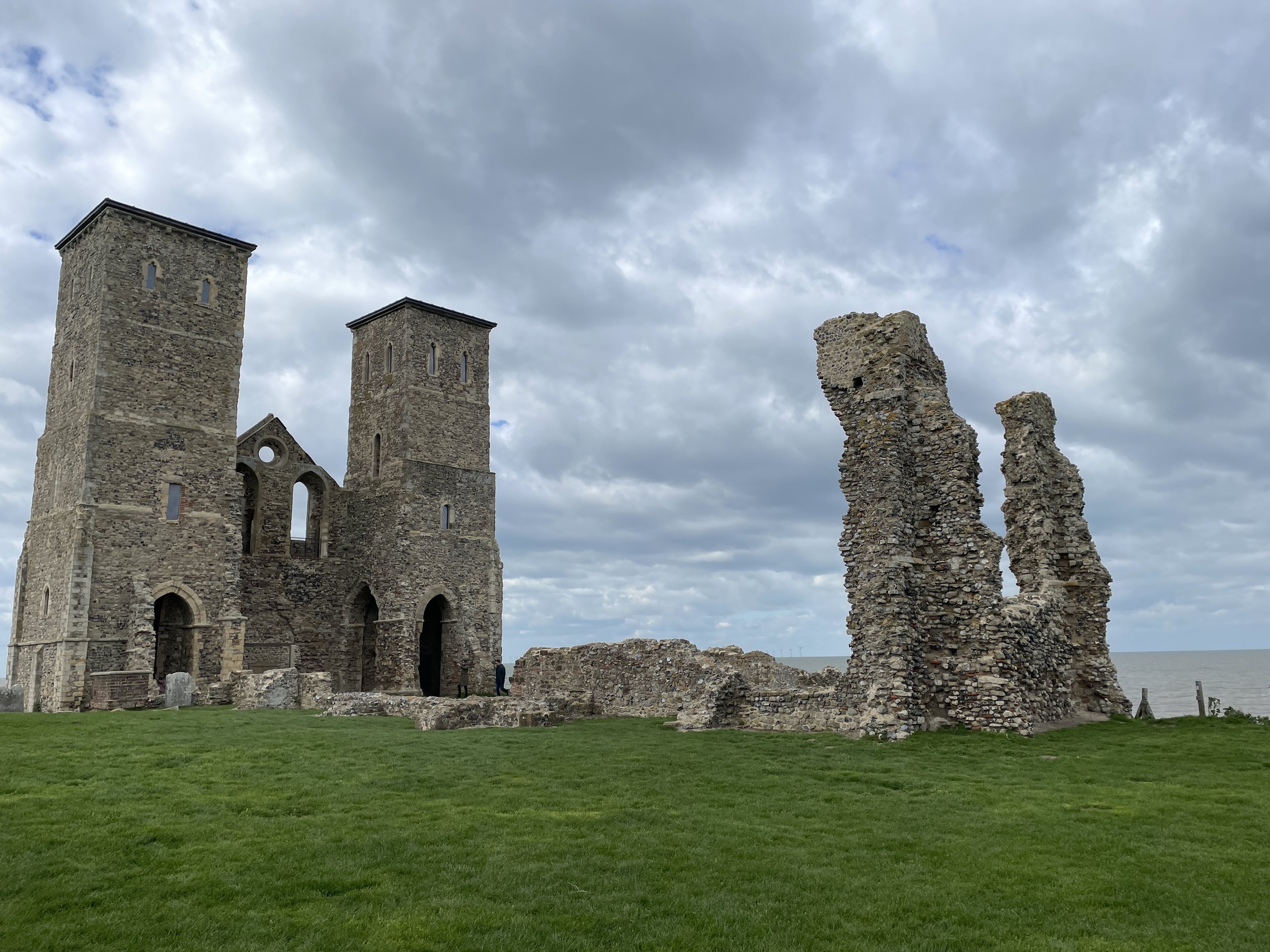
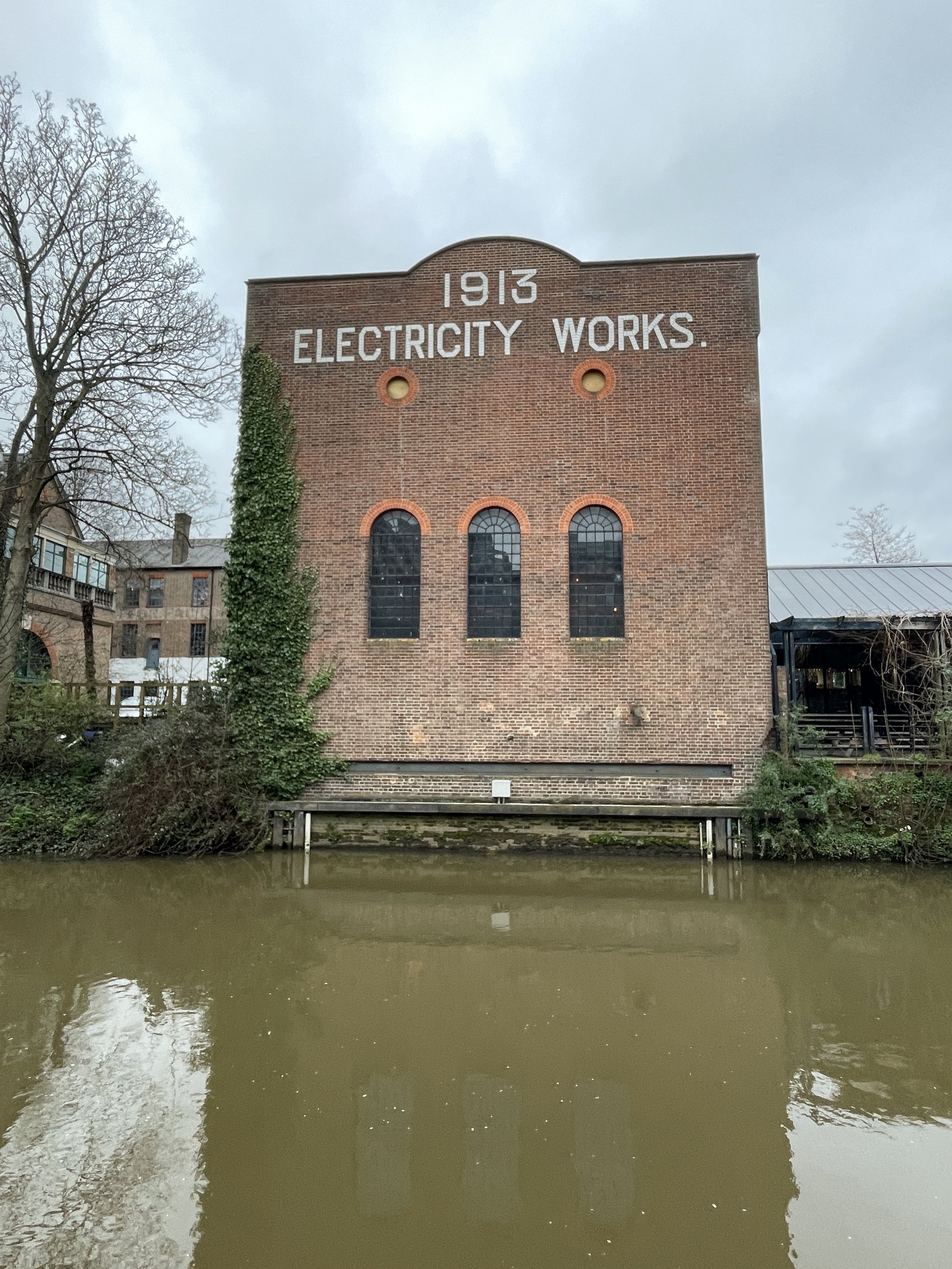
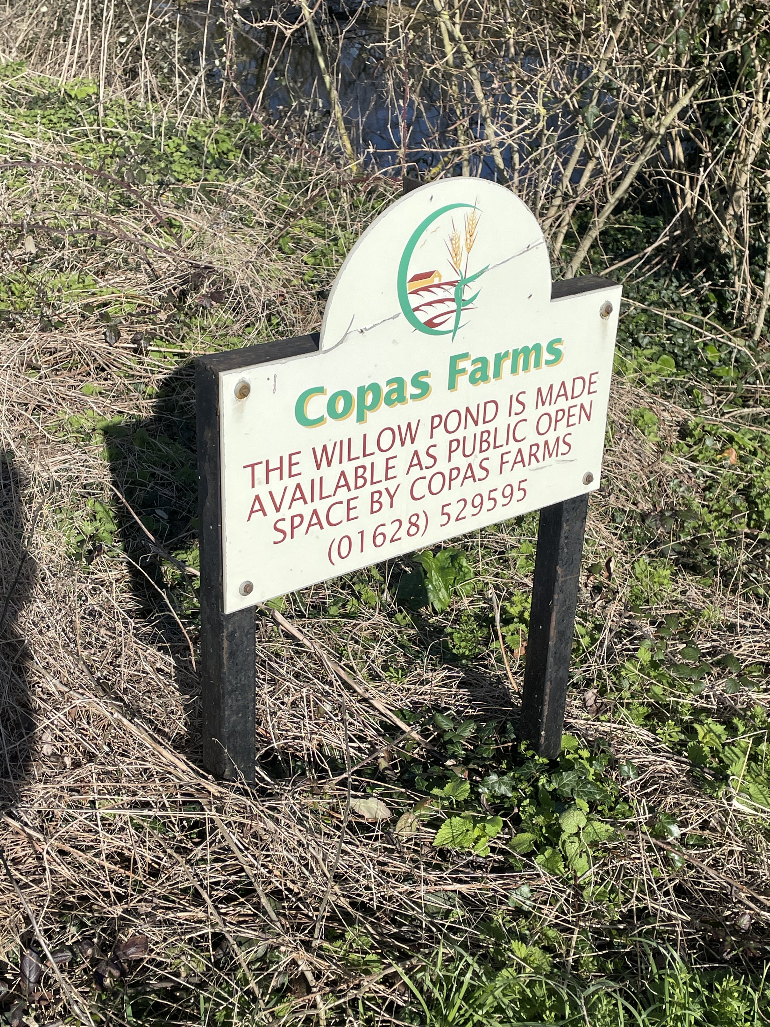
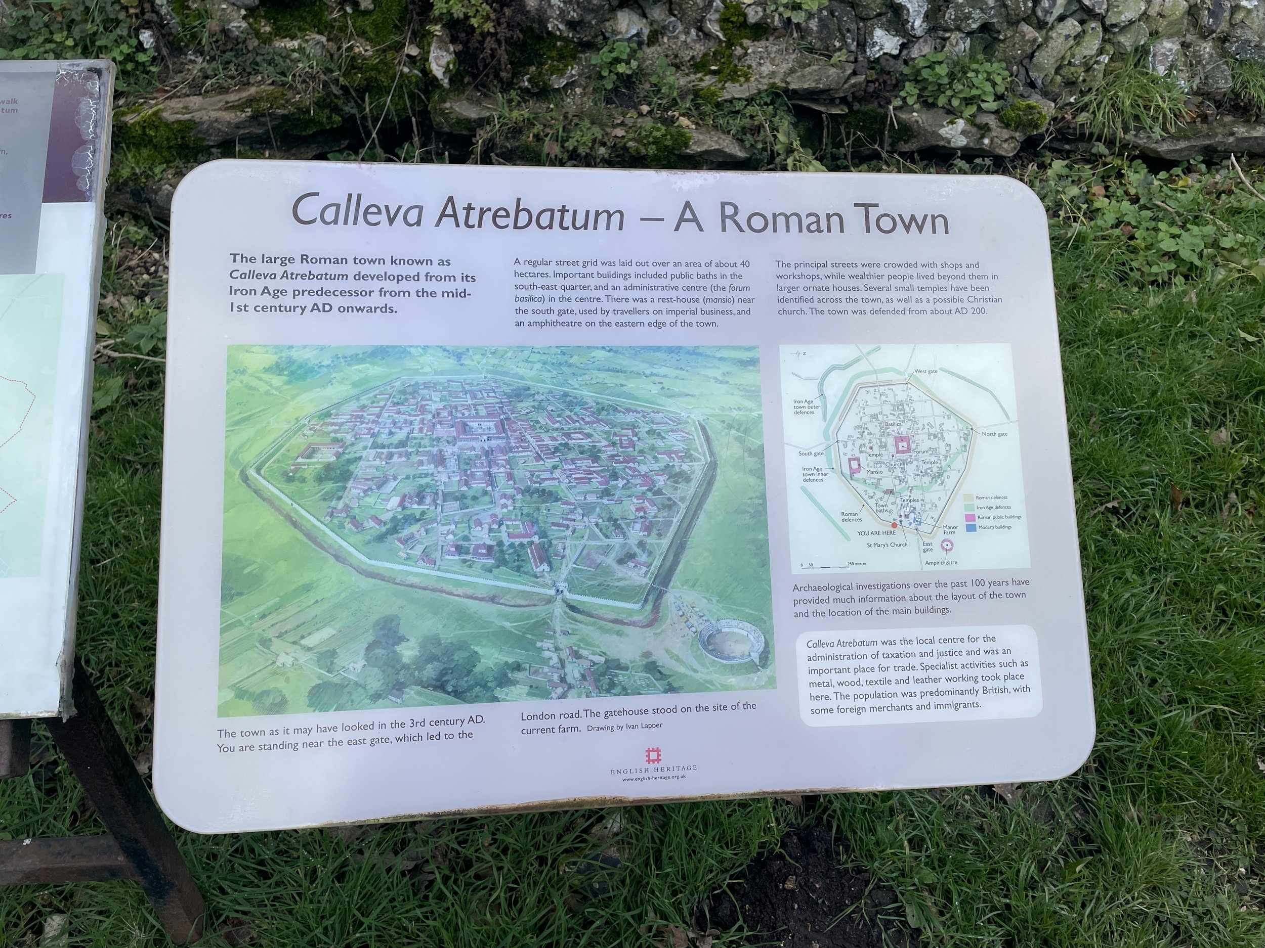
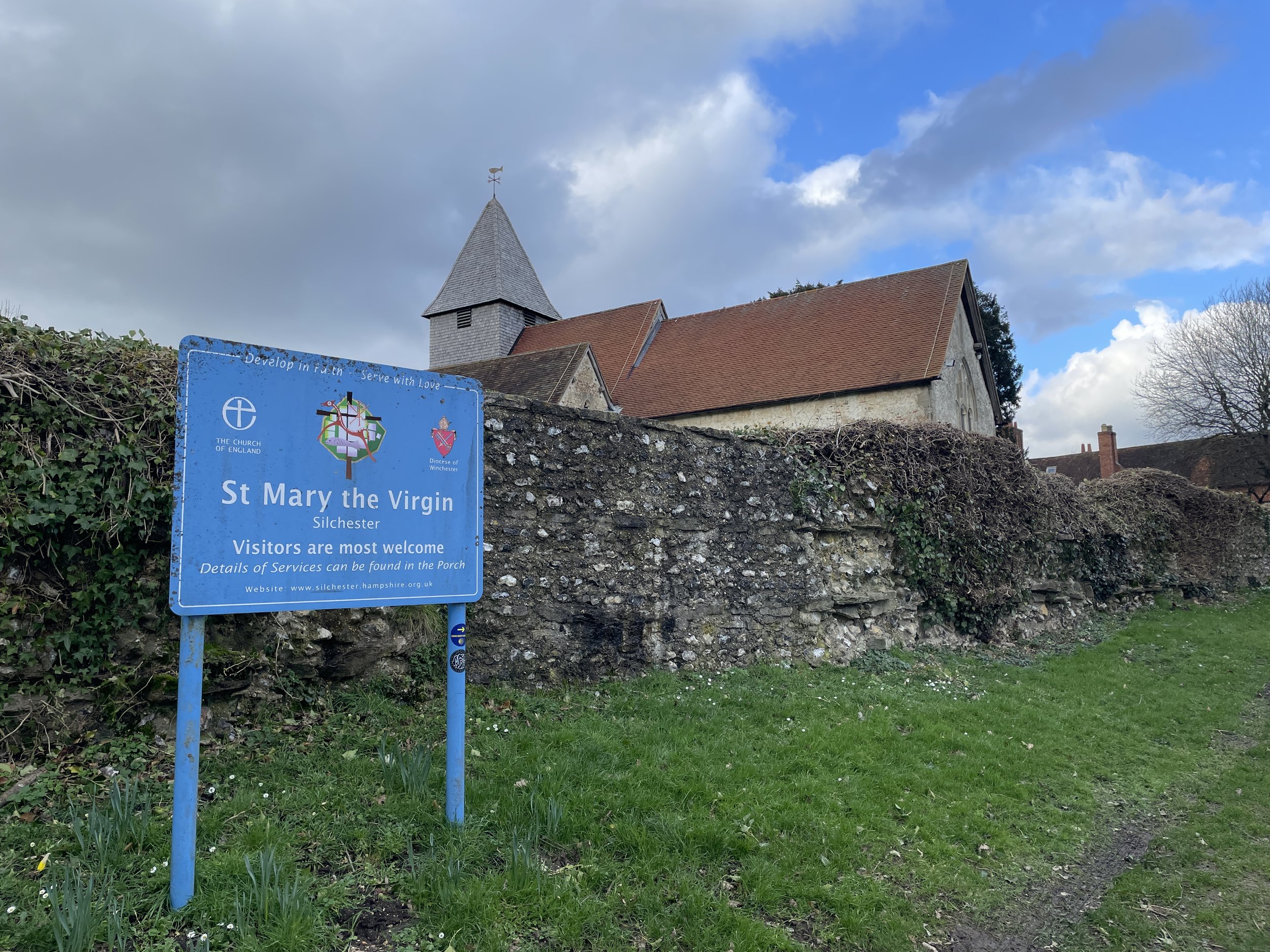
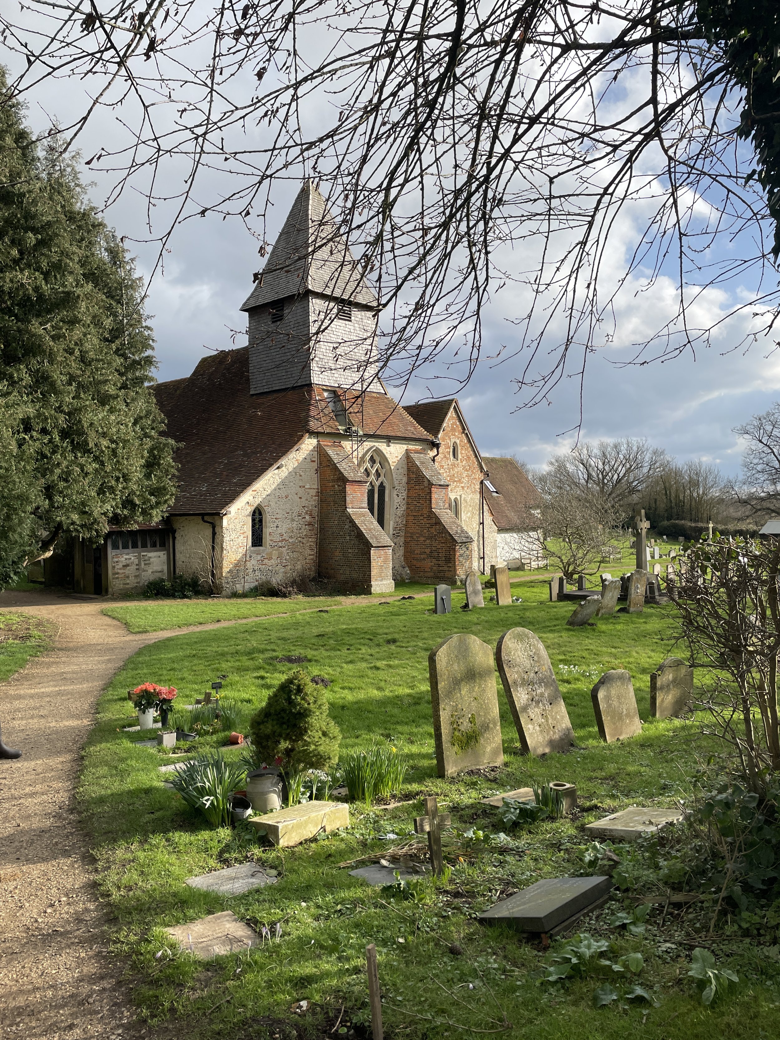
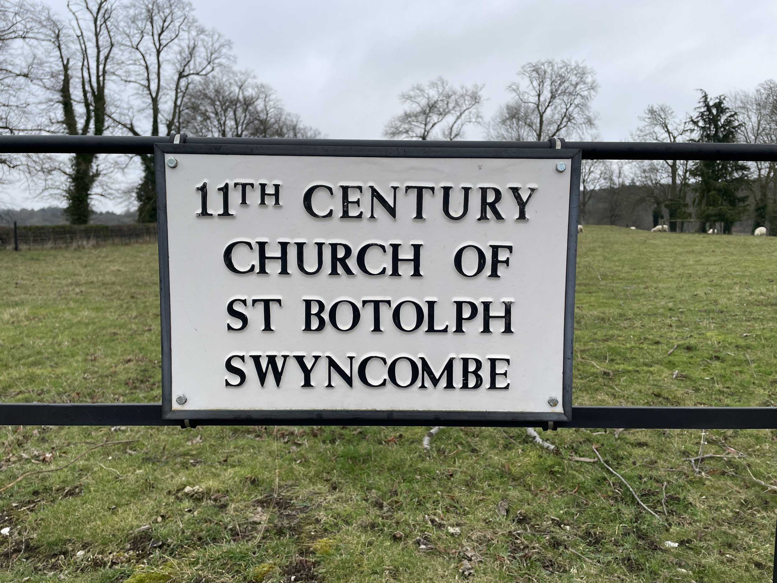
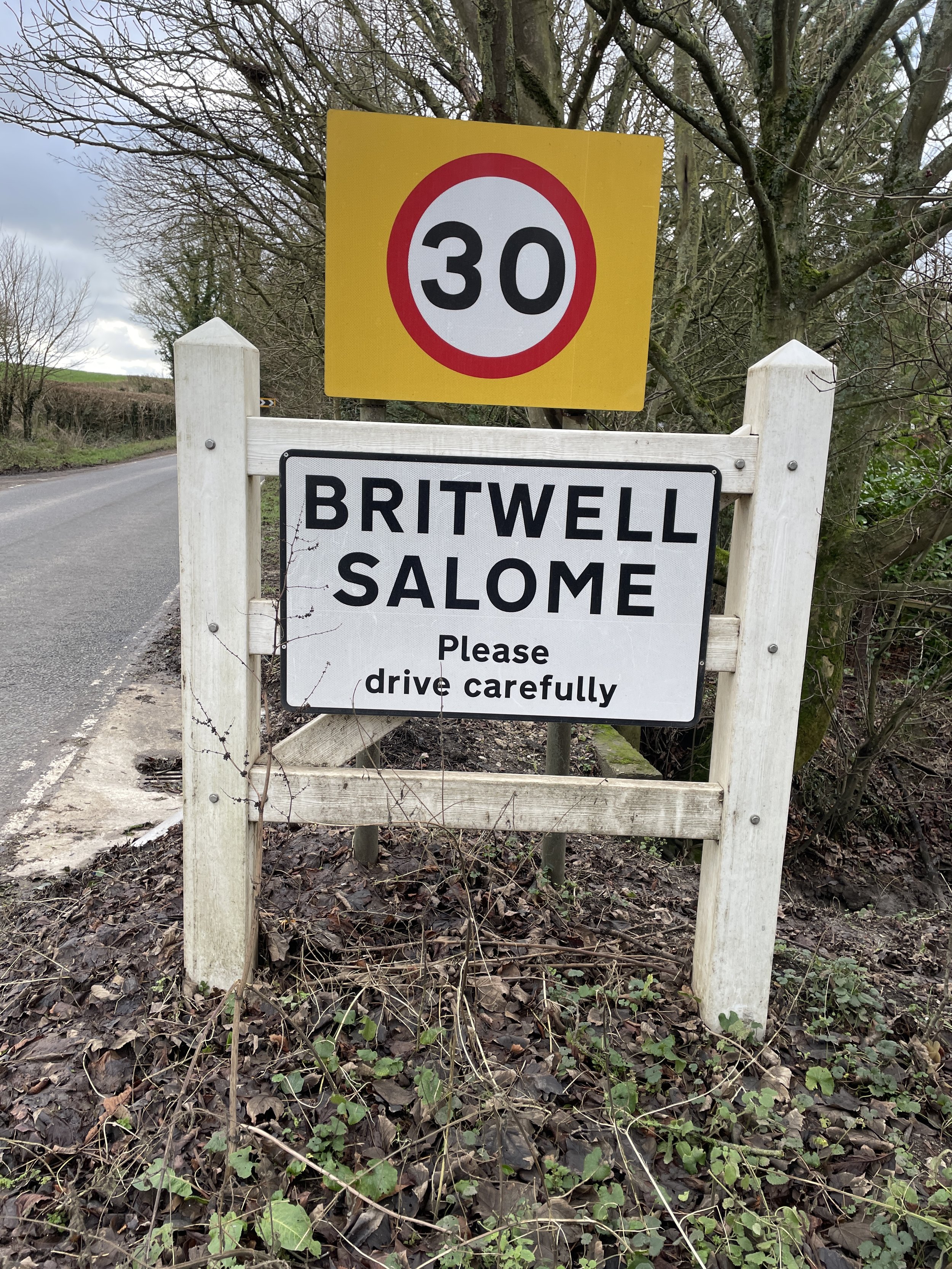
Links: Hangers Way (LDWA), Alice Holt Country Park, Selborne, Selbourne Common National Trust, Butser Hill, Queen Elizabeth Country Park


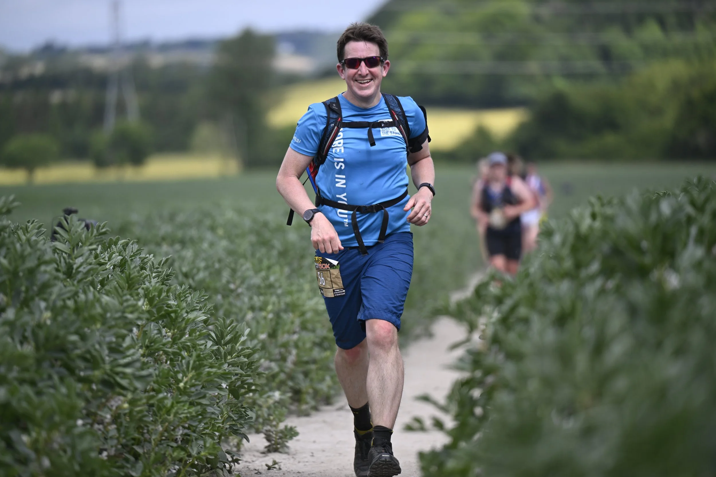
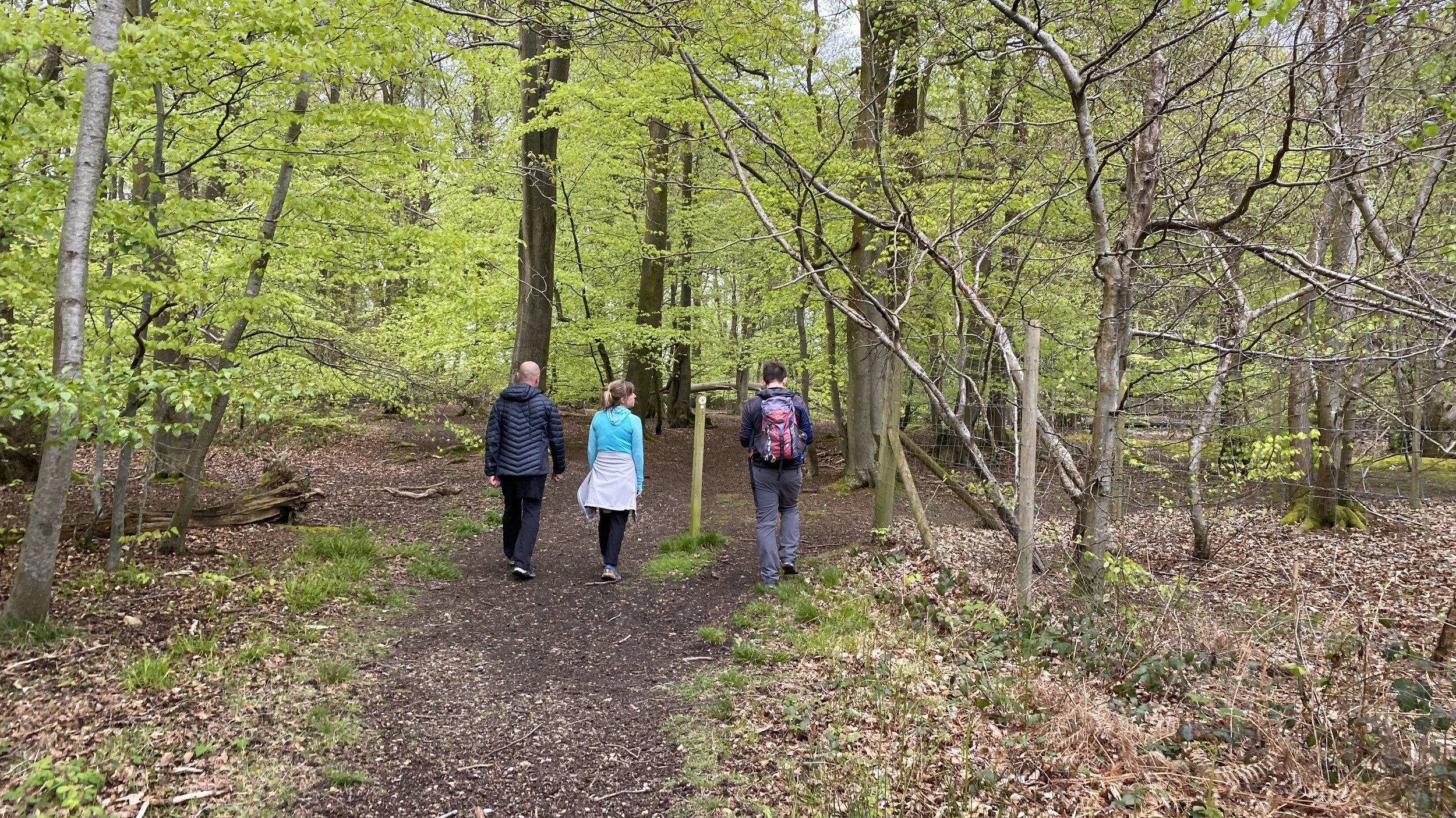
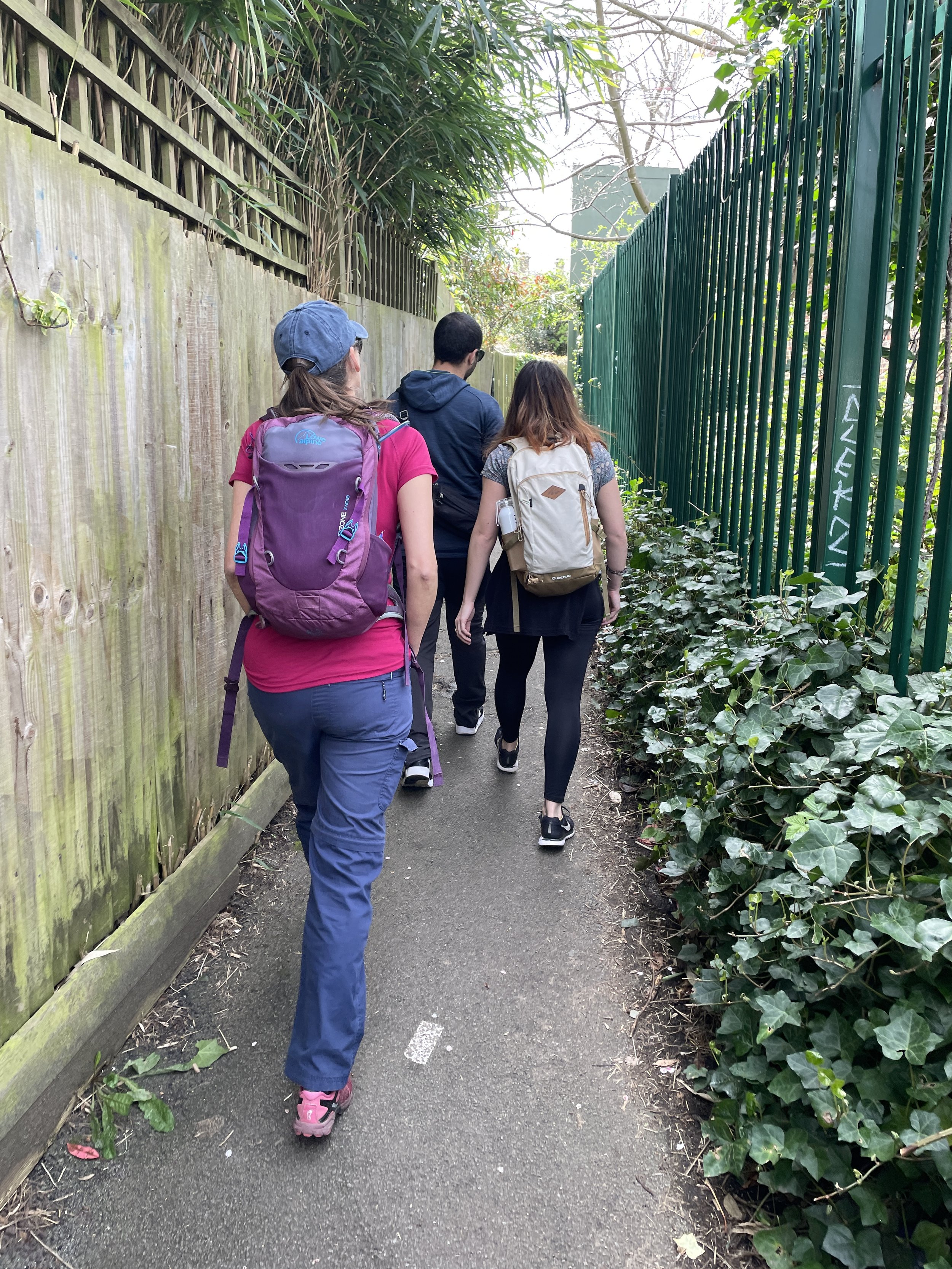
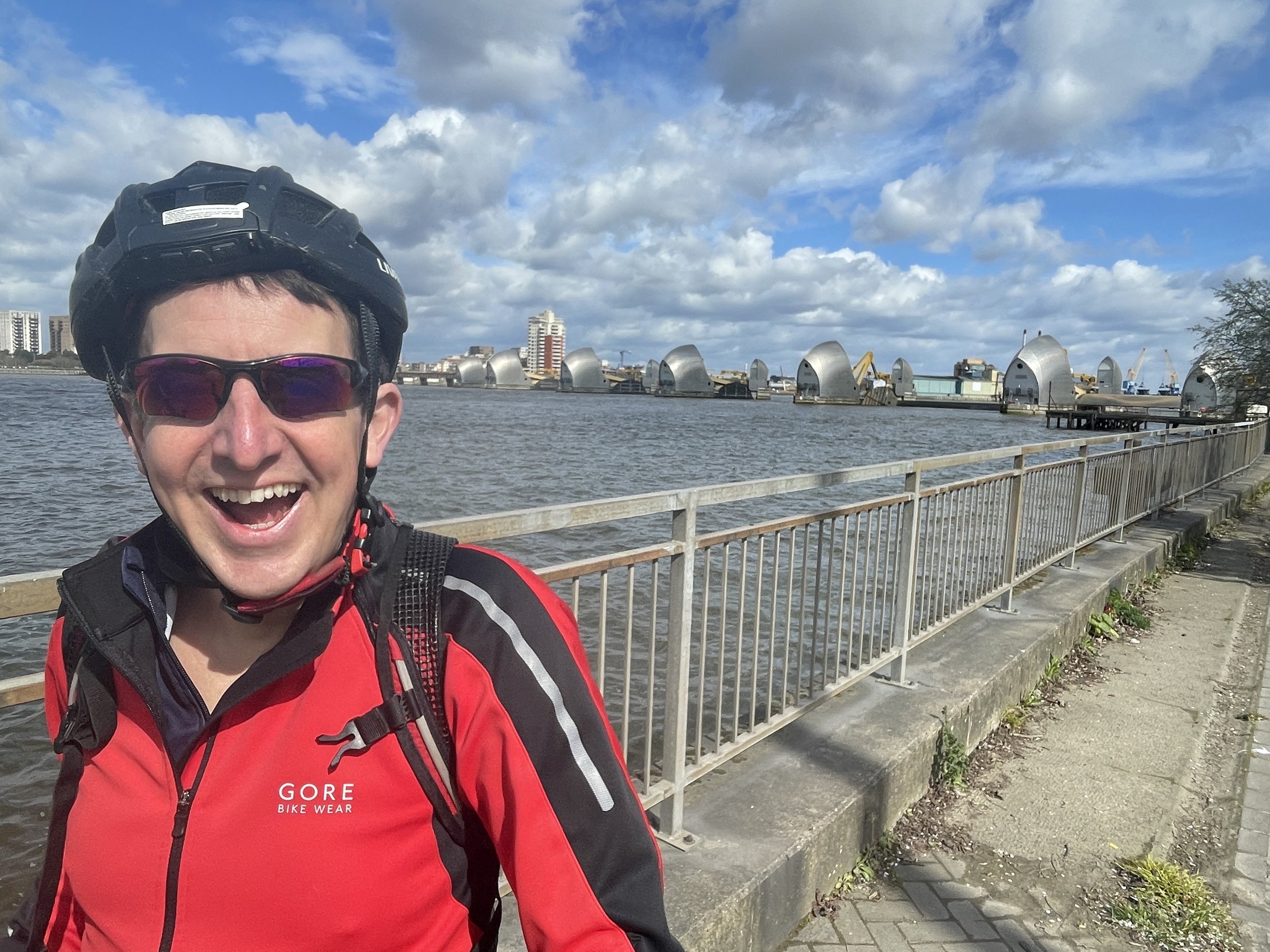
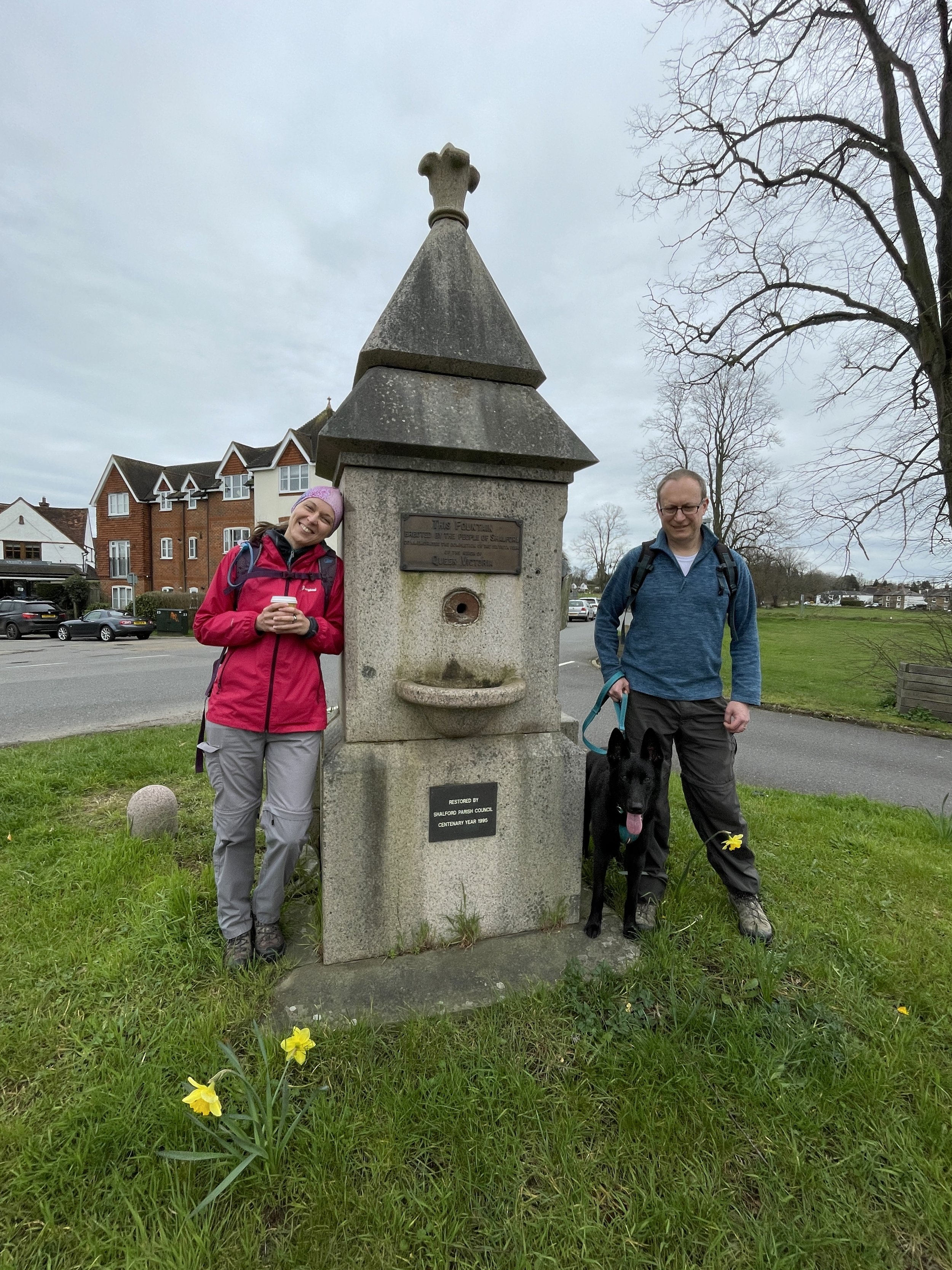
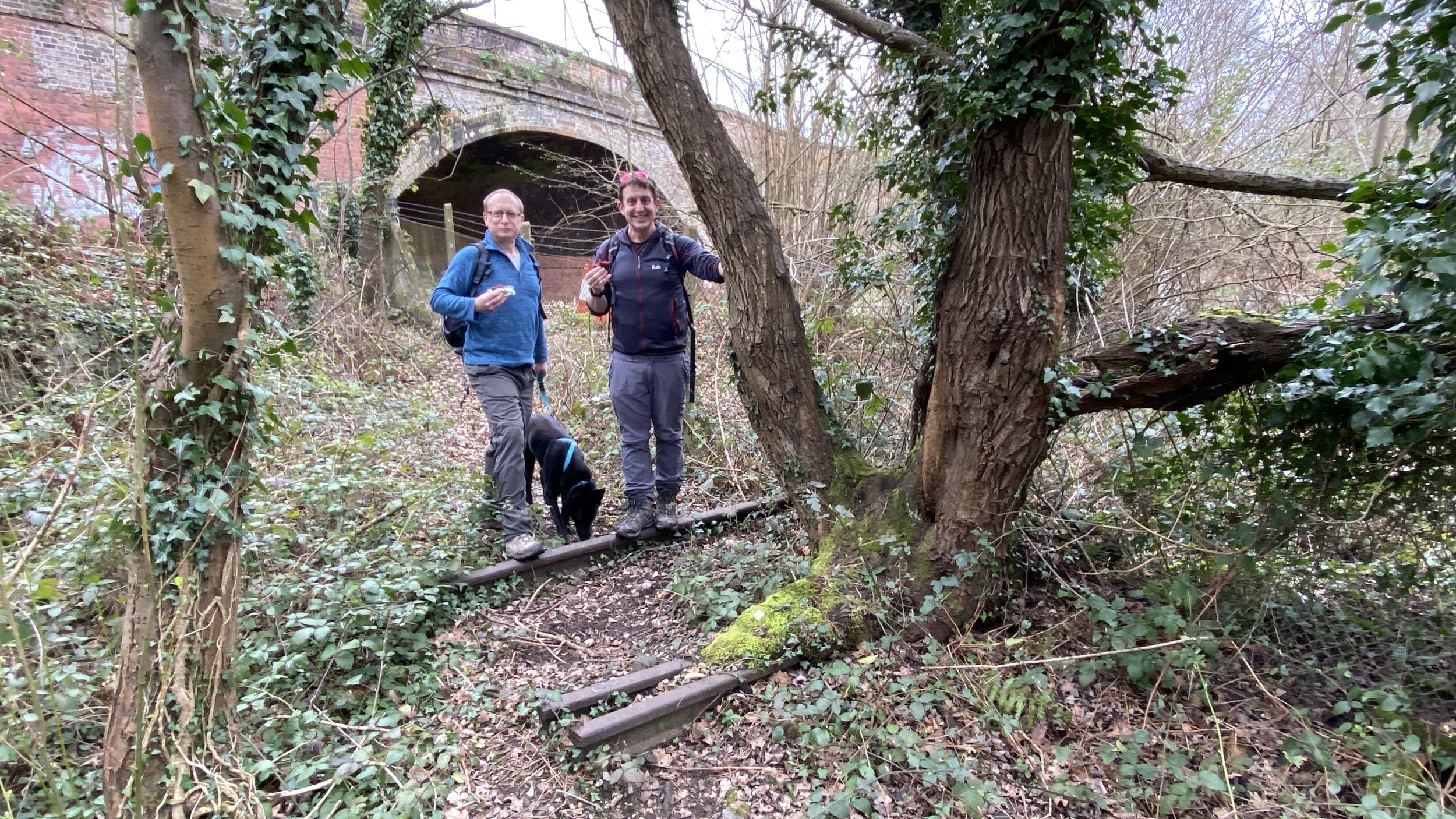
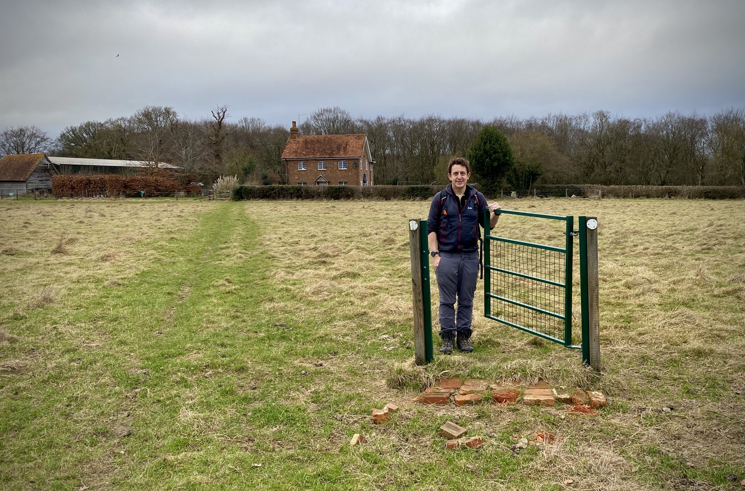
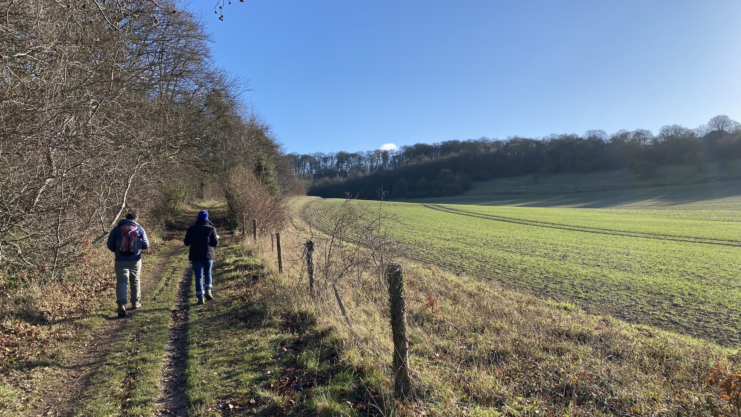
This was my 13th Ultra, my 4th with my friend Mark and my 1st with my sister Lisa. After doing last year’s Race The Sun on my own it was nice to be with a group on the same event, even if we all did it at our own pace.

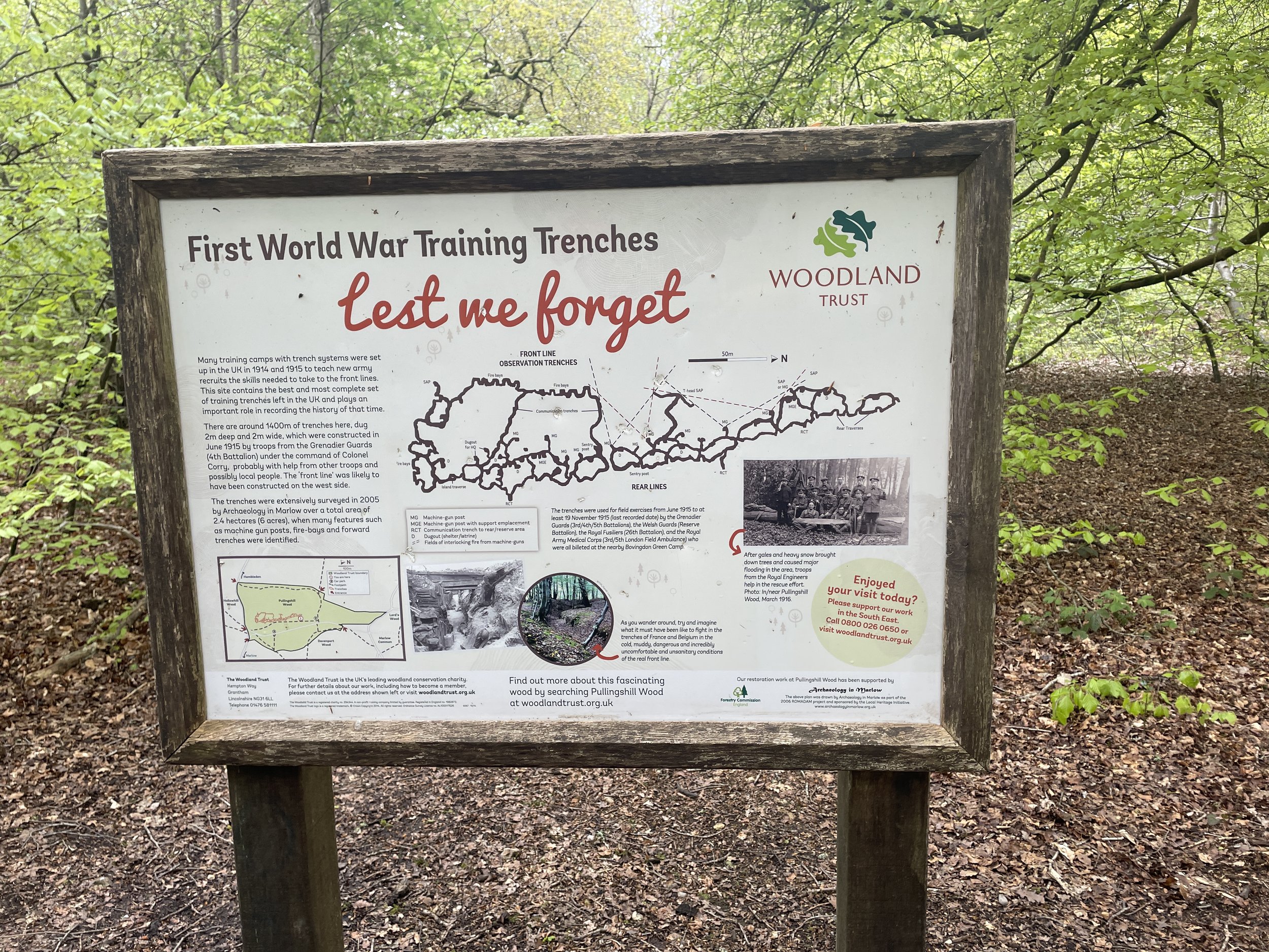
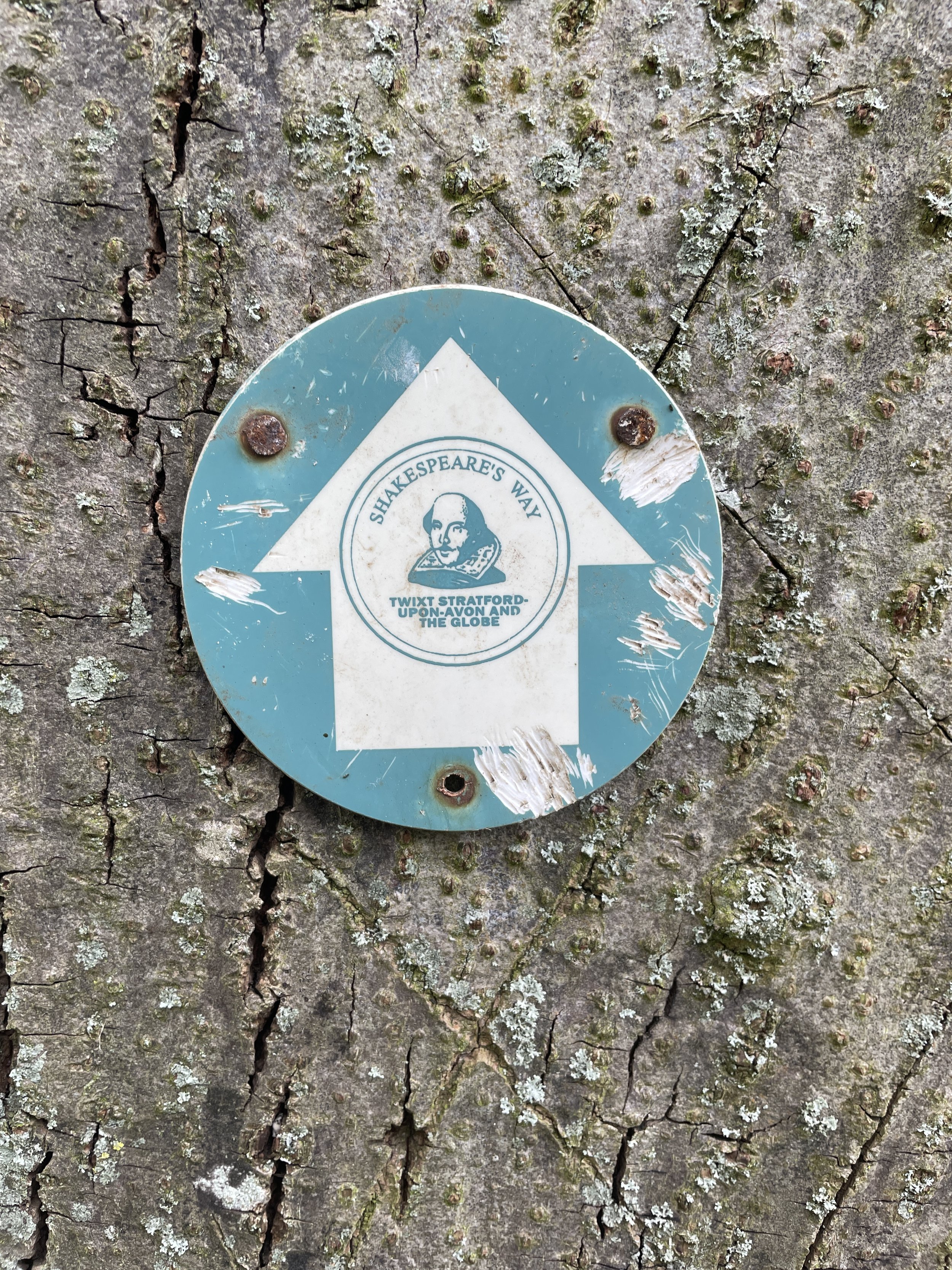
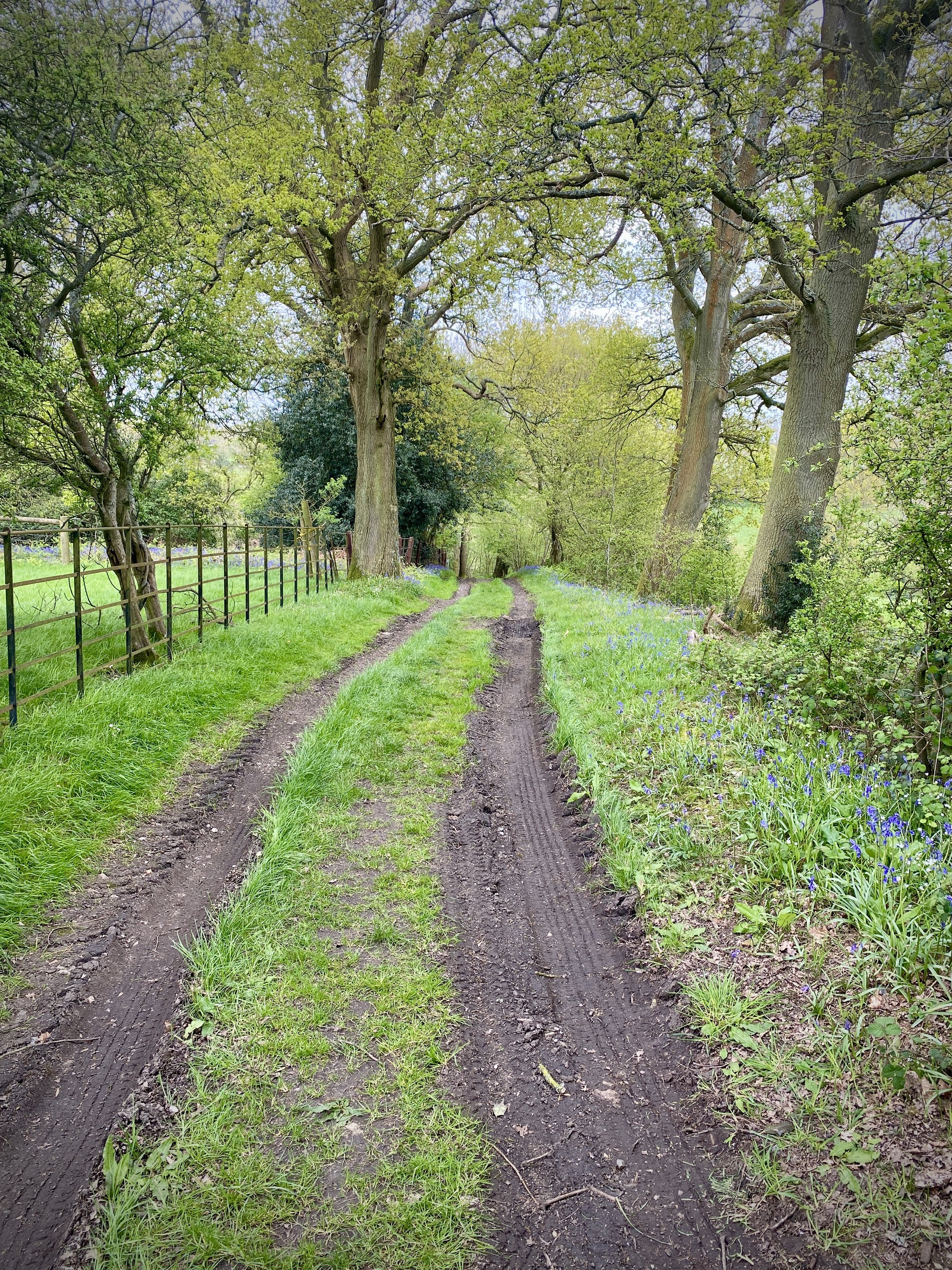
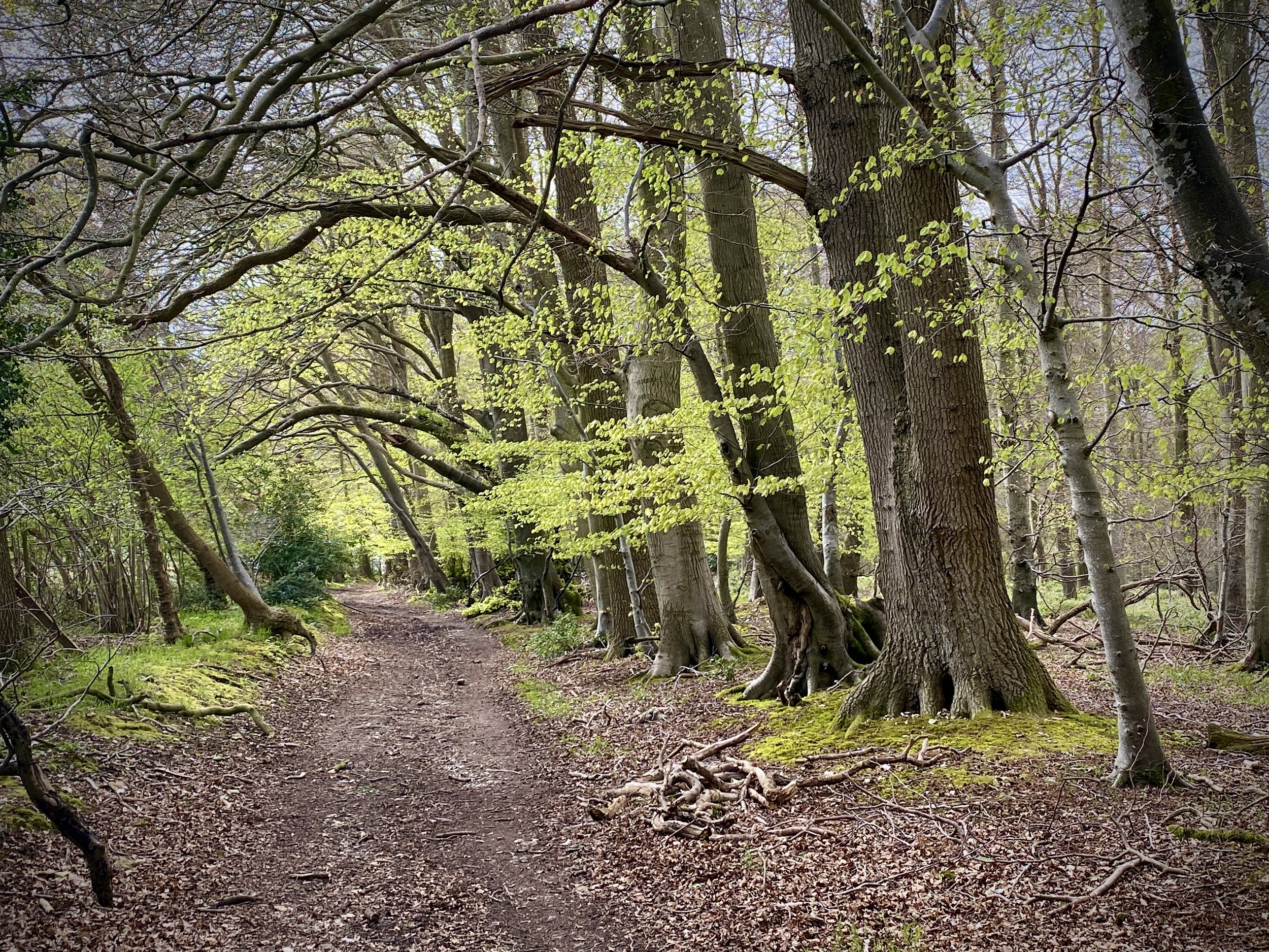
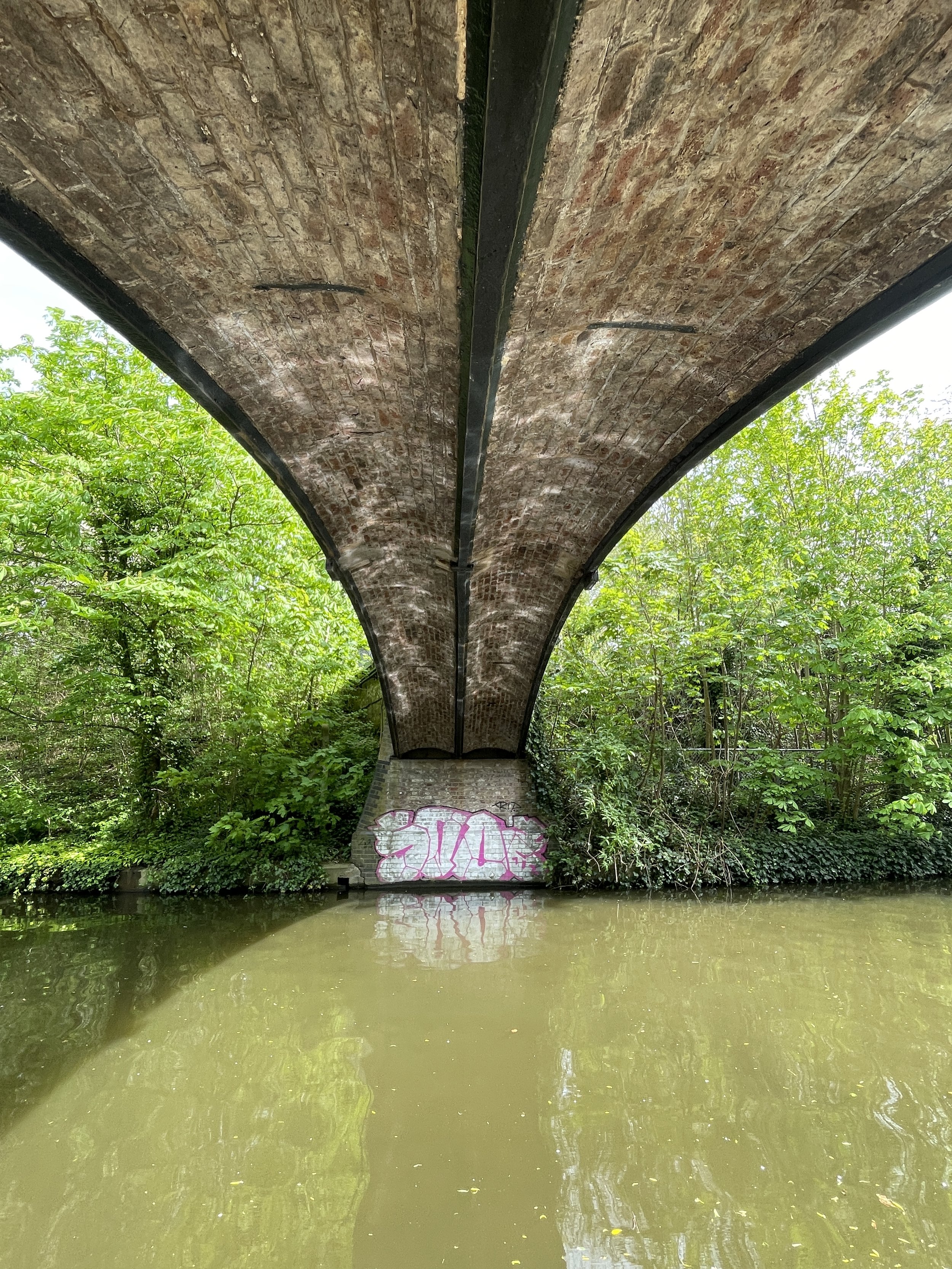
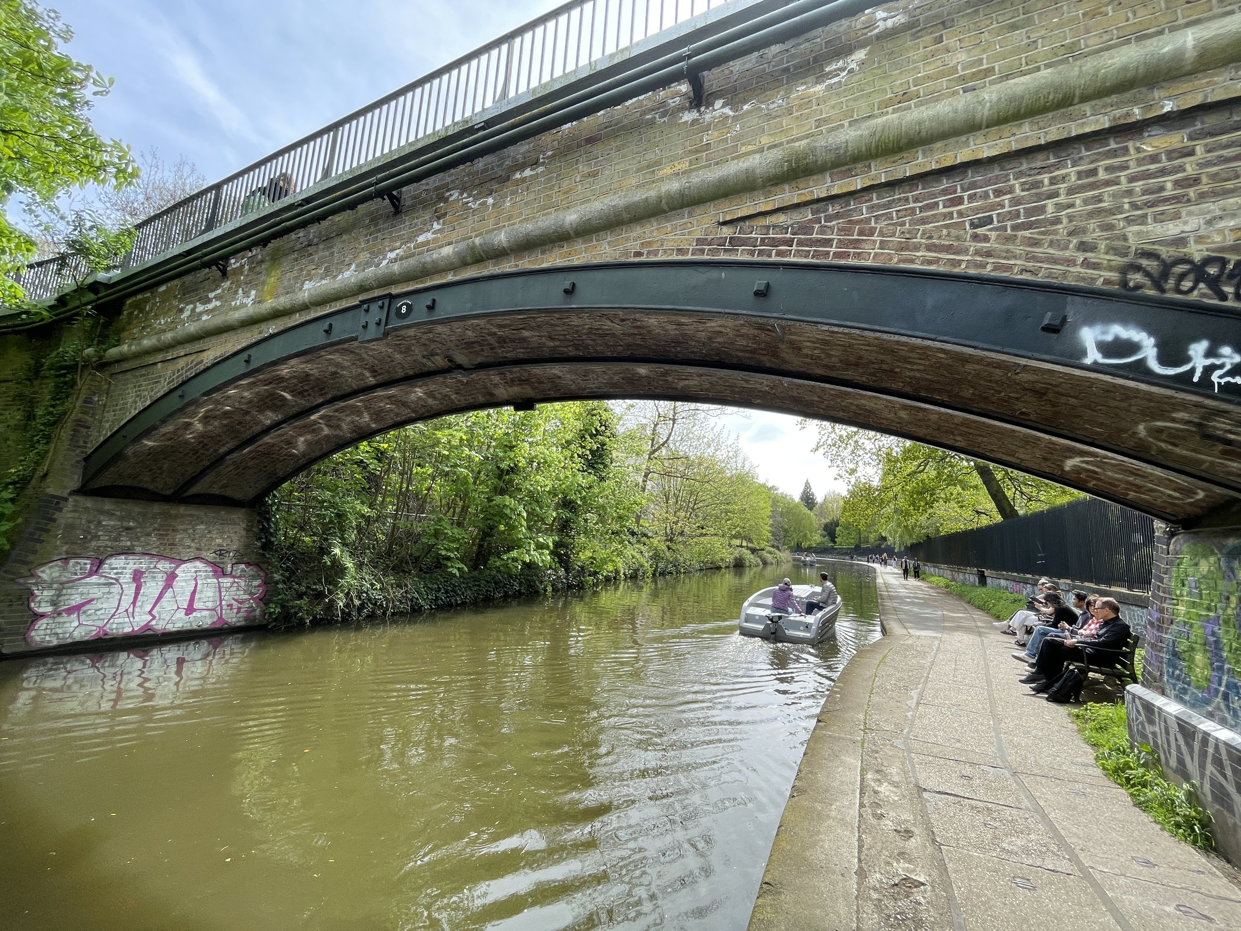
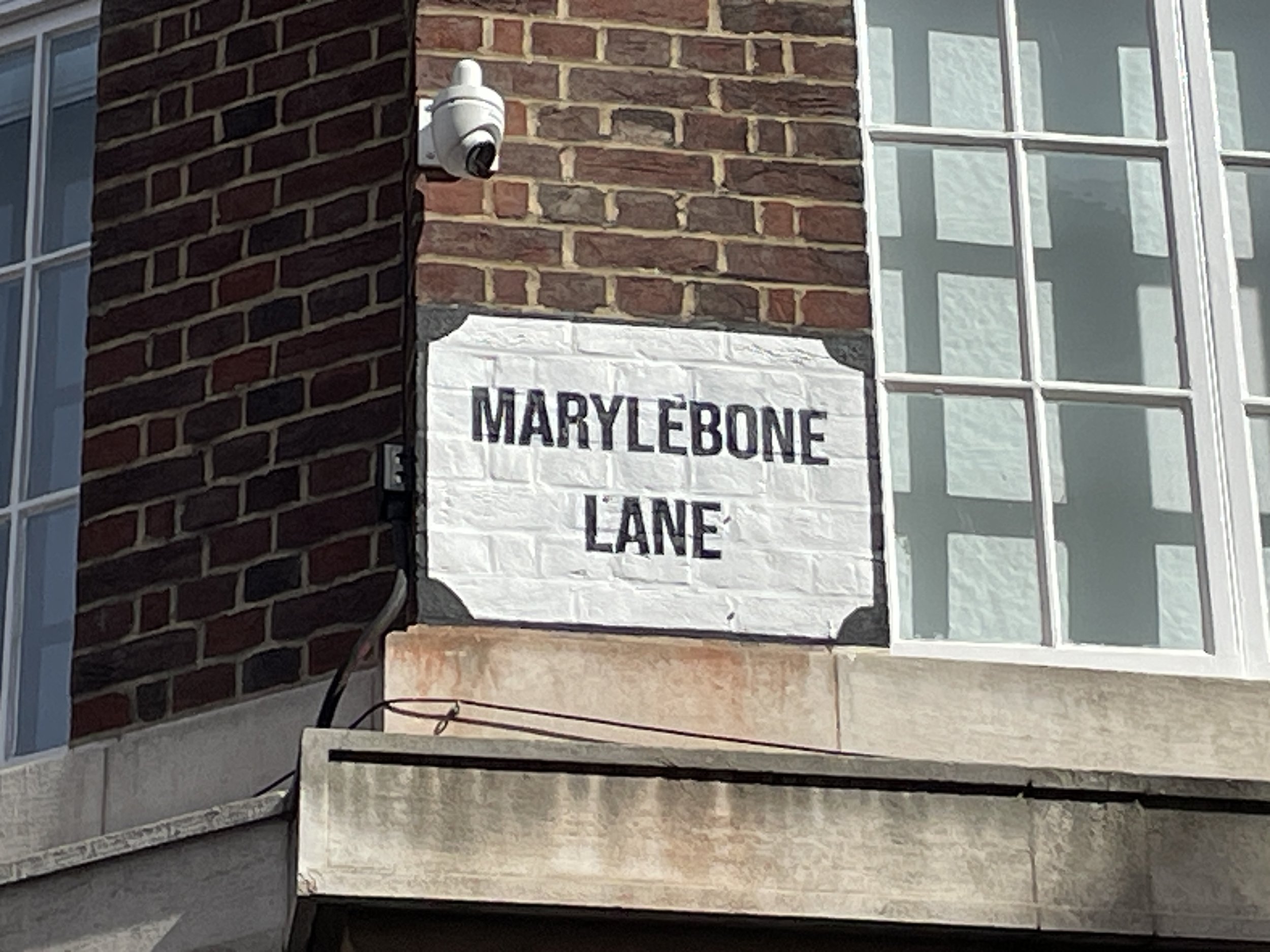
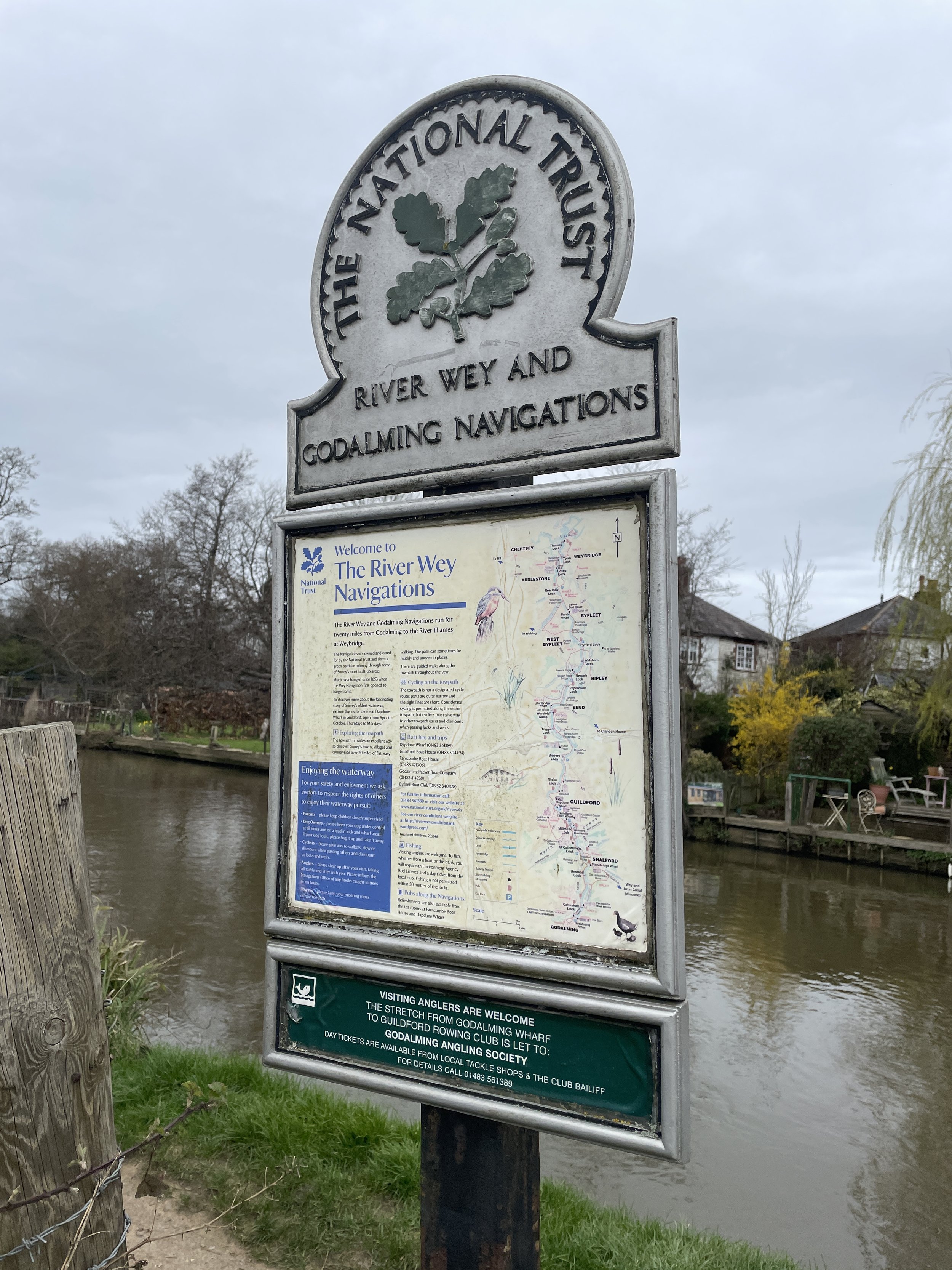
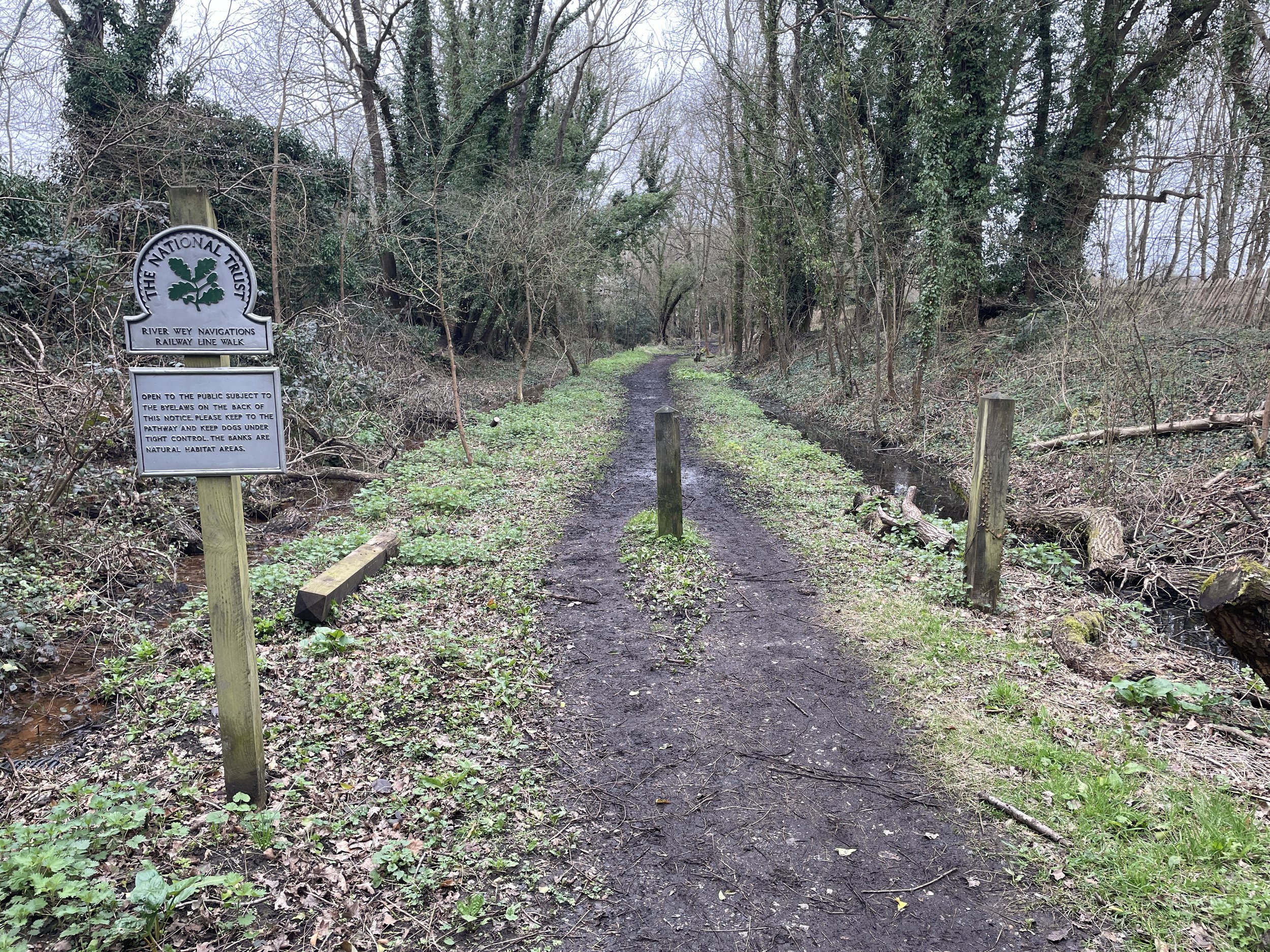
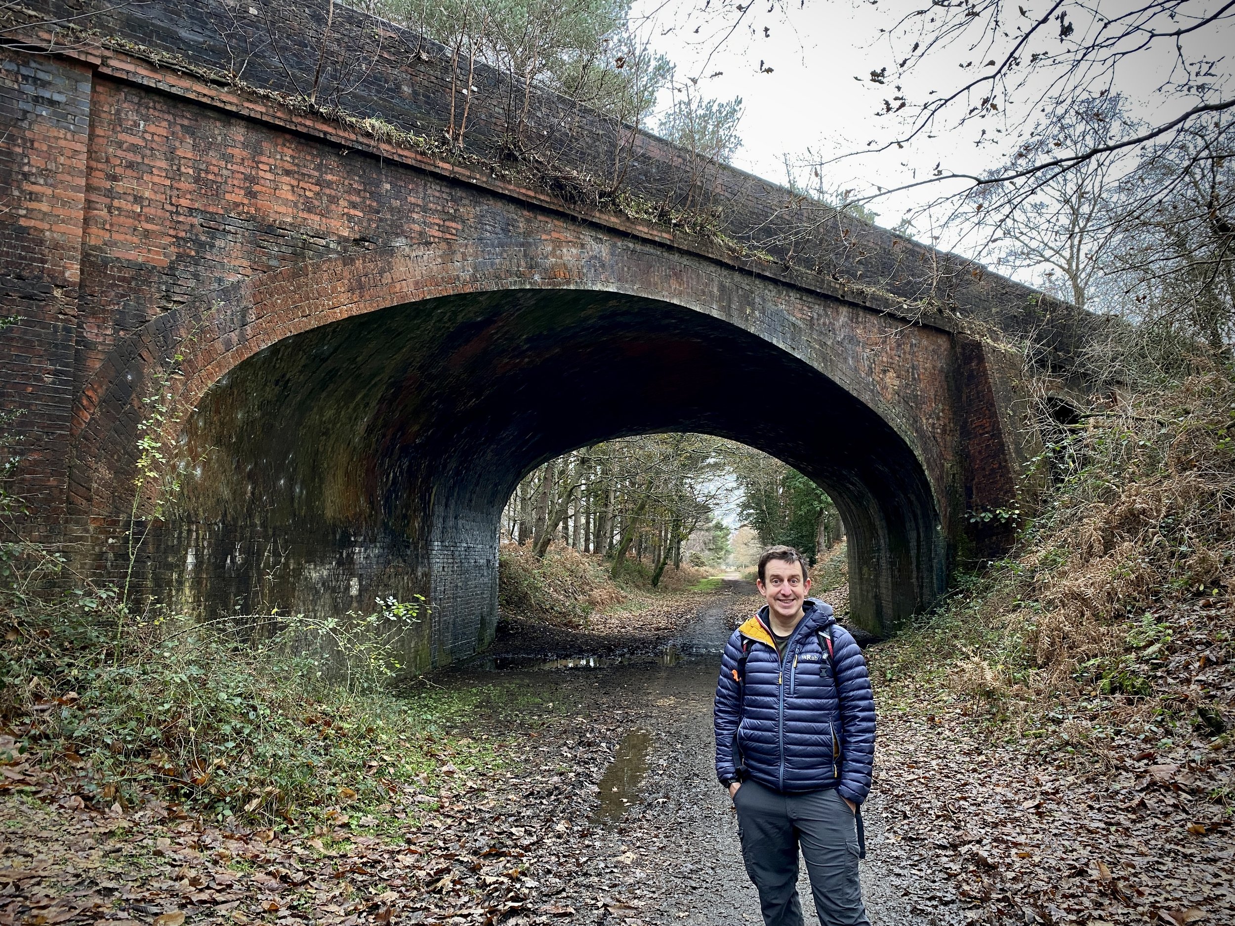
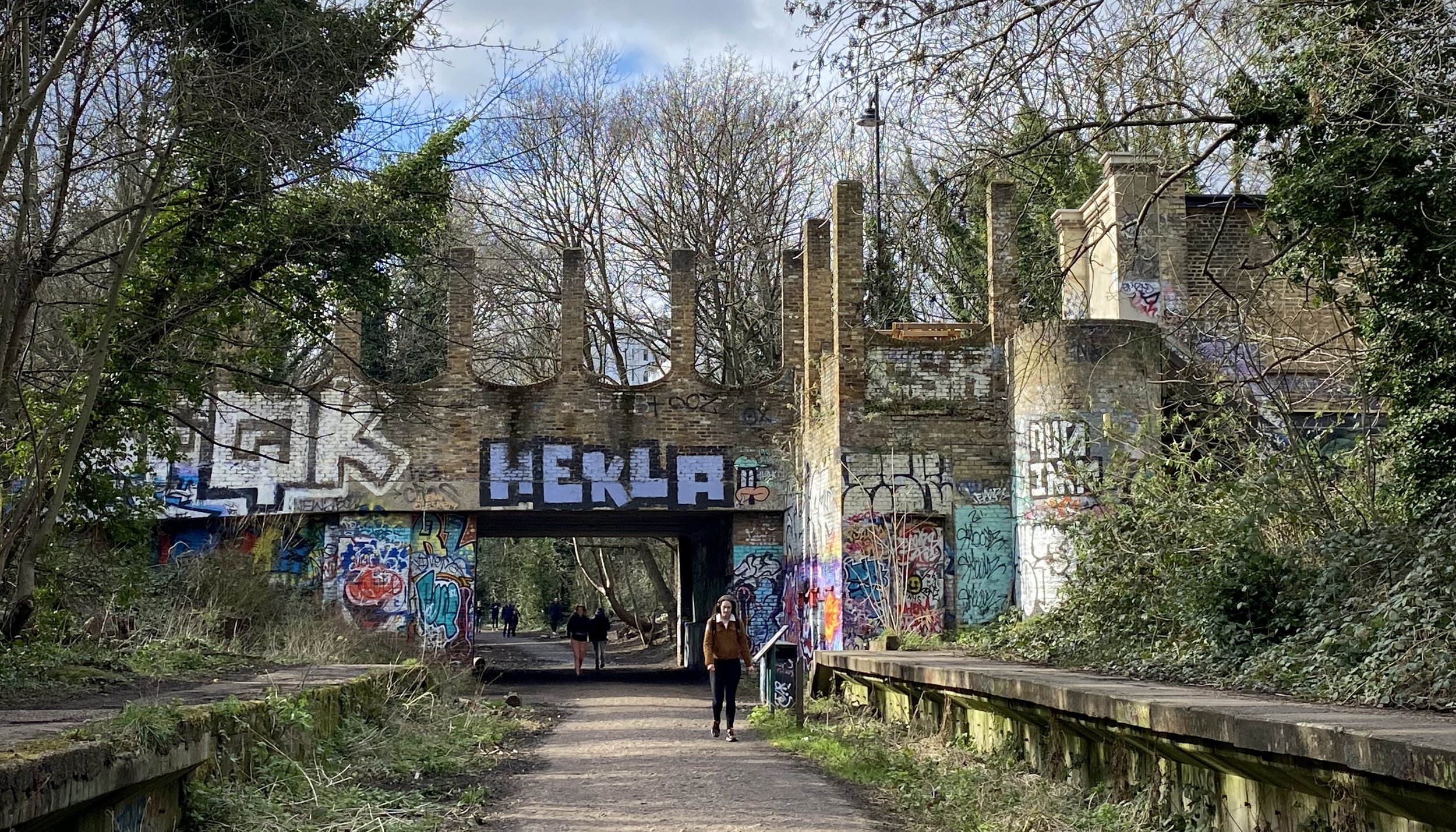
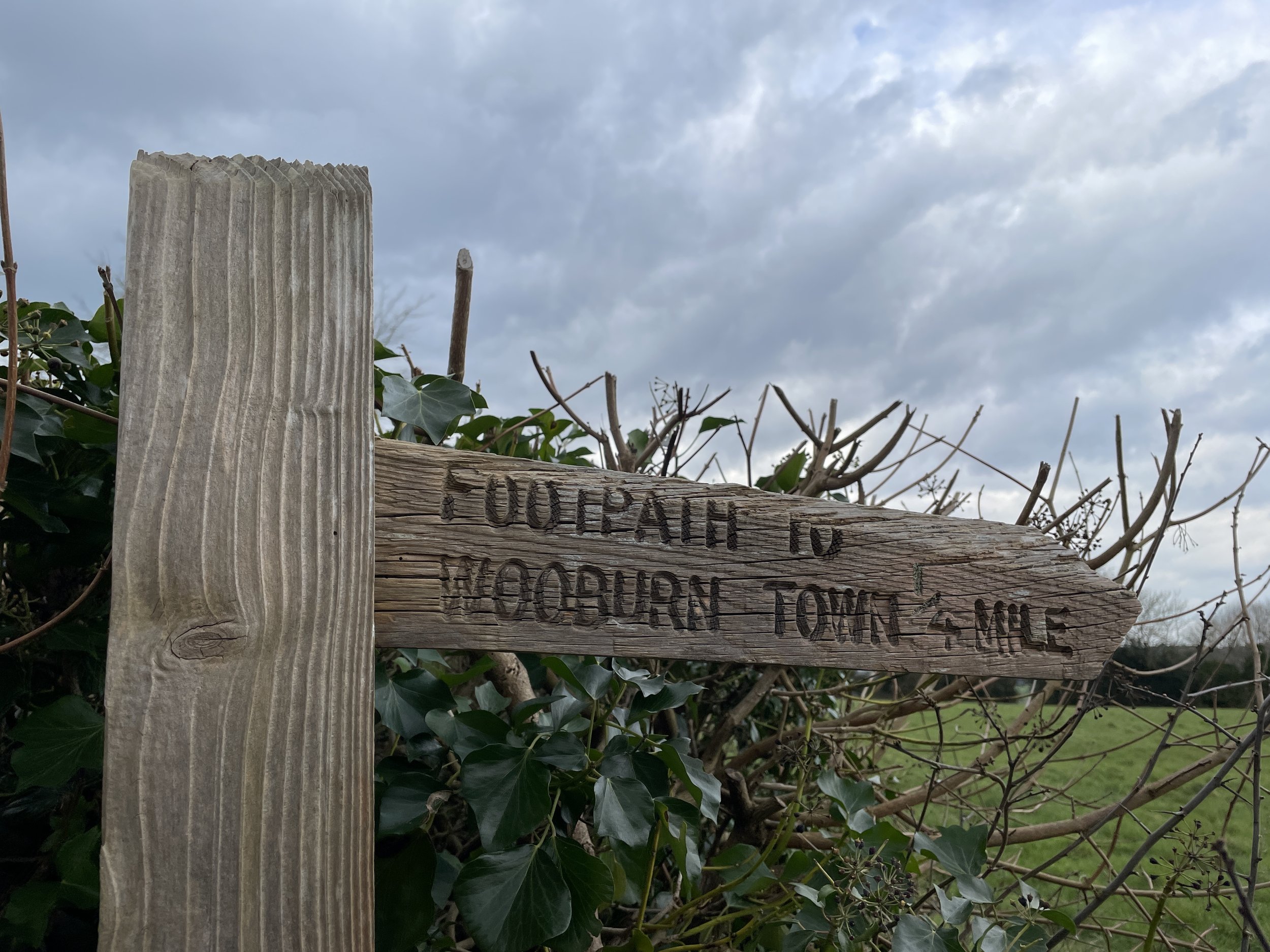
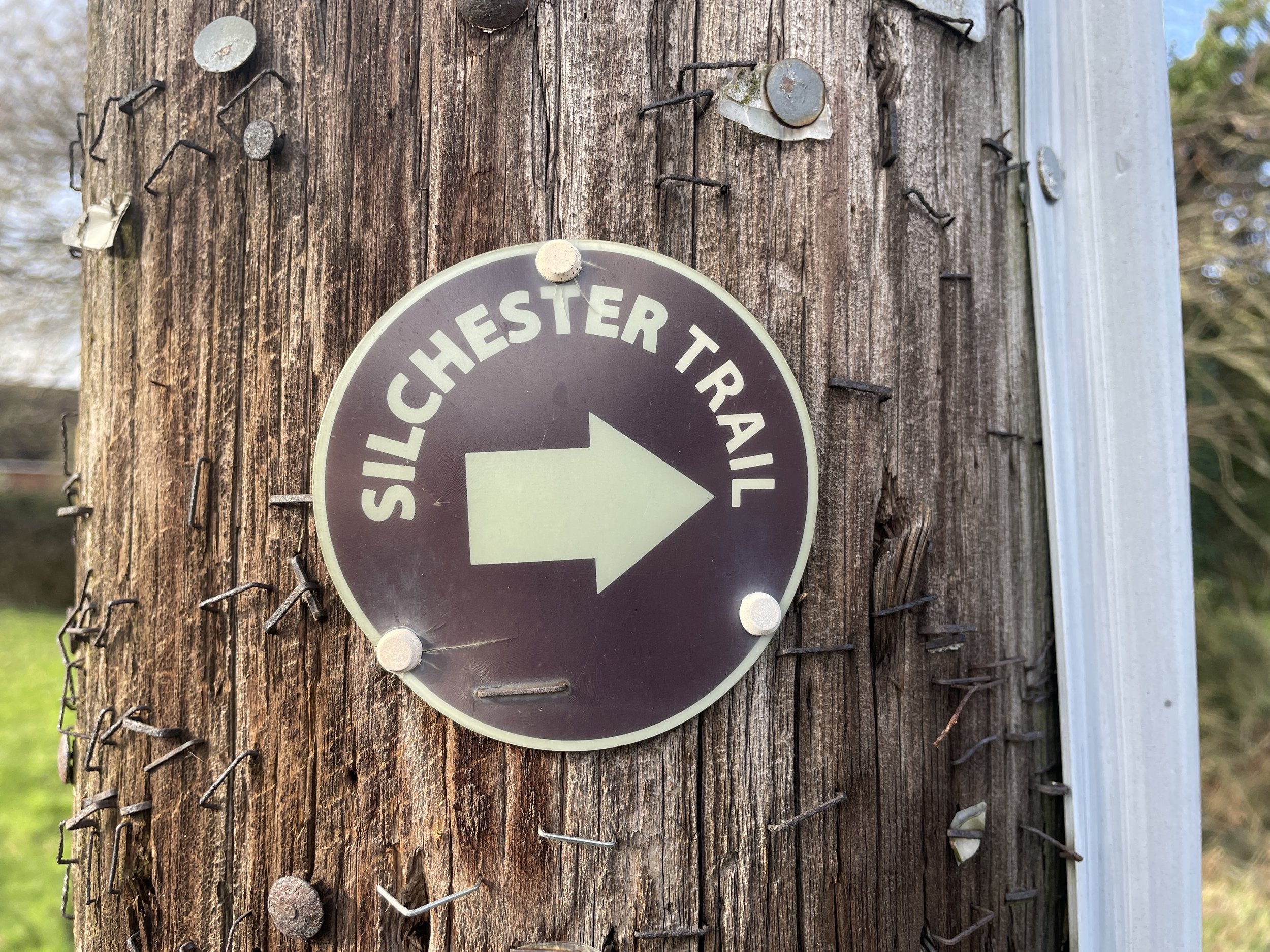
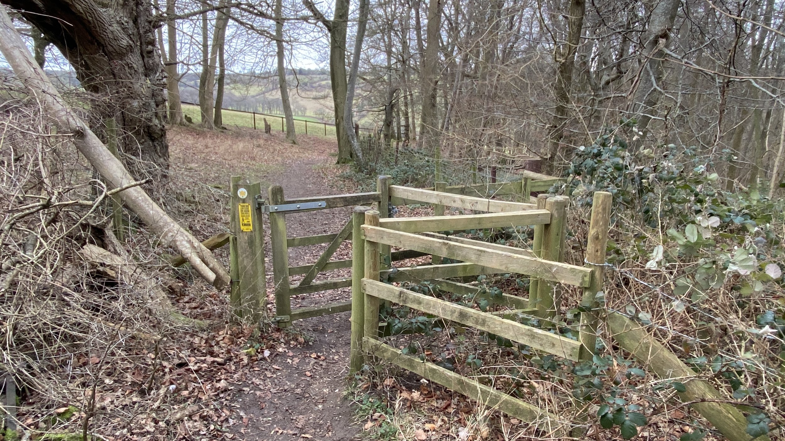
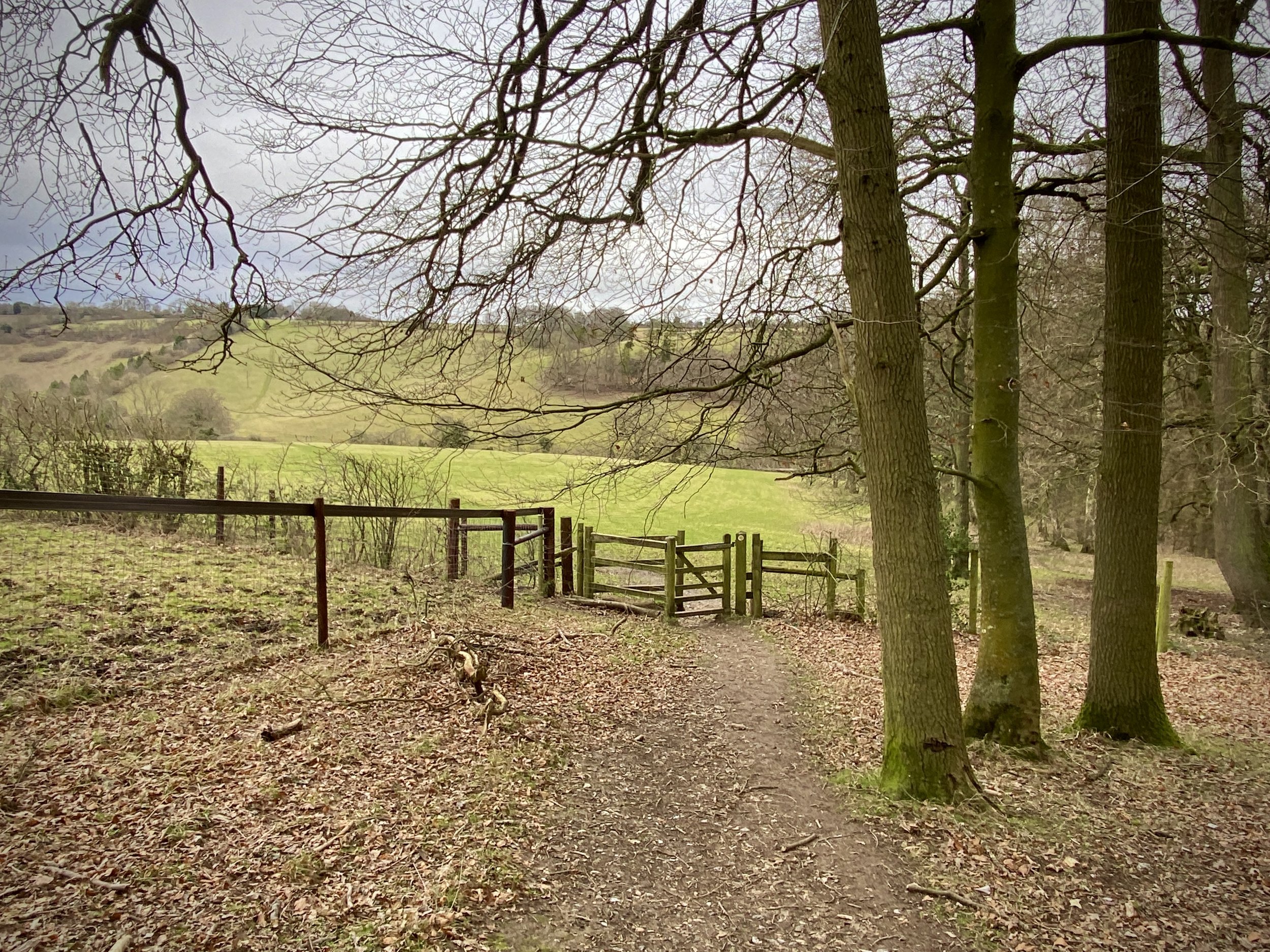
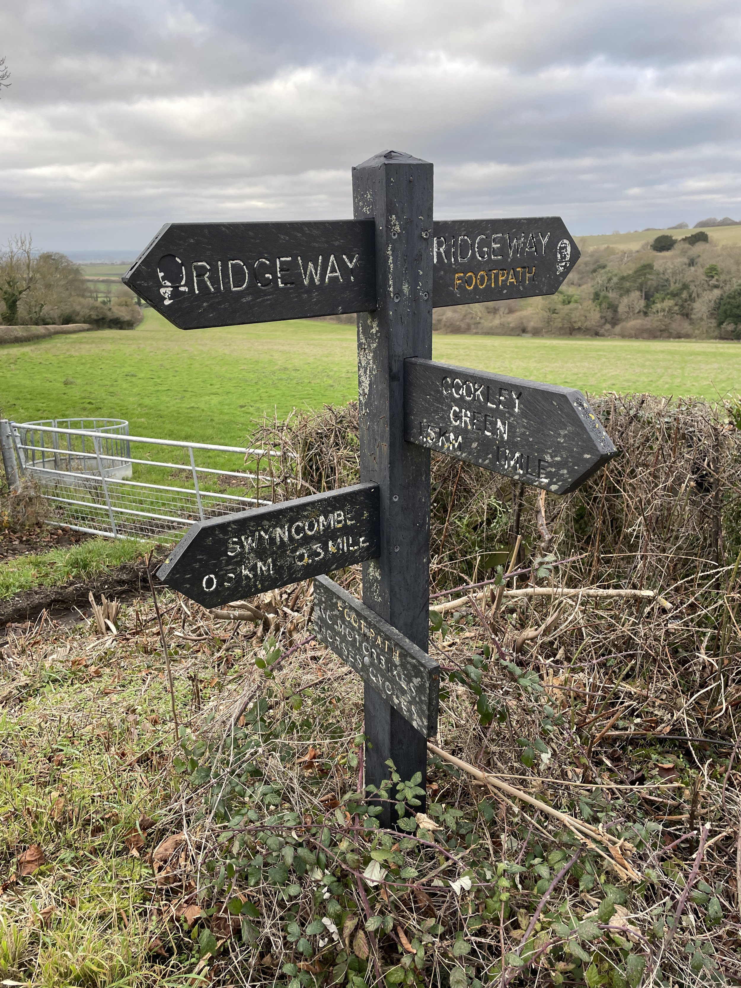
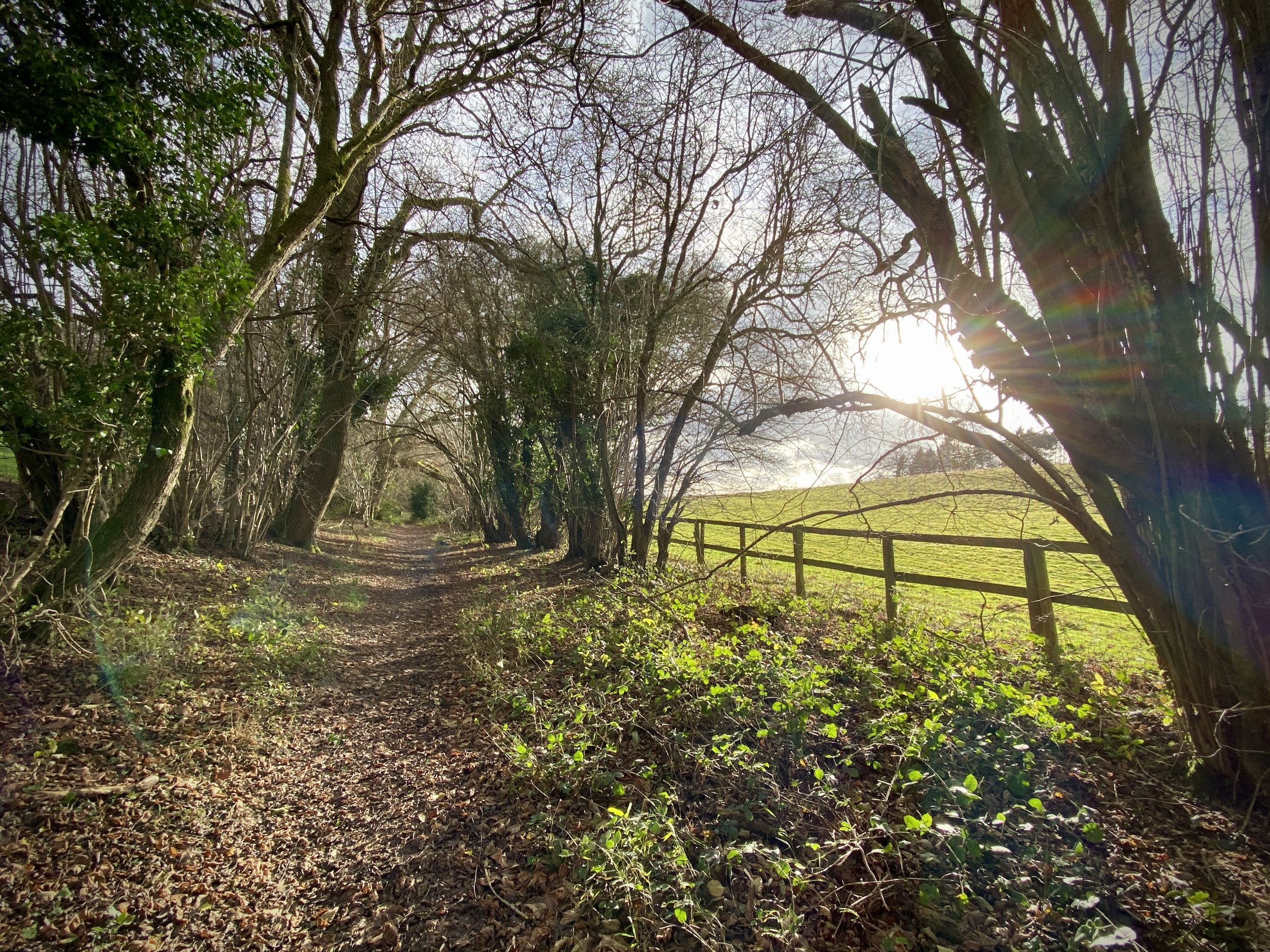
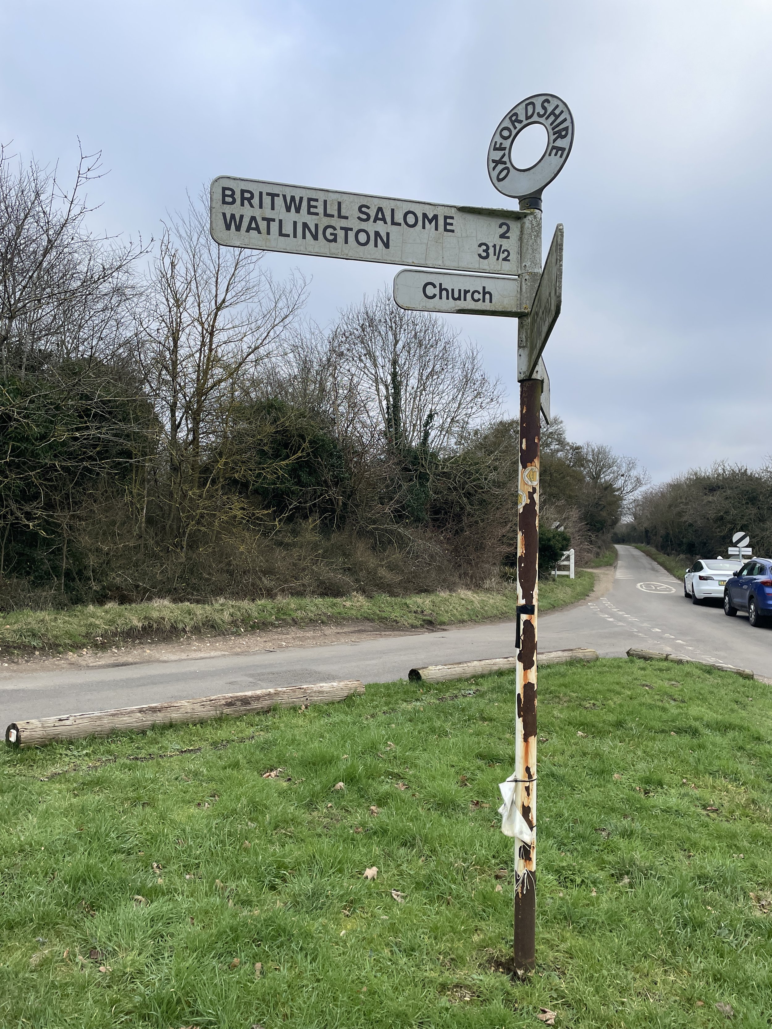
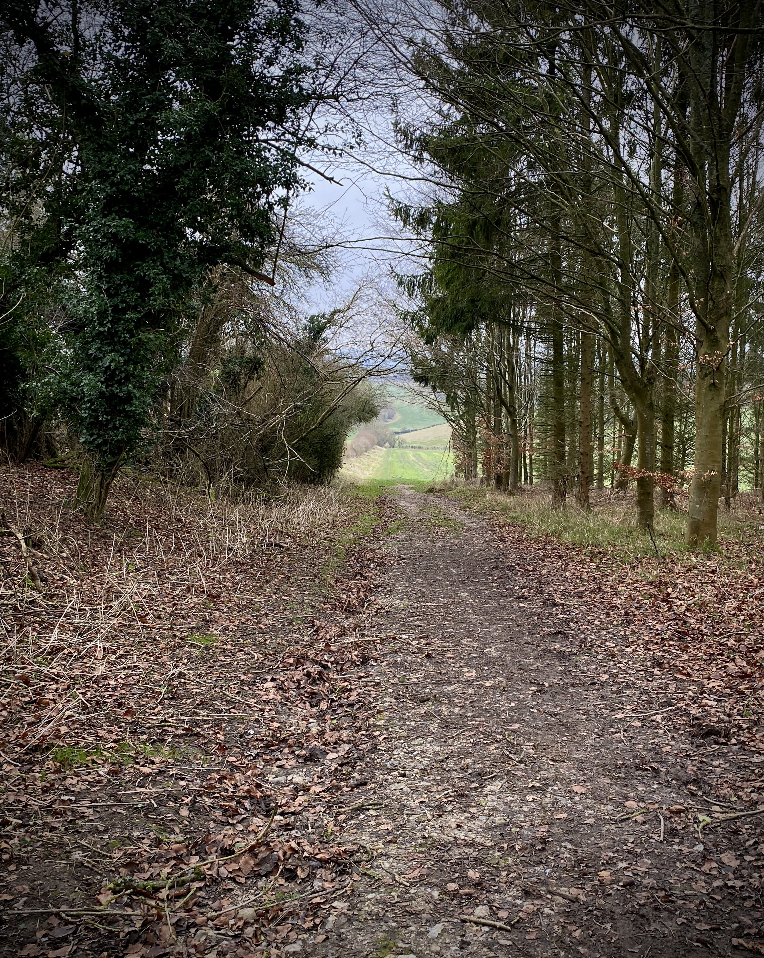
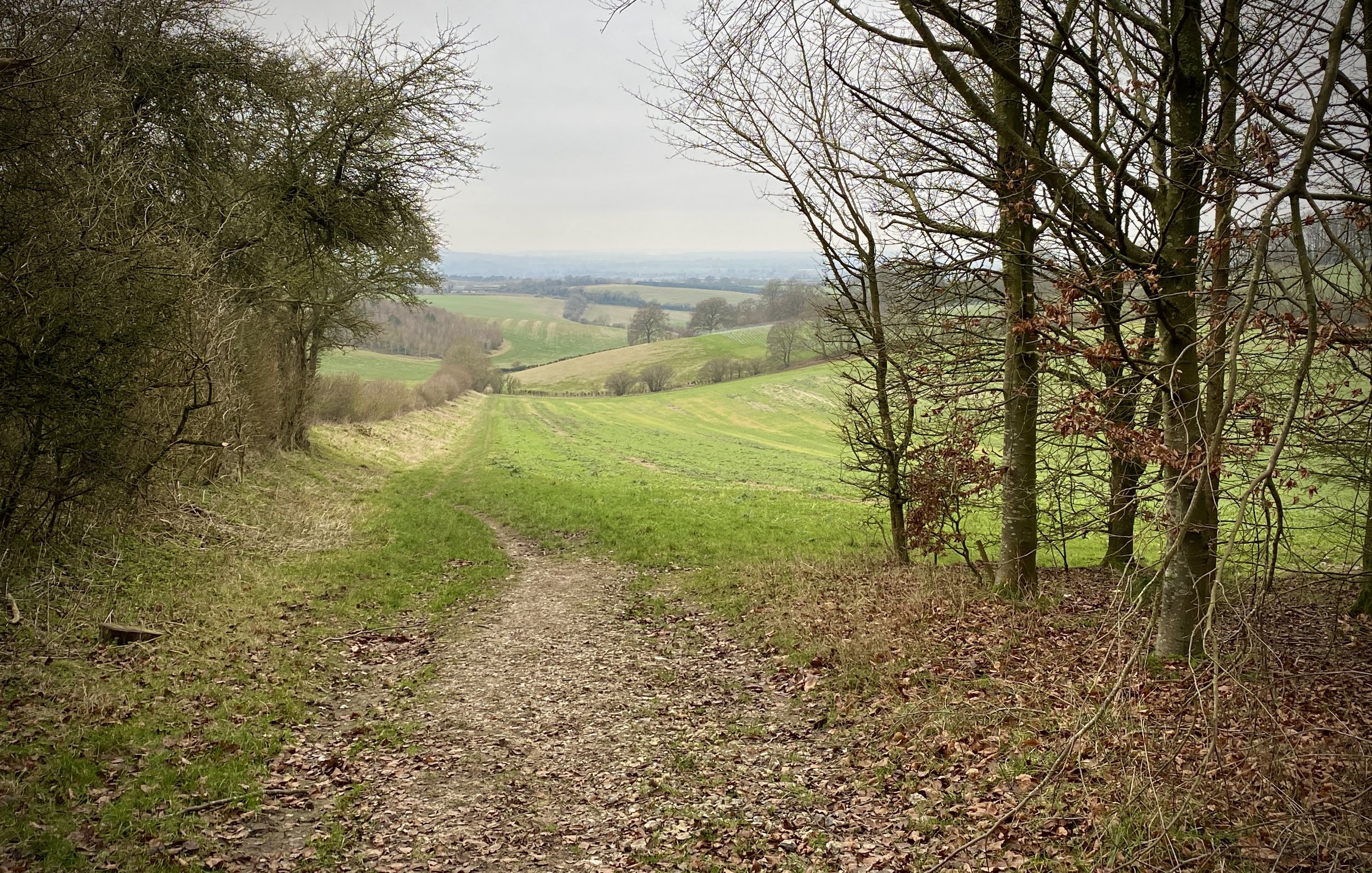
The Hangers Way gets its name from the series of steep, wooded hills known as the Hampshire Hangers. The route itself winds its way from Alton railway station to Queen Elizabeth Country Park, through a diverse landscape of ancient woodlands, rolling hills, and charming villages. The Hangers Way walking route is ~33km so the 50km Ultra route adds in and extra 16km from the start at Alice Holt Country Park plus a bit of extra meandering along the way.

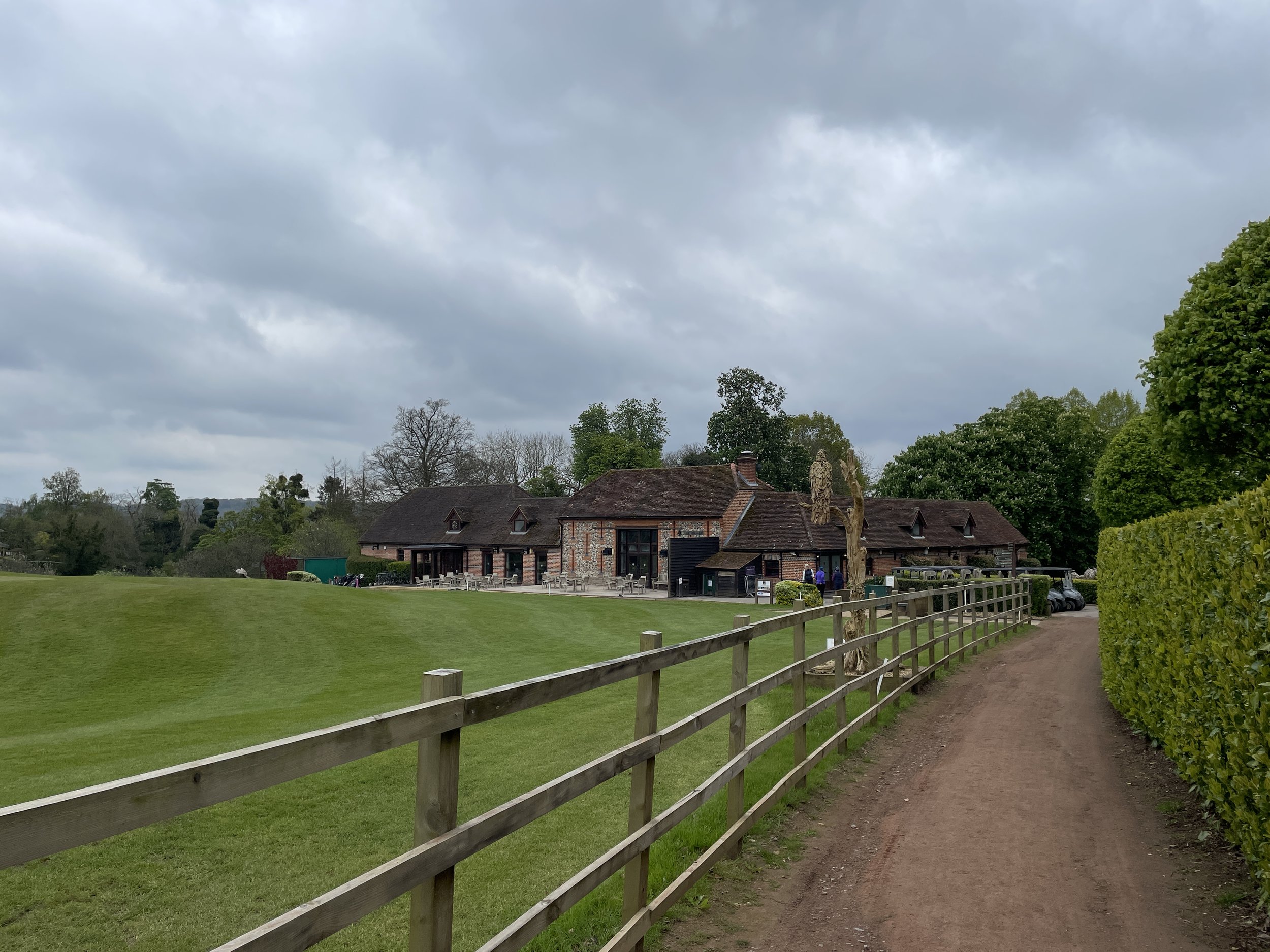
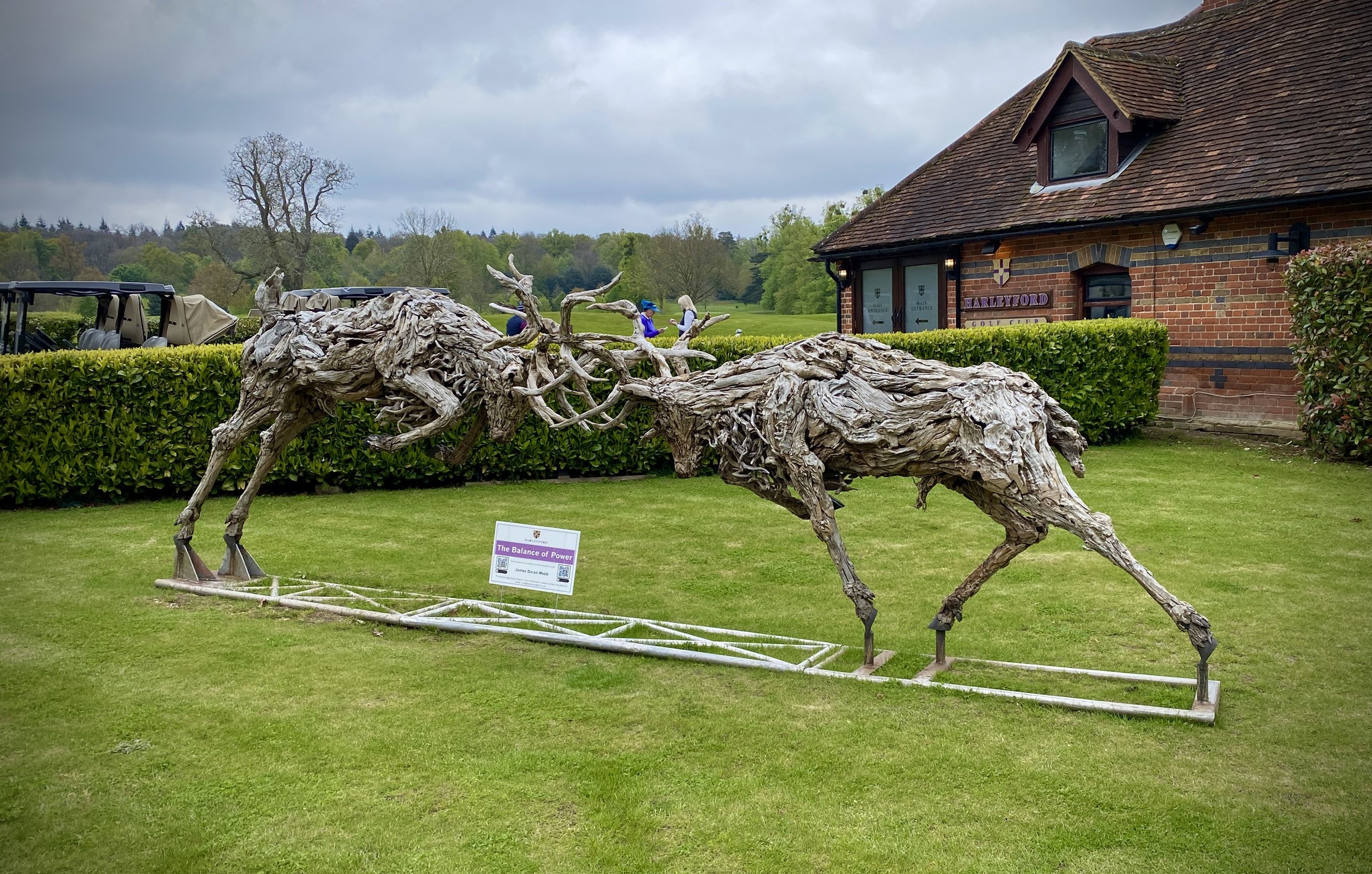
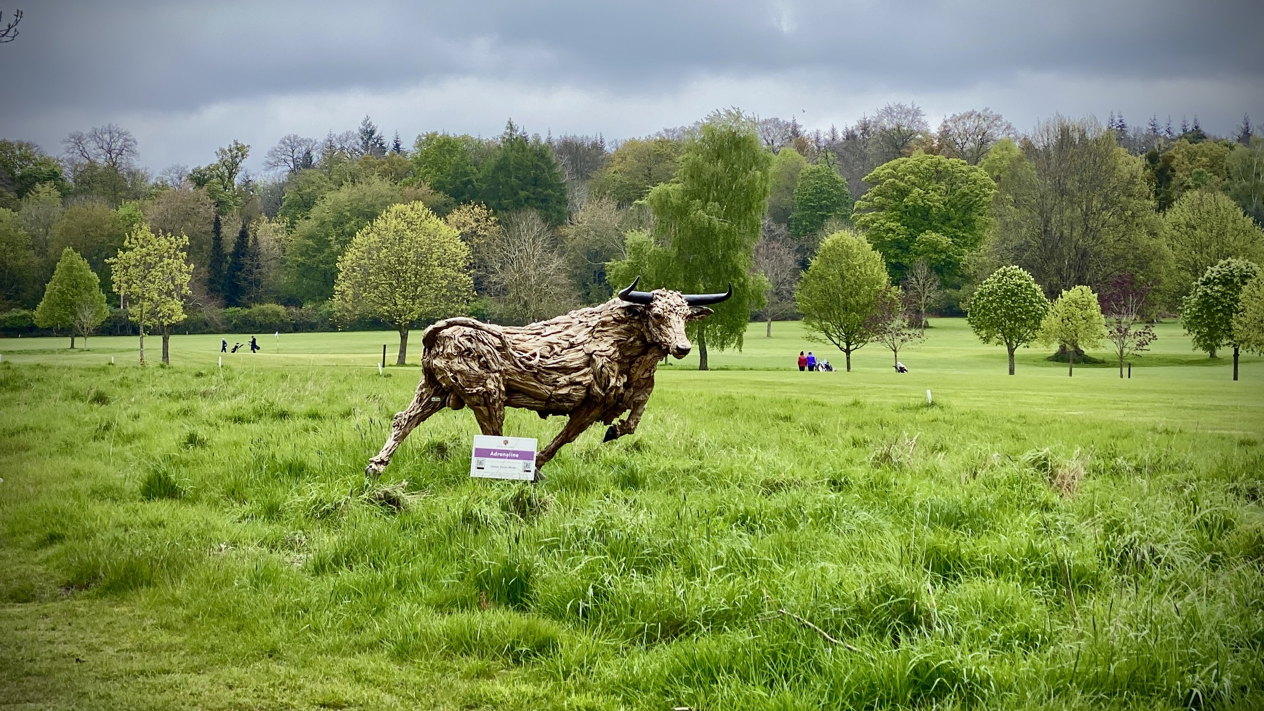
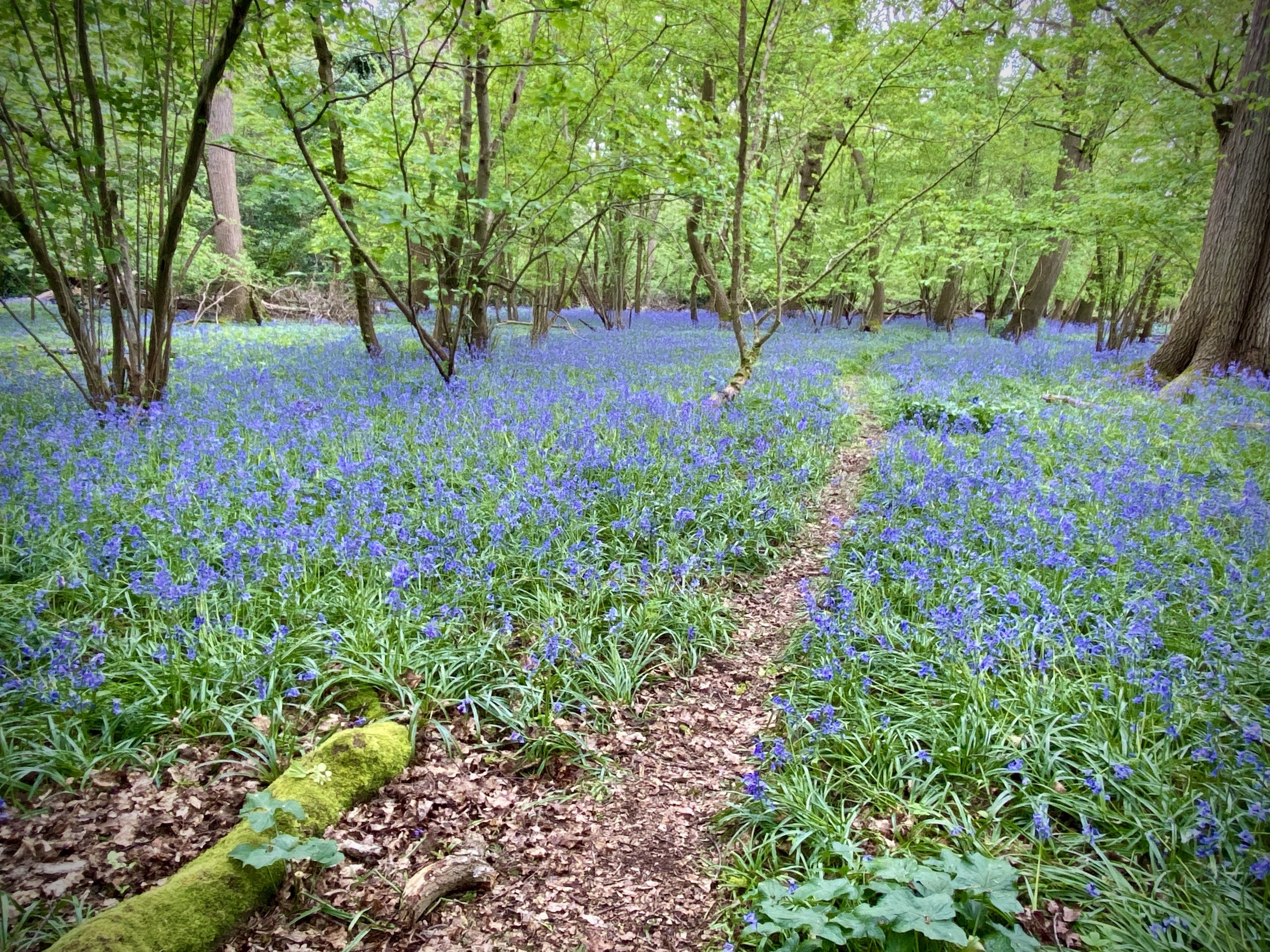
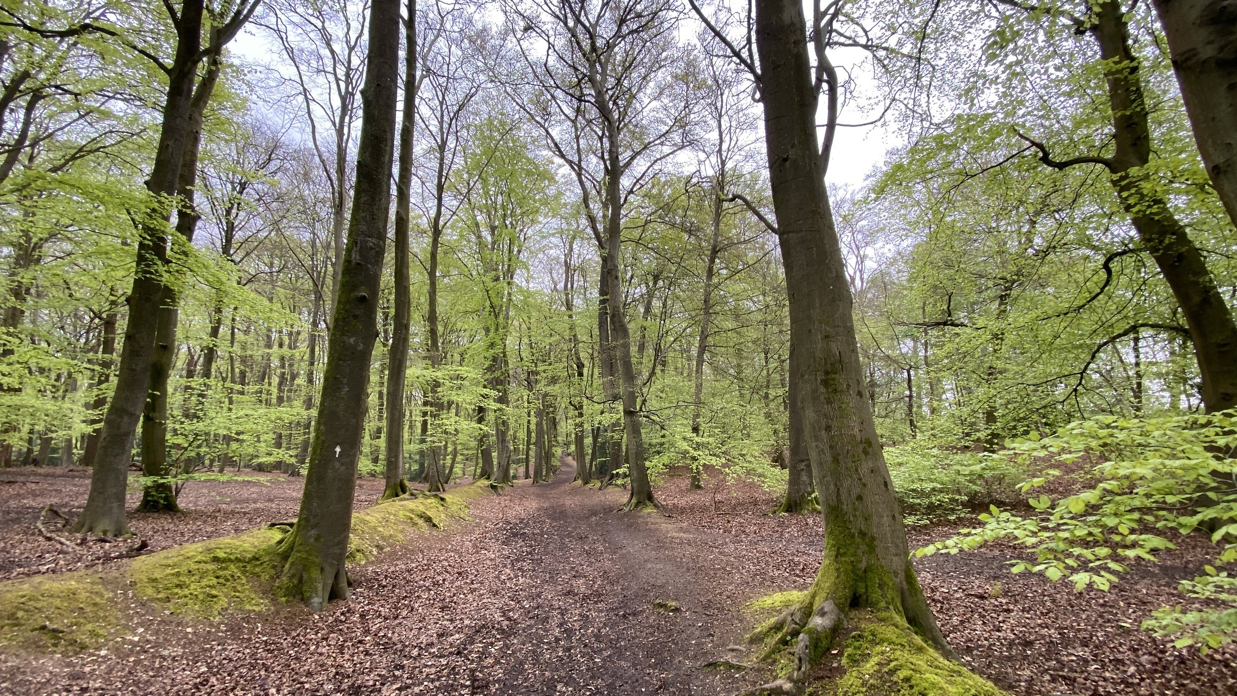
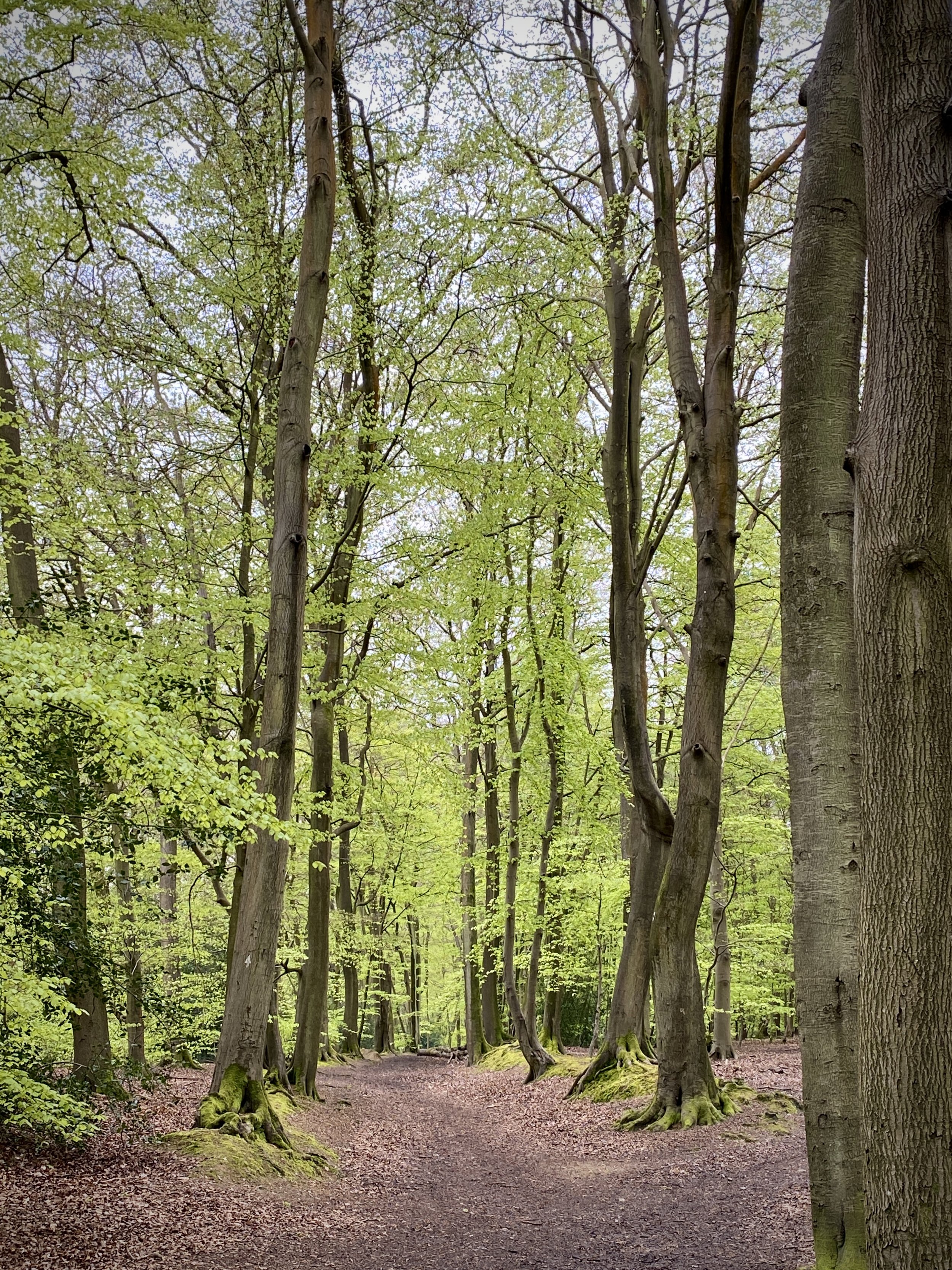
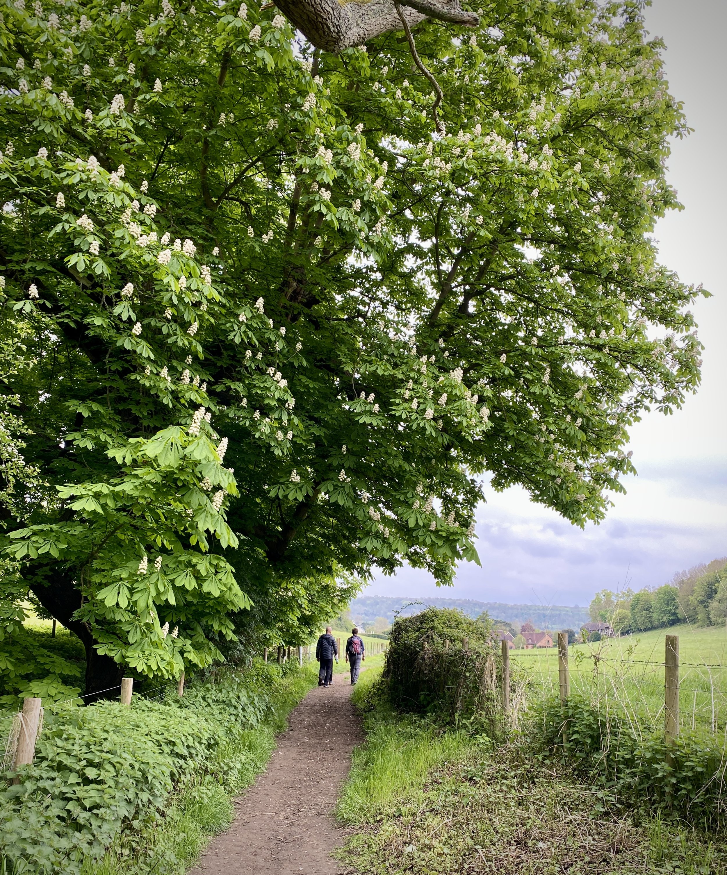
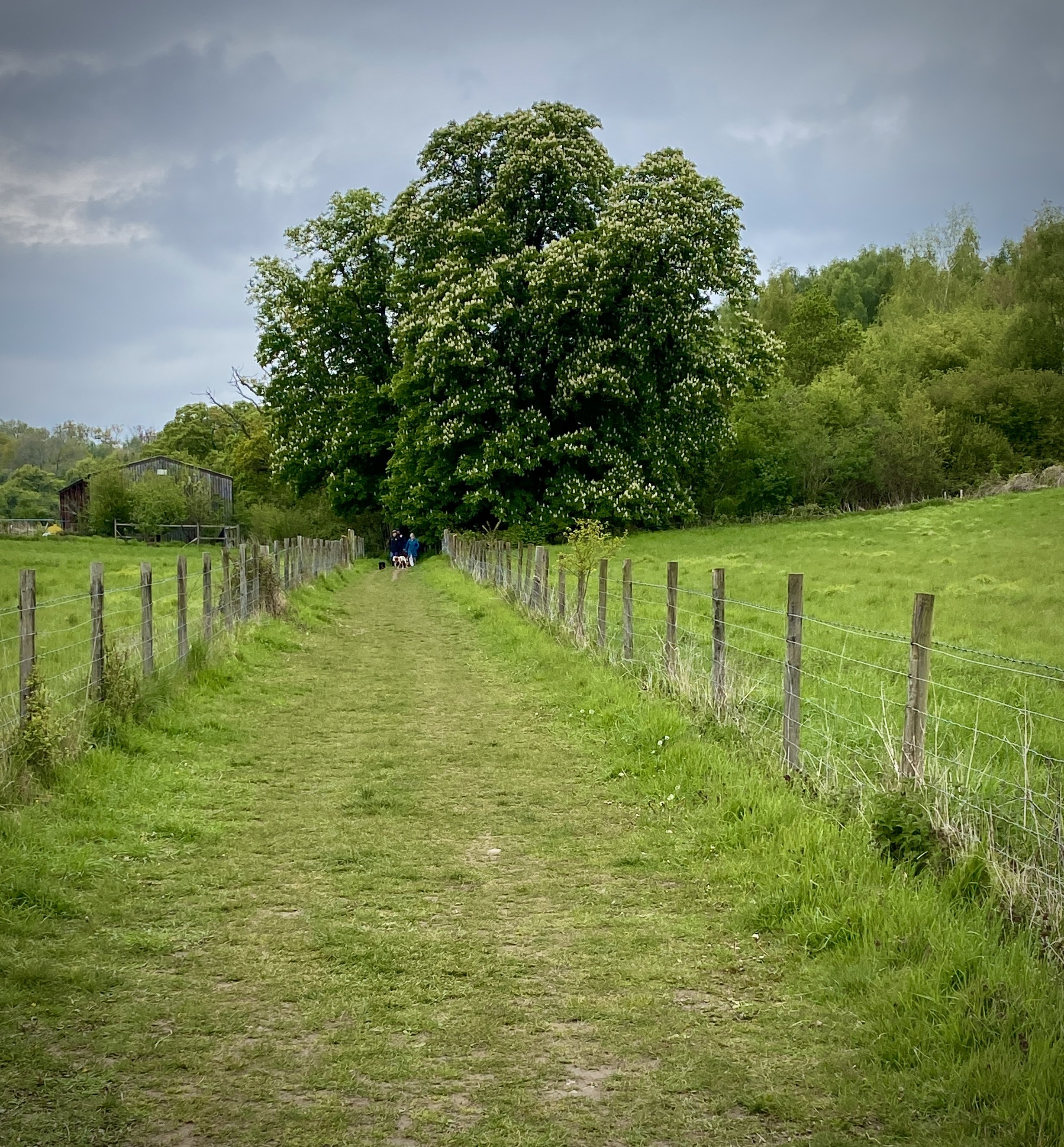
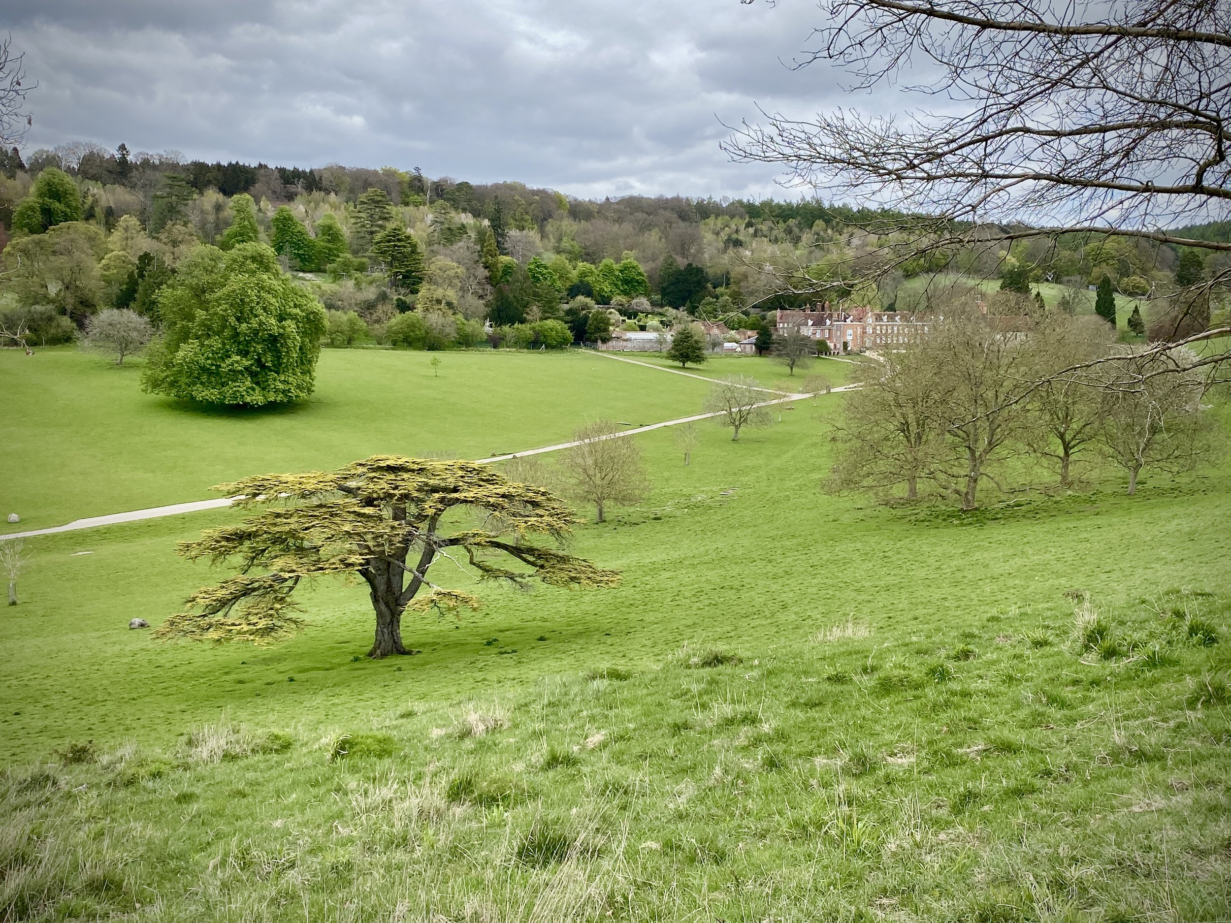
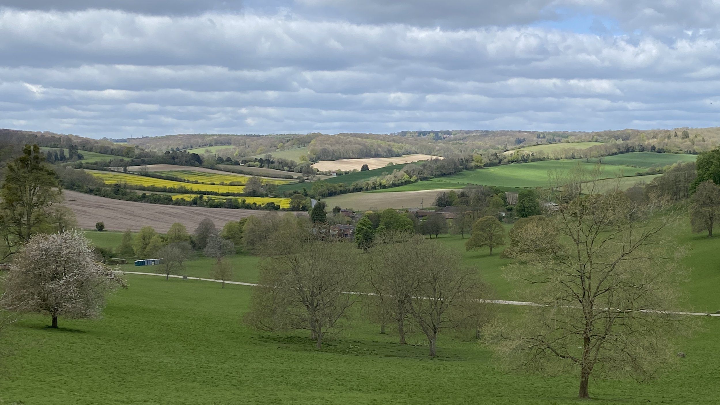
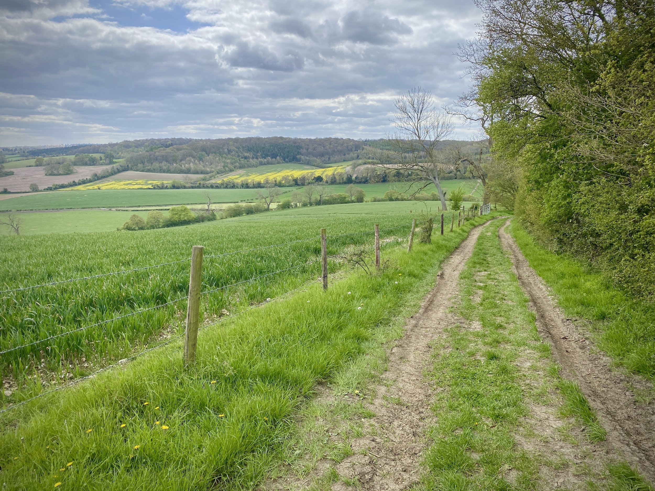
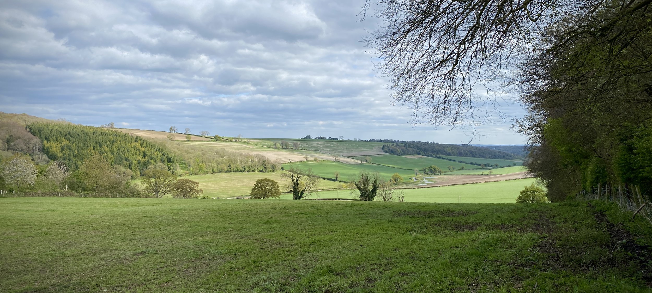
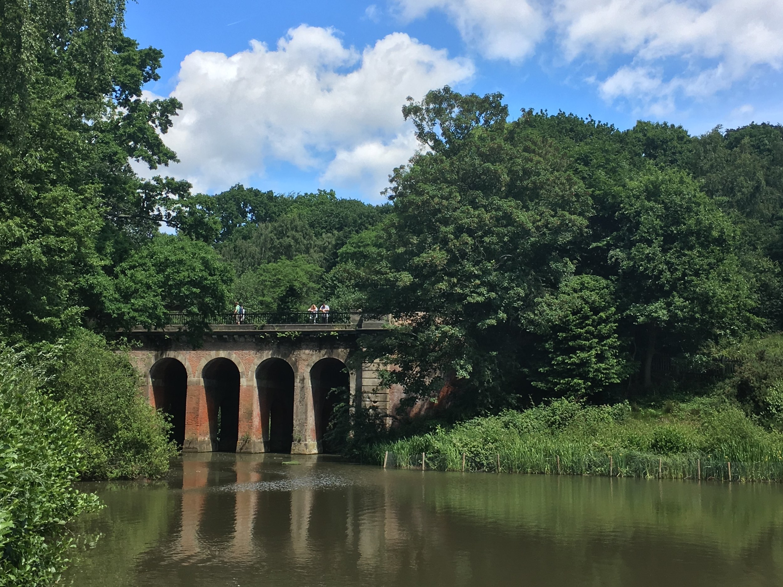
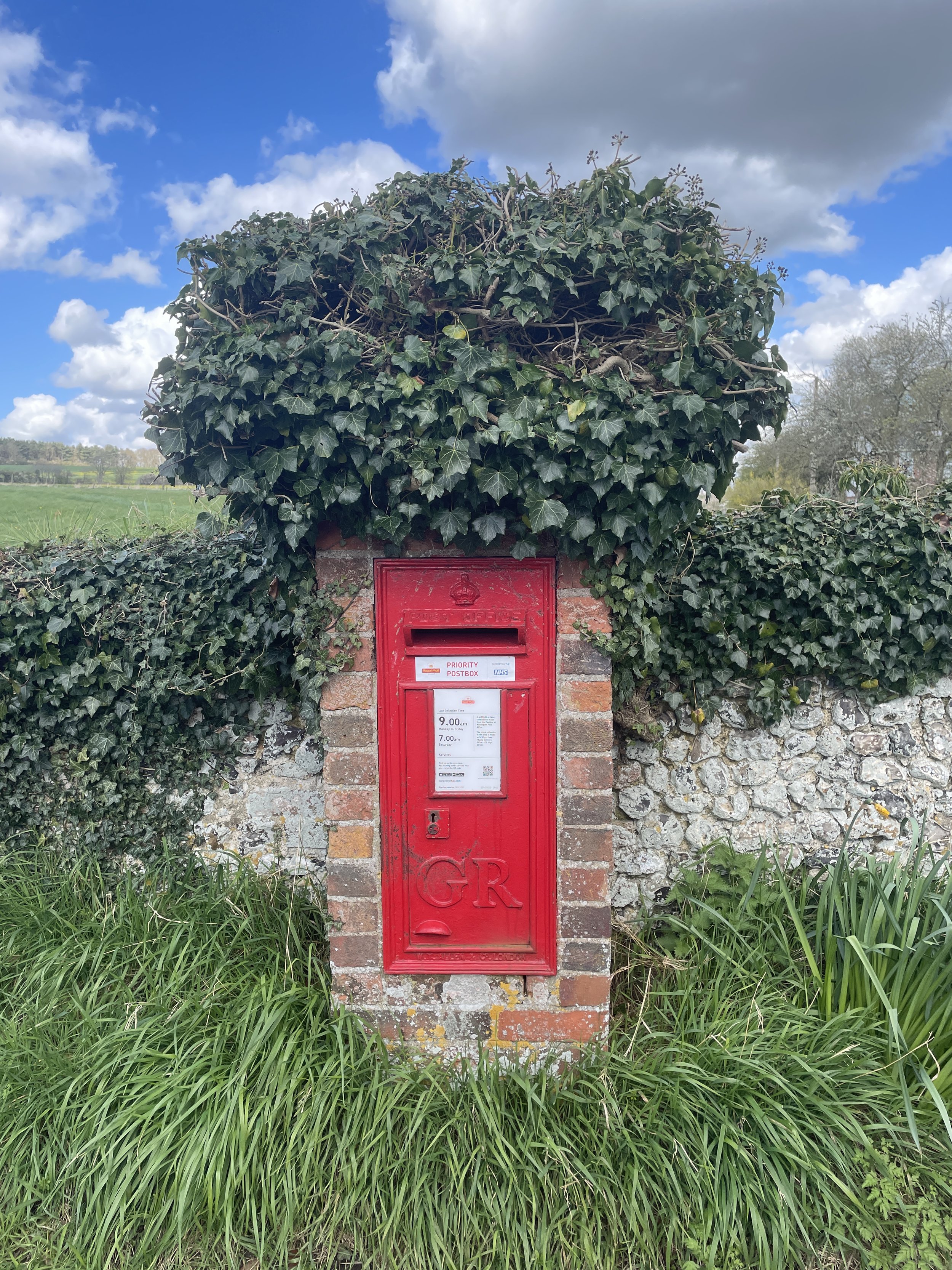
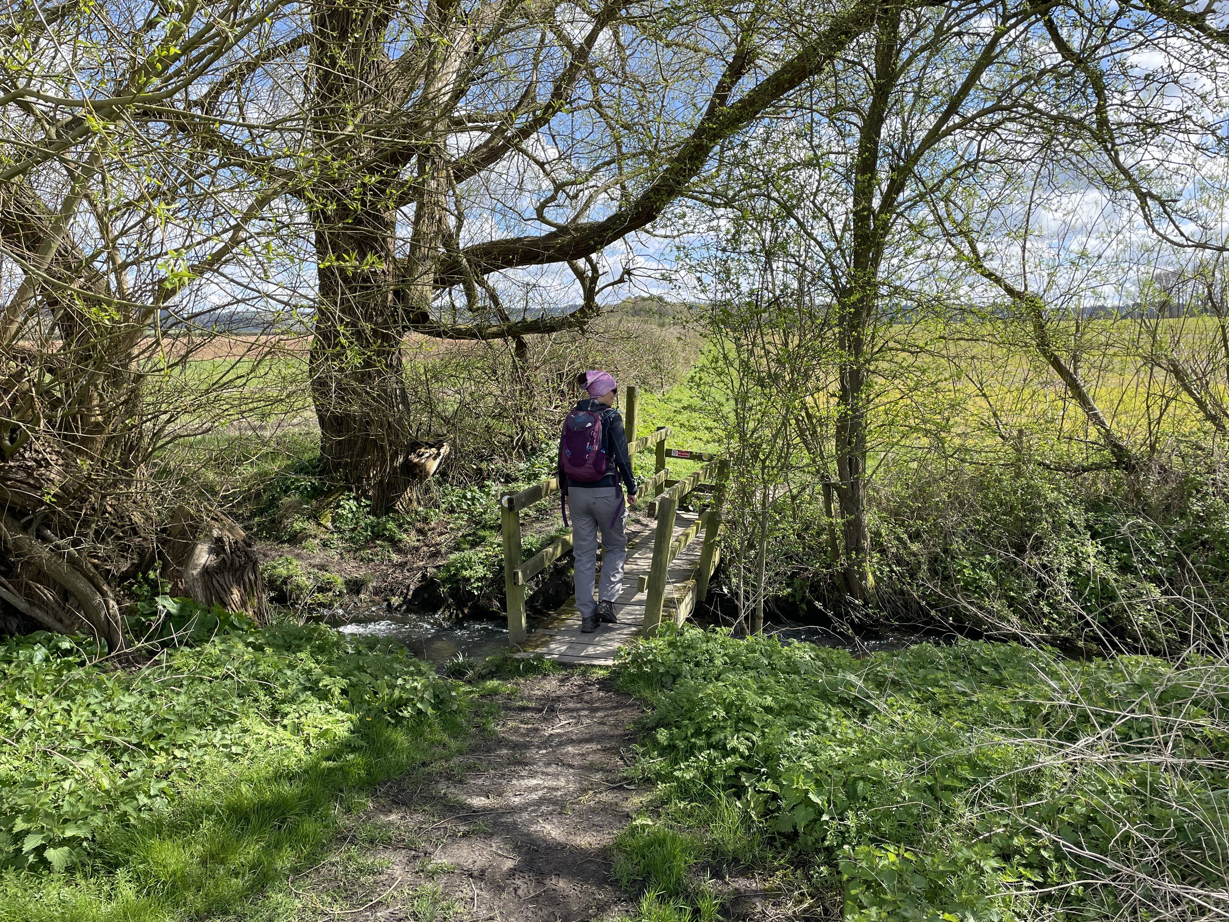
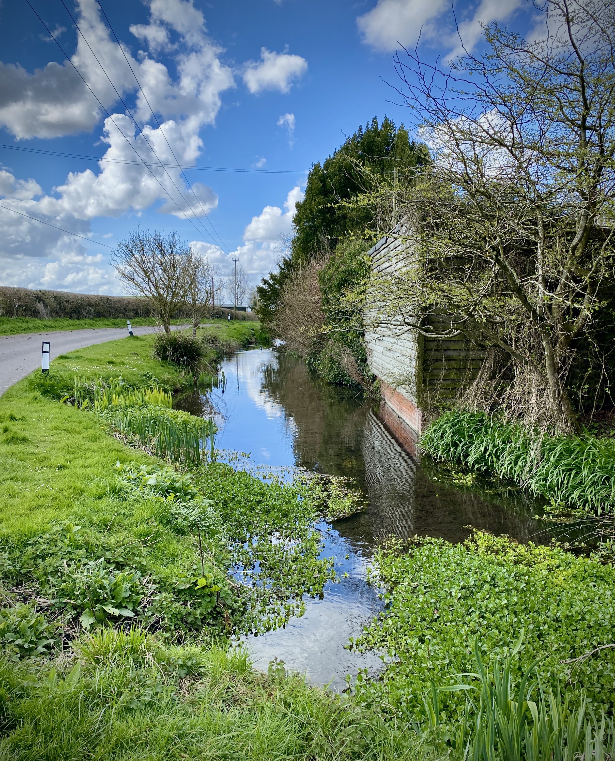
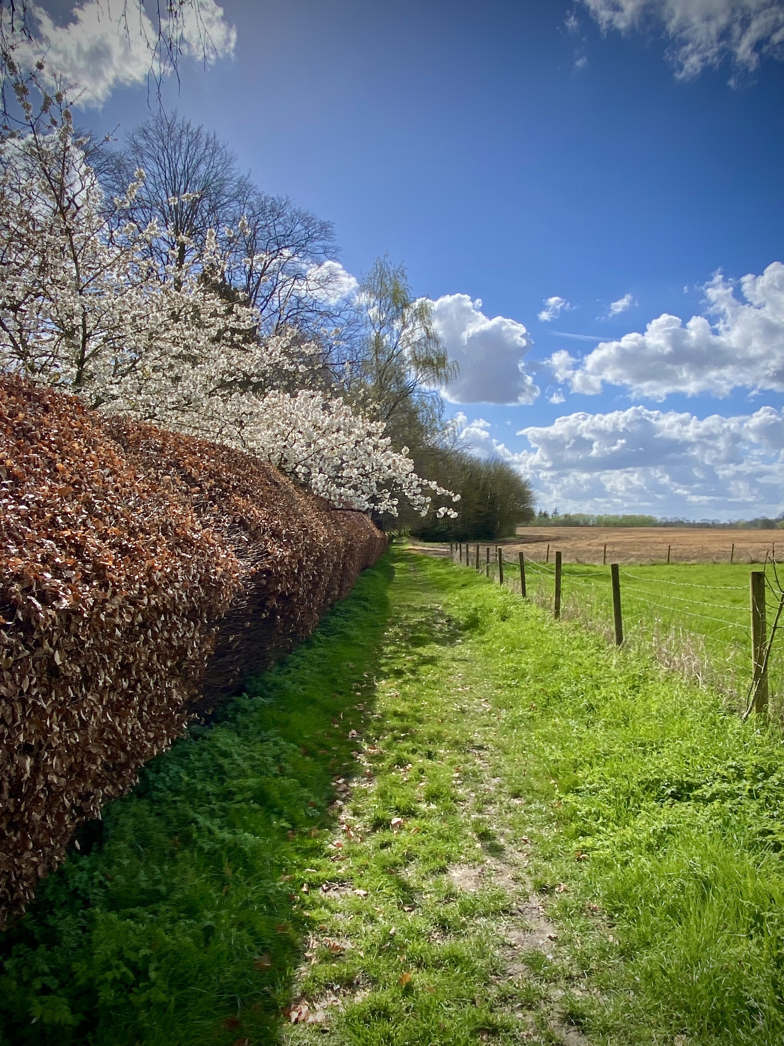
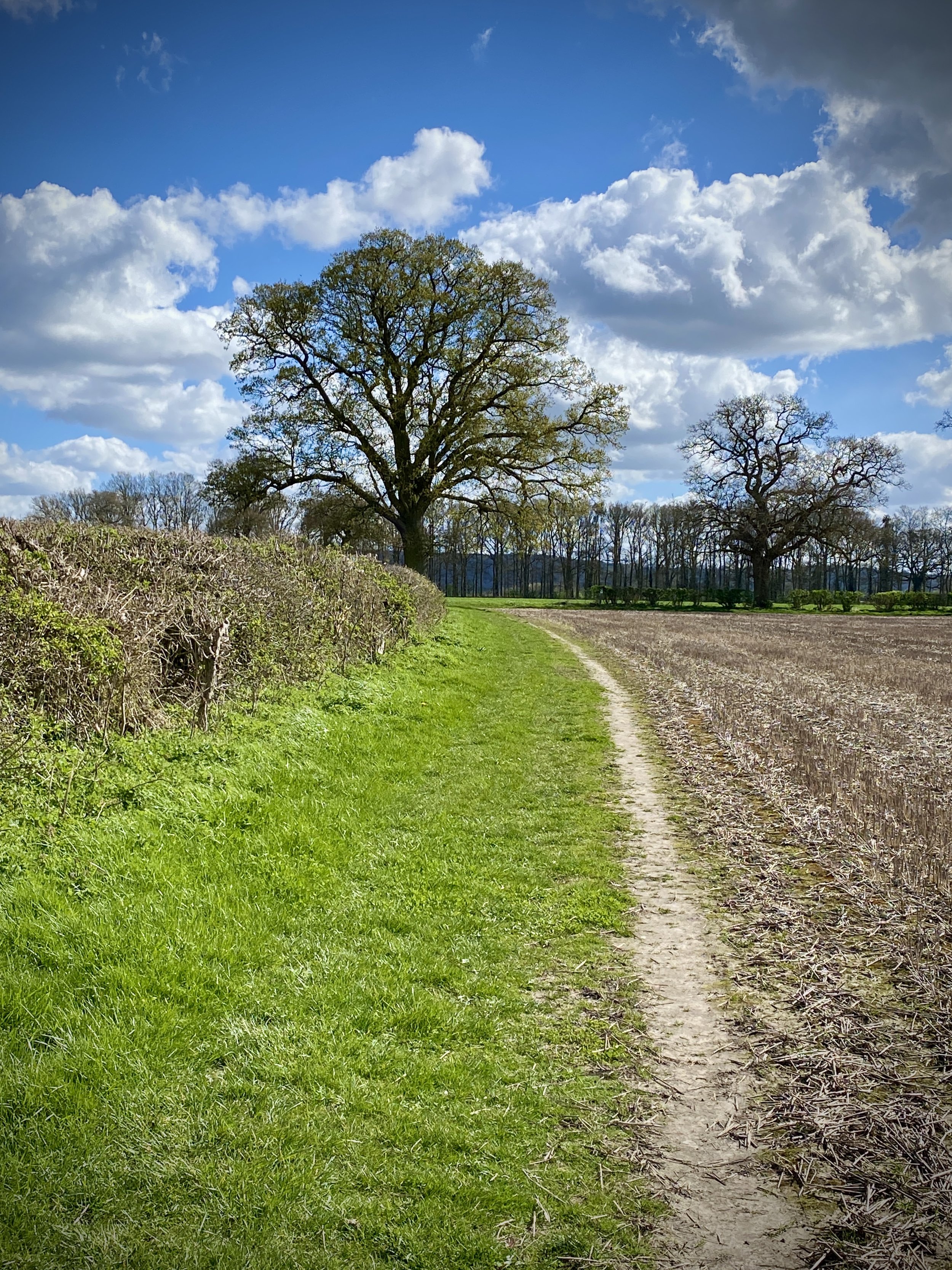
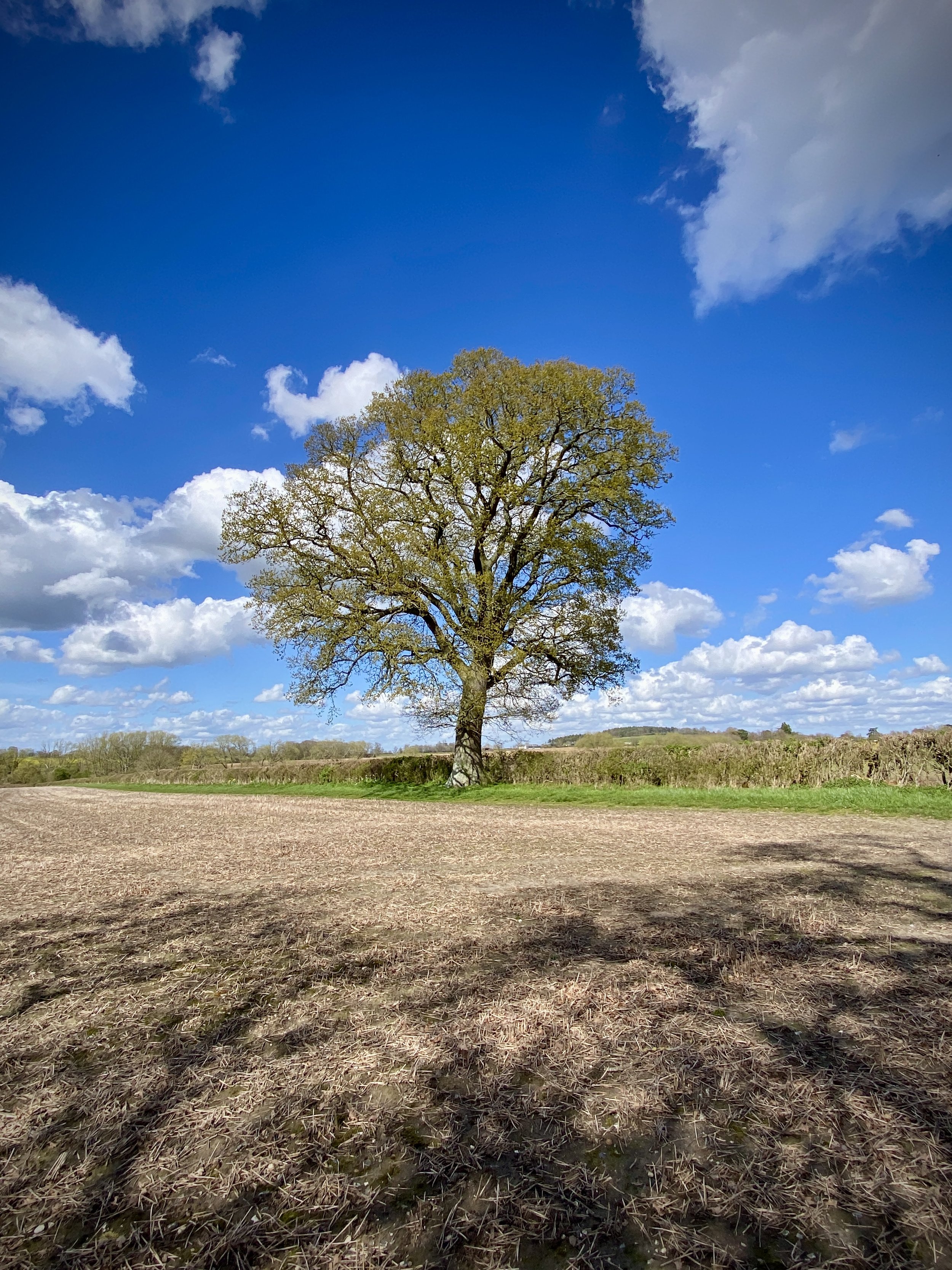
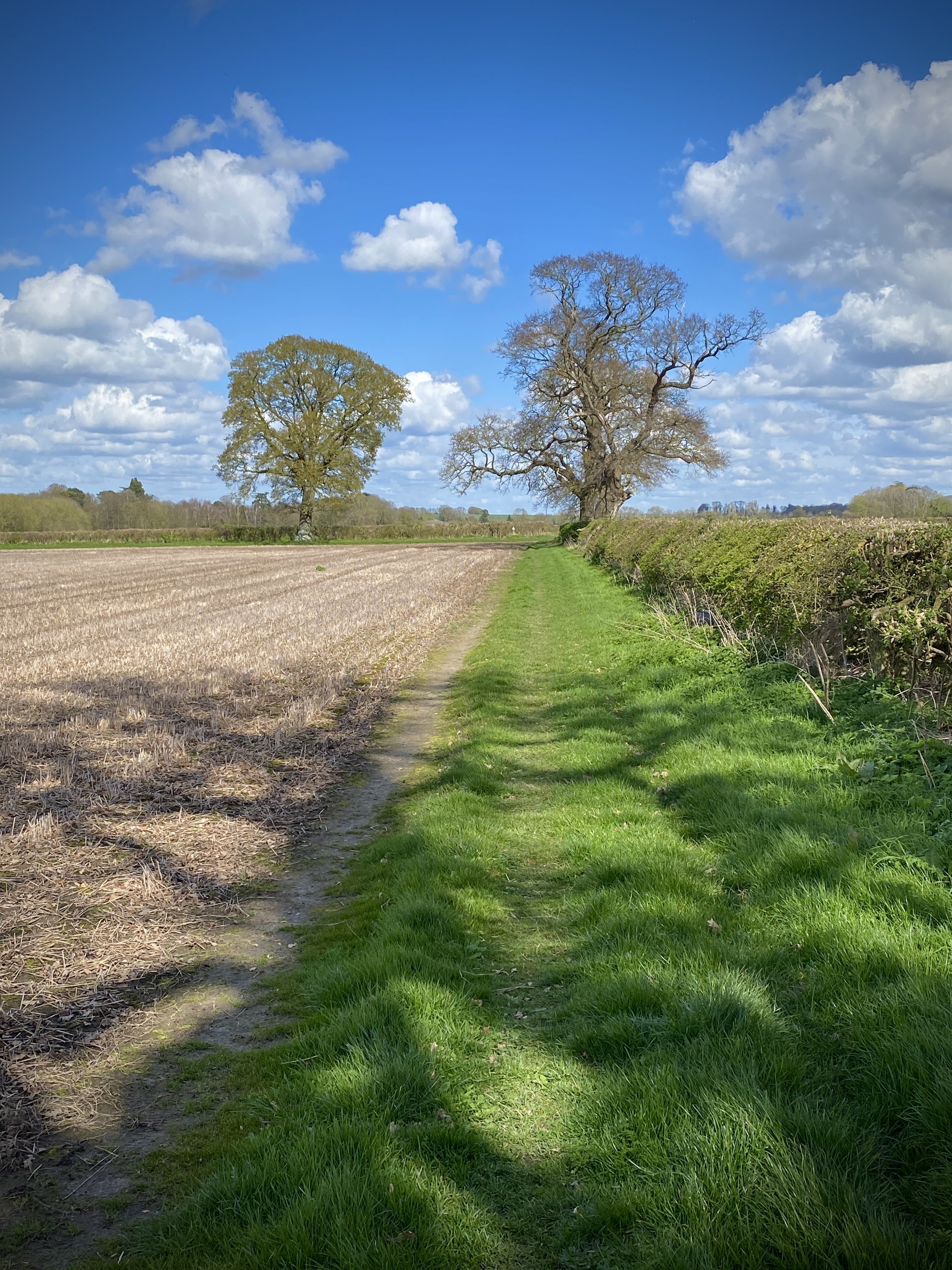
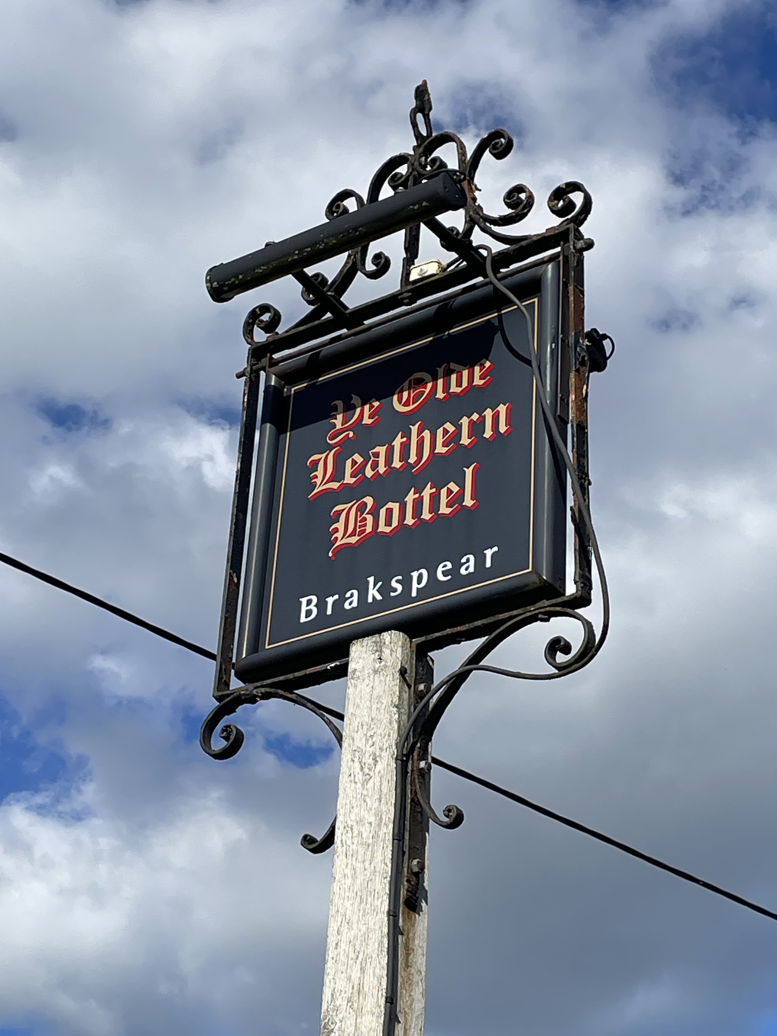
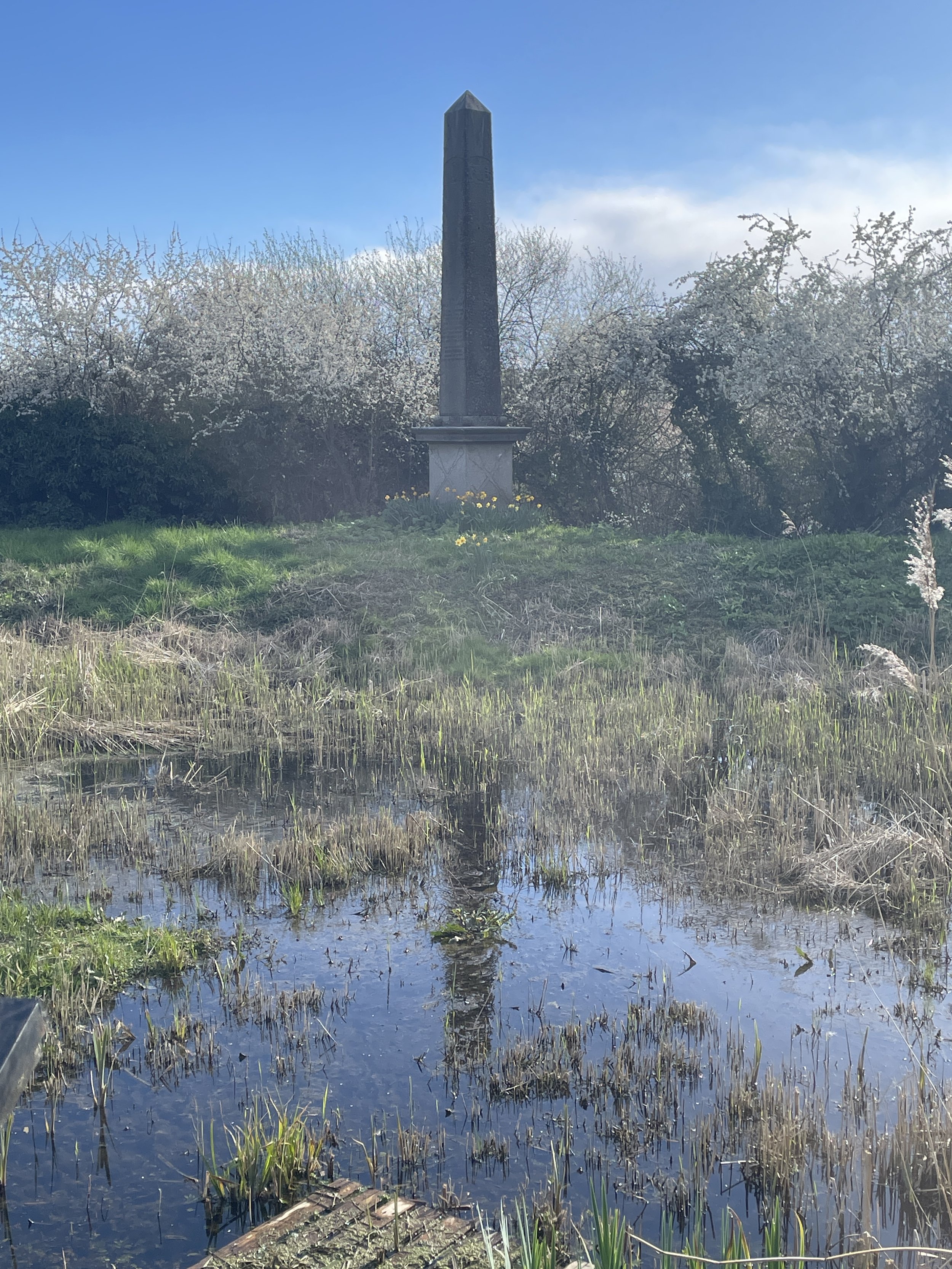
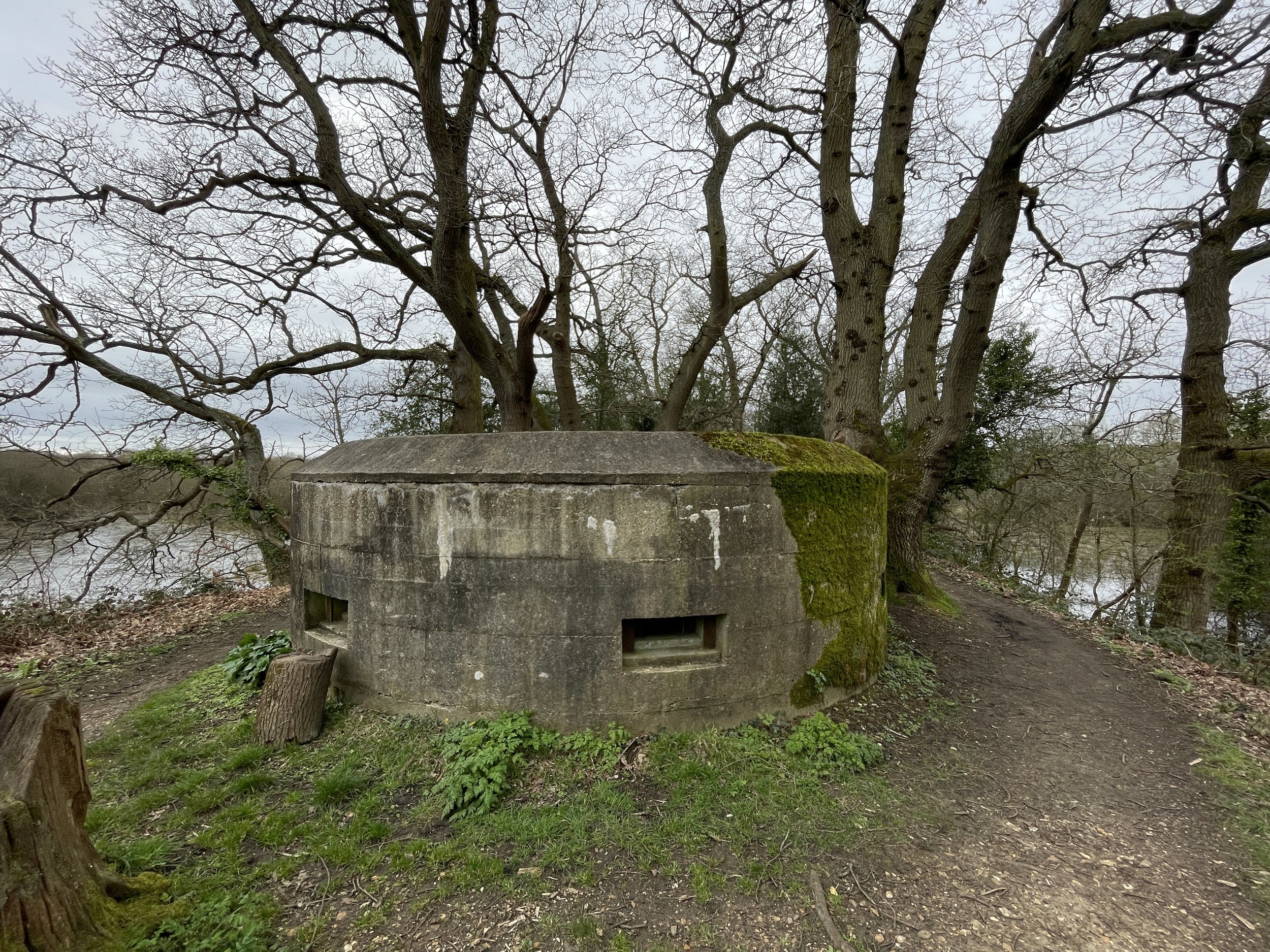
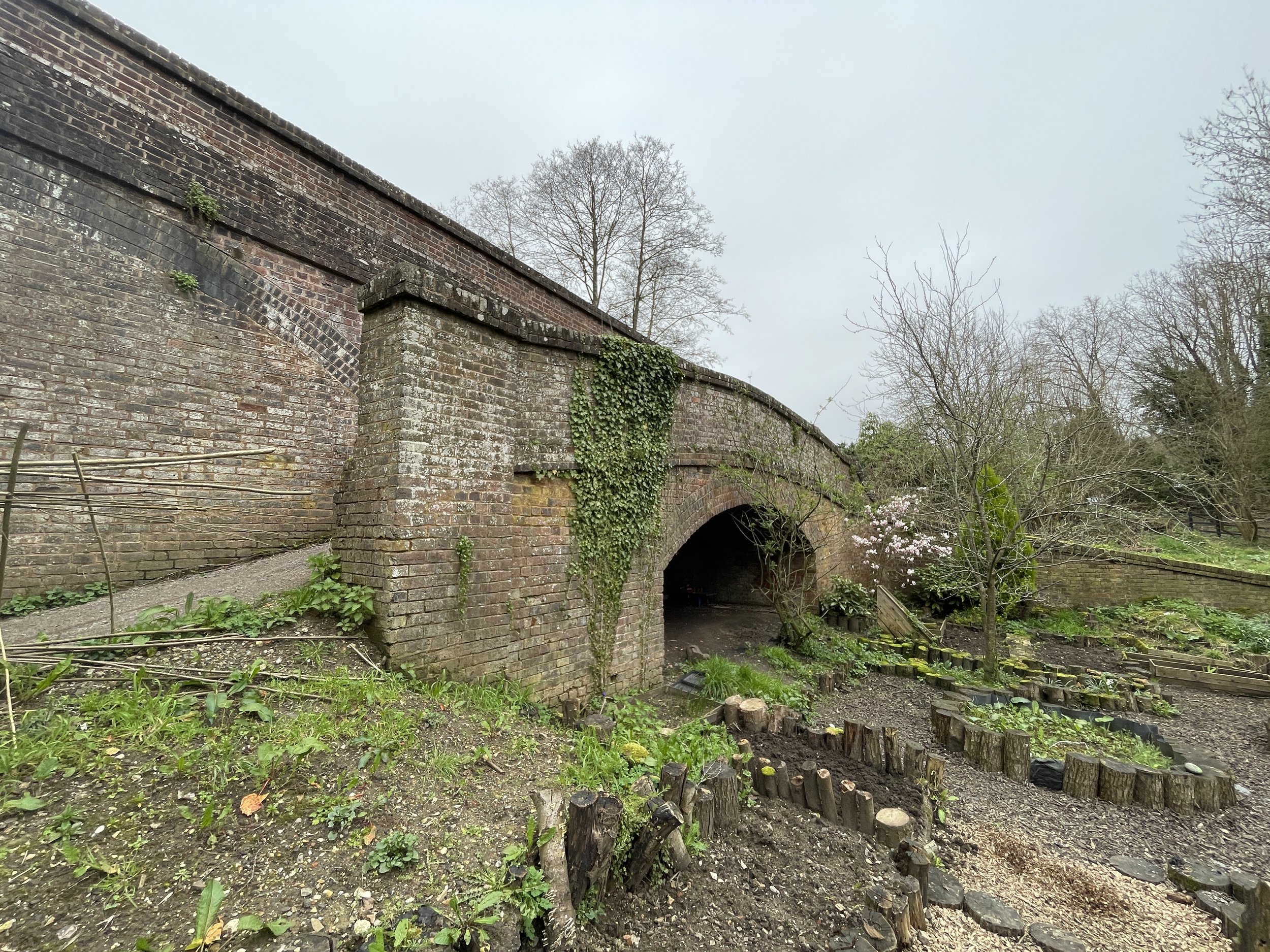
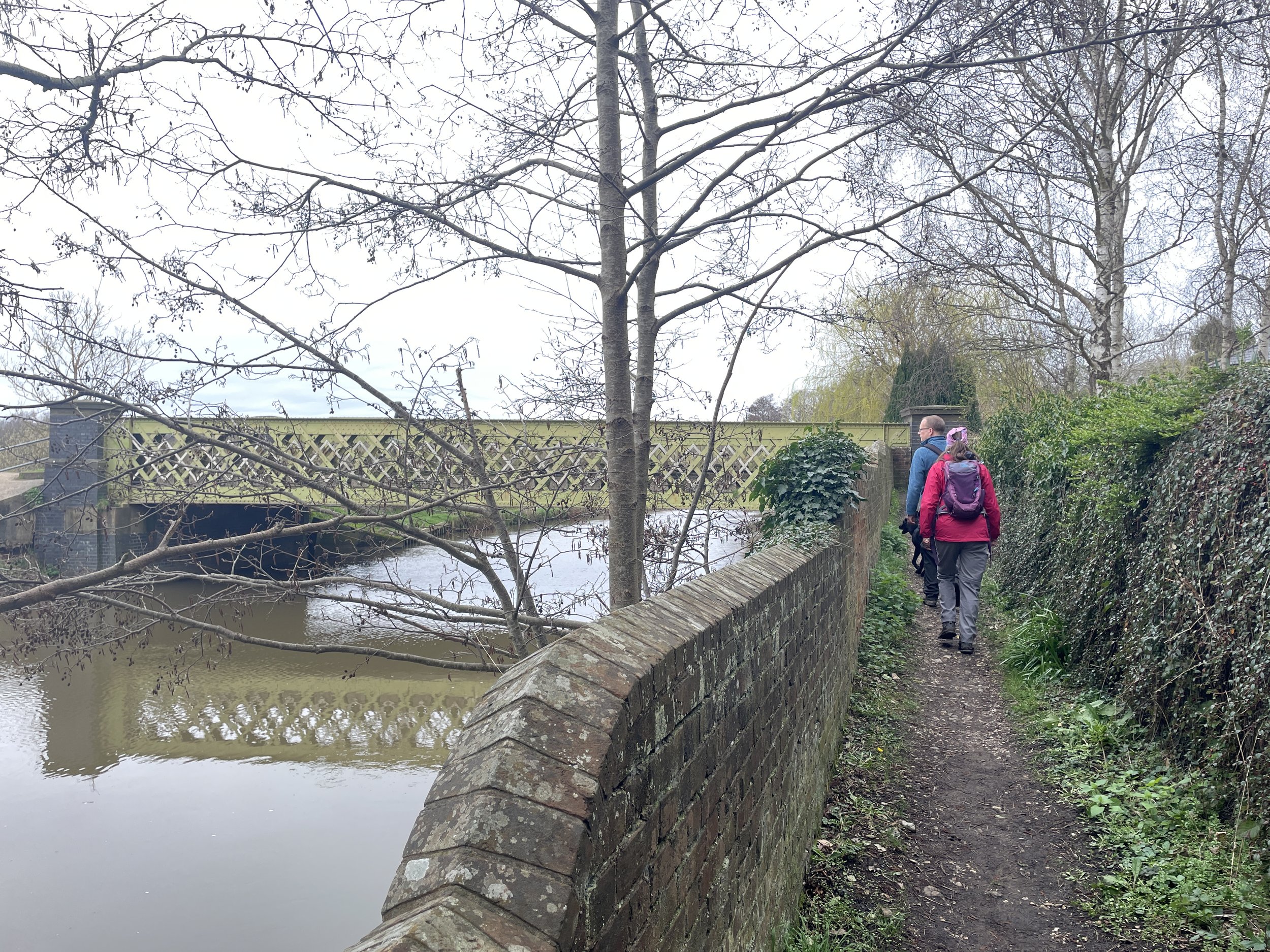
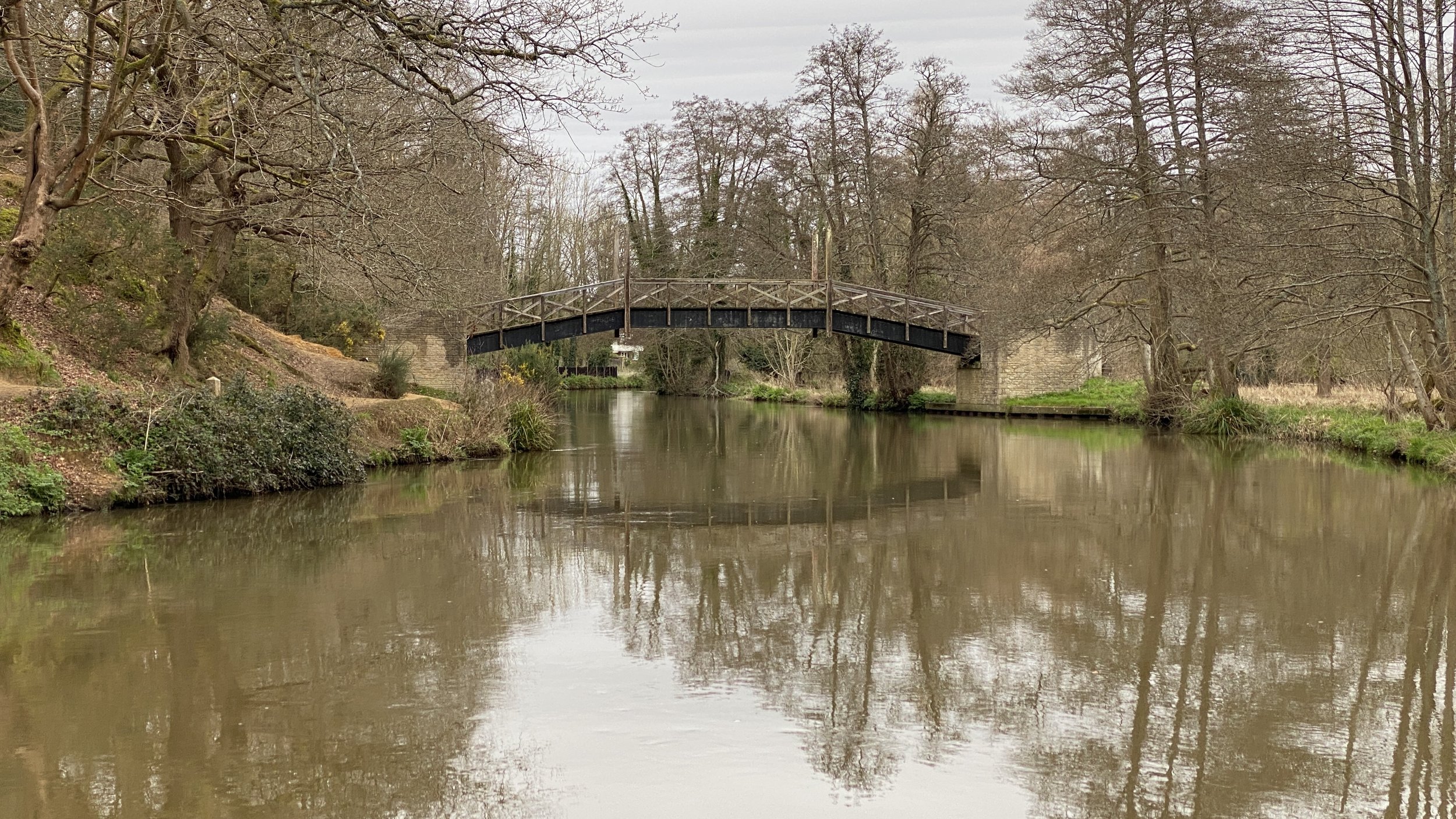
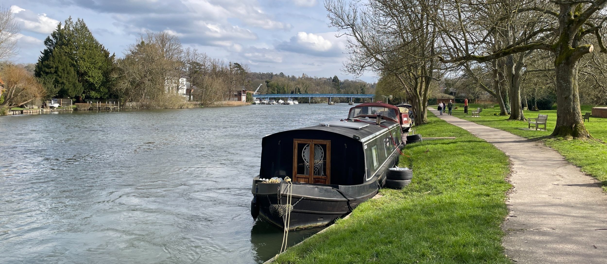
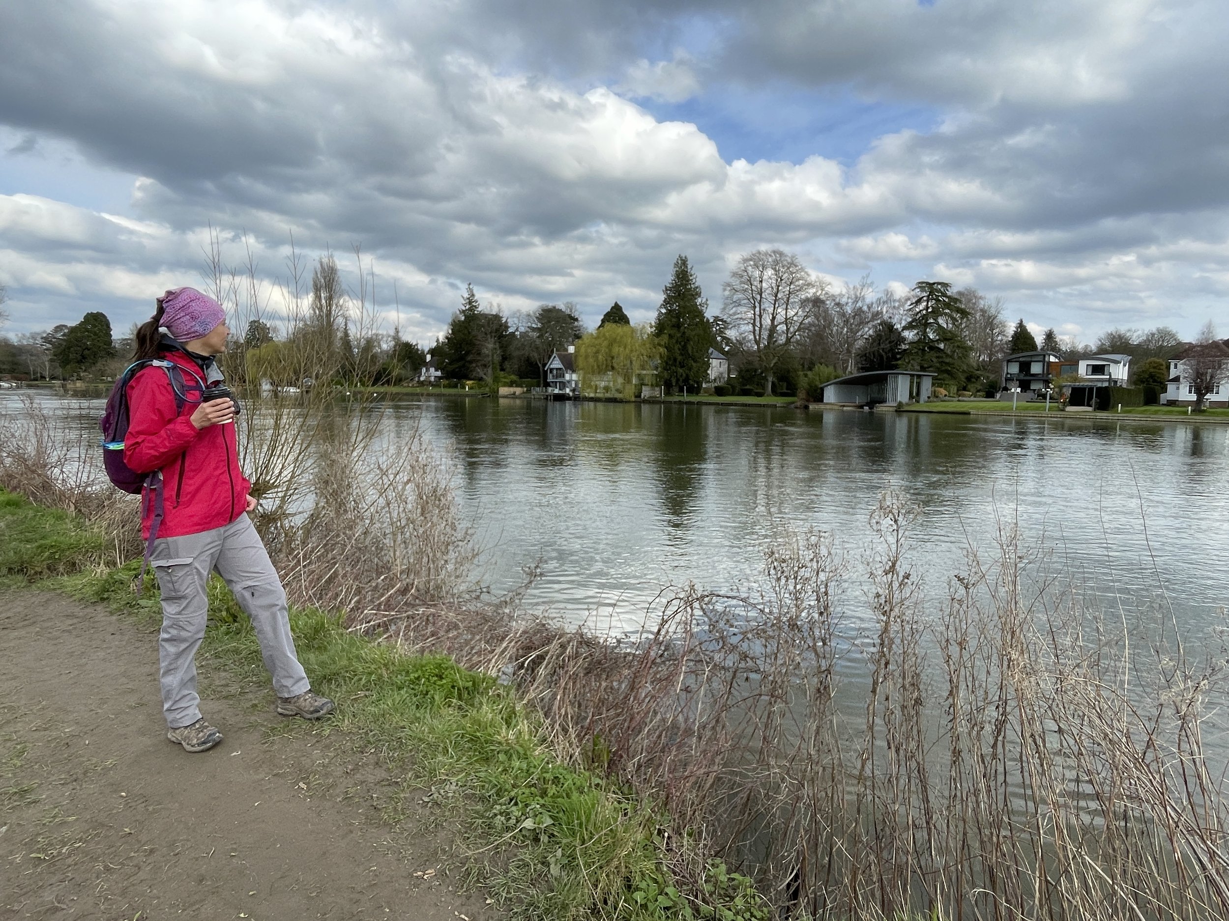
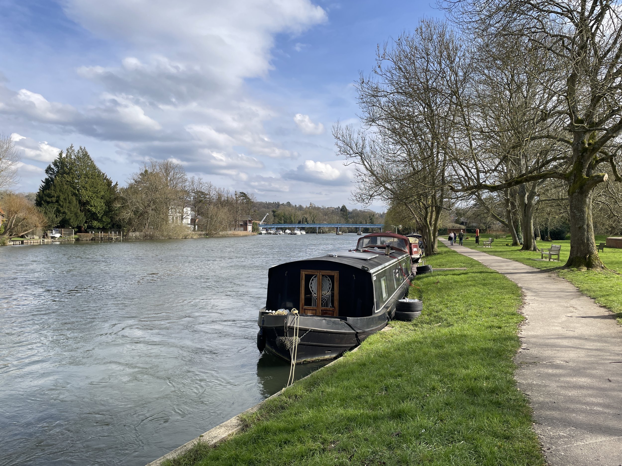
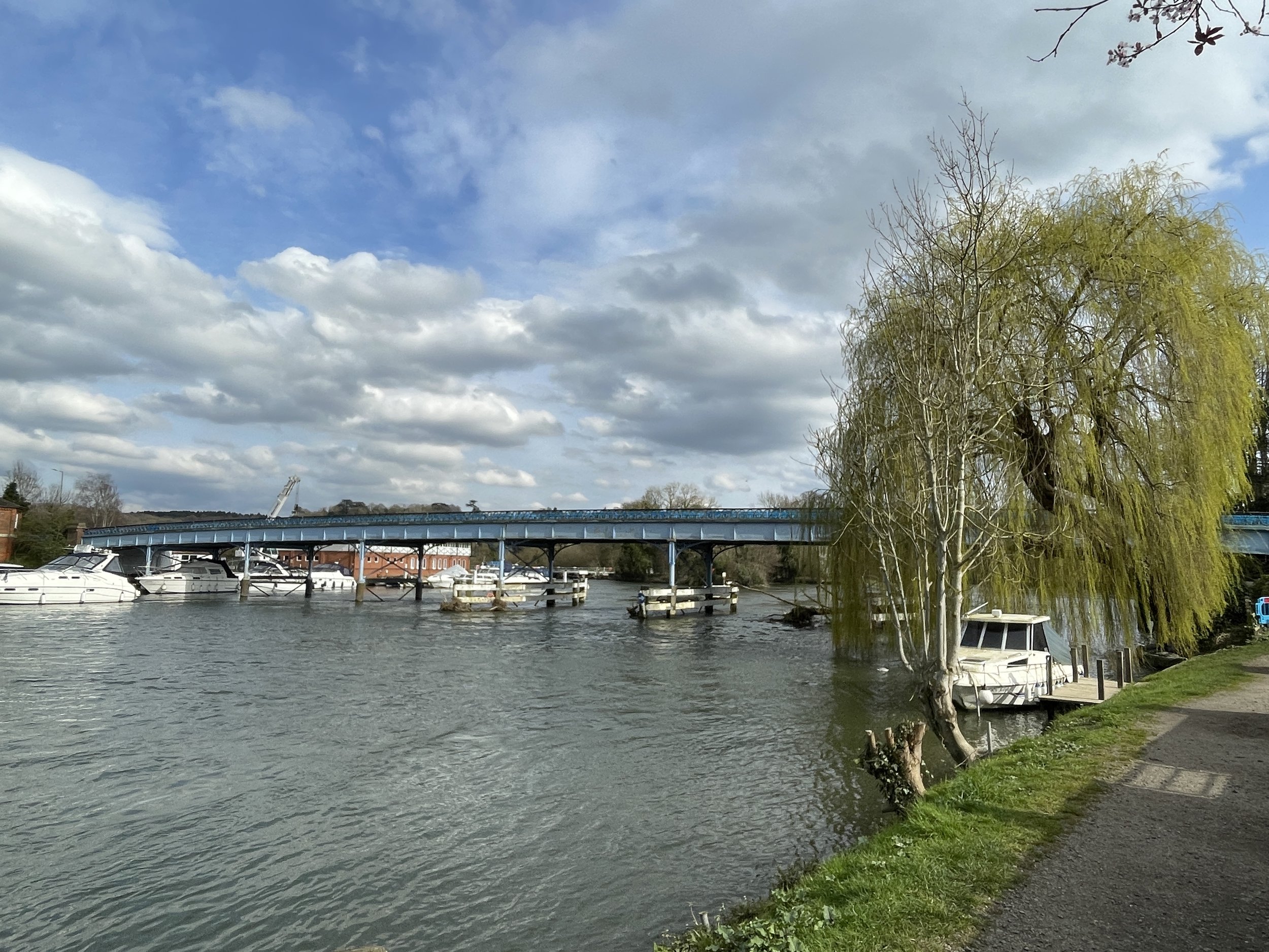
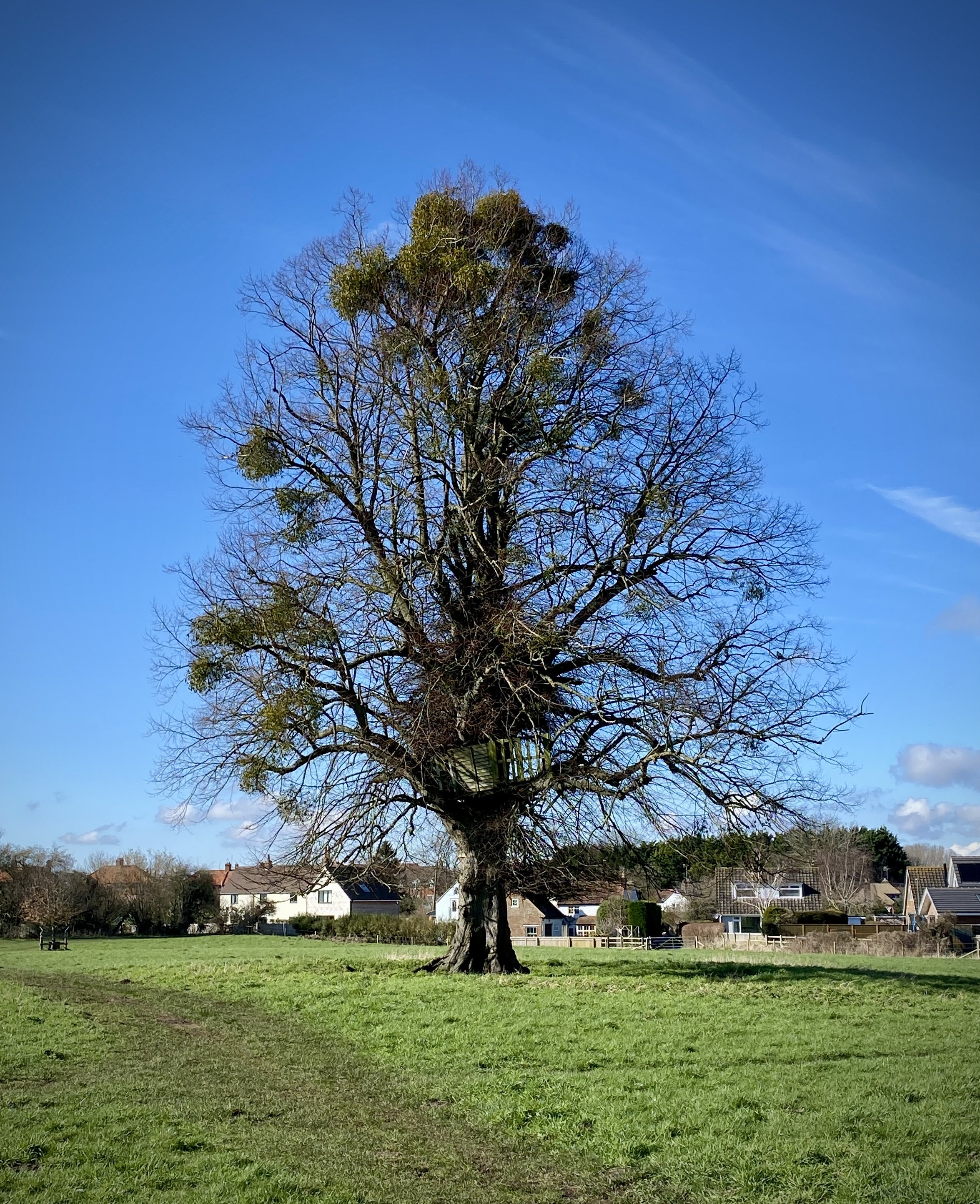
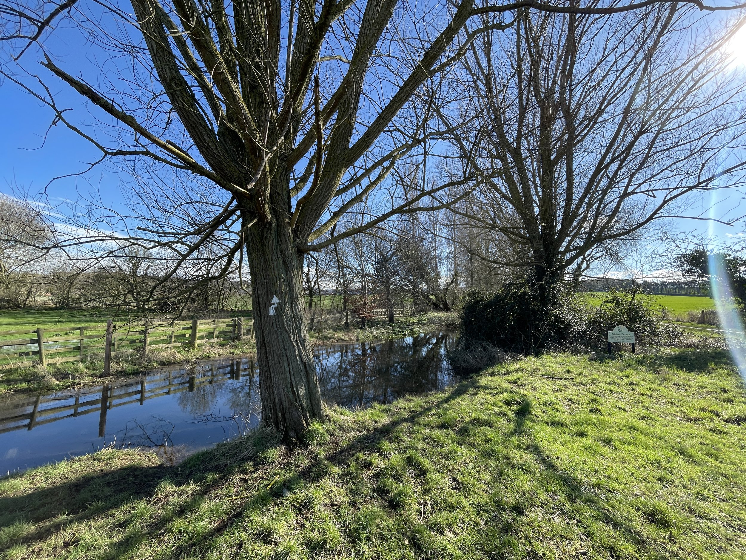
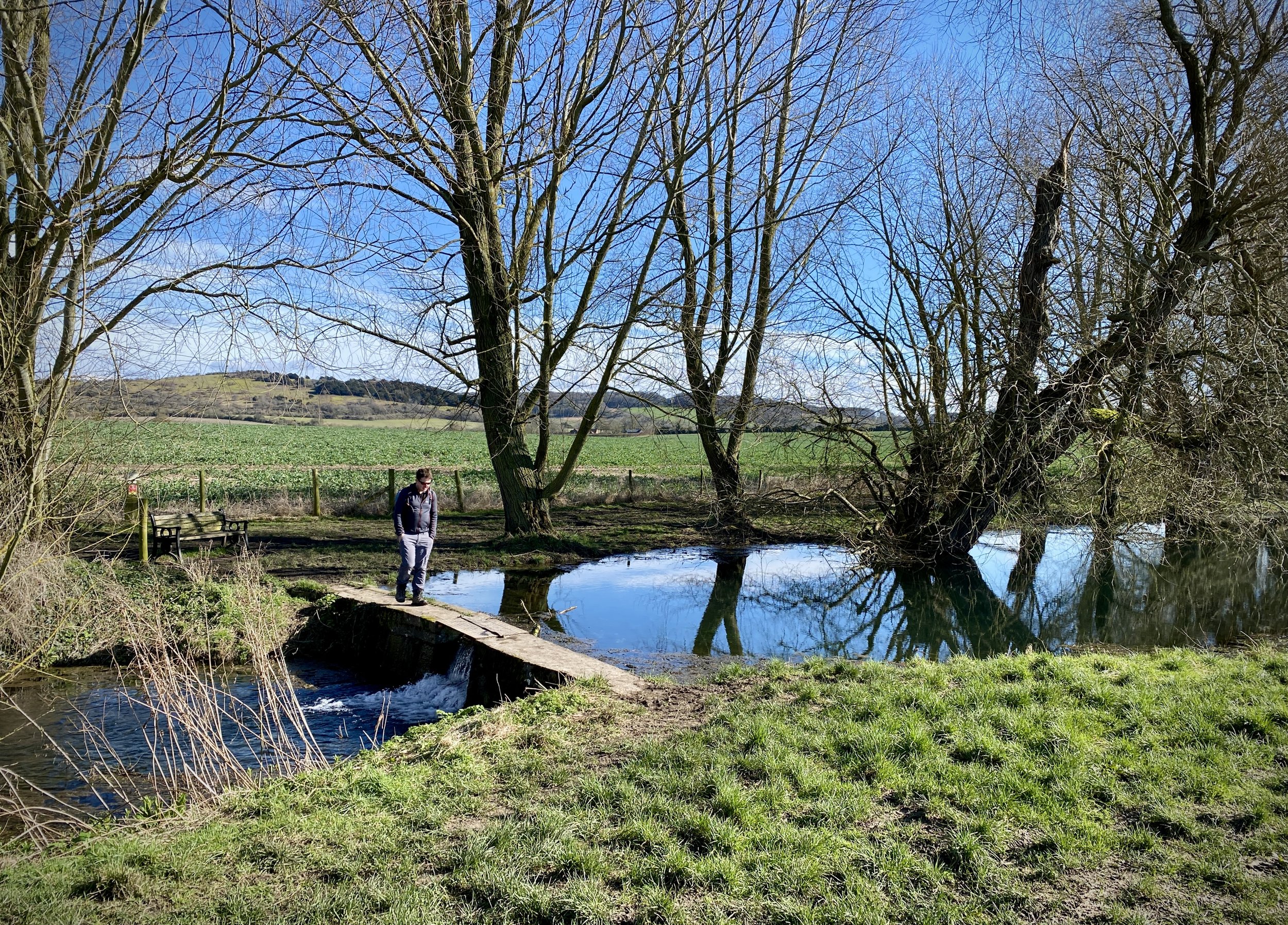
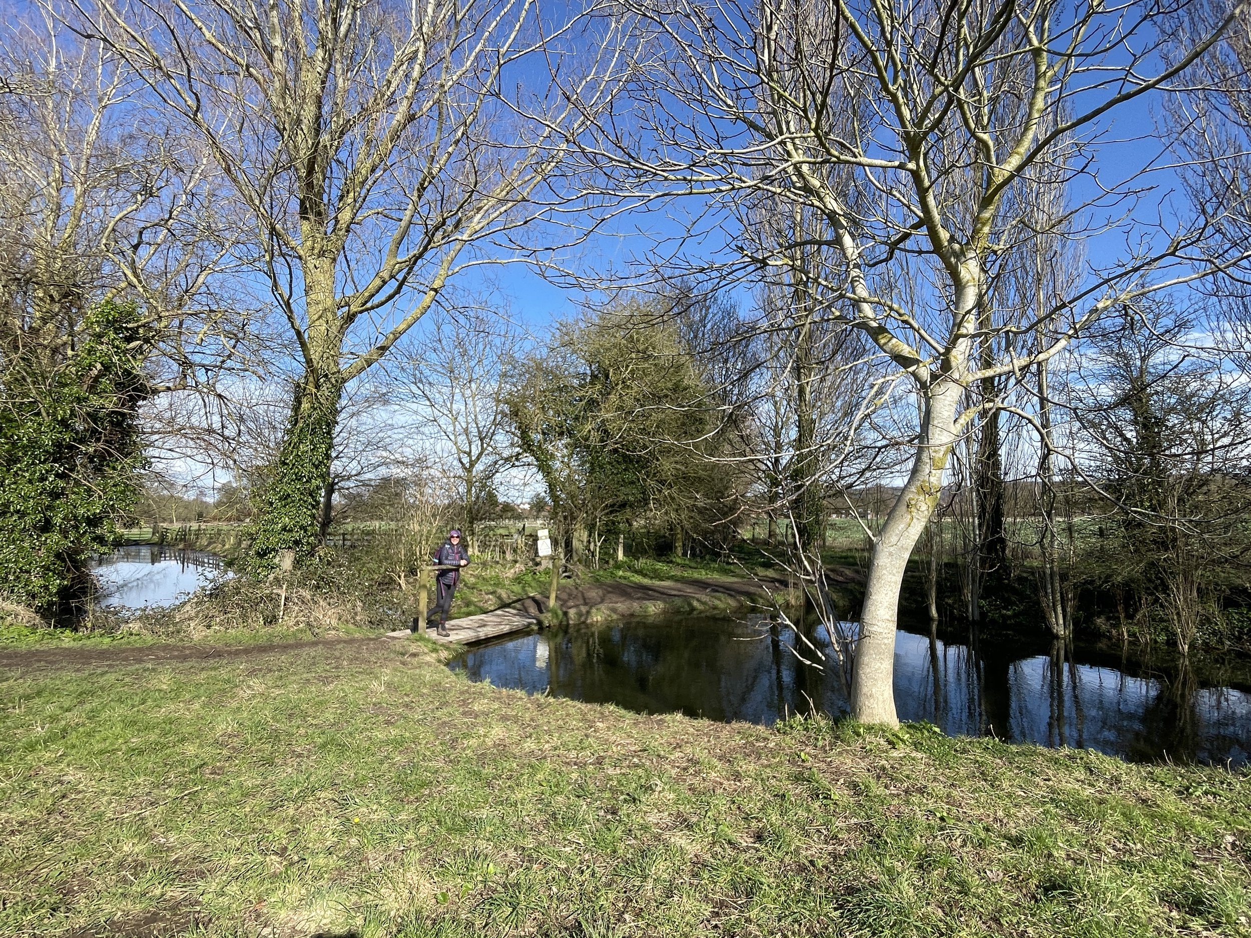
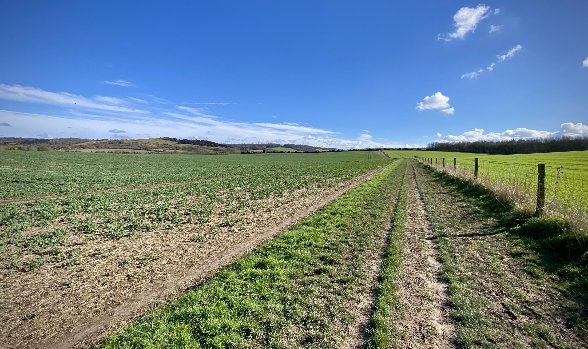
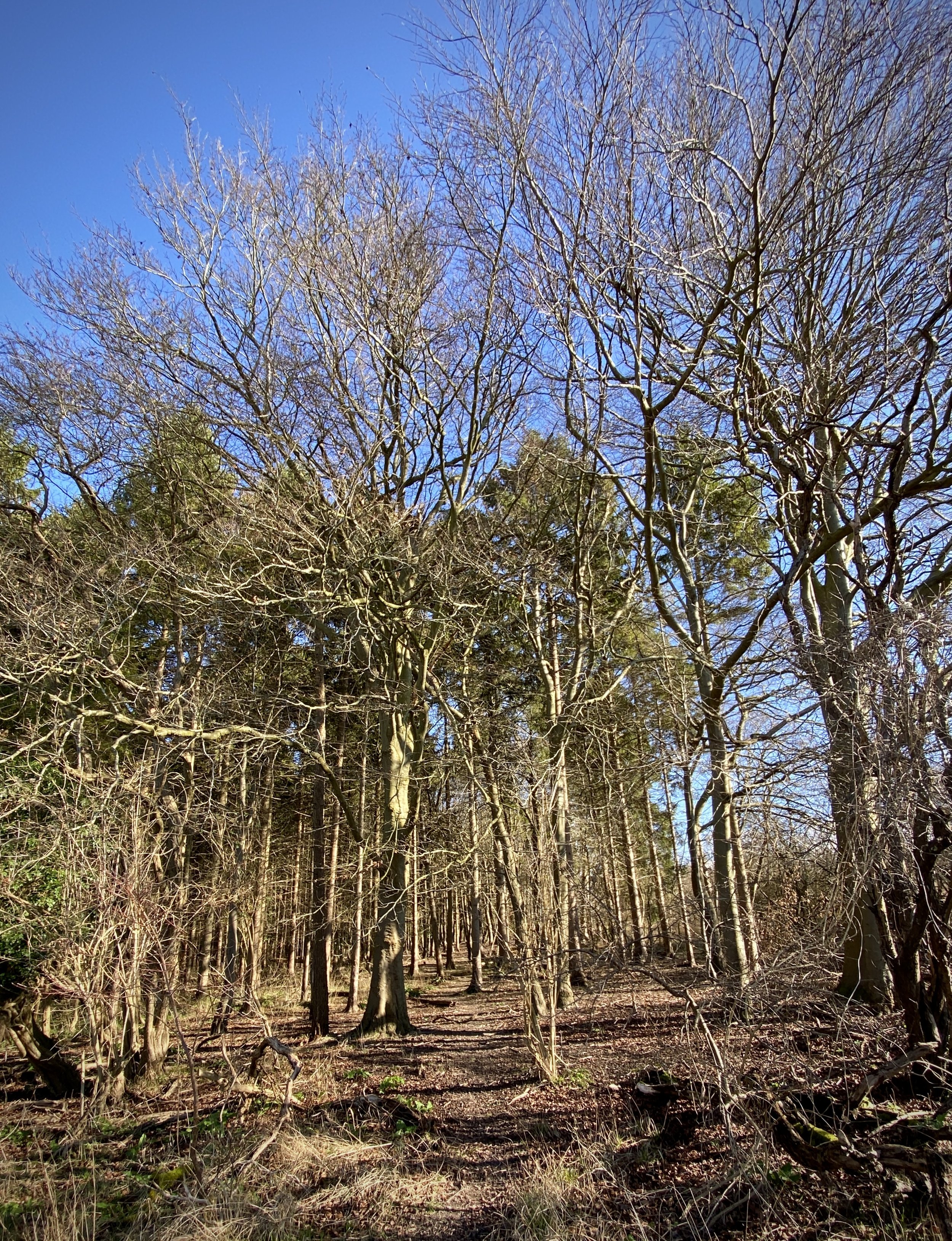
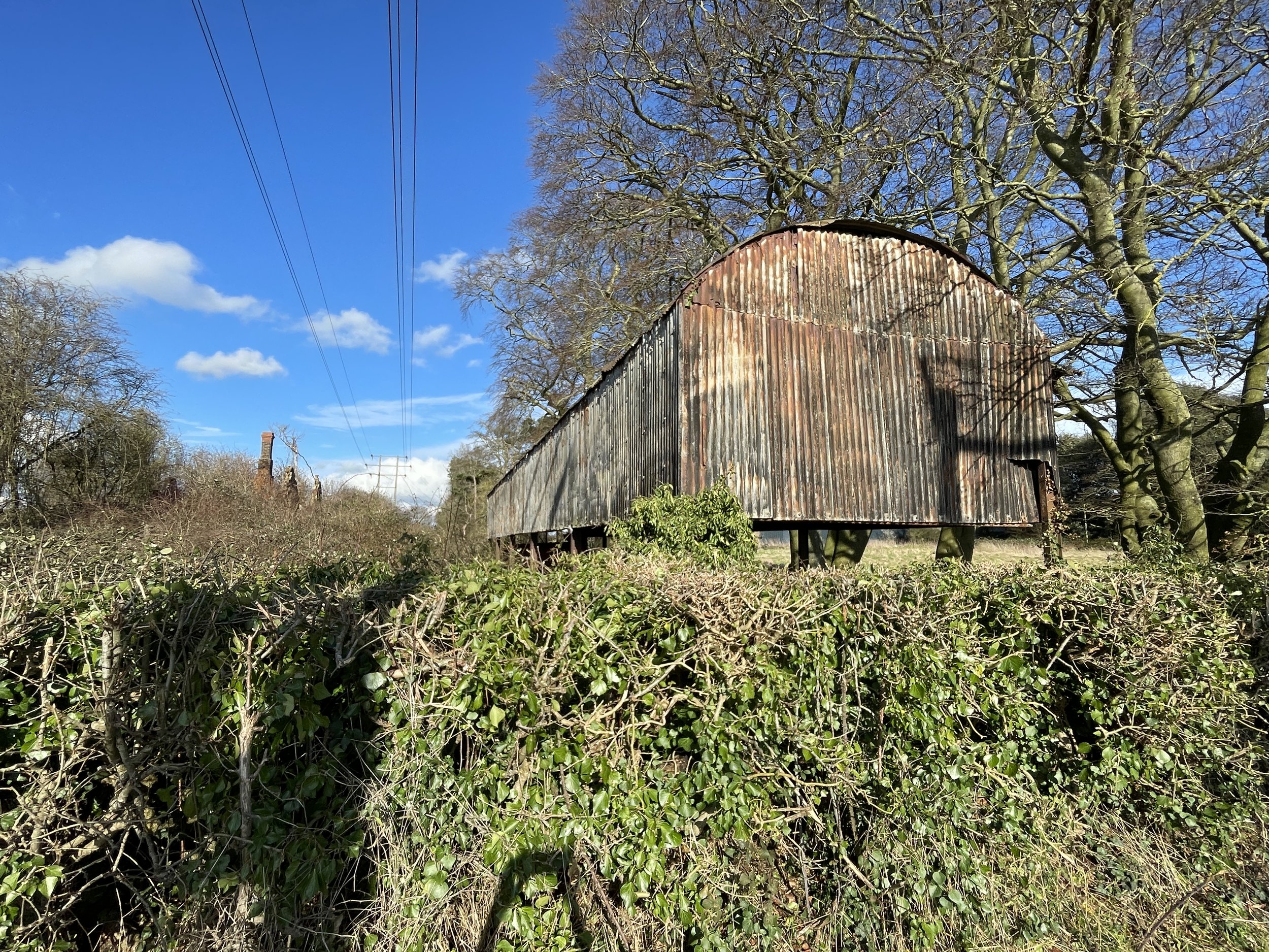
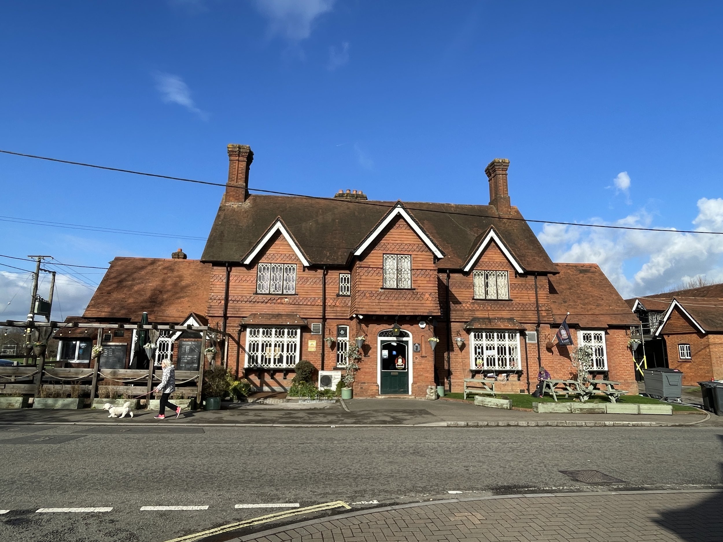
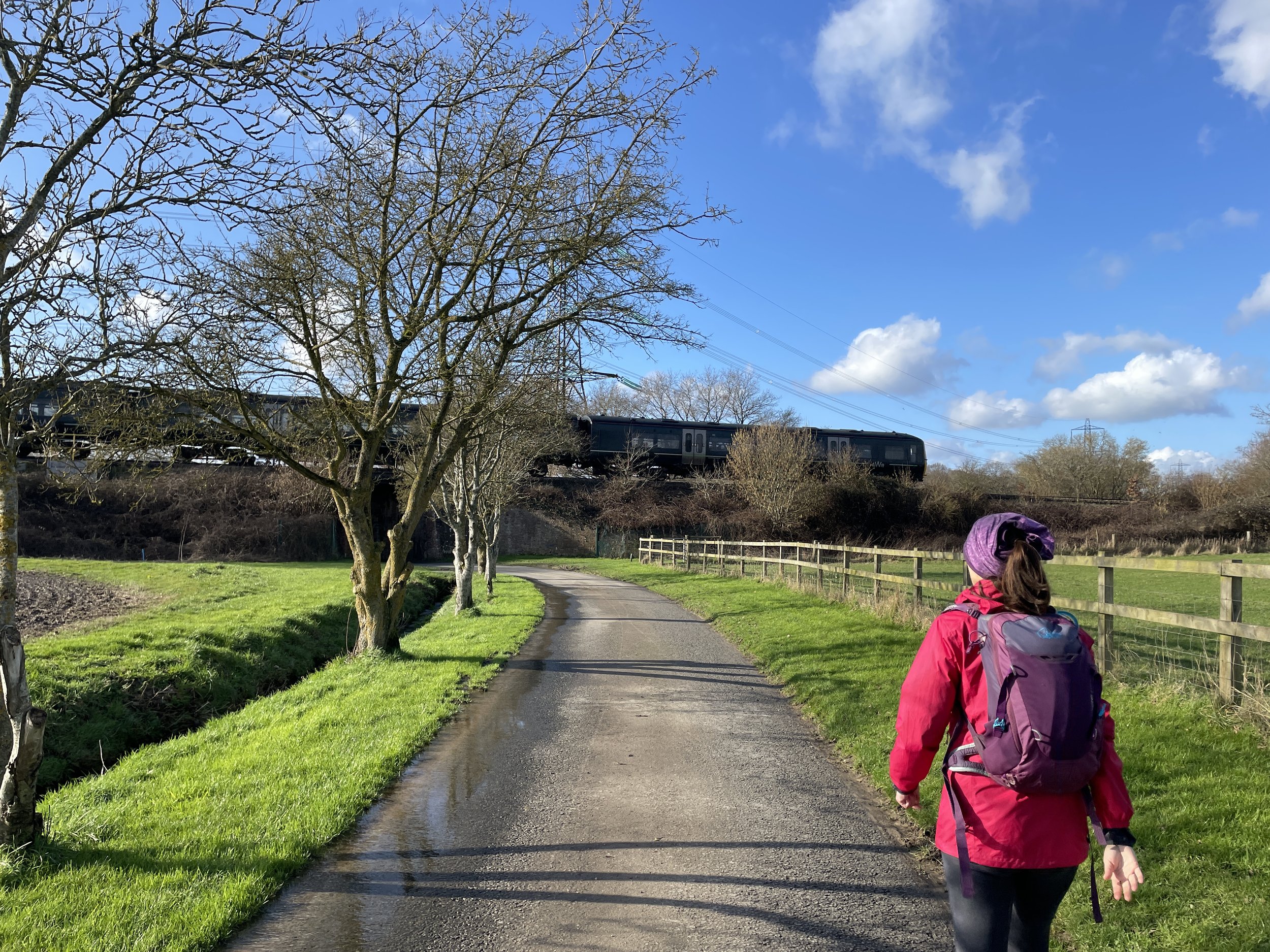
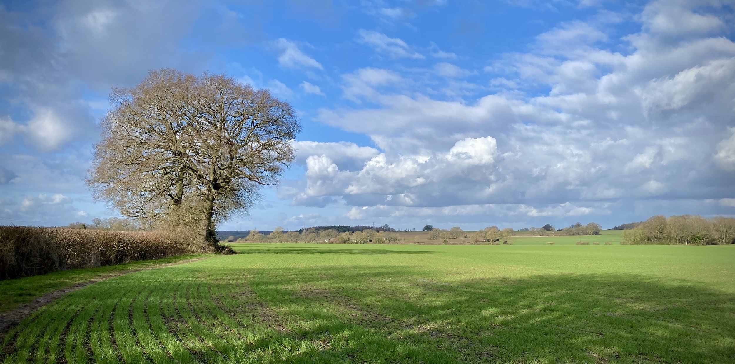
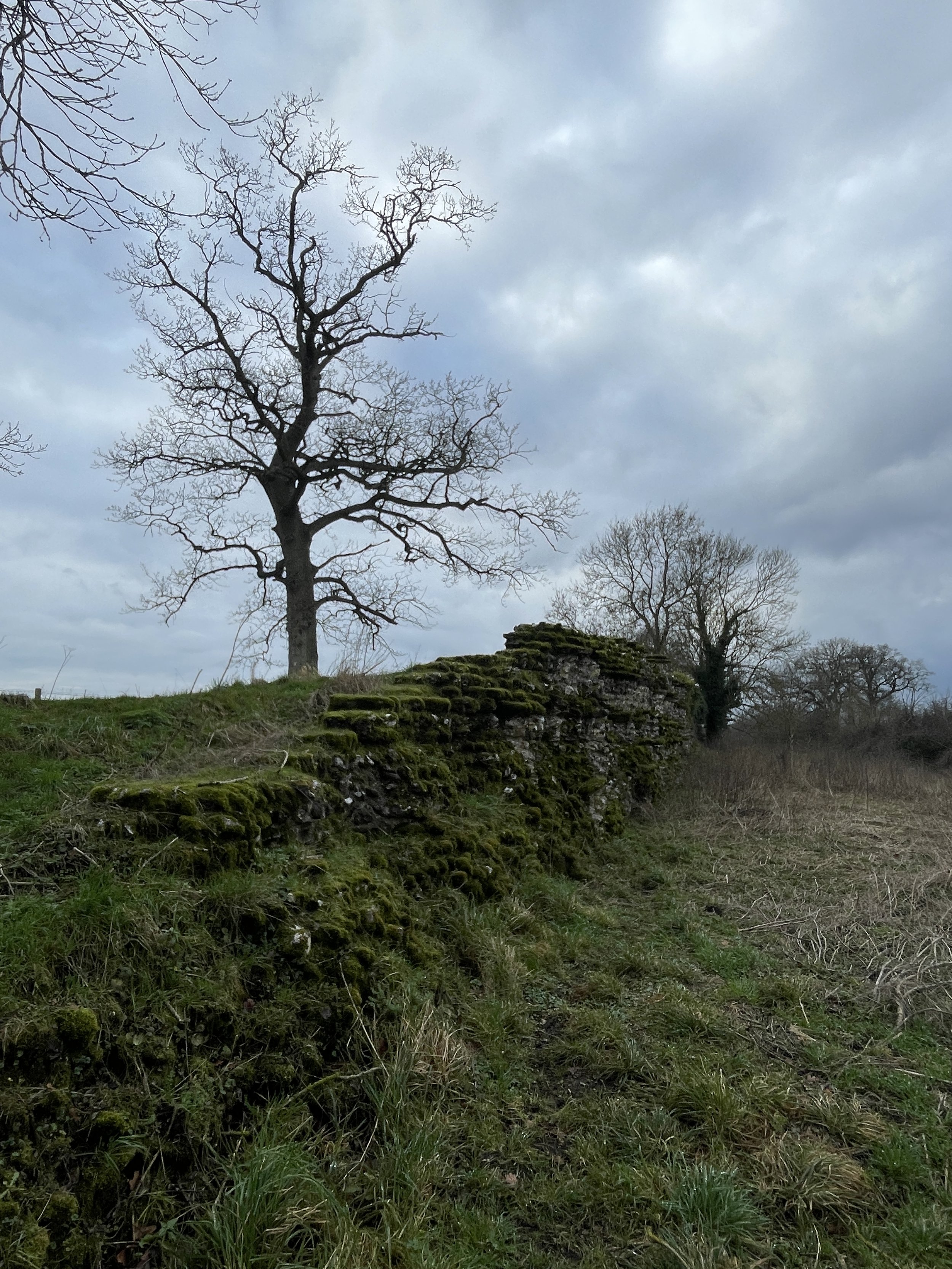
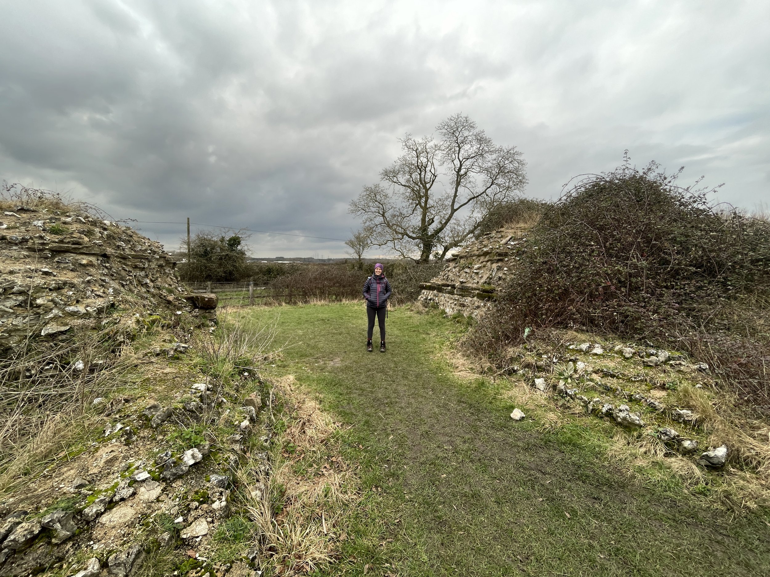
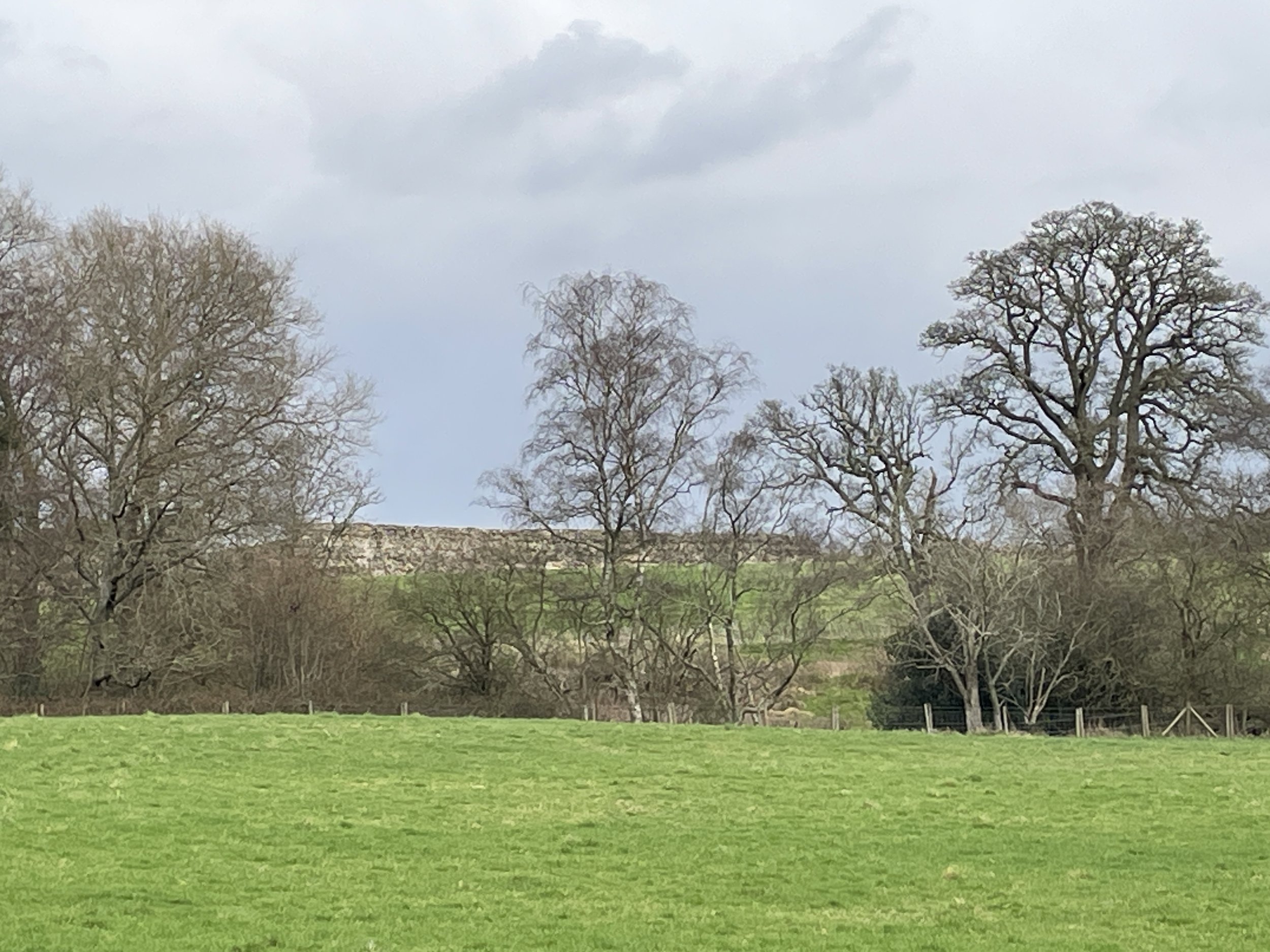
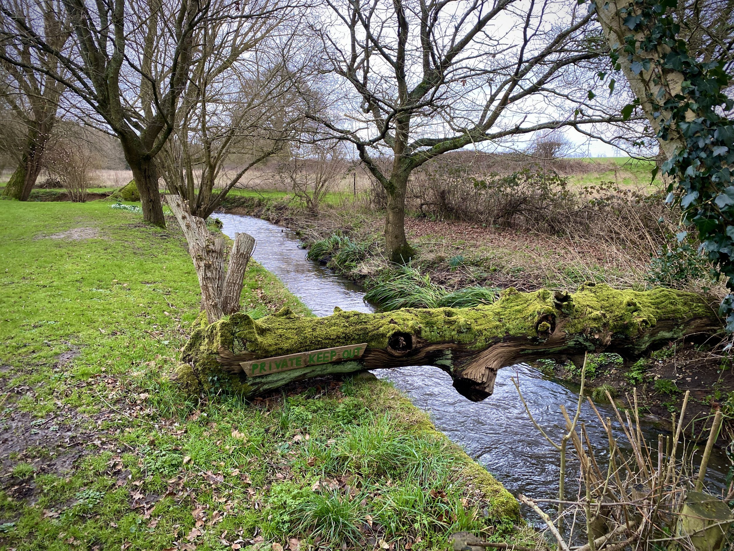
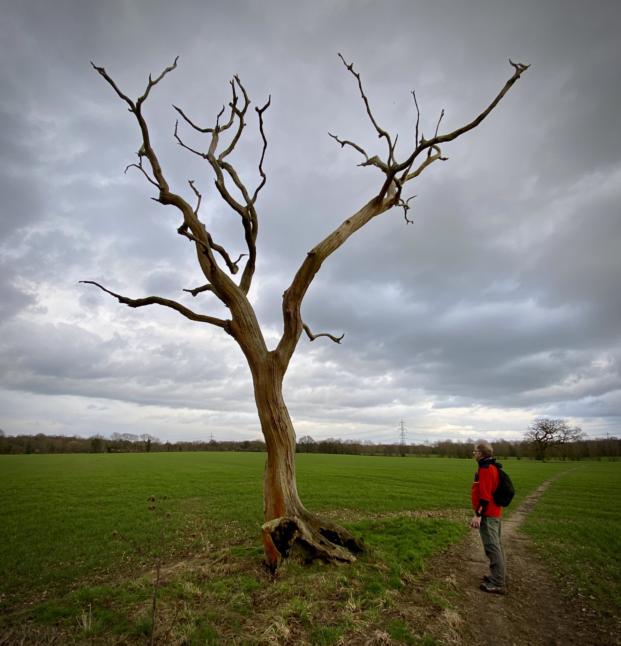
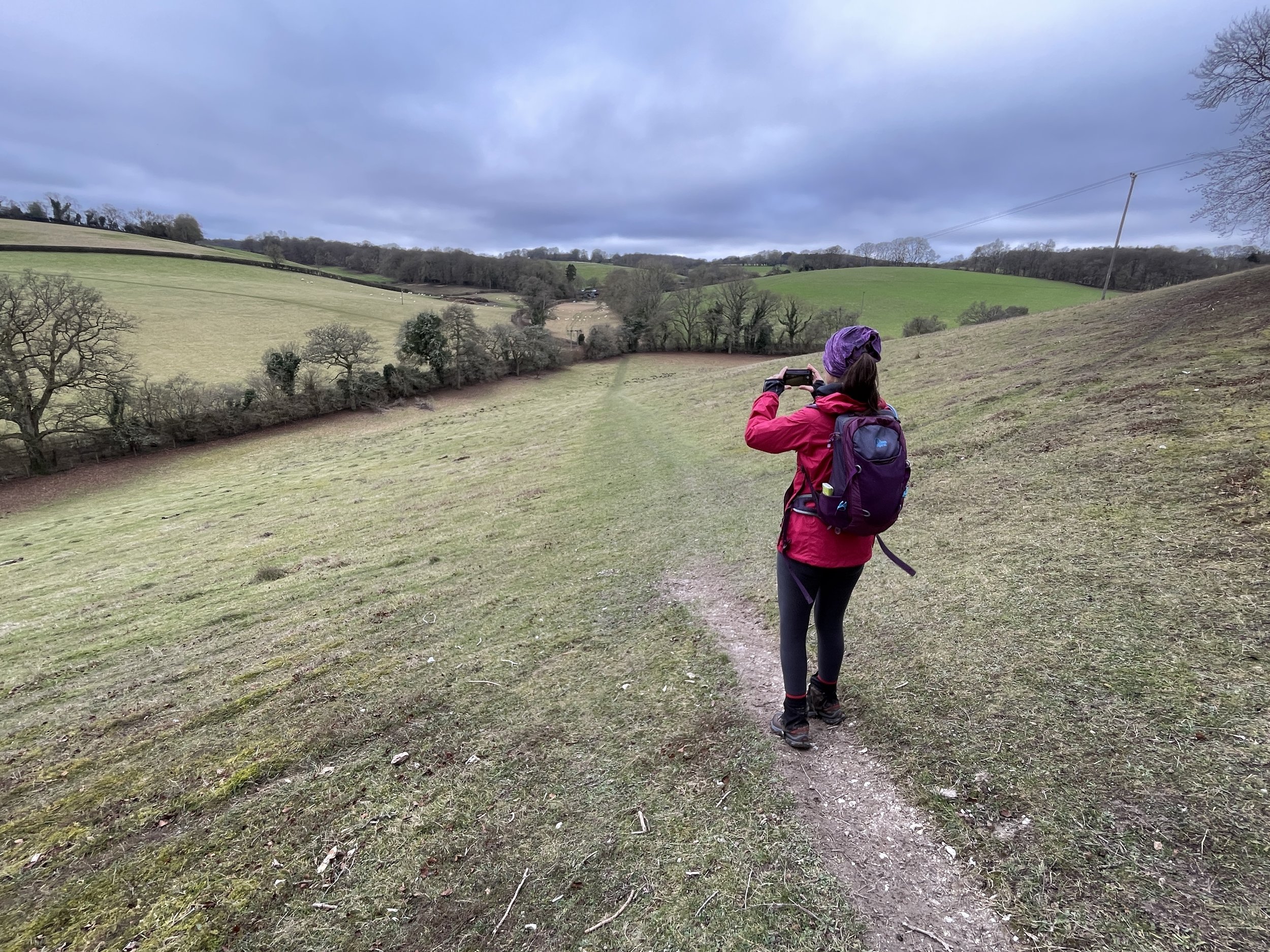
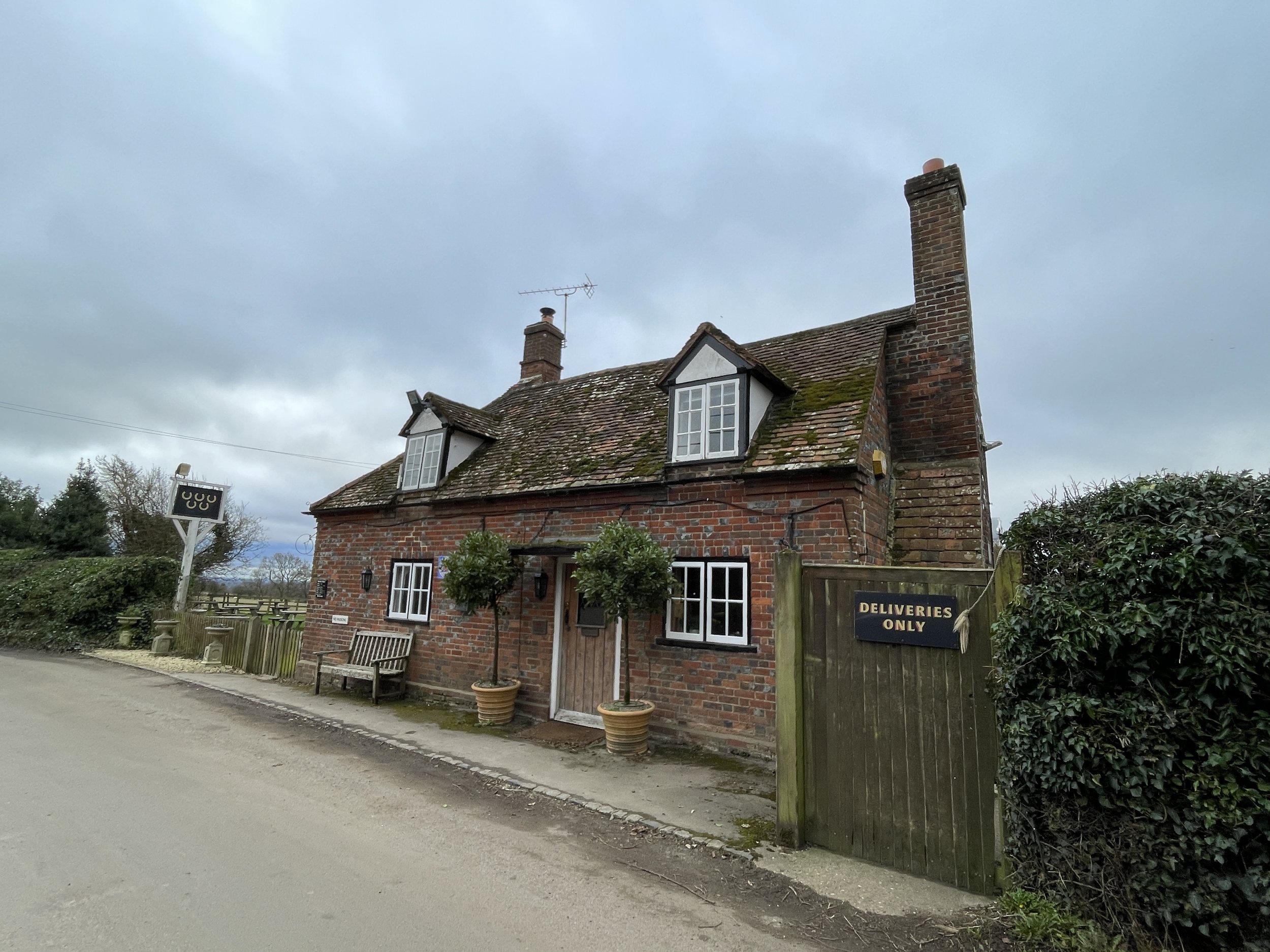
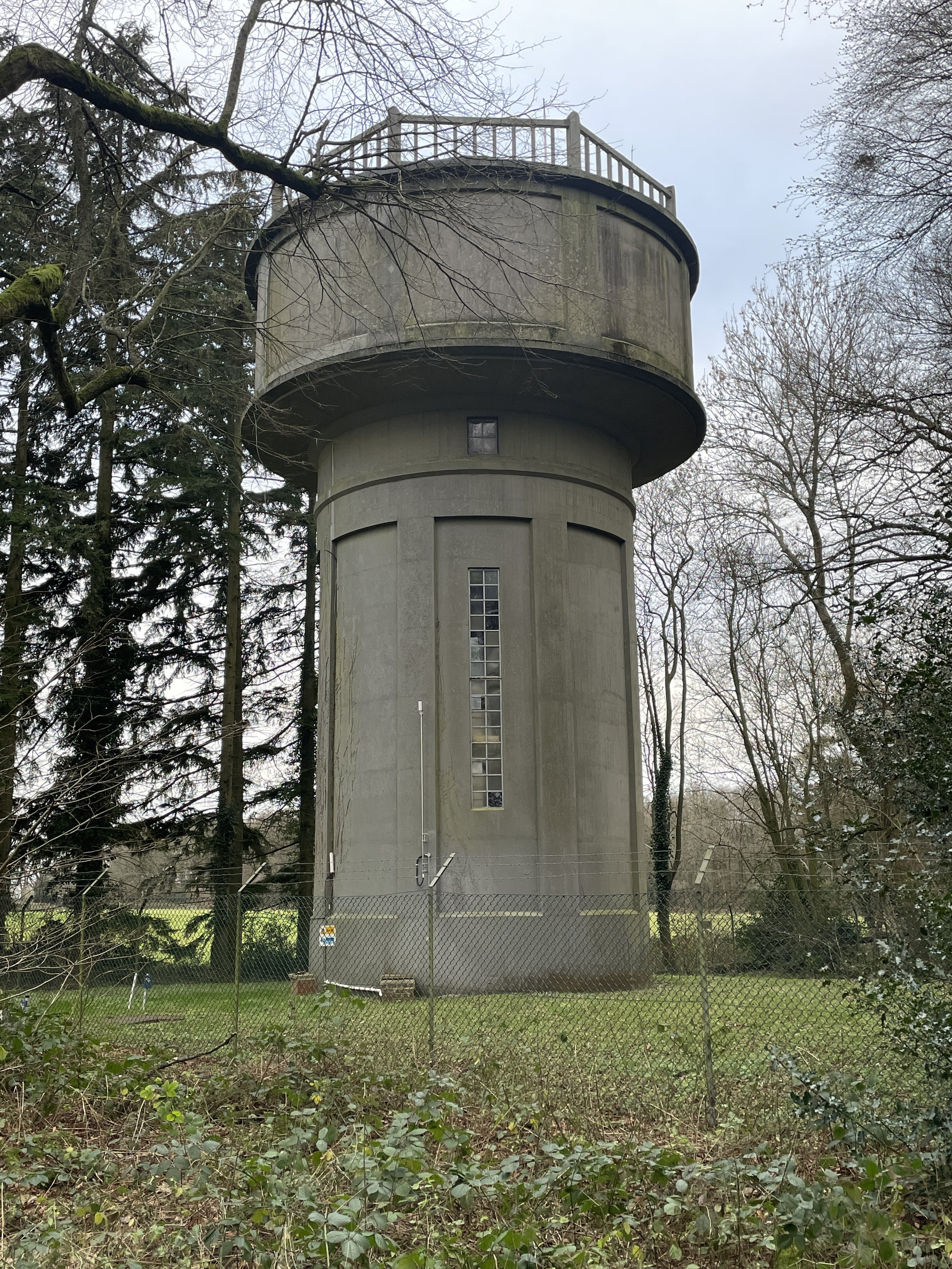
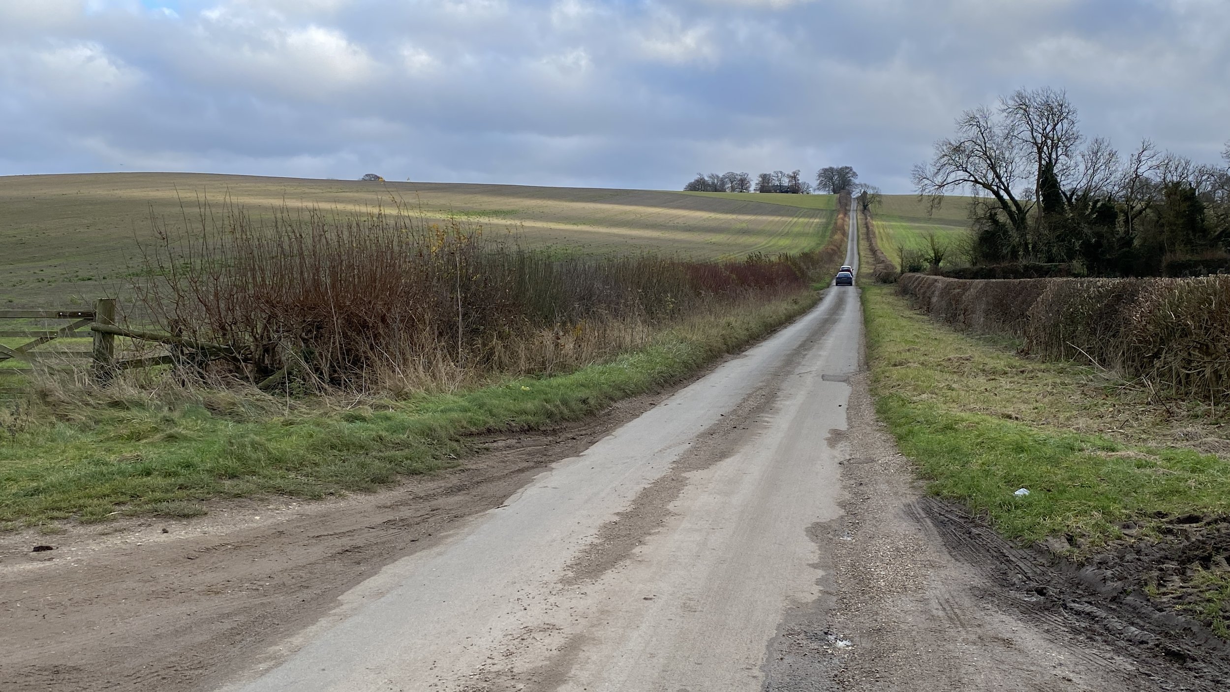
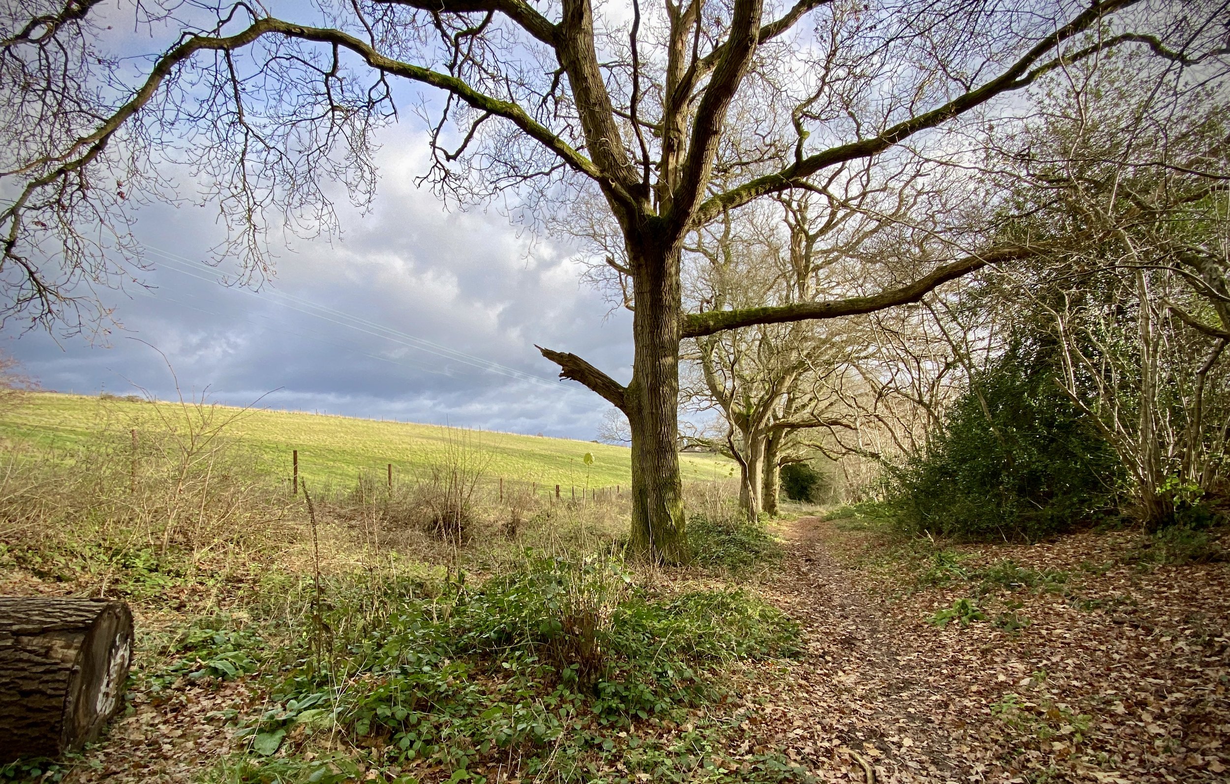
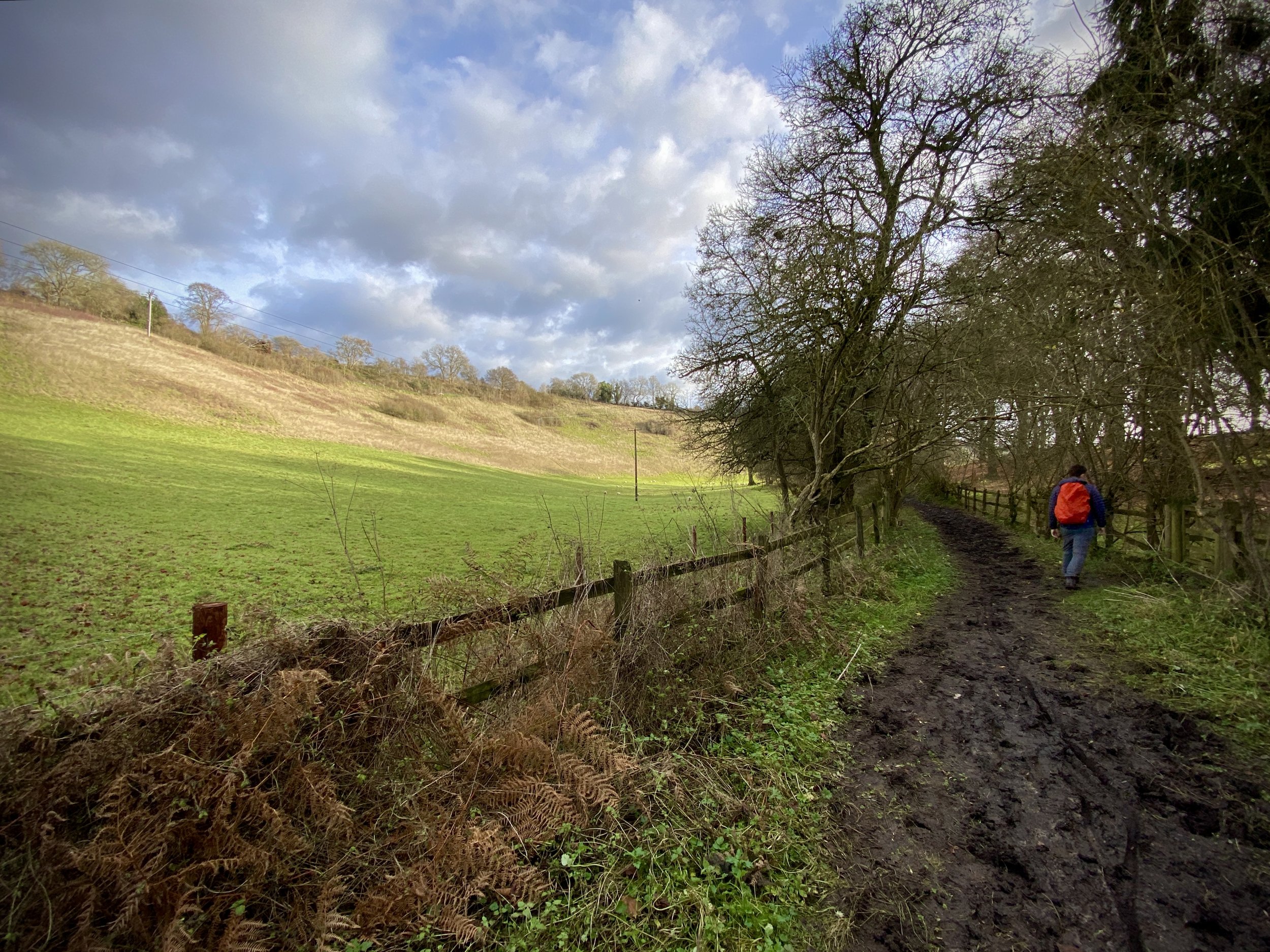
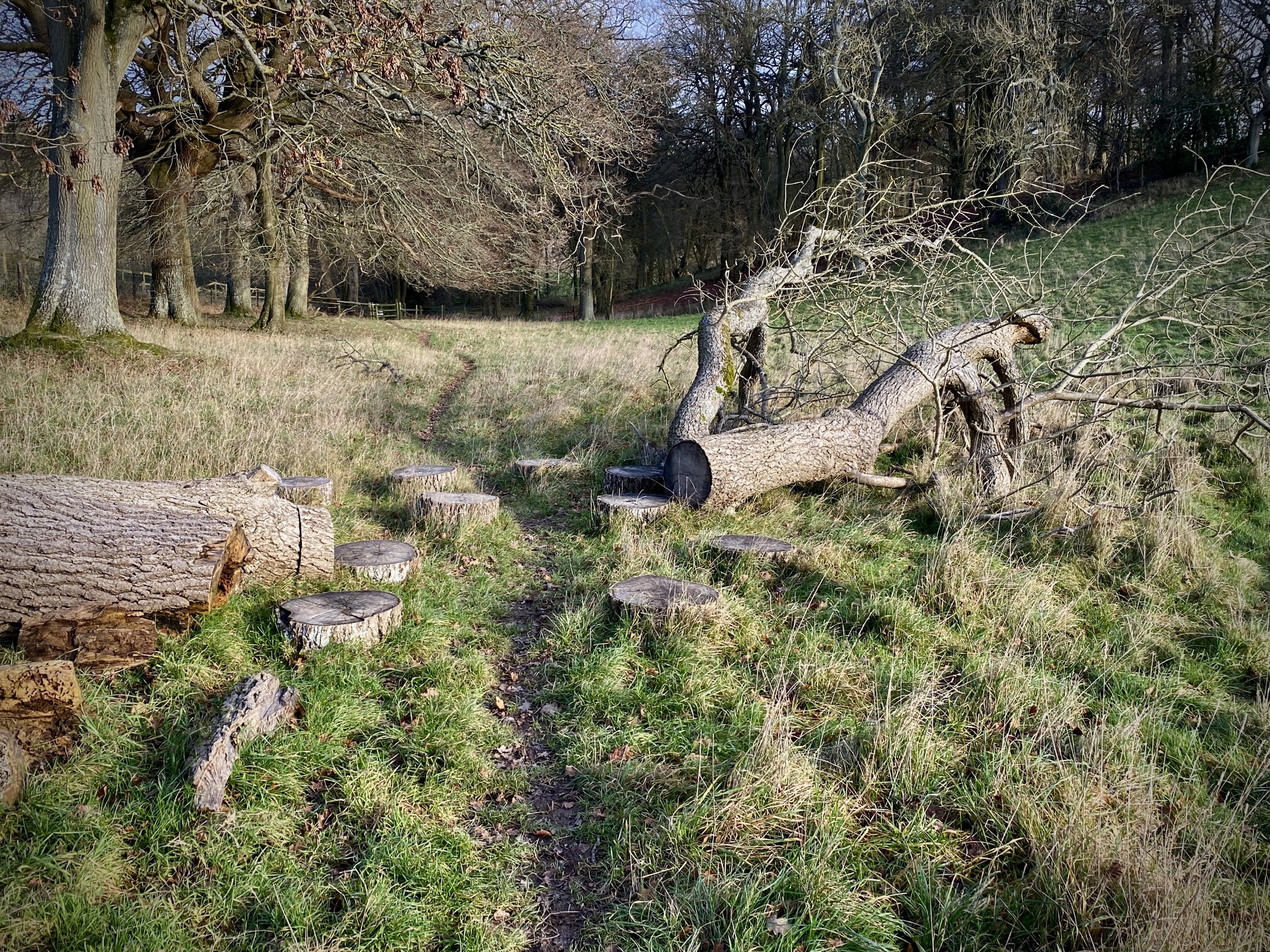
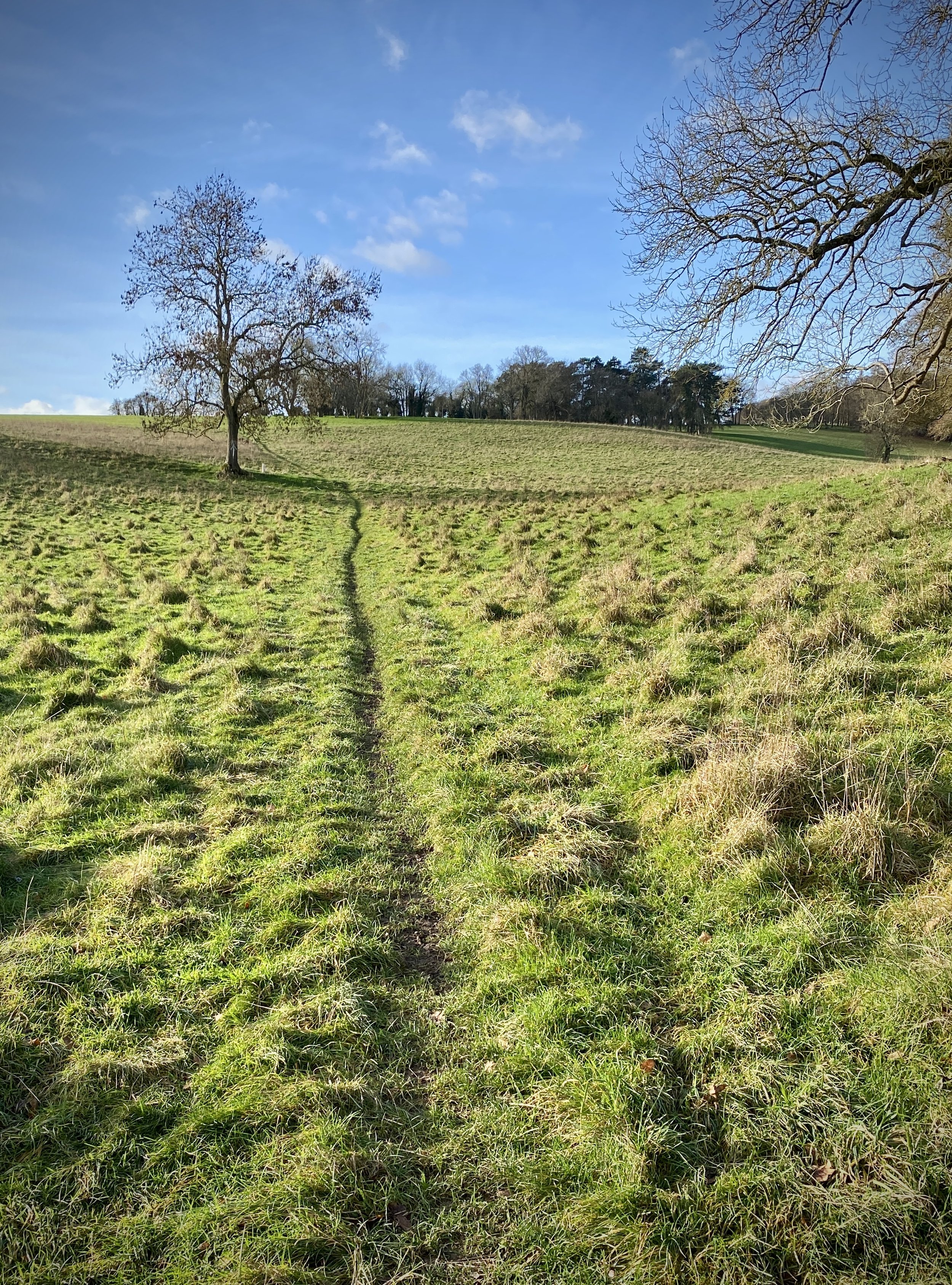
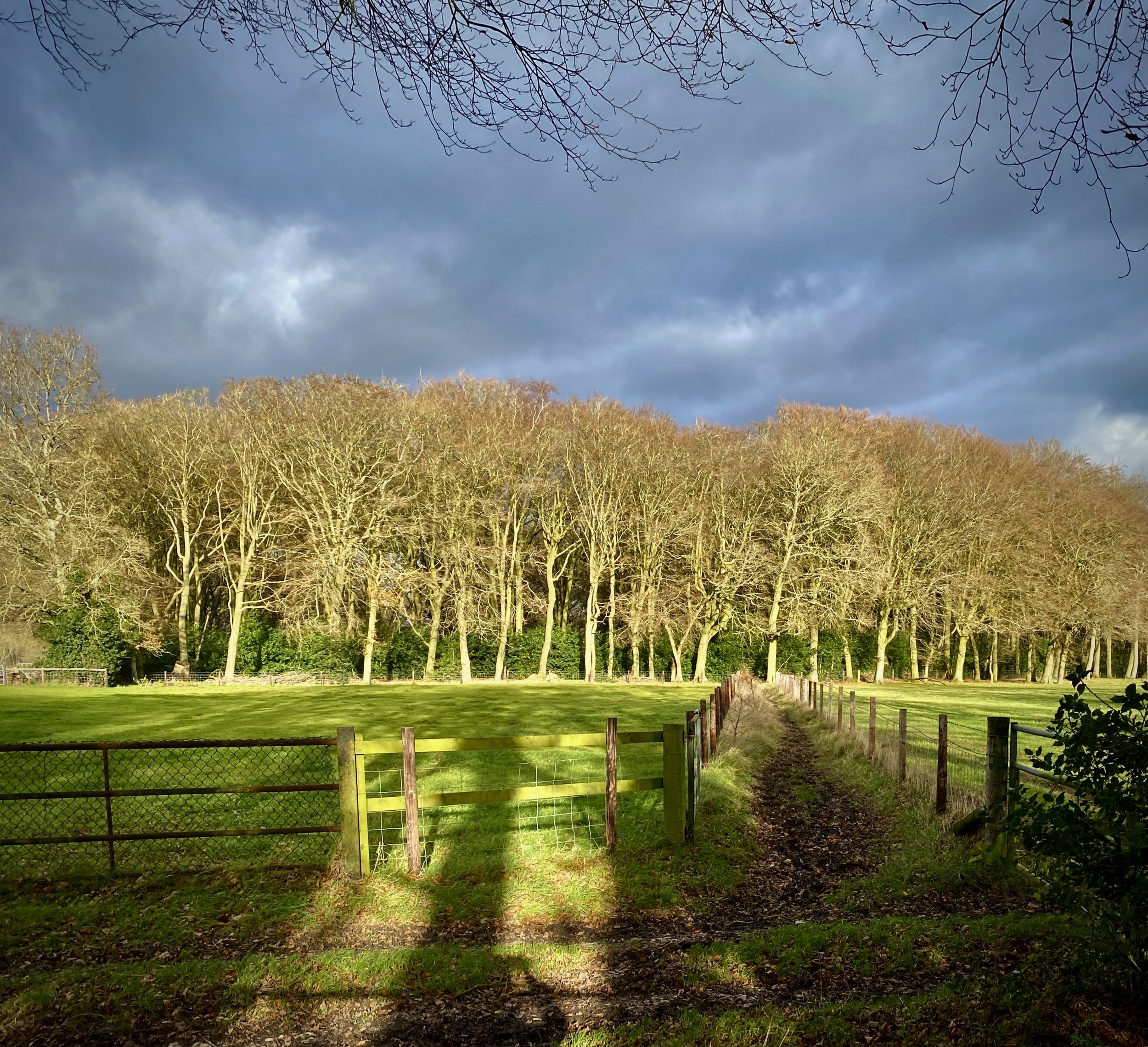
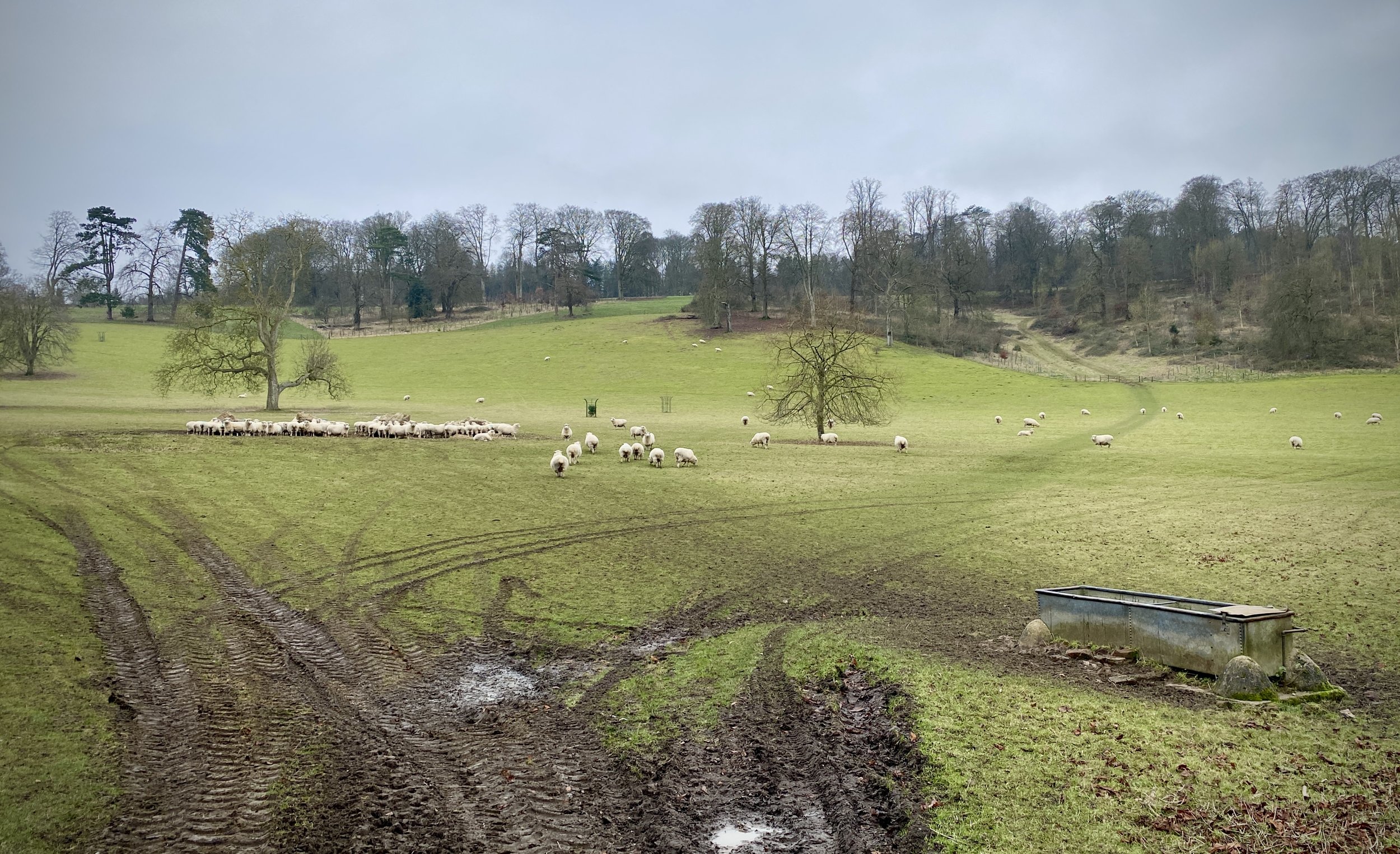
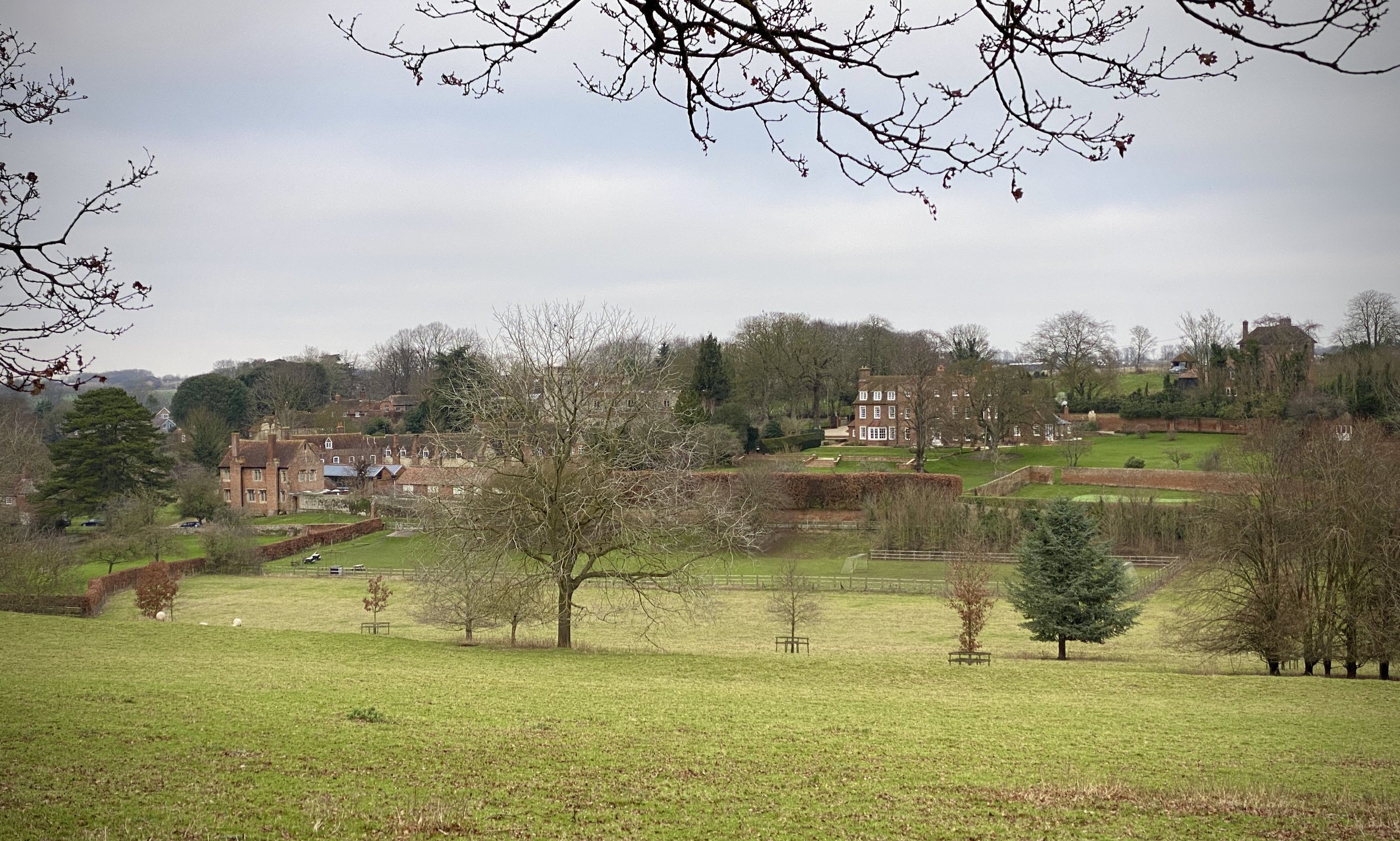
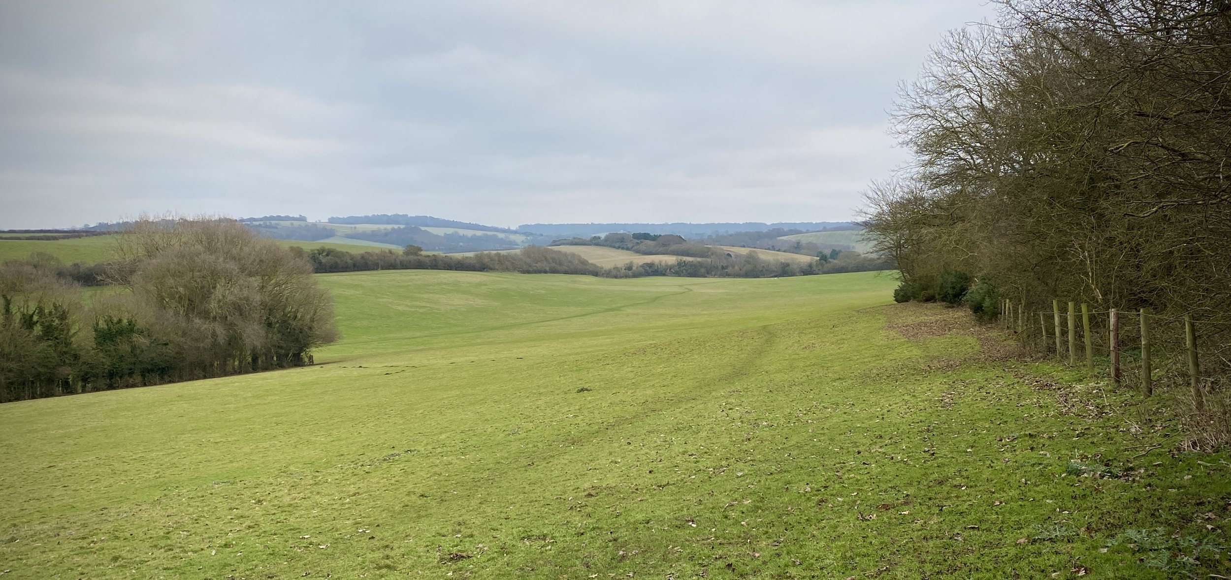
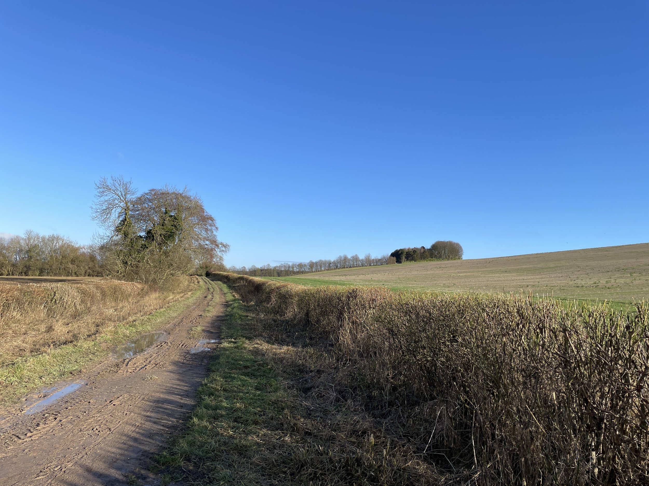
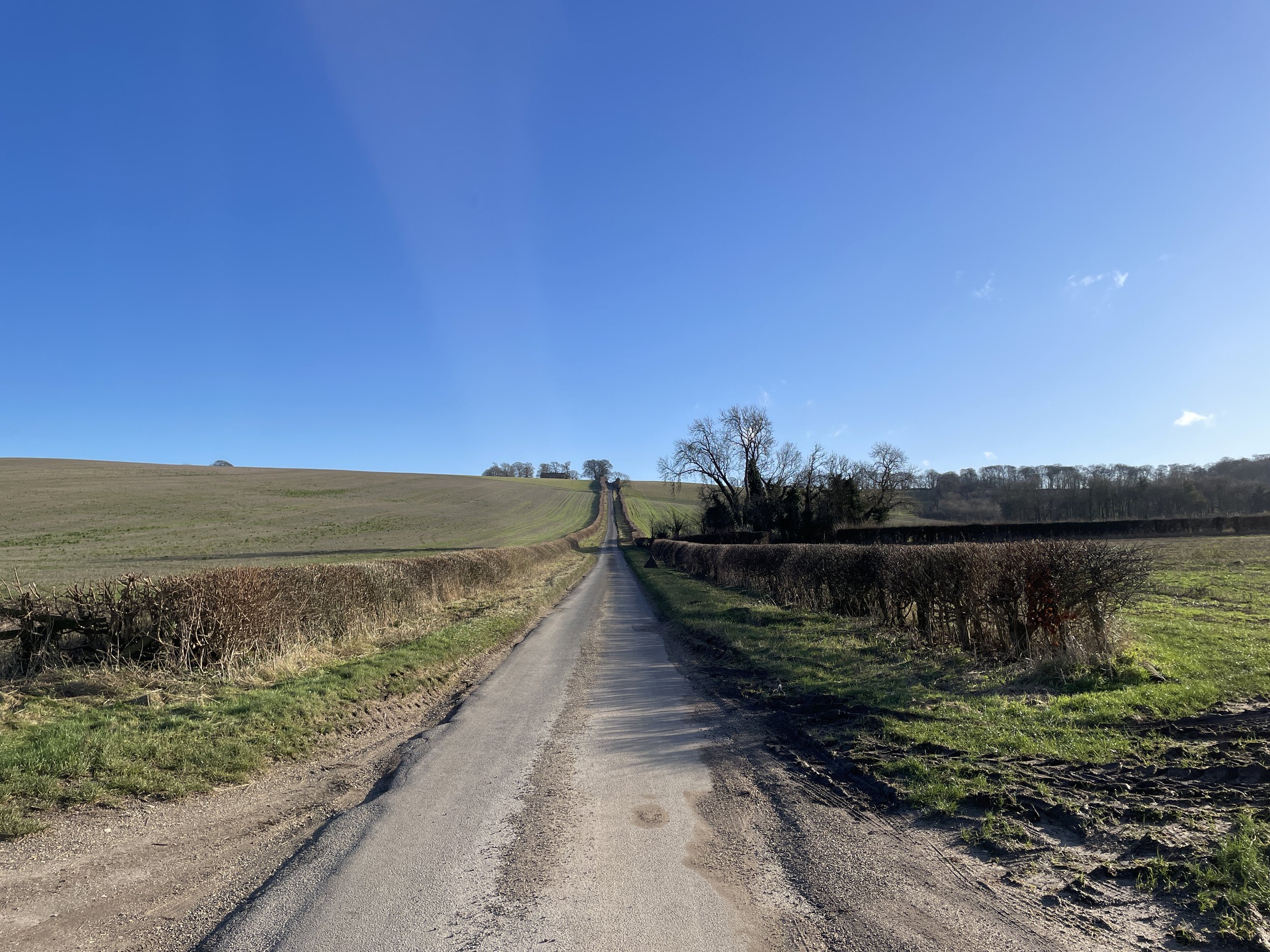
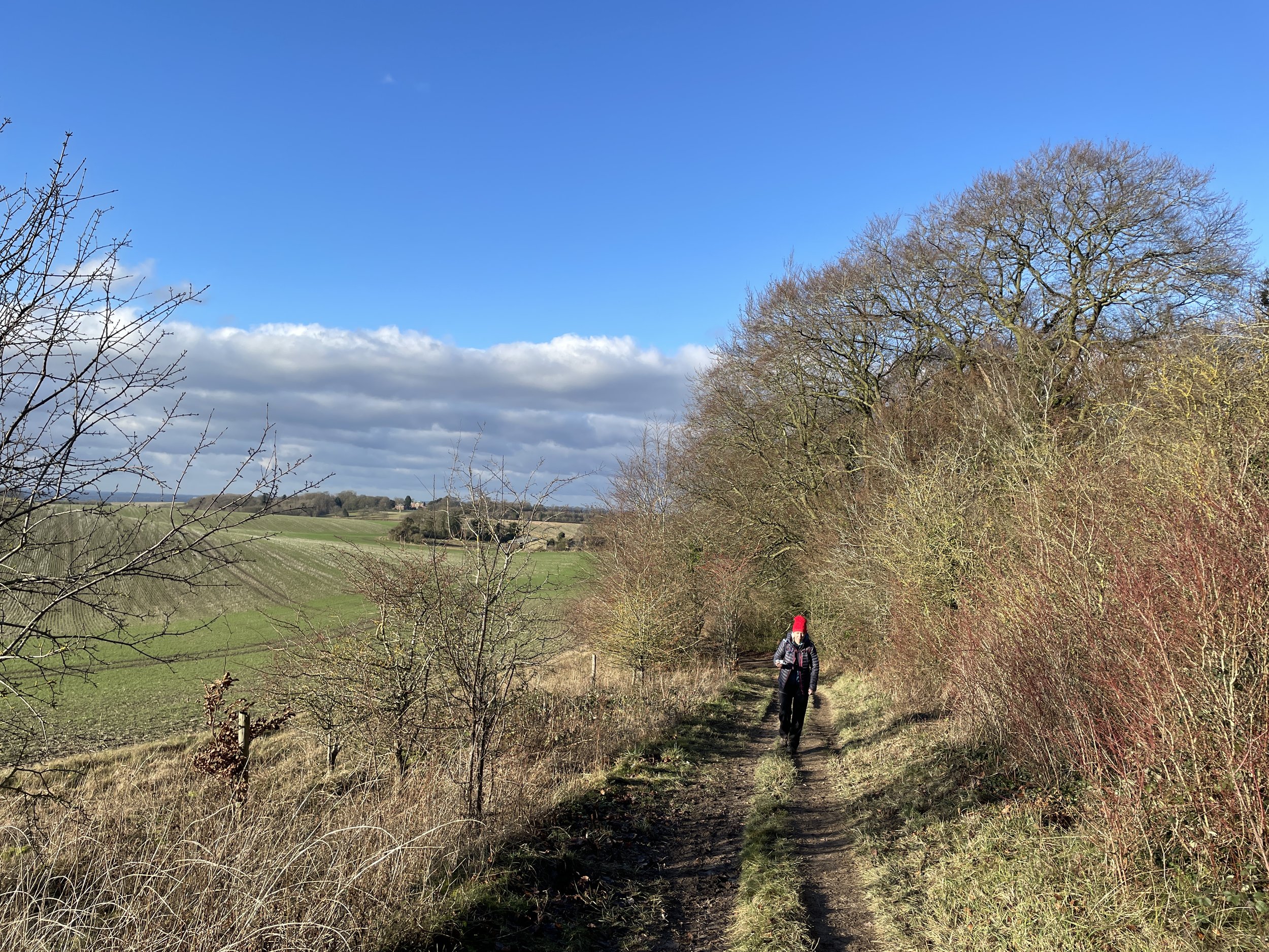
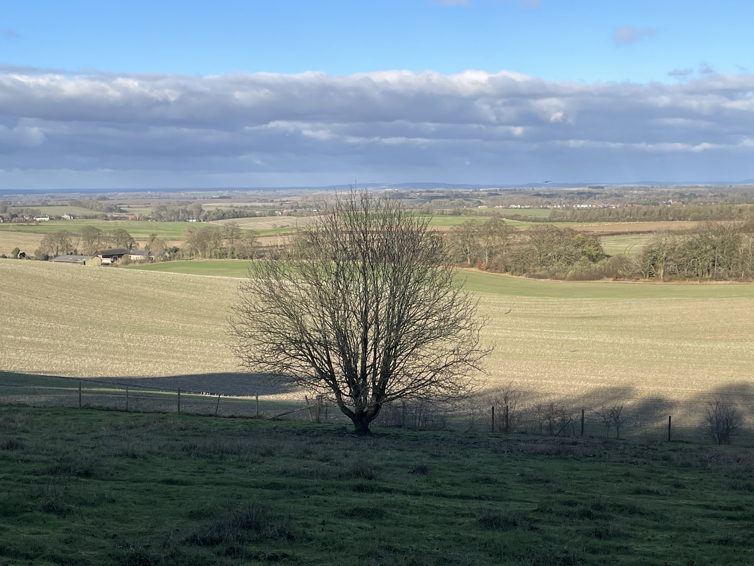
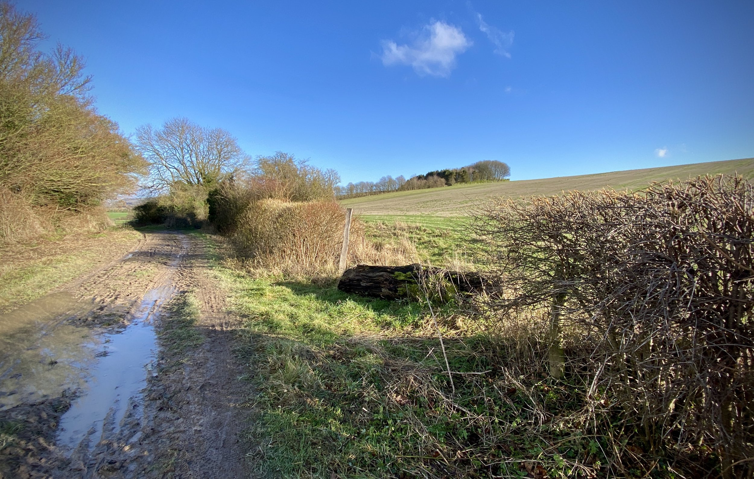
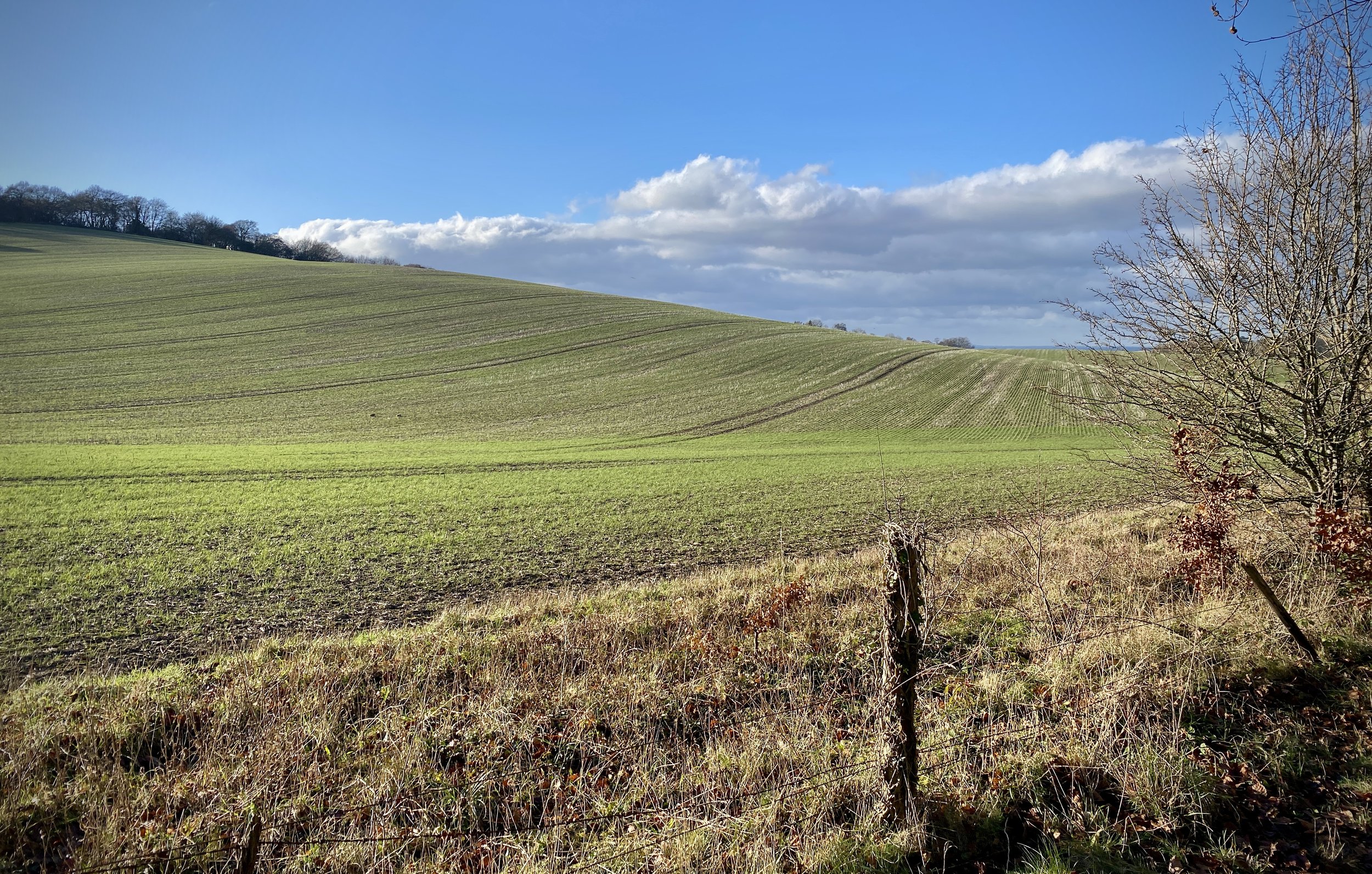
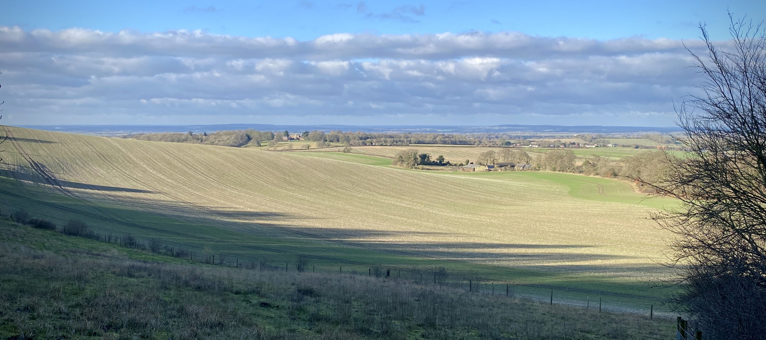
Although I’d been to the country parks at the start and finish before I’d not experienced any of the route in between. It was a beautiful, warm mid-summer day and the countryside was stunning. A pleasant mix of woodland, open farmland and old English villages.

The warm day also meant that it was a bit too hot for my liking. I’ve completed a 50K in just over 7 hours before and I’d love to get in just under 7 one day. Based on the temperature and a glance at the elevation profile I estimated an 8 hour finish time for this one.

Mark and I kept together until the 2nd Aid Station at Selborne before he gradually edged ahead. Lisa was looking after a friend who was on her first Ultra so was taking a slower pace. On her own Lisa would likely have been a similar pace to, or faster than, Mark.

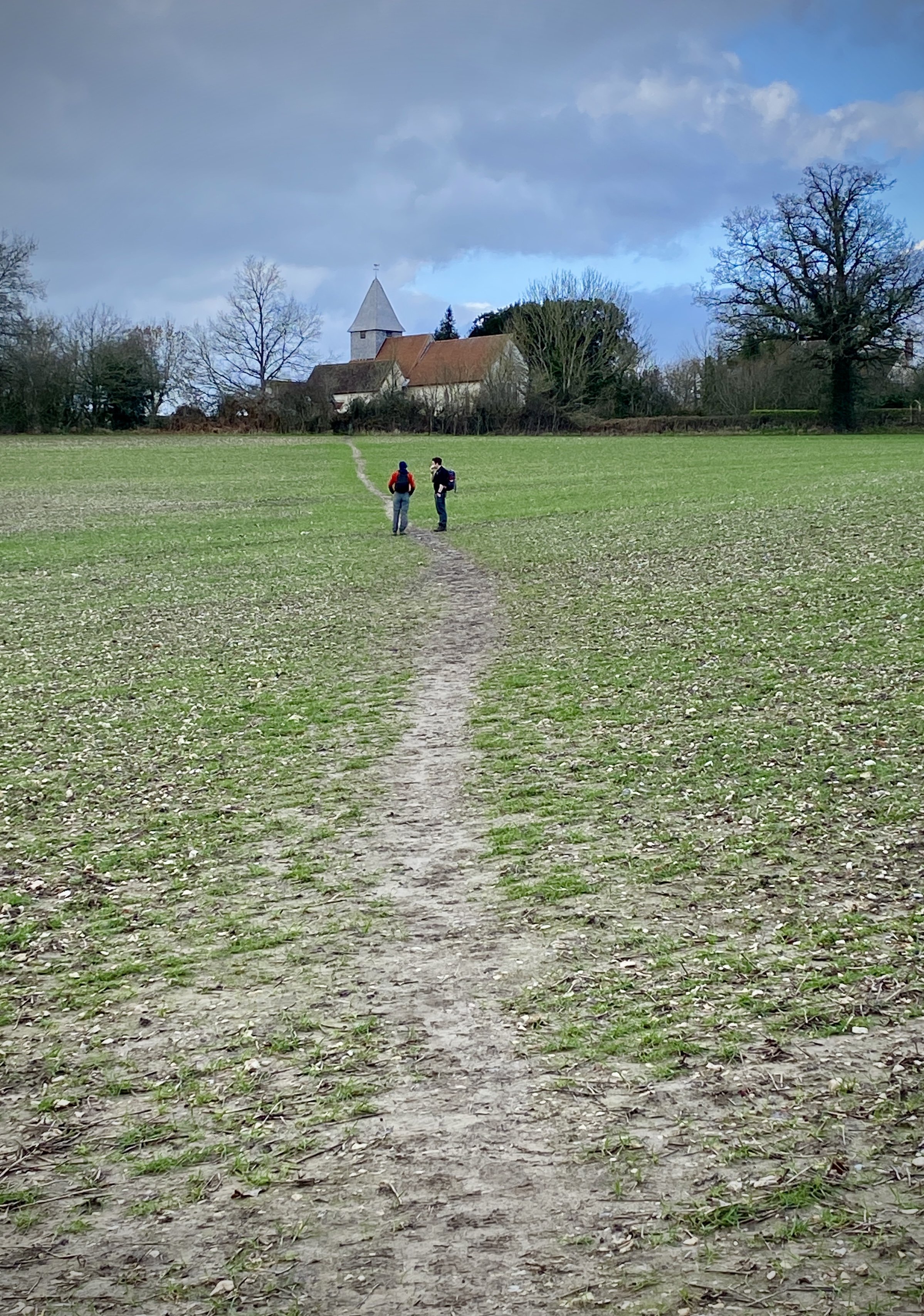
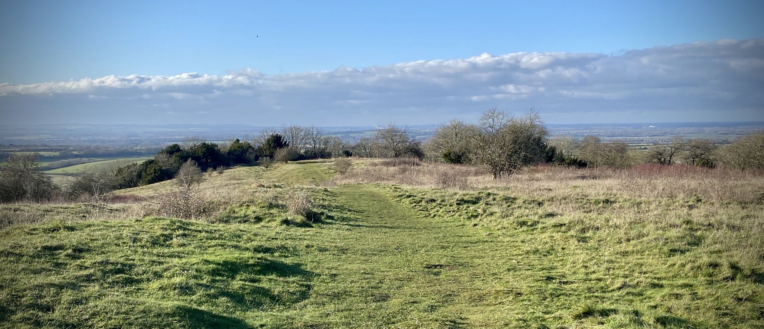
The route became hillier after Selbourne and my slow running became a power-walk. Keeping an eye on my pace via my Garmin, I was doing roughly 5km per hour which would bring me in more or less on 8 hours. I could probably have done a few bursts of running on the downhills but realistically it wouldn’t have got me there much faster so I kept the pace and saved my energy for the hills.

The final 15k was brutal with steep climbs at 35k, 45k and then Butser Hill right at the end. By the summit of Butser I was 15 minutes off the 8-hour mark and could see the finish line in the distance. I found a final spike of energy to get me down Butser to cross the line at 7:57. Very happy with that. Mark had finished 30 minutes earlier and Lisa and her friend came in shortly after.

As with most Ultras the pain soon fades once you have the medal on and talk turns to the next one. Next one for me is The Lap around Lake Windermere next year. It’s 75km on a mountain route so I’ll probably need to do more training than my usual parkrun and a 10k a week before.


Completing all Nottinghamshire parkruns

There are currently 13 parkrun events in the county of Nottinghamshire. The first was Colwick which started on June 25th 2011 and the newest is Wollaton Hall which started on February 8th 2020. The name for having completed all parkrun events in the county is “Get Nott’ed”

I have not yet completed any of the Nottinghamshire parkrun events.


The interactive maps below take you to the approximate location for the course, typically the centre of the park. See the course instructions in the parkrun page for each event for specific directions to the start.


Beeston


Bestwood Village


Brierley Forest


Clifton


Clumber Park


Colwick


Forest Rec


Gedling


Mansfield


Newark


Rushcliffe


Sherwood Pines


Wollaton hall


More parkrun posts

parkruns are free, weekly, community 5k events all around the world. I started in December 2012 and have been obsessive about it ever since. See my parkrun Collection page for details.

Featured and popular parkrun posts:


Chichester Harbour National Landscape High Points
 

Significance: Chichester Harbour National Landscape High Points
Member of: N/A
Nearest Higher Neighbour: Bow Hill
Historic County: Hampshire (of which Pilot Hill is the County Top)
Elevation: 9m
Date “climbed”: 1st June 2024
Coordinates (Alpudram Airfield): 50° 48' 49'' N, 0° 48' 37'' W
Coordinates (Bosham Boathouse): 50° 50' 17'' N, 0° 50' 10'' W
Map: Chichester Map | South Harting & Selsey | Ordnance Survey | OS Explorer Map OL08
Links: Wikipedia (Chichester Harbour, RAF Appledram), Peakbagger (Apuldram, Bosham Boathouse)


Chichester Harbour is one of the smallest of the National Landscapes. It also has the lowest high point at 9m. The highest point isn’t obvious with at least 2 points showing a spot height of 9m. Here’s both….


Alpudram Airfield

This spot is on a small lane connecting Alpuldram and Chichester Marina. The coordinates take you to a layby with an information sign describing the old Apuldram Airfield.


Bosham Boathouse

This one is on the A259 Main Road between Fishbourne and Bosham at the junction with Chequer Lane. The most interesting point is the old wooden boat converted into a flower bed outside the Bosham Boathouse B&B.


Chiltern Walks: Bovingdon Green and Shillingridge Wood

Navigating a fallen tree near Kent’s Wood


Start & Finish: The Royal Oak, Frieth Road, Marlow, SL7 2JF
Distance: 10.9 km (6.8 miles)
Elevation change: +/- 152m
Shakespeare’s Way section covered: Rogues Plantation to Pullingshill Wood: 2.5 km
GPX File: get via Buy Me a Coffee
Other routes touched (walk): Chiltern Way, Shakespeare’s Way
Other routes touched (cycle): None
Pubs / Cafes on route: The Royal Oak at start and finish
Map: Chiltern Hills East Map | High Wycombe, Maidenhead & Rickmansworth | Ordnance Survey | OS Explorer Map 172
Links: Bovingdon Green, Pullingshill Wood & Marlow Common


The Shakespeare’s Way is a 235 km / 146 mile mile long-distance path connecting Shakespeare's birthplace in Stratford-upon-Avon with the Shakespeare's Globe (Theatre), Southwark, London. A 34km section of the path cuts through the Chiltern Hills National Landscape in a south-easterly direction. Our walks take in short sections of the Shakespeare’s Way and loop back to the start on other paths. The Shakespeare’s Way is reasonably well marked however you’ll need a map or GPX route to keep on track for the return sections of the loops. The guidance below will help but don’t use it as a fully accurate turn-by-turn guide.

For this walk we parked at the Royal Oak pub on Frieth Road. From here take a left to walk along Frieth Road in a westerly direction and take the first footpath on the right. Follow the path north for 300m then take a left onto Mundaydean Lane. Follow Mundaydean Lane for it’s full length and continue when it becomes a footpath into Shillingridge Woods. At a footpath junction ~2.3km into from where you joined Mundaydean Lane, take a left to cross farmland.

The path will join Finnamore Lane then Frieth Road. Take a right onto Frieth Lane then first left onto Chrisbridge Lane. Follow Chrisbridge Lane for 2.5km then take a path on the left to cross farmland. Continue heading south until you meet the Chiltern Way and The Shakespeare’s Way on a small unnamed lane. Take a left onto the lane, then first left back down through the woods to the clearing. take a right to continue on the Chiltern Way and The Shakespeare’s Way.

Cross through Pullingshill Wood and into Davenport Wood where you’ll reach a path junction at 9.7 km into the walk. Leave the Shakespeare’s Way which continues towards the east and instead take a left to follow the Chiltern Way in a north-easterly direction. Continue along the Chiltern Way until you’re back at the Royal Oak pub in Bovingdon Green.


Shakespeare’s Way previous section (west): North-East Hambleden Circular
Shakespeare’s Way next section (east): Marlow and Harleyford

Chiltern Walks: Sharpenhoe Clappers

View to Sharpenhoe Clappers Hill Fort


Start & Finish: Sharpenhoe Clappers Car Park, 349 Sharpenhoe Road, Sharpenhoe, Bedford, MK45 4SH
Distance: 10.4 km (6.5 miles)
Elevation change: +/- 153m
GPX File: get via Buy Me a Coffee
Other routes touched (walk): Chiltern Way, Icknield Way, John Bunyan Trail
Other routes touched (cycle): Icknield Trail, Chilterns Cycleway
Pubs / Cafes on route: The Chequers, Streatley (4.2 km in)
Map: Luton & Stevenage Map | Hitchin & Ampthill | Ordnance Survey | OS Explorer Map 193
Links: National Trust Sharpenhoe and Sundon Hills, Sharpenhoe Clappers Fort, Streatley, John Bunyan


This is part of a series of short circular walks in the Chilterns. The guidance below will help you navigate but don’t use it as a fully accurate turn-by-turn guide. Always take a map and/or a GPX route and prepare well for the weather and terrain.

Sharpenhoe Clappers is a classic Chilterns walk in the northern exclave of the Chiltern Hills AONB. This is where there’s a gap in the chalk ridge created by the River Lea as is meanders south from Leagrave, through Luton and eventually to London. It’s a lot quieter than the main section of the AONB and has some outstanding views from the top of the ridgeline. The free National Trust Car Park on Sharpenhoe Road is a good place to start. The Chiltern Way, Icknield Way and John Bunyan Trail and route through Sharpenhoe Clappers. This walk is just over 10km but you can create longer or shorter options with different choices on the intersections of these 3 trails.

From here follow the Chiltern Way/John Bunyan Trail heading in a north-easterly direction from the car park. After 100m there’s a fork in the path where you’ll take the left hand path to keep on the Chiltern Way/John Bunyan Trail now heading in a northerly direction. This first 1km takes you along the edge of a peninsular of chalk ridge leading up to the site of the old iron age hill fort. At the tip of the peninsular the John Bunyan Trail continues to the north. Instead, keep on the Chiltern Way as it curves around towards the south, joining the Icknield Way Path after the paragliding take-off spot. Keep following the Chiltern Way as it curves around the ridge to Streatley.

After a rest at the Chequers Inn, continue along Sharpenhoe Road until you reach a footpath on the left leading to the large transmitter towers. Follow this path then take a left onto the Icknield Way/John Bunyan Trail. Follow the path in a westerly direction for 1.5km until the Icknield Way and John Bunyan Trail split. Take a right to keep on the Icknield Way descending to the remains of an old quarry and another Icknield Way/John Bunyan Trail intersection. Take a right to follow the path at the bottom of the ridge back to Sharpenhoe Road. Cross over Sharpenhoe Road and take a right on the path to ascend steeply up to the car park.


Chiltern Walks: Marlow and Harleyford

Pullingshill Wood


Start & Finish: Entrance to Higginson Park off High Street, Marlow, SL7 2AB
Distance: 10.2 km (6.3 miles)
Elevation change: +/- 94m
Shakespeare’s Way section covered: Pullingshill Wood to The Thames Path at Marlow: 3.4 km
GPX File: get via Buy Me a Coffee
Other routes touched (walk): Thames Path, Shakespeare’s Way, Chiltern Way
Other routes touched (cycle): None
Pubs / Cafes on route: Cafe in Higginson Park at start and finish. Harleyford Golf Club bar (4km in). Many in Marlow High Street.
Map: Chiltern Hills East Map | High Wycombe, Maidenshead & Rickmansworth | Ordnance Survey | OS Explorer Map 172
Links: Marlow, Harleyford, Harleyford Estate, Pullingshill Wood & Marlow Common


The Shakespeare’s Way is a 235 km / 146 mile mile long-distance path connecting Shakespeare's birthplace in Stratford-upon-Avon with the Shakespeare's Globe (Theatre), Southwark, London. A 34km section of the path cuts through the Chiltern Hills National Landscape in a south-easterly direction. Our walks take in short sections of the Shakespeare’s Way and loop back to the start on other paths. The Shakespeare’s Way is reasonably well marked however you’ll need a map or GPX route to keep on track for the return sections of the loops. The guidance below will help but don’t use it as a fully accurate turn-by-turn guide.

For this walk we parked at Pound Lane car park at the northern end of Higginson Park. From here follow the Thames Path in a south-westerly direction for just over 2km. Take a right onto Harleyford Lane and follow it for 1km to to a T junction. Take a left and follow the footpath in a westerly direction through the Harleyford Estate. Approximately 600m past the Golf Course Club House you’ll reach a path junction in the woods. Take a right here and follow the path to the A4155 Henley Road. Cross over the A4155 and take a right onto Thames Reach. This will curve round to the north through RAF housing.

Continue along Thames Reach then North Close and into the footpath into Hog and Hollowhill Nature Reserve. Continue in a northerly direction into Pullingshill Woods. Look out for the information board detailing the woods’ history as a WW1 trench training. Shortly after the information board you’ll reach the junction with the Chiltern Way/Shakespeare’s Way.

Take a right onto Chiltern Way/Shakespeare’s Way and follow the path in a south-easterly direction. After ~300 the Chiltern Way and Shakespeare’s Way split. Leave the Chiltern Way and keep on the Shakespeare’s Way continuing in a south-easterly direction. When you reach the A4155 Henley Road, cross over and follow Pound Lane all the way back to the Pound Lane car park at Higginson Park.


Shakespeare’s Way previous section (west): Bovingdon Green and Shillingridge Wood
Shakespeare’s Way next section (east): Marlow Donkey

Chiltern Walks: Stonor and Turville Heath

Between Turville Heath and Pishill


Start & Finish: Road-side parking in Stonor Village, RG9 6HB
Distance: 10 km (6.2 miles)
Elevation change: +/- 208m
Shakespeare’s Way section covered: Farm at south of Maidensgrove to Southend: 5.9 km
GPX File: get via Buy Me a Coffee
Other routes touched (walk): Shakespeare’s Way, Chiltern Way, Oxfordshire Way, 7 Shires Way
Other routes touched (cycle): none
Pubs / Cafes on route: Cafe at the Stonor House Visitors Centre
Map: OS Explorer Map (171) Chiltern Hills West, Henley-on-Thames and Wallingford
Links: Stonor, Stonor Park, Pishill, Maidensgrove


The Shakespeare’s Way is a 235 km / 146 mile mile long-distance path connecting Shakespeare's birthplace in Stratford-upon-Avon with the Shakespeare's Globe (Theatre), Southwark, London. A 34km section of the path cuts through the Chiltern Hills National Landscape in a south-easterly direction. Our walks take in short sections of the Shakespeare’s Way and loop back to the start on other paths. The Shakespeare’s Way is reasonably well marked however you’ll need a map or GPX route to keep on track for the return sections of the loops. The guidance below will help but don’t use it as a fully accurate turn-by-turn guide.

For this walk we parked in a small layby in Stonor village centre. From here walk up the B480 in a northerly direction until you reach the corner of Stonor Park. Pass through the kissing gates and follow the path in a east/north-easterly direction for 1.9 km. Take a left onto Drovers Lane, following it in a north-westerly direction. Along Drovers Lane you can choose to either stick to the road or, as we did, take the parallel path through Summerheath Wood.

At the end of Drovers Lane continue onto Dolesden Lane, cross over Balham’s Lane then take a footpath on the left at the end of Dolesden Lane. Follow the footpath to the left of the converted church building and follow the path through farmland as it gently descends to Pishill. As you approach Pishill the path will meet a T-junction with the Oxfordshire Way. Take a left, then a right onto the B480 then a left onto Church Hill. Follow the Oxfordshire Way in a southerly direction up Church Hill then out into farmland. Continue for 2km from Pishill until you meet the junction with the Chiltern Way / Shakespeare’s Way at Maidensgrove. Take a left onto the Chiltern Way / Shakespeare’s Way to follow it all the way back to Stonor.


Shakespeare’s Way previous section (north): Russell's Water, Pishill and Maidensgrove
Shakespeare’s Way next section (south): Southend and Skirmitt (blog post coming soon)

Walking The River Tyburn

The boating lake at Regents Park, once fed by the River Tyburn


Start: Hampstead Underground Station, Hampstead High Street, London NW3 1QG
Finish: Westminster Pier, London SW1A 2JH, United Kingdom
Distance: 10.1 km (6.3 Miles)
Elevation change: +47m / -150m. Net -103m
GPX File: get via Buy Me a Coffee
Other Routes Touched (walk): Regents Canal Towpath, Jubilee Greenway, Diana Princess of Wales Memorial Walk, Thames Path
Other Routes Touched (cycle): C27, 3, 56
Map: OS Explorer 173 London North
Guidebooks: London's Lost Rivers: A Walker's Guide, London's Lost Rivers, London's Hidden Rivers: A walker's guide to the subterranean waterways of London
Links: River Tyburn, Hampstead, Shepherd’s Well, Swiss Cottage, Regents Park, Baker Street, Mayfair, Green Park, Westminster


For today's London lost river trip we met up with some friends at Hampstead Tube station to walk the route of the old River Tyburn. The Tyburn, once a vital artery of London, now flows silently beneath the bustling city. Originally a meandering stream that provided water and powered mills, its course now follows a network of sewers. Despite its disappearance, the Tyburn's legacy lives on. Its path can be traced through street names and subtle dips in the land, while its past function is remembered in landmarks like Buckingham Palace, which it once flowed beneath. Though hidden from sight, the River Tyburn remains a fascinating reminder of London's ever-changing landscape.

From Hampstead Tube Station follow the A502 Hampstead High Street in a south-easterly direction then take a right onto Shepherds Walk. Continue onto Spring Walk and follow it all the way to Fitzjohn’s Avenue. Take a left onto Spring Path and follow it to the junction with Shepherd’s Path. This junction is the approximate location of the source of the River Tyburn.

Take a right onto Shepherd’s Path and follow it back to Fitzjohn’s Avenue. Here you’ll find Shepherd’s Well, a former source of drinking water and now an early artifact of the route of the Tyburn. Continue south along Fitzjohn’s Avenue where you’ll pass the statue of Sigmund Freud on the corner with Belsize Lane. At the Swiss Cottage Junction continue in a south-easterly direction onto the B525. You could either follow this straight to Regent’s Park or, to keep closer to the route of the old river, take a right onto Norfolk Road, a left onto Woronzow Road, a right onto St Johns Wood Terrace and a left onto Charlbert Street. Cross over Prince Albert Road and cross over Bridge #8 on the Regent’s Canal to enter Regent’s Park.

Head south through Regent’s Park and along-side the western side of the boating lake which was once filled by the Tyburn. Exit the park onto Baker Street just before the footbridge that leads to Regent’s University. Head south along Baker Street, then over the A501 into Marylebone. The area takes its name from the River Tyburn and the nearby St Mary’s Church (“St Mary’s on the bourne” = Marylebone). The route of the Tyburn meanders south through Marylebone and across Oxford Street (known as Tyburn Road in the eighteenth century) at Bond Street. Continue south into Mayfair and take a moment to stop at Gray’s Antiques Market where’s it’s claimed that the river still runs through its basement.

At New Bond Street then route of the Tyburn curves to the south-west taking you along Curzon Street and White Horse Street to Piccadilly. Cross over into Green Park and cross the park in a south-easterly direction to Buckingham Palace. The Tyburn flows under the Palace, emerging on the south side near Ambassador’s Court. Here the Tyburn splits into two with one section flowing south to Pimlico and another branch west to Westminster.

We chose to follow the Westminster branch, following the route along Buckingham Gate, Caxton Street, Dacre Street, Victoria Street and onto Parliament Square. Cross the grass centre of Parliament Square towards Westminster Bridge, then walk north on the Embankment to Westminster Pier. The unmarked confluence of the Tyburn and Thames is approximately at the spot of the Protected View to St Paul’s Cathedral.


The Eastern Source: Belsize Park to Charlbert Street

Start: Belsize Park Underground, Haverstock Hill, London, NW3 2AL
Finish: Drunch Pub Regent's Park, 38 St John's Wood Terrace, London, NW8 6LS
Distance: 3.3 km (2 Miles)
Elevation change: +6m / -35m. Net -29m
GPX File: get via Buy Me a Coffee
Other Routes Touched: None
Links: Belsize Park

Having walked the Hampstead to Westminster branch of the Tyburn I wanted to visit the alternative sources at Belsize Park and the eastern confluence at Pimlico. I used OpenStreetMap as a guide as some layers show the route of the Tyburn. There’s actually 2 eastern sources shown at Belsize Park, one near the Everyman Cinema on Haverstock Hill and the other in the ground of Hillfield Court off Belsize Avenue. Both are within a few minutes of Belsize Park Underground Station.

To follow the course of the Tyburn from the eastern sources, find the junction of Glenloch Road and Glenmore Road. Follow Glenmore Road in a south-westerly direction, take a left onto Glenilla Road, then a left onto Belsize Park Gardens. Here the course of the river cuts under the terraced houses so you need to take a longer route round to pick up Lancaster Drive on the southern side. Follow Lancaster Drive south, right onto Lancaster Grove, left onto Strathray Gardens, right onto Eton Avenue and left onto King’s College Road. Here the course goes through a private estate. From the map it looked like you could walk through the estate, but I choose a slightly longer route around via Winchester Road and Harley Road to pick up the course again at Wadham Gardens. Take a right onto Elsworthy Lane, a left on to Avenue Road, right onto Acacia Road, left onto Woronznow Road, and a right onto St Johns Wood Terrace.

According to OpenStreetMap, this branch of the Tyburn merges with the Hampstead branch at the junction of St Johns Wood Terrace and Charlbert Street. The junction is flanked by the Drunch Pub and a hairdressers.


The Pimlico Branch: Buckingham Palace to Grosvenor Road

Start: Gates to Ambassadors’ Court, Buckingham Palace, London, SW1A 1AA
Finish: Thames Path by Tyburn House, 140c Grosvenor Rd, Pimlico, London, SW1V 3JY
Distance: 2.1 km (1.3 Miles)
Elevation change: +12m / -18m. Net -6m
GPX File: get via Buy Me a Coffee
Other Routes Touched (walk): Thames Path
Other Routes Touched (cycle): NCN 4, C8
Links: Buckingham Palace, Pimlico

To pick up the Pimlico Branch, return to Ambassadors’ Court on the south side of Buckingham Palace. The main walk detailed about heads west from here to Westminster. Instead we’ll continue south through Westminster, Victoria, Pimlico and to the confluence with the Thames.

From Ambassadors’ Court, cross over the A3124 Buckingham Gate and walk south down a small alleyway, also called Buckingham Gate, then take a right onto Stafford Place. Continue south, crossing Palace Street, along Cathedral Walk and onto the A302. Follow Carlisle Place briefly then divert onto King Scholar’s Passage to stay closer to the course of the Tyburn. Cross over Vauxhall Bridge Road and onto Upper Tachbrook Street then Tachbrook Street. At Pimlico Underground Station, cross over Lupus Street and follow Aylesford Street to Grosvenor Road that runs parallel to the Thames. Take a left onto Grosvenor Road and follow it for ~100 metres to find Tyburn House on the south side of the road. Take the alleyway to the Thames Path to meet the confluence of the Tyburn with the Thames. You’ll find it marked by a slate plaque by artist Paul Mason listing key points along the course of the Tyburn.


The Tyburn Tree and Tyburn Convent

The Tyburn Tree and Tyburn Convent are fascinating places to visit after the walk.

For over 600 years, the Tyburn Gallows loomed over London as a grim symbol of punishment. Nicknamed "The Deadly Never Green Tree," this wasn't an actual tree but a permanent, three-pronged wooden scaffold where public executions took place. From the 16th to the 18th centuries, thousands met their demise here for crimes ranging from petty theft to treason. The process could be gruesome, with condemned souls hanged, then sometimes even drawn and quartered as a chilling deterrent to onlookers. Though a morbid landmark, the Tyburn Gallows offer a glimpse into London's harsh past and the evolution of justice. Today, a solitary plaque marks the spot where countless fates were decided.

Around 300m west of the Tyburn Gallows is the Tyburn Convent. Built in the early 1900s, it serves as a shrine to the Catholic martyrs executed there during the Reformation. The convent houses a community of nuns, the Tyburn Nuns, devoted to perpetual adoration and the legacy of these martyrs. Visitors can explore the poignant Crypt of the Martyrs, learn about the gruesome history of the site, and experience a place of solace and reflection.

The Tyburn Tree and Convent are not directly on the route of the old River Tyburn. They can be visited either as a diversion when crossing over Oxford Street or via a short Tube ride at the end from Westminster to Marble Arch with a change at Bond Street.

Links: Tyburn Tree, Tyburn Convent


More London posts


Chiltern Walks: Lewknor and Pyrton

Weston Road between Lewknor and South Weston


Start & Finish: The Leathern Bottle, 1 High Street, Lewknor, Watlington, OX49 5TW
Distance: 11 km (6.8 miles)
Elevation change: +/- 79m
GPX File: get via Buy Me a Coffee
Other routes touched (walk): Oxfordshire Way, The Ridgeway, Aston Rowant Discovery Trail
Other routes touched (cycle): None
Pubs / Cafes on route: The Leathern Bottle at start and end
Map: OS Explorer Map (171) Chiltern Hills West, Henley-on-Thames and Wallingford
Links: Lewknor, Pyrton


This is part of a series of short circular walks in the Chilterns. The guidance below will help you navigate but don’t use it as a fully accurate turn-by-turn guide. Always take a map and/or a GPX route and prepare well for the weather and terrain.

This route is part of the Chilterns sections of both the Oxfordshire Way and The Ridgeway. Take a clockwise route if you’re following the Oxfordshire Way south to north or, as described below, an anti-clockwise route if you’re following The Ridgeway east to west.

For this walk we parked near the Leathern Bottle in Lewknor village centre and followed Weston Road in a north-westerly direction. After 1.5km take a left onto Rectory Lane following it in a south-westerly direction. When the lane ends continue onto the footpath to meet the Oxfordshire Way at 2.5km into the walk. Take a left at the footpath junction to follow the Oxfordshire Way to Knightsbridge Lane in Pyrton. Take a left onto Knightsbridge Lane, still following the Oxfordshire Way and cross over the B4009 Watlington Road. Continue along Station Road until you meet the junction with The Ridgeway.

Take a left onto the Ridgeway and follow it in a north-easterly direction for 3km. Take a left onto Hill Road and follow it for 700m then carefully cross over the B4009. Continue along the footpath onto Hill Road to return to the start point near the Leathern Bottle. We were keen to try out the pub as we had heard good reviews but it was closing as we got there. Check opening times before you go as it closes for a few hours each afternoon.


Oxfordshire Way Next Section (south): Christmas Common, Watlington Hill and Greenfield

Cycling The Thames Estuary: Thames Barrier to Margate

The Thames Barrier, London


This was a trip that had been at the back of my mind for 30 years. Back in the summer of 1994 I cycled the length of the Thames from the source near Kemble in Gloucestershire to the Thames Barrier near Woolwich, London. The last day was a long one and we ended up at the Barrier after dark. At the time we had considered the adventure to be complete. A few years later I started to plan a second part: from the Barrier east along the Thames Estuary to Margate.

Over the intervening years I got more excited about other trips. I also either lost contact with a few of the old Thames Path gang or they got preoccupied with having babies. Early in 2024 the stars aligned and the Estuary adventure popped up to the top of my cycling backlog.

The route to Margate mostly follows NCN Route 1 with a bit of the Route 15 Viking Way at the end. It also runs parallel to the main rail line between London and Margate making trip logistics fairly simple. We did it over a weekend, staying both the Friday and Saturday night at the Chatham/Gillingham Victory Pier Premier Inn.


Day 1: Thames Barrier to Chatham

Start: Charlton Railway Station, London, SE7 7QG, United Kingdom
Finish: Premier Inn Chatham/Gillingham (Victory Pier) hotel, Blake Avenue, Gillingham, ME7 1GB, United Kingdom
Distance: 62.8 km (39 miles)
Elevation change: + 408m / -409m (Net +1m)
GPX File: get via Buy Me a Coffee
Other routes touched (walk): Thames Path, Capital Ring, Jubilee Greenway, Green Chain Walk, London Loop. Cray River Way, Hoo Peninsula Path, Weald Way, Thames and Medway Canal Towpath, Saxon Shore Way, England Coast Path, Strood Community Trail,
Other routes touched (cycle): NCN 1, 125, 179, Q14
Pubs / Cafes on route: At Woolwich Arsenal (4km in), Erith (15km in), Dartford (25km in), Gravesend (39 km in), Rochester (57km in), Chatham (59km in)
Maps:
- Greenwich & Gravesend Map | East End, Docklands, Bromley, Sidcup & Thurrock | Ordnance Survey | OS Explorer Map 162
- Gravesend & Rochester Map | Hoo Peninsula | Ordnance Survey | OS Explorer Map 163
Links:
Charlton, Thames Barrier, Woolwich Arsenal, Erith, Dartford, Gravesend, Thames and Medway Canal, Rochester, Chatham, Gillingham


Like all Saturdays the day started with a parkrun, this time at Great Lines Heritage park, just over a mile from from the hotel. From there we headed to Chatham Station to get the train to Charlton. The Thames Barrier is a 1.4km ride from Charlton Station.

Navigation is straightforward, keeping to the NCN Route 1 all the way to Chatham. The first 20km hugs the riverside passing a mix of pleasant gentrified areas like Woolwich Arsenal and ugly industrial parts. After Erith the Route 1 cuts south away from the river to Dartford avoiding the entrance to the Queen Elizabeth Bridge. We had planned a coffee and cake stop in Dartford but nothing inspired us so we carried on. By the time we reached Gravesend we were really hungry and, as pubs were open by then, were optimistic about finding food. We found Gravesend equally inspiring so didn’t stop there either.

After Gravesend the scenery becomes much more pleasant. With the Route 1 following the disused Thames and Medway Canal. Watch out for the obelisk that marks the half-way point between the cities of London and Rochester. The Route 1 leaves the canal at Lower Higham which, conveniently for us, also has a train station. Brian was having problems with his wheel after several punctures and we’d run out of options to fix it at the road-side. Here we decided that Brian would head to Chatham by train and I would finish the first day on my own.

As it turned out Brian missed one of the best parts of the first day. The final section included quiet countryside and a descent down to Rochester. Had we kept together we would have stopped in Rochester for food ahead of the final few miles. I decided that I was on a mission to beat Brian’s train journey back to Chatham so I wasn’t hanging around. A 20 minute wait for the train meant that I was back at the hotel before Brian arrived at Halfords in Chatham. With a newly fixed wheel and fresh supplies of inner-tubes we were now ready for Day 2.


Day 2: Chatham to Margate

Start: Premier Inn Chatham/Gillingham (Victory Pier) hotel, Blake Avenue, Gillingham, ME7 1GB, United Kingdom
Finish: Margate Lighthouse, Harbour Arm, Margate, CT9 1AP
Distance: 87 km (54 miles)
Elevation change: + 514m / -513m (Net -1m)
GPX File: get via Buy Me a Coffee
Other routes touched (walk): Saxon Shore Way, England Coast Path, Swale Heritage Trail, Invicta Way, Wantsum Walk,
Other routes touched (cycle): NCN 1, 174, 15: Viking Coastal Trail
Pubs / Cafes on route: At Sittingbourne (22km in), Faversham (40km in), Whitstable (59km in), Herne Bay (66km in), Westgate-on-Sea (83km in) and Margate.
- We stopped at Cafe Guild in Faverham (40 km in) and The Ship Inn, Herne Bay (66km in)
Maps:
- Gravesend & Rochester Map | Hoo Peninsula | Ordnance Survey | OS Explorer Map 163
- Sittingbourne & Faversham Map | Isle of Sheppey | Ordnance Survey | OS Explorer Map 149
- Canterbury & Isle of Thanet Map | Herne Bay, Deal & Whitstable | Ordnance Survey | OS Explorer Map 150
Links:
Sittingbourne, Faversham, Crab & Winkle Way, Whitstable, Herne Bay, Reculver, Westgate-on-Sea, Margate, Margate Lighthouse


Shortly after leaving the Chatham/Gillingham area, the Route 1 passes through Riverside Country Park. It was very popular with dog walkers early that Sunday morning so it was a good chance to take it slow as we warmed up for the day. After the Country Park the route cuts away from the estuary from Rainham to Sittingbourne.

Sittingbourne was our original plan for a breakfast stop but we were similarly uninspired by food options as we were on day 1. By the time we arrived in Faversham with 40km down we were starving. It was worth the wait though as Faversham is a very nice old Kent market town with several good cafes.

After Faversham the route heads back towards the coast then takes a detour up the steepest hill of the route to bypass Whitstable Town Centre. After a well-earned descent we reached the Crab & Winkle Way, a disused railway that once connected Whitstable to Canterbury. This was the point where we left the NCN 1, which follows the old railway line to the south. Instead we followed the Crab & Winkle Way north to join the Route 15 Viking Way at the Whistable coast.

The last 28km along the Viking Way from Whitstable to Margate was my favourite section of the whole route. This section keeps to the coast along flat boulevards passing seaside towns and the remains of Reculver Towers. We had made good time so we stopped for a while at a pub in Herne Bay to gaze across the estuary and contemplate future adventures.

Our 2-day adventure finished at Margate Lighthouse, an obvious place to mark the end of the Estuary adventure. We really enjoyed the trip and, baring the wheel & puncture issues at the end of day one, found it pretty easy going. I still didn’t get the sense of completion though. Yes, we had cycled the estuary to complete the Thames Path, but we had now left the southern section of the NCN Route 1 uncompleted. Within a couple of days I was already planning the next 2 day adventure to complete both the NCN Route 1 from Whitstable to Dover and the rest of the Viking Way.


The Full 2-Day Route


The Millennium Mileposts

Dotting the UK's National Cycle Network are over 1,000 unique markers known as the Millennium Mileposts. Unveiled in 2000, these cast-iron sculptures are more than just waymarkers. Designed by four artists, one from each nation of the UK, they celebrate the diversity of the cycling routes. These artistic mileposts come in various shapes and can be found in both bustling towns and scenic landscapes, adding a touch of artistic charm to a cycling adventure. Here’s the 14 Mileposts that I spotted on the 2 day estuary adventure.


Walking The Guildford and Shalford Disused Railways

Broadford Road bridge over the disused railway path


Start: Shalford Station, Guildford, GU4 8JD
Finish
: Guildford Station, Guildford, GU1 4UT
Distance: 9.1 km (5.6 miles)
Elevation change: +/- 52m
GPX File: get via Buy Me a Coffee
Other routes touched (walk): Wey-South Path, National Trust Railway Walk, Scholar’s Trail, North Downs Way
Other routes touched (cycle): NCN 22, Downs Link
Pubs / Cafes on route: The Snooty Fox cafe near Shalford Station, The Weyside (7.9 km in), many others in Guildford
Map: OS Explorer Map (145) Guildford and Farnham
Links: Shalford, Guildford, Wey and Arun Canal, National Trust River Wey and Godalming Navigations and Dapdune Wharf, The Cranleigh Line


This is part of a series of short walks in and around the Surrey Hills. The guidance below will help you navigate but don’t use it as a fully accurate turn-by-turn guide. Always take a map and/or a GPX route and prepare well for the weather and terrain.

I’d had this walk in mind for a few years after I completed the Downs Link with my friend Mark in 2021. The Downs Link connects the North Downs Way and South Downs Way, mostly following disused railways. It starts at St Martha’s Hill following footpaths and joins the old rail line near Chinthurst Hill. However, there’s a section of this old line from Guildford that the Downs Link doesn’t follow so we needed to return to complete the rest.

This is a point-to-point walk with Guildford and Shalford Stations at either end. We originally planned to start at Guildford and return back on the train from Shalford. Although the train ride between them is only 8 minutes, the trains are fairly infrequent at weekends. As there was a Guildford-Shalford train leaving shortly after we parked at Guildford we took that one and did the route in reverse.

From Shalford Station cross over the A281 Horsham Road and follow the path across the common in a south-westerly direction to Broadford Road. Take a right and cross the bridge over the River Wey. Follow the path on the western side of the Wey north for approximately 1 km until you see the path on the left to the National Trust River Wey Navigations Railway Line Walk. Climb the old embankment to the WW2 Pillbox at the top and follow the route of the old rail line. This is the old section of line where trains from Shalford would have crossed over the River Wey to turn south onto the line to Petersfield. After ~400m the path reaches the fence where you can see the current Guildford to Petersfield line.

Continue a bit further and you’ll see where the Cranleigh Line used to split off from the Guildford to Petersfield line. Look closely near the A3100 Old Portsmouth Road bridge and you can see some remains of the old track with a tree growing out of them. This is the start of the old Cranleigh Line which becomes the route of the Downs Link further to the south.

Follow the route of the old rail line for another 2km, crossing under Broadford Road, across Horsham Road and back onto the Wey-South Path. Our walk reaches its southernmost point at the Tannery Lane bridge where the Downs Link joins from the north-east. Having already done the rest of the Cranleigh Line on the Downs Link, this now completes the full stretch of the disused railway.

To complete the walk, turn around and retrace your steps back to Horsham Road. Instead of following the old rail line again take a right onto Horsham Road and follow the Wey-South Path. Stay on the Wey-South Path, along the banks of the Wey all the way back to Guildford. On this final stretch you’ll retrace the 1 km of the route between the Broadford Road Bridge and the start of the old railway line. You’ll also cross over the route of the North Downs Way. For me this would have been a more logical place to start the Downs Link as it would have run closer to the route of the rail lines. I guess whoever designed the trail wasn’t as much of a completist as I am and thought St Martha’s Hill was a more impressive place to start.

Annoyingly, the end-point of the Wey-South Path at Millmead Lock was blocked off when we got there. The footbridge onto the island was destroyed after heavy rain in 2019 and is still out of action. There’s an easy diversion along the A281 past The Weyside pub and then over the footbridge behind the theatre. The final 1 km of the walk follows the west bank of the Wey back to Guildford Station.


More Disused Railway Posts


Chiltern Walks: Bourne End, Cookham and Wooburn

River Thames at Cookham


Start & Finish: Wakeman Road Car Park, 2A Wakeman Road, Bourne End, SL8 5SX
Distance: 8.2 km (5.1 miles)
Elevation change: +/- 83m
Shakespeare’s Way section covered: Bourne End Rail Bridge to Broad Lane, Widmoor: 3.9 km
GPX File: get via Buy Me a Coffee
Other routes touched (walk): Thames Path, Shakespeare’s Way, Beeches Way, Chiltern Way Berkshire Loop, High Wycombe to Bourne End Disused Railway
Other routes touched (cycle): N/A
Pubs / Cafes on route: Several in Bourne End and Cookham village centres. Also The Ferry (2.4 km in), The Garibaldi (3.7 km in), Chequers Inn (5.3 km in),
Map: OS Explorer Map (172) Chiltern Hills East
Links: Bourne End, Cookham, Wooburn


The Shakespeare’s Way is a 235 km / 146 mile mile long-distance path connecting Shakespeare's birthplace in Stratford-upon-Avon with the Shakespeare's Globe (Theatre), Southwark, London. A 34km section of the path cuts through the Chiltern Hills National Landscape in a south-easterly direction. Our walks take in short sections of the Shakespeare’s Way and loop back to the start on other paths. The Shakespeare’s Way is reasonably well marked however you’ll need a map or GPX route to keep on track for the return sections of the loops. The guidance below will help but don’t use it as a fully accurate turn-by-turn guide.

For this walk we parked at Wakeman Road Car Park in Bourne End and walked to the River Thames via the footpath to the left of the station. At the Thames cross over the railway bridge and, at the bottom of the steps, take a right to follow the Thames Path in a southerly direction.

Leave the Thames Path at Cookham Bridge and cross over to the north side of the Thames to follow Ferry Lane north. Here you have 2 choices: to follow The Beeches Way by taking the first path on the right after the bridge or to take an alternative route via Hedsor Road. Both options come together around the 5km mark at the top of Harvest Hill. We had already done the Beeches Way option so we took the alternative described below.

Continue north along Ferry Lane the take a right onto Hedsor Road, following it for ~500m to take a left onto Heavens Lea. Cross over Hedsor Hill (road) to follow Harvest Hill (road) in a north-easterly direction to Kiln Lane. Take a left onto Kiln Lane then a right onto a footpath just before the Chequers pub. Follow this footpath all the way down to Wooburn Park then cross over the River Wye and Town Lane.

Take the path to the left of Spake Oak depot to reach the disused Wycombe to Bourne End Railway Line. Follow this in a south-westerly direction to the end at the A4155 Cores End Road. Follow this back to the car park in Bourne End.


Shakespeare’s Way previous section (west): Marlow Donkey
Shakespeare’s Way next section (east): Beeches Way

Chiltern Walks: Watlington and The Ridgeway

View to Watlington Hill


Start & Finish: Public Car Park, Hill Road, Watlington, OX49 5AB
Distance: 7.9 km (4.9 miles)
Elevation change: +/- 59m
Oxfordshire Way Section Covered: The Ridgeway to Pyrton Lane: 1.67 km
GPX File: get via Buy Me a Coffee
Other routes touched (walk): The Ridgeway, The Oxfordshire Way
Other routes touched (cycle): None
Pubs / Cafes on route: The Spire and Spoke (at start and end), The Chequers (7.3km in). Others in Watlington.
Map: OS Explorer Map (171) Chiltern Hills West, Henley-on-Thames and Wallingford
Links: Watlington


For our latest Chiltern Walk we returned to the Oxfordshire Way. This is a 66 mile long-distance path connecting Bourton-on-the-Water in the Cotswolds with Henley-on-Thames. Our plan is to start with the Chilterns section, taking it on in short circular walks of around 10km. The guidance below will help you navigate but don’t use it as a fully accurate turn-by-turn guide. Always take a map and/or a GPX route and prepare well for the weather and terrain.

For this walk we parked in the public car park near The Spire and Spoke on Hill Road, Watlington. From the north-western side of the car park follow Watcombe Road in a south-westerly direction then a right onto the B480 Brook Street. Take a left onto a footpath after ~20m which will open out into a large field. Cross the field diagonally in an easterly direction to meet a footpath. Take a left to follow this path for approximately 1.4km in a southerly direction to The Ridgeway. Along this path you’ll pass Willow Pond, a public space with a stream that you can walk either side of.

Turn left onto The Ridgeway and follow it in a north-easterly direction for approximately 2.5km. Take a left onto Station Road and follow it to the intersection with the B4009 Watlington Road. Just before the intersection, on the right hand side, you’ll pass the remains of the disused Watlington Station. There’s not much left and access to it is locked off but you can see the remains from the road.

Cross over the B4009 to follow Pyrton Lane for 55m until a junction where Pyrton Lane diverts to the left and Knightsbridge Lane continues to the north-west to Pyrton. This juction is as far as we go on the Chilterns Section of the Oxfordshire Way. The junction with the B4009 was the point where the Oxfordshire Way crosses out of the Chiltern Hills AONB.

Follow Pyrton Lane in a south-westerly direction for 40m then take a footpath on the left following the boundary of Icknield Community College. Follow the boundary of the college to Love Lane, following it onto Chapel Street then High Street. Take a left onto High Street and follow it back to the car park.


Oxfordshire Way next section (south): Christmas Common, Watlington Hill and Greenfield

Walking The Silchester Trail

Walking the old Roman walls


Start & Finish: Bramley Inn, The Street, Bramley, Tadley, RG26 5BT
Distance: 10.7 km (6.6 miles)
Elevation change: +/- 71m
GPX File: get via Buy Me a Coffee
Other routes touched (walk): St. James Way, Brenda Parker Way
Other routes touched (cycle): NCN 23, Calleva Trail
Pubs / Cafes on route: Bramley Inn at the start and finish
Maps:
- Reading, Wokingham & Pangbourne Map | Thames Path | Ordnance Survey | OS Explorer Map 159
- Basingstoke, Alton & Whitchurch Map | Odiham, Overton & Hook | Ordnance Survey | OS Explorer Map 144
Links: Bramley, Silchester, Silchester, Roman City Walls and Amphitheatre


The Sichester Trail is a ~11 km walk taking in the remains of the old Roman town of Calleva. The Hampshire County Council’s guide to the walk describes it very well so I won’t repeat those details here. I also recommend Paul Whitewick’s 20 minute video about the Roman town to learn about the history of the site before you visit.

There’s a few different options for starting the walk and we chose to start at Bramley where there’s free on-street parking near the Bramley Inn. Starting here means that the Roman Town is in the middle of the walk and you have a pub at the end.

Having completed a couple of the Camino de Santiago routes we were pleased to discover that the English section of the Camino Ingles runs through the Roman town on its path from Reading to Southampton. We’ll likely be back one day to walk that whole Camino Trail.


Chiltern Walks: Nettlebed, Park Corner and Maidensgrove

View down to the Chiltern Way near the Five Horseshoes, Maidensgrove


Start & Finish: Nettlebed Kiln, The Old Kiln, Nettlebed, Henley-on-Thames, RG9 5AX
Distance: 8.5 km (5.3 miles)
Elevation change: +/- 159m
Shakespeare’s Way section covered: The Chiltern Way near Maidensgrove to Park Lane: 1.2 km
GPX File: get via Buy Me a Coffee
Other routes touched (walk): The Chiltern Way Southern Extension, The Chiltern Way, Shakespeare’s Way
Other routes touched (cycle): None
Pubs / Cafes on route: The Five Horseshoes, Maidensgrove (roughly half-way)
Map: OS Explorer Map (171) Chiltern Hills West, Henley-on-Thames and Wallingford
Links: Nettlebed, Nettlebed Kiln, Maidensgrove


The Shakespeare’s Way is a 235 km / 146 mile mile long-distance path connecting Shakespeare's birthplace in Stratford-upon-Avon with the Shakespeare's Globe (Theatre), Southwark, London. A 34km section of the path cuts through the Chiltern Hills National Landscape in a south-easterly direction. Our walks take in short sections of the Shakespeare’s Way and loop back to the start on other paths. The Shakespeare’s Way is reasonably well marked however you’ll need a map or GPX route to keep on track for the return sections of the loops. The guidance below will help but don’t use it as a fully accurate turn-by-turn guide.

For this walk we parked on The Old Kiln (road) where there’s a few on-street parking spaces. If those are taken there’s a few around the grass island around the wooden shelter between the Kiln and the main road. Before heading off on the walk take a few minutes to check out the information boards for the Kiln and the Pudding Stones next to the shelter.

From The Old Kiln take a left onto The Green, following it in an easterly direction towards Crocker End. After ~650m take a left to follow the Chiltern Way Southern Extension in a northerly direction until at path junction at the bottom of a valley at ~2.3km in. Take a right to follow the Chiltern Way up the hill to reach the road at the southern edge of Maidensgrove and Russel’s Water Commons. Take a right to follow the road to the Five Horseshoes pub, a great half-way point for a rest.

When leaving the Five Horseshoes, continue in a north-westerly direction for ~100m then take the first footpath on the left to descend the hill back to the Chiltern Way. Take a left then first right to follow the Chiltern Way in an westerly direction to Park Corner. At Park Corner take a left after Chears Farm to follow a road heading south, then the first paths on the left, then right to head south towards Nettlebed Common Wood and back to the start at Nettlebed.


Shakespeare’s Way previous section (north): Swyncombe & Park Corner
Shakespeare’s Way next section (south): Russell's Water, Pishill and Maidensgrove

Chiltern Walks: Three walks from Swyncombe

From Walk 2: Swyncombe and Park Corner


This is part of a series of short circular walks in the Chilterns with 3 separate routes all starting from St Botolph's Church, Swyncombe in Oxfordshire. The guidance below will help you navigate but don’t use it as a fully accurate turn-by-turn guide. Always take a map and/or a GPX route and prepare well for the weather and terrain.

Each of the 3 walks touches combinations of sections of the Shakespeare’s Way, The Chiltern Way and The Ridgeway. If you’re following The Shakespeare’s Way series of walks through the Chilterns this post contains sections 2 and 3 taking you from The Ridgeway near Watlington to just south of Russell’s Water.


Details for All Routes:

Start & Finish: St Botolph's Church, Swyncombe, Henley-on-Thames, Oxfordshire, RG9 6EA
Map: OS Explorer Map (171) Chiltern Hills West, Henley-on-Thames and Wallingford
Links: Swyncombe, Ewelme


Route 1: Swyncombe and The North

Distance: 8.1 km (5 miles)
Elevation change: +/- 176m
Shakespeare’s Way section covered: The Ridgeway to Cookley Green: 3.8 km
GPX File: get via Buy Me a Coffee
Other routes touched (walk): The Ridgeway, The Chiltern Way, Shakespeare’s Way
Other routes touched (cycle): Chiltern Cycle Route
Pubs / Cafes on route: None

From St Botolph's Church follow The Ridgeway in a northerly direction for 3.7 km to meet the junction with the Shakespeare’s Way at Ridge Farm. Take a right to follow the Shakespeare’s Way for 3 km to Cookley Green. At Cookley Green take a right onto Church Lane to follow The Chiltern Way back to the start at St Botolph's Church.

Shakespeare’s Way previous section (north): Britwell Salome and Lower Warren
Shakespeare’s Way next section (south): Swyncombe & Park Corner (scroll down)


Route 2: Swyncombe and Park Corner

Distance: 9.9 km (6.2 miles)
Elevation change: +/- 199m
Shakespeare’s Way section covered: Cookley Green to The Chiltern Way near Maidensgrove: 2.1 km
GPX File: get via Buy Me a Coffee
Other routes touched (walk): The Ridgeway, The Chiltern Way, Shakespeare’s Way
Other routes touched (cycle): Chiltern Cycle Route
Pubs / Cafes on route: None

From the southern side of St Botolph's Church follow The Chiltern Way in an easterly direction for 2.7 km to the Chiltern Way/Shakespeare’s Way path junction just west of Russell’s Water. Continue south for 800m to meet another Chiltern Way/Shakespeare’s Way path junction just west of the Five Horseshoes pub. Take a right to follow The Chiltern Way in a westerly direction for 3.9 km, passing through Park Corner, to reach The Ridgeway. Take a right onto The Ridgeway to follow it in a northerly direction back to the start at St Botolph's Church.

Shakespeare’s Way previous section (north): Swyncombe & The North (scroll up)
Shakespeare’s Way next section (south): Nettlebed, Park Corner and Maidensgrove


Route 3: Swyncombe and Ewelme

Distance: 10.7 km (6.6 miles)
Elevation change: +/- 232m
GPX File: get via Buy Me a Coffee
Other routes touched (walk): The Ridgeway, The Chiltern Way
Other routes touched (cycle): Chiltern Cycle Route
OS Trig Pillar: TP4072 - Huntingland
Pubs / Cafes on route: None

From St Botolph's Church follow The Ridgeway in a south-westerly direction for 1.5 km to a path junction before the manor house at Ewelme Park. Take a right on to this path heading north-west for 1 km to meet The Chiltern Way at a smelly pig-farm. Take a right to follow The Chiltern Way in a north-westerly direction to the outskirts of Ewelme village. Continue following The Chiltern Way for as it curves round to following an easterly direction connecting with The Ridgeway at Swyncombe Downs. Take a right to follow The Ridgeway (staying on The Chiltern Way too) back to the start at St Botolph's Church.

For OS Trig Pillar baggers, you can visit the Huntingland Trig Pillar which is just off The Chiltern Way at 7.2 km into this route. It’s in a field and easily accessible but best to visit in the winter when there’s no crops.


Chiltern Walks: Britwell Salome and Lower Warren

Britwell House viewed from the footpath


Start & Finish: On-street parking near Britwell Salome Farm Shop, Red Lion Farm (road), Britwell Salome, Watlington, OX49 5LG
Distance: 7.8 km (4.8 miles)
Elevation change: +/- 123m
Shakespeare’s Way section covered: Britwell Salome to The Ridgeway: 2.2 km
GPX File: get via Buy Me a Coffee
Other routes touched (walk): Shakespeare’s Way, The Ridgeway, Chiltern Way
Other routes touched (cycle): None
Pubs / Cafes on route: The Red Lion, Britwell Salome is at the start and end of the route
Map: Chiltern Hills West Map | Henley-on-Thames & Wallingford | Ordnance Survey | OS Explorer Map 171
Links: Britwell Salome, Britwell House, Britwell Park Obelisk


The Shakespeare’s Way is a 235 km / 146 mile mile long-distance path connecting Shakespeare's birthplace in Stratford-upon-Avon with the Shakespeare's Globe (Theatre), Southwark, London. A 34km section of the path cuts through the Chiltern Hills National Landscape in a south-easterly direction. Our walks take in short sections of the Shakespeare’s Way and loop back to the start on other paths. The Shakespeare’s Way is reasonably well marked however you’ll need a map or GPX route to keep on track for the return sections of the loops. The guidance below will help but don’t use it as a fully accurate turn-by-turn guide.

Starting from the junction to Red Lion Farm Road and the B4009, follow the B4009 in a north-easterly direction for 180m to find a footpath on the left hand side of the road. Follow this path for 600m, following the Shakespeare’s Way as is curves past St Nicholas’ Church and back to the B4009. Cross over the main road and into a farm track, following the Shakepeare’s Way in a south-easterly direction for 1.4km.

When you reach The Ridgeway take a right and follow it for 1.6km to meet the Chiltern Way. Take a right onto the Chiltern Way and follow it for 1.7km in a westerly direction to a parking area on the Swyncome to Ewelme road. Continue along the Chiltern Way for another 250m to a path junction and take a right, leaving the Chiltern Way. This path takes you in a north-easterly direction past the boundary of Britwell House to link up with Britwell Hill Road. Take a left and follow the road back to the Britwell Salome Farm Shop.


Shakespeare’s Way next section (south): Swyncombe and The North

parkrun LonDone Tracker

If you would like a PDF version of my manual LonDone tracker, please BuyMeACoffee and let me know on the Contact Page. It’s a table of all current Greater London parkrun events, plus all events inside the M25, with space for future new events. You can track your date completed and finish time. It’s simple and you could easily make one yourself, but let me know if you want a copy of mine. 20% of each virtual coffee goes to parkrun Forever and the rest goes toward the running of this website.


Excerpt from the full PDF