Posts tagged Canal
Walking The Uxbridge To Denham Disused Railway

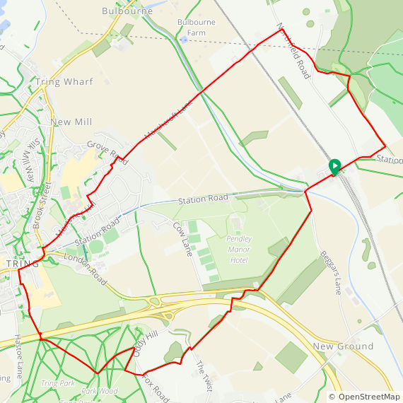
Walking the line north of Fray’s River


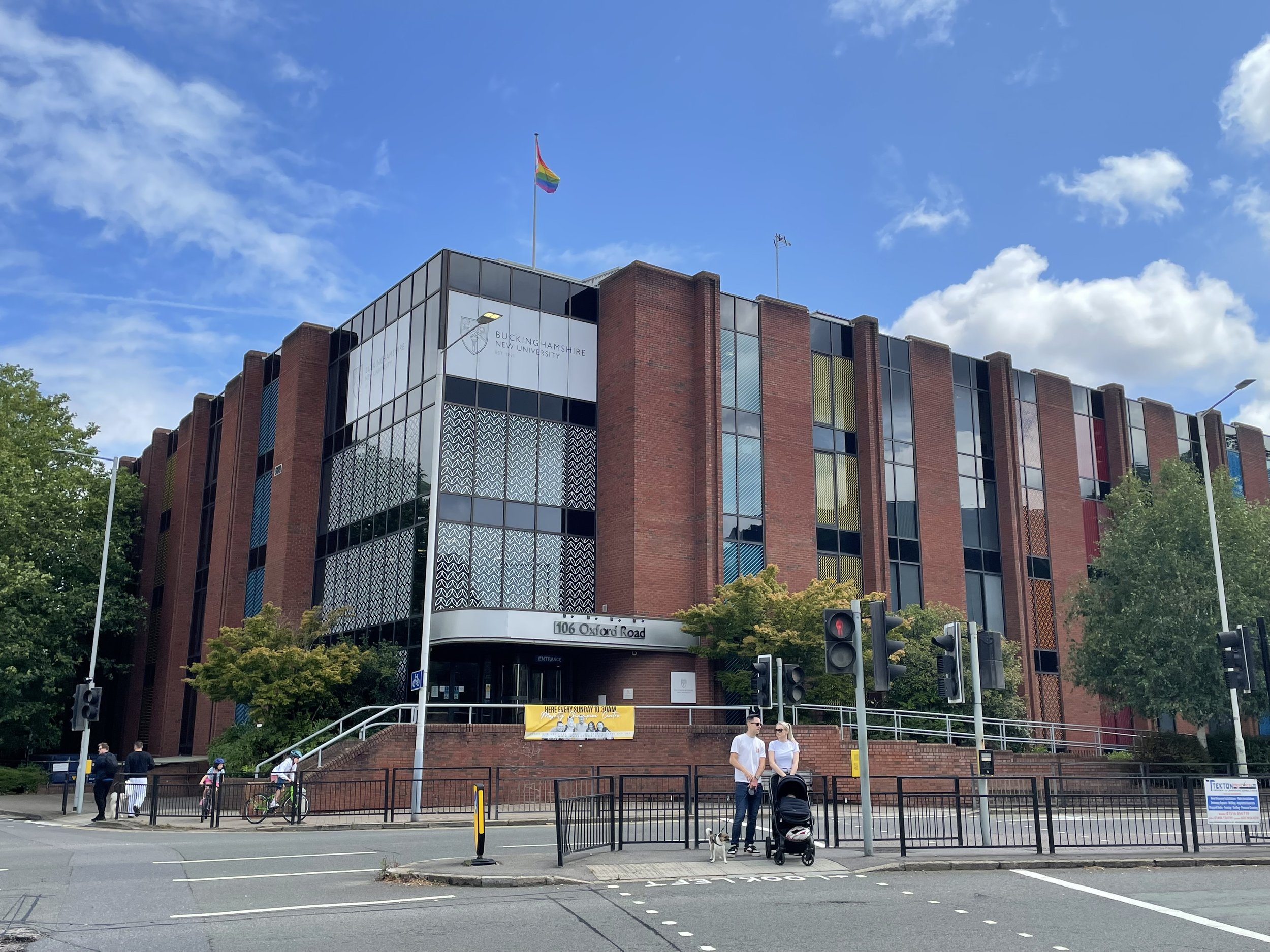
Start & Finish: Buckinghamshire New University, Uxbridge Campus, 106 Oxford Road, Uxbridge, UB8 1NA
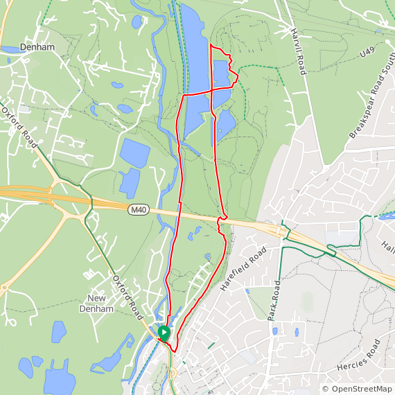
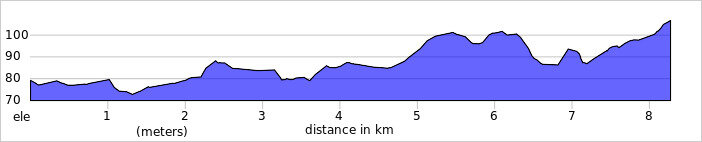
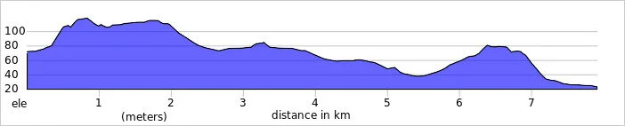
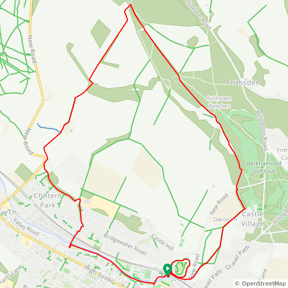
Distance:
6.3 km (3.9 miles)
Elevation change:
+/- 27m
GPX File:
get via Buy Me a Coffee
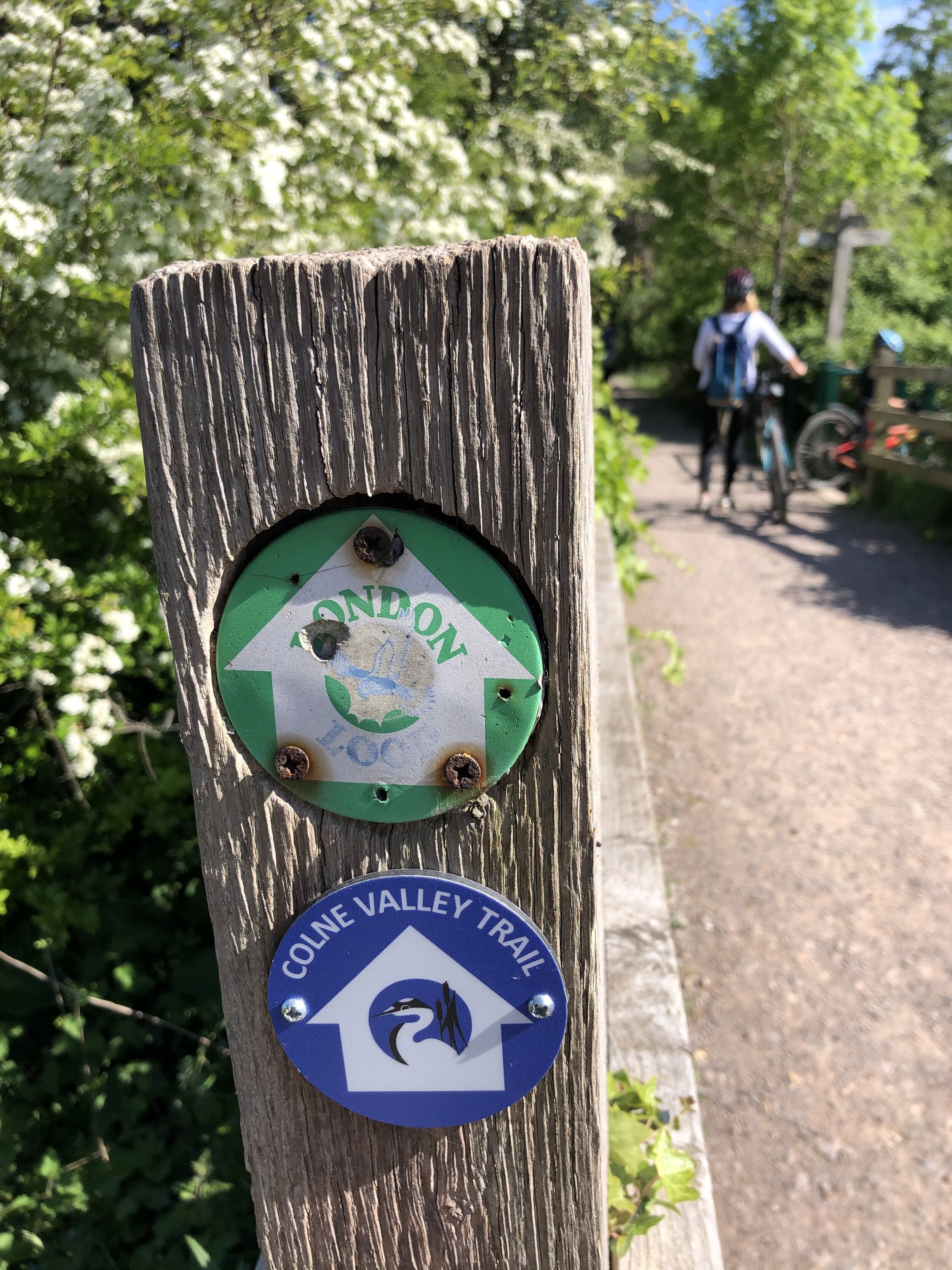
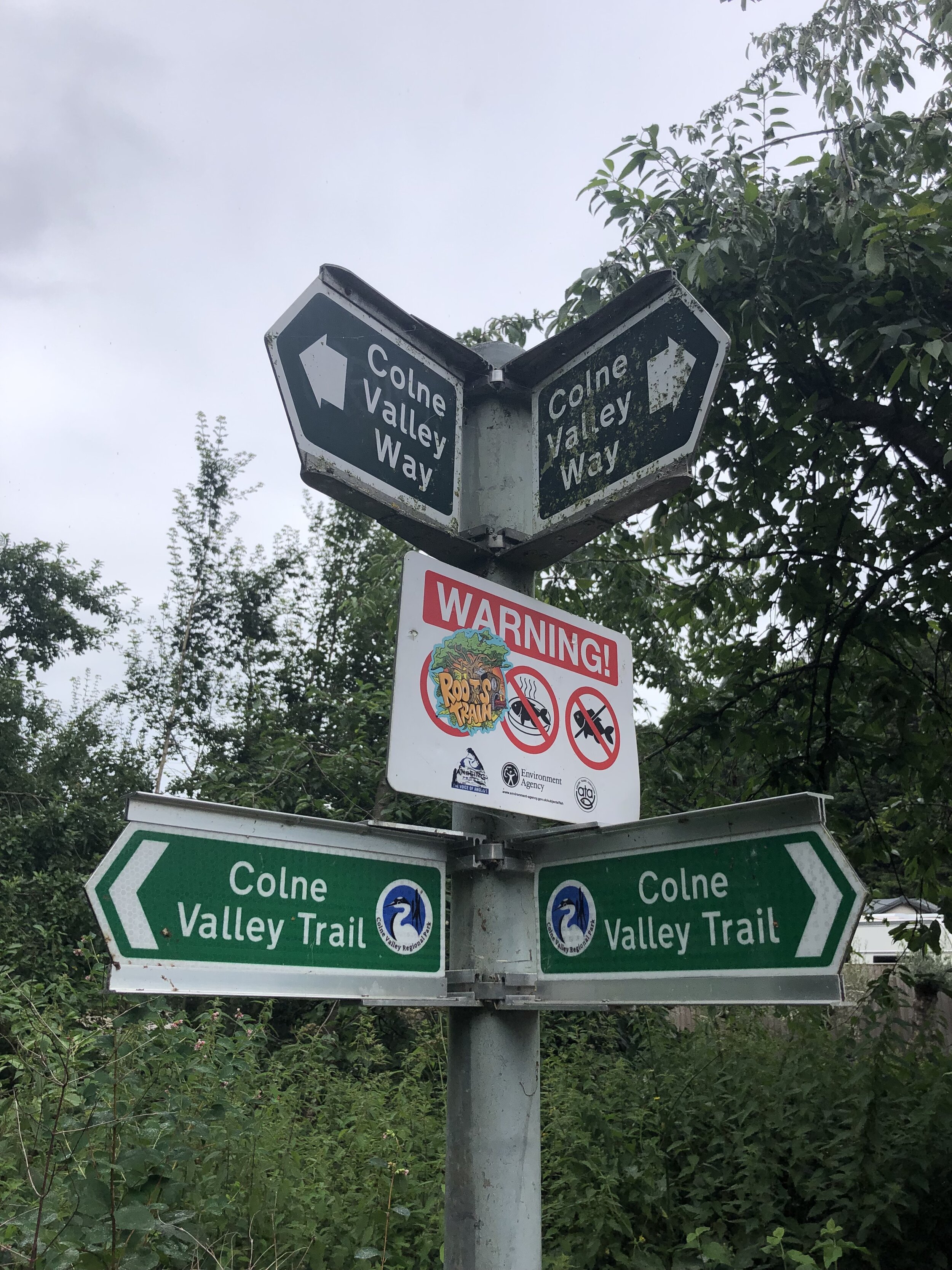
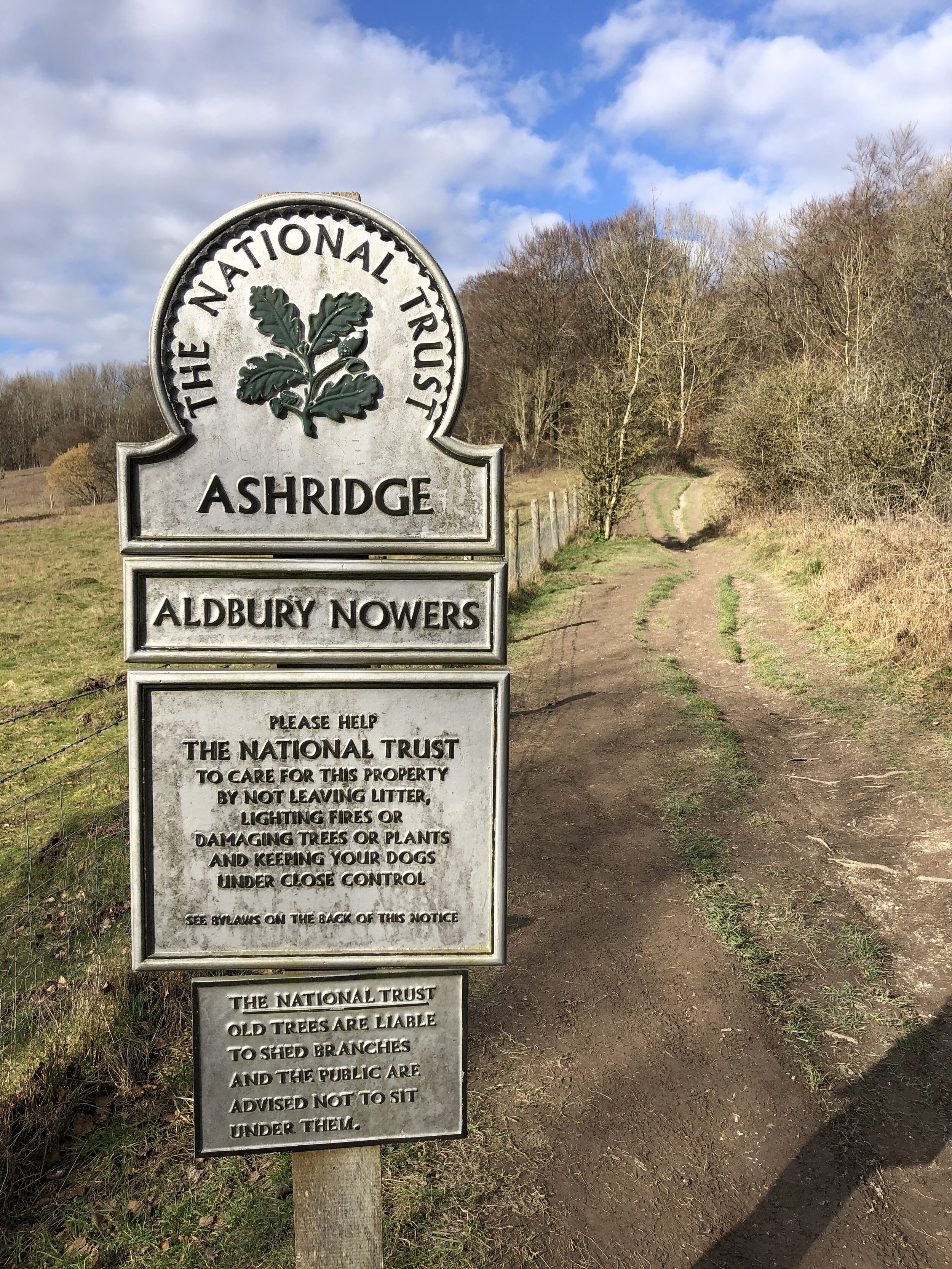
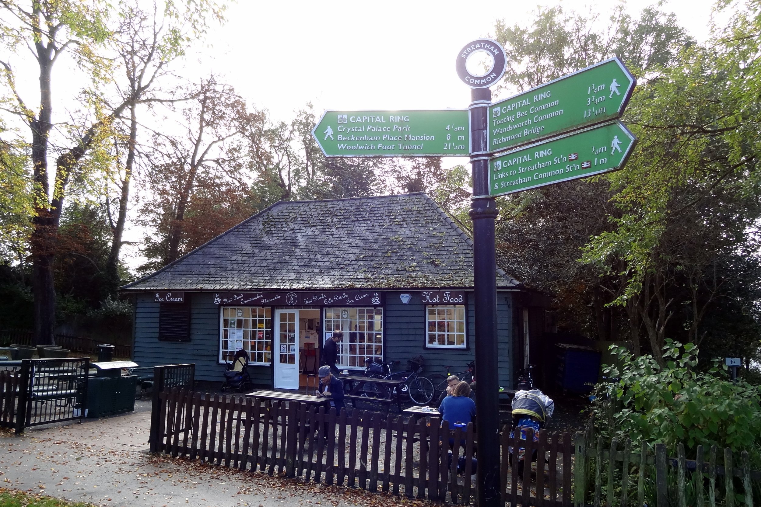
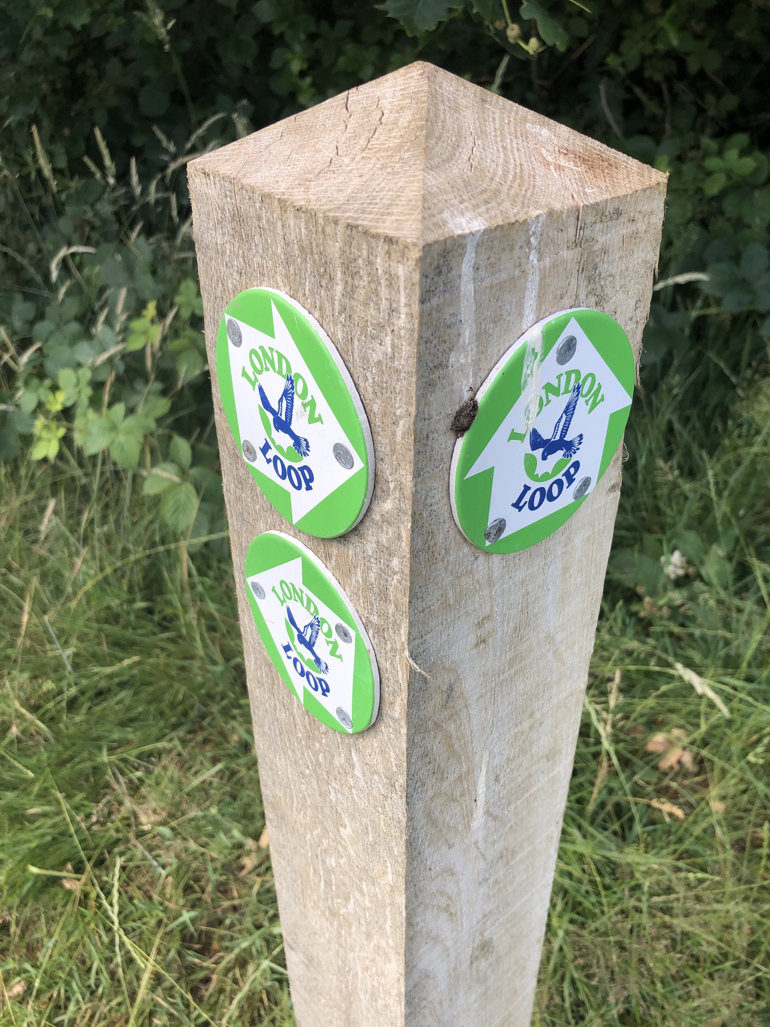
Other routes touched (walk):
London Loop, Colne Valley Trail, South Bucks Way
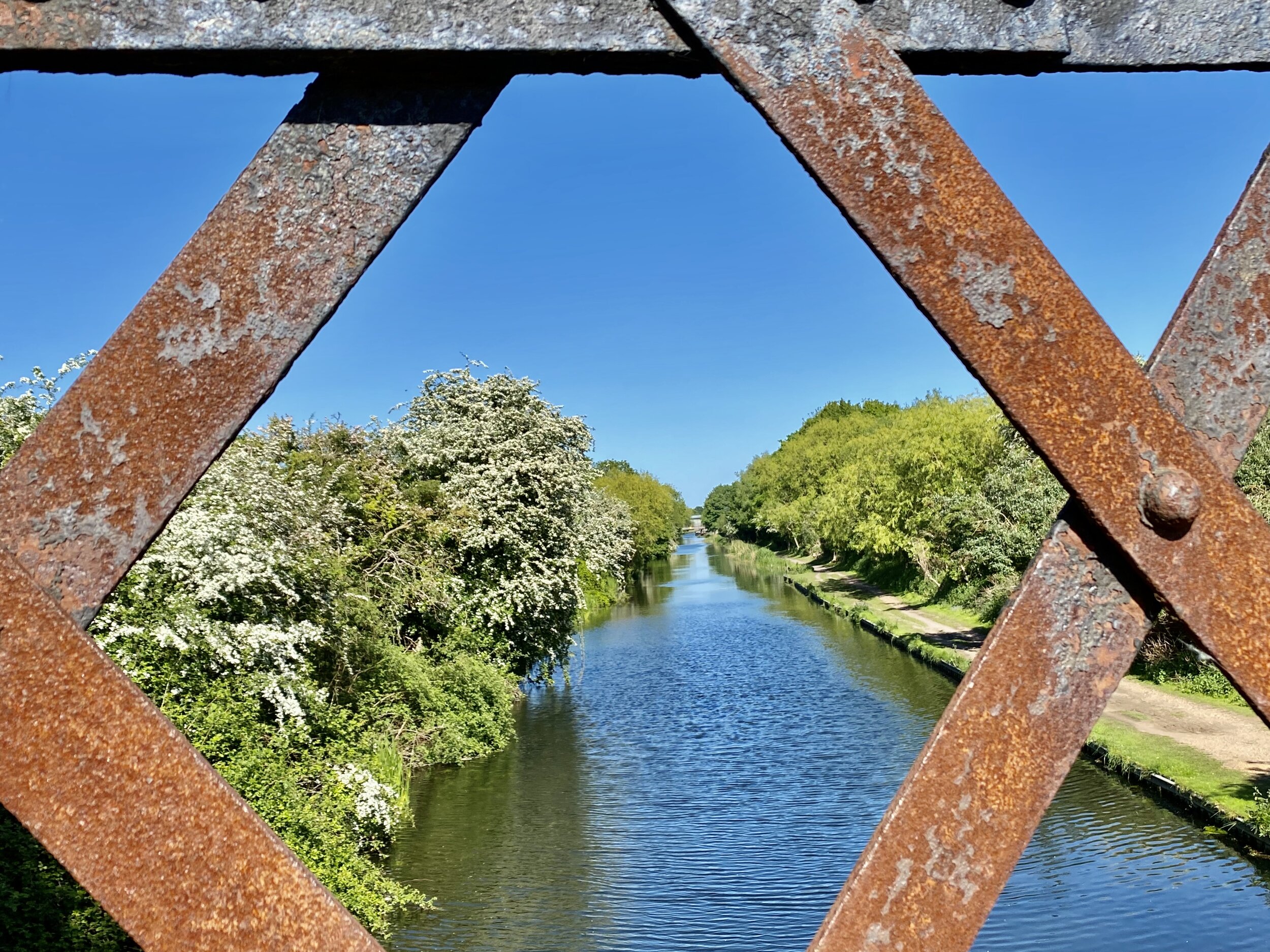
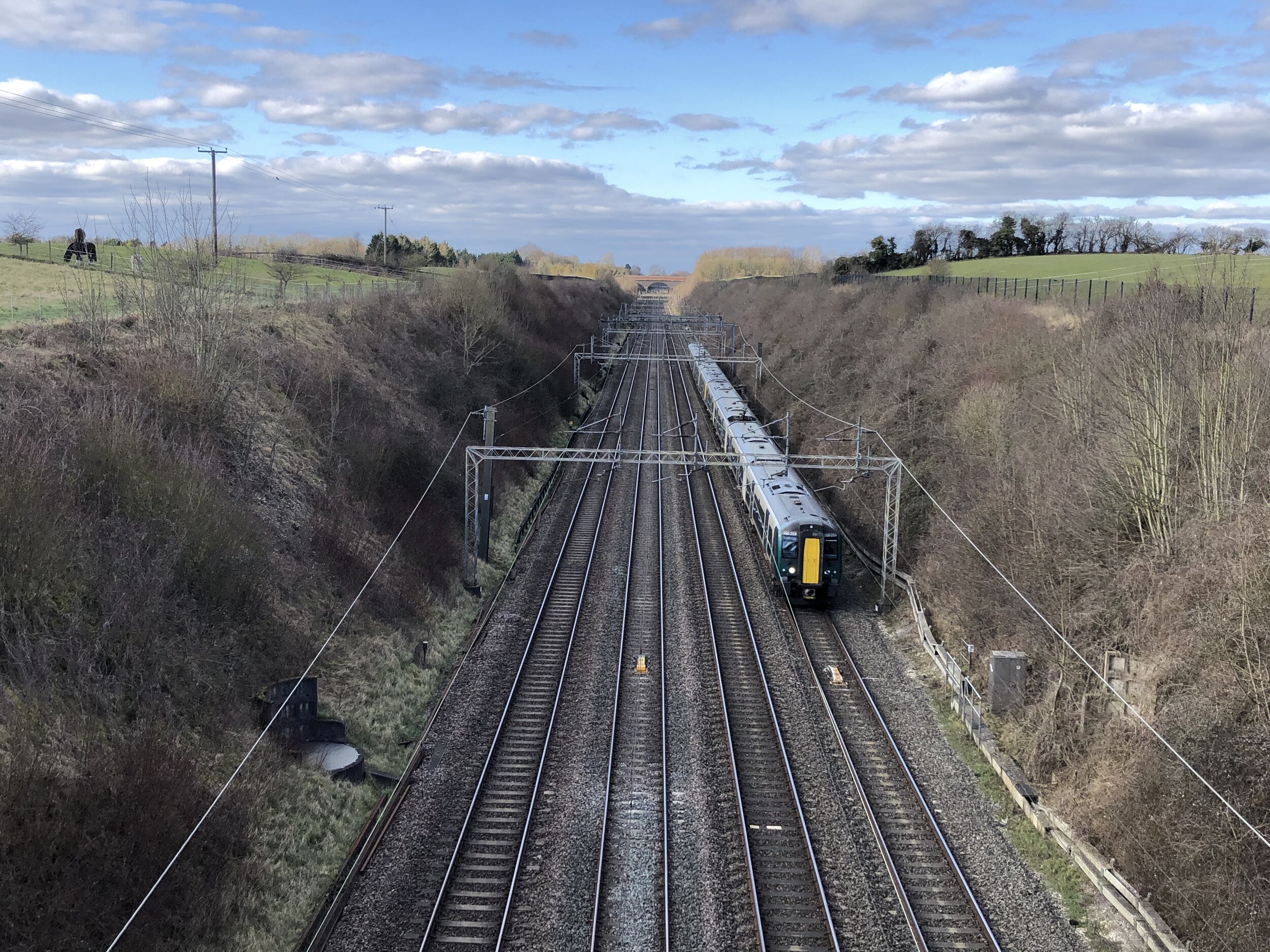
Other routes touched (cycle):
Grand Union Canal Towpath
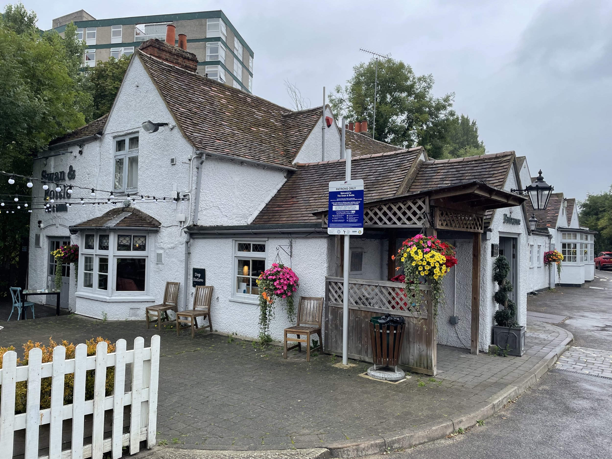
Pubs / Cafes on route:
Swan & Bottle pub (near start and end)
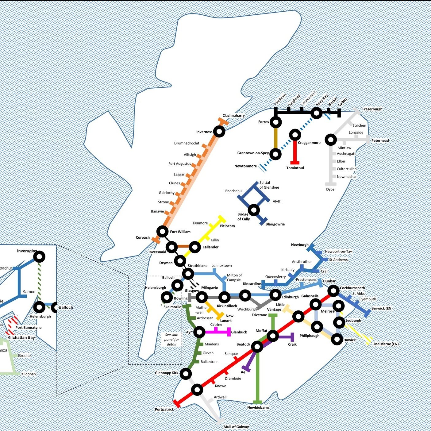
Map:
Chiltern Hills East Map | High Wycombe, Maidenshead & Rickmansworth | Ordnance Survey | OS Explorer Map 172
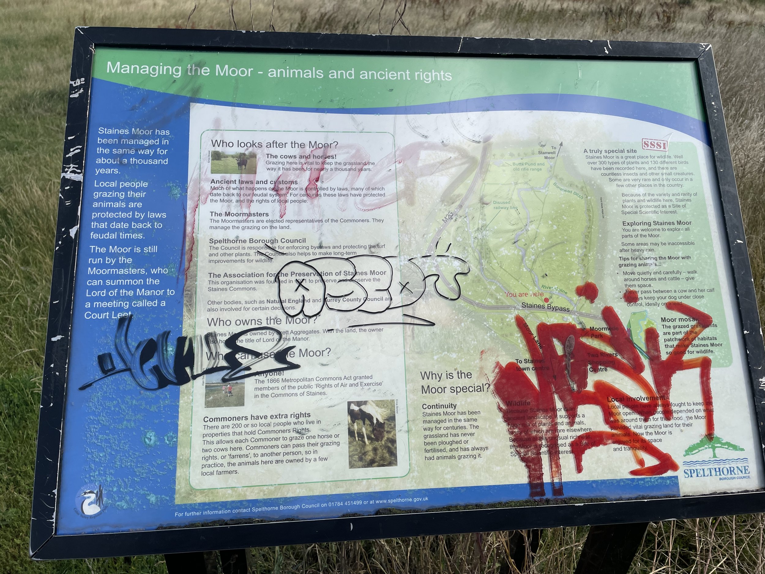
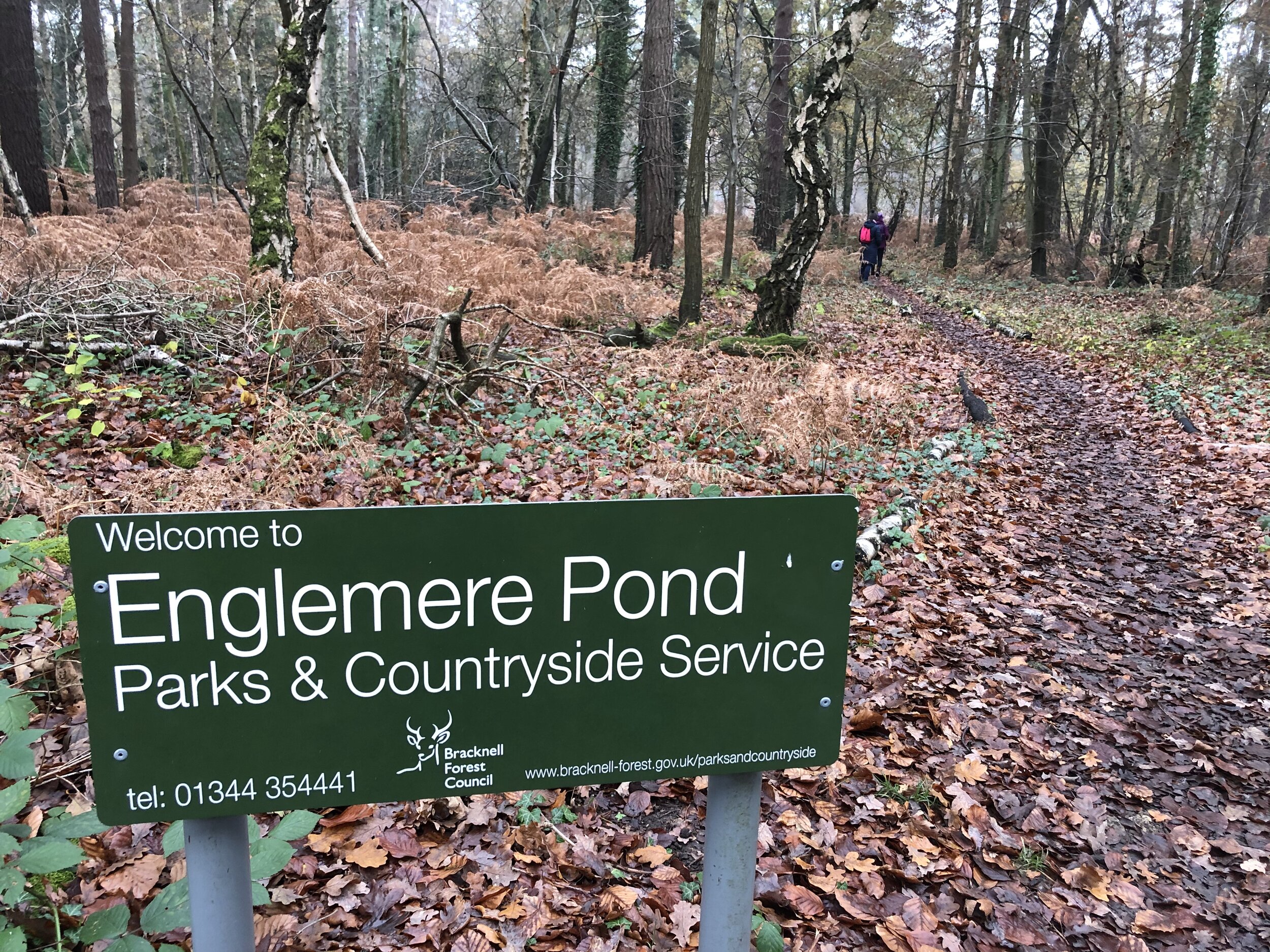
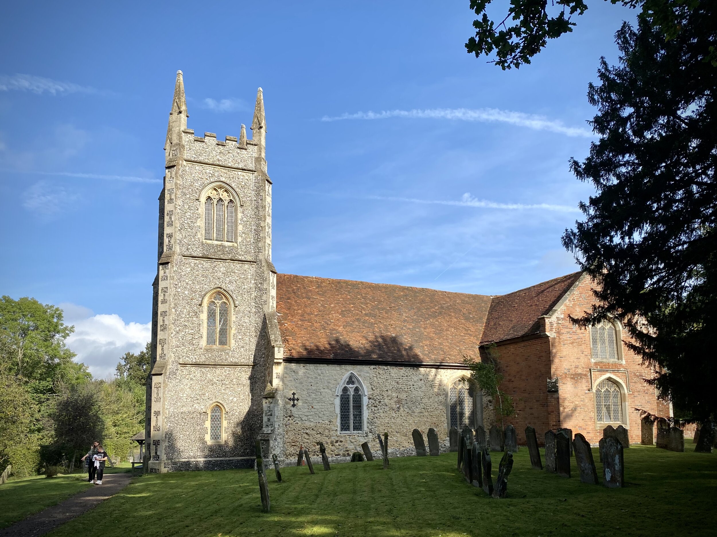
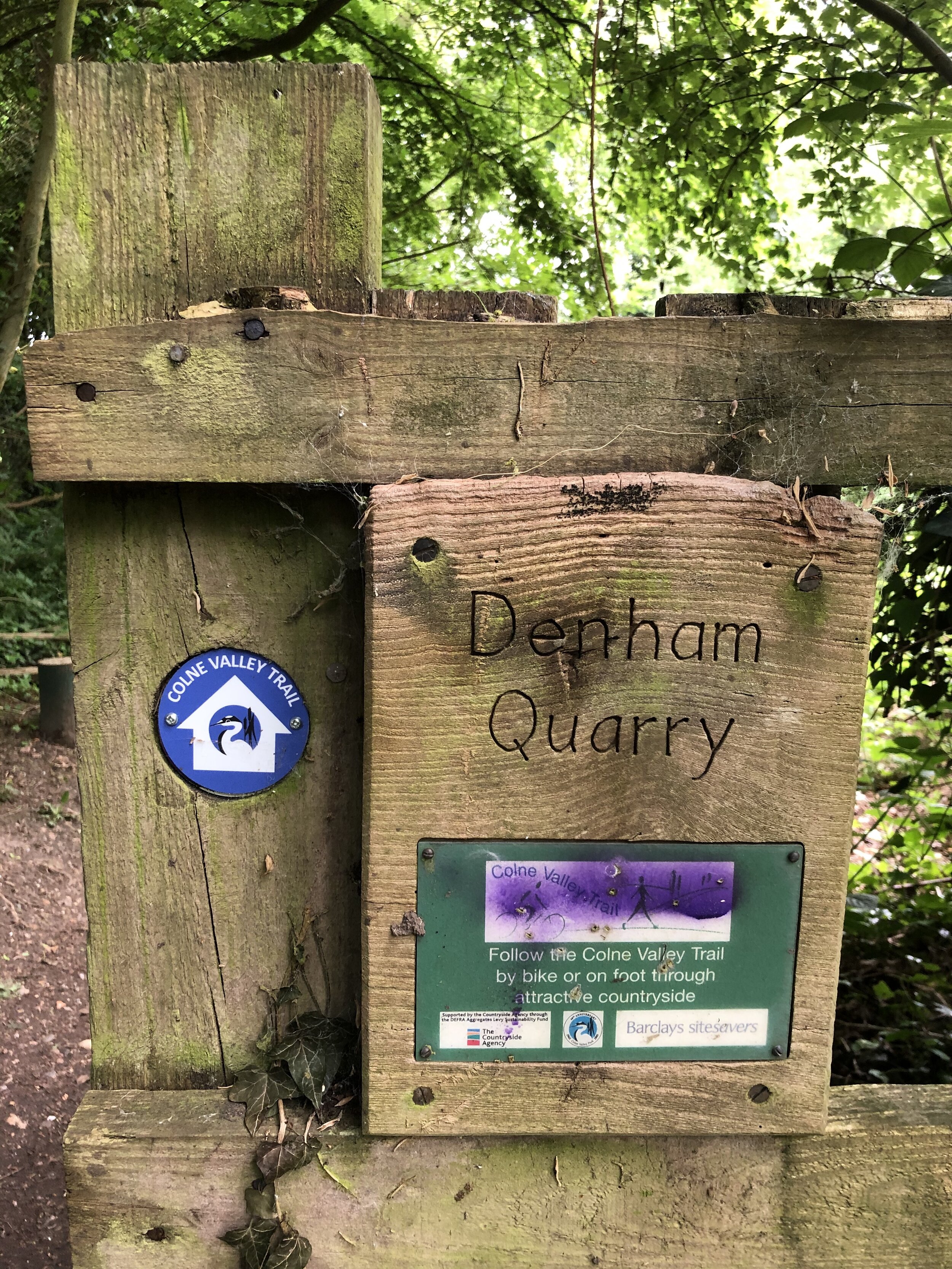
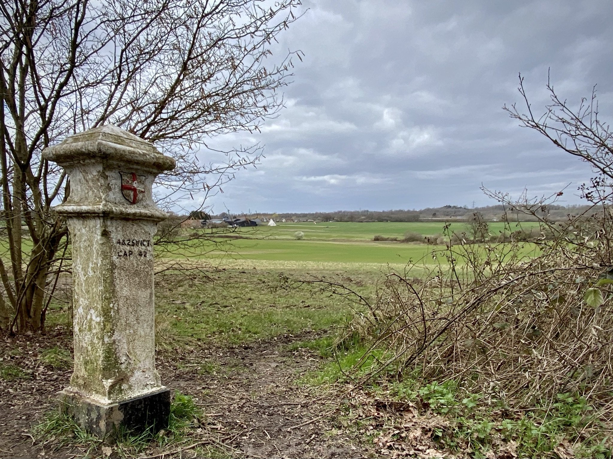
Links:
Uxbridge, Fray’s River, Alderglade Nature Reserve, Colne Valley Regional Park, Grand Union Canal


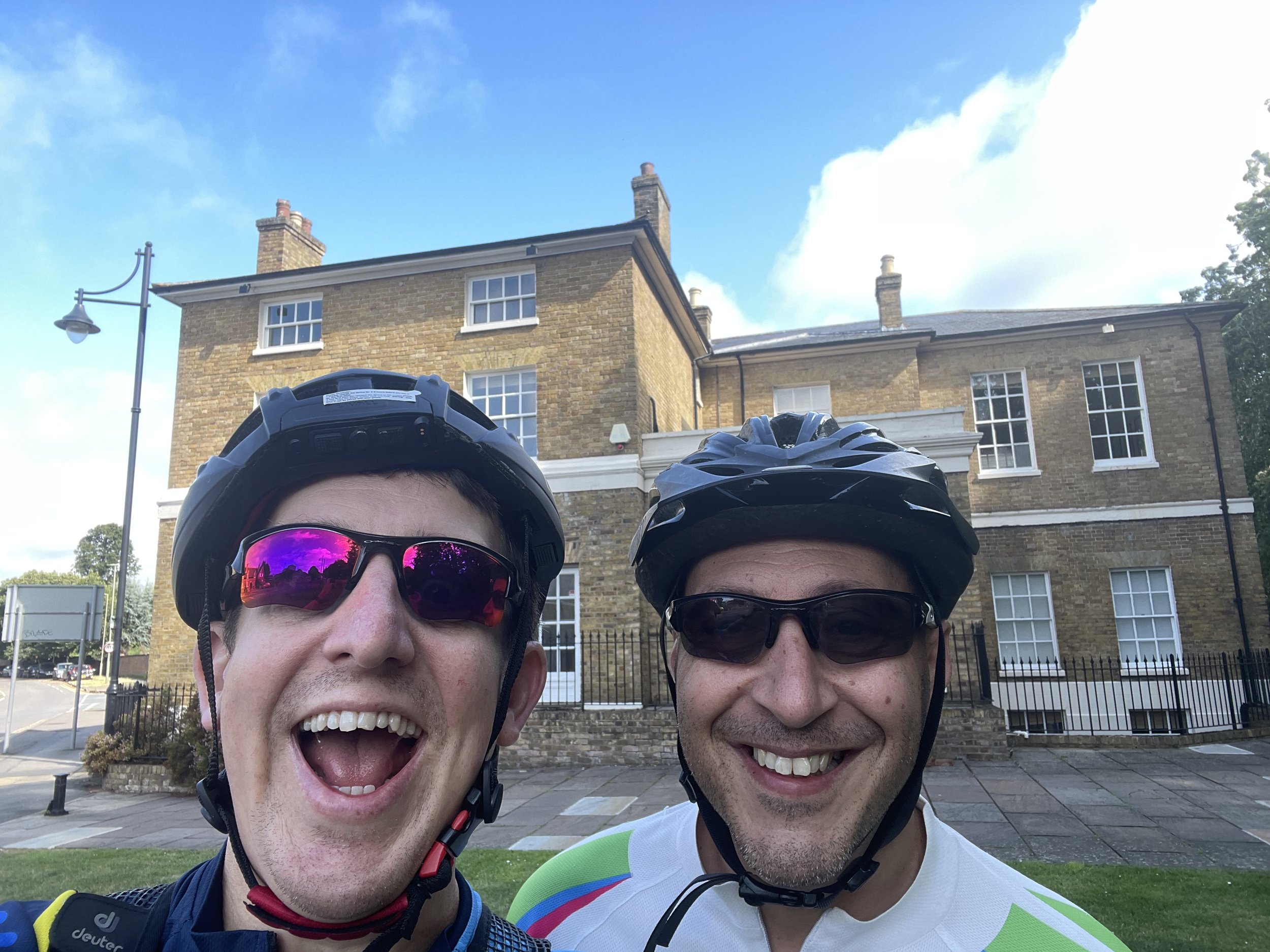
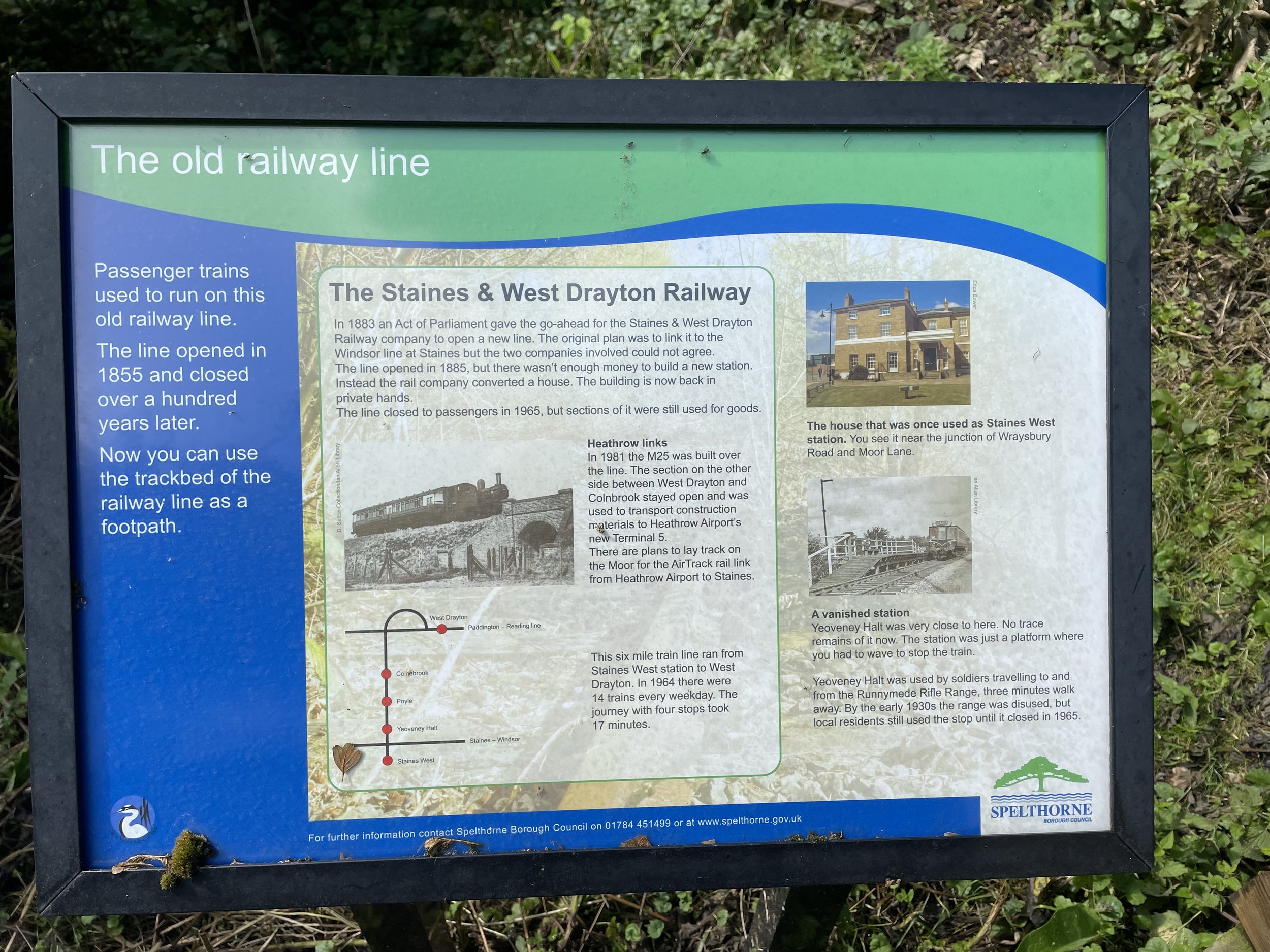
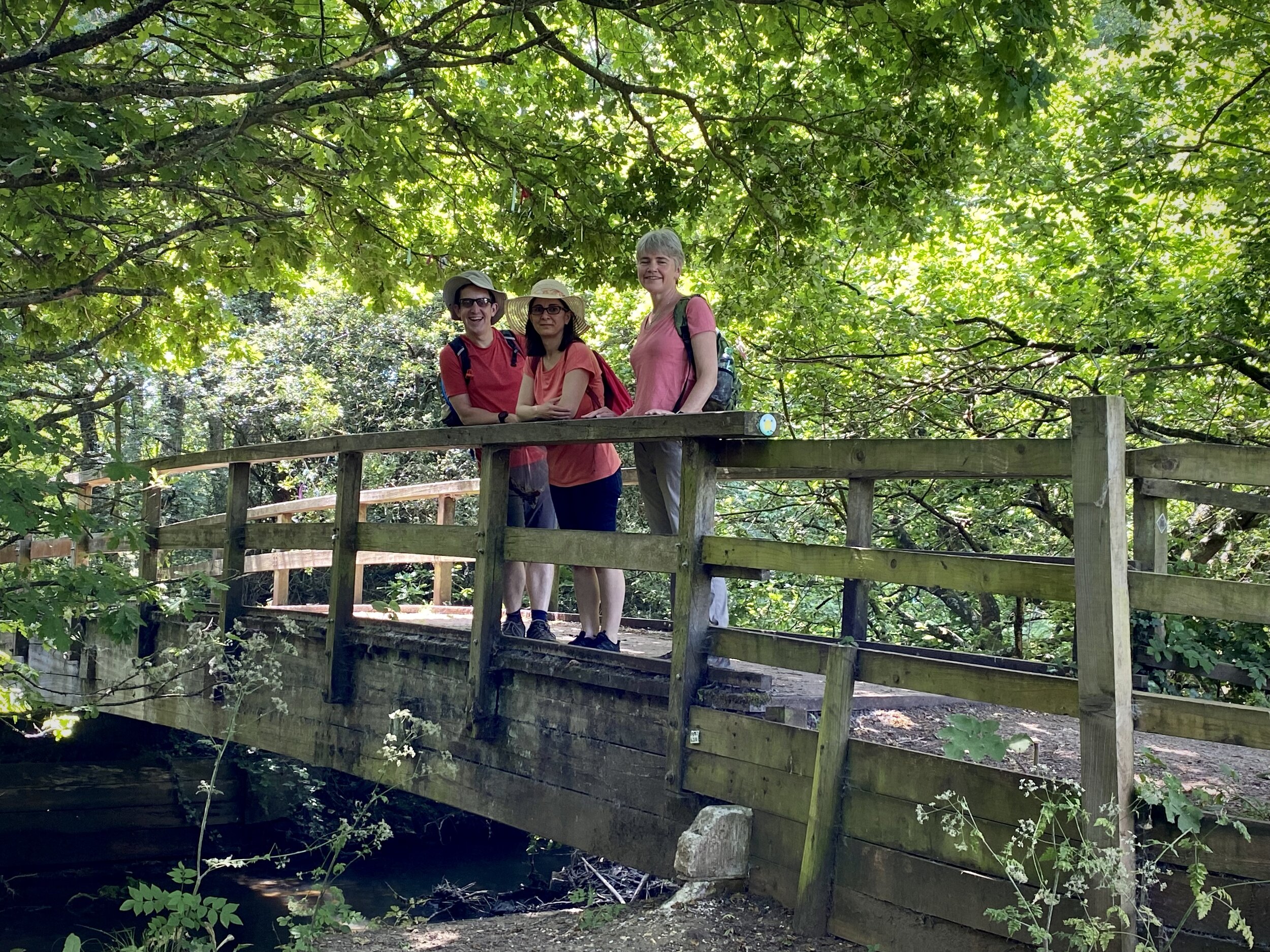
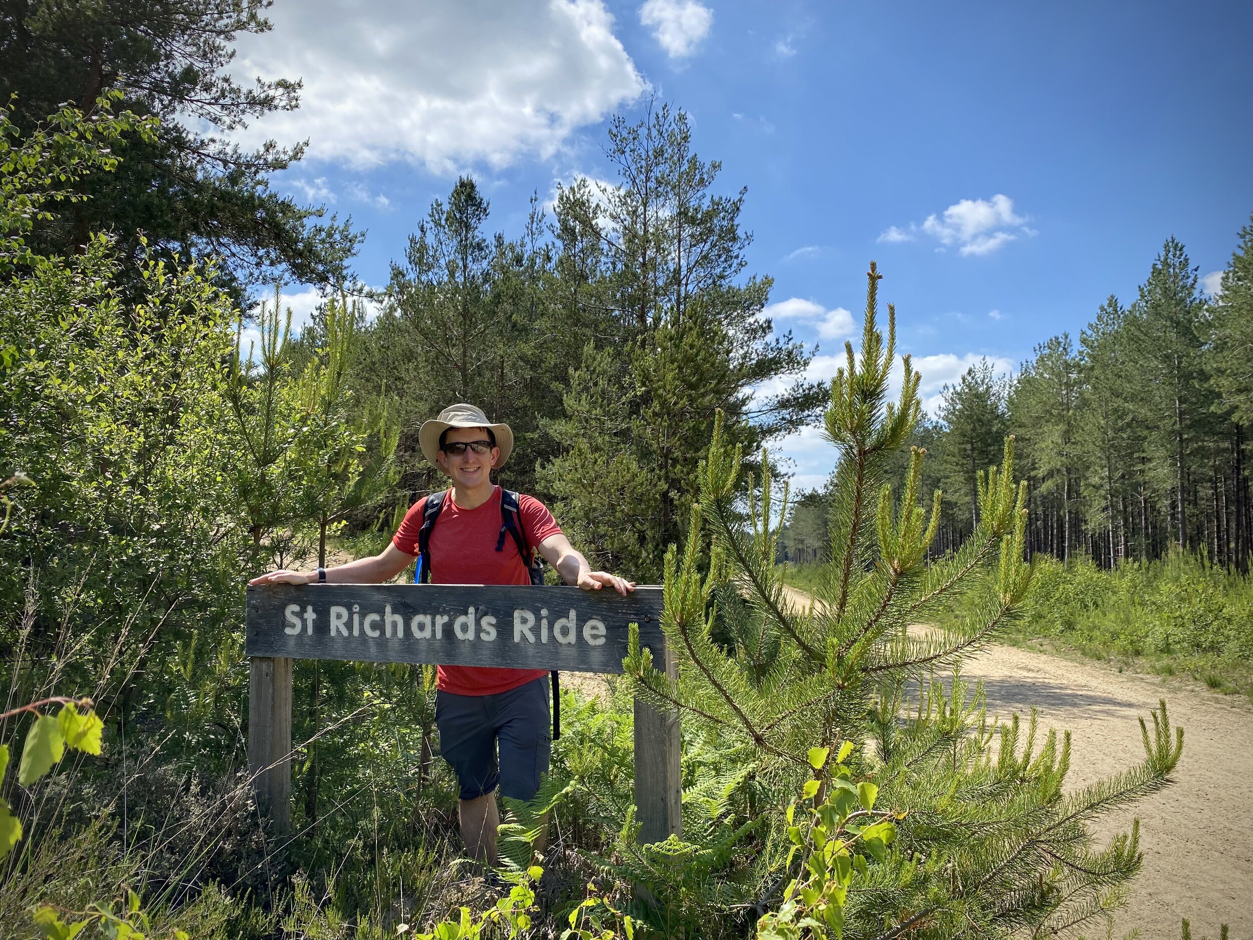
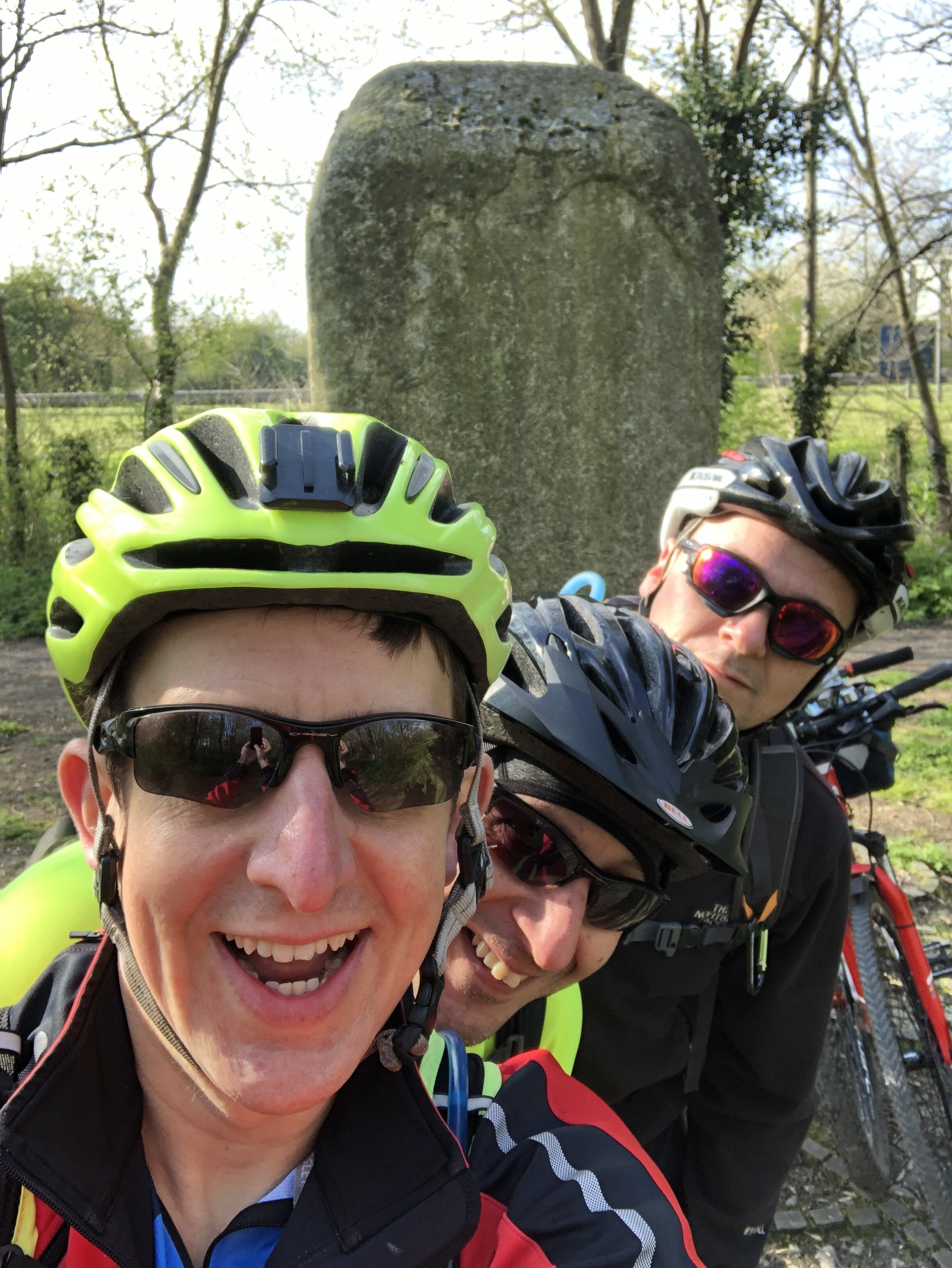
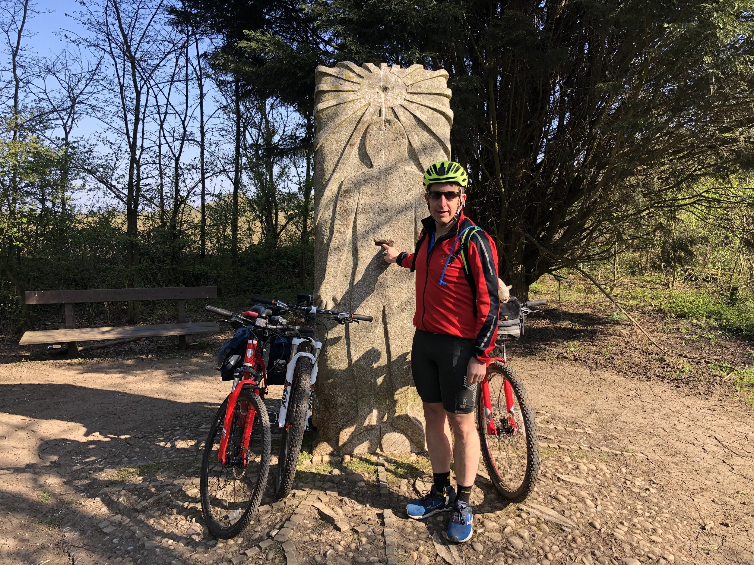
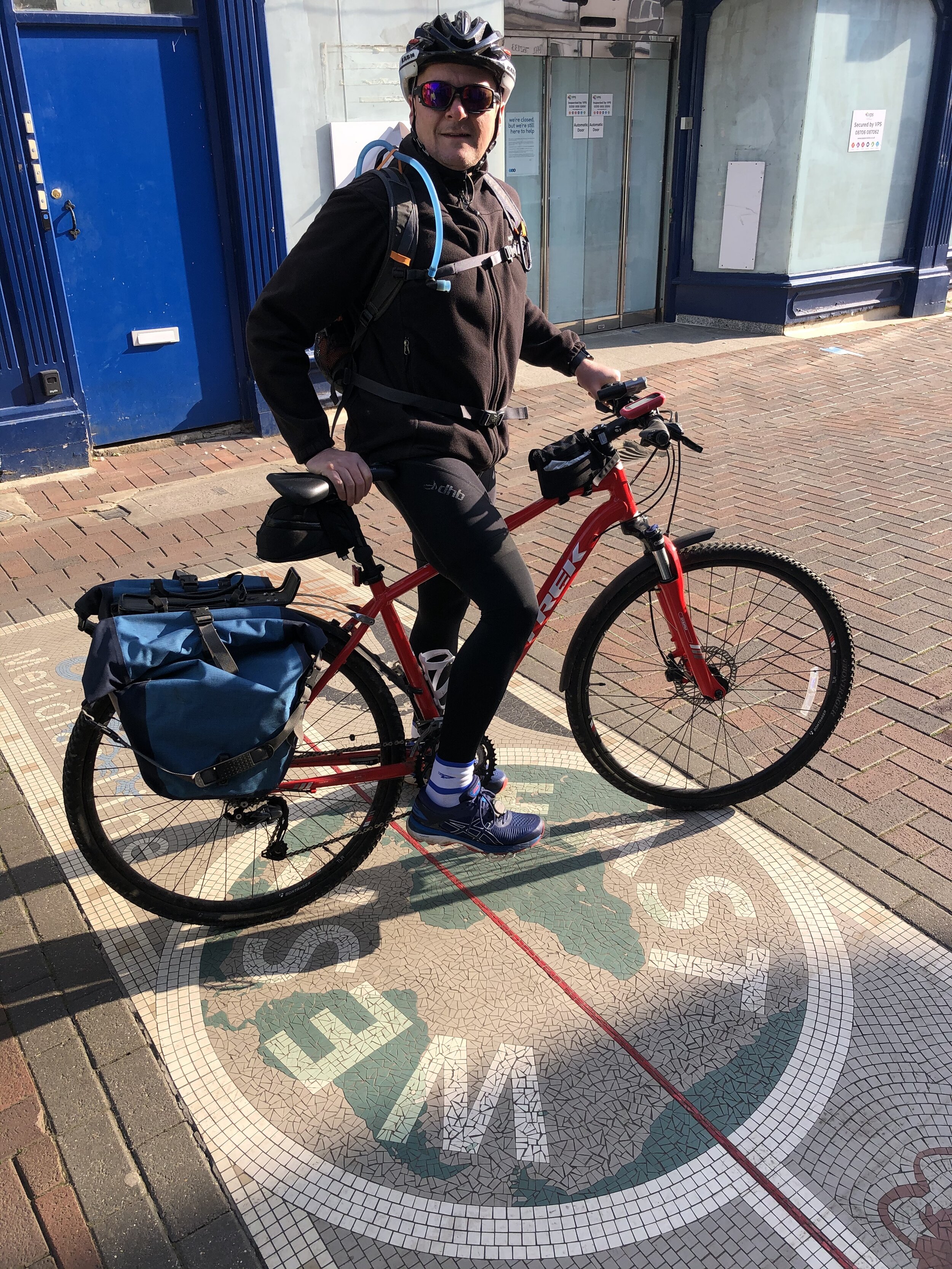
This trip was a return to visit to Uxbridge following my previous week’s cycle adventure on the Staines West to Denham Lines. Although we cycled between the old Uxbridge High Street Station and Denham, we followed a more cycle-friendly route rather than the course of the old rail line. This week Timea and I returned to walk the true route of the line. As with last week’s longer route from Staines West to Denham, this trip was inspired by Geoff Marshall’s London’s Lost Railways videos. Check out Geoff’s video for more detail on each of the lines and stations.

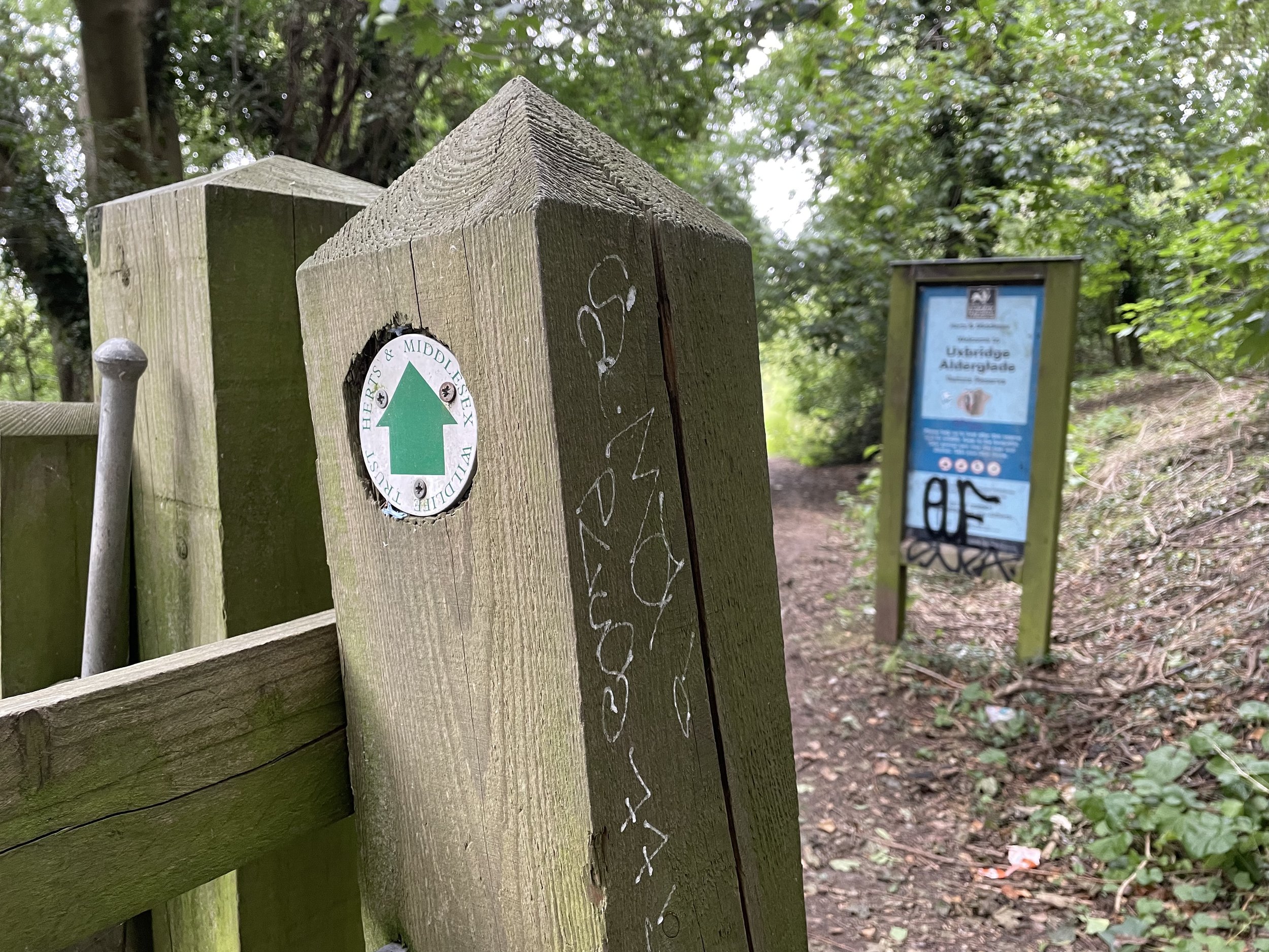
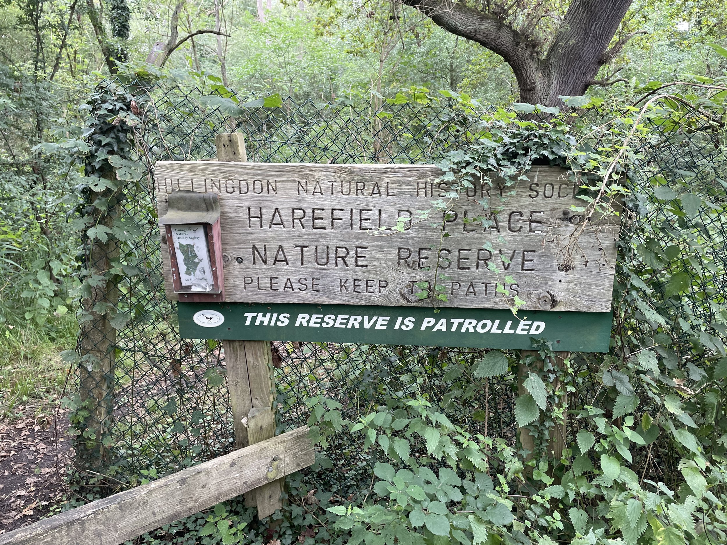
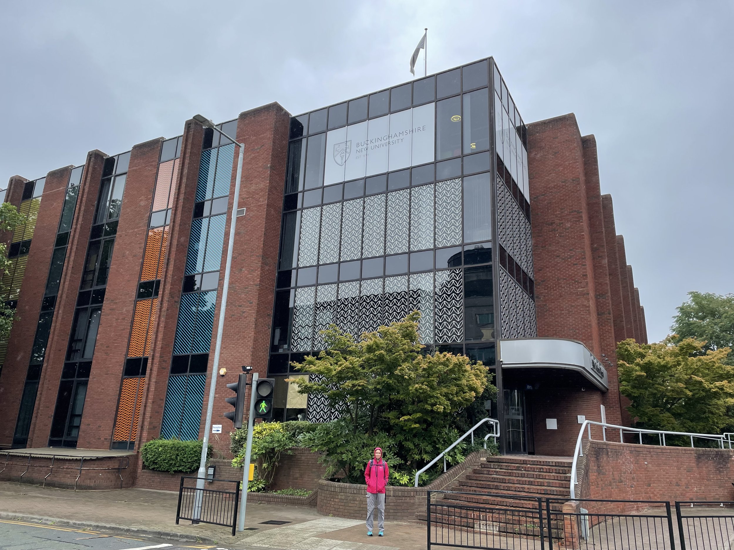
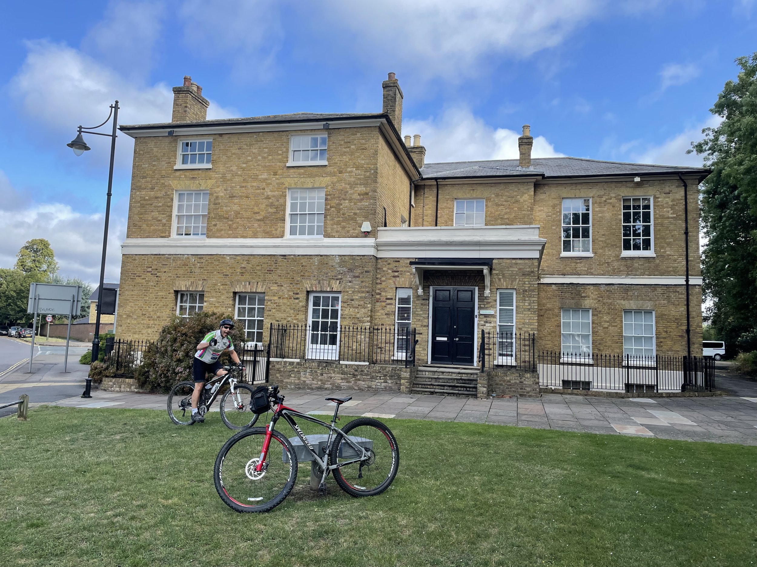
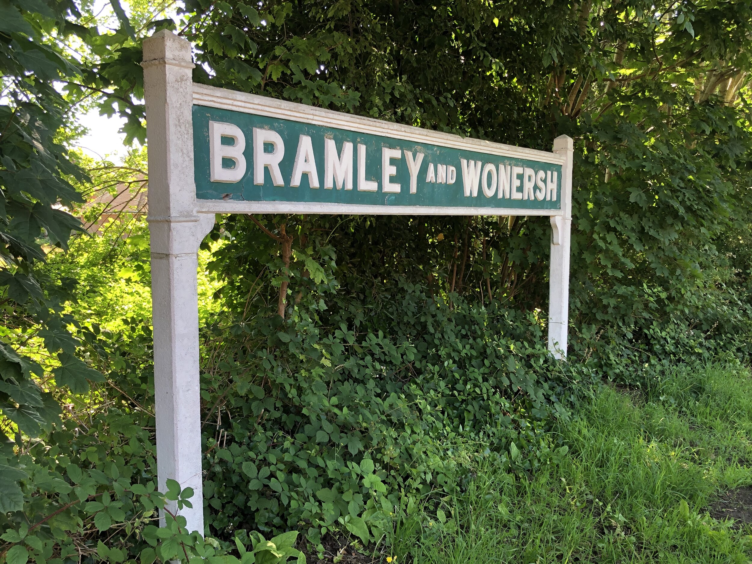
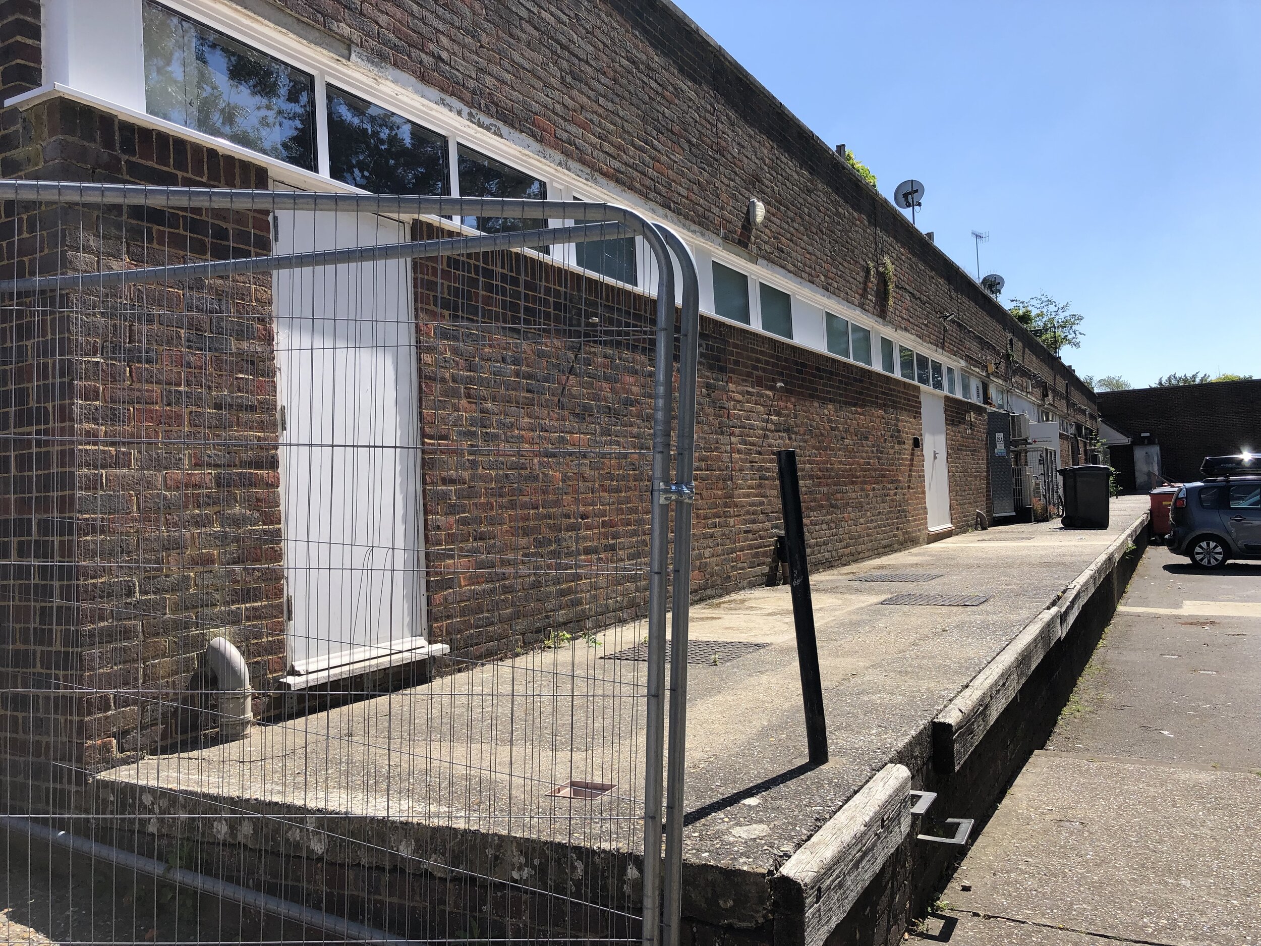
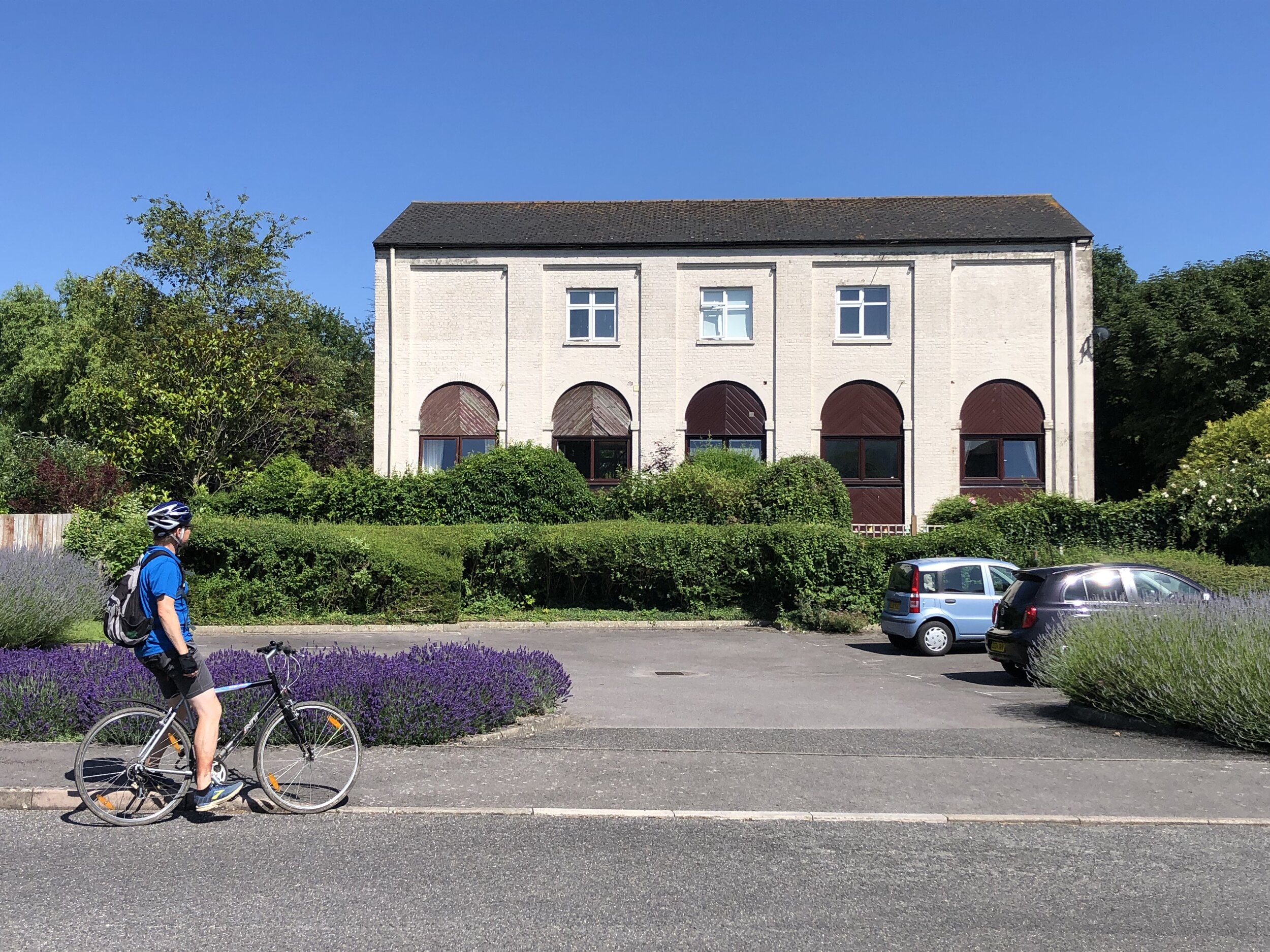
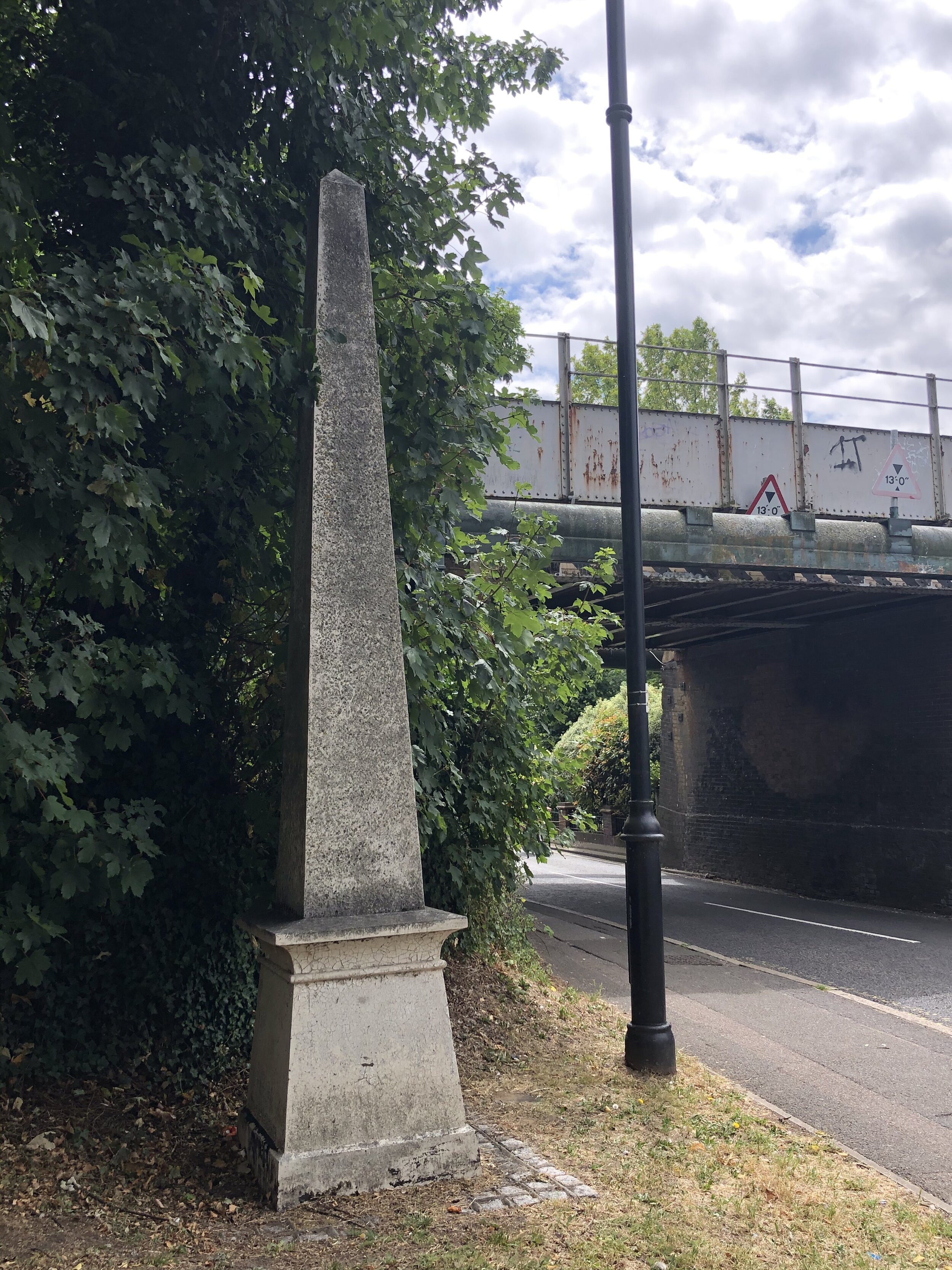
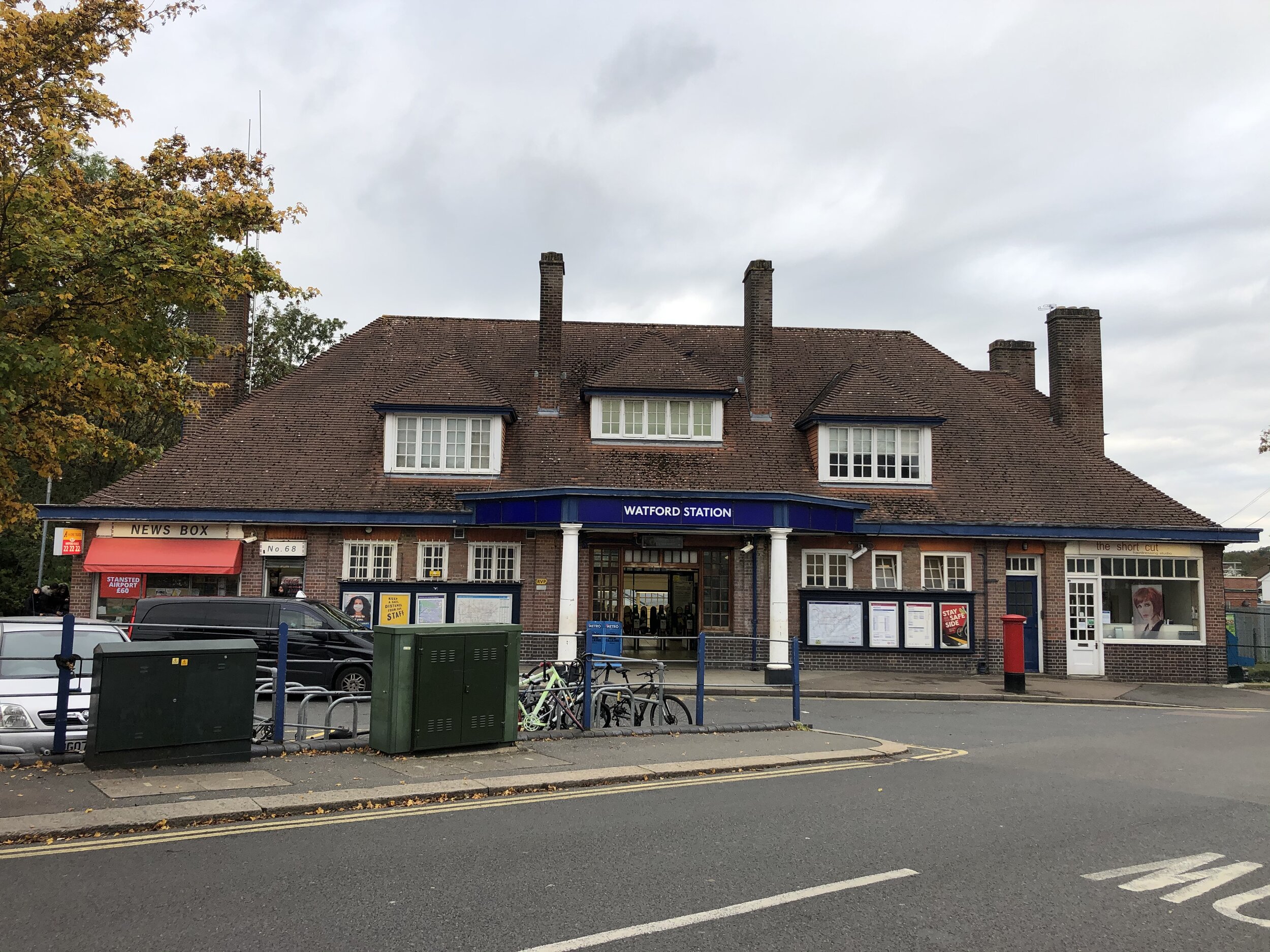
The route starts at 106 Oxford Road, the site of the former Uxbridge High Street Station, now a campus for Buckinghamshire New University. It’s actually in Hillingdon, Greater London, though and not in Buckinghamshire which is just across the River Colne to the west. The line closely follows the Hillingdon/Buckinghamshire border staying in Hillingdon for most of it’s length apart from one very short section at the start of Alderglade Nature Reserve.

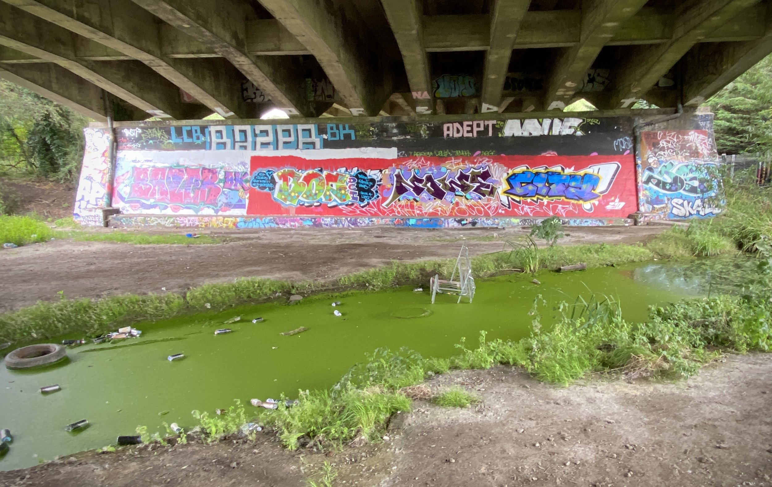
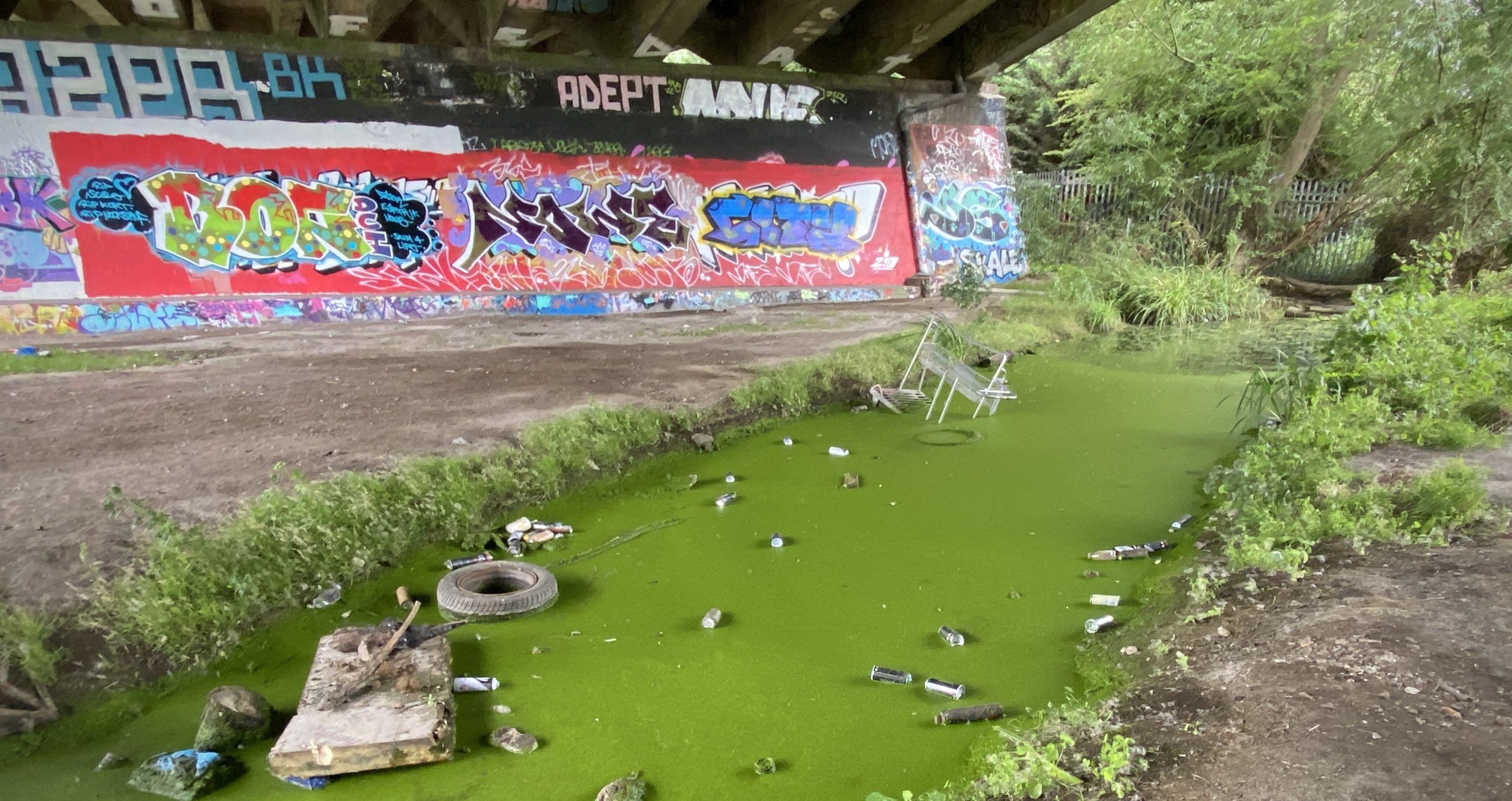
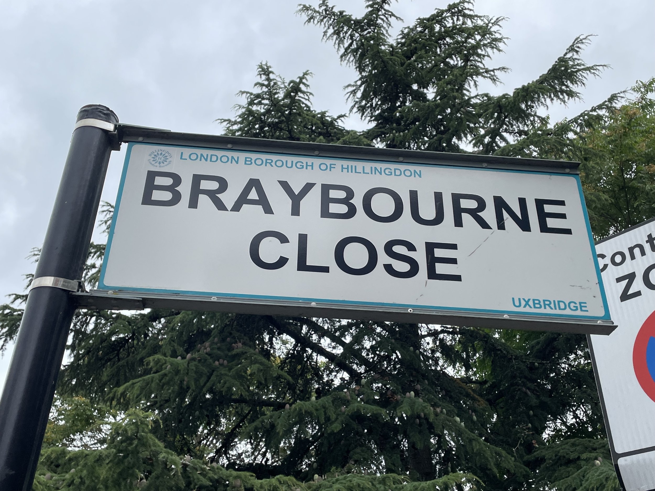
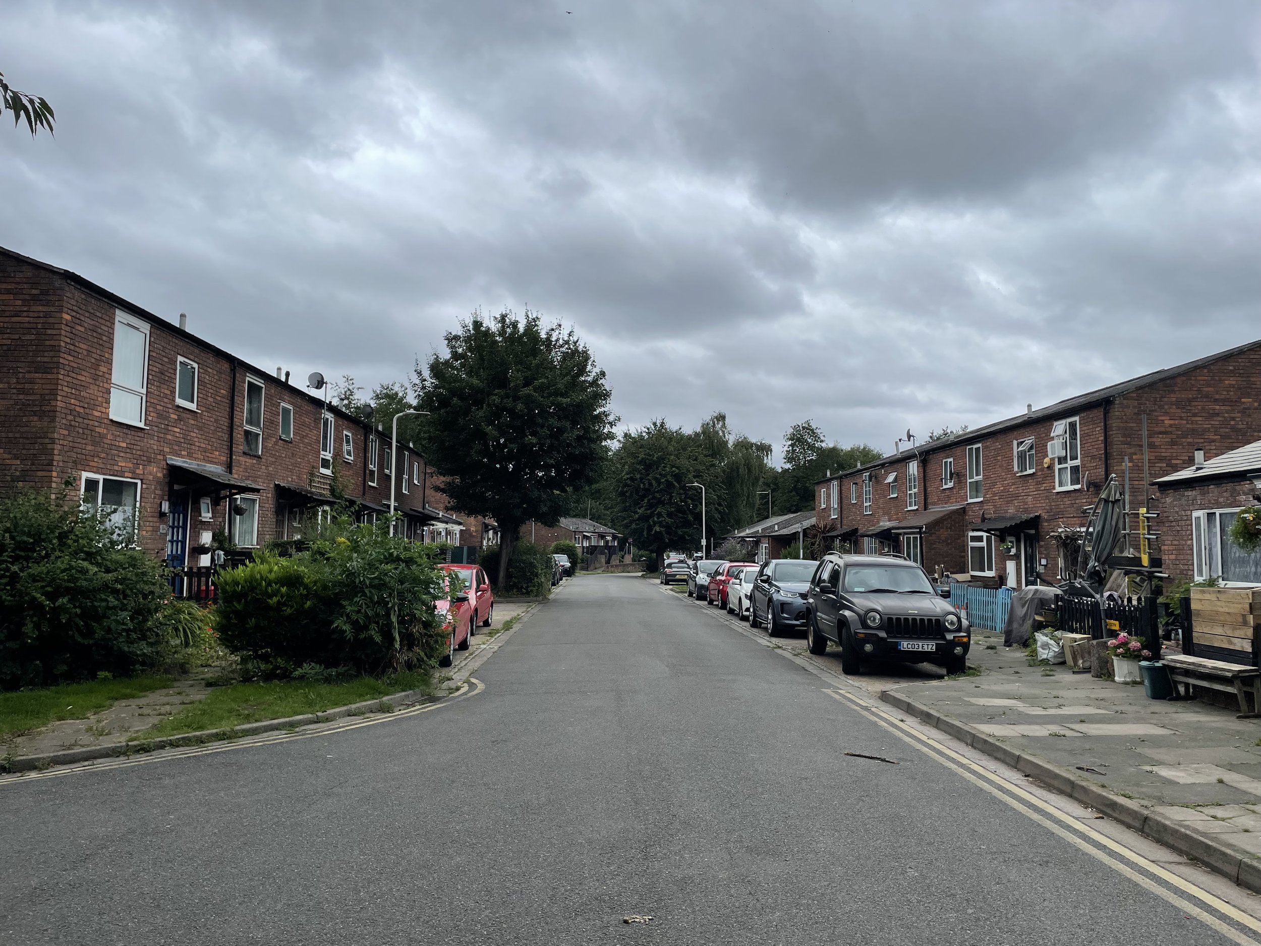
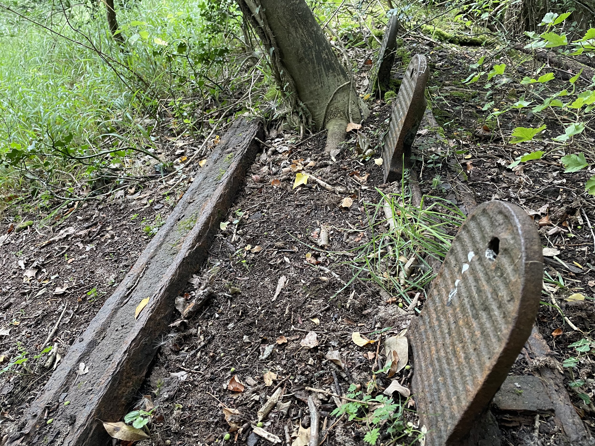
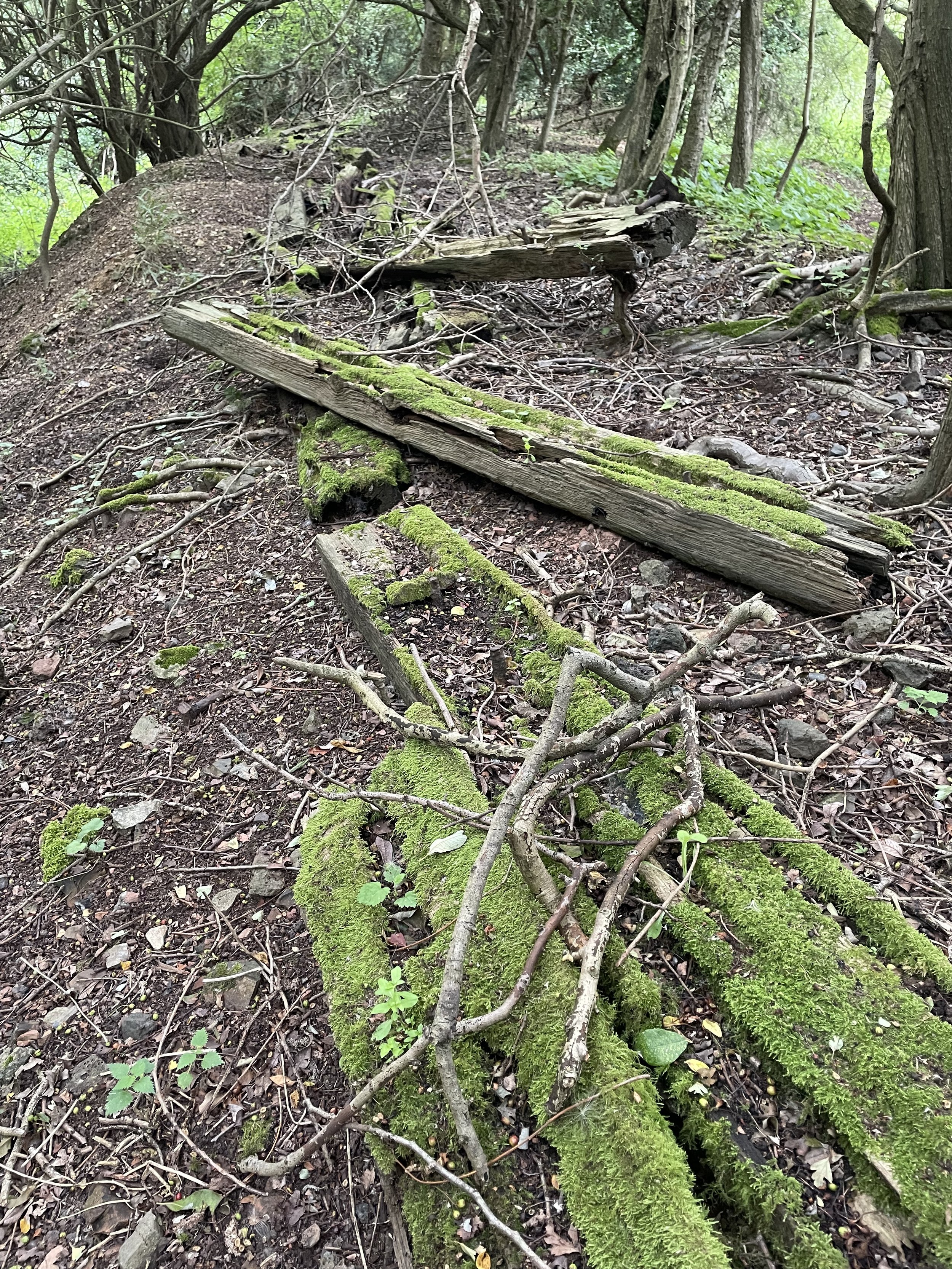
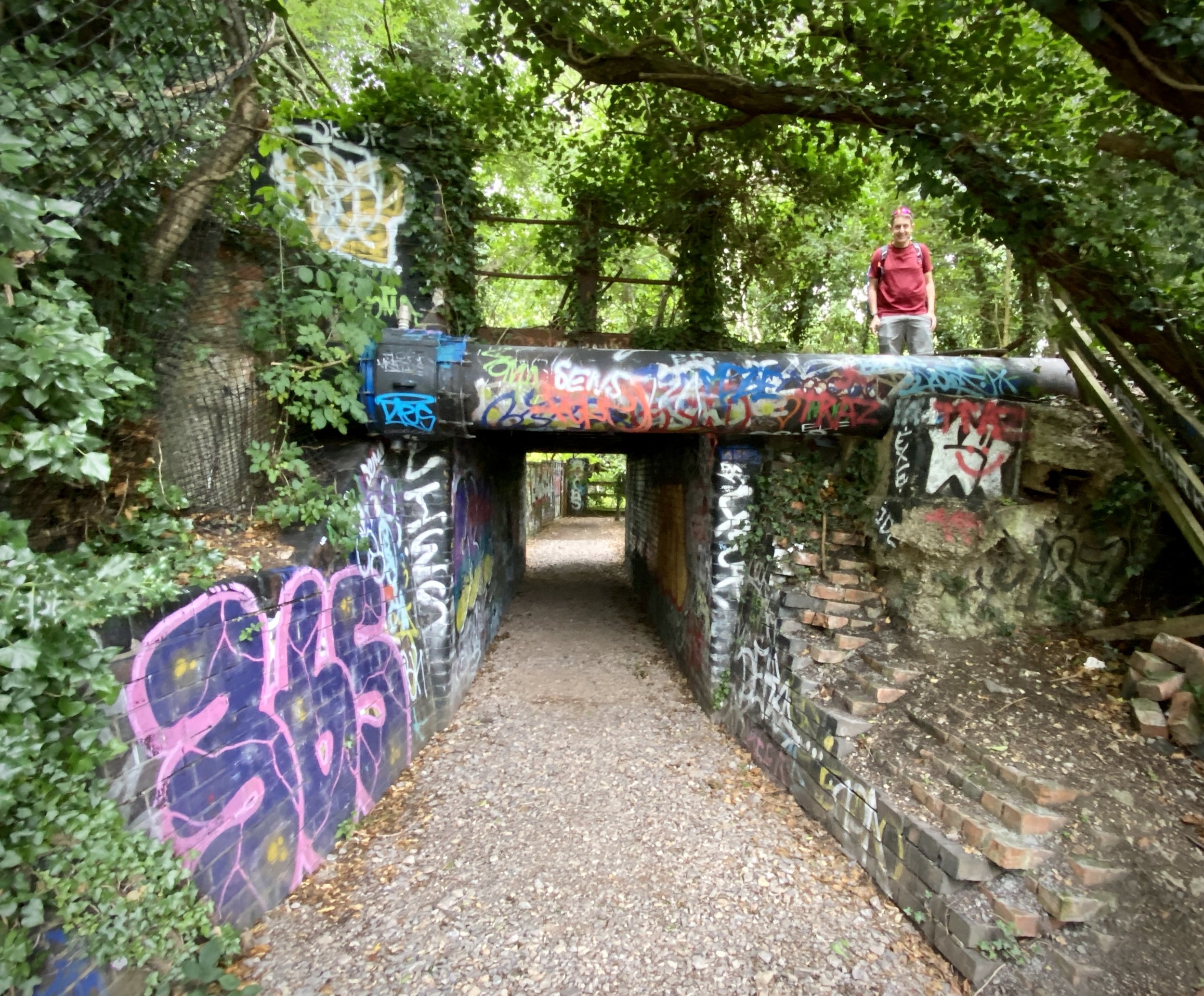
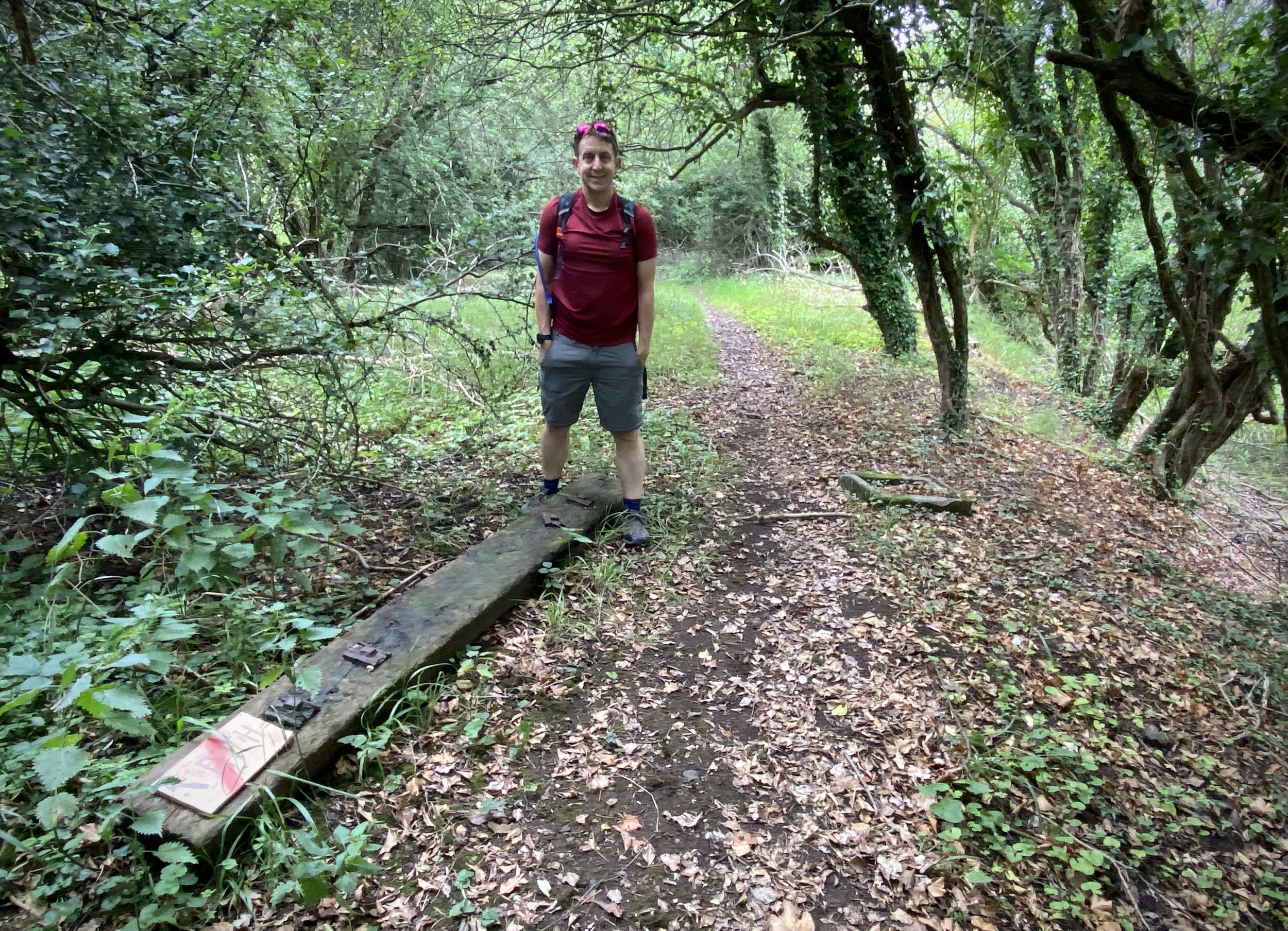
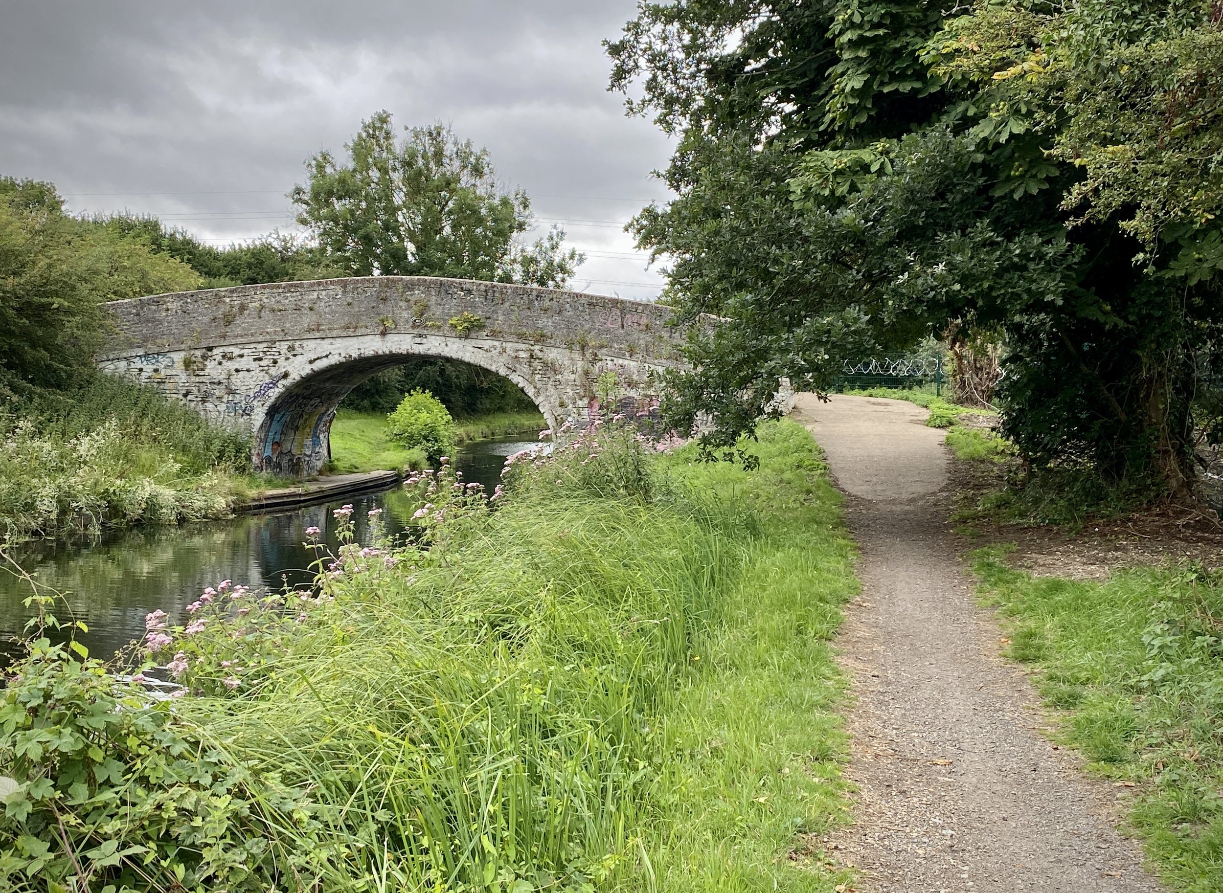
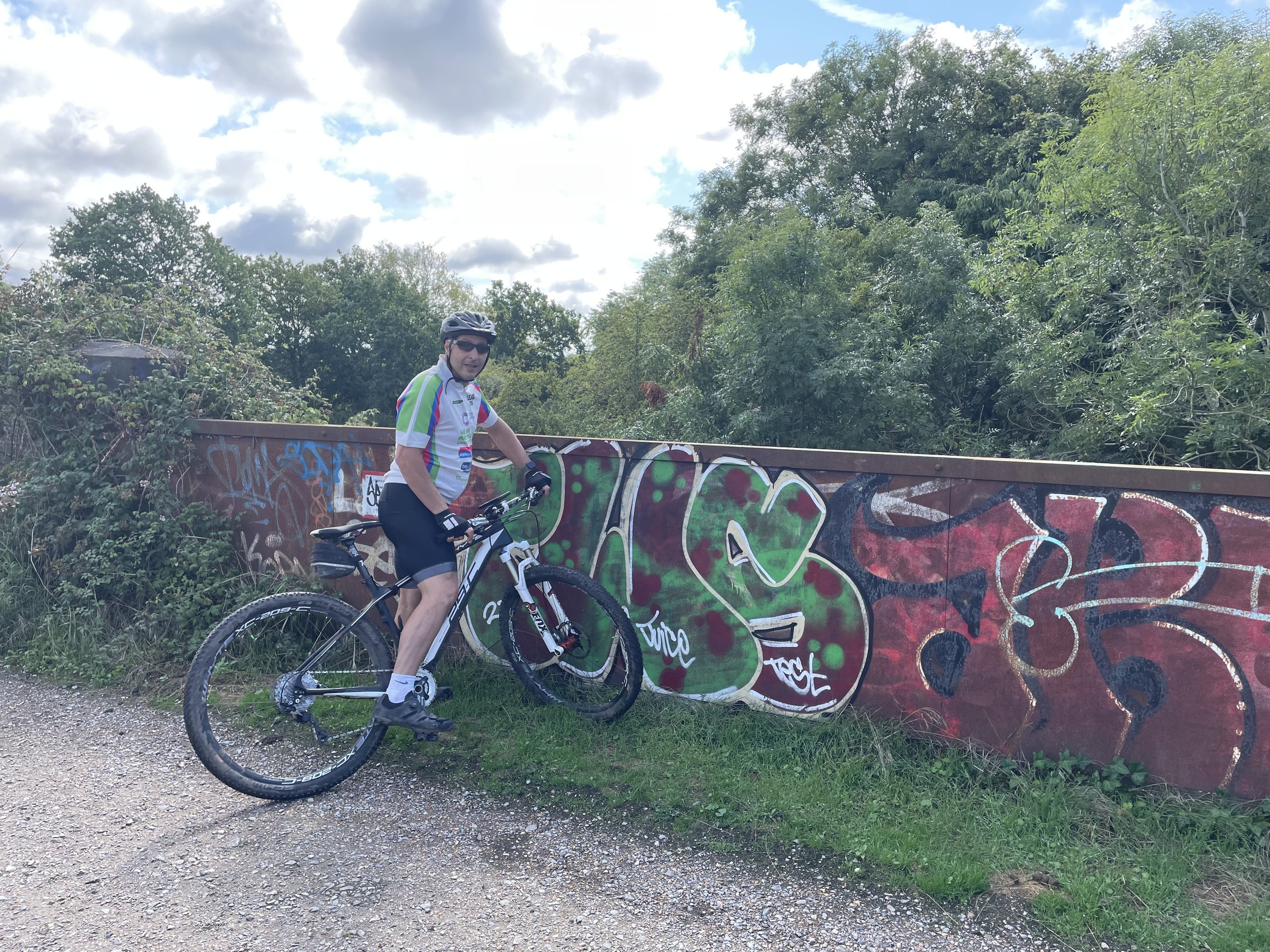
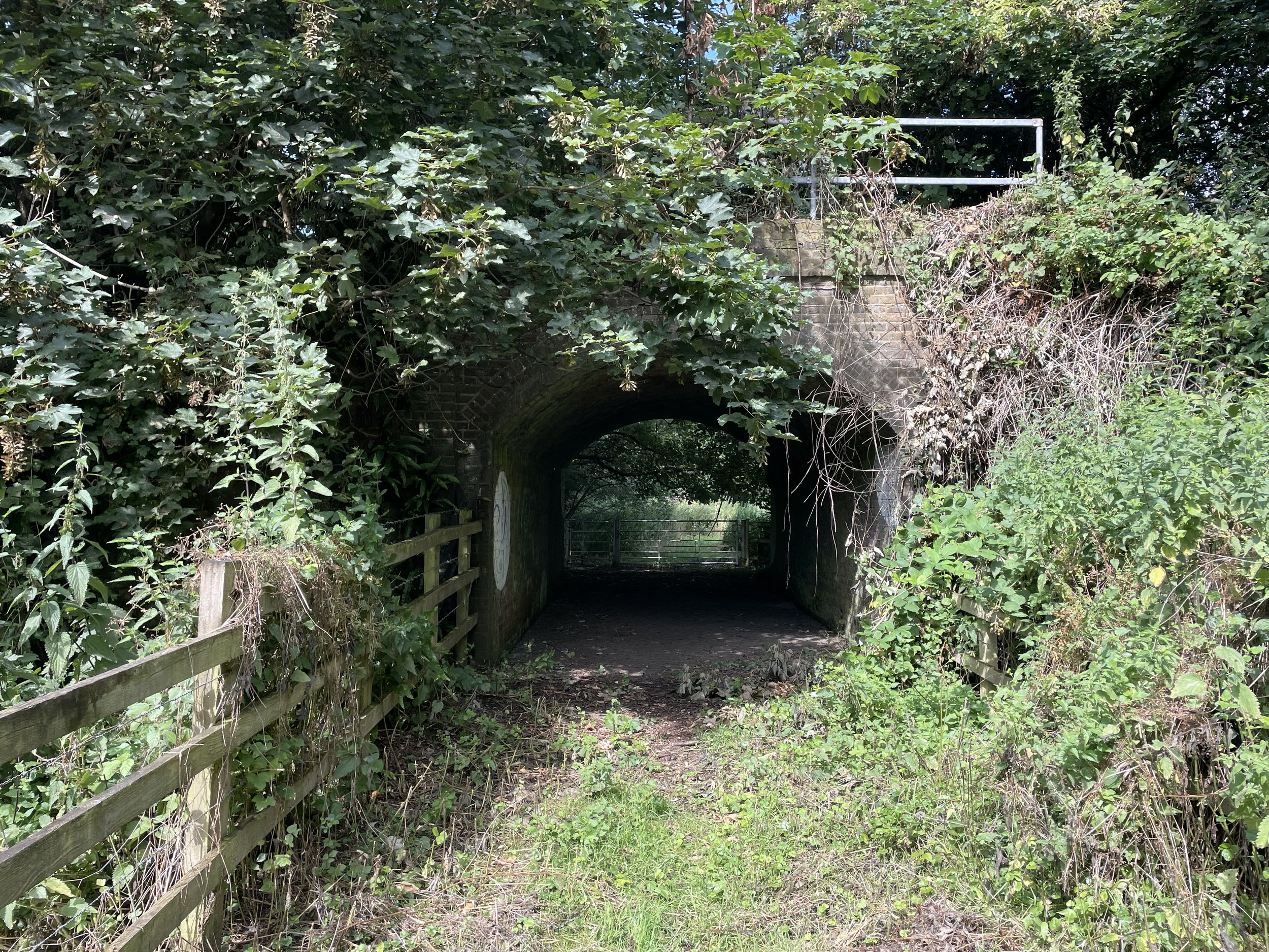
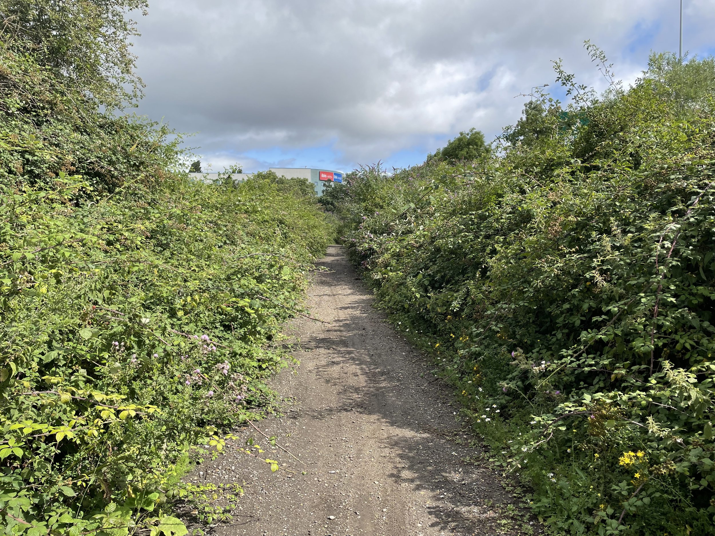
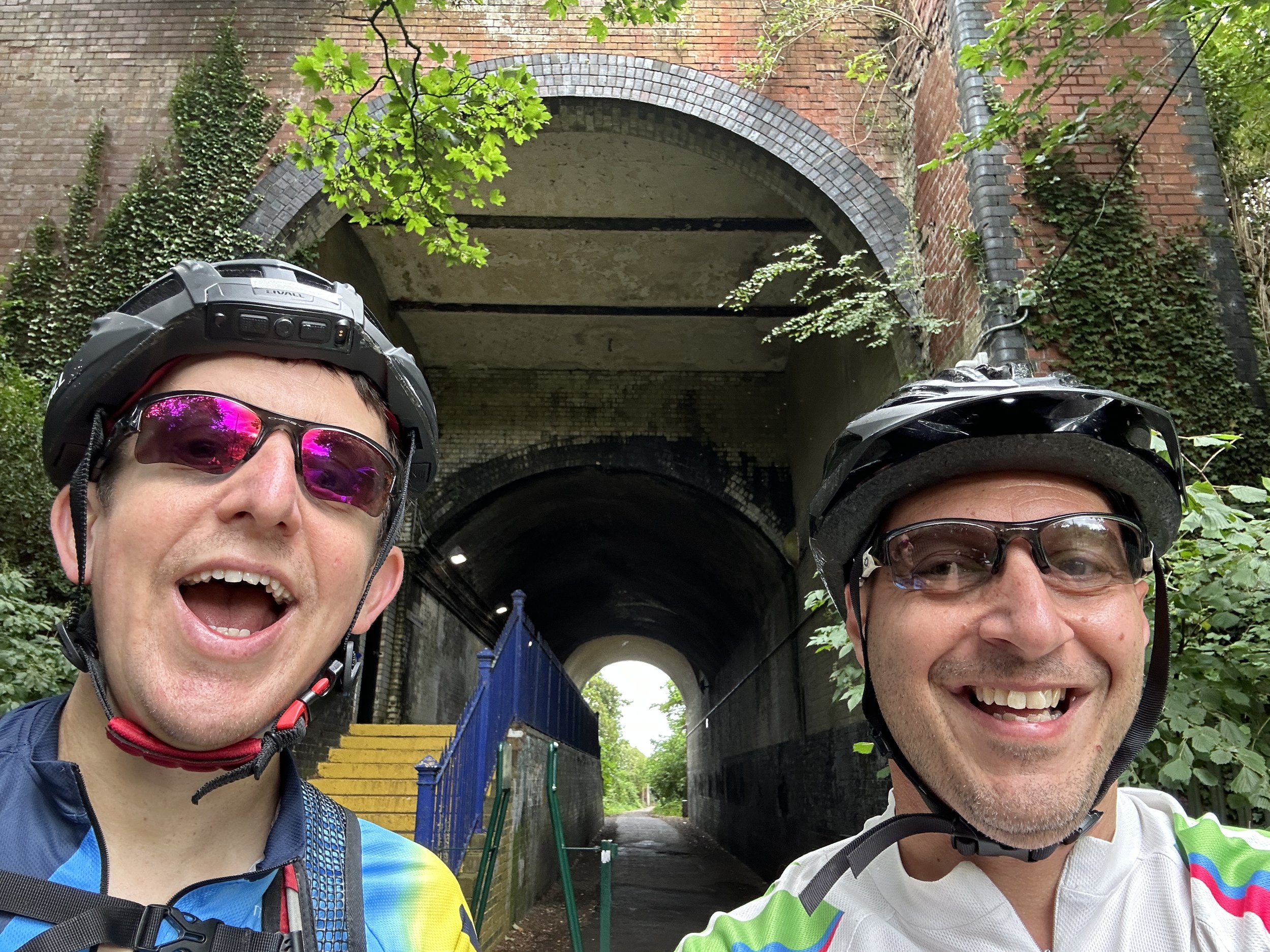
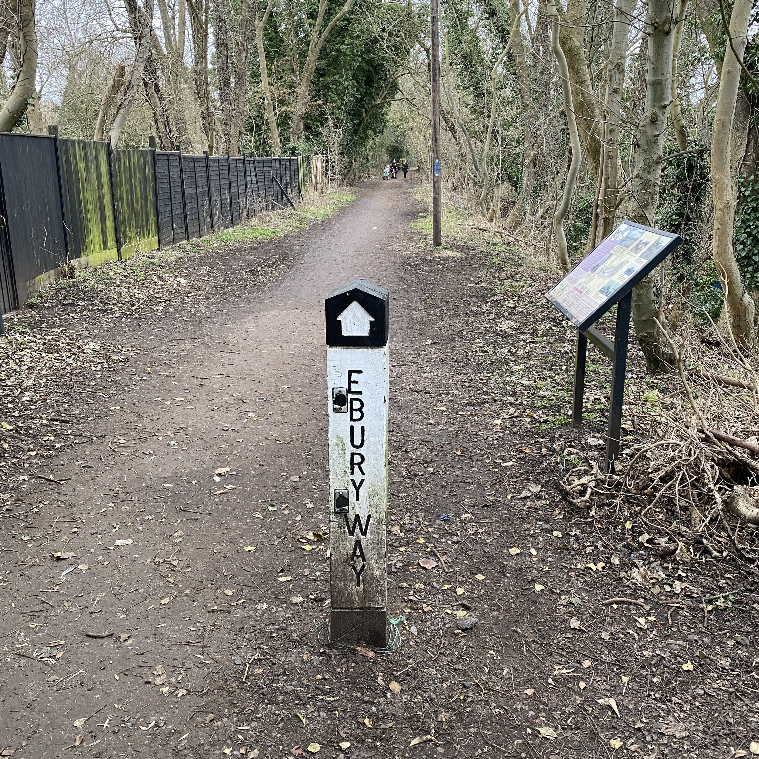
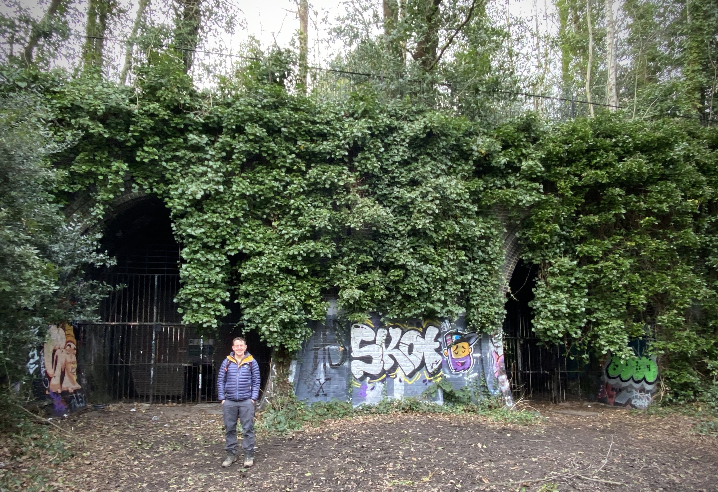
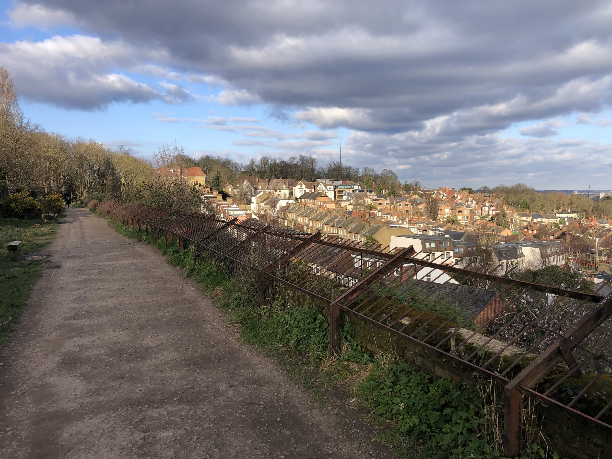
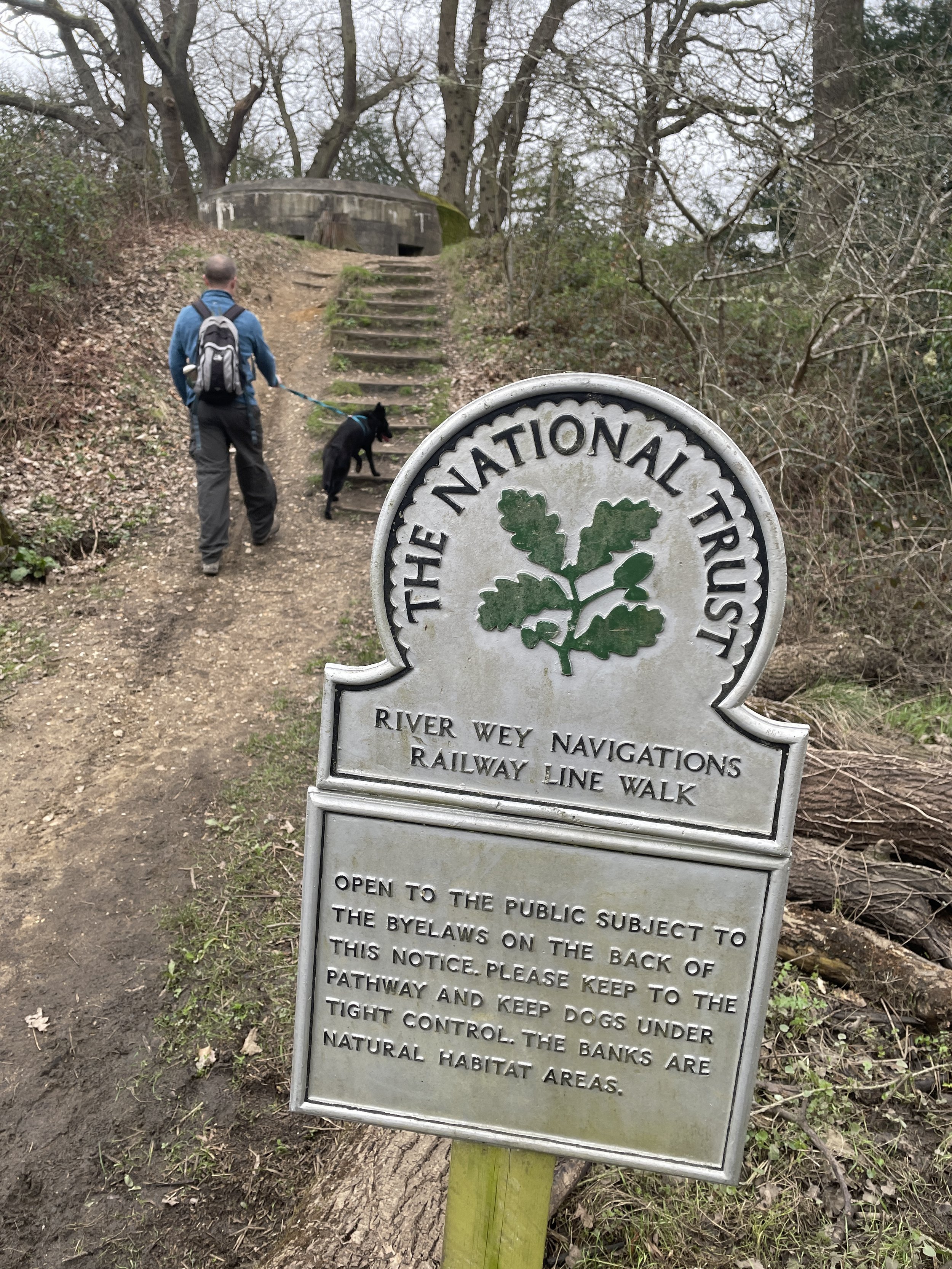
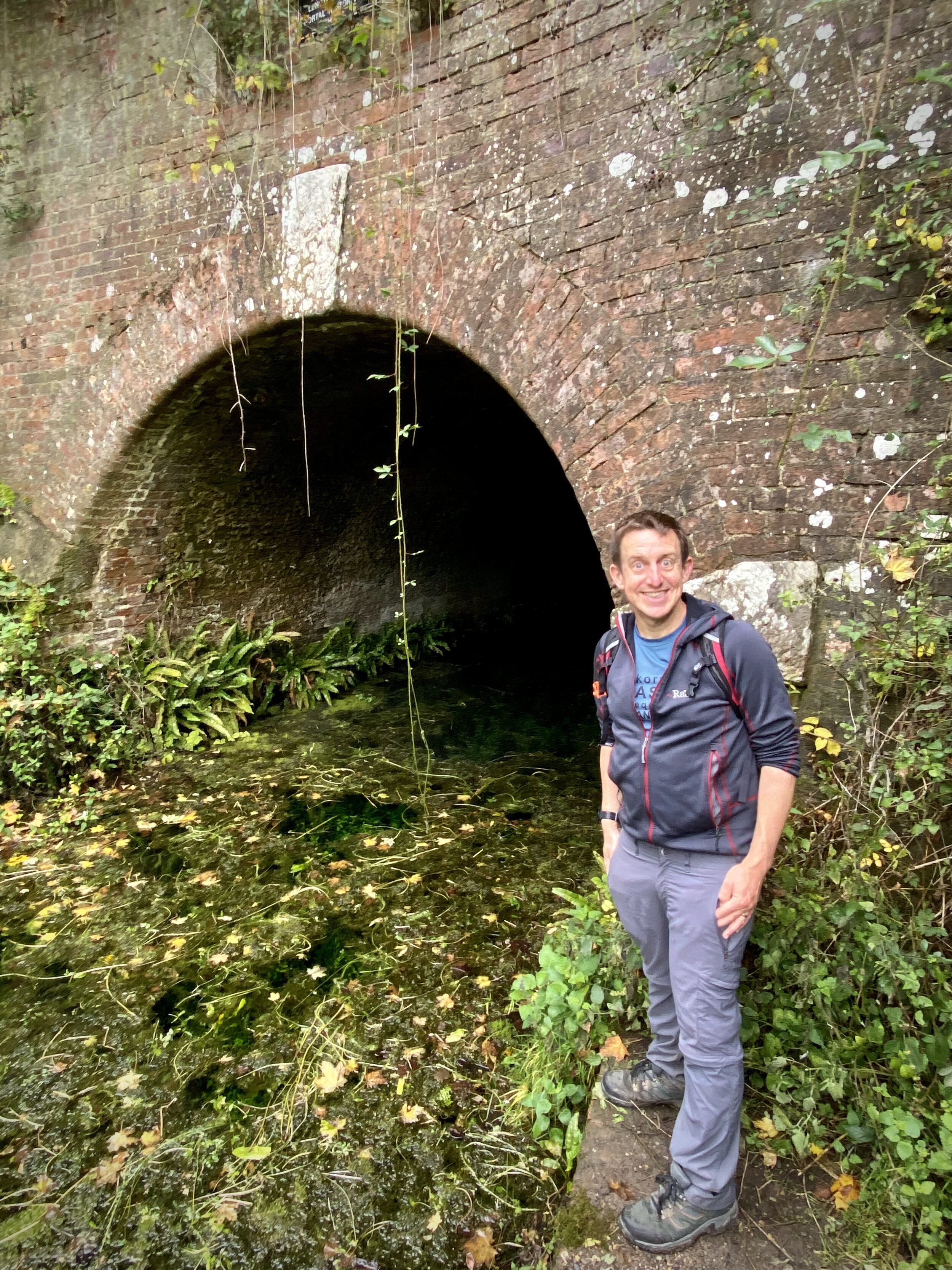
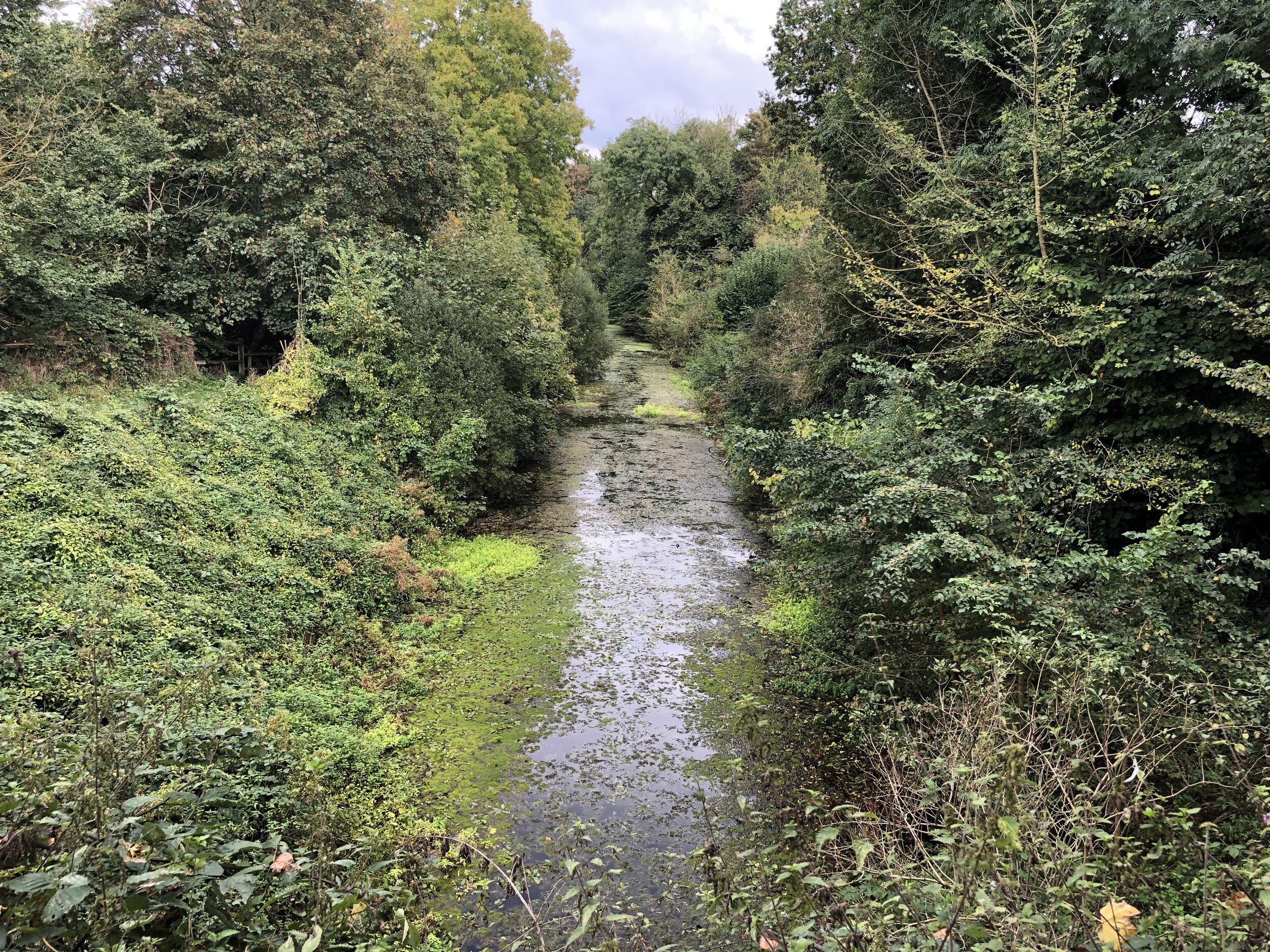
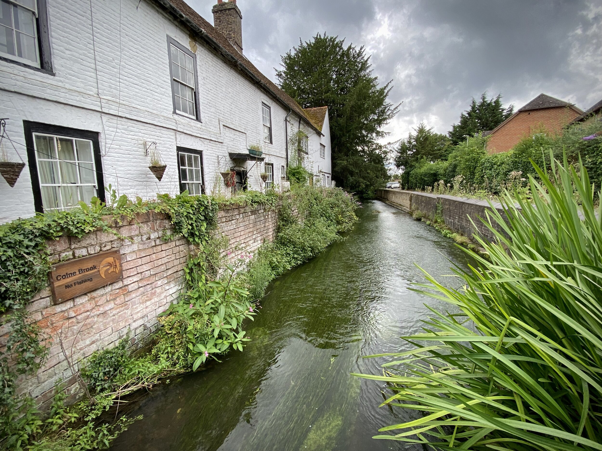
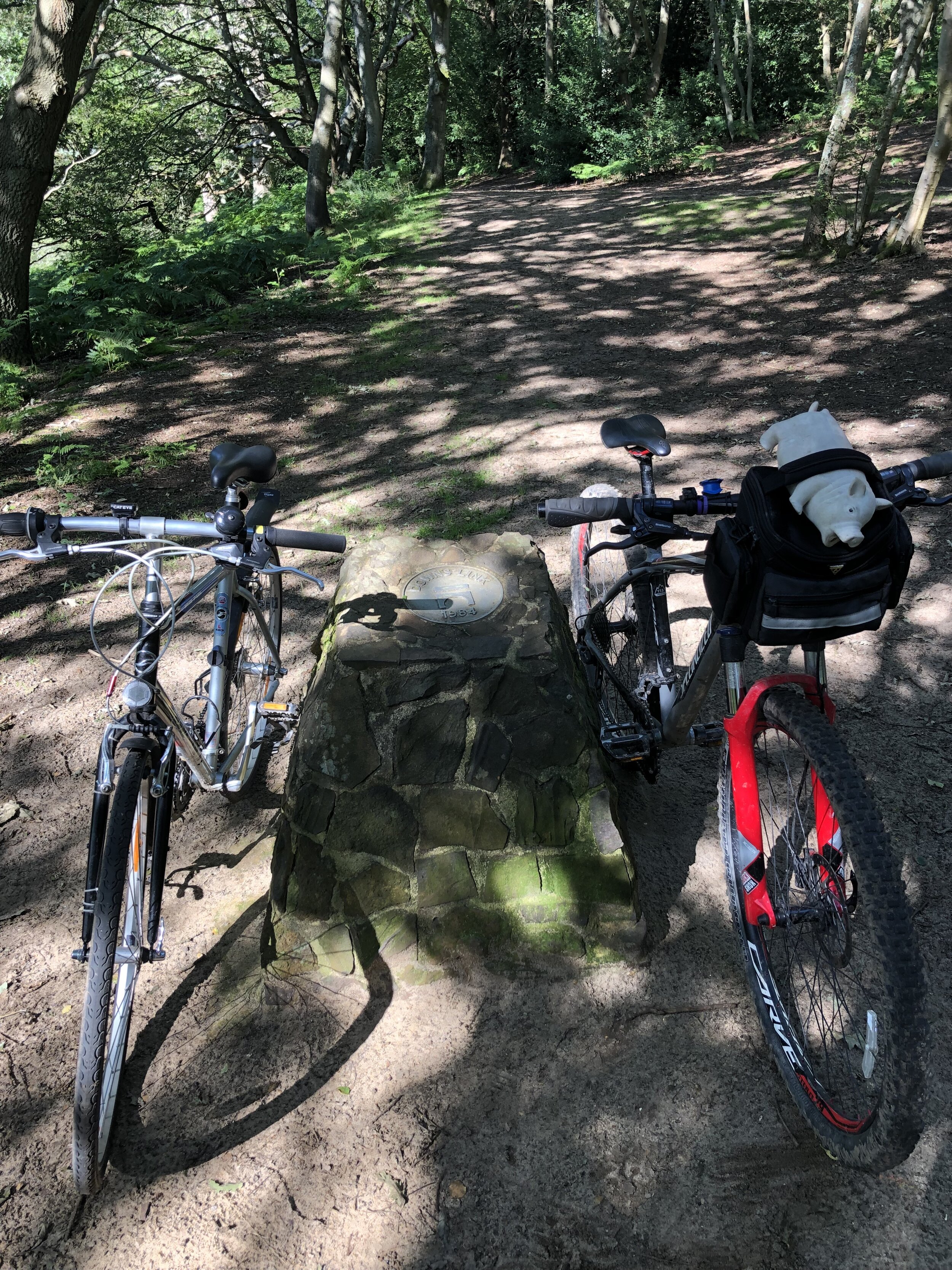
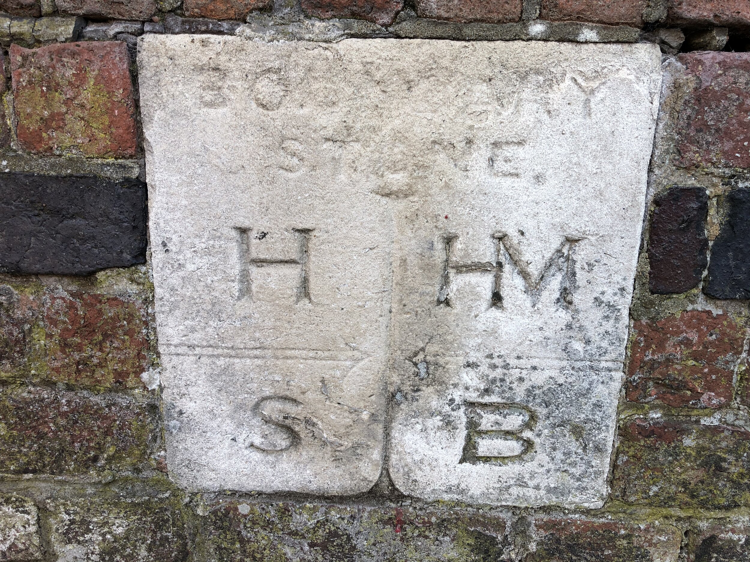
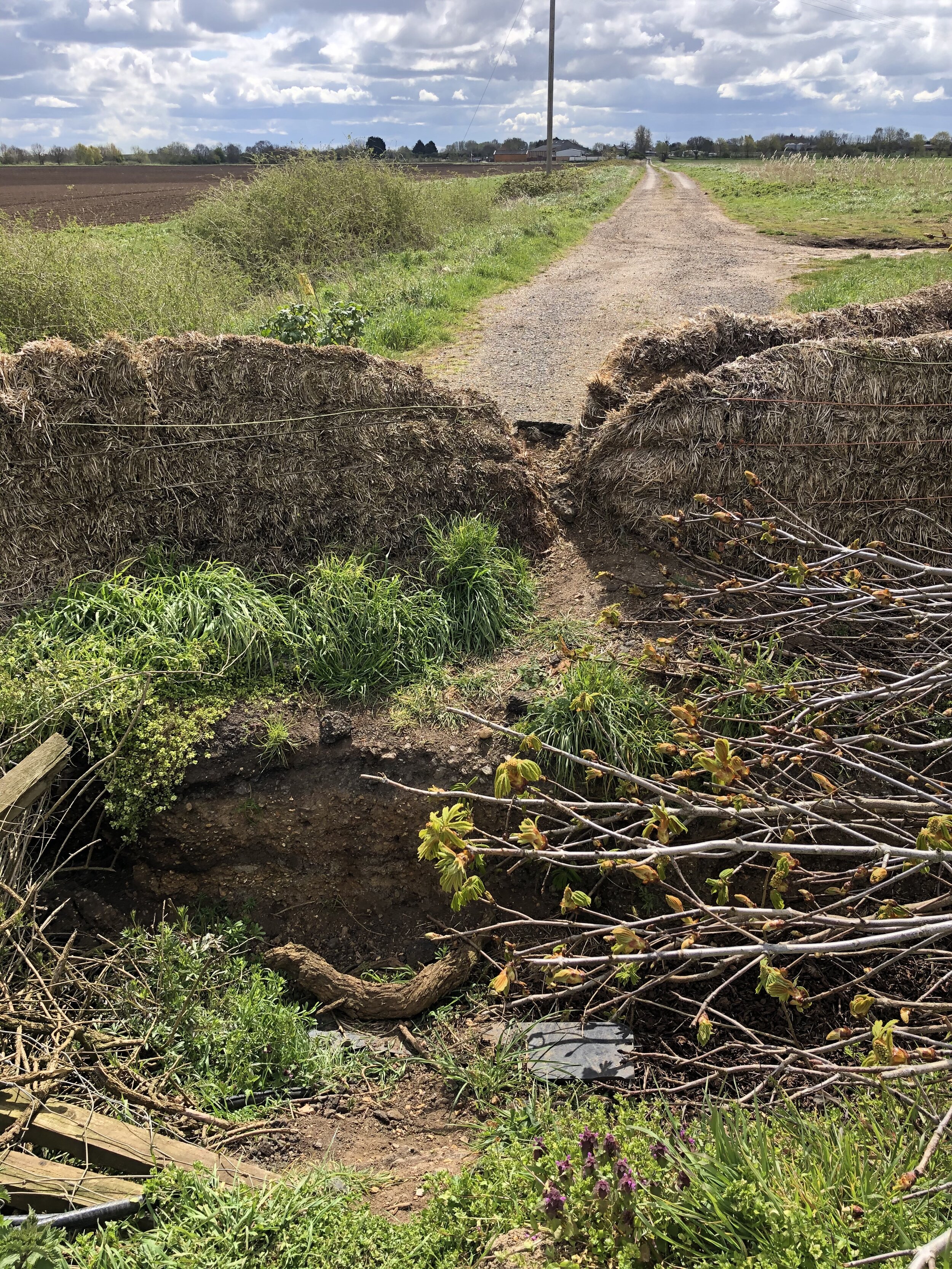
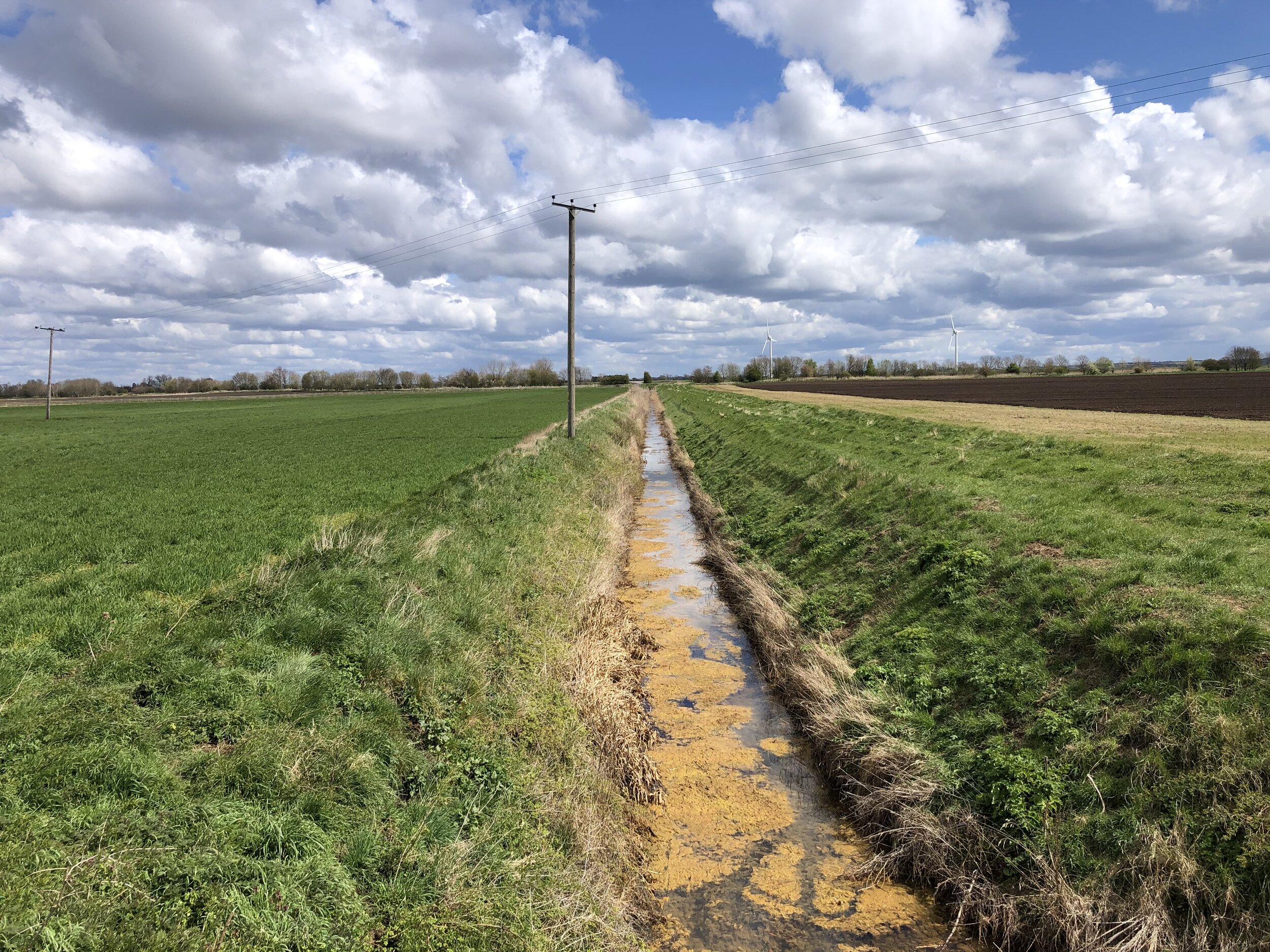
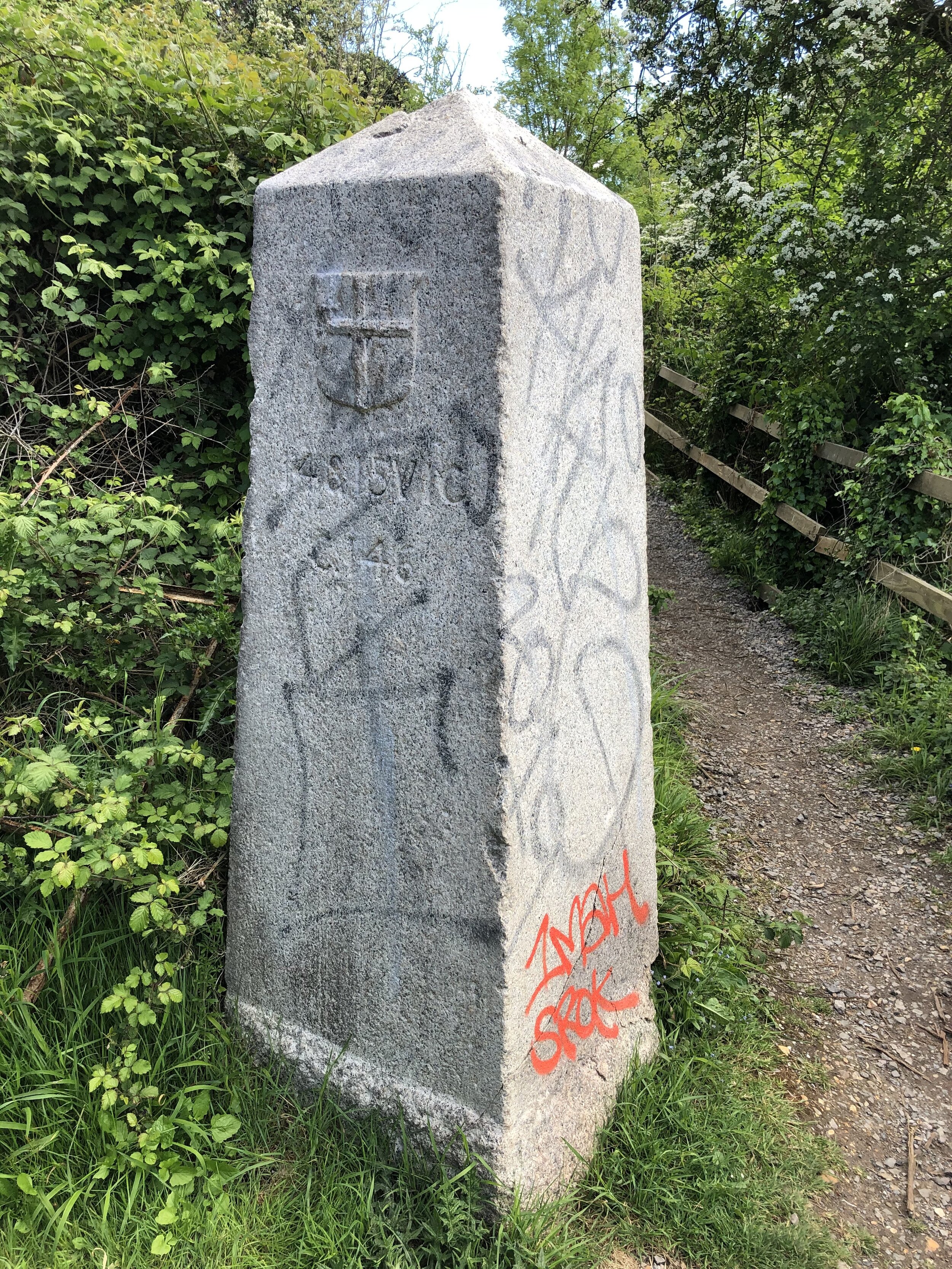
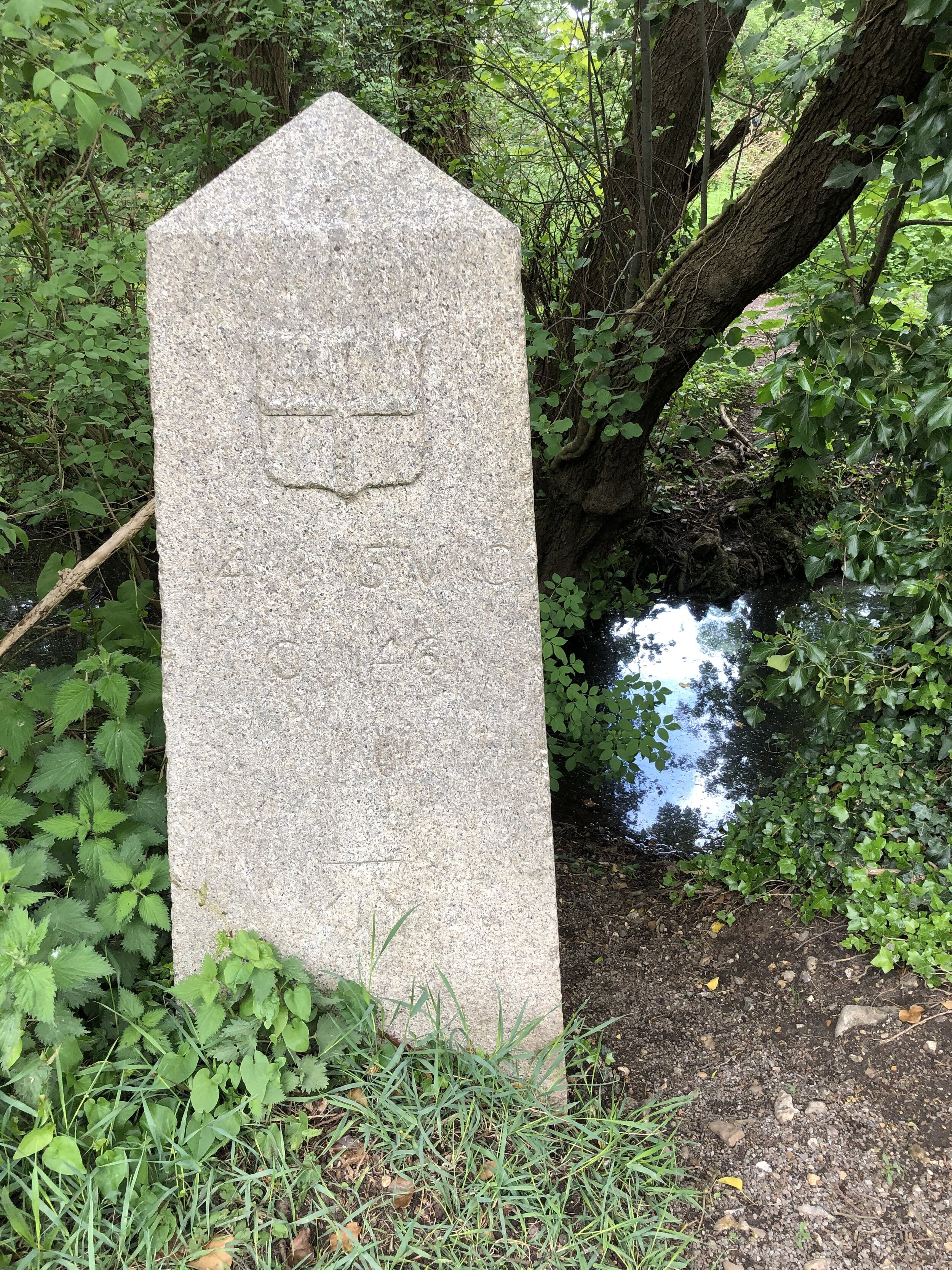
From 106 Oxford Road follow Braybourne Close in a northerly direction to the end then into Alderglade Nature Reserve. The path follows the left hand side of the old railway embankment then follows the top of it. You can see a few bits of remaining metal from the railway if it’s not too overgrown. At the 1.3 km mark you’ll reach an old graffitied bridge that goes under the railway. Here you’ll need to cross over the Shire Ditch (Stream) and divert away from the rail route as it passes through private property.

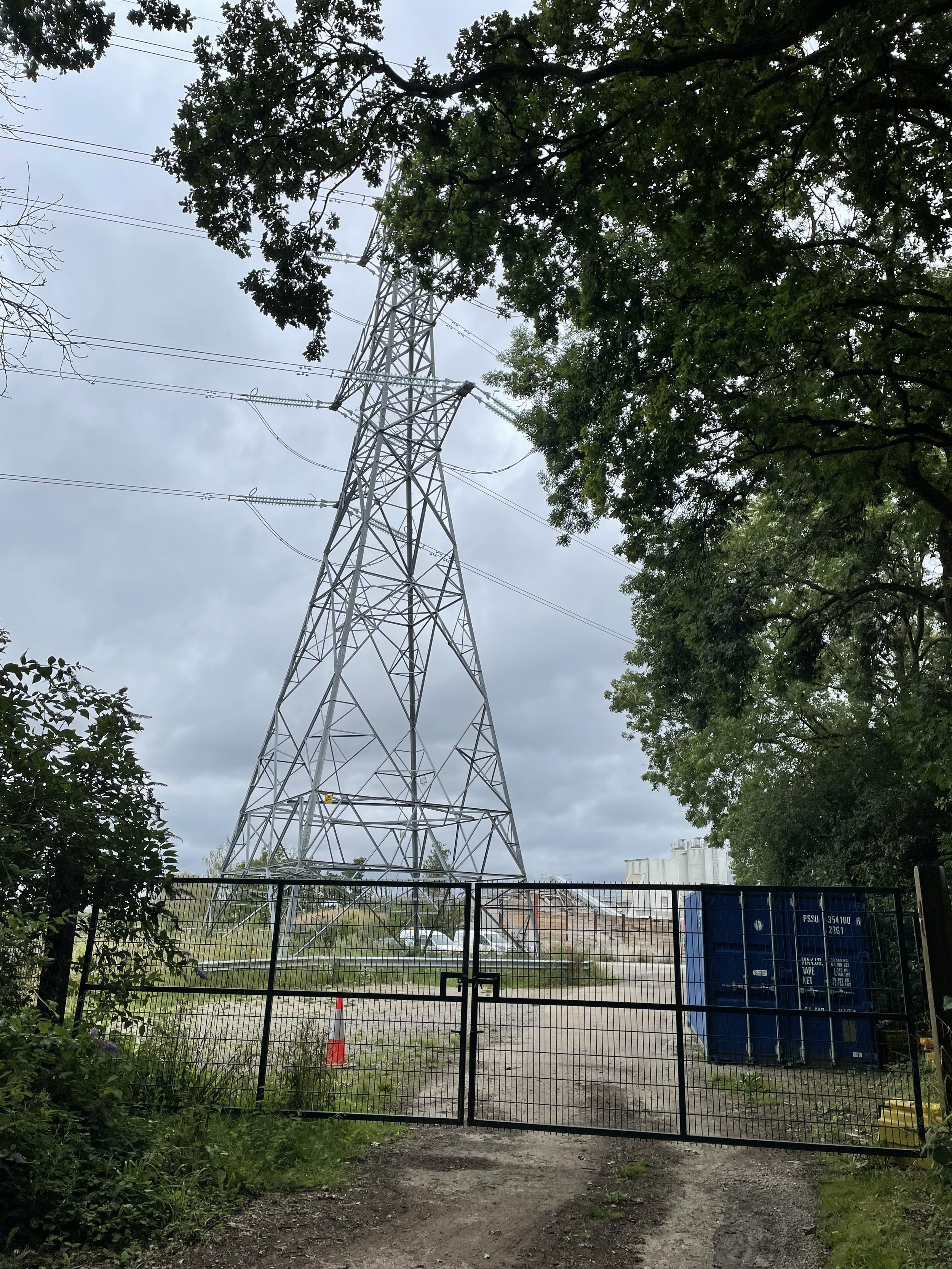
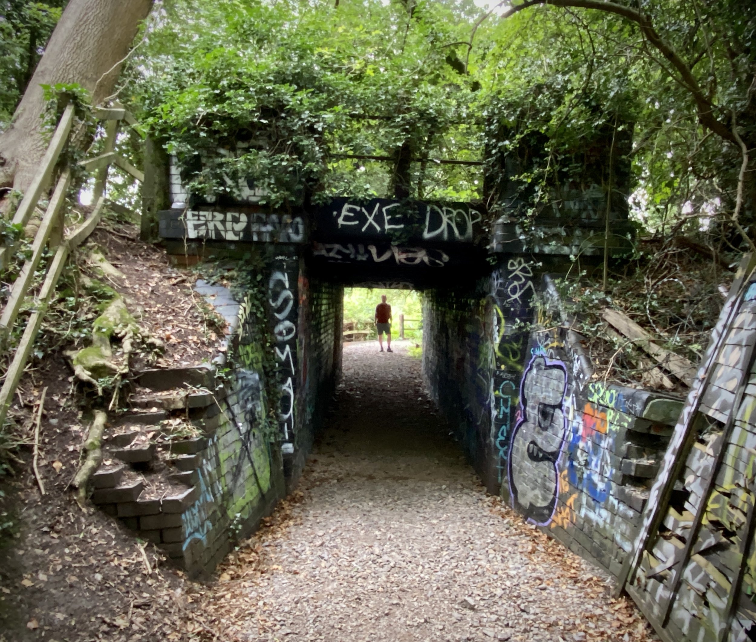
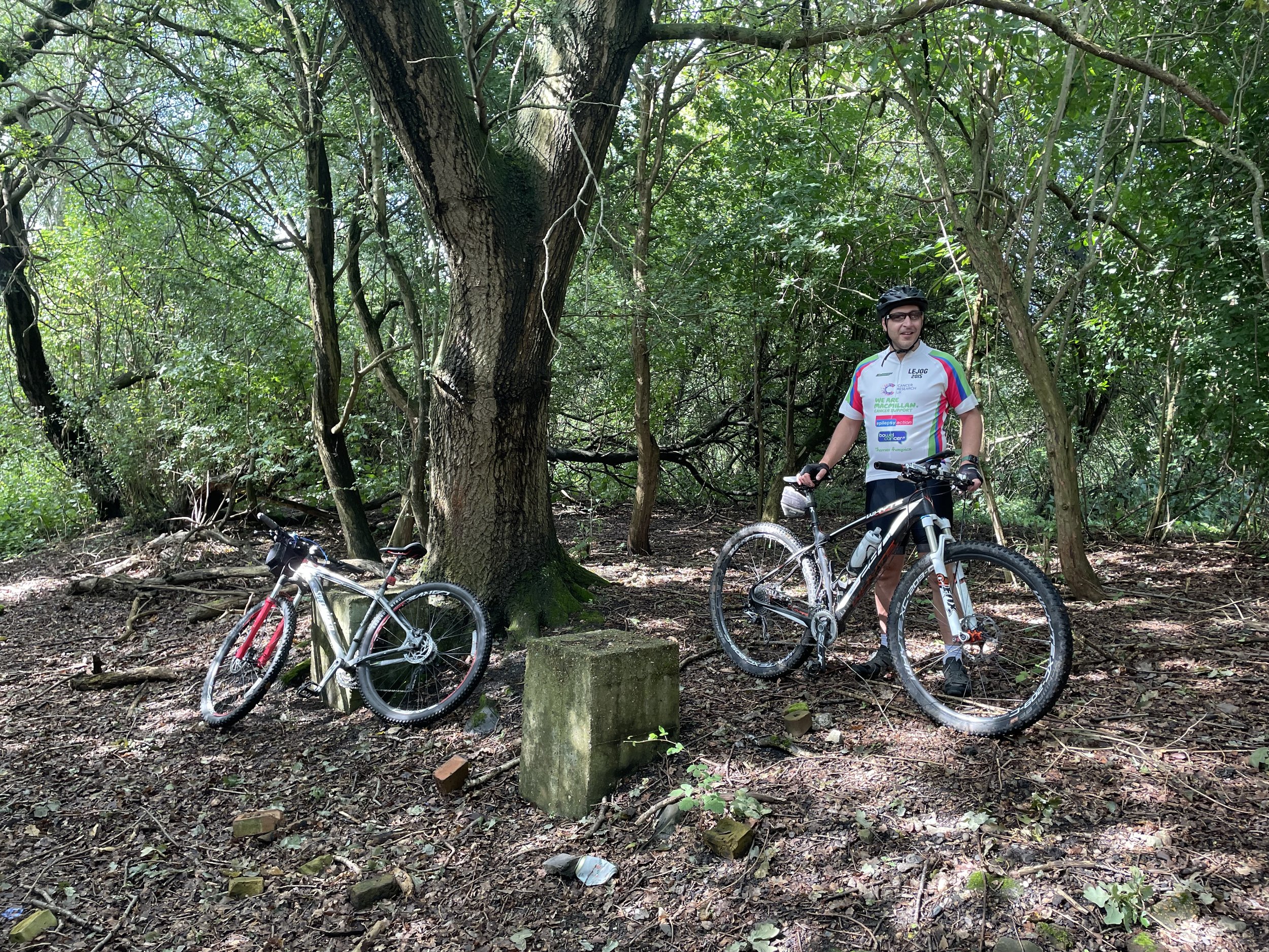
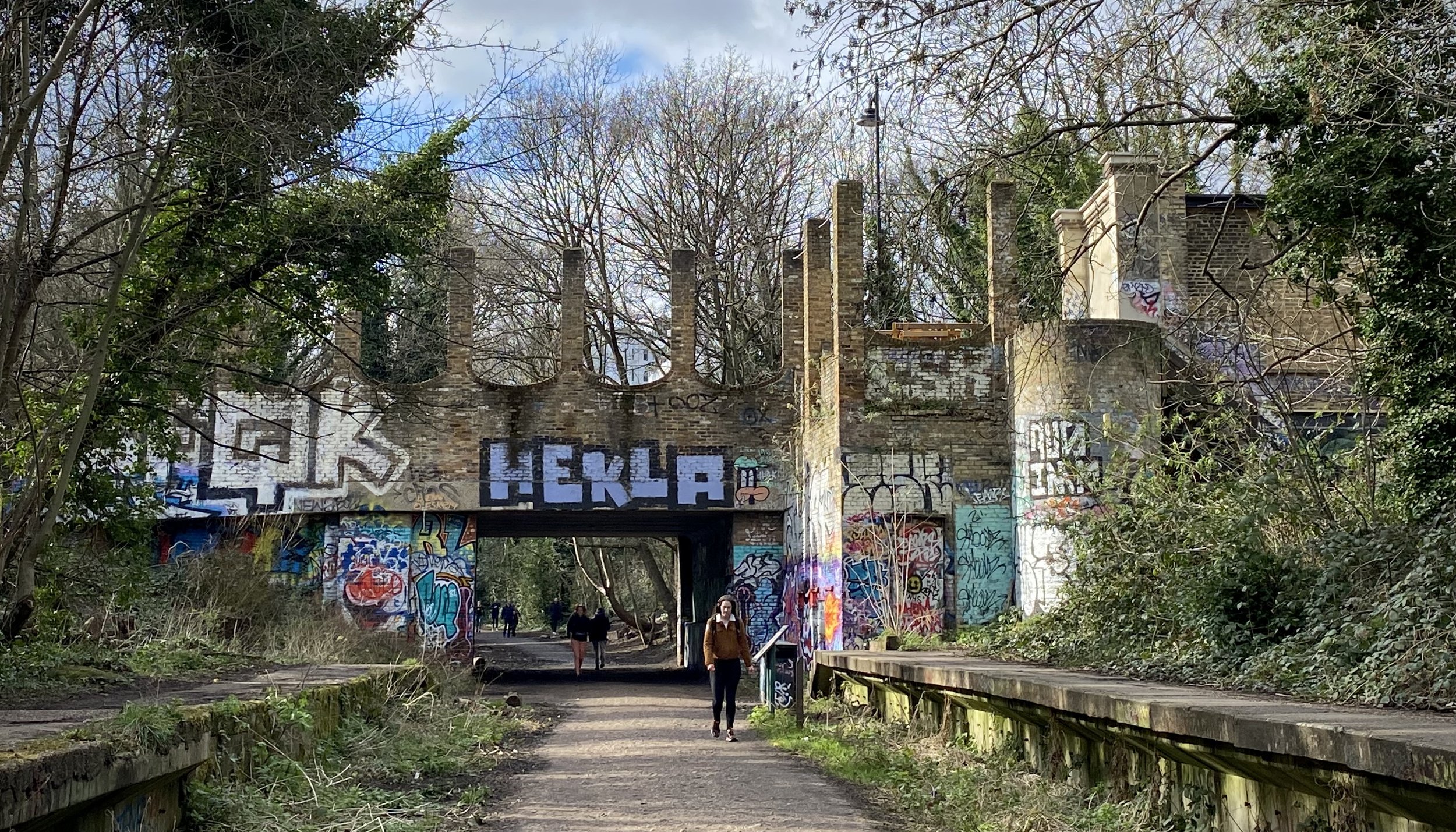
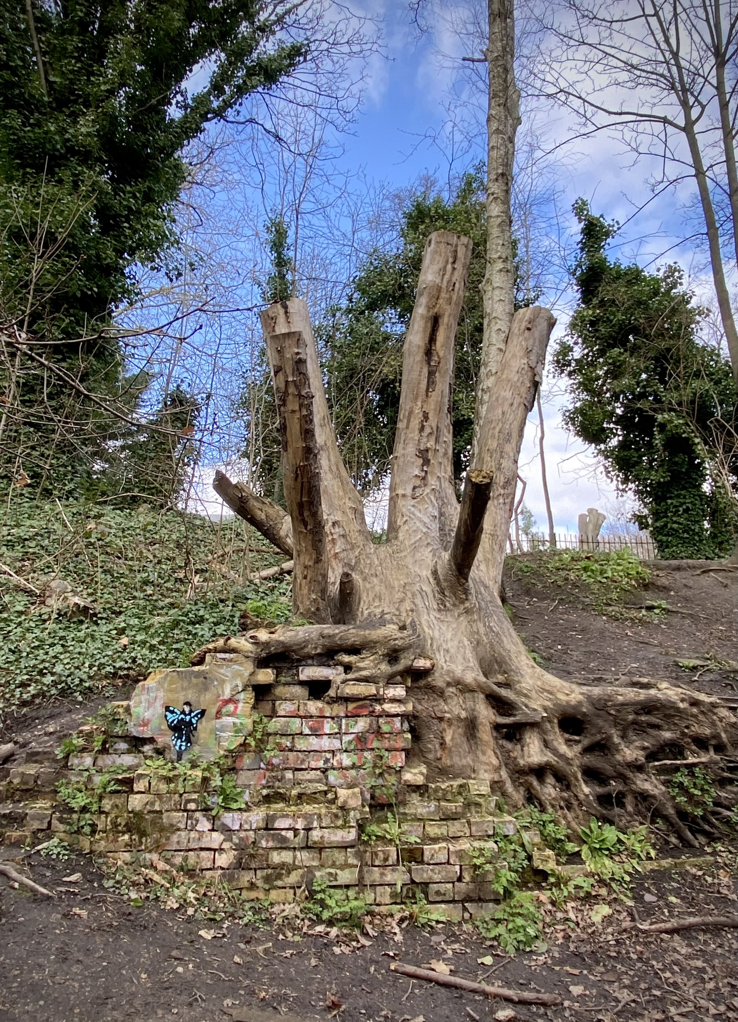
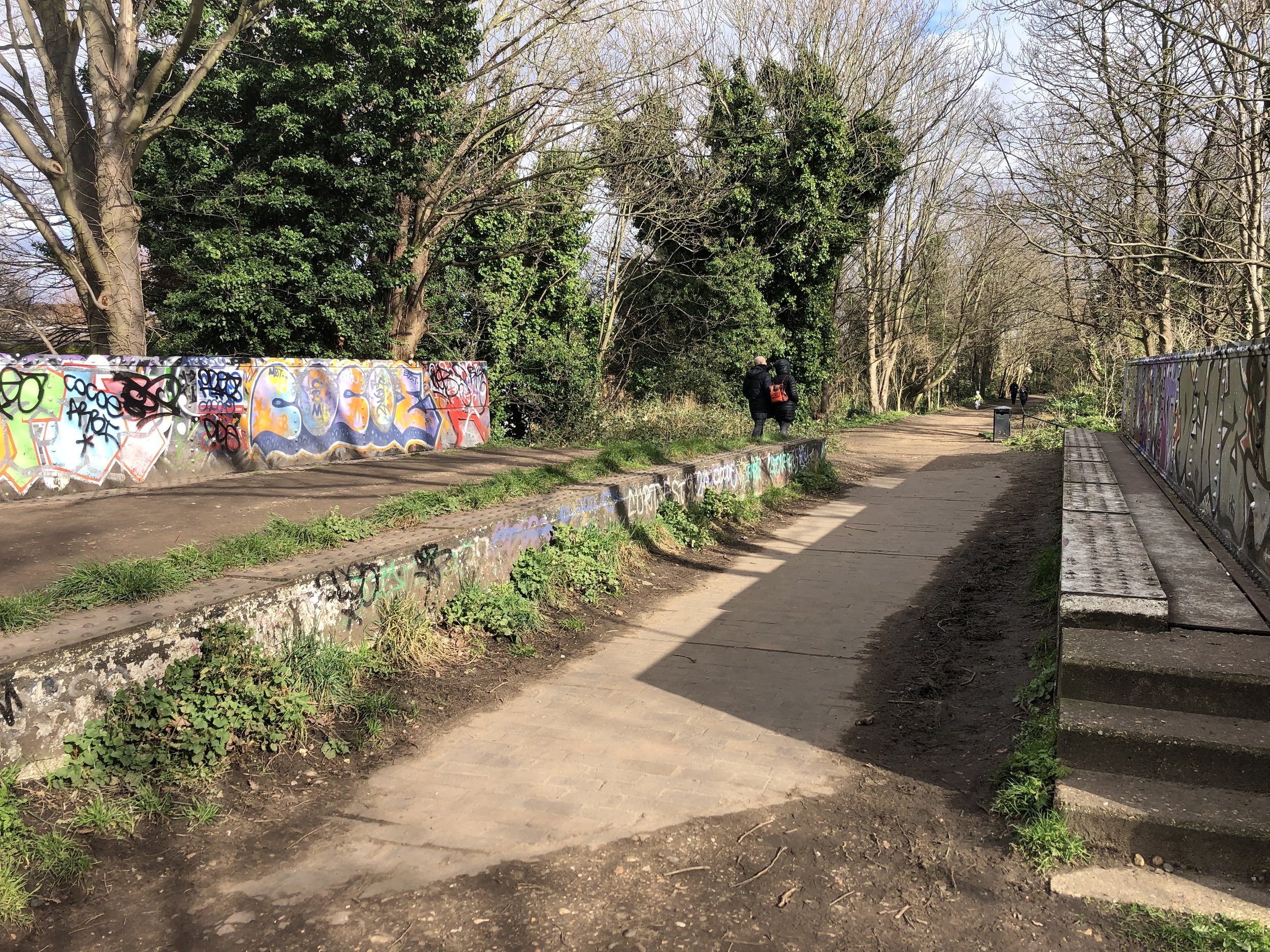
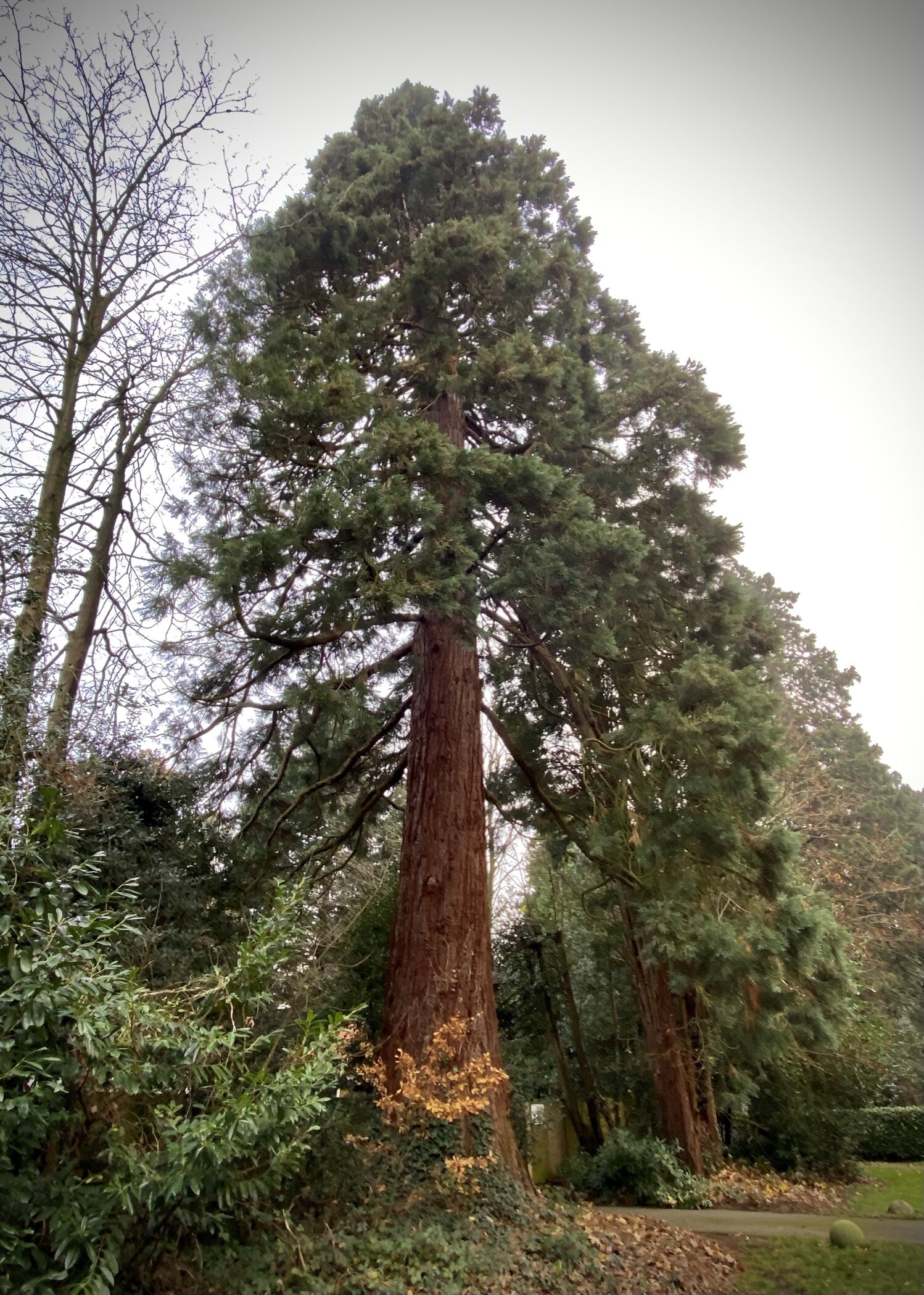
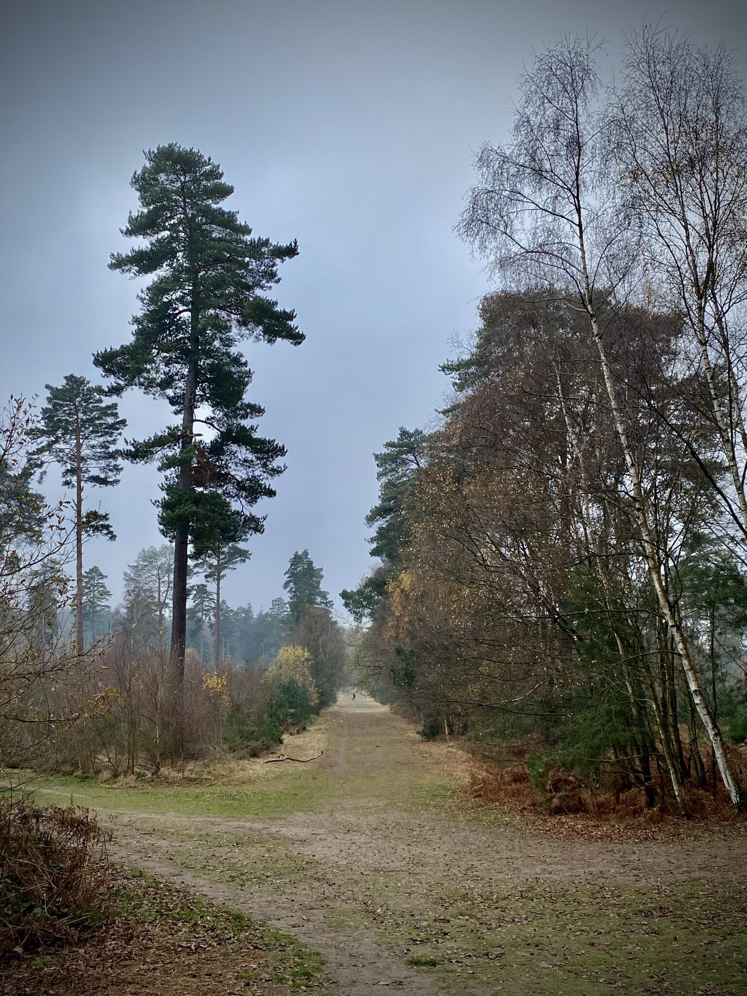
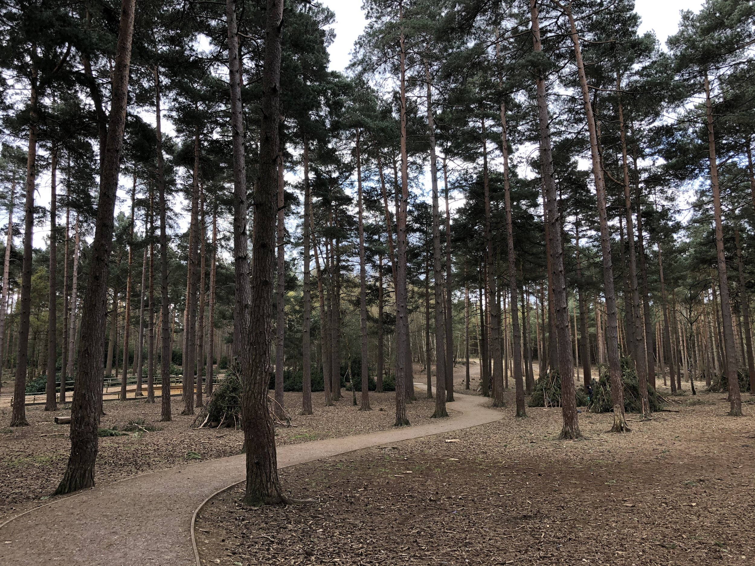
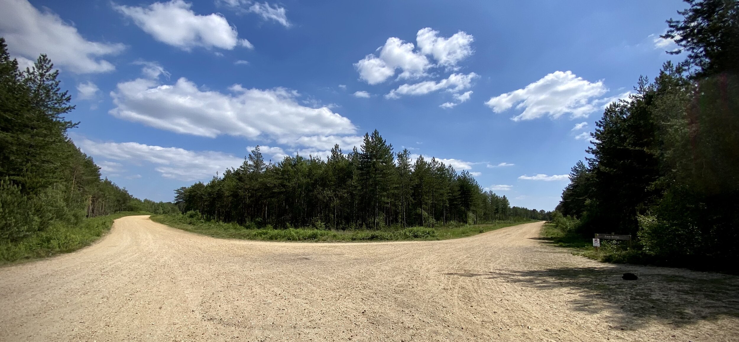
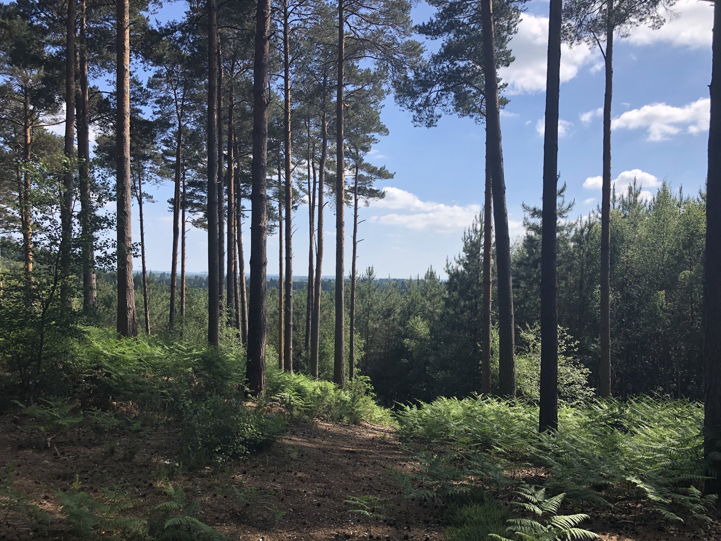
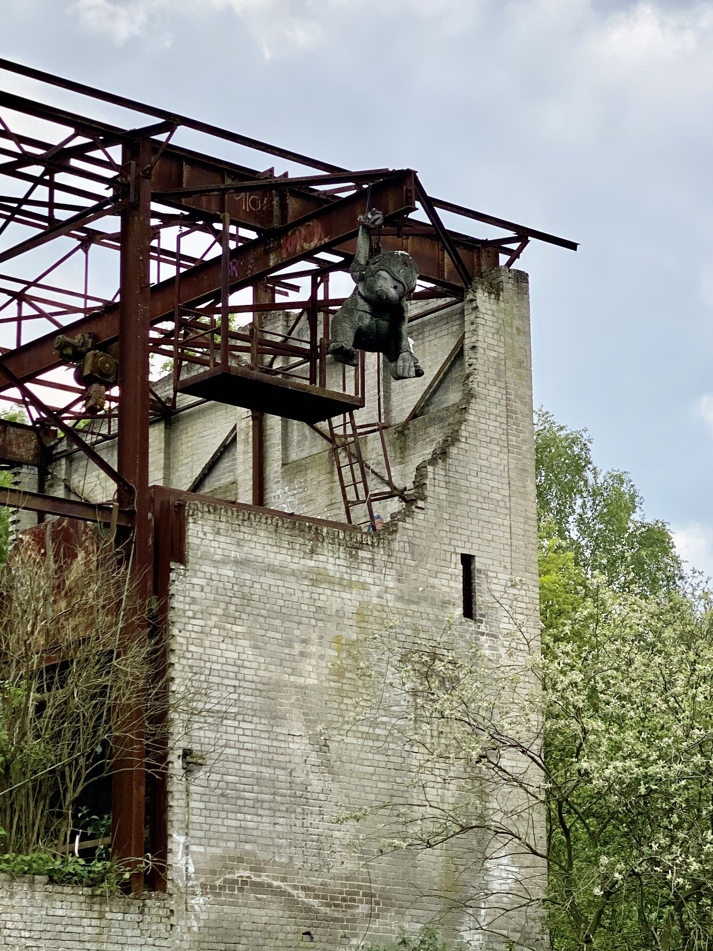
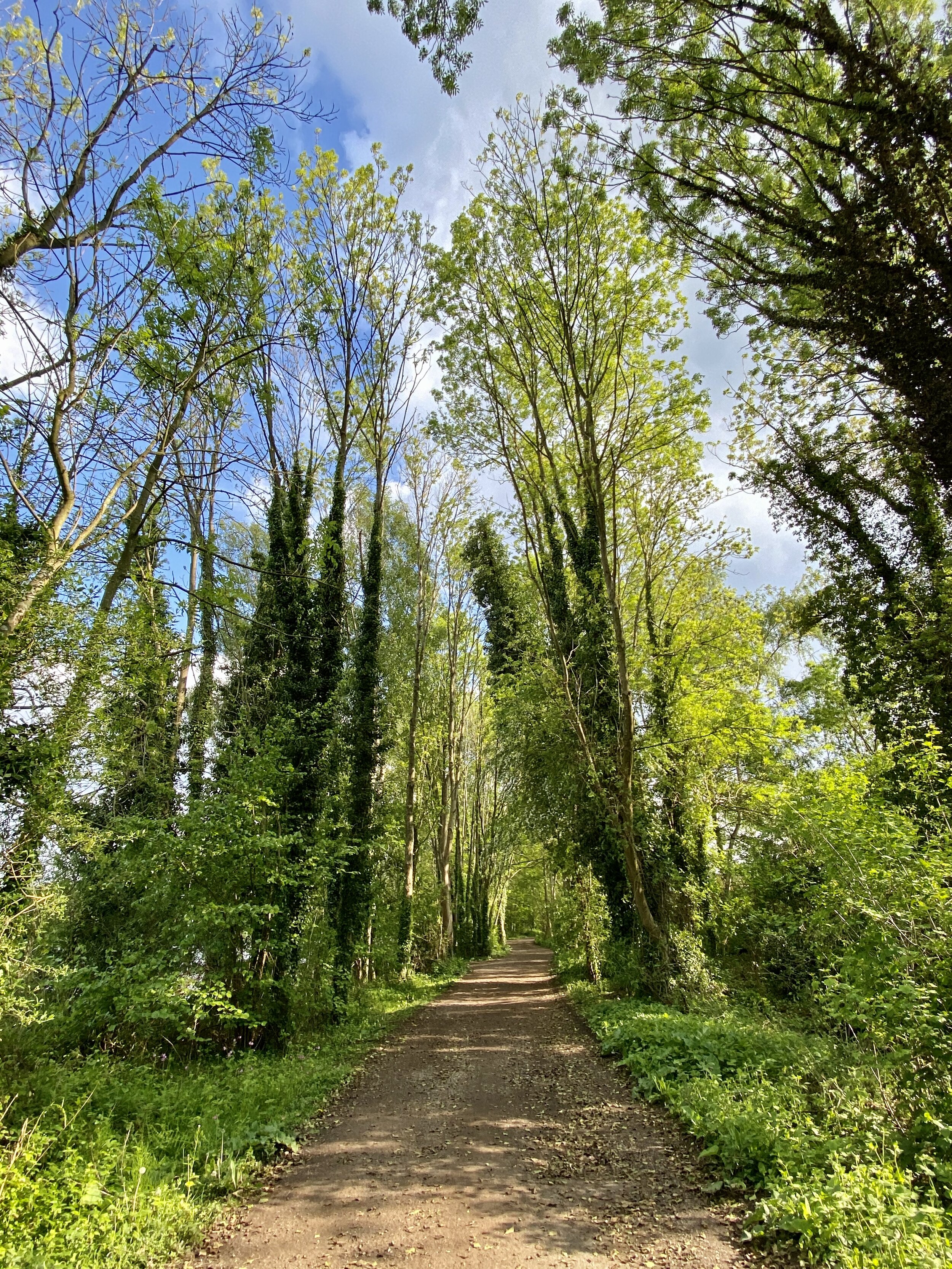
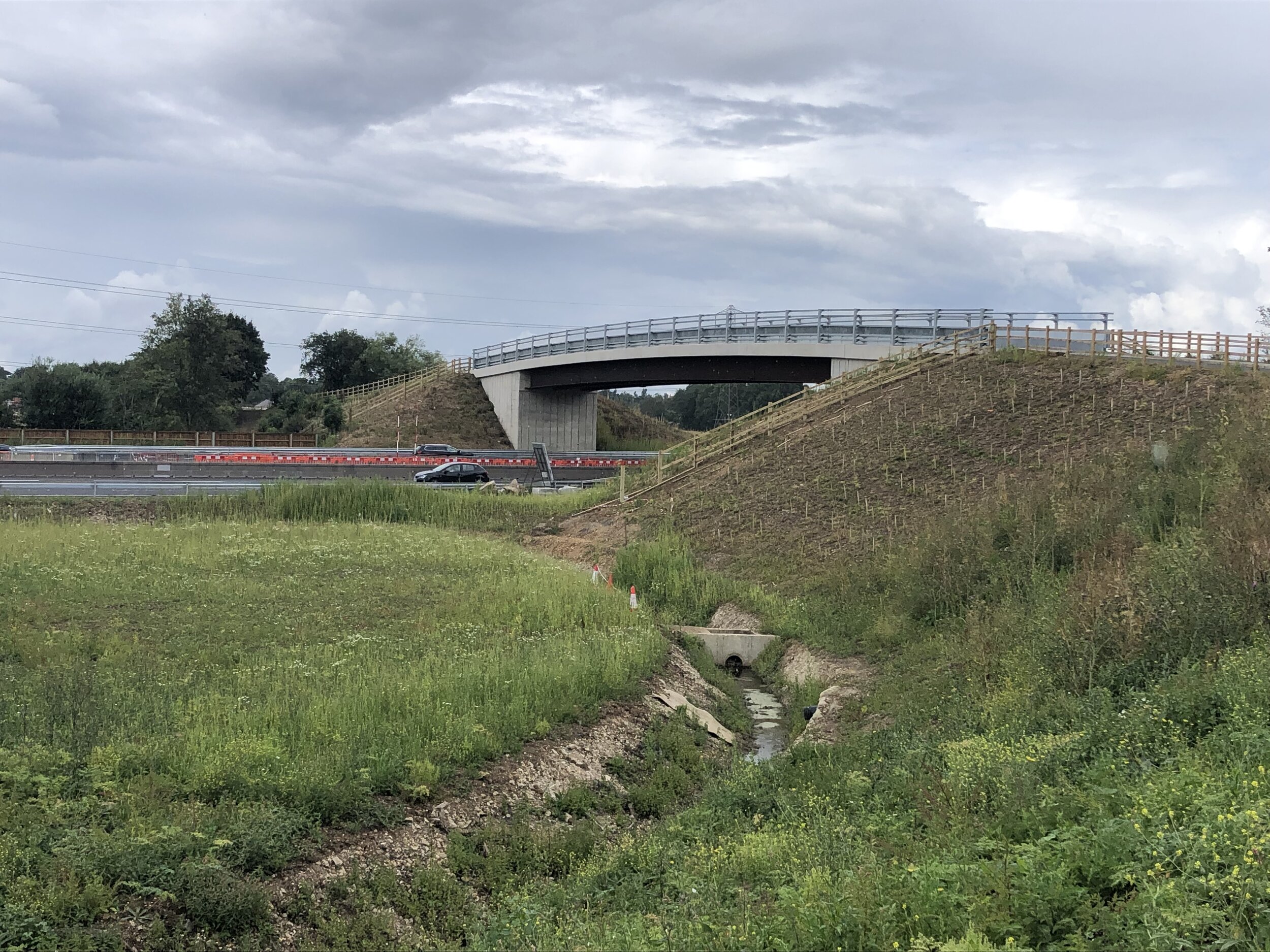
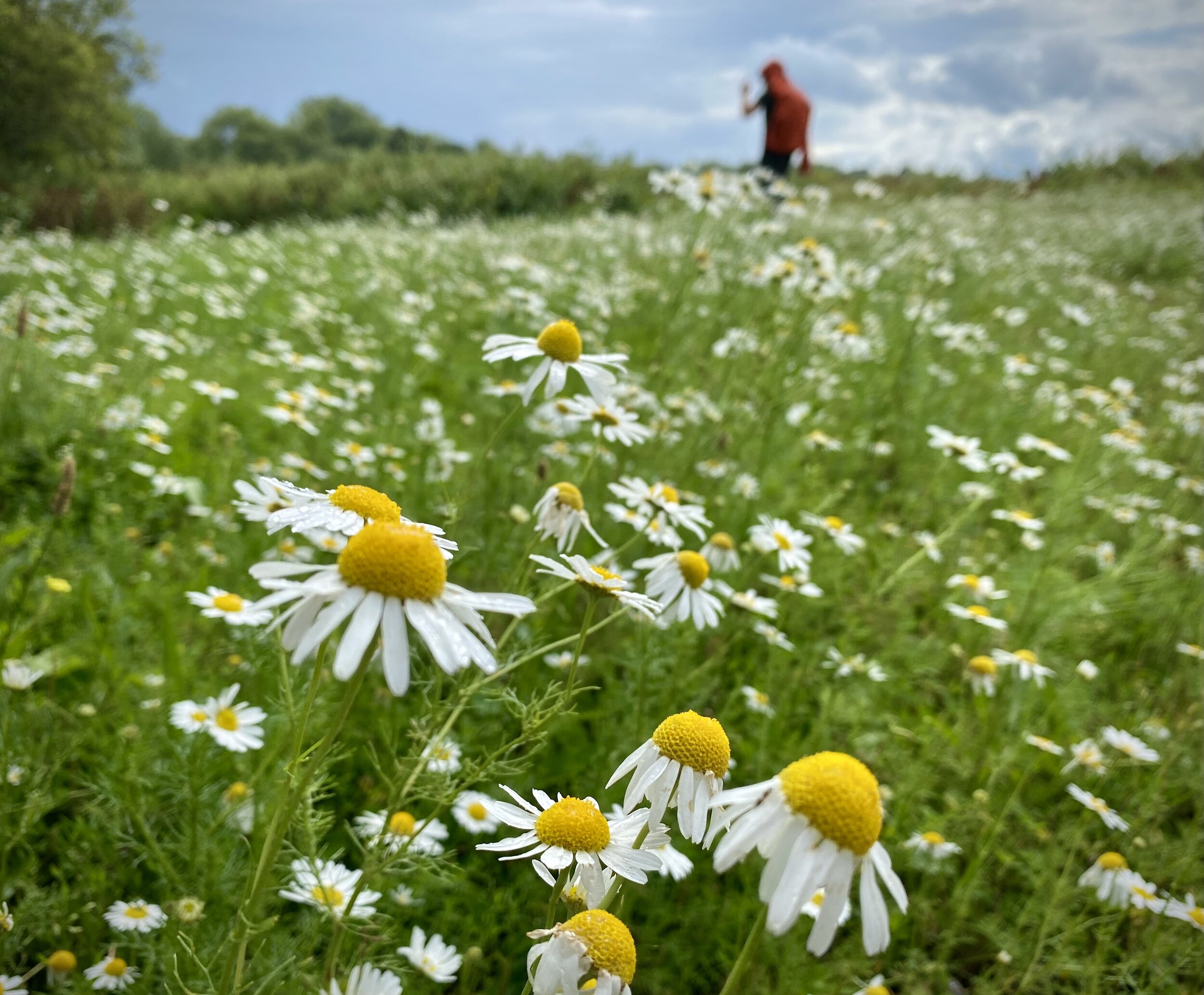
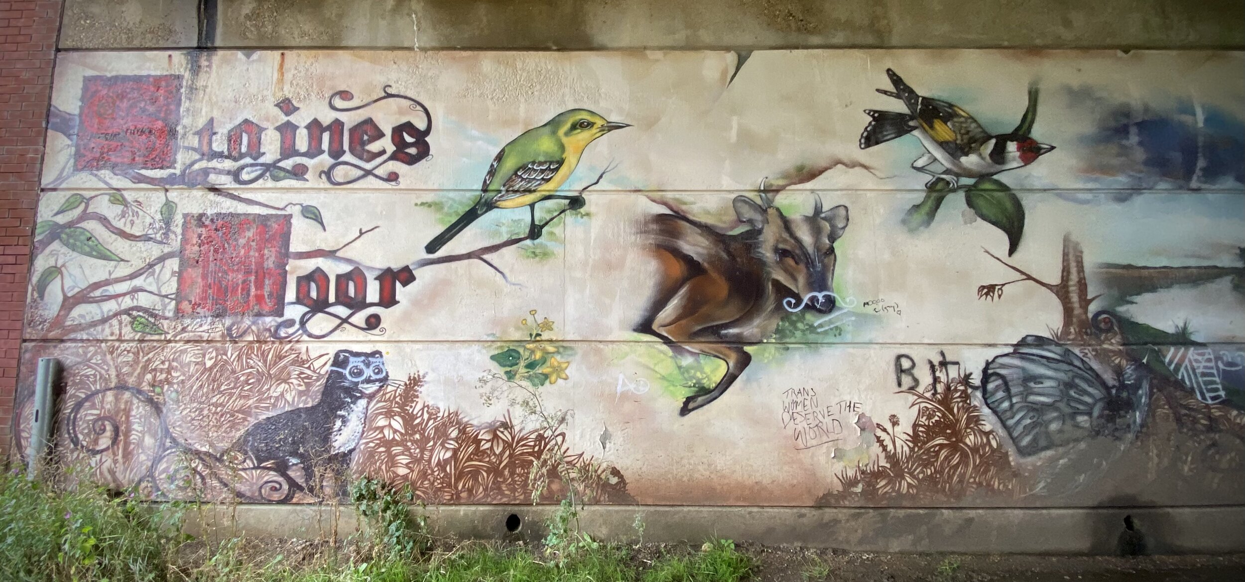
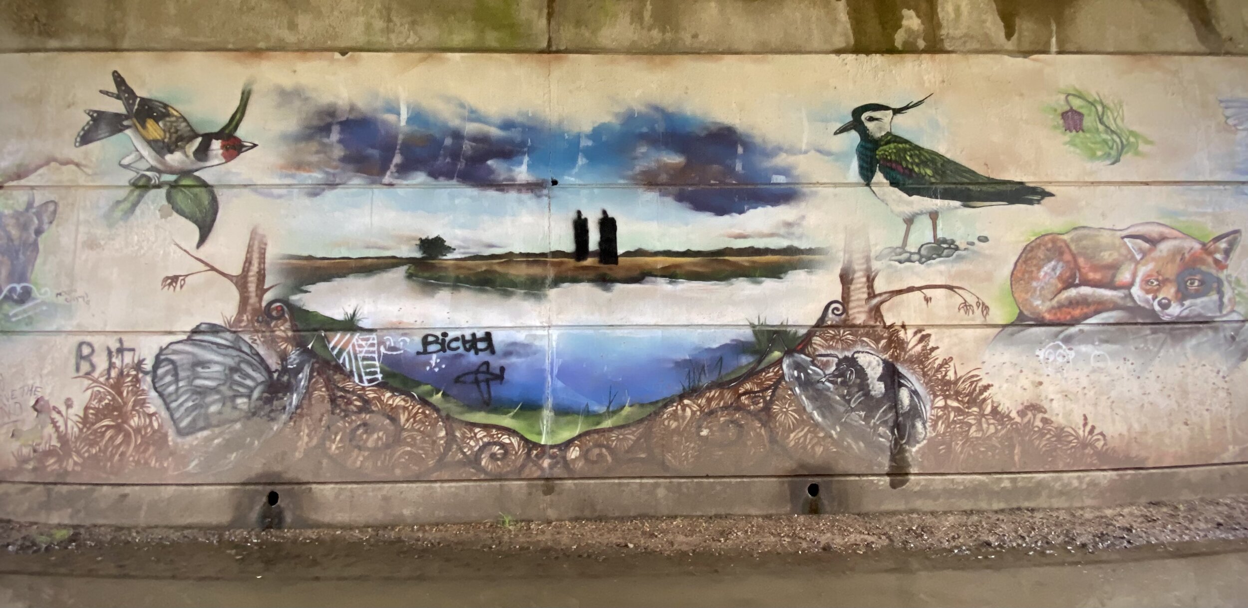
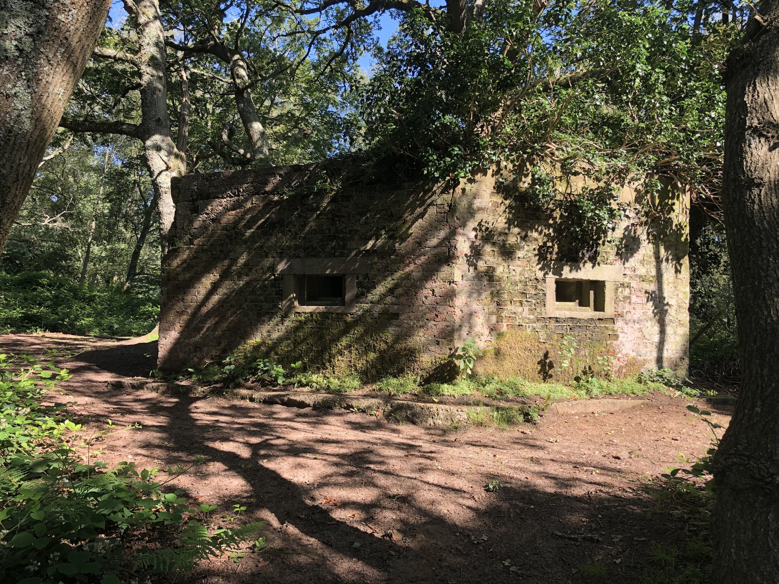
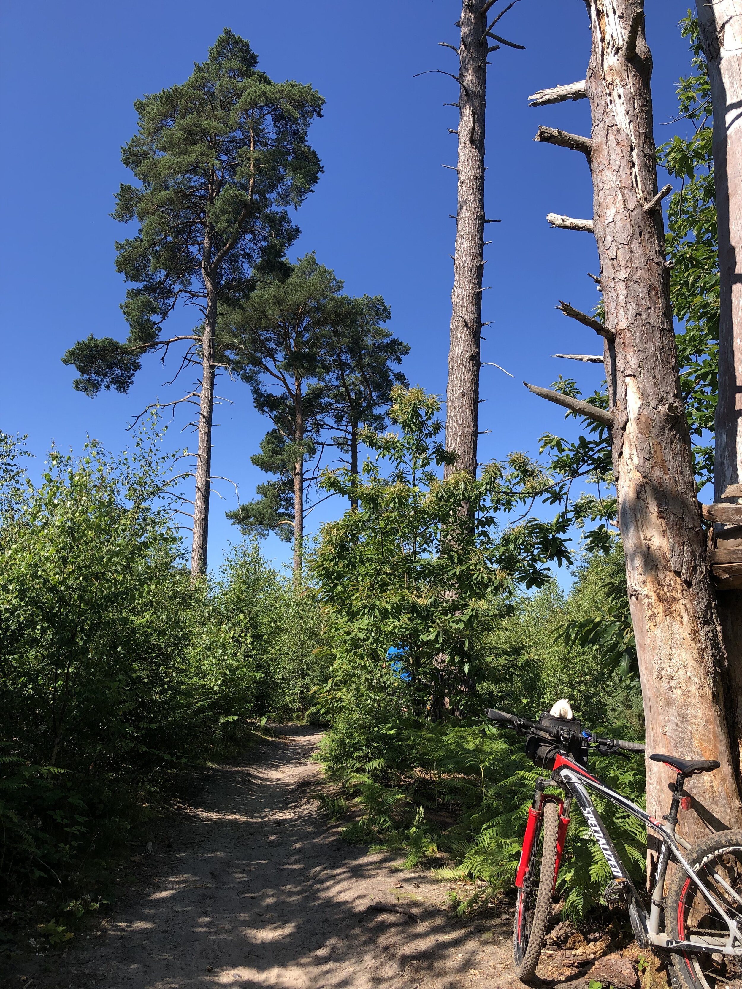
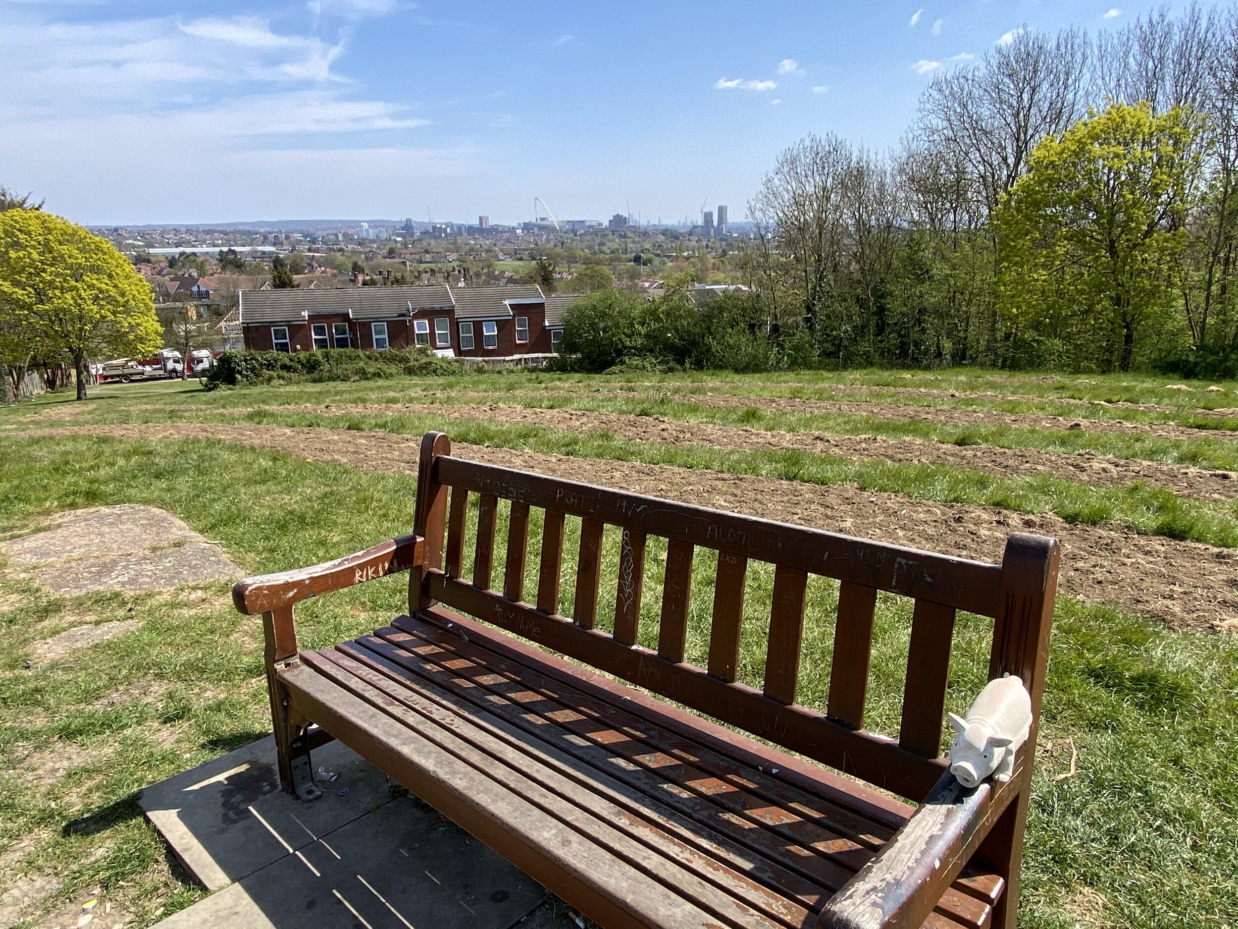
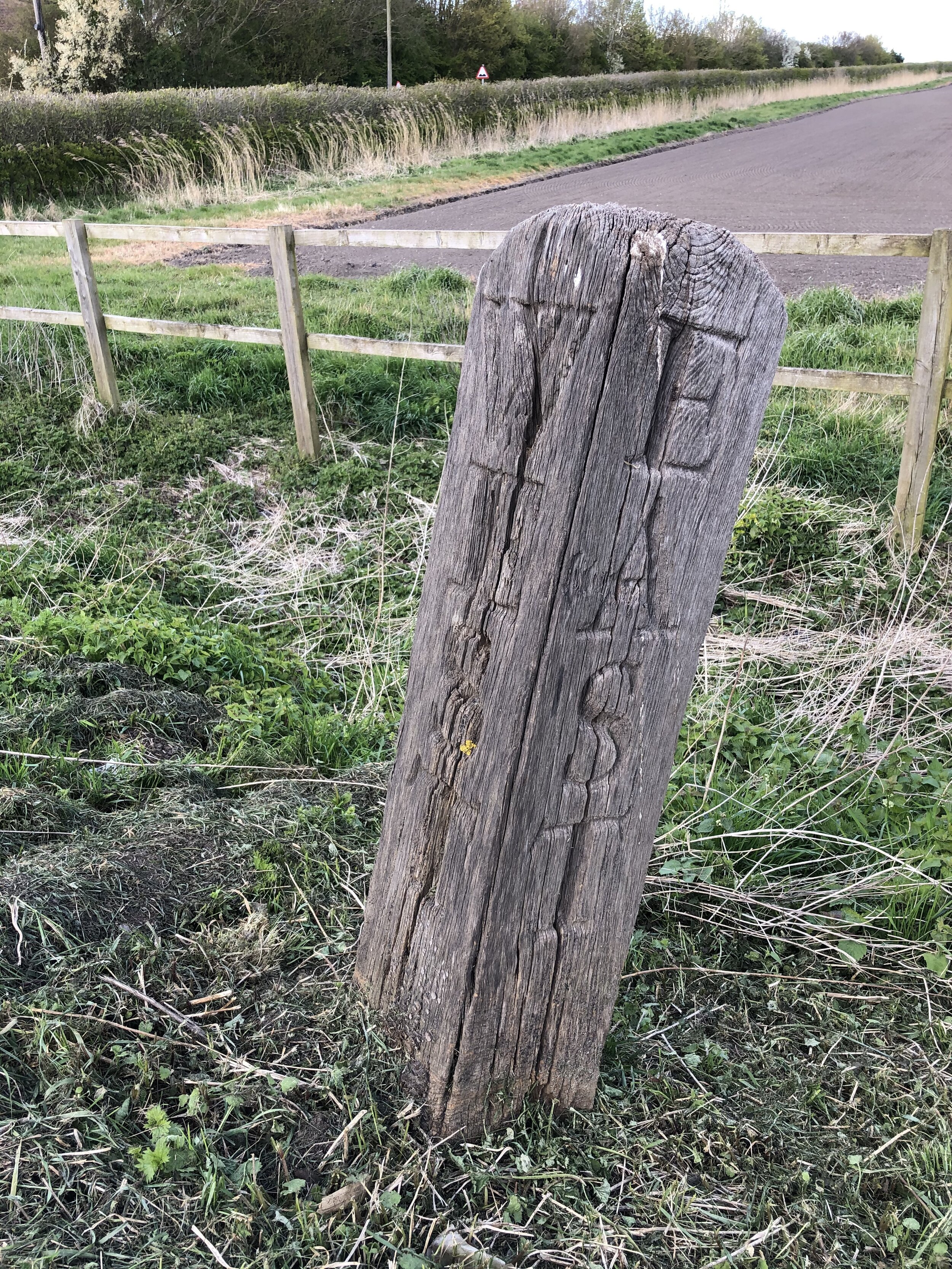
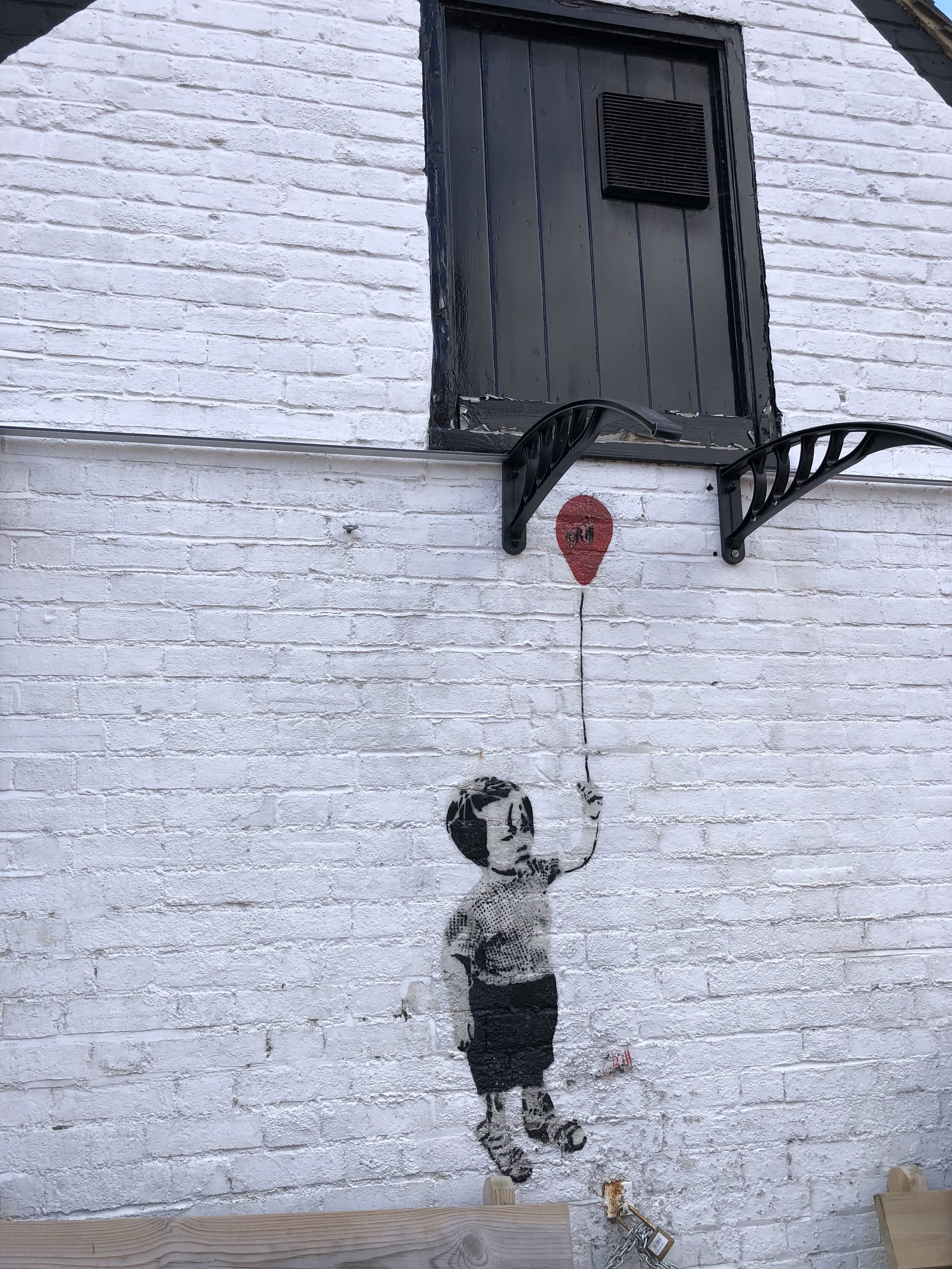
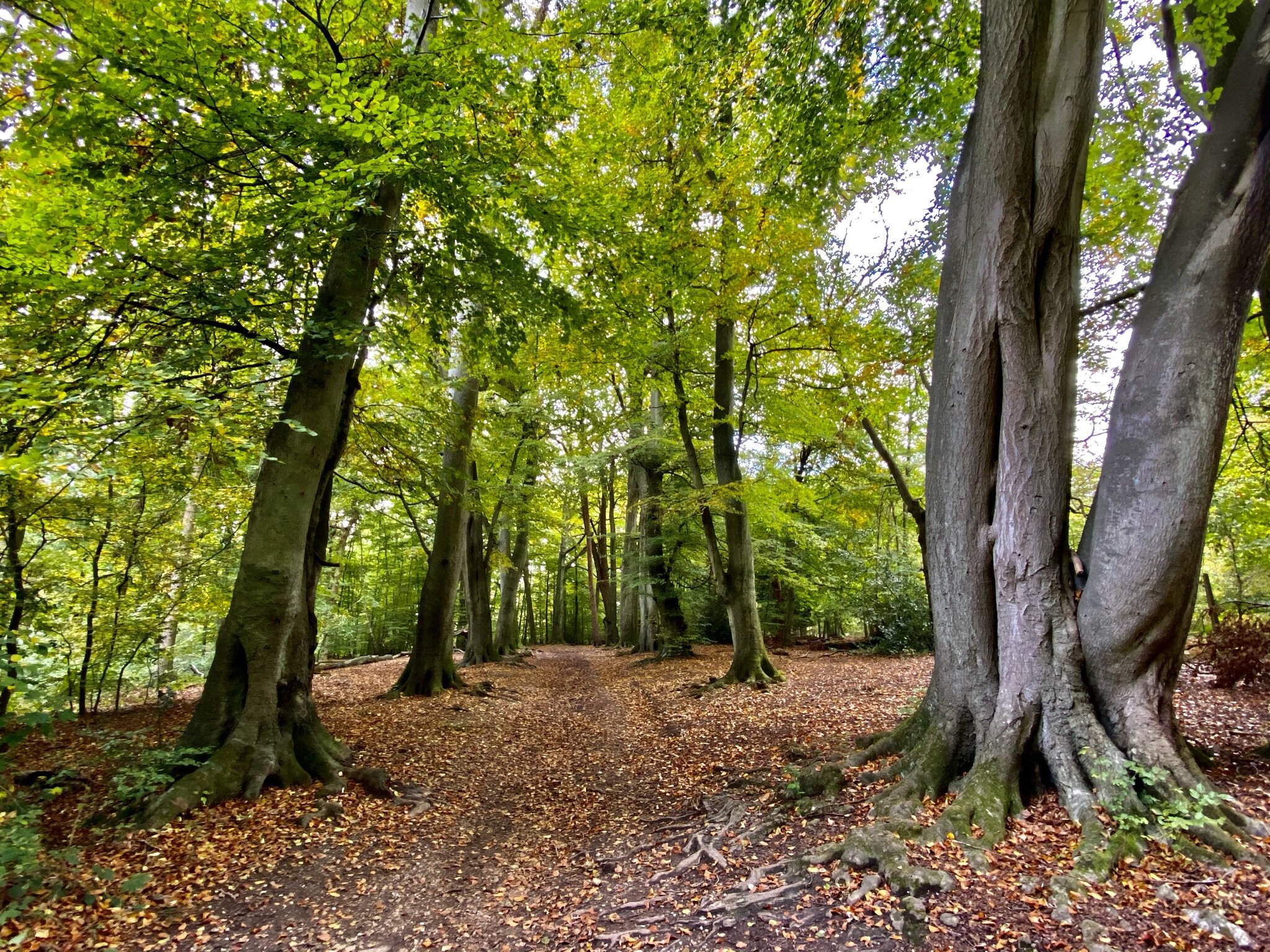
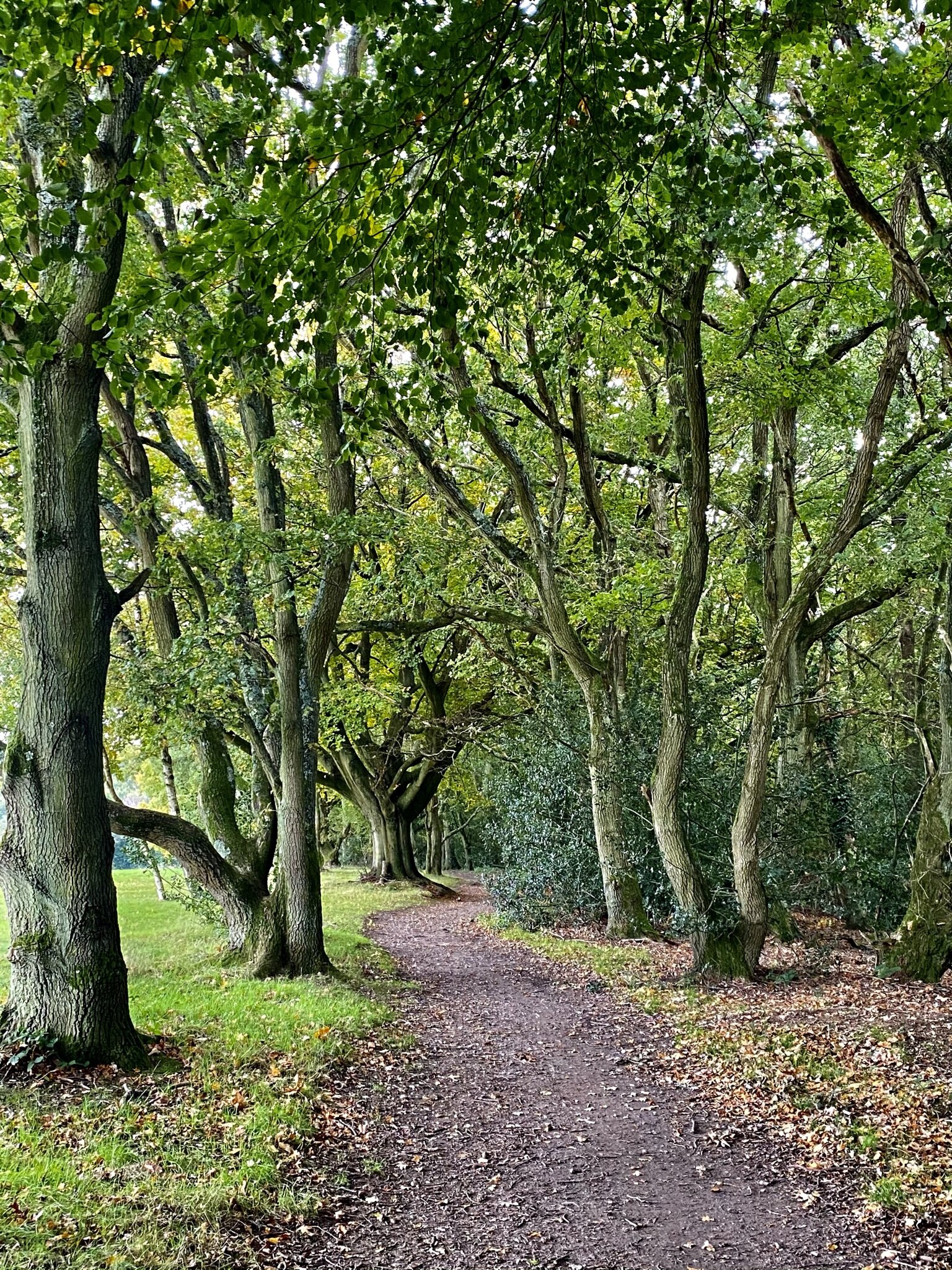
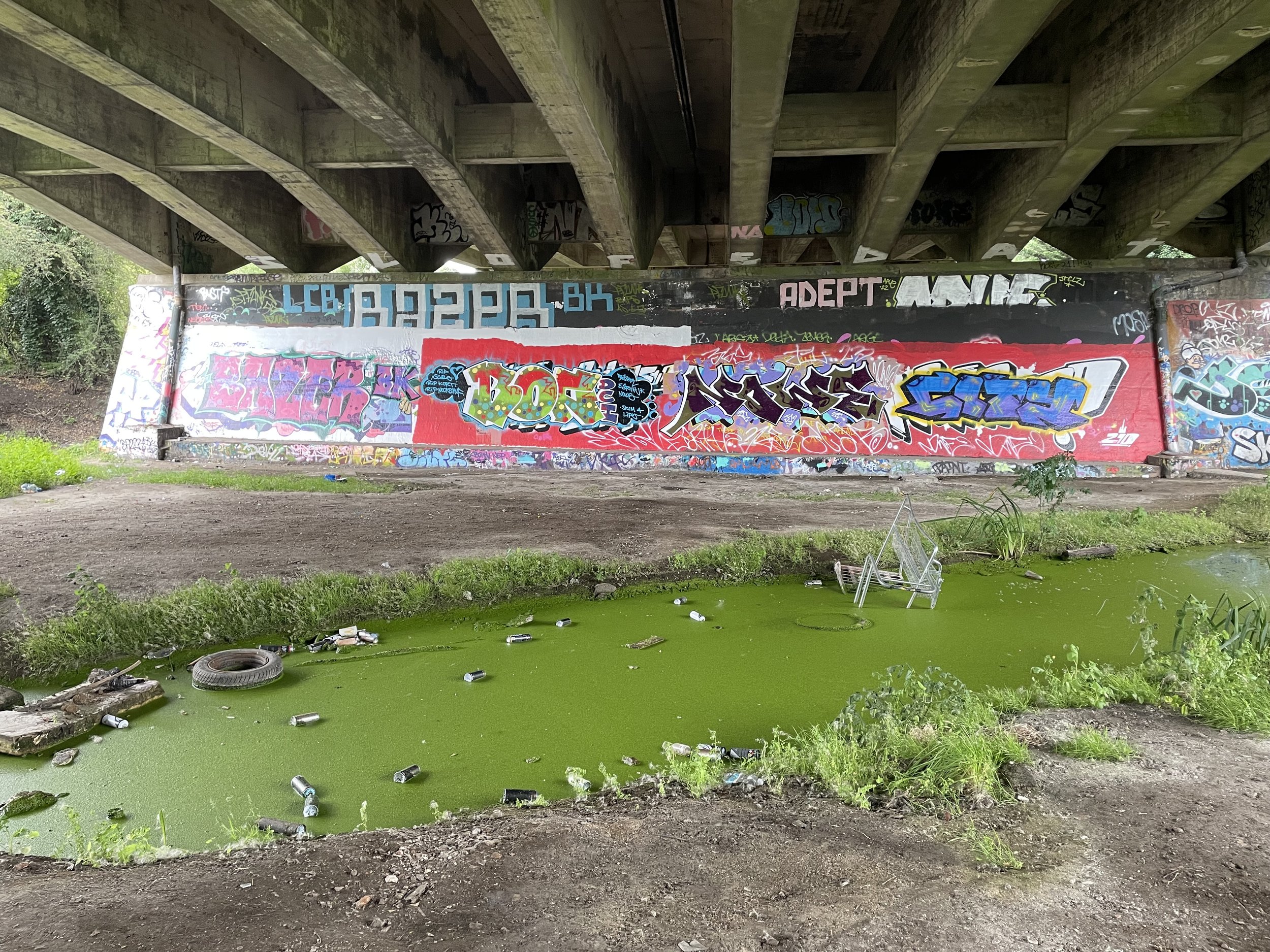
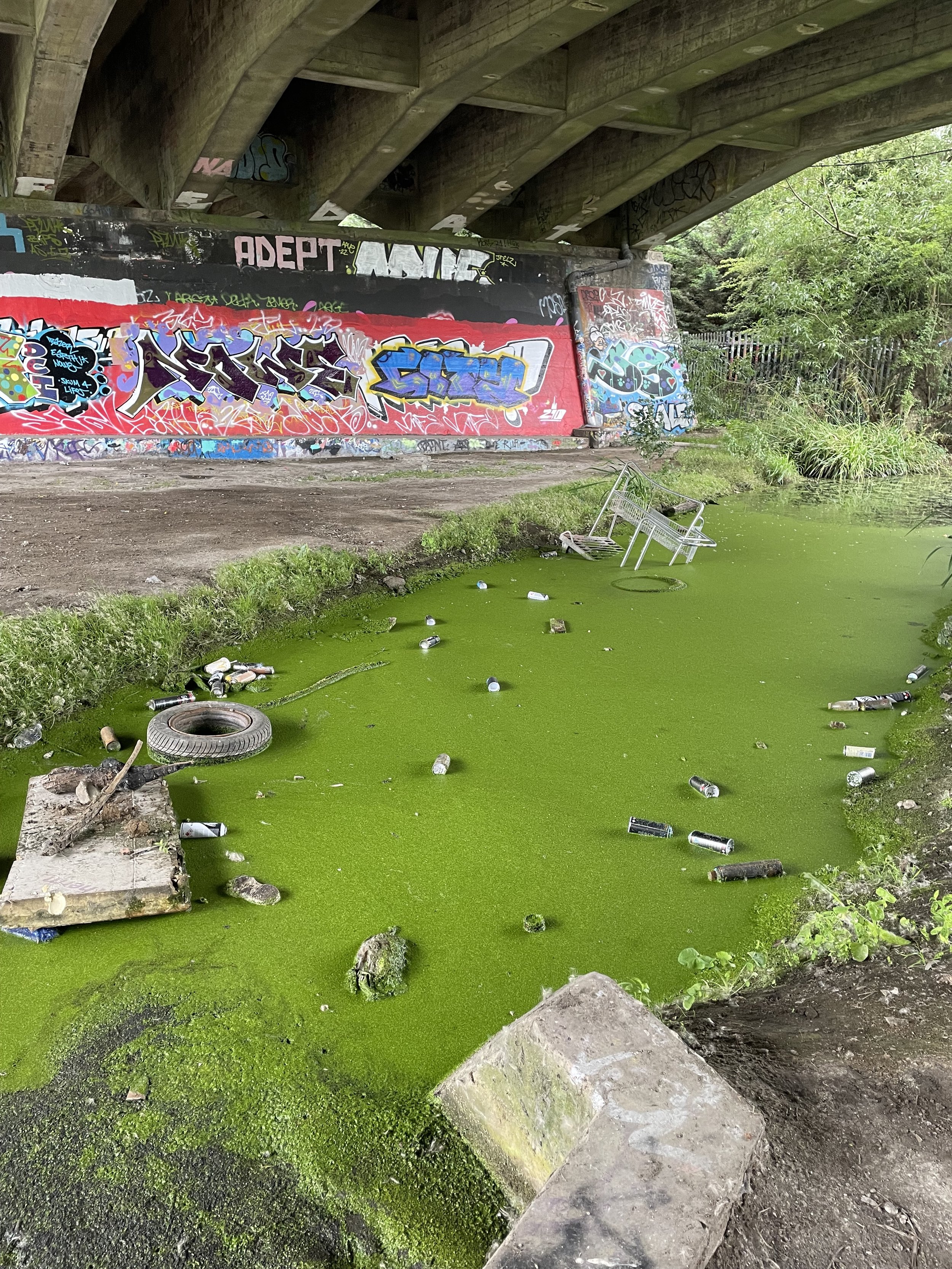
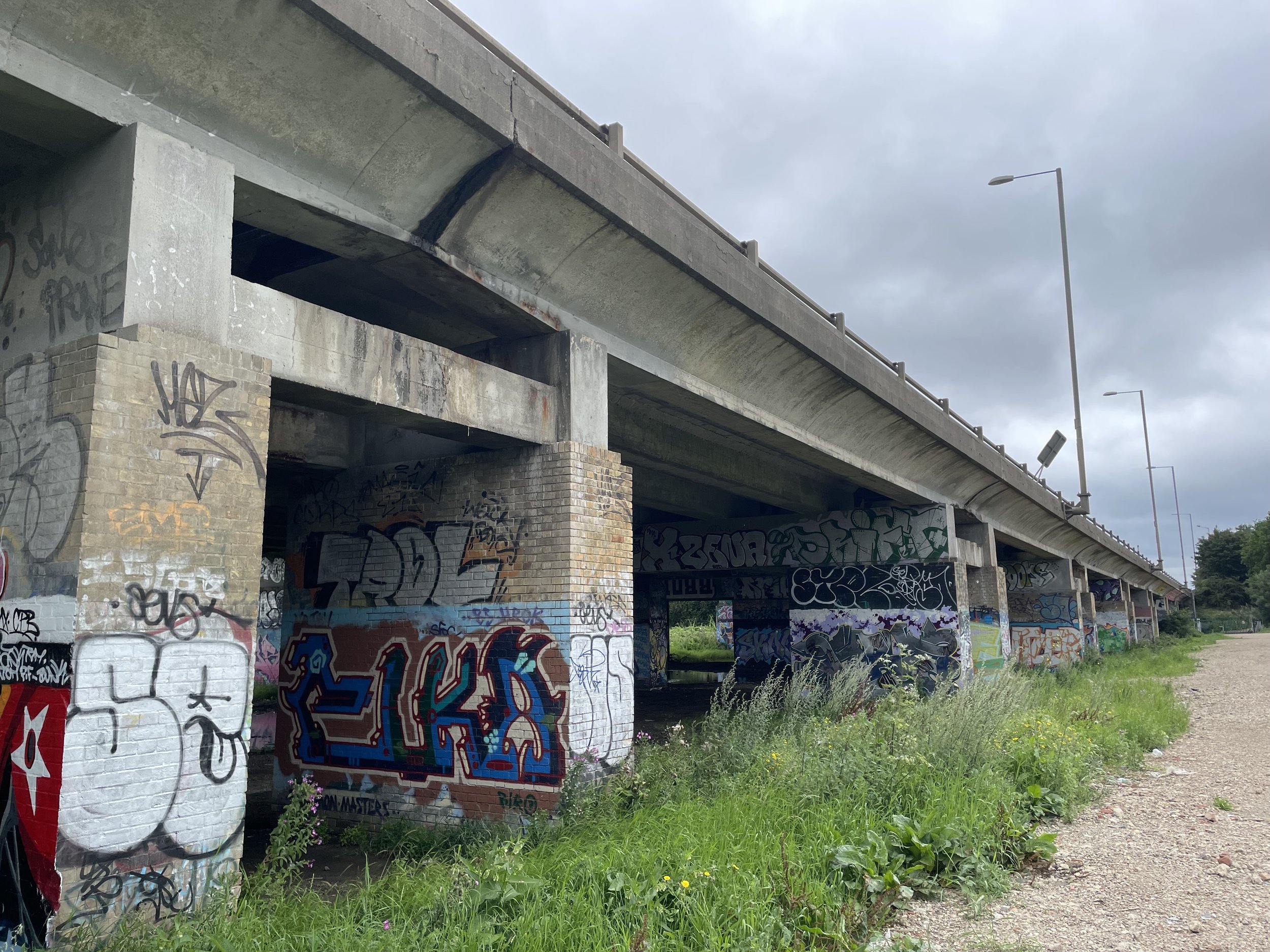
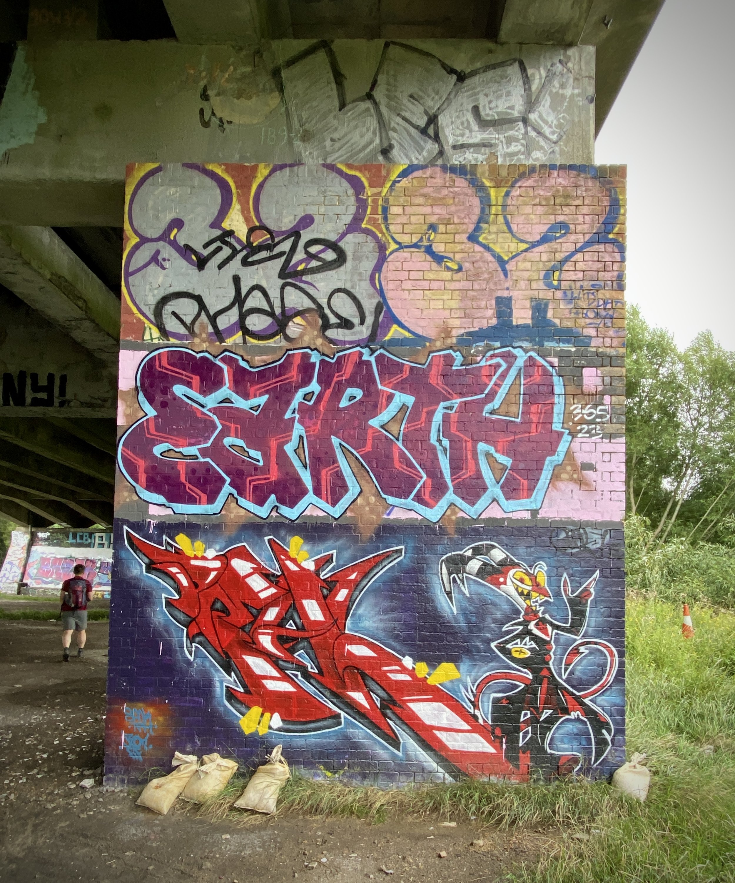
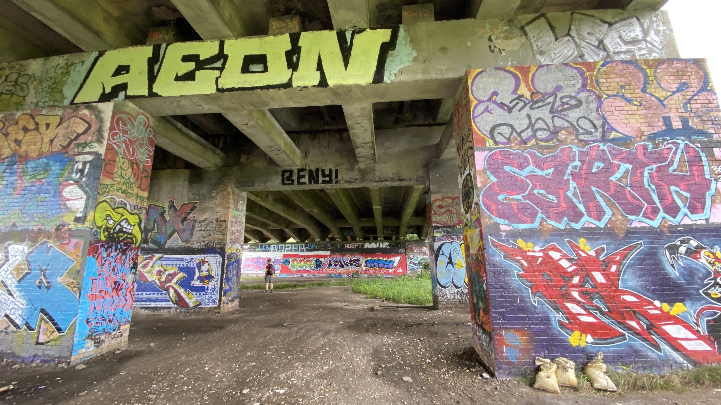
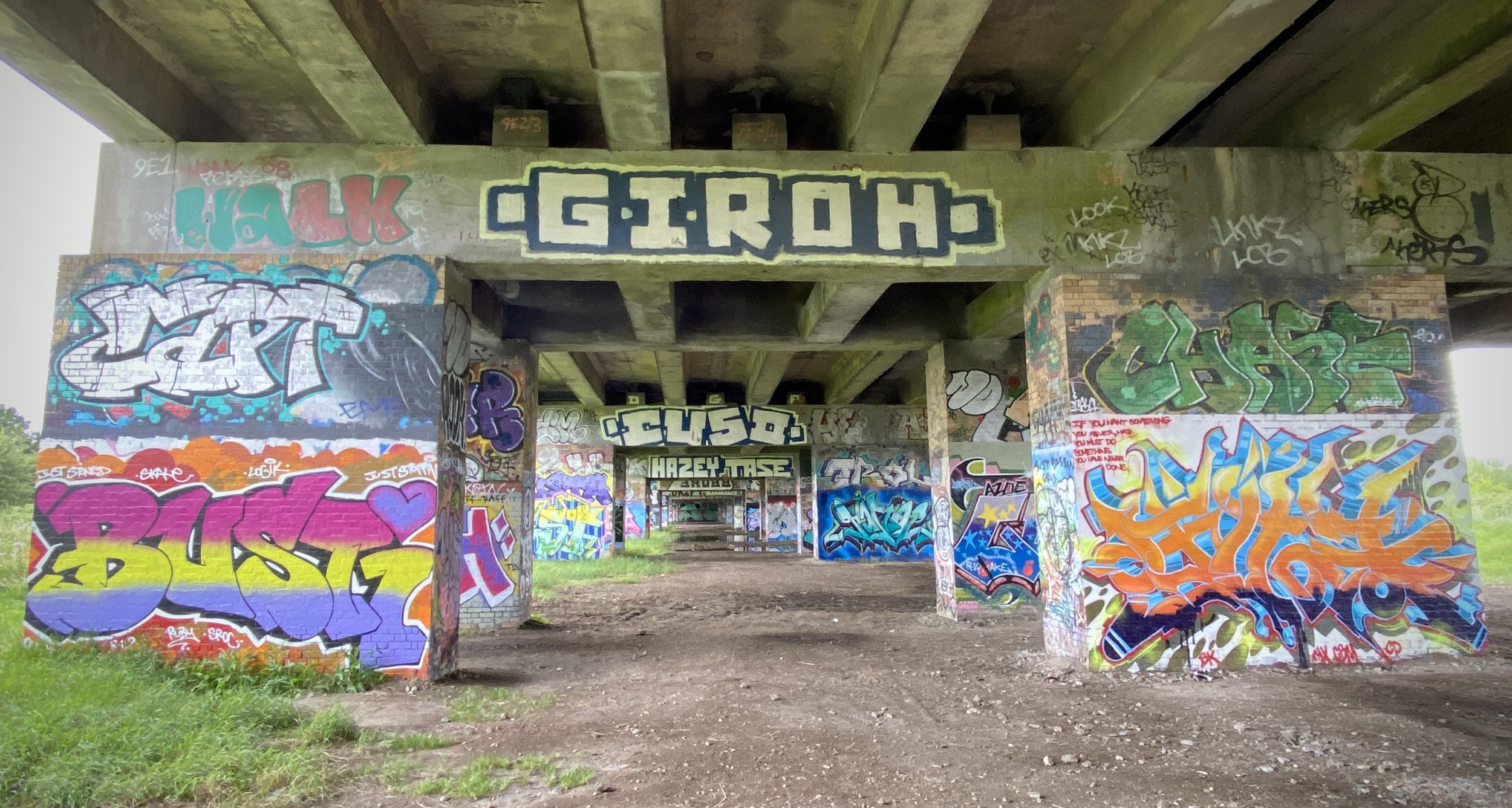
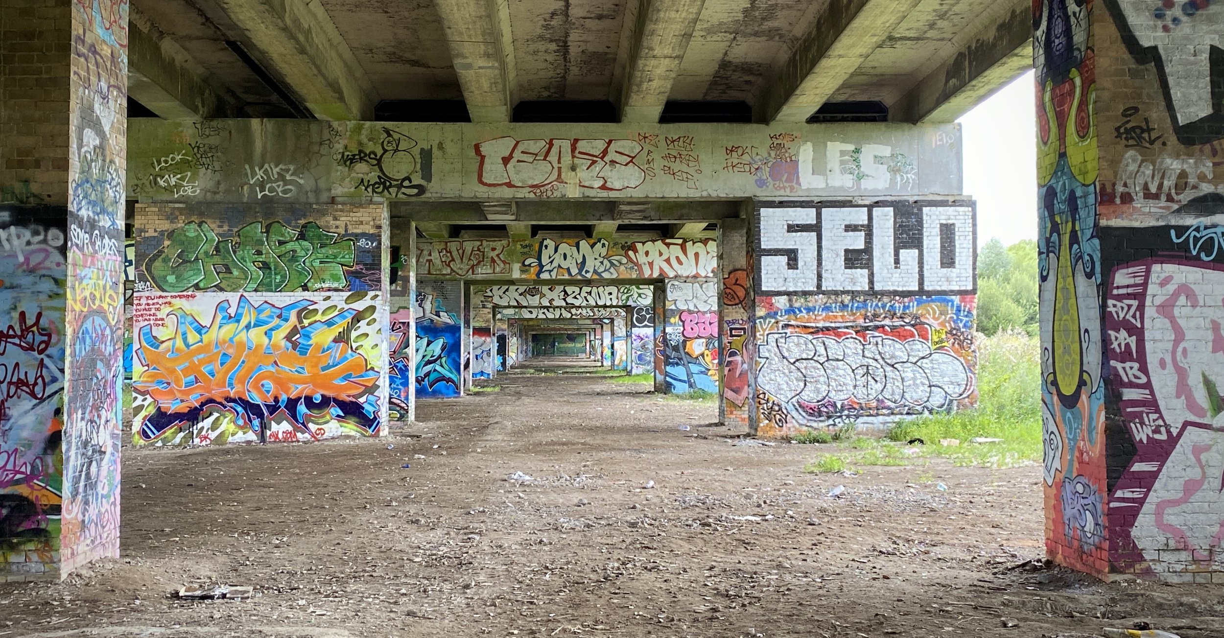
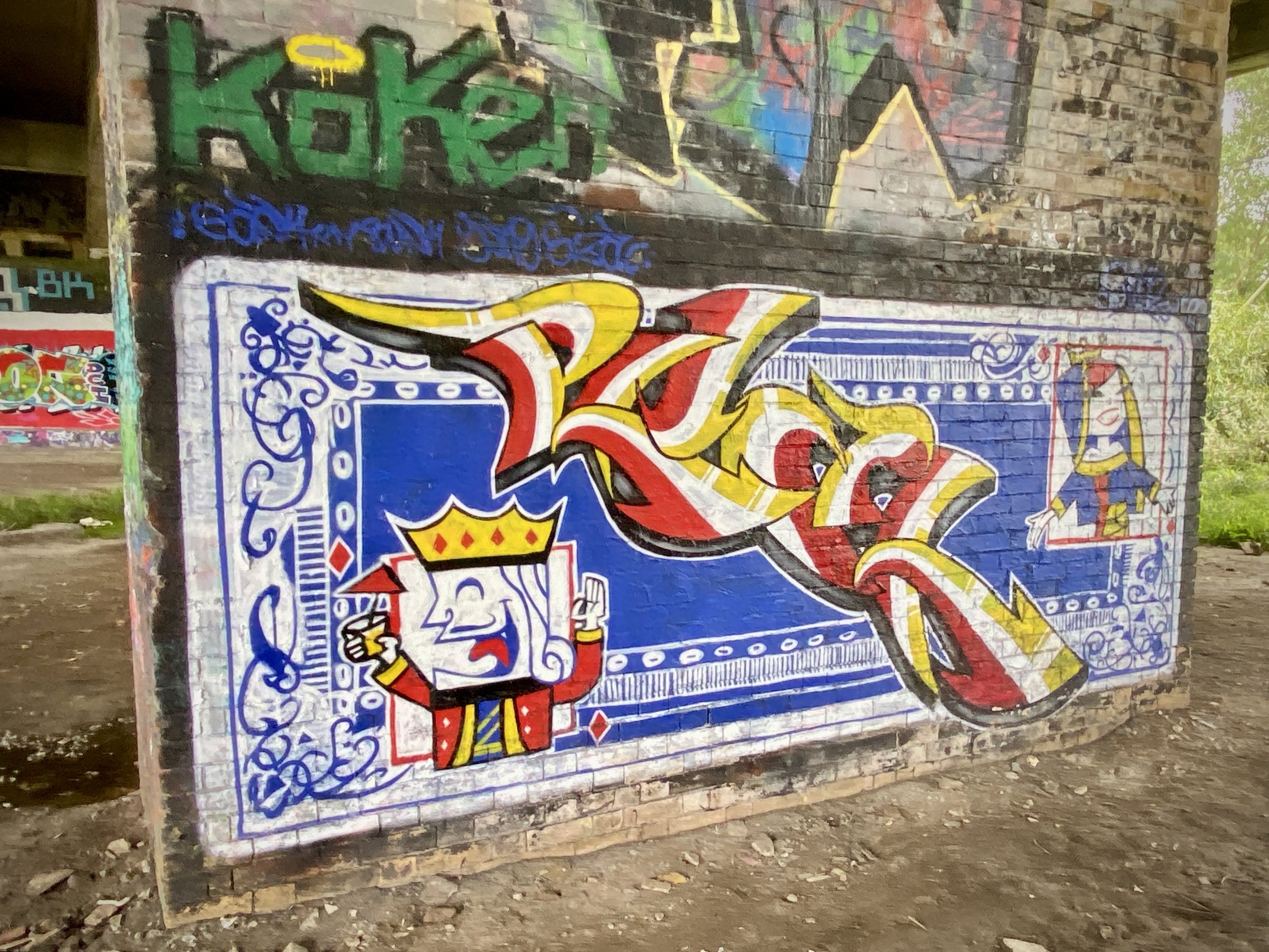
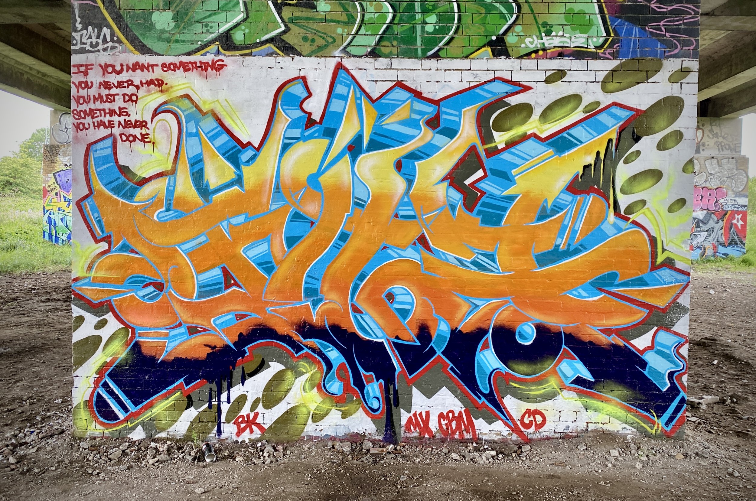
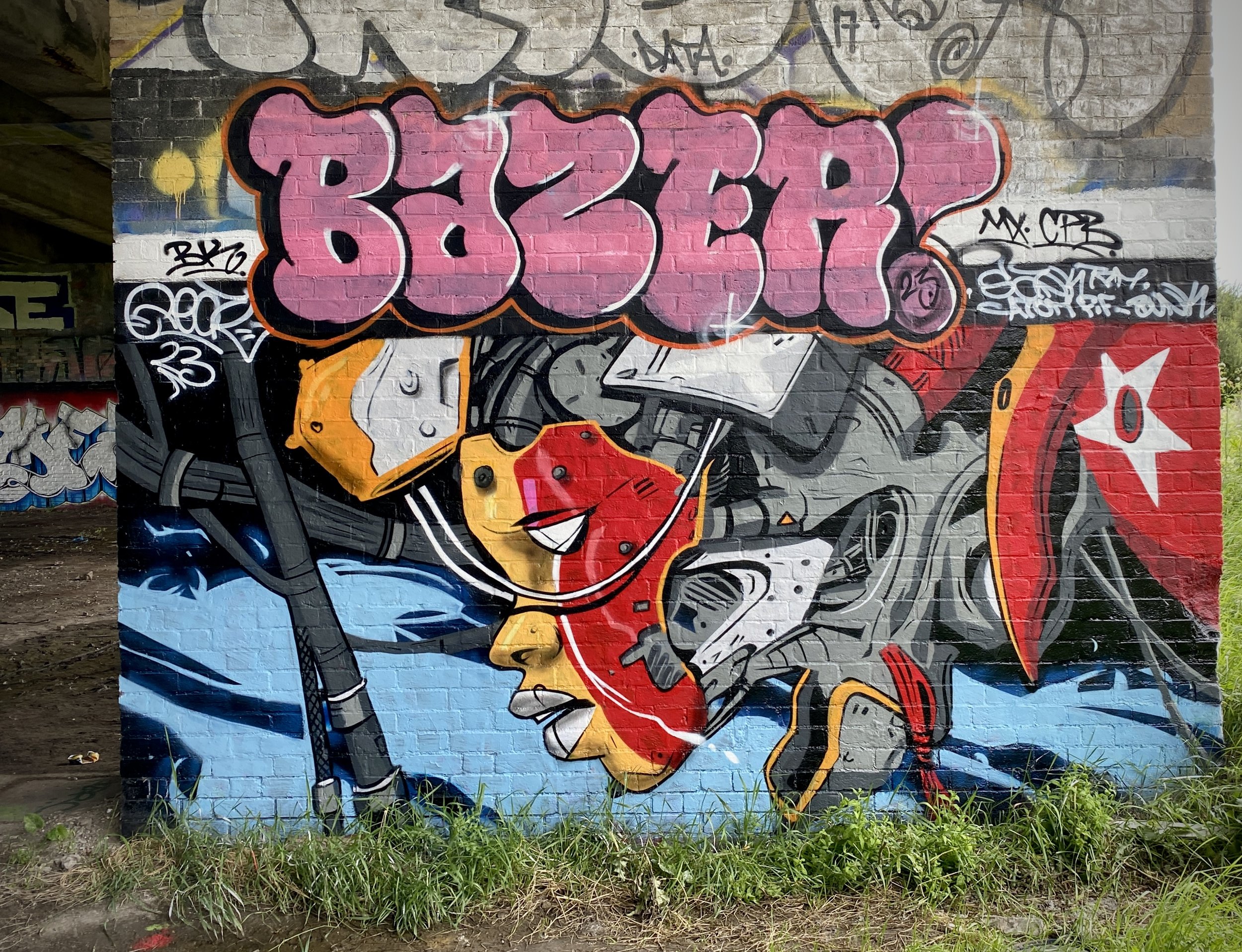
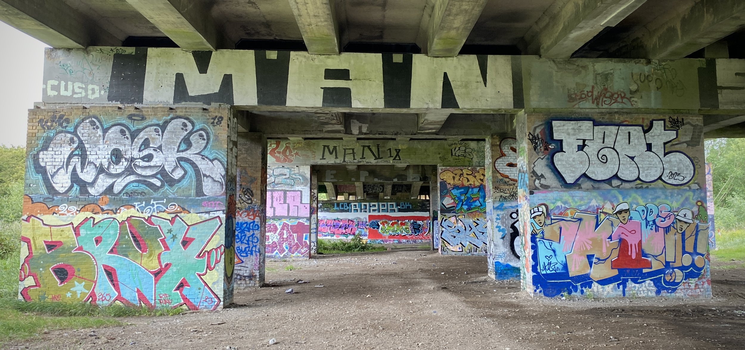
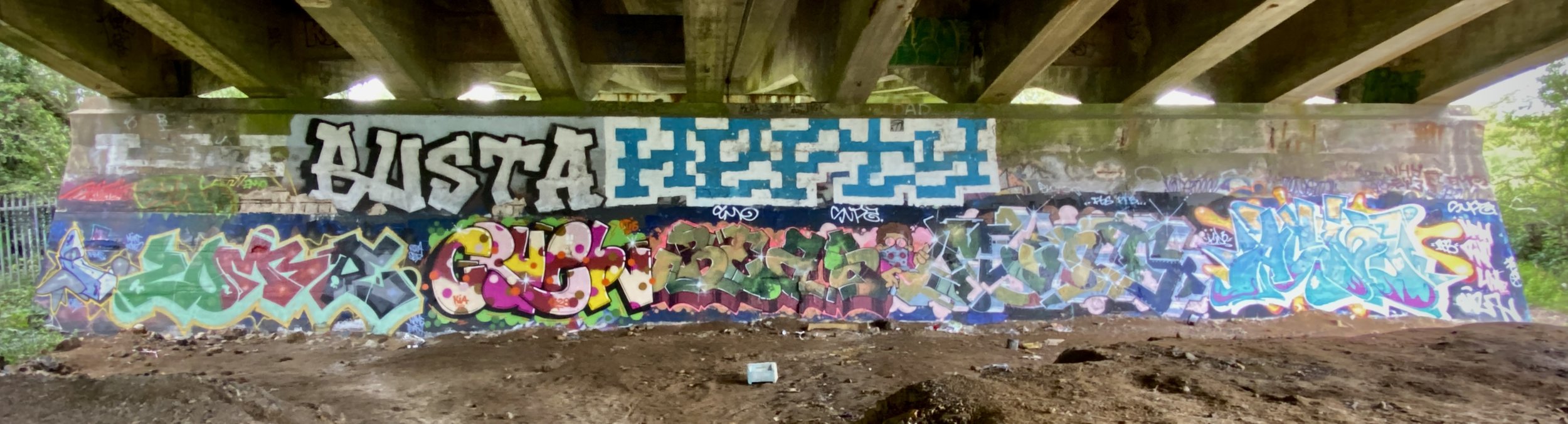
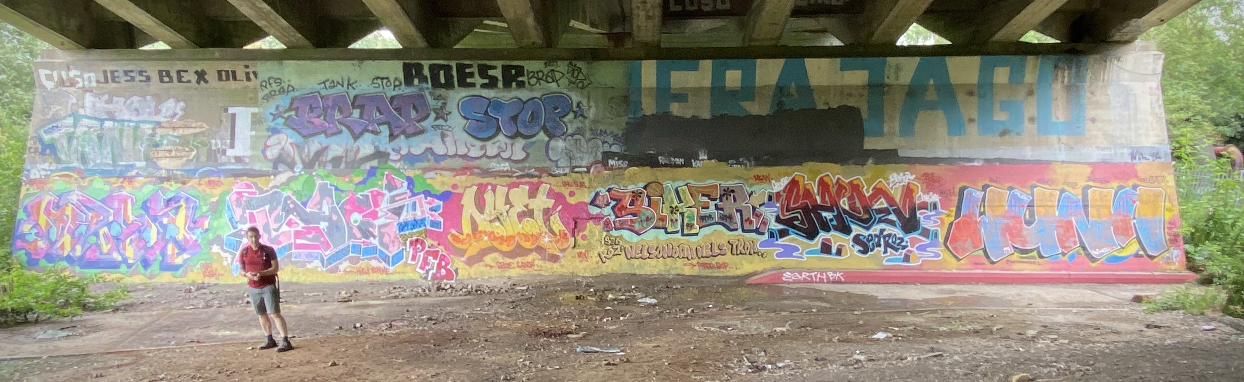
Keep heading north on the footpath closest to the rail line and you’ll pass under a raised section of the A40 and through the Graffiti Gallery. On the north side of the A40 follow a path taking you east back to the course of the old rail line. There was a lot of nettles when we were there in July which made if difficult to see the path. Once on it, you can follow the route of the rail line through wood most of the way to the old mainline junction.

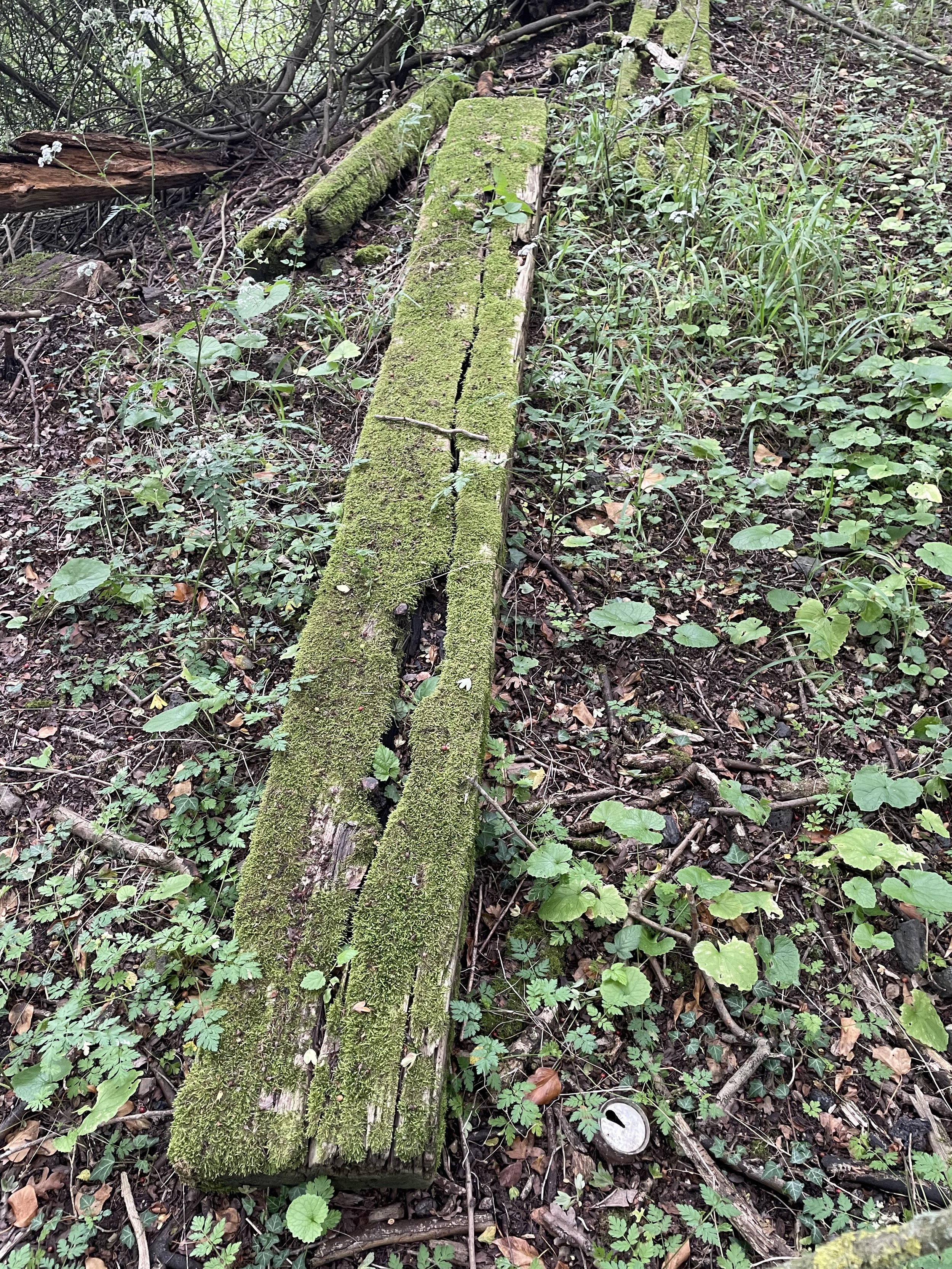
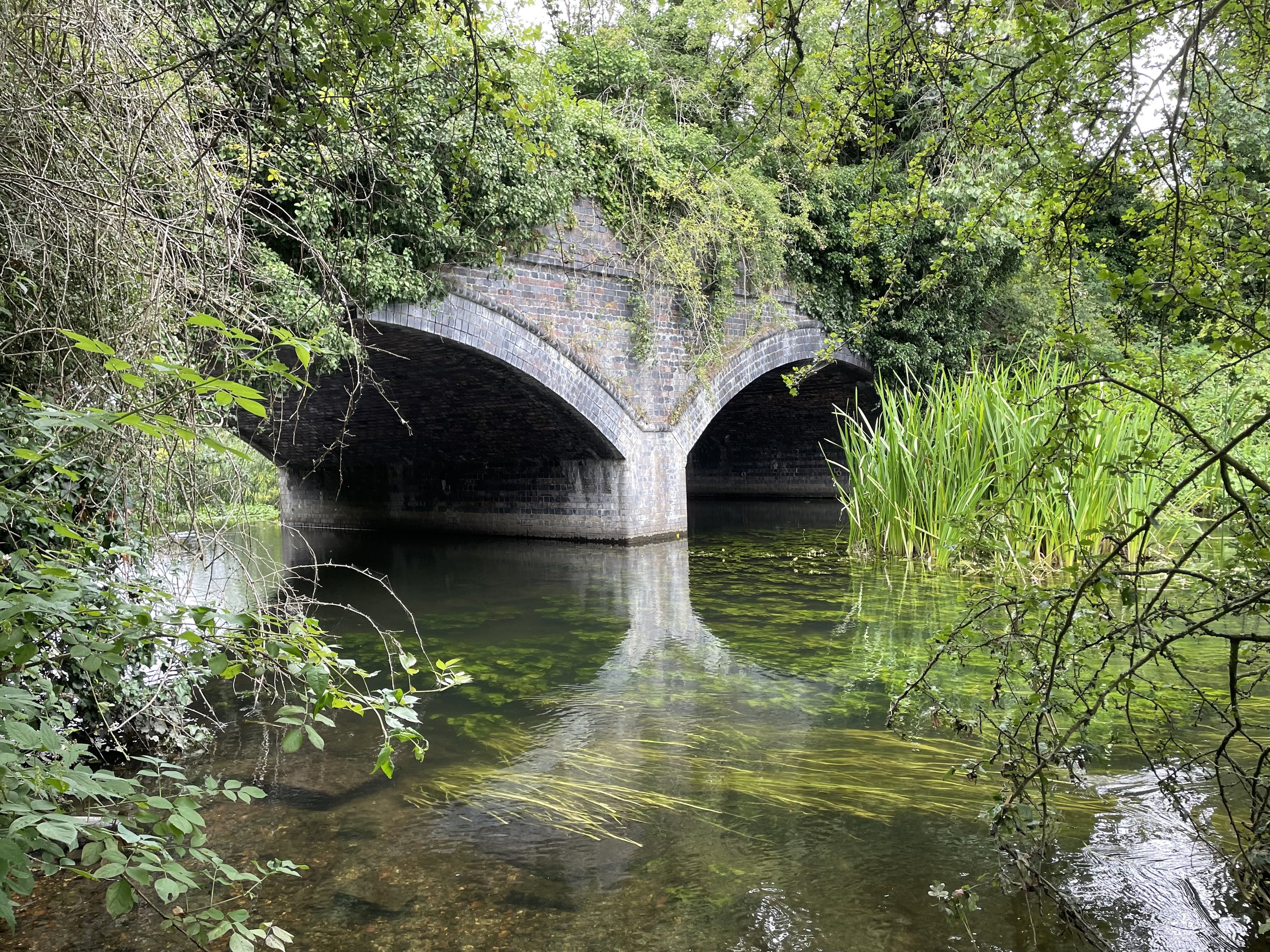
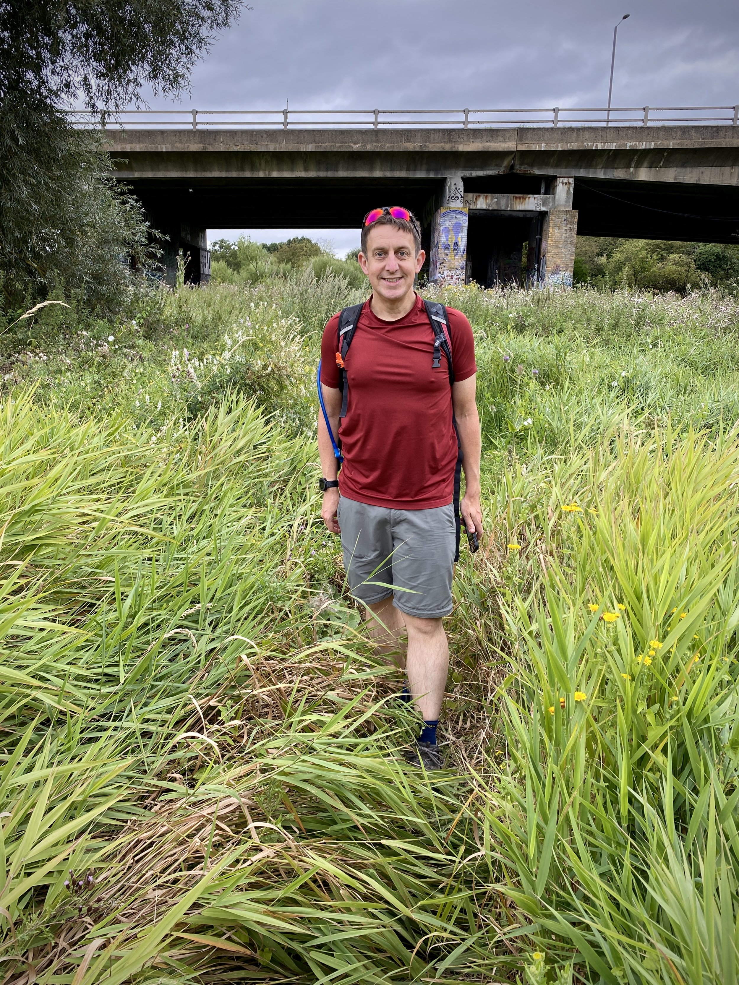
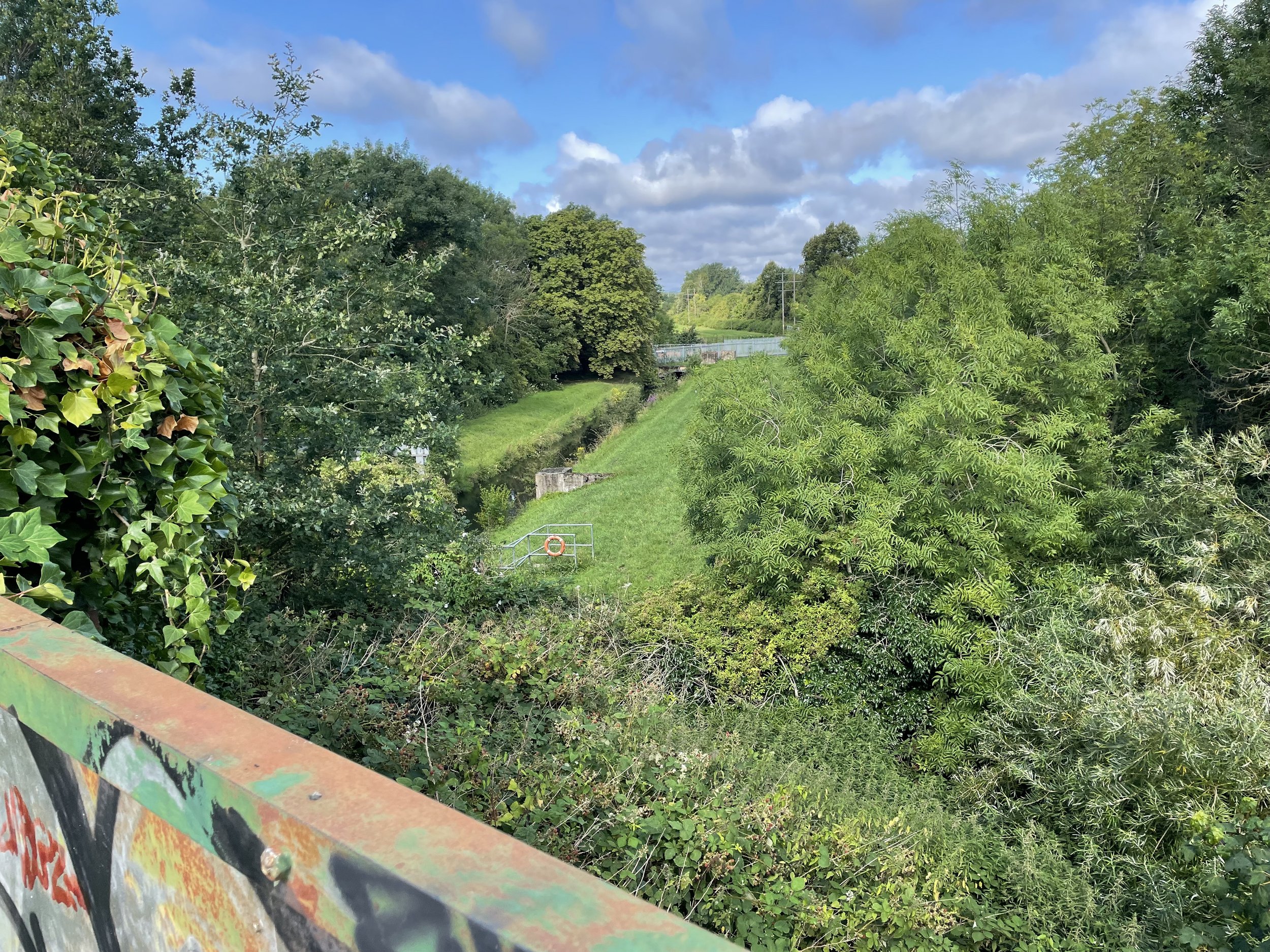
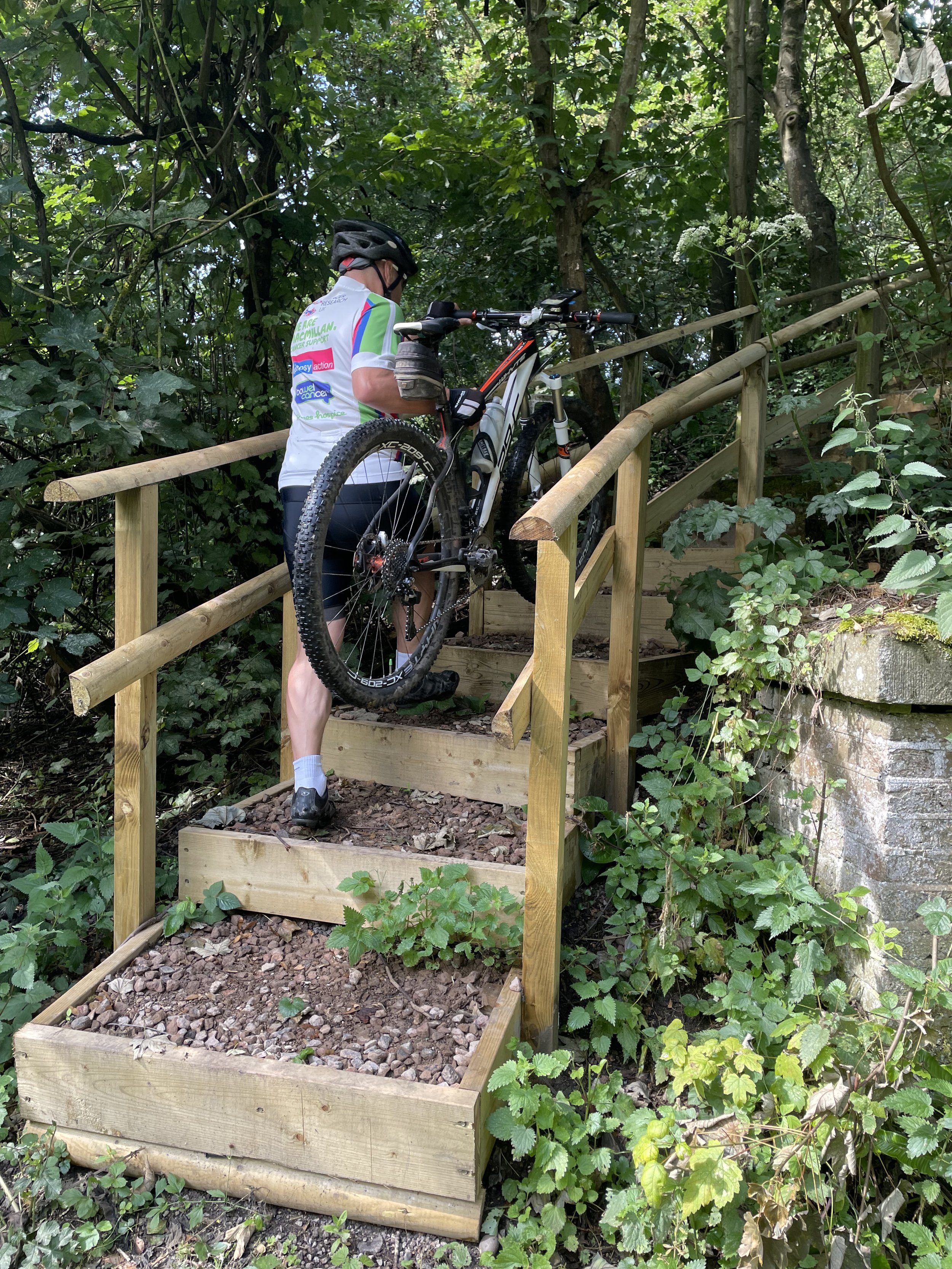
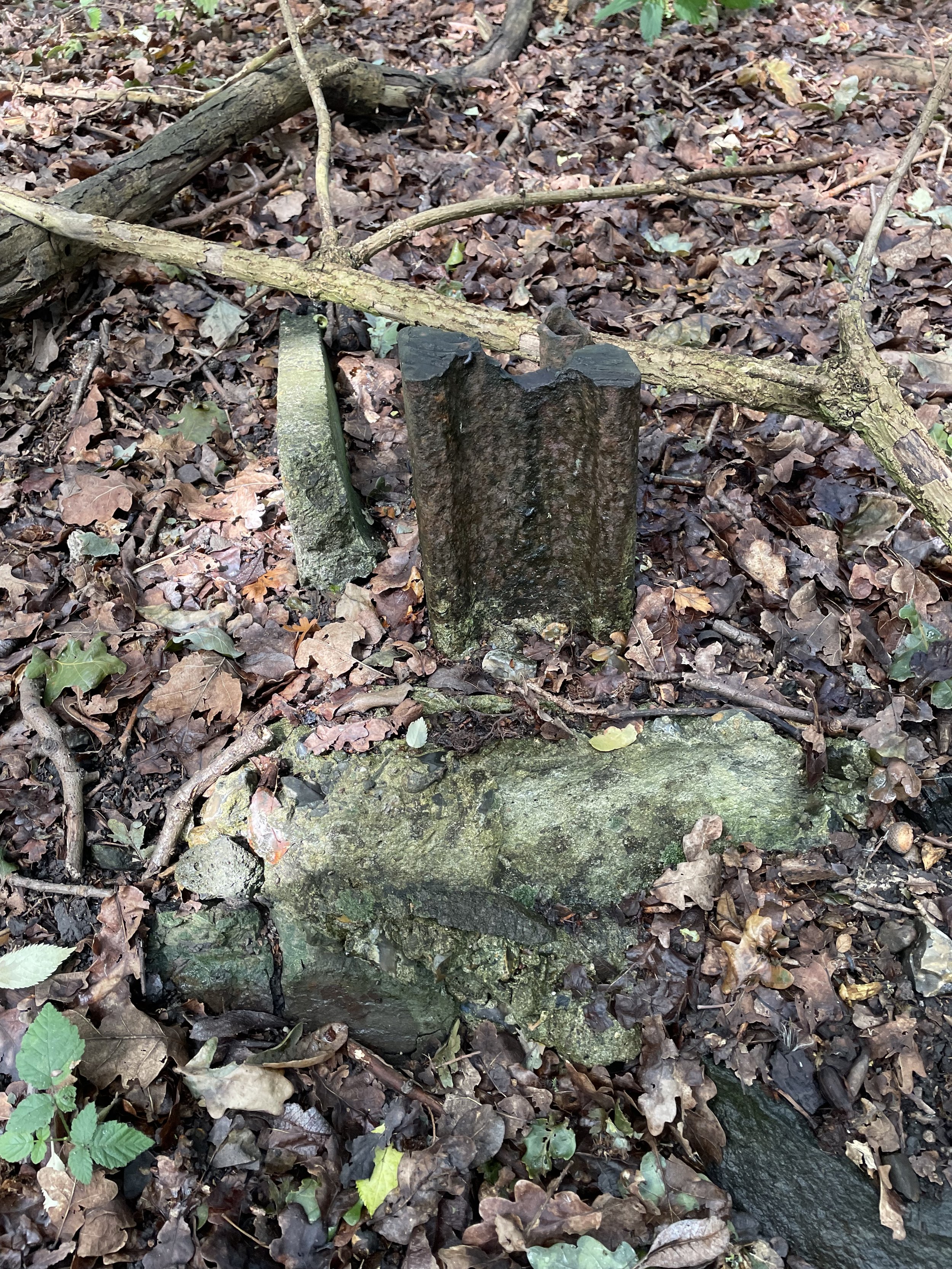
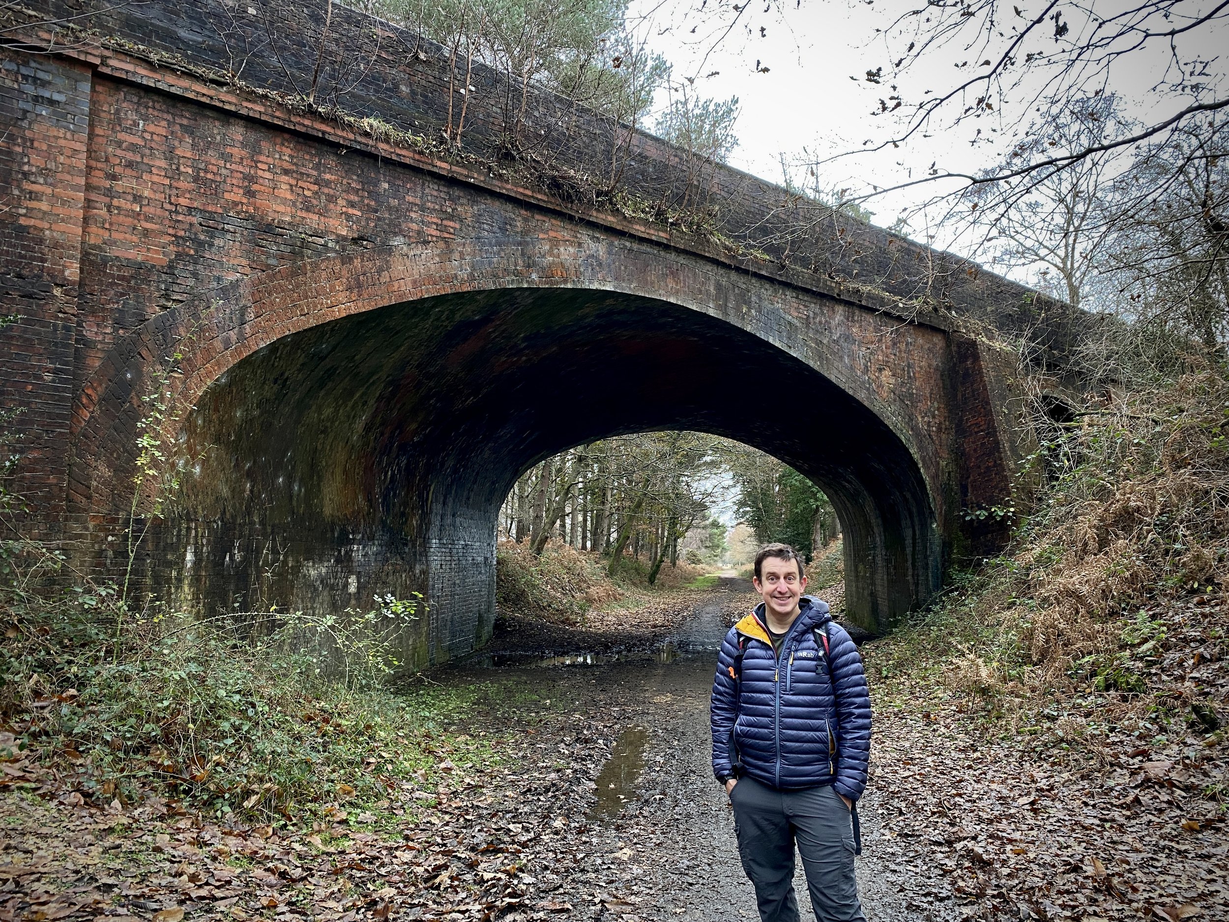
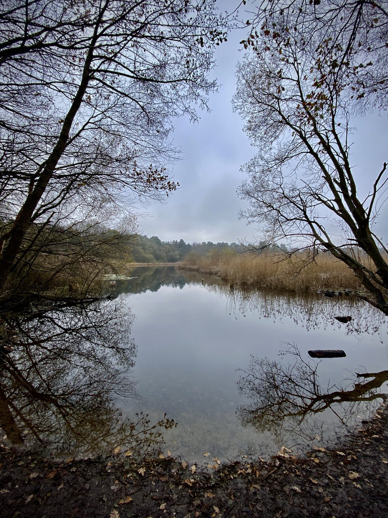
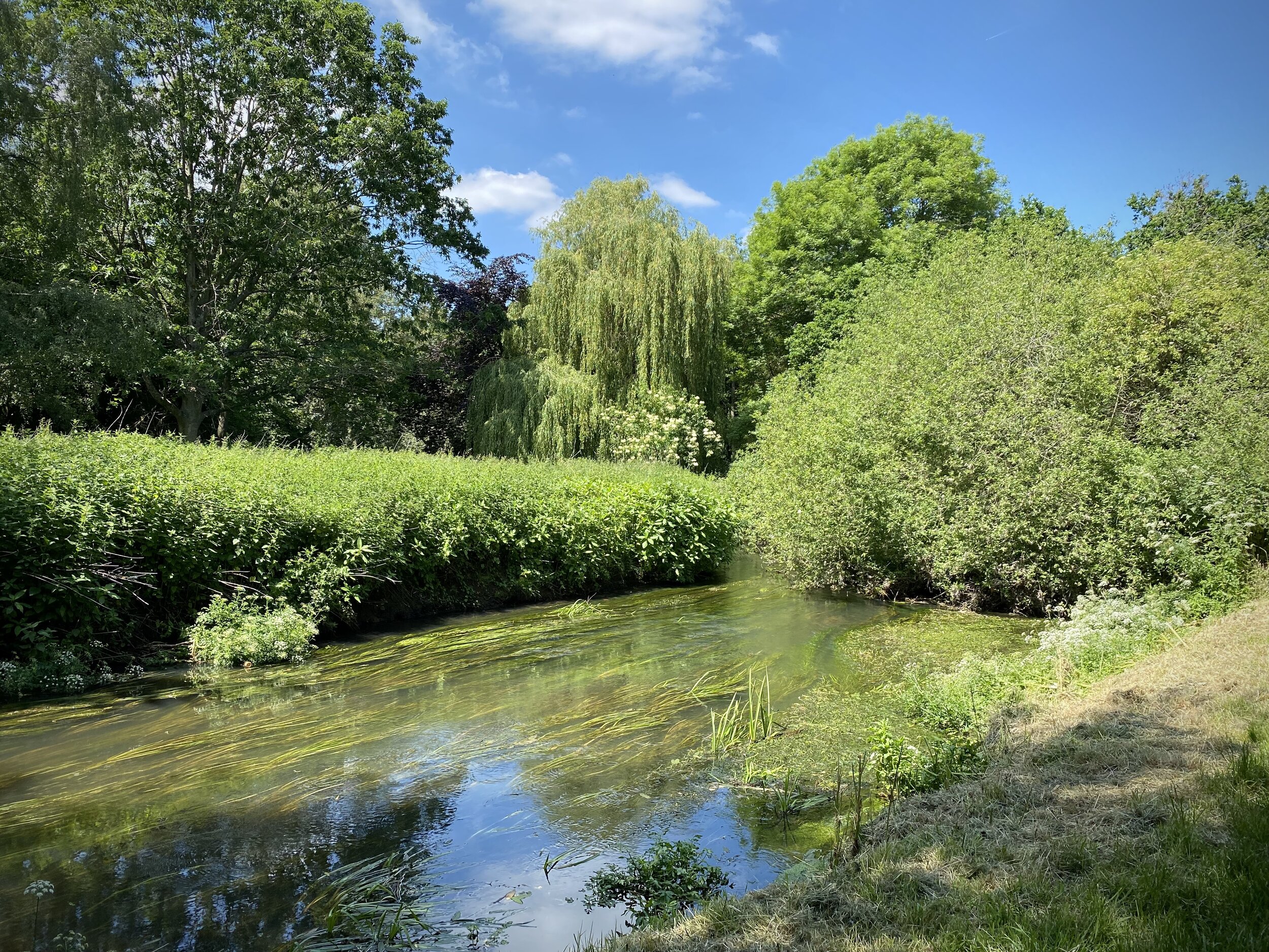
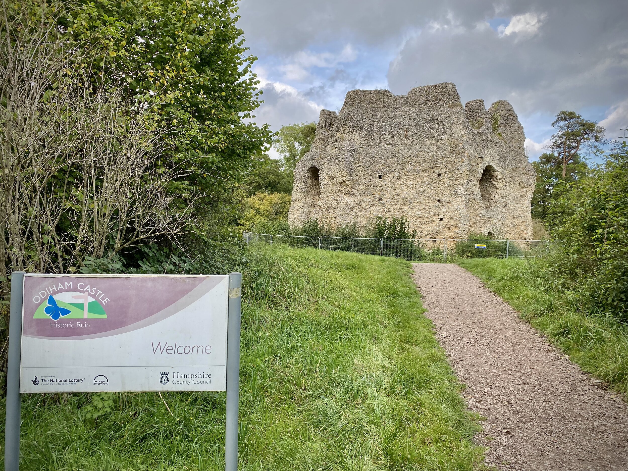
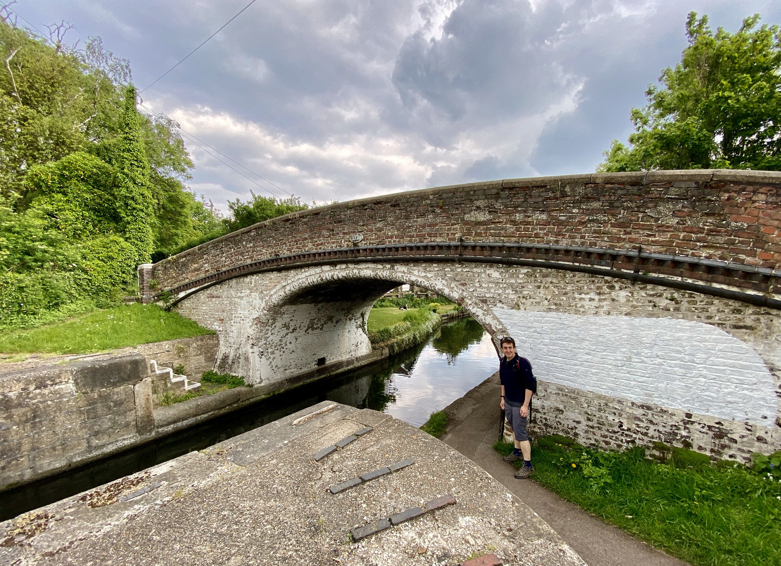
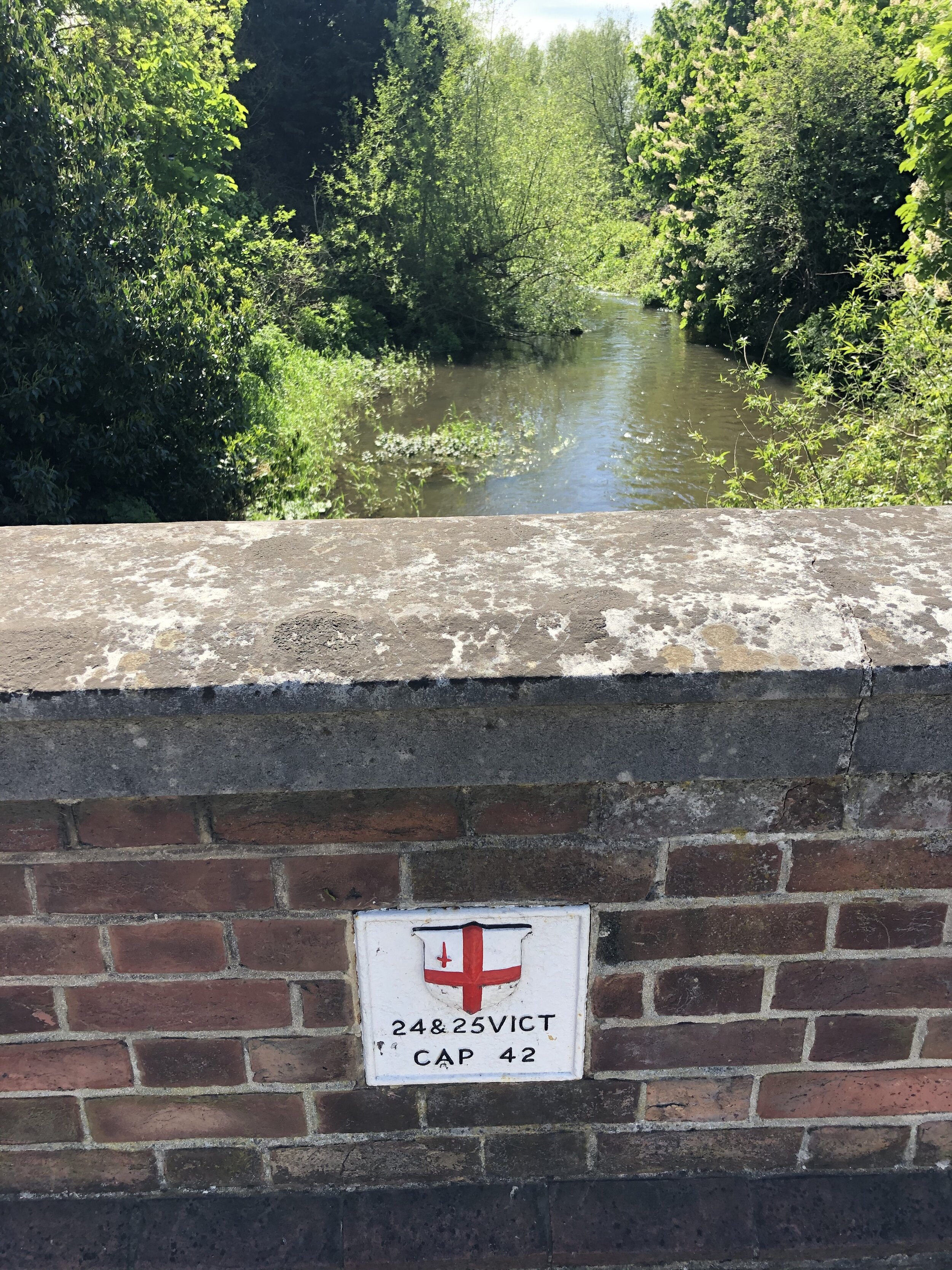
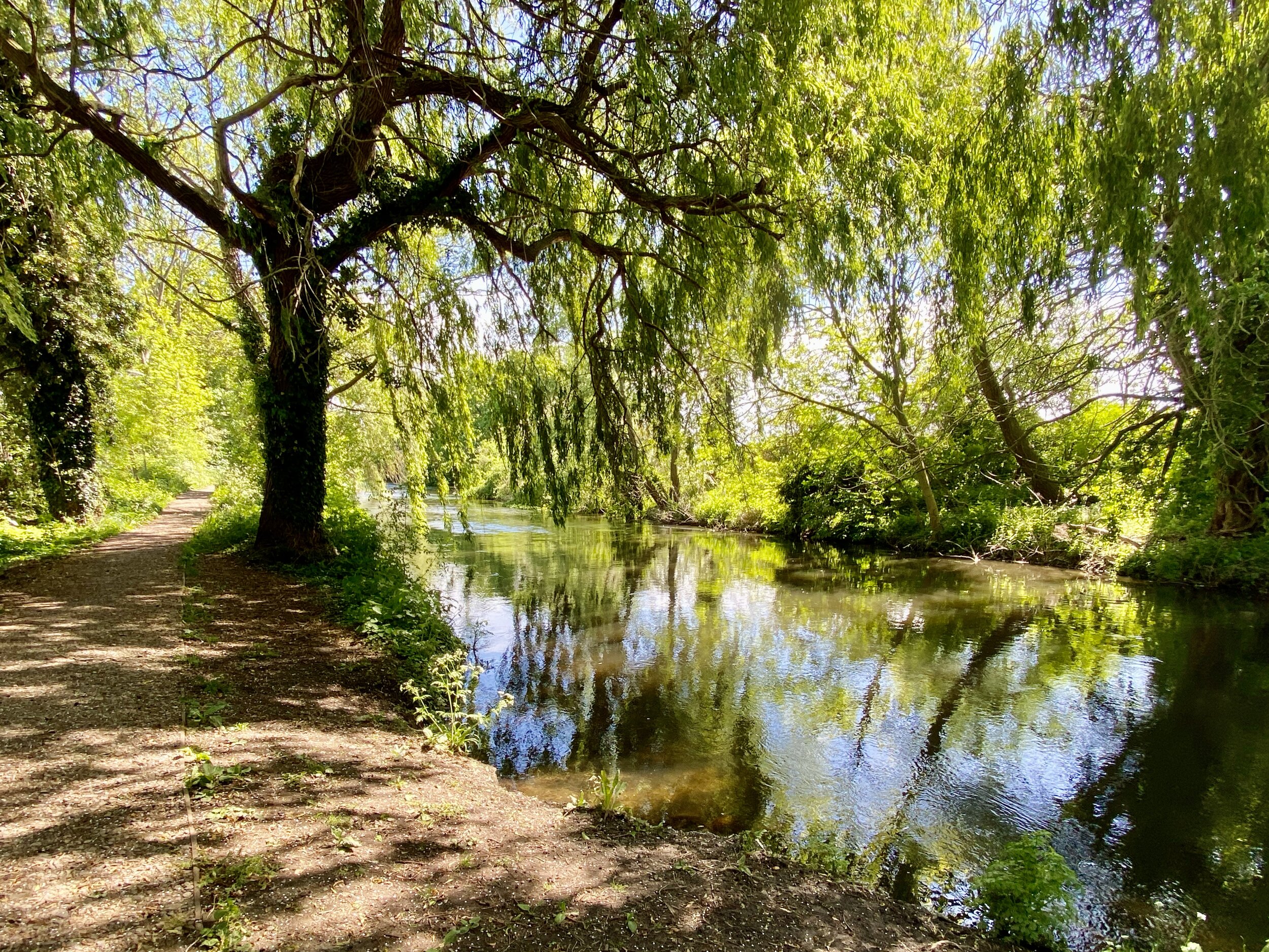
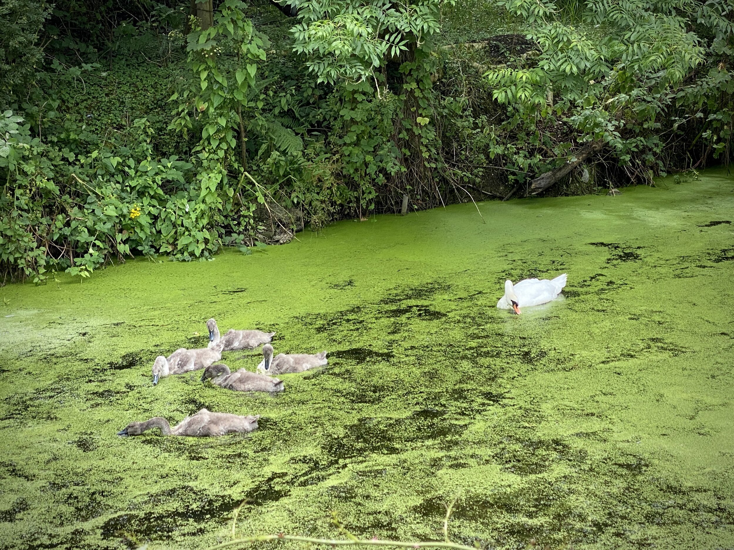
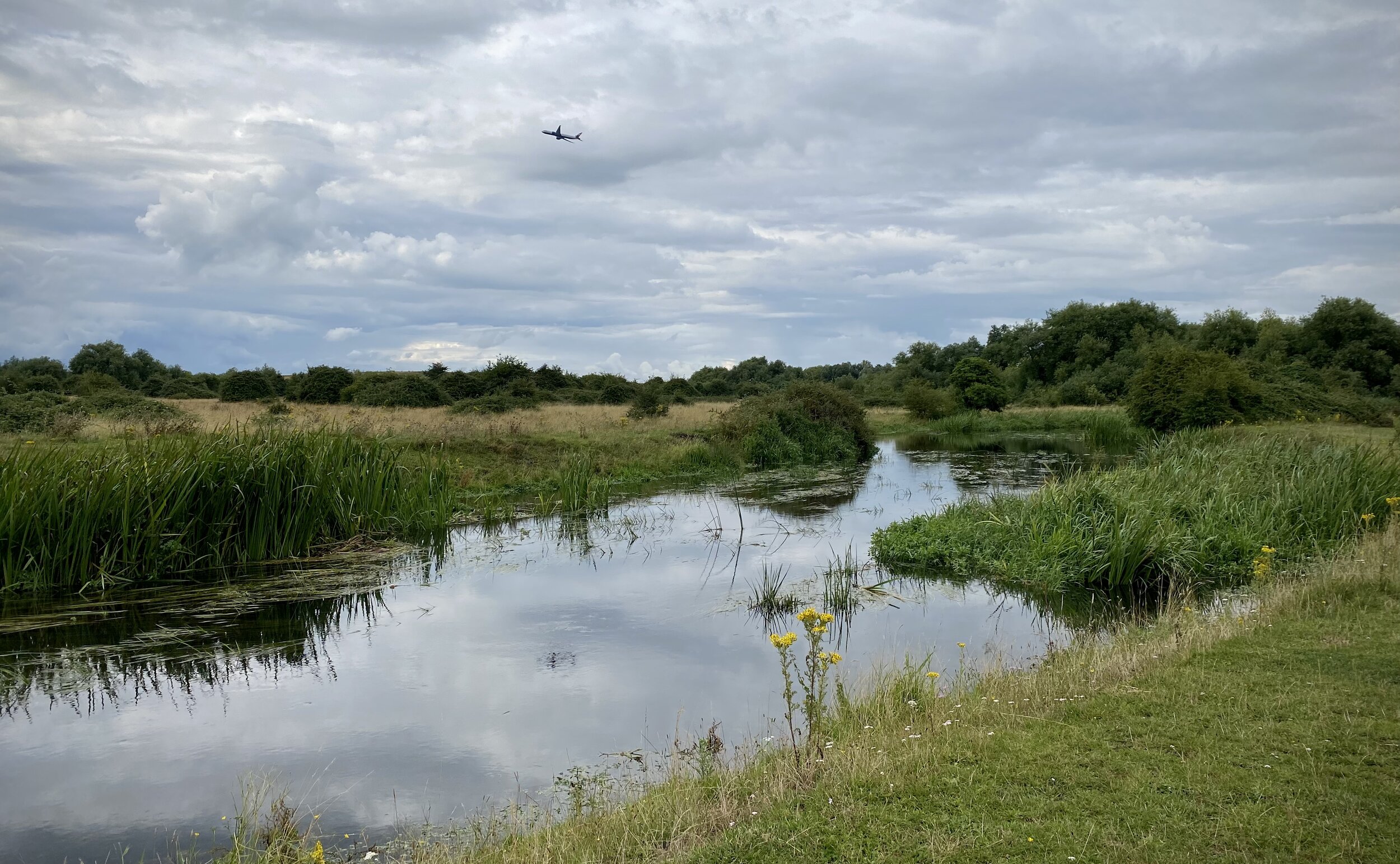
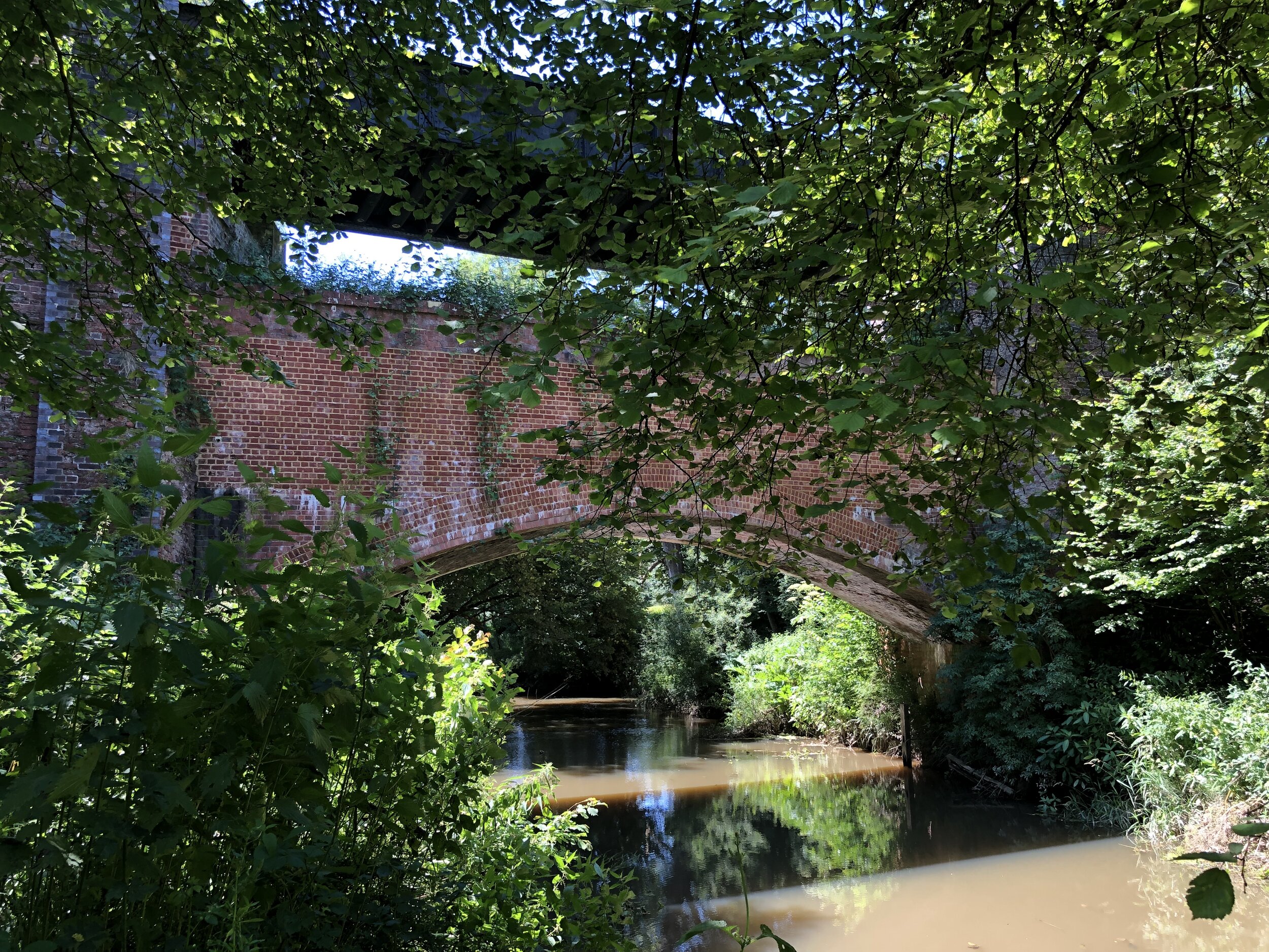
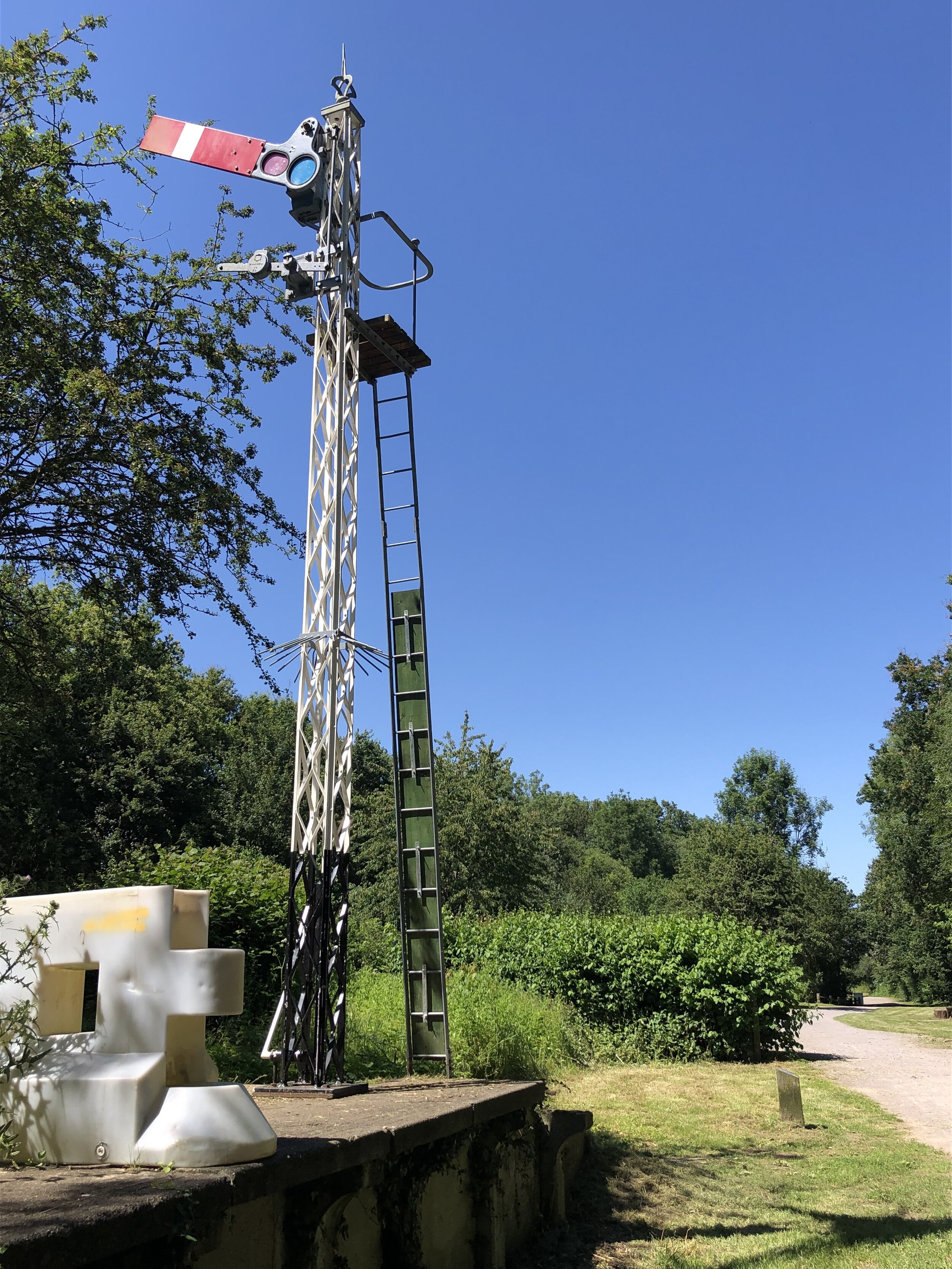
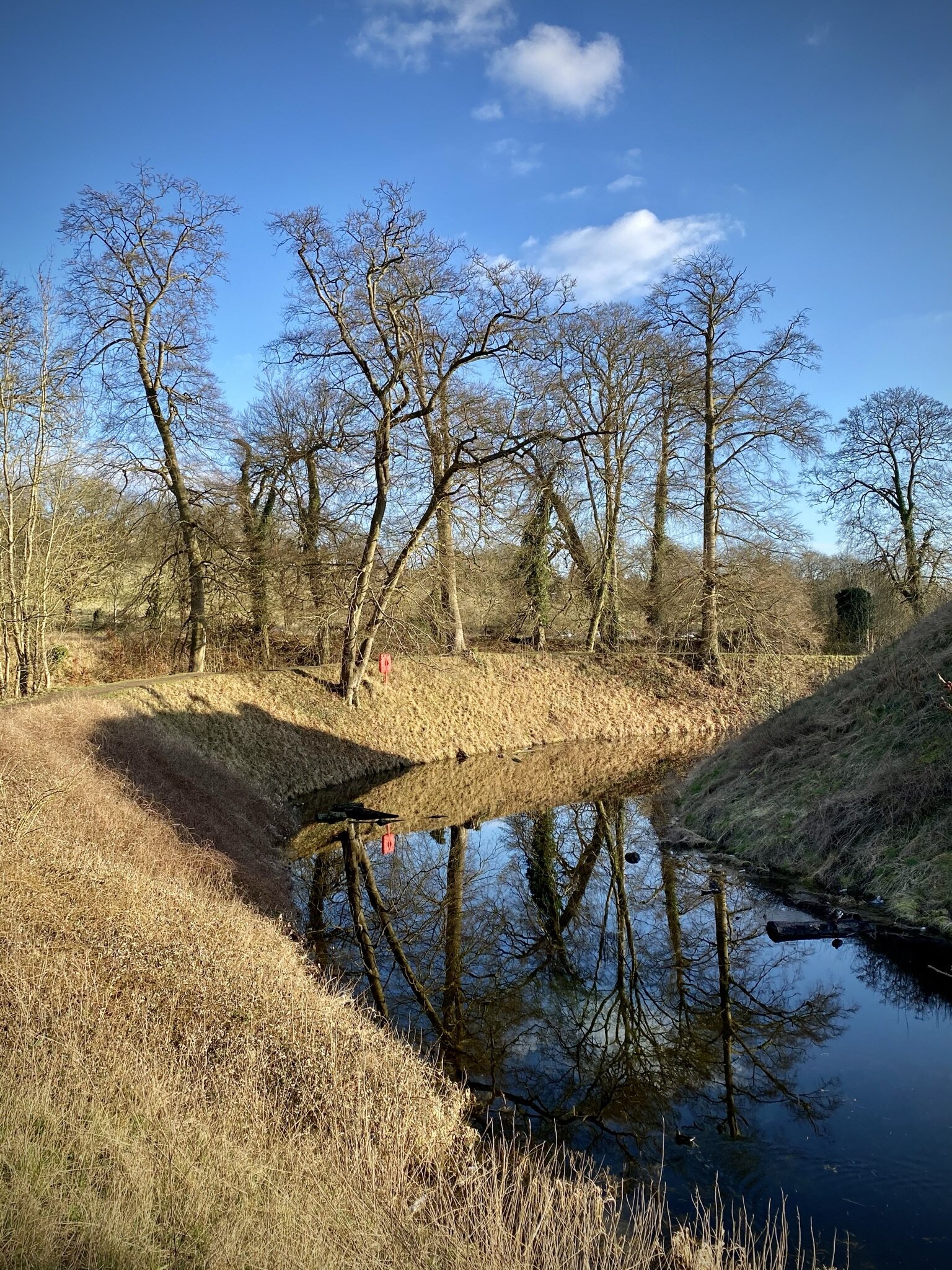
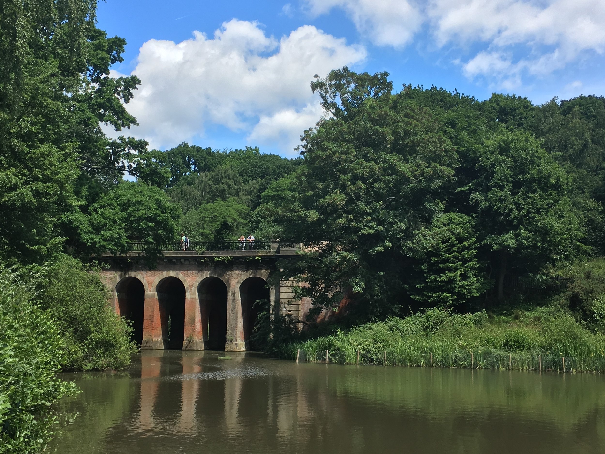
This section after the A40 is littered with old railway sleepers and bits of old railway metal. It’s a great place to explore in an area that attracts relatively few people. Around 500m from the A40 you’ll cross over an old bridge over the River Frays. Climb down the embankment just to the south of the river to get a good view of the old bridge. After the bridge continue along the route of the old railway to the site of the triangle junction that took trains onto the GWR/Chiltern Main Line. The route now ends here as the triangle is now used by a concrete company. Here you have the choice of retracing your steps for 200m to the footpath junction or, as we did, take a circuit of the small fishing lake in the woods to the east.

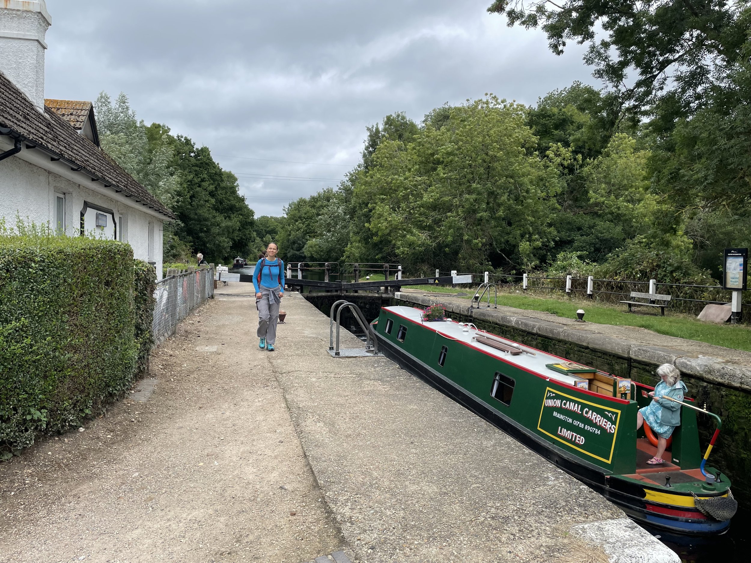
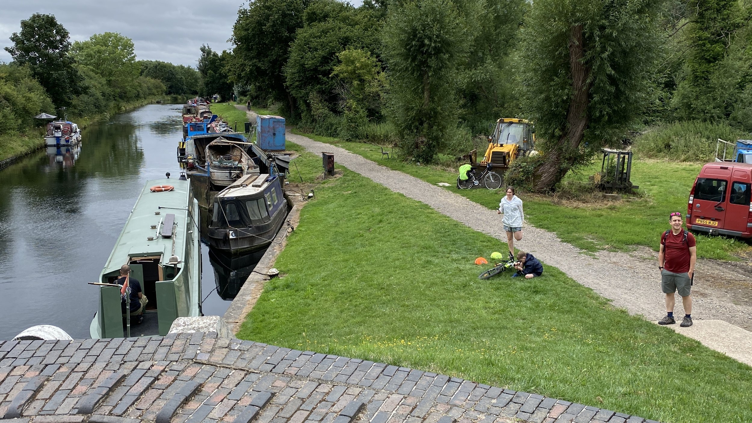
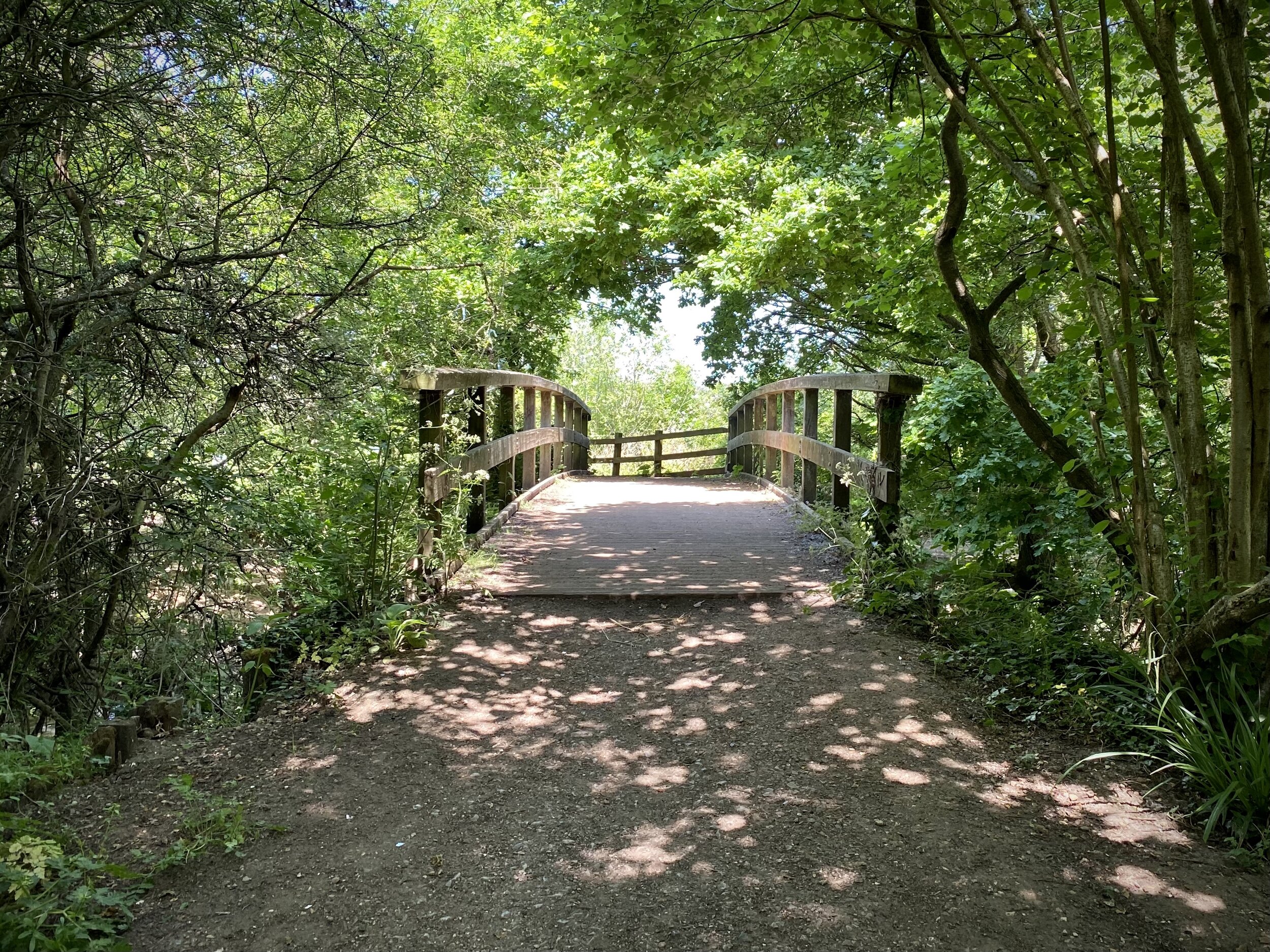
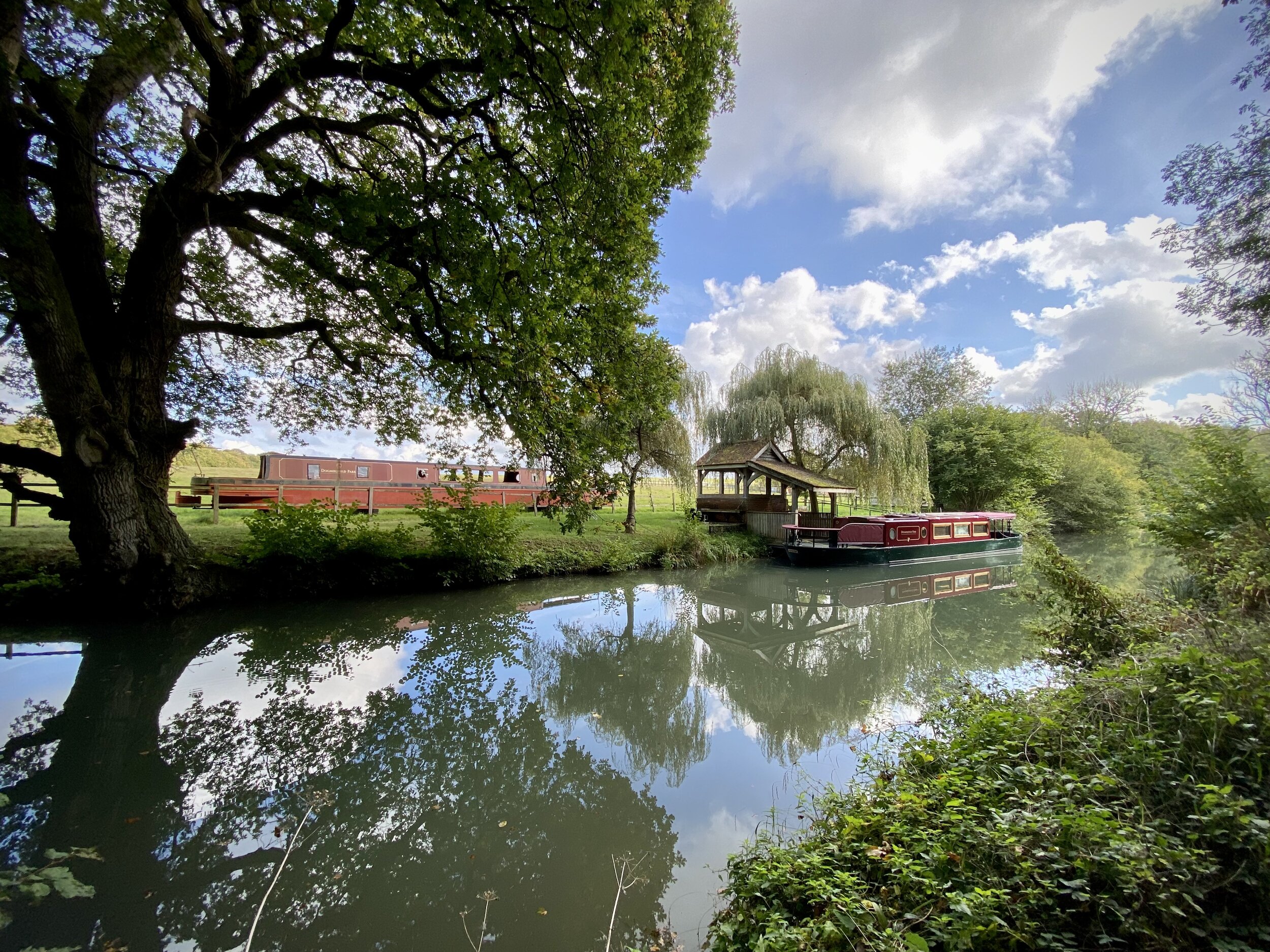
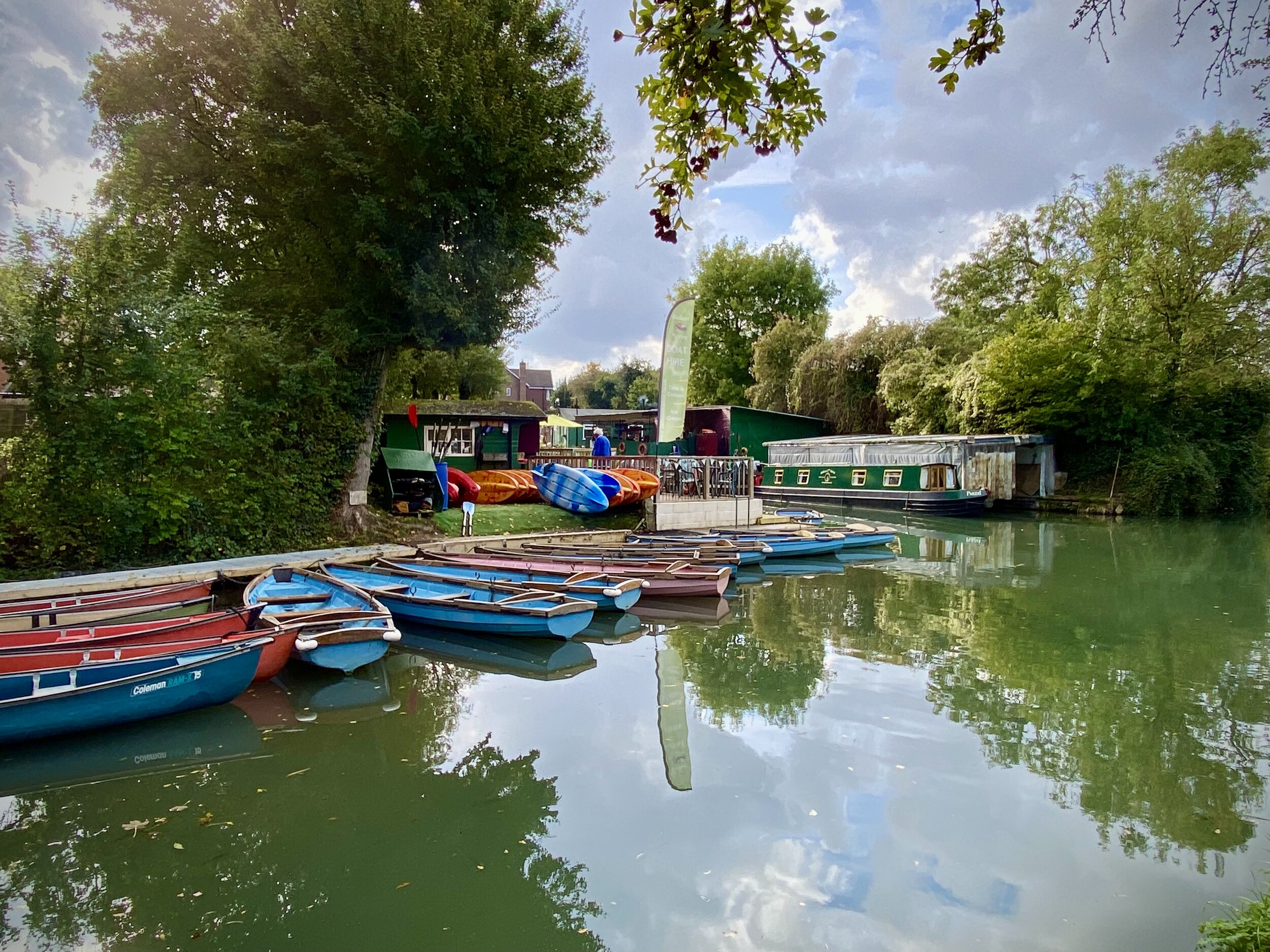
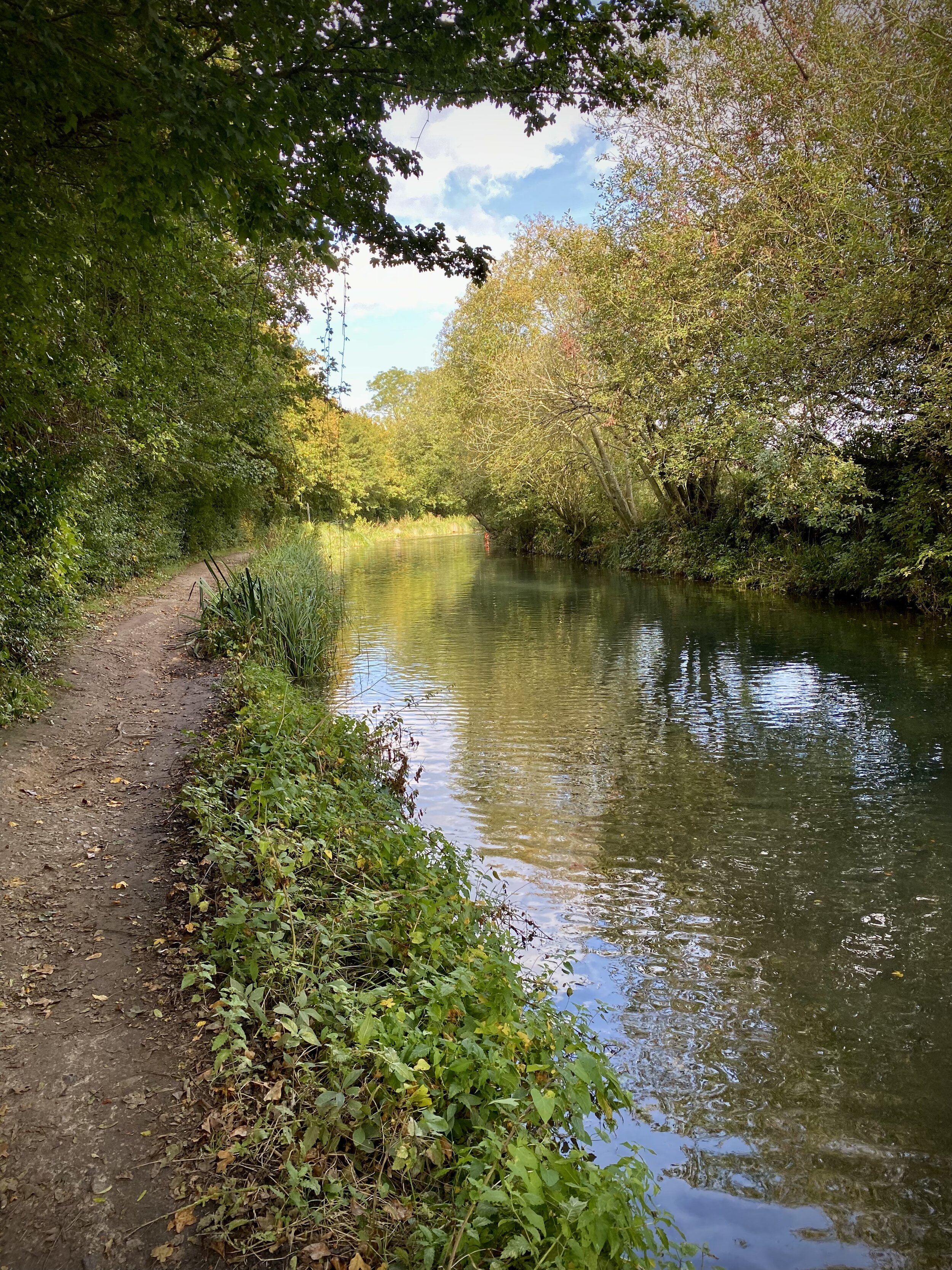
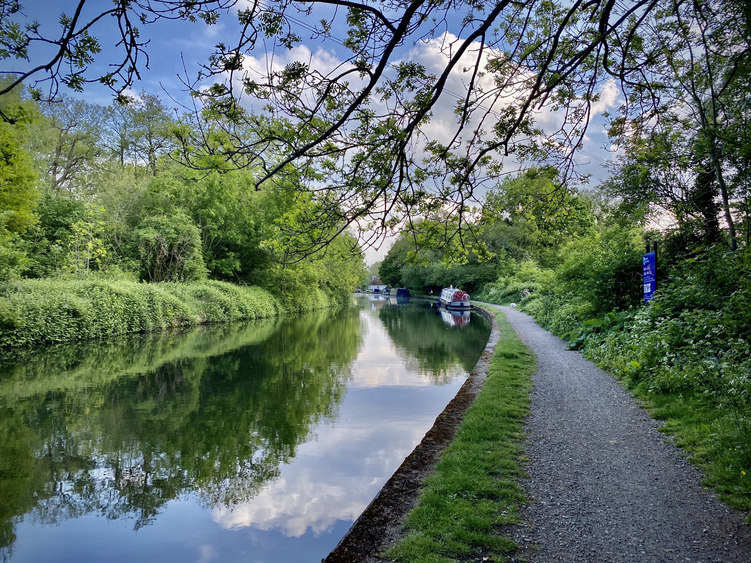
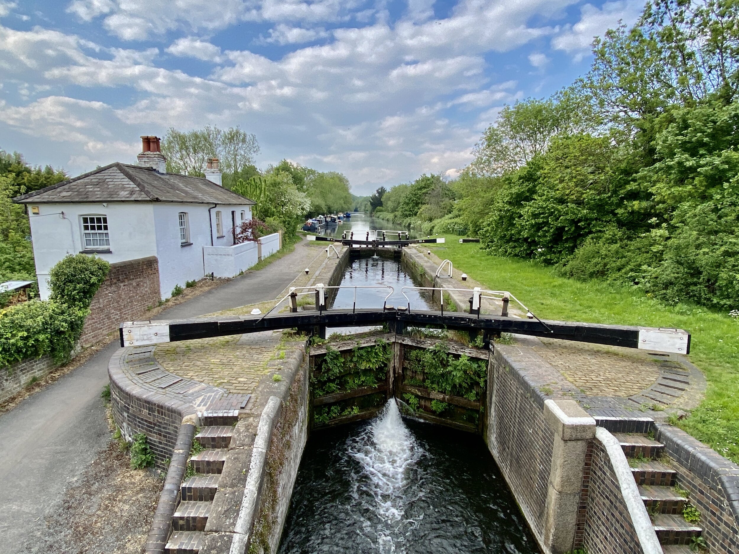
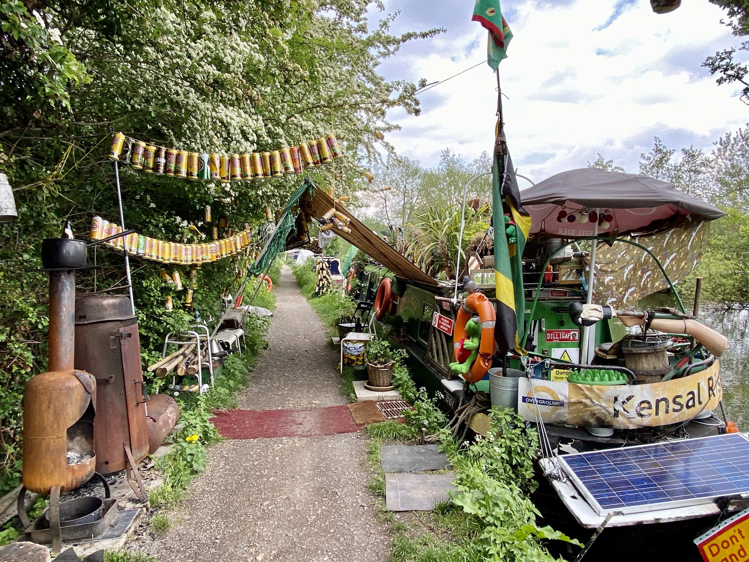
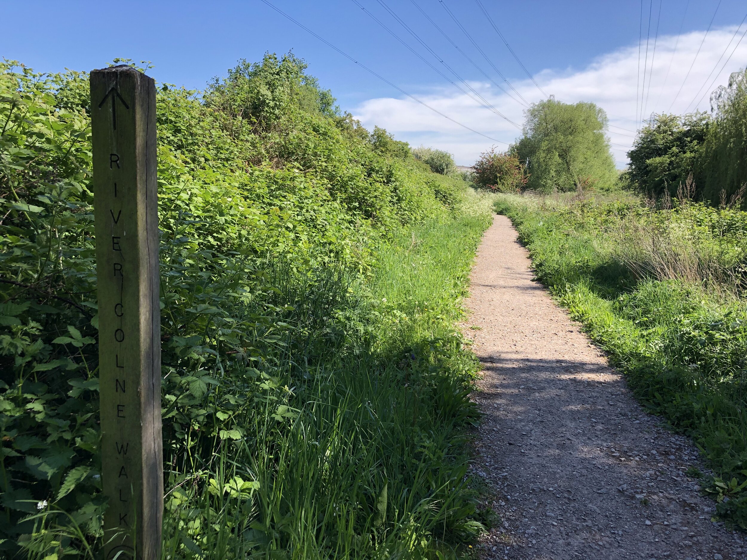
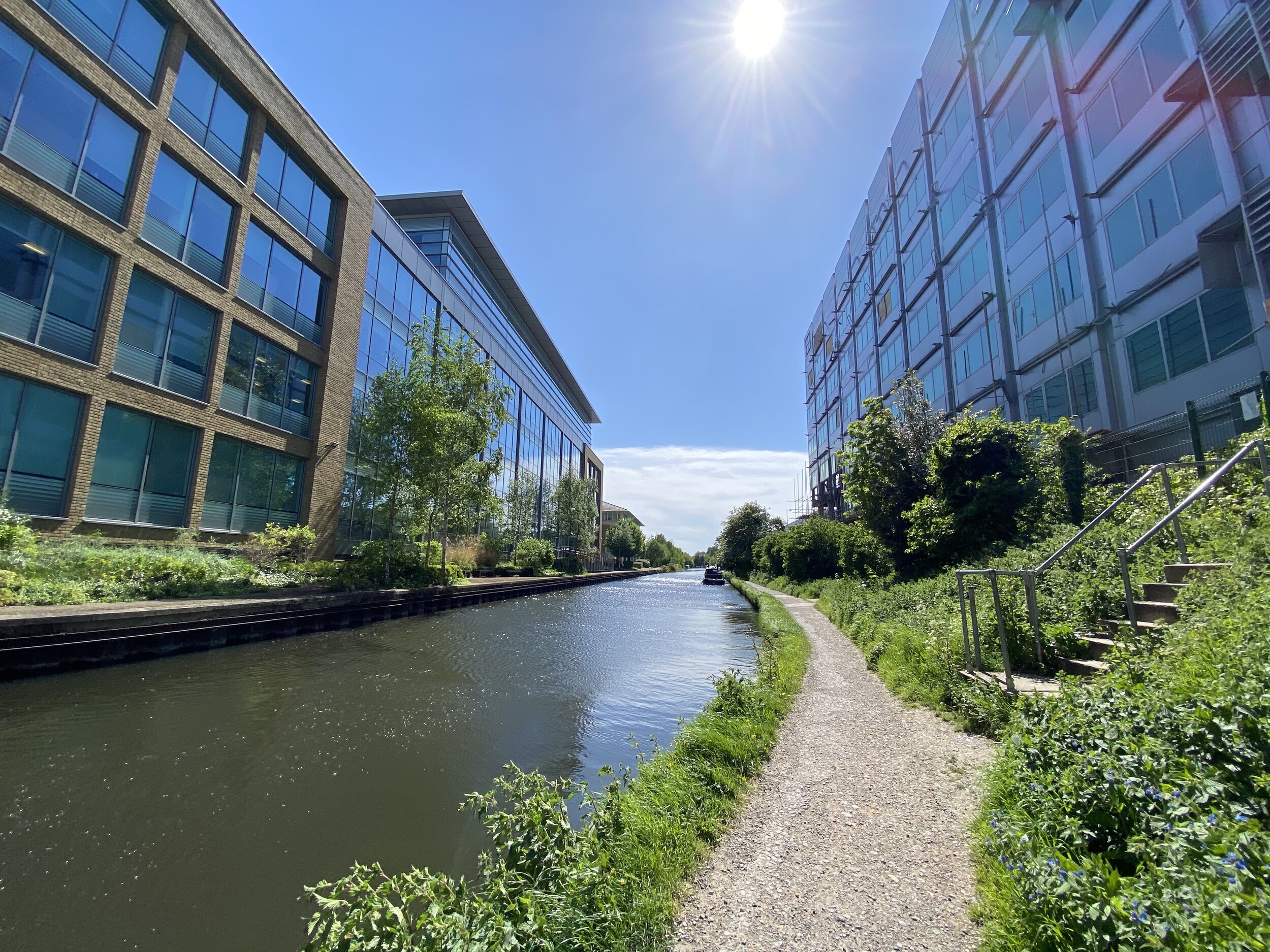
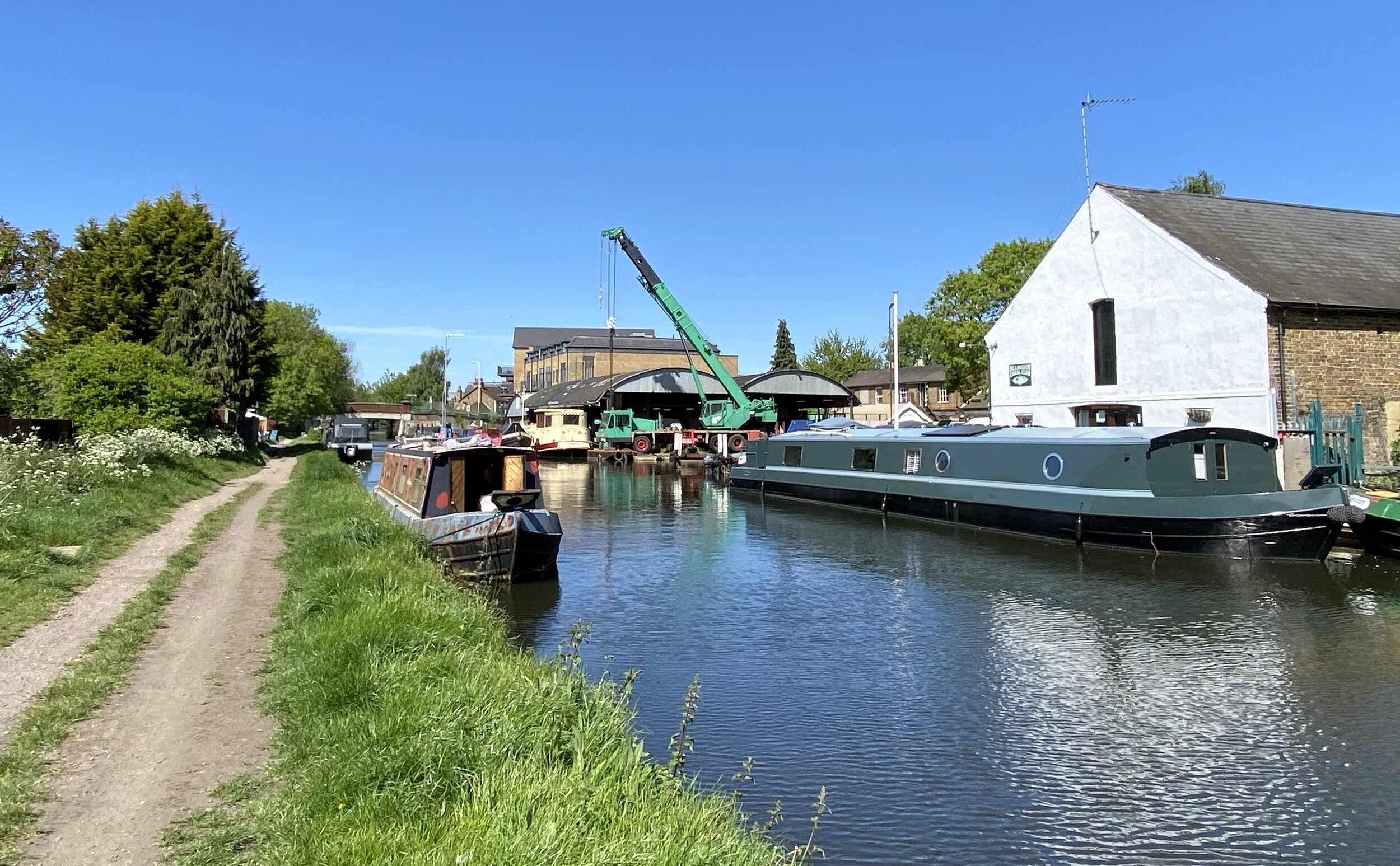
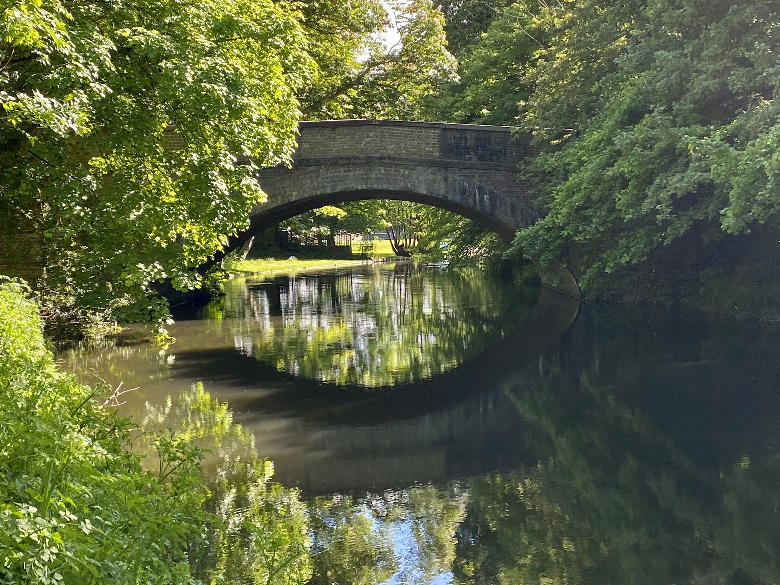
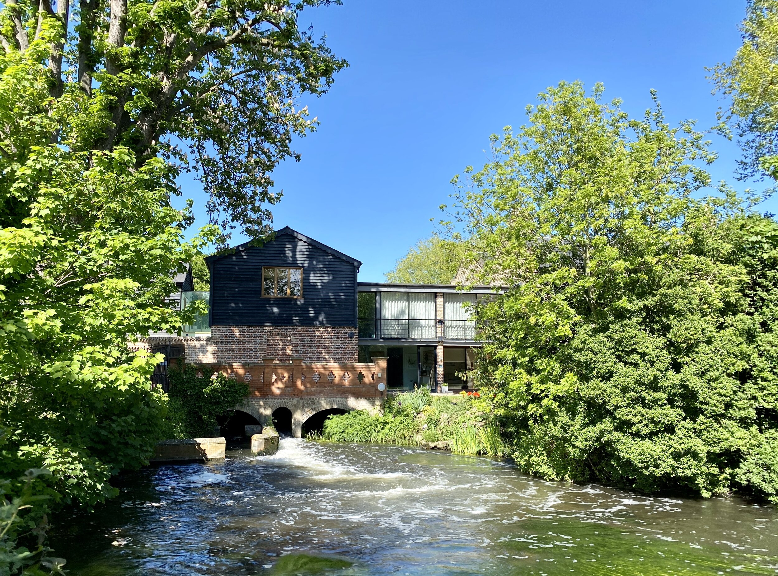
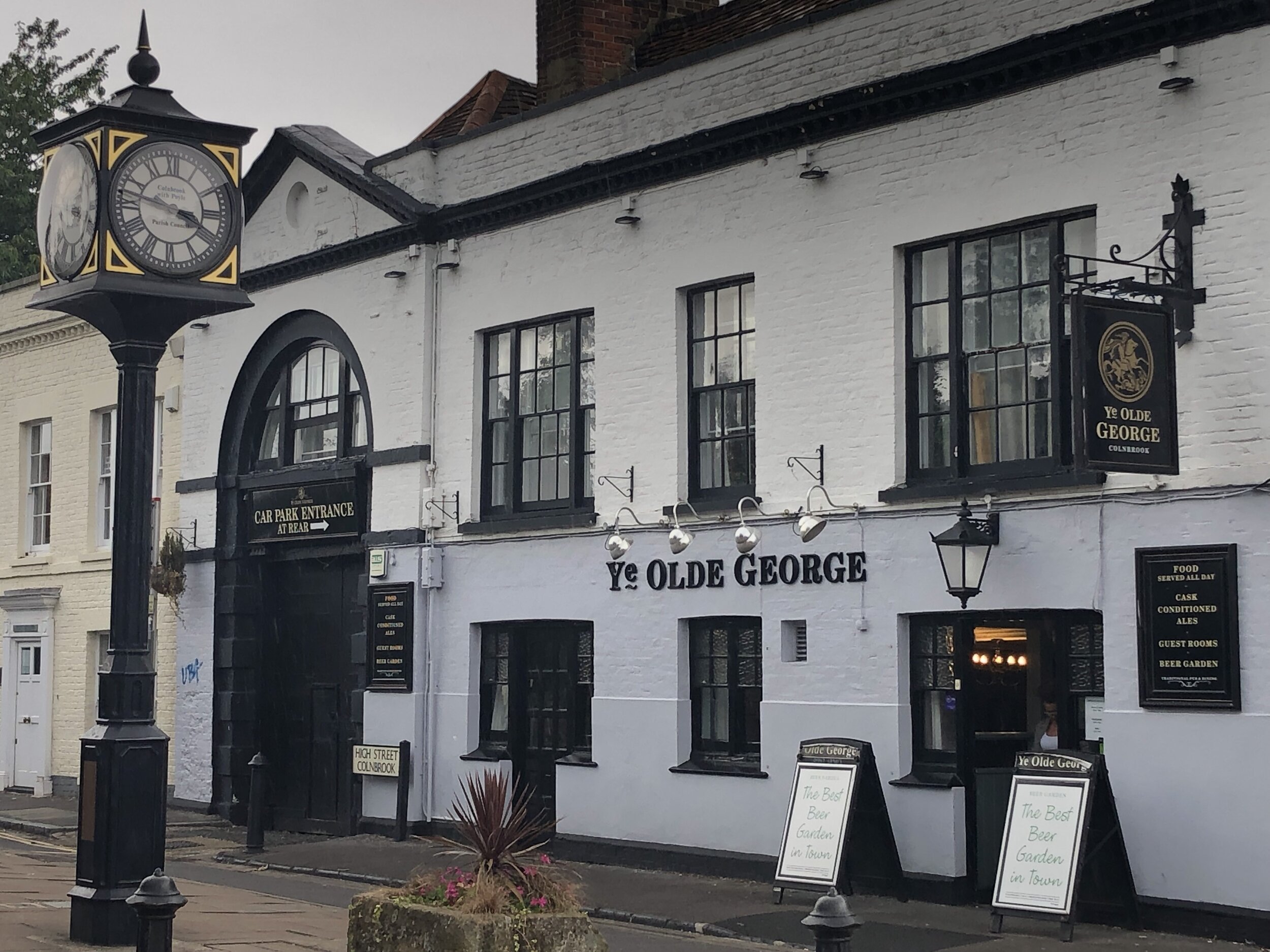
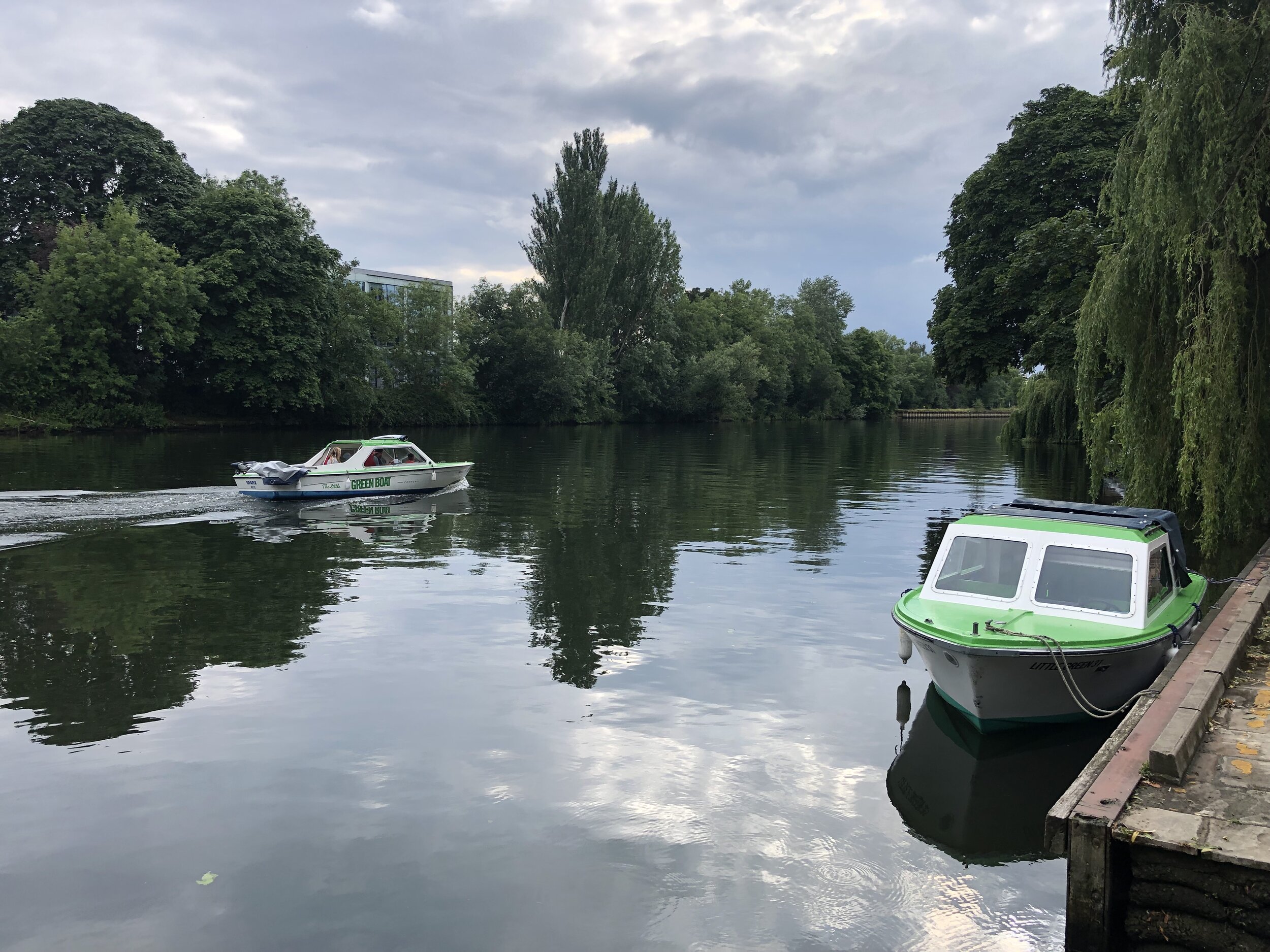
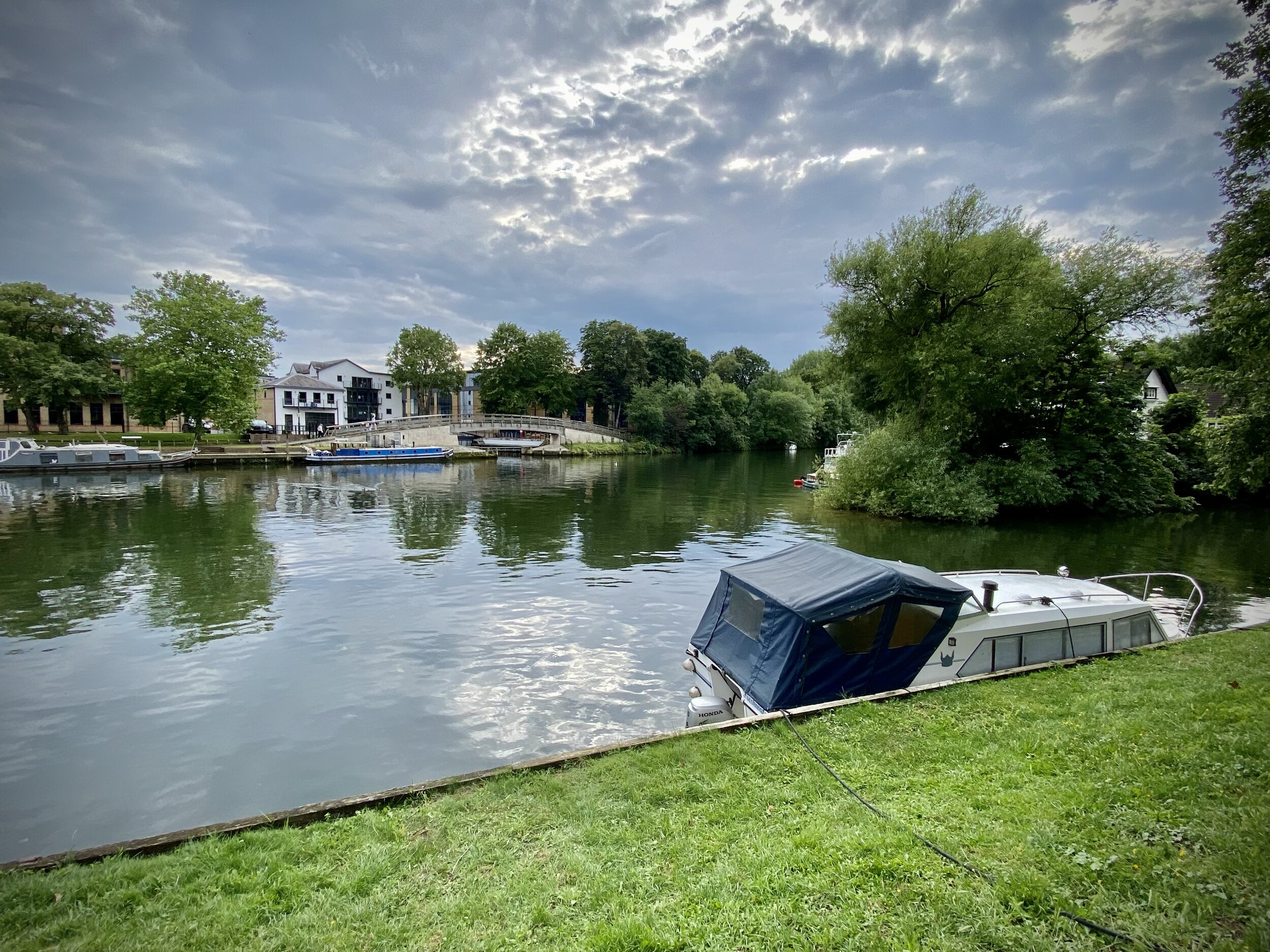
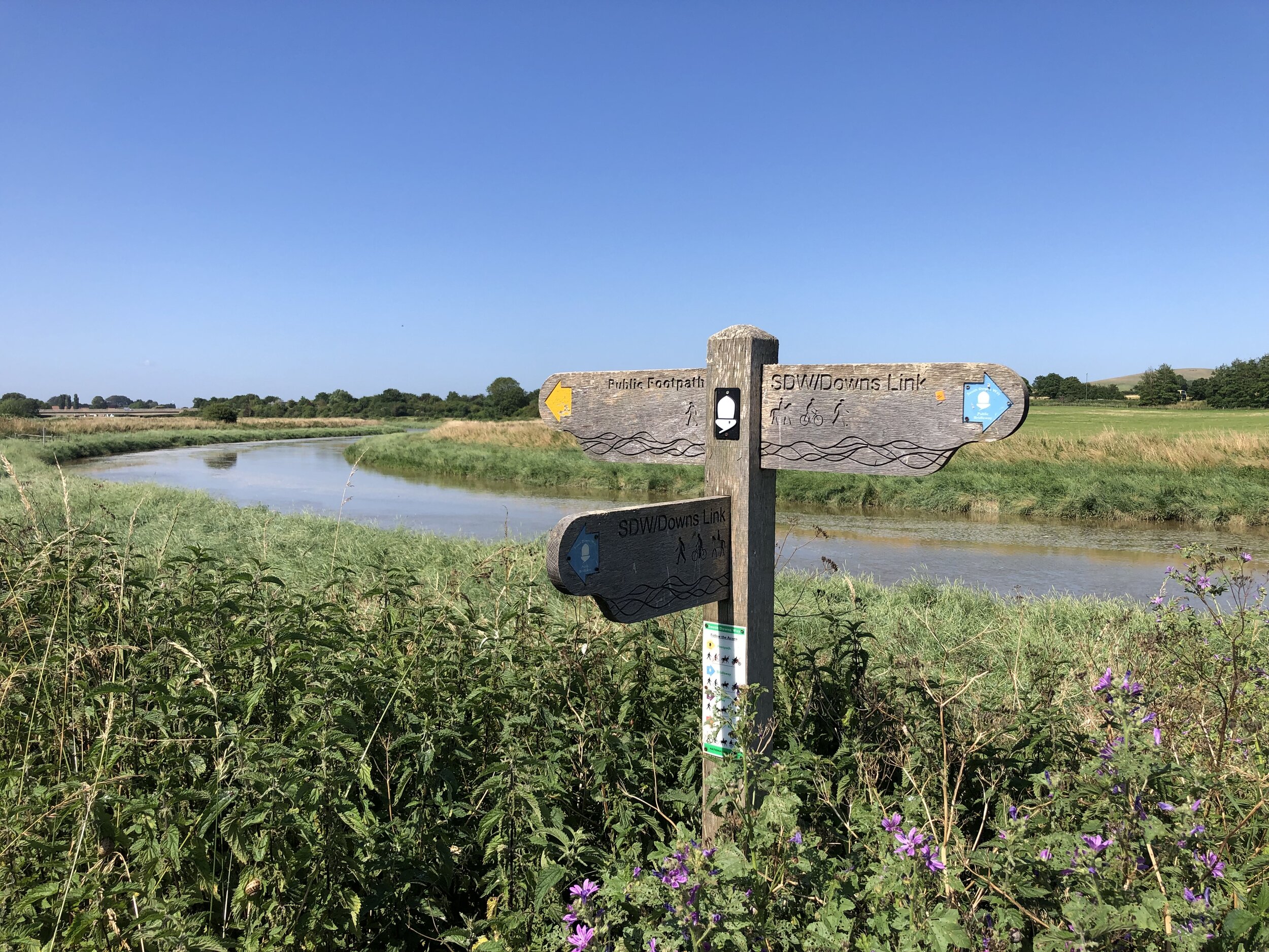
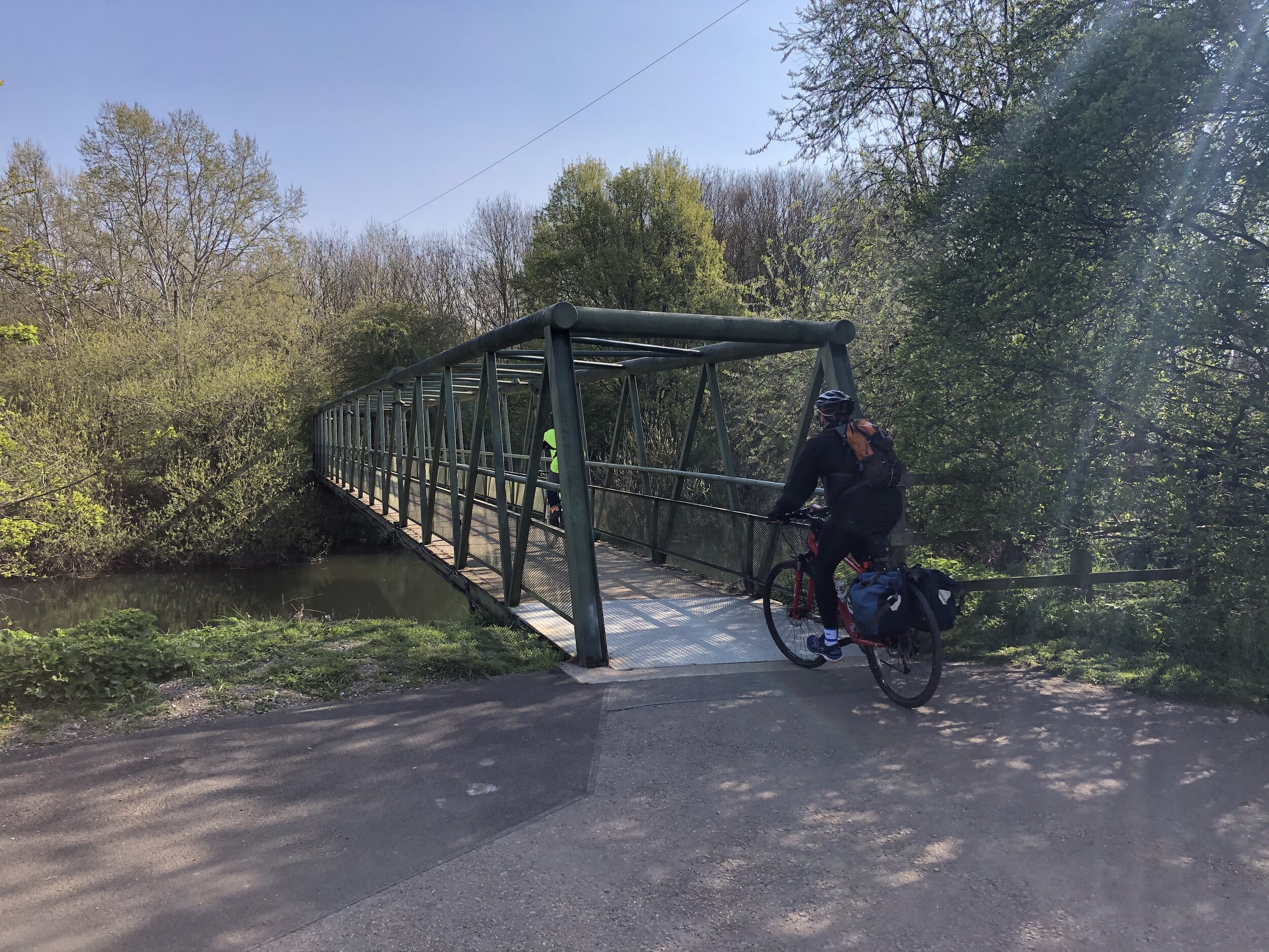
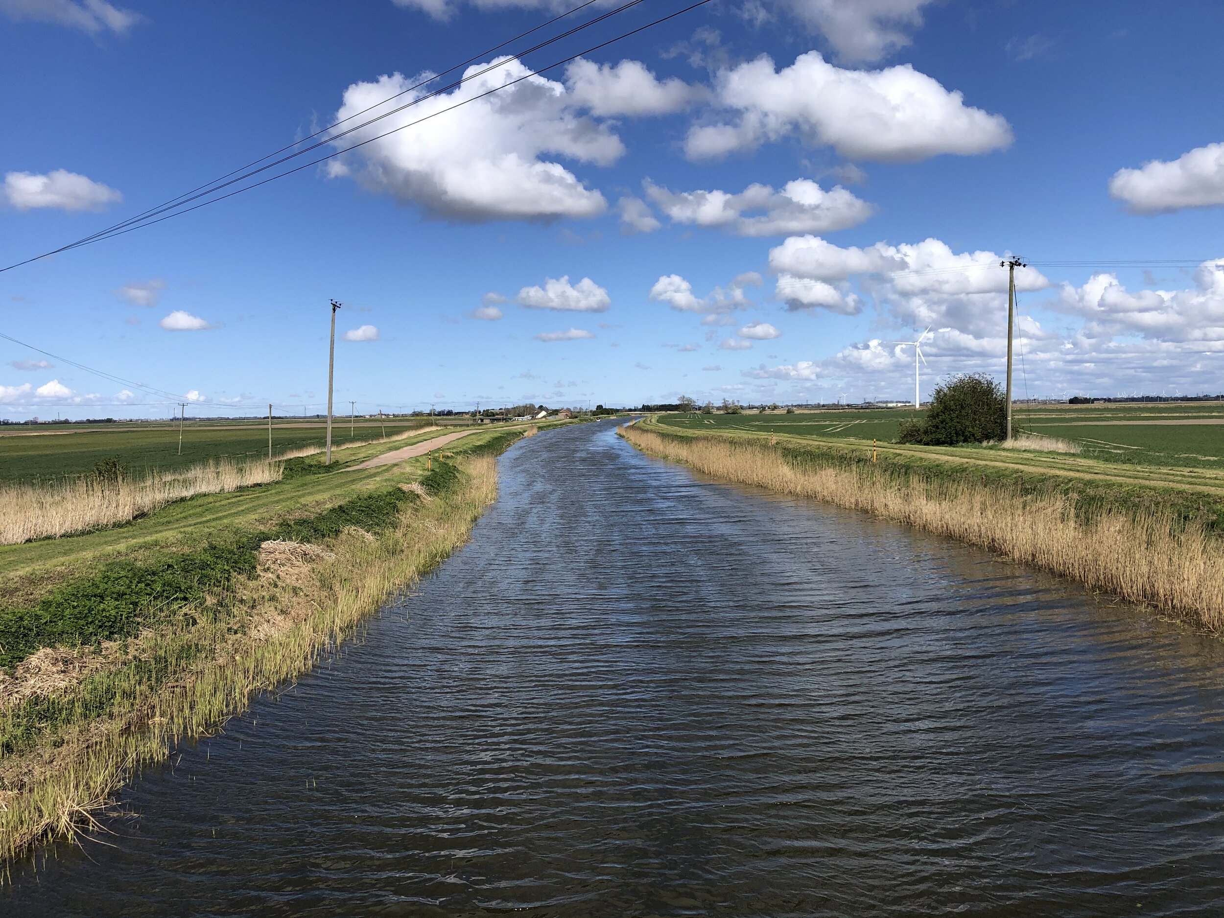
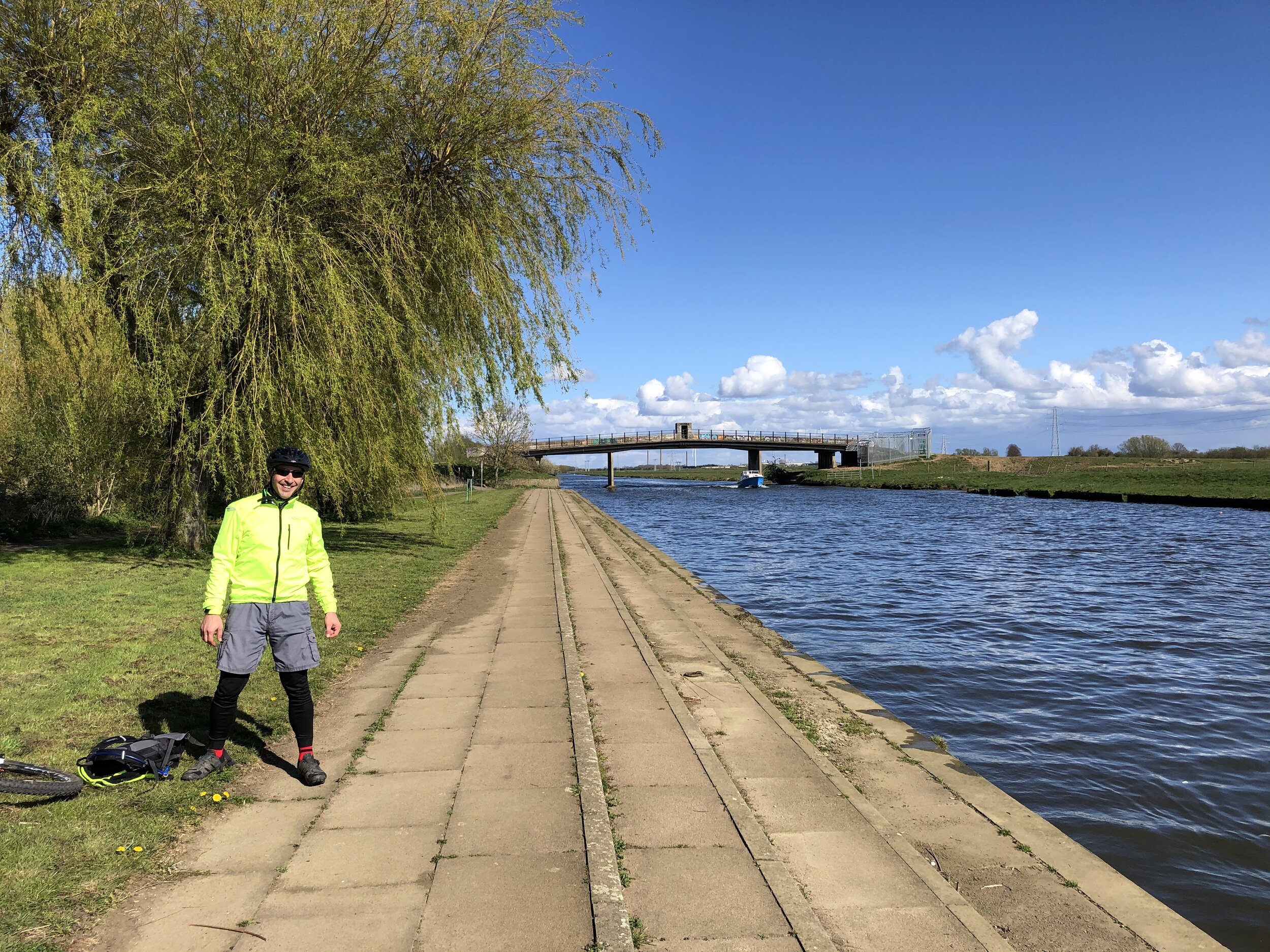
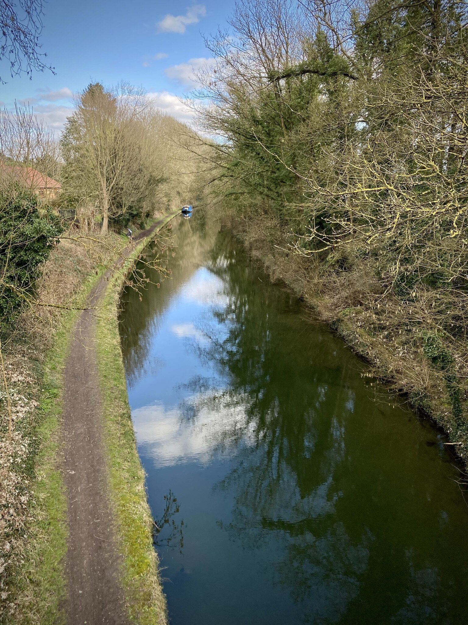
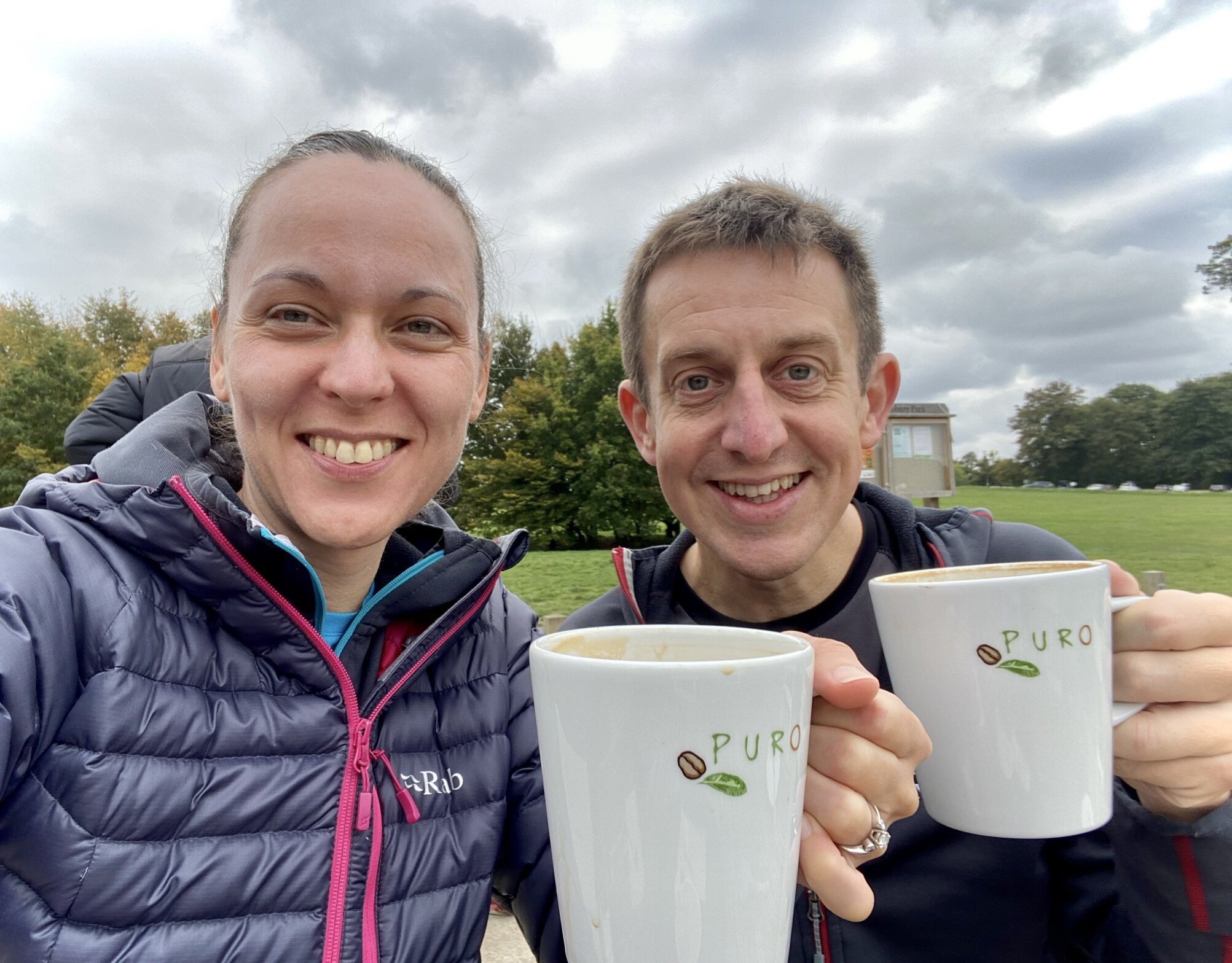
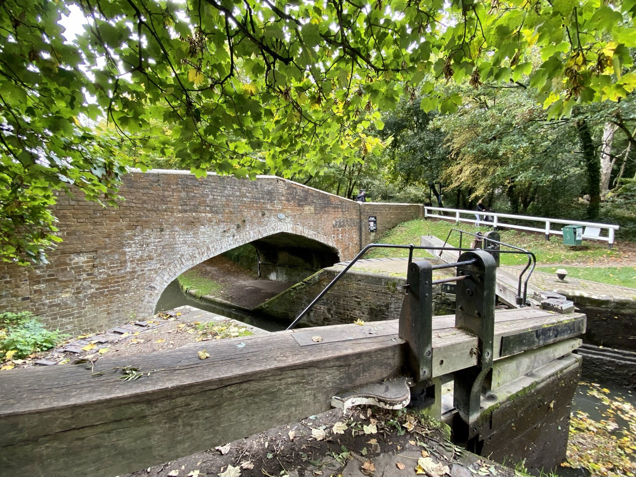
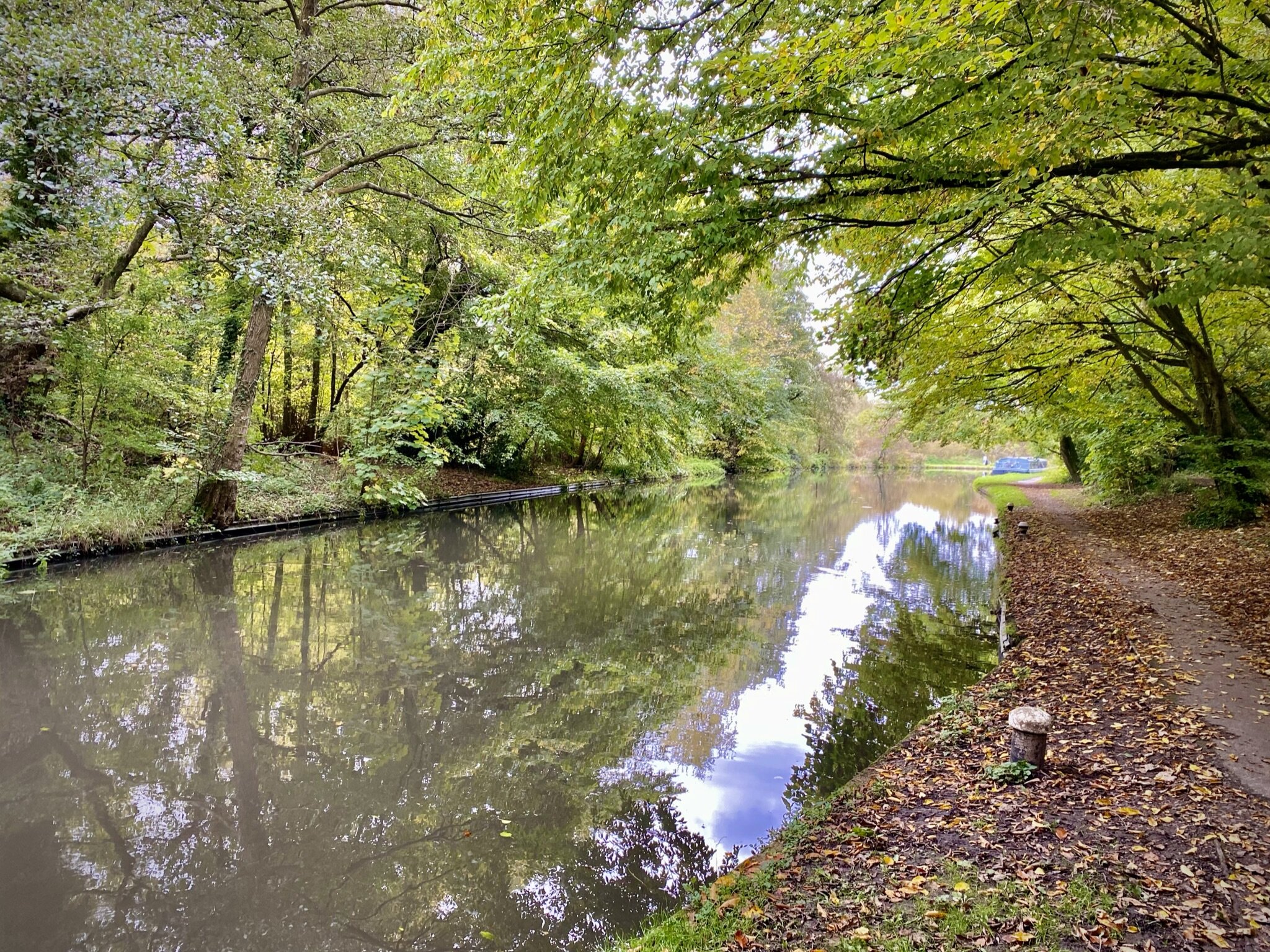
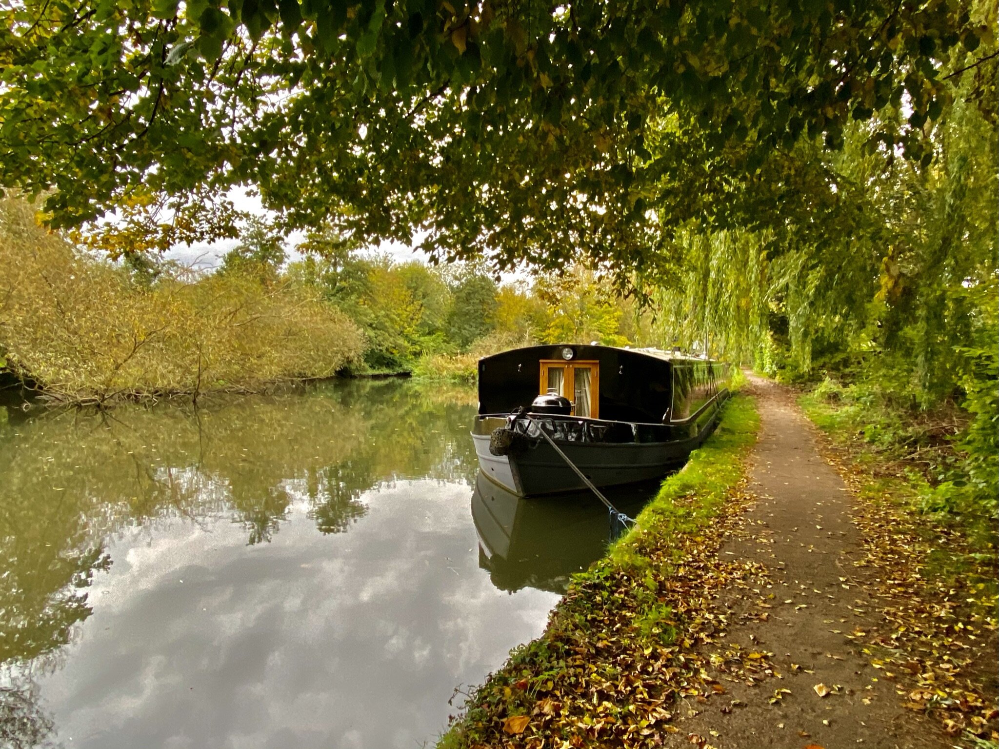
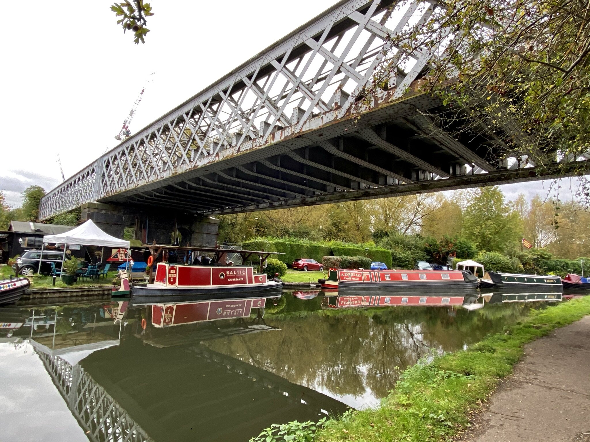
Whichever route you take to return from the end of the line, take the footpath that crosses between the 2 lakes on the eastern side of the old rail line. Cross over the Grand Union Canal and take a left to head south back to Uxbridge. When you pass Denham Deep Lock you could take a right into Denham Country Park to follow the South Bucks Way to Denham Station. As I’d followed that route on the bike the previous week we continued south along the canal. When you return to Uxbridge the Swan and Bottle Pub (next to the canal bridge) is a good place to stop for a rest. Look out for old photos of Uxbridge on the wall and a great map of waterways in the area. From the Swan and Bottle cross the bridge to the eastern side of the canal and back to the start at 106 Oxford Road.


Cycling the Staines to Denham Disused Railways

HS2 train parked up at Colnbrook Station


Start / Finish: Site of Staines West Station: The Old Station, Moor Lane, Staines, TW18 4BB
Distance: 22.9 km (14.2 miles)
Elevation: + 99m / -67m. Net +22m
GPX File: get via Buy Me a Coffee
Other Routes Touched (walk): Colne Valley Way, London Loop, Shakespeare’s Way, Celandine Route, South Bucks Way
Other Routes Touched (cycle): Grand Union Canal Towpath, NCN 6, 61
Pubs / Cafes on route: Fat Boys Cafe, Colnbrook (7.8k in), Several as you pass through West Drayton and Yiewsley (~14 km in), Swan and Bottle pub, Uxbridge (18.8k in), Colne Valley Cafe (21 km in)
Maps:
- Windsor, Weybridge & Bracknell Map | Thames Path | Ordnance Survey | OS Explorer Map 160
- Chiltern Hills East Map | High Wycombe, Maidenshead & Rickmansworth | Ordnance Survey | OS Explorer Map 172
Links: Staines-upon-Thames, Staines Moor, Stanwell Moor, Poyle, Colnbrook, Harmondsworth Moor, West Drayton, Yiewsley, Cowley, Uxbridge, Denham, Colne Valley Regional Park


This is a short cycle adventure inspired by 3 of Geoff Marshall’s London’s Lost Railways videos. It traces 3 separate disused railways that ran from Staines in Surrey to Denham in Buckinghamshire. Much of the route travels through the Colne Valley Regional Park, an interesting mix of countryside, industry and transport links on the western edge of Greater London. I cycled this route as a part of a 100 km circular tour of the Colne Valley, Chiltern Hills, South Bucks and Windsor. There’s a mix of road and off-road sections so it’s best to take a mountain bike or similar.

Check out Geoff’s videos for each section of the route for more detail on each of the lines and stations.


Line 1: Staines West to West Drayton

The Staines to West Drayton Railway was in existence from 1884 to 1965 and once also connected to the Reading to Waterloo Line at Staines. The Staines West Station building is still intact and now used as offices.

From Staines West Station follow Moor Lane until you reach a footpath on the right hand side just ahead of the A30 Staines Bypass. Follow this path to cross over the old bridge that crosses the River Wraysbury and the route of the old railway. Take a left after the bridge to pass under the A30 and onto Staines Moor. Keep to the south-western edge of the moor and find a gate leading to a bridge in the woods and the route of the old railway. Here you’ll find an information board about the railway and steps up to join the old rail line.

Follow the route of the old railway in a northerly direction to meet the site of the old Yeoveney Halt Station. There’s not much left but you can find some concrete remains in a clearing to the right hand side of the track.

Continue north following the edge of the M25 and River Wraysbury and take a path that passes through Junction 14 of the M25 to reach the western edge of the motorway. Just before you join Horton Road take a track heading south for about 100m to the approximate site of the old Poyle Halt Station. Nothing remains. You’re now also at the most westerly point of Greater London.

Retrace your route back from Poyle Halt to meet Horton Road following it west and then join Poyle Road at the roundabout. Take a right on the next roundabout onto Blackthorne road, following it east to the junction of Blackthorne Crescent where you’ll be at the approximate site of Poyle Estate Halt. As with the previous station, nothing remains.

Retrace your route back down Blackthorne Road and take a right back onto Poyle Road heading north, then a right onto Bath Road. Colnbrook Station can be found on the left hand side of Bath Road just after the junction with Meadowbrook Close. The old building still remains and is now a private house called Station Cottage. After Colnbrook Station the rail line is still in use but now only for cargo and not for passengers.

There was one extra station north of Colnbrook station called Colnbrook Estate Halt. There’s nothing left of it and I couldn’t find a way to get close to the location so we cycled on to West Drayton. To do this continue east along Bath Road over the M25 then take the first track on the left which takes you north to Harmondsworth Moor. Pass under the M4 near the M4/M25 junction and onto a road called The Common. Continue north, then right onto Cricketfield Road, right onto Mill Road, left onto Station Road, right onto Warwick Road where you’ll find West Drayton Station and the end of this section.


Line 2: West Drayton to Uxbridge Vine Street

This section follows the Uxbridge (Vine Street) branch line from West Drayton station. The line ran passenger services from 1884 to 1962 and completely closed in 1979. Today nothing remains of Uxbridge Vine Street Station or Cowley Station, the only other station on the route. You can still find evidence of the line in the shape of streets and some road names.

From West Drayton Station cross over High Street and follow Tavistock Road, following the curve of the old railway. Take a right onto Trout Road over the Grand Union Canal, a left through a path onto Chantry Close then a left onto the A408. Taking a right onto Moorfield Road then take a left onto St Martin Close, a right onto New Peachy Lane and a left onto Peachy Lane. Note that in Geoff’s video he found some alleyways between the houses that traced a closer route to the old line.

Take a left off Peachy Lane onto Kingdom Lane, a cycle path that directly follows the route of the old railway. Follow this for 0.5km to Station Road, near the site of the old Cowley Station. Cross Station Road and continue to follow the old rail route up Cleveland Road, Whitehall Road and Kendal Mews. You’ve now arrived at the busy A4020 (Hillingdon Road) dual carriageway that runs through Uxbridge. The Hertz building on the north side of the A4020 is on the site of the old Vine Street Station.


Line 3: Uxbridge High Street to Denham

From the site of Uxbridge Vine Street Station navigate round the roundabout to pick up Oxford Road to the site of the old Uxbridge High Street Station at 106 Oxford Road. There’s no remains of the old station and the site is now a building for the Buckinghamshire New University.

Geoff’s video on this section describes a walk along the route of the old line that connected Uxbridge to the Chiltern main line (formerly GWR) from 1907 to 1964. Having cycled through Alderglade Nature Reserve and Frays Farm Meadows before I remember it being a tricky ride and best tackled on foot. This time we opted for a more cycle-friendly route to the west of the old line. Timea (wife) and I went back to Uxbridge a week later to walk the true route of the old railway and you read about that in my next post.

From 106 Oxford Road we followed the Grand Union Canal Towpath from the Swan and Bottle pub to the southern entrance of Denham Country Park south of Denham Deep Lock. From here follow the South Bucks Way through the Country Park, Buckinghamshire Golf Course, Denham Village and along The Pyghtle to Denham Station. This is the end point of the route along the 3 disused rail lines.


The full cycle route from Staines West to Denham

The full cycle route: all 3 lines from Staines (south) to Denham (north)

Elevation plan for the full cycle route between Staines West and Denham


Stations on the Staines West to Denham Lines

Displayed in order of the cycle route from Staines West to Denham. Click on each photo to connect to the Wikipedia article for the station. Includes West Drayton and Denham which are still operating stations.


More Disused Railway Posts


The South Downs Rivers

Here’s a Tube-style map of the rivers of the South Downs National Park. Let me know if you spot any mistakes and I’ll donate £1 per correction to one of my causes. If you would like a printable PDF version, please Buy Me a Coffee and send me your e-mail via the Contact page. All copies for personal, not commercial use.


Note: the map shows rivers that start, end or pass through the South Downs National Park. There are some rivers that are not included as their source is south of the Park even though they flow into the English Channel or join another river on this map.


Other Posts for the South Downs


Tube-Style Maps


The Great Trails of Scotland

The Great Trails are 29 long distance walking routes established by Scotland Natural Heritage. The Great Trails website is the best place for further information on each. I’ve experienced a few of them on various adventures although it’s only the Great Glen Way that I’ve (kind of) completed so far. That was by bike and followed a path either on or close to the trail.

The above map is a collaboration between Michael Jones and myself based on research and an original design by Michael. Let me know via the Contact form if you spot any errors and I’ll donate £1 to one of my causes for any error corrected.


BLOG POSTS FEATURING THE GREAT TRAILS


MORE INFORMATION ON THE GREAT TRAILS


Tube-Style Maps


Alexandra Palace and The Parkland Walk

Protected View to St Paul’s Cathedral


Start & Finish: Alexandra Palace, Alexandra Palace Way, London N22 7AY
Distance: 11.1 km (6.9 miles)
Elevation change: +/- 138m
GPX File: get via Buy Me a Coffee
Other routes touched (walk): New River Path, Capital Ring
Other routes touched (cycle): None
Pubs / Cafes on route: Many, including: Finsbury Park Cafe, Goods Office (Parkland Walk South), Queens Wood Cafe (Highgate Wood)
Map: OS Explorer 173 London North
Links: Alexandra Palace, New River, Finsbury Park, Parkland Walk, Highgate Wood, London’s Protected Views


This is a short circular walk in north-west London that takes in Alexandra Palace, The New River Path and The Parkland Walk. The Parkland Walk follows a disused railway line and is now an area of calm in a busy part of the capital.

If you’re driving there’s a large car-park at Alexandra Palace that, at the time of writing, takes donations rather than a fixed charge. To access the route by public transport, the route passes close to Hornsea and Harringay rail stations and Highgate tube on the Northern Line.

At Alexandra Palace find the view point on the terrace at the centre of the south side of the main building. This is a Protected View to St. Paul’s Cathedral, although we couldn’t see St Paul’s even through the viewfinder. Must have been hiding.

From the view point take the paths through Alexandra Park to the southern exit to North View Road. Here you can either take a left onto the path following the southern edge of the park, or follow North View Road and Newlands Road as they run parallel to the path. We were there after a lot of rain and the path was muddy so we took the roads. The path and Newlands Road join just before Campsbourne Play Centre. Follow Newlands Road, then Greenways in an easterly direction until you reach the New River Path.

Follow the New River Path in a southerly direction for 2.6km until the junction of Alroy Road and Endymion Road. Take a right onto Endymion Road and follow it south until the entrance to Finsbury Park. Enter the park and follow the path on the western edge down to meet the Capital Ring just south of the Finsbury Park Café. Take a right onto the Capital Ring, cross the footbridge over the rail line and join the Parkland Walk.

Parkland Walk South

The Parkland Walk follows the route of the old railway line that ran from Finsbury Park station to Alexandra Palace. The route of the southern, and longer, section of the Parkland Walk runs from Finsbury Park (the park not the station) to the Holmesdale Tunnels near Highgate tube station.

Disused Stations Passed:

When you reach the western end of Parkland Walk have a look at the entrance to the tunnels before leaving the path. These are now blocked off to protect the bats that now live there. Leave the Parkland Walk at Holmesdale Road and follow signs for the Capital Ring. You’ll pass through Priory Gardens, Queen’s Wood and Highgate Wood. The Queen’s Wood Café is a great place to stop for a rest ahead of the final 2 km. Once you have crossed Muswell Hill Road from Queen’s Wood into Highgate Wood, leave the Capital Ring and follow the path on the eastern edge of Highgate Wood to the north-east corner at Cranley Gardens.

If you want to stay true to the route of the old rail line, you could follow the path on the western side of Highgate Wood instead.

Parkland Walk North

After Highgate Wood, the Parkland Walk can be picked up again on the junction of Muswell Hill Road and Cranley Gardens (road). This section of the Walk exits into Alexandra Park where you’re a very short walk back to the start.

Disused Stations Passed:


More Disused Railway Posts


Walking Trails in The Colne Valley

The Colne Valley Regional park is a fascinating mix of countryside and industry to the west of London. As the name suggests, it follows the River Colne and stretches from Rickmansworth in the north to Staines in the south. Rickmansworth is where the Colne picks up the waters carried by the Chess, Gade and Ver from the central Chilterns. Exploring further down the valley you’ll find rivers, streams canals and lakes before the waters reach the Thames at Staines.

There’s a lot of industry too, with the park cut through with the M25, M4, M40, train and tube lines and, under construction, HS2. For those, like the Colne Valley Landscape Partnership who protect the park, it’s a never-ending mission. For unspoilt beauty, the nearby Chiltern Hills AONB is the place to go. For interesting walks, diverse landscapes and accessibility to London, there’s a lot to do in the Colne Valley.

Living nearby and needing to stay local during the Covid lockdowns, I spent a lot of time exploring the Colne Valley Trails. Most are medium-distance point-to-point trails that can be completed in short sections or one long summer day. Although we had the benefit of use of 2 cars for our trips, the start and end of most of the trails or sections can also be accessed by public transport.

Here’s the map of the routes with links to each below.


The Trails

  • Beeches Way. Runs for 27 km from Cookham to West Drayton. The Shakespeare’s Way follows the Beeches Way through the Colne Valley

  • Celandine Route. Runs for 19 km along the River Pinn from Pinner to the Grand Union Canal at Yiewsley

  • Chess Valley Walk. Runs for 16 km along the River Chess from Chesham to Rickmansworth.

  • Colne Valley Trail. Runs for 33 km along the River Colne from Rickmansworth to Staines. The southern parts of the trail are called the Colne Valley Way.

  • Grand Union Canal Towpath. Runs for 220 km from Birmingham to London.

  • Hillingdon Trail. Runs for 32 km from Springwell Lock on the Grand Union to Cranford Park near Heathrow.

  • London Loop. Runs for 242 km in a circle around London.

  • Slough Arm Canal. Runs for 10km from Slough to Yiewsley.

  • Thames Path. Runs for 298 km from Kemble in Gloucestershire to the Thames Estuary, east of London.


Walking The Three Castles Path Part 1: Windsor to Greywell
Windsor Castle and the start of the Three Castles Path

Windsor Castle and the start of the Three Castles Path


The Three Castles Path is a 60 mile trail from Windsor to Winchester, inspired by the travels of King John. The three castles that it refers to are Windsor Castle, Winchester Castle, and King John’s own Odiham castle at the half way point. The trail is very well described in the short guidebook The 3 Castles Path by Heron Maps.

Our journey along the path was a reunion of our small group that did the Caminos Ingles and Finisterre in 2019. The Covid lockdowns had thwarted many of our plans for long trips so we covered this first section of the path in sections around the Lockdowns. Our trip was based on roughly 10k sections with good parking options at either end. These are different sections to those described in the guidebook which also details public transport options.

We’ll get to the second half of the path another time. It’s further from home with fewer parking options on some sections so will need some more planning.


Section 1. Windsor Castle to Ascot

Start: Windsor Castle, Castle Hill, Windsor
Finish
: Free car parking, High Street, Ascot, SL5 7HS
Distance: 11.6 km (7.2 miles)
Elevation change: +128m / -90m. Net +38m
GPX File: get via Buy Me a Coffee
Other routes touched (walk): None
Other routes touched (cycle): NCN 4, Ascot To Windsor Cycle Route, Round Berkshire Cycle Route 52
Pubs / Cafes on route: None on route but several in Windsor and Ascot High Streets
Map: OS Explorer Map (160) Windsor, Weybridge & Bracknell
Links: Windsor, Windsor Castle, Windsor Great Park, Ascot, Ascot Racecourse

route-34711377-map-full.png
elevation_profile.jpg

Section 2. Ascot to Swinley Forest

Start: Free car parking, High Street, Ascot, SL5 7HS
Finish
: The Look Out Discovery Centre, Nine Mile Ride, Bracknell, RG12 7QW
Distance: 8.3 km (5.2 miles)
Elevation change: +68m / -41m. Net +27m
GPX File: get via Buy Me a Coffee
Other routes touched (walk): Ramblers’ Route
Other routes touched (cycle): NCN 422, Ascot To Windsor Cycle Route
Pubs / Cafes on route: None on route but The Look-out has a cafe and Horseshoe Lake has a kiosk.
Map: OS Explorer Map (160) Windsor, Weybridge & Bracknell
Links: Ascot, Ascot Racecourse, North Ascot, Swinley Forest, The Lookout Discovery Centre

route-34711580-map-full.png
elevation_profile.jpg

Section 3. Swinley Forest to Horeshoe Lake

Start: The Look Out Discovery Centre, Nine Mile Ride, Bracknell, RG12 7QW
Finish
: Horseshoe Lake Car Park, Sandhurst, GU47 8JW
Distance: 10 km (6.1 miles)
Elevation change: +74m / -127m. Net -53m
GPX File: get via Buy Me a Coffee
Other routes touched (walk): Ramblers’ Route, The Wokingham Way, Ambarrow Hill Circuit, Ambarrow Court Circuit
Other routes touched (cycle): Swinley Forest Mountain Bike Routes
Pubs / Cafes on route: None on route but The Look-out has a cafe and Horseshoe Lake has a kiosk.
Map: OS Explorer Map (160) Windsor, Weybridge & Bracknell and OS Explorer Map (159) Reading, Wokingham and Pangbourne
Links: Swinley Forest, The Lookout Discovery Centre, Broadmoor Hospital, Sandhurst, Horseshoe Lake

route-34755124-map-full.png
elevation_profile.jpg

Section 4. Horseshoe Lake to Hartley Wintney

Start: Horseshoe Lake Car Park, Sandhurst, GU47 8JW
Finish
: Cricket Green, Hartley Wintney, Hook RG27 8QB. Parking at Hartley Wintney Long Stay, 484 Monachus Lane, Hartley Wintney, RG27 8NN
Distance: 12 km (7.5 miles)
Elevation change: +103m / -91m. Net -12m
GPX File: get via Buy Me a Coffee
Other routes touched (walk): The Wokingham Way, Blackwater Valley Park
Other routes touched (cycle): None
Pubs / Cafes on route: None on route but several in Hartley Wintney and Horseshoe Lake has a kiosk.
Map: OS Explorer Map (159) Reading, Wokingham and Pangbourne and OS Explorer Map (144) Basingstoke, Alton and Whitchurch
Links: Horseshoe Lake, Blackwater Valley, River Blackwater, River Hart, Hartley Wintney

route-34755130-map-full.png
elevation_profile.jpg

Section 5. Hartley Wintney to Greywell

Start: Cricket Green, Hartley Wintney, Hook RG27 8QB. Parking at Hartley Wintney Long Stay, 484 Monachus Lane, Hartley Wintney, RG27 8NN
Finish
: Fox & Goose Pub, The Street, Hook, RG29 1BY
Distance: 11.9 km (7.5 miles)
Elevation change: +79m / -61m. Net -18m
GPX File: get via Buy Me a Coffee
Other routes touched (walk): Basingstoke Canal Towpath
Other routes touched (cycle): Odiham Circular
Pubs / Cafes on route: Several on Hartley Wintney High Street at start, the Waterwitch in Odiham and The Fox and Goose at the end.
Map: OS Explorer Map (144) Basingstoke, Alton and Whitchurch
Links: Hartley Wintney, Basingstoke Canal, Odiham, Odiham Castle, Greywell, Greywell Tunnel


Downs Link Ultra Marathon
Crossing The Old Shoreham Toll Bridge on the last mile

Crossing The Old Shoreham Toll Bridge on the last mile


When: October 10th 2021
Start
: Church of St Martha-on-the-Hill, Halfpenny Lane, Guildford, GU4 8PZ
Finish: 3rd Shoreham Sea Scouts, Shoreham-by-Sea, BN43 5LT
Distance: 61.3 km (38.1 miles)
Elevation change: +456m / -622m (Net -166m)
GPX File: get via Buy Me a Coffee
Other routes touched (walk): North Downs Way, Tillingbourne At Work (SCC), Wey South Path, The Fox Way, Greensand Way, Sussex Border Path, West Sussex Literary Trail, South Downs Way
Other routes touched (cycle): NCN 22, 223
Maps:
- OS Explorer Map (145) Guildford and Farnham
- OS Explorer OL34 Crawley & Horsham
- OS Explorer OL11 Brighton and Hove
Finish time: 8 hours 32 minutes
Links: Downs Link (Wikipedia), The Cranleigh Line, The Steyning Line, St Martha’s Hill, Surrey Hills AONB, Wey and Arun Canal, South Downs National Park


This was a return to familiar territory for Mark and I. We’d cycled the Downs Link in July and passed by St Martha’s church on the Hardest of Snails 10k shortly after. Running the whole of the 38 mile trail was an altogether bigger challenge. This was also Mark’s first Ultra and my first running one with a friend.

I had worked out a plan to get us through it at a steady pace with 30 minutes contingency for the 10 hour cut-off. I have a consistent pace for Ultras, but not knowing how Mark would get on I didn’t know whether we would be able to stick together or not.

The first 6.4k to the old railway path is steep and hilly. With a lot of runners packed tightly into narrow paths you have to go at the speed of the group. This was a comfortable pace for a short race but faster than I had planned for this. I couldn’t see Mark at all in this first section and was worried that I was getting a long way ahead. I needn’t have worried as he arrived at the first Aid Station 30 seconds behind me.

This was the pattern for the first half of the race. I was slightly ahead on each section and we met up at the Aid Stations. Somewhere between Henfield and Steyning we’d both slowed to a fast walk and kept together to the end. By the finish point at Shoreham-by-Sea we were a hour ahead of our planned time and well within the official cut-off.

This is billed as a great Ultra for first timers and I’d argue that it’s a great one all round. After the first 6.4k it’s mostly flat and on good ground. There’s a few long straight stretches that got a bit boring but made up for by the remains of the old stations along the way. See my post on the cycle trip for more about these.

Running and crossing the finishing line with a friend made it special for me. Well done Mark on joining the Ultra club and huge thanks for Mark’s family for supporting us along the way.


route-37749906-map-full.png
elevation_profile.jpg

Walking The Colne Valley Trail and the Colne Valley Way
IMG_4007.jpg

The Colne Valley Trail runs the length of the Colne Valley Regional Park from Rickmansworth in the North to the River Thames at Staines at the Southern End. The Southern Sections are sign-posted the Colne Valley Way although it’s effectively one continuous trail. There’s also a spur connecting Langley Park to The Grand Union Canal at Cowley Lock.

We completed the first 2 sections from Rickmansworth to Yiewsley in Spring 2020. The bridge over the M4 was currently closed at the time due to roadworks and we completed the 3rd section in July 2021 when the bridge re-opened.

The guidance below will help you navigate but don’t use it as a fully accurate turn-by-turn guide. Always take a map and/or a GPX route and prepare well for the weather and terrain.


SECTION 1 - RICKMANSWORTH TO UXBRIDGE

Start: Rickmansworth Aquadrome, Frogmoor Lane, Rickmansworth WD3 1NB
Finish: The Swan and Bottle, Oxford Rd, Uxbridge UB8 1LZ
Distance: 11.5 km (7.1 miles)
Elevation change: +38m / -50m. Net -12m
GPX File: get via Buy Me a Coffee
Other routes touched (walk): Grand Union Canal Towpath, Hillingdon Trail, London Loop
Other routes touched (cycle): NCN 6, 61
London Coal Duty Posts: 60
Other Pubs / Cafes on route: The Cafe in the Park at Rickmansworth Aquadrome, The Coy Carp at Harefield Lock
Map: OS Explorer Map (172) Chiltern Hills East
Links: Colne Valley Regional Park, Rickmansworth, Uxbridge

If you’re arriving by public transport, Ricksmansworth Station is a short walk to the start of the trail. If you’re driving the Car Park at Rickmansworth Aquadrome is best. For either start option I recommend the Cafe in The Park at the Aquadrome for an amazing coffee and cake combo to get you going.

This first section of the walk is very easy to navigate as it pretty much sticks to the towpath of the Grand Union Canal. It’s also very well signposted so the minor diversions off the towpath are unlikely to get you lost.

The end of this section at Uxbridge also offers many parking options and the canal is a short walk from Uxbridge Station. Here you can connect back to Rickmansworth on the Metropolitan Line, changing at Harrow-on-the Hill.


SECTION 2 - UXBRIDGE TO Yiewsley

Start: The Swan and Bottle, Oxford Road, Uxbridge, UB8 1LZ
Finish: Trout Lane, Yiewsley, UB7 7FD
Distance: 6.1 km (3.8 miles)
Elevation change: +17m / -23m. Net -6m
GPX File: get via Buy Me a Coffee
Other routes touched (walk): Grand Union Canal Towpath, Hillingdon Trail, London Loop, Beeches Way, Shakespeare’s Way
Other routes touched (cycle): NCN 6, 61
London Coal Duty Posts: 65, 66
Other Pubs / Cafes on route: The General Eliott, 1 St John's Road, Uxbridge, UB8 2UR
Map: OS Explorer Map (172) Chiltern Hills East
Links: Colne Valley Regional Park, Uxbridge, Yiewsley

From the Swan and Bottle continue South along the canal towpath for ~1.25 km, looking out for signs diverting off the the right (East). The path will take you through a residential area and an unattractive industrial estate for ~500m. This is a minor inconvenience to get you to a much more pleasant narrow stretch of park running South next to the River Colne. After ~1 km you’ll reach the B470 Iver Lane Take a left onto the road then a right onto Old Mill Lane. Follow this for ~1 km to Little Britain Lake. Old Mill Lane runs parallel to the River Frays with a highlight being the Old Mill building which was once abandoned and is now apartments.

At the end of Old Mill Lane turn right, following Packet Boat Lane to the footpath that follows the River Colne. Take a left at the path junction and follow the River Colne South. After ~500m you’ll cross the Slough Arm of the Grand Union Canal and will join the Beeches Way. Continue for another ~500m watching out for the footpath junction. The Beeches Way continues onwards to Yiewsley but the Colne Valley Trail splits off the the right (South). Given the M4 Old Slade Lane bridge closure further South, this was the end of the trail for us for now. We’ll be back later to continue on to Staines.


SECTION 3 - YIEWSLEY TO STAINES

Start: Trout Lane, Yiewsley, UB7 7FD
Finish: Lammas Recreation Ground, 115 Wraysbury Road, Staines, TW18 4UA
Distance: 15.3 km (9.5 miles)
Elevation change: +44m / -55m. Net -11m
GPX File: get via Buy Me a Coffee
Other routes touched (walk): None
Other routes touched (cycle): None
Pubs / Cafes on route: Ye Olde George or The Ostrich in Colnbrook High Street
Map: OS Explorer Map (172) Chiltern Hills East and OS Explorer Map (160) Windsor, Weybridge & Bracknell
Links: Colne Valley Regional Park, Yiewsley, Colnbrook, Stanwell Moor, Staines Moor, Staines-upon-Thames

We were hoping to return to the Trail later in 2020, but the M4 Old Slade Lane bridge didn’t re-open until July 2021. As soon as we got confirmation that there was pedestrian access across it we headed back to Yiewsley. There’s good parking and public transport options in Yiewsley, all about 1 km from re-joining the Trail at Trout Lane.

This section has quite a different feel from the Grand-Union based sections 1 and 2. From Trout Lane you soon cross under the GWR mainline and into Thorney Park. Here you’ll find one of 3 motorway crossings as the Trail navigates around the unloved western end of Heathrow airport. After crossing the A4 you’ll reach Colnbrook, an old village that’s still pleasant in parts but stranded in an island surrounded by the motorways and airport. This is a good place for a drink and a rest or as an end point if you want to split this longer section in 2.

Leaving Colnbrook, you’re now following Colne Valley Way sign rather than the Colne Valley Trail. From Horton the route leaves the Colne Brook stream, heading east past the top end of the Wraysbury Reservoir and over the M25. Here you’ll join the River Colne, following its route through Stanwell Moor, Staines Moor and the western edge of Staines. Be careful after the M25 crossing as the Colne Valley Way signs disappear and you’ll need to rely on a map or GPX route.

The route ends at the Thames near the café at the Llamas recreation ground. From here it’s a 0.5 km walk along the river to Staines Town Centre.

route-36988979-map-full.png
elevation_profile.jpg

Next sections of the London Loop:

Cycling The Downs Link
Old carriage at West Grinstead Station

Old carriage at West Grinstead Station


Start: St. Martha’s Hill Guildford Lane Car Park, Guildford Lane, Albury, Guildford, GU5 9BQ
Finish: Shoreham-by-Sea Station, Station Approach, Shoreham-by-Sea, BN43 5WX
Distance: 61 km (38 miles)
Elevation change: +344m / -457m (Net -113m)
GPX File: get via Buy Me a Coffee
Other routes touched (walk): North Downs Way, Tillingbourne At Work (SCC), Wey South Path, The Fox Way, Greensand Way, Sussex Border Path, West Sussex Literary Trail, South Downs Way
Other routes touched (cycle): NCN 22, 223
Other routes touched (run): Downs Link Ultra
Pubs / Cafes on route:
Wild & Green Kitchen (Cranleigh), The Little Teahouse (Southwater), The Old Railway (Henfield) …and others
Maps:
- OS Explorer Map (145) Guildford and Farnham
- OS Explorer OL34 Crawley & Horsham
- OS Explorer OL11 Brighton and Hove
Links: Downs Link (Wikipedia), The Cranleigh Line, The Steyning Line, St Martha’s Hill, Surrey Hills AONB, Wey and Arun Canal, South Downs National Park


The Downs Link is a ~59k trail linking the North Downs Way at St. Martha’s Hill and the South Downs Way near Shoreham-by-Sea. Having recently completed the similarly sounding Thames Down Link, this was an obvious next trip. The first 6k is a hilly route through countryside around Blackheath and Chilworth. Once it connects to the Wey and Arun Canal it follows the route of the disused Cranleigh and Steyning Lines.

There’s no practical public transport connection between the start and the end (maybe they should build a train line to connect them?) … so we did a 2-car shuffle. Our total route was a bit longer than the actual Downs Link as we started from the Guildford Lane Car Park and finished at Shoreham-by-Sea station.

Navigation is very easy, especially once you’re on the old rail line. There were a couple of path junctions on the first 6k that we may have missed if we’d not had a GPX route to guide us.

There’s remains of the former stations along the route, some better preserved than others. West Grinstead is a particular highlight as there’s a British Rail Mark 1 coach on site, now used as an information centre. Others, like Partridge Green and Bramber have been completely demolished with no remaining evidence.

Don’t miss stopping at Rudgwick Bridge over the River Arun. The previous gradient up to Rudgwick Station was too steep for trains so the embankments were raised and an iron bridge was built on top of the brick arch. There’s a viewpoint just off the path where you can see the two layers. The logo on the Down Link signs along the route are based on this bridge.

If you’re an OS Trig Pillar bagger, you can find TP1686 - Broomhall Copse 5 minutes off the path at the intersection with the Sussex Border path.


route-36643420-map-full.png
elevation_profile.jpg

Downs Link Disused Stations

Pictures above: top row, left to right:

Pictures above: bottom row, left to right:

  • Southwater: Wikipedia. Replica sign only, road now covers site of original station.

  • West Grinstead: Wikipedia. Station building and cottages now in private hands. Platform remains with a British Rail Mark 1 coach on display.

  • Partridge Green: Wikipedia. Station buildings have been removed and replaced by housing and the Star Road Industrial Estate

  • Henfield: Wikipedia. Station demolished. Only evidence is Beechings and Station Road sign where station used to be.

  • Steyning: Wikipedia. Station demolished but old warehouse building remains, now converted into townhouses.

  • Bramber: Wikipedia. Station demolished and replaced by a roundabout (photo). No other evidence.


More Disused Railway Posts


Cycling The Prime Meridian
View to the north from the Greenwich Observatory: National Maritime Museum and Isle of Dogs in the background

View to the north from the Greenwich Observatory: National Maritime Museum and Isle of Dogs in the background


The Prime Meridian, also known as the Greenwich Meridian, is the line of longitude defined as 0°. It’s the line that divides East and West. It’s also a line that I asked myself one Christmas: “can that be cycled"?”. The answer is “no” as it’s a dead-straight line with buildings inconveniently built along it's path. You can cycle quite close to it though, so that’s what we did.

If you want to walk it, there’s a well-signed path called the Greenwich Meridian Trail. The Trail is also very well described in a series of 4 books by Graham and Hilda Heap. The cycle route that I designed stays as close to the Prime Meridian as possible but avoiding footpaths and opting for quieter country roads over busy main roads. Even if you’re cycling I highly recommend the Greenwich Meridian Trail books as they’re a great guide to the interesting things to see along the way.

Our cycle trip was 8 days in total, averaging 77k (48 miles) per day. That’s a gentler pace than our previous long distance trips such as LEJOG or Titanic Ireland. Although we could have gone further each day we opted for more coffee and cake stops. We also split it into 3 separate trips rather than a single end-to-end. This ended up taking us exactly a year to complete as Covid Lockdowns interrupted our plans and we had to fit the trips in where we could.

We based the start and end of each section based on access to train lines. Fortunately there’s good train connections along the route without significant diversions. The start at Peacehaven is close to Newhaven Station, although Brighton Station, 6.5 miles away, gives better connections to the North. For the end of Day 2 we wanted to get through London and Waltham Abbey is a natural stopping point. There’s a station nearby at Waltham Cross, or more north/south connections 12 miles west at Potters Bar.

For section 2, covering Days 3 and 4 we covered Waltham Abbey to Peterborough. This takes you quite a way off the Meridian but has a lot of north/south rail connections including to Potters Bar and Hull. Picking up from Peterborough on Day 5 for section 3, we cut diagonally north-east to rejoin the Meridian at Fleet. There’s not much to miss in the section between March and Fleet and the route takes in the main Meridian markers.

By the end of Day 6 the Meridian reaches the coast at Cleethorpes. From here the challenge is crossing the Humber Estuary to pick up the Meridian where it rejoins land at Sunk Island. The Greenwich Meridian Trail ends at Cleethorpes and a bus is the most practical means of picking up the route at Patringham on the northern side. For our cycle route we took a long diversion west to cross the Humber Bridge and return on the northern side via Hull. This gives you an unbroken cycle trip, but means that all of day 7 and half of day 8 are off the Meridian. It’s worth it for the crossing of the Humber Bridge and the Hull to Winestead Rail Trail.

The final point of the Prime Meridian at Sand Le Mere is quite different to the start at Peacehaven. There’s no monument to mark the end of your trip … at least not any more. This is one of the most eroded parts of the English coast and the previous marker is long gone. Instead we found a large lump of concrete that was more or less in the right position and decided it was the end point. From here it’s 28k ride back to Hull where you can get the train back home.

See the individual blog posts for each section for photos, maps and stats covering each day.

Links to each section:


The Complete Route

Two maps of the Prime Meridian. Above: Cycle route, each colour representing a different day of the trip. Right: tube-style map showing the cycle route, 0 degrees longitude and the Greenwich Meridian Trail

Two maps of the Prime Meridian. Above: Cycle route, each colour representing a different day of the trip. Right: tube-style map showing the cycle route, 0 degrees longitude and the Greenwich Meridian Trail


Chiltern Railways Walking Routes

Having walked and cycled a lot of the Chilterns over the past few years I’ve become much more familiar with its landscape. I discovered the valleys in my cycling trips along the Chiltern Rivers and the high points while bagging the Trig Points. With a need to find more short local walks during the Covid Lockdowns my attention turned to finding the rail lines and stations in the AONB. All of the walks listed below the map are around 10k (~6 miles) with a start and finish at a Chiltern rail station. This list covers all stations inside the Chiltern Hills AONB, shaded in green on the map. There’s also a selection of walks covering stations in the “Greater Chiltern Area”, shaded in peach, which covers the area bounded by the north end of the AONB and the Rivers Thames, Lea and Colne.


Rail-based circular walks in the Chiltern Hills AONB

Where all or most of the walk is within the boundary of the AONB


Rail-based circular walks in the Greater Chilterns Area

Where all or most of the walk is outside of the boundary of the AONB


Rail-based point to point walks in the Greater Chilterns Area


Rail-based cycle trips in the Greater Chilterns Area


Walking The Capital Ring: Harrow on the Hill to Horsenden Hill

Including the London Borough High Points of Brent and Ealing

View to Wembley and the city from Sudbury Hill

View to Wembley and the city from Sudbury Hill


Start: Harrow on the Hill Station, Station Approach, Harrow, HA1 1BB
Finish
: Perivale Station, Horsenden Lane North, Perivale, Greenford, UB6 8AE
Distance: 7.9 km (4.9 miles)
Elevation change: +96m /- 146m. Net -50m
GPX File: get via Buy Me a Coffee
Other routes touched (walk): The Capital Ring, Grand Union Canal Paddington Arm
Other routes touched (cycle): N/A
Pubs / Cafes on route: Several on Harrow on the Hill High Street and around Sudbury Hill stations
Map: OS Explorer Map (173) London North, The City, West End, Enfield, Ealing, Harrow & Watford
Guidebook: Capital Ring (National Trail Guides) by Colin Saunders
Links: Harrow on The Hill, St Mary’s Church Harrow on the Hill, Sudbury Hill, Horsenden Hill

This route mostly follows the Capital Ring with a couple of short diversions to bag the high points of the London Boroughs of Brent and Ealing.

The map and route details above describe a route from Harrow on the Hill to Perivale Stations. A return trip by public transport would take you to from Perivale to Northolt by train then a bus to Harrow on the Hill. We had 2 cars for the trip so we were able to park one car at by St Mary’s Church, Harrow on the Hill and another at Horsenden Farm, both free at the time we went. This reduced the trip distance by about 1 km.

From Harrow on the Hill Station, walk south along Station Approach, taking a left onto Lowland’s Road (A404) and then cut south across The Grove Open Space. At the south end of the park you’ll follow the Capital Ring Link up to Lord Byron’s view in the grounds of St Mary’s Church. This is the top of Harrow Hill at 124m. It’s not the high point of Harrow, though as that’s Bushey Heath to the north. The name is thought to come from the Old English for 'heathen temple'. Its remains may well stand beneath St Mary's church, whose spire can be seen for miles around (source: How London’s Hills Got Their Names).

When exiting St Mary’s Church, walk south down Church Hill to High Street. You’ll now be on the Capital Ring which you’ll follow for most of the trip. When the Capital Ring leaves Sudbury Hill road at South Hill Avenue, keep walking down Sudbury Hill. At the intersection of Sudbury Hill, Greenford Road, Harrow Road and Sudbury Court Drive, take a left onto Sudbury Court Drive. Take the first right onto Sudbury Court Road then the footpath into Sudbury Hill Park. You can’t miss the tree that marks the (alternative) highest point in Brent.

Take a moment to rest on the benches that are strangely turned away from the view before retracing your steps to the intersection. Continue south-west along Greenford Road, rejoining the Capital Ring at Sudbury Hill Harrow Station. Continue along the Capital Ring to the bridge over the Grand Union Canal, bagging the Trig Pillar at Horsenden Hill along the way. The car park at Horsenden Farm, next to the Grand Union, was our end point for the trip. If you’re finishing at Perivale station, cross over the Grand Union and keep walking down Horsenden Lane South for ~600m.


route-34784737-map-full.png
elevation_profile.jpg

The tree at the top of Sudbury Hill

The tree at the top of Sudbury Hill

Sudbury Hill

Significance: (alternative) Highest peak in London Borough of Brent
Member of: N/A
Parent Peak: Haddington Hill. NHN = Wakeman’s Hill Avenue (the other high point in Brent)
Historic County: Middlesex (of which Bushey Heath is the County Top)
Elevation: 91m
Date “climbed”: 24th April 2021
Coordinates: 51° 33' 45'' N, 0° 19' 29'' W
Nearest Station: Sudbury Hill Harrow (Chiltern Railways): 1.9 km
On route of: N/A. The Capital Ring is 1.1 km to the south-west
Map: OS Explorer Map (161) London South, Westminster, Greenwich, Croydon, Esher & Twickenham
Links: Wikipedia (Brent), Wikipedia (Sudbury Hill), Peakbagger, Hillbagging

This may be 1 metre lower than the official high point of Brent but it’s likely the most interesting. The higher point is in the middle of a residential street and looks tedious. I’ll confirm that soon when I get round to visiting it. At last this one feels like a summit and has some views of the city.


IMG_7783.jpg

Horsenden Hill

Significance: Highest peak in London Borough of Ealing
Member of: N/A
Parent Peak: Haddington Hill. NHN = Sudbury Hill
Historic County: Middlesex (of which Bushey Heath is the County Top)
Elevation: 85m
Date “climbed”: 24th April 2021
Coordinates: 51° 32' 46'' N, 0° 19' 34'' W
Nearest Station: Sudbury Town (Piccadilly Line): 1.6 km
On route of: The Capital Ring is 0.1 km to the north
OS Trig Pillar: TP4023 - Horsenden Hill
Map: OS Explorer Map (161) London South, Westminster, Greenwich, Croydon, Esher & Twickenham
Links: Wikipedia (Ealing), Wikipedia (Horsenden Hill), Peakbagger, Hillbagging

Signs of an Iron Age settlement from 2500 BC have been found on and around the hill. Its present name can be traced back to Saxon times and probably refers to a hill fort controlled by a chap called Horsa (source: How London’s Hills Got Their Names).

Unlike Sudbury there’s no disputes about this being the highest point in Ealing.


Cycling The Prime Meridian Part 2 - Waltham Abbey to Peterborough
Crossing the River Nene in Fenland

Crossing the River Nene in Fenland


The Prime Meridian, also known as the Greenwich Meridian, is the line of longitude defined as 0°. It’s the line that divides East and West. It’s also a line that I asked myself: “can that be cycled"?”. The answer is “no” as it’s a dead-straight line with buildings inconveniently built along it's path. You can cycle quite close to it though, so that’s what we did.

If you want to walk it, there’s a well-signed path called the Greenwich Meridian Trail. The Trail is also very well described in a series of 4 books by Graham and Hilda Heap. The cycle route that I designed stays as close to the Prime Meridian as possible but avoiding footpaths and opting for quieter country roads over busy main roads. Even if you’re cycling I highly recommend the Greenwich Meridian Trail books as they’re a great guide to the interesting things to see along the way.

It had been 9 months since Brian and I cycled the first part from Peacehaven to Waltham Abbey. There had been 2 Covid-19 Lockdowns since then and we were eager to get out on the road. So, as soon as we were able to travel again we picked up an additional cycle buddy and headed to Waltham Abbey.

Day numbers below are for the total Prime Meridian trip starting in Peacehaven.


Day 3: Waltham Abbey to Barton

Start: Waltham Abbey Church, 4 Church St, Waltham Abbey EN9 1DJ
Finish: The White Horse Inn, 118 High St, Barton, Cambridge, CB23 7BG
Distance: 76 km (47 miles)
Elevation change: + 517m / -517m (Net 0m)
GPX File: get via Buy Me a Coffee
Other routes touched (walk): Greenwich Meridian Trail, Lea Valley Walk, New River Path, Hertfordshire Way, Icknield Way, Harcamlow Way,
Other routes touched (cycle): NCN 1, 61, Icknield Way Trail, National Byway
Pubs / Cafes on route:
Lots, but I recommend The Heath Cafe Bar at Royston
Maps:
- OS Explorer Map (174) Epping Forest & Lee Valley Map
- OS Explorer Map (194) Hertford and Bishop's Stortford
- OS Explorer Map (209) Cambridge, Royston, Duxford & Linton
Guidebook: Greenwich Meridian Trail Book 2: Greenwich to Hardwick
Links: Wikipedia: Prime Meridian, The Greenwich Meridian, Greenwich Meridian Trail, Waltham Abbey, Lea Valley Park, Ware, Royston, Barton

route-35693412-map-full.png
elevation_profile.jpg

Day 4: Barton to Peterborough

Start: The White Horse Inn, 118 High St, Barton, Cambridge, CB23 7BG
Finish: Peterborough Railway Station, Peterborough, PE1 1QL, United Kingdom
Distance: 88.9 km (55.2 miles)
Elevation change: +246m / - 253m (Net -9m)
GPX File: get via Buy Me a Coffee
Other routes touched (walk): Greenwich Meridian Trail, Harcamlow Way, Wimpole Way, Pathfinder Way, Ouse Valley Way, Rothschild Way, Nene Way
Other routes touched (cycle): NCN 12, 51, 63, National Byway
Pubs / Cafes on route:
Lots, but I recommend The Nook at Swavesey, The Rose and Crown Somersham and Nanas Team Room Chatteris
Maps:
- OS Explorer Map (209) Cambridge, Royston, Duxford & Linton
- OS Explorer Map (225) Huntingdon and St.Ives, Grafham Water
- OS Explorer Map (227) Peterborough
Guidebook: Greenwich Meridian Trail Book 2: Greenwich to Hardwick and Greenwich Meridian Trail Book 3: Hardwick to Boston
Links: Wikipedia: Prime Meridian, The Greenwich Meridian, Greenwich Meridian Trail, Barton, Hardwick, Swavesey, St. Ives, Somersham, Chatteris, Peterborough

As you can see from the map below, both Barton and (especially) Peterborough are a bit off course for the Prime Meridian. The choice of Barton was really down to post-Lockdown availability of hotels. In normal times there would likely be more options. Given the choice we would have stayed in Hardwick where the 2nd Greenwich Meridian Trail book ends.

Peterborough is actually a long way off course at 22 km away from the final Meridian marker of the trip. This was our end point as we were taking the train from there back to the start. We took a Thameslink train to Potters Bar via a change at Hitchen. From Potters Bar, Waltham Abbey is a 50 minute cycle ride or, as we did a 20 minute drive as we left a car at Potters Bar and another at Waltham Abbey.

route-35693414-map-full.png
elevation_profile (1).jpg

The Missing Link: March to Fleet

route-36921279-map-full.png

If you’re not taking the Peterborough diversion to end the section there, here’s how to continue up the Meridian. This section starts at the last Meridian marker on Day 4 and picks up the Day 5 route at the first Meridian marker. You’ll save ~20k by taking this route rather than going via Peterborough. There’s not much to see though and few options for food and accommodation.

elevation_profile.jpg

Start: Turves Sustrans Millennium Marker. Grid Ref TL 35692 97021
Finish: Fleet Obelisk. Grid Ref TF 35123 15538
Distance: 28.7 km (17.8 miles)
Elevation change: +91m / - 89m (Net -2m)
GPX File: get via Buy Me a Coffee
Other routes touched (walk): Greenwich Meridian Trail, Nene Way
Other routes touched (cycle): NCN 63
Maps:
-
OS Explorer Map (227) Peterborough
- OS Explorer Map (235) Wisbech and Peterborough North


Prime Meridian markers on the route


Chiltern Walks: Tring Park and Northfield
Tring Park

Tring Park


Start & Finish: Tring Station, Tring, HP23 5QS
Distance: 9.8 km (6.1 miles)
Elevation change: +/- 138m
GPX File: get via Buy Me a Coffee
Other routes touched (walk): The Ridgeway, Tring Park: Woodland Walk; Walter’s Wander; Parkland Walk, Grand Union Canal Towpath, Hertfordshire Way
Other routes touched (cycle): Tring Route 5
Pubs / Cafes on route: Several in Tring Town Centre
Map: OS Explorer Map (181) Chiltern Hills North
Links: Tring, Tring Park, Tring Natural History Museum, Tring Station, Ashridge National Trust, Dunsley Farm Trig Pillar


For the latest of our Chiltern Rail based walks we visited Tring. As a stop on the Grand Union Canal and at the heart of several cycle and walking routes, it’s a place that’s featured in several of my trips. The guidance below will help you navigate but don’t use it as a fully accurate turn-by-turn guide. Always take a map and/or a GPX route and prepare well for the weather and terrain.

The first section of the trip follows the Ridgway for 2.5 km from Tring Station to Tring Park. As soon as you reach Tring Park, leave the Ridgeway and follow the Woodland Walk down through the park to the footbridge that crosses the A41. Cross the A41 and continue north to Tring High Street. Take a right, following the High Street to the roundabout. Take a left onto the B488 Brook Street, then first right onto Mortimer Hill. Continue for 0.5 km then take a left hand footpath between houses shortly after the school. Take a right onto Carrington Place, continue onto Chiltern Way (road). Follow Chiltern Way, through footpaths between houses via Sulgrave Crescent and onto Grove Road. Take a right onto Grove Road then first left onto Marshcroft Lane.

Following Marshcroft Lane takes you out of town and into the countryside. Soon you’ll pass over the Grand Union Canal and the railway line. After the railway line you’ll pass trough a farm and onto Northfield Road. Take a right onto the road, following it along the grass verge for ~150m before taking a footpath on the left. Follow this path into Aldbury Nowers woodland to connect with the Ridgeway. Take a right onto the Ridgeway, heading south east. Follow the Ridgway for 1 km to return to Tring Station.


route-35334555-map-full.png
elevation_profile.jpg

Chiltern Walks: Berkhamsted Castle and Common
Berkhamsted Castle

Berkhamsted Castle


Start & Finish: Berkhamsted Station, HP4 2AJ
Distance: 10.5 km (6.5 miles)
Elevation change: +/- 123m
GPX File: get via Buy Me a Coffee
Other routes touched (walk): Ashridge Boundary Trail, Hertfordshire Way, Grand Union Canal Towpath, Berkhamsted Heritage Walk
Other routes touched (cycle): Chilterns Cycleway, Berkhamsted Route 6
Pubs / Cafes on route: several on Berkhamsted High Street
Map: OS Explorer Map (181) Chiltern Hills North
Links: Berkhamsted, Berkhamsted Station, Berkhamsted Castle, Berkhamsted Common, Ashridge Estate National Trust, River Bulbourne, Grand Union Canal


For the latest of our Chiltern Rail based walks we visited Berkhamsted. As a stop on the Grand Union Canal and at the heart of several cycle and walking routes, it’s a place that’s featured in several of my trips. The guidance below will help you navigate but don’t use it as a fully accurate turn-by-turn guide. Always take a map and/or a GPX route and prepare well for the weather and terrain.

From Berkhamsted Station it’s a short walk along Lower Kings Road to the Grand Union. Cross over the bridge to pick up the towpath on the southern side. Follow the towpath in a westerly direction for 1.4 km until the Billet Lane Bridge. Cross over the bridge and follow Billet Lane for 200m then take a right onto Bridgewater Road then left onto Billet Lane. Be careful here as following the main road called Billet Lane from the canal will take you onto Bridle Way. Keep your eyes open at the roundabout to make sure you take on the smaller road on the right called Billet Lane.

At the entrance to Bridgewater Primary School take a left onto Bridle Way then a right onto The Beeches footpath. Follow this through woodland for 600m until New Road and an open space with a National Trust sign. Take the north-westerly footpath up the hill to a path junction where you’ll take the right hand footpath heading north-east. Continue along here for 2 km, following the Ashridge boundary Trail, until you connect with the Hertfordshire Way at Berkhamsted. Common. Take a right here and follow the Hertfordshire Way / Ashridge Boundary Trail for 1.4 km.

When you reach the driveway to a large house on the right, the path will split. Take the right-hand path rather than staying on the Hertfordshire Way / Ashridge Boundary Trail. Follow the path as it curves to the south-east, crossing New Road then a further 300m until Berkhamsted Golf Club. Take a right here, descending steeply through fields toward Berkhamsted Castle.

When you reach New Road again follow it onto White Hill between the Castle and the railway. If it’s open, the moat walk around the castle is well worth an additional 800m before you reach the end of the trail back at the railway station.


route-34945518-map-full.png
elevation_profile.jpg

Walking The London Loop and Capital Ring
London Loop in Blue, Capital Ring in Red. Base map from OpenStreetMap

London Loop in Blue, Capital Ring in Red. Base map from OpenStreetMap


The London Loop and Capital Ring are long distance circular walks around London. Both were conceived in the ‘90s and completed in the early 2000s. They pass through mostly green spaces around the capital and can easily be broken up into a series of shorter walks. Having cycled both a few years ago, I’m now returning to walk it. I’ve mostly covered the western sections and there’s a long way to go.

The list of sections below are those that I’ve planned but not necessarily completed yet. I’ve also included links to blog posts for other walks that follow or cross over parts of either the London Loop or the Capital Ring. If you would like GPX files of any of these sections please Buy Me a Coffee and let me know which section(s) you are interested in. For a limited time I would be happy to share files for all sections of either collection for 1 coffee plus any feedback on the route (corrections, changes etc.)

There’s now several guidebooks to either the Loop or the Ring. Note that the sections below and the order of them don’t necessarily match exactly to those in the guides. I use Colin Saunder’s Guides for each route and can highly recommend them for their description of the route and points of interest


The London Loop In Sections

  • London Loop Section 01: Erith Riverside to Bexley. Distance: 14.0 km. Elevation Change: +72m / -67m. Net +6m

  • London Loop Section 02: Bexley to Petts Wood. Distance: 12.5 km. Elevation Change: +134m / -67m. Net +67m

  • London Loop Section 03: Petts Wood to West Wickham Common. Distance: 15.2 km. Elevation Change: +168m / -183m. Net -15m

  • London Loop Section 04: West Wickham Common to Hamsey Green. Distance: 15.1 km. Elevation Change: +285m / -182m. Net +183m

  • London Loop Section 05: Hamsey Green to Coulsdon South. Distance: 10.2 km. Elevation Change: +119m / -201m. Net -82m

  • London Loop Section 06: Coulsdon South to Banstead Downs. Distance: 8.0 km. Elevation Change: +126m / -87m. Net +39m

  • London Loop Section 07: Banstead Downs to Ewell West. Distance: 6.6 km. Elevation Change: +23m / -114m. Net -91m

  • London Loop Section 08: Ewell West to Kingston Bridge. Distance: 12.8 km. Elevation Change: +47m / -72m. Net -25m

  • London Loop Section 09: Kingston Bridge to Hatton Cross. Distance: 16.1 km. Elevation Change: +70m / -58m. Net +12m

  • London Loop Section 10: Hatton Cross to Hayes and Harlington. Distance: 6.8 km. Elevation Change: +36m / -24m. Net +12m

  • London Loop Section 11: Hayes and Harlington to Uxbridge. Distance: 12.0 km. Elevation Change: +55m / -54m. Net +1m

  • London Loop Section 12: Uxbridge to Harefield. Distance: 7.6 km. Elevation Change: +29m / -23m. Net +6m

  • London Loop Section 13: Harefield to Moor Park. Distance: 8.7 km. Elevation Change: +116m / -91m. Net -25m

  • London Loop Section 14: Moor Park to Hatch End. Distance: 7.7 km. Elevation Change: +93m / -95m. Net -2m

  • London Loop Section 15: Hatch End to Elstree. Distance: 15.2 km. Elevation Change: +182m / -153m. Net -29m

  • London Loop Section 16: Elstree to High Barnet. Distance: 18.1 km. Elevation Change: +243m / -238m. Net +5m

  • London Loop Section 17: High Barnet to Enfield Lock. Distance: 14.8 km. Elevation Change: +95m / -176m. Net -81m

  • London Loop Section 18: Enfield Lock to Chingford. Distance: 8.1 km. Elevation Change: +110m / -71m. Net +39m

  • London Loop Section 19: Chingford to Chigwell. Distance: 7.1 km. Elevation Change: +83m / -95m. Net -12m

  • London Loop Section 20: Chigwell to Havering. Distance: 10.7 km. Elevation Change: +175m / -115m. Net +60m

  • London Loop Section 21: Havering to Harold Wood. Distance: 8.1 km. Elevation Change: +29m / -97m. Net -68m

  • London Loop Section 22: Harold Wood to Upminster Bridge. Distance: 7.3 km. Elevation Change: +46m / -64m. Net -18m

  • London Loop Section 23: Upminster Bridge to Rainham. Distance: 7.7 km. Elevation Change: +32m / -43m. Net -11m

  • London Loop Section 24: Rainham to Purfleet. Distance: 8.3 km. Elevation Change: +38m / -38m. Net 0m


Other Walks on The London Loop


London Loop and Capital Ring.pptx.jpg

The Capital Ring in Sections

  • Capital Ring Section 01: Woolwich to Falconwood. Distance: 10.6 km. Elevation Change: +158m / -95m. Net +63m

  • Capital Ring Section 02: Falconwood to Grove Park. Distance: 6.9 km. Elevation Change: +56m / -80m. Net -24m

  • Capital Ring Section 03: Grove Park to Crystal Palace. Distance: 14.2 km. Elevation Change: +151m / -120m. Net +31m

  • Capital Ring Section 04: Crystal Palace to Streatham. Distance: 6.9 km. Elevation Change: +78m / -122m. Net -44m

  • Capital Ring Section 05: Streatham to Wimbledon Park. Distance: 9.4 km. Elevation Change: +49m / -59m. Net -10m

  • Capital Ring Section 06: Wimbledon Park to Richmond. Distance: 12.0 km. Elevation Change: +132m / -148m. Net -16m

  • Capital Ring Section 07: Richmond to Osterley Lock. Distance: 7.8 km. Elevation Change: +44m / -33m. Net +11m

  • Capital Ring Section 08: Osterley Lock to Greenford. Distance: 9.3 km. Elevation Change: +50m / -45m. Net -5m

  • Capital Ring Section 09: Greenford to South Kenton. Distance: 9.2 km. Elevation Change: +137m / -120m. Net +17m

  • Capital Ring Section 10: South Kenton to Hendon Park. Distance: 10.7 km. Elevation Change: +134m / -108m. Net +26m

  • Capital Ring Section 11: Hendon Park to Highgate. Distance: 9.4 km. Elevation Change: +99m / -70m. Net +29m

  • Capital Ring Section 12: Highgate to Stoke Newington. Distance: 9.1 km. Elevation Change: +42m / -112m. Net -70m

  • Capital Ring Section 13: Stoke Newington to Hackney Wick. Distance: 6.7 km. Elevation Change: +26m / -48m. Net -22m

  • Capital Ring Section 14: Hackney Wick to Royal Albert Dock. Distance: 8.4 km. Elevation Change: +31m / -33m. Net -2m

  • Capital Ring Section 15: Royal Albert Dock to Woolwich. Distance: 6.2 km. Elevation Change: +30m / -25m. Net +5m


Other Walks on The Capital Ring


Other Resources


More London Adventures


London's Coal Duty Posts

Having set myself the challenge to visit all Greater London High Points and all Trig Pillars in London, I’m going one step further. This is my new mission to visit all of the over 200 London Coal Duty Posts that are still standing. If you’re not familiar with what these are, Martin Nail’s website is the best place to start.

As of the January 2021 I’ve visited 26 posts and plaques on previous walking and cycling trips. With the Covid lockdown looking like it will go on for it a bit, it may take me a while longer to visit the rest.

In the meantime, here’s some trips that visit some of the posts and my more-or-less accurate map of the Coal Post Boundary


More London posts


Cassiobury, Whippendell Woods and Croxley Green Circular Walk
Grand Union Canal near Croxley Green

Grand Union Canal near Croxley Green


Start & Finish: Cassiobury Park Car Park, Gade Avenue, Watford, WD18 7LG
Distance: 10.1 km (6.3 miles)
Elevation change: +/- 84m
GPX File: get via Buy Me a Coffee
Other routes touched (walk): Grand Union Canal Towpath, Whippendell Circular Walks
Pubs / Cafes on route: Cafe In The Park at Cassiobury
Map: OS Explorer Map (172) Chiltern Hills East
Links: Cassiobury Park, Whippendell Wood, Croxley Green, Croxley Station, Watford Station


This trip was both part of our walks based around the rail and underground stations of the Chilterns. On this one we explored the canal and green spaces around the Metropolitan Line spur to Watford. Croxley and Watford stations are only 2 km apart and not an exciting walk if you take the roads. The Grand Union Canal is a better option for walking the first kilometre then you can branch off onto the River Gade as you get into Watford Town. The much more interesting part of the trip is the section through Cassiobury Park and over the canal into Whippendell Woods. These both used to be part of the Cassiobury Estate.