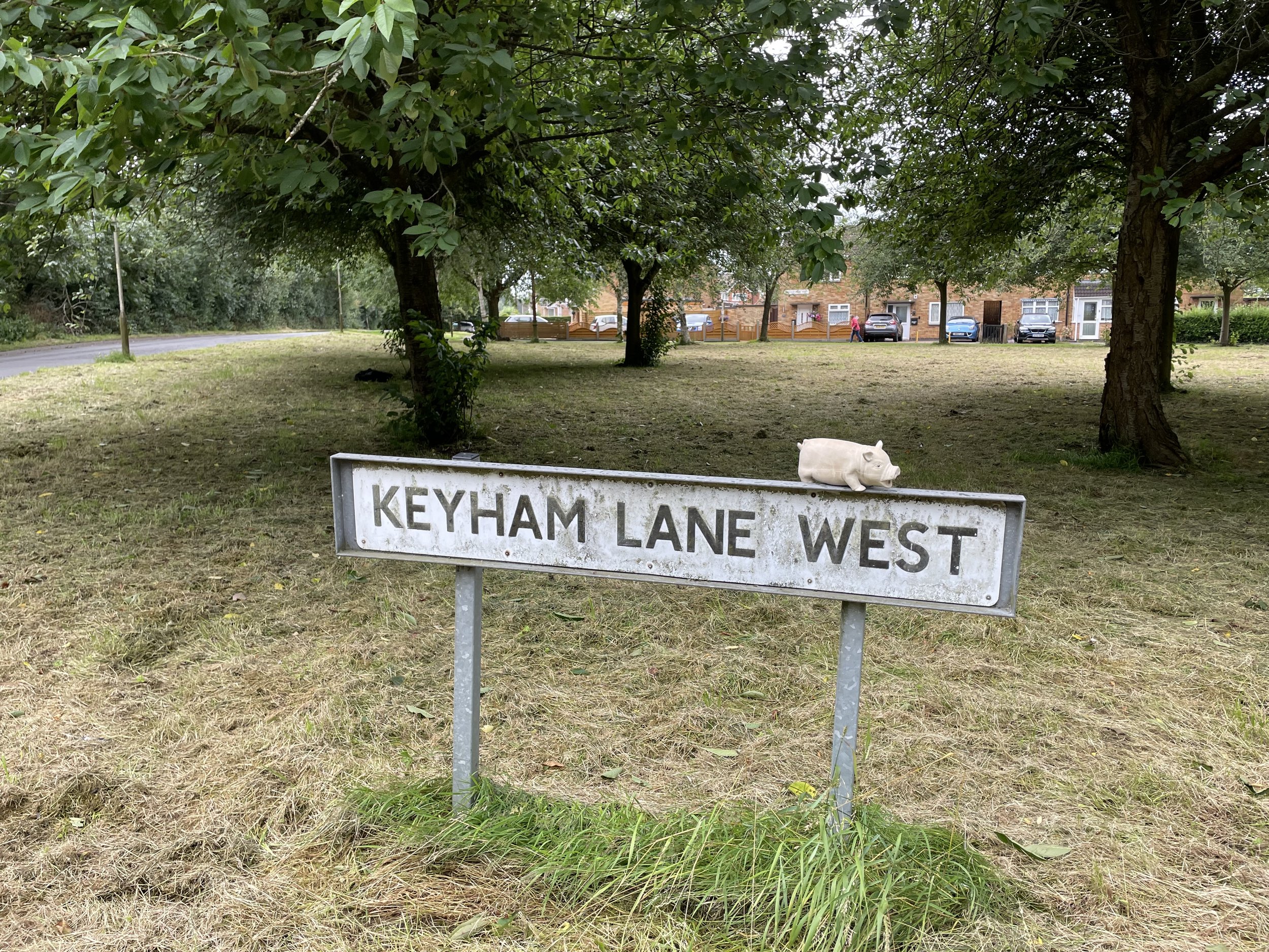
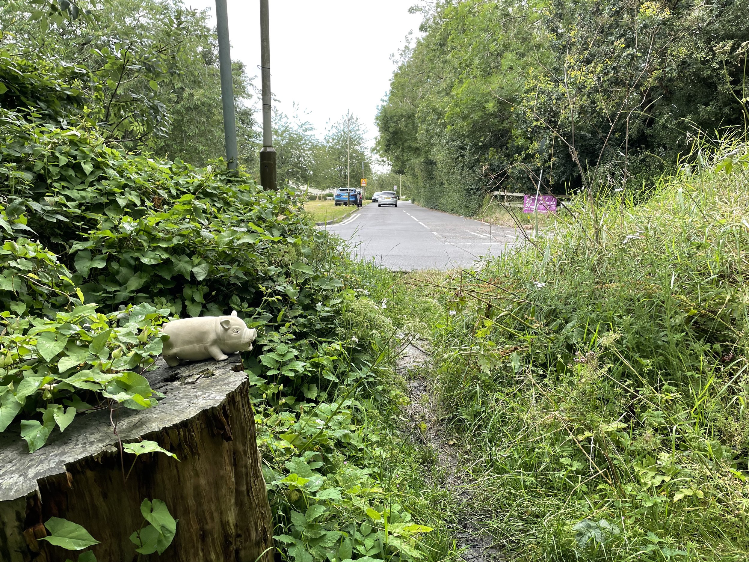
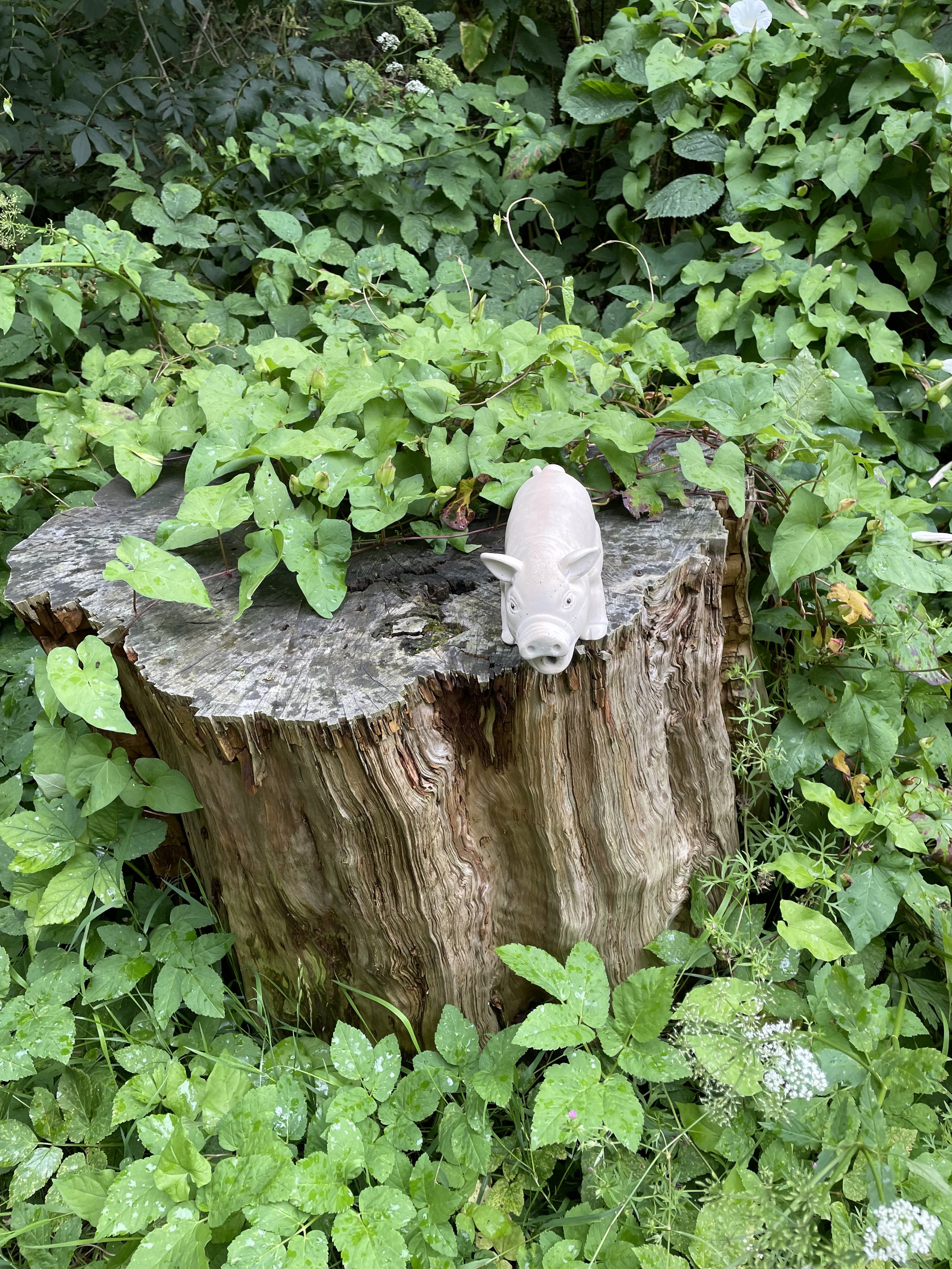
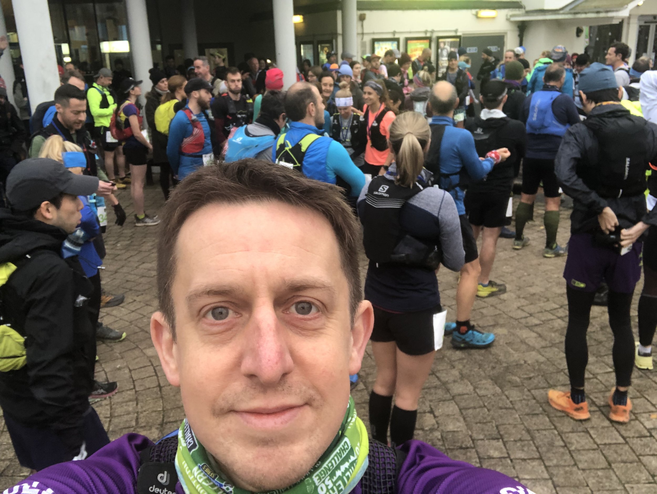
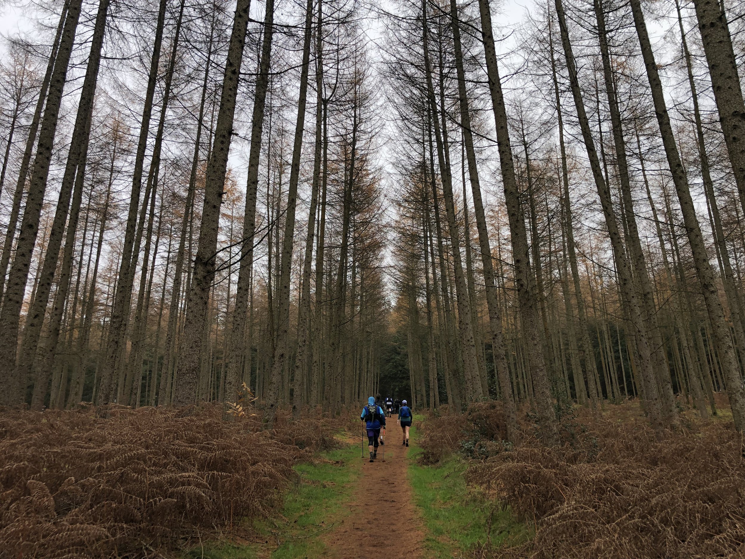
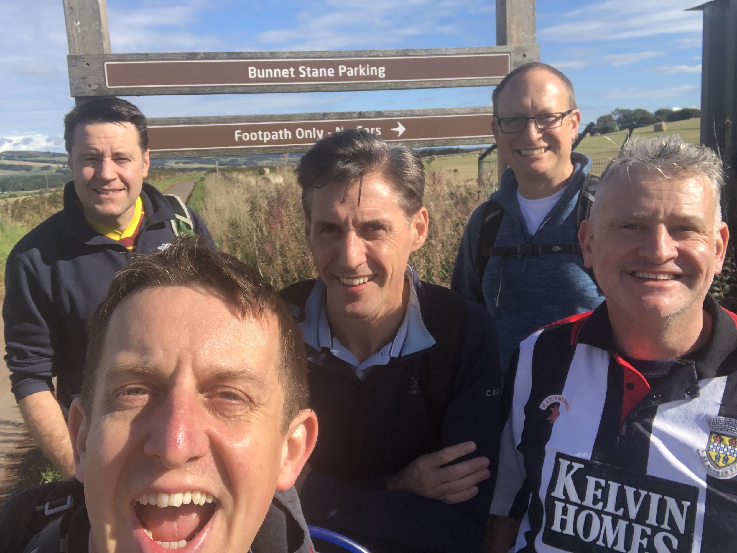
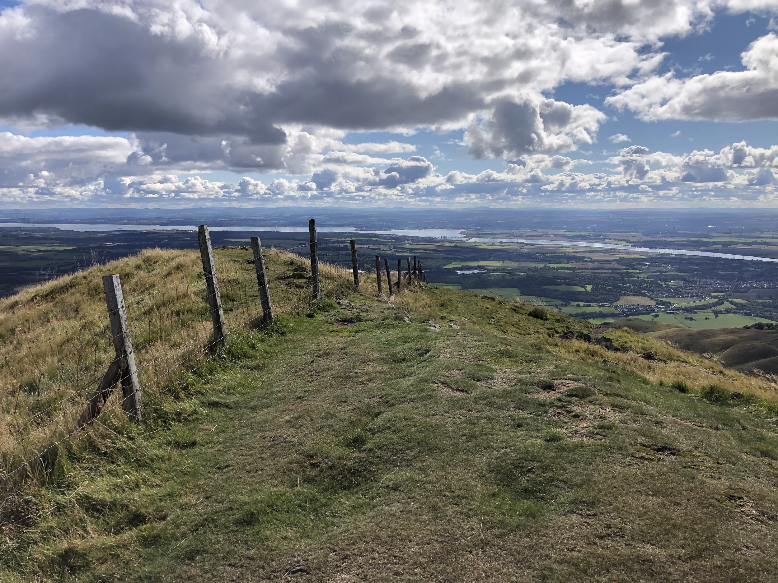
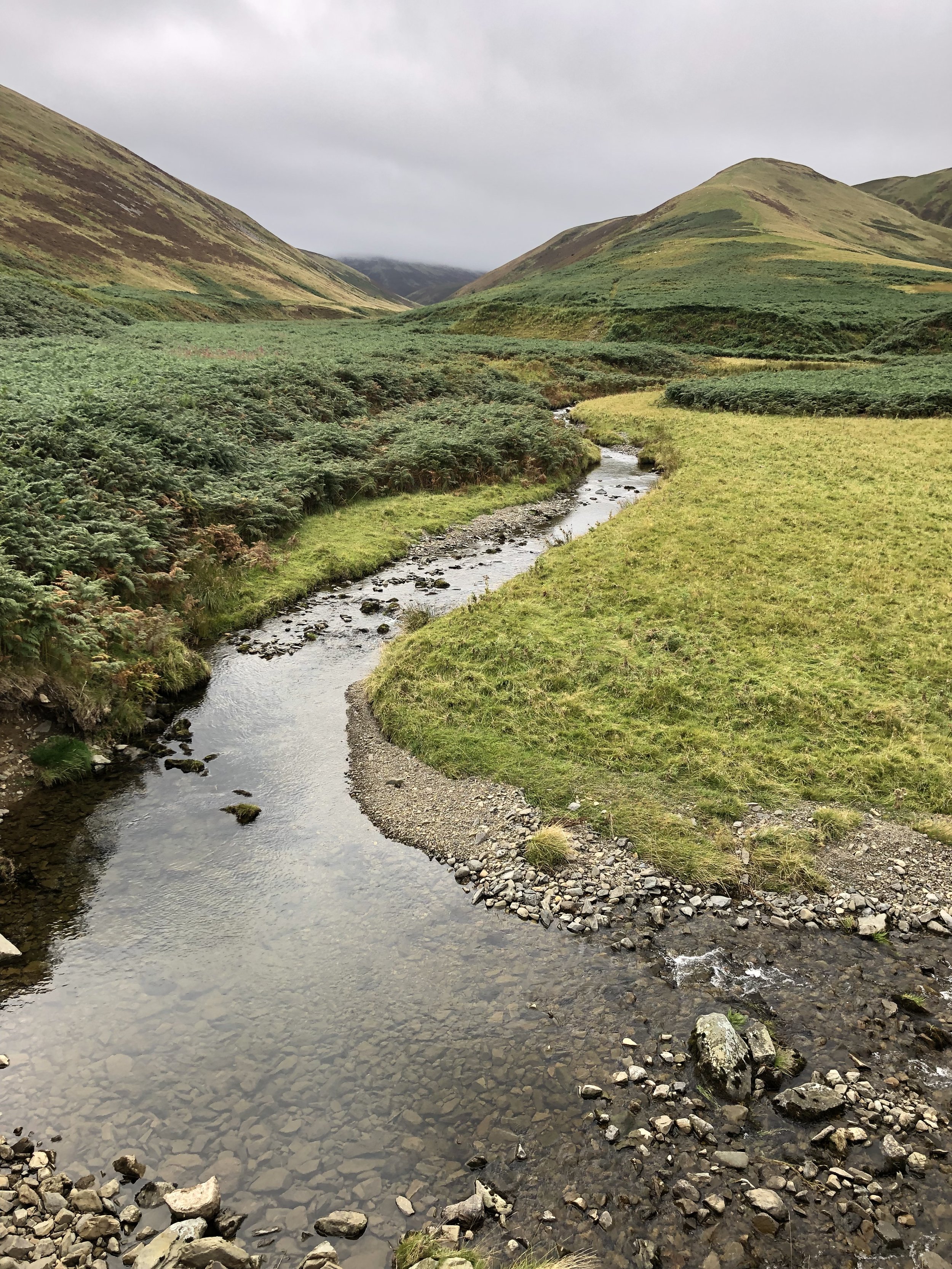
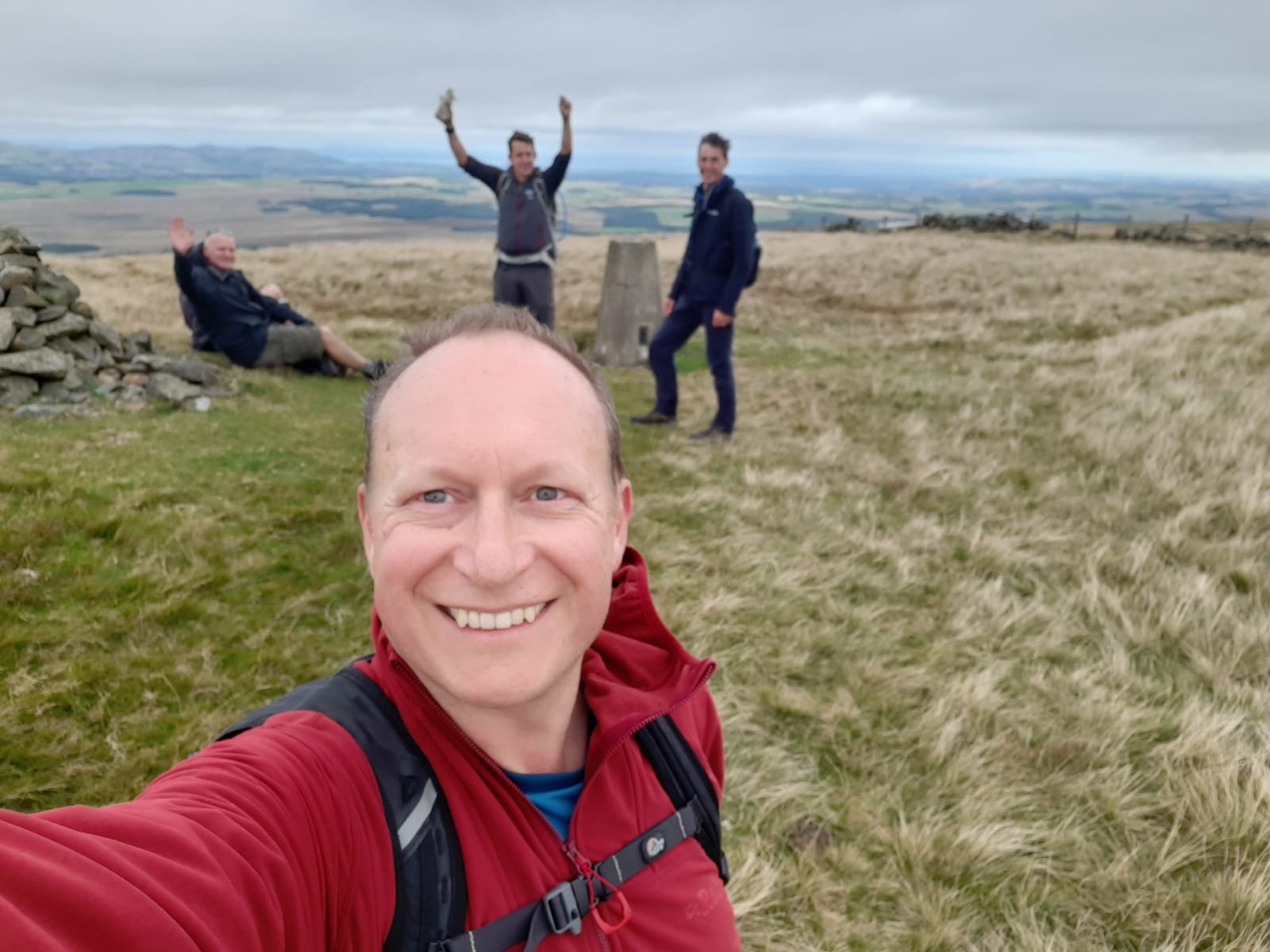
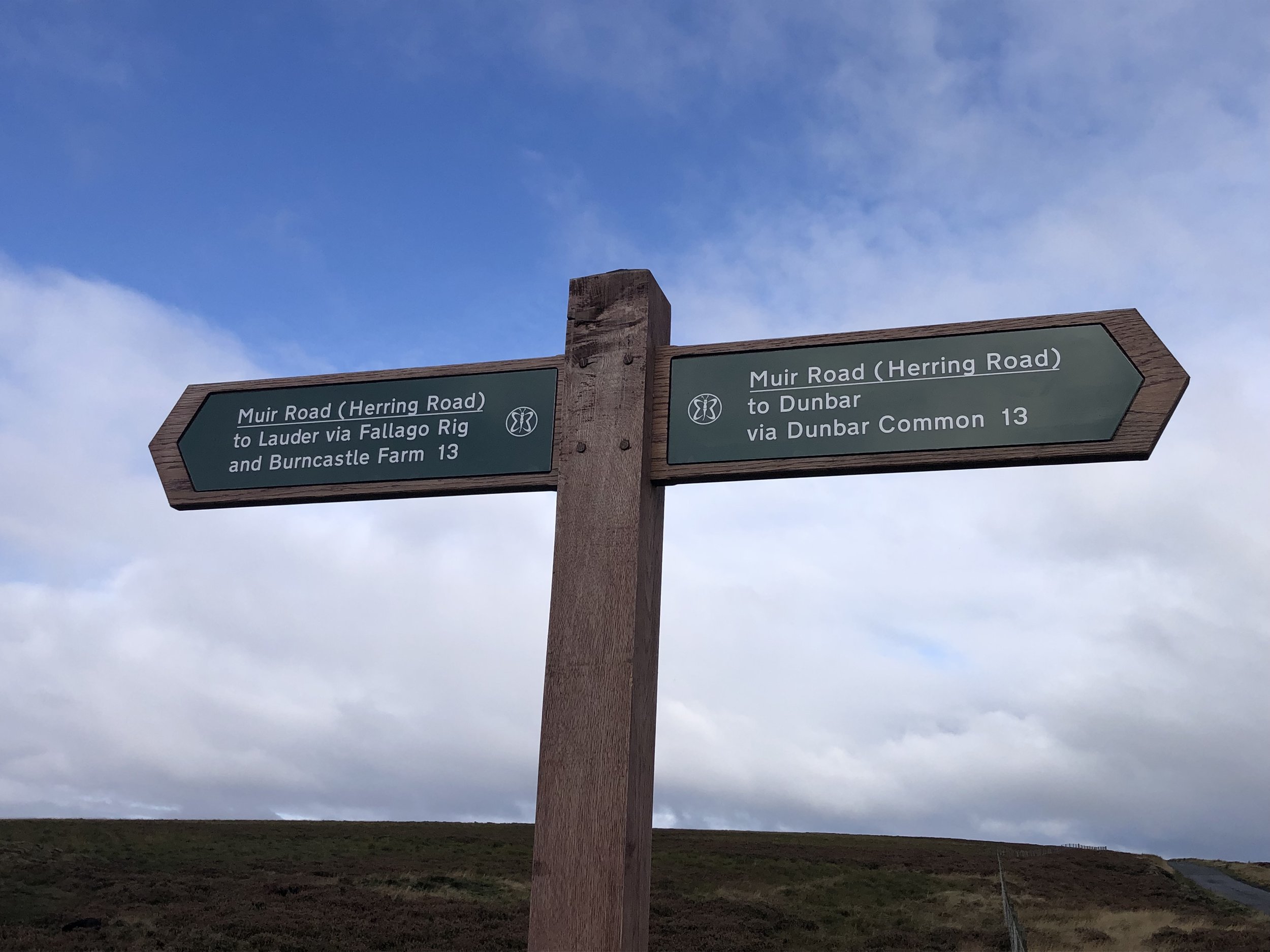
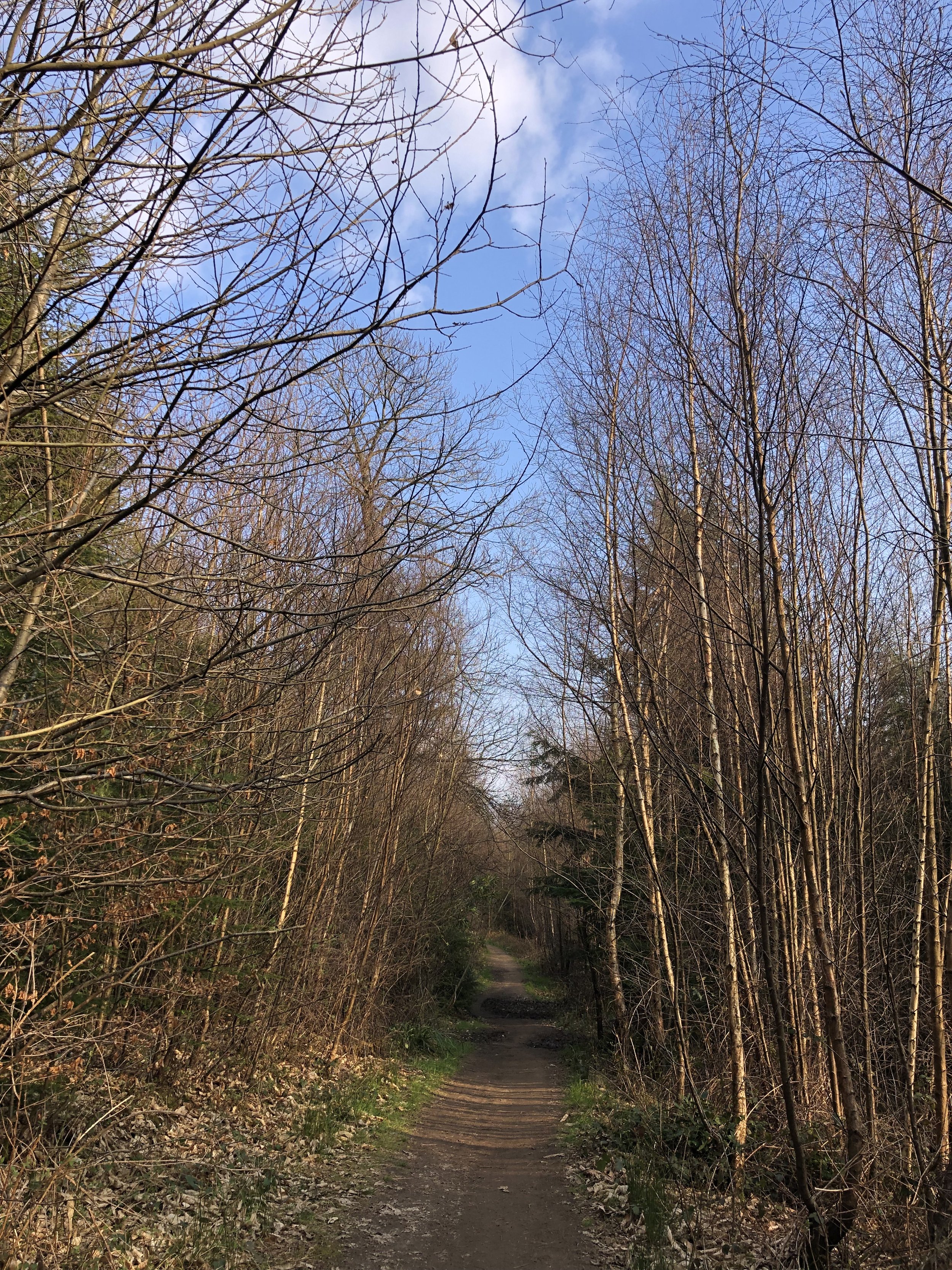
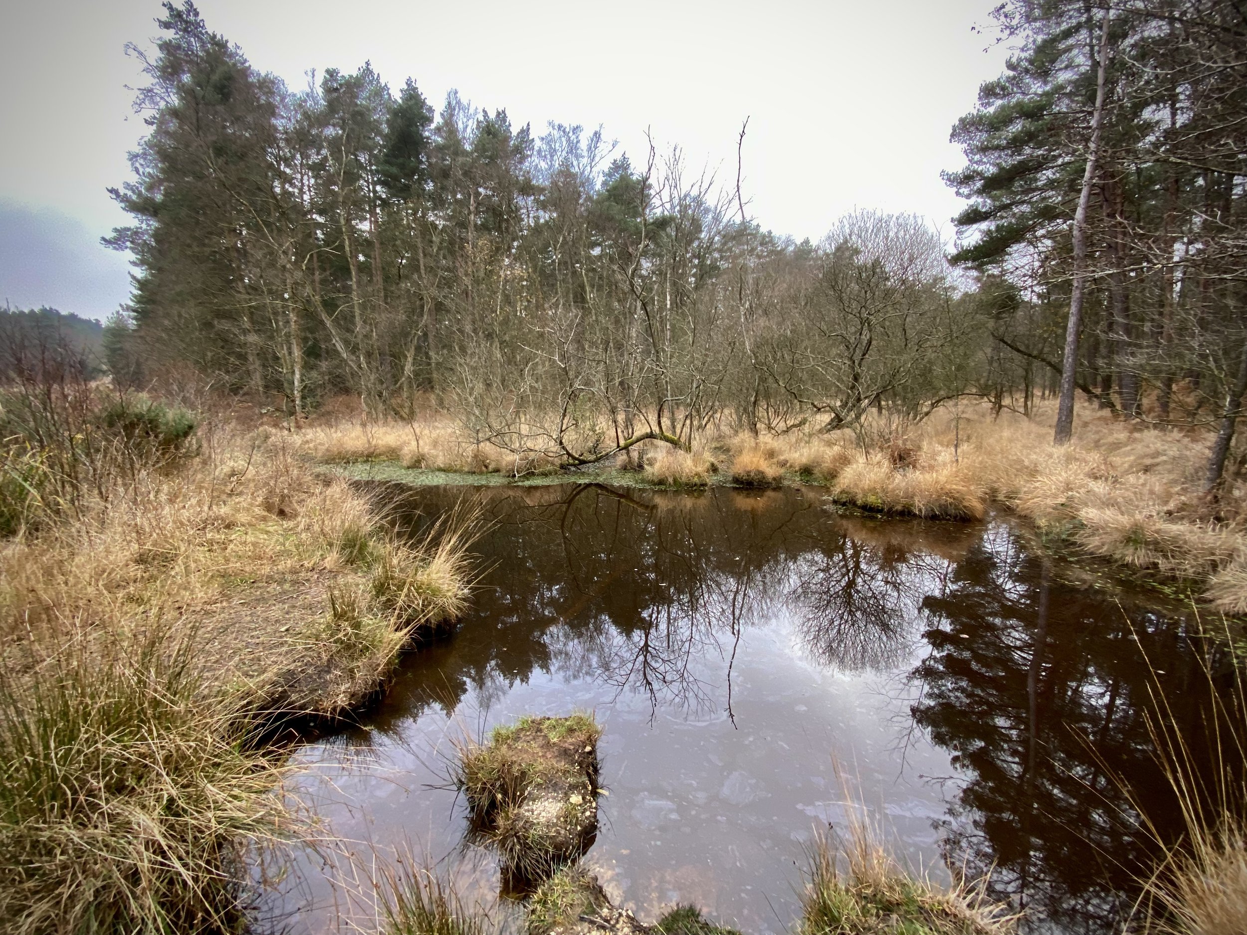
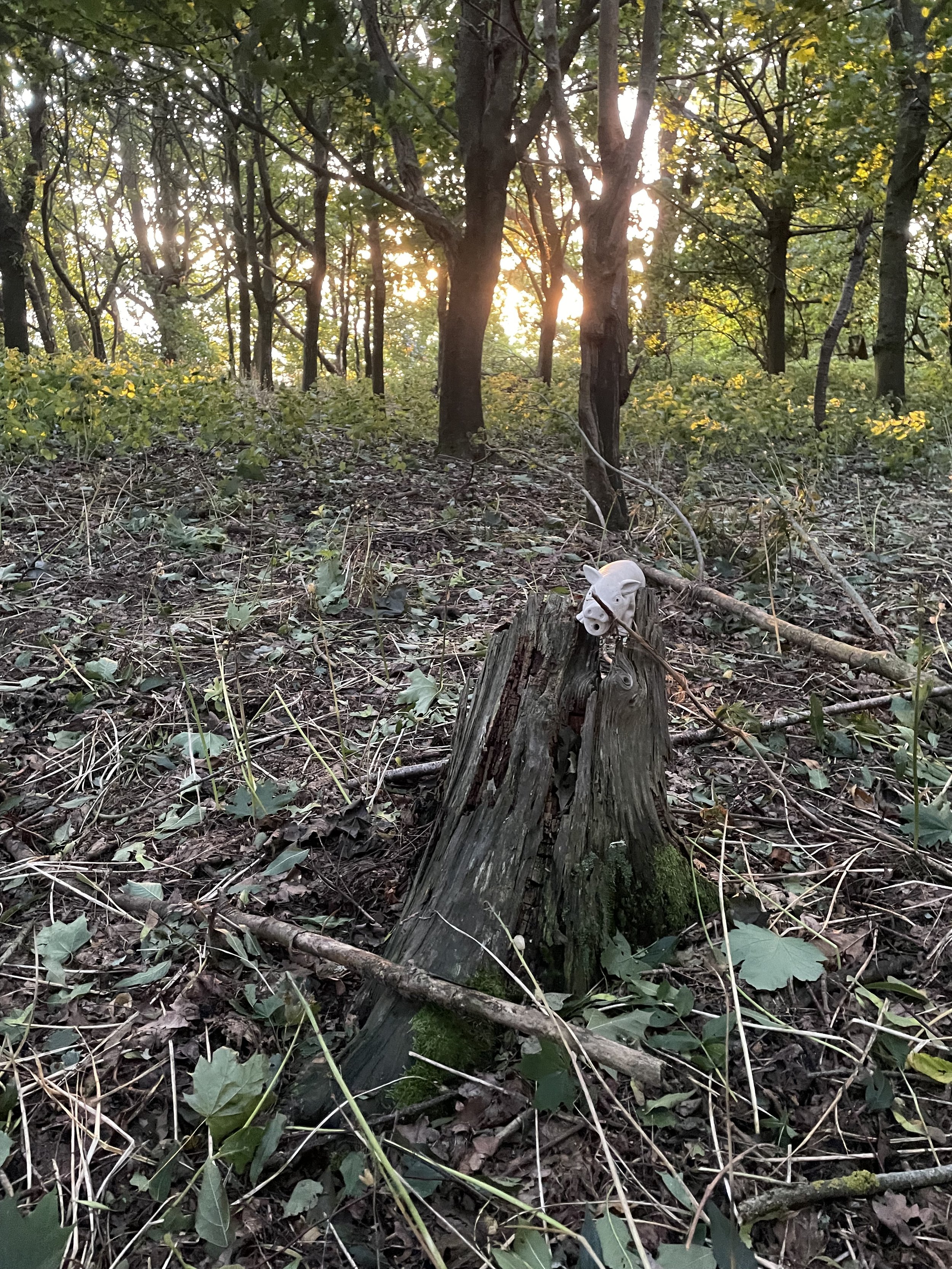
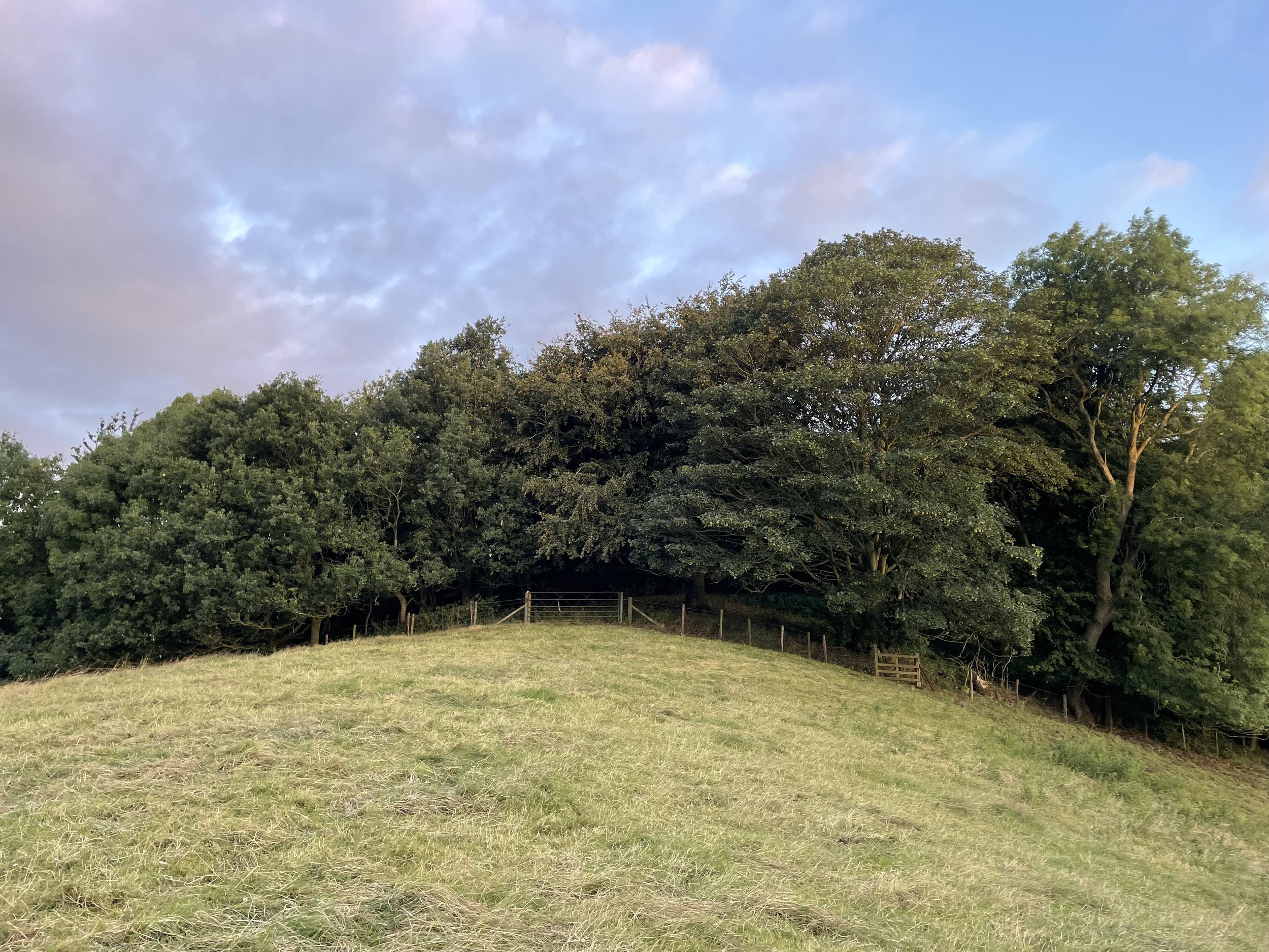
Staverton Clump, 05:00 on a Sunday morning in July
I ticked off Arbury Hill, the high point of Historic Northamptonshire, back in 2013. This was my early days of peak-bagging and I was doing a few drive-bys and quick walks on the way to a work trip in Melton Mowbray. At the time I didn’t stray from public rights-of-way into private land so I got as close to Arbury Hill’s summit as possible on the footpath and considered it ticked.
Several years later my friends and I started our annual County Top long weekends to bag the furthest peaks from home. My “non-completion” of Arbury Hill became a constant source of debate during those weekends. For a while I insisted that I had definitely bagged Arbury due to my non-trespassing policy. I got as close as possible on public routes so I was done. Right?
They weren’t having it and 2 of them had made successful summits of Arbury without difficulties. One had got the land-owner’s permission and the other just went there. By our 2022 Scotland Trip I had decided that I needed to return to Arbury to resolve the dispute. My plan was to turn up, ask the land-owner for permission if I could find them and if not just do it, but be discreet and not disturb anything.
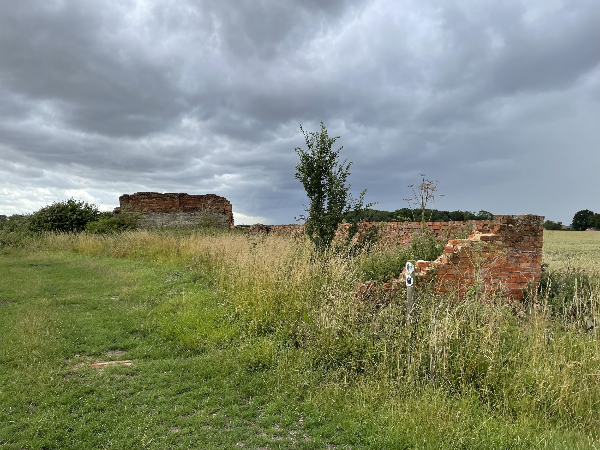
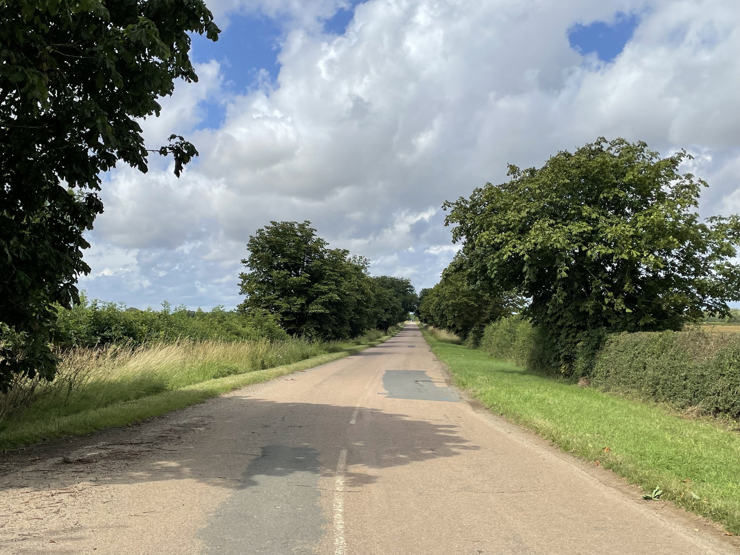
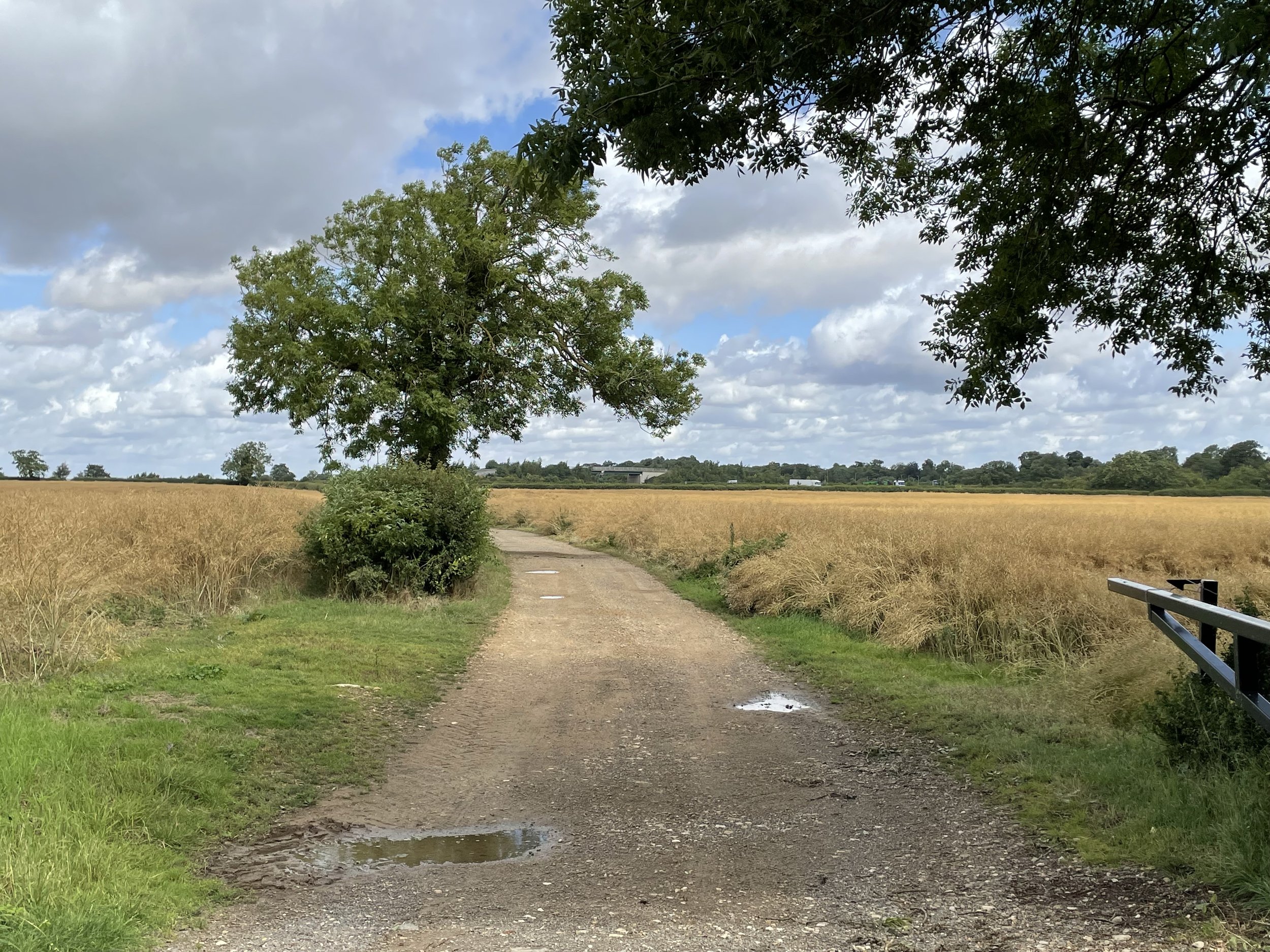
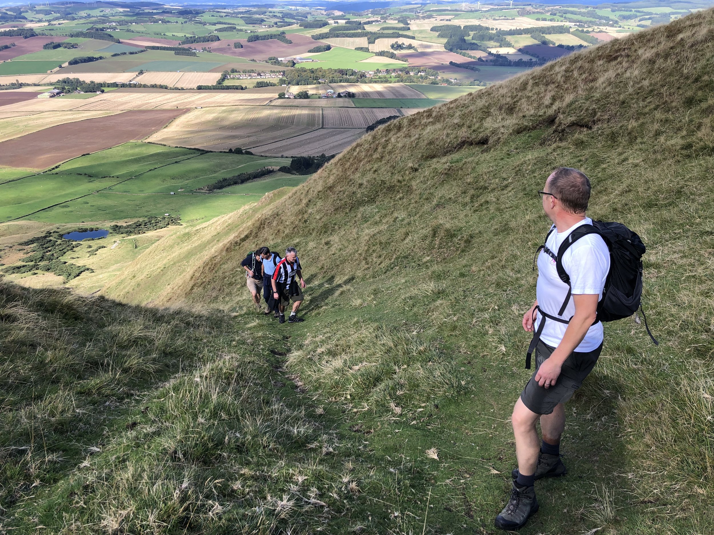
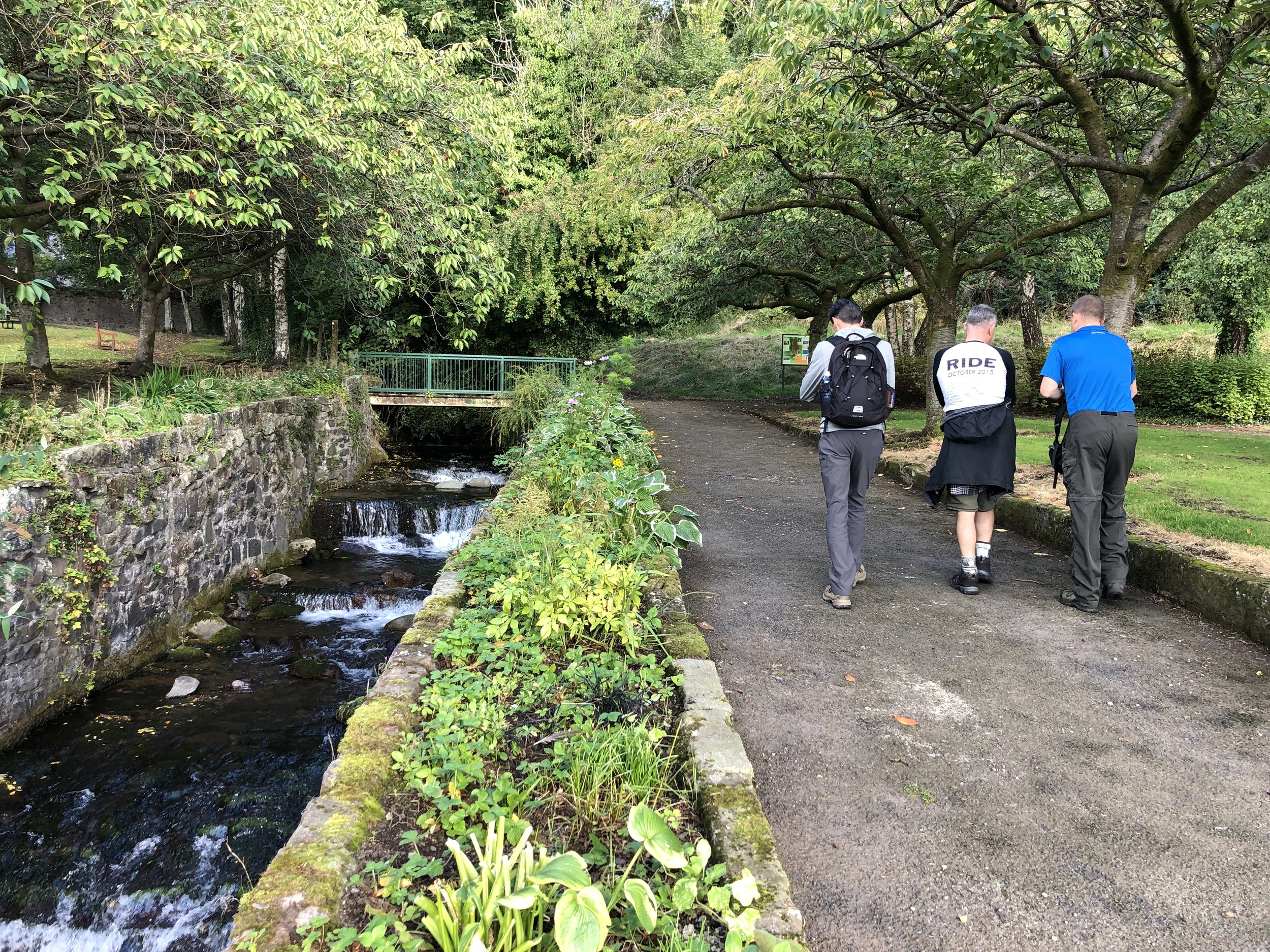
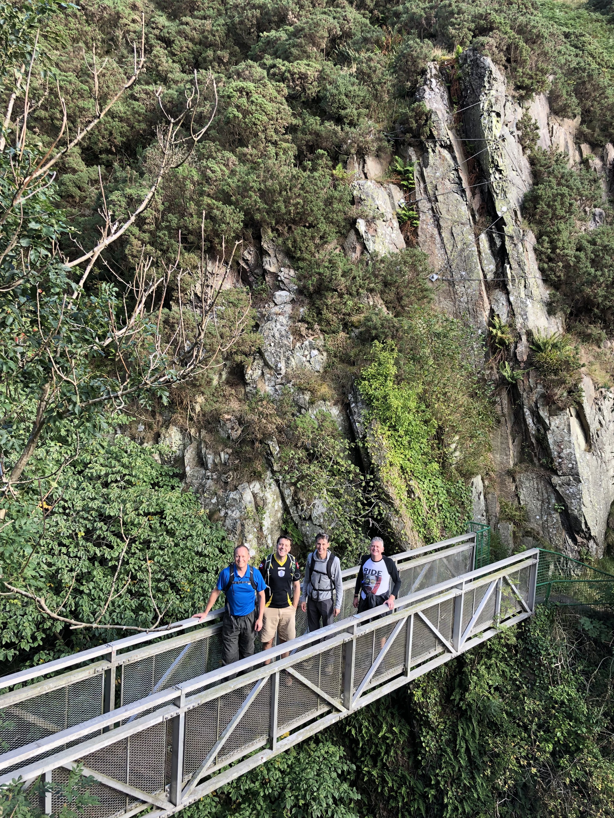
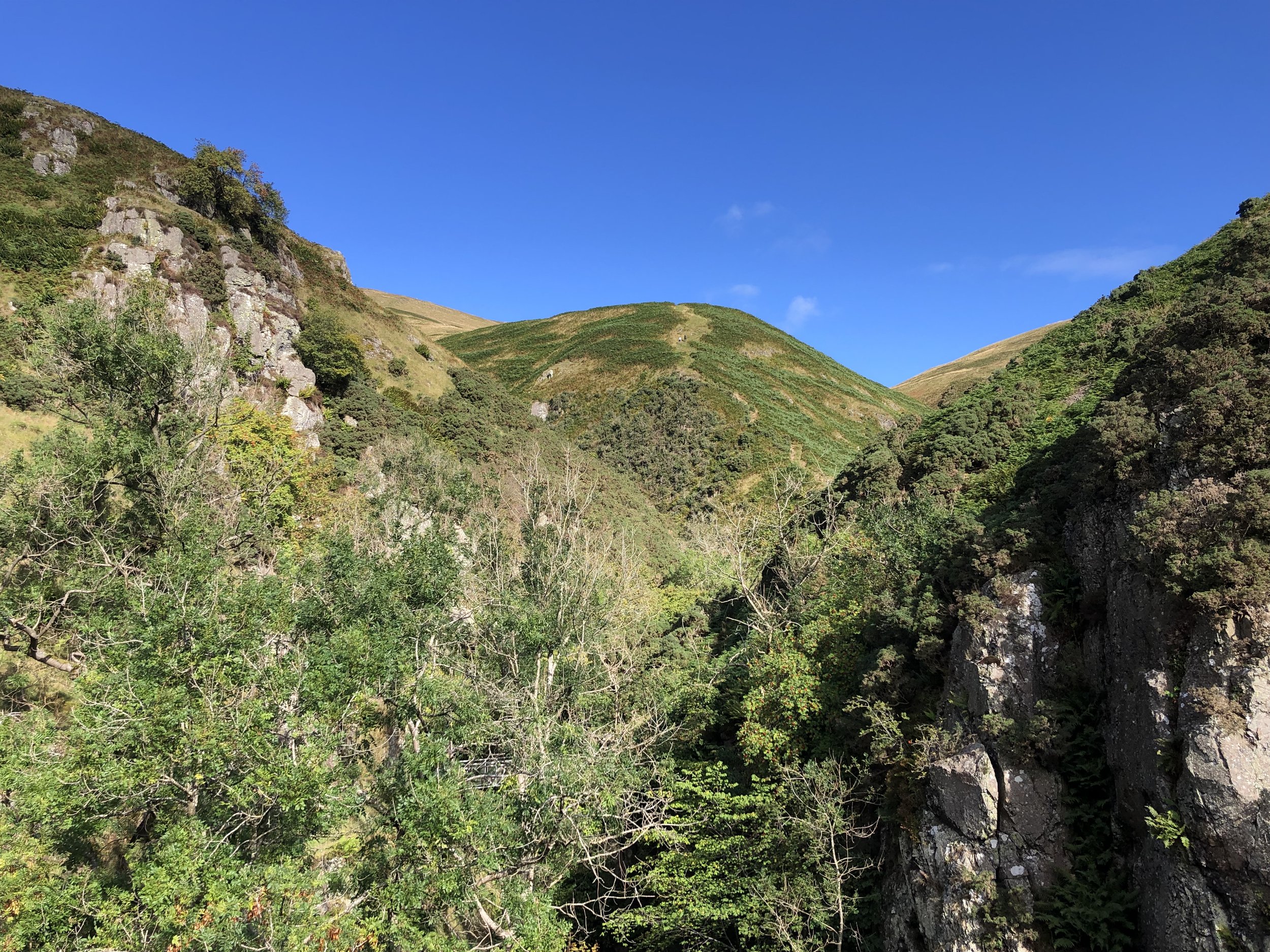
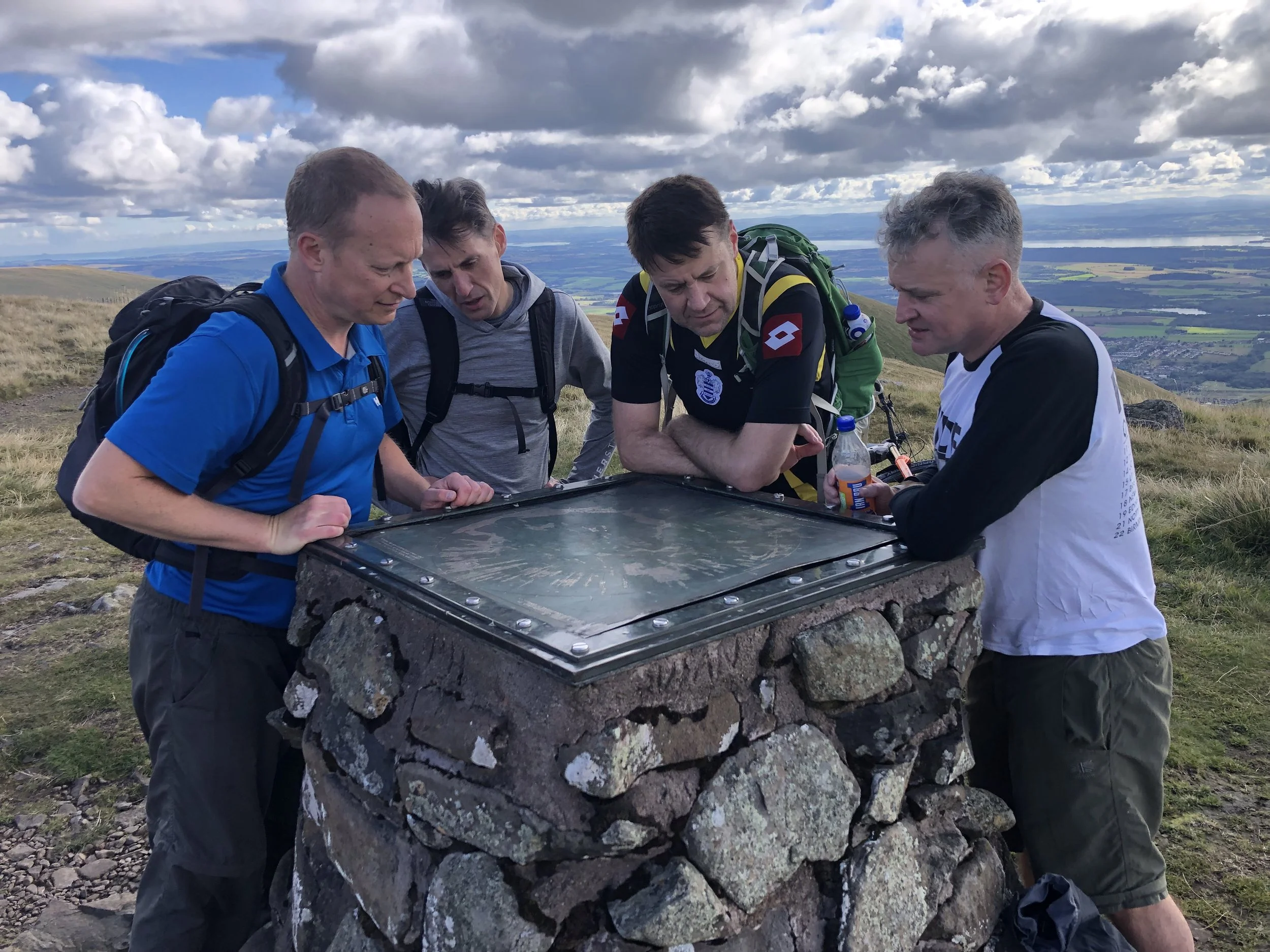
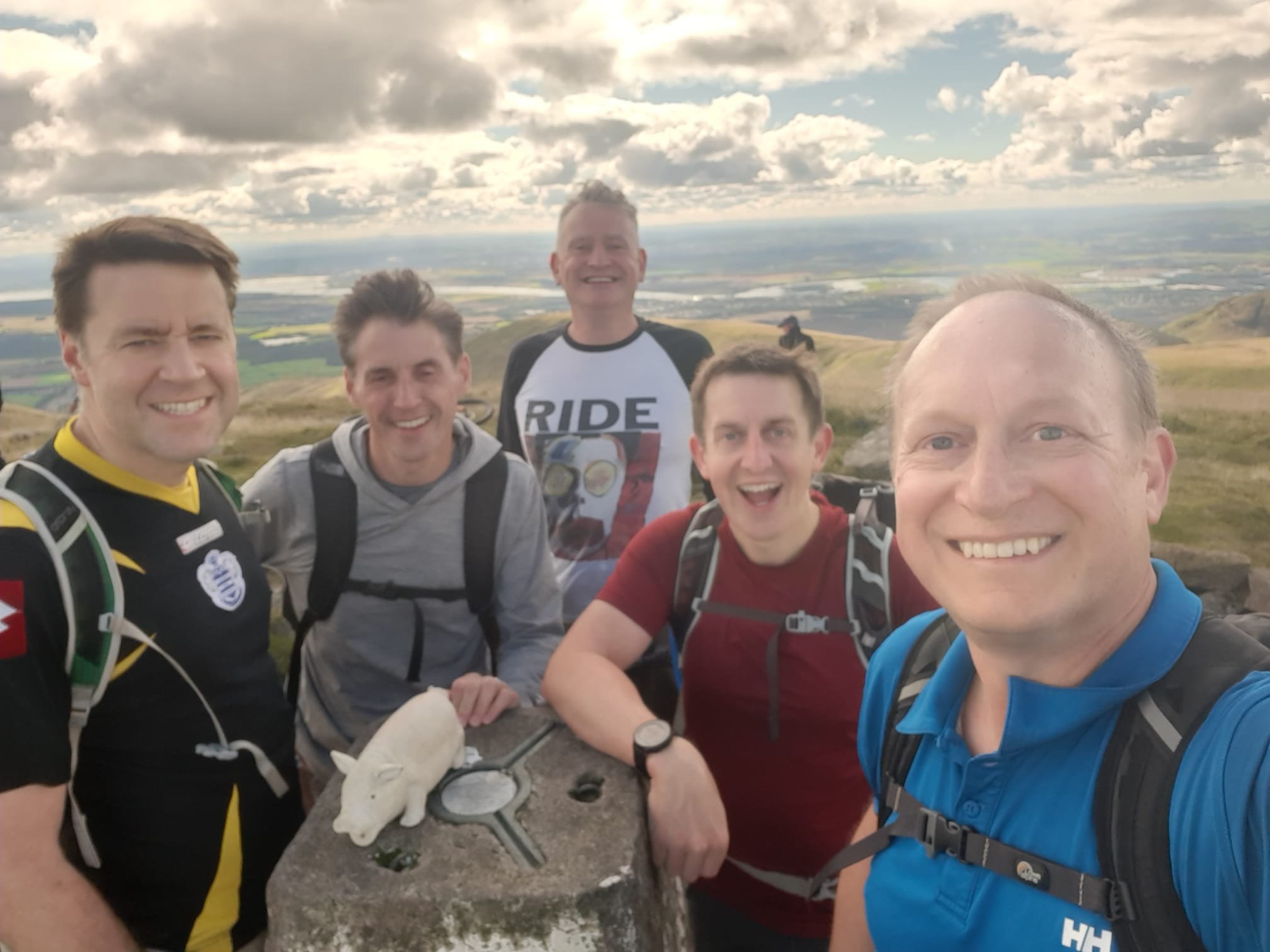
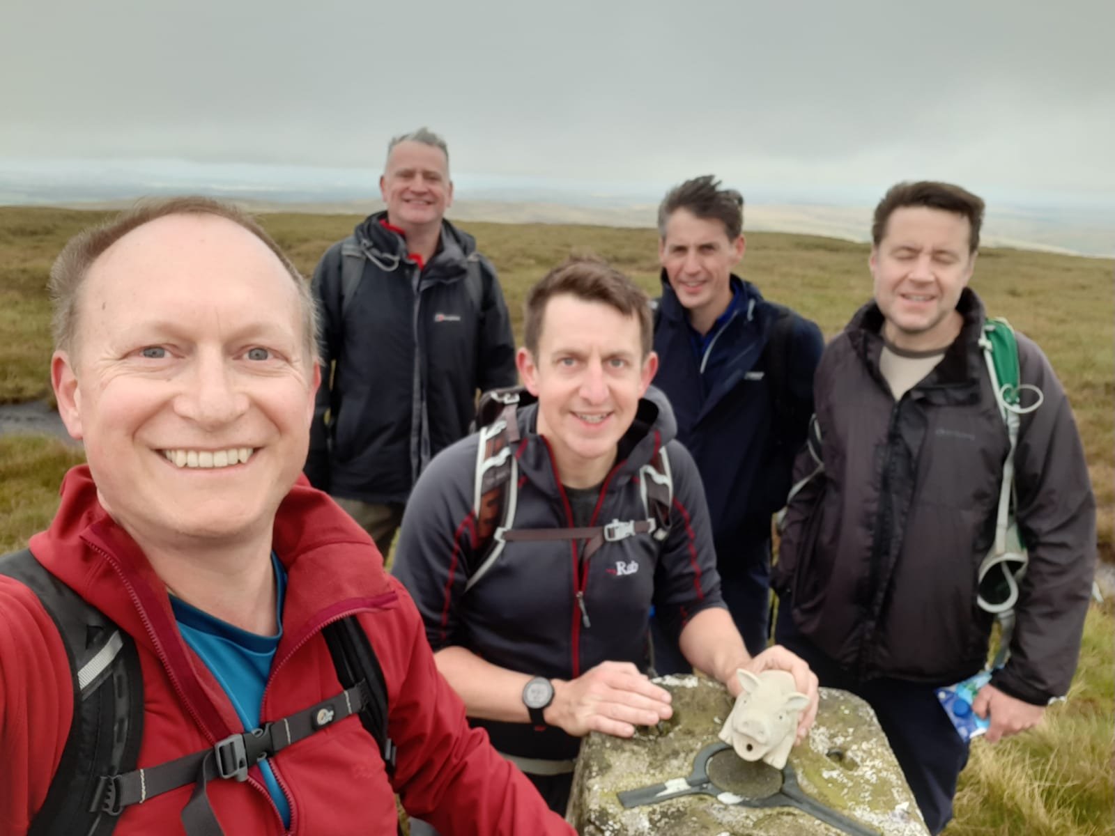
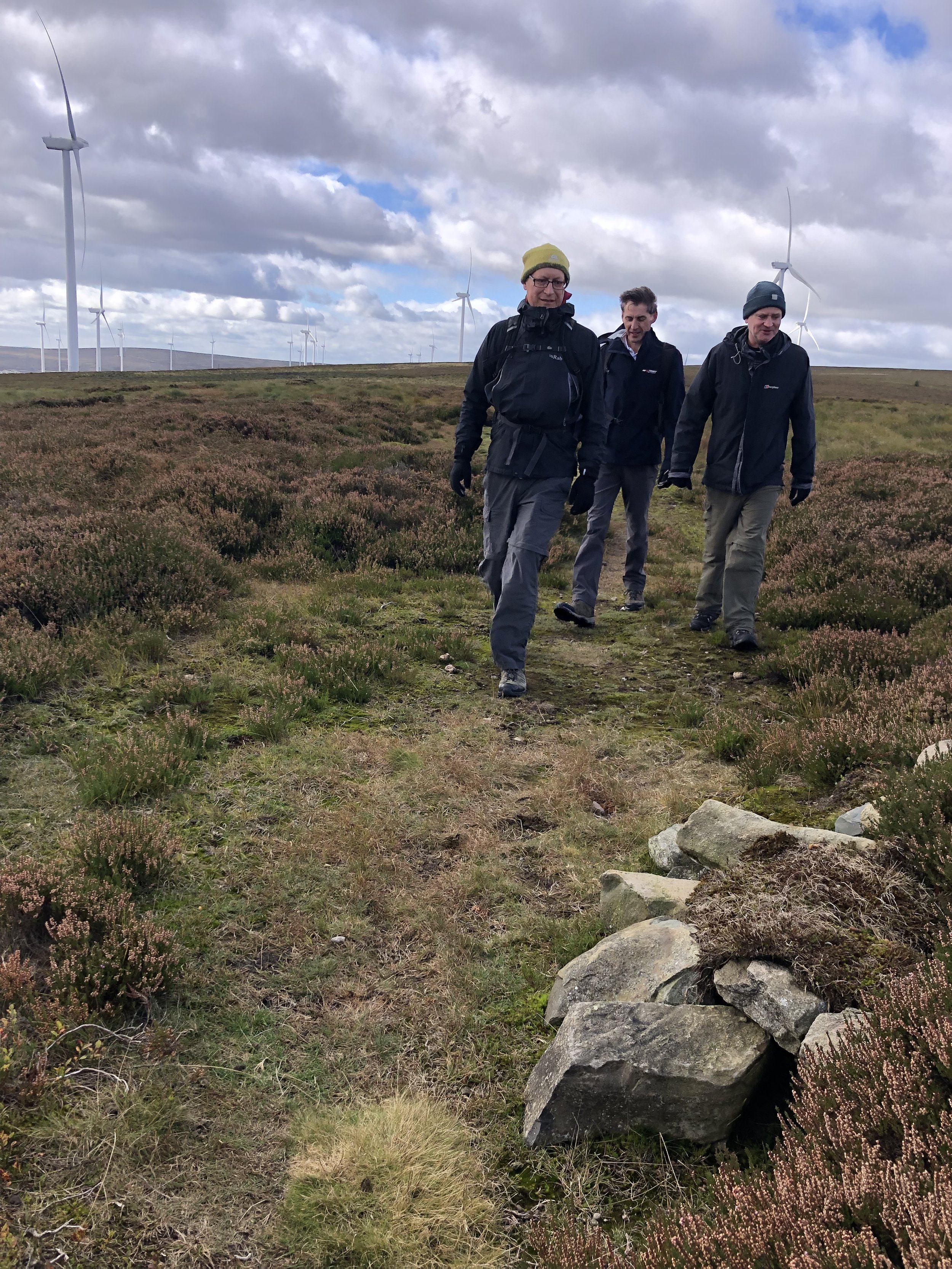
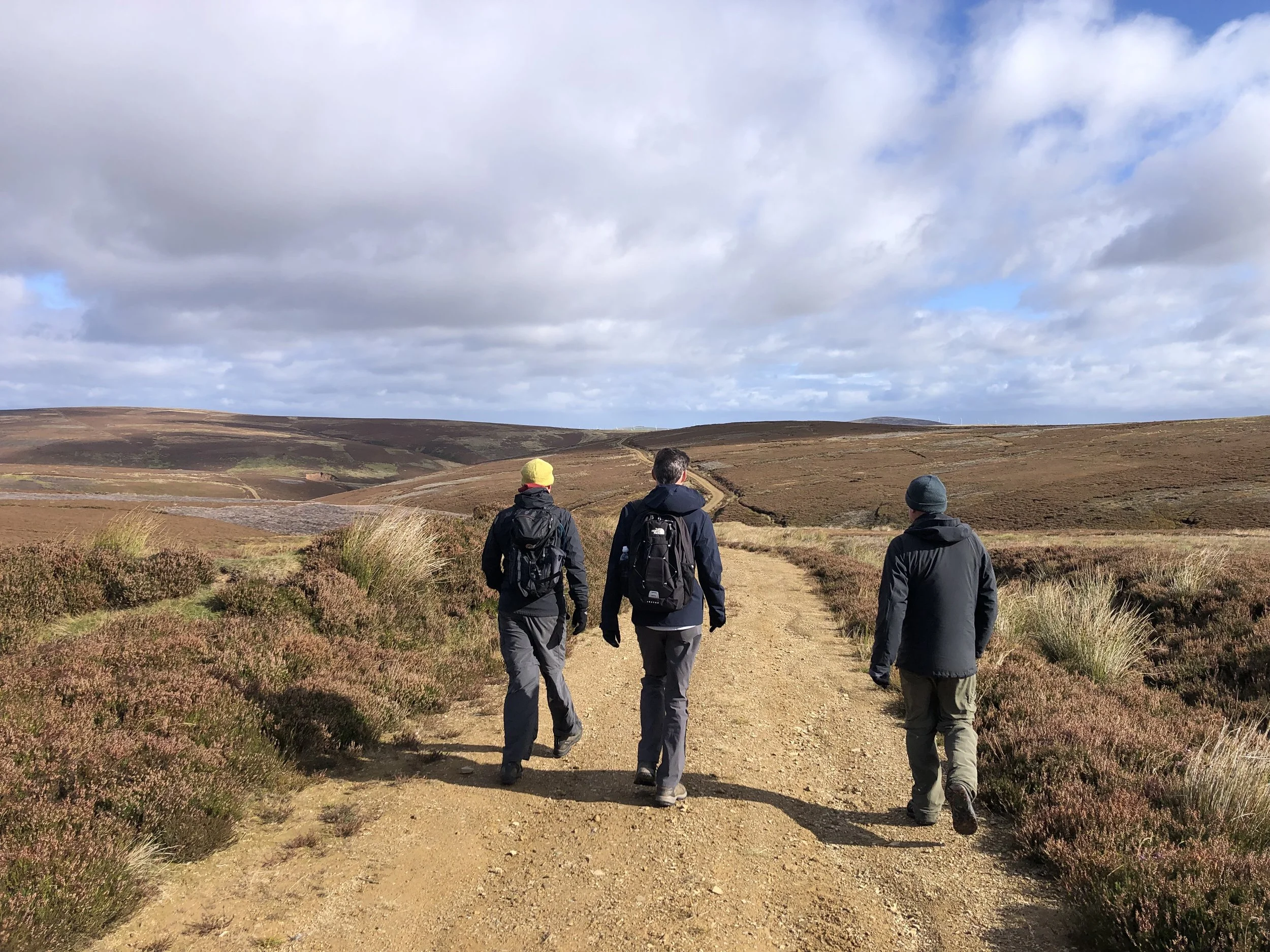
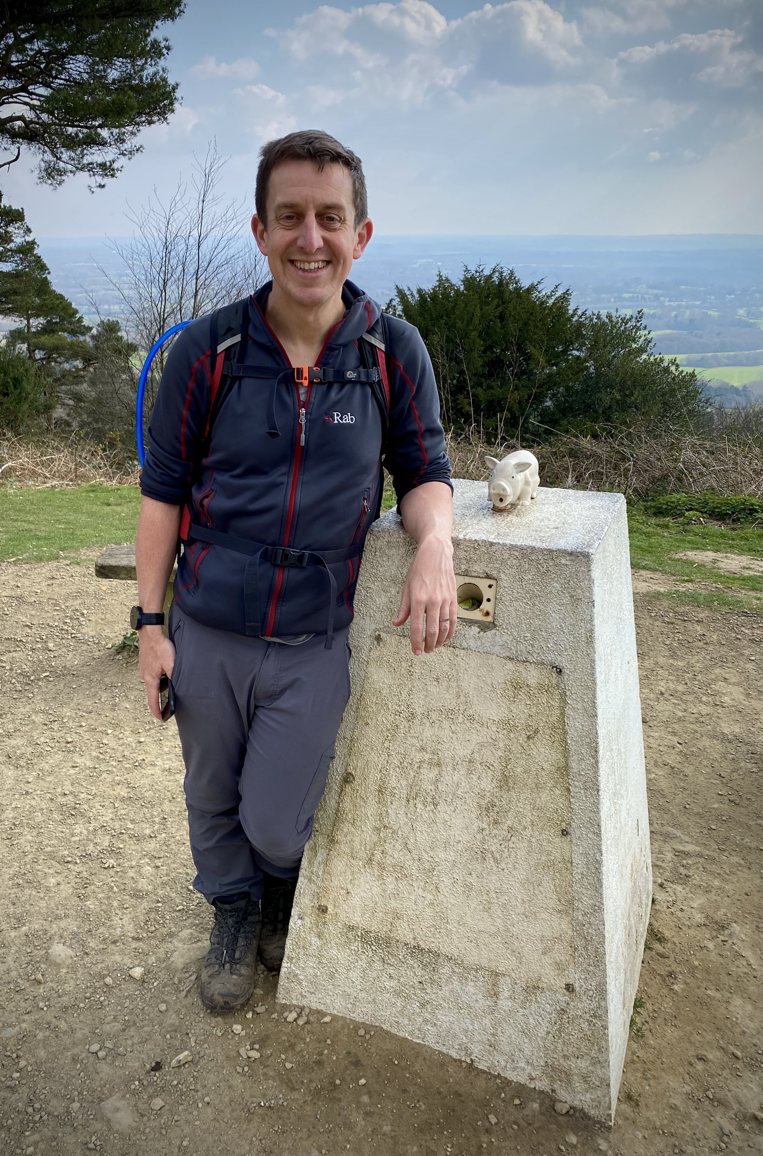
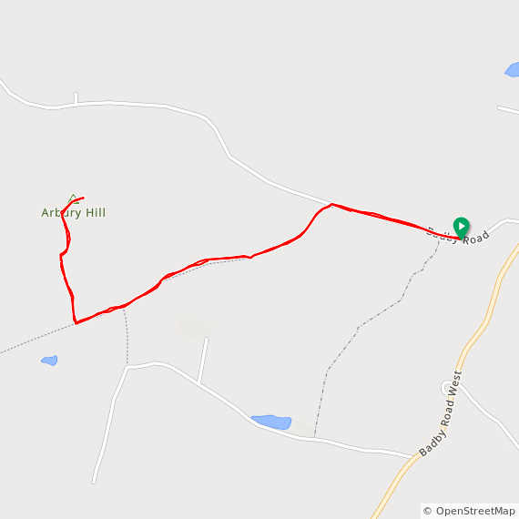
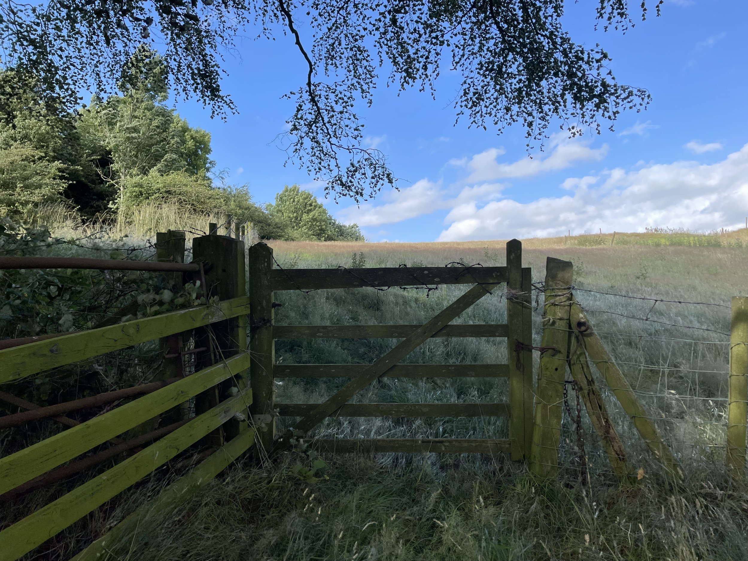
So, in the summer of 2023, as a part of a road trip of Midlands high points I returned to tackle Arbury Hill again. I parked at the same spot on the grass verge on Badby Road and up the closest footpath to the southern edge of Arbury Hill summit. No land-owner in sight and, being early evening on a Saturday, no-one at all.
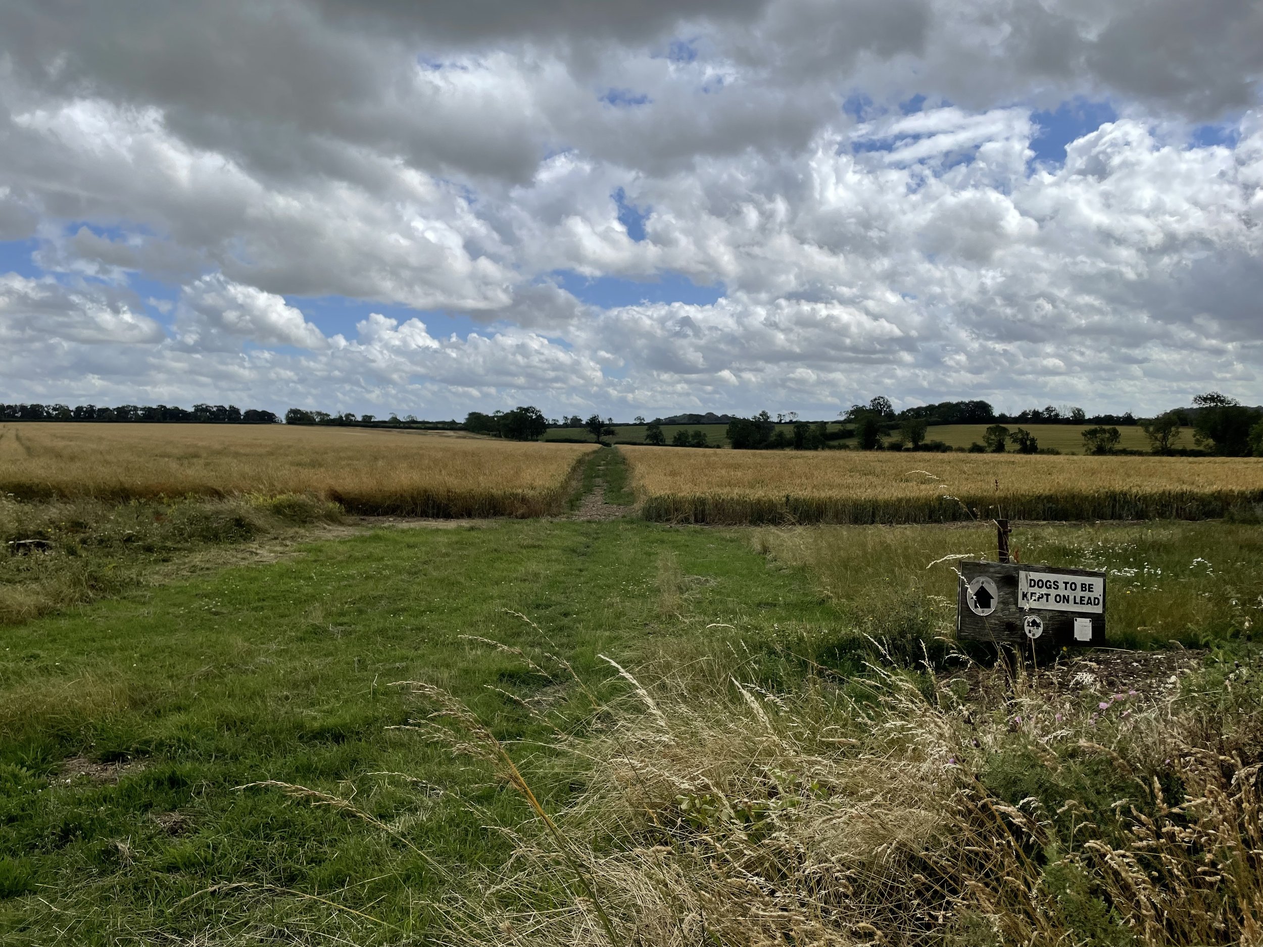
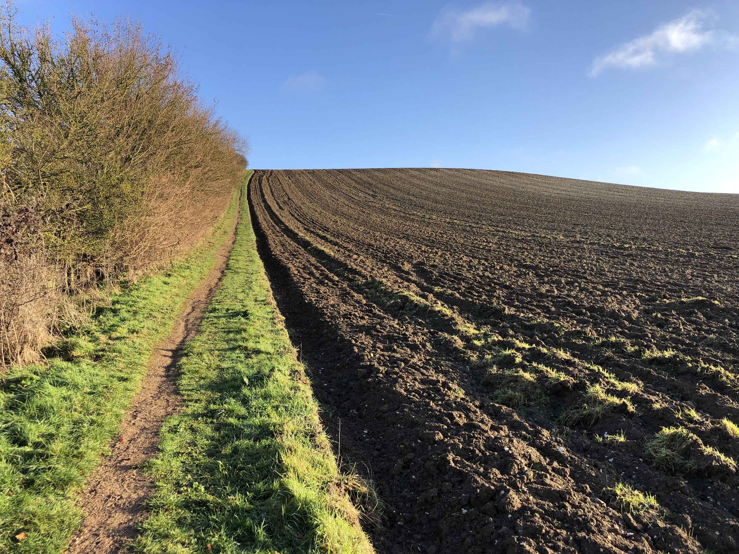
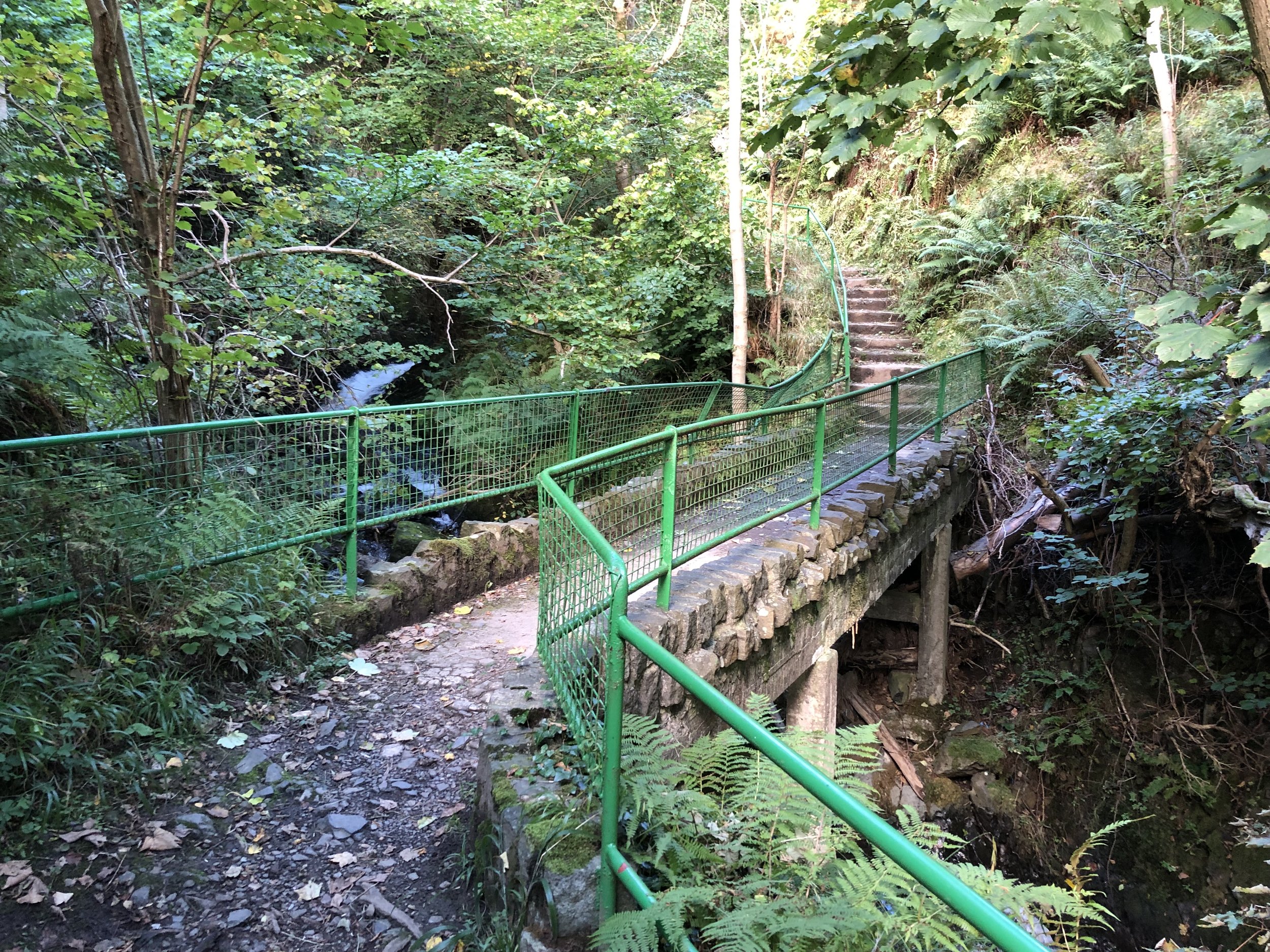
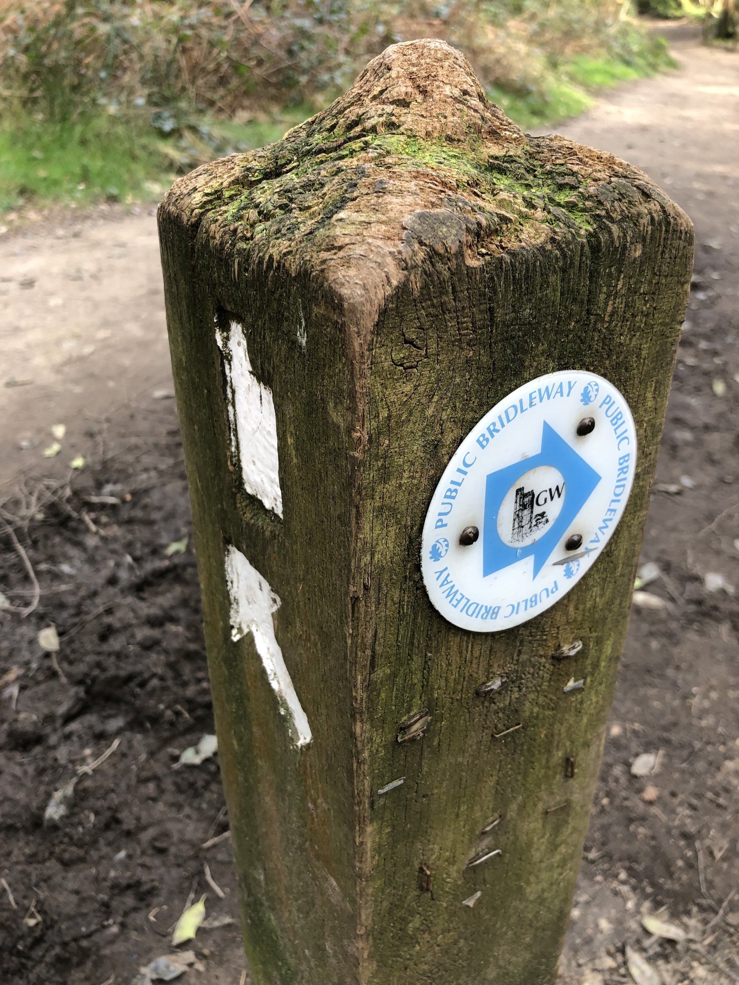
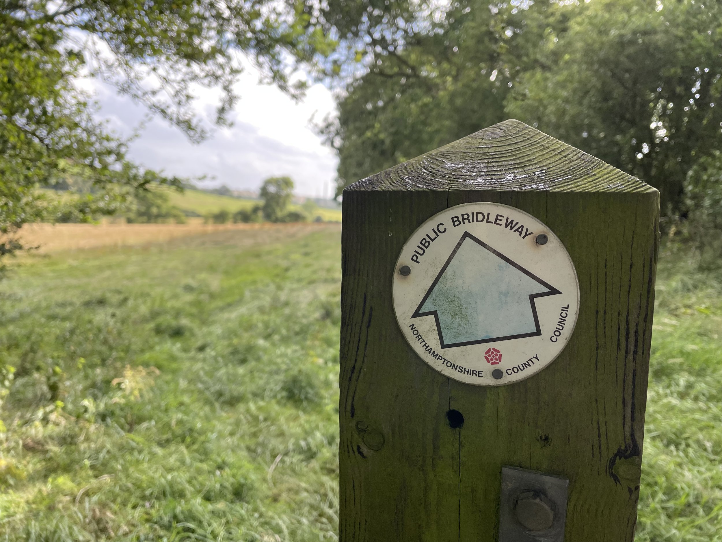
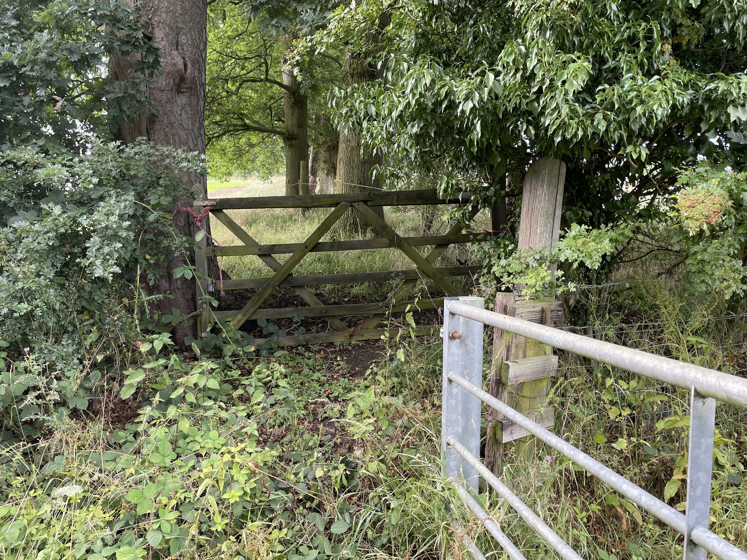
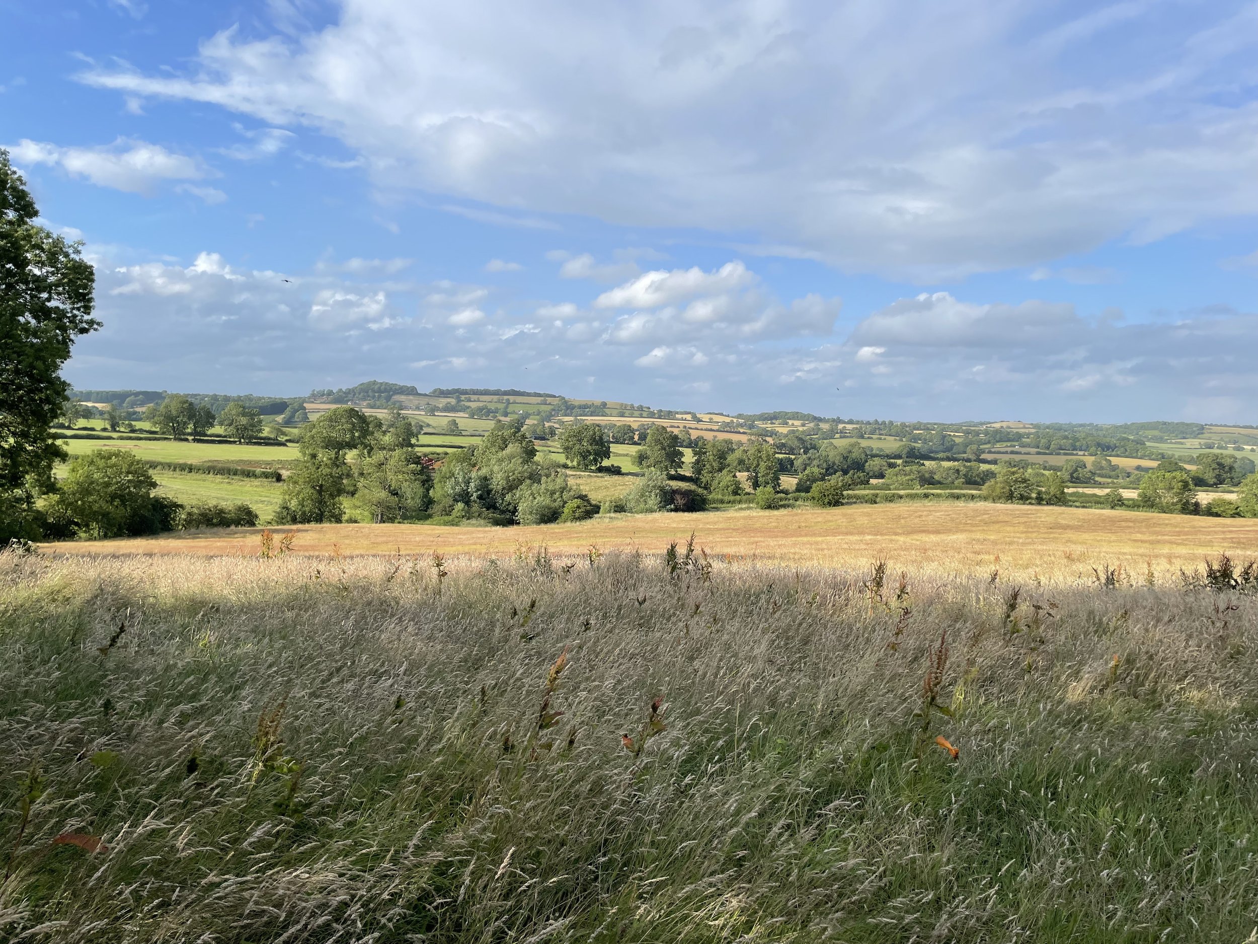
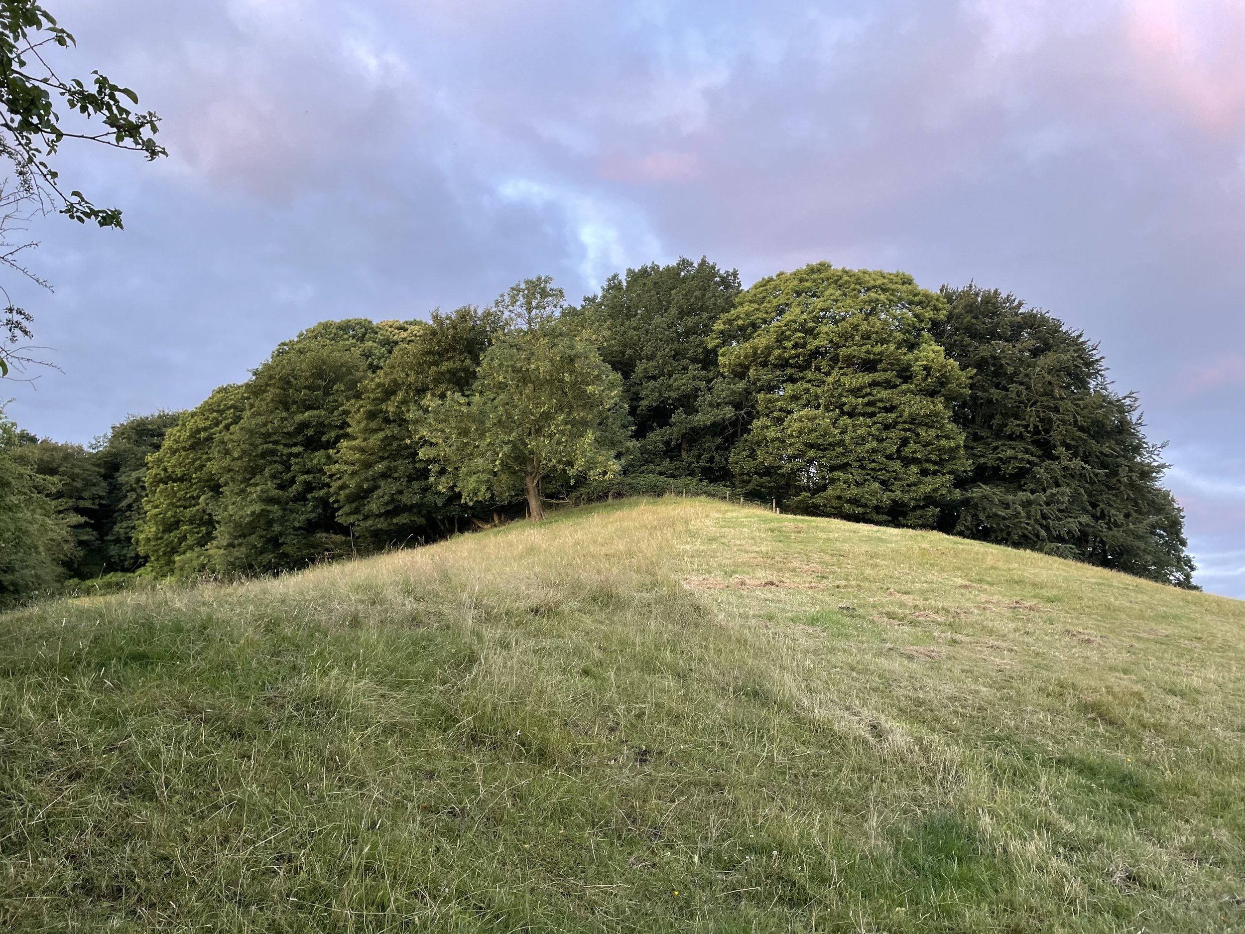
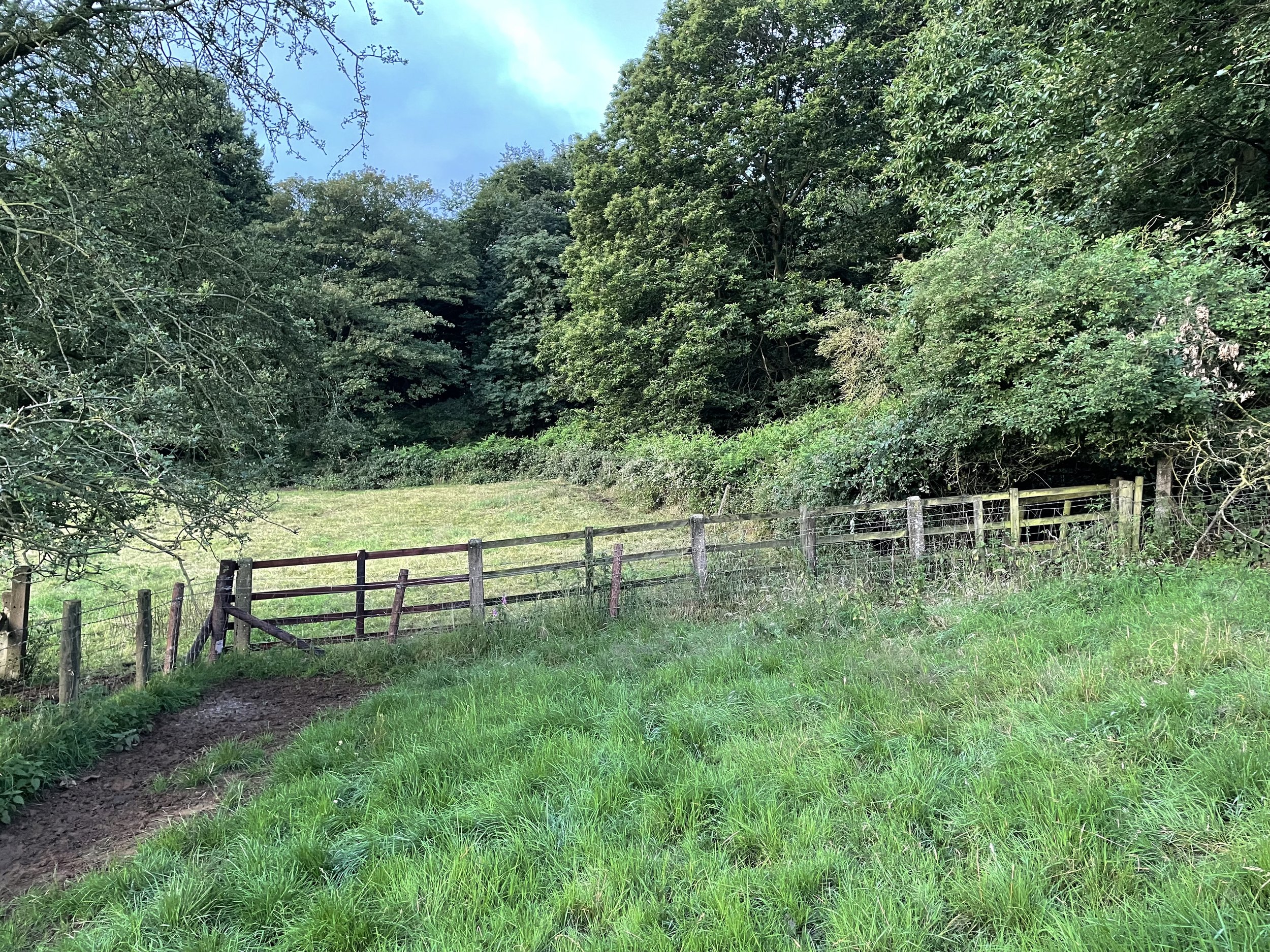
At ~ 1 km from the start of the footpath on Badby Road there’s a gate across the path then a locked wooden gate on the right hand side that leads up the hill on the eastern edge of a crop field. 300m later, just before the woods, there’s another gate into a field and it’s a short walk from there to the summit. As it turned out it was a simple ascent with 2 easy to hop-over gates from the public footpath. I returned using the same route with a smug sense of being able to resolve a now 10-year debate with my friends.
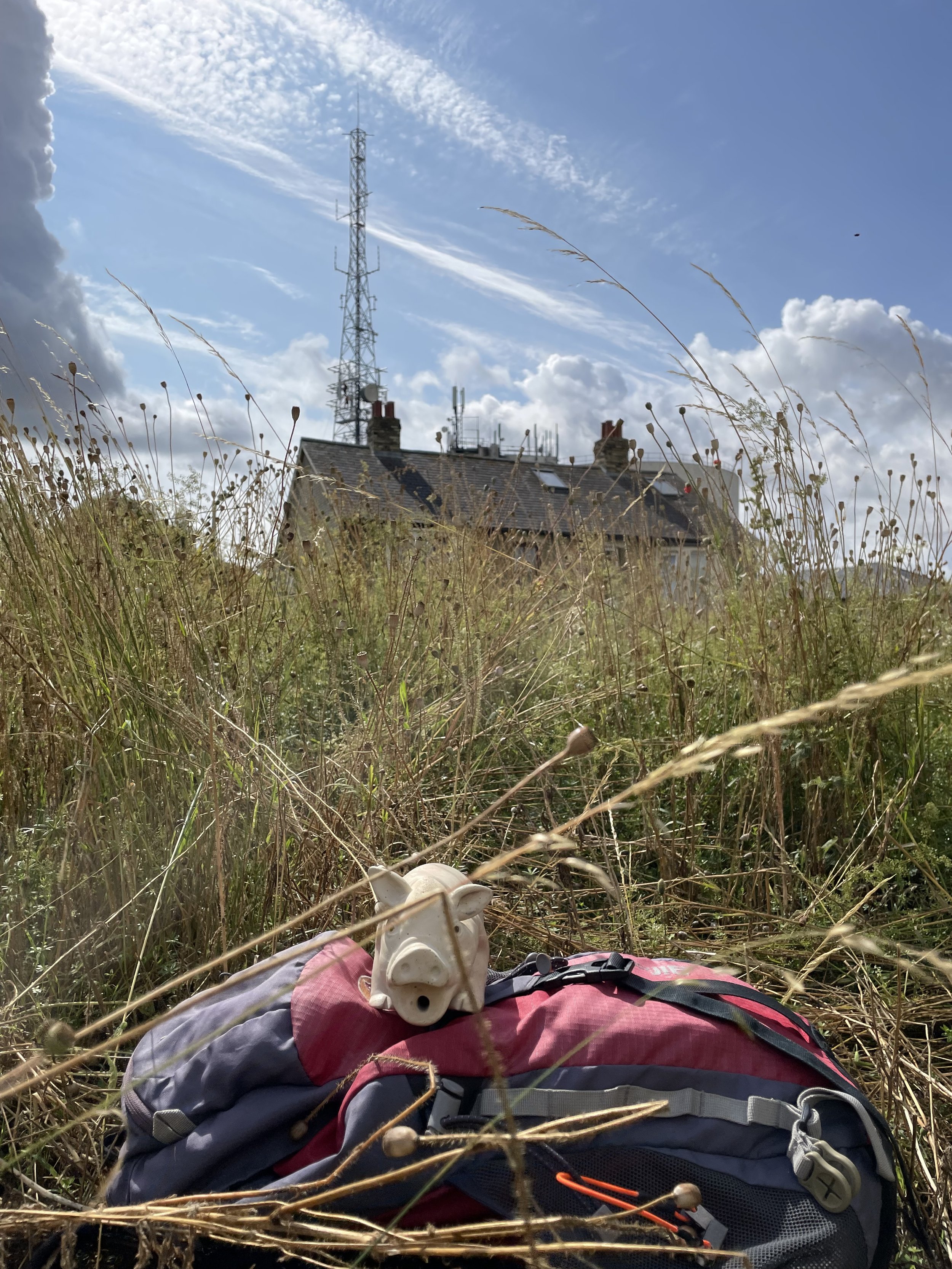
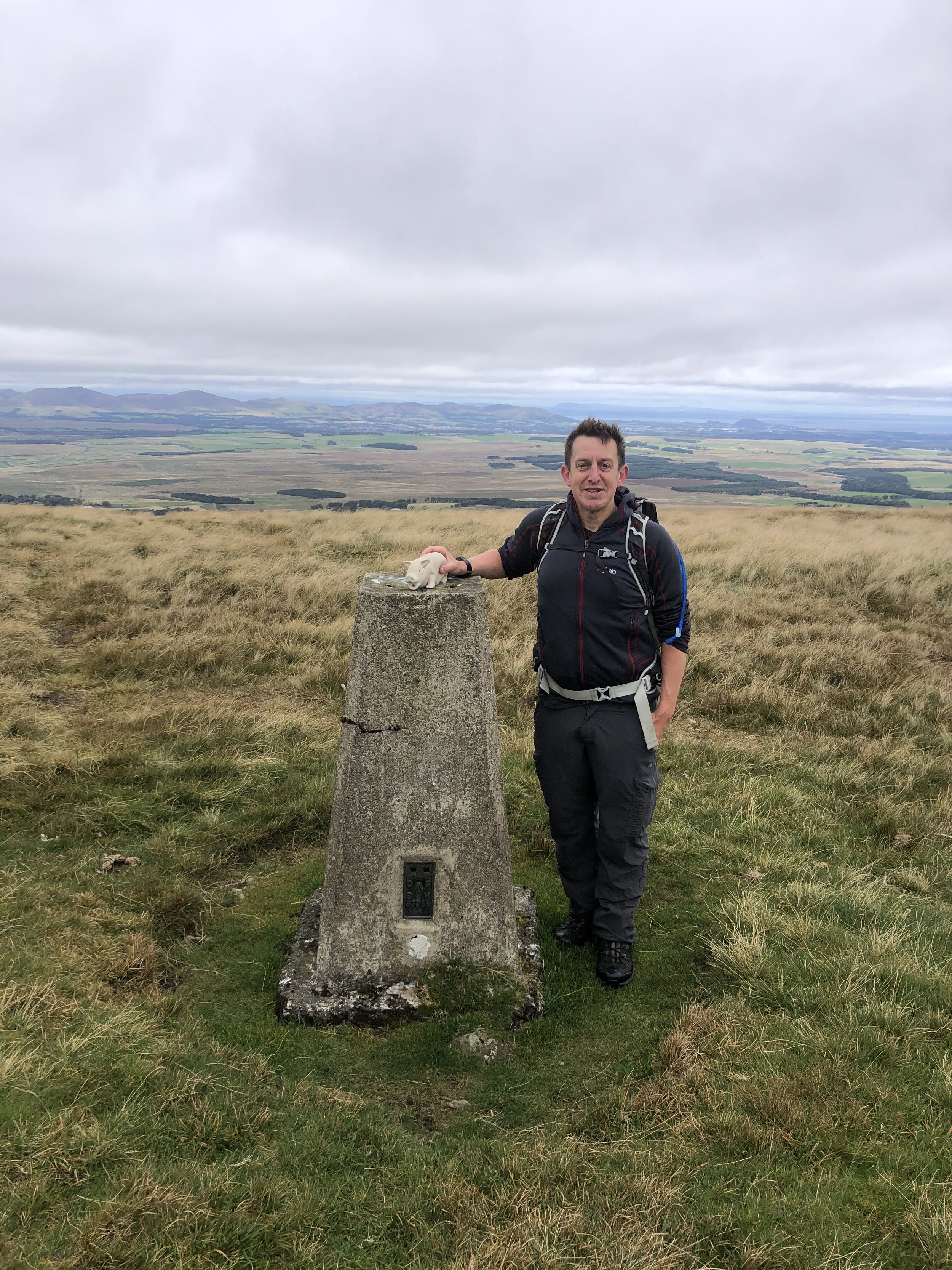
Arbury Hill
Significance: Highest peak in Northamptonshire (Historic CT), Unitary Authority High Point for West Northamptonshire
Member of: Hump, Tump
Parent Peak: Cleeve Hill. NHN = Ebrington Hill
Elevation: 224.3m
Date climbed: July 15th 2013
Coordinates: 52°13′27″N 1°12′36″W
Route Start / End: Grass verge by start of footpath on Badby Road, just off the A361
Route Distance: 3 km (1.9 miles)
Route Elevation Change: +/- 45m
Subsidiary tops on route: None
GPX File: get via Buy Me a Coffee
Other routes touched: None
Map: OS Explorer 206: Edge Hill and Fenny Compton
Guidebook: The UK's County Tops (Jonny Muir), Walking the County High Points of England (David Bathurst)
Links: Wikipedia (Northamptonshire), Wikipedia (West Northamptonshire), Wikipedia (Arbury Hill), Peakbagger, Hillbagging
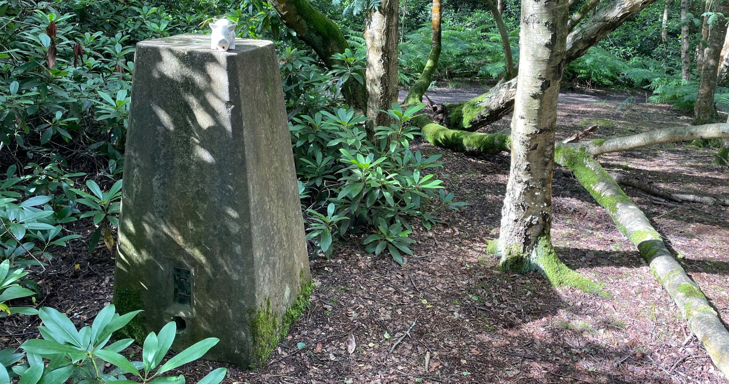
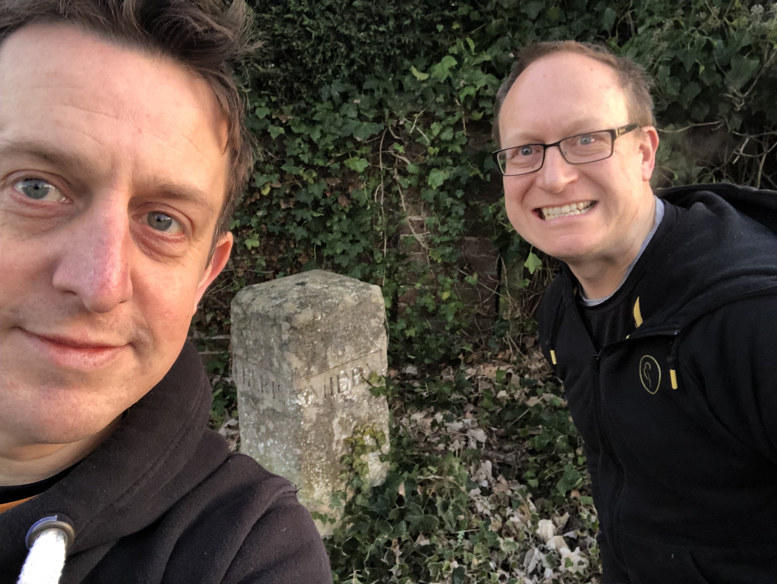
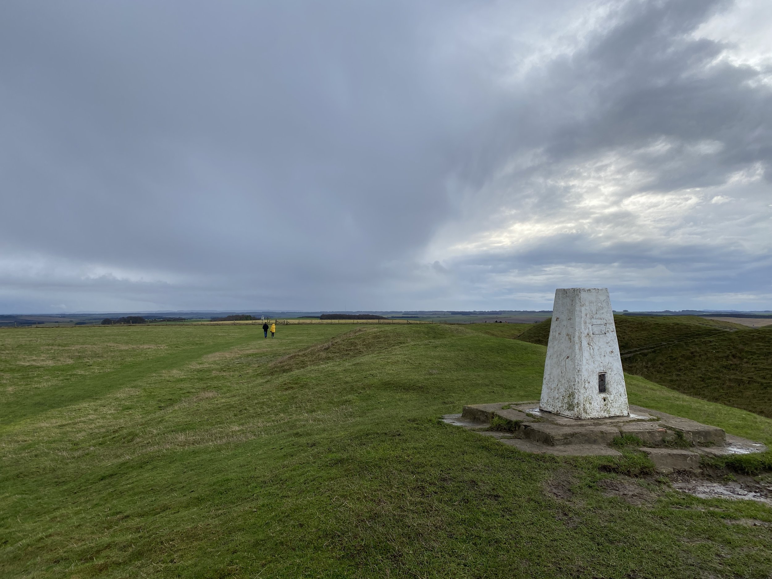
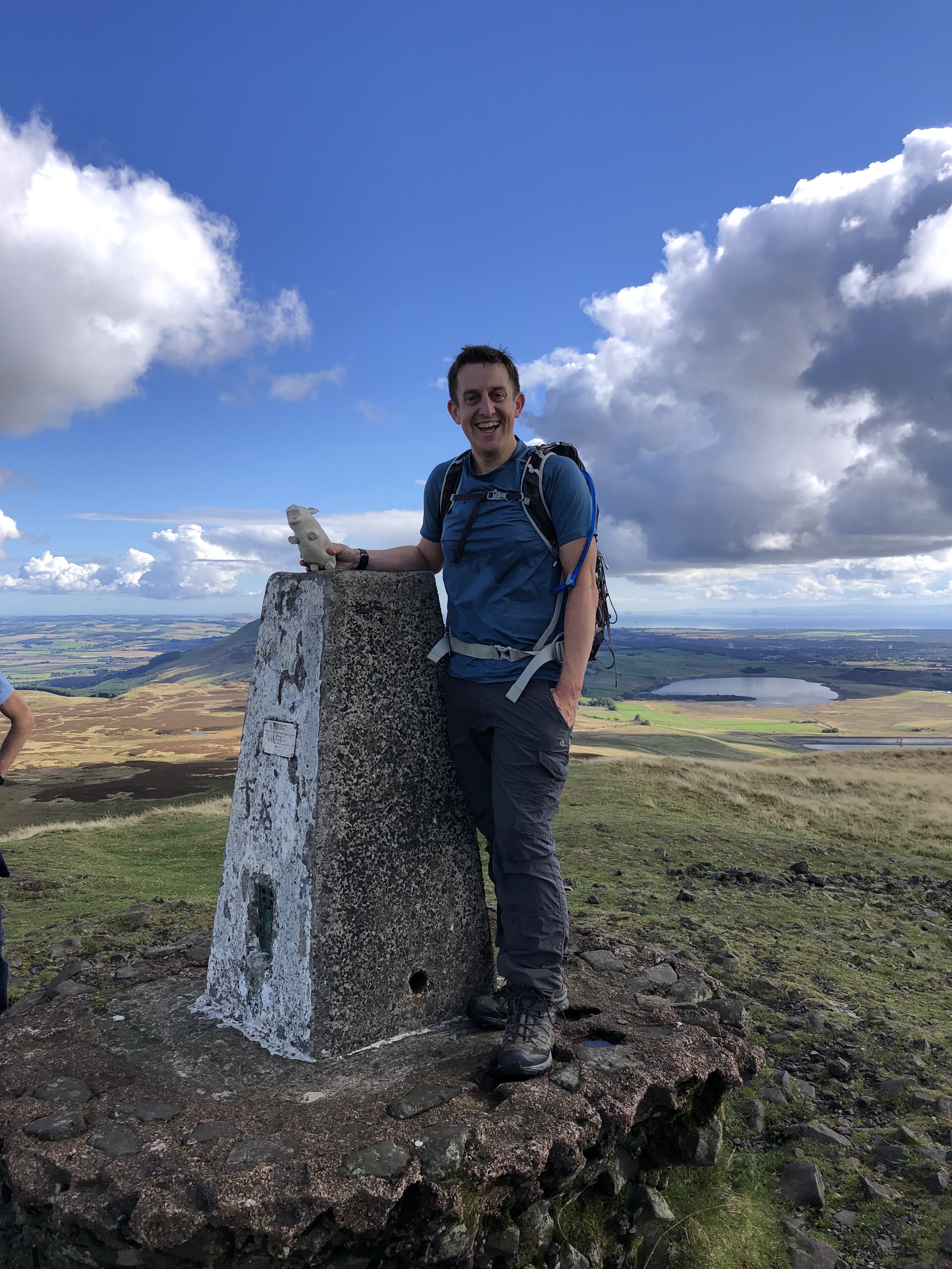
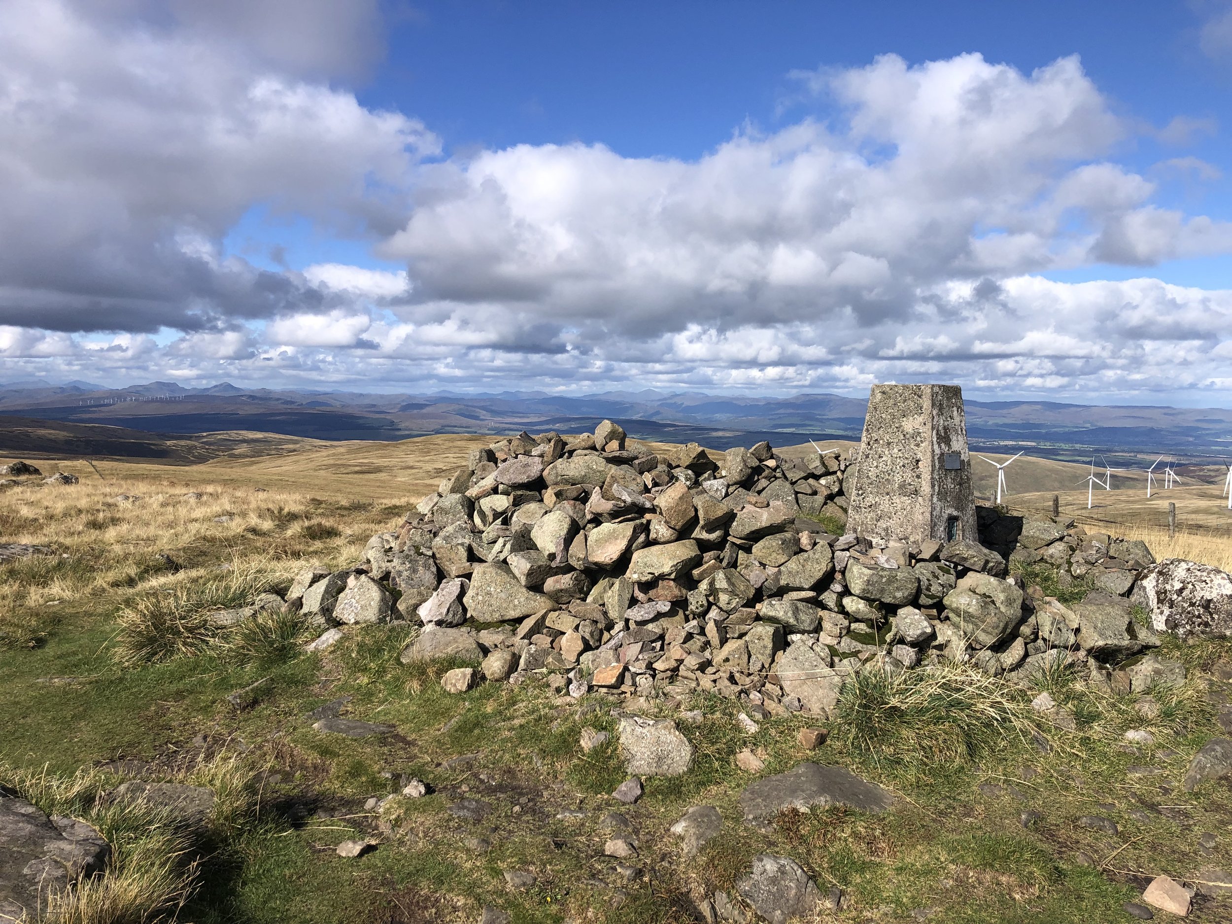
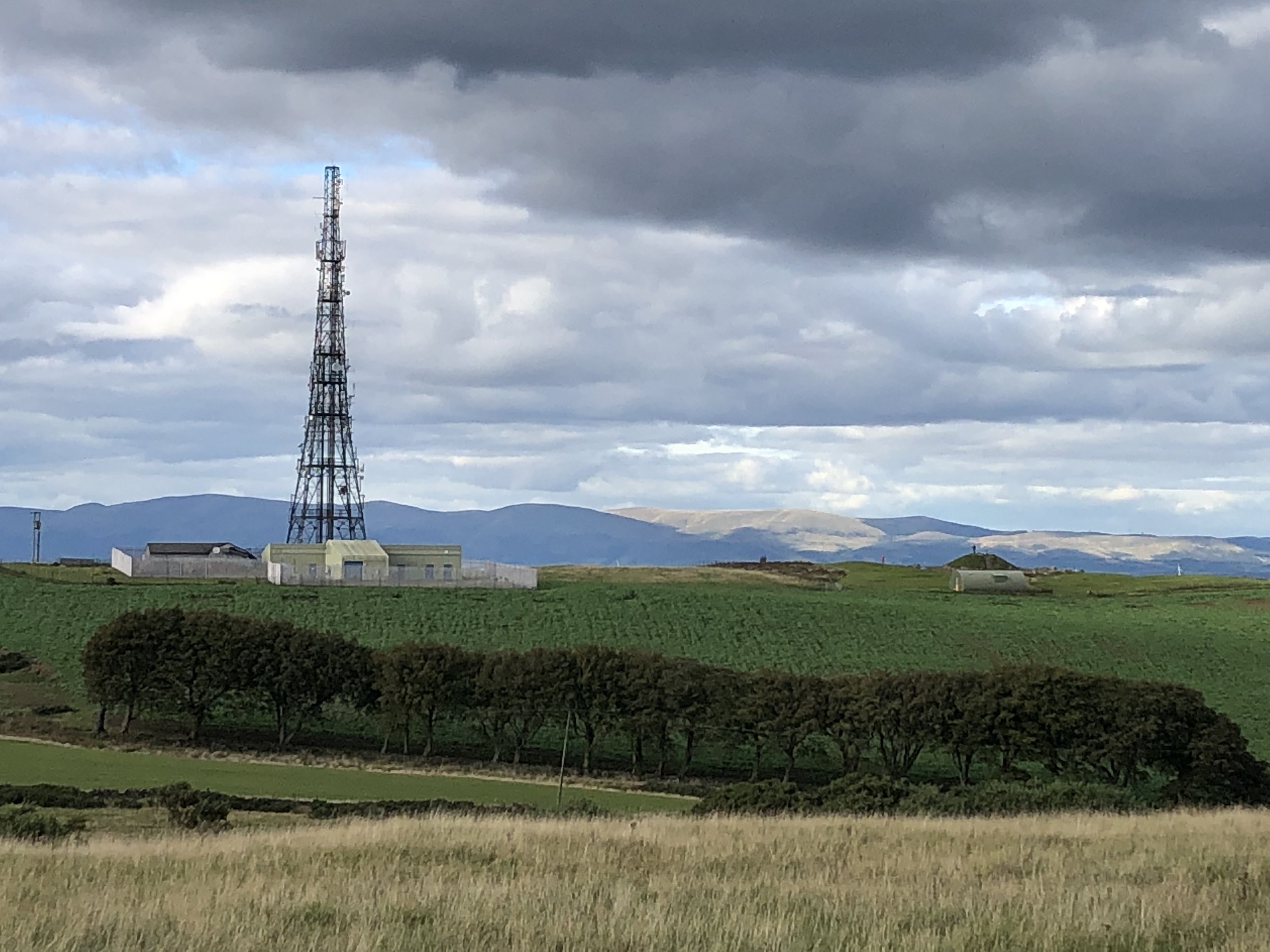
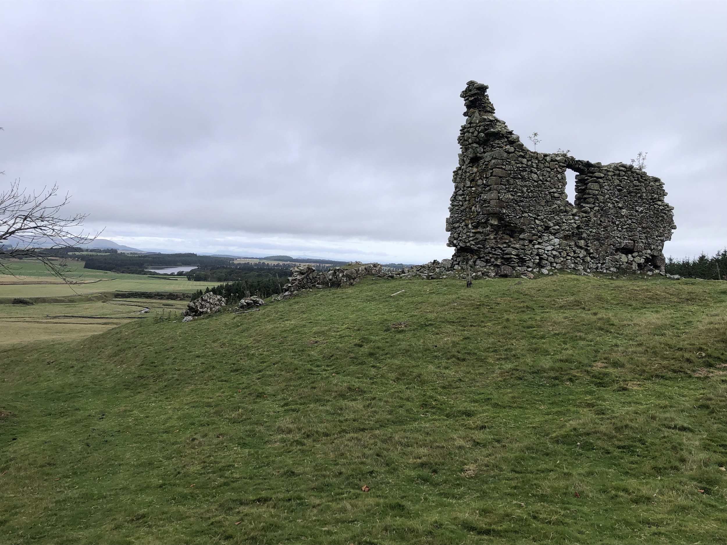
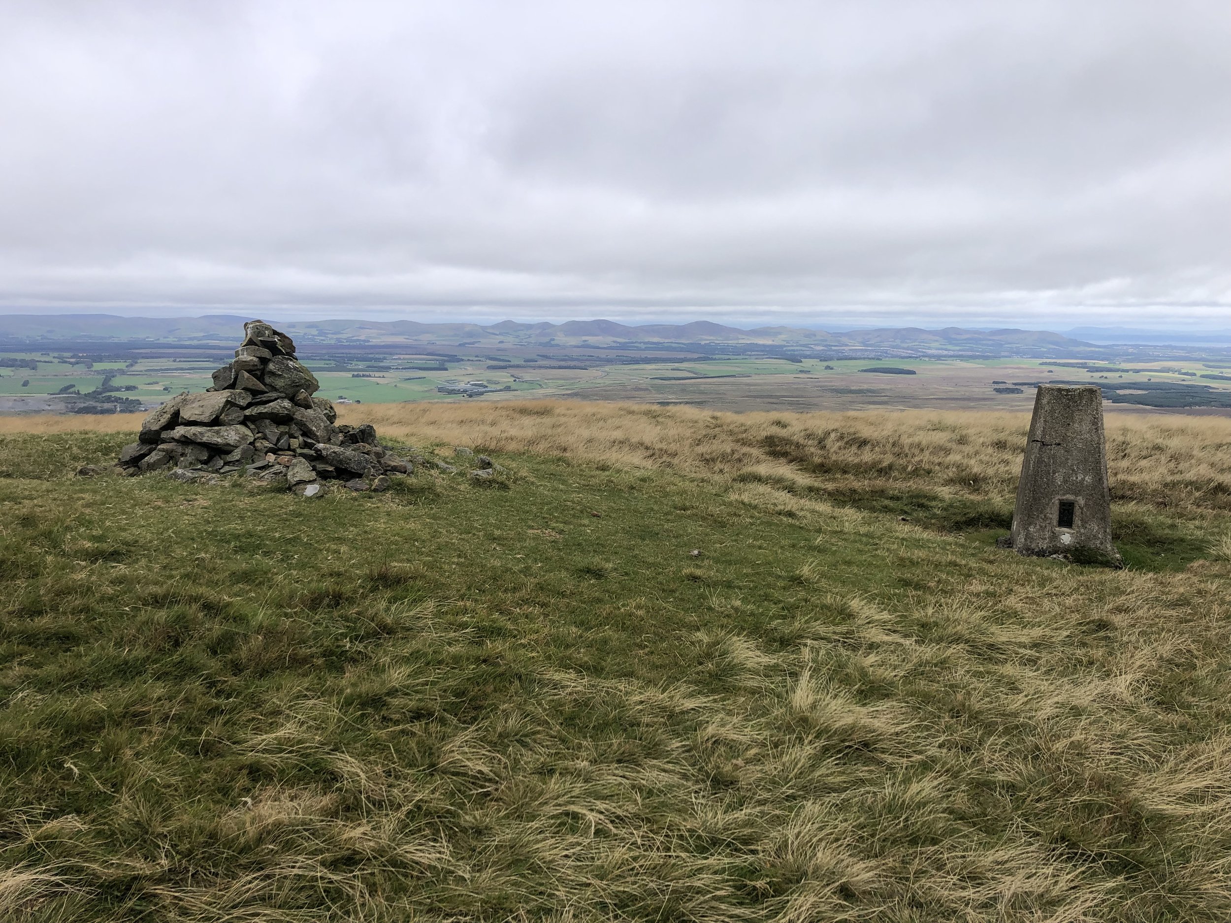
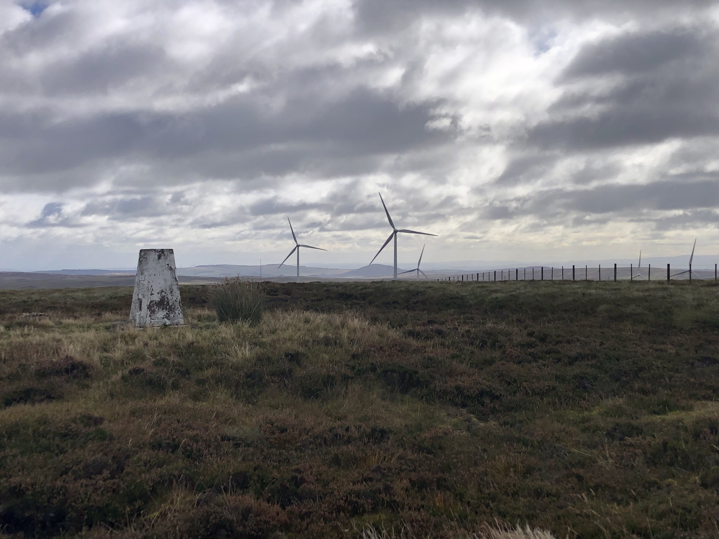
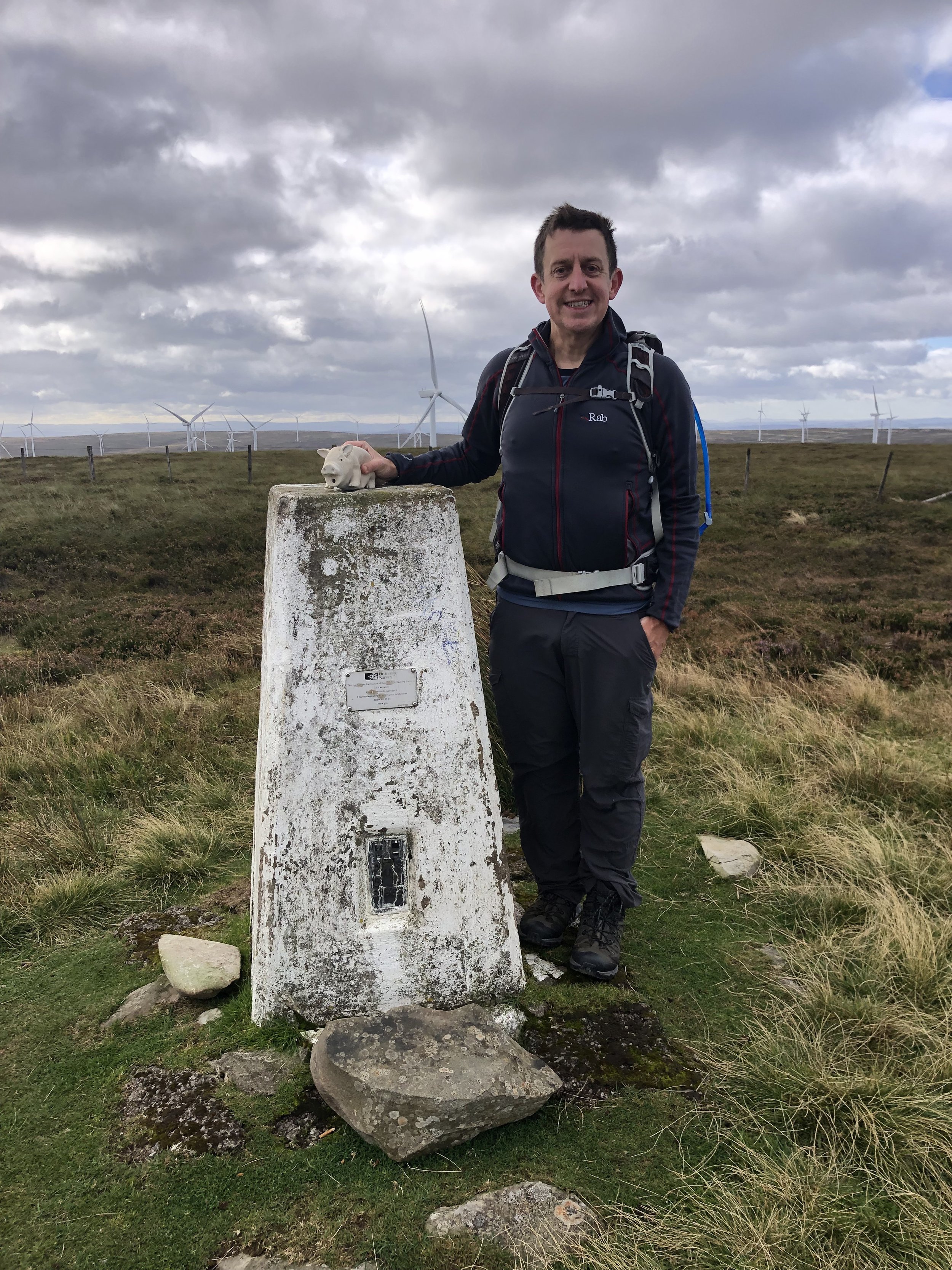
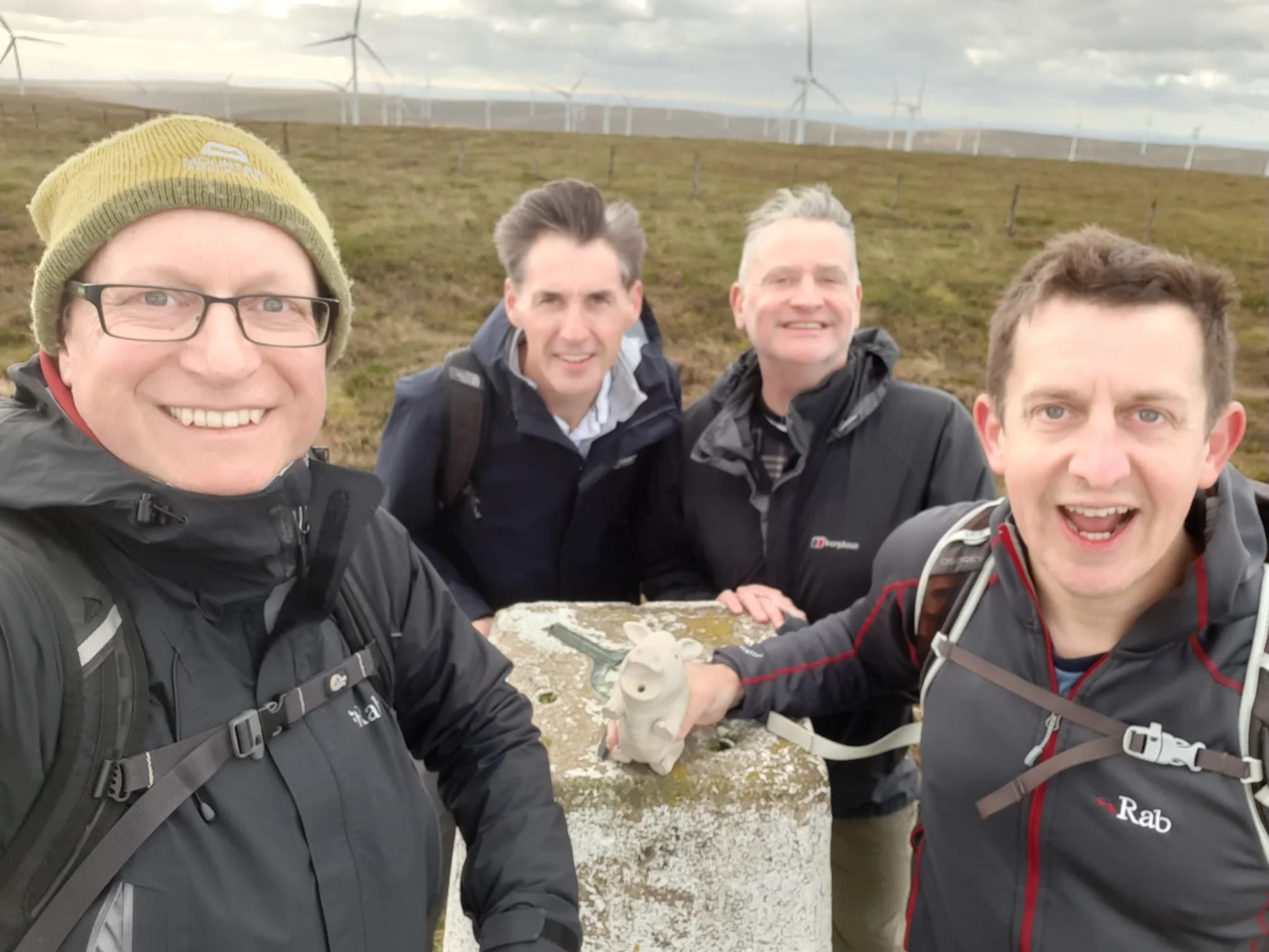
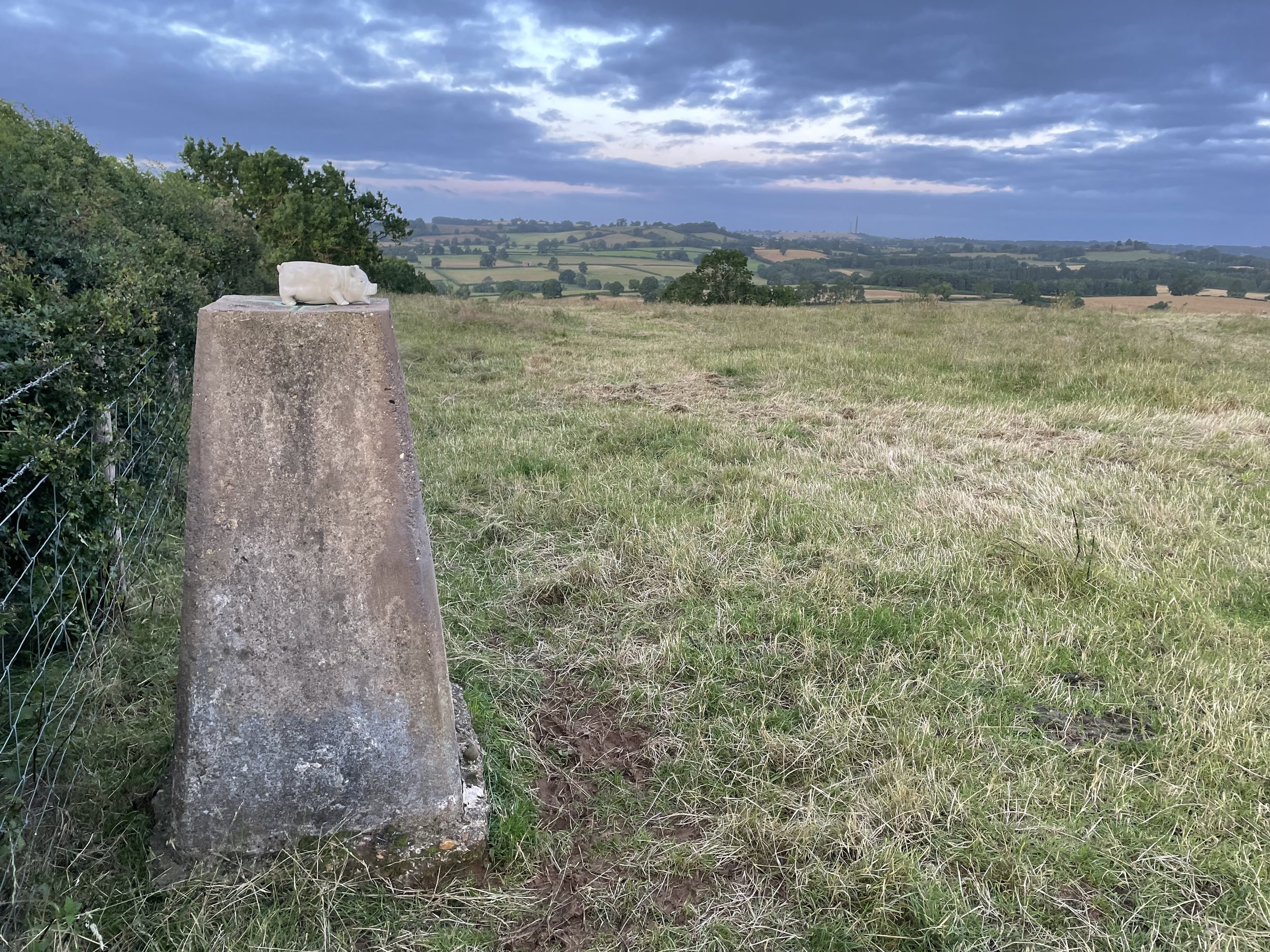
Wikipedia says there’s a Triangulation Station (Trig Pillar) at the summit. This is not correct as the nearer Trig Pillar is on Big Hill - Staverton Clump.


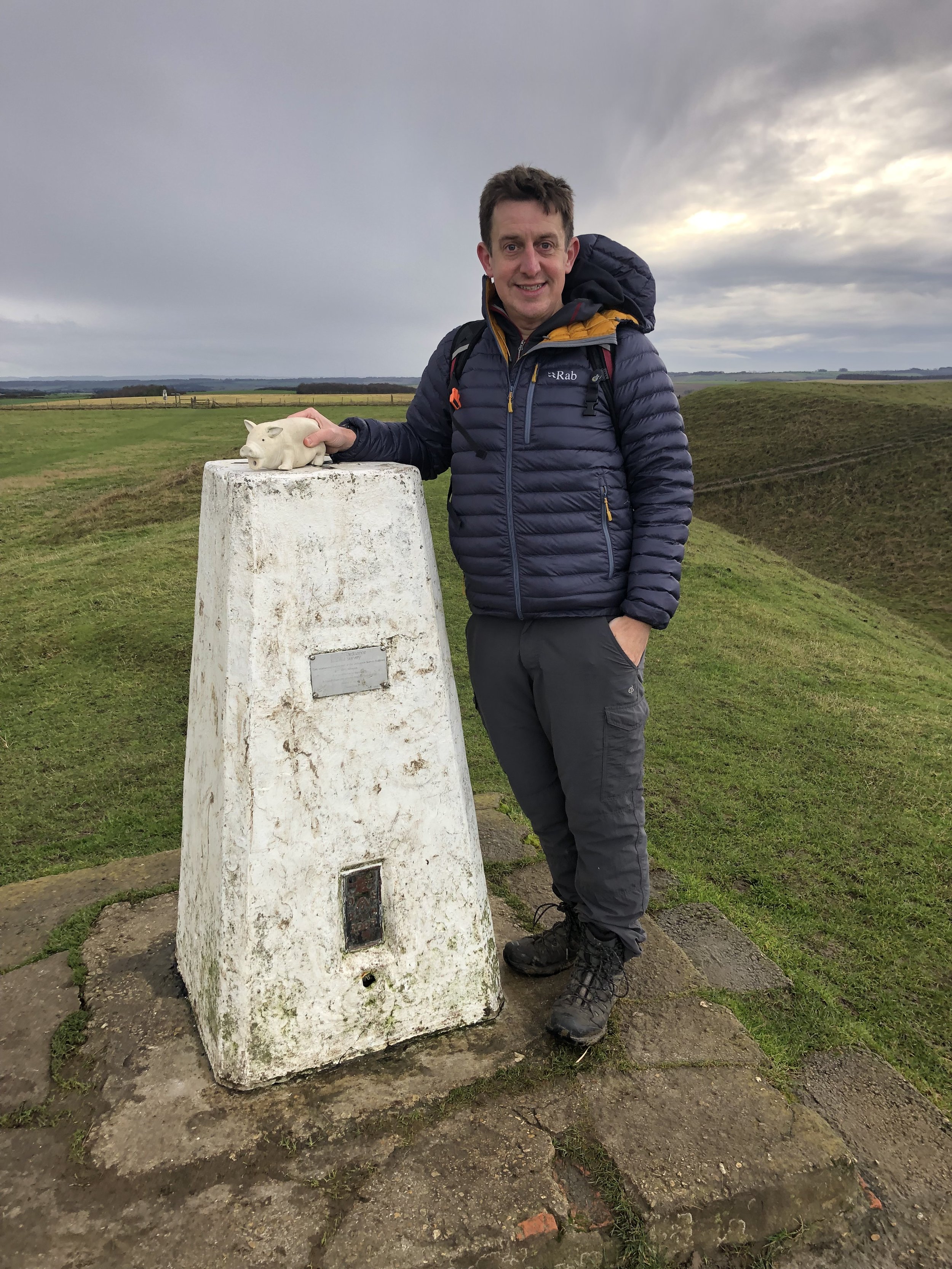
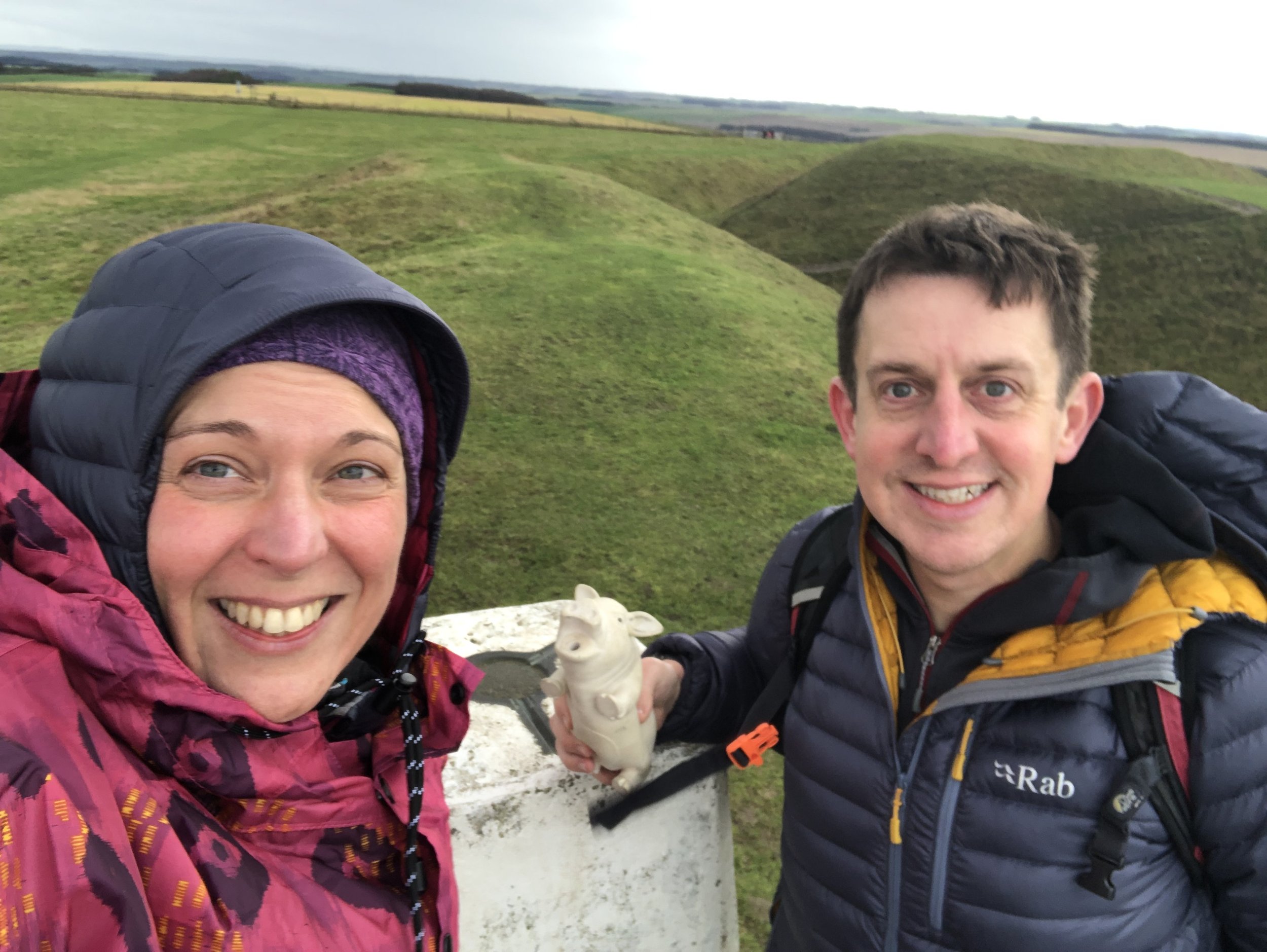
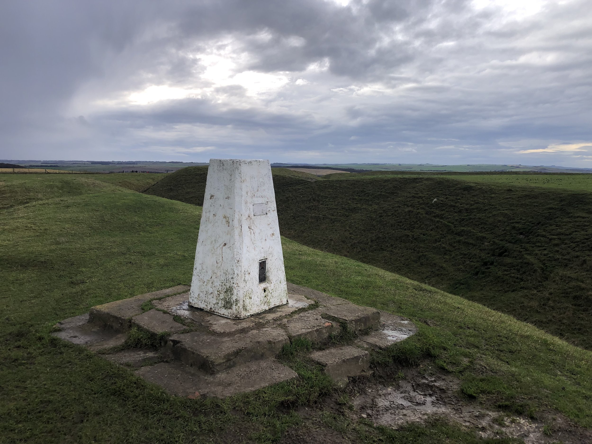
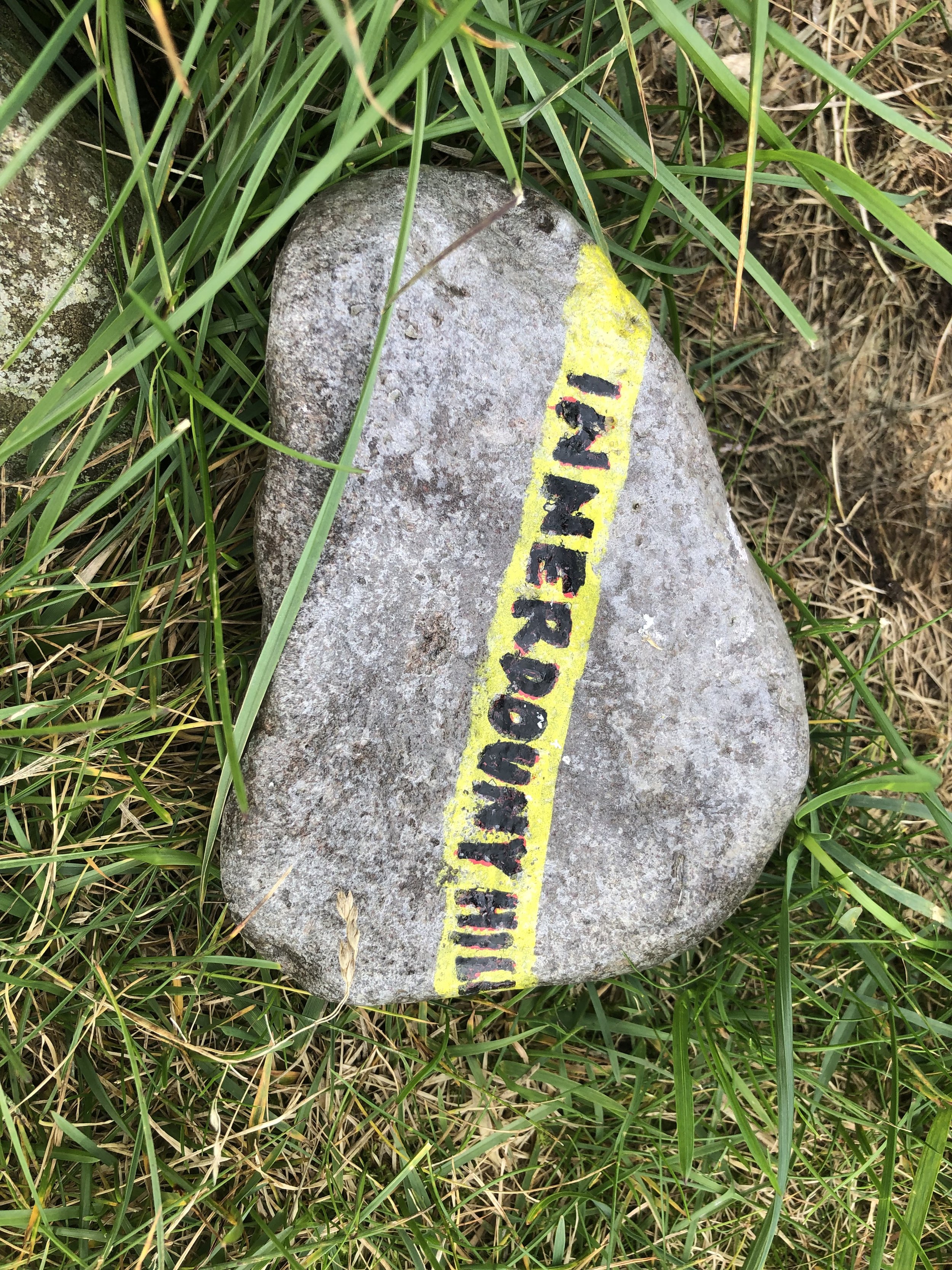
Big Hill - Staverton Clump
Significance: Alternative Highest peak in Northamptonshire (Historic CT), Alternative Unitary Authority High Point for West Northamptonshire
Member of: Hump, Tump
Parent Peak: Cleeve Hill. NHN = Ebrington Hill
Elevation: 224.3m
Date climbed: July 16th 2013
Coordinates: 52° 14' 47'' N, 1° 11' 49'' W
Route Start / End: Staverton Park Hotel & Golf Club, Daventry Road, NN11 6JT
Route Distance: 2.4 km (1.5 miles)
Route Elevation Change: +/- 48m
Subsidiary tops on route: None
GPX File: get via Buy Me a Coffee
Other routes touched: None
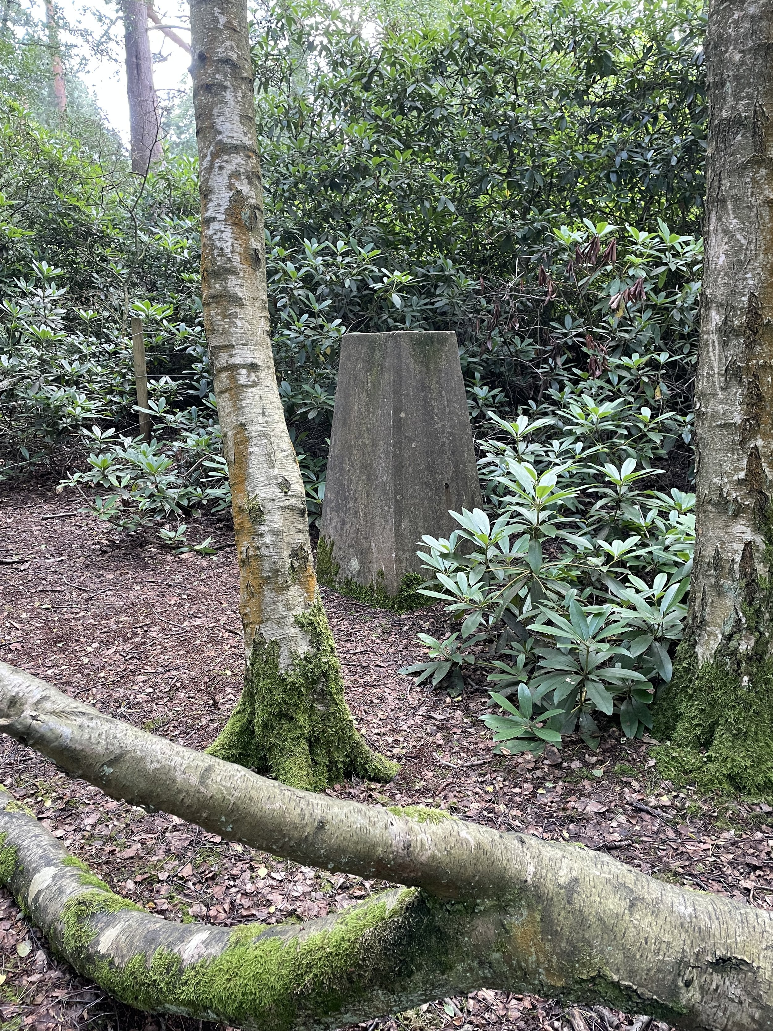
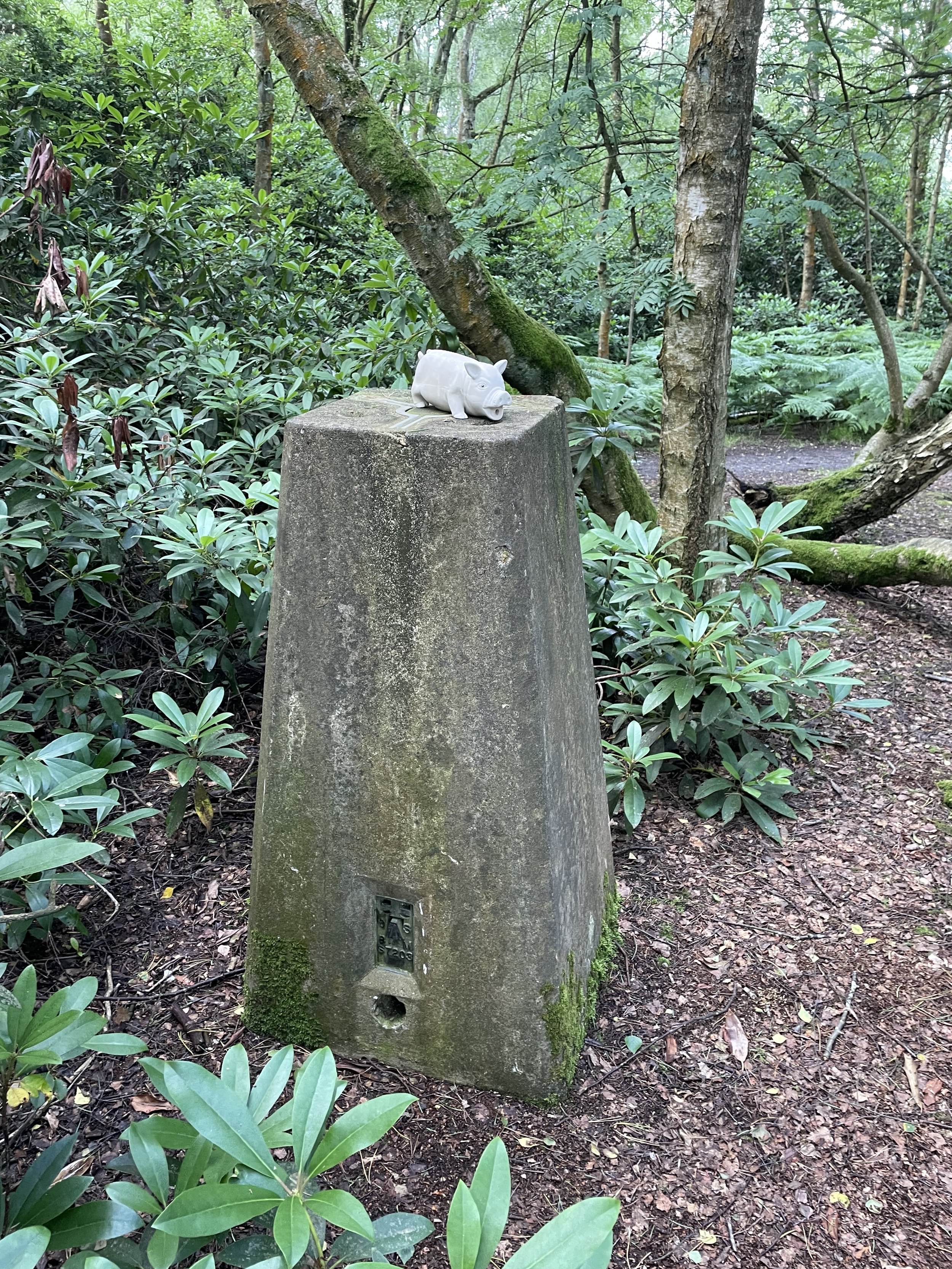
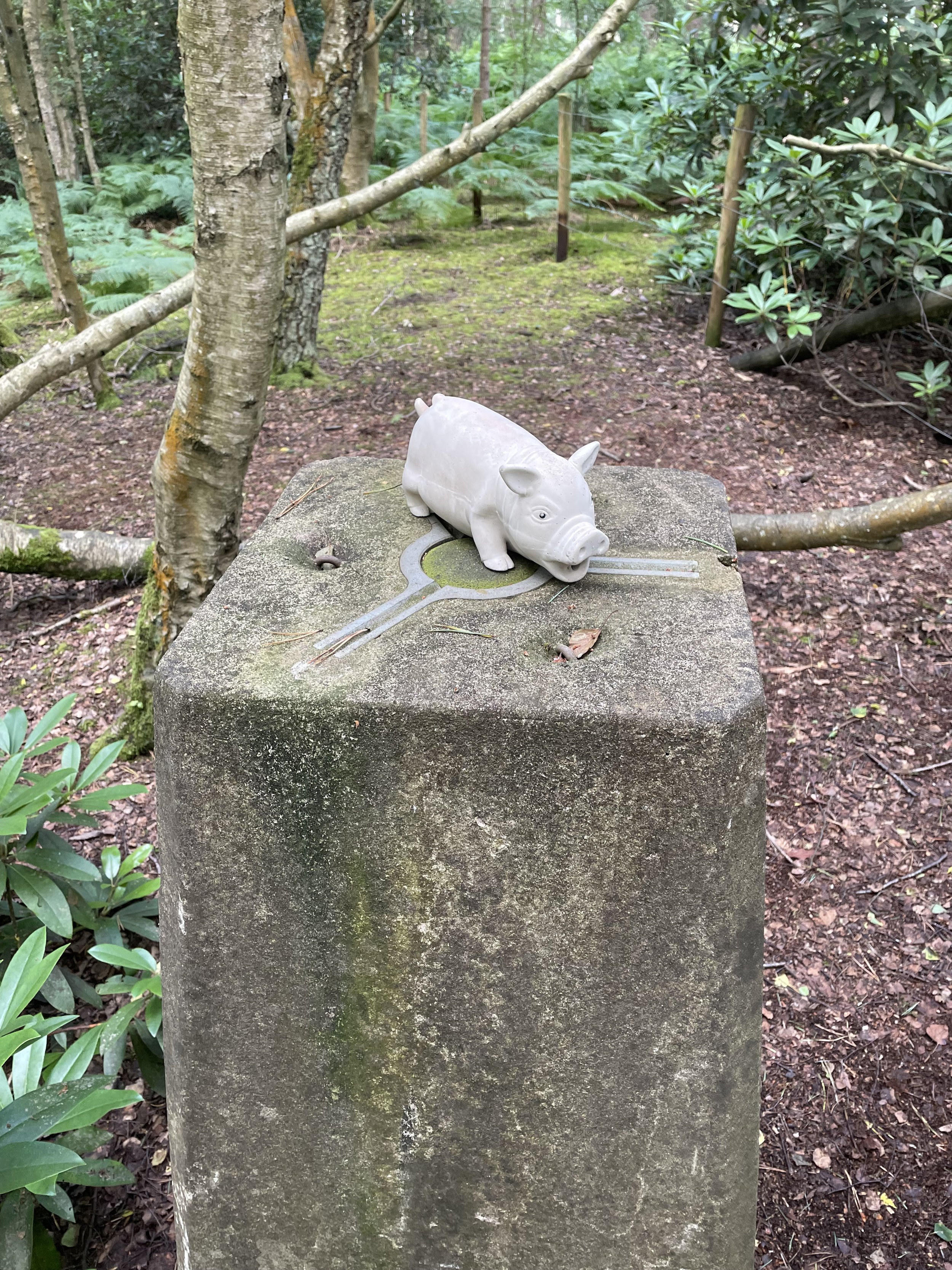
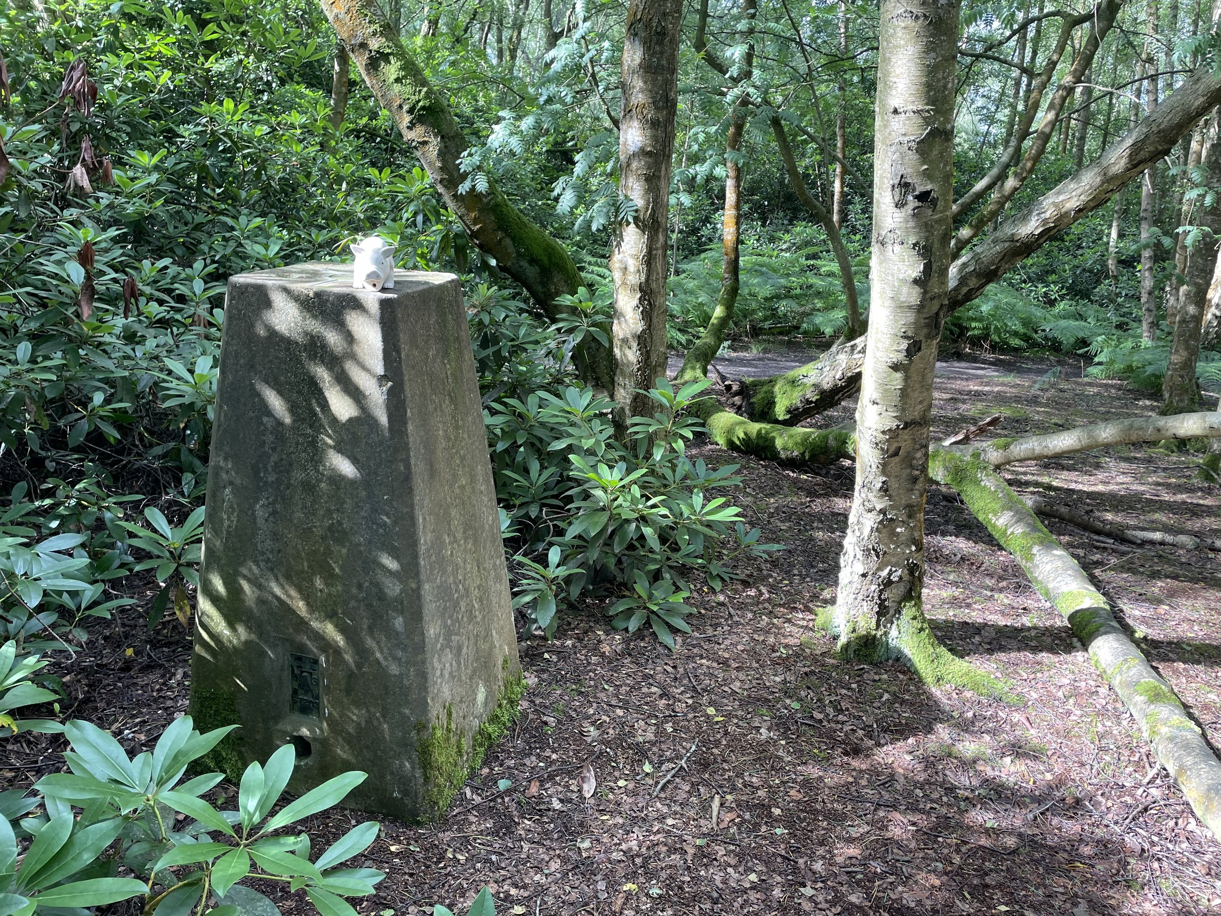
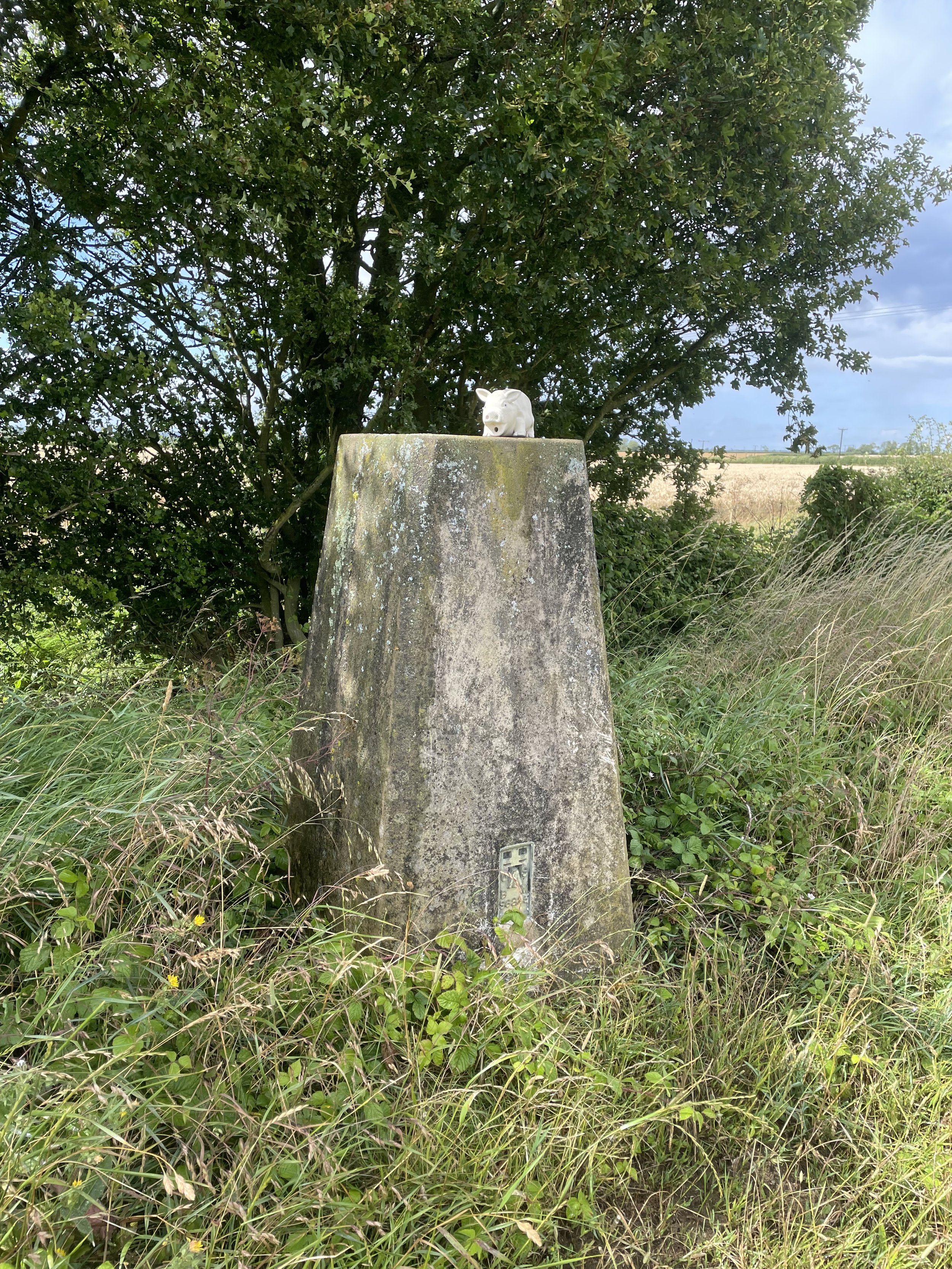
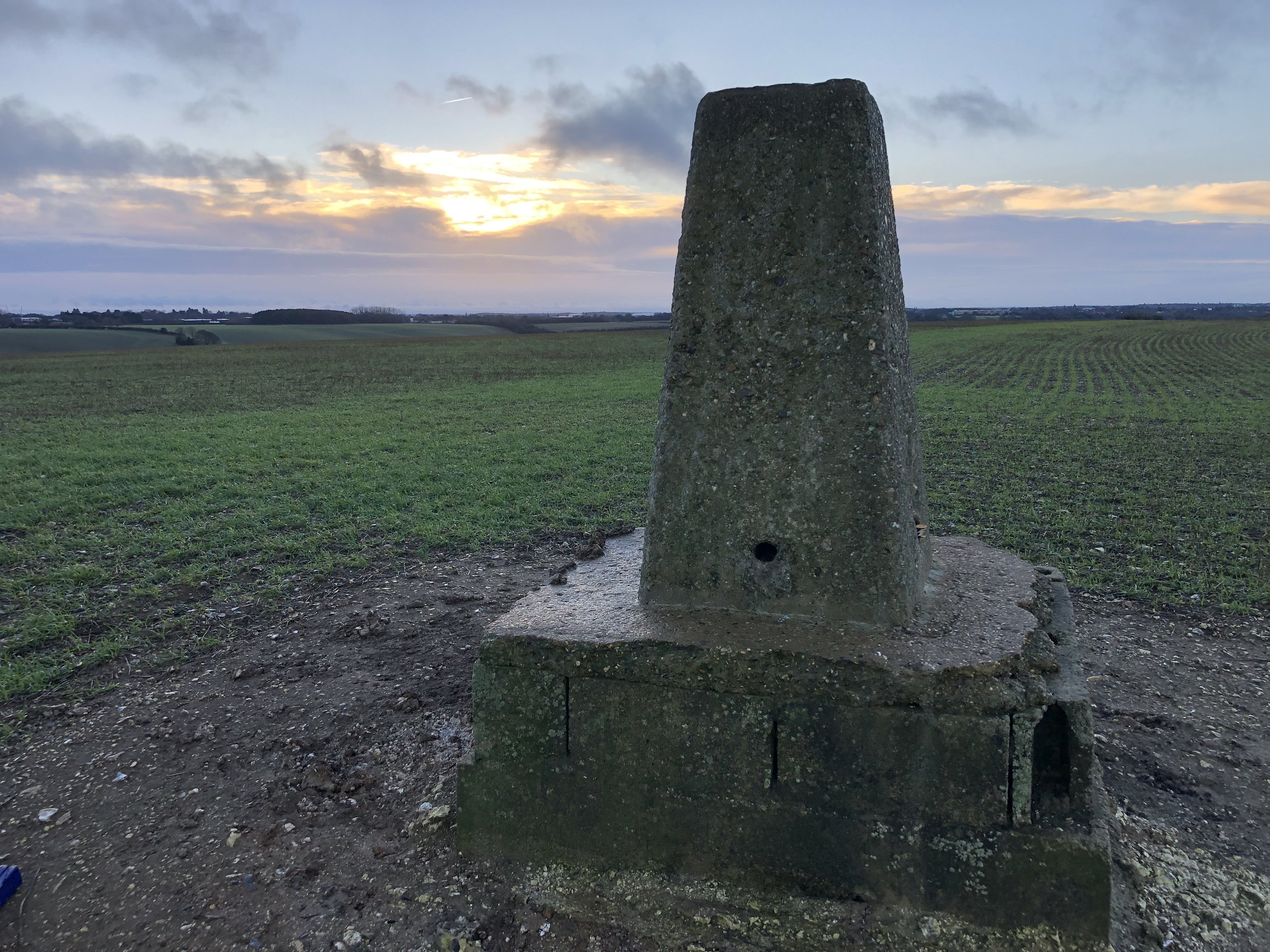
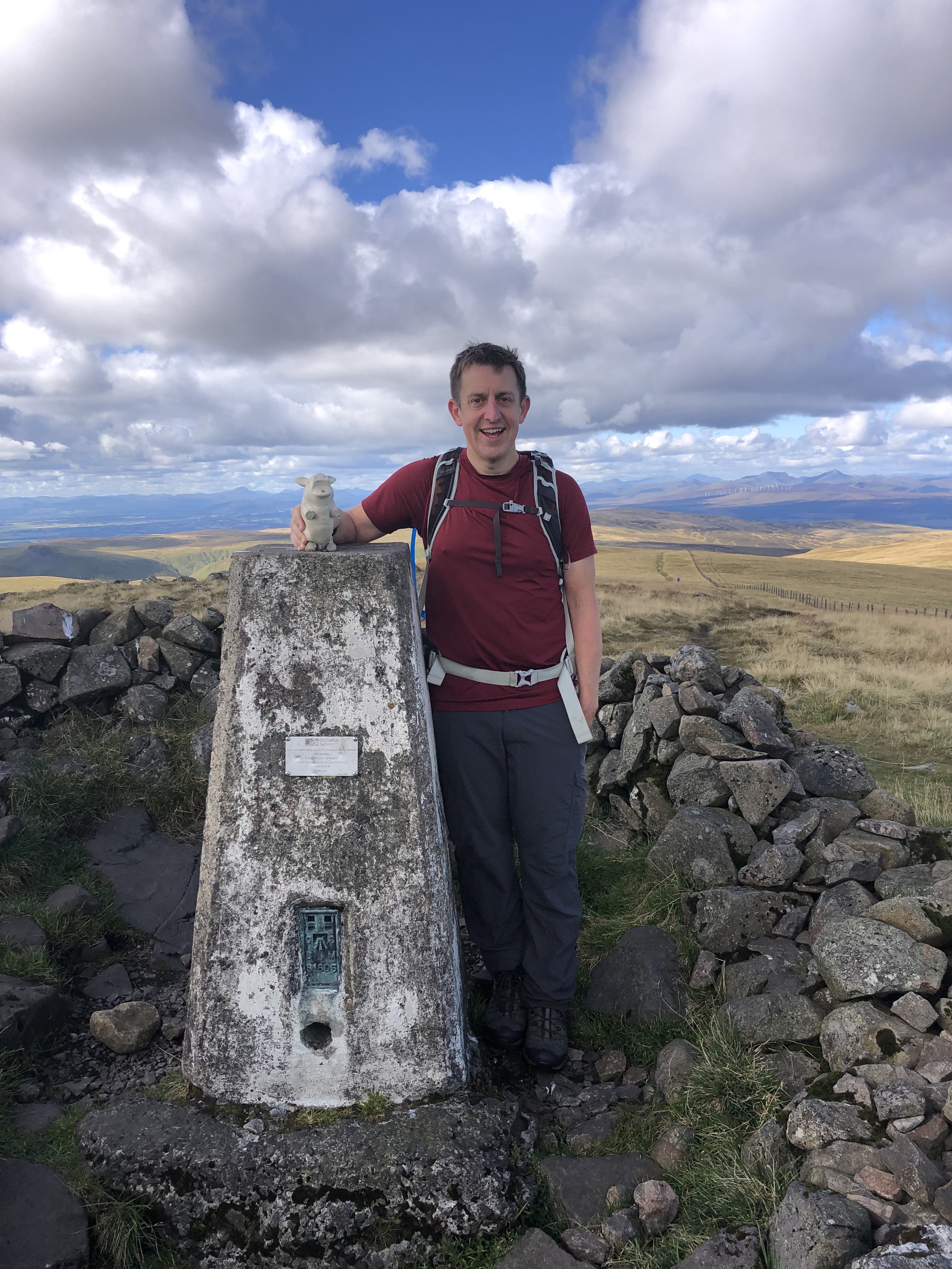
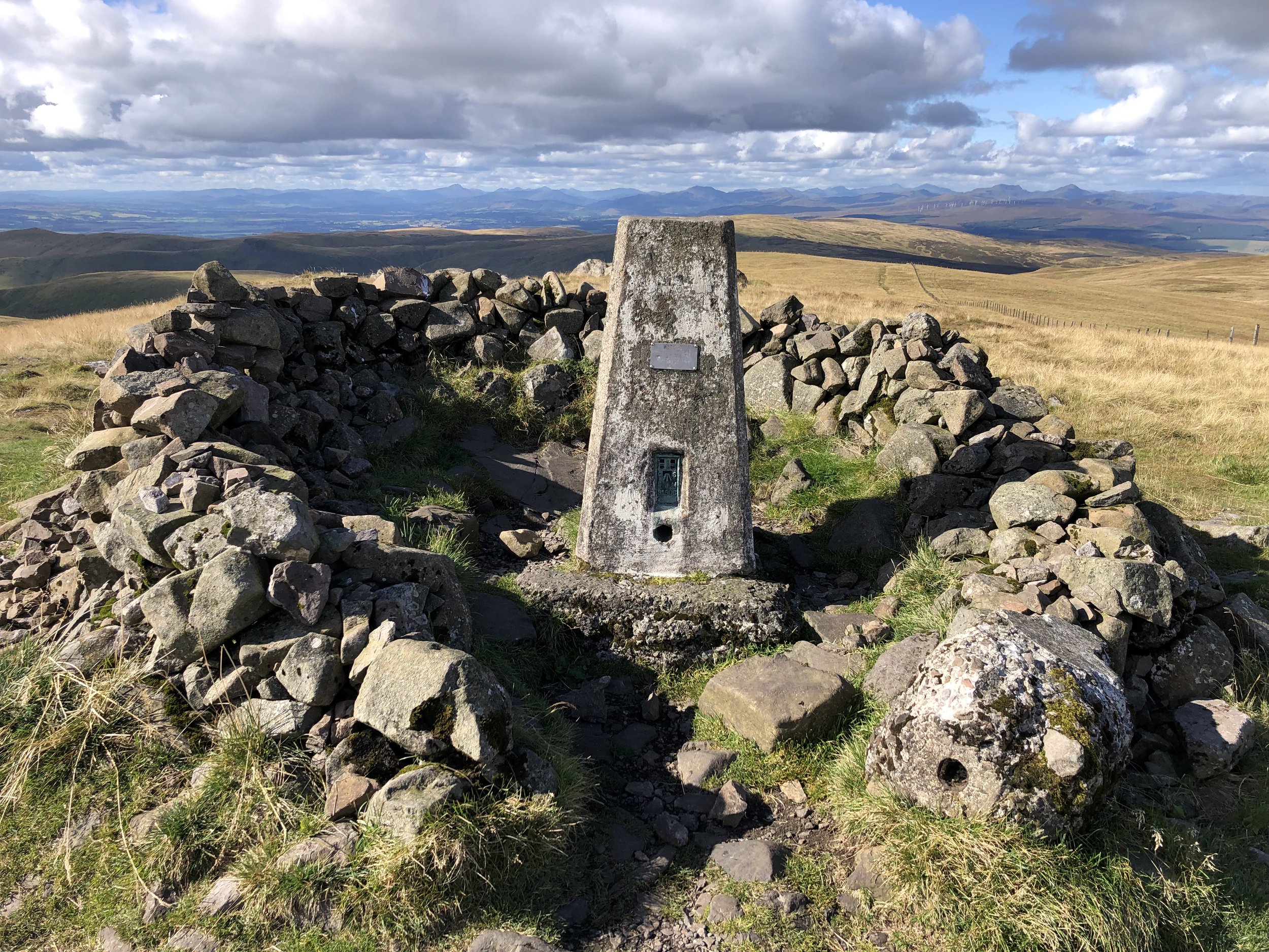
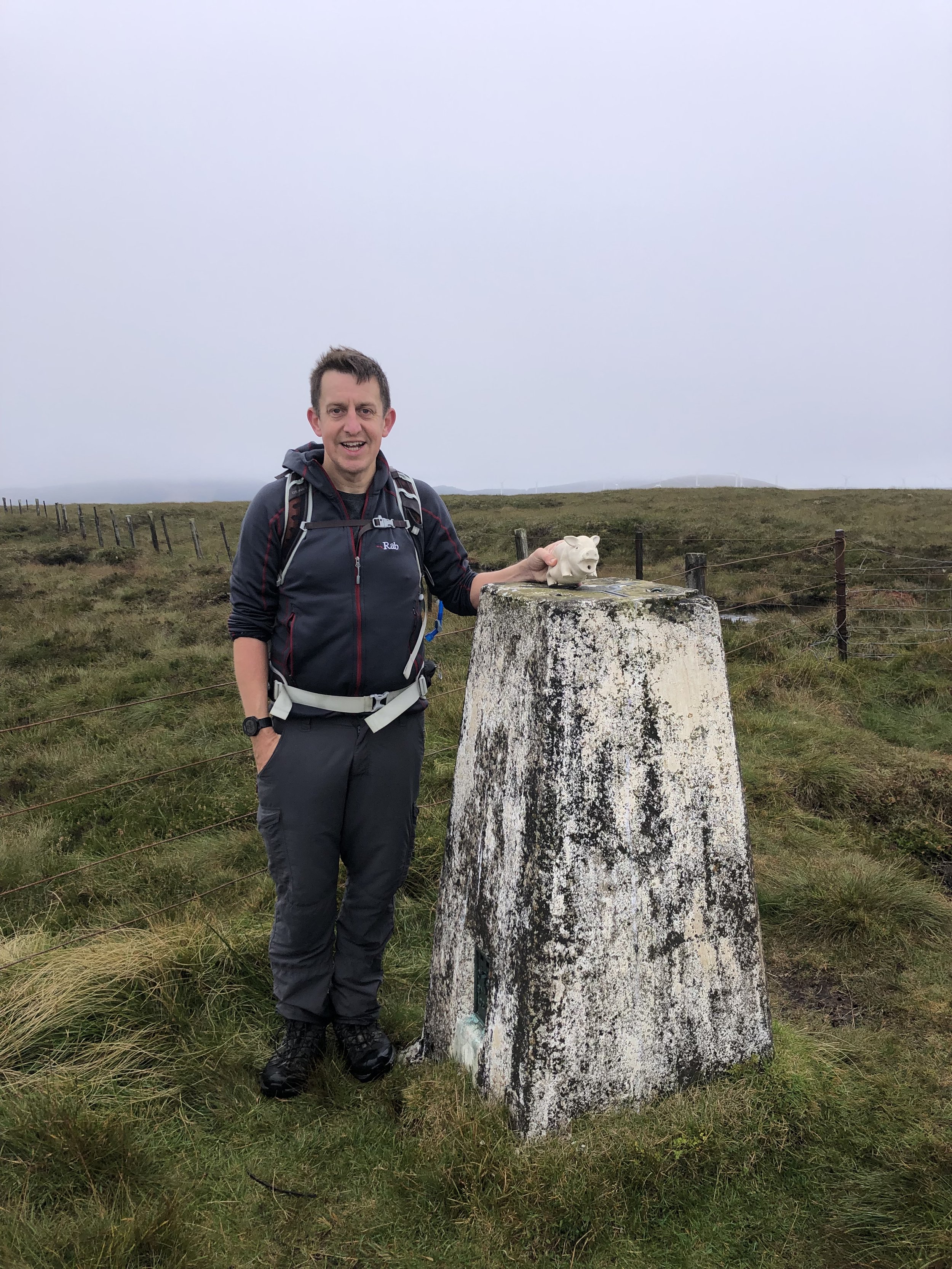
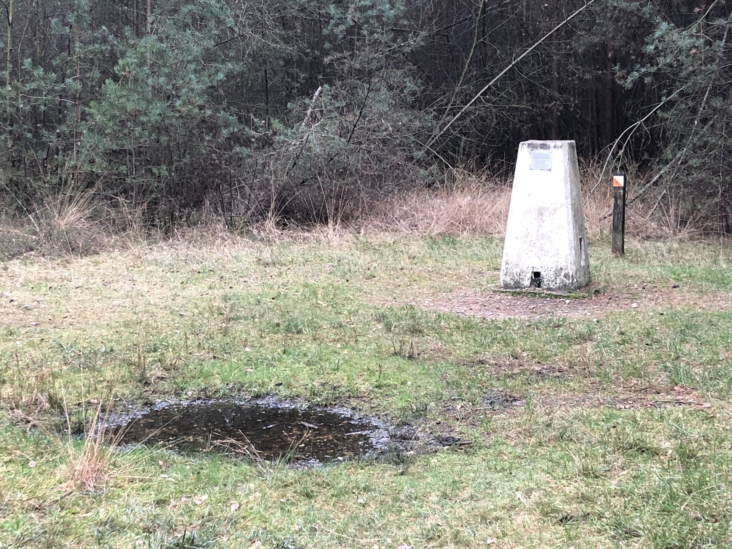
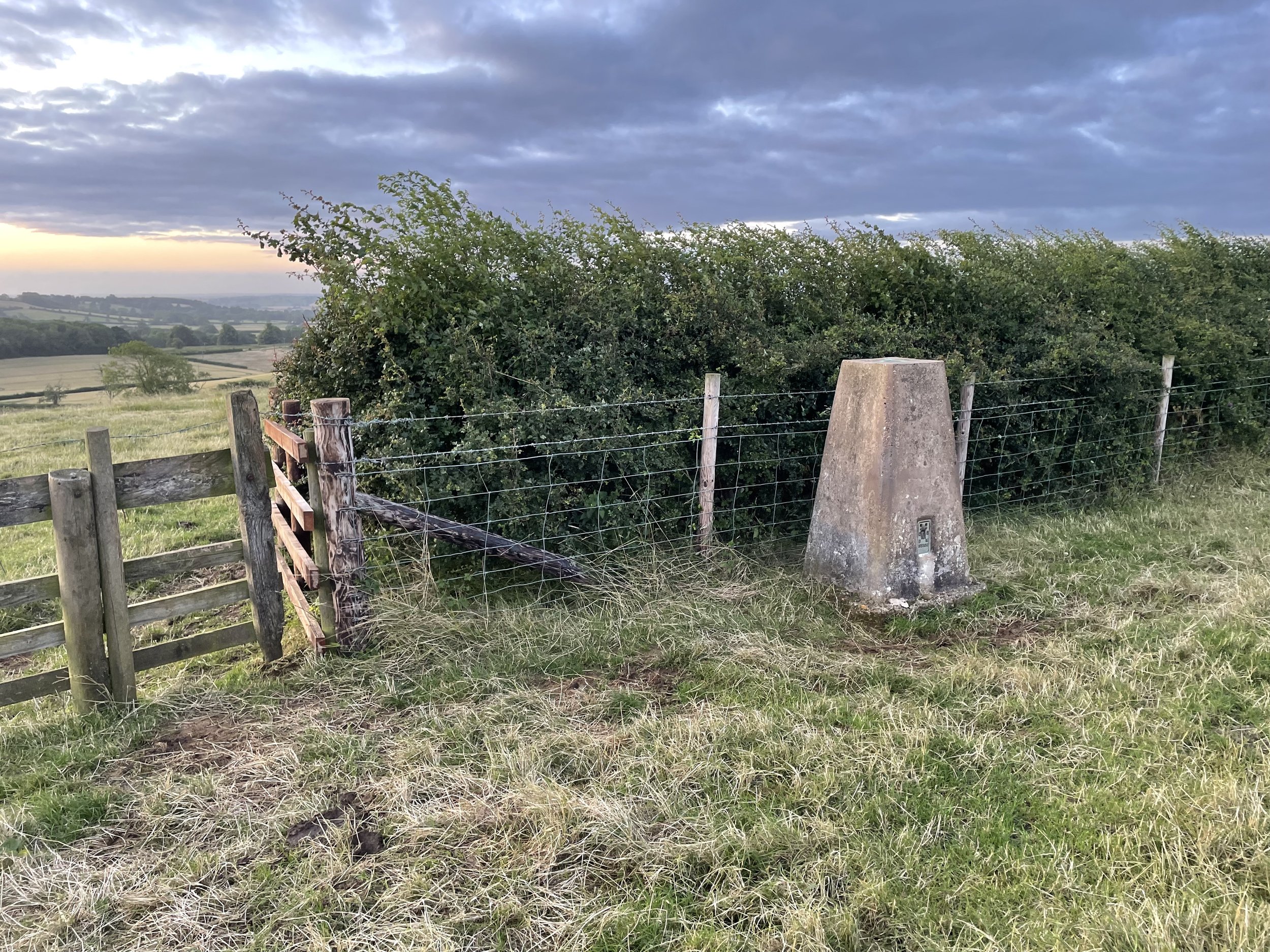
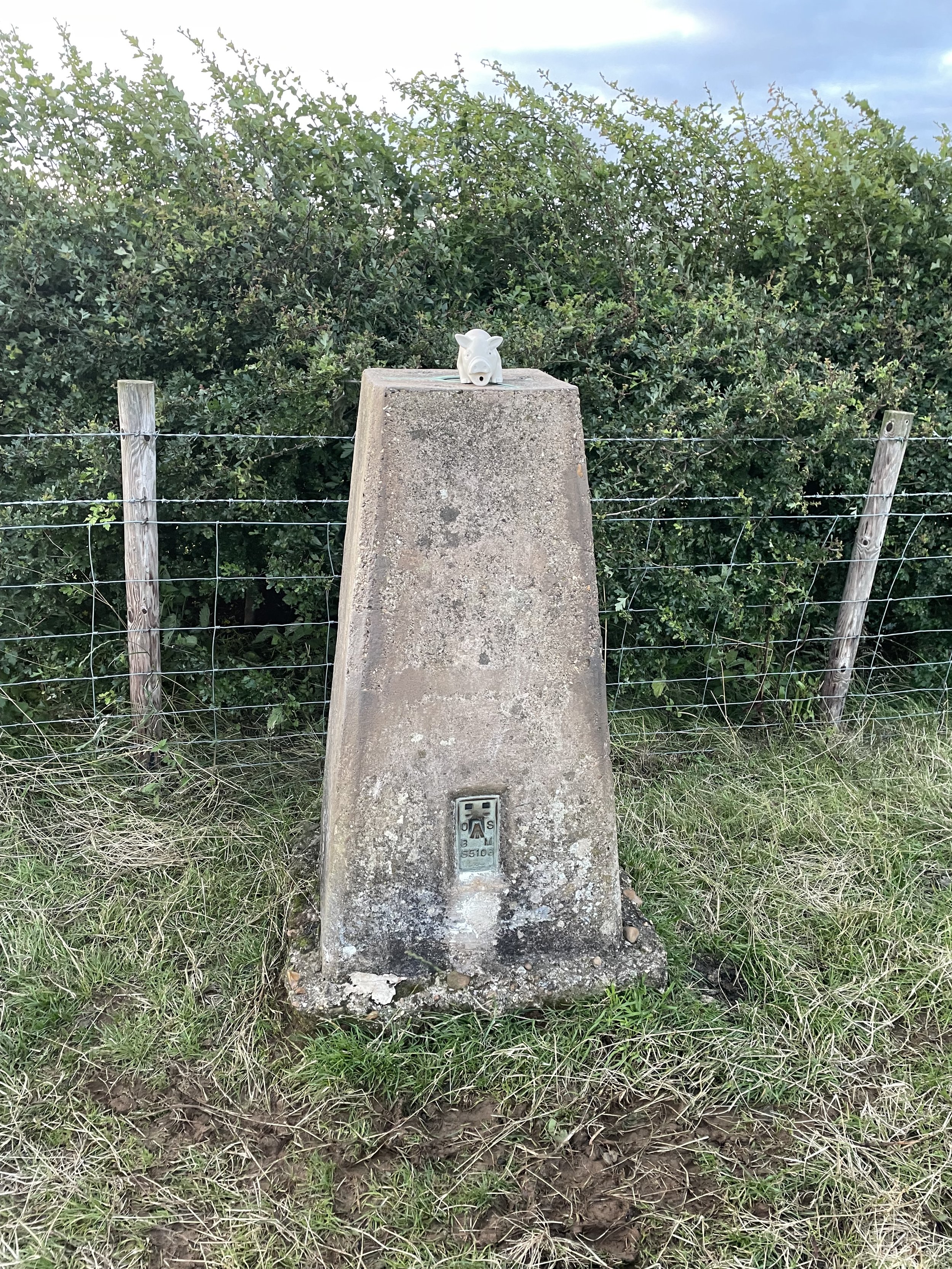
OS Trig Pillar: TP6169 - Staverton
Map: OS Explorer 206: Edge Hill and Fenny Compton
Guidebook: N/A
Links: Wikipedia (Northamptonshire), Wikipedia (West Northamptonshire), Peakbagger, Hillbagging
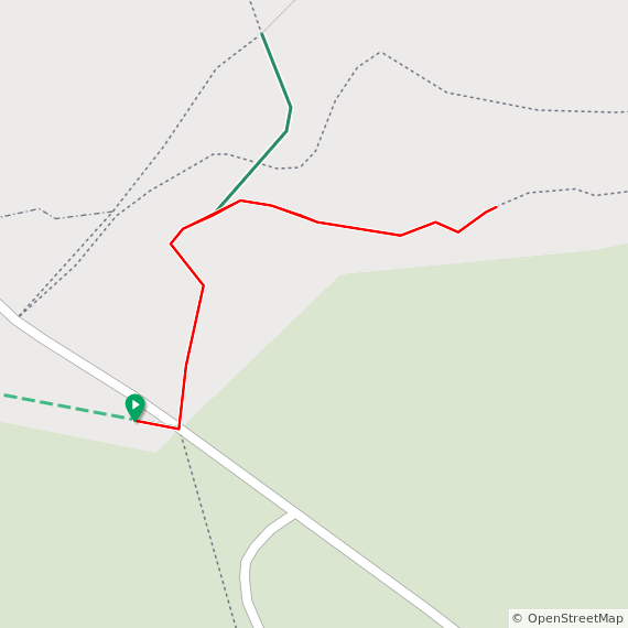
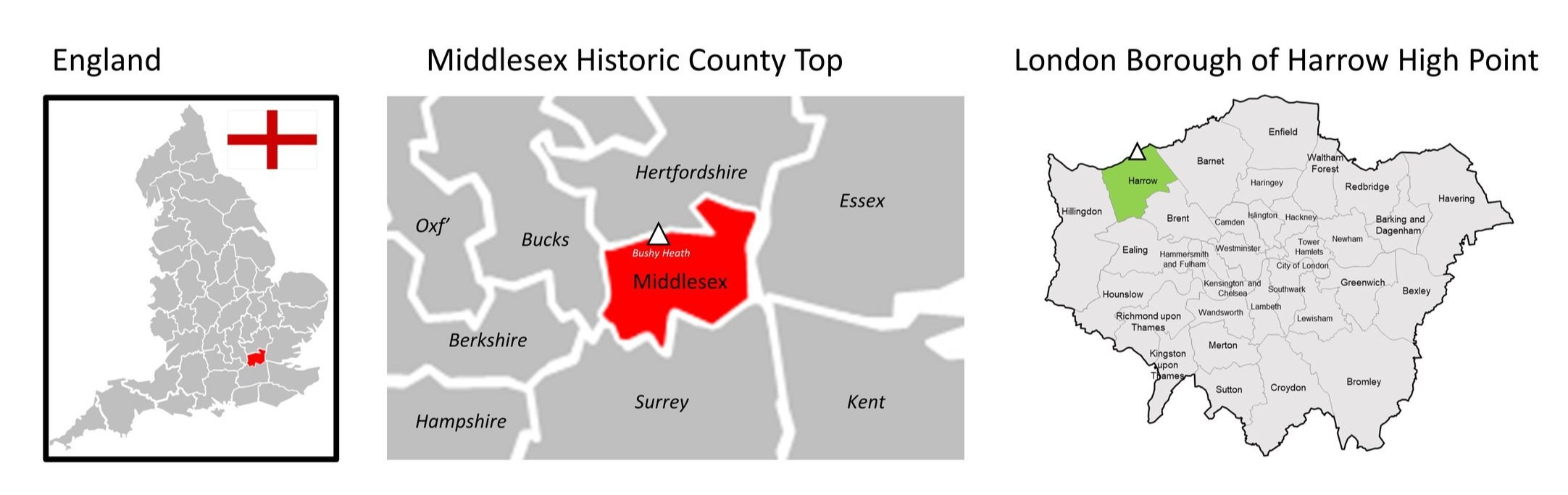
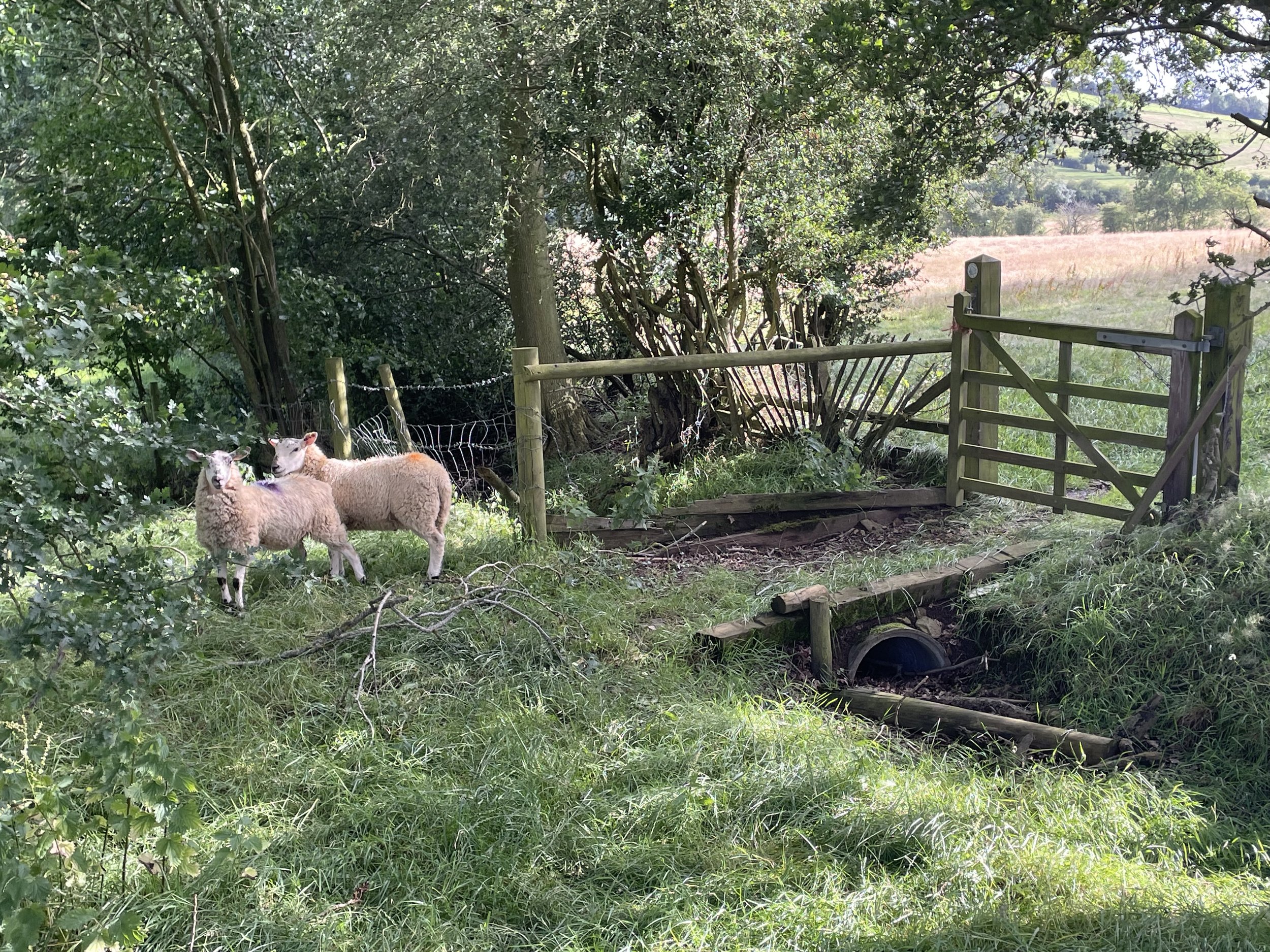
Shortly before my first attempt at Arbury Hill in 2013 Big Hill - Staverton Clump was determined to be the twin County Top of Northamptonshire. It’s another one on private land so it didn’t make my to-do list until I made the decision to return to Arbury. Whereas Arbury’s summit is off the public right of way, the whole of this walk is on private land.
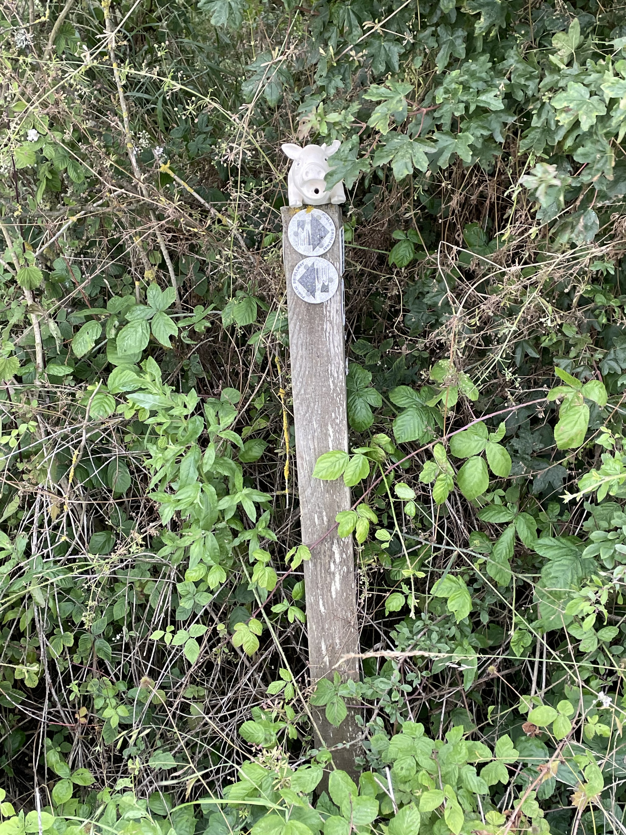
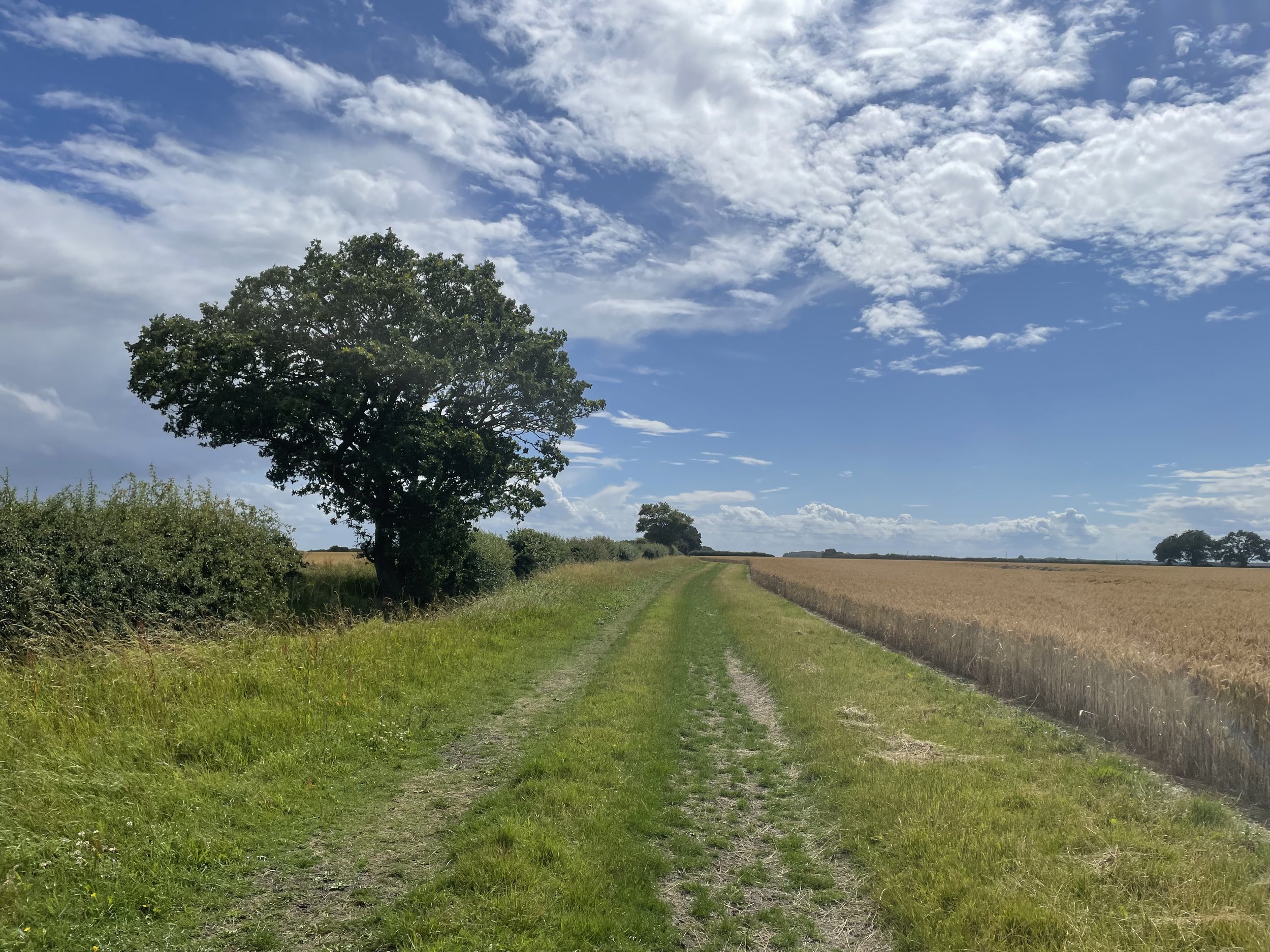
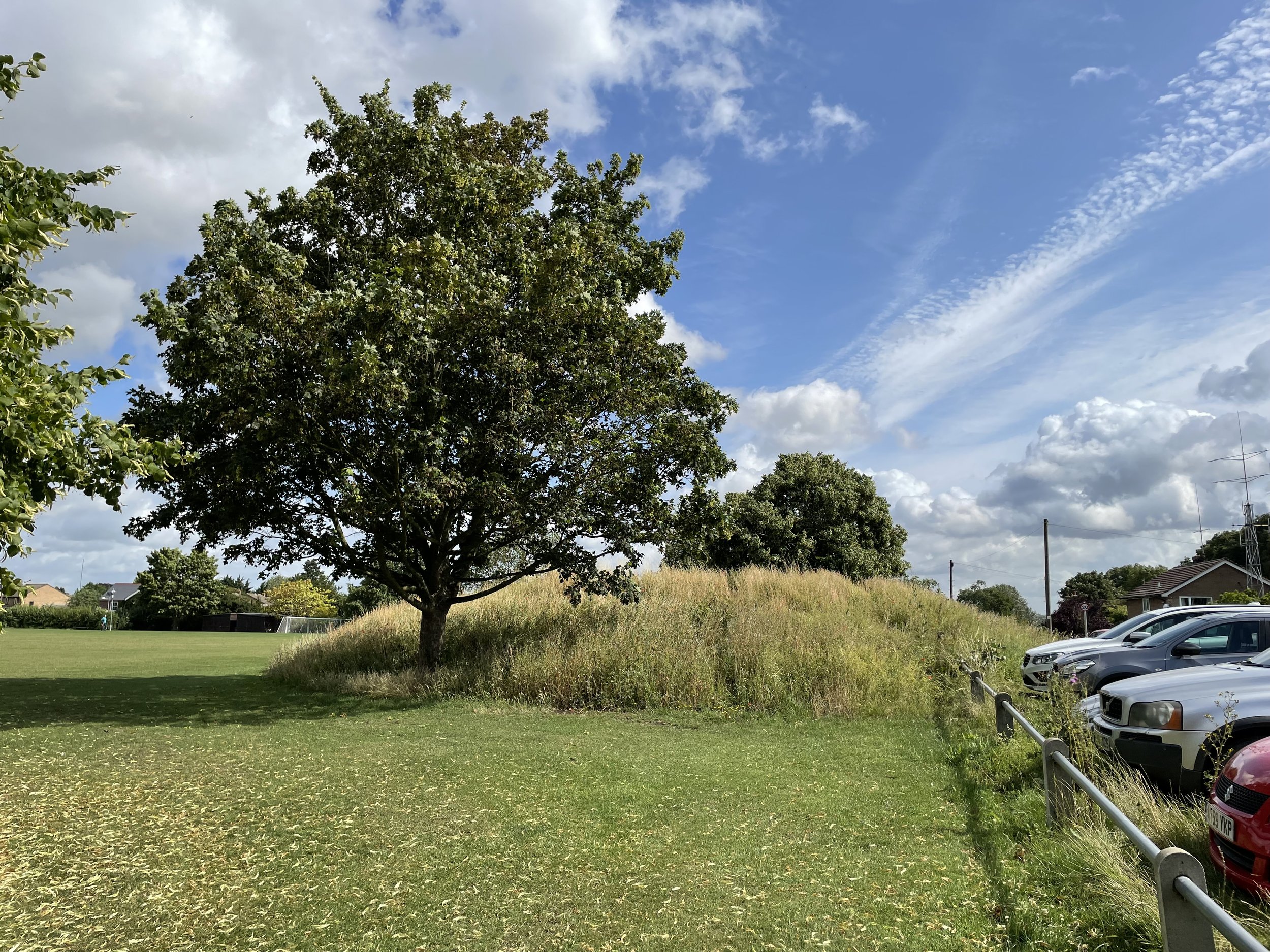
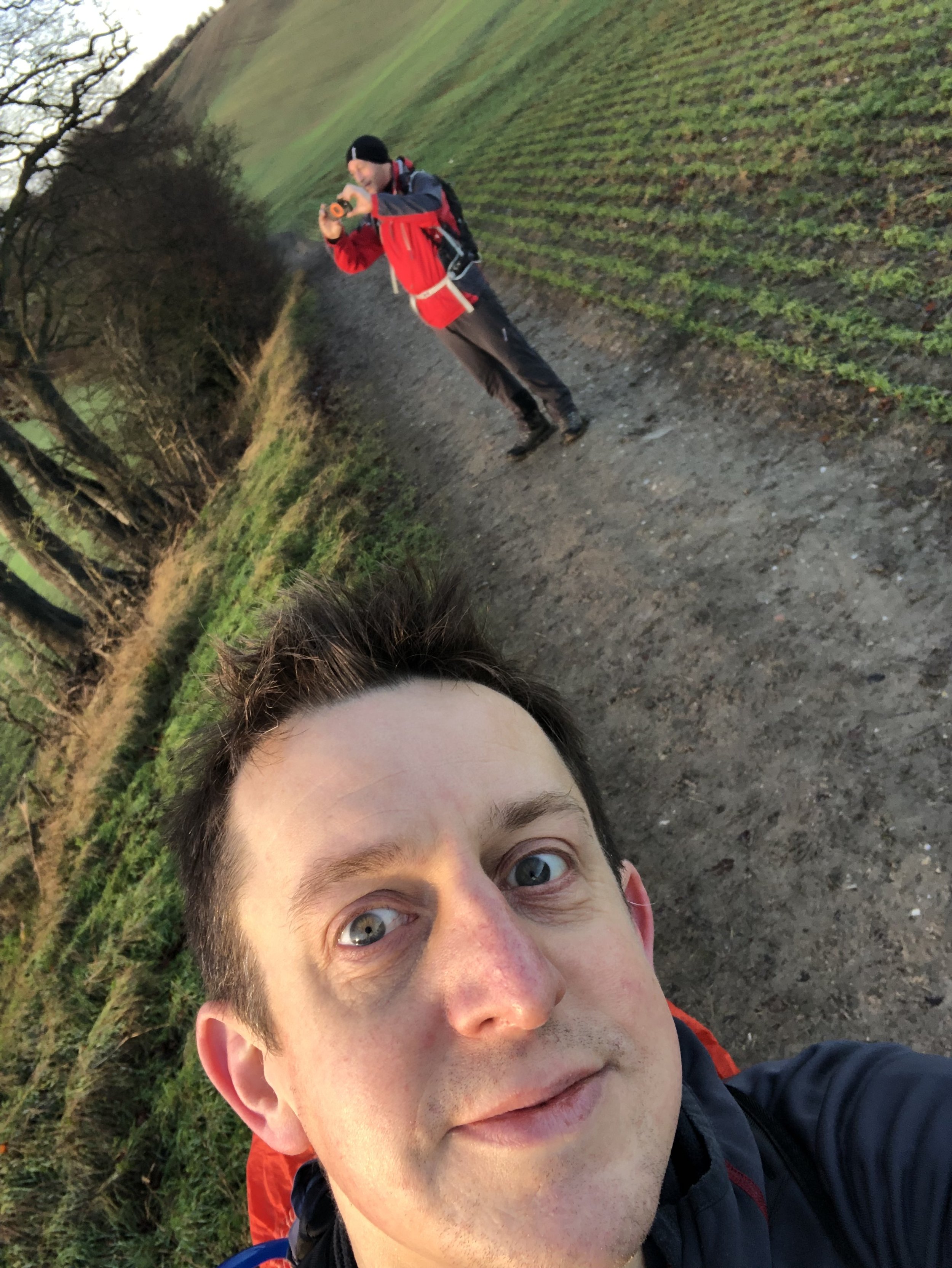
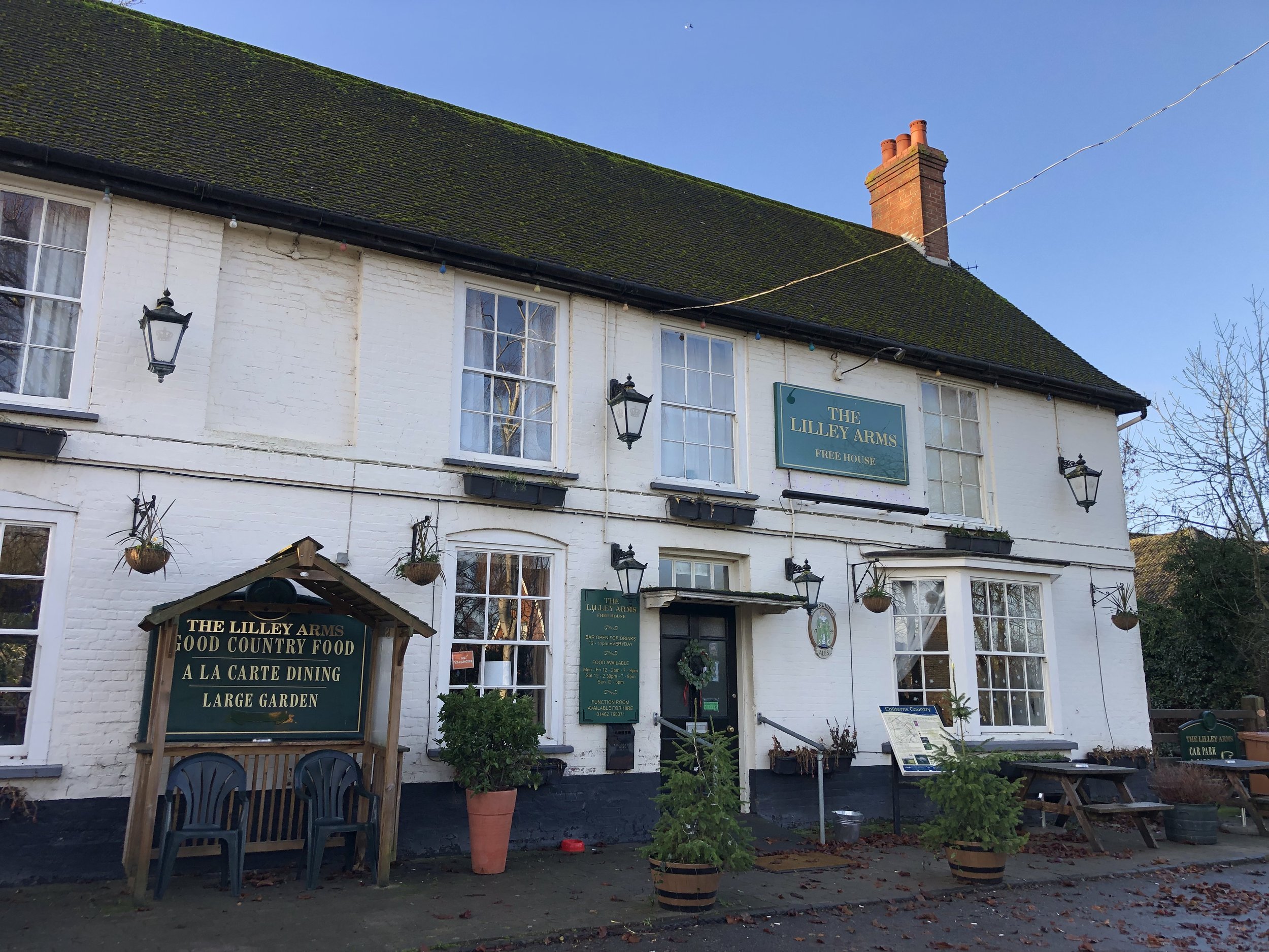
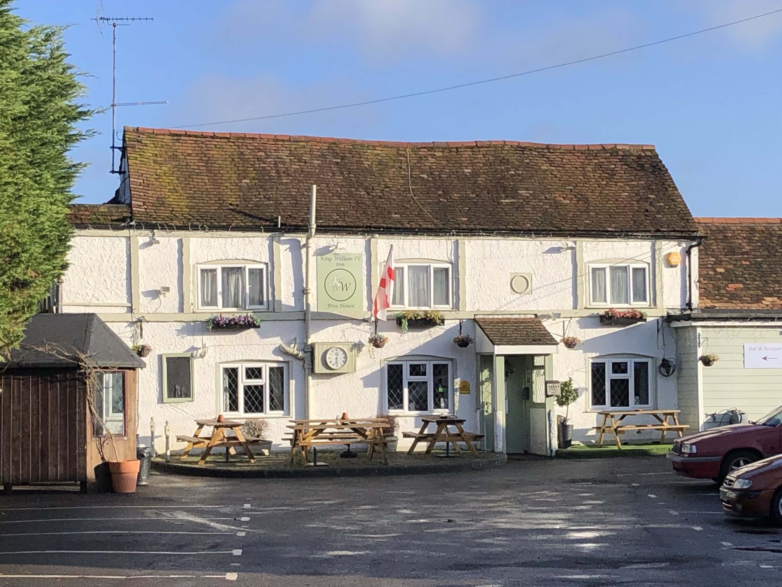
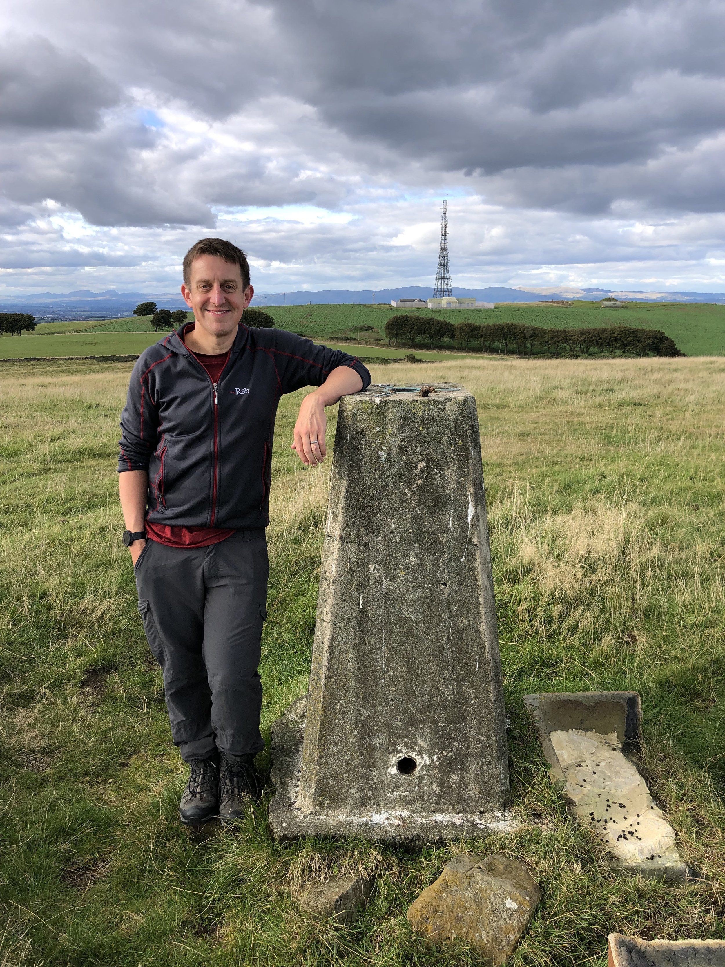
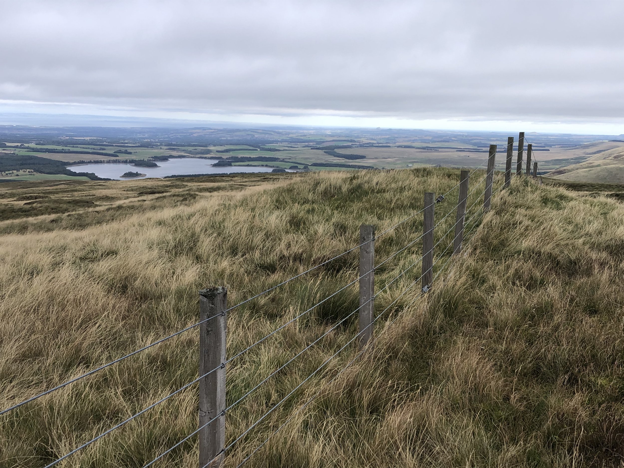
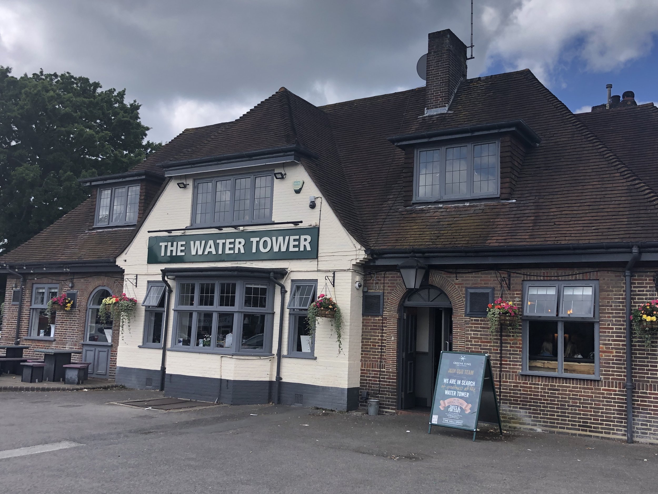
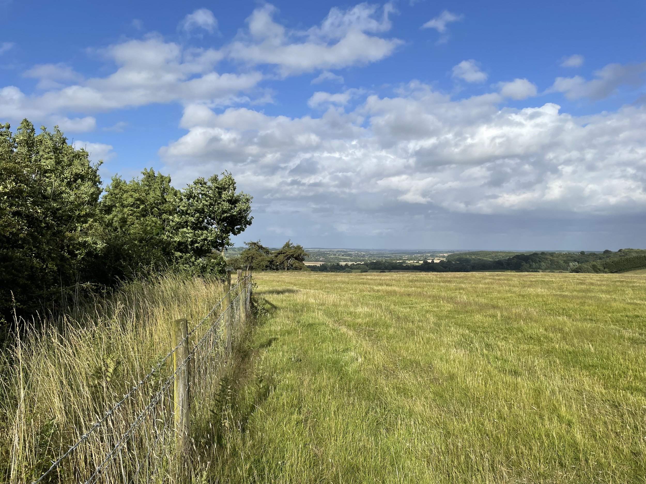
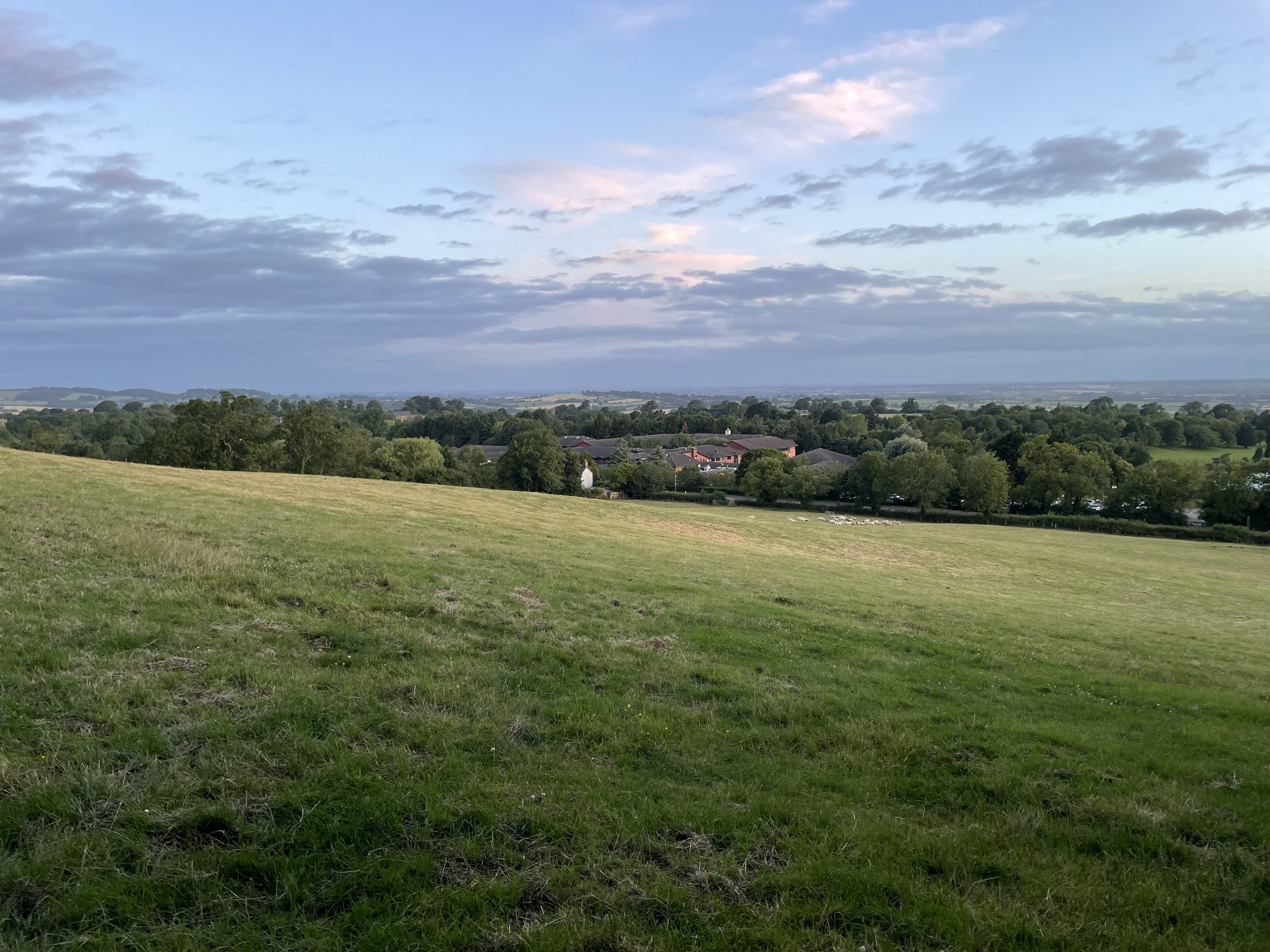
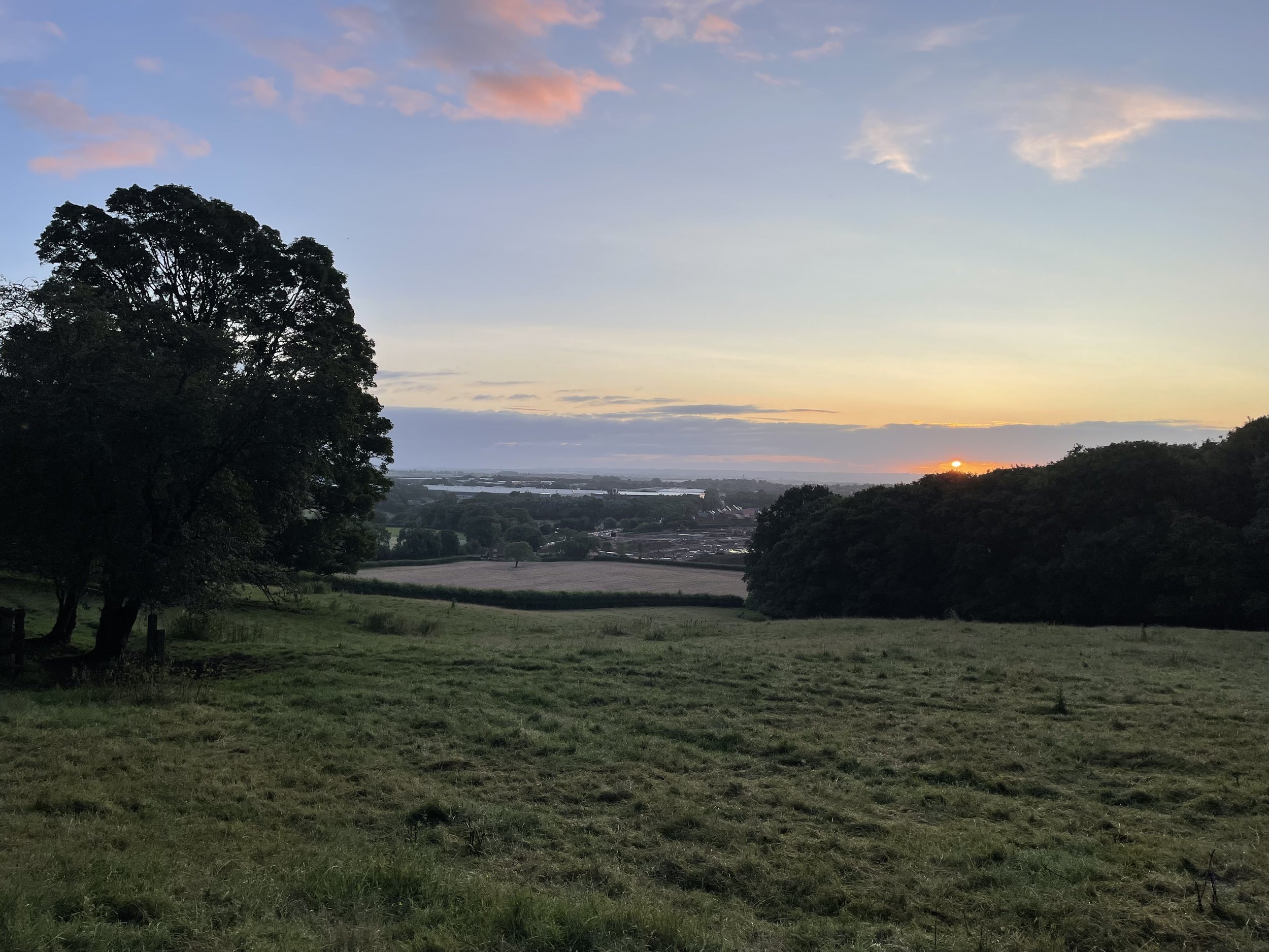
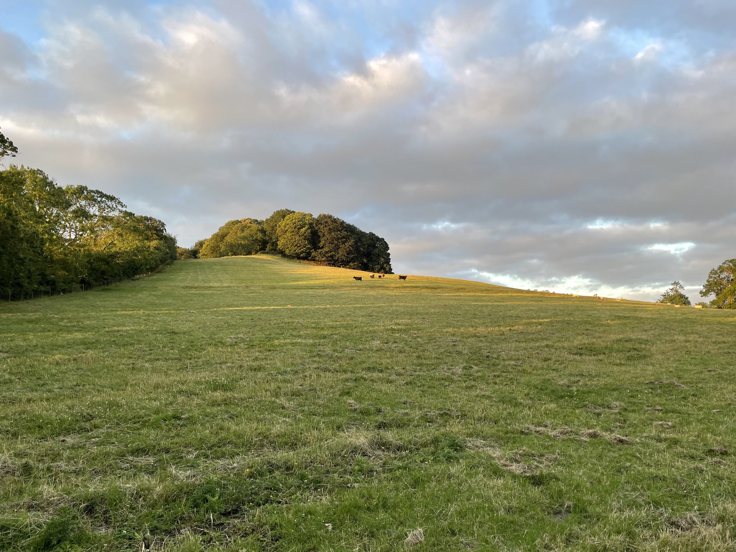
I had completed Arbury Hill early evening on a Saturday and checked in to the Staverton Park Hotel opposite the start of the walk up to Staverton Clump. For anyone not staying at the hotel, the best place to park is a layby further to the east along the A425. I set my alarm for 04:30 on the Sunday morning, left the hotel and hopped into the field opposite. The field was fully of grazing cattle so I kept out of sight to the edge of the field heading up to Staverton Clump at the top of the field. If you’re just going for the High Point, it’s only a 0.5km walk from the gate.
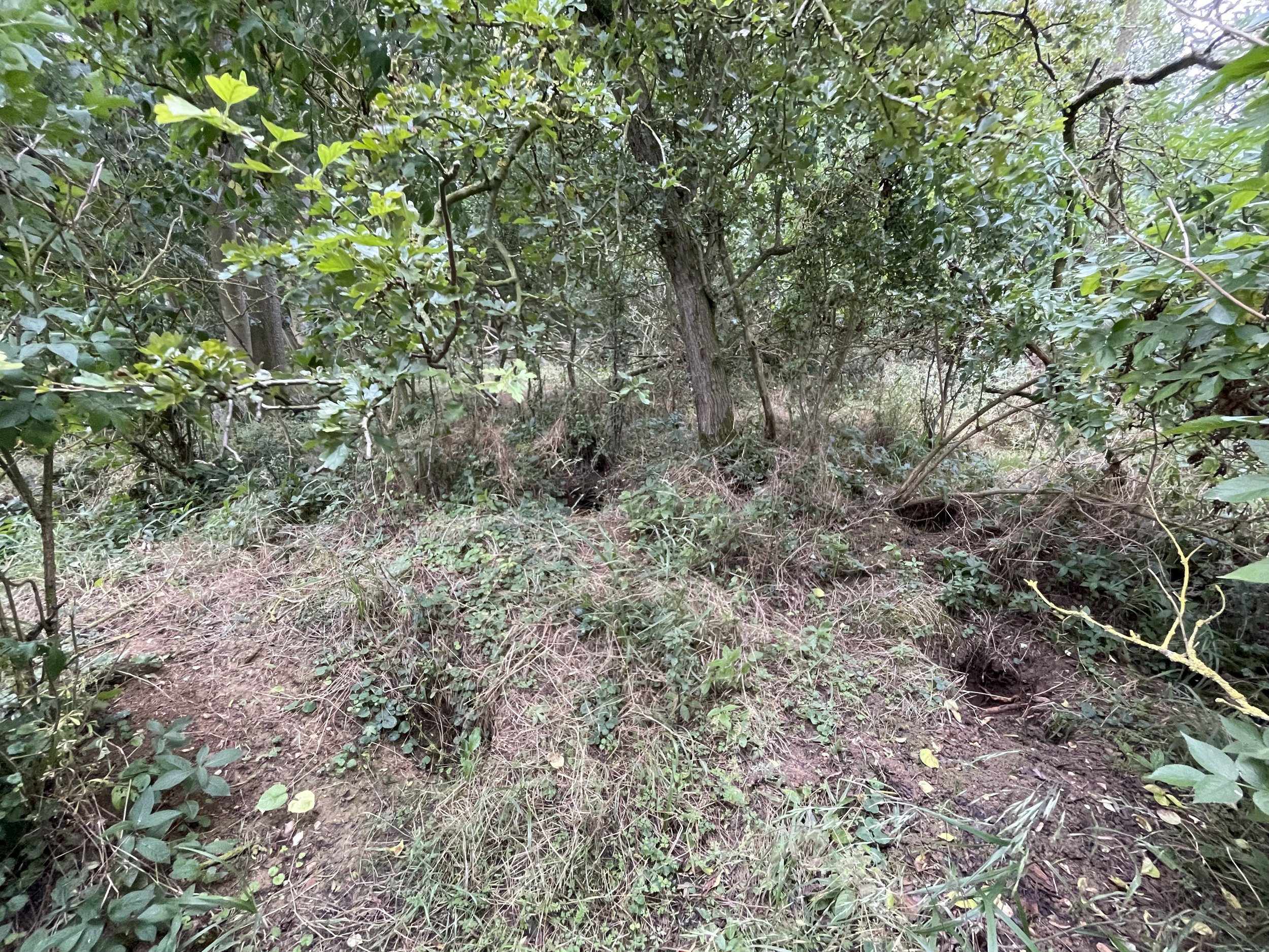
Rather than just bag the high point I continued for another ~0.5km to the east to bag the Staverton Trig Pillar. Strange that it’s not on the actual high point. After the Trig I retraced my steps along the edge of the field and into the woods to bag the high point. It’s a fairly flat summit with nothing obvious to mark the high point. Once bagged I followed the edge of the field back down to the road and into the hotel for breakfast.


Mill Hill
Significance: Unitary Authority High Point for North Northamptonshire
Member of: N/A
Parent Peak: Cleeve Hill. NHN = Big Hill - Staverton Clump
Elevation: 160m
Date climbed: July 15th 2013
Coordinates: 52° 24' 6'' N, 0° 51' 56'' W
Route Start / End: Space for 1 car by gate to bridleway on small road between Harrington and Harrington Air Base War Memorial (post code = NN14 1LN)
Route Distance: 1.1 km (0.7 miles)
Route Elevation Change: +/- 4m
Subsidiary tops on route: None
GPX File: get via Buy Me a Coffee
Other routes touched: None
Map: OS Explorer 206: Edge Hill and Fenny Compton
Guidebook: N/A
Links: Wikipedia (Northamptonshire), Wikipedia (North Northamptonshire), Peakbagger, Hillbagging
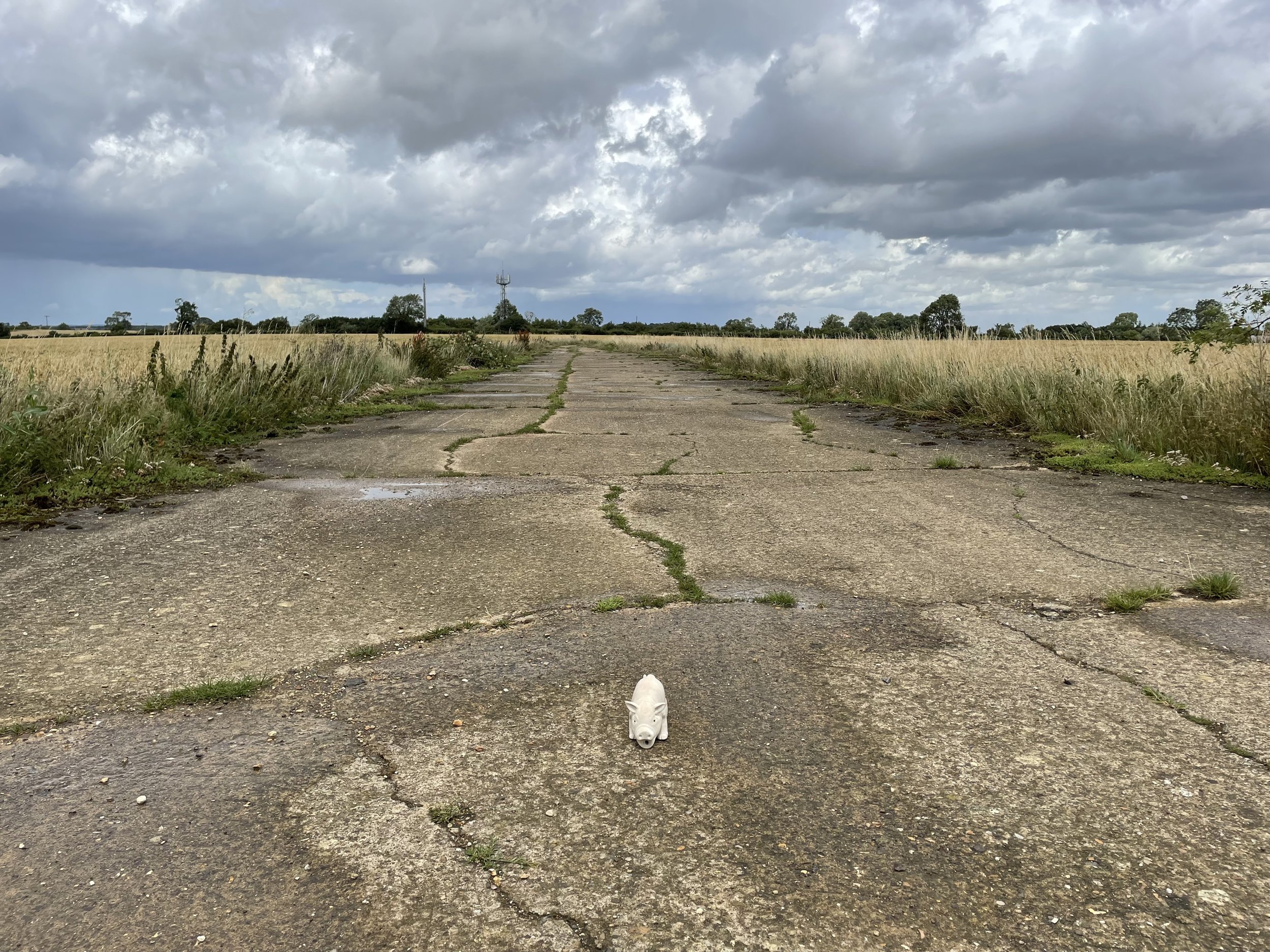
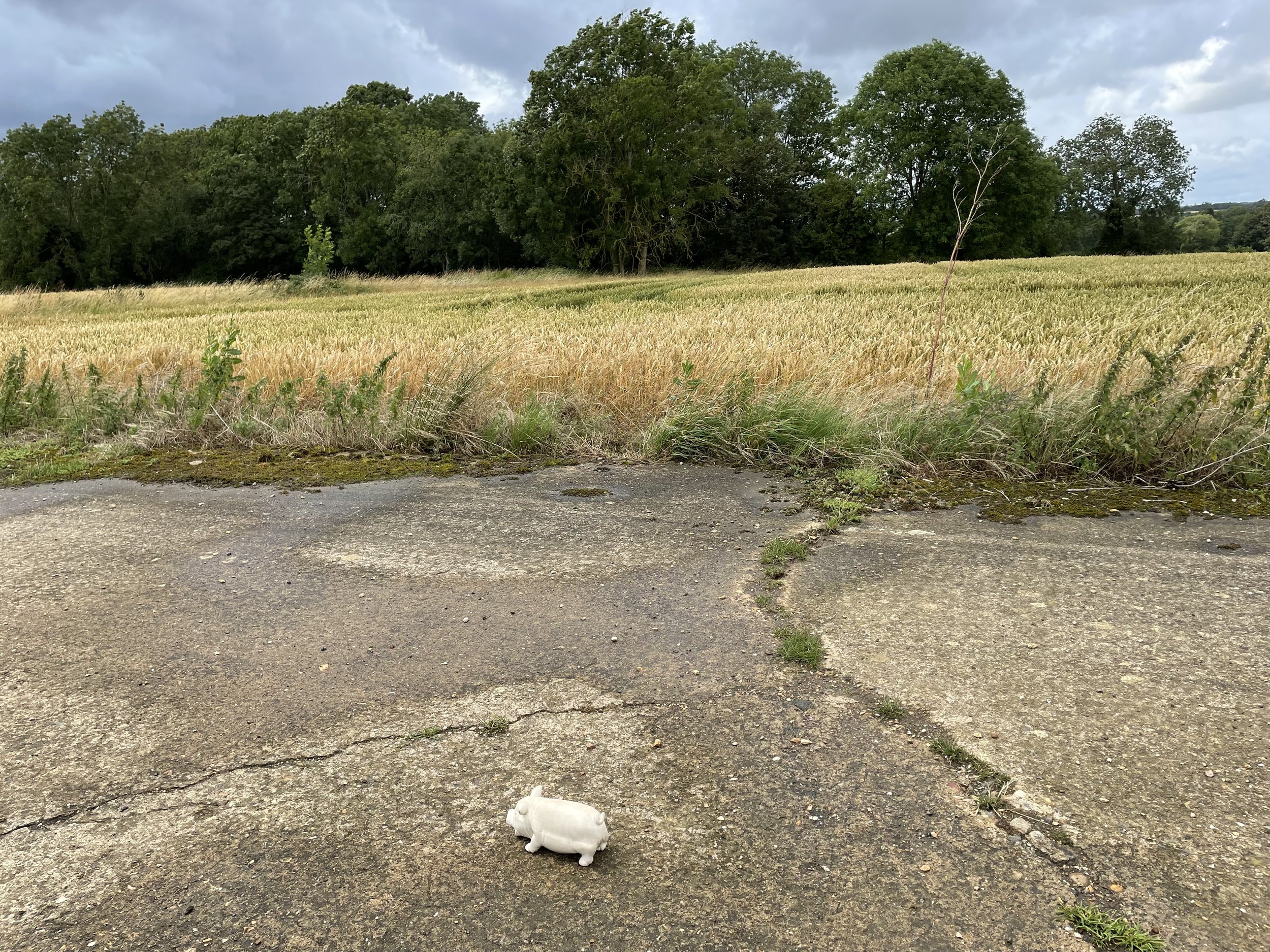
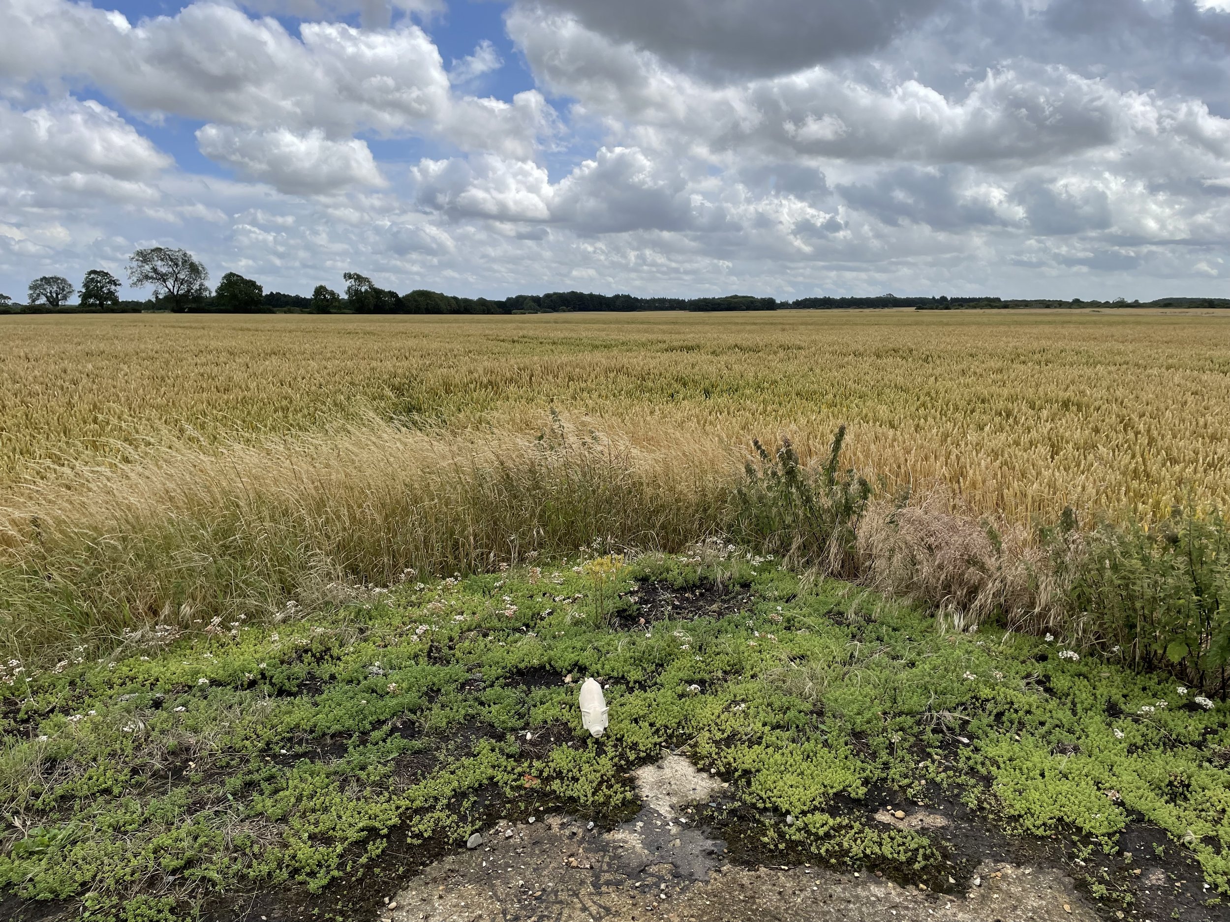
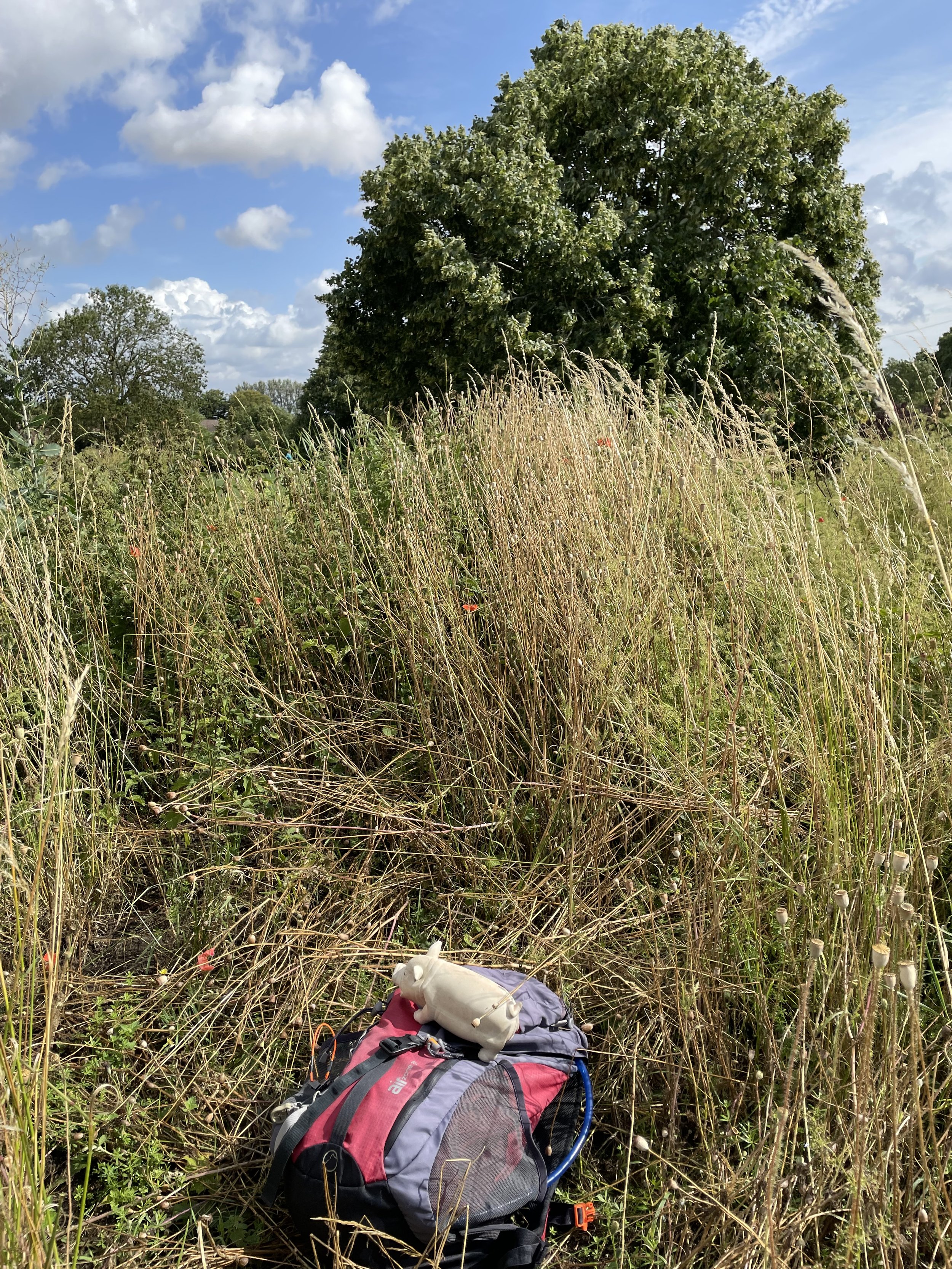
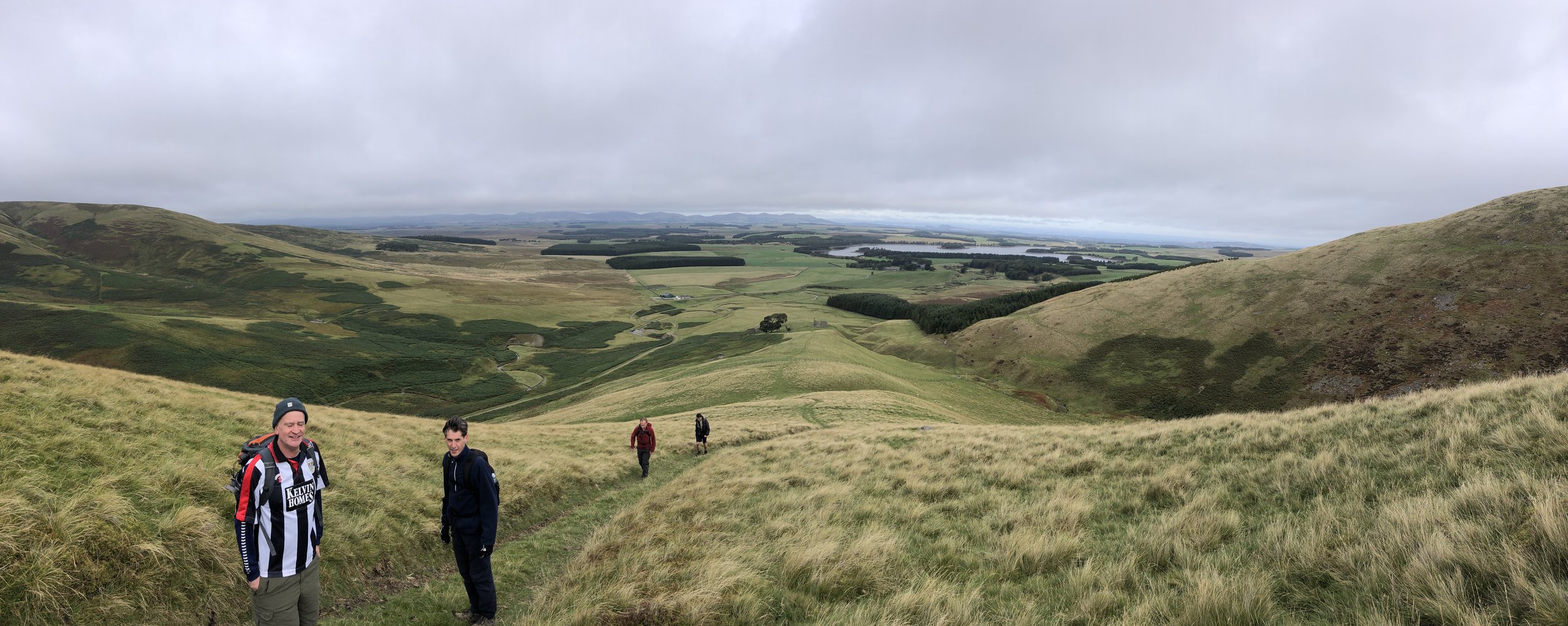
Mill Hill became a new county high point on April 1st 2021 with the creation of the North Northamptonshire Unitary Authority. It lacks the minor thrills of Arbury and Staverton as it’s a flat, undemanding walk on a public right of way. It’s also a very short walk of a 1.1 km round trip from the layby off the small road between Harrington and Harrington Air Base War Memorial. There’s no obvious high point so I wander around the corner of the track for a bit until I was satisfied that I had bagged it.