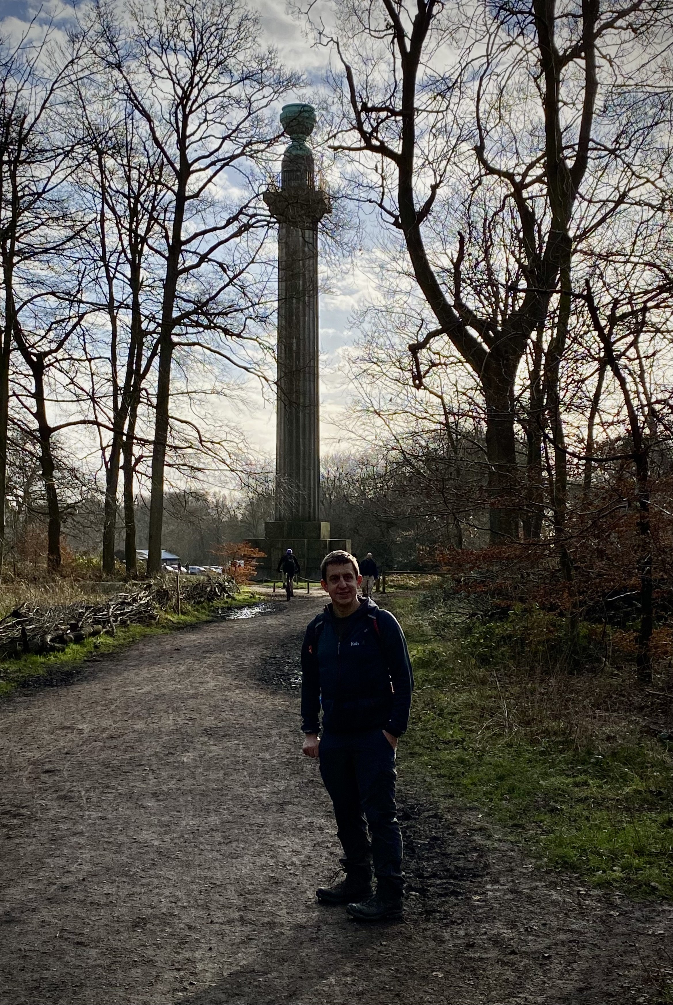
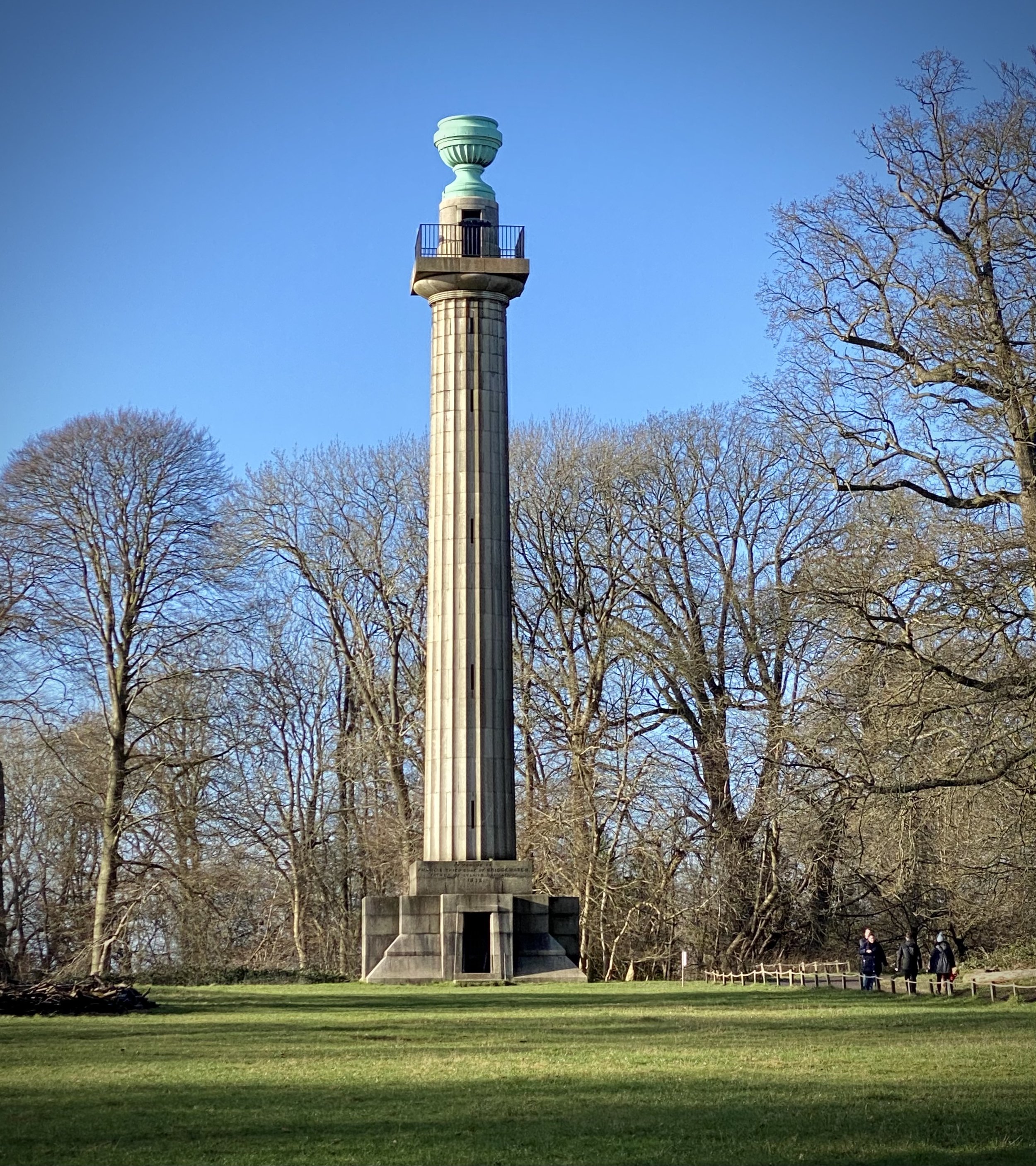
Bridgewater Monument at National Trust Visitors’ Centre, Ashridge
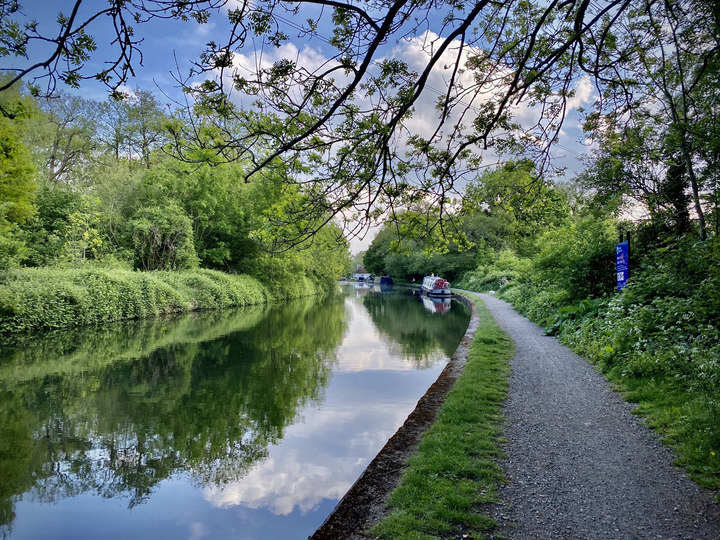
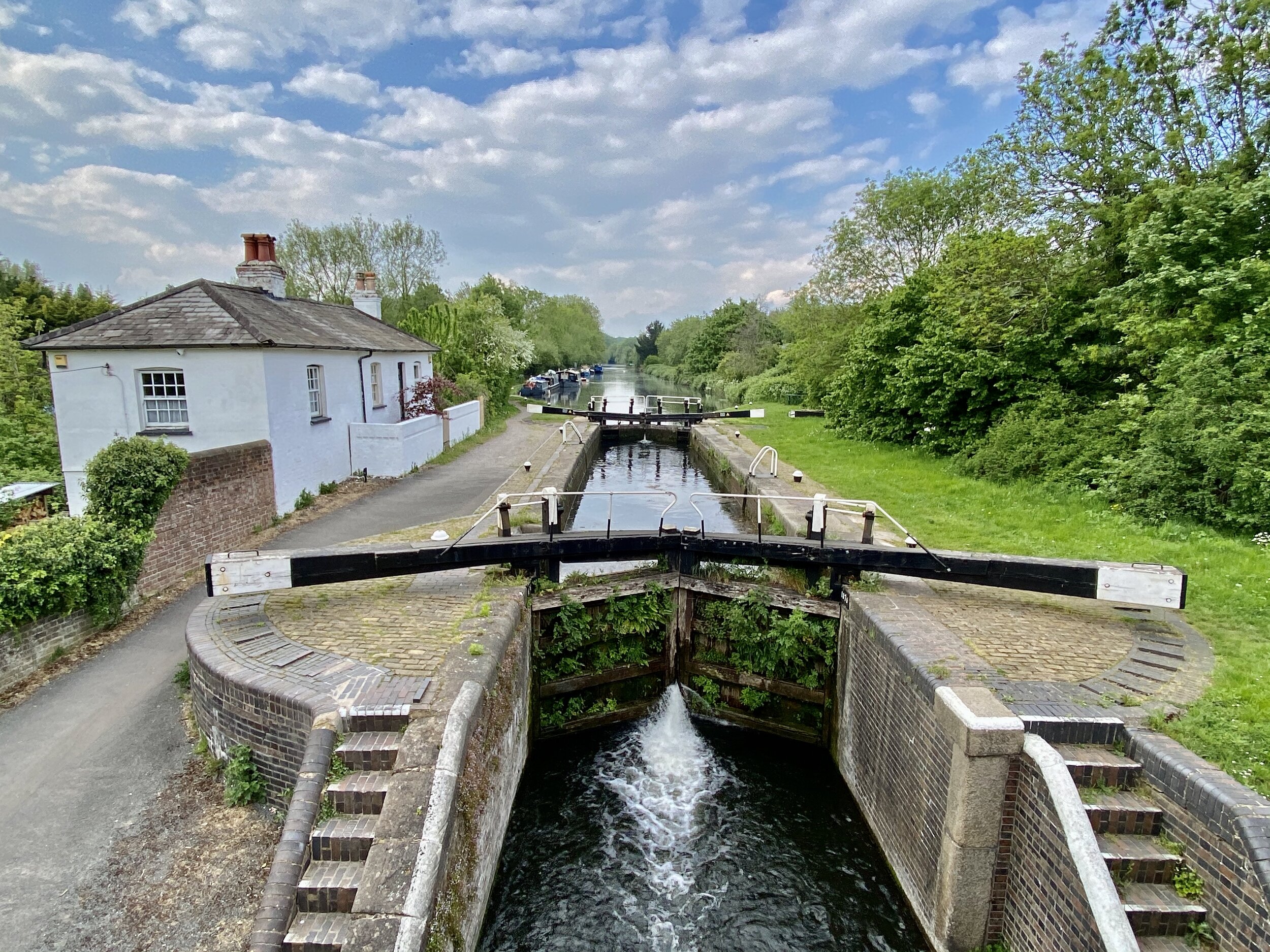
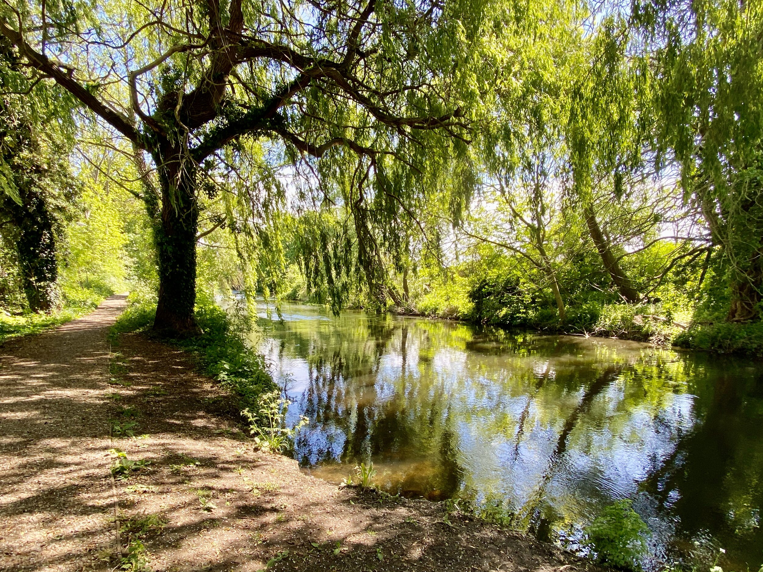
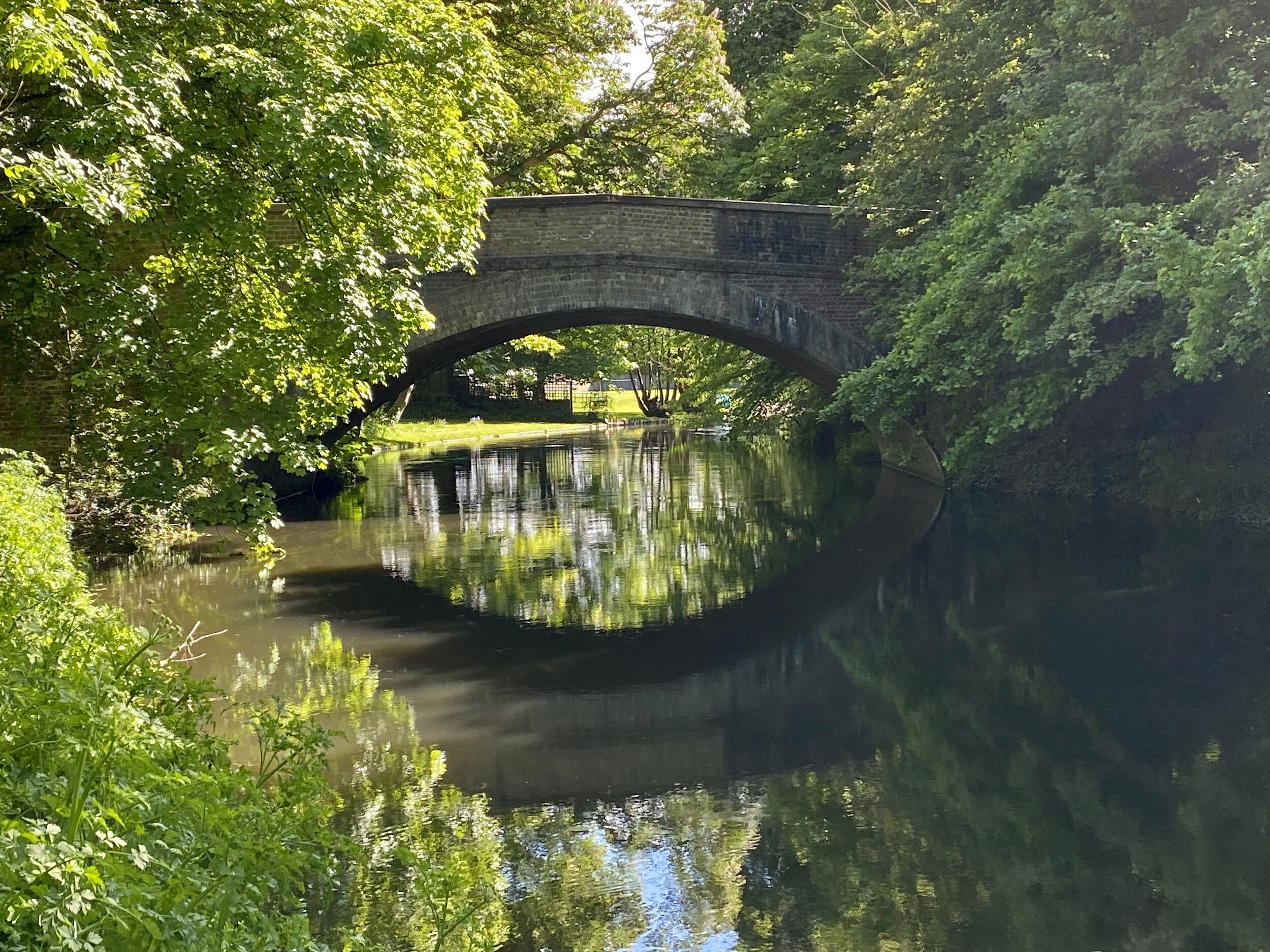
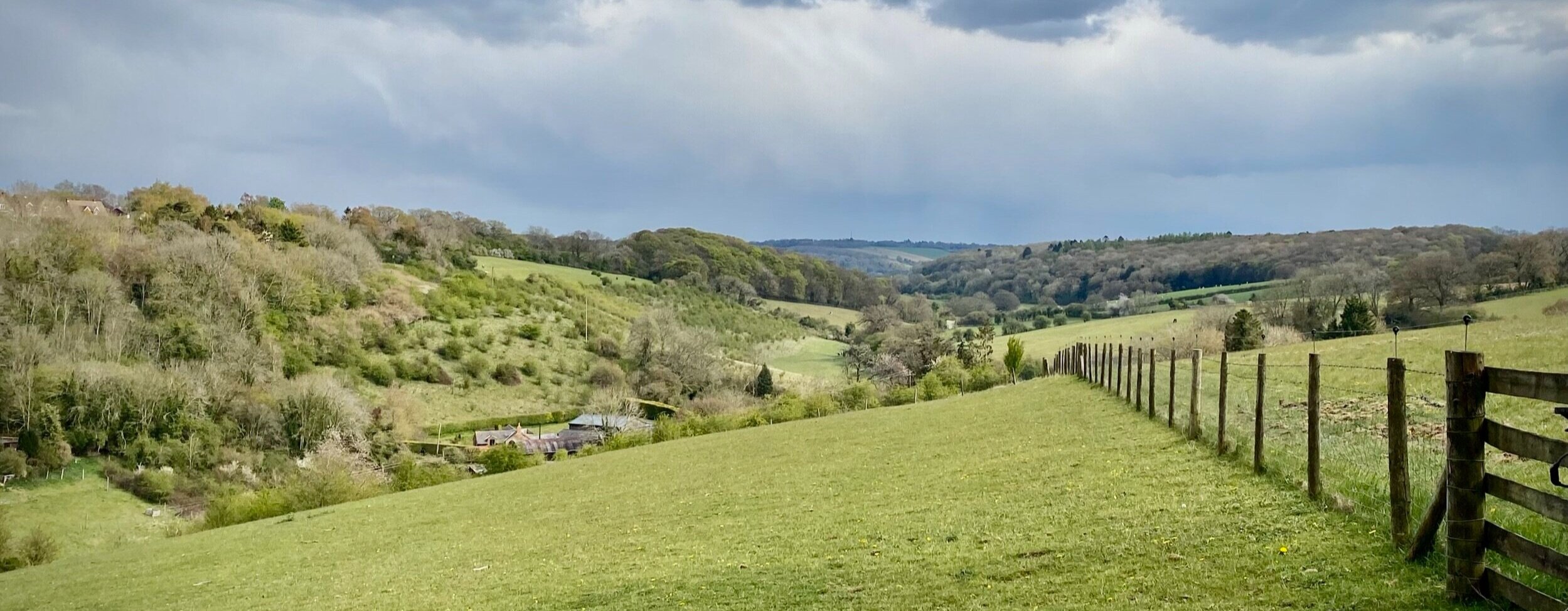
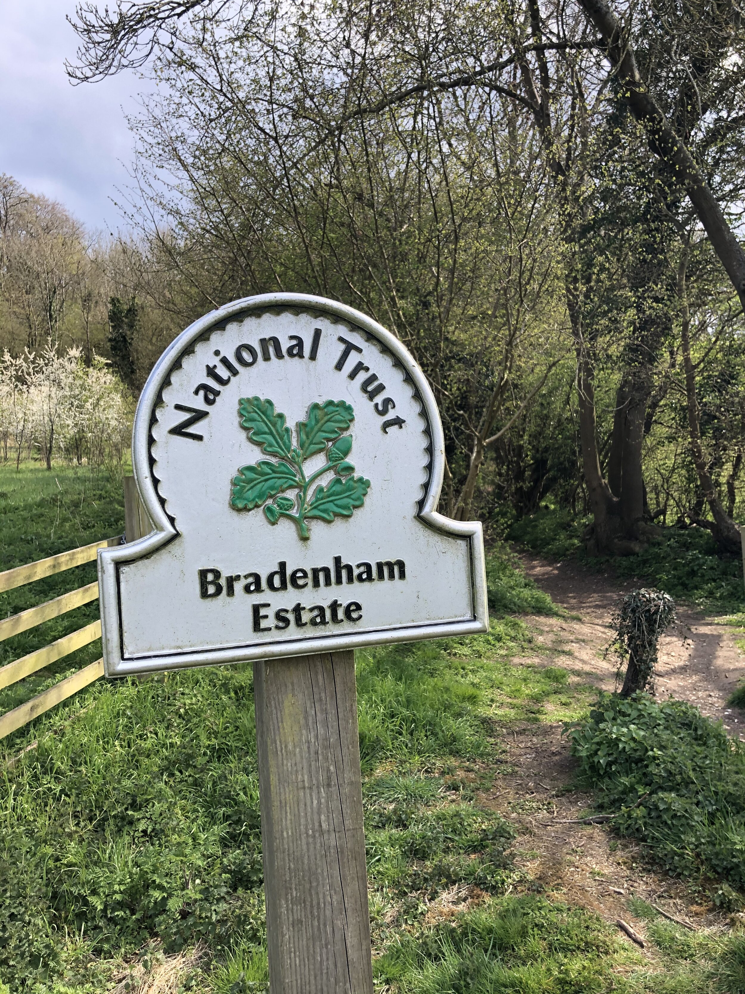
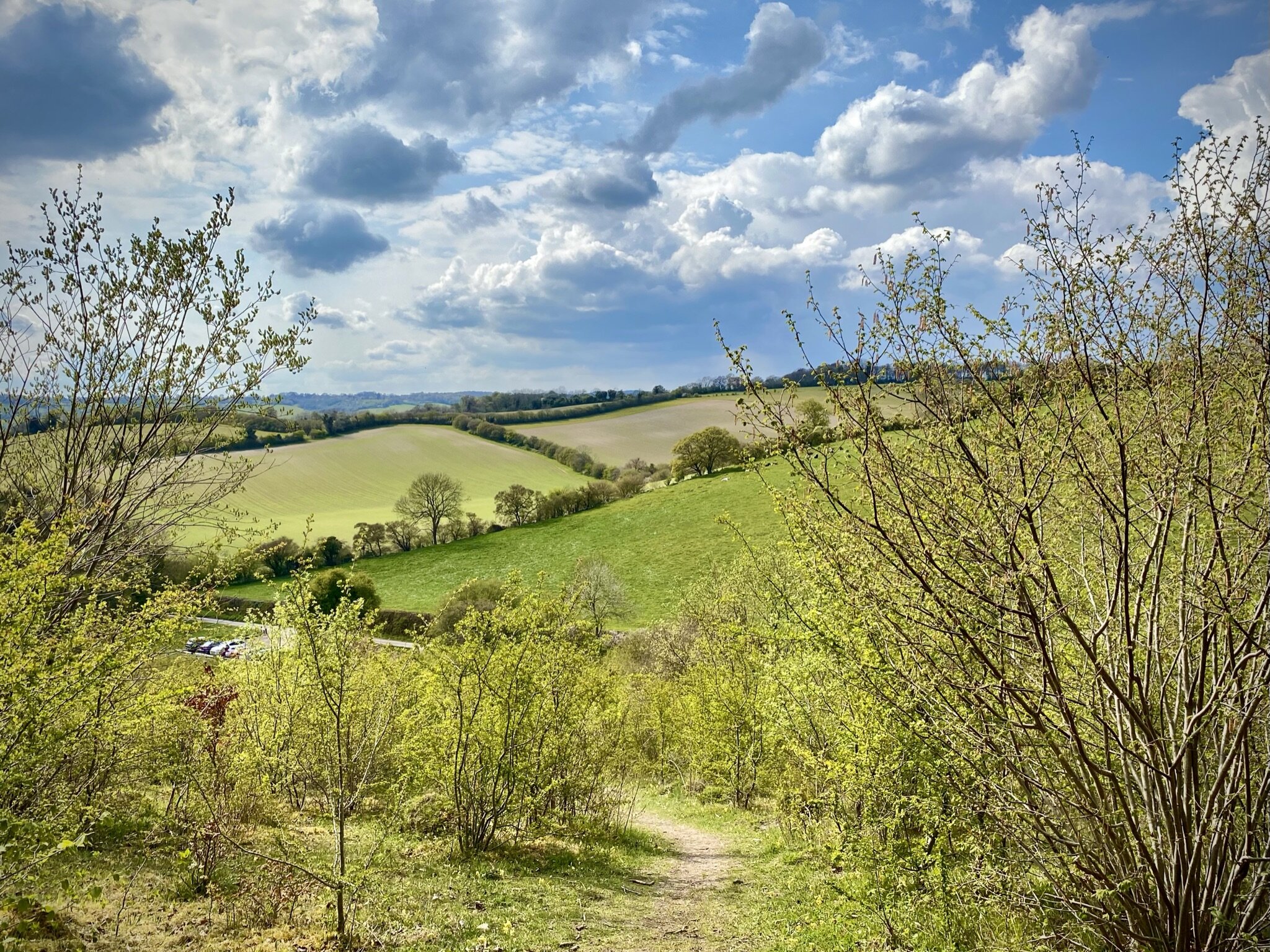
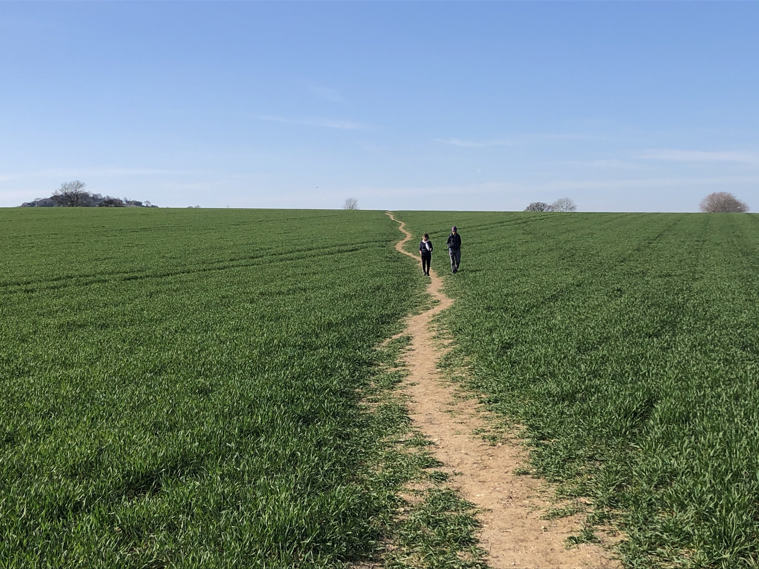
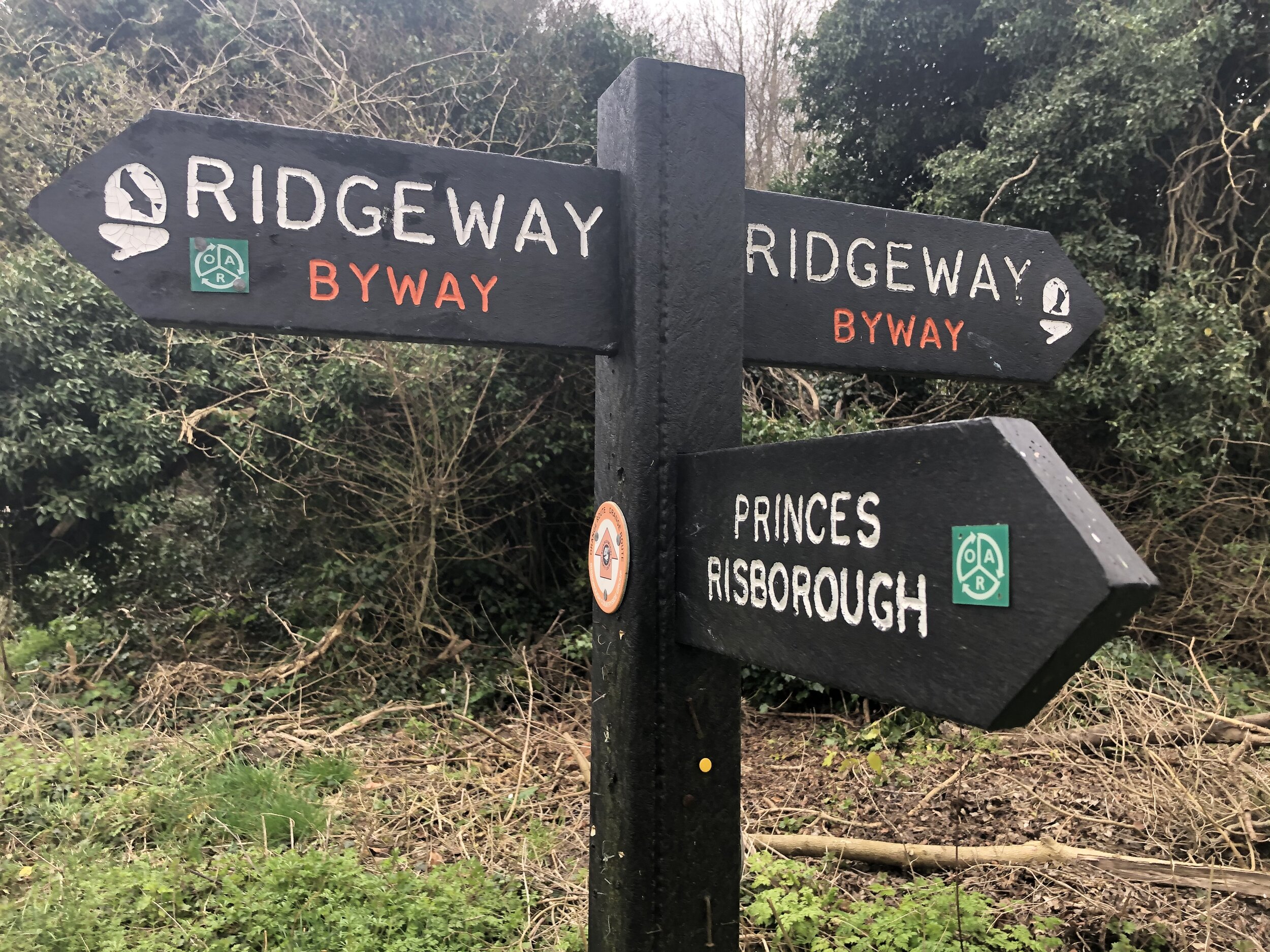
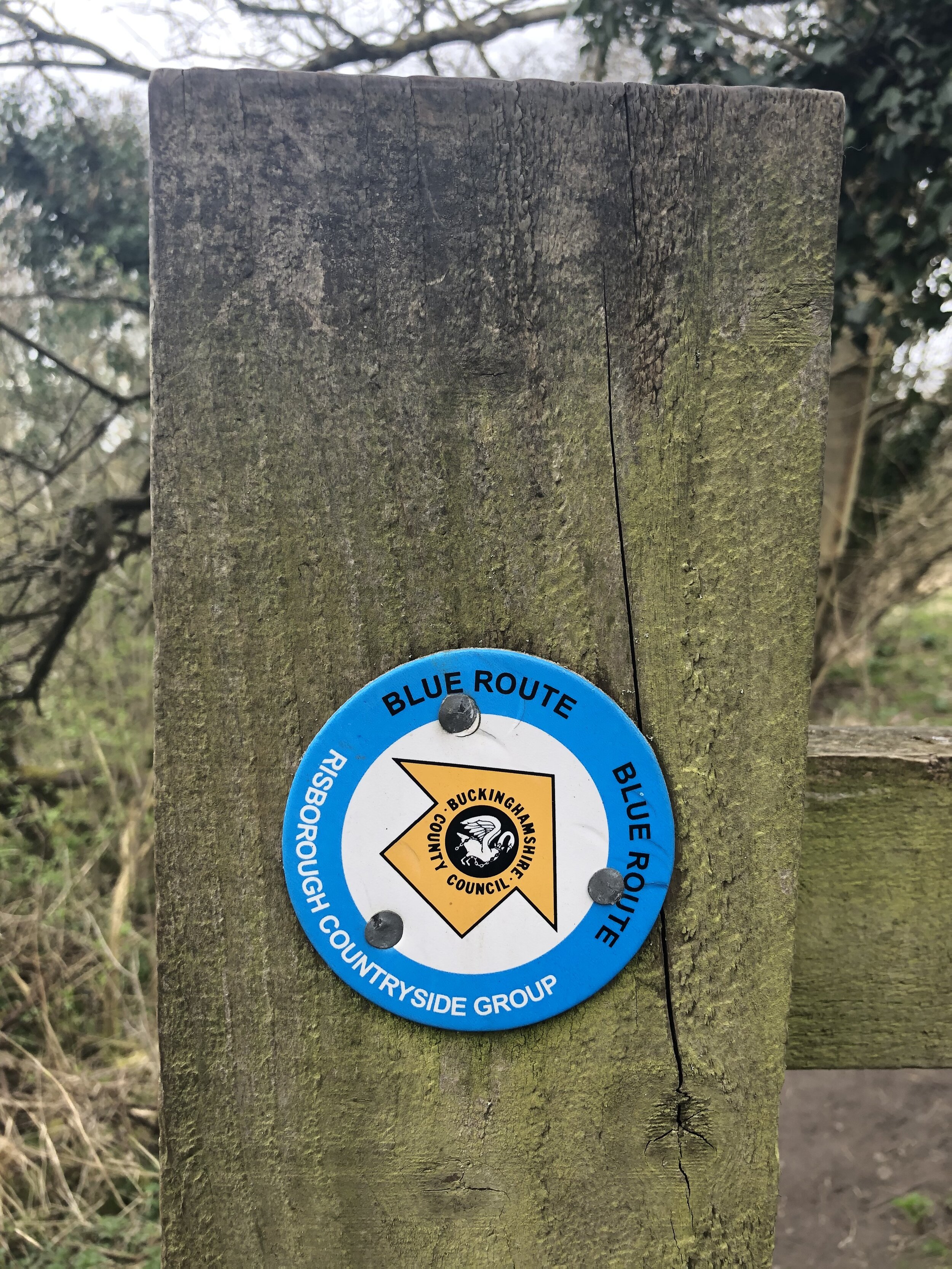
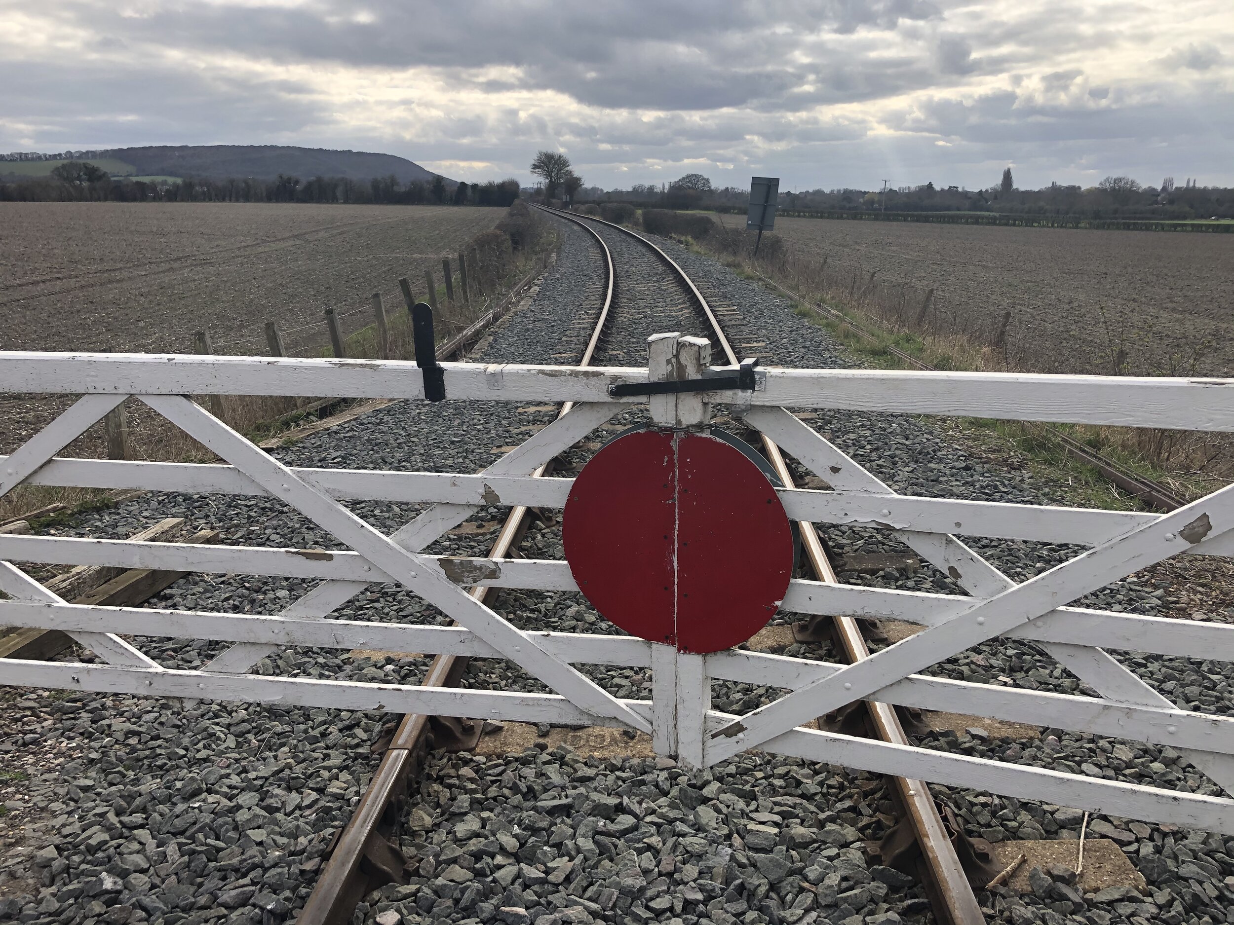
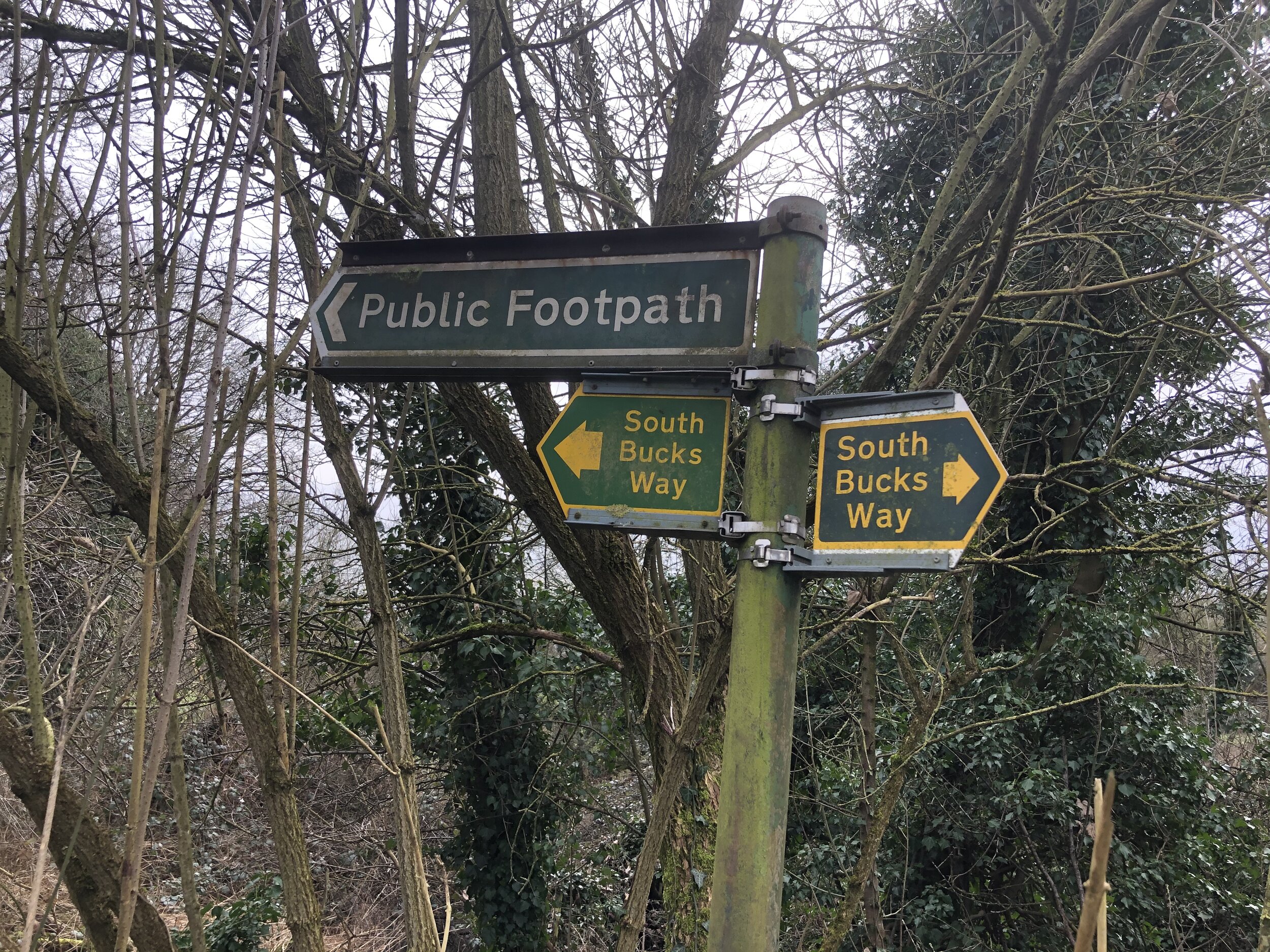
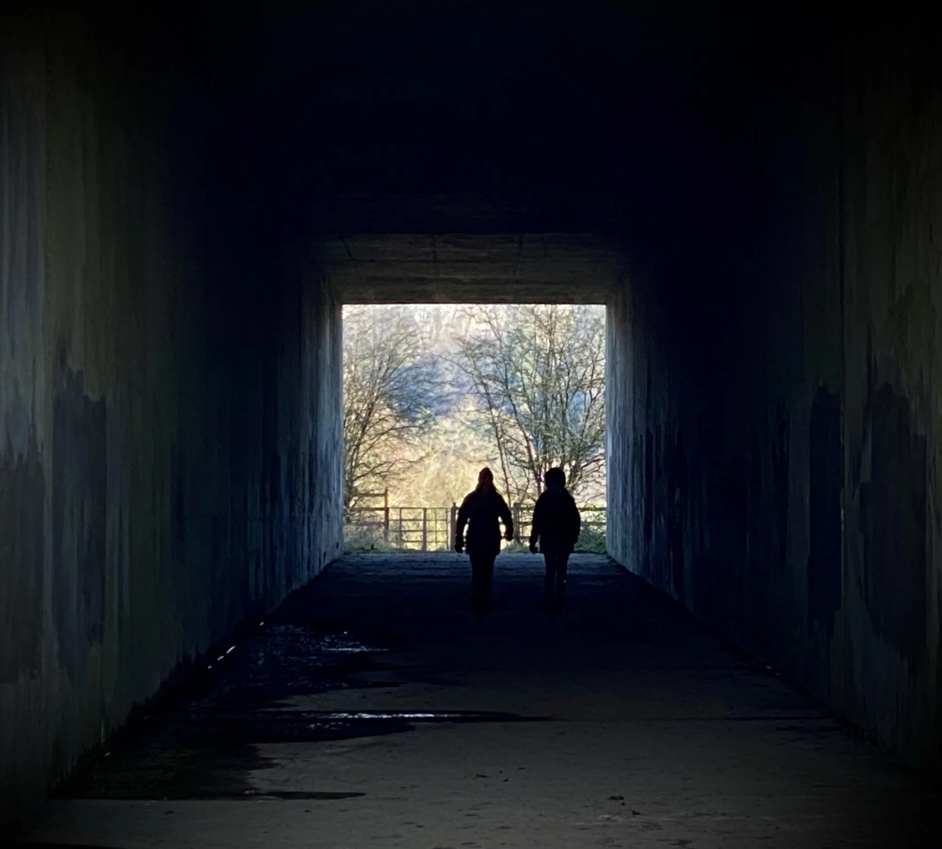
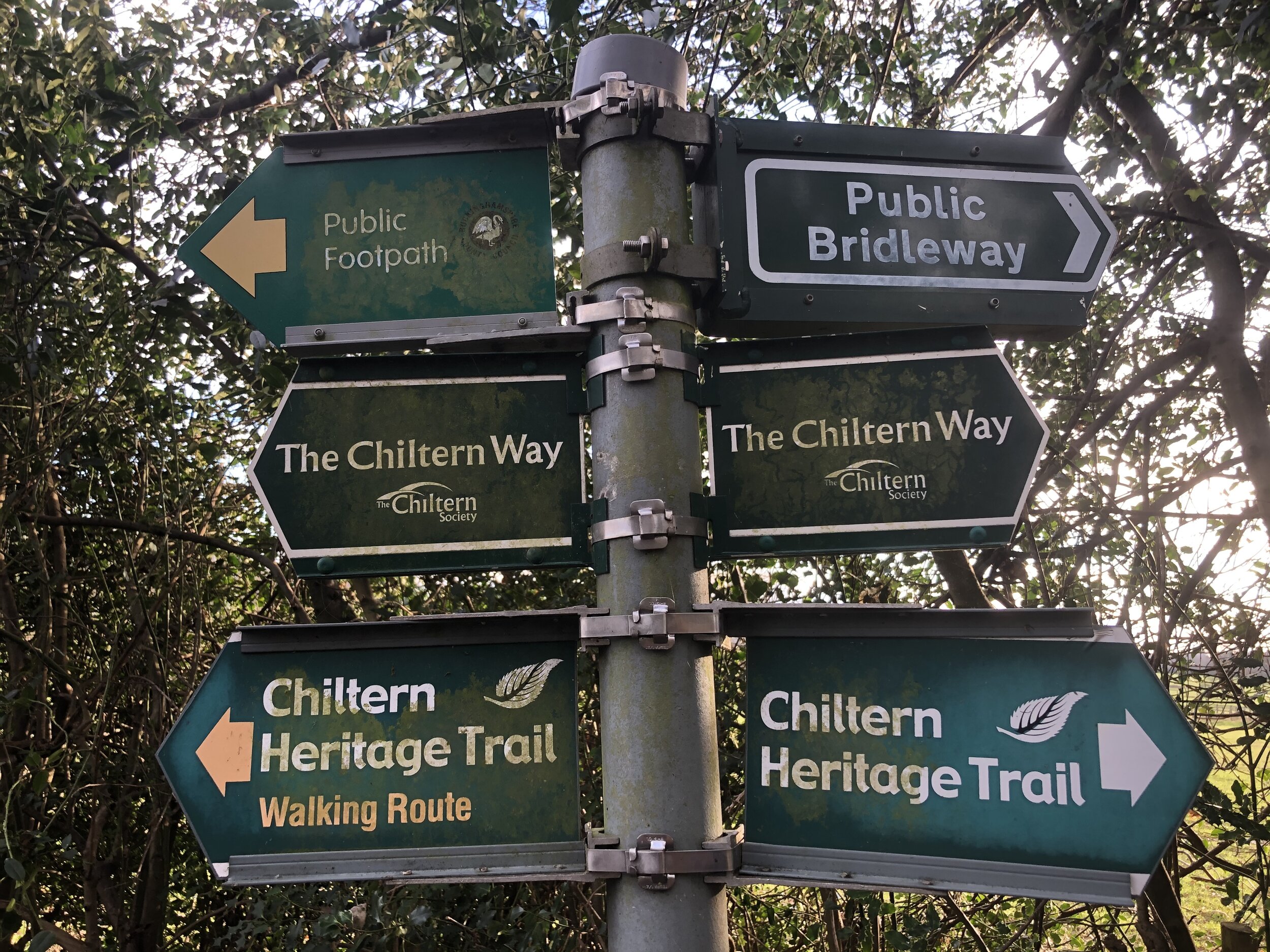
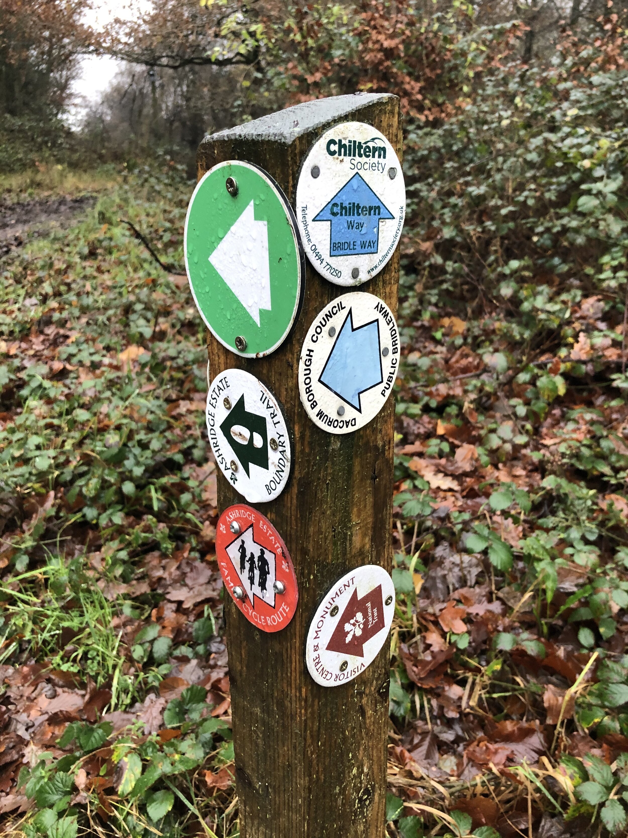
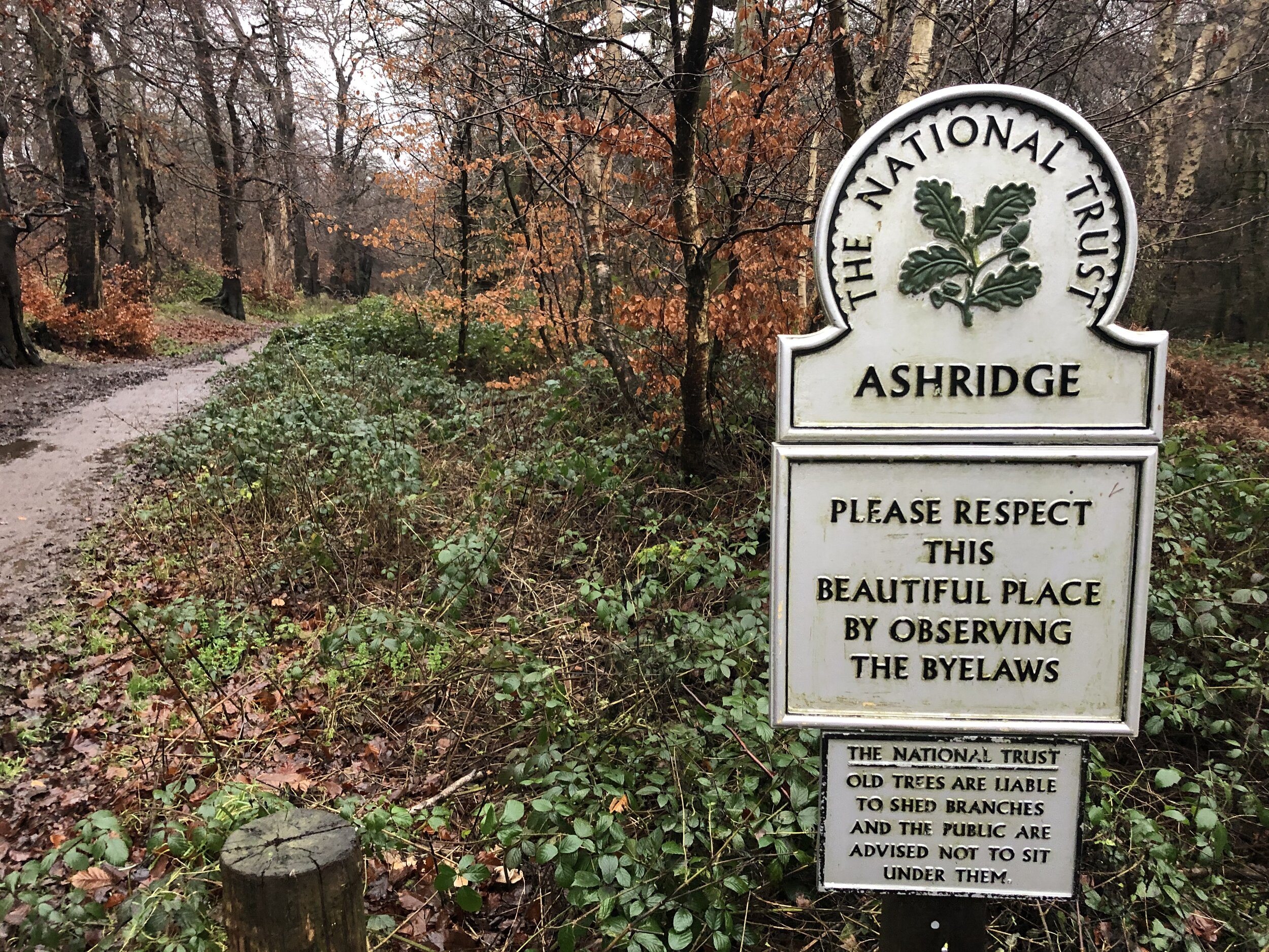
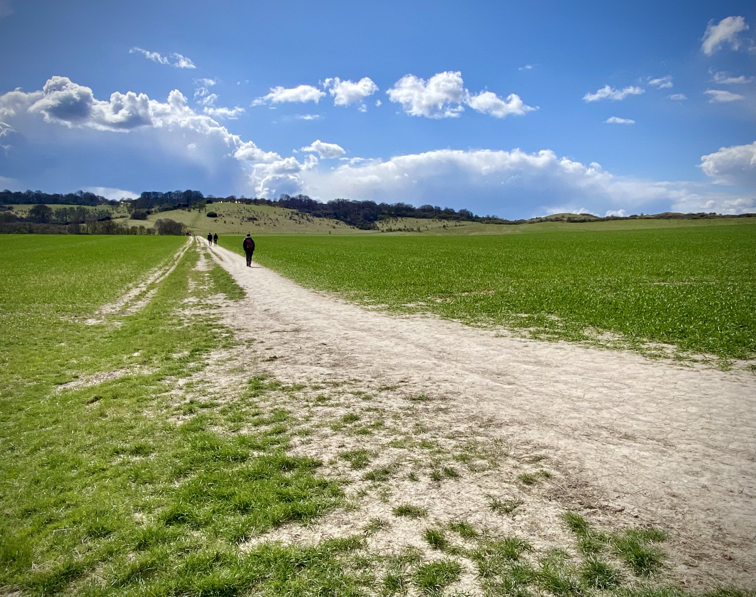
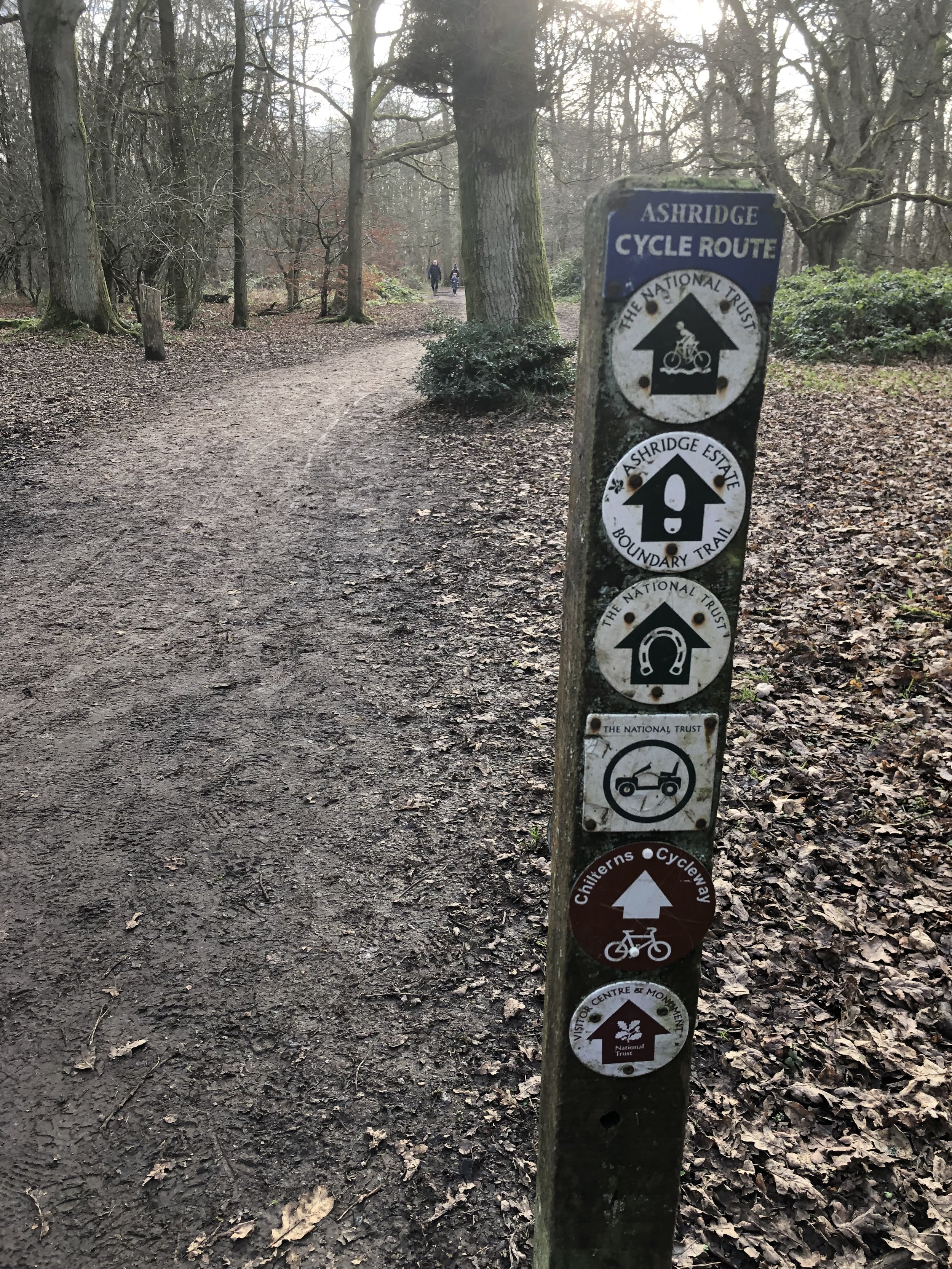
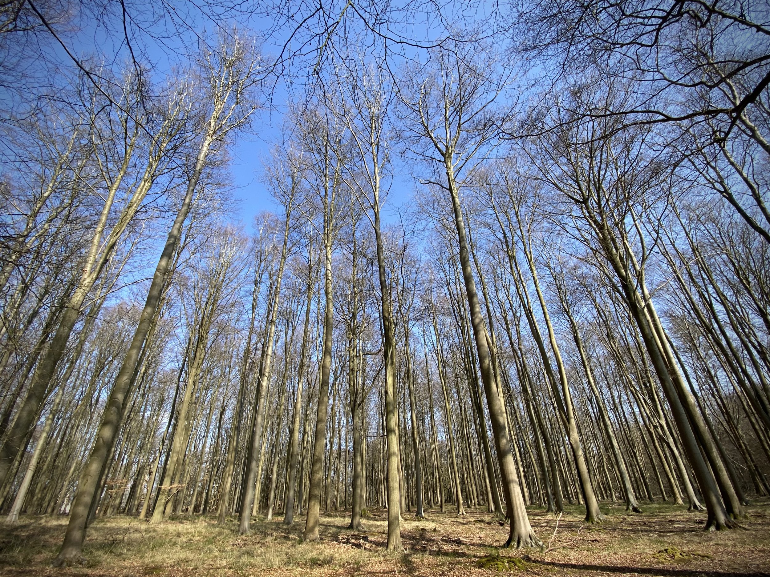
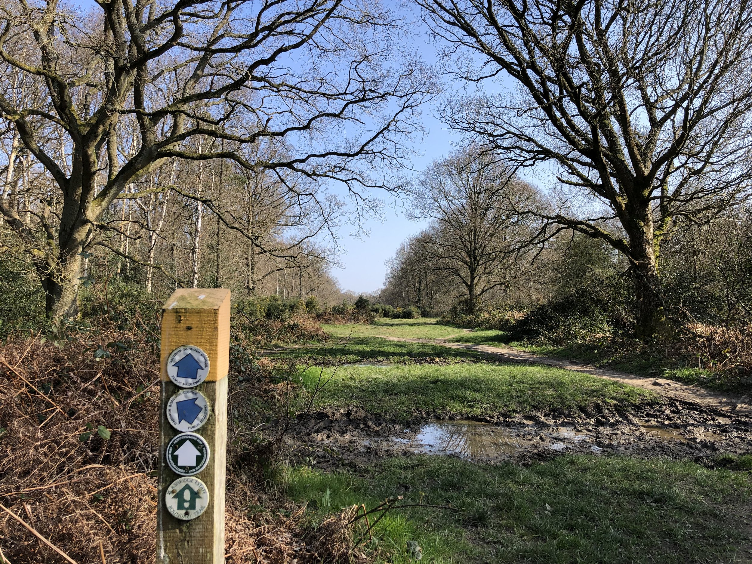
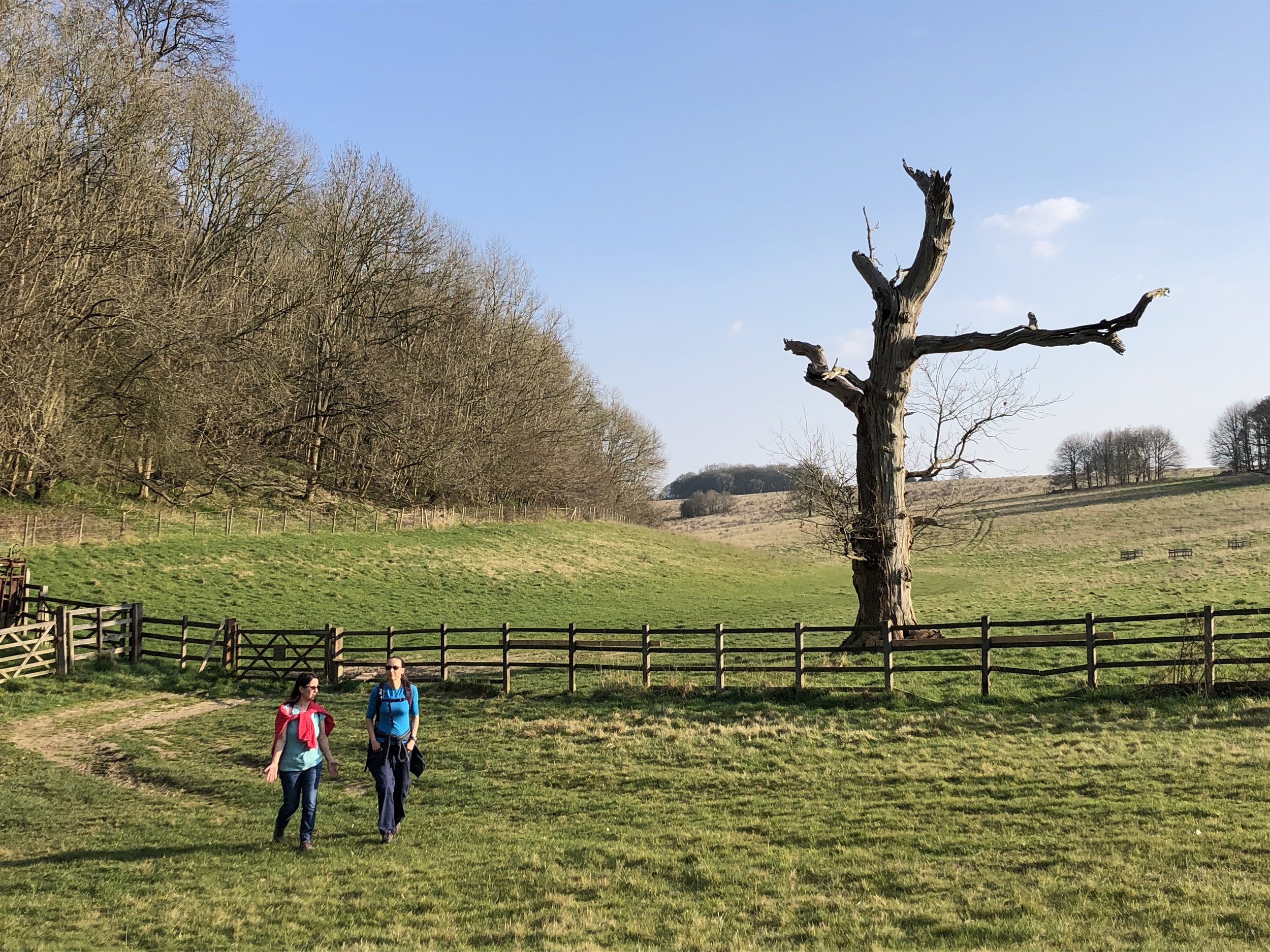
The Ashridge Boundary Trail is a 26km / 16 mile circular walking route of the the National Trust Ashridge Estate in the northern Chilterns. The route is well maintained and well signed in both directions. The National Trust’s own page on the Trail gives detailed directions on the route.
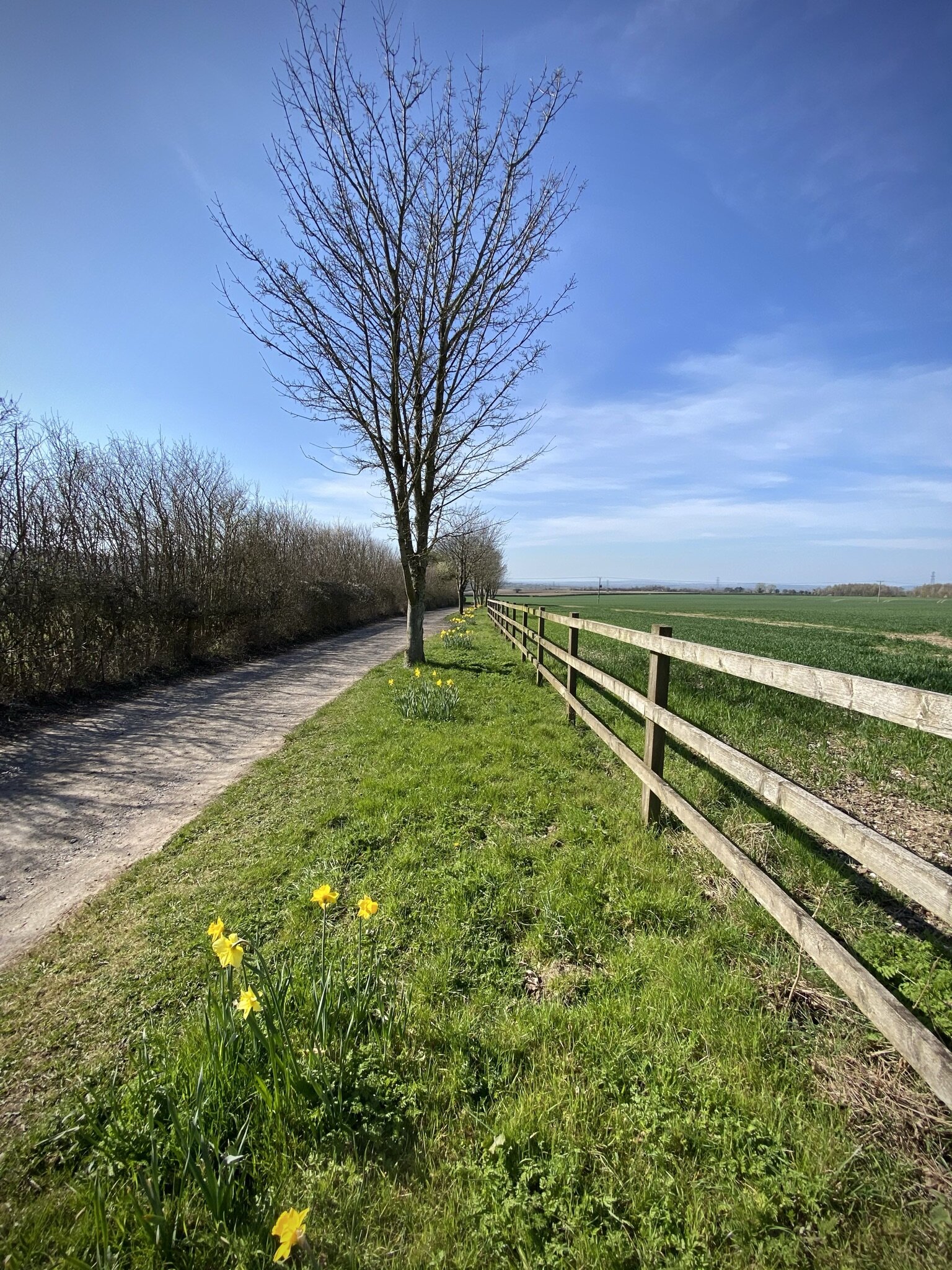
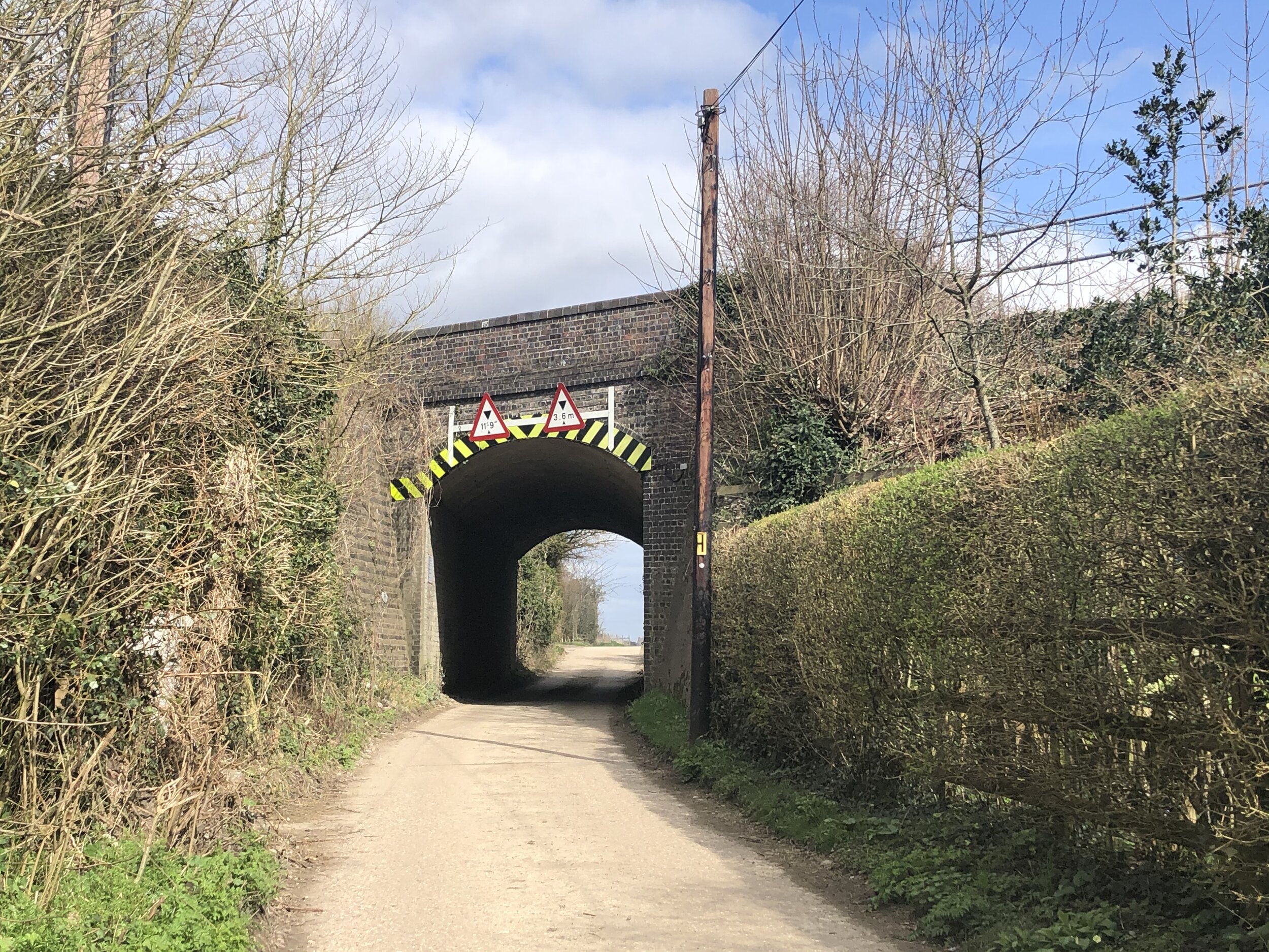
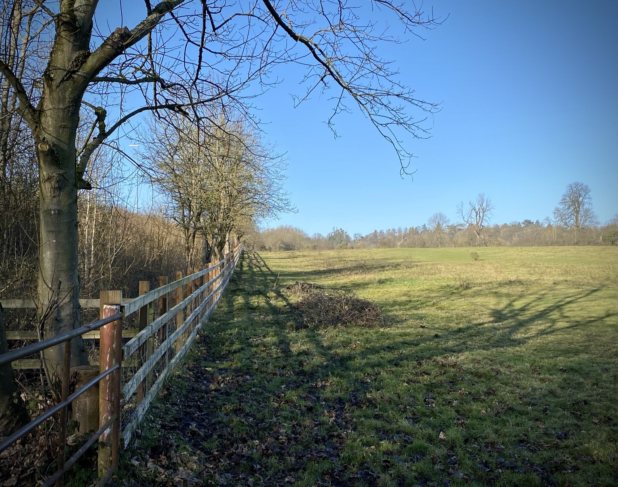
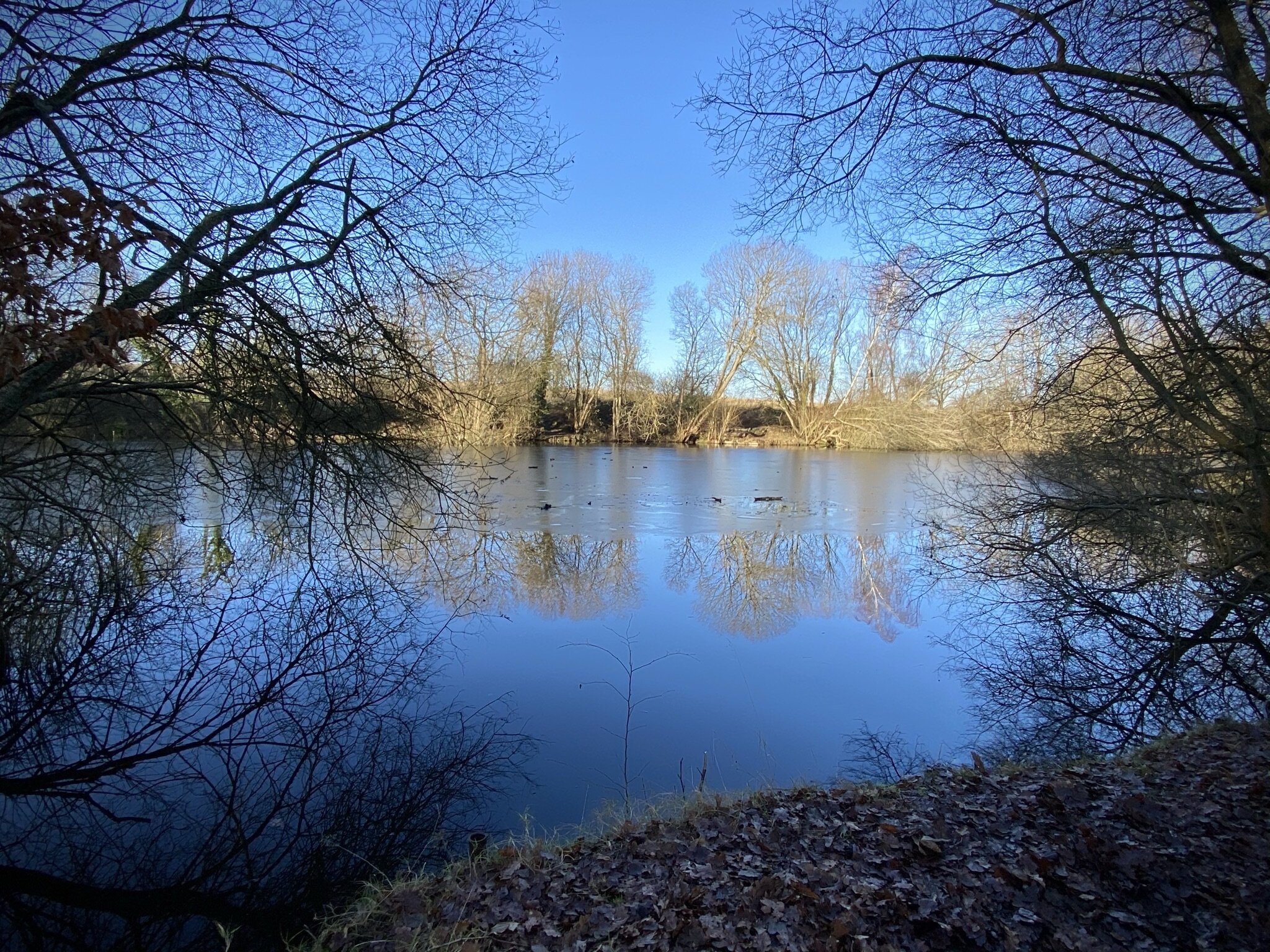
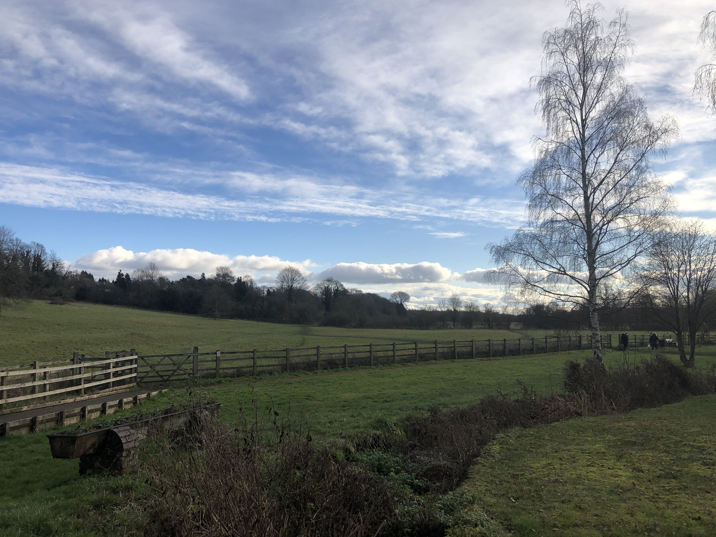
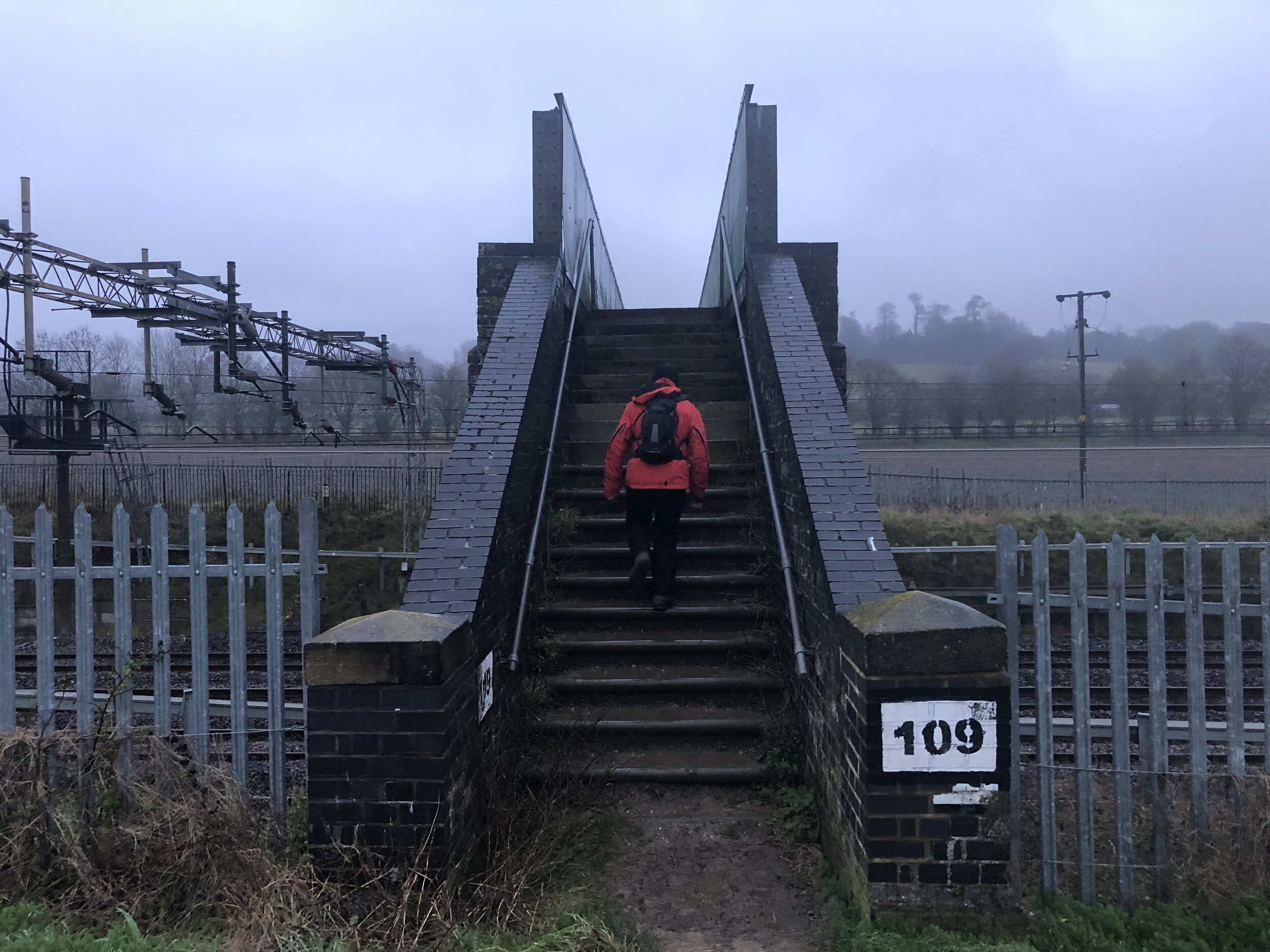
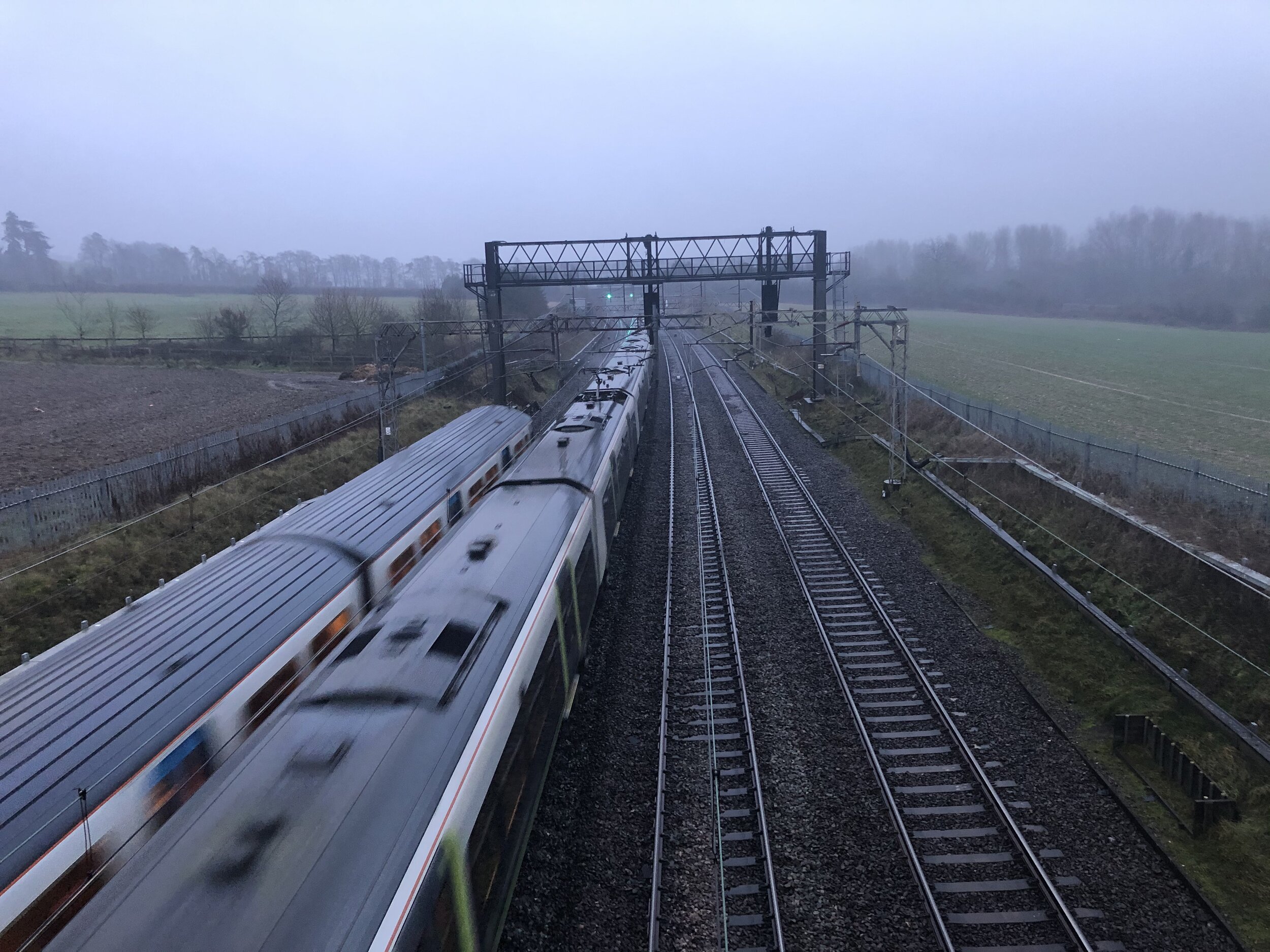
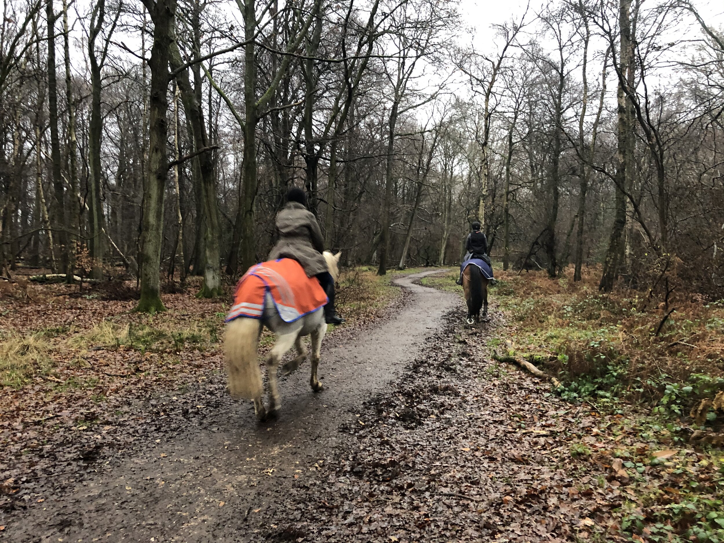
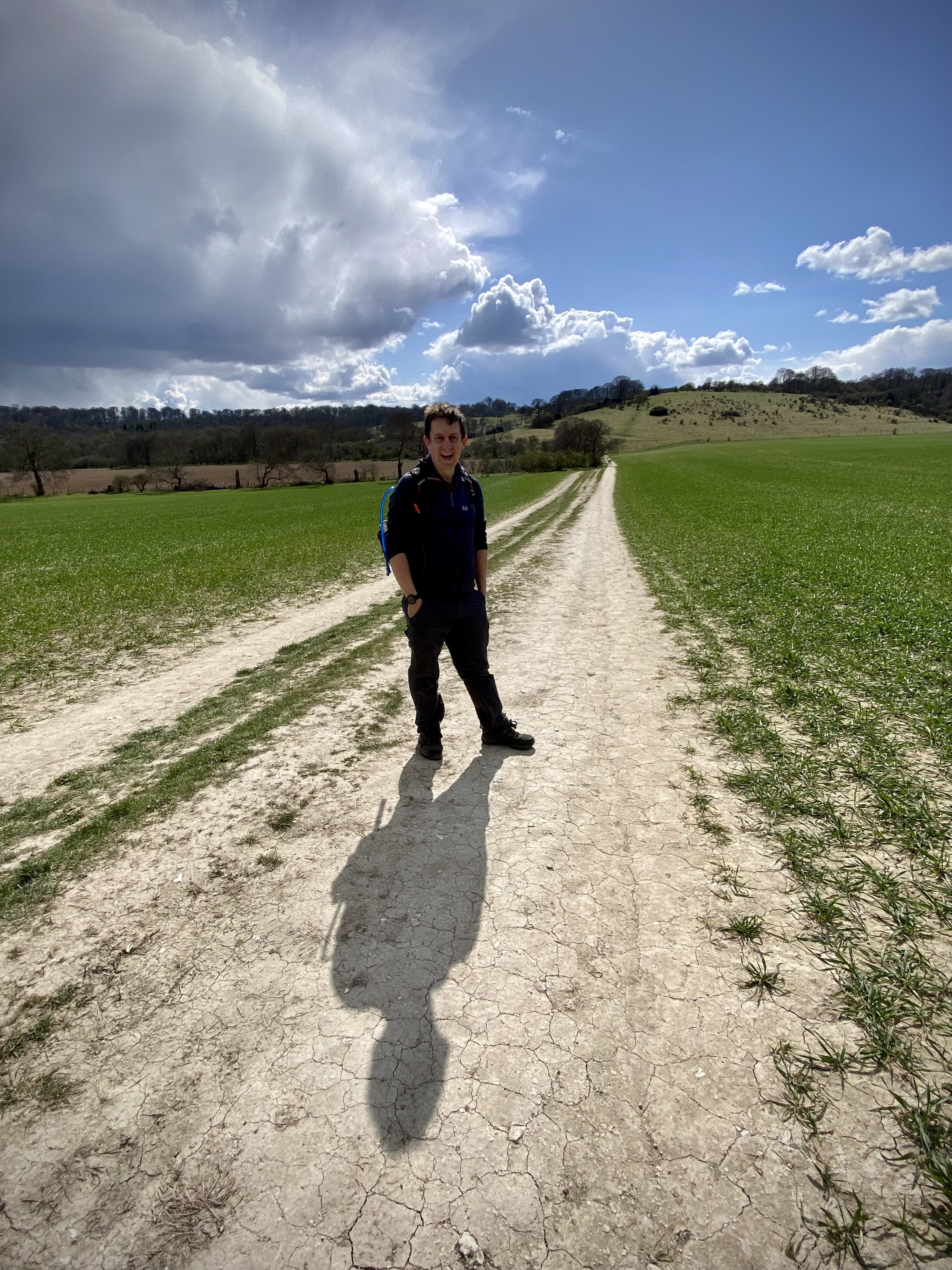
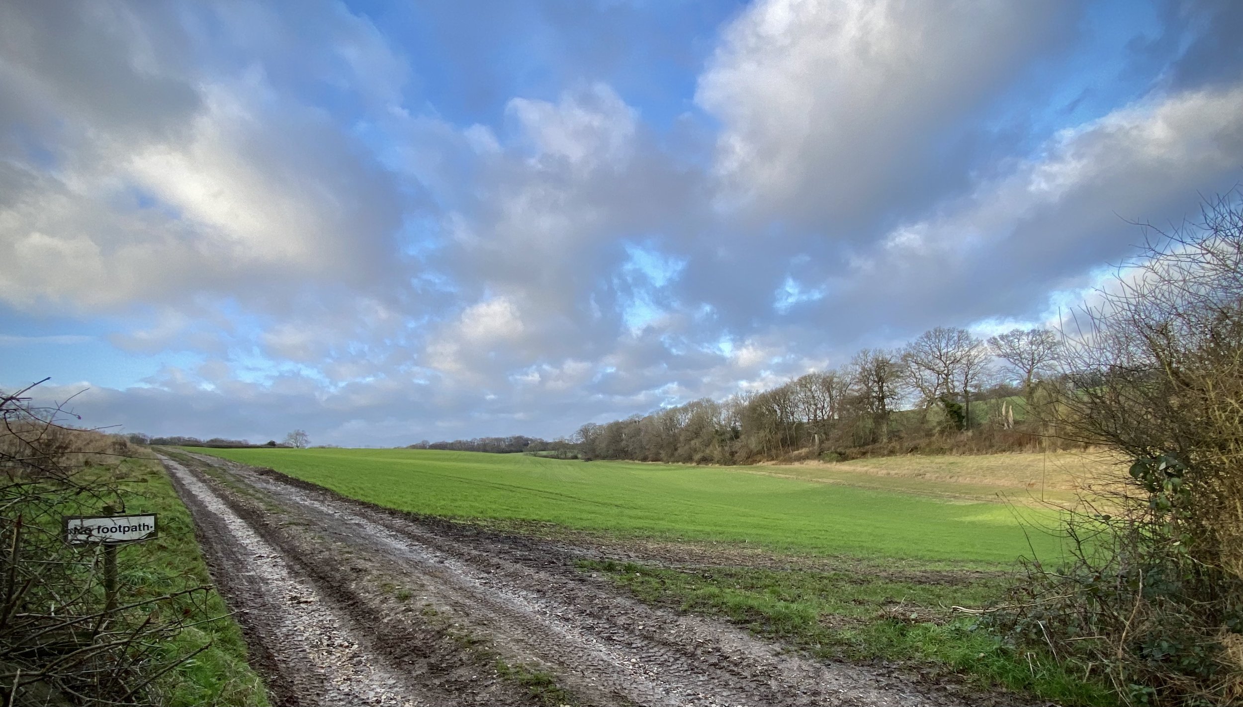
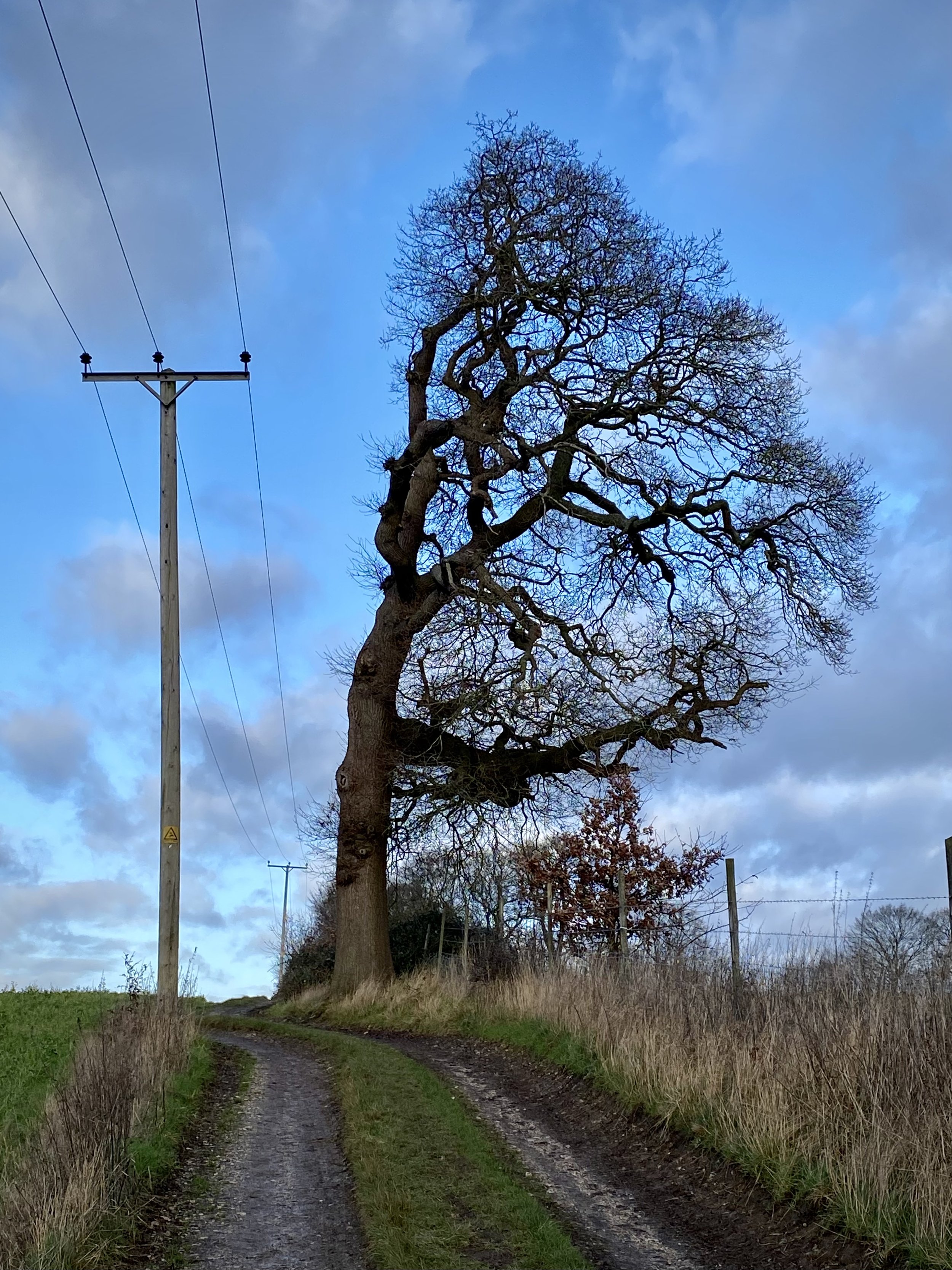
Rather than complete the trail in a single trip I broke it down into 4 smaller sections of between 8 and 10km each. This makes for a more manageable multi-day route and also takes in routes that cross the centre of the property. Each can be done in any order and in any direction. We took them in a fairly random order, saving Route 1, the best in my opinion, to the last. We also alternated the routes between clockwise and anti-clockwise to avoid following the middle crossings in the same direction. The guidance below will help you navigate but don’t use it as a fully accurate turn-by-turn guide. Always take a map and/or a GPX route and prepare well for the weather and terrain.
Route 1: Ivinghoe Beacon and Clipper Down
Start & Finish: Ivinghoe Beacon National Trust Car Park, Dunstable, LU6 2EG
Distance: 10.3 km (6.4 miles)
Elevation change: +/- 185m
GPX File: get via Buy Me a Coffee
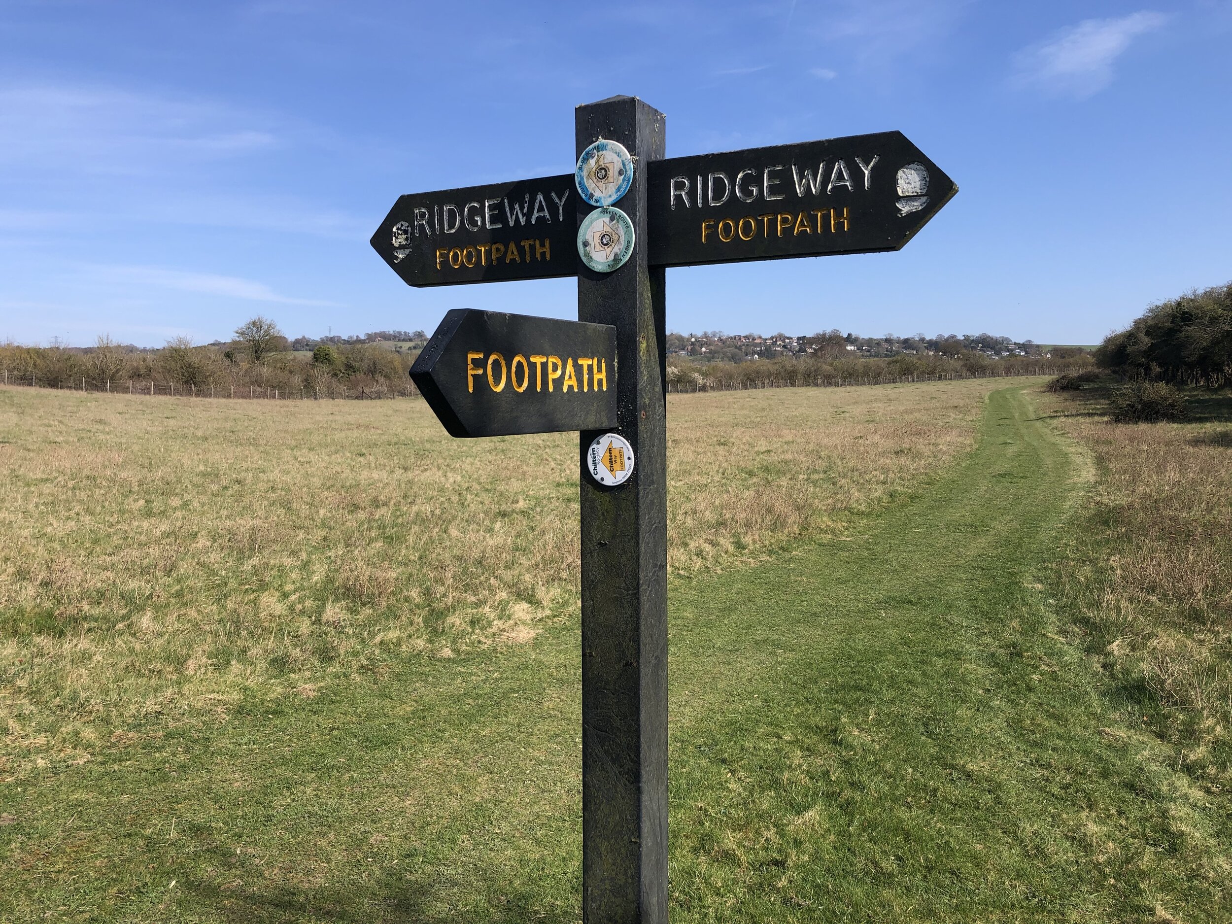
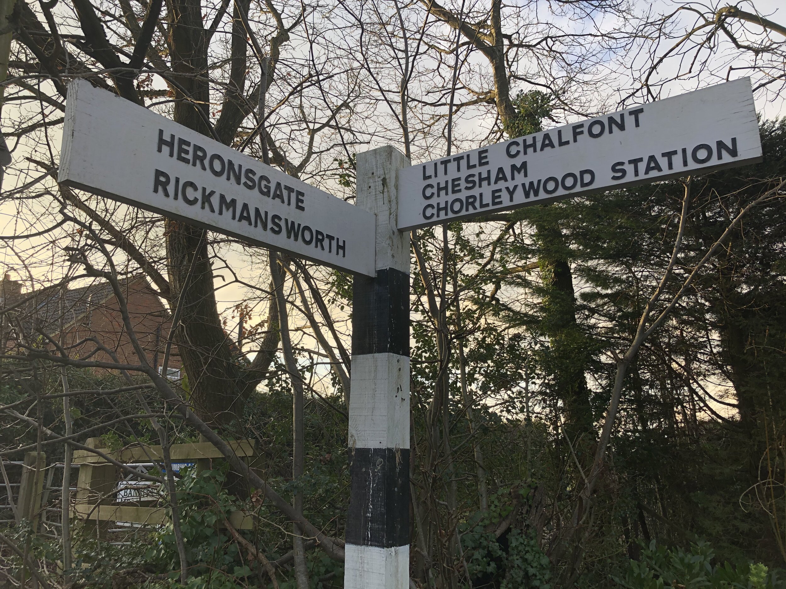
Other routes touched (walk): Wildlife Walk, Ridgeway, Icknield Way
Other routes touched (cycle): Chilterns Cycleway
Pubs / Cafes on route: None
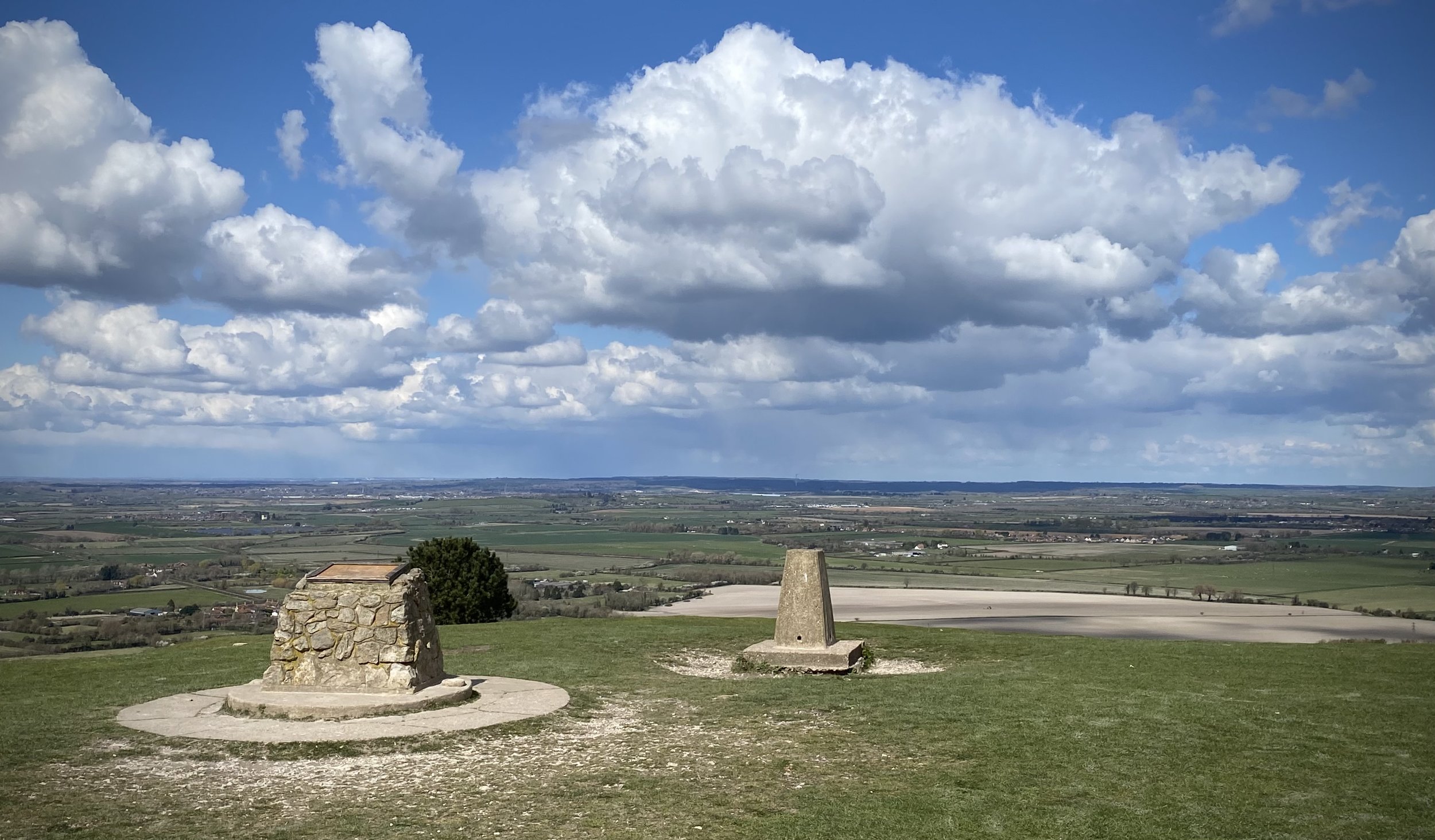
OS Trig Pillar (at top of Ivinghoe Beacon): TP1099 - Beacon Hill
Map: OS Explorer Map (181) Chiltern Hills North
Links: Ashridge Estate National Trust, Ivinghoe Beacon (Wikipedia)
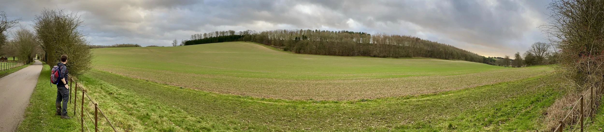
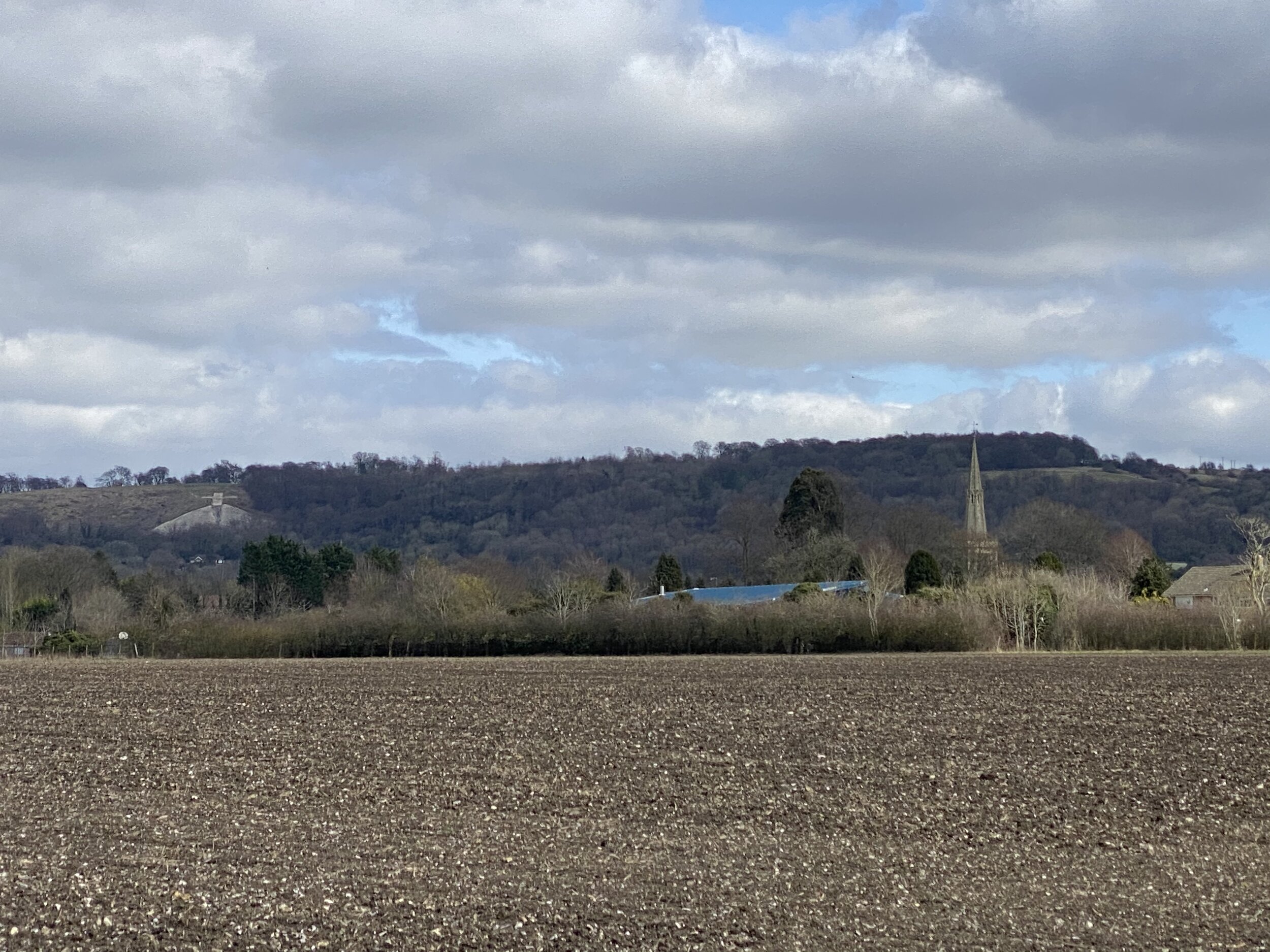
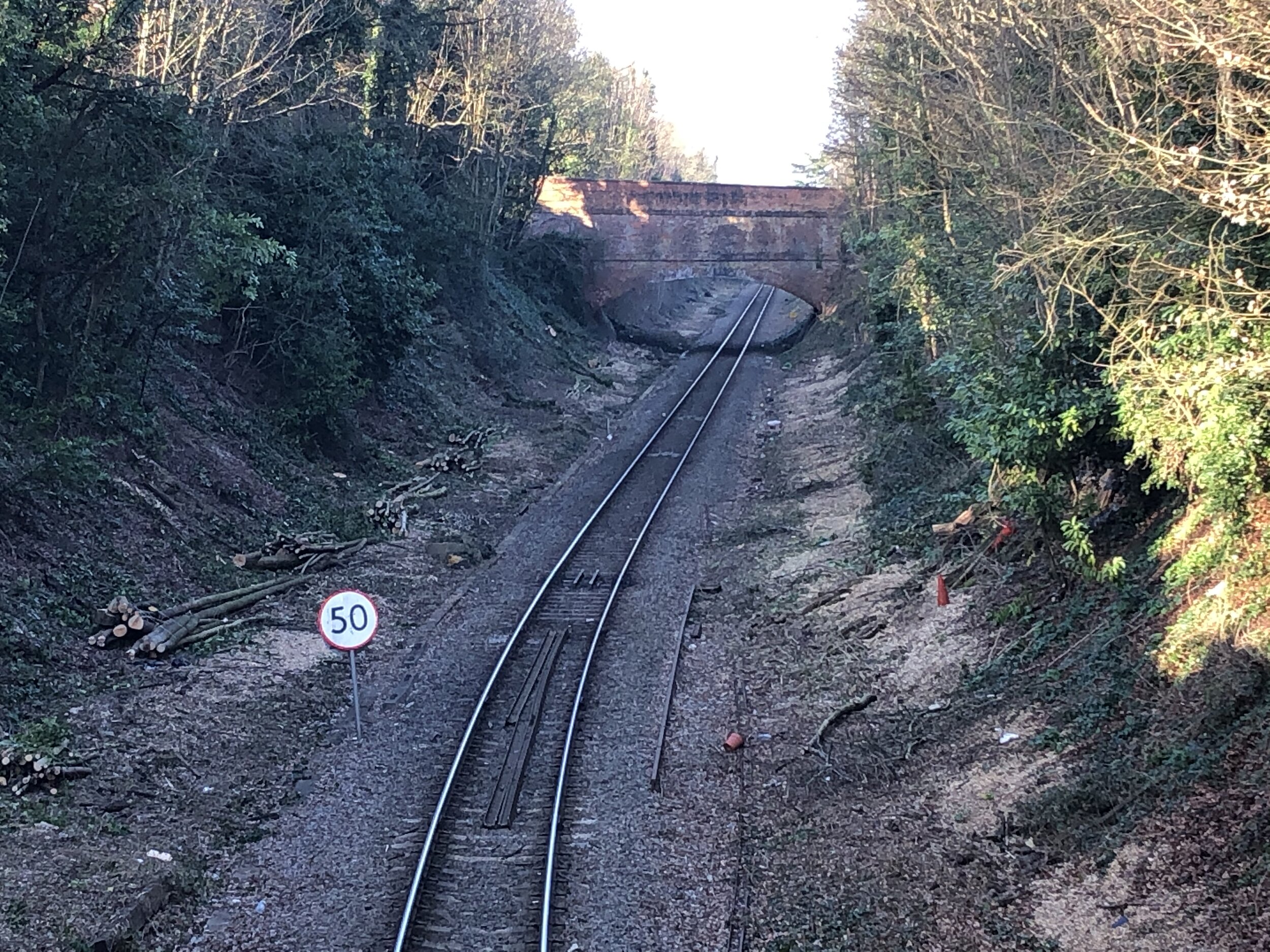
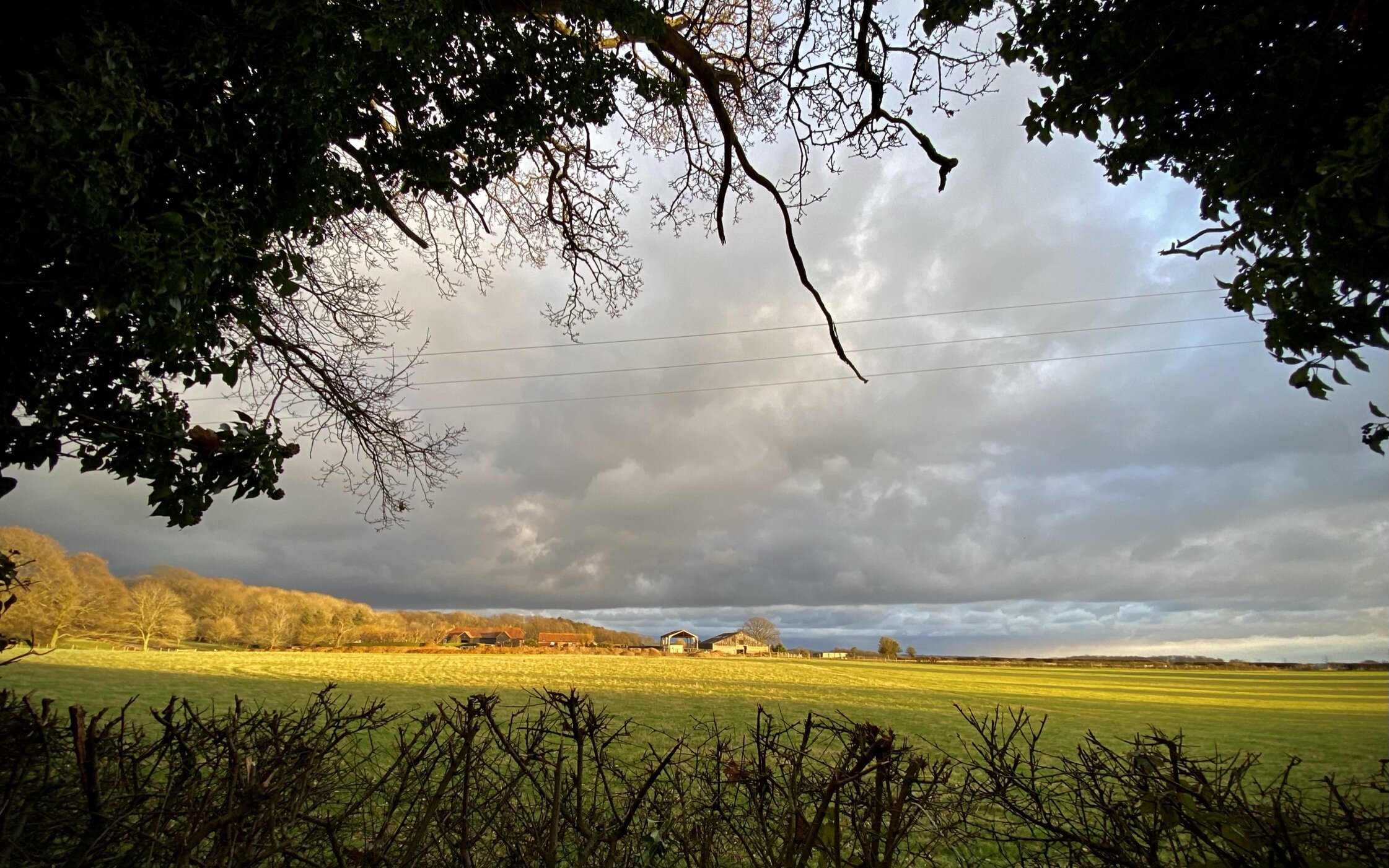
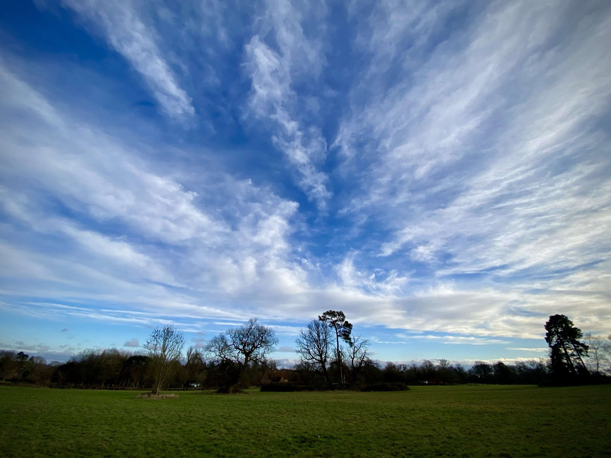
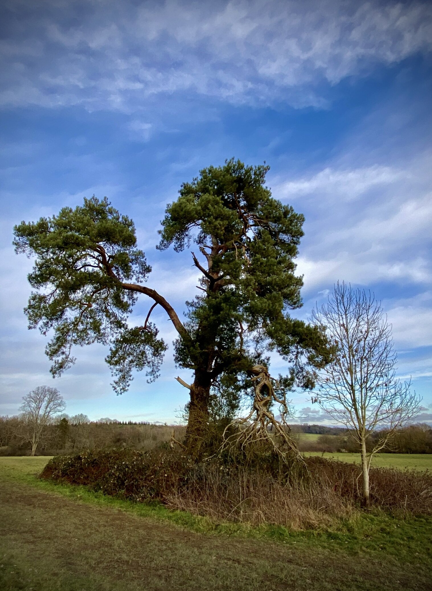
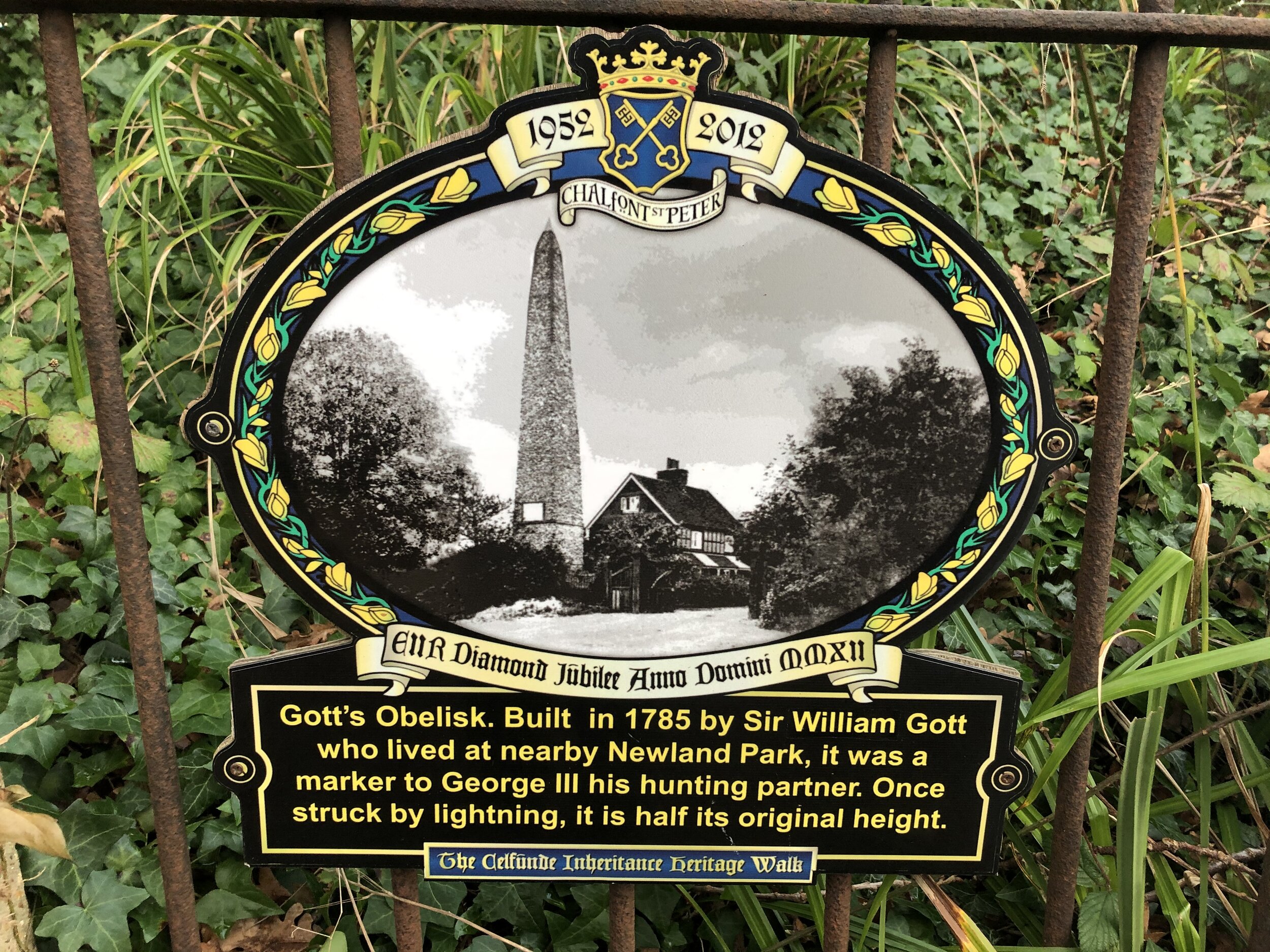
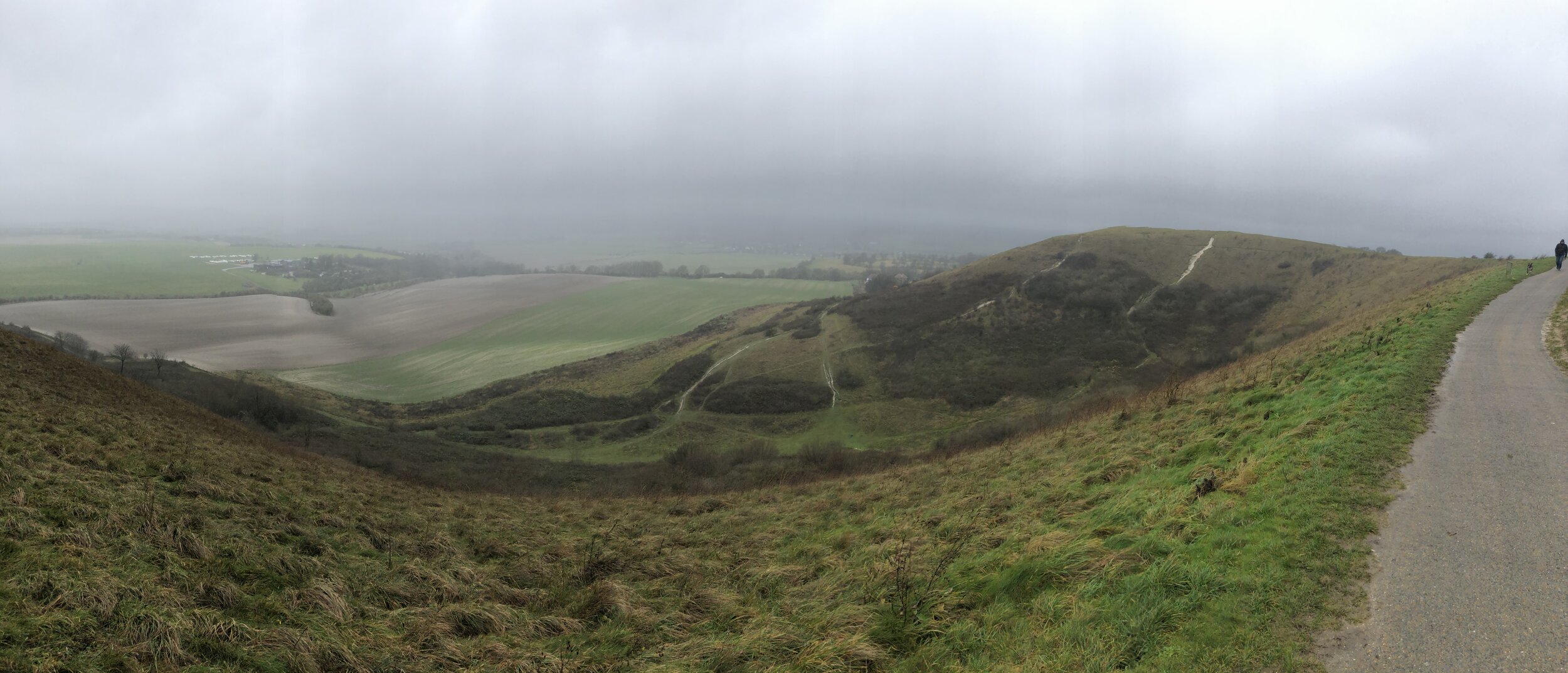
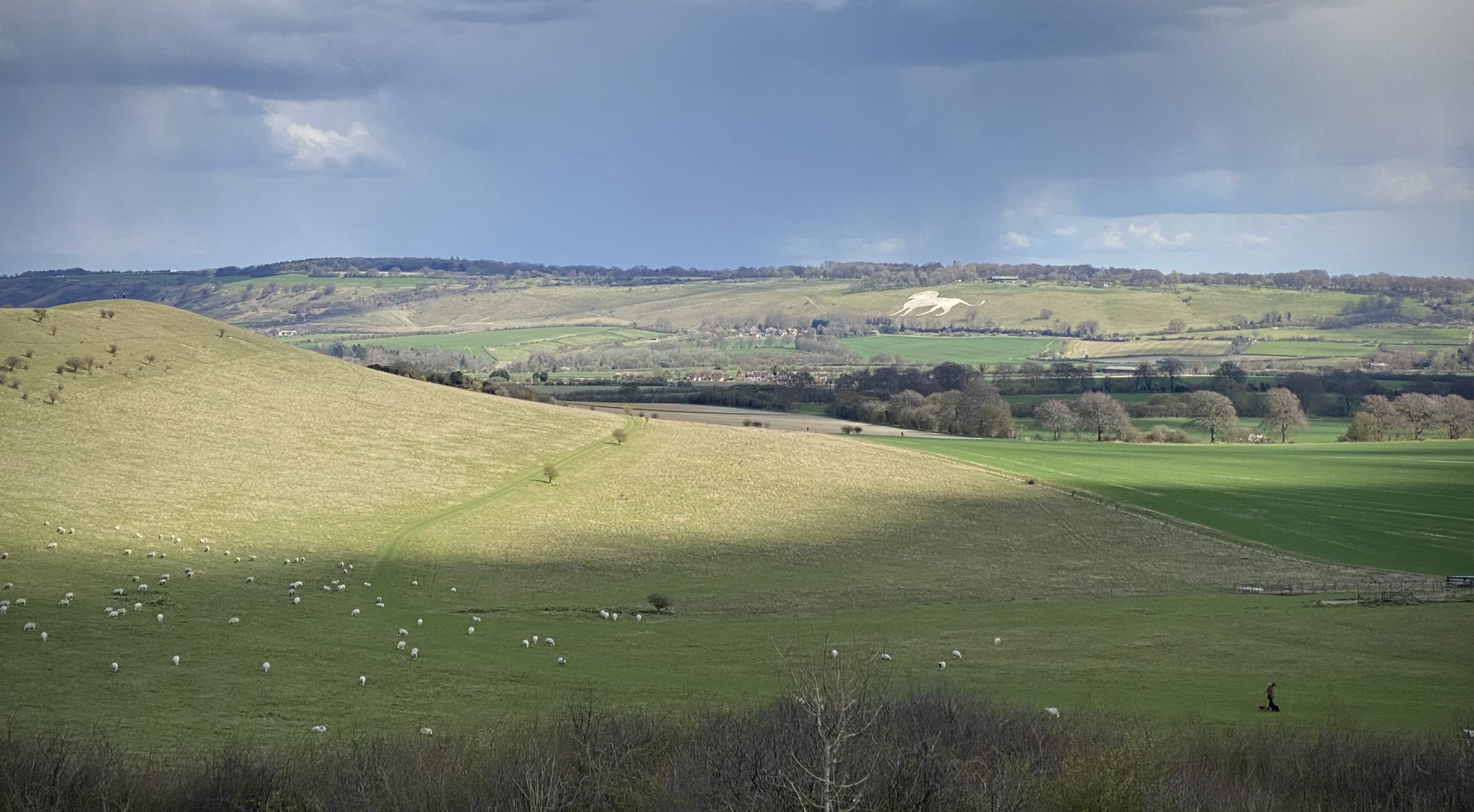
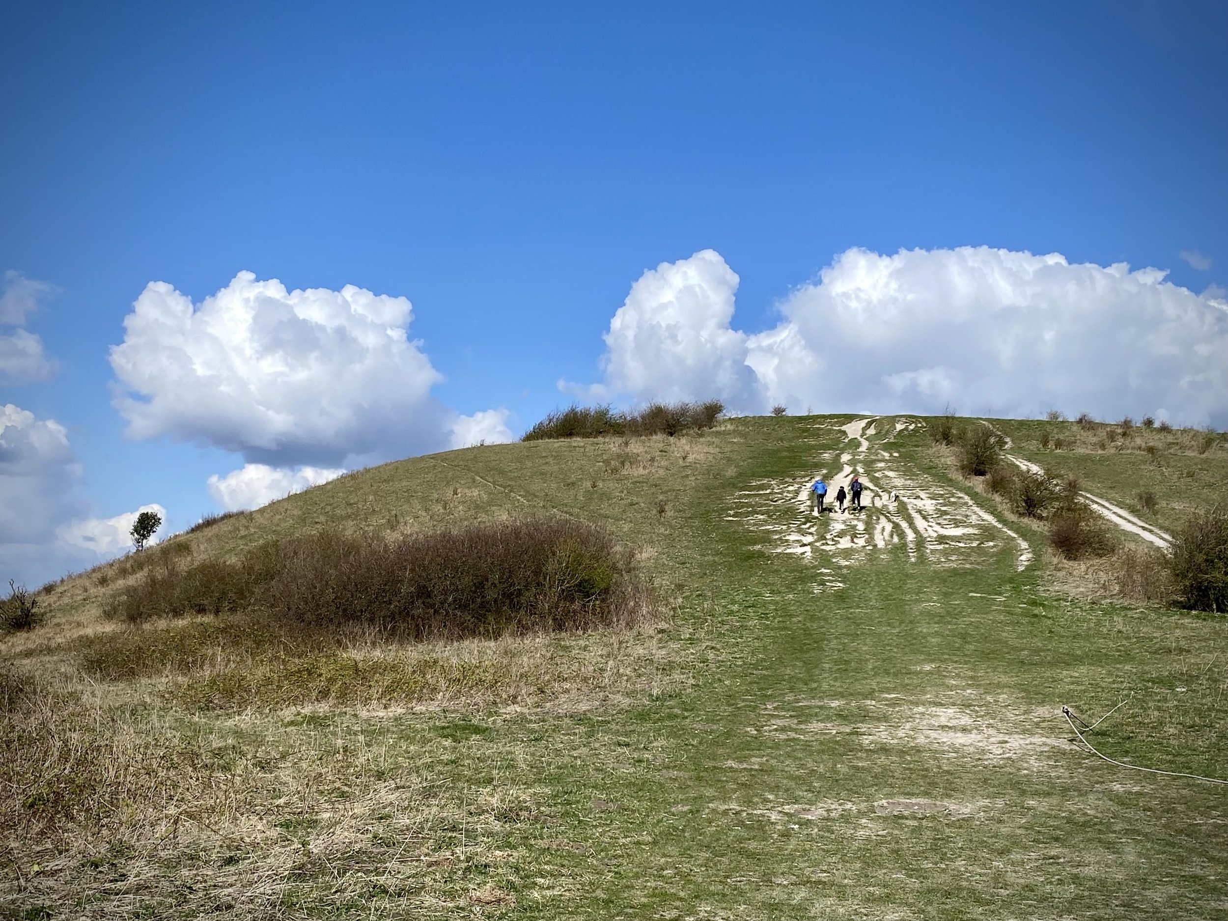
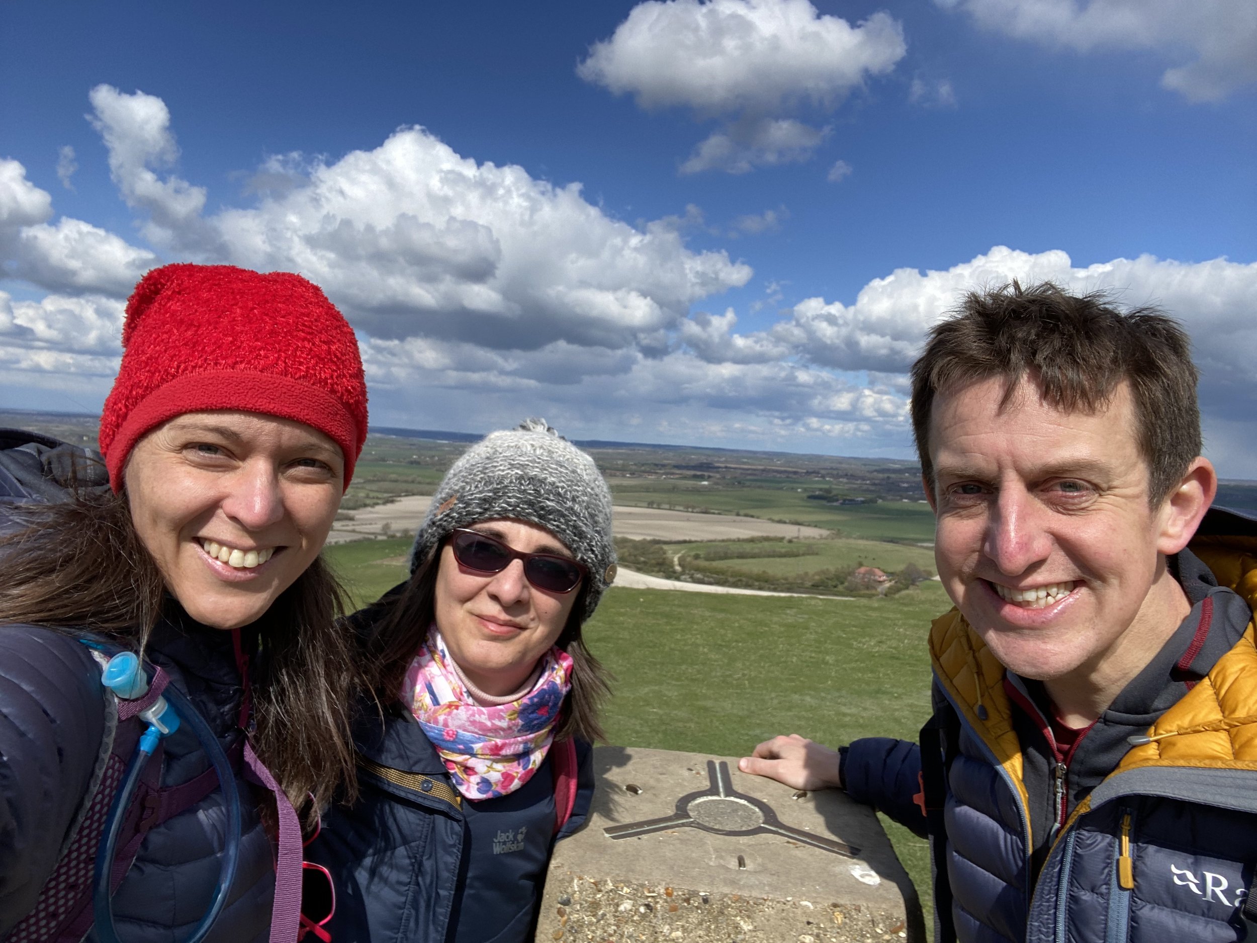
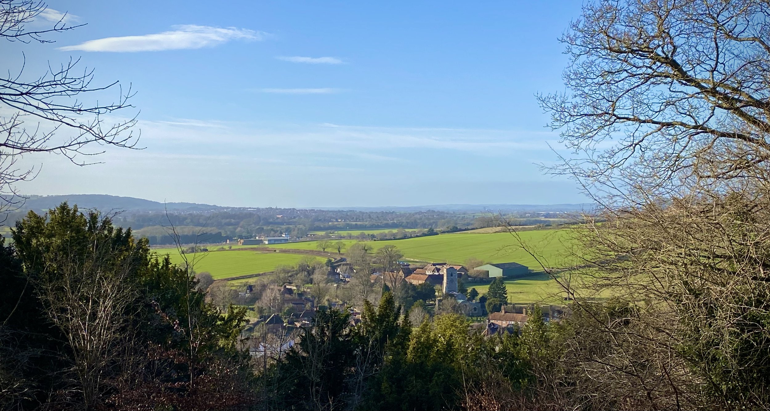
For this route I included the summit of Ivinghoe Beacon at the north end of the route. The actual Ashridge Boundary Trail bypasses the summit, cutting off about 100m of distance and 10m of elevation. The view from the top of the Beacon is stunning so I’m not sure why you would want to miss the summit.


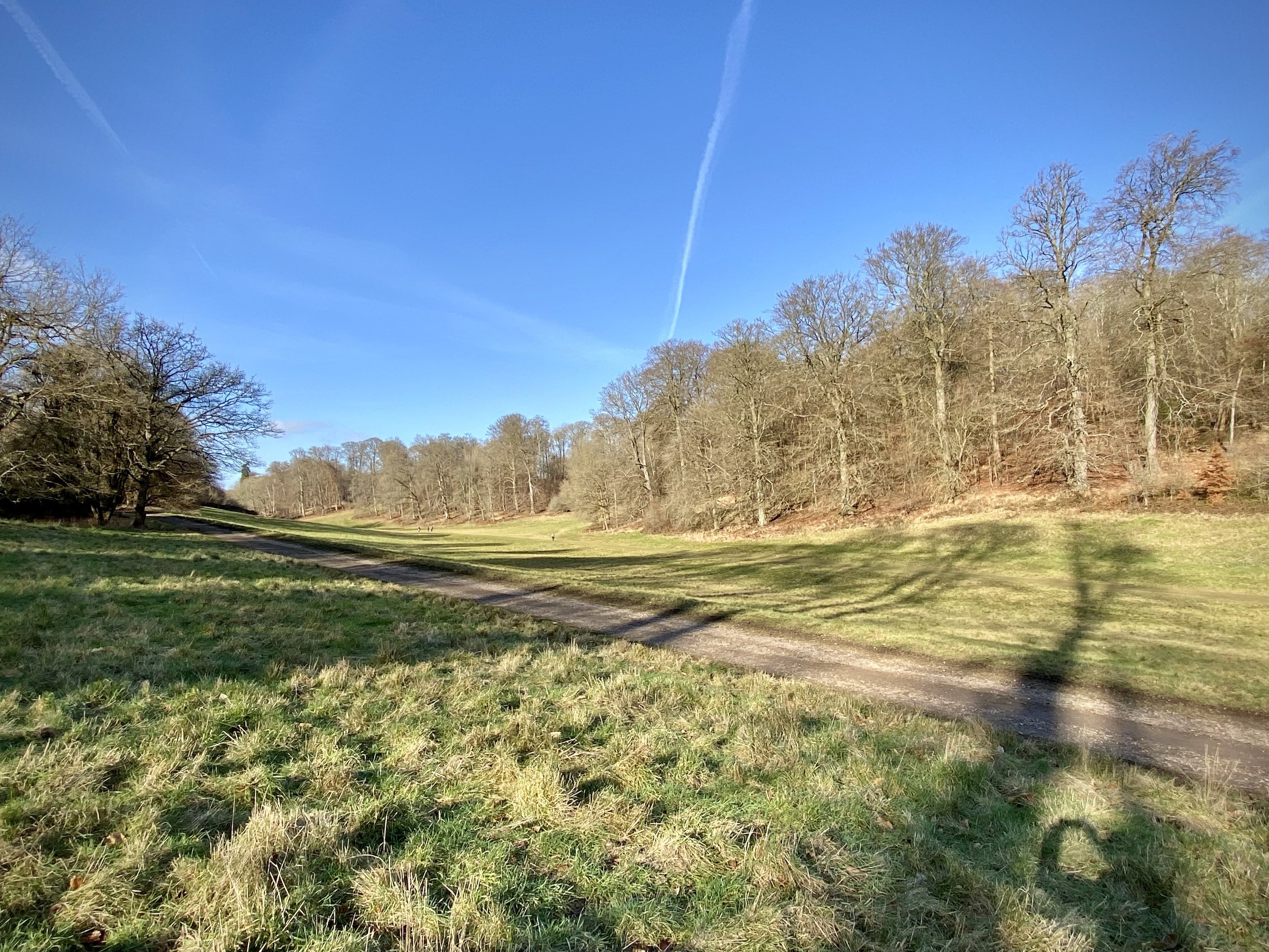
Route 2: Ashridge Golf Club and Moneybury Hill
Start & Finish: Ashridge National Trust Car Park, Aldbury, Berkhamsted, HP4 1LU
Distance: 8.2 km (5.1 miles)
Elevation change: +/- 94m
GPX File: get via Buy Me a Coffee
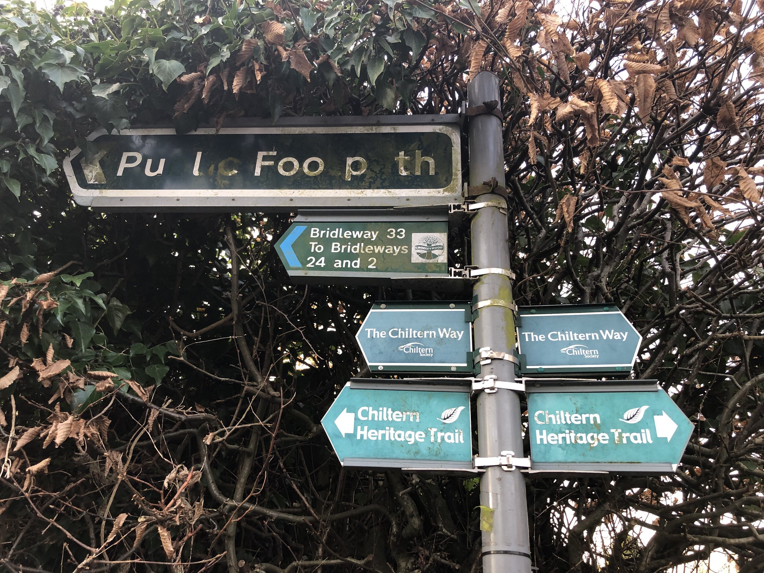
Other routes touched (walk): Chiltern Way, Hertfordshire Way, Wildlife Walk, Woodland Walk
Other routes touched (cycle): Berkhamsted Route 6, Chilterns Cycleway
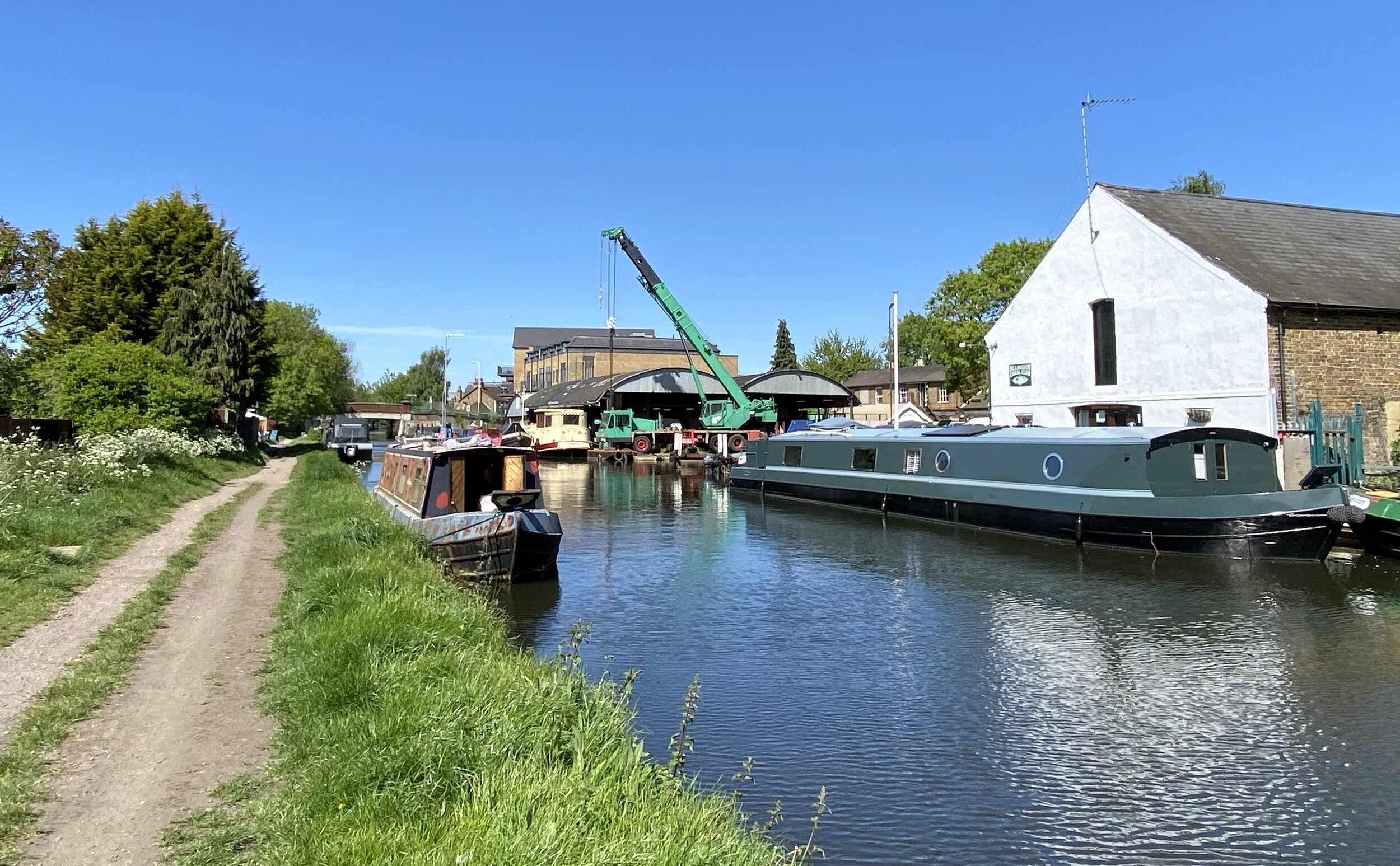
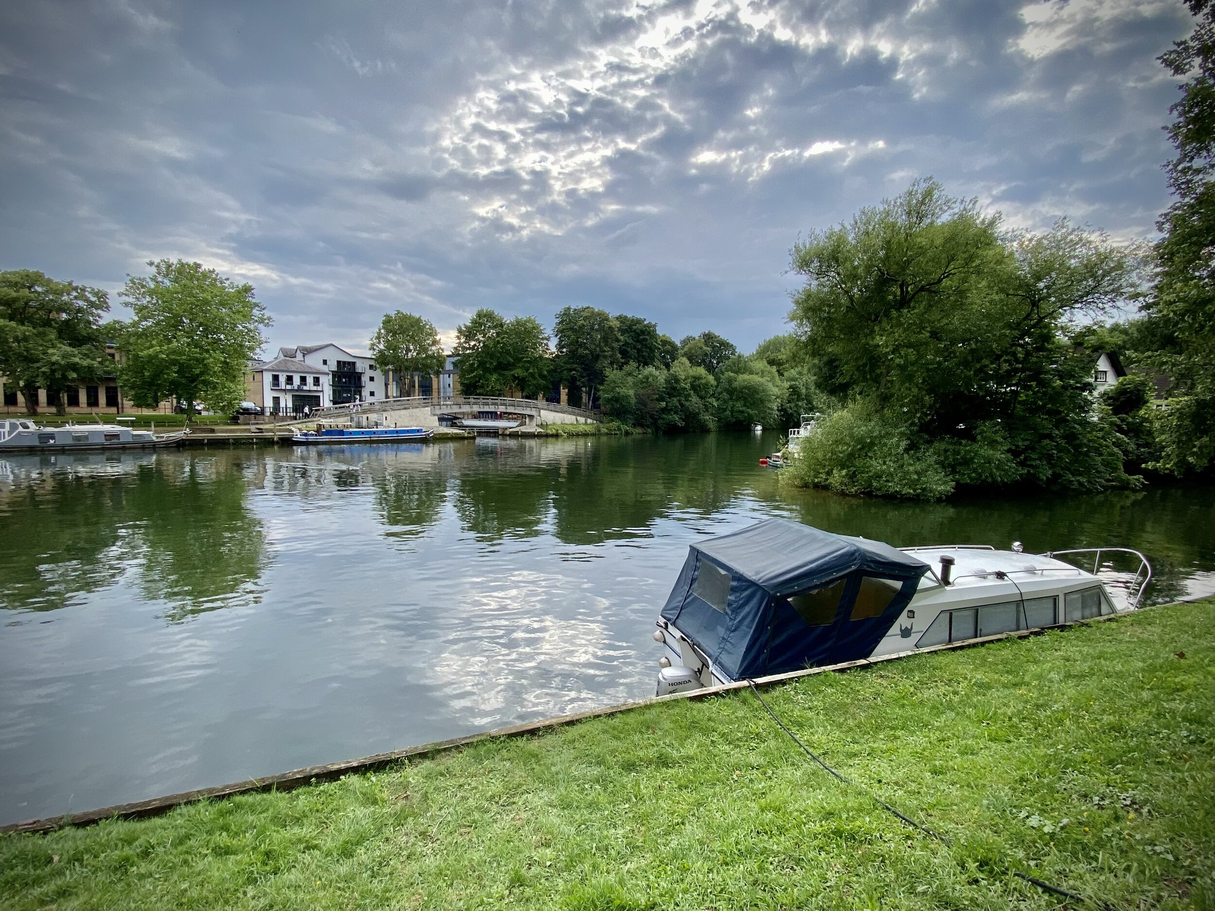
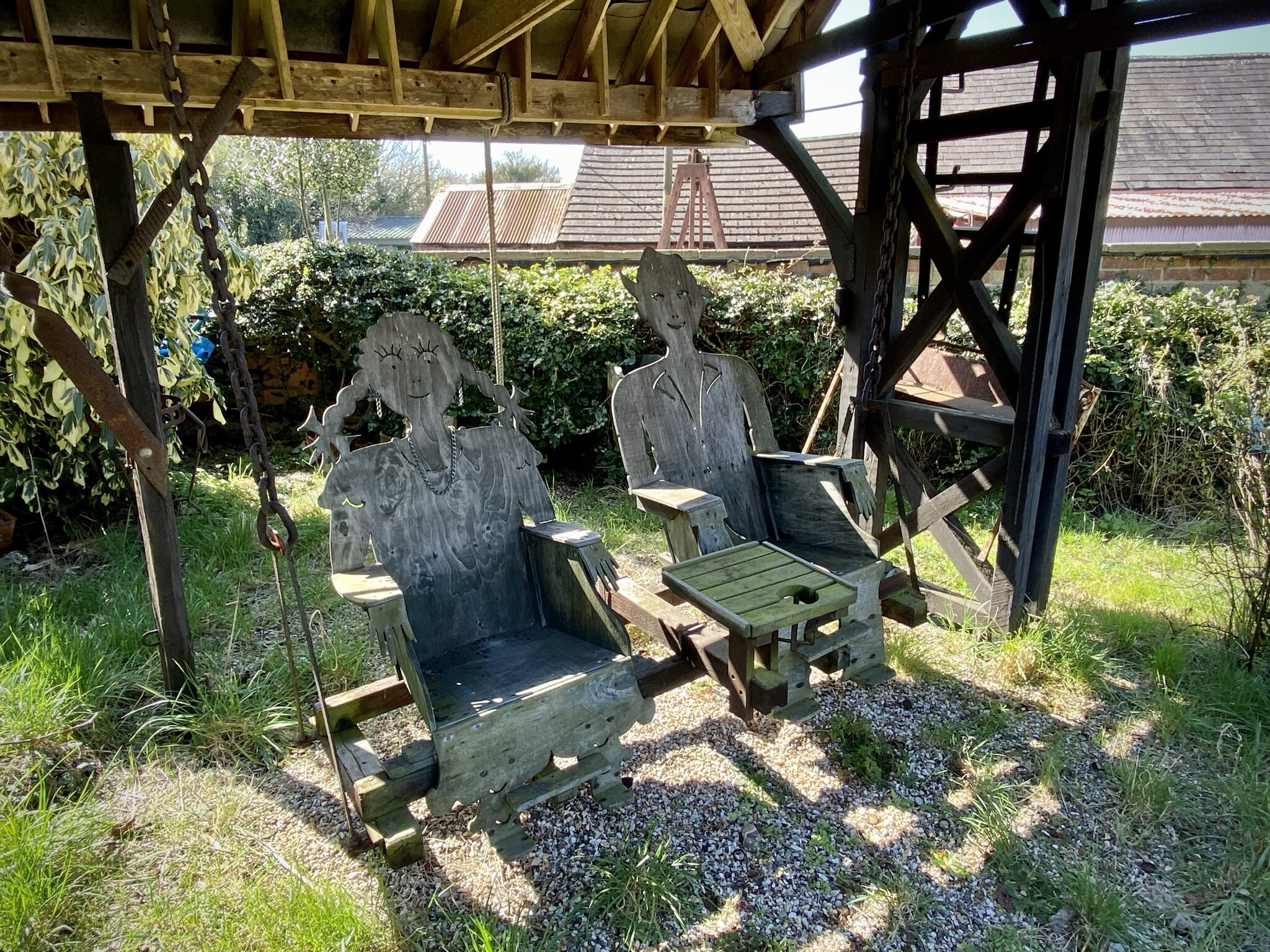
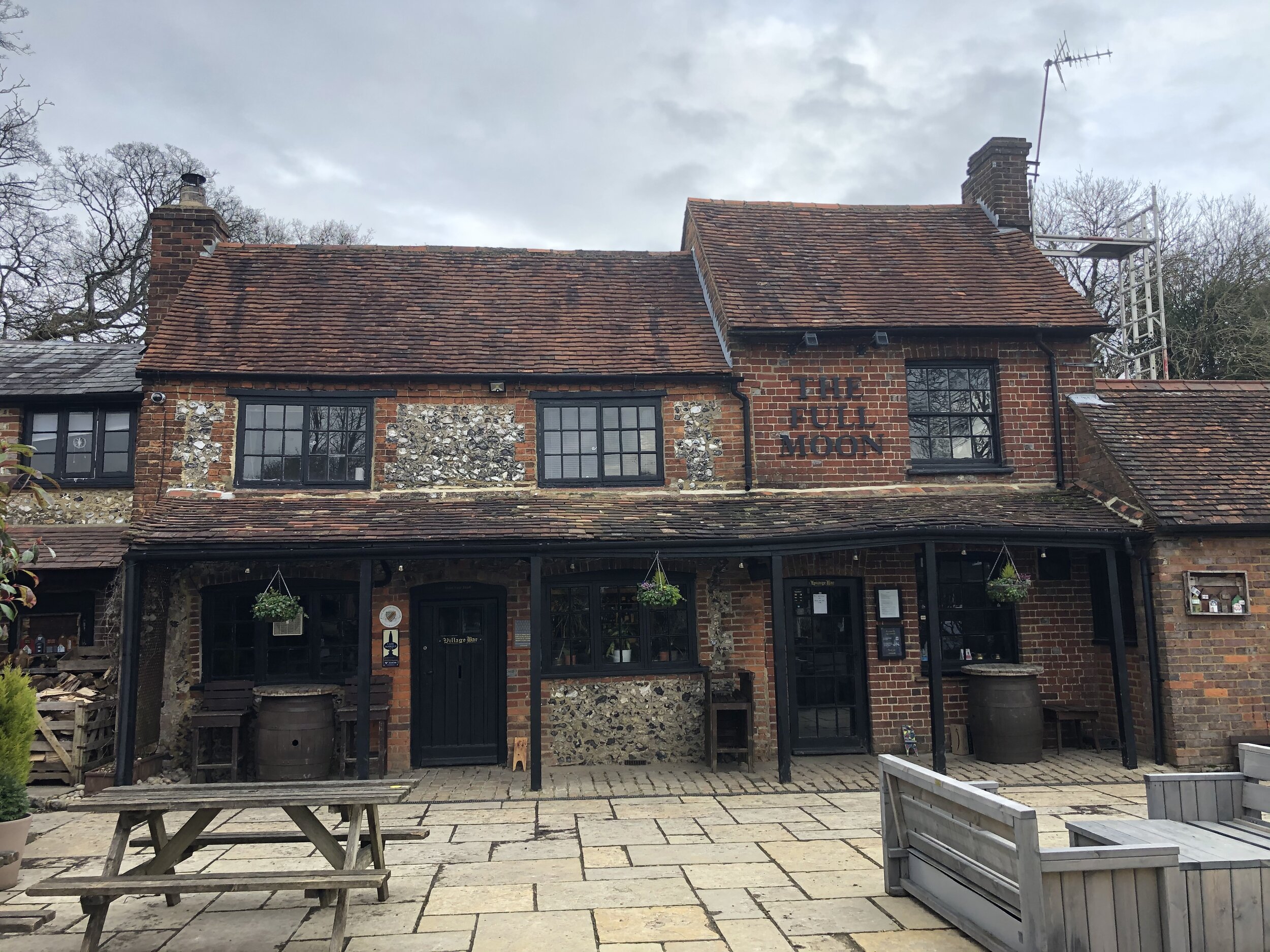
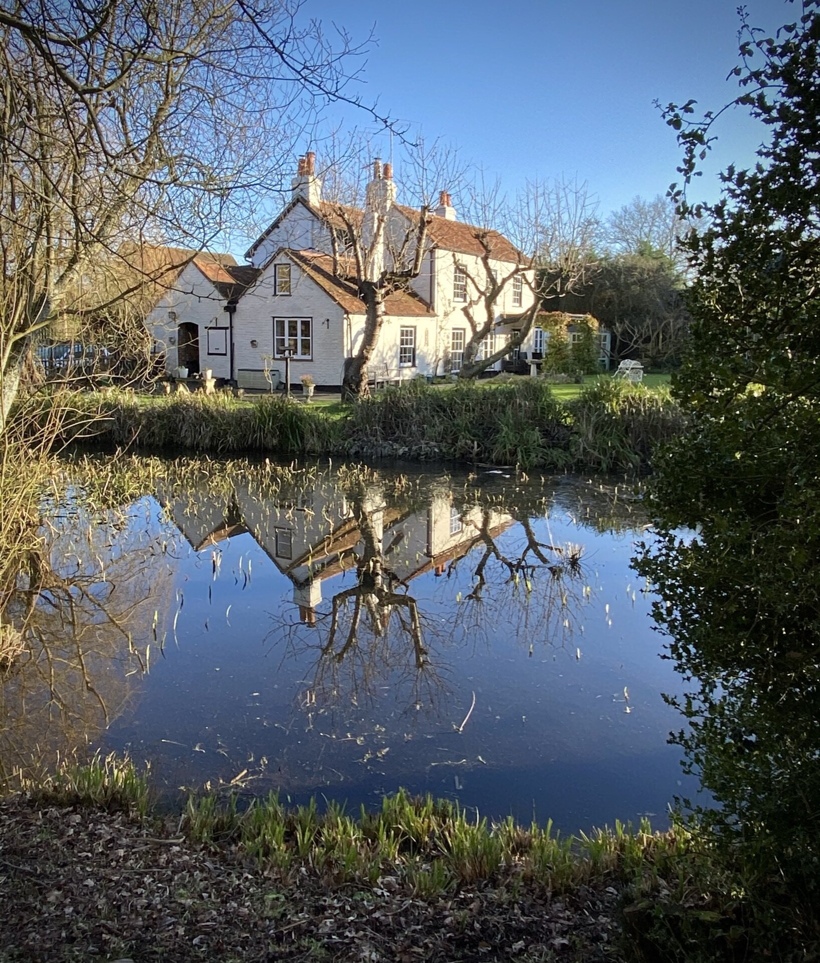
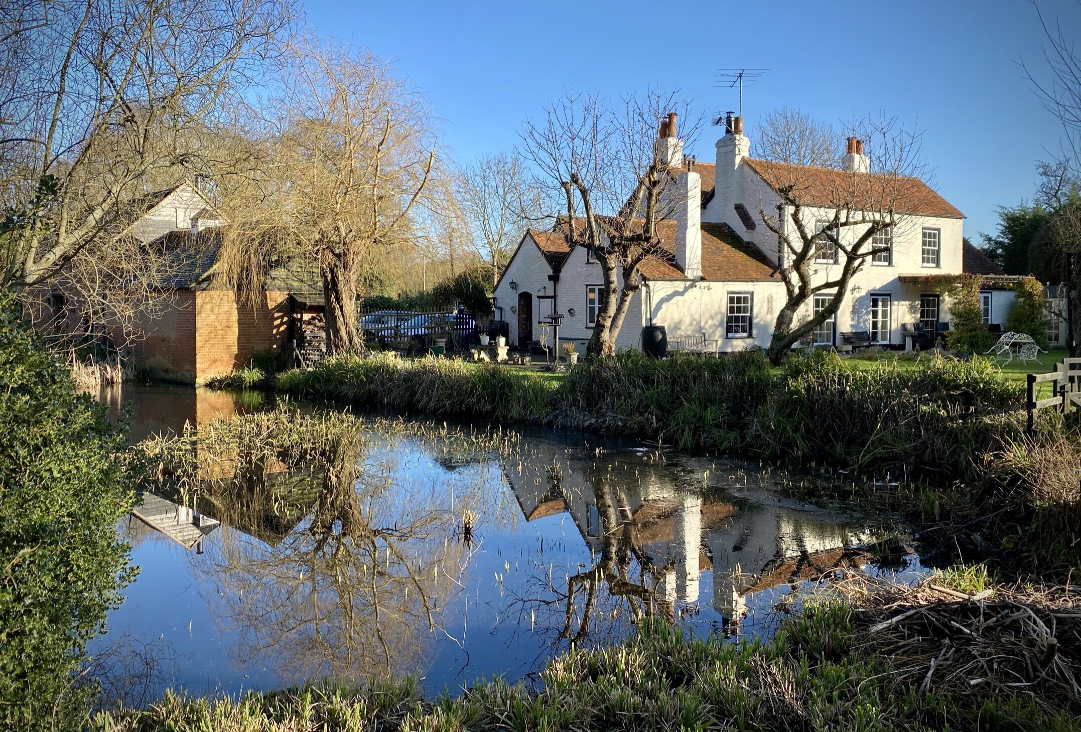
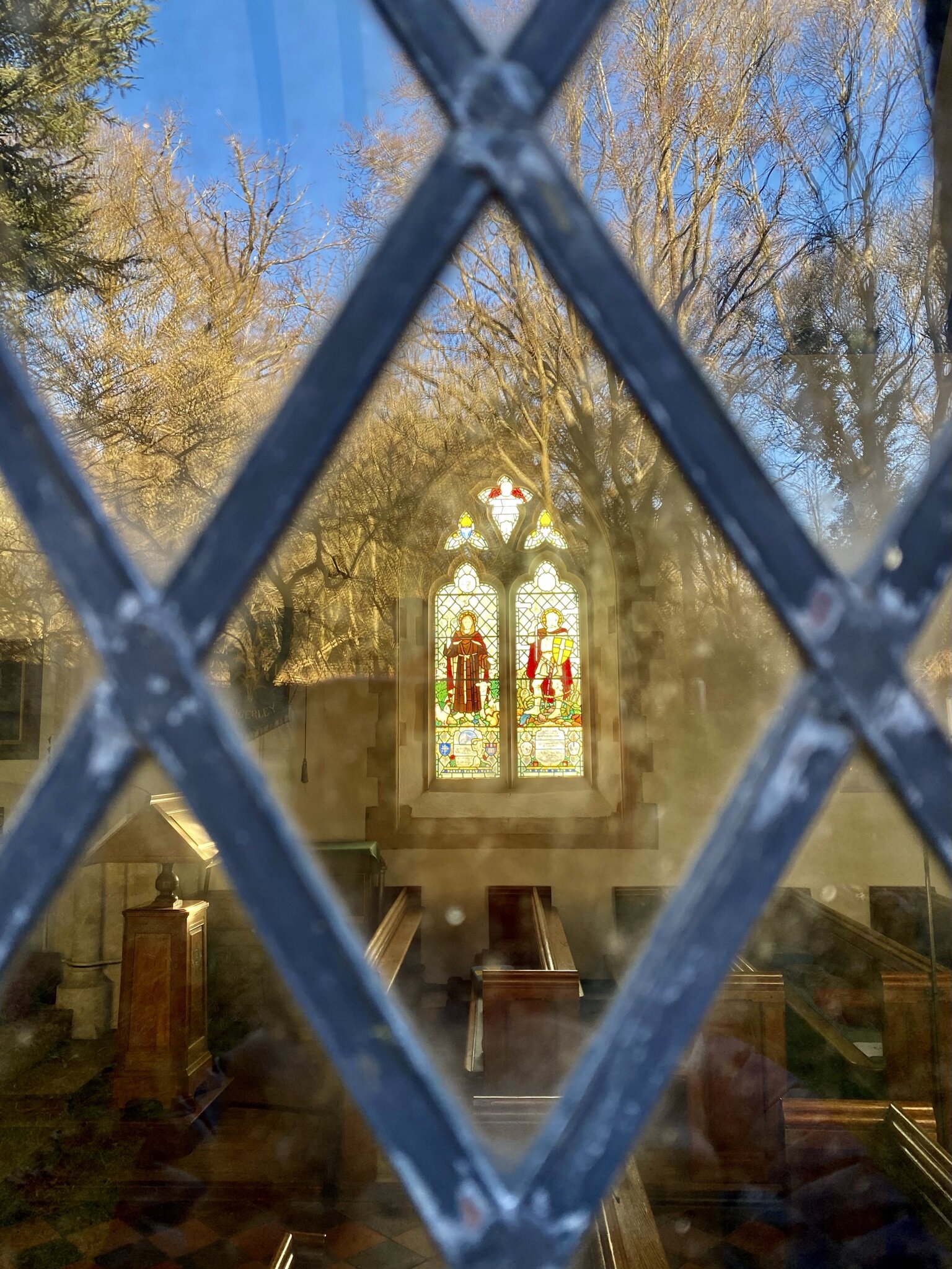
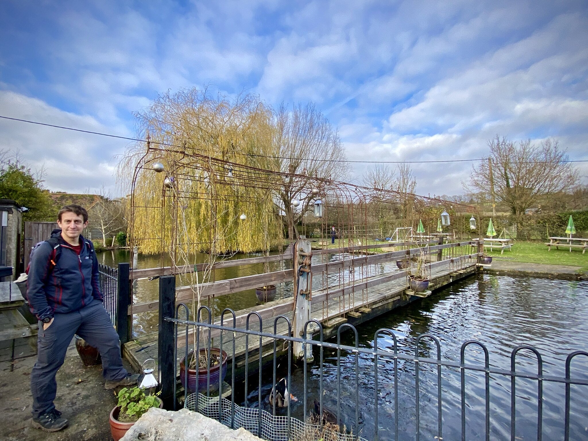
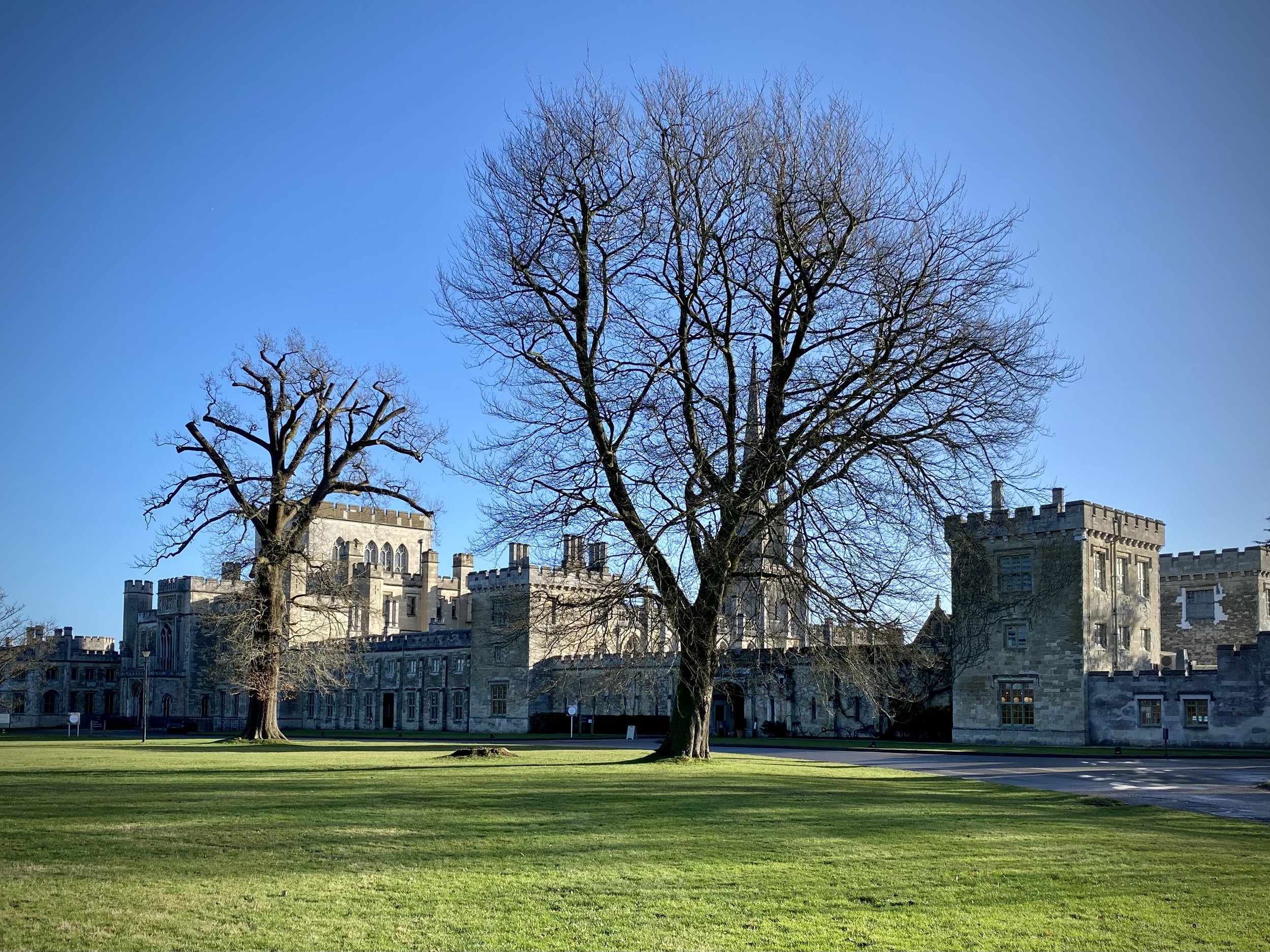
Pubs / Cafes on route: Cafe at The National Trust Visitor’s Centre Ashridge, Café at Ashridge House
Map: OS Explorer Map (181) Chiltern Hills North
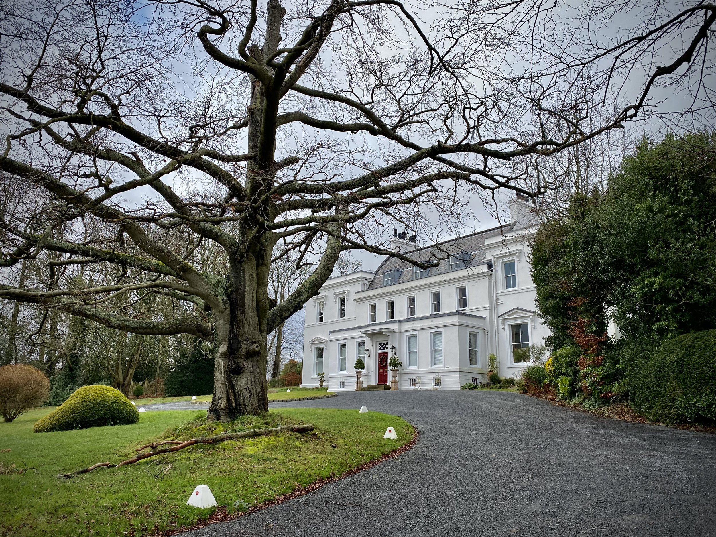
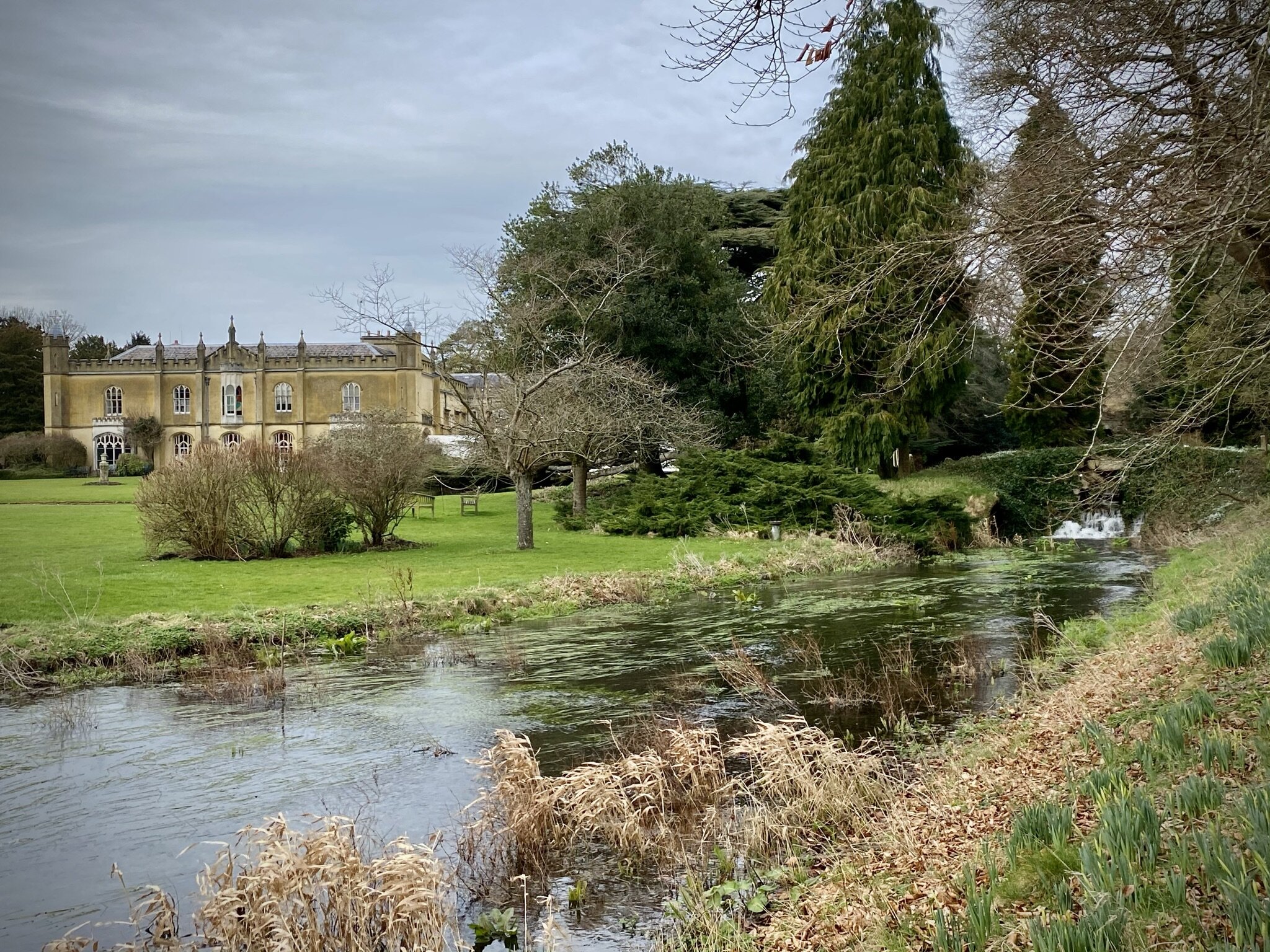
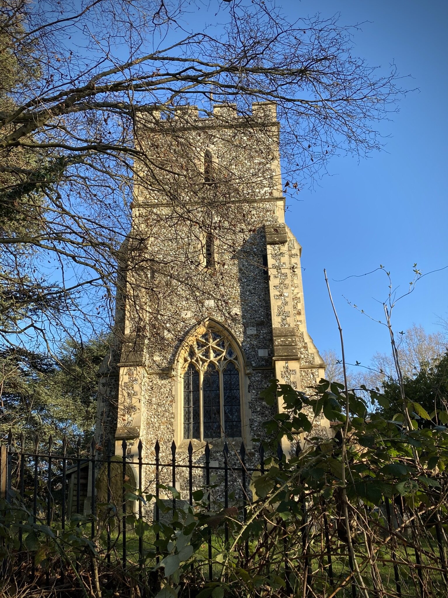
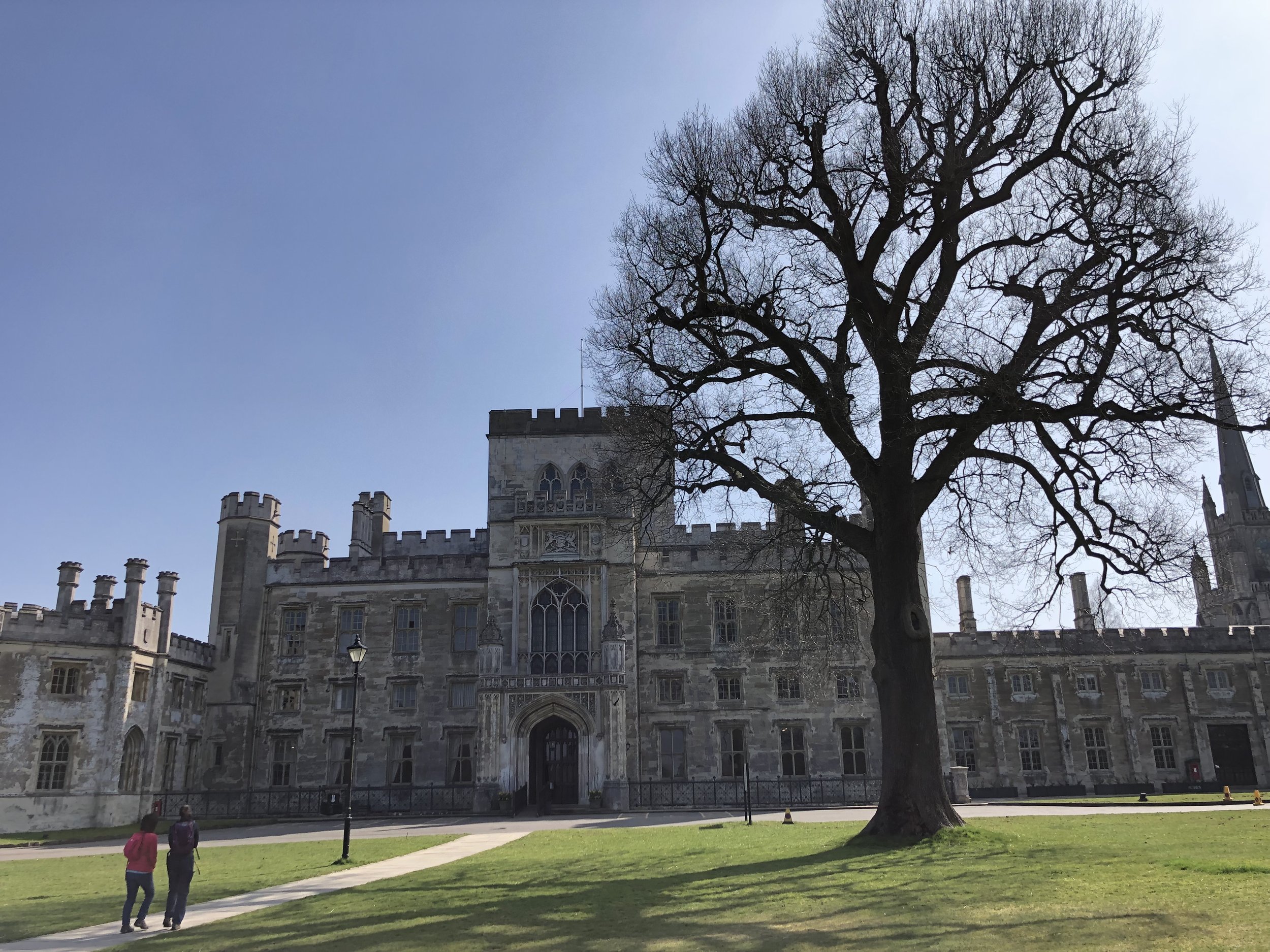
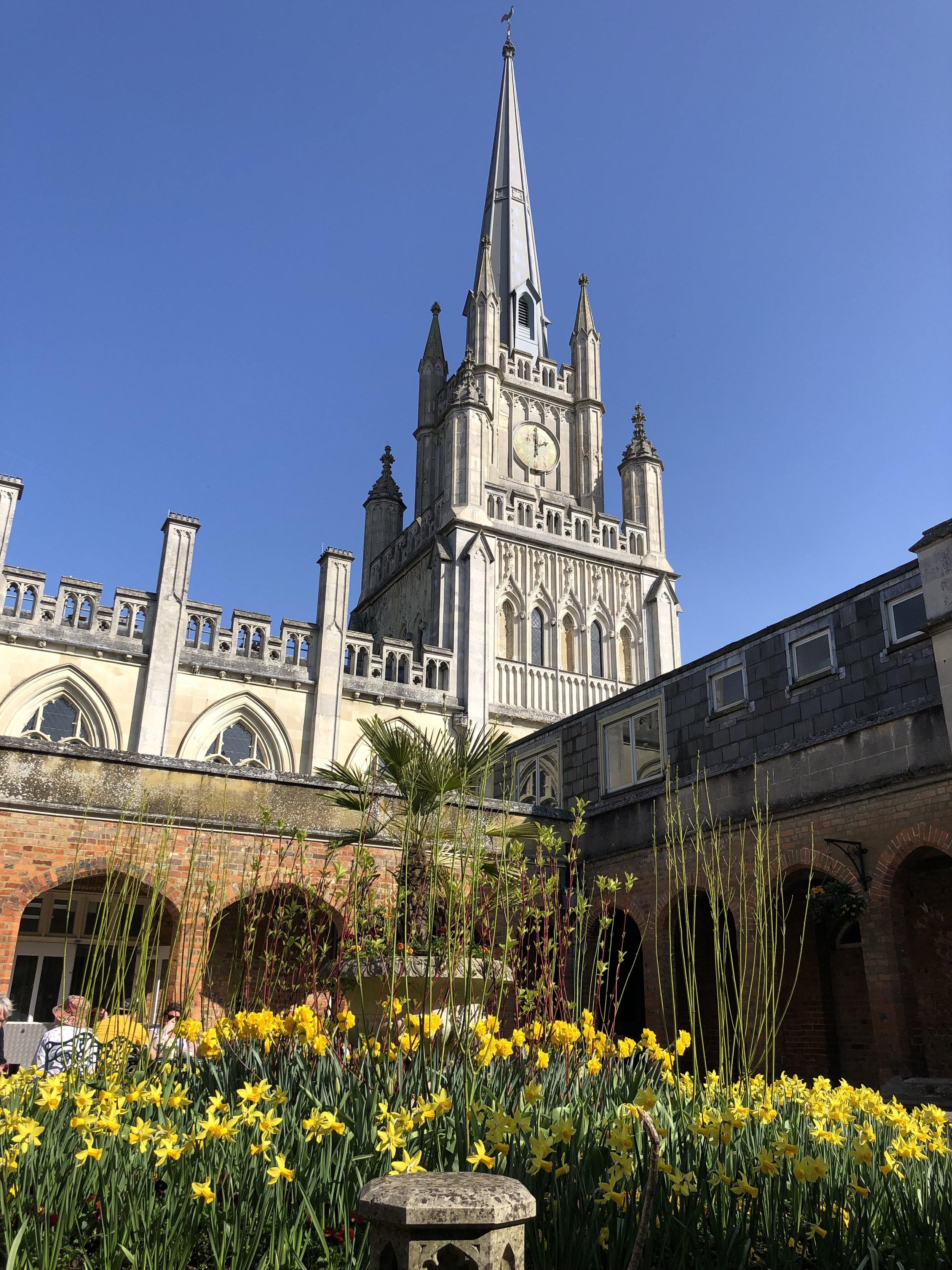
Links: Ashridge Estate National Trust, Ashridge House, Ashridge Golf Club
Note that there is alternative free parking at Ashridge House

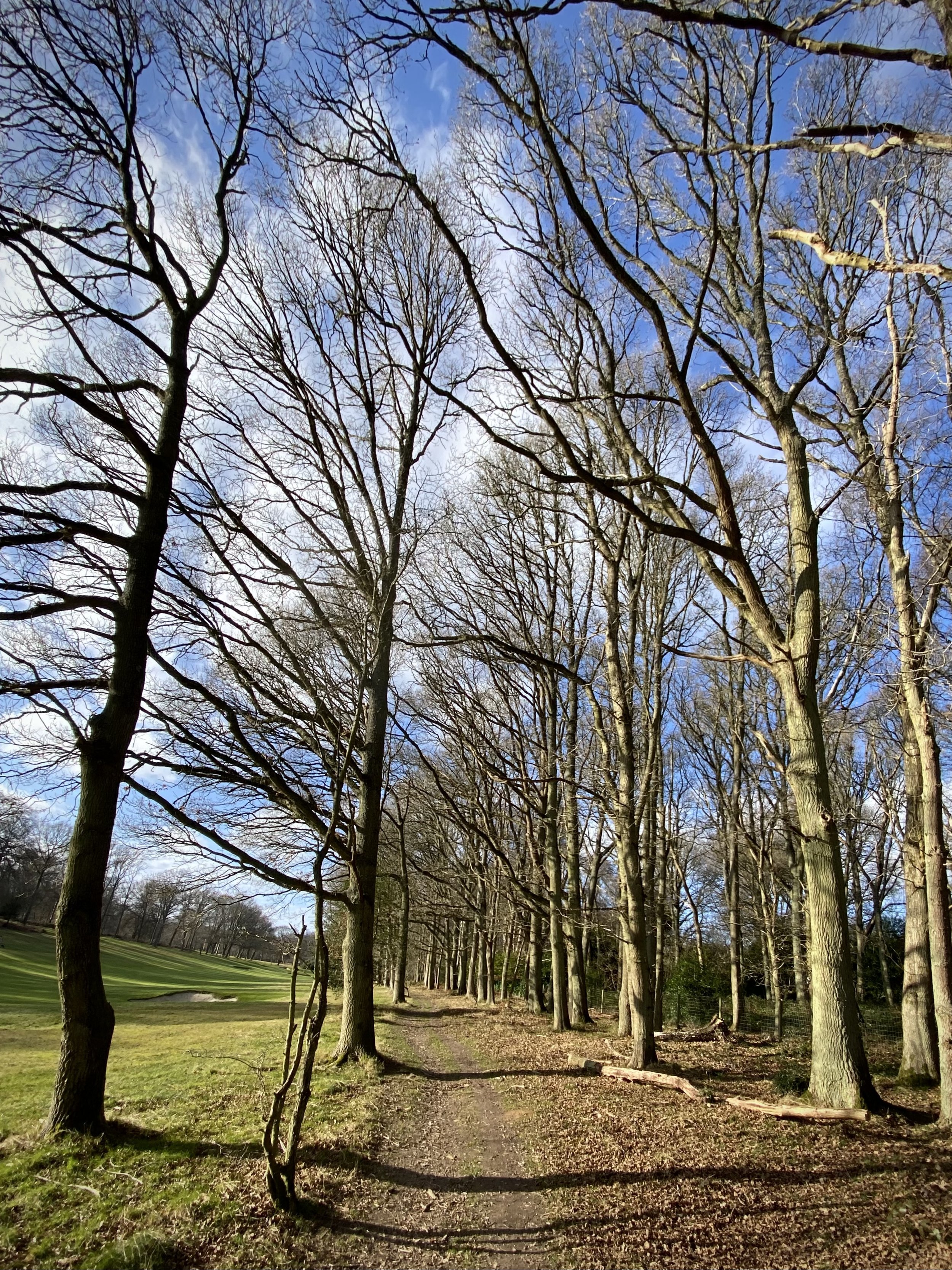

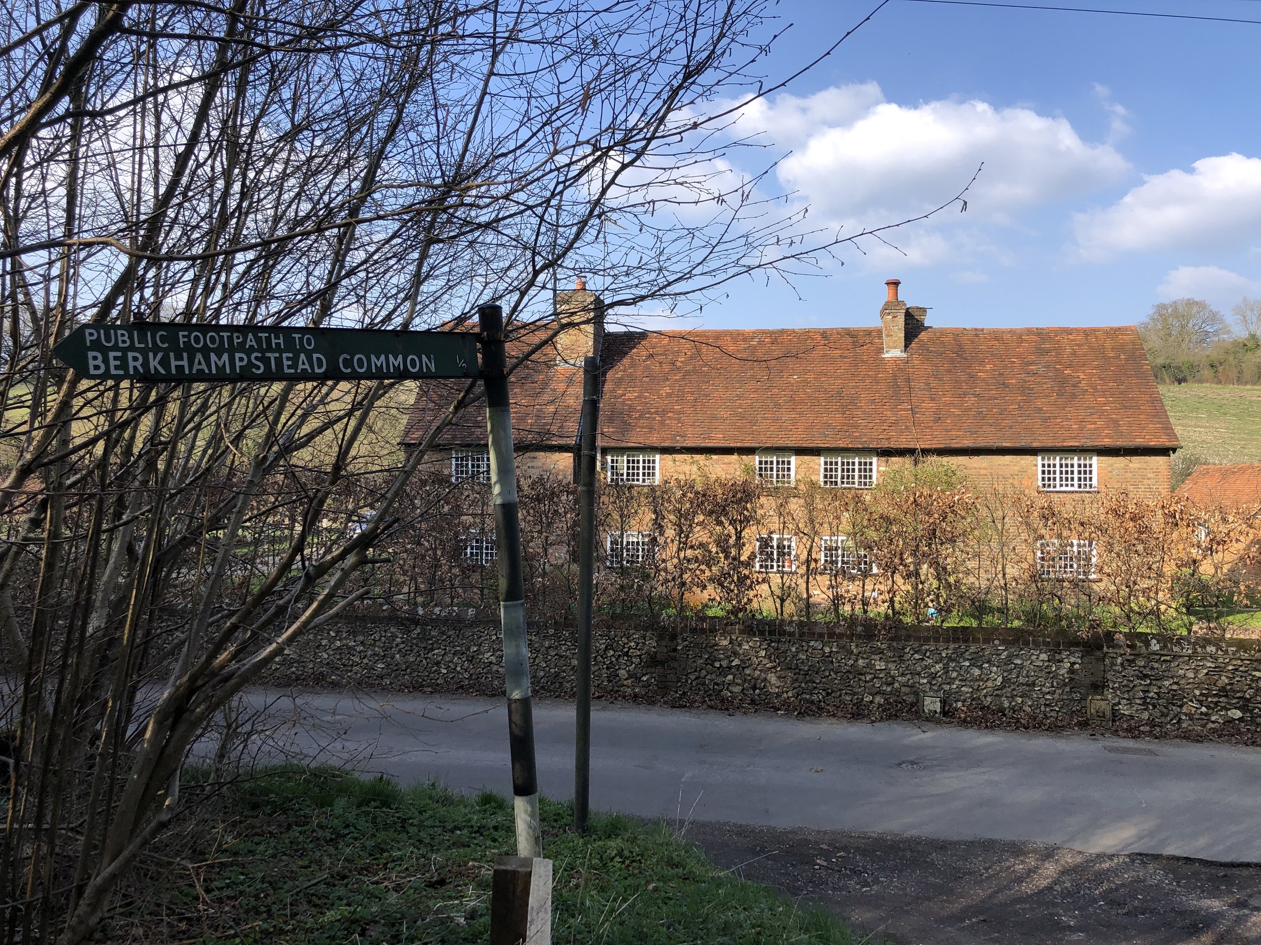
Route 3: Northchurch Common and Berkhamsted Common
Start & Finish: Ashridge National Trust Car Park, Aldbury, Berkhamsted, HP4 1LU
Distance: 10.2 km (6.4 miles)
Elevation change: +/- 125m
GPX File: get via Buy Me a Coffee
Other routes touched (walk): Chiltern Way, Hertfordshire Way, Rangers’ Ramble, Foresters’ Walk,
Other routes touched (cycle): Berkhamsted Route 6, Chiltern Cycleway
Pubs / Cafes on route: Cafe at The National Trust Visitor’s Centre Ashridge, Café at Ashridge House
Map: OS Explorer Map (181) Chiltern Hills North
Links: Ashridge Estate National Trust, Ashridge House
Note that there is alternative free parking at Ashridge House.


Route 4: Berkhamsted Common and Frithsden
Start & Finish: Car park at Ashridge House, Berkhamsted, HP4 1NS
Distance: 8.9 km (5.5 miles)
Elevation change: +/- 106m
GPX File: get via Buy Me a Coffee
Other routes touched (walk): Hertfordshire Way
Other routes touched (cycle): Berkhamsted Route 6, Chiltern Cycleway
Pubs / Cafes on route: Café at Ashridge House
Map: OS Explorer Map (181) Chiltern Hills North
Links: Ashridge Estate National Trust, Ashridge House


The Complete Route

The Ashridge Boundary Trail in 4 sections, as described above

The complete Ashridge Boundary Trail in 1 route

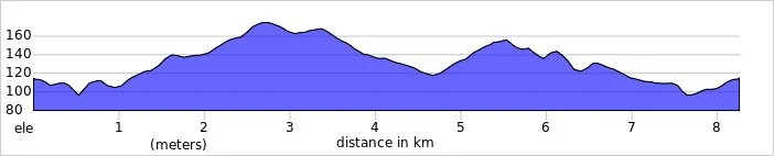
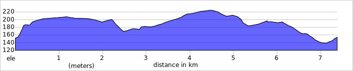
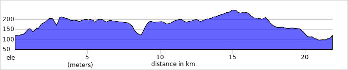
Elevation Profile for complete Ashridge Boundary Trail in 1 route
Details for the Complete Route
Start & Finish: Ashridge National Trust Car Park, Aldbury, Berkhamsted, HP4 1LU
Distance: 26.3 km (16.3 miles)
Elevation change: +/- 370m
GPX File: get via Buy Me a Coffee
Other routes touched (walk): The Ridgeway, Icknield Way, Chiltern Way, Hertfordshire Way, Rangers’ Ramble, Foresters’ Walk, Woodland Walk, Wildlife Walk
Other routes touched (cycle): Berkhamsted Route 6, Chiltern Cycleway
Pubs / Cafes on route: Cafe at The National Trust Visitor’s Centre Ashridge, Café at Ashridge House
Map: OS Explorer Map (181) Chiltern Hills North