Posts tagged UK County Tops
The Welsh County Tops

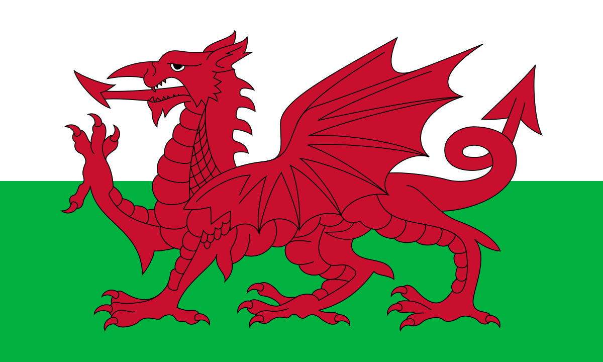
Compared to England, the Welsh Counties have had few changes over the years. There’s 3 main groupings of Welsh County:

  • Historic Counties. Also referred to as Traditional or Ancient Counties.

  • Principal Areas. Also referred to as Present-Day Counties. Established by the Local Government (Wales) Act 1994.

  • Preserved Counties. Established by the Local Government Act 1972 and used for local government and other purposes between 1974 and 1996.

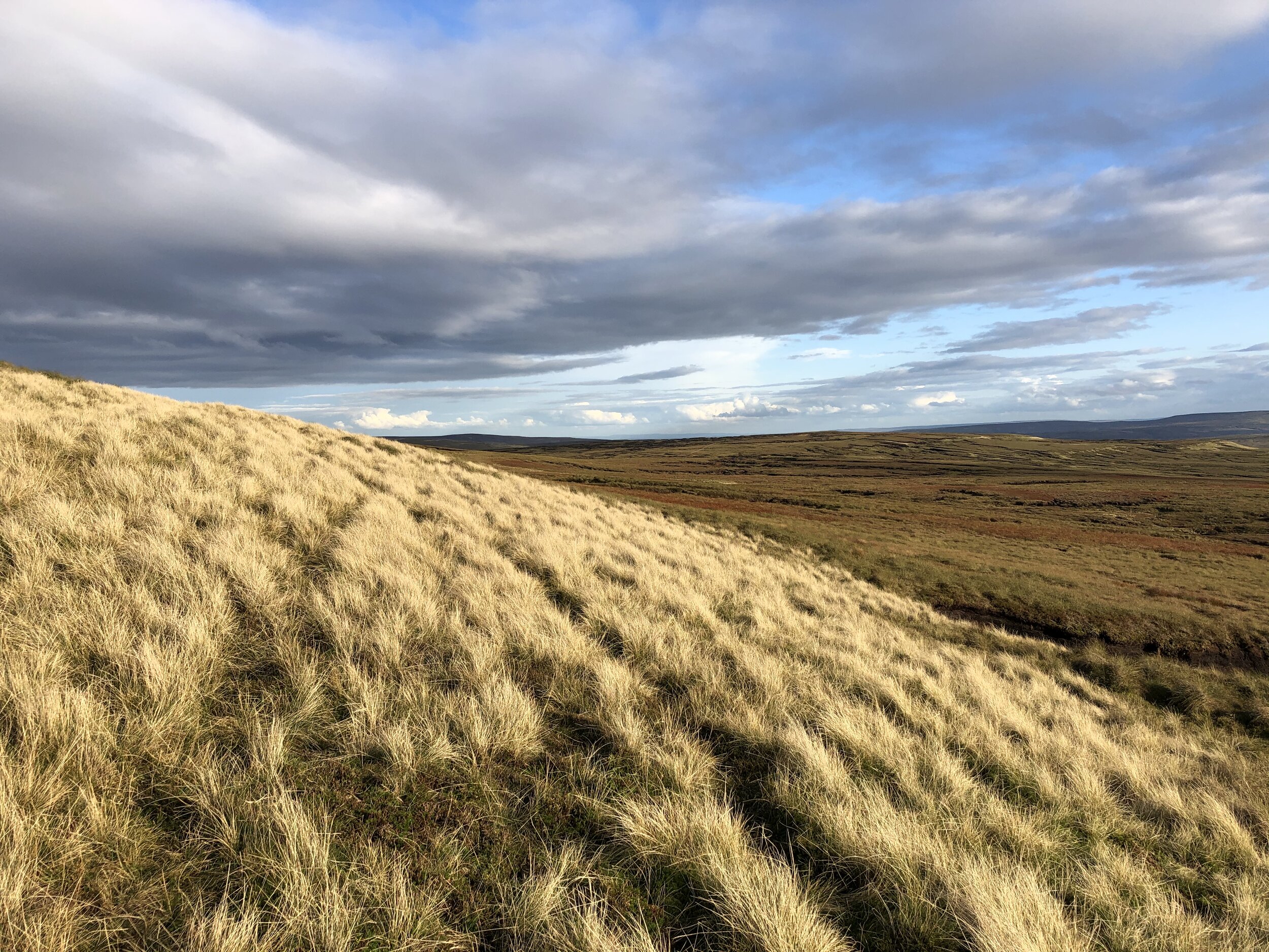
This post shows the highest point in each of Wales’ counties based on the above groupings. As the Venn diagram shows there is a lot of overlap between the different types of county.

Contact me if you spot a mistake on this page or you have new information and I will make a donation to one of my causes.


Wales’ Historic County Tops

The 13 Historic Counties of Wales were used for administrative purposes for centuries with different times of origin. They were replaced by the Principal Areas which were established by the Local Government (Wales) Act 1994. More details on the Historic Counties of Wales

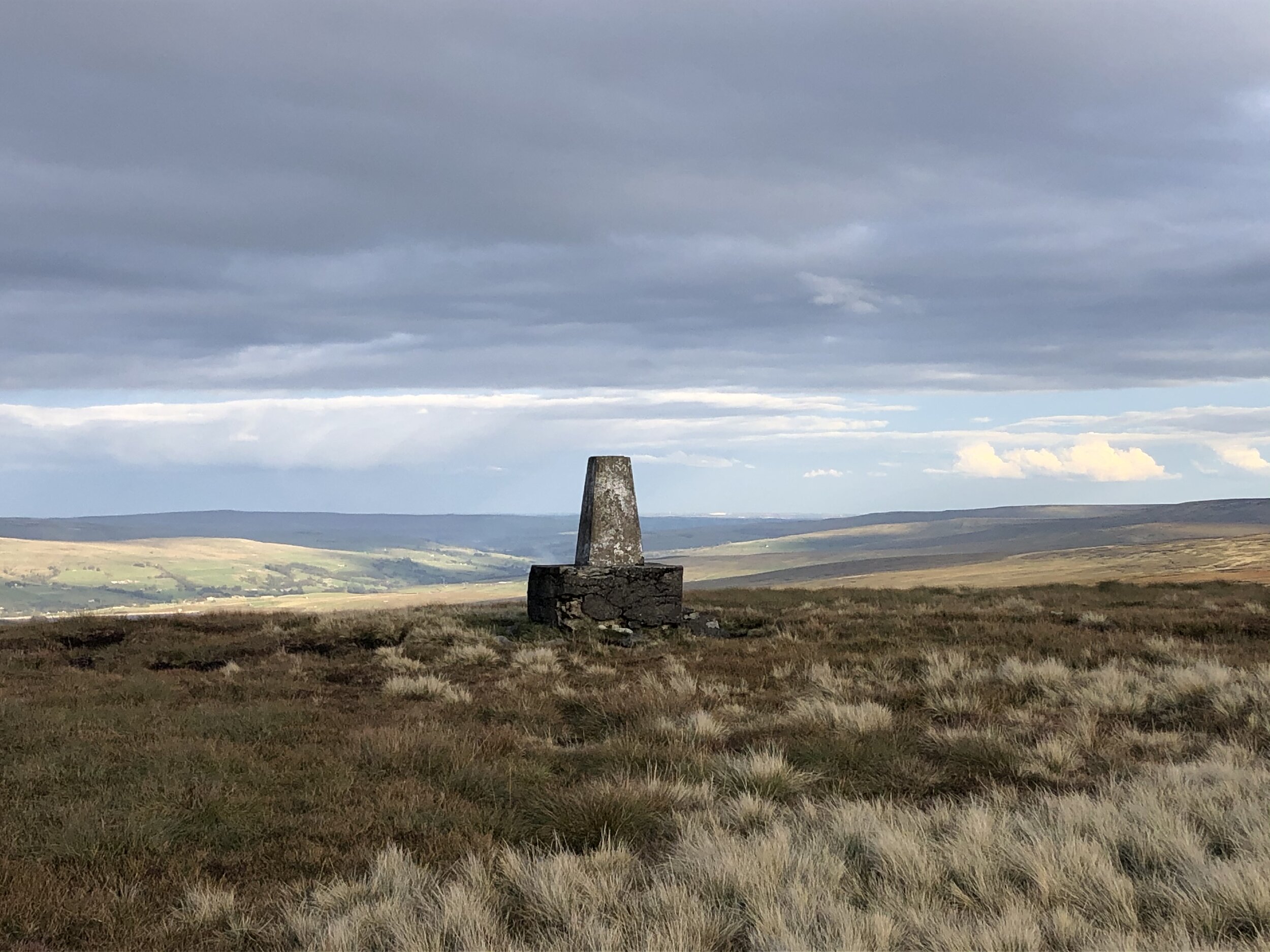
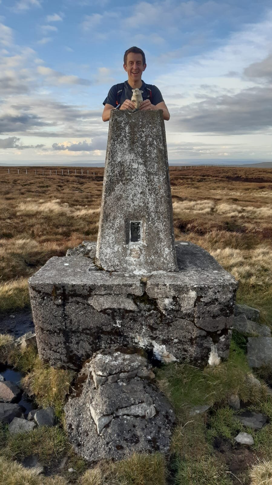
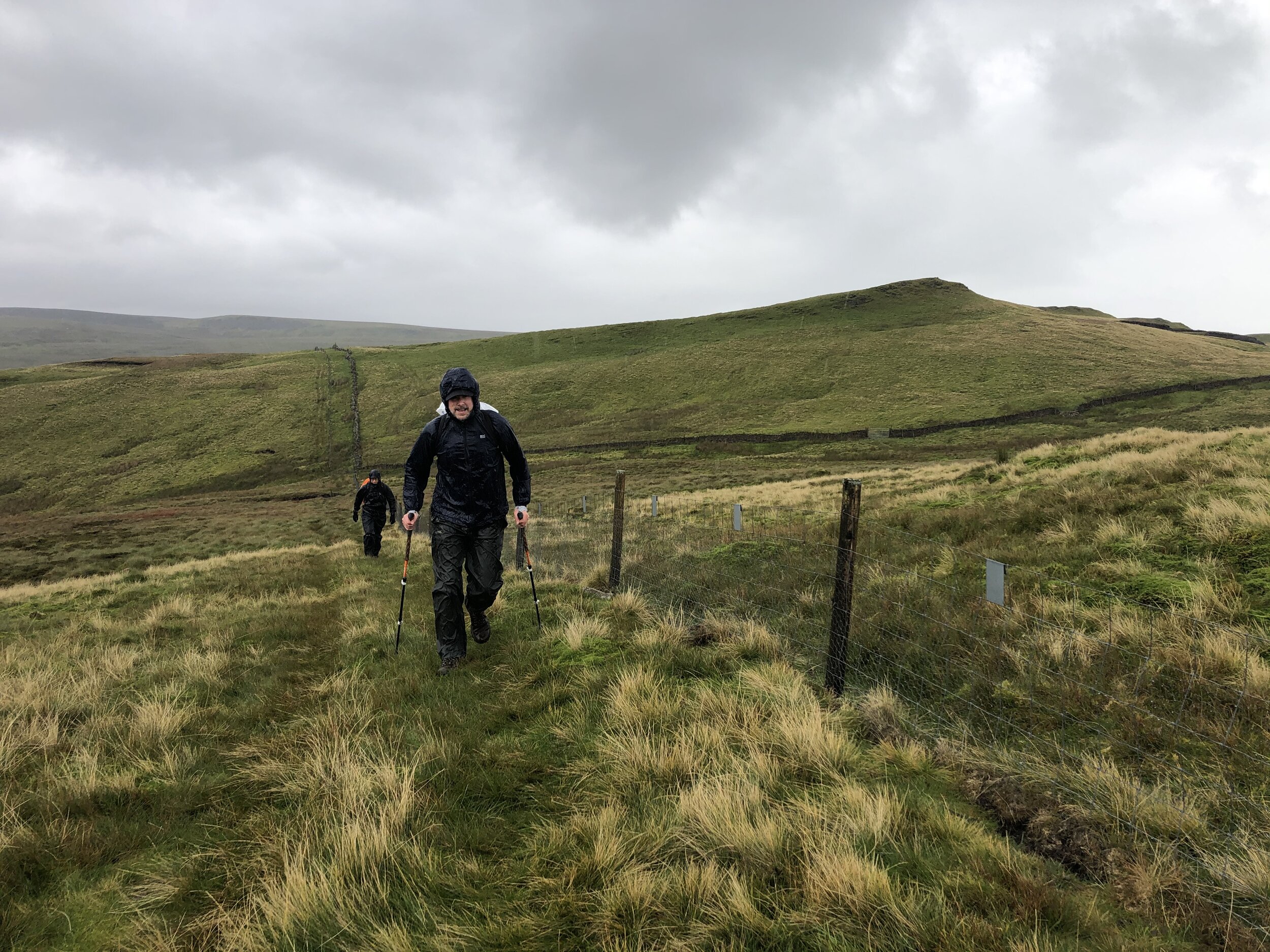
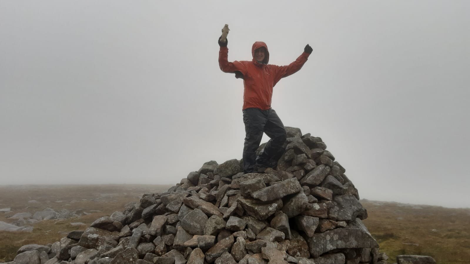
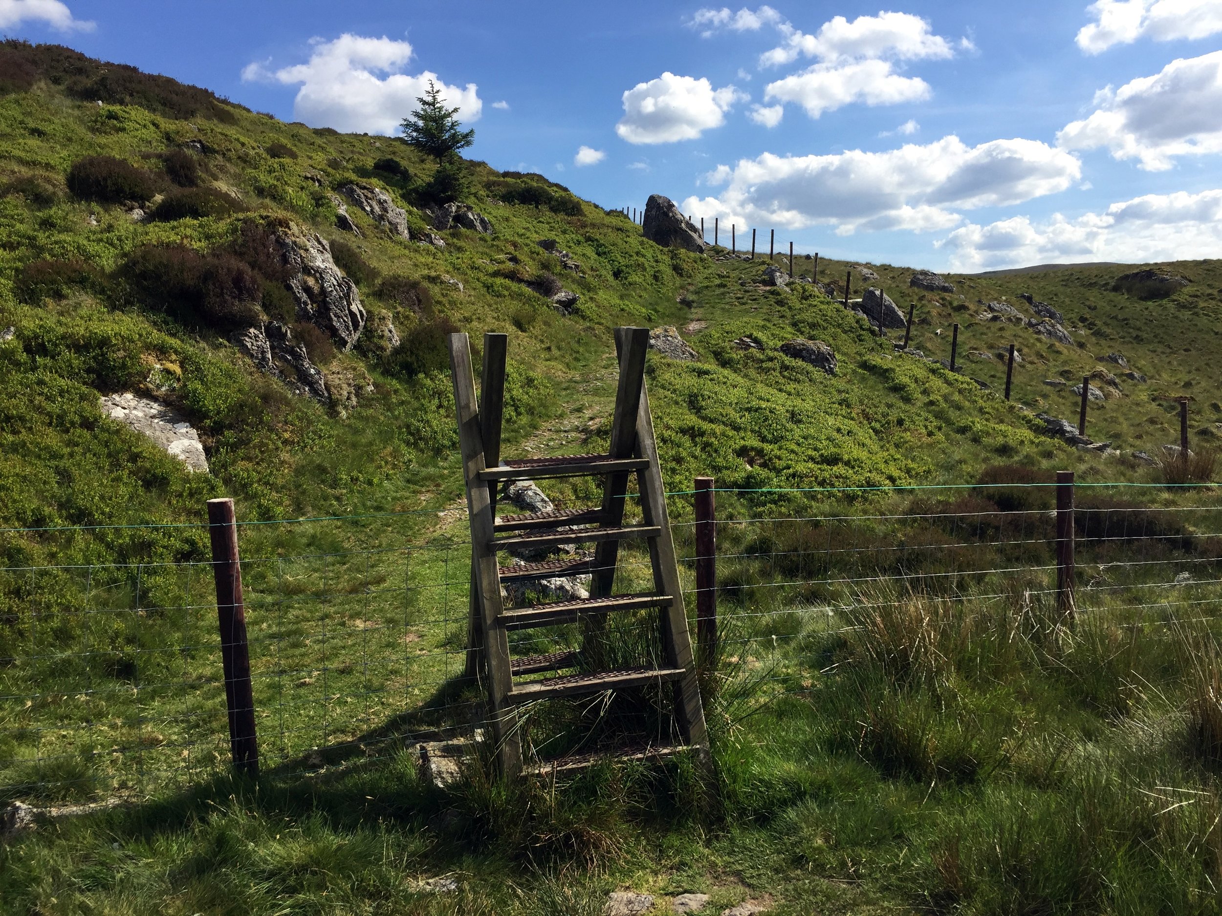
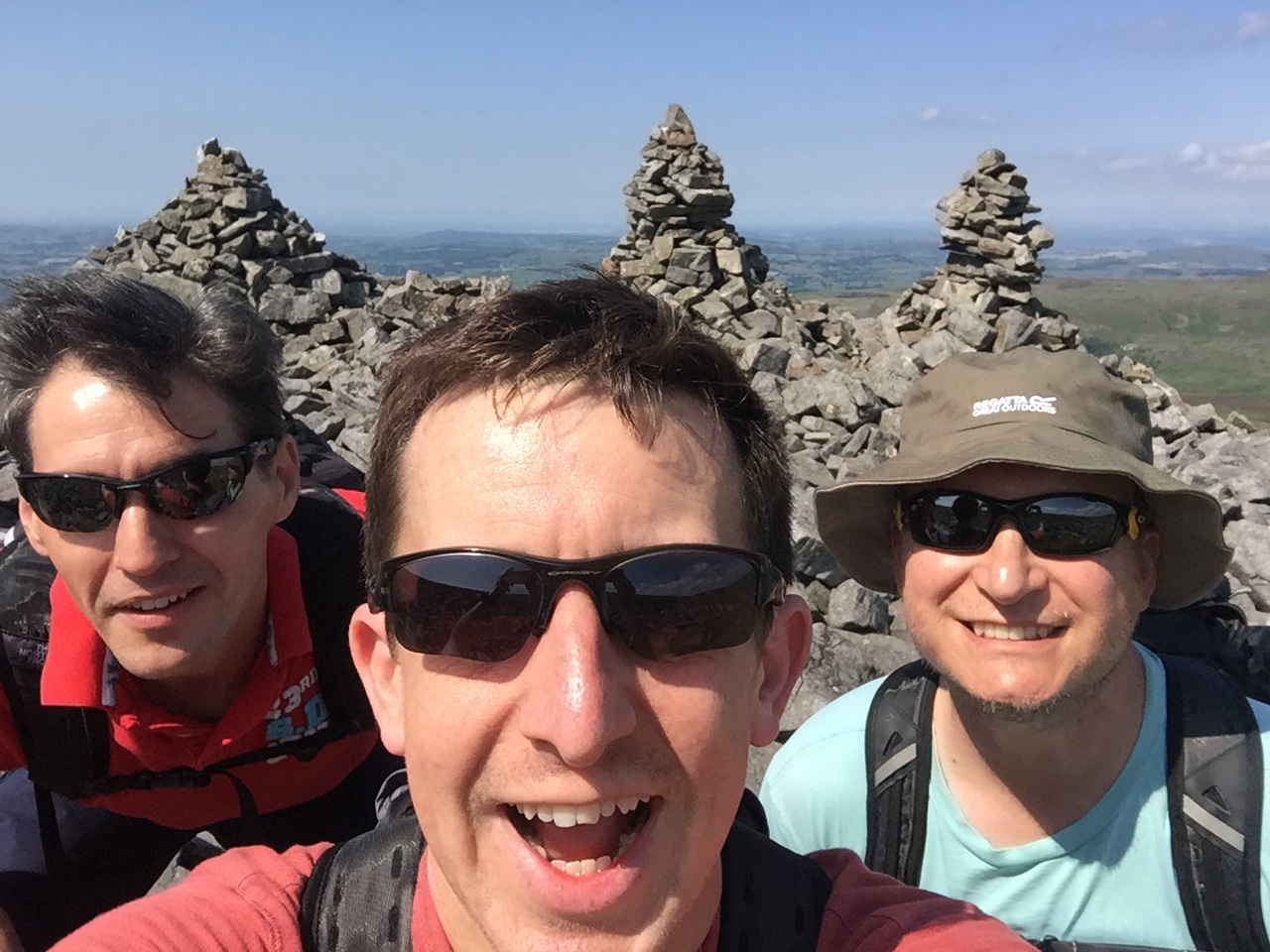
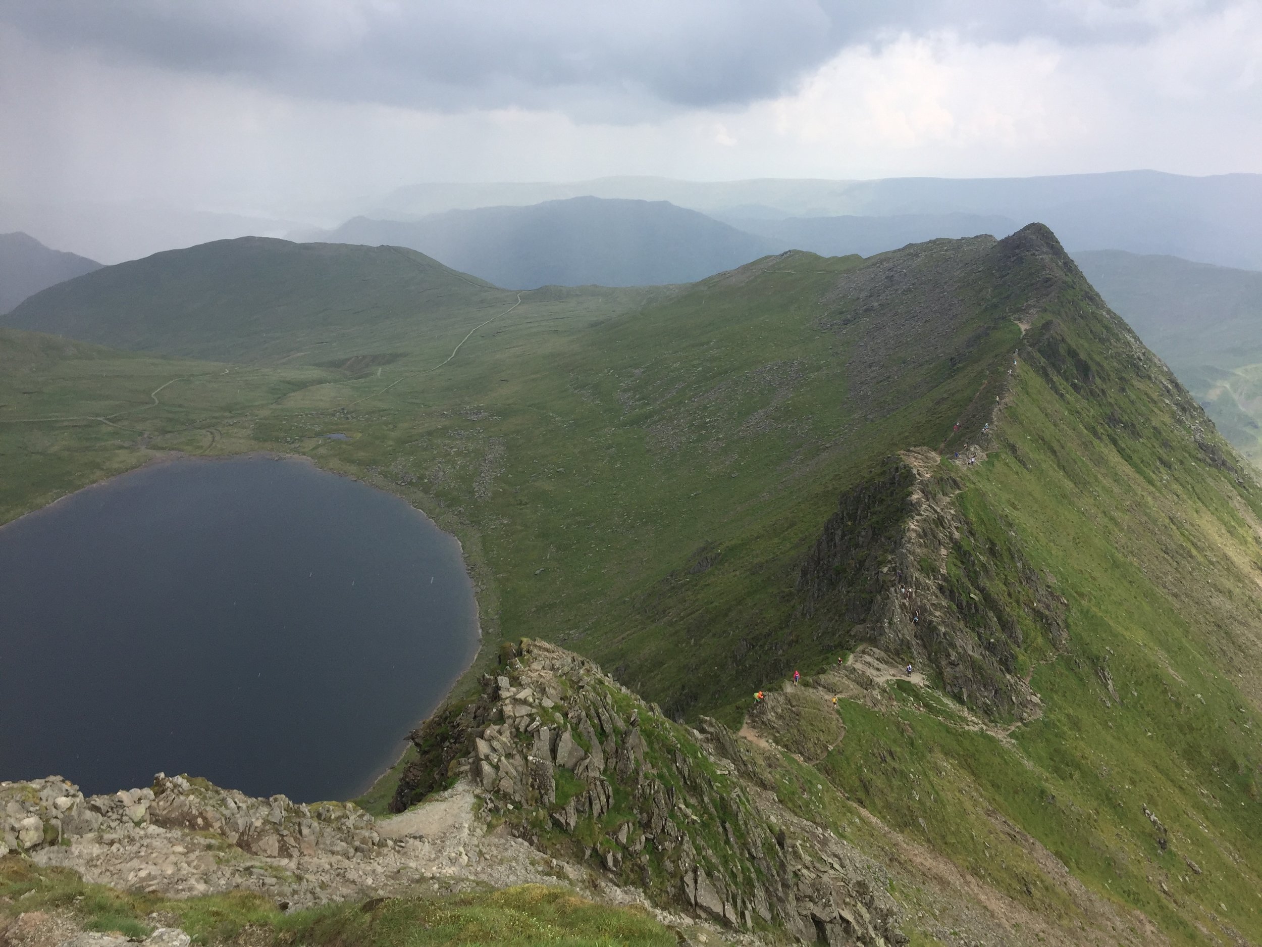
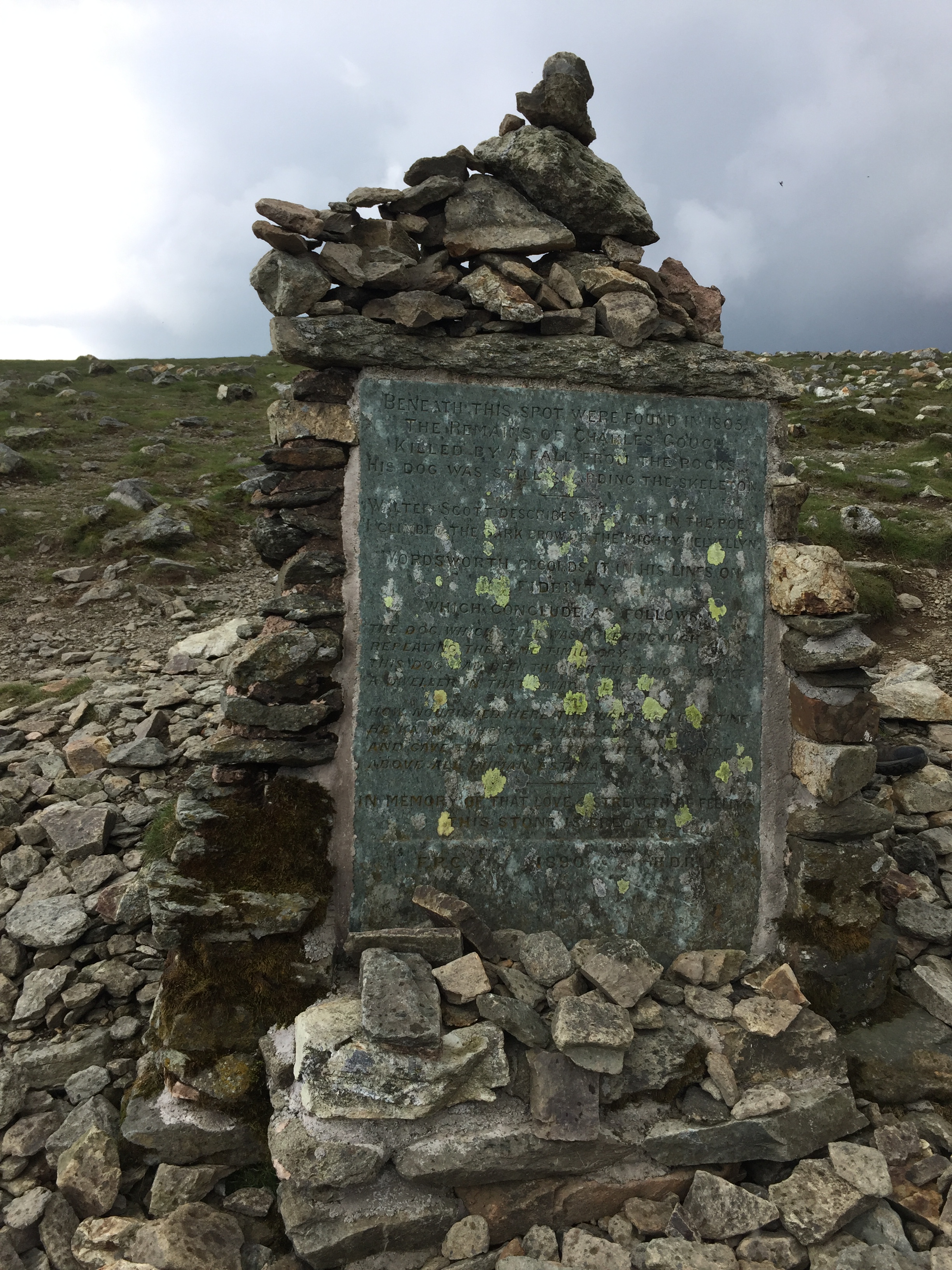
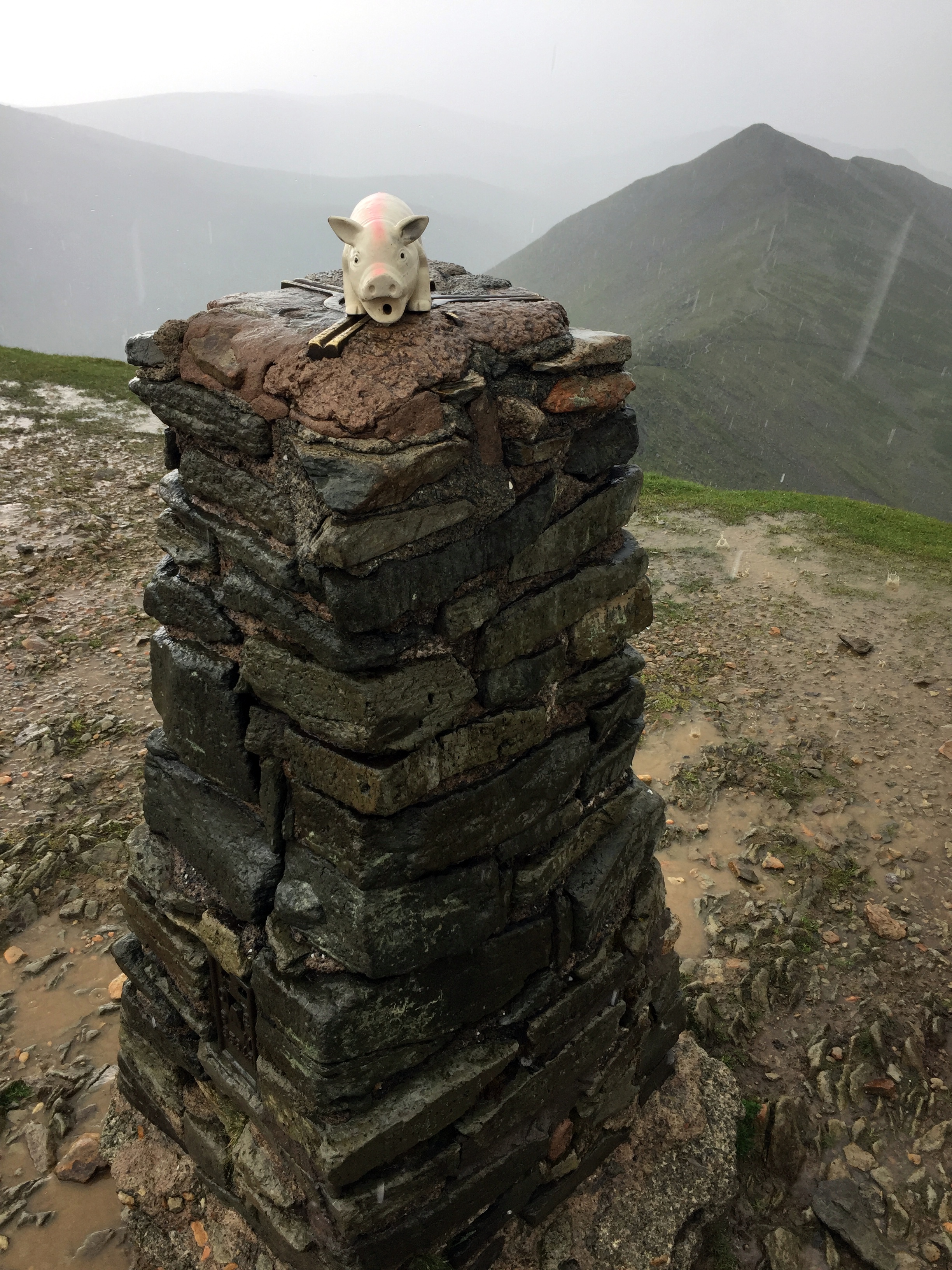
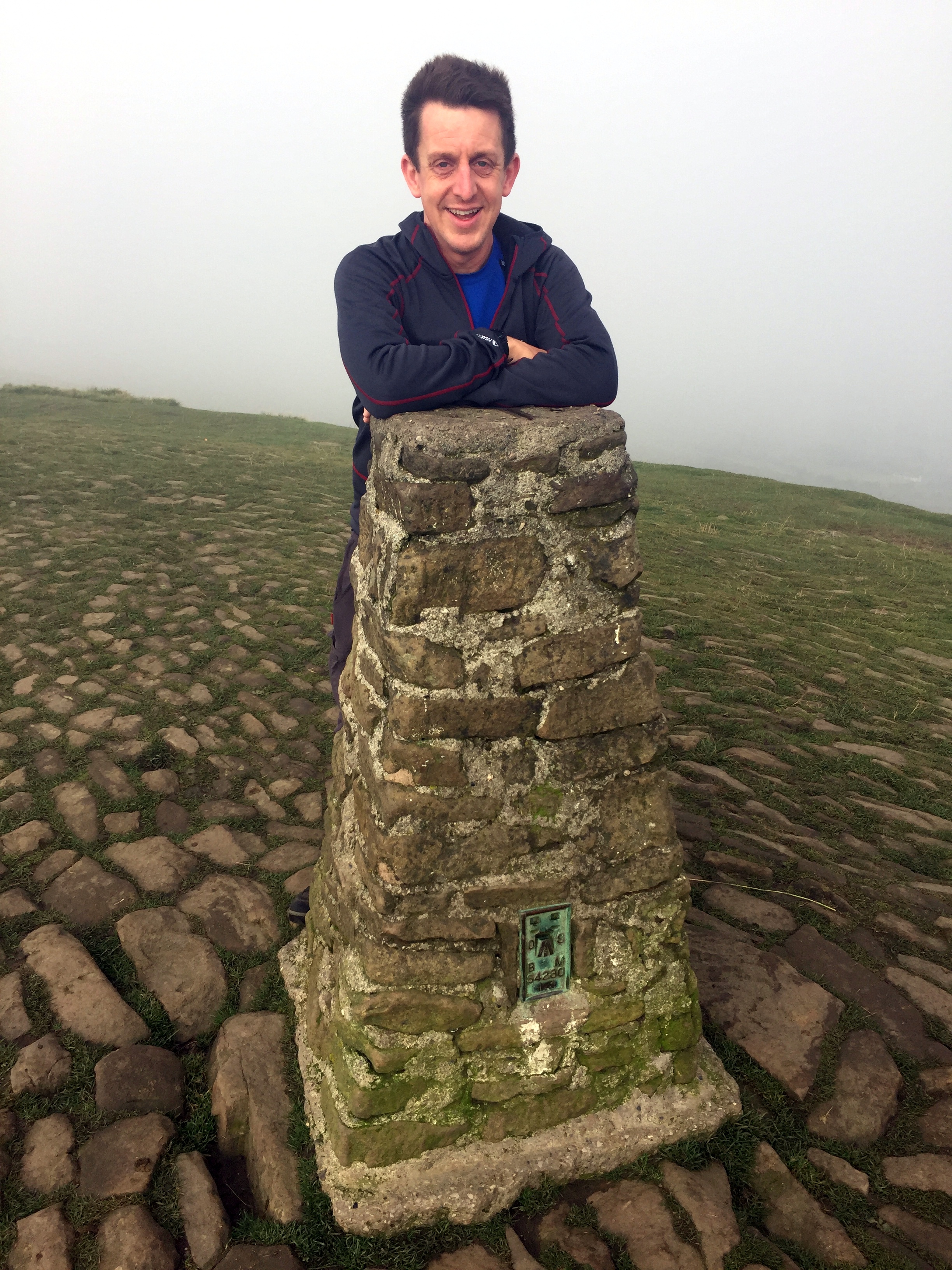
  1. Snowdon. 1,085 metres. Completed. Historic County = Caernarvonshire. Present Day County = Gwynedd.

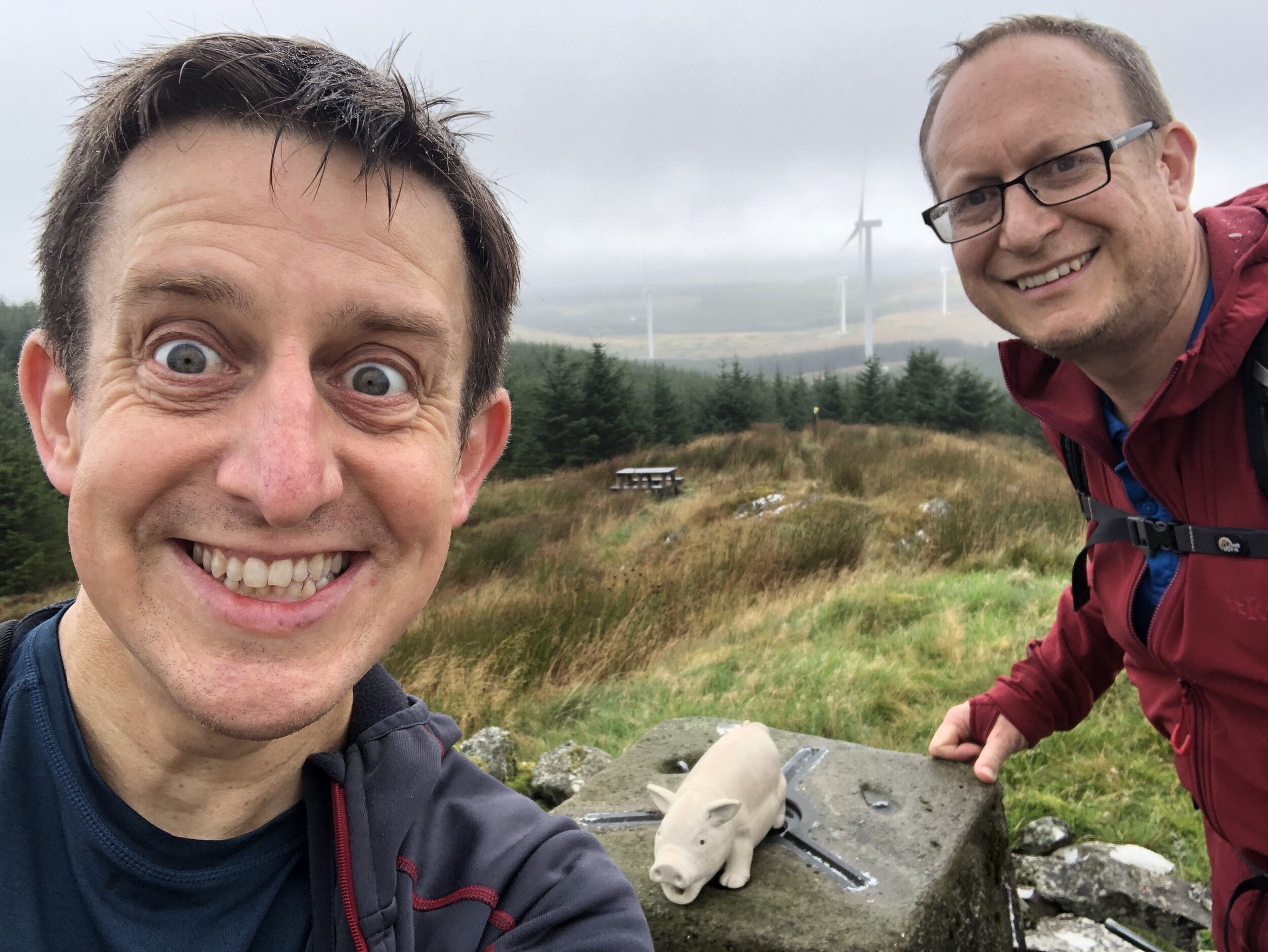
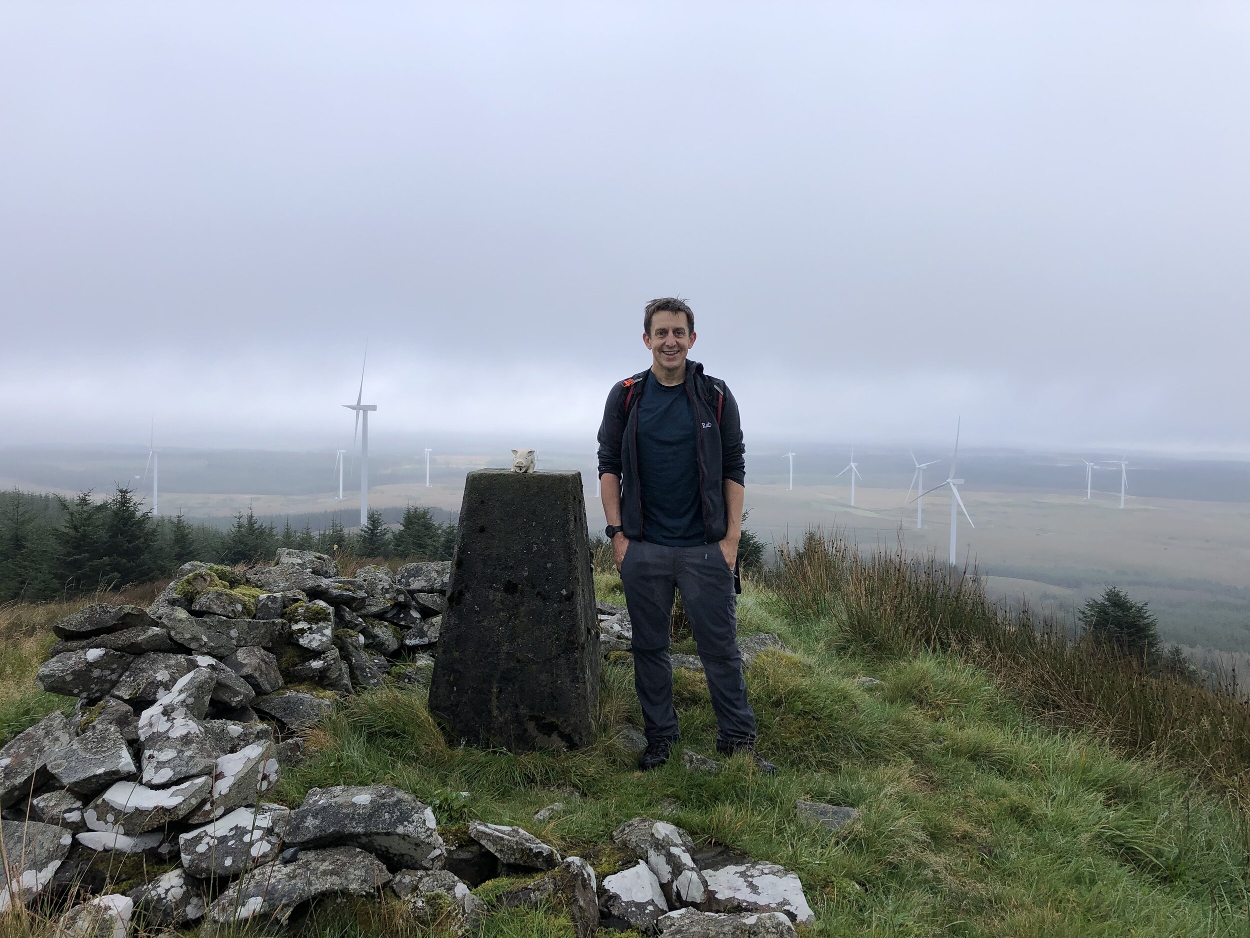
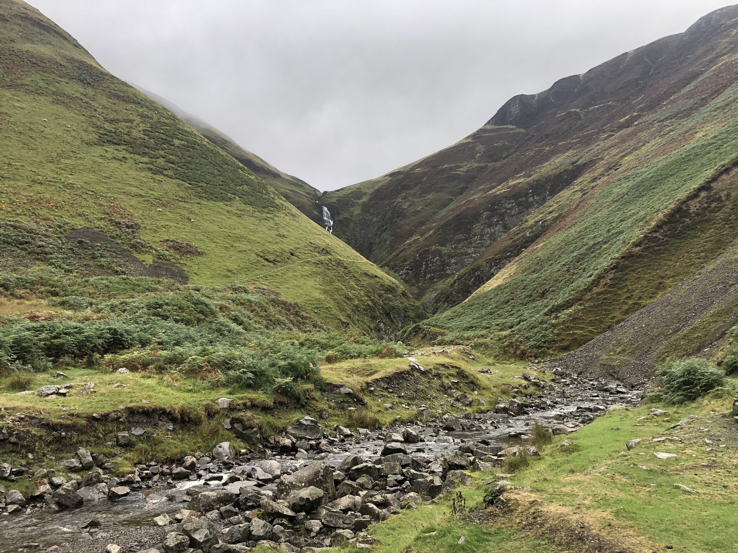
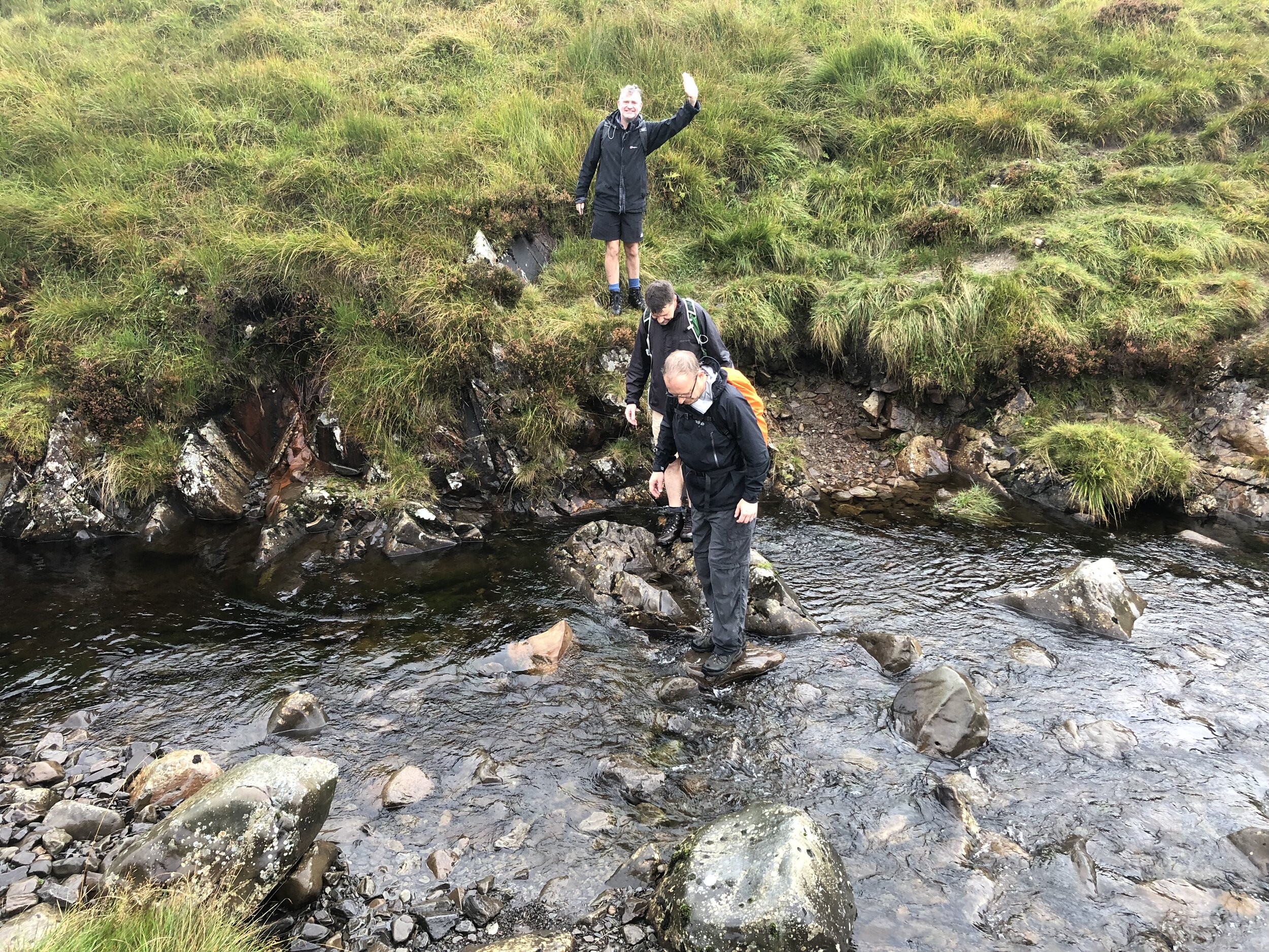
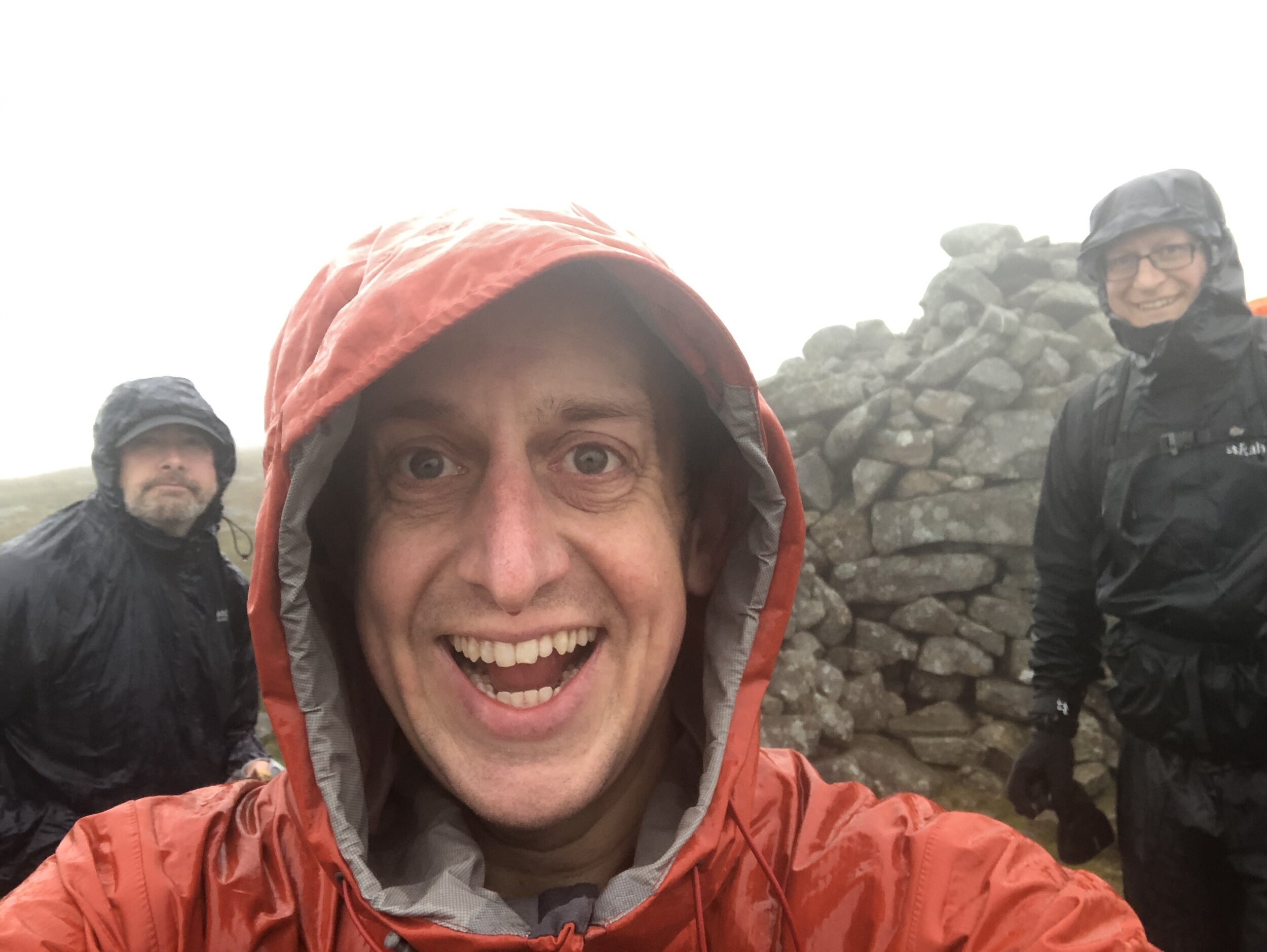
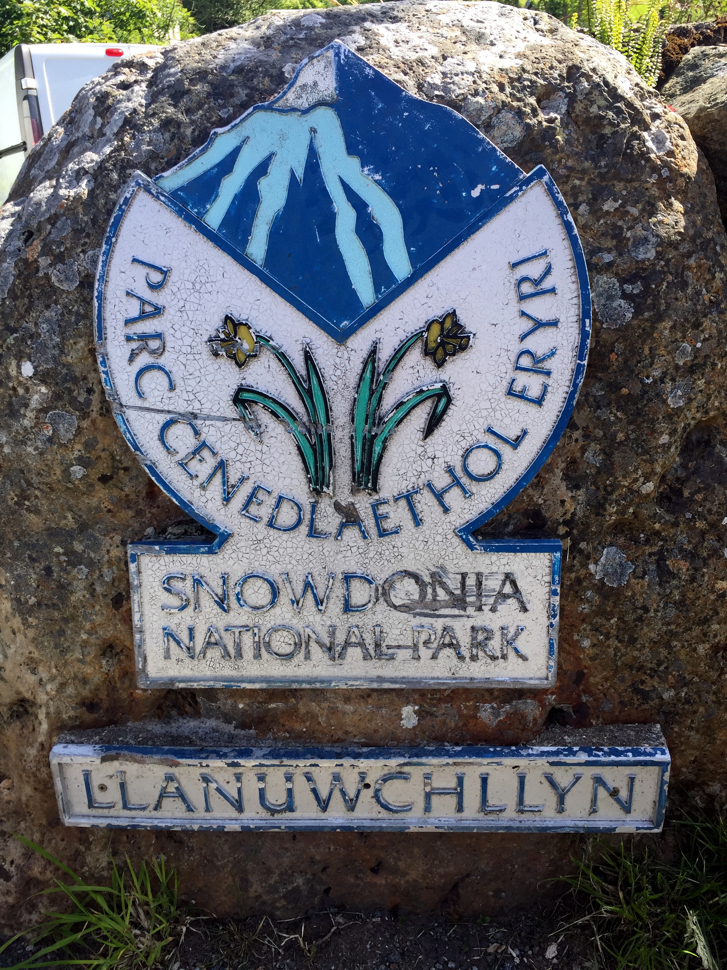
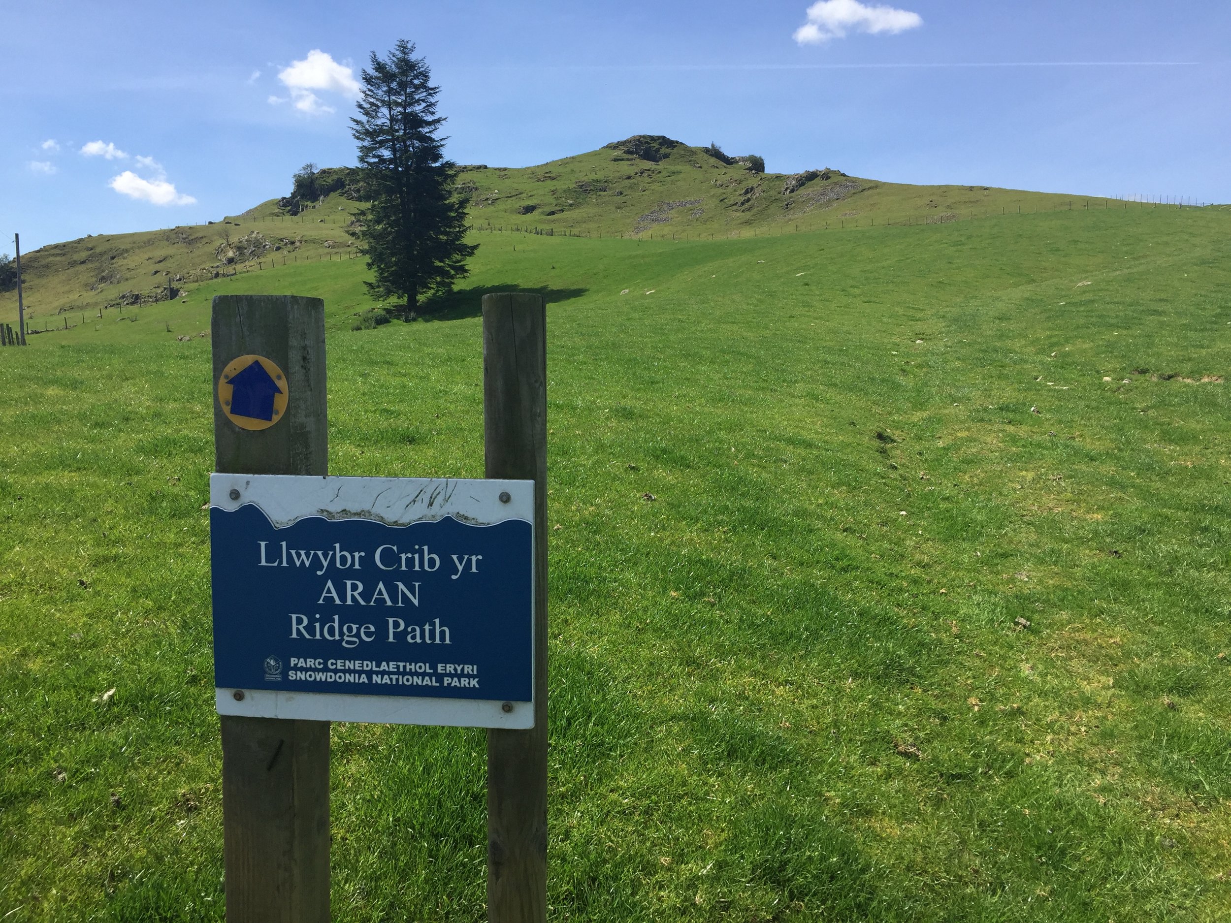
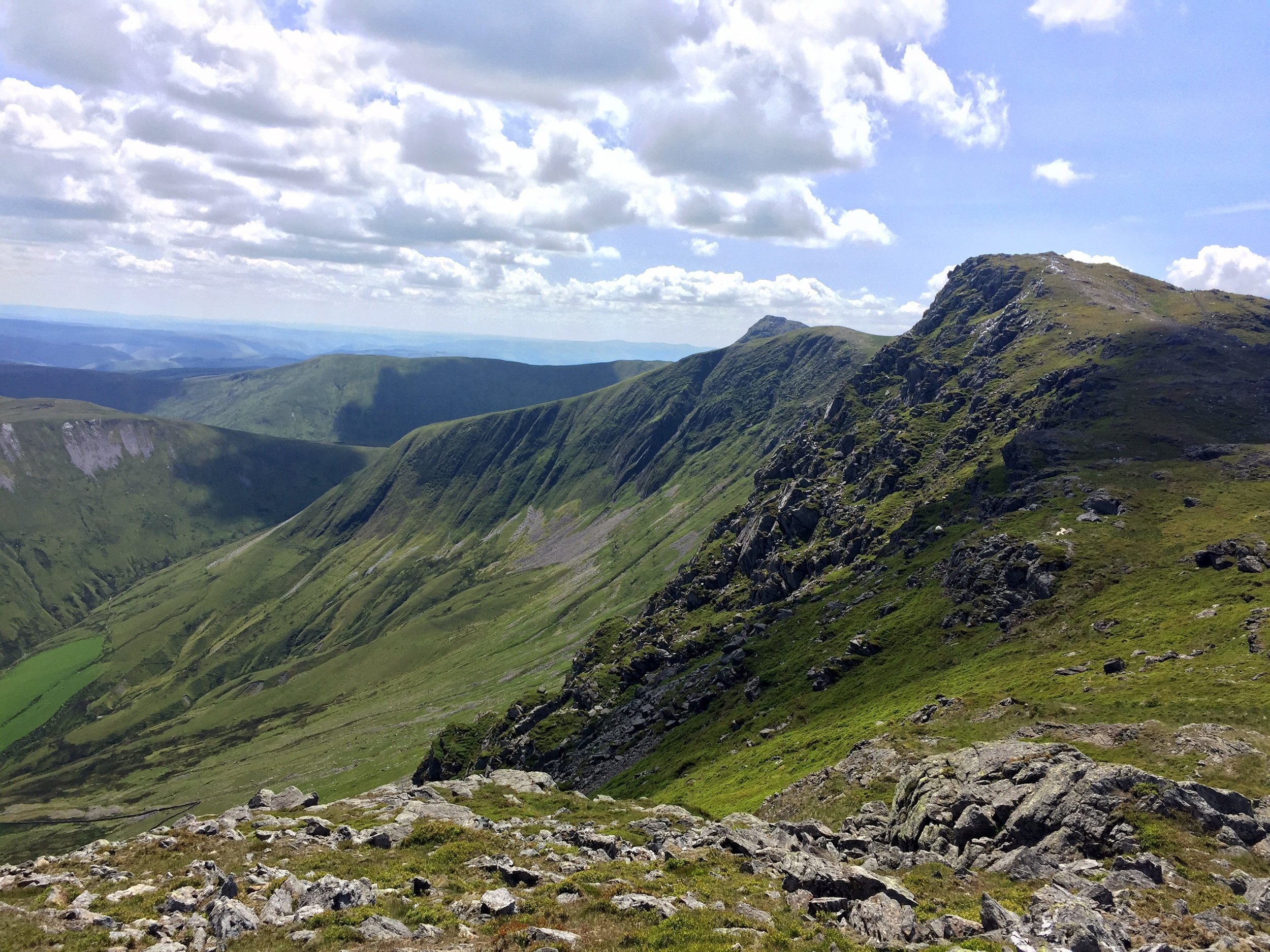
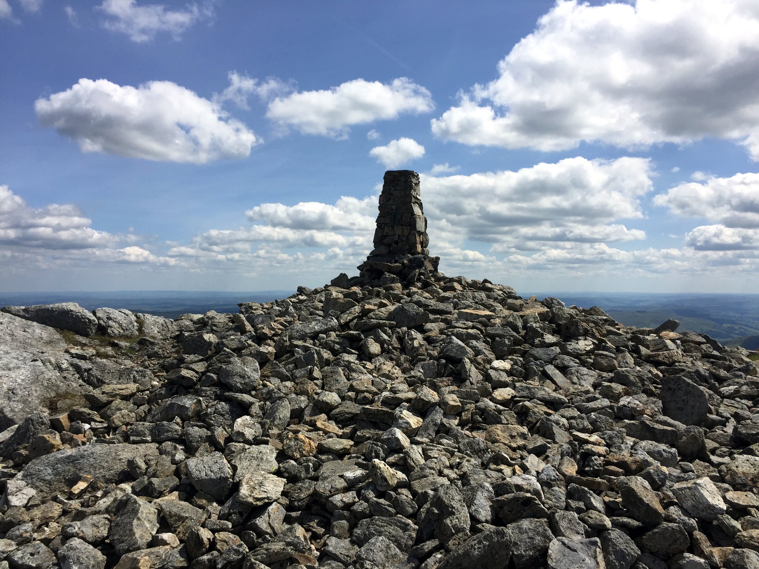
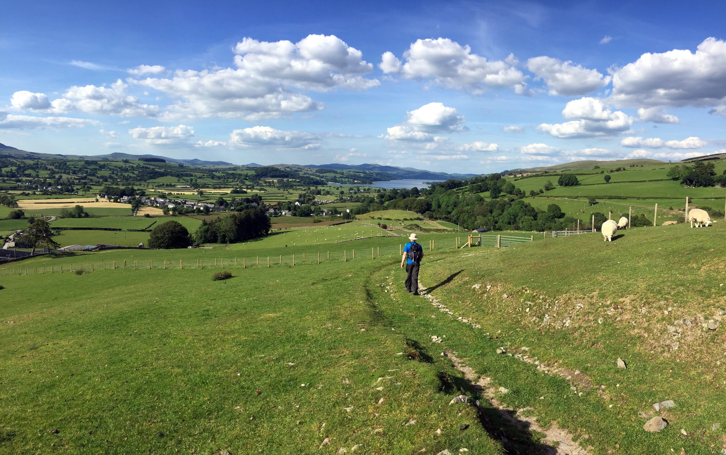
  2. Aran Fawddwy. 905 metres. Completed. Historic County = Merionethshire.

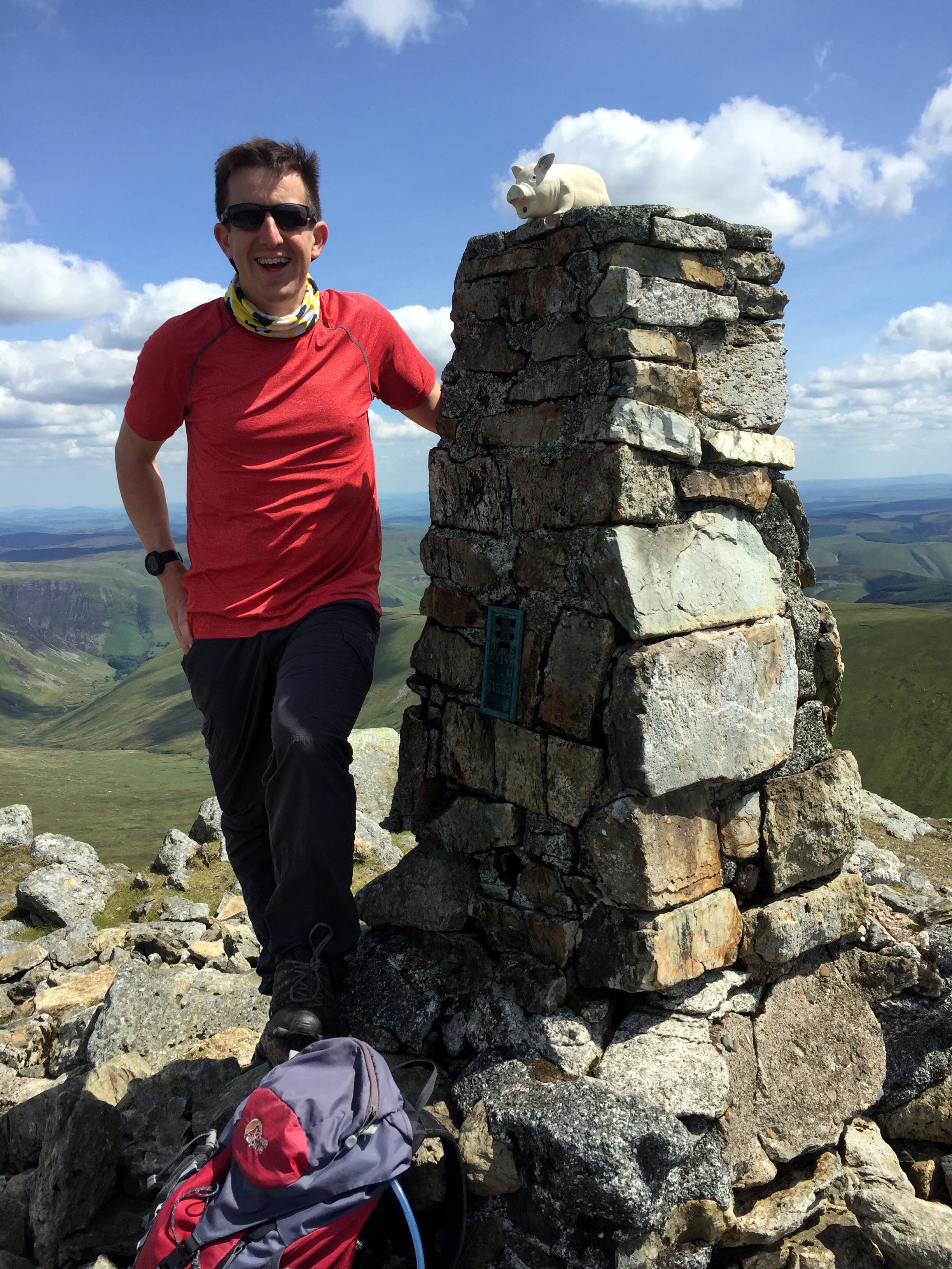
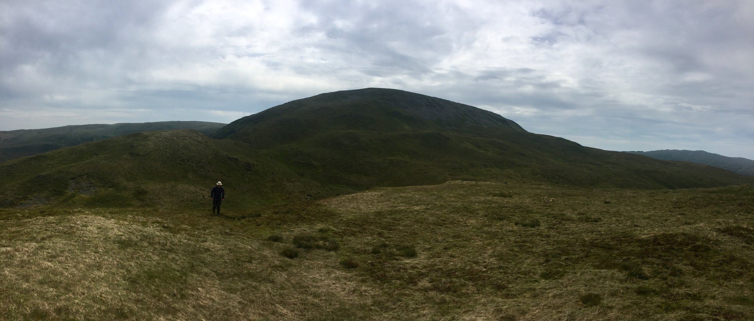
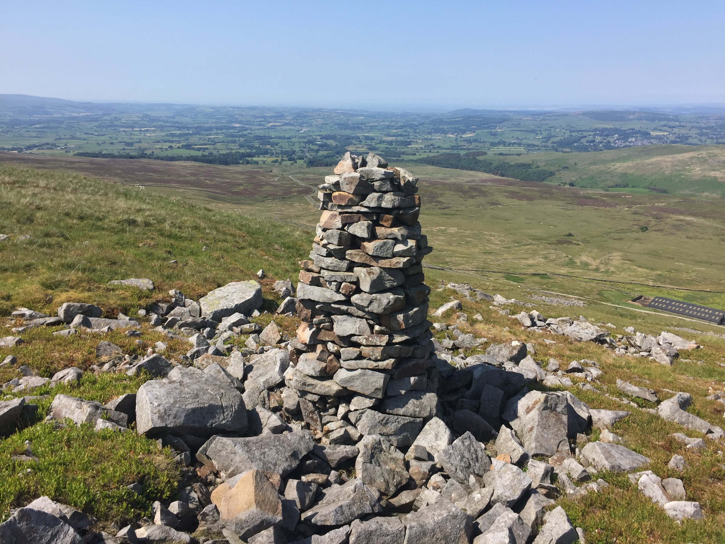
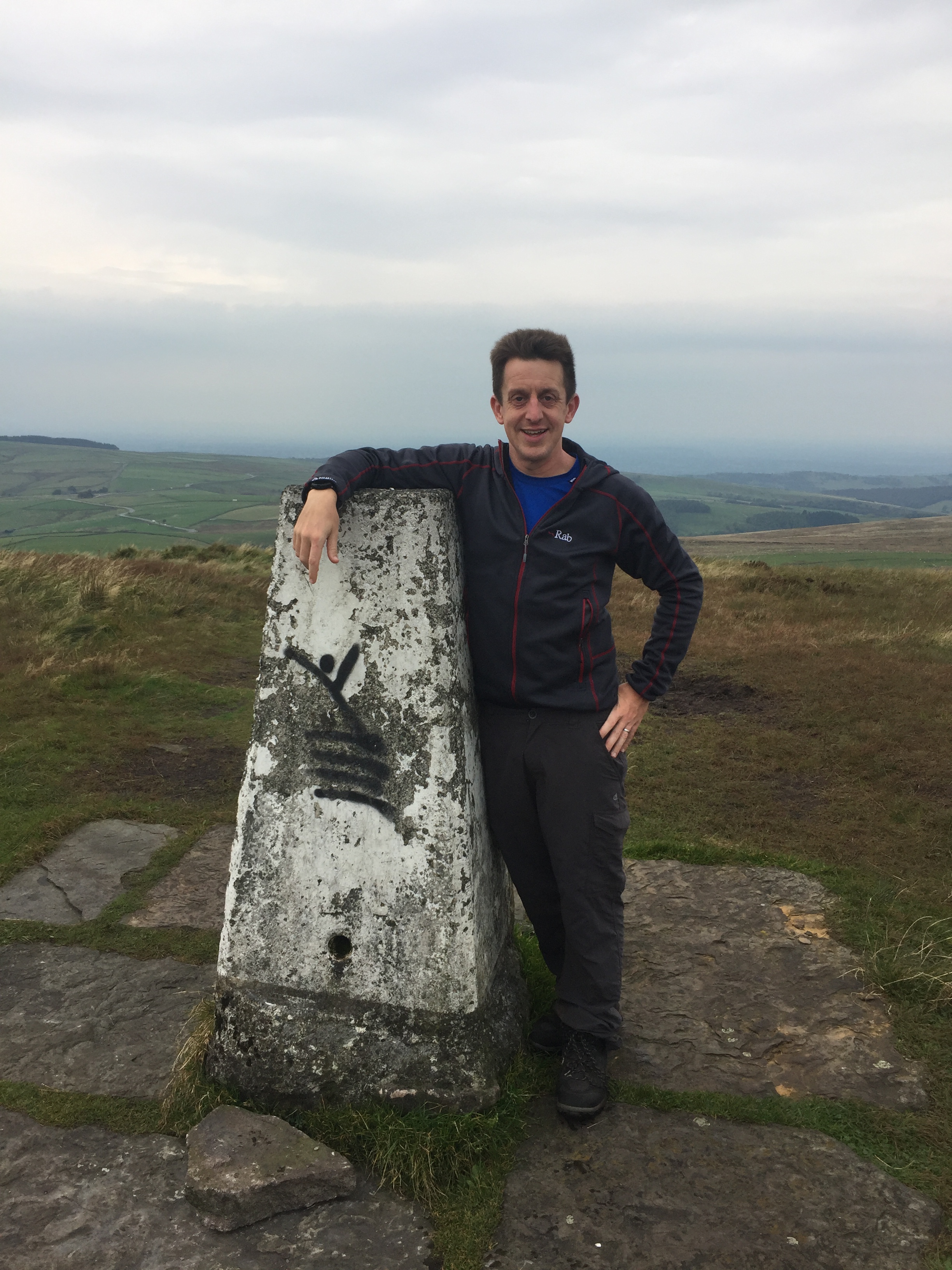
  3. Pen y Fan. 886 metres. Completed. Historic County = Brecknockshire. Present Day County = Powys.

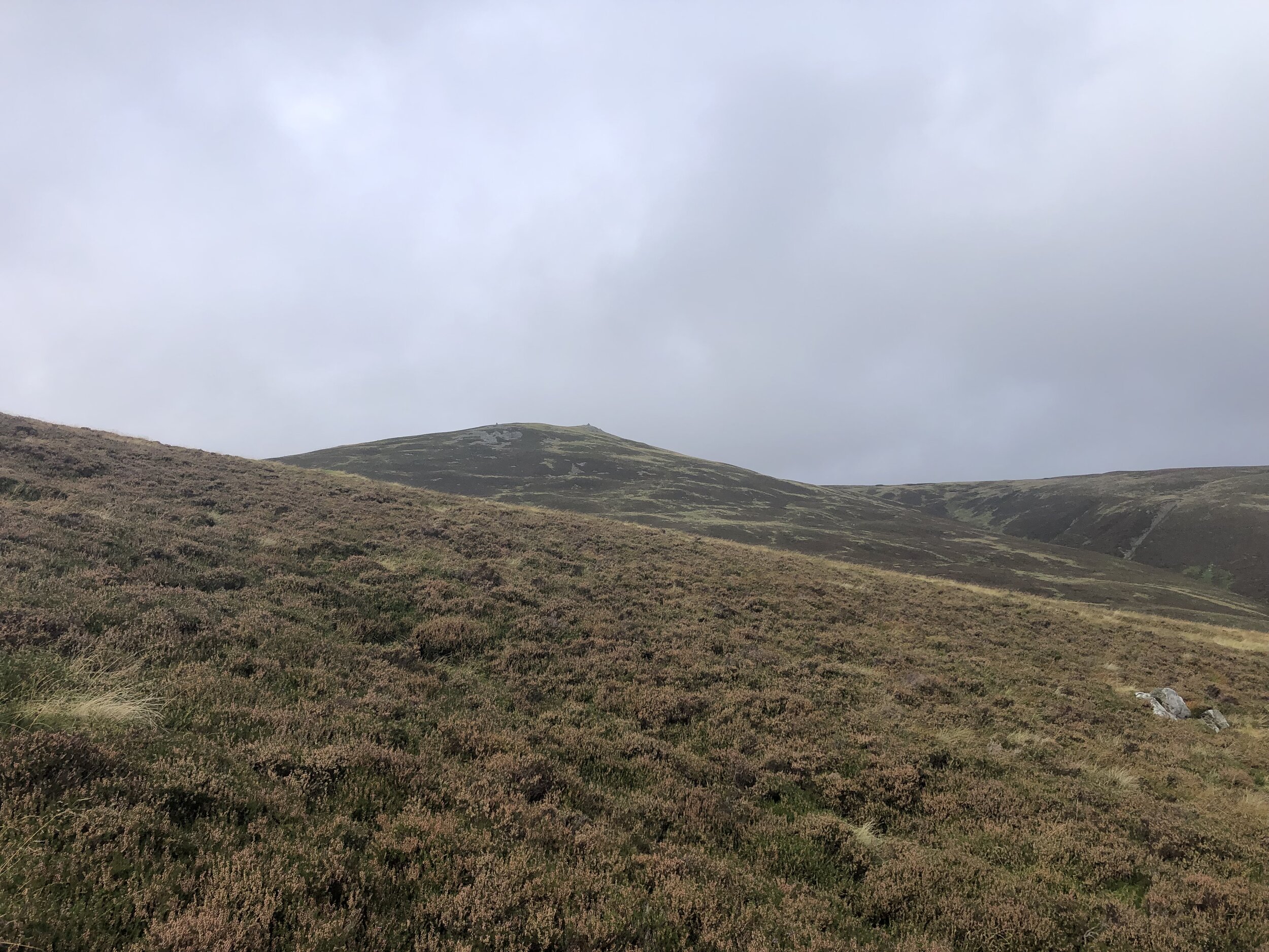
  4. Cadair Berwyn. 830 metres. Completed. Historic County = Denbighshire. Present Day County = Denbighshire.

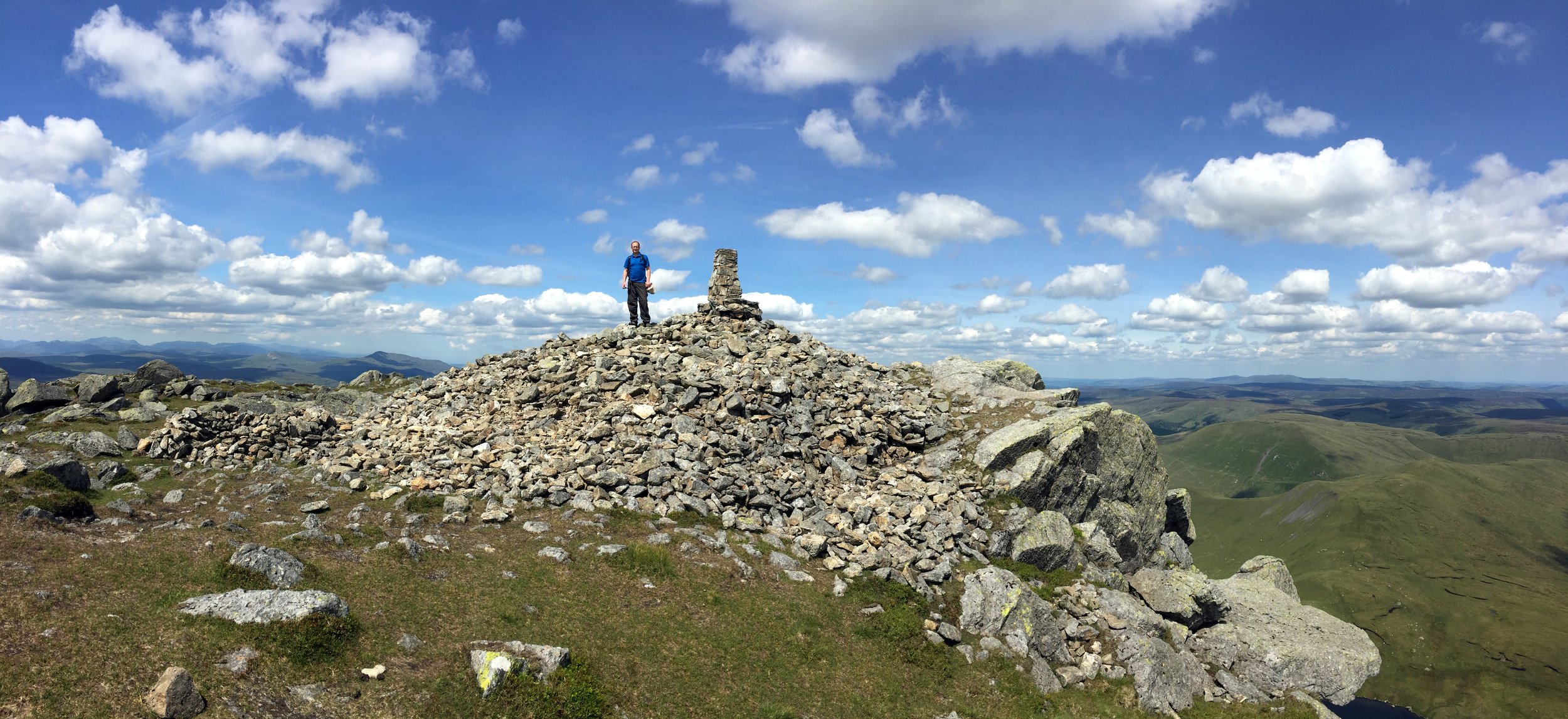
  5. Moel Sych. 827 metres. Completed. Historic County = Montgomeryshire.

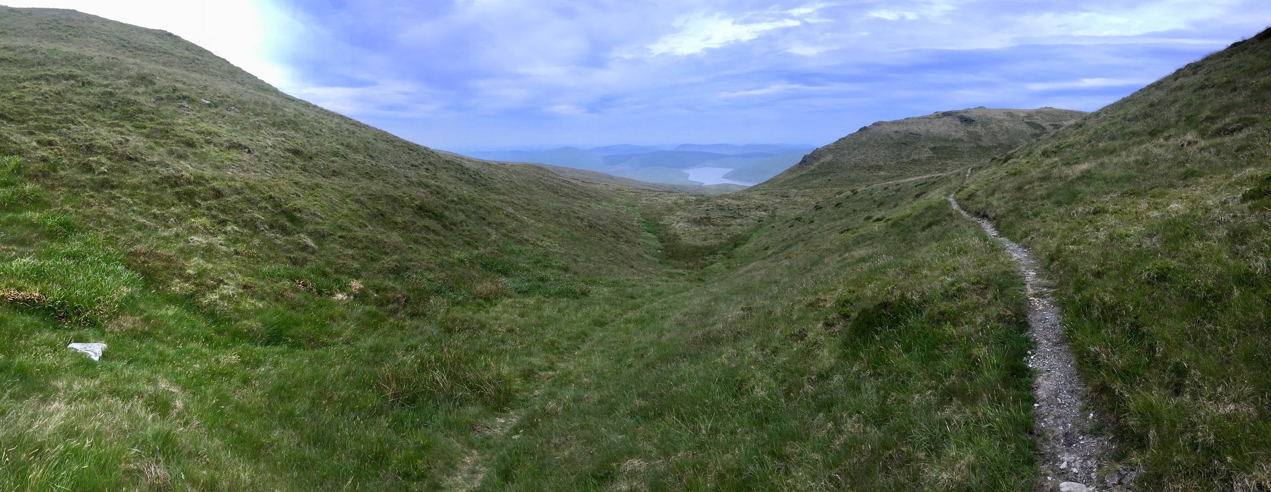
  6. Fan Foel. 781 metres. Completed. Historic County = Carmarthenshire. Present Day County = Carmarthenshire.

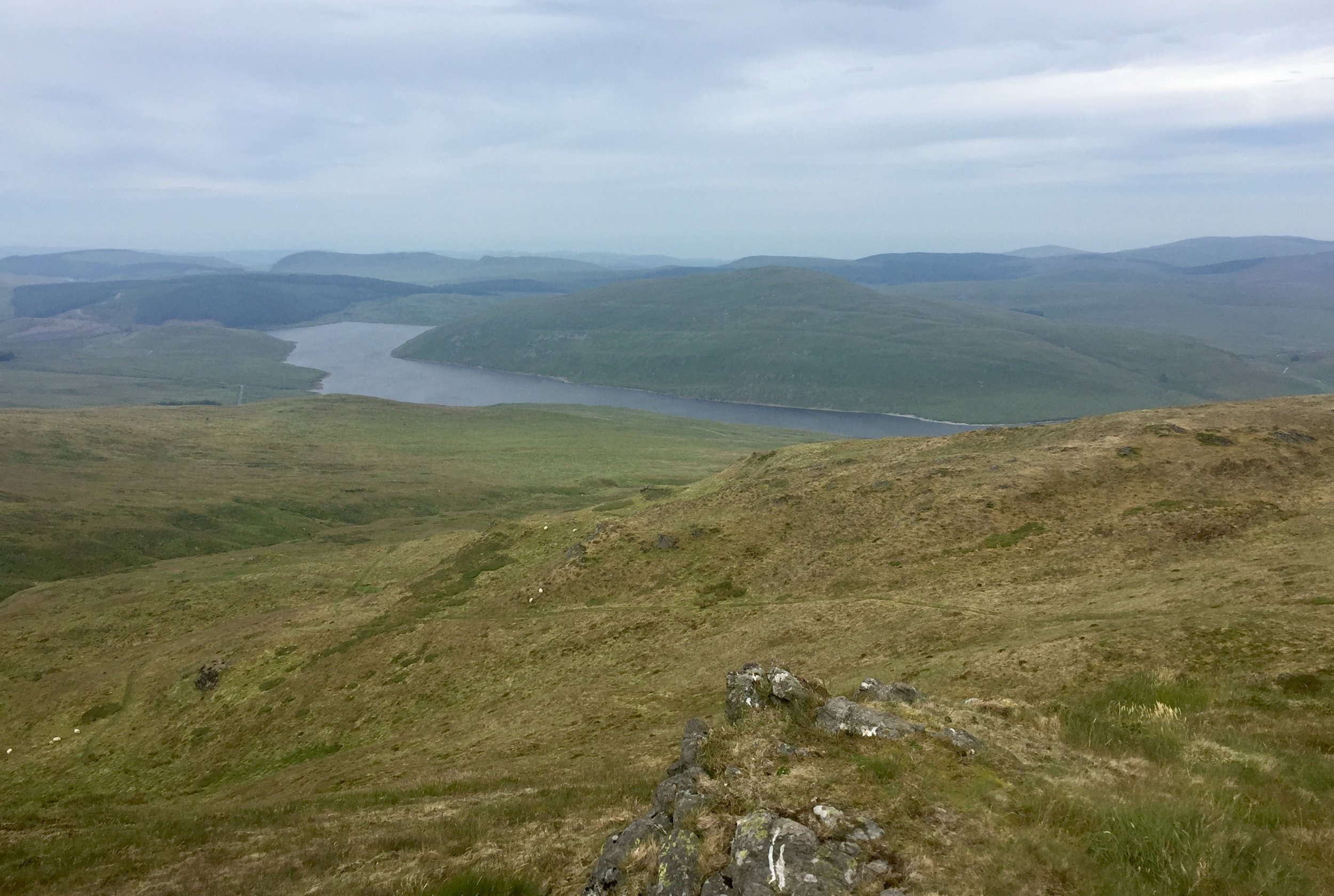
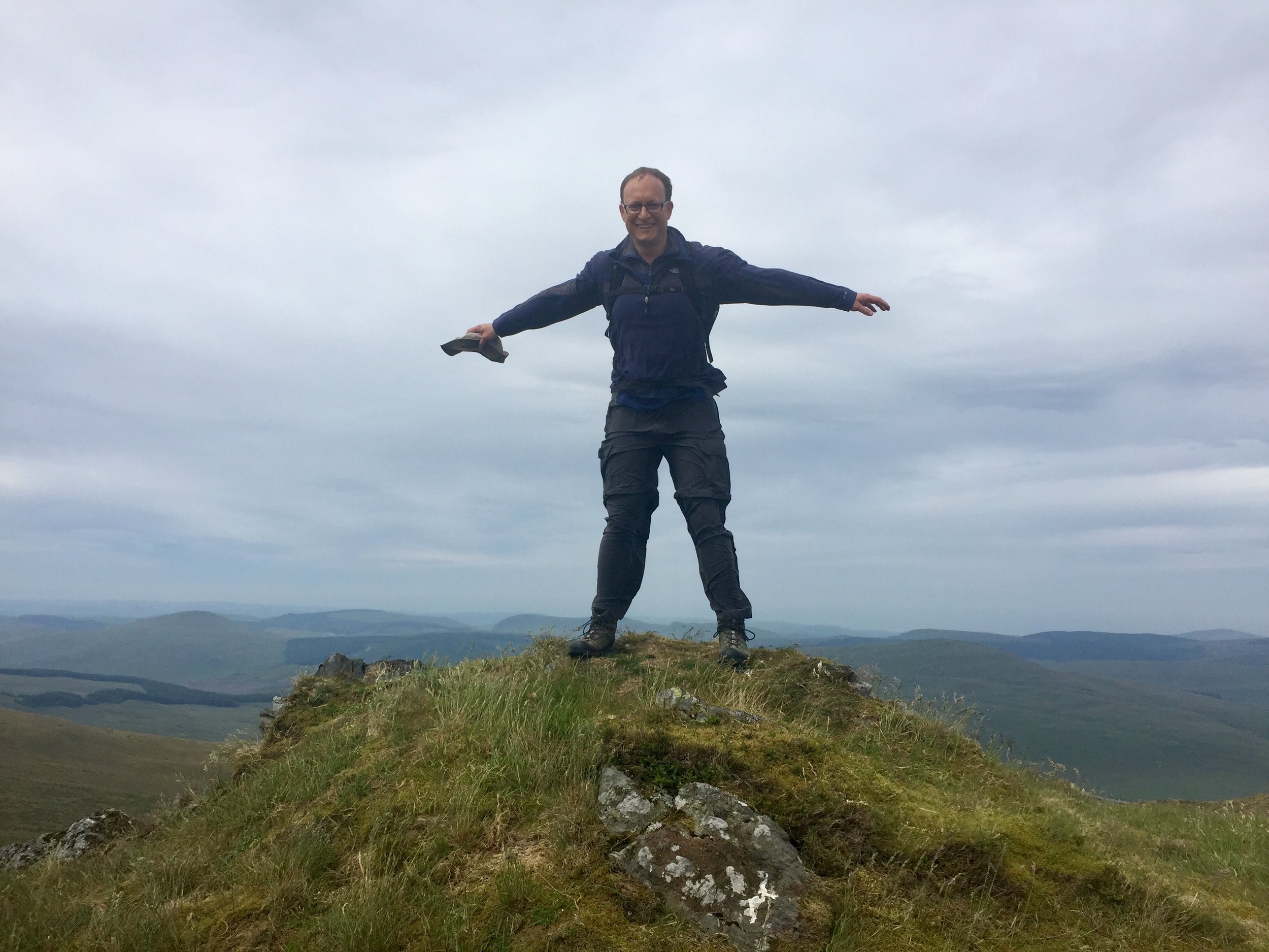
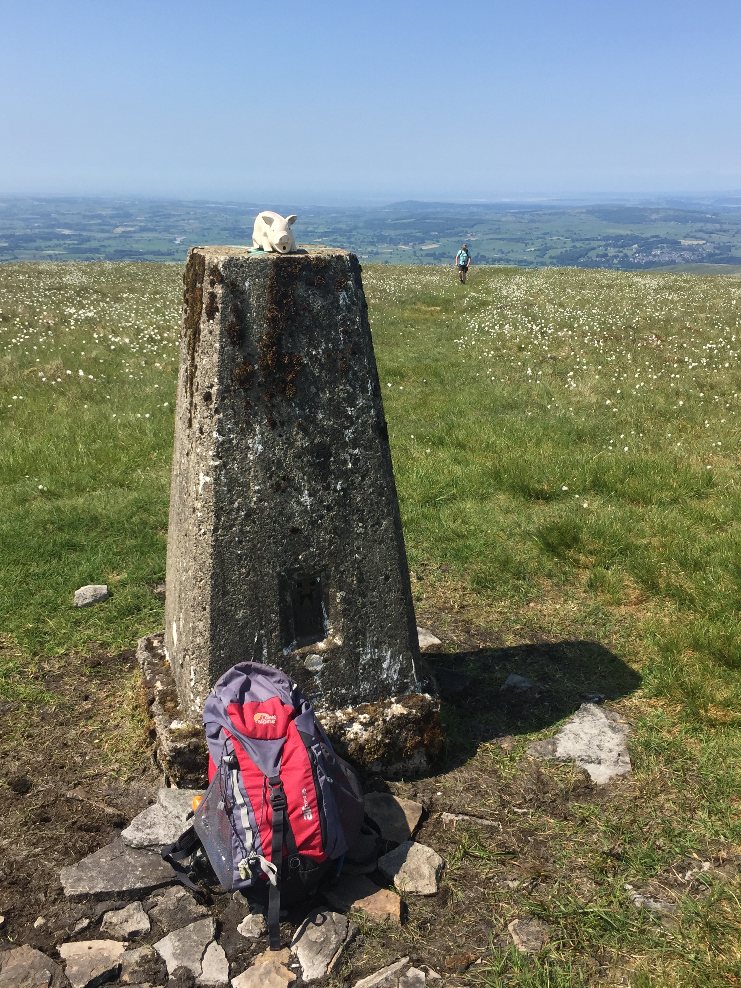
  7. Plynlimon. 752 metres. Completed. Historic County = Cardiganshire. Present Day County = Ceredigion.

  8. Chwarel y Fan. 679 metres. Completed. Historic County = Monmouthshire. Present Day County = Monmouthshire

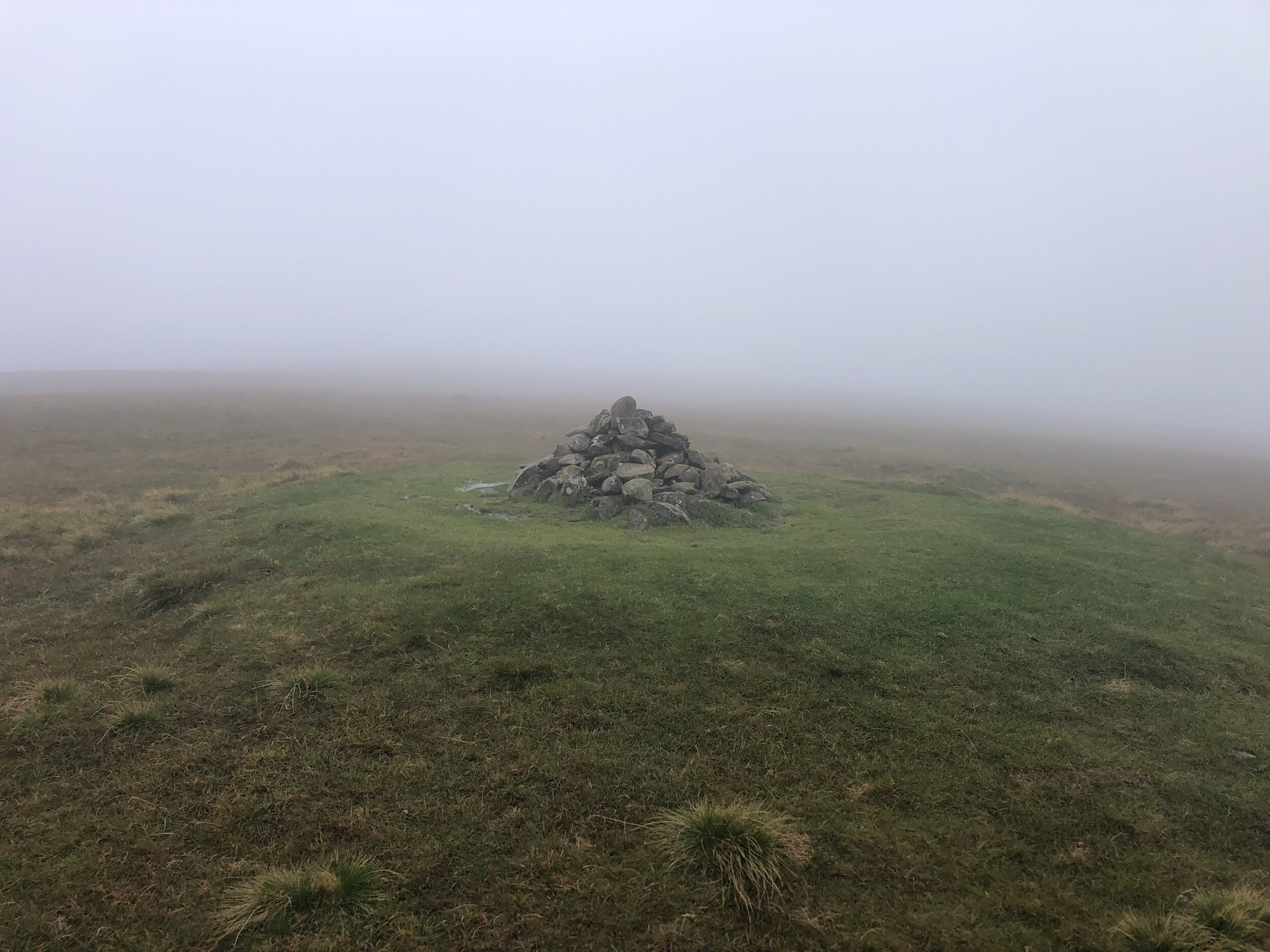
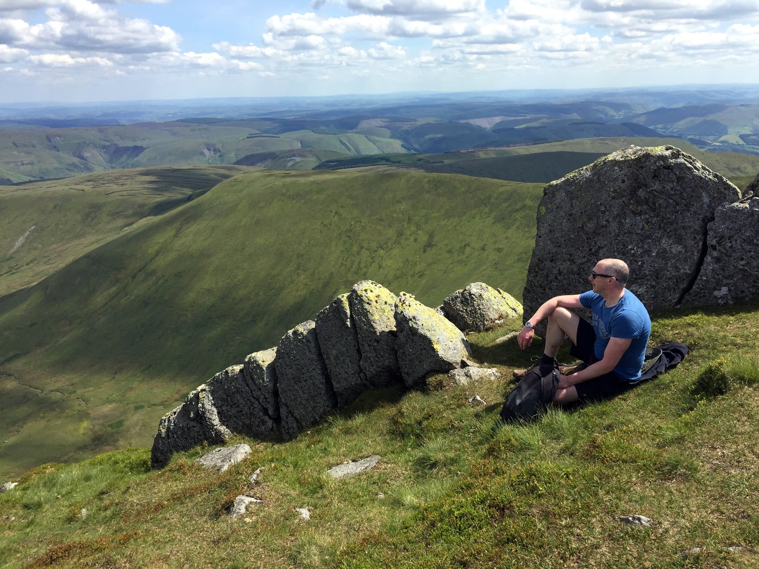
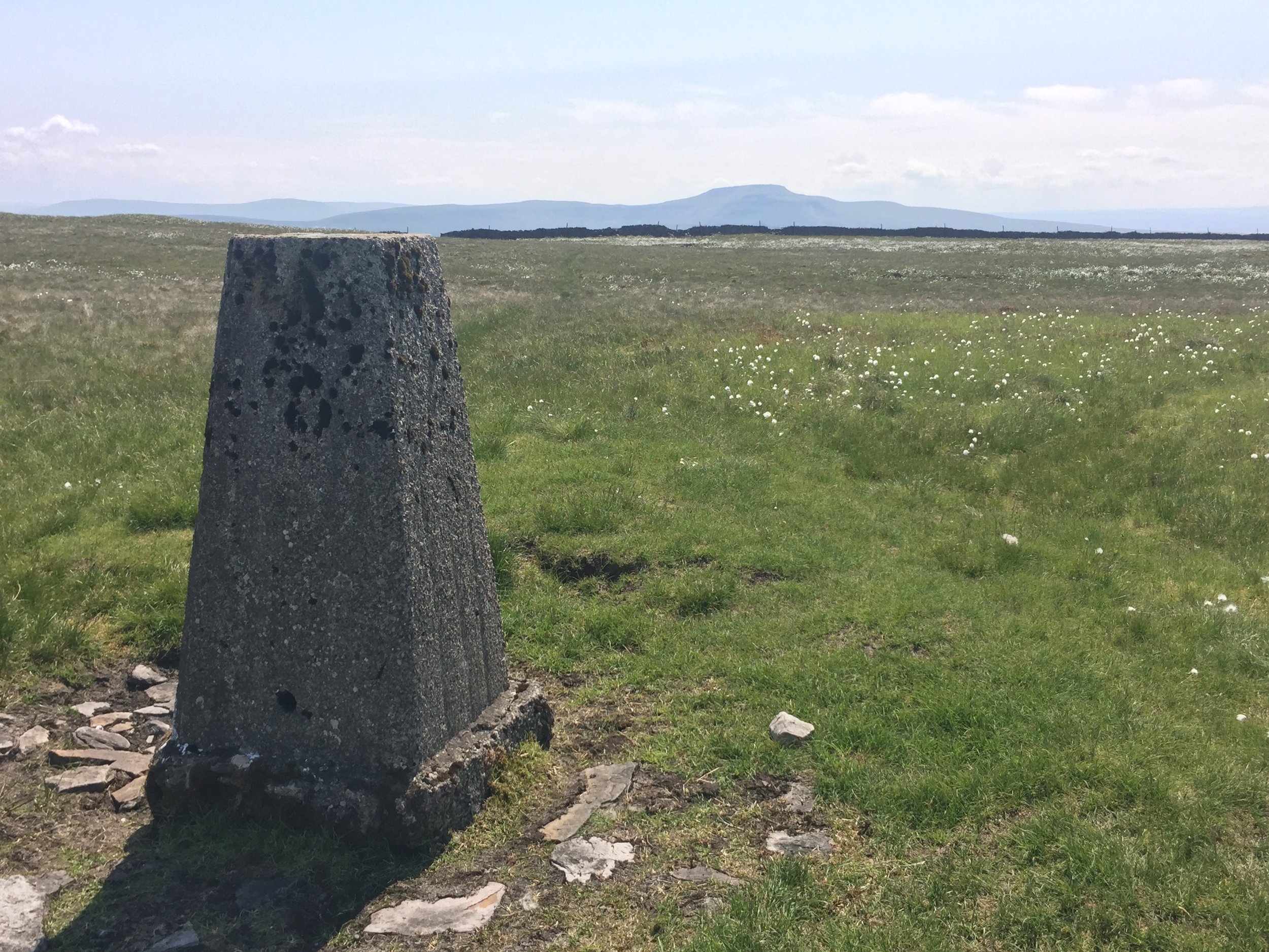
  9. Great Rhos. 660 metres. Completed. Historic County = Radnorshire.

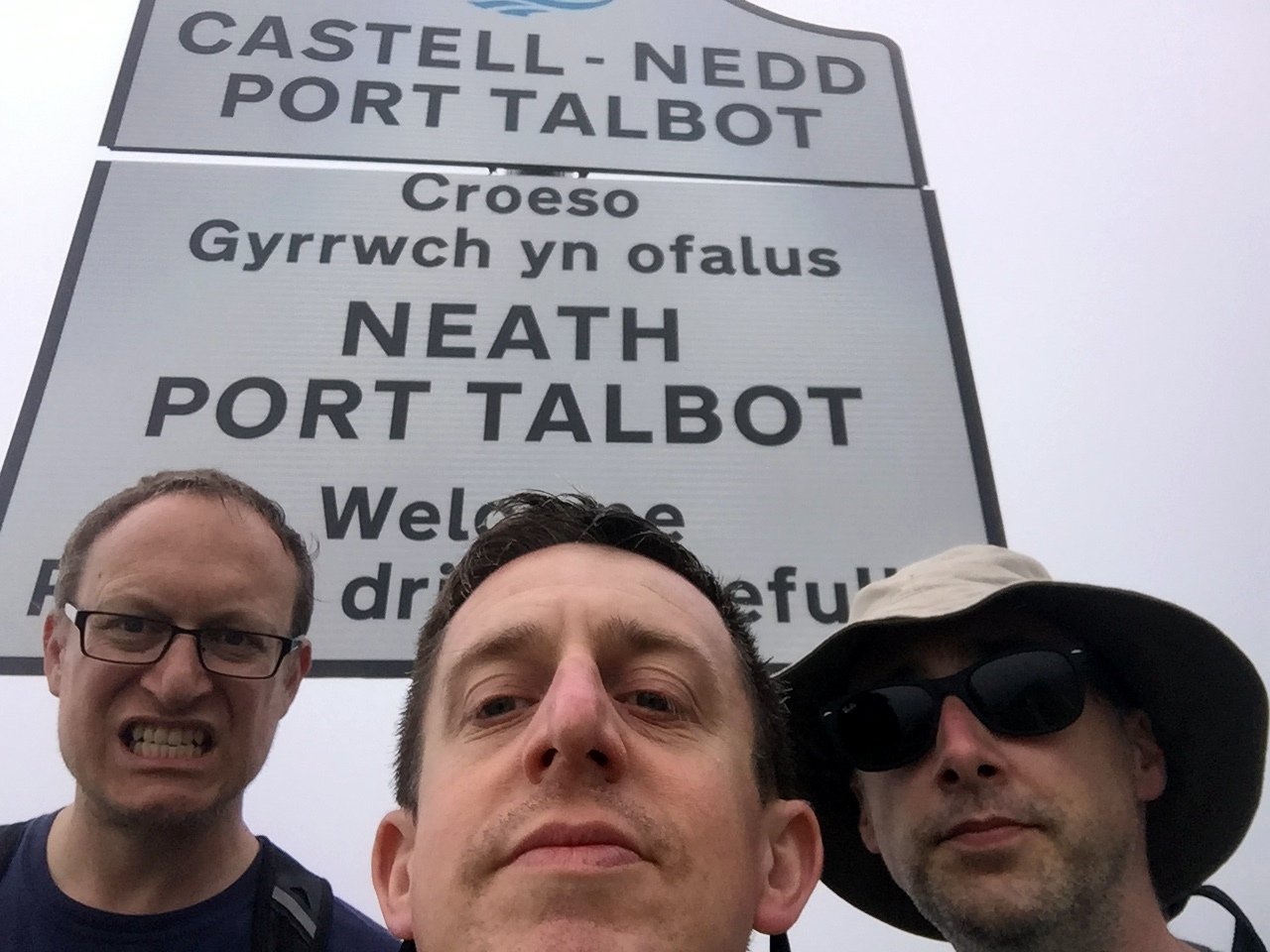
  10. Craig y Llyn. 600 metres. Completed. Historic County = Glamorganshire. Present Day County = Neath Port Talbot.

  11. Moel Famau. 555 metres. Completed. Historic County = Flintshire. Present Day County = Flintshire.

  12. Foel Cwmcerwyn. 536 metres. Completed. Historic County = Pembrokeshire. Present Day County = Pembrokeshire.

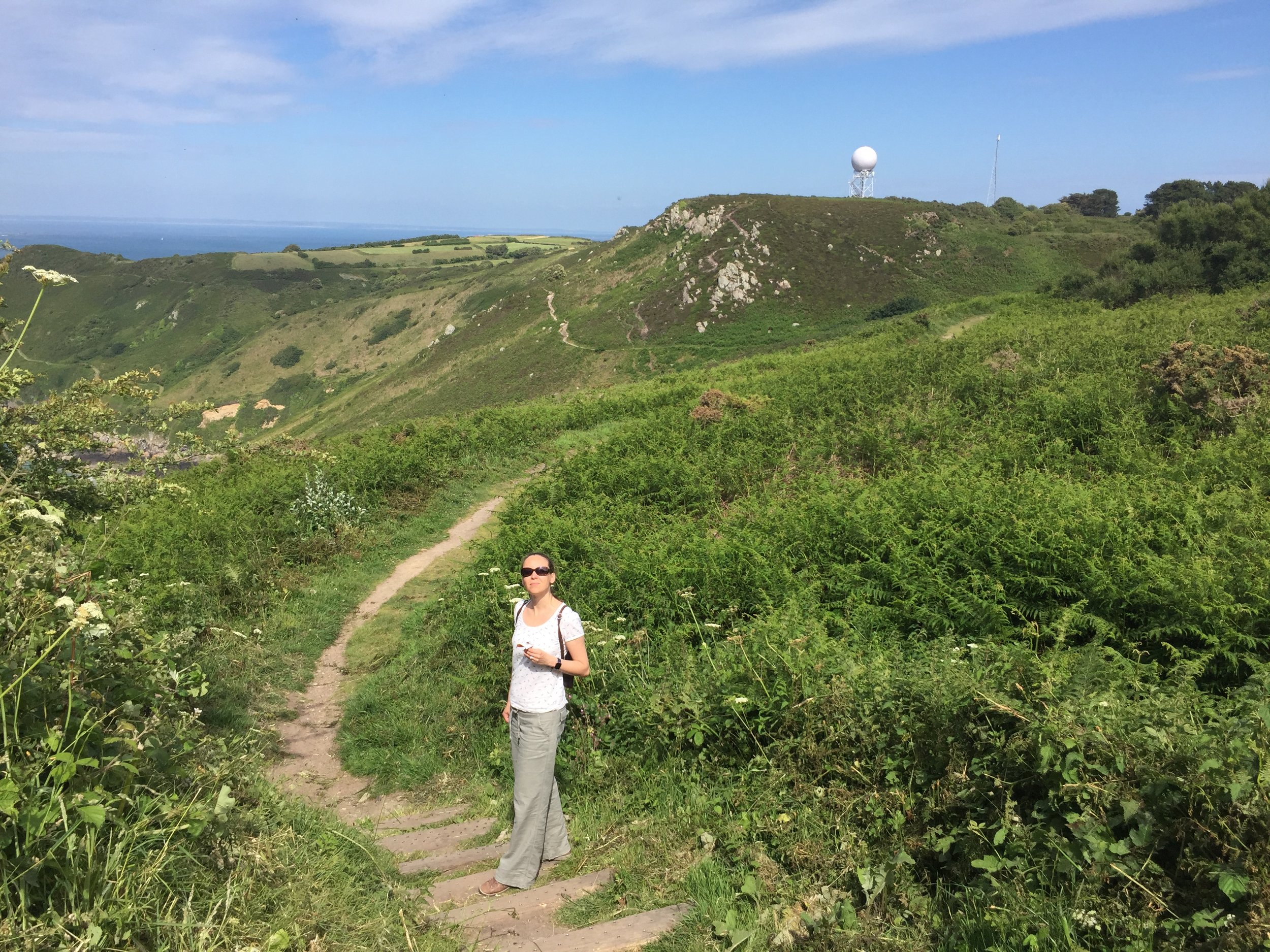
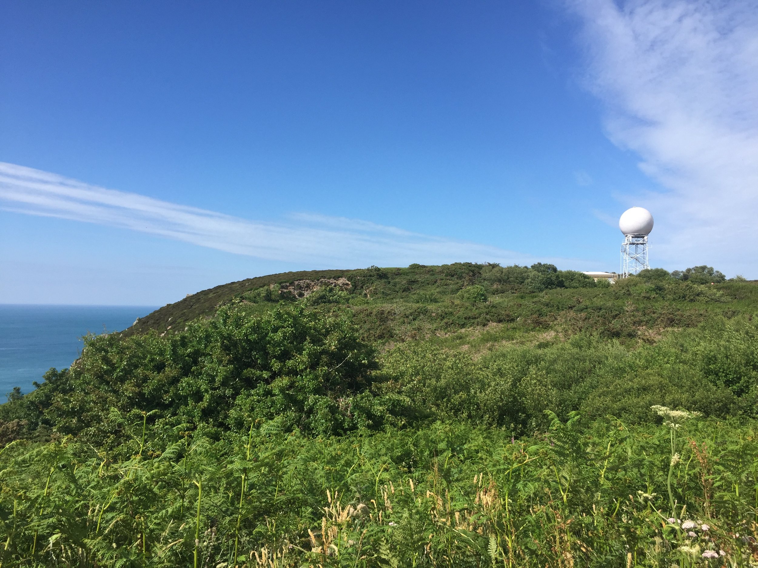
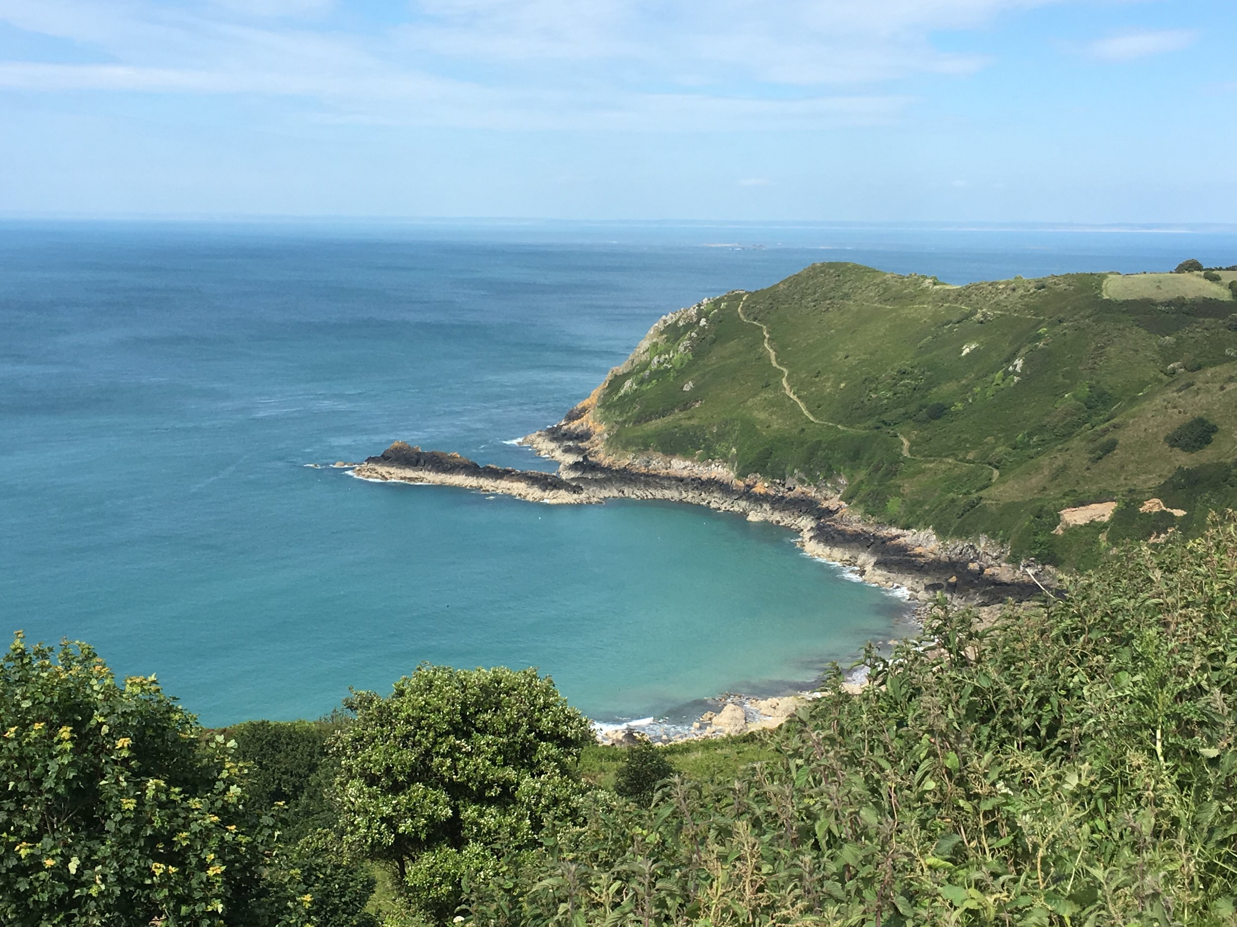
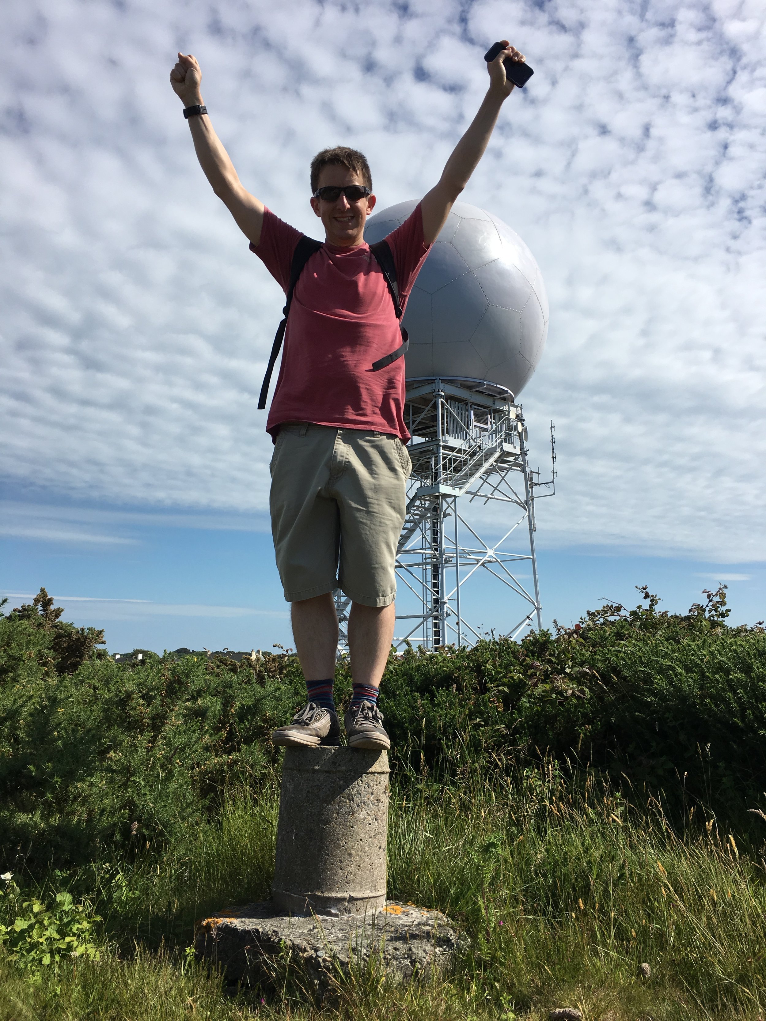
  13. Holyhead Mountain. 220 metres. Completed. Historic County = Anglesey. Present Day County = Isle of Anglesey.


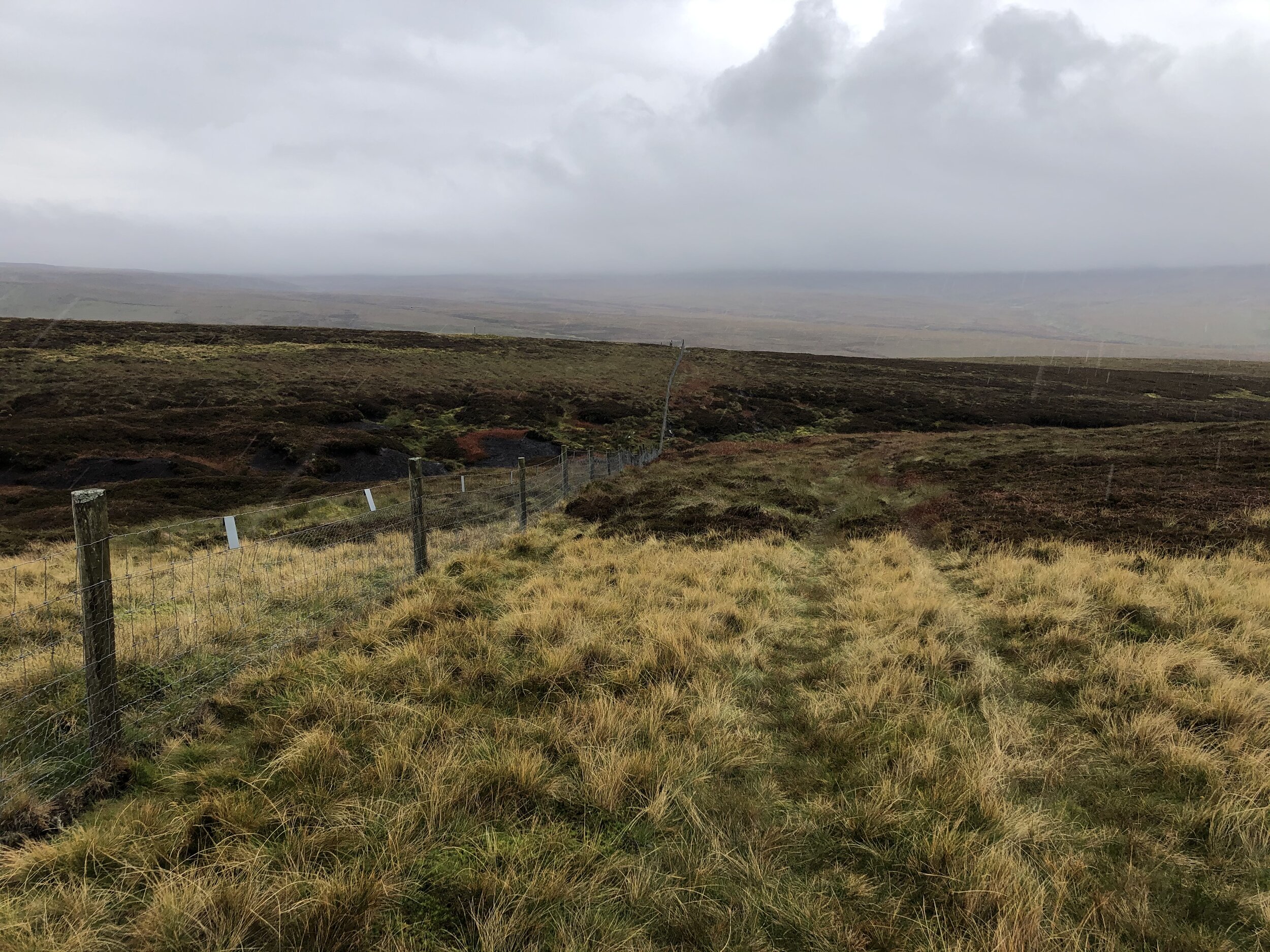
Wales’ Present Day County Tops

These 22 Principal Areas, also referred to as the Present Day Counties, were established by the Local Government (Wales) Act 1994. Ten of these areas share a County Top with a Historic County that it replaced. These are shown in the list above. The list below shows the 12 high points of Present Day Counties that are distinct from the Historic County Tops. More details on the Present Day Counties of Wales

  1. Carnedd Llewelyn. 1,064 metres, Conwy

  2. Craig Berwyn. 790 metres, Wrexham

  3. Craig y Lynn Boundary. 590 metres, Rhondda Cynon Taff. Completed

  4. Coity Mountain. 581 metres, Blaenau Gwent

  5. Coity Mountain East Slope. 578 metres, Torfaen

  6. Mynydd Llangeinwyr /Werfa. 568 metres, Bridgend. Completed

  7. Pen March 535 metres. Caerphilly

  8. Merthyr Common. 530 metres, Merthyr Tydfill

  9. Mynydd y Betwys. 373 metres, Swansea

  10. Wentwood. 309 metres, Newport

  11. Garth Hill. 307 metres, Cardiff

  12. Tair Onnen. 137 metres, Vale of Glamorgan


Wales’ Preserved Counties

There are 8 preserved counties of wales, each fully containing between 1 and 5 of the Principal Areas (“Present Day Counties”). There are no high points that are unique to the Preserved Counties as all are County Tops of Principal Areas and some are also Historic County Tops. More details on the Preserved Counties of Wales

The high points of the Preserved Counties are:

  • Clwyd: Moel Famau

  • Dyfed: Plynlimon

  • Gwent: Coity Mountain

  • Gwynedd: Snowdon

  • Mid Glamorgan: Craig Y Lynn Boundary

  • Powys: Pen y Fan

  • South Glamorgan: Craig y Llyn

  • West Glamorgan: Myndydd y Betwys


More High Points


Woolwell Road: Plymouth High Point

Significance: Highest peak in the Unitary Authority of Plymouth
Member of: N/A
Parent Peak: High Willhays NHN = Sheeps Tor
Historic County: Hampshire (of which Pilot Hill is the County Top)
Elevation: 162m
Date “climbed”: 22nd October 2021
Coordinates: 50° 26' 6'' N, 4° 6' 25'' W
Map: Lower Tamar Valley & Plymouth Map | Tavistock & Callington | Ordnance Survey | OS Explorer Map 108
Links: Wikipedia (Plymouth), Peakbagger, Hillbagging

There’s not much to say about this one. The high point of Plymouth is in the middle of a grassy roundabout near the entrance to a large Tesco’s. Visit on the way to somewhere much more interesting.


Scottish Borders County Tops
View to Loch Trool from Bruce’s Stone at the start of the Merrick Trail

View to Loch Trool from Bruce’s Stone at the start of the Merrick Trail


With all of the County Tops in England, Wales and Northern Ireland in the bag, I “just” have Scotland to do. The problem is that they’re now a long way from home and getting taller. Before this trip I’d only done 3 of the 33 Historic County Tops of Scotland. I’d done Ben Nevis a couple of times, Goatfell once and, most recently Hangingstone Hill as an add-on to the Cheviot walk.

The remaining 30 would need to be grouped into longer weekends around natural groupings. With easy access from Glasgow Airport, the 6 summits of this trip was an obvious place to start. Broad Law covers 2 counties each giving a total of 7 historic counties over a 4-day trip.


Craigairie Fell

Significance: Highest peak in Wigtownshire (Historic County Top)
Member of: N/A
Parent Peak: Beneraird
Nearest Higher Neighbour: Beneraird
Elevation: 321m
Date climbed: 23rd September 2021
Coordinates: 55° 1' 34'' N, 4° 45' 40'' W

Route Start / End: Parking space at end of road west from Polbae (DG8 6RZ)
Route Distance: 7.5 km (4.6 miles)
Route Elevation Change: +/- 159m
Subsidiary tops on route: None
GPX File: get via Buy Me a Coffee
Other routes touched (walk): Southern Upland Way
Other routes touched (cycle): None
OS Trig Pillar: TP2507 - Craigairie Fell
Map: OS Explorer Map (310) Glenluce and Kirkcowan
Guidebook: The UK's County Tops (Jonny Muir)
Links: Wikipedia (Wigtownshire), Peakbagger, Hillbagging

Craigairie Fell was our warm-up peak for the trip. With a total elevation of 321m, it’s a hill rather than a mountain and can be bagged in less than 2 hours. We tackled this one first as we flew into Glasgow in the morning and it was a 2-hour drive to the start of the walk.

There’s a good parking spot about a mile west along the road from Polbae. It’s more of a track than a road so don’t attempt it in a car with low clearance. You’ll notice it soon after the Forestry Commission sign saying “No Unauthorized Vehicle Access”. It’s an odd place to have the sign as it’s on a random part of the road with no place to turn around. The first place to turn further along is a junction with a track to a farm where the obvious parking spot is.

From the parking spot, navigation is very easy as you follow the Southern Upland Way all the way to the Trig Pillar at the top. The actual route is slightly shorter than the one on the map as there’s a short-cut of the Southern Upland Way that cuts off the hairpin bend near the D of Derry on the map.

Although our views from the top were a little misty, it was significantly better than the other summits in the trip with no views at all.

route-36816521-map-full.png
elevation_profile.jpg

Merrick

Significance: Highest peak in Kirkcudbrightshire (Historic County Top), Highest peak in Dumfries and Galloway (Present Day County Top)
Member of: Marilyn, Corbett, Donald
Parent Peak: Helvellyn
Nearest Higher Neighbour: Goatfell
Elevation: 843m
Coordinates: 55° 8' 21'' N, 4° 28' 6'' W
OS Trig Pillar: TP4777 - Merrick
Links: Wikipedia Kirkcudbrightshire), Wikipedia (Dumfries and Galloway), Wikipedia (Merrick), Peakbagger, Hillbagging

Kirriereoch Hill-Northwest Slope

Significance: Highest peak in Ayrshire (Historic County Top), Highest peak in South Ayrshire (Present Day County Top)
Member of: N/A
Parent Peak: Kirriereoch Hill
Nearest Higher Neighbour: Kirriereoch Hill
Elevation: 782m
Coordinates: 55° 9' 11'' N, 4° 28' 53'' W
Links: Wikipedia (Ayrshire), Wikipedia (South Ayrshire), Wikipedia (Kirrieroch Hill), Peakbagger, Hillbagger

For both peaks:
Date climbed:
24th September 2021
Route Start / End:
Upper Bruce's Stone Car Park, Newton Stewart, DG8 6SU
Route Distance: 16.7 km (10.4 miles)
Route Elevation Change: +/- 1,114m
Subsidiary tops on route: Benyellary (719m), Kirriereoch Hill (786m)
GPX File: get via Buy Me a Coffee
Other routes touched (walk): Merrick Trail
Other routes touched (cycle): NCN 7 passes through Upper Bruce’s Stone Car Park
Map: OS Explorer Map (318) Galloway Forest Park North
Guidebook: The UK's County Tops (Jonny Muir)

After an overnight in nearby Newton Stewart we tackled the big climb of the trip. Merrick is the highest point in the Historic County of Kirkcudbrightshire, the Present-Day County of Dumfries and Galloway and both the highest peak in the Southern Uplands and Southern Scotland.

The Merrick Trail is a well marked path leading from Upper Bruce’s Stone Car Park to the summit. Before you start the walk, take 10 minutes to see the carved granite stone that commemorates victory over an English army during the Scottish Wars of Independence in 1307.

On a clear, warm day this would have been a wonderful walk. From the summit you can see Snowdon, 144 miles away on the longest line of sight in the British Isles. This wasn’t the day to see anything. After the bothy and the forest section, the mist turned to cloud and we only saw what was 10m in front of us. By the time we reached the Trig Pillar at the summit there was also strong wind and rain. This would have been a great time to turn back and head down to a warmer, clearer elevation.

There was no turning back though as we still had another County Top to visit. The high point of Ayrshire is just beyond the summit of Kirriereoch Hill approximately 2km from the summit of Merrick. We relied on the GPX track as the path was hard to make out in the fog. Kirriereoch Hill’s summit is well marked by a pile of stones. From here, the County Top of Ayrshire is 100m to the north just beyond the remains of an old stone wall. The map on my phone showed the county boundary about 20m beyond the wall. Although it wasn’t completely clear exactly where the County Top was, we at least stopped by several possibilities.

From Kirriereoch Hill, the path continues north to a series of other summits. We had already got what we came for and turned back to re-trace our steps back over Merrick and down to the Bruce’s Stone. With the big one done, we drove 2 hours north-east to Strathaven, our overnight stop before the next set of peaks.

elevation_profile (1).jpg

Culter Fell

Significance: Highest peak in Lanarkshire (Historic County Top), Highest peak in South Lanarkshire (Present Day County Top)
Member of: Marilyn, Graham, Donald
Parent Peak: Broad Law
Nearest Higher Neighbour: Broad Law
Elevation: 748m
Date climbed: 25th September 2021
Coordinates: 55° 32' 46'' N, 3° 30' 10'' W


Route Start / End: Layby on right hand side of minor road south of Culter Allers Farm
Route Distance: 7.1 km (4.4 miles)
Route Elevation Change: +/- 484m
Subsidiary tops on route: None
GPX File: get via Buy Me a Coffee
Other routes touched (walk): None
Other routes touched (cycle): None
OS Trig Pillar: TP2681 - Culter Fell
Map: OS Explorer Map 336 Biggar and Broughton
Guidebook: The UK's County Tops (Jonny Muir)
Links: Wikipedia (Lanarkshire), Wikipedia (South Lanarkshire), Wikipedia (Culter Fell), Peakbagger, Hillbagging

Culter Fell was our first of 3 peaks, covering 4 counties, located close together to the north-east of Moffat. It’s possible to do all three on a single day with an early start and enough light. It was a Saturday and we also needed to get in a parkrun, so we did a combination of Lanark Moor parkrun, with Culter Fell and Broad Law.

There’s enough parking for several cars on a large layby near Culter Allers Farm. From here you can follow the road south, crossing over Culter Water stream. You’re now on private land which is open to walkers but occasionally closed for shooting. You can call 01899 204010 to check access or to request permission for groups of over 4.

Approximately 1km from the layby leave the road and follow a track, then a path, ascending to the south-east. The path to the Trig Pillar at the summit is well marked and difficult to miss even in low visibility as we had. Options at the summit are to return the same way, as we did, or continue south, then south-west to Coulter Head Reservoir and return back along the road.

route-36816633-map-full.png
elevation_profile.jpg

Broad Law

Significance: Highest peak in Peeblesshire and Selkirkshire (Historic County Top), Upper Tweeddale NSA High Point
Member of: Marilyn, Corbett, Donald
Parent Peak: Merrick
Nearest Higher Neighbour: Merrick
Elevation: 840m
Date climbed: 25th September 2021
Coordinates: 55° 29' 53'' N, 3° 21' 10'' W


Route Start / End: Layby next to Megget Stone, Biggar, ML12 6QR
Route Distance: 7.4 km (4.6 miles)
Route Elevation Change: +/- 372m
Subsidiary tops on route: None
GPX File: get via Buy Me a Coffee
Other routes touched (walk): None
Other routes touched (cycle): None
OS Trig Pillar: TP1647 - Broad Law
Map: OS Explorer Map 330 Moffat and St Mary's Loch
Guidebook: The UK's County Tops (Jonny Muir)
Links: Wikipedia (Peeblesshire), Wikipedia (Selkirkshire), Wikipedia (Broad Law), Peakbagger, Hillbagging

Looking back on our Broad Law walk a week after we did it, it’s hard to distinguish it from our Culter Fell walk. With a similar distance, elevation change and exactly the same thick fog, both have blurred into one. With better visibility I’m sure the view from Broad Law would have been impressive given its height, just 3m lower than Merrick. We couldn’t even see the large air navigation beacon close to the Trig Pillar on the summit.

Navigation is very easy as the path follows the boundary fence all the way from the road to the summit. The fence is low at the top making it very easy to cross the border to make sure you’ve bagged both of the County Tops on this peak.

White Coomb, our next peak is less than 9km as the crow flies from the Broad Law summit or a 30 minute drive between each parking spot. We’d had enough adventure for one day so came back the following day for the final peak of the trip.

Note that Dun Rig is another contender for the Historic County Top of the former county of Selkirkshire. See the reference to this in the Wikipedia article for Broad Law for details. Although I might return to bag that one later for completeness, I’m happy to claim Selkirkshire for now based on following the list in Jonny Muir’s UK County Tops book.

route-36816705-map-full.png
elevation_profile (1).jpg

White Coomb

Significance: Highest peak in Dumfriesshire (Historic County Top)
Member of: Marilyn, Corbett, Donald
Parent Peak: Broad Law
Nearest Higher Neighbour:
Elevation: 821m
Date climbed: 26th September 2021
Coordinates: 55° 25' 21'' N, 3° 19' 25'' W


Route Start / End: National Trust for Scotland Car Park, Grey Mare's Tail Nature Reserve, Moffat Water Valley, DG10 9LP
Route Distance: 6.3 km (3.9 miles)
Route Elevation Change: +/- 575m
Subsidiary tops on route: None
GPX File: get via Buy Me a Coffee
Other routes touched (walk): None
Other routes touched (cycle): None
Map: OS Explorer Map 330 Moffat and St Mary's Loch
Guidebook: The UK's County Tops (Jonny Muir)
Links: Wikipedia (Dumfriesshire), Wikipedia (White Coomb), Peakbagger, Hillbagging

The walk to White Coomb starts at the busy National Trust Car Park at Grey Mare’s Tail. From here the steep path to the right hand side of Tail Burn stream takes most walkers up to Loch Skeen. Follow this for 1.25km to the top of the waterfall where you can cross the stream via some stepping stones. You’ll see a faint path leading down to the stepping stones and the stone dyke wall on the other side. Once crossed, follow the well marked path to the right of the wall to the flat grassy top of White Coomb. You’ll need to leave the path and cross the dyke for the final 20m to the summit which is marked by a pile of stones.

A return option from the summit would be to return to the path and continue on it in a clockwise direction around the loch then back to the car park. With only a few hours until our flight back from Glasgow we returned by the same route, completing the walk within 2 hours.

route-37614329-map-full.png


Other High Points in the Scottish Borders Area

Other High Point in the Historic County of Lanarkshire


Greater London High Points

Greater London is divided into 32 local authority districts called Boroughs plus the City of London. Living relatively close to the edge of London it was natural that I would want to visit all 33 high points. Much like the UK County Tops some feel like a proper summit and others are unremarkable points in flat areas.

Westerham Heights on the Kent border is the high point of both Bromley and the whole of Greater London. It’s also a very short walk from Betsom’s Hill, the Kent County Top. Other than their elevations neither are particularly interesting though. You’ll need to visit Sanderstead Plantation in Croydon for the highest point that actually feels like a hill.

Prior to April 1st 1994 the Greater London high point was on the north-eastern slope of Botley Hill. A boundary change moved this point to Surrey where Leith Hill is higher.

Hampstead Heath, the high point of Camden is also the high point of the old County of London Administrative County. This area came into being with Local Government Act 1888 which split some Historic Counties into new Administrative Counties. The Administrative Counties have since been replaced by the metropolitan and non-metropolitan counties plus Greater London.

High Holborn, the high point of The City of London, is not a borough but an English Ceremonial County

As you would expect with high points, several are marked with OS Trig Pillars. Sanderstead Plantation in Croydon has a Trig Pillar nearby at Selsdon Park but it’s not at the summit. Pole Hill, in Waltham Forest is the highest point of a Greater London Borough that has a Trig Pillar on the summit.

By the end of 2021 I had completed the high points of all Greater London Boroughs. Click on the links in the list below to see details on each one. I still have the remaining Trig Pillars and Summits >100m to complete. Let me know if you spot any mistakes in the data below and I’ll donate £1 per correction to one of my causes.


London’s High Points and OS Trig Pillars


Greater London Boroughs High Points

Sanderstead Plantation

Pole Hill, Waltham Forest

Pole Hill, Waltham Forest

Bushey Heath, Harrow


London’s Natural High Points vs its Buildings & Structures

Westerham Heights was the highest point in London until the completion of The Shard in 2012. The Observation Deck at the Shard is at 244m, just 1m lower than Westerham Heights. When 22 Bishopsgate was completed in 2020, it relegated Westerham Heights to 3rd place.

At the time of writing there’s now 17 buildings and structures in London with heights between those of Westerham Heights and Sanderstead Plantation, London’s 2nd highest Borough High Point


Parent Peaks of The Greater London Boroughs

The Parent Peaks of the London Borough High Points have a distinct north/south split. All High Points north of the Thames have Haddington Hill in the Chilterns as their parent. Botley Hill in Kent is the parent for all London High Points south of the Thames. The Nearest Higher Neighbour, according to Peakbagger also keeps to this north/south split with the exception of Heston The Vale.

The graphic below shows the Borough High Points in descending order from left to right with peaks north of the river on the top half and south of the river on the lower half.


More London posts


More County Tops


Bowsey Hill: Wokingham High Point

Significance: Highest peak in the Unitary Authority of Wokingham
Member of: N/A
Parent Peak: Butser Hill. NHN = Ashley Hill
Historic County: Berkshire (of which Walbury Hill is the County Top)
Elevation: 142m
Date “climbed”: 31st December 2020
Coordinates: 51° 30' 55'' N, 0° 50' 20'' W
On route of: NCN 4, Round Berkshire Cycle Route
Map: OS Explorer Map (171) Chiltern Hills West, Henley-on-Thames and Wallingford
Links: Wikipedia (Wokingham), Peakbagger, Hillbagging

I’d bagged the high point of Wokingham several times without realising. It’s on a wide trail through the woods, passed by NCN 4 and the Round Berkshire Cycle Route. Nothing to mark the top but a nice place to pass through on a walk or cycle ride.


Ashley Hill: Windsor and Maidenhead High Point

Significance: Highest peak in The Royal Borough of Windsor and Maidenhead
Member of: None
Parent Peak: Bald Hill. NHN = Bald Hill
Historic County: Berkshire (of which Walbury Hill is the County Top)
Elevation: 145m
Date climbed: 12th December 2020
Coordinates: 51° 31' 19'' N, 0° 48' 55'' W
On route of: Chiltern Way Berkshire Loop, Hurley and Ashley Hill Circular Walk, Littlewick Green, Ashley Hill and Knowl Hill Circular Walk
OS Trig Pillar: TP0903 - Ashley Hill
Map: Chiltern Hills East Map | High Wycombe, Maidenhead & Rickmansworth | Ordnance Survey | OS Explorer Map 172
Links: Wikipedia (Windsor and Maidenhead), Peakbagger, Hillbagging

The summit of Ashley Hill, the highest point in the Royal Borough of Windsor and Maidenhead is in the grounds of a large house. We spent a few minutes looking for a sight of the OS Trig Pillar but there was too much hedging around the property. The green Chiltern Way footpath sign is the closest you’ll get to the summit.


County Top Parent Peaks

In my ever-deepening County-Top related geekery I decided that I needed to document the Parent Peaks of every UK County Top. Many are easily findable with a bit of Googling, others are harder to come by. I’ve used the following sources in priority order:

  • Hillbagging (the online version of the Database of British and Irish Hills)

  • Peakbagger: if the Parent Peak is shown there but not in Hillbagging

  • Wikipedia: If the Parent Peak is shown there but not in either Hillbagging or Peakbagger

  • Peakbagger’s Nearest Highest Neighbour (NHN) field if a Parent Peak is not listed in the above.

Some are disputed and others I’ve had to assume, so here’s my best attempt. Contact me or comment below if you have any corrections and I’ll happily make a donation to one of my causes.


England’s County Top Parent Peaks


Scotland’s County Tops Parent Peaks

Compared to England there’s a lot fewer Parent Peaks listed in my key sources, so the following is largely based on Nearest Higher Neighbours and some assumptions. Likely there will be a lot of corrections to be below.


Wales’ County Tops Parent Peaks

Similar to Scotland, there’s a lot fewer Parent Peaks listed in my key sources, so the following is largely based on Nearest Higher Neighbours and some assumptions. Likely there will be a lot of corrections to be below.


Coming soon: Northern Ireland and Republic of Ireland County Top Parent Peaks


UK County Tops on Islands

  • Goat Fell (843m), Arran, Buteshire, Scotland

  • Ward Hill (481m), Hoy, Orkney, Scotland

  • Ronas Hill (450m), Mainland, Shetland

  • Holyhead Mountain (220m), Anglesey, Wales


A peak’s line parent is the closest higher peak on the highest ridge leading away from the peak’s “key col”. A col is the lowest point on the ridge between two summits and is roughly synonymous with pass, gap, saddle and notch. The highest col of a peak is its key col. If there is more than one ridge which can be followed to a higher peak then the line parent is the peak closest to the key col. Usually, a line parent must meet some prominence criteria, which might vary depending on the author and the location of the peak.
— https://en.wikipedia.org/wiki/Line_parent
Whernside: North Yorkshire County Top
Ribblehead Viaduct with Whernside on the right

Ribblehead Viaduct with Whernside on the right


Significance: Highest peak in North Yorkshire (Present-Day CT), the historic West Riding of Yorkshire, Yorkshire Dales National Park
Member of: Marilyn, Hewitt, Hardy, Nuttall
Parent Peak: Cross Fell. NHN = Harter Fell
Historic County: Yorkshire (of which Mickle Fell is the County Top)
Elevation: 736m
Date climbed: October 4th 2020
Coordinates: 54°13′40″N 2°24′12″W 
Route Start / End: Ribblehead Viaduct Car Park, Blea Moor Road, Carnforth, LA6 3AS
Route Distance: 12.7 km (7.9 miles)
Route Elevation Change: +/- 433m
Subsidiary tops on route: none
GPX File: get via Buy Me a Coffee
Other routes touched (walk): Dales High Way, Three Peaks Walk
Other routes touched (cycle): none
OS Trig Pillar: TP0702 - Little Whernside
Map: OS Explorer Map OL2 Yorkshire Dales South & Western
Guidebook: The UK's County Tops (Jonny Muir), Walking the County High Points of England (David Bathurst)
Links: Wikipedia (North Yorkshire), Wikipedia (Whernside), Peakbagger, Hillbagging


Given that Whernside is both a Present-Day County Top and features in the Yorkshire Three Peaks Challenge it was surprising that I hadn’t already ticked it off. Sometime over the last couple of years I’d lost interest in the Three Peaks and decided that I’d rather tick them off individually. Whernside’s time came this year as it was an obvious peak to bag to break up the long drive home from Mickle Fell.

Unlike the drenching that we got on Mickle Fell the previous day, we had perfect Autumn conditions for Whernside. It was dry, sunny, chilly (but not too much) and visibility was great. The walk even starts with one of its main highlights: an approach to the magnificent Ribblehead Viaduct. We had originally planned to keep to the path on the eastern side of the viaduct then cut through the underpass to join the Dales High Way heading west. When we found ourselves standing right under one of the arches to get a closer look, we decided to continue heading west through the viaduct and take the footpath through the farm to connect to the High Way.

After the farm the route gets steep. The waitress in the pub the night before had warned us that this approach would be tough and slippery. We imagined something like a damp Striding Edge but it turned out not to be so bad at all. The slabs had also dried out completely so there was nothing slippery at all.

Once on the ridge-line the route is pretty simple and, with the views we had that day, quite breath-taking. The summit was pretty crowded when we got there. Partly it was the normal weekend day-walkers and we hit it at the same time as a lot of runners on their own Three Peaks Challenge. This was also the day of the Virtual London Marathon and there was a fair few marathoners that decided to do the 3 Peaks as their own London Marathon Route.

The descent was steady and interesting. Once down from the steeper sections the path curves back towards the viaduct and crosses over both Little Dale Beck and the rail line as it emerges from the Blea Moor Tunnel. The final section gives you another change to admire the Viaduct before returning to the car park.


North-East England County Tops
View from Burnhope Seat summit to the Trig Pillar

View from Burnhope Seat summit to the Trig Pillar


We had the dates for this in the diary for most of the year, even before Covid-19 became the thing that defined 2020. When the Lockdown came in March we we glad we had booked it in for later in the year and had assumed that the virus would have blown over by then. By mid-Summer things were relaxing and it was looking like there wouldn’t be a problem for the trip at all. September came, cases started rising again and the North-East was right in the centre of a local Lockdown. The rules were especially ambiguous and it was only the day before the trip that we decided that we would still be able to go. So, without breaking any rules and keeping as safe as possible, 3 of us headed North to complete the North-East County Tops.

As it turned out Covid had a very minimal impact on the plan. Our YHA for the first 2 nights was in Northumberland and had strict procedures. Rather than sharing one big room as per our usual trips, we had to have a room each under separate bookings. Breakfast was strictly one person per table, but given my lack of interest in talking to anyone 1st thing in the morning, it wasn’t a major inconvenience. Other than that we were out in the hills all day and the rare instances of coming in contact with others were few and far between and at quite a distance.

Being able to complete these 3, and by extension my completion of all of England’s County Tops, was a major win for me for 2020. Most other plans had been cancelled or postponed until 2021, so keeping this felt like a big achievement.


Burnhope Seat

Significance: Highest peak in County Durham (Historic CT)
Member of: Hewitt, Marilyn, Nuttall
Parent Peak: Cross Fell. NHN = Meldon Fell
Elevation: 747m
Date climbed: October 1st 2020
Coordinates: 54.7331° N, 2.3369° W
Route Start / End: 2-car layby on B6277 north of kink in road over stream bridge, south of Yad Moss ski area
Route Distance: 3.1 km (1.9 miles)
Route Elevation Change: +/- 160m
Subsidiary tops on route: none
GPX File: get via Buy Me a Coffee
Other routes touched: none
OS Trig Pillar: TP1783 - Burnhope Seat
Map: OS Explorer Map (307) Consett and Derwent Reservoir
Guidebook: The UK's County Tops (Jonny Muir), Walking the County High Points of England (David Bathurst)
Links: Wikipedia (County Durham), Wikipedia (Burnhope Seat), Peakbagger, Hillbagging

Burnhope Seat and Mickle Fell are a short car journey apart and can be easily done in a single day with fair weather. We had a long drive from the south which took up much of our first day so we used this short walk as a break in the journey.

Jonny Muir’s County Top guide suggests a parking space on the B6277 at NY 7754 3640 but we found a more convenient one a bit further north on the same road. The layby in the book is quite small and at a steep angle from the road so we gave it a miss. From the larger layby near the stream bridge you can cross over a wooden gate on the opposite side. From here follow the left hand side of the stream, passing the ruins of an old building and use the GPS to keep you on-track for the high point. From the un-marked summit you can see the Trig Pillar to the east along the fence.


The Cheviot

Significance: Highest peak in Northumberland (Historic CT) and Northumberland National Park High Point
Member of: Marilyn, Hewitt, Nuttall
Parent Peak: Broad Law. NHN = Dollar Law
Elevation: 815m
Date climbed: October 2nd 2020
Coordinates: 55°28′42″N 2°08′44″W 
OS Trig Pillar: TP2152 - Cheviot
Links Wikipedia (Northumberland), Wikipedia (The Cheviot), Wikipedia (Northumberland National Park), Peakbagger, Hillbagging

Hangingstone Hill

Also Known As: Cairn Hill West Top
Significance: 
Highest peak in Roxburghshire, Scotland (Historic CT)
Member of: n/a
Parent Peak: Cairn Hill. NHN = The Cheviot
Elevation:
 743m
Date climbed: October 2nd 2020
Coordinates: 55° 28' 3'' N, 2° 9' 59'' W
Links: Wikipedia (Roxburghshire), Peakbagger, Hillbagging

Route Start / End: parking area off small road to Langleeford, accessed from A697 via Middleton Hall
Route Distance: 15.3 km (9.5 miles)
Route Elevation Change: +/- 620m
Subsidiary tops on route: Scald Hill (548m), Cairn Hill (777m)
GPX File: get via Buy Me a Coffee
Other routes touched (walk): The Pennine Way
Other routes touched (cycle): none
Map: OS Explorer OL16 The Cheviot Hills, Jedburgh & Wooler
Guidebook: The UK's County Tops (Jonny Muir), Walking the County High Points of England (David Bathurst)

This walk was the longest and most rewarding of the 3 especially as it's a circuit rather than an out-and-back like the others. If you’re using Jonny Muir’s guide this is a combination of the separate routes for The Cheviot and for Hangingstone Hill. It’s pretty obvious to do them both in the same walk so I’ve got no idea why they’re separated in the book. Both use the same start and end point and each trip is a return for the other.

We took an anti-clockwise approach taking in The Cheviot first via Scald Hill. Continuing south-west along the Pennine Way from The Cheviot you’ll soon get to the summit of Cairn Hill. From here there’s a short out-and-back section to the Scottish border to reach Hangingstone Hill (aka Cairn HIll West Top). There’s little to see here and bagging the top just involves a quick crossing of the gate to a slightly higher piece of moss.

From Hangingstone Hill retrace your steps back up to Cairn Hill summit and follow the path sign-posted to Windy Gale. After a short steep section keeping a fence to your right you’ll reach a footpath junction. Take the east (left) path signed to Langleeford Hope (2¼) and Langleeford (3½). This path will take you all the way back to the start following Harthope Burn (stream).


Mickle Fell

Significance: Highest peak in Yorkshire (Historic CT) and the historic North Riding of Yorkshire
Member of: Marilyn, Hewitt, Nuttall
Parent Peak: Cross Fell. NHN = Knock Fell
Elevation: 788m
Date climbed: October 3rd 2020
Coordinates: 54°36′48″N 2°18′18″W
Route Start / End: Parking spot on B6276 to west of cattle grid between the Cumbria and County Durham county signs.
Route Distance: 17.2 km (10.7 miles)
Route Elevation Change: +/- 505m
Subsidiary tops on route: none
GPX File: get via Buy Me a Coffee
Other routes touched: none
OS Trig Pillar: TP4789 - Mickle Fell
Map: OS Explorer OL19 Howgill Fells Upper Eden Valley Map
Guidebook: The UK's County Tops (Jonny Muir), Walking the County High Points of England (David Bathurst)
Links: Wikipedia (Yorkshire), Wikipedia (North Riding of Yorkshire), Wikipedia (Mickle Fell) / Peakbagger, Hillbagging

Mickle Fell is on a military firing range which is only open to the public on a few select days per year. You can apply for a permit to access the land from MOD Warcop. Based on our experience I recommend starting the application process early. It took over 3 months for me to get the permit from sending the application letter. There’s nothing complicated about the process, it’s just slow. With the permit secured the other thing that you need to do is call the control room number on the permit as you start the walk and again when you finish. We didn’t have phone signal at all on the walk so we were glad to have made the call in the car 10 minutes before arriving at the parking space.

The parking space is easy to find as it’s right next to the Welcome to Cumbria sign. From here cross the road and over a wire fence to access the hill. Strangely there’s no gate or stile even though this is the recommended approach. You can see where others have climbed through or over the fence though.

Much of the walk is very easy to navigate, even on a low-visibility day like we had. Follow the boundary fence, keeping it to your left all the way up to the summit plateau. A lot of the route is boggy underfoot and you’ll need to navigate around streams, loose peat and marsh-land. We were there on an especially wet day and it was all we could do to keep our feet dry.

There’s a steep climb up to the summit plateau where you’ll cross a fence via a stile and can pick up some Land Rover tracks. Keep to these heading on an easterly curve and they’ll lead you to the summit cairn and the Trig Pillar.

We were there on one of the wettest days possible. If the route was closer to home and we didn’t need a permit we might have delayed it for another day, but we had little option but to press on. The only other person we met on the approach had reached the summit but hadn’t bothered with the extra ~2km to the Trig Pillar. I could see how tempting it would have been on a day like that to have missed it. Given our Trig-obsession we weren’t going to miss it though and took the extra hour to bag the pillar.

The descent was much quicker as we had abandoned any attempt to avoid the wet marsh and mostly walked straight through it. At 5.5 hours of driving rain we arrived at the car as wet as if we had swum to the summit. It was challenging but it also meant that I had now completed all County Tops in England, Wales and Northern Ireland.

Now for the rest of Scotland…


OTHER HIGH POINTS IN County Durham

OTHER HIGH POINTS IN Northumberland

  • Westerhope (131m) North Tyneside Unitary Authority High Point: Peakbagger / Hillbagging

  • Camperdown (86m) North Tyneside Unitary Authority High Point: Peakbagger / Hillbagging

OTHER HIGH POINT IN Yorkshire


Werfa: Bridgend County Top

Unloved Trig Pillar at the summit of Werfa


Also known as: Mynydd Llangeinwyr
Significance:
Highest peak in Bridgend (Present-Day Principal Area). Previously within Historic County of Glamorgan.
Member of: N/A
Parent Peak: Craig y Llyn
Elevation: 568m
Date climbed: June 24th 2019
Coordinates: 51.6412°N 3.5726°W
Route Start / End: Out and back from parking place on A4107
Route Distance: 2.6 km (1.6 miles)
Route Elevation Change: +/- 68m
Subsidiary tops on route: None
GPX File: get via Buy Me a Coffee
Other routes touched: None
OS Trig Pillar: TP0732 - Llangeinor
Map: OS Explorer Map (166) Rhondda and Merthyr Tydfil
Links: Wikipedia (Bridgend), Wikipedia (Mynydd Llangeinwyr), Peakbagger, Hillbagging


We visited Werfa on the way back home from the Western Wales County Top trip. Having conquered both Plynlimon and Foel Cwmceryn in 1 day we had a spare morning before heading back home. We researched the Welsh Present-day County Tops we settled on Werfa, the high point of Bridgend. It ticked off our main criteria of being an actual mountain, not far from the M4 and having a Trig Pillar.

Based on other people's trip logs we parked at a layby on the A4107 and took a bearing up through the fields to the Trig just behind a radio transmitter. In a clear day the massive wind turbine would have been a useful target. Low cloud meant that we could see the bottom 10m of it and only when we were already up close.

From the Trig Pillar we followed the access road back down to the road, crossing it and heading North to Crug Yr Afan, another Trig Pillar. In hindsight the parking spot on the road between the two trigs would have been better. The map here shows the route using that spot.


Western Wales County Tops

View from Aran Fawddwy


“Remote” and “obscure” are relative terms. If you live in Aberystwyth then Arran Fawddwy, Plynlimon and Foel Cwmcerwyn are all local and accessible peaks. If, like the rest of the us, you don’t then they’re a bugger to get to.

Over my 7 years of County Topping I’d managed to pick off the rest of Wales. Snowdon came first and I’d repeated it several times. The rest of the North was ticked in one trip in 2016, the South in 2014 and all between came on weekend adventures over the years. The final 3 are pretty well spaced out so they could only be done on a road trip rather than a single location adventure. If I’d known earlier that this trip would be such fun I’d have tackled these much earlier.

As is mandatory for all weekend trips now, travel happens on a Friday after work. Saturday starts with the nearest parkrun not yet done. This time is was Dolgellau, a beautiful course along the Afon Mawddach river and Madwddach Trail. The Sustrans signs along the route reminded me that I’d passed through here before on my NCN8 end to end Wales trip in 2010.


Arran Fawddwy

Significance: Highest peak in Merionethshire (Historic CT)
Member of: Hewitt, Marilyn, Nuttall
Parent Peak: Snowdon. NHN = Peak 931
Elevation: 907m
Date climbed: June 22nd 2019
Coordinates: 52.7880° N, 3.6881° W
Route Start / End: Out and back from Llanuwchllyn, LL23 7TR
Route Distance: 18.2k / (11.3 miles)
Route Elevation Change: +/- 898m
Subsidiary tops on route: Arran Benllyn (885m), Erw y Ddafad-ddu (872m)
GPX File: get via Buy Me a Coffee
Other routes touched: None
OS Trig Pillar: TP0865 - Aran Fawddwy
Map: OS Explorer Map OL23 Cadair Idris & Llyn Tegid
Guidebook: The UK's County Tops (Jonny Muir)
Links: Wikipedia (Merionethshire), Wikipedia (Aran Fawddwy), Peakbagger, Hillbagging

Llanuwchllyn, our start point for the Arran Fawddwy, walk was only 20 minutes from Dolgellau so we were on the trail by 11:00. We were lucky with the weather and had a the most amazing sunny day with clear skies and view for miles. The 360° view from the summit was a rare prize amongst so many cloudy summit days in my Welsh trekking experience.

Arran Fawddwy is a long but easy trek with only a small bit of scrambling in the last 20 minutes. It’s quiet up there too. At 2976 feet it narrowly misses out on being in the Welsh 3000s and the nearby Cadair Idris gets much more attention. If it wasn’t for it being a County Top I’d likely never have gone there either. That would have been a shame as this was one of my most enjoyable UK hikes in several years.

Once off the mountain we drove an hour South to the YHA at Borth. I didn’t know what to expect when I booked this one. My friend who was in charge of accommodation booking had made such an arse of it, I had to take over with only a month to go. This one was booked on the only criteria that it was near Plynlimon and still available.

As it turned out, Borth was a hidden gem. It’s an old Seaside resort that missed the memo about the need to become cheap and tacky. Our room in the YHA was spacious and had a sea view. Dinner in the seafront Victoria Inn and a beach walk back topped off a perfect adventure day in Wales.


Plynlimon

Also known as: Pumlumon Fawr
Significance: Highest peak in Cardiganshire (Historic CT), High Point of the Preserved County of Dyfed and the Principal area of Ceredigion
Member of: Hewitt, Marilyn, Nuttall
Parent Peak: Pen Y Fan. NHN = Craig Cwm Amarch
Elevation: 752m
Date climbed: June 23rd 2019
Coordinates: 52.4675°N 3.7828°W
Route Start / End: Out and back from parking place on Nant-y-Moch eastern road plus a loop of Pumlumon Fach
Route Distance: 7.7 km (4.8 miles)
Route Elevation Change: +/- 400m
Subsidiary tops on route: Pumlumon Fach (664m)
GPX File: get via Buy Me a Coffee
Other routes touched: none
OS Trig Pillar: TP5480 - Plynlimon
Map: OS Explorer Map (213) Aberystwyth and Cwm Rheidol for Plynlimon
Guidebook: The UK's County Tops (Jonny Muir)
Links: Wikipedia (Cardiganshire), Wikipedia (Plynlimon), Peakbagger, Hillbagging

Plynlimon is just a few miles as the crow flies from Borth. We were driving though so it took a winding 45 minute trip so many hairpin bends and a route around the Nant-y-Moch reservoir.

The start of the trail is a small parking spot on the Maesnant road where it meets a farm track. There's 2 options from here: an out and back following the Maesnant stream or a circuit of the Pumlumon Fach. As we were following Jonny Muir's guide an wanted a more interesting route. We opted for the circular plus a couple of detours to bag the summits of Pumlumon Fach and an unnamed peak nearby.

Plynlimon was a much shorter trek than yesterday's Arran Fawddwy trip so we were back down by lunchtime and quickly on the road towards Newport YHA. Even with a short stop to bag a bonus Trig Pillar near Cardigan we arrived at the YHA by 15:00. I'd not read the check-in instructions so didn't realise that we were 2 hours too early. We could get a whole other mountain bagged in that time.


Foel Cwmcerwyn

Significance: Highest peak in Pembrokeshire (Historic County and Welsh Principal Area), Pembrokeshire Coast National Park High Point
Member of: Marilyn
Parent Peak: Plynlimon. NHN = Garreg Lwyd
Elevation: 536m
Date climbed: June 23rd 2019
Coordinates: 51°56′44″N 4°46′29″W
Route Start / End: Out and back from parking place on B4329
Route Distance: 6 km (3.7 miles)
Route Elevation Change: +/- 135m
Subsidiary tops on route: None
GPX File: get via Buy Me a Coffee
Other routes touched: None
OS Trig Pillar: TP5522 - Prescelly
Map: Ordnance Survey Explorer OL35 North Pembrokeshire
Guidebook: The UK's County Tops (Jonny Muir)
Links: Wikipedia (Pembrokeshire), Wikipedia (Foel Cwmcerwyn), Peakbagger, Hillbagging

By the time wed reached the parking spot for Foel Cwmcerwyn it was proper rainy. The summit was apparently not far away but we couldn't see anything. Sticking to the GPS route and a straightforward path we arrived at the Trig Point in under and hour. The completion of the Welsh County Tops was a bit of an anticlimax in a damp field with views stretching across the nearest 15 metres.


Ditchling Beacon: East Sussex County Top

Significance: Highest peak in East Sussex (Present Day County Top), Highest point in the Rape of Lewes
Member of: Marilyn
Parent Peak: Leith Hill.
Nearest Higher Neighbour: Leith Hill
Historic County: Sussex (of which Black Down is the County Top)
Elevation: 248m
Date climbed: 24th March 2019
Coordinates: 50° 54′ 7.2″ N, 0° 6′ 25″ W
OS Trig Pillar: TP0760 - Ditchling
Map: OS Explorer OL11 Brighton & Hove
Guidebook: Walking the County High Points of England (David Bathurst)
Links: Wikipedia (East Sussex), Wikipedia (Ditchling Beacon), Peakbagger, Hillbagging, National Trust

Ditchling Beacon is the County Top of present-day East Sussex. The high point of the Historic County of Sussex is Black Down, now the present-day county Top of West Sussex.

I'd first bagged bagged Ditchling Beacon in 2012 as a drive by on the way back from Devil's Dyke. There's free parking near the summit so it's easy to reach. I'd also had a few close passes while on the BHF London To Brighton Cycle Ride which goes up and over the hill on Ditchling Road.

It wasn't until my South Downs Way cycle ride that I felt that I'd properly bagged it. The early morning slog up the hill from Ditchling Village made me feel like I'd earnt it. The long views on a clear spring morning made it worth the effort too.


East Burnham Park: Slough High Point
View of the summit. There's no cairns so take care with navigation

View of the summit. There's no cairns so take care with navigation

Significance: Highest peak in the Slough Unitary Authority (Present Day CT)
Member of: None 
Parent Peak: Haddington Hill. NHN = Windsor Castle Historic Hill
Historic County: Buckinghamshire (of which Haddington Hill is the County Top)
Elevation: 51 m
Date “climbed”: July 25th 2018
Coordinates: 51.5379° N, 0.6249° W


Route Start / End: Circular route from Burnham Beeches car-park off Lord Mayors Drive, Farnham Common.
GPX File: get via Buy Me a Coffee
Map: Explorer 172. Chiltern Hills East
Links: Wikipedia (Slough), Peakbagger, Hillbagging

East Burnham Park gets a nomination for my award for the most underwhelming County Top in the UK. "East Burnham Park" is actually Estate Agent speak for "the arse-end of Slough". Others may argue that Slough is also the arse-end of Berkshire, but you've not heard me say that.

The summit was in the Historic County of Buckinghamshire and is now in the Ceremonial County of Berkshire. The high point of the present-day Slough Unitary Authority is on a small mound of grass opposite the junction of Farnham Lane and Crown Lane. There's nothing really to see here and the dog-poo bin that used to mark the summit has long since disappeared. 

If you're planning an attempt on the summit a good option is to combine it with a cycle ride from Burnham Beeches. You'll get a reasonably pleasant trip out of it and will spend as little time as possible in Slough as most of the route is in South Bucks. Don't forget your crampons and make sure you have spent several weeks in the area before the trip to get acclimatised. Slough has very little provision for Mountain Rescue so if you get into trouble, you're on your own.


Gragareth: Lancashire Present-Day County Top
Three Men of Gragareth

Three Men of Gragareth


Significance: Present Day County Top of Lancashire
Member of: Hewitt
Parent Peak: Great Coum. NHN = Crag Hill
Historic County: Lancashire (of which Old Man of Coniston is the County Top)
Elevation: 628m
Date climbed: 11th June 2018
Coordinates: 54.2085° N, 2.4814° W

Route Start / End: Circular from Leck Fell House
Route Distance: 5 km (3.1 miles)
Route Elevation Change: +/- 207m
Subsidiary tops on route: none
GPX File: get via Buy Me a Coffee
Other routes touched: None
OS Trig Pillar: TP3427 - Gragareth Fell
OS Map: Yorkshire Dales Map | Southern & Western | Ordnance Survey | OS Explorer Map OL2
Guidebook: Guidebook: Walking the County High Points of England (David Bathurst)
LinksWikipedia (Lancashire), Wikipedia (Gragareth), Peakbagger, Hillbagging


This was a sneaky bonus tick. After a weekend in the Lake District tackling the Old Man and Helvellyn we were heading home. The trip is nearly 5 hours at best so I was looking for a convenient mountain en route to break up the trip. Gragareth fitted the bill as it was a decent mountain and only 15 minutes off the M6. It was also pretty obscure and, on a Monday morning, we had the walk to ourselves.

The best place to start the walk is from a small parking bay just before the gate to Leck Fell House. Go through this gate and the second gate on the junction before the driveway for the farm. After this you’re on Yorkshire Dales Open Access land. 

The first part is fairly straightforward. Continue along the path beyond the gate, keeping to the right side of the wall. After ~1 km, there’s a path (according to the map I was using) that doubles back roughly southwards up across the hill. We couldn’t see any path so just followed the GPS direction across some very rocky lava flow-like patches. At the top of the hill you’ll get to the Three Men Of Gragareth. From here, head east and follow an actual path all the way to the summit.

The summit is a black Trig point on a large plateau with views to Whernside. From here, take the path heading south(ish) towards a stone wall. Don’t climb over the ladder, but continue following the wall all the way to the 2nd gate by Leck Fell House.

Despite not being the most exciting walk in the world, it’s a pleasant diversion from a long drive home from the Lakes.


There’s some dispute about the high point in Present-Day Lancashire. Peakbagger lists Gragareth as the high point at 628 meters (2060 feet) and Green Hill at 627 meters (2057 feet). Hillbagging has Gragareth at the same height but shows Green Hill at 628.2 metres (2061 feet). Even so, Hillbagging has the comment “Lancashire county top transferred to hill 2793 Gragareth in 2014. All higher ground on Green Hill is in Cumbria. Bridge summit 560m S at SD701815. Nuttall summit at SD701820”. In David Bathurst’s book, Walking The High Points of England, he shows Gragareth at 627 metres (2056 feet) and Green Hill at 628 metres (2059 feet). Wikipedia has similar elevations to David’s book with Gragareth at 627 m (2,057 ft) and Green Hill at 628 m (2,060 ft).

Elevations in the list are based on Peakbagger.

OTHER HIGH POINTS IN LANCASHIRE


Helvellyn: Westmorland County Top
Striding Edge

Striding Edge


Significance: Highest peak in Westmorland (Historic CT)
Member of: Furth, Marilyn, Hewitt, Nuttall, Wainwright, Birkett
Parent Peak: Scafell Pike
Elevation: 950m
Date climbed: 10th June 2018
Coordinates: 54.5268° N, 3.0172° W
Route Start / End: Circular from Patterdale Hotel, A592, Penrith, CA11 0NN
Route Distance: 14.7 km (9.1 miles)
Route Elevation Change: +/- 848m
Subsidiary tops on route: High Spying How (Striding Edge: 863m), Catstye Cam (890m)
GPX File: get via Buy Me a Coffee
Other routes touched (walk): Coast to Coast Walk (St Bees to Shap), The Ullswater Way
OS Trig Pillar: TP3724 - Helvellyn
Map: OS Explorer OL5: The English Lakes North Eastern Area
Guidebook: The UK's County Tops (Jonny Muir), Walking the County High Points of England (David Bathurst)
Links: Wikipedia (Westmorland), Wikipedia (Helvellyn), Peakbagger, Hillbagging


We did Helvellyn in the same trip as Old Man of Coniston. This was a long weekend in the Lakes to complete the Historic County Tops in the area. We would have also included Scafell Pike if I hadn’t already done it several times and, after the last one, decided to never go back.

Helvellyn is an icon of the Lake District and often considered to be one of England’s best walks. We had a great time on outperform trek there so I can relate to those reviews. We started at the hotel next to the Patterdale Hotel and followed the track that follows the route of the St Bees to Shap section of the Coast to Coast Walk.

When ascending in this clockwise direction you’ll approach the summit via Striding Edge. I’m not a big fan of ridges like these but this was a lot of fun. We had the advantage of good visibility and dry conditions. However, the weather forecasted rain soon so we didn’t hang around too much. That was just as well as an icy downpour started just as we reached the plateau at the summit. We got a good view of walkers behind us getting drenched.

From the Trig Pillar at the summit we saw mini cyclones in the distance and rapidly moving clouds. Fortunately they were moving away from us so we had avoided much of day’s rain. After lunch at the summit we continued our clockwise route, descending via Swirral Edge. It’s another challenging route, but not as tricky as Striding Edge and easier to do as a descent. Even so, the route was now very wet so we took it easy.

Once off Swiral Edge (which I always misremember as Squirrel Edge), we were back in easy terrain, following the path back to the Patterdale Hotel


Old Man of Coniston: Lancashire County Top
IMG_7318.jpg

View to Low Water

Also known as: Coniston Old Man
Significance:
Highest Peak in Lancashire (Historic CT)
Member of: Hewitt, Marilyn, Nuttall, Wainwright, Aetherius Society Holy Mountains
Parent Peak: Scafell Pike. NHN = Crinkle Crags-South Top
Elevation: 803m
Date climbed: 09/06/2018
Coordinates: 54.3701° N, 3.1199° W
Route Start / End: Circular from Holly How YHA, Coniston
Route Distance: 11 km (6.8 miles)
Route Elevation Change: +/- 728m
Subsidiary tops on route: Brim Fell (796m)
GPX File: get via Buy Me a Coffee
Other routes touched: None
OS Trig Pillar: TP2382 - Coniston Old Man
OS Map: Outdoor Leisure 6: The English Lakes South Western Area
Guidebook: The UK's County Tops (Jonny Muir), Walking the County High Points of England (David Bathurst)
Links: Wikipedia (Lancashire), Wikipedia (Old Man of Coniston), Peakbagger, Hillbagging


We did the Old Man of Coniston in the same trip as Helvellyn . This was a long weekend in the Lakes to complete the Historic County Tops in the area. We would have also included Scafell Pike if I hadn’t already done it several times and, after the last one, decided to never go back.

We were staying in the YHA Coniston Holly How so had the advantage of doing a circular trek from the door of the hostel. An alternative start point is the Old Station Car Park in the centre of Coniston.

We took the footpath on the north side of the YHA to join another path heading in a south-westerly direction around the edge of Round Haw and Mouldry Bank. This curves to a north-westerly direction roughly following the course of the Red Dell Beck stream. Don't follow this all the way though as you'll need to take the paths that lead you to Levers Water.

Continue around the southern edge of Levers Water ascending to the west until you meet a path that connects Great How Crags with the Old Man of Coniston summit. Take a left onto this path and follow it in a southerly direction to the summit.

After the summit continue on the path to the south-east (not the path that leads directly south). This will curve to the north-east as you descend to the north-east corner of Low Water. From here take the easterly path for ~2km until you meet the Church Beck stream. Continue along this path following the stream as it curves to the south-east and leads you to Coniston town centre.

If you're staying at the YHA it's less than 1km up Yewdale Road from Coniston Town centre.


OTHER HIGH POINTS IN Lancashire


Nottinghamshire County Tops
Capture.jpg

Although I'd done Silverhill in 2013, I later learnt that there's a dispute over the highest point in Nottinghamshire. The hill at Silverhill is formed from the slagheap of the former colliery, whilst nearby Newtonwood Lane is natural peak of roughly the same height. As my peak-bagging friend Mark hadn't done either, we conquered the 2 on the way back south from our Peak District weekend.


Silverhill

Member of: None
Parent Peak: Kinder Scout. NHN = Newtonwood Lane
Elevation: 204m
Date climbed: 25th September 2017
Coordinates: 53° 9' 11'' N, 1° 17' 50'' W
Route Start / End: Silverhill Wood Car Park, 4 Silverhill Lane, Sutton-in-Ashfield, NG17 3JL
Route Distance: 1.4 km (0.9 miles)
Route Elevation Change: +/- 30m
Subsidiary tops on route: None
GPX File: get via Buy Me a Coffee
Other routes touched (walk): None
Other routes touched (cycle): None
Map: OS Explorer 269 Chesterfield & Alfreton
Guidebook: The UK's County Tops (Jonny Muir),
Walking the County High Points of England (David Bathurst)
Links: Wikipedia (Nottinghamshire), Wikipedia (Silverhill), Peakbagger, Hillbagging


Newtonwood Lane

Member of: None
Parent Peak: Kinder Scout. NHN = Lees Moor
Elevation: 205m
Date climbed: 25th September 2017
Coordinates: 53° 8' 23'' N, 1° 19' 8'' W
Route Start / End: Parking spot near junction of Newtonwood Lane and Chesterfield Road
Route Distance: 0.5 km (0.31 miles)
Route Elevation Change: +/- 8m
Subsidiary tops on route: None
GPX File: get via Buy Me a Coffee
Other routes touched (walk): None
Other routes touched (cycle): None
Map: OS Explorer 269 Chesterfield & Alfreton
Guidebook: The UK's County Tops (Jonny Muir),
Walking the County High Points of England (David Bathurst)
Links: Wikipedia (Nottinghamshire), Peakbagger, Hillbagging

IMG_5197.JPG


OTHER HIGH POINT IN Nottinghamshire


Peak District County Tops

On the Pennine Way between Black Chew Head and Black Hill


Our Peak District trip was the latest in what was now becoming an annual County Top bagging long weekend. We based ourselves at YHA Castleton and did day trips to conquer the historic and some present day county tops in the area.

First up wit Kinder Scout, the County Top of Derbyshire and the hugest peak in the area. We started from the car park at Edale station and too an anti clockwise route taking in Grindslow Knoll and Crowden Tower. We had to divert from the route to find the actual summit. With low visibility, drizzly rain and an ambiguous high point we relied on following a GPS bearing. With no Trig Pillar or obvious summit market we decided that the big stick on a clump was the summit and declared victory.

Although neither an historic nor present day County Top, Mam Tor was too iconic to miss. It was also close to our YHA and a quick and easy Trig Point bag, so we ticked it off in the way to Cheeks Hill.

This was the underwhelming peak of the trip. The high point of the historic county of Staffordshire is a short walk across boggy ground to a lonely corner of the county market by a sheep pen. One for County Top completists but at least it’s in the way to Shining Tor. This one makes up for the underwhelm of Cheeks Hill. It’s a short walk but rewarded by a Trig Pillar and good views on a clear day.

We saved the best walk for last on this trip. In one 8 mile walk you get an historic county top, a present day one and a scenic section of the Pennine Way. This was a point to point walk but we had the advantage of having 2 cars between the group so we could do a 2 car shuffle. We left one in a lay-by on the A635 and parked the other at our starting point at Crowden. For much of the walk we followed the Pennine Way, with a diversion after 3 km to visit Black Chew Head. If Black Hill is all you’re interested in then an out and back from the A635 is simpler.


Kinder Scout

Significance: Highest peak in Derbyshire (Historic CT), Peak District National Park High Point
Member of: Marilyn, Hewitt, Hardy, Nuttall
Parent Peak: Cross Fell. NHN = Fountains Fell South Top
Elevation: 636m
Date climbed: 23rd September 2017
Coordinates: 53°23′0″N 1°52′2″W 

Route Start / End: Car park at Edale Train Station, anti-clockwise circular route via Grindslow Knoll, Crowden Tower and back via Jacobs Ladder
Route Distance: 14 km (8.7 miles)
Route Elevation Change: +/- 480m
Subsidiary tops on route: Grindslow Knoll
GPX File: get via Buy Me a Coffee
Other routes touched (walk): Pennine Way
Other routes touched (cycle): None
Map: OS Explorer OL1 The Peak District - Dark Peak area
Guidebook: The UK's County Tops (Jonny Muir), Walking the County High Points of England (David Bathurst)
Links: Wikipedia (Derbyshire), Wikipedia (Kinder Scout), Peakbagger, Hillbagging, National Trust

Kinder Scout is an icon of the Peak District and extremely popular walk. Strangely though, the summit is amazingly hard to find and most walkers don't stray far from the footpaths to find it. We gave it a good go, taking a bearing from the main trail just west of Pym Chair. After 10 minutes of faffing around we found a pile of stones a stick which may have been the summit. That was good enough for us to call it the peak and celebrate with a 1 kilo, now frozen, gummy bear. 

elevation_profile.jpg

Mam Tor (and Lords Seat)

Significance: N/A
Member of: Dewey
Parent Peak: Kinder Scout. NHN = Lords Seat, then Brown Knoll
Historic County: Derbyshire (of which Kinder Scout is the County Top)
Elevation: 517m
Date climbed: 24th September 2017
Coordinates:  53°20′57″N 1°48′38″W

Route Start / End: Mam Nick Car Park, Sparrowpit, Buxton, S33 8WA
Route Distance: 4.2 km (2.6 miles)
Route Elevation Change: +/- 145m
Subsidiary tops on route: None
GPX File: get via Buy Me a Coffee
Other routes touched: None
OS Trig Pillar: TP4623 - Mam Tor
Map: OS Explorer OL1 The Peak District - Dark Peak area
Links (Mam Tor): Wikipedia, Peakbagger, Hillbagging, National Trust
Links (Lords Seat): Peakbagger, Hillbagging


Cheeks Hill

Also known as: Cheeks Hill-South Slope
Significance: 
Highest peak in Staffordshire (Historic CT)
Member of: N/A
Parent Peak: Shining Tor. NHN = Whetstone Ridge
Elevation: 520m
Date climbed: 24th September 2017
Coordinates: 53°13′31″N 1°57′44″W

Route Start / End: Where Dane Valley Way crosses country road between A53 and A54
Route Distance: 1.5 km ( 0.9 miles)
Route Elevation Change: +/- 25m
Subsidiary tops on route: None
GPX File: get via Buy Me a Coffee
Other routes touched (walk): Dane Valley Way
Other routes touched (cycle): None
Map: OS Explorer OL24 The Peak District
Guidebook: The UK's County Tops (Jonny Muir), Walking the County High Points of England (David Bathurst)
Links: Wikipedia (Cheeks Hill), Peakbagger, Hillbagger

A competitor for the least interesting County Top prize at less than 1 mile and 30 metres of ascent. Only makes sense if done whilst in the area.

IMG_5156.JPG
elevation_profile - Cheeks Hill.jpg

Shining Tor

Significance: Highest peak in Cheshire (Present Day CT), Cheshire East Unitary Authority High Point
Member of: Marilyn, Dewey
Parent Peak: Black Hill. NHN = Brown Knoll
Historic County: Cheshire (of which Black Hill is the County Top)
Elevation: 559m
Date climbed: 24th September 2017
Coordinates:  53°15′39″N 2°00′34″W

Route Start / End: Car park of Peak View Tea Rooms, A537
Route Distance: 3.3 km (2.0 miles)
Route Elevation Change: +/- 75m
Subsidiary tops on route: None
GPX File: get via Buy Me a Coffee
Other routes touched: None
OS Trig Pillar: TP5950 - Shining Tor
Map: OS Explorer OL24 The Peak District
Guidebook: The UK's County Tops (Jonny Muir), Walking the County High Points of England (David Bathurst)
Links: Wikipedia (Cheshire), Wikipedia (Cheshire East), Wikipedia (Shining Tor), Peakbagger, Hillbagging


Black Chew Head

Significance Highest peak in Greater Manchester (Present Day CT), Oldham Unitary Authority High Point
Member of: Dewey
Parent Peak: Black Hill. NHN = Black Hill
Historic County: Yorkshire (of which Mickle Fell is the County Top)
Elevation: 542m
Coordinates: 53°30′57.96″N 1°55′17.76″W
Links: Wikipedia (Greater Manchester), Wikipedia (Oldham), Wikipedia (Black Chew Head), Peakbagger, Hillbagging

Black Hill

Significance Highest peak in Cheshire (Historic CT), West Yorkshire (Present Day CT), Kirklees Unitary Authority High Point
Member of: Marilyn, Dewey
Parent Peak: Kinder Scout. NHN = Bleaklow Head
Elevation: 582m
Coordinates: 53°32′18″N 1°52′53″W
OS Trig Pillar: TP3980 - Holme Moss
Links: Wikipedia (Cheshire), Wikipedia (West Yorkshire), Wikipedia (Kirklees), Wikipedia (Black Hill), Peakbagger, Hillbagging

For both peaks:

Date climbed: 25th September 2017
Route Start / End: Point to point walk along Pennine Way from Crowden to Greenfield Road
Route Distance: 12.9 km (8 miles)
Route Elevation Change: +531m / -296m. Net 235m
Subsidiary tops on route: None
GPX File: get via Buy Me a Coffee
Other routes touched: The Pennine Way
Map: OS Explorer OL1 The Peak District - Dark Peak area
Guidebook: The UK's County Tops (Jonny Muir), Walking the County High Points of England (David Bathurst)

Two County Tops for the price of one in a scenic section of the Pennine Way. The 11 km trek started in Crowden, finishing at the junction of the Pennine Way and the A635. A short diversion from the main path at Laddow Rocks takes you up to Black Chew Head, the high point of Greater Manchester and Oldham. It was a clear day and we found it easily. Be extra careful in low visibility, especially when re-joining the Pennine Way as the path follows a cliff-edge here. Black Hill, the (Historic) County Top of Cheshire is right on the Pennine Way path at around 8km into the trip.

elevation_profile.jpg


Other High Points In Cheshire

Other High Points In Derbyshire

Other High Points In Staffordshire


Goatfell: Buteshire County Top
WRGX1887.jpg

Significance: Highest peak in Buteshire (Historic County Top), North Ayrshire (Council Top), North Arran NSA High Point
Member of: Corbett, Marilyn, Hardy
Parent Peak: N/A
Nearest Higher Neighbour: The Cobbler
Elevation: 874m
Date climbed: 11th and 12th August 2017
Coordinates: 55.6258° N, 5.1919° W

Route Start / End: out and back from Cladach car park
Route Distance: 11 km (6.8 miles)
Route Elevation Change: +/- 829m
Subsidiary tops on route: none
GPX File: get via Buy Me a Coffee
Other routes touched (walk): Arran Coastal Way
Other routes touched (cycle): NCN 73
OS Trig Pillar: TP3393 - Goat Fell
Map:
OS Explorer 361: Isle of Arran
Guidebook:
The UK's County Tops (Jonny Muir), Walking on Arran (Cicerone Walking Guide)
Links: Wikipedia (Buteshire), Wikipedia (Arran), Wikipedia (Goat Fell), Peakbagger, Hillbagging


My first time on Arran was 2 years ago on our Lands End to John O'Groats cycle trip. We took the scenic route across the island and over to Kyntire to avoid Glasgow. The island part was only 15 miles but it made that day one of the most memorable. As we skirted past Goatfell, the huge County Top of Buteshire, I knew I'd be back to walk it.

This trip was for our 7th wedding anniversary. With our Inca Trail trip less than a month away, a Goatfell climb was good training. Timi needed to test her both her fitness and her new gear. If she could do Goatfell 2 days running it would be a good sign that we were ready for the Inca's distance and elevation.

The 2 days we picked couldn't have been more different. The first was an overcast, rainy Friday. We didn't see anyone for the first hour and only 10 people the whole trip. Neither could we see the mountain for most of the day. The clouds hung low, revealing the peak once or twice. As we got closer to the summit, most people were coming down not having braved the final steep ascent.

Our plan for day 1 wasn't to reach the top. We wanted to test our waterproofs and get some good descent practice in. Timi has suffered with her knee on steep down-hills in the past. If she was fine now, it would solve our main concern for the Inca Trail. We took it steady and reached the top in under 3 hours. The rain had stopped but the summit was windy so we headed down after a few minutes. Timi's knee held out well and we completed the trip in 5.5 hours.

Day 2 showed us a completely different Goatfell. The sun was out and visibility was as good as I've seen on UK hills. People were out too, with at least 10x more on the route than the day before. The view from the summit was one of the most stunning I've seen. We saw the coast on all sides of the mountain, the mainland back to the east and the Mull of Kyntire to the west.

We finished the day with a beer at the Arran Brewery at the start of the trail, then a walk in the beach opposite. As a training mission, it was a big success. Next stop: Peru.

elevation_profile - Goatfell.jpg

Bonus walk: King’s Cave

Before our ferry trip home we tried the King’s Cave Walk, recommended as one of the top walks on the island. It's a short one at 3 miles / ~2 hours and covers some beautiful views of the west of the island. The cave itself is somewhat underwhelming, but don’t let that put you off as its a great walk even without the cave.


Les Platons - Jersey Island High Point
High point is next to the big golf ball

High point is next to the big golf ball


Significance: High point of the island of Jersey, Channel Islands
Elevation: 136 m / 143m (different sources)
Date climbed: 10/06/2017
Coordinates: 49° 14' 39'' N, 2° 5' 35'' W
Route Start / End: Circular from car park on Rue des Platons
Route Distance: 1.7 km (1.1 miles)
Route Elevation Change: +/- 31m
Subsidiary tops on route: None
Other routes touched (walk): None
Other routes touched (cycle):
Jersey Cycle Route 1
GPX File: get via Buy Me a Coffee