Salter’s Cut, Rickmansworth
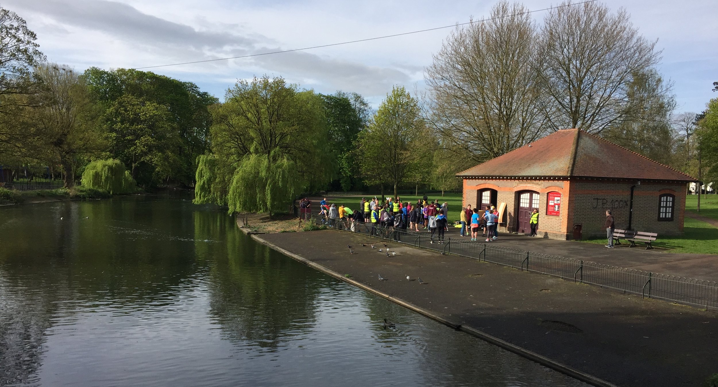
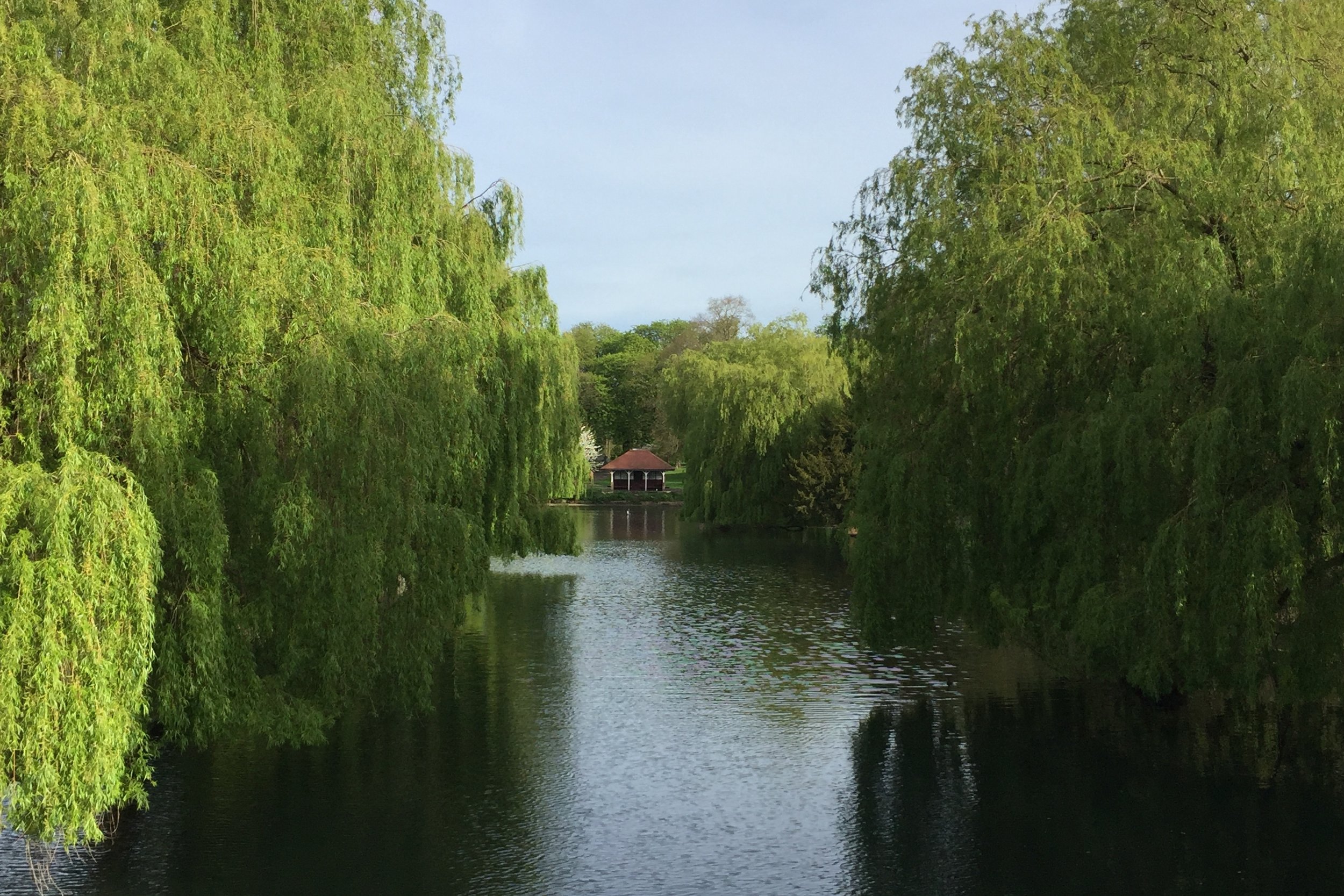
Start & Finish: Rickmansworth Aquadrome, Frogmoor Lane, Rickmansworth WD3 1NB
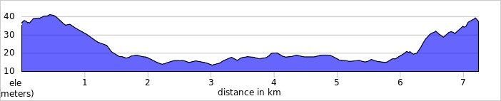
Distance: 11.4 km (7 miles)
Elevation change: + / - 59 m
GPX File: get via Buy Me a Coffee
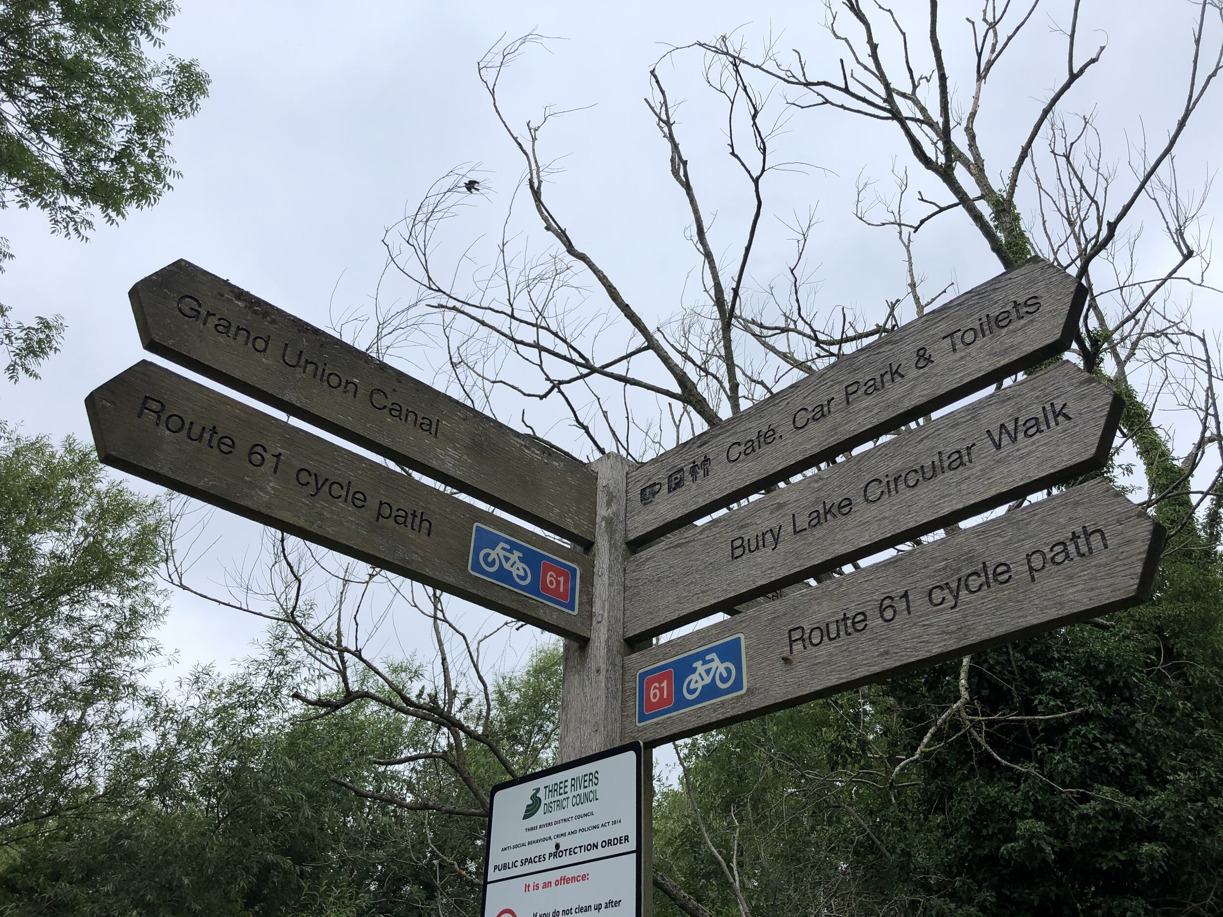
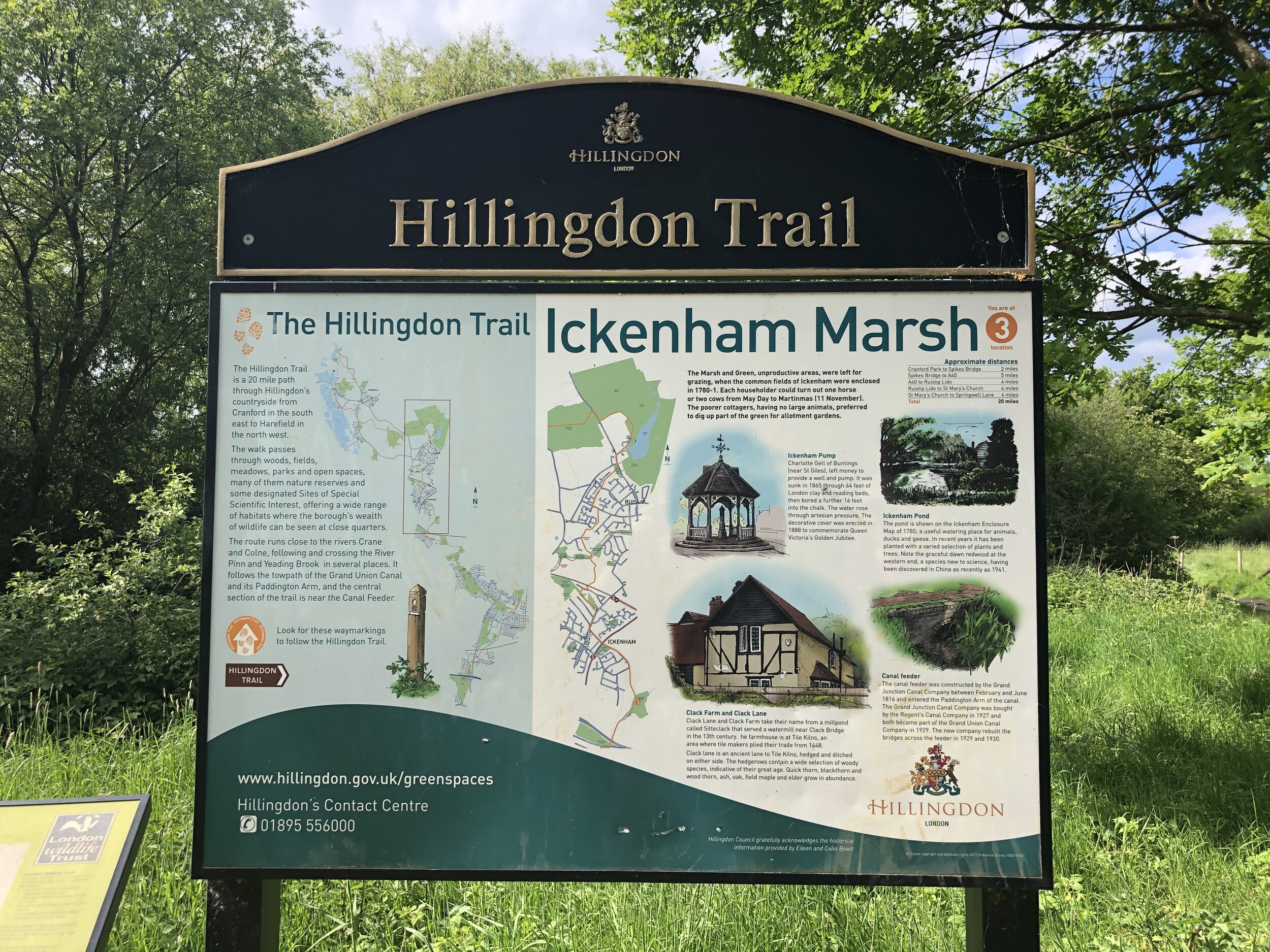
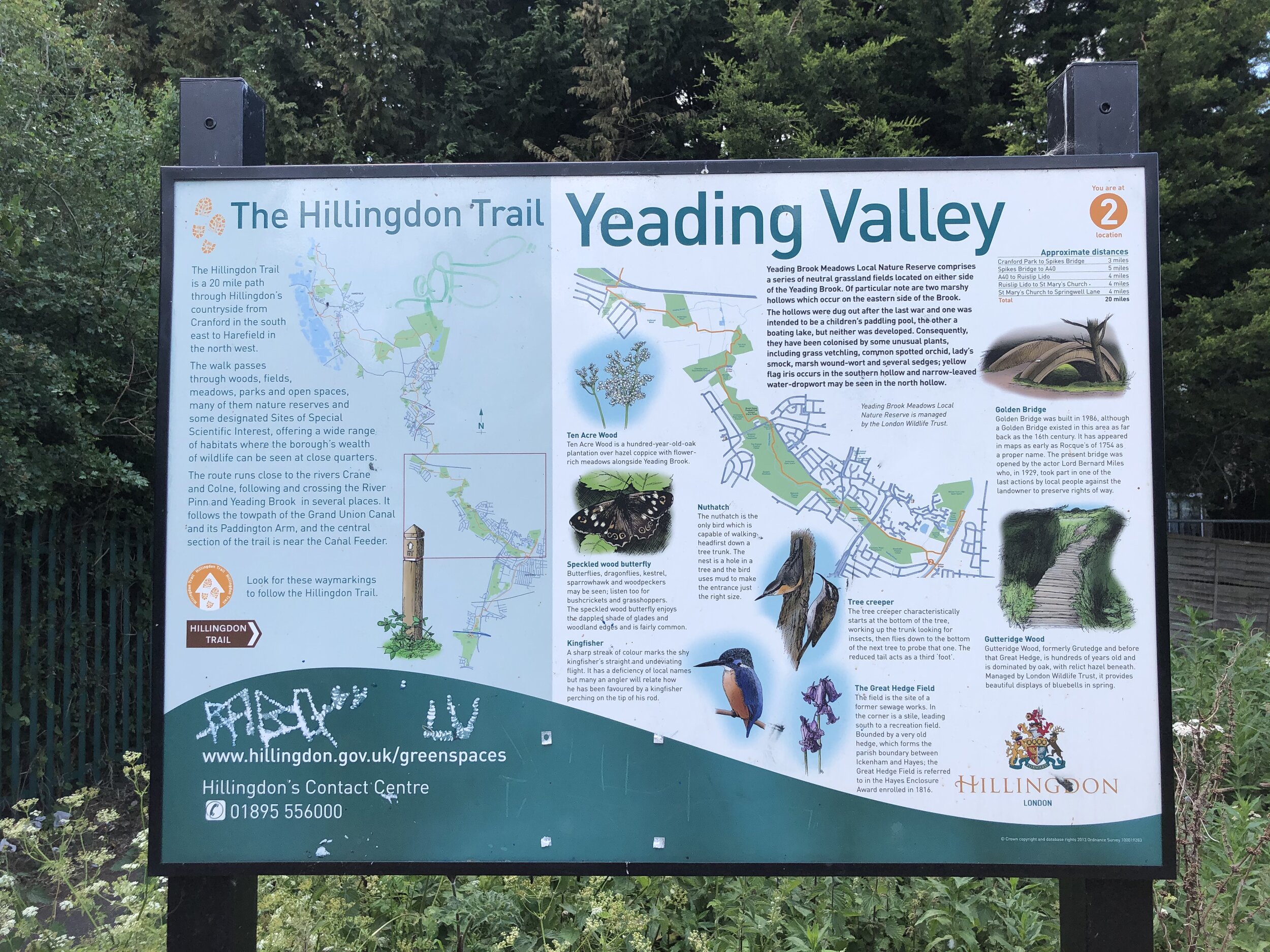
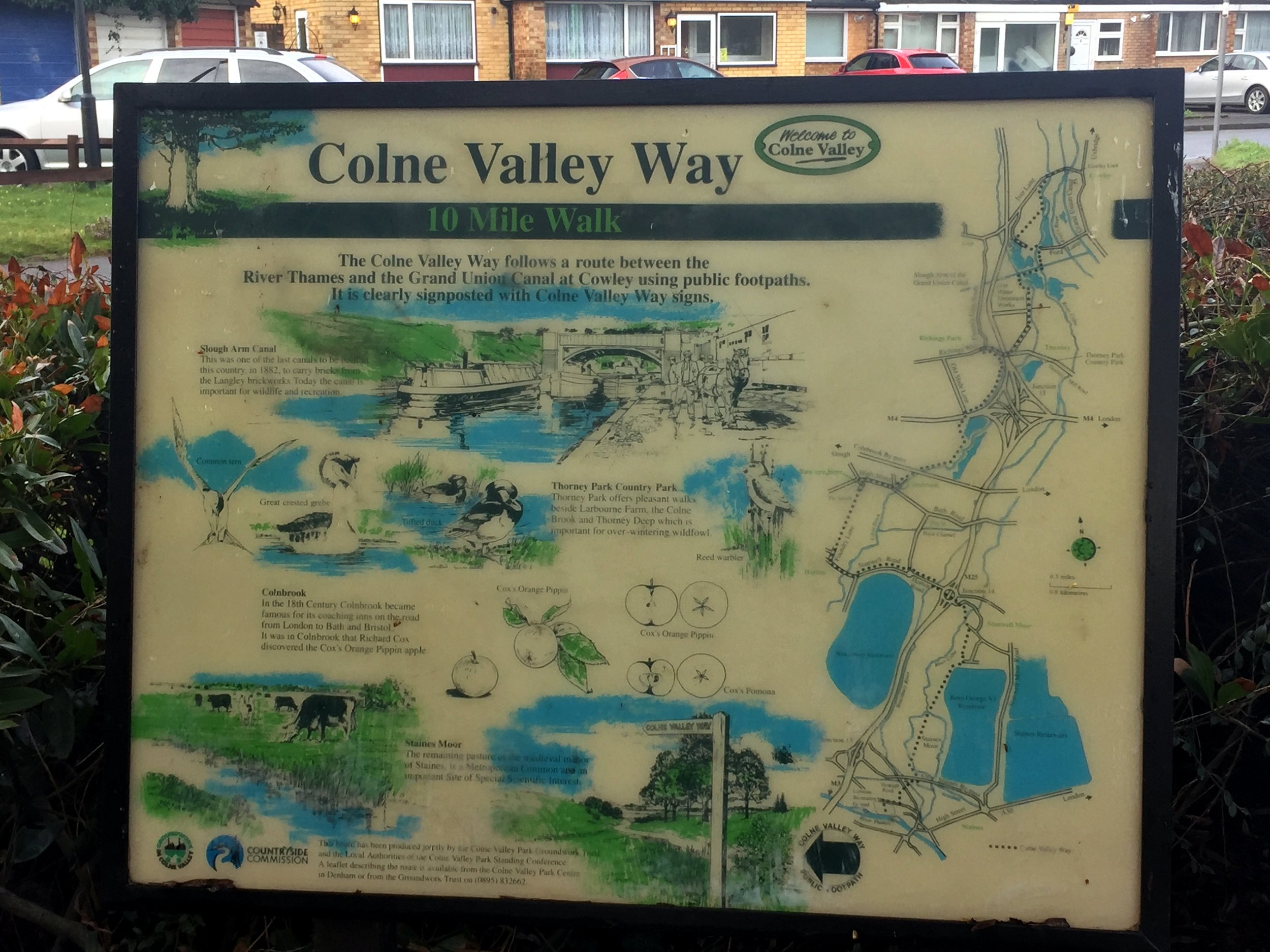
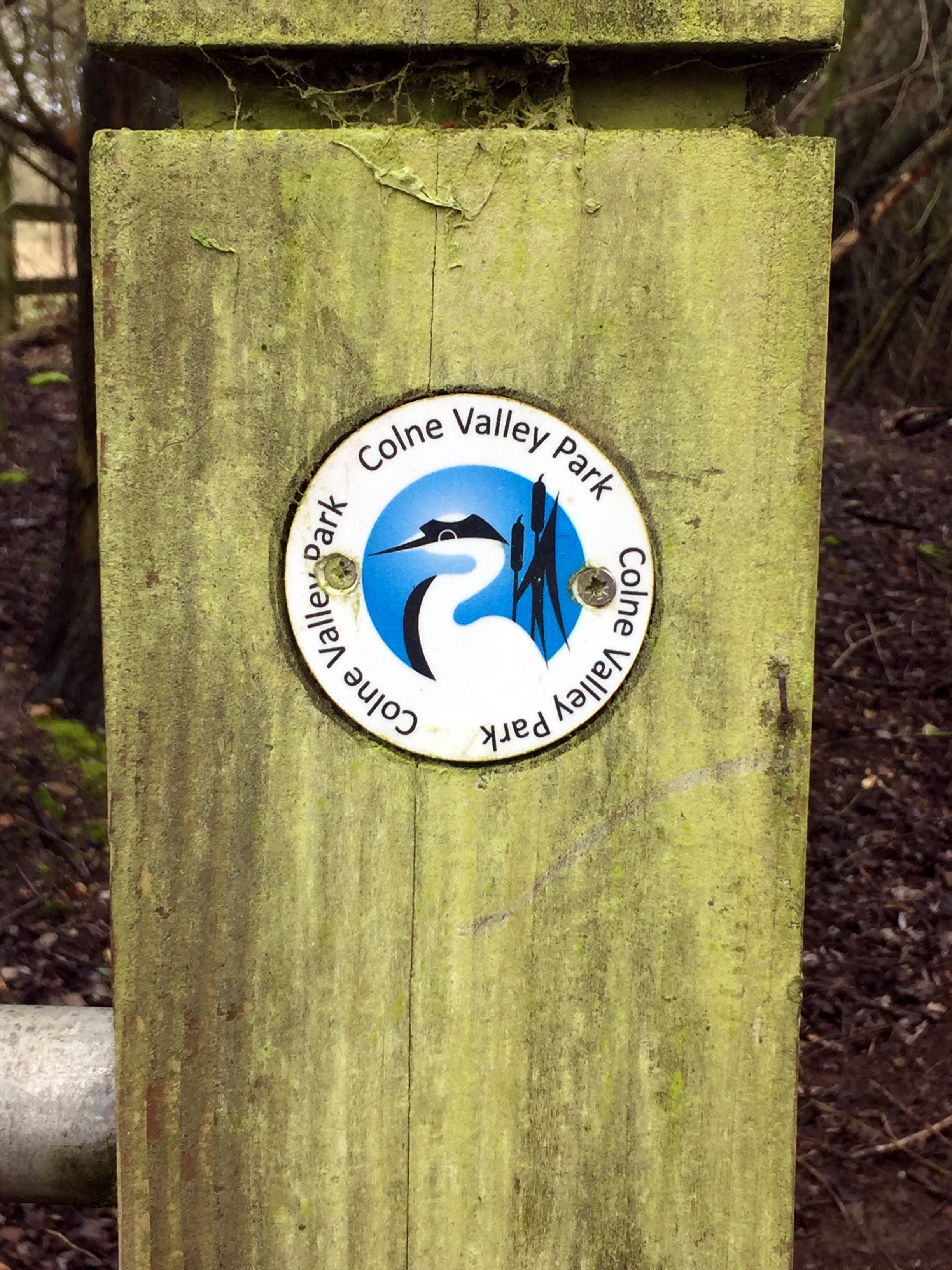
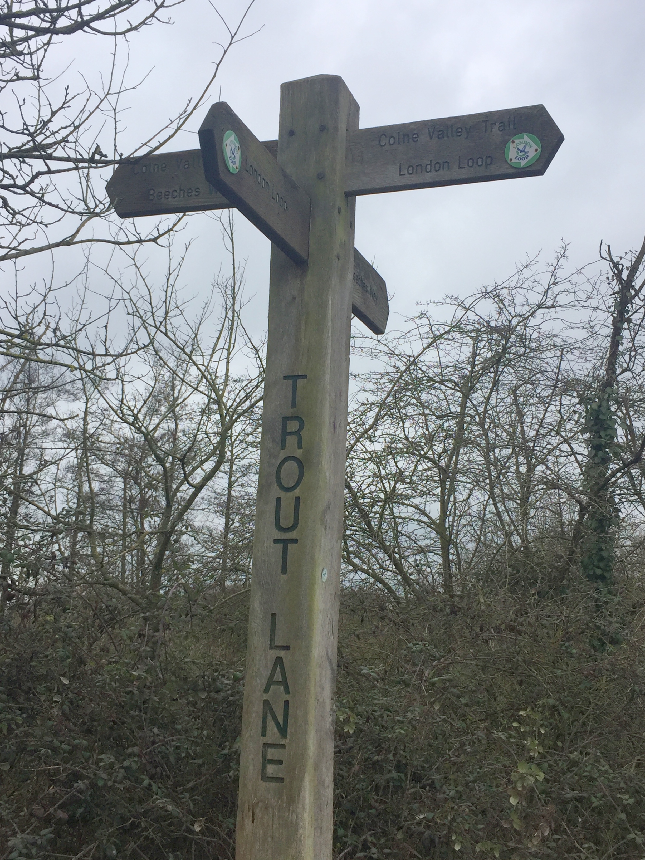
Other routes touched (walk): Rickmansworth Aquadrome Woodland Trail, Grand Union Canal Towpath, Colne Valley Trail, Hillingdon Trail, Ebury Way
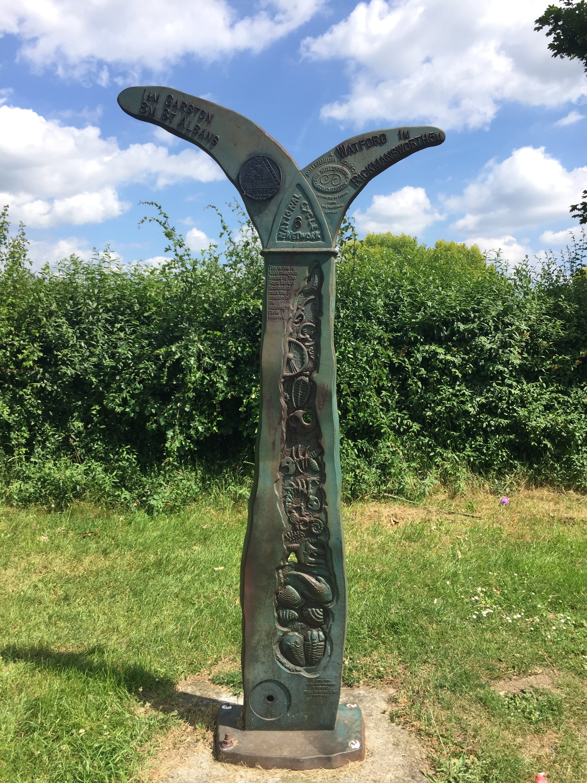
Other routes touched (cycle): NCN 6, 61
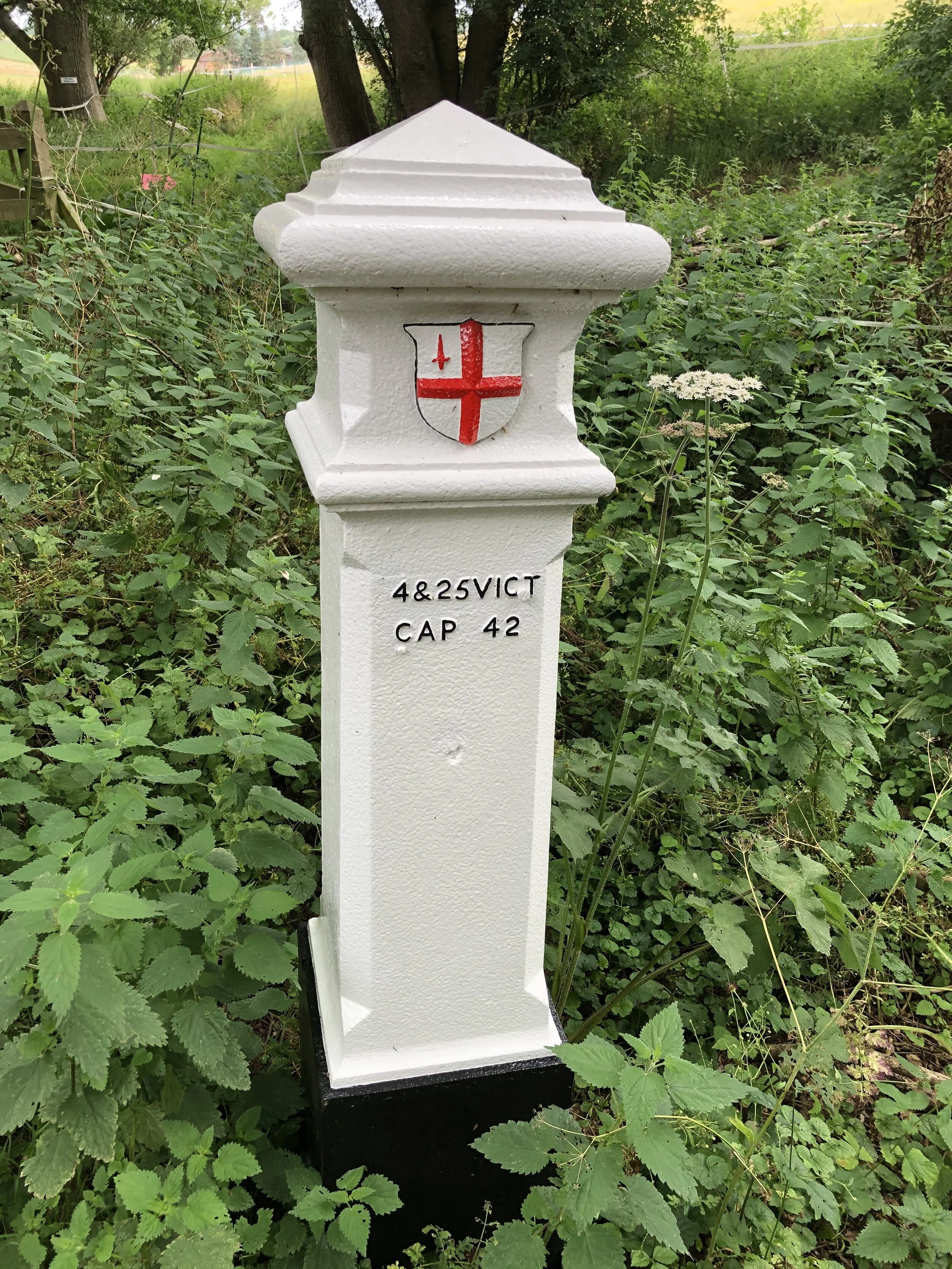
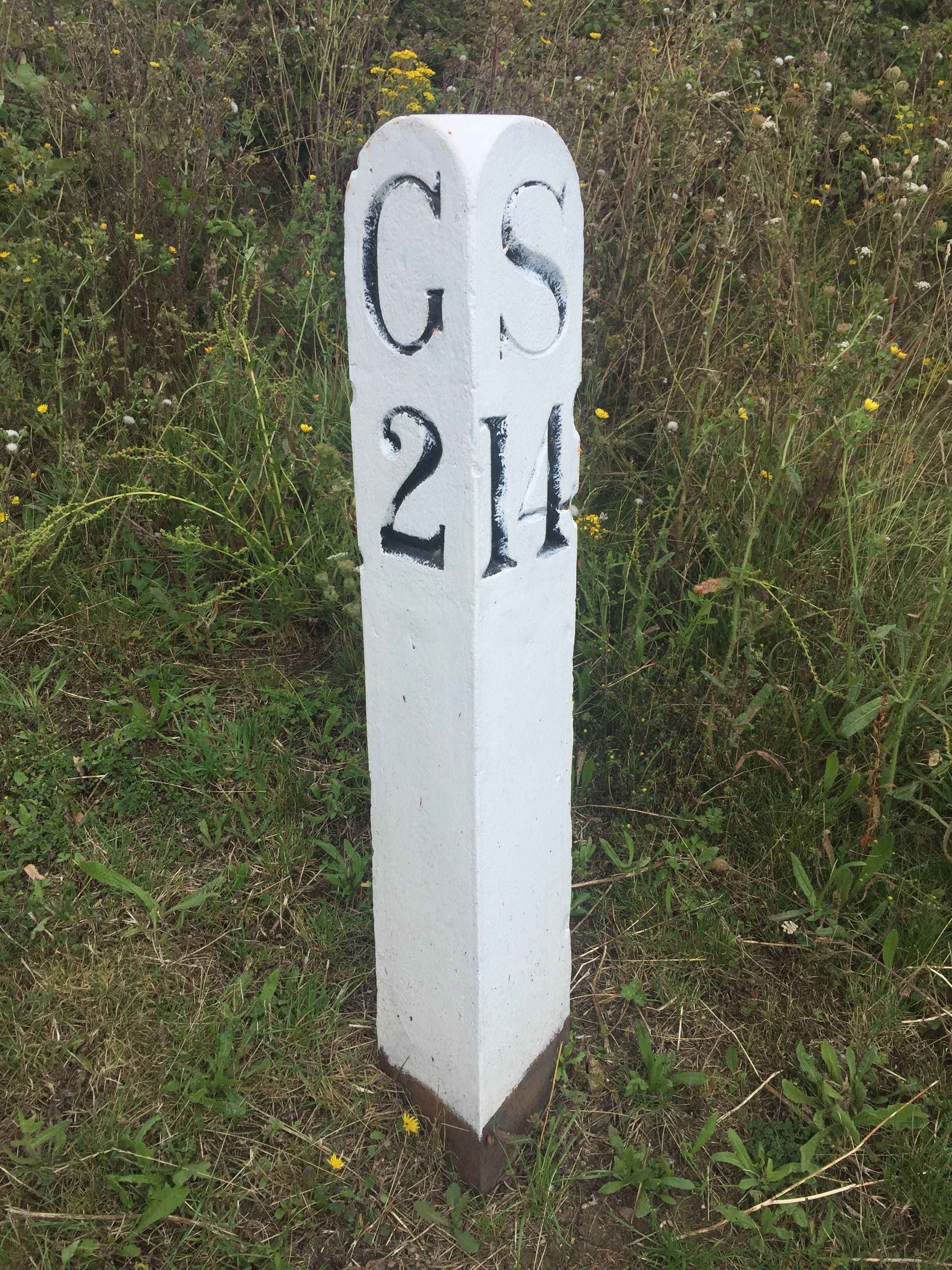
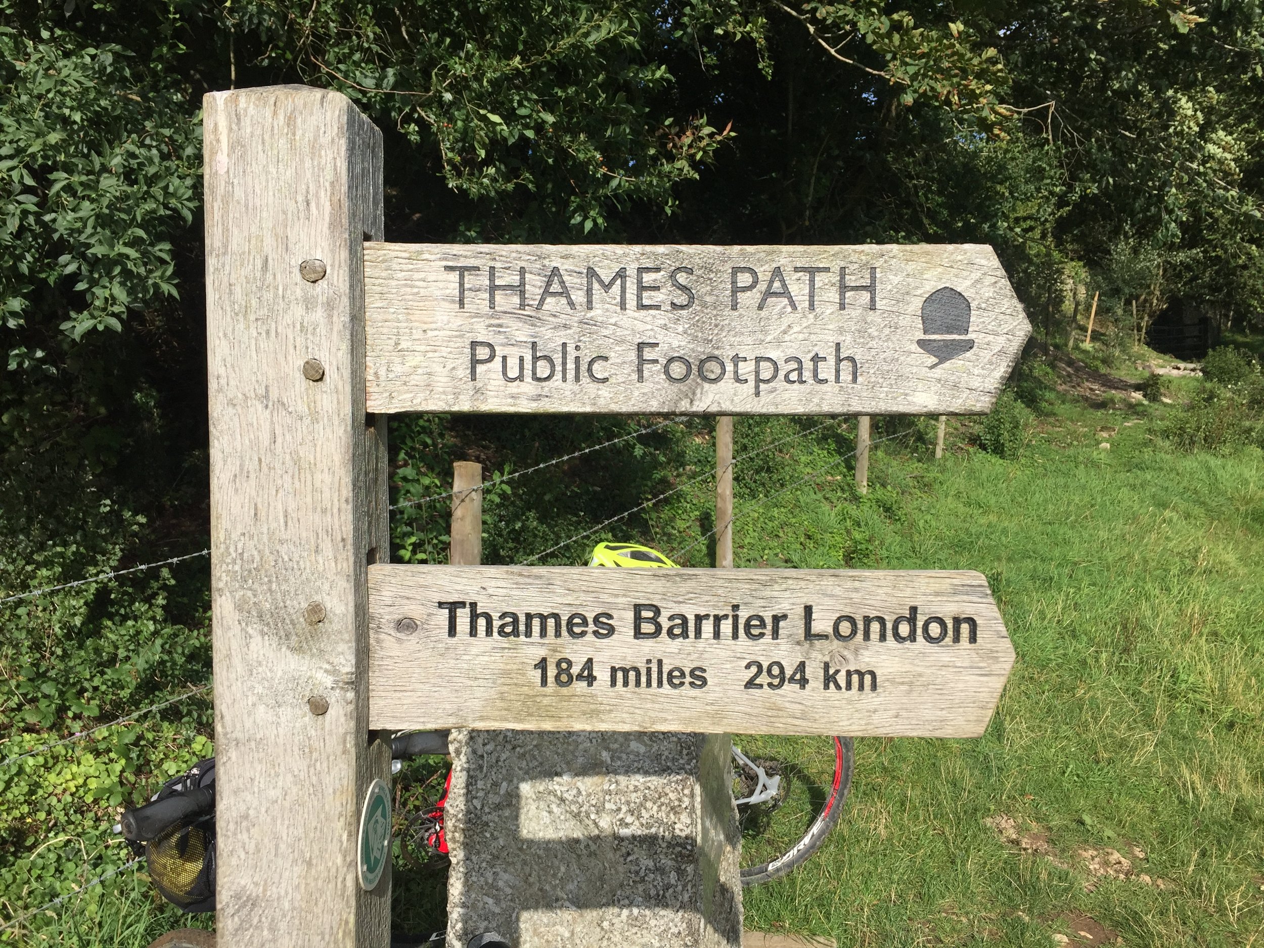
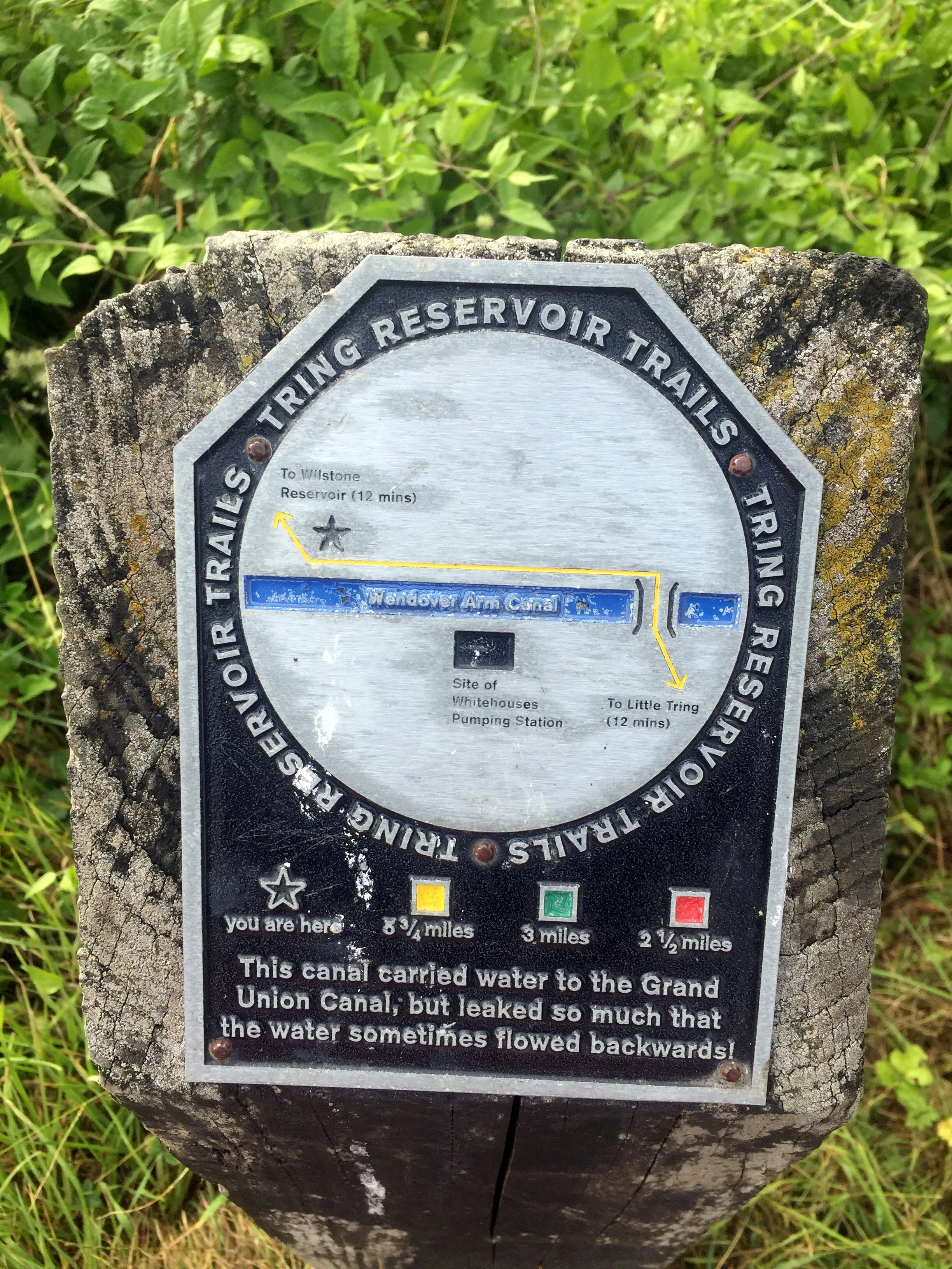
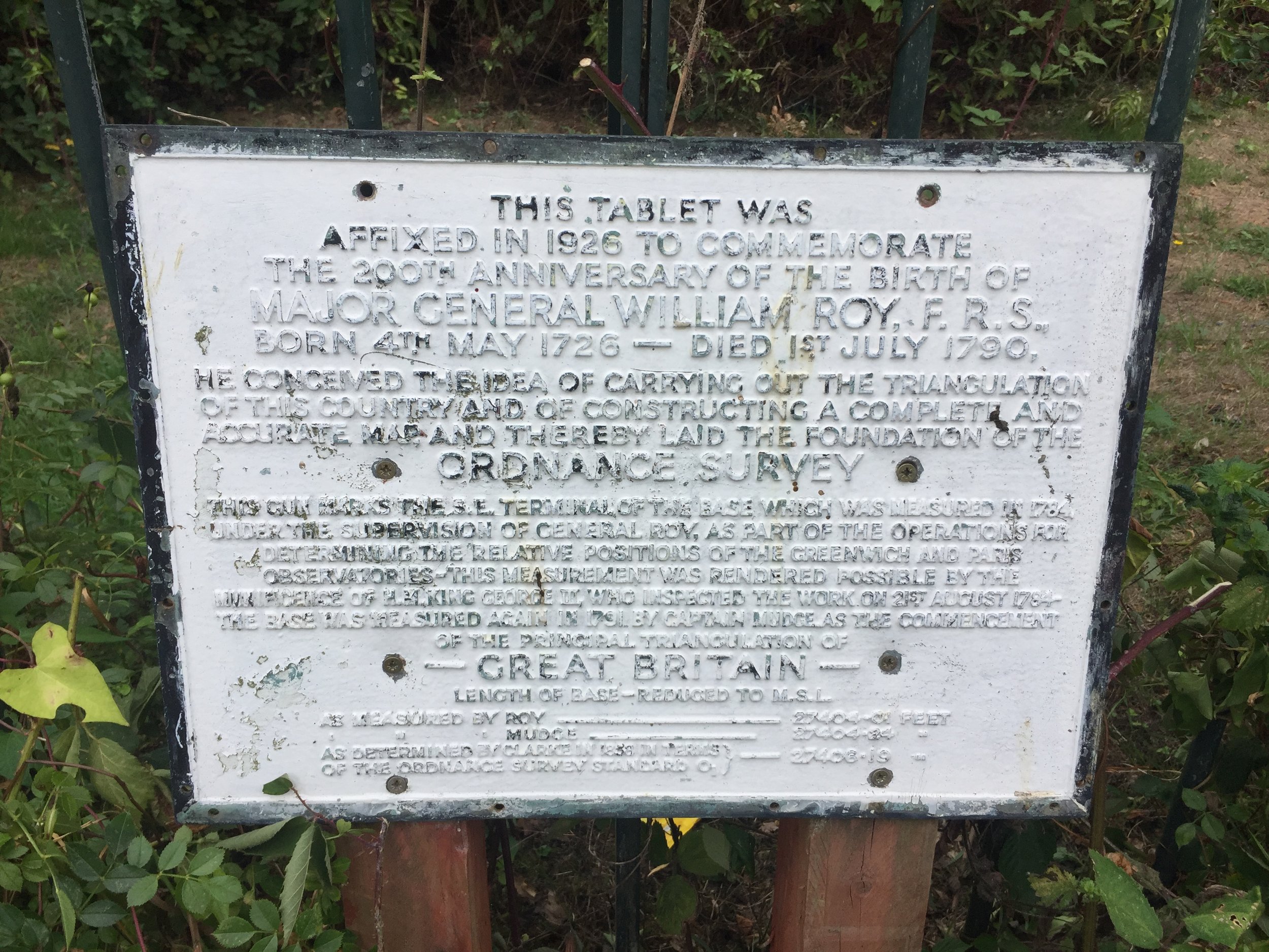
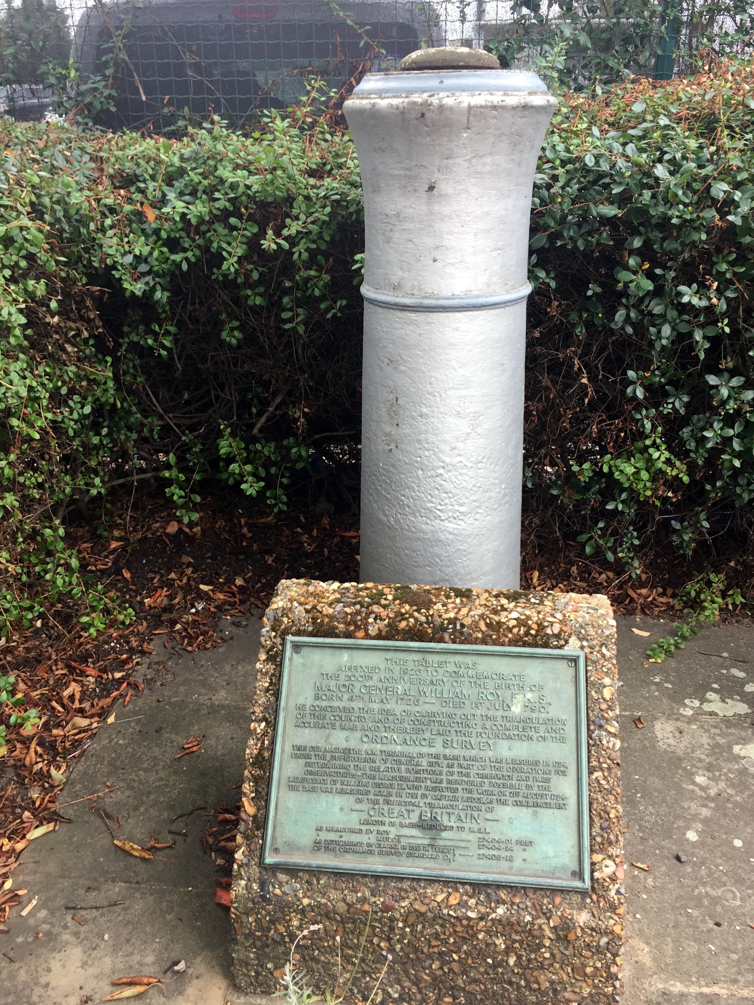
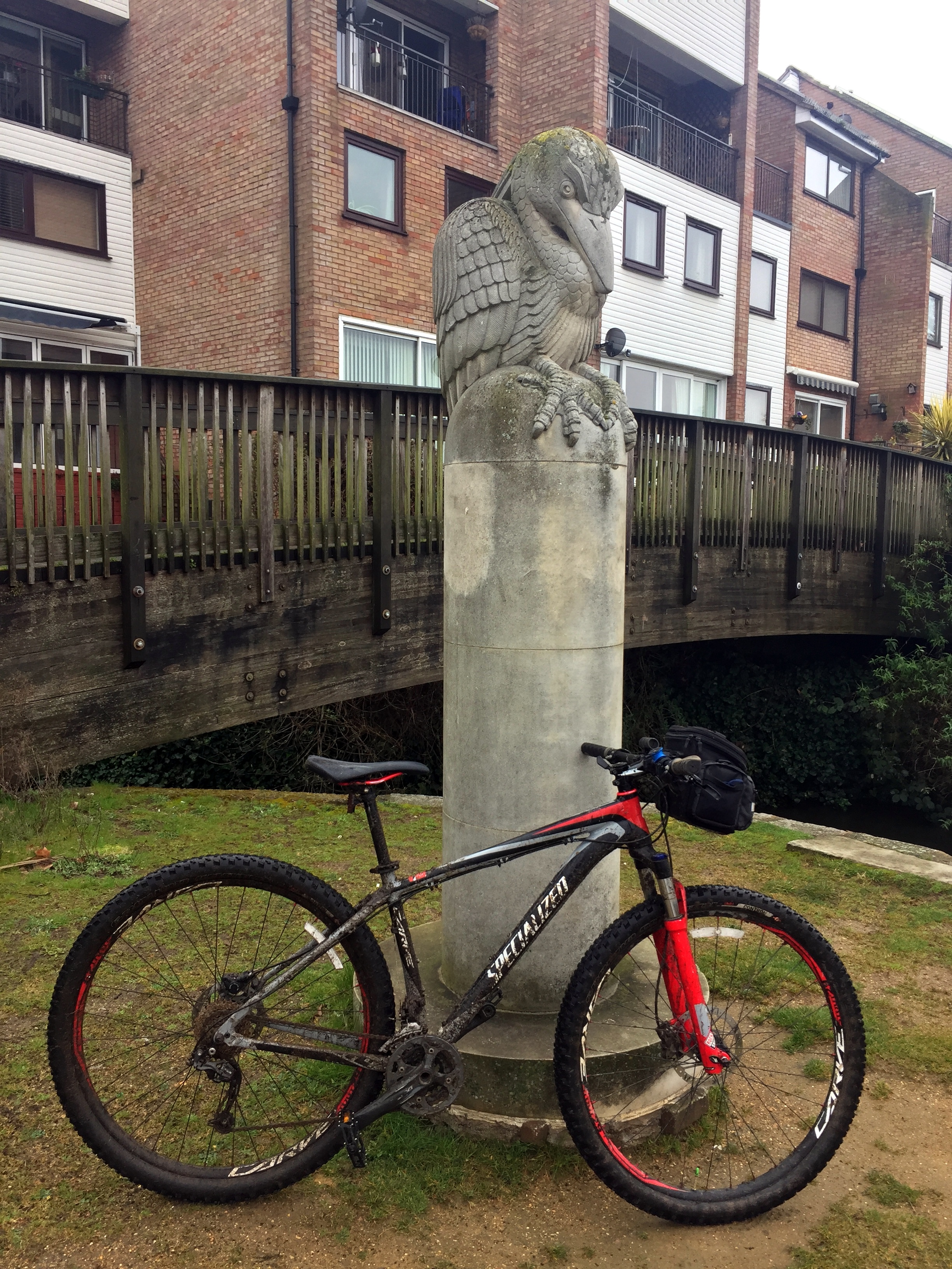
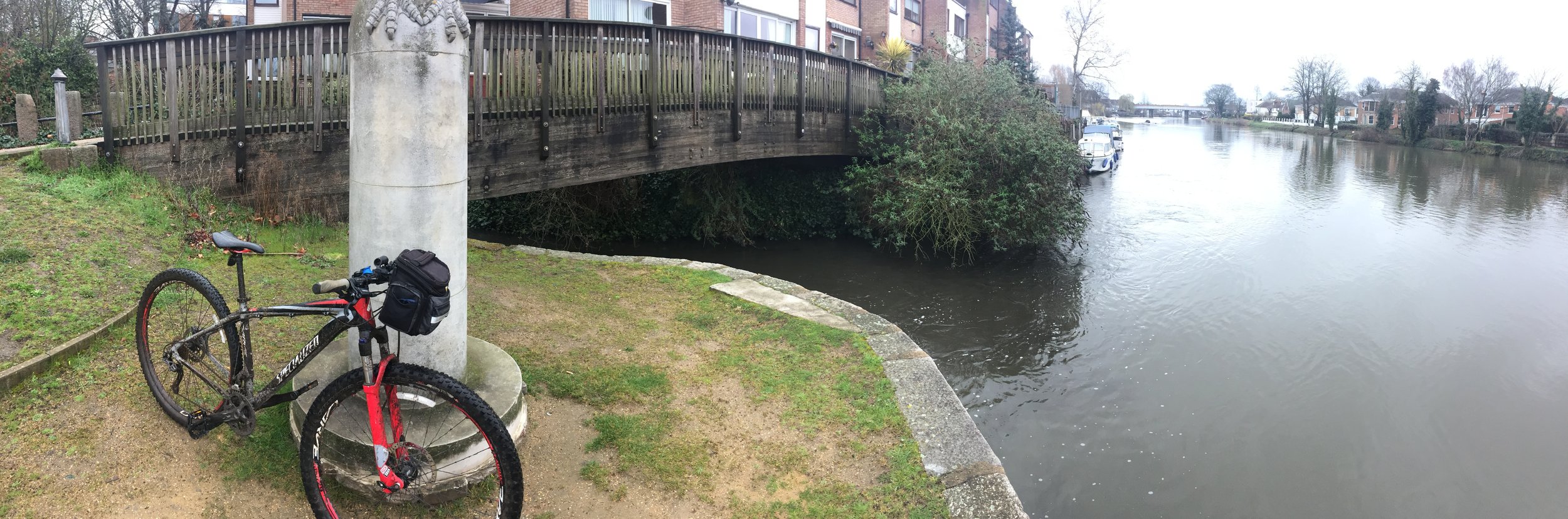
London Coal Duty Posts: 59, 62
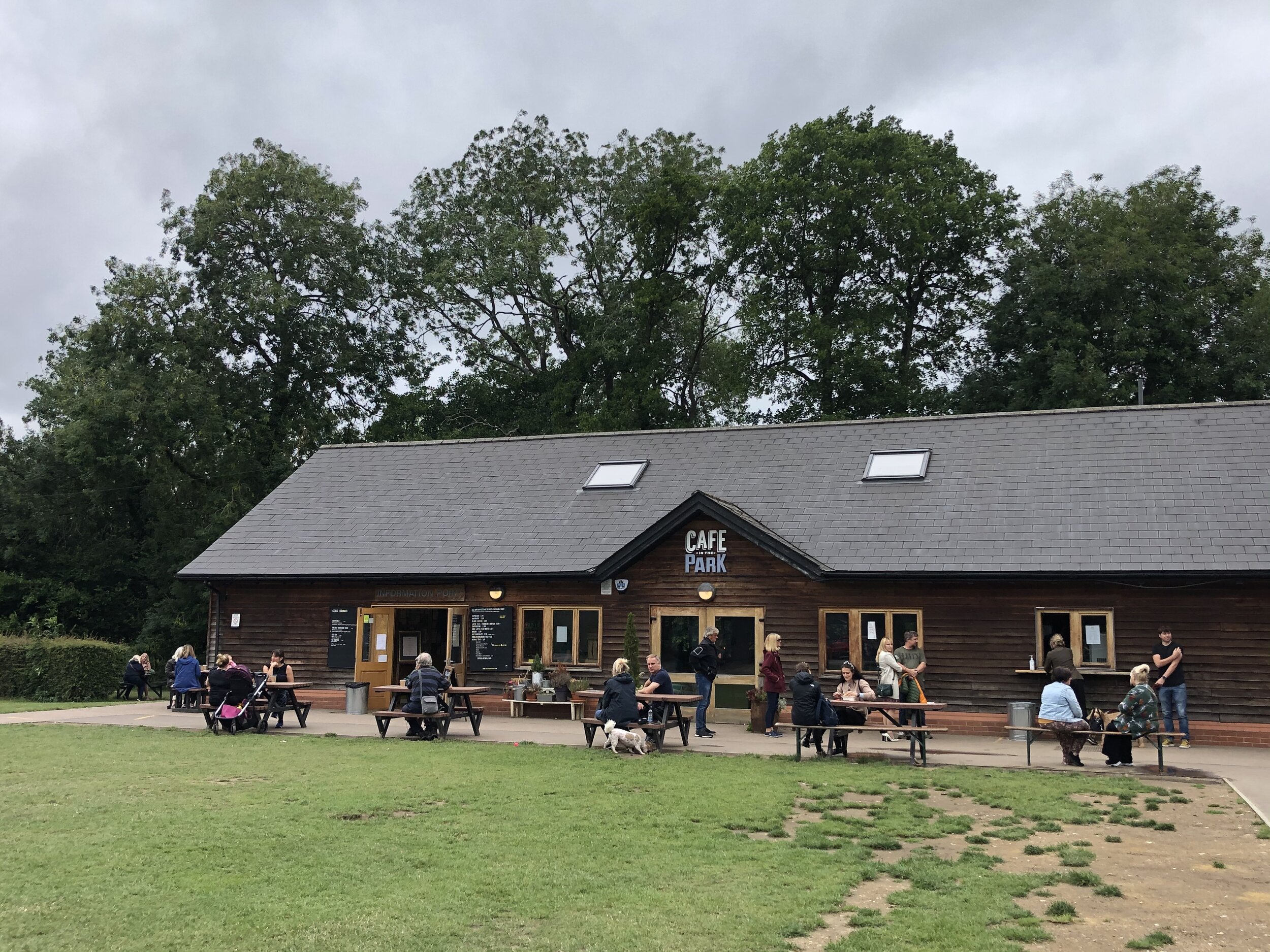
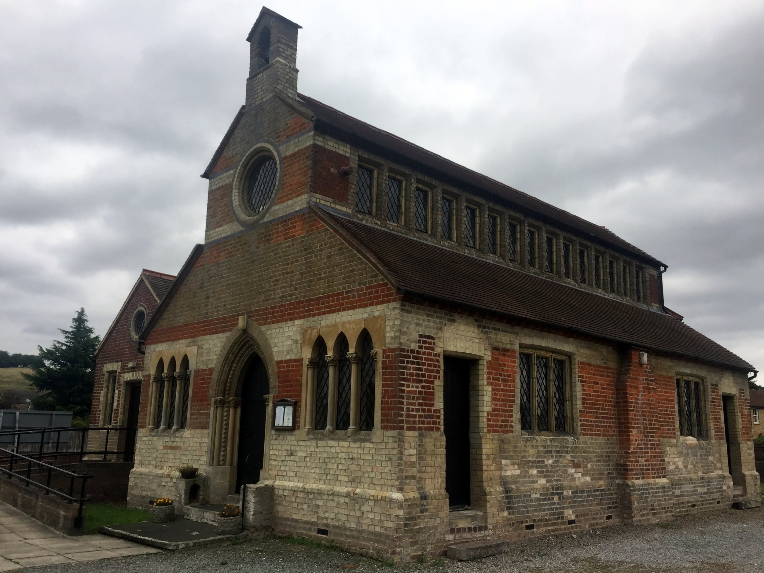
Pubs / Cafes on route: The Cafe in the Park at Rickmansworth Aquadrome, Cafe @ Lock 81 (WD3 1JJ)
Map: OS Explorer Map (172) Chiltern Hills East
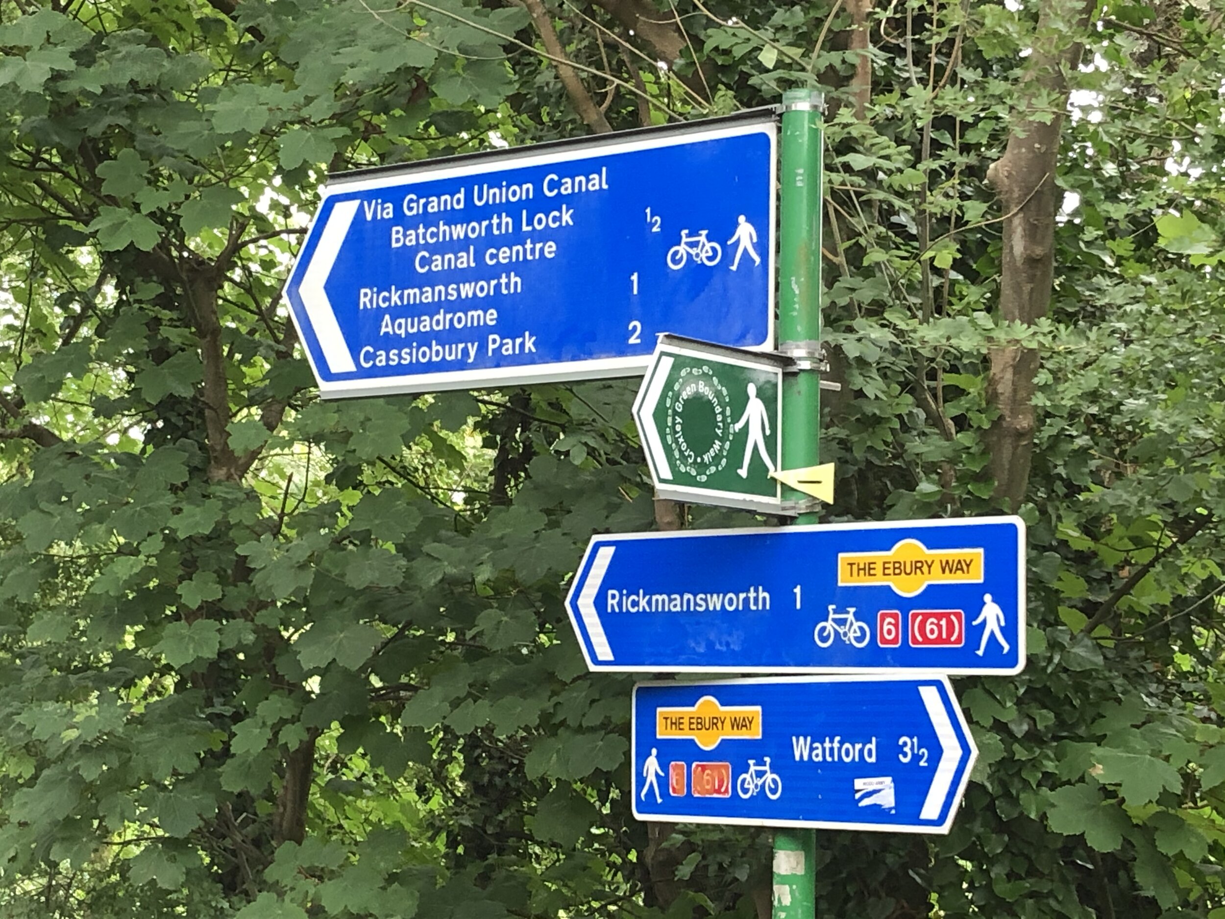
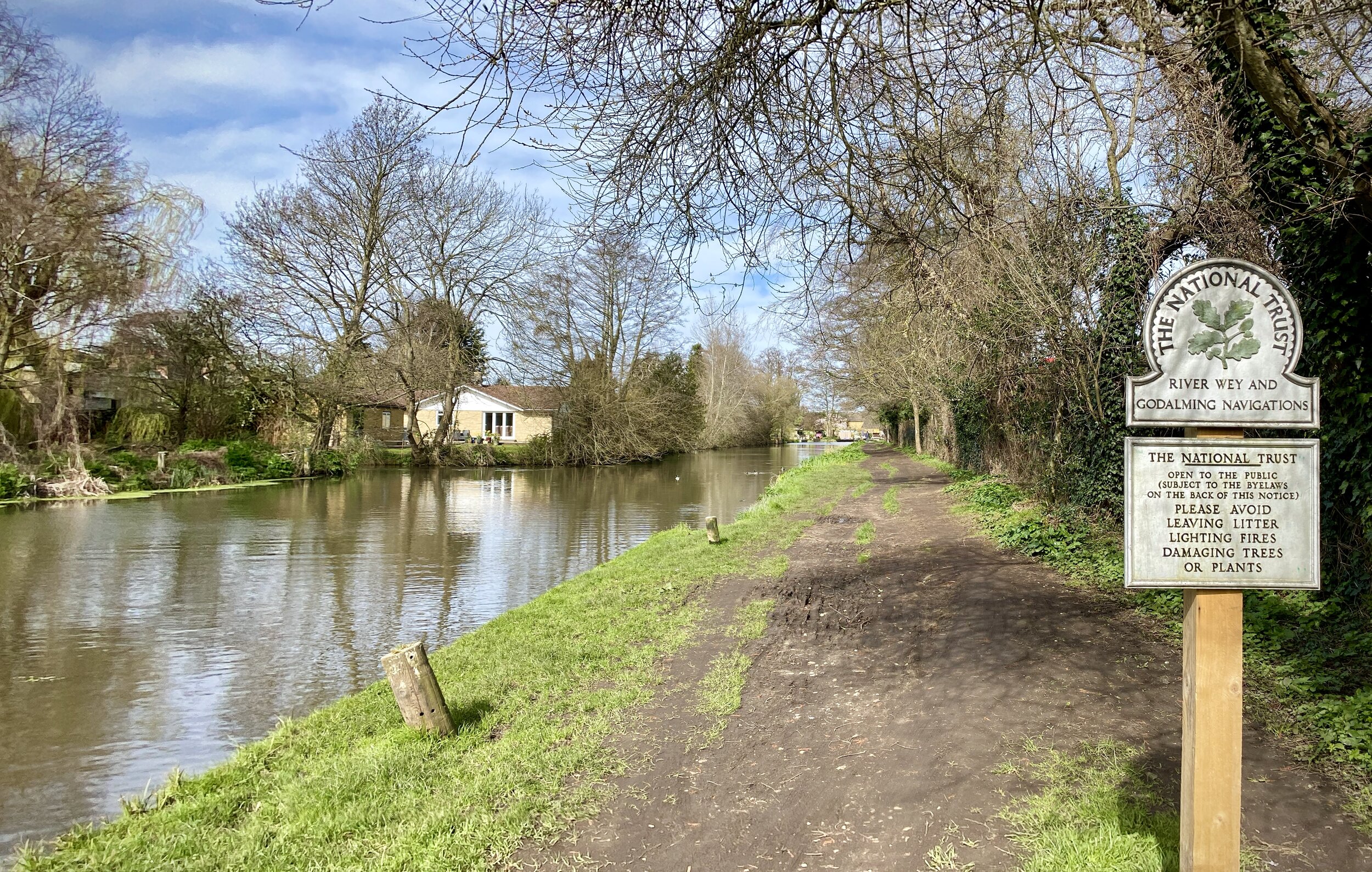
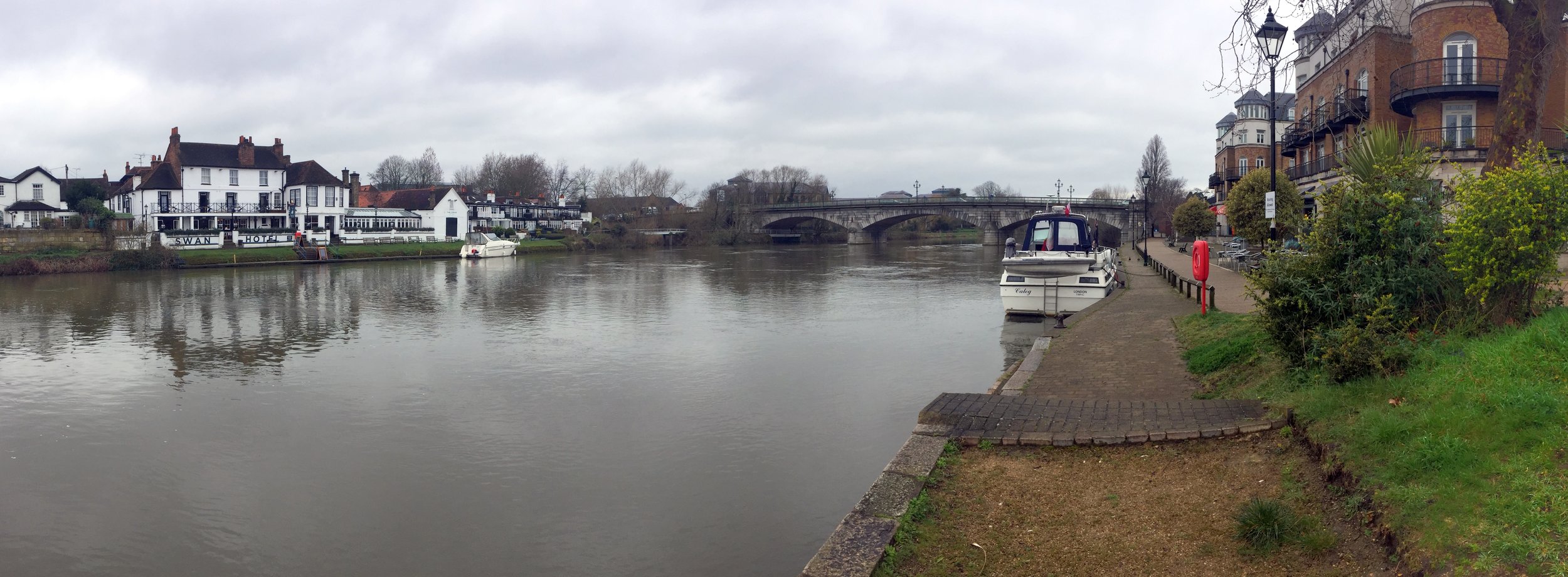
Links: Rickmansworth Aquadrome, Rickmansworth, Ebury Way
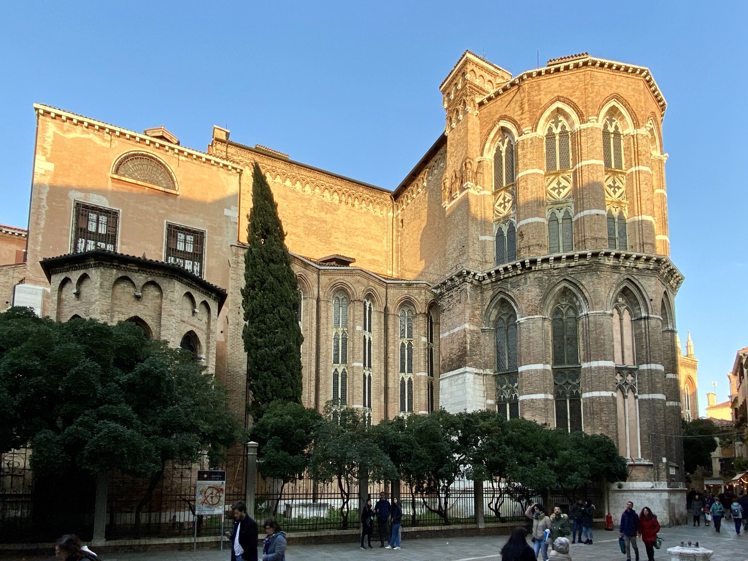
This week’s walk was a return to the source of some of our recent Colne Valley trips. In this short circular you’ll pass by the start of the Colne Valley and Hillingdon Trails and the confluence of both the rivers Chess and Gade with the Colne. Throw in a few Coal Duty Posts and a disused railway too and it’s a pretty geeky Chiltern trail. The guidance below will help you navigate but don’t use it as a fully accurate turn-by-turn guide. Always take a map and/or a GPX route and prepare well for the weather and terrain.
If you’re driving the best place to start is Rickmansworth Aquadrome which has a large free car park. If you’re coming in by train, it’s a 1 km walk from Rickmansworth station to the Aquadrome.
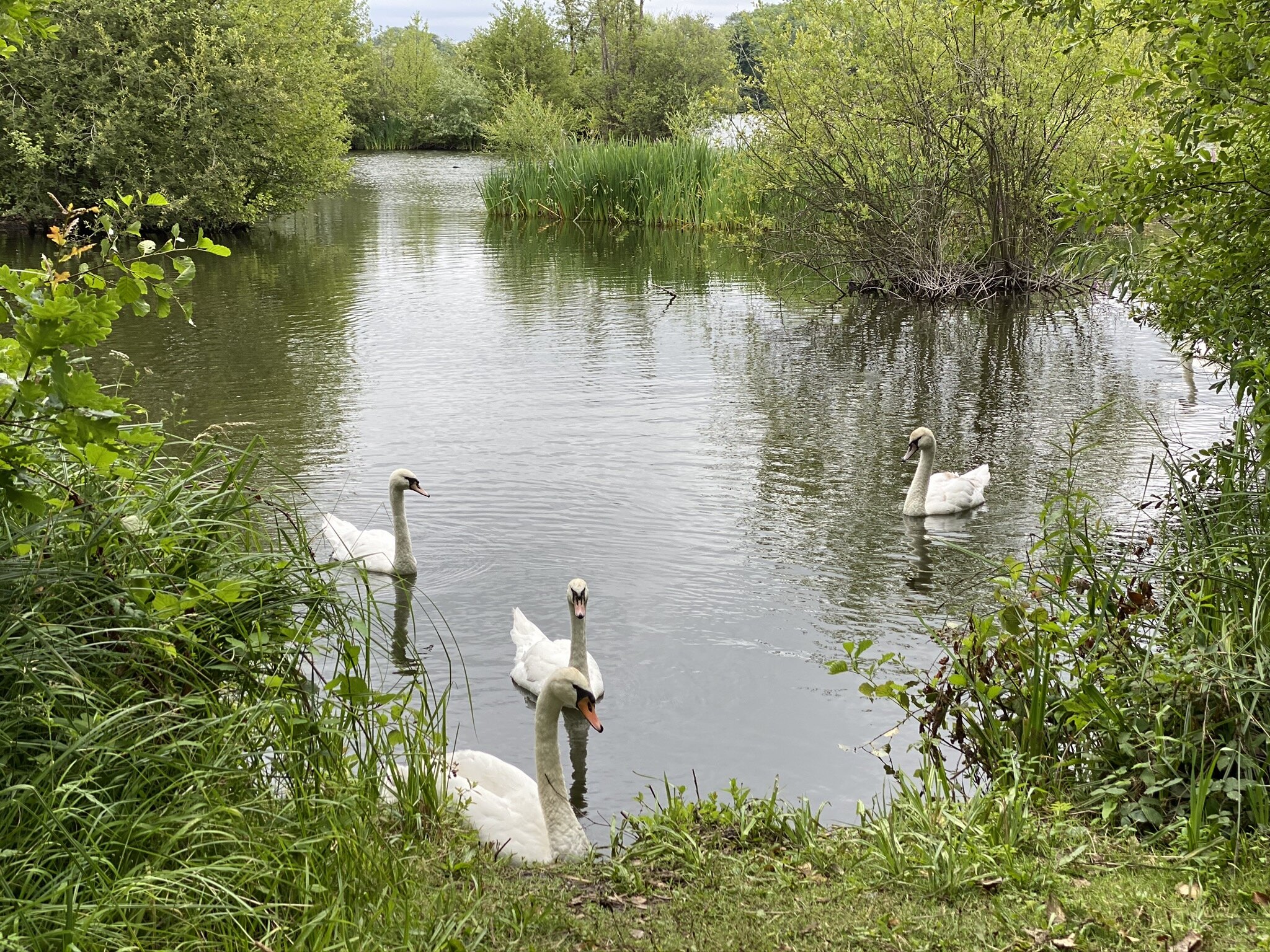
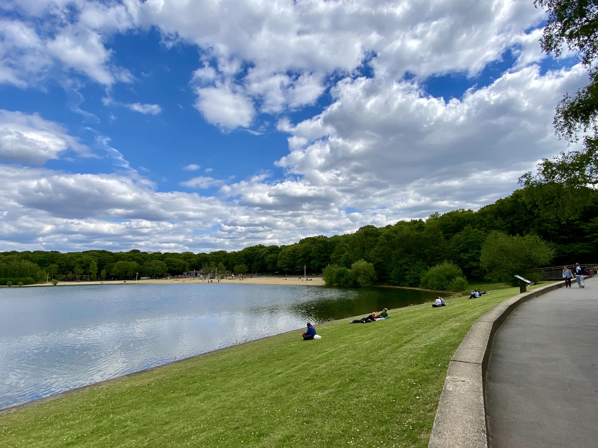
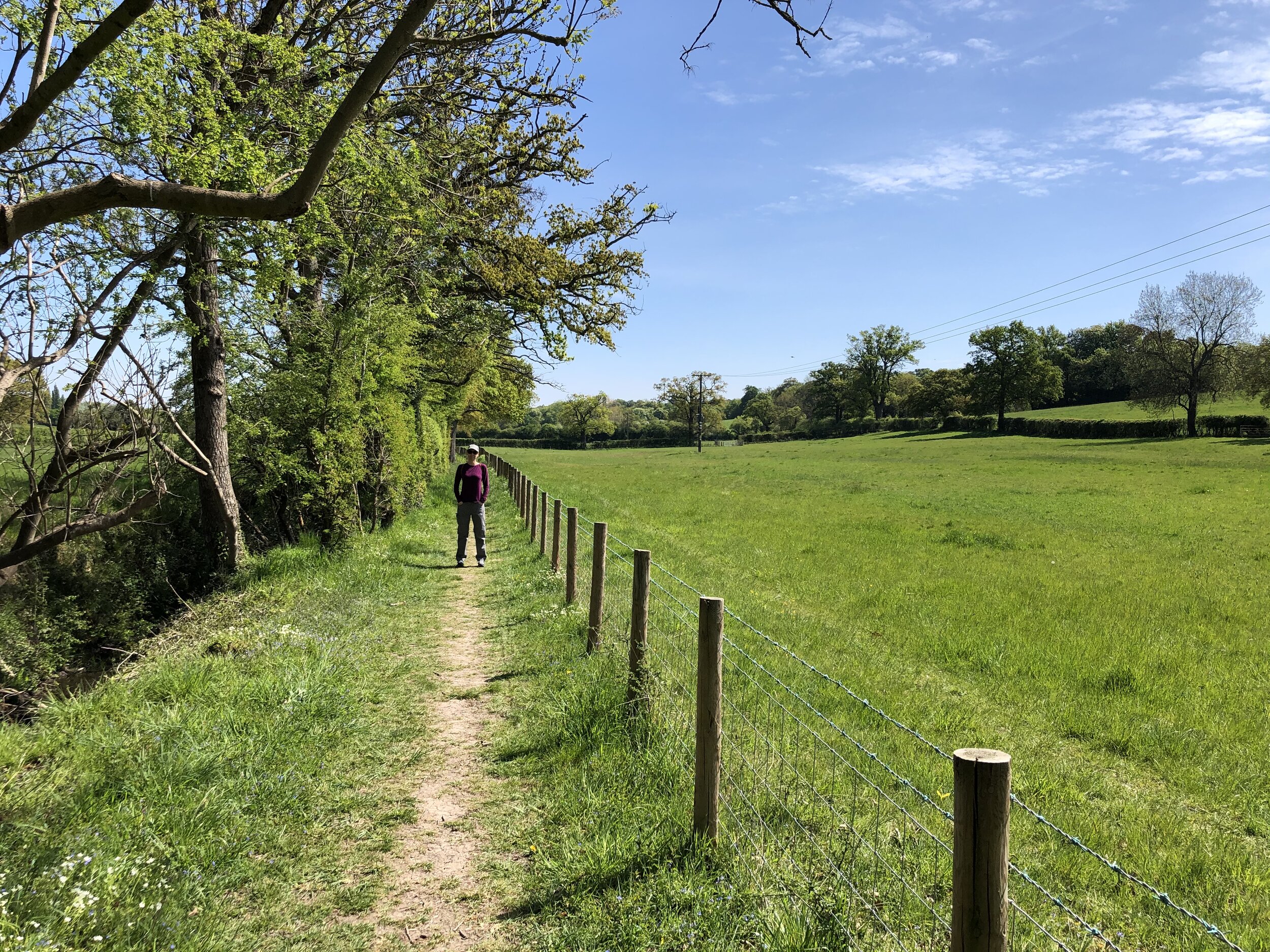
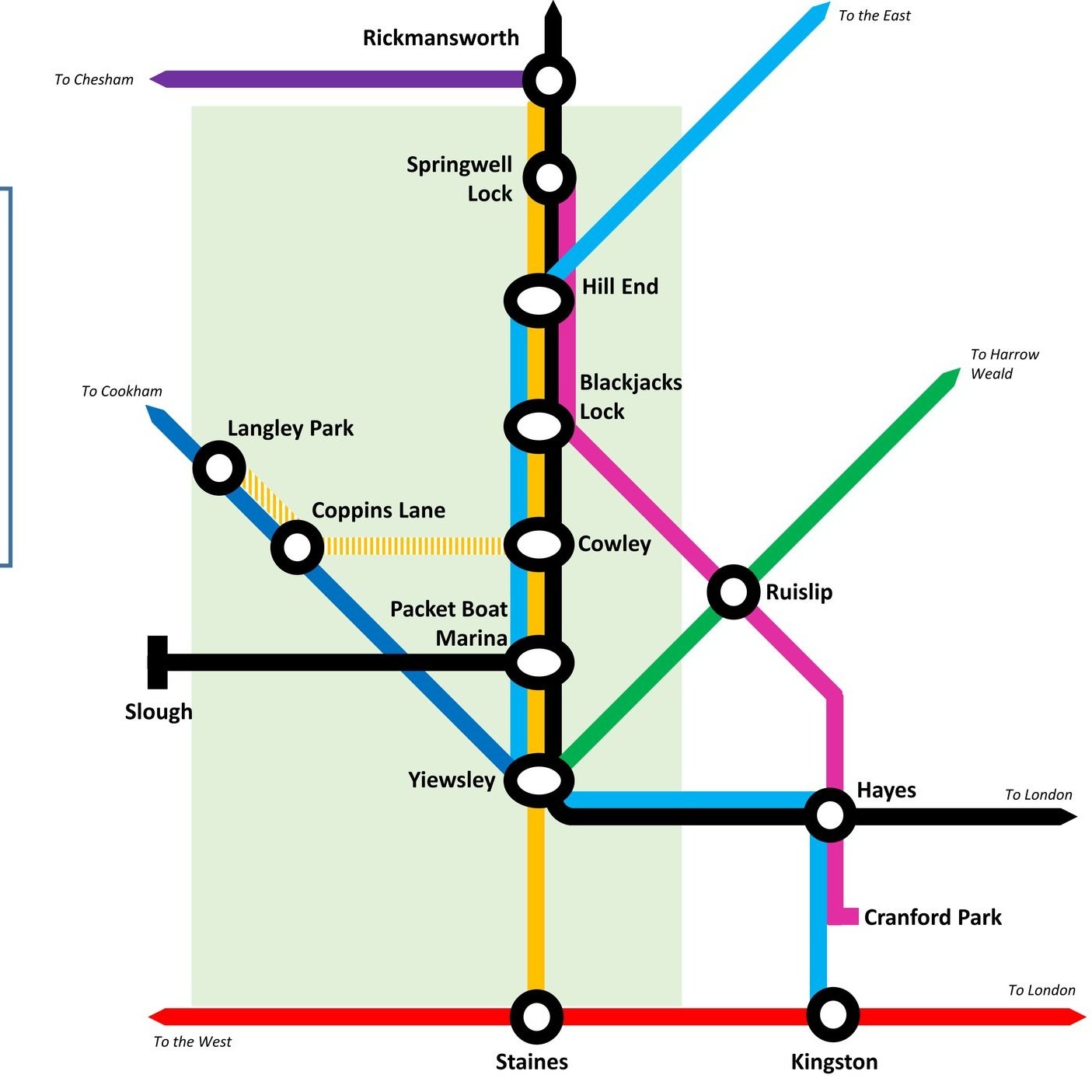
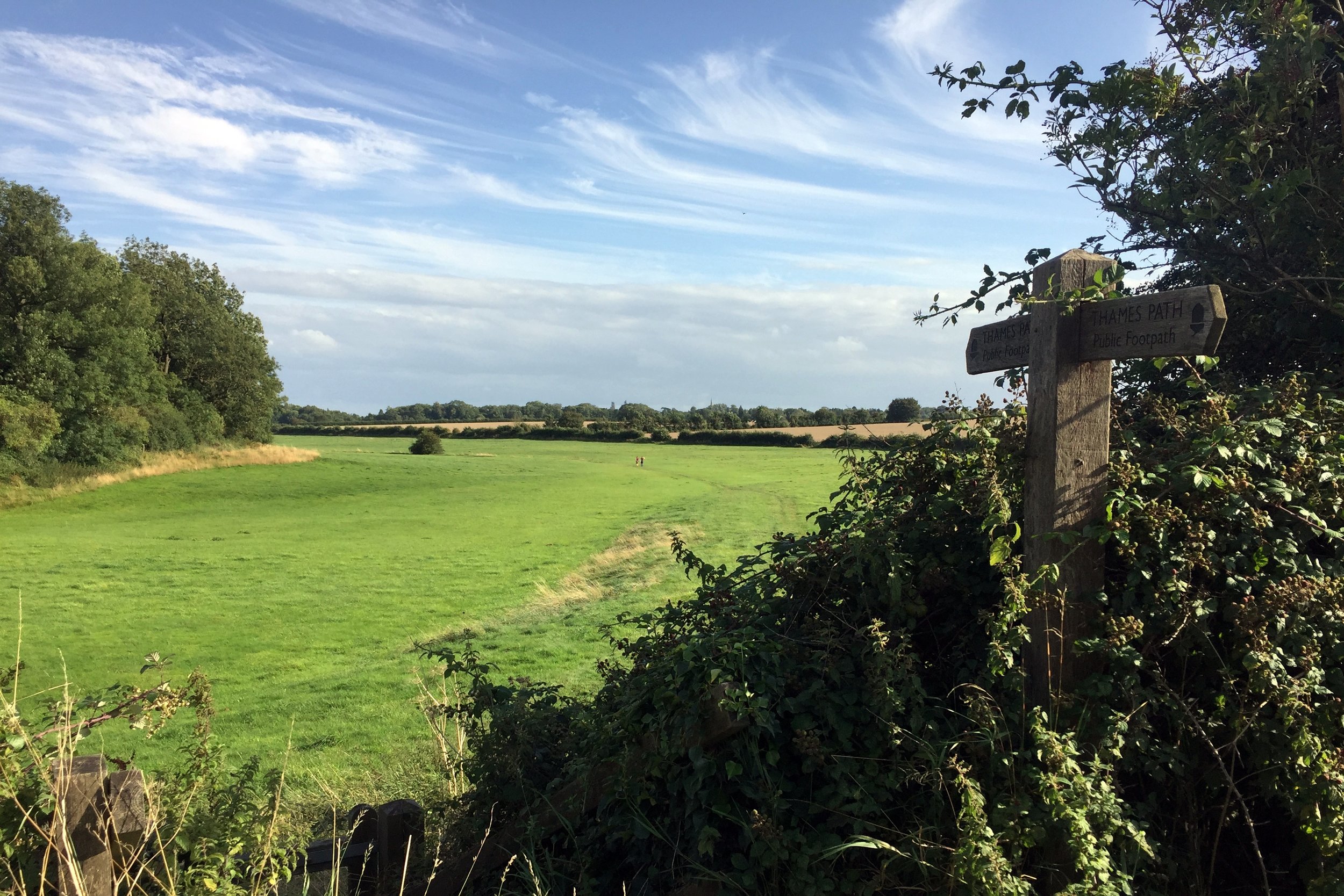
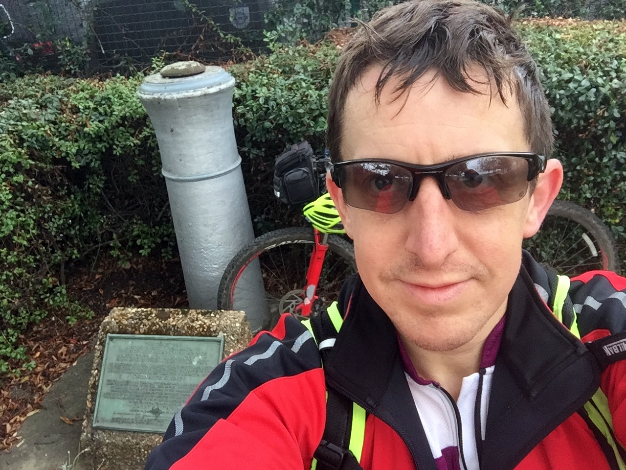
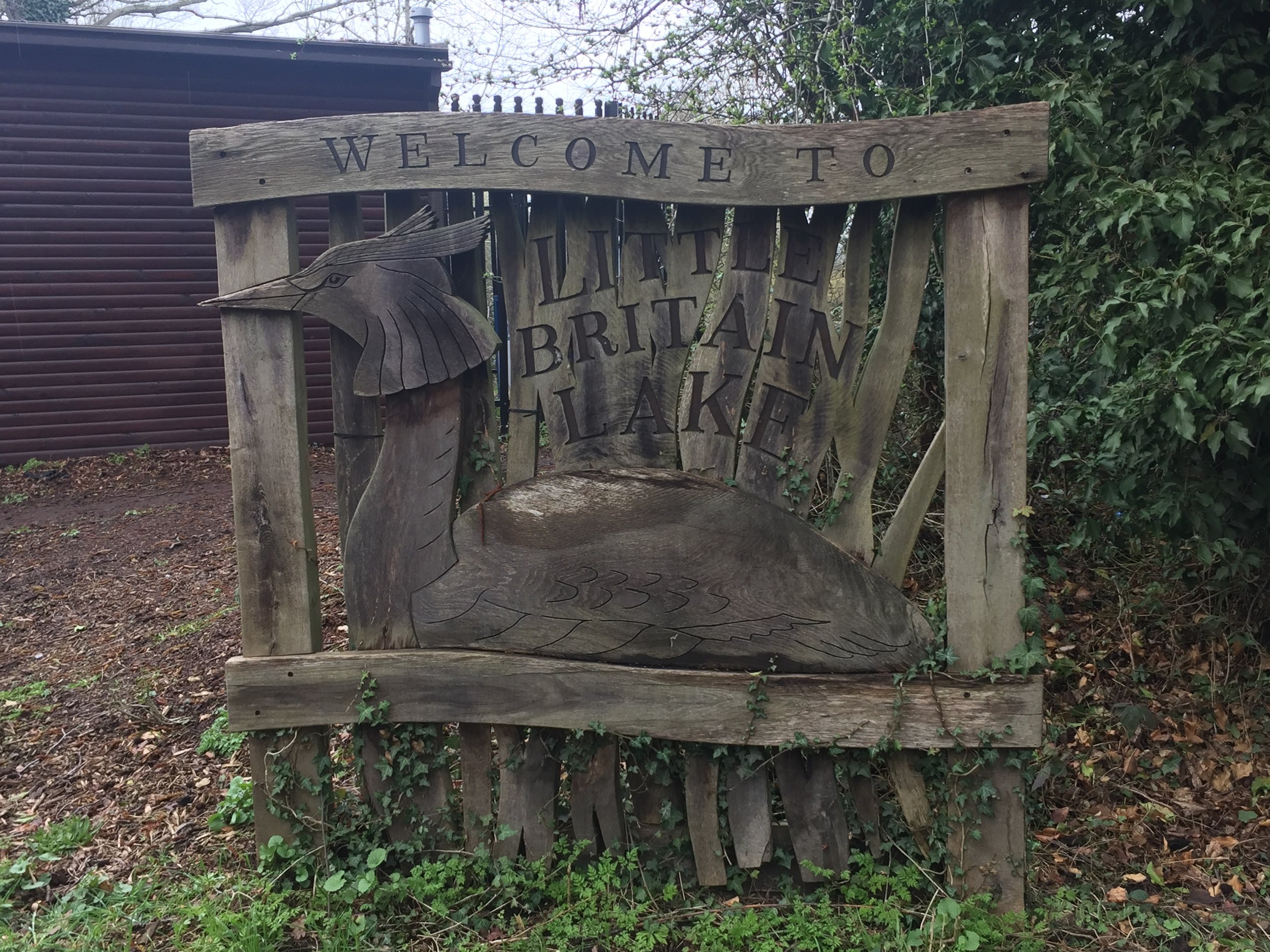
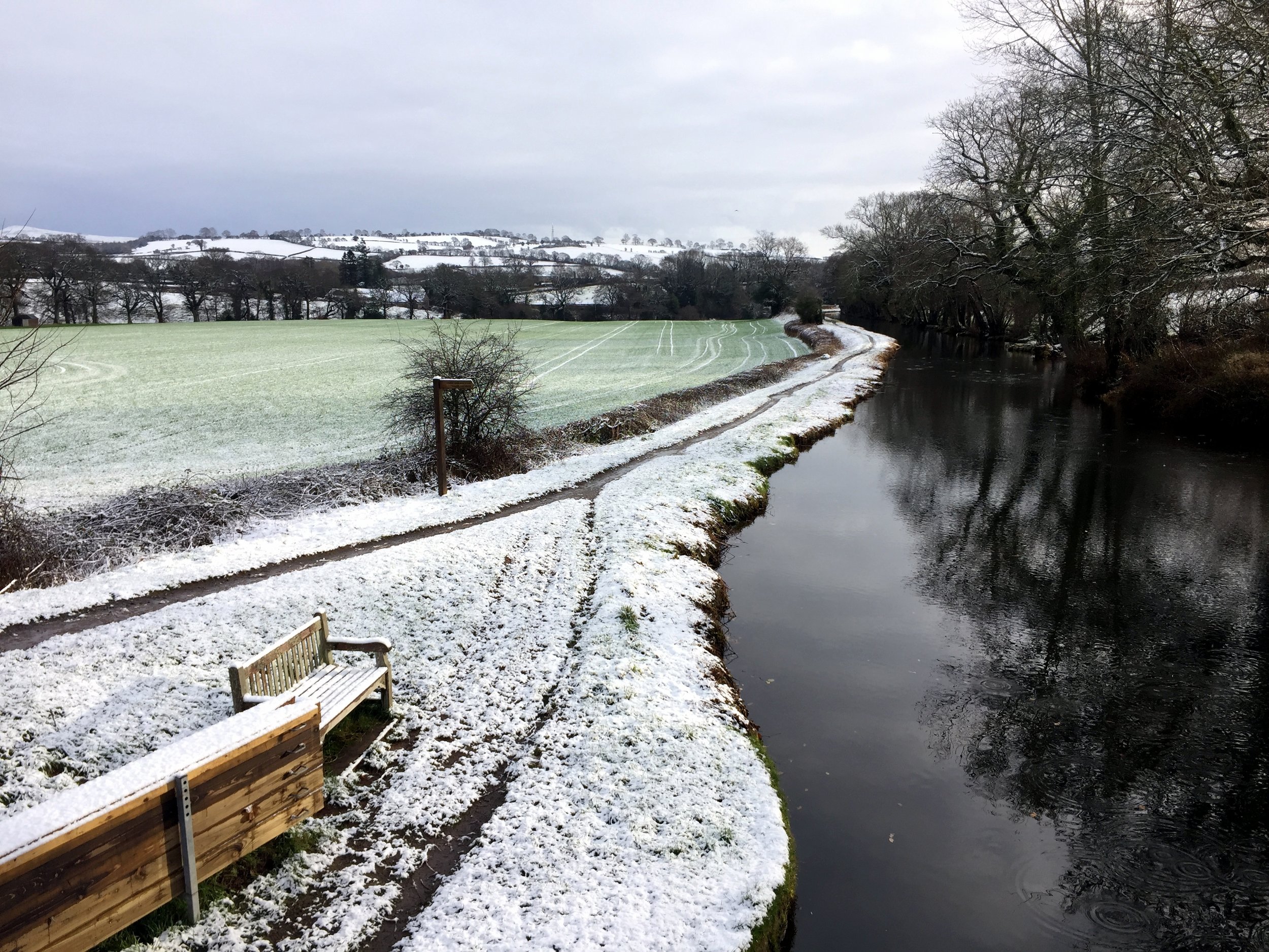
From the Aquadrome Car Park follow the Bury Lake Circular Walk round the southern and western edges of the lake. At the north-western corner take a left and follow the path along the northern edge of Stocker’s Lake. After ~2m from the start you’ll reach Springwell Lane. We took a right here to find the Coal Duty Post at Drayton Ford bridge before returning back. If you can live without the Coal Post excitement, just turn left onto Springwell Lane, reducing the total trip length by ~500m.
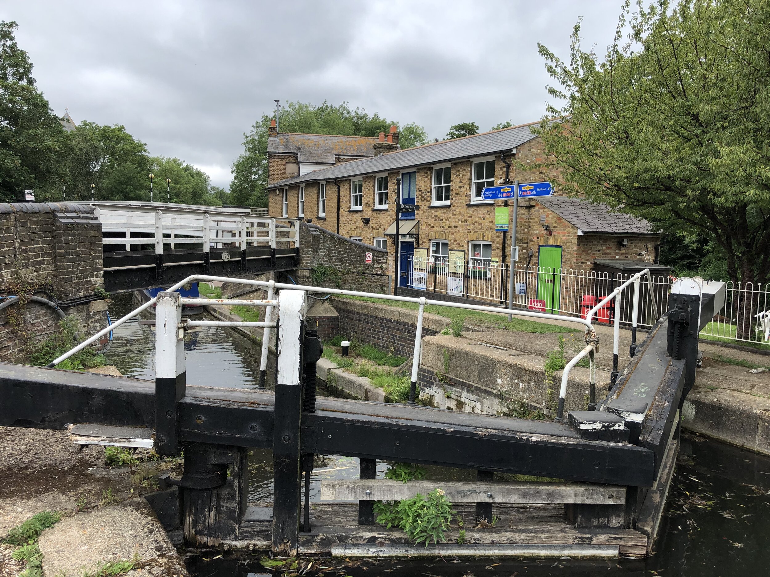
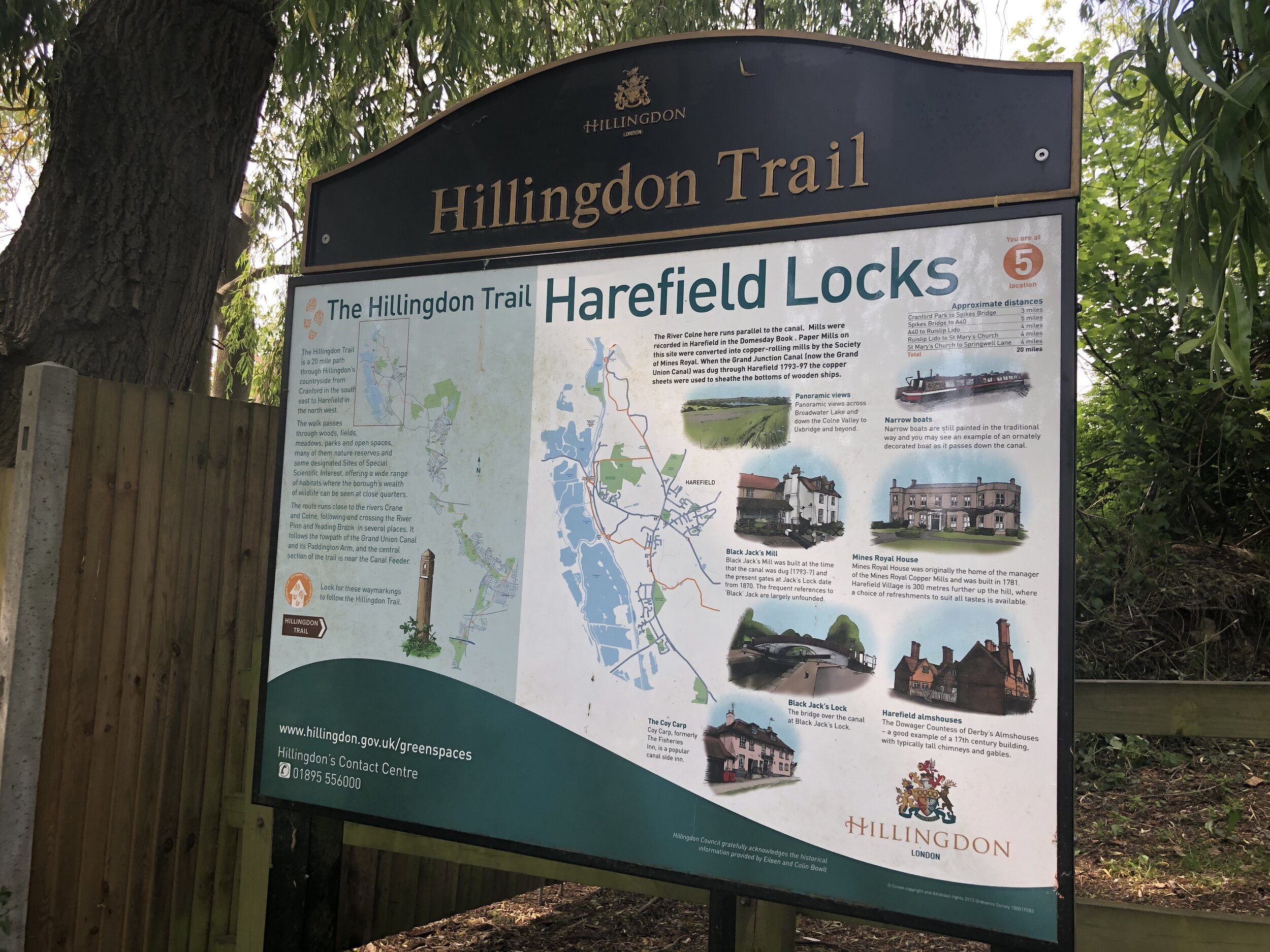
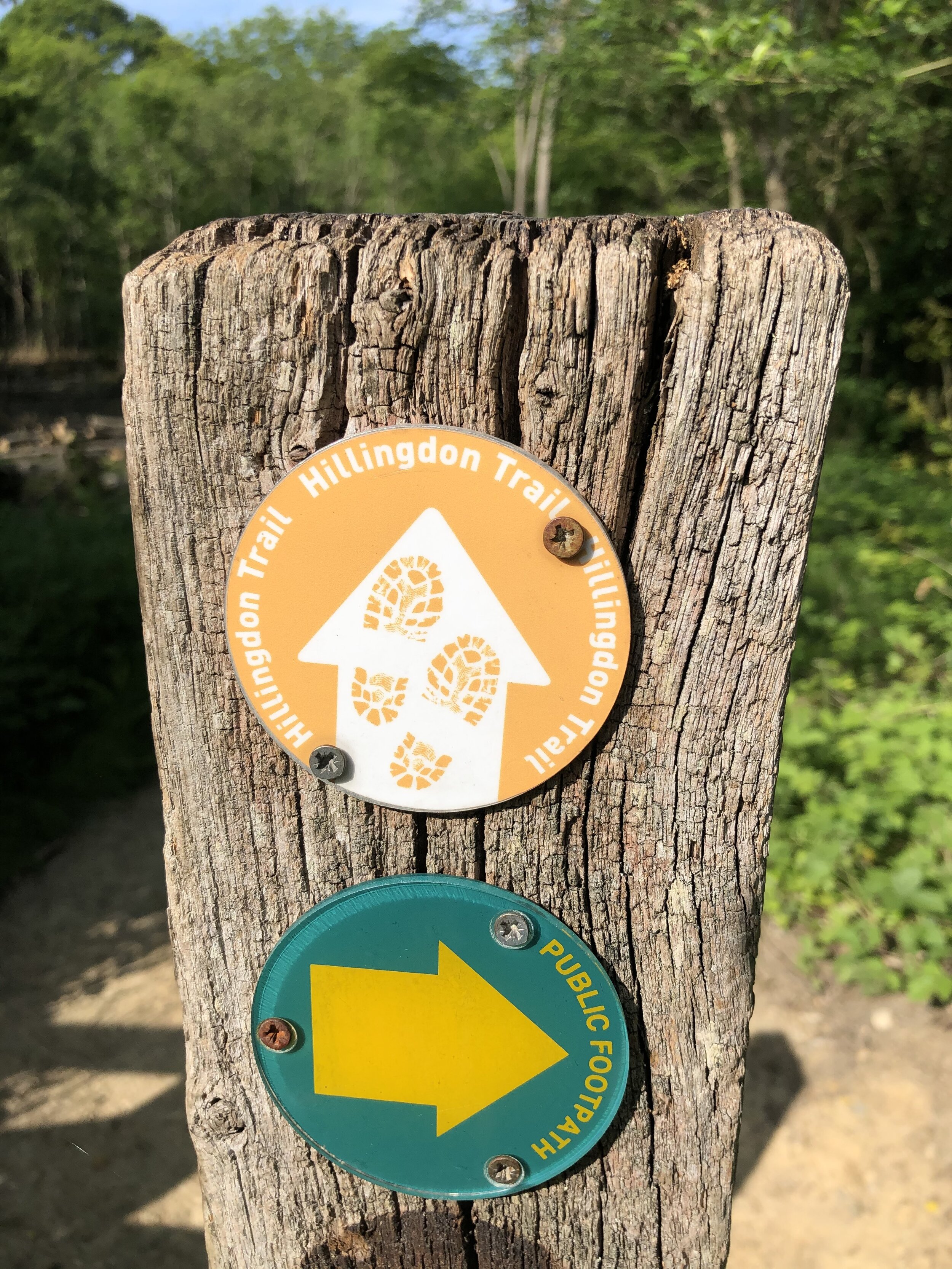
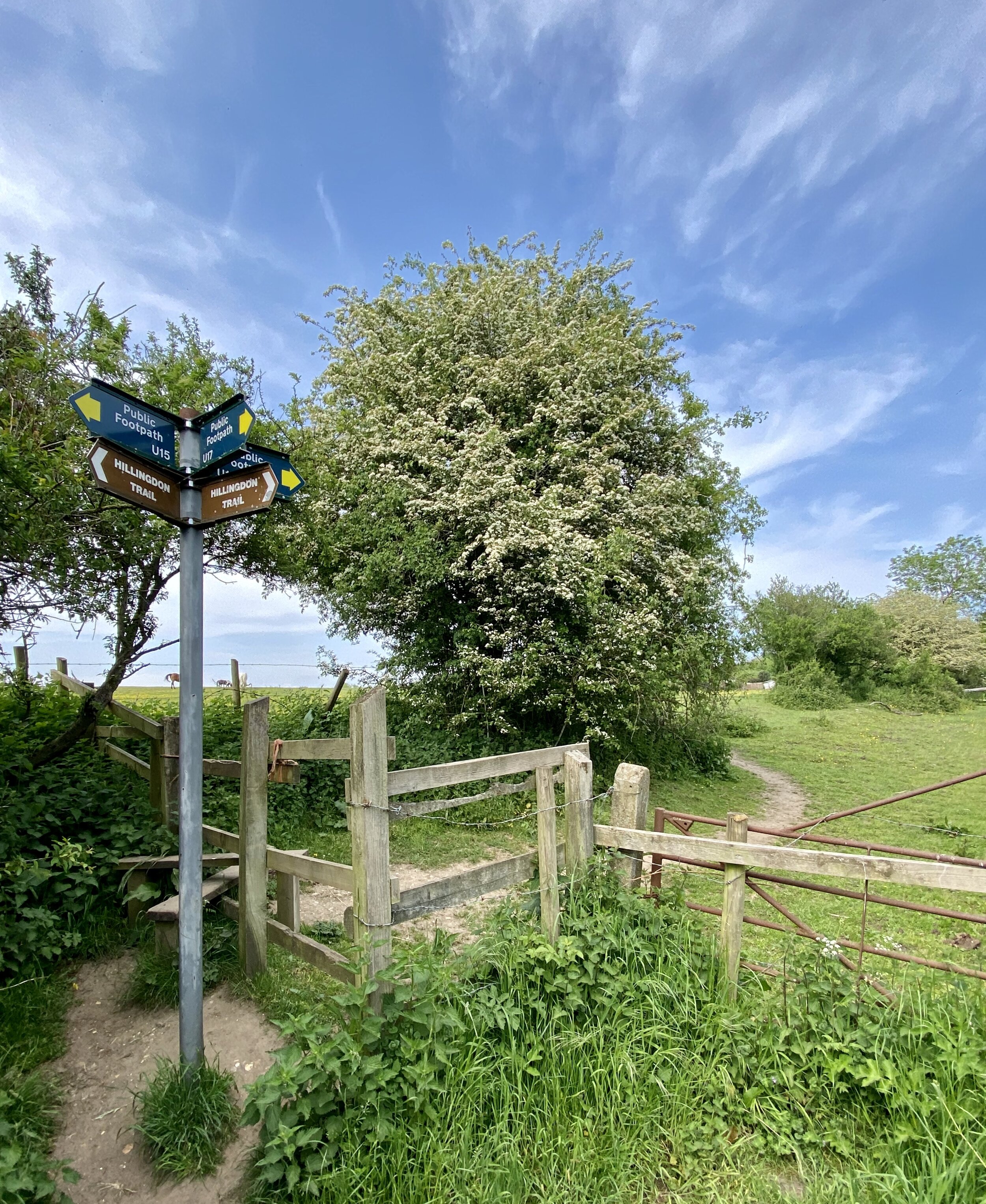
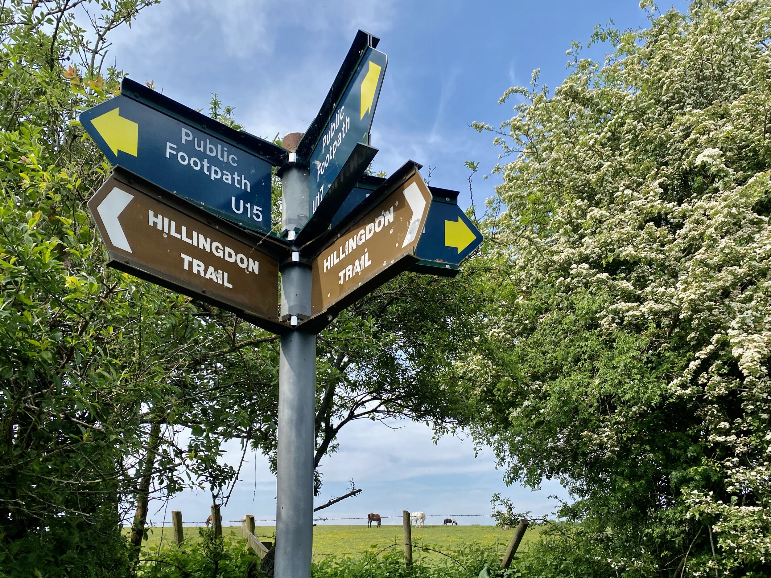
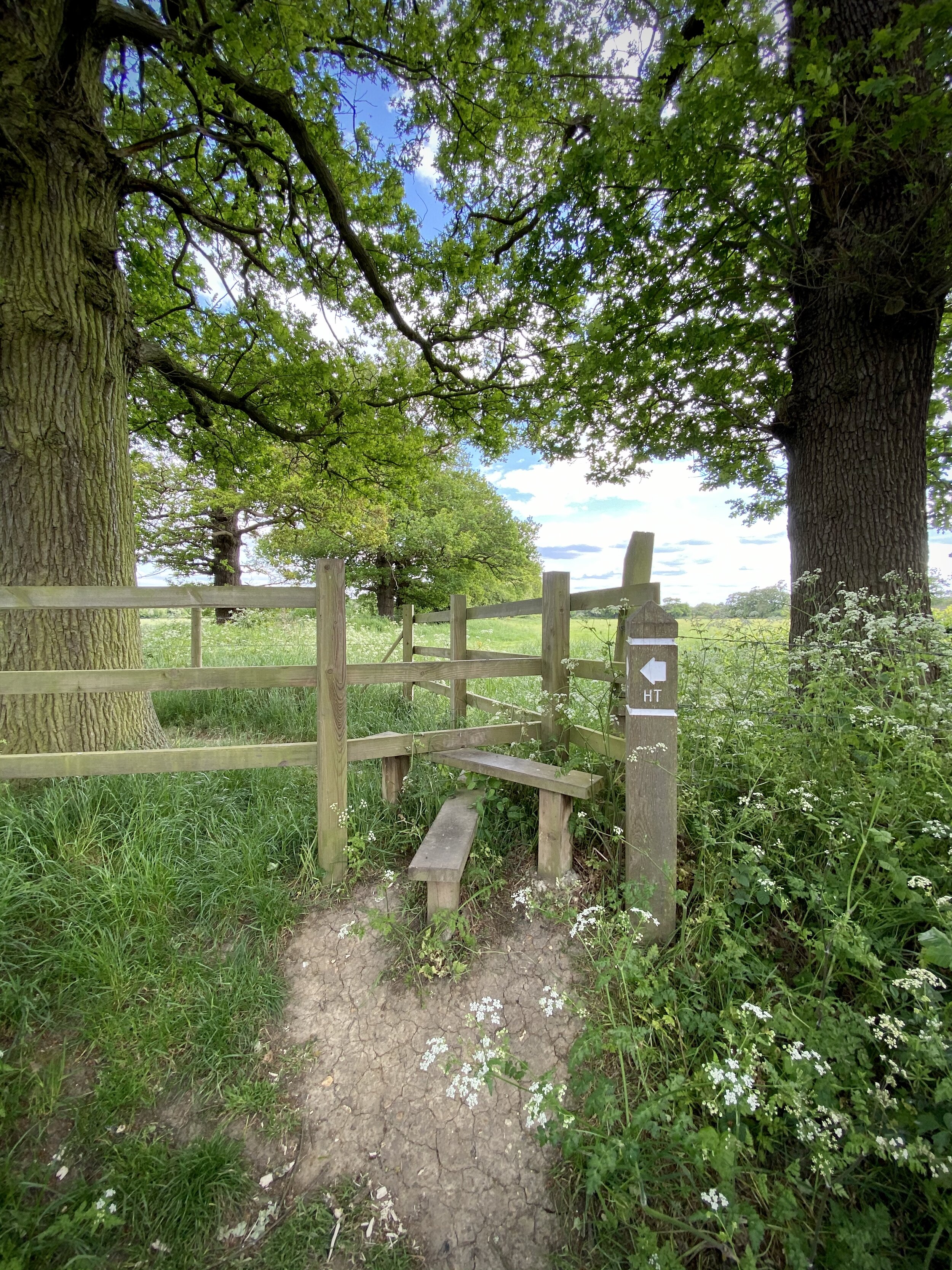
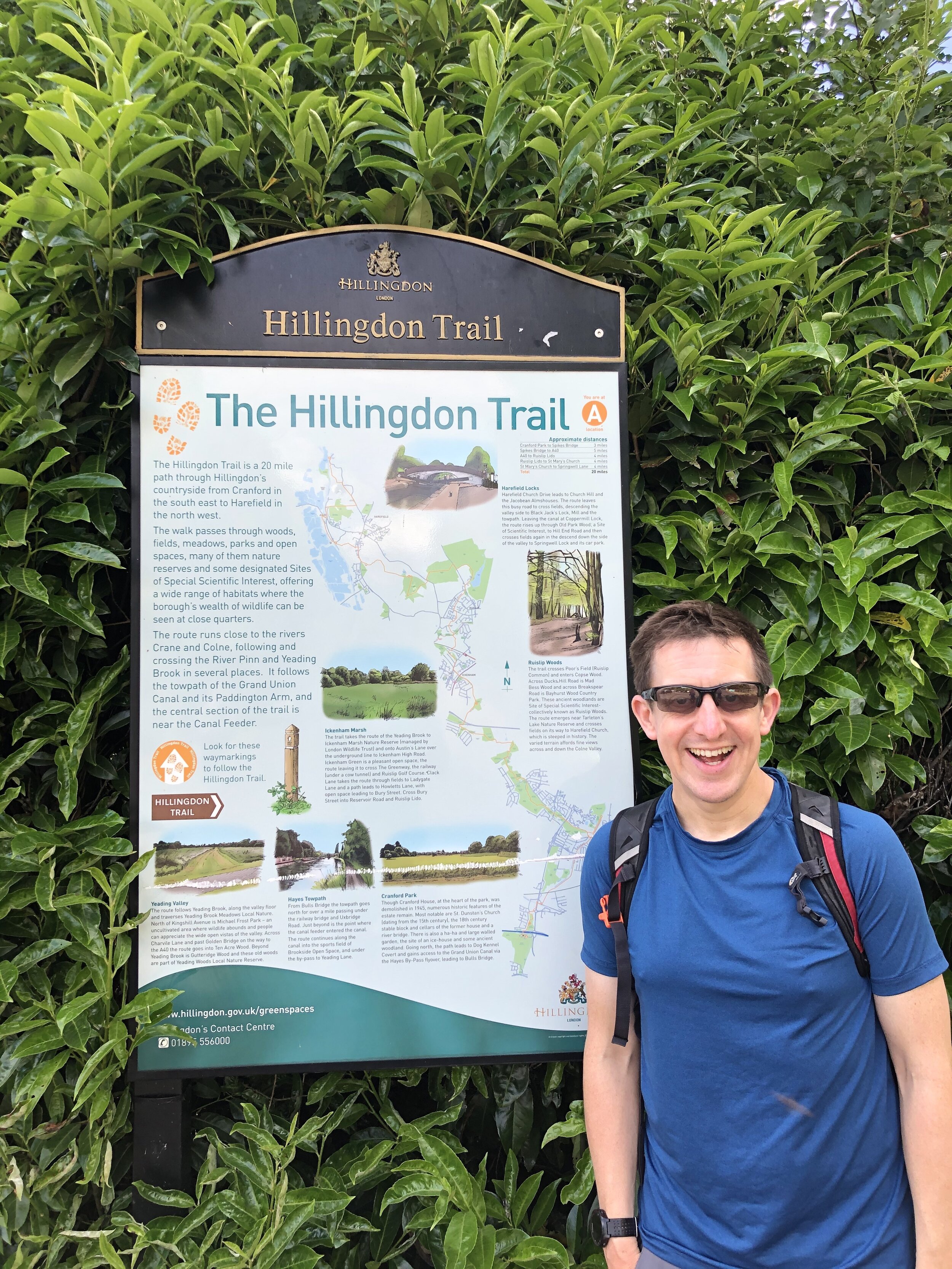
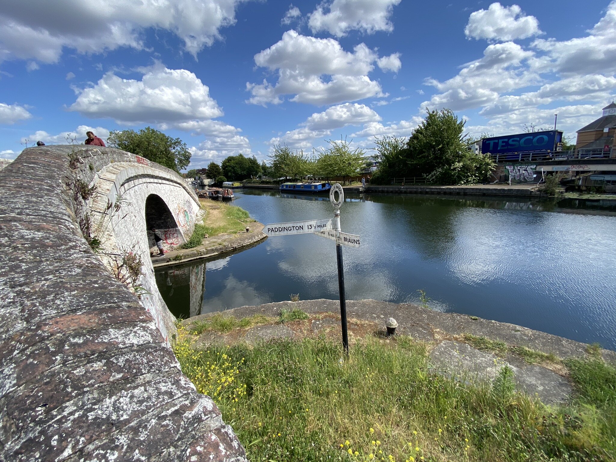
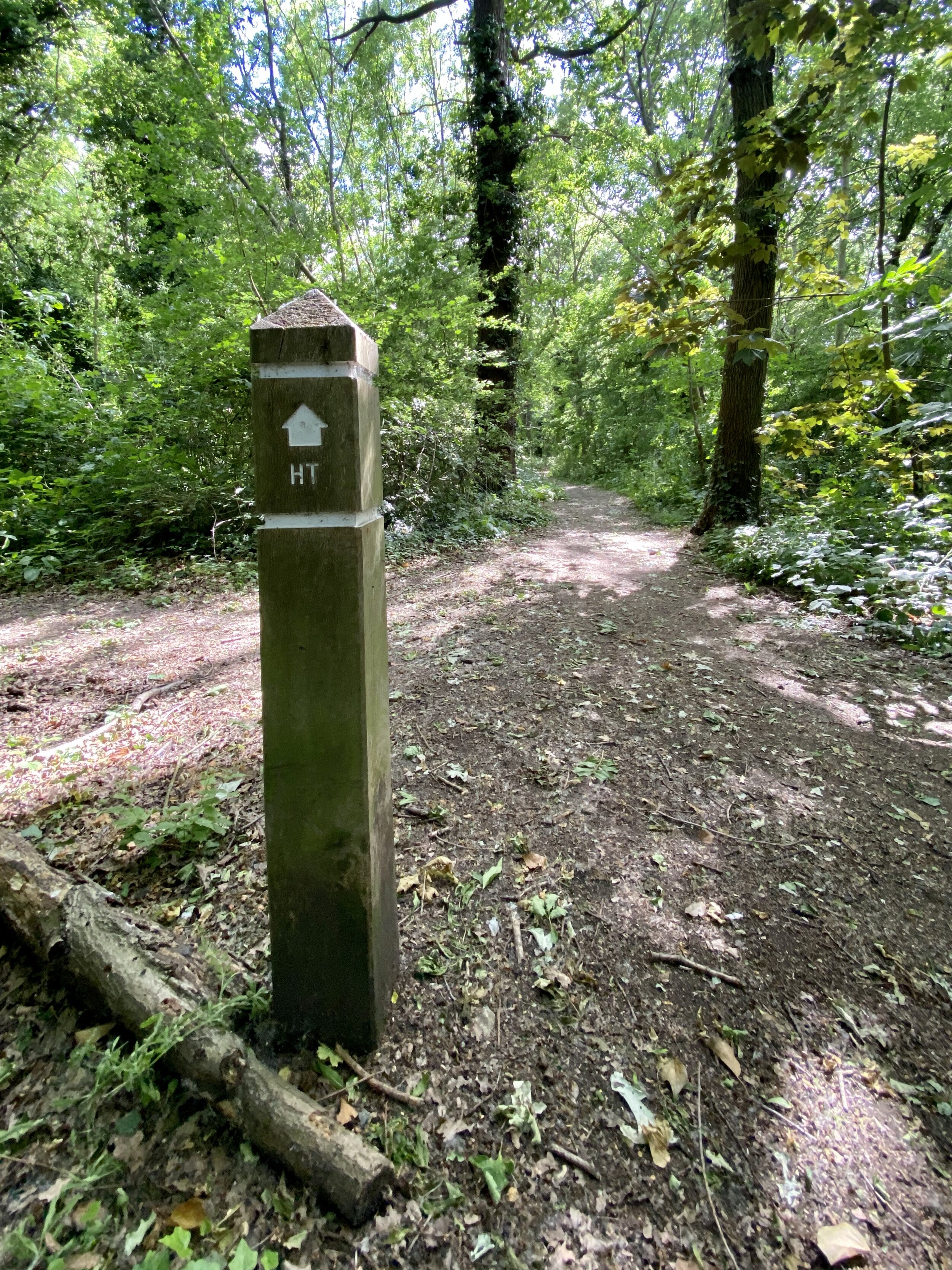
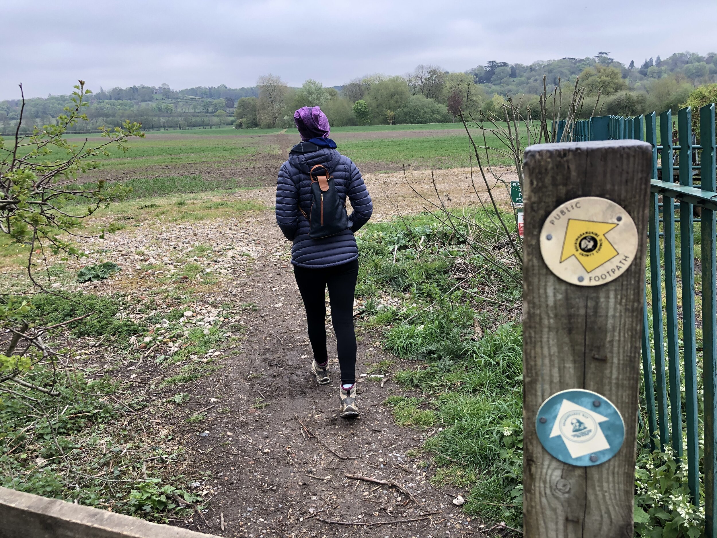
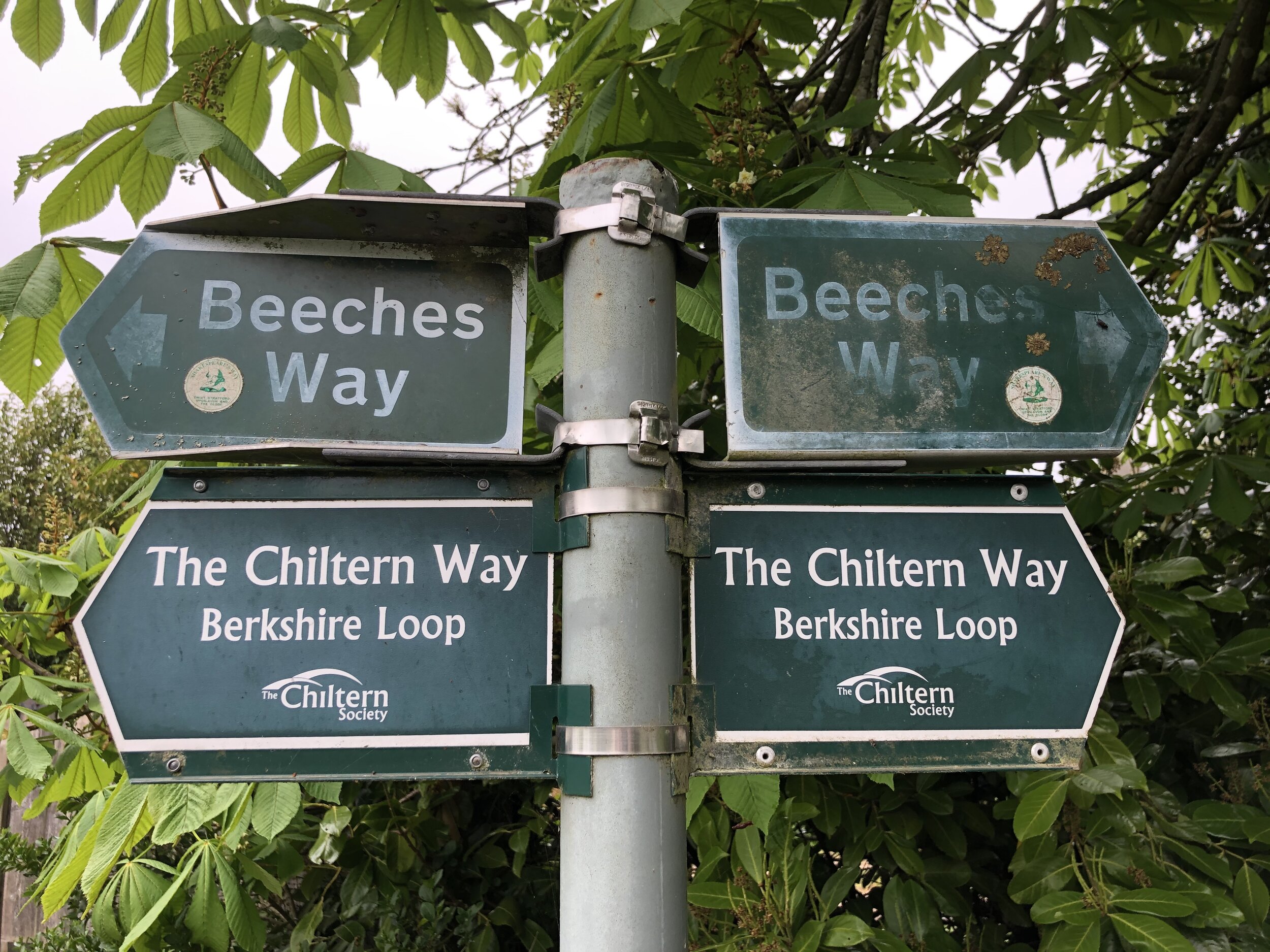
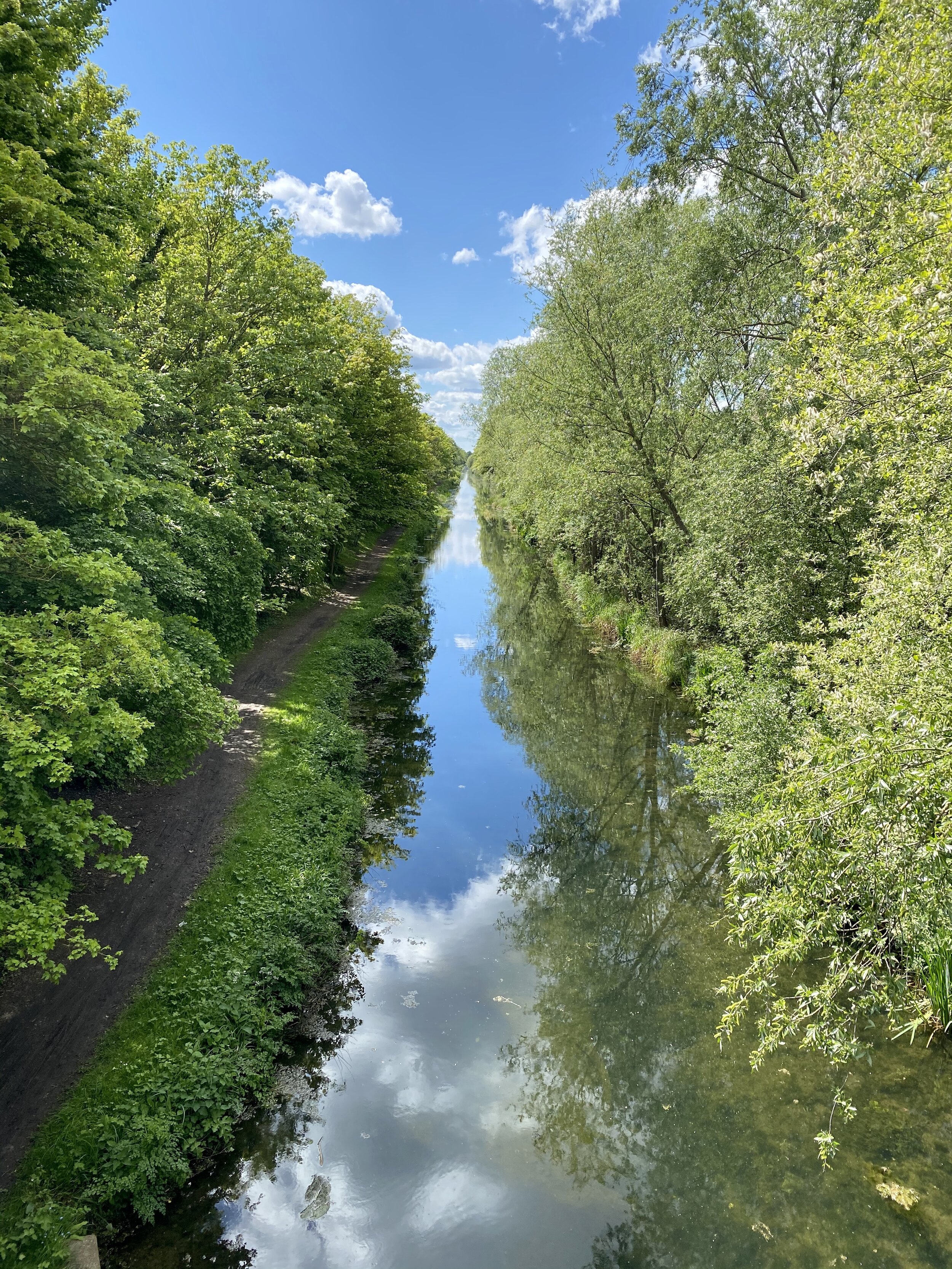
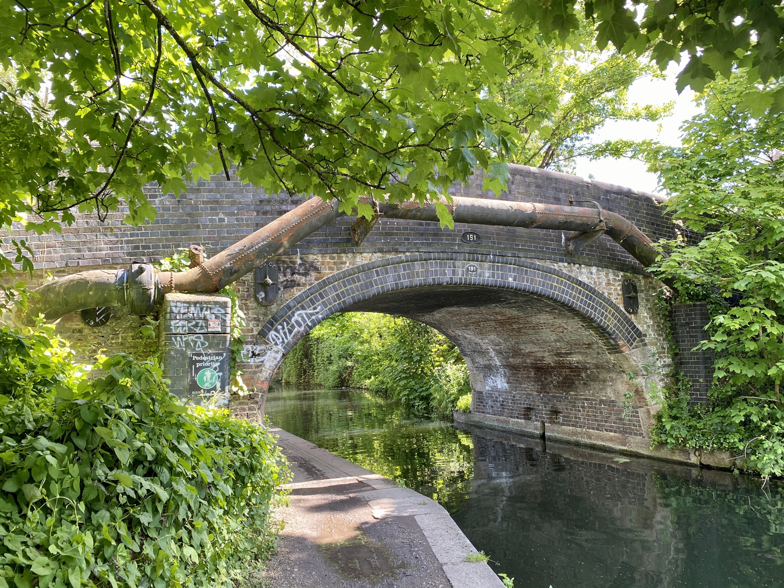
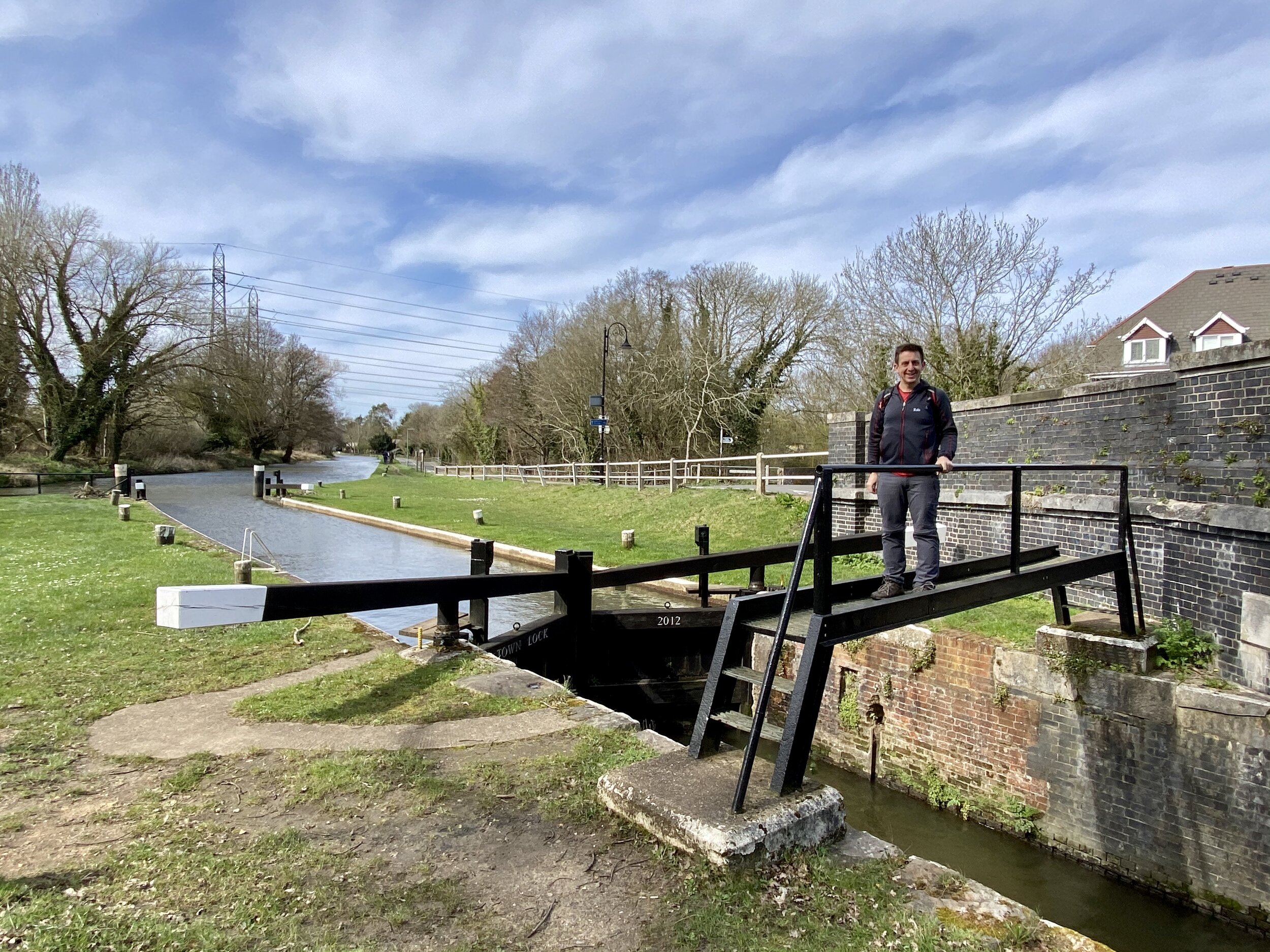
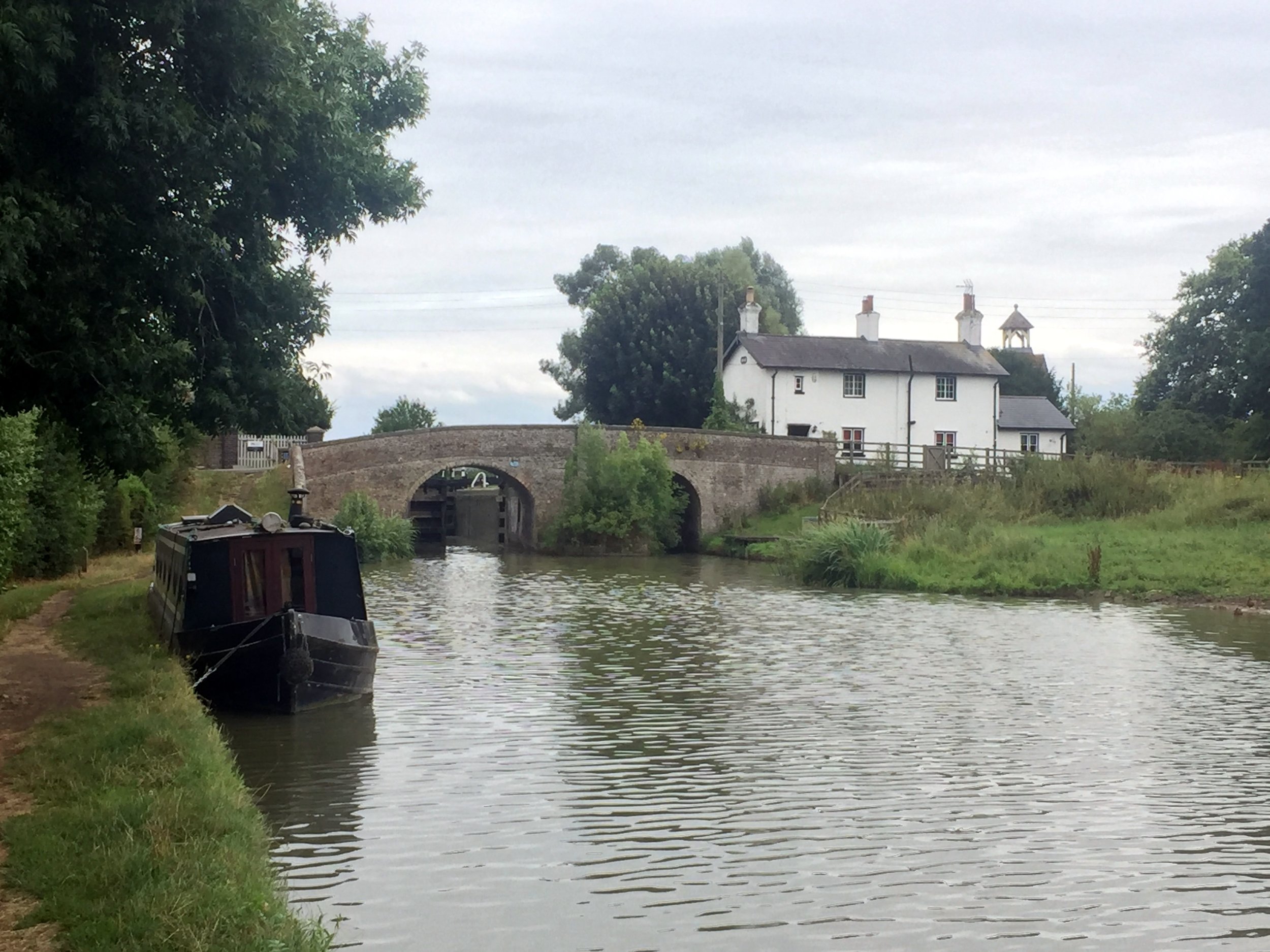
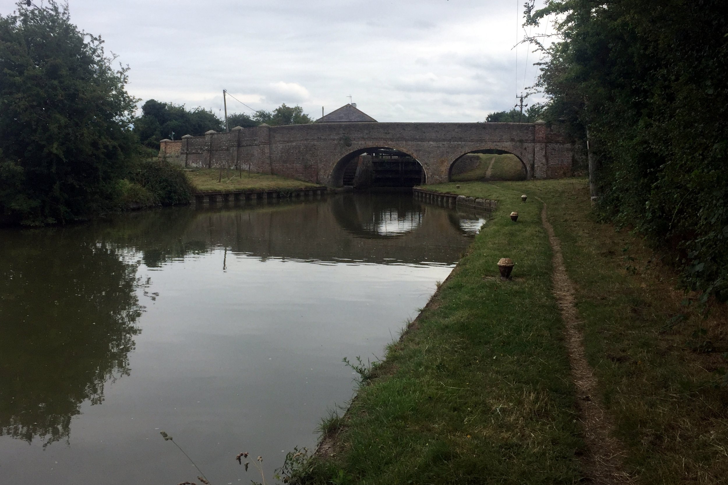
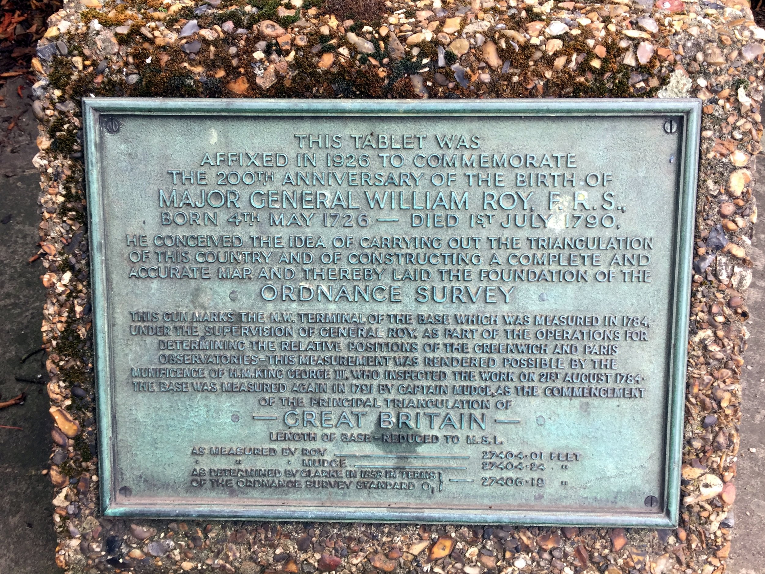
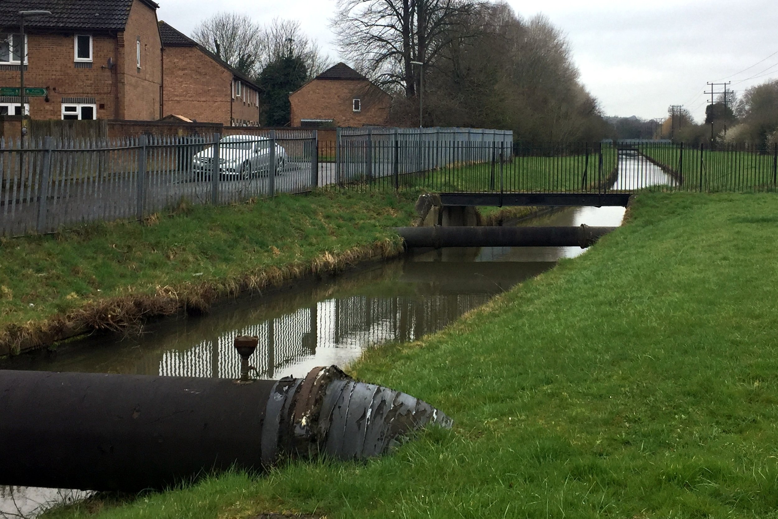
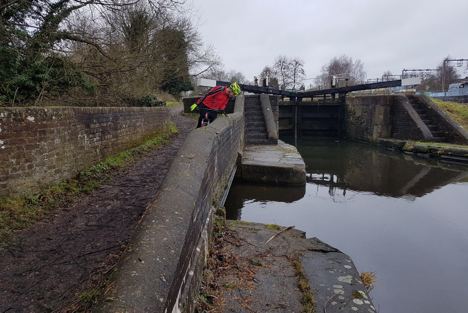
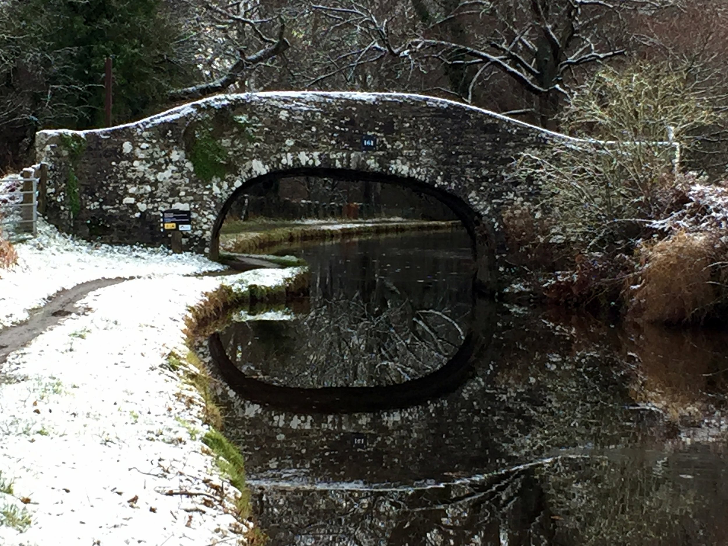
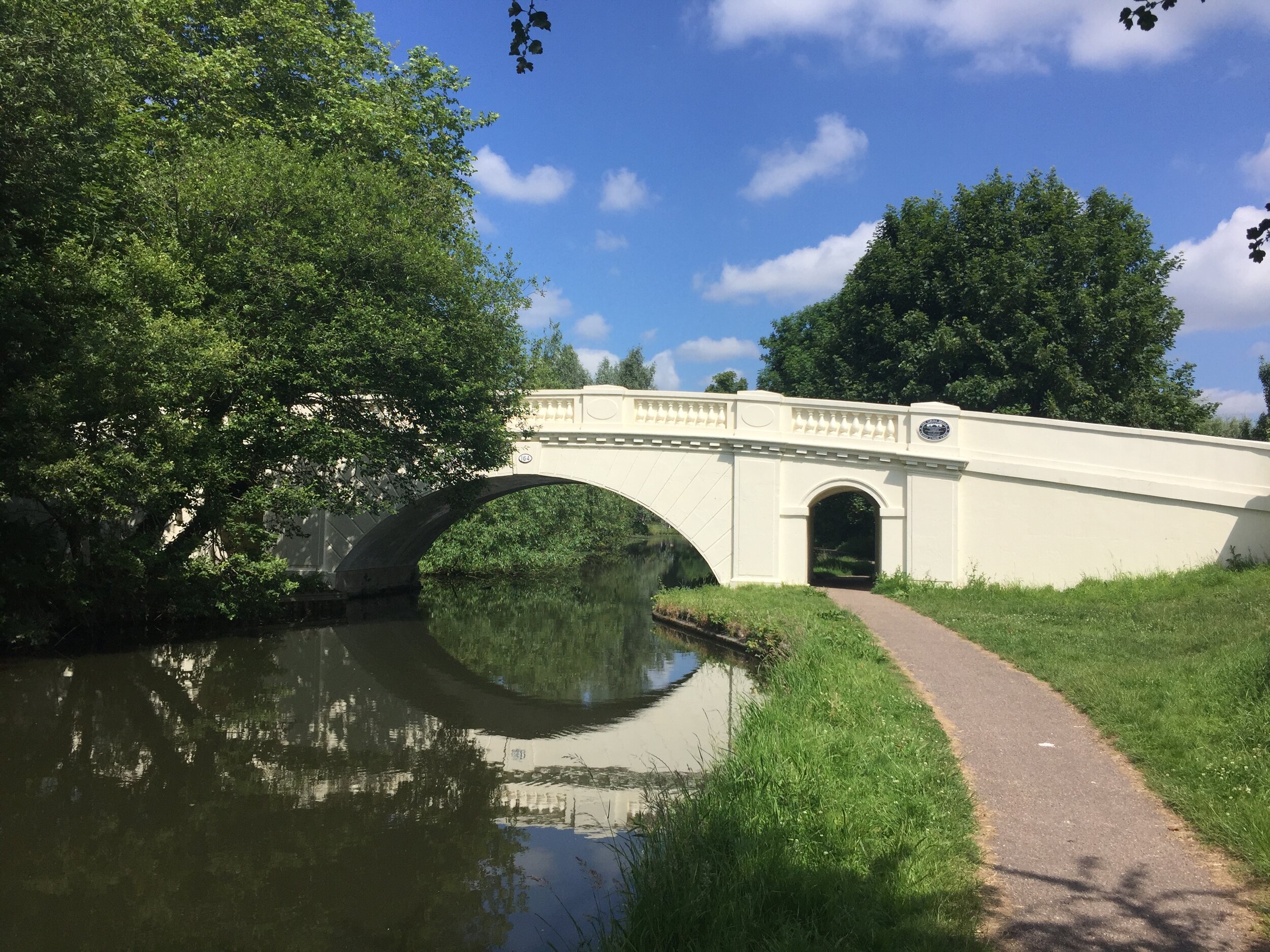
Continue South along Springwell Lane to meet the Grand Union Canal at Springwell Lock. Here’s you’ll meet the Colne Valley Trail and the start of the Hillingdon Trail. Follow signs for the Hillingdon Trail over the canal and through farmland uphill to Hill End Road. Turn left here, leaving the Hillingdon Trail and walk north along Springwell Lane, taking a footpath on the right as Springwell Lane curves to the left. Follow this footpath north for ~2 km to Stocker’s Farm. You’ll pass a well-preserved Coal Post about half way along this path. Continue north through Stocker’s Farm to reach the Grand Union Canal at Stocker Lock. Cross over the bridge to the north bank of the canal, to the site of another Coal Duty post on the towpath on the north west Corner of the bridge.
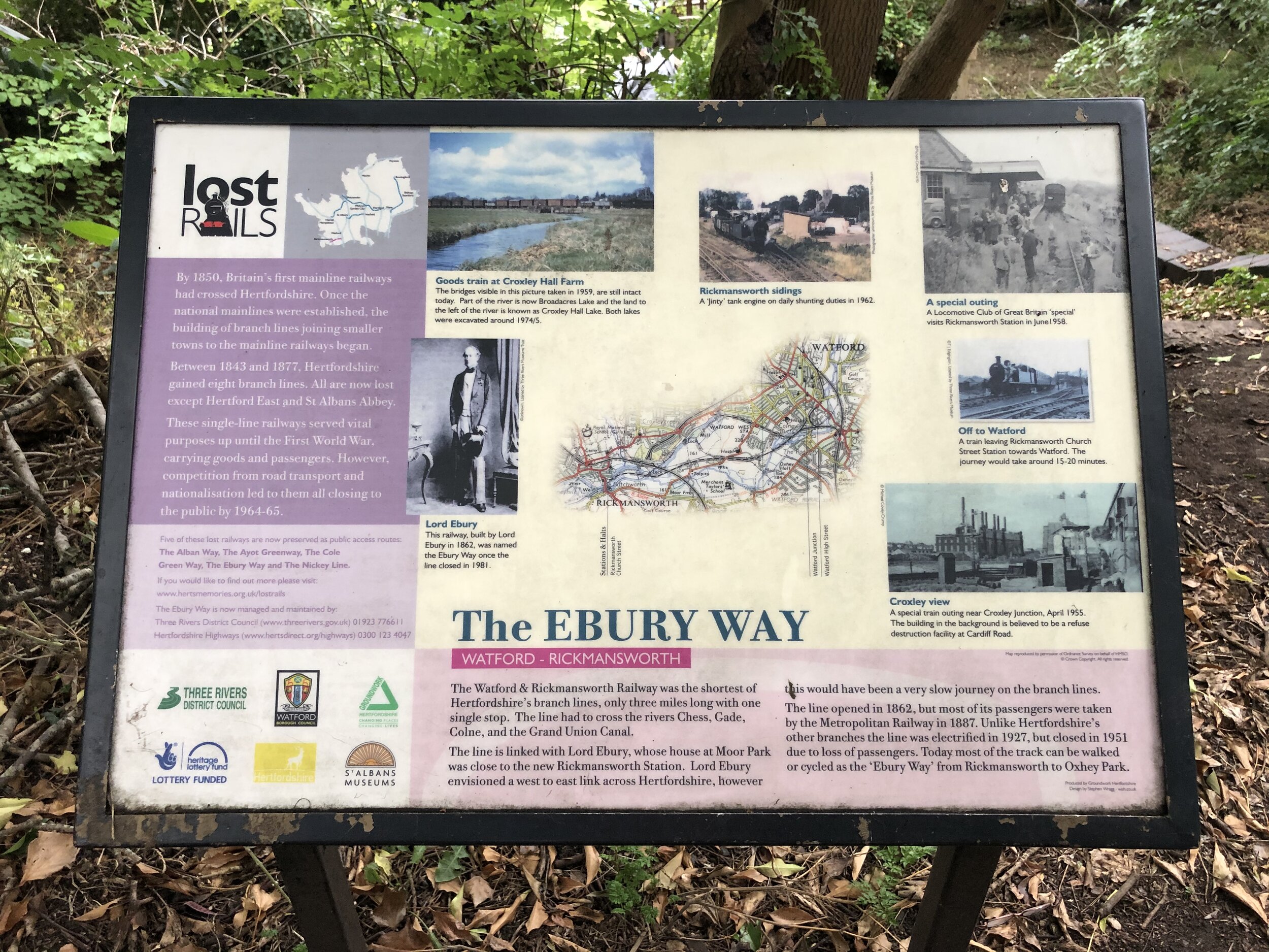
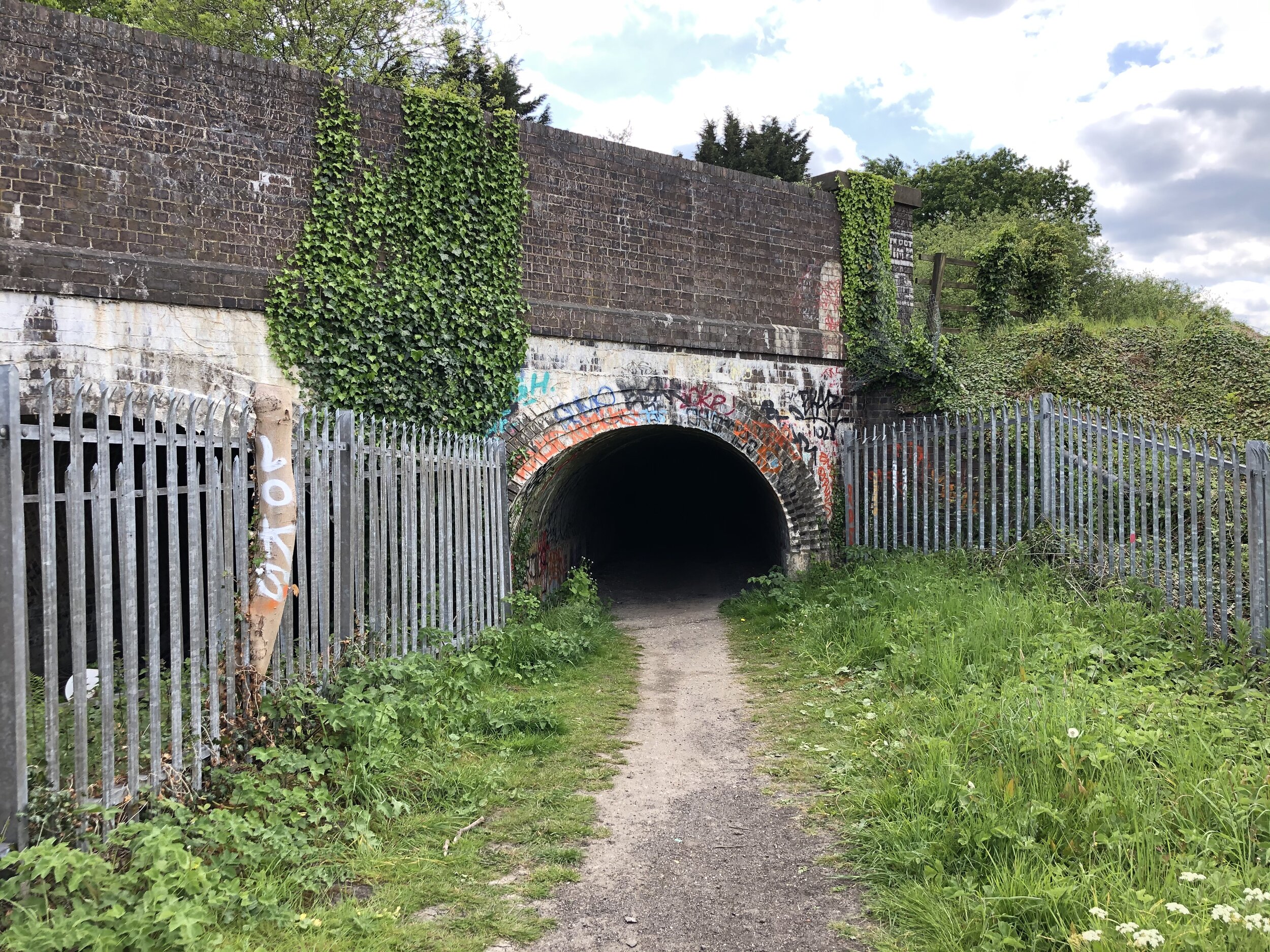
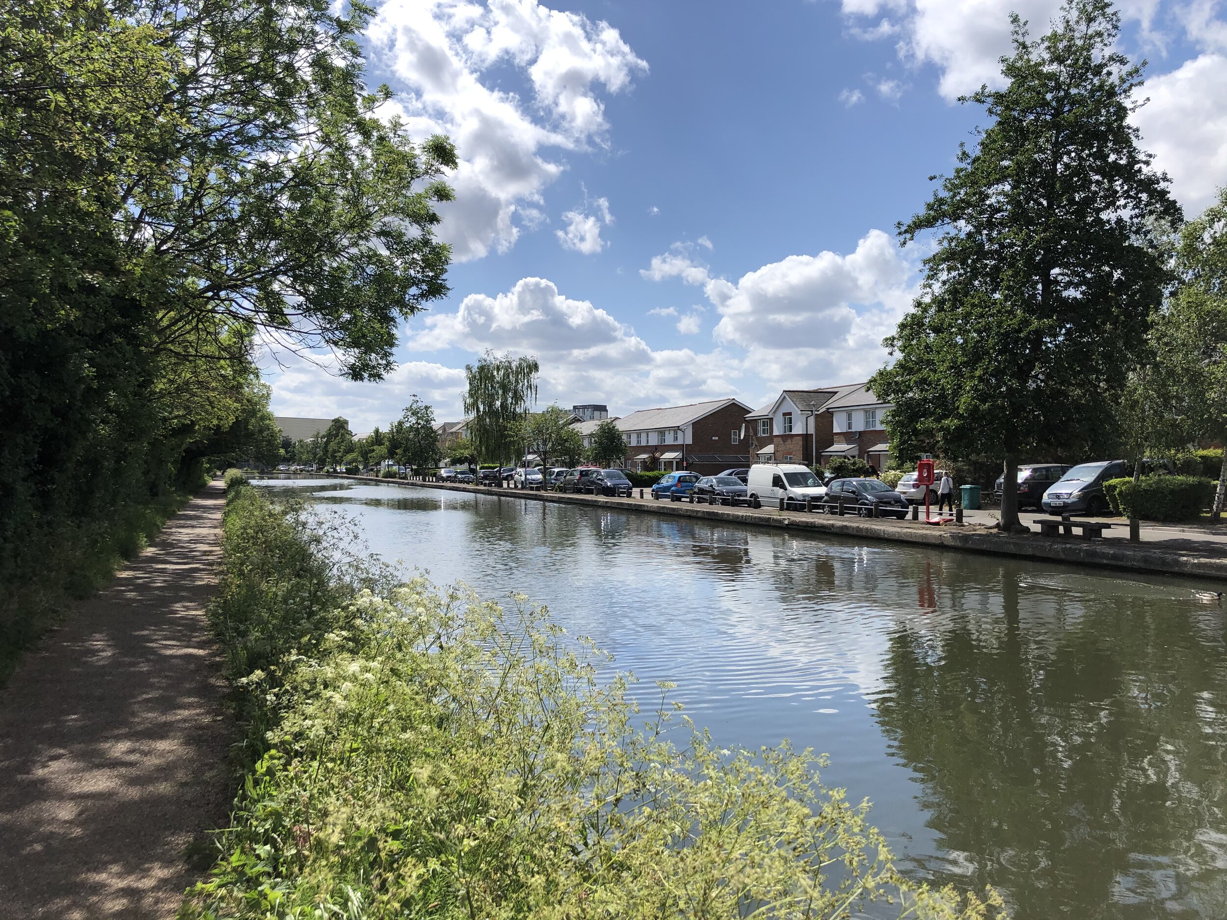
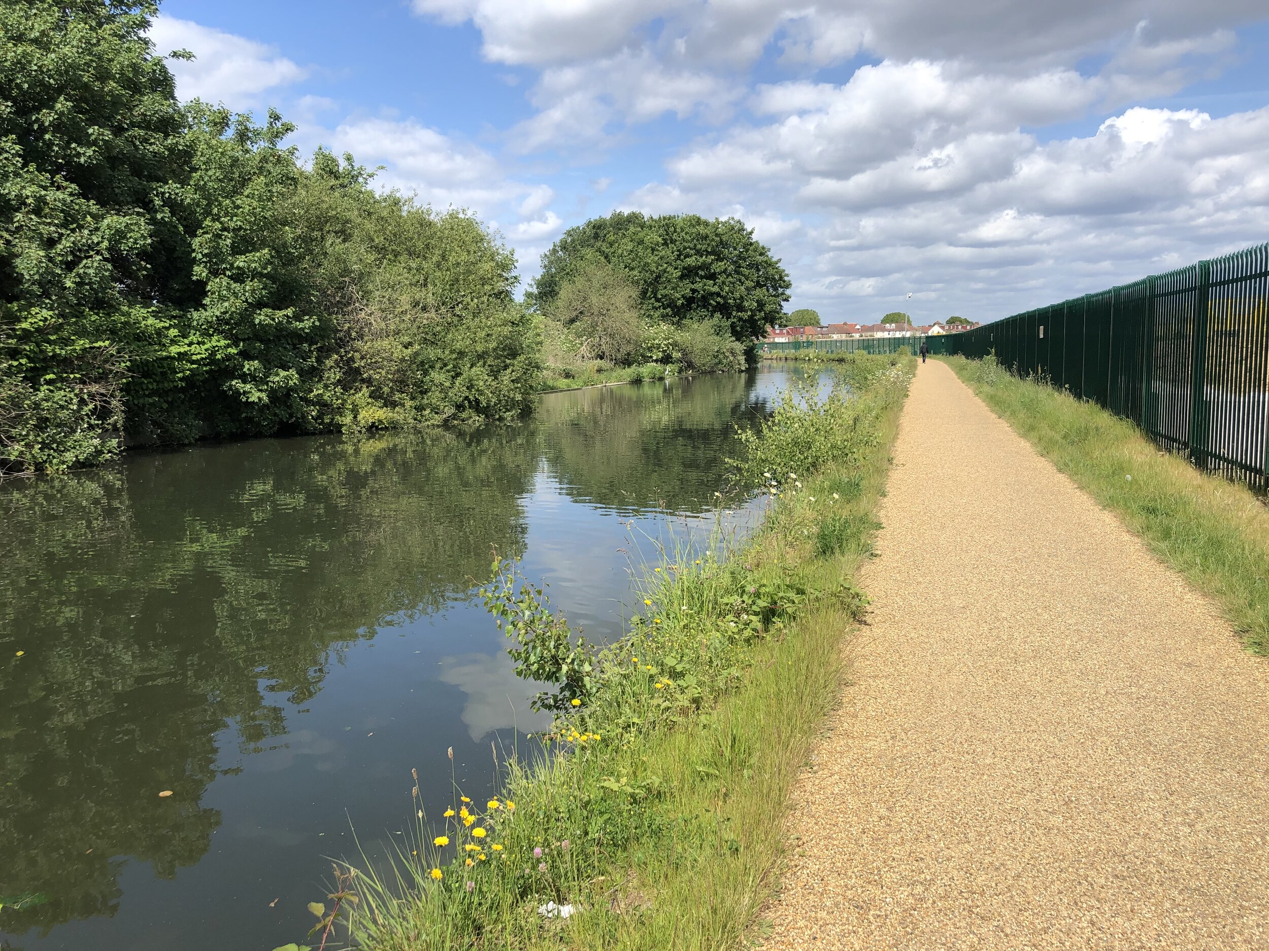
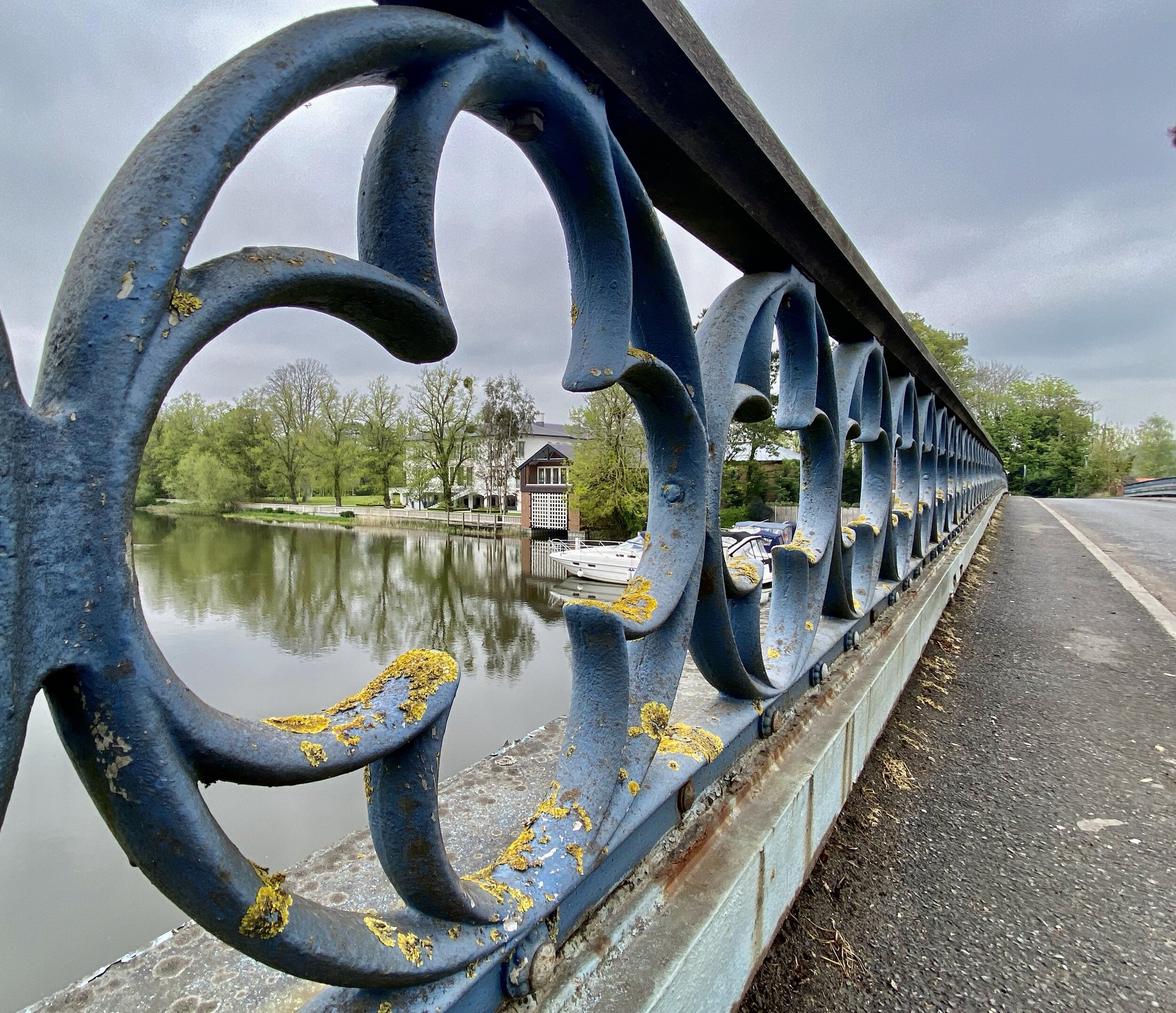
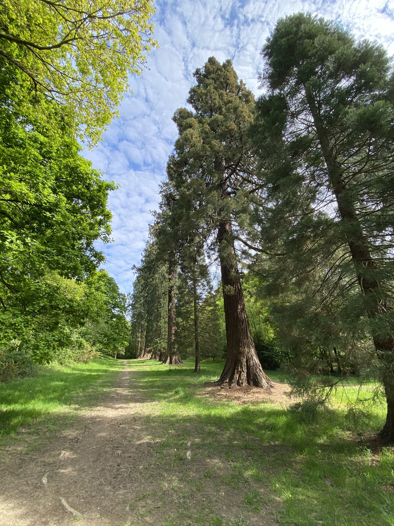
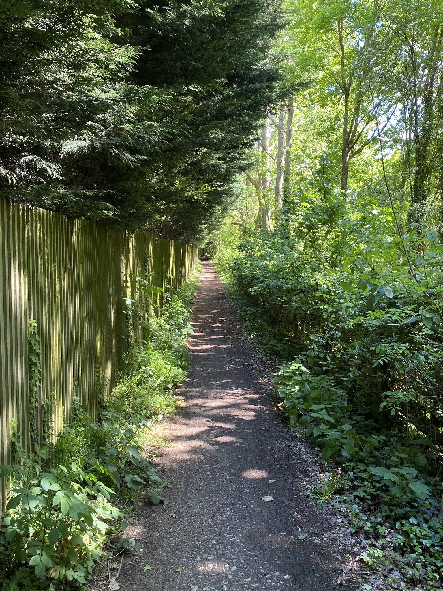
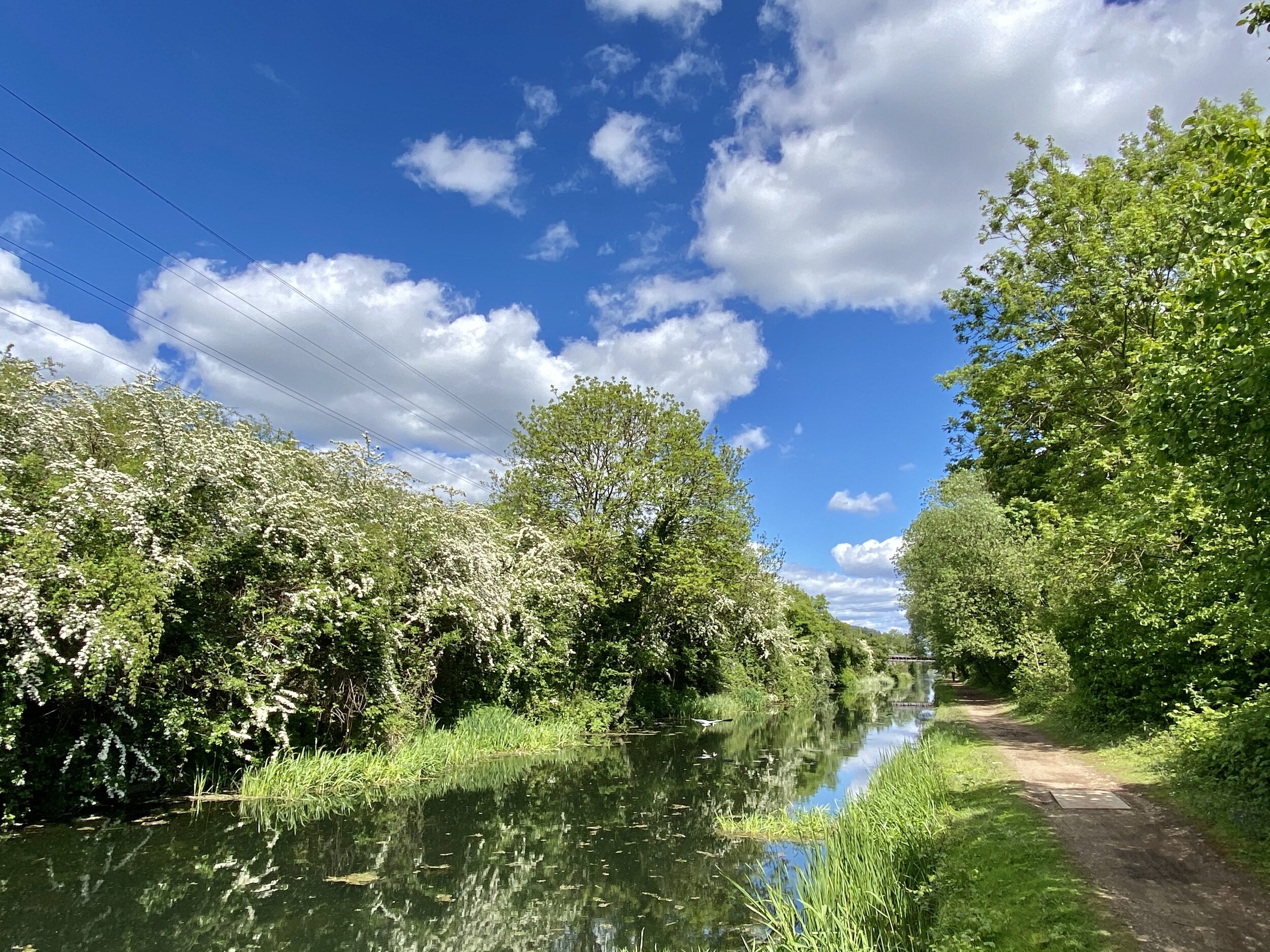
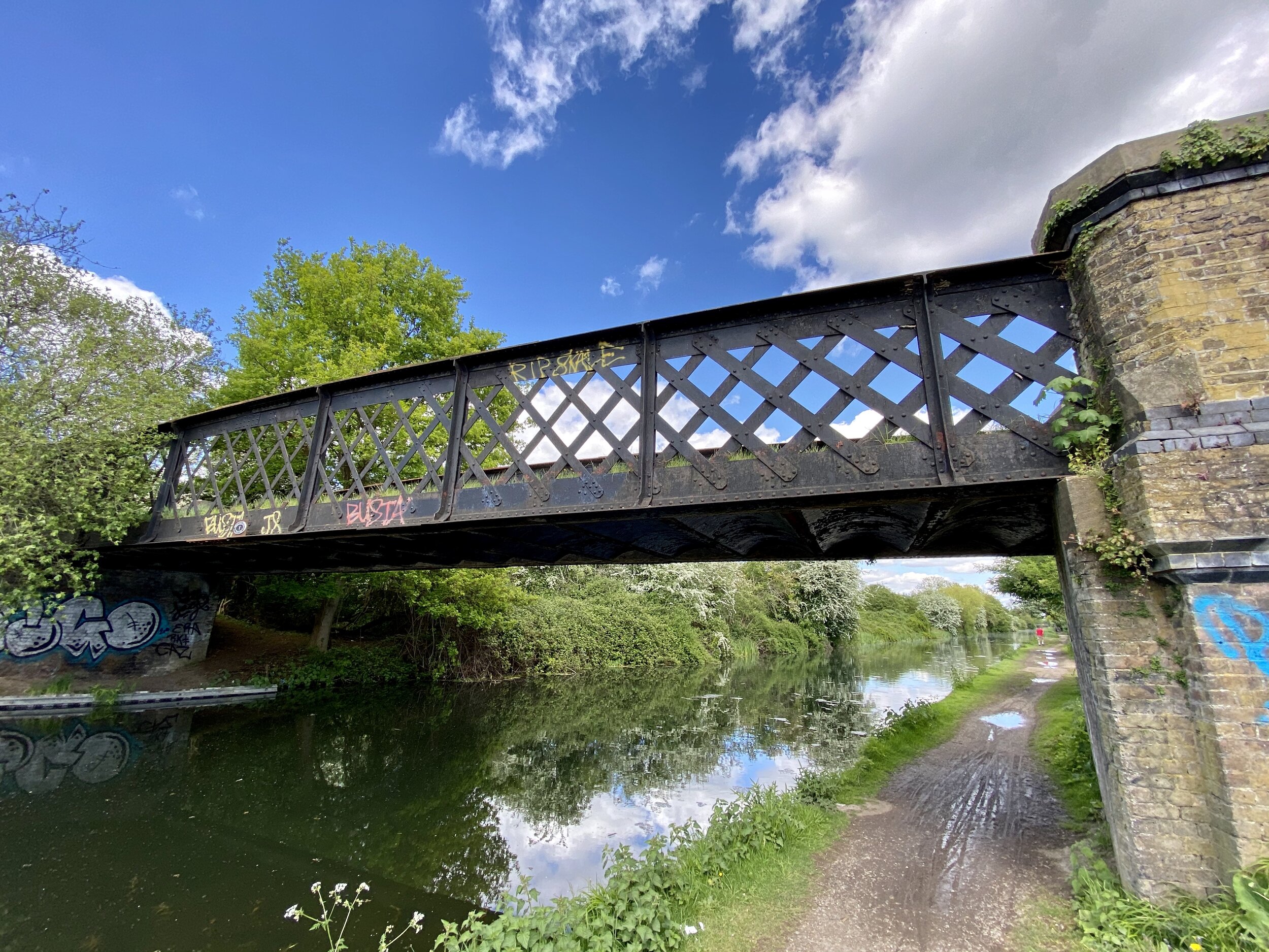
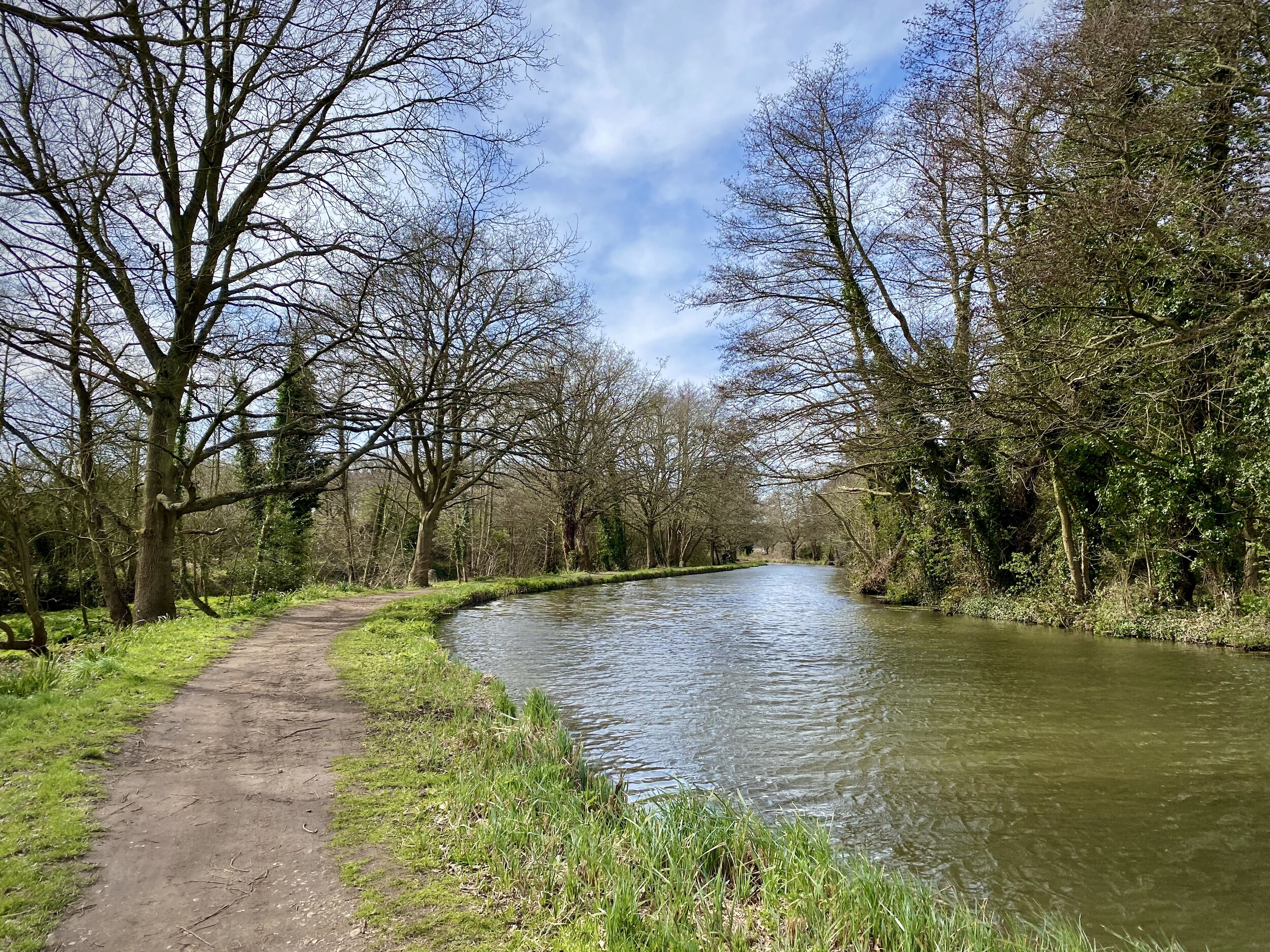
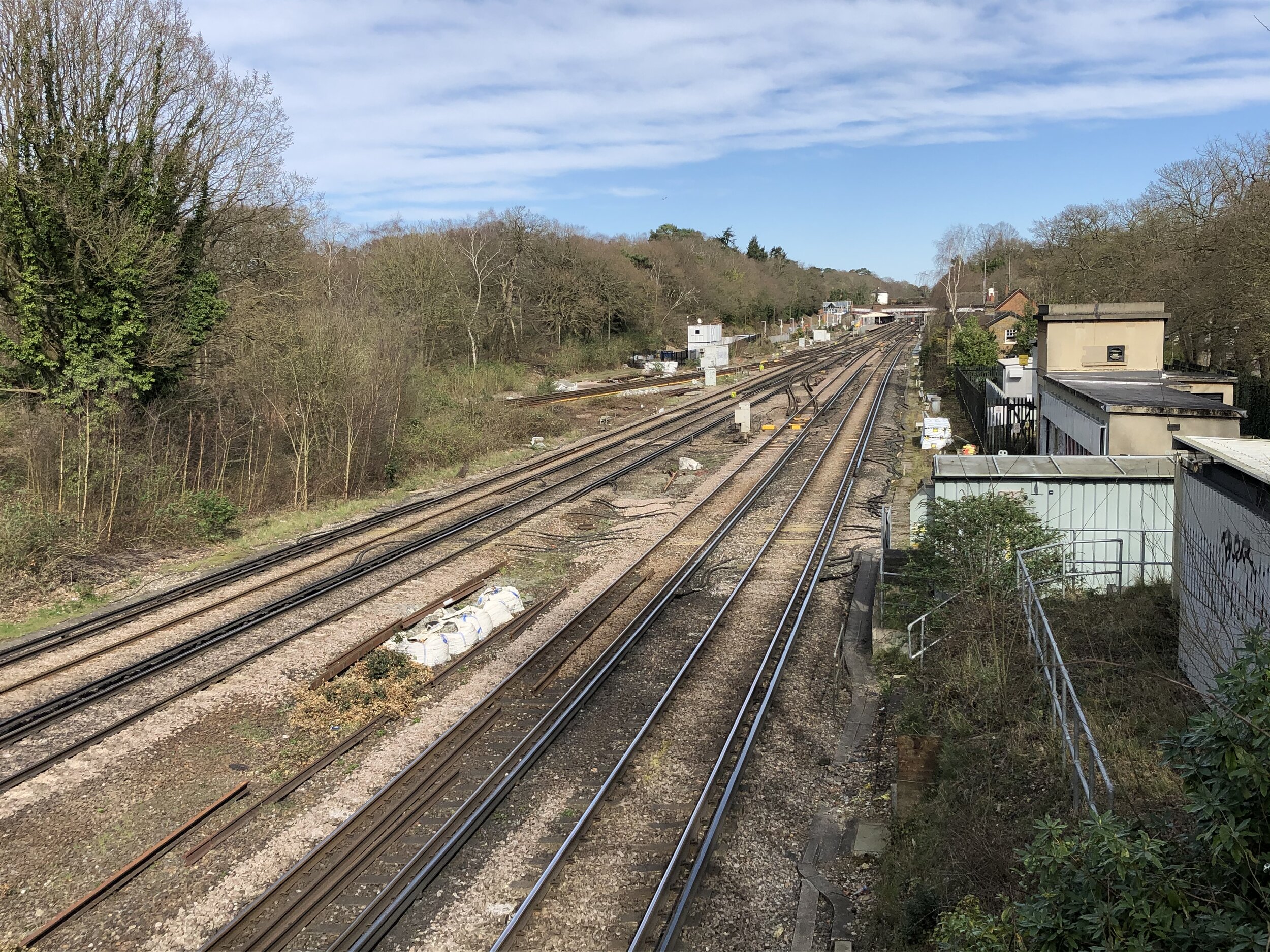
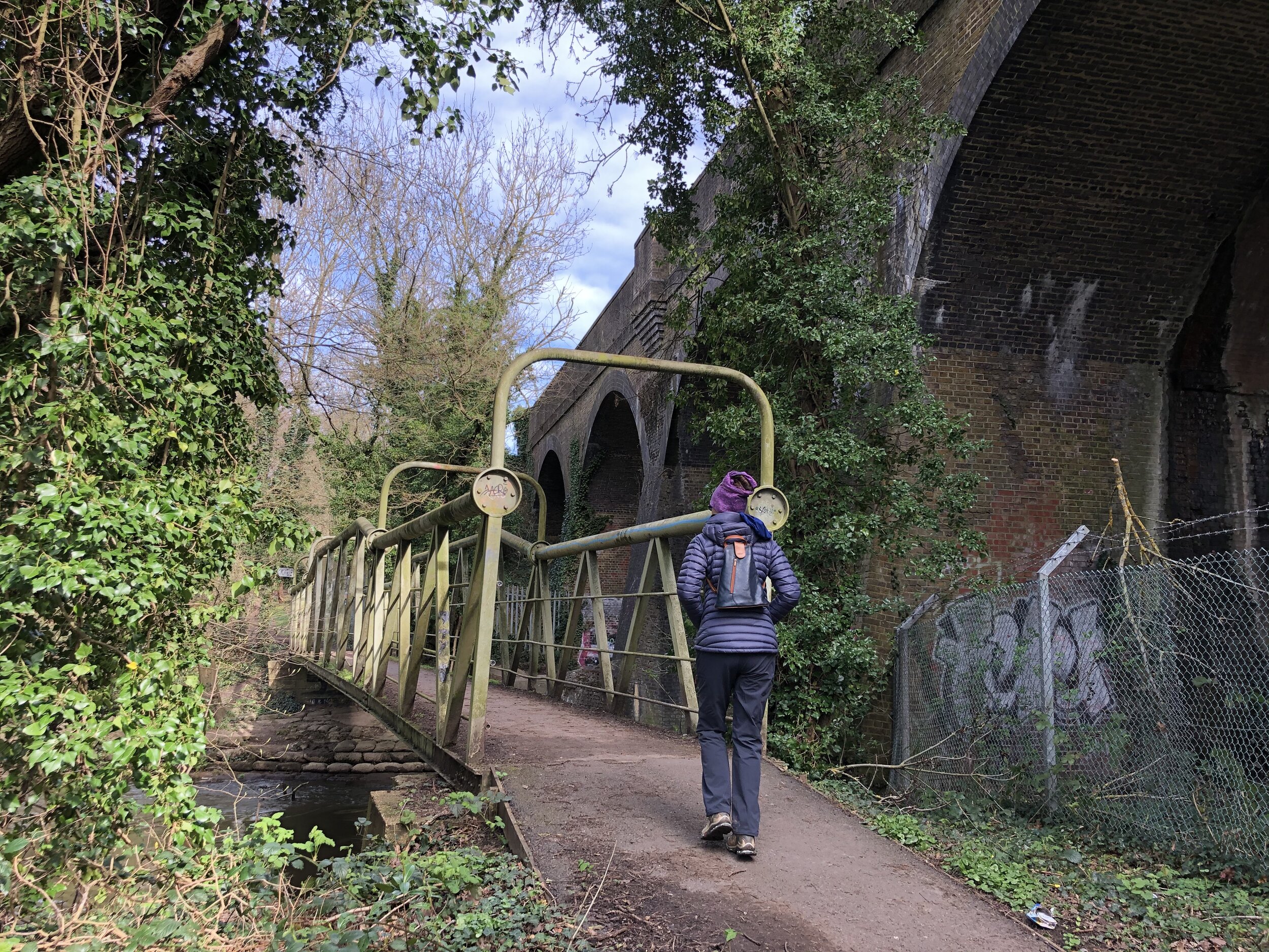
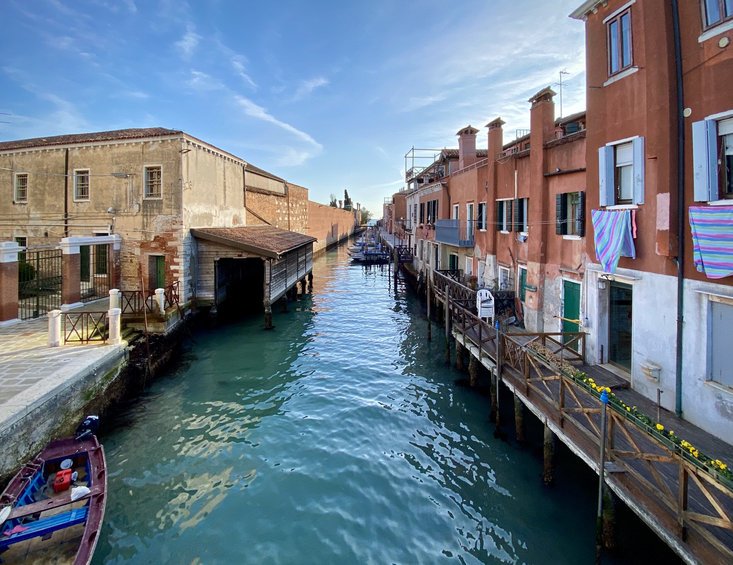
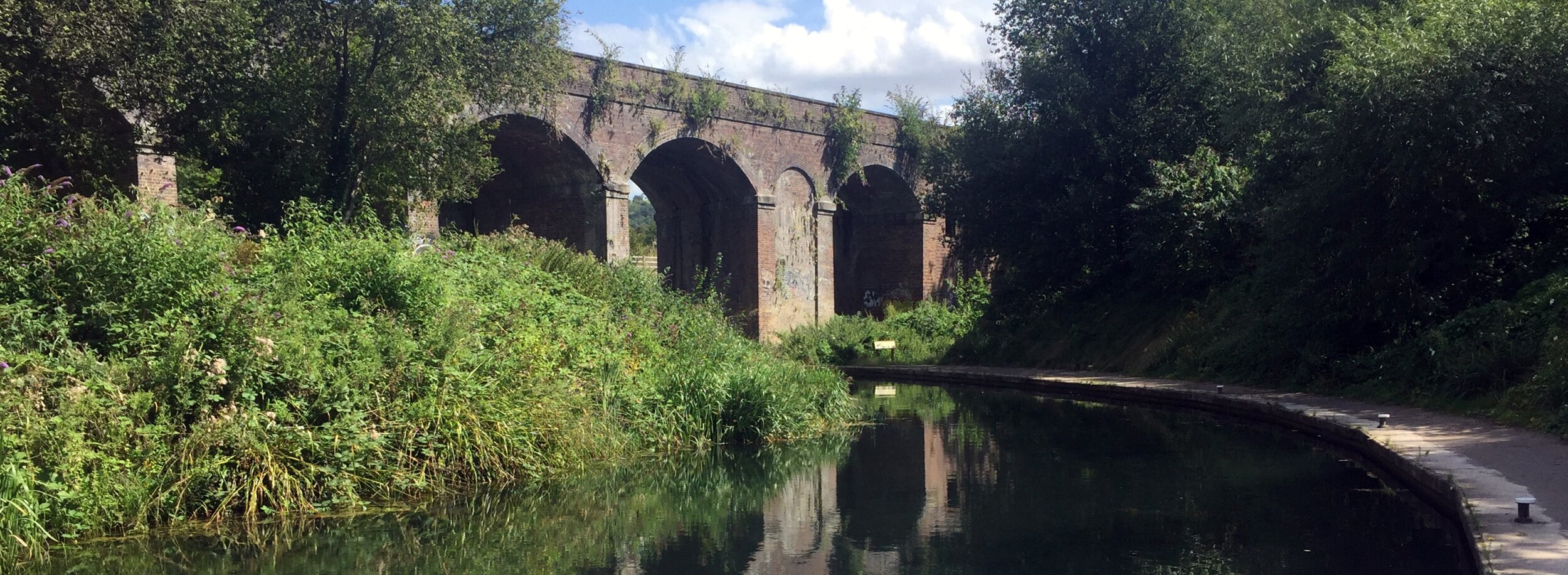
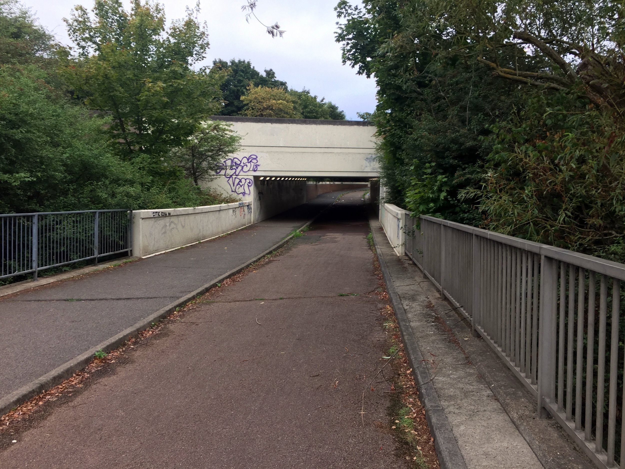
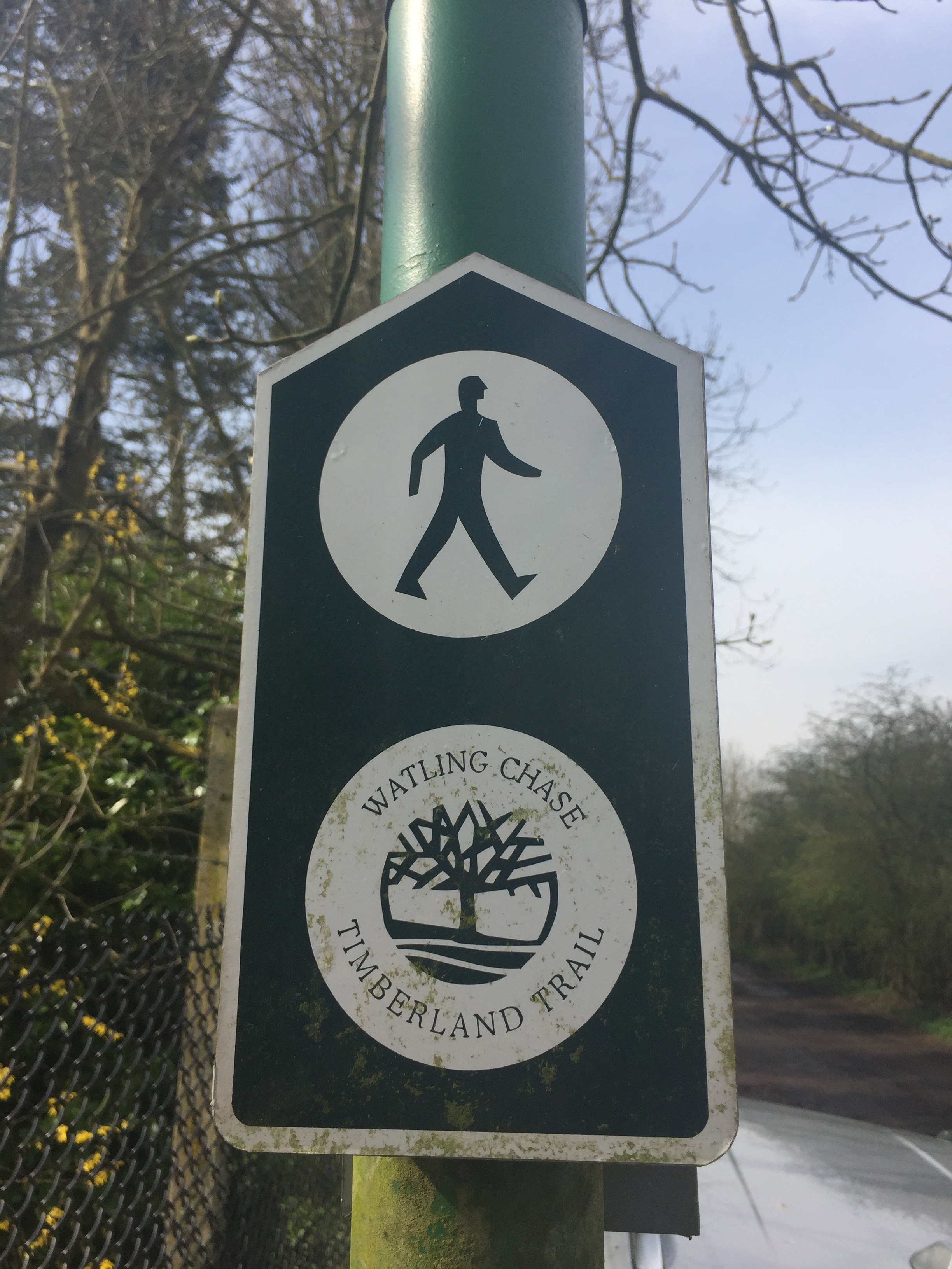
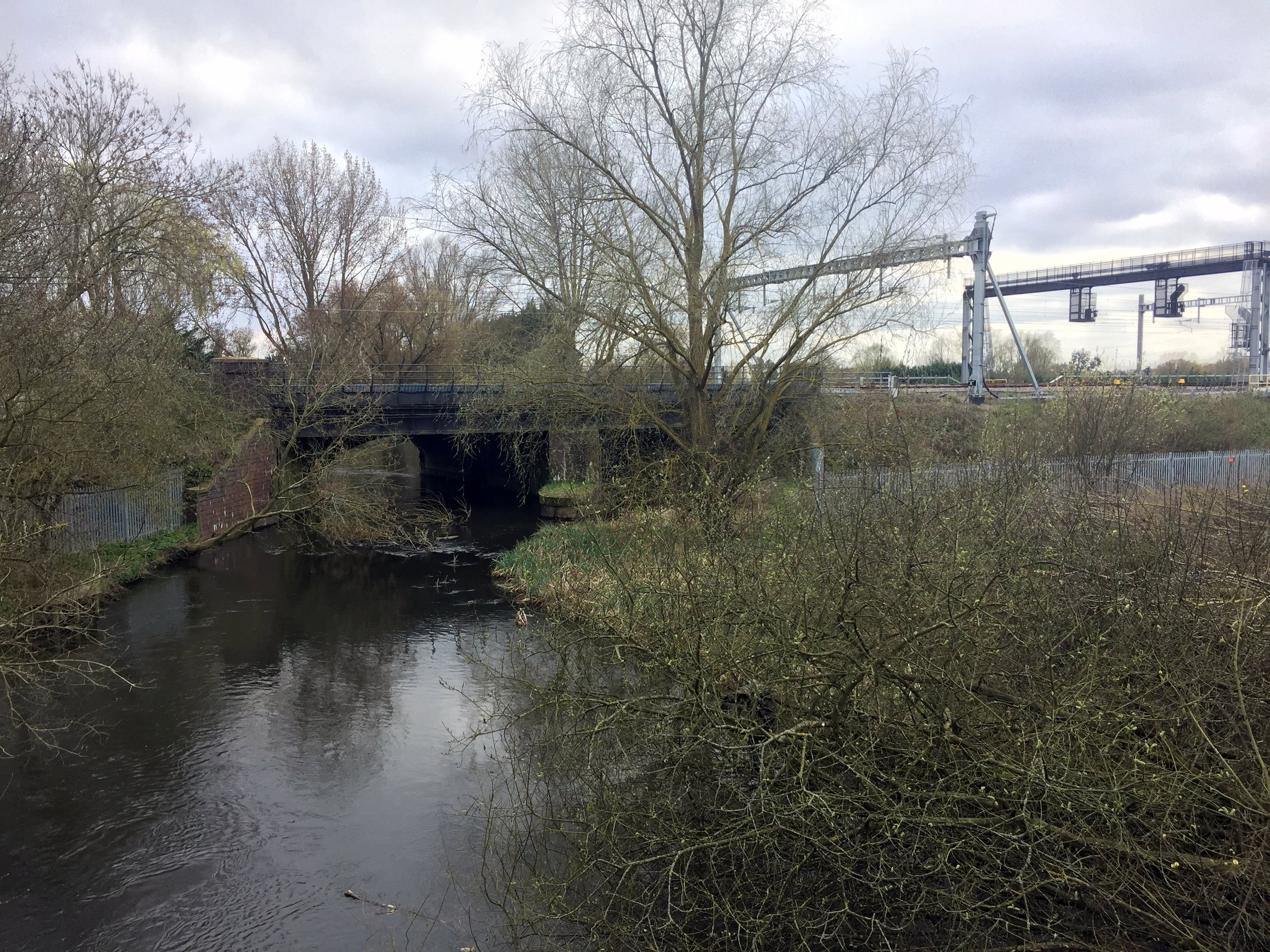
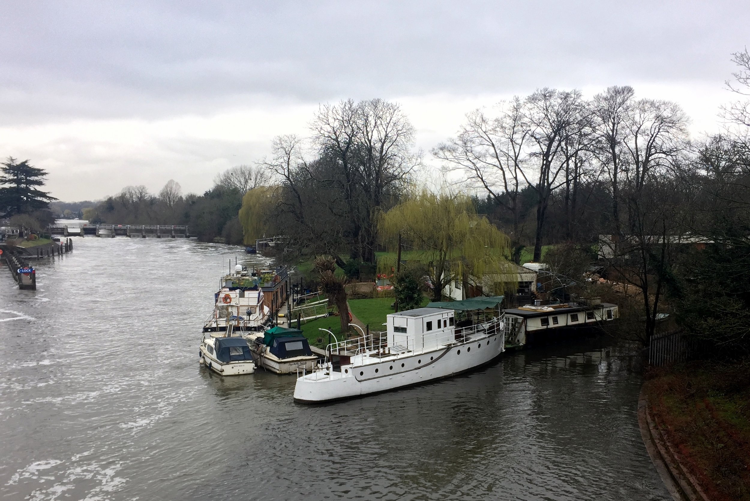
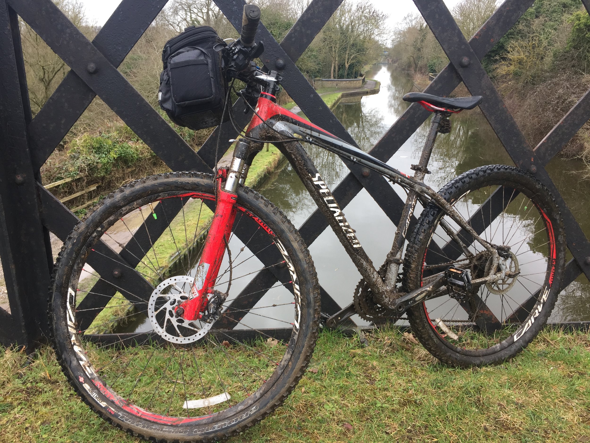
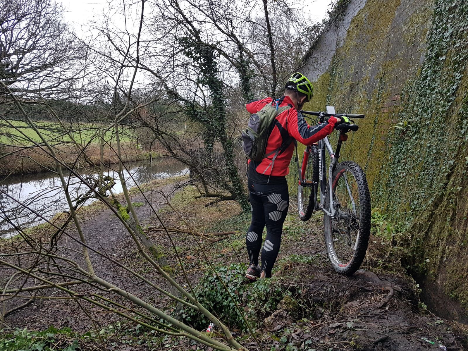
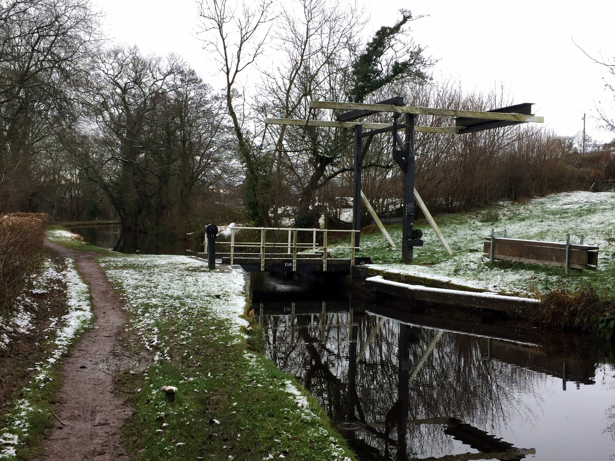
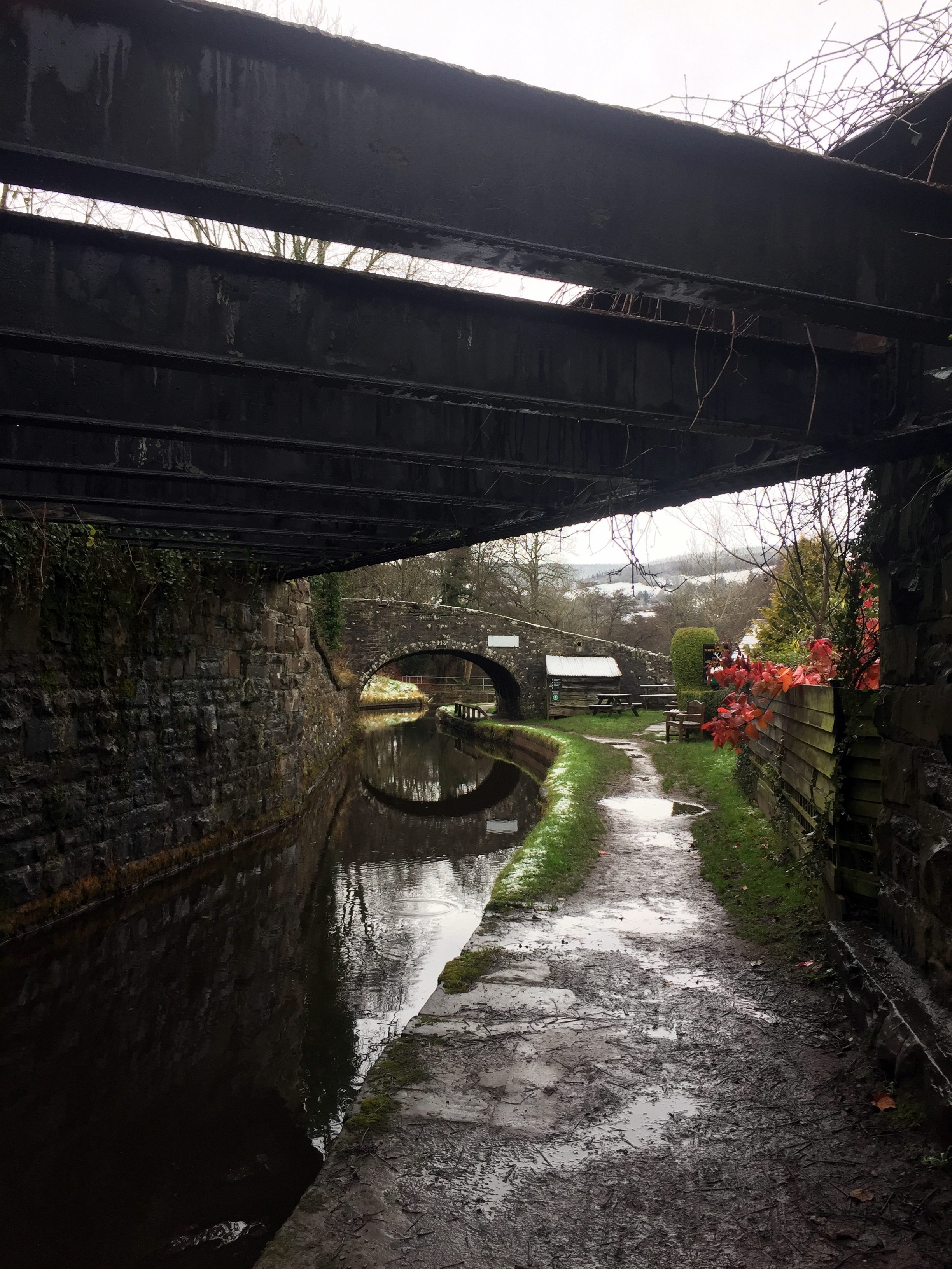
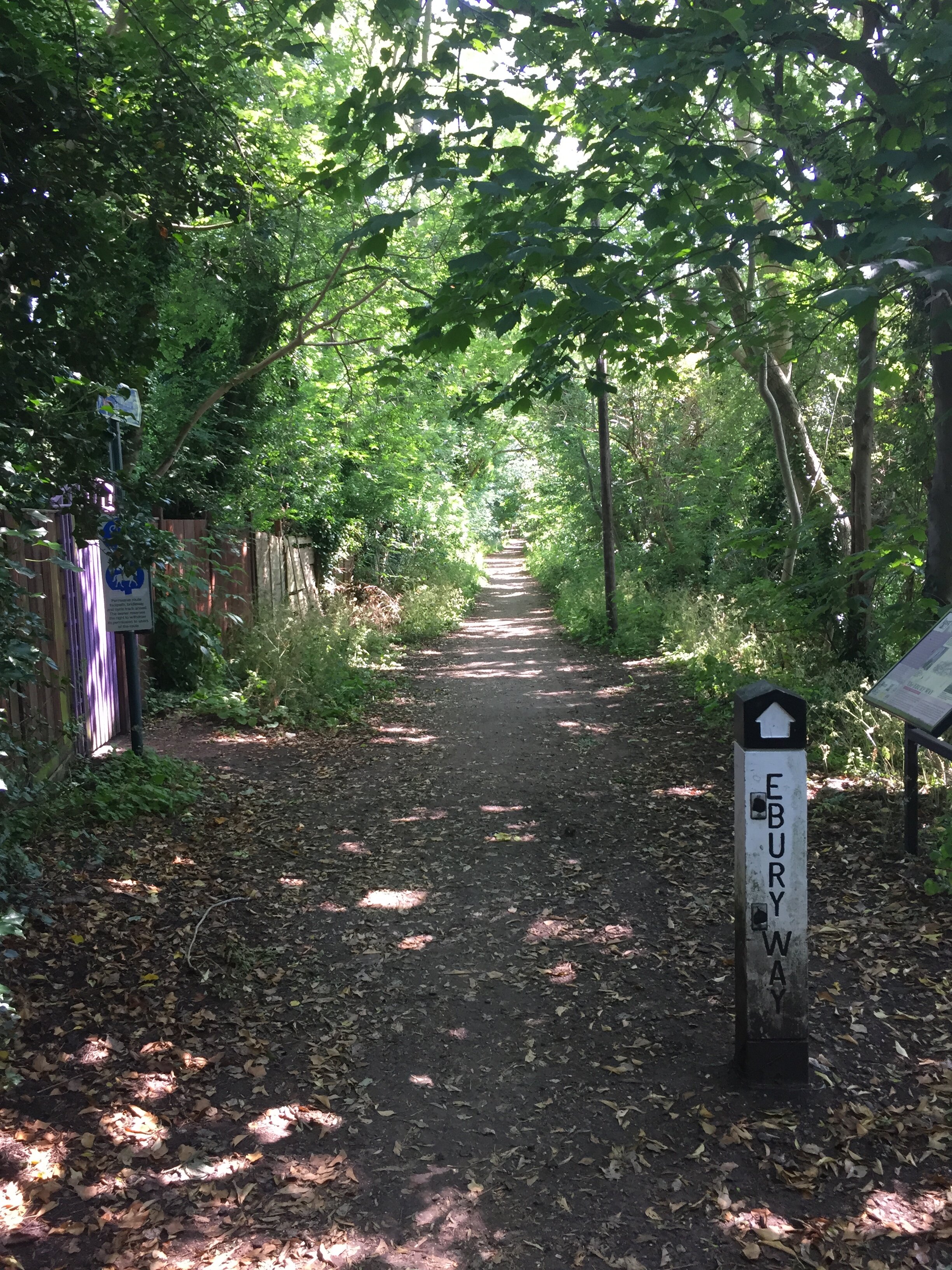
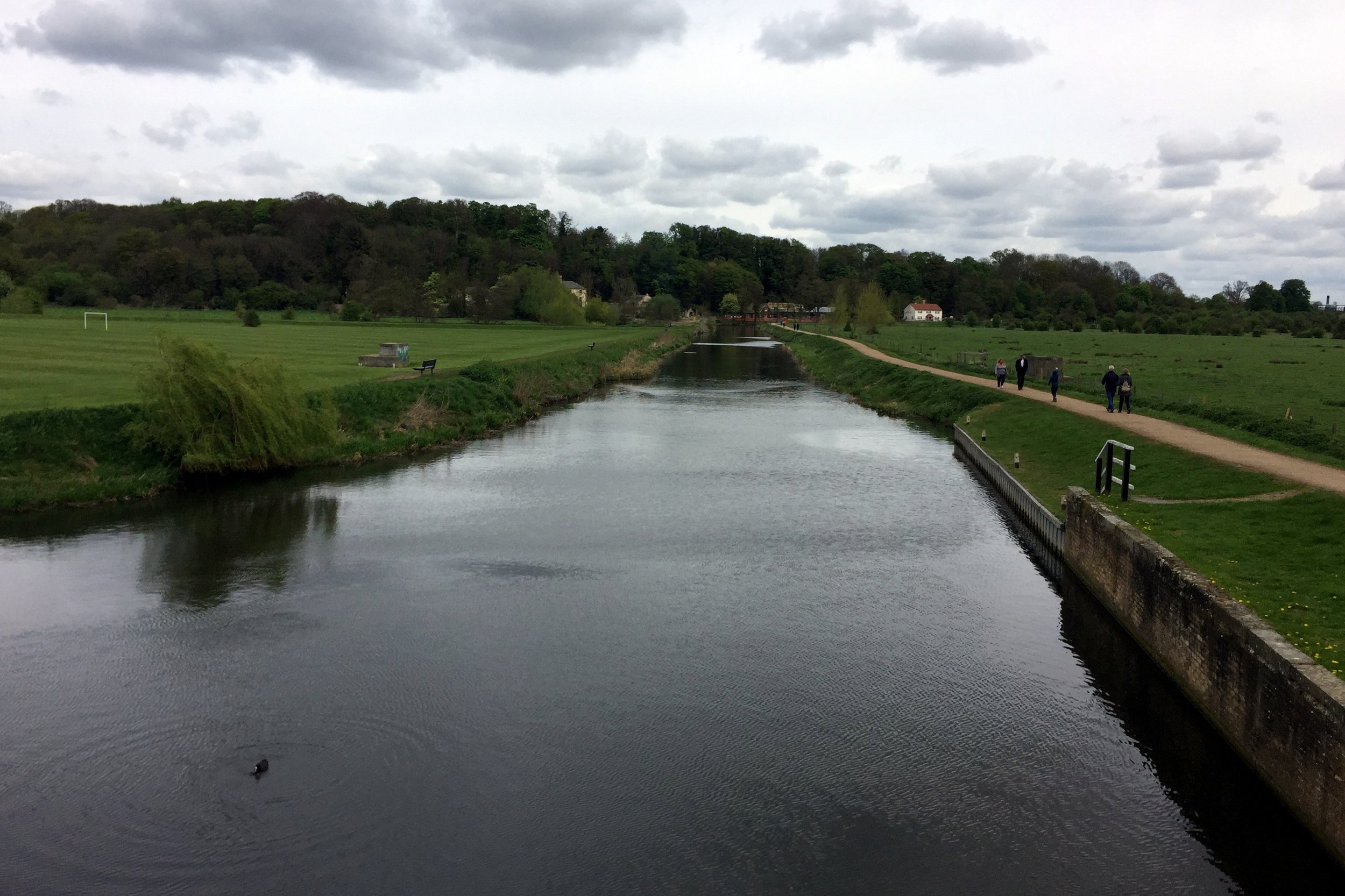
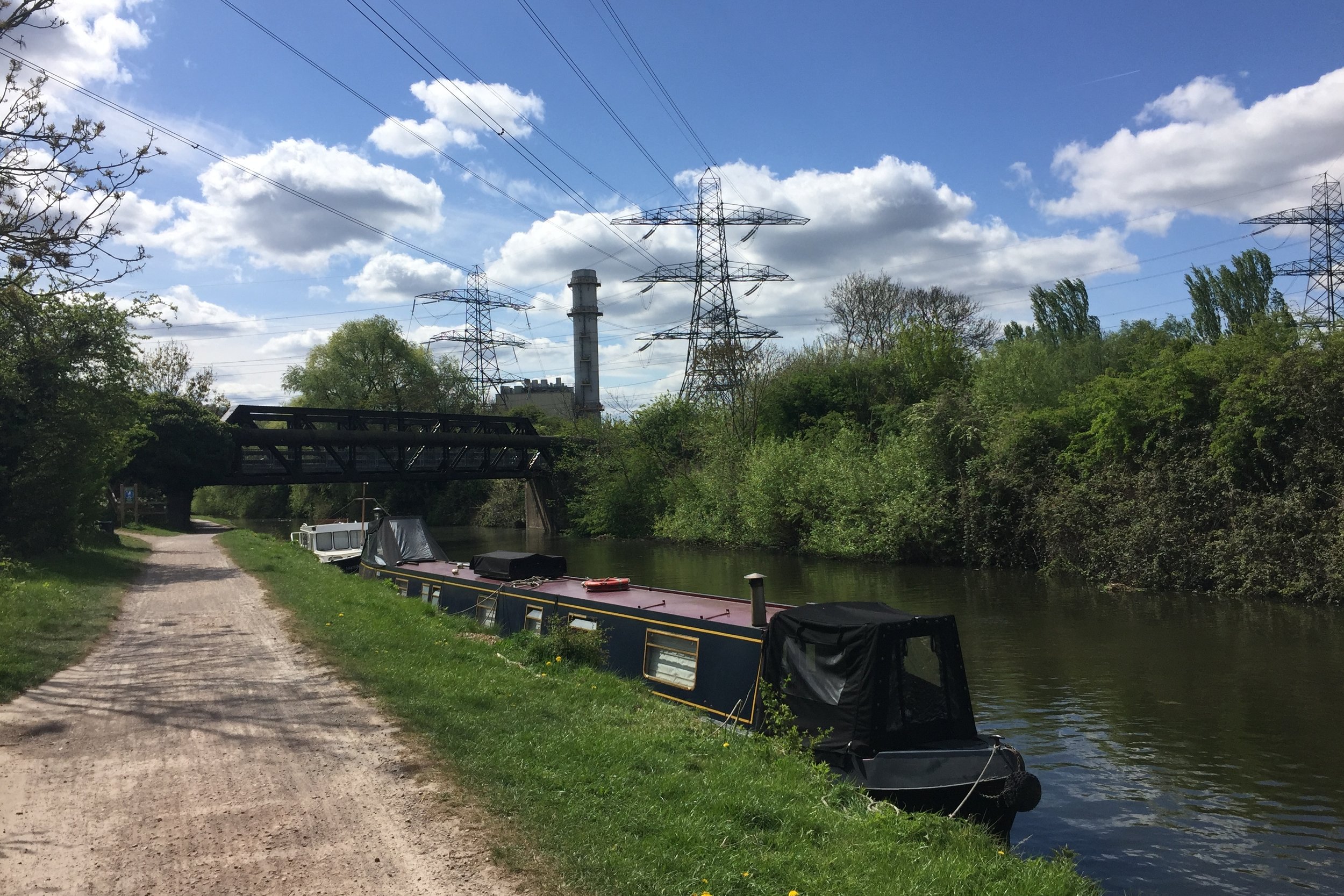
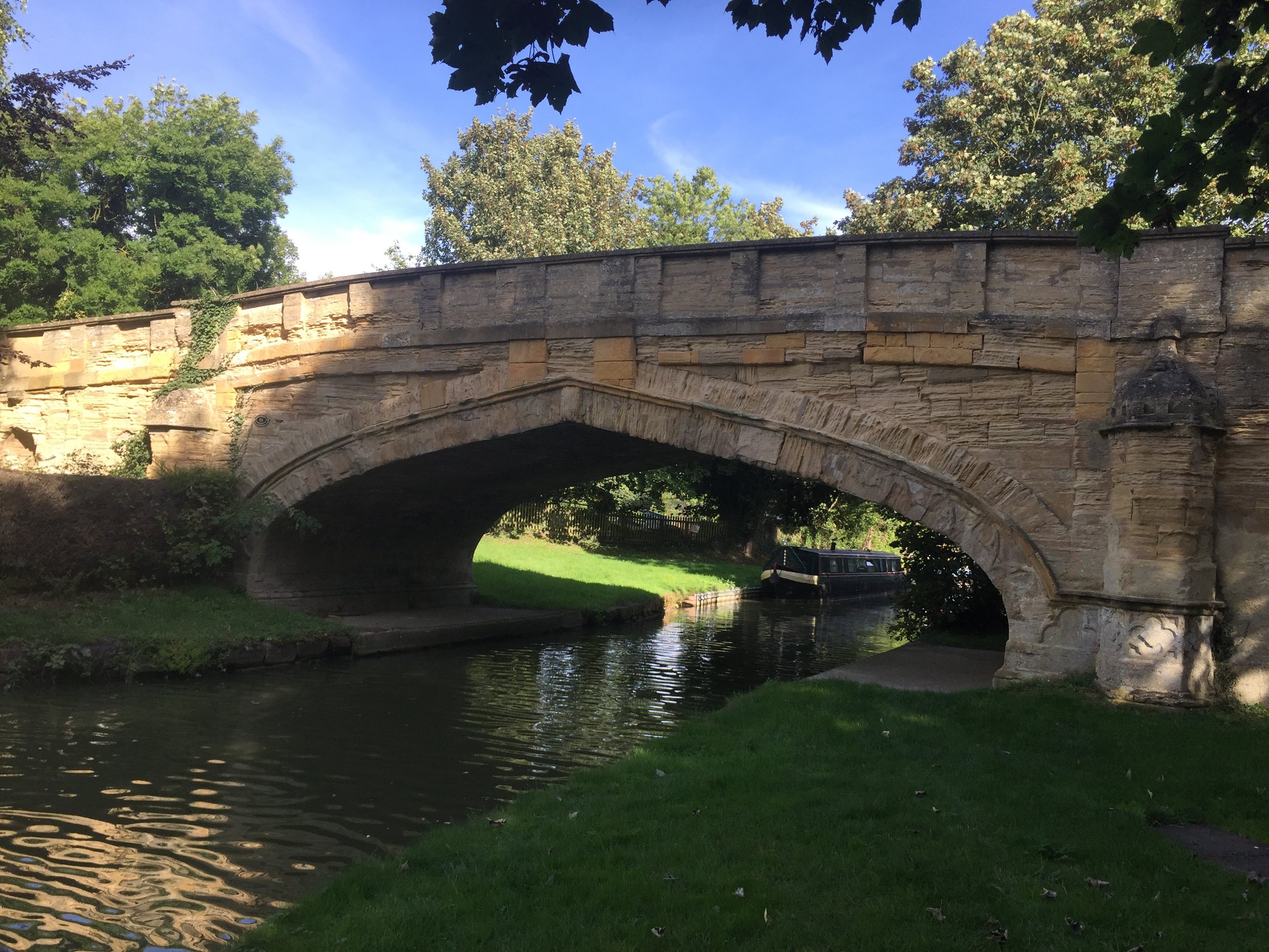
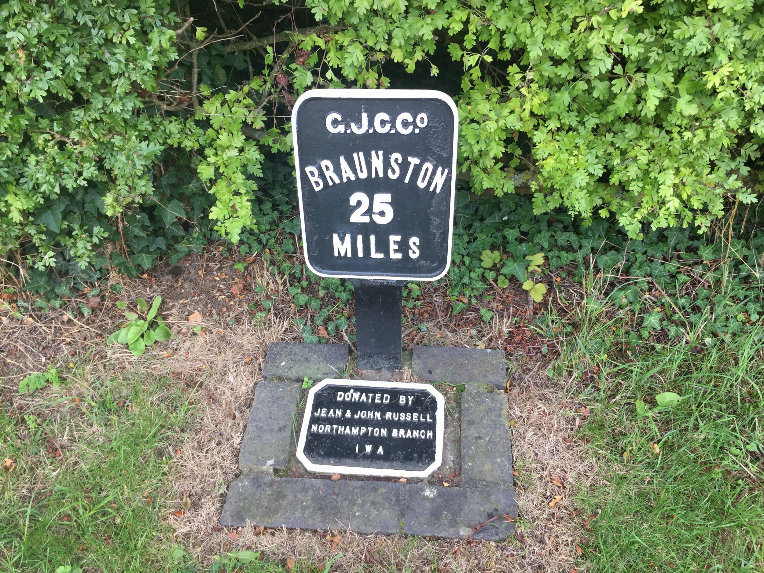
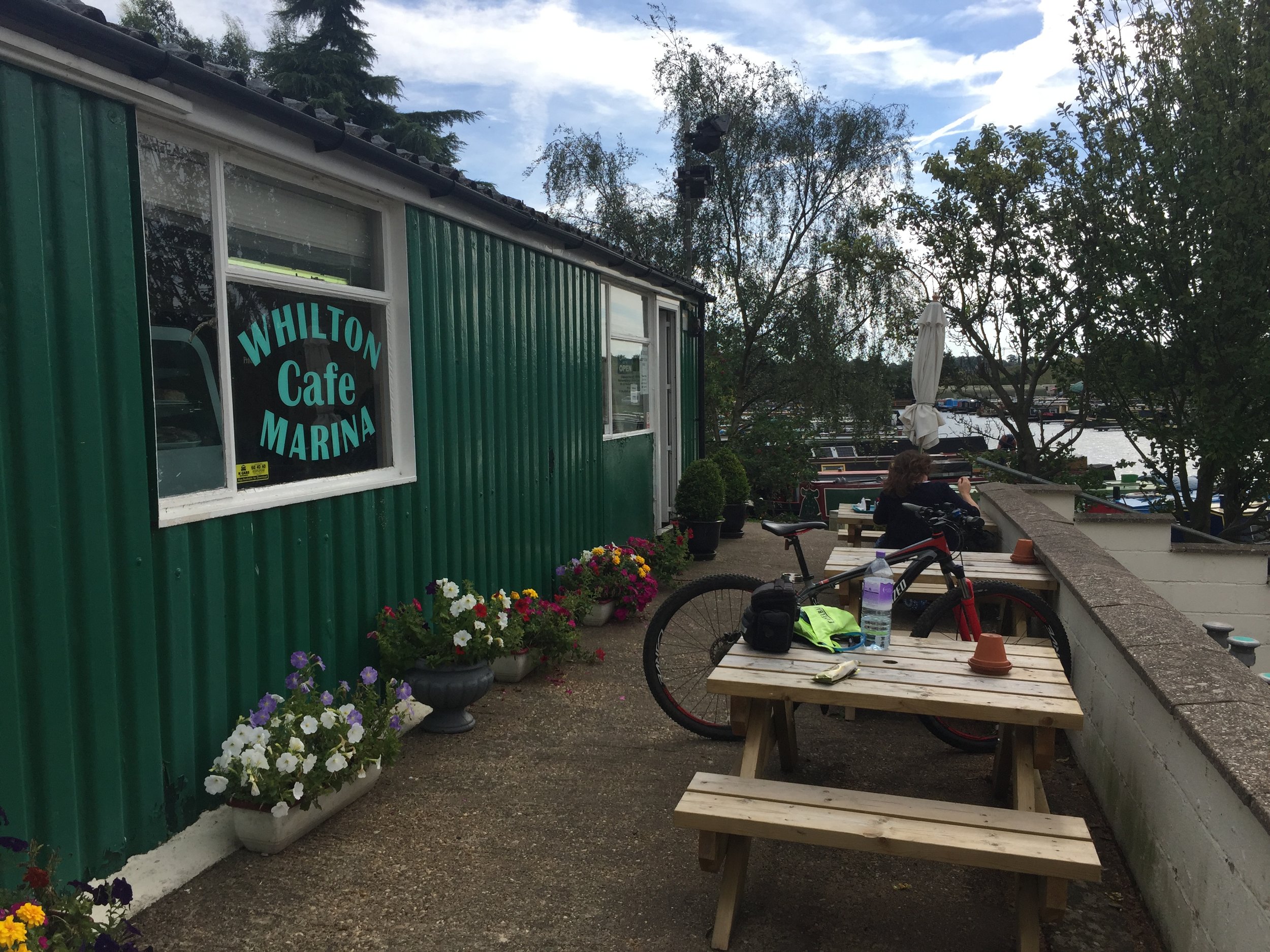
From Stocker Lock follow the Grand Union Canal towpath north east. Soon you’ll pass the gate to the Aquadrome Car Park. This gives you the option of making this a shorter route or pausing for a rest at the Cafe in the Park. An alternative place for a rest is the Cafe at Lock 81 further along the canal. Continuing on the Grand Union, you’ll reach an old railway bridge ~2 km from Stocker Lock. Leave the canal at the bridge by taking the steps up to the Ebury Way. This is a walking and cycling trail that follows the old rail line between Rickmansworth and Watford. I’d previously cycled the whole length en route to find the Middlesex County Top at Bushy Heath.
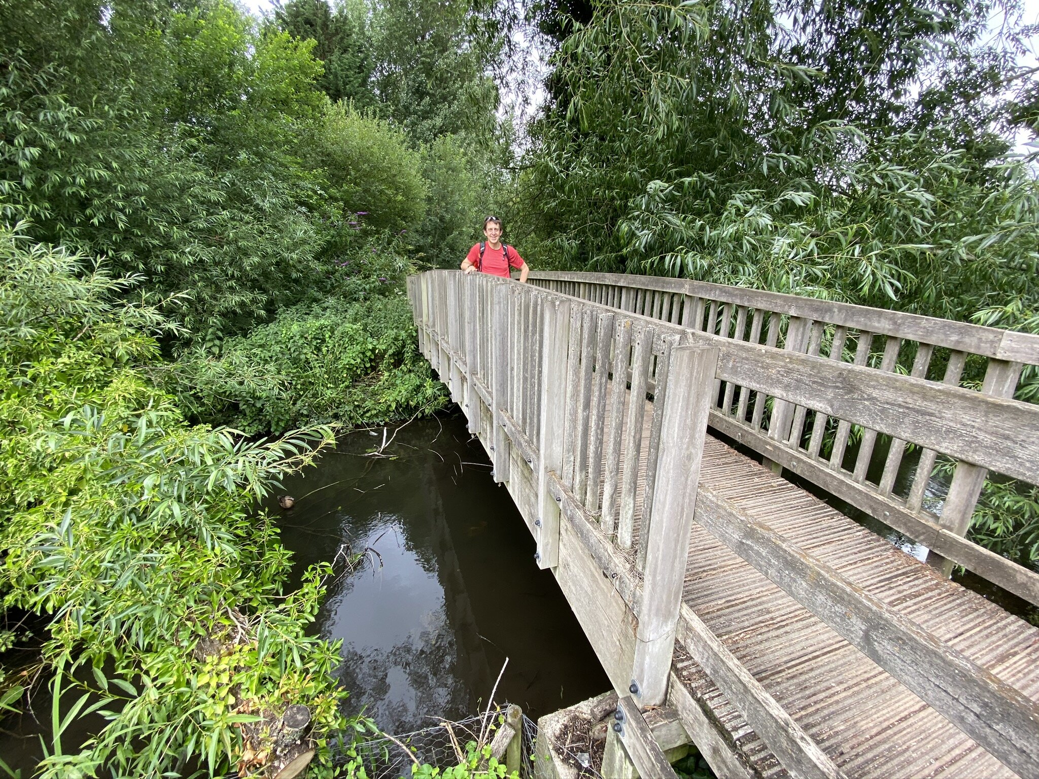
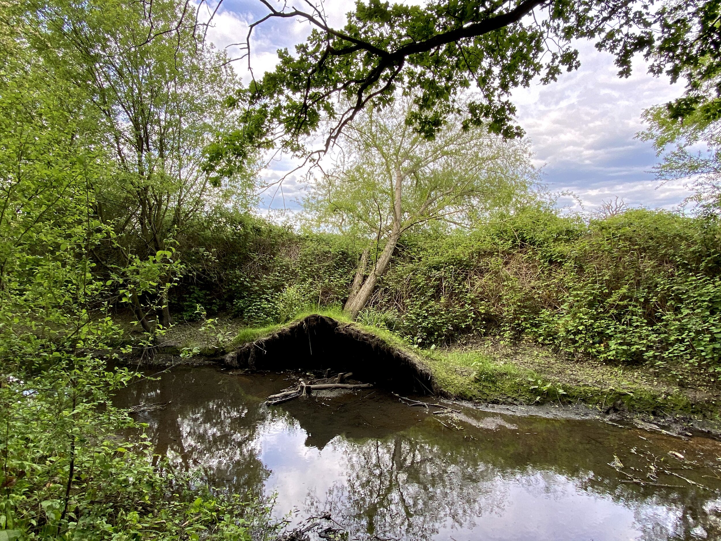
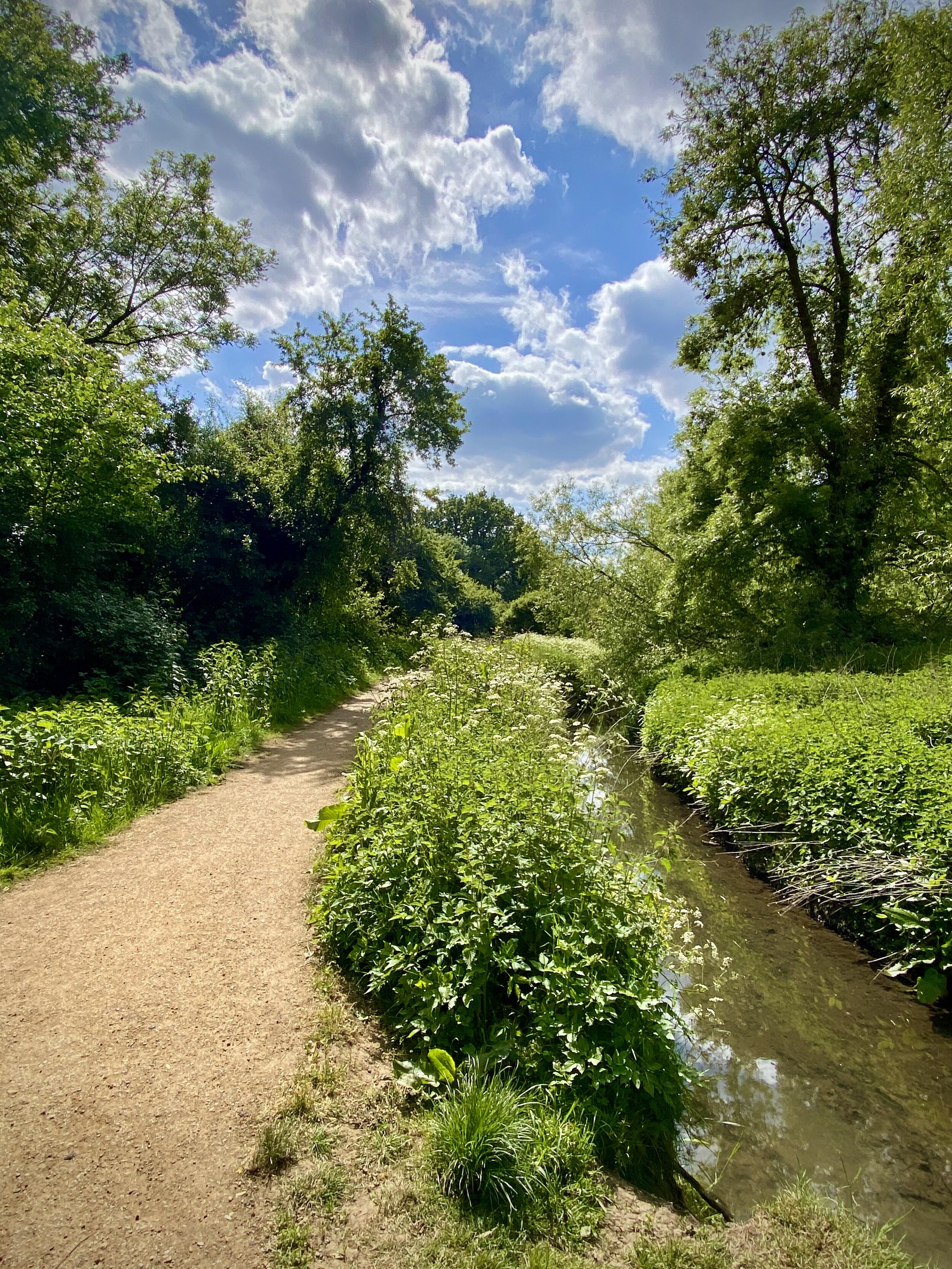
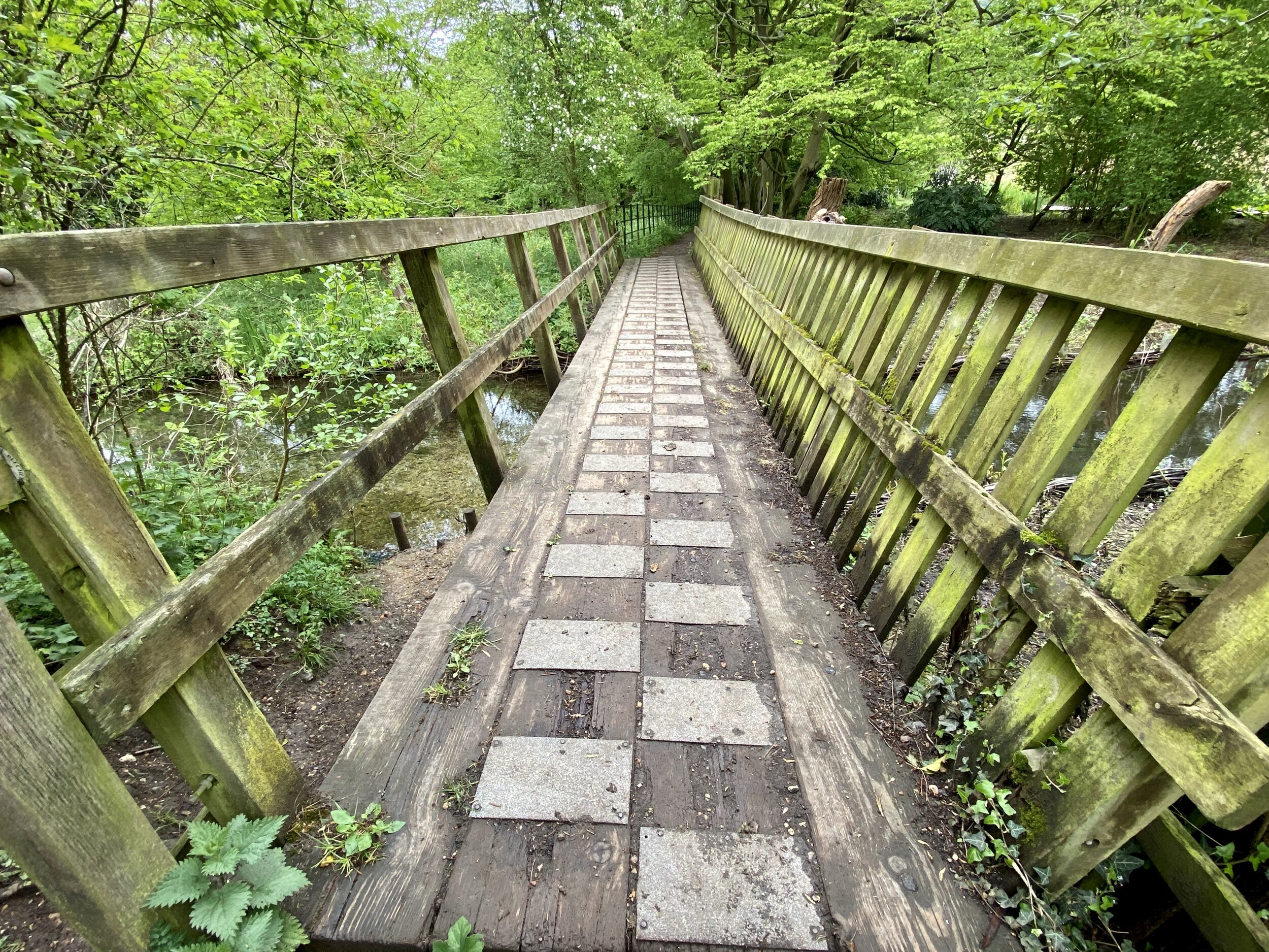
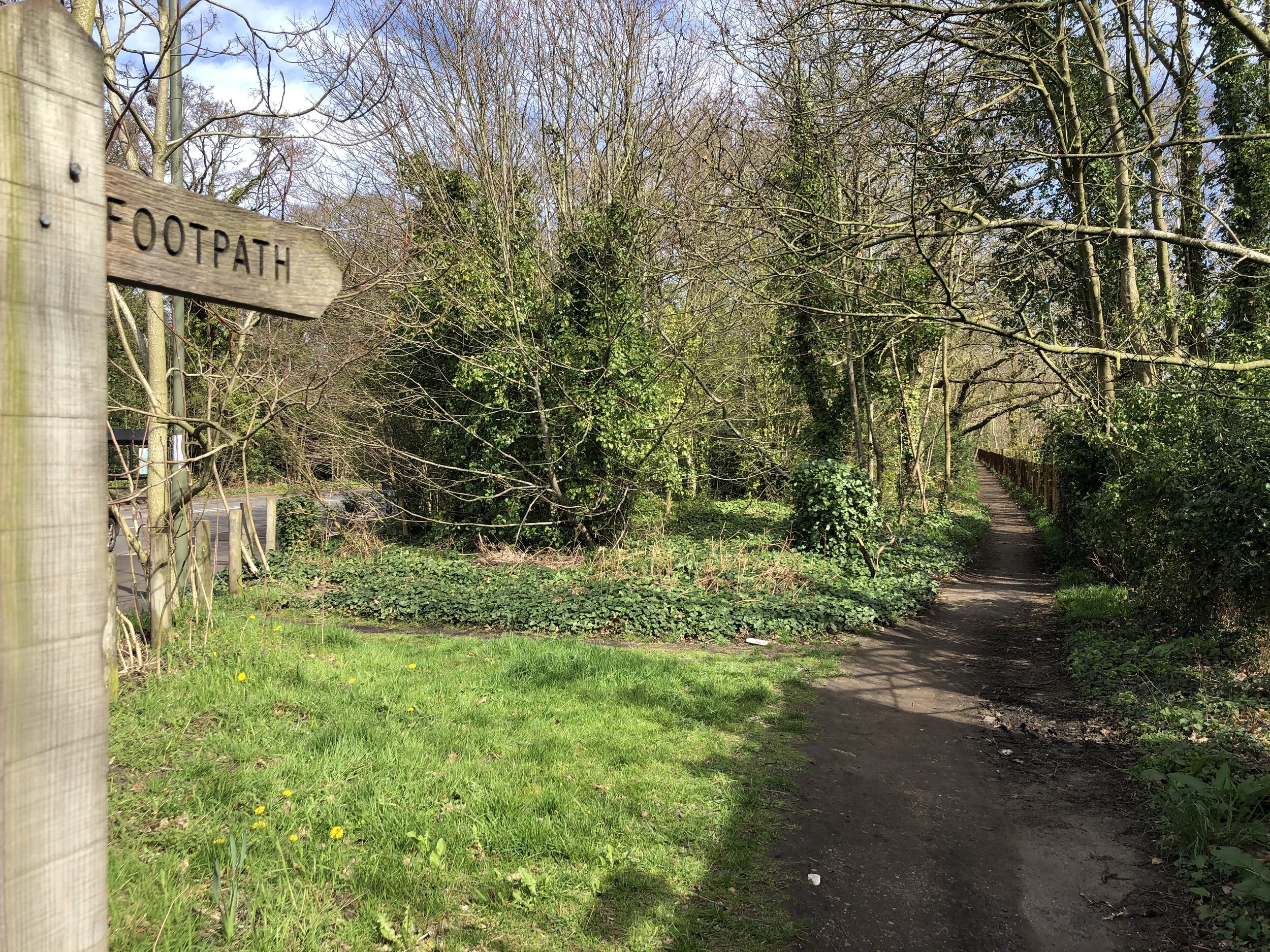
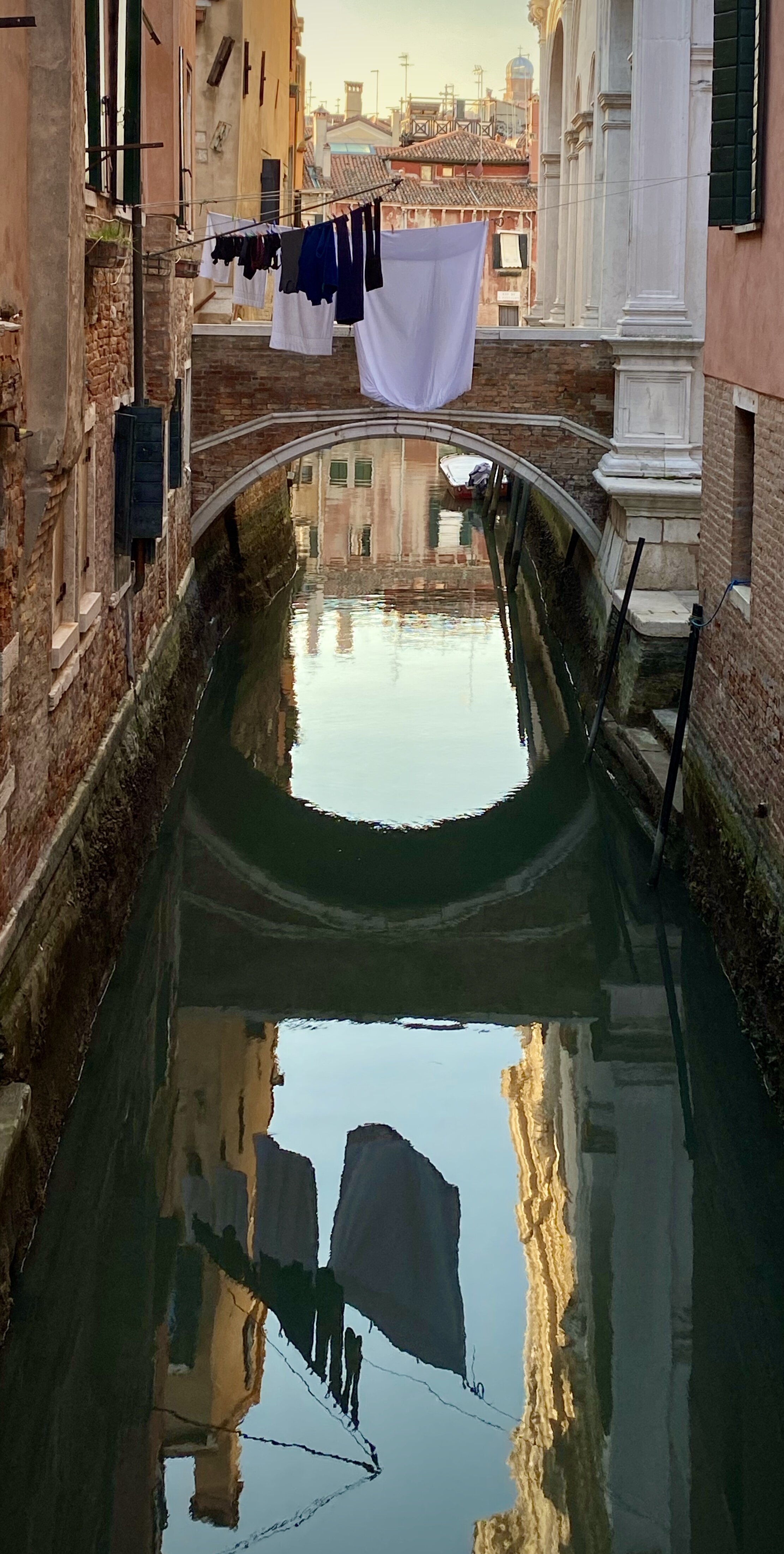
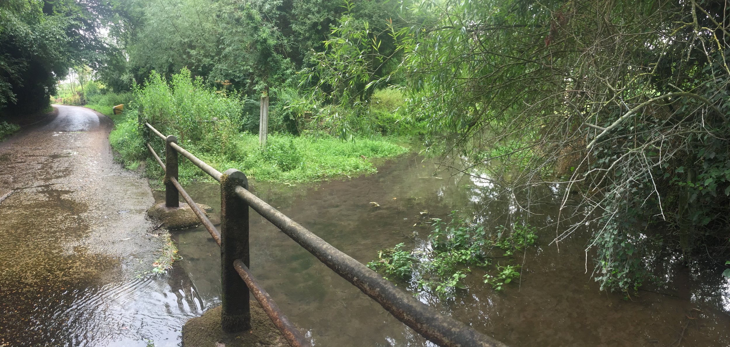
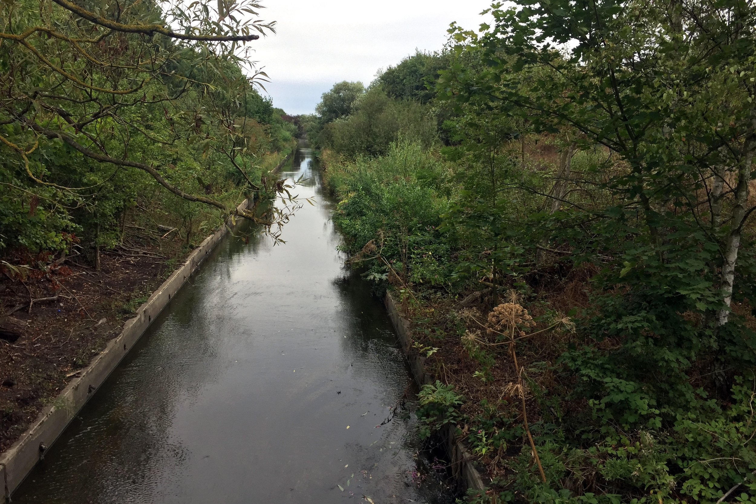
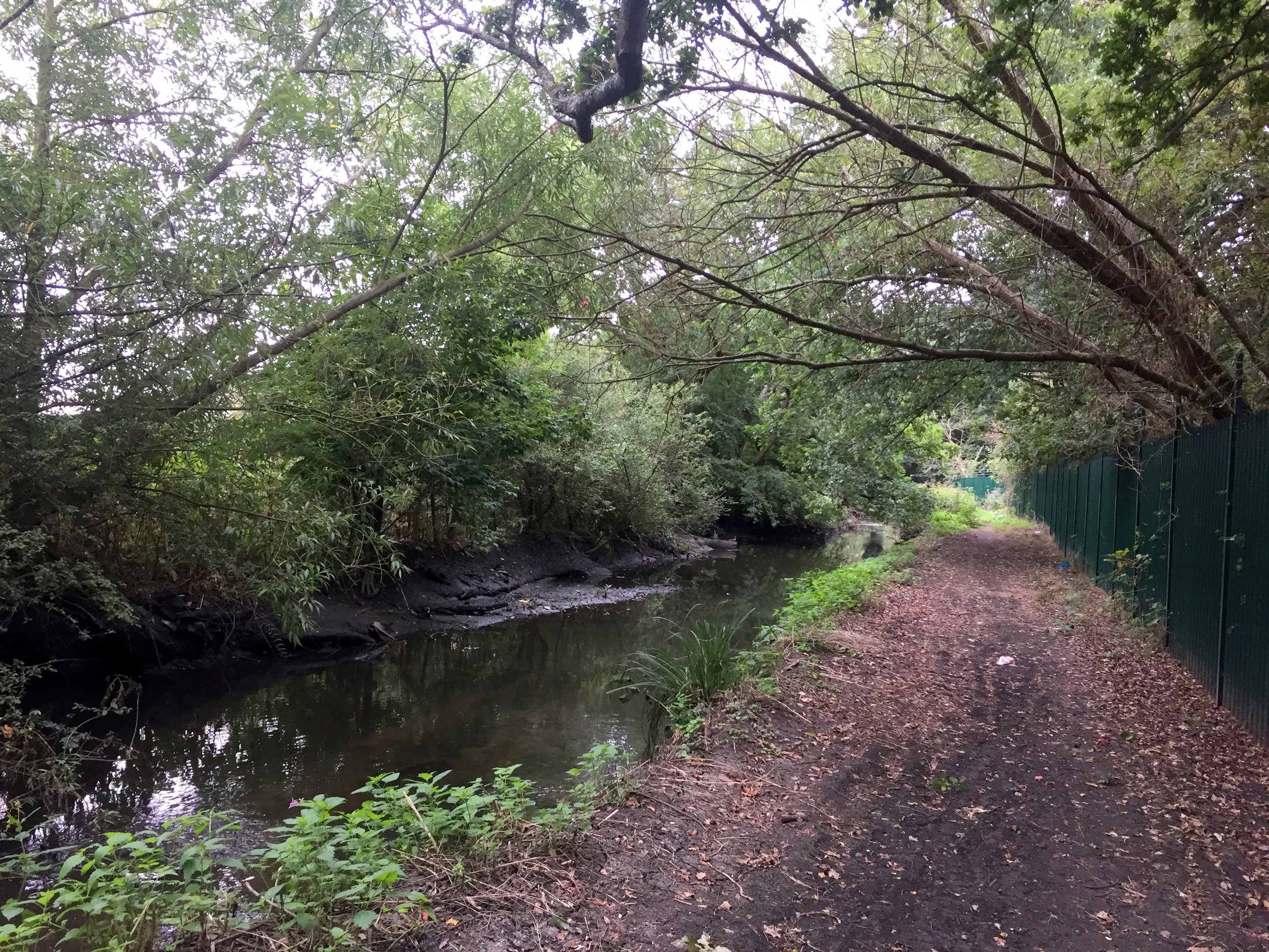
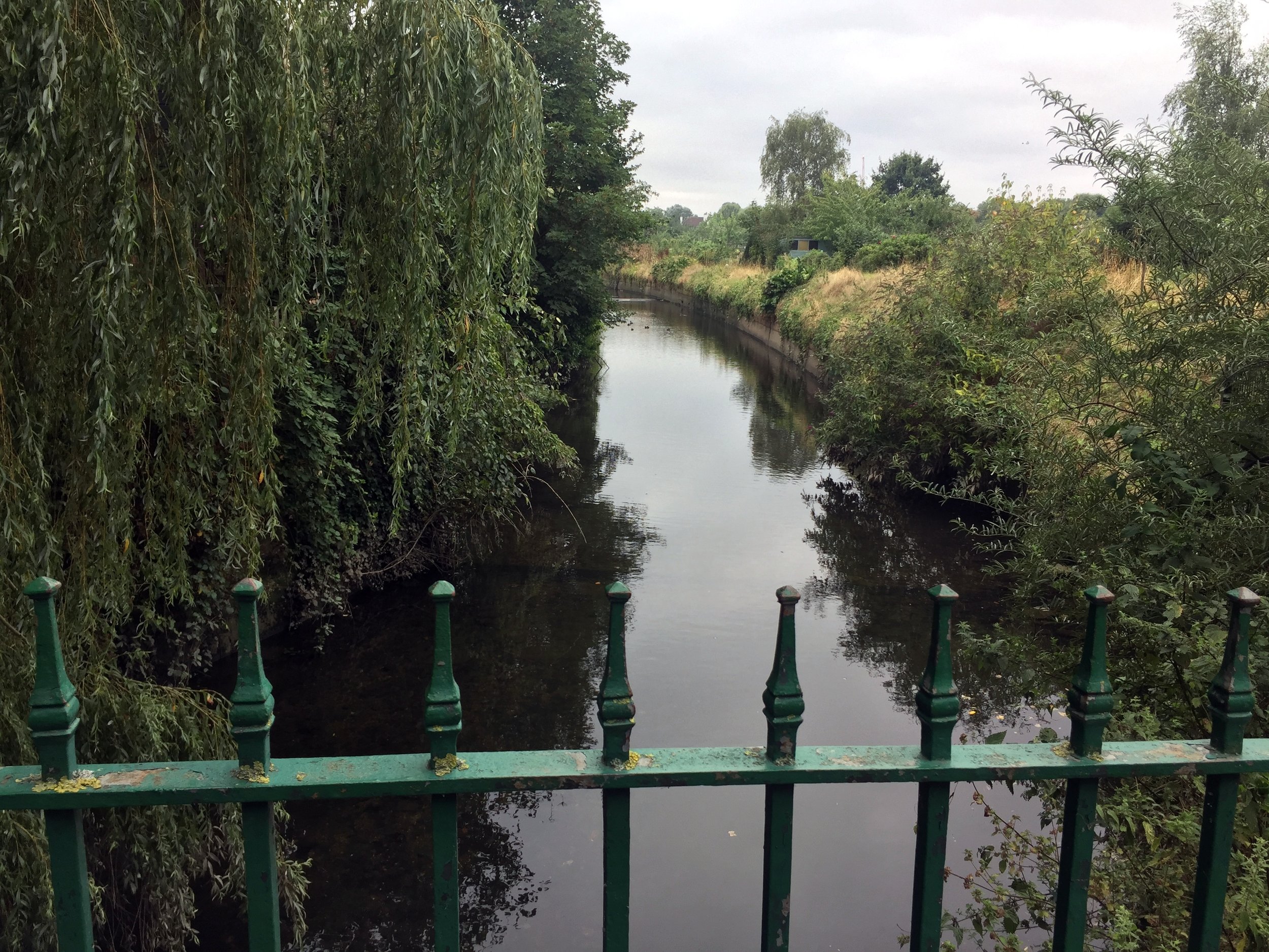
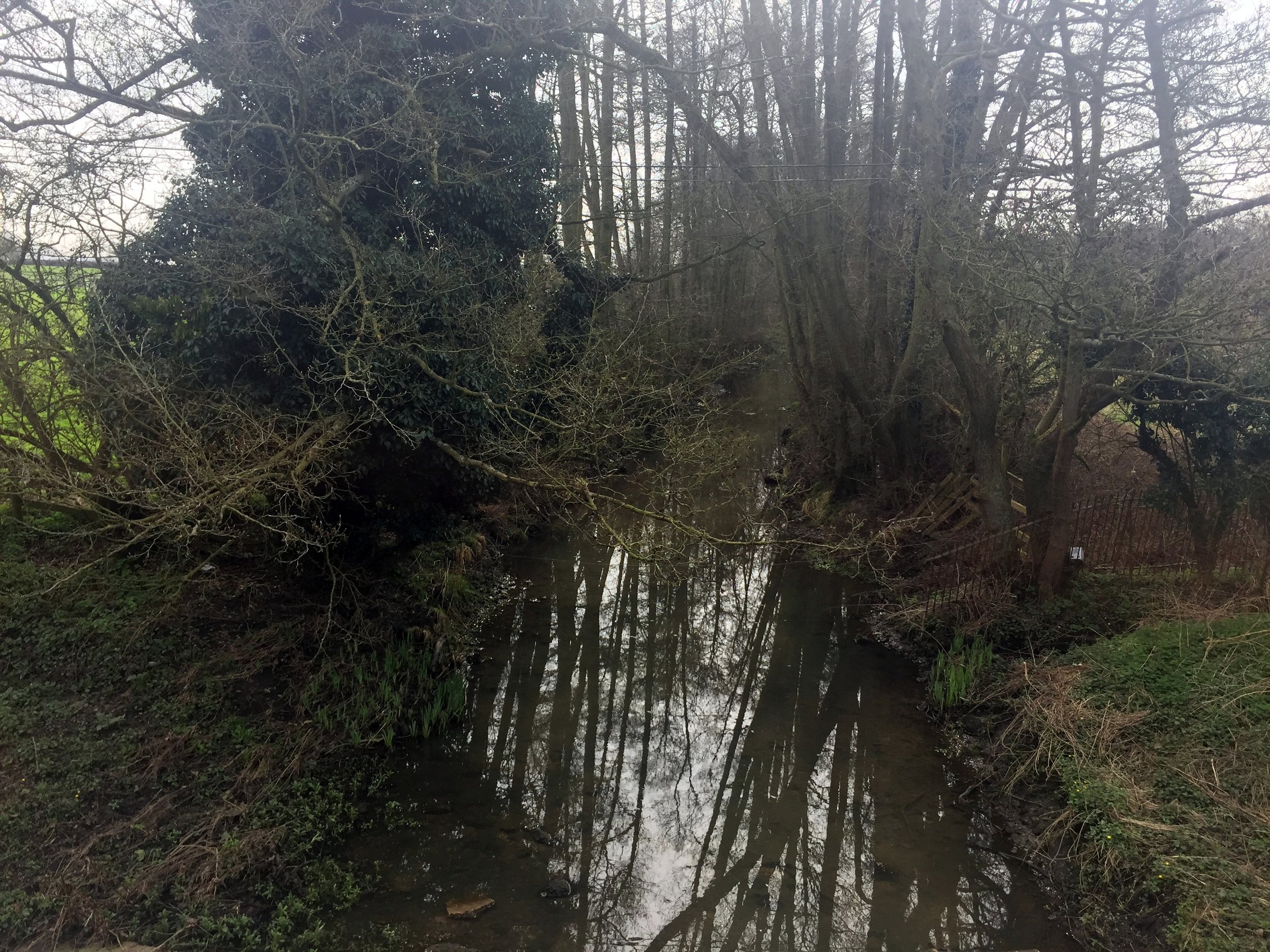
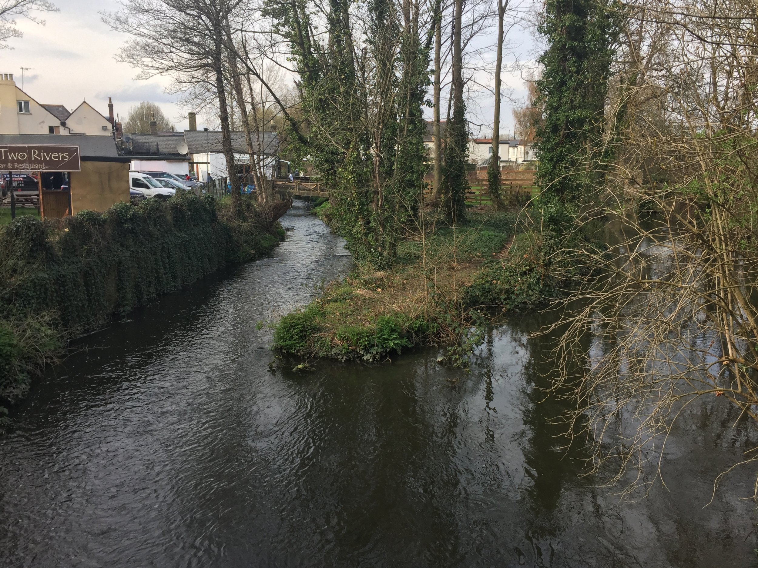
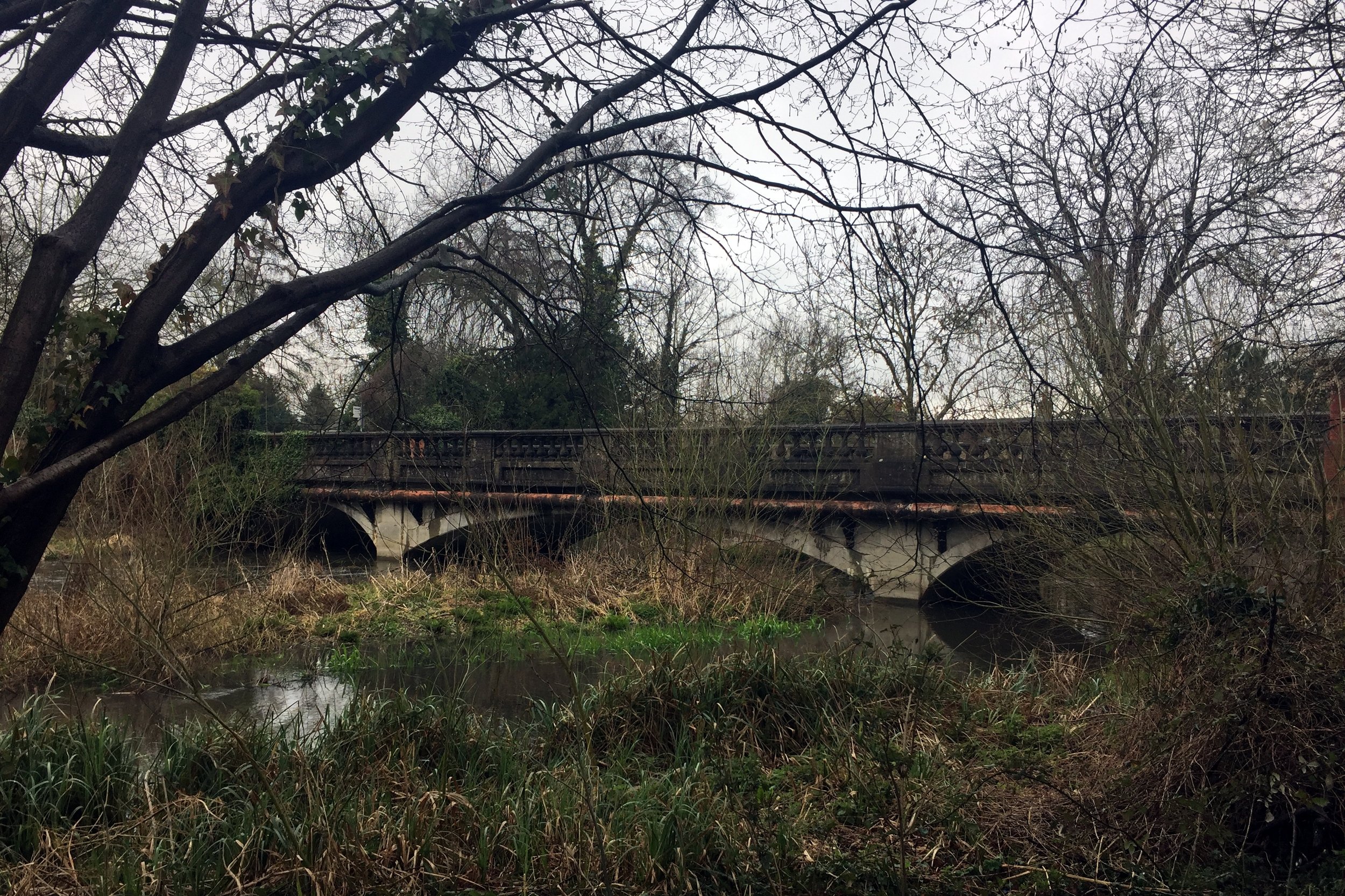
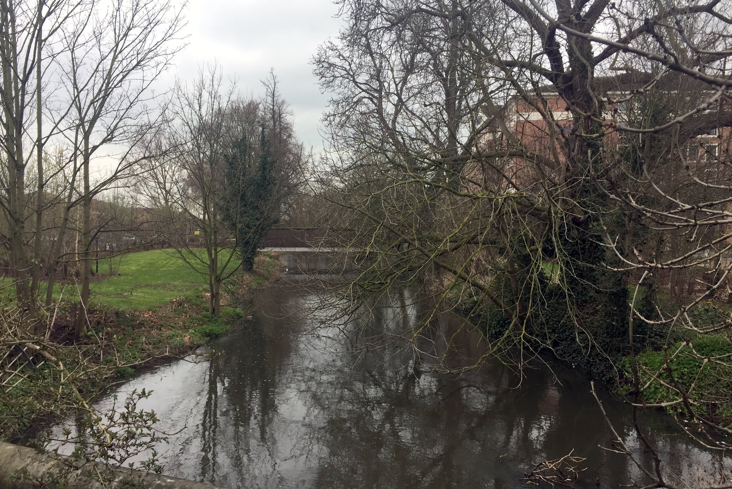
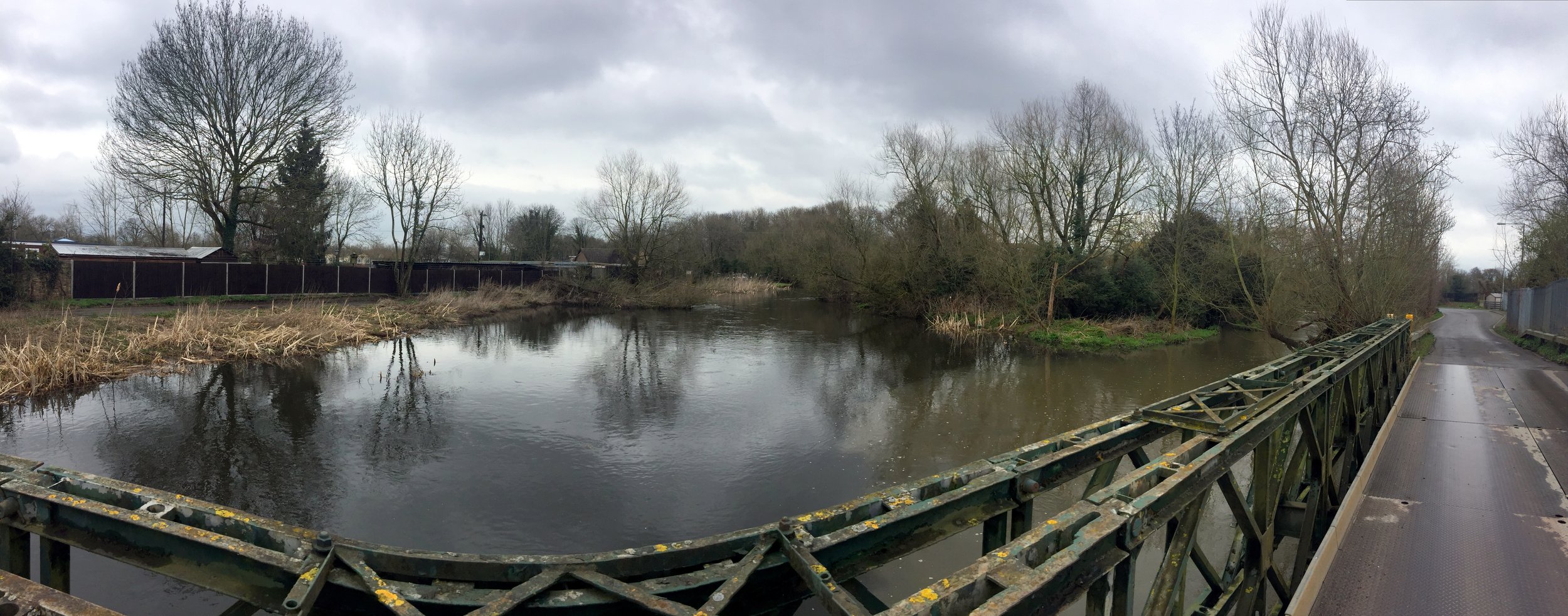
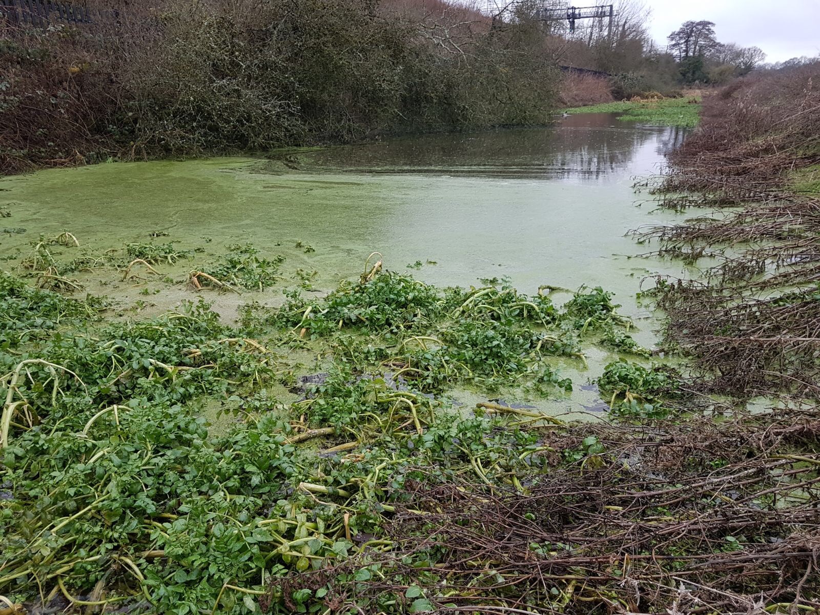
After leaving the Grand Union take a left onto the Ebury Way, following it back to Rickmansworth. On this stretch of the Ebury Way you’ll pass the confluence of both the River Gade and the Chess as they join the Colne.
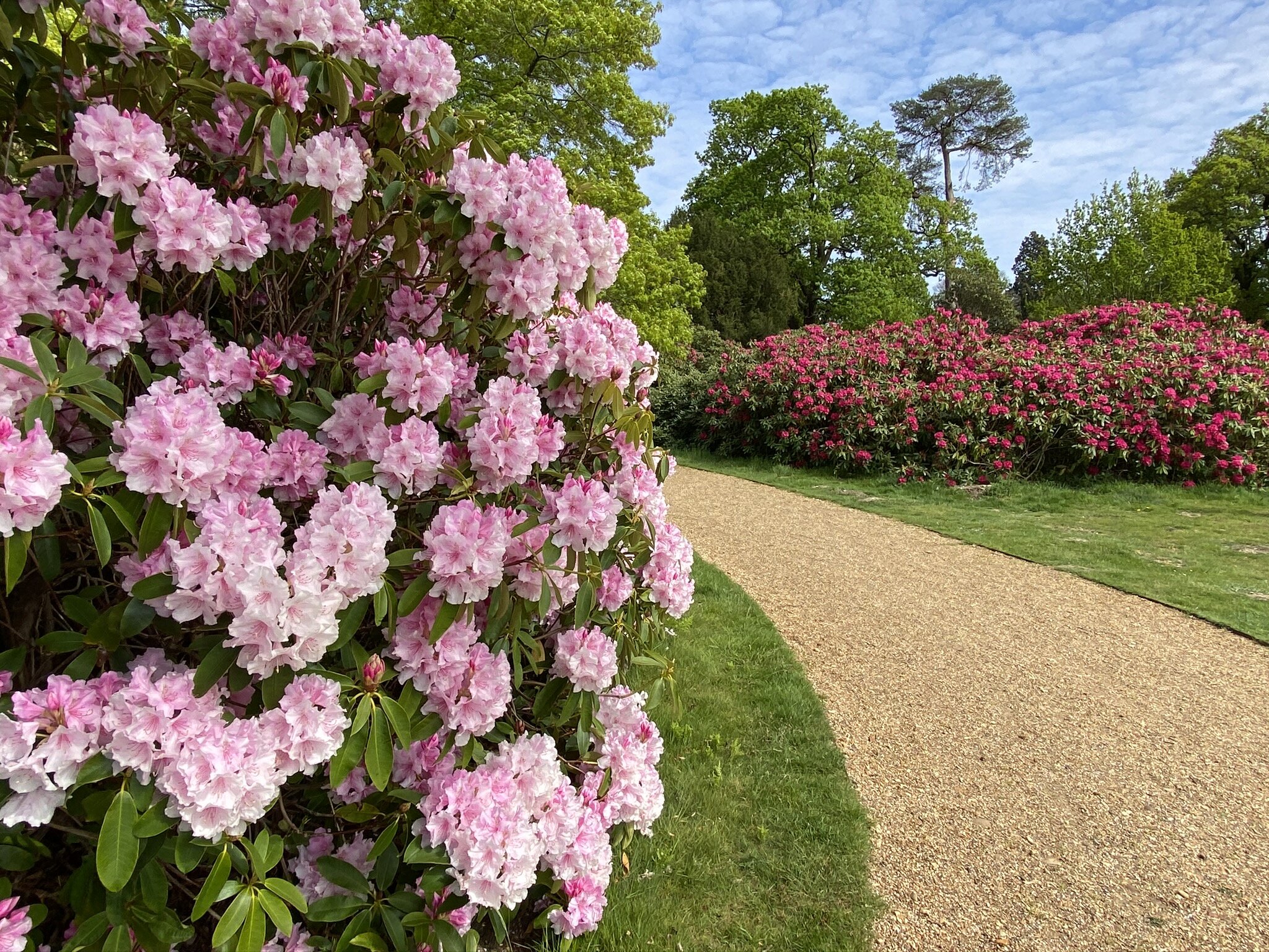
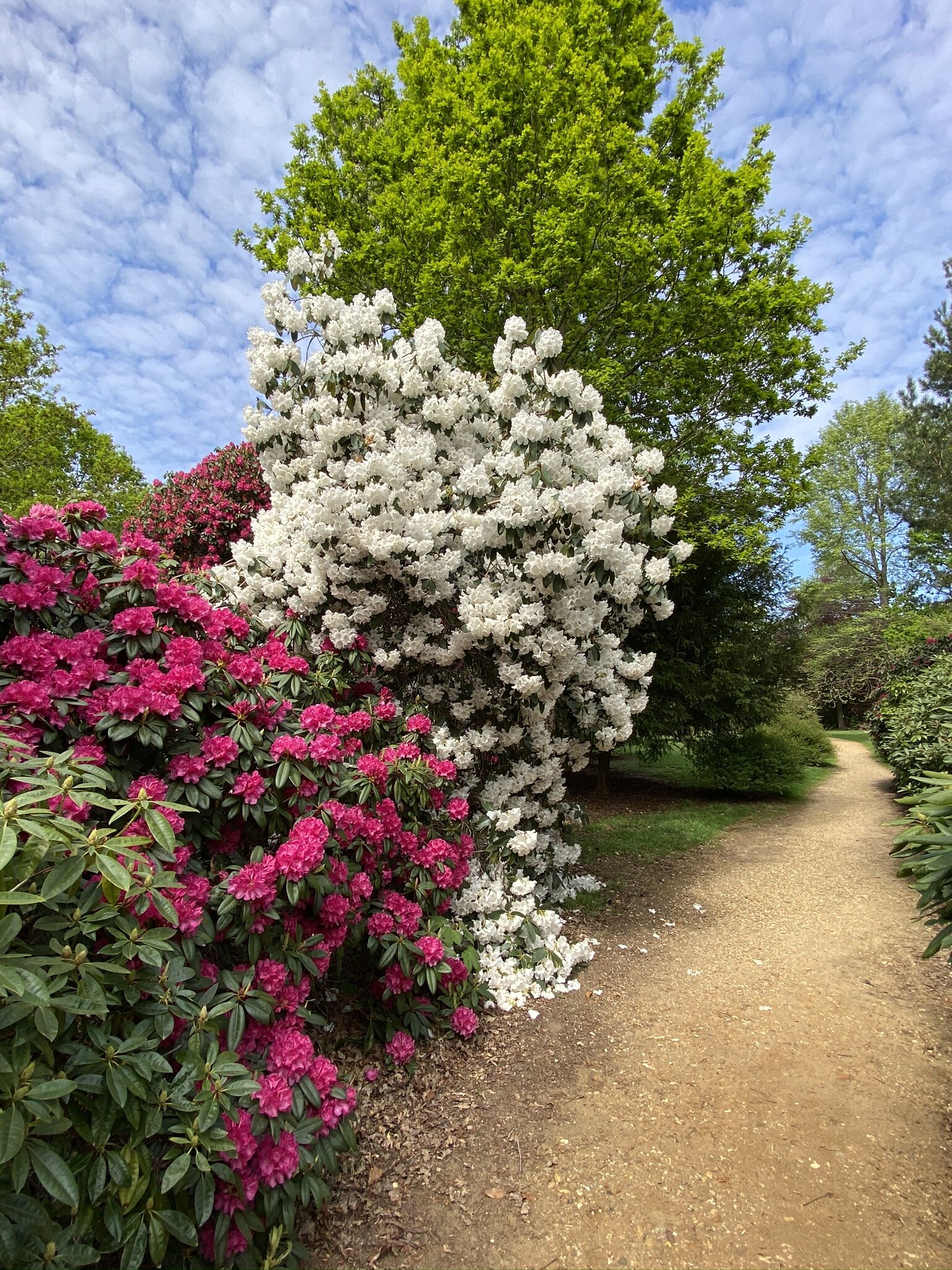
Cross over the roundabout and follow a path to the left of the A404 Riverside Drive for ~500m. Before you reach another large roundabout take a left into the playground and follow the footpath over the River Colne and back into the Aquadrome. Follow the path in either direction around Batchworth Lake to return the the car park.