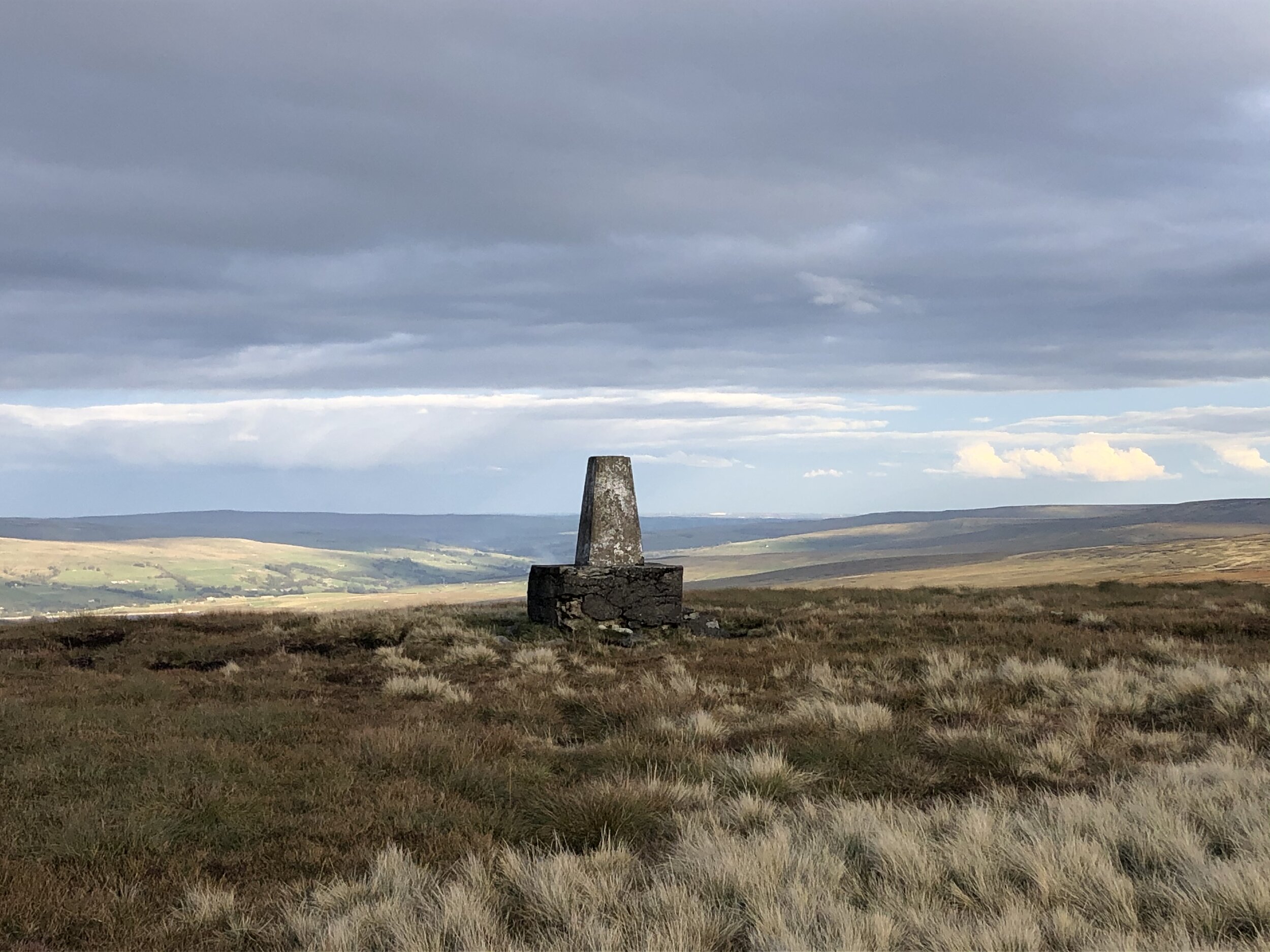
View from Burnhope Seat summit to the Trig Pillar
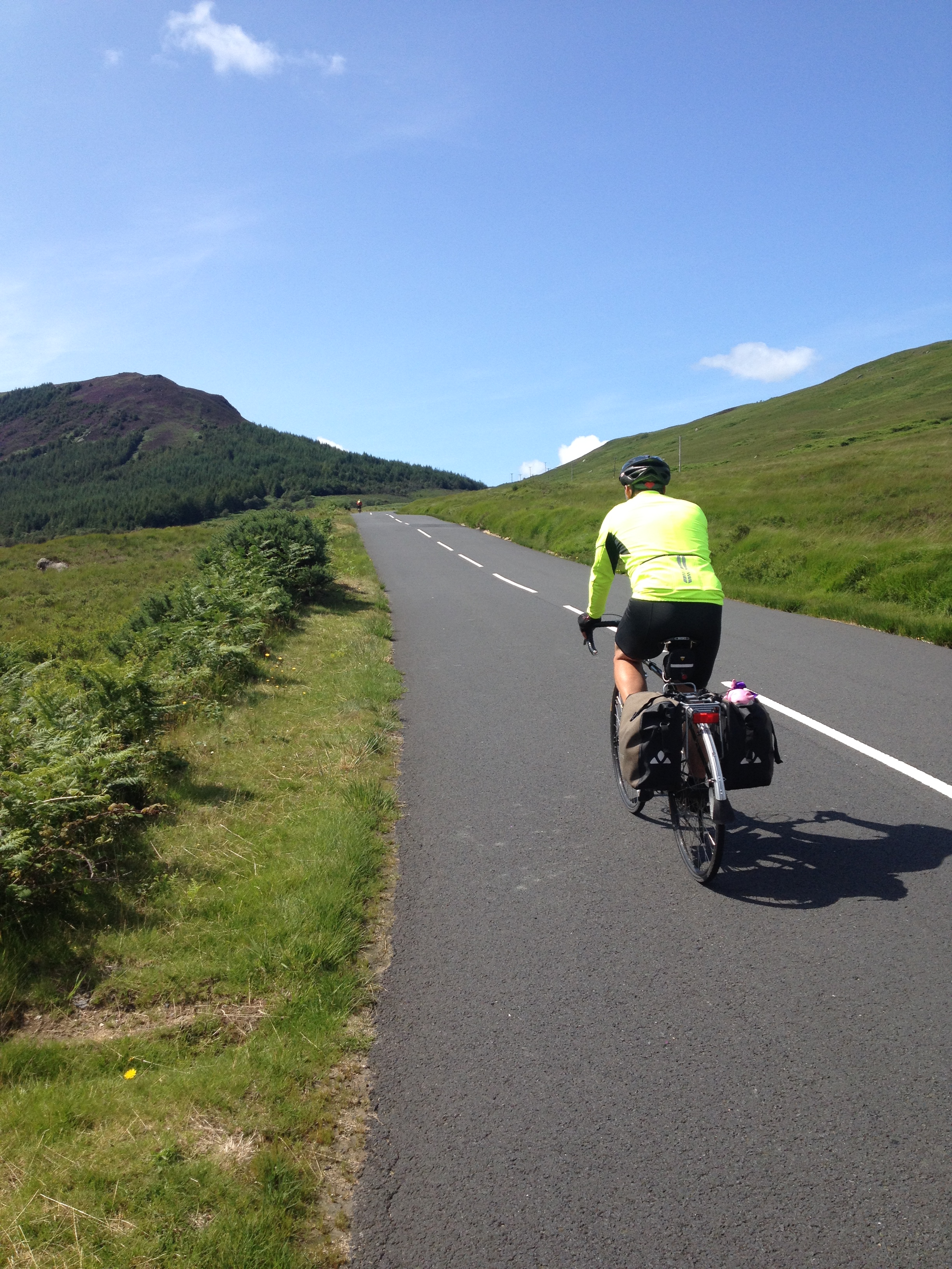
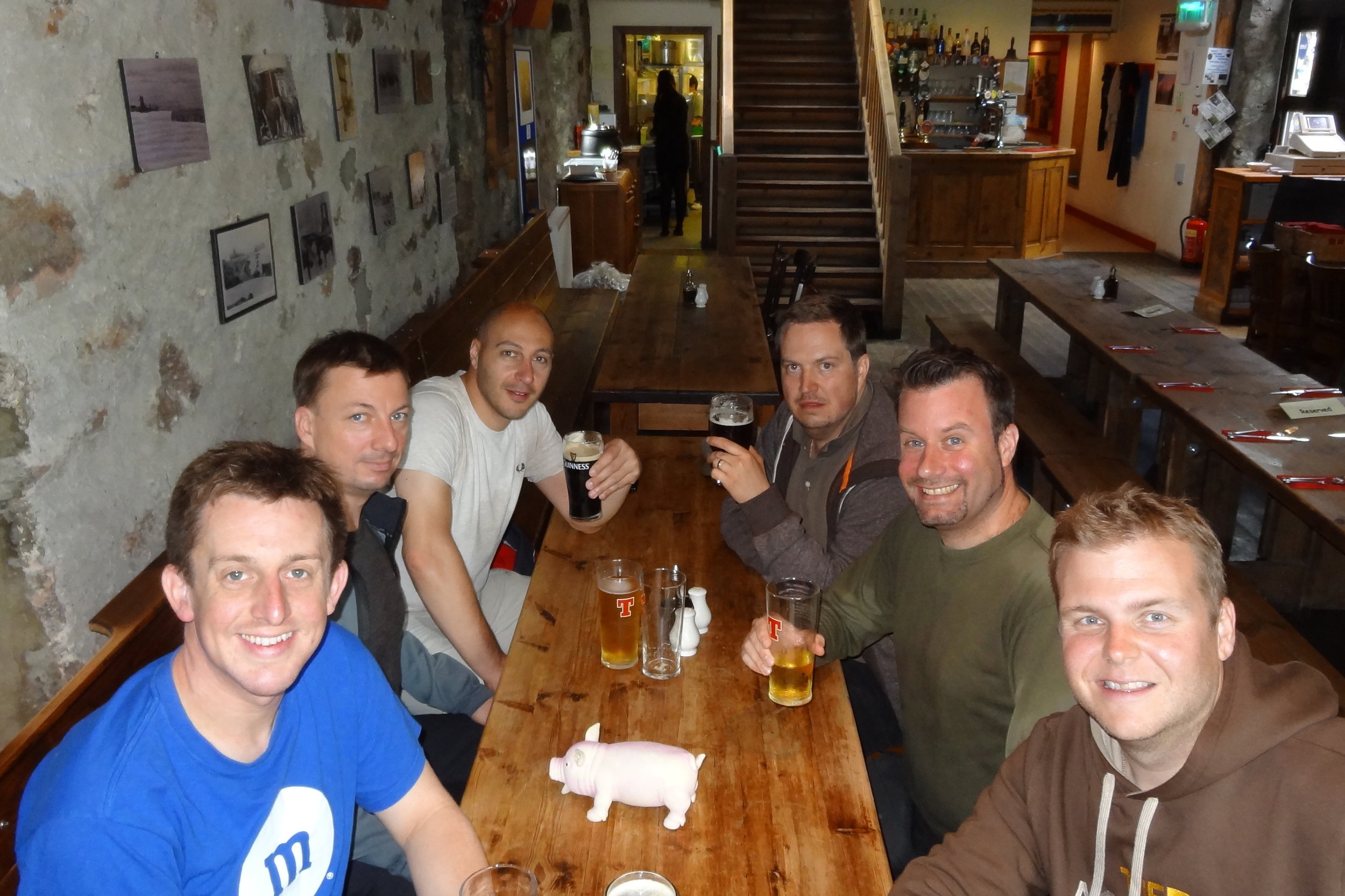
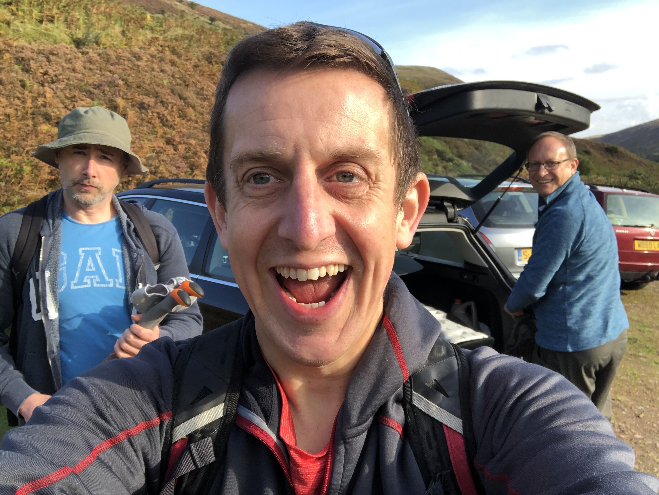
We had the dates for this in the diary for most of the year, even before Covid-19 became the thing that defined 2020. When the Lockdown came in March we we glad we had booked it in for later in the year and had assumed that the virus would have blown over by then. By mid-Summer things were relaxing and it was looking like there wouldn’t be a problem for the trip at all. September came, cases started rising again and the North-East was right in the centre of a local Lockdown. The rules were especially ambiguous and it was only the day before the trip that we decided that we would still be able to go. So, without breaking any rules and keeping as safe as possible, 3 of us headed North to complete the North-East County Tops.
As it turned out Covid had a very minimal impact on the plan. Our YHA for the first 2 nights was in Northumberland and had strict procedures. Rather than sharing one big room as per our usual trips, we had to have a room each under separate bookings. Breakfast was strictly one person per table, but given my lack of interest in talking to anyone 1st thing in the morning, it wasn’t a major inconvenience. Other than that we were out in the hills all day and the rare instances of coming in contact with others were few and far between and at quite a distance.
Being able to complete these 3, and by extension my completion of all of England’s County Tops, was a major win for me for 2020. Most other plans had been cancelled or postponed until 2021, so keeping this felt like a big achievement.
Burnhope Seat
Significance: Highest peak in County Durham (Historic CT)
Member of: Hewitt, Marilyn, Nuttall
Parent Peak: Cross Fell. NHN = Meldon Fell
Elevation: 747m
Date climbed: October 1st 2020
Coordinates: 54.7331° N, 2.3369° W
Route Start / End: 2-car layby on B6277 north of kink in road over stream bridge, south of Yad Moss ski area
Route Distance: 3.1 km (1.9 miles)
Route Elevation Change: +/- 160m
Subsidiary tops on route: none
GPX File: get via Buy Me a Coffee
Other routes touched: none
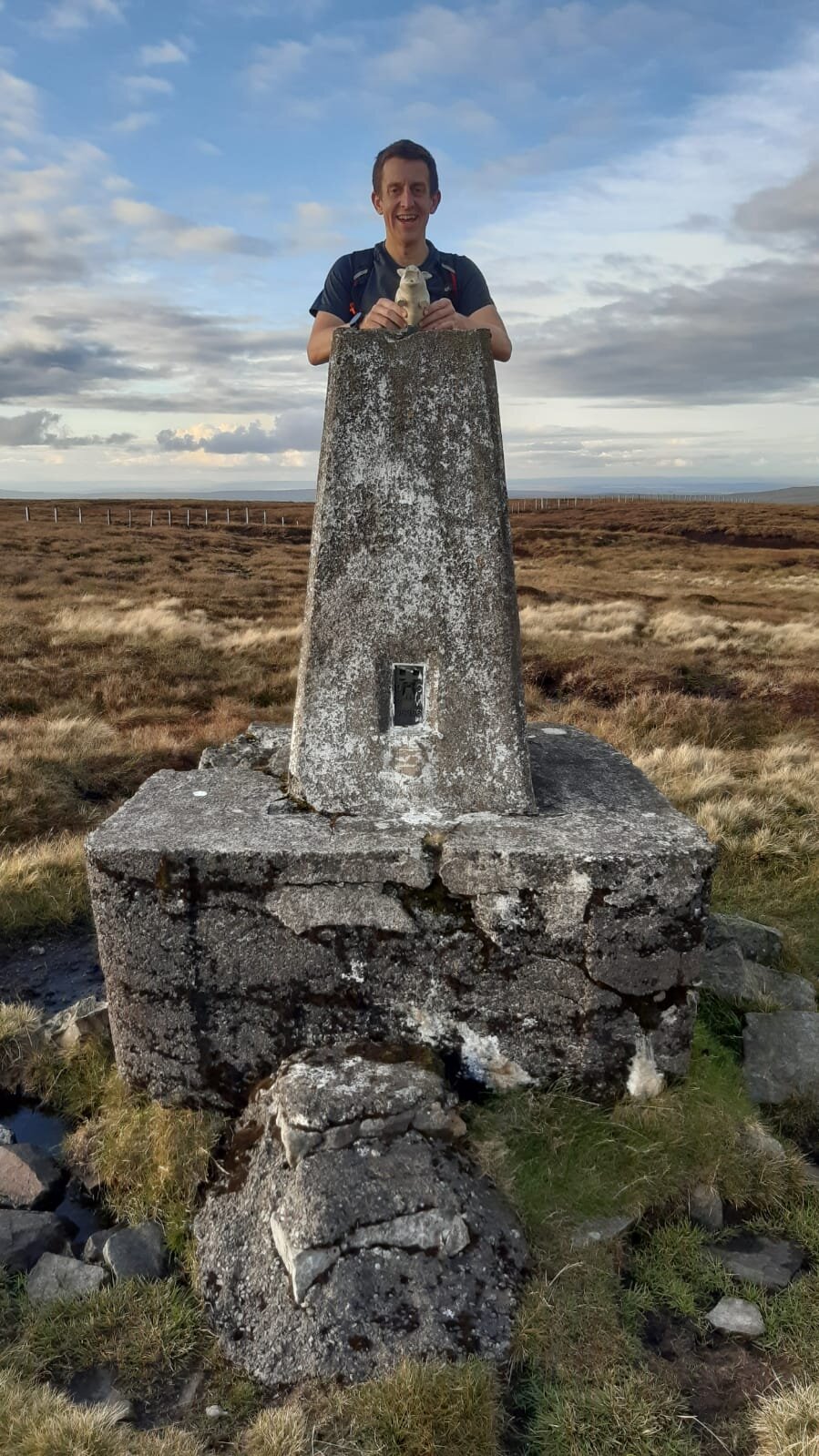
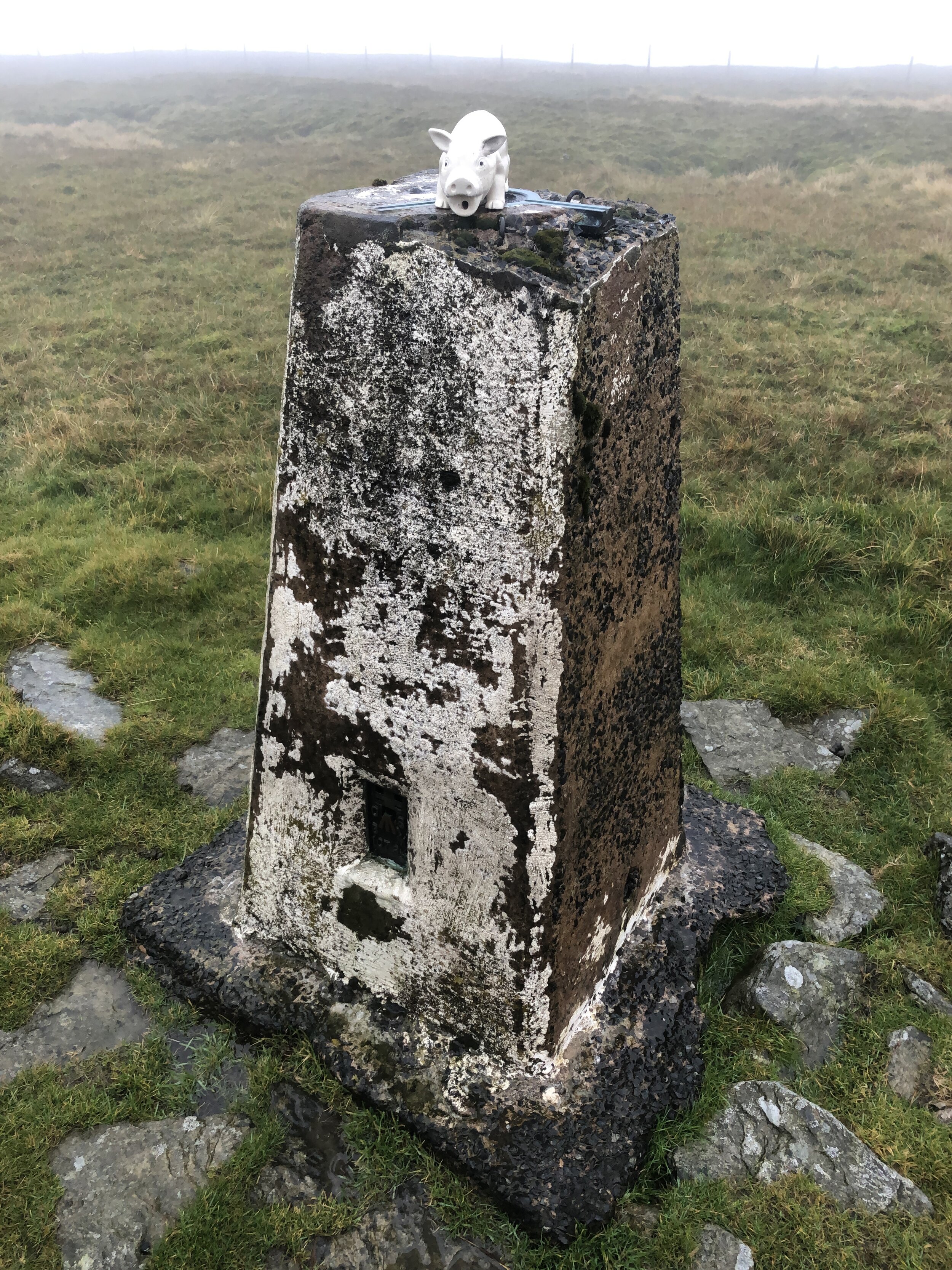
OS Trig Pillar: TP1783 - Burnhope Seat
Map: OS Explorer Map (307) Consett and Derwent Reservoir
Guidebook: The UK's County Tops (Jonny Muir), Walking the County High Points of England (David Bathurst)
Links: Wikipedia (County Durham), Wikipedia (Burnhope Seat), Peakbagger, Hillbagging
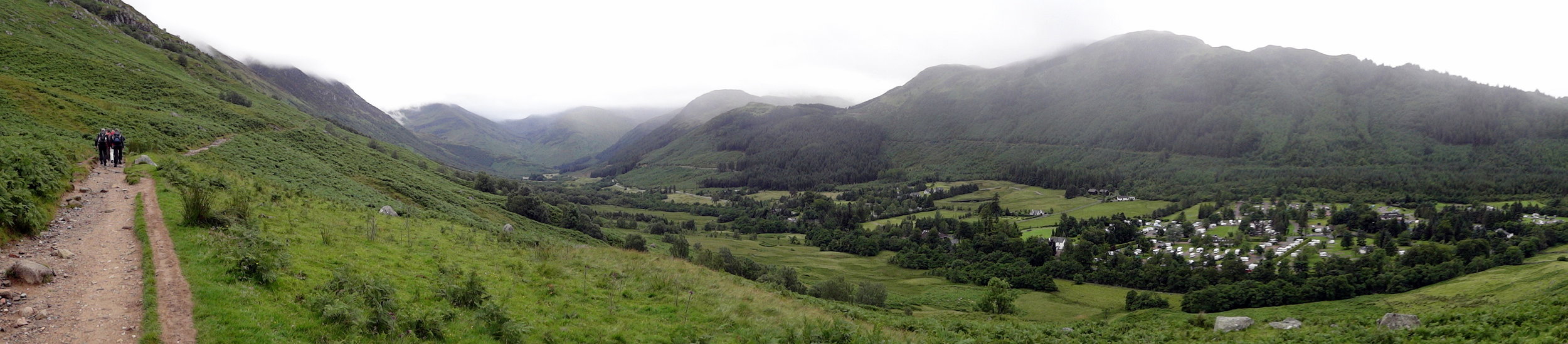
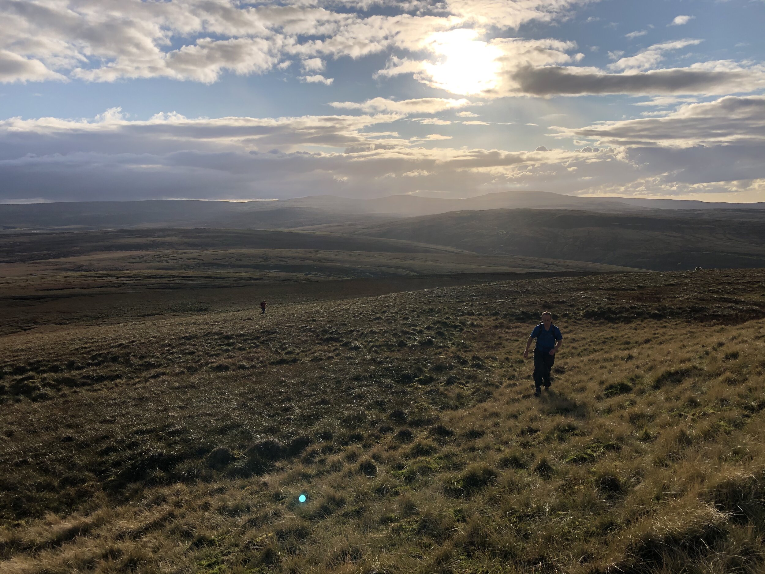
Burnhope Seat and Mickle Fell are a short car journey apart and can be easily done in a single day with fair weather. We had a long drive from the south which took up much of our first day so we used this short walk as a break in the journey.
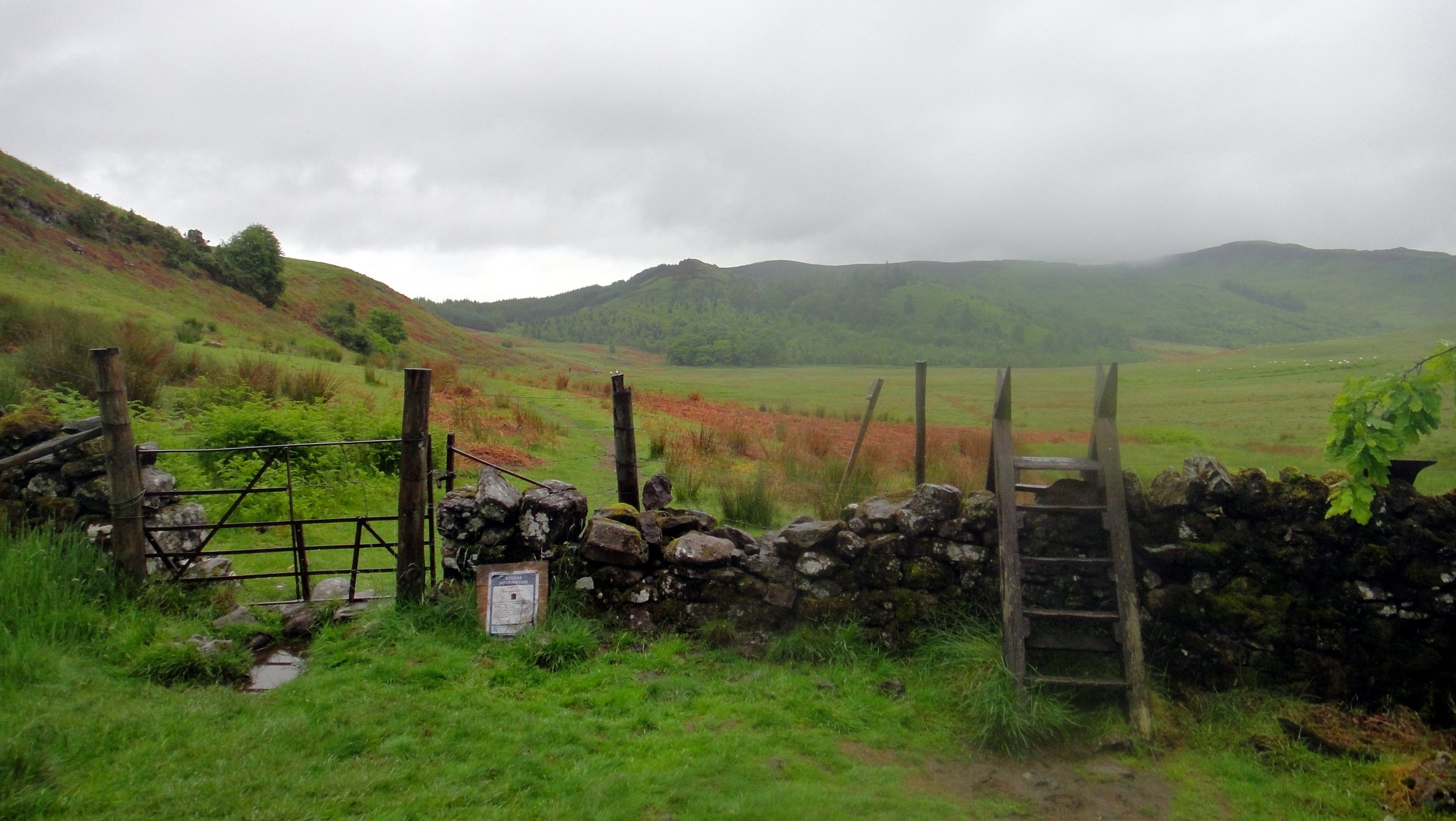
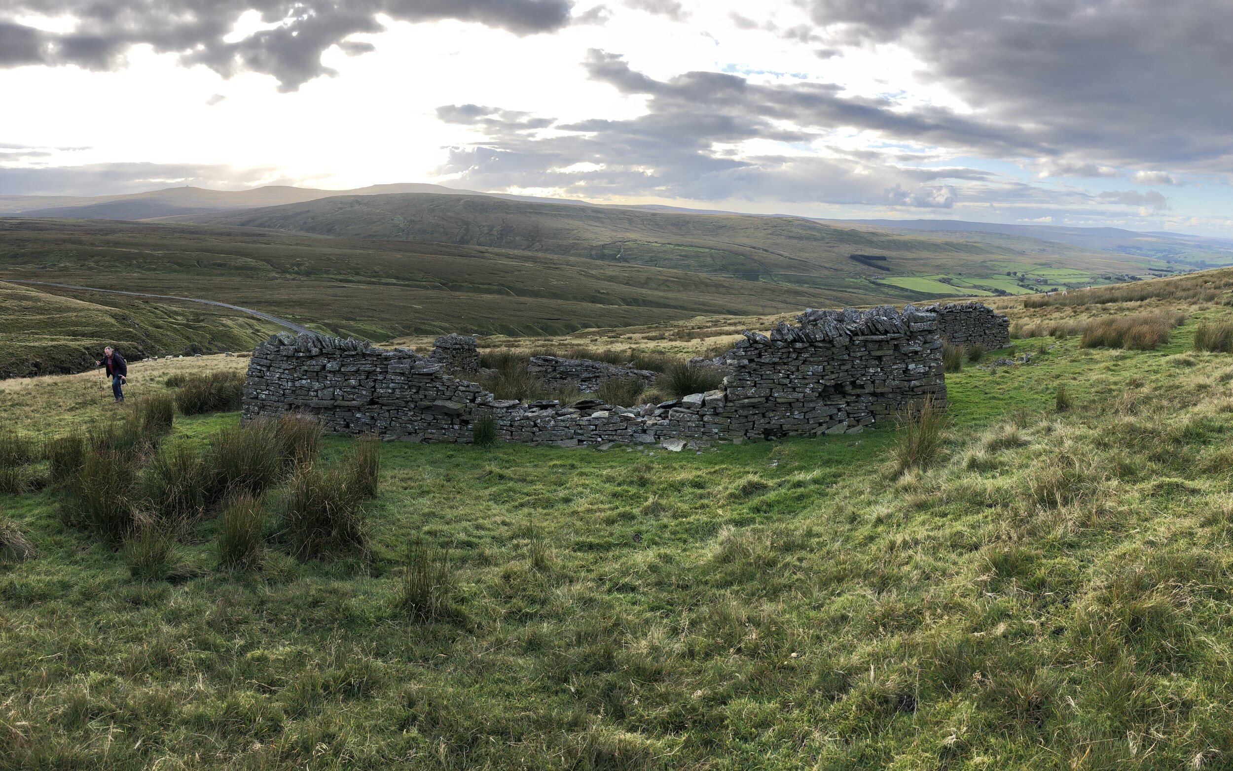
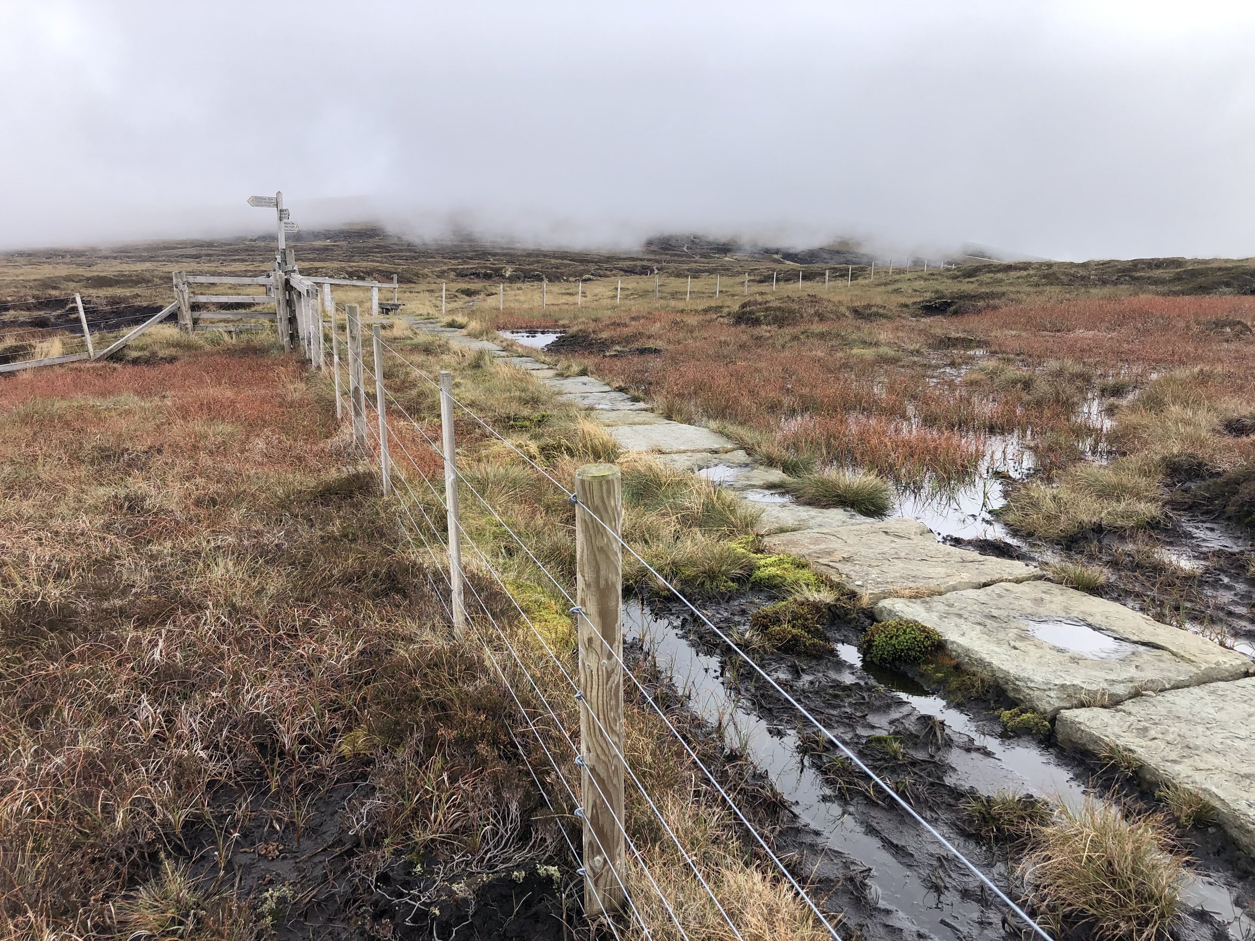
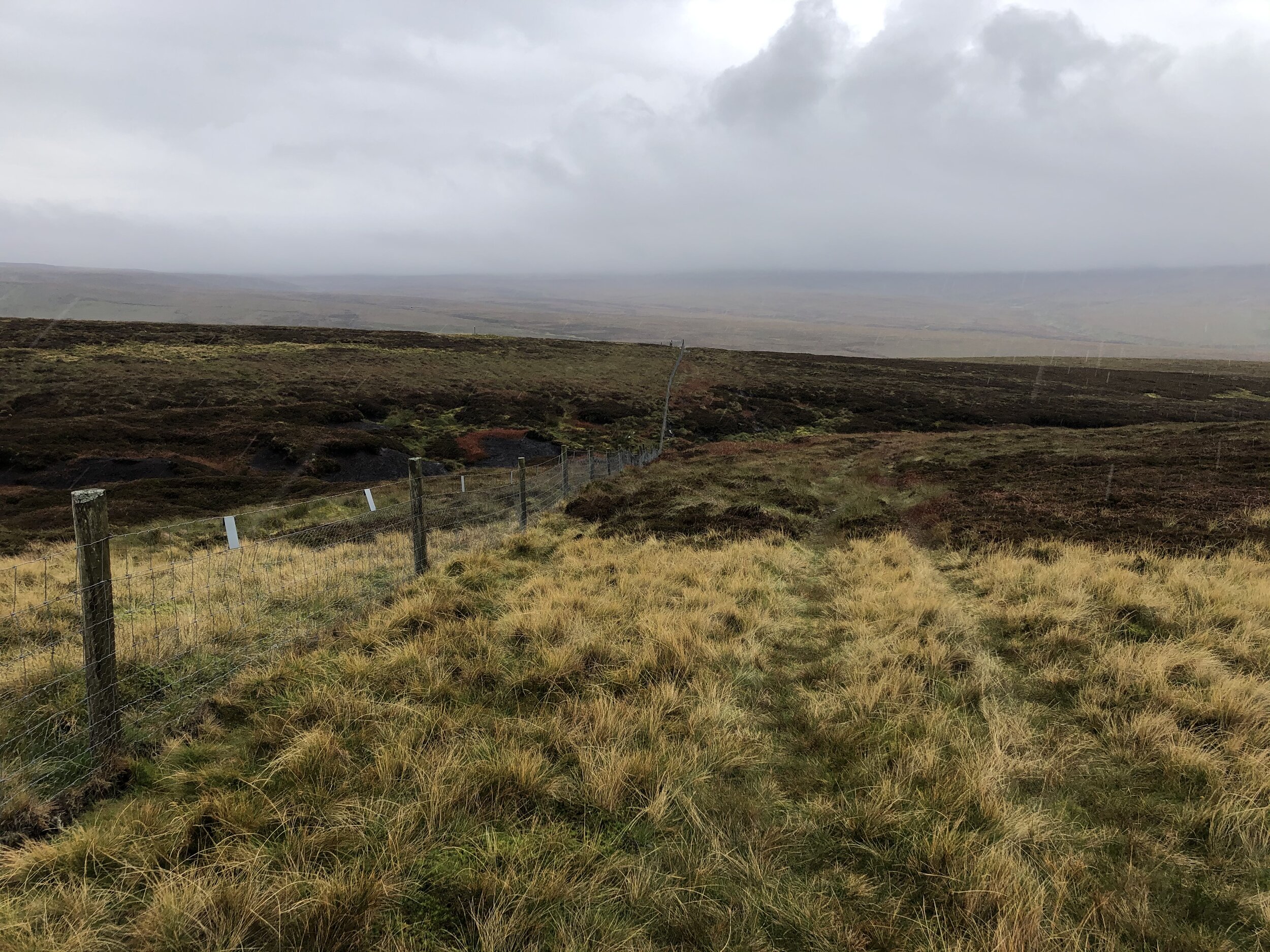
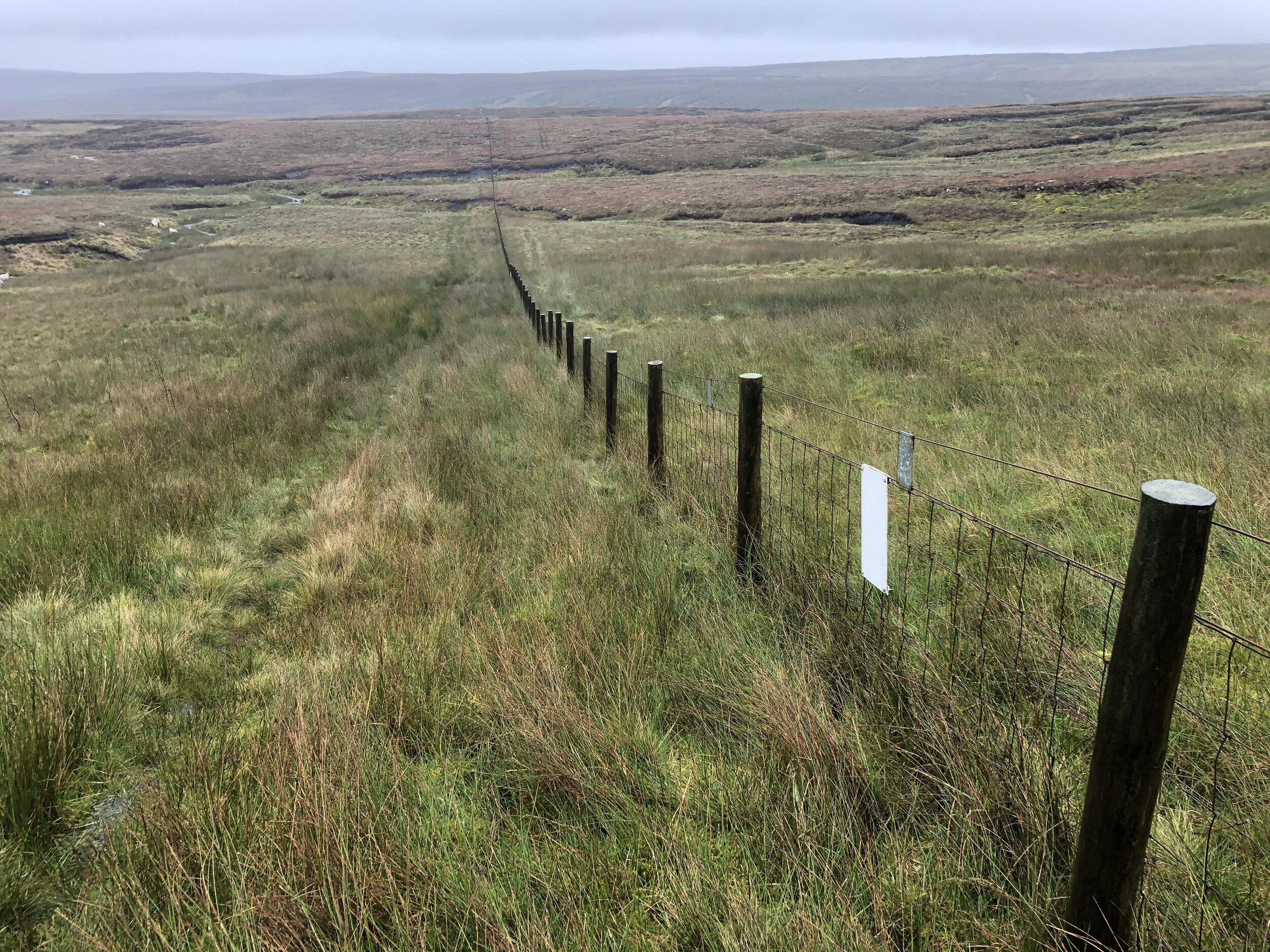
Jonny Muir’s County Top guide suggests a parking space on the B6277 at NY 7754 3640 but we found a more convenient one a bit further north on the same road. The layby in the book is quite small and at a steep angle from the road so we gave it a miss. From the larger layby near the stream bridge you can cross over a wooden gate on the opposite side. From here follow the left hand side of the stream, passing the ruins of an old building and use the GPS to keep you on-track for the high point. From the un-marked summit you can see the Trig Pillar to the east along the fence.
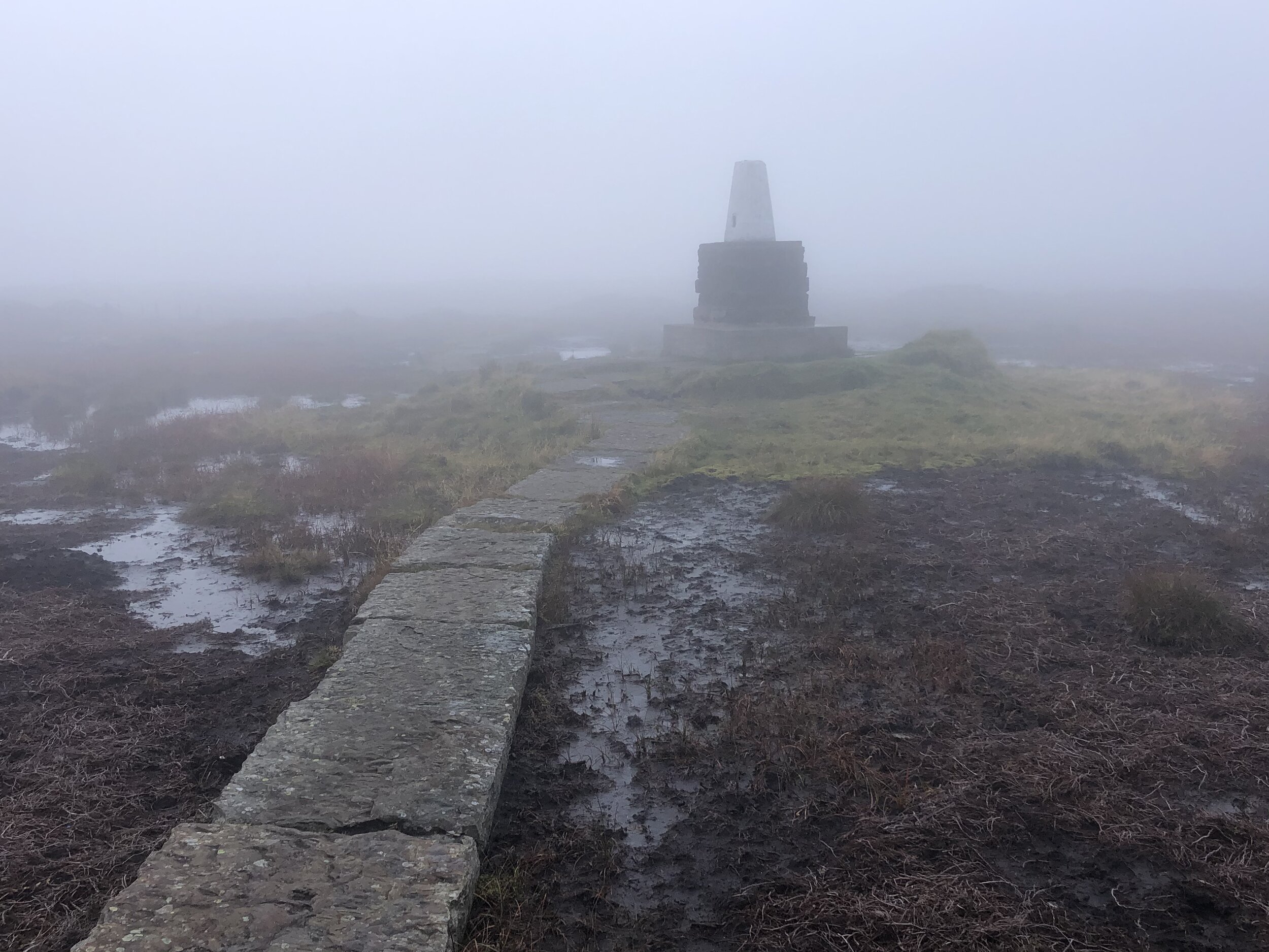
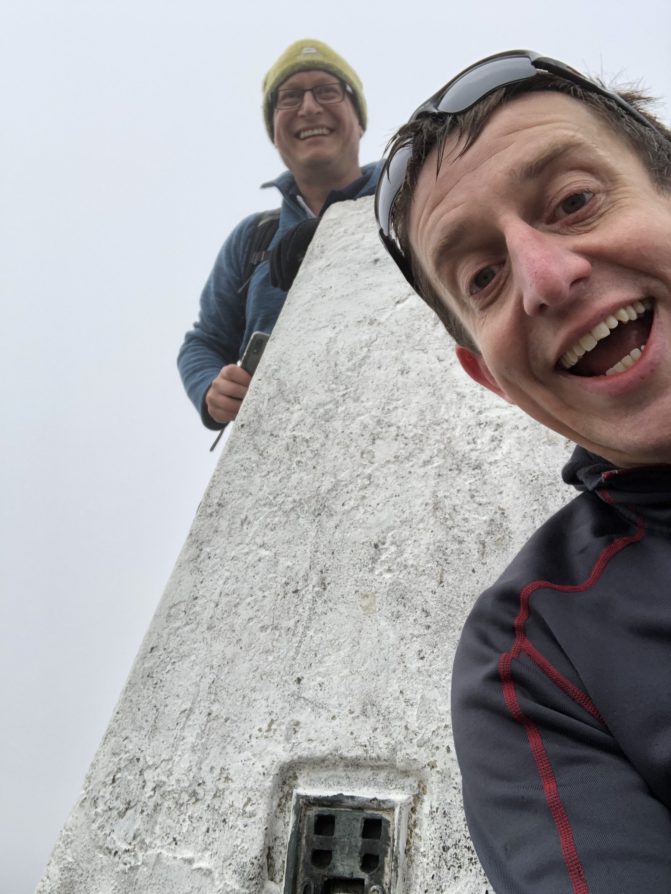
The Cheviot
Significance: Highest peak in Northumberland (Historic CT) and Northumberland National Park High Point
Member of: Marilyn, Hewitt, Nuttall
Parent Peak: Broad Law. NHN = Dollar Law
Elevation: 815m
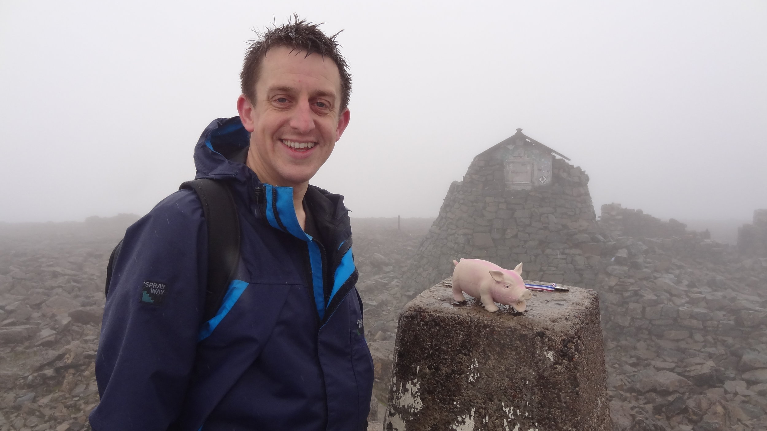
Date climbed: October 2nd 2020
Coordinates: 55°28′42″N 2°08′44″W
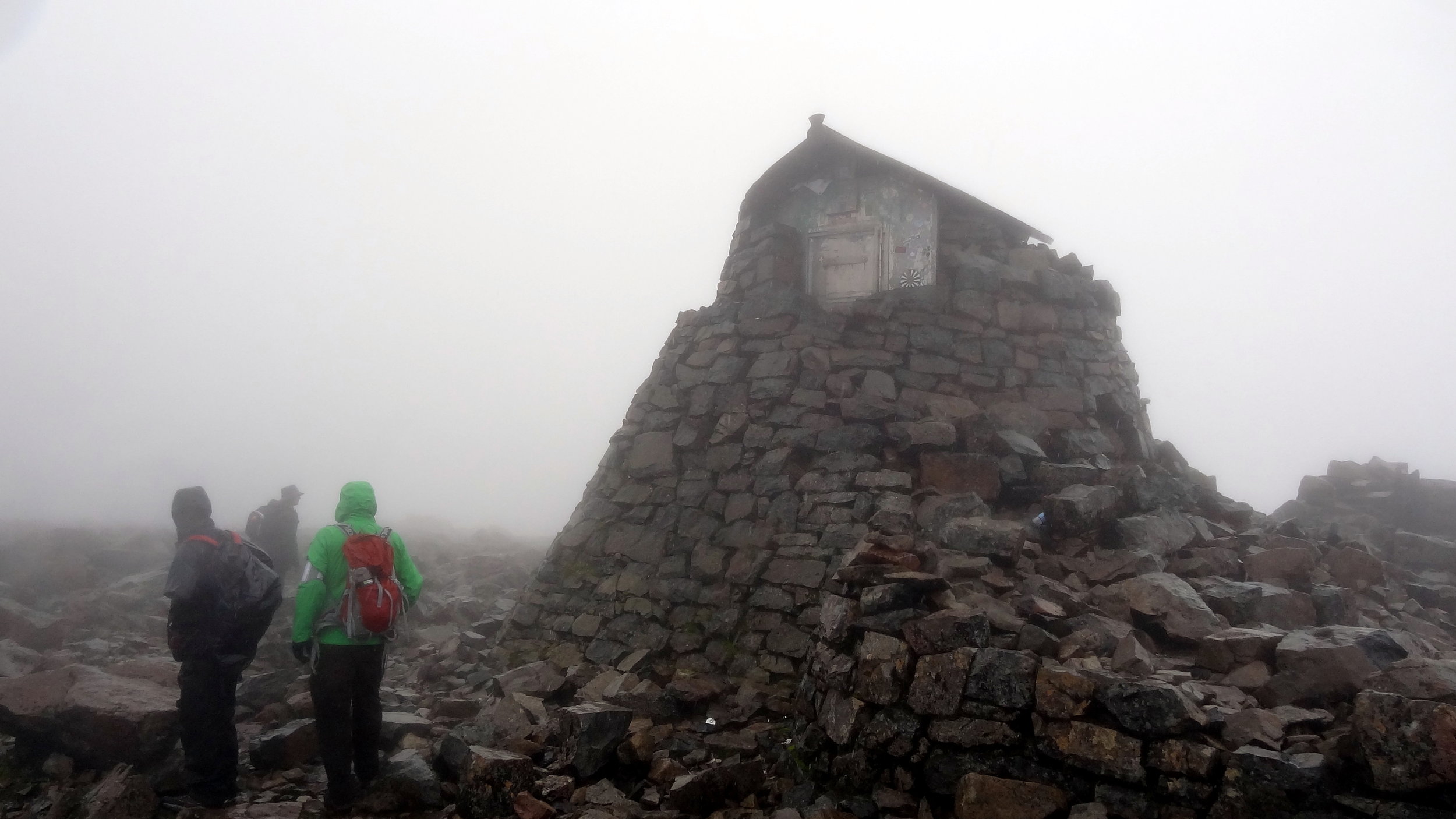
OS Trig Pillar: TP2152 - Cheviot
Links Wikipedia (Northumberland), Wikipedia (The Cheviot), Wikipedia (Northumberland National Park), Peakbagger, Hillbagging
Hangingstone Hill
Also Known As: Cairn Hill West Top
Significance: Highest peak in Roxburghshire, Scotland (Historic CT)
Member of: n/a
Parent Peak: Cairn Hill. NHN = The Cheviot
Elevation: 743m
Date climbed: October 2nd 2020
Coordinates: 55° 28' 3'' N, 2° 9' 59'' W
Links: Wikipedia (Roxburghshire), Peakbagger, Hillbagging
Route Start / End: parking area off small road to Langleeford, accessed from A697 via Middleton Hall
Route Distance: 15.3 km (9.5 miles)
Route Elevation Change: +/- 620m
Subsidiary tops on route: Scald Hill (548m), Cairn Hill (777m)
GPX File: get via Buy Me a Coffee
Other routes touched (walk): The Pennine Way
Other routes touched (cycle): none
Map: OS Explorer OL16 The Cheviot Hills, Jedburgh & Wooler
Guidebook: The UK's County Tops (Jonny Muir), Walking the County High Points of England (David Bathurst)
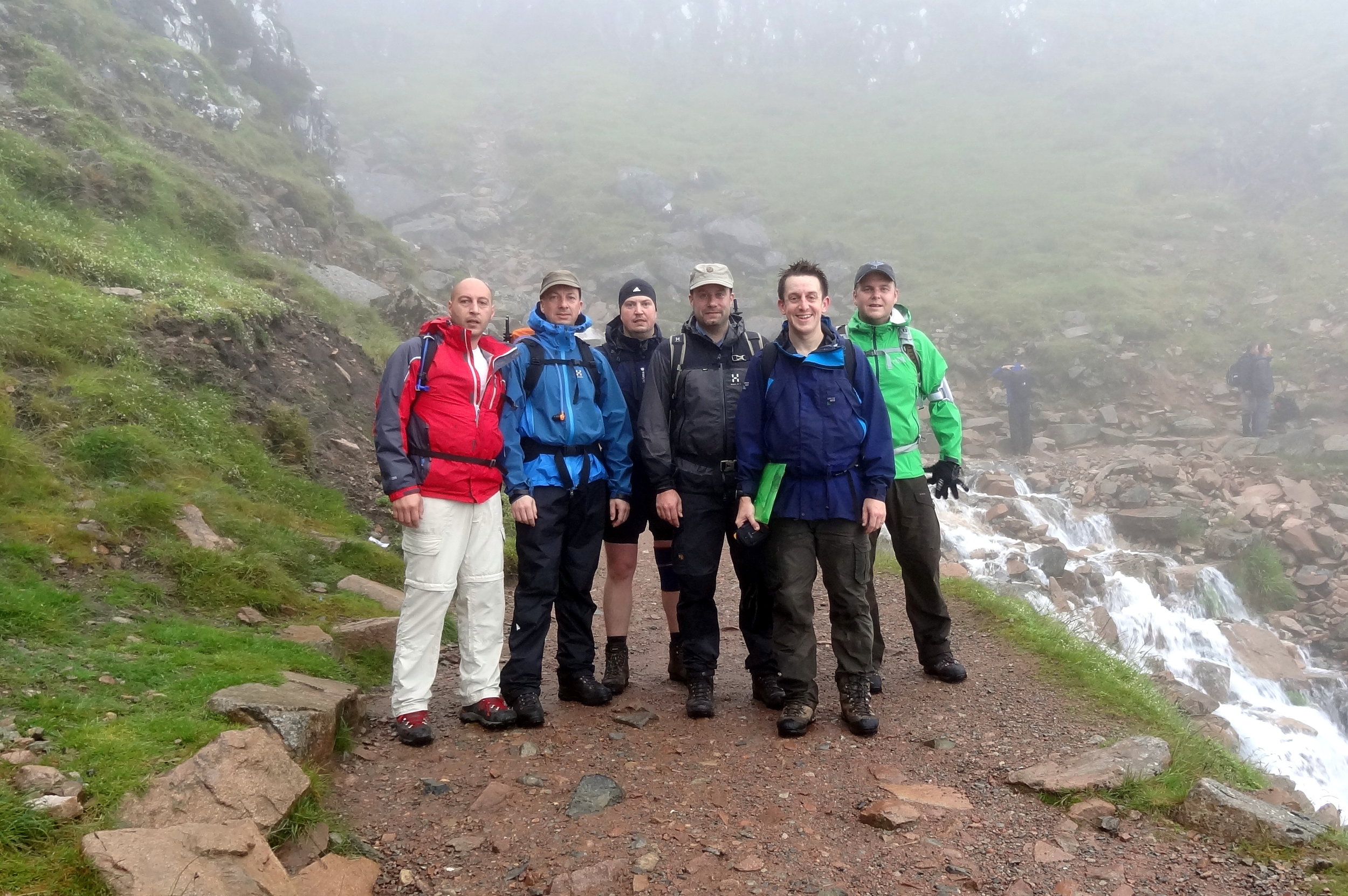
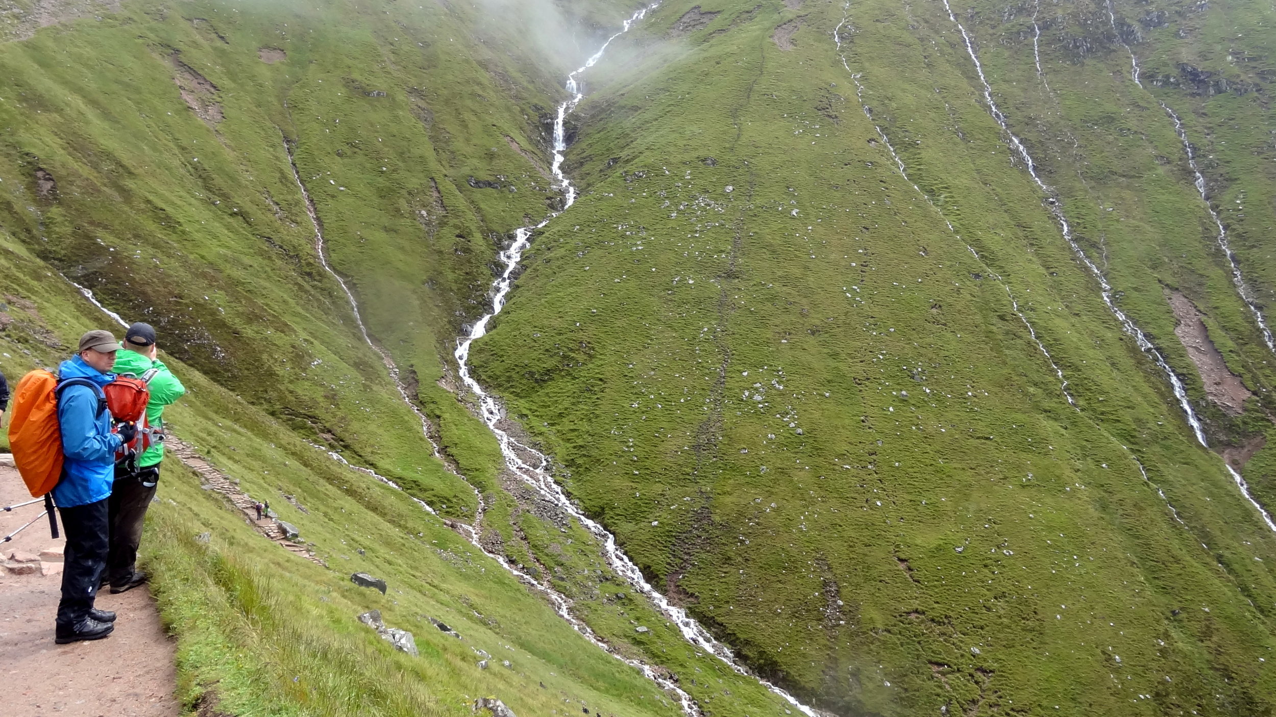
This walk was the longest and most rewarding of the 3 especially as it's a circuit rather than an out-and-back like the others. If you’re using Jonny Muir’s guide this is a combination of the separate routes for The Cheviot and for Hangingstone Hill. It’s pretty obvious to do them both in the same walk so I’ve got no idea why they’re separated in the book. Both use the same start and end point and each trip is a return for the other.
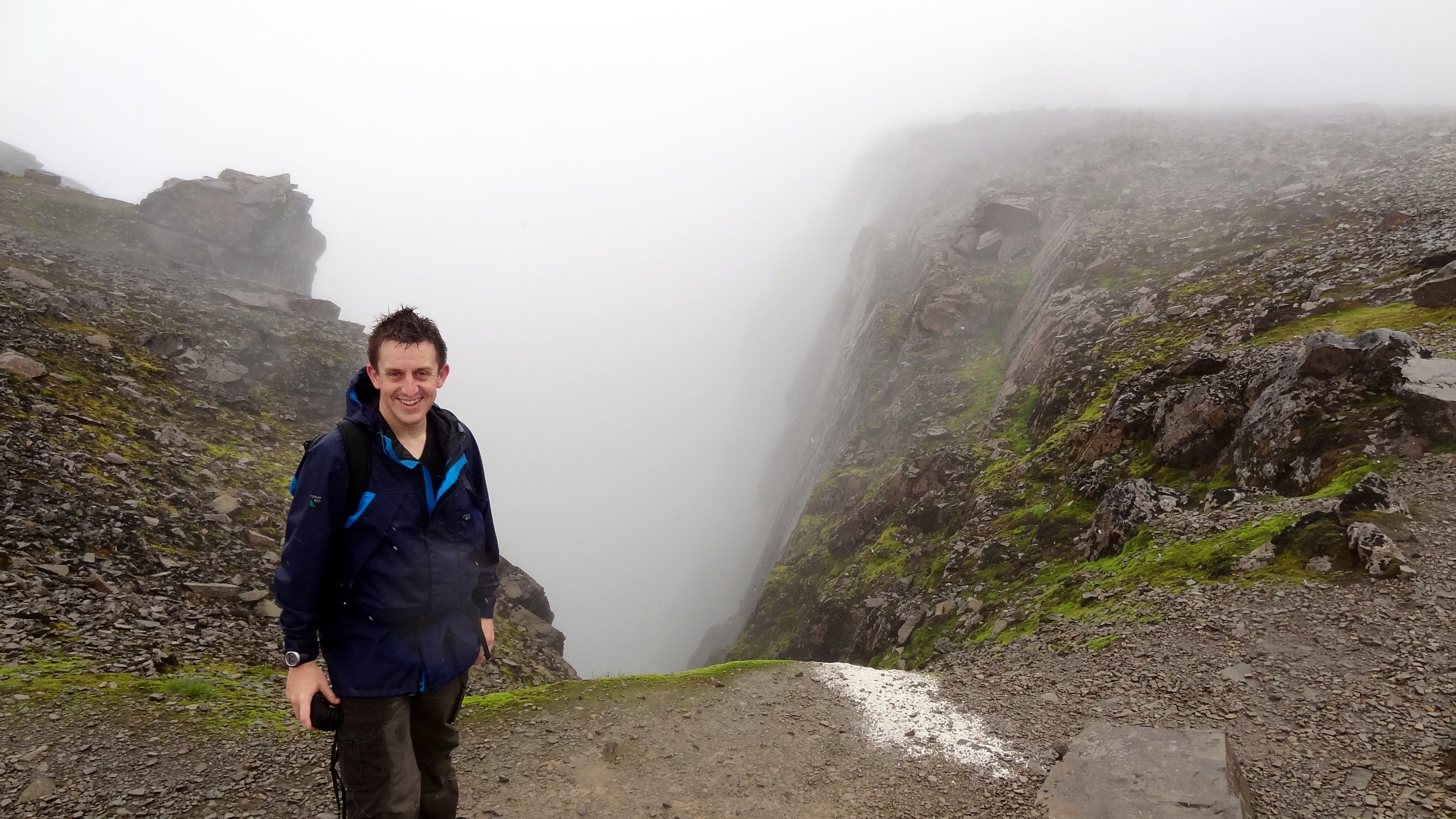
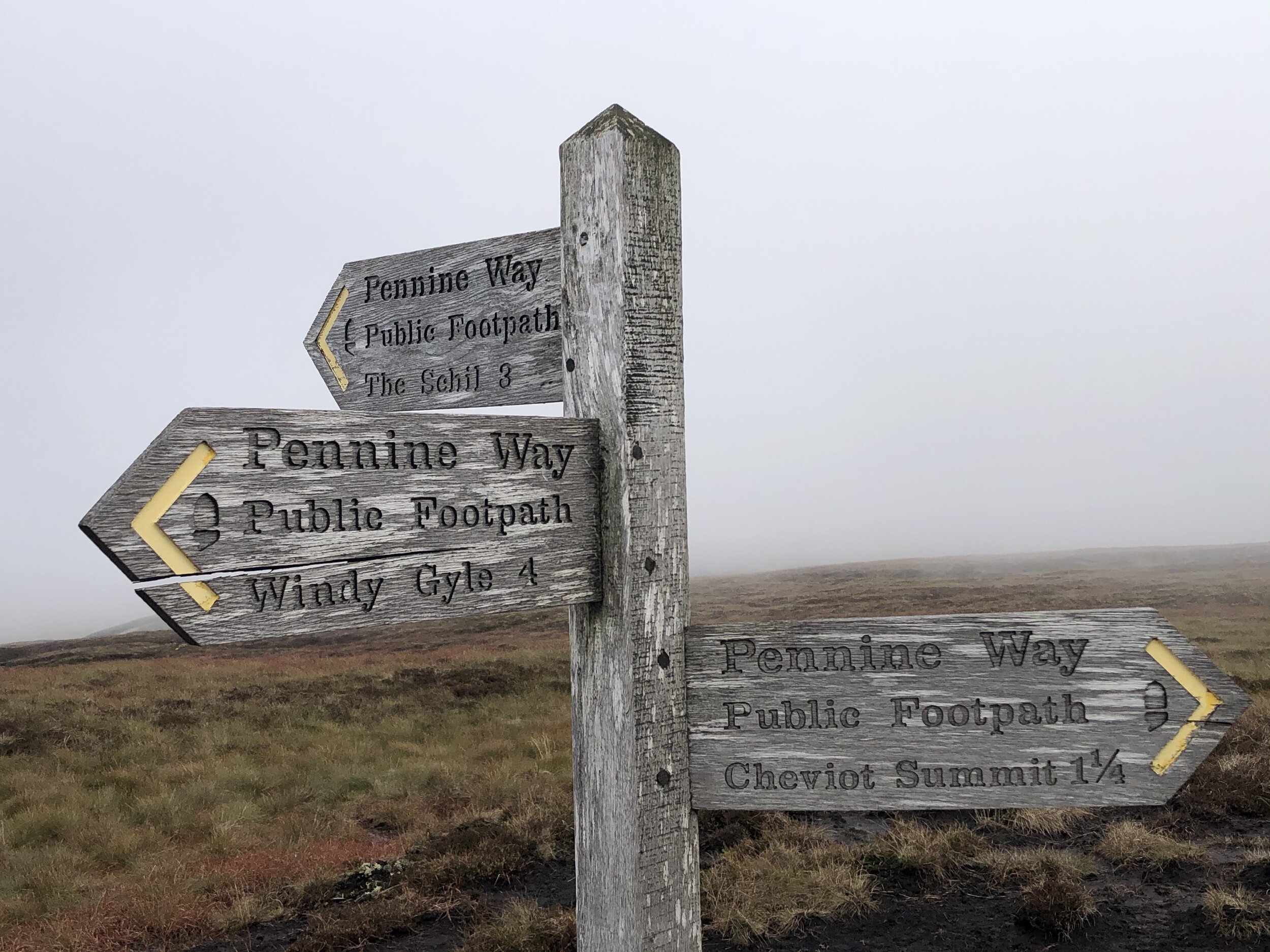
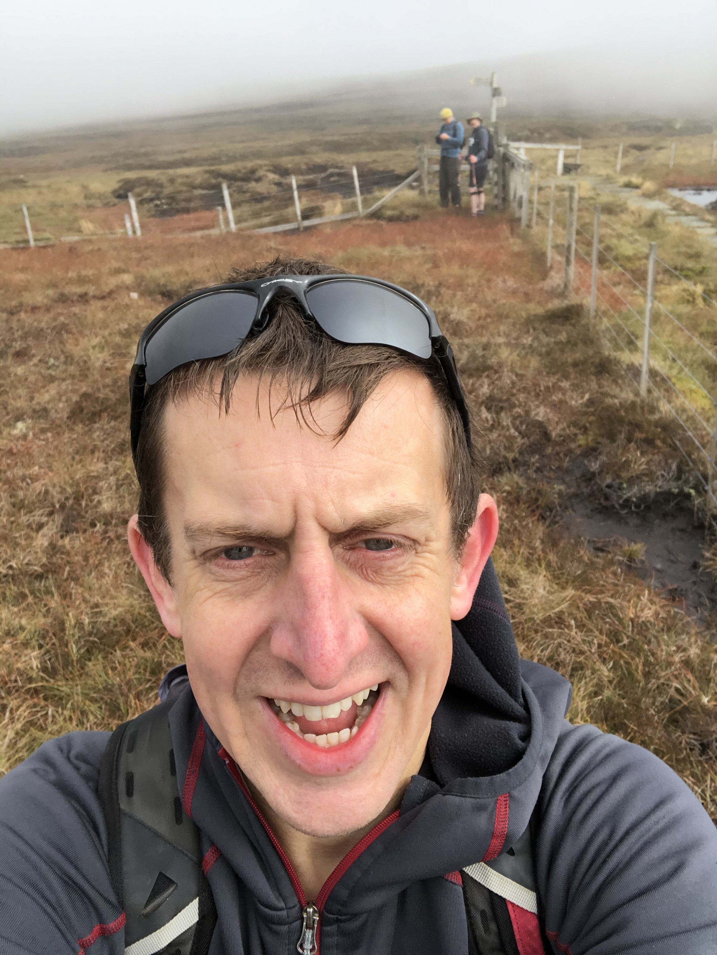
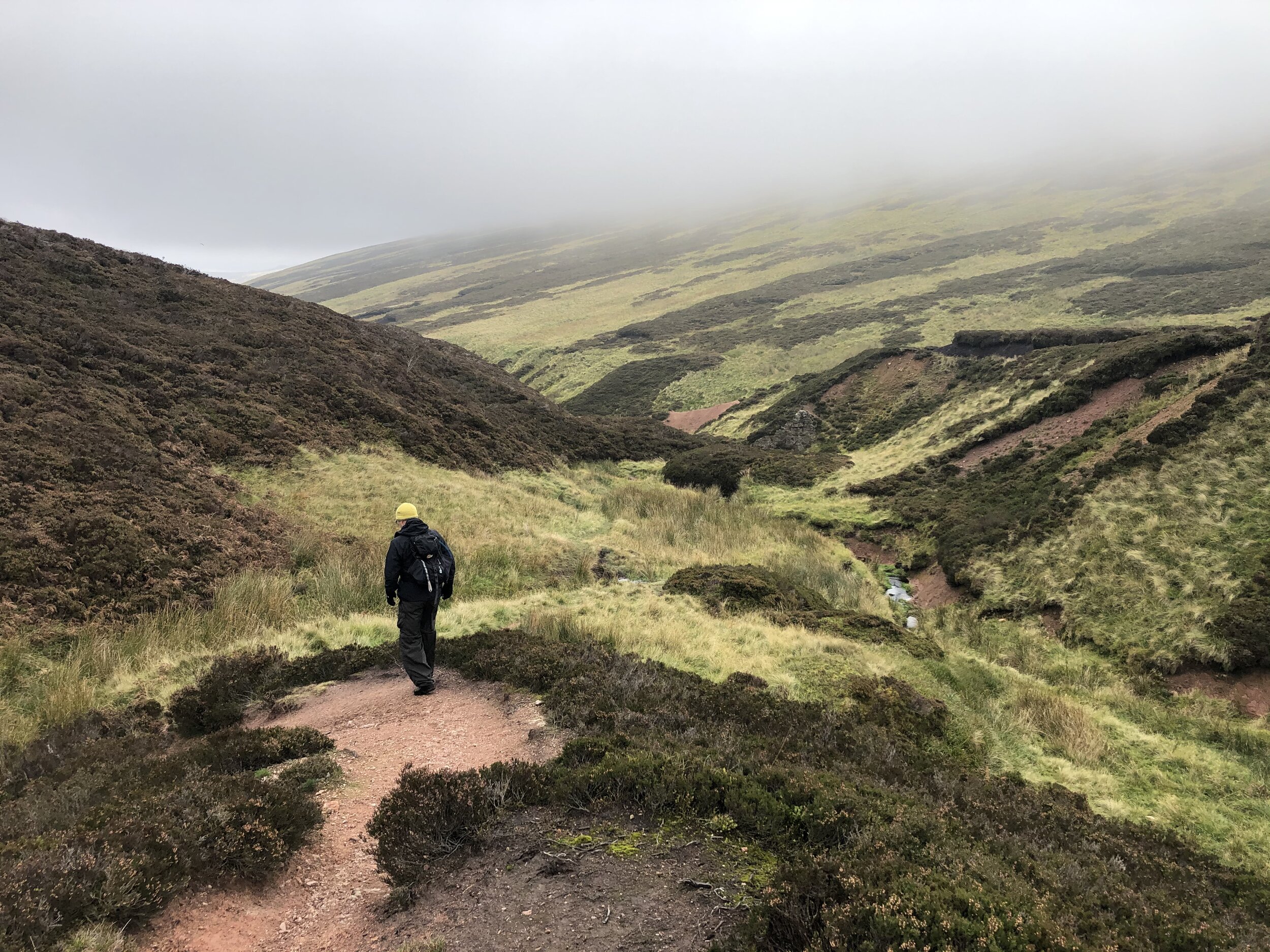
We took an anti-clockwise approach taking in The Cheviot first via Scald Hill. Continuing south-west along the Pennine Way from The Cheviot you’ll soon get to the summit of Cairn Hill. From here there’s a short out-and-back section to the Scottish border to reach Hangingstone Hill (aka Cairn HIll West Top). There’s little to see here and bagging the top just involves a quick crossing of the gate to a slightly higher piece of moss.
From Hangingstone Hill retrace your steps back up to Cairn Hill summit and follow the path sign-posted to Windy Gale. After a short steep section keeping a fence to your right you’ll reach a footpath junction. Take the east (left) path signed to Langleeford Hope (2¼) and Langleeford (3½). This path will take you all the way back to the start following Harthope Burn (stream).
Mickle Fell
Significance: Highest peak in Yorkshire (Historic CT) and the historic North Riding of Yorkshire
Member of: Marilyn, Hewitt, Nuttall
Parent Peak: Cross Fell. NHN = Knock Fell
Elevation: 788m
Date climbed: October 3rd 2020
Coordinates: 54°36′48″N 2°18′18″W
Route Start / End: Parking spot on B6276 to west of cattle grid between the Cumbria and County Durham county signs.
Route Distance: 17.2 km (10.7 miles)
Route Elevation Change: +/- 505m
Subsidiary tops on route: none
GPX File: get via Buy Me a Coffee
Other routes touched: none
OS Trig Pillar: TP4789 - Mickle Fell
Map: OS Explorer OL19 Howgill Fells Upper Eden Valley Map
Guidebook: The UK's County Tops (Jonny Muir), Walking the County High Points of England (David Bathurst)
Links: Wikipedia (Yorkshire), Wikipedia (North Riding of Yorkshire), Wikipedia (Mickle Fell) / Peakbagger, Hillbagging
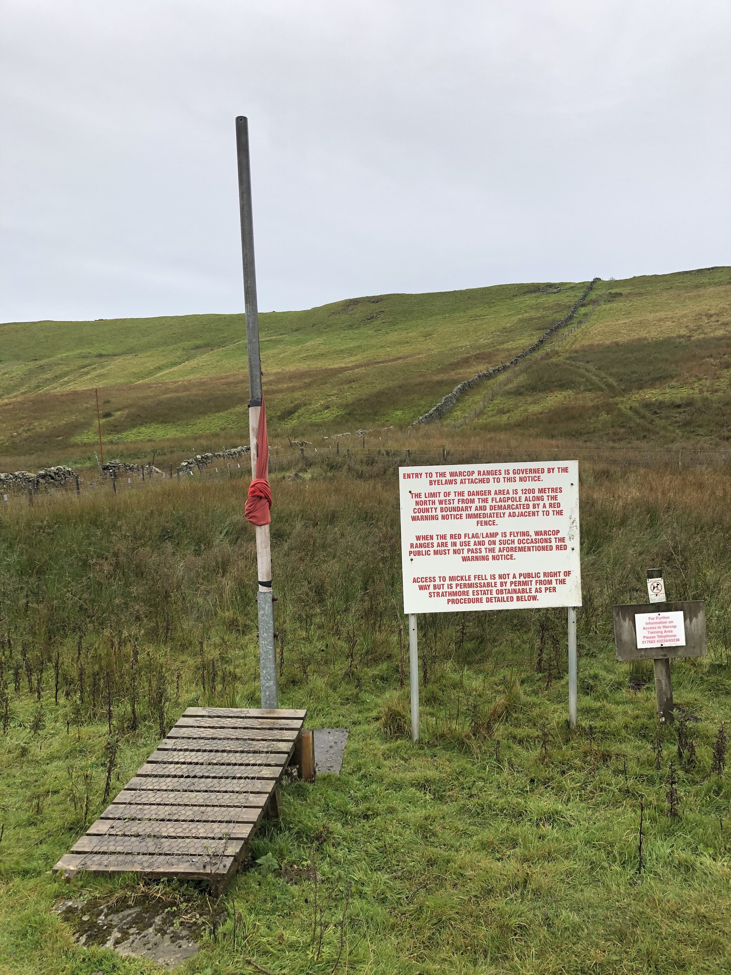
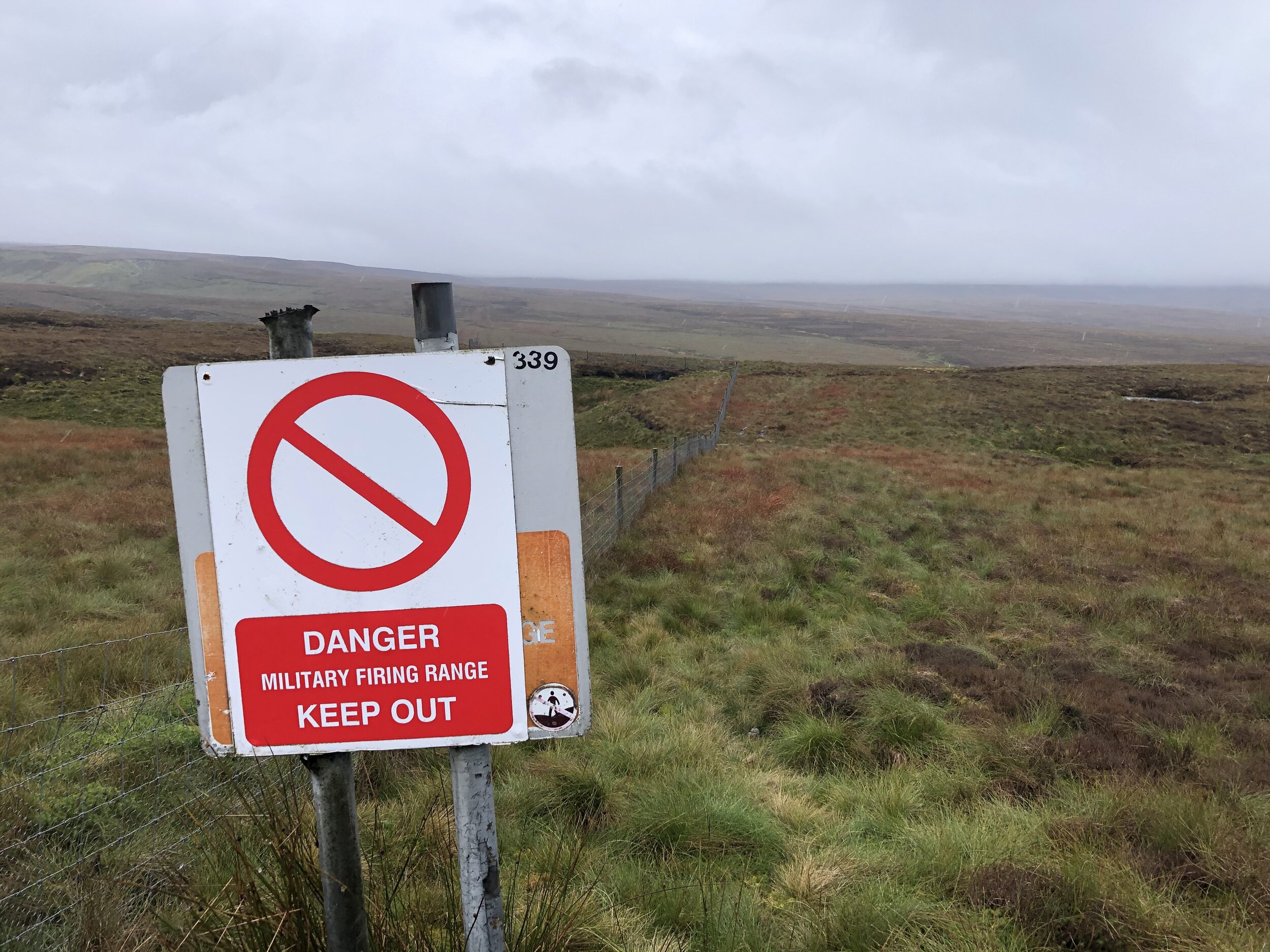
Mickle Fell is on a military firing range which is only open to the public on a few select days per year. You can apply for a permit to access the land from MOD Warcop. Based on our experience I recommend starting the application process early. It took over 3 months for me to get the permit from sending the application letter. There’s nothing complicated about the process, it’s just slow. With the permit secured the other thing that you need to do is call the control room number on the permit as you start the walk and again when you finish. We didn’t have phone signal at all on the walk so we were glad to have made the call in the car 10 minutes before arriving at the parking space.
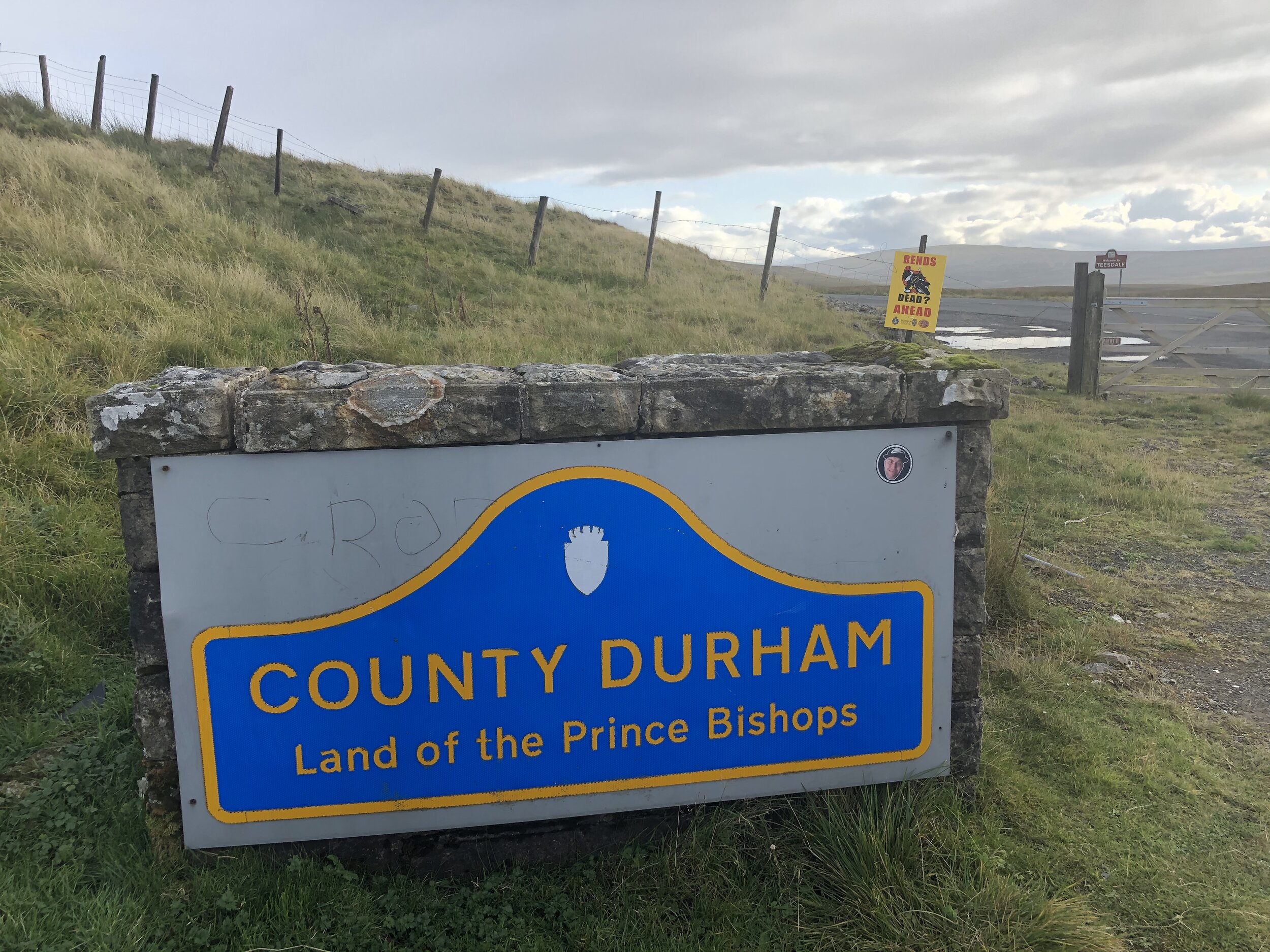
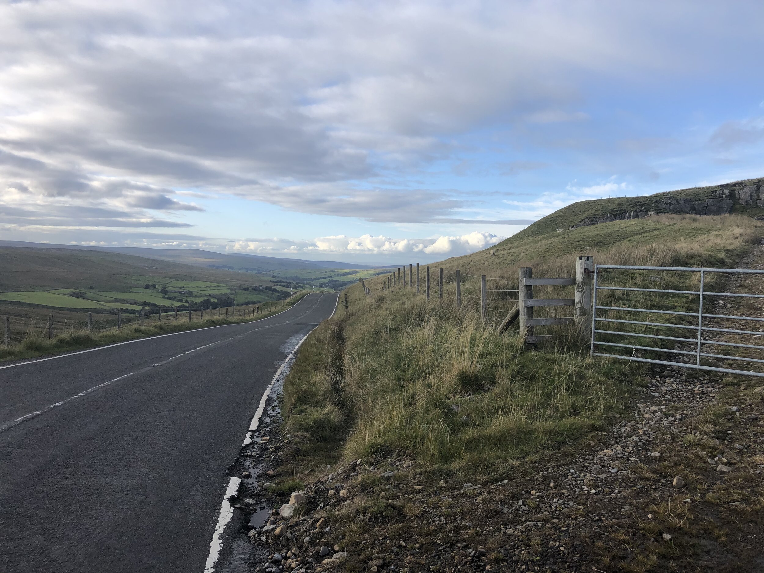
The parking space is easy to find as it’s right next to the Welcome to Cumbria sign. From here cross the road and over a wire fence to access the hill. Strangely there’s no gate or stile even though this is the recommended approach. You can see where others have climbed through or over the fence though.
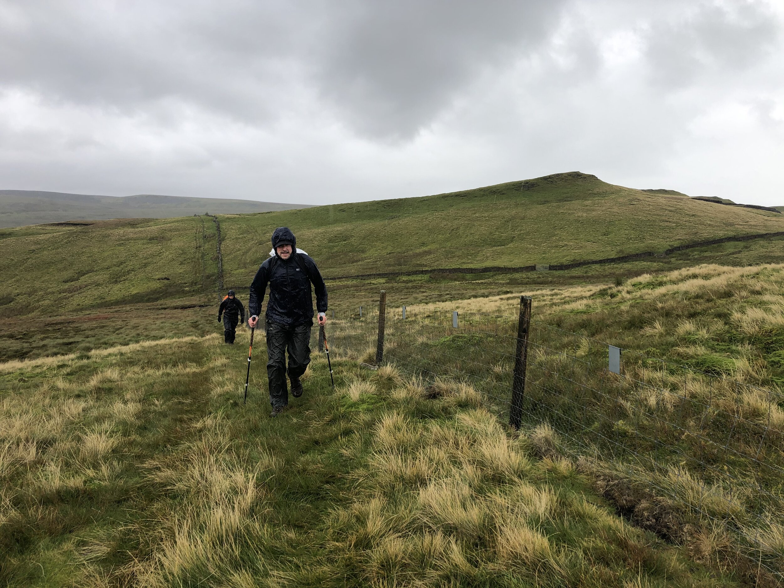
Much of the walk is very easy to navigate, even on a low-visibility day like we had. Follow the boundary fence, keeping it to your left all the way up to the summit plateau. A lot of the route is boggy underfoot and you’ll need to navigate around streams, loose peat and marsh-land. We were there on an especially wet day and it was all we could do to keep our feet dry.
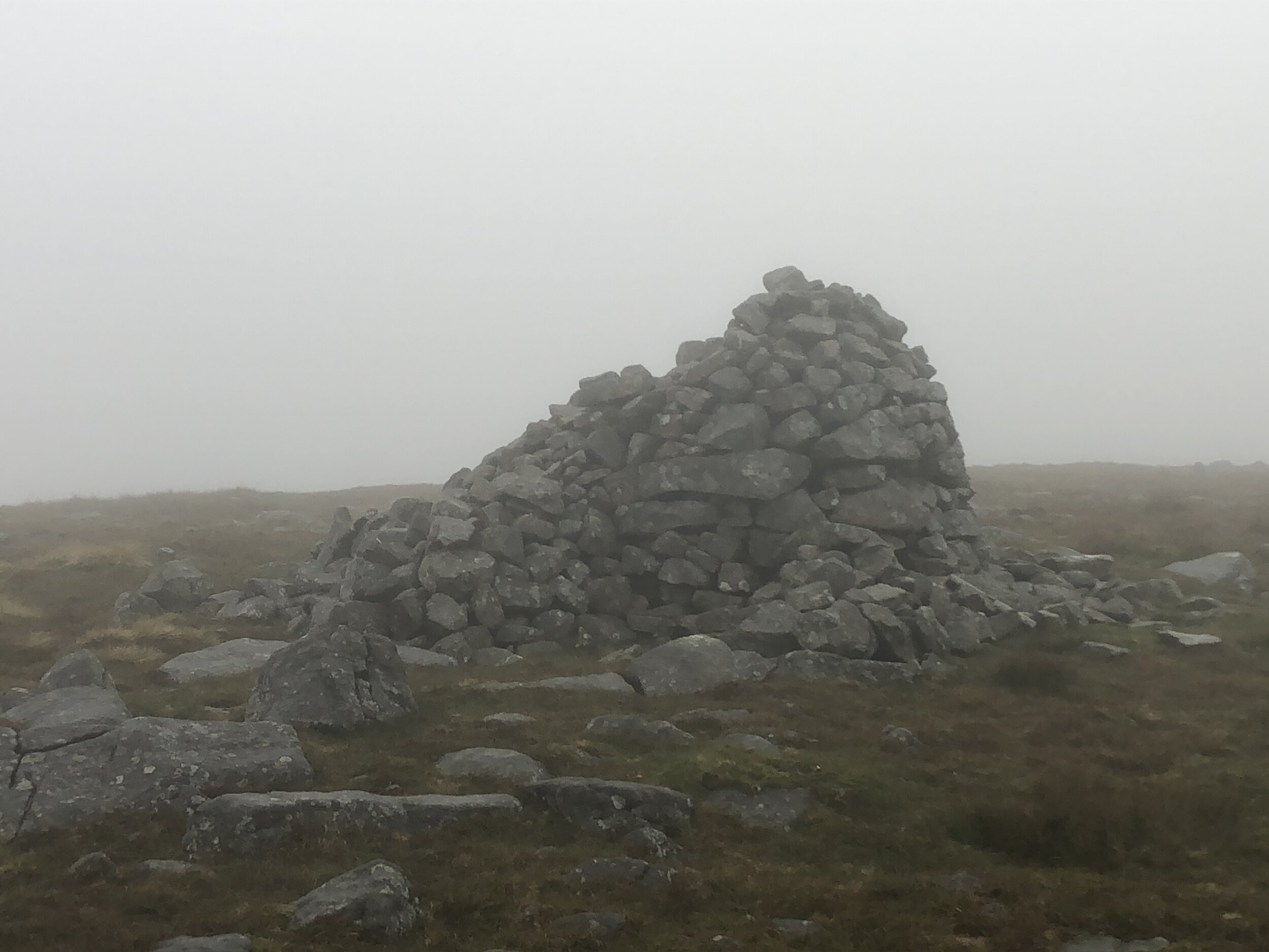
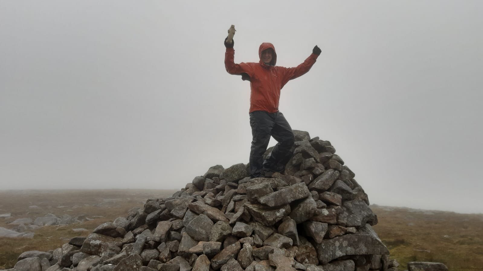
There’s a steep climb up to the summit plateau where you’ll cross a fence via a stile and can pick up some Land Rover tracks. Keep to these heading on an easterly curve and they’ll lead you to the summit cairn and the Trig Pillar.
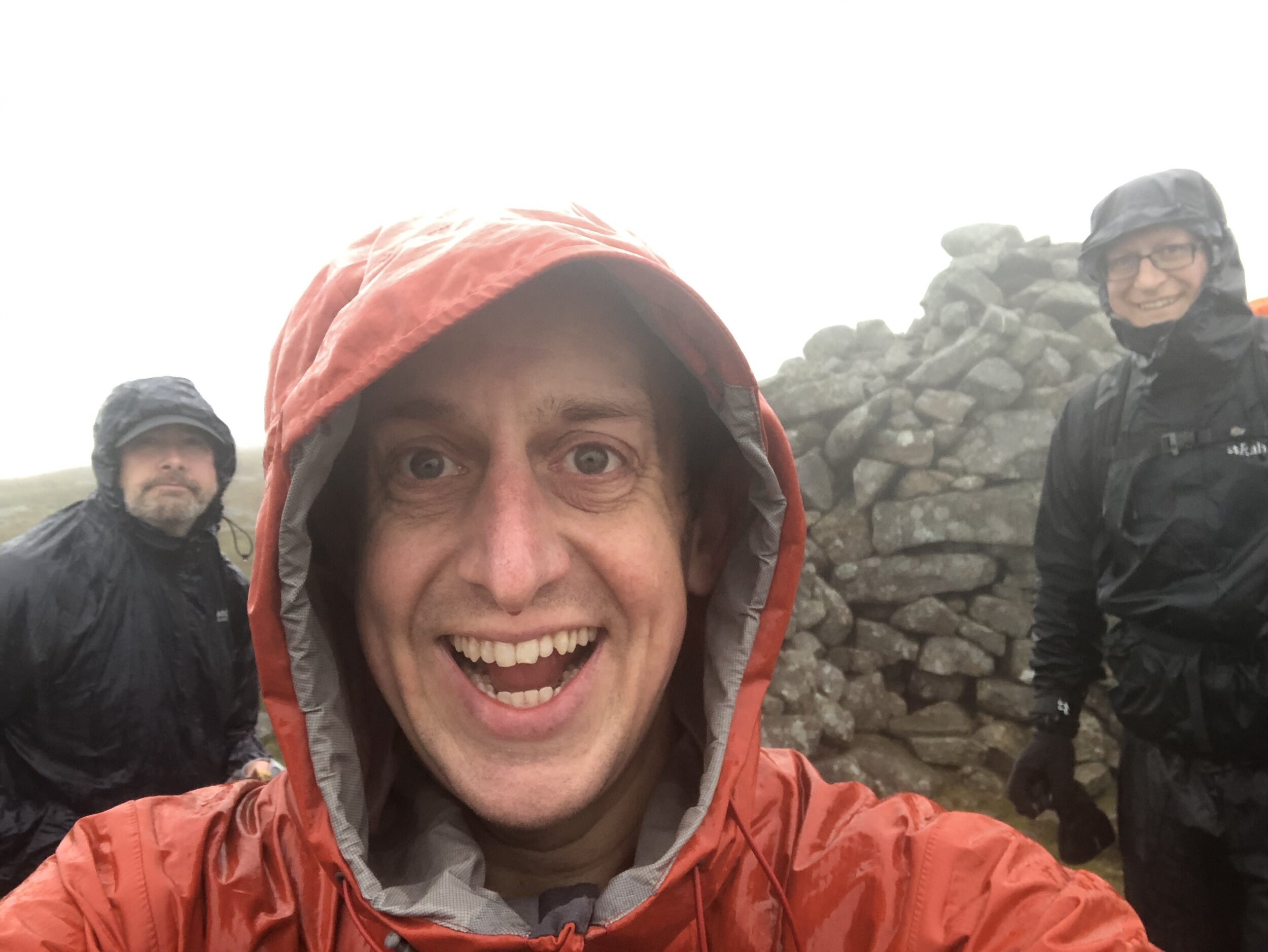
We were there on one of the wettest days possible. If the route was closer to home and we didn’t need a permit we might have delayed it for another day, but we had little option but to press on. The only other person we met on the approach had reached the summit but hadn’t bothered with the extra ~2km to the Trig Pillar. I could see how tempting it would have been on a day like that to have missed it. Given our Trig-obsession we weren’t going to miss it though and took the extra hour to bag the pillar.
The descent was much quicker as we had abandoned any attempt to avoid the wet marsh and mostly walked straight through it. At 5.5 hours of driving rain we arrived at the car as wet as if we had swum to the summit. It was challenging but it also meant that I had now completed all County Tops in England, Wales and Northern Ireland.
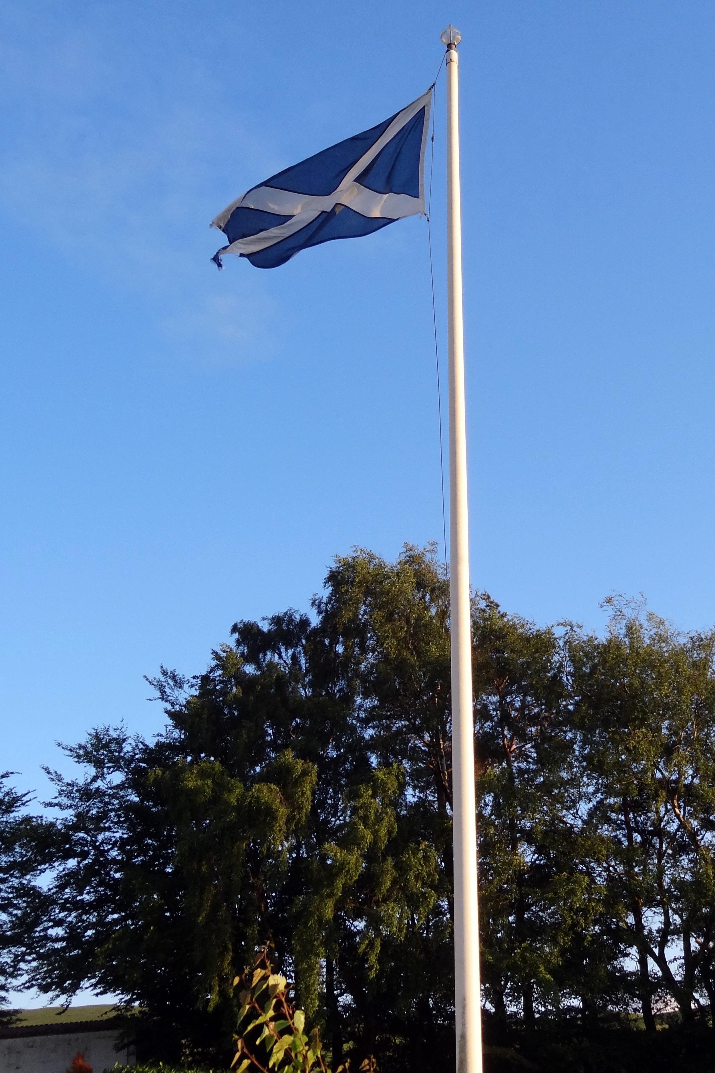
Now for the rest of Scotland…

OTHER HIGH POINTS IN County Durham
Currock Hill East Top (259m) Gateshead Unitary Authority High Point: Peakbagger / Hillbagging
Dere Street (219m) Darlington Unitary Authority High Point: Peakbagger / Hillbagging
The Moors (173m) Sunderland Unitary Authority High Point: Peakbagger / Hillbagging
Whelly Hill (142m) Hartlepool Unitary Authority High Point: Peakbagger / Hillbagging
Boldon Hills (93m) South Tyneside Unitary Authority High Point: Peakbagger / Hillbagging
Boy Hill (82m) Stockton-on-Tees Unitary Authority High Point (alt): Peakbagger / Hillbagging
Thorpe Larches (82m) Stockton-on-Tees Unitary Authority High Point (alt): Peakbagger / Hillbagging
OTHER HIGH POINTS IN Northumberland
Westerhope (131m) North Tyneside Unitary Authority High Point: Peakbagger / Hillbagging
Camperdown (86m) North Tyneside Unitary Authority High Point: Peakbagger / Hillbagging
OTHER HIGH POINT IN Yorkshire
Whernside (736m) North Yorkshire Ceremonial County High Point: Peakbagger / Hillbagging
Howden Edge - High Stones (550m) South Yorkshire Ceremonial County and Sheffield Unitary Authority High Point: Peakbagger / Hillbagging
Black Chew Head (541m) Greater Manchester Ceremonial County and Oldham Unitary Authority High Point: Peakbagger / Hillbagging
Howden Edge - Hoar Stones (514m) Barnsley Unitary Authority High Point: Peakbagger / Hillbagging
Waystone Edge (482m) Calderdale Unitary Authority High Point: Peakbagger / Hillbagging
Withins Height North-east Slope (457m) Bradford Unitary Authority High Point: Peakbagger / Hillbagging
Burley Moor (342m) Leeds Unitary Authority High Point: Peakbagger / Hillbagging
Gisborough Moor (328m) Redcar and Cleveland Unitary Authority High Point: Peakbagger / Hillbagging
Bishop Wilton Wold (248m) East Riding of Yorkshire Unitary Authority High Point: Peakbagger / Hillbagging
Woolley Edge (176m) Wakefield Unitary Authority High Point: Peakbagger / Hillbagging
Fir Hill (Harthill Field) (157m) Rotherham Unitary Authority High Point: Peakbagger / Hillbagging
Foredoles Hill (144m) Doncaster Unitary Authority High Point: Peakbagger / Hillbagging
Quarry Hill (100m) Middlesborough Unitary Authority High Point: Peakbagger / Hillbagging
Stock Hill (44m) City of York Unitary Authority High Point: Peakbagger / Hillbagging
East Mount (11m) Kingston-upon-Hull Unitary Authority High Point: Peakbagger / Hillbagging