This was my birthday present from The Wife: a trip round and under Victoria Dock, London in a metal killer whale. As I was strapping myself into it the guy looked at my voucher and told us that they don’t sell the 30 minute version any more as too many people were throwing up inside. I was fine as we’d already bought it but I just wished that he’d told me after. Don’t do this if you’re remotely sea-sick, claustrophobic or hung-over (they also have a long list of other conditions on their risk assessment). For anyone else, its awesome. Check out the video and imagine half an hour of the same.
When: October 21st 2018
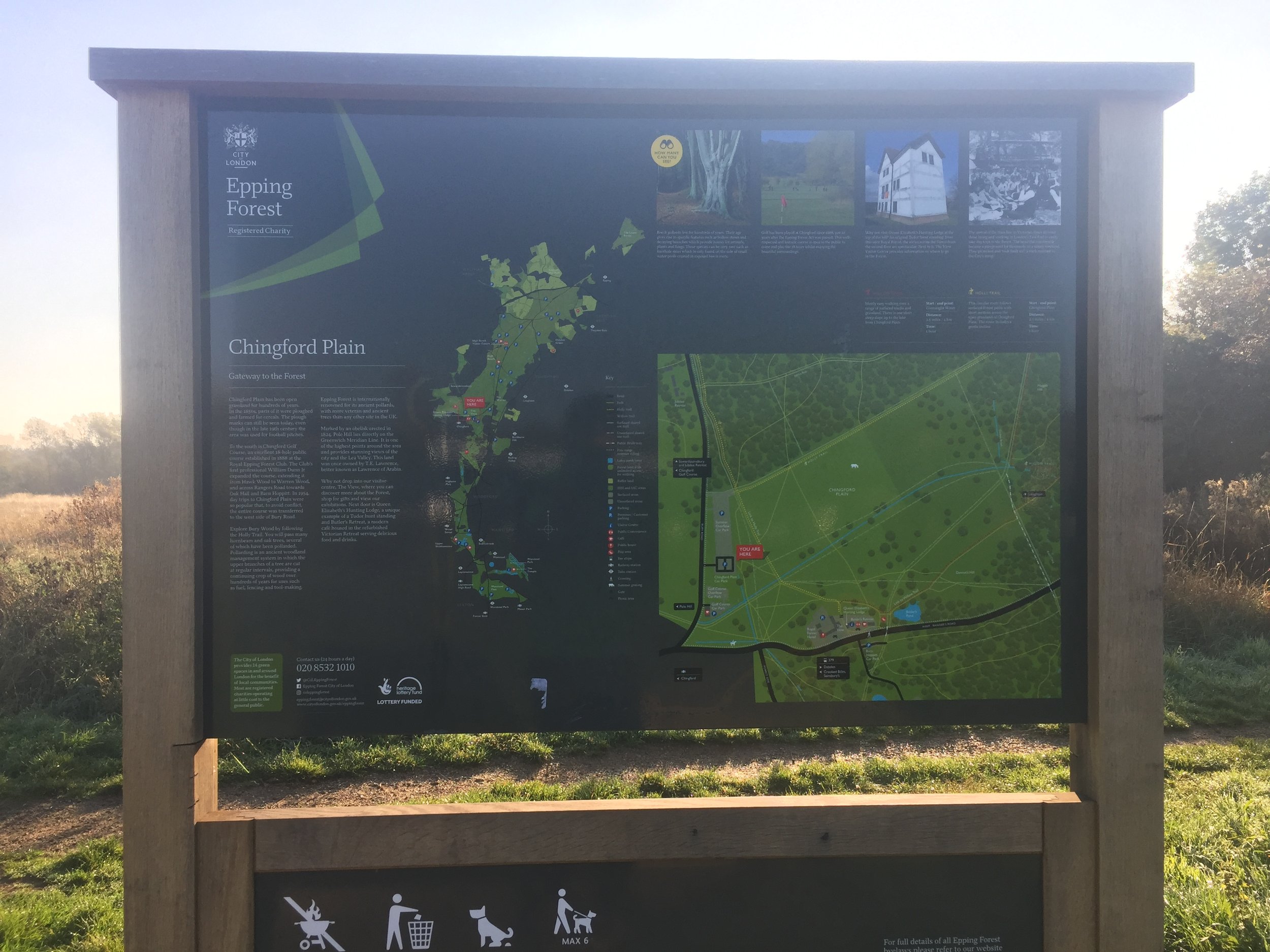
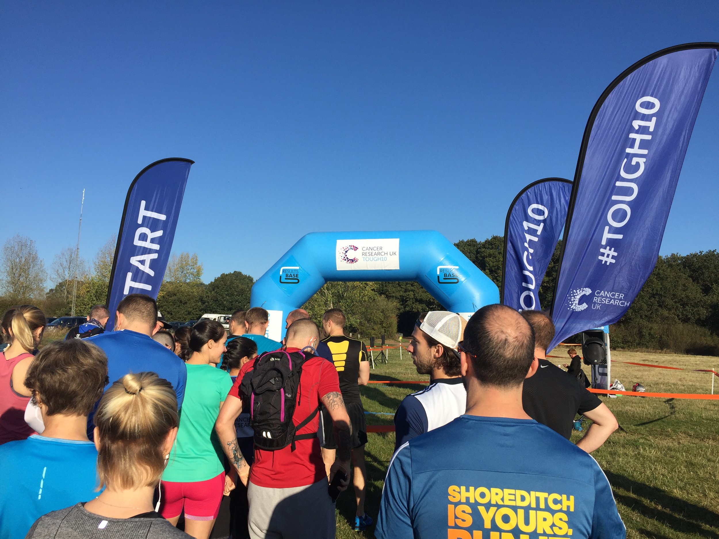
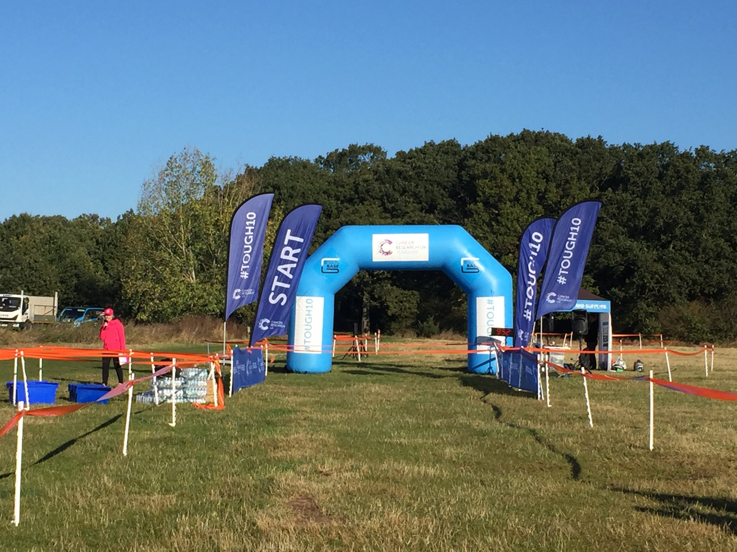
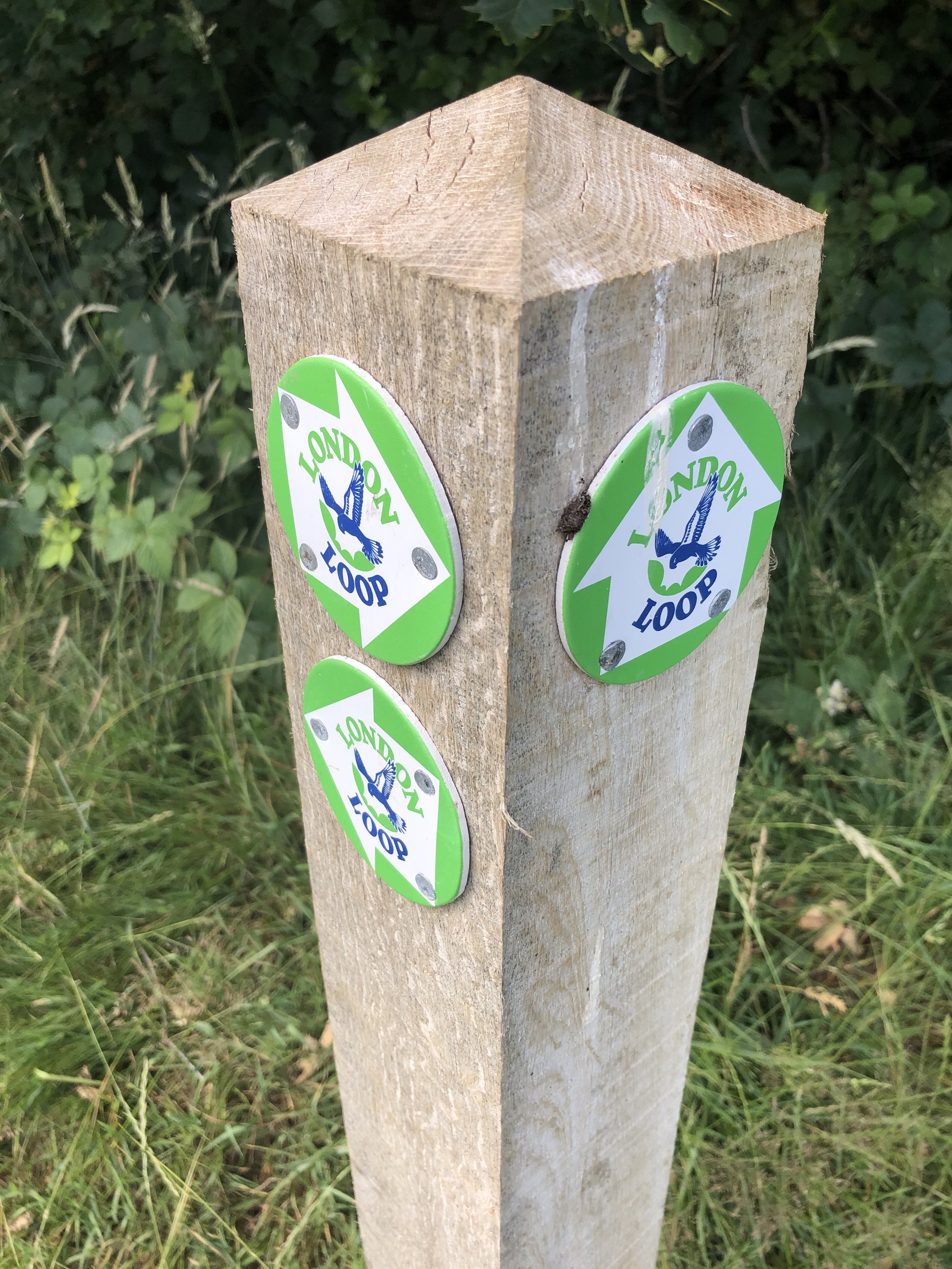
Where: Epping Forest, London
Course: Single lap hilly trail race starting on Chingford Plain and snaking through the hills of Epping Forest.
Other Trails touched (walk): London Loop, Greenwich Meridian Trail
Other Trails touched (cycle):
Finish time: 1 hour 2 minutes
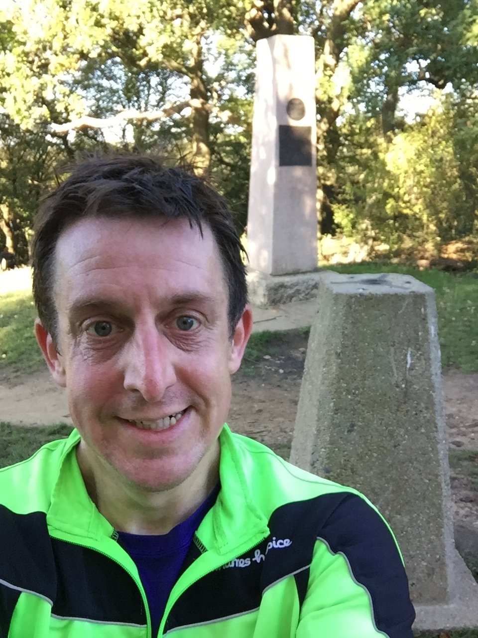
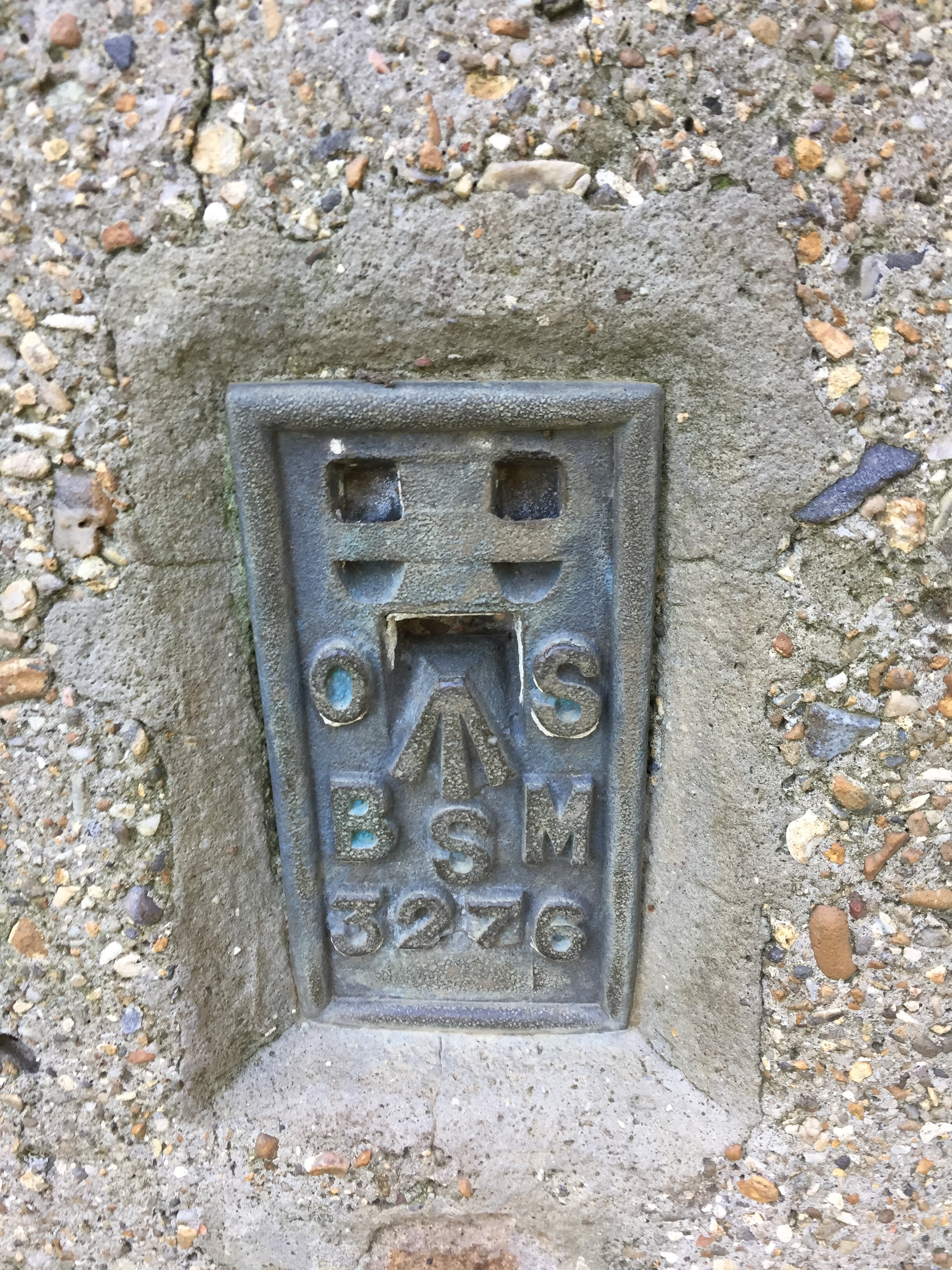
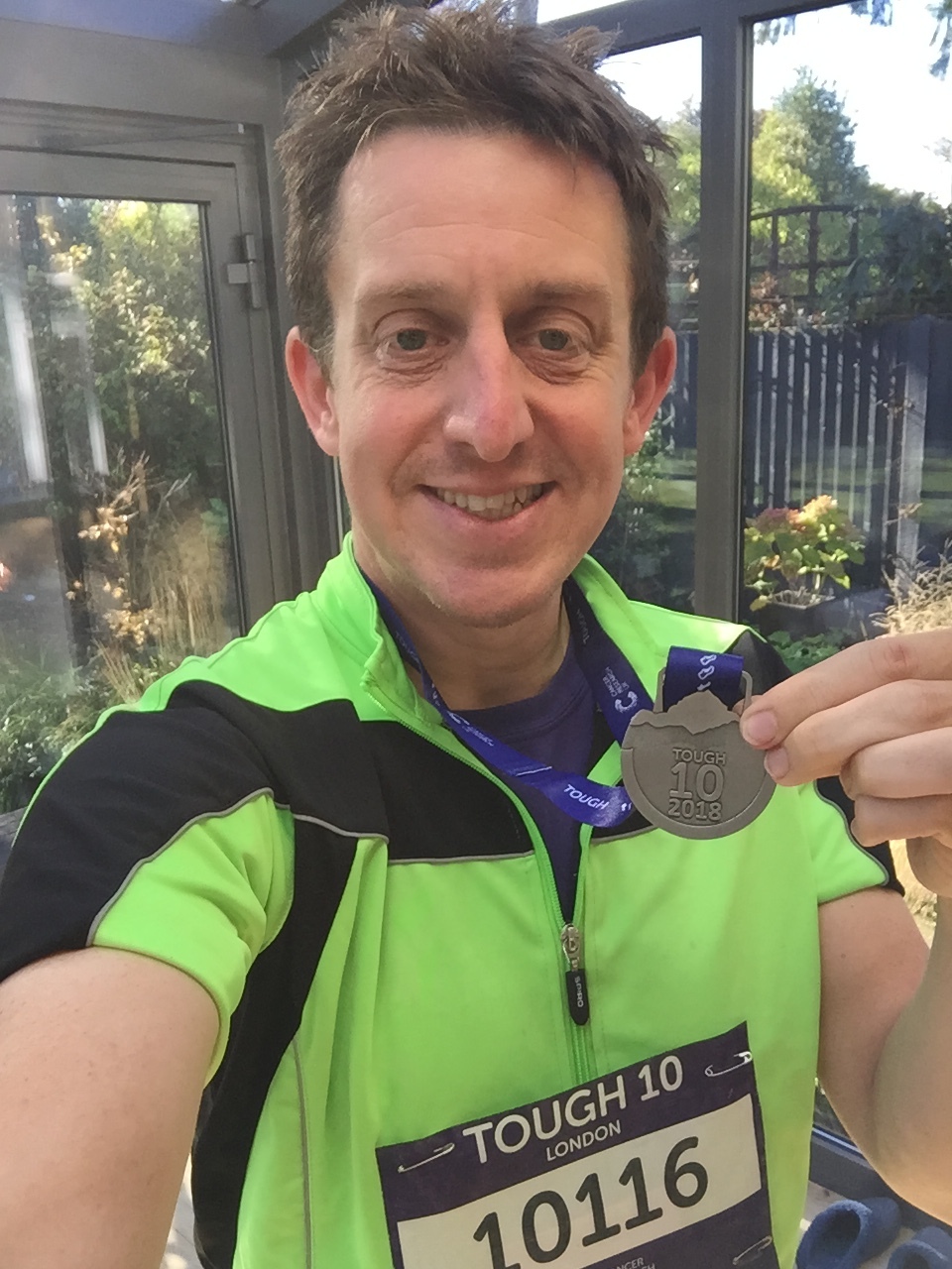
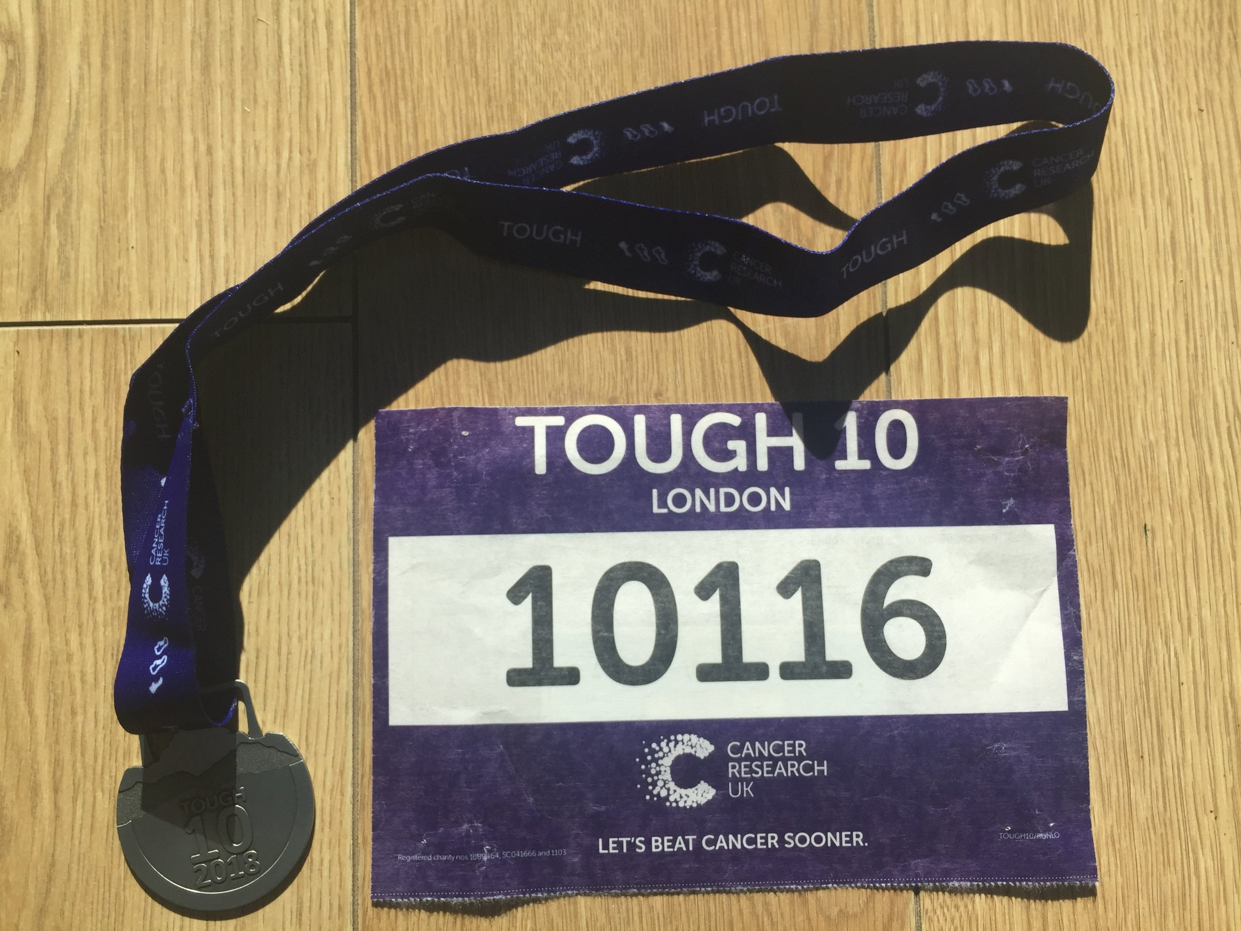
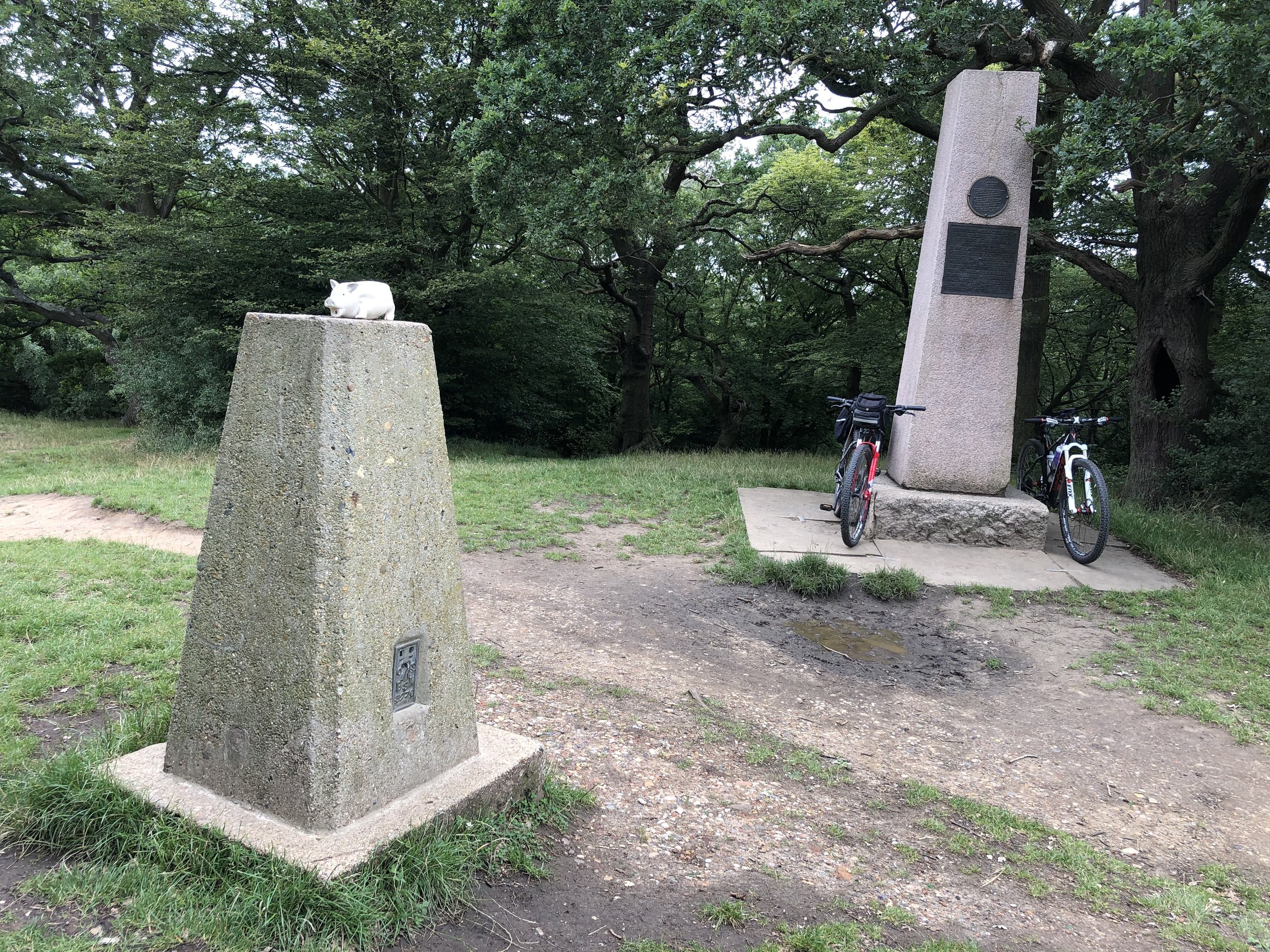
They weren’t joking when they called it Tough 10! This was never going to be a PB and a week of 3 long haul flights and epic jet lag didn’t help either. Great course though and I even managed to bag a new Trig Point at Pole Hill, 7k in.

When: September 8th 2018
Where: Bishop's Park, Fulham, London, UK
Course: Thames Path from Bishop's Park to Hurst Park, West Molesey, Surrey
Other Trails touched (walk): Thames Path, Beverley Brook Walk, Capital Ring
Other Trails touched (cycle): NCN 4,
Finish time: 7 hours 16 mins (Walk)
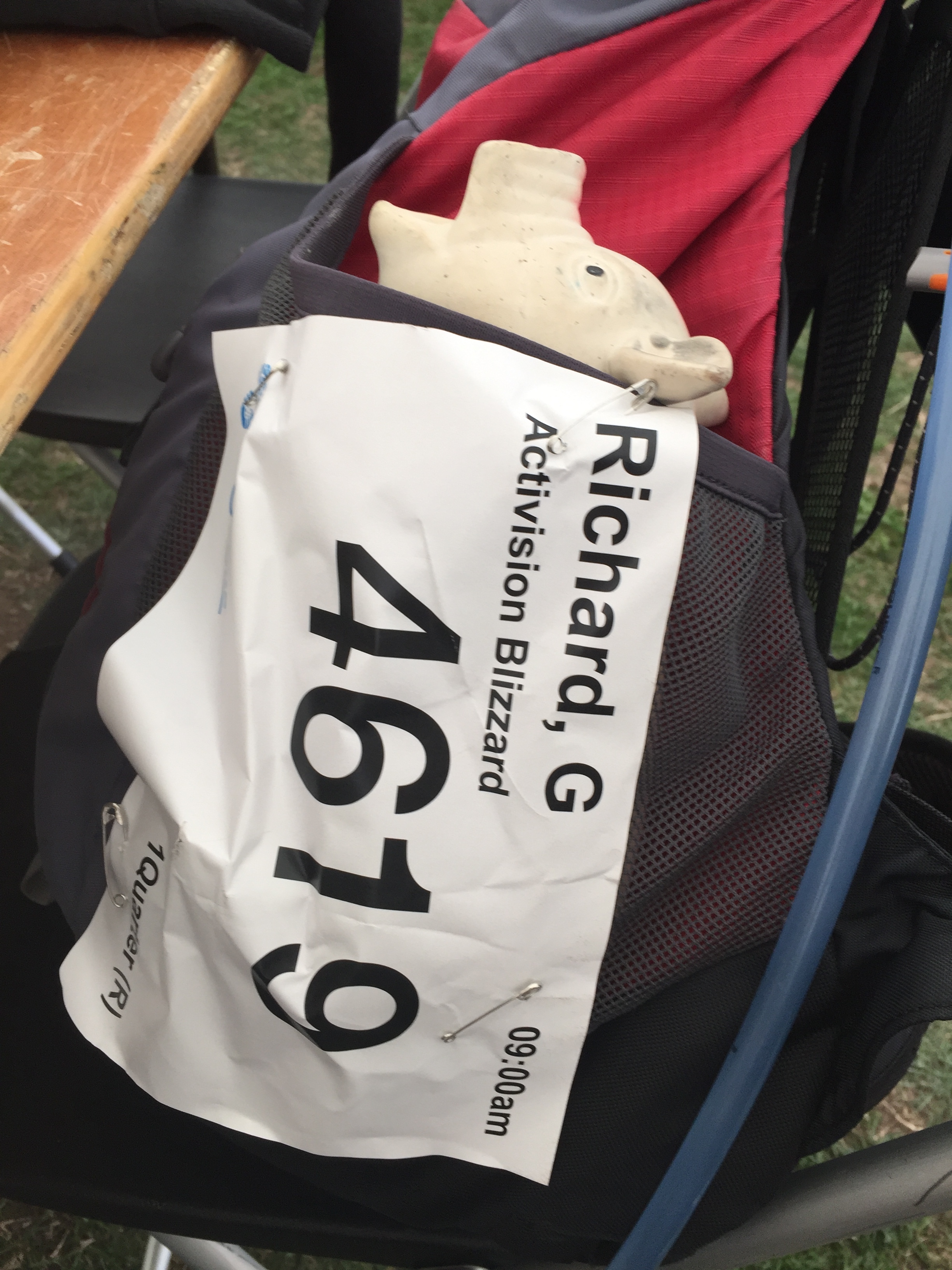
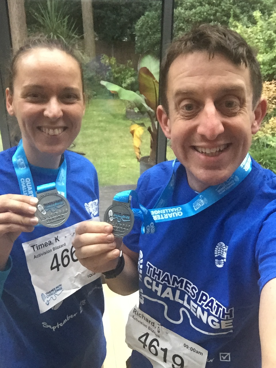
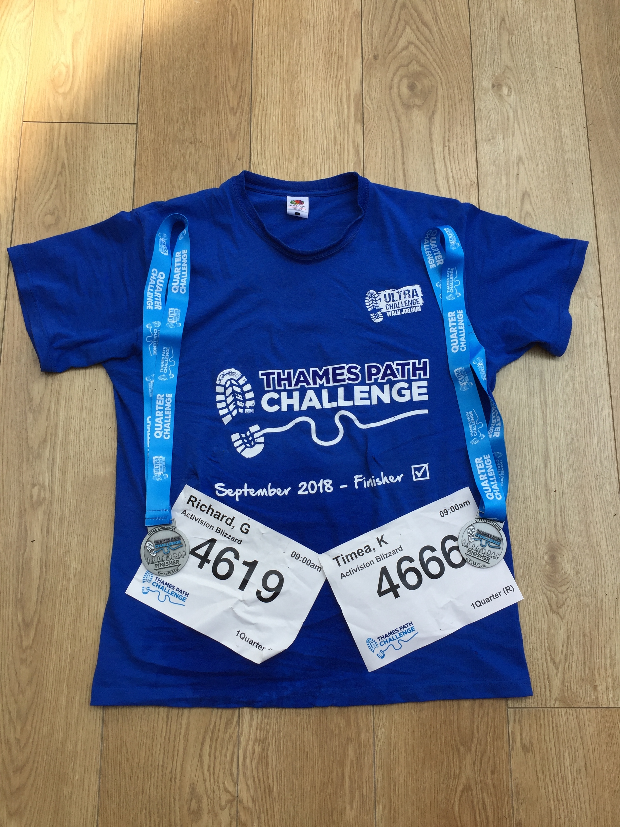
This was a return to the Thames Path for my first long-distance walk with Timea and the start of our training for next year's Camino. We were part of a group from Timi's company, Activision, some of whom did the 50k or 100k options. Just like the Threshold series that I'm more familiar with, this was a really well organised event from Action Challenges.
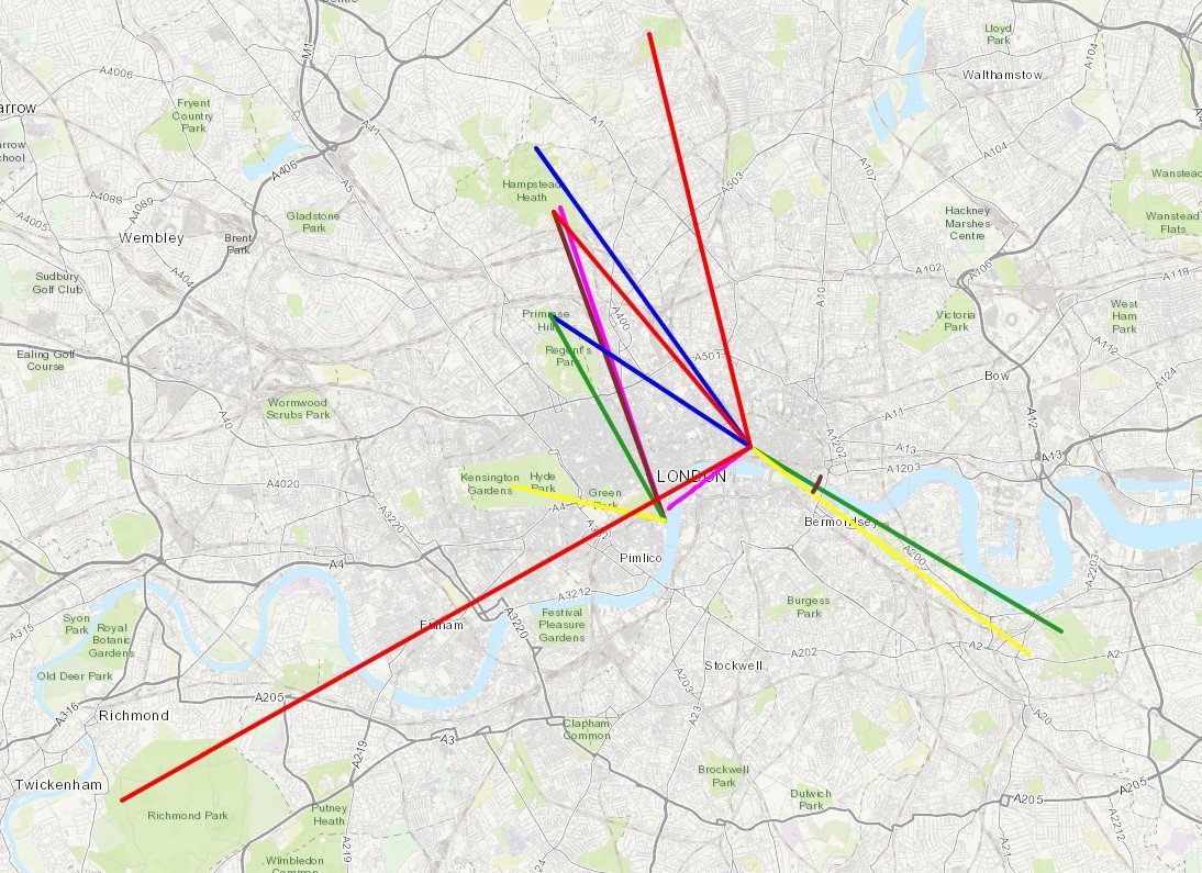
A geek cycling microadventure along the River Crane and Hounslow Baseline on sections of the London Loop, Capital Ring and Thames Path.

Start / Finish: Minet Country Park, Springfield Rd, Hayes, UB4 0LL
Distance: 46.7 km (29 miles)
Elevation Change: +/- 153m
GPX File: get via Buy Me a Coffee
Other Routes Touched (walk): Hillingdon Trail, Grand Union Canal Towpath, Shakespeare’s Way, London Loop, Thames Path, Capital Ring
Other Routes Touched (cycle): None
Map: OS Explorer 173 London North and OS Explorer 172 Chiltern Hills East
Links: River Crane, Minet Country Park, Cranford Park, Crane Park, Hounslow Baseline
- Drawing The Line at Hounslow (article, St Margarets, 2010)
- Heathrow Airport honours the work of Major General William Roy (article, Ordnance Survey 2013)
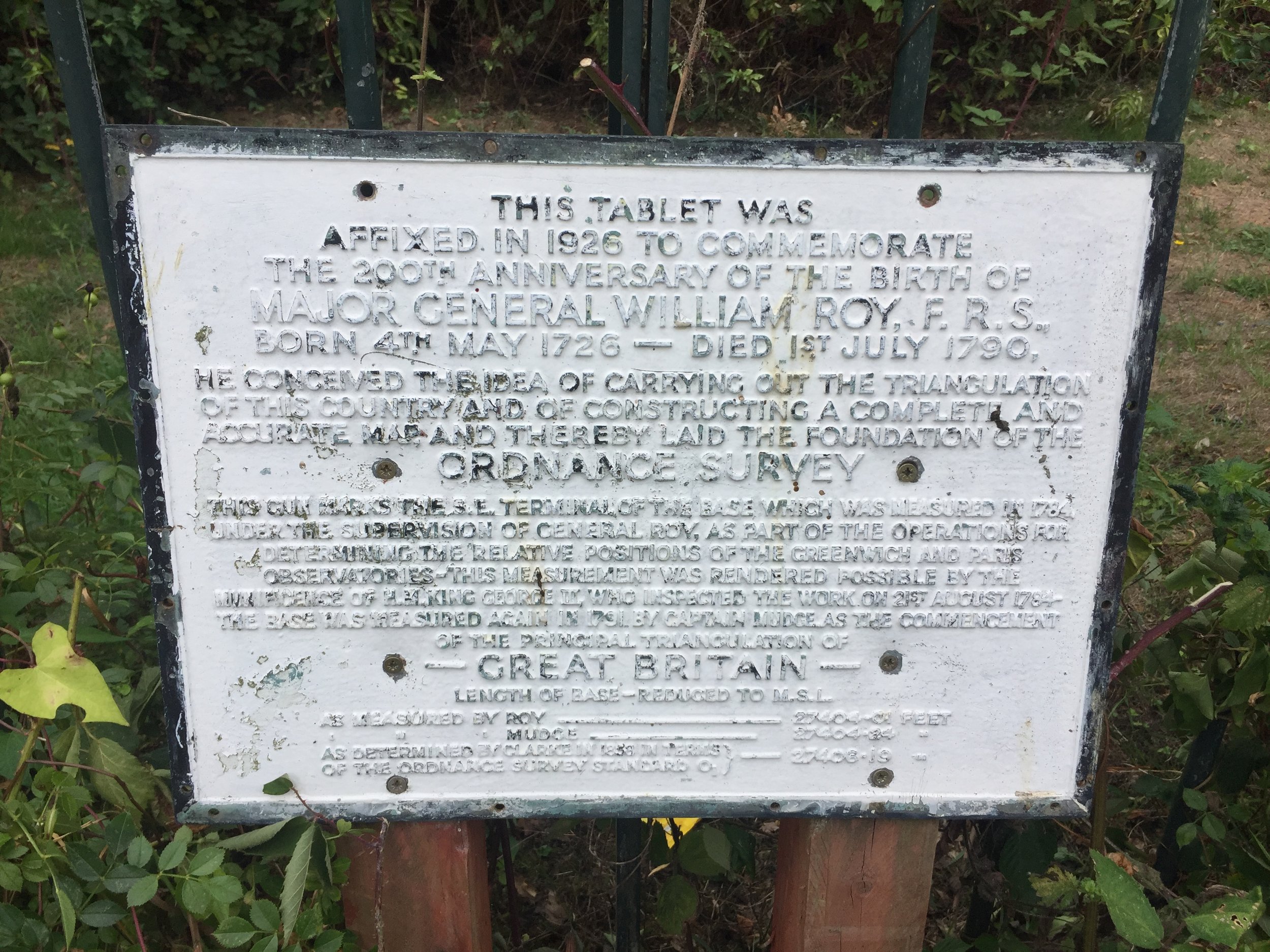
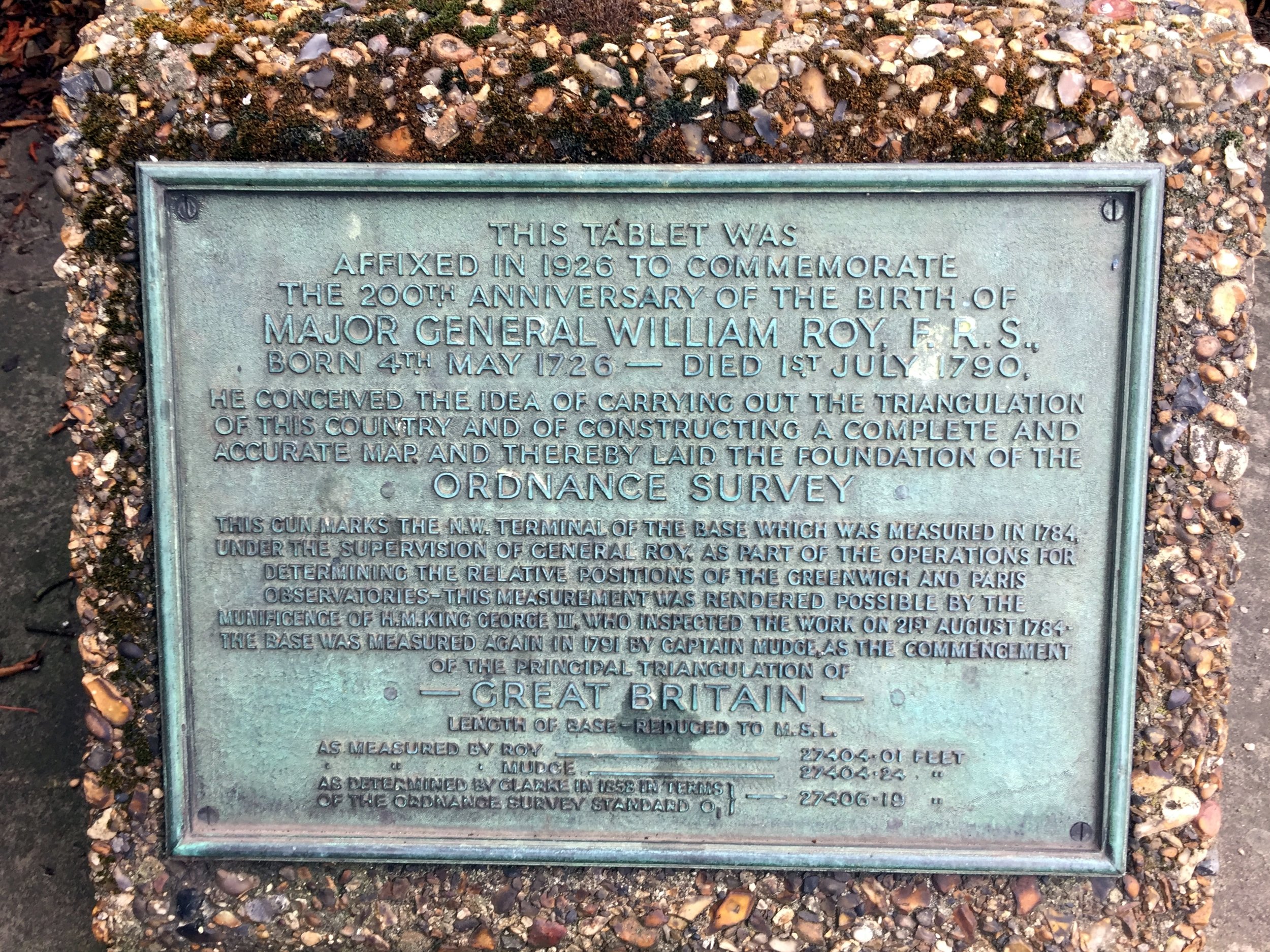
The idea for this trip came whilst reading Mike Parker's book, Map Addict. In his fascinating and funny account of all things map-related Chapter 2 covers the beginnings of the Ordnance Survey. Prior to the establishment of the Ordnance Survey General William Roy pioneered the techniques that would later be used to map all of the UK. The Hounslow Baseline was the first point to point measurement and was chosen “because of its vicinity to the capital and the Royal Observatory at Greenwich, its great extent, and the extraordinary levelness of its surface, without local obstruction whatever to render measurements difficult.”
I won't go into the rest of the story as its well documented elsewhere and Mike Parker's book is a great place to start. Instead, this blog post describes a ~50k circular cycle adventure that explores the Hounslow Baseline and the nearby River Crane.
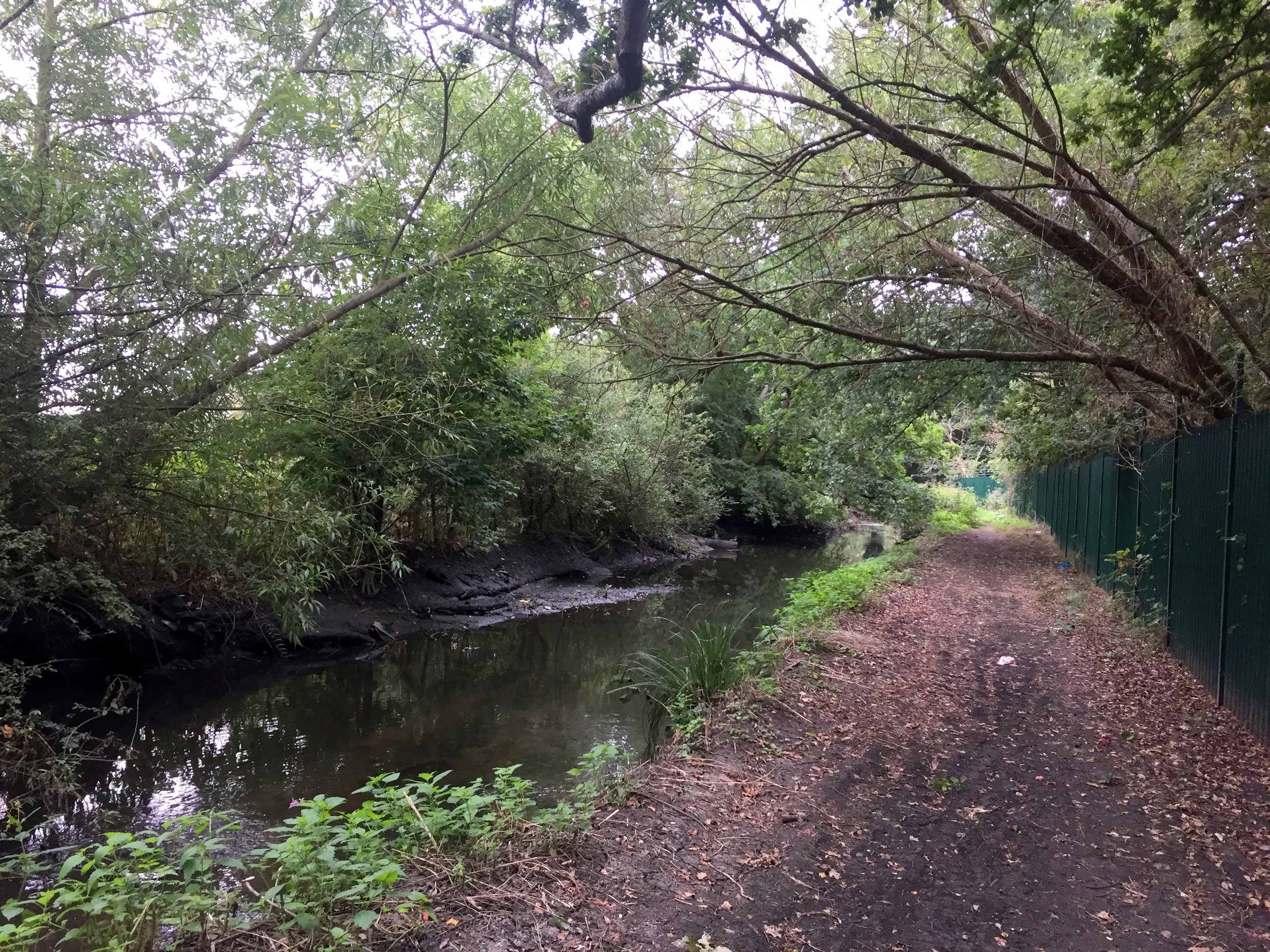
The River Crane
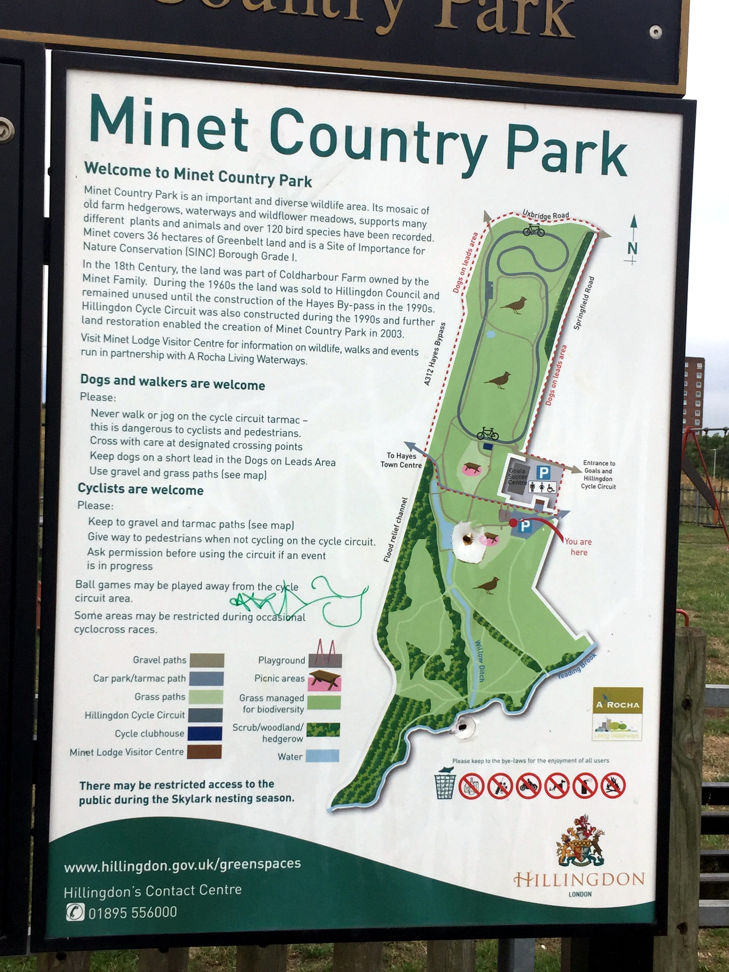
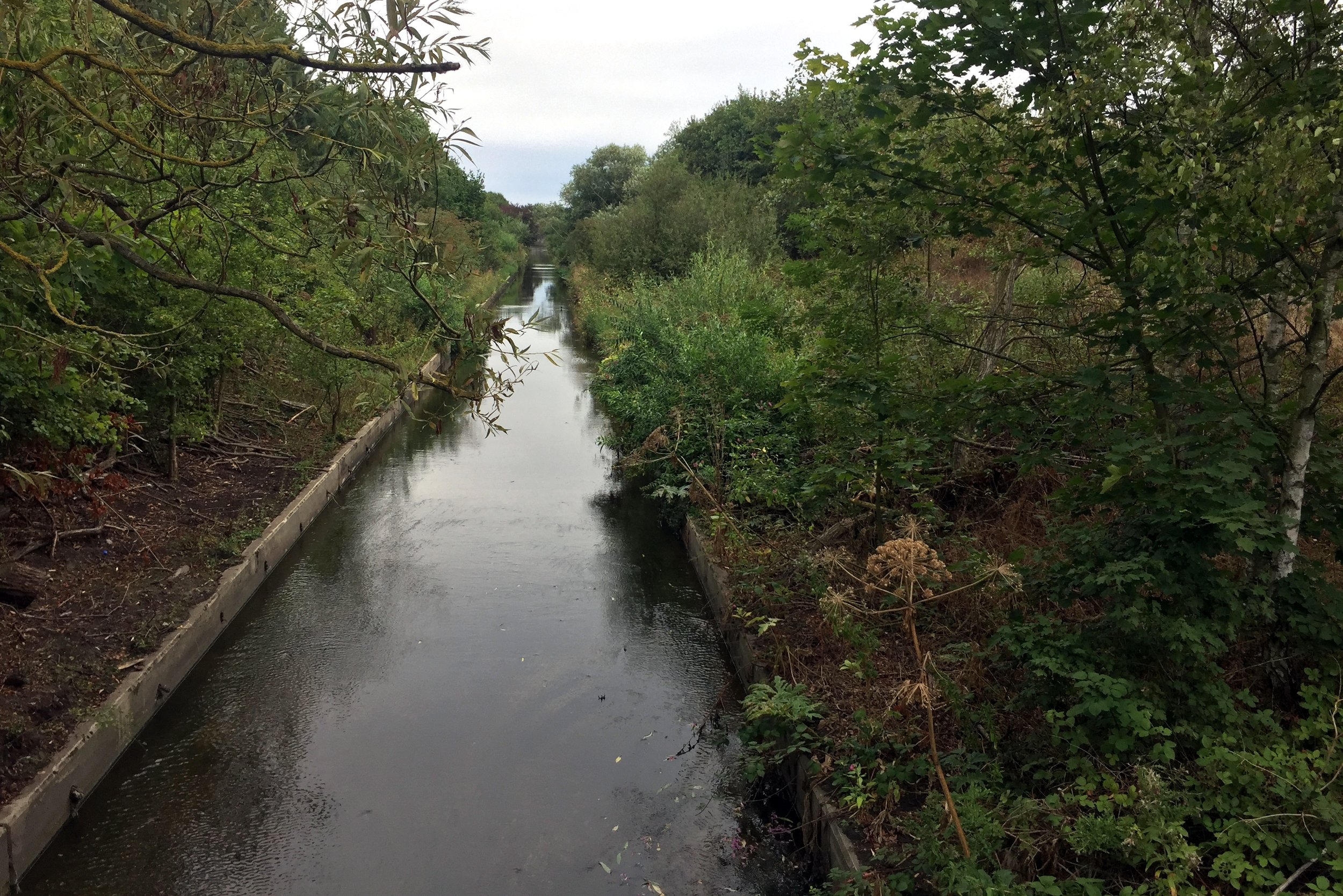
The best place to start is the car-park at Minet Country Park in Hayes. A few hundred metres West you'll cross a bridge giving the first sight of the Crane. The source is further North in the park but you can't see it so its not worth venturing further.
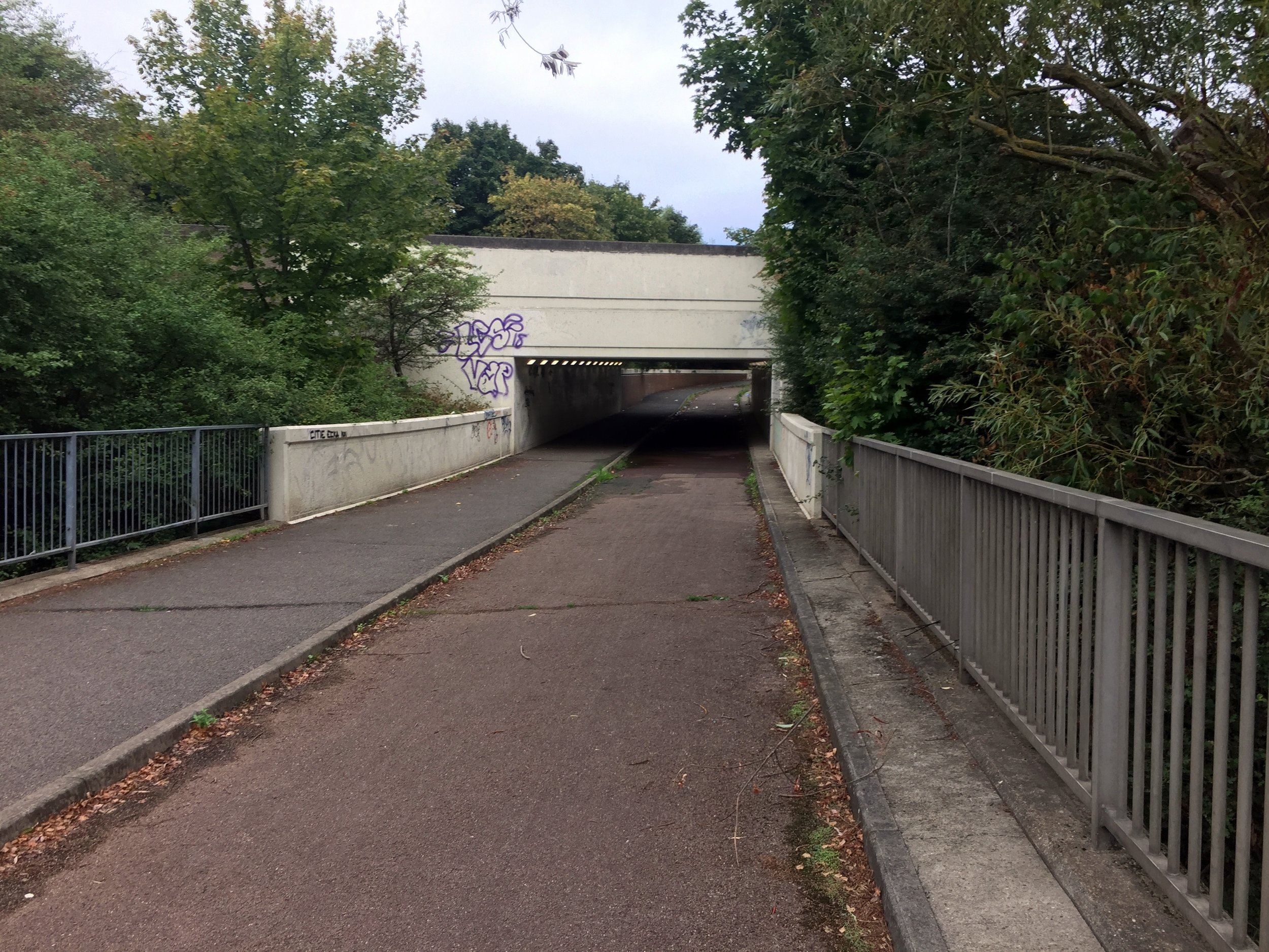
From the bridge continue North-West through the Parkway underpass, then take a left and follow the cycle path that runs parallel to the Parkway.
The Parkway will cross over the Grand Union Canal and mainline railway. Don't forget to marvel at the industrial wasteland along the way. Once you have crossed the Grand Union Canal you'll also be on the well-signed London Loop which you can follow for much of the route of the Crane.
Take a right at the roundabout, then first left at the Crane Pub onto Watersplash Lane.
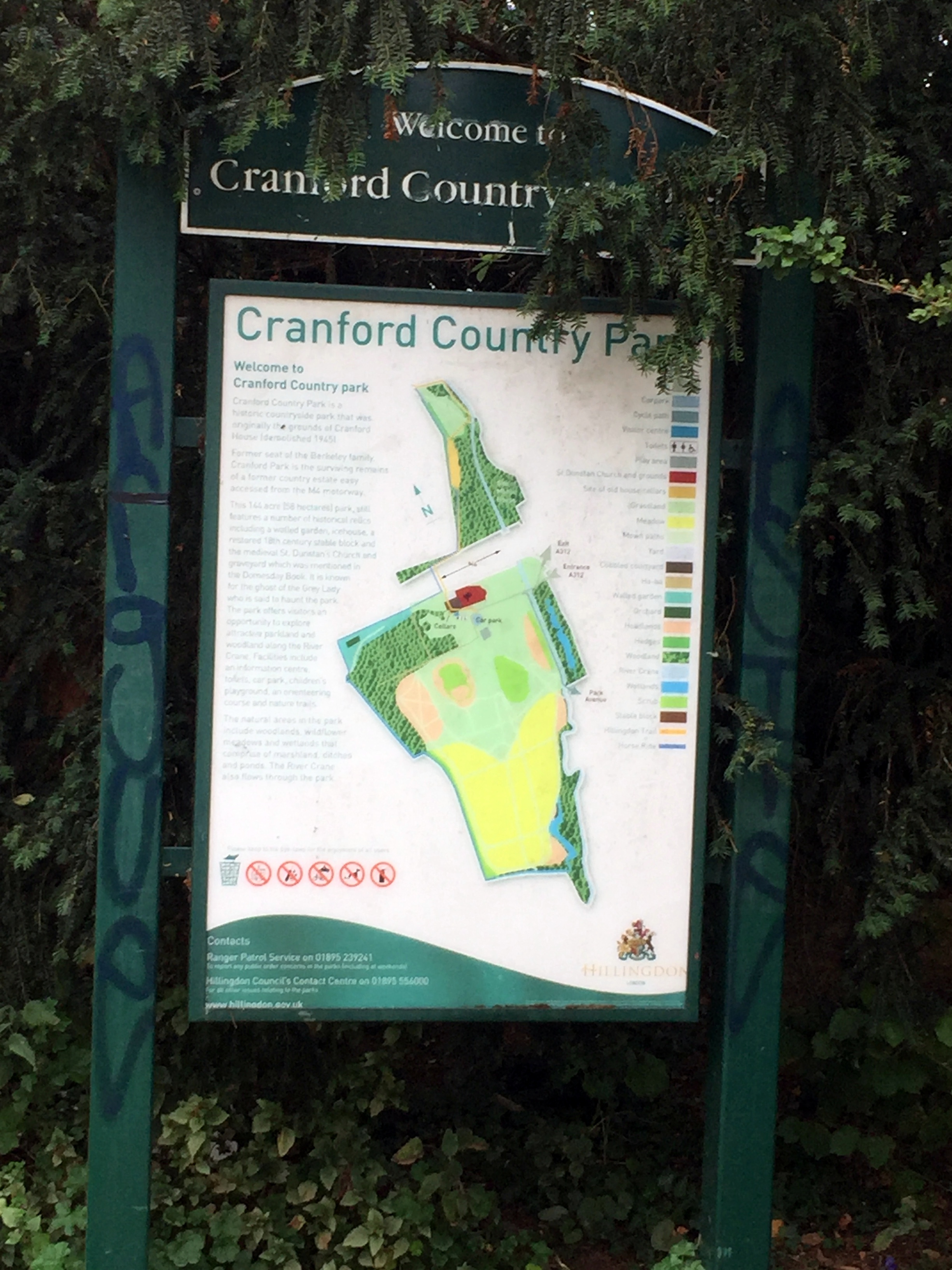
From Watersplash Lane you'll enter Cranford Park, the first of a chain of parks and green spaces that follow the Crane for most of its course.
At around KM 5 you'll cross over the A4 Bath Road then through a small housing estate in Cranford before re-entering the park.
At KM 7 you'll reach the A30, a busy dual carriageway with a solid central reservation. Unless you want to risk cutting across you'll need to cycle West for ~1km to the nearest crossing then back on the other side.
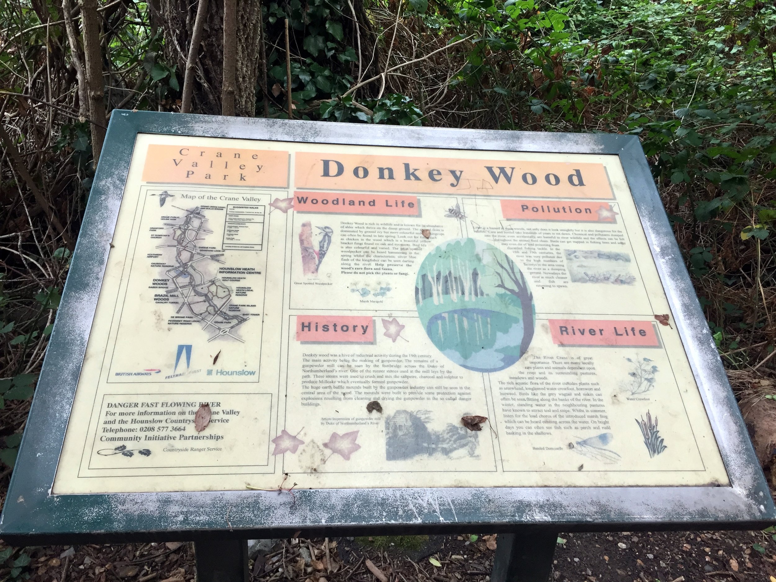
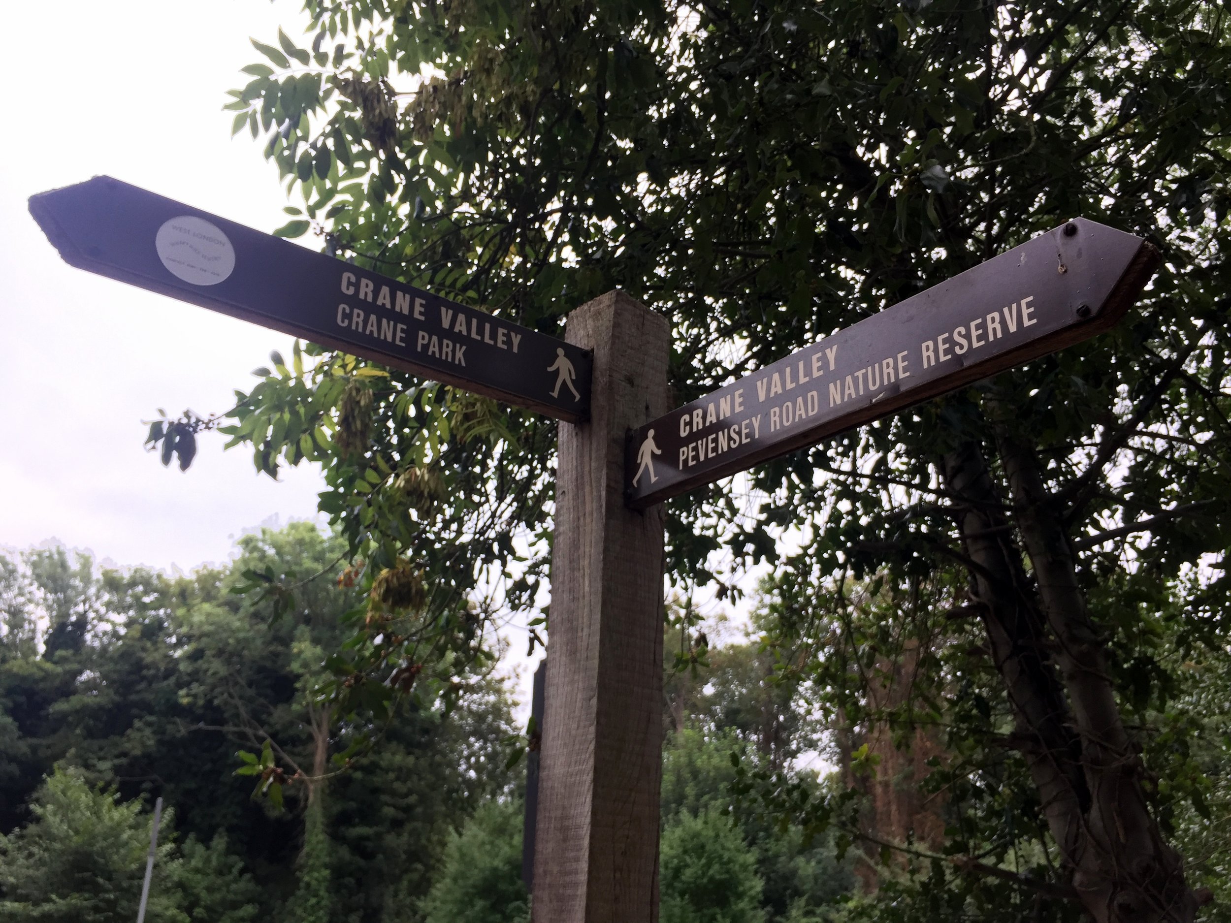
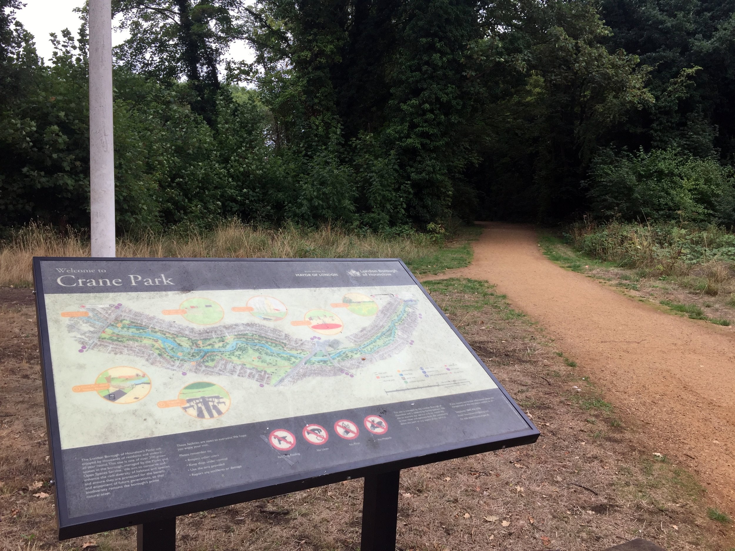
Once over the A30 continue along the green spaces including The Causeway, Donkey Wood, Brazil Mill Meadows, and Pevensey Road Nature Reserve then into Crane Park, home of Crane parkrun.
The Crane passes under the A316 and B358 as they cut across Crane Park. After the B358 continue alongside the River Crane but don't follow the London Loop signs as they leave the Crane at this point.
Continue through Crane Park and Kneller Gardens into Twickenham. From here is harder to stay next to the river so you'll need to navigate through several residential streets. This is where a map and a GPX file is essential.
The Crane eventually meets the Thames next to an apartment block off Railshead Road. Take the footpath next to the Capital Ring sign to see the confluence of the 2 rivers.
The Thames Path & Capital Ring at St Margarets
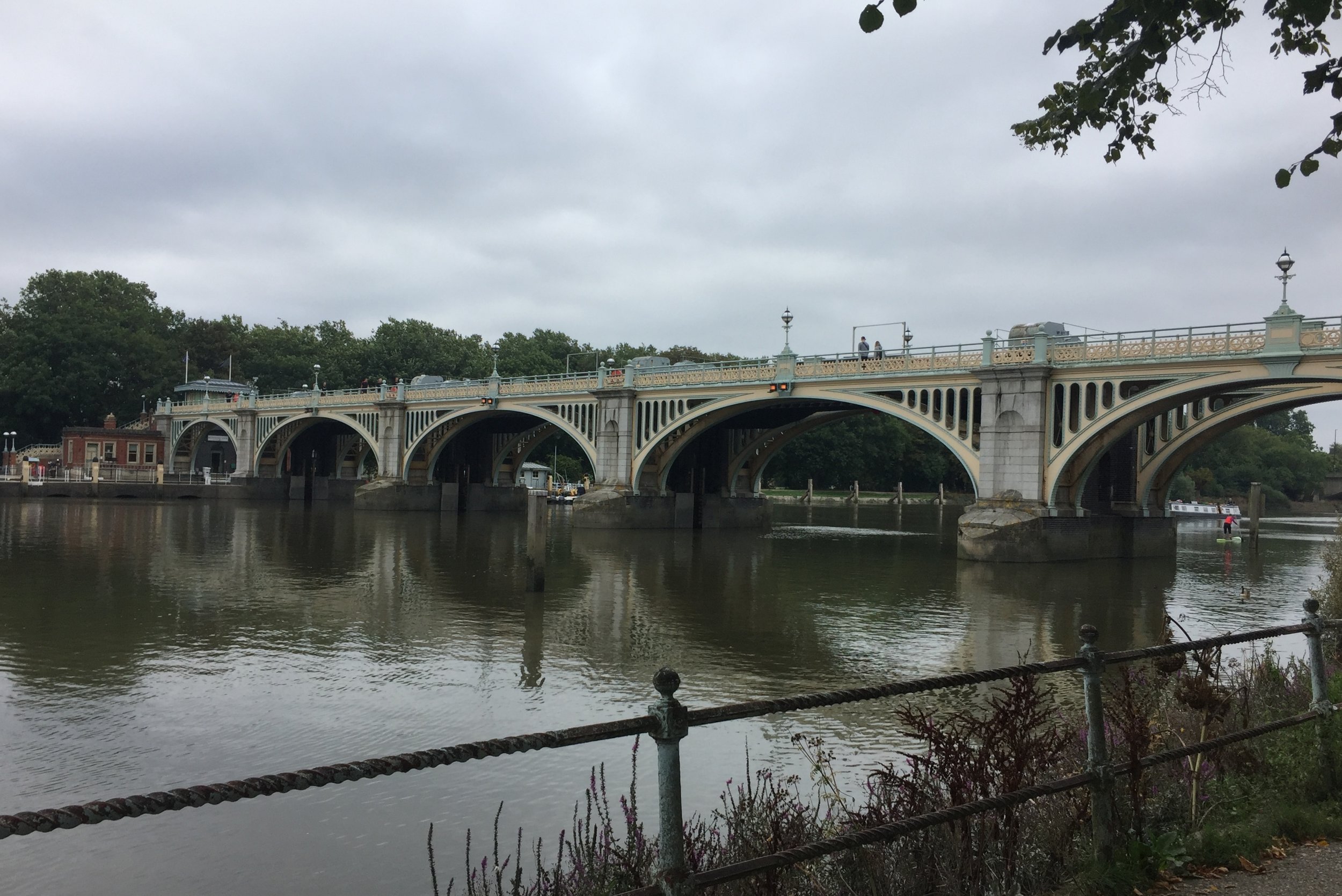
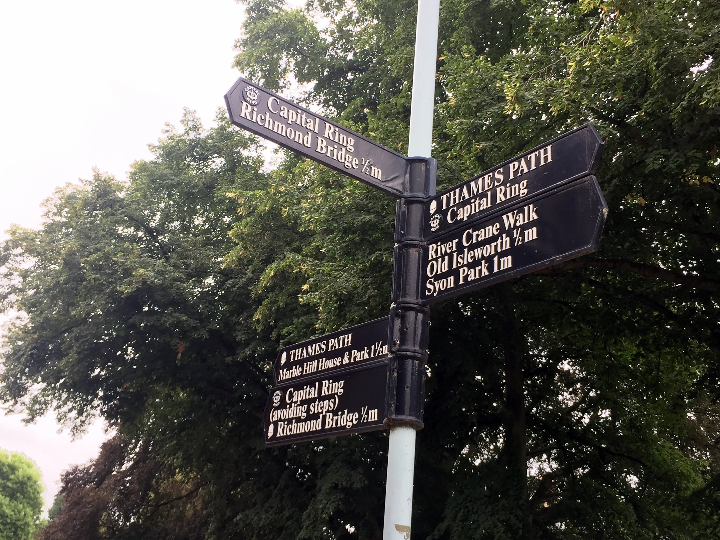
From the end of the Crane there's 2 options to get you to the Hounslow Baseline: a direct but busy road route through St Margarets, Twickenham and Strawberry Hill or a marginally longer but more scenic Thames Path route. Taking the latter (as I did) also takes you along 500m of the Capital Ring before it crosses Richmond Lock Footbridge. A stop at the Barmy Arms and a visit to Eel Pie Island make a great half-way rest stop for the trip.
From The Thames Path opposite Eel Pie Island:
Turn right onto Wharf Lane, then left onto Heath Road and left onto Hampton Road.
Continue along Hampton Road for approx 2 KM, taking a right onto Burtons Road.
Continue along Burtons Road, taking a left onto St. James' Road an continue all the way to the junction of Windmill Road and The A312.
Turn left onto the A312 (Uxbridge Road) and look out for a small footpath on the right near a zebra crossing.
Follow the footpath into a small cul-de-sac called Roy Grove where you'll find the South-Eastern end of the Hounslow Baseline.
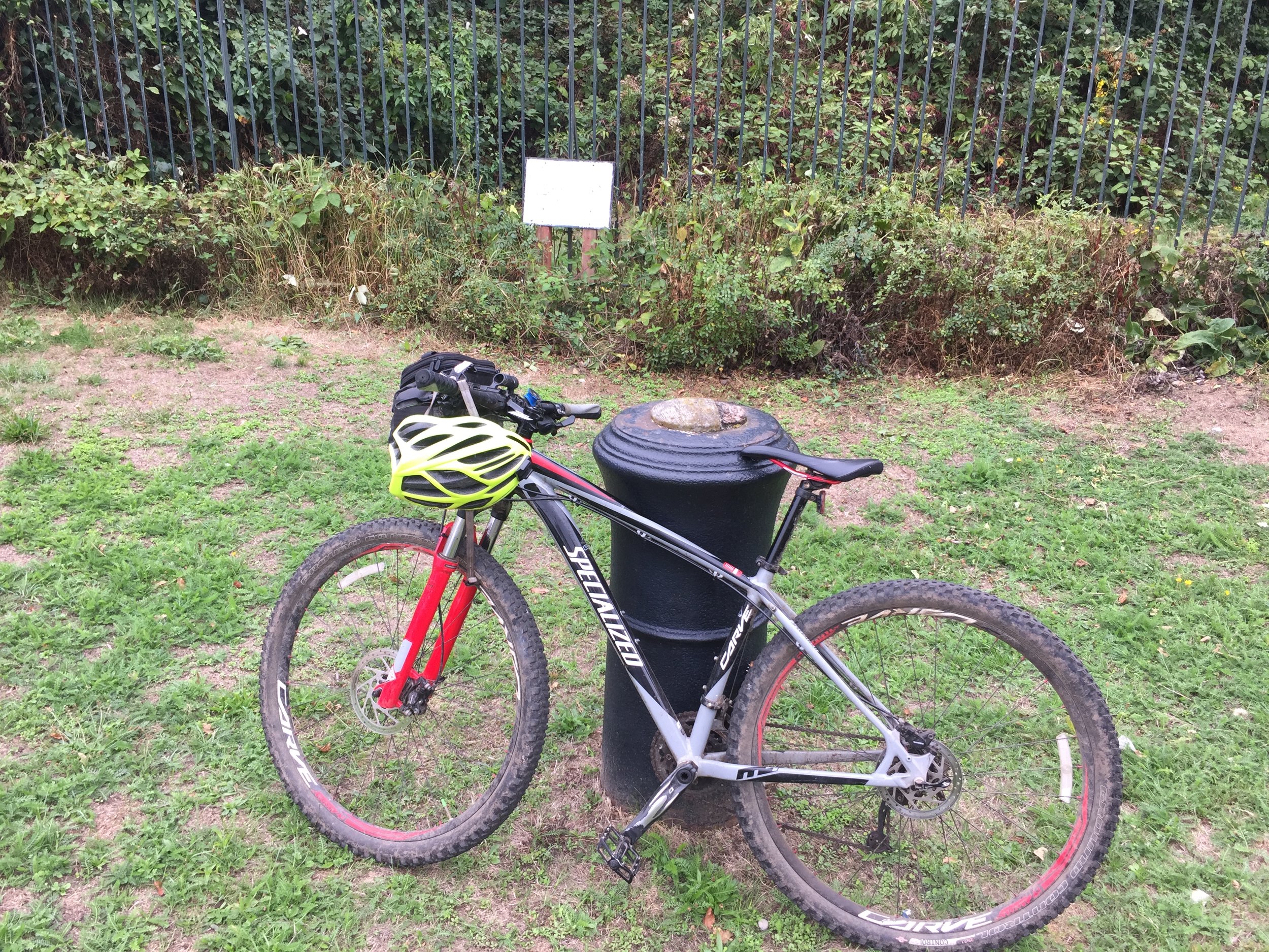
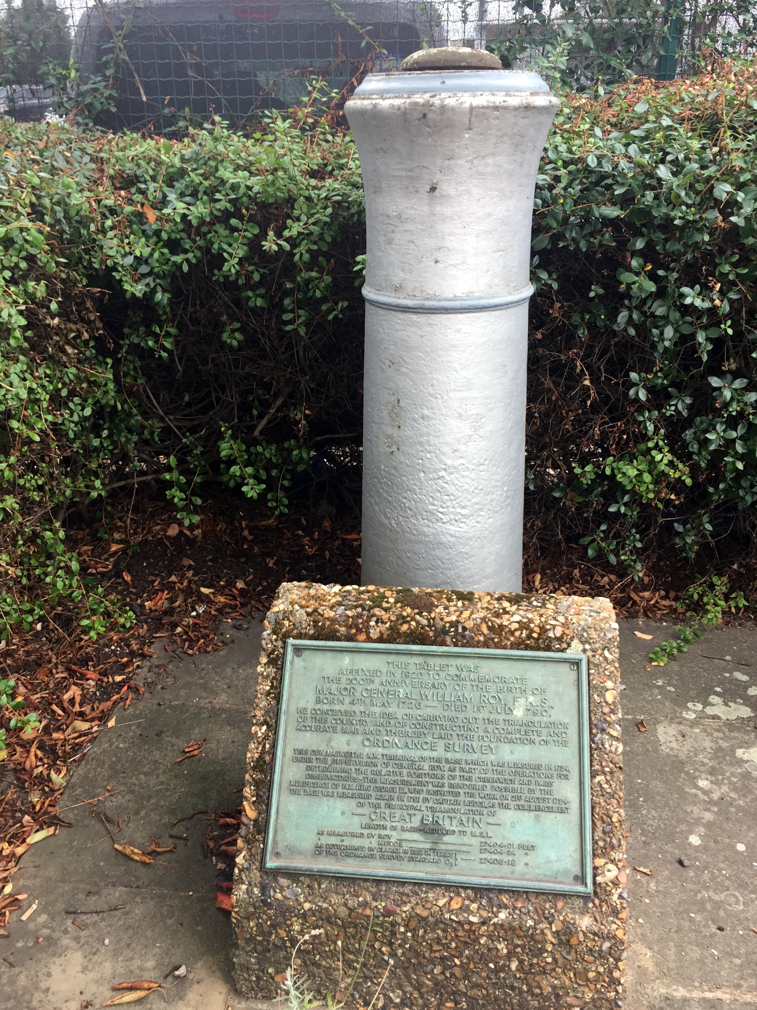
The Hounslow Baseline
The street name, Roy Grove, is the first clue that you've found the right place. The actual monument is on the opposite side of the turning circle in an unloved patch of grass between 2 houses. The monument is a barrel of a cannon sticking the ground, next to a plaque describing the life and work of Major General William Roy. To cycle the Baseline:
Return back down the footpath and take a left onto the A312 Uxbridge Road.
Follow the A312 for ~7 KM until it crosses the A30 and reaches the Hatton Cross Roundabout at Heathrow. The road name will change several times along the route from Uxbridge Road, to Hampton Road West, Harlington Road East and Faggs Road. There's very little navigation to do as its a pretty straight route, presumably following the original Baseline.
At the Hatton Cross Roundabout take the 4th exit onto Envoy Avenue, then left onto the Eastern Perimetre road. This is a bit of a diversion from the original route of the Baseline but unfortunately necessary as the airport is not keen on people cycling across the runways.
The Eastern Perimeter Road will become the Northern Perimeter Road. Follow this until the junction of Nene Road.
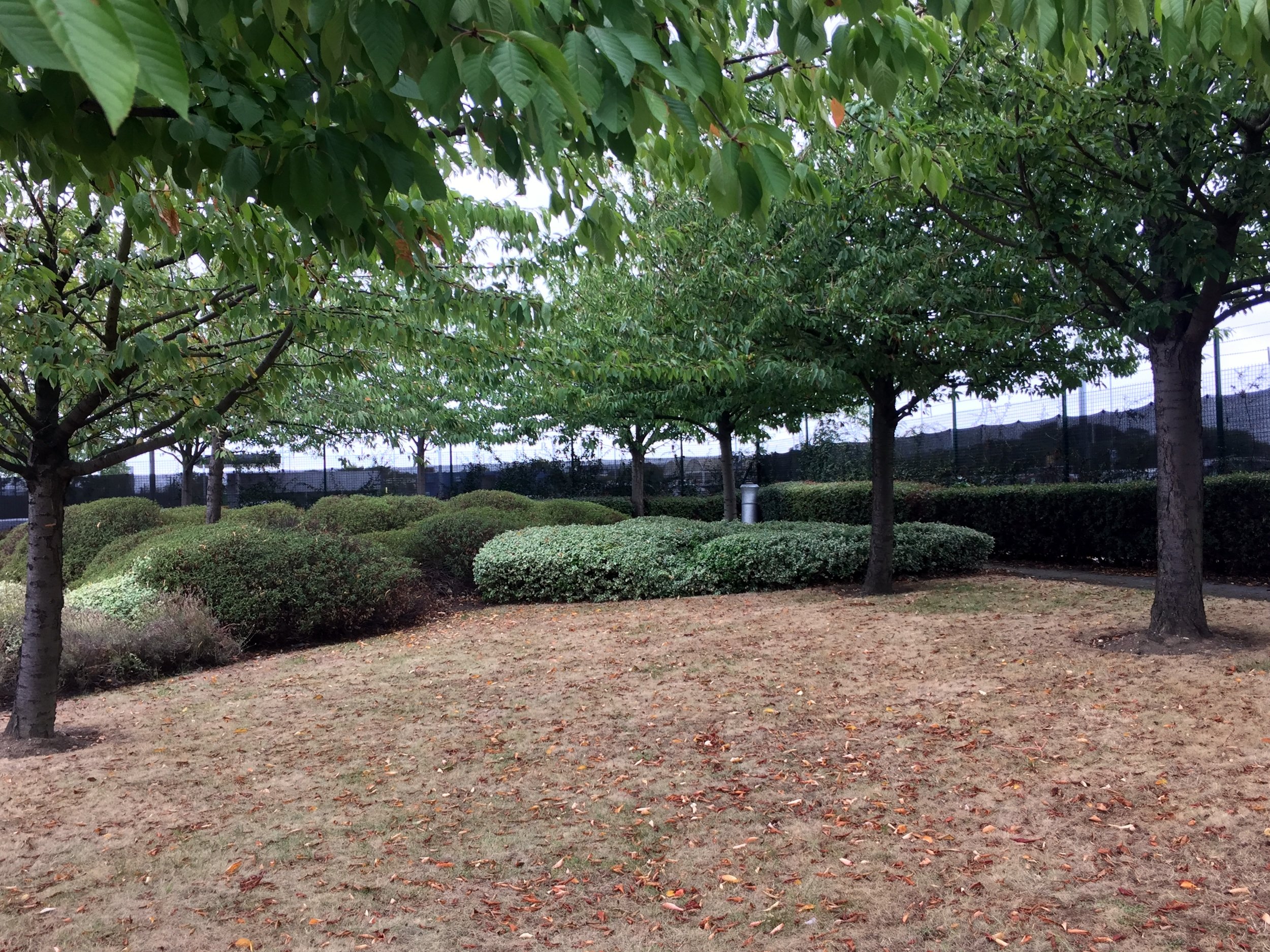
The end of the Baseline is on a grassy triangle of the North East side of this junction.
The monument, a twin of the South West one at Roy Grove, is in the far corner of the grassy triangle. You can barely see it from the road so you'd have to be looking for it to notice it. The rest of the site is now a Heathrow Business parking car park. The area could have been used for another 25 parking spaces with hundreds of thousands of pounds of revenue. Its nice that a little-visited monument has been preserved there instead.
I've read a few opinions that the Ordnance Survey should do more to preserve and promote the 2 monuments that are so important to their history. I don't agree. It seems fitting that they are hard to find and you'd need a map and some navigation skills to find them.
Doomed Village
From the monument it's just over 7 KM back to Minet Park. The easiest way is to continue North over Nene Road, crossing the A4 and taking the A408 through Sipson. This is one of the "Doomed Villages" that will be lost to the future expansion of the airport. As you pass by Sipson Close, look left as this will be the end of the proposed 3rd runway. I've been through here a few times in the past and normally see "Stop Heathrow Expansion" banners on most roads, presumably preaching to the converted. Maybe the lack of them this time is due to the increasingly lost cause of trying to stop the inevitable?
From the A408, turn right onto Sipson Lane, then left at the roundbout onto the High Street.
Turn right at the A437 North Hyde Road and continue until the Parkway roundabout from the start of the trip.
Retrace the route along the cycle path next to the Parkway, crossing back under into Minet Park
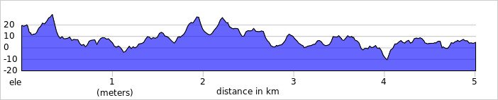
Red = course of the River Crane, Yellow = cycle route, Blue = Hounslow Baseline. Green = (approx) future site of proposed Heathrow 3rd runway

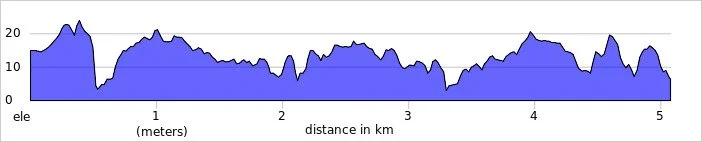
Elevation plan of the cycle route (marked as yellow in the map)

Back in April I completed my 100th different parkrun event at Hazelwood. What I didn't know at the time was that it was also my last of the 20* parkruns in the historic county of Middlesex. This only became important in the last few weeks when looking for new parkrun challenges to tick off. I'd completed LonDone and the Channel Islands Region in July. Next up would be the South-East England region but there's 84 of them and I've only ran 26 so it will take ages. I needed some smaller, more frequent hits, and the mini-regionnaires of the Historic Counties would do the job. It would also be a nice match with my other current obsession, the UK County Tops.
The Historic County of Middlesex has been chopped and changed over the years and now doesn't really exist except as a legacy in some postal addresses. Most relevant to the parkrun geek, it's also in the address of parkrun Headquarters that can be found at the bottom of every page on parkrun.org.uk. A pilgrimage to the parkrun HQ would be a fitting end to the Middlesex mini-regionnaire.


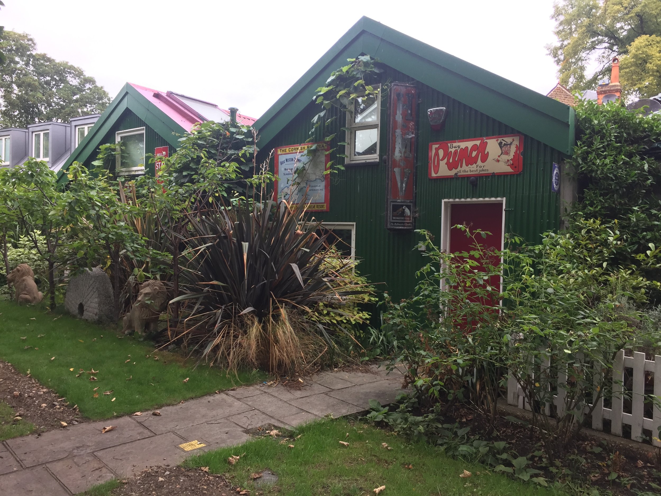
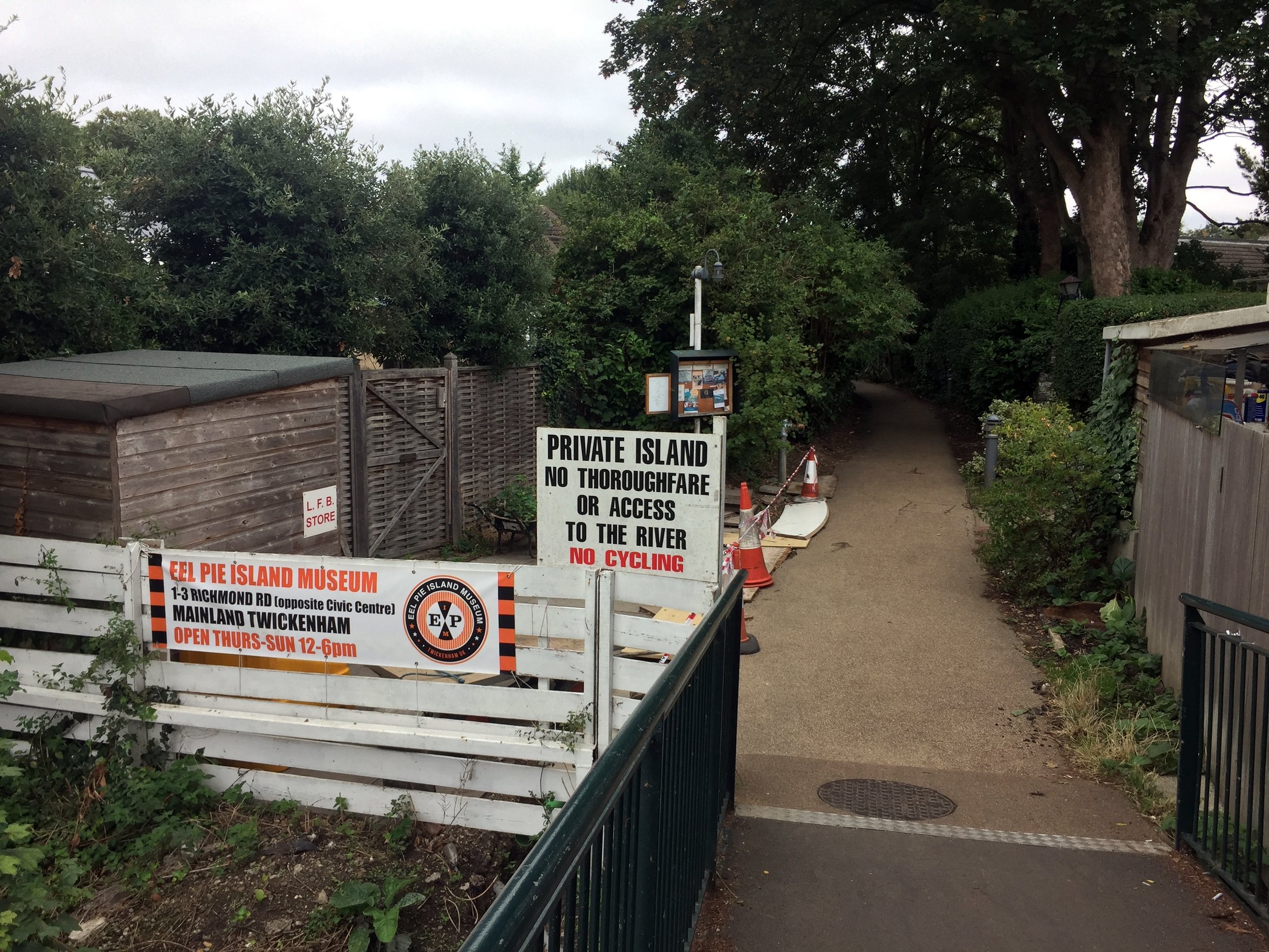
So, as a part of a different micro-adventure, I headed towards Eel Pie Island. This is a quaint, quirky place in the Thames just South of Twickenham. I'd read about it and its interesting musical history a few years ago and had wanted to check it out. Discovering that it's now the Global HQ for parkrun meant that I had to go immediately. I wasn't really sure what to expect though. I had visions of a sprawling HQ complex, maybe under a volcano, with Paul Sinton-Hewitt at the centre of it, stroking his cat and surveying a huge map of the world, planning his next country to conquer.
As it turned out there were no volcanoes and if there was a sprawling complex it was well hidden. Although you can walk onto the island over a footbridge, there's no access to Phoenix Wharf where the offices are. There's some cute cottages along a quiet footpath but no obvious signs of a global HQ. I assumed that the secrecy was for a reason. They're probably in league with the Illuminati and the Bilderberg Group is probably also behind the fence. Assuming I was being watched by parkrun's crack security militia I decided to retreat before being captured, never to be seen again.
*at the time
Completing Middlesex parkun
If you've done LonDone , you've pretty much also done Middlesex as its only Hazelwood that sits outside of the Greater London region. The other odd exception is Oak Hill. It's the only North-West London event that's not within the Middlesex boundary, due to an oddly shaped scoop of old Hertfordshire that plucks it out from its neighbours. I'm now hoping for a new parkrun to be set up in Wrotham Park as it would have the honor of being the only event that's inside old Middlesex but outside of both Greater London and the M25.

Here's the full list of all parkruns, at the time of writing, that are in the Historic County of Middlesex.
Actual course routes and positions for events that I have completed
*Hackney Marshes starts and ends in Historic Essex but most of the course is in Historic Middlesex
More parkrun posts

parkruns are free, weekly, community 5k events all around the world. I started in December 2012 and have been obsessive about it ever since. See my parkrun Collection page for details.
Featured and popular parkrun posts:
LonDone is the term for completing all parkrun events in Greater London. There are currently 65 parkrun events in Greater London. The first was Bushy Park which started on October 2nd 2004 and the newest is Ingrebourne Hill which started on December 14th 2024.
I first completed LonDone on June 3rd 2018 at Catford which was the 52nd London event at the time.
There are also other terms: LonDone + for completing all parkruns within the M25. The definition of LonDone ++ is a little more debatable. See my LonDone + page for details.

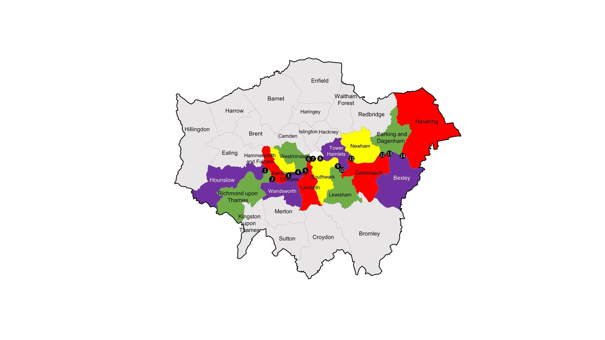
Greater London parkruns by Borough
The London Boroughs are the 32 local authority districts that together with the City of London make up the administrative area of Greater London.
Bromley has the most parkrun events with 5.
There are 2 boroughs that do not currently have a parkrun event: Kensington and Chelsea and the City of Westminster.
The City of London also doesn’t have a parkrun event. Due to its small size and lack of green spaces it’s unlikely to ever have one.
4 parkrun events share their name with the borough that they are in: Bexley, Bromley, Harrow and Southwark.
Another 6 parkrun events have all or part of their name in the name of the borough that they are in: Barking, Fulham Palace, Hackney Marshes, Kingston, Richmond Park and Walthamstow.

The table above shows parkrun events listed by London Borough where the current start line is located. Most events are fully within the boundaries of their respective borough, however some cross borders. Events in italics with a * have explanations below. Thanks to the members of the various Facebook parkrun groups for input on these. Events like Clapham Common may be under the jurisdiction of a borough council but shown above in a different borough due to the start line location.
Clapham Common has the start and finish in Wandsworth although the course crosses into the eastern side of the Common which is part of Lambeth. The event is under Lambeth jurisdiction (thanks to Cal Jones for this info), although I’ve listed it under Wandsworth in the table for consistency of where the start point is.
Crane Park parkrun is half in Hounslow borough and half in Richmond - as the river Crane is the boundary. On the current course the start is in Hounslow and the finish in Richmond (thanks to Mike Dennison for this info).
Kingston parkrun starts and ends in Kingston upon Thames and crosses over into Richmond upon Thames in the middle section (thanks to Mike Dennison for this info).
Roundshaw Down parkrun has the briefing in Croydon, the start line just over the border in Sutton, and the finish in Croydon. Much of the course is in Sutton with the eastern edge in Croydon. (thanks to Robert Butlin for this info).
The Wanstead Flats course is in Redbridge, although the post-code for the Harrow Road Pavilion is in neighboring Waltham Forest. This is presumably because the entrance to the Pavilion is off Harrow Road which is right on the border.
Wimbledon Common parkrun is mostly in Wandsworth although the finish line and funnel is inside the Merton boundary - the Wandsworth border is a few metres north of the drinking trough next to the finish line. The old Wimbledon Common parkrun course, which was used as an alternative course (due to hornets on the usual course) in 2016 was entirely in Merton (thanks to Charles Leonard for this info).
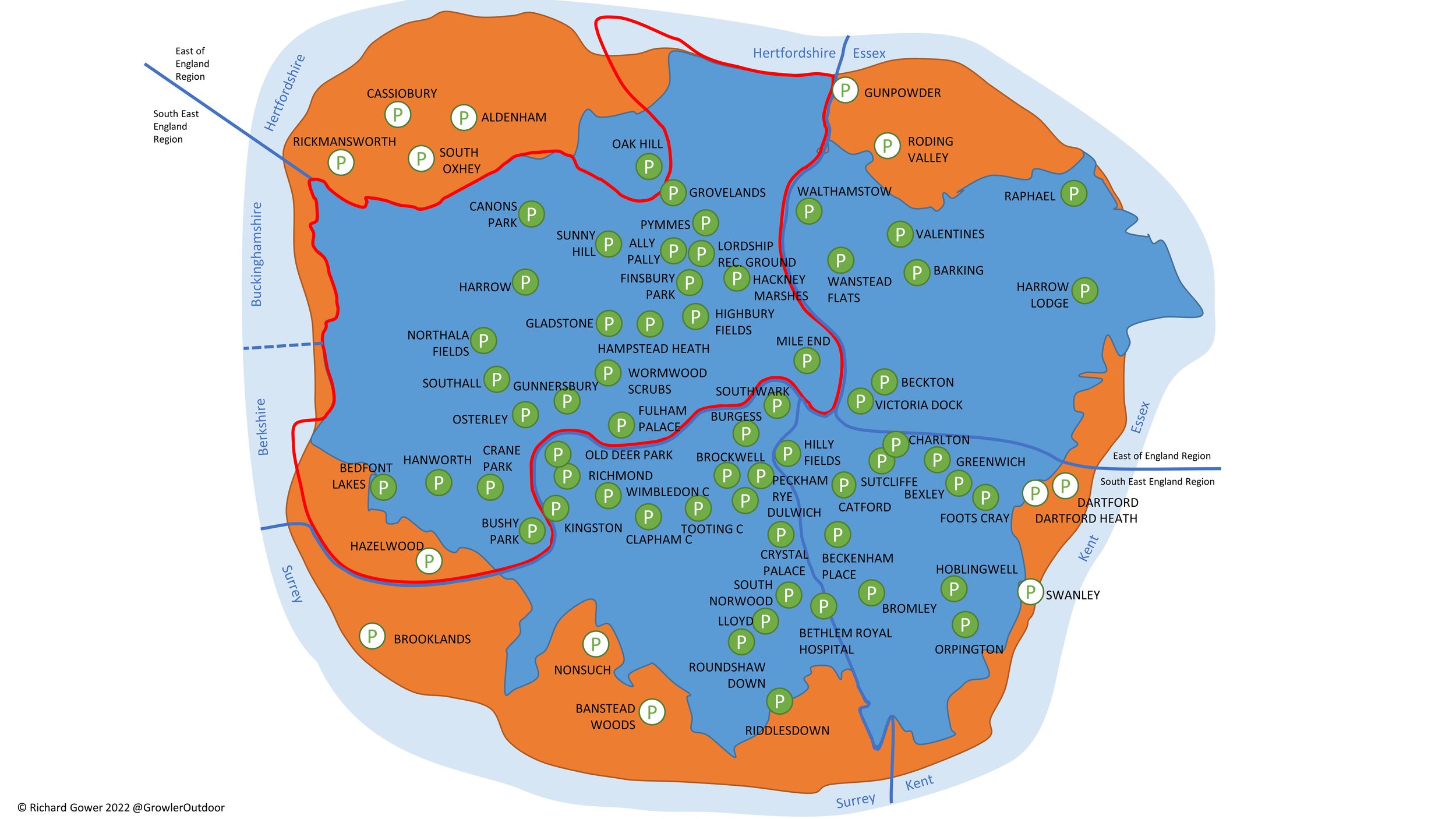
Greater London parkruns by Historic County
Before the creation of Greater London, the area was split between 5 Historic Counties:
23 Greater London parkrun events were previously in the historic county of Middlesex. Hazelwood is the only parkrun event that was in Middlesex but is not now in Greater London.
17 Greater London parkrun events were previously in the historic county of Surrey. The Riddlesdown event crosses the current border of Greater London and present-day Surrey but is classified as London.
14 Greater London parkrun events were previously in the historic county of Kent. Both Crystal Palace and Bethlem Royal Hospital cross the border of Historic Surrey and Kent, but the parkrun courses are mostly on the Kent side.
10 Greater London parkrun events were previously in the historic county of Essex. Hackney Marshes was all inside Middlesex when I did it in 2014, however the new course now starts and ends on the east side of the River Lea in Essex but still has most of the route in Middlesex.
1 Greater London parkrun event (Oak Hill) was previously in the historic county of Hertfordshire
All of the London parkrun events …
Below are each of the Greater London parkun events in alphabetical order. A few things to note:
The interactive maps below take you to the approximate location for the course, typically the centre of the park. See the course instructions in the parkrun page for each event for specific directions to the start.
Course maps and elevation profiles show the route at the time that I ran it and may have changed since then. See the Course page in the event’s page on parkrun.co.uk for the current course outline.
Nearest Train/Tube/Tram details are based primarily on the public transport description in the Course page for each event plus input submitted by readers of this page.
See the LonDone parkrun travel connections page for more details on stations, driving and facilities.
parkrun LonDone Tracker
If you would like a PDF version of my manual LonDone tracker, please BuyMeACoffee and let me know on the Contact Page. It’s a table of all current Greater London parkrun events, plus all events inside the M25, with space for future new events. You can track your date completed and finish time. It’s simple and you could easily make one yourself, but let me know if you want a copy of mine. 20% of each virtual coffee goes to parkrun Forever and the rest goes toward the running of this website.
Ally Pally
I completed this event on: January 1st 2015 with a finish time of: 27:01
Other routes touched: Alexandra Palace and the Parkland Walk Circular
Greater London Borough: Haringey
Historic County: Middlesex
Inaugural: December 3rd 2011
Nearest Train/Tube/Tram: Alexandra Palace (National Rail via Great Northern, Thameslink). Walking Distance: 0.3 miles (0.48 km). Alternative: Wood Green (Tube).
Links: Event Home Page, Course Page, blog7t write-up
Avery Hill (formerly Greenwich)
I completed this event on: May 13th 2017 with a finish time of: 34:07
Other routes touched (walk): Shuttle Riverway
Greater London Borough: Greenwich
Historic County: Kent
Inaugural: March 6th 2010
Nearest Train/Tube/Tram: Falconwood (National Rail via southeastern). Walking Distance: 1 mile (1.6 km).
Links: Event Home Page, Course Page, blog7t write-up
Barking
I completed this event on: October 28th 2017 with a finish time of: 26:40
Other routes touched: N/A
Greater London Borough: Barking and Dagenham
Historic County: Essex
Inaugural: July 28th 2012
Nearest Train/Tube/Tram: Barking (National Rail via c2c. Overground. Underground via Bakerloo, District, Hammersmith & City). Walking Distance: 0.6 miles (0.96 km).
Links: Event Home Page, Course Page, blog7t write-up
Battersea
I completed this event on: December 28th 2024 with a finish time of: 28:30
Other routes touched: N/A, although the Thames Path runs through the park.
Greater London Borough: Wandsworth
Historic County: Surrey
Inaugural: October 12th 2024
Nearest Train/Tube/Tram: Battersea Power Station (Underground via Northern). Walking Distance: 1 miles (1.6 km). Alternatives: South Kensington and Sloane Square (Tube). Battersea Park Overground & National Rail.
Links: Event Home Page, Course Page, Blog7t write-up


Beckenham Place
I completed this event on: February 3rd 2018 with a finish time of: 25:51
Other routes touched (walk): Green Chain Walk, Capital Ring
Greater London Borough: Lewisham
Historic County: Kent
Inaugural: November 19th 2016
Nearest Train/Tube/Tram: Beckenham Hill (National Rail via Thameslink). Walking Distance: 0.5 miles (0.8 km). Alternative: Beckenham Junction (Tram).
Links: Event Home Page, Course Page, blog7t write-up
Beckton
I completed this event on: January 6th 2017 with a finish time of: 27:28
Other routes touched (cycle): NCN 13
Greater London Borough: Newham
Historic County: Essex
Inaugural: June 2nd 2012
Nearest Train/Tube/Tram: Royal Albert (DLR). Walking Distance: 0.3 miles (0.48 km).
Links: Event Home Page, Course Page, blog7t write-up
Bedfont Lakes
I completed this event on: January 18th 2014 with a finish time of: 24:13
Other routes touched: N/A
Greater London Borough: Hounslow
Historic County: Middlesex
Inaugural: May 9th 2009
Nearest Train/Tube/Tram: Ashford (National Rail via South Western). Walking Distance: 1.1 miles (1.76 km). Alternative: Hatton Cross (Tube, then take a bus).
Links: Event Home Page, Course Page, blog7t write-up

Bethlem Royal Hospital
I completed this event on: May 25th 2019 with a finish time of: 25:15
Other routes touched: N/A
Greater London Borough: Bromley
Historic County: Surrey & Kent (course is on the border of the 2 counties)
Inaugural: May 25th 2019
Nearest Train/Tube/Tram: Eden Park (National Rail via southeastern). Walking Distance: 0.7 miles (1.12 km).
Links: Event Home Page, Course Page, blog7t write-up
Bexley
I completed this event on: March 31st 2018 with a finish time of: 26:13
Other routes touched: N/A
Greater London Borough: Bexley
Historic County: Kent
Inaugural: February 4th 2012
Nearest Train/Tube/Tram: Welling (National Rail via southeastern). Walking Distance: 1.2 miles (1.92 km).
Links: Event Home Page, Course Page, blog7t write-up
Brockwell
I completed this event on: May 26th 2018 with a finish time of: 27:28
Other routes touched: N/A
Greater London Borough: Lambeth
Historic County: Surrey
Inaugural: December 11th 2010
Nearest Train/Tube/Tram: Herne Hill (National Rail via southeastern, Thameslink). Walking Distance: 0.4 miles (0.64 km). Alternative: Brixton (Tube).
Links: Event Home Page, Course Page, blog7t write-up
Bromley
I completed this event on: March 17th 2018 with a finish time of: 26:38
Other routes touched: N/A
Greater London Borough: Bromley
Historic County: Kent
Inaugural: August 29th 2009
Nearest Train/Tube/Tram: Bromley South (National Rail via southeastern, Thameslink). Walking Distance: 0.9 miles (1.44 km).
Links: Event Home Page, Course Page, blog7t write-up
Burgess
I completed this event on: December 2nd 2017 with a finish time of: 25:17
Other routes touched (cycle): NCN 425
Greater London Borough: Southwark
Historic County: Surrey
Inaugural: September 22nd 2012
Nearest Train/Tube/Tram: Elephant & Castle (National Rail via southeastern, Thameslink, Underground via Bakerloo, Northern). Walking Distance: 1 miles (1.6 km).
Links: Event Home Page, Course Page, blog7t write-up
Bushy Park
I completed this event on: March 1st 2014 with a finish time of: 23:30
Other routes touched (walk): London Loop
Greater London Borough: Richmond upon Thames
Historic County: Middlesex
Inaugural: October 2nd 2004
Nearest Train/Tube/Tram: Hampton Court (National Rail via South Western). Walking Distance: 0.8 miles (1.28 km). Alternative: Teddington (Train), Hampton Wick (Train)
Links: Event Home Page, Course Page, blog7t write-up
Canons Park
I completed this event on: November 12th 2016 with a finish time of: 26:03
Other routes touched: N/A
Greater London Borough: Harrow
Historic County: Middlesex
Inaugural: October 8th 2016
Nearest Train/Tube/Tram: Canons Park (Underground via Jubilee). Walking Distance: 0.4 miles (0.64 km). Alternative: Harrow & Wealdstone (Train)
Links: Event Home Page, Course Page, blog7t write-up
Catford
I completed this event on: June 2nd 2018 with a finish time of: 25:47
Other routes touched: N/A
Greater London Borough: Lewisham
Historic County: Kent
Inaugural: April 28th 2018
Nearest Train/Tube/Tram: Hither Green (National Rail via southeastern). Walking Distance: 0.5 miles (0.8 km). Alternative: Catford, Catford Bridge.
Links: Event Home Page, Course Page, blog7t write-up
Elephant's Head!
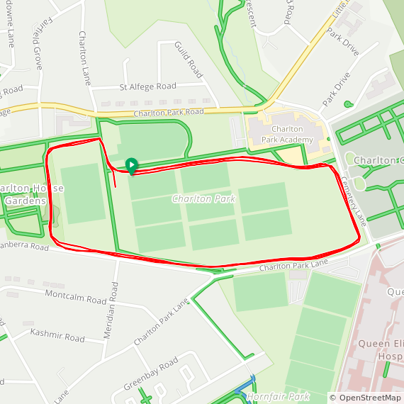
Charlton
I completed this event on: December 4th 2021 with a finish time of: 25:13
Other routes touched (walk): Capital Ring
Greater London Borough: Greenwich
Historic County: Kent
Inaugural: October 2nd 2021
Nearest Train/Tube/Tram: Charlton (National Rail via southeastern, Thameslink). Walking Distance: 0.8 miles (1.28 km). Alternative: DLR Woolwich, North Greenwich (Jubilee).
Links: Event Home Page, Course Page, blog7t write-up

Clapham Common
I completed this event on: April 14th 2018 with a finish time of: 25:41
Other routes touched: N/A
Greater London Borough: Start and finish in Wandsworth although the course crosses into the eastern side of the Common which is part of Lambeth. The event is under Lambeth jurisdiction (thanks to Cal Jones for this info).
Historic County: Surrey
Inaugural: March 24th 2018
Nearest Train/Tube/Tram: Clapham South (Underground via Northern). Walking Distance: 0.4 miles (0.64 km). Alternative: Clapham Junction (Train)
Links: Event Home Page, Course Page, blog7t write-up
Crane Park
I completed this event on: October 4th 2014 with a finish time of: 24:24
Other routes touched (walk): London Loop
Greater London Borough: Crane Park parkrun is half in Hounslow borough and half in Richmond - as the river Crane is the boundary. On the current course the start is in Hounslow and the finish in Richmond (thanks to Mike Dennison for this info).
Historic County: Middlesex
Inaugural: June 9th 2012
Nearest Train/Tube/Tram: Whitton (National Rail via South Western). Walking Distance: 1.1 miles (1.76 km).
Links: Event Home Page, Course Page, blog7t write-up
Crystal Palace
I completed this event on: December 17th 2016 with a finish time of: 26:23
Other routes touched (walk): Capital Ring
Greater London Borough: Bromley
Historic County: Surrey & Kent (course is on the border of the 2 counties)
Inaugural: May 29th 2010
Nearest Train/Tube/Tram: Penge West (National Rail via Southern. Overground). Walking Distance: 0.2 miles (0.32 km). Alternative: Penge East (Train), Crystal Palace (Train, Overground).
Links: Event Home Page, Course Page, blog7t write-up
Dulwich
I completed this event on: October 22nd 2016 with a finish time of: 25:18
Other routes touched (walk): Green Chain Walk
Greater London Borough: Southwark
Historic County: Surrey
Inaugural: April 14th 2012
Nearest Train/Tube/Tram: West Dulwich (National Rail via southeastern). Walking Distance: 0.8 miles (1.28 km). Alternative: North Dulwich.
Links: Event Home Page, Course Page, blog7t write-up
Finsbury Park
I completed this event on: January 24th 2015 with a finish time of: 28:06
Other routes touched (walk): Capital Ring, New River Path
Greater London Borough: Haringey
Historic County: Middlesex
Inaugural: October 31st 2009
Nearest Train/Tube/Tram: Finsbury Park (National Rail via Great Northern, Thameslink. Overground. Underground via Piccadilly, Victoria). Walking Distance: 0.4 miles (0.64 km).
Links: Event Home Page, Course Page, blog7t write-up
Foots Cray Meadows
I completed this event on: October 20th 2018 with a finish time of: 28:36
Other routes touched (walk): N/A but runs very close to the London Loop and Cray Riverway
Greater London Borough: Bexley
Historic County: Kent
Inaugural: July 21st 2018
Nearest Train/Tube/Tram: Albany Park (National Rail via southeastern). Walking Distance: 0.5 miles (0.8 km).
Links: Event Home Page, Course Page, blog7t write-up
Fulham Palace
I completed this event on: October 19th 2013 with a finish time of: 23:28
Other routes touched (walk): Thames Path
Greater London Borough: Hammersmith and Fulham
Historic County: Middlesex
Inaugural: October 19th 2013
Nearest Train/Tube/Tram: Putney Bridge (Underground via District). Walking Distance: 0.6 miles (0.96 km). Alternative: Putney.
Links: Event Home Page, Course Page, blog7t write-up
Gladstone
I completed this event on: November 1st 2014 with a finish time of: 24:14
Other routes touched: N/A
Greater London Borough: Brent
Historic County: Middlesex
Inaugural: June 30th 2012
Nearest Train/Tube/Tram: Dollis Hill (Underground via Jubilee). Walking Distance: 1.1 miles (1.76 km). Alternative: Cricklewood.
Links: Event Home Page, Course Page, blog7t write-up
Grovelands
I completed this event on: January 1st 2015 with a finish time of: 25:24
Other routes touched: N/A
Greater London Borough: Enfield
Historic County: Middlesex
Inaugural: July 24th 2010
Nearest Train/Tube/Tram: Winchmore Hill (National Rail via Great Northern, Thameslink). Walking Distance: 0.8 miles (1.28 km). Alternative: Southgate (Tube).
Links: Event Home Page, Course Page, blog7t write-up
Gunnersbury
I completed this event on: March 8th 2014 with a finish time of: 23:11
Other routes touched: N/A
Greater London Borough: Hounslow
Historic County: Middlesex
Inaugural: October 29th 2011
Nearest Train/Tube/Tram: Acton Town (Underground via District, Piccadilly). Walking Distance: 0.6 miles (0.96 km). Alternative: Kew Bridge (Rail).
Links: Event Home Page, Course Page, blog7t write-up
Hackney Marshes
I completed this event on: January 1st 2014 with a finish time of: 25:12
Other routes touched (walk): Lea Valley Walk / Lea Canal Towpath
Greater London Borough: Hackney
Historic County: the course was all inside Middlesex when I did it in 2014, however the new course now starts and ends on the east side of the River Lea in Essex but still has most of the route in Middlesex
Inaugural: May 29th 2010
Nearest Train/Tube/Tram: Hackney Wick (Overground). Walking Distance: 1.1 miles (1.76 km). Alternative: Stratford International DLR
Links: Event Home Page, Course Page, blog7t write-up
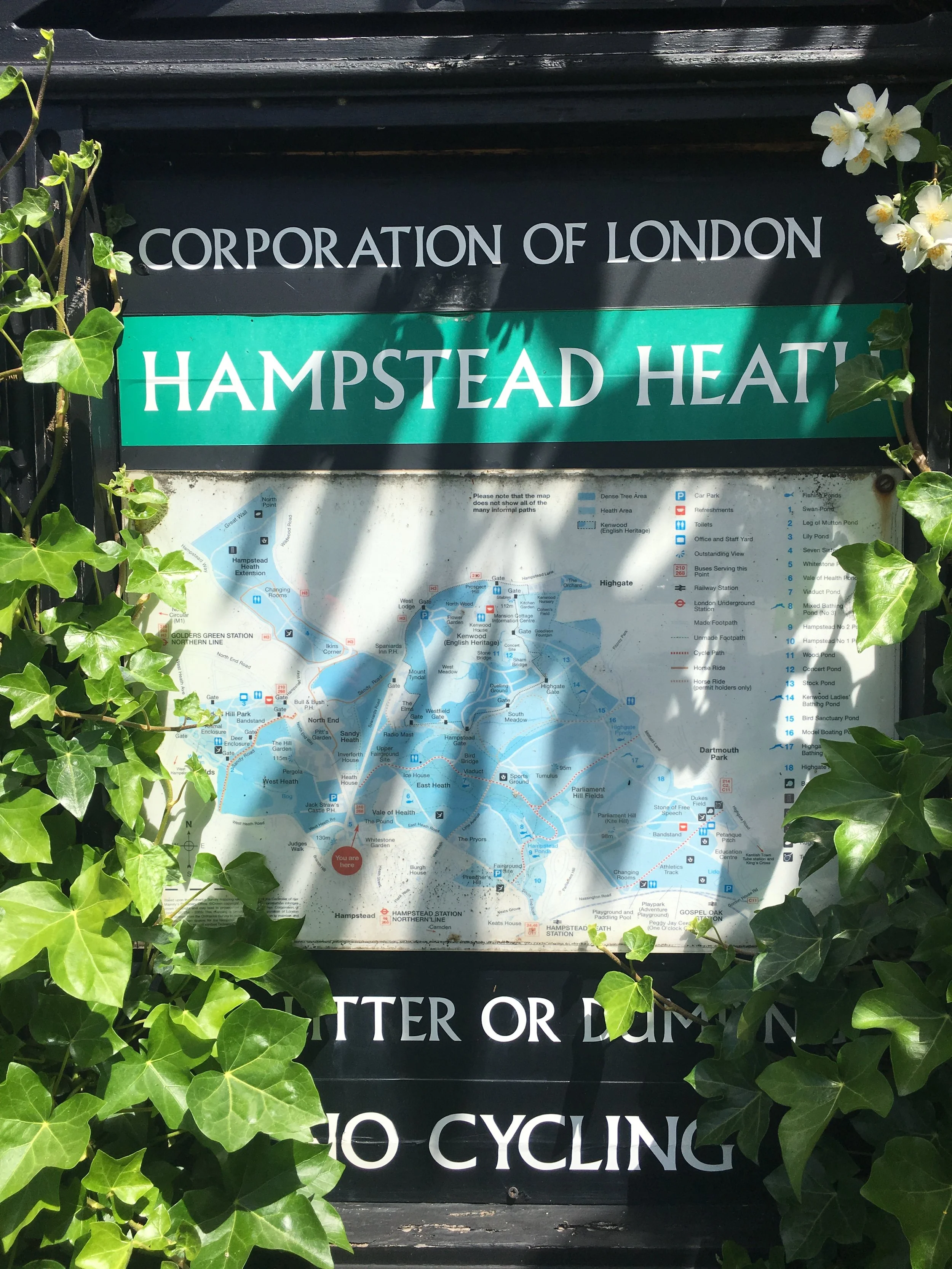
Hampstead Heath
I completed this event on: January 4th 2014 with a finish time of: 26:31
Other routes touched: N/A
Greater London Borough: Camden
Historic County: Middlesex
Inaugural: May 14th 2011
Nearest Train/Tube/Tram: Hampstead Heath (Overground). Walking Distance: 0.5 miles (0.8 km). Alternative: Hampstead (Tube).
Links: Event Home Page, Course Page, blog7t write-up
Hanworth
I completed this event on: June 15th 2019 with a finish time of: 27:24
Other routes touched: N/A
Greater London Borough: Hounslow
Historic County: Middlesex
Inaugural: May 4th 2019
Nearest Train/Tube/Tram: Feltham (National Rail via South Western). Walking Distance: 0.9 miles (1.44 km).
Links: Event Home Page, Course Page, blog7t write-up

Harrow
I completed this event on: November 7th 2015 with a finish time of: 25:24
Other routes touched: N/A
Greater London Borough: Harrow
Historic County: Middlesex
Inaugural: May 9th 2015
Nearest Train/Tube/Tram: Harrow on the Hill (National Rail via Chiltern Railways. Underground via Metropolitan). Walking Distance: 0.4 miles (0.64 km).
Links: Event Home Page, Course Page, blog7t write-up
Harrow Lodge
I completed this event on: March 25th 2017 with a finish time of: 25:33
Other routes touched: N/A
Greater London Borough: Havering
Historic County: Essex
Inaugural: January 12th 2013
Nearest Train/Tube/Tram: Elm Park (Underground via District, Hammersmith & City). Walking Distance: 0.6 miles (0.96 km).
Links: Event Home Page, Course Page, blog7t write-up
Highbury Fields
I completed this event on: January 1st 2014 with a finish time of: 25:13
Other routes touched (cycle): NCN 162
Greater London Borough: Islington
Historic County: Middlesex
Inaugural: November 12th 2011
Nearest Train/Tube/Tram: Highbury & Islington (National Rail via Great Northern. Overground. Underground via Victoria). Walking Distance: 0.2 miles (0.32 km).
Links: Event Home Page, Course Page, blog7t write-up
Hilly Fields
I completed this event on: May 27th 2017 with a finish time of: 26:53
Other routes touched: N/A
Greater London Borough: Lewisham
Historic County: Kent
Inaugural: September 8th 2012
Nearest Train/Tube/Tram: Ladywell (National Rail via South Western). Walking Distance: 0.4 miles (0.64 km).
Links: Event Home Page, Course Page, blog7t write-up
Hoblingwell
I completed this event on: February 10th 2018 with a finish time of: 26:02
Other routes touched: N/A
Greater London Borough: Bromley
Historic County: Kent
Inaugural: July 15th 2017
Nearest Train/Tube/Tram: St Mary Cray (National Rail via southeastern, Thameslink). Walking Distance: 0.8 miles (1.28 km).
Links: Event Home Page, Course Page, blog7t write-up
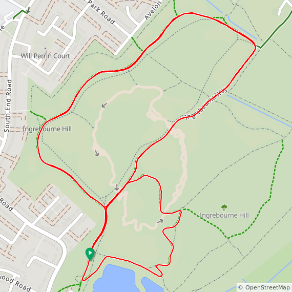
Ingrebourne Hill
I completed this event on: March 29th 2025 with a finish time of: 26:57
Other routes touched: London Loop, Ingrebourne Way
Greater London Borough: Havering
Historic County: Essex
Inaugural: December 14th 2024
Nearest Train/Tube/Tram: Rainham (National Rail via c2c). Walking Distance: 0.7 miles (1.1 km).
Links: Event Home Page, Course Page

Kingston
I completed this event on: January 3rd 2015 with a finish time of: 25:26
Other routes touched (walk): Thames Path
Other routes touched (cycle): NCN 4
Greater London Borough: Starts and ends in Kingston upon Thames and crosses over into Richmond upon Thames in the middle section (thanks to Mike Dennison for this info).
Historic County: Surrey
Inaugural: March 20th 2010
Nearest Train/Tube/Tram: Hampton Wick (National Rail via South Western). Walking Distance: 1.7 miles (2.72 km).
Links: Event Home Page, Course Page, blog7t write-up
Lloyd
I completed this event on: October 1st 2016 with a finish time of: 26:08
Other routes touched (walk): Vanguard Way
Other routes touched (cycle): NCN 232
Greater London Borough: Croydon
Historic County: Surrey
Inaugural: October 23rd 2010
Nearest Train/Tube/Tram: Lloyd Park (Tram). Walking Distance: >0.1 miles (>0.1 km). Alternative: East Croydon (Rail)
Links: Event Home Page, Course Page, blog7t write-up
Lordship Recreation Ground
I completed this event on: November 12th 2022 with a finish time of: 25:26
Other routes touched: None
Greater London Borough: Haringey
Historic County: Middlesex
Inaugural: October 22nd 2022
Nearest Train/Tube/Tram: Turnpike Lane (Underground via Piccadilly). Walking Distance: 0.8 miles (1.28 km). Alternative: Bruce Grove (Overground)
Links: Event Home Page, Course Page, blog7t write-up

Mile End
I completed this event on: April 22nd 2017 with a finish time of: 26:02
Other routes touched (cycle): NCN 1. (walk): Jubilee Greenway
Greater London Borough: Tower Hamlets
Historic County: Middlesex
Inaugural: February 4th 2012
Nearest Train/Tube/Tram: Mile End (Underground via Central, Circle, District, Hammersmith & City). Walking Distance: 0.6 miles (0.96 km). Alternative: Limehouse (Train, DLR).
Links: Event Home Page, Course Page, blog7t write-up
Morden
I completed this event on: August 24th 2024 with a finish time of: 26:42
Other routes touched (cycle): None, although NCN 208 runs very close to the north-eastern edge of the course.
Greater London Borough: Merton
Historic County: Surrey
Inaugural: June 15th 2024
Nearest Train/Tube/Tram: Morden South (National Rail via Thameslink). Walking Distance: 0.4 miles (0.64 km). Alternative: Morden (Tube)
Links: Event Home Page, Course Page, blog7t write-up


Northala Fields
I completed this event on: July 26th 2014 with a finish time of: 23:58
Other routes touched: N/A
This event is also part of parkrun Compass Club
Greater London Borough: Ealing
Historic County: Middlesex
Inaugural: June 21st 2014
Nearest Train/Tube/Tram: Northolt (Underground via Central). Walking Distance: 0.5 miles (0.8 km).
Links: Event Home Page, Course Page, blog7t write-up
Oak Hill
I completed this event on: January 10th 2015 with a finish time of: 24:58
Other routes touched (walk): Pymmes Brook Trail
Greater London Borough: Barnet
Historic County: Hertfordshire
Inaugural: August 27th 2011
Nearest Train/Tube/Tram: Oakleigh Park (National Rail via Great Northern, Thameslink). Walking Distance: 0.6 miles (0.96 km). Alternative: Southgate (Tube)
Links: Event Home Page, Course Page, blog7t write-up
Old Deer Park
I completed this event on: September 21st 2013 with a finish time of: 23:32
Other routes touched: N/A
Greater London Borough: Richmond upon Thames
Historic County: Surrey
Inaugural: August 21st 2010
Nearest Train/Tube/Tram: Richmond (National Rail via South Western. Overground. Underground via District). Walking Distance: 0.4 miles (0.64 km).
Links: Event Home Page, Course Page, blog7t write-up
Orpington
I completed this event on: December 24th 2016 with a finish time of: 28:04
Other routes touched: N/A
Greater London Borough: Bromley
Historic County: Kent
Inaugural: September 15th 2012
Nearest Train/Tube/Tram: Orpington (National Rail via southeastern, Thameslink). Walking Distance: 1.6 miles (2.56 km).
Links: Event Home Page, Course Page, blog7t write-up
Osterley
I completed this event on: January 25th 2014 with a finish time of: 23:35
Other routes touched: N/A
Greater London Borough: Hounslow
Historic County: Middlesex
Inaugural: August 31st 2013
Nearest Train/Tube/Tram: Osterley (Underground via Piccadilly). Walking Distance: 1 mile (1.6 km). Alternative: Isleworth (Train)
Links: Event Home Page, Course Page, blog7t write-up
Peckham Rye
I completed this event on: December 25th 2016 with a finish time of: 25:36
Other routes touched: N/A
Greater London Borough: Southwark
Historic County: Surrey
Inaugural: June 21st 2014
Nearest Train/Tube/Tram: Honor Oak Park (National Rail via Southern, Overground). Walking Distance: 1.1 miles (1.76 km). Alternative: Nunhead (Train)
Links: Event Home Page, Course Page, blog7t write-up
Pymmes
I completed this event on: February 7th 2015 with a finish time of: 26:09
Other routes touched (walk): Pymmes Brook Trail
Greater London Borough: Enfield
Historic County: Middlesex
Inaugural: April 9th 2011
Nearest Train/Tube/Tram: Silver Street (Overground). Walking Distance: 0.2 miles (0.32 km). Alternative: Edmonton (Train), Seven Sisters (Tube)
Links: Event Home Page, Course Page, blog7t write-up
Raphael
I completed this event on: February 11th 2017 with a finish time of: 26:36
Other routes touched: N/A
Greater London Borough: Havering
Historic County: Essex
Inaugural: May 2nd 2015
Nearest Train/Tube/Tram: Romford (National Rail via greateranglia. Overground, Elizabeth Line). Walking Distance: 0.9 miles (1.44 km). Alternative: Elm Park (Tube).
Links: Event Home Page, Course Page, blog7t write-up
Richmond Park
I completed this event on: February 1st 2014 with a finish time of: 24:14
Other routes touched (cycle): NCN 4
Greater London Borough: Richmond upon Thames
Historic County: Surrey
Inaugural: October 20th 2007
Nearest Train/Tube/Tram: Richmond (National Rail via South Western. Overground. Underground via District). Walking Distance: 1.1 miles (1.76 km).
Links: Event Home Page, Course Page, blog7t write-up
Riddlesdown
I completed this event on: January 1st 2017 with a finish time of: 26:24
Other routes touched (walk): London Loop, Tandridge Border Path
Greater London Borough: Croydon
Historic County: Surrey
Inaugural: July 2nd 2011
Nearest Train/Tube/Tram: Whyteleafe (National Rail via Southern). Walking Distance: 1 mile (1.6 km). Alternative: Upper Warlingham (Train)
Links: Event Home Page, Course Page, blog7t write-up
Note that the start, and most of the course is in Greater London, however the finish is in Surrey.
Roundshaw Downs
I completed this event on: January 1st 2017 with a finish time of: 27:28
Other routes touched: N/A
Greater London Borough: Sutton. Roundshaw Down parkrun has the briefing in Croydon, the start line just over the border in Sutton, and the finish in Croydon. Much of the course is in Sutton with the eastern edge in Croydon. (thanks to Robert Butlin for this info).
Historic County: Surrey
Inaugural: July 18th 2009
Nearest Train/Tube/Tram: Waddon (National Rail via Southern). Walking Distance: 1.1 miles (1.76 km). Alternative: West Croydon (Overground), Wandle Park (Tram)
Links: Event Home Page, Course Page, blog7t write-up

Southall
I completed this event on: February 12th 2022 with a finish time of: 25:03
Other routes touched: None
This event is also part of parkrun Compass Club
Greater London Borough: Ealing
Historic County: Middlesex
Inaugural: January 8th 2022
Nearest Train/Tube/Tram: Southall (National Rail via GWR, Underground, Elizabeth Line). Walking Distance: 0.7 miles (1.12 km).
Links: Event Home Page, Course Page, blog7t write-up


South Norwood
I completed this event on: December 23rd 2017 with a finish time of: 28:28
Other routes touched (cycle): NCN 21
This event is also part of parkrun Compass Club
Greater London Borough: Croydon
Historic County: Surrey
Inaugural: July 8th 2017
Nearest Train/Tube/Tram: Arena (Tram). Walking Distance: 0.4 miles (0.64 km). Alternative: Alternative: Elmers End (Train), Norwood Junction (Overground).
Links: Event Home Page, Course Page, blog7t write-up
Southwark
I completed this event on: November 23rd 2017 with a finish time of: 24:26
Other routes touched: N/A
This event is also part of parkrun Compass Club
Greater London Borough: Southwark
Historic County: Surrey
Inaugural: September 7th 2013
Nearest Train/Tube/Tram: Surrey Quays (Overground). Walking Distance: 0.2 miles (0.32 km). Alternative: South Bermondsey (Train), Canada Water (Tube)
Links: Event Home Page, Course Page, blog7t write-up
Stockley Country
I completed this event on: January 7th 2023 with a finish time of: 26:07
Other routes touched: The London Loop
Greater London Borough: Hillingdon
Historic County: Middlesex
Inaugural: January 7th 2023
Nearest Train/Tube/Tram: West Drayton (National Rail via GWR, Elizabeth Line). Walking Distance: 1 miles (1.6 km).
Links: Event Home Page, Course Page, blog7t write-up


Sunny Hill
I completed this event on: April 13th 2019 with a finish time of: 26:48
Other routes touched: N/A
Greater London Borough: Barnet
Historic County: Middlesex
Inaugural: March 30th 2019
Nearest Train/Tube/Tram: Colindale (Underground via Northern). Walking Distance: 1.3 miles (2.08 km). Alternative: Mill Hill Broadway (Train).
Sutcliffe
I completed this event on: November 20th 2021 with a finish time of: 25:01
Other routes touched: None
Greater London Borough: Greenwich
Historic County: Kent
Inaugural: September 11th 2021
Nearest Train/Tube/Tram: Kidbrooke (National Rail via southeastern). Walking Distance: 0.7 miles (1.12 km).
Links: Event Home Page, Course Page, blog7t write-up


Thames Path, Woolwich
I completed this event on: May 20th 2023 with a finish time of: 24:47
Other routes touched (walk): Thames Path
Other routes touched (walk): NCN 1, Q14
Greater London Borough: Greenwich
Historic County: Kent
Inaugural: May 6th 2023
Nearest Train/Tube/Tram: Woolwich (Elizabeth Line). Walking Distance: 0.3 miles (0.48 km). Alternative: Woolwich Arsenal DLR
Links: Event Home Page, Course Page, blog7t write-up

Tooting Common
I completed this event on: January 28th 2017 with a finish time of: 26:55
Other routes touched (walk): Capital Ring
Greater London Borough: Wandsworth
Historic County: Surrey
Inaugural: January 30th 2016
Nearest Train/Tube/Tram: Tooting Bec (Underground via Northern). Walking Distance: 0.8 miles (1.28 km). Alternative: Balham (Train), Clapham Junction (Overground).
Links: Event Home Page, Course Page, blog7t write-up
Valentines
I completed this event on: November 5th 2016 with a finish time of: 25:54
Other routes touched: N/A
Greater London Borough: Redbridge
Historic County: Essex
Inaugural: February 19th 2011
Nearest Train/Tube/Tram: Gants Hill (Underground via Central). Walking Distance: 0.7 miles (1.12 km). Alternative: Alternative: Ilford (Train), Woodgrange Park (Overground).
Links: Event Home Page, Course Page, blog7t write-up
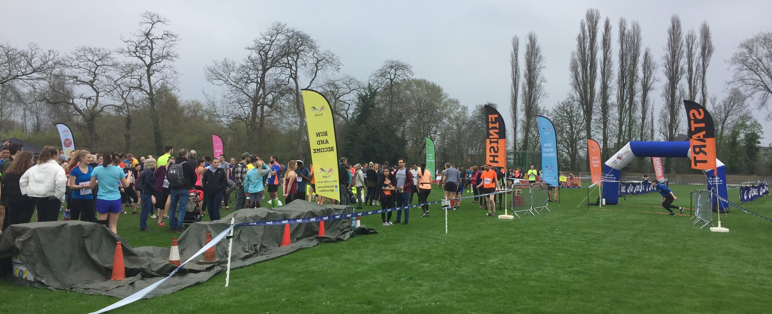
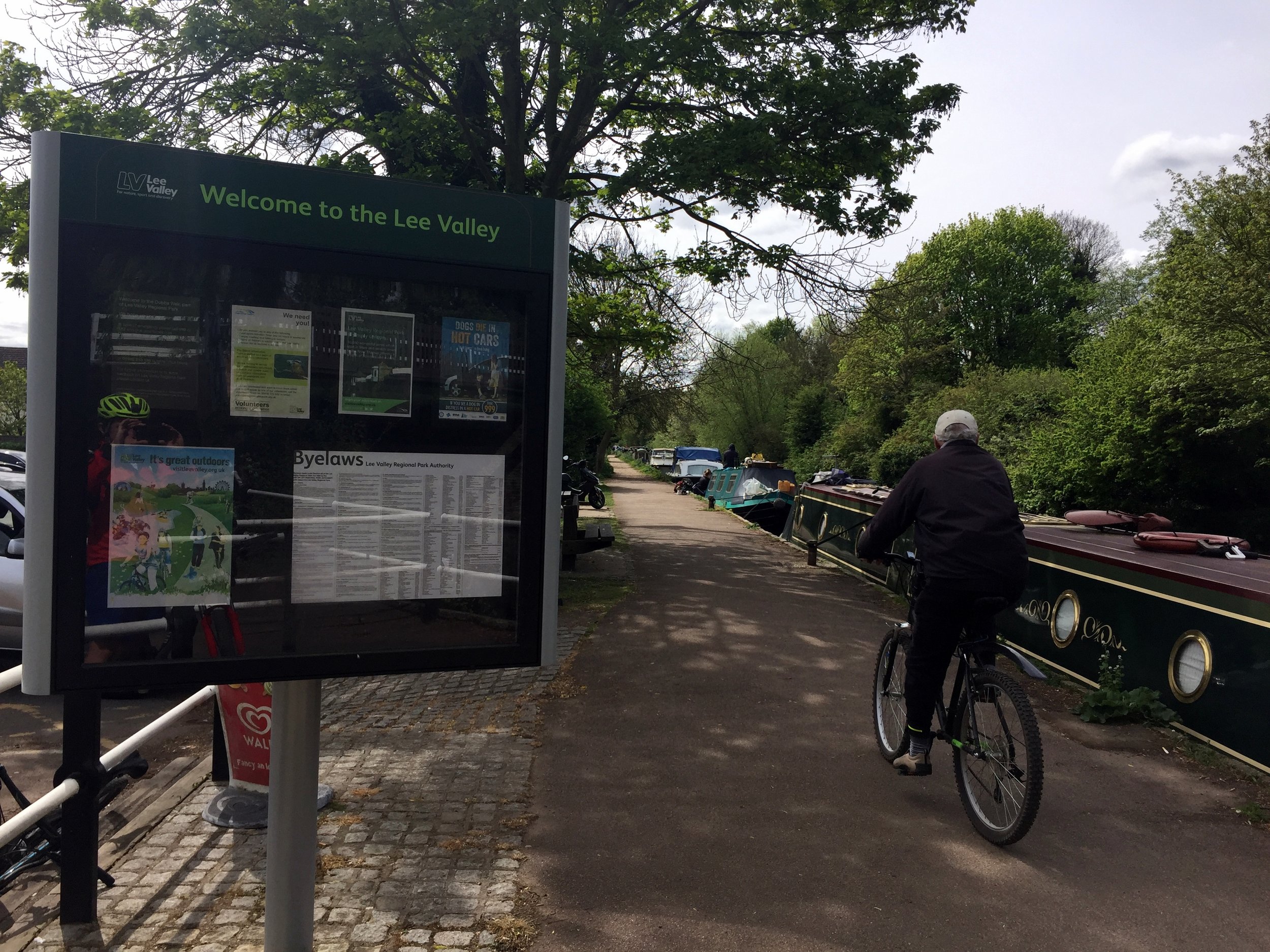
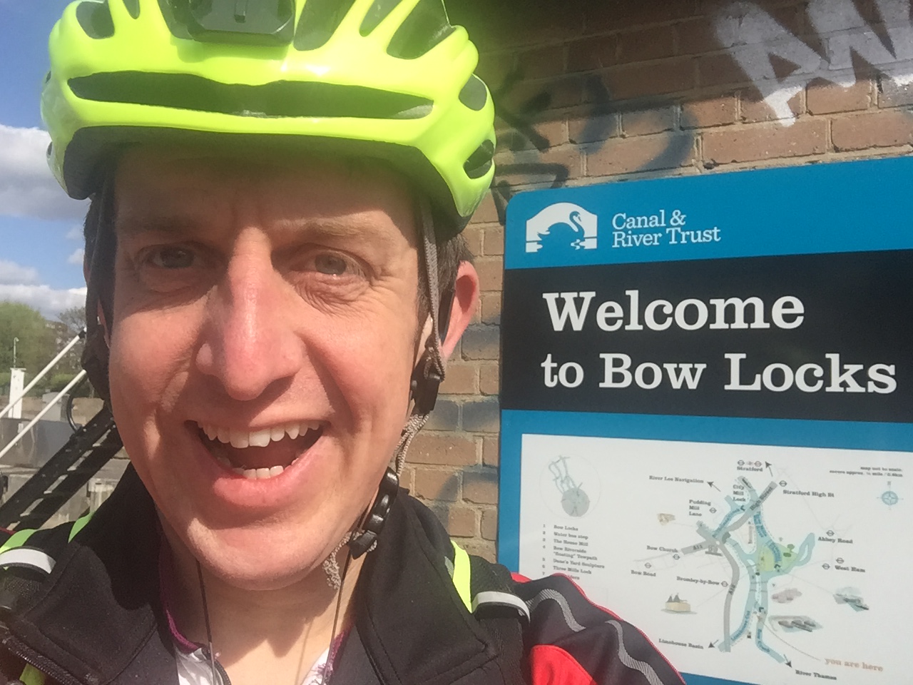
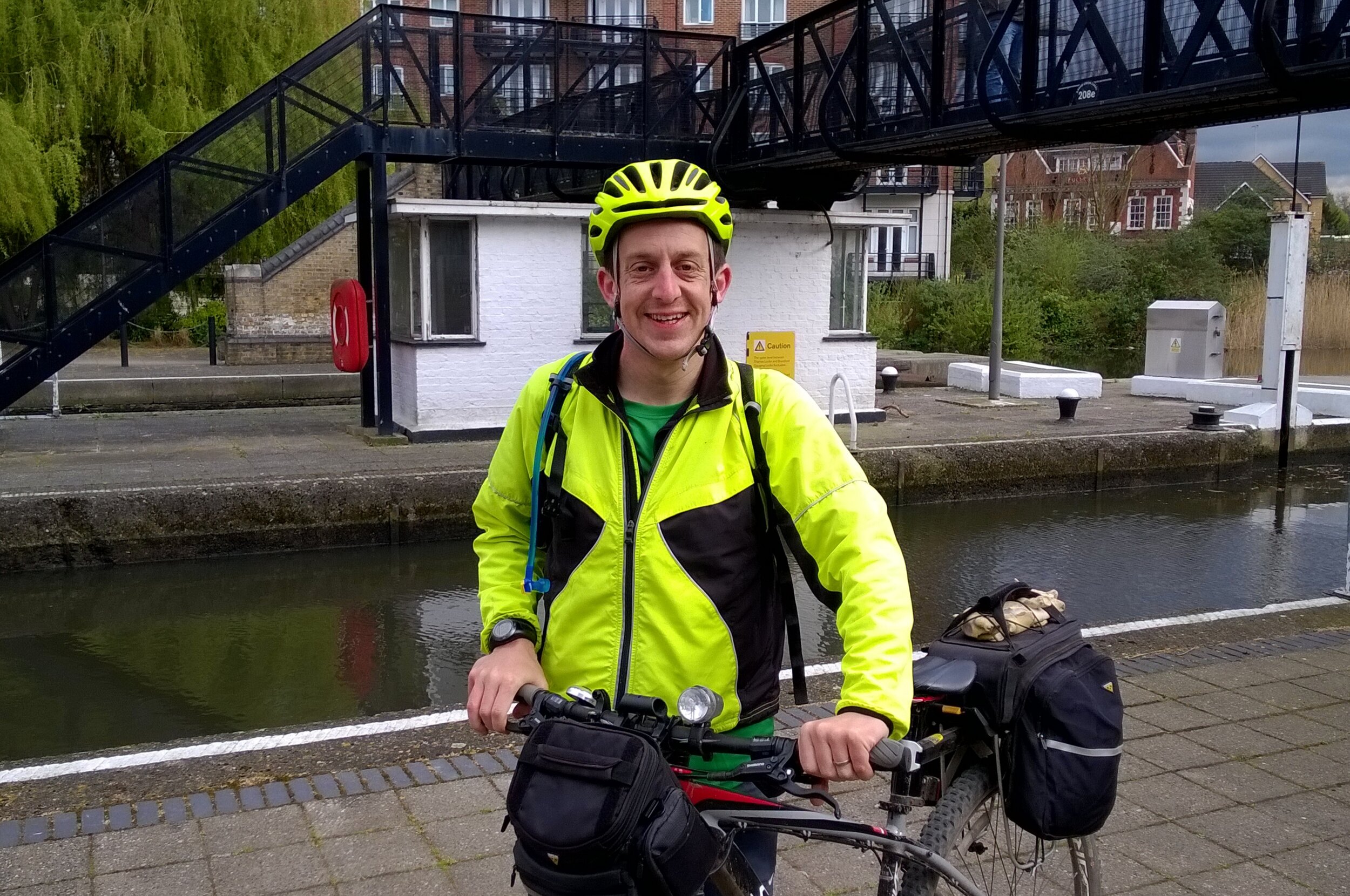
Victoria Dock
I completed this event on: April 28th 2018 with a finish time of: 24:23
Other routes touched (cycle): NCN 13
Greater London Borough: Newham
Historic County: Essex
Inaugural: March 17th 2018
Nearest Train/Tube/Tram: Royal Victoria (DLR). Walking Distance: 0.3 miles (0.48 km). Alternative: Custom House (Train), Canning Park (Tube).
Links: Event Home Page, Course Page, blog7t write-up
Walthamstow
I completed this event on: December 3rd 2016 with a finish time of: 26:11
Other routes touched: N/A
Greater London Borough: Waltham Forest
Historic County: Essex
Inaugural: January 26th 2013
Nearest Train/Tube/Tram: Higham's Park (Overground). Walking Distance: 0.8 miles (1.28 km). Alternative: Walthamstow Central (Train, Tube).
Links: Event Home Page, Course Page, blog7t write-up
Wanstead Flats
I completed this event on: December 10th 2016 with a finish time of: 25:27
Other routes touched (walk): Greenwich Meridien Trail, Epping Forest Centenary Walk
Greater London Borough: Redbridge, although the post-code for the Harrow Road Pavilion is in neighboring Waltham Forest. This is presumably because the entrance to the Pavilion is off Harrow Road which is right on the border.
Historic County: Essex
Inaugural: May 21st 2011
Nearest Train/Tube/Tram: Leytonstone High Road (Overground). Walking Distance: 0.5 miles (0.8 km). Alternative: Stratford International (Train), Leytonstone (Tube), Forest Gate (Elizabeth Line).
Links: Event Home Page, Course Page, blog7t write-up
Wimbledon Common
I completed this event on: November 29th 2014 with a finish time of: 25:14
Other routes touched: Capital Ring
Greater London Borough: Wandsworth. The course is mostly in Wandsworth although the finish line and funnel is inside the Merton boundary - the Wandsworth border is a few metres north of the drinking trough next to the finish line. The old Wimbledon Common parkrun course, which was used as an alternative course (due to hornets on the usual course) in 2016 was entirely in Merton (thanks to Charles Leonard for this info).
Historic County: Surrey
Inaugural: January 6th 2007
Nearest Train/Tube/Tram: Southfields (Underground via District). Walking Distance: 1.4 miles (2.24 km). Alternative: Putney (Train), Wimbledon (Tram).
Links: Event Home Page, Course Page, blog7t write-up
Wormwood Scrubs
I completed this event on: June 15th 2013 with a finish time of: 24:10
Other routes touched: N/A
Greater London Borough: Hammersmith and Fulham
Historic County: Middlesex
Inaugural: June 11th 2011
Nearest Train/Tube/Tram: East Acton (Underground via Central). Walking Distance: 0.4 miles (0.64 km). Alternative: Acton Main Line (Train)
Links: Event Home Page, Course Page, blog7t write-up
Actual Course Outlines for Greater London parkruns

Actual course outlines for the parkrun events in Greater London that I have completed. Some courses have changed their routes since I completed them.
More parkrun posts

parkruns are free, weekly, community 5k events all around the world. I started in December 2012 and have been obsessive about it ever since. See my parkrun Collection page for details.
Featured and popular parkrun posts:
More London posts


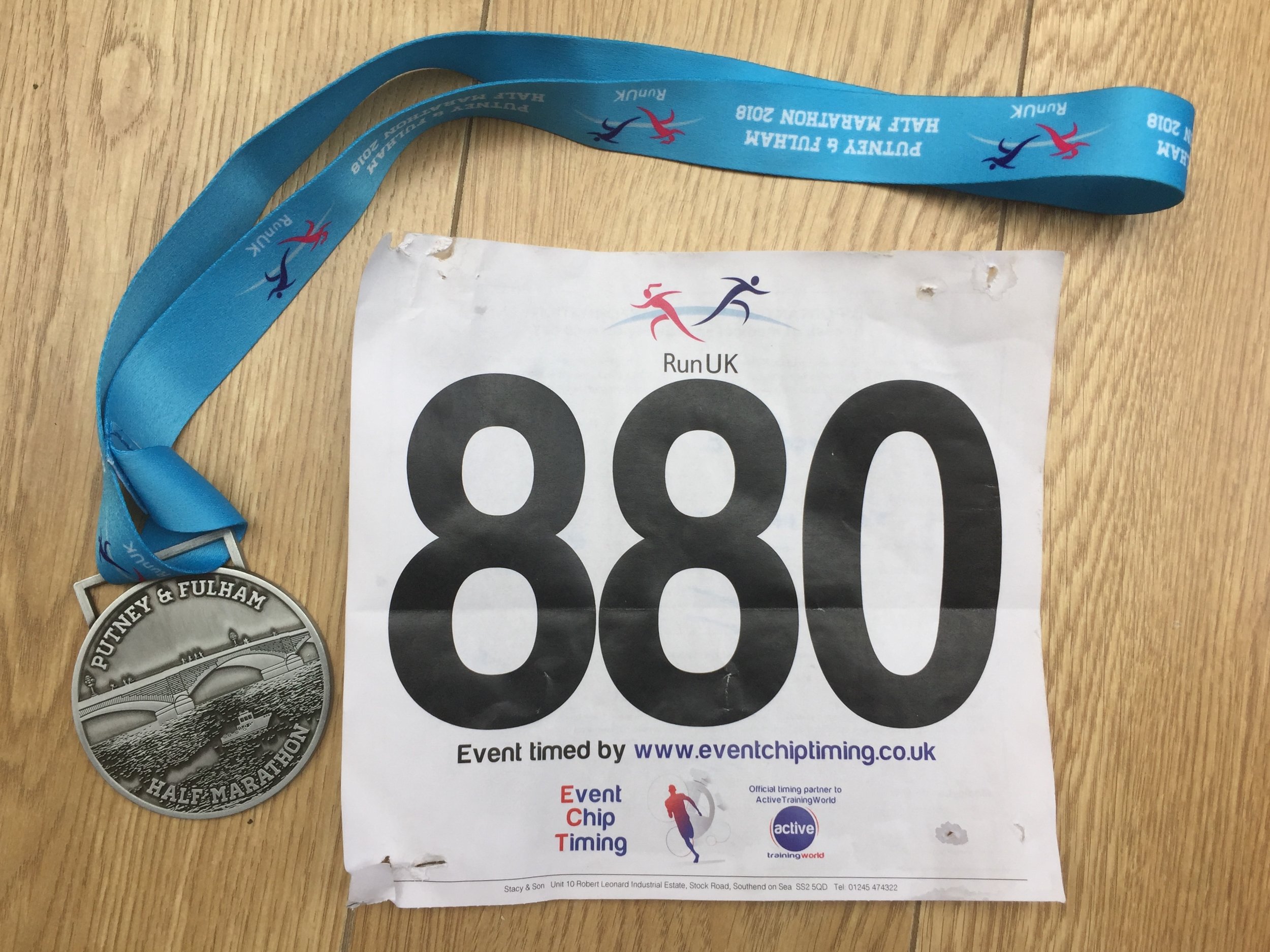
When: April 15th 2018
Where: Barnes, London, UK
Course: Start and end at Barn Elms Sports Centre. 2 lap course mostly along Thames Path between Putney and Hammersmith Bridges, looping around Barnes Common and Bishops Park. Flat.
Other routes touched (walk): Thames Path, Beverley Brook
Other routes touched (cycle): NCN 4
Finish time: 1:57
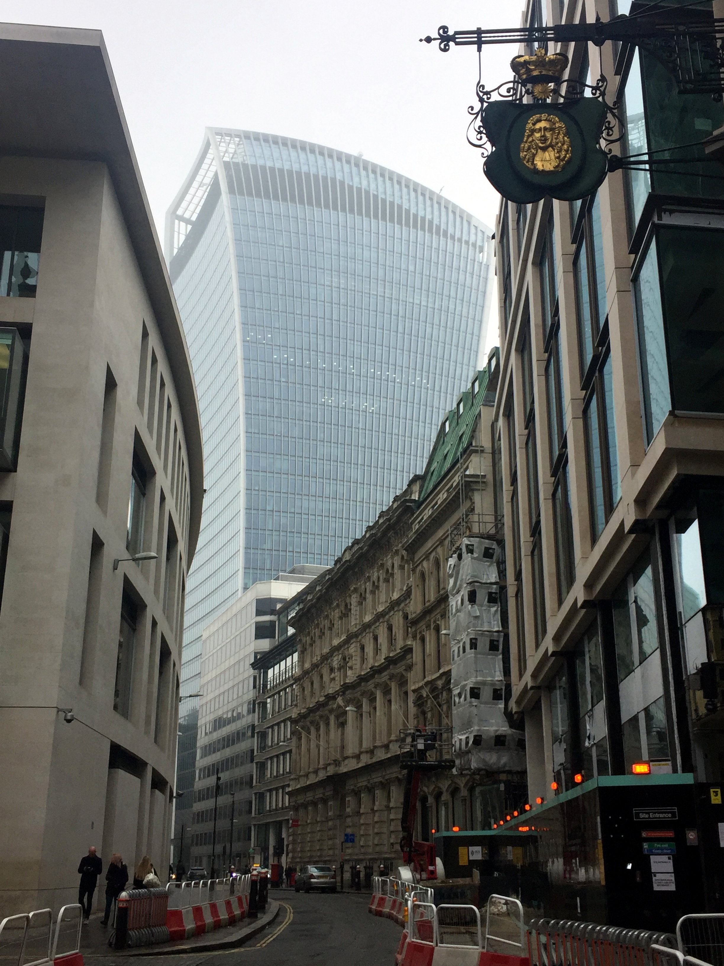
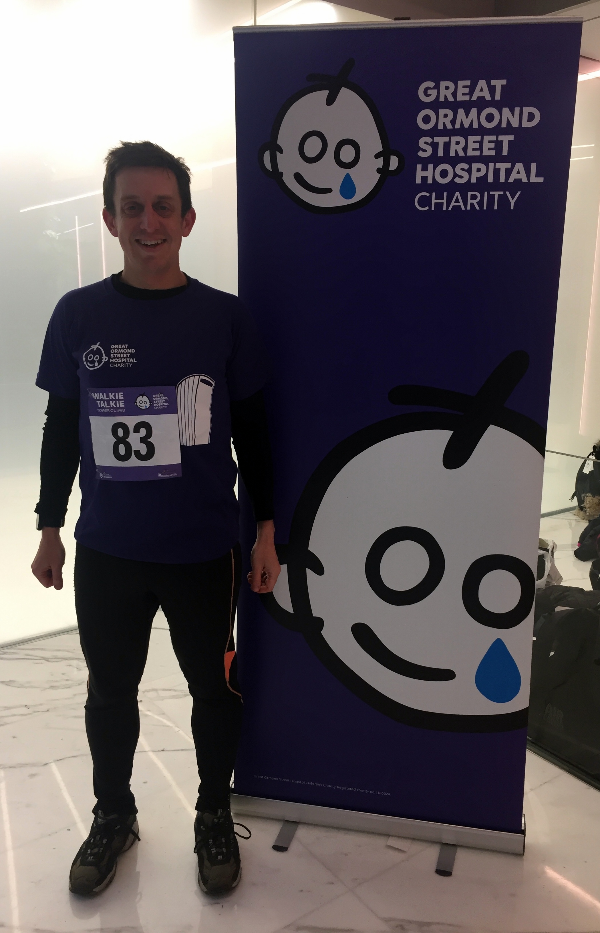
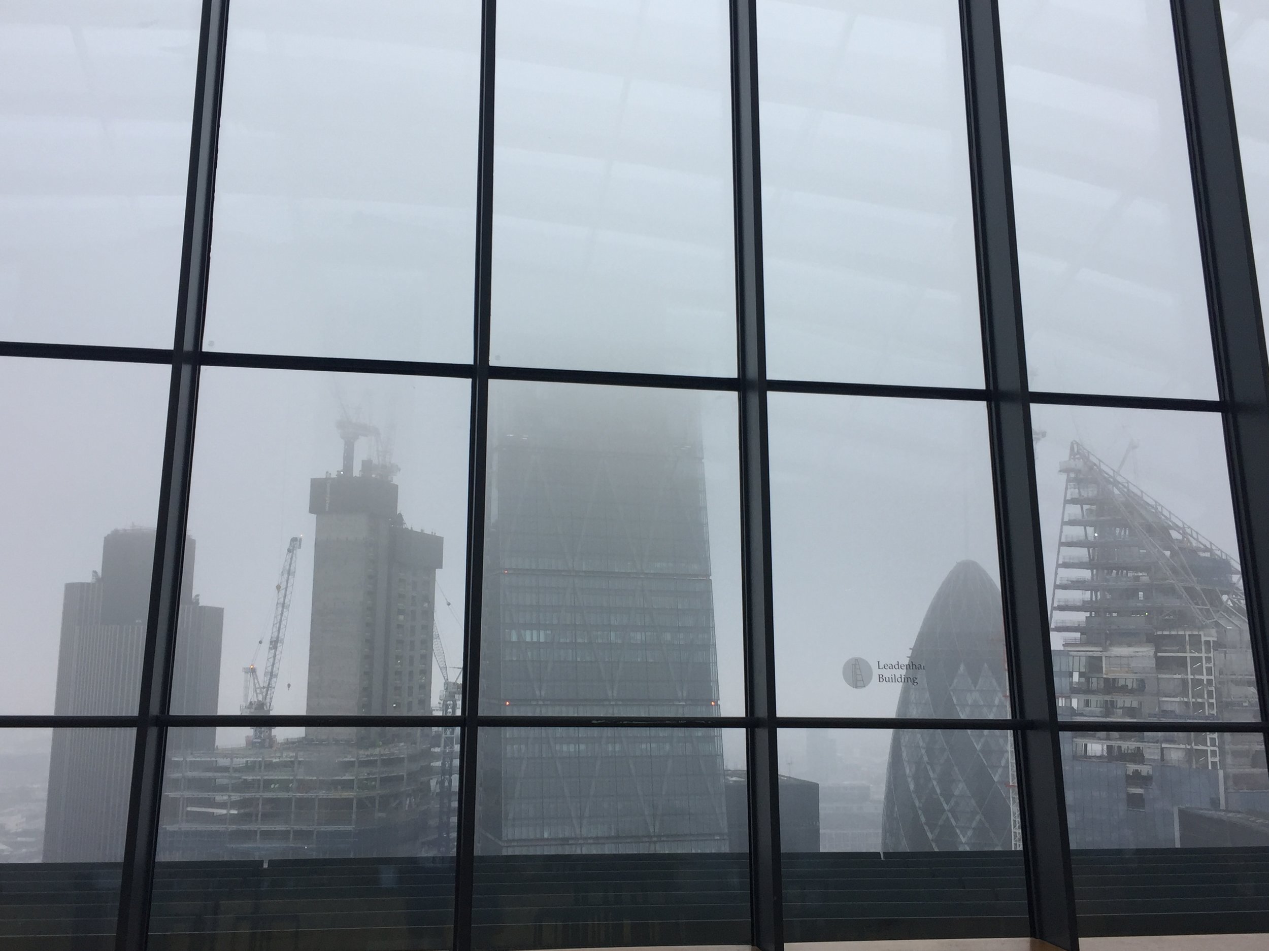
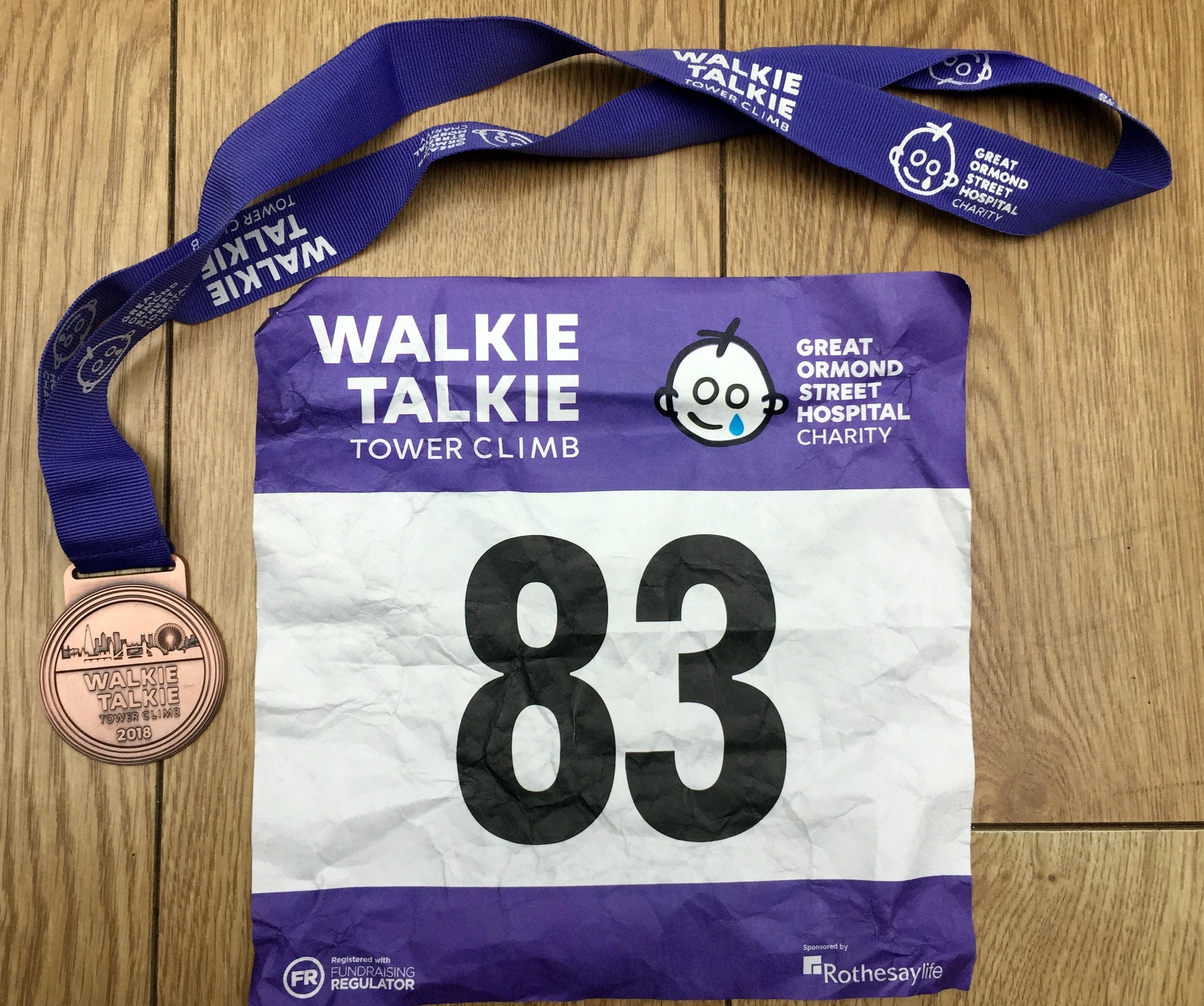
When: March 3rd 2018
Where: 20 Fenchurch Street, London
Floors: 36
Steps: 828
Finish time: 6 minutes, 49 seconds
Charity: Great Ormond Street Children's Hospital
My donation / sponsorship total: £250
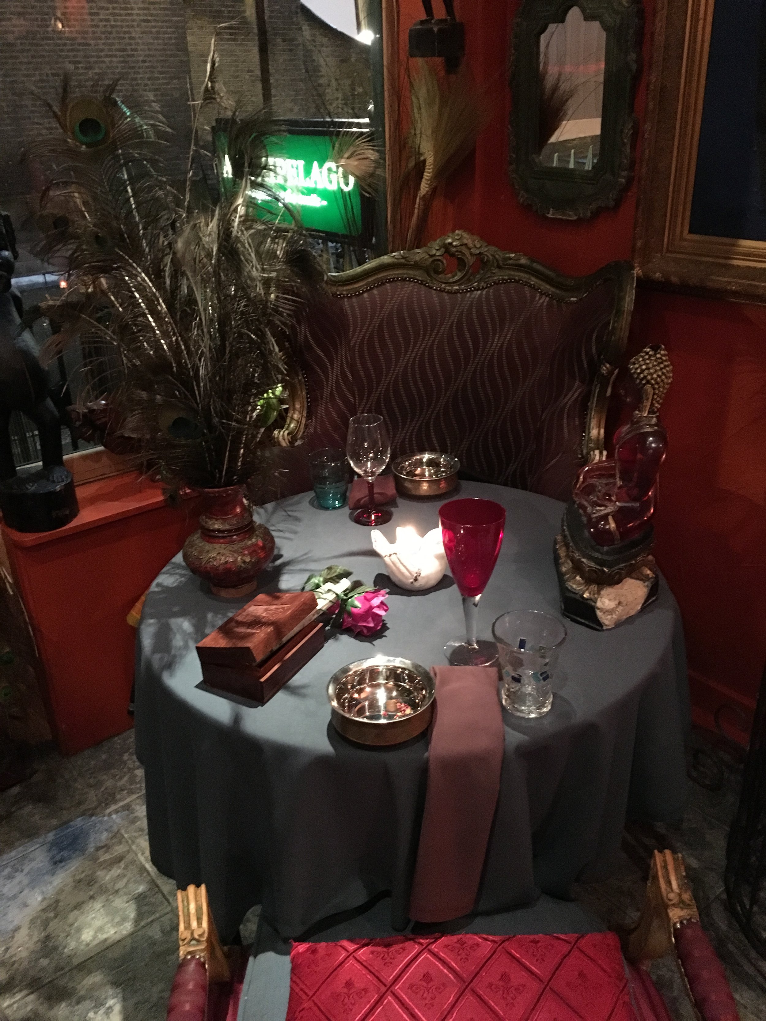
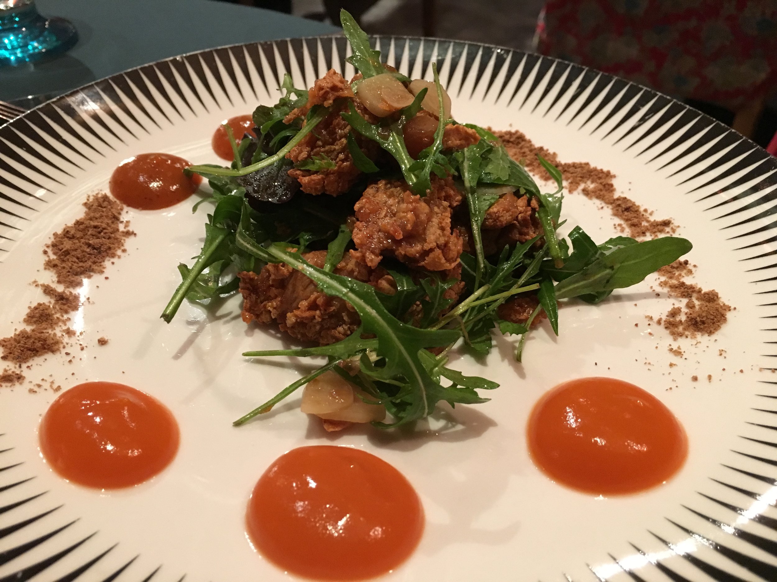
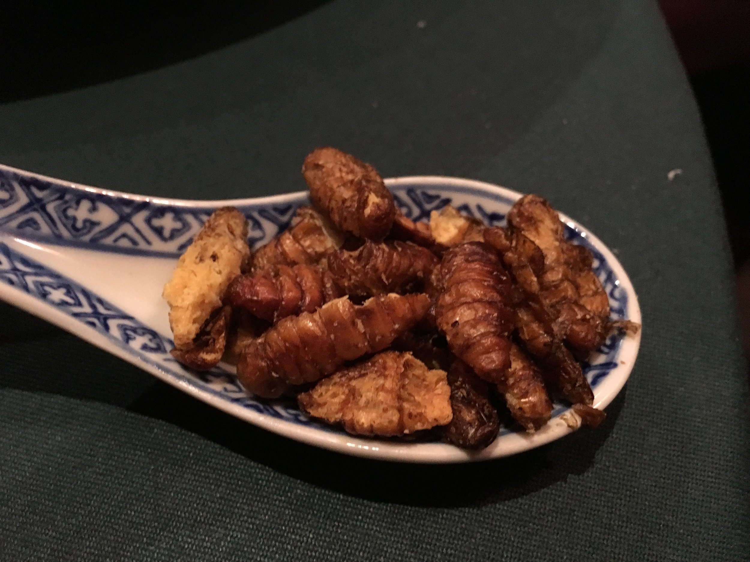
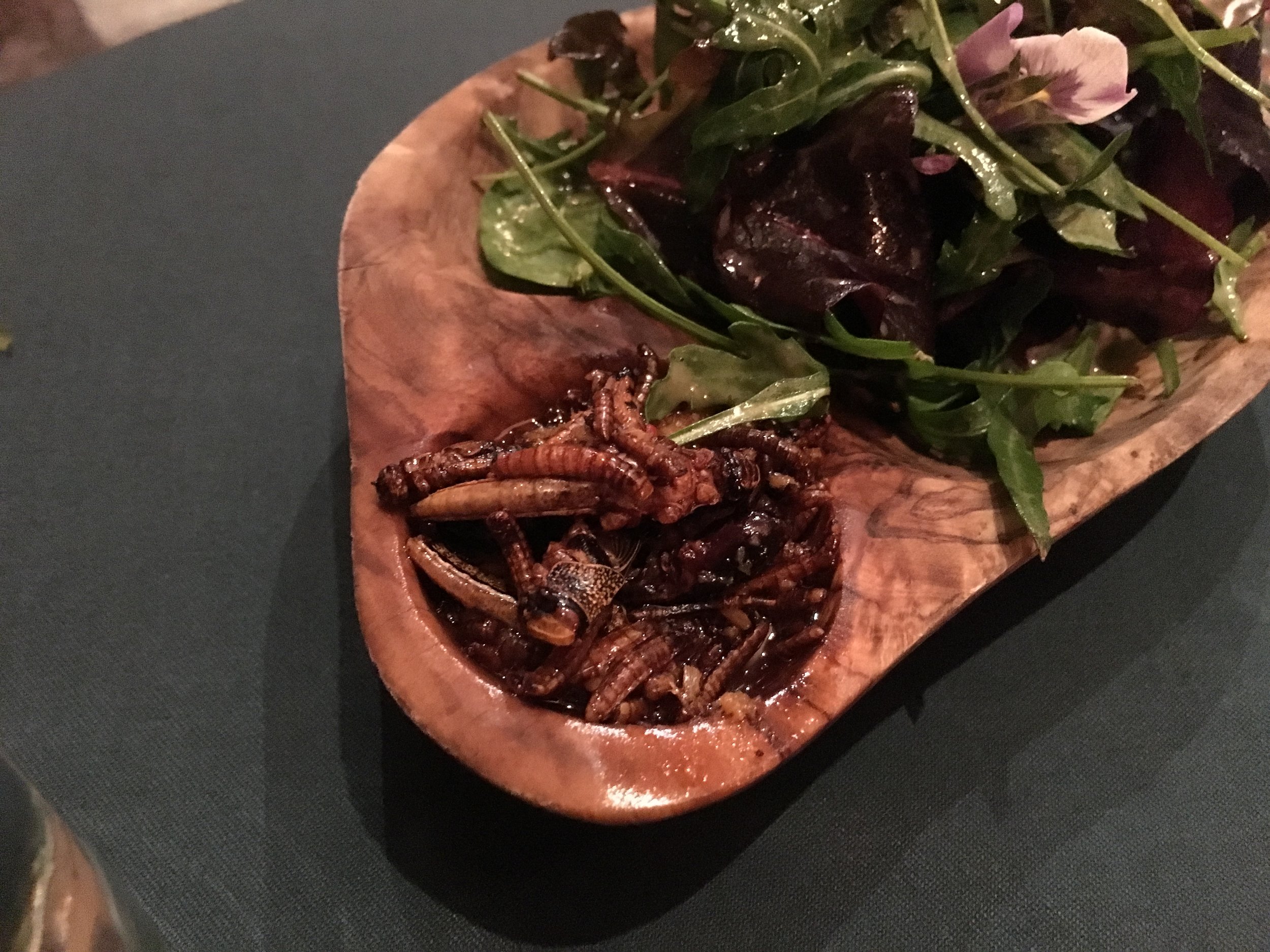
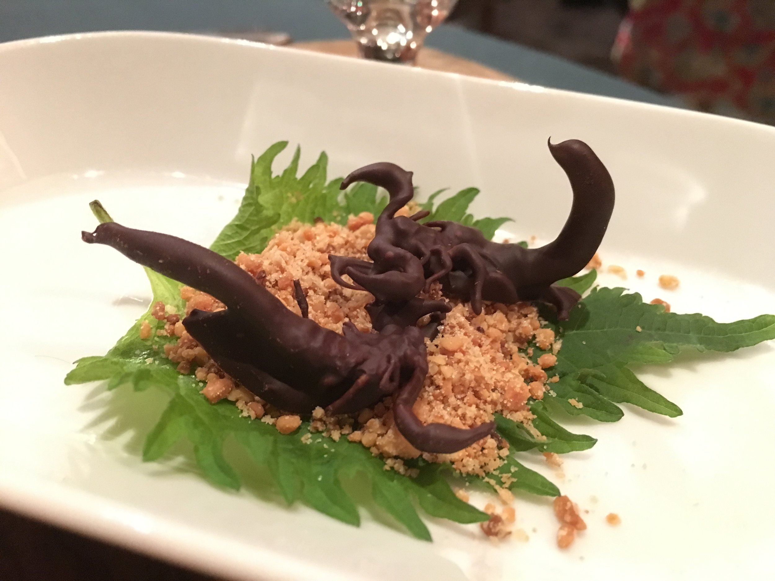
This was a Christmas present from Timi after a bit of heavy hinting. A great Saturday double-bill of the Adventure Travel Show in London followed by the Archipelago restaurant. My new favourite place in London. Had the zebra to start with, crocodile curry main course with silkworm pupae side dish and chocolate covered scorpion for desert. Awesome


Hampstead Heath
Start: Heath Brow Car Park 12 North End Way, Hampstead, London, NW3 7ES
Finish: Blackfriars Bridge, River Thames, London, EC4Y 0AF
Distance: 10.4 km (6.5 Miles)
Elevation change: +40m / -161m. Net -121m
GPX File: get via Buy Me a Coffee
Other Routes Touched (walk): Jubilee Greenway, Regents Canal Towpath, Thames Path
Other Routes Touched (cycle): CS3, C6
Map: OS Explorer 173 London North
Guidebooks: London's Lost Rivers: A Walker's Guide, London's Lost Rivers, London's Hidden Rivers: A walker's guide to the subterranean waterways of London
Links: Wikipedia, Londonist Video
See also: Walking The River Wandle
For today's London lost river trip we walked the length of the Fleet from Hampstead Heath to the Thames. The Fleet used the flow through the centre of London until it was covered up in the 1700's, much of it becoming a sewer. Nowadays only parts of it are visible near the source at Hampstead. Despite the lack of actual river, walking the route is a nice couple of hours through some interesting parts of the city.
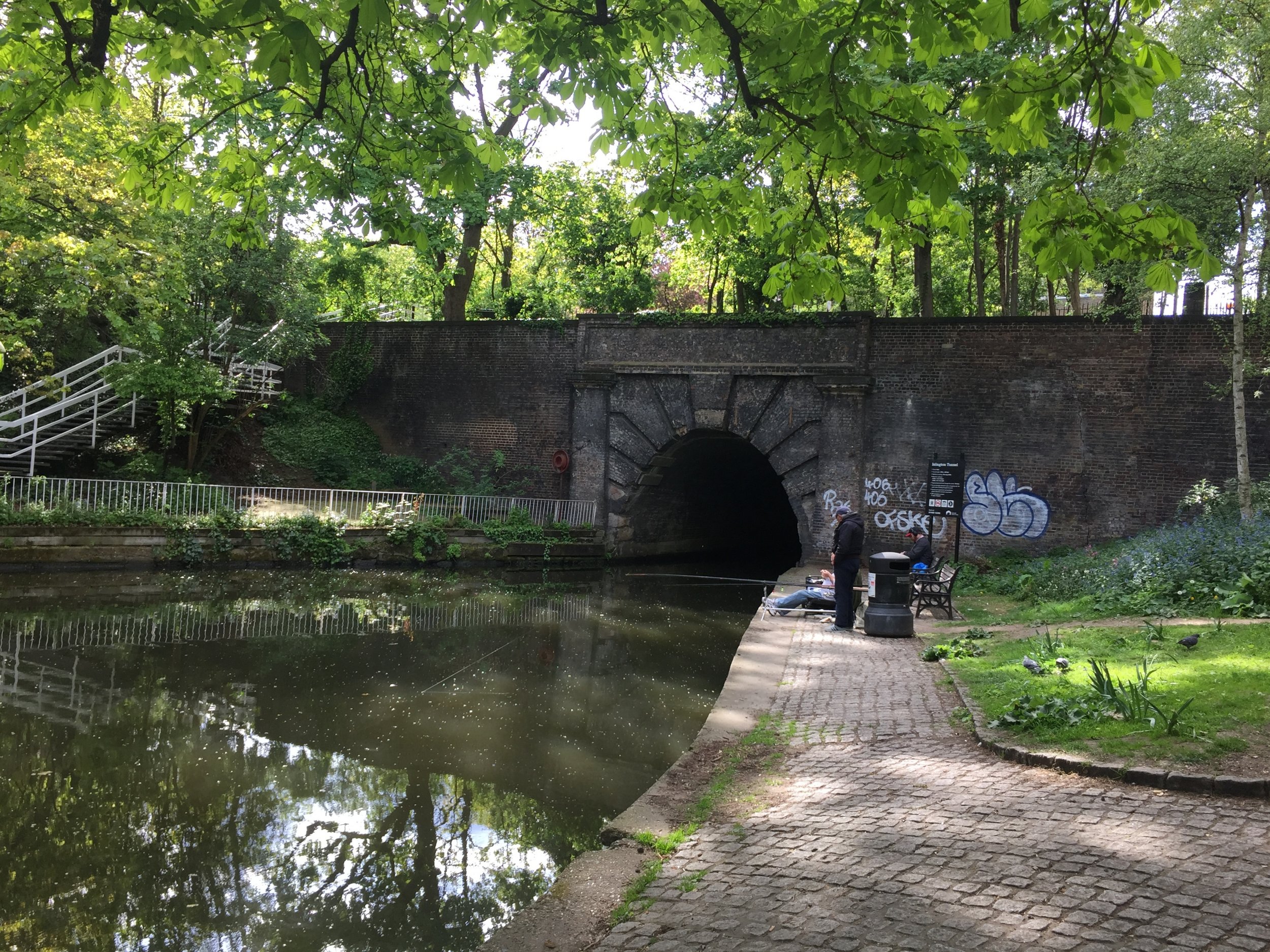
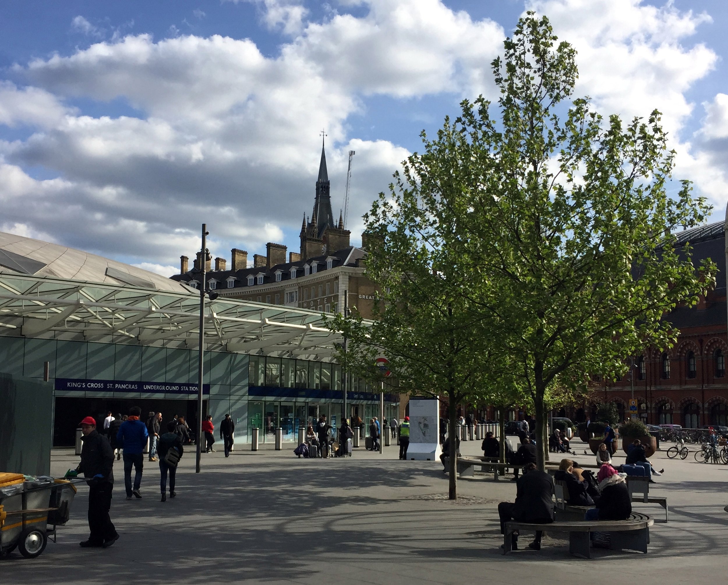
We mostly followed the route described in Tom Bolton's book London's Lost Rivers. Our main diversion from this was to visit Camden Lock at 3 miles in, then follow the Regents Canal to King's Cross station. The distance is roughly the same but it's a more pleasant walk than the back roads that more closely follow the route.
There's loads of interesting London history along the route. I won't cover it here as Tom Bolton's book is a very thorough guide and well worth taking with you. The Londonist video (linked below) is also a good primer for the trip.
Getting there and back is pretty straightforward. We parked at Heath Brow Car Park (NW3 7ES) which is right next to the start of the western source at Whitestone Pond. Although convenient, it's also expensive at £20 for the 6 hours we needed for the complete round trip. The best route back is via Underground, taking the Circle or District from Blackfriars to Embankment, then the Northern Line to Hampstead, less than half a mile walk from the car park.


More London posts


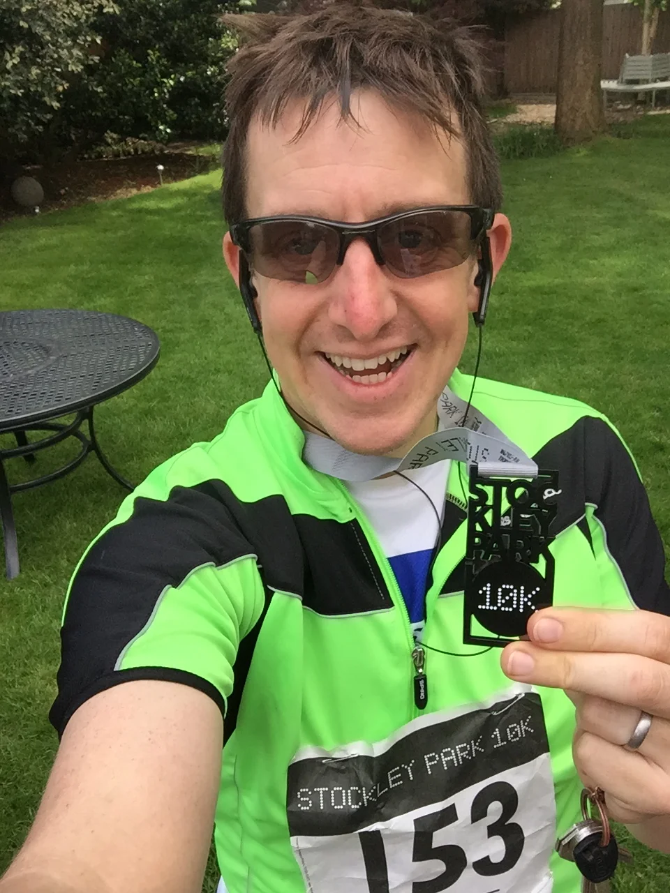
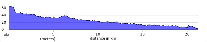
When: April 23rd 2017
Where: Stockley Park, Uxbridge
Course: Loops of Stockley Park Golf Course & Country Park with start and end in Stockley Park Business Park
Other routes touched: None
Finish time: 56m


Start: East Croydon Station, Croydon CR0 1LF
Finish: Thames Path at Wandsworth, SW18 1EJ
Distance: 21.2 km (13.2 miles)
Elevation change: +55m / -117m. Net -62m
GPX File: get via Buy Me a Coffee
Other routes touched (walk): Vanguard Way, Wandle Oaks Link, Capital Ring, Thames Path
Other routes touched (cycle): NCN 20
Map: OS Explorer Map (161) London South, Westminster, Greenwich, Croydon, Esher & Twickenham
Guidebooks:
- London's Lost Rivers: A Walker's Guide by Tom Bolton
- London's Lost Rivers by Paul Talling
- London's Hidden Rivers: A walker's guide to the subterranean waterways of London by David Fathers
Links: River Wandle, Croydon, Carshalton, Morden Hall Park National Trust, Wandsworth
Just like last week's Lea River trip, this one started in a grim New Town and ended at the Thames in London. There may be be some pleasant parts of Croydon but they're not on the route of the Wandle.
I was following the river, along the course described in Tom Bolton's London's Lost Rivers. Unlike the other rivers described in the book, the Wandle is mostly still visible, the rest having been covered up and/or converted to sewers. Once you leave Croydon, its a very pleasant walk, run or cycle through some hidden parts of the capital.
The route starts at the 120 year old Swan and Sugarloaf at the south end of Croydon High Street. Once a historic pub and hotel, its now a Tesco Express in a dingy part of town. The river has been covered up in this area, so the best plan is to head north quickly. If you're not bothered about visiting the source, the Wandle car-park, slightly further up, is alternative place to start.
The Wandle becomes visible about half a mile in at the south-east corner of Wandle Park. The pleasant part of the trip only really starts at Waddon Ponds where the signs for the Wandle Trail begin.
The river meanders ~11 miles through parks and industrial areas before reaching the Thames at Wandsworth. In between there's Beddingon Park, Ravensbury Park and Morden Hall National Trust, amongst others as nice places to stop for a rest.
The confluence with the Thames is just north of Wandsworth centre. I've crossed the bridge several times on the Thames Path, not realising what it was. From here I picked up a Boris Bike (TFL Santander Cycle) just round the corner at Smuggler's Way and took a 6 mile route via the Thames Path to Victoria Station. Regular trains go from here to West Croydon.


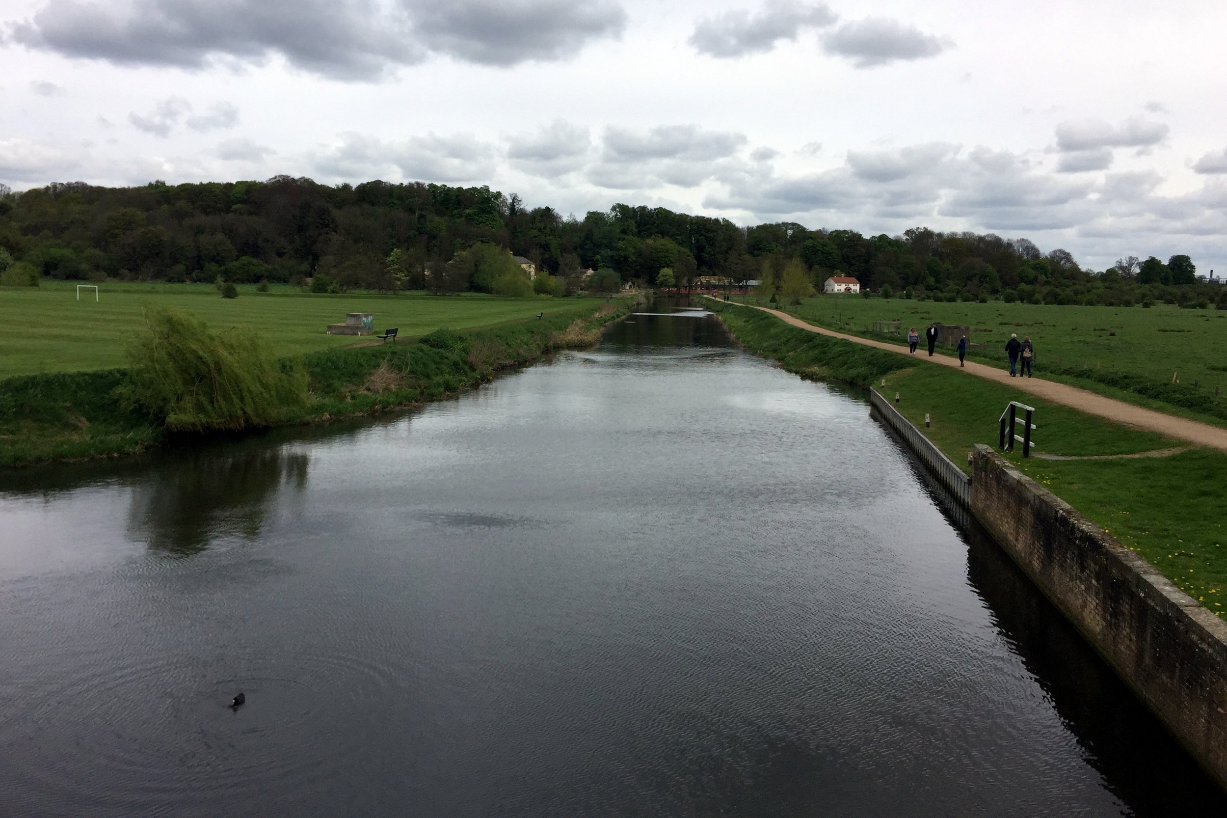
Near River Lee Country Park
Part of the Chiltern Rivers Series
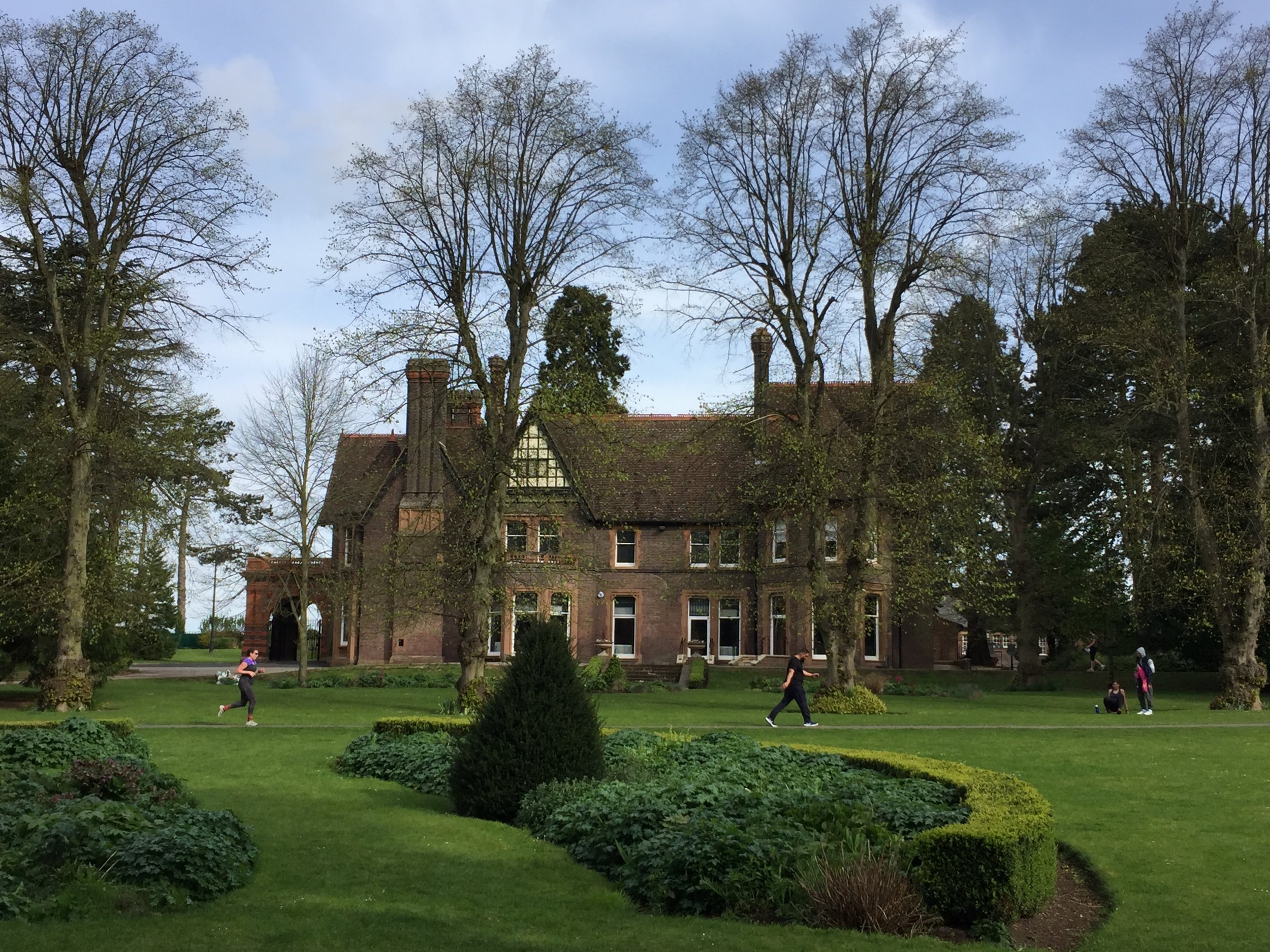
River Lea start: Leagrave, Bedfordshire
River Lea end: Leamouth, Greater London
River Lea length: ~42 miles / 68 km
Cycle route start / end: Wardown Park, Luton, Bedfordshire
Cycle route length: ~58 miles / 94 km
Cycle route ascent: +420m / -507m
GPX File: get via Buy Me a Coffee
Other routes touched (walk): Lea Valley Walk, Chiltern Way, Hertfordshire Way, New River Path, Greenwich Meridian Trail, London Loop, Capital Ring, The Greenway, Jubilee Greenway, Regent’s Canal Towpath
Other routes touched (cycle): NCN Routes 1, 12, 57, 6, 61, Chilterns Cycleway, Ayot Greenway
Map: OS Explorer Map (193) Luton and Stevenage, OS Explorer Map (182) St. Albans and Hatfield, OS Explorer Map (174) Epping Forest & Lee Valley, OS Explorer Map (173) London North, The City, West End, Enfield, Ealing, Harrow & Watford
Links: River Lea, Leagrave, Luton, Lee Navigation, Limehouse Basin, Regent’s Canal
It was Easter Saturday and time to start proper training for July's Titanic Ireland cycle adventure. My cycling friends all opted out due to being "broken", "in Germany", "painting" or, strangely, "not fit enough to start training", so I was on my own for this one.
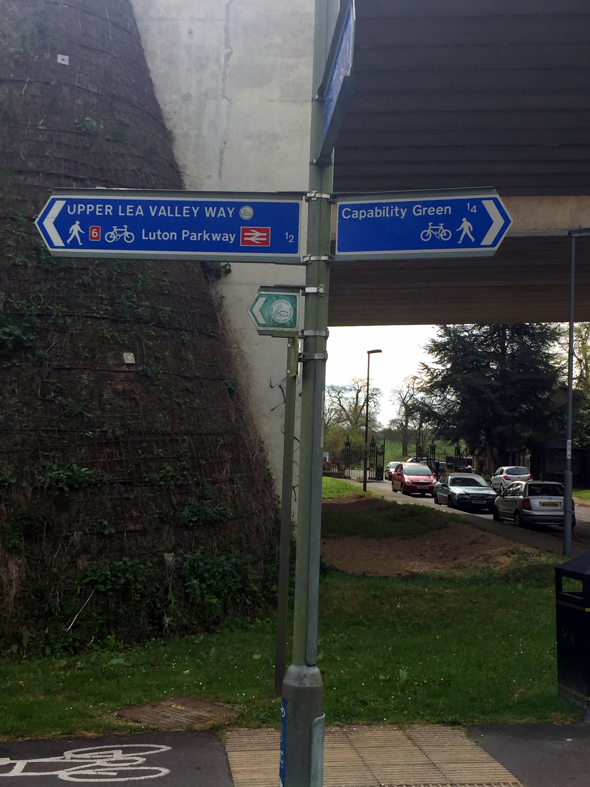
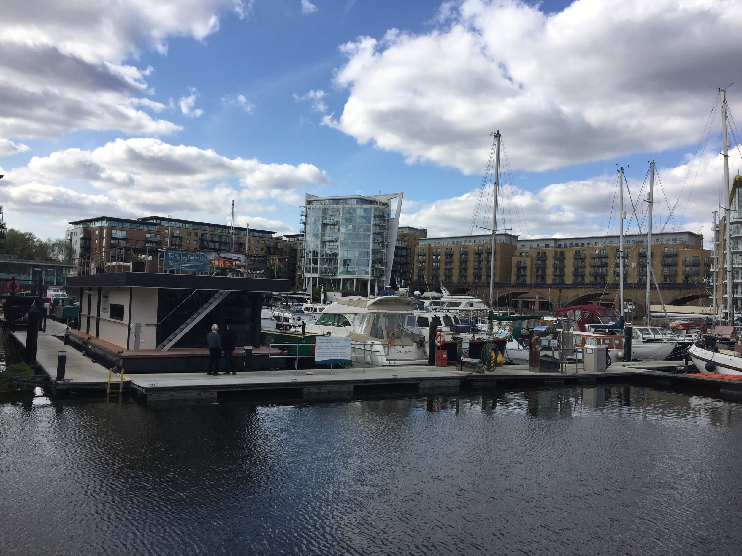
The route is a combination of National Cycle Routes (NCN), starting near the source of the Lea at Luton and ending at Limehouse Basin at the Thames in London. Getting back is easy enough as the Regent's canal takes you from the Basin to St Pancras station where there are frequent trains back to Luton.
The Lea starts in Leagrave, north of Luton. Although NCN 6 passes through it, I opted to start the trip 2.3 miles down at Wardown Park where the river fills a small lake. Its also the venue for Luton Wardown parkrun which, as it was Saturday, had to be done too. If I were to do the trip again I would start at the source as it’s very close to Leagrave Station which is on the same line to St Pancras. This additional section follows the Lea Valley Walk which is a footpath but there’s good options for cycling on nearby roads.
The trip is a nice combination of NCN routes 6, 57, 12, 61 and 1. It's easily navigable with only a small amount of planning and keeping your eyes out for signs along the way. The first 22 miles to Hertford is mostly disused post-Beeching railway lines, with the remainder following the Lea Navigation Canal.
The River Lea joins the Thames near Canning Town, opposite the Greenwich Peninsula. Cycling right to the confluence is tricky so I opted to follow the Limehouse Cut from Bow Creek to the Limehouse Basin. From there I followed the Regent’s Canal back to King’s Cross station to get the train back to Luton where I had parked my car.
Red = course of the River Lea, Blue = Cycle Route including Regent’s Canal to King’s Cross.


Elevation for cycle route
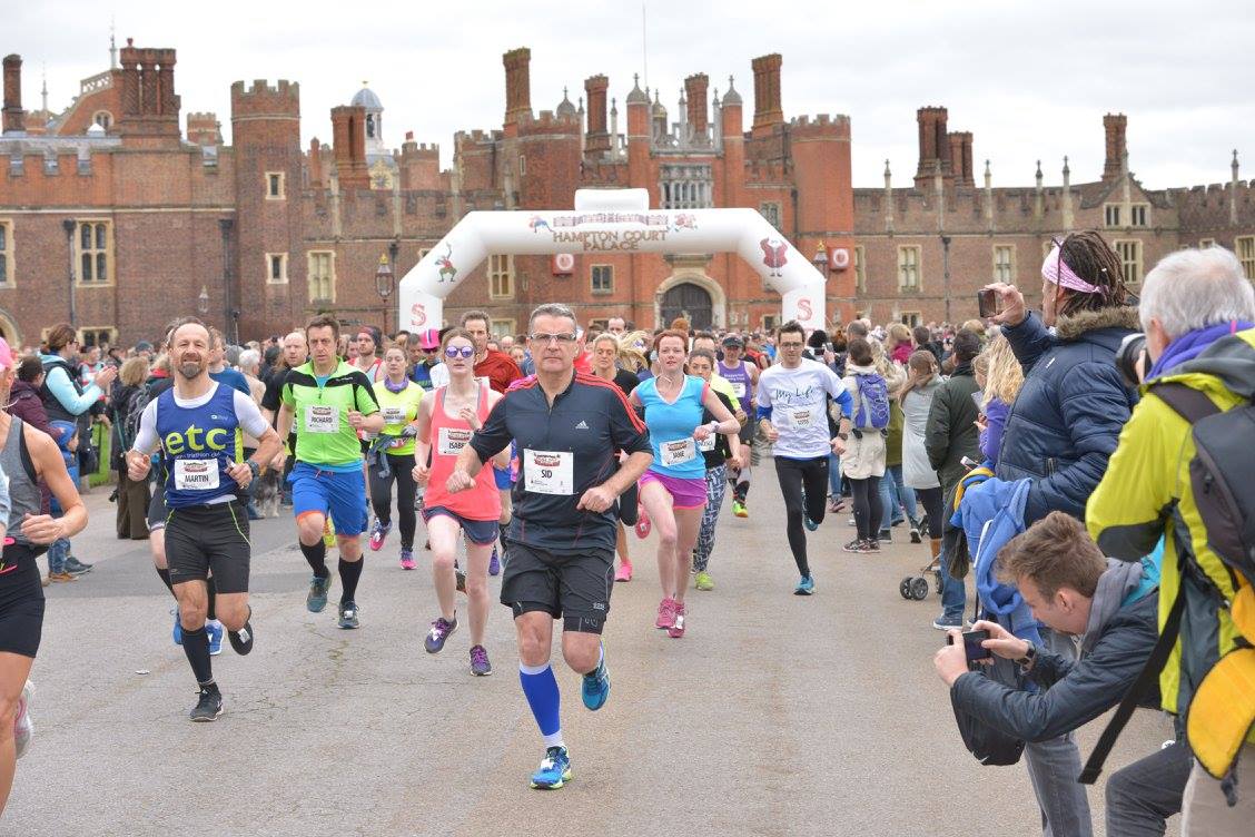
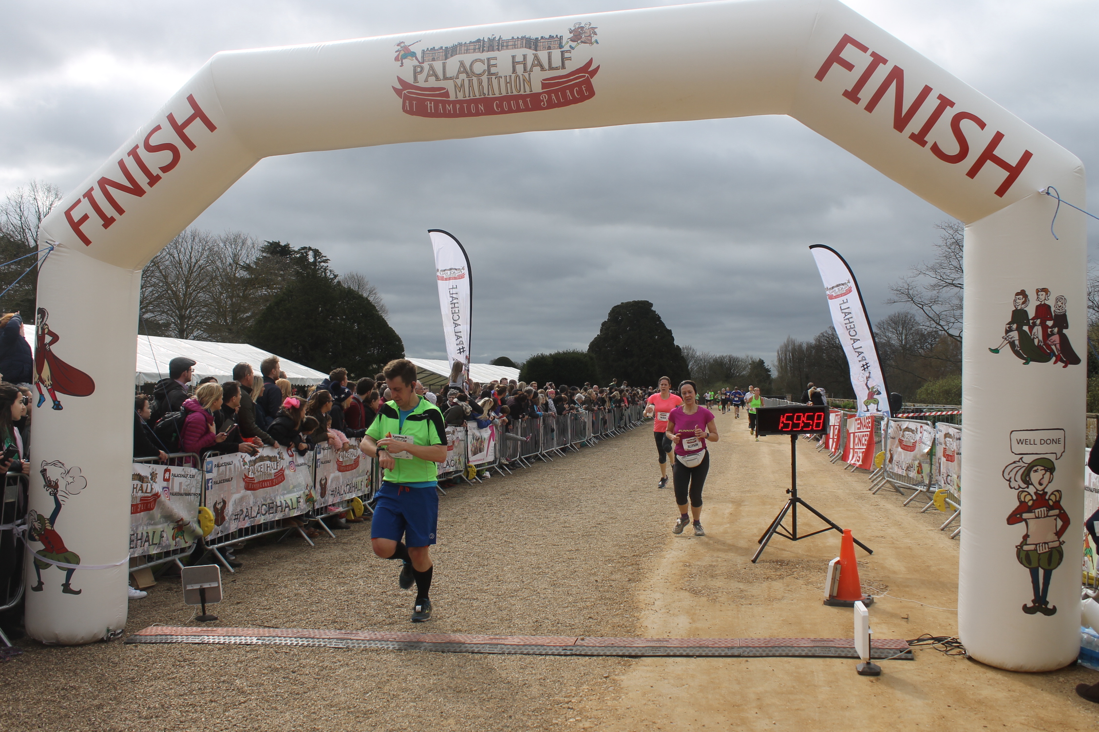
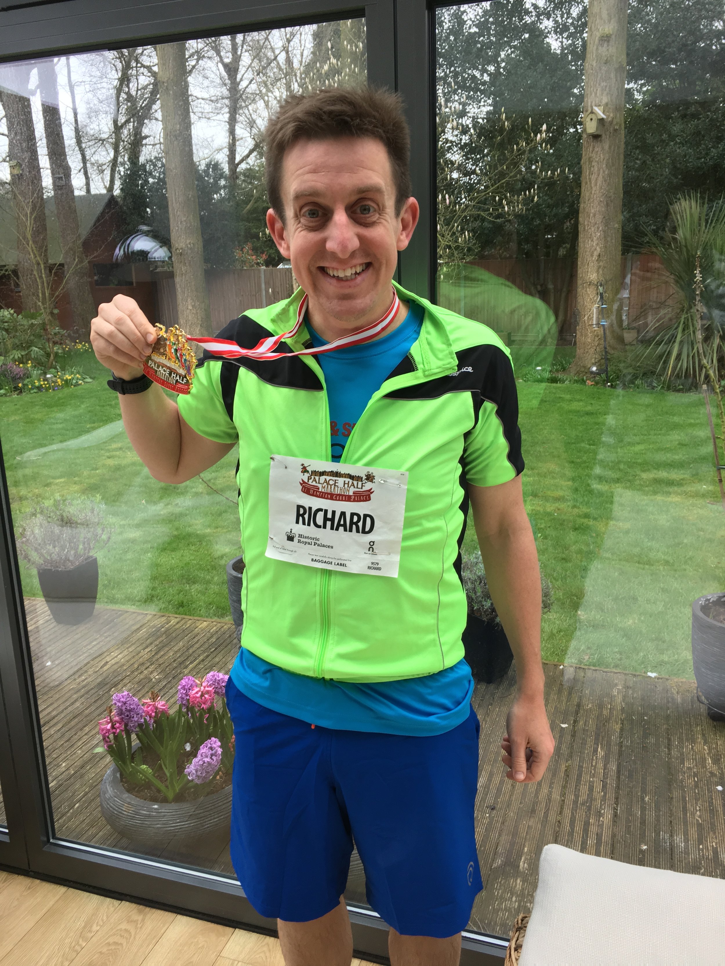
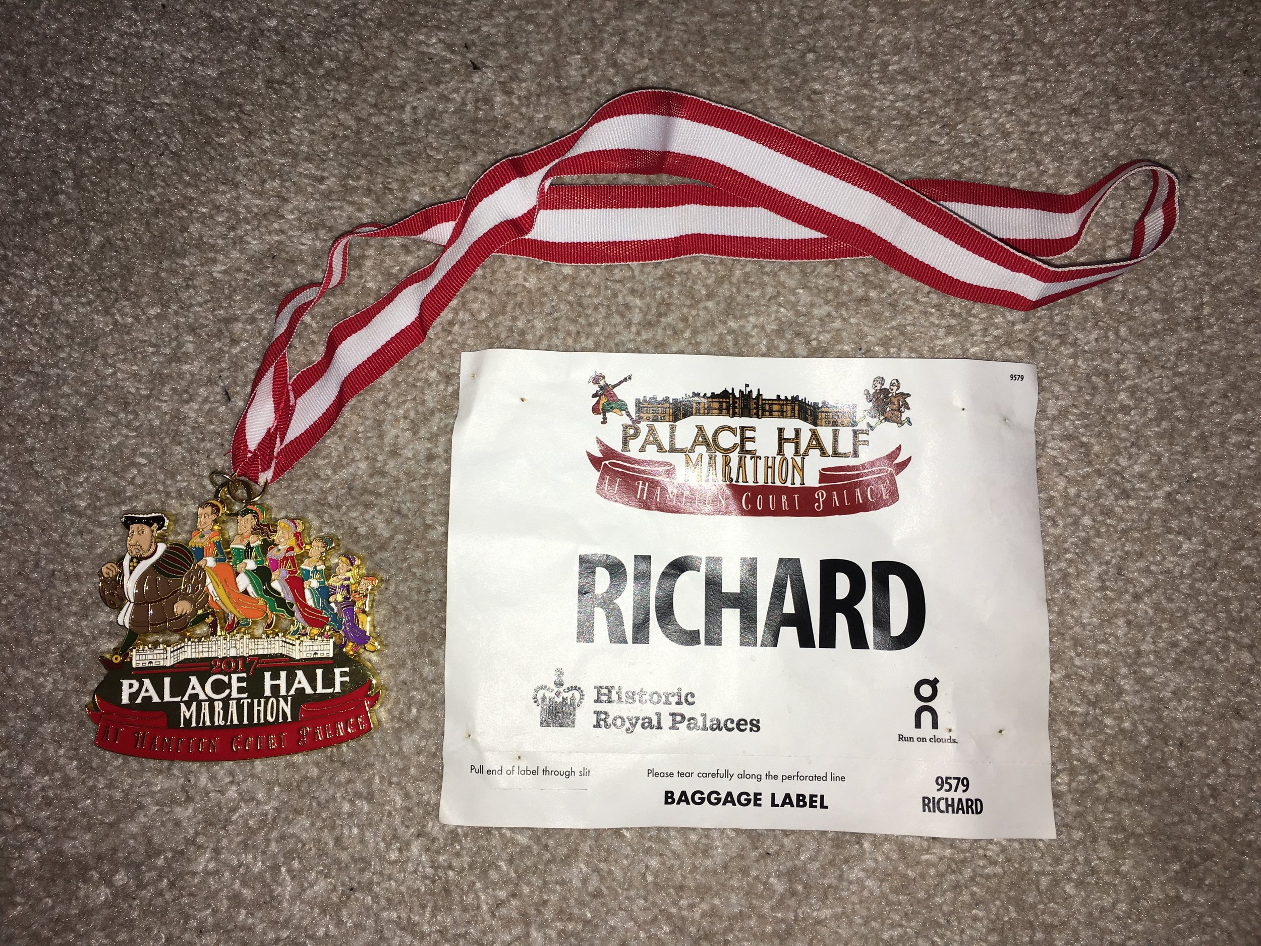
When: March 19th 2017
Where: Hampton Court Palace, Surrey, UK
Course: Thames Path between Hampton Court and Kingston, on road to Thames Ditton, off road through Hampton Court Golf Club
Other routes touched (walk): Thames Path
Other routes touched (cycle): NCN 4
Finish time: 1:57


Icy Grand Union Canal near Denham
Part of the Chiltern Rivers Series
River start: Harrow Weald Common, Greater London
River end: Confluence with the Frays River at Yiewsley, Greater London
River length: 18.3 km / 11.4 miles
Cycle route start / end: Colne Visitors Centre, Denham, Uxbridge, UB9 5PG
Cycle route length: 46.9 km / 29 miles
Cycle route ascent: +/- 571m
GPX File: get via Buy Me a Coffee
Other routes touched (walk): London Loop, Grand Union Canal Towpath, Hillingdon Trail
Other routes touched (cycle): NCN routes 6, 61
Map: OS Explorer Map (172) Chiltern Hills East, OS Explorer Map (173) London North, The City, West End, Enfield, Ealing, Harrow & Watford
Links: Celandine Route along The River Pinn, Harrow Weald Common, Pinner, Ruislip, Hillingdon, Yiewsley
It was January 3rd and it was penis-vanishingly cold. It was also my last day of Christmas holiday before returning to work. Time for a cold, wet, muddy adventure to kick off 2017.
I chose the River Pinn and the Celandine Route that follows much of it. The source of the Pinn is Harrow Weald just south of the Harrow View Point, a good look-out point.
I'd chosen to do a 30-mile circular cycle ride that included the Pinn on the return half. My base was the car park at Denham Country Park. from there I hopped on the Grand Union heading North. A meandering north-easterly route through Harefield, Northwood and Oxhey. I probably could have found the actual source if I'd parked the bike and walked around the footpaths at Harrow View Point. Desperately cold and needing a wee, I decided to push on.
It's a few miles before the first sighting of the Pinn at the end of Pinner High Street. The town takes its name from the river and is the start of the Celestine Route. This is a well sign-posted route through parks and bridleways that follow the river to its end.
Within 10 minutes I had already missed a sign and added an extra mile in a loop that took me right back to the start at Pinner. Making better use of my map app on the second attempt, I was back on track. The majority of the route is off road and lots of it on grass. Following a couple of days of heavy rain, the mud was quickly turning my mountain bike brown.
As with the River Chess walk of 2 weeks before, I found the Pinn to be a pleasant find in an area that I thought I knew well. The route alternated between green riverside paths and bland suburbs. Two weeks ago I'd not heard of the Pinn and I would be surprised if many locals had either.
Towards the end, the Celandine Route diverts from the river as it crosses the A40 then into Hillingdon and Brunel University. It then joins back up at Yiewsley before abruptly stopping at the A408 in front of a Tesco Superstore. The Celandine Route joins the Grand Union canal just to the north of Tesco where there’s a footpath that you can follow between the High Street and the towpath. The river actually crosses the canal and joins the Fray’s river which meets the Colne about a mile south in West Drayton
My final 4 miles were a continuation of the Grand Union past Cowley and Uxbridge back to the start at Denham. The Pinn is certainly not pretty and there are more interesting routes, but for a cold, muddy New Year adventure it did the trick for me.
Red = River Pinn, Blue = Circular cycle route


Elevation for cycle route
Start & Finish: Marylebone Station, Melcombe Place, Marylebone, London, NW1 6JJ
Distance: 23.9 km (14.8 miles)
Elevation change: +/- 190m
GPX File: get via Buy Me a Coffee
Other routes touched (Walk): Thames Path, Jubilee Walkway, River Fleet Walk, River Westbourne Walk, Jubilee Greenway
Other routes touched (Cycle): CS3, CS6
Pubs / Cafes on route: Loads … it’s London.
Map:
- OS Explorer Map (161) London South, Westminster, Greenwich, Croydon, Esher & Twickenham
- OS Explorer Map (173) London North, The City, West End, Enfield, Ealing, Harrow & Watford
The idea of above-ground trips along the London Underground lines is not new. Mark Mason's 2011 book Walk The Lines is the best example and many other running geeks have also attempted them. Needing to escape an especially tiring year-end at work, I set off to conquer the Circle Line on a cold mid-December morning.
The Circle Line is great starting point for above-ground Tube adventures. All other lines have distant start and end points and need a bit more planning. At just over a half-marathon, the Circle is an easy half-day adventure.
My start point was Marylebone Station. Although not on the Circle line, it's on the route between Edgware Road and Baker Street, my star and end points. I set off clockwise with the aim of marking each station with a Selfie.
Despite knowing London pretty well, I still needed a bit of navigational help. The north and south sections are pretty straightforward, with the east and west trickier. The walking directions on Google Maps and a Google Keep checklist of all the stations were a big help.
The total distance underground is 14 miles, although that's by avoiding buildings. Negotiating the streets above ground adds at least a mile. Missing Temple station and having to run back to it from Embankment added another mile. Don't do that.
Once back at Marylebone I'd covered just over 16 miles. At around 3 hours it was no Personal Best. Speed is not something to be aimed for on a working day in central London. It was a fun trip though and a nice way to link up some familiar parts of London.
A year ago I did a made-up Half Marathon in central London. That time it was a loop, starting in Westminster, heading east and crossing every bridge to Tower Hill, then reversing to Chelsea bridge and looping back to Westminster.

This year I tried an alternative and more straightforward version. Starting at Tower Bridge I headed west, again crossing every bridge once until 13.1 miles just after Fulham Football Stadium. It's a more interesting route as there's twice as much to see without having to go back over the same ground. The only disadvantage is starting and ending at different points. I solved this by walking a mile and a half from the finish to Hammersmith, which, like Tower Hill, is also on the District Line.
Best time to do it is early Sunday morning when the Thames Path is quiet before the hordes of tourists take over. Here's the full route plan...

Start at Tower Hill Underground Station.
Cross Tower Bridge (S), now start heading west back towards Westminster
Cross London Bridge (N), head west
Cross Southwark Bridge (S), head west
Cross the Millenium Footbridge (N), head west
Cross Blackfriars Bridge (S), head west
Cross Waterloo Bridge (N), head west
Cross Hungerford Footbridge (S), head west
Cross Westminster Bridge (N), head west
Cross Lambeth Bridge (S), head west
Cross Vauxhall Bridge (N), head west
Cross Chelsea Bridge (S), head west
Cross Albert Bridge (N), head west
Cross Battersea Bridge (S), head west
Cross Wandsworth Bridge (N), head west
Cross Fulham Railway Bridge Footpath, (S), head west
Cross Putney Bridge (N), head west
(N) and (S) represent direction of travel across the bridge (North) / (South)
GPX File: get via Buy Me a Coffee
Other routes touched (walk): Thames Path, Jubilee Walkway, Jubilee Greenway
Other routes touched (cycle): NCN 4, CS3, CS8
Maps:
- OS Explorer Map (161) London South, Westminster, Greenwich, Croydon, Esher & Twickenham
- OS Explorer Map (173) London North, The City, West End, Enfield, Ealing, Harrow & Watford
See also: London Bridges Half Marathon 1 (Alternative Route)

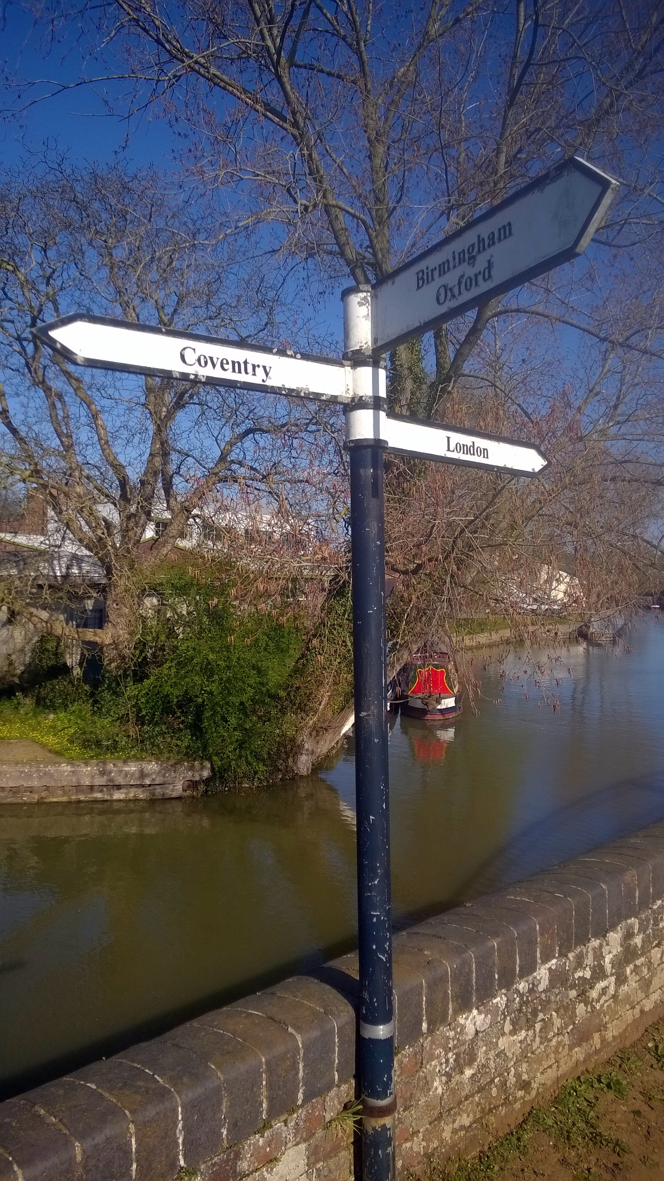
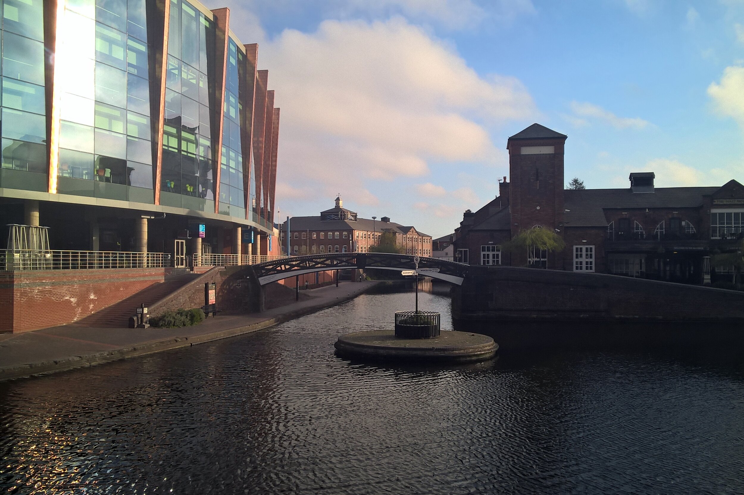
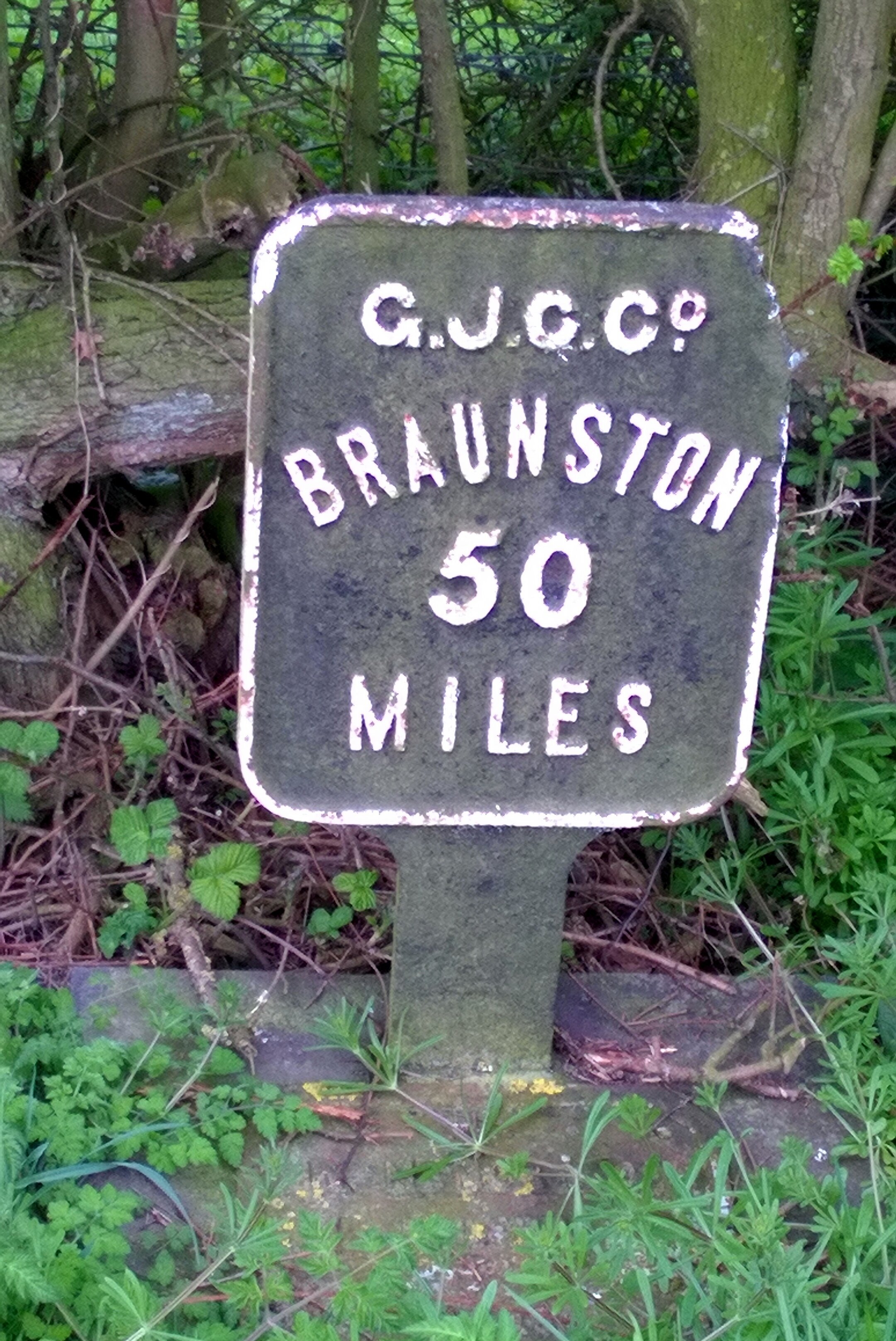
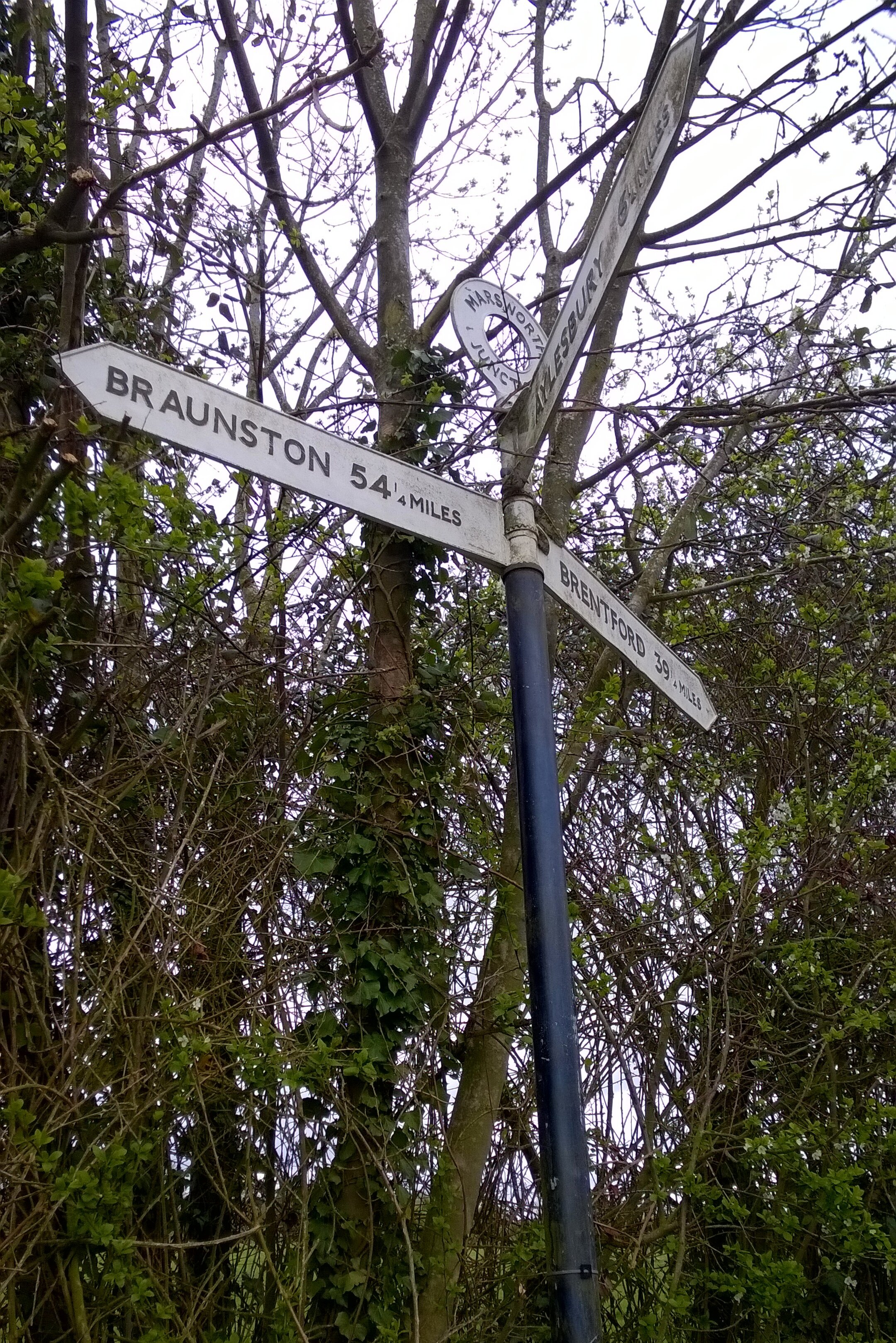
Braunston Junction
Starting an 85 miles off-road cycle ride with an epic hangover probably wasn’t a great idea. The 2-day, 150 mile, Grand Union Canal cycle trip was tough enough anyway.
The trip was the main training weekend for the Lands End to John O’Groats trip in July. The plan was to travel up to Birmingham on the Friday night, start cycling on the Saturday morning, and arrive at the end-point in London with an over-night stay in Milton Keynes. That was the plan anyway. Six of us started, one of us finished.
Day 1: Birmingham to Milton Keynes
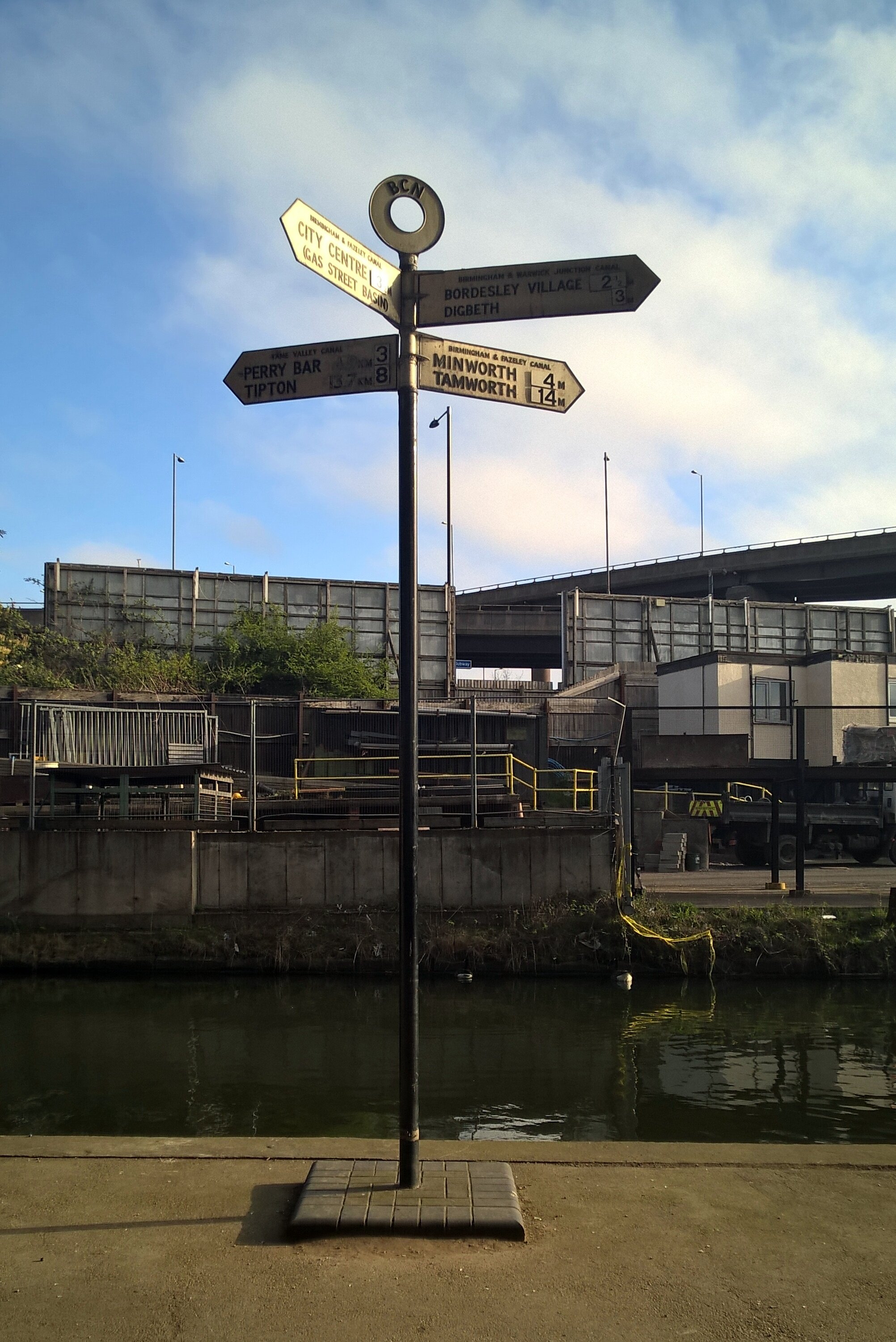
Start: Old Turn Junction, Birmingham, B1 2HL
Finish: Campbell Park, 1300 Silbury Blvd, Milton Keynes, MK9 4AD
Distance: 128 km ( 80 miles)
Elevation Change: + 696m / - 766m. Net -70m
GPX File: get via Buy Me a Coffee
Other Routes Touched (Walk): Grand Union Canal Walk, Millstream Way, Millennium Way, Heart of England Way, Shakespeare’s Avon Way, Centenary Way, Oxford Canal Walk, Jurassic Way, Nene Way, Macmillan Way, Midshires Way, Ouse Valley Way, Swans Way
Other Routes Touched (Cycle): NCN 41, 50, 5, 51, 535, 6 / Hanslope Circular Ride
Maps:
- OS Explorer Map (220) Birmingham, Walsall, Solihull and Redditch
- OS Explorer Map (221) Coventry and Warwick, Royal Leamington Spa and Kenilworth
- OS Explorer Map (222) Rugby and Daventry, Southam and Lutterworth
- OS Explorer Map (223) Northampton and Market Harborough
- OS Explorer Map (207) Newport Pagnell and Northampton South
- OS Explorer Map (192) Buckingham and Milton Keynes
The Friday night in Birmingham was the first time the “Lands-End 6” had got together. I got a bit over excited by the event and had a bit too much wine, hence the hangover the next day. This was very much a learning weekend for the group and I had learnt my main lesson very early on.
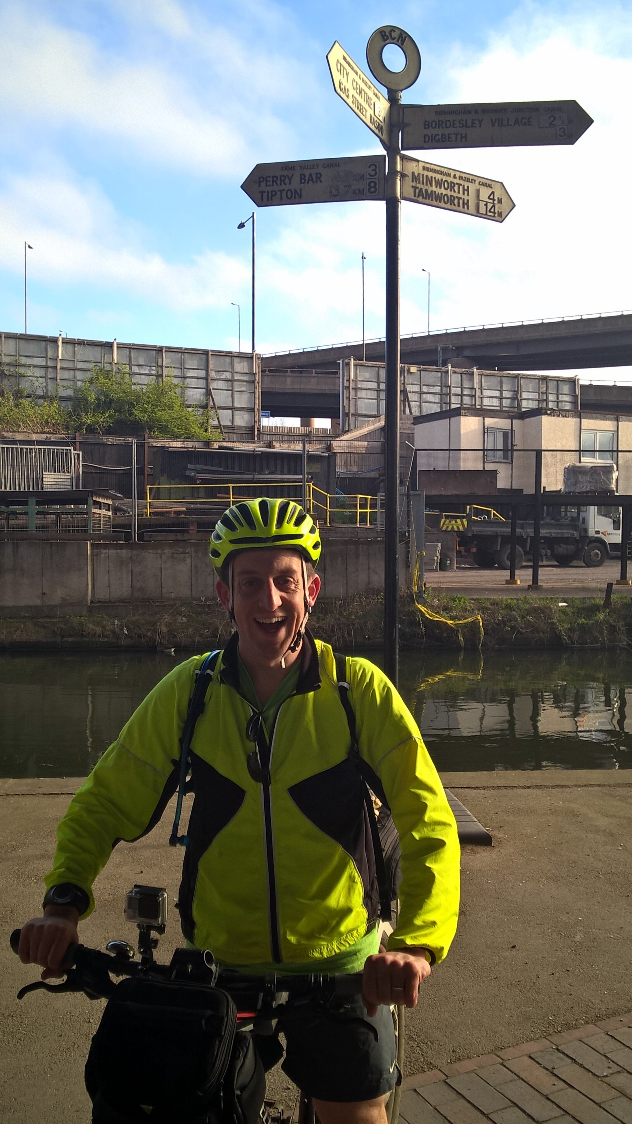
On Saturday morning we headed off in 2 groups. Neil and I started first, getting to the official start at Salford Junction early so we could take a detour to Edgbaston for Parkrun. The other 4 were just behind, not feeling the need to do a 5k run on top of the 85 miles that day.
The run was fine, a nice park with a friendly crowd, and would have been perfect if my head wasn’t about to explode half-way. By 10:00 we were back on the canal, heading towards the others who were at least an hour further on.
After a promising start, we soon hit a diversion where the towpath was closed for maintenance. A quick look at the guide-book reassured us that we could do a small detour by road then get back on the canal at the next bridge. Somehow we ended up cycling aimlessly around grotty industrial estates before 2 kind ladies took pity on us and helped us get back on track.
Given their head-start we didn’t expect to see the other group until very late in the day or until the end. We actually caught them up just after lunch about 40 miles in, mending what turned out to be Martyn’s second of seven punctures. We had hit a grassy 15 mile section where the hedge had recently been trimmed. The thorns which were previously part of the hedge were now covering the towpath and were finding their way into everyone’s tyres.
The next 3 hours were an inner-tube bloodbath with another 14 punctures across the group. Every time one was fixed we would set off again and someone else would get a flat. It wasn’t long before Brian had the great suggestion of splitting into 2 groups of 3. That way 1 group could make some progress whilst the other fixed punctures. I went ahead with Neil and Reggie and made it 3 miles short of Braunston Junction before Neil’s last inner tube blew. He was in no mood to repair it so walked the bike the final few miles to meet us at the pub at the end.
By now it was clear that we needed a Plan B. The other group was still 8 miles back and not making much progress. They had already decided to come off the canal and take the roads to Milton Keynes. We were further ahead, but had no spare inner tubes for Neil’s bike. His wheels were a different size to Reggie’s and mine so his only option was to get a taxi to Halfords in the next town and stock up on tubes.
By 18:30 we were back in action with 30 miles via roads to the hotel in Milton Keynes. With only 1 more puncture on the way we made it to the hotel by 21:30. The other group had made it there shortly before and had already made it to the bar ready for beers and a post-ride debrief.

Day 1 Elevation
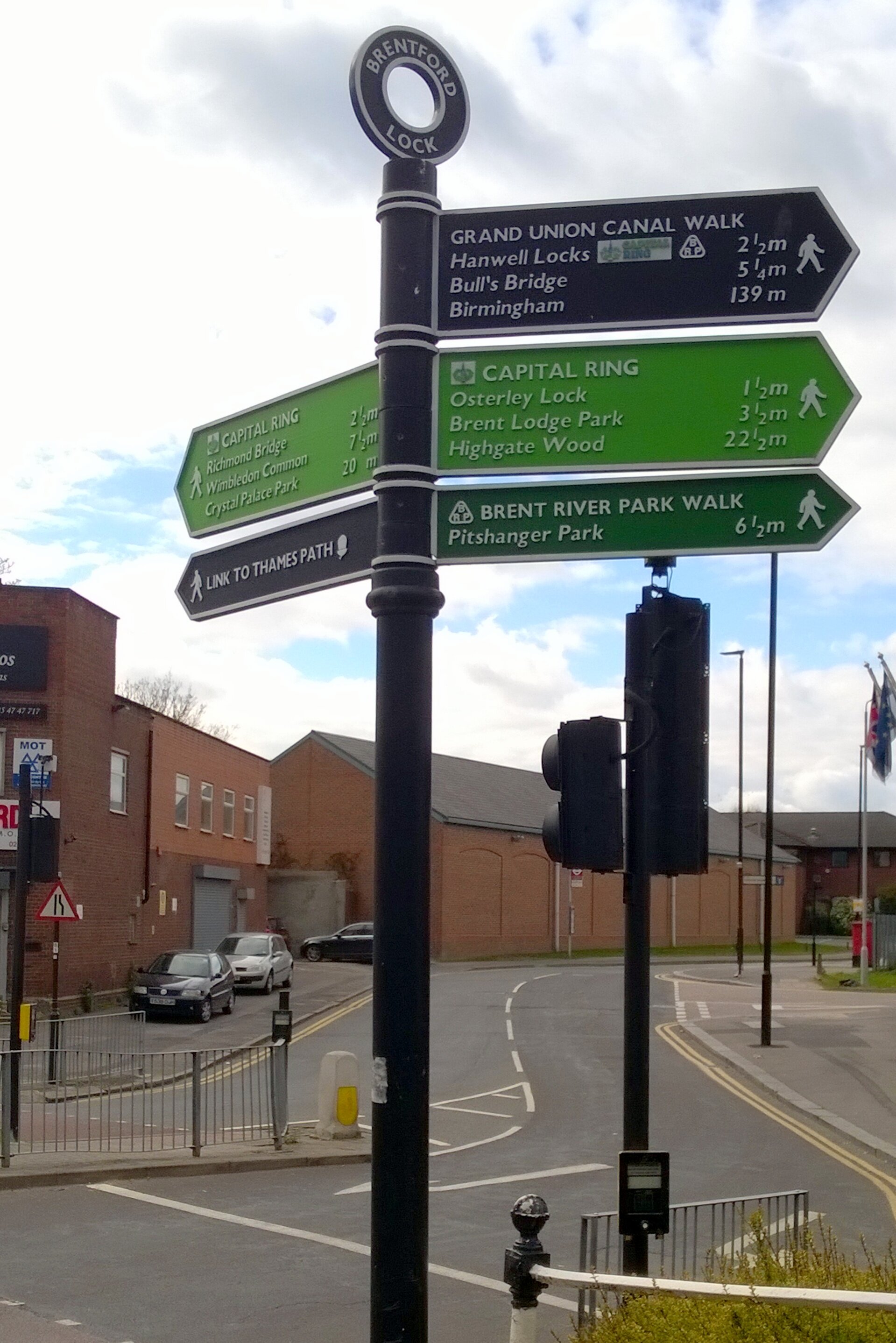
Day 2: Milton Keynes to Brentford
Start: Campbell Park, 1300 Silbury Blvd, Milton Keynes, MK9 4AD
Finish: The Brewery Tap, 47 Catherine Wheel Rd, Brentford, TW8 8BD
Distance: 95.4 km (59 miles)
Elevation Change: +392m / -460 m. Net -68m
GPX File: get via Buy Me a Coffee
Other Routes Touched (Walk): Greensand Ridge Walk, Two Ridges Link, The Ridgeway, Chiltern Way, Hertfordshire Way, Colne Valley Trail, Hillingdon Trail, London Loop, Beeches Way, Shakespeare’s Way, Capital Ring, Thames Path
Other Routes Touched (Cycle): NCN 6, 61 / Tring Route 5, Berkhamsted Route 6, Chilterns Cycleway
Maps:
- OS Explorer Map (192) Buckingham and Milton Keynes
- OS Explorer Map (181) Chiltern Hills North
- OS Explorer Map (182) St. Albans and Hatfield
- OS Explorer Map (172) Chiltern Hills East
- OS Explorer Map (160) Windsor, Weybridge & Bracknell
- OS Explorer Map (161) London South, Westminster, Greenwich, Croydon, Esher & Twickenham
- OS Explorer Map (173) London North, The City, West End, Enfield, Ealing, Harrow & Watford
It because clear very quickly that I was going to be on my own for Day 2. The others had got through all of their inner-tubes and continuing along the towpath would have been too risky. It was also a Sunday so waiting for the Bike shops to open would have meant too late a start. No-one seemed too bothered though as the prospect of a leisurely breakfast and an on-road cycle to the nearest train station was more appealing than another day in the saddle.
That night I slept so deeply that I had no idea where I was or what day it was when I work up. For 5 minutes I was convinced that I was on a business trip and it was a work day. Fortunately that turned out not to be the case, but I did have 60 miles of cycling before Brentford.
The towpath from Milton Keynes turned out to be significantly better than our Day 1 experience. Apart from a couple of grassy miles near Leighton Buzzard, it was a solid and thorn-free route all the way. I made good progress, reaching Berkhamsted by noon where Rob, a colleague who lives there, joined my for the final 35 miles.
This last section was on home ground for me and I’d cycled or ran many parts of it before. We reached the end of the canal at Brentford Lock just after 16:00. As with the start of the canal at Salford Junction, the end was quite underwhelming. Despite these being the start and end point of one of Britain’s engineering masterpieces, there was barely anything to celebrate the achievement.
As a learning experience the weekend did its job. The group had its first long distance cycle trip together and got good experience in puncture repairs, what not to pack and in adapting when things go off plan. I didn’t get the puncture repair experience, but I did learn not to ride 85 miles on a massive hangover.


Day 2 Elevation
The Complete Route
The full 2-day route (excluding diversions)
The Movie
Tips for Cycling The Grand Union Canal
The Route
End-to-end the canal is ~150 miles and makes a challenging 2 day or a more leisurely 3 day trip. For either option I recommend Birmingham to Braunston (approx 50 miles) as the target for Day 1. This is the toughest section with the highest chance of punctures so planning to go any further is risky. Braunston is a major junction on the canal and all milestones from London point to it so it makes a good target for a single day. On a 2-day trip Braunston to Brenford is very long but significantly easier than Day 1 due to better paths. For a 3 day trip, Leighton Buzzard is a good Half-way point between Braunston and Brentford.
The Bikes
A mountain bike is essential for this trip due to the "rural" surface for much of the first section. If you can avoid the few weeks after hedge-cutting it will cut down on punctures, but you should expect to get some. Make sure you have good tyres with a healthy tread and ideally use a puncture-proof set. I used Slime inner-tube which self-seal around most punctures. I'm sure that this was a major reason why I was the only one one the group not to get a puncture on the whole trip. Take at least 2 spare inner tubes plus tyre levers etc.
Food and Drink
There's large stretches of the canal without pubs or shops. Although you'll get to a pub eventually its essential to carry enough water and snacks to keep you going.
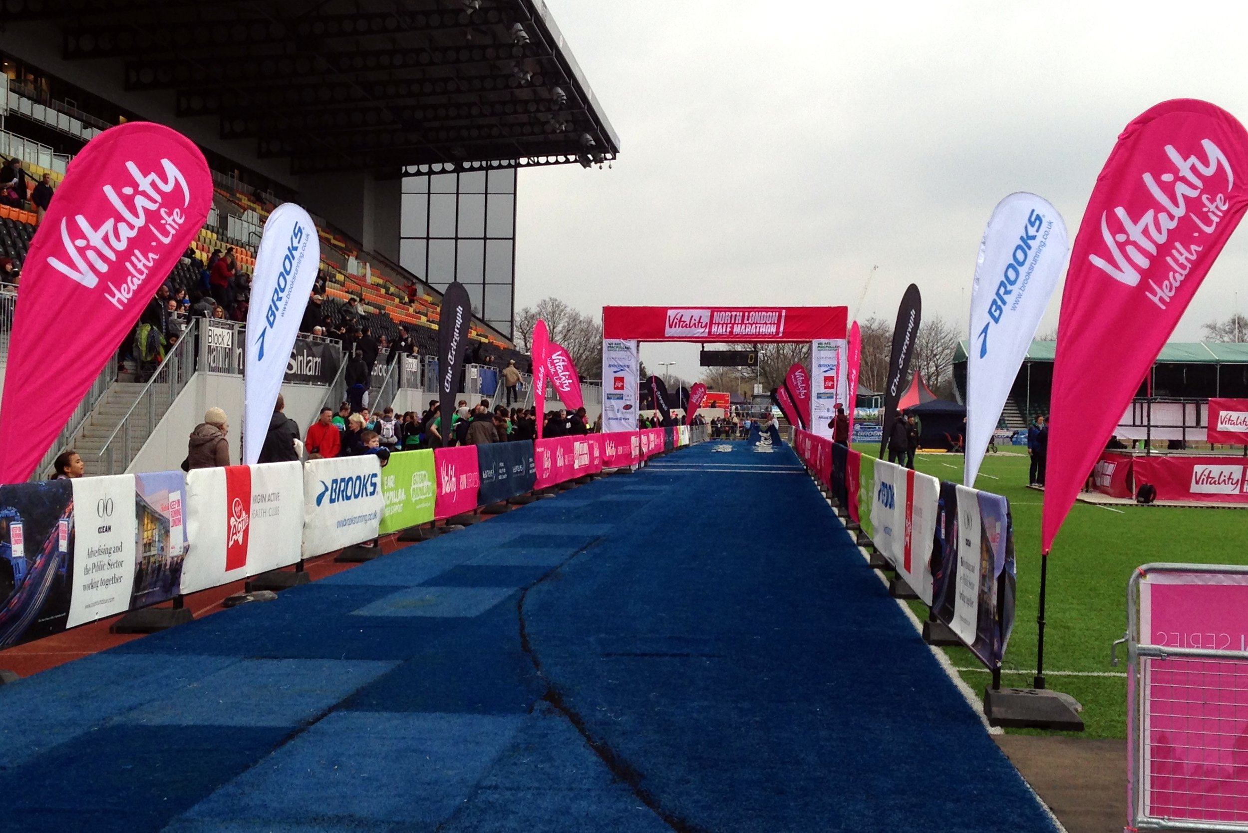
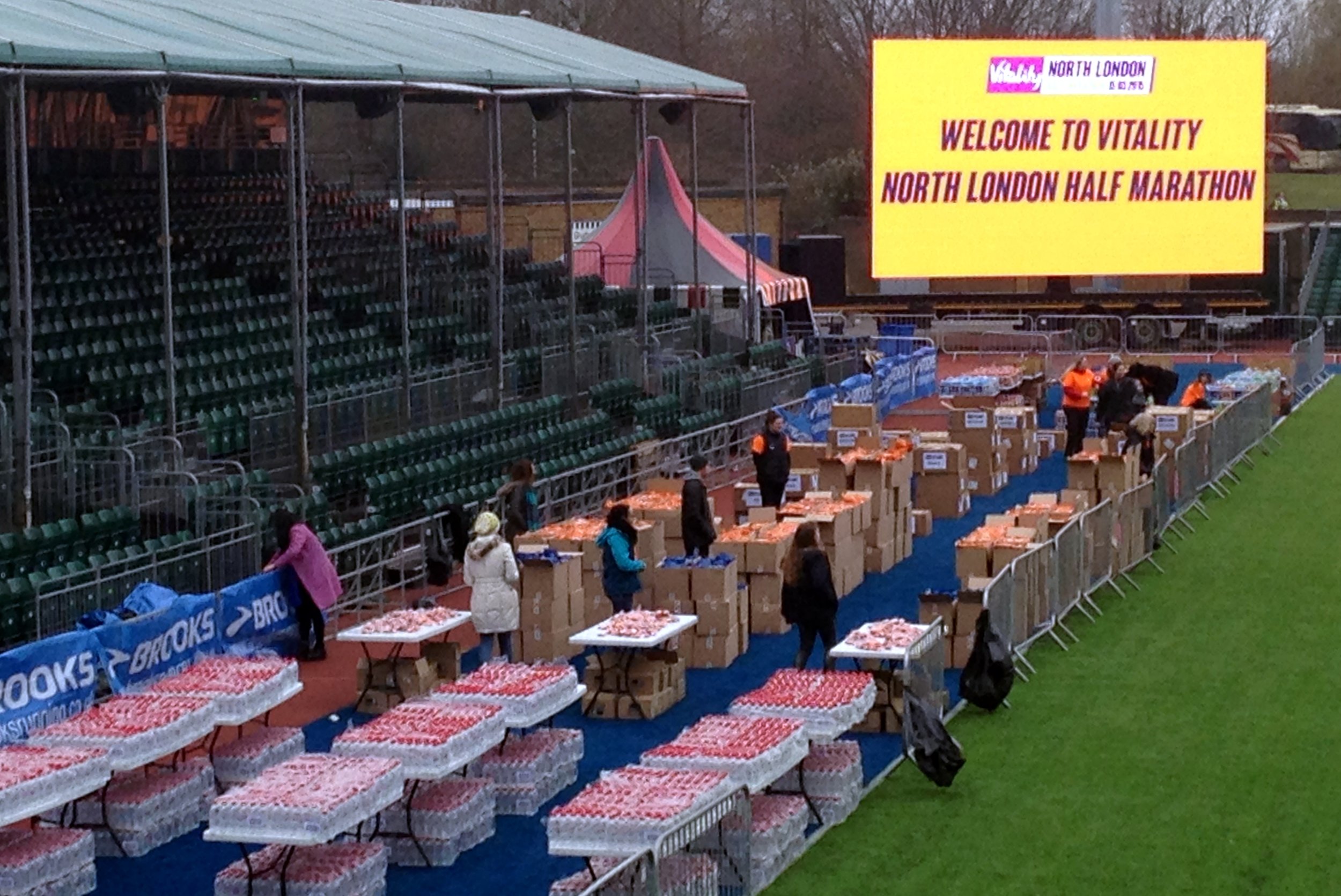
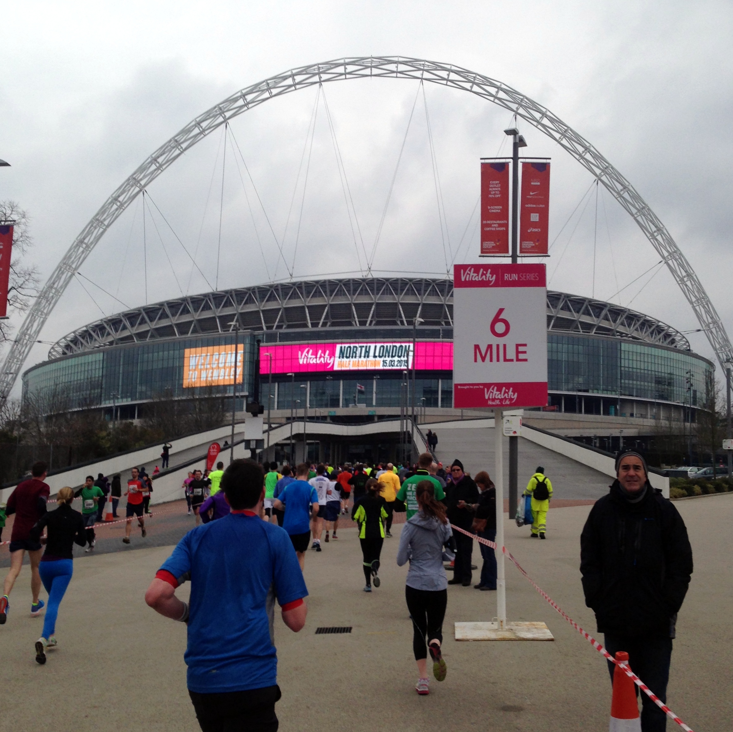
When: March 17th 2015
Where: North London, UK
Course: North London roads between Allianz Stadium Barnet & Wembley Stadium. Flat
Other routes touched (walk): Capital Ring
Other routes touched (cycle): None
Finish time: 1:55
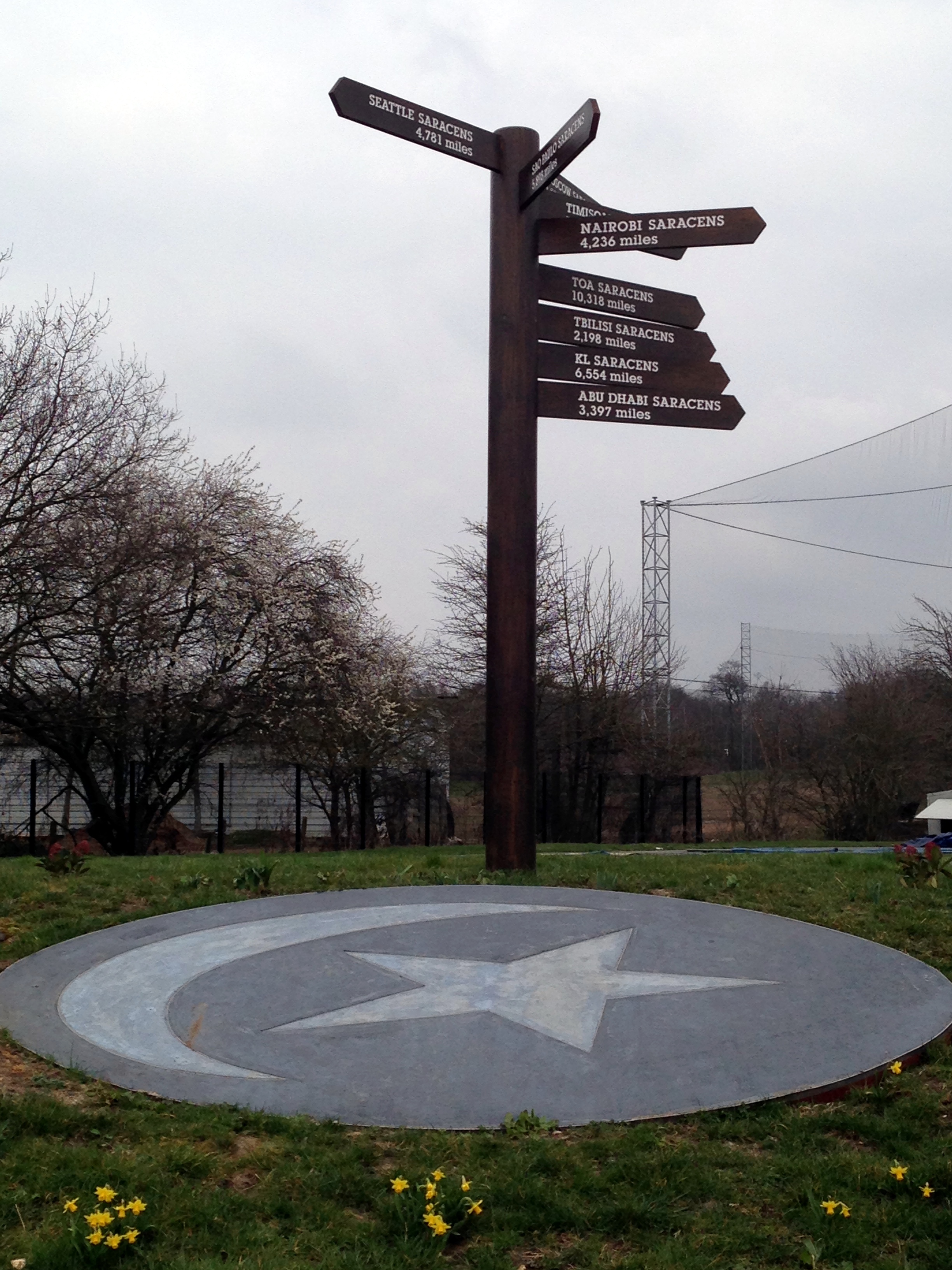
North London was a new event for 2015, an out-and-back route between Barnet and Wembley. What could have been a rather uninteresting location was livened up by the start and middle points in large stadiums. The start and end was at Allianz Park, home to the Saracens rugby team. Mo Farah, the 2012 Olympic gold medal winner, was at the start line. I had expected him to be running rather than waving everyone off though.
Wembley Stadium at the halfway point was a big boost. I’ve been there many times for concerts, and running through the middle, via the players’ tunnel was a great experience. The MacMillan cheering spot was also in the stadium, another highlight of that section.
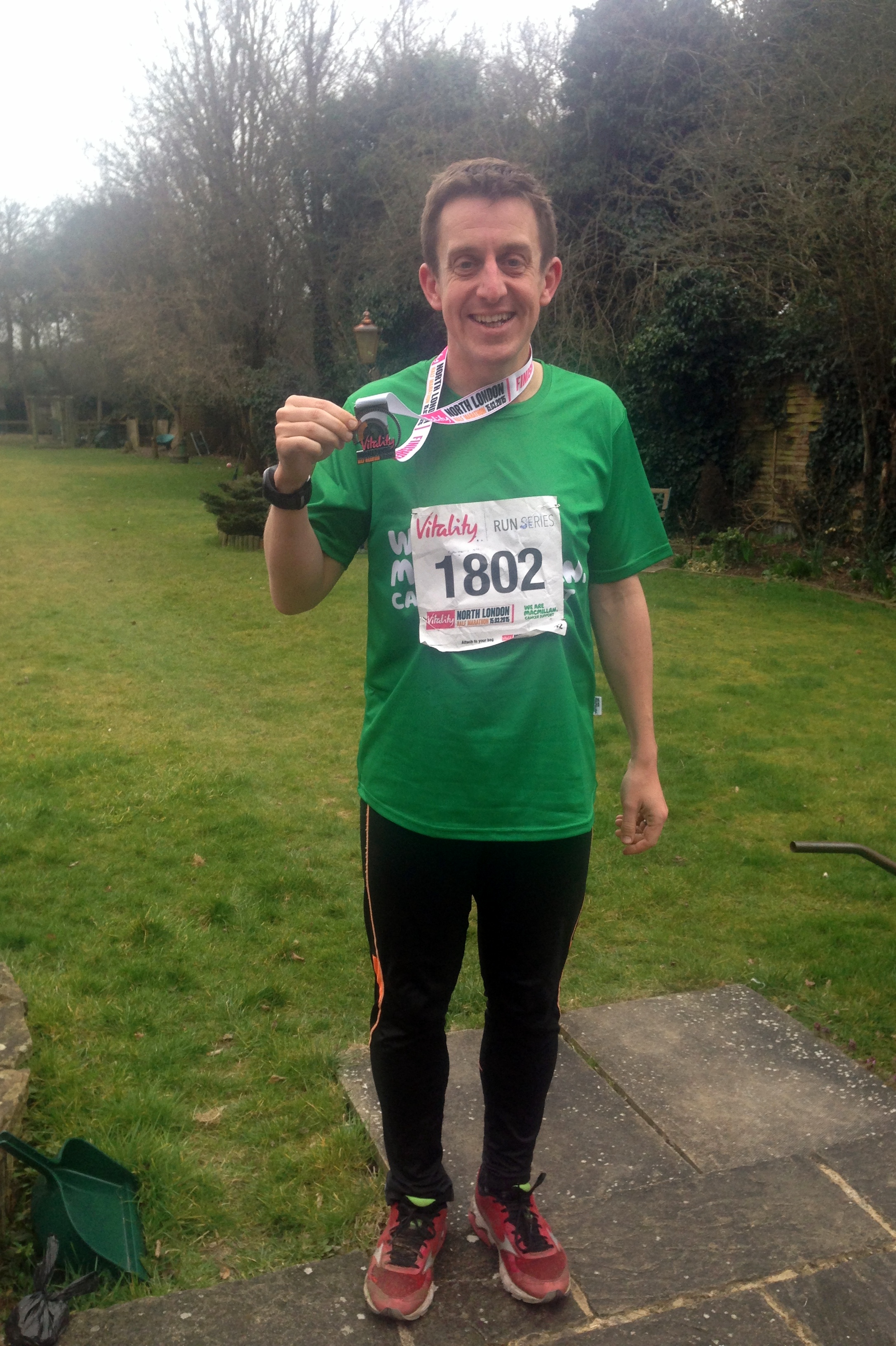
At the finish I came in at at 1:55:41, about a minute and a half faster than Bath.
Elevation spike due to my GPS thinking I was on the roof of Wembley Stadium rather than on the pitch :-)

Bull’s Bridge
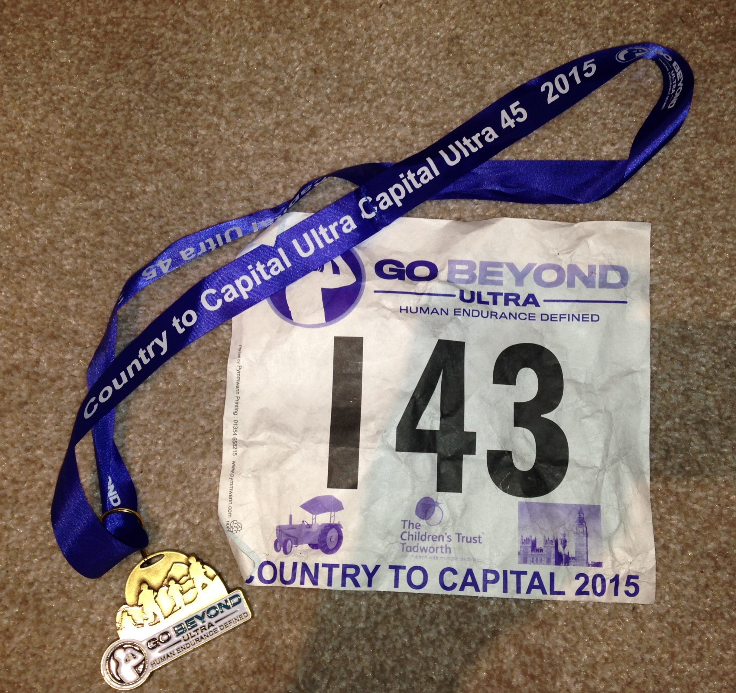
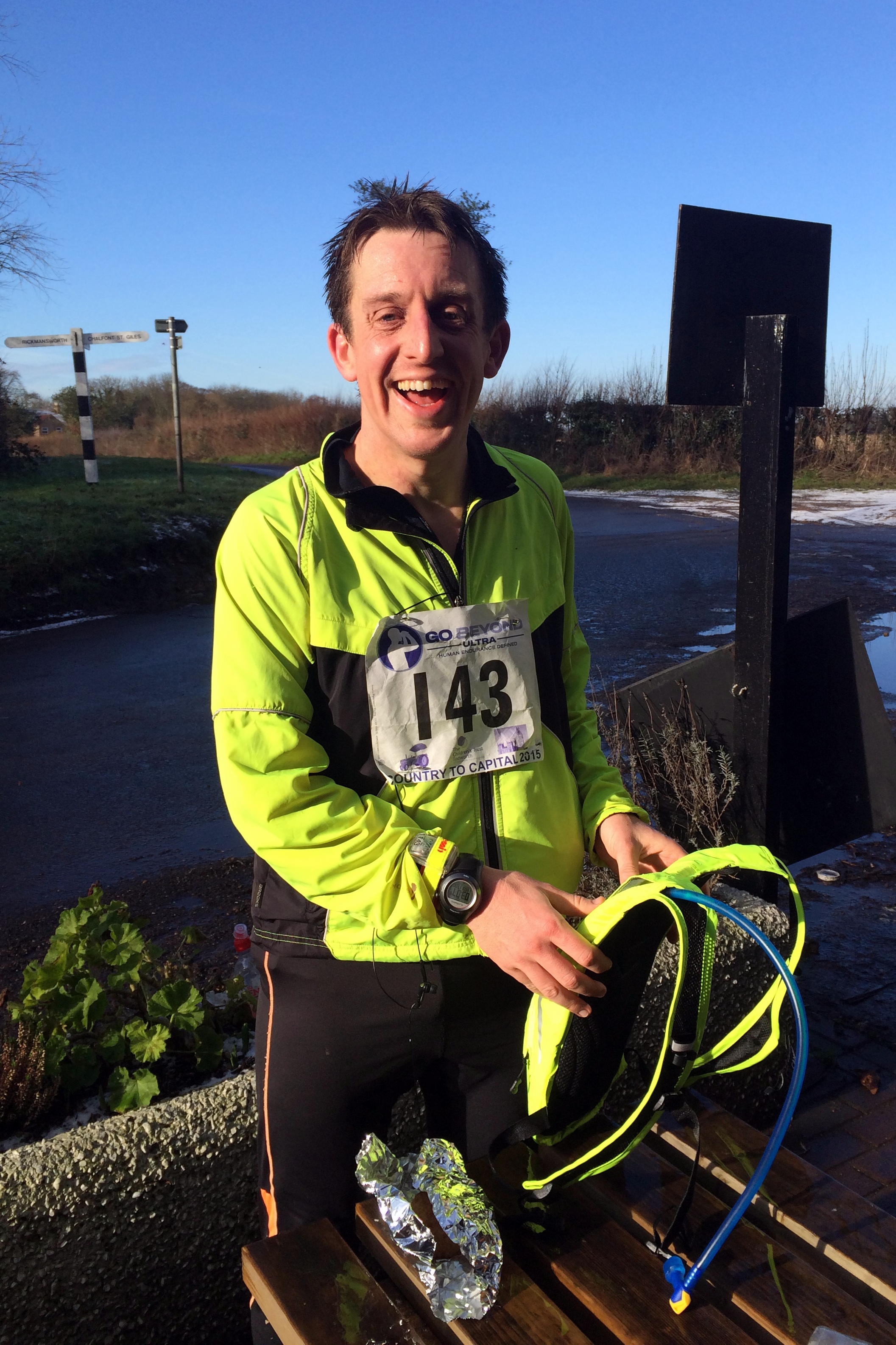
When: January 26th 2015
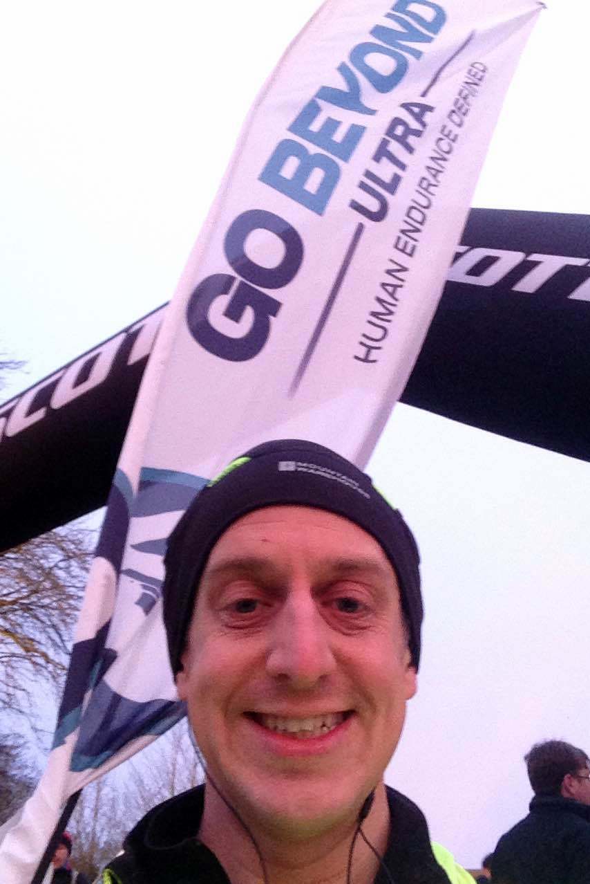
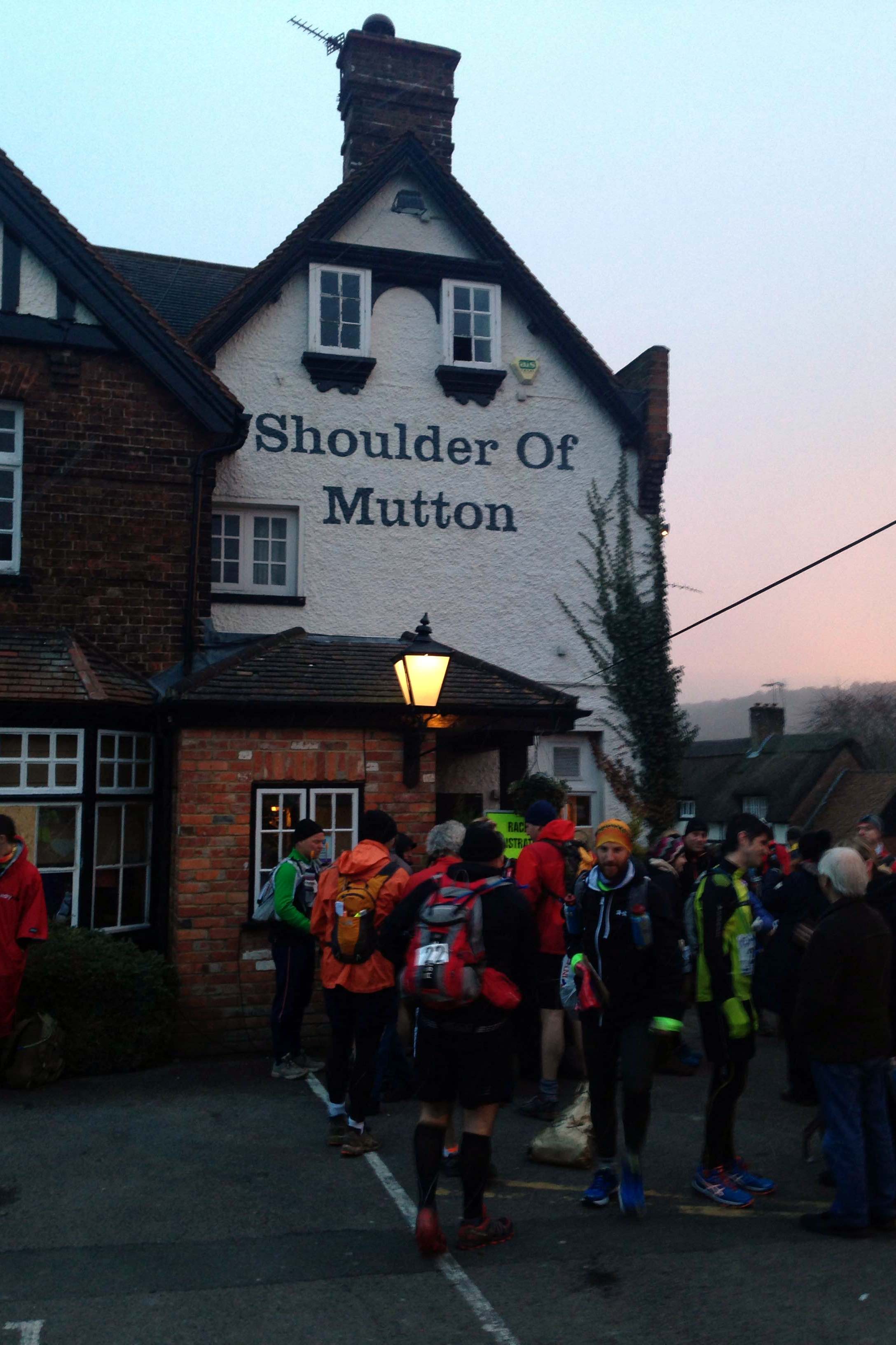
From: Shoulder of Mutton, 20 Pound St, Wendover, Aylesbury HP22 6EJ
To: Little Venice, London W2 6ND
Distance: 68 km (43 miles)
Elevation Change: +573m / -678m. Net +105m
GPX File: get via Buy Me a Coffee
Other routes touched (walk): Chiltern Link, The Ridgeway, Chiltern Way, Chiltern Heritage Trail, Chess Valley Walk, Grand Union Canal Towpath, London Loop, Colne Valley Trail, Beeches Way, Shakespeare’s Way, Hillingdon Trail, Capital Ring, Jubilee Greenway
Other routes touched (cycle): Hampden Route, Harding Route, Milton Route, NCN 57, 6, 61, Chilterns Cycleway
Maps:
- OS Explorer Map (181) Chiltern Hills North
- OS Explorer Map (172) Chiltern Hills East
- OS Explorer Map (160) Windsor, Weybridge & Bracknell
- OS Explorer Map (173) London North, The City, West End, Enfield, Ealing, Harrow & Watford
Finish time: 9 hours 54 minutes
Links: Wendover, Ballinger, Chesham, Latimer, Chenies, Chorleywood, Denham, Grand Union Canal, Uxbridge, West Drayton, Hayes, Greenford, Alperton, Little Venice
Of all of the events on the Growlerthon list for this year, the Ultra Marathon was the one I was most excited and nervous about. I was pretty confident that I could do the others but 45 miles was significantly further than any distance I had ever run before. It all seemed like a good idea last summer when I was talking to my friend, Mat, at a summer party, about his recent successful first Ultra. The next day I had signed up for “Country to Capital”, a 45 mile run from Wendover in the Chilterns to Little Venice in London.
Two days before the race I was wondering if the complete lack of long distance training was going to be a real problem or not. I was having dreams that week about “ultra disasters” such as getting off-course and lost in London or arriving to the start without running shoes and socks, and having to run in borrowed hiking boots.
Other than the lack of training, I felt pretty good on the morning of the event. I was halfway into “Dry January” so I had 2 weeks off alcohol as well as a week of carbing-up and some early nights. I stopped looking at the weather forecast days ago as it was only getting worse as the weekend got nearer.
Arriving at the start at a pub in Wendover I was relieved that the forecasted snow hadn’t happened. About a second after I posted an update about it on Facebook the snow started.
The pub was fairly chaotic, packed with scarily fit people checking-in, getting changed and filling up on bacon rolls. Everyone I spoke to was on top form and eager to share stories and advice about the run. Worryingly everyone I spoke to had done several Ultras before and no-one else appeared to be doing it for the first time.
Despite the warnings of my anxiety dreams I had a near miss when I accidentally checked my hat and gloves into the kit-van, which was going to be driven to the finish. Luckily I was able to fish them out before it was too late, much to the amusement of the organisers.
The best piece of advice came from a veteran Ultra runner at the start line: “Stick to your game plan” he said. “If you’ve planned a pace, don’t get overexcited or distracted by other runners. Just do what you planned for”. His other advice, echoed by several others during the day, was that these events would get addictive. One girl at the start told me she had done her first the previous summer and this was now her 4th. Given my obsessive nature with these kind of events I already had a feeling I would be back for others.
At 08:30 the clock started and 350 runners filled Wendover high-street. The pack soon thinned as the course headed along paths and tracks out of town and into the Chilterns. The first section from Wendover to Chesham was beautiful. The small villages and woodland were now more like Christmas card scenes with the snow settling due to a mini-blizzard at mile 2.
My plan, carefully worked out on a spreadsheet, was to run sets of 3 x 10 minute miles followed by a 15 minute fast-walk mile and a 15 minute rest at each check-point. At Checkpoint 1 at Chesham this was working well.
This second stage was both hillier and harder to navigate. There were no direction makers on the course, so we were all given maps to follow. For the first stage I kept at least 5 runners ahead of me in sight leaving the navigation up to those in front. By the second stage the group was thinning out a lot more and there were larger gaps between runners. There were several occasions where I arrived at a junction and a group of runners were returning back to the route having taken a wrong turn. I was pretty lucky to have kept on the right path throughout.
Just outside of Chesham the route went through a large playing field. This became quite disorientating for the group splitting it into 3 streams, one going down each side and one through the middle to find the path at the other end. The actual path then crossed a fast flowing stream passable only by slippery and wobbly logs laid out as stepping stones. Many slipped and got one foot soaked with at least one runner going all the way in.
The second stage, Chesham to Chalfont via Chorleywood, was trickier overall but the plan was still working and I made it bang on time to Checkpoint 2, where my support crew (Timi and Mum) were waiting.
By Stage 3, Chalfont to Cowley, I was on home turf and navigation was easy as I’d ran and cycled every path around there in the last few years. By the time I hit the Grand Union Canal at Denham I had lost some time due to some really muddy hills after Checkpoint 2. The game plan that worked so well for the first half was proving too optimistic for the second and each mile was getting somewhat slower.
Timi and Mum were waiting for me at Checkpoint 3 just like at all of the following ones. This was a big morale boost and made a great day even more special. Timi had become my official social network agent for the day, posting my progress on Facebook throughout. Seeing the supportive likes and comments at each Checkpoint was another great motivator. By now I was 25 miles in, just under a full marathon and feeling good, despite slowing down.
From here to the finish the navigation was easy: just follow the Canal and don’t forget to take the Paddington arm at Bulls Bridge. The group had really thinned out by now and for most of the time I could only see 1 other runner ahead in the distance and 1 behind me. This was the point where the iPod had become essential kit and I was ploughing through the Podcasts.
At Checkpoint 4, 31 miles in, it started to get dark and the marshalls made sure we had our head-torches on. We also got paired up with other runners for safety. This already seemed like a good idea as the canal becomes a magnet at night for groups of shifty looking people roaming around smoking and drinking. The frequent “missing person” notices stuck to trees and bridges weren’t a confidence booster either.
Julian, a friendly guy from Milton Keynes, became my running partner for the next 3 hours. He’d completed a few Ultras before and would probably have been faster than me but was suffering badly from stomach problems. He put it down to using the free carb gels they were giving out at each checkpoint rather than the ones he’d trained with. Whatever the reason, I was glad to have someone running at the same pace. I’m always concerned about running with someone either too fast or too slow, both not wanting to hold anyone back or feeling compelled to go faster than my own pace.
The final 10 miles was all about finishing, as a fast time at this stage was neither possible or wanted. We had slowed down to 16 minute miles of fast walking, finding a pace that was comfortable as long as we didn’t stop. At the last 2 Checkpoints we stayed only for a few minutes to get more food and water, fearful that if we stopped for longer we wouldn’t start again.
As the end got closer the route become darker and surroundings more industrial. I love cycling and running the canals as you get a diverse mix of country and industry. This part of London had little in the way of pleasant scenery, so the lack of light was mostly a blessing. The head-torch was now the essential kit, keeping us on the path and out of the canal.
Eventually the tall buildings of the new development at Paddington came into sight and the end was near. Checkpoint 6, the Finish at Little Venice finally came after just under 10 hours since the start. A massage and an ice-bath would probably have been the right thing but a warm-bath and a long sleep was really the only thing that I wanted.
One week on and things are mostly back to normal with only an ache in my left knee as a physical reminder. The 2 days following the race were tricky with a point on the following day I thought I had permanently damaged myself. By the 3rd day I was able walk upright again and able to tackle stairs without sitting on them.
A lot of friends asked why I did it and other events like these. The normal answers of the “challenge” and “achievement” are true but its not really that. The simple truth is that I just love the outdoors. The routes these adventures take me on are amazing and there’s no better way to experience them than to travel under your own power. I also love the organised events as there’s always a buzz from so many people with the same goal, often doing so for good causes. In a society where inactivity and obesity are rising I find it highly motivating to spend a day with people on the other end of the health spectrum.
The 2 bits of advice from the runner at the start-line both turned out to be true: stick to your game plan and expect it to be addictive. I may need a few weeks off but this won’t be my last Ultra.
Thanks you very much to everyone who supported me, from Mat who gave me the idea, to the “likers” and “commenters” on Facebook, those who sponsored me for the Growlerthon course and especially to Timi and my Mum as my amazing support crew for the day.