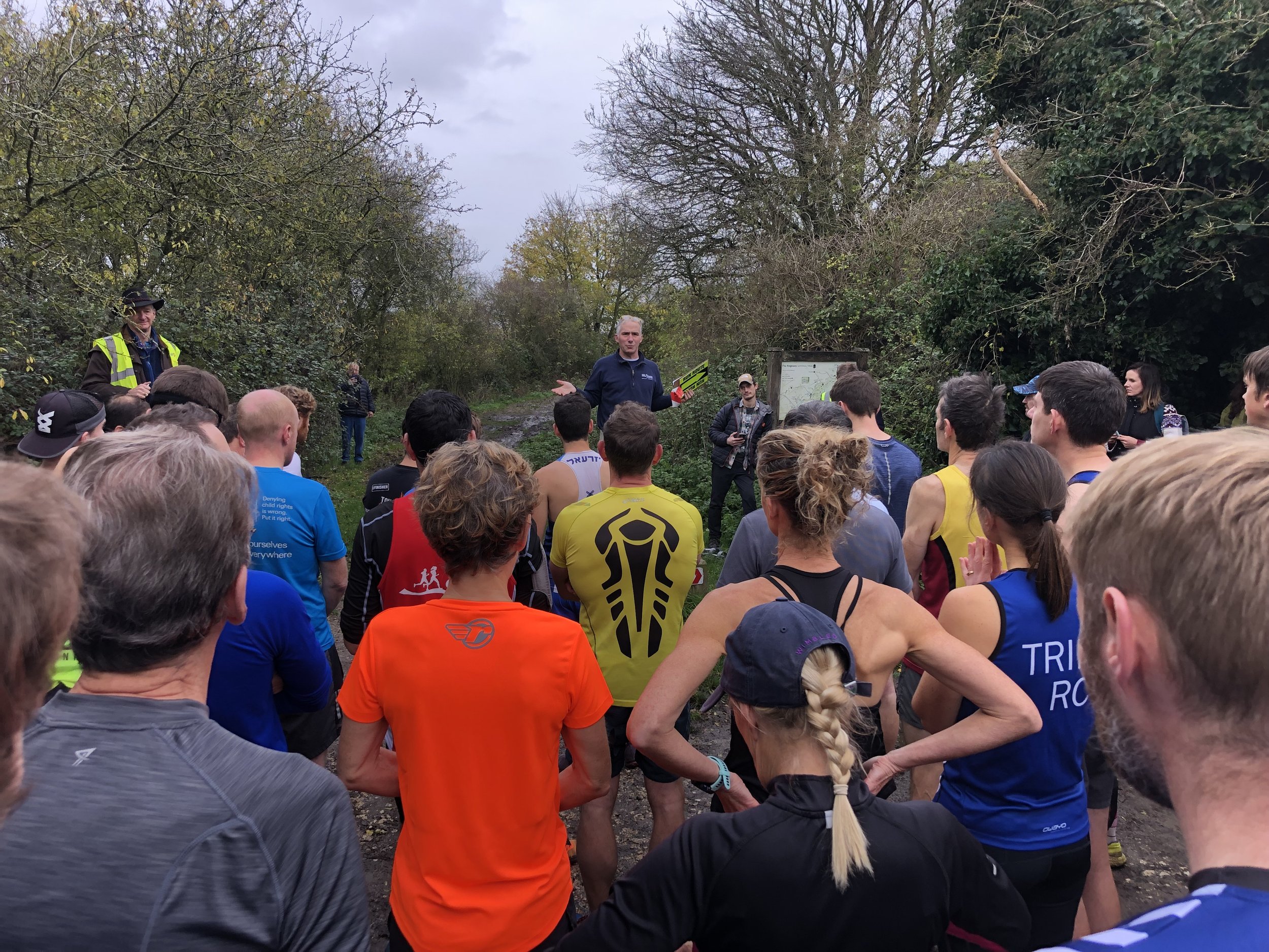
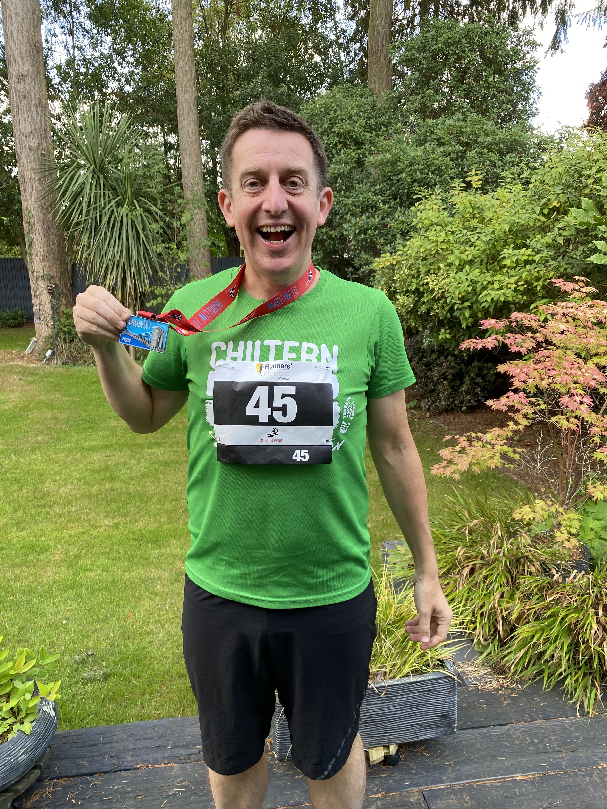
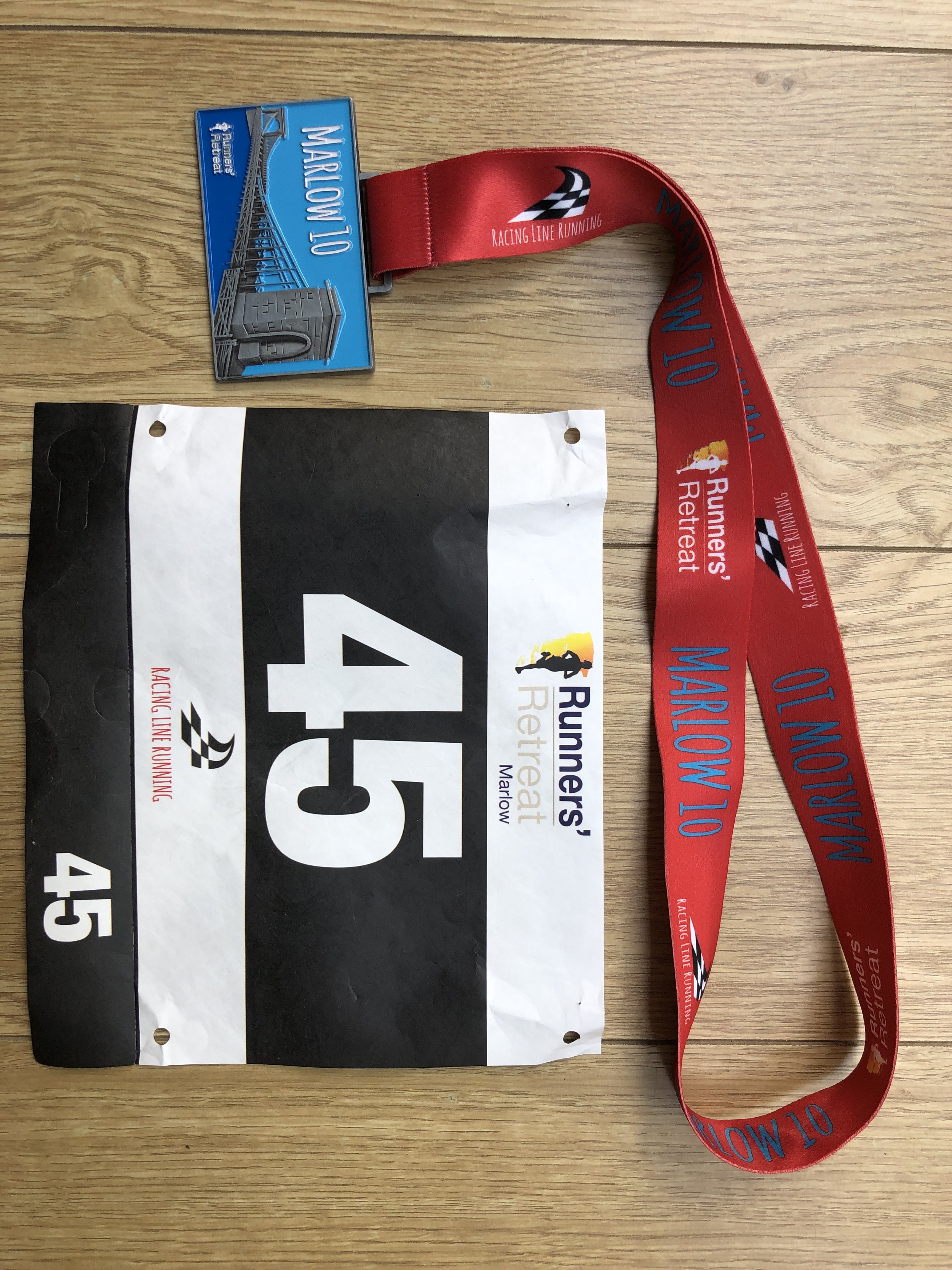
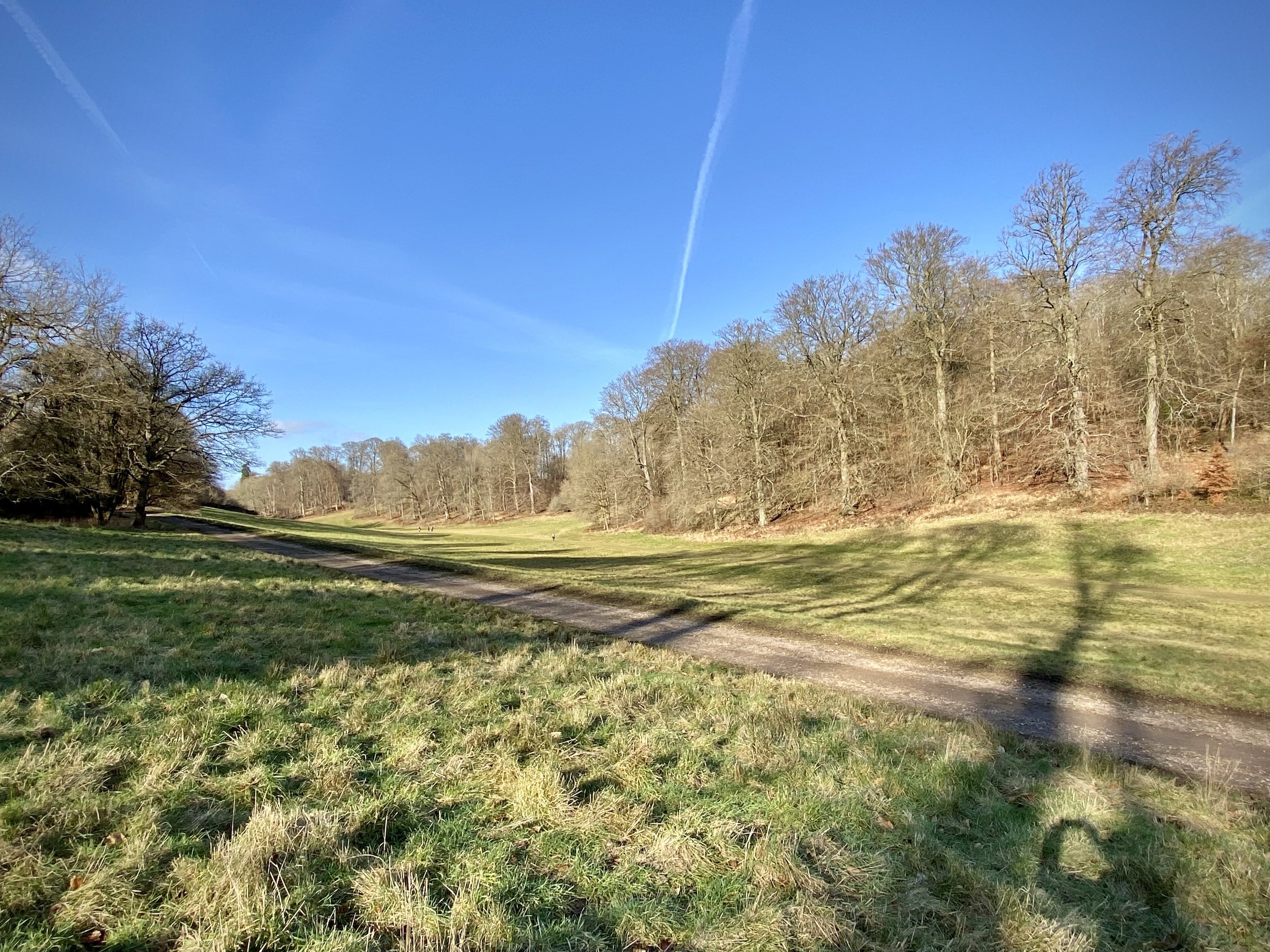
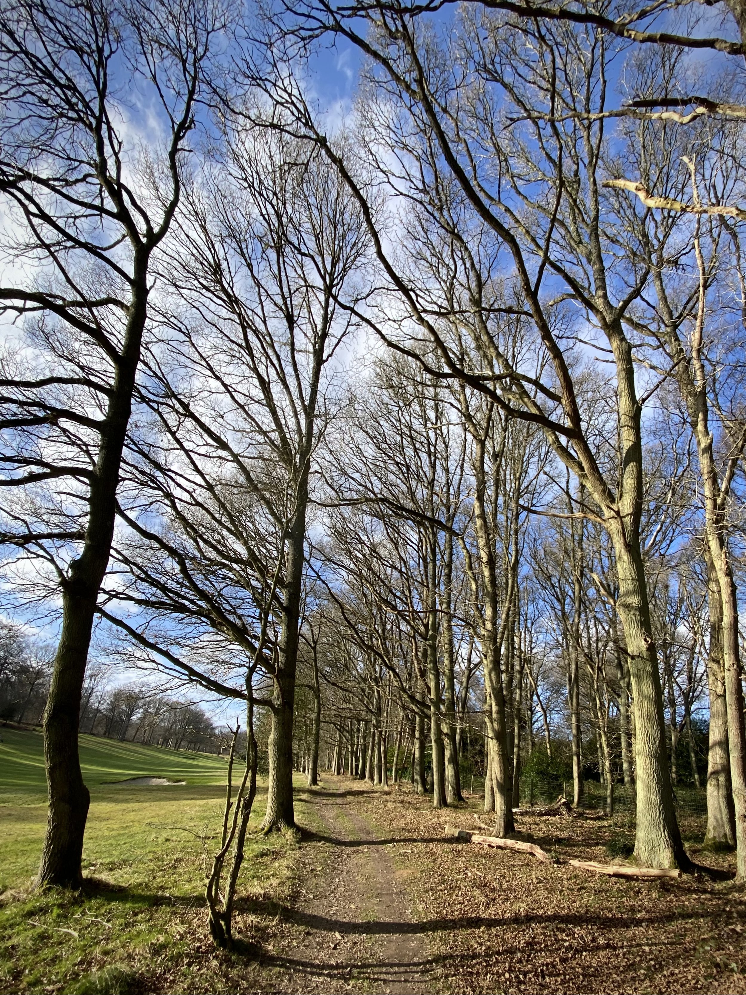
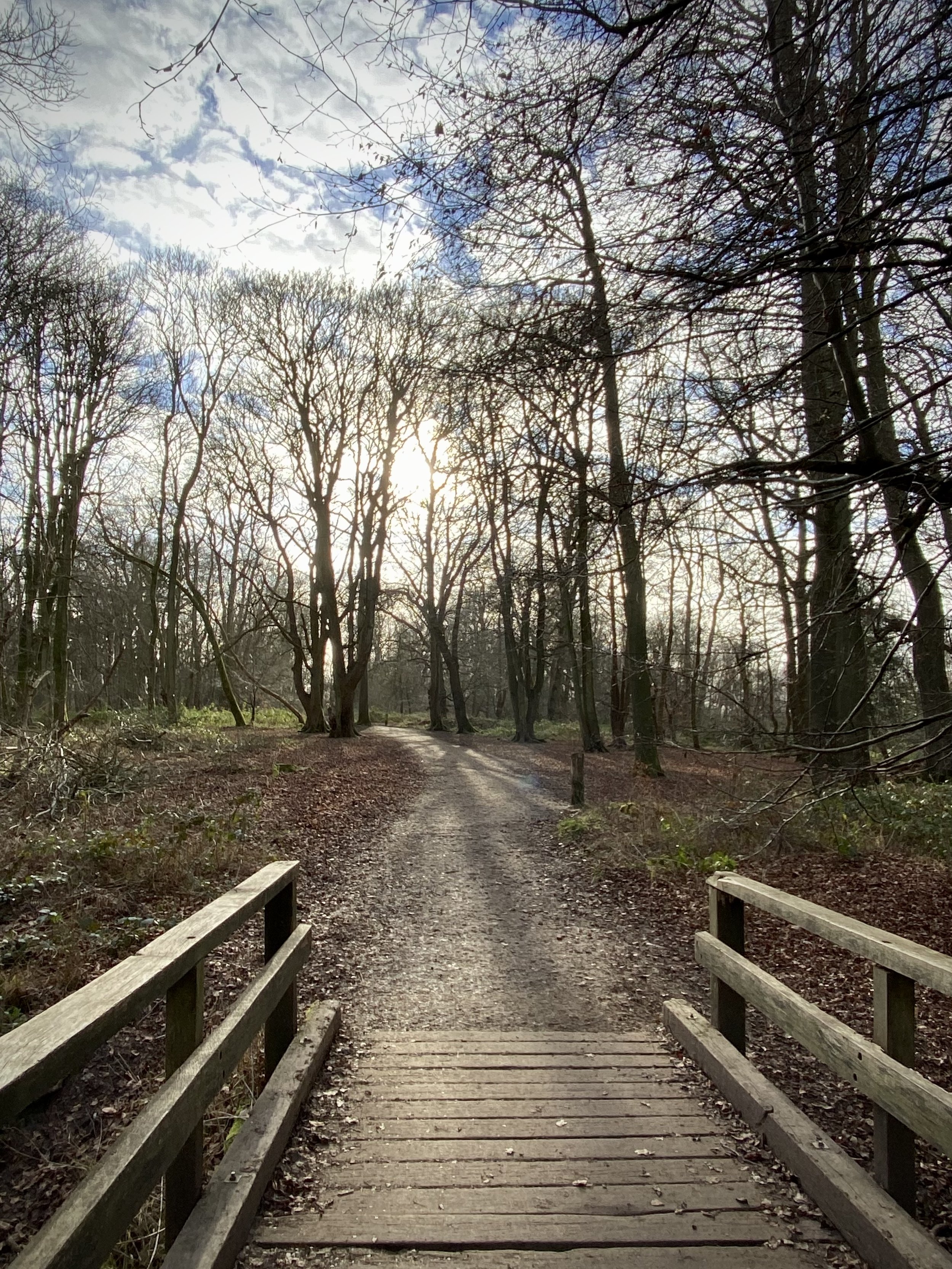
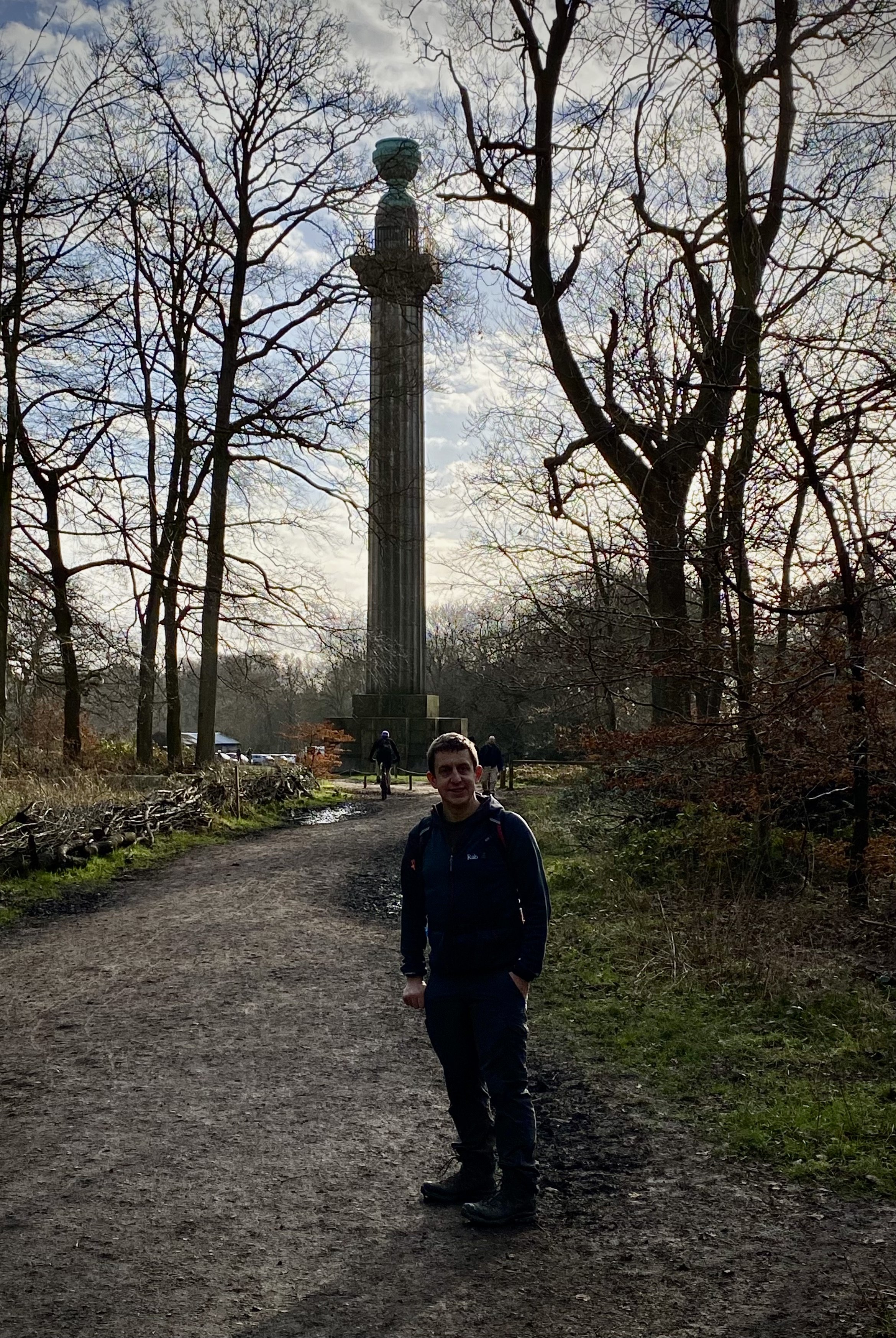
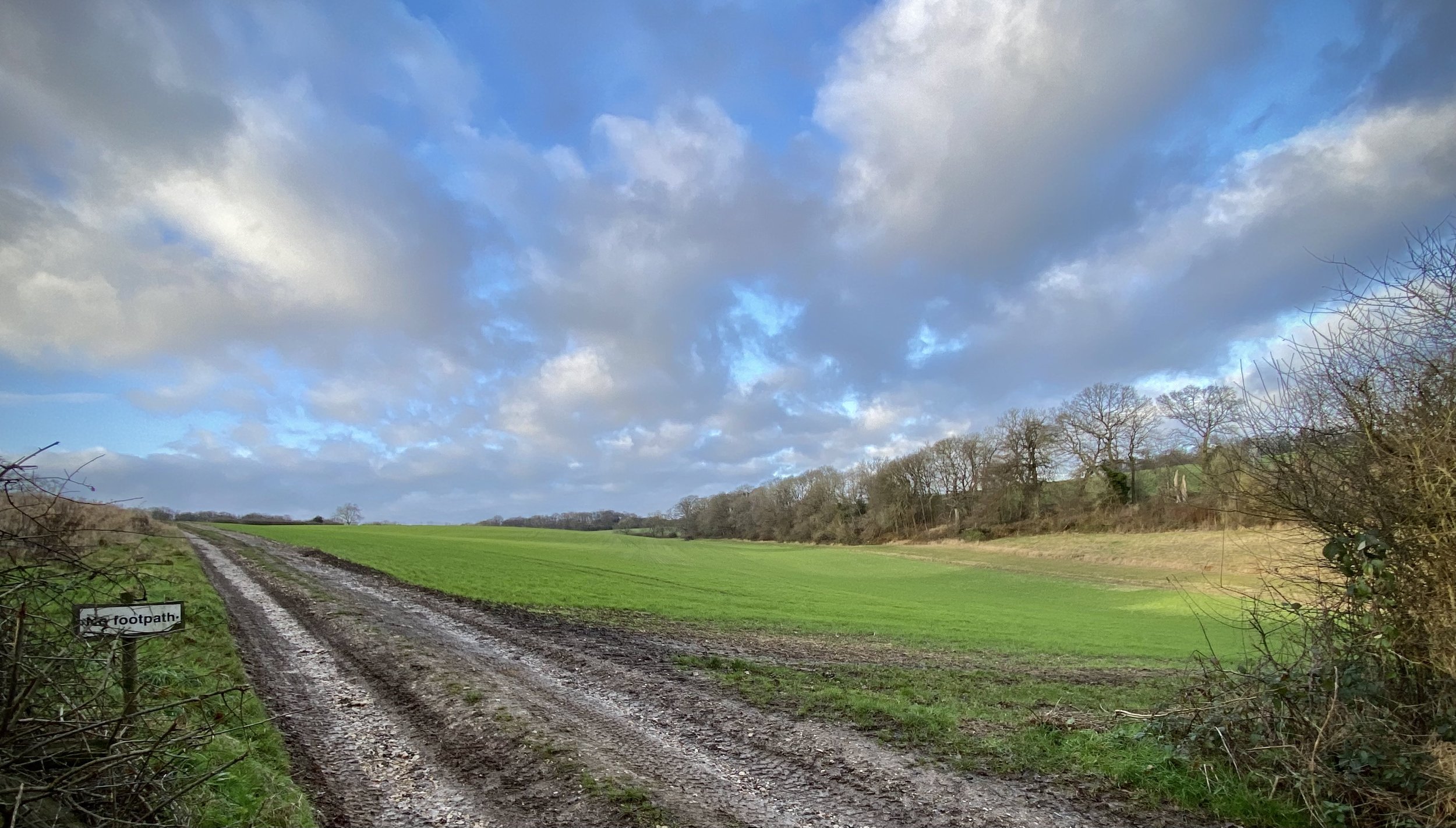
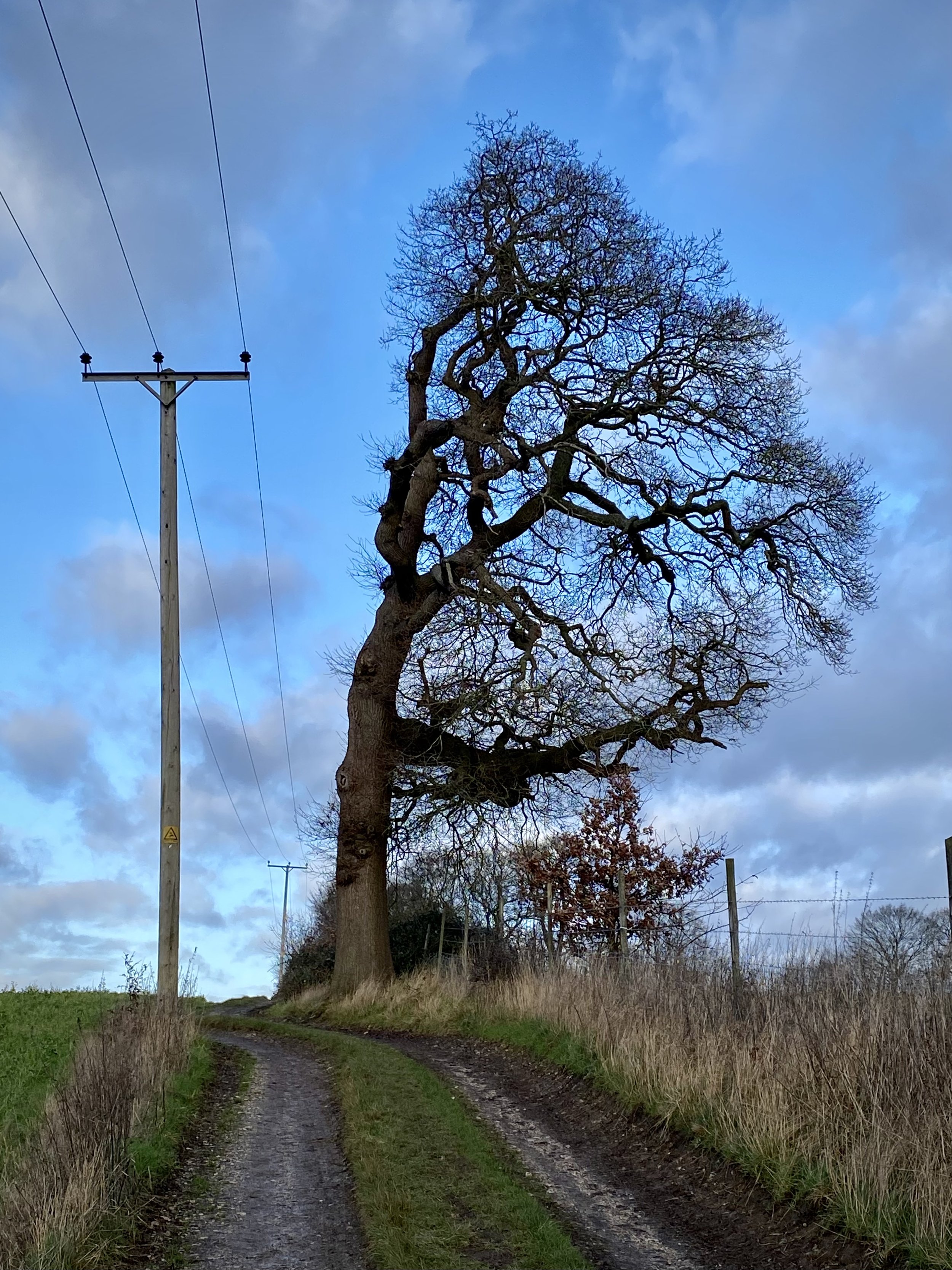
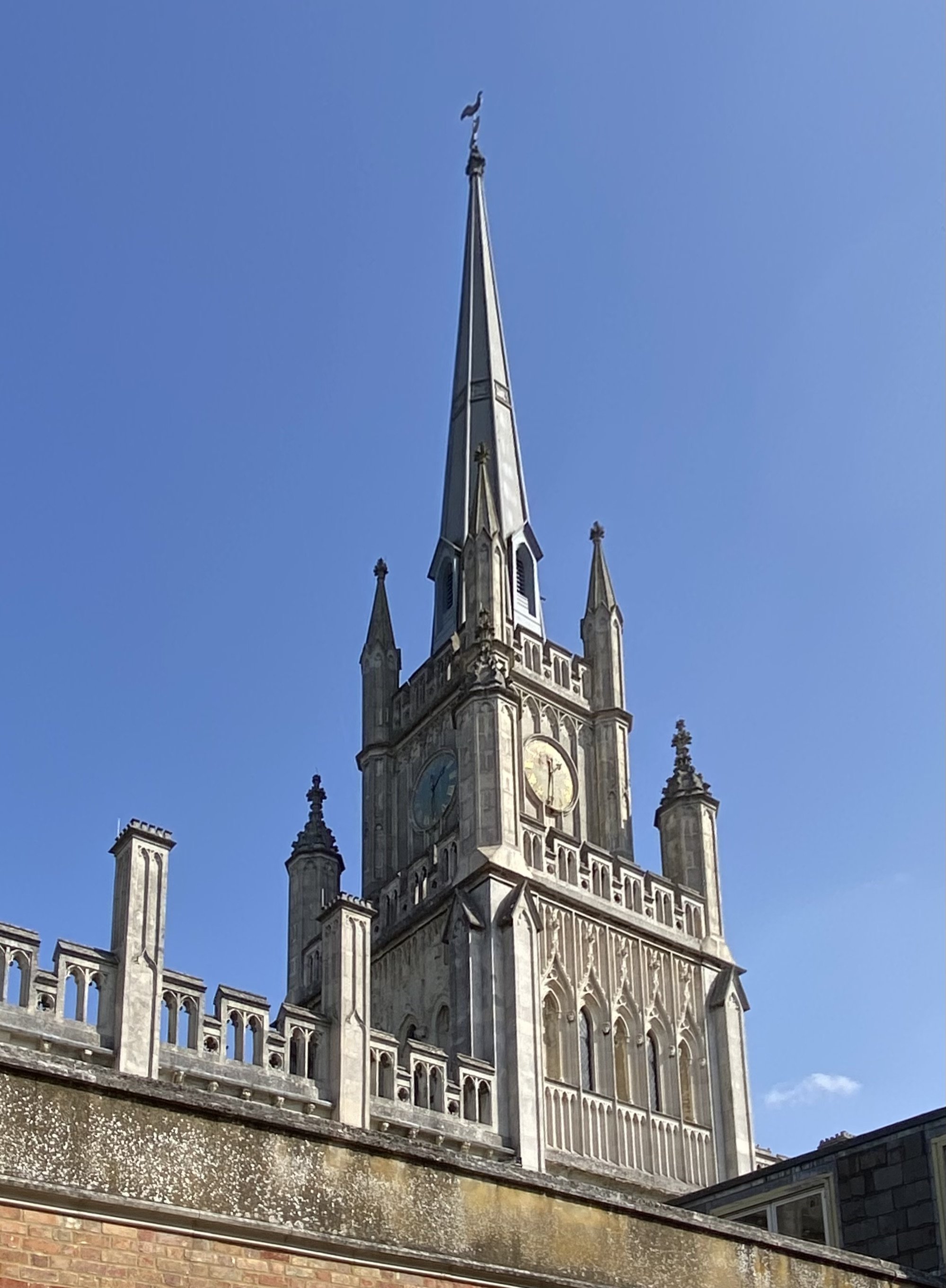
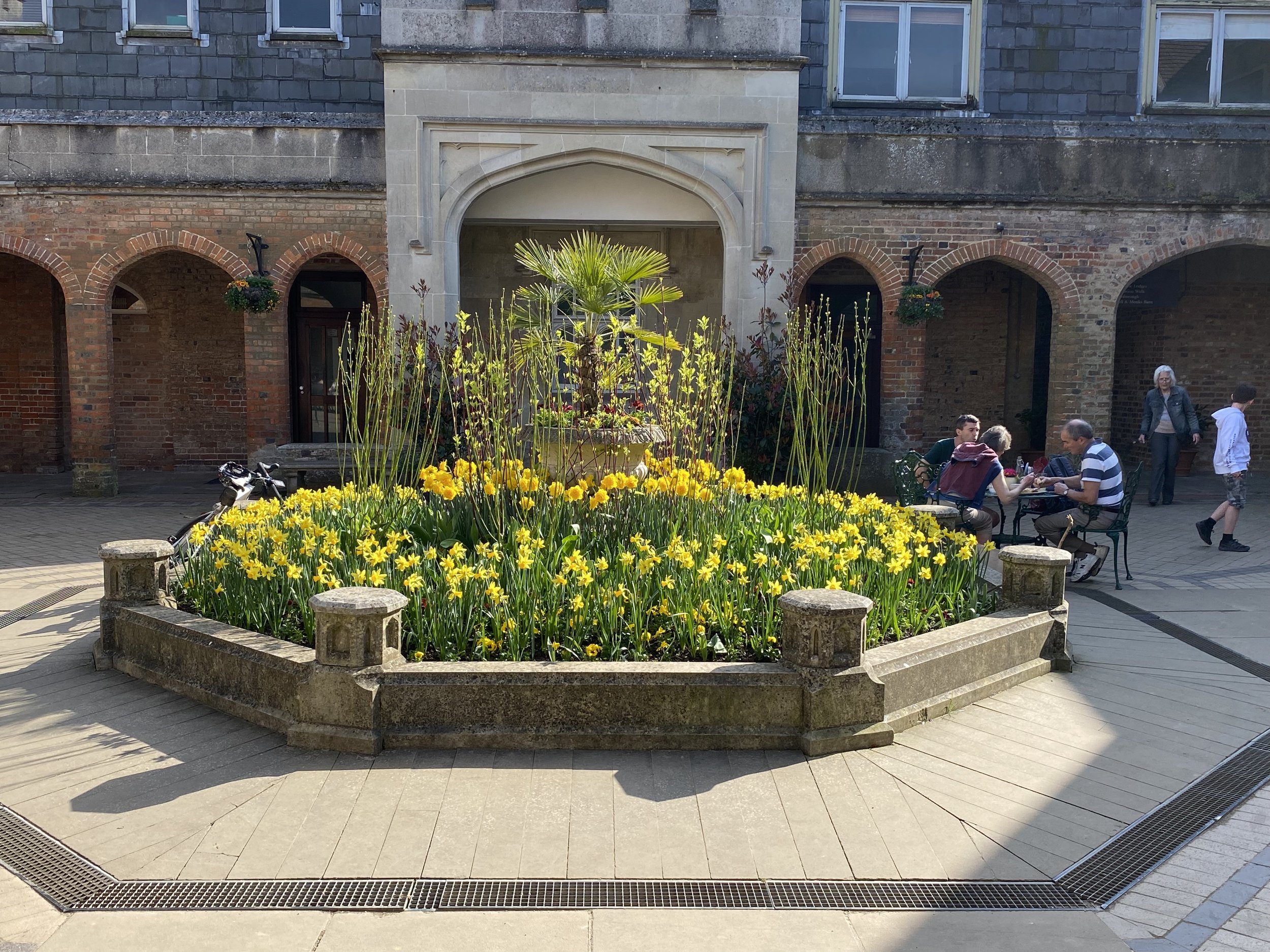
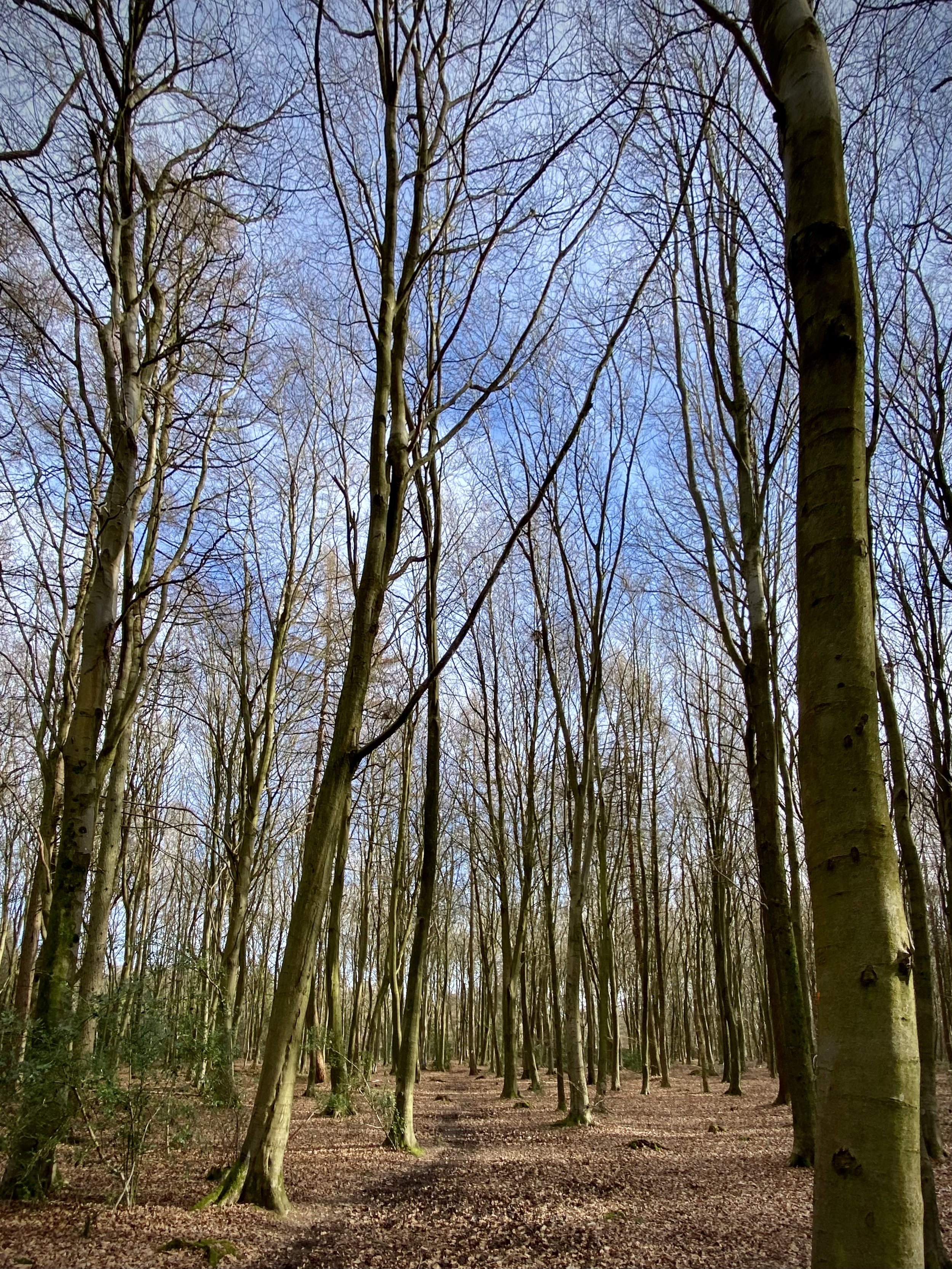
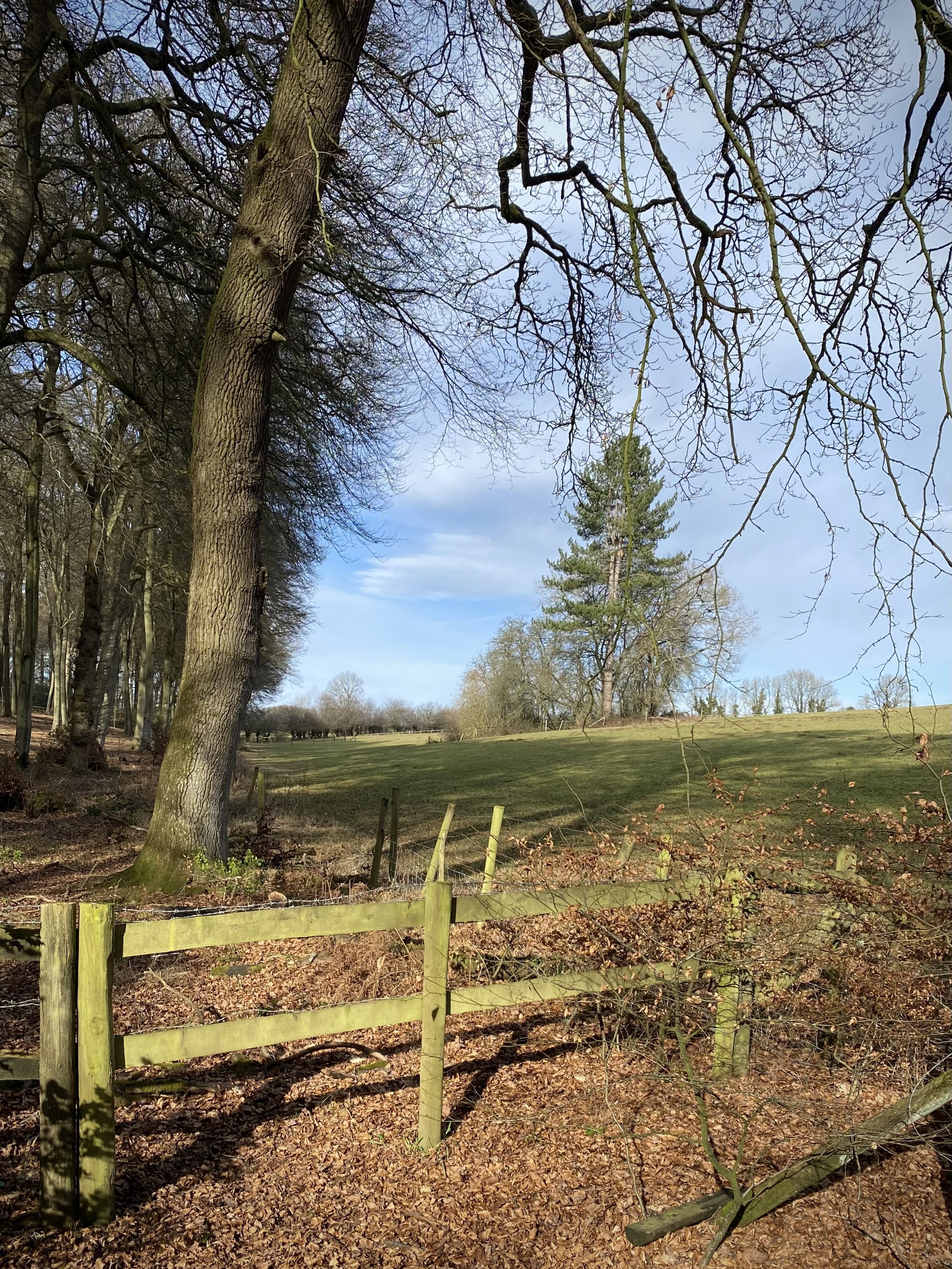
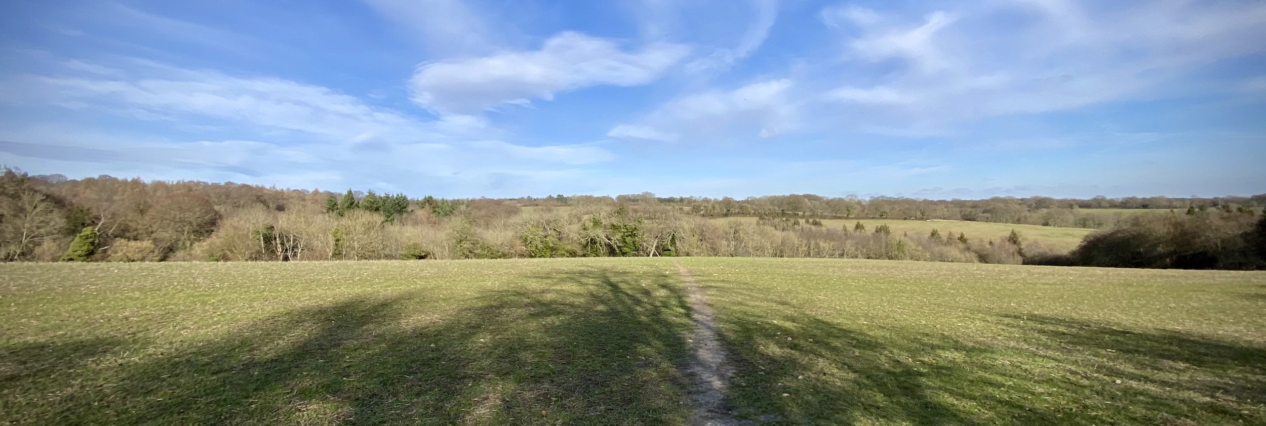
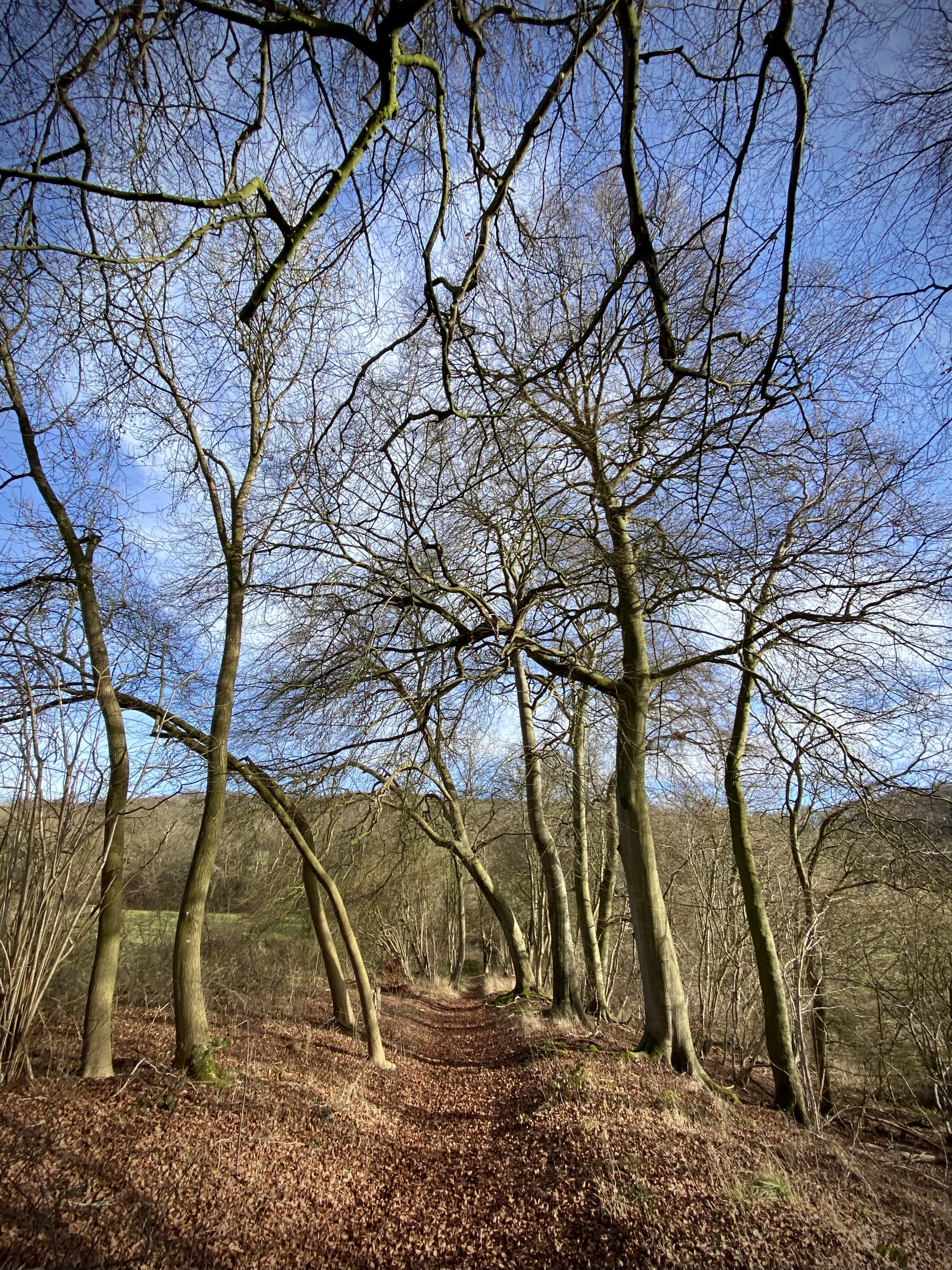
When: November 27th 2022
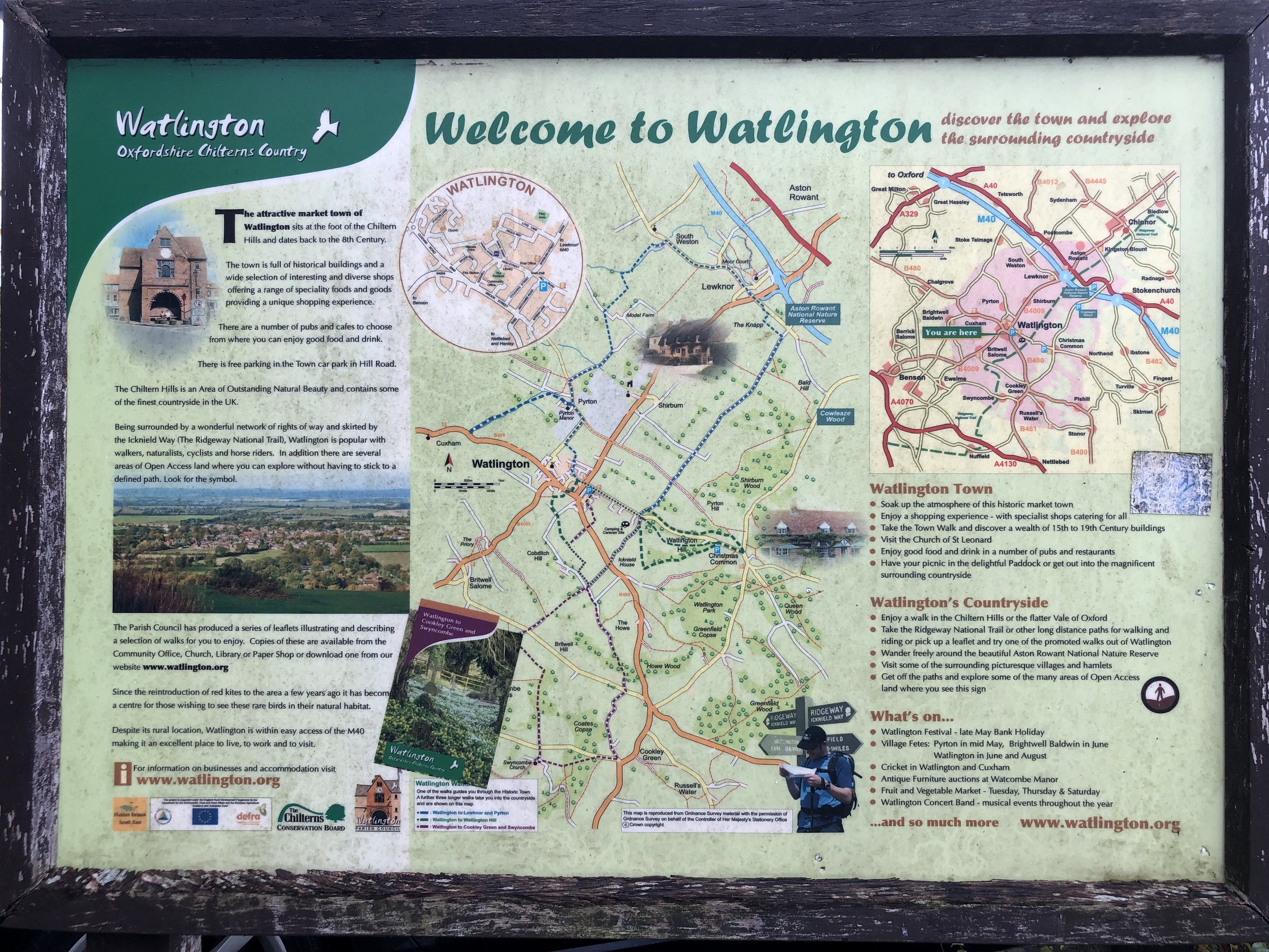
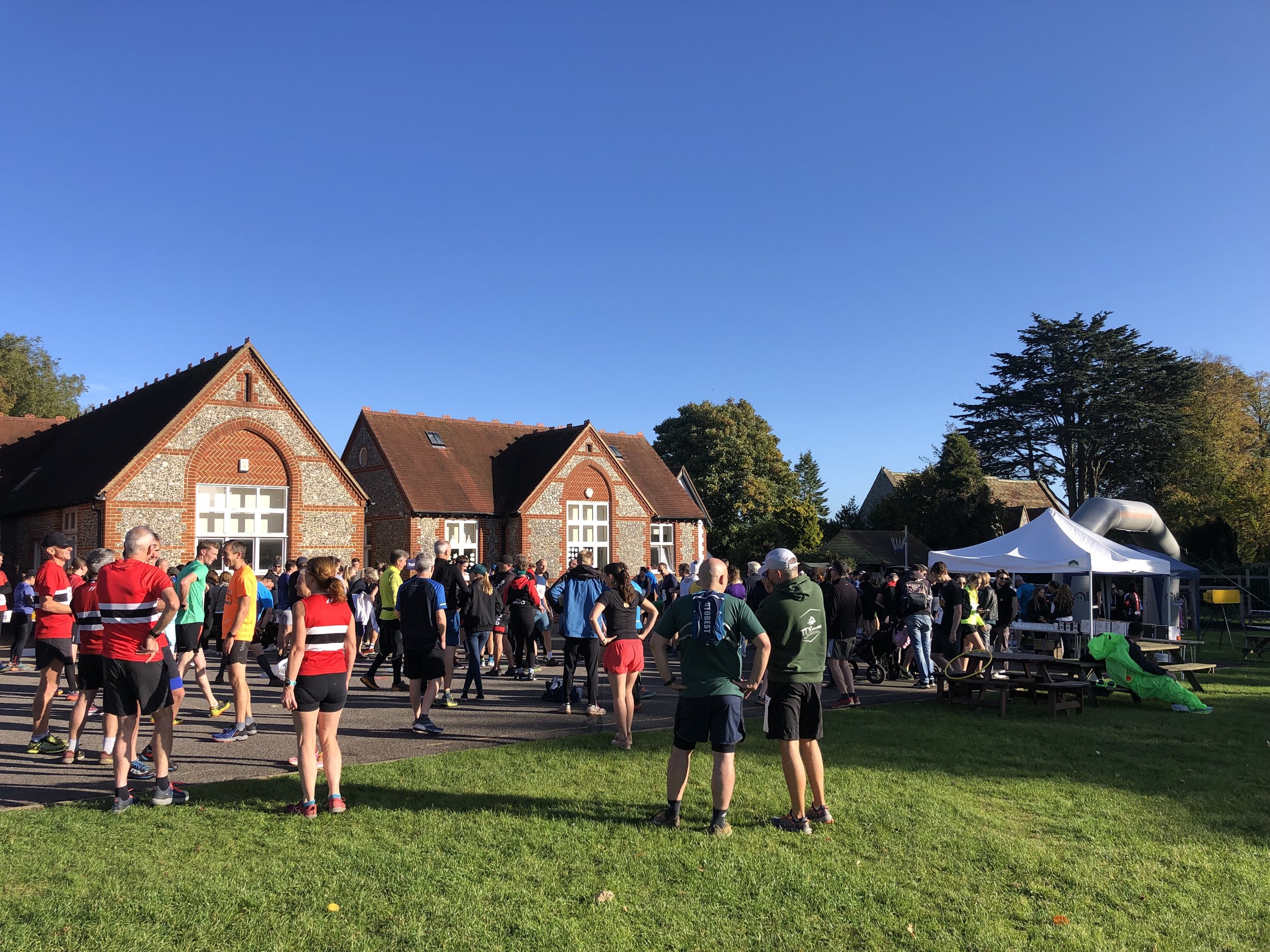
Where: Registration at The Spire and Spoke, 21 Hill Road, Watlington OX49 5AD. Start and finish at the junction of The Ridgeway and Hill Road.
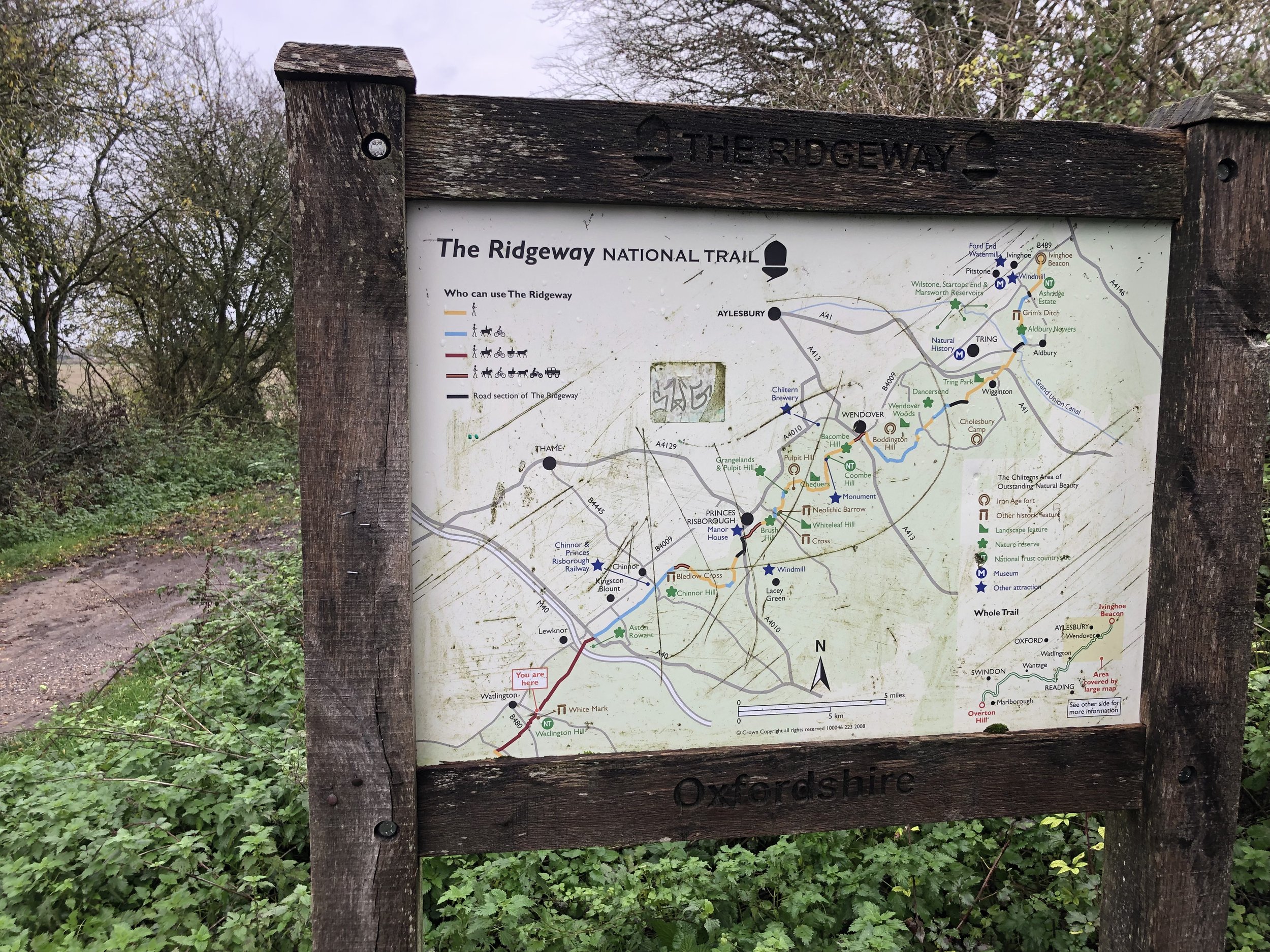
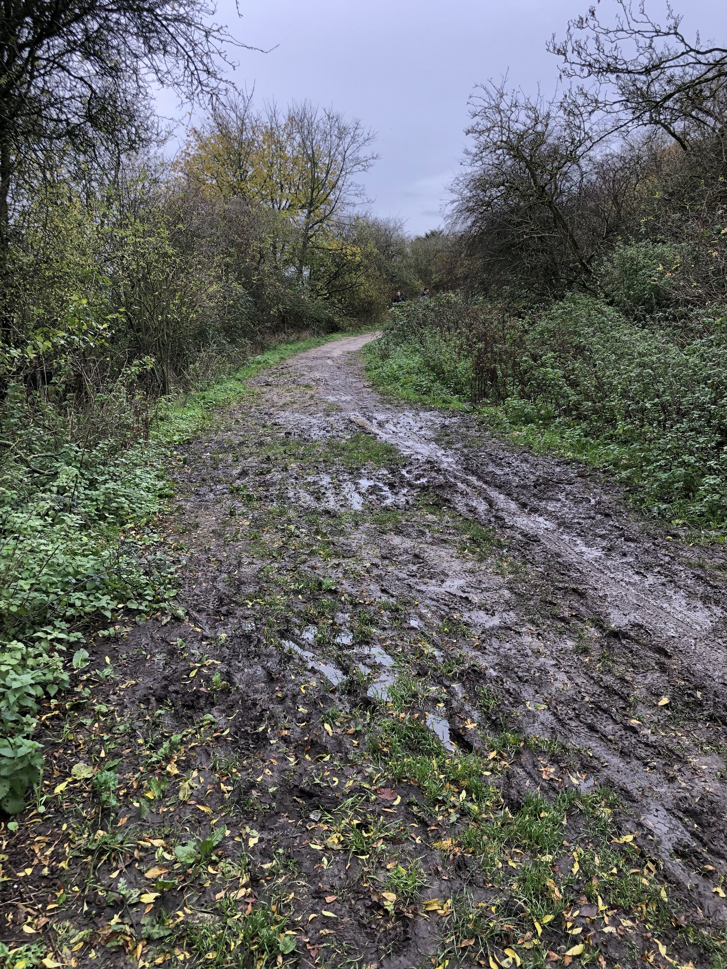
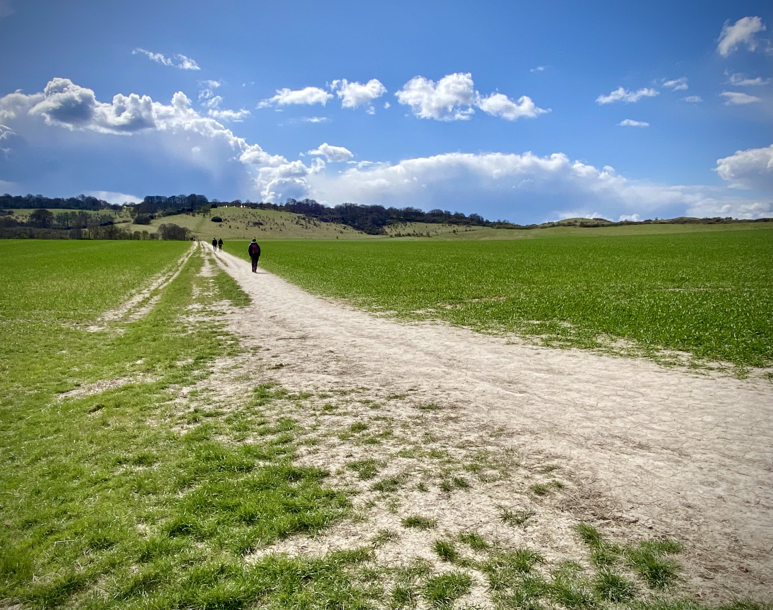
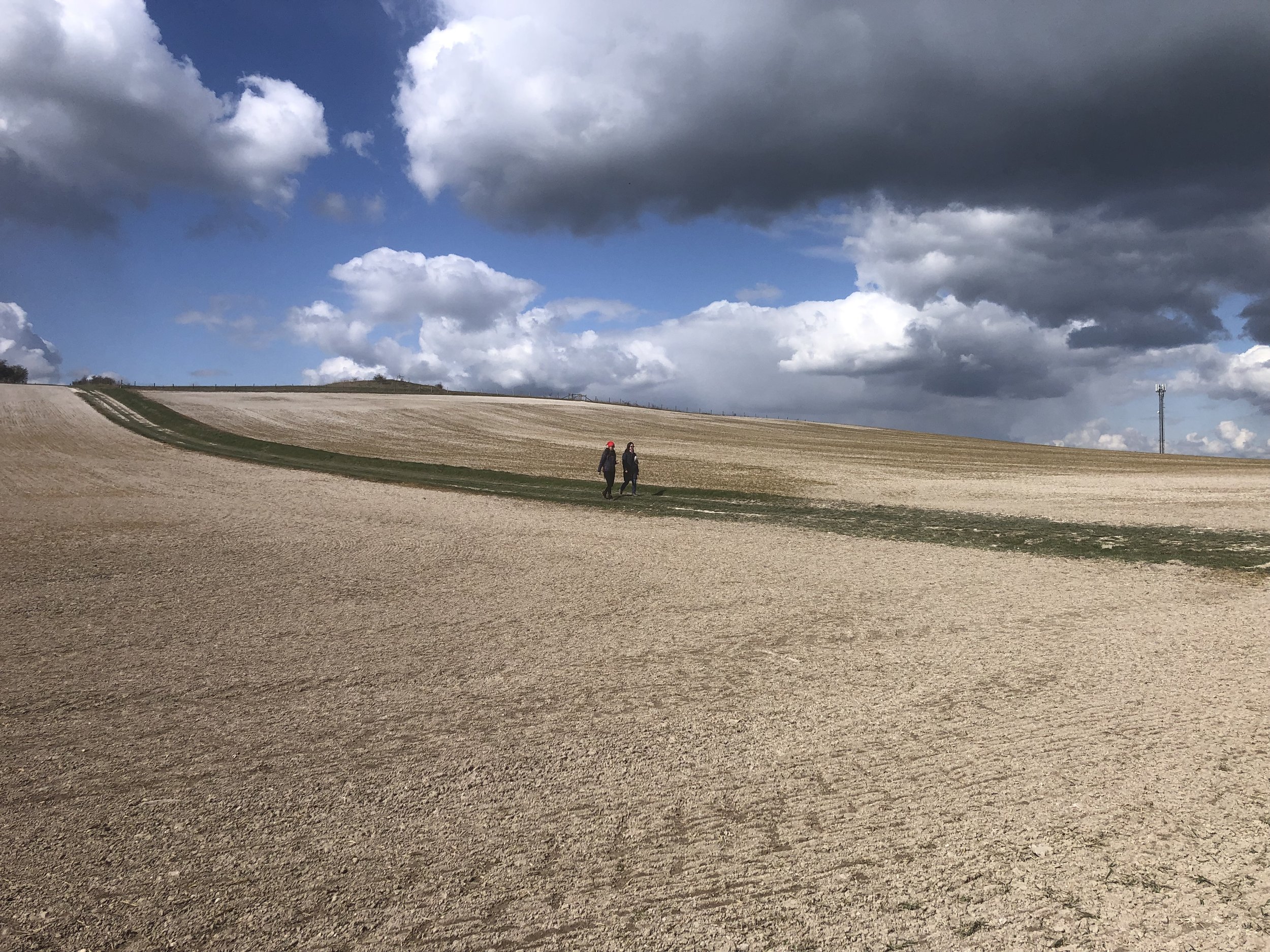
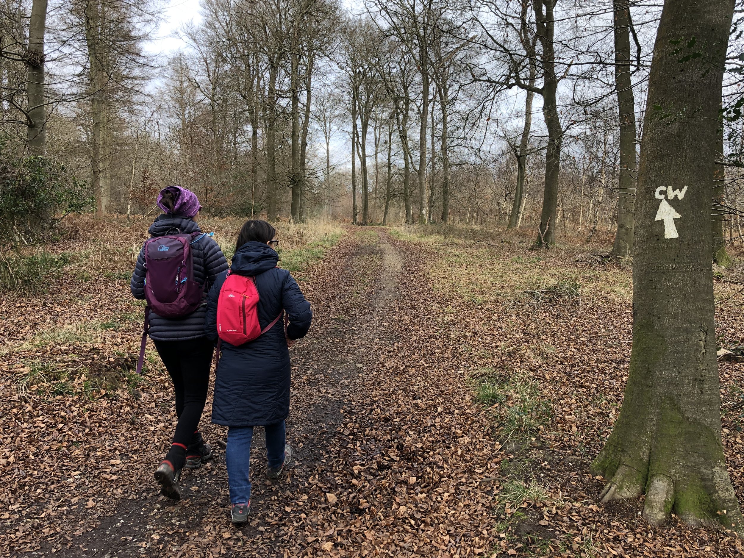
Course: Single clockwise loop along The Ridgeway towards the M40, then a hilly return via Shirburn Wood and Watlington Hill.
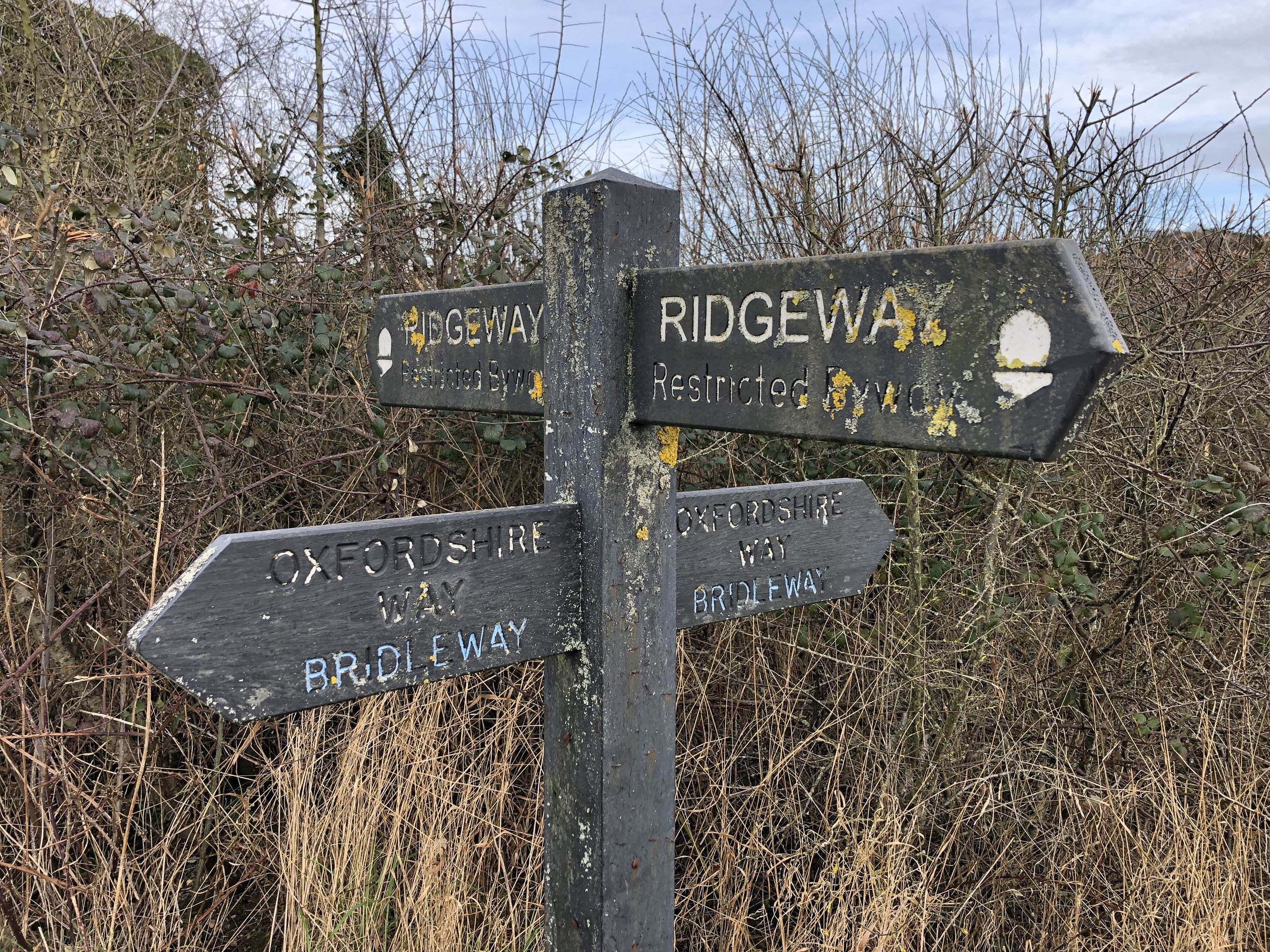
Other routes touched (walk): The Ridgeway, Oxfordshire Way
Finish time: 1h 10mins
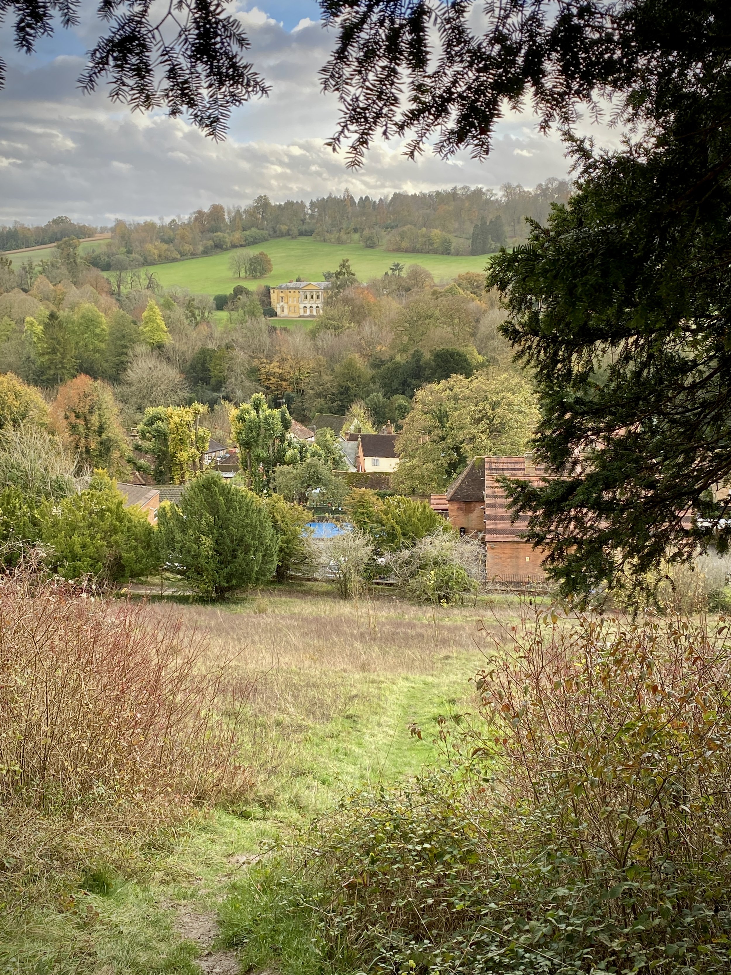
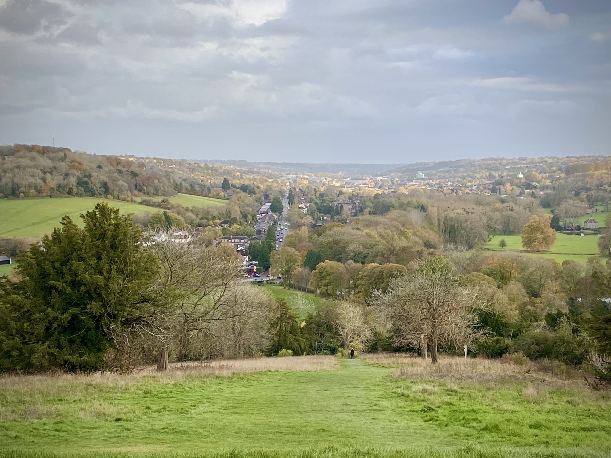
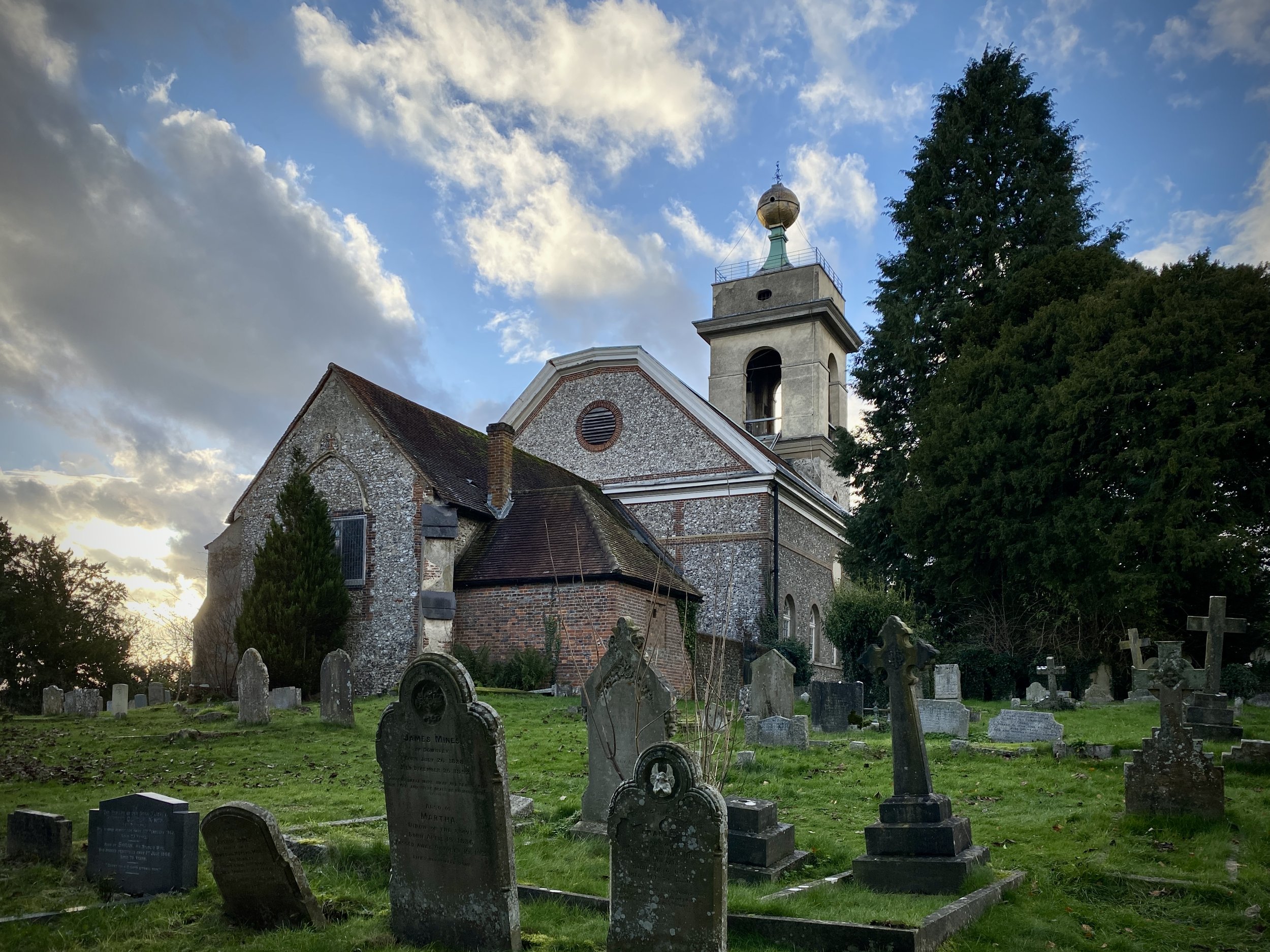
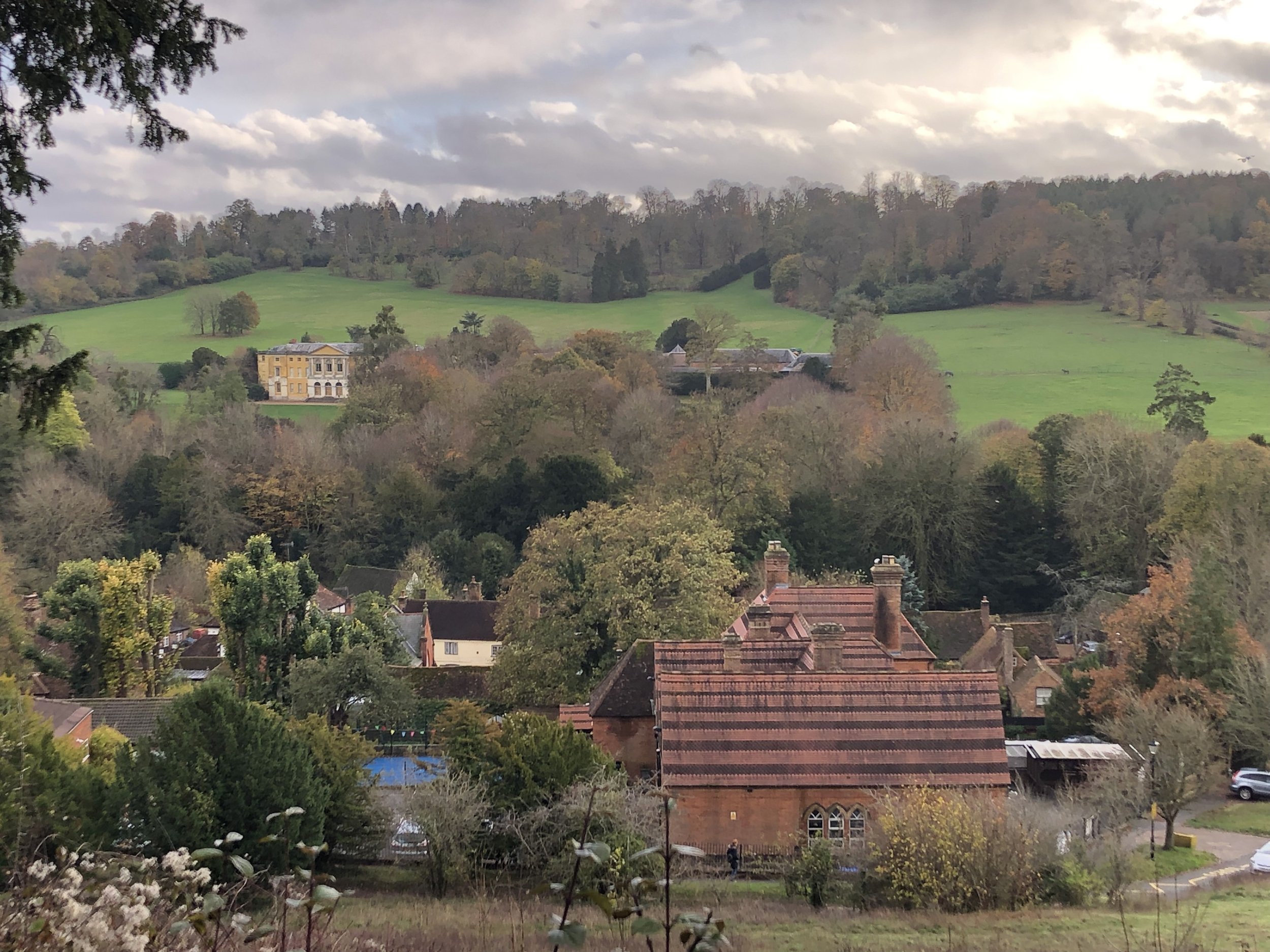
West Wycombe Hill
Start & Finish: The Dashwood Roadhouse, Old Oxford Road, Piddington, Bucks, HP14 3BH
Distance: 8 km (5 miles)
Elevation change: +/- 243m
GPX File: get via Buy Me a Coffee
Other routes touched (walk): None
Other routes touched (cycle): Chilterns Cycleway
Pubs / Cafes on route: The Dashwood Roadhouse at the start and end
Map:
- OS Explorer Map (171) Chiltern Hills West, Henley-on-Thames and Wallingford
- OS Explorer Map (172) Chiltern Hills East
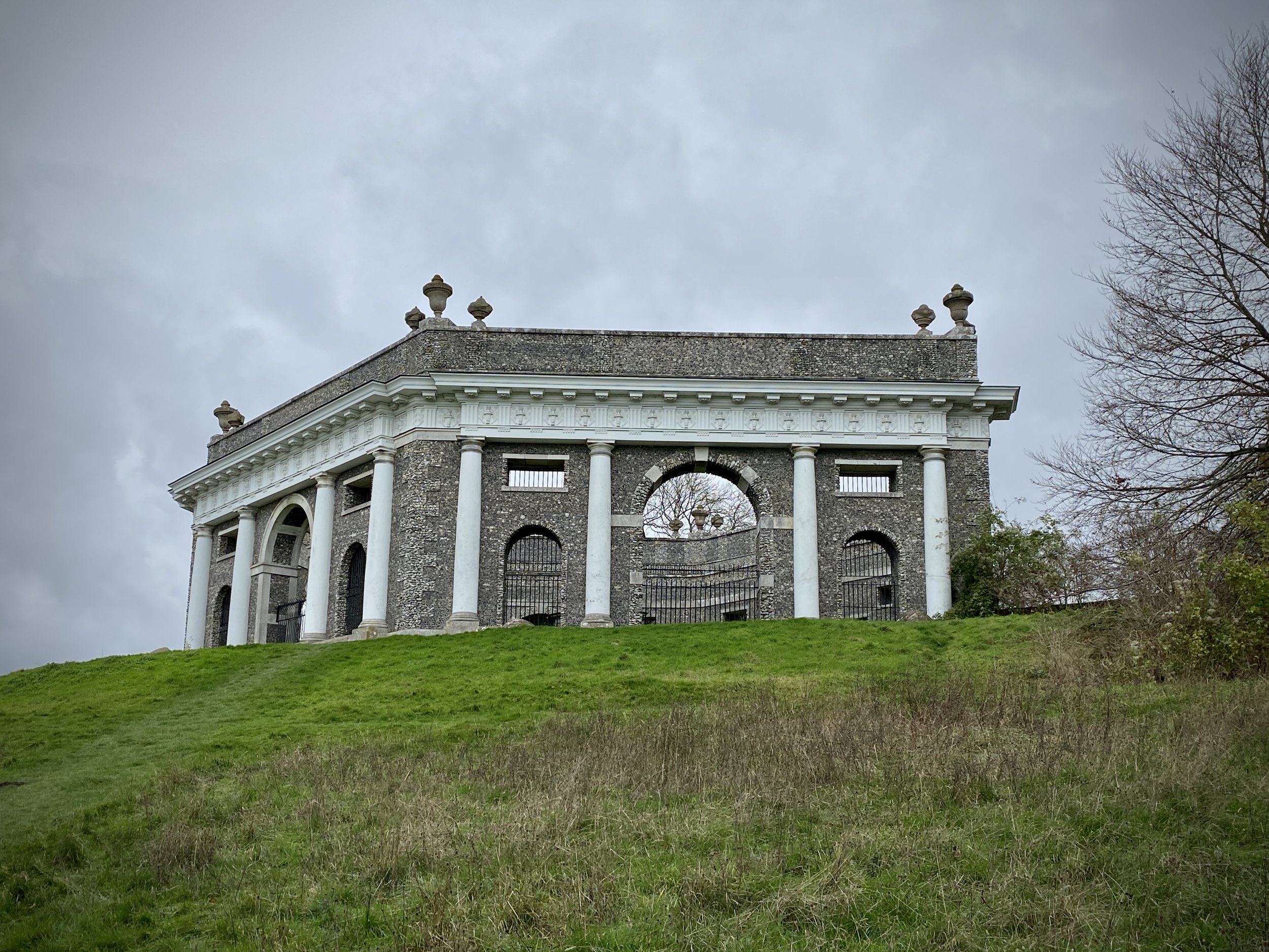
Links: Piddington, West Wycombe, West Wycombe Caves, Dashwood Mausoleum, National Trust - West Wycombe Park, Village and Hill
This is part of a series of short circular walks in the Chilterns. The guidance below will help you navigate but don’t use it as a fully accurate turn-by-turn guide. Always take a map and/or a GPX route and prepare well for the weather and terrain.
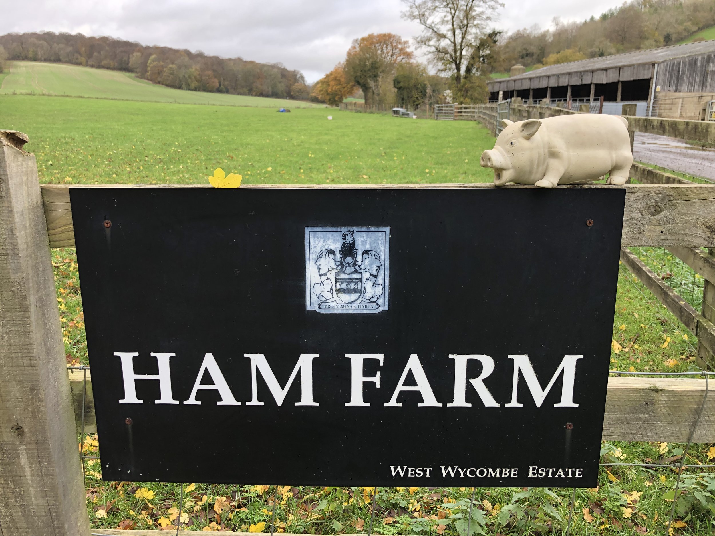
For this walk we parked outside the Dashwood Roadhouse, formerly the Dashwood Arms. The pub is on the Old Oxford Road which runs parallel to the A40. There’s plenty of free parking spaces outside of the pub. From the pub cross over the road and follow the private road into Ham Farm. Turn right after the first set of farm buildings and take the footpath that climbs the hill in a north-easterly direction. Continue on this path crossing over Bottom Road, Chinnor Road and Slough Lane.
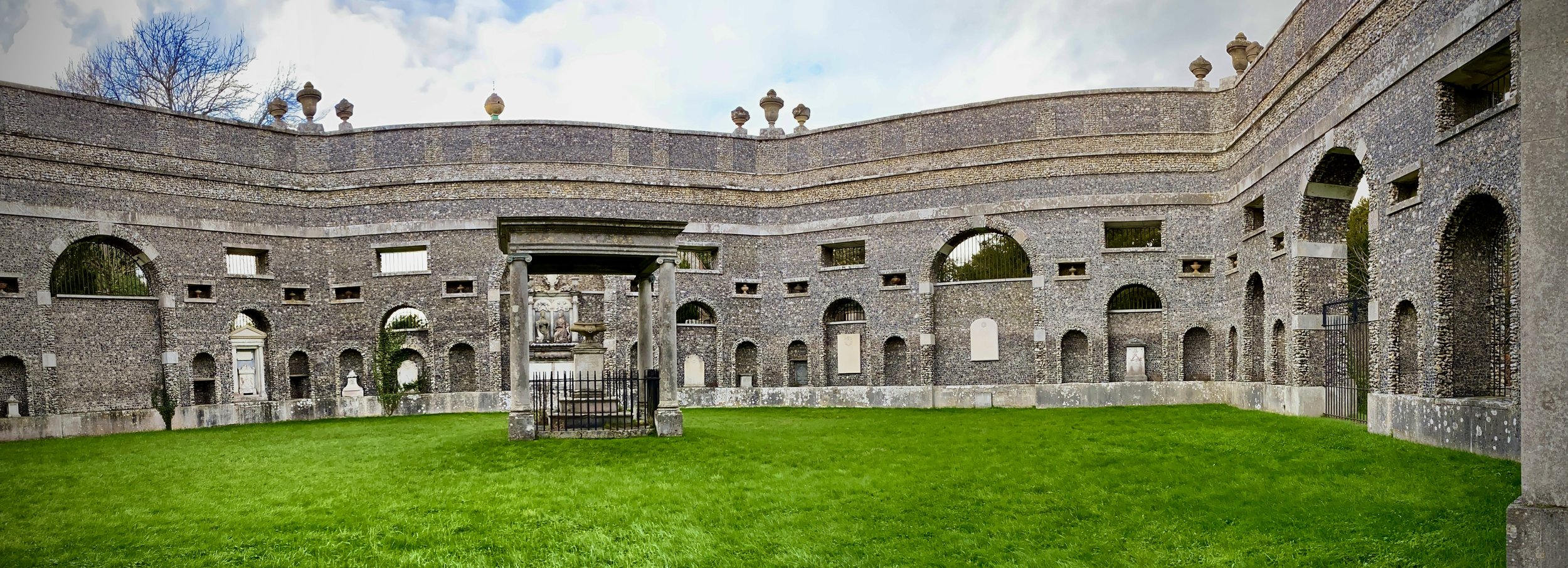
After Slough Lane climb the steep hill to Hearton Wood and take a right onto the main track that follows the ridge in a south-easterly direction. At the car-park leave the track to visit the Dashwood Mausoleum and St. Lawrence Church. If you have more time you can visit the Hellfire Caves under the hill. The entrance to this is on Church Road.
Descend the hill to the junction of Chorley Road and Oxford Road (A40), Take a right onto the Oxford Road and follow the pavement for 200m, then cross over to the south side to Towerridge Lane. Follow Towerridge Lane up the hill for 900 metres, curving to the right, until it stops at some private houses. When the lane becomes a foopath follow it in a south-westerly direction for 300 metres then take a footpath on the right into the woods. Follow this path in a westerly direction through Upper Dorrells Wood, cross over bullocks Farm Lane and onto a north-westerly footpath.
When you reach the village of Piddington take Queen Street to Princes Street, then follow that until you reach the Old Oxford Road and the Dashwood Arms.
Between Horleys Green and Piddington
Start & Finish: The Dashwood Roadhouse, Old Oxford Road, Piddington, Bucks, HP14 3BH
Distance: 7.9 km (4.9 miles)
Elevation change: +/- 105m
GPX File: get via Buy Me a Coffee
Other routes touched (walk): None
Other routes touched (cycle): None
Pubs / Cafes on route: The Dashwood Roadhouse at the start and end
Map:
- OS Explorer Map (171) Chiltern Hills West, Henley-on-Thames and Wallingford
- OS Explorer Map (172) Chiltern Hills East
Links: Piddington
This is part of a series of short circular walks in the Chilterns. The guidance below will help you navigate but don’t use it as a fully accurate turn-by-turn guide. Always take a map and/or a GPX route and prepare well for the weather and terrain.
For this walk we parked outside the Dashwood Roadhouse, formerly the Dashwood Arms. The pub is on the Old Oxford Road which runs parallel to the A40. There’s plenty of free parking spaces outside of the pub. From the pub cross over the road and follow the path that runs in a north-westerly direction along a farm track. After ~500m from the A40 you’ll meet a split in the path where you’ll continue along the farm track to the right. Continue following this track for 2km through Bottom Wood until you reach a field.
Instead of crossing into the field take a right and following the path in a north-westerly direction until you reach the end of Radnage Common Road. At this path junction take the path that’s straight ahead not the first left into the field. Continue for another 300m then take a left. Continue for another 350m, cross over Water End Road and continue until you’re back at the A40.
Carefully cross over the A40 and continue in a south-westerly direction through the wood for 400m. Take a left hand turn to follow a path through a field that takes you to Copse Drive in Horleys Green. At the end of Copse Drive take a right onto Bigmore Lane, than a left at onto Jones Way. When you reach the footpath at the entrance to the senior living estate take a right and follow the path south for 500m. Take a left to follow a path in an easterly direction for 2.2 km back to the Dashwood Roadhouse where you started.
This route is a variation on the Bottom Wood Walk with Peter Towersey published in the Chiltern Society magazine.
When: October 16th 2022
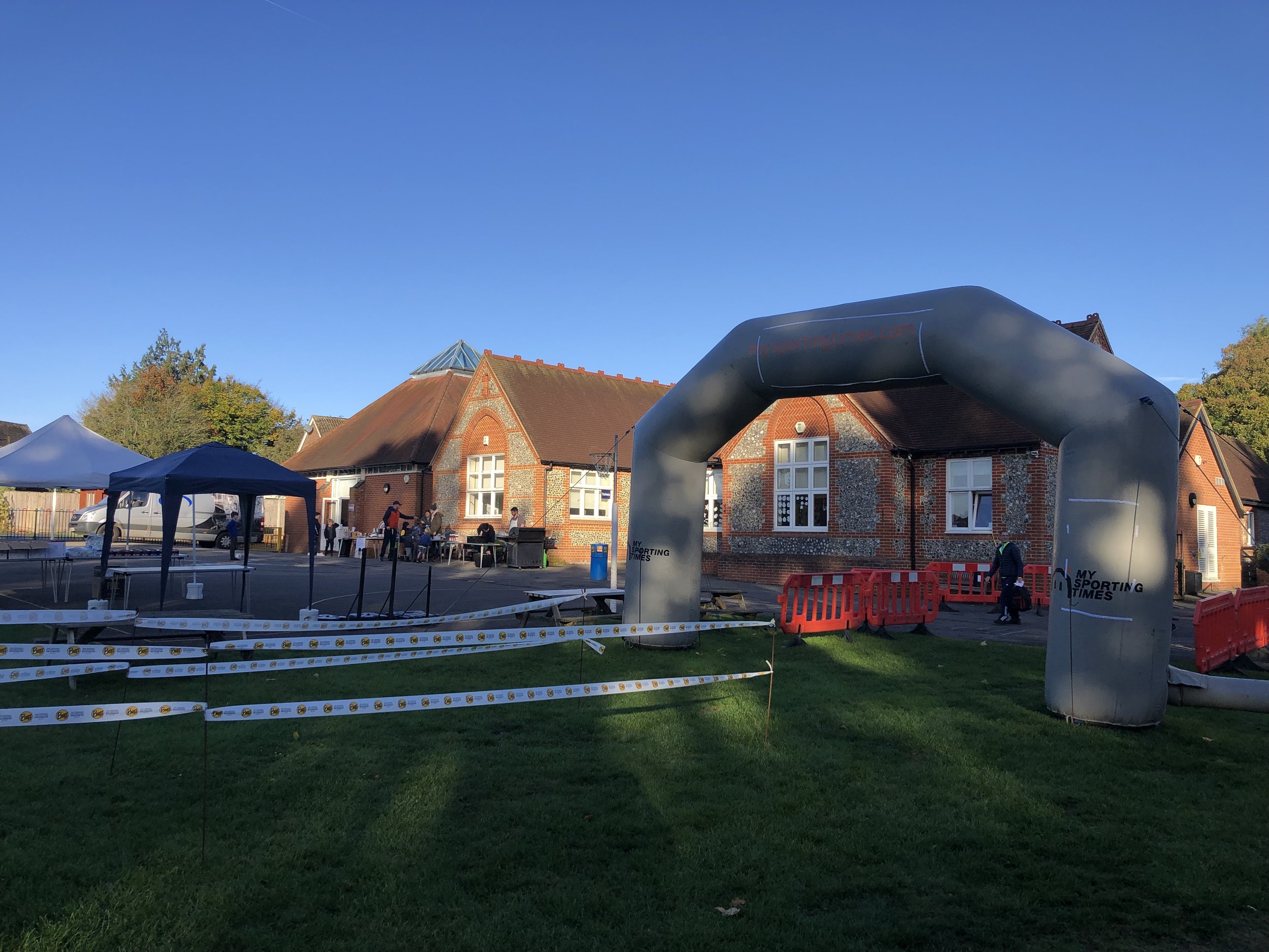
Where: Frieth Church of England Combined School, Henley-on-Thames, RG9 6PR
Course: Single loop from Freith through Fingest, Skirmett and Hatchet Wood
Other routes touched (walk): Chiltern Way
Finish time: 57:52
Looking west between Skirmett and Hambledon
Start & Finish: Frieth Village Hall, Frieth, Henley-on-Thames, RG9 6PR
Distance: 8.9 km (5.5 miles)
Elevation change: +/- 136m
GPX File: get via Buy Me a Coffee
Other routes touched (walk): The Chiltern Way
Other routes touched (cycle): Chilterns Cycleway
Pubs / Cafes on route: The Yew Tree in Freith and The Frog at Skirmett (just off route at 3.1 km)
Maps:
- OS Explorer Map (171) Chiltern Hills West, Henley-on-Thames and Wallingford
- OS Explorer Map (172) Chiltern Hills East
Links: Frieth, Skirmett
This is part of a series of short circular walks in the Chilterns. The guidance below will help you navigate but don’t use it as a fully accurate turn-by-turn guide. Always take a map and/or a GPX route and prepare well for the weather and terrain.
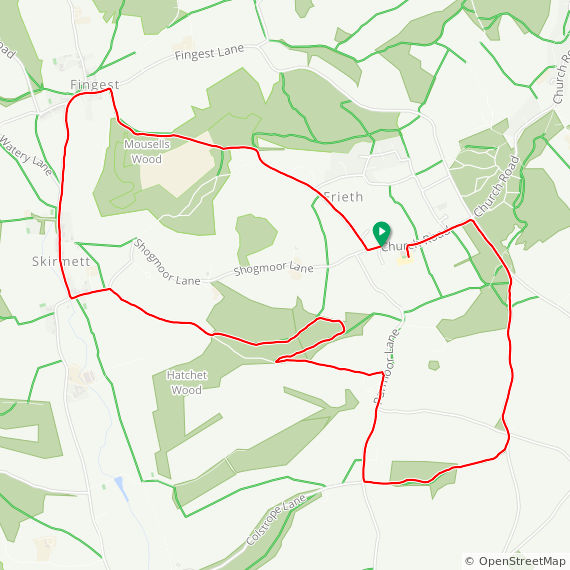
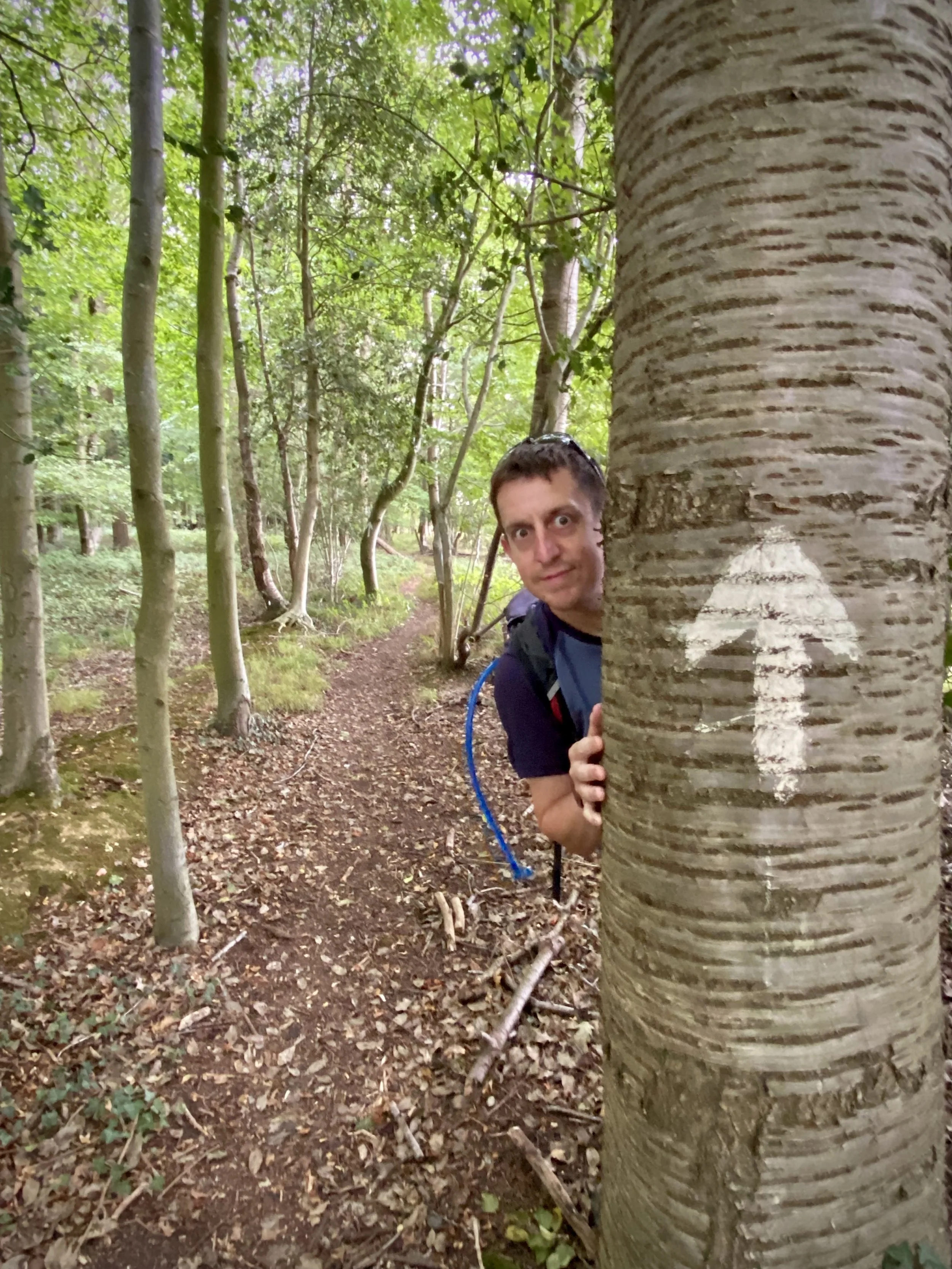
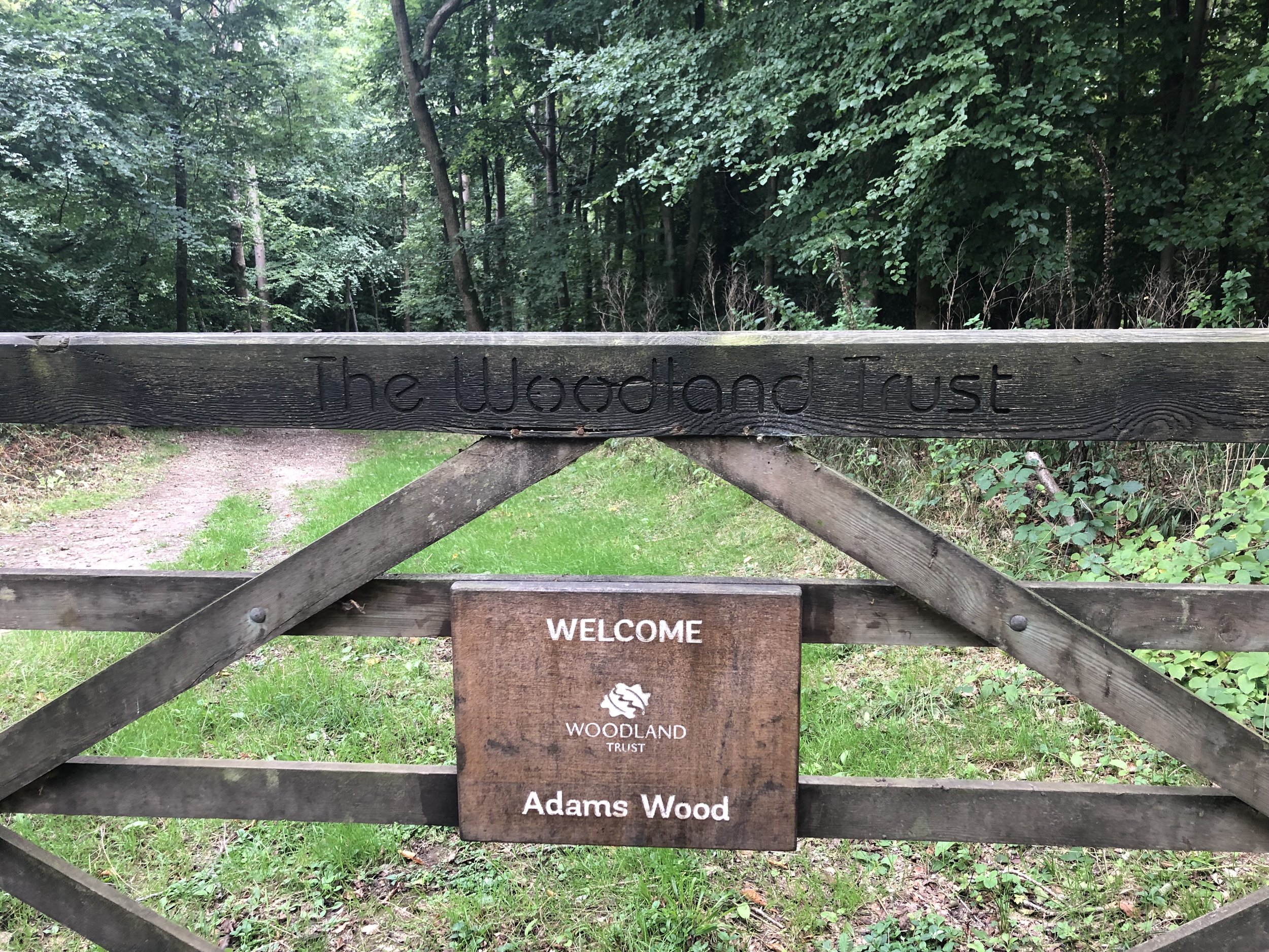
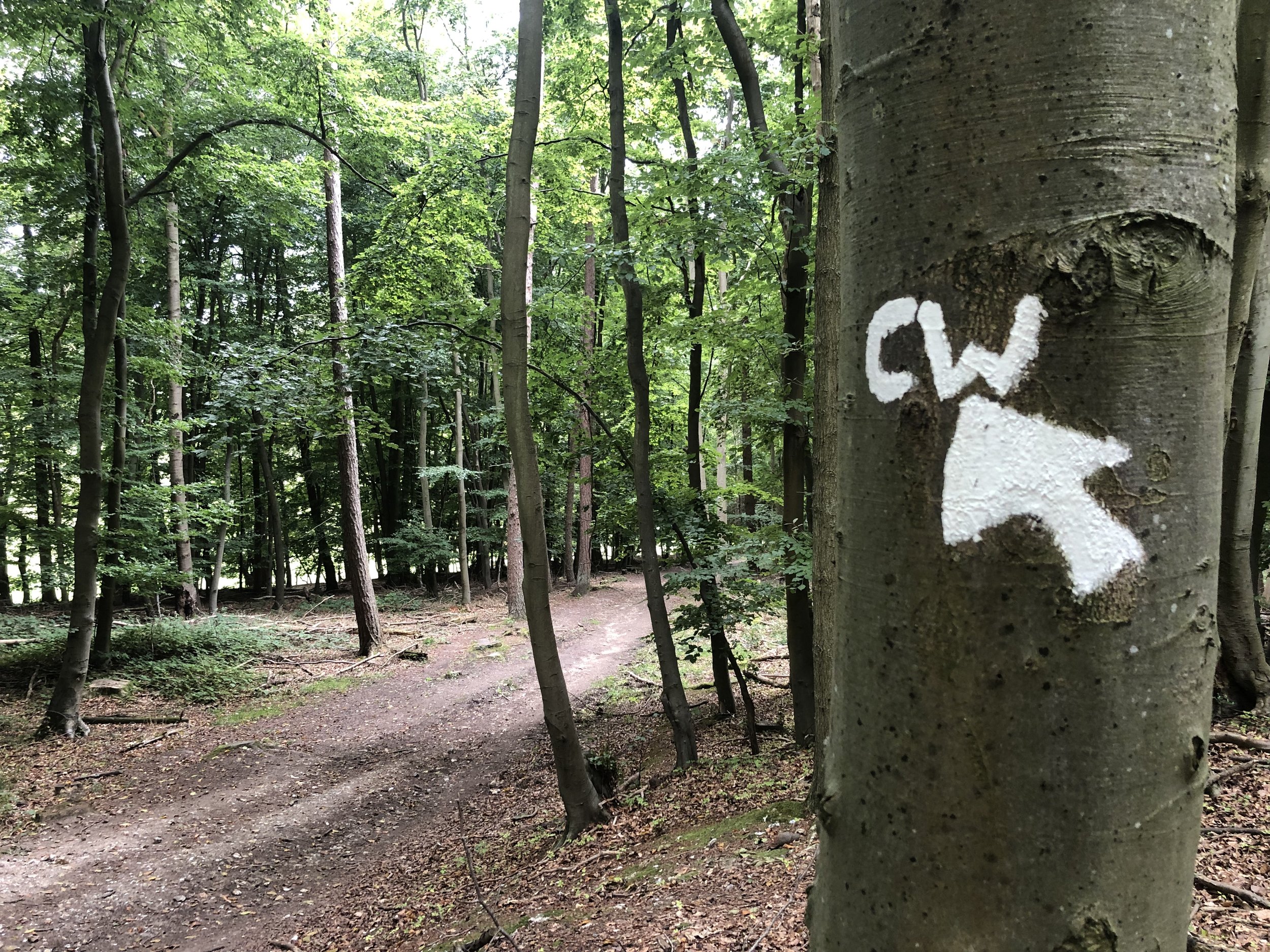
For this walk we parked on the road just outside Frieth Village hall. From here walk in an easterly direction along Church Road and take the first footpath on the left. Continue on the path heading north-west then take a left onto Spurgrove Lane. Take the first road on the right after the curve on Spurgrove Lane. Keep heading north onto a footpath into the woods. At the footpath junction take a left and head in a westerly direction. When you meet the Chiltern Way at the entrance to Adams Wood, take a left onto the Chiltern Way.
Follow the Chiltern Way for 2.9 km until you reach a small lane that connects Skirmett Road with Bagmoor Shaw. Take a left onto the road and follow it until the first footpath on the right that climbs steeply into the woods. Take a moment to visit the shrine just at the top of the hill. At the top of the hill there’s a field where you get a great view over the Hambledon Valley. At the southern corner of the field the path takes a sharp left and follows the edge of the field to Colstrope Lane. Take a left onto Colstrope Lane, following it to the T junction and cross over to take the footpath through a field and into Brushes Wood. Continue through to Moorend Lane and take a left.
Follow Moorend Lane for 800m then take a left hand footpath into the woods before the Lane meets Freith Road. Continue in a north-westerly direction to Moor Common Road. Take a left to return to the village centre, passing the Yew Tree pub along the way.
When: September 18th 2022
Where: Fieldhouse Lane, Marlow, SL7 1LU
Course: Single loop around the River Thames between Marlow and Bourne End. 10 mile option also available.
Other routes touched (walk): Thames Path, Walking The Marlow Donkey, Shakespeare’s Way, The Chiltern Way Berkshire Loop, Cookham Bridleway Circuit
Finish time: 59:25
Fields near Bolter End Common
Start & Finish: Village Car Park, 1 The Ferns, Lane End, High Wycombe, HP14 3HB
Distance: 8.7 km (5.4 miles)
Elevation change: +/- 160m
GPX File: get via Buy Me a Coffee
Other routes touched (walk): Chiltern Way
Other routes touched (cycle): Chiltern Cycleway
Pubs / Cafes on route: Several in Lane End village centre, plus The Chequers Inn, Fingest (4.3km in), The Prince Albert (6.9 km in)
Map:
- OS Explorer Map (171) Chiltern Hills West, Henley-on-Thames and Wallingford
- OS Explorer Map (172) Chiltern Hills East
Links: Lane End, Fingest
This is part of a series of short circular walks in the Chilterns. The guidance below will help you navigate but don’t use it as a fully accurate turn-by-turn guide. Always take a map and/or a GPX route and prepare well for the weather and terrain.
For this walk we parked at the free village car park opposite the village hall. From here cross the B482 Finings Road and follow Church Path round the right hand side of Holy Trinity Church. When you reach the old pub, now a house, turn right and follow the footpath down through the woods. At path junctions in the wood keep to the right until you reach the farm track at Bolter End Common. Take a left and descend for 1 km down to the woods. At the woods you’ll meet an east-west path. Take a right through a gate onto a private road and descend until you meet Fingest Lane.
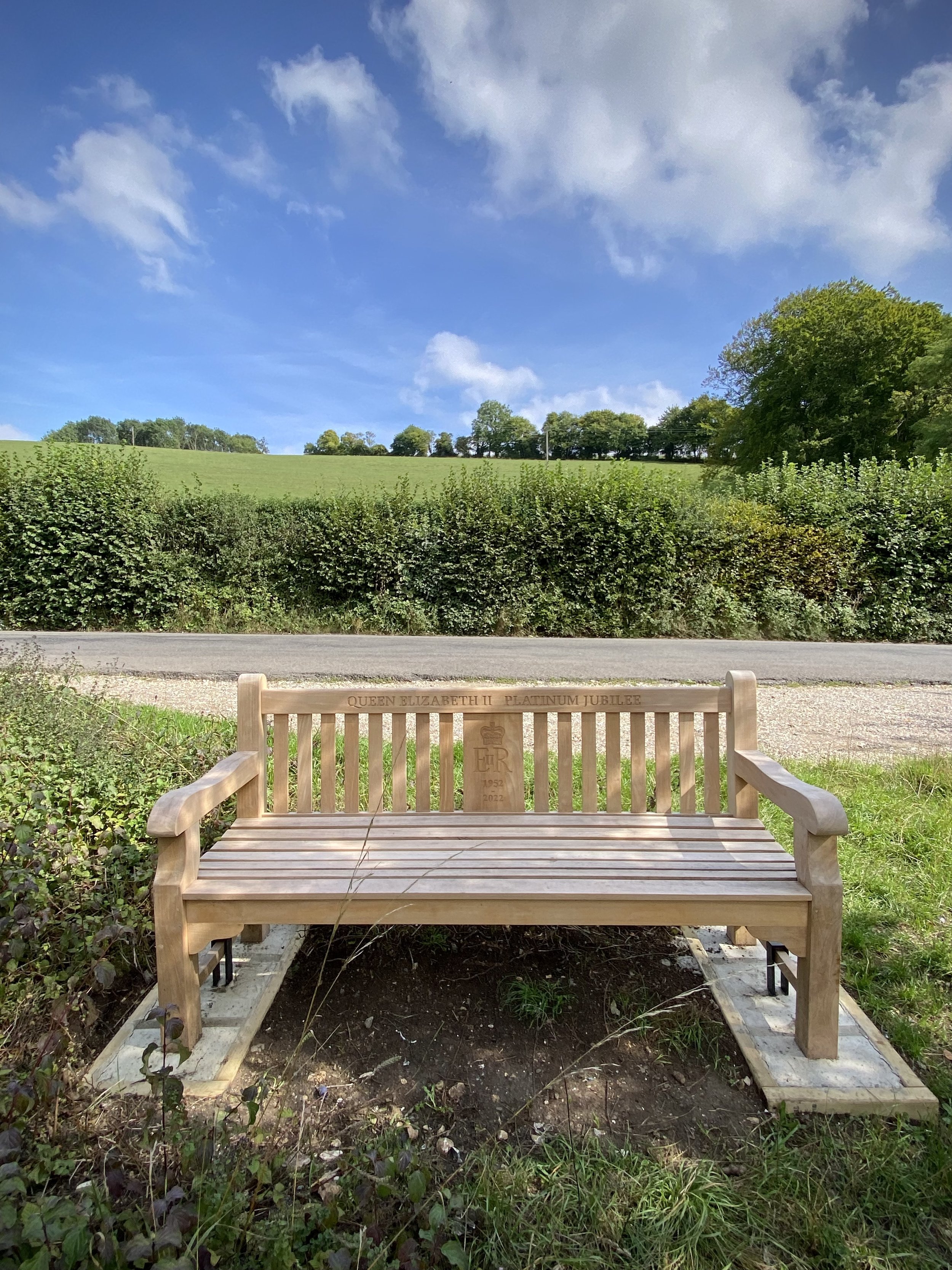
Take a right onto Fingest Lane and look out for a clearing with a bench dedicated to Queen Elizabeth’s Platinum Jubilee. Here you can take a footpath that runs in a north-westerly direction parallel to Fingest Lane. Follow this path and take a left at the end where the road curves to the right. Follow this path along the edge of fields in a south-westerly direction until you reach the village of Fingest. The Chequers Inn is a good place to stop for a rest at this half way point of the trip.
When leaving the Chequers Inn walk in an easterly direction along Fingest Lane and take the footpath on the right signed The Chilterns Way. Follow this path up the hill keeping the woods on your right. After ~500 metres, the path will briefly enter Mousell’s Wood then across a field and into another woods. In this second woods, leave the Chiltern Way as it takes a sharp right. Instead continue along the path heading east to a path junction at Adams Wood. Take a left and follow the path into Adams Wood in a northerly direction for only a few metres before the path curves back to the east. Follow this path for just under 1 km until you reach the far eastern side of the woods. Take a right turn and head south until you meet the junction with Spurgrove Lane. Take a left on a path through the hedge and descent through a field until you meet Fingest Road.
If you need a rest here the Prince Albert Pub is not far down the road on the right. Otherwise cross Fingest Road and follow the path past some houses on the left up through the woods. There’s a few paths here that all interconnect but you’ll need to make sure you’re heading north-east to connect with Church Road. Take a right onto Church Road and follow the pavement alongside it until you see a path on the right with a sign to a house called Chiltern View. Follow this path and take a right at the junction so that you’re walking north with the allotments on your right. You’ll reach the back of Holy Trinity Church where you can either take a right or left hand path around it to connect back to the start.
When: September 4th 2022
Where: Mapledurham Country Park, RG4 7TR
Course: Single loop hilly course in the woods and fields around Mapledurham Country Park.
Other routes touched (walk): Chiltern Way Southern Extension
Finish time: 57:48
Sunrise at the confluence of the rivers Ver and Colne near Bricket Wood
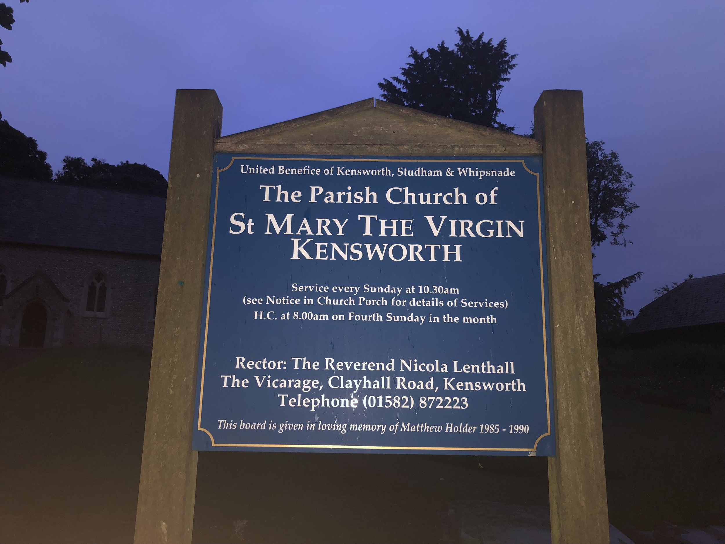
Start: St Mary the Virgin, Church End, Kensworth, Dunstable, LU6 3RA
Finish: Confluence with the River Colne, Bricket Wood, St Albans AL2 3FZ
Distance: 28.2 km (17.5 miles)
Elevation change: +103m /-226m. Net -123m
GPX File: get via Buy Me a Coffee
Other routes touched (walk): Ver Valley Walks, Hertfordshire Way, Chiltern Way, Abbey Line Trail
Other routes touched (cycle): Chilterns Cycleway, Nickey Line, Alban Way, NCN 57, 6, 61, Cycling the Rivers Gade and Ver
Pubs / Cafes on route: Several in Markyate (4km), Redbourn (12km), St Albans (21km), Park Street (25km)
Map: St Albans & Hatfield Map | Hemel Hempstead & Welwyn Garden City | Ordnance Survey | OS Explorer Map 182
Links: River Ver Trail PDF, Kensworth, Markyate, Redbourn, St Albans, Park Street, Bricket Wood
For Brian and I this was our second Summer Solstice overnight walk. The idea of these are to walk from sunset to sunrise on the shortest night of the year. We’ve done several Winter Solstice day-time walks before but have only done a summer overnighter once before. Last year we did it on the Thames Down Link: a great walk but we got to the end at 03:00, a full 1 hour and 44 minutes before sunrise. For this second attempt we wanted to get the timings right to arrive at sunrise.
Our 2 learnings from last year was that we needed a slightly longer route and to start the walk a bit later. We were already about 30 minutes in at sunset last time. Our route this time was 3km longer but we also started from a pub 1.2 km from the start and left the pub exactly at sunset.
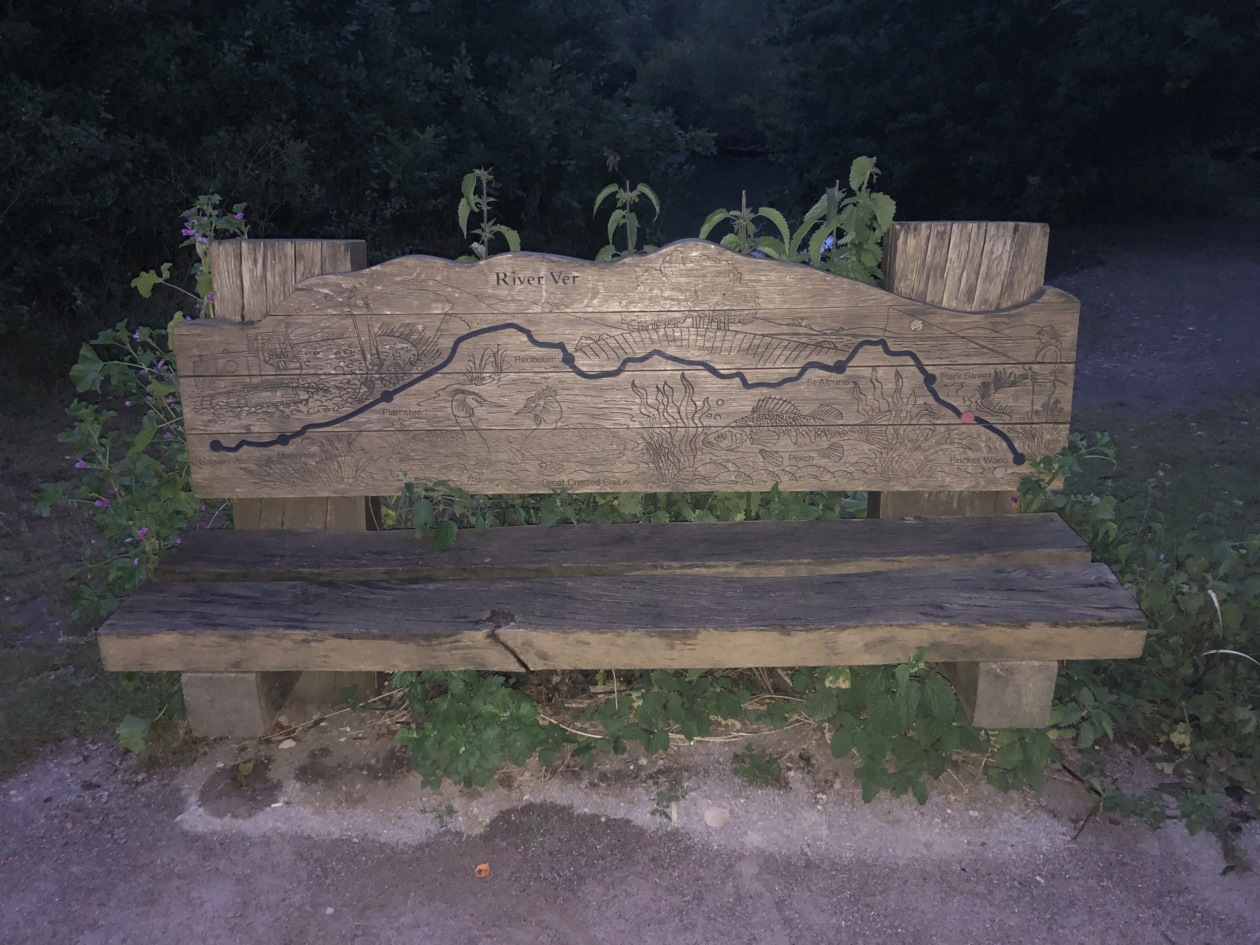
Our route was the River Ver Walk, a point-to-point in the eastern Chilterns following the river from source to its confluence with the River Colne. The route has also been on my list for a while, previously intending to do it in 3 sections. I’d put it on hold since Timea and I went down from 2 cars to 1 and point-to-points got a bit trickier to organize. Having Brian’s car for this trip and doing it in 1 go made it feasible again.
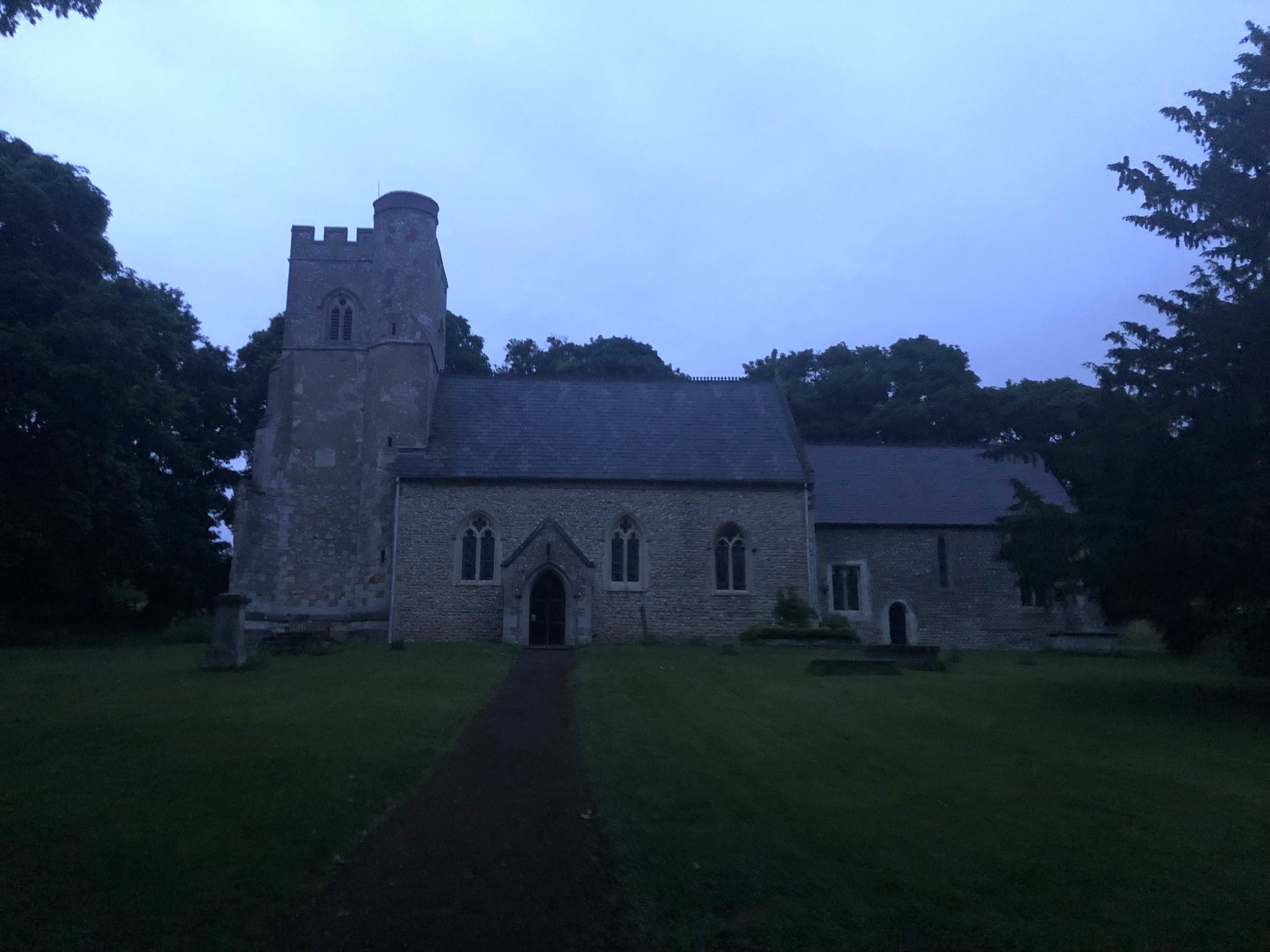
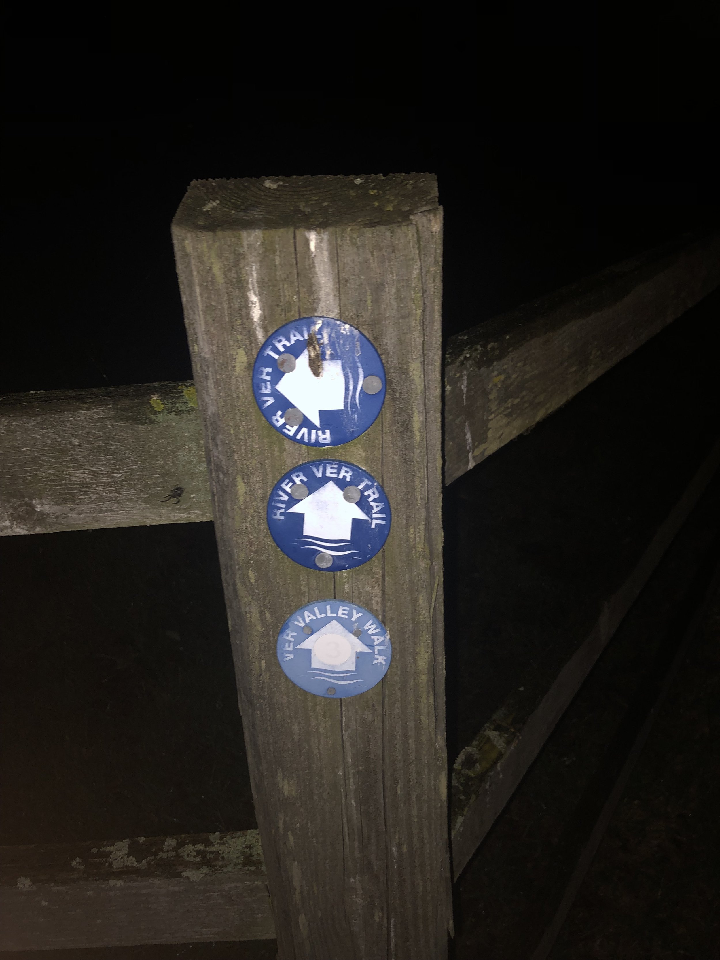
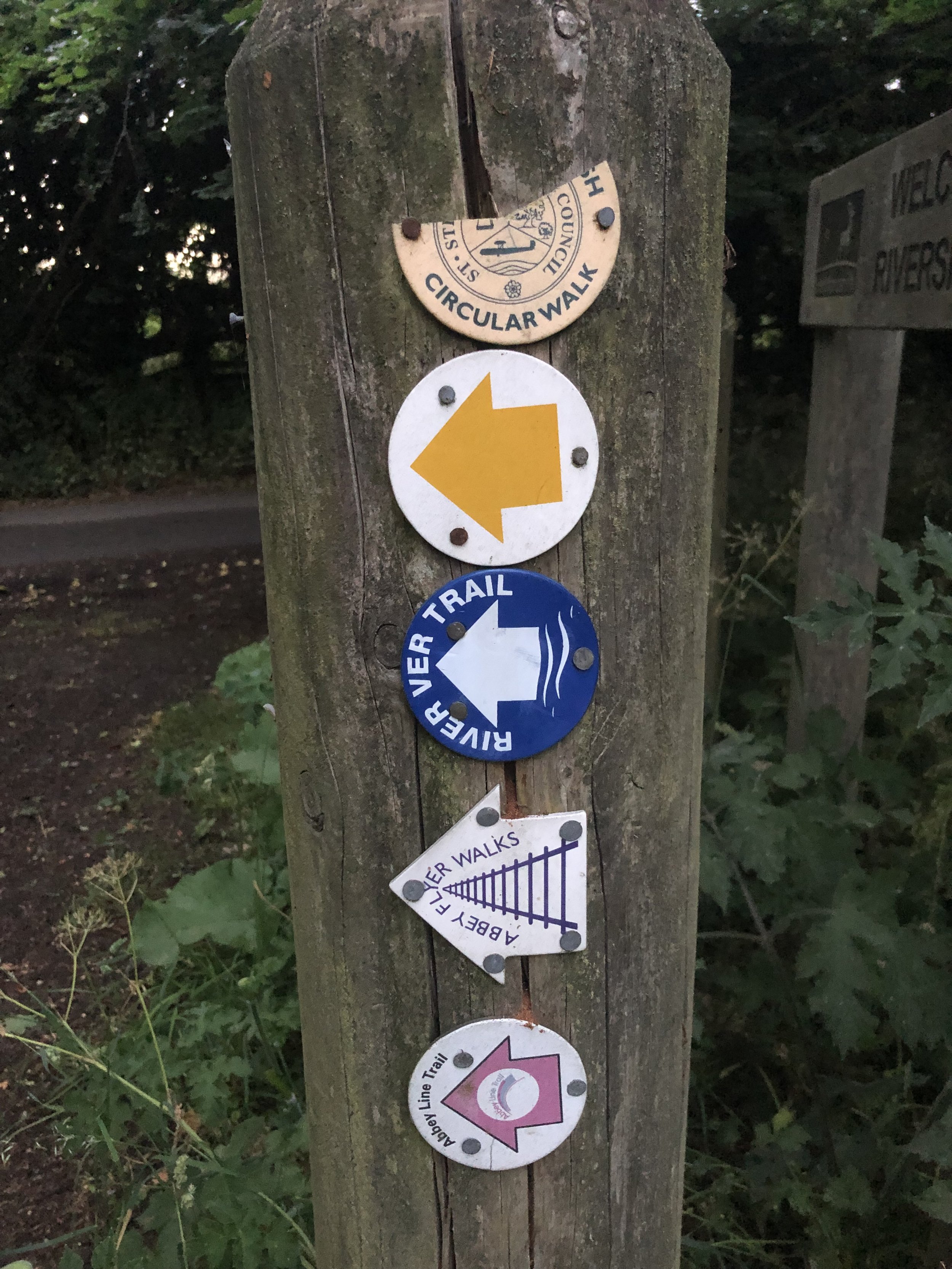
We set off at 21:24 from the Farmer’s Boy pub in Kensworth who kindly let us leave a car there overnight. From the pub it’s a short climb up the hill on Hollick's Lane to the church of St Mary. The River Ver Trail starts here and continues along footpaths and quiet roads to Bricket Wood. Although it’s well sign-posted, it would have been very hard to rely on these in the dark so we followed my pre-planned GPX track on my phone.
For the first 13km of the walk we weren’t aware of river with it either being too small, too far from the route or that that route went through towns or busy roads. It was only after leaving the Nickey Line after Redbourn that the trail goes through quieter countryside and the river is more apparent.
One thing to watch out for if you’re walking this one at night is the section through the Gorhambury Estate near St Albans. This section of the route is a Permissive Path leading to a big gate on the A4147. The gate is locked after 18:00 and there’s no simple or safe way to get around it. There’s a sign on the gate with numbers to call if you’re locked in after 18:00 but neither of these worked. I also don’t think they intended to answer calls from walkers at 02:00 in the morning. We found a cunning way to escape the estate but I don’t recommend it. If you’re attempting this route at night, there’s an alternative route around the estate described in their website.
The adventure of escaping the estate woke us up a bit as were starting to lose energy. The gradual increase in light also helped but, as with last year, the final couple of hours were tough. With 1 km to go we both noticed a significant increase in brightness and checked our watches to see that it was exactly sunrise at 04:44. This was also the point where we decided that we’d properly ticked the box of doing a full Summer Solstice overnighter and didn’t need to make it an annual event.
By around 05:00 we reached the end of the trail at the confluence with the River Colne. It was a quiet peaceful place mark the end of the route. It wasn’t the end of the walk though. Although we had wanted to leave one car at the end, there’s no good parking options. We leave a car near The Gate pub on Smug Oak Lane but it added another 2 km to the walk. Another slightly closer, option would have been The Riverside Car-park on Drop Lane which is on the trail at 1.4km from the end.
With the extra bits at the start and end of the trail to get from and to our cars, our whole walk was 32km in 7.5 hours. Having 2 cars made the logistics easier. Public transport is an option with some careful planning if you’re doing the trail in the daytime. Using St Albans as a hub there’s a bus that takes you up the A5183 past Markyate to Lynch Hill, although you would still need to walk up to St Mary’s Church before retracing your steps along the trail. For the end point, Bricket Hill train station, with direct services to St Albans is a 15 minute walk from the end of the trail.
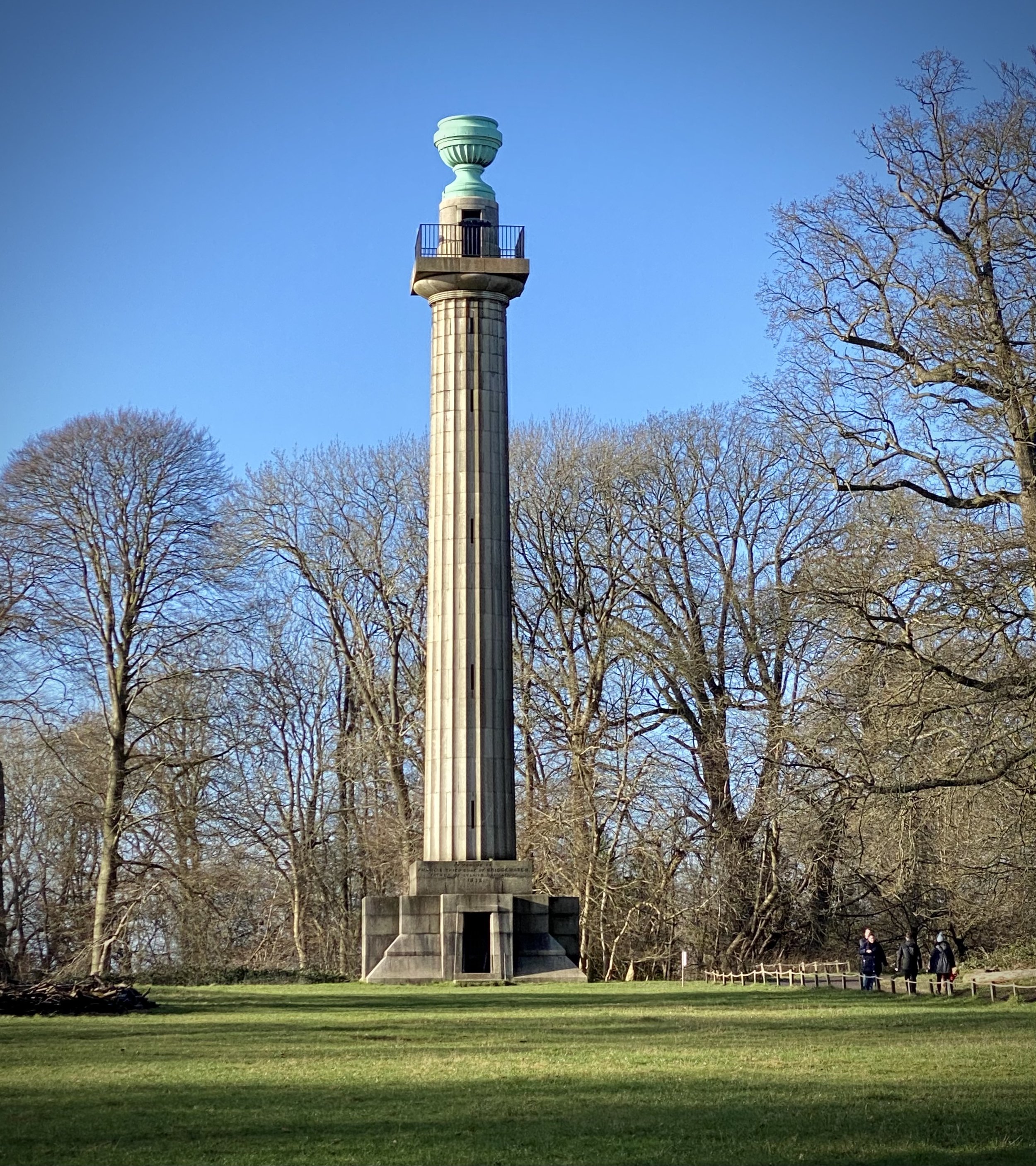
Bridgewater Monument at National Trust Visitors’ Centre, Ashridge
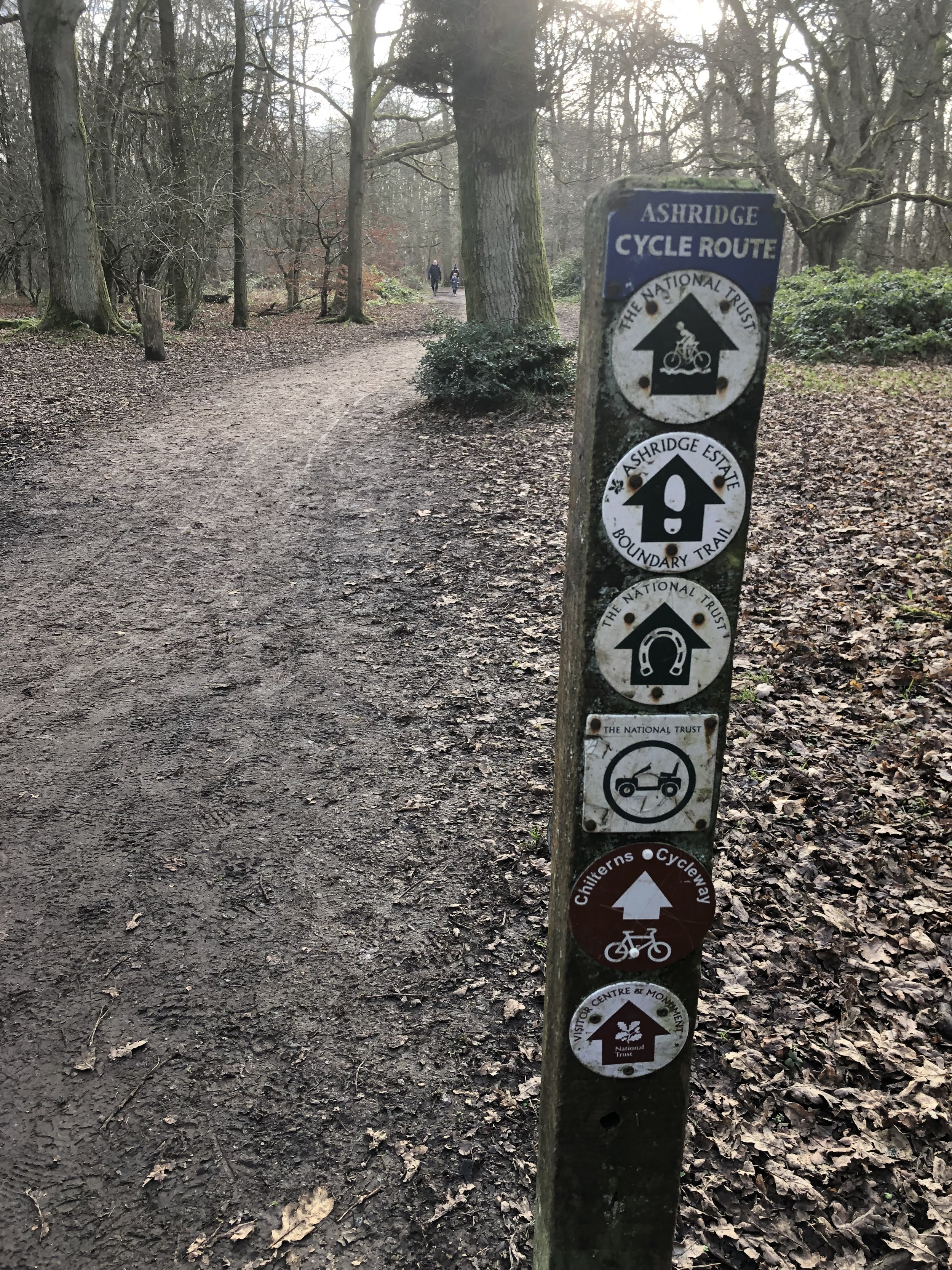
The Ashridge Boundary Trail is a 26km / 16 mile circular walking route of the the National Trust Ashridge Estate in the northern Chilterns. The route is well maintained and well signed in both directions. The National Trust’s own page on the Trail gives detailed directions on the route.
Rather than complete the trail in a single trip I broke it down into 4 smaller sections of between 8 and 10km each. This makes for a more manageable multi-day route and also takes in routes that cross the centre of the property. Each can be done in any order and in any direction. We took them in a fairly random order, saving Route 1, the best in my opinion, to the last. We also alternated the routes between clockwise and anti-clockwise to avoid following the middle crossings in the same direction. The guidance below will help you navigate but don’t use it as a fully accurate turn-by-turn guide. Always take a map and/or a GPX route and prepare well for the weather and terrain.
Route 1: Ivinghoe Beacon and Clipper Down
Start & Finish: Ivinghoe Beacon National Trust Car Park, Dunstable, LU6 2EG
Distance: 10.3 km (6.4 miles)
Elevation change: +/- 185m
GPX File: get via Buy Me a Coffee
Other routes touched (walk): Wildlife Walk, Ridgeway, Icknield Way
Other routes touched (cycle): Chilterns Cycleway
Pubs / Cafes on route: None
OS Trig Pillar (at top of Ivinghoe Beacon): TP1099 - Beacon Hill
Map: OS Explorer Map (181) Chiltern Hills North
Links: Ashridge Estate National Trust, Ivinghoe Beacon (Wikipedia)
For this route I included the summit of Ivinghoe Beacon at the north end of the route. The actual Ashridge Boundary Trail bypasses the summit, cutting off about 100m of distance and 10m of elevation. The view from the top of the Beacon is stunning so I’m not sure why you would want to miss the summit.
Route 2: Ashridge Golf Club and Moneybury Hill
Start & Finish: Ashridge National Trust Car Park, Aldbury, Berkhamsted, HP4 1LU
Distance: 8.2 km (5.1 miles)
Elevation change: +/- 94m
GPX File: get via Buy Me a Coffee
Other routes touched (walk): Chiltern Way, Hertfordshire Way, Wildlife Walk, Woodland Walk
Other routes touched (cycle): Berkhamsted Route 6, Chilterns Cycleway
Pubs / Cafes on route: Cafe at The National Trust Visitor’s Centre Ashridge, Café at Ashridge House
Map: OS Explorer Map (181) Chiltern Hills North
Links: Ashridge Estate National Trust, Ashridge House, Ashridge Golf Club
Note that there is alternative free parking at Ashridge House
Route 3: Northchurch Common and Berkhamsted Common
Start & Finish: Ashridge National Trust Car Park, Aldbury, Berkhamsted, HP4 1LU
Distance: 10.2 km (6.4 miles)
Elevation change: +/- 125m
GPX File: get via Buy Me a Coffee
Other routes touched (walk): Chiltern Way, Hertfordshire Way, Rangers’ Ramble, Foresters’ Walk,
Other routes touched (cycle): Berkhamsted Route 6, Chiltern Cycleway
Pubs / Cafes on route: Cafe at The National Trust Visitor’s Centre Ashridge, Café at Ashridge House
Map: OS Explorer Map (181) Chiltern Hills North
Links: Ashridge Estate National Trust, Ashridge House
Note that there is alternative free parking at Ashridge House.
Route 4: Berkhamsted Common and Frithsden
Start & Finish: Car park at Ashridge House, Berkhamsted, HP4 1NS
Distance: 8.9 km (5.5 miles)
Elevation change: +/- 106m
GPX File: get via Buy Me a Coffee
Other routes touched (walk): Hertfordshire Way
Other routes touched (cycle): Berkhamsted Route 6, Chiltern Cycleway
Pubs / Cafes on route: Café at Ashridge House
Map: OS Explorer Map (181) Chiltern Hills North
Links: Ashridge Estate National Trust, Ashridge House
The Complete Route
The Ashridge Boundary Trail in 4 sections, as described above
The complete Ashridge Boundary Trail in 1 route
Elevation Profile for complete Ashridge Boundary Trail in 1 route
Details for the Complete Route
Start & Finish: Ashridge National Trust Car Park, Aldbury, Berkhamsted, HP4 1LU
Distance: 26.3 km (16.3 miles)
Elevation change: +/- 370m
GPX File: get via Buy Me a Coffee
Other routes touched (walk): The Ridgeway, Icknield Way, Chiltern Way, Hertfordshire Way, Rangers’ Ramble, Foresters’ Walk, Woodland Walk, Wildlife Walk
Other routes touched (cycle): Berkhamsted Route 6, Chiltern Cycleway
Pubs / Cafes on route: Cafe at The National Trust Visitor’s Centre Ashridge, Café at Ashridge House
Map: OS Explorer Map (181) Chiltern Hills North
View to Hedsor from Winter Hill Golf Course
Start & Finish: Cookham Moor Public Car Park, 2 High Street, Cookham, SL6 9SG
Distance: 10.1 km (6.3 miles)
Elevation change: +/- 118m
GPX File: get via Buy Me a Coffee
Other routes touched (walk): Thames Path, Shakespeare’s Way, The Chiltern Way Berkshire Loop
Other routes touched (cycle): Round Berkshire Cycle Route
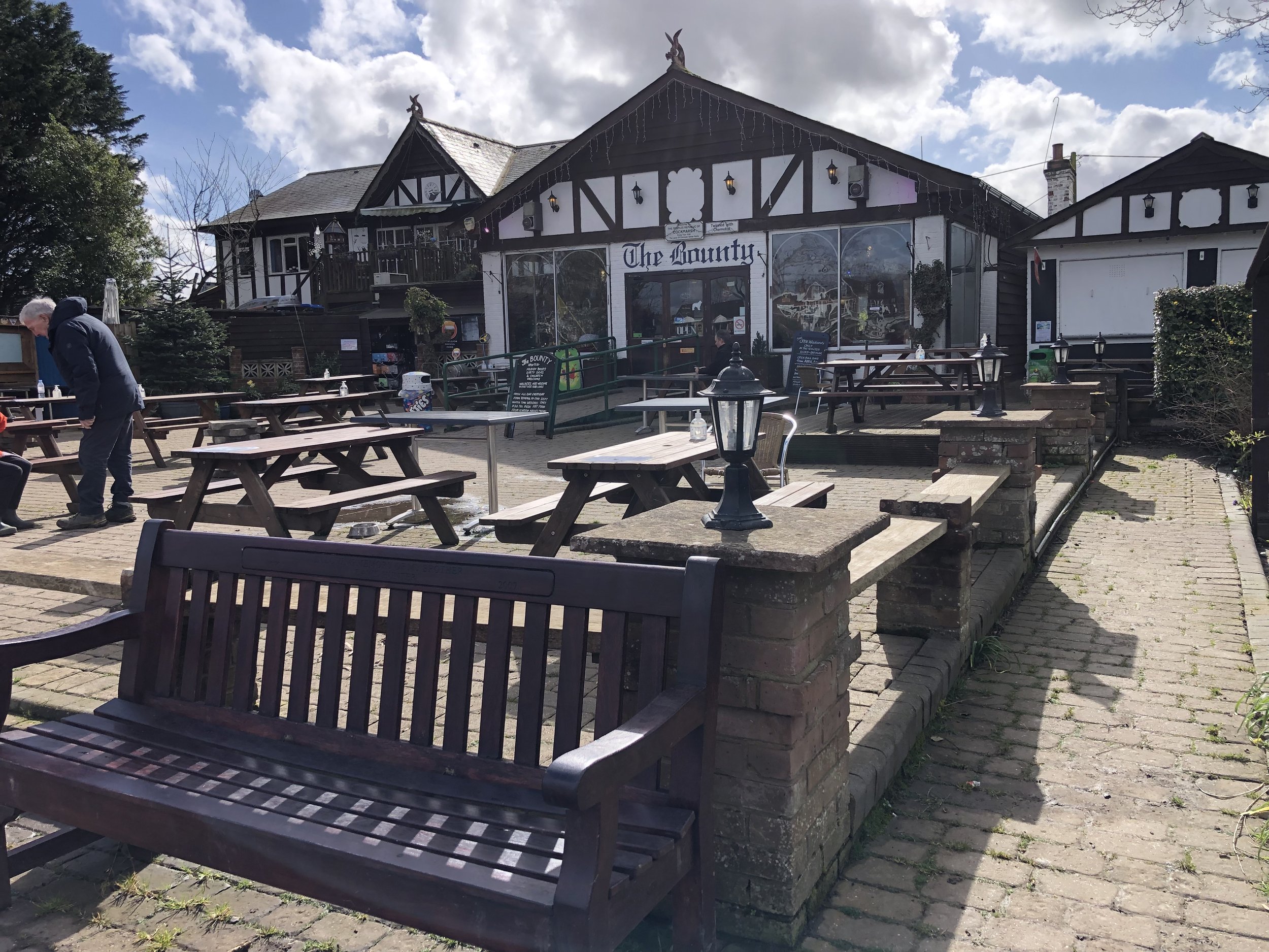
Pubs / Cafes on route: The Bounty, Bourne End, The Mole and Badger, Cookham Dean
Map: OS Explorer Map (172) Chiltern Hills East
Links: Cookham, Bourne End, Winter Hill, Cookham Dean, National Trust Maidenhead and Cookham Commons
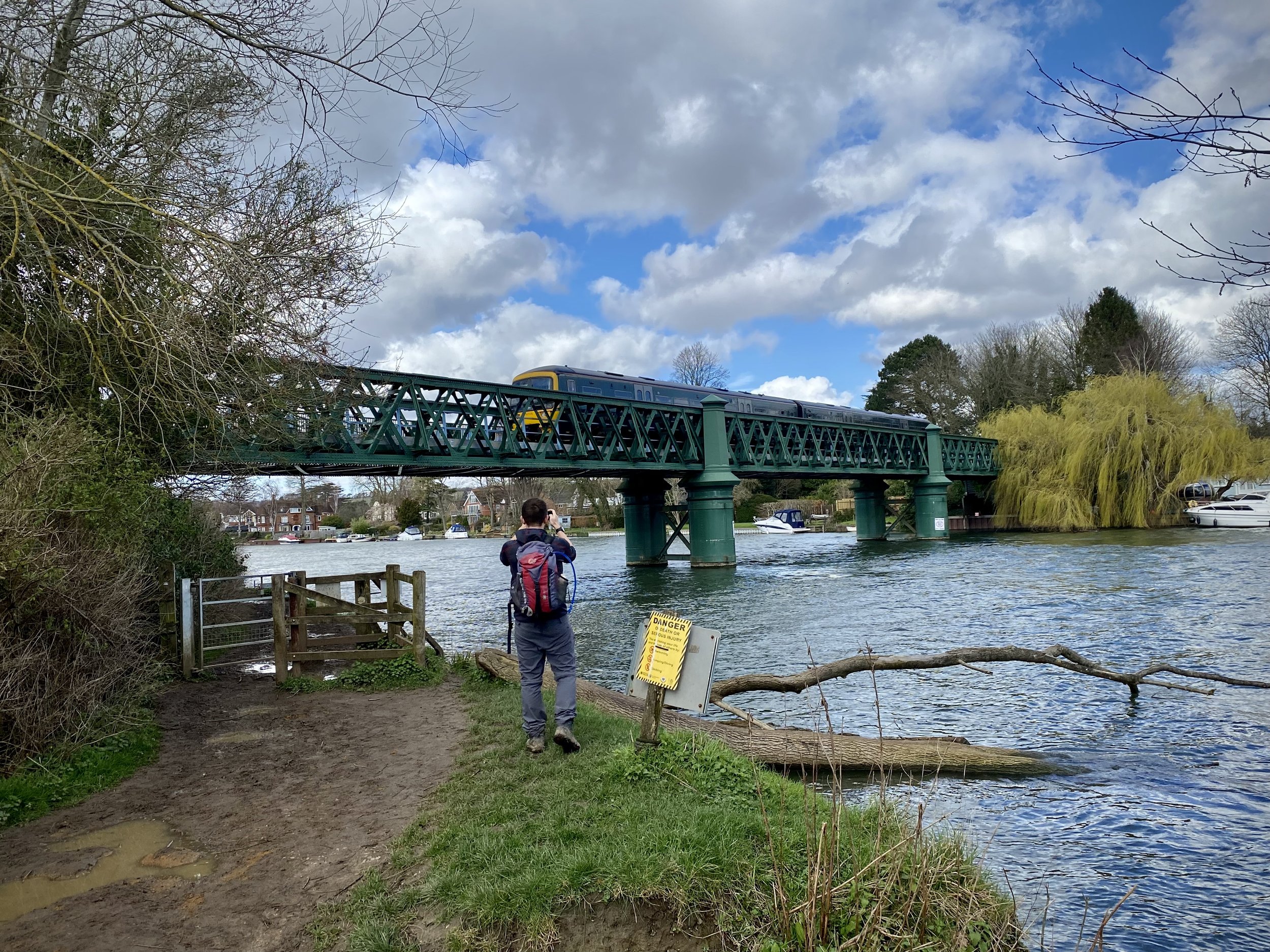
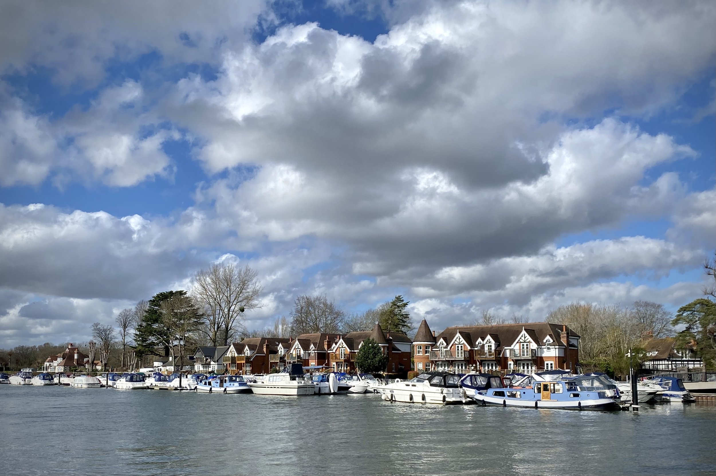
This is a short circular walk mixing the flat ground of the Thames Path and a loop of nearby Winter Hill. Start at the National Trust Car Park (free to members) on Cookham Moor and walk in a northerly direction to the Thames. Take a left and follow the Thames Path in a northerly direction until the Bourne End rail bridge. Leave the Thames Path here as it crosses the bridge and keep to the south side of the Thames, now starting to curve toward the west.
After 3 km from the Car Park, the path takes a right-angle behind some riverside houses. Cross the field heading south-east to and take the path that climbs the hill heading in a south-westerly direction. Follow this path for 1.6 km until you reach Quarry Wood Road. Along the way you’ll see some great views across the river to Little Marlow and the Chiltern Hills beyond.
When you reach Quarry Wood Road take a right onto it and follow it for approx 100 metres and cross over to a footpath on the left hand side of the road. Be very careful here as there’s no pavement on this road and cars can be quite fast. Be visible and keep to the right facing oncoming traffic.
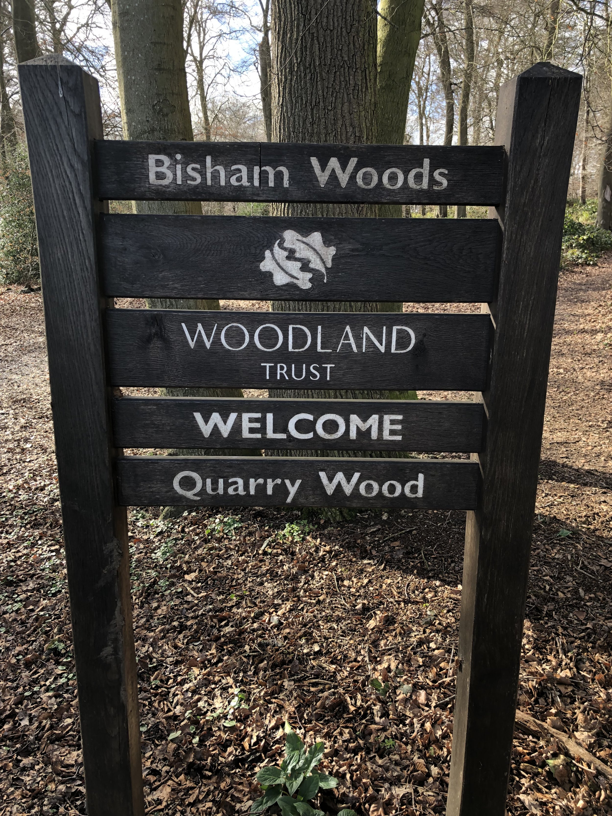
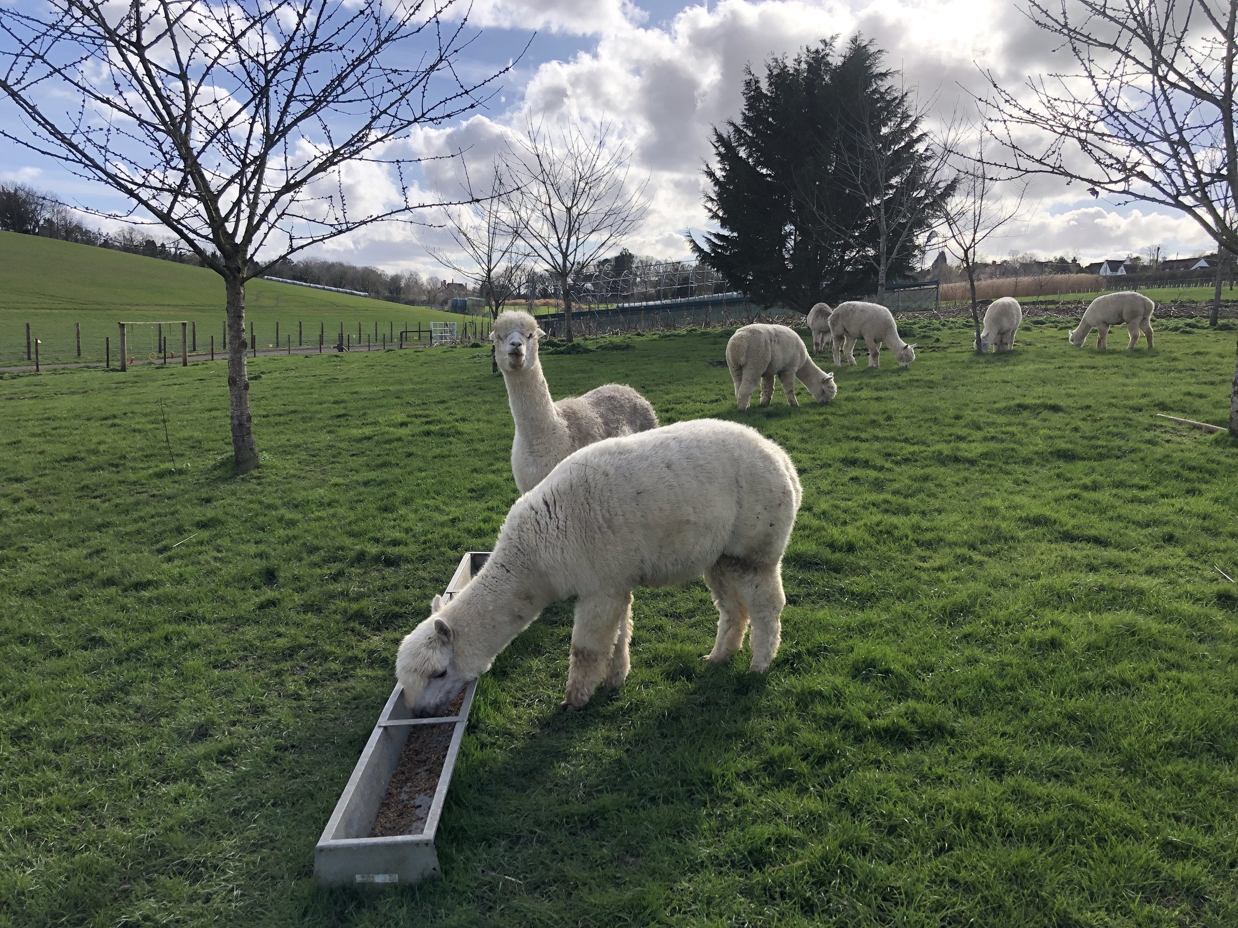
Follow the path in Quarry Wood in a south-westerly direction for 200 metres to a path junction. Take a left and follow this path for another 200 metres to the corner with Quarry Wood Road. Take a right and follow the path on the south-eastern edge of the Wood for 300 metres. Cross Over Grubwood Lane and take the path through the field, up the hill next to the llama enclosure. Continue to the woods at the top of the hill where you’ll now be on the Chiltern Way Berkshire Extension.
Once in the Woods, take a left and follow the Chiltern Way. This will take you past the Mole And Badger pub, round the Cricket Common and down to Dean Lane. Follow Dean Lane in an easterly direction to Alleyns Lane having left the Chiltern Way. Follow Alleyns Lane to Broadcuts Lane, then continue over the lane and along the path to Terry’s Lane. Continue over the next field to rejoin the Chiltern Way Berkshire Extension. Take the right hand path to follow the Chiltern Way across Winter Hill Golf Course to the bridge over the railway.
Once over the railway take a right and follow the path to Terry’s Lane. Take a path on the left and follow this to the east then south, following Stroud Water back to the National Trust Car Park.
Previous Thames Path Section (west): Bourne End & Marlow (The Marlow Donkey)
Next Thames Path Section (east): Maidenhead & Cookham
Intersection of The Ridgeway and The Oxfordshire way at the north edge of The Chilterns AONB
The Oxfordshire Way is a 66 mile long-distance path connecting Bourton-on-the-Water in the Cotswolds with Henley-on-Thames. The first 18km on the southern end stretch from the Thames Path at Henley to The Ridgeway at Watlington through the Chiltern Hills AONB. Here’s how to walk the Chilterns section either as a point-to-point or in a series of 4 short circular walks. The guidance below will help you navigate but don’t use it as a fully accurate turn-by-turn guide. Always take a map and/or a GPX route and prepare well for the weather and terrain.
Point to Point: Henley to Watlington
Start: Henley Bridge, White Hill, Henley-on-Thames, RG9 3HG
Finish: Junction of Station Road and Watlington Road, OX49 5RR
Distance: 17.8 km (11 miles)
Elevation change: + 378 / - 298m. Net -80m
GPX File: get via Buy Me a Coffee
Map: Chiltern Hills West Map | Henley-on-Thames & Wallingford | Ordnance Survey | OS Explorer Map 171
Links: Oxfordshire Way (LDWA), See individual section posts linked below for other links.
If you’re attempting the Chilterns section as a point-to-point the first decision is how to get back to the start. I didn’t find any practical public transport solutions of less than 3 hours and multiple changes. It’s only a 20 minute drive between the two towns though so the best options are either a 2-car shuffle or to get a taxi.
This first section starts at Henley Bridge, where the Oxfordshire Way meets the Thames Path. From here, walk up Hart Street in a westerly direction and turn right onto Bell Street. Continue along Bell Street until the mini-roundabout, crossing this onto Northfield End. After 300m, and 1km into the route, take the footpath on the right, following it diagonally up the hill to a wooded area.
From here, navigation is pretty straightforward after leaving Henley. There’s a lot of footpath roundels labelled with the Oxfordshire Way and white painted arrows on trees through wooded sections. Be careful of these though as other connecting routes like the Chiltern Way use similar arrows.
For the final section you’ll descent a steep hill down from Christmas Common that joins Station Road. You’ll cross The Ridgeway and 1 km later you’ll reach the B4009 Watlington Road. There’s not much here so a sensible end is to leave the Oxfordshire Way by taking a left onto the B4009 and follow it for 800m to Watlington High Street.
Walking The Oxfordshire Way Chilterns Section in 5 Circular Routes
If you’re not up for an 18km walk in one go, you can take in the Oxfordshire way in 5 circular walks of between 8 and 11 km each. We chose this option, completing all 5 sections in winter 2021/22. The advantage of this option is exploring more of the villages and side paths to the west of the main route. As with the point-to-point option, public transport options are very limited so driving to the start points of each is more practical.
Each number refers to a circular walk below. Base map: Esri Topo via RideWithGPS
Route 1: Henley, Middle Assendon and Lambridge Wood.
Distance = 10.9 km (6.8 miles).
Elevation change: +/- 185m.
Oxfordshire Way Section Covered: Henley on Thames to Middle Assendon: 4.7 km
Route 2: Middle Assendon, Bix and Crocker End
Distance = 10.9 km (6.8 miles).
Elevation change: +/- 190m.
Oxfordshire Way Section Covered: Middle Assendon to Maidensgrove: 4.3 km
Route 3: Russell's Water, Pishill and Maidensgrove
Distance = 9.2 km (5.7 miles).
Elevation change: +/- 166m.
Oxfordshire Way Section Covered: Maidensgrove to (near) Hollandridge Farm: 3.7 km
Route 4: Christmas Common, Watlington Hill and Greenfield
Distance = 10.9km km (6.8 miles).
Elevation change: +/- 239m.
Oxfordshire Way Section Covered: Hollandridge Farm to The Ridgeway near Watlington: 4.7 km
Route 5: Watlington and The Ridgeway
Distance: 7.9 km (4.9 miles).
Elevation change: +/- 59m.
Oxfordshire Way Section Covered: The Ridgeway to Pyrton Lane: 1.67 km
Rolling hills between Pishill and Greenfield
Start & Finish: Parking spot opposite The Fox and Hounds Pub, Christmas Common, Watlington, OX49 5HL
Distance: 10.9km km (6.8 miles)
Elevation change: +/- 239m
Oxfordshire Way Section Covered: Hollandridge Farm to The Ridgeway near Watlington: 4.7 km
GPX File: get via Buy Me a Coffee
Other routes touched (walk): Chiltern Way, Oxfordshire Way, The Ridgeway
Other routes touched (cycle): Chilterns Cycleway
Pubs / Cafes on route: The Fox and Hounds at the start and end.
Map: Chiltern Hills West Map | Henley-on-Thames & Wallingford | Ordnance Survey | OS Explorer Map 171
Links: Christmas Common, Watlington Hill (National Trust)
For our latest Chiltern Walk we returned to the Oxfordshire Way. This is a 66 mile long-distance path connecting Bourton-on-the-Water in the Cotswolds with Henley-on-Thames. Our plan is to start with the Chilterns section, taking it on in short circular walks of around 10km. The guidance below will help you navigate but don’t use it as a fully accurate turn-by-turn guide. Always take a map and/or a GPX route and prepare well for the weather and terrain.
From the parking spot opposite the Fox and Hounds, walk south for 100m along Nettlebed Henley Road then take the Oxfordshire Way footpath to the left. Continue along the Oxfordshire way in a south-easterly direction for another 2km to meet the Chiltern Way. At this junction take a right turn, still following the Oxfordshire Way plus the Chiltern Way in a south-westerly direction. After 600m leave the Oxfordshire Way but continue along the Chiltern Way through the woods. After another 1km leave the Chiltern Way and follow a path heading in a westerly then north-westerly direction to Greenfield.
When you reach Greenfield you’ll meet the Nettlebed Henley Road again. Cross over the road and through an old wooden gate in a stone wall. This will take you into wooded National Trust land. Continue along the footpath for 1.6 km in a north-westerly direction to Howe Road. Follow Howe Road in in a north-westerly direction for 500m. Be careful here as there’s no pavement but there is a wide enough grass verge to keep to.
Leave Howe Road by taking a right turn onto a private road at Five Acres. After 100m take the footpath on the left towards Watlington Hill. At the path junction after 200m, take the path on the left to cross fields on the western side of Watlington Hill. Continue until the meet The Ridgeway and take a right onto it. Follow The Ridgeway for 1km until you meet the Oxfordshire Way at Station Road. Follow the Oxfordshire Way steeply uphill to return to the start at Christmas Common.
Oxfordshire Way previous section (south): Russell's Water, Pishill and Maidensgrove
Oxfordshire Way next section (north): Watlington and The Ridgeway
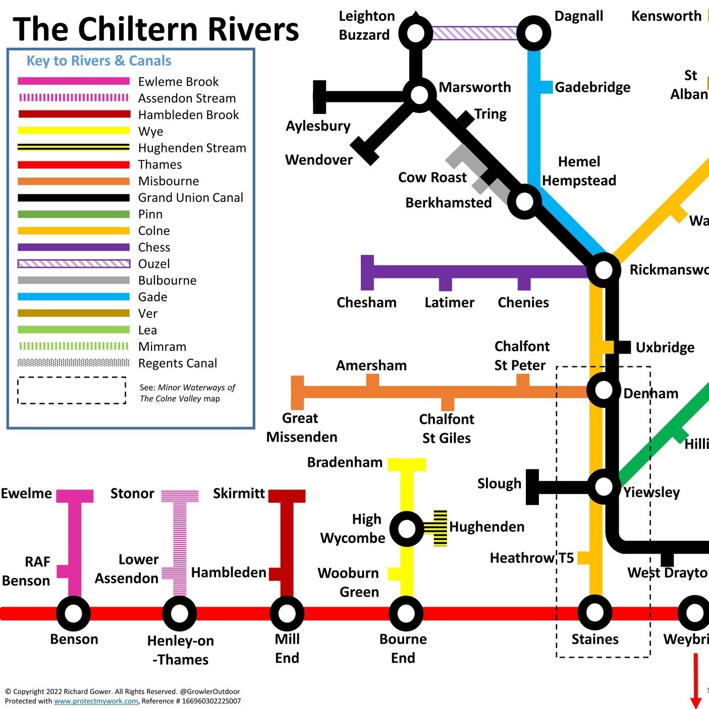
The Colne Valley Regional park is a fascinating mix of countryside and industry to the west of London. As the name suggests, it follows the River Colne and stretches from Rickmansworth in the north to Staines in the south. Rickmansworth is where the Colne picks up the waters carried by the Chess, Gade and Ver from the central Chilterns. Exploring further down the valley you’ll find rivers, streams canals and lakes before the waters reach the Thames at Staines.
There’s a lot of industry too, with the park cut through with the M25, M4, M40, train and tube lines and, under construction, HS2. For those, like the Colne Valley Landscape Partnership who protect the park, it’s a never-ending mission. For unspoilt beauty, the nearby Chiltern Hills AONB is the place to go. For interesting walks, diverse landscapes and accessibility to London, there’s a lot to do in the Colne Valley.
Living nearby and needing to stay local during the Covid lockdowns, I spent a lot of time exploring the Colne Valley Trails. Most are medium-distance point-to-point trails that can be completed in short sections or one long summer day. Although we had the benefit of use of 2 cars for our trips, the start and end of most of the trails or sections can also be accessed by public transport.
Here’s the map of the routes with links to each below.
The Trails
Beeches Way. Runs for 27 km from Cookham to West Drayton. The Shakespeare’s Way follows the Beeches Way through the Colne Valley
Celandine Route. Runs for 19 km along the River Pinn from Pinner to the Grand Union Canal at Yiewsley
Chess Valley Walk. Runs for 16 km along the River Chess from Chesham to Rickmansworth.
Colne Valley Trail. Runs for 33 km along the River Colne from Rickmansworth to Staines. The southern parts of the trail are called the Colne Valley Way.
Grand Union Canal Towpath. Runs for 220 km from Birmingham to London.
Hillingdon Trail. Runs for 32 km from Springwell Lock on the Grand Union to Cranford Park near Heathrow.
London Loop. Runs for 242 km in a circle around London.
Slough Arm Canal. Runs for 10km from Slough to Yiewsley.
Thames Path. Runs for 298 km from Kemble in Gloucestershire to the Thames Estuary, east of London.
Rolling hills between Pishill and Maidensgrove
Start & Finish: Parking spot opposite Russell’s Water Village Hall, Henley-on-Thames, RG9 6ES
Distance: 9.2 km (5.7 miles)
Elevation change: +/- 166m
Shakespeare’s Way section covered: Maidensgrove Common to farm at south Maidensgrove: 1.3 km
Oxfordshire Way Section Covered: Maidensgrove to (near) Hollandridge Farm: 3.7 km
GPX File: get via Buy Me a Coffee
Other routes touched (walk): Chiltern Way, Oxfordshire Way, Shakespeare’s Way
Other routes touched (cycle): None
Pubs / Cafes on route: Just off: The Five Horseshoes (just off route at 8.2 km in)
Map: Chiltern Hills West Map | Henley-on-Thames & Wallingford | Ordnance Survey | OS Explorer Map 171
Links: Russell’s Water, Pishill, Maidensgrove
This walk is the intersection of the Chilterns Sections of both the Oxfordshire Way and The Shakespeare’s Way. Both are reasonably well marked however you’ll need a map or GPX route to keep on track for the return sections of the loops. The guidance below will help but don’t use it as a fully accurate turn-by-turn guide and prepare well for the weather and terrain.
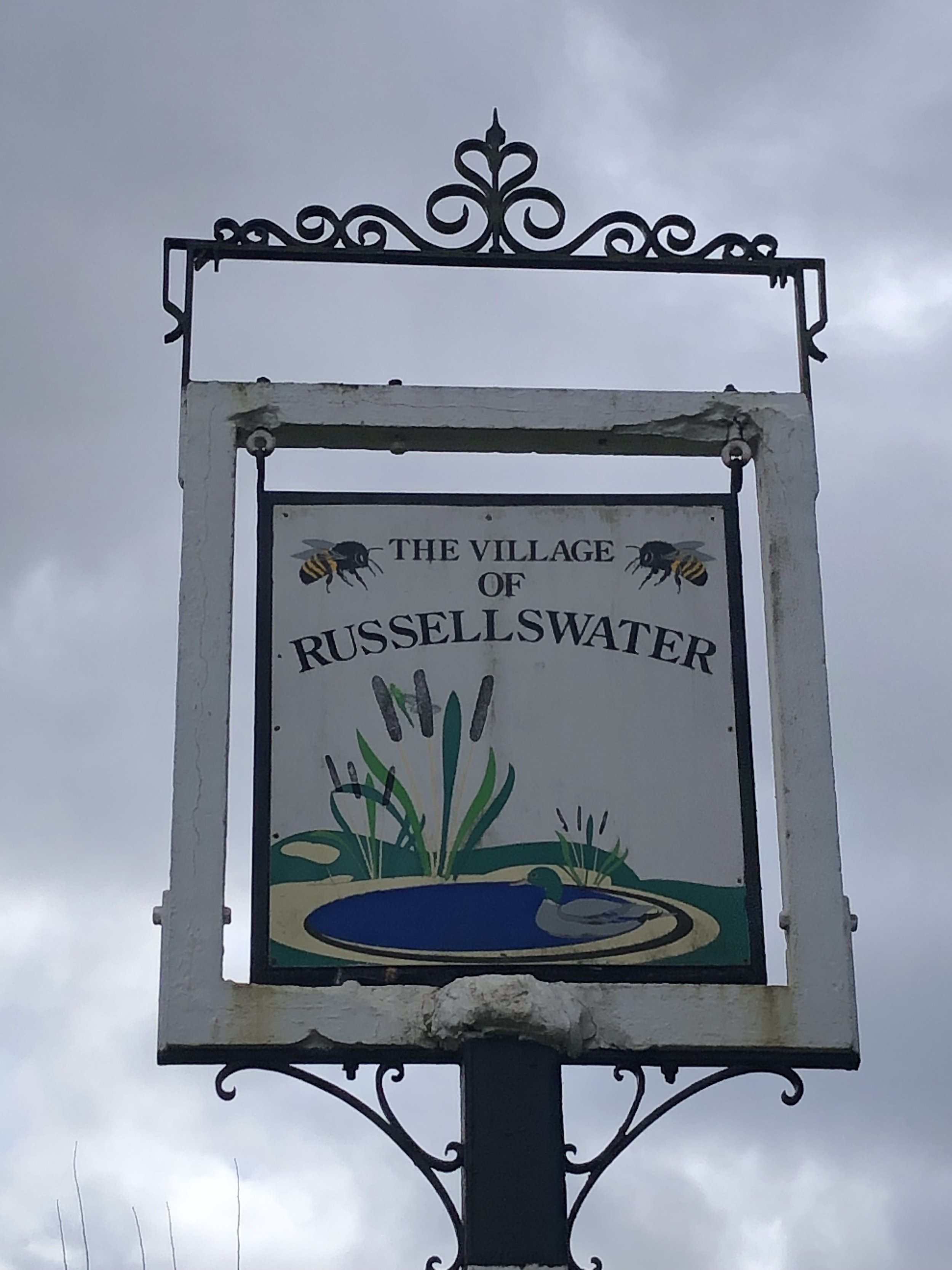
The route starts at in the small village of Russell’s Water where there’s some parking spots opposite the village hall. Take the road to the south-east of the village hall, passing the duck pond and then a left the Chiltern Way, following it in a northerly direction.
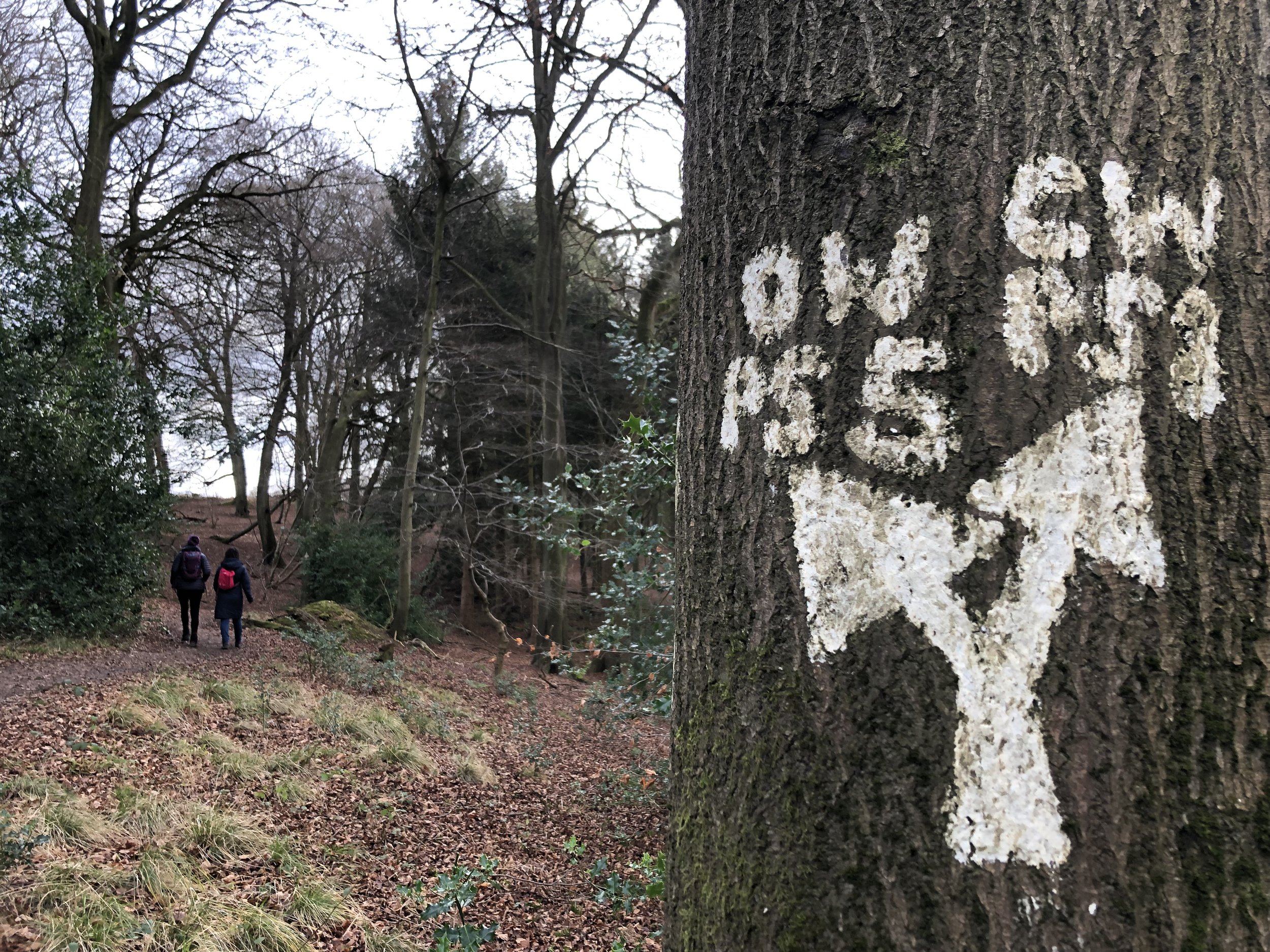
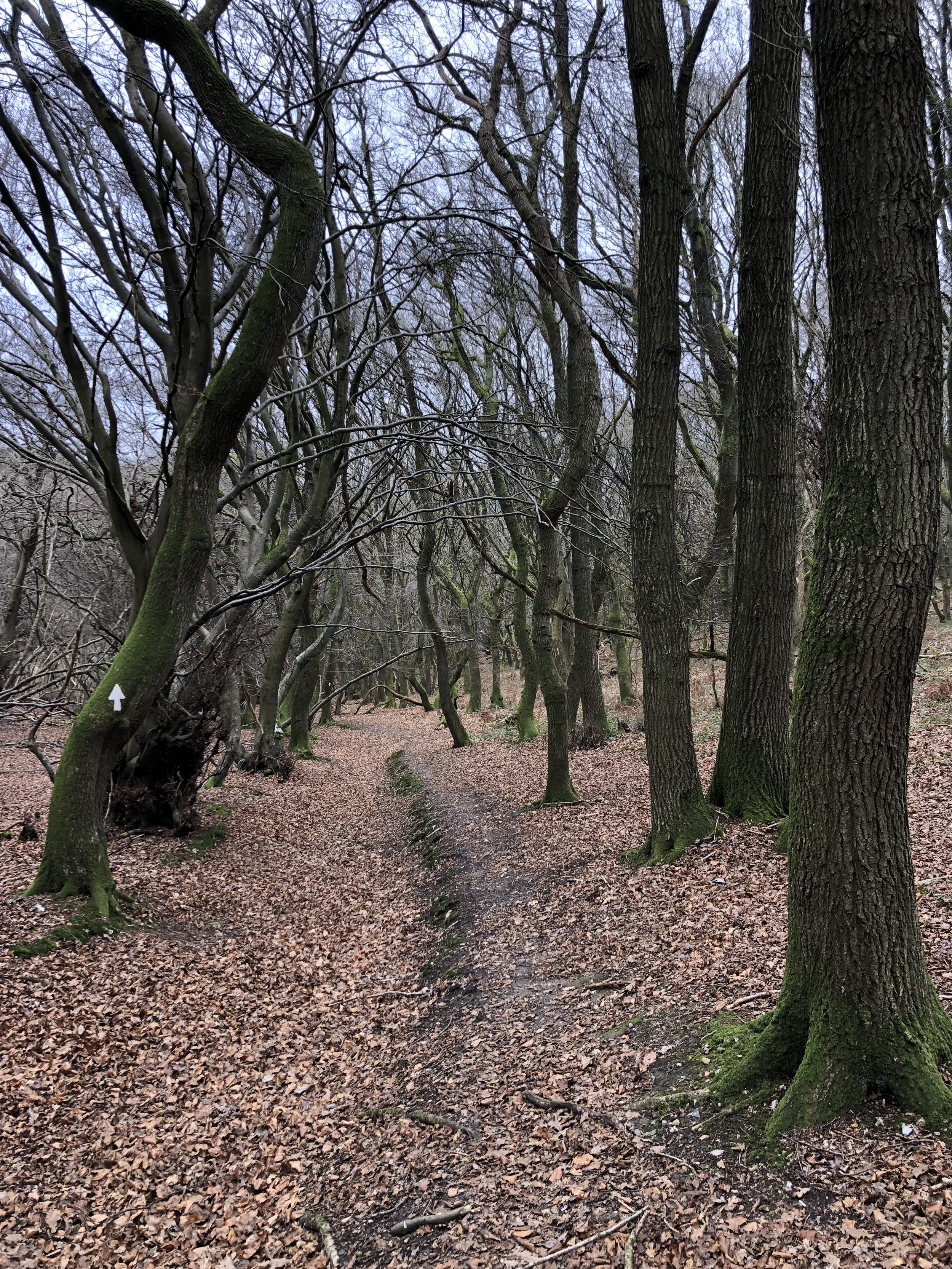
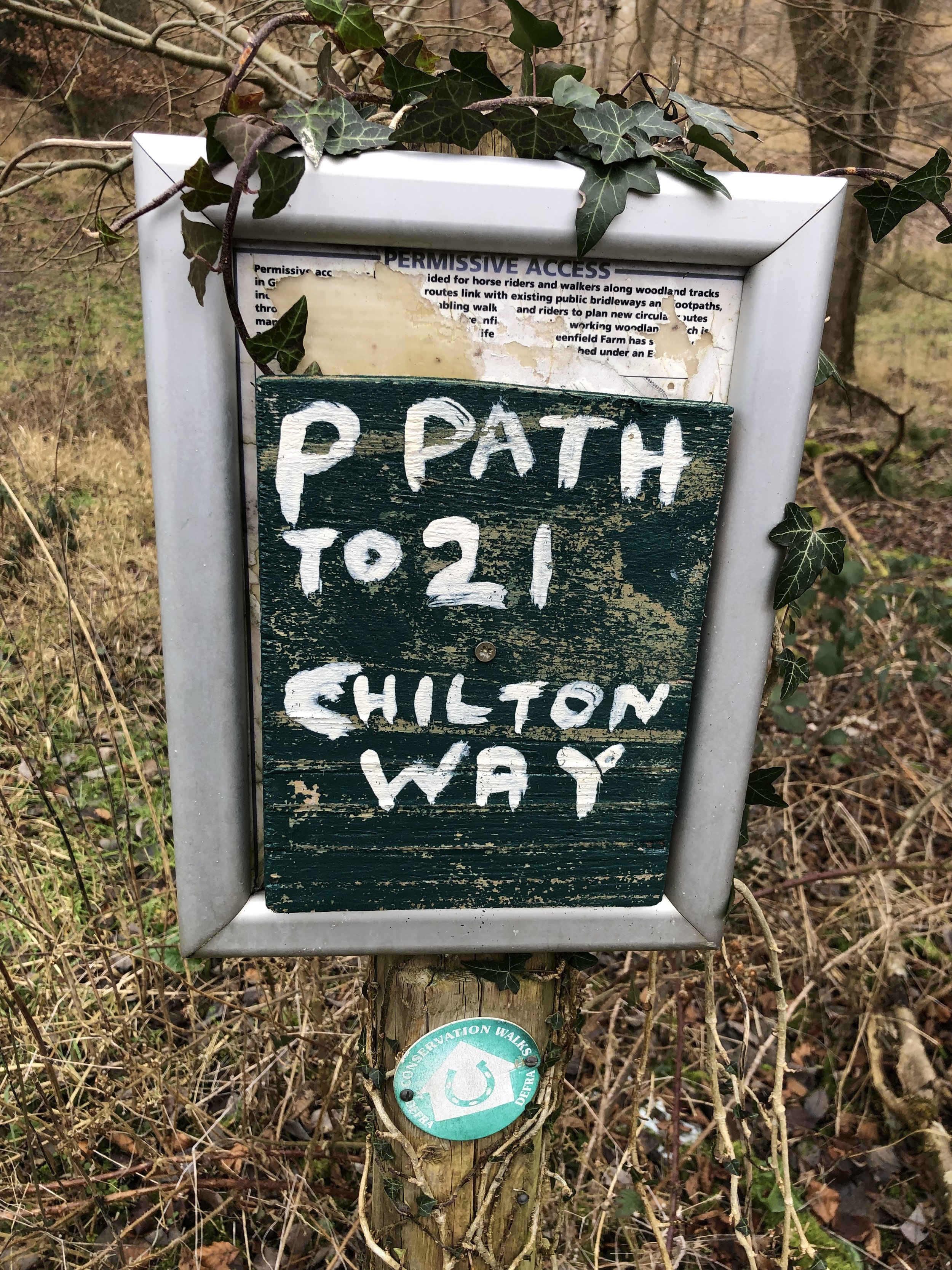
Continue along the Chiltern Way for ~3km following the large white arrows painted onto trees. Make sure you keep to the main Chiltern Way path though as some of the arrows also point to side paths. When you hit Patemore Lane the Chiltern Way takes a left on the road then a right into the woods. Rather than taking the road you can cross straight over and take a steep path up the woods to cut this corner and avoid the road.
At around 3km from Russell’s Water you’ll meet a path junction with the Oxfordshire Way. Leave the Chiltern Way here and take a right onto the Oxfordshire Way. If you reach Hollandridge Farm on the Chiltern Way you’ll have gone too far.
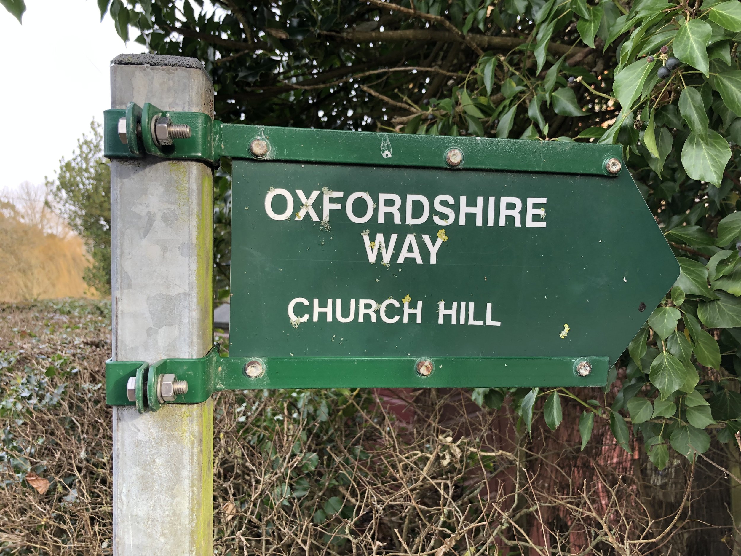
Continue south along the Oxfordshire Way, through Pishill, until you meet the Chiltern Way again just south of Maidensgrove. Follow the Chiltern way in a north-westerly direction. You’ll meet Maidensgrove and Russell’s Water Common where you’ll follow the edge of the road until you reach a small group of houses on the right of the road. If you need a rest the Five Horseshoes pub is among these houses.
Here you have a choice to continue along the road back to Russell’s Water or, as we did, take a path around the back (east side) of the houses, and through the woods back to the start.
Shakespeare’s Way previous section (north): Nettlebed, Park Corner and Maidensgrove
Shakespeare’s Way next section (south): Stonor and Turville Heath
Oxfordshire Way previous section (south): Middle Assendon, Bix and Crocker End
Oxfordshire Way next section (north): Christmas Common, Watlington Hill and Greenfield
Shardeloes Estate
Start & Finish: Old Amersham Market Hall, 19 Market Square, Amersham, HP7 0DG
Distance: 12.5 km (7.8 miles)
Elevation change: +/- 119m
South Bucks Way section covered: Shardeloes to Amersham Market Square: 1.2 km
Chiltern Heritage Trail Section Covered: Coleshill to Toby’s Lane: 8.1 km
GPX File: get via Buy Me a Coffee
Other routes touched (walk): South Bucks Way, Chiltern Heritage Trail, Chiltern Way
Other routes touched (cycle): Chiltern Heritage Trail Milton Route
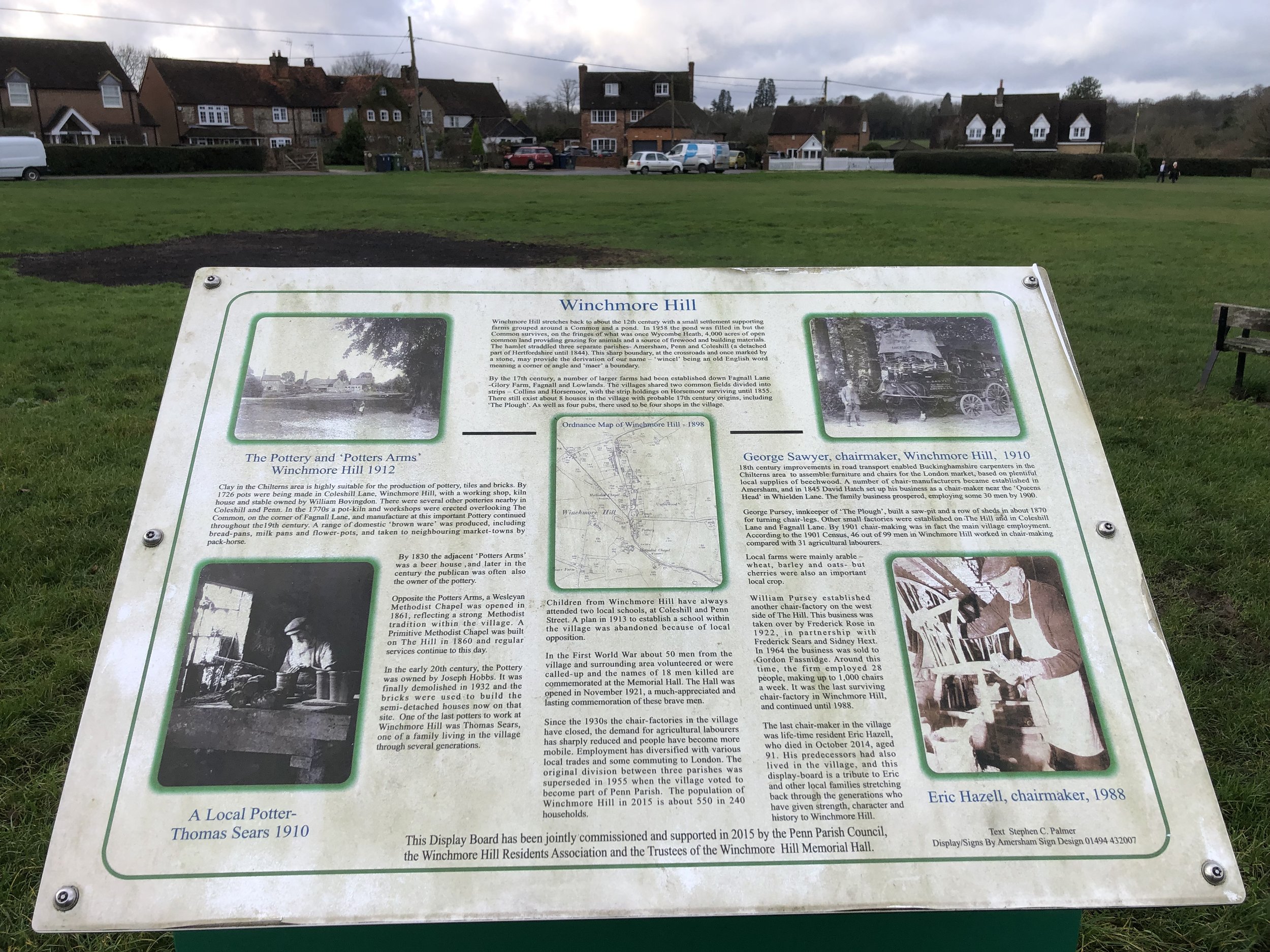
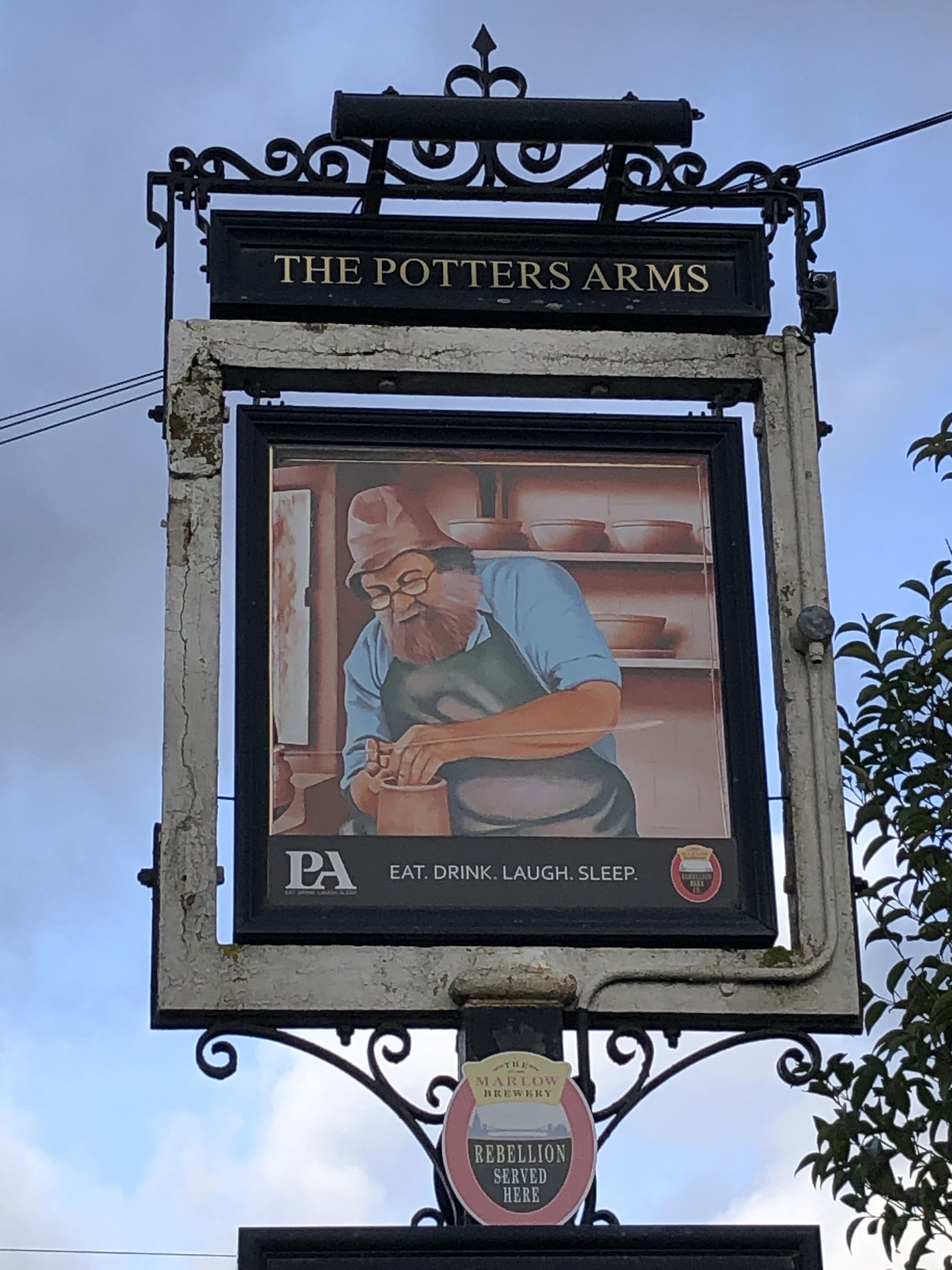
Pubs / Cafes on route: Lots in Old Amersham High Street (we like Seasons). Also: The Red Lion, Coleshill; The Plough and The Potter’s Arms, Winchmore Hill; The Squirrel, Penn
Map: OS Explorer Map (172) Chiltern Hills East
Links: Amersham, Coleshill, Winchmore Hill, Penn, Penn Wood
The South Bucks Way is a 37 km (23-mile) trail that promises a delightful escape for walkers and hikers. This scenic route, often overshadowed by its more famous counterparts, offers a tranquil journey through charming villages, lush countryside, and the gentle murmur of the River Misbourne. This post is part of a series of circular walks featuring the South Bucks Way. The full trail stretches from Coombe Hill near Wendover to the Grand Union Canal at Denham. Our walks take in short sections of the South Bucks Way and loop back to the start on other paths. The South Bucks Way is well sign-posted however you’ll need a map or GPX route to keep on track for the return sections of the loops. The guidance below will help but don’t use it as a fully accurate turn-by-turn guide.
The route is also part of a series of 17 walks that, between them, cover the 83 km of the Chiltern Heritage Trail. Created as a Millennium project, this trail links the towns and parishes within the district, offering stunning scenery, charming villages, and points of historical interest.
From the Market Square head south down Whielden Street, following the Chiltern Heritage Trail. Take a left onto Whielden Green and keep to the Trail as it crosses a rough field, over the A413 footbridge and into farmland. Follow the Heritage Trail in a south-westerly direction as it climbs up to Coleshill. When you reach Coleshill All Saints Church opposite the Red Lion pub, take a right onto the footpath passing down the south side of the church. You’re now following both the Chiltern Heritage Trail and The Chiltern Way. Follow these in a westerly direction to The Hill (road) in Winchmore Hill.
When you arrive at Winchmore Hill you have the choice of either The Plough or The Potter’s Arms for a rest. Alternatively you can continue to Penn for The Squirrel or, just round the corner, The Hit or Miss. This is one of the Chiltern Walks with the most pubs on the route.
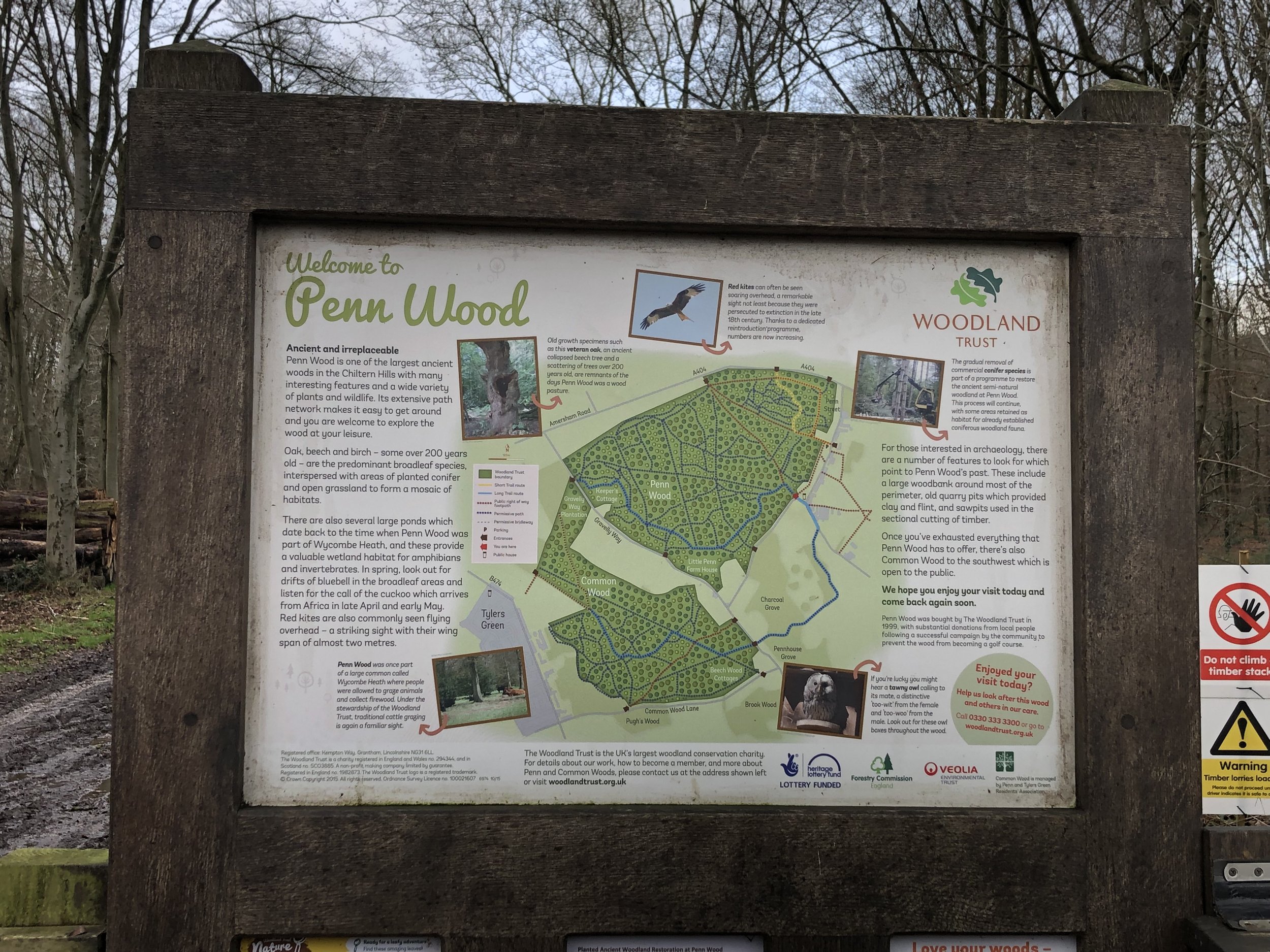
From The Plough you’ll keep to the right of the Common, following the Heritage Trail (not the Chiltern Way) in a north westerly direction until you reach Penn Street. Turn left onto Penn Street then find the entrance to Penn Wood opposite the Squirrel. Follow the Heritage Trail through Penn Wood to reach Amersham Road. Cross Over Amersham Road, briefly onto Sheepcote Dell Road then take a right onto Beamond End Lane. Take the first road on the right, follow it to the end and continue along the footpath. Halfway across the next field you’ll cross Toby’s Lane, a tree enclosed footpath. At this point the Chiltern Heritage Trail takes a left onto Toby’s Lane. Don’t take this left, instead leave the Heritage Trail and continue across the fields in a north-easterly direction. Cross over Mop End Lane and keep to the footpath to the north edge of The Rough Park woods. Continue for 2km through the Shardeloes estate and A413.
When you reach the A413 you’ll meet the River Misbourne and can cross under the main road next to the river. Follow the footpath onto Amersham High Street and back to the start at Market Square.
South Bucks Way previous section (north): Little Missenden and Shardeloes
South Bucks Way next section (south): Amersham and Coleshill
Chiltern Heritage Trail next section clockwise: Little Kingshill and Little Missenden
Chiltern Heritage Trail next section anti-clockwise: Amersham and Coleshill
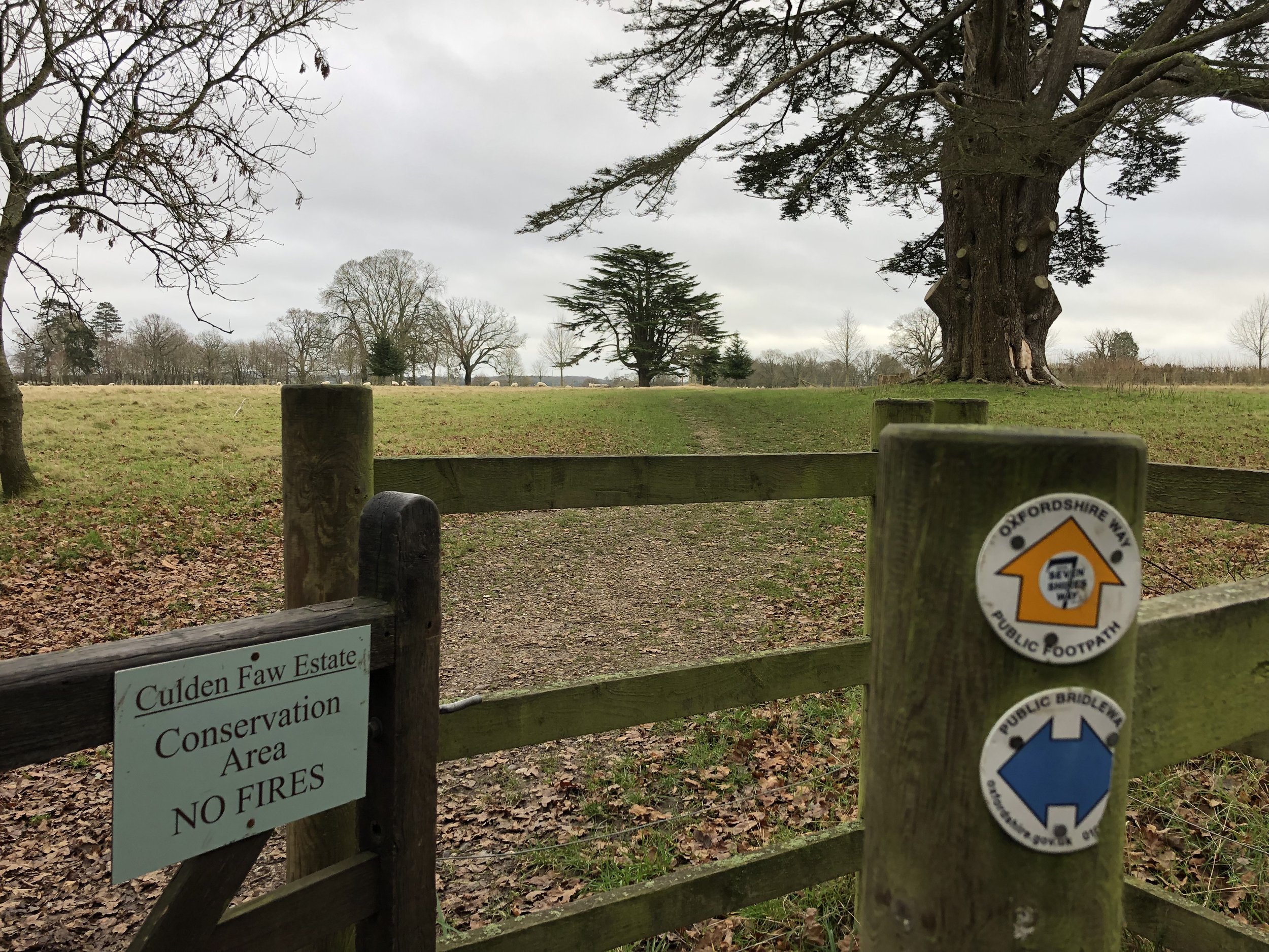
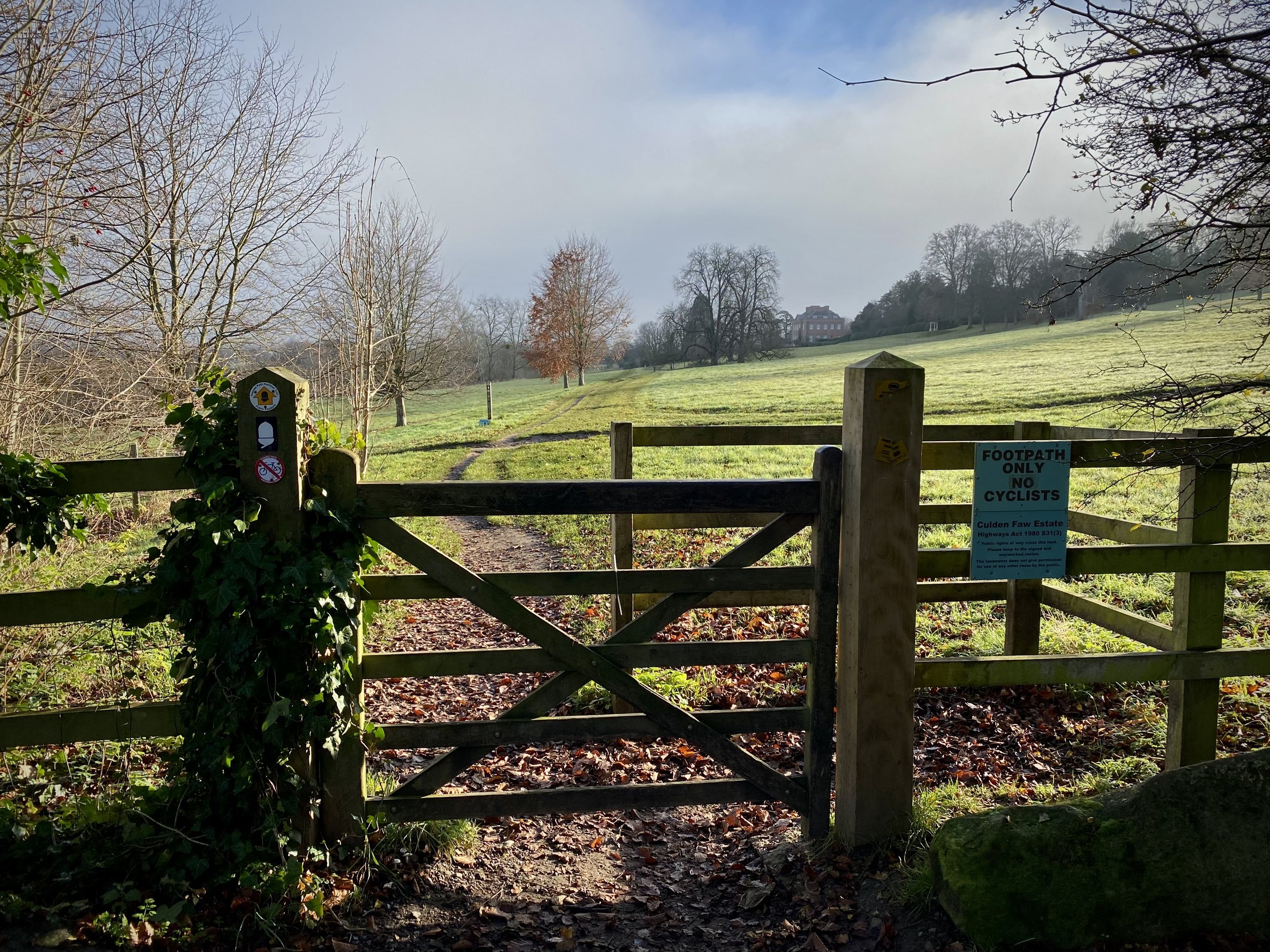
Gate to the Culden Faw Estate on the Oxfordshire Way
Start & Finish: Henley Bridge, White Hill, Henley-on-Thames, RG9 3HG
Distance: 10.9 km (6.8 miles)
Elevation change: +/- 185m
Oxfordshire Way Section Covered: Henley on Thames to Middle Assendon: 4.7 km
GPX File: get via Buy Me a Coffee
Other routes touched (walk): Oxfordshire Way, Thames Path
Other routes touched (cycle): Chilterns Cycleway
Pubs / Cafes on route: Lots in Henley Town centre, plus The Rainbow Inn (4.7km in)
Map: Chiltern Hills West Map | Henley-on-Thames & Wallingford | Ordnance Survey | OS Explorer Map 171
Links: Henley-on-Thames, Middle Assendon, Bix, Nettlebed, Lambridge Wood
For our latest Chiltern Walk we returned to Henley to start the Oxfordshire Way. This is a 66 mile long-distance path connecting Bourton-on-the-Water in the Cotswolds with Henley-on-Thames. Our plan is to start with the Chilterns section, taking it on in short circular walks of around 10km. The guidance below will help you navigate but don’t use it as a fully accurate turn-by-turn guide. Always take a map and/or a GPX route and prepare well for the weather and terrain.
This first section starts at Henley Bridge, where the Oxfordshire Way meets the Thames Path. From here, walk up Hart Street in a westerly direction and turn right onto Bell Street. Continue along Bell Street until the mini-roundabout, crossing this onto Northfield End. After 300m, and 1km into the route, take the footpath on the right, following it diagonally up the hill to a wooded area.
Follow the Oxfordshire Way for 3.5km through the Culden Faw Estate and other farmland until you reach the B480 at Middle Assendon. Take a right onto the B480 and find the footpath to the left hand side of the Rainbow Inn pub. Here you’ll leave the Oxfordshire Way for this section. See the Middle Assendon, Bix and Crocker End Circular walk for the next section.
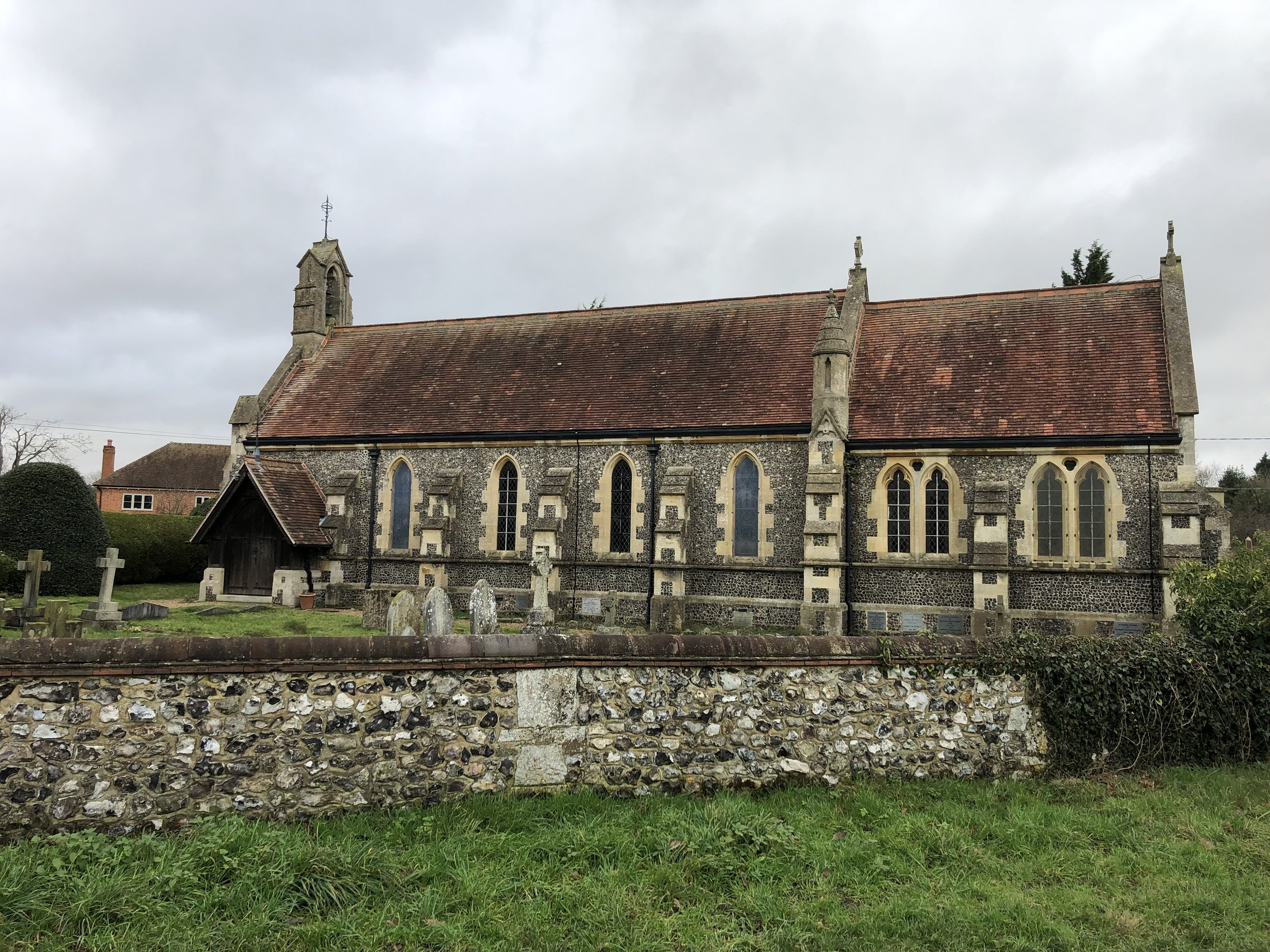
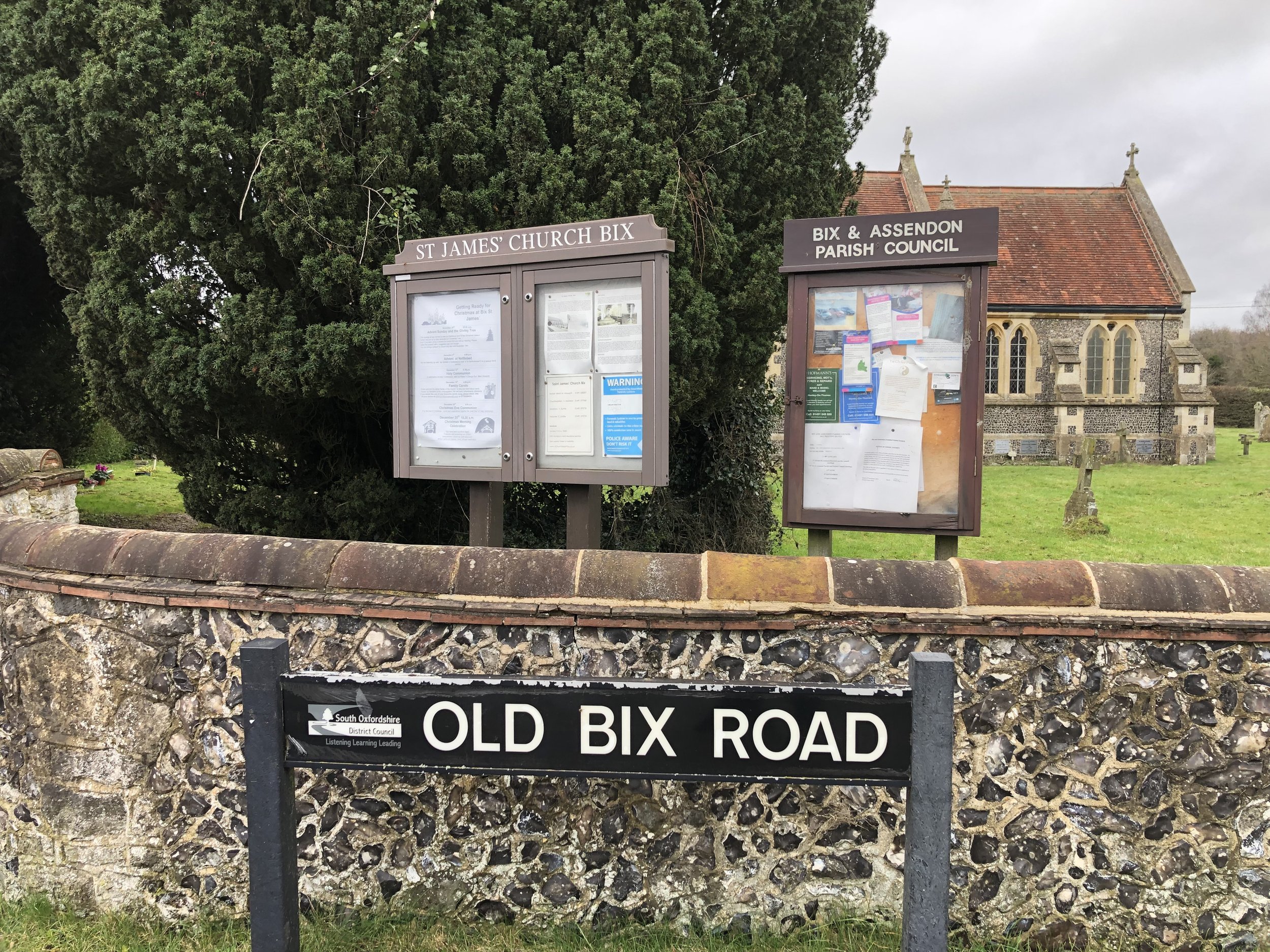
Follow the path from the Rainbow Inn in a westerly direction as it takes you onto White Lane and Rectory Lane along the edge of Bix Common Field. Cut across the Common to the Church of St James, Bix and take Rectory Lane south, carefully crossing over the busy A4130 to continue following the road past Bix Manor. Approximately 800m from the A4130 you’ll leave the road when it curves to the right and take the footpath into Lambridge Woods. Continue in a south-easterly direction through the woods and across Badgemore Park Golf Club to Lambridge Road. It’s easy to get lost in the maze of paths through Lambridge Woods so a GPX route is useful here.
When Lambridge Road takes a sharp turn to the right, take the left hand footpath leading to Crisp Road. From here there’s a few options to navigate through the houses to return to Hart Street and back to Henley Bridge. We took Crisp Road / Hop Gardens / Mount View then through the Waitrose Car Park.
Oxfordshire Way next section (north): Middle Assendon, Bix and Crocker End
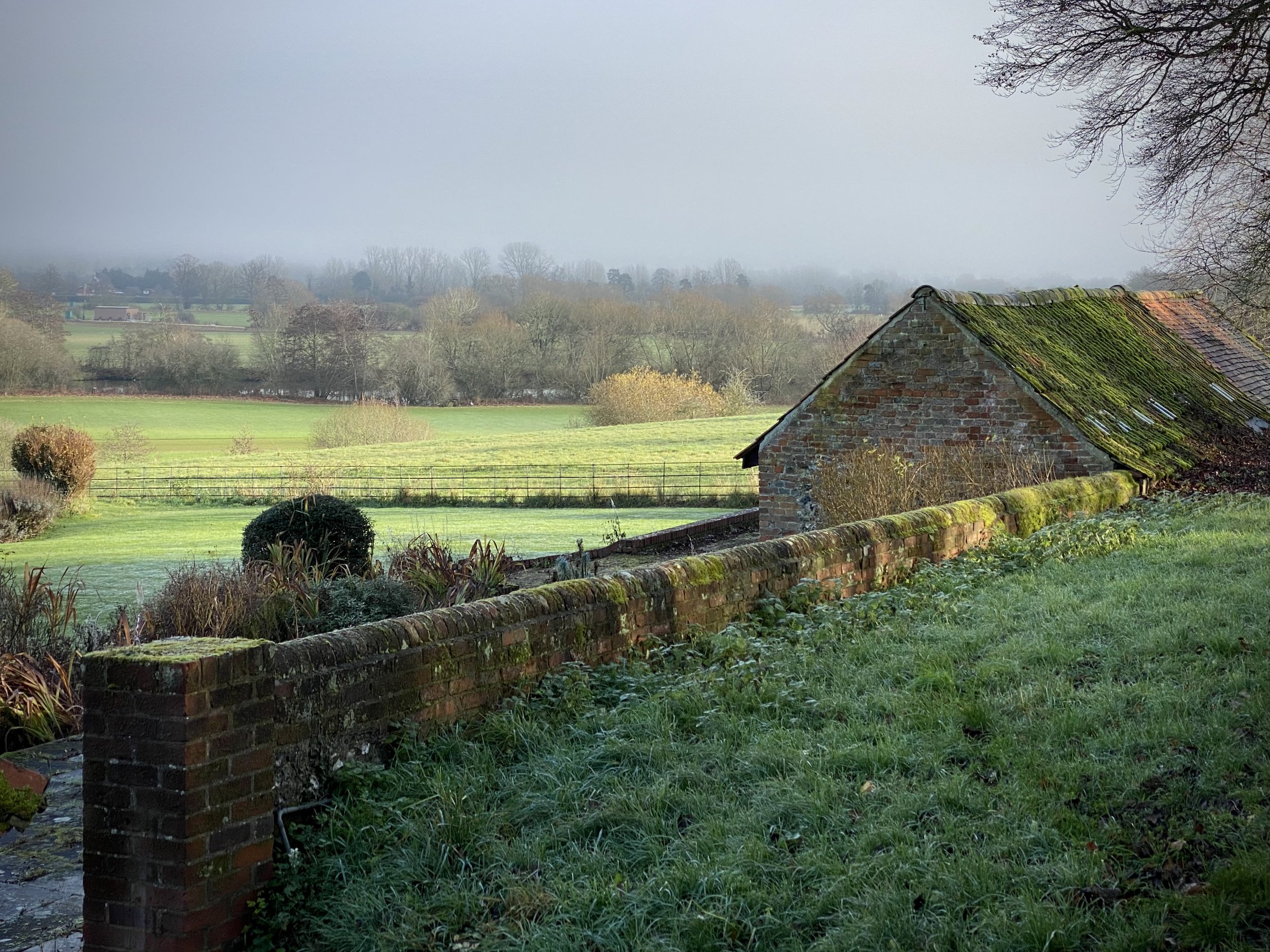
Thames Path at Culden Faw
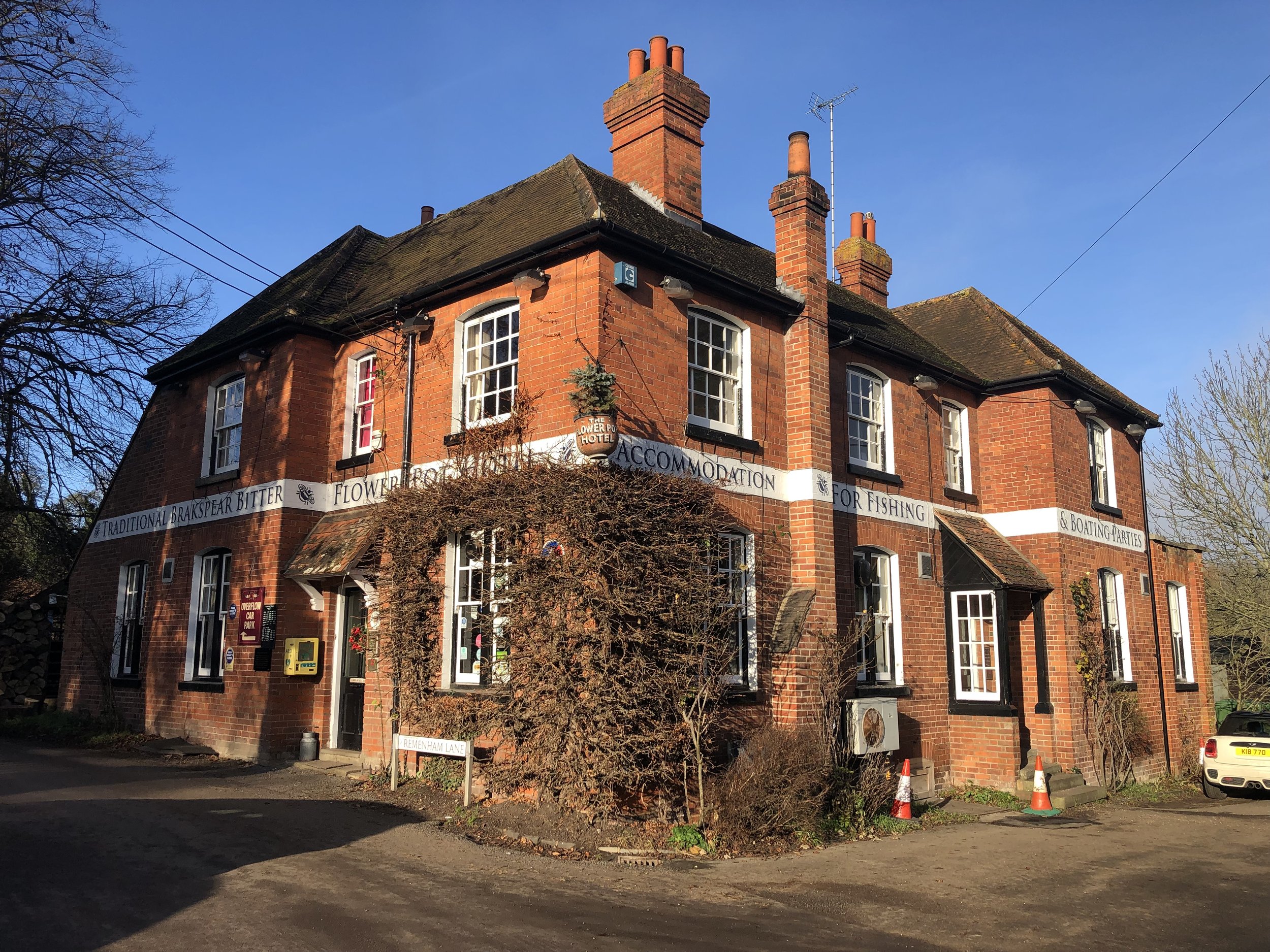
Start & Finish: The Flower Pot Hotel, Aston, Henley-on-Thames, RG9 3DG
Distance: 12.4 km (7.7 miles)
Elevation change: +/- 116m
GPX File: get via Buy Me a Coffee
Other routes touched (walk): Thames Path, Wokingham Way, The Chiltern Way Berkshire Loop
Other routes touched (cycle): Round Berkshire Cycle Route, NCN 4
Other Pubs / Cafes on route: None
Map: OS Explorer Map (171) Chiltern Hills West, Henley-on-Thames and Wallingford
Links: Aston, Culden Faw, Crazies Hill
For our final Thames Path walk of the year we returned to the Flower Pot Hotel in Aston. From the pub follow the Thames Path south for 100m along Aston Lane, then take the path on the left to cross the Culden Faw Estate. This is a big landowner in the Henley area and you’ll be on the Thames Path through the estate for 3 km. When you reach Frogmill, take a right, leaving the Thames Path and follow Black Boy Lane south to the Black Boy Pub on the A4130.
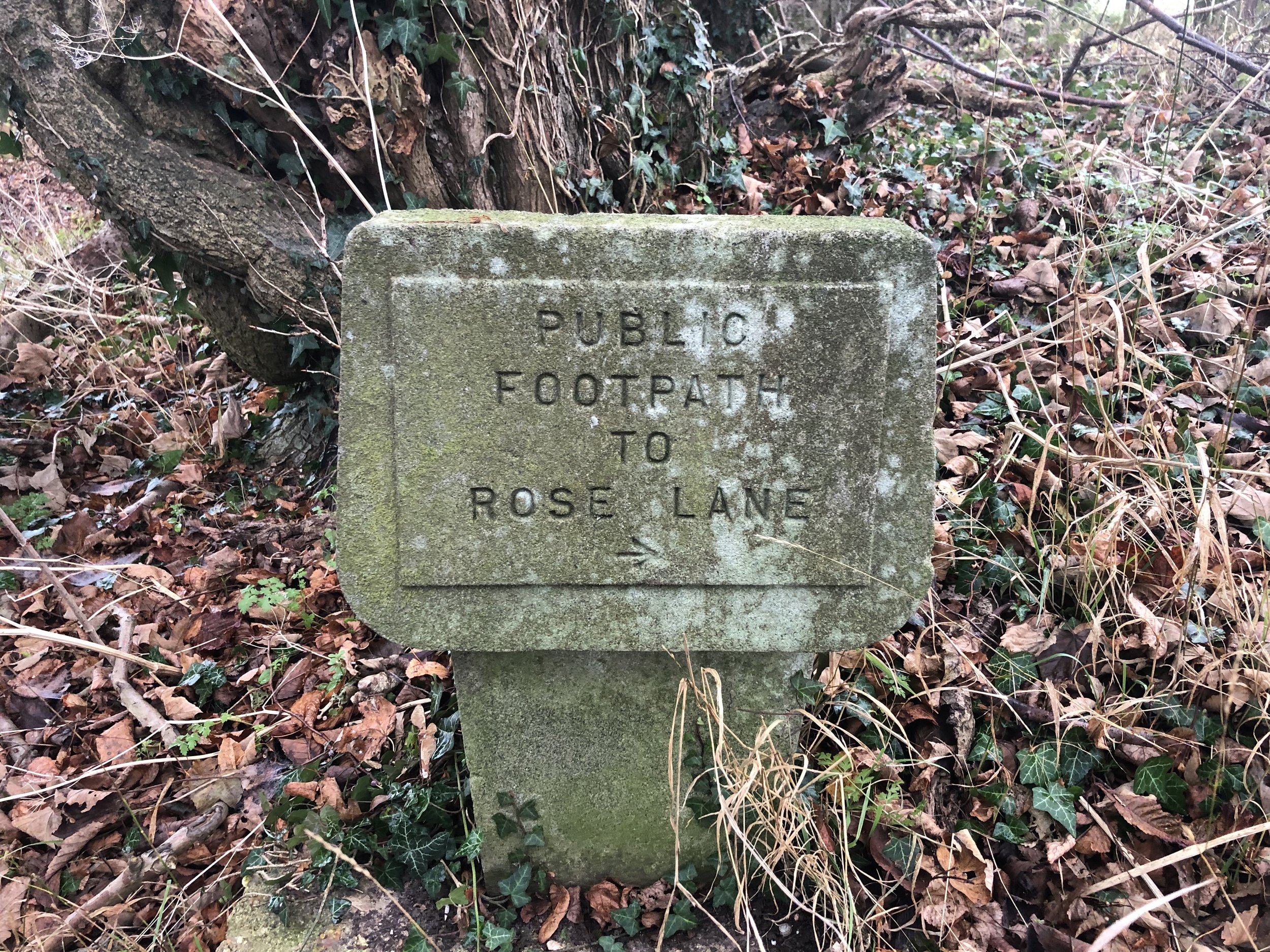
Carefully cross the A4130 and take the footpath, still on the Wokingham Way up the hill for 1.5 km. When you see an old stone sign saying “public footpath to Rose Lane”, take a right following the direction of the sign. Continue along this path, past the farm to Rose Lane. Take a left onto Rose Lane, cross over Warren Row Road at the junction and over Hatch Gate Lane at the next junction. Approximately 200 metres along Highfield Lane take the first path on the right along the edge of a horse field. You’re now on the Chiltern Way Berkshire Loop which you’ll follow through Crazies Hill, Cockpole Green, Culham, over the A4130 and back into the Culham Faw Estate. When the Chiltern Way Berkshire loop meets the Thames Path again, take a left and retrace your original steps back to the Flower Pot.
Previous Thames Path Section (west): Henley-on-Thames, Remenham and Aston
Next Thames Path Section (east): Hurley & Ashley Hill
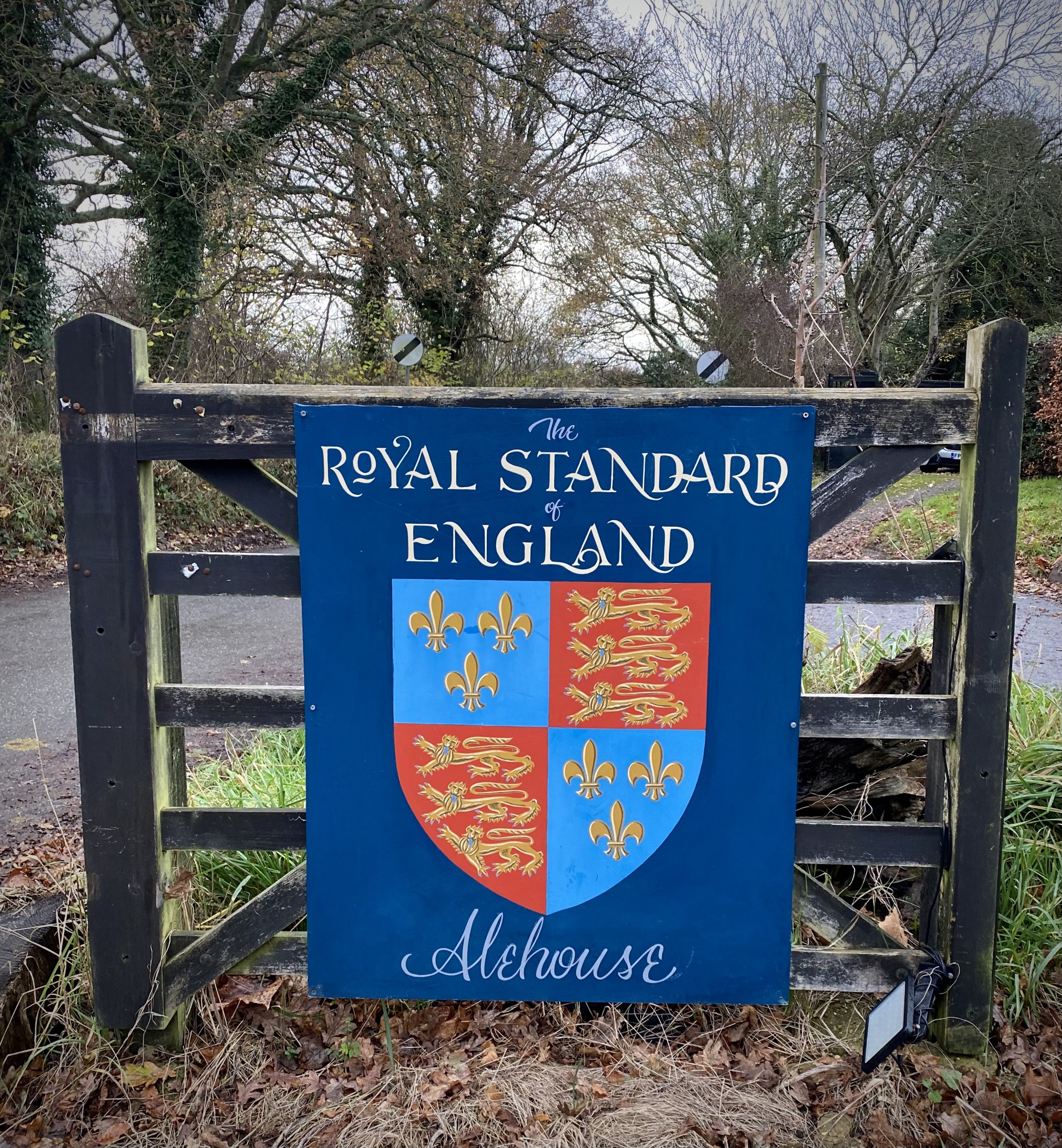
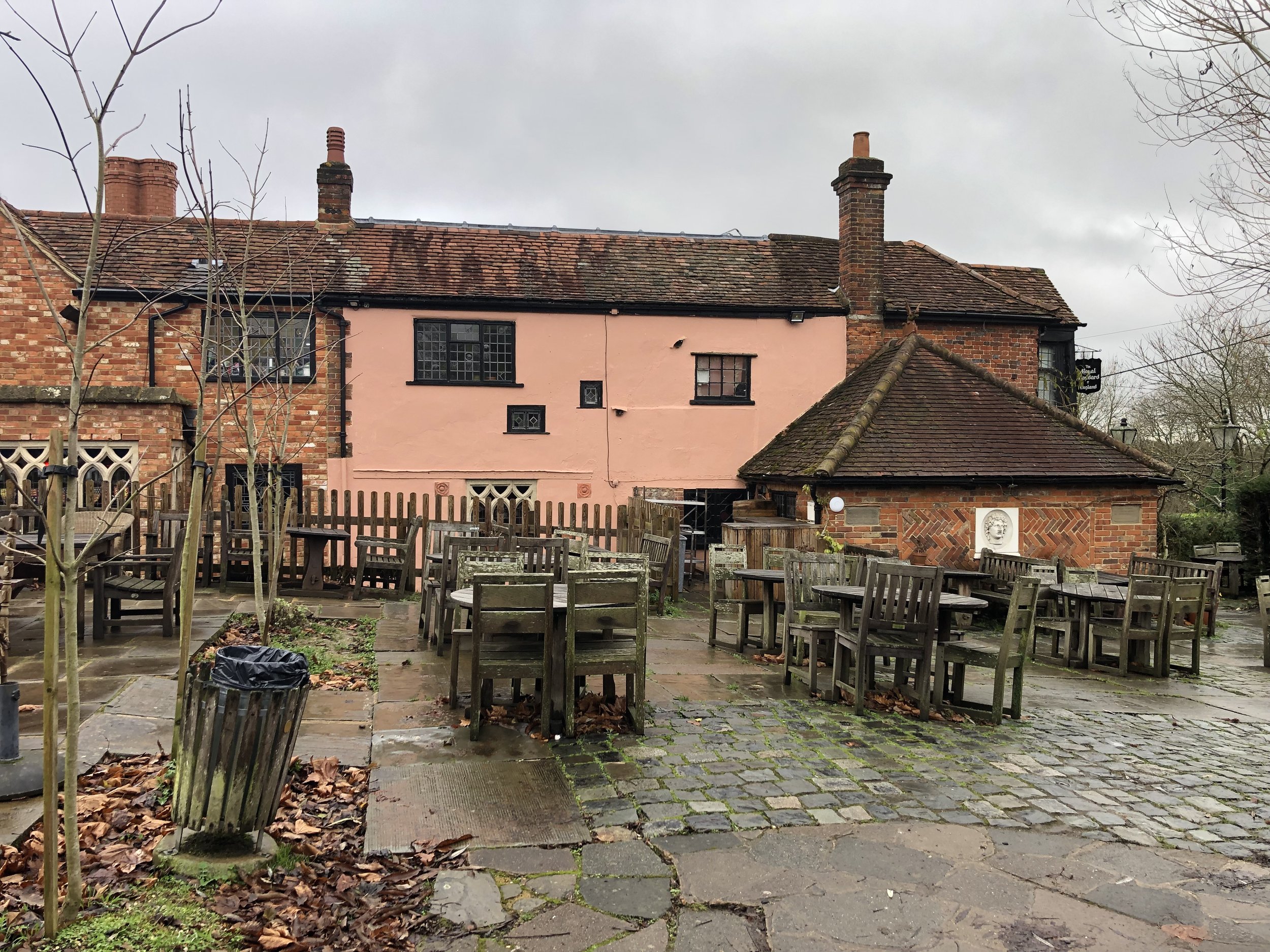
At the entrance to the Royal Standard of England Pub
Start & Finish: The Royal Standard of England pub, Forty Green, Beaconsfield, HP9 1XT
Distance: 8.3 km (5.2 miles)
Elevation change: +/- 140m
GPX File: get via Buy Me a Coffee
Other routes touched (walk): The Chiltern Way, The Chiltern Way Berkshire Loop
Other routes touched (cycle): None
Pubs / Cafes on route: The Royal Standard of England at the start and end.
Map: Chiltern Hills East Map | High Wycombe, Maidenhead & Rickmansworth | Ordnance Survey | OS Explorer Map 172
Links: Forty Green, Penn, Knotty Green
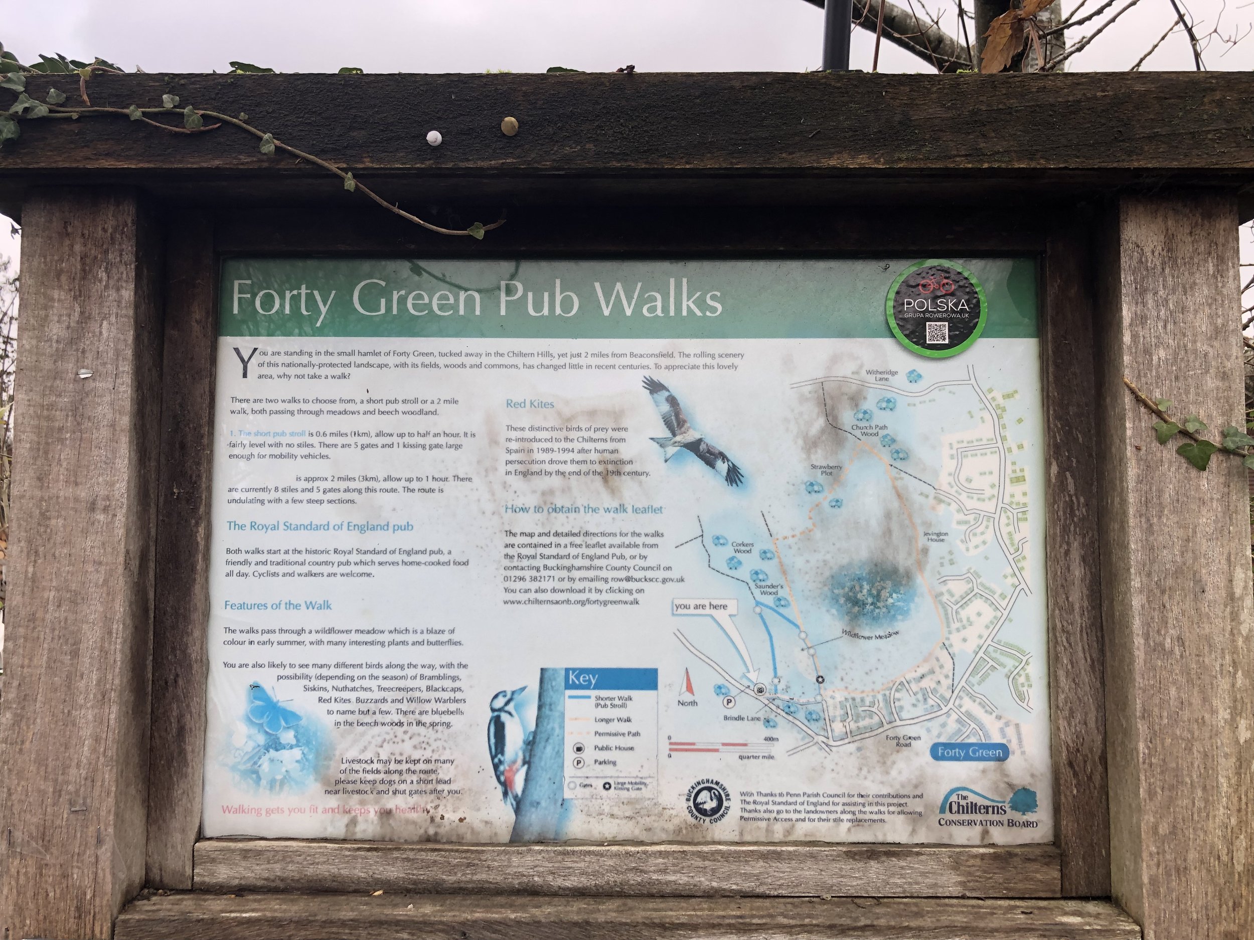
This is a short walk from the Royal Standard of England pub in Forty Green. The pub is said to be England’s oldest and has a rich history that you can read on its website. It caters well for walkers as it has a large free car park with an information sign for local walks. The guidance below will help you navigate but don’t use it as a fully accurate turn-by-turn guide. Always take a map and/or a GPX route and prepare well for the weather and terrain.
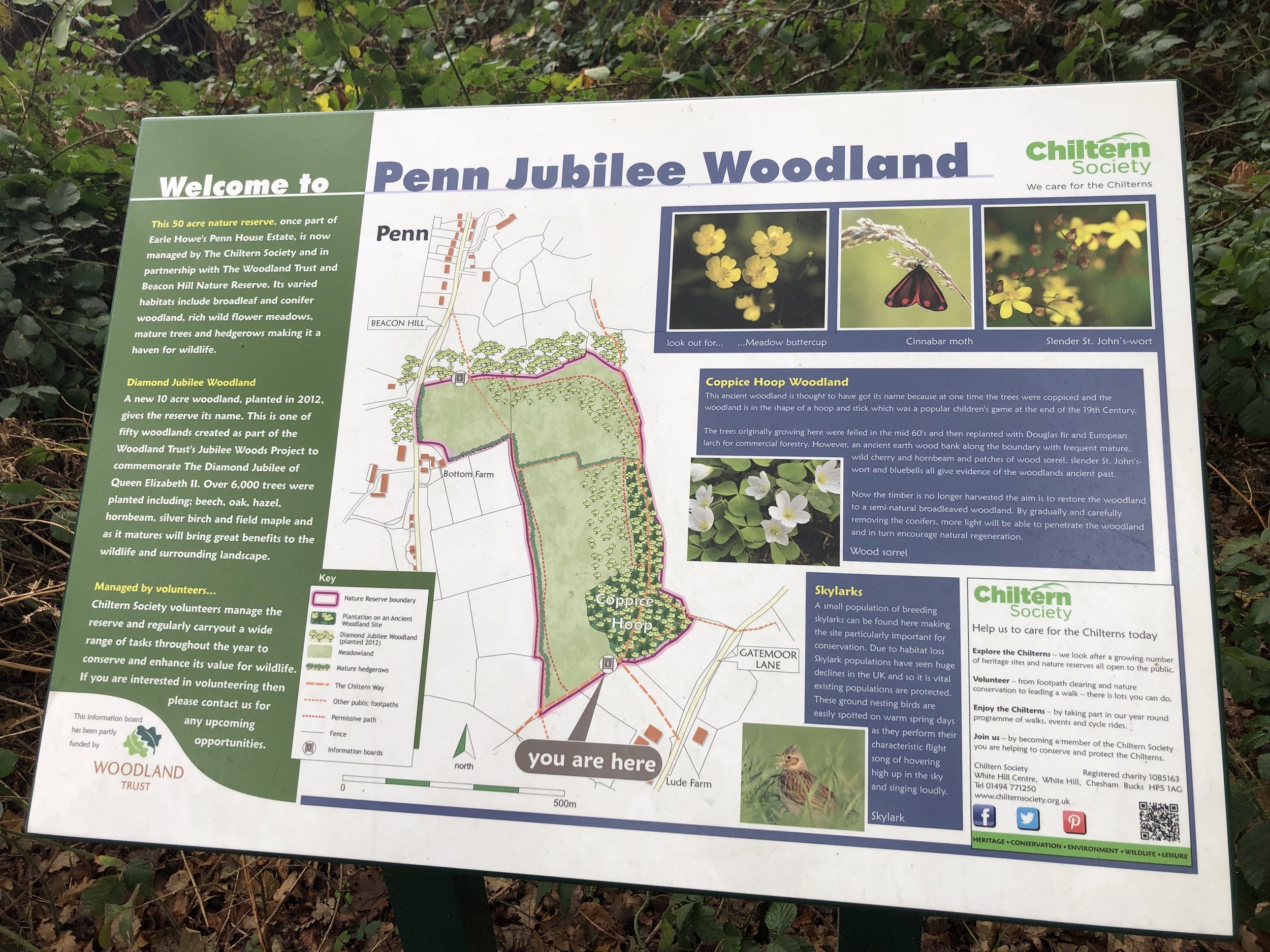
Our route took us on a clockwise half-circuit on the Chiltern Way Berkshire Loop and Chiltern Way then back through paths to the west of Knotty Green. From the pub car park take a right onto Bayleys Bottom Lane then the first footpath on the right onto the Chiltern Way Berkshire Loop. Follow this for ~1.5 km until you meet the junction with The Chiltern Way at Coppice Hoop woods. Take a right onto The Chiltern Way and follow it as it curves north/north-east through Beacon Hill until Noakes Lane. Here you’ll leave The Chiltern Way, following Noakes Lane south until it reaches the B474 Witheridge Lane. Take a left onto Witherage Lane.
Be careful on Witheridge Lane as cars can pass down it quite fast and there’s no pavement. You can keep off the road on the grass verges though. After 40 metres, take the first footpath on the right, between some large houses. Follow this path south for ~1.5 km until you meet Forty Green Road, taking a right to briefly follow it. Take the footpath on the left before the Forty Green sign where the road descends steeply. Follow this path south-west until the path junction at Hogback Wood. Take a right onto another path and follow this until you reach Forty Green Road again. Take a left onto the Forty Green Road and follow it back to the Royal Standard of England
Start & Finish: The Rainbow Inn, Middle Assendon, Henley-on-Thames, RG9 6AU
Distance: 10.9 km (6.8 miles)
Elevation change: +/- 190m
Oxfordshire Way Section Covered: Middle Assendon to Maidensgrove: 4.3 km
GPX File: get via Buy Me a Coffee
Other routes touched (walk): Chiltern Way Southern Extension, Chiltern Way, Oxfordshire Way
Other routes touched (cycle): None
Other Pubs / Cafes on route: The Rainbow Inn at start and finish.
Map: Chiltern Hills West Map | Henley-on-Thames & Wallingford | Ordnance Survey | OS Explorer Map 171
Links: Middle Assendon, Bix, Maidensgrove, Warburg Nature Reserve, Bix Brand Old Church
For our latest Chiltern Walk we returned to the Oxfordshire Way. This is a 66 mile long-distance path connecting Bourton-on-the-Water in the Cotswolds with Henley-on-Thames. Our plan is to start with the Chilterns section, taking it on in short circular walks of around 10km. The guidance below will help you navigate but don’t use it as a fully accurate turn-by-turn guide. Always take a map and/or a GPX route and prepare well for the weather and terrain.
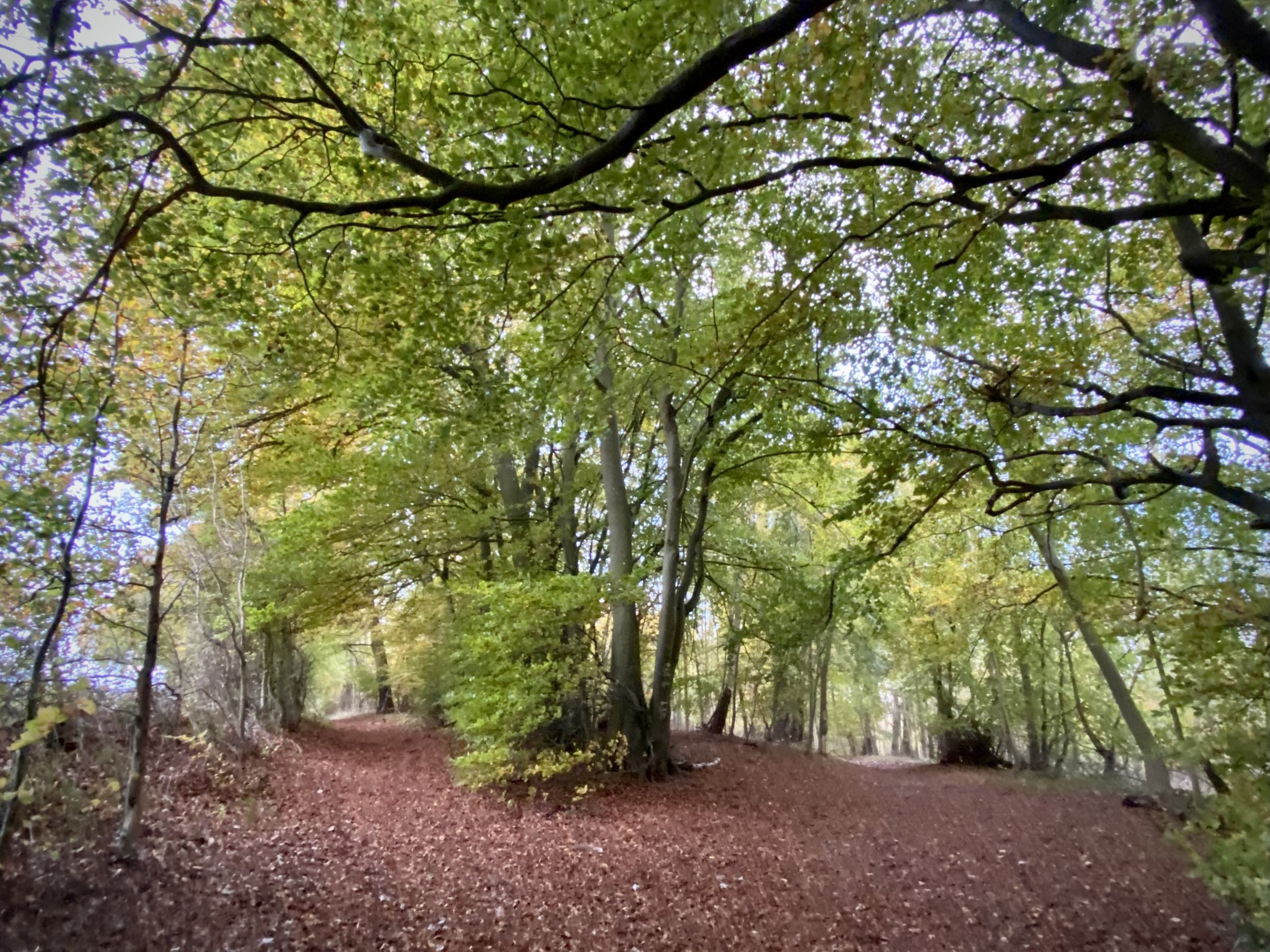
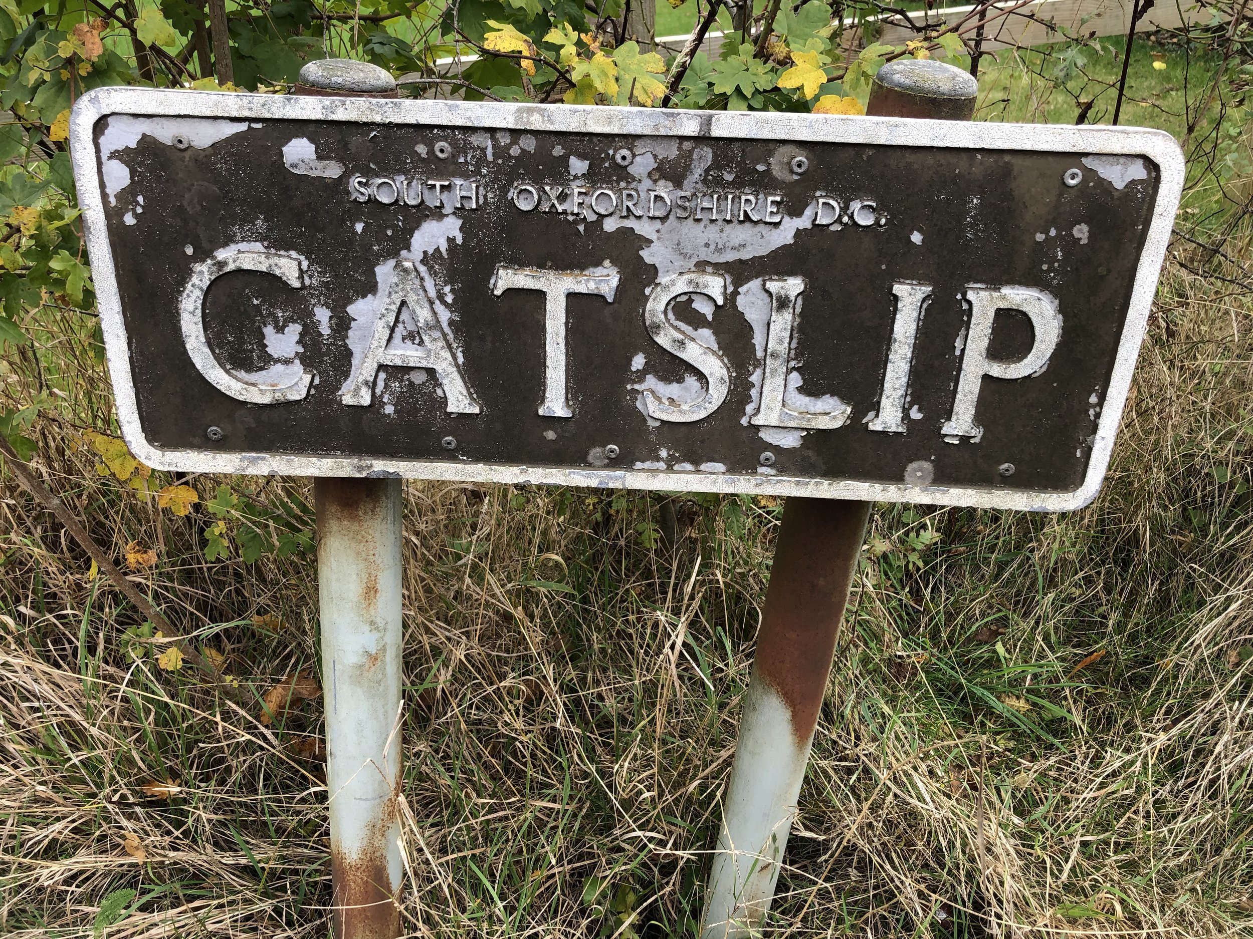
Start at the Rainbow Inn where there’s a small car park and also free on-street parking. Walk south down the B480 for 50m then take the footpath on your right, leading up the hill. Follow this path in a westerly direction as it takes you onto White Lane and Rectory Lane along the edge of Bix Common Field. At the end of Rectory Lane continue onto a path through a field, following it through the woods until you reach the small village of Catslip.
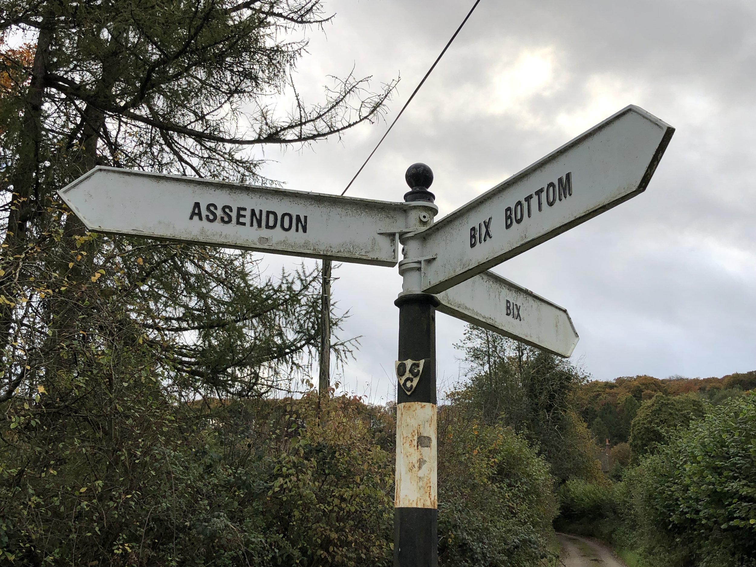
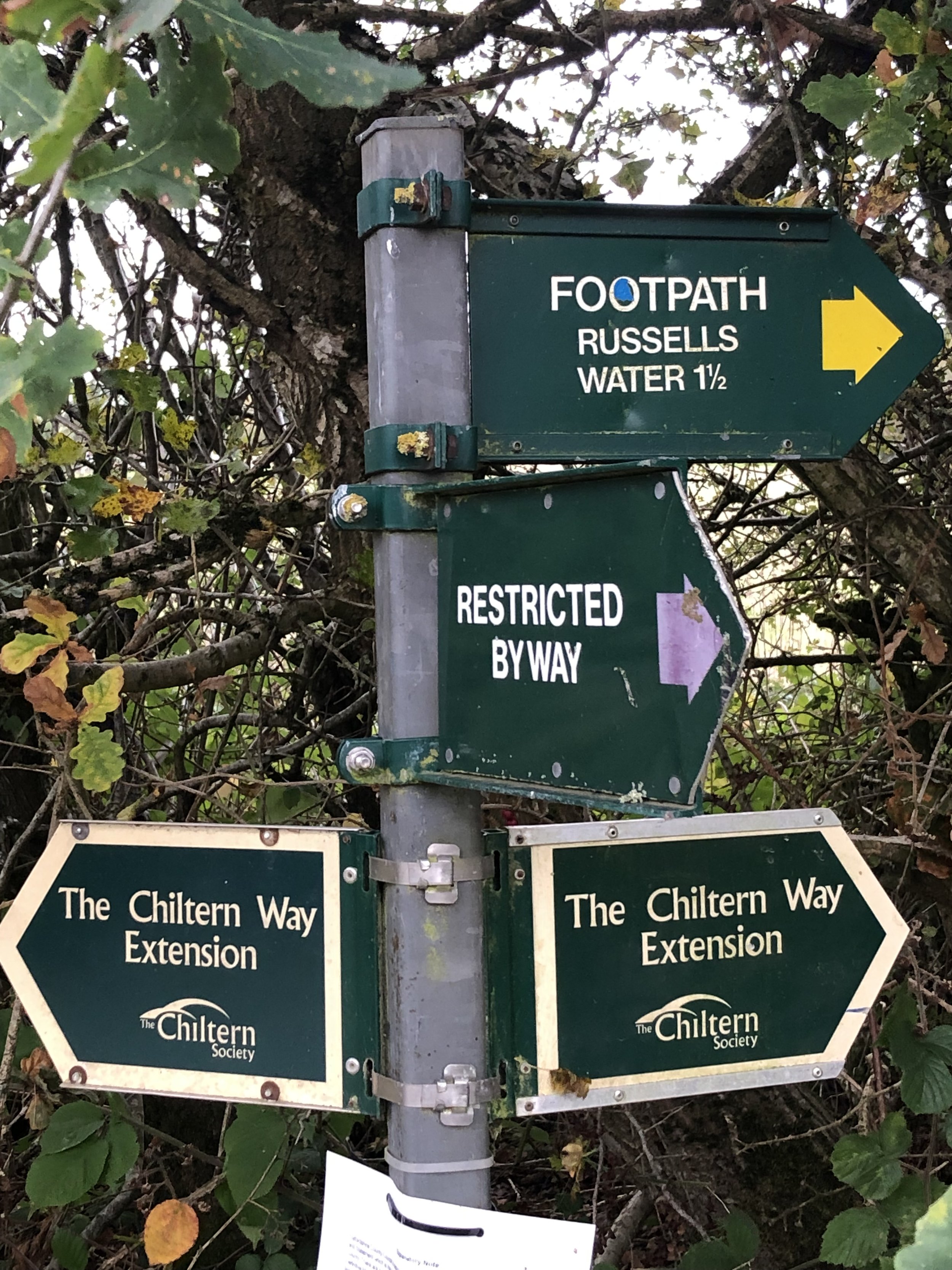
At Catslip take a right and follow the lane north to Crocker End. Here you’ll meet the Chiltern Way Southern Extension. Follow this north out of Crocker End for 1.7km. When you reach the bottom of the field in the banner photo above take a right onto the Chiltern Way following it in an easterly direction. At Park Lane, keep on the Chiltern Way, now following it in a south-easterly direction. When you reach the end of the driver at the converted farmhouses, continue south, now on the Oxfordshire Way and leaving the Chiltern Way. Follow the Oxfordshire way in a south-easterly direction, descending past Bix Bottom until you reach the B480 again. Take a right on the B480 and you’ll be back at the Rainbow Inn.
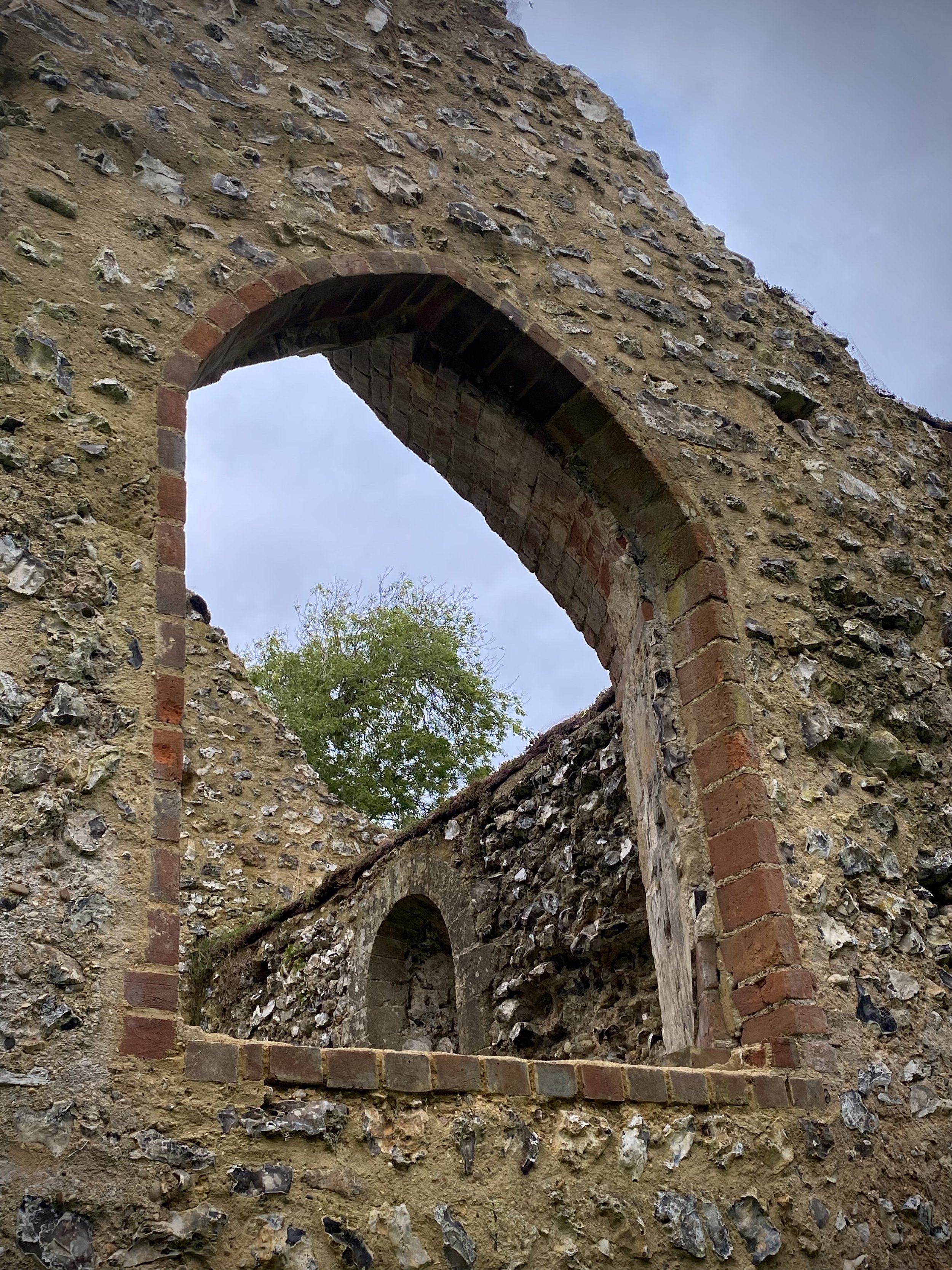
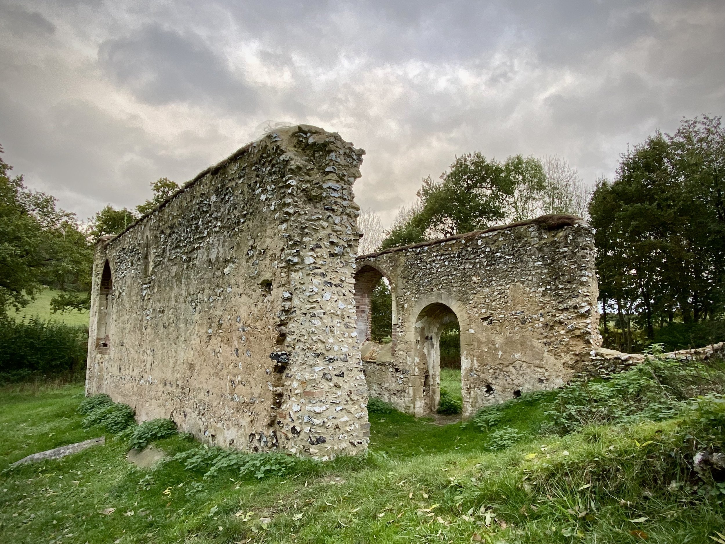
At Bix Bottom take a moment to have a look around the grounds of the abandoned Church of St. James. The information sign at the gate describes how the walls became unstable and it was closed in 1874. The outer walls are still there but nothing else. The 1971 horror film The Blood on Satan’s Claw was filmed in the grounds of the church.
Oxfordshire Way previous section (south): Henley, Middle Assendon and Lambridge Wood
Oxfordshire Way next section (north): Russell's Water, Pishill and Maidensgrove

