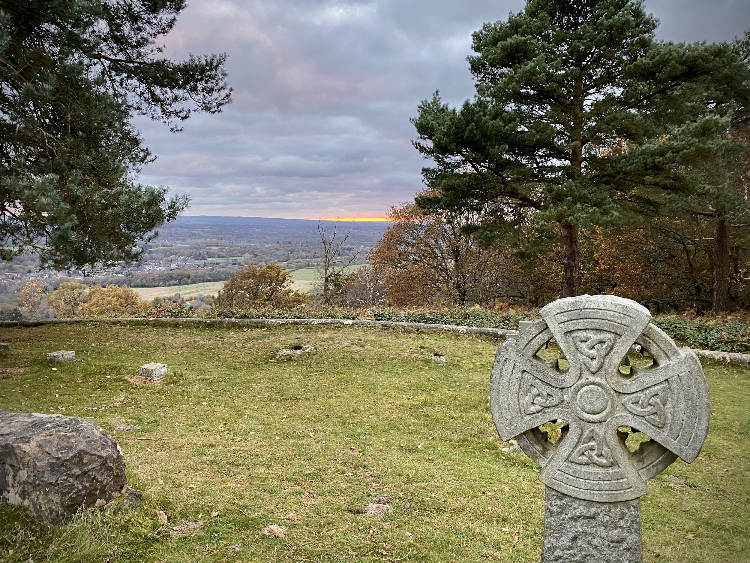
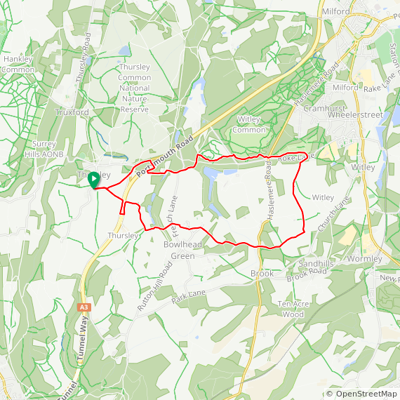
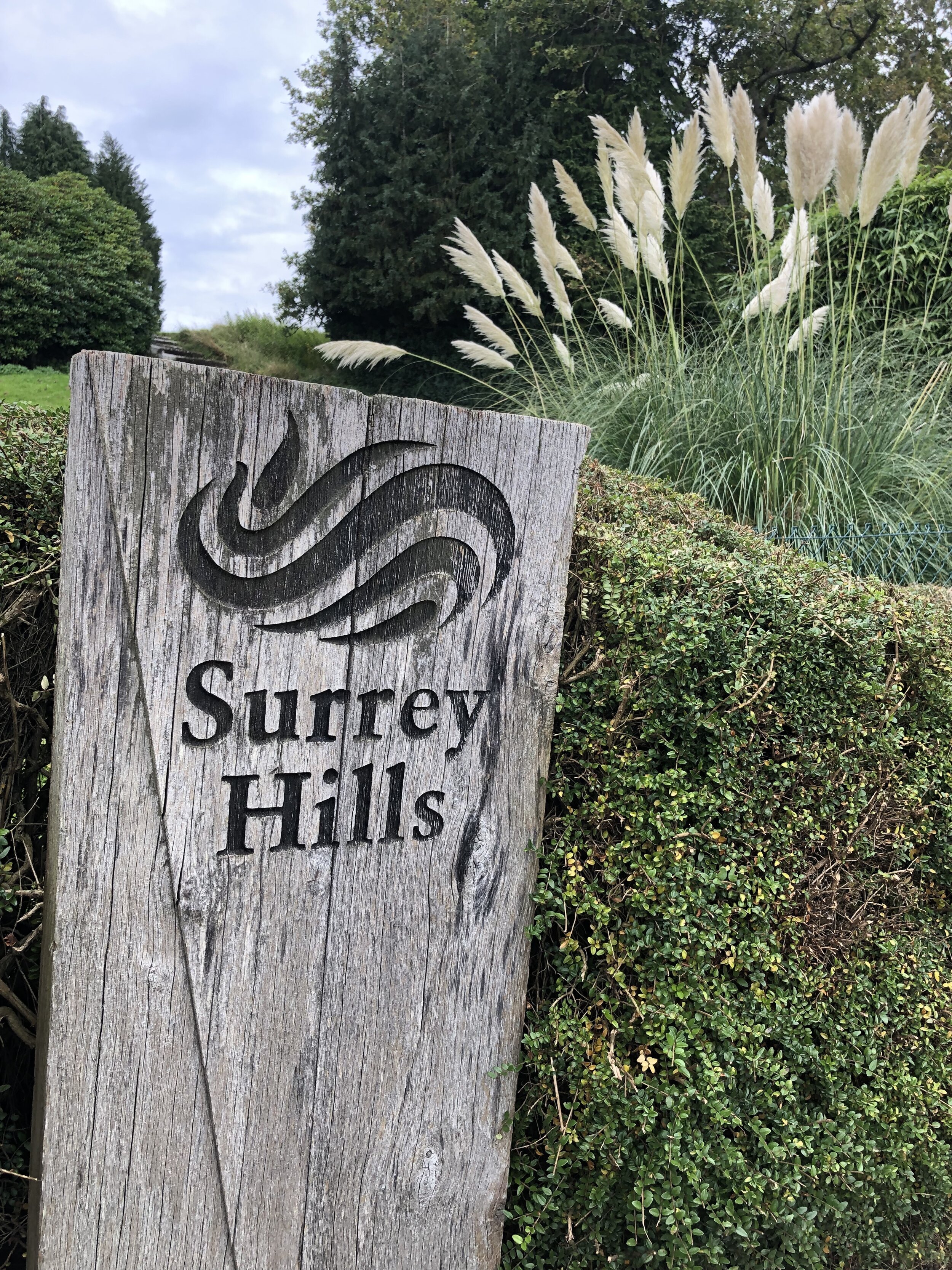
Reynards Hill Viewpoint
Start & Finish: Hurtwood Car Park 3, Pitch Hill, Cranleigh, GU6 7NL
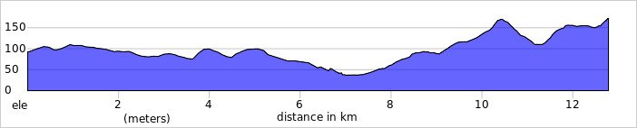
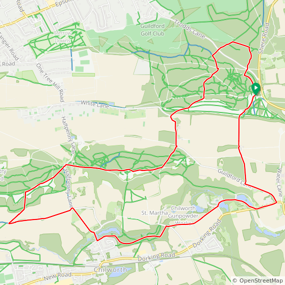
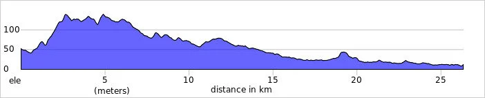
Distance: 10 km (6.2 miles)
Elevation change: +/- 204m
Greensand Way section covered: Long Copse to Pitch Hill Car Park: 4.62 km
GPX File: get via Buy Me a Coffee
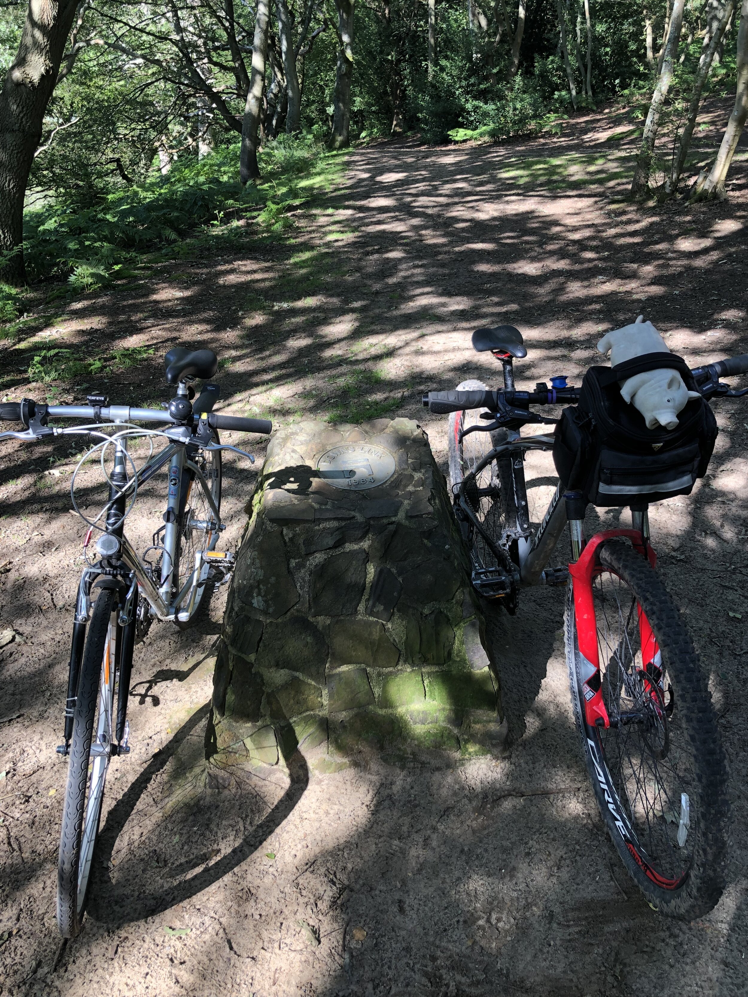
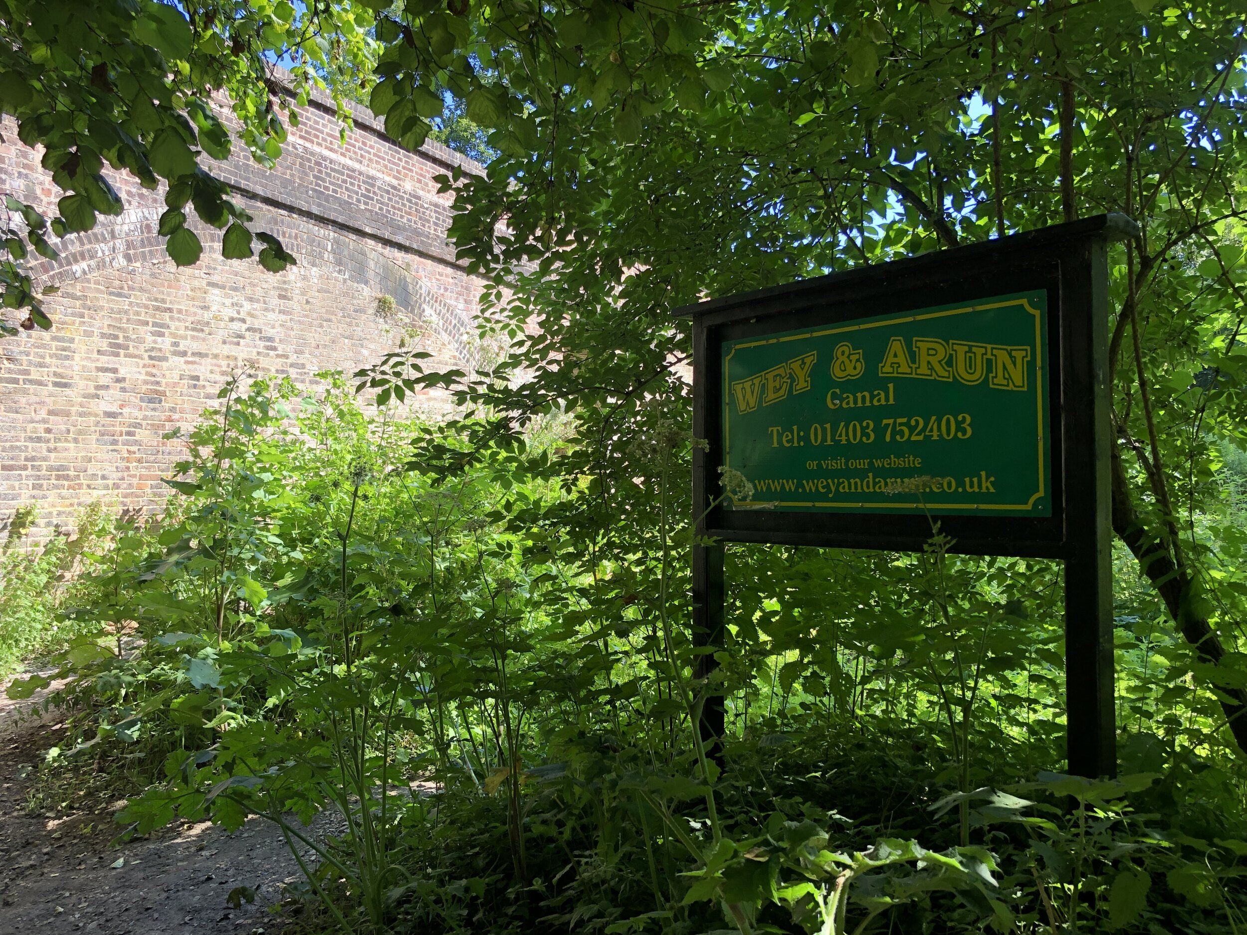
Other routes touched (walk): Wey South Path
Other routes touched (cycle): NCN 22, Surrey Cycleway
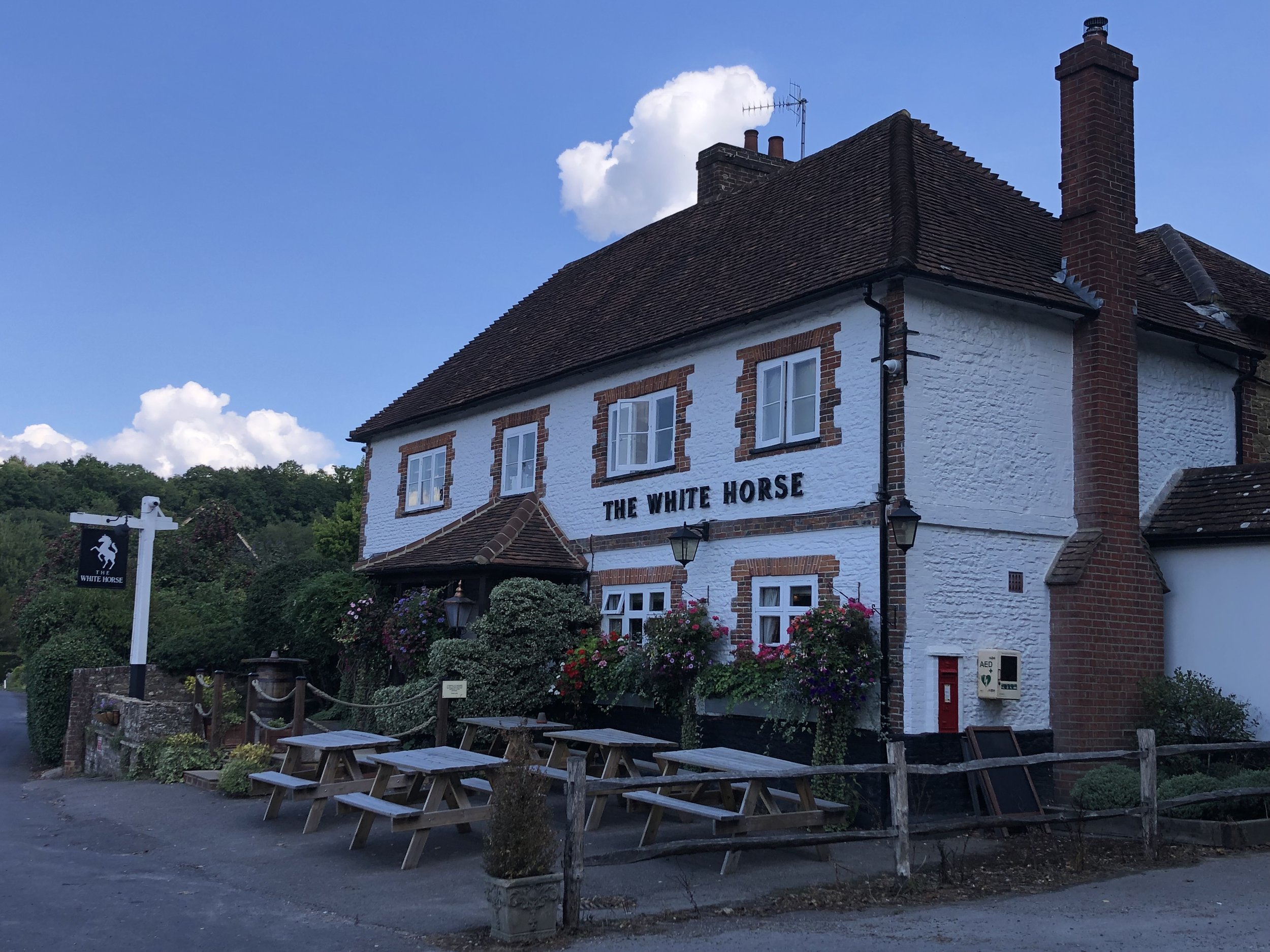
Pubs / Cafes on route: None
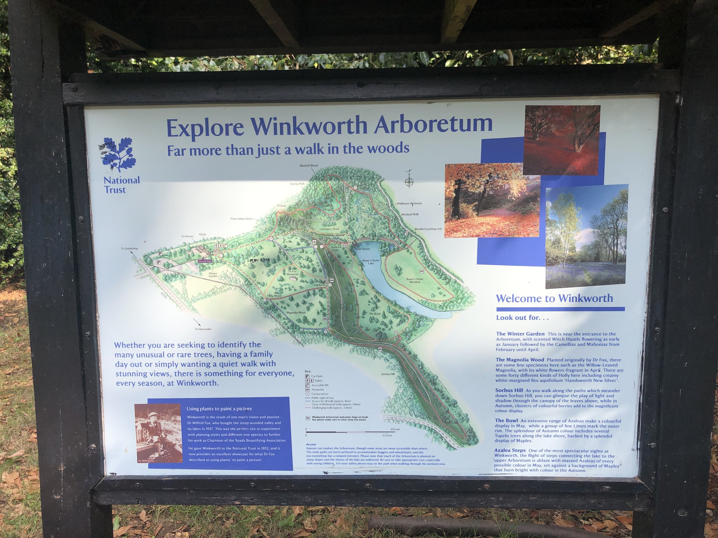
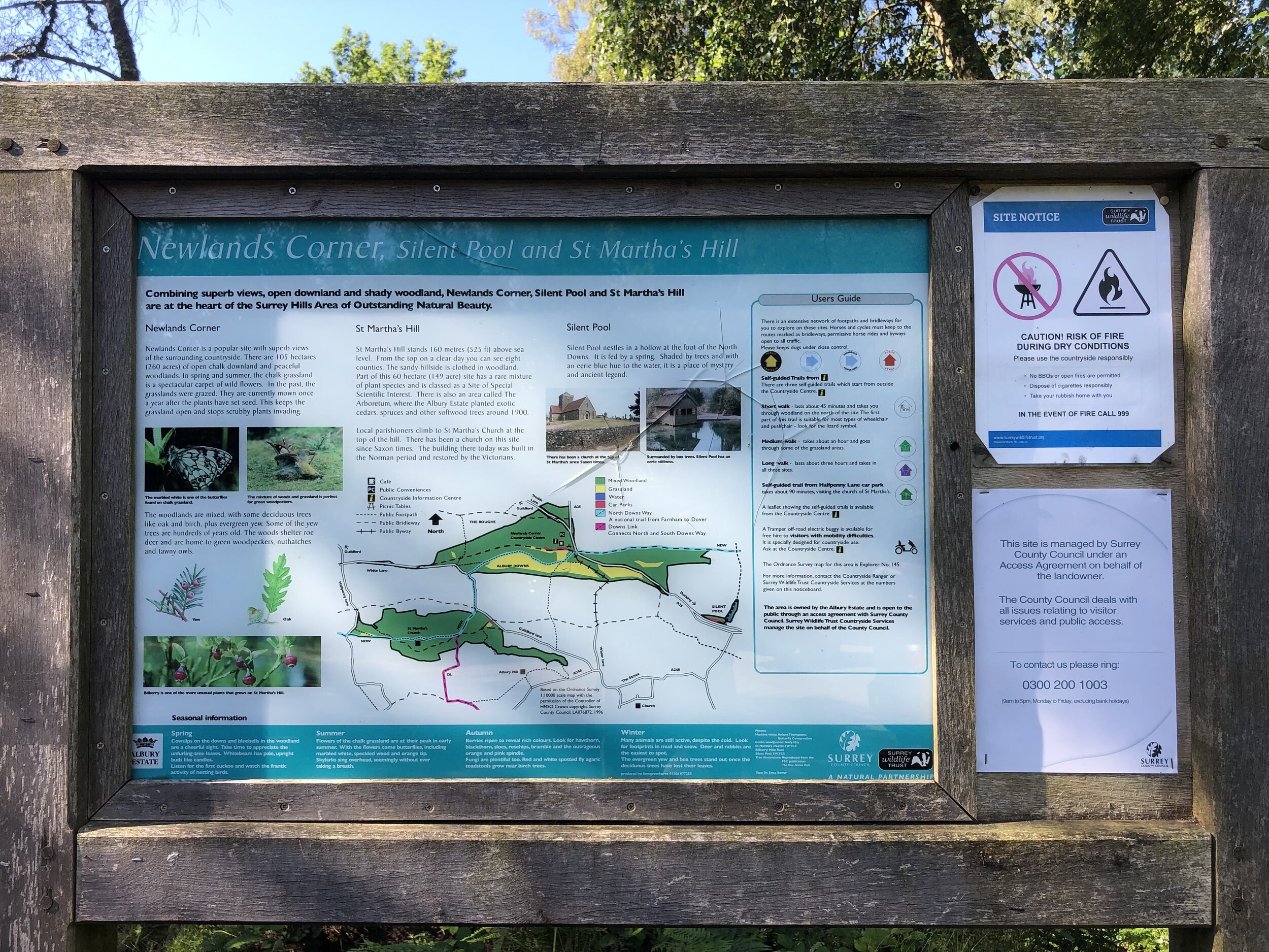
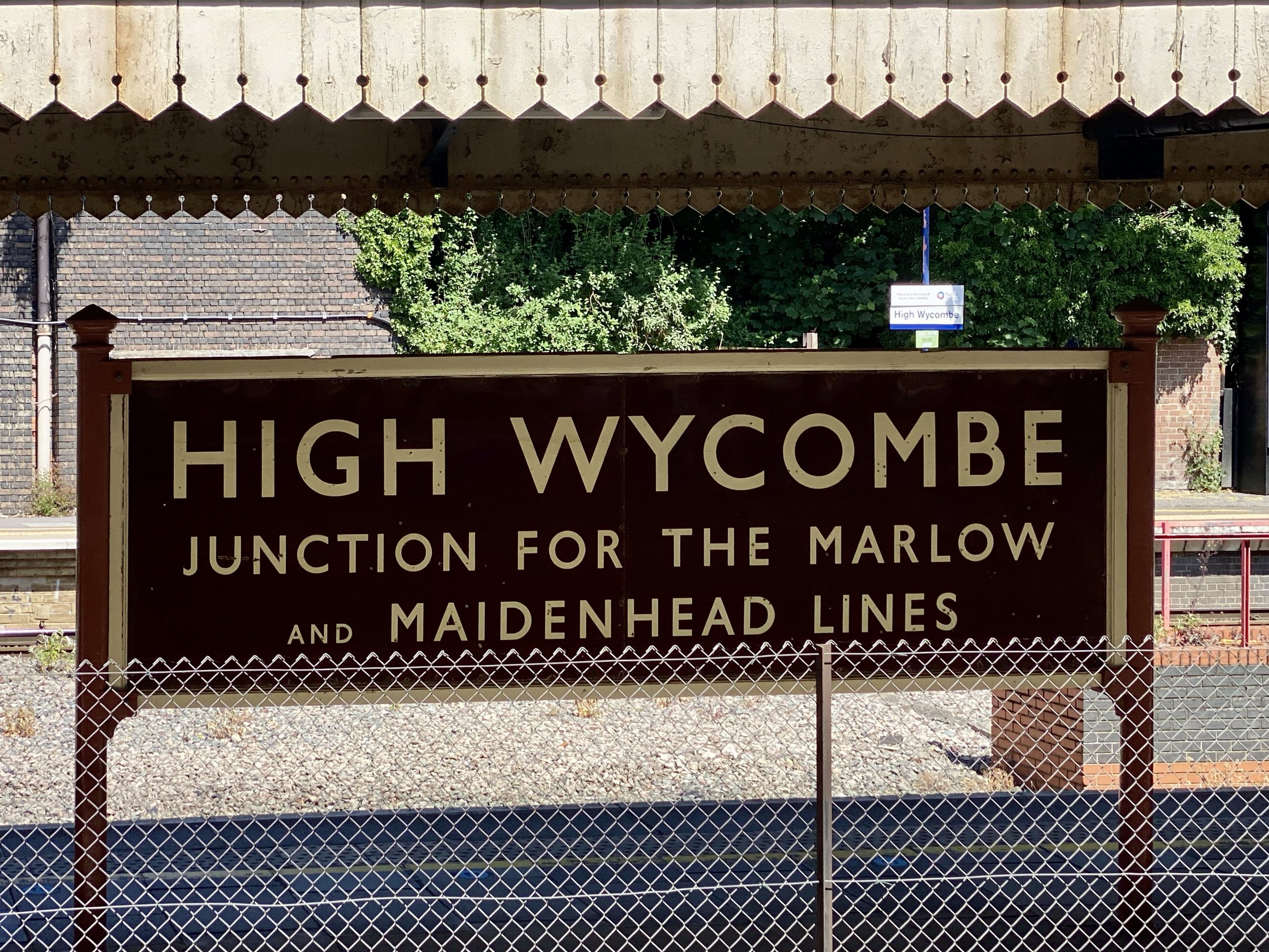
Map: Guildford & Farnham Map | Godalming & Farnborough | Ordnance Survey | OS Explorer Map 145
and Dorking, Box Hill & Reigate Map | Leatherhead & Caterham | Ordnance Survey | OS Explorer Map 146
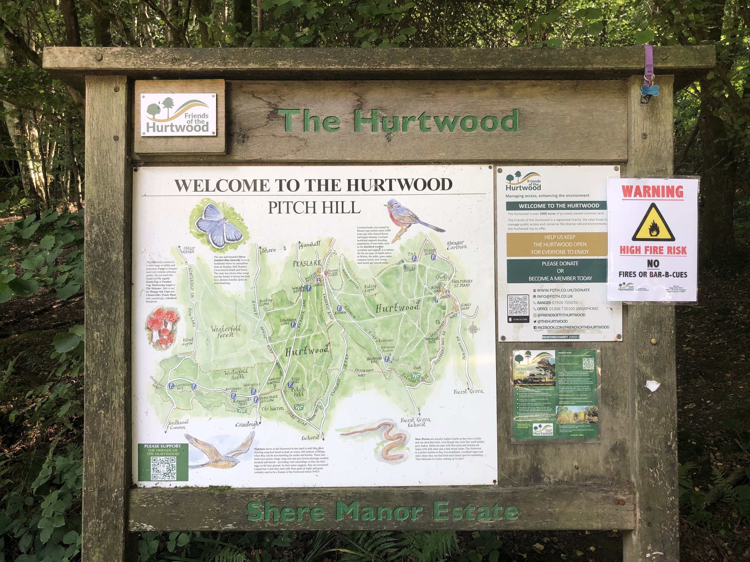
Links: Winterfold Forest
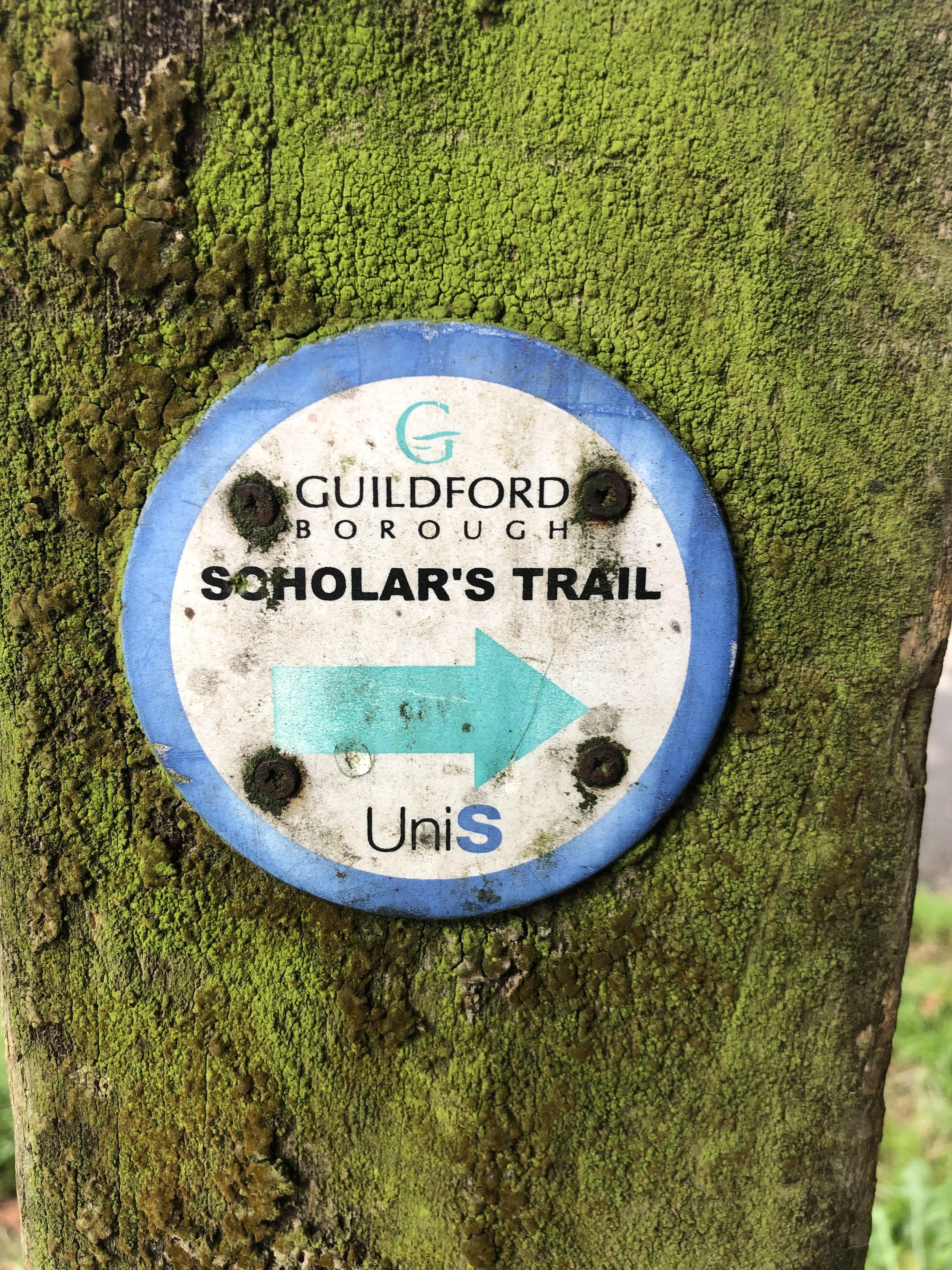
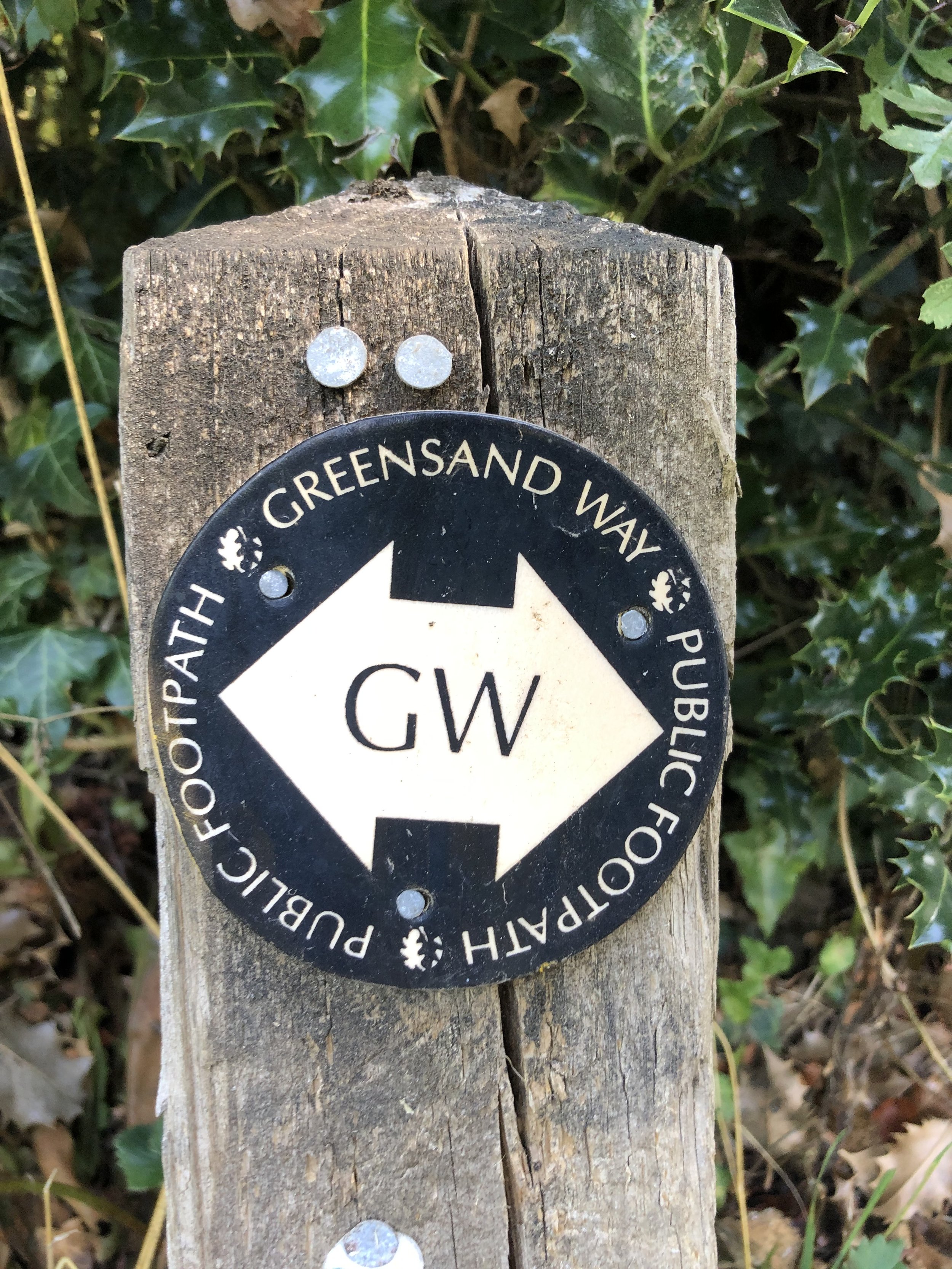
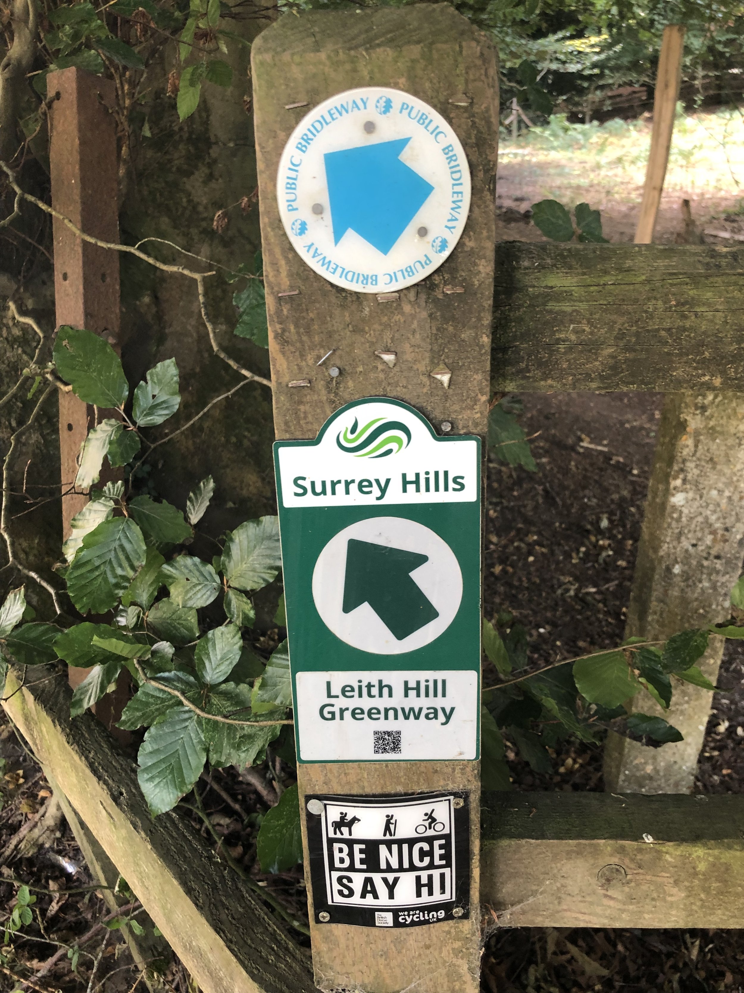
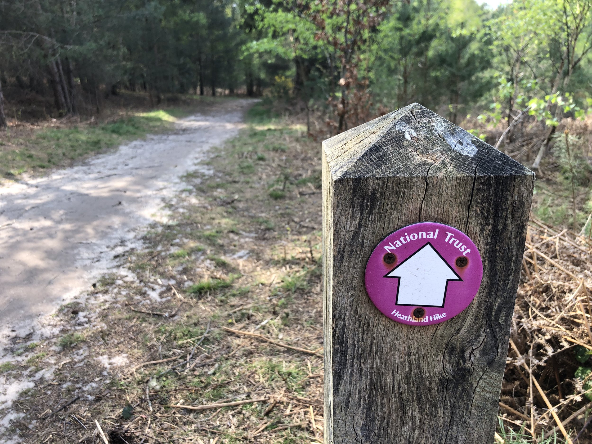
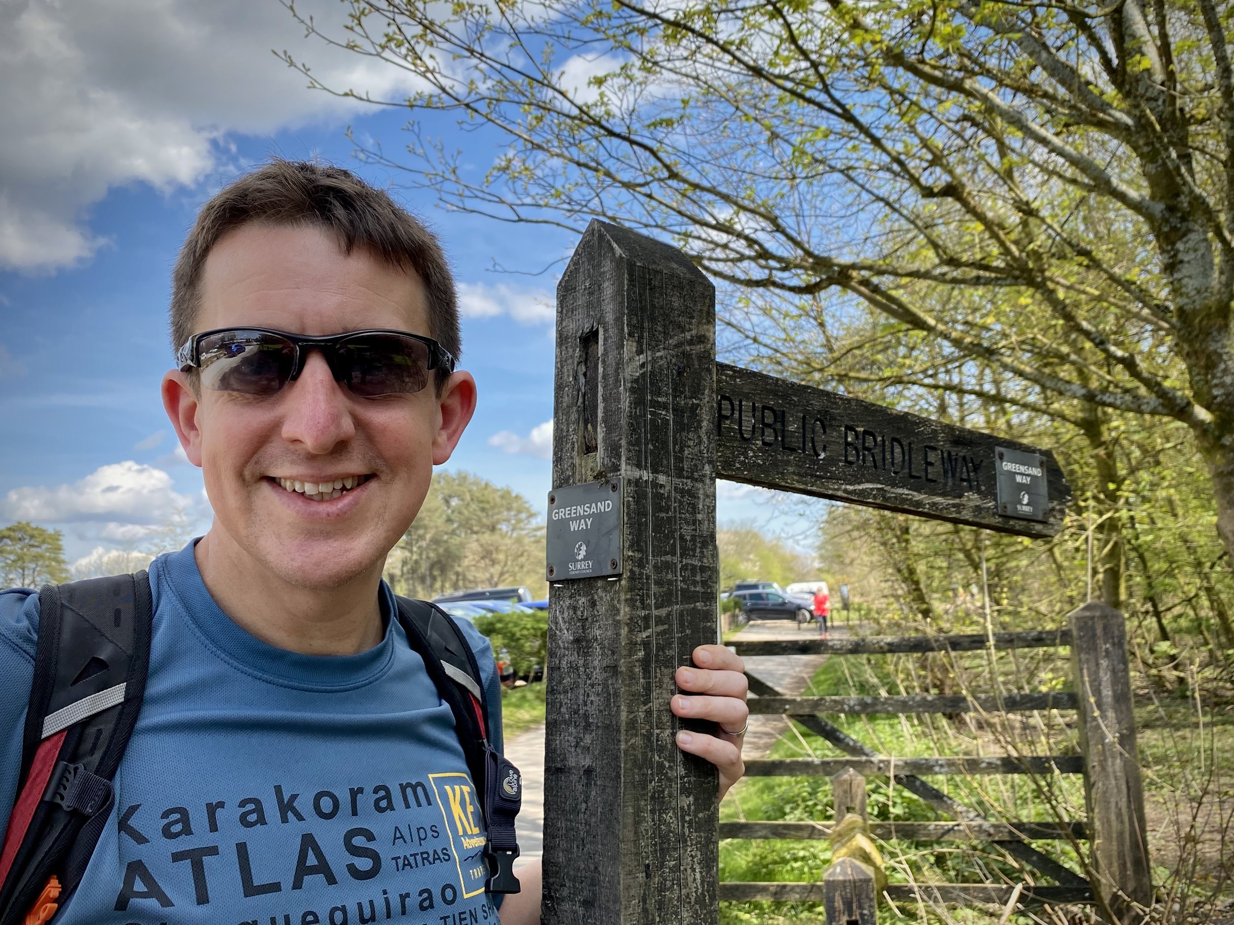
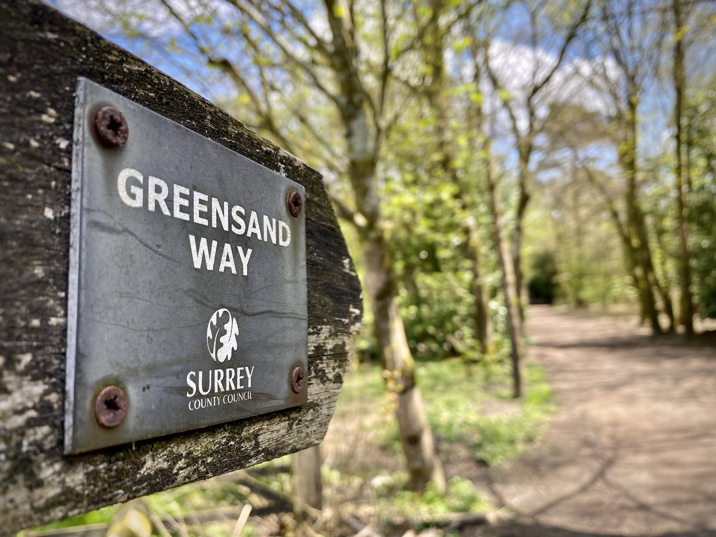
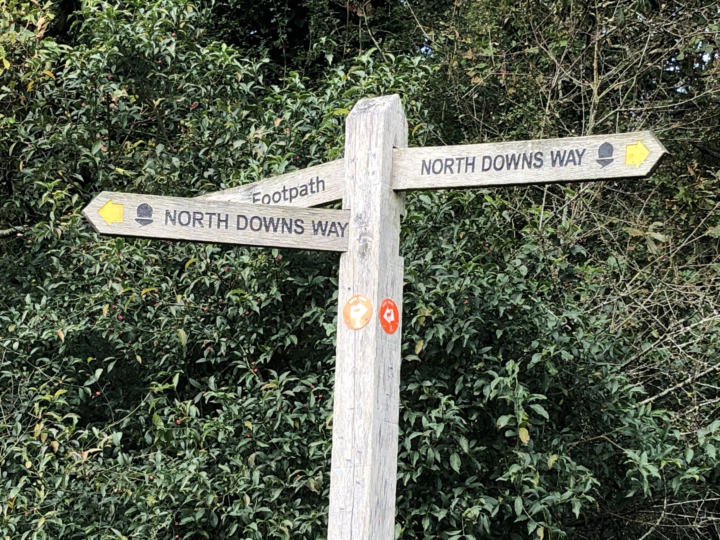
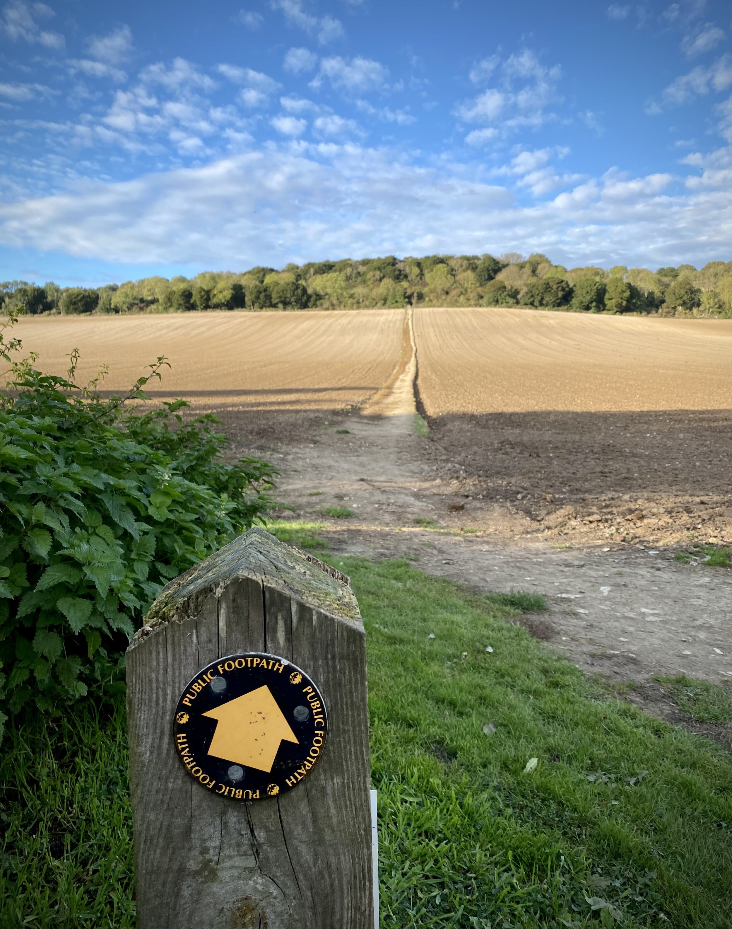
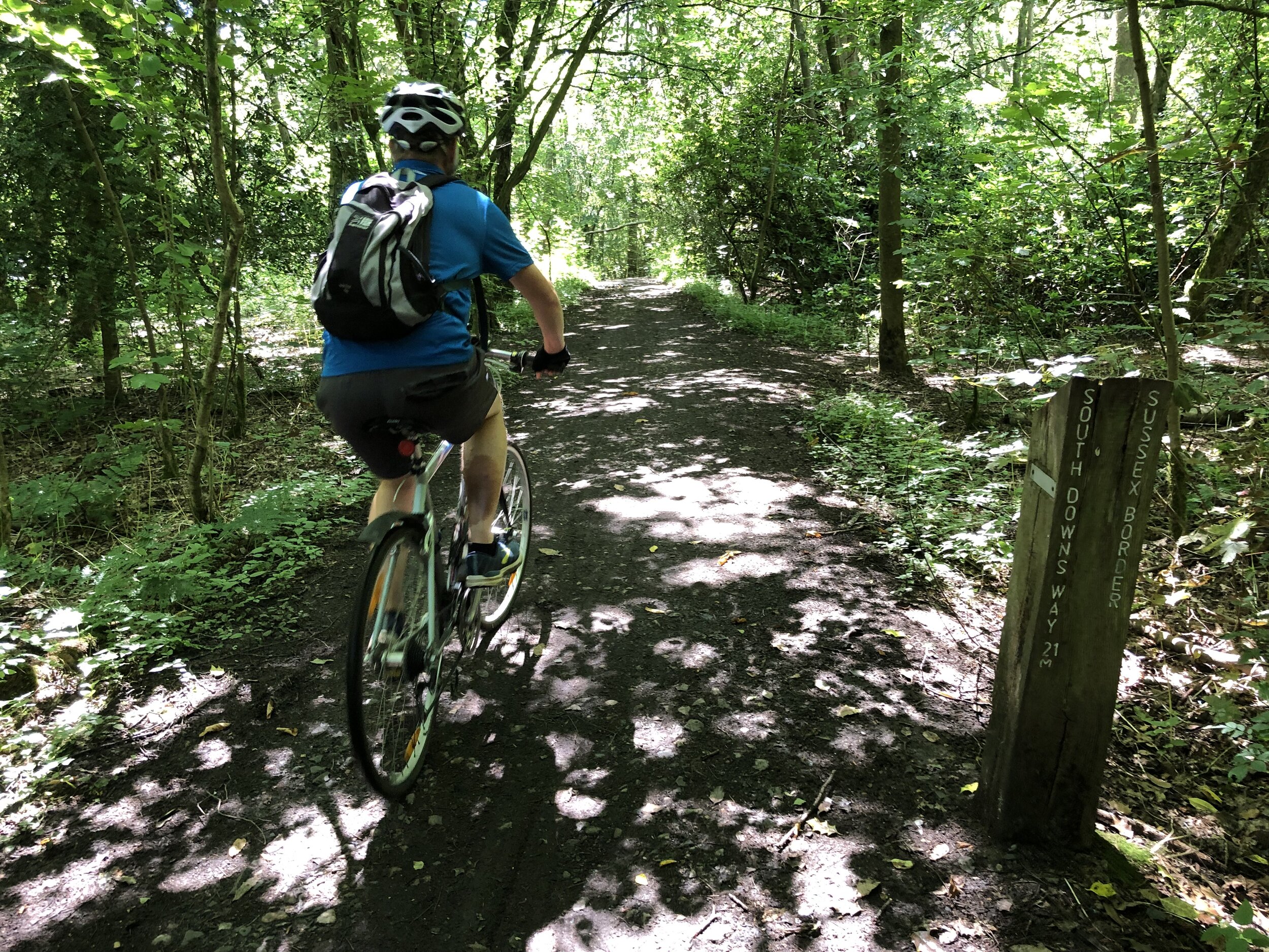
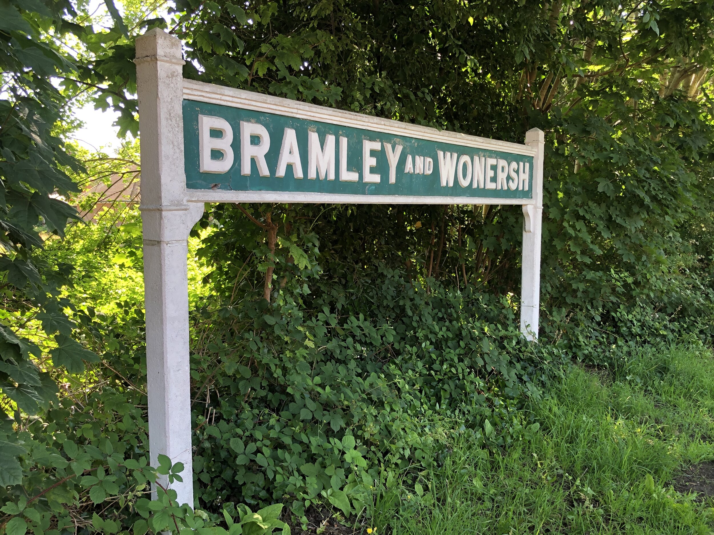
This is the eighth of a series of short circular walks featuring the Greensand Way. The full trail is a long distance path stretching from Haslemere in Surrey to Ham Street in Kent. Our walks take in short sections of the Greensand Way and loop back to the start on other paths. The Greensand Way is well sign posted however you’ll need a map or GPX route to keep on track for the return sections of the loops. The guidance below will help but don’t use it as a fully accurate turn-by-turn guide.
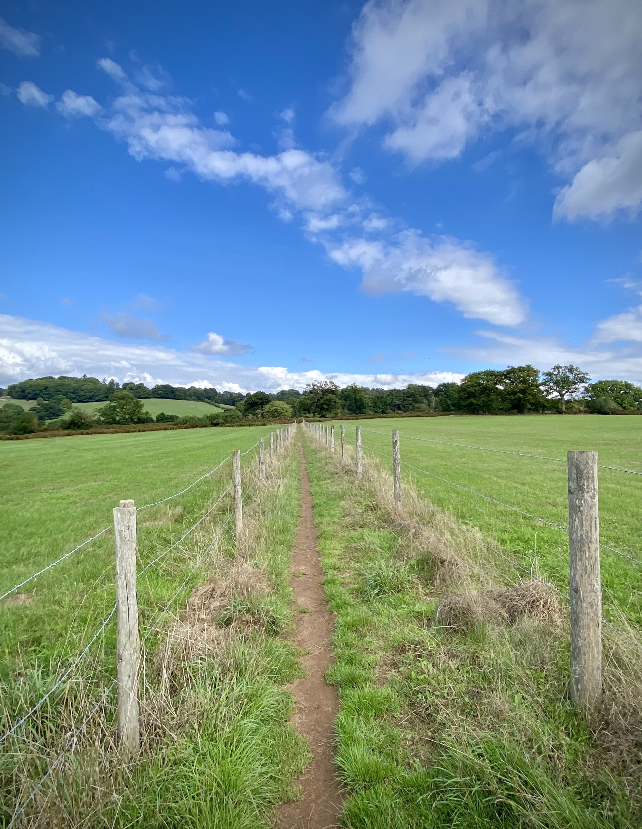
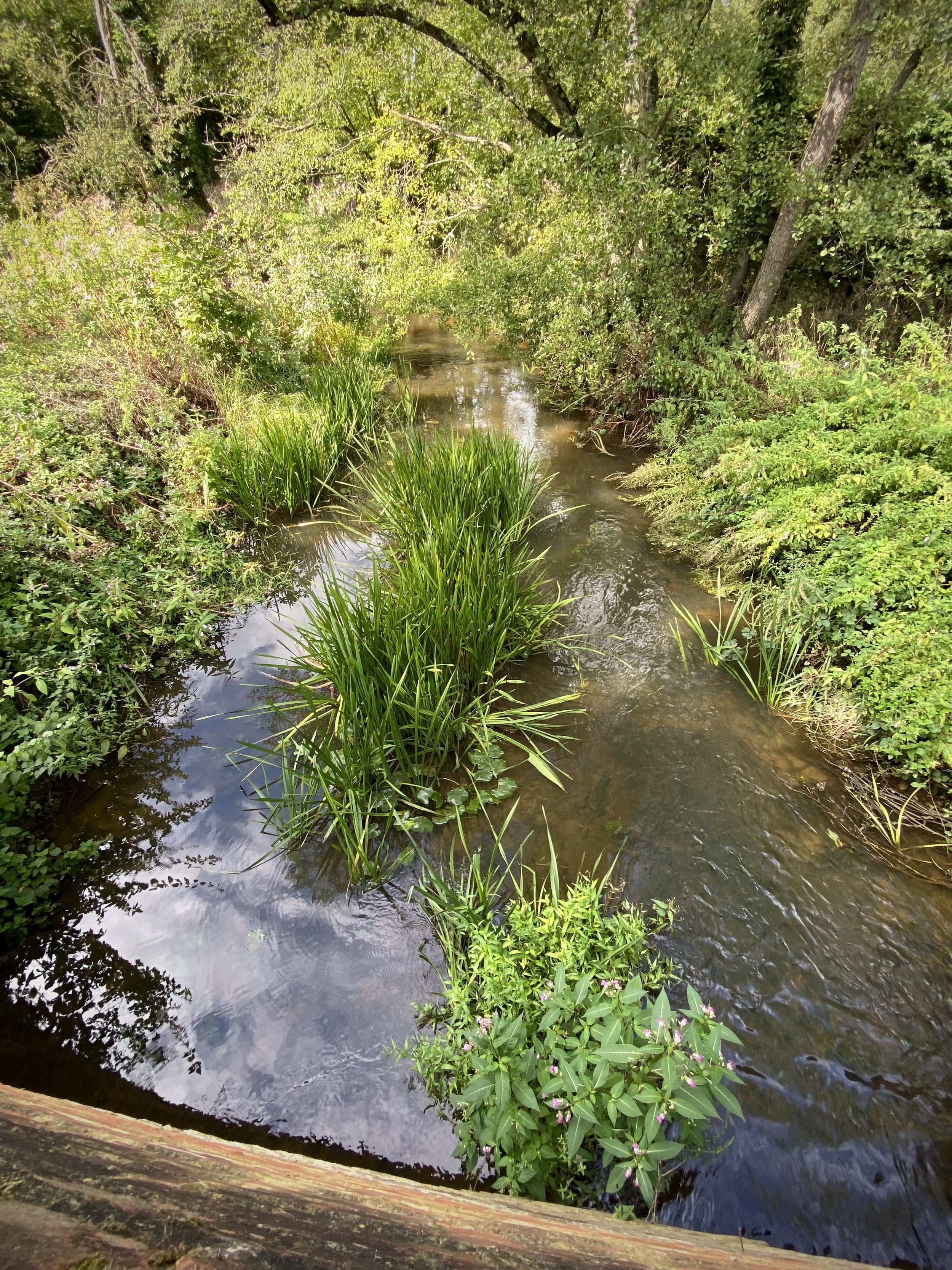
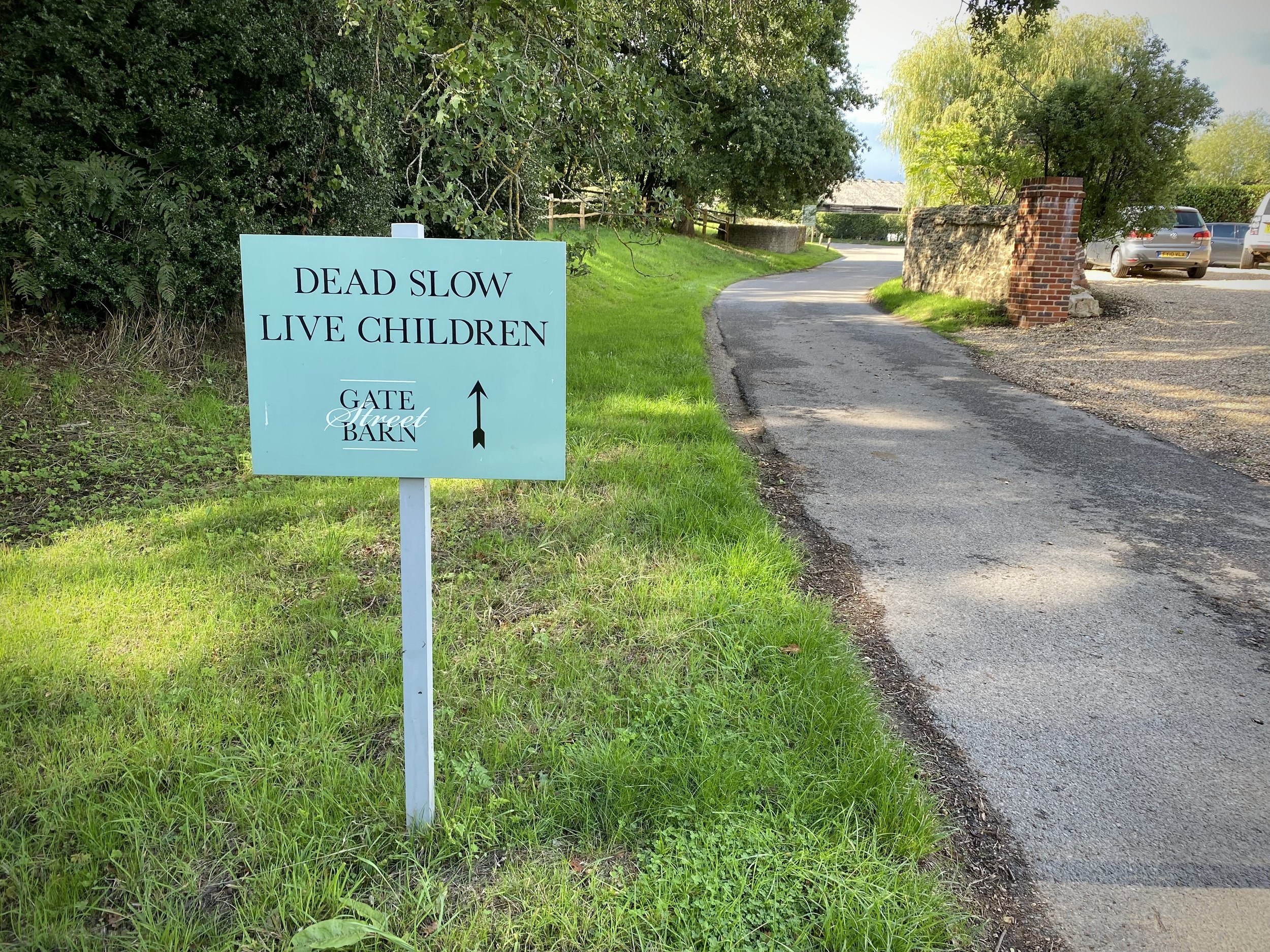
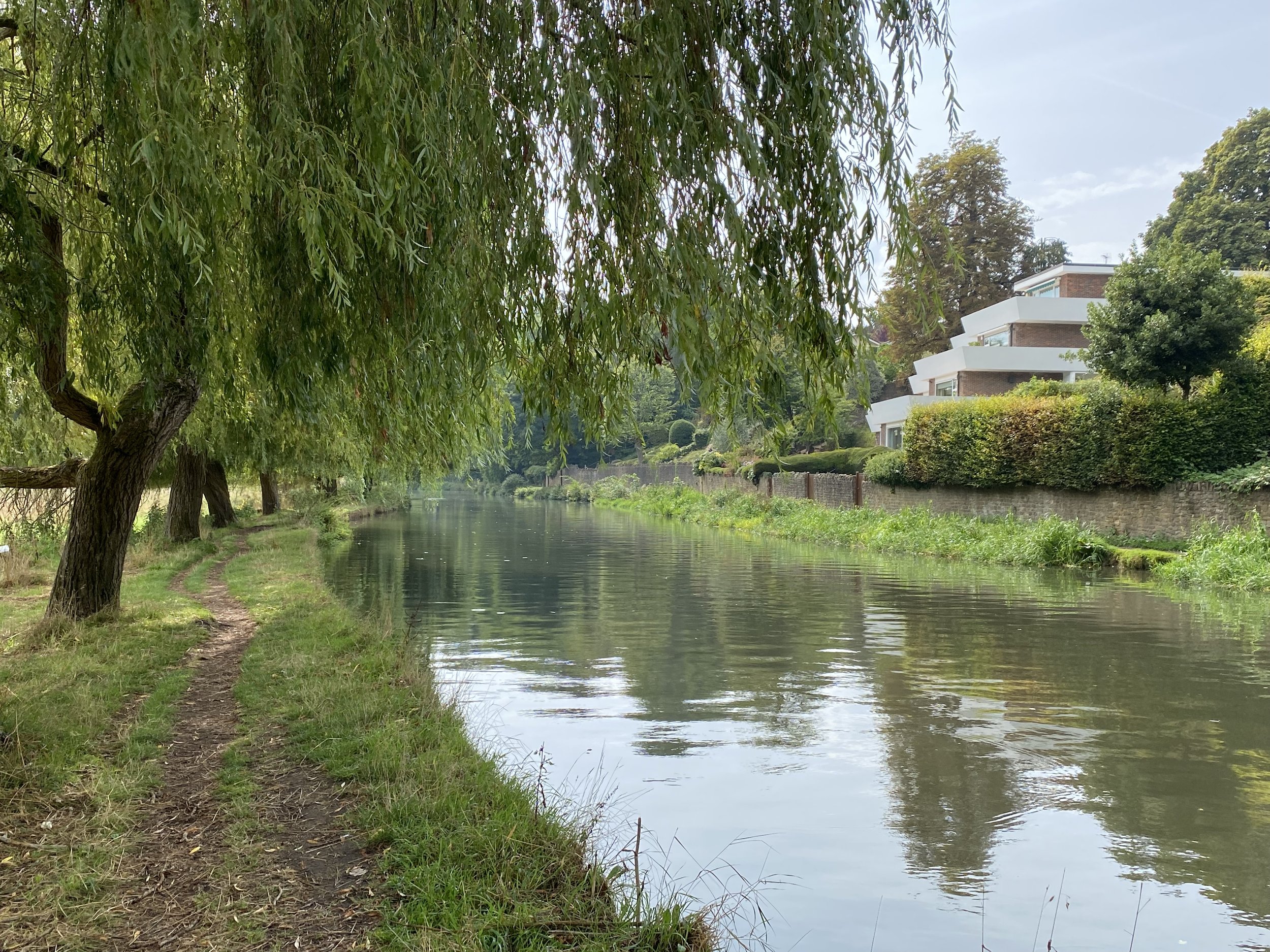
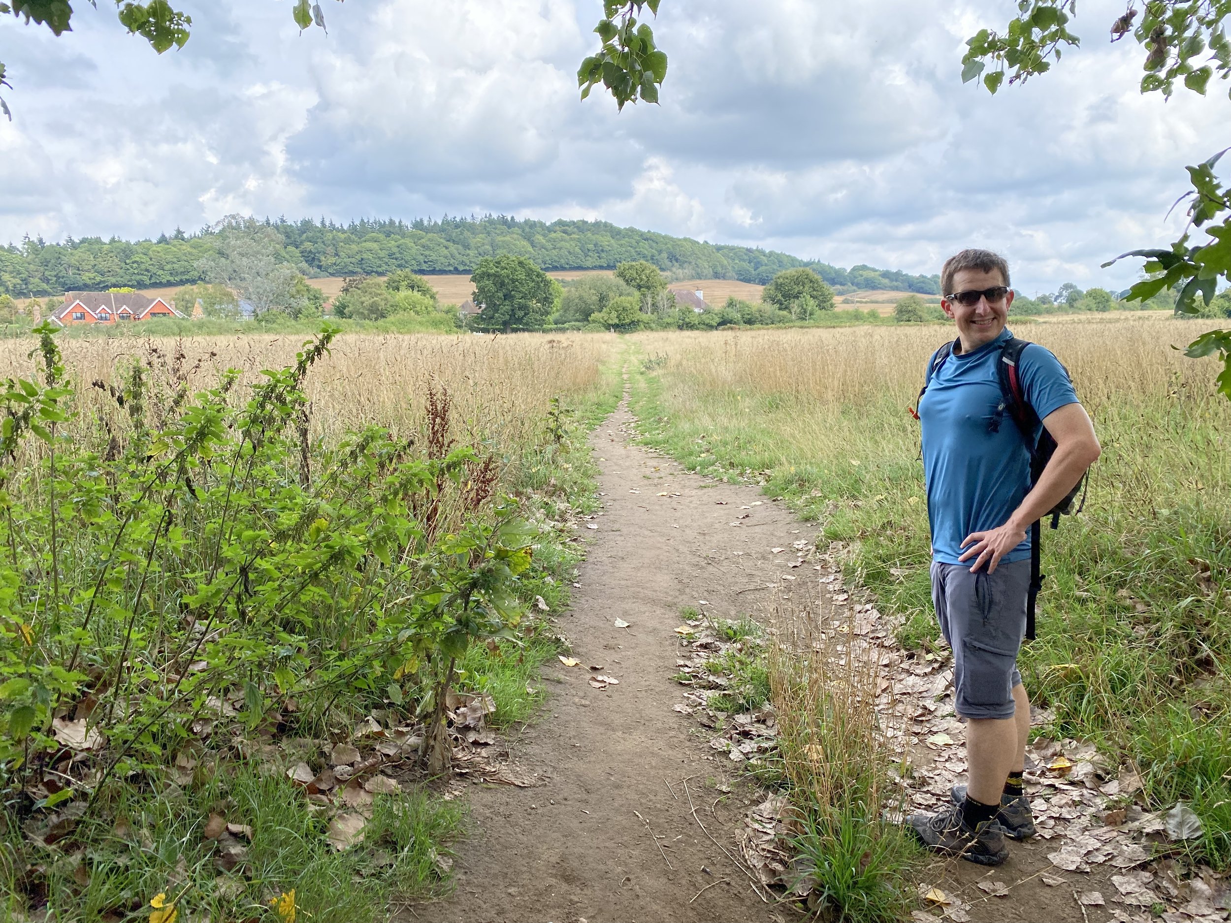
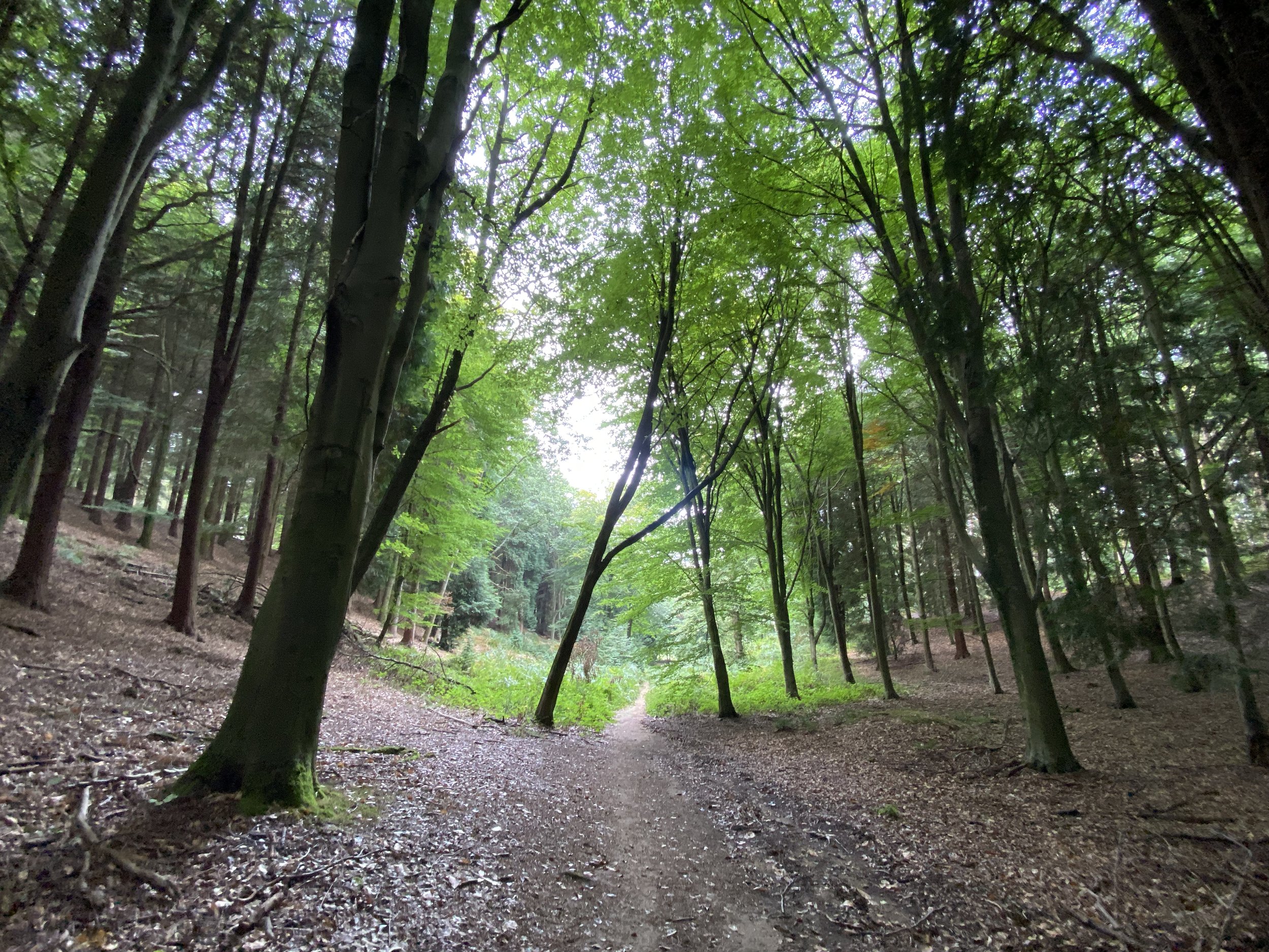
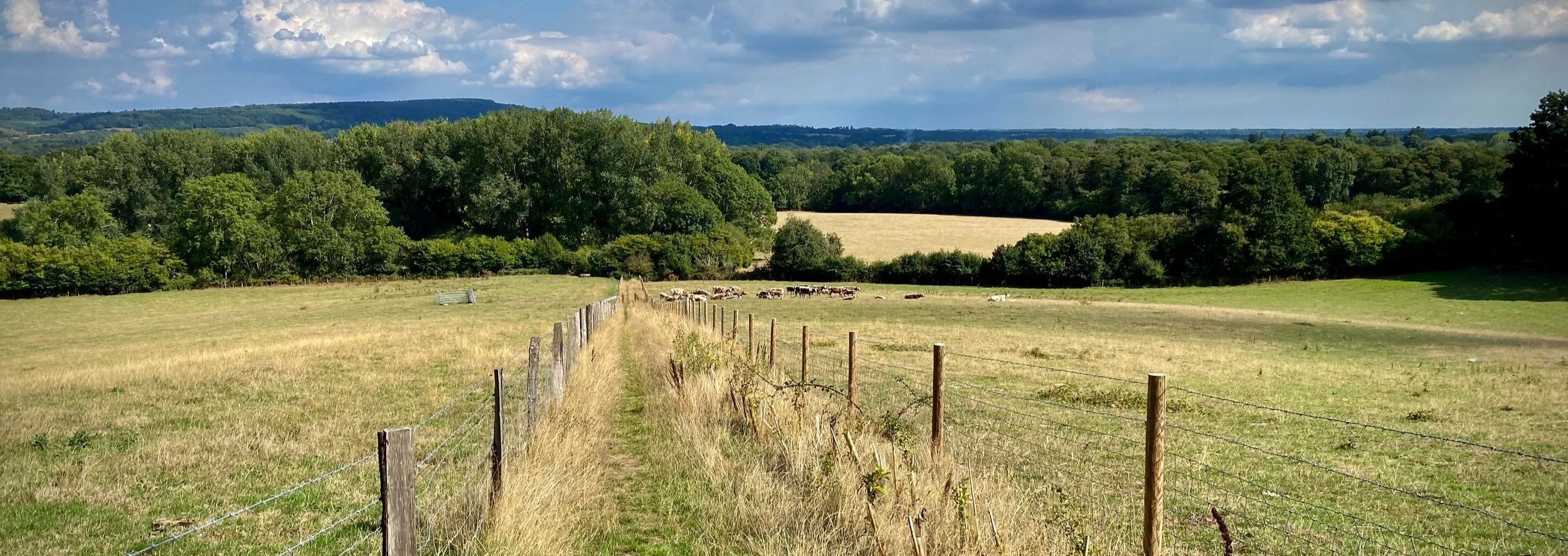
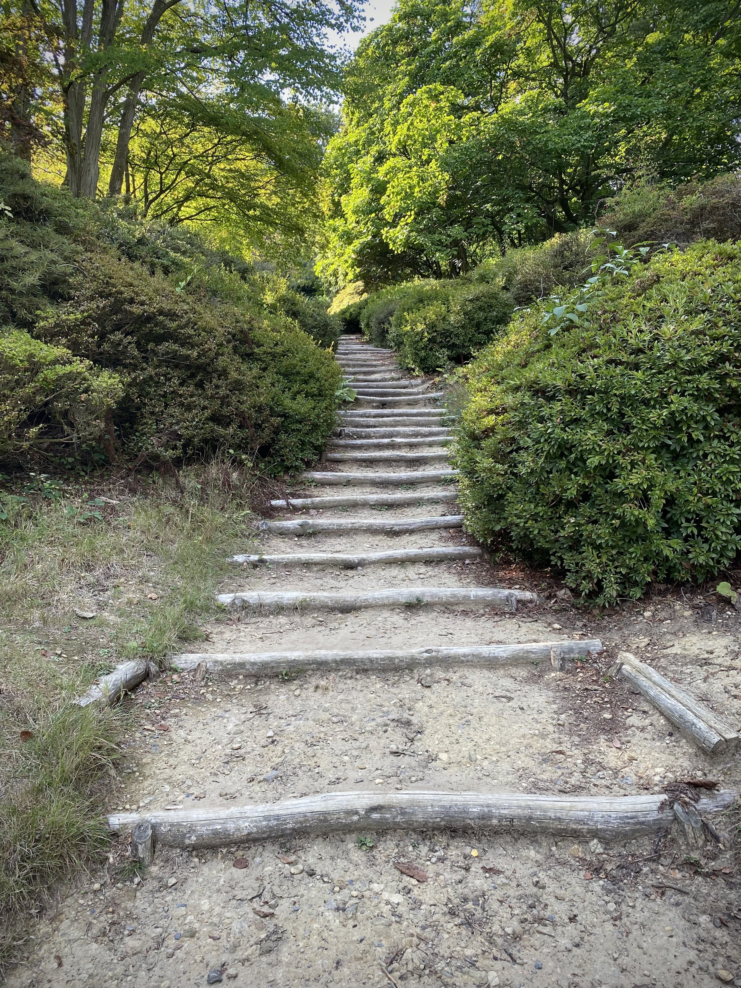
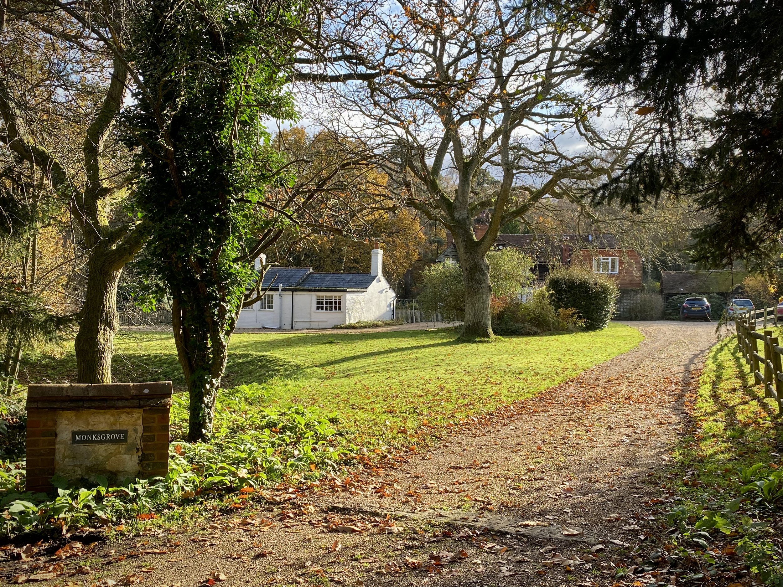
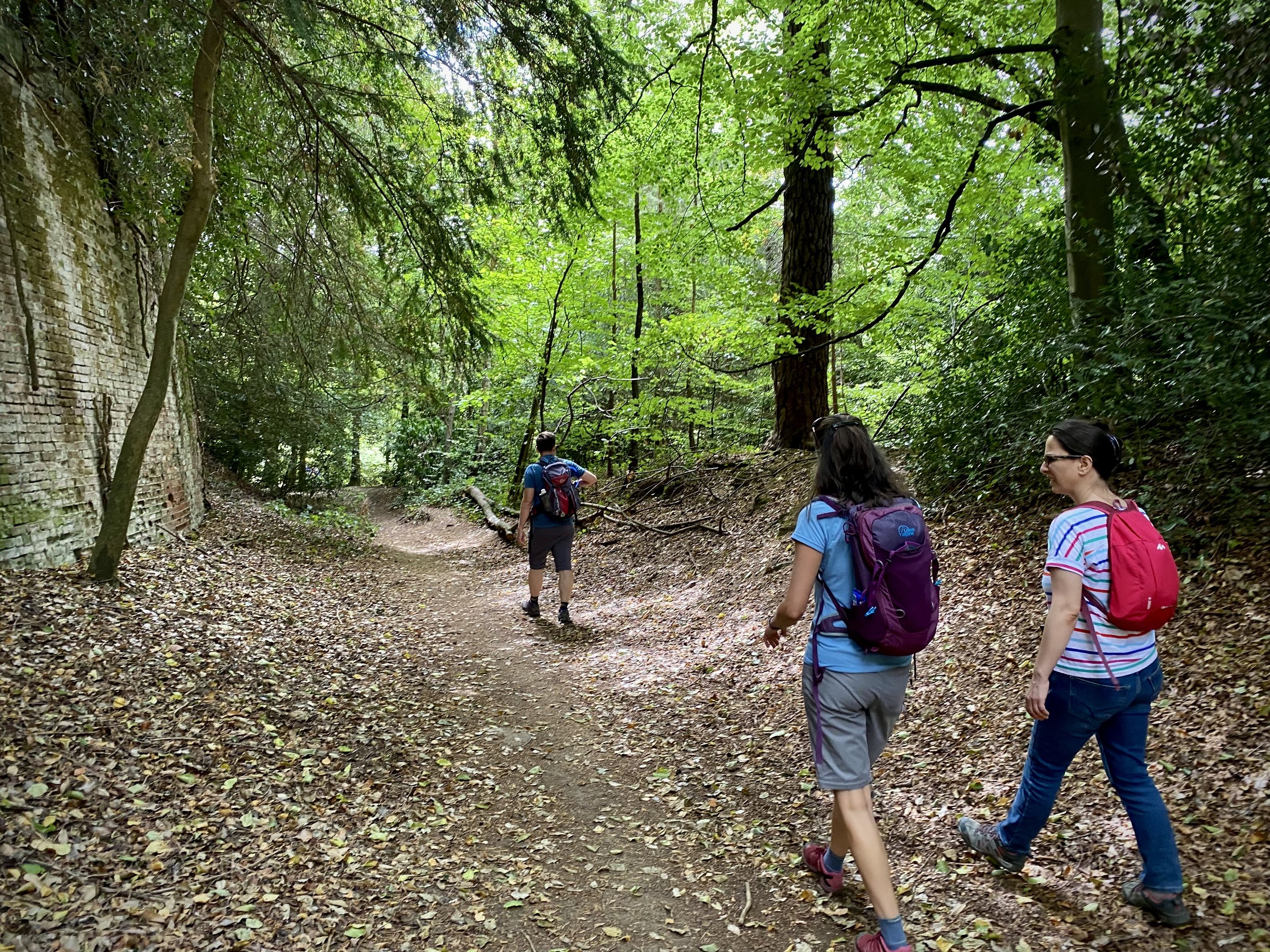
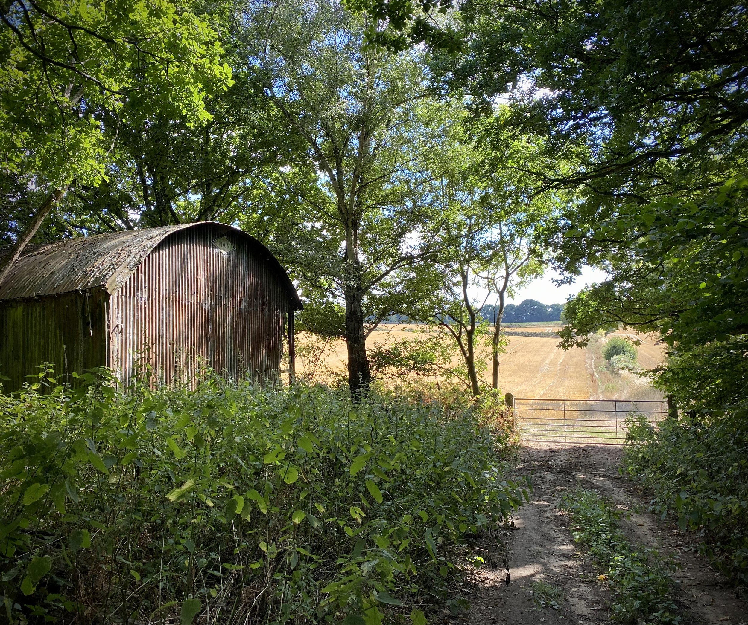
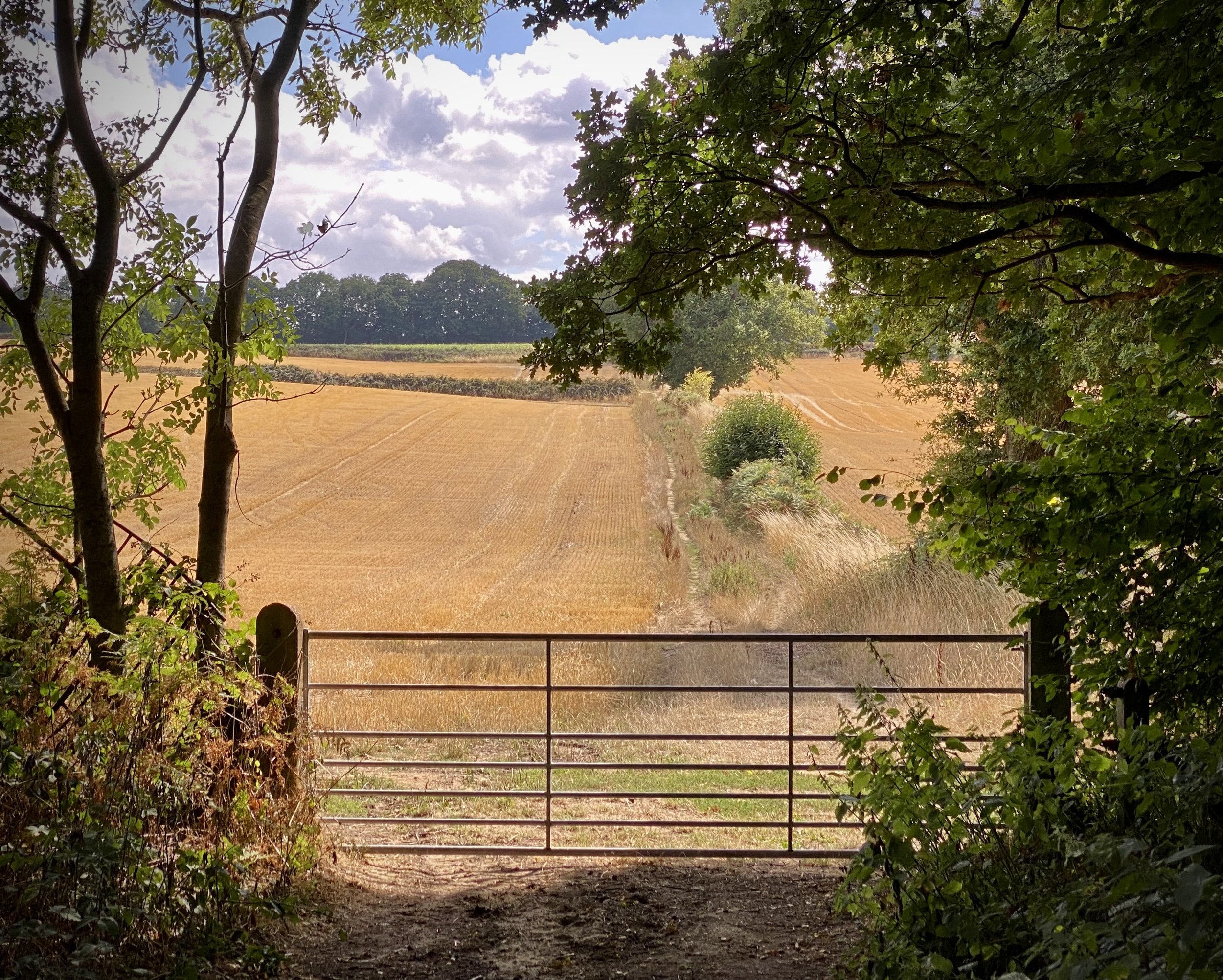
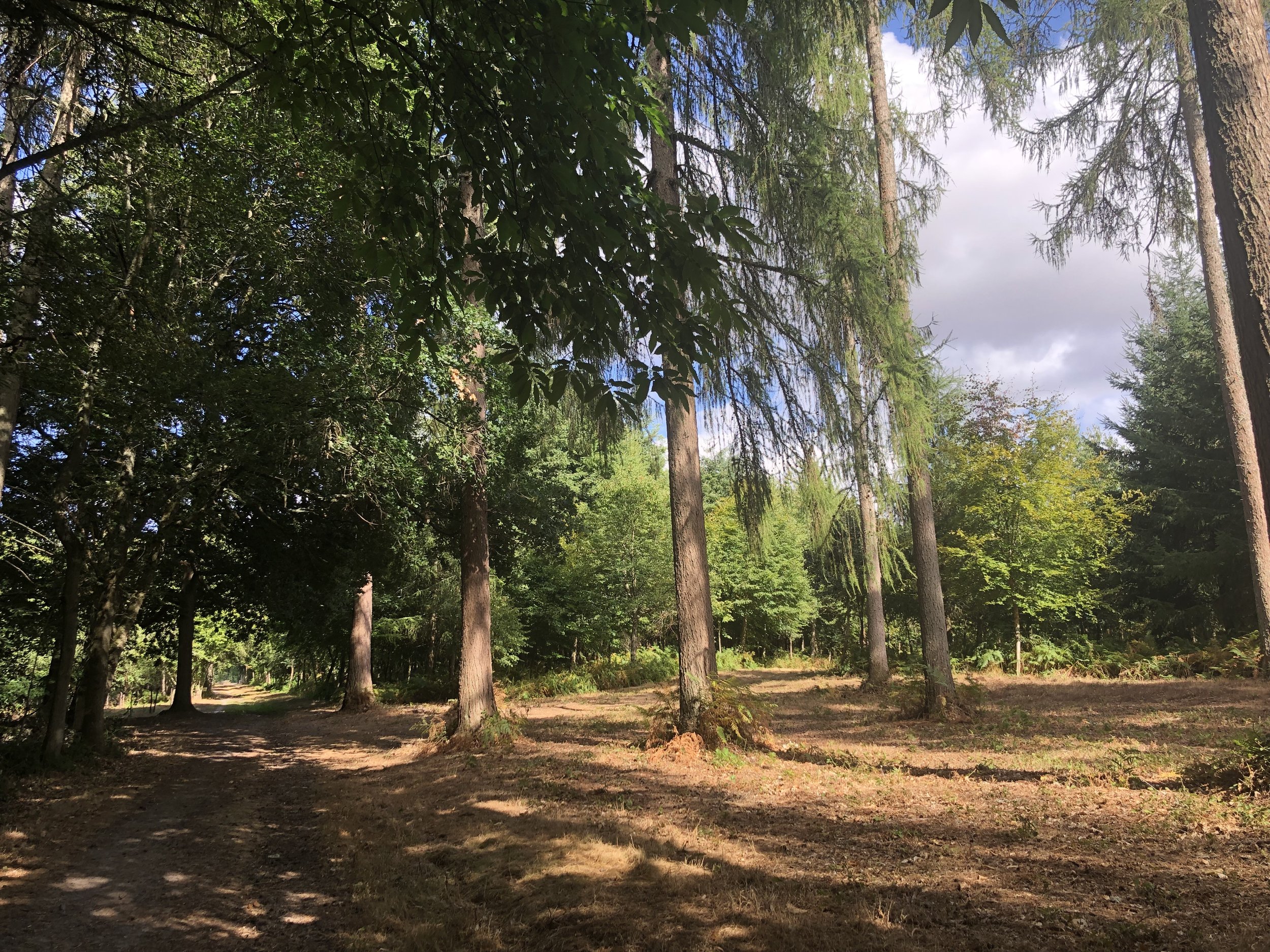
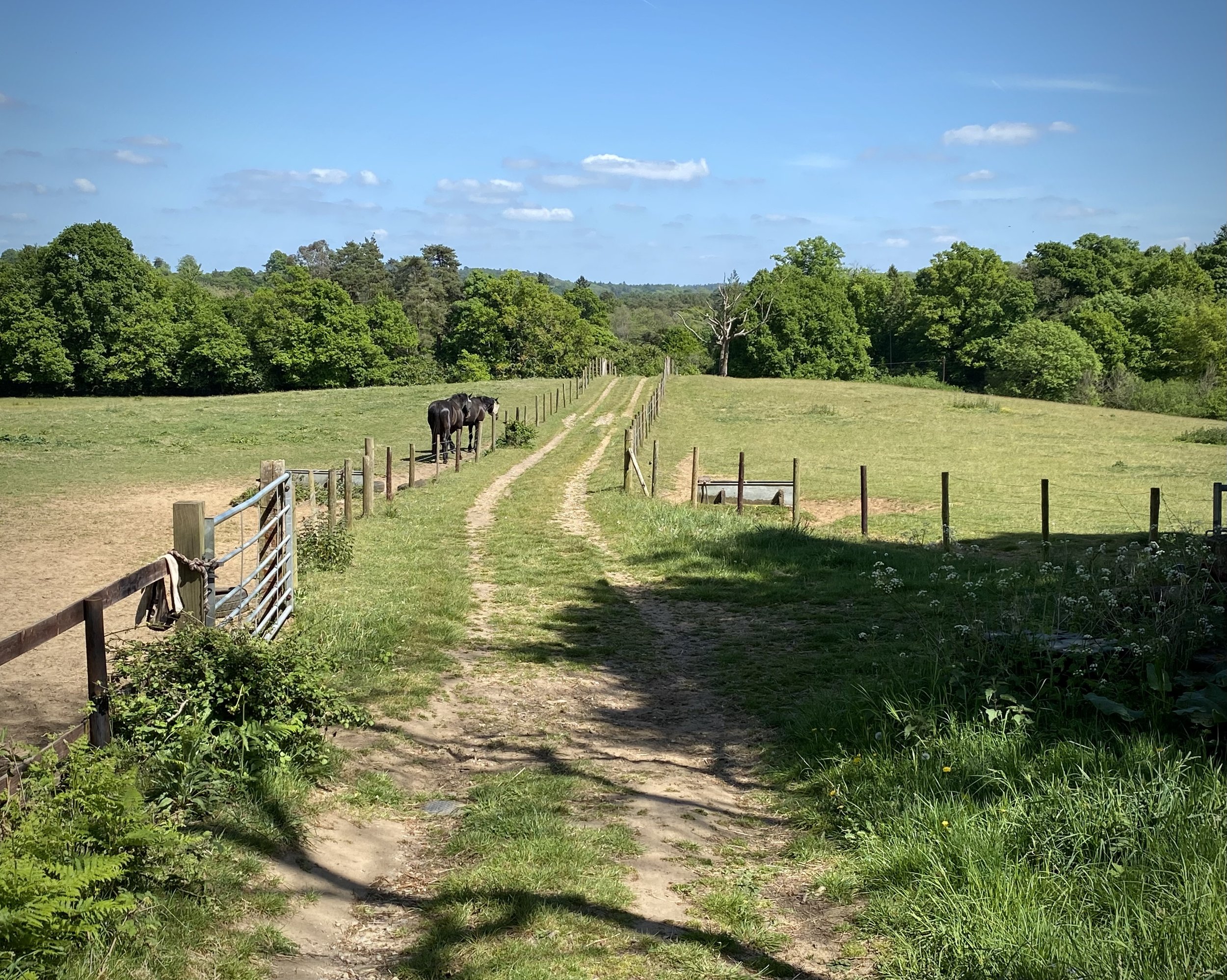
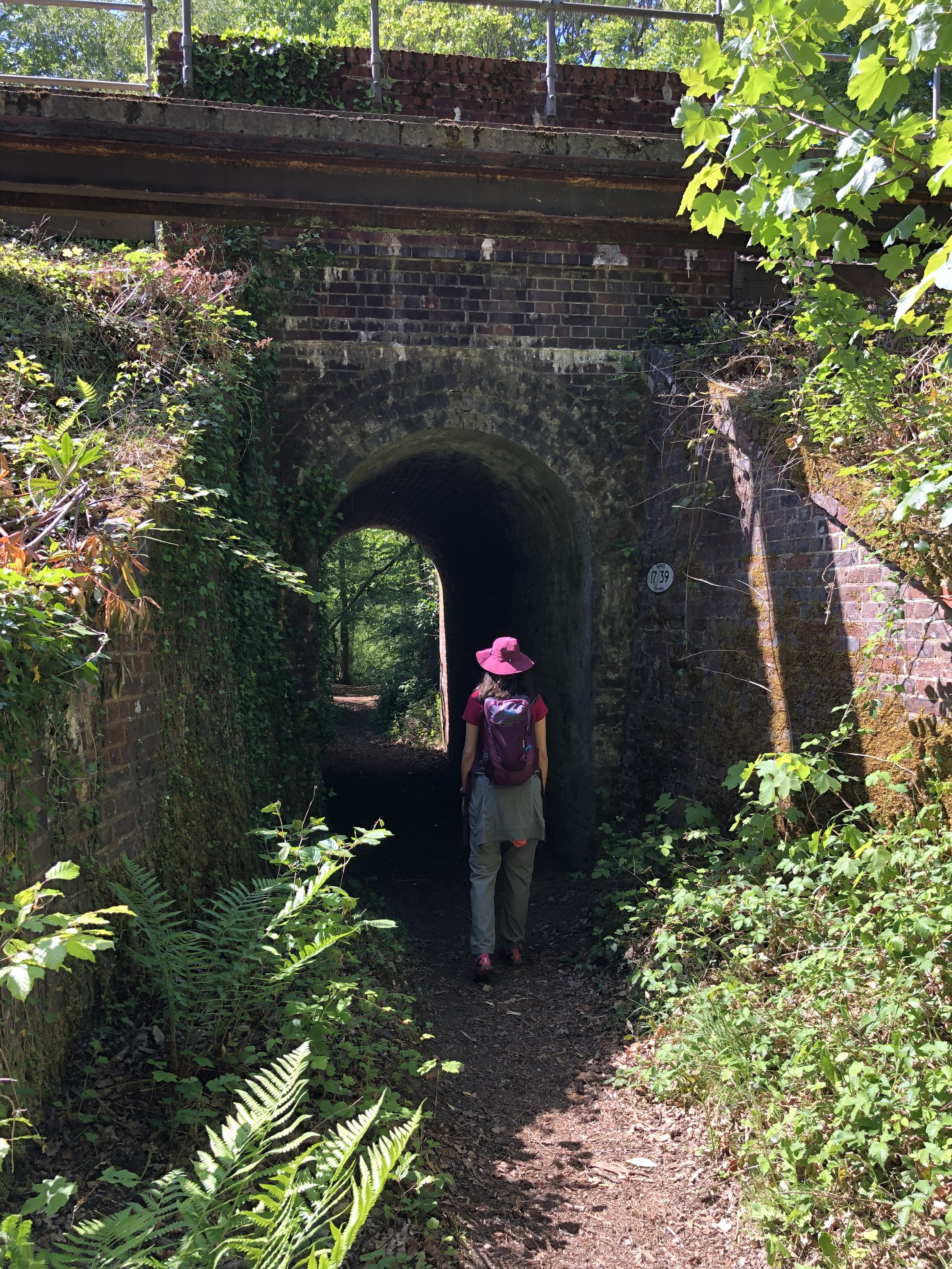
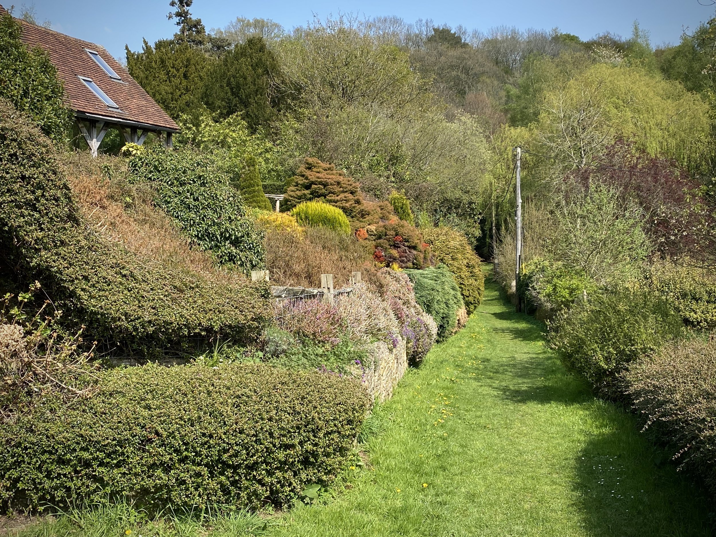
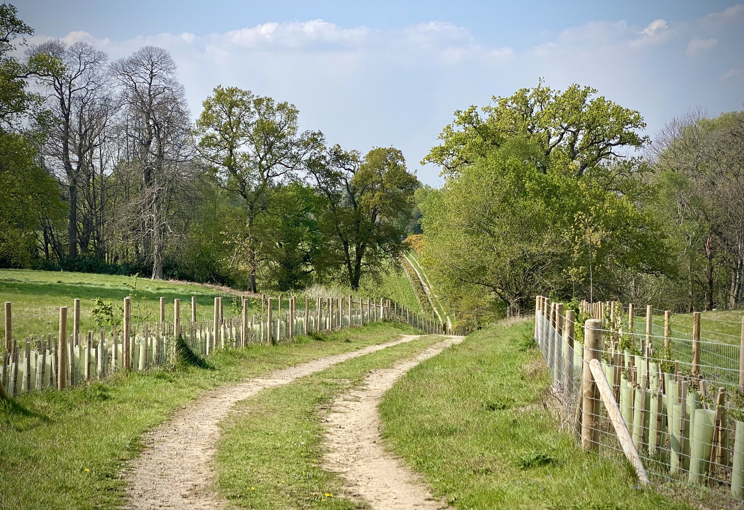
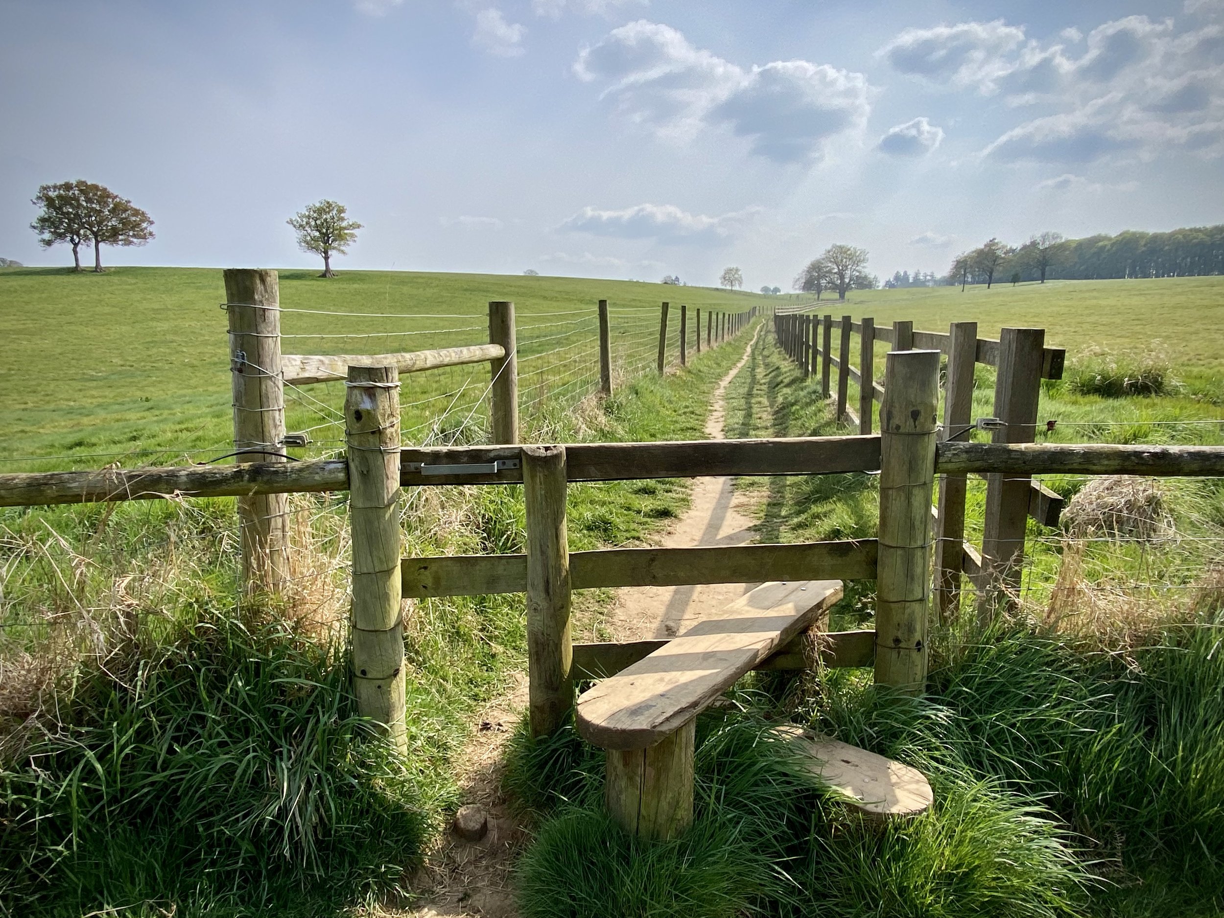
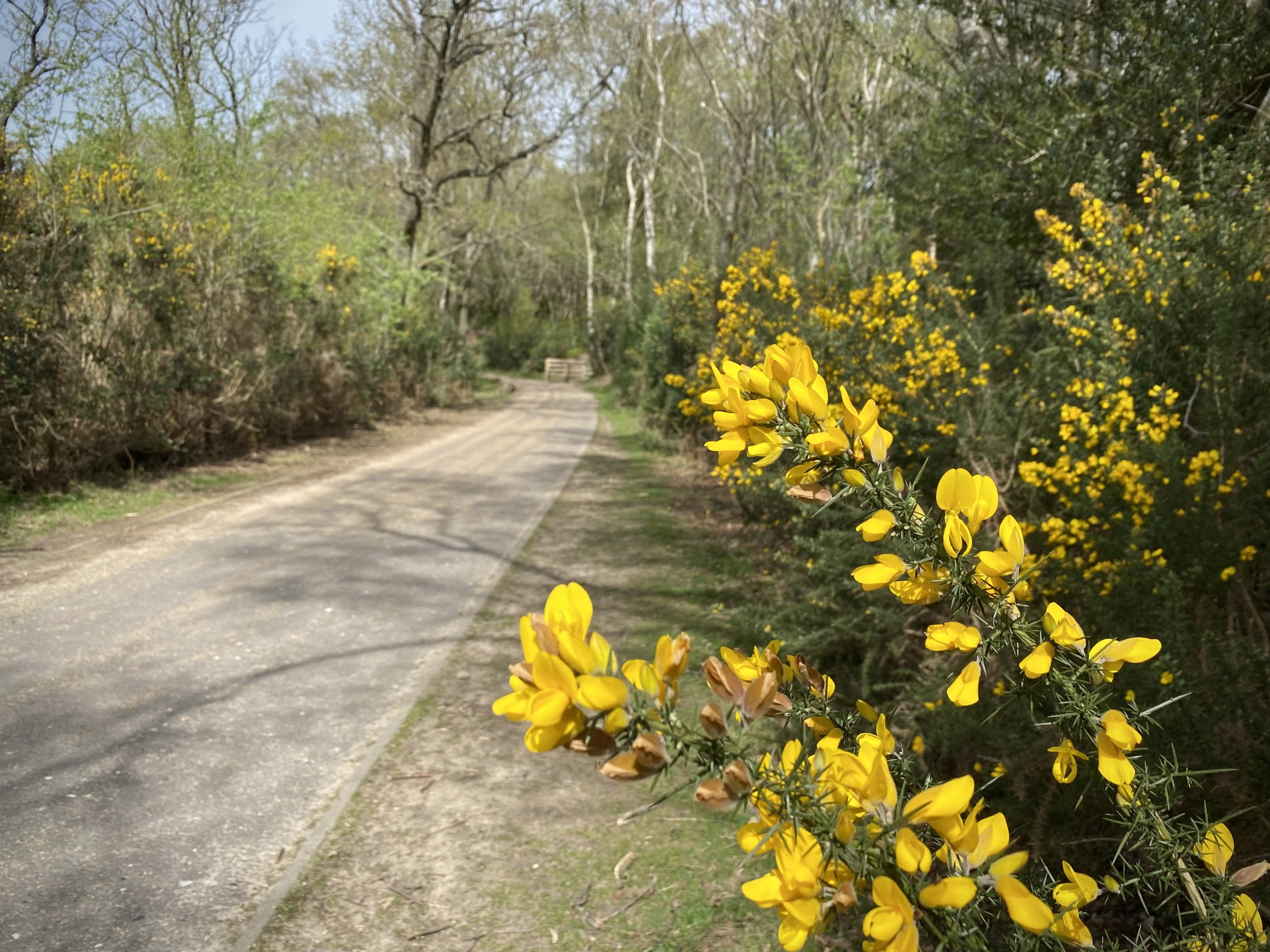
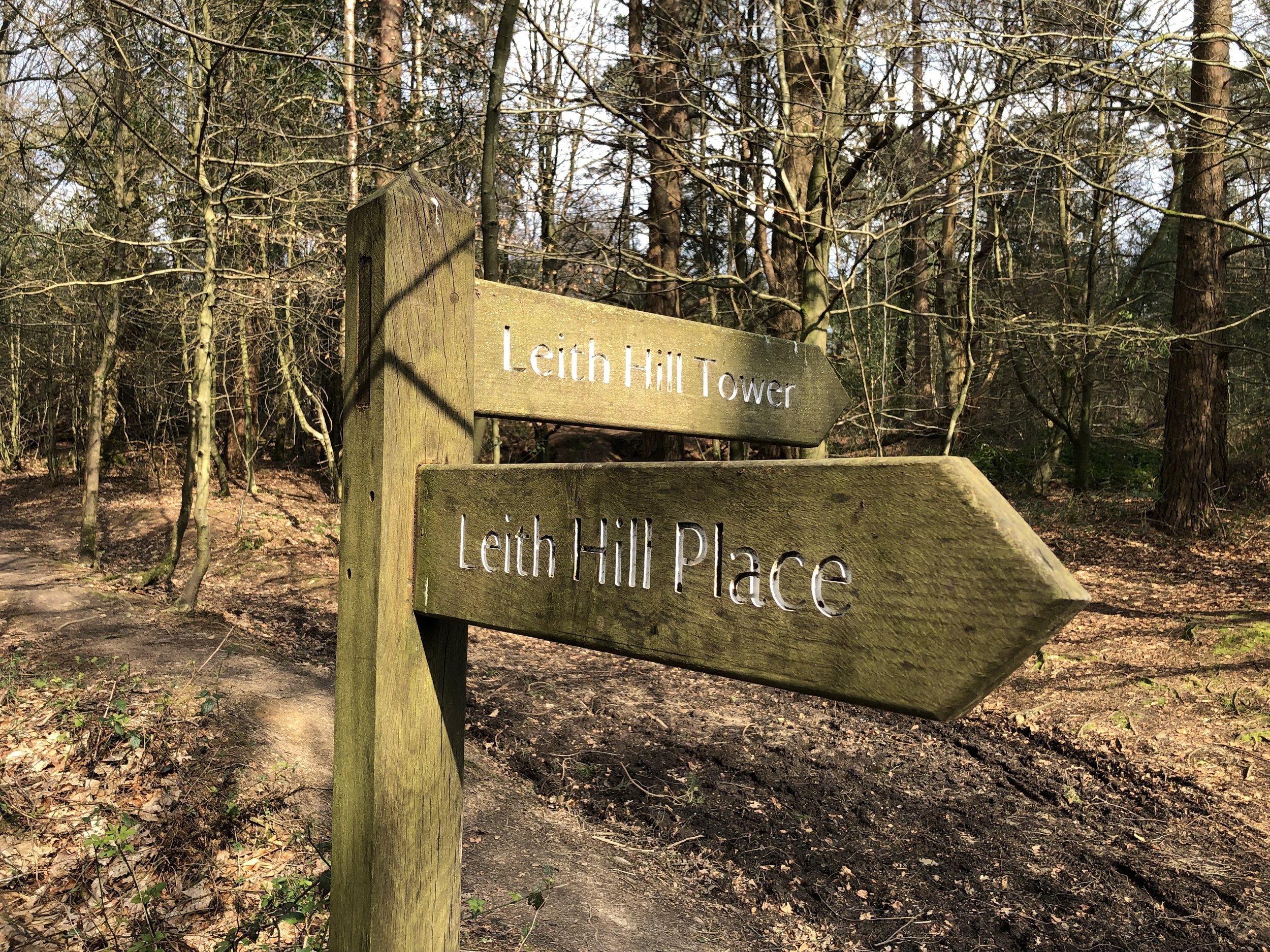
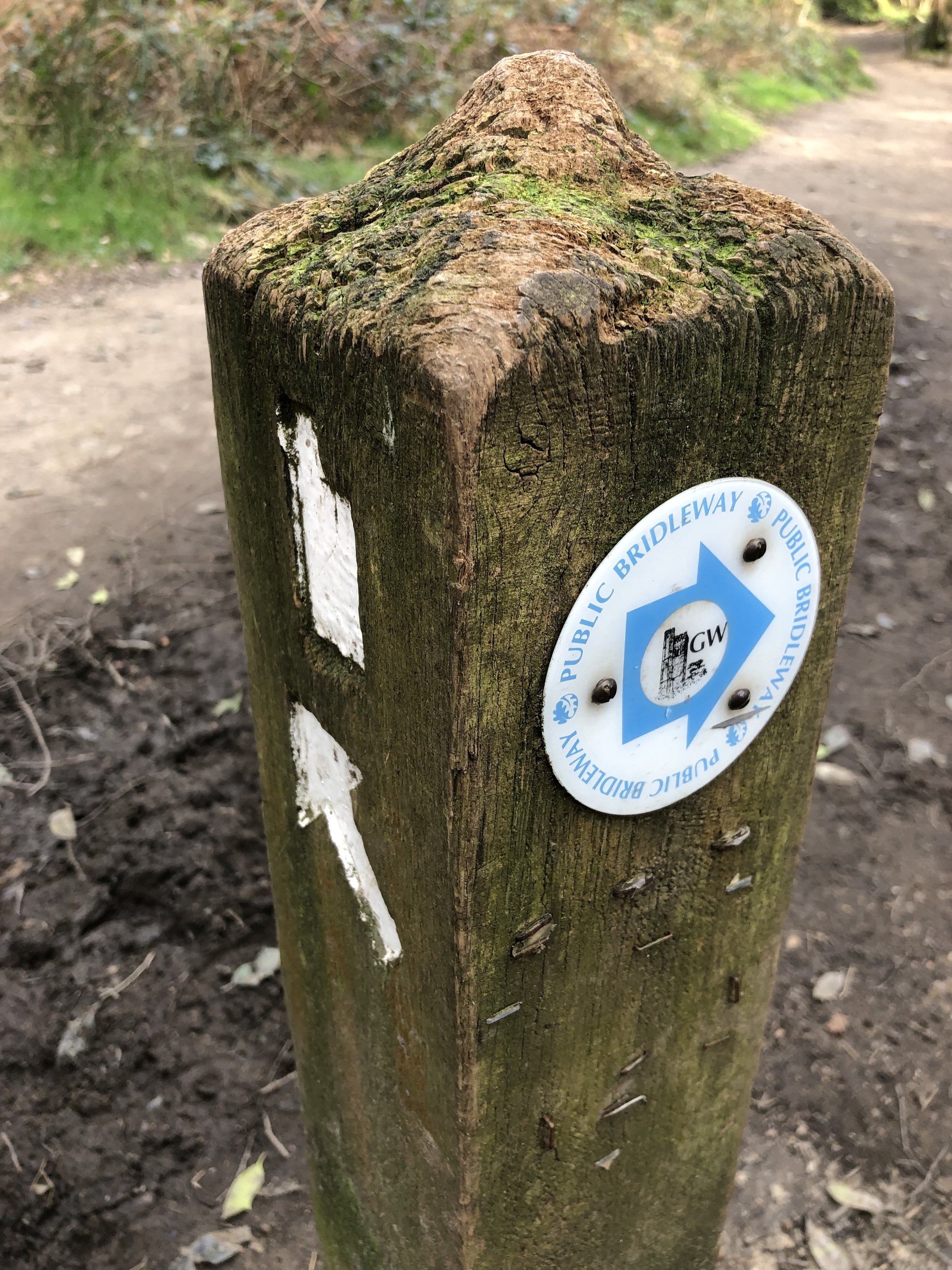
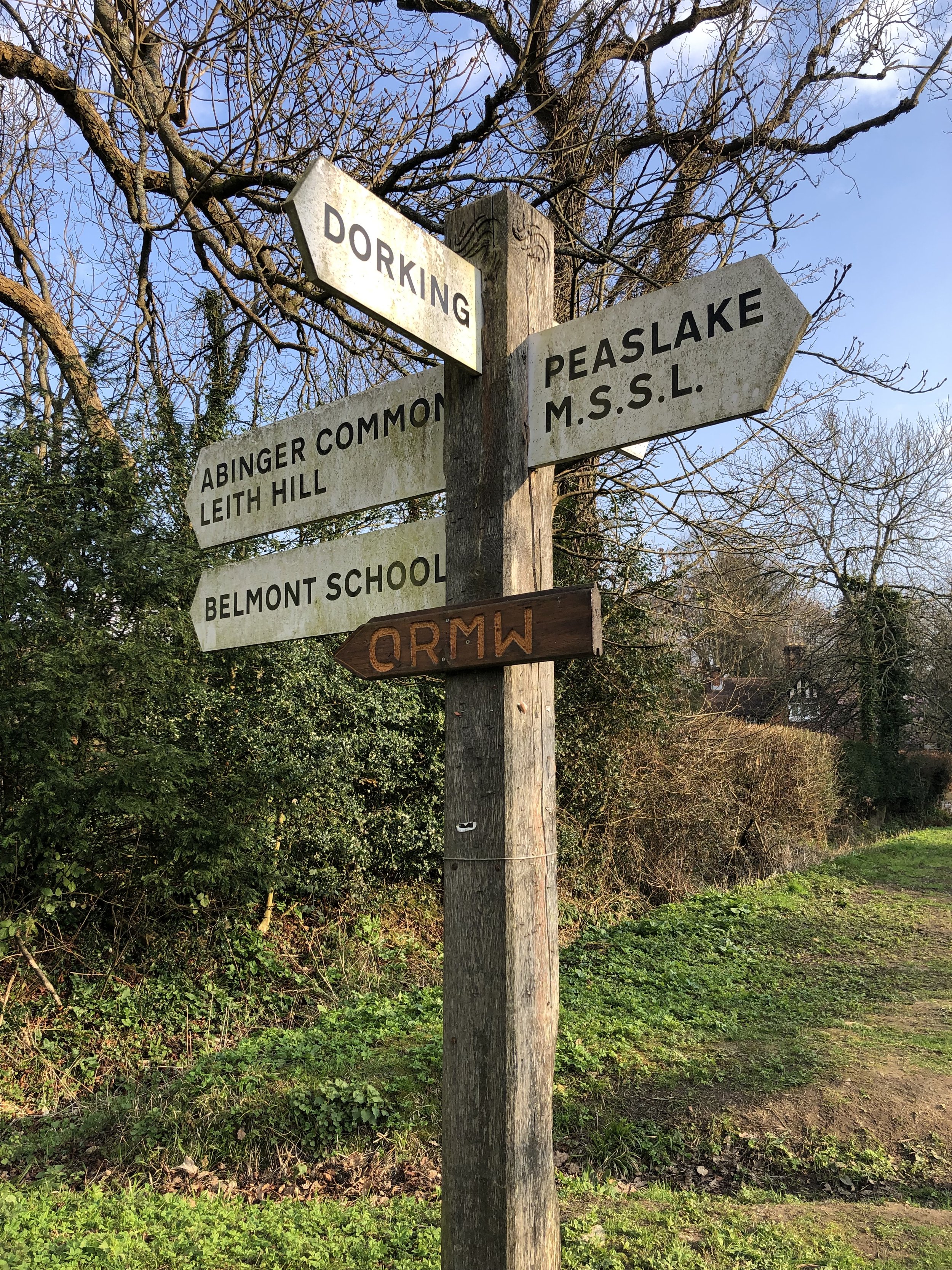
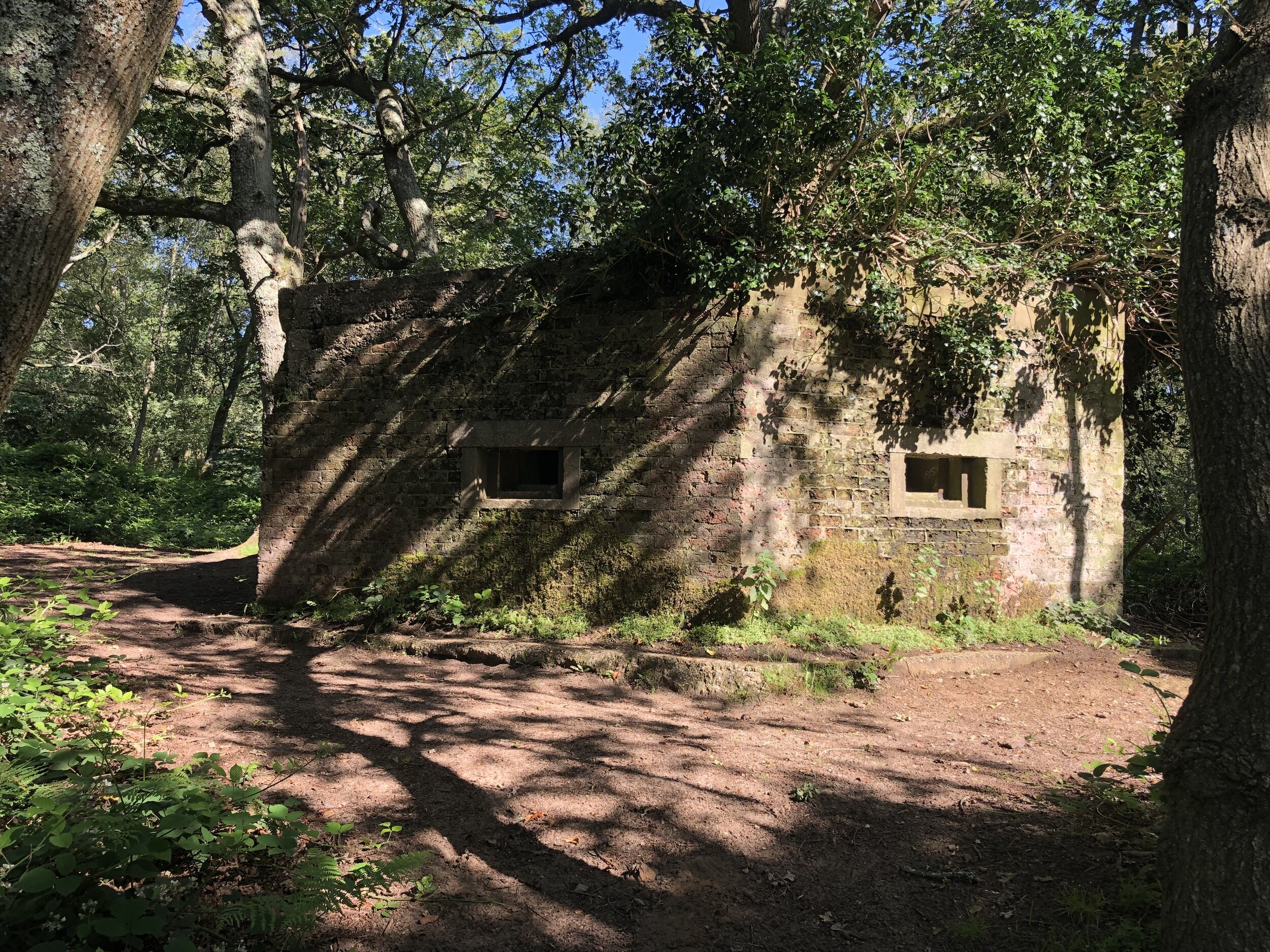
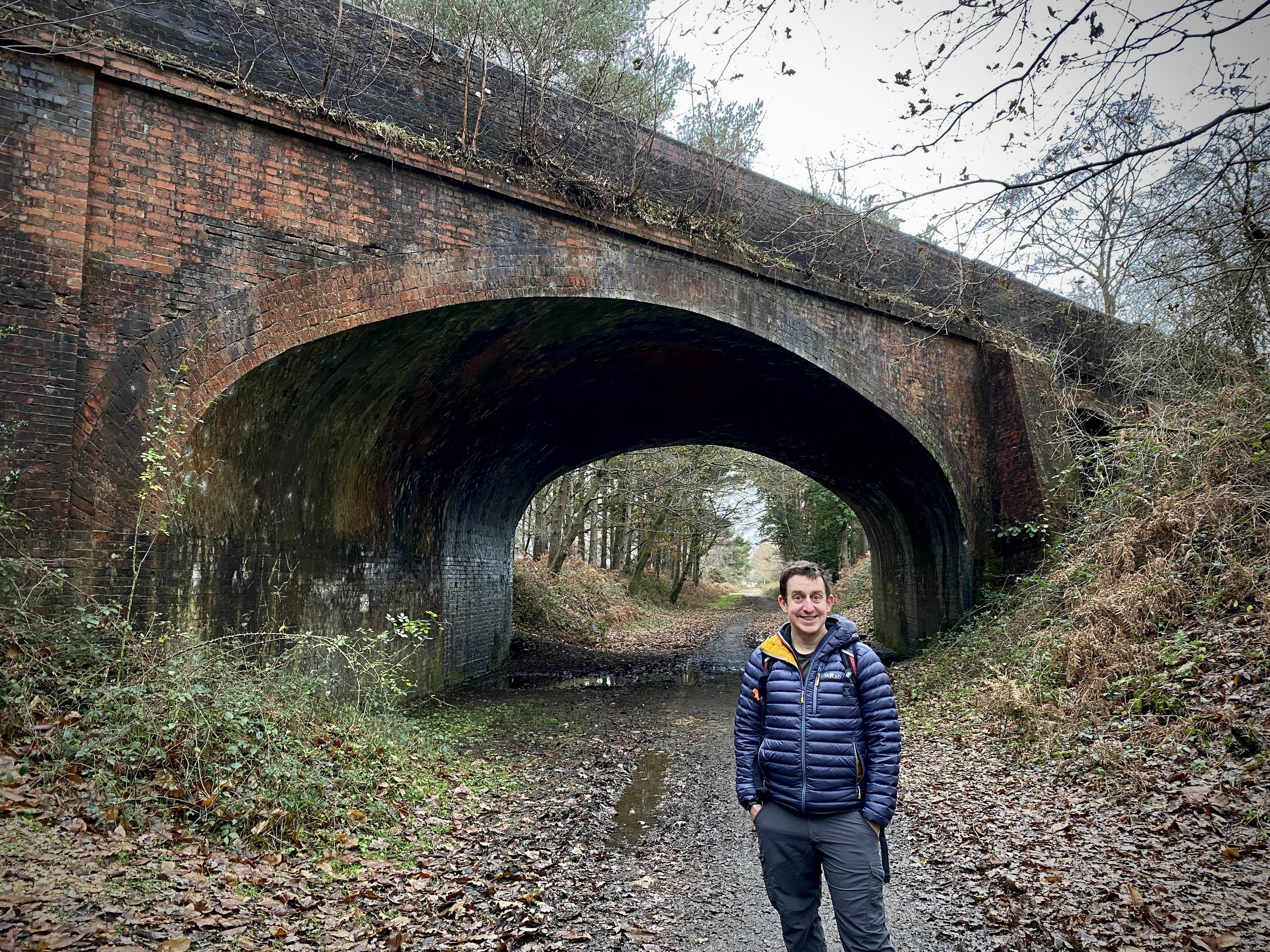
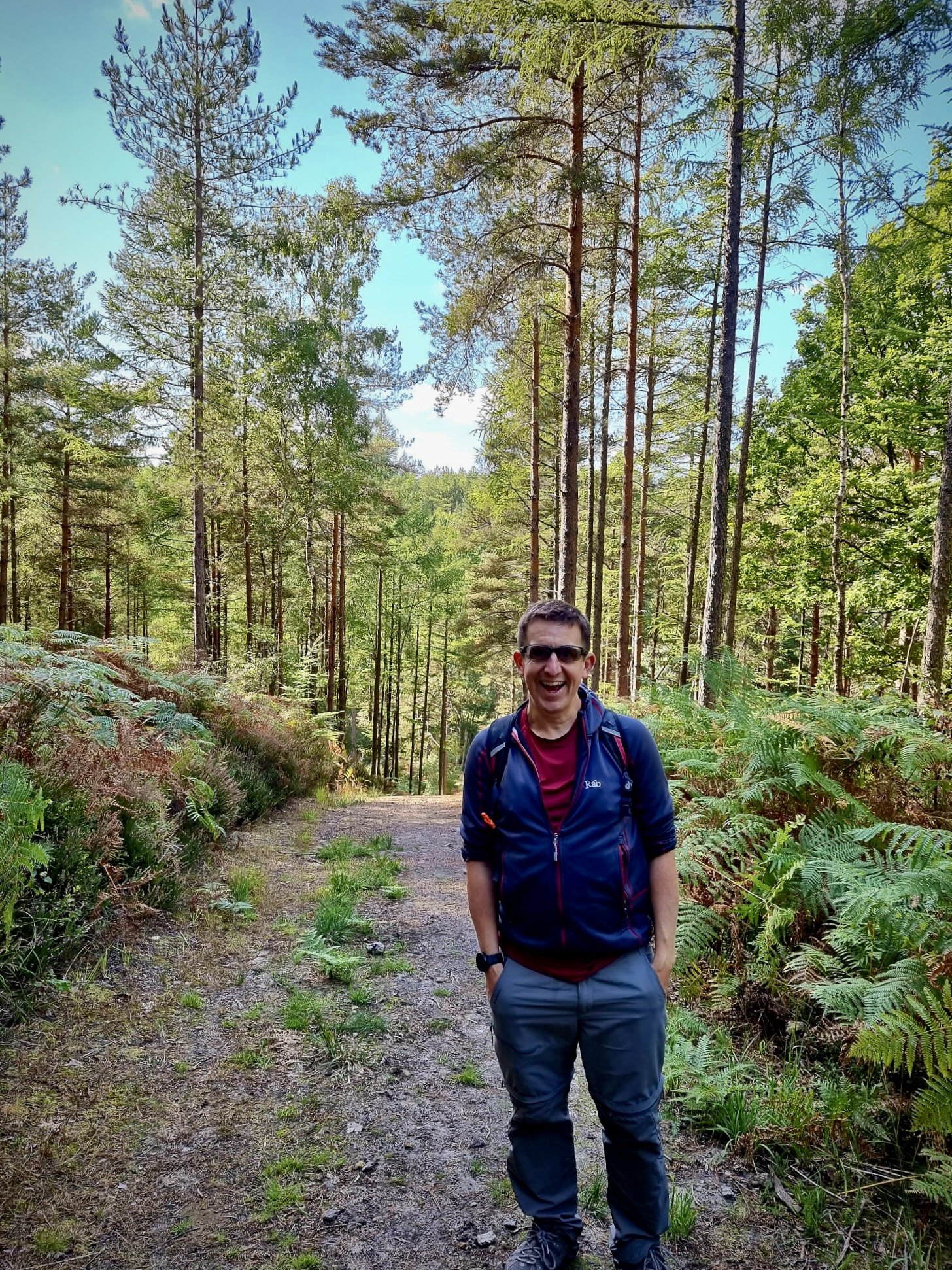
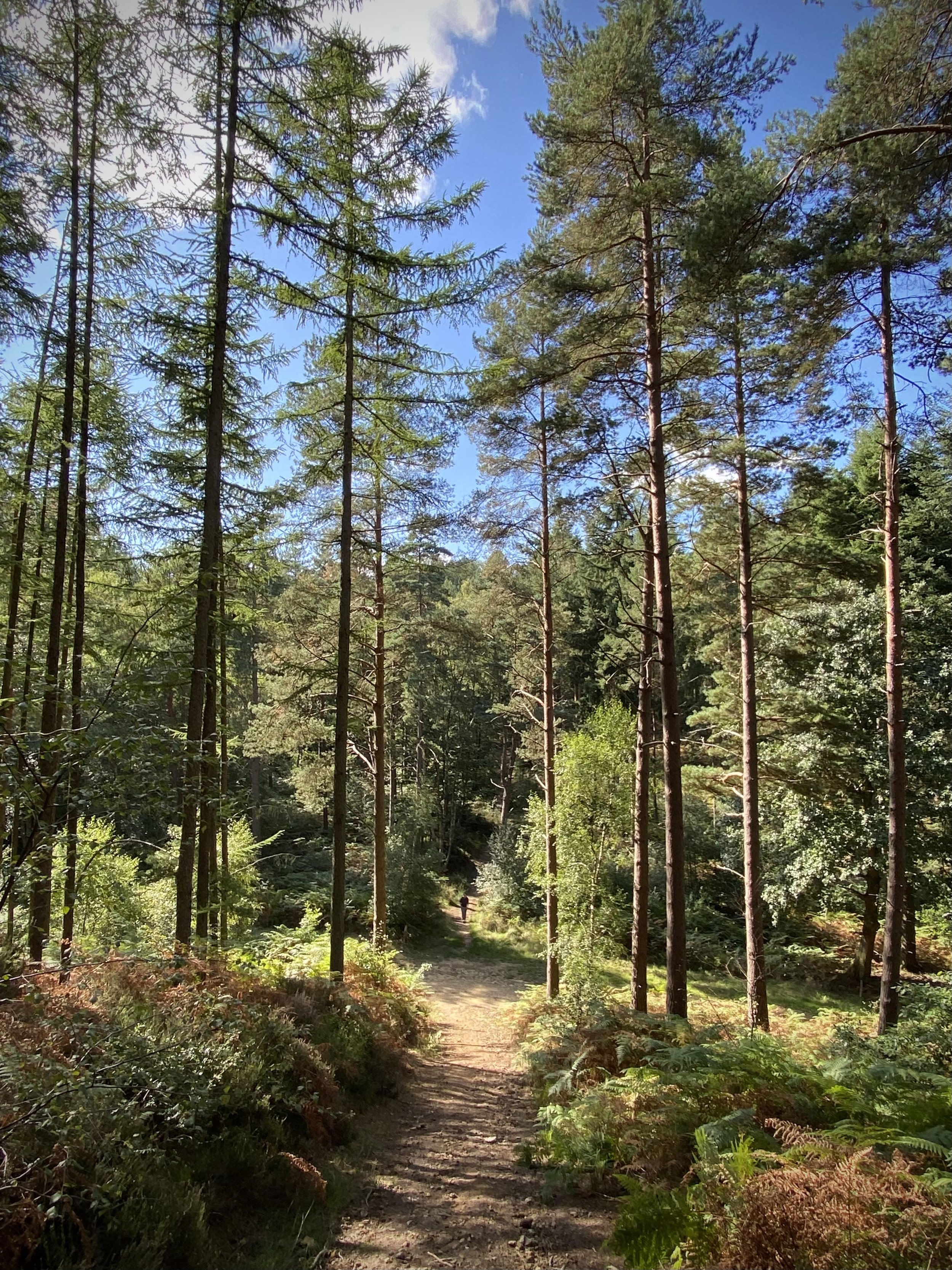
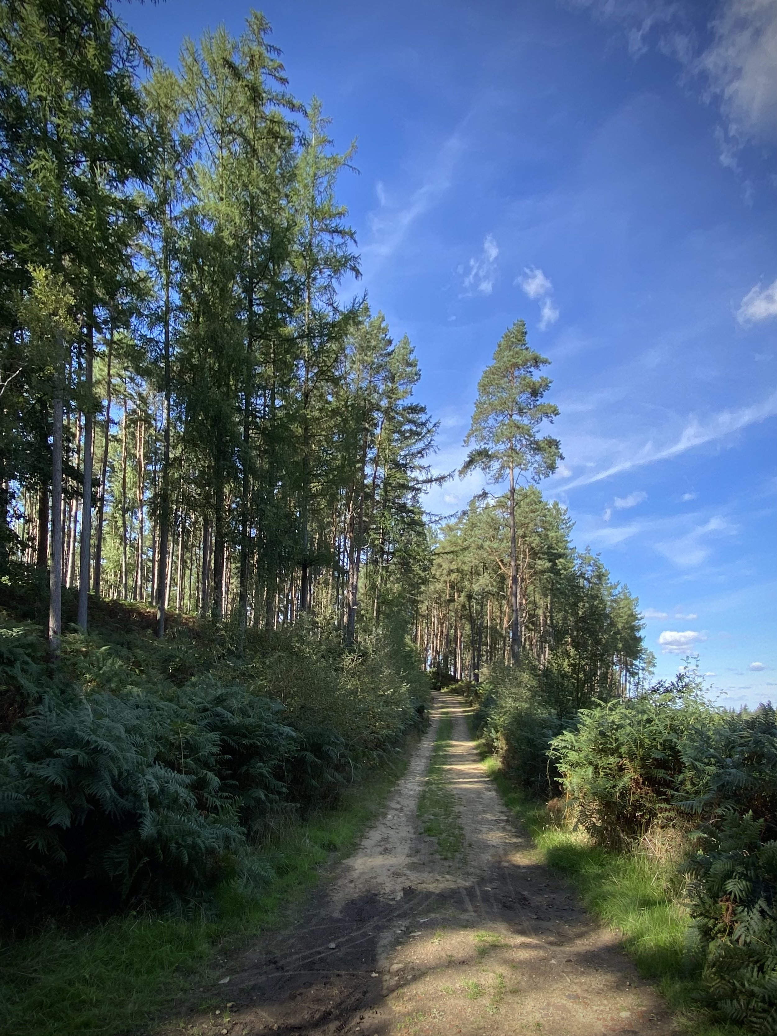
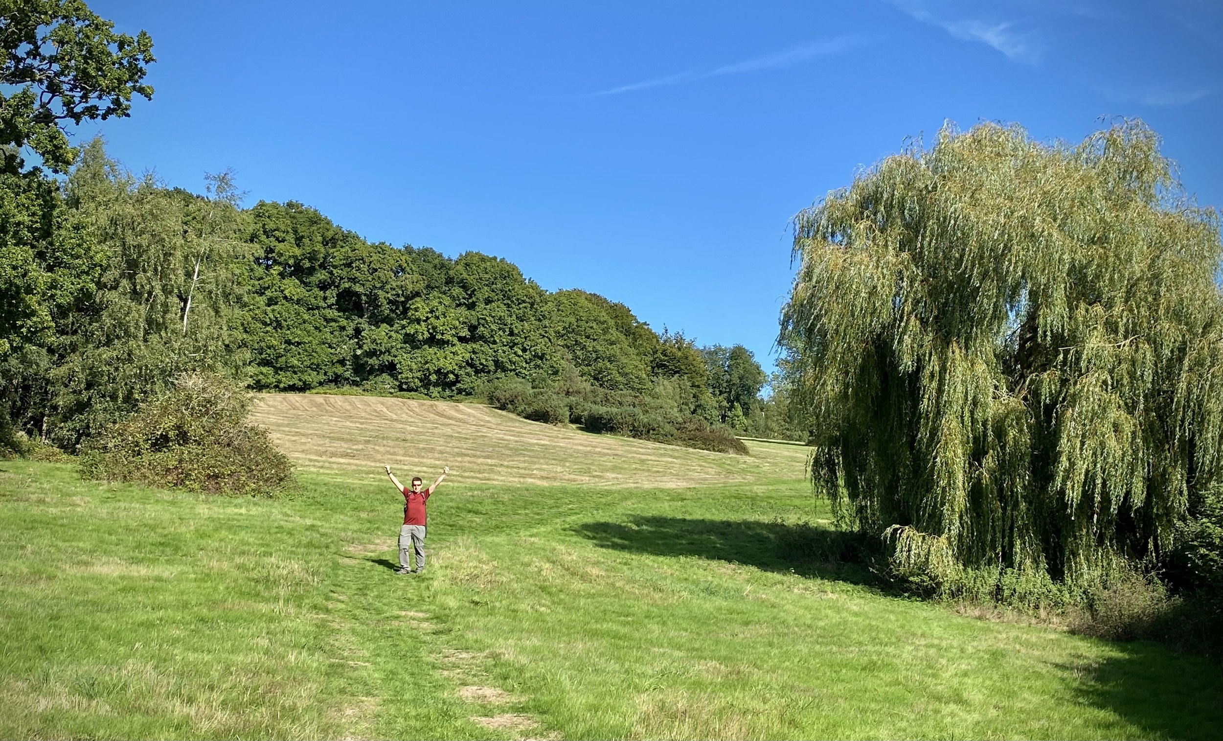
For this section we parked at Pitch Hill Car Park at the far eastern end of this section of the route. The first half of this route heads west back to where section 7 leaves off. There’s a lot of paths through Winterfold Wood with many junctions and few sign posts. You’ll highly likely get lost without a GPX route and/or map. We inadvertently took a route through private woodland, only realizing once we exited and saw a sign on the gate. I’ve since edited the route to follow public rights of way.
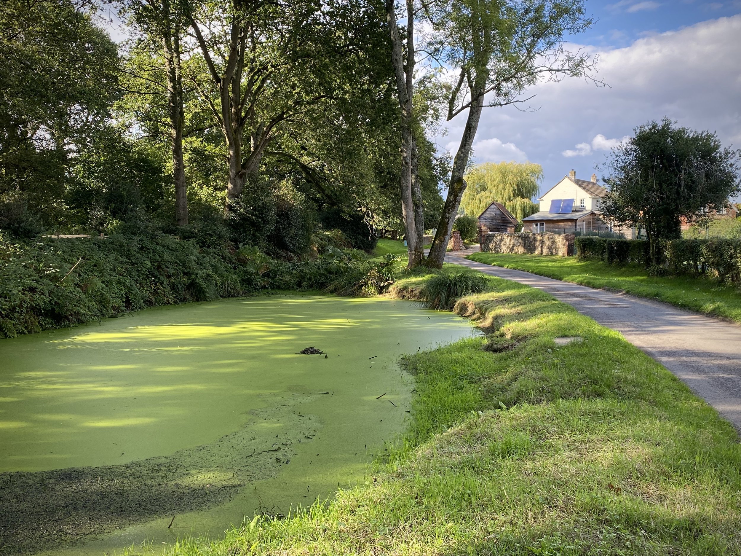
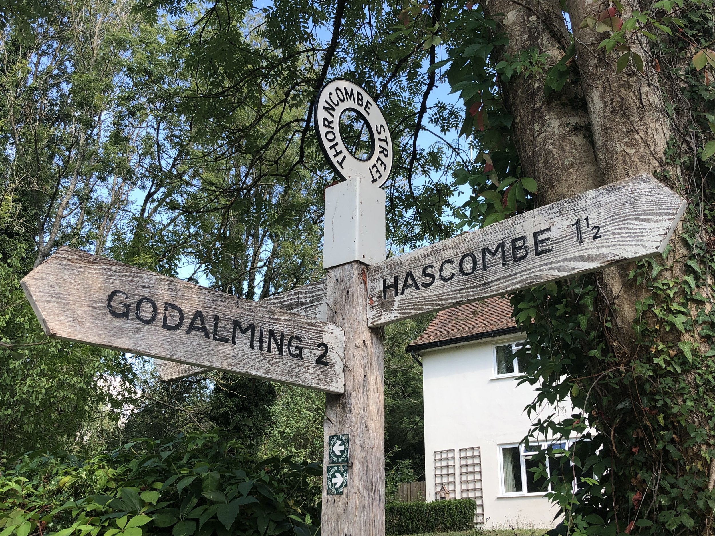
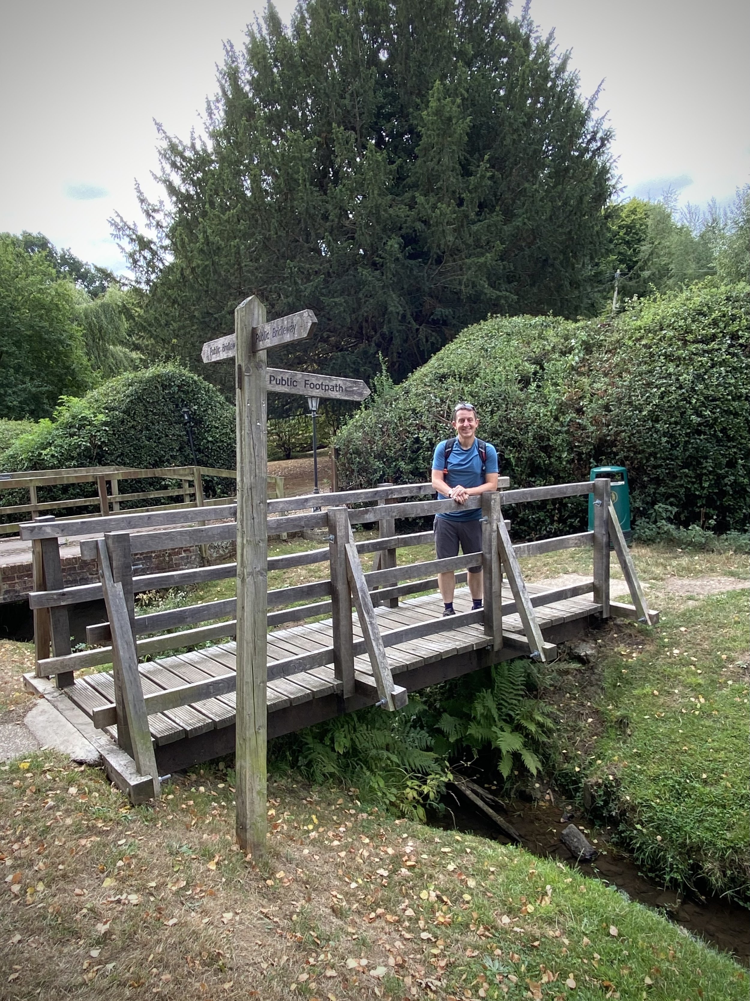
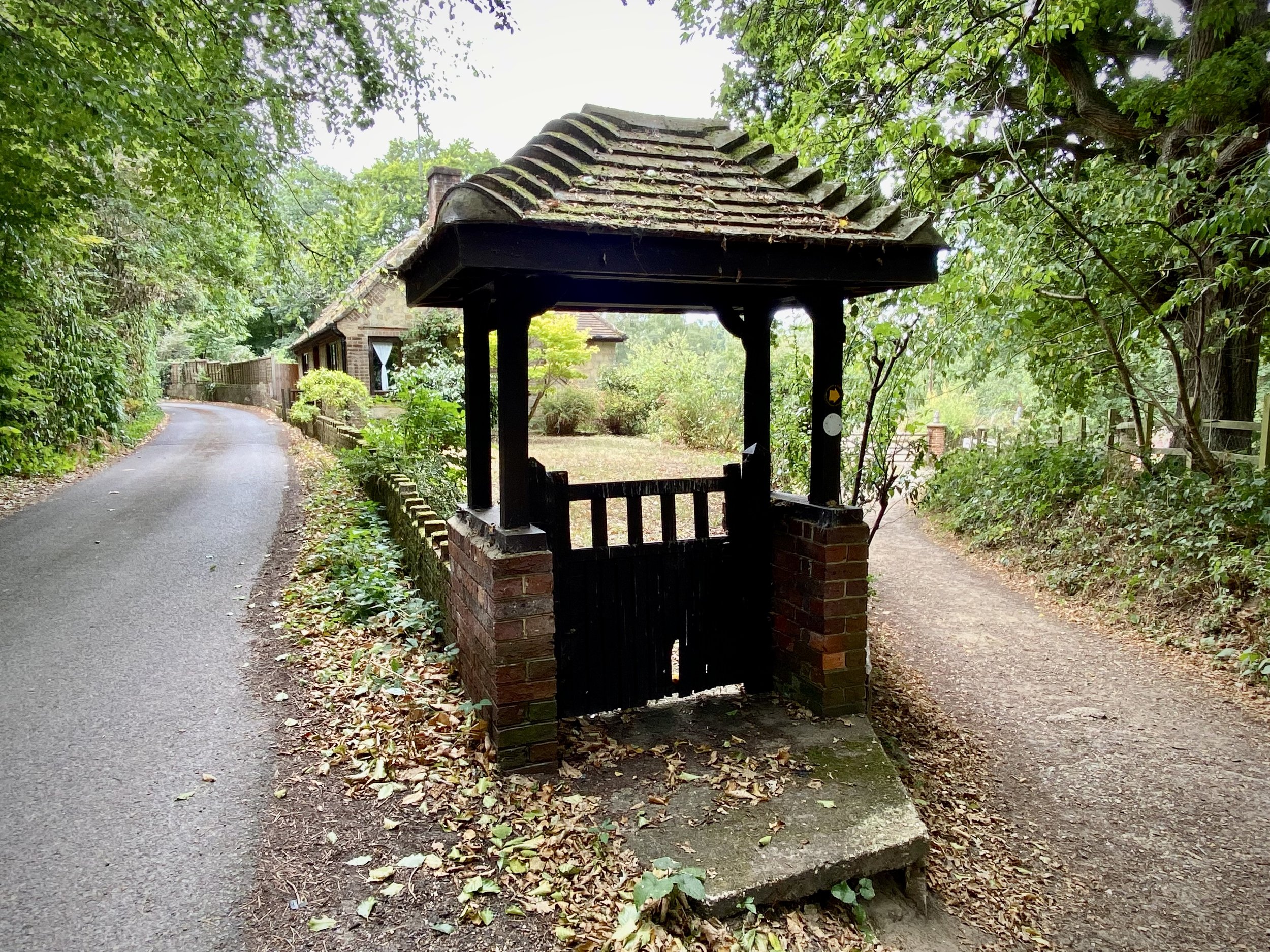
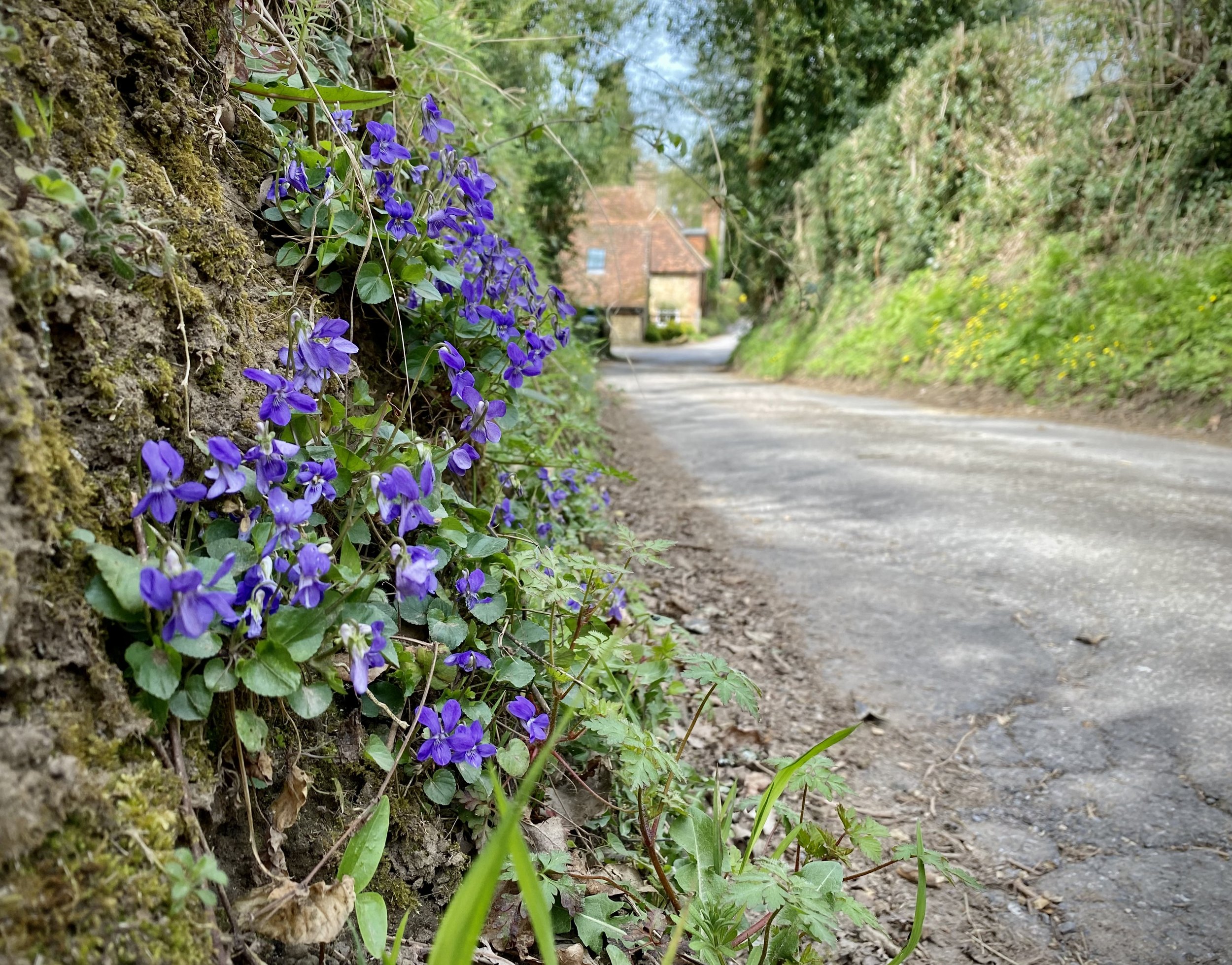
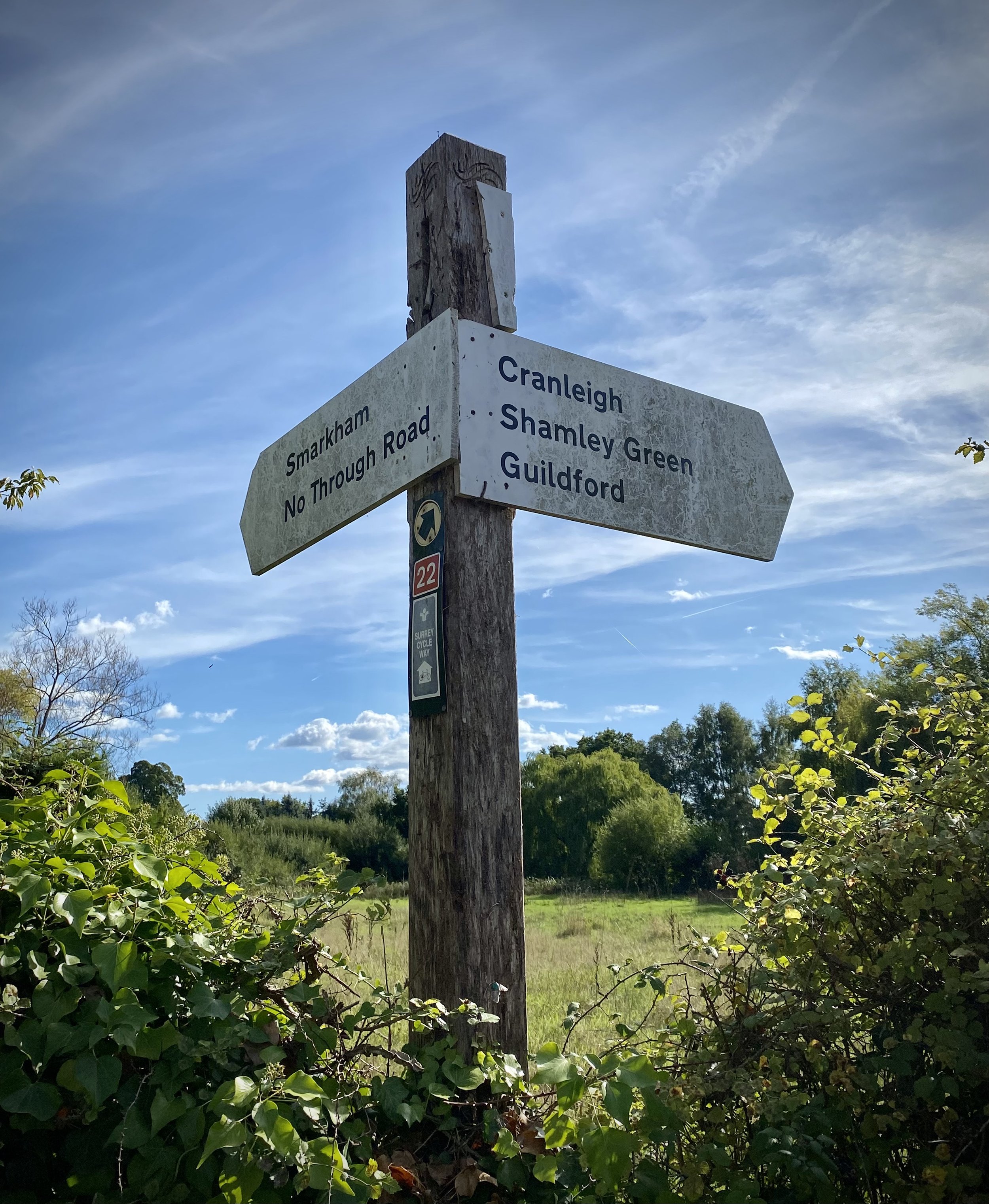
From the car park cross the road and take the right-hand, northerly headed path (not the Greensand Way). This will cross Barhatch Lane and into the Winterfold Wood Estate. Continue in a north-westerly direction along the estate road to a junction where the road becomes private. Take a left and continue heading in a westerly direction. Continue heading west through the wood until you reach Madgehole Lane and follow this to the junction with Woodhill Lane.
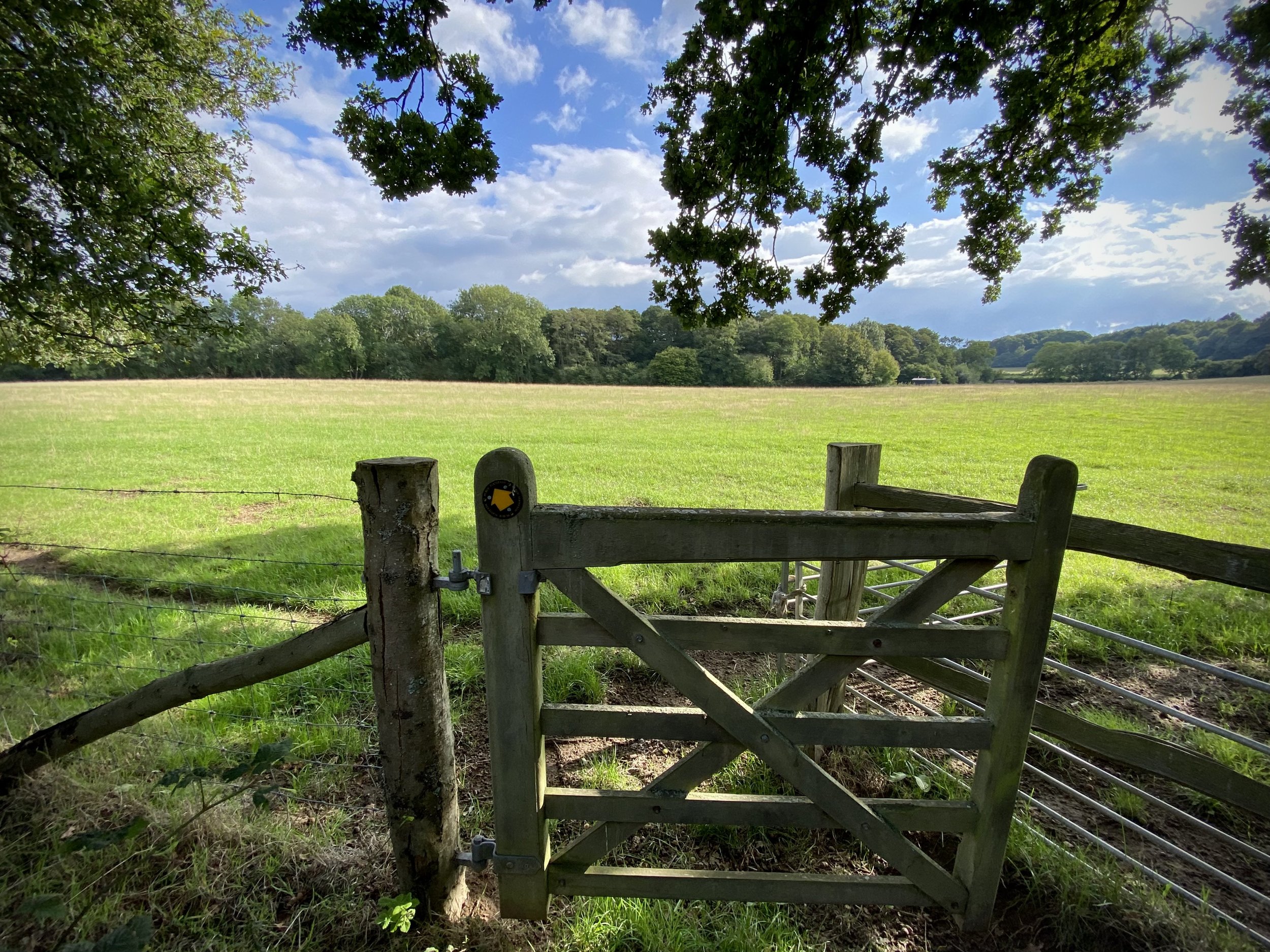
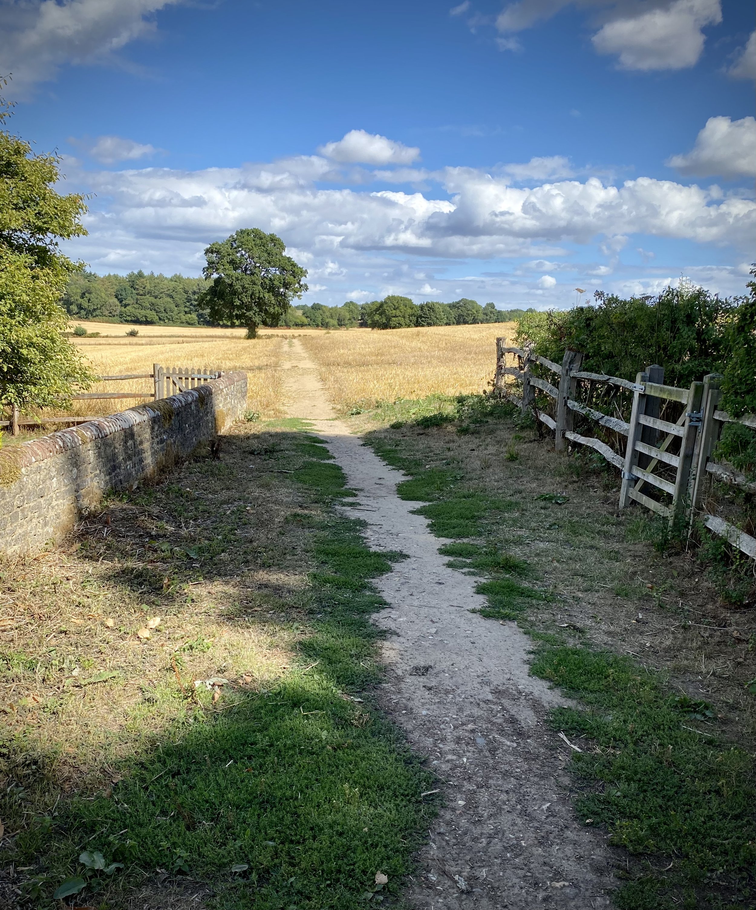
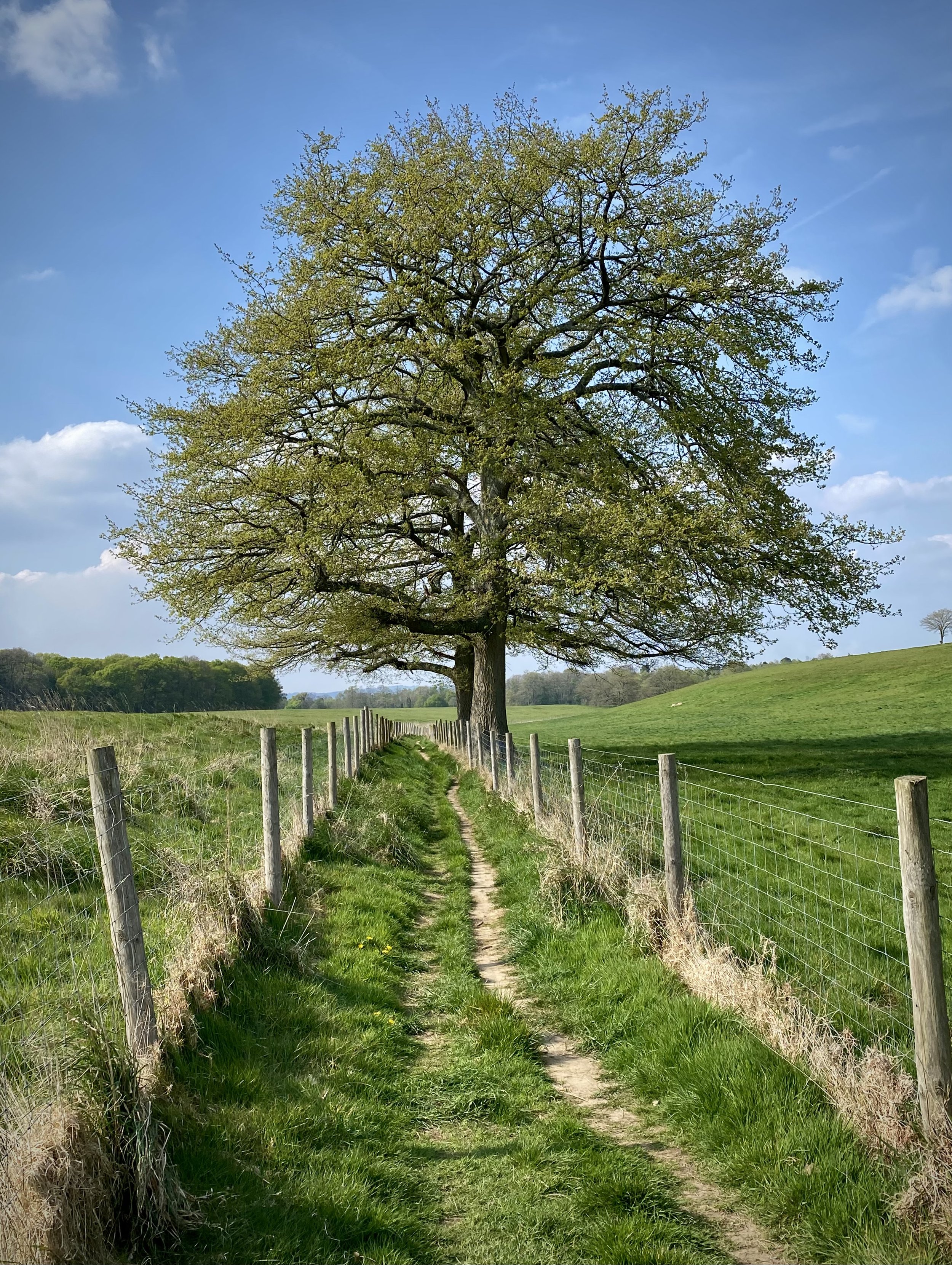
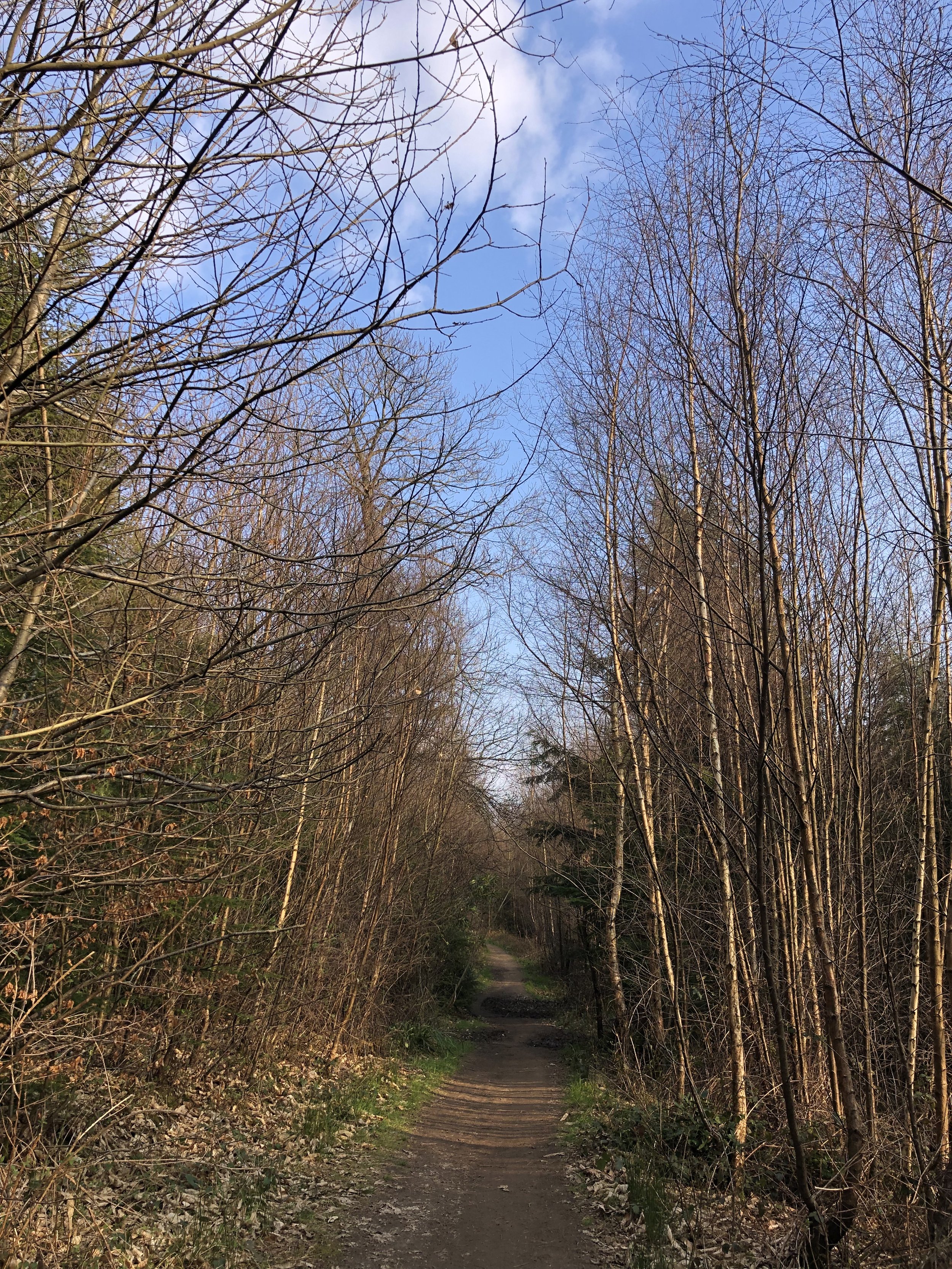
Take a left onto Woodhill Lane, heading south-west then take the first left to join Stroud Lane. Follow Stroud Lane south for ~50 and you’ll rejoin the Greensand Way. Continue along Stroud Lane and stay on the Greensand Way when it leaves the lane on a footpath to the left. Continue following the Greensand Way for another 4km back to the car park.
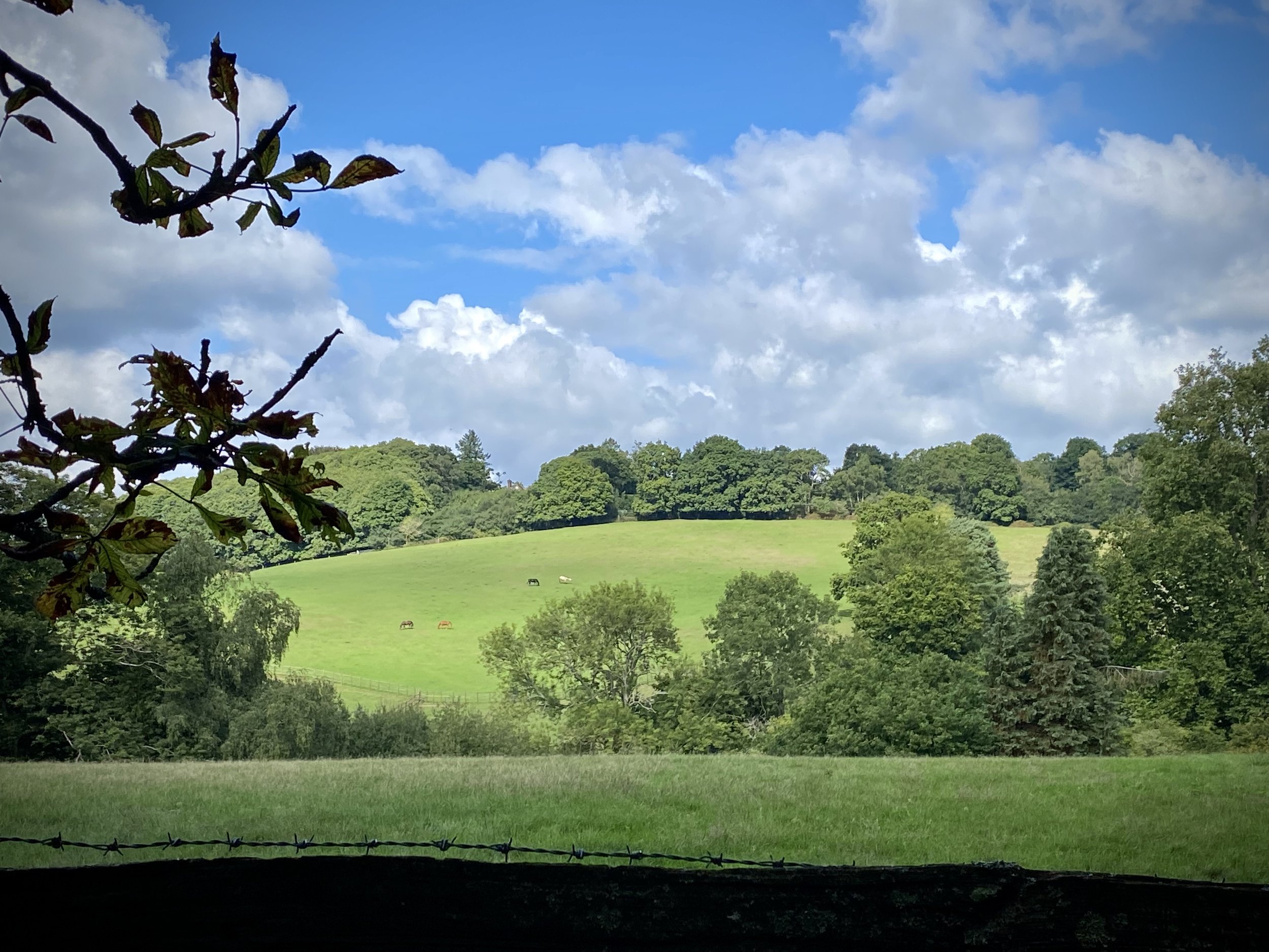
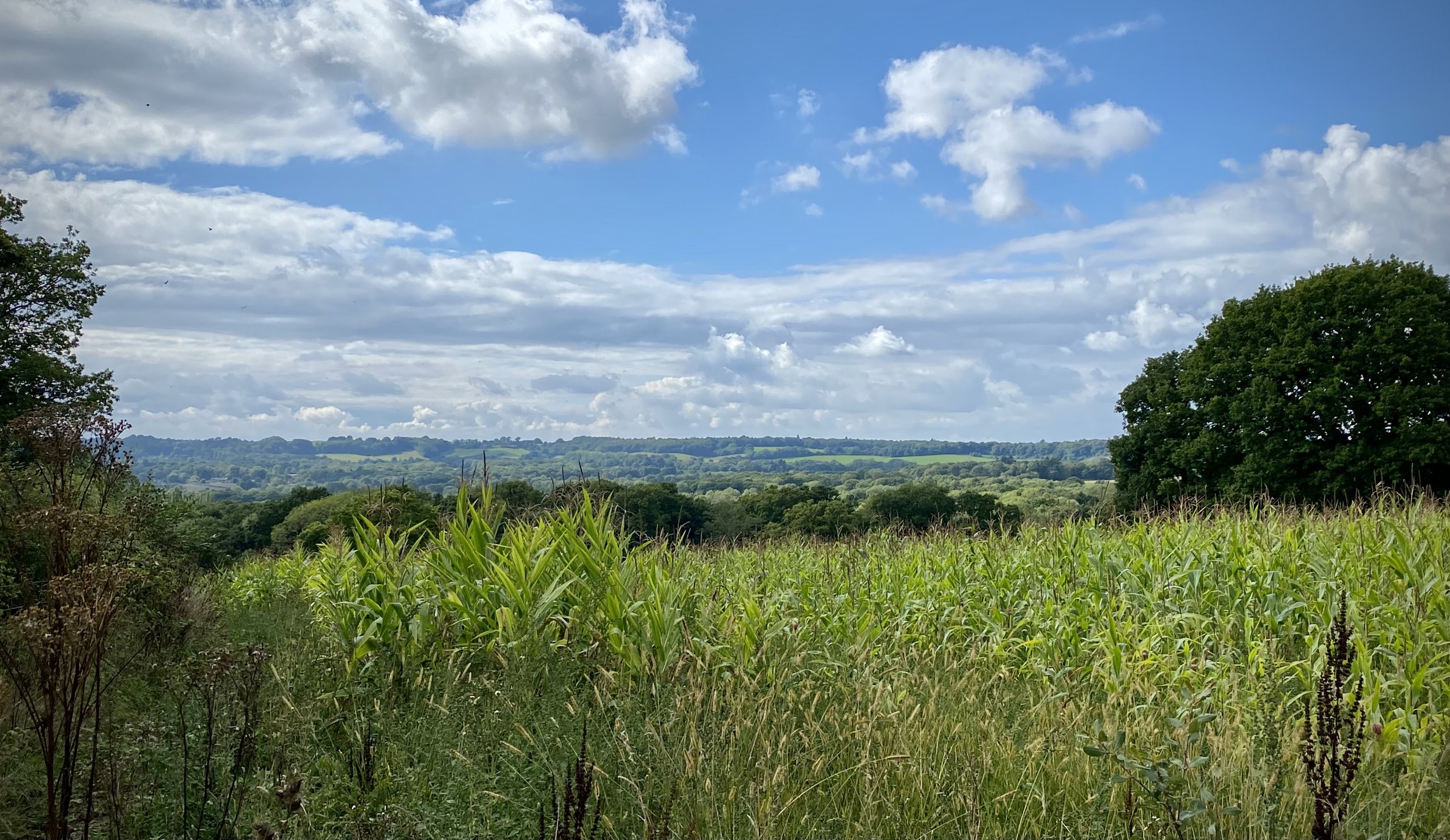
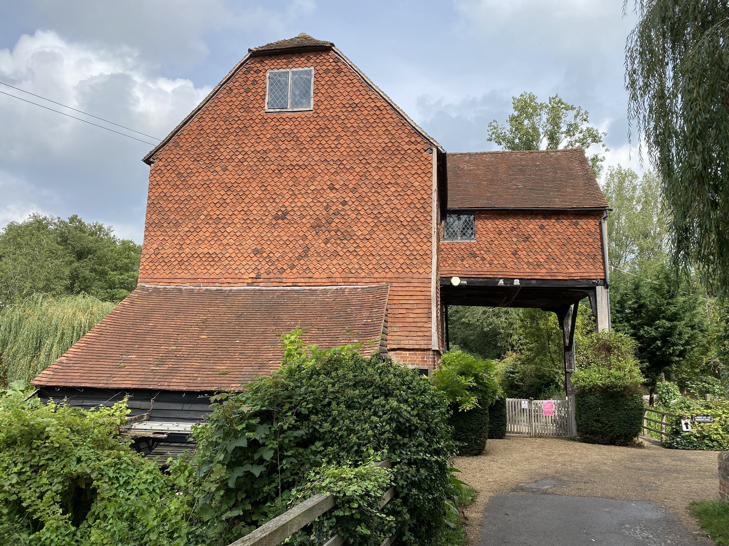
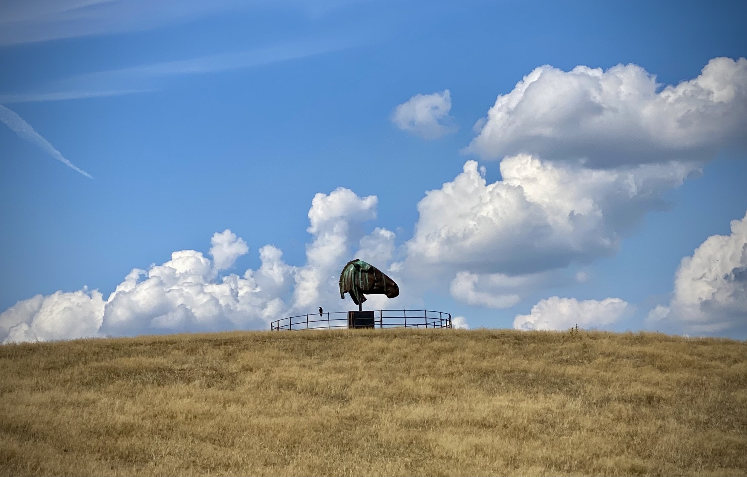
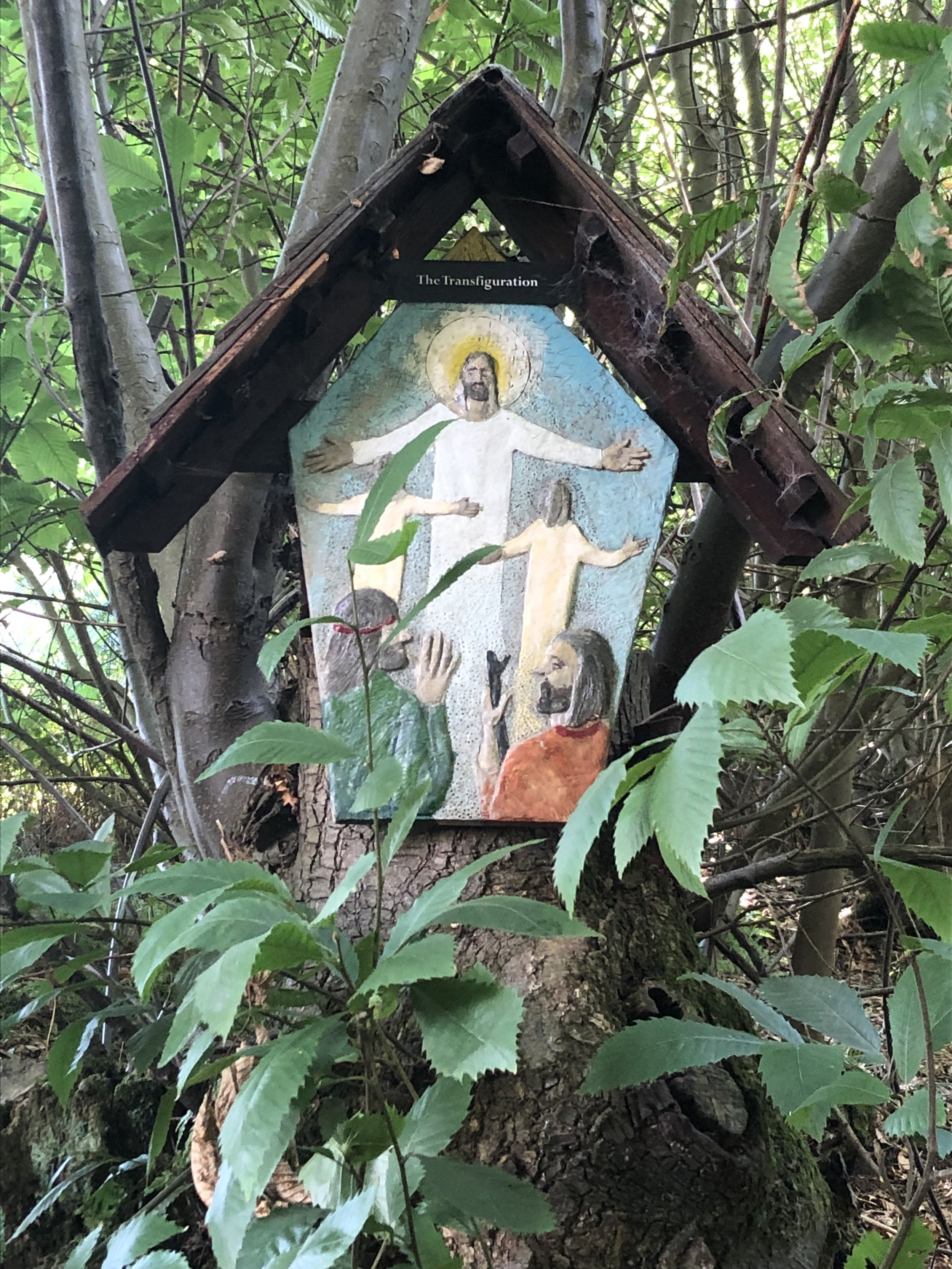
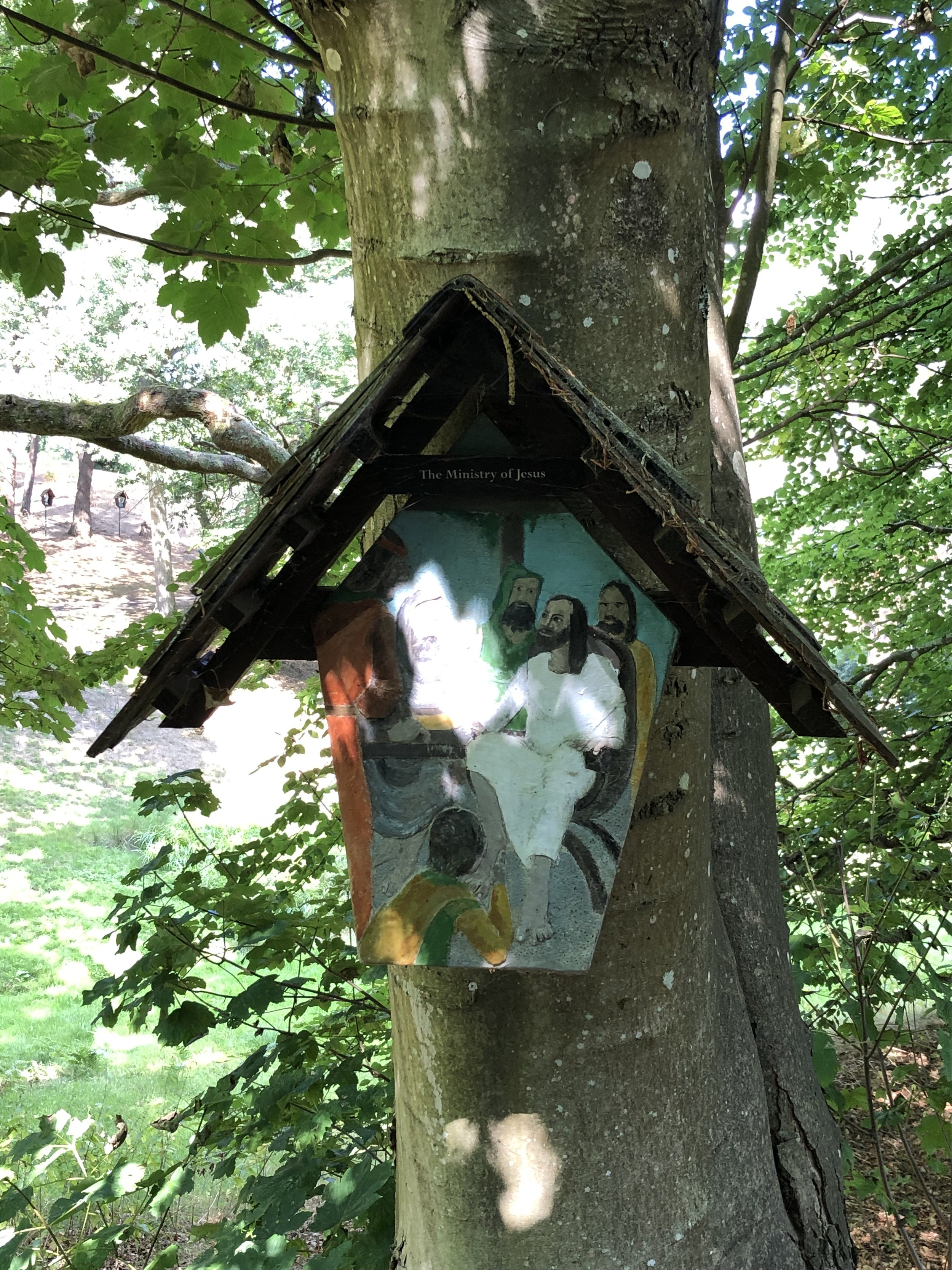
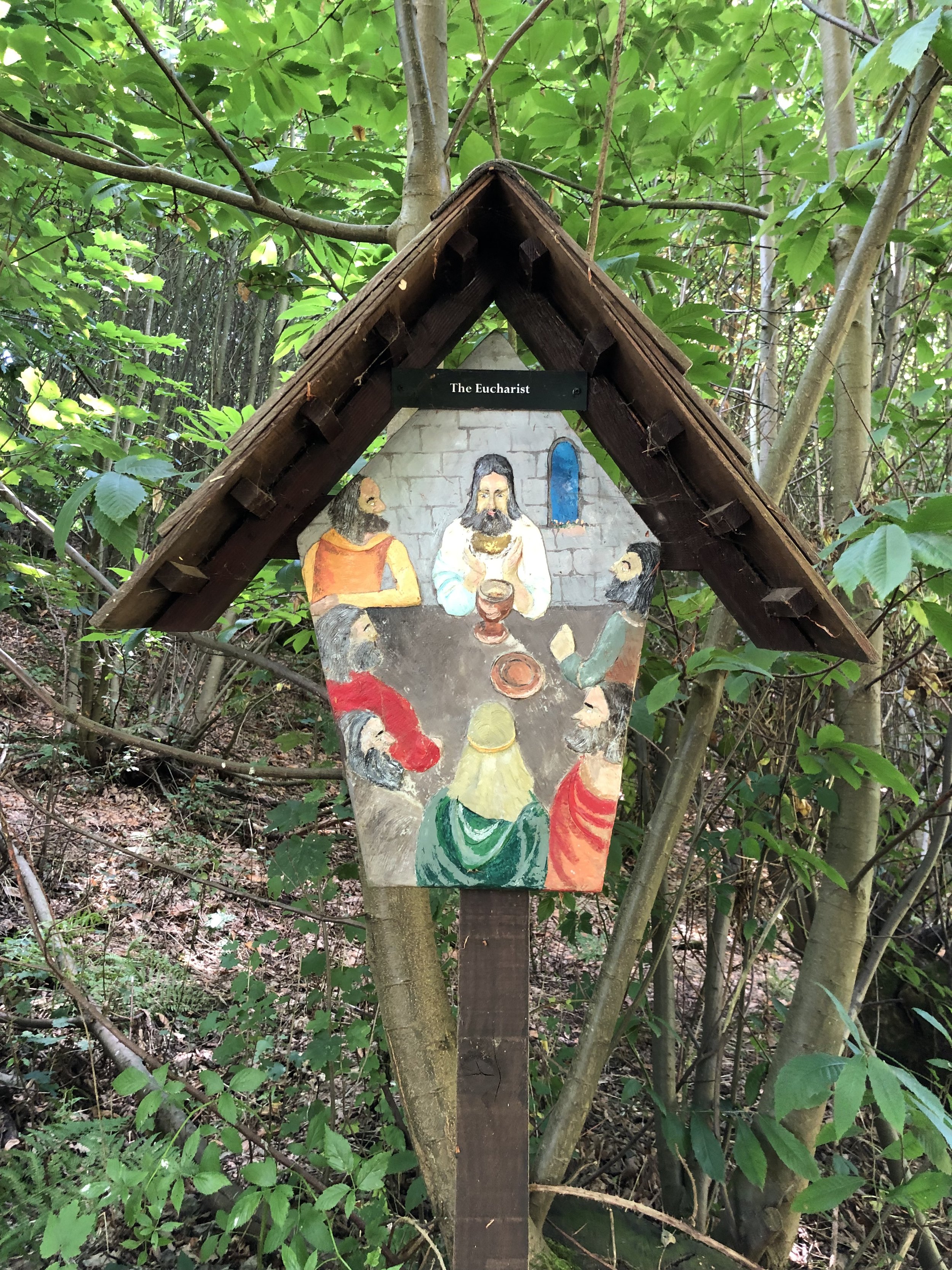
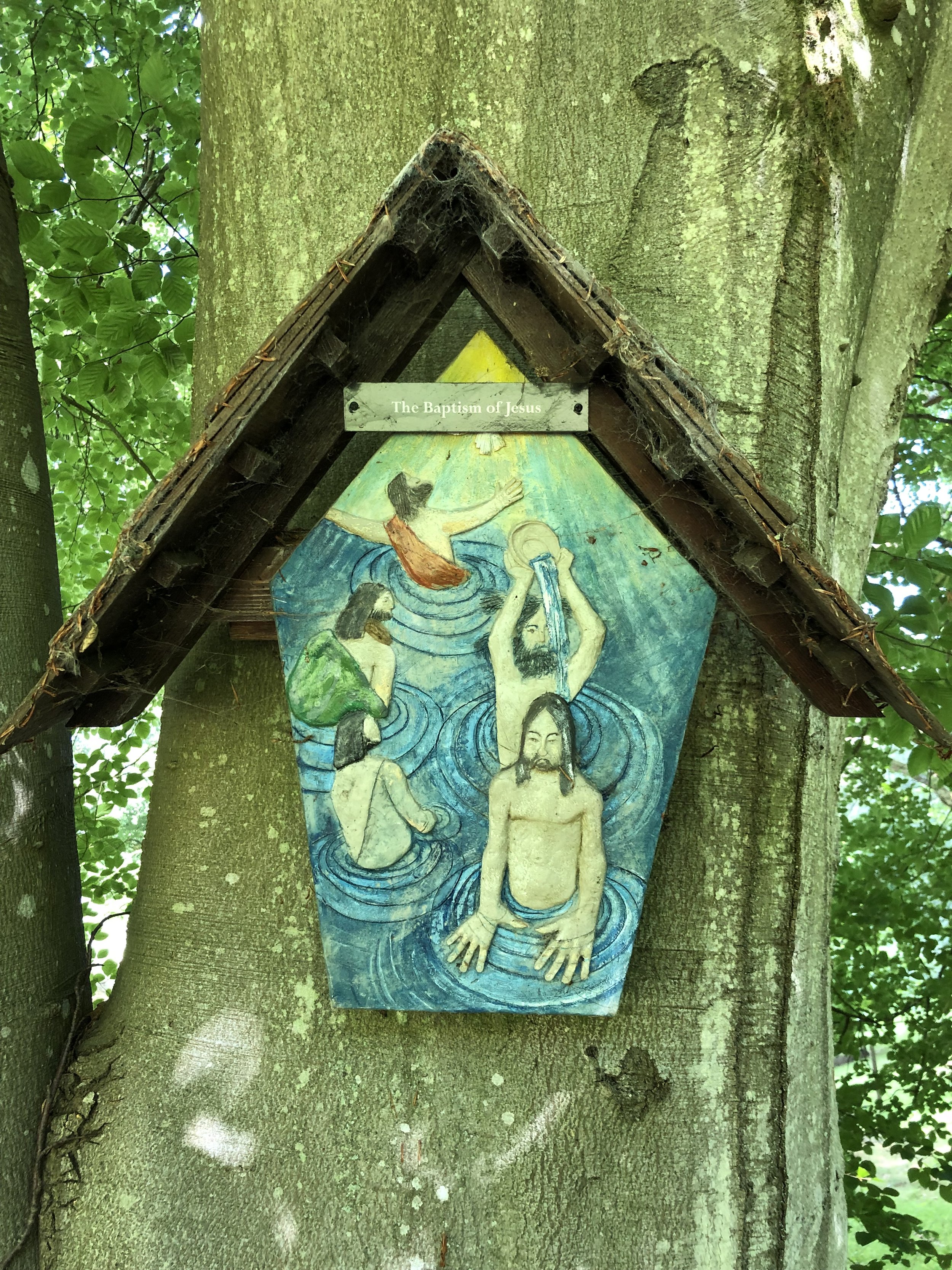
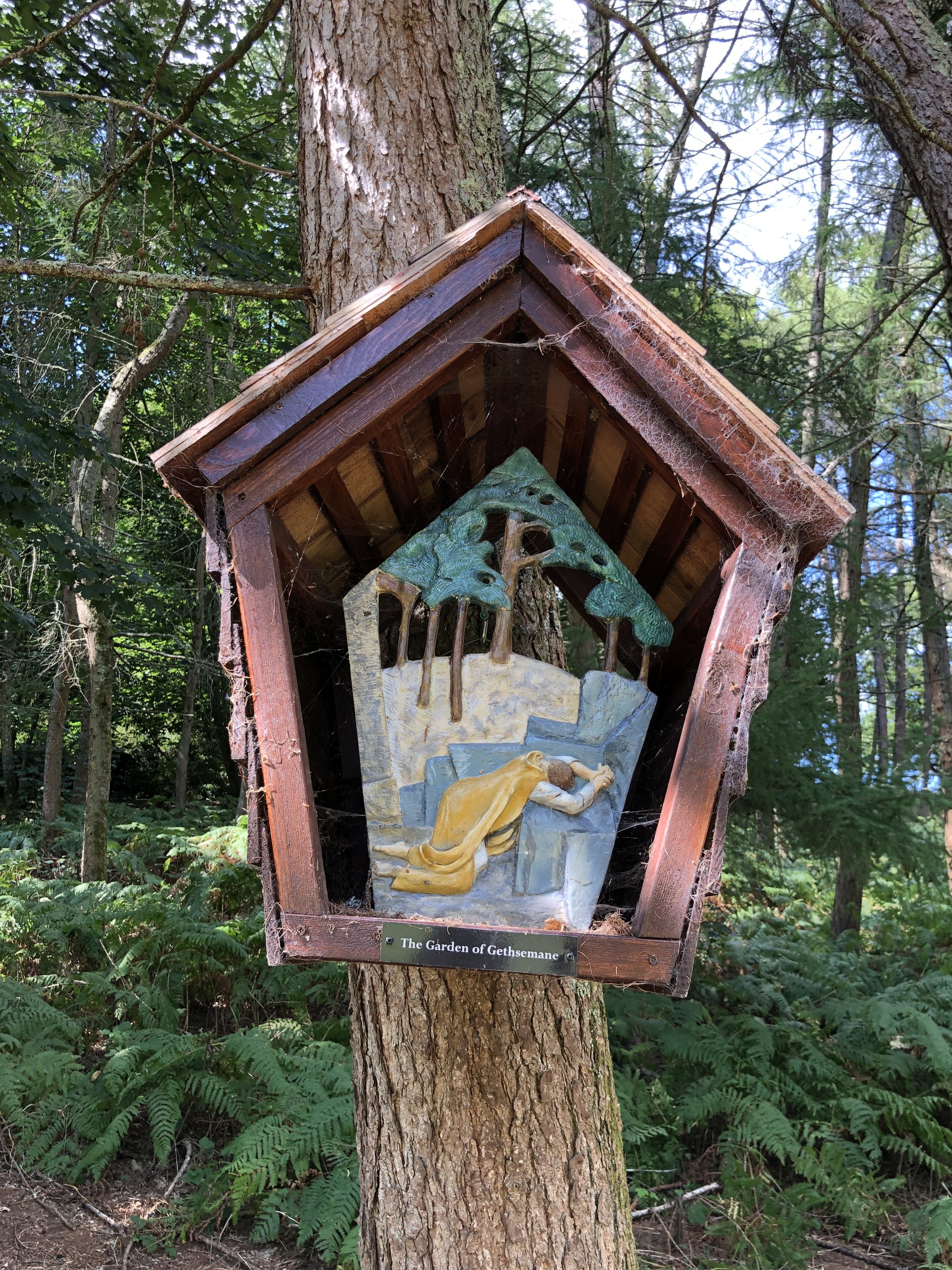
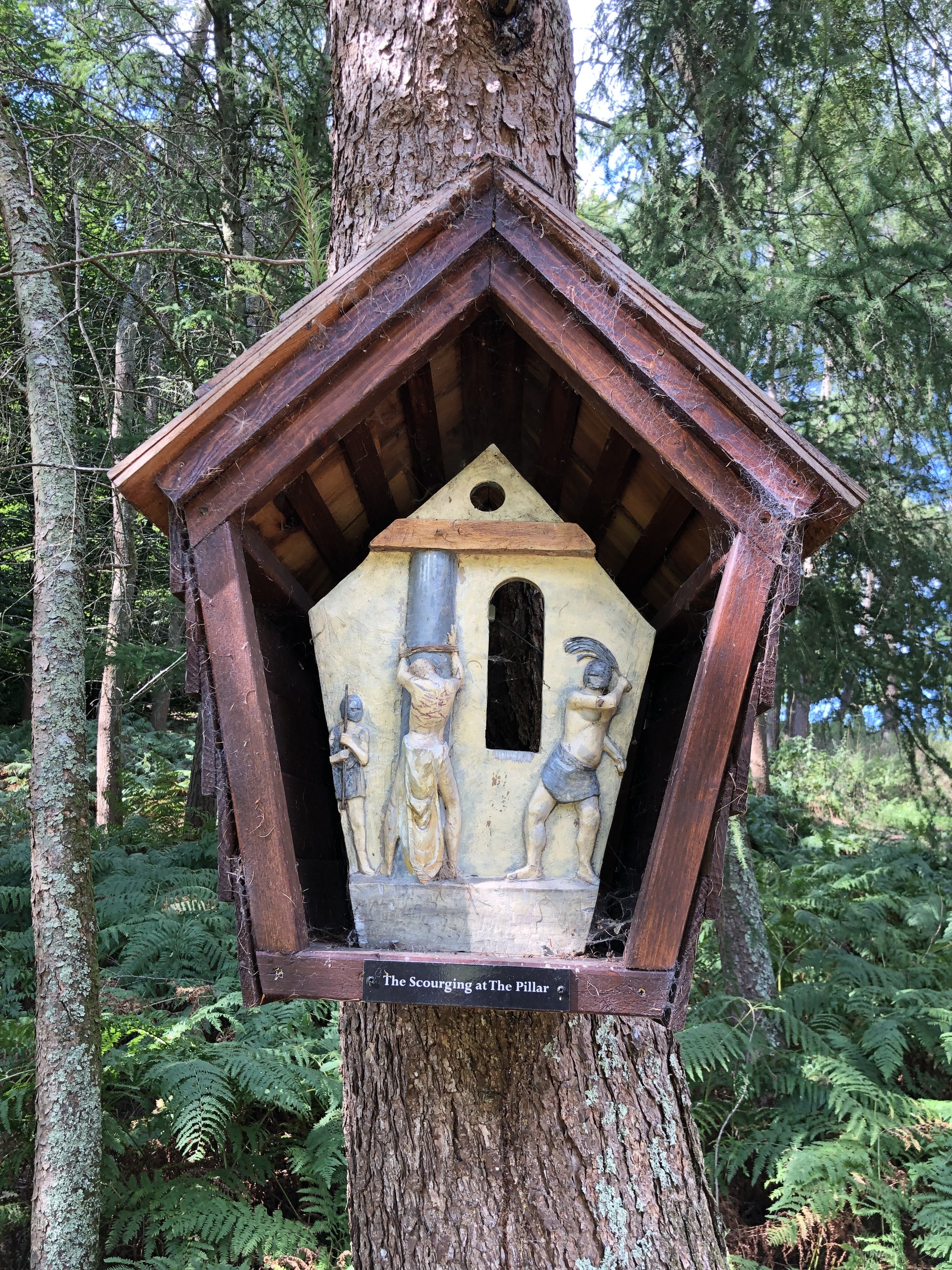
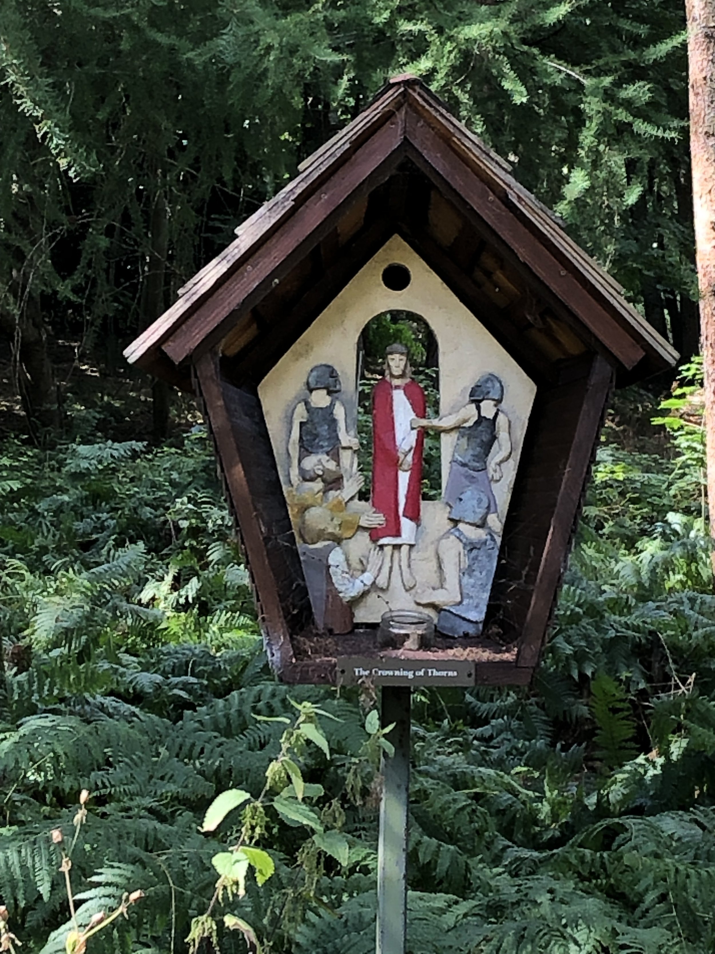
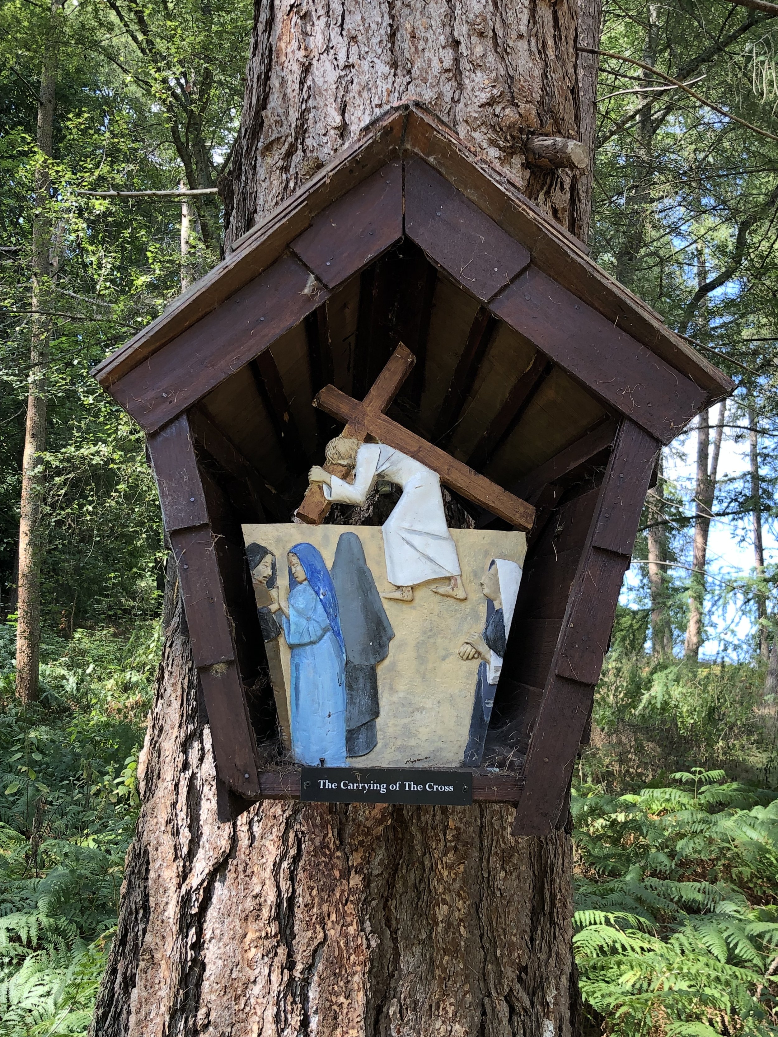
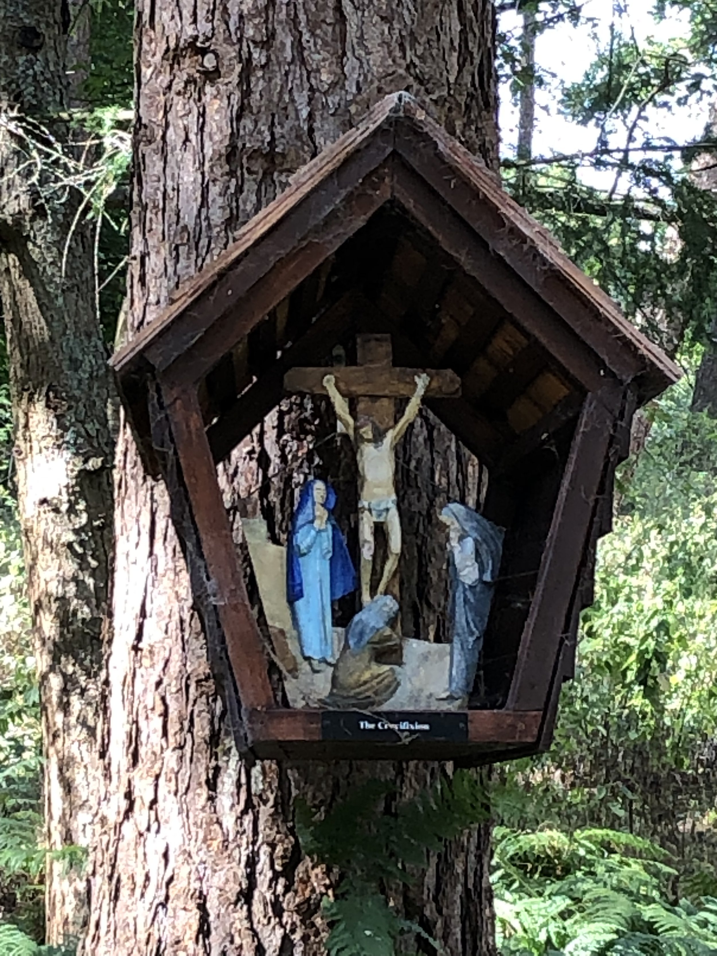
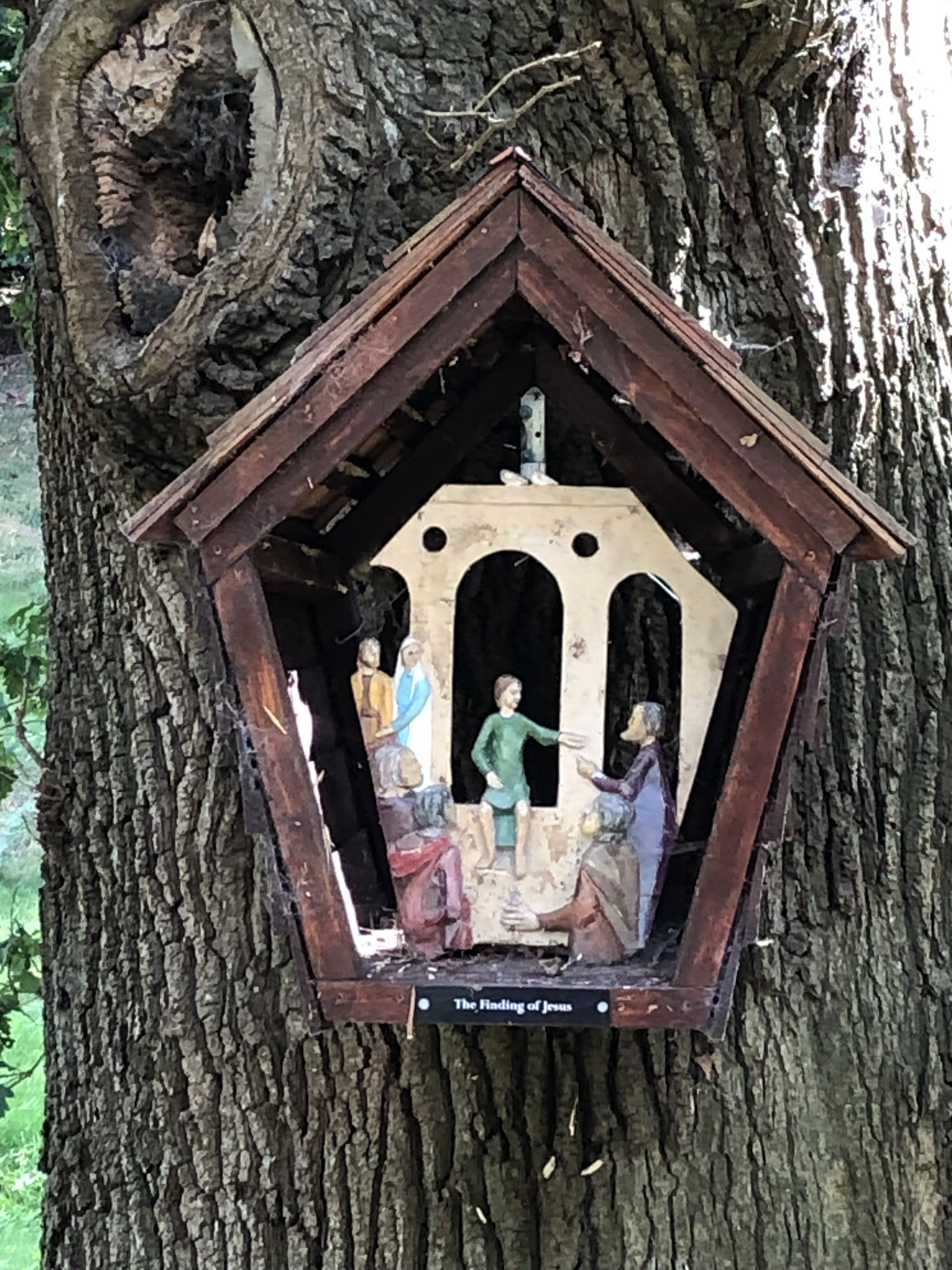
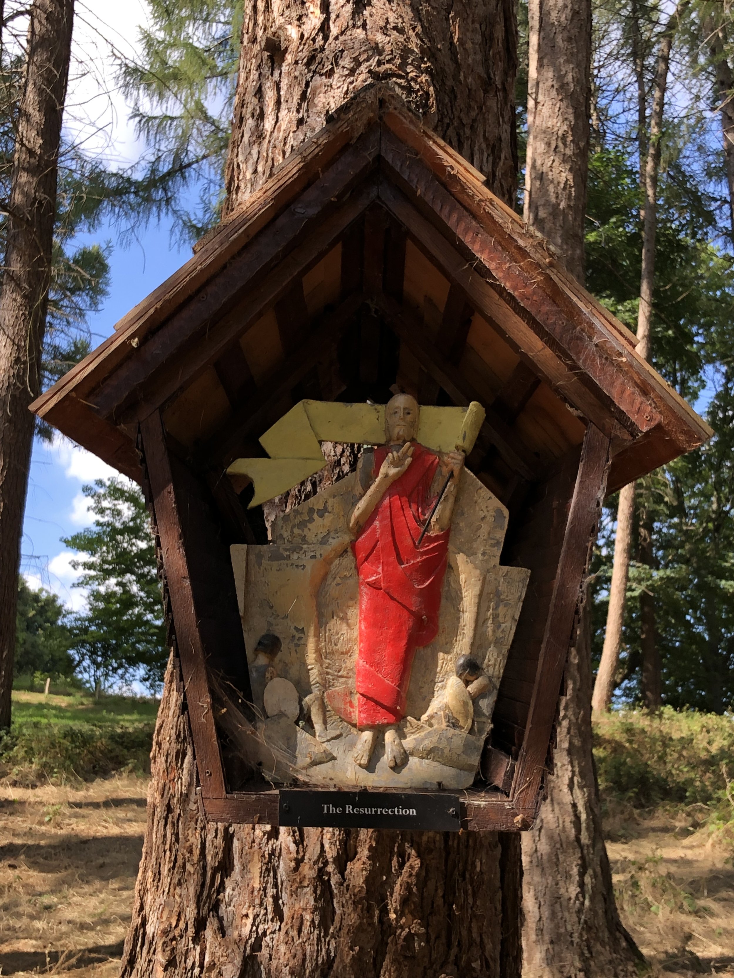
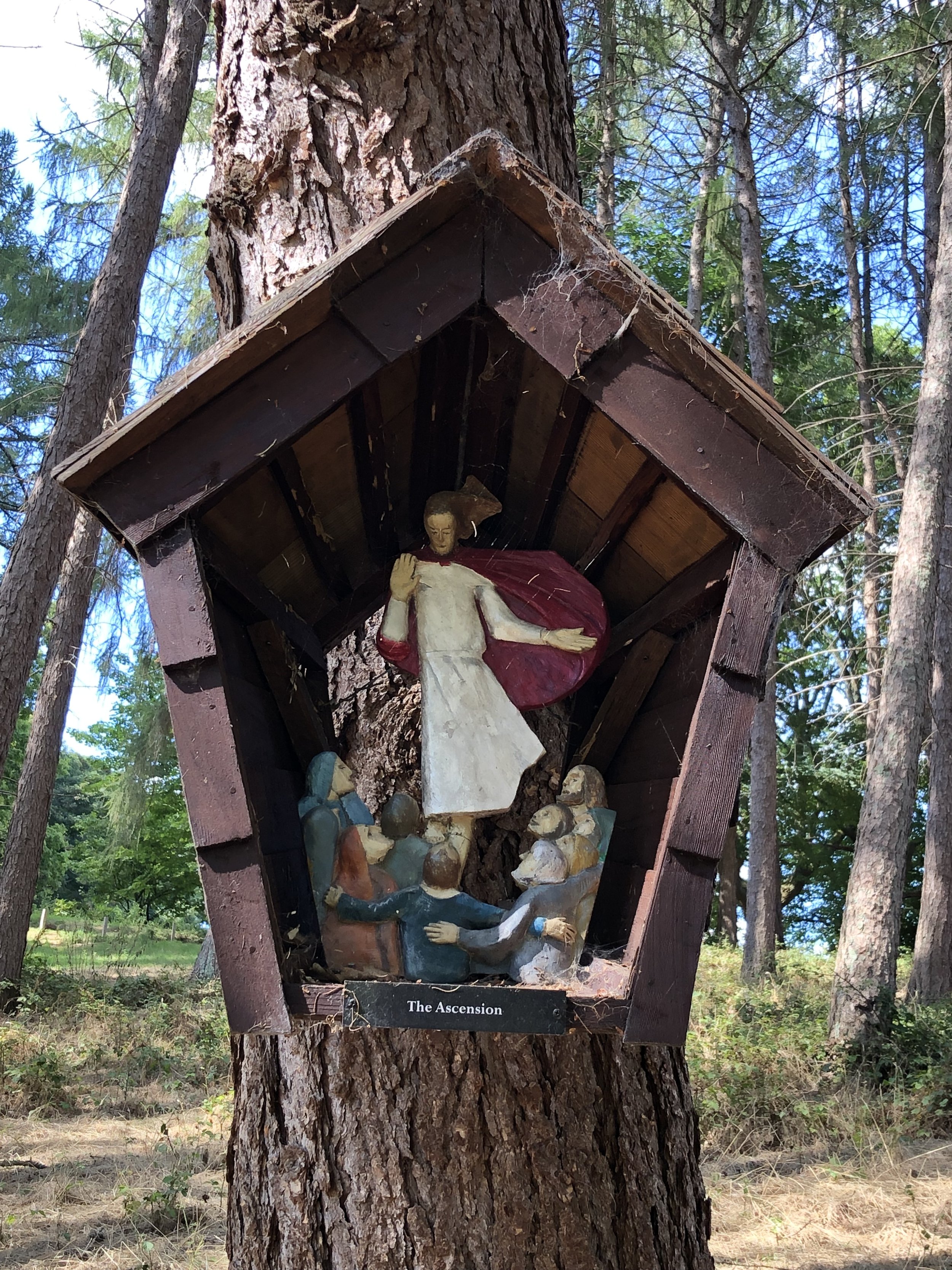
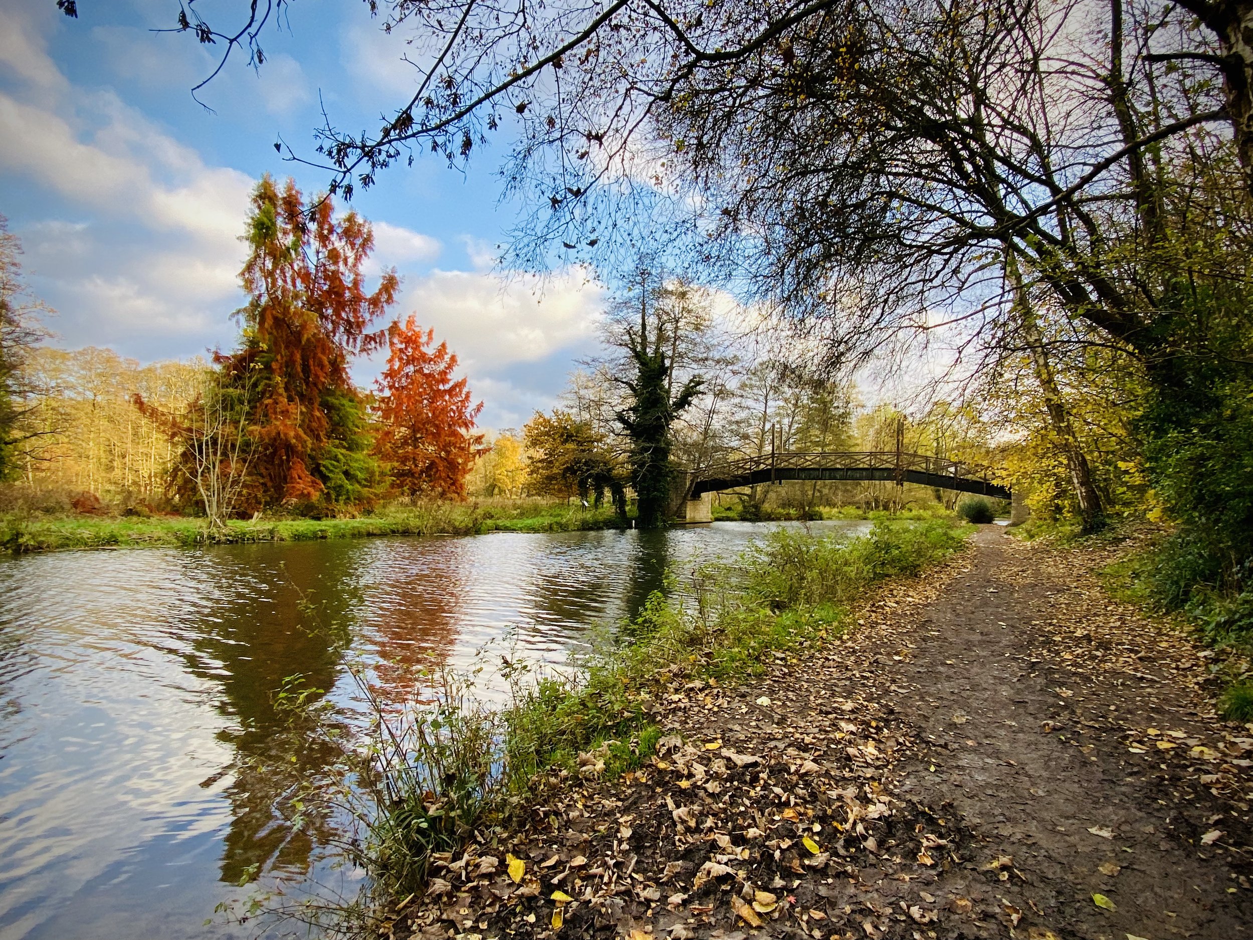
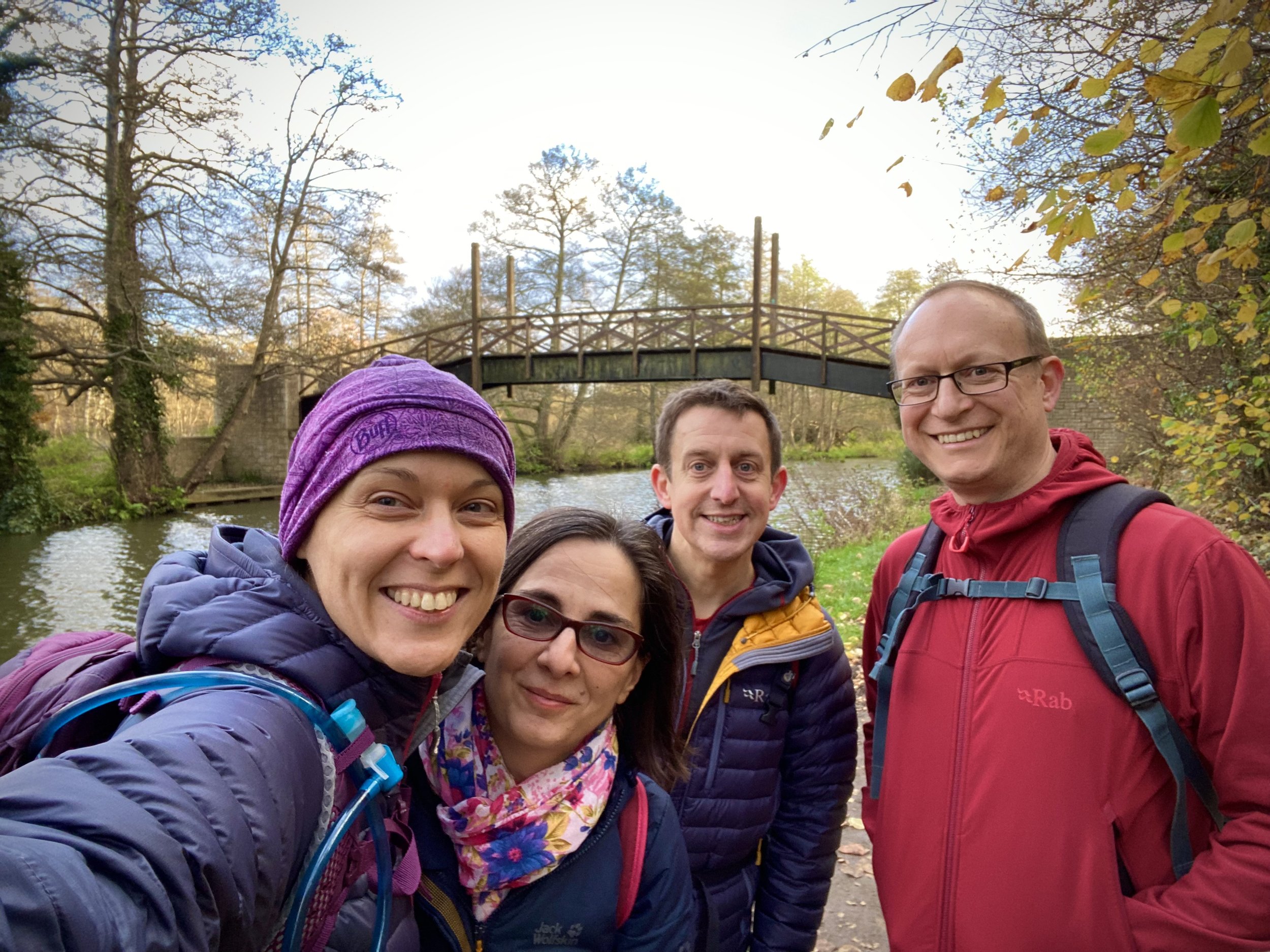
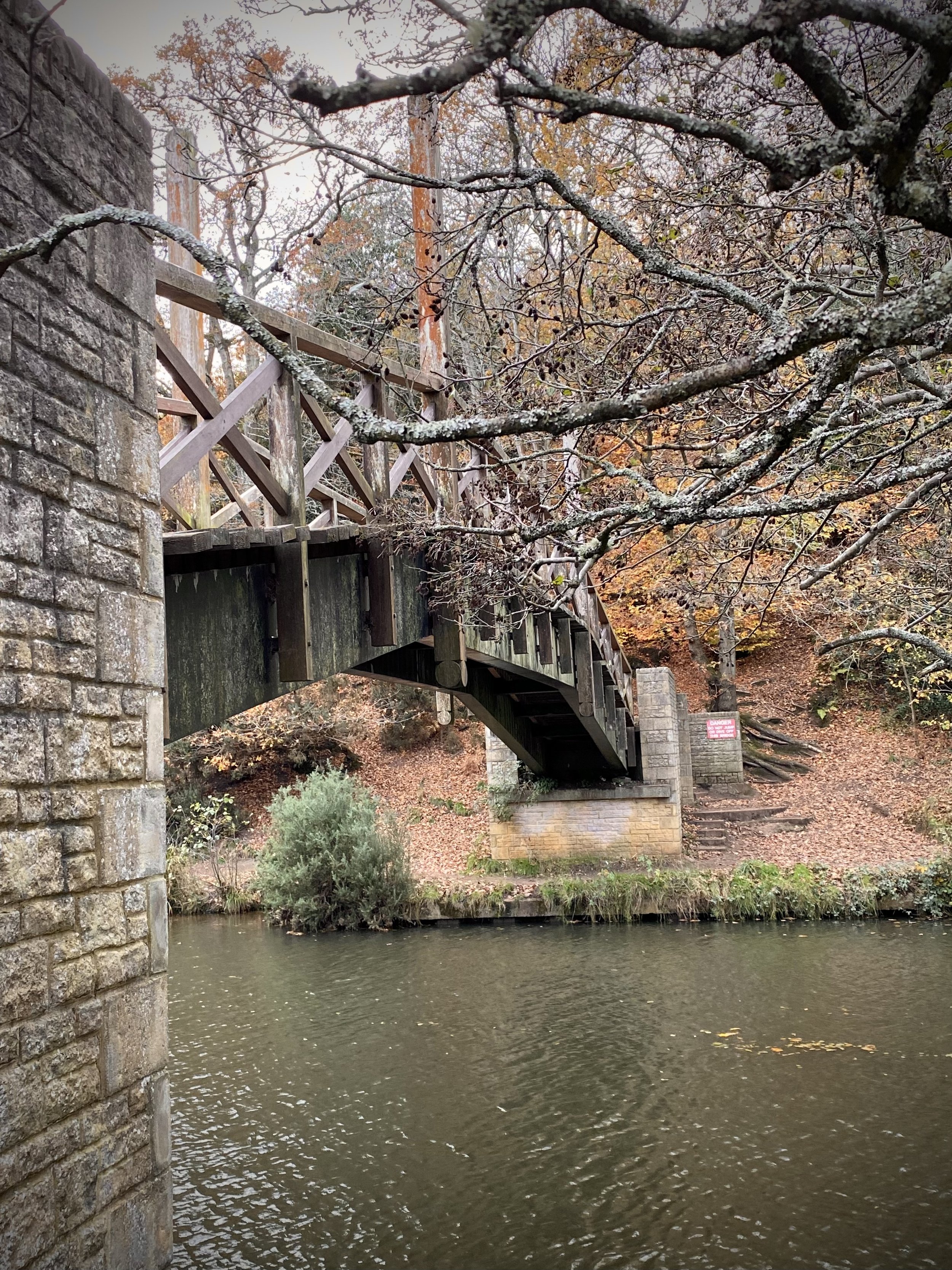
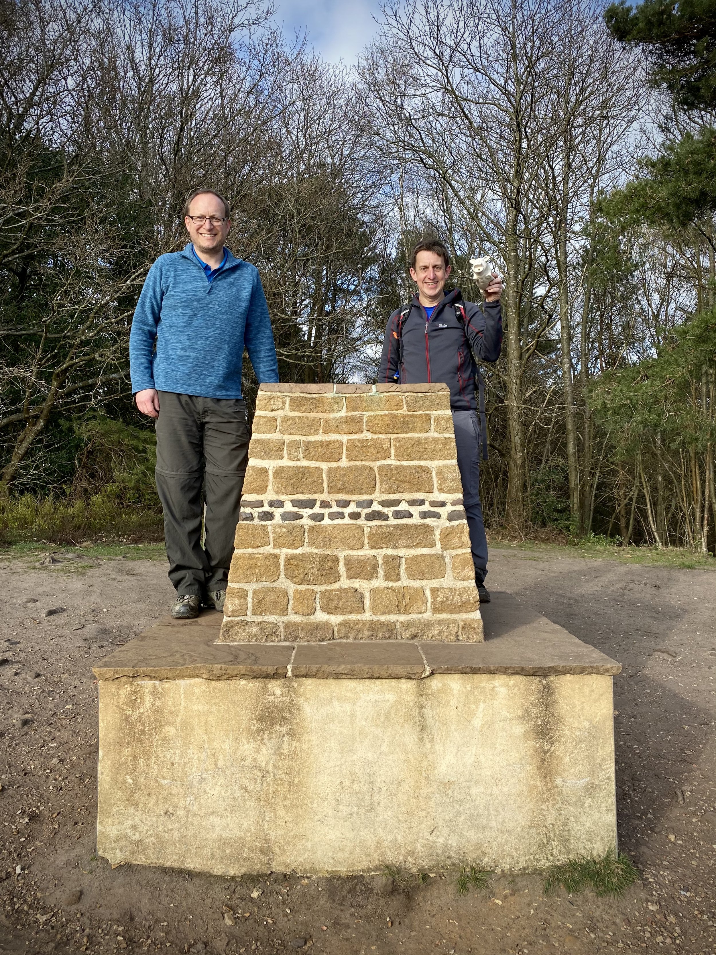
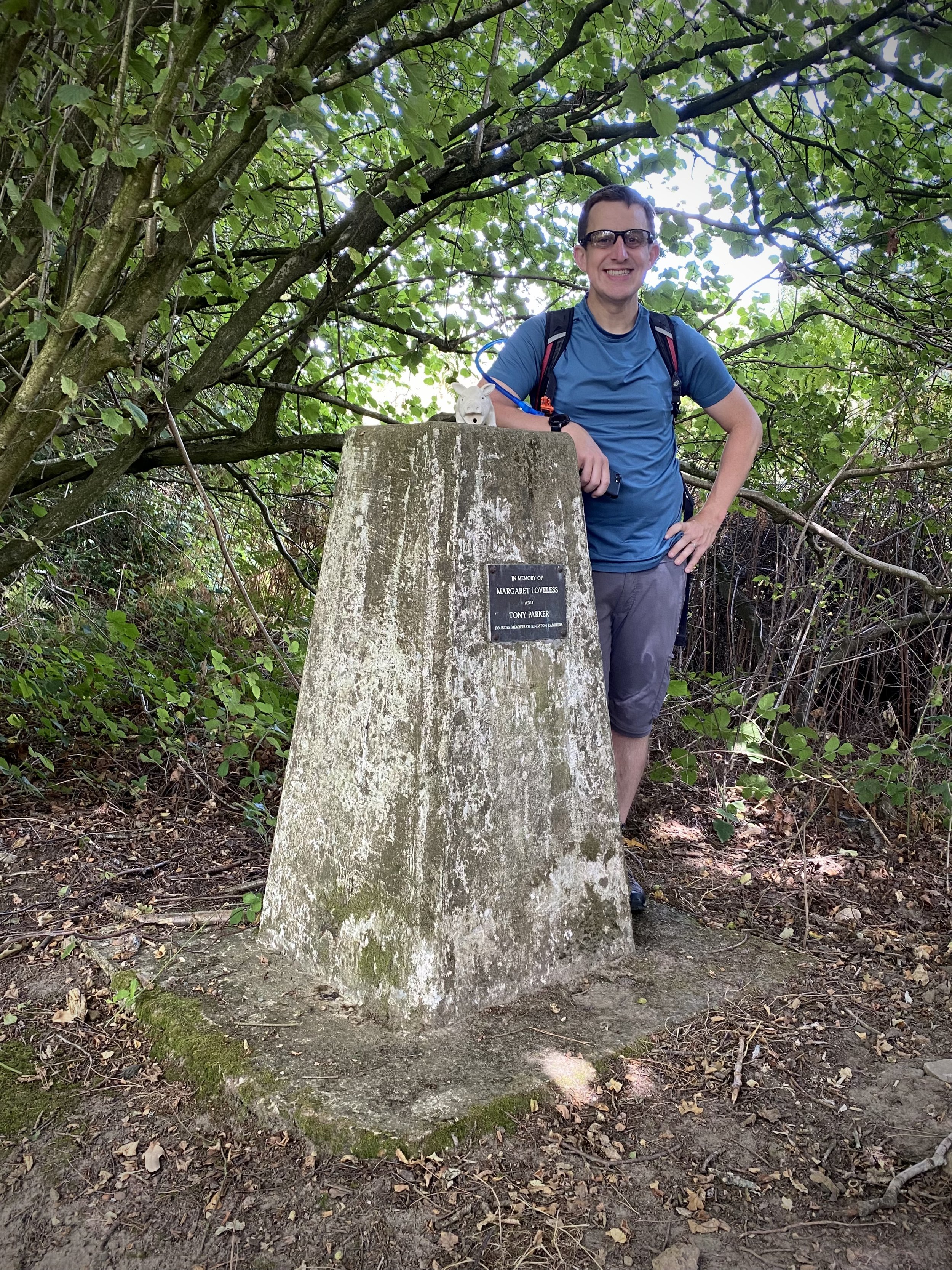
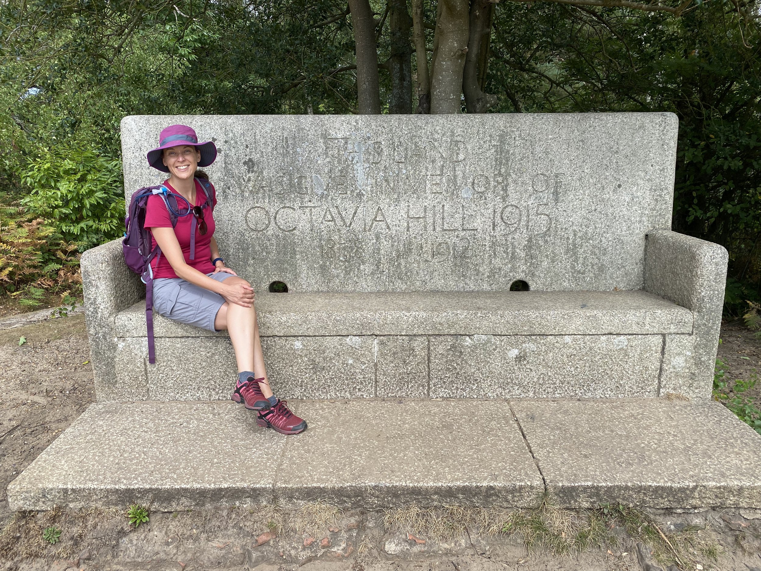
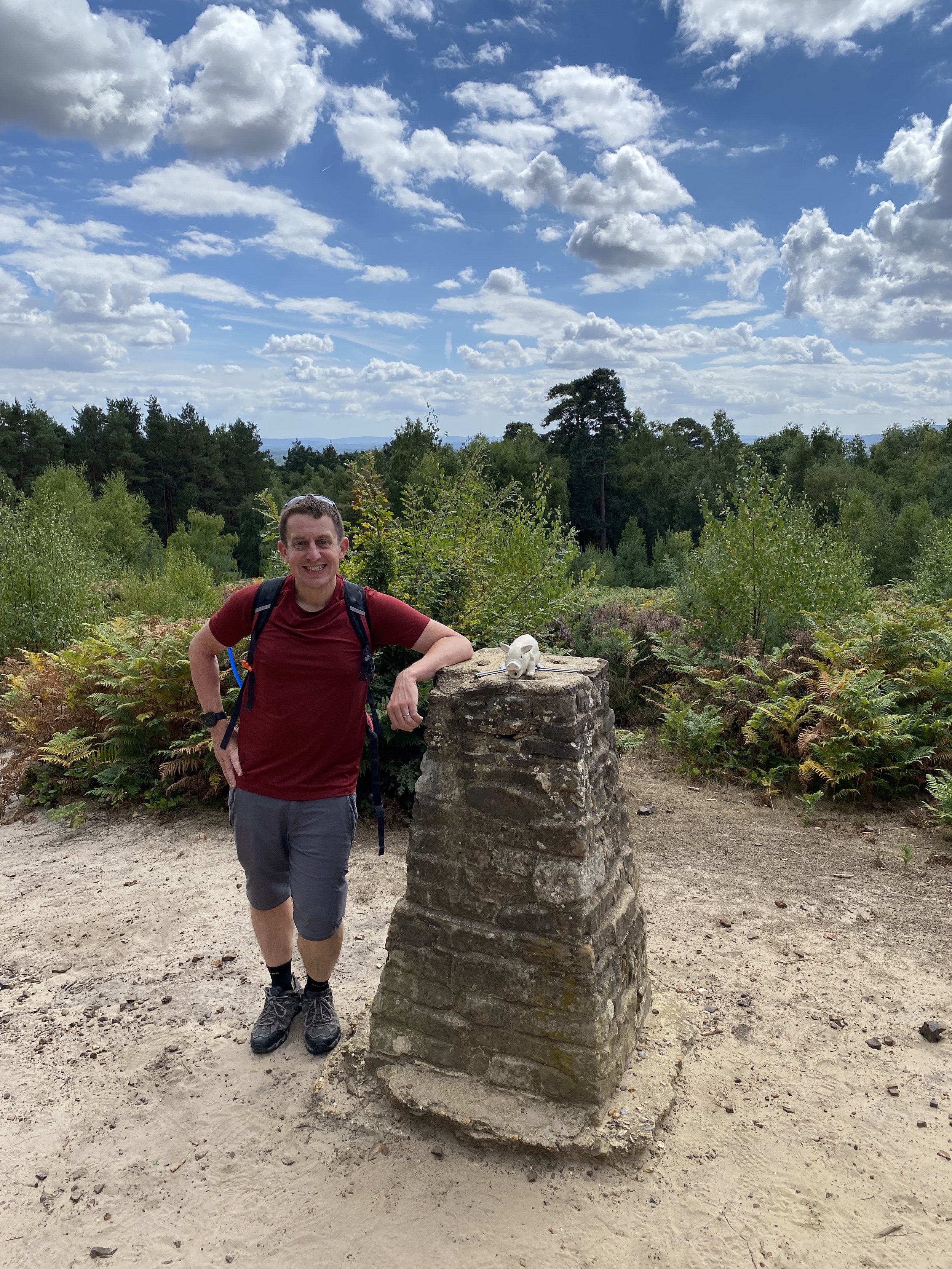
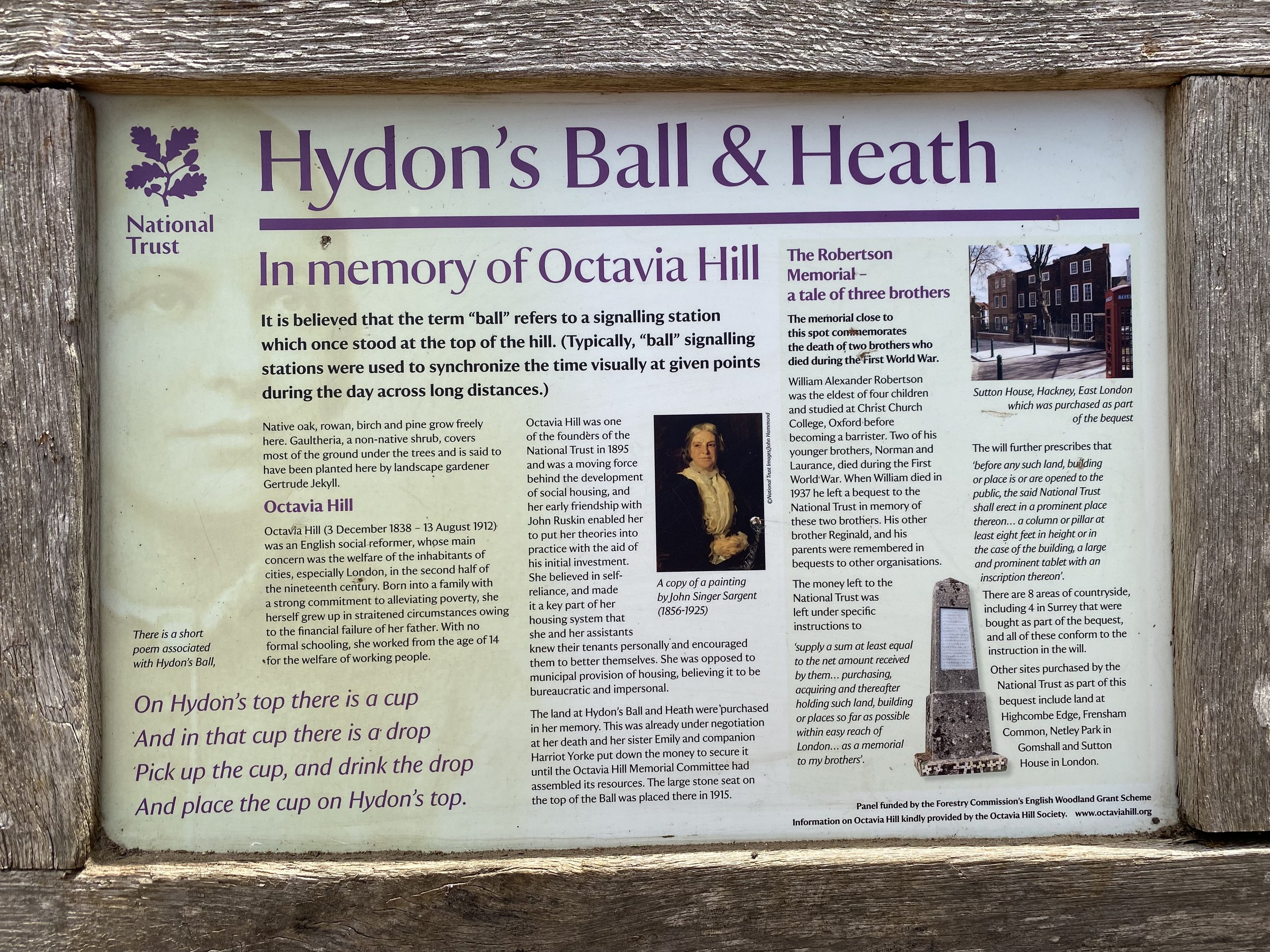
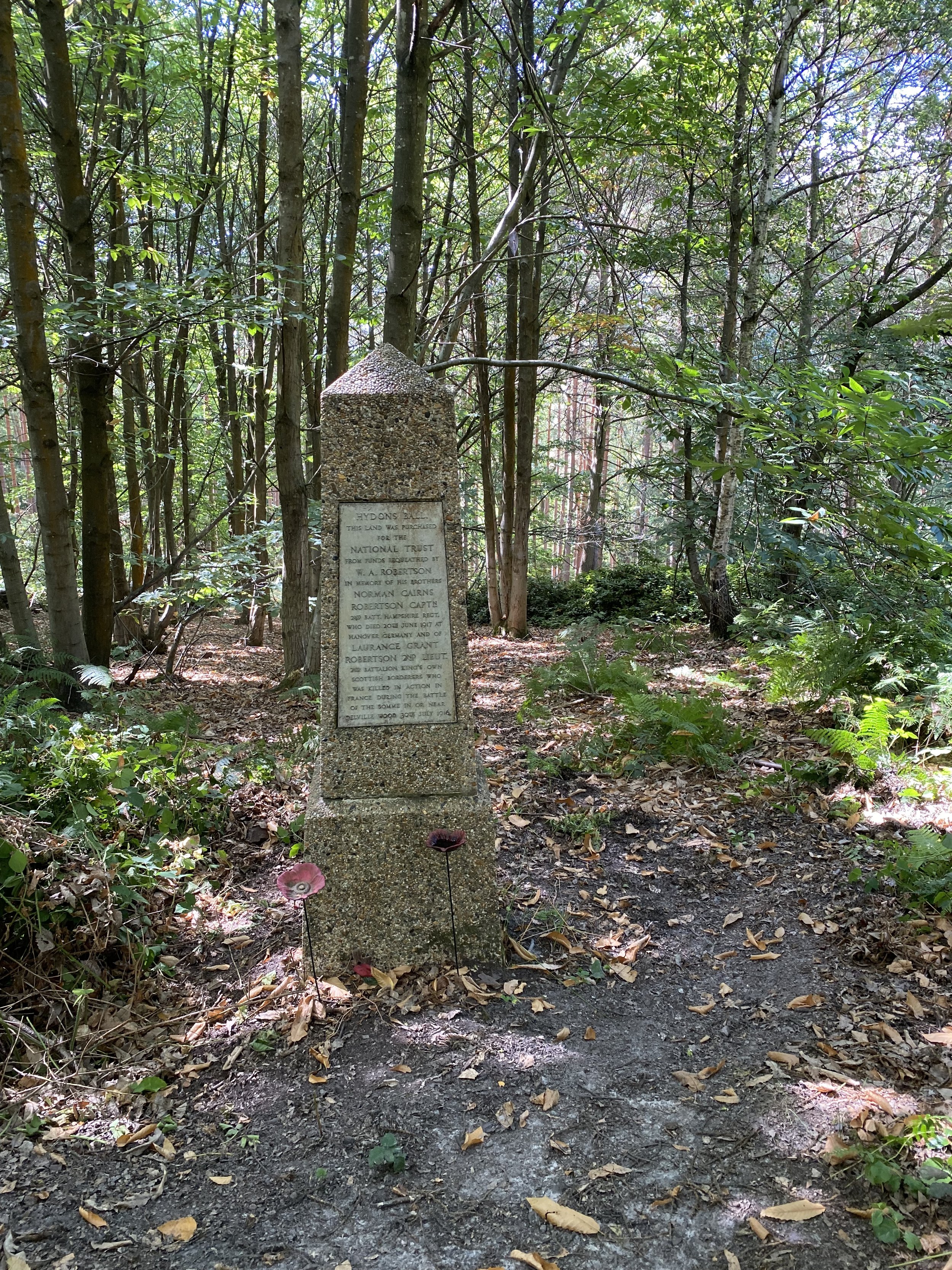
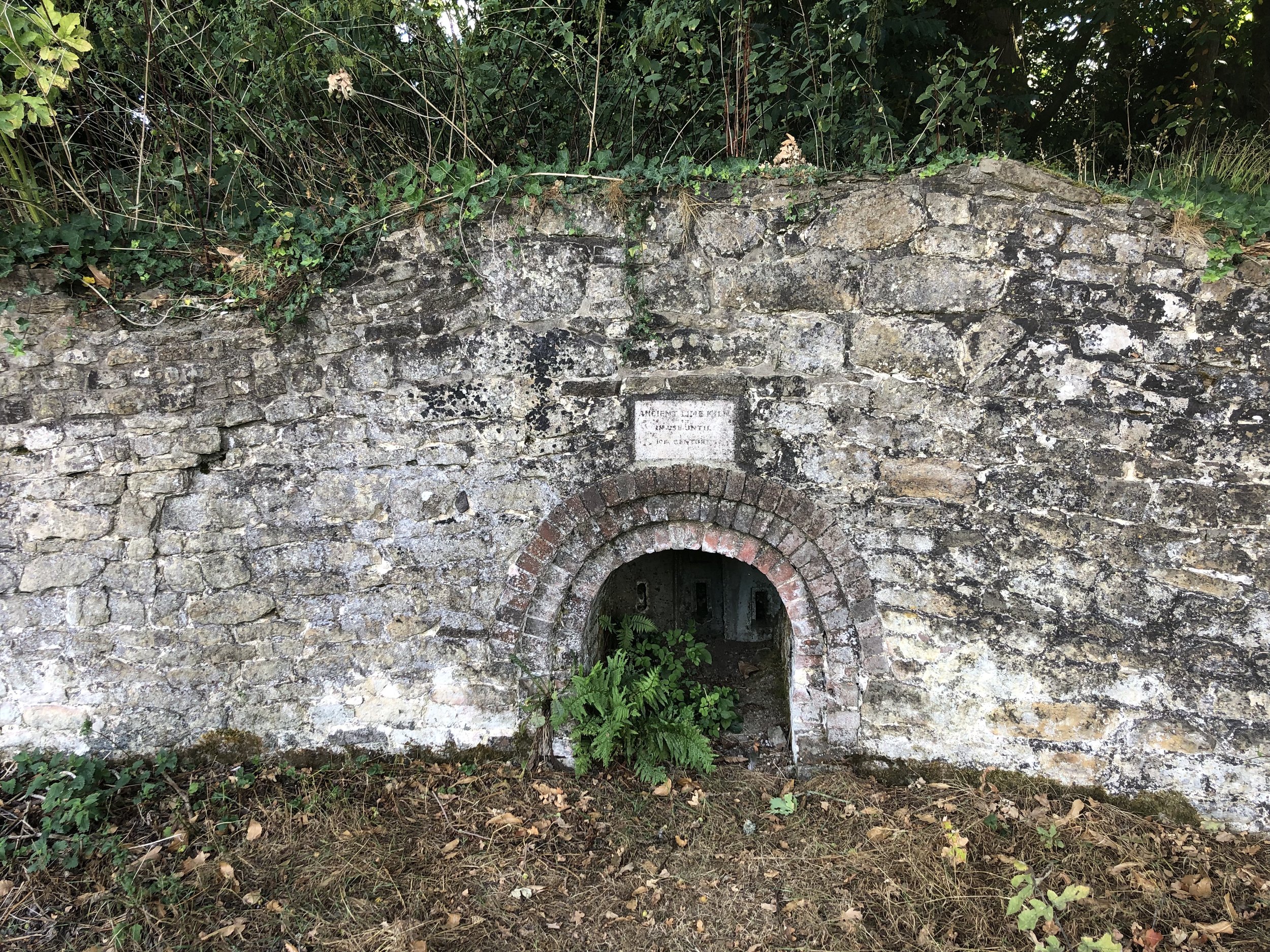
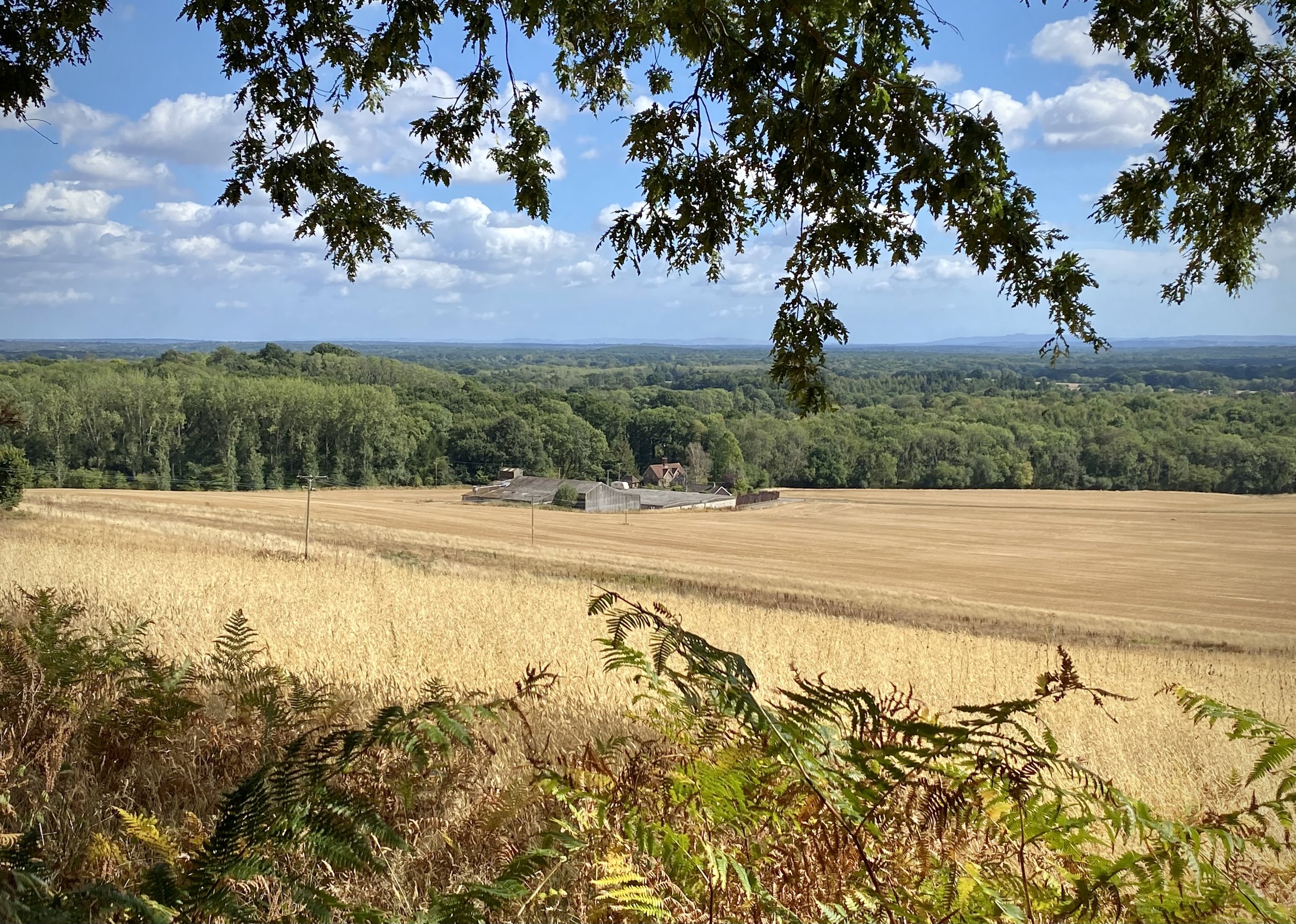
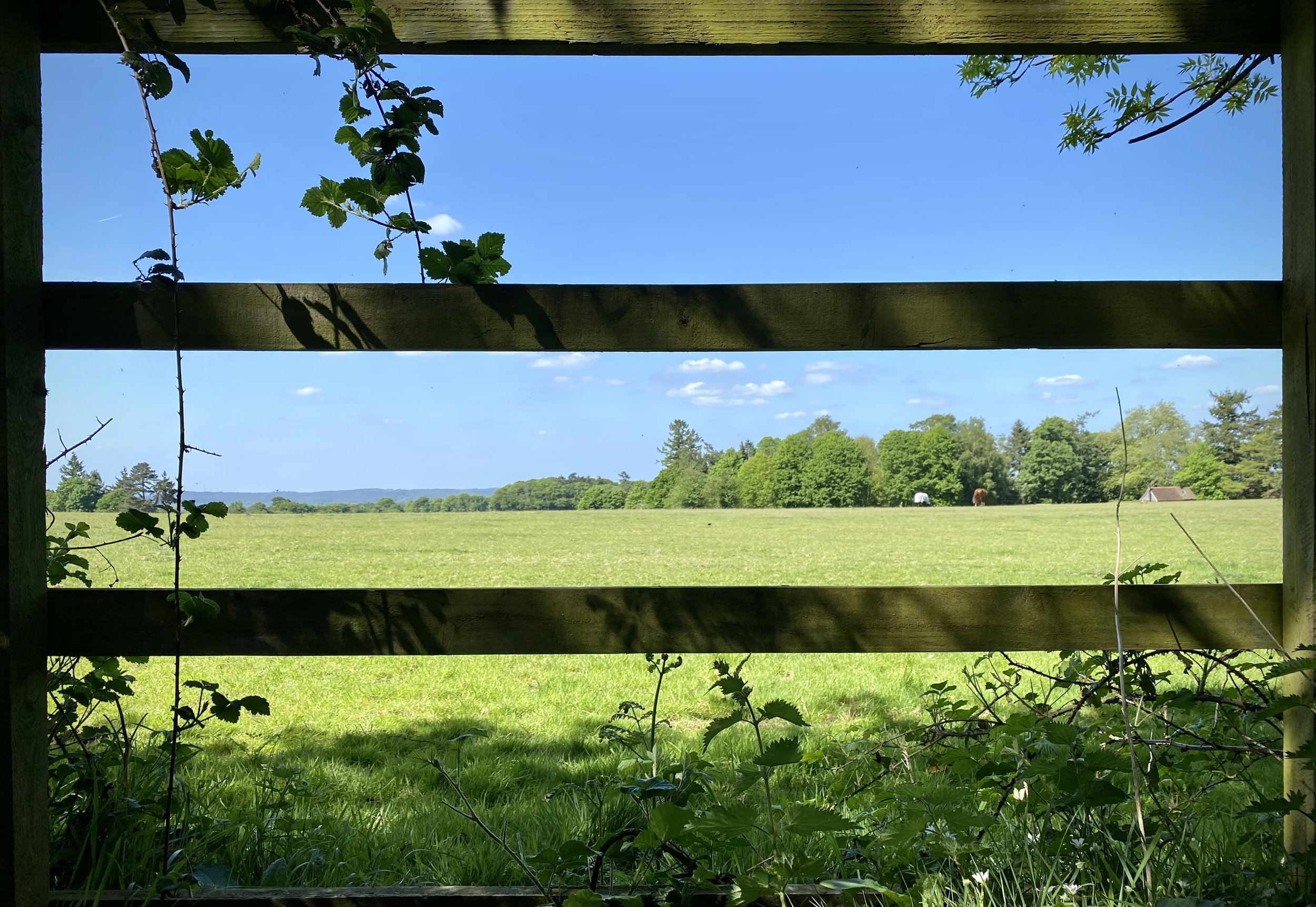
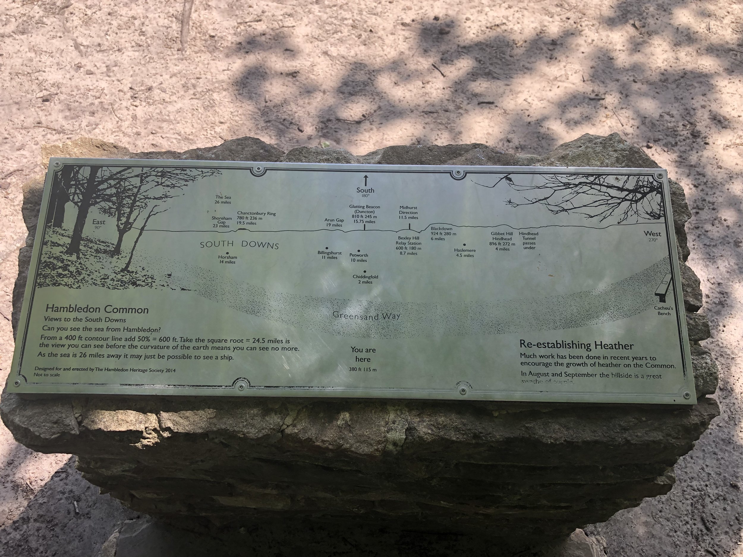
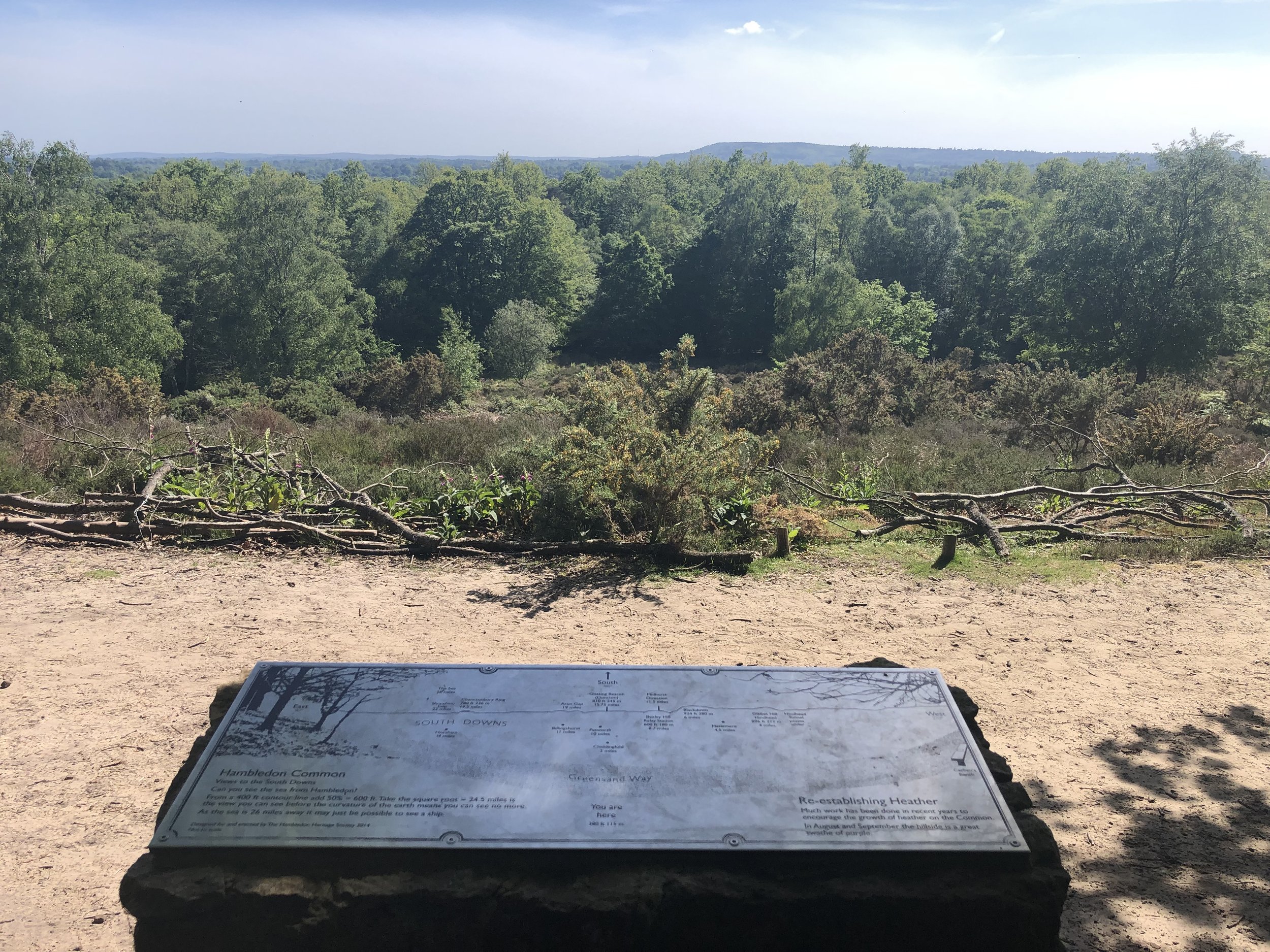
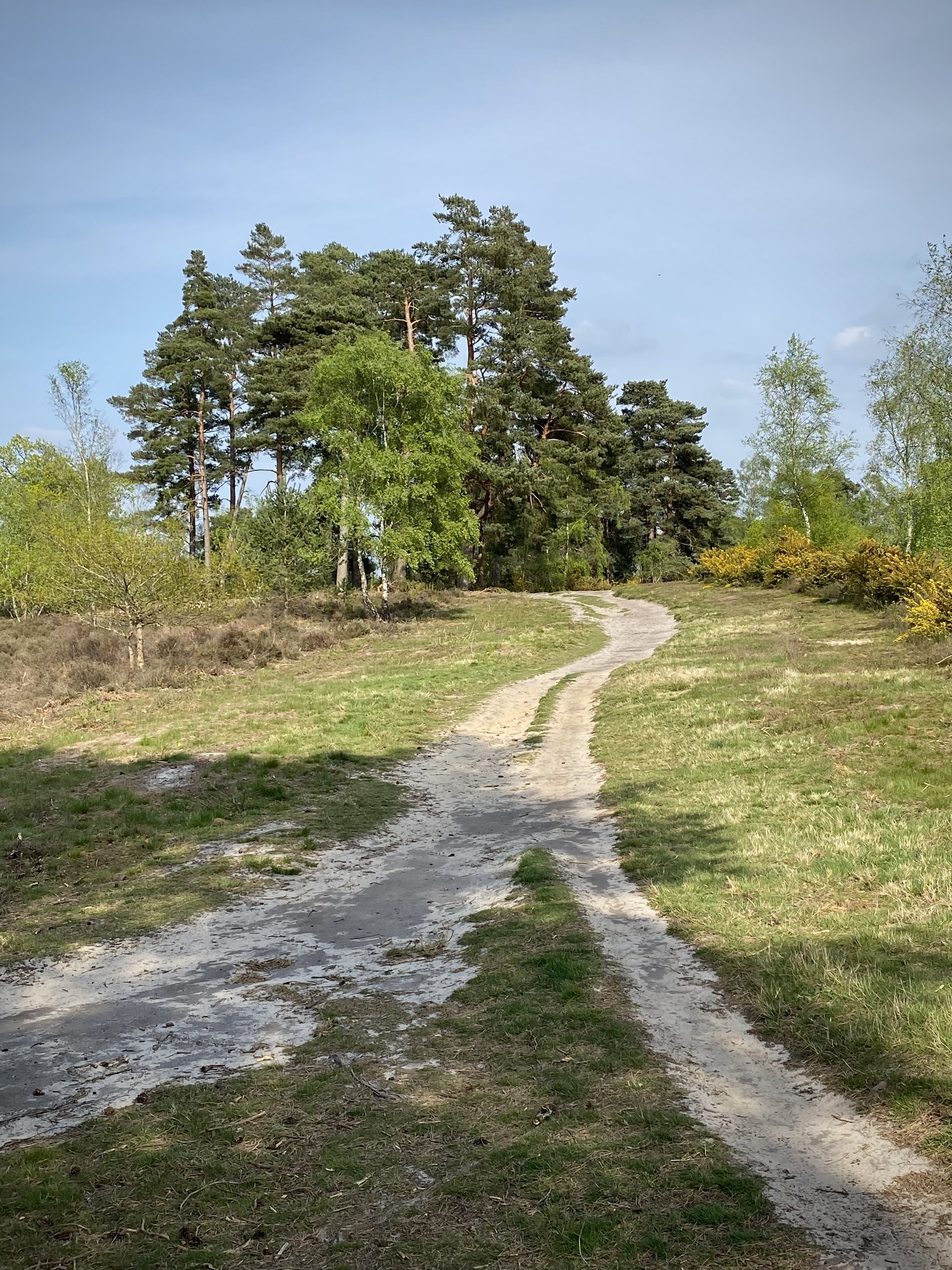
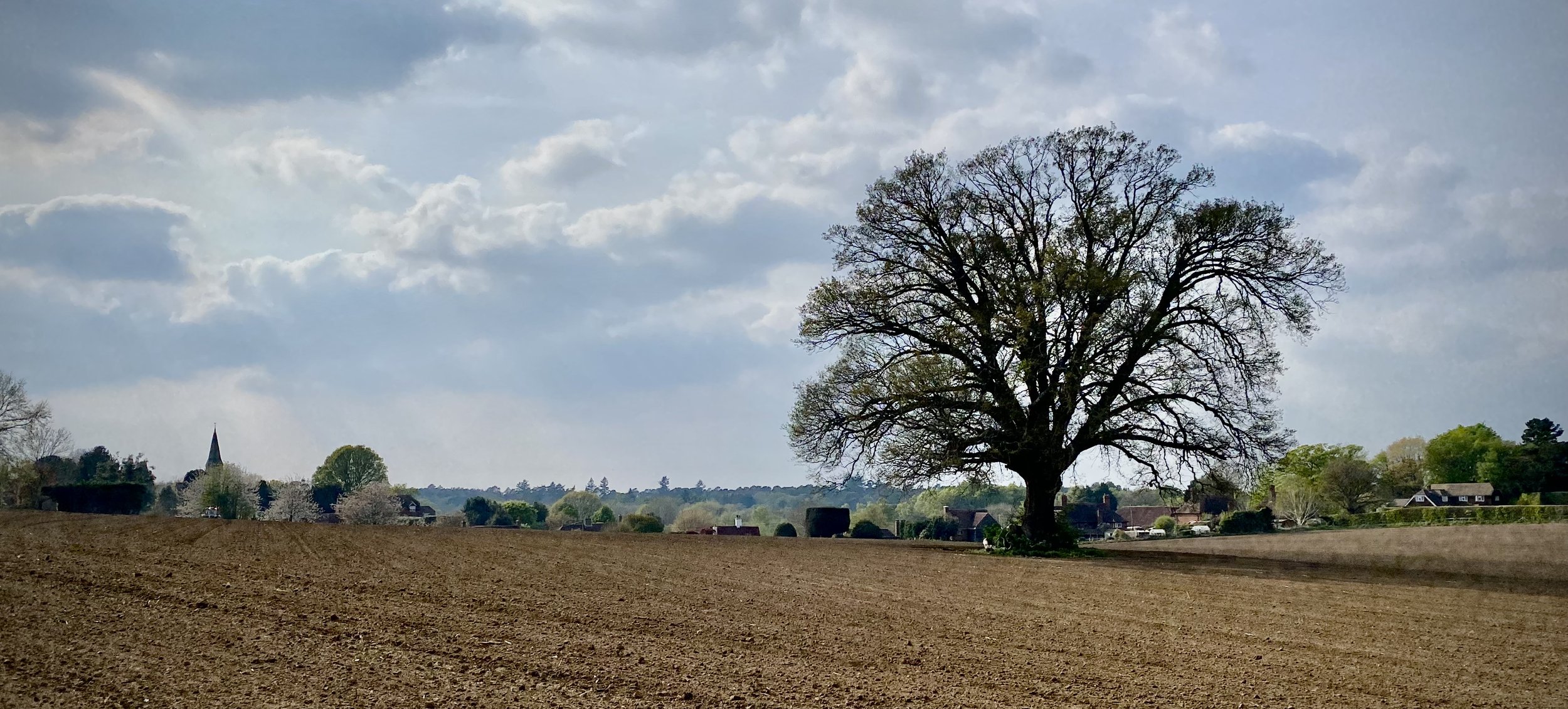
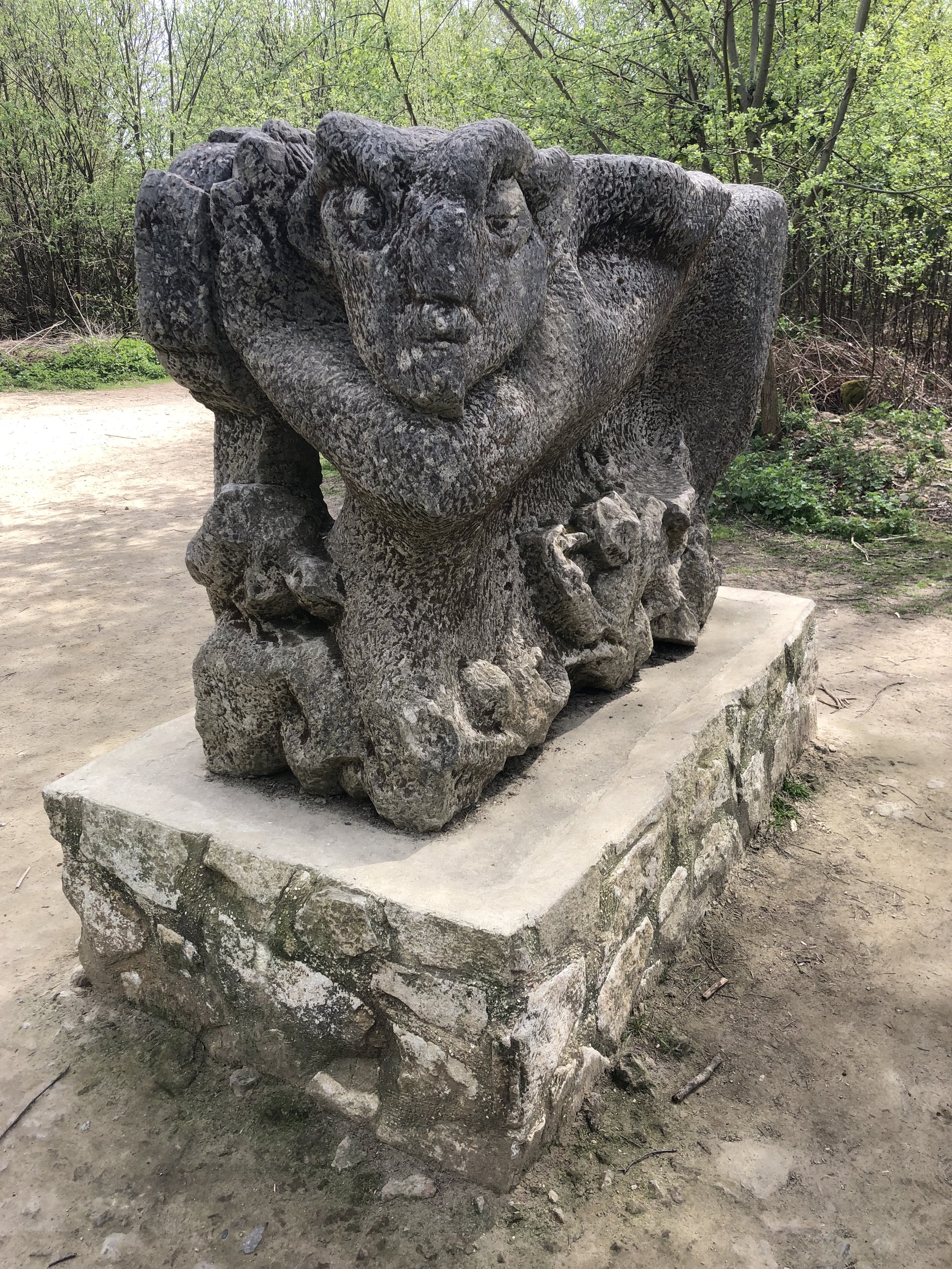
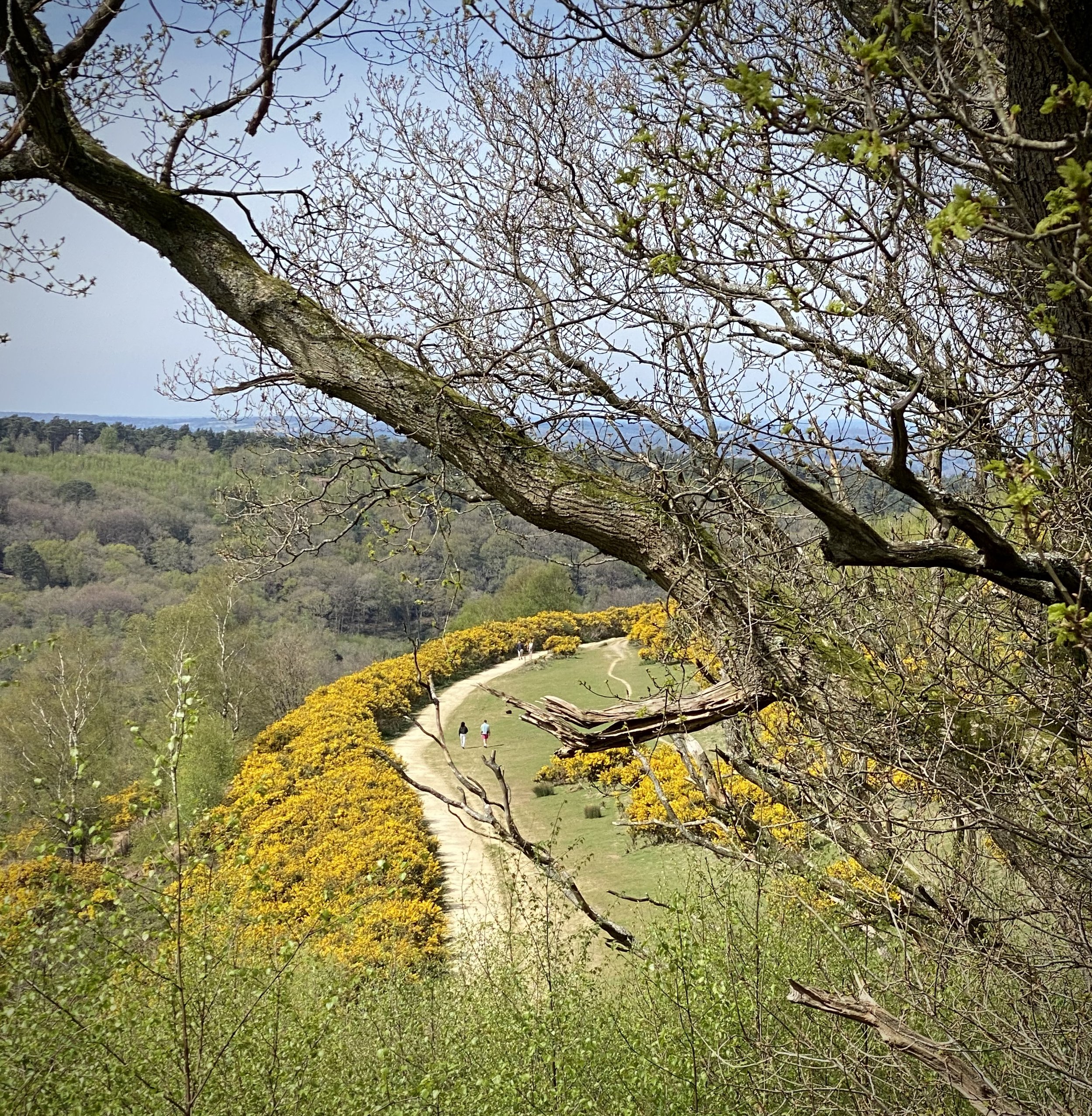
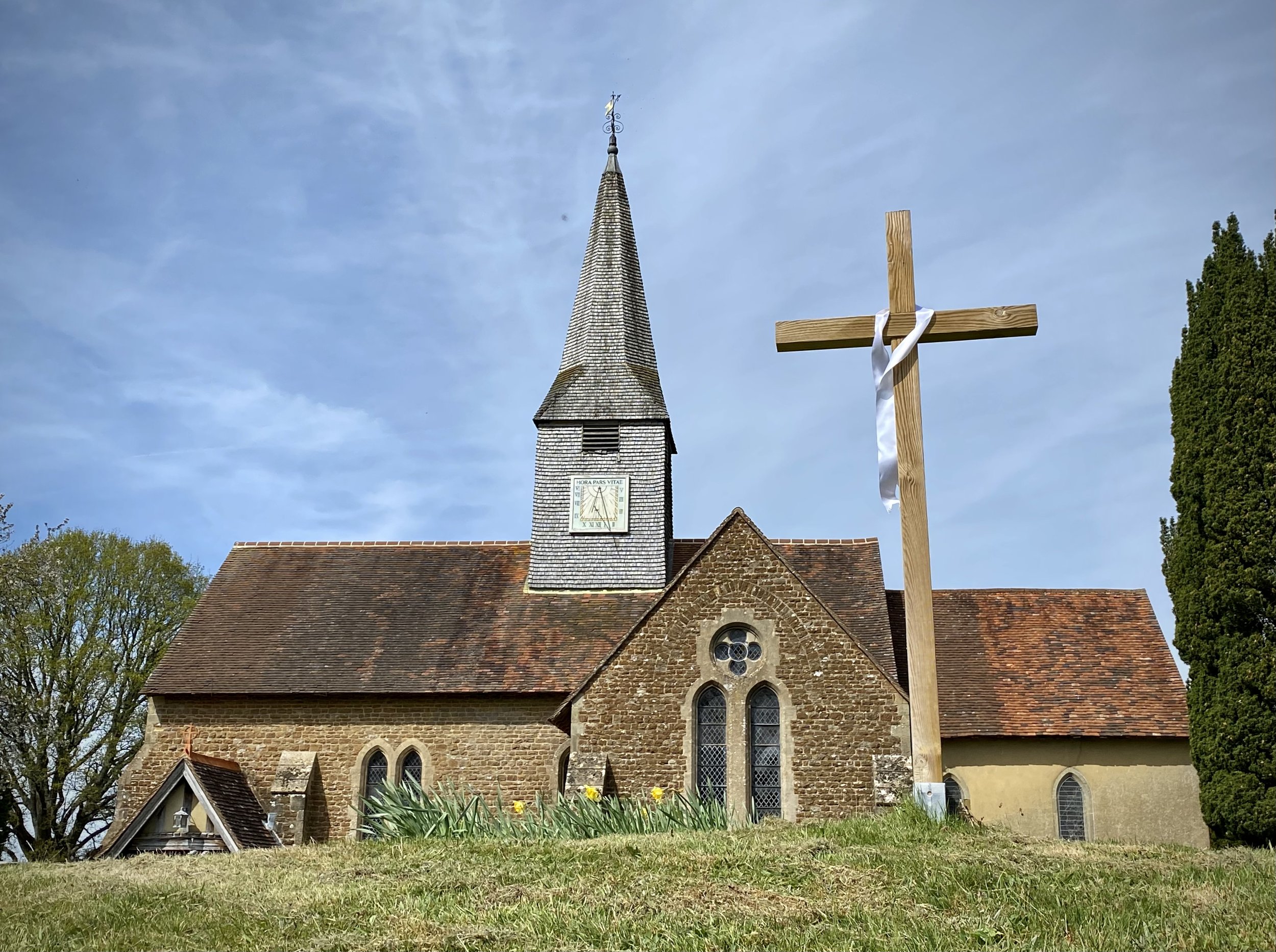
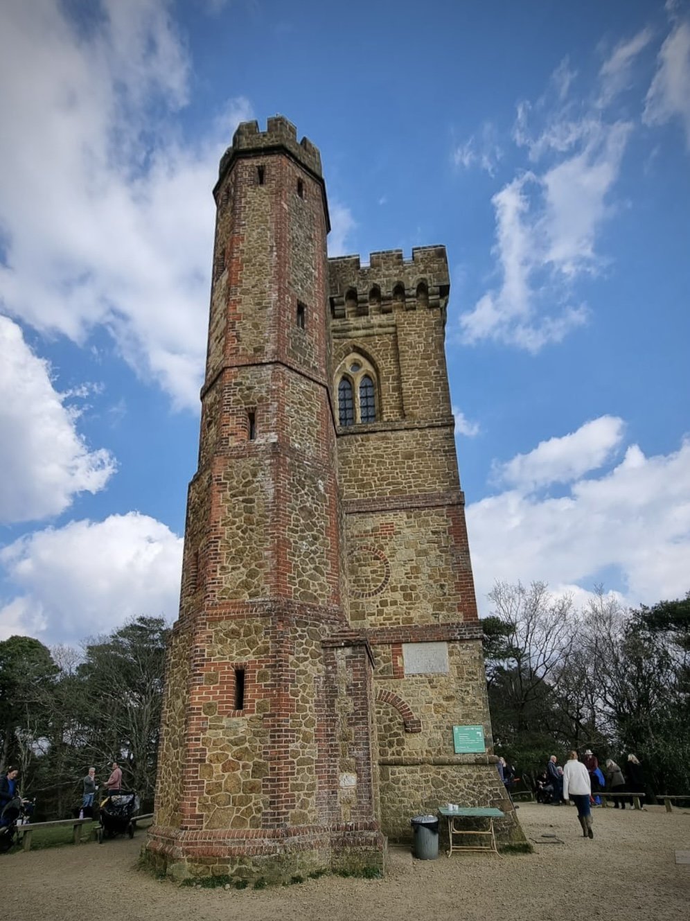
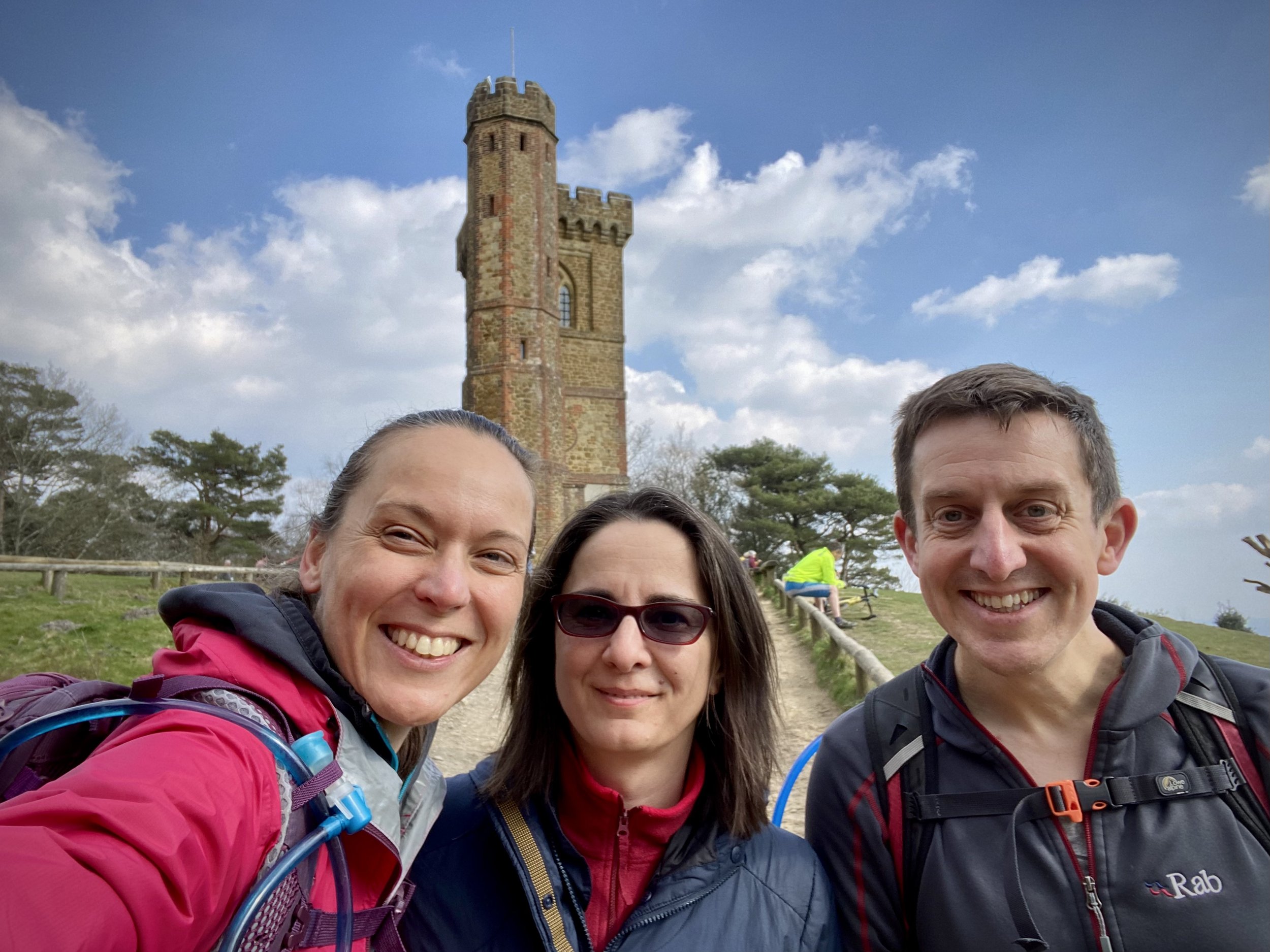
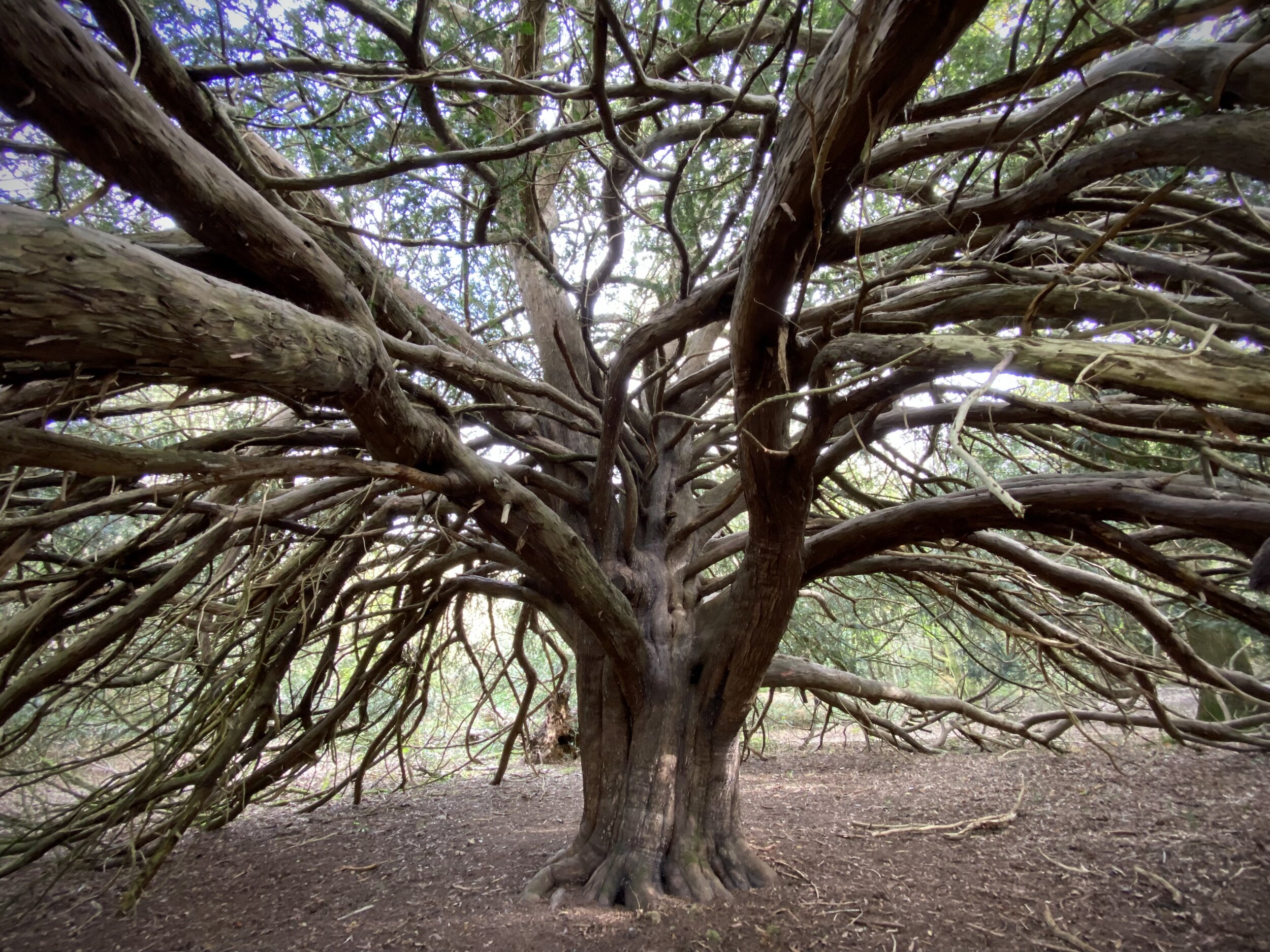
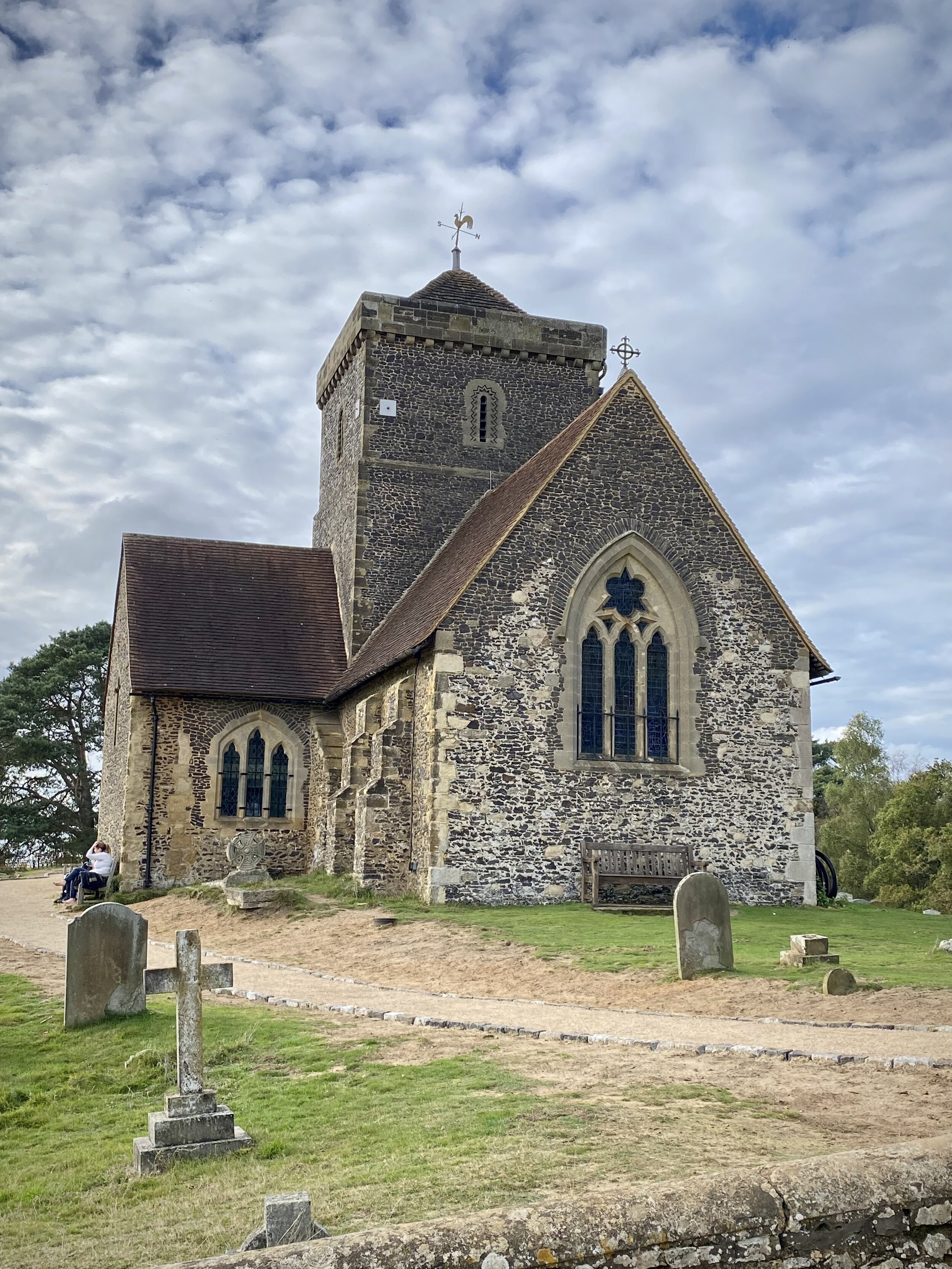
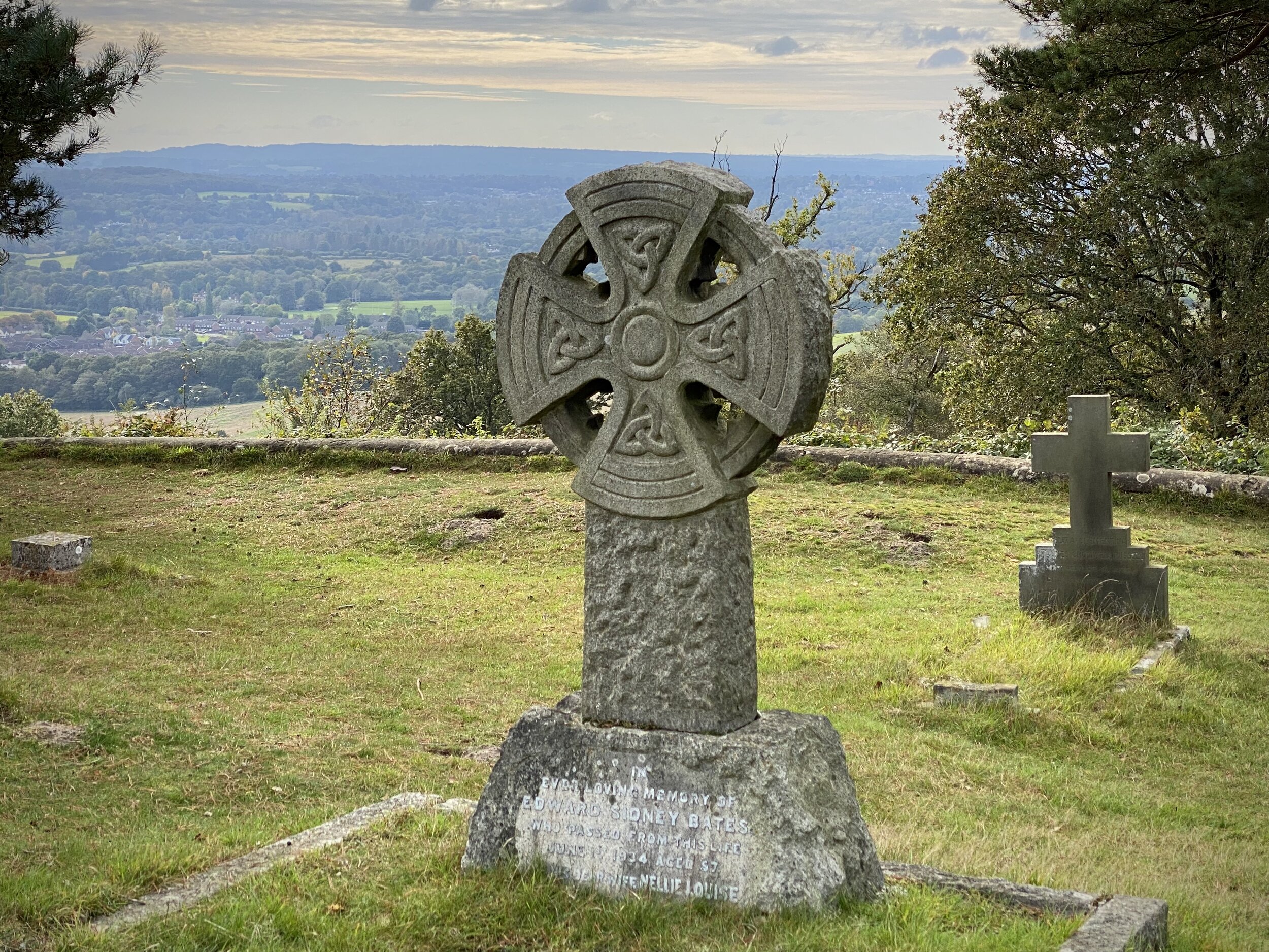
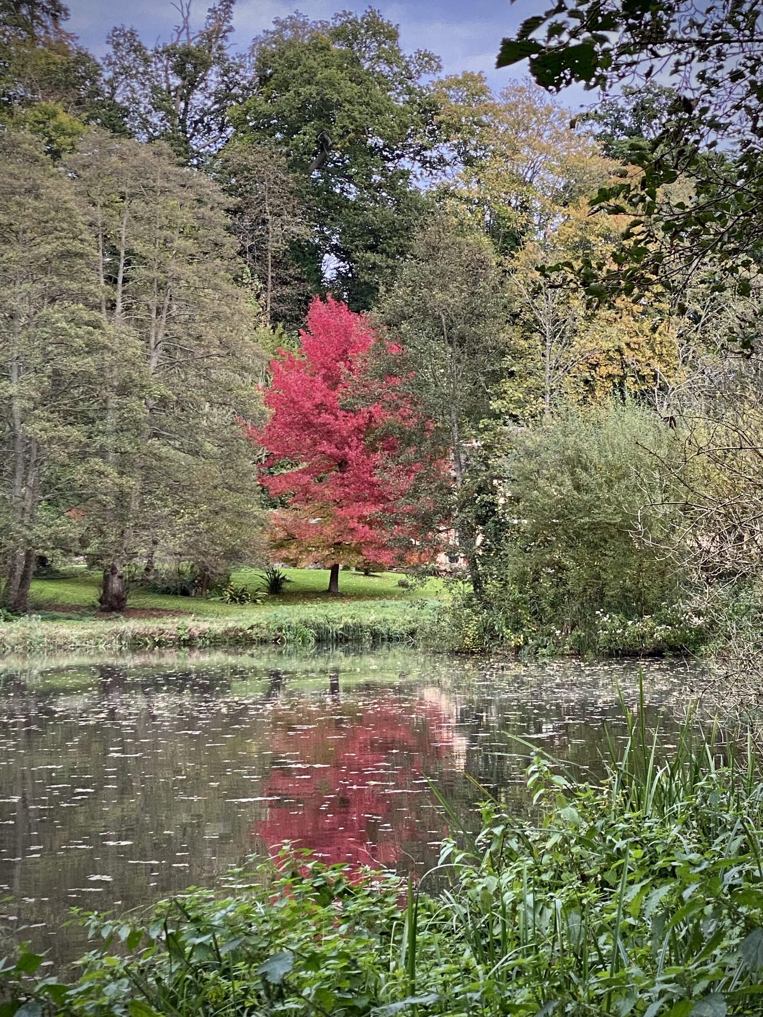
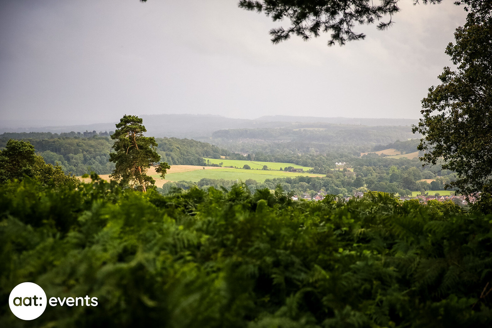
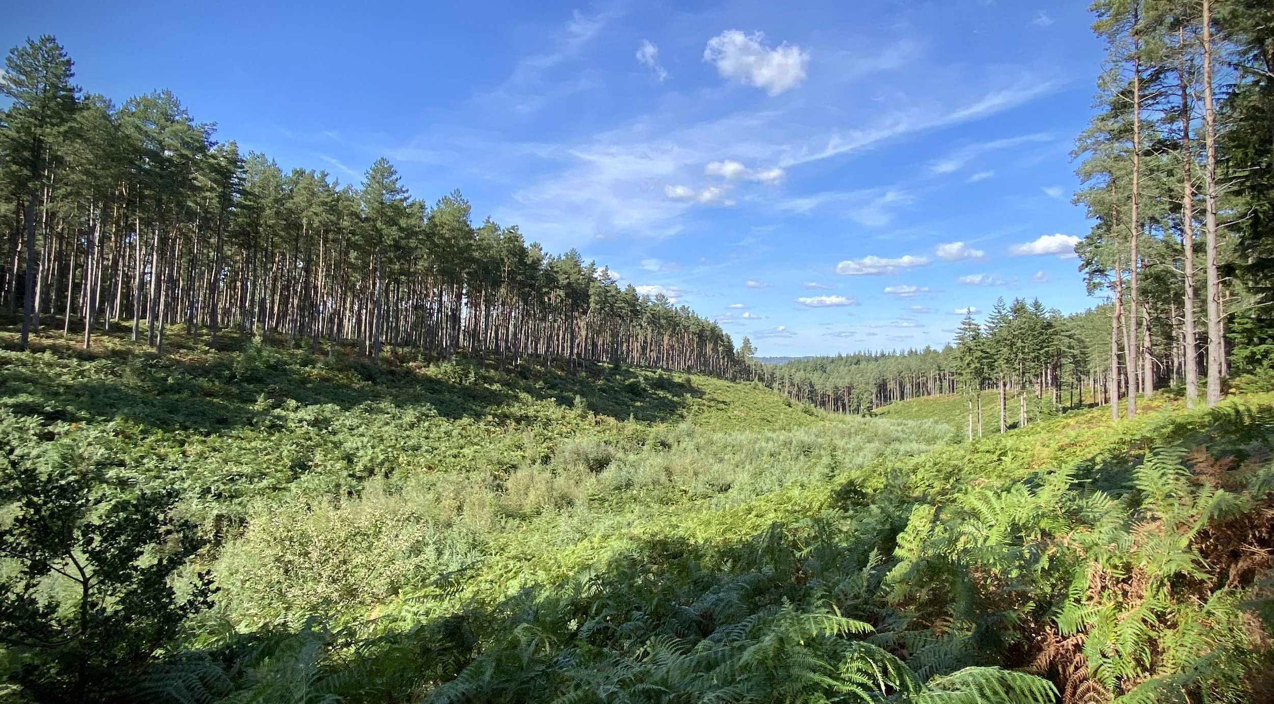
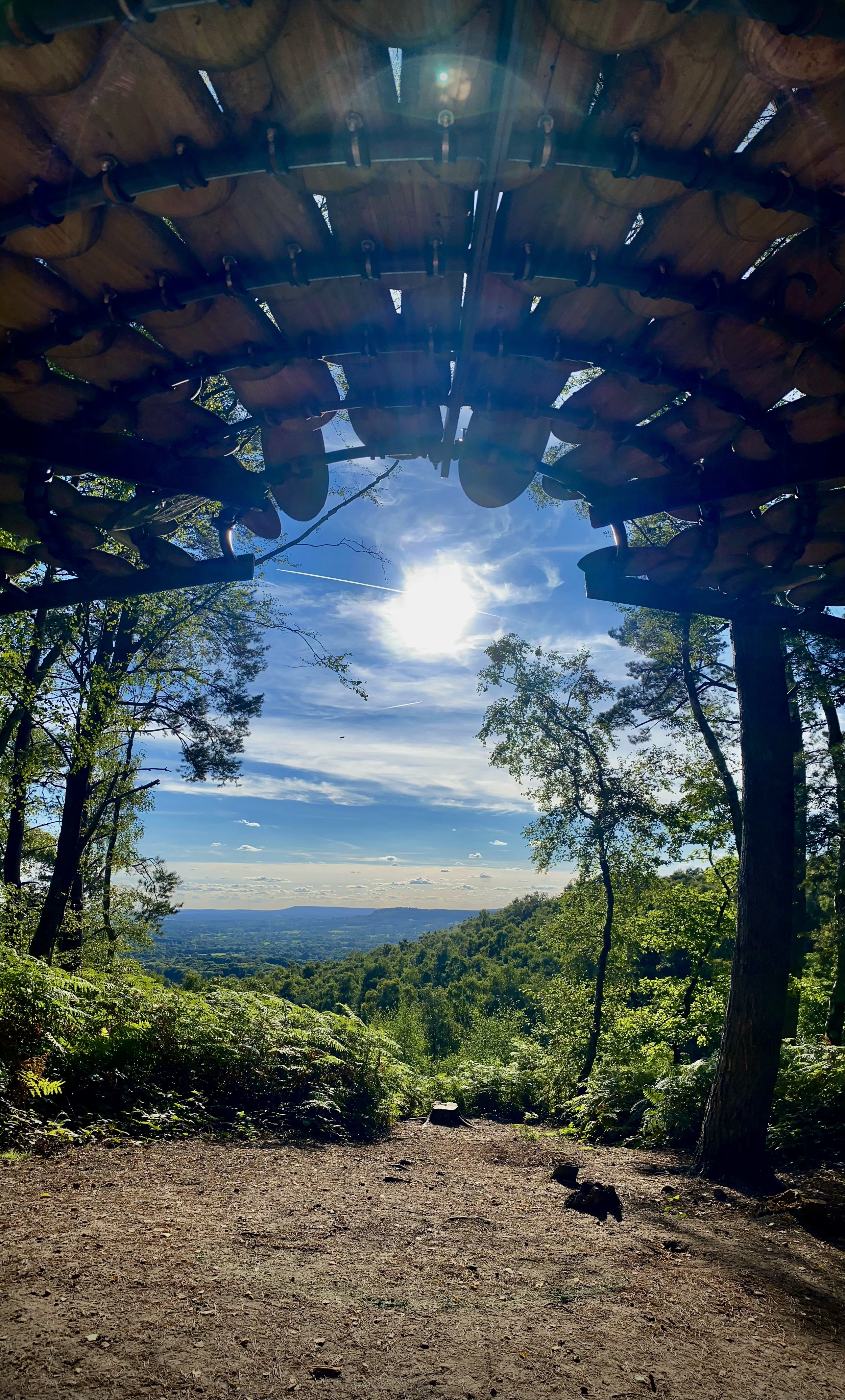
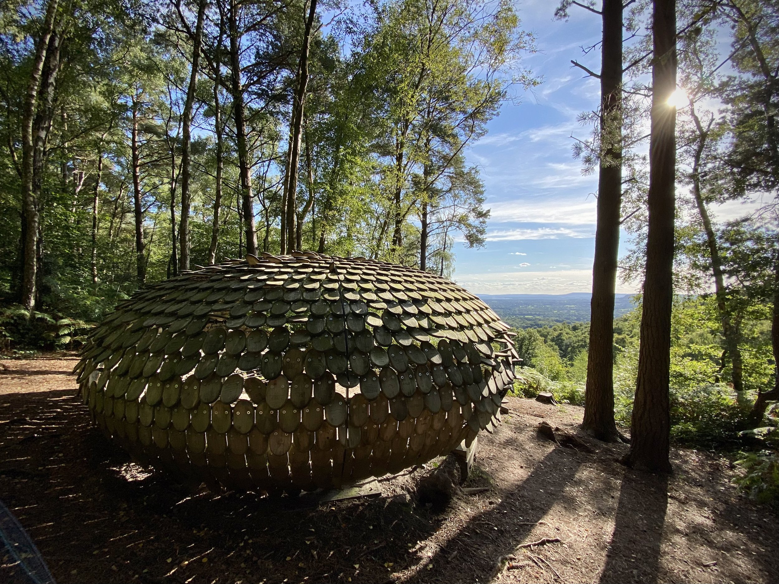
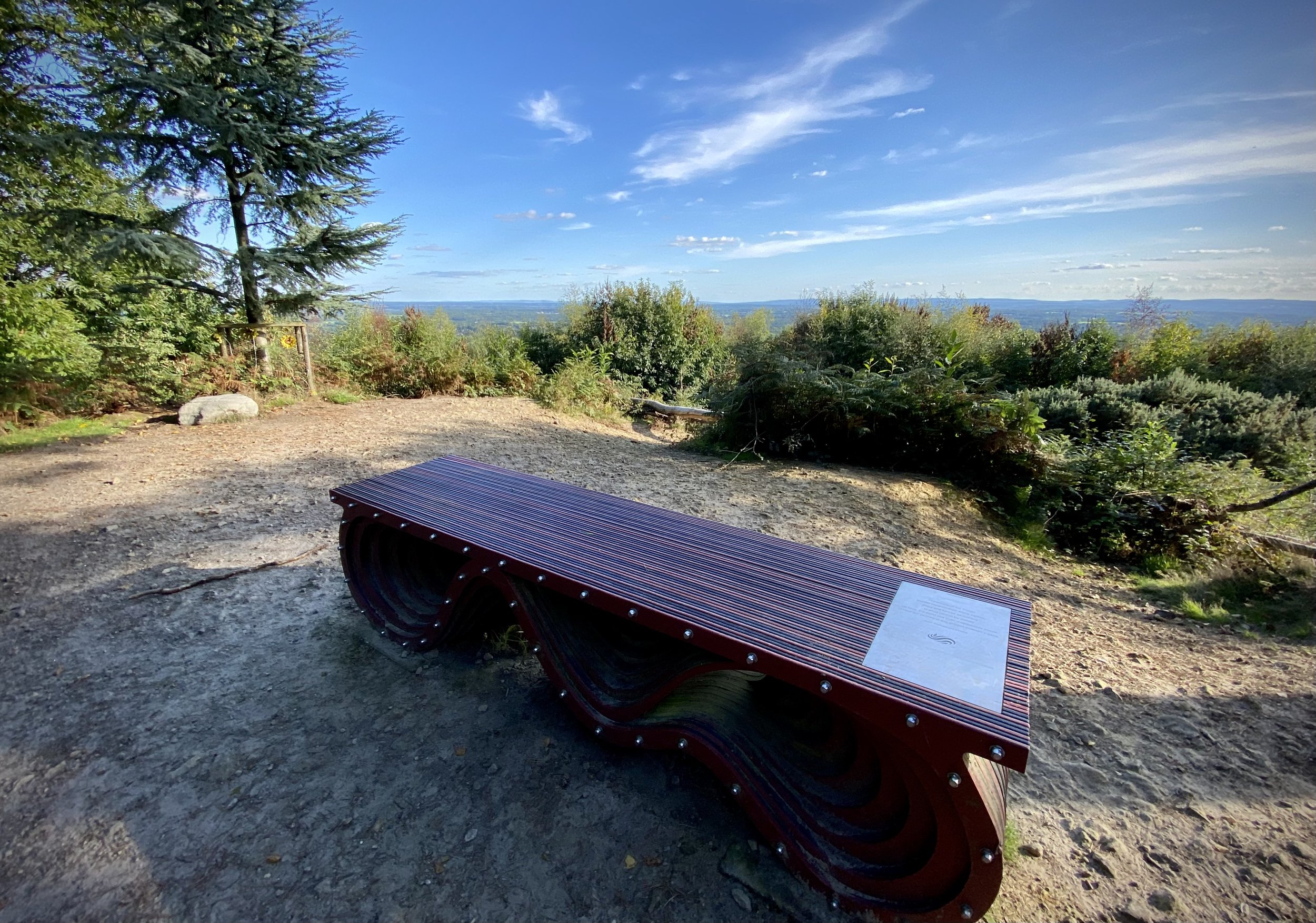
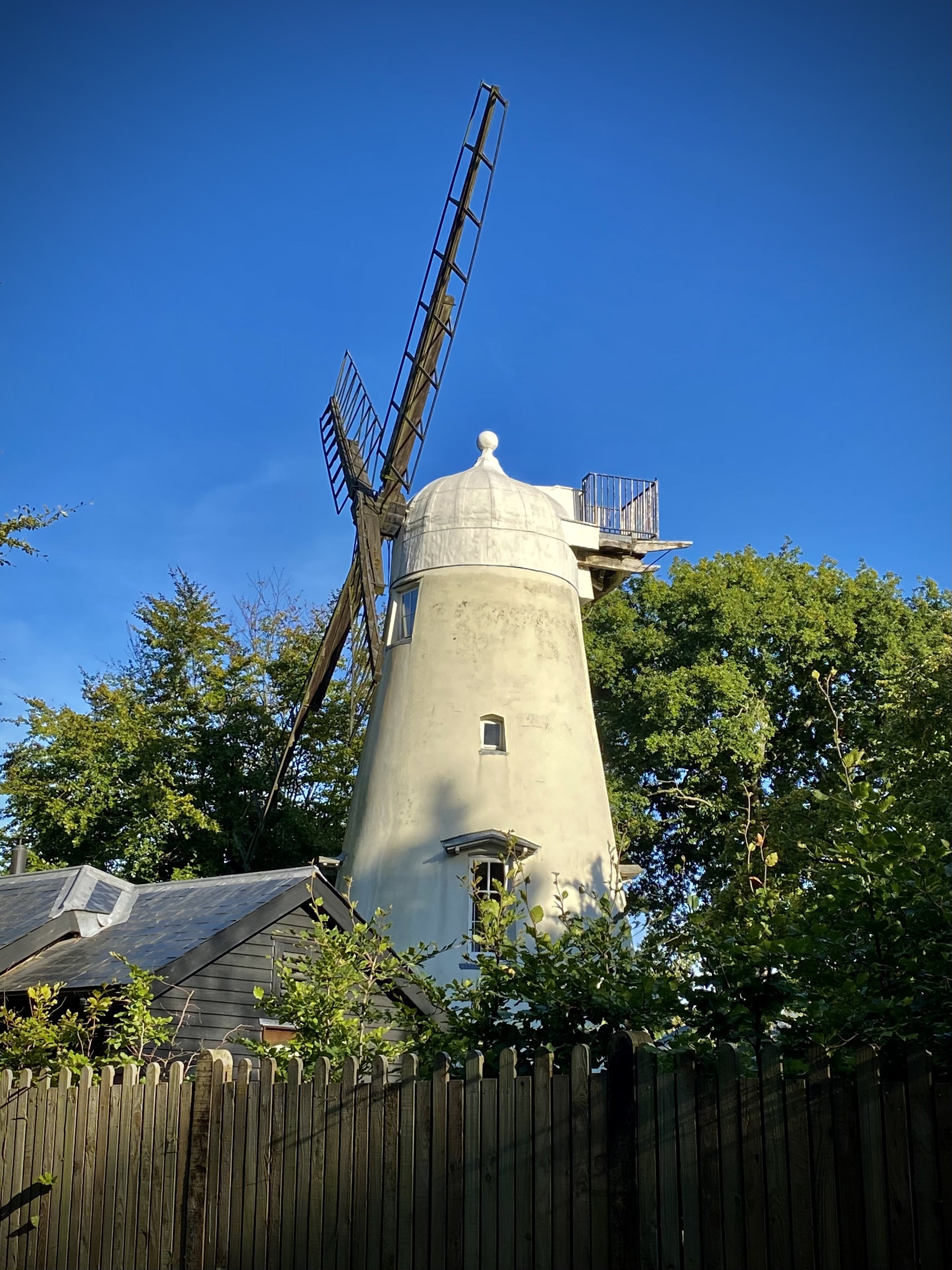
Take a moment to see the viewpoints at Winterfold Hill and Reynards Hill, both with beautifully carved benches. The final point of interest is the Ewhurst Windmill, a listed building now privately owned by visible from the trail.


Previous section: Walking The Greensand Way Part 7 - Shamley Green and Grafham
Next section: Walking The Greensand Way Part 9 - Pitch Hill and Holmbury Hill