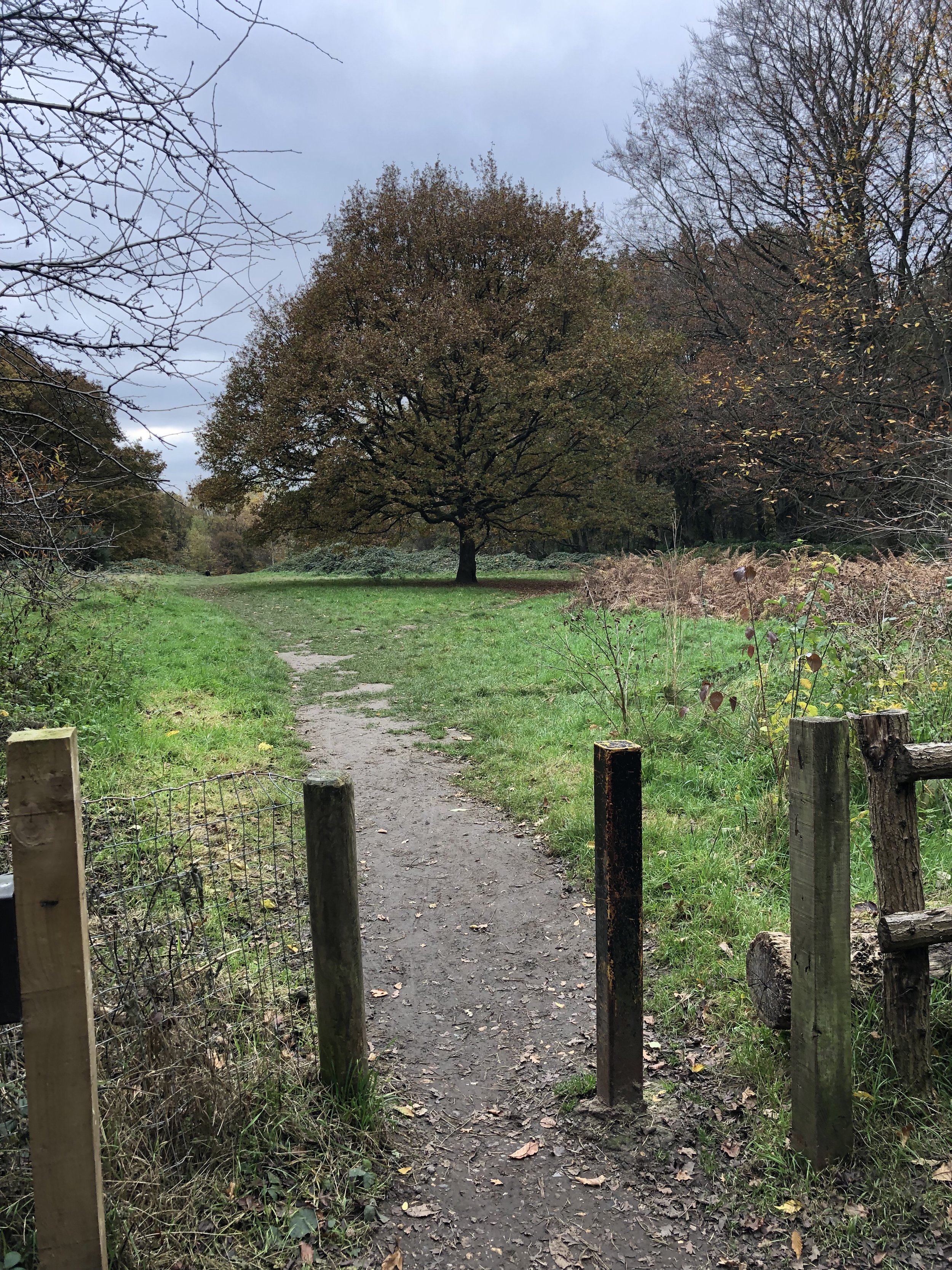
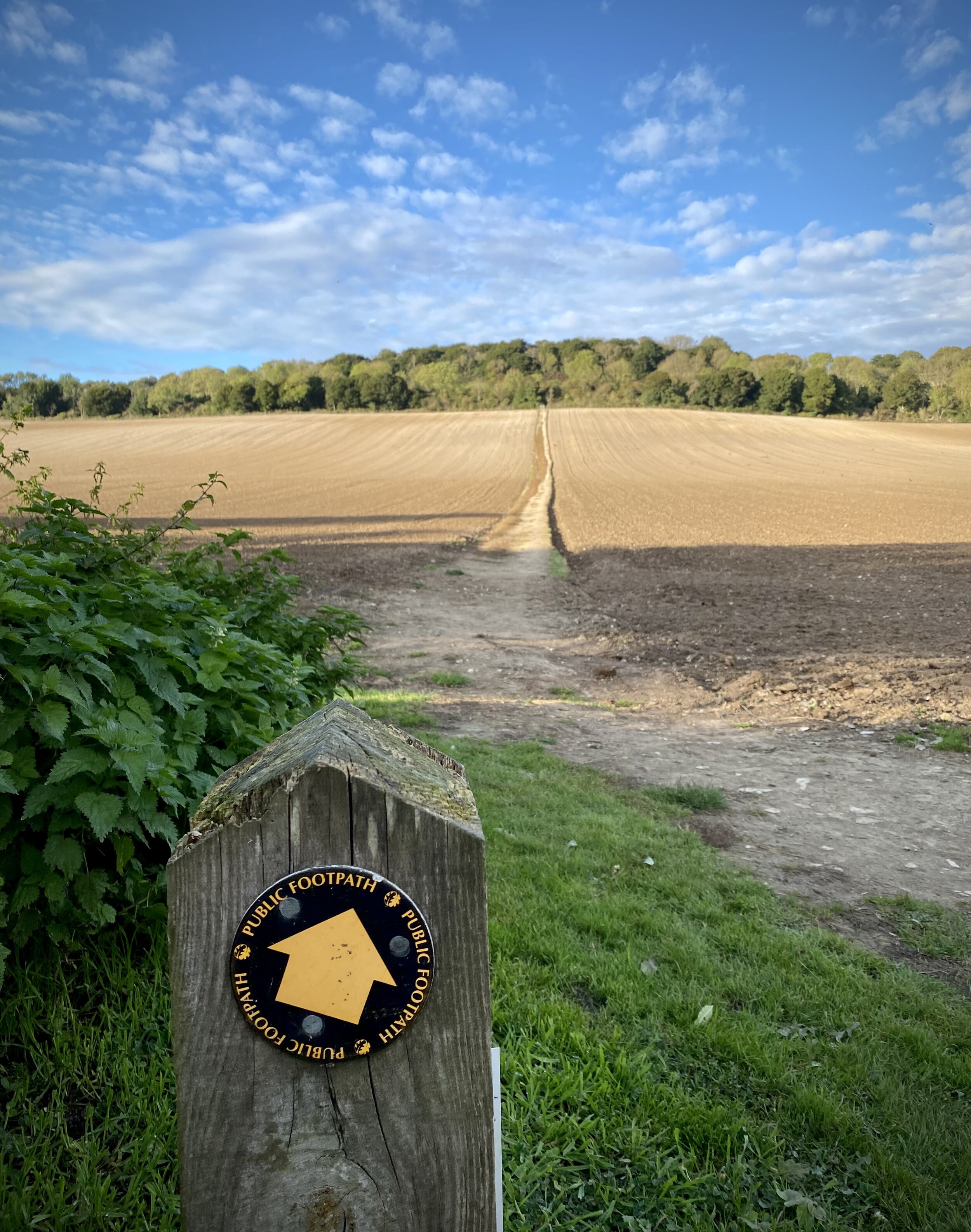
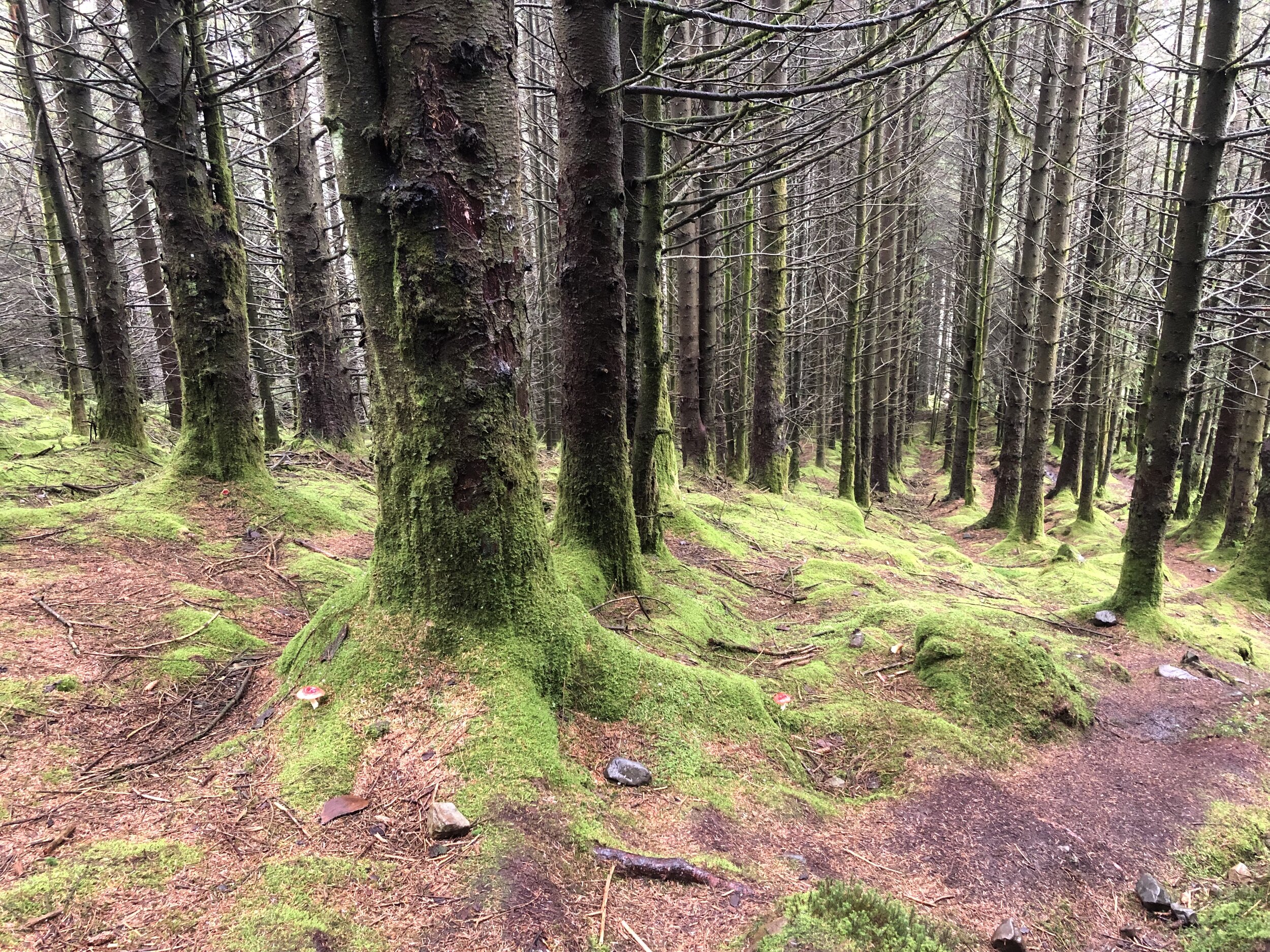
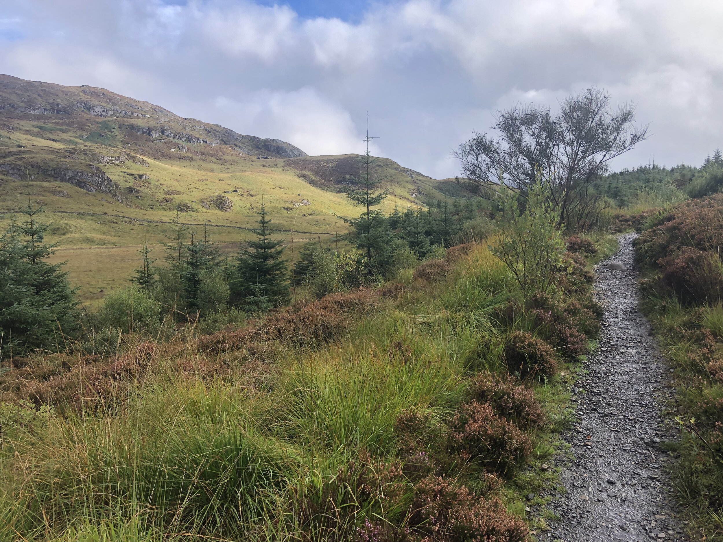
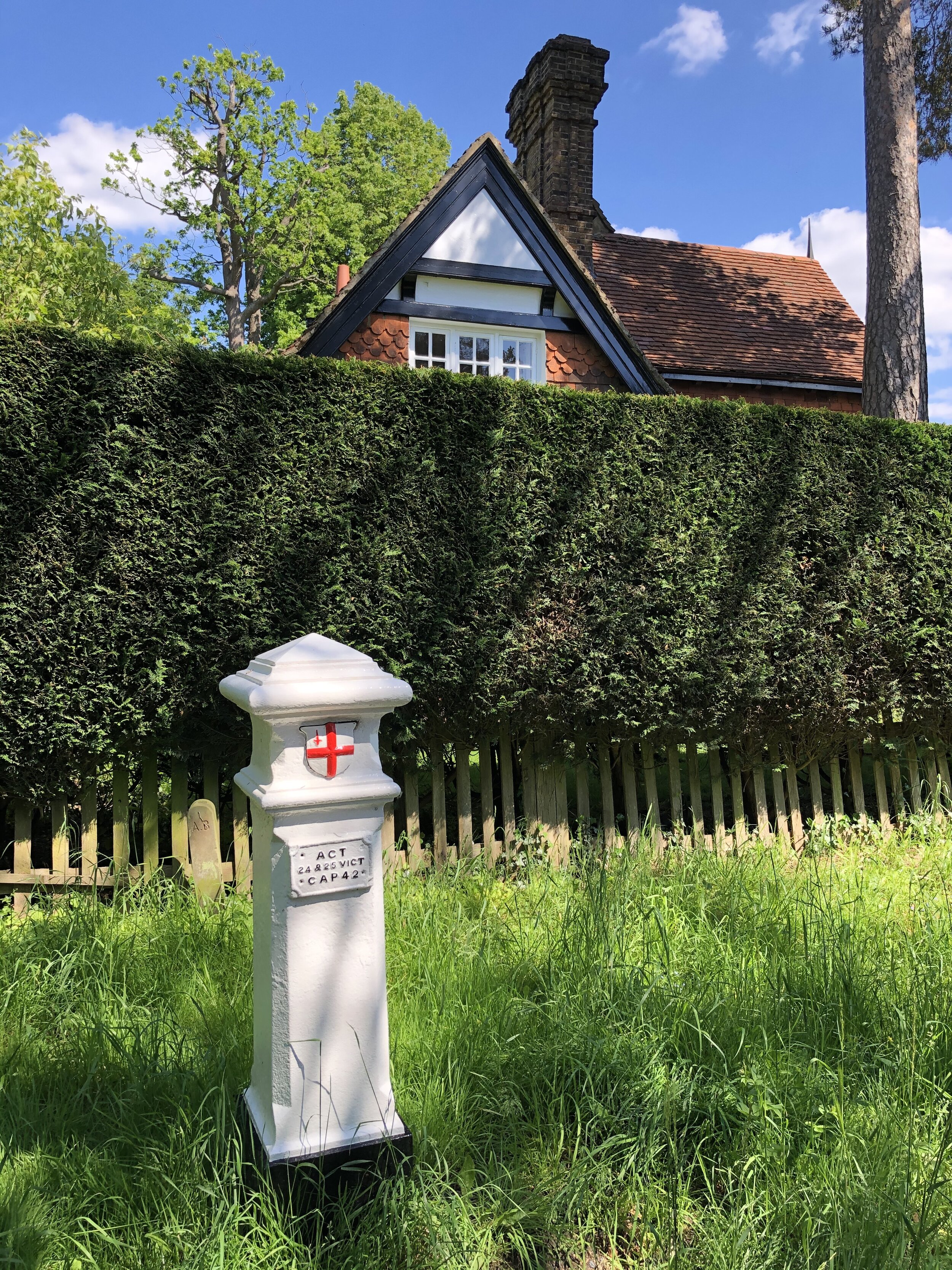
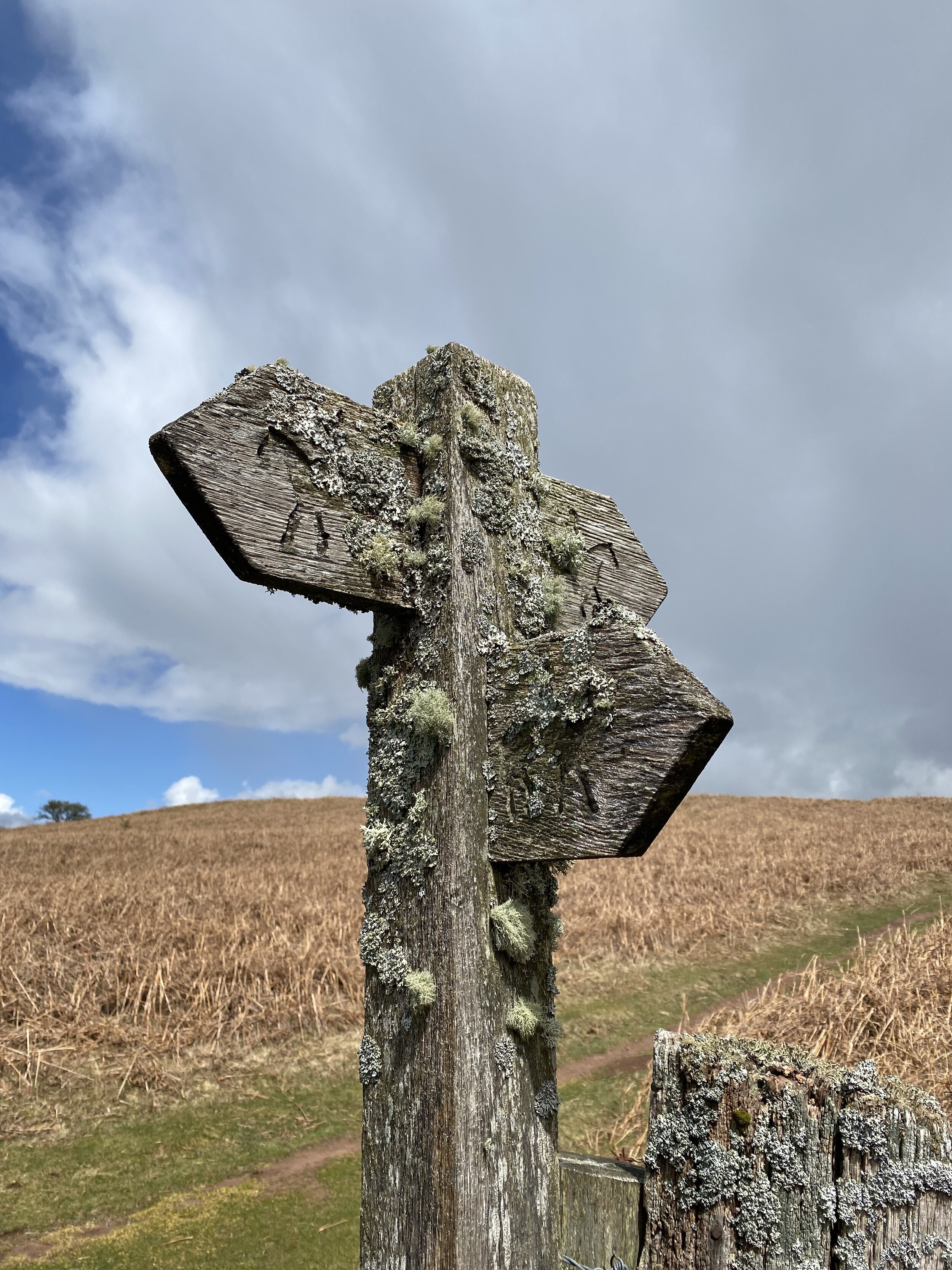
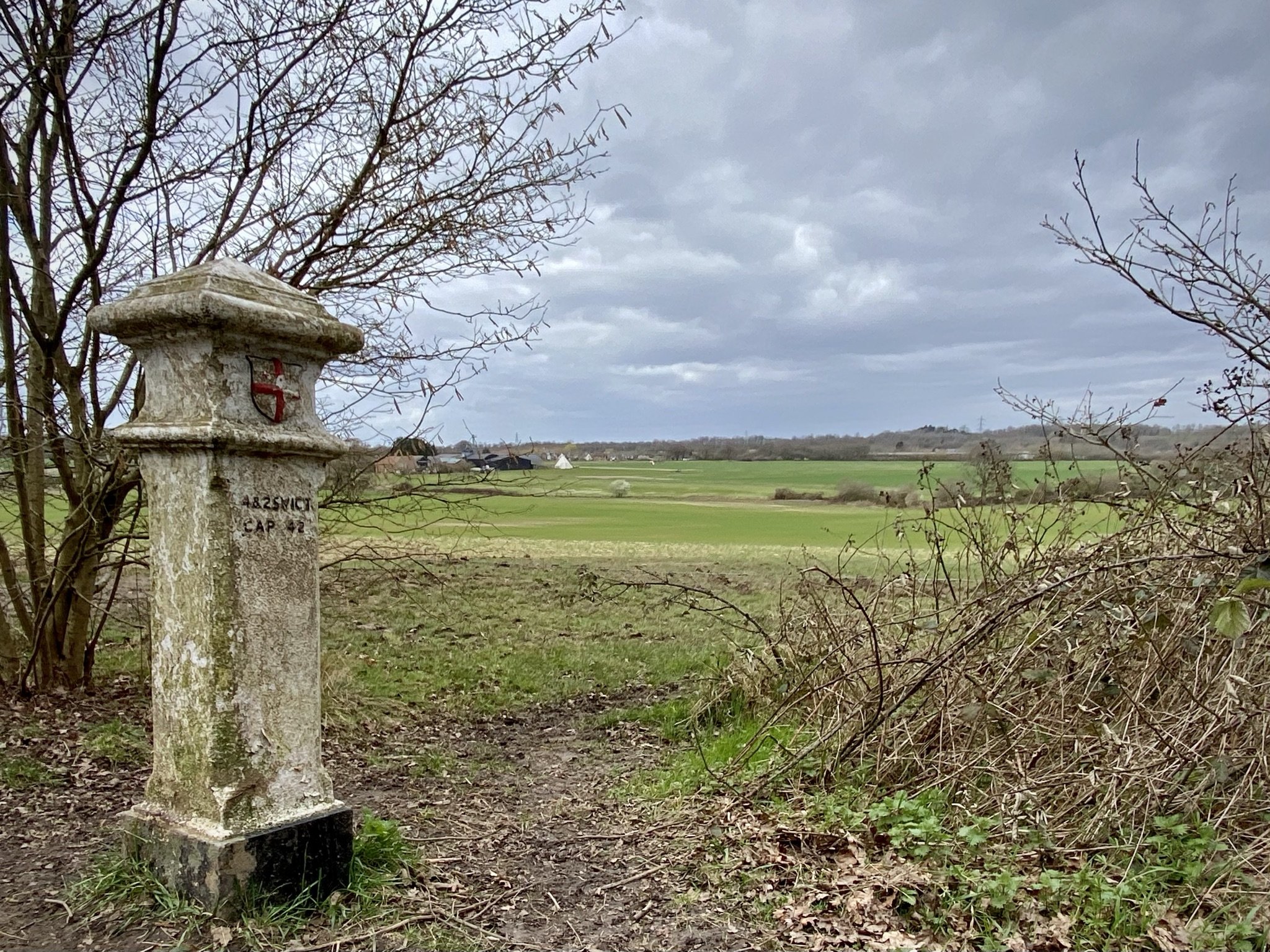
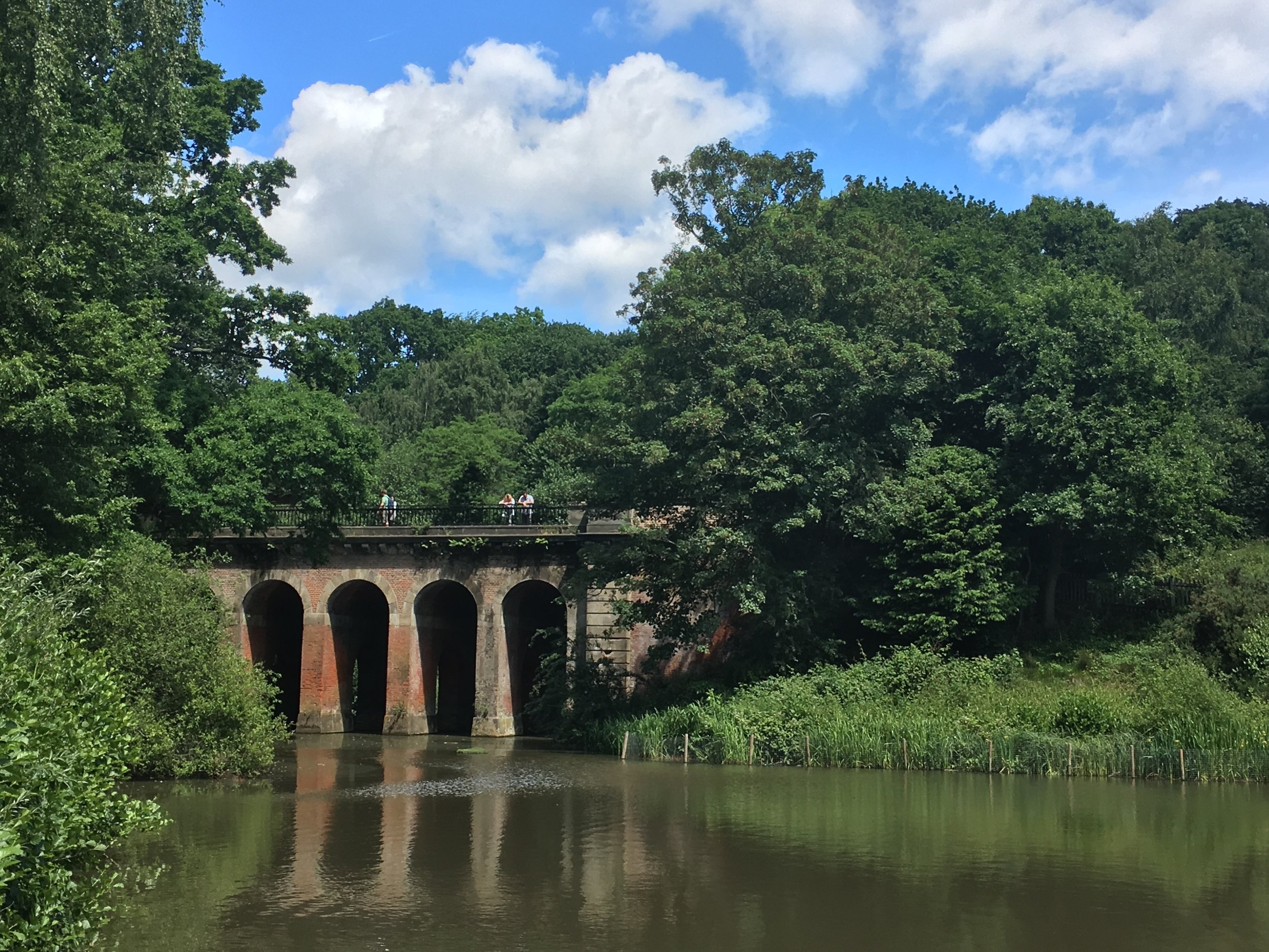
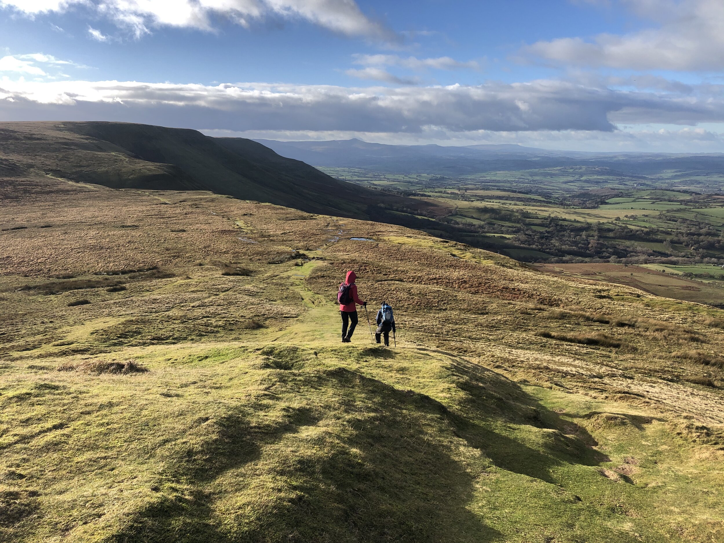
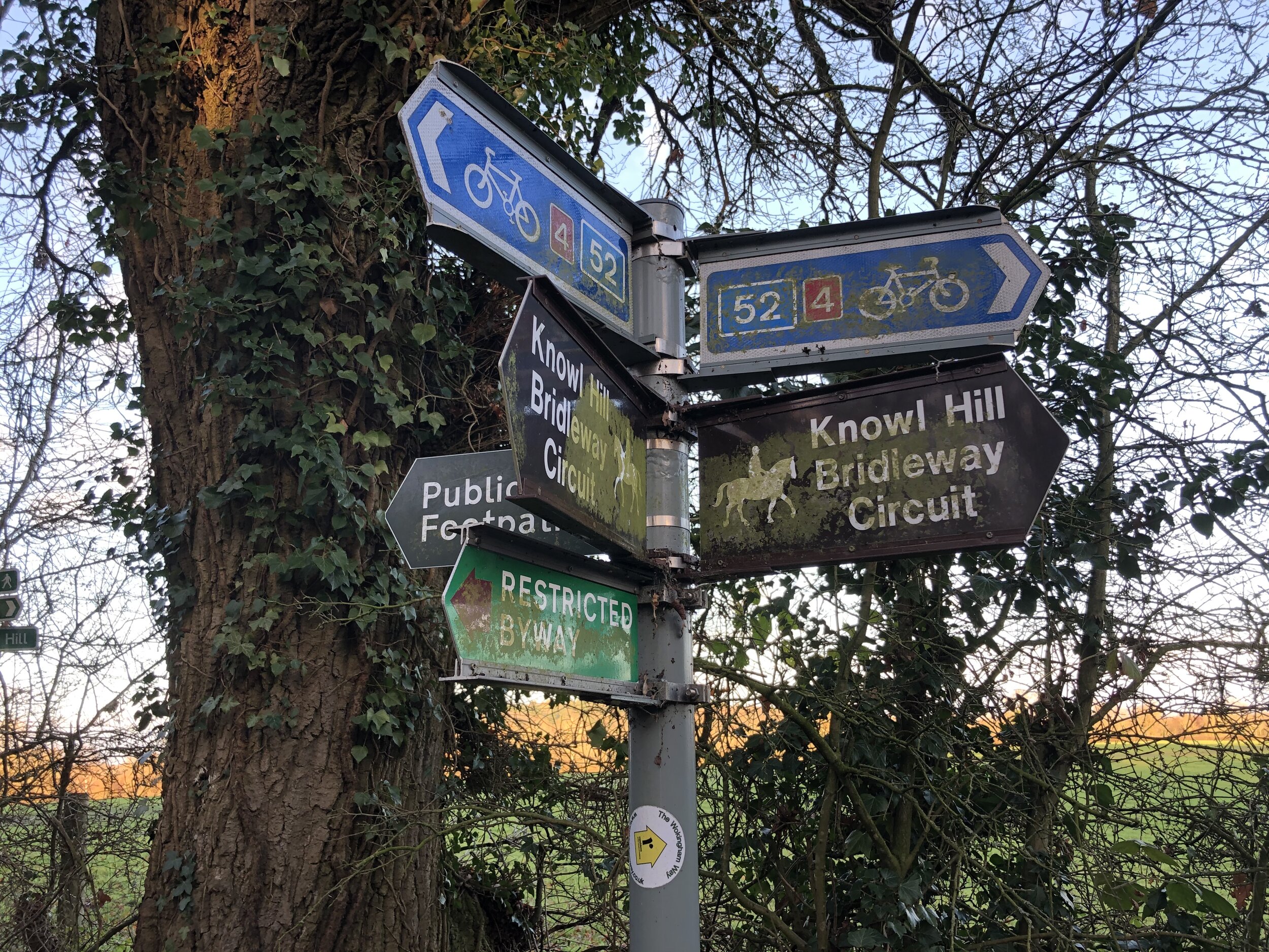
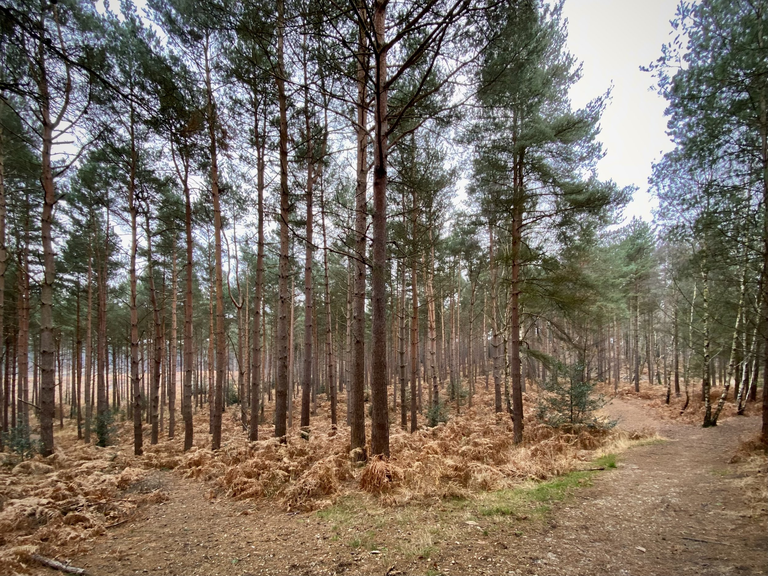
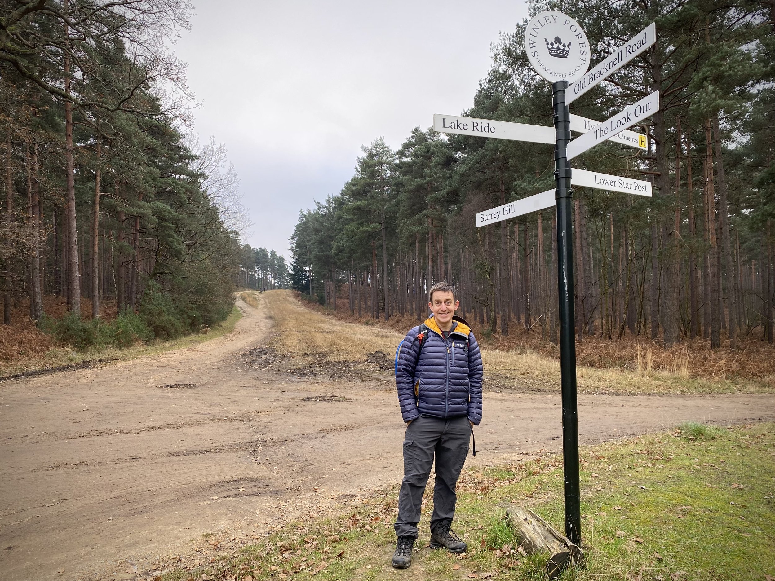
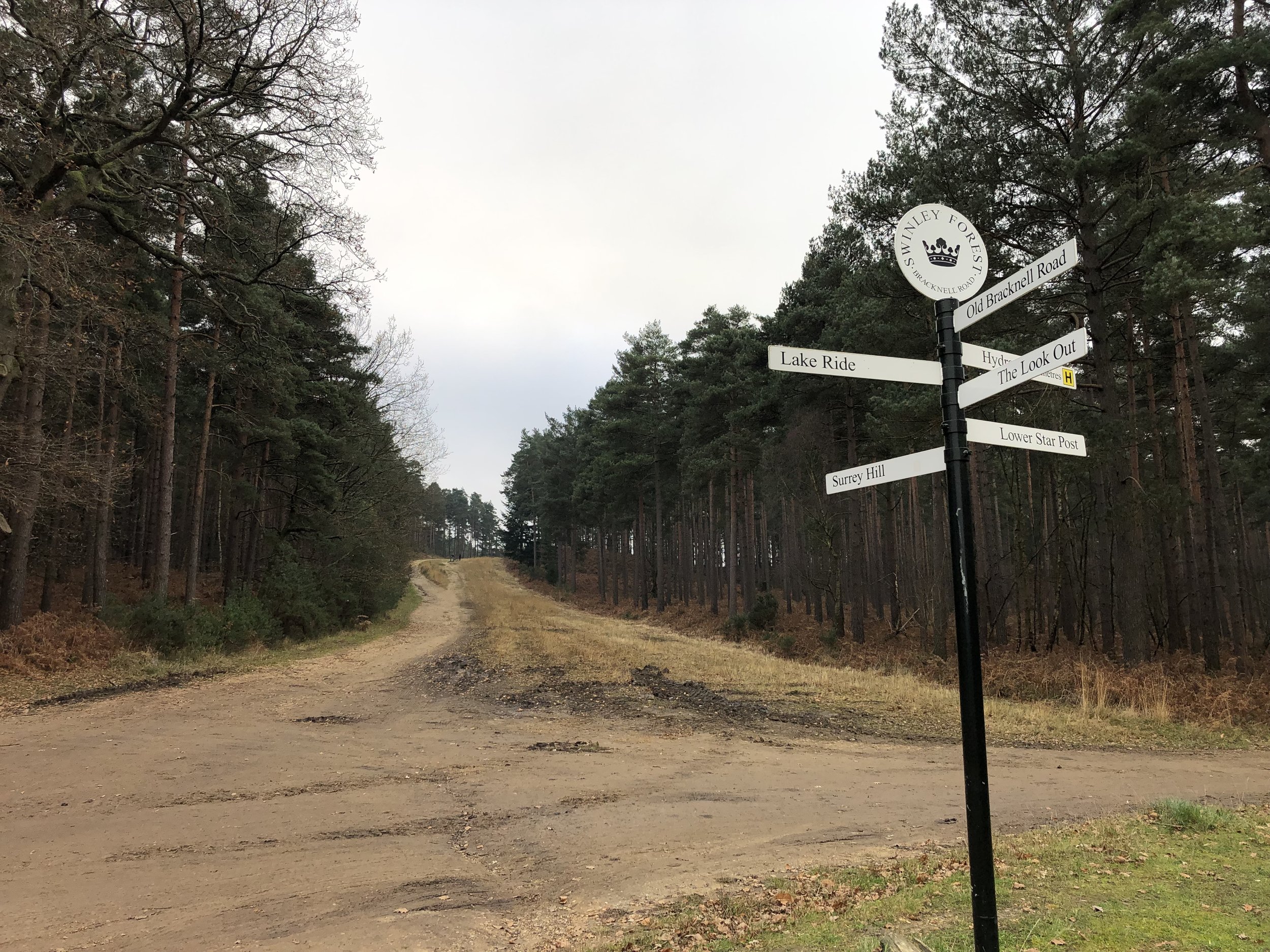
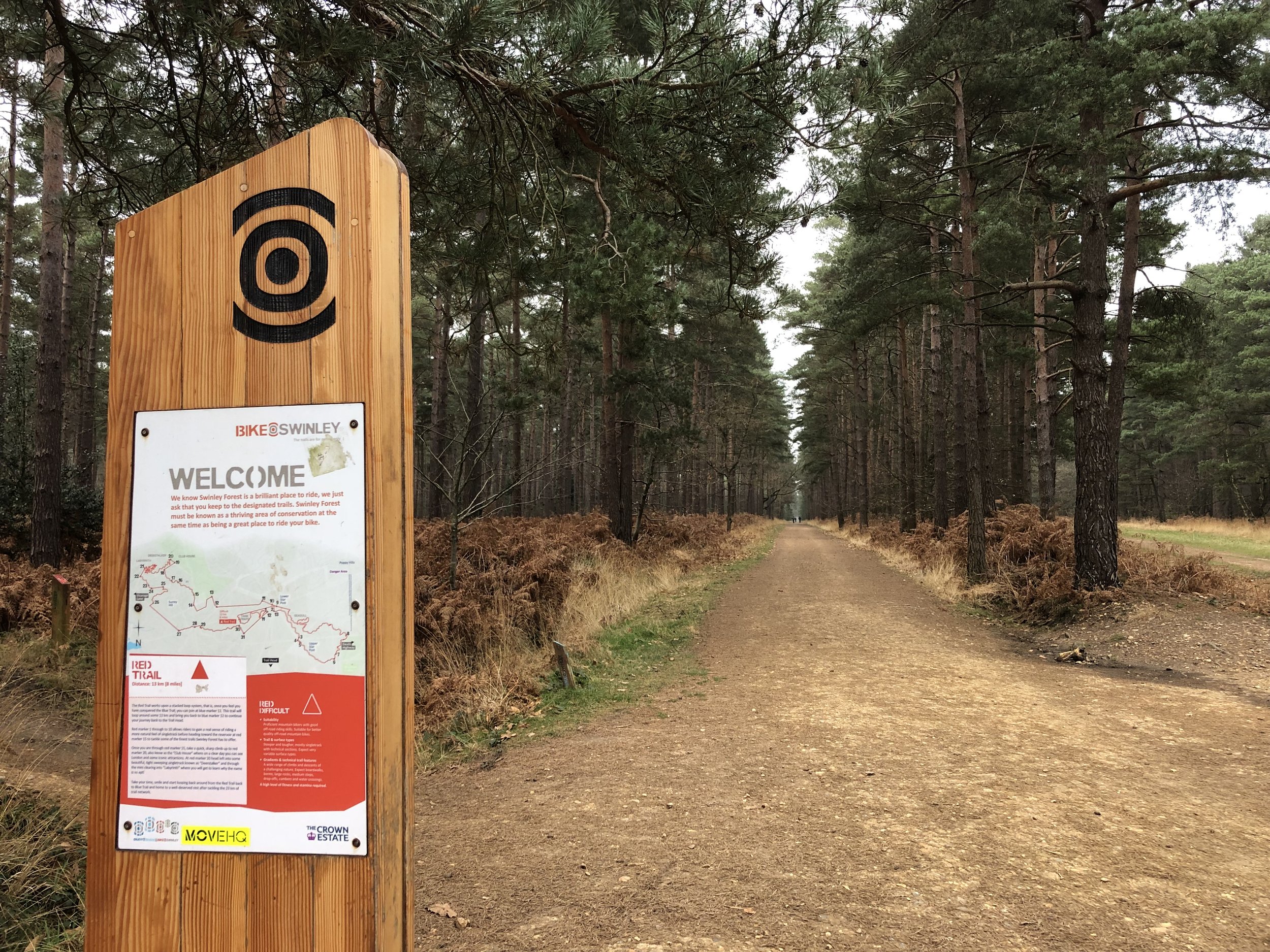
Path junction in Swinley Forest
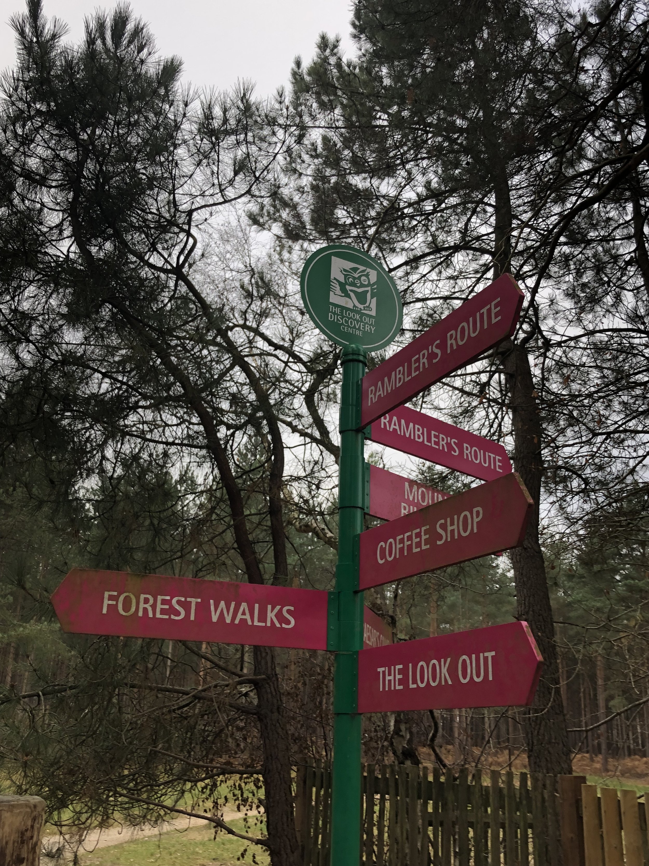
Start & Finish: The Look Out Discovery Centre, Nine Mile Ride, Bracknell, RG12 7QW
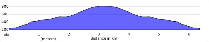
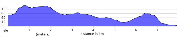
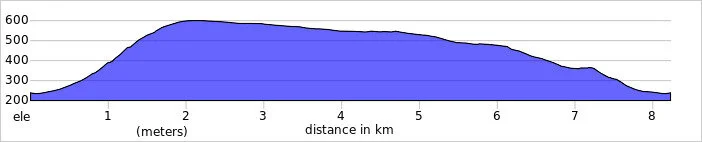
Distance: 8.2 km (5.1 miles)
Elevation change: +/- 107m
GPX File: get via Buy Me a Coffee
Other routes touched (walk): Rambler’s Route, Three Castles Path
Other routes touched (cycle): Swinley Forest Mountain Bike Routes
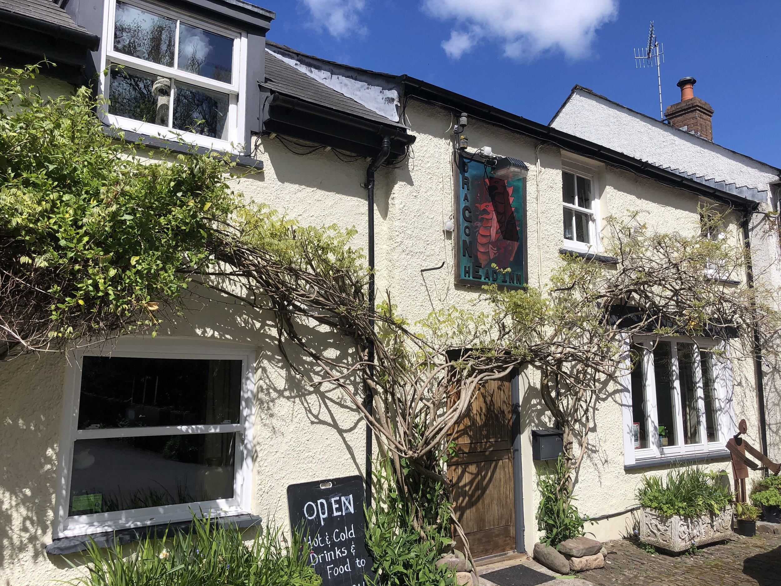
Pubs / Cafes on route: Cafe at the Look Out Discovery Centre
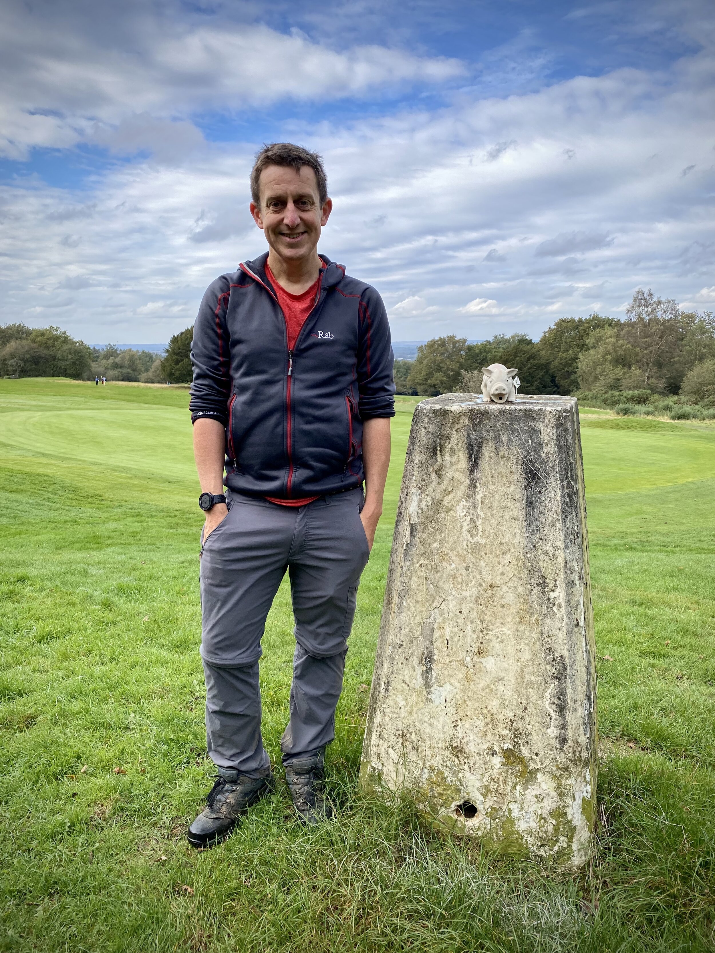
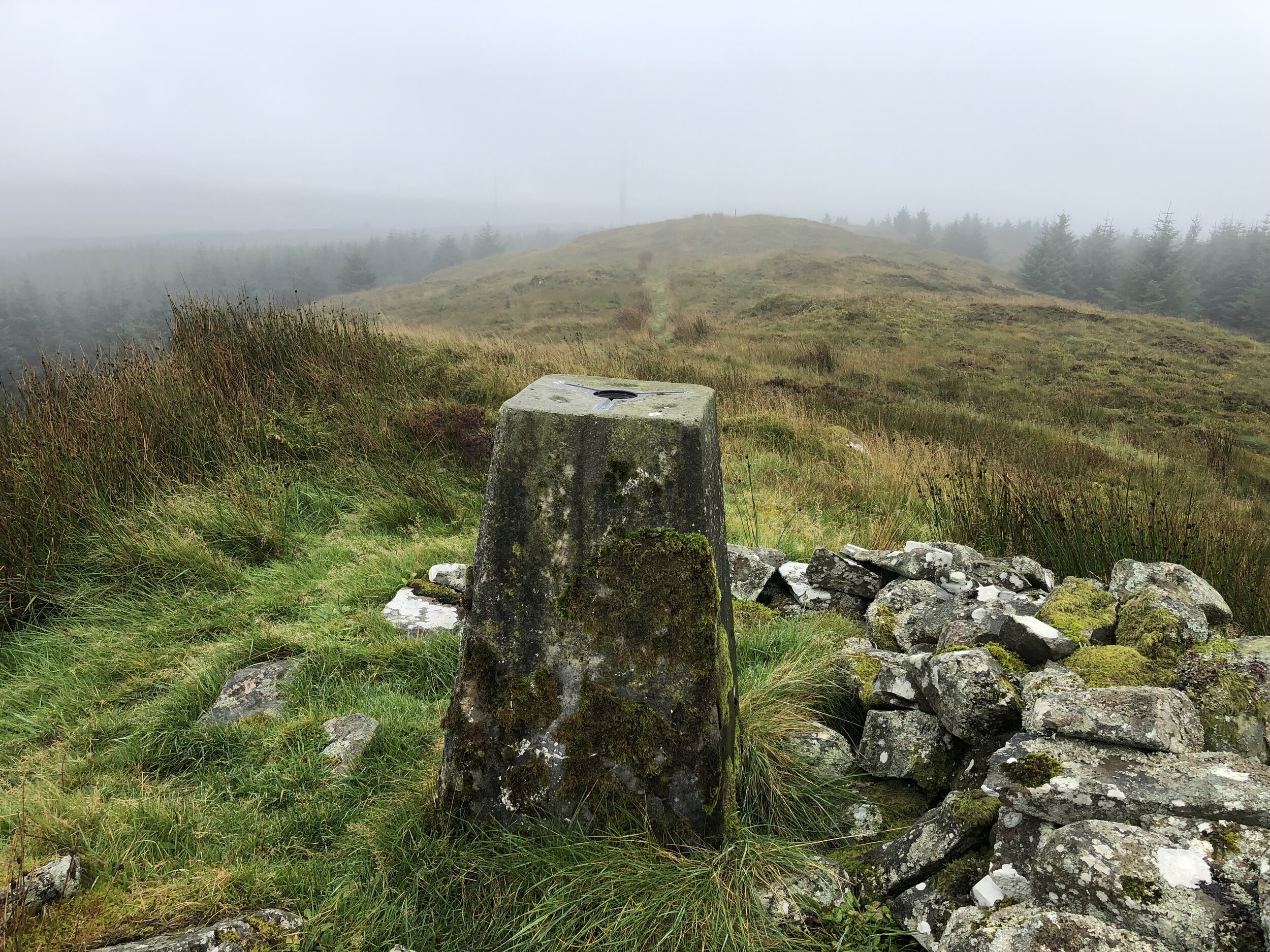
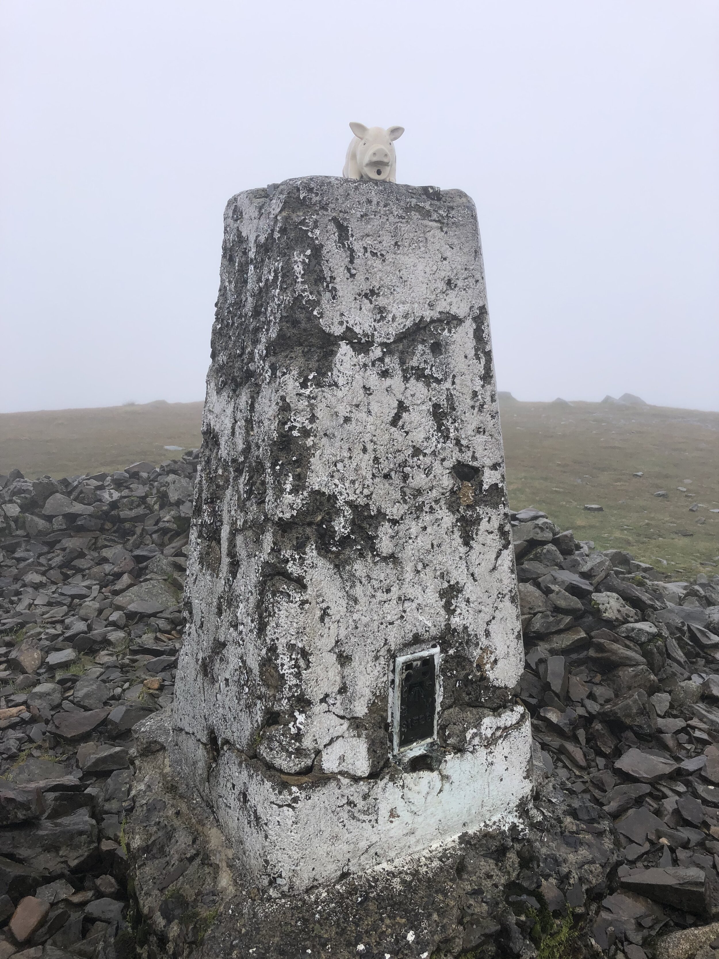
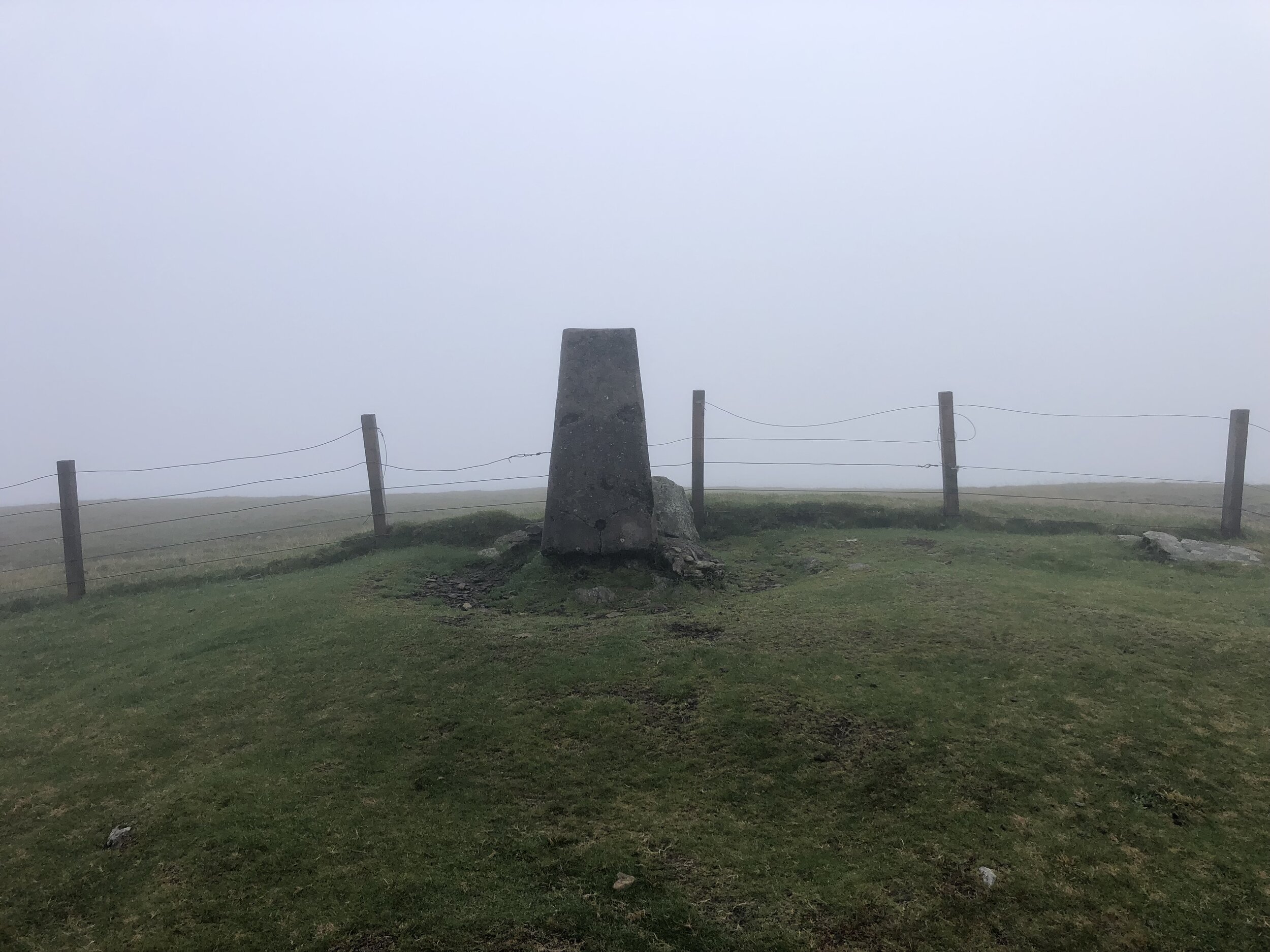
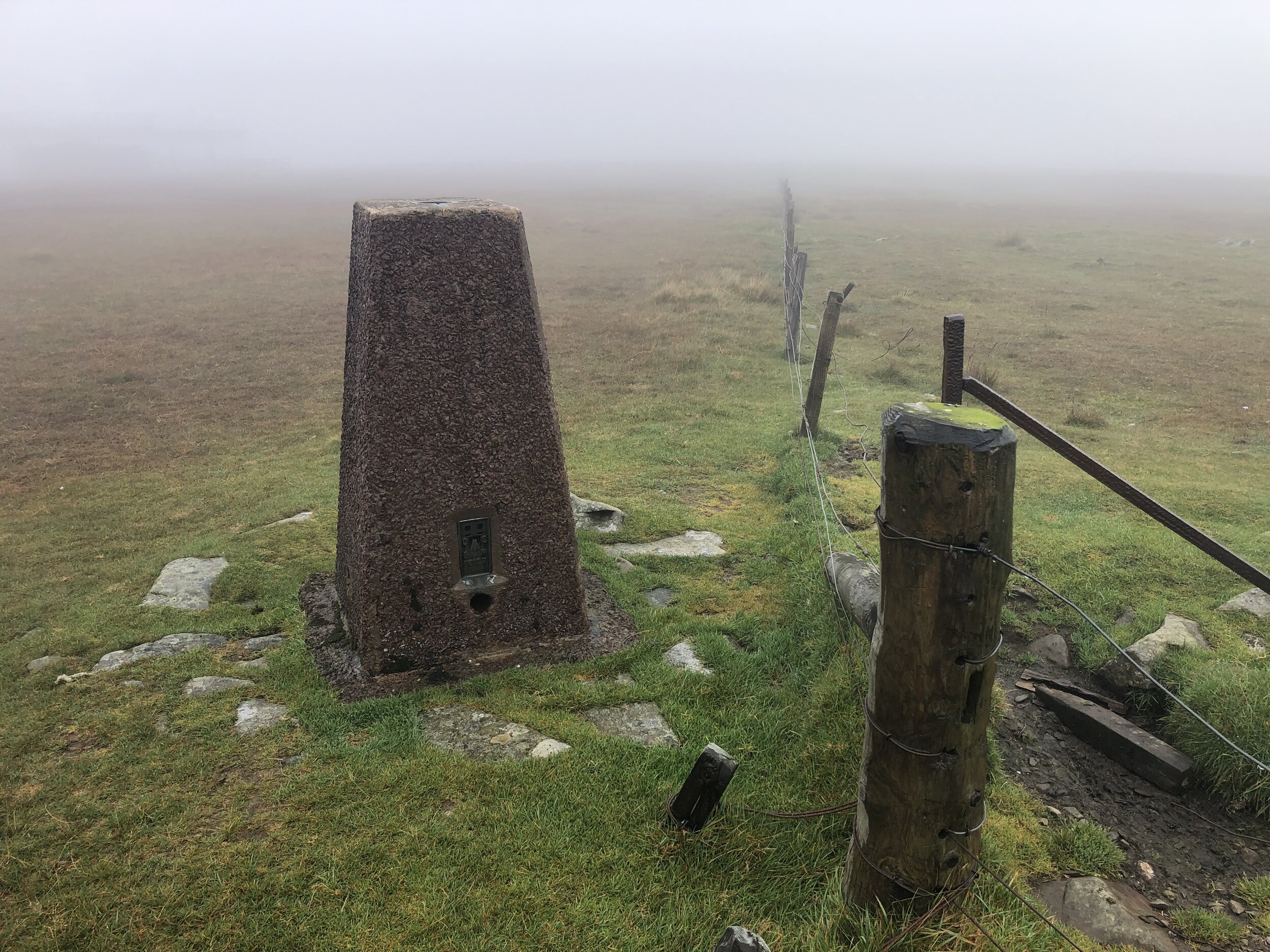
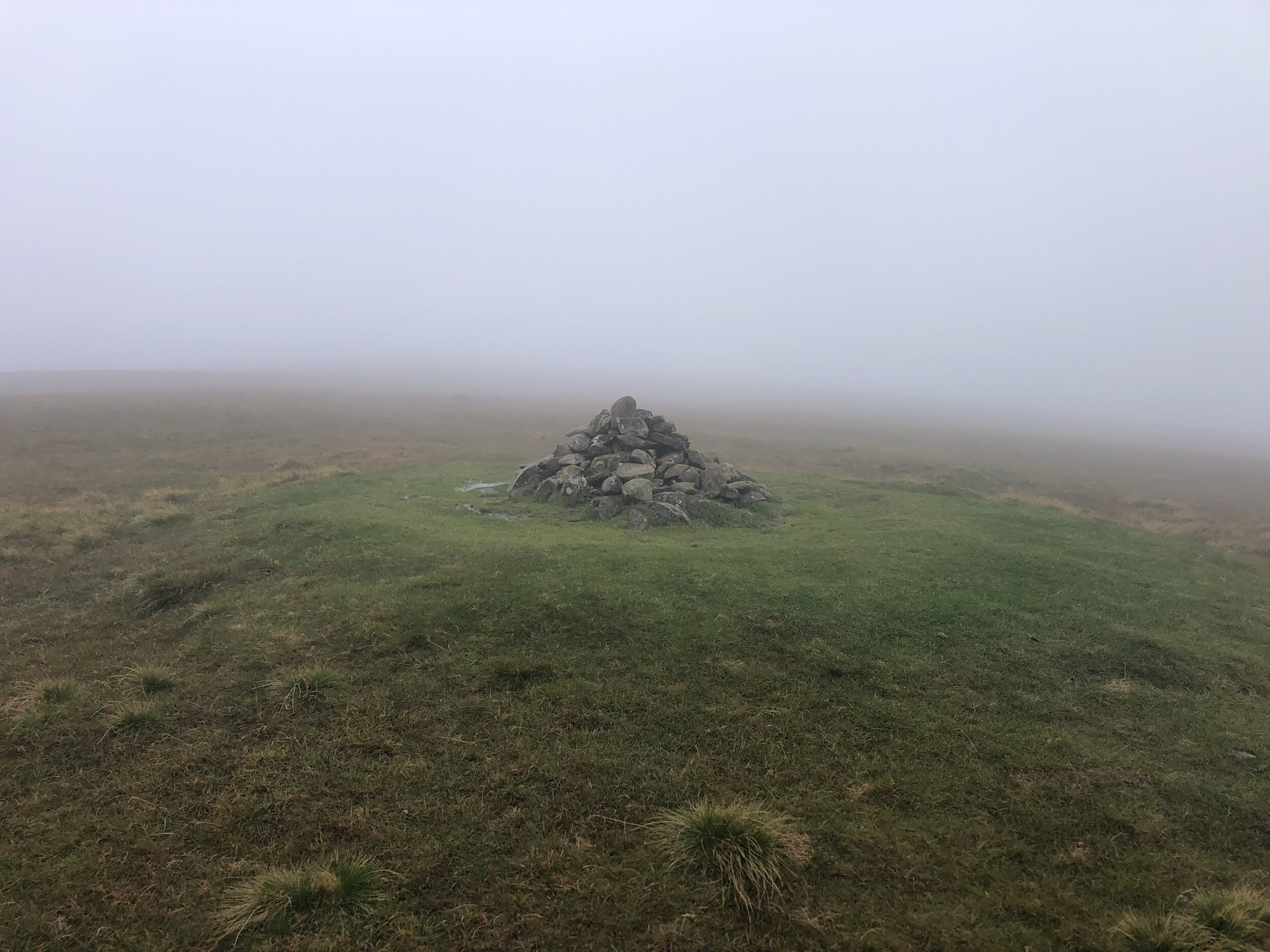
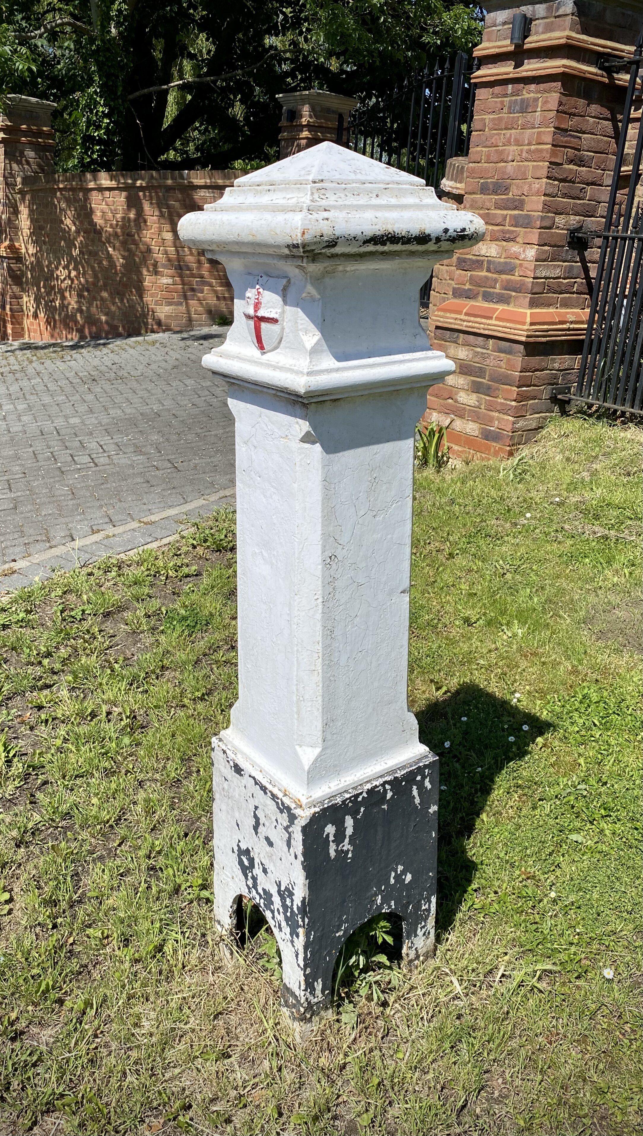
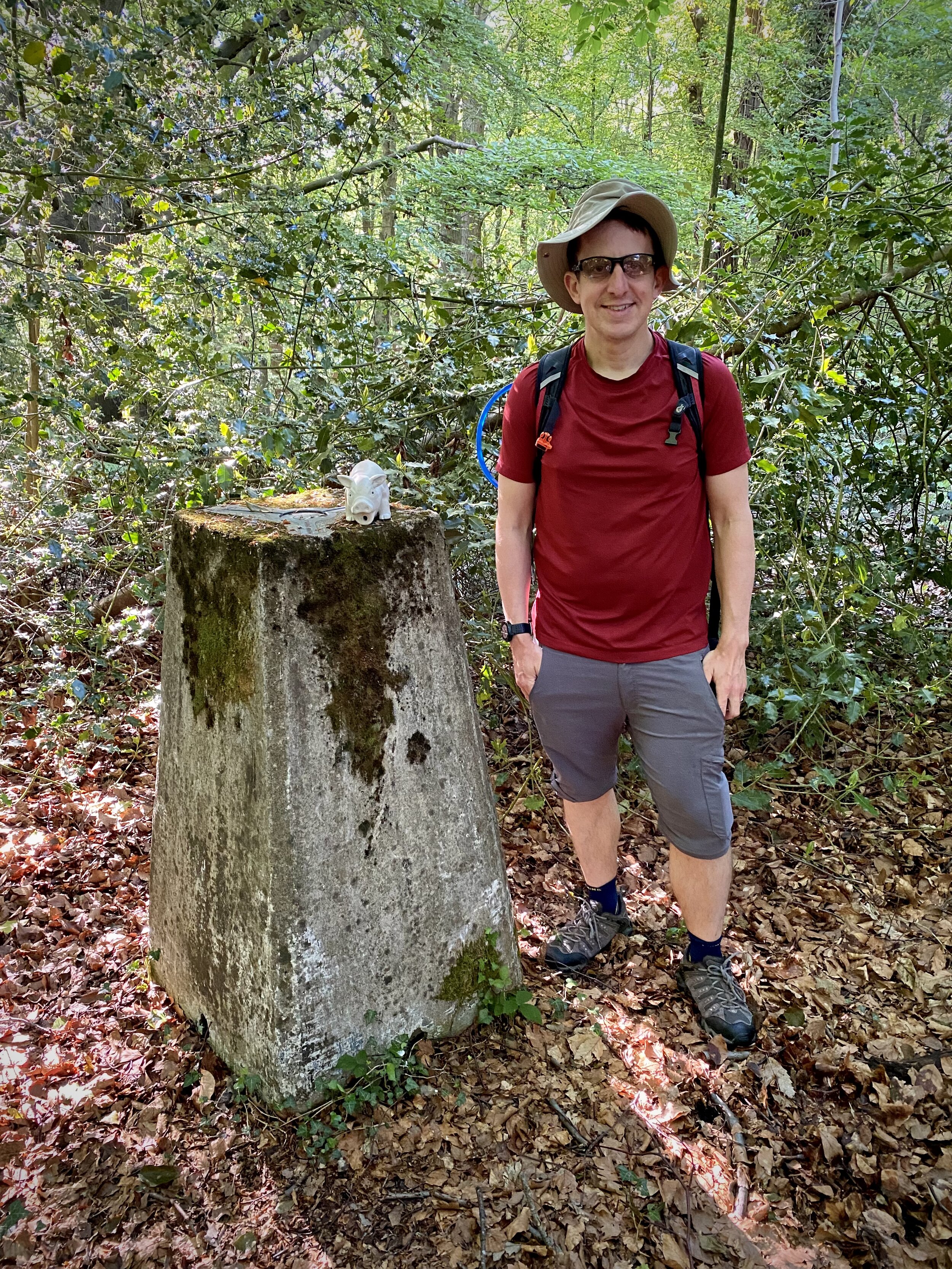
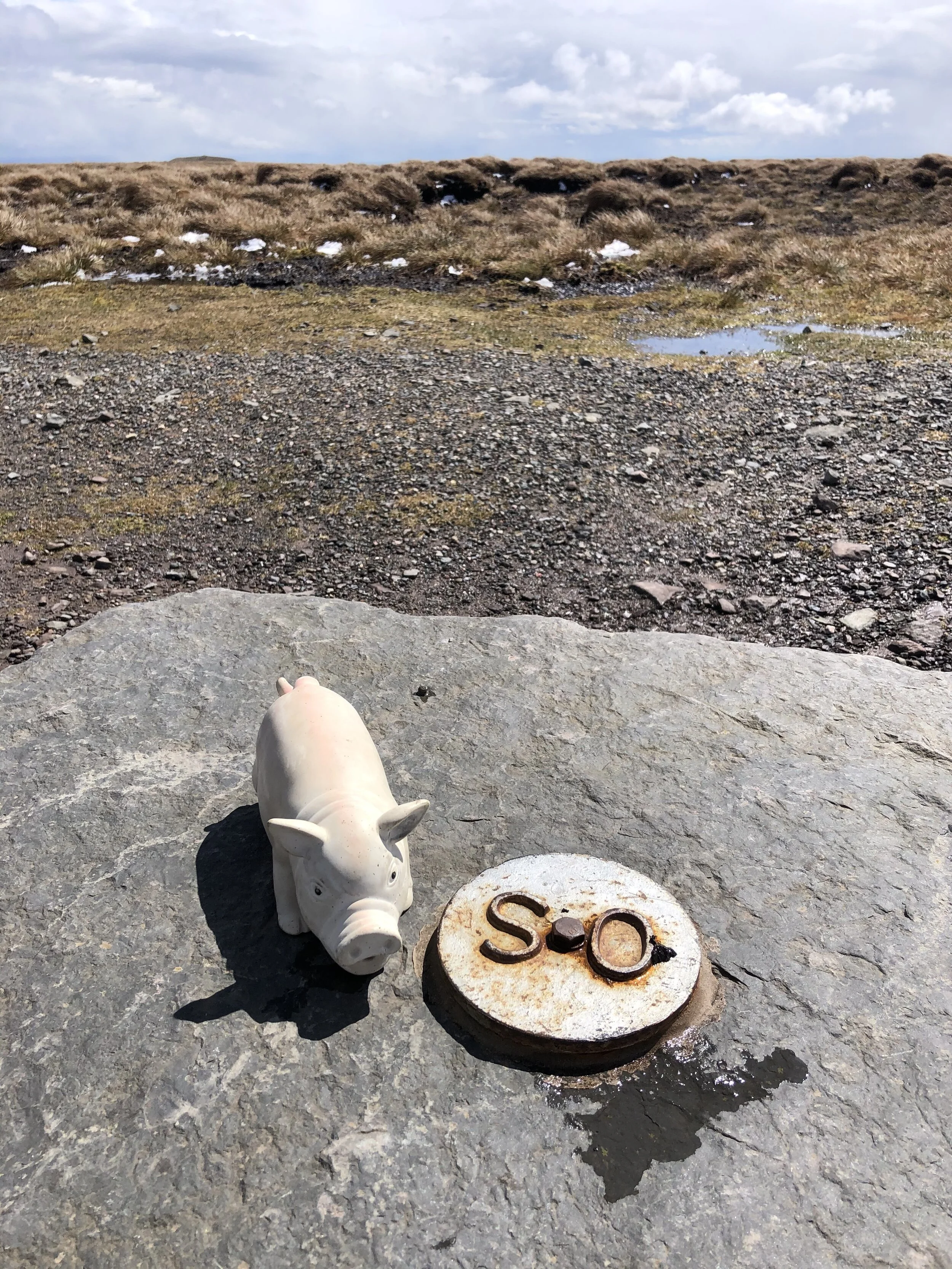
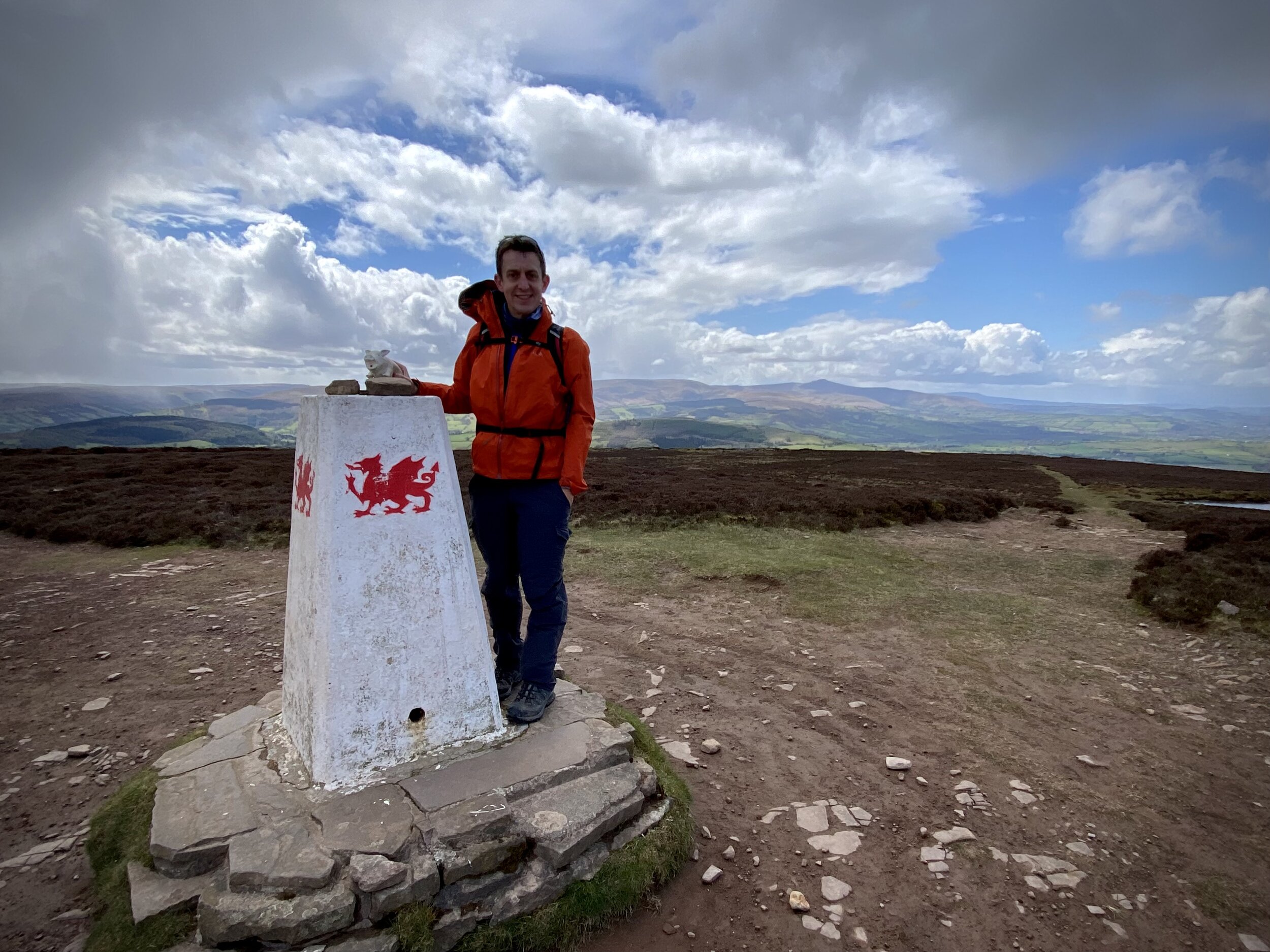
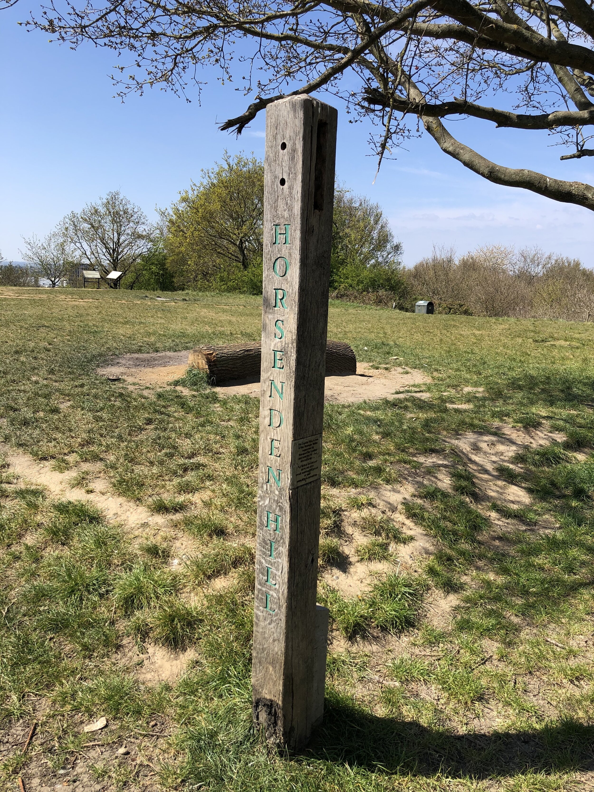
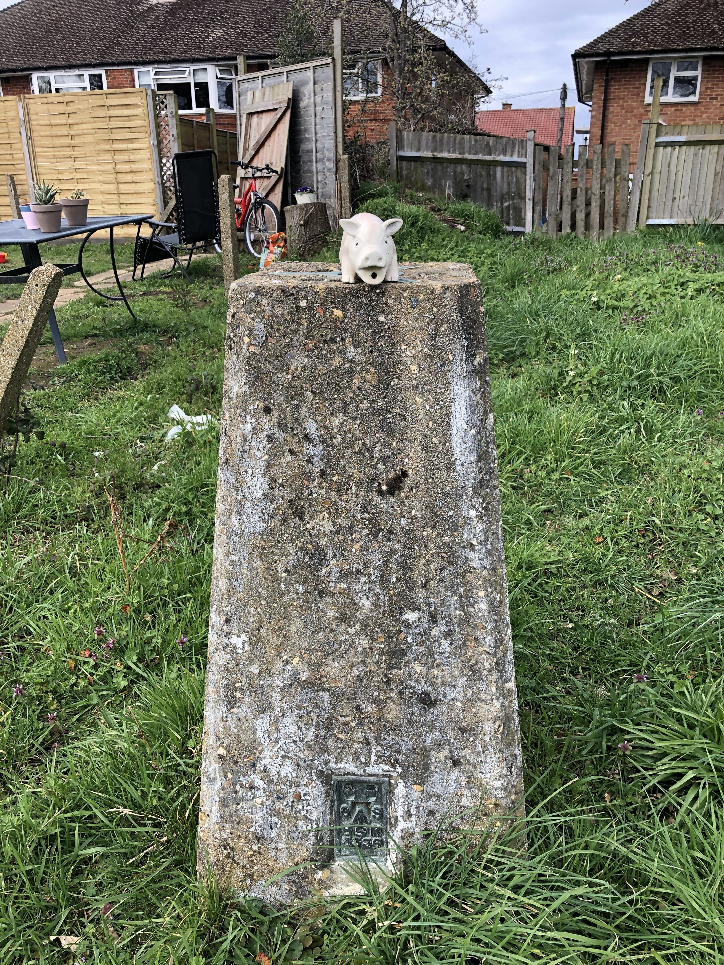
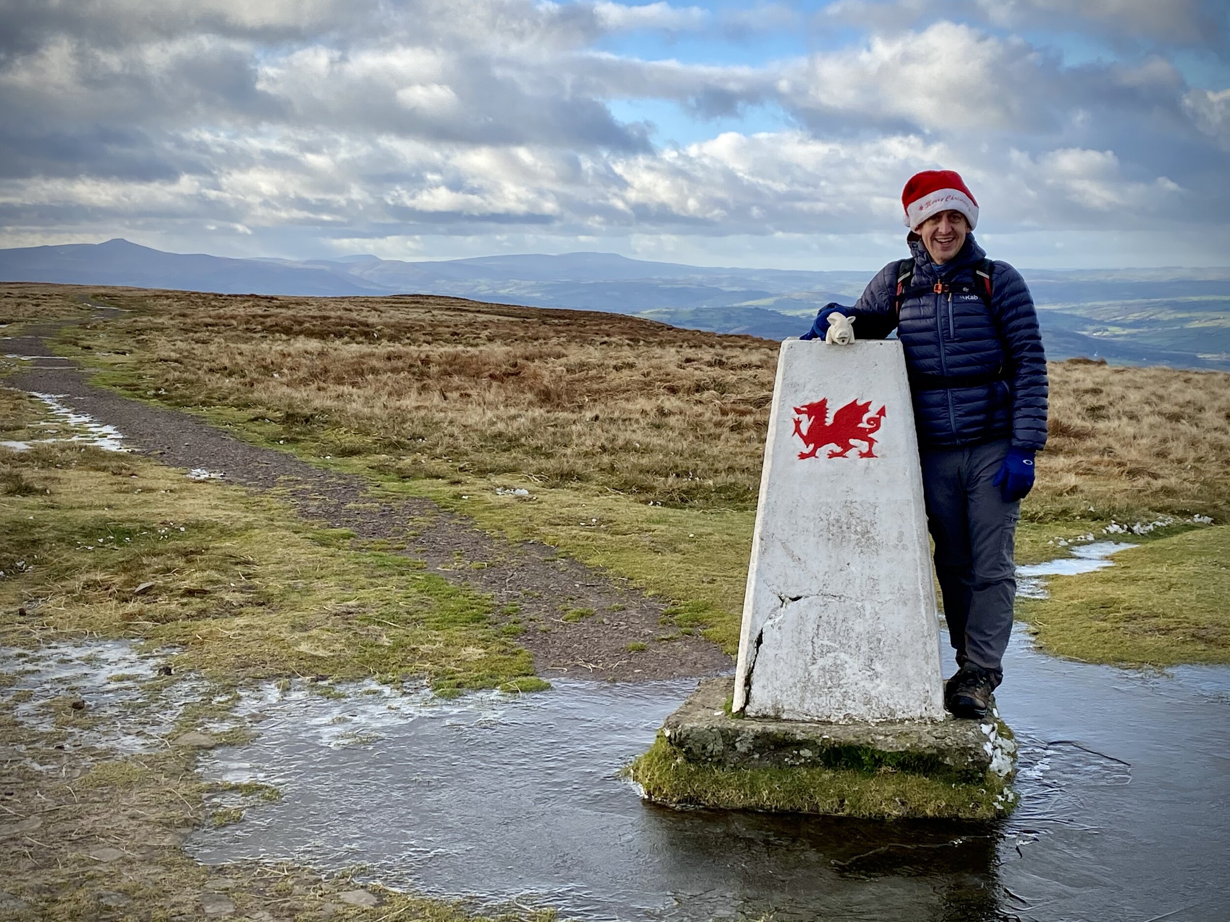
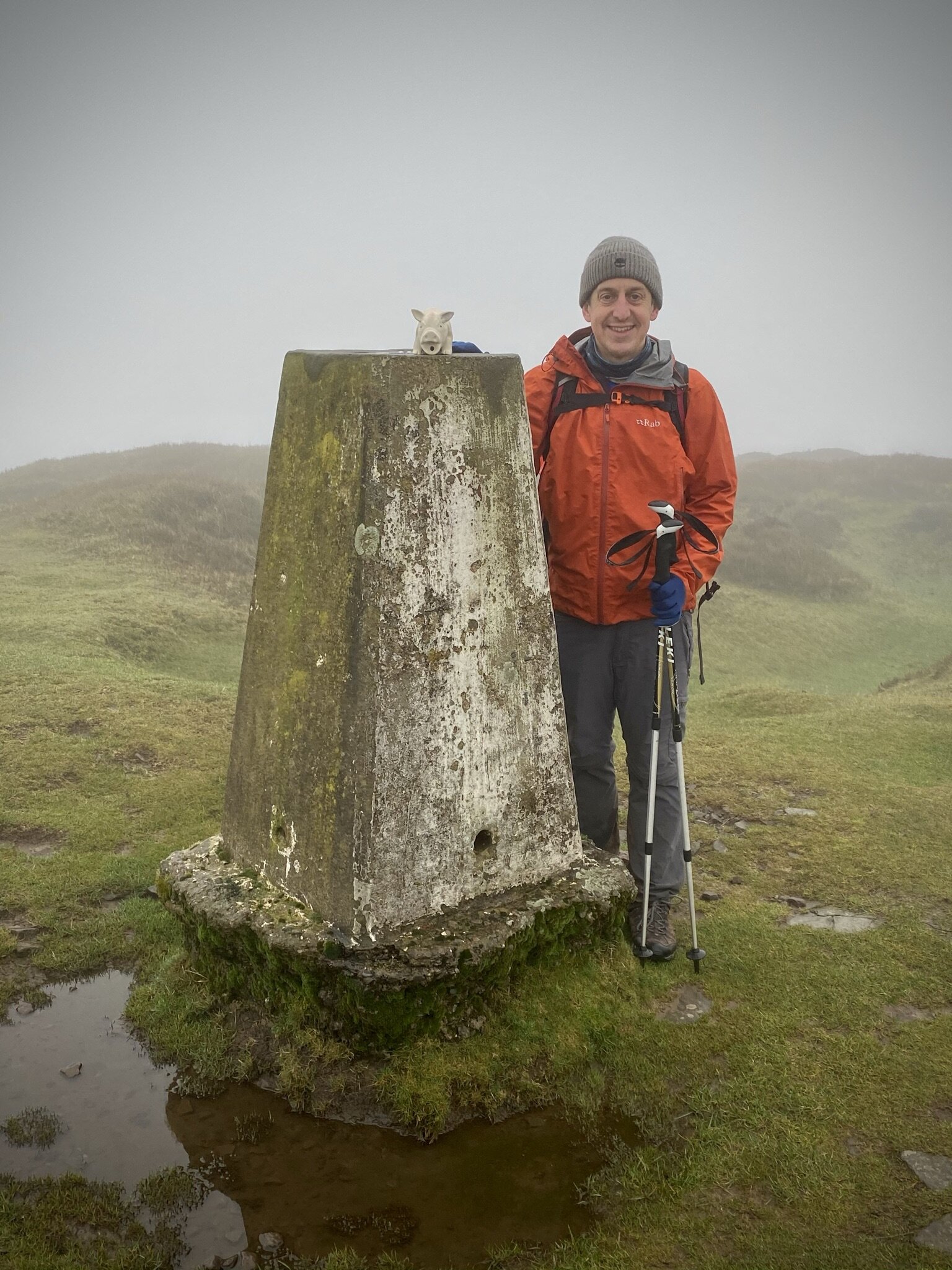
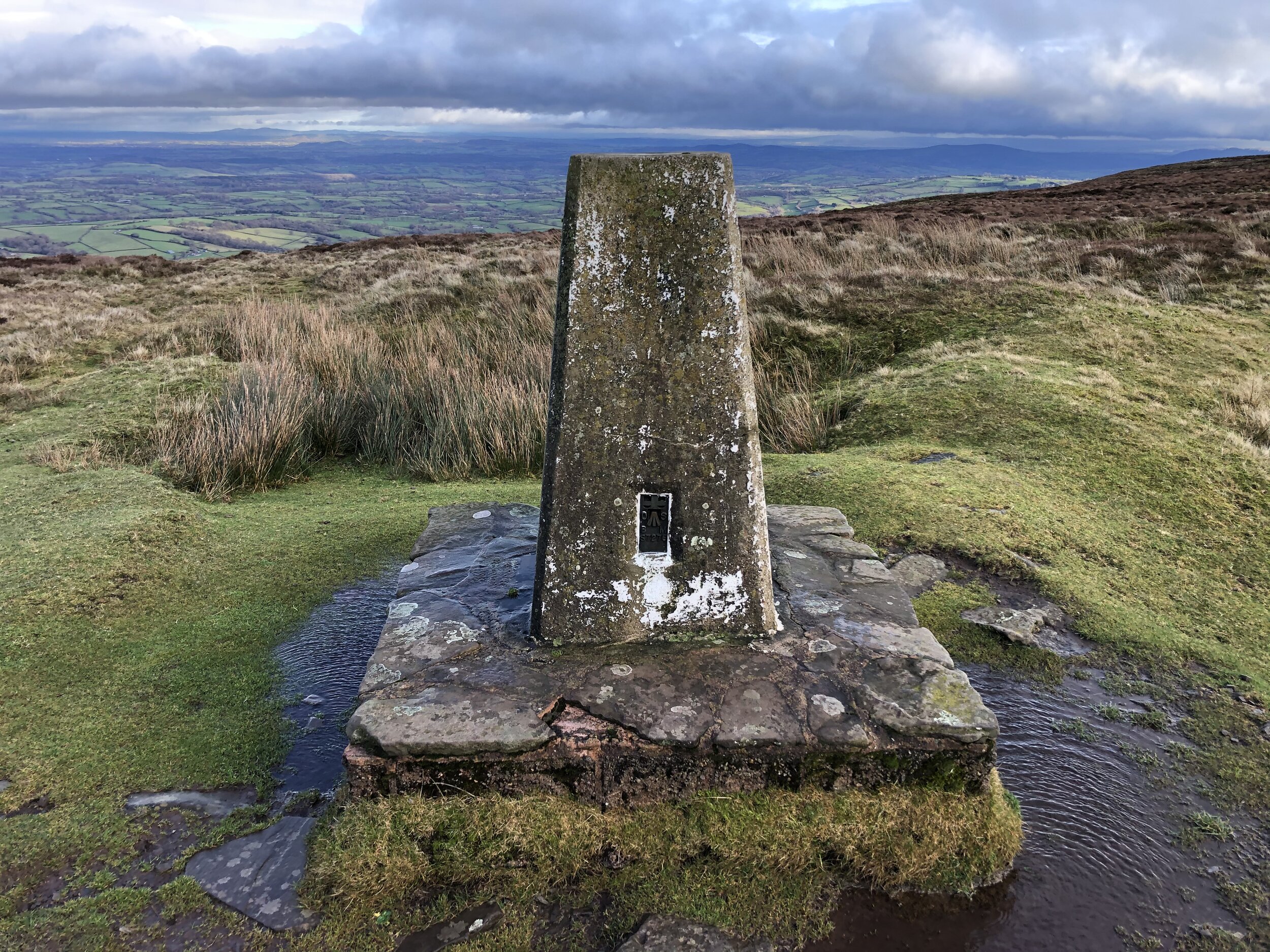
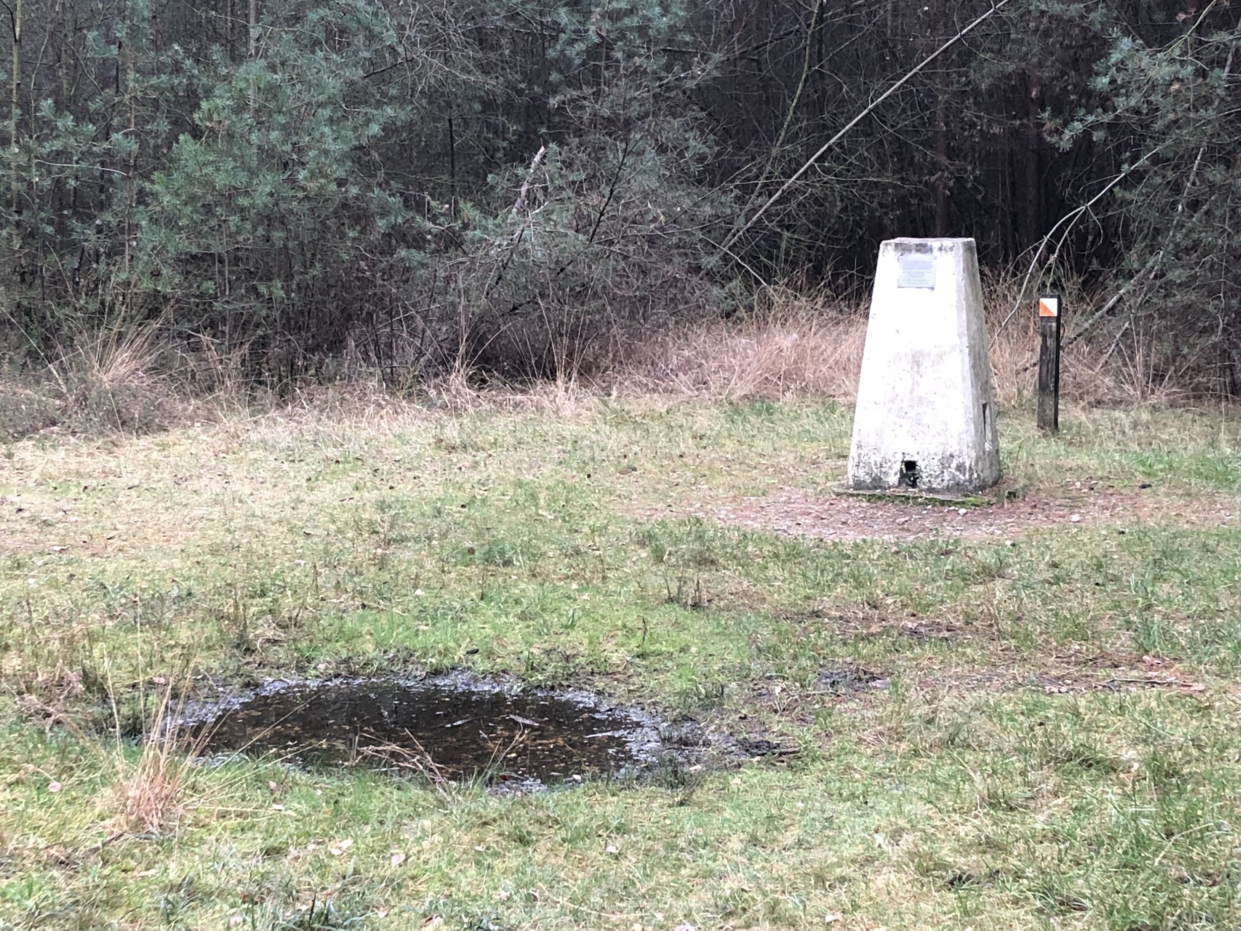
OS Trig Pillar: TP5536 - Pudding Hill
Map: OS Explorer Map (160) Windsor, Weybridge & Bracknell
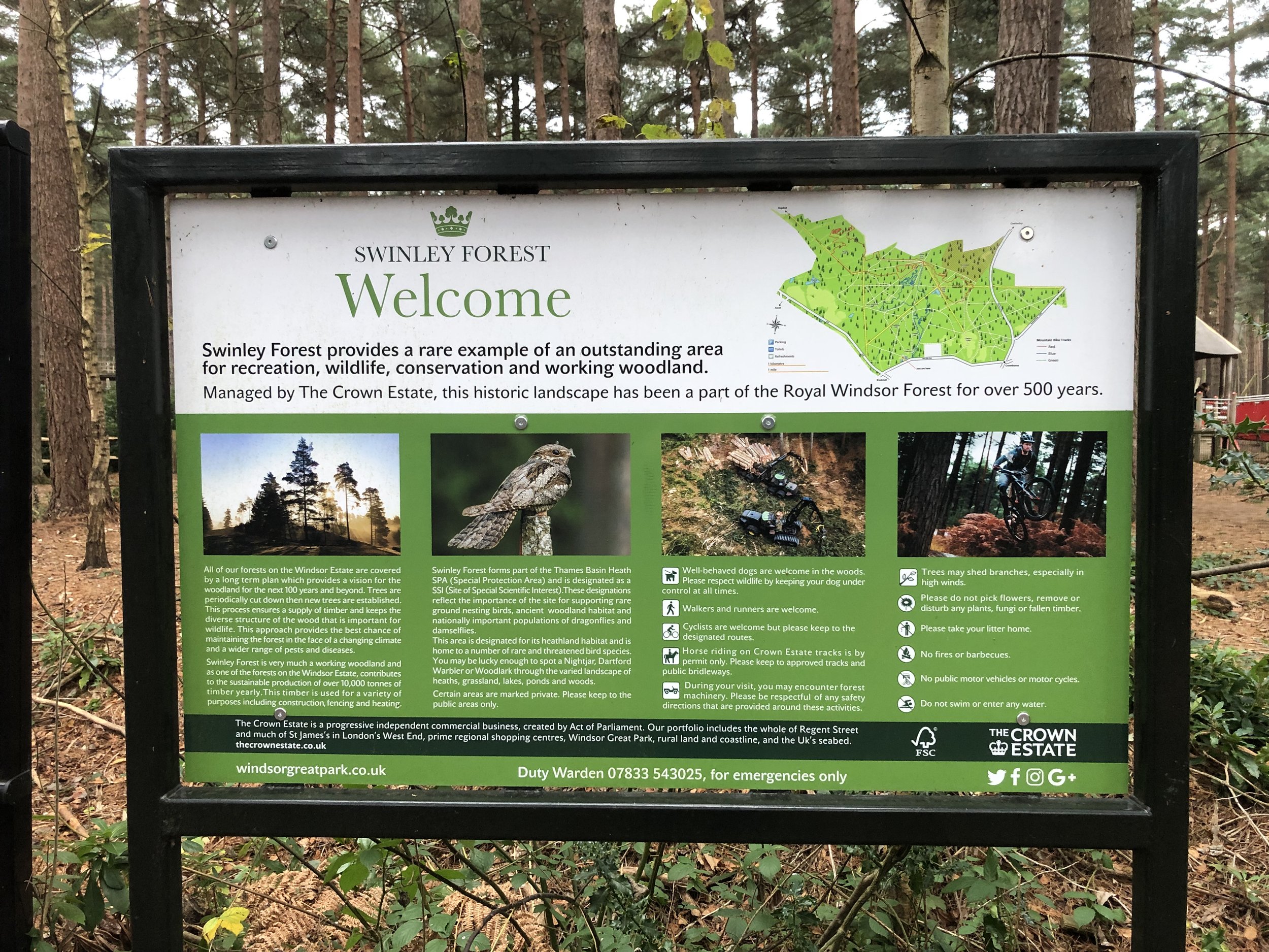
Links: Swinley Forest, The Lookout Discovery Centre
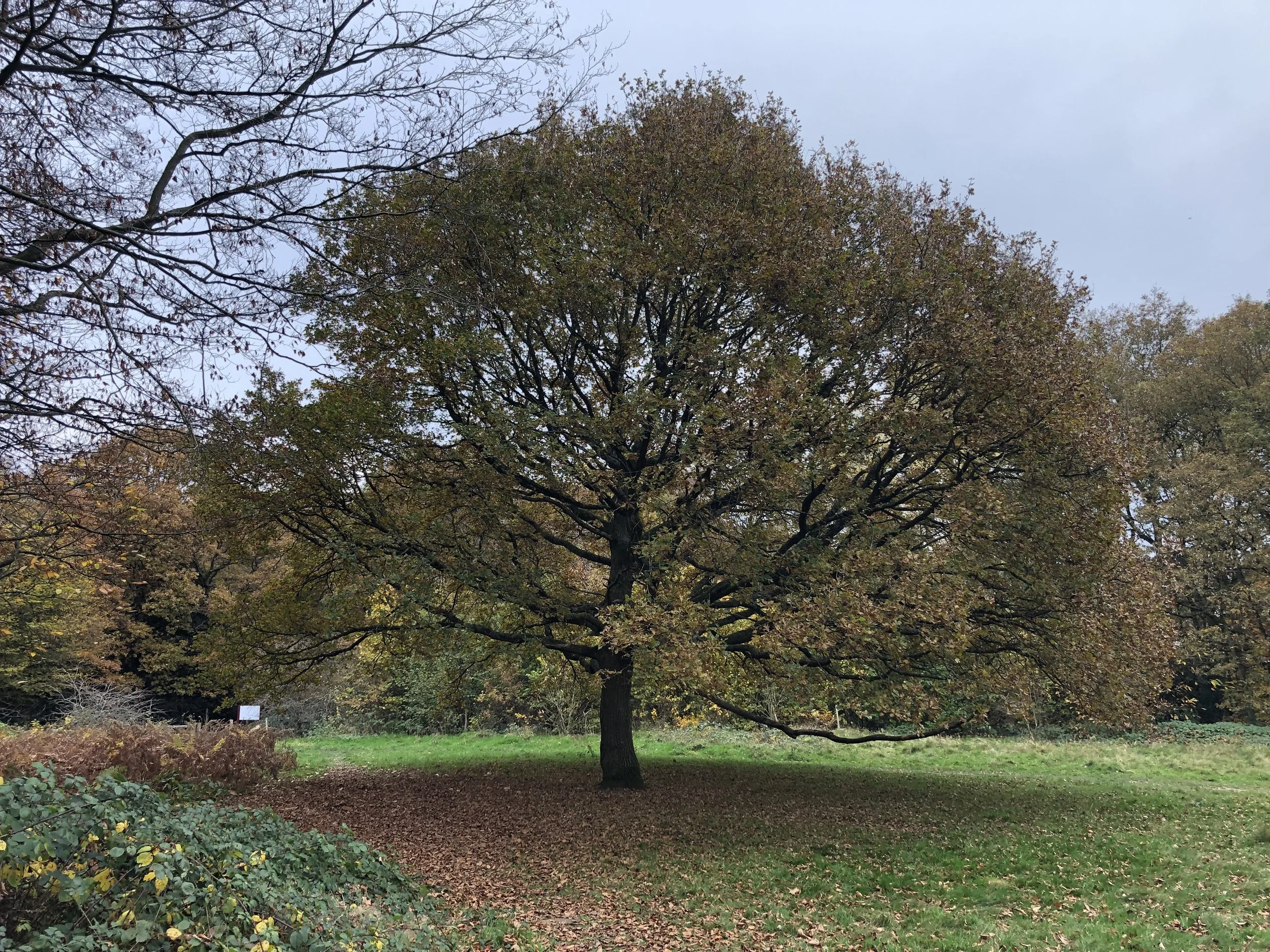
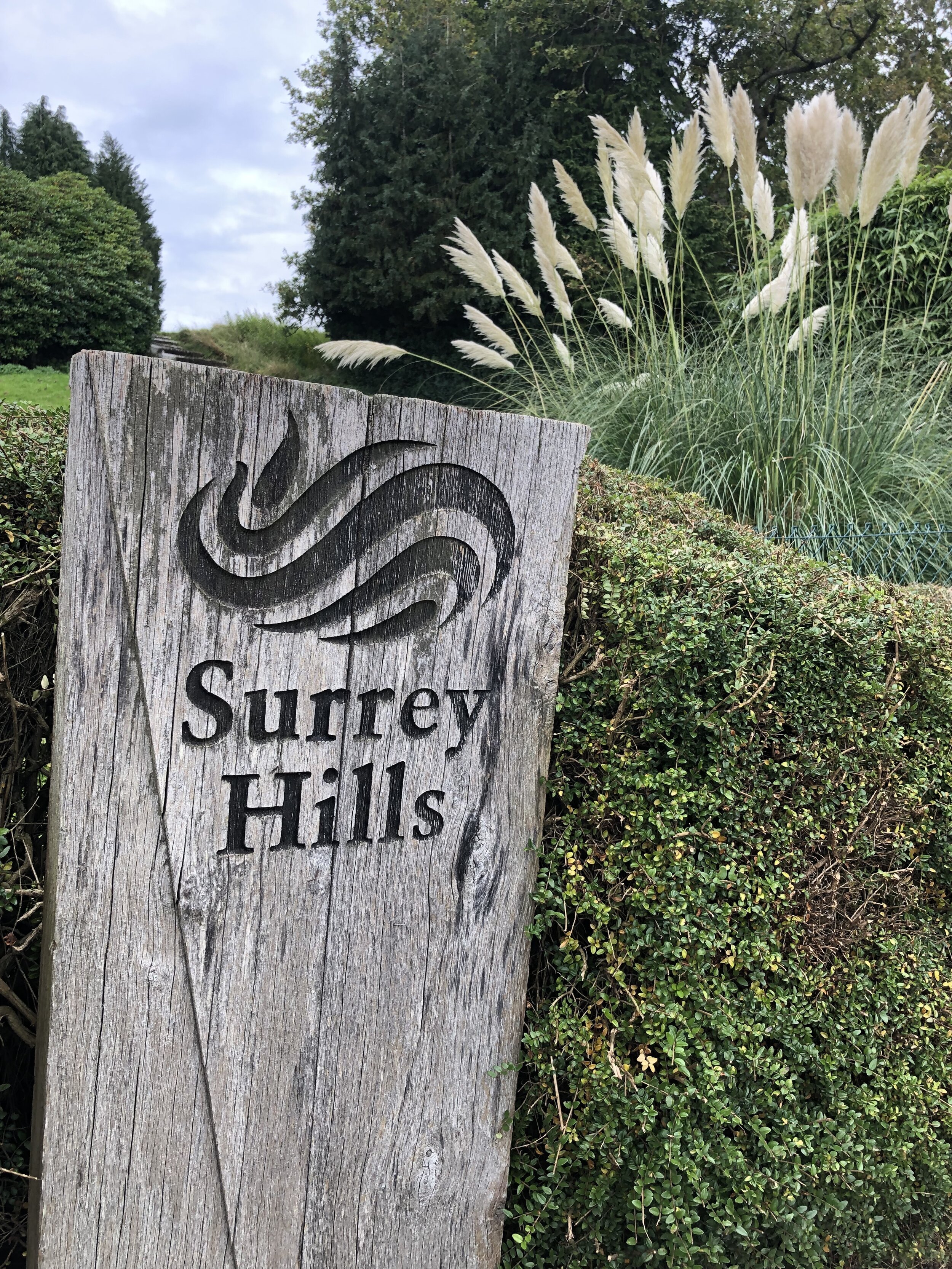
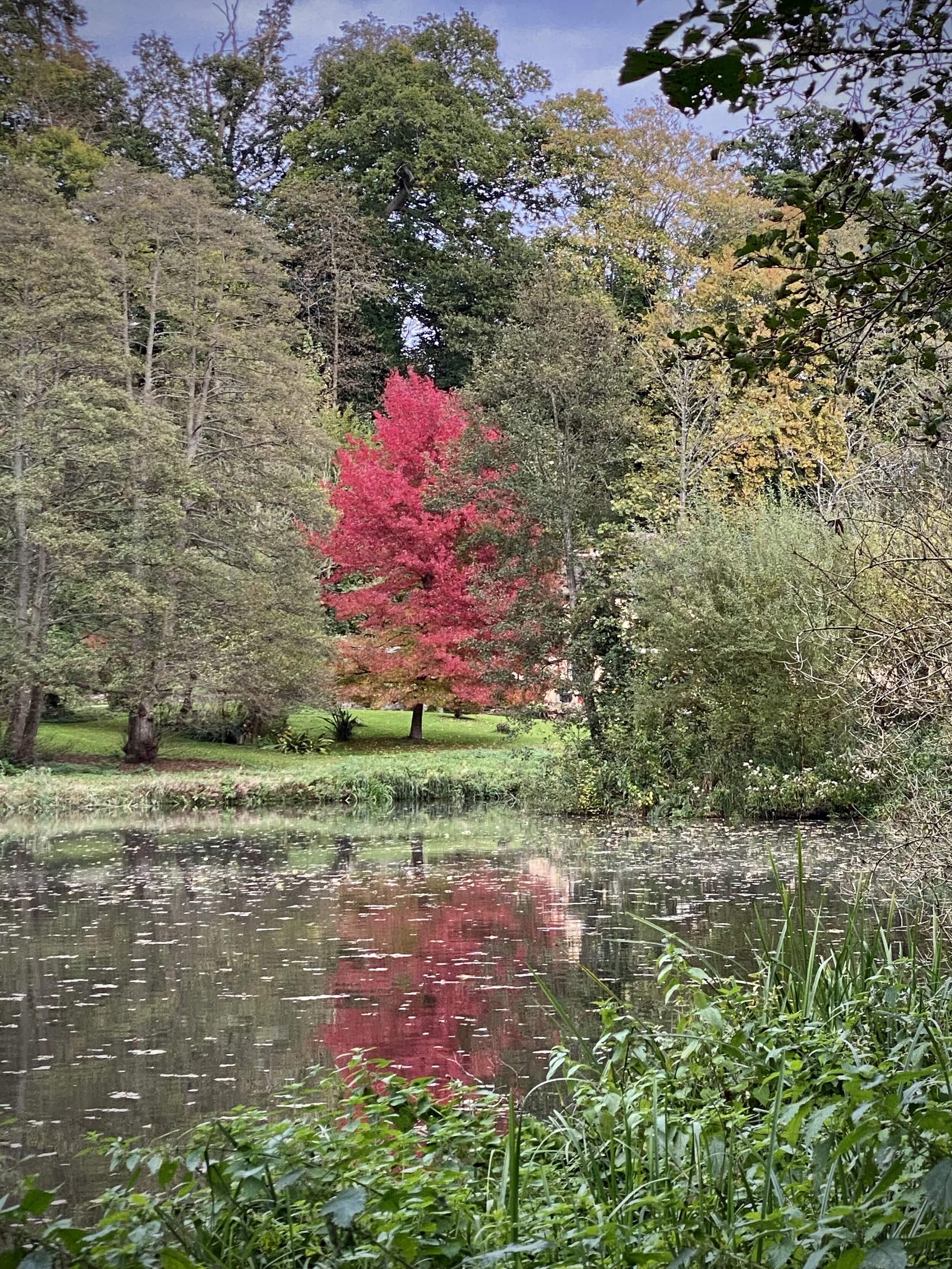
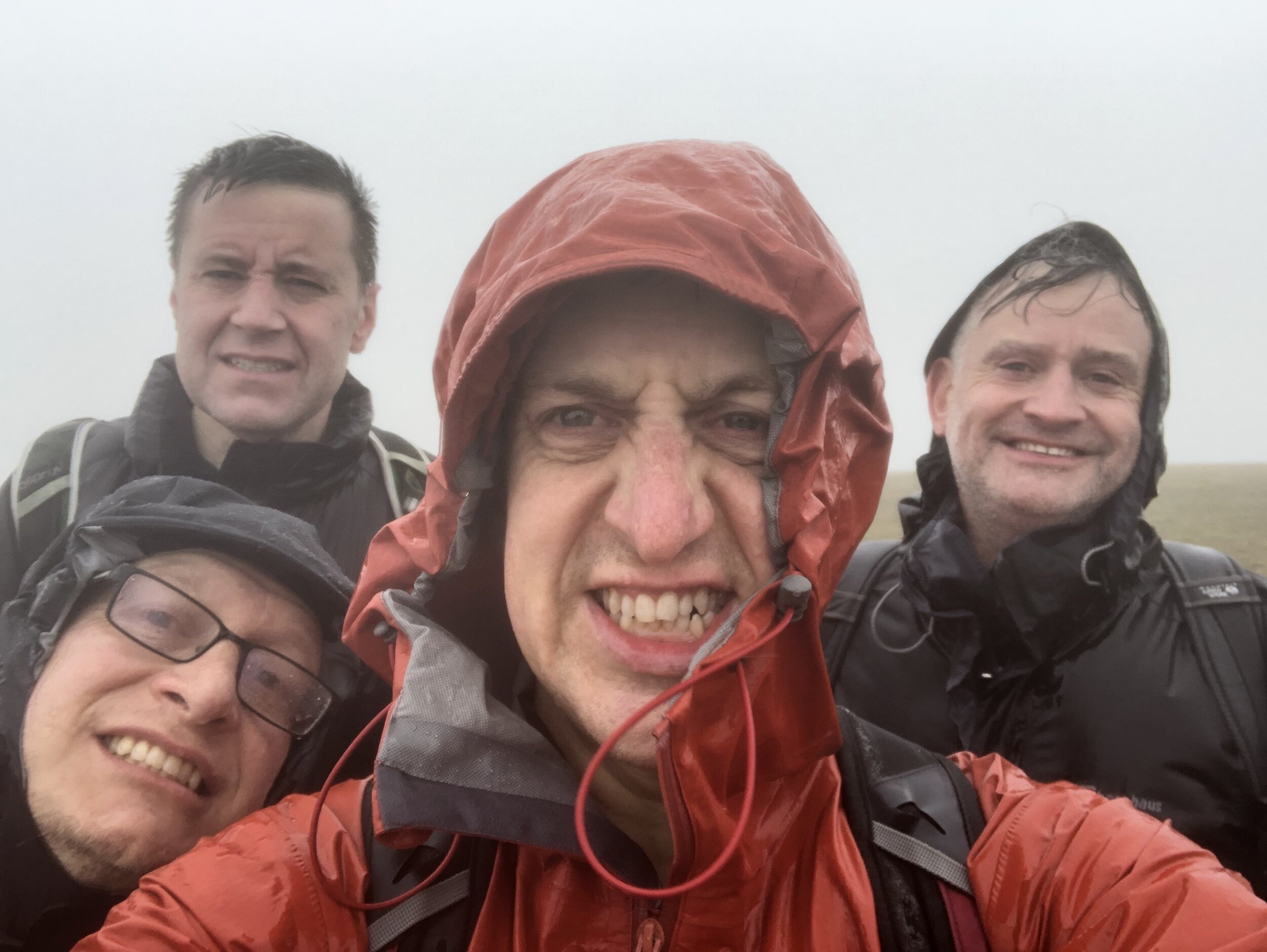
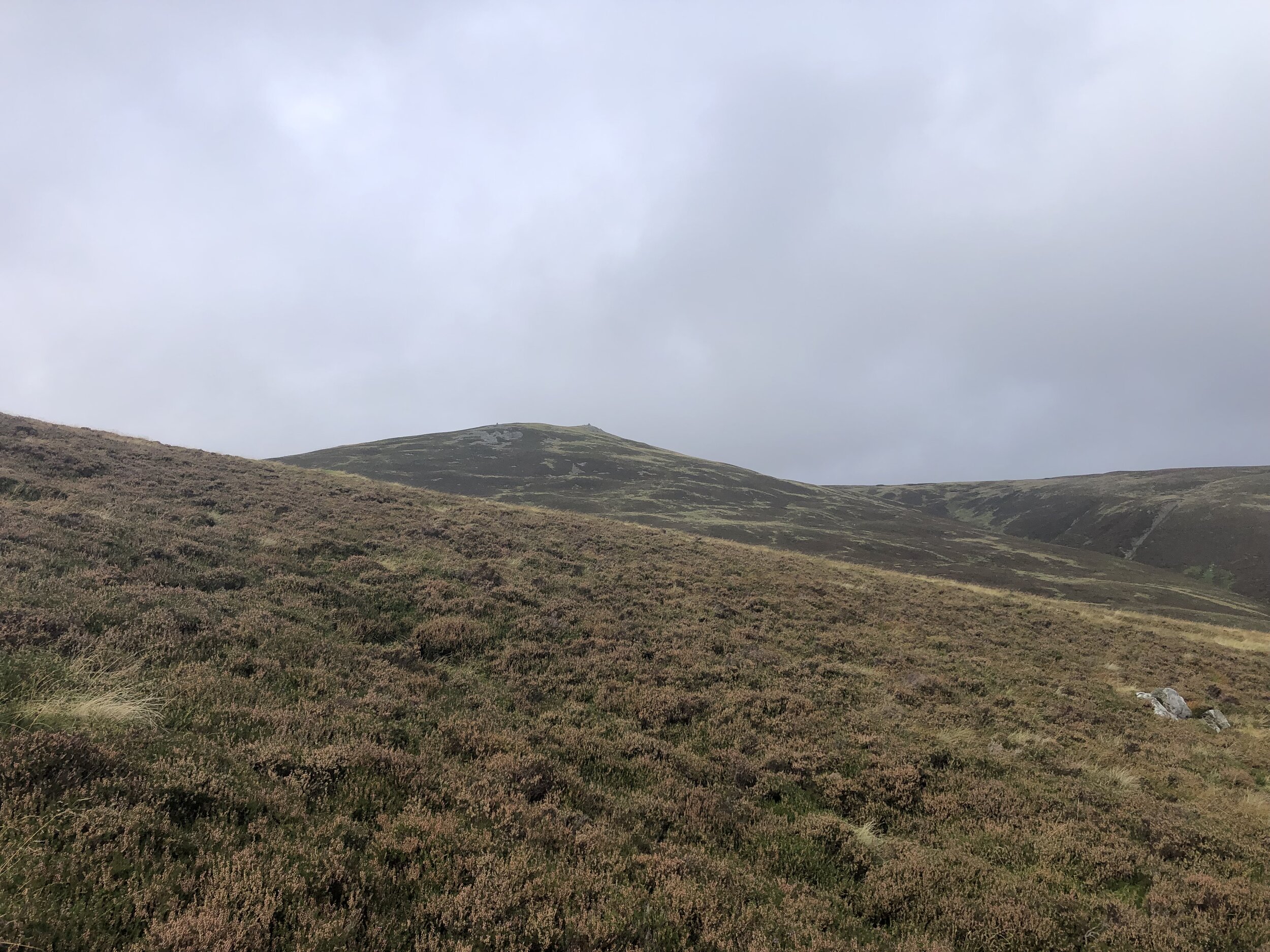
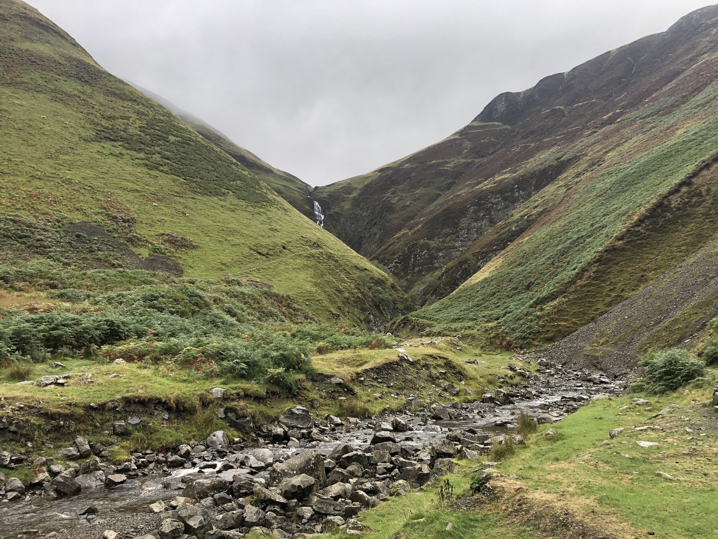
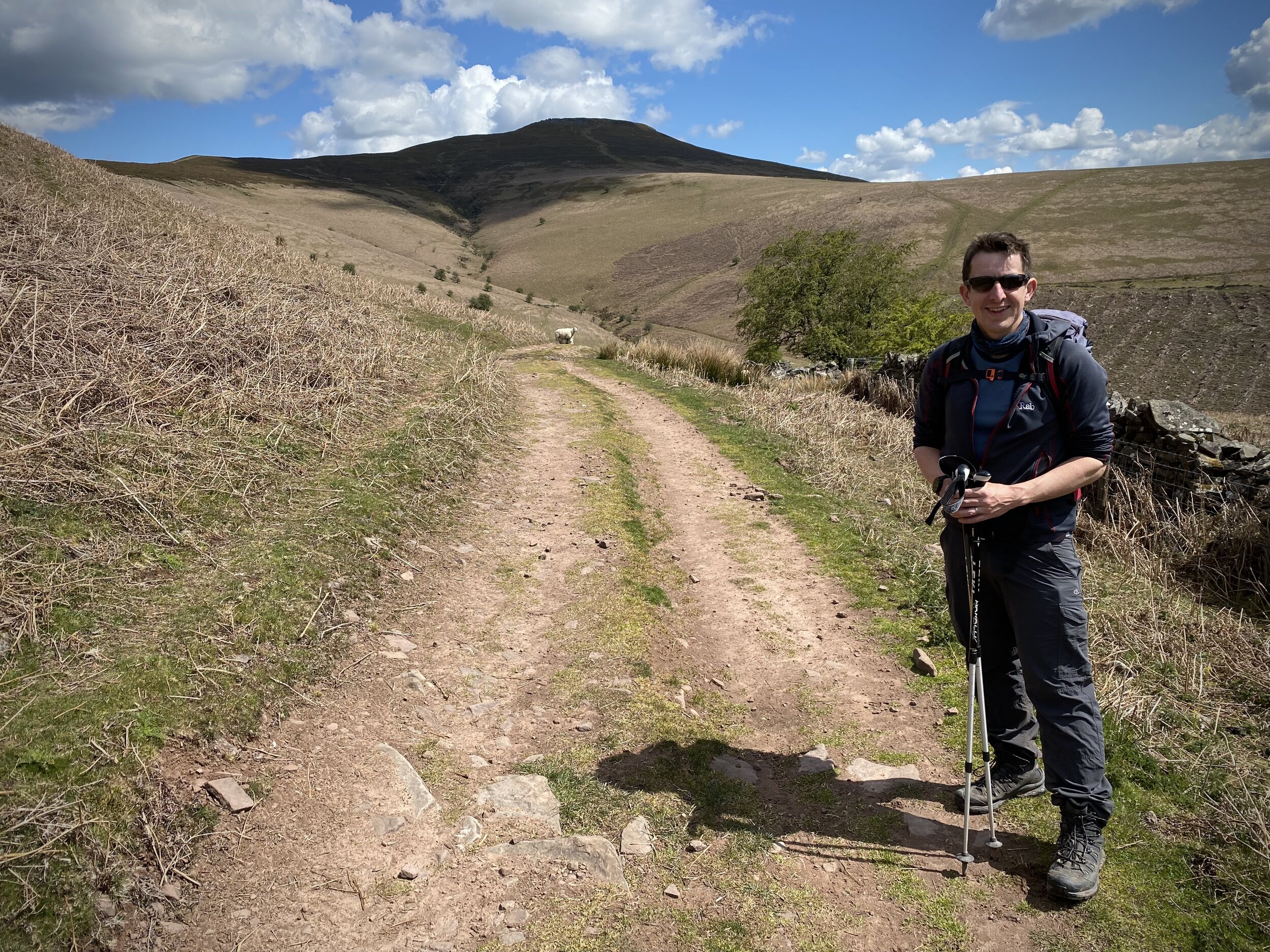
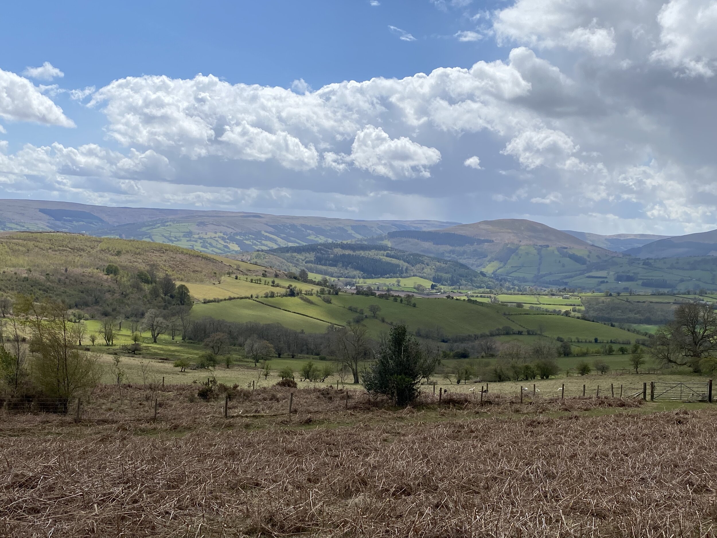
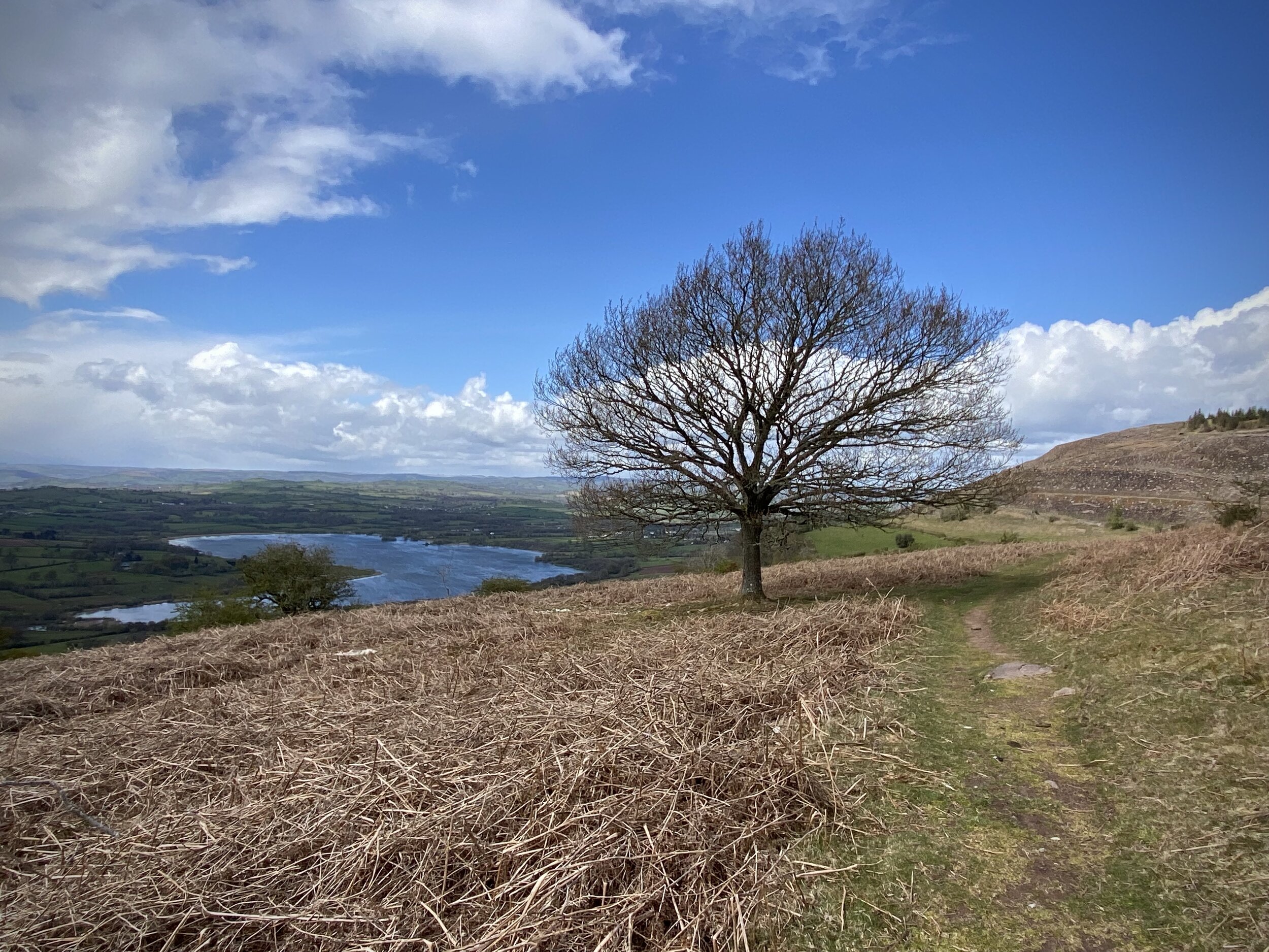
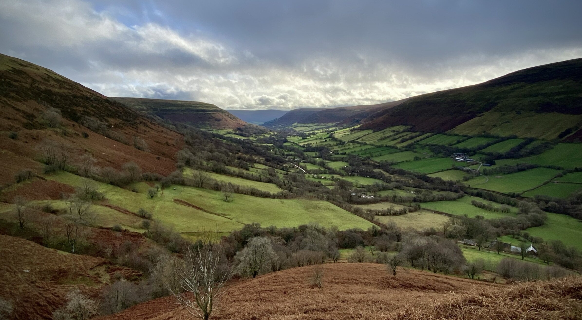
I had visited Swinley Forest many time but, until recently, had completed missed that it contains a present-day county top. Surrey Hill, the high point of the Unitary Authority of Bracknell Forest, can be found at the far south side of the forest.
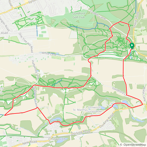
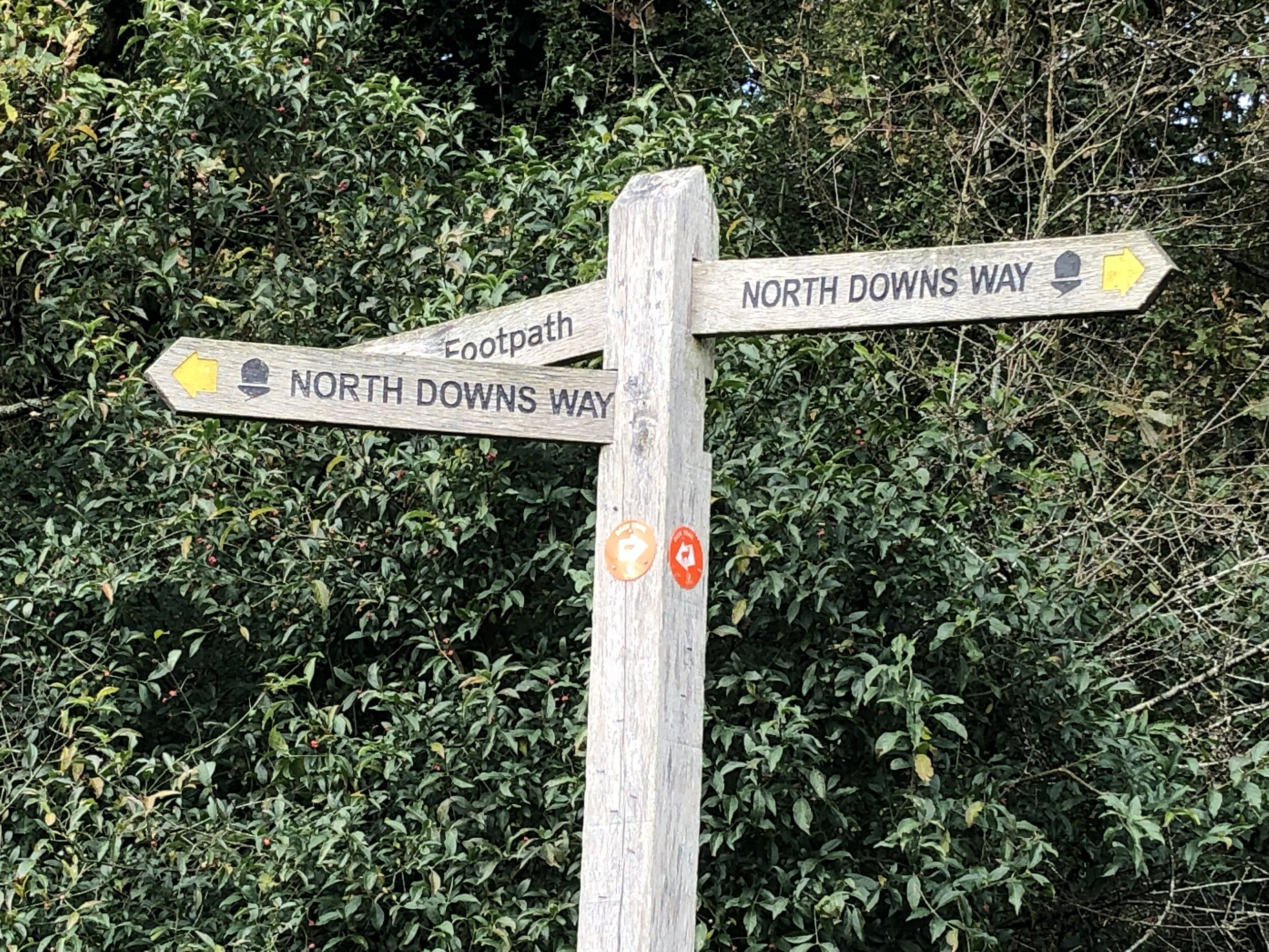
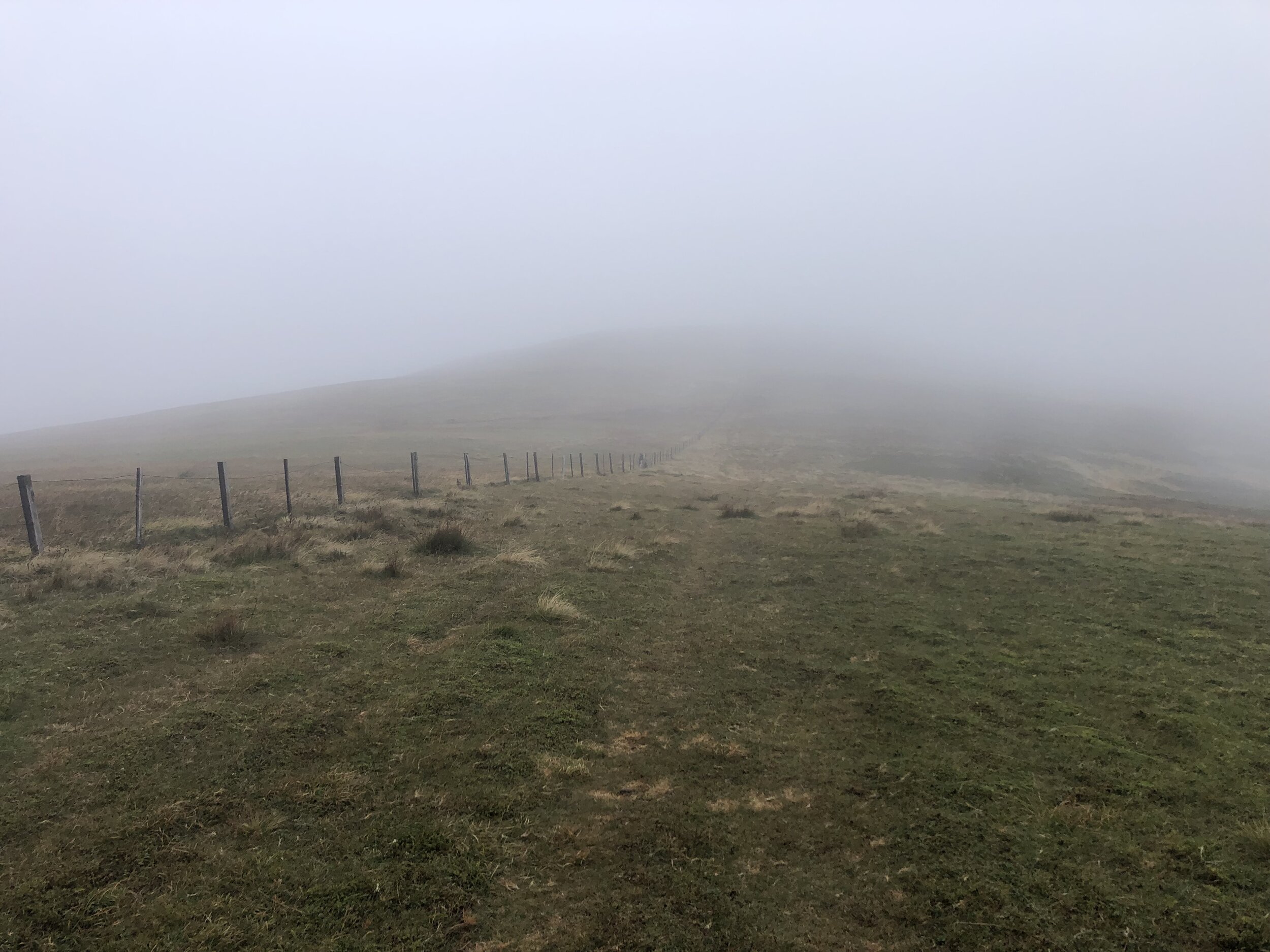
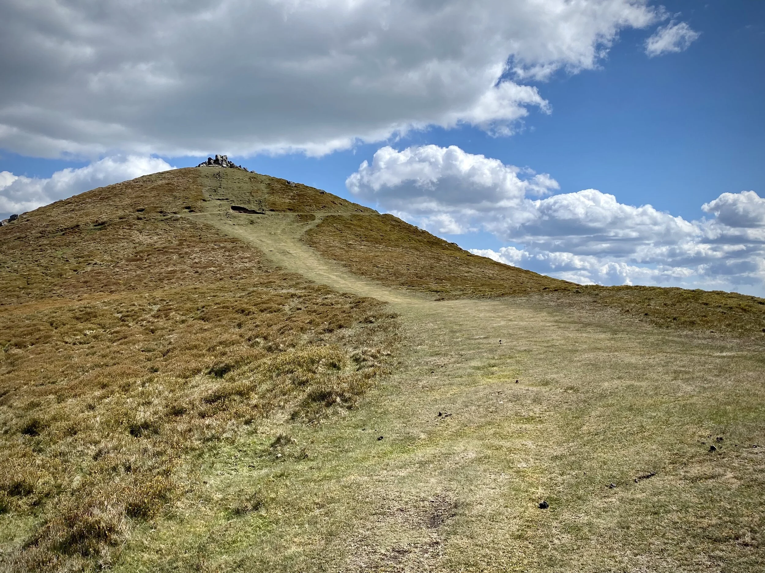
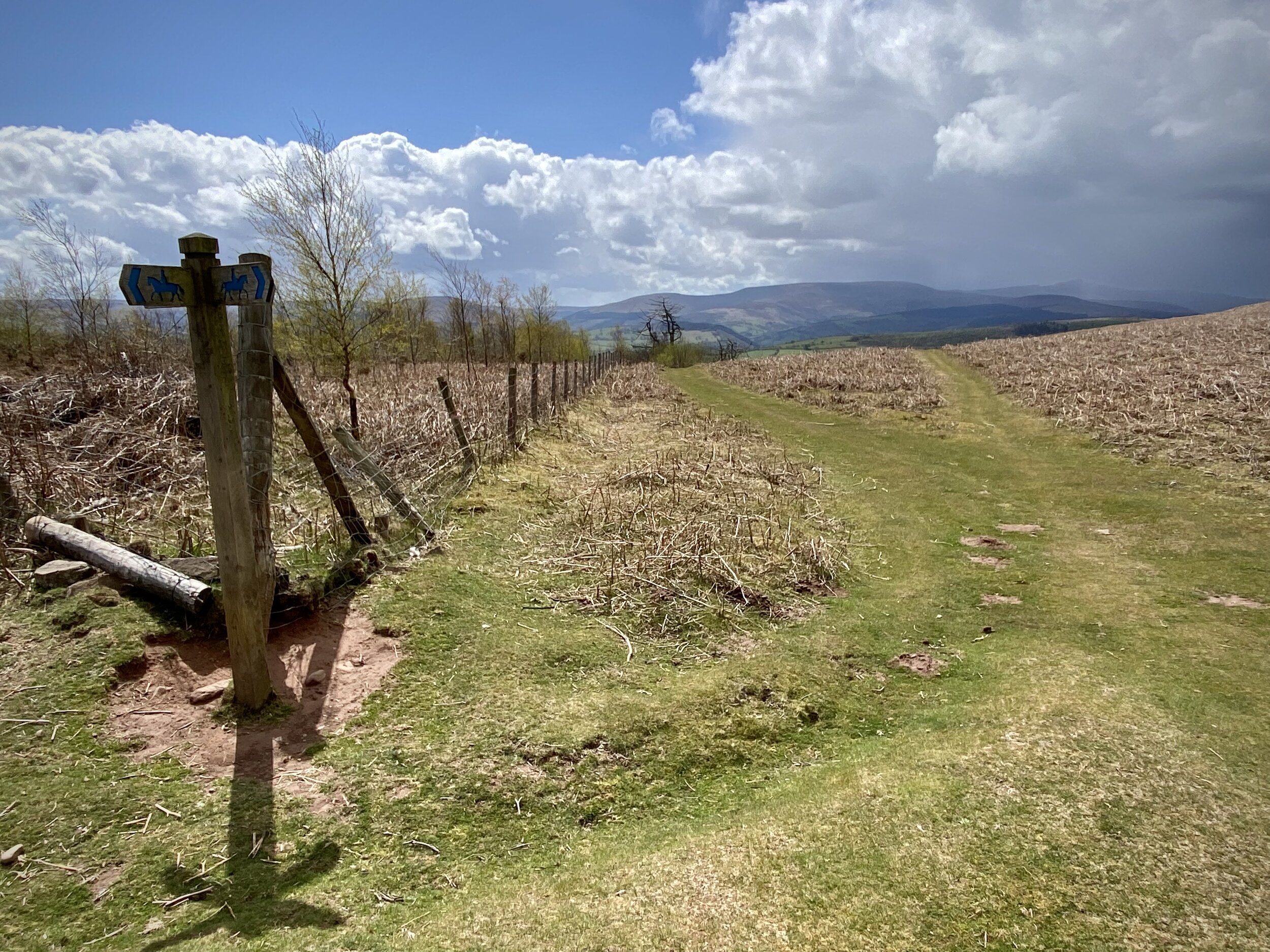
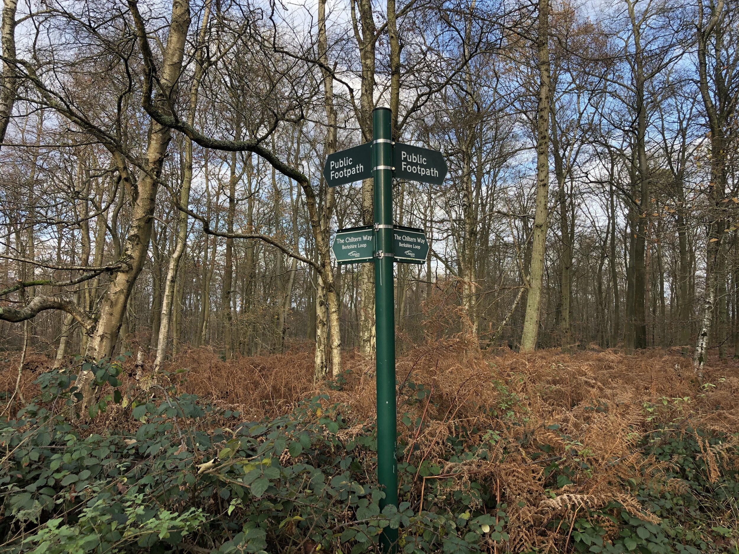
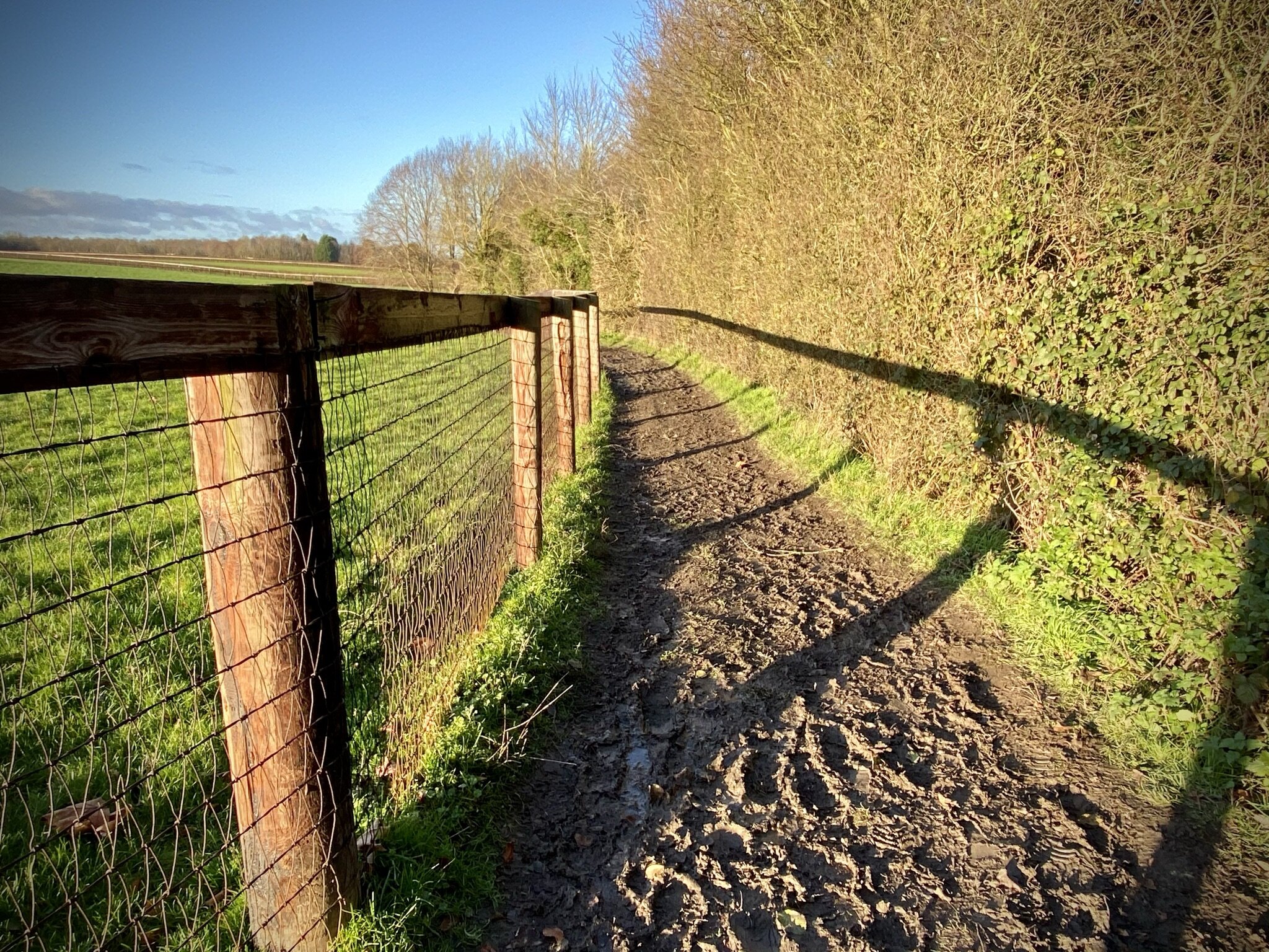
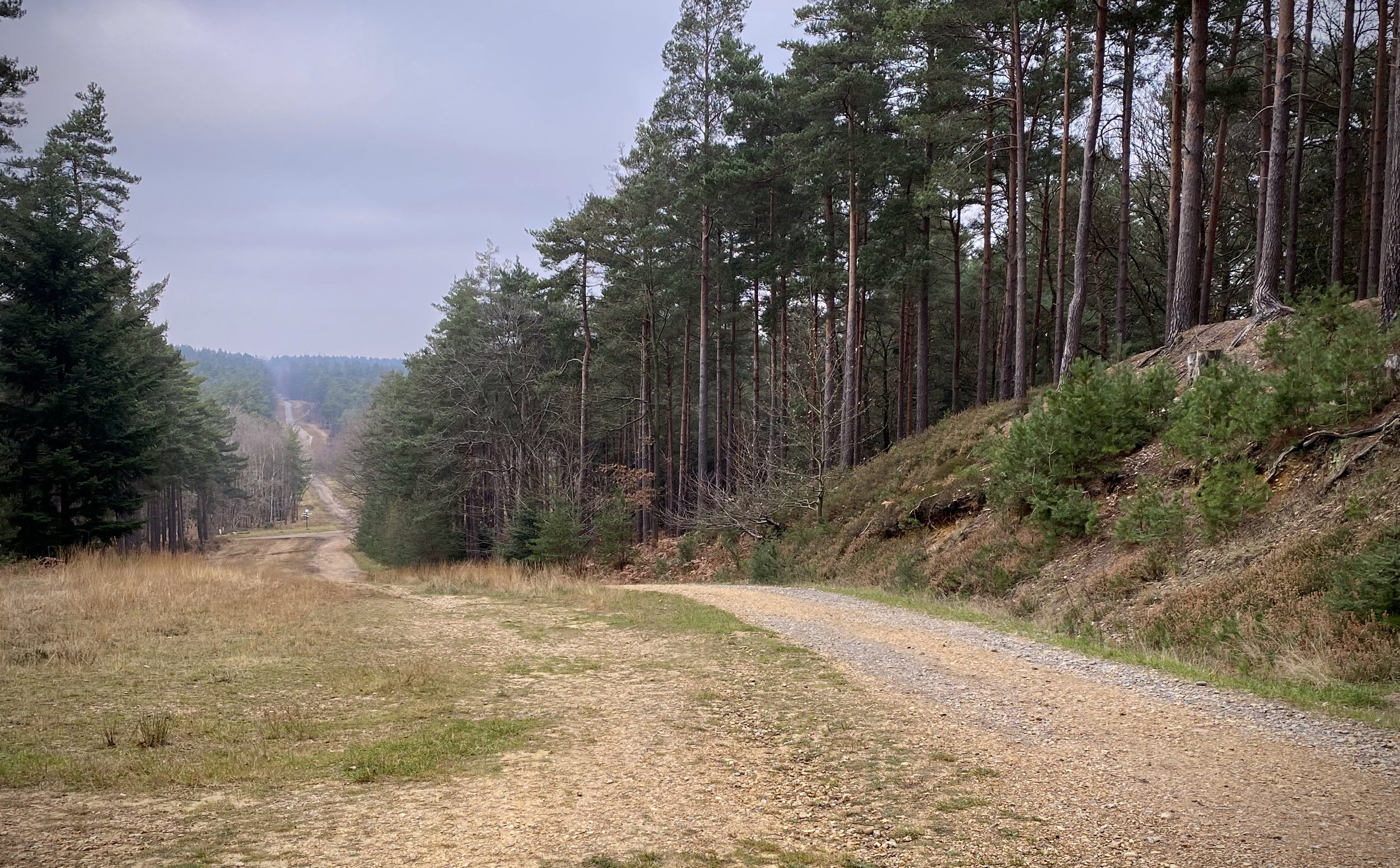
From the Look Out car park take the Rambler’s Route for 1.2 km south from the Discovery Centre. You’ll pass by the Pudding Hill Trig Pillar after 600m. When the Rambler’s Route take a sharp bend to the right, continue straight now heading south-east. There’s a lot of tracks and few sign-posts so having the GPX route is your best bet to keep you on the right route. Approx 400 metres after leaving the Rambler’s Route take the right hand path heading south-east rather than the larger track. This will take you past New England Hill and will meet up with Bracknell Road (track) after 670 metres. Take a right onto Bracknell Road and follow it south. You’ll reach a sign for Surrey Hill at a larger path junction before ascending to the high point.
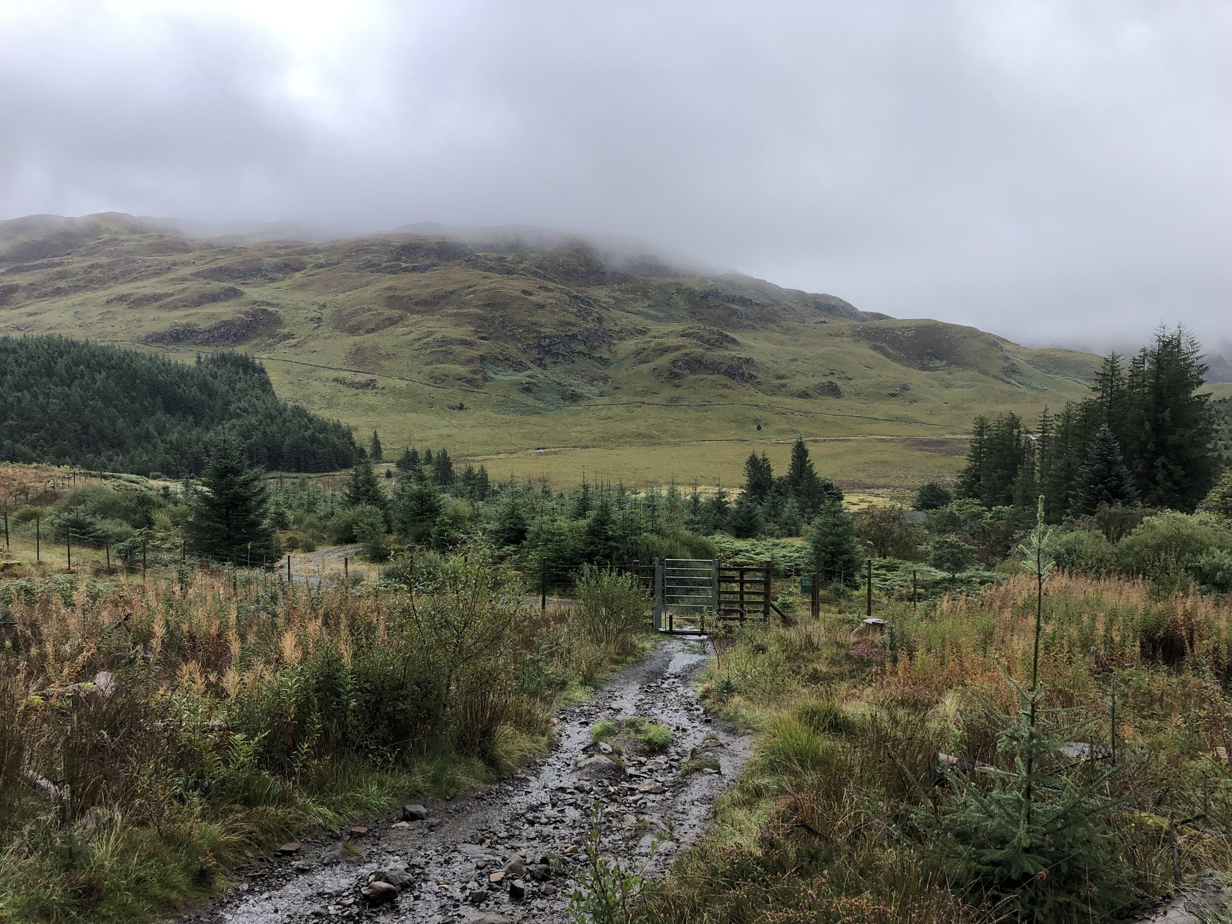
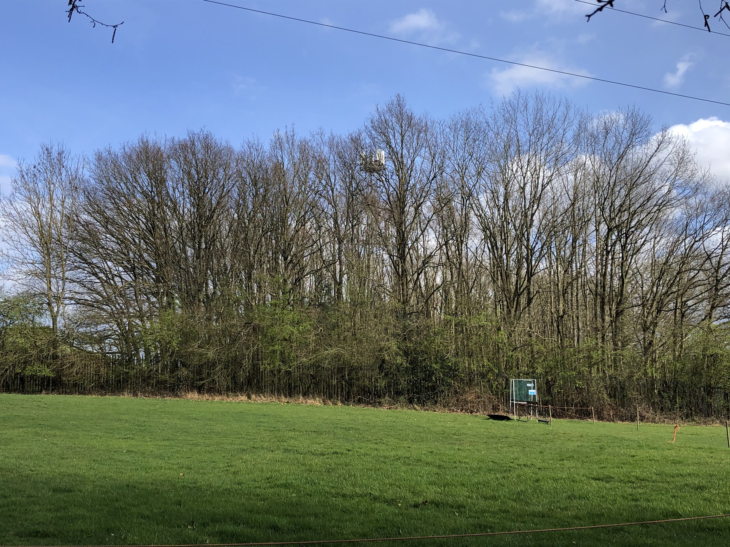
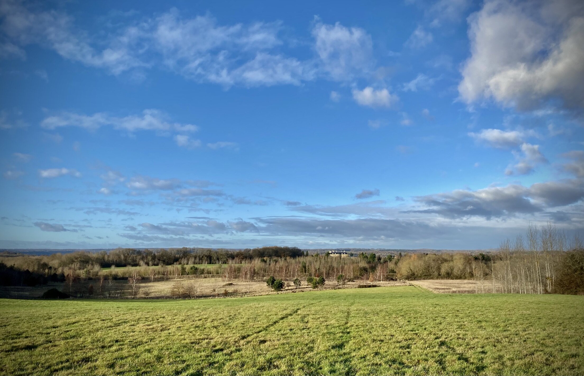
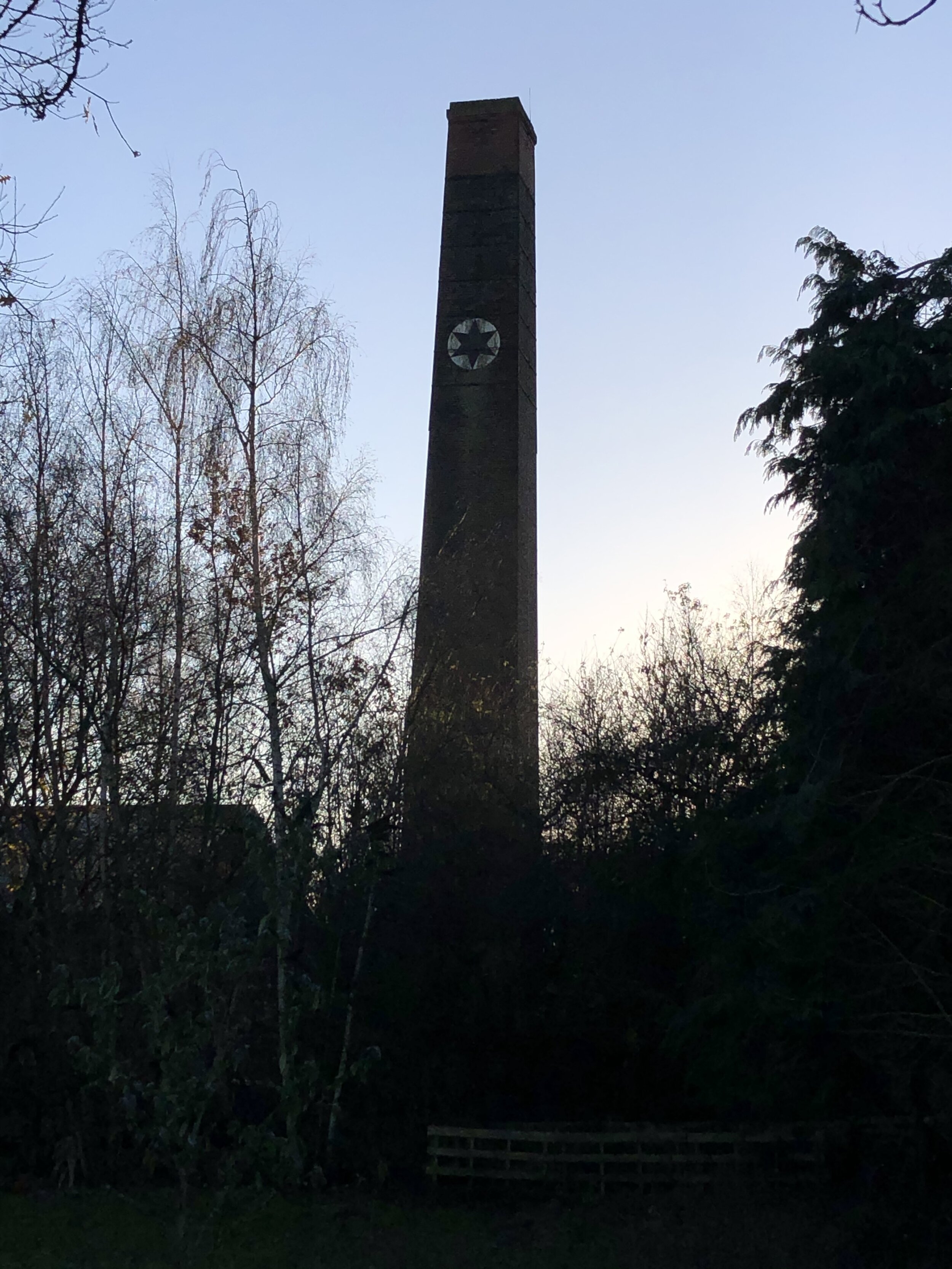
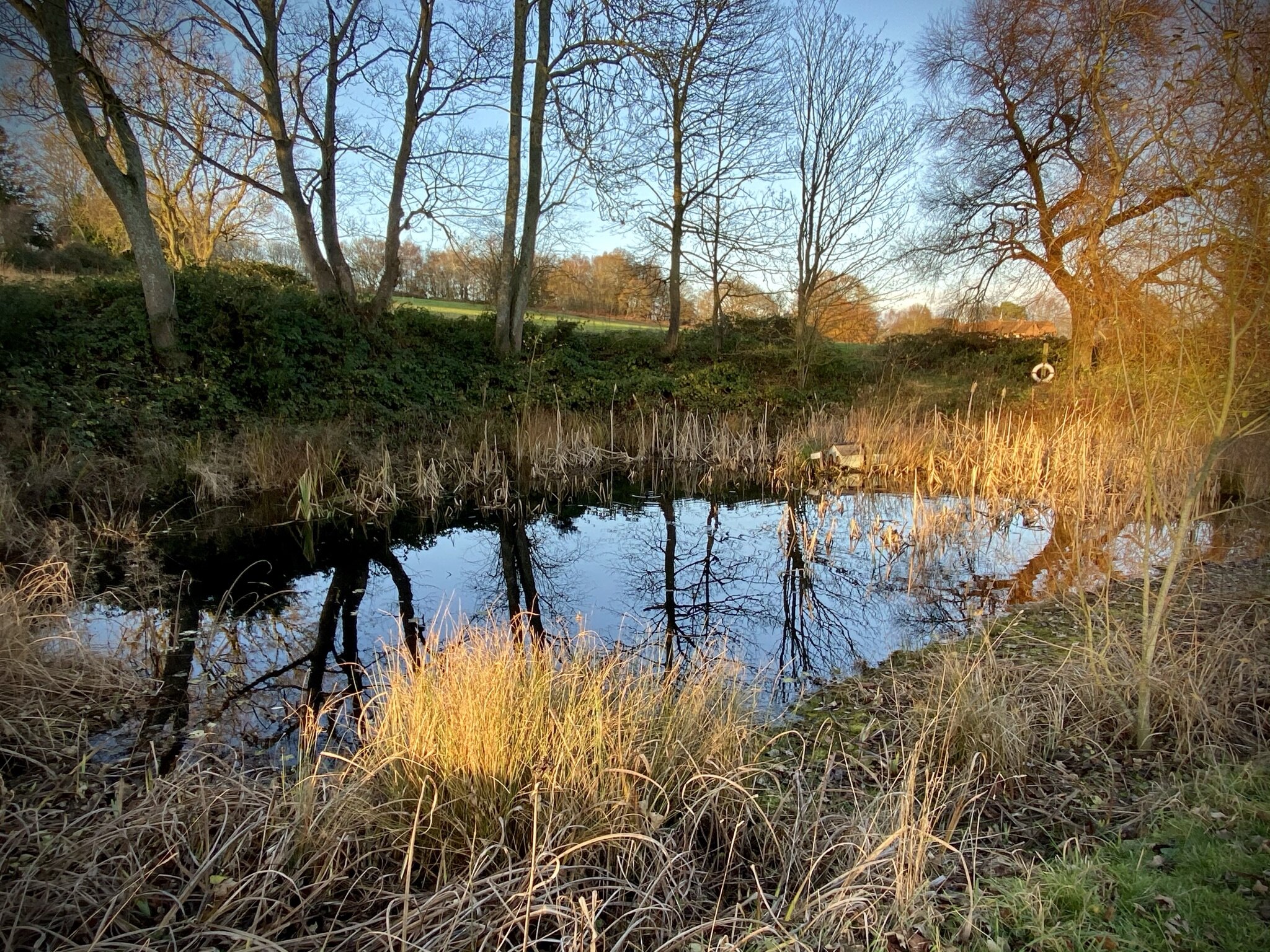
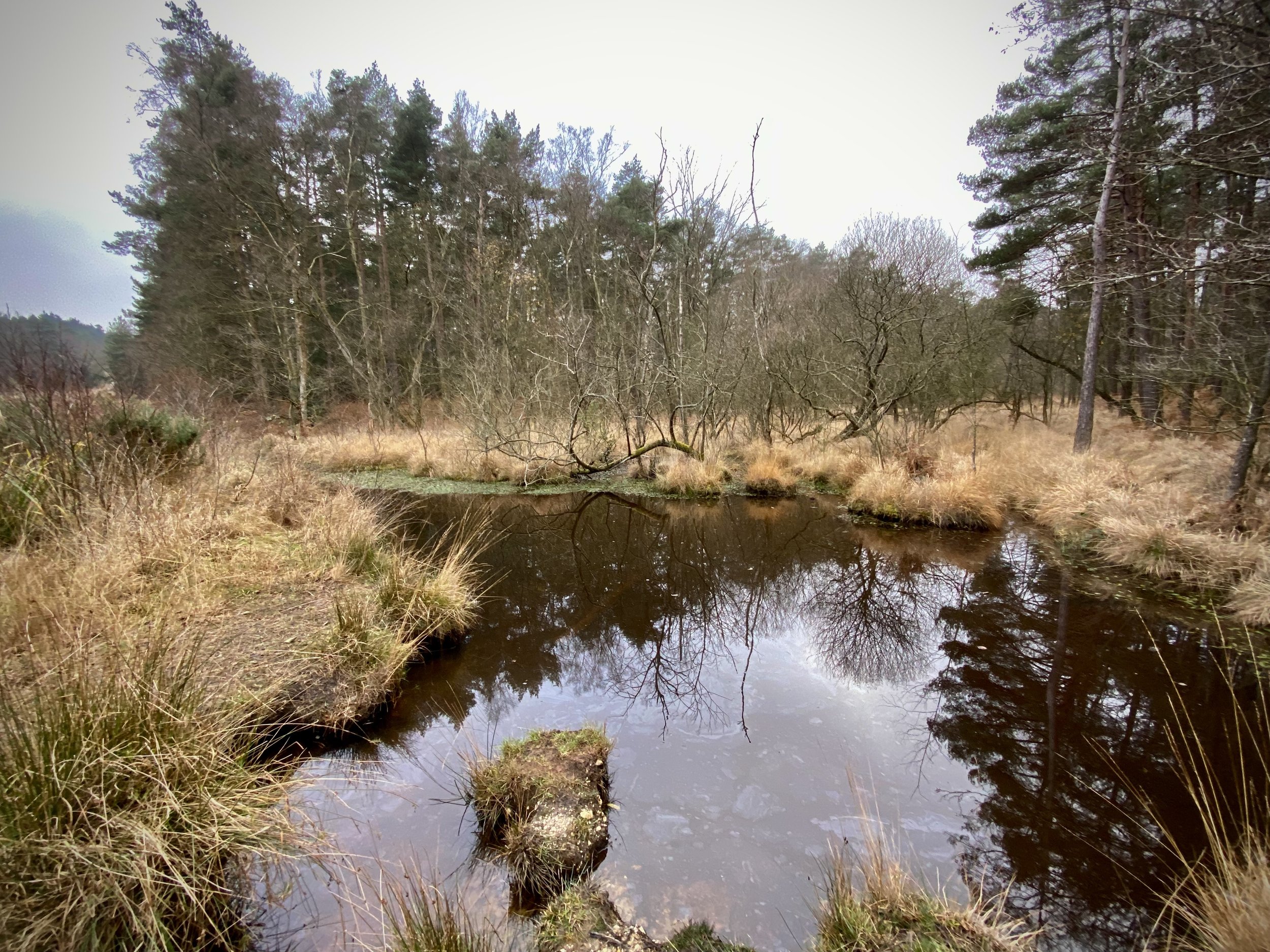
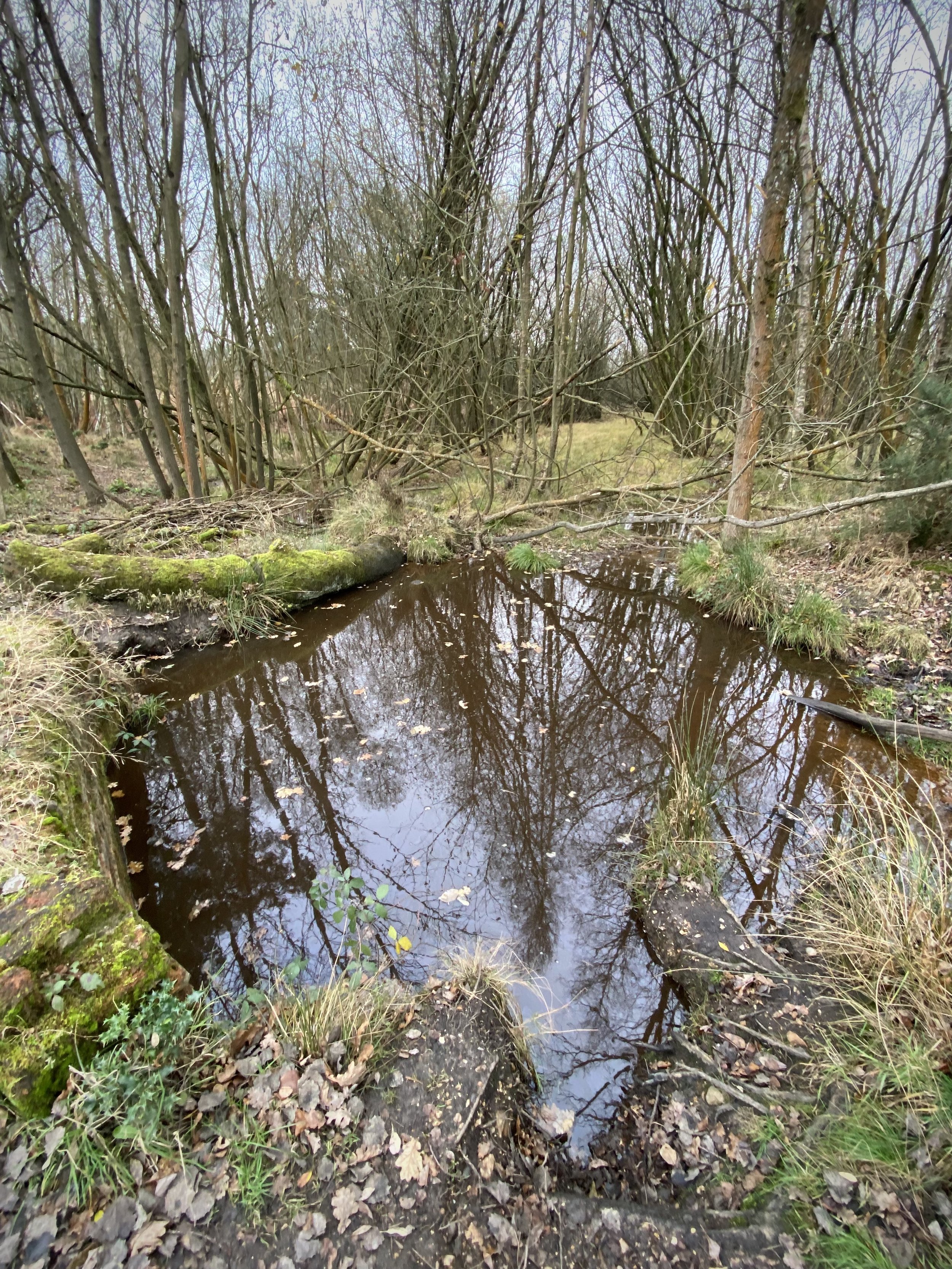
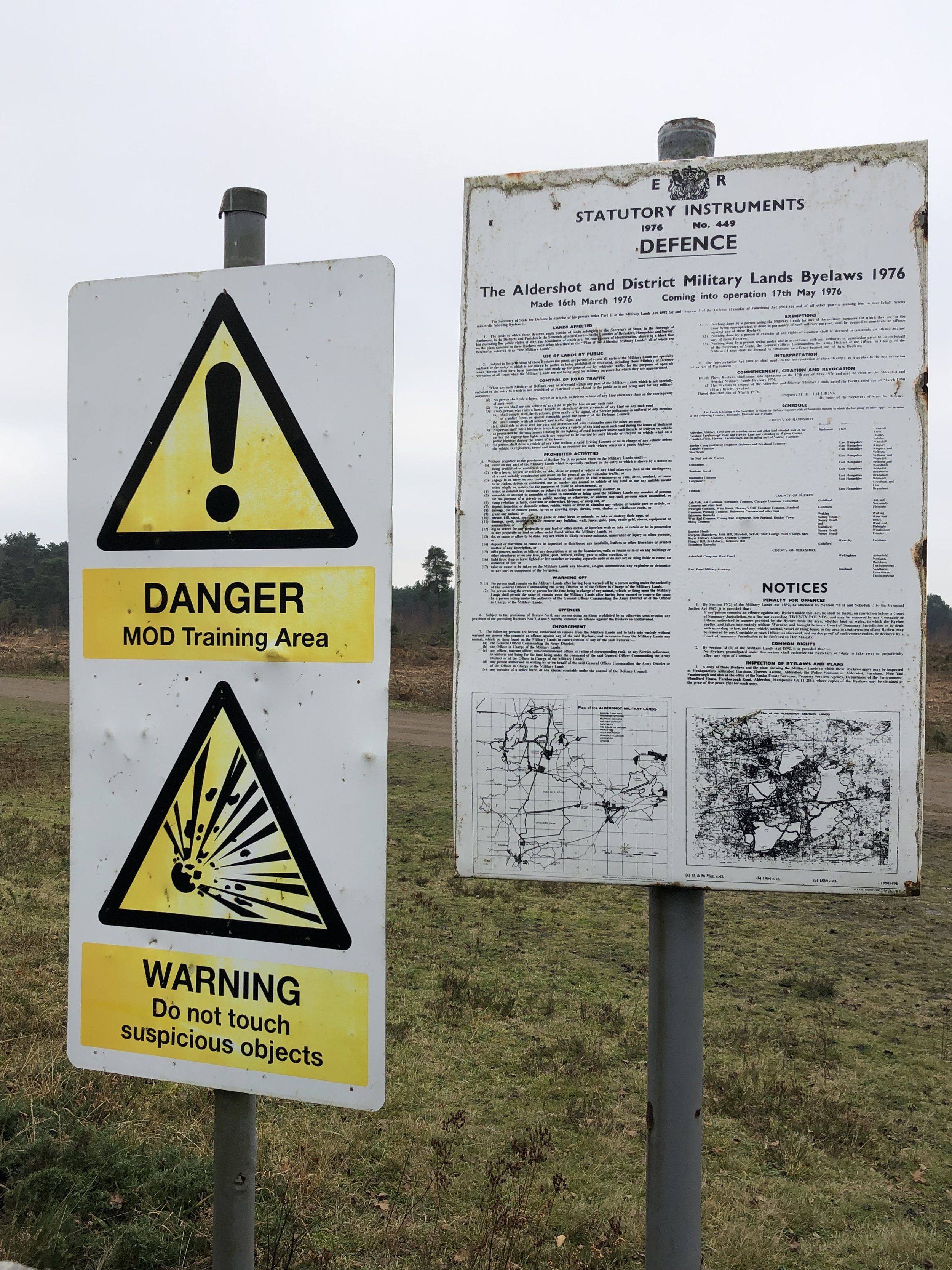
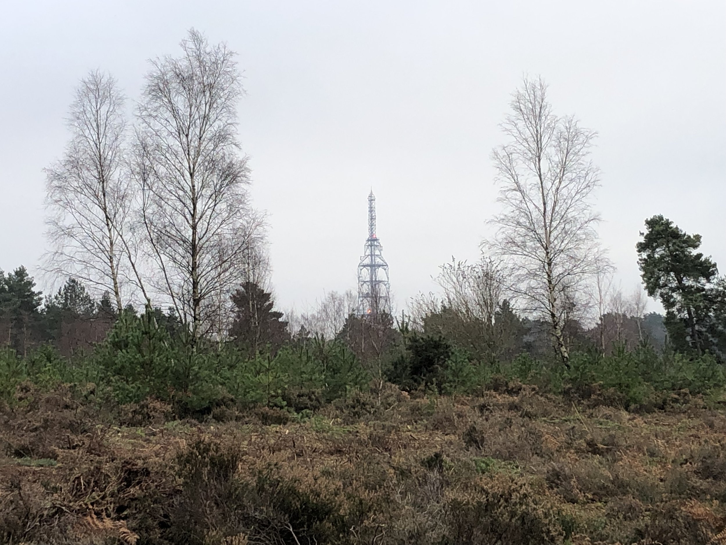
After Surrey Hill keep heading south toward the large transmitter before turning right ~750m from Surrey Hill summit. You’ll now be heading south/south-west across some open land, eventually meeting a fence. This is the boundary of Swinley Forest and neighboring MOD land. Cross through the gate and follow the paths past Deer Rock Hill to meet a long straight path heading north-west. This section is especially tricky to navigate without a GPS.
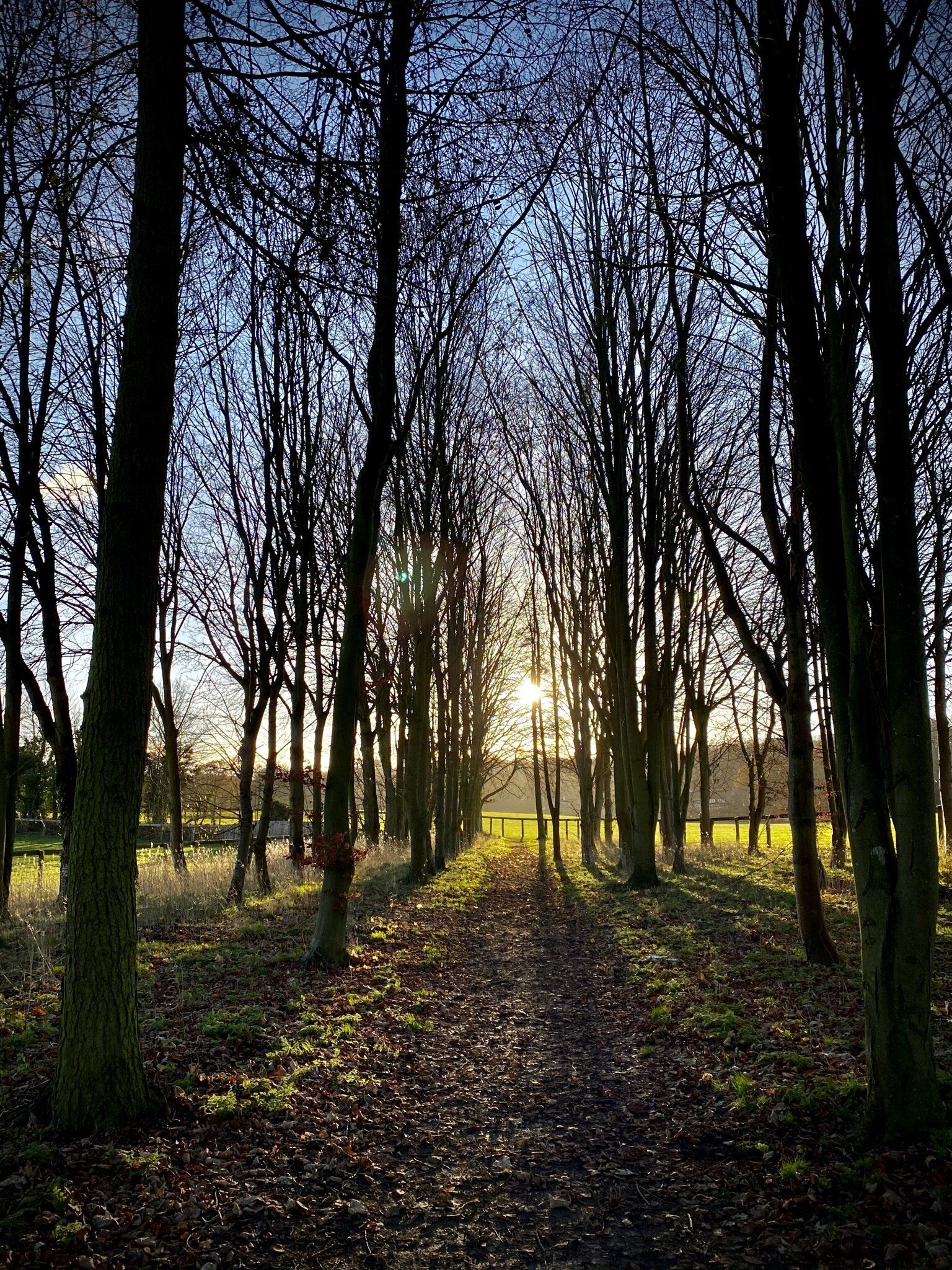
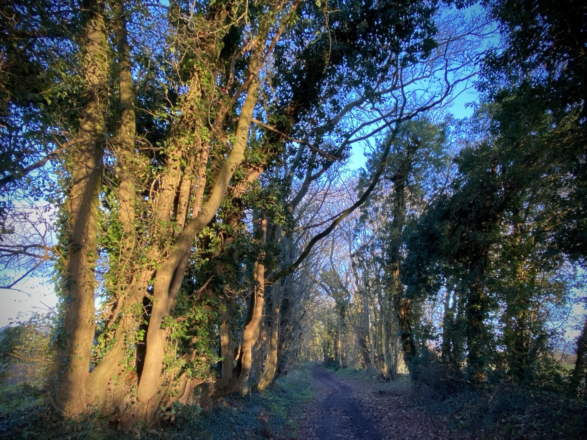
Once on the long north-westerly path, follow it until a large junction of 8 paths. Take the large north-easterly path called Windsor Ride, then the mountain bike path that splits off from it after 40m. Follow this path north until it meets the Three Castles Path and follow that back to the start.


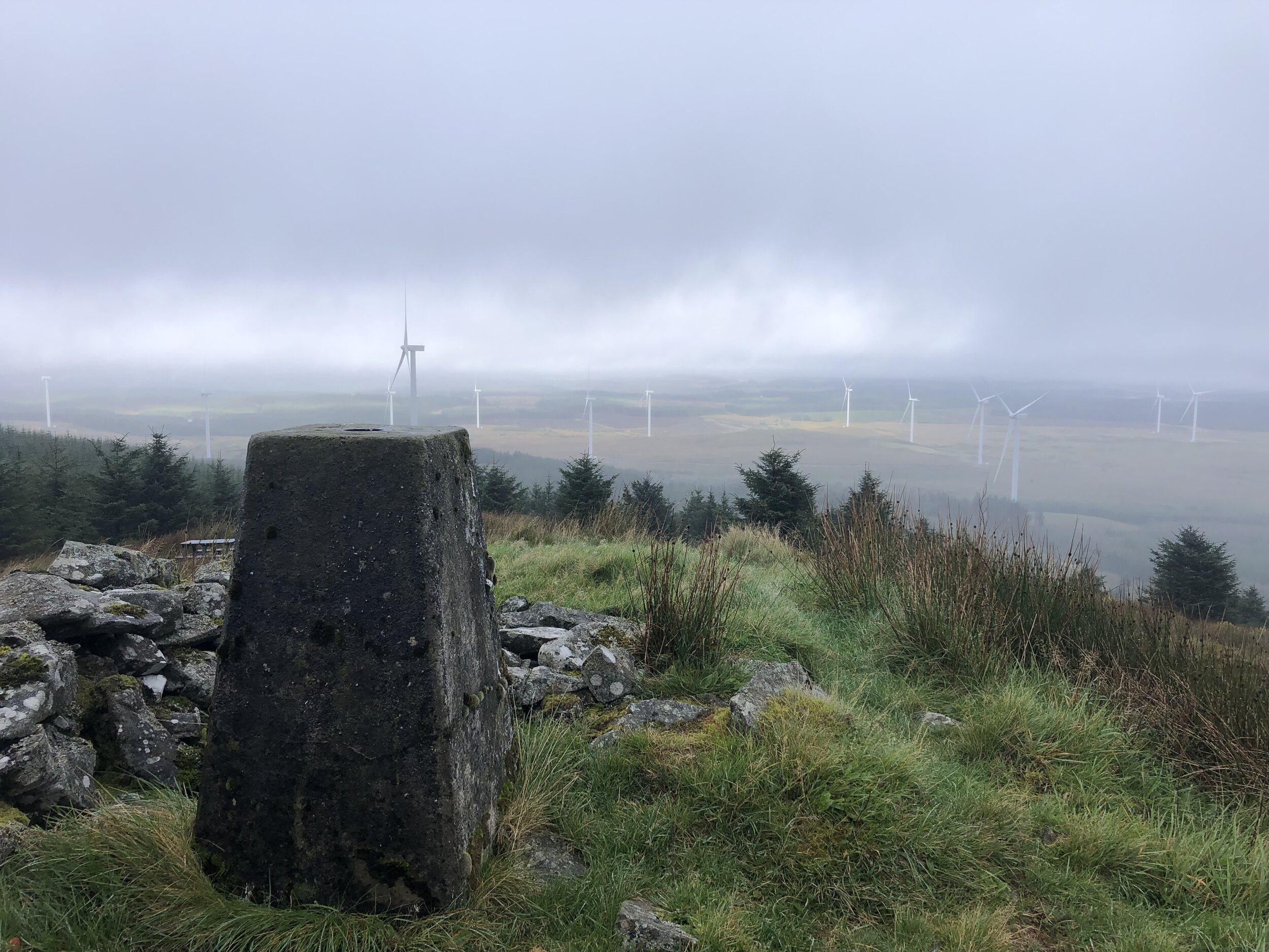
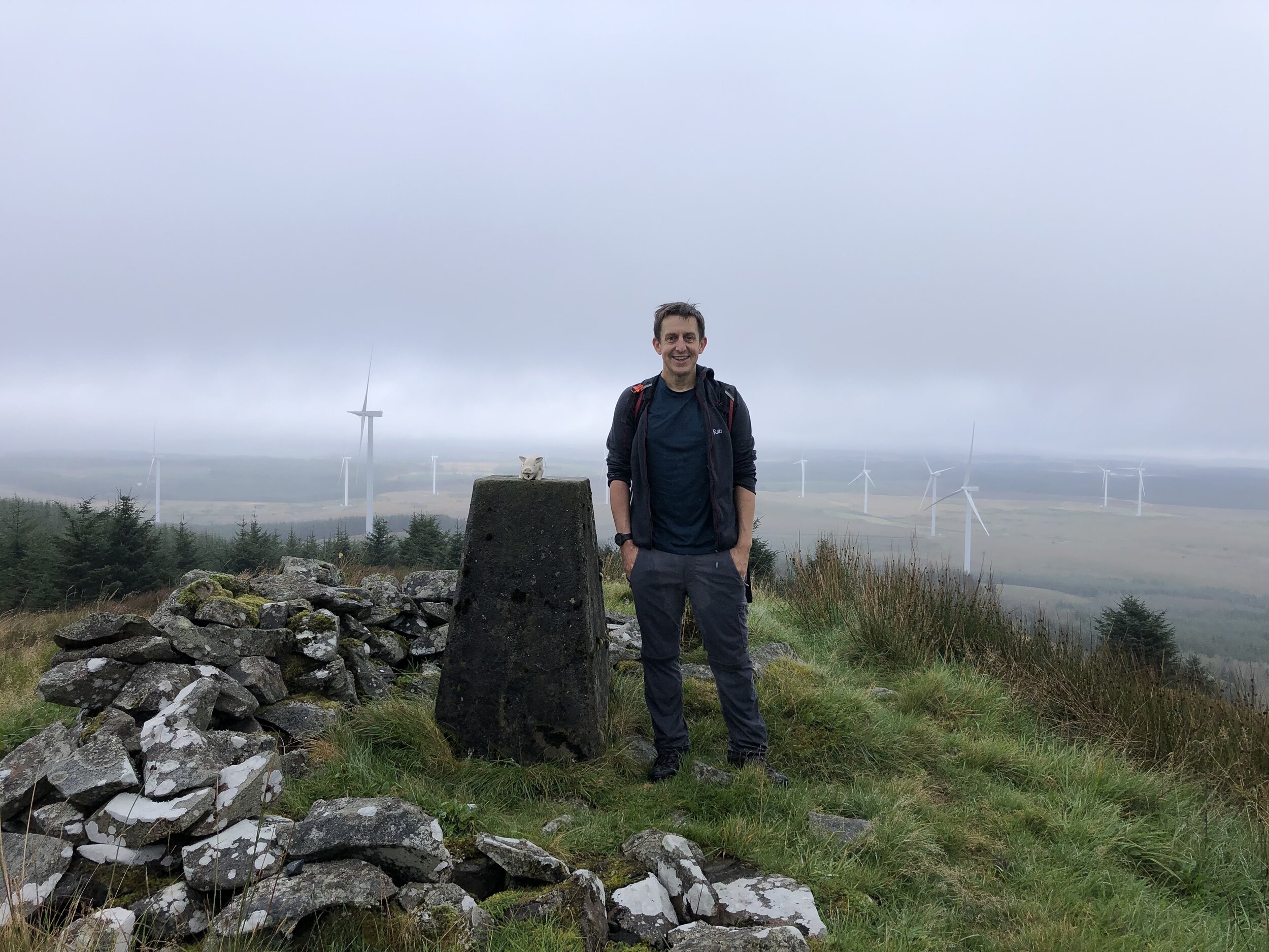
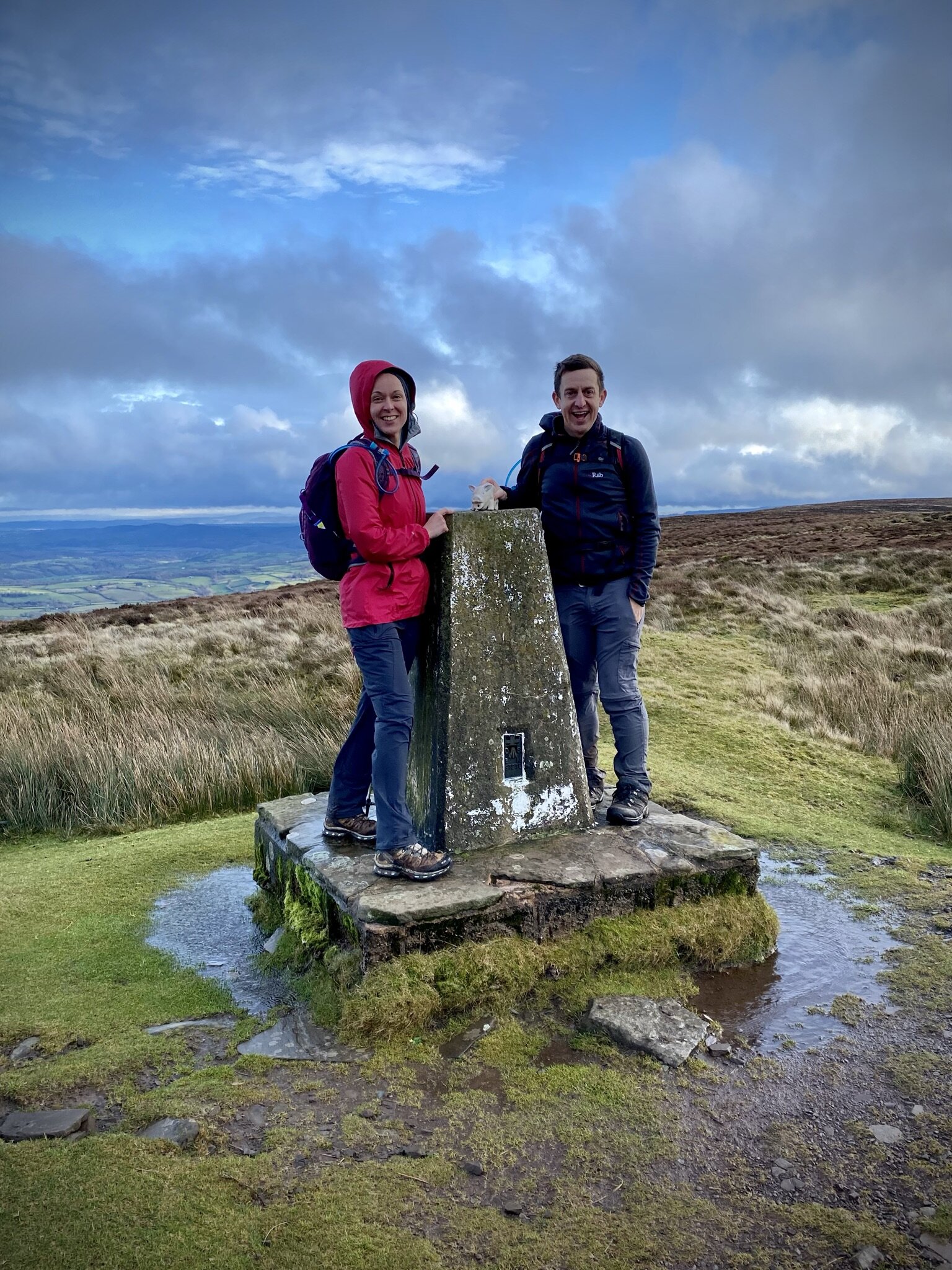
Surrey Hill
Significance: Highest Point in the Unitary Authority of Bracknell Forest
Member of: N/A
Parent Peak: Butser Hill. NHN = Bowsey Hill
Historic County: Berkshire (of which Walbury Hill is the County Top)
Elevation: 130m
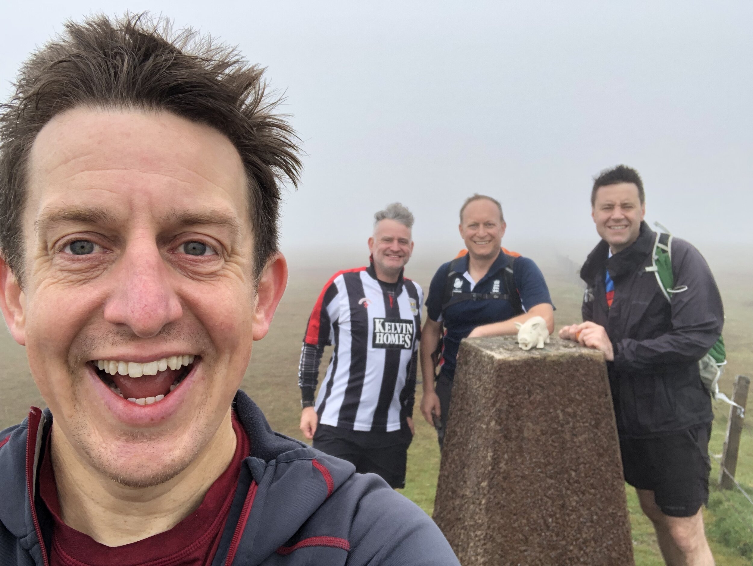
Date “climbed”: December 18th 2021
Coordinates: 51° 22' 9'' N, 0° 43' 30'' W
Map: OS Explorer Map (160) Windsor, Weybridge & Bracknell
Links: Wikipedia (Bracknell Forest), Peakbagger, Hillbagging