Posts tagged London
London Borough Tri-Points

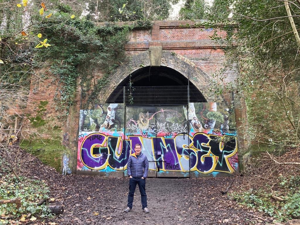
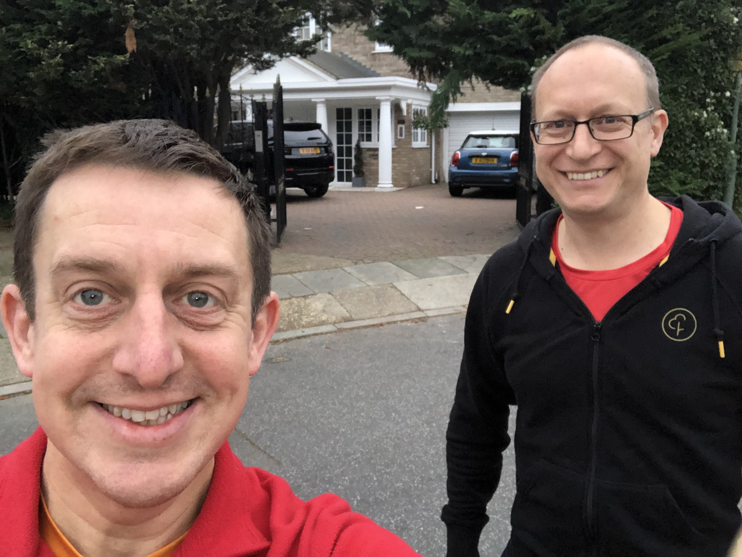
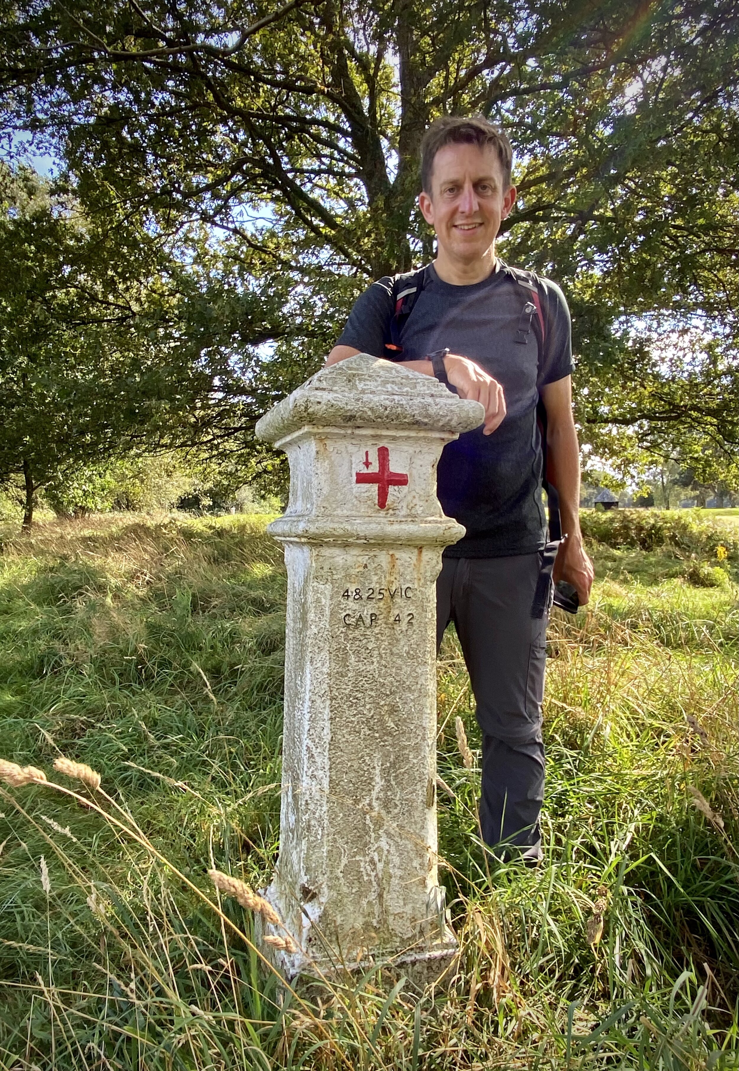
David with his completed collection.

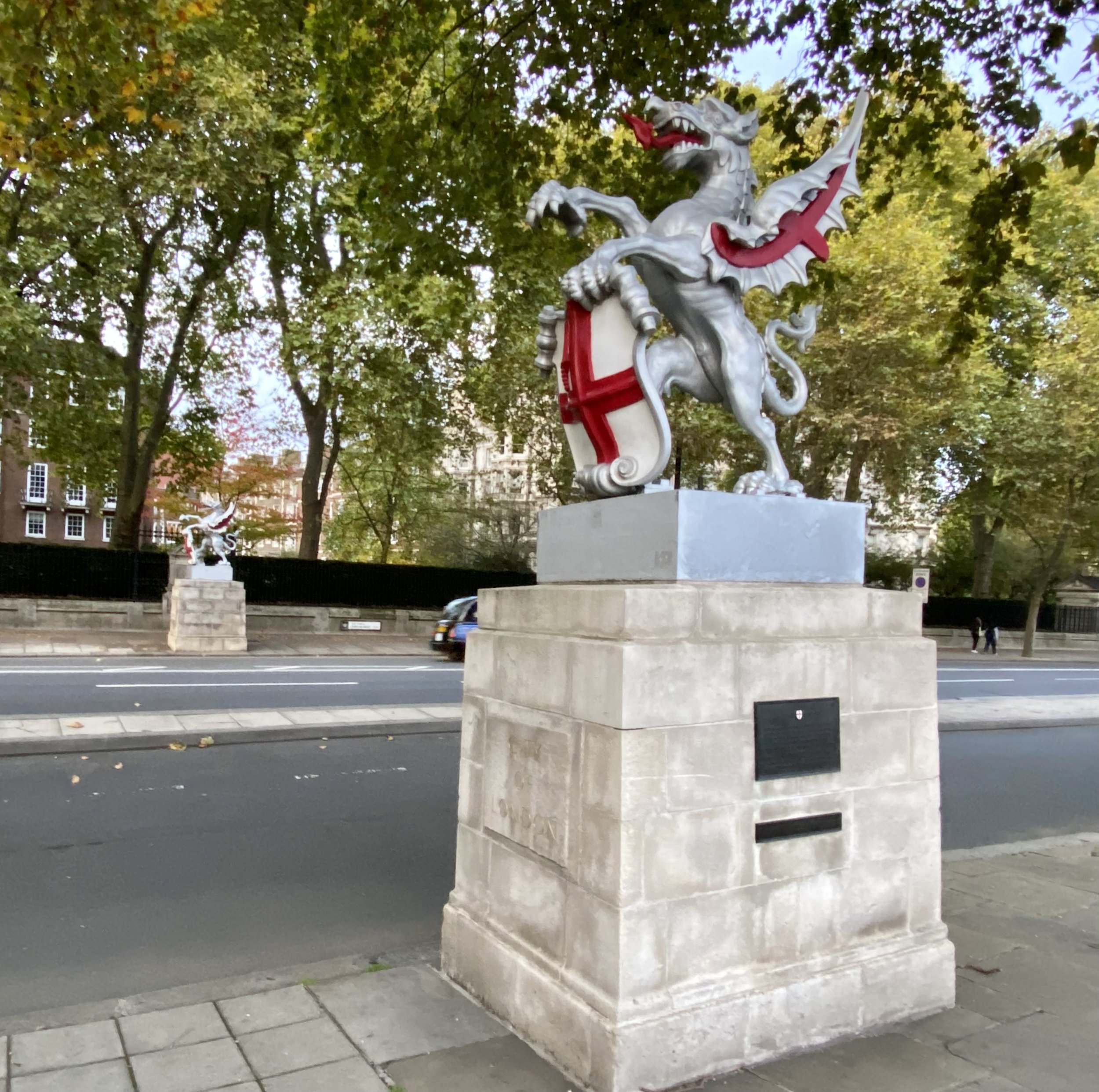
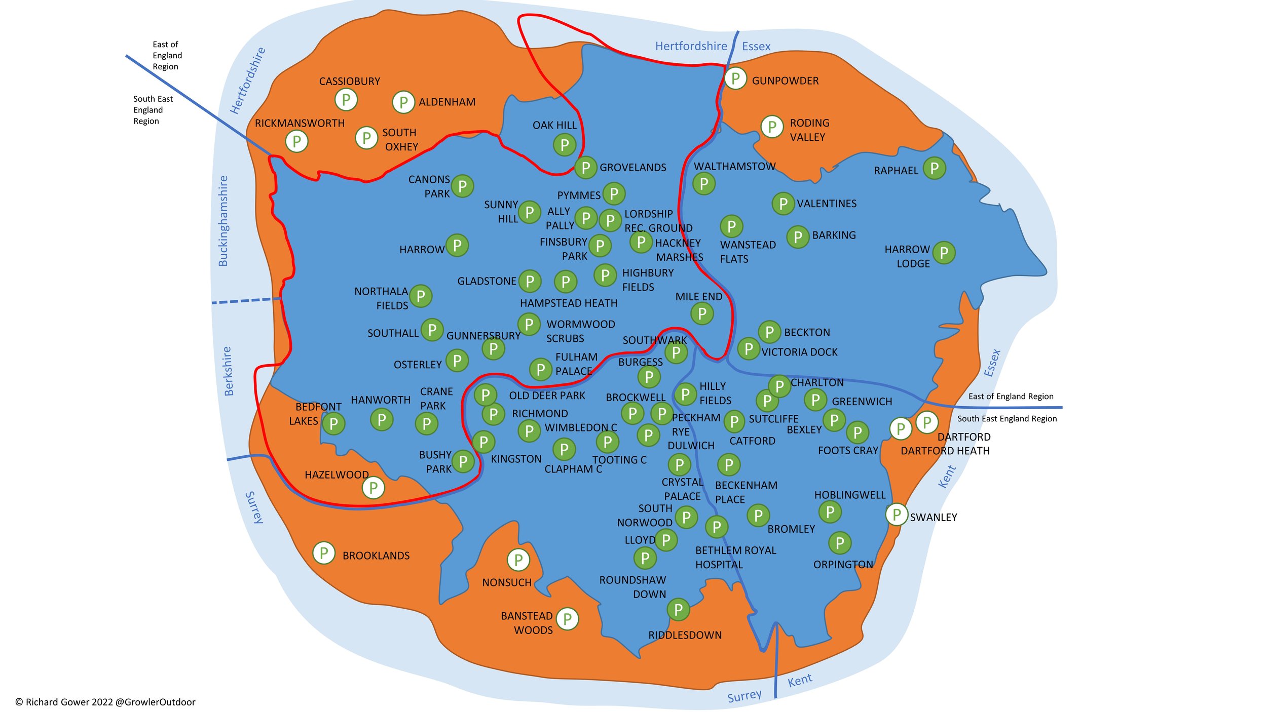
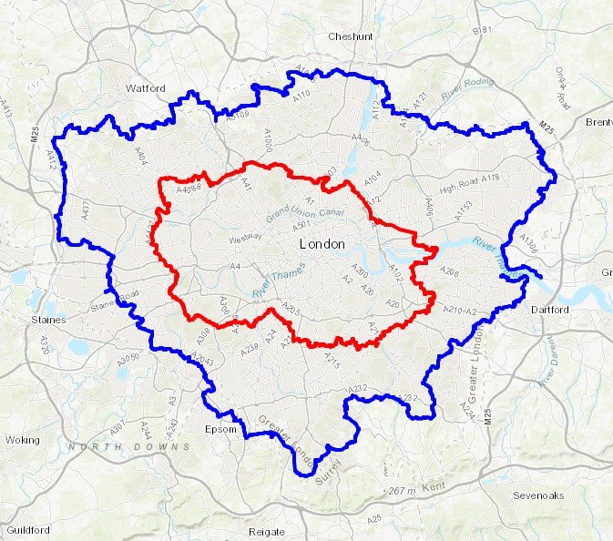
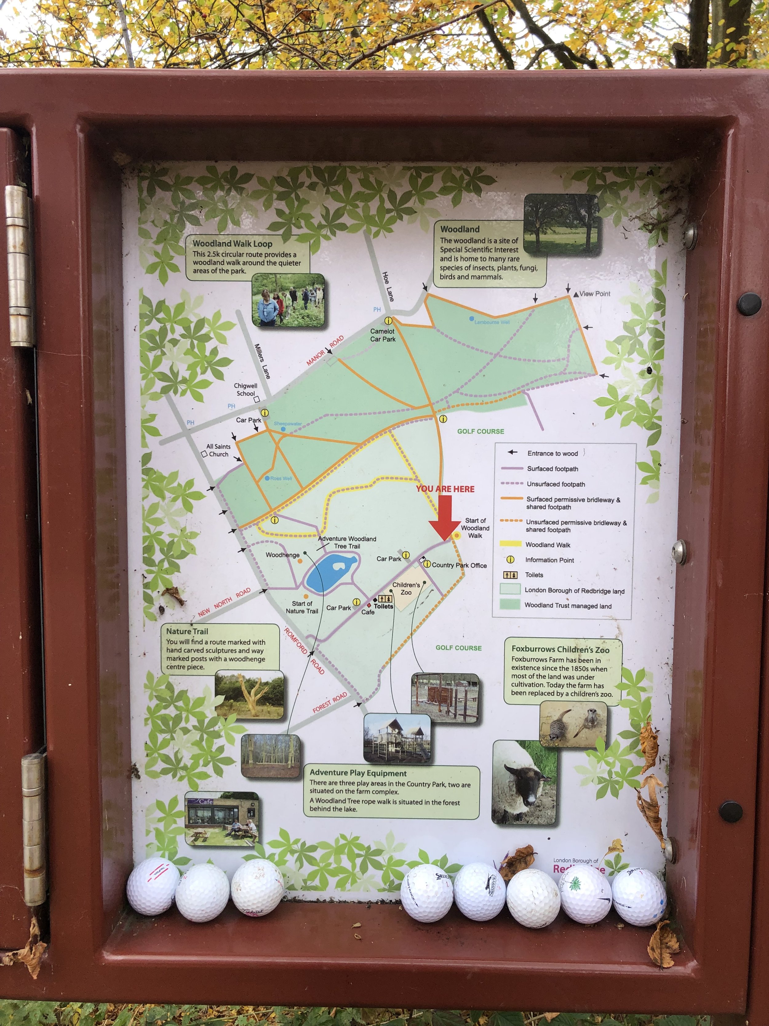
The London Borough Tri-Points are the points where 3 of the 32 Greater London Boroughs meet. Have you ever wondered where they are and got the inspiration to visit them all? Probably not, but it has been done! This post is based on the excellent work of David Natzler who visited and documented the tri-points in 2020 and 2021. Descriptions and photos are all from David with some formatting, references and graphics from myself. I love David’s idea of the oak sprig in the vase to represent the boundary oak.

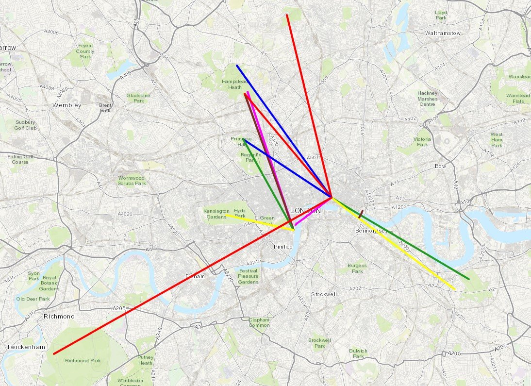
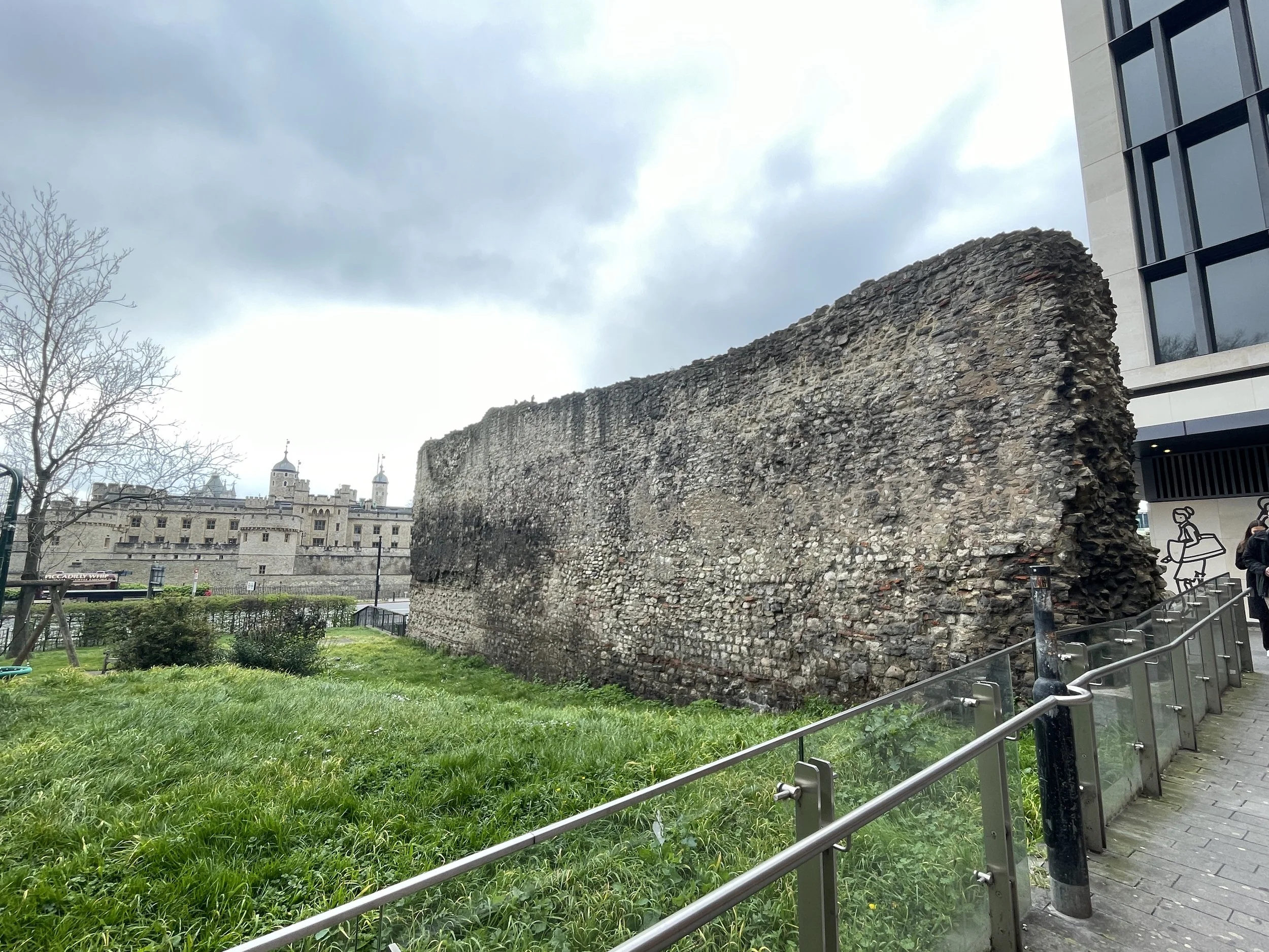
David’s travels took him to the tri-points of all of the boroughs except for those that meet in the River Thames and those with the City of London. I visited the 7 tri-points with The City later on a City of London Boundary Walk.


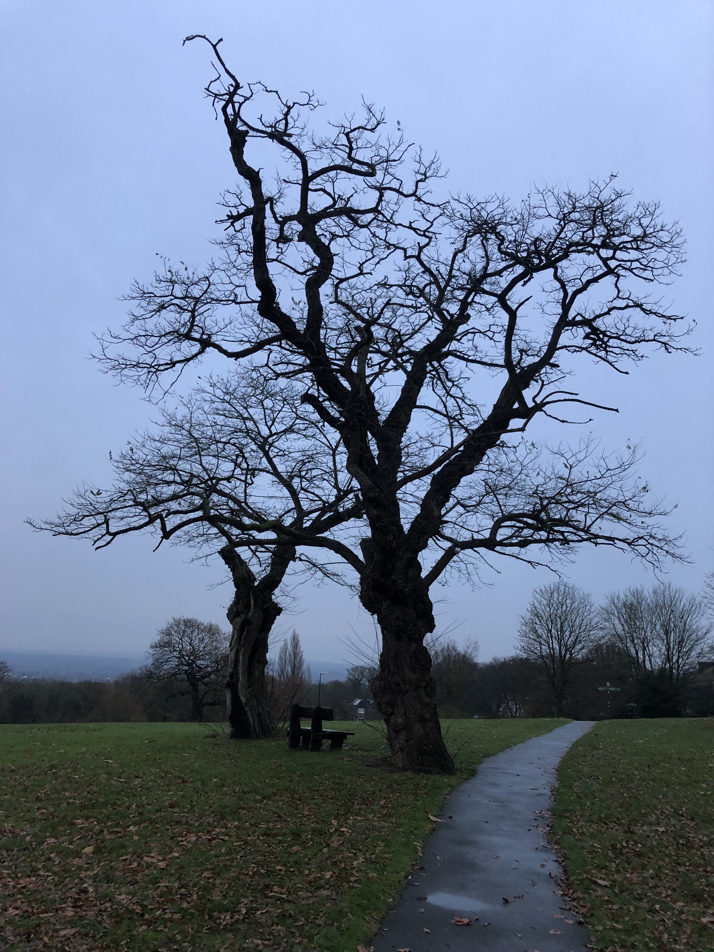
(1) The Oaks – Bexley/Bromley/Greenwich

A bleak spot on the A 20 Sidcup by-pass, marked by a speed camera and a Welcome to Greenwich sign. But right on the border is the suitably named The Oaks, a home for dementia sufferers. Over the fence in Bexley is Mr Mulligan’s Mini Golf, one of a chain of a dozen such venues in England offering family crazy golf, outsize plastic balls in a landscape dominated by weirdly coloured plastic dinosaurs and small crashed aeroplanes.   

Coordinates: 51°25'55.1"N 0°04'31.2"E
Nearest Station: New Eltham (southeastern): 1 km
Map:
London South Map | Westminster, Greenwich, Croydon, Esher & Twickenham | Ordnance Survey | OS Explorer Map 161
Links: Wikipedia: Bexley, Bromley, Greenwich


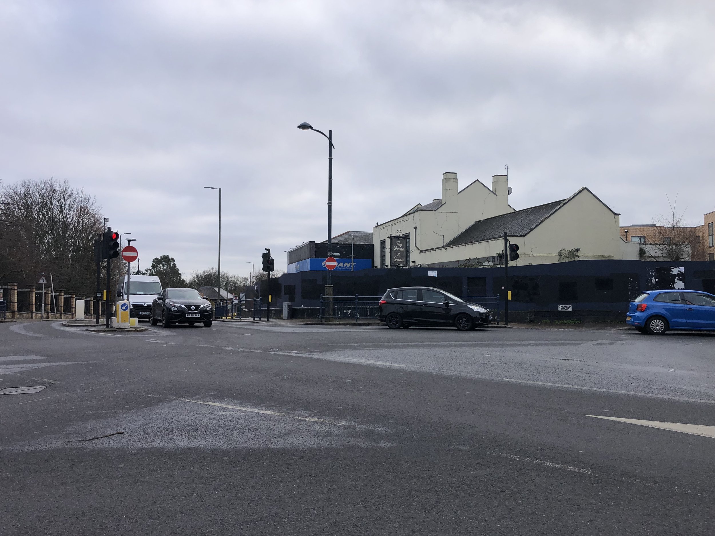
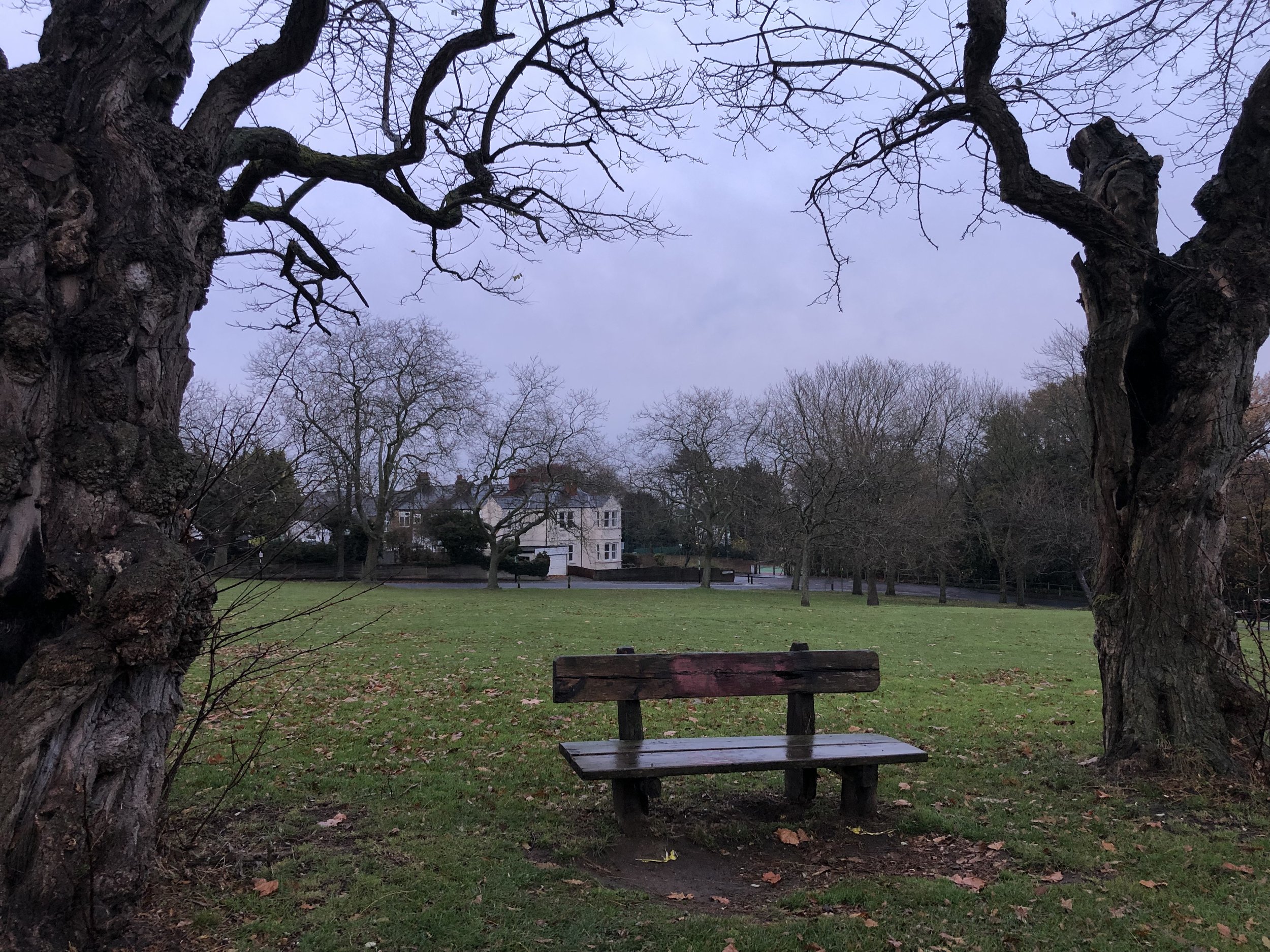
(2) The Cooling Centre – Bromley/Greenwich/Lewisham

Winn Road, the Greenwich/ Lewisham frontier ends in a pleasant green space with chestnut trees. Over the Quaggy stream are the leafy hills of Mottingham in Bromley, including WG Grace’s villa. Beside the tripoint is the Winn Road National Grid cooling establishment. It cools the water around the 350,000 volt main electricity supply cable which runs underground here. Hence the genuine Danger of Death warning on the railings.

Coordinates: 51°26'30.2"N 0°01'45.7"E
Nearest Station: Mottingham (southeastern): 1.9 km
Map:
London South Map | Westminster, Greenwich, Croydon, Esher & Twickenham | Ordnance Survey | OS Explorer Map 161
Links: Wikipedia: Bromley, Greenwich, Lewisham


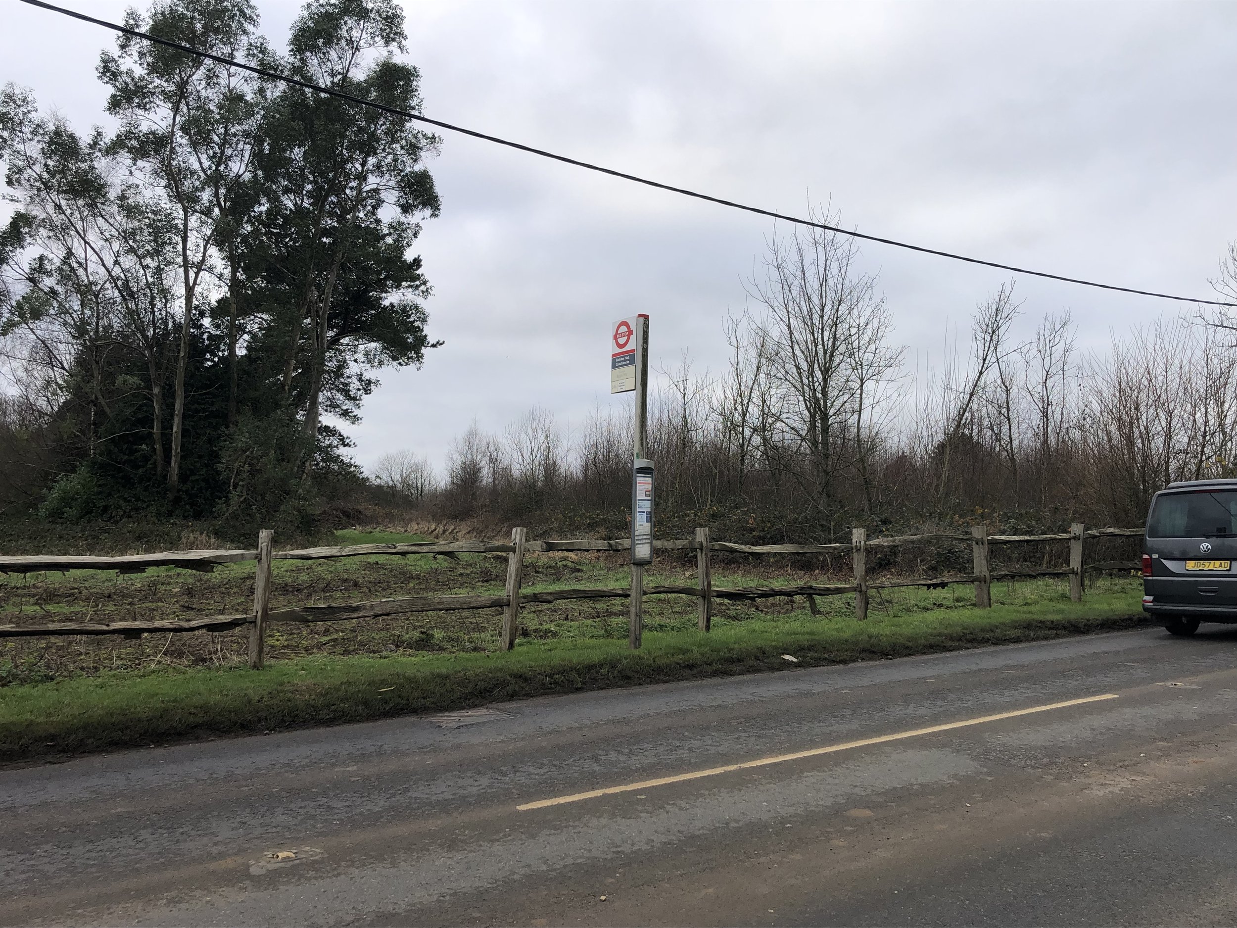
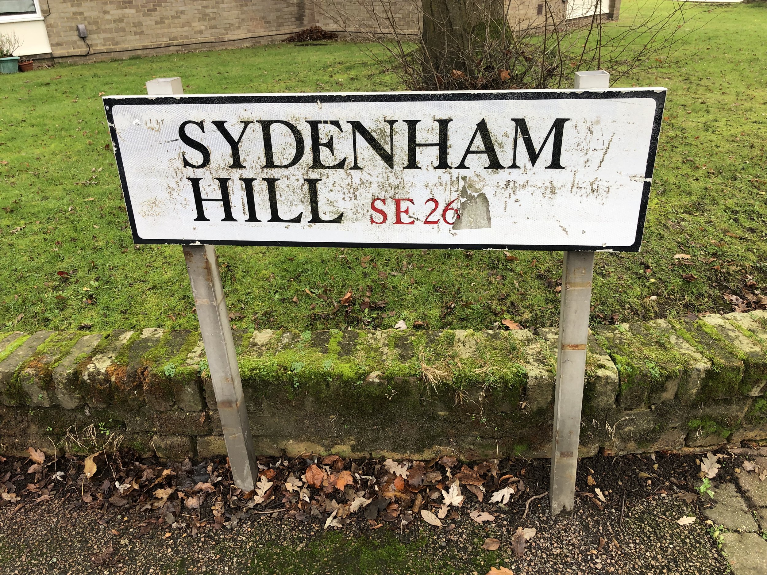
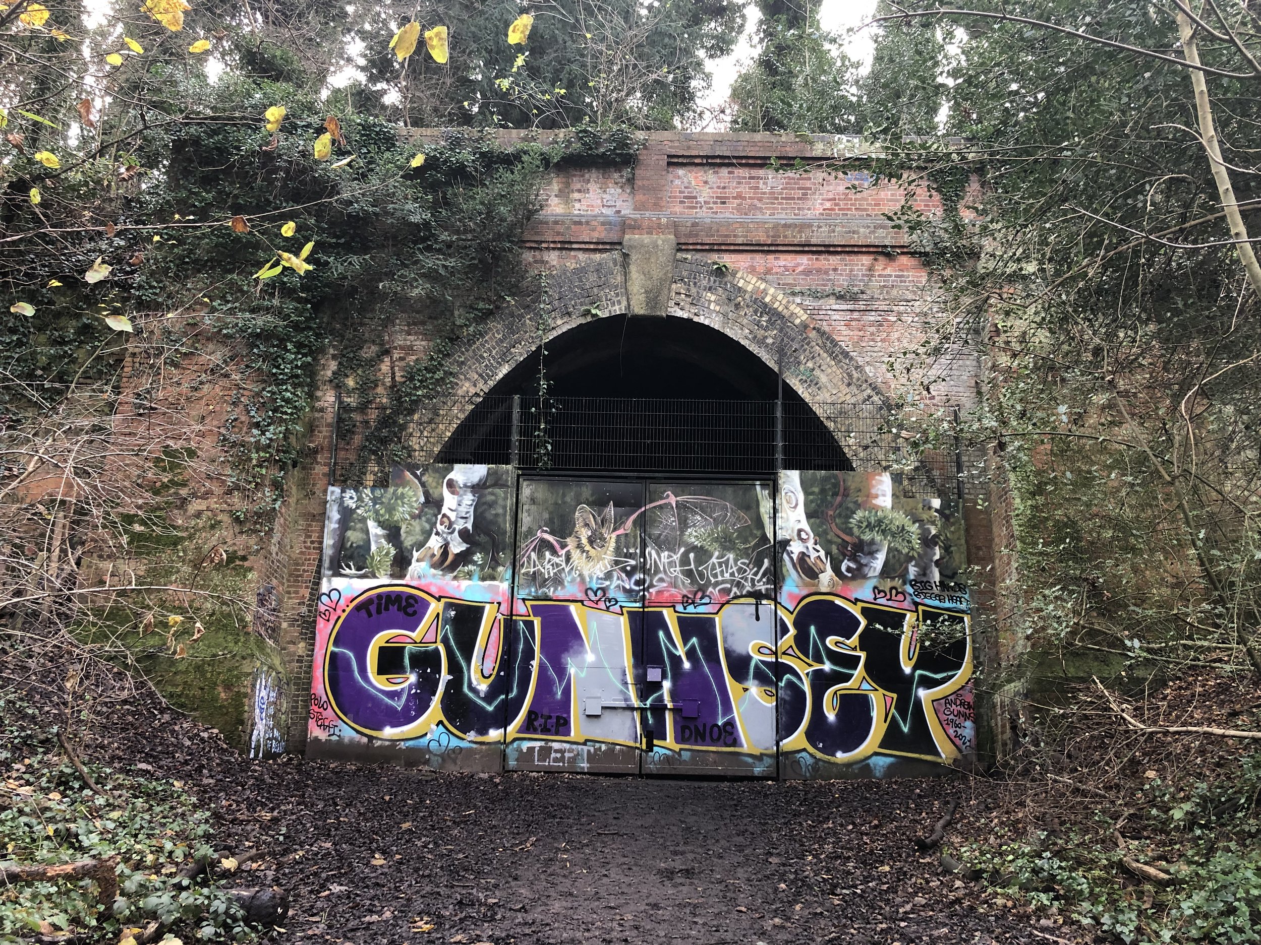
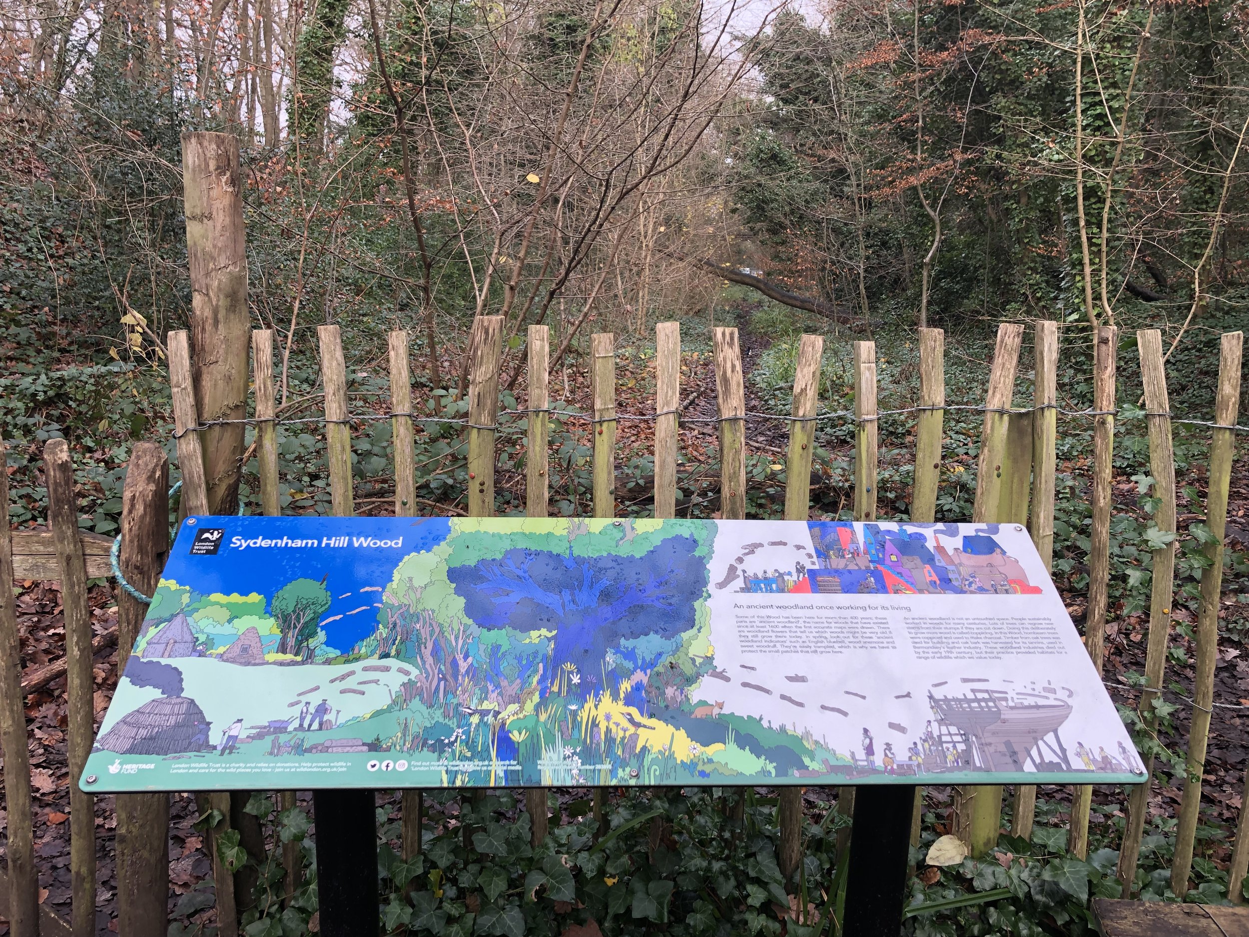
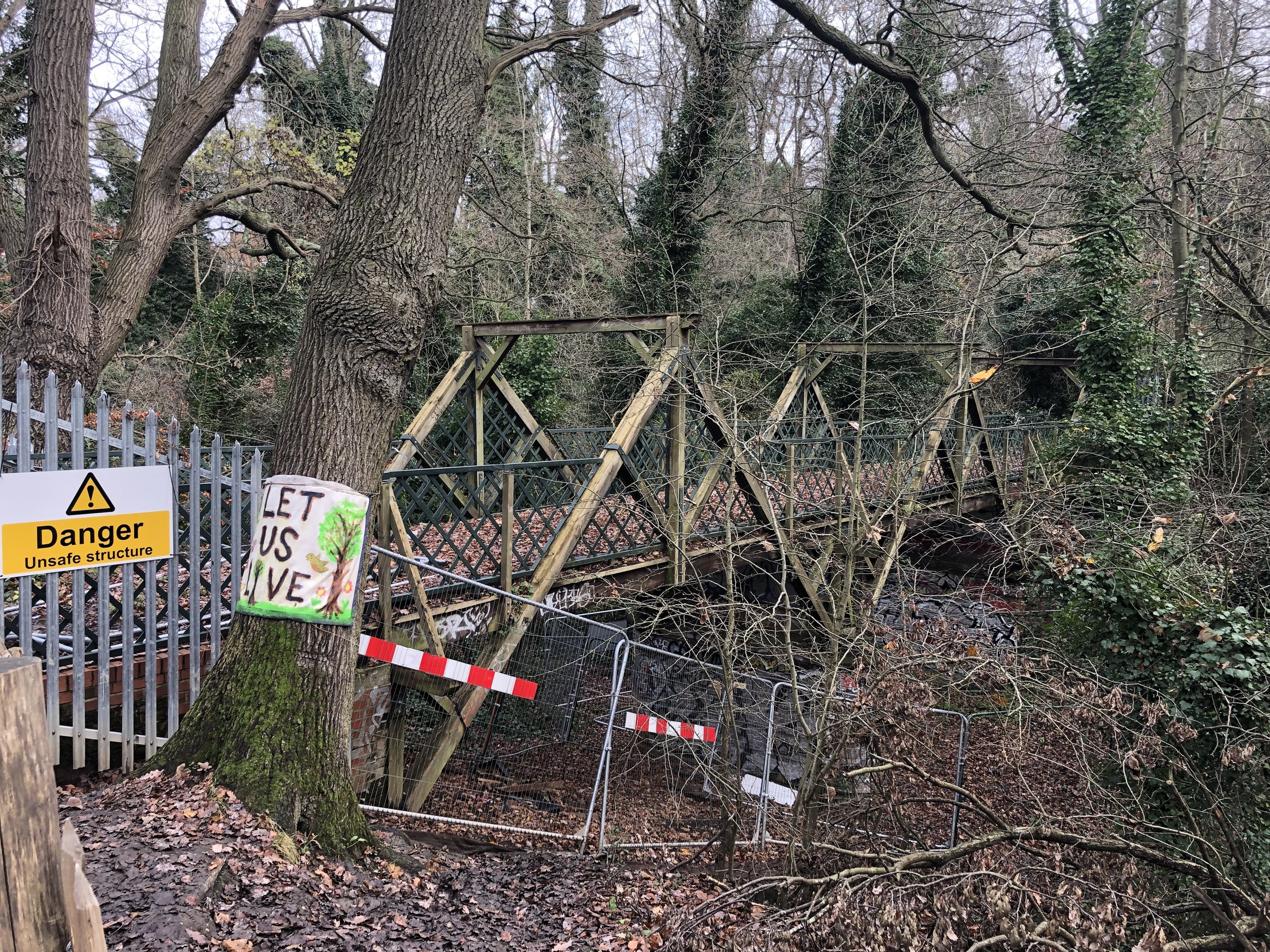
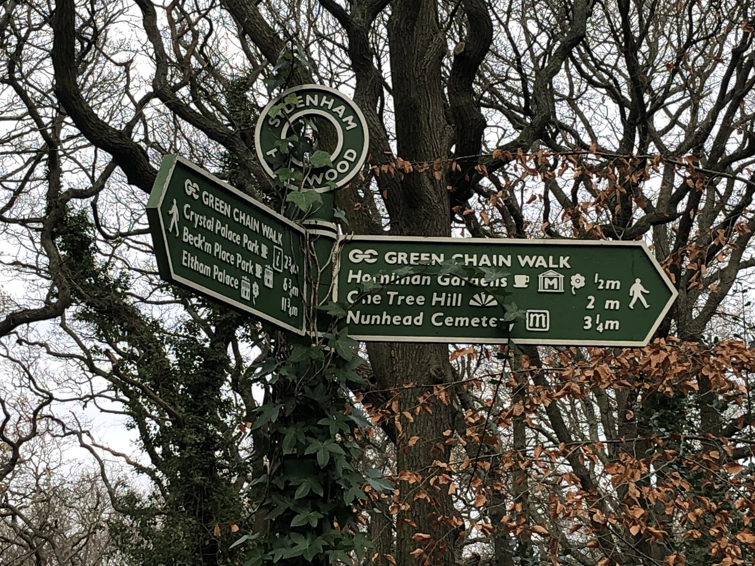
(3) Paxton Corner – Bromley/Lewisham/Southwark

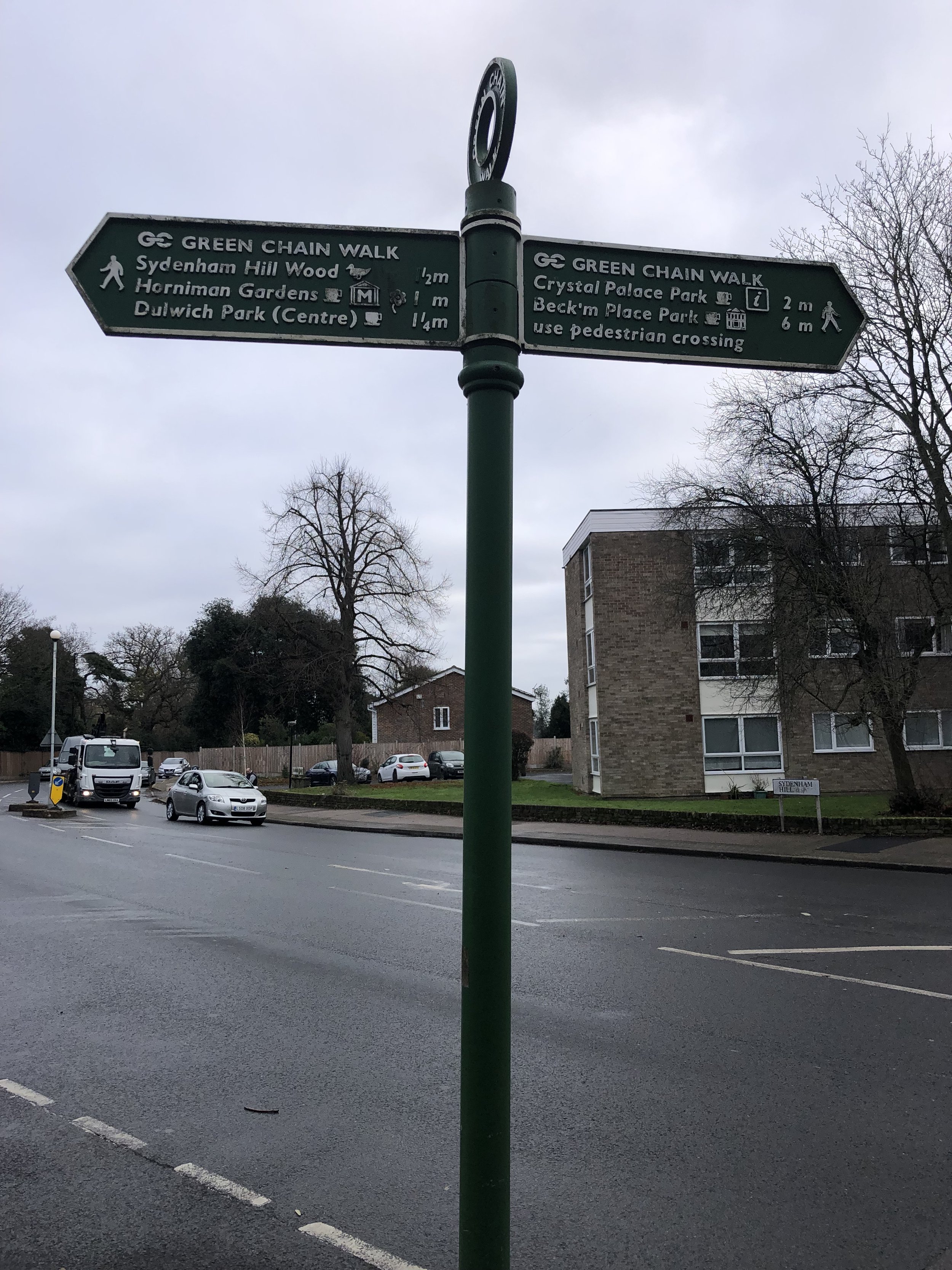
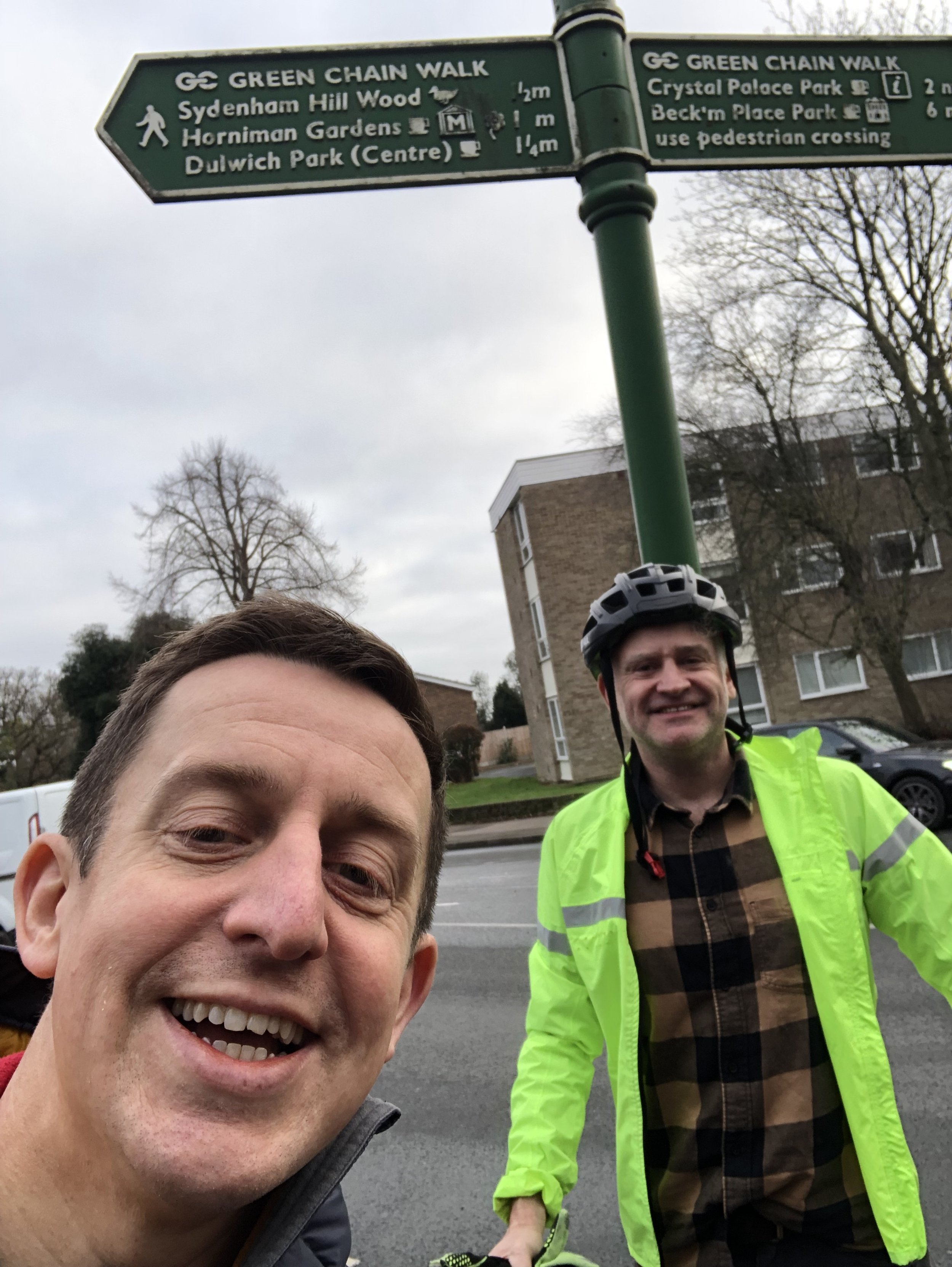
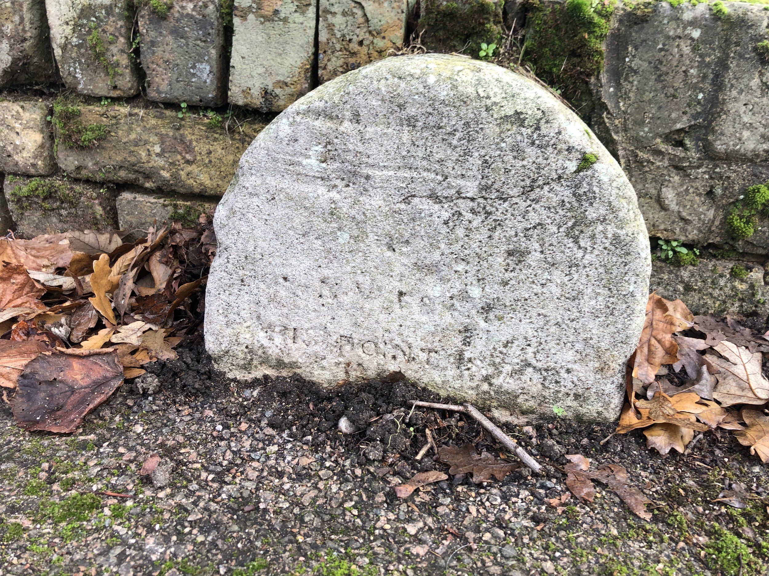
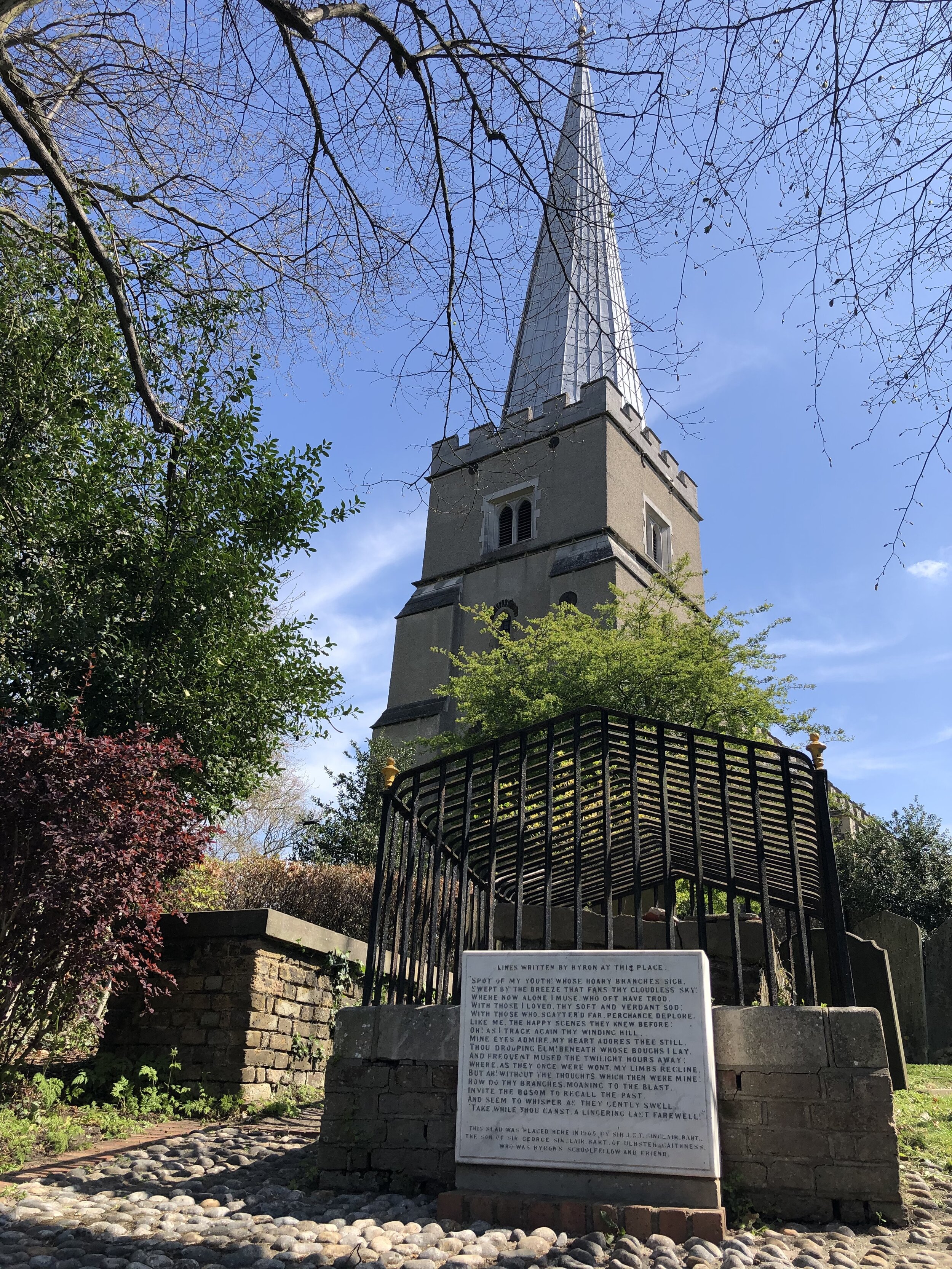
Where the roads up from Sydenham in Lewisham, and Penge in Bromley, breast the ridge of Sydenham Hill, the westward slopes of which are in Southwark. The old brick wall and metal posts are all that is left of Rockhills, the London home of Sir Joseph Paxton, who designed the palace of glass for the 1851 Great Exhibition down in Hyde Park and then oversaw its re-erection on the Sydenham ridge. The two ancient Lewisham parish markers sit below a splendid oak tree, probably a real boundary oak. 

This tri-point is roughly half way between the highest points in Lambeth (Westow Hill) and Southwark/Lewisham (Sydenham Hill). It’s a ~1 mile walk along the A212 and Sydenham Hill road, via the tri-point between the 2 high points.

Coordinates: 51°25'34.2"N 0°04'26.2"W
Nearest Station: Gipsy Hill (southern): 1.5 km
Map:
London South Map | Westminster, Greenwich, Croydon, Esher & Twickenham | Ordnance Survey | OS Explorer Map 161
Links: Wikipedia: Bromley, Lewisham, Southwark


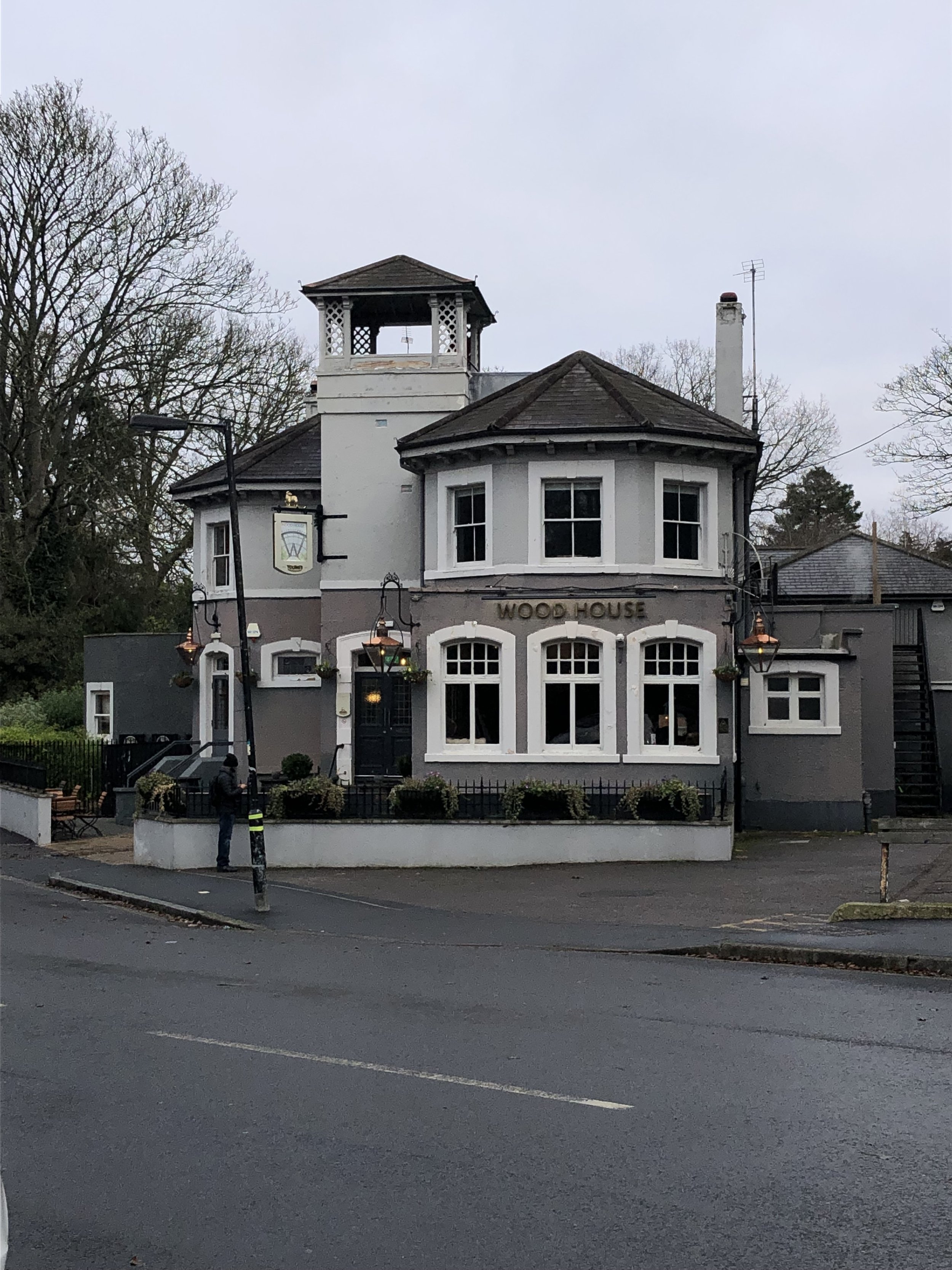
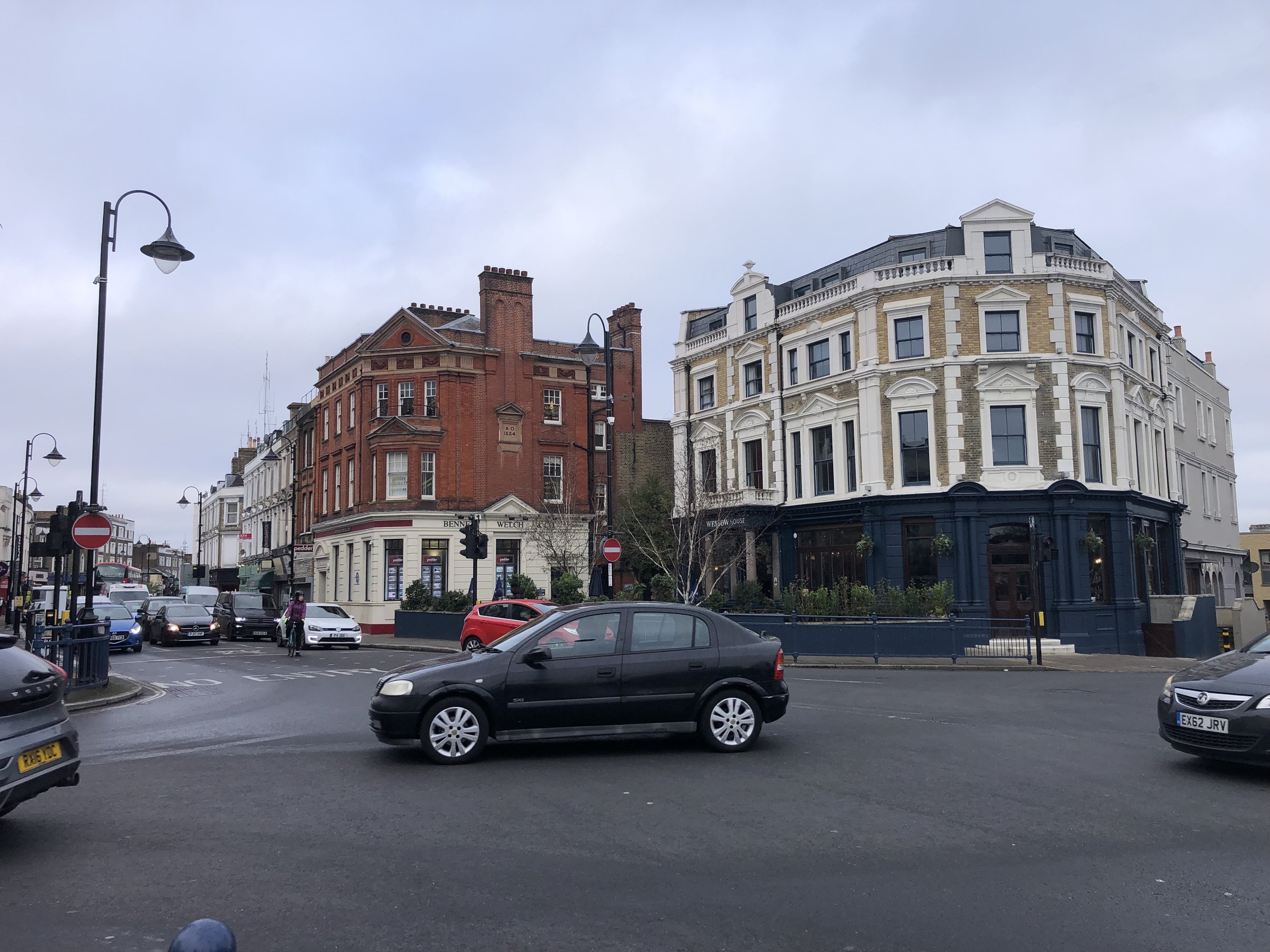
(4) Café corner – Bromley/Lambeth/Southwark

Southwark and Lambeth march up Farquhar Road: below the precipice of Crystal Palace Parade was the pinnacled Crystal Palace upper station, specially built to access the palace by a subway under the road. The subway survives but not the station, or the railway, painted further down the track at Lordship Lane by Camille Pissarro. There are two continental cafes here, Café Paradou and Café St Germain.

This tri-point is less than 100m from Westow Hill, the highest point in the London Borough of Lambeth.

Coordinates: 51°25'14.2"N 0°04'42.0"W
Nearest Station: Crystal Palace (southern): 0.6 km
Map:
London South Map | Westminster, Greenwich, Croydon, Esher & Twickenham | Ordnance Survey | OS Explorer Map 161
Links: Wikipedia: Bromley, Lambeth, Southwark


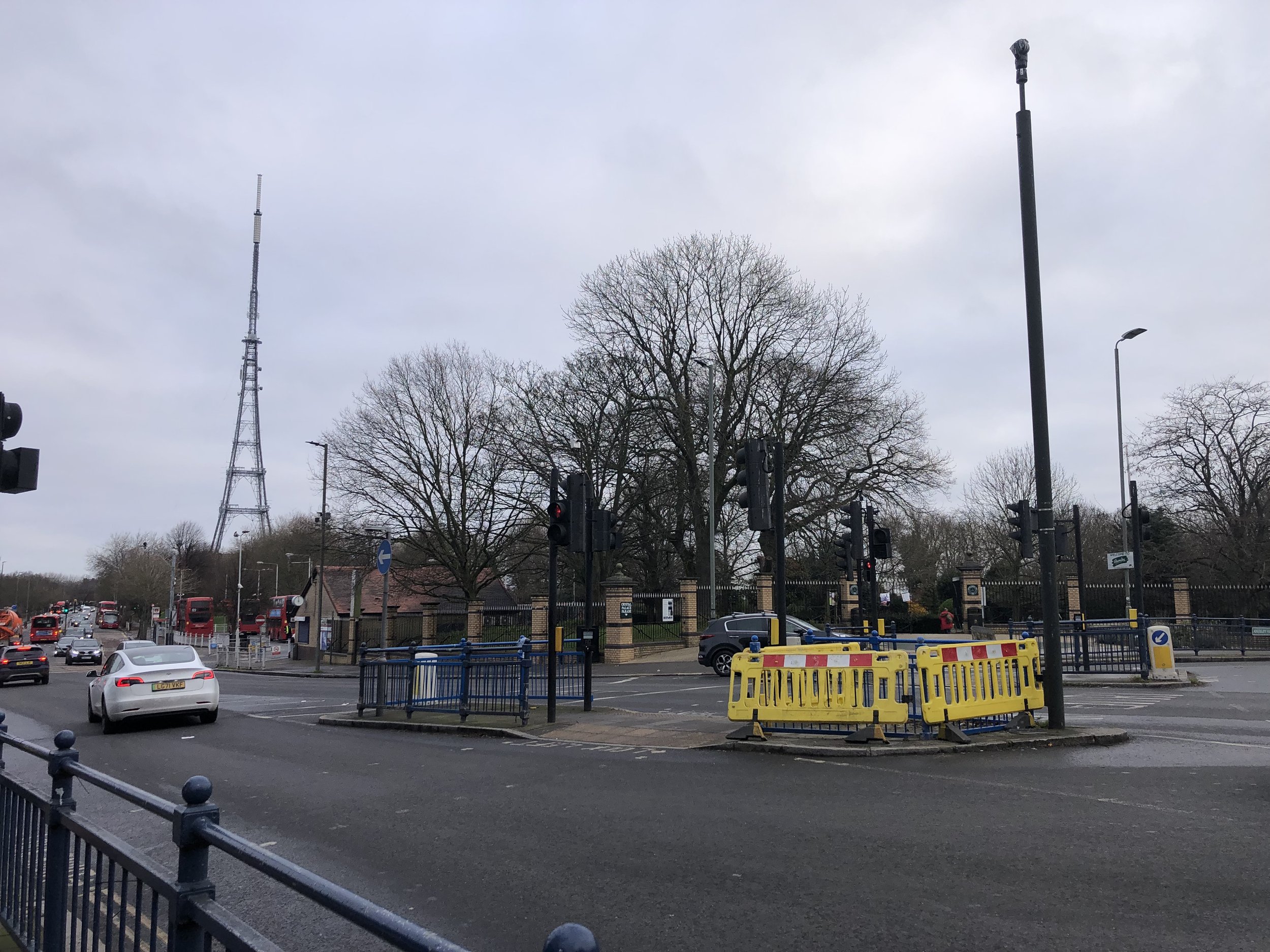
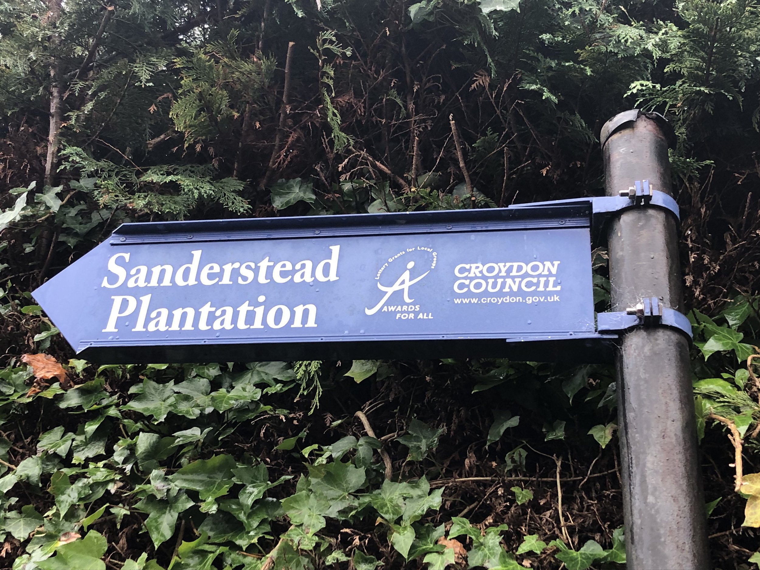
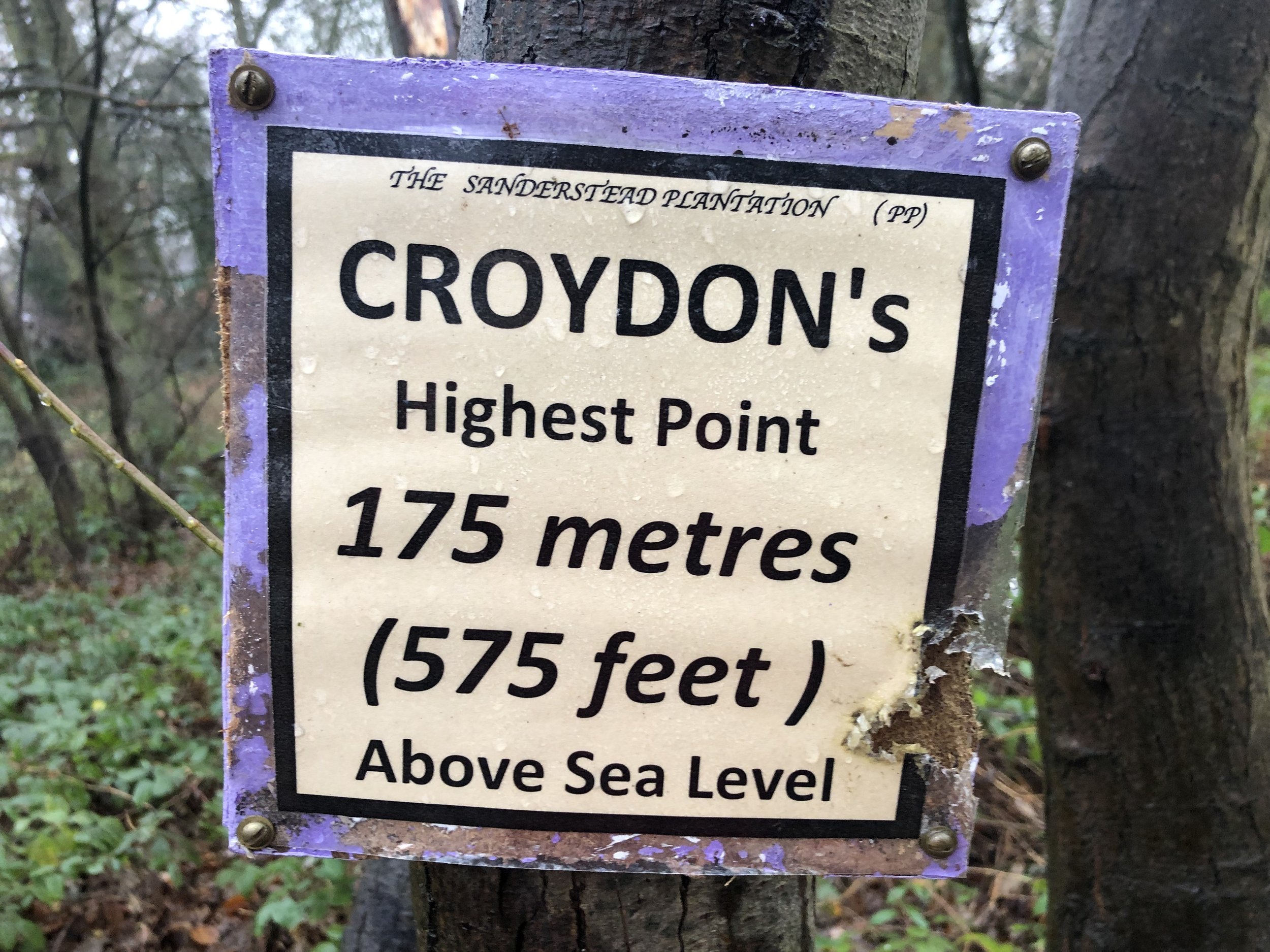
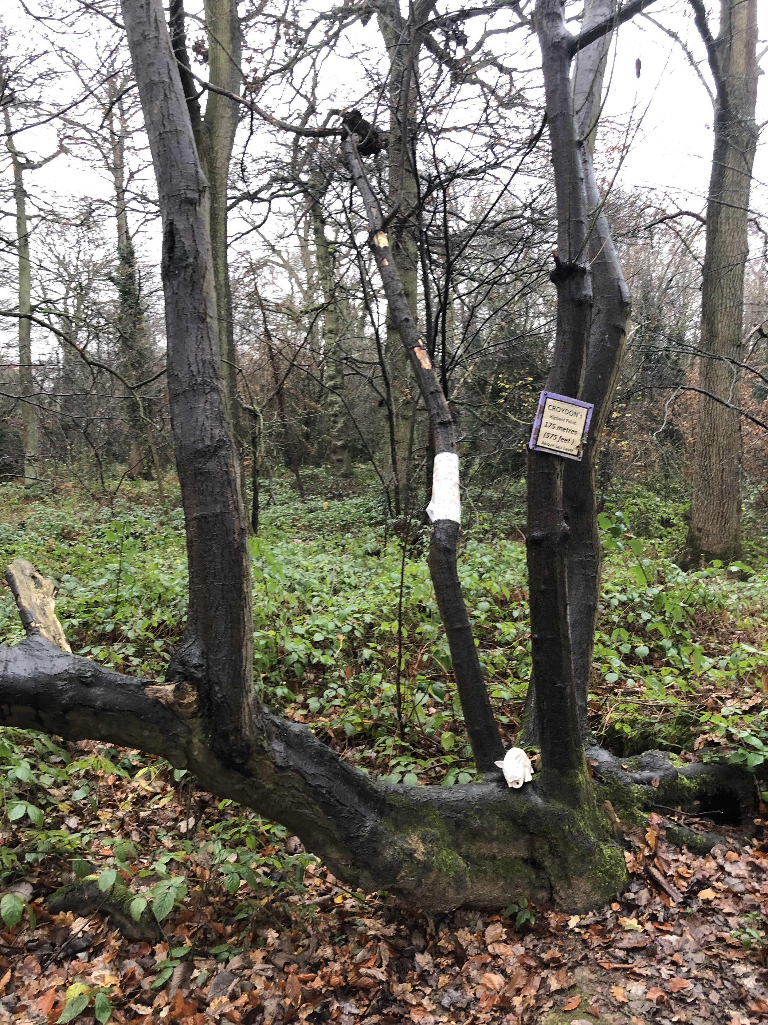
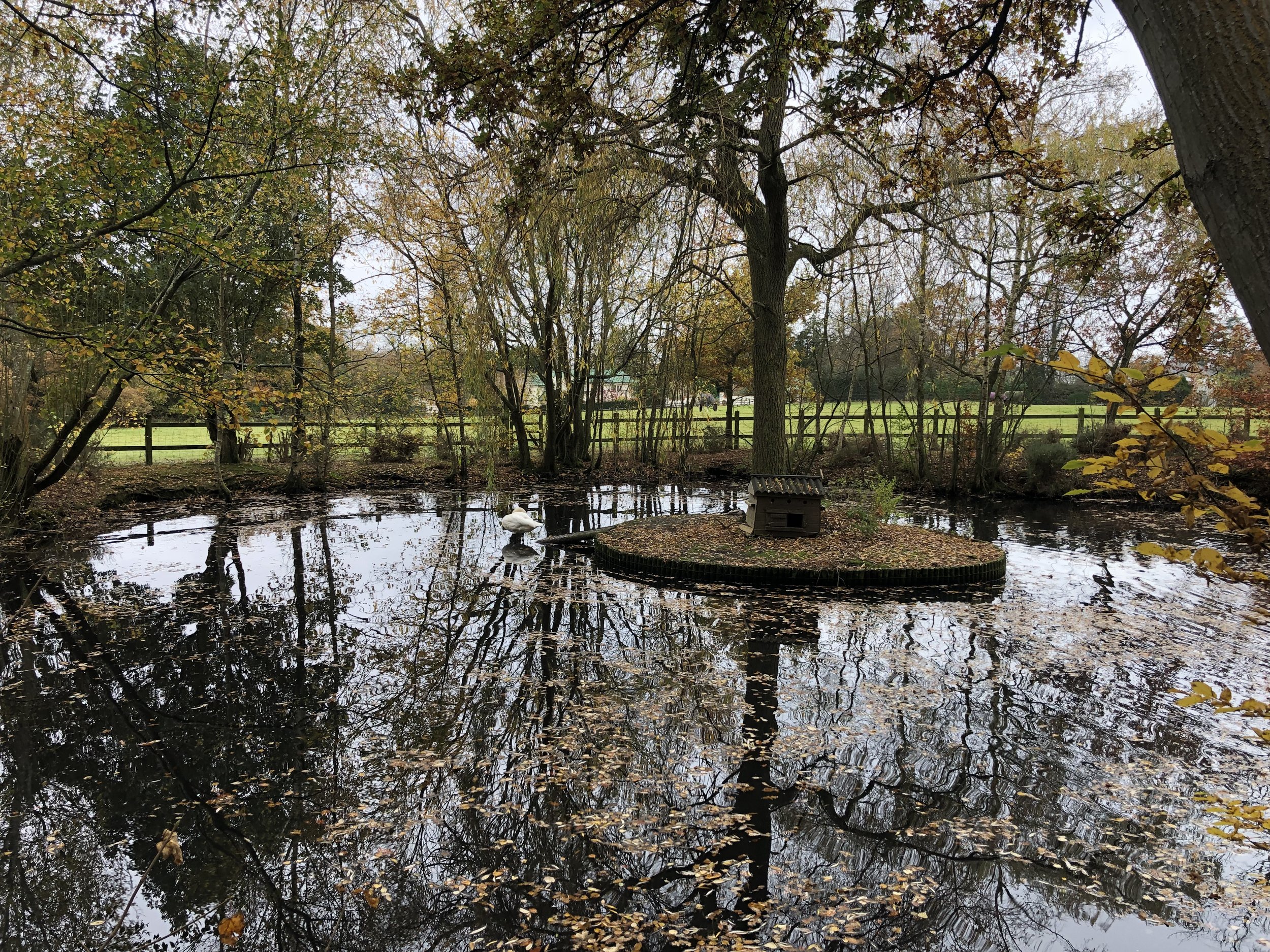
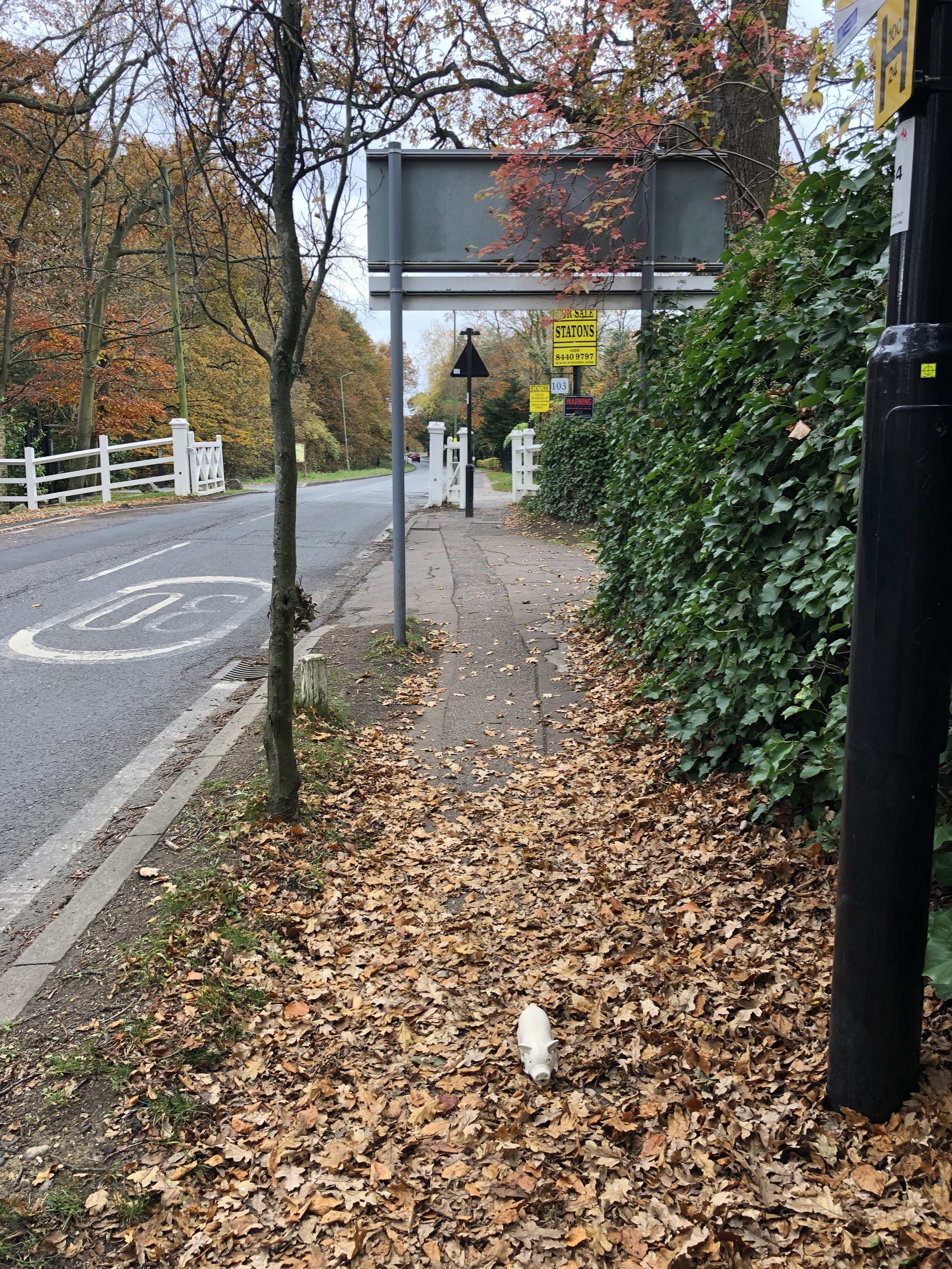
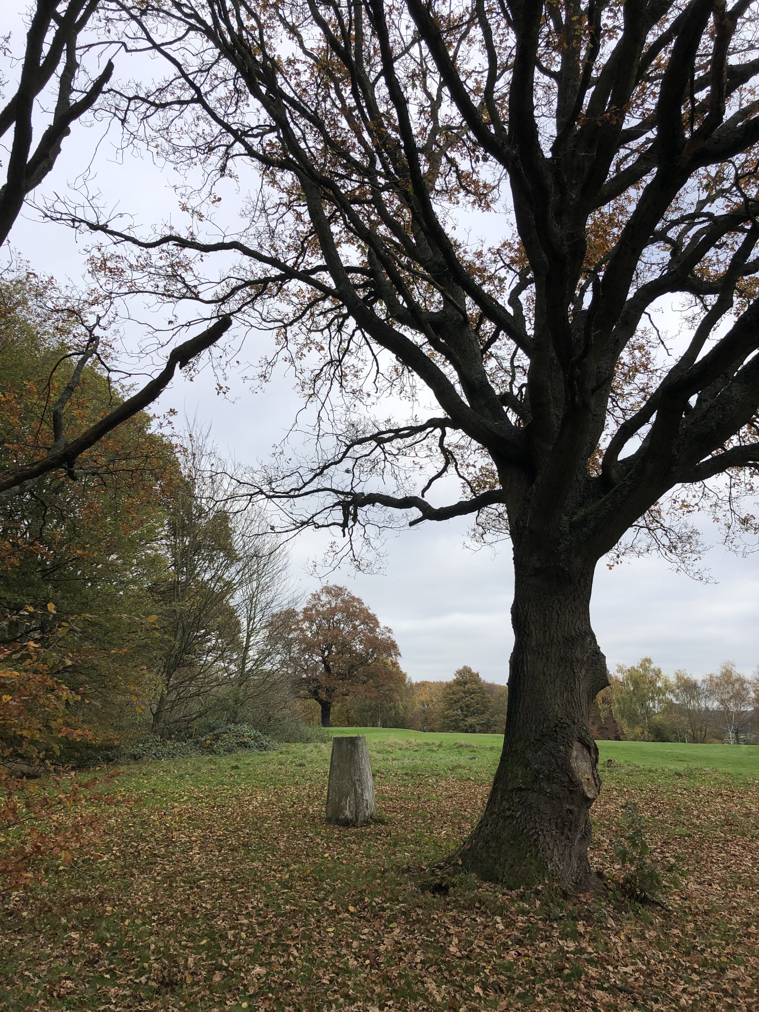
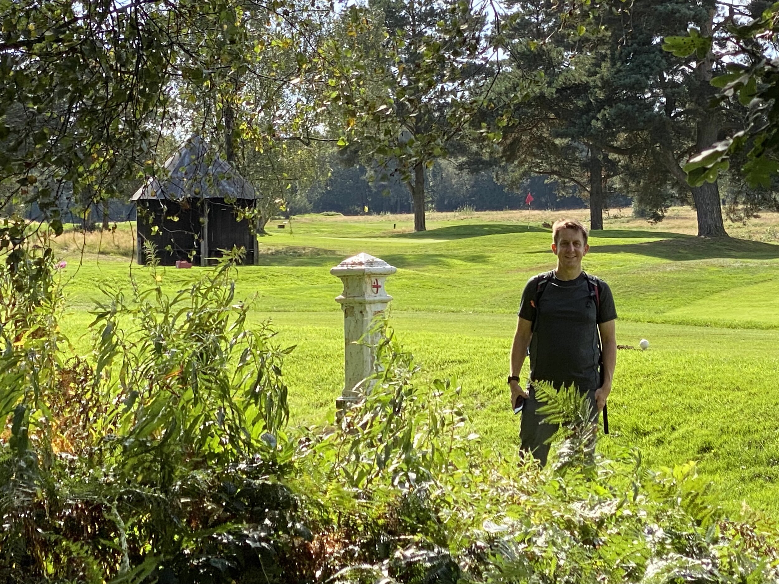
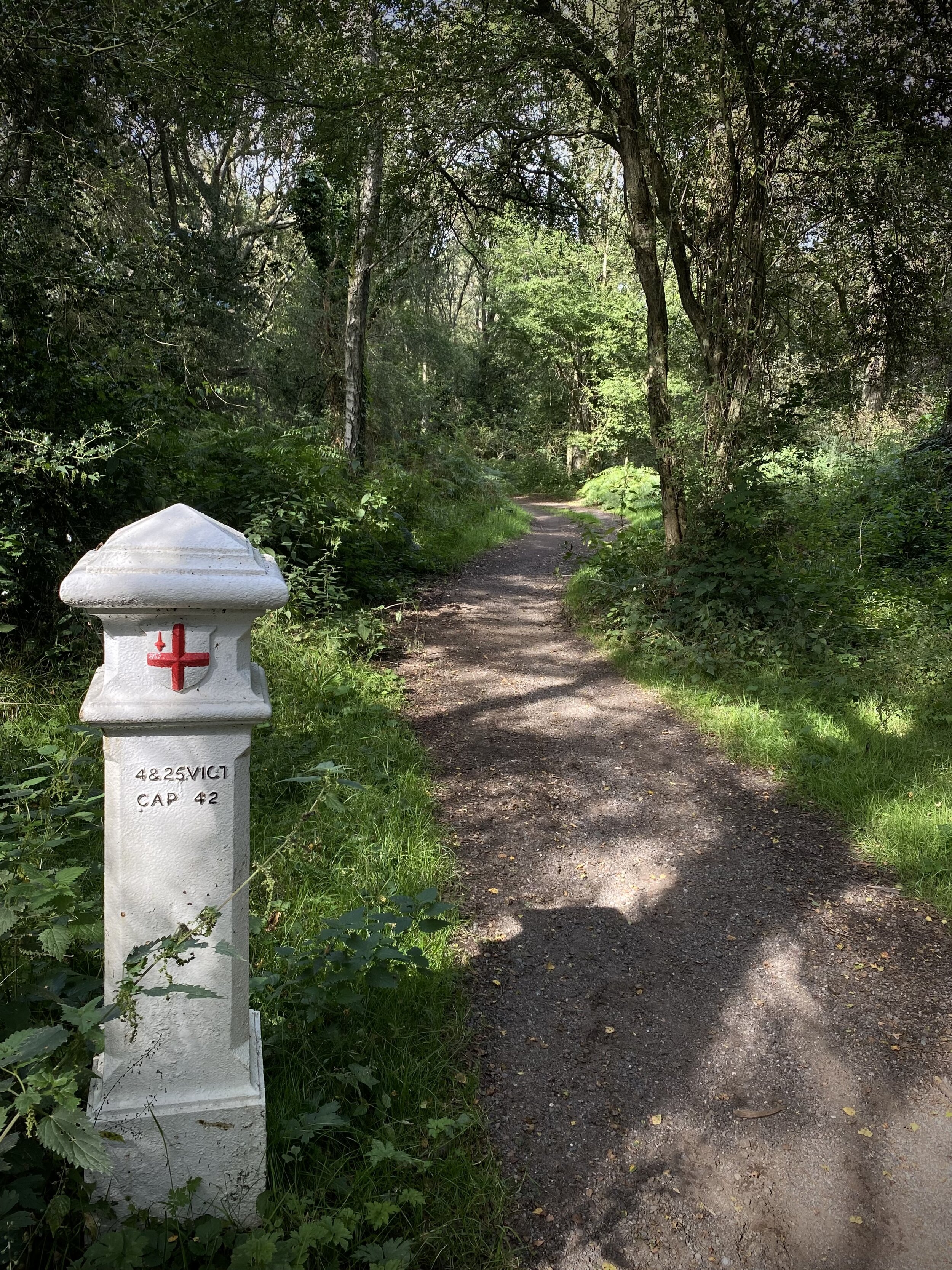
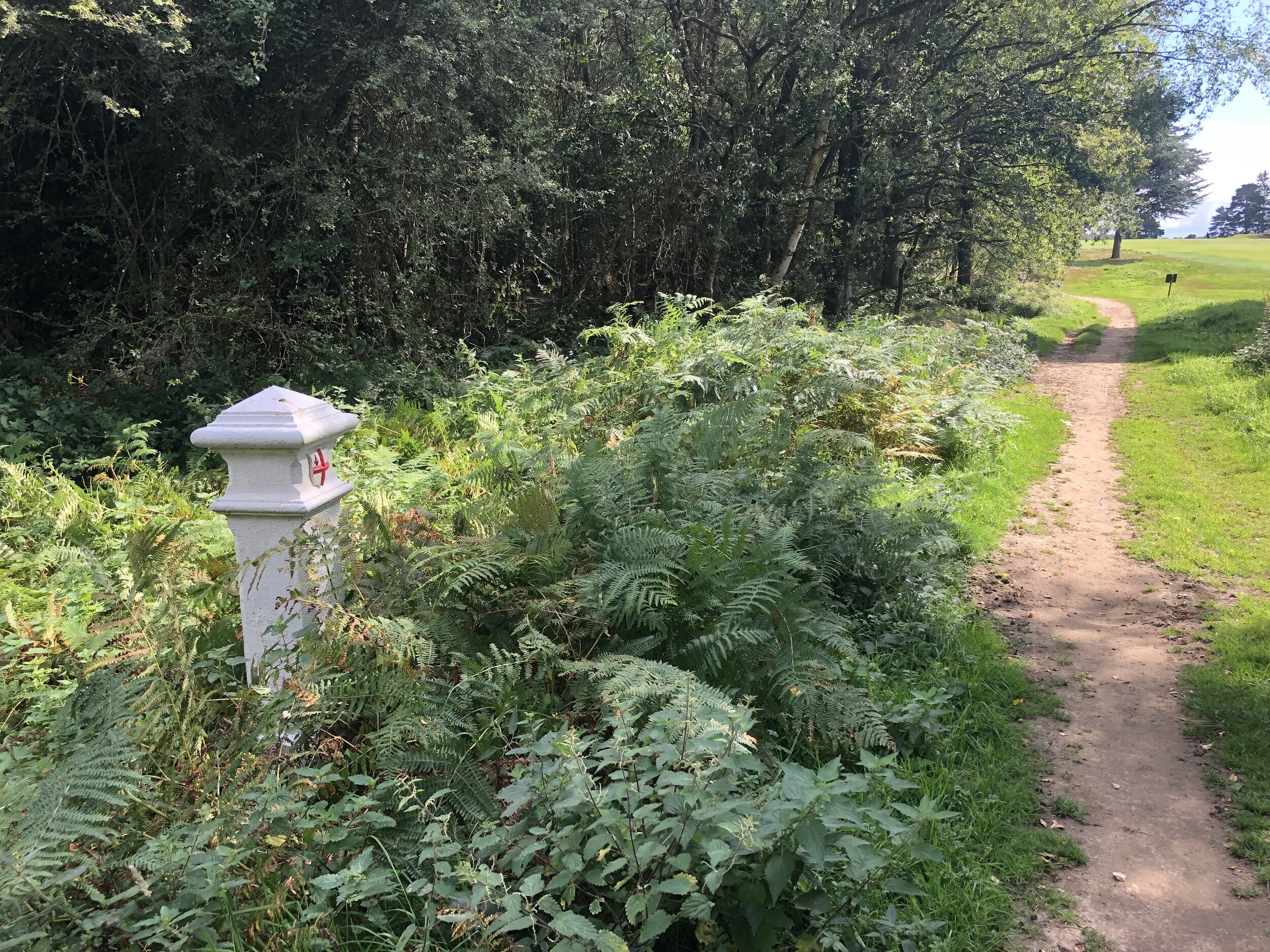
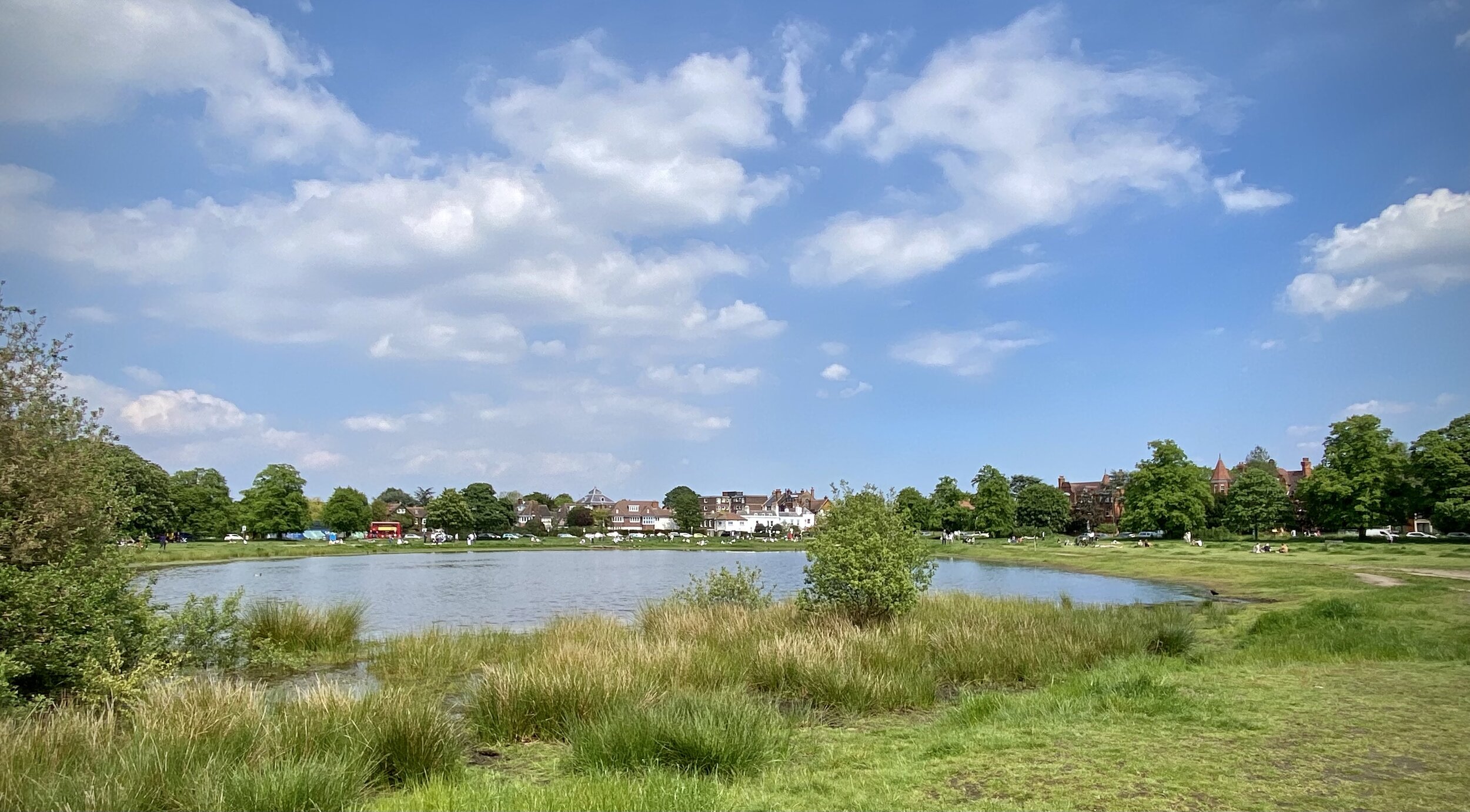
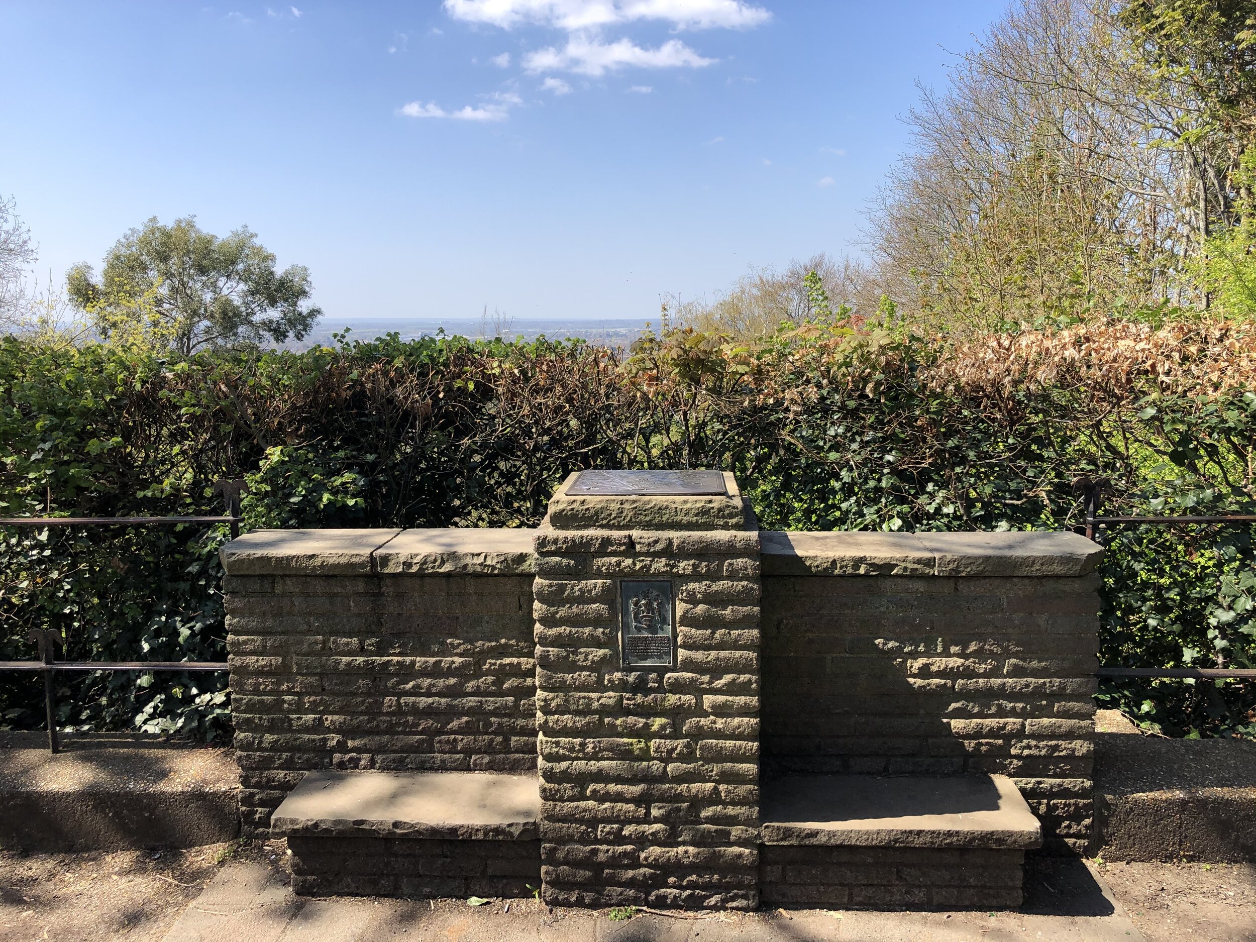
(5) The Vicar’s Oak – Bromley/Croydon/Lambeth

Croydon takes over from Bromley once the park ends. The park has a Boundaries Gate in honour of the meeting here in times gone by of four parish boundaries. In 2018 the stump of an old oak was installed, together with a panel about parish boundaries, beating the bounds and the Vicar’s Oak which once stood here. It is [so far] the only tripoint monument in London, and it is therefore a special place. 

This tri-point is at Westow Hill, the highest point in the London Borough of Lambeth. 

Coordinates: 51°25'12.0"N 0°04'42.7"W
Nearest Station: Crystal Palace (southern): 0.5 km
Map:
London South Map | Westminster, Greenwich, Croydon, Esher & Twickenham | Ordnance Survey | OS Explorer Map 161
Links: Wikipedia: Bromley, Croydon, Lambeth


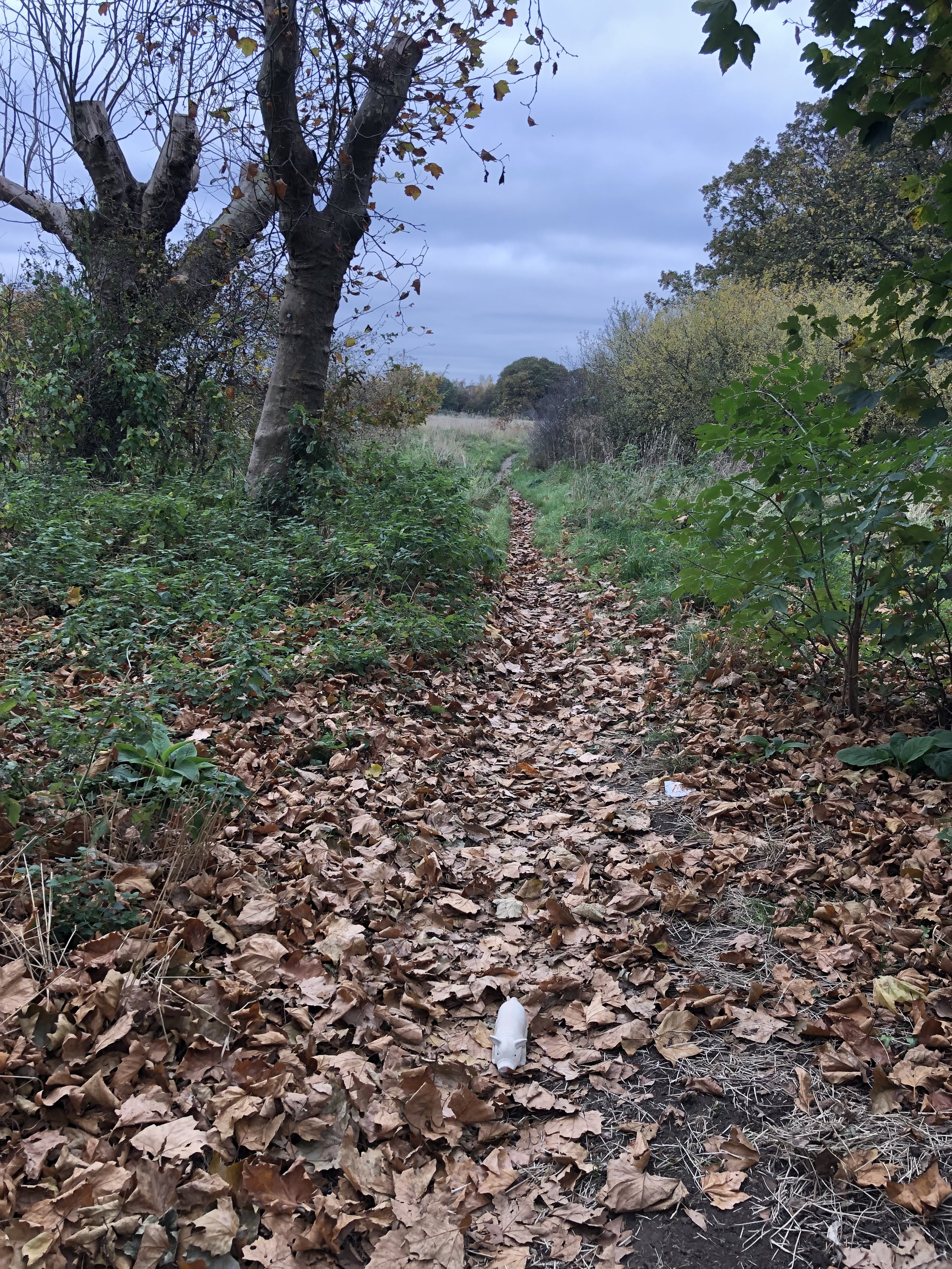
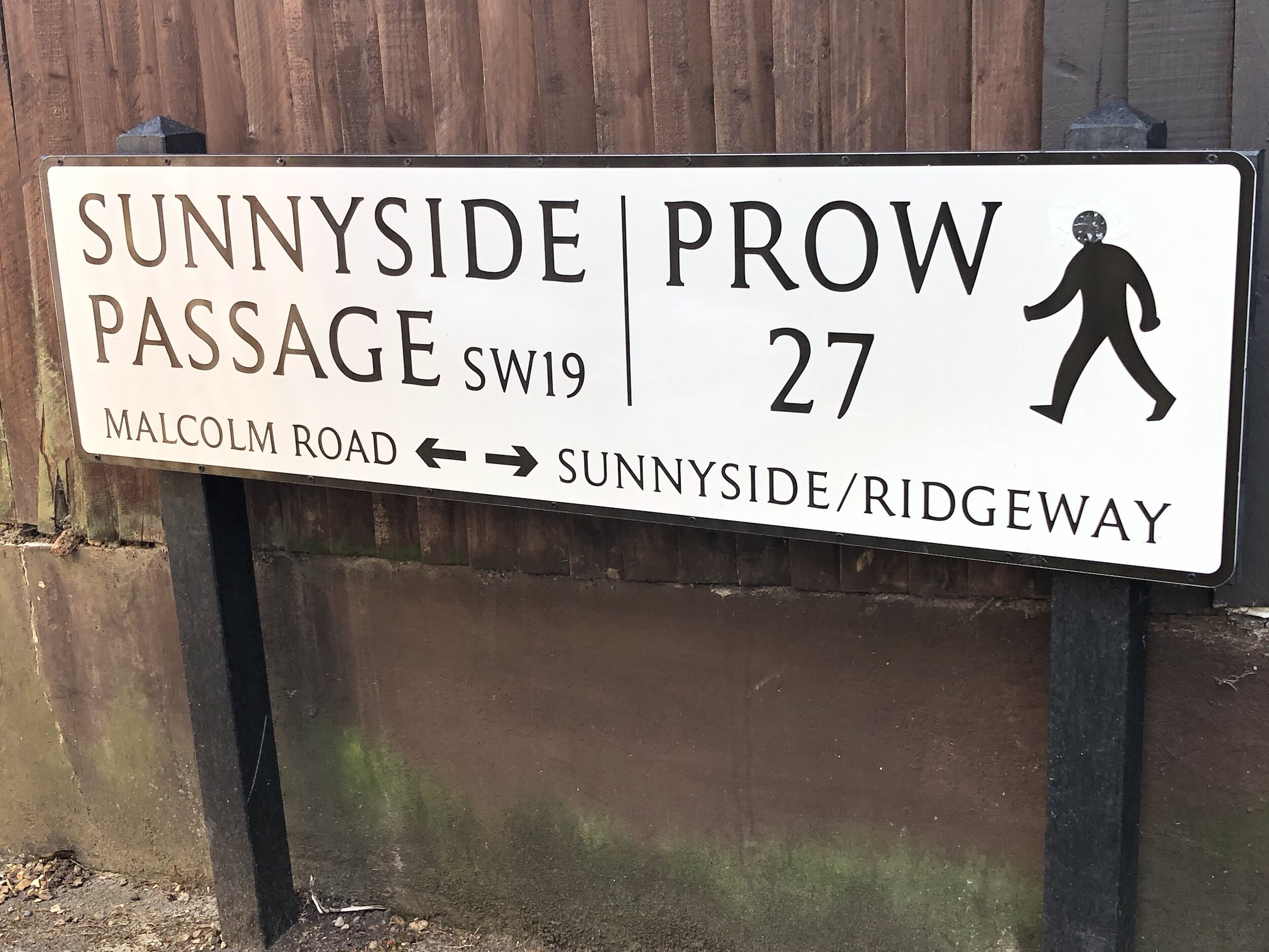
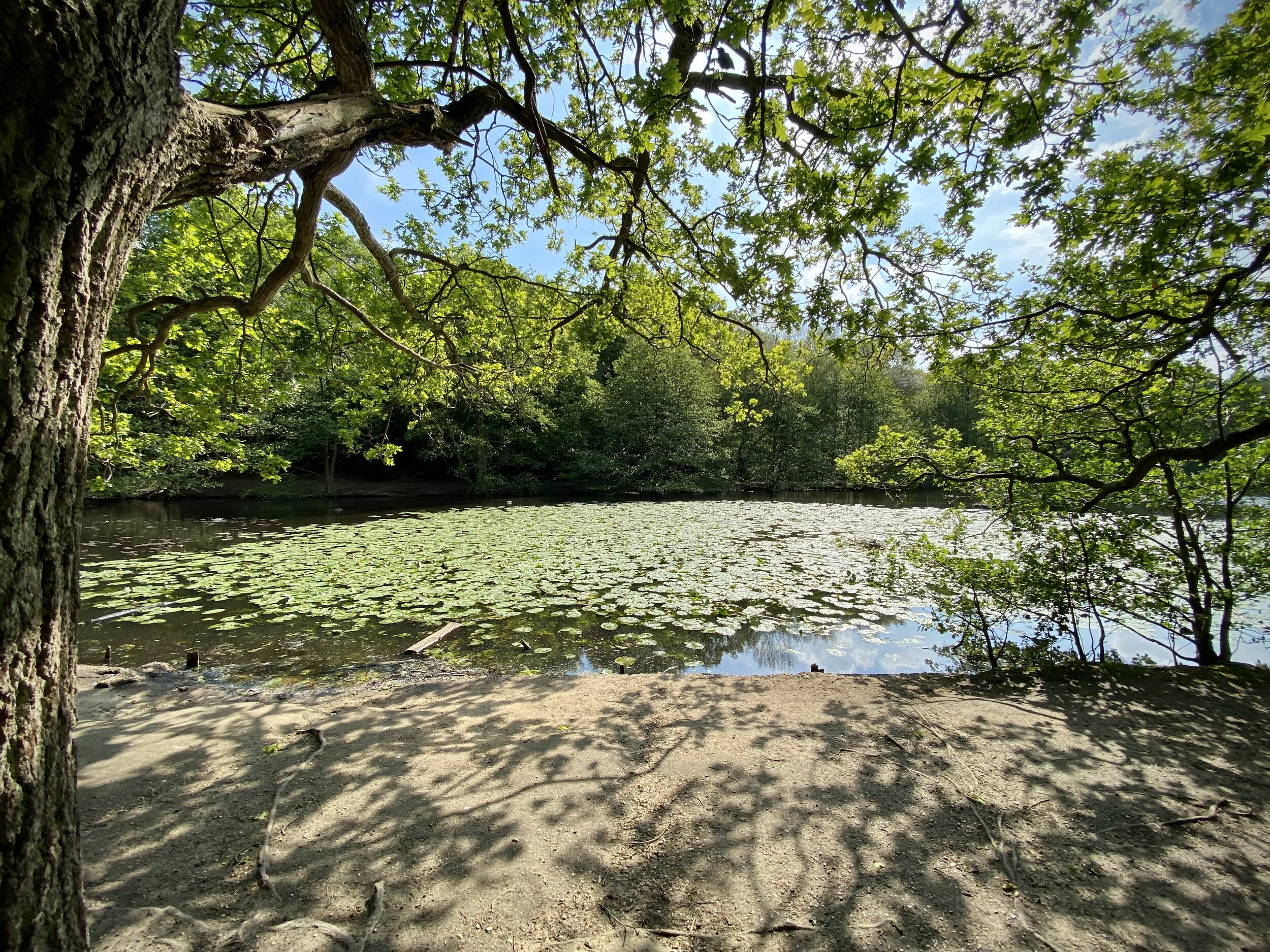
(6) The Inaccessible Graveney Triangle – Lambeth/Merton/Wandsworth

Railway lines forking beyond protective fencing, in a world of allotments, and the hidden river Graveney. The railway signs help mark the spot, which can at least be glimpsed by enthusiasts from the windows of trains between Streatham and either Tooting or Mitcham Eastfields. 

Coordinates: 51°25'09.3"N 0°08'25.4"W
Nearest Station: xxx
Map:
London South Map | Westminster, Greenwich, Croydon, Esher & Twickenham | Ordnance Survey | OS Explorer Map 161
Links: Wikipedia: Lambeth, Merton, Wandsworth


(7)Streatham Races – Croydon/Lambeth/Merton

Still in Graveney country, now in Norbury, where the back gardens of Woodmansterne Road separate  Merton from Lambeth.  There is a well concealed open space in Merton behind a locked gate, once the site of the short-lived and disorderly Streatham racecourse on Lonesome Farm. This led to the installation of ramps for horses at the new Norbury station, and then to the 1879 Racecourse Licensing Act which bore down on courses less than 10 miles from the centre of London. Pity….

Coordinates: 51°24'44.4"N 0°07'39.9"W
Nearest Station: Norbury (southern): 0.5 km
Map:
London South Map | Westminster, Greenwich, Croydon, Esher & Twickenham | Ordnance Survey | OS Explorer Map 161
Links: Wikipedia: Croydon, Lambeth, Merton


(8)Mitcham Common Gateway – Croydon/Merton/Sutton

Between Croydon’s Beddington sewage works and derelict hand car wash sites lies the unexpected joy of Mitcham Common, looked after by Conservators. It has suffered from gravel extraction and waste disposal: but it offers ponds with ducks, covered reservoirs, sandy paths, a golf course, and a tramway with bright green silent trams. Near the tripoint is a fine white high vehicle gateway leading to nowhere.

Coordinates: 51°23'27.1"N 0°08'03.7"W
Nearest Station: Beddington Lane (tram): 0.6 km
Map:
London South Map | Westminster, Greenwich, Croydon, Esher & Twickenham | Ordnance Survey | OS Explorer Map 161
Links: Wikipedia: Croydon, Merton, Sutton


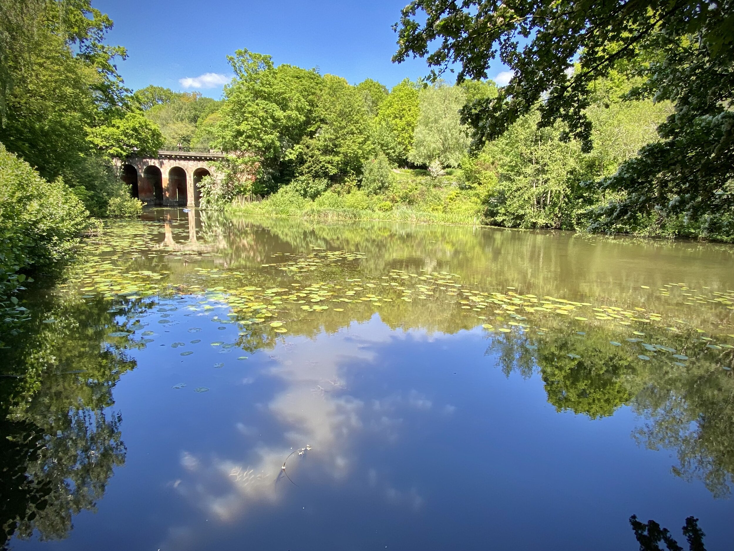
(9) Beverly Brook 1 – Kingston/Richmond/Wandsworth

A few hundred yards north of no 10, by way of the Robin Hood Gate to Richmond Park, is the border with Richmond, where two little bridges cross the Beverly Brook as it emerges from beneath the A3: a footbridge leading to the new golf clubhouse and a weir, to catch old footballs and supermarket trolleys rather than salmon. 

Coordinates: 51°26'14.2"N 0°15'14.7"W
Nearest Station: Barnes (southwestern): 3.7 km
Map:
London South Map | Westminster, Greenwich, Croydon, Esher & Twickenham | Ordnance Survey | OS Explorer Map 161
Links: Wikipedia: Kingston upon Thames, Richmond upon Thames, Wandsworth


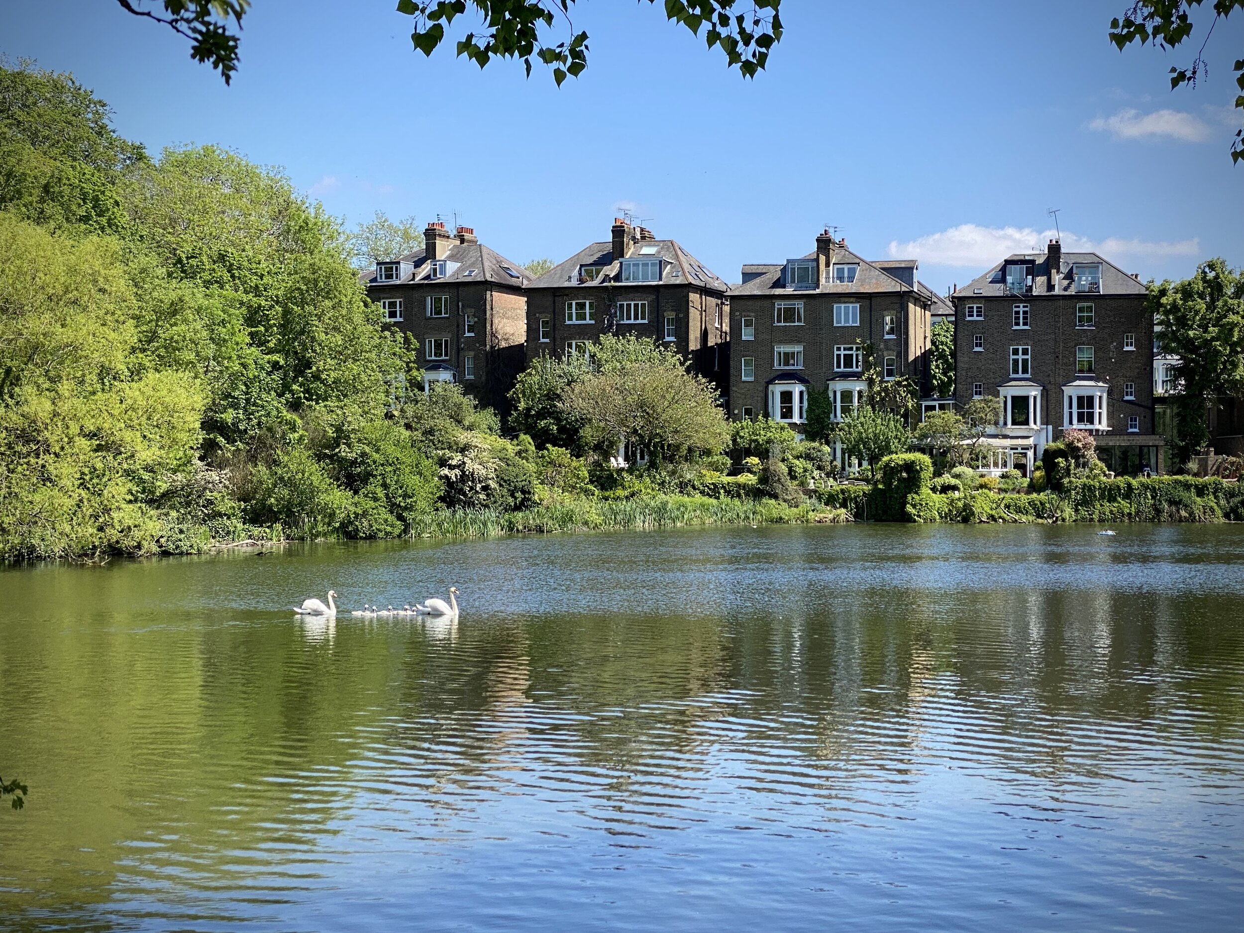
(10) Beverly Brook 2 - Kingston/ Merton/ Wandsworth

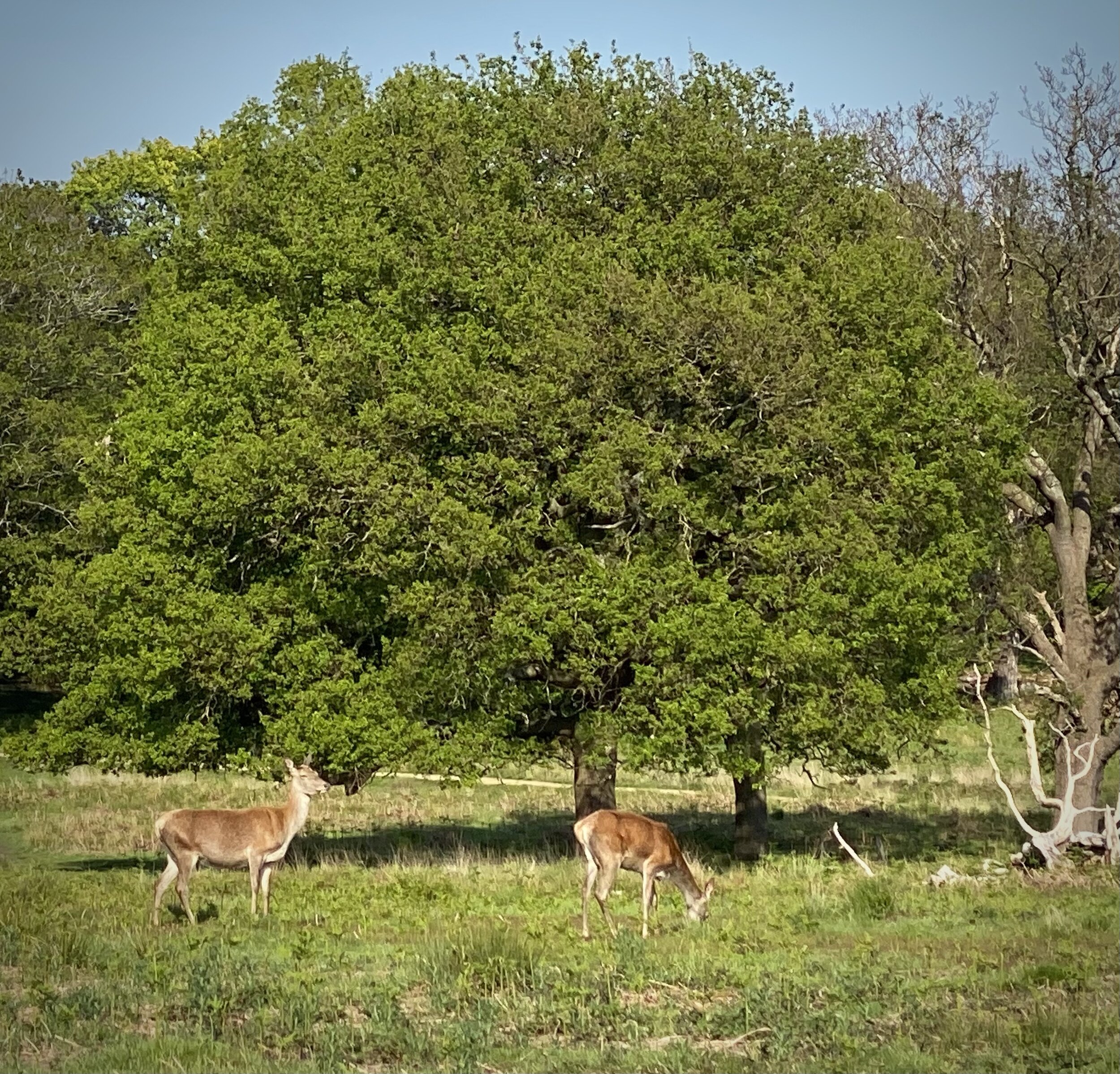
By the banks of the Beverly Brook – a brook for beavers but no longer, and London’s best boundary stream  – is an 1861 parish boundary stone, overhung and surrounded by the oaks of Wimbledon Common, which could be known as Wimbledon Forest: this tripoint is one of the most attractive and one of the hardest to pinpoint. The track alongside the brook is used by cyclists and pedestrians and mounted rangers.

Coordinates: 51°25'57.2"N 0°15'03.9"W
Nearest Station: Wimbledon (southwestern, Thameslink): 3.7 km
Map:
London South Map | Westminster, Greenwich, Croydon, Esher & Twickenham | Ordnance Survey | OS Explorer Map 161
Links: Wikipedia: Kingston upon Thames, Merton, Wandsworth


(11) Beverly Brook 3 – Kingston/ Merton/Sutton

Upstream from No 10, still on the edges of the brook, but here heavily channelled and overlooked by two gasometers on the Kingston side, within a beautiful piece of preserved woodland. The wood and adjoining playing fields in Merton were given to the public by local magnate and MP Sir Joseph Hood. Hood made his money with British American Tobacco, but the air here is clean, despite the littering, and the wood is full of birdsong. 

Coordinates: 51°23'21.4"N 0°14'23.0"W
Nearest Station: Motspur Park (South Western): 0.9 km
Map:
London South Map | Westminster, Greenwich, Croydon, Esher & Twickenham | Ordnance Survey | OS Explorer Map 161
Links: Wikipedia: Kingston upon Thames, Merton, Sutton


(12) Bulls Bridge – Ealing/Hillingdon/Hounslow

The Grand Union Canal’s Paddington branch starts here, miles of canal-boats and waterfowl and the backsides of commercial estates. The tripoint is where the canals meet, at Bulls Bridge where the Grand Union Canal heads west. The delightful towpath along the Paddington branch is the border between Ealing and Hillingdon: past the Blair Peach school named after the young New Zealander killed by a policeman during an April 1979 anti-National Front demonstration. 

Coordinates: 51°29'58.8"N 0°24'25.0"W
Nearest Station: Hayes & Harlington (GWR, Elizabeth Line): 1.6km
Map:
London North Map | The City, West End, Enfield, Ealing, Harrow & Watford | Ordnance Survey | OS Explorer Map 173
Links: Wikipedia: Ealing, Hillingdon, Hounslow


(13) Northolt Mandeville - Ealing/Harrow/Hillingdon

In Northolt, by the railway lines and in the shadow of the Solid Waste Transfer Station to the west between the tracks. Northolt is of course famous for its aerodrome, where 32 Squadron The Queen’s Flight is based: memorably, the flight carrying the body of Lady Diana back from Paris landed there back in 1997. But it also has roots in the Domesday Book and the local government ward is named for the local Norman grandee who was Constable of the Tower of London. 

Coordinates: 51°33'17.9"N 0°22'40.3"W
Nearest Station: Northolt Park (Chiltern Railways): 1.6km
Map:
London North Map | The City, West End, Enfield, Ealing, Harrow & Watford | Ordnance Survey | OS Explorer Map 173
Links: Wikipedia: Ealing, Harrow, Hillingdon


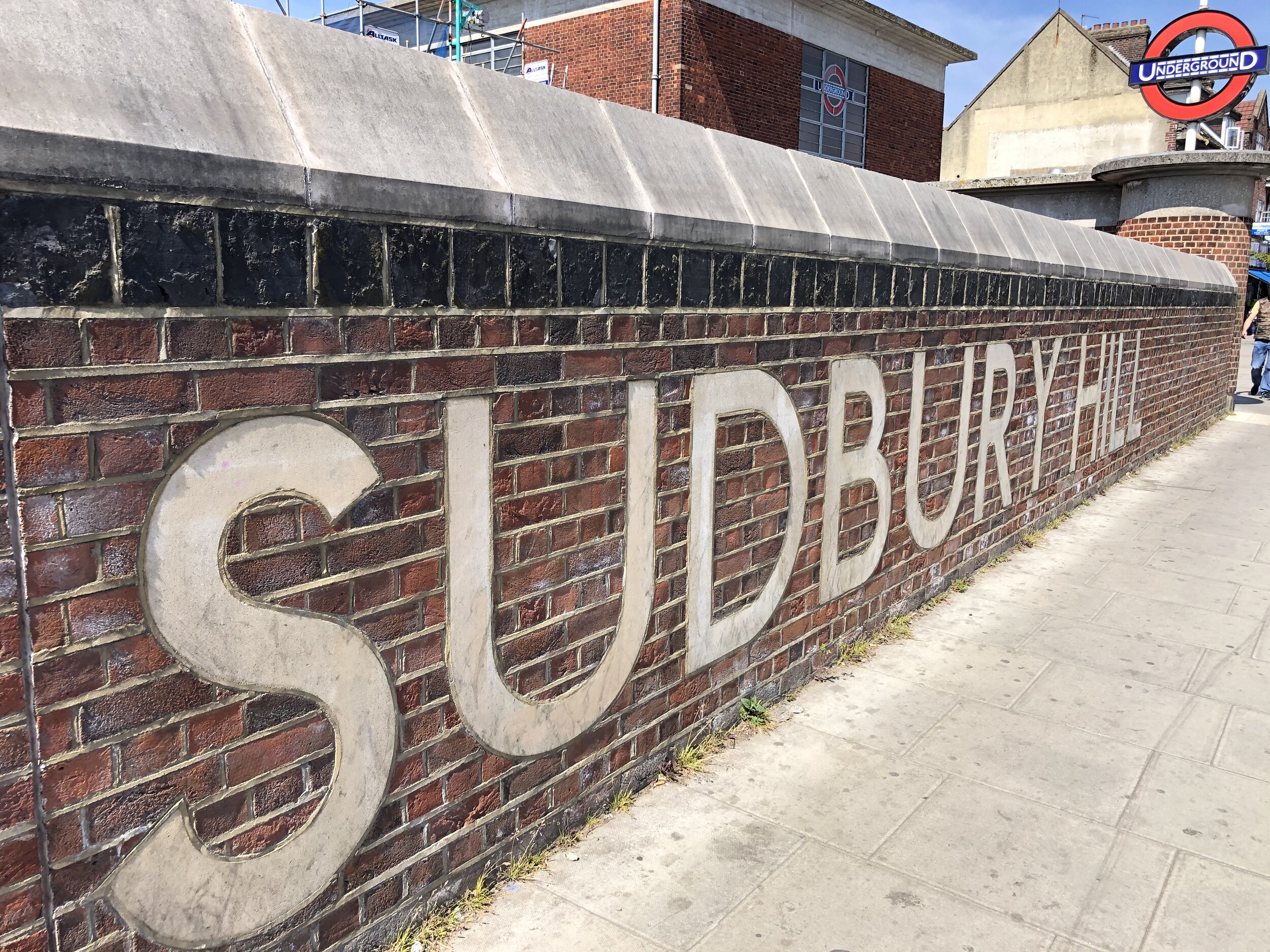
(14) Sudbury Hill – Brent/Ealing/Harrow

The tripoint is a tiny step from one of the classic 1930s London Underground stations designed by Charles Holden: Pevsner notes “how satisfying …such unpretentious buildings can be”. Harrow on the Hill is just beyond, a much more challenging hill than Sudbury Hill for cyclists or pedestrians, with the added interest of the school buildings of Harrow School: “hearty and confident gloom”, to quote Pevsner again. The area is alive with railway lines going off in all directions.

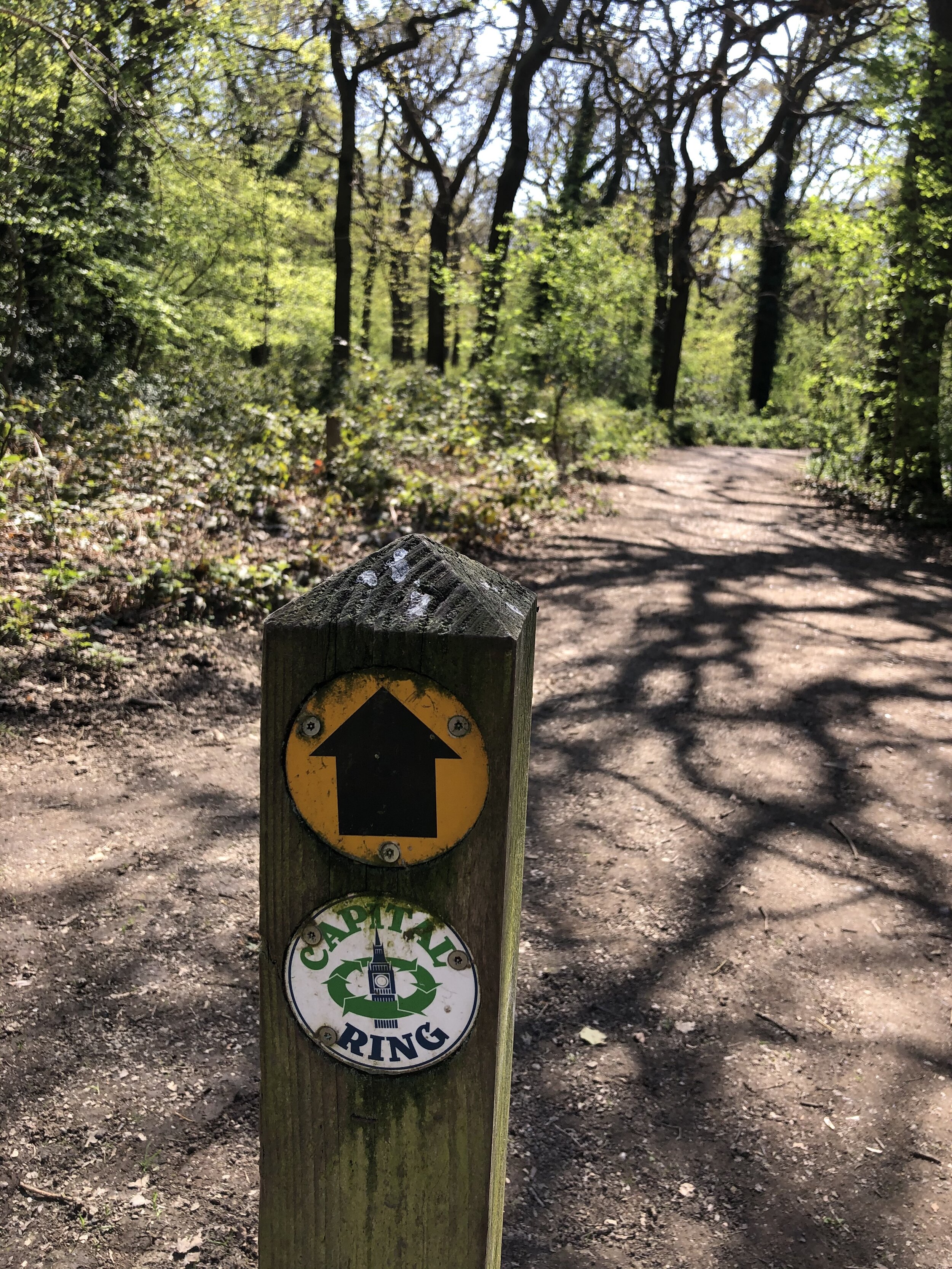
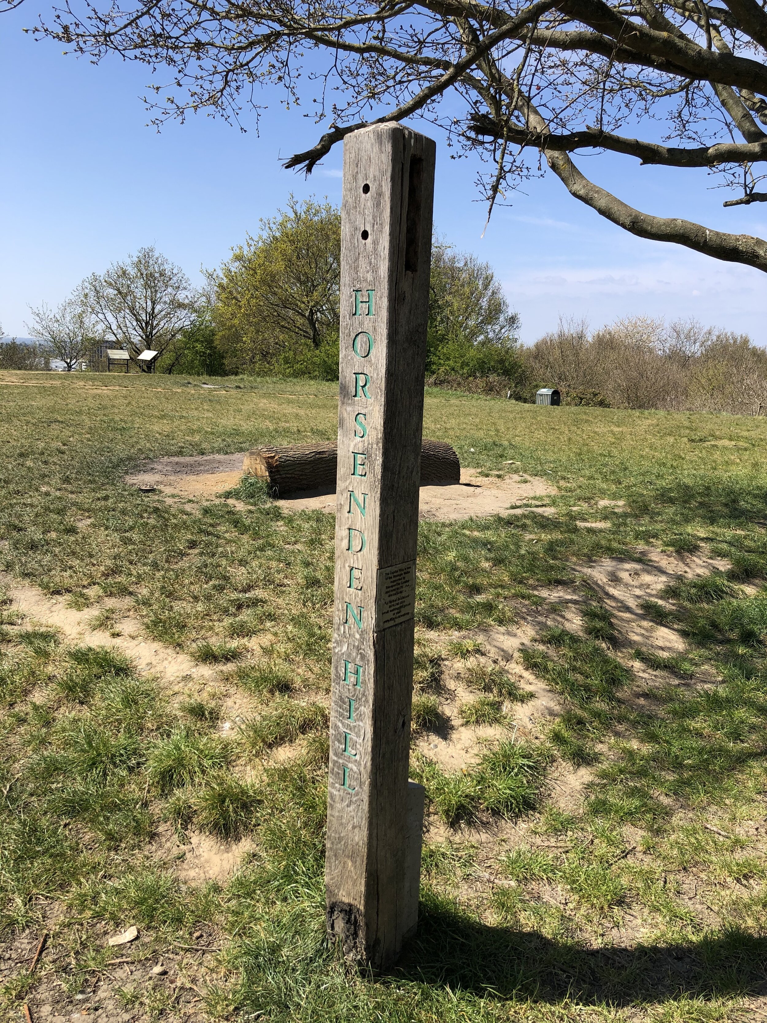
This Tri-point is 1.3 km from the high point of the London Borough of Brent. See the blog post Walking The Capital Ring: Harrow on the Hill to Horsenden Hill for details.

Coordinates: 51°33'23.6"N 0°20'08.1"W
Nearest Station: Sudbury Hill (Piccadilly Line): <100m
Map:
London North Map | The City, West End, Enfield, Ealing, Harrow & Watford | Ordnance Survey | OS Explorer Map 173
Links: Wikipedia: Brent, Ealing, Harrow


(15) Burnt Oak Corner – Barnet/Brent/Harrow

On Watling Street. A foodshop called Neam Bucovinean next to the Gormandu traditional Romanian restaurant suggest a local concentration of Europeans from the frontiers of the EU. The first ever Tesco store was near here. The area is called Burnt Oak, one of several post-war LCC cottage housing estates. The vase in the photograph is empty in homage to the hint in that name of a phantom boundary oak.

Coordinates: 51°36'01.3"N 0°16'01.7"W
Nearest Station: Burnt Oak (Northern Line): 300m
Map:
London North Map | The City, West End, Enfield, Ealing, Harrow & Watford | Ordnance Survey | OS Explorer Map 173
Links: Wikipedia: Barnet, Brent, Harrow


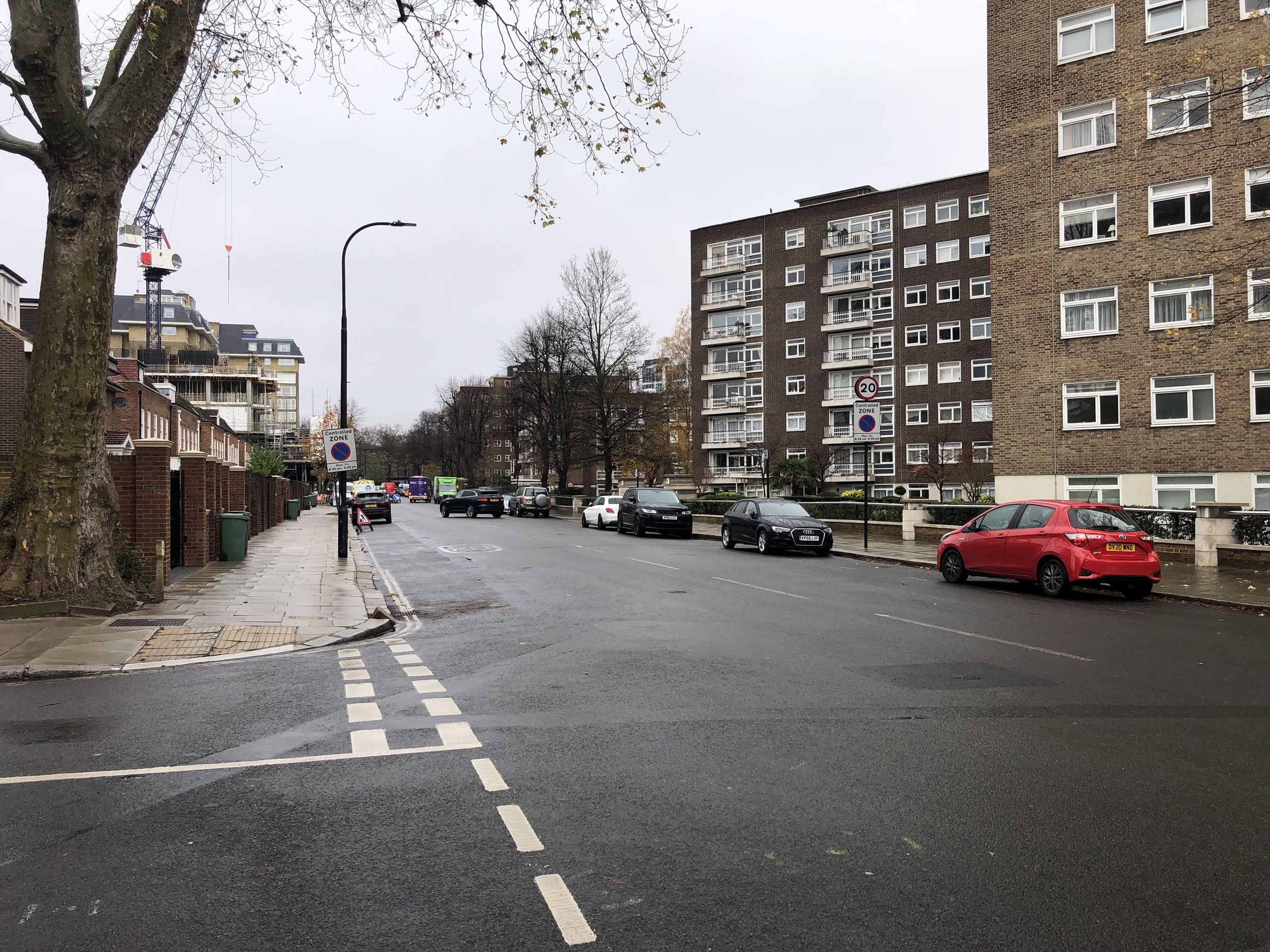
(16) Emlyn Corner - Ealing/Hammersmith and Fulham/Hounslow

Contrasting cultures meet here: on one hand the leafy roads of Bedford Park and Turnham Green, where the Trained Bands turned back King Charles in the Civil War, but now endowed with Royalist street names - Queen Anne, Rupert, Woodstock, Blenheim; and on the other Acton, where the Emlyn Gardens estate boasts blocks delightfully named for Greater London’s rivers, including the Beverly, the Lea and the Roding, all of which host tripoints. 

Coordinates: 51°30'05.1"N 0°15'11.1"W
Nearest Station: Stamford Brook (District Line): 1km
Map:
London North Map | The City, West End, Enfield, Ealing, Harrow & Watford | Ordnance Survey | OS Explorer Map 173
Links: Wikipedia: Ealing, Hammersmith and Fulham, Hounslow


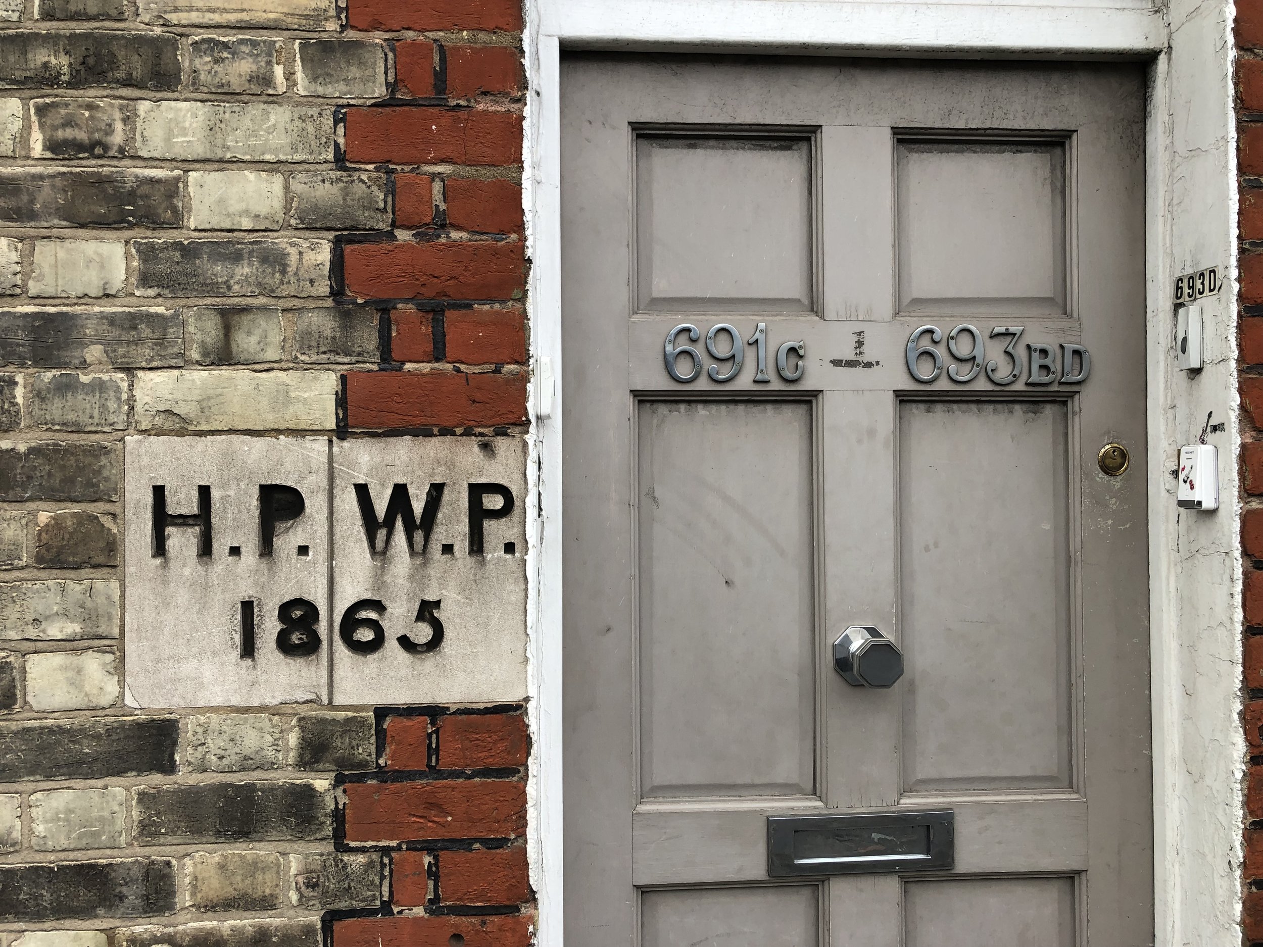
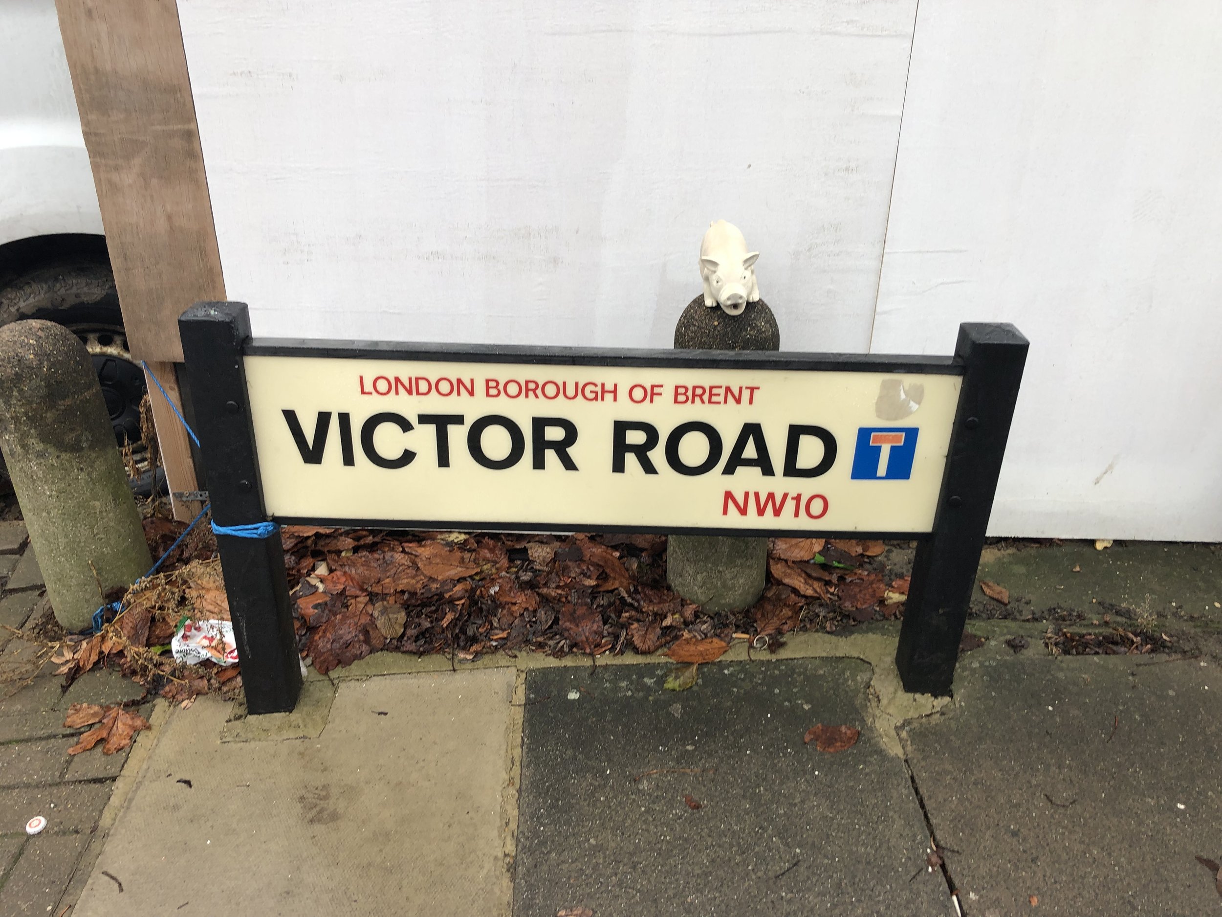
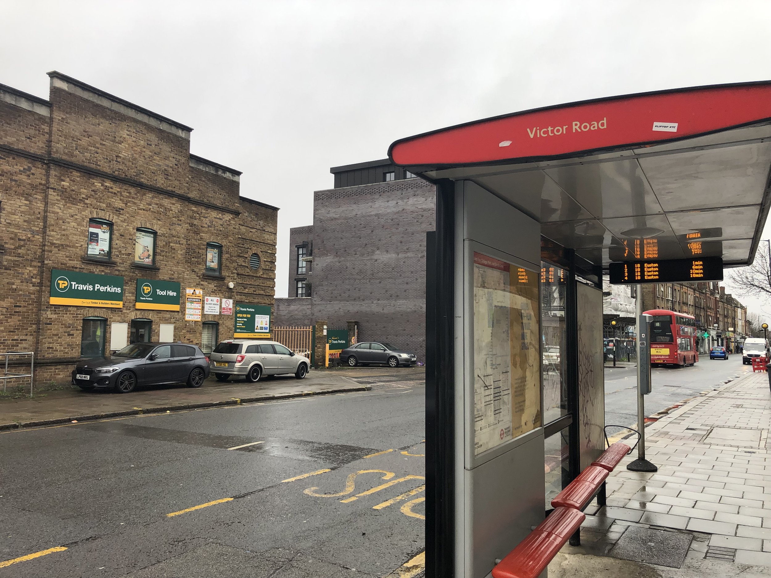
(17) Welcome to Harlesden – Brent/Ealing/Hammersmith and Fulham

Willesden Junction is a desert of railway tracks requiring two separate bridges to cross the local lines and the West Coast Main line, and then lead south into Ealing and the calm of the Paddington Branch of the Union Canal. There is an official Brent noticeboard inscribed “Welcome to Harlesden.” Harlesden is the home of Digestives and Hobnobs. Welcome indeed.

Coordinates: 51°31'57.8"N 0°14'46.7"W
Nearest Station: Willesden Junction (Overground): 140m
Map:
London North Map | The City, West End, Enfield, Ealing, Harrow & Watford | Ordnance Survey | OS Explorer Map 173
Links: Wikipedia: Brent, Ealing, Hammersmith and Fulham


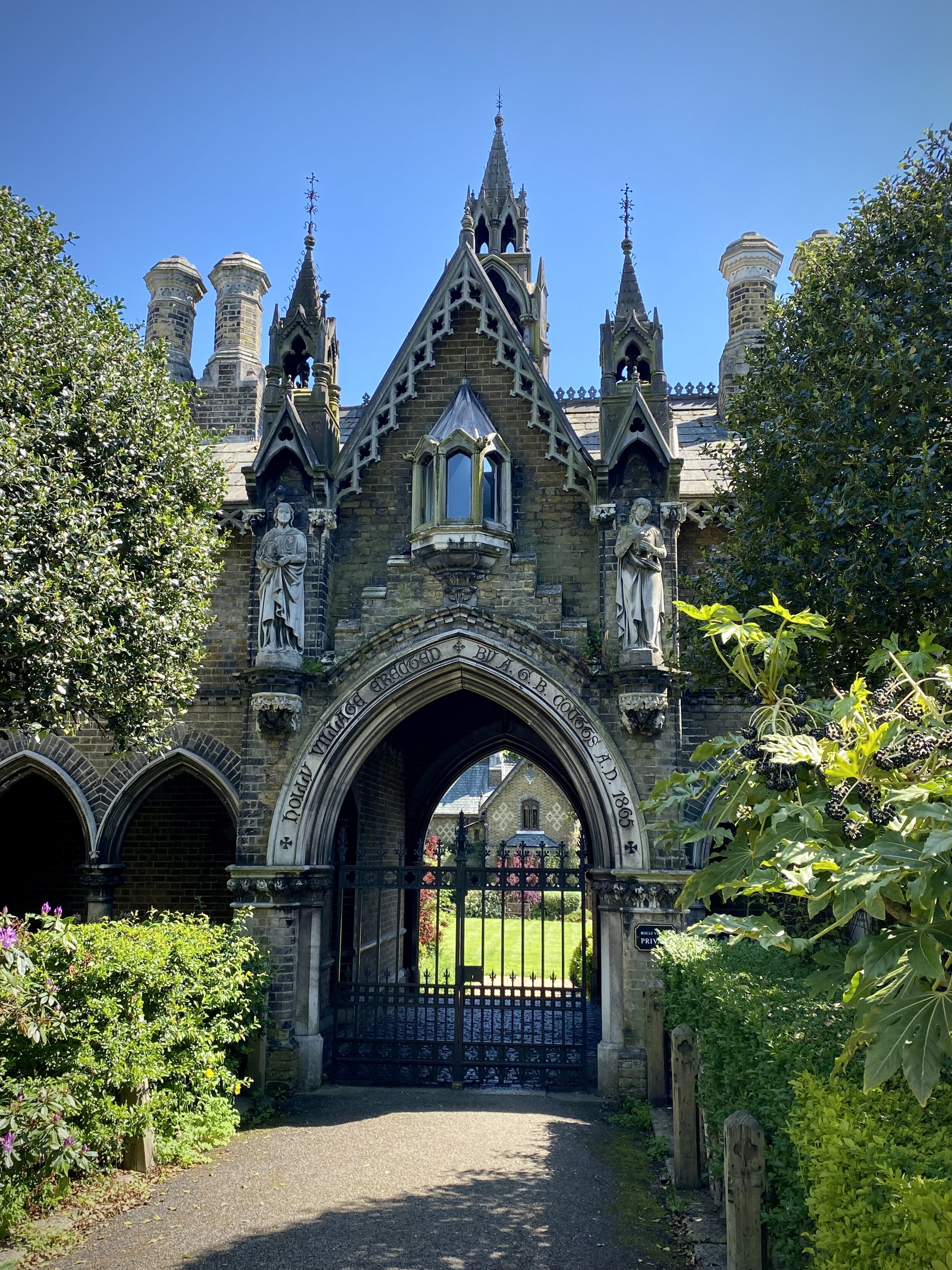
(18) By Way of Kensal Green – Brent/Hammersmith and Fulham/Kensington and Chelsea

There is a Brazilian steakhouse and the promise of Sunrise Brazilian hair in Brent, opposite the Anglican chapel and the entrance to the Roman Catholic part of the massive Kensal Green cemetery, and above the Kensal Green railway tunnels: a faintly disturbing juxtaposition. “For there is good news yet to hear and fine things to be seen, Before we go to Paradise by way of Kensal Green”. 

This tri-point is also at the highpoint of the London Borough of Kensington and Chelsea and very close to the high point of Hammersmith and Fulham. See the Central London Five Summits blog post for details.

Coordinates: 51°31'49.2"N 0°13'42.5"W
Nearest Station: Kensal Green (Overground, Bakerloo): 160m
Map:
London North Map | The City, West End, Enfield, Ealing, Harrow & Watford | Ordnance Survey | OS Explorer Map 173
Links: Wikipedia: Brent, Hammersmith and Fulham, Kensington and Chelsea


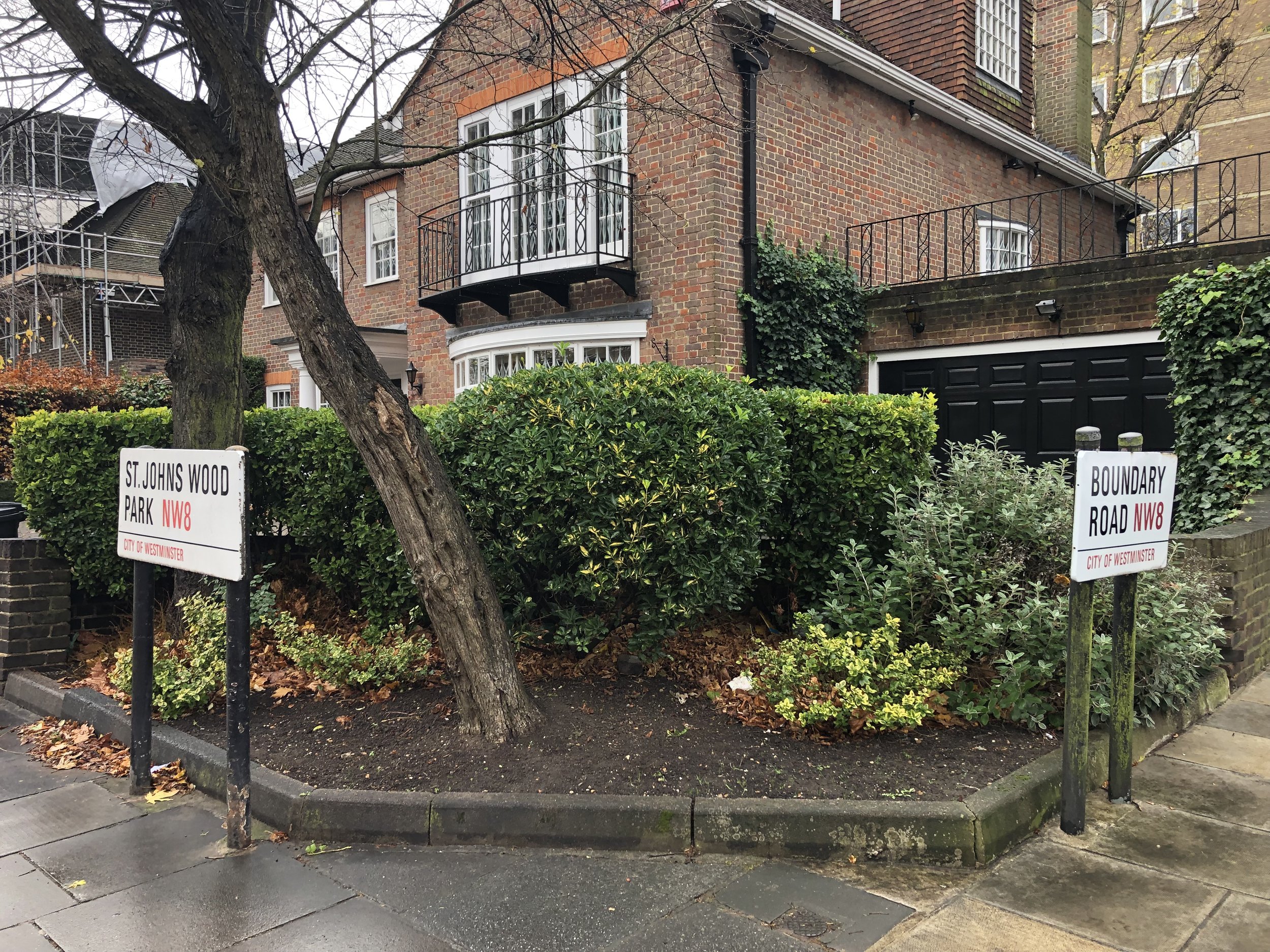
(19) The towers of St John’s - Brent/Kensington and Chelsea/Westminster

Ladbroke Grove in the Royal Borough peters out here in the shadow of the twin towers of St John the Evangelist’s Kensal Green. Next to it is a private school called Bales College.  But there is little sign here of the alleged gentrification of Kensal Green which in 2014 produced a Mulberry handbag named Kensal. 

Coordinates: 51°31'40.5"N 0°12'57.8"W
Nearest Station: Kensal Green (Overground, Bakerloo): 0.8 km
Map:
London North Map | The City, West End, Enfield, Ealing, Harrow & Watford | Ordnance Survey | OS Explorer Map 173
Links: Wikipedia: Brent, Kensington and Chelsea, City of Westminster


(20) St Augustine’s junction – Brent/Camden/Westminster

The second tripoint in the middle of Watling Street. Camden has a modern Library here, hopefully also accessible also to the citizens of Westminster and Brent. Down the road in Westminster is St Augustine’s CofE High School, St Augustine’s Sports Centre, and finally the magnificent St Augustine’s church, the vast late 19th century “cathedral of north London”, named for the Augustine whom Pope Gregory sent to England to convert it to Christianity. 

Coordinates: 51°32'10.6"N 0°11'29.4"W
Nearest Station: Kilburn High Road (Overground): 120m
Map:
London North Map | The City, West End, Enfield, Ealing, Harrow & Watford | Ordnance Survey | OS Explorer Map 173
Links: Wikipedia: Brent, Camden, City of Westminster


(21) All Souls Ridge – Brent/Camden/Barnet

The third Watling Street tripoint as it climbs up the inimitably delightfully named Shoot Up Hill between Camden and Brent and on the shoulder of the hill meets Barnet at Cricklewood, beside the Mediterranean bar and restaurant Elementree  - “ the location is very romantic” . All Souls College Oxford once owned much of the land on the western side of the highway, including dozens of oaks: now gone but not forgotten. 

Coordinates: 51°33'18.7"N 0°12'48.6"W
Nearest Station: Cricklewood (Thameslink): 0.5 km
Map:
London North Map | The City, West End, Enfield, Ealing, Harrow & Watford | Ordnance Survey | OS Explorer Map 173
Links: Wikipedia: Brent, Camden, Barnet


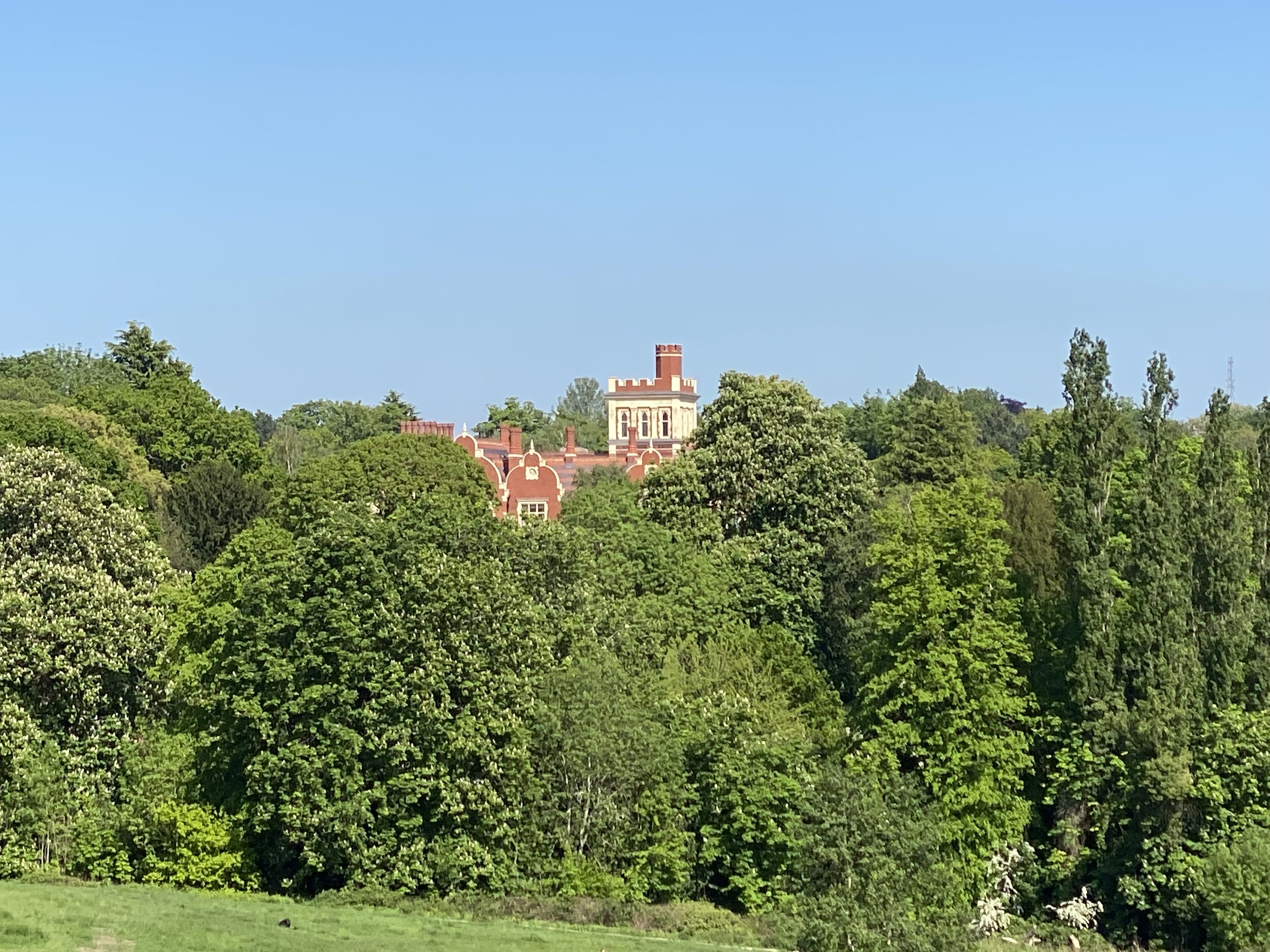
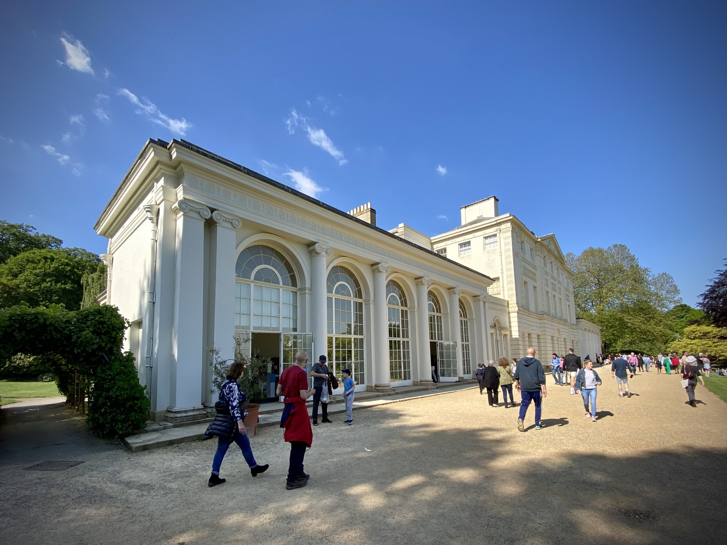
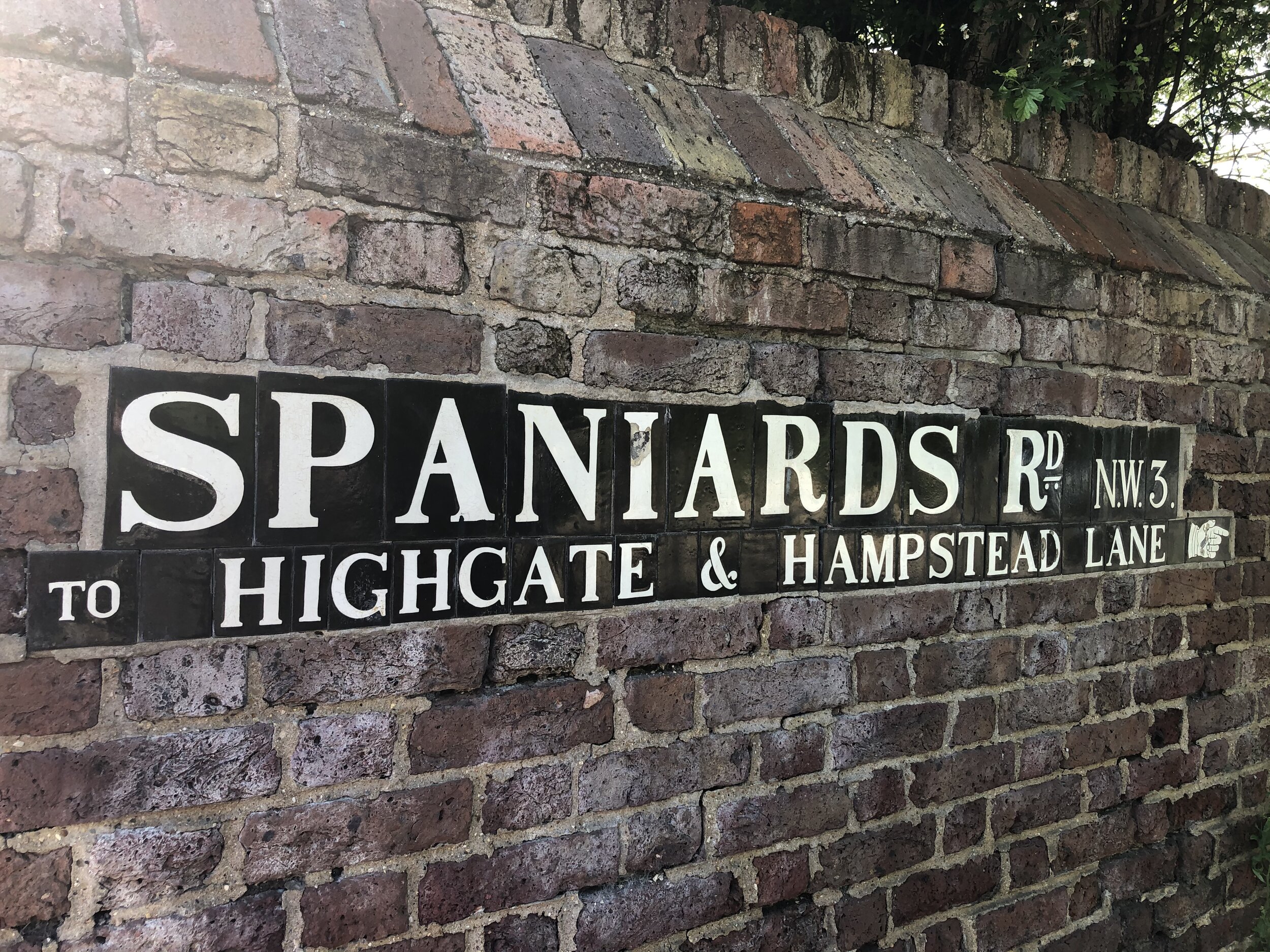
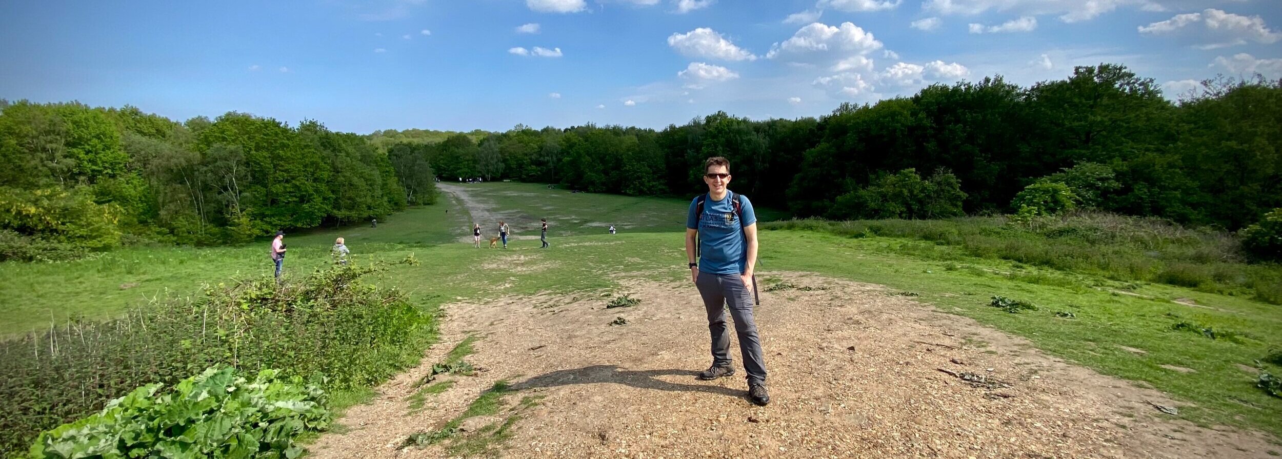
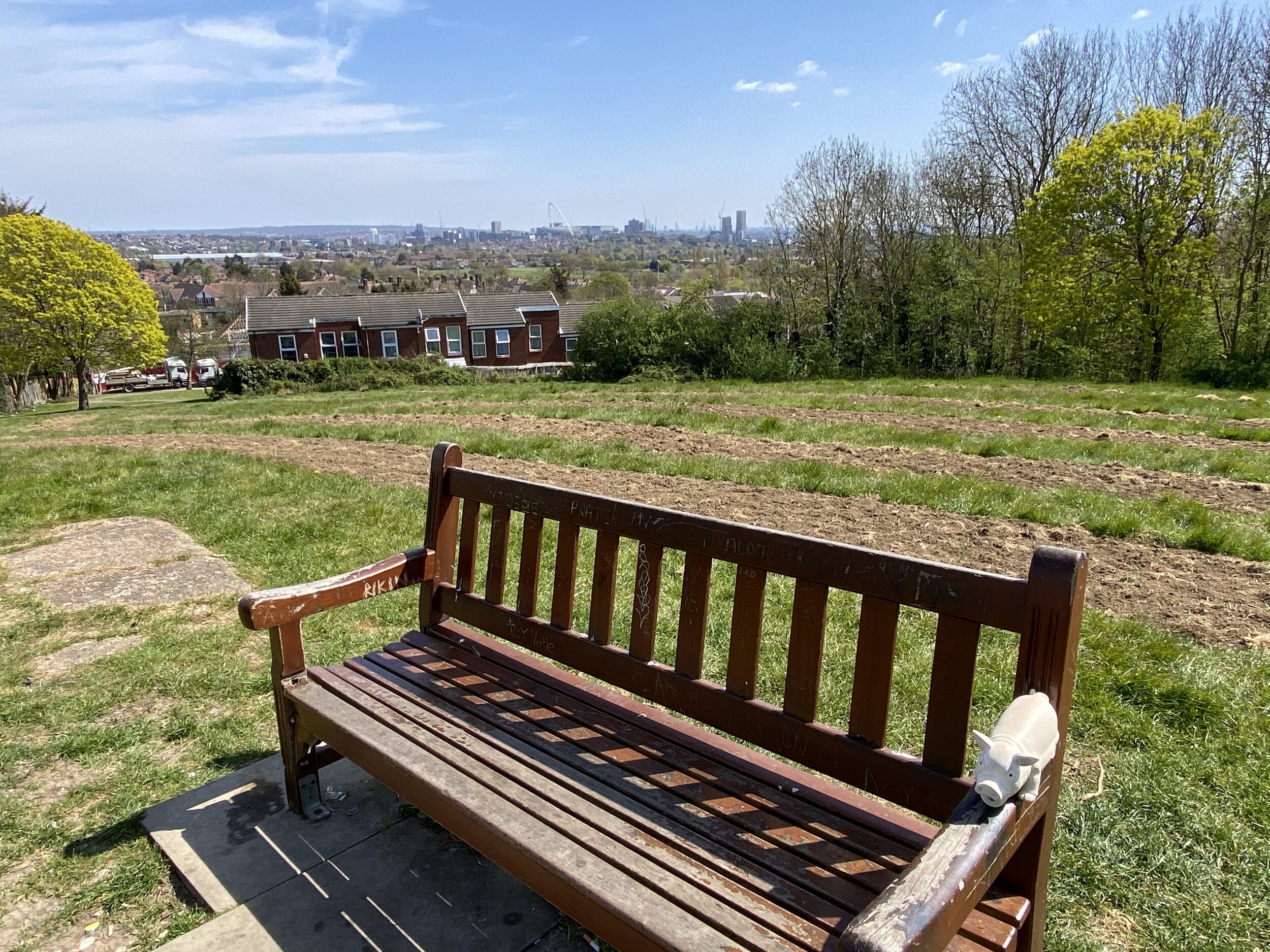
(22) Kenwood Corner – Camden/Barnet/Haringey

This prosperous tripoint is at edge of Hampstead Heath, which is managed by the City. The tripoint is where Bishops Avenue, home of the mega-rich, and technically in Barnet, meets the Heath. This is unmistakeably Highgate, a ward name used by both Camden and Haringey: unusual if not unique? A few hundred yards away is the old new wealth of Kenwood House, built from Mansfield’s legal practice and probably family slave estates in the Caribbean. There are several tremendous oaks on this boundary.

This tri-point is close to the London Borough High Points of Islington, Haringey and Camden and the Kenwood House and Parliament Hill Protected Views. See the post Walking The Hampstead and Highgate London Borough High Points for details

Coordinates: 51°34'21.1"N 0°10'16.5"W
Nearest Station: Golders Green (Northern Line): 2.1 km
Map:
London North Map | The City, West End, Enfield, Ealing, Harrow & Watford | Ordnance Survey | OS Explorer Map 173
Links: Wikipedia: Camden, Barnet, Haringey


(23) New Southgate Tunnel – Barnet/Enfield/Haringey

Sadly this has little to do with Southgate itself, where Pevsner mentions several appetisers. The North Circular enters a long, unlit and seemingly unventilated abyss under the main railway line going north. The arch is decorated with graffiti tags RAS10FOOT or maybe 10FOOTRAS, presumably acrobatically carried out from above. By some way the  most hazardous tripoint in London.  

Coordinates: 51°36'36.7"N 0°08'19.7"W
Nearest Station: New Southgate (Great Northern, Thameslink): 1 km
Map:
London North Map | The City, West End, Enfield, Ealing, Harrow & Watford | Ordnance Survey | OS Explorer Map 173
Links: Wikipedia: Barnet, Enfield, Haringey


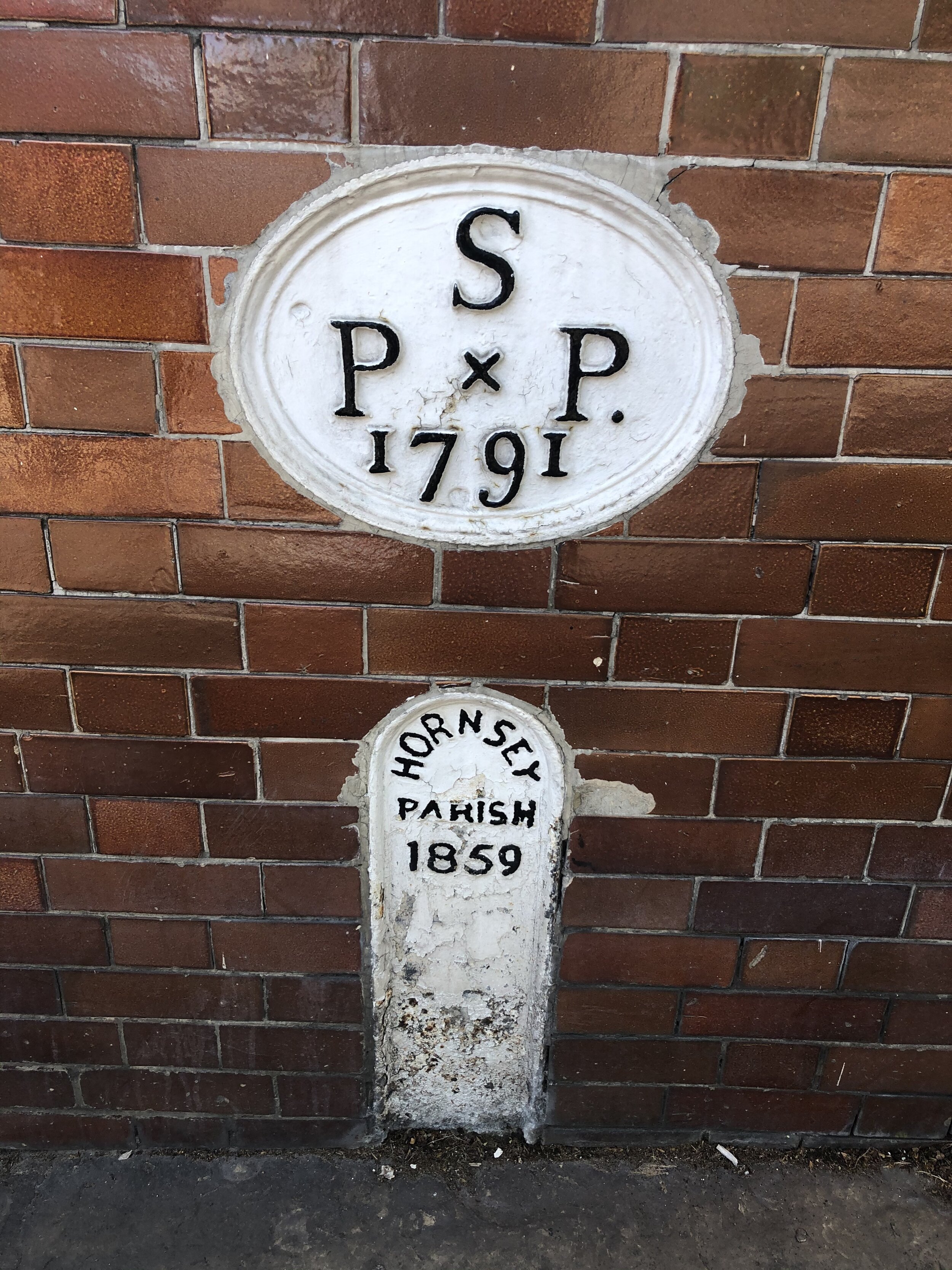
(24) Waterlow Corner – Islington/Haringey/Camden

Islington comes up Highgate Hill past the Whittington Hospital and the Passionist RC Church of St Joseph to meet Hornsey Lane from Haringey. On the Camden side of the corner is Lauderdale House, built in 1582 by the goldsmith Richard Martin, sponsor of Drake’s circumnavigation. It is now a community hub. Behind and around is Waterlow Park, a “garden for the gardenless” given to the LCC by Sir Sidney Waterlow, a Liberal Lord Mayor.

This tri-point is also the high point of the London Borough of Islington. See the post Walking The Hampstead and Highgate London Borough High Points for details

Coordinates: 51°34'08.8"N 0°08'32.7"W
Nearest Station: Archway (Northern Line): 0.6 km
Map:
London North Map | The City, West End, Enfield, Ealing, Harrow & Watford | Ordnance Survey | OS Explorer Map 173
Links: Wikipedia: Islington, Haringey, Camden


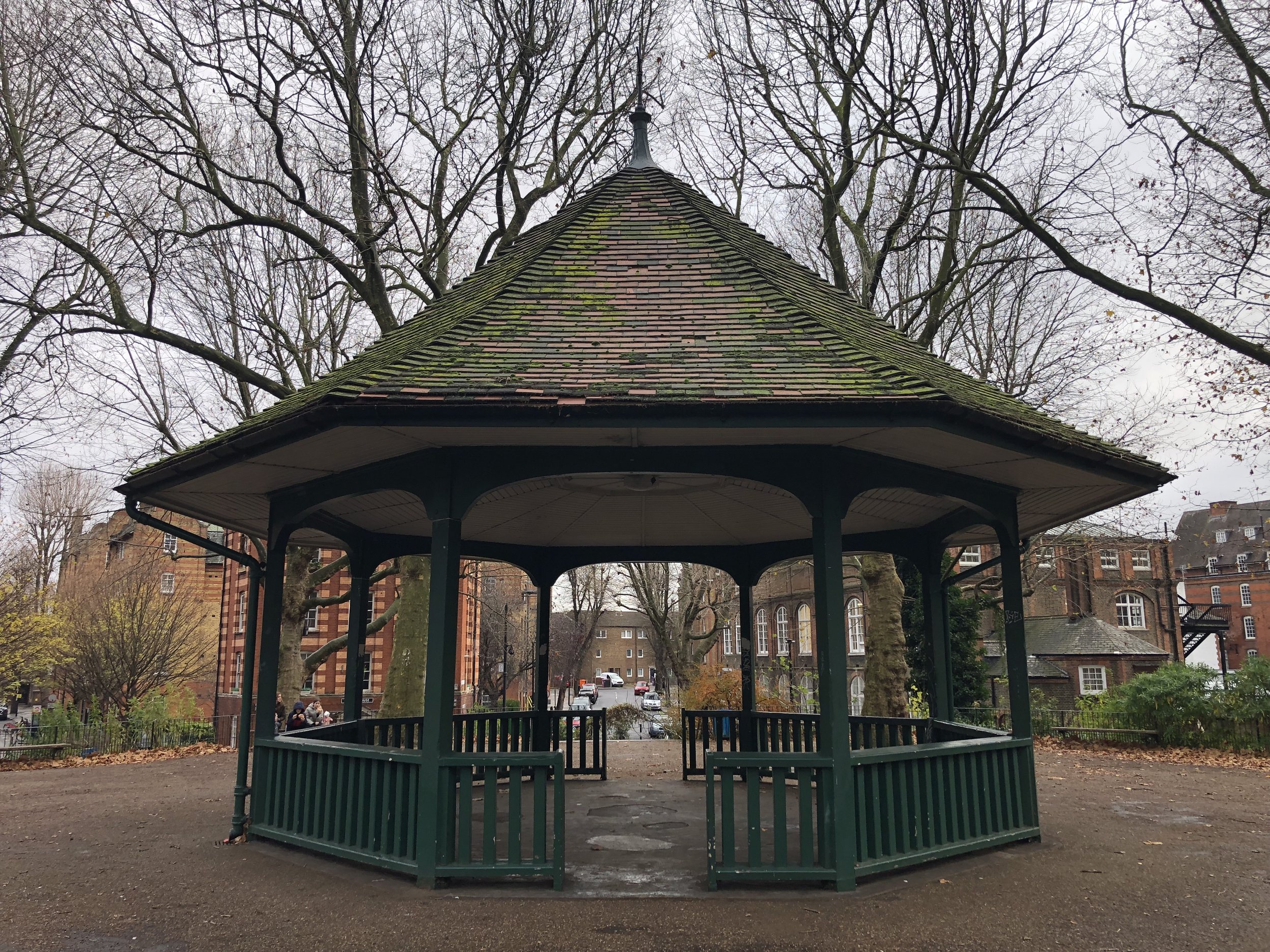
(25) The Twelve Pins – Islington/Haringey/Hackney

Finsbury Park is a railway station named after a large park in Hornsey, created in 1869 from Hornsey Wood House pleasure gardens for the gardenless people of Finsbury in inner London. The borders meet in the middle of Seven Sisters Road outside the Twelve Pins pub, painted a vibrant blue. The Twelve Pins are not an inebriate vision of tenpin bowling but the Twelve Pins (or Bens) hilltops in Connemara, a great ridge walk. One of a small handful of tripoint pubs.

This Tri-point is 0.6km along Seven Sisters Road from the high point of the London Borough of Hackney. See the Central London Five Summits blog post for details.

Coordinates: 51°33'53.2"N 0°06'15.8"W
Nearest Station: Finsbury park (Great Northern, Overground, Thameslink, Piccadilly, Victoria): 150m
Map:
London North Map | The City, West End, Enfield, Ealing, Harrow & Watford | Ordnance Survey | OS Explorer Map 173
Links: Wikipedia: Islington, Haringey, Hackney


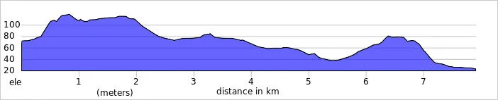
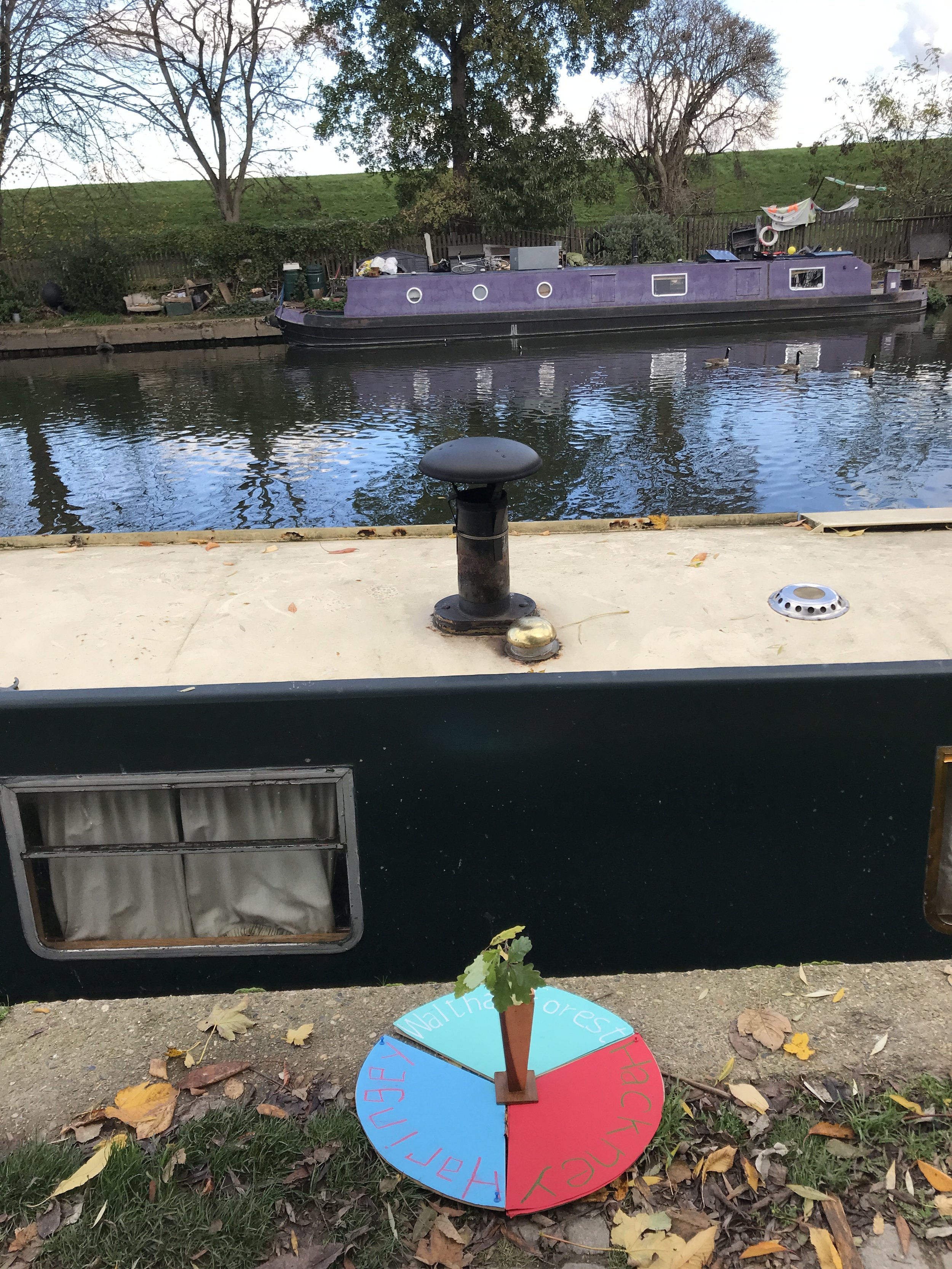
(26) Pymme’s Brook – Haringey/Enfield/Waltham Forest

First of three tripoints in the middle of the Lea. The land route lies through Northumberland Park - the Percy connection which brought the Hotspur to Tottenham -  and past an Edmonton gasholder,  and over Pymme’s Brook and then Chalk Bridge over a branch of the Lea. But coming up the Lea from the south there are locks and swans and boats galore: this is where “the gulphy Lee his sedgy tresses rears” in the words of Alexander Pope.

Coordinates: 51°36'20.3"N 0°02'29.2"W
Nearest Station: Meridian Water (greateranglia): 1.7 km
Map:
Epping Forest & Lee Valley Map | Hertford & Harlow | Ordnance Survey | OS Explorer Map 174
Links: Wikipedia: Haringey, Enfield, Waltham Forest


(27) Cahn’s Corner – Haringey/Hackney/Waltham Forest

Where Stamford Hill, home to London’s Hassidic Jewish community, meets the counter-culture of canal houseboats on the Lea and the reservoirs of the Lea Valley park. The well-kept towpath buzzes with pedestrians and cyclists and presumably the inhabitants of the many houseboats moored here. A sign warns passing boats that there is non-motorised traffic on the water and indeed just downstream is the rowing club. Named for a good friend who biked with me here. 

Coordinates: 51°34'40.0"N 0°03'40.3"W
Nearest Station: Stamford Hill (Overground): 1.3 km
Map:
South Tottenham (Overground): 1.6 km
Links: Wikipedia: Haringey, Hackney, Waltham Forest


(28) Carpenter’s Road – Hackney/Tower Hamlets/Newham

The third tripoint in the Lea, between the railway bridge running between Hackney Wick and Stratford and a new road bridge over the Lea. The whole area is now part of the Olympic legacy park. Behind in Newham is the Olympic helter-skelter and what is now West Ham’s stadium in Stratford Marsh. It must have been near here that we all saw the Queen land when she parachuted in to open the 2012 Olympic Games. 

Coordinates: 51°32'36.1"N 0°00'59.7"W
Nearest Station: Hackney Wick (Overground): 0.6 km
Map: Epping Forest & Lee Valley Map | Hertford & Harlow | Ordnance Survey | OS Explorer Map 174
Links: Wikipedia: Hackney, Tower Hamlets, Newham


(29) Eton Manor – Hackney/Waltham Forest/Newham

On the northern edges of Olympic land is this generous tribute to the site of the Eton Manor Boys’ Club, Eton’s mission in the east end of London, celebrated in a poem on the wall by Carol Ann Duffy: “young lives respected, cherished, valued, helped…..”; where poverty was translated to self-esteem. A rare flowering of the spiritual in these  acres of sporting legacy from 2012. 

Coordinates: 51°33'05.7"N 0°01'01.8"W
Nearest Station: Leyton (Central): 1.6km
Map:
Epping Forest & Lee Valley Map | Hertford & Harlow | Ordnance Survey | OS Explorer Map 174
Links: Wikipedia: Hackney, Waltham Forest, Newham


(30) The Holly Tree – Waltham Forest/Newham/Redbridge

The border line between Newham and Redbridge on the edge of Wanstead Flats is here defined along Capel Road by trees: alas ash and not oak. Wanstead is greener than imagined. The Flats are indeed flat; such a fine expanse of publicly accessible grassland perhaps deserves a less forbidding name. The Holly Tree pub is opposite on the Newham side, offering CZECH LAGER. Balmy summers on Wanstead Flats washed down by a real Moravian Pils from the Holly Tree…

Coordinates: 51°33'22.5"N 0°01'13.3"E
Nearest Station: Wanstead Park (Overground): 0.6 km
Map:
Epping Forest & Lee Valley Map | Hertford & Harlow | Ordnance Survey | OS Explorer Map 174
Links: Wikipedia: Waltham Forest, Newham, Barking and Dagenham


(31) Banks of the Roding – Newham/Redbridge/Barking and Dagenham 

The  tripoint is under the raised train tracks and the North Circular flyover above them and  is not a welcoming space. But the river Roding, a boundary river, flows past from rural Essex through Ilford, with its fine old Hospital chapel, to Barking, with its numinous Abbey remains and gatehouse, on its way to Barking Creek. The track on its west bank gives access to reed banks. The Roding hosts kayakers as well as moorhens.

Coordinates: 51°32'39.9"N 0°04'06.0"E
Nearest Station: Barking (Overground, c2c, District Line, Hammersmith & City Line): 1.8 km
Map:
Epping Forest & Lee Valley Map | Hertford & Harlow | Ordnance Survey | OS Explorer Map 174
Links: Wikipedia: Newham, Redbridge, Barking and Dagenham


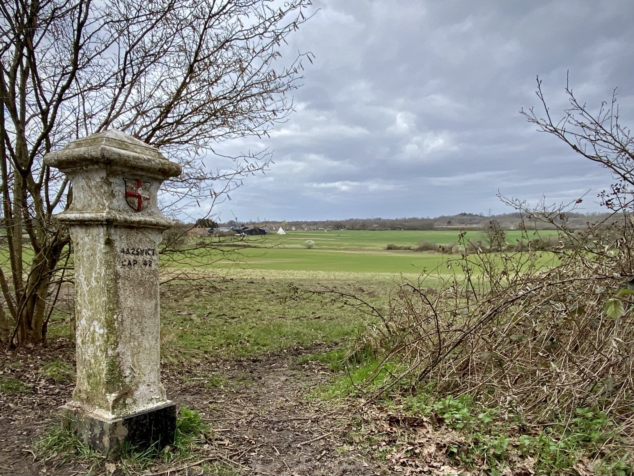
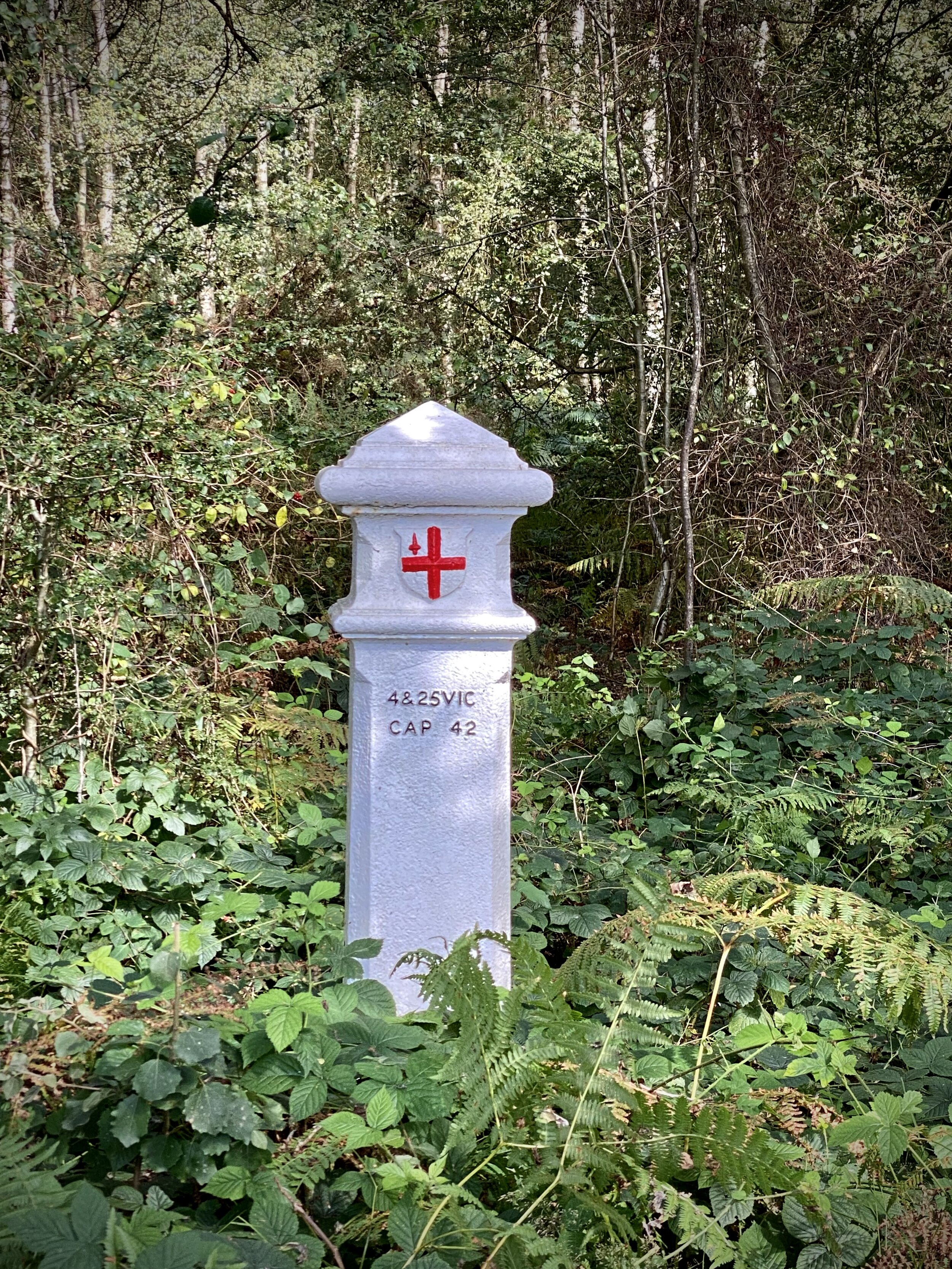
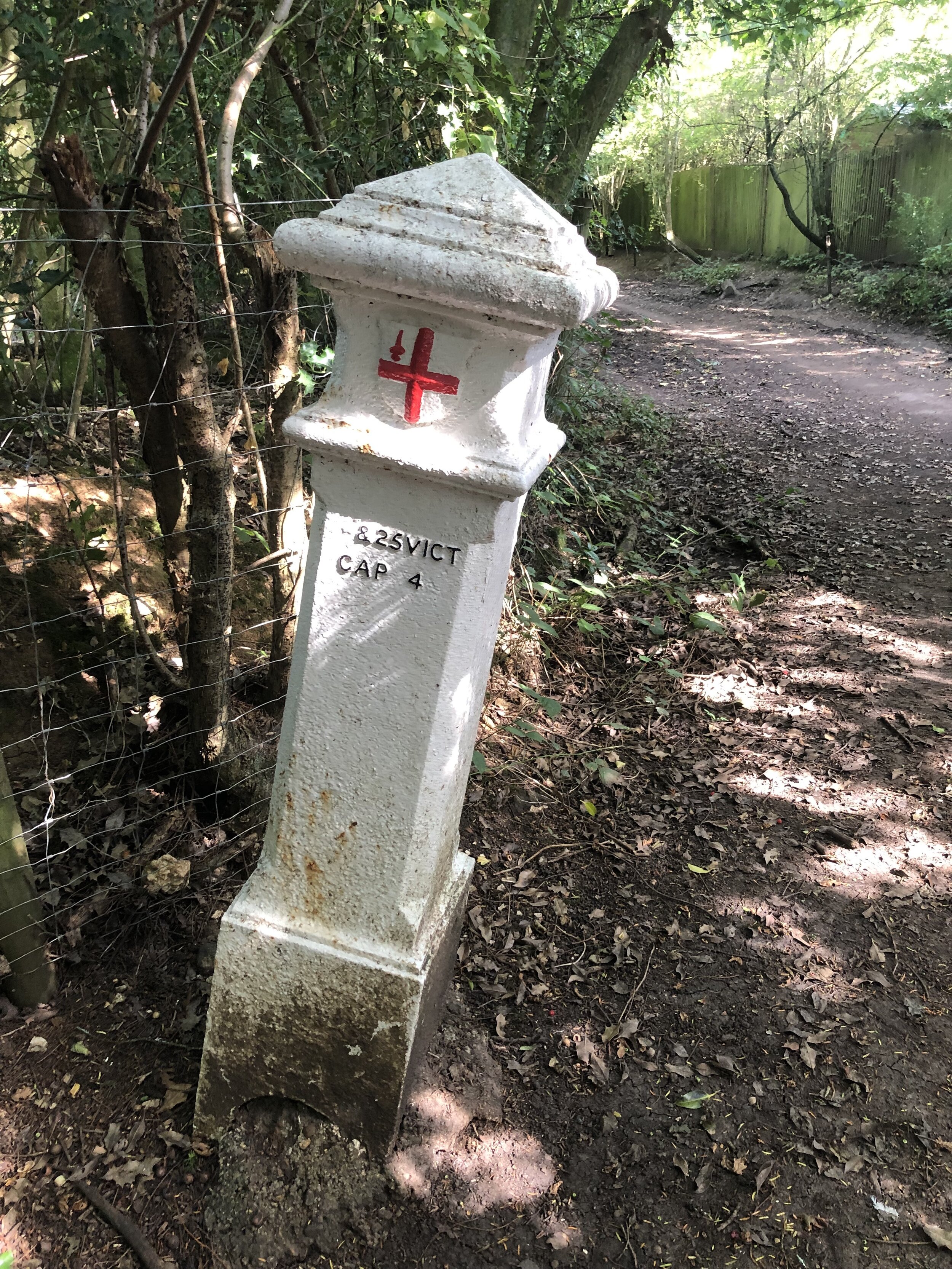
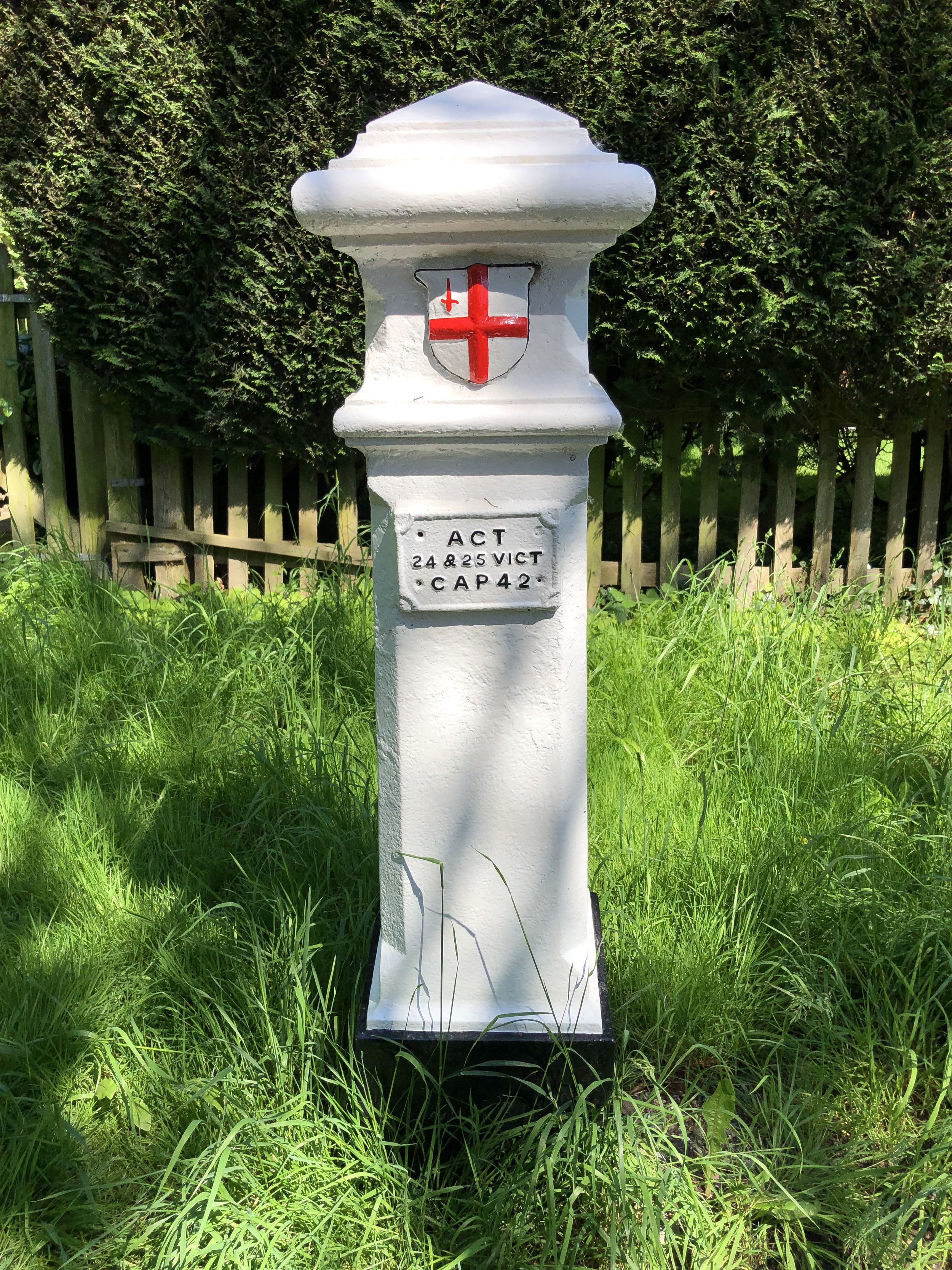
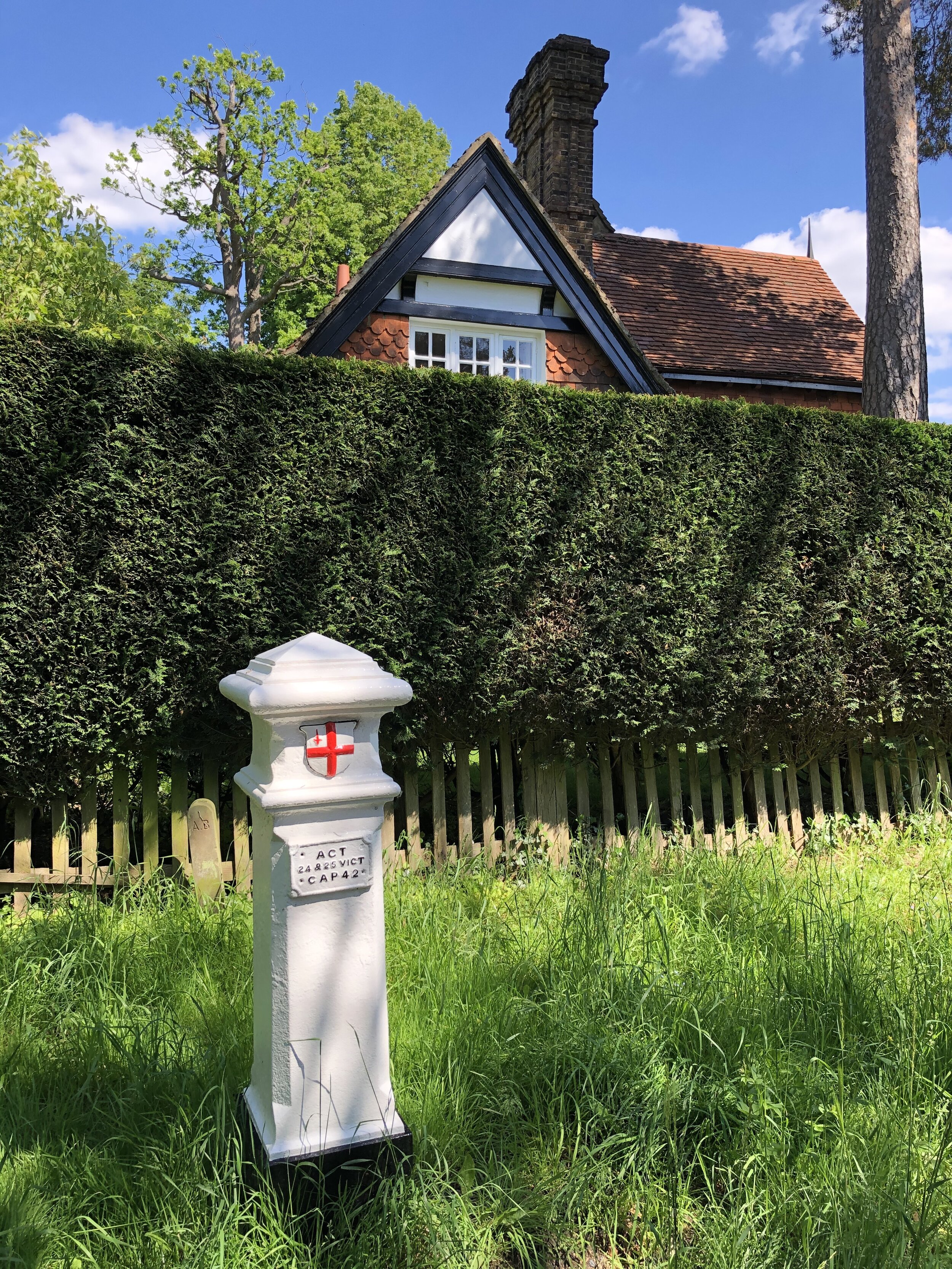
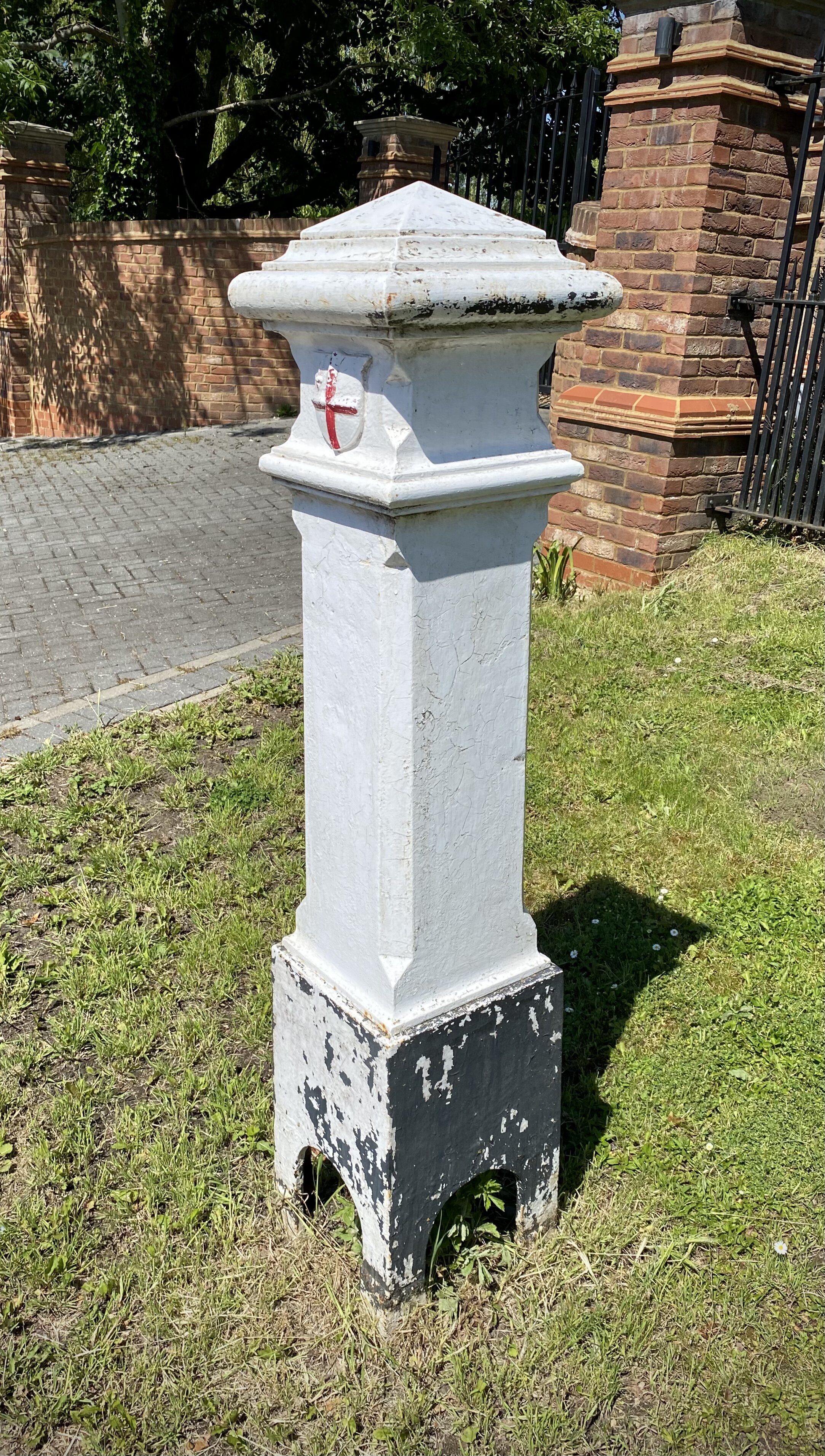
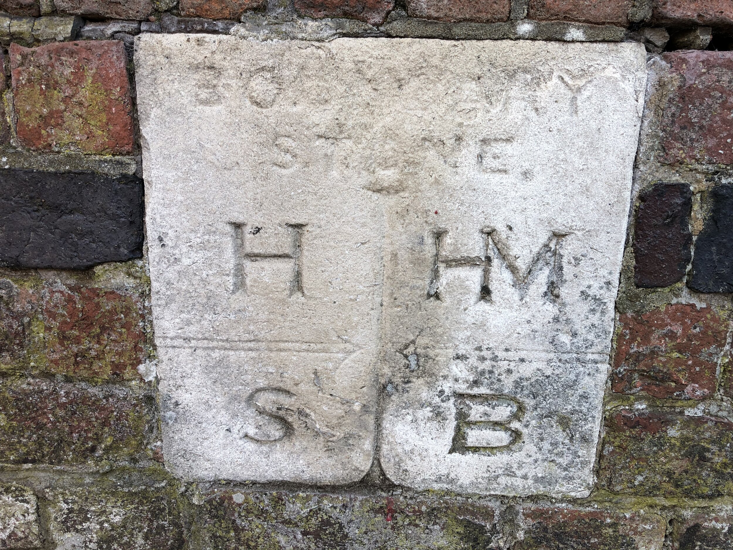
(32) Grissell’s Corner – Redbridge/Havering/Barking and Dagenham

The tripoint is almost rural - heading out on Hog Hill Road past Chadwell Heath villas and into farmland in Redbridge with its cheerful logo of oak leaves and a warning to drivers of deer. The City of London cast iron Coal Duty post, one of around 200 to survive, delineates the area within which coal tax was payable. It is dated 1861 and was made by Henry Grissell of the Regents Canal Iron Works: “Iron Henry”.   

Coordinates: 51°35'56.3"N 0°08'53.4"E
Nearest Station: Gidea Park (Elizabeth Line, Overground, greateranglia): 4.3 km
Map:
Epping Forest & Lee Valley Map | Hertford & Harlow | Ordnance Survey | OS Explorer Map 174
Links: Wikipedia: Redbridge, Havering, Barking and Dagenham / Coal Duty Posts / Coal Duty Post # 7


More London posts


Heston The Vale: Hounslow Borough High Point

Significance: Highest peak in London Borough of Hounslow
Member of: N/A
Parent Peak: Botley Hill. NHN = Richmond Park
Historic County: Middlesex (of which Bushey Heath is the County Top)
Elevation: 35m
Date “climbed”: 20th December 2021
Coordinates: 51° 29' 11'' N, 0° 23' 3'' W
Nearest Station: Hounslow West (Piccadilly Line): 1.7 miles
On route of:
N/A. The London Loop is 2.7 km to the south-west
Map: London South Map | Westminster, Greenwich, Croydon, Esher & Twickenham | Ordnance Survey | OS Explorer Map 161
Links: Wikipedia (Hounslow), Peakbagger, Hillbagging

For my Greater London High Point adventure I saved the closest, if not the best, for last. As the nearest to where I live I held this one back for a quick trip on a rainy day. That never really happened so I bagged it on the way back from Westerham Heights.

Not much to see here: it’s a quiet residential road parallel to the M4 and close to the service road to Heston Services. The high point appears to be near the junction with Meadow Way. It’s so flat though, it could be anywhere.


Westerham Heights: Bromley Borough High Point

Significance: Highest peak in London Borough of Bromley, Highest peak in Greater London (all 32 Boroughs)
Member of: N/A
Parent Peak: Botley Hill. NHN = Betsom’s Hill
Historic County: Kent (of which Betsom’s Hill is the County Top)
Elevation: 245m
Date “climbed”: 20th December 2021
Coordinates: 51° 17' 22'' N, 0° 3' 30'' E
Nearest Station: Oxted (Southern, Thameslink): 7.7 km
On route of:
None. North Downs Way is 0.8 km to the south-east
Map: Sevenoaks & Tonbridge Map | Royal Tunbridge Wells & Westerham | Ordnance Survey | OS Explorer Map 147
Links: Wikipedia (Bromley), Peakbagger, Hillbagging

Westerham Heights has been the highest natural point of Greater London since April 1st 1994. Prior to that the high point was on the northeastern slope of Botley Hill. A boundary change moved this point to Surrey where Leith Hill is higher.

Although I had already done Westerham Heights back in 2012, I had no memory of it at all. I had bagged it with a few friends while doing nearby Betsom’s Hill. My friend Mark’s log on Hillbagging even said I’d been there. I still couldn’t be sure though so I made a return trip on the way back to the M25 from Sydenham Hill.

The high point is on the main road opposite Westerham House. You can park in the lane next to the house but be careful crossing the road as it’s very busy. I overshot the turning and packed in the next lane. This is also where the 246 bus stops. For London’s highest point, it’s another disappointingly dull one and there’s no view.

My favourite (and only so far) fact about Westerham Heights is that the top of The Shard is now the highest point in Greater London (thanks to Kevin Hyam for sharing this with me). The Observation Deck at the Shard is at 244m, just 1m lower than Westerham Heights. The total height of The Shard, is 309.6m.


Sydenham Hill: Lewisham and Southwark Boroughs High Point

Significance: Highest peak in the London Boroughs of Lewisham and Southwark
Member of: N/A
Parent Peak: Botley Hill. NHN = Sanderstead Plantation
Historic County: Border of Surrey and Kent
Elevation: 112m
Date “climbed”: 20th December 2021
Coordinates: 51° 25' 57'' N, 0° 4' 20'' W
Nearest Station: Sydenham Hill (Southeastern): 0.8 km
On route of:
Green Chain Walk
Map: London South Map | Westminster, Greenwich, Croydon, Esher & Twickenham | Ordnance Survey | OS Explorer Map 161
Links: Wikipedia (Lewisham), Wikipedia (Southwark), Peakbagger, Hillbagging


After Westow Hill, the Lambeth high point, it’s just 1.5 km up the Lewisham/Southwark border to get to the high point of both boroughs. Several Hillbagging logs count the Green Chain Walk sign at the junction of Sydenham Hill and Crescent Road as the high point. We also found a white engraved stone on the opposite side of Sydenham Hill (road) that may also be a clue. Most of the writing had eroded away but we could make out the word “point” near the base.

There's some argument over the name of this hill. One origin story has Sydenham taking its name from the Anglo-Saxon word Cippas, to mean 'drunkard's settlement' — somewhat aptly given the number of excellent pubs round the corner in Crystal Palace. Alternatively, if less evocatively, it may derive from the medieval term 'syp', meaning sheep. Others think it simply comes from a personal name, such as Cippa. Source: How London’s Hills Got Their Names).


Walk from Sydenham Hill Station to Sydenham Hill Summit

If you’re arriving by train to Sydenham Hill station, the best way to walk to the high point is via Sydenham Hill Wood and the old railway trackbed. This is the old route of the Crystal Palace and South London Junction Railway. When you reach Crescent Wood tunnel take the right hand path to Crescent Road. Take a right on the road and follow it south to the high point at the junction with Sydenham Hill.

Start: Sydenham Hill Station, London SE21 7ND
Finish
: Sydenham Hill High Point, 51° 25' 57'' N, 0° 4' 20'' W
Distance: 575m (0.4 miles)
Elevation change: +44m
GPX File: get via Buy Me a Coffee
Other routes touched (walk): Green Chain Walk
Other routes touched (cycle): None
Links: Sydenham Hill Wood, Crystal Palace and South London Junction Railway


Westow Hill: Lambeth Borough High Point

Significance: Highest peak in London Borough of Lambeth
Member of: N/A
Parent Peak: Botley Hill. NHN = Sydenham Hill
Historic County: Surrey and Kent
Elevation: 110m
Date “climbed”: 20th December 2021
Coordinates: 51° 25' 12'' N, 0° 4' 43'' W
Nearest Station: Crystal Palace (Southern, Overground): 0.5 km
On route of:
N/A. Green Chain Walk is 0.4 km to the east
Map: London South Map | Westminster, Greenwich, Croydon, Esher & Twickenham | Ordnance Survey | OS Explorer Map 161
Links: Wikipedia (Lambeth), Peakbagger, Hillbagging

The Westow Hill roundabout sits at the tri-point of the London Boroughs of Lambeth, Croydon and Bromley. It’s also on the border of the Historic Counties of Surrey and Kent. The Hillbagging logs claim different spots on the roundabout as the high point so I did a full circuit to make sure.

Just round the corner at the junction of Crystal Palace Road and Farquhar Road you’ll find another tri-point. This one is the intersection of Southwark, Lewisham and Lambeth.

It’s a 1.5 km walk north up Crystal Palace Parade then Sydenham Hill (road) to get to the next high point, Sydenham Hill. This follows the Southwark/Lewisham border to the high point of both.


Sanderstead Plantation: Croydon Borough High Point

Significance: Highest peak in London Borough of Croydon
Member of: N/A
Parent Peak: Botley Hill. NHN = Botley Hill
Historic County: Surrey (of which Leith Hill is the County Top)
Elevation: 175m
Date “climbed”: 20th December 2021
Coordinates: 51° 20' 23'' N, 0° 4' 24'' W
Nearest Station: Sanderstead (Southern, Thameslink): 2.3 km
On route of:
N/A. London Loop is 1 mile to the north-east
Map: London South Map | Westminster, Greenwich, Croydon, Esher & Twickenham | Ordnance Survey | OS Explorer Map 161
Links: Wikipedia (Croydon), Peakbagger, Hillbagging

Although Sanderstead Plantation is only the second highest peak in London, it beats Westerham Heights for enjoyment. This is a proper hill with a walk through the woods to get there. It also has a handy sign at the top to tell you that you’ve made it. There’s a short footpath to the top from Church Way where there’s also free on-street parking.

The Selsdon Park Trig Pillar (TP5873 - Selsdon Park) is only 500m away to the east. It’s on private ground though and recent logs suggest it’s inaccessible and hard to see from the path. I gave it a miss and decided to drive to Pollard’s Hill. The Trig Pillar (TP5488 - Pollards Hill) there is in a public park with views over the beautiful Croydon skyline.


Shooter’s Hill: Greenwich Borough High Point

Significance: Highest peak in London Borough of Greenwich
Member of: N/A
Parent Peak: Botley Hill. NHN = Sanderstead Plantation
Historic County: Kent (of which Betsom’s Hill is the County Top)
Elevation: 132m
Date “climbed”: 4th December 2021
Coordinates: 51° 28' 13'' N, 0° 4' 10'' E
Nearest Station: Welling or Falconwood (southeastern rail): 2.7 km
On route of: Green Chain Walk
Map: Greenwich & Gravesend Map | East End, Docklands, Bromley, Sidcup & Thurrock | Ordnance Survey | OS Explorer Map 162
Links: Wikipedia (Greenwich), Peakbagger, Hillbagging

Like Langdon Shaw, this was another London High Point on the far side of London from where I live. I could easily have bagged it on the same trip but I decided to wait for Charlton, another south-east London parkrun, to visit it on the way.

This is a more pleasing visit than many of the other London High Points as it at least feels like a summit. The high point is by the bench between the two trees in the centre of the Eaglesfield Park. Although there’s no view to the centre of London, you get a great sight of the skyline from the top of nearby Occupation Lane. For the best view return at sunset.

The hill’s name probably harks back to medieval times, when its rich woodlands were a favoured site for archery practice. The hill has maintained its shooty links over the centuries. The former dockyards and munitions factories of Woolwich abut the area. Its most famous landmark, Severndroog Castle, is named after a military engagement off the coast of India. The main road was long the haunt of armed highwaymen. Anti-aircraft guns on its summit protected south east London during the second world war, and it would have served as a last line of defence for the capital if the Germans had attempted a land invasion. More recently, a bank of rapier missiles were stationed on the hill during the 2012 Olympics. Shooters Hill might just be the most appropriately named hill in London. Source: How London’s Hills Got Their Names).


Primrose Hill

Significance: Greater London Protected Sightline to St. Paul’s Cathedral and The Palace of Westminster
Member of: N/A
Parent Peak: Haddington Hill (Wendover Woods). NHN = Hampstead Heath
Elevation: 65m
Date “climbed”: December 3rd 2021
Coordinates: 51° 32' 19'' N, 0° 9' 40'' W
Nearest Station: Chalk Farm (Northern Line): 0.8 km
On route of: N/A. The Regents Canal / Jubilee Greenway is 0.5 km to the south
Map: OS Explorer Map (173) London North, The City, West End, Enfield, Ealing, Harrow & Watford
Links: Wikipedia, Peakbagger

I visited Primrose Hill on my day of bagging the Central London Borough High Points. All of those were dull spots on uninspiring roads so although it’s not high Primrose Hill is at least a proper hill view a view. It’s also has protected sighlines to both St Paul’s Cathedral and The Palace of Westminster.

The hill’s name comes from the botanical specimens found on its slopes. We've often seen it written in trivia books that the mound was once known as Greenberry Hill and that, by a stunning coincidence, a high-profile murder was committed on the hill by three men known as Green, Berry and Hill. We suspect it was the other way around, and the hill was briefly dubbed Greenberry Hill as a dark jest after the murder. Source: How London’s Hills Got Their Names).


Central London Five Summits

London skyline from Primrose Hill, near the high point of the City of Westminster.


Two weeks after completing the North London Seven Summits, I was back in the capital to tick off the central London peaks. As with the previous collection this was a pretty arbitrary grouping. It could have also included High Holborn, the high point of the City of London, but I had already bagged that one on an earlier trip.

The advantage of this group is that they can all be easily accessed by London Underground, or central London Overground stations. The disadvantage is that they’re all exceedingly dull summits. Even boroughs like Kensington and Chelsea that sound like they should be pleasant manage to have their high points in their most under-whelming corners.


Harrow Road

Significance: Highest peak in London Borough of Kensington and Chelsea
Member of: N/A
Parent Peak: Haddington Hill (Wendover Woods). NHN = Saint Johns Wood Park
Historic County: Middlesex (of which Bushey Heath is the County Top)
Elevation: 45m
Date “climbed”: 3rd December 2021
Coordinates: 51° 31' 49'' N, 0° 13' 43'' W
Nearest Station: Kensal Green (Overground and Bakerloo Line): 0.3 km
On route of: N/A. Grand Union Canal Towpath is 1.8 km to the south
Map: OS Explorer Map (173) London North, The City, West End, Enfield, Ealing, Harrow & Watford
Links: Wikipedia (Kensington and Chelsea), Peakbagger, Hillbagging

Harrow Road and College Park come as a pair as they are only a few minutes walk apart on Harrow Road. The high point of Kensington and Chelsea, called “Harrow Road”, can be easily identified by the engraved 1865 boundary markings on 691a and 691c.


College Park

Significance: Highest peak in London Borough of Hammersmith and Fulham
Member of: N/A
Parent Peak: Haddington Hill (Wendover Woods). NHN = Saint Johns Wood Park
Historic County: Middlesex (of which Bushey Heath is the County Top)
Elevation: 45m
Date “climbed”: 3rd December 2021
Coordinates: 51° 31' 51'' N, 0° 13' 51'' W
Nearest Station: Kensal Green (Overground and Bakerloo Line): 0.5 km
On route of: N/A. Grand Union Canal Towpath is 1.6 km to the south
Map: OS Explorer Map (173) London North, The City, West End, Enfield, Ealing, Harrow & Watford
Links: Wikipedia (Hammersmith and Fulham), Peakbagger, Hillbagging

From the Harrow Road Kensington and Chelsea high point continue north-west along Harrow Road until you reach Travis Perkins opposite the bus stop at the end of Victor Road. Congratulations, you’re at the high point of Hammersmith and Fulham. After a well deserved celebration, return to Kensal Green Station to visit the next boring summit.


Saint John's Wood Park

Significance: Highest peak in London Borough of City of Westminster
Member of: N/A
Parent Peak: Haddington Hill (Wendover Woods). NHN = Primrose Hill
Historic County: Middlesex (of which Bushey Heath is the County Top)
Elevation: 52m
Date “climbed”: 3rd December 2021
Coordinates: 51° 32' 22'' N, 0° 10' 26'' W
Nearest Station: South Hampstead (Overground): 0.5 km
On route of: N/A. The Regents Canal / Jubilee Greenway is 1.1 km to the south
Map: OS Explorer Map (173) London North, The City, West End, Enfield, Ealing, Harrow & Watford
Links: Wikipedia (City of Westminster), Peakbagger, Hillbagging

The high point of the City of Westminster is no more interesting than the previous two. The upside is that if you can continue the walk to Primrose Hill (a proper summit) and pass some very nice houses along the way. The City of Westminster High point is at the south corner of Boundary Road and St Johns Wood Road.


Seven Sisters Road

Significance: Highest peak in London Borough of Hackney
Member of: N/A
Parent Peak: Haddington Hill (Wendover Woods). NHN = Highgate Hill
Historic County: Middlesex (of which Bushey Heath is the County Top)
Elevation: 39m
Date “climbed”: 3rd December 2021
Coordinates: 51° 34' 8'' N, 0° 5' 54'' W
Nearest Station: Manor House (Piccadilly Line): 0.2 km
On route of: N/A. The Capital Ring is 0.4 km to the north-west
Map: OS Explorer Map (173) London North, The City, West End, Enfield, Ealing, Harrow & Watford
Links: Wikipedia (Hackney), Peakbagger, Hillbagging

Although Manor House is the closest Tube to this high point I got off at Finsbury Park to fully take in the vibrant splendor that is the Seven Sisters Road. Had I been bagging these high points earlier I could have done this one a few years ago as it’s just off the Finsbury parkrun course.

Hillbagging comments that there’s an alternative top 300m NE on Woodberry Grove, near Manor House Station. I didn’t visit that one. The excitement of the Seven Sisters Road was enough for me.


Swanfield Street

Significance: Highest peak in London Borough of Tower Hamlets
Member of: N/A
Parent Peak: Haddington Hill (Wendover Woods). NHN = High Holborn
Historic County: Middlesex (of which Bushey Heath is the County Top)
Elevation: 18m
Date “climbed”: 3rd December 2021
Coordinates: 51° 31' 31'' N, 0° 4' 23'' W
Nearest Station: Old Street (Great Northern Rail, Northern Line): 1.1 km
On route of: N/A. The Regents Canal / Jubilee Greenway is 1.6 km to the north
Map: OS Explorer Map (173) London North, The City, West End, Enfield, Ealing, Harrow & Watford
Links: Wikipedia (Tower Hamlets), Peakbagger, Hillbagging

For the grand finale of the Central London high point trip I visited gentrified Shoreditch for the summit of Tower Hamlets. The bandstand on the route from Old Street Station is worth a visit. It’s higher than Swanfield Street but doesn’t count as it’s man-made. Look out for the mural on Rhoda Street next to the grassy mount that is the high point.

The Friends of Arnold Circus website tells of the fascinating history of Swanfield Street and the surrounding area. The street was at the heart of the weaving area. In the 18th century the area became a slum as cheaper imports impacted the industry and the slums were eventually replaced by the Victorian Boundary Estate. Thanks to Andy Sutcliffe for sharing this.


Langdon Shaw: Bexley Borough High Point

Significance: Highest peak in London Borough of Bexley
Member of: N/A
Parent Peak: Botley Hill. NHN = Shooters Hill
Historic County: Kent (of which Betsom’s Hill is the County Top)
Elevation: 83 to 93m (10-meter closed contour)
Date “climbed”: 20th November 2021
Coordinates: 51° 25' 18'' N, 0° 5' 44'' E
Nearest Station: Sidcup (southeastern rail): 1.7 km
On route of: N/A. The London Loop is 1 km to the east
Map: Greenwich & Gravesend Map | East End, Docklands, Bromley, Sidcup & Thurrock | Ordnance Survey | OS Explorer Map 162
Links: Wikipedia (Bexley), Peakbagger, Hillbagging

This was another dull drive-by and a long way from home so I needed another reason get out that way. Luckily there was a new parkrun at Sutcliffe that started in September 2021. I bagged Bexley as a very short diversion on the way.

The high point is in the grounds of the house in the corner of Langdon Shaw called Shalamar, on the corner of a small road called The Vista. This can also be visited on a small diversion from The London Loop between Foots Cray and Scadbury Park or a 2km walk from Sidcup Station.


North London Seven Summits

City skyline from Hainhault Country Park on ascent to Cabin Hill


The North London Seven Summits sounds like it should be a recognized challenge. It’s not. It’s just a collection of the Greater London Borough High Points that I decided to visit by car on a grey November afternoon. Although none are particularly inspiring, there’s a few interesting places along the way.

There’s some obvious missing boroughs when you look at the map. Hillingdon, Harrow, Harringey and Waltham Forest are not in this collection as I had already completed them before. They’re also on more interesting routes like the London Loop, Capital Ring and Greenwich Meridian Trail. Click on the links on the borough names above for details on those.


Wakemans Hill Avenue

Significance: Highest peak in London Borough of Brent (alternative)
Member of: N/A
Parent Peak: Haddington Hill (Wendover Woods). NHN = Highwood Hill
Historic County: Middlesex (of which Bushey Heath is the County Top)
Elevation: 92m
Date “climbed”: 19th November 2021
Coordinates: 51° 35' 10'' N, 0° 15' 31'' W
Nearest Station: Kingsbury (Jubilee Line): 1.6 km
On route of: N/A. Capital Ring is 1.5 km to the south-west
Map: OS Explorer Map (173) London North, The City, West End, Enfield, Ealing, Harrow & Watford
Links: Wikipedia (Brent), Peakbagger, Hillbagging

Having already visited Subury Hill, the other high point in Brent, I was keen bag the other. The coordinates took me to the corner of Wakemans Hill Avenue and Mount View. The Wikipedia article on the Kingsbury district of Brent says that the hill “peaks at an elevation of 302 feet (92 m) near the crossing of Buck Lane and Wakemans Hill Avenue”, but the road definitely seems to peak at Mount View Road. Other road signs like Summit Avenue, Sunny View and Hill View Gardens confirm that you’re on a high point. Not much to see here so I took a quick photo and moved on to Barnet.


Highwood Hill

Significance: Highest peak in London Borough of Barnet
Member of: N/A
Parent Peak: Haddington Hill (Wendover Woods). NHN = Bushey Heath Boundary
Historic County: Middlesex (of which Bushey Heath is the County Top)
Elevation: 146m
Date “climbed”: 19th November 2021
Coordinates: 51° 37' 58'' N, 0° 14' 26'' W
Nearest Station: Edgware (Northern Line): 4.2 km
On route of: Dollis Valley Greenwalk. London Loop is 0.2 km to the north
Map: OS Explorer Map (173) London North, The City, West End, Enfield, Ealing, Harrow & Watford
Links: Wikipedia (Barnet), Peakbagger, Hillbagging

The high point of Barnet is in private property in Mote End Farm Livery Stables. Having read the reports of people being denied access to the summit, I decided to get as far as I could via public access. The closest accessible spot is the stile by the main gates to the farm at the end of the lane off Nan Clark’s Lane.

Although it’s possible to park on Nan Clark’s Lane, it’s narrow with few spots that won’t annoy the neighbours. I parked round the corner at Crown Close and walked the 600m to the gate following the Dollis Valley Greenwalk Link.

Look out for the blue plaque on the corner of Highwood Hill Road and Nan Clark’s Lane marking the “site of Hendon Park residence of William Wilberforce from 1826 to 1831”. See the blog by Adam Yamey for more on this.


Bournwell Hill-West Slope

Significance: Highest peak in London Borough of Enfield
Member of: N/A
Parent Peak: Haddington Hill (Wendover Woods) NHN = Bournwell Hill - West Slope
Historic County: Middlesex (of which Bushey Heath is the County Top)
Elevation: 119m
Date “climbed”: 19th November 2021
Coordinates: 51° 39' 50'' N, 0° 11' 7'' W
Nearest Station: Hadley Wood (Great Northern, Thameslink): 1 km
On route of: N/A. London Loop and Pymmes Brook Trail are 0.7 km to the south-west
Map: OS Explorer Map (173) London North, The City, West End, Enfield, Ealing, Harrow & Watford
Links: Wikipedia (Enfield), Wikipedia (Monken Hadley Common), Peakbagger, Hillbagging

The high point of Enfield can be found at the white gates marking the entrance to Monken Hadley Common on Camlet Way. Look out for the “Enfield welcomes you” sign on the north side of Camlet Way. You can’t park on the roads around the Common so I stopped a the side of the road once the double yellow lines had run out further up Camlet Way. Hillbagging logs say that there’s a lamp-post with a “congratulatory and explanatory notice taped to lamp post by www.londons-peaks.com” although I didn’t see it on the day I was there. Looks like the website has gone too as I got an “account has expired” error when I tried to check it.


Wanstead Flats

Significance: Highest peak in London Borough of Newham
Member of: N/A
Parent Peak: Haddington Hill (Wendover Woods). NHN = Beckton Alps
Historic County: Essex (of which Chrishall Common is the County Top)
Elevation: 15m
Date “climbed”: 19th November 2021
Coordinates: 51° 33' 22'' N, 0° 1' 20'' E
Nearest Station: Wanstead Park (Overground): 0.6 km
On route of: N/A. Greenwich Meridian Trail is 0.3 km to the north-west
Map: Epping Forest & Lee Valley Map | Hertford & Harlow | Ordnance Survey | OS Explorer Map 174
Links: Wikipedia (Newham), Peakbagger, Hillbagging

I would have already bagged this one a few years ago if I had known that this high point is close to the start of Wanstead Flats parkrun. Not close enough to count though so I had to do a return trip.

Closest parking is at the Centre Road Car Park although you may find some on-street parking closer. The lowest high point of all Greater London Boroughs is by a group of trees at the edge of the common next to Sydney Road.

Note that Beckton Alp is often recognised as the high point of Newham. However, that’s an artificial hill rather than the natural high point on Wanstead Flats. Based on the description I think I’ll give it a miss unless I happen to be passing by it.


Cabin Hill

Significance: Highest peak in London Borough of Redbridge
Member of: N/A
Parent Peak: Haddington Hill (Wendover Woods). NHN = Havering Atte Bower Church
Historic County: Essex (of which Chrishall Common is the County Top)
Elevation: 90m
Date “climbed”: 19th November 2021
Coordinates: 51° 37' 25'' N, 0° 8' 10'' E
Nearest Station: Grange Hill (Central Line): 4.2 km
On route of: Three Forests Way. The London Loop is 0.1 km to the south-east

Walk Start & Finish: Hainault Forest Country Park Car Park, Fox Burrow Road, Chigwell, IG7 4QL
Walk Distance: 3.3 km (2.0 miles)
Walk Elevation change: +/- 64m
GPX File: get via Buy Me a Coffee
OS Trig Pillar: TP2802 - Dog Kennel Hill
Map: Epping Forest & Lee Valley Map | Hertford & Harlow | Ordnance Survey | OS Explorer Map 174
Links: Wikipedia (Redbridge), Peakbagger, Hillbagging

Cabin Hill is the outlier of this group as it includes a short but pleasant walk, not just a quick drive-by. From the Hainault Forest Country Park car park take the footpath that heads up the hill to the south-east behind the cafe. After 200m from the cafe take a left onto a footpath up through the woods, emerging at the golf course. Here you’ll meet the Dog Kennel Hill Trig Pillar. From the pillar return to the edge of the woods and follow the boundary path north until you meet the London Loop at the northern edge of the country park. The actual summit wasn’t obvious, so I visited several contenders: the clearing where the coordinates take you, the big tree, the gate to the park and a post in the woods. There’s not too much to see here but you’ll get some great views of the London skyline as you descent back to the car park.


Marks Gate

Significance: Highest peak in London Borough of Barking and Dagenham
Member of: N/A
Parent Peak: Haddington Hill (Wendover Woods). NHN = Cabin Hill
Historic County: Essex (of which Chrishall Common is the County Top)
Elevation: 43m
Date “climbed”: 19th November 2021
Coordinates: 51° 35' 16'' N, 0° 8' 29'' E
Nearest Station: Chadwell Health (TFL Rail, Greater Anglia): 4.3 km
On route of: N/A. The London Loop is 3.8 km to the north
Map: Epping Forest & Lee Valley Map | Hertford & Harlow | Ordnance Survey | OS Explorer Map 174
Links: Wikipedia (Barking and Dagenham), Peakbagger, Hillbagging

This wins the prize for the most uninspiring of the day’s uninspiring summits. The high point of Barking and Dagenham is on a sad mound between the A1112 and Kingston Hill Avenue. Nothing to see here, so park on Kingston Hill Avenue, bag the summit and move on quickly.


Atte Bower Farm

Significance: Highest peak in London Borough of Havering
Member of: N/A
Parent Peak: Haddington Hill (Wendover Woods). NHN = Langdon Hill- Southwest Slope
Historic County: Essex (of which Chrishall Common is the County Top)
Elevation: 105m
Date “climbed”: 19th November 2021
Coordinates: 51° 36' 59'' N, 0° 11' 18'' E
Nearest Station: Harold Wood (TFL Rail, Greater Anglia): 5 km
On route of: N/A. The London Loop is 0.4 km to the north
Map: Epping Forest & Lee Valley Map | Hertford & Harlow | Ordnance Survey | OS Explorer Map 174
Links: Wikipedia (Havering), Peakbagger, Hillbagging

Alternative = Havering Atte Bower Church

Parent Peak: Haddington Hill (Wendover Woods). NHN = Shooters Hill
Coordinates: 51° 36' 57'' N, 0° 10' 58'' E
Links: Peakbagger, Hillbagging

After the underwhelm of Marks Gate, the high point of Havering was at least in a more pleasant location. The official high point is in the grounds of Atte Bower Farm. I got as far as the entrance to the farm to take a photo of the water tower but didn’t enter the property. A better alternative is to visit the Church of St. John The Evangelist in Havering-Atte-Bower village. This was previously the twin high-point but, according to to Hillbagging, was de-twinned in October 2020.

Look out for the plaque at the eastern entrance to the church that refers to Havering Palace: “A royal palace once stood near here for about six hundred years from the time of Edward the Confessor until the end of the civil war.


Banstead Heath Coal Duty Post Circular Walk
Post 144 between Banstead Heath and the golf course

Post 144 between Banstead Heath and the golf course


Start & Finish: The Blue Ball, Deans Ln, Walton on the Hill, Tadworth KT20 7UE
Distance: 8.8 km (5.5 miles)
Elevation change: + / - 147 m
GPX File: get via Buy Me a Coffee
Other routes touched (walk): North Downs Way
Other routes touched (cycle): None
London Coal Duty Posts: 137, 138, 139, 140, 141, 142, 143, 144, 144a, 145, 146, 147, 148, 149, 150, 151, 152, 153, 154, 155
Pubs / Cafes on route:
Blue Ball Tadworth or The Sportsman, Mogador
Map: Dorking, Box Hill & Reigate Map | Leatherhead & Caterham | Ordnance Survey | OS Explorer Map 146
Links: Coal Duty Posts, Banstead Heath, Tadworth, Mogador


This walk follows the old boundary of the parish of Banstead, originally part of London. It’s a great trip for Coal Duty Post collectors as it has a very high concentration of them in such as short space. This one covers 20 in a walk of less than 9 km.

There’s a longer version of this walk on Martin Nail’s website that covers 26 posts over 13.5 km. His one starts at Tattenham Corner station and ends at Kingswood station, making it better for access via public transport. See Martin’s guide to the walk for more detailed descriptions of each post.

My walk starts at the Blue Ball pub at Walton On The Hill. Here you’ll find free road-side parking opposite the pub and the first post, 137. From the pub continue south down Dean’s Lane to Post 138. It’s in the garden of The Rise behind the brick wall facing the street. There’s a spot in the large bush above the wall that’s been cut back so you can see the post without entering the garden.

From Post 138 cross over the right onto the heath and take the Surrey CC Bridleway 87 in a south-easterly direction. This will pass over Dorking Road and along the boundary of Walton Heath Golf Course and the heath itself. You’ll find 11 posts on this path mostly right next to the path or just off.

The bridleway ends at Mogador Lane before a bridge over the M25. Cross over the bridge and follow Mogador Lane, passing 2 more posts (149 and 150) until you meet the North Downs Way. Here you’ll find Coal Post 151 which is both the most southerly Coal Post and has an OS Benchmark on it. Retrace your steps for a few metres and take the first path on the right to follow the North Downs Way to post 152. Retrace your steps again taking a path on the right towards Mogador Lane. Take a right onto the lane and follow it north, back over the M25 and past the bridleway where you previously joined it. Continue north to the junction of Mogador Road to post 153.

From post 153, follow Mogador Road north past The Sportsman Pub. This is a good place for a mid-way rest and a drink, especially in the summer in its busy beer garden. After the Sportsman you’ll re-enter the heath and follow the path in a north-easterly direction to post 154. Here you have a choice about visiting post 155. This post is on the eastern side of the very busy A217 Brighton Road. It’s a dual carriageway without any controlled crossing points at this part. We crossed it at the roundabout near post 154 and followed the pavement on the eastern side to the post which is by the bus stop. To return to the heath we continued north up the Brighton Road and crossed over to the first footpath entrance to the heath. There’s a grass verge between the 2 carriageways which helps the crossing. Be very careful if you do this though. An alternative would be to skip this post from the walk and do it as a drive-by, briefly pulling into the bus-stop.

Whether you include 155 or not, you’ll have visited your last post of the trip. There was another further north on the A217 at the junction with Mill Road and The Warren but is now missing. The final stretch of the walk is a pleasant crossing of the heath in a north-westerly direction back to the Blue Ball pub.


route-37448683-map-full.png
elevation_profile.jpg

Clock house: Sutton Borough High Point

Significance: Highest peak in London Borough of Sutton
Member of: N/A
Parent Peak: Botley Hill. NHN = Sanderstead Plantation
Historic County: Surrey (of which Leith Hill is the County Top)
Elevation: 147m
Date “climbed”: 11th September 2021
Coordinates: 51° 19' 25'' N, 0° 9' 39'' W
Nearest Station: Woodmansterne (Southern Rail): 1 km
On route of: N/A. The London Loop is 0.6 km to the north-east
Map: Dorking, Box Hill & Reigate Map | Leatherhead & Caterham | Ordnance Survey | OS Explorer Map 146
Links: Wikipedia (Sutton), Peakbagger, Hillbagging

Sutton’s High Point is another contender for least interesting Greater London Borough High Point. It’s in the southern corner of the Clock House Recreation Ground field. No marking, not much to see here.


Cycling The Prime Meridian
View to the north from the Greenwich Observatory: National Maritime Museum and Isle of Dogs in the background

View to the north from the Greenwich Observatory: National Maritime Museum and Isle of Dogs in the background


The Prime Meridian, also known as the Greenwich Meridian, is the line of longitude defined as 0°. It’s the line that divides East and West. It’s also a line that I asked myself one Christmas: “can that be cycled"?”. The answer is “no” as it’s a dead-straight line with buildings inconveniently built along it's path. You can cycle quite close to it though, so that’s what we did.

If you want to walk it, there’s a well-signed path called the Greenwich Meridian Trail. The Trail is also very well described in a series of 4 books by Graham and Hilda Heap. The cycle route that I designed stays as close to the Prime Meridian as possible but avoiding footpaths and opting for quieter country roads over busy main roads. Even if you’re cycling I highly recommend the Greenwich Meridian Trail books as they’re a great guide to the interesting things to see along the way.

Our cycle trip was 8 days in total, averaging 77k (48 miles) per day. That’s a gentler pace than our previous long distance trips such as LEJOG or Titanic Ireland. Although we could have gone further each day we opted for more coffee and cake stops. We also split it into 3 separate trips rather than a single end-to-end. This ended up taking us exactly a year to complete as Covid Lockdowns interrupted our plans and we had to fit the trips in where we could.

We based the start and end of each section based on access to train lines. Fortunately there’s good train connections along the route without significant diversions. The start at Peacehaven is close to Newhaven Station, although Brighton Station, 6.5 miles away, gives better connections to the North. For the end of Day 2 we wanted to get through London and Waltham Abbey is a natural stopping point. There’s a station nearby at Waltham Cross, or more north/south connections 12 miles west at Potters Bar.

For section 2, covering Days 3 and 4 we covered Waltham Abbey to Peterborough. This takes you quite a way off the Meridian but has a lot of north/south rail connections including to Potters Bar and Hull. Picking up from Peterborough on Day 5 for section 3, we cut diagonally north-east to rejoin the Meridian at Fleet. There’s not much to miss in the section between March and Fleet and the route takes in the main Meridian markers.

By the end of Day 6 the Meridian reaches the coast at Cleethorpes. From here the challenge is crossing the Humber Estuary to pick up the Meridian where it rejoins land at Sunk Island. The Greenwich Meridian Trail ends at Cleethorpes and a bus is the most practical means of picking up the route at Patringham on the northern side. For our cycle route we took a long diversion west to cross the Humber Bridge and return on the northern side via Hull. This gives you an unbroken cycle trip, but means that all of day 7 and half of day 8 are off the Meridian. It’s worth it for the crossing of the Humber Bridge and the Hull to Winestead Rail Trail.

The final point of the Prime Meridian at Sand Le Mere is quite different to the start at Peacehaven. There’s no monument to mark the end of your trip … at least not any more. This is one of the most eroded parts of the English coast and the previous marker is long gone. Instead we found a large lump of concrete that was more or less in the right position and decided it was the end point. From here it’s 28k ride back to Hull where you can get the train back home.

See the individual blog posts for each section for photos, maps and stats covering each day.

Links to each section:


The Complete Route

Two maps of the Prime Meridian. Above: Cycle route, each colour representing a different day of the trip. Right: tube-style map showing the cycle route, 0 degrees longitude and the Greenwich Meridian Trail

Two maps of the Prime Meridian. Above: Cycle route, each colour representing a different day of the trip. Right: tube-style map showing the cycle route, 0 degrees longitude and the Greenwich Meridian Trail


Walking the Thames Down Link - Overnight Summer Solstice Trek
IMG_4345.JPG

Start: Box Hill & Westhumble Train Station, Westhumble Sreet, Westhumble, Dorking RH5 6BT
Finish: Kingston Bridge, Kingston upon Thames, KT1 1QN
Distance: 26.3 km (16.3 miles)
Elevation change: +202m /- 241m. Net -39m
GPX File: get via Buy Me a Coffee
Other routes touched (walk): Mole Gap Trail, Ranmore SCC Circular, North Downs Way, Box Hill Hike, Chessington Countryside Walk, Hogsmill Valley Walk. London Loop, Thames Path
Other routes touched (cycle): NCN 22, 4
Pubs / Cafes on route: The Stepping Stones pub in Westhumble, William Bourne pub in Chessington, several in Berrylands and Kingston centres
Map: OS Explorer Map (146) Dorking, Box Hill and Reigate and OS Explorer Map (161) London South, Westminster, Greenwich, Croydon, Esher & Twickenham
Links: Thames Down Link, Westhumble, Box Hill and Westhumble Station, River Mole, Epsom Common, Horton Country Park, Bonesgate Stream, Epsom and Ewell, Hogsmill River, Berrylands, Kingston-upon-Thames


For the last 5 years, a dawn-to-dusk Winter Solstice walk has become a feature of my hiking calendar. It was half-way through our 2020 winter walk where the idea for a dusk-to-dawn Summer Solstice was formed. The idea was simple; find a point-to-point route that we can start at sunset and arrive at the end-point at sunrise.

In the planning stage the obvious route was the Avebury to Stonehenge route described in Andy Bull's Pilgrim Pathways book. At 27 miles it was too far for my walking friends. On hunting for a shorter walk I landed on the Thames Down Link. This is a 16 mile path connecting the North Downs Way at Westhumble to the Thames Path at Kingston-upon-Thames. I'd crossed a part of it recently on the Chessington Countryside walk and was keen to return.

So, on the closest Saturday night to the Summer Solstice, Brian and I arrived at Box Hill and Westhumble station and headed north. The first section was simple: a 50 metre walk to the Stepping Stones pub where we had a table booked at 20:00 for a pre-hike dinner. It was still light when we left the pub but fading fast and the 21:22 sunset arrived as we climbed up to Mickleham Downs.

The weather forecast for the evening looked grim, a continuation of a lot of rain through the previous week. We prepared for the worst but it turned out to be a dry evening where we were. My wife called at 22:30 to check we weren't already lost and soaked. It was chucking it down where she was but perfectly dry on the trail. The sky was clear but a lot of the trail was in narrow wooded paths so we were glad of the several torches that we took along.

The route follows mostly countryside paths with only a few busy roads to cross. If we had gone in the daytime I'm sure the photos would have been impressive, but we mostly only saw dark trees. Nonetheless, it was a quiet, safe route with fairly easy navigation, making it a good choice for a night hike.

The consequence of walking at night is a lack of open cafes and pubs to stop for a rest. We had taken enough food and water, but it did mean that we made a lot faster progress than a day-time trip where we would have stopped for longer. We arrived at the Thames at Kingston at 03:00, a full 1 hour and 44 minutes before sunrise. I had hoped to have taken a sunrise photo from the Thames bridge but neither of us were up for hanging around long enough for sunrise. Instead, we drove back to Westhumble to pick up my car and returned to our respective homes ready to see sunrise from the garden.

As a first Summer Solstice, it was everything we hoped for and it's likely that this will also be an annual event. Our main learning is that we'll need a longer one next time if we're going to arrive at sunrise. Stonehenge 2022?


route-36056186-map-full.png
elevation_profile.jpg

Potter Street Hill: Hillingdon Borough High Point

Significance: Highest peak in London Borough of Hillingdon
Member of: N/A
Parent Peak: Haddington Hill. NHN = Bushey Heath
Historic County: Middlesex (of which Bushey Heath is the County Top)
Elevation: 134m
Date “climbed”: 5th June 2021
Coordinates: 51° 36' 47'' N, 0° 24' 15'' W
Nearest Station: Northwood (Metropolitan Line): 1.9 km
On route of: N/A. The London Loop is 0.6 km to the north-west
Coal Duty Post: 51
Map: OS Explorer Map (173) London North, The City, West End, Enfield, Ealing, Harrow & Watford
Links: Wikipedia (Hillingdon), Peakbagger, Hillbagging

The high point of Hillingdon is marked by a well-maintained Coal Duty Post. It’s a 0.6 km diversion from the London Loop via Oxhey Woods. Alternatively it’s an east drive-by, accessible from either the south end of Woodside Walk or the North End of Potter Street Hill


Walking The London Loop: Stanmore Common to South Oxhey
View to West London and the Wembley arch from Bentley Priory Open space

View to West London and the Wembley arch from Bentley Priory Open space


Start: Stanmore Common Car Park, HA7 3HQ
Finish: Oxhey Woods Car Park, Oxhey Drive South, Watford, HA6 3EX
Distance: 9.2 km (5.7 miles)
Elevation change: + 103m / - 120m. Net -17m
GPX File: get via Buy Me a Coffee
Other routes touched (walk): Bentley Priory Circular Walk
Other routes touched (cycle): N/A
London Coal Duty Posts: 50, plus 49 and 51 are just off the route
OS Trig Pillar:
TP6393 - The Kiln
Pubs / Cafes on route:
The Case is Altered, Old Redding, Harrow, HA3 6SE
Map: OS Explorer Map (173) London North, The City, West End, Enfield, Ealing, Harrow & Watford
Guidebook: The London Loop: Recreational Path Guide
Links: Cycling The London Loop, London Loop - Transport for London, London Loop - Wikipedia, London Loop - Long Distance Walkers Association
- Stanmore Common, Bentley Priory Museum, Harrow Weald Common, Grim’s Dyke, South Oxhey, Oxhey Woods


The latest of our short walks along the London Loop took us from Stanmore Common to South Oxhey. As with any trip on the London Loop, Colin Saunders’ book is the definitive guide so I’ll leave it to that book to provide the route description.

Of particular interest to us (well me, the wife comes for the walk) were the additional things to bag along the way:


route-34788879-map-full.png
elevation_profile.jpg

Next sections of the London Loop:

Walking The Hampstead and Highgate London Borough High Points
Protected view of St Pauls from Kenwood House

Protected view of St Pauls from Kenwood House


Start & Finish: Hampstead Heath Station, London, NW3 2QD
Distance
: 9 km (5.6 miles)
Elevation change: +/- 144m
GPX File: get via Buy Me a Coffee
Other routes touched (walk): River Fleet Walk
Other routes touched (cycle): None
Pubs / Cafes on route: Several on the junction of Highgate Road and Swain’s Lane and also on Highgate Hill
Map: OS Explorer 173 London North
Links: Hampstead Heath, Hampstead Heath Station, Highgate Cemetery, Highgate, Kenwood House, London’s Protected Views

For our latest Greater London Boroughs High Points walk we ticked off Islington, Haringey and Camden. All three can be reached by a 9km circular walk through Hampstead Heath and the edge of Highgate Cemetery. Whether you’re starting from Hampstead Heath Station or East Heath Car Park, you’re near the southern edge of the circuit. Taking an anti-clockwise route, you’ll soon reach Parliament Hill.


route-34811568-map-full.png
elevation_profile.jpg

IMG_4203.JPG

Parliament Hill

Significance: N/A
Member of: Protected View of St Pauls and the Palace of Westminster
Parent Peak: Hampstead Heath. NHN = Hampstead Heath.
Elevation: 98m
Date “climbed”: 30th May 2021
Coordinates: 51° 33' 35'' N, 0° 9' 35'' W
On route of: Belsize Walk
Nearest Station: Hampstead Heath (Overground): 0.6 km
Map: OS Explorer 173 London North
Links: Wikipedia, Peakbagger, Protected Views

The star of many London skyline scenes in TV and movies, Parliament Hill is a Protected View of St Paul’s Cathedral. Any filming done here must have been done very early in the morning as it’s usual packed with people.

The famous kite-flying hill on Hampstead Heath was known in ancient times as Traitors' Hill, perhaps due to an execution site. It took on its present name in the mid-17th century, when Parliamentarian forces occupied the hill during the English Civil War. You can see the modern Houses of Parliament from its summit. Rumours that the hill has a connection with the Gunpowder Plot to blow up Parliament are intriguing (especially given the former name of Traitors' Hill), but unsubstantiated. source: How London’s Hills Got Their Names.

From the viewpoint, continue walking east, exiting the park at Highgate Road.


IMG_4210.JPG

Highgate Hill

Significance: Highest point in London Borough of Islington
Member of: N/A
Parent Peak: Haddington Hill. NHN = Highgate
Historic County: Middlesex (of which Bushey Heath is the County Top)
Elevation: 100m
Date “climbed”: 30th May 2021
Coordinates: 51° 34' 9'' N, 0° 8' 32'' W
Nearest Station: Archway (Northern Line): 0.6 km
On route of: N/A. The Capital Ring is 1 km to the north
Map: OS Explorer 173 London North
Links: Wikipedia (Highgate), Peakbagger, Hillbagging

From Highgate road, continue in an anti-clockwise direction, following Swain’s Lane, Chester Road, Raydon Street and north along Dartmouth Park Hill. The stone that marks the highest point in Islington is on the western side of the north end of Dartmouth Park Hill opposite St Joseph’s Parish Church. Look out for the OS Benchmark symbol on the side. This is also the tri-point of the boroughs of Islington, Camden and Haringey.

The 'gate' in the name Highgate refers to a long-lost access route into the Bishop of London's deer hunting grounds on top of the hill. There is an alternative theory, elegantly described on Hidden Highgate, which puts the 'high' part of the name as a corruption of the Saxon word haeg, meaning hawthorn. So Highgate could refer to a gap in a hawthorn boundary. source: How London’s Hills Got Their Names.


IMG_8546.JPEG

Highgate

Significance: Highest point in London Borough of Haringey
Member of: N/A
Parent Peak: Haddington Hill. NHN = Hampstead Heath
Historic County: Middlesex (of which Bushey Heath is the County Top)
Elevation: 129m
Date “climbed”: 30th May 2021
Coordinates: 51° 34' 17'' N, 0° 9' 0'' W
Nearest Station: Highgate (Northern Line): 0.8 km
On route of: N/A. The Capital Ring is 1 km to the north-east
Map: OS Explorer 173 London North
Links: Wikipedia (Highgate), Peakbagger, Hillbagging

From the Islington high point follow Highgate Hill in a north-westerly direction for 600m to reach the high point of Haringey. It’s in the middle of the junction of Highgate Hill, Hampstead Lane and the B519. There’s several cafes and pubs along the way for a half-way point rest.

From the Haringey high point, follow Hampstead Lane west then take the first left onto The Grove and first right onto Fitzroy Park. After ~900m take a right at the junction, and take a footpath back into Hampstead Heath at the end of the road. Continue through the Heath in a north-westerly direction up to the Kenwood House Protected Viewpoint.

Continue west past the front side of Kenwood House to the car park on Hampstead Lane. We took a minor excursion from the park to bag the Hampstead Lane summit (116m elevation) at the Haringey/Camden/Barnet Tripoint. There’s little to see here and nothing to mark the summit so it’s only one for the London peaks completists.


IMG_4202.JPG

Hampstead Heath

Significance: Highest point in London Borough of Camden
Member of: N/A
Parent Peak: Haddington Hill. NHN = Highwood Hill
Historic County: Middlesex (of which Bushey Heath is the County Top)
Elevation: 134m
Date “climbed”: 30th May 2021
Coordinates: 51° 33' 53'' N, 0° 10' 41'' W
Nearest Station: Hampstead Heath (Overground): 1.7 km
On route of: N/A. Belsize Walk is 1.1 km to the south-east
Map: OS Explorer 173 London North
Links: Wikipedia (Hampstead Heath), Peakbagger, Hillbagging

Hampstead Heath was the highest point of the old County of London Administrative County. This was abolished in 1965 and replaced by Greater London

From the Kenwood House Car Park follow the Hampstead Heath boundary path south. Exit the park onto Spaniards Road on the first exit south of the Columbus Drive estate. Continue south along the eastern side of Spaniard’s drive and you’ll soon walk over the high point of Camden. There’s nothing to mark it, but the nearby Hampstead Heath sign (pictured here) is a good proxy.

Re-enter the Heath at the next entrance and follow the paths back down to the mixed bathing ponds and back to the start.


Walking The Merton, Wandsworth and Richmond London Borough High Points
Big Alp, Wandsworth Borough High Point, Putney Heath

Big Alp, Wandsworth Borough High Point, Putney Heath


Start: Wimbledon Station, The Broadway, London, SW19 7NL
Finish
: The Quadrant, Richmond, TW9 1EZ
Distance: 13.3 km (8.3 miles)
Elevation change: +126m /- 142m. Net -16m
GPX File: get via Buy Me a Coffee
Other routes touched (walk): The Capital Ring
Other routes touched (cycle): NCN 4
Pubs / Cafes on route: Several on Wimbledon and Richmond High Streets plus Pen Ponds Cafe near Spankers Hill in Richmond Park
Map: OS Explorer Map (161) London South, Westminster, Greenwich, Croydon, Esher & Twickenham
Guidebook: Capital Ring (National Trail Guides) by Colin Saunders
Links: Wimbledon, Wimbledon Station, Wimbledon Common & Putney Heath, Wimbledon Common Windmill, Richmond Park, Richmond, Richmond Station, London’s Protected Views

For our latest Greater London Boroughs High Points walk we ticked off Merton, Wandsworth and Richmond-upon Thames. All three can be reached via a 13km stretch of the Capital Ring with a few minor diversions. As a point-to-point route it’s very accessible as it starts and ends at 2 London Overground stations with a ~25 minute connection between them.


route-34821934-map-full.png
elevation_profile.jpg

IMG_4179.JPG

Lauriston Road

Significance: (alternative) Highest point in London Borough of Merton
Member of: N/A
Parent Peak: Botley Hill. NHN = Big Alp, Putney Heath
Historic County: Surrey (of which Leith Hill is the County Top)
Elevation: 55m
Date “climbed”: 29th May 2021
Coordinates: 51° 25' 22'' N, 0° 13' 24'' W
Nearest Station: Wimbledon (South Western Railway, Thameslink): 1.4 km
On route of: N/A. The Capital Ring is 2 km to the north
Map: OS Explorer Map (161) London South, Westminster, Greenwich, Croydon, Esher & Twickenham
Links: Wikipedia (Merton), Peakbagger, Hillbagging

The first of 2 alternative high points for Merton can be found on the way to Wimbledon Common from Wimbledon Station. The unmarked high point is on the north side of Lauriston Road just north of the junction with Wilberforce Way.


IMG_4185.JPG

Wimbledon Common

Significance: Highest point in London Borough of Merton
Member of: N/A
Parent Peak: Botley Hill. NHN = Big Alp, Putney Heath
Historic County: Surrey (of which Leith Hill is the County Top)
Elevation: 55m
Date “climbed”: 29th May 2021
Coordinates: 51° 25' 58'' N, 0° 13' 27'' W
Nearest Station: Wimbledon (South Western Railway, Thameslink): 2 km
On route of: N/A. The Capital Ring is 0.7 km to the north
Map: OS Explorer Map (161) London South, Westminster, Greenwich, Croydon, Esher & Twickenham
Links: Wikipedia (Merton), Peakbagger, Hillbagging

The Wimbledon Common high point of Merton is ~1 km north of Lauriston Road. You can access it either by the pavement alongside Parkside road or via the parallel footpath on the edge of the common. Look out for the Parkside Road sign opposite the entrance to Calonne Road


IMG_8497.JPEG

Big Alp, Putney Heath

Significance: Highest point in London Borough of Wandsworth
Member of: N/A
Parent Peak: Botley Hill. NHN = Westow Hill
Historic County: Surrey (of which Leith Hill is the County Top)
Elevation: 60m
Date “climbed”: 29th May 2021
Coordinates: 51° 26' 27'' N, 0° 14' 1'' W
Nearest Station: Southfields (District Line): 2.3 km
On route of: N/A. The Capital Ring is 0.4 km to the south
Map: OS Explorer Map (161) London South, Westminster, Greenwich, Croydon, Esher & Twickenham
Links: Wikipedia (Wandsworth), Peakbagger, Hillbagging

Big Alp on Putney Heath is just over 1 km north west of the Wimbledon Common high point. After the underwhelming summits of Merton this at least feels like a real hill. From Big Alp descend through the woods in a south-westerly direction to pick up the Capital Ring at the southern end of Queensmere lake. From here follow the Capital Ring in a westerly direction into Richmond Park.

When you enter Richmond Park at Robin Hood Gate you’re only ~300m from the tri-point of the boroughs of Kingston, Richmond and Wandsworth on the Beverley Brook. I hadn’t researched it at the time otherwise I would have taken to the small diversion to see it.

Further into Richmond Park at Pen Ponds cafe you can make a minor diversion to the summit of Spankers Hill. There’s nothing of interest there, just go to ponder how it got that name.


IMG_4193.JPG

Richmond Park

Significance: Highest point in London Borough of Richmond upon Thames
Member of: Protected View of St Paul’s
Parent Peak: Botley Hill. NHN = Big Alp, Putney Heath
Historic County: Surrey (of which Leith Hill is the County Top)
Elevation: 56m
Date “climbed”: 29th May 2021
Coordinates: 51° 26' 42'' N, 0° 17' 38'' W
Nearest Station: Richmond (Overground, South Western Railway, District Line): 2.4 km
On route of: N/A. The Capital Ring is 0.2 km to the west
OS Trig Pillar: TP5674 - Richmond Park
Map: OS Explorer Map (161) London South, Westminster, Greenwich, Croydon, Esher & Twickenham
Links: Wikipedia (Richmond-upon Thames), Peakbagger, Hillbagging, London’s Protected Views

After Pen Ponds leave the Capital Ring and take a short cut west through Sidmouth Wood. After leaving the wood continue across Queen’s Road to find the Richmond high point.

Although not the highest point on this trip, the Richmond-upon-Thames high point is the most interesting. There’s an OS Trig Pillar to mark the summit and it’s one of the Protected Views of St Paul’s Cathedral.

From the Trig Pillar continue following the boundary of the park for ~1km, then exit at Cambrian Gate. Head north-west along Cambrian Road, Marlborough Road and Church Road to reach the end at Richmond Station.


Walking The Capital Ring: Harrow on the Hill to Horsenden Hill

Including the London Borough High Points of Brent and Ealing

View to Wembley and the city from Sudbury Hill

View to Wembley and the city from Sudbury Hill


Start: Harrow on the Hill Station, Station Approach, Harrow, HA1 1BB
Finish
: Perivale Station, Horsenden Lane North, Perivale, Greenford, UB6 8AE
Distance: 7.9 km (4.9 miles)
Elevation change: +96m /- 146m. Net -50m
GPX File: get via Buy Me a Coffee
Other routes touched (walk): The Capital Ring, Grand Union Canal Paddington Arm
Other routes touched (cycle): N/A
Pubs / Cafes on route: Several on Harrow on the Hill High Street and around Sudbury Hill stations
Map: OS Explorer Map (173) London North, The City, West End, Enfield, Ealing, Harrow & Watford
Guidebook: Capital Ring (National Trail Guides) by Colin Saunders
Links: Harrow on The Hill, St Mary’s Church Harrow on the Hill, Sudbury Hill, Horsenden Hill

This route mostly follows the Capital Ring with a couple of short diversions to bag the high points of the London Boroughs of Brent and Ealing.

The map and route details above describe a route from Harrow on the Hill to Perivale Stations. A return trip by public transport would take you to from Perivale to Northolt by train then a bus to Harrow on the Hill. We had 2 cars for the trip so we were able to park one car at by St Mary’s Church, Harrow on the Hill and another at Horsenden Farm, both free at the time we went. This reduced the trip distance by about 1 km.

From Harrow on the Hill Station, walk south along Station Approach, taking a left onto Lowland’s Road (A404) and then cut south across The Grove Open Space. At the south end of the park you’ll follow the Capital Ring Link up to Lord Byron’s view in the grounds of St Mary’s Church. This is the top of Harrow Hill at 124m. It’s not the high point of Harrow, though as that’s Bushey Heath to the north. The name is thought to come from the Old English for 'heathen temple'. Its remains may well stand beneath St Mary's church, whose spire can be seen for miles around (source: How London’s Hills Got Their Names).

When exiting St Mary’s Church, walk south down Church Hill to High Street. You’ll now be on the Capital Ring which you’ll follow for most of the trip. When the Capital Ring leaves Sudbury Hill road at South Hill Avenue, keep walking down Sudbury Hill. At the intersection of Sudbury Hill, Greenford Road, Harrow Road and Sudbury Court Drive, take a left onto Sudbury Court Drive. Take the first right onto Sudbury Court Road then the footpath into Sudbury Hill Park. You can’t miss the tree that marks the (alternative) highest point in Brent.

Take a moment to rest on the benches that are strangely turned away from the view before retracing your steps to the intersection. Continue south-west along Greenford Road, rejoining the Capital Ring at Sudbury Hill Harrow Station. Continue along the Capital Ring to the bridge over the Grand Union Canal, bagging the Trig Pillar at Horsenden Hill along the way. The car park at Horsenden Farm, next to the Grand Union, was our end point for the trip. If you’re finishing at Perivale station, cross over the Grand Union and keep walking down Horsenden Lane South for ~600m.


route-34784737-map-full.png
elevation_profile.jpg

The tree at the top of Sudbury Hill

The tree at the top of Sudbury Hill

Sudbury Hill

Significance: (alternative) Highest peak in London Borough of Brent
Member of: N/A
Parent Peak: Haddington Hill. NHN = Wakeman’s Hill Avenue (the other high point in Brent)
Historic County: Middlesex (of which Bushey Heath is the County Top)
Elevation: 91m
Date “climbed”: 24th April 2021
Coordinates: 51° 33' 45'' N, 0° 19' 29'' W
Nearest Station: Sudbury Hill Harrow (Chiltern Railways): 1.9 km
On route of: N/A. The Capital Ring is 1.1 km to the south-west
Map: OS Explorer Map (161) London South, Westminster, Greenwich, Croydon, Esher & Twickenham
Links: Wikipedia (Brent), Wikipedia (Sudbury Hill), Peakbagger, Hillbagging

This may be 1 metre lower than the official high point of Brent but it’s likely the most interesting. The higher point is in the middle of a residential street and looks tedious. I’ll confirm that soon when I get round to visiting it. At last this one feels like a summit and has some views of the city.


IMG_7783.jpg

Horsenden Hill

Significance: Highest peak in London Borough of Ealing
Member of: N/A
Parent Peak: Haddington Hill. NHN = Sudbury Hill
Historic County: Middlesex (of which Bushey Heath is the County Top)
Elevation: 85m
Date “climbed”: 24th April 2021
Coordinates: 51° 32' 46'' N, 0° 19' 34'' W
Nearest Station: Sudbury Town (Piccadilly Line): 1.6 km
On route of: The Capital Ring is 0.1 km to the north
OS Trig Pillar: TP4023 - Horsenden Hill
Map: OS Explorer Map (161) London South, Westminster, Greenwich, Croydon, Esher & Twickenham
Links: Wikipedia (Ealing), Wikipedia (Horsenden Hill), Peakbagger, Hillbagging

Signs of an Iron Age settlement from 2500 BC have been found on and around the hill. Its present name can be traced back to Saxon times and probably refers to a hill fort controlled by a chap called Horsa (source: How London’s Hills Got Their Names).

Unlike Sudbury there’s no disputes about this being the highest point in Ealing.