London Borough Tri-Points
David with his completed collection.
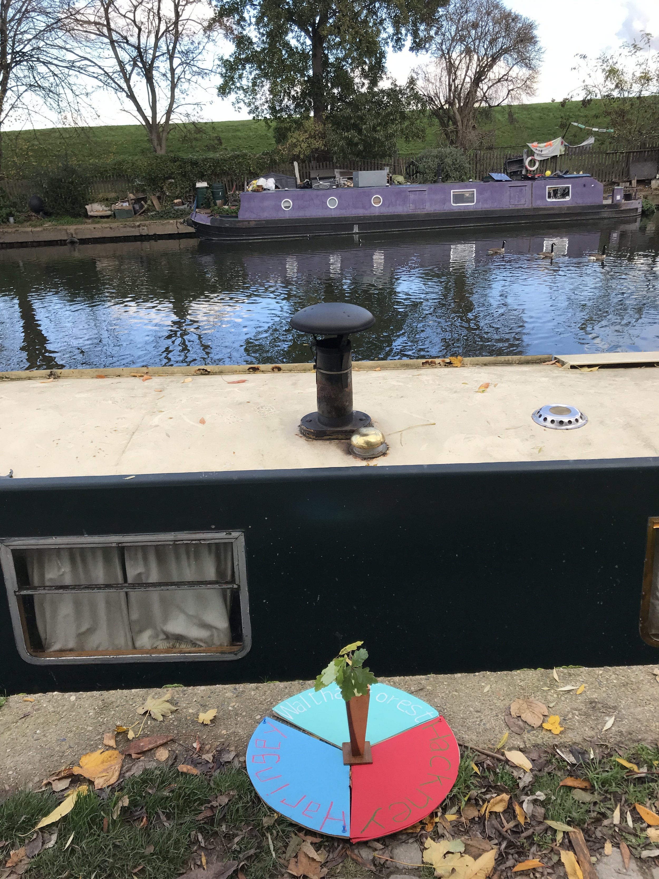
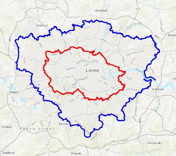
The London Borough Tri-Points are the points where 3 of the 32 Greater London Boroughs meet. Have you ever wondered where they are and got the inspiration to visit them all? Probably not, but it has been done! This post is based on the excellent work of David Natzler who visited and documented the tri-points in 2020 and 2021. Descriptions and photos are all from David with some formatting, references and graphics from myself. I love David’s idea of the oak sprig in the vase to represent the boundary oak.
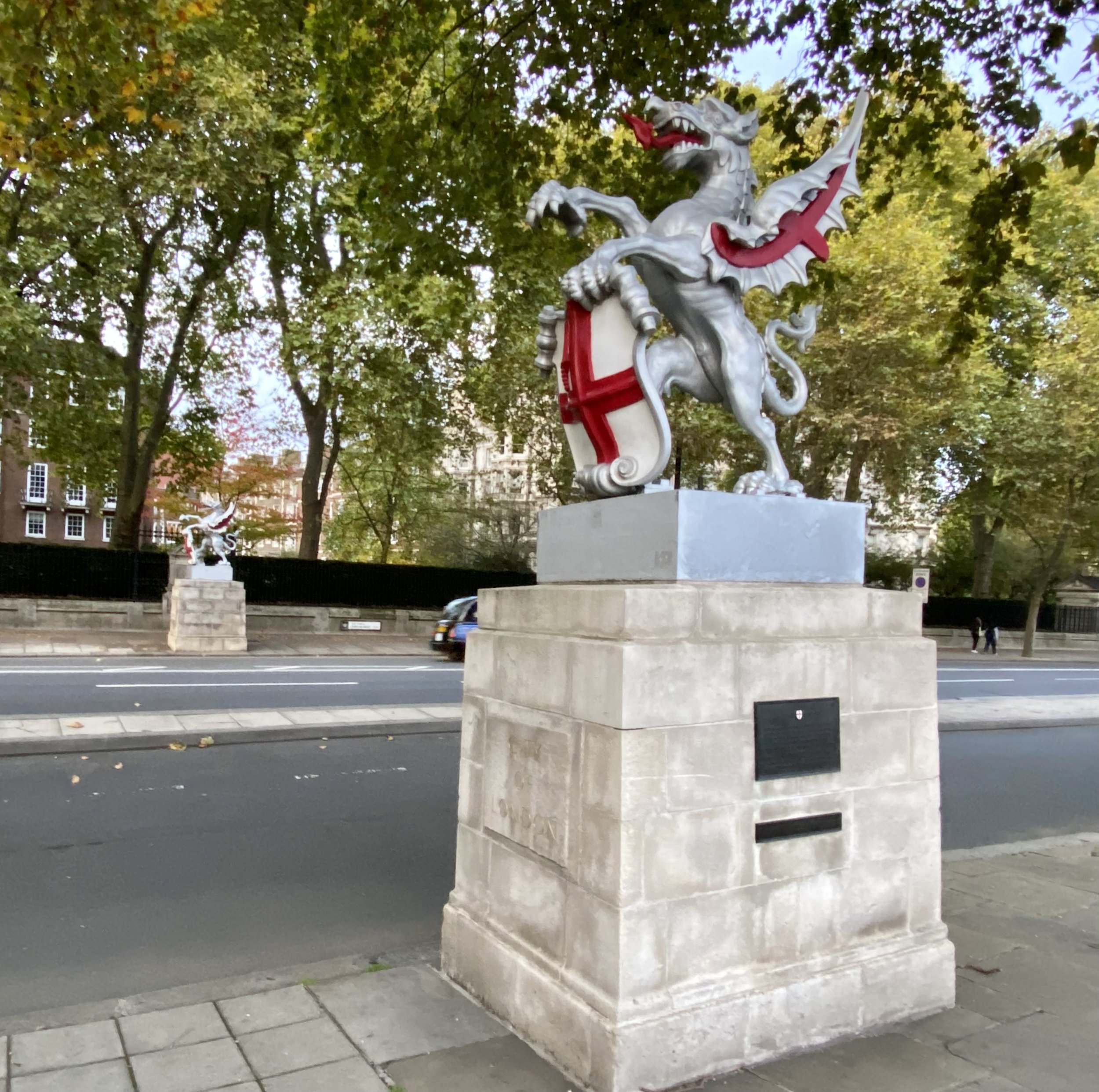
David’s travels took him to the tri-points of all of the boroughs except for those that meet in the River Thames and those with the City of London. I visited the 7 tri-points with The City later on a City of London Boundary Walk.
(1) The Oaks – Bexley/Bromley/Greenwich
A bleak spot on the A 20 Sidcup by-pass, marked by a speed camera and a Welcome to Greenwich sign. But right on the border is the suitably named The Oaks, a home for dementia sufferers. Over the fence in Bexley is Mr Mulligan’s Mini Golf, one of a chain of a dozen such venues in England offering family crazy golf, outsize plastic balls in a landscape dominated by weirdly coloured plastic dinosaurs and small crashed aeroplanes.
Coordinates: 51°25'55.1"N 0°04'31.2"E
Nearest Station: New Eltham (southeastern): 1 km
Map: London South Map | Westminster, Greenwich, Croydon, Esher & Twickenham | Ordnance Survey | OS Explorer Map 161
Links: Wikipedia: Bexley, Bromley, Greenwich
(2) The Cooling Centre – Bromley/Greenwich/Lewisham
Winn Road, the Greenwich/ Lewisham frontier ends in a pleasant green space with chestnut trees. Over the Quaggy stream are the leafy hills of Mottingham in Bromley, including WG Grace’s villa. Beside the tripoint is the Winn Road National Grid cooling establishment. It cools the water around the 350,000 volt main electricity supply cable which runs underground here. Hence the genuine Danger of Death warning on the railings.
Coordinates: 51°26'30.2"N 0°01'45.7"E
Nearest Station: Mottingham (southeastern): 1.9 km
Map: London South Map | Westminster, Greenwich, Croydon, Esher & Twickenham | Ordnance Survey | OS Explorer Map 161
Links: Wikipedia: Bromley, Greenwich, Lewisham
(3) Paxton Corner – Bromley/Lewisham/Southwark
Where the roads up from Sydenham in Lewisham, and Penge in Bromley, breast the ridge of Sydenham Hill, the westward slopes of which are in Southwark. The old brick wall and metal posts are all that is left of Rockhills, the London home of Sir Joseph Paxton, who designed the palace of glass for the 1851 Great Exhibition down in Hyde Park and then oversaw its re-erection on the Sydenham ridge. The two ancient Lewisham parish markers sit below a splendid oak tree, probably a real boundary oak.
This tri-point is roughly half way between the highest points in Lambeth (Westow Hill) and Southwark/Lewisham (Sydenham Hill). It’s a ~1 mile walk along the A212 and Sydenham Hill road, via the tri-point between the 2 high points.
Coordinates: 51°25'34.2"N 0°04'26.2"W
Nearest Station: Gipsy Hill (southern): 1.5 km
Map: London South Map | Westminster, Greenwich, Croydon, Esher & Twickenham | Ordnance Survey | OS Explorer Map 161
Links: Wikipedia: Bromley, Lewisham, Southwark
(4) Café corner – Bromley/Lambeth/Southwark
Southwark and Lambeth march up Farquhar Road: below the precipice of Crystal Palace Parade was the pinnacled Crystal Palace upper station, specially built to access the palace by a subway under the road. The subway survives but not the station, or the railway, painted further down the track at Lordship Lane by Camille Pissarro. There are two continental cafes here, Café Paradou and Café St Germain.
This tri-point is less than 100m from Westow Hill, the highest point in the London Borough of Lambeth.
Coordinates: 51°25'14.2"N 0°04'42.0"W
Nearest Station: Crystal Palace (southern): 0.6 km
Map: London South Map | Westminster, Greenwich, Croydon, Esher & Twickenham | Ordnance Survey | OS Explorer Map 161
Links: Wikipedia: Bromley, Lambeth, Southwark
(5) The Vicar’s Oak – Bromley/Croydon/Lambeth
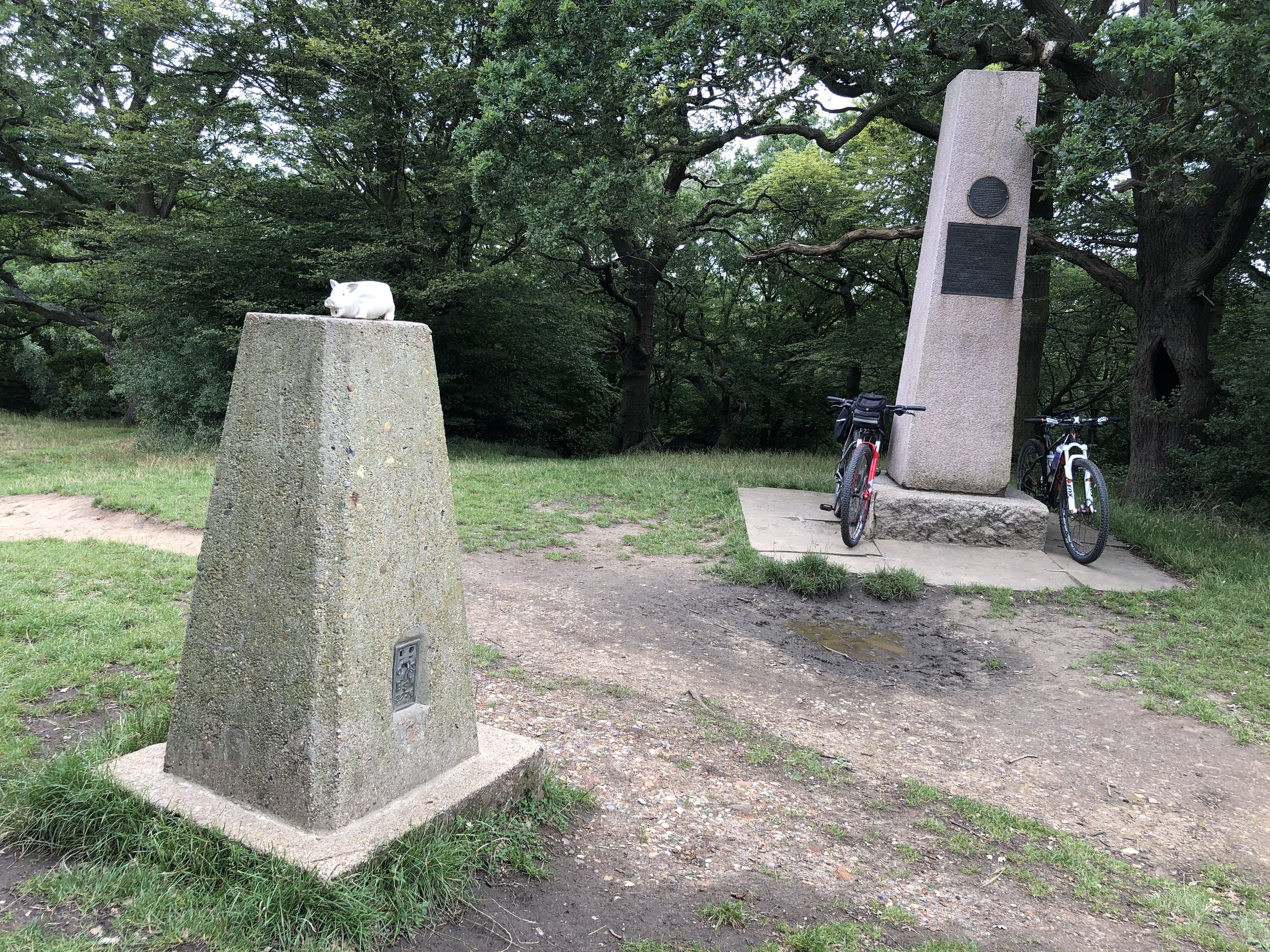
Croydon takes over from Bromley once the park ends. The park has a Boundaries Gate in honour of the meeting here in times gone by of four parish boundaries. In 2018 the stump of an old oak was installed, together with a panel about parish boundaries, beating the bounds and the Vicar’s Oak which once stood here. It is [so far] the only tripoint monument in London, and it is therefore a special place.
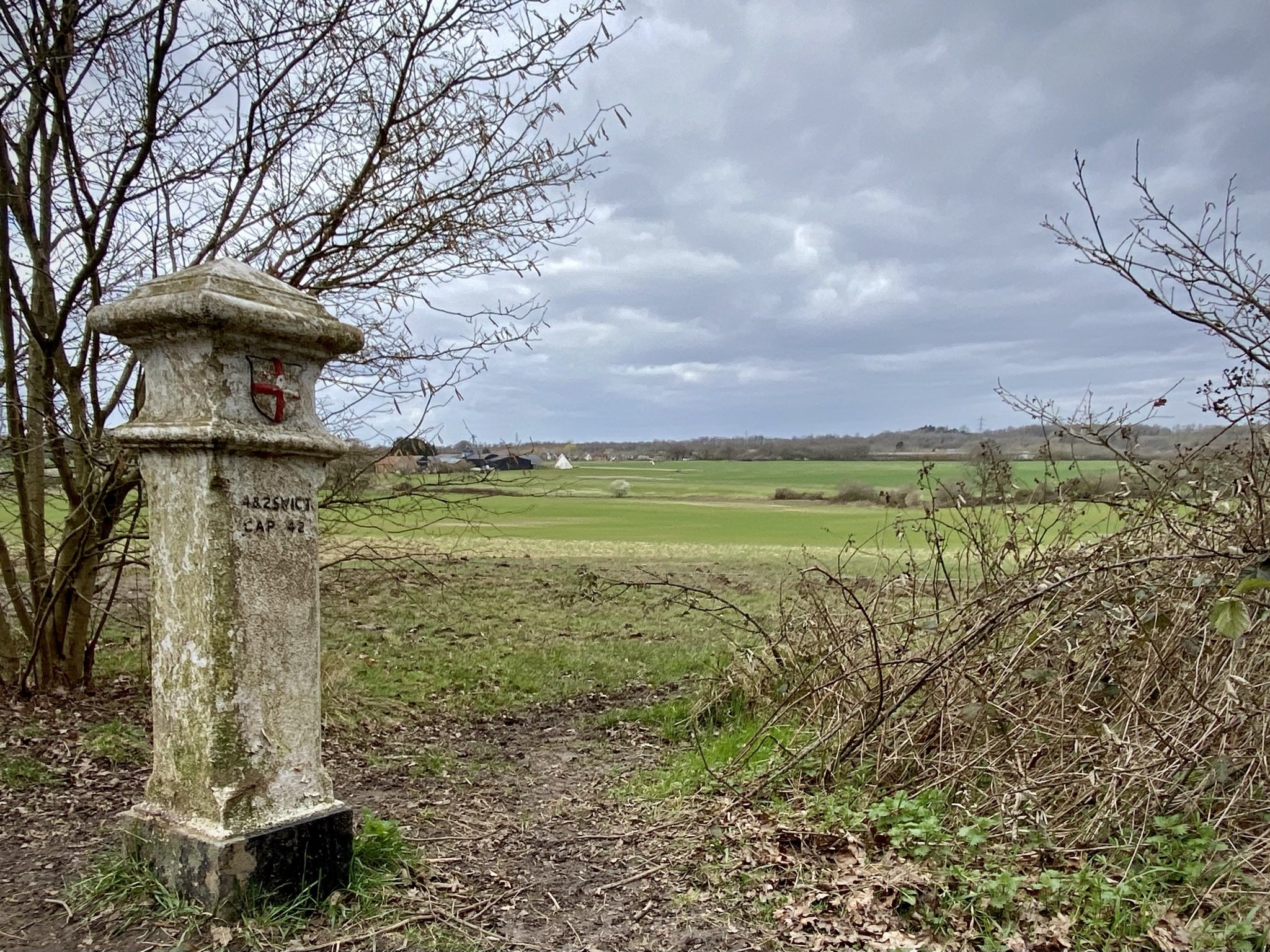
This tri-point is at Westow Hill, the highest point in the London Borough of Lambeth.
Coordinates: 51°25'12.0"N 0°04'42.7"W
Nearest Station: Crystal Palace (southern): 0.5 km
Map: London South Map | Westminster, Greenwich, Croydon, Esher & Twickenham | Ordnance Survey | OS Explorer Map 161
Links: Wikipedia: Bromley, Croydon, Lambeth
(6) The Inaccessible Graveney Triangle – Lambeth/Merton/Wandsworth
Railway lines forking beyond protective fencing, in a world of allotments, and the hidden river Graveney. The railway signs help mark the spot, which can at least be glimpsed by enthusiasts from the windows of trains between Streatham and either Tooting or Mitcham Eastfields.
Coordinates: 51°25'09.3"N 0°08'25.4"W
Nearest Station: xxx
Map: London South Map | Westminster, Greenwich, Croydon, Esher & Twickenham | Ordnance Survey | OS Explorer Map 161
Links: Wikipedia: Lambeth, Merton, Wandsworth
(7)Streatham Races – Croydon/Lambeth/Merton
Still in Graveney country, now in Norbury, where the back gardens of Woodmansterne Road separate Merton from Lambeth. There is a well concealed open space in Merton behind a locked gate, once the site of the short-lived and disorderly Streatham racecourse on Lonesome Farm. This led to the installation of ramps for horses at the new Norbury station, and then to the 1879 Racecourse Licensing Act which bore down on courses less than 10 miles from the centre of London. Pity….
Coordinates: 51°24'44.4"N 0°07'39.9"W
Nearest Station: Norbury (southern): 0.5 km
Map: London South Map | Westminster, Greenwich, Croydon, Esher & Twickenham | Ordnance Survey | OS Explorer Map 161
Links: Wikipedia: Croydon, Lambeth, Merton
(8)Mitcham Common Gateway – Croydon/Merton/Sutton
Between Croydon’s Beddington sewage works and derelict hand car wash sites lies the unexpected joy of Mitcham Common, looked after by Conservators. It has suffered from gravel extraction and waste disposal: but it offers ponds with ducks, covered reservoirs, sandy paths, a golf course, and a tramway with bright green silent trams. Near the tripoint is a fine white high vehicle gateway leading to nowhere.
Coordinates: 51°23'27.1"N 0°08'03.7"W
Nearest Station: Beddington Lane (tram): 0.6 km
Map: London South Map | Westminster, Greenwich, Croydon, Esher & Twickenham | Ordnance Survey | OS Explorer Map 161
Links: Wikipedia: Croydon, Merton, Sutton
(9) Beverly Brook 1 – Kingston/Richmond/Wandsworth
A few hundred yards north of no 10, by way of the Robin Hood Gate to Richmond Park, is the border with Richmond, where two little bridges cross the Beverly Brook as it emerges from beneath the A3: a footbridge leading to the new golf clubhouse and a weir, to catch old footballs and supermarket trolleys rather than salmon.
Coordinates: 51°26'14.2"N 0°15'14.7"W
Nearest Station: Barnes (southwestern): 3.7 km
Map: London South Map | Westminster, Greenwich, Croydon, Esher & Twickenham | Ordnance Survey | OS Explorer Map 161
Links: Wikipedia: Kingston upon Thames, Richmond upon Thames, Wandsworth
(10) Beverly Brook 2 - Kingston/ Merton/ Wandsworth
By the banks of the Beverly Brook – a brook for beavers but no longer, and London’s best boundary stream – is an 1861 parish boundary stone, overhung and surrounded by the oaks of Wimbledon Common, which could be known as Wimbledon Forest: this tripoint is one of the most attractive and one of the hardest to pinpoint. The track alongside the brook is used by cyclists and pedestrians and mounted rangers.
Coordinates: 51°25'57.2"N 0°15'03.9"W
Nearest Station: Wimbledon (southwestern, Thameslink): 3.7 km
Map: London South Map | Westminster, Greenwich, Croydon, Esher & Twickenham | Ordnance Survey | OS Explorer Map 161
Links: Wikipedia: Kingston upon Thames, Merton, Wandsworth
(11) Beverly Brook 3 – Kingston/ Merton/Sutton
Upstream from No 10, still on the edges of the brook, but here heavily channelled and overlooked by two gasometers on the Kingston side, within a beautiful piece of preserved woodland. The wood and adjoining playing fields in Merton were given to the public by local magnate and MP Sir Joseph Hood. Hood made his money with British American Tobacco, but the air here is clean, despite the littering, and the wood is full of birdsong.
Coordinates: 51°23'21.4"N 0°14'23.0"W
Nearest Station: Motspur Park (South Western): 0.9 km
Map: London South Map | Westminster, Greenwich, Croydon, Esher & Twickenham | Ordnance Survey | OS Explorer Map 161
Links: Wikipedia: Kingston upon Thames, Merton, Sutton
(12) Bulls Bridge – Ealing/Hillingdon/Hounslow
The Grand Union Canal’s Paddington branch starts here, miles of canal-boats and waterfowl and the backsides of commercial estates. The tripoint is where the canals meet, at Bulls Bridge where the Grand Union Canal heads west. The delightful towpath along the Paddington branch is the border between Ealing and Hillingdon: past the Blair Peach school named after the young New Zealander killed by a policeman during an April 1979 anti-National Front demonstration.
Coordinates: 51°29'58.8"N 0°24'25.0"W
Nearest Station: Hayes & Harlington (GWR, Elizabeth Line): 1.6km
Map: London North Map | The City, West End, Enfield, Ealing, Harrow & Watford | Ordnance Survey | OS Explorer Map 173
Links: Wikipedia: Ealing, Hillingdon, Hounslow
(13) Northolt Mandeville - Ealing/Harrow/Hillingdon
In Northolt, by the railway lines and in the shadow of the Solid Waste Transfer Station to the west between the tracks. Northolt is of course famous for its aerodrome, where 32 Squadron The Queen’s Flight is based: memorably, the flight carrying the body of Lady Diana back from Paris landed there back in 1997. But it also has roots in the Domesday Book and the local government ward is named for the local Norman grandee who was Constable of the Tower of London.
Coordinates: 51°33'17.9"N 0°22'40.3"W
Nearest Station: Northolt Park (Chiltern Railways): 1.6km
Map: London North Map | The City, West End, Enfield, Ealing, Harrow & Watford | Ordnance Survey | OS Explorer Map 173
Links: Wikipedia: Ealing, Harrow, Hillingdon
(14) Sudbury Hill – Brent/Ealing/Harrow
The tripoint is a tiny step from one of the classic 1930s London Underground stations designed by Charles Holden: Pevsner notes “how satisfying …such unpretentious buildings can be”. Harrow on the Hill is just beyond, a much more challenging hill than Sudbury Hill for cyclists or pedestrians, with the added interest of the school buildings of Harrow School: “hearty and confident gloom”, to quote Pevsner again. The area is alive with railway lines going off in all directions.
This Tri-point is 1.3 km from the high point of the London Borough of Brent. See the blog post Walking The Capital Ring: Harrow on the Hill to Horsenden Hill for details.
Coordinates: 51°33'23.6"N 0°20'08.1"W
Nearest Station: Sudbury Hill (Piccadilly Line): <100m
Map: London North Map | The City, West End, Enfield, Ealing, Harrow & Watford | Ordnance Survey | OS Explorer Map 173
Links: Wikipedia: Brent, Ealing, Harrow
(15) Burnt Oak Corner – Barnet/Brent/Harrow
On Watling Street. A foodshop called Neam Bucovinean next to the Gormandu traditional Romanian restaurant suggest a local concentration of Europeans from the frontiers of the EU. The first ever Tesco store was near here. The area is called Burnt Oak, one of several post-war LCC cottage housing estates. The vase in the photograph is empty in homage to the hint in that name of a phantom boundary oak.
Coordinates: 51°36'01.3"N 0°16'01.7"W
Nearest Station: Burnt Oak (Northern Line): 300m
Map: London North Map | The City, West End, Enfield, Ealing, Harrow & Watford | Ordnance Survey | OS Explorer Map 173
Links: Wikipedia: Barnet, Brent, Harrow
(16) Emlyn Corner - Ealing/Hammersmith and Fulham/Hounslow
Contrasting cultures meet here: on one hand the leafy roads of Bedford Park and Turnham Green, where the Trained Bands turned back King Charles in the Civil War, but now endowed with Royalist street names - Queen Anne, Rupert, Woodstock, Blenheim; and on the other Acton, where the Emlyn Gardens estate boasts blocks delightfully named for Greater London’s rivers, including the Beverly, the Lea and the Roding, all of which host tripoints.
Coordinates: 51°30'05.1"N 0°15'11.1"W
Nearest Station: Stamford Brook (District Line): 1km
Map: London North Map | The City, West End, Enfield, Ealing, Harrow & Watford | Ordnance Survey | OS Explorer Map 173
Links: Wikipedia: Ealing, Hammersmith and Fulham, Hounslow
(17) Welcome to Harlesden – Brent/Ealing/Hammersmith and Fulham
Willesden Junction is a desert of railway tracks requiring two separate bridges to cross the local lines and the West Coast Main line, and then lead south into Ealing and the calm of the Paddington Branch of the Union Canal. There is an official Brent noticeboard inscribed “Welcome to Harlesden.” Harlesden is the home of Digestives and Hobnobs. Welcome indeed.
Coordinates: 51°31'57.8"N 0°14'46.7"W
Nearest Station: Willesden Junction (Overground): 140m
Map: London North Map | The City, West End, Enfield, Ealing, Harrow & Watford | Ordnance Survey | OS Explorer Map 173
Links: Wikipedia: Brent, Ealing, Hammersmith and Fulham
(18) By Way of Kensal Green – Brent/Hammersmith and Fulham/Kensington and Chelsea
There is a Brazilian steakhouse and the promise of Sunrise Brazilian hair in Brent, opposite the Anglican chapel and the entrance to the Roman Catholic part of the massive Kensal Green cemetery, and above the Kensal Green railway tunnels: a faintly disturbing juxtaposition. “For there is good news yet to hear and fine things to be seen, Before we go to Paradise by way of Kensal Green”.
This tri-point is also at the highpoint of the London Borough of Kensington and Chelsea and very close to the high point of Hammersmith and Fulham. See the Central London Five Summits blog post for details.
Coordinates: 51°31'49.2"N 0°13'42.5"W
Nearest Station: Kensal Green (Overground, Bakerloo): 160m
Map: London North Map | The City, West End, Enfield, Ealing, Harrow & Watford | Ordnance Survey | OS Explorer Map 173
Links: Wikipedia: Brent, Hammersmith and Fulham, Kensington and Chelsea
(19) The towers of St John’s - Brent/Kensington and Chelsea/Westminster
Ladbroke Grove in the Royal Borough peters out here in the shadow of the twin towers of St John the Evangelist’s Kensal Green. Next to it is a private school called Bales College. But there is little sign here of the alleged gentrification of Kensal Green which in 2014 produced a Mulberry handbag named Kensal.
Coordinates: 51°31'40.5"N 0°12'57.8"W
Nearest Station: Kensal Green (Overground, Bakerloo): 0.8 km
Map: London North Map | The City, West End, Enfield, Ealing, Harrow & Watford | Ordnance Survey | OS Explorer Map 173
Links: Wikipedia: Brent, Kensington and Chelsea, City of Westminster
(20) St Augustine’s junction – Brent/Camden/Westminster
The second tripoint in the middle of Watling Street. Camden has a modern Library here, hopefully also accessible also to the citizens of Westminster and Brent. Down the road in Westminster is St Augustine’s CofE High School, St Augustine’s Sports Centre, and finally the magnificent St Augustine’s church, the vast late 19th century “cathedral of north London”, named for the Augustine whom Pope Gregory sent to England to convert it to Christianity.
Coordinates: 51°32'10.6"N 0°11'29.4"W
Nearest Station: Kilburn High Road (Overground): 120m
Map: London North Map | The City, West End, Enfield, Ealing, Harrow & Watford | Ordnance Survey | OS Explorer Map 173
Links: Wikipedia: Brent, Camden, City of Westminster
(21) All Souls Ridge – Brent/Camden/Barnet
The third Watling Street tripoint as it climbs up the inimitably delightfully named Shoot Up Hill between Camden and Brent and on the shoulder of the hill meets Barnet at Cricklewood, beside the Mediterranean bar and restaurant Elementree - “ the location is very romantic” . All Souls College Oxford once owned much of the land on the western side of the highway, including dozens of oaks: now gone but not forgotten.
Coordinates: 51°33'18.7"N 0°12'48.6"W
Nearest Station: Cricklewood (Thameslink): 0.5 km
Map: London North Map | The City, West End, Enfield, Ealing, Harrow & Watford | Ordnance Survey | OS Explorer Map 173
Links: Wikipedia: Brent, Camden, Barnet
(22) Kenwood Corner – Camden/Barnet/Haringey
This prosperous tripoint is at edge of Hampstead Heath, which is managed by the City. The tripoint is where Bishops Avenue, home of the mega-rich, and technically in Barnet, meets the Heath. This is unmistakeably Highgate, a ward name used by both Camden and Haringey: unusual if not unique? A few hundred yards away is the old new wealth of Kenwood House, built from Mansfield’s legal practice and probably family slave estates in the Caribbean. There are several tremendous oaks on this boundary.
This tri-point is close to the London Borough High Points of Islington, Haringey and Camden and the Kenwood House and Parliament Hill Protected Views. See the post Walking The Hampstead and Highgate London Borough High Points for details
Coordinates: 51°34'21.1"N 0°10'16.5"W
Nearest Station: Golders Green (Northern Line): 2.1 km
Map: London North Map | The City, West End, Enfield, Ealing, Harrow & Watford | Ordnance Survey | OS Explorer Map 173
Links: Wikipedia: Camden, Barnet, Haringey
(23) New Southgate Tunnel – Barnet/Enfield/Haringey
Sadly this has little to do with Southgate itself, where Pevsner mentions several appetisers. The North Circular enters a long, unlit and seemingly unventilated abyss under the main railway line going north. The arch is decorated with graffiti tags RAS10FOOT or maybe 10FOOTRAS, presumably acrobatically carried out from above. By some way the most hazardous tripoint in London.
Coordinates: 51°36'36.7"N 0°08'19.7"W
Nearest Station: New Southgate (Great Northern, Thameslink): 1 km
Map: London North Map | The City, West End, Enfield, Ealing, Harrow & Watford | Ordnance Survey | OS Explorer Map 173
Links: Wikipedia: Barnet, Enfield, Haringey
(24) Waterlow Corner – Islington/Haringey/Camden
Islington comes up Highgate Hill past the Whittington Hospital and the Passionist RC Church of St Joseph to meet Hornsey Lane from Haringey. On the Camden side of the corner is Lauderdale House, built in 1582 by the goldsmith Richard Martin, sponsor of Drake’s circumnavigation. It is now a community hub. Behind and around is Waterlow Park, a “garden for the gardenless” given to the LCC by Sir Sidney Waterlow, a Liberal Lord Mayor.
This tri-point is also the high point of the London Borough of Islington. See the post Walking The Hampstead and Highgate London Borough High Points for details
Coordinates: 51°34'08.8"N 0°08'32.7"W
Nearest Station: Archway (Northern Line): 0.6 km
Map: London North Map | The City, West End, Enfield, Ealing, Harrow & Watford | Ordnance Survey | OS Explorer Map 173
Links: Wikipedia: Islington, Haringey, Camden
(25) The Twelve Pins – Islington/Haringey/Hackney
Finsbury Park is a railway station named after a large park in Hornsey, created in 1869 from Hornsey Wood House pleasure gardens for the gardenless people of Finsbury in inner London. The borders meet in the middle of Seven Sisters Road outside the Twelve Pins pub, painted a vibrant blue. The Twelve Pins are not an inebriate vision of tenpin bowling but the Twelve Pins (or Bens) hilltops in Connemara, a great ridge walk. One of a small handful of tripoint pubs.
This Tri-point is 0.6km along Seven Sisters Road from the high point of the London Borough of Hackney. See the Central London Five Summits blog post for details.
Coordinates: 51°33'53.2"N 0°06'15.8"W
Nearest Station: Finsbury park (Great Northern, Overground, Thameslink, Piccadilly, Victoria): 150m
Map: London North Map | The City, West End, Enfield, Ealing, Harrow & Watford | Ordnance Survey | OS Explorer Map 173
Links: Wikipedia: Islington, Haringey, Hackney
(26) Pymme’s Brook – Haringey/Enfield/Waltham Forest
First of three tripoints in the middle of the Lea. The land route lies through Northumberland Park - the Percy connection which brought the Hotspur to Tottenham - and past an Edmonton gasholder, and over Pymme’s Brook and then Chalk Bridge over a branch of the Lea. But coming up the Lea from the south there are locks and swans and boats galore: this is where “the gulphy Lee his sedgy tresses rears” in the words of Alexander Pope.
Coordinates: 51°36'20.3"N 0°02'29.2"W
Nearest Station: Meridian Water (greateranglia): 1.7 km
Map: Epping Forest & Lee Valley Map | Hertford & Harlow | Ordnance Survey | OS Explorer Map 174
Links: Wikipedia: Haringey, Enfield, Waltham Forest
(27) Cahn’s Corner – Haringey/Hackney/Waltham Forest
Where Stamford Hill, home to London’s Hassidic Jewish community, meets the counter-culture of canal houseboats on the Lea and the reservoirs of the Lea Valley park. The well-kept towpath buzzes with pedestrians and cyclists and presumably the inhabitants of the many houseboats moored here. A sign warns passing boats that there is non-motorised traffic on the water and indeed just downstream is the rowing club. Named for a good friend who biked with me here.
Coordinates: 51°34'40.0"N 0°03'40.3"W
Nearest Station: Stamford Hill (Overground): 1.3 km
Map: South Tottenham (Overground): 1.6 km
Links: Wikipedia: Haringey, Hackney, Waltham Forest
(28) Carpenter’s Road – Hackney/Tower Hamlets/Newham
The third tripoint in the Lea, between the railway bridge running between Hackney Wick and Stratford and a new road bridge over the Lea. The whole area is now part of the Olympic legacy park. Behind in Newham is the Olympic helter-skelter and what is now West Ham’s stadium in Stratford Marsh. It must have been near here that we all saw the Queen land when she parachuted in to open the 2012 Olympic Games.
Coordinates: 51°32'36.1"N 0°00'59.7"W
Nearest Station: Hackney Wick (Overground): 0.6 km
Map: Epping Forest & Lee Valley Map | Hertford & Harlow | Ordnance Survey | OS Explorer Map 174
Links: Wikipedia: Hackney, Tower Hamlets, Newham
(29) Eton Manor – Hackney/Waltham Forest/Newham
On the northern edges of Olympic land is this generous tribute to the site of the Eton Manor Boys’ Club, Eton’s mission in the east end of London, celebrated in a poem on the wall by Carol Ann Duffy: “young lives respected, cherished, valued, helped…..”; where poverty was translated to self-esteem. A rare flowering of the spiritual in these acres of sporting legacy from 2012.
Coordinates: 51°33'05.7"N 0°01'01.8"W
Nearest Station: Leyton (Central): 1.6km
Map: Epping Forest & Lee Valley Map | Hertford & Harlow | Ordnance Survey | OS Explorer Map 174
Links: Wikipedia: Hackney, Waltham Forest, Newham
(30) The Holly Tree – Waltham Forest/Newham/Redbridge
The border line between Newham and Redbridge on the edge of Wanstead Flats is here defined along Capel Road by trees: alas ash and not oak. Wanstead is greener than imagined. The Flats are indeed flat; such a fine expanse of publicly accessible grassland perhaps deserves a less forbidding name. The Holly Tree pub is opposite on the Newham side, offering CZECH LAGER. Balmy summers on Wanstead Flats washed down by a real Moravian Pils from the Holly Tree…
Coordinates: 51°33'22.5"N 0°01'13.3"E
Nearest Station: Wanstead Park (Overground): 0.6 km
Map: Epping Forest & Lee Valley Map | Hertford & Harlow | Ordnance Survey | OS Explorer Map 174
Links: Wikipedia: Waltham Forest, Newham, Barking and Dagenham
(31) Banks of the Roding – Newham/Redbridge/Barking and Dagenham
The tripoint is under the raised train tracks and the North Circular flyover above them and is not a welcoming space. But the river Roding, a boundary river, flows past from rural Essex through Ilford, with its fine old Hospital chapel, to Barking, with its numinous Abbey remains and gatehouse, on its way to Barking Creek. The track on its west bank gives access to reed banks. The Roding hosts kayakers as well as moorhens.
Coordinates: 51°32'39.9"N 0°04'06.0"E
Nearest Station: Barking (Overground, c2c, District Line, Hammersmith & City Line): 1.8 km
Map: Epping Forest & Lee Valley Map | Hertford & Harlow | Ordnance Survey | OS Explorer Map 174
Links: Wikipedia: Newham, Redbridge, Barking and Dagenham
(32) Grissell’s Corner – Redbridge/Havering/Barking and Dagenham
The tripoint is almost rural - heading out on Hog Hill Road past Chadwell Heath villas and into farmland in Redbridge with its cheerful logo of oak leaves and a warning to drivers of deer. The City of London cast iron Coal Duty post, one of around 200 to survive, delineates the area within which coal tax was payable. It is dated 1861 and was made by Henry Grissell of the Regents Canal Iron Works: “Iron Henry”.
Coordinates: 51°35'56.3"N 0°08'53.4"E
Nearest Station: Gidea Park (Elizabeth Line, Overground, greateranglia): 4.3 km
Map: Epping Forest & Lee Valley Map | Hertford & Harlow | Ordnance Survey | OS Explorer Map 174
Links: Wikipedia: Redbridge, Havering, Barking and Dagenham / Coal Duty Posts / Coal Duty Post # 7


