Posts tagged Buckinghamshire
The Chiltern Rivers

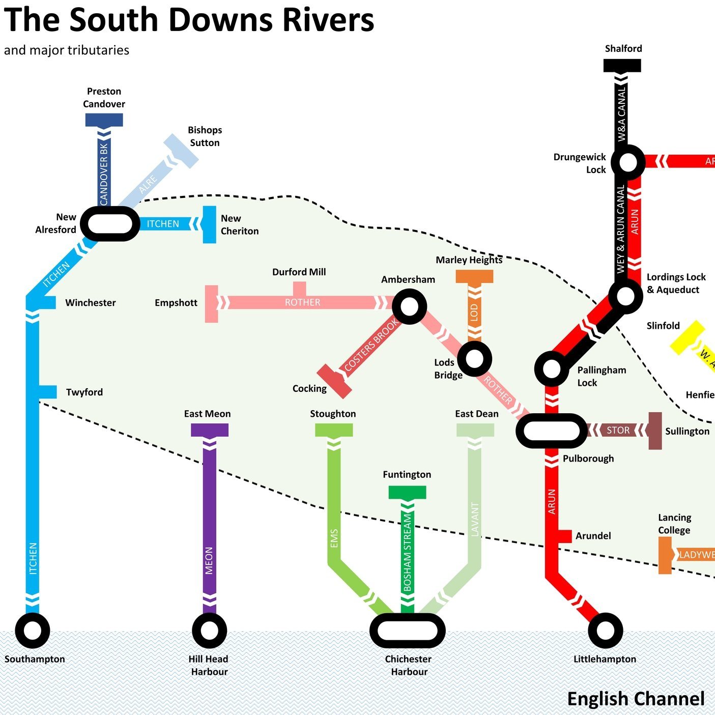
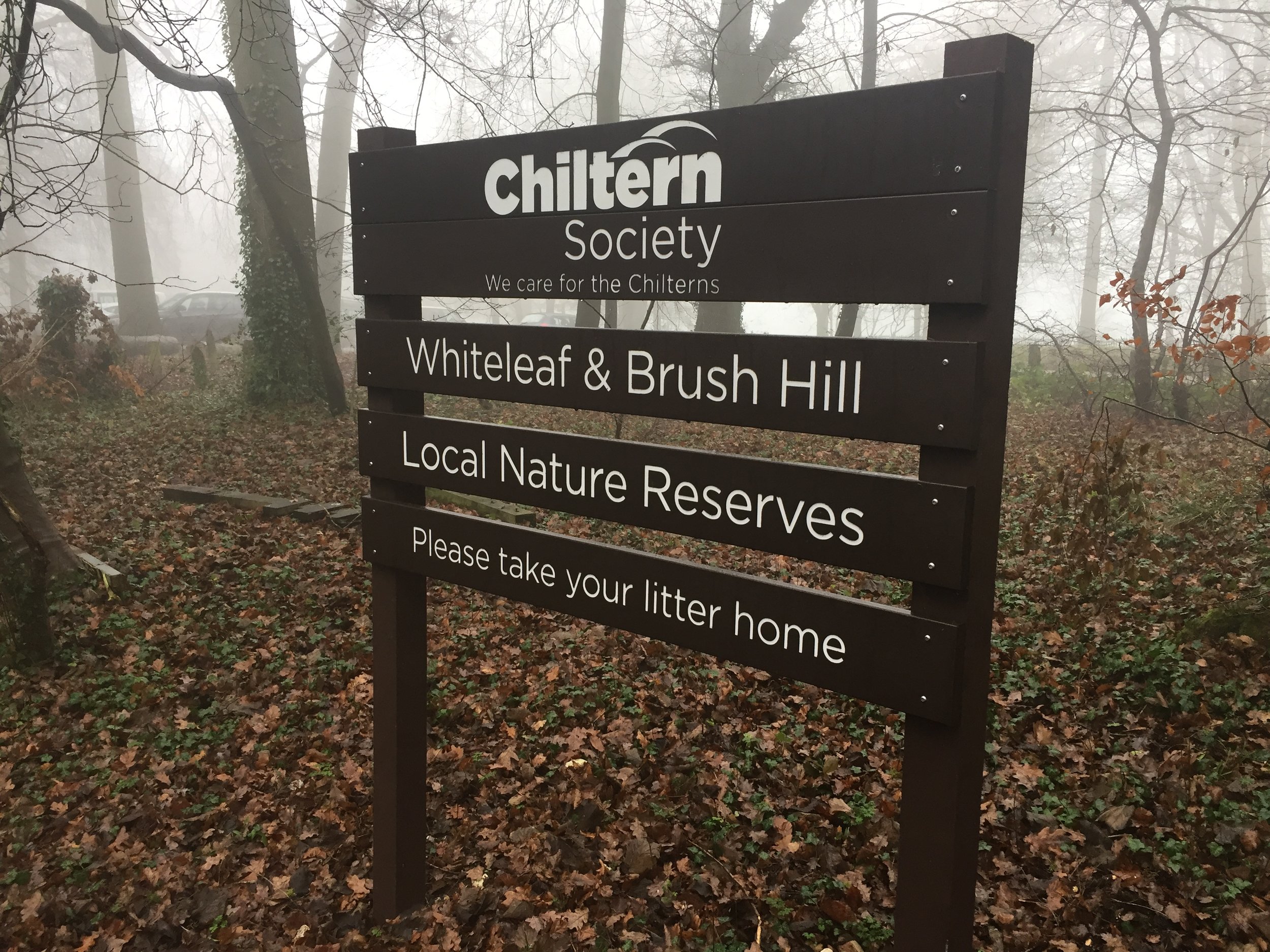
Here’s a Tube-style map of the rivers of the Chiltern Hills AONB and “Greater Chilterns Area”. Let me know if you spot any mistakes and I’ll donate £1 per correction to one of my causes. If you would like a printable PDF version, please Buy Me a Coffee and send me your e-mail via the Contact page. All copies for personal, not commercial use.


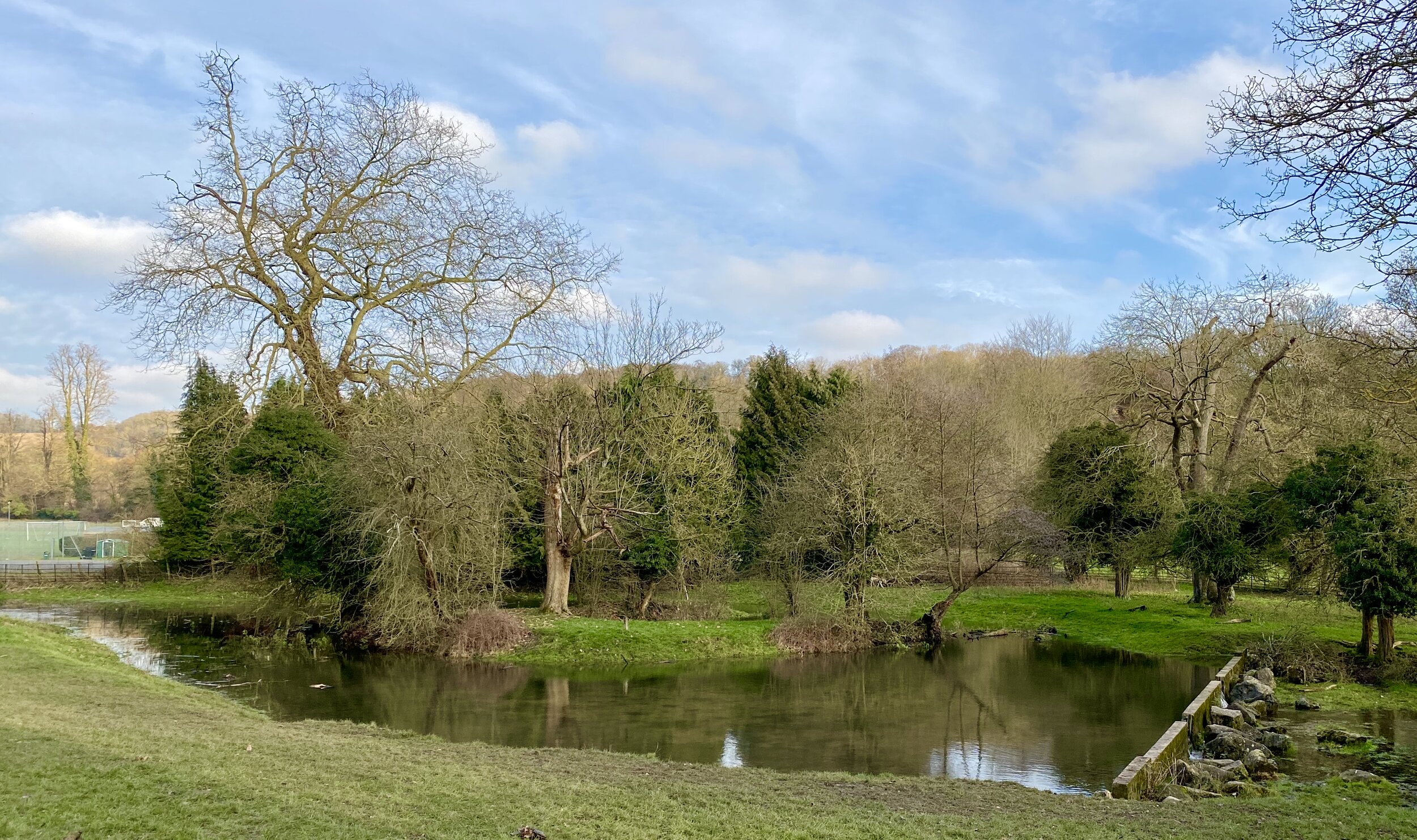
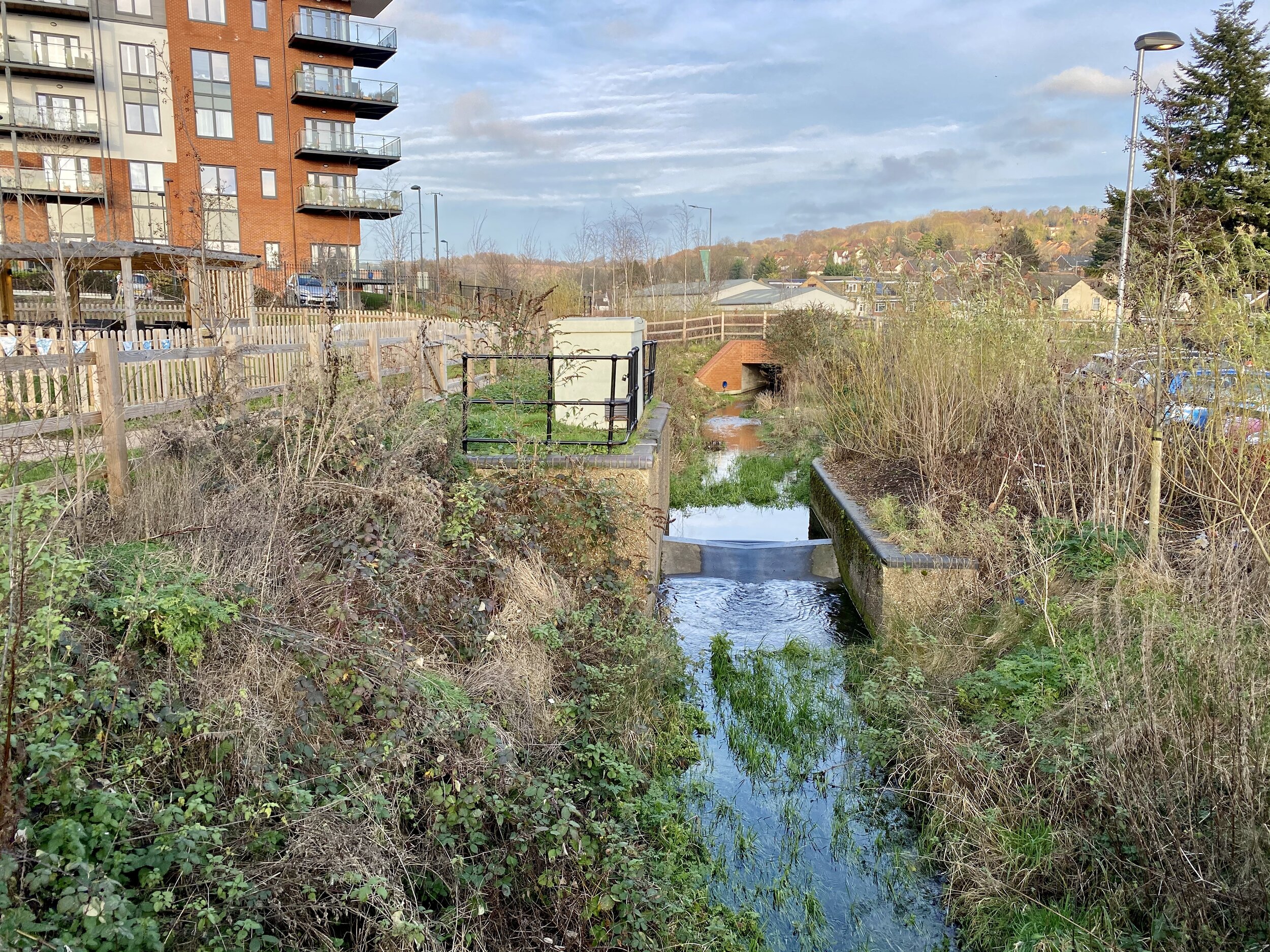
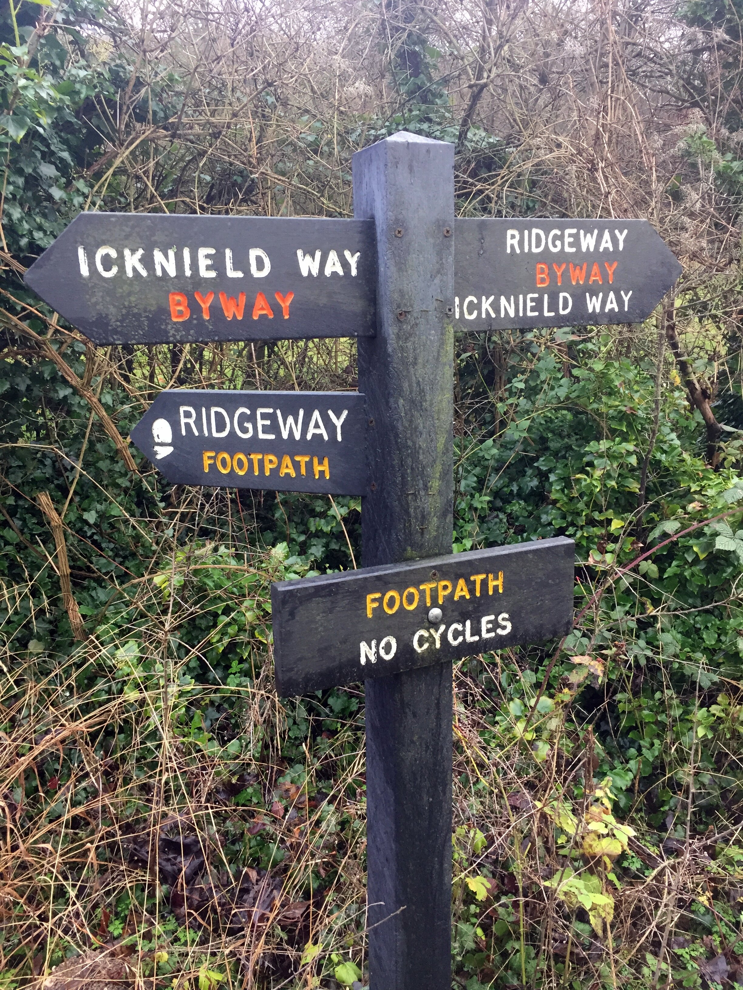
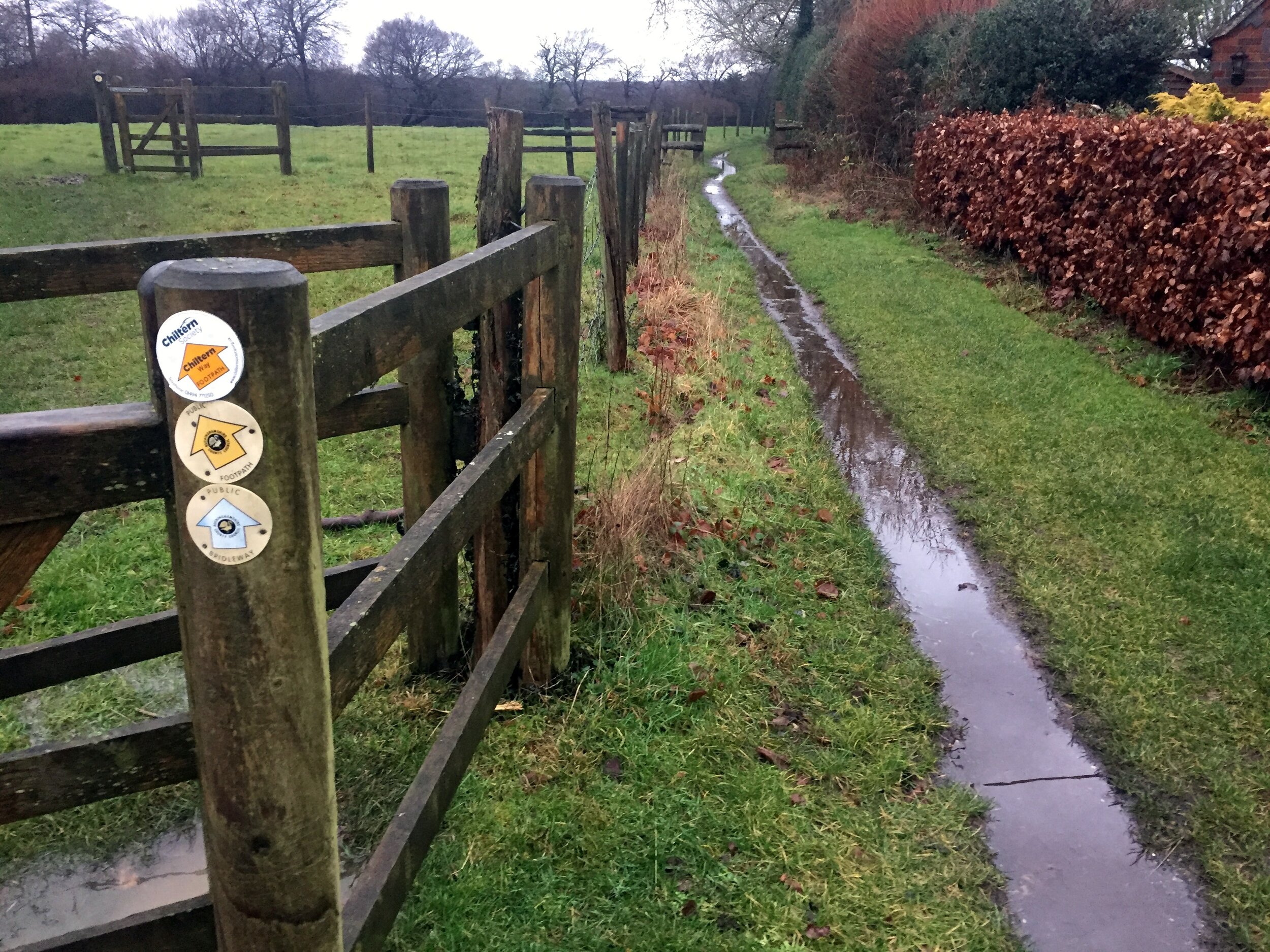
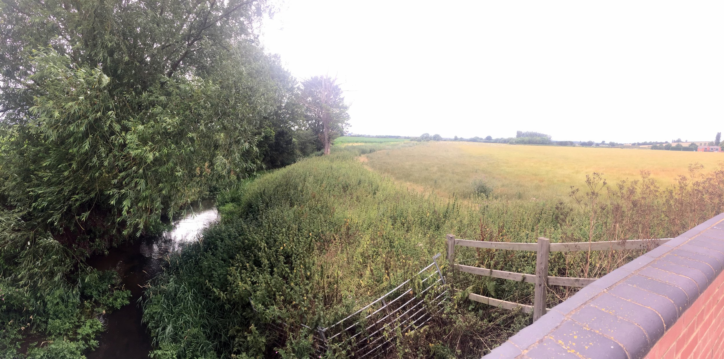
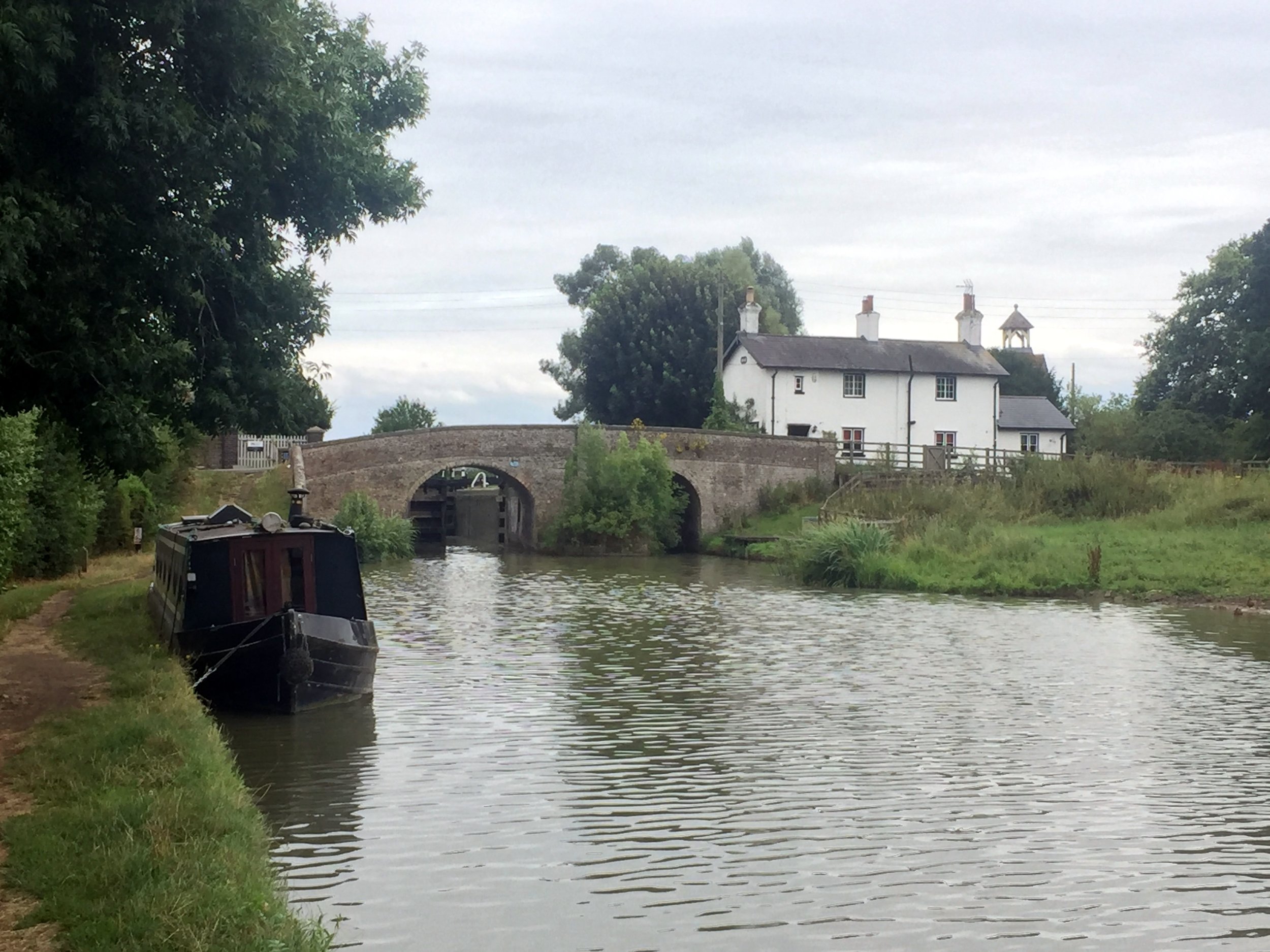
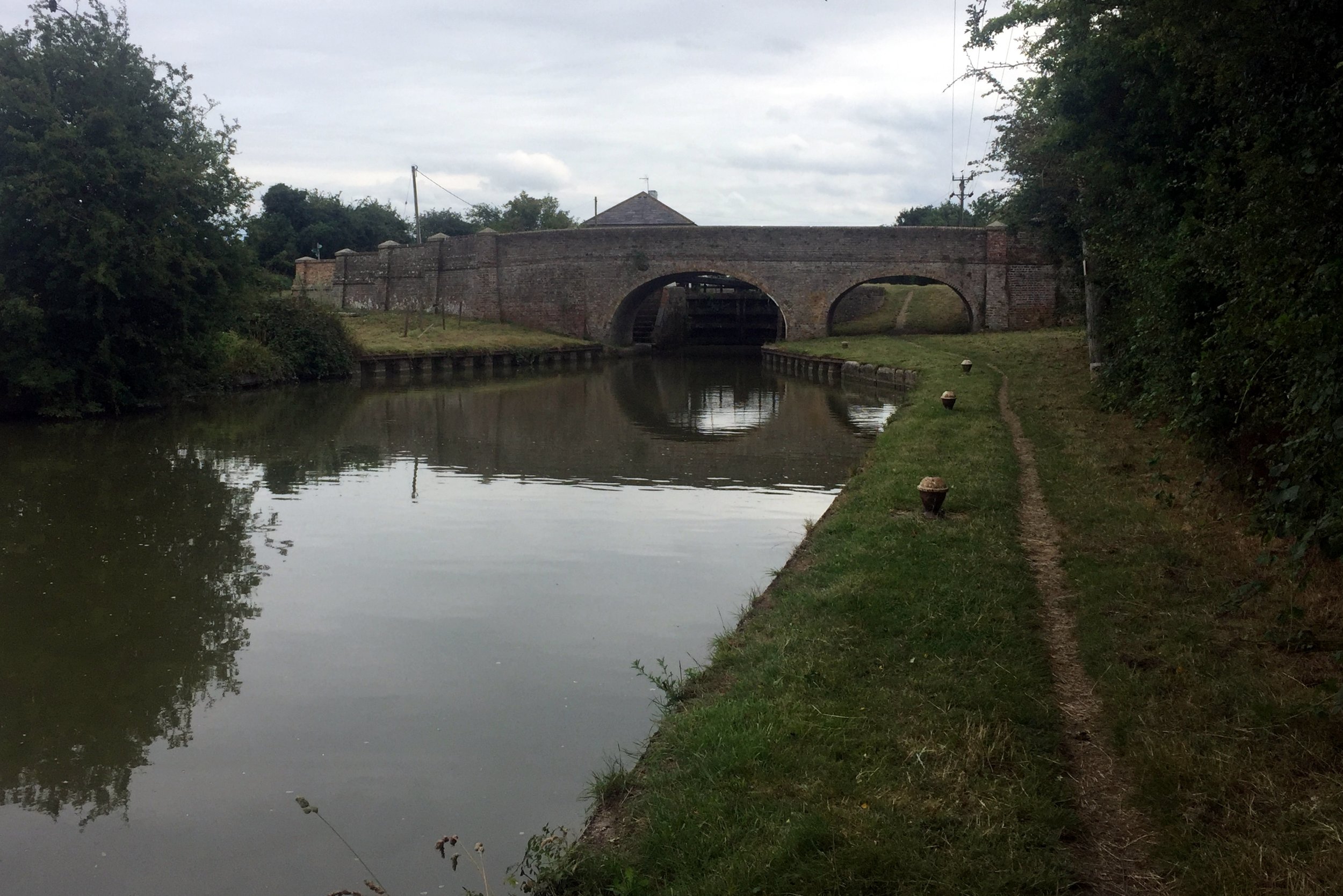
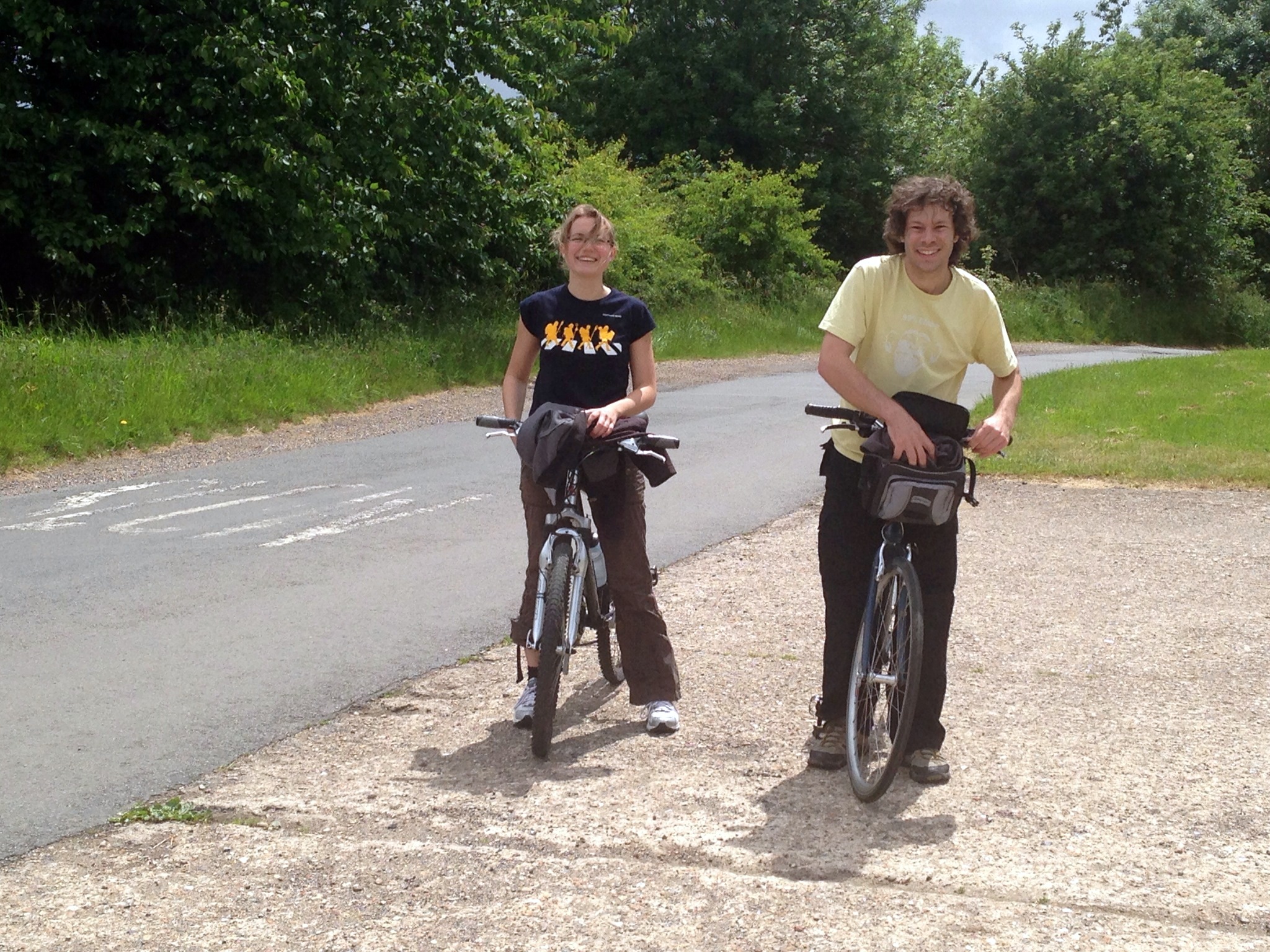
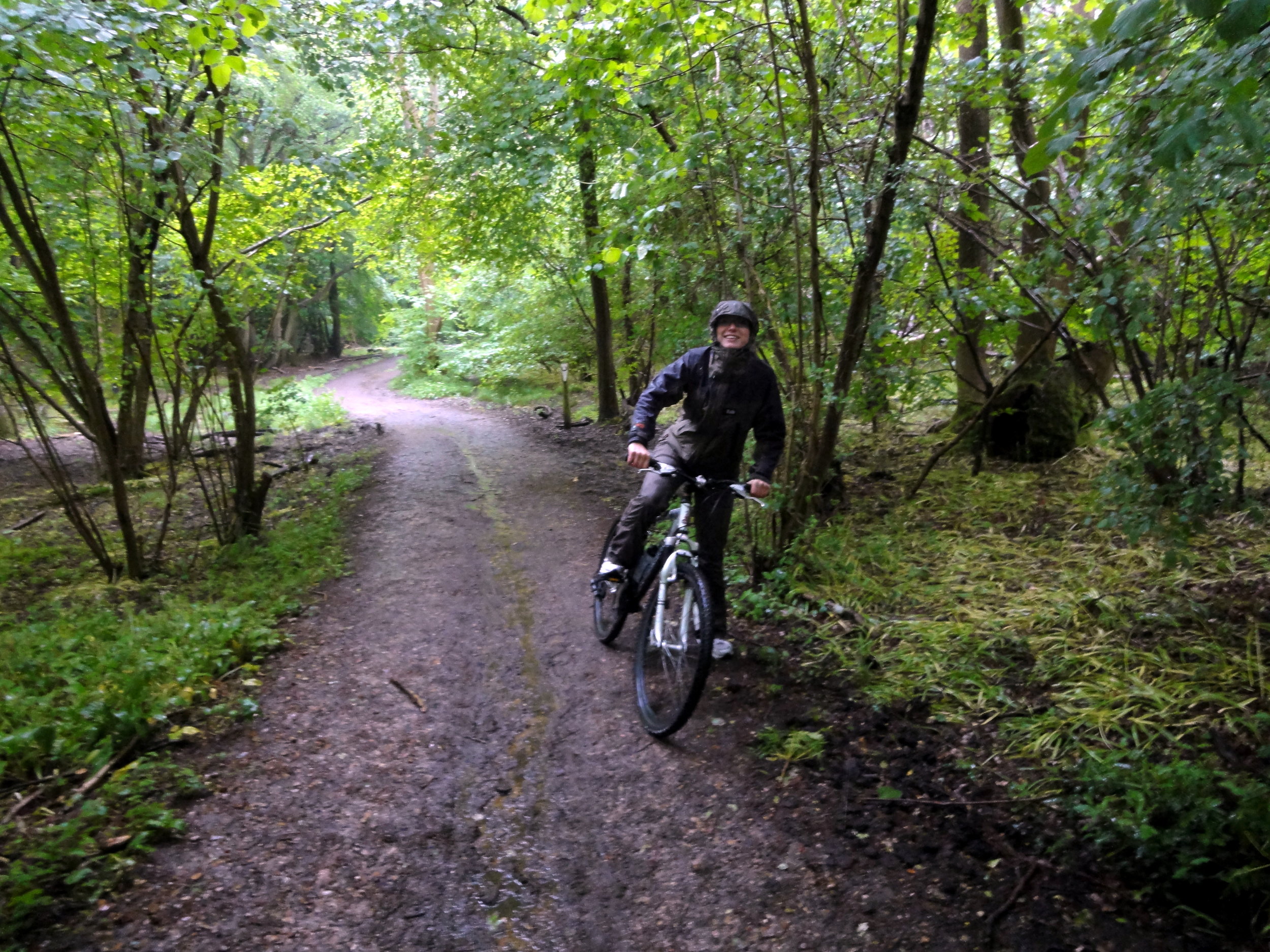
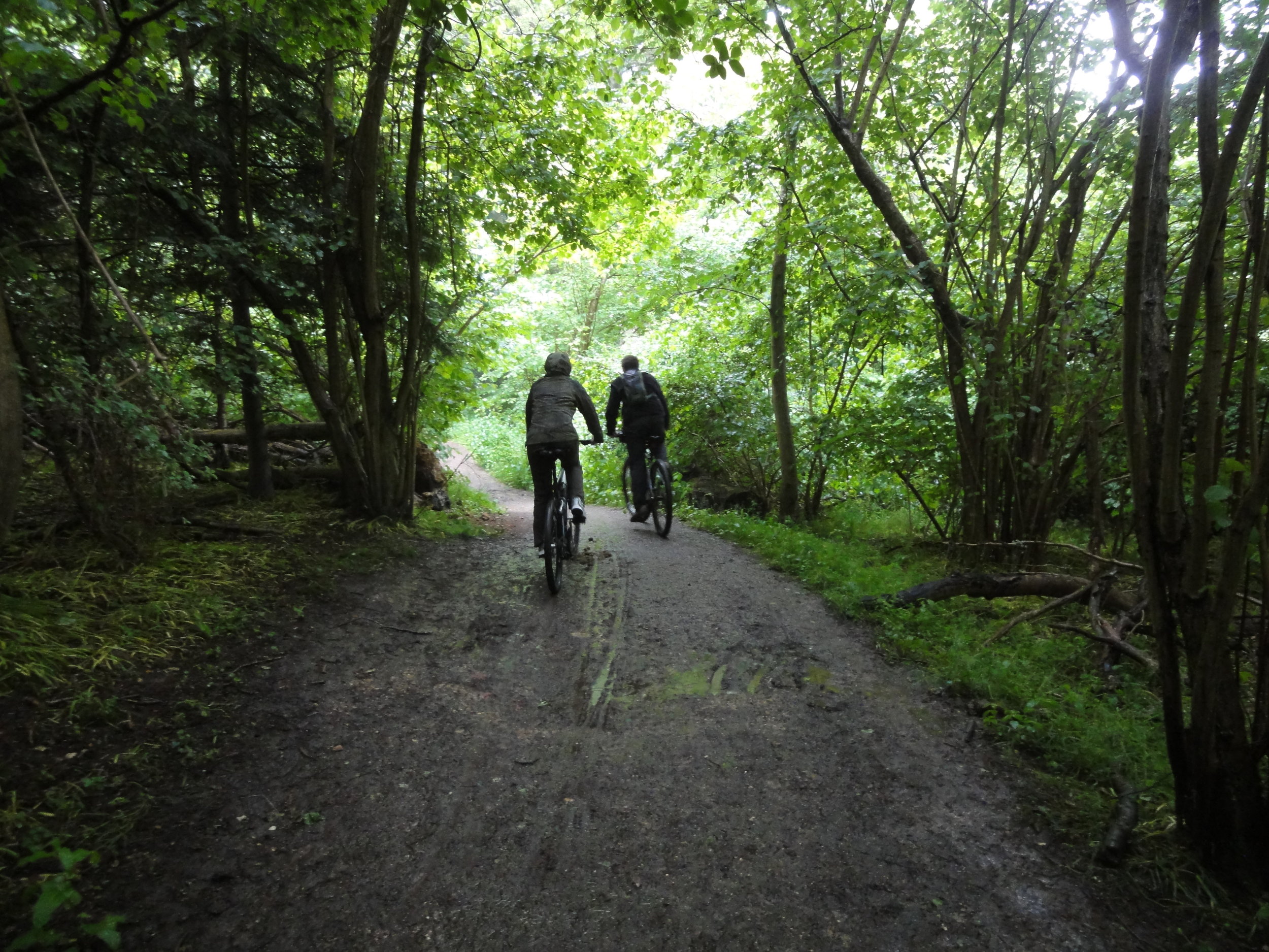
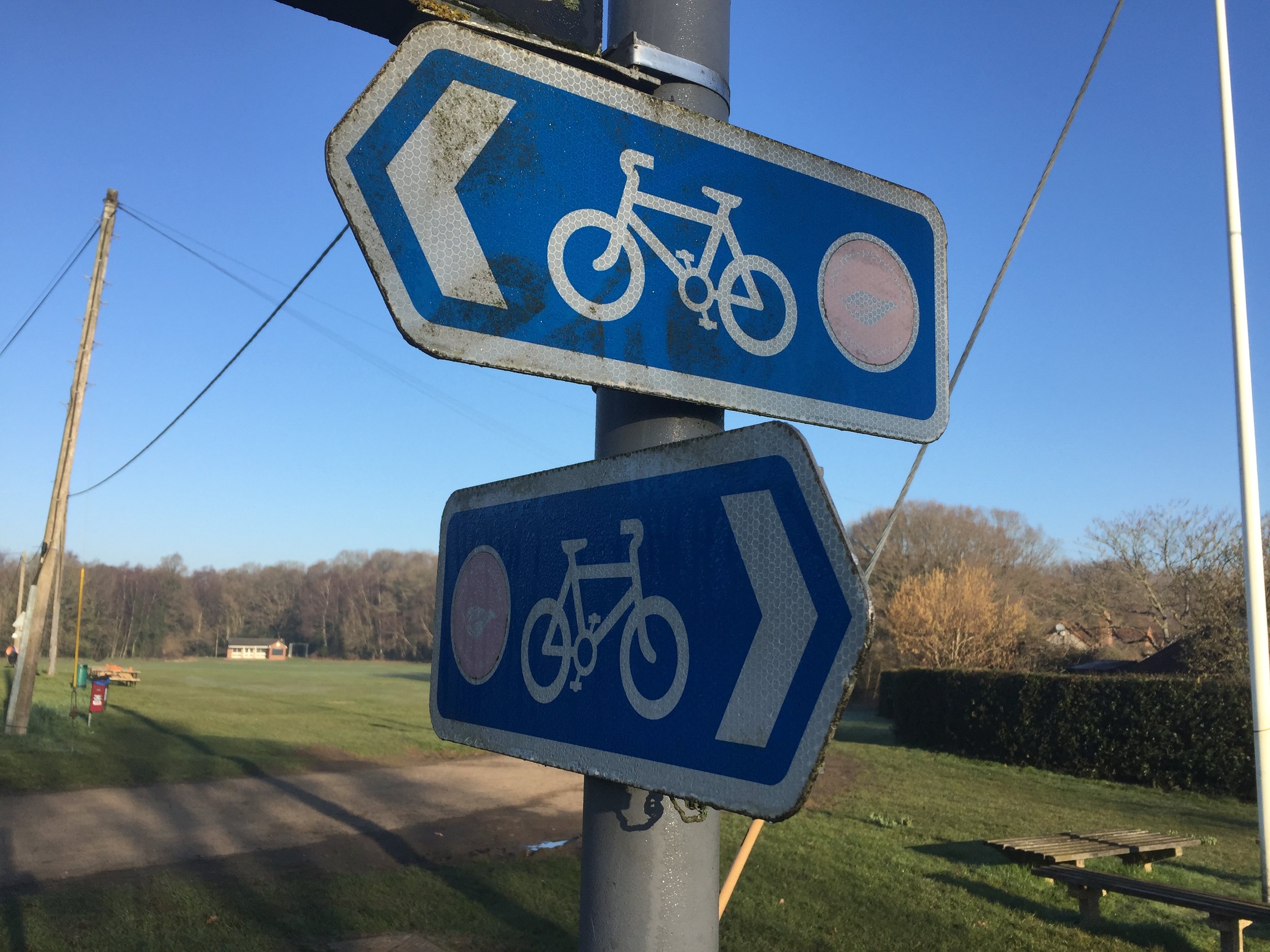
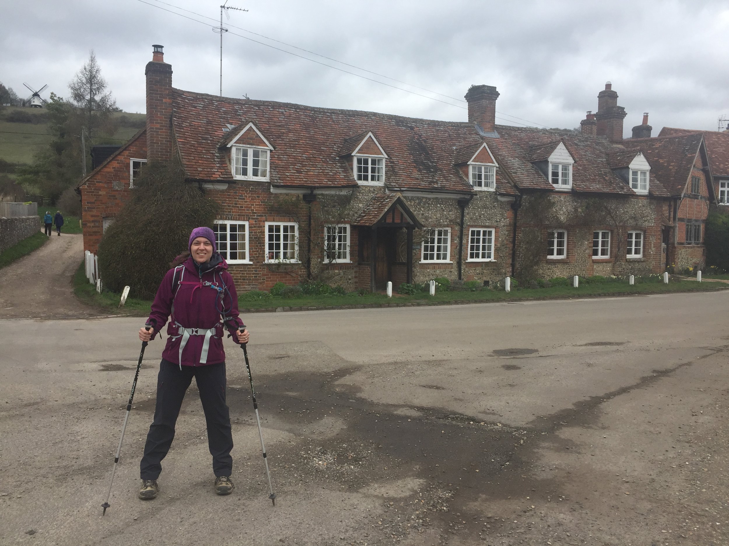
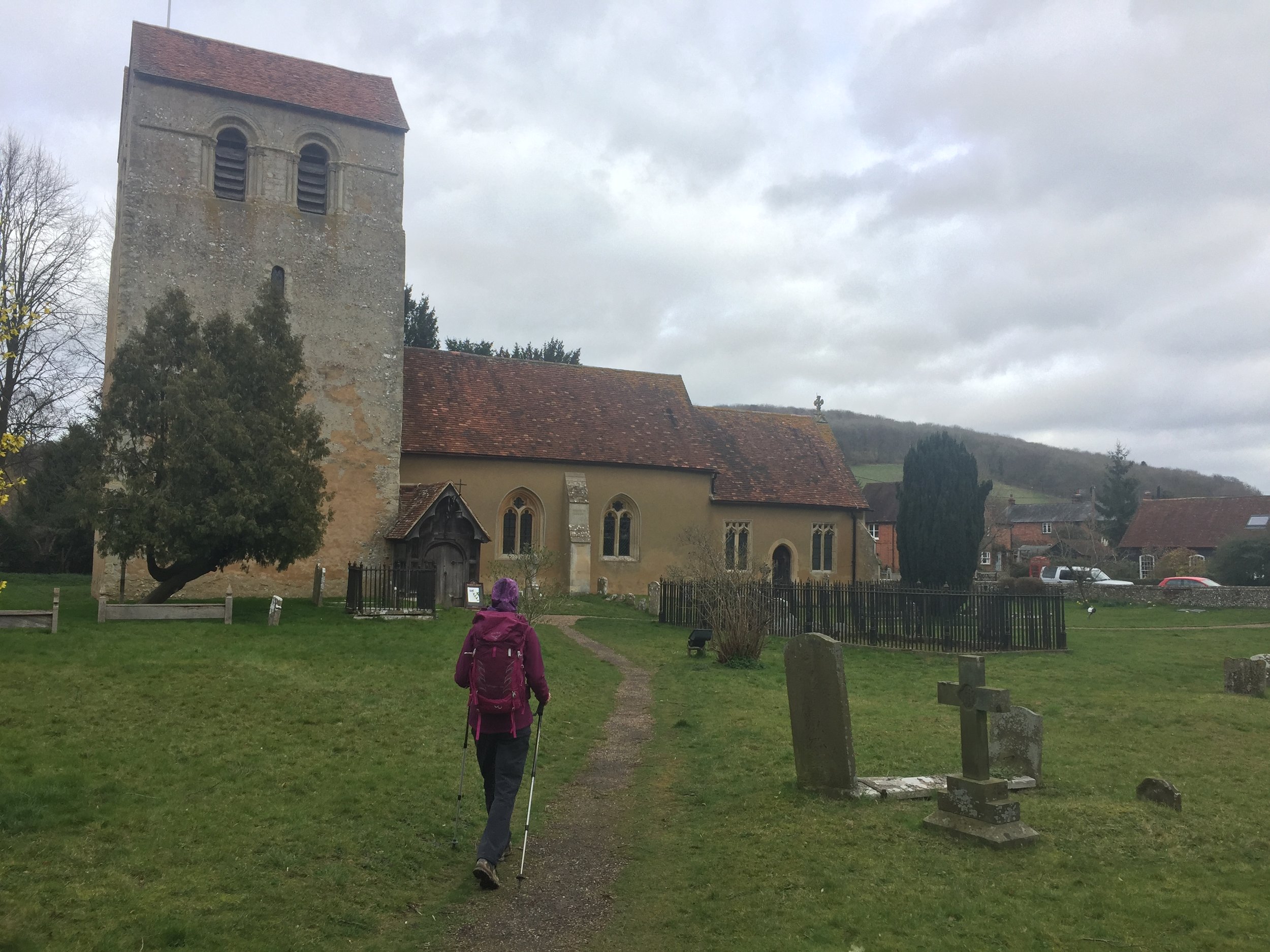
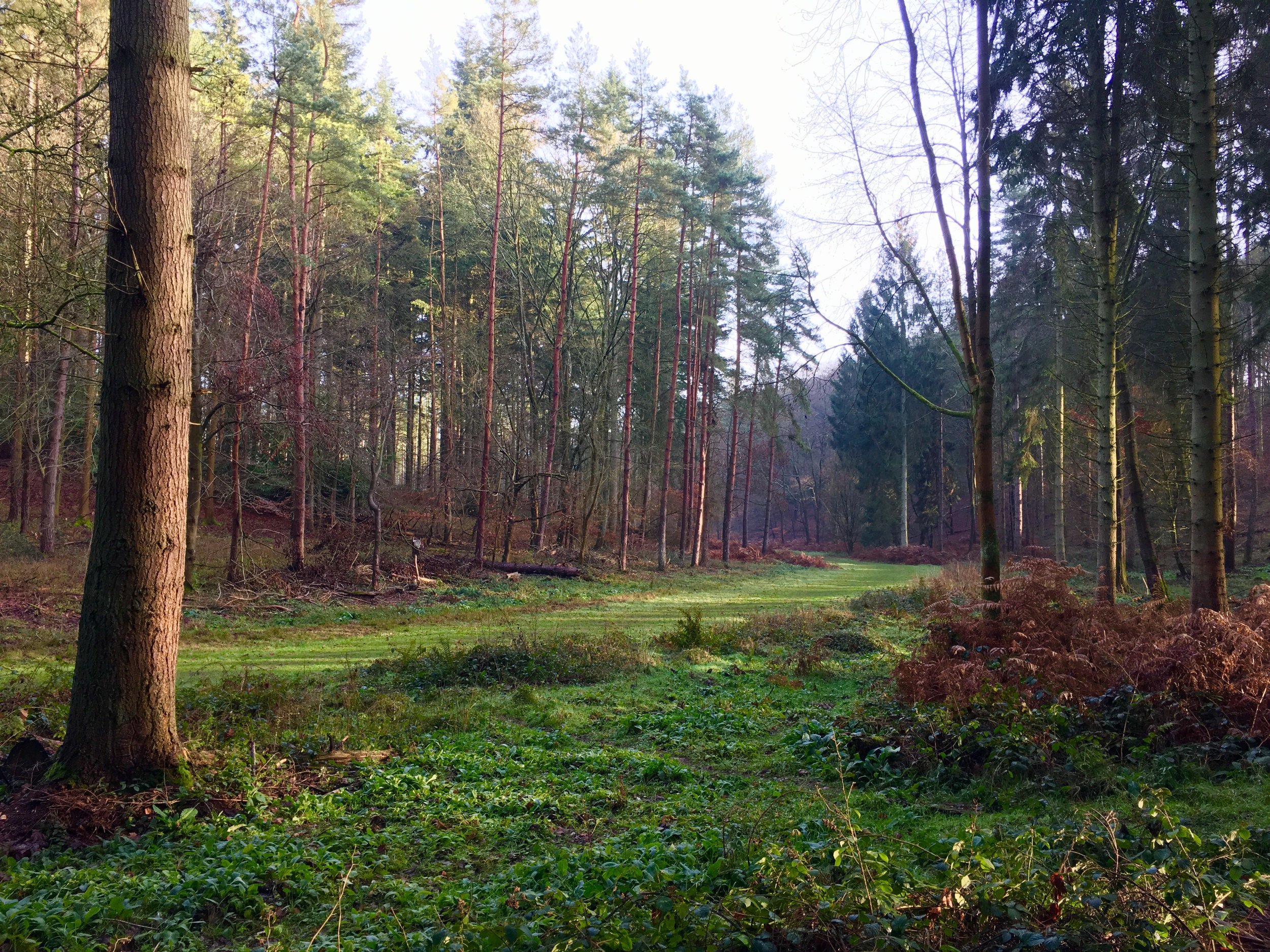
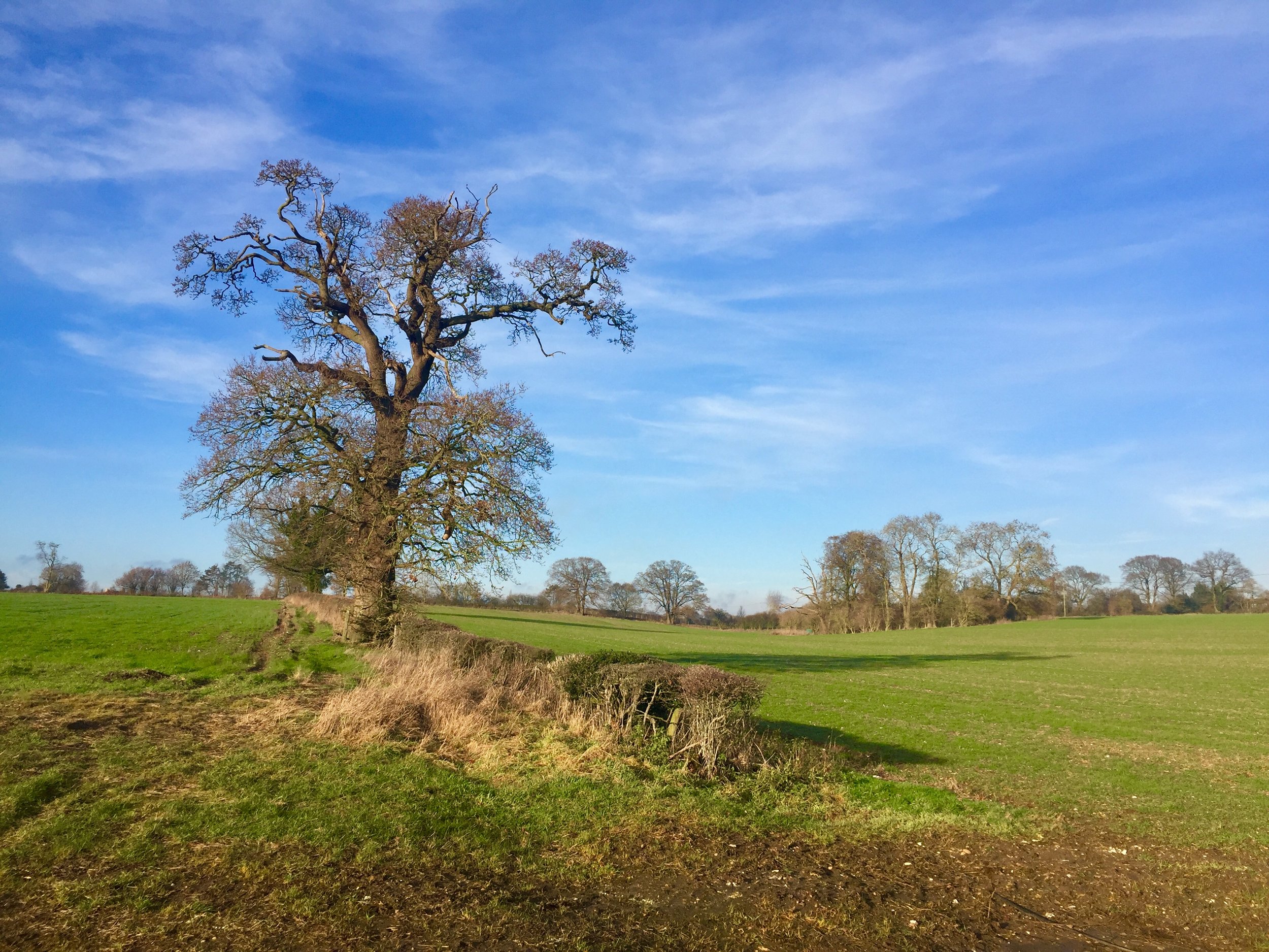
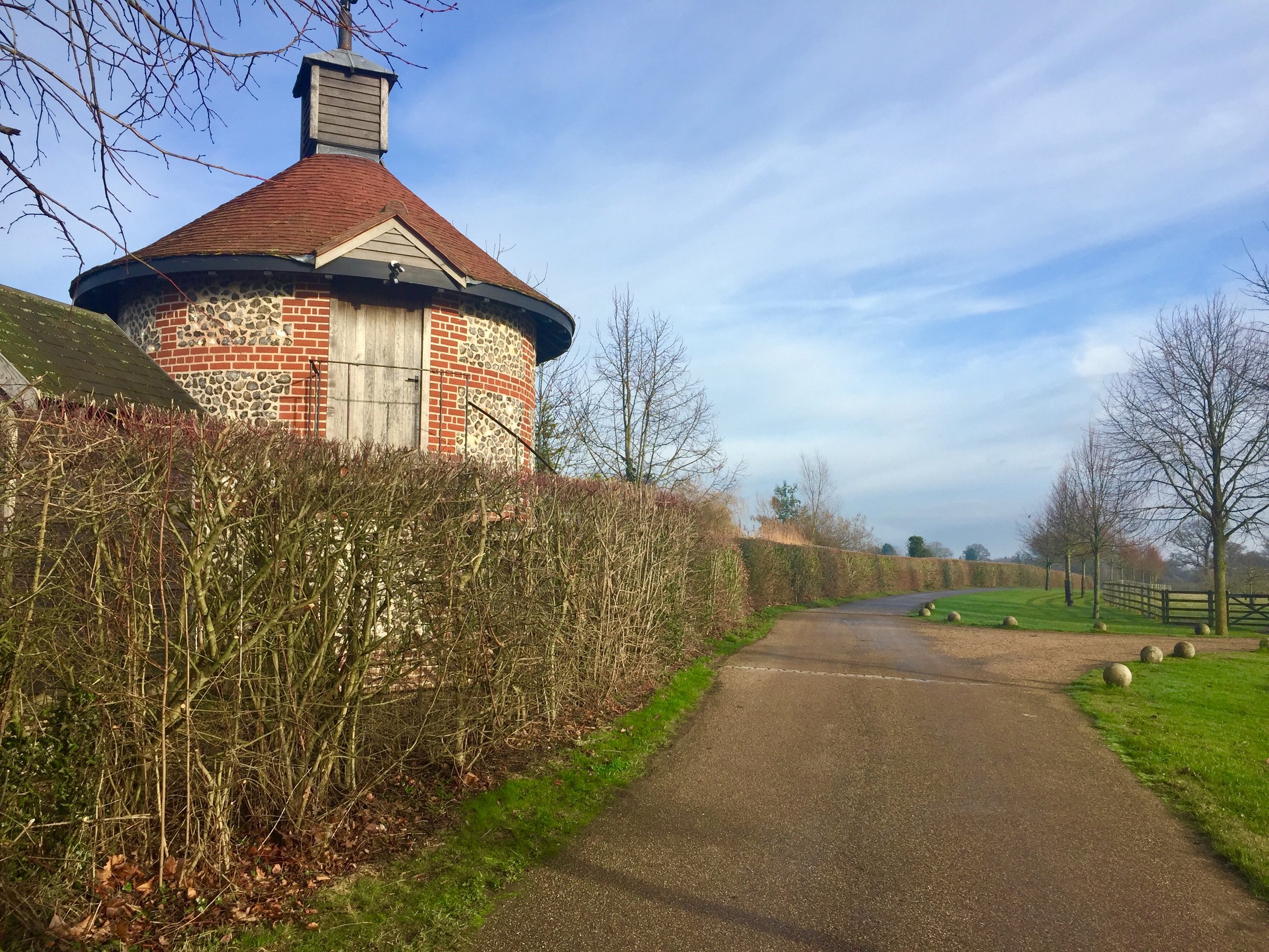
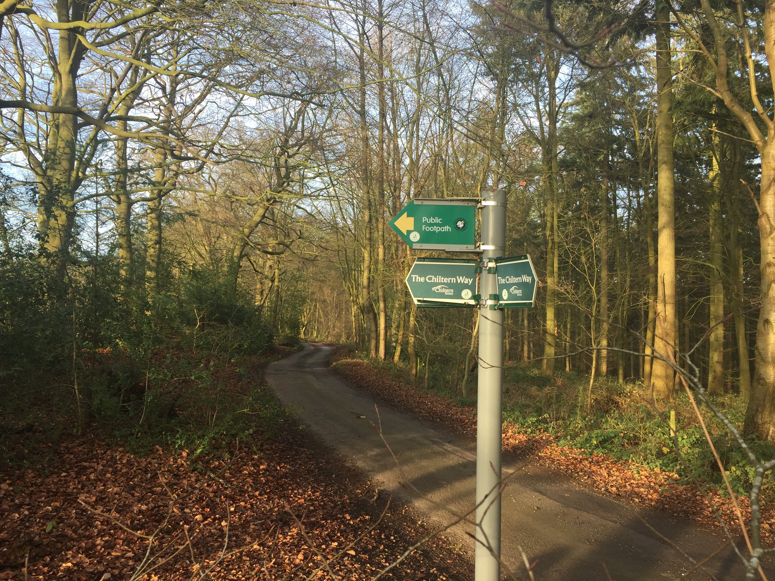
It started in 2016 with my Winter Solstice walk along the River Chess. I loved the walk and soon my mind turned to contemplating how many rivers there were in the Chilterns. More importantly, how many of them could be walked, cycled or ran? Over the following few weeks I went on a desk-based adventure researching the source and mouth of every waterway in the area. Unlike the Chess most of them don’t have a well-signed path following them. For these I started planning cycle trips to discover them. These would be circular routes, one section keeping as close as possible to the river, and the other section a return trip along quiet country lanes.

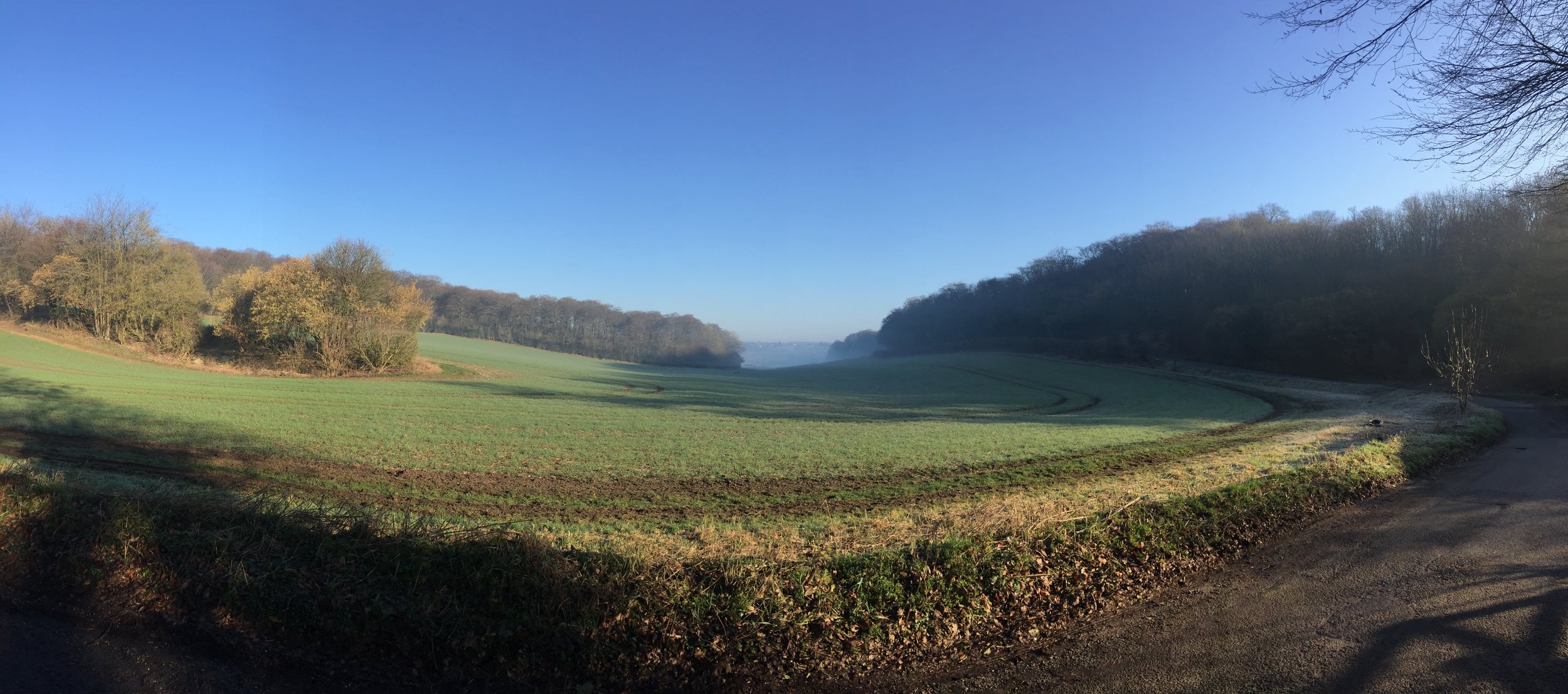
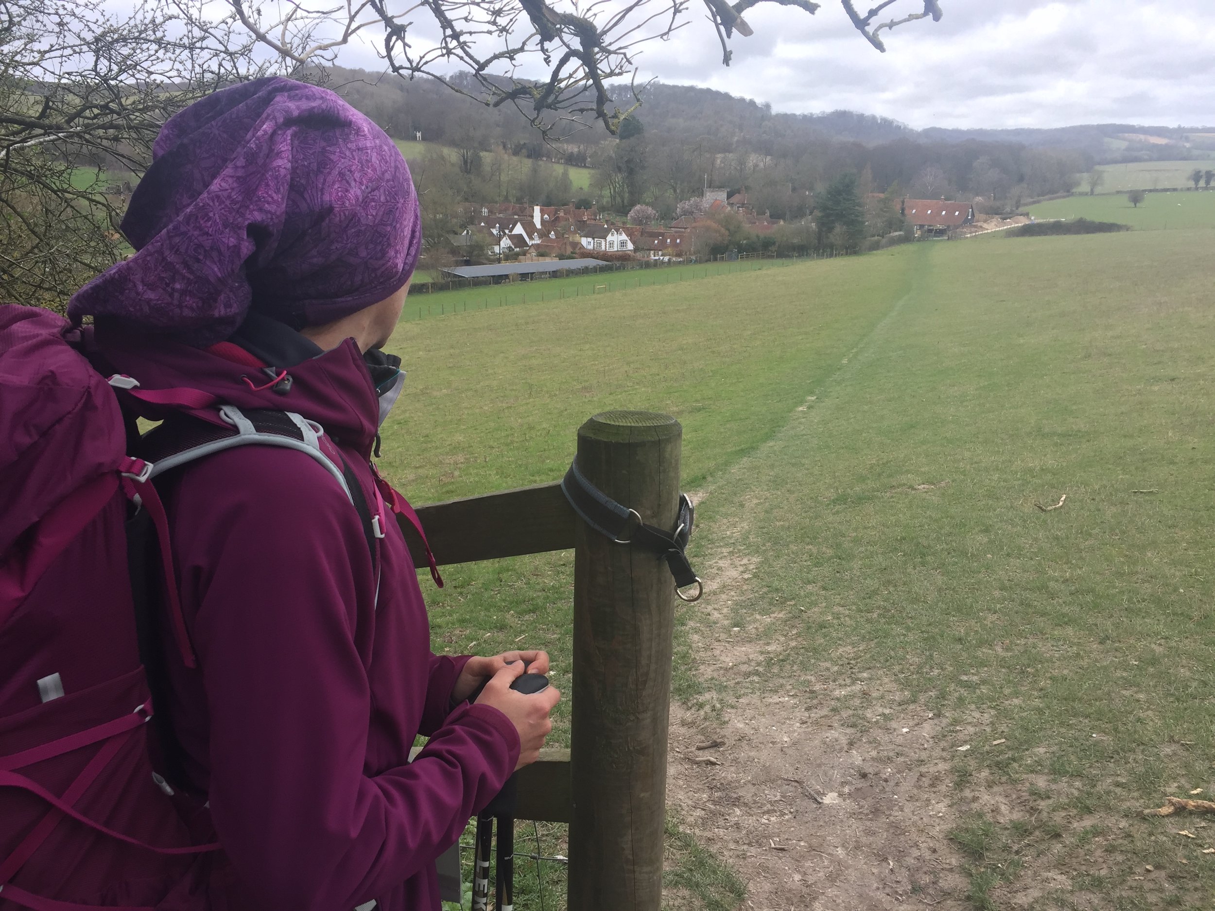
Each trip took me to places I’d not been to before. It also taught me a lot about the geography of an area that I’d grown up near but knew little about. I could see first hand how the rivers formed the valleys that cut through the chalk hills. I also discovered how many of the towns and villages that I knew so well were named after the river that runs through them.

The tricky part what knowing when the adventure would come to an end. Every time I got close I discovered a new stream that I never heard of and had to find that one too. I also had to make a decision about what would classify as a Chiltern River. The main criteria was that either the source had to be in the Chiltern Hills AONB and / or most of the river’s length had to be through the Greater Chilterns area. Some didn’t quite match this but I included them anyway. The Lea, for example, originates North of Luton in the gap between the 2 sections of the AONB. From here it flows away from the Chilterns to meet the Thames on the other side of London. It still felt like a Chiltern River though so I included it. I’m very happy that I did as the cycle trip along it was one of the most enjoyable of the set.

There’s a few that I didn’t include. The Flit and the Hiz both touch the Greater Chilterns area but originate outside of it. I may explore them later but for now I’m happy to give them a miss. I’m sure that there will be other rivers, streams or waterways that I have missed. If you know of any and have a recommendation for an adventure that includes them, post a note in the comments section below.

Scroll down for maps, links to blog posts for each river-based trip and a section on Chilterns towns that take their names from the rivers.


Click on the linked river name below to see the blog post for each river-based trip.

  • Alderbourne: Source in Fulmer, runs ~5 miles to the Colne Brook at Iver Heath, Buckinghamshire

  • Ash: Splits from the Colne on Staines Moor, runs ~6.2 miles to meet the Thames at Walton-on-Thames, Surrey

  • Assendon Stream: Source in Stonor, runs ~4 miles to the River Thames at Henley-on-Thames, Oxfordshire

  • Bulbourne: Source at Cow Roast, runs ~7 miles to the River Gade at Two Waters, Apsley, Hertfordshire

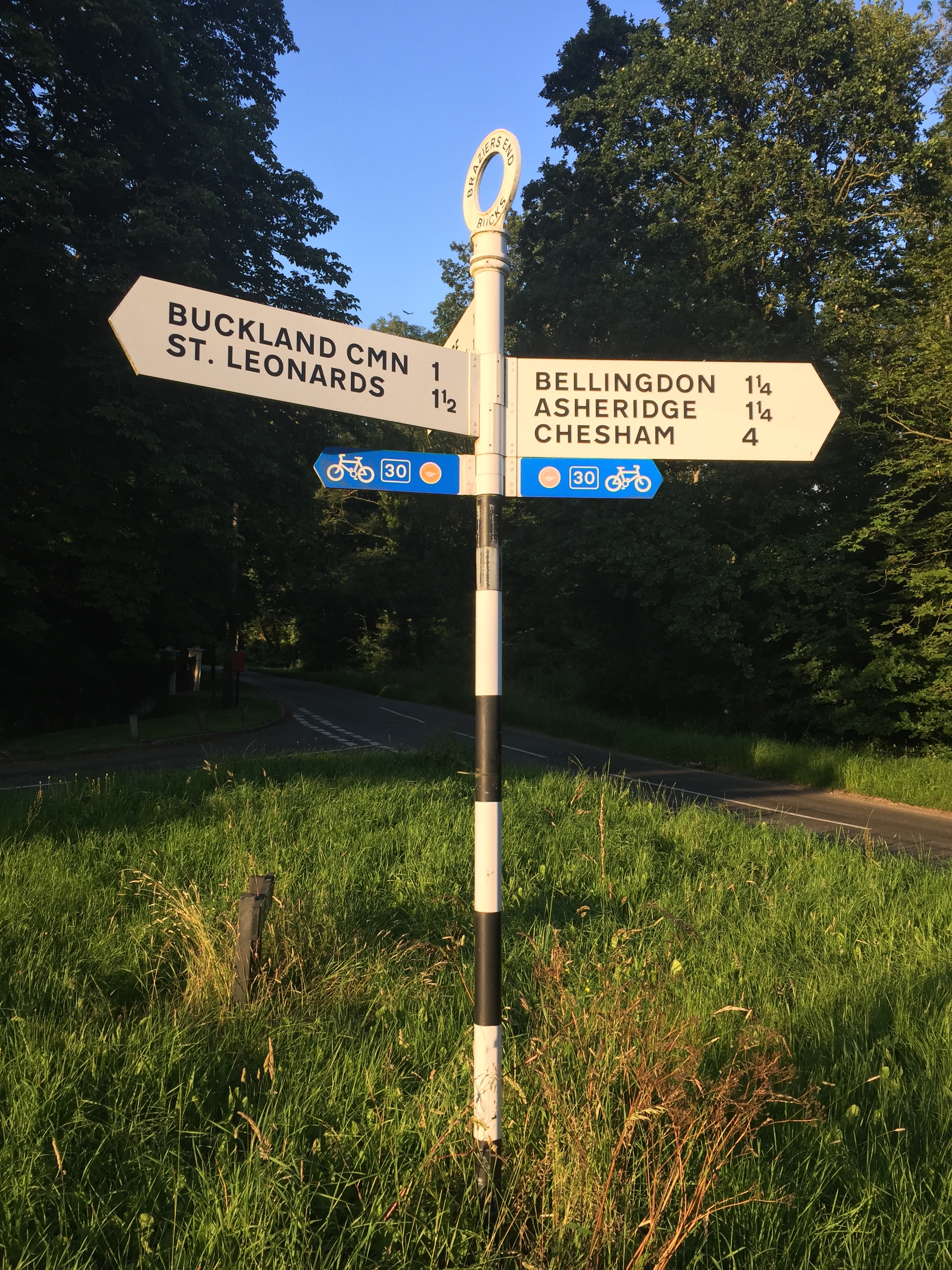
  • Chess: Source in Chesham Vale, Buckinghamshire, runs ~11 miles to the River Colne at Rickmansworth, Hertfordshire

  • Colne: Source near North Mymms, Hertfordshire, runs ~11.2 miles to the the Thames at Staines, Surrey

  • Colne Brook: Splits from the Colne at Uxbridge Moor, Greater London, runs ~9 miles to the Thames at Hythe End near Staines, Surrey

  • Ewelme Brook: Source in Ewelme Village, runs ~2 miles to the Thames near Benson Lock, Oxfordshire

  • Frays River: Splits from the Colne at West Drayton, Greater London, runs ~5.5 miles and rejoins the Colne near Staines, Surrey

  • Gade: Source at Dagnall, Buckinghamshire, runs ~16 miles to the Colne at Rickmansworth, Hertfordshire

  • Hambleden Brook: Source at Skirmett, runs 4.1 miles to meet the Thames at Mill End, Buckinghamshire

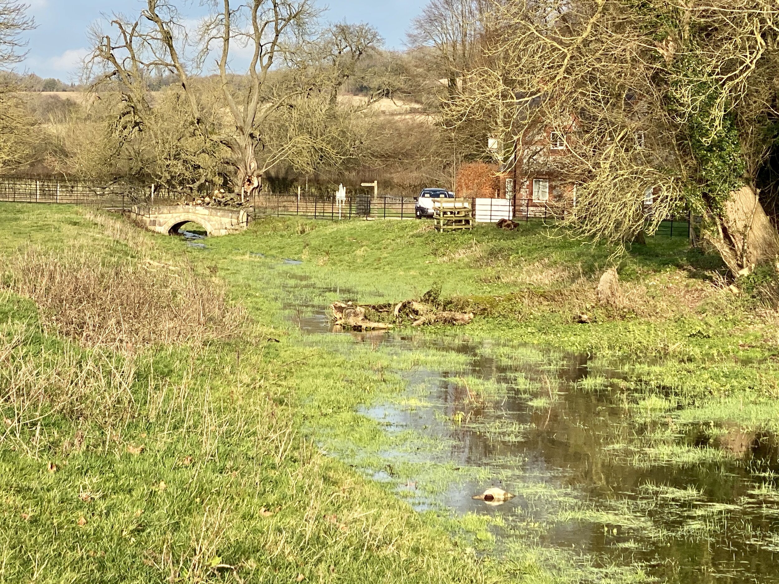
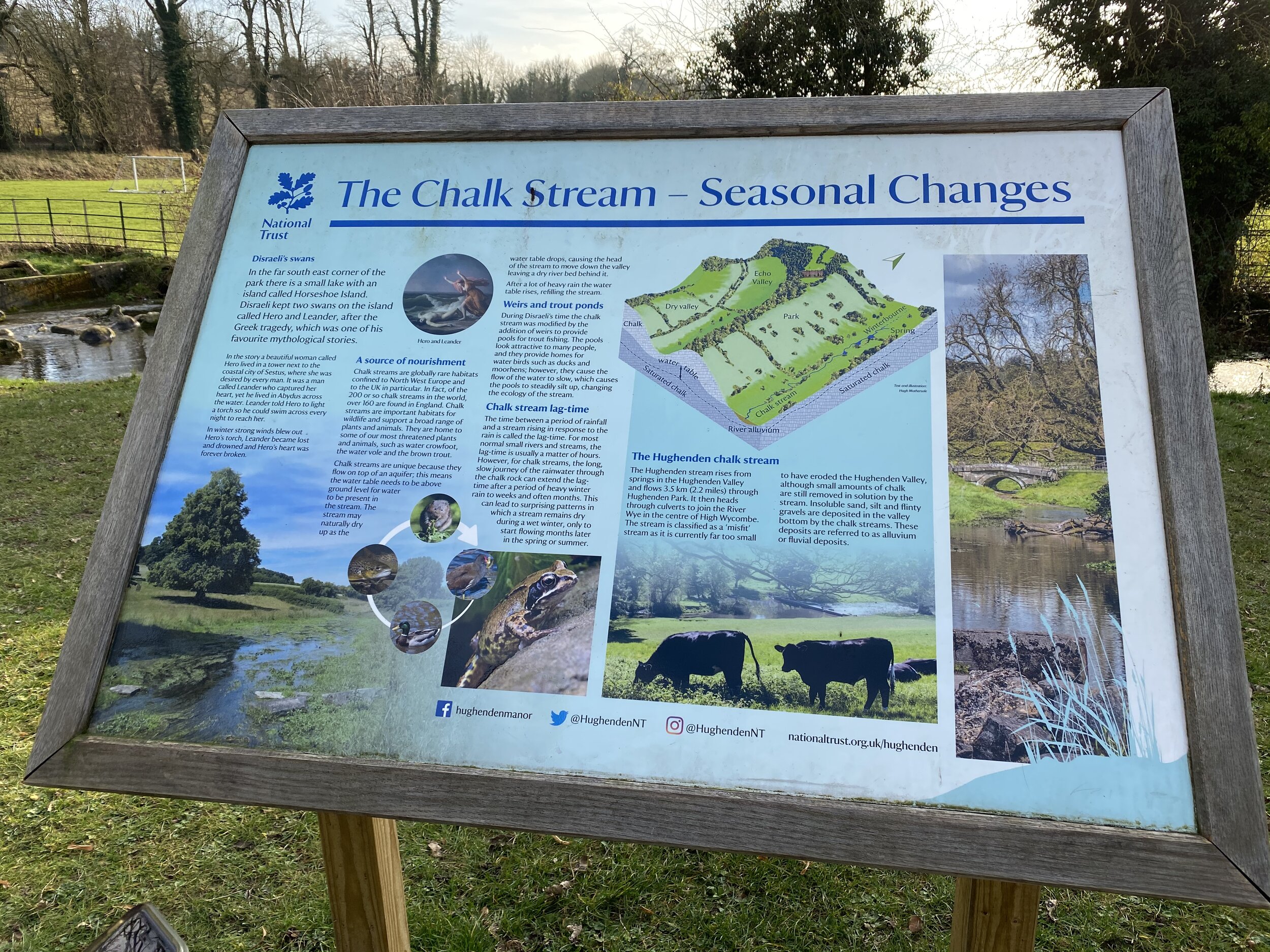
  • Hugenden Stream: Sourced from springs near Hughenden Village, runs ~2.2 miles to meet the Wye in High Wycombe

  • Lea: Source in Leagrave, Bedfordshire, runs 42 miles to meet the Thames at Leamouth, Greater London

  • Mimram: Source near Whitwell, runs 12 miles to the River Lea at Hertford, Hertfordshire

  • Misbourne: Source at Great Missenden, runs ~17 miles to the Colne at Denham, Buckinghamshire

  • Ouzel: Source at Dagnall, runs 20 miles to join the River Great Ouse at Newport Pagnell, Buckinghamshire

  • Pinn: Source at Pinner, runs approx, 11.4 miles joining the Grand Union and the Frays at Yiewsley, Greater London

  • Wraysbury: Splits from the Colne at West Drayton, runs ~5.5 miles and rejoins the Colne near the confluence with the Thames at Staines, Surrey

  • Ver: Source at Kensworth, Bedfordshire, runs ~15 miles to the Colne at Bricket Wood, Hertfordshire

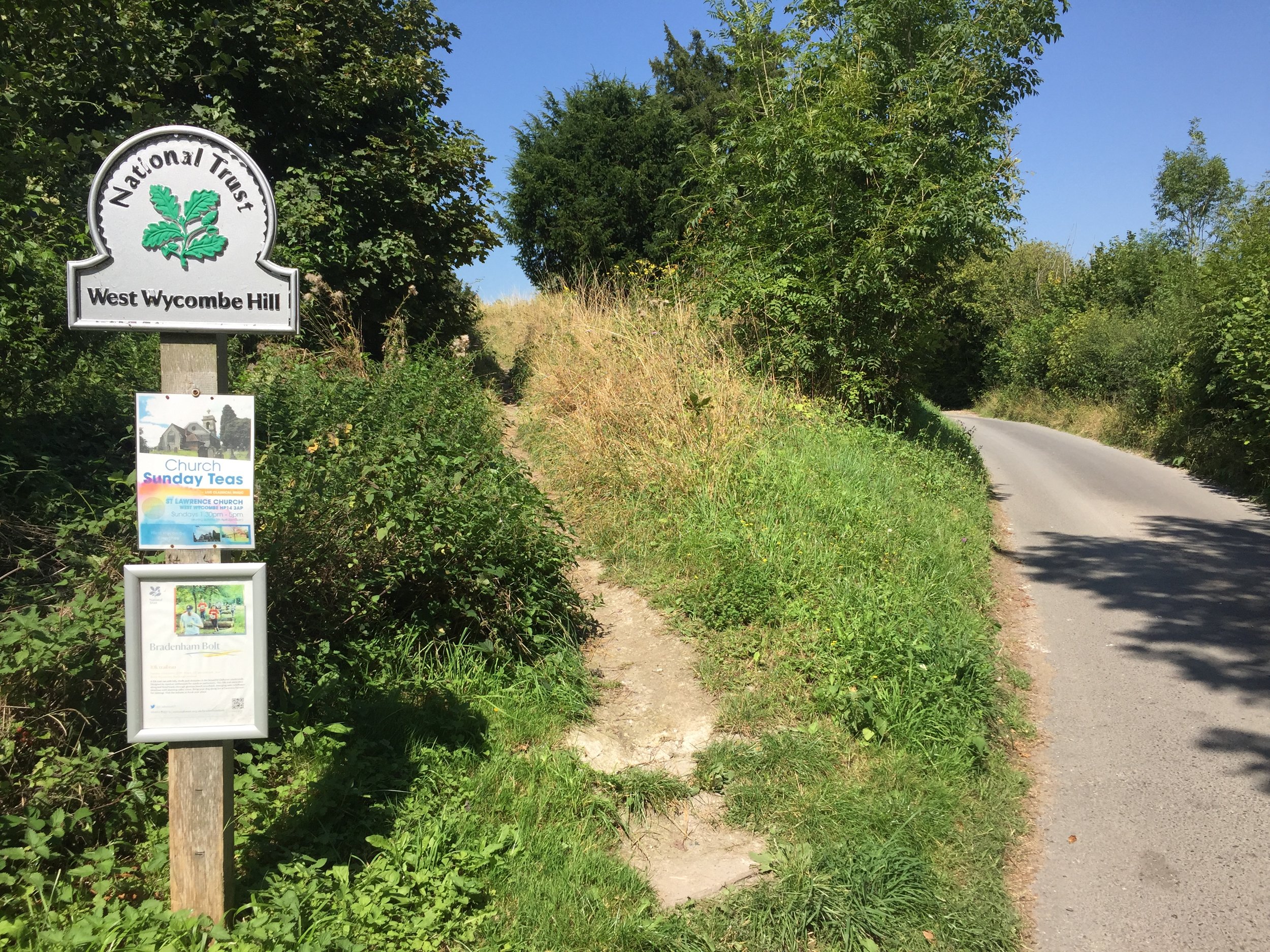
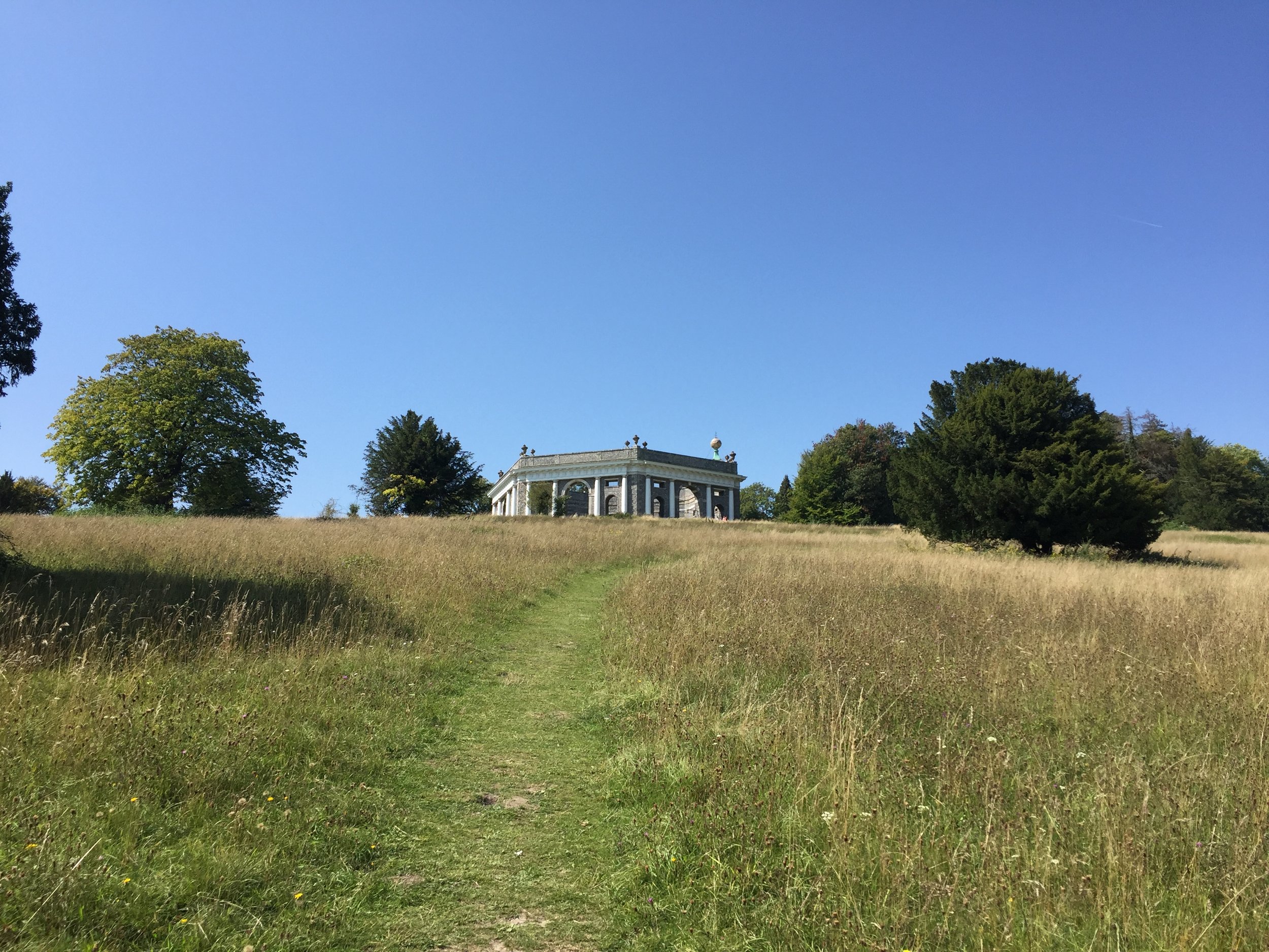
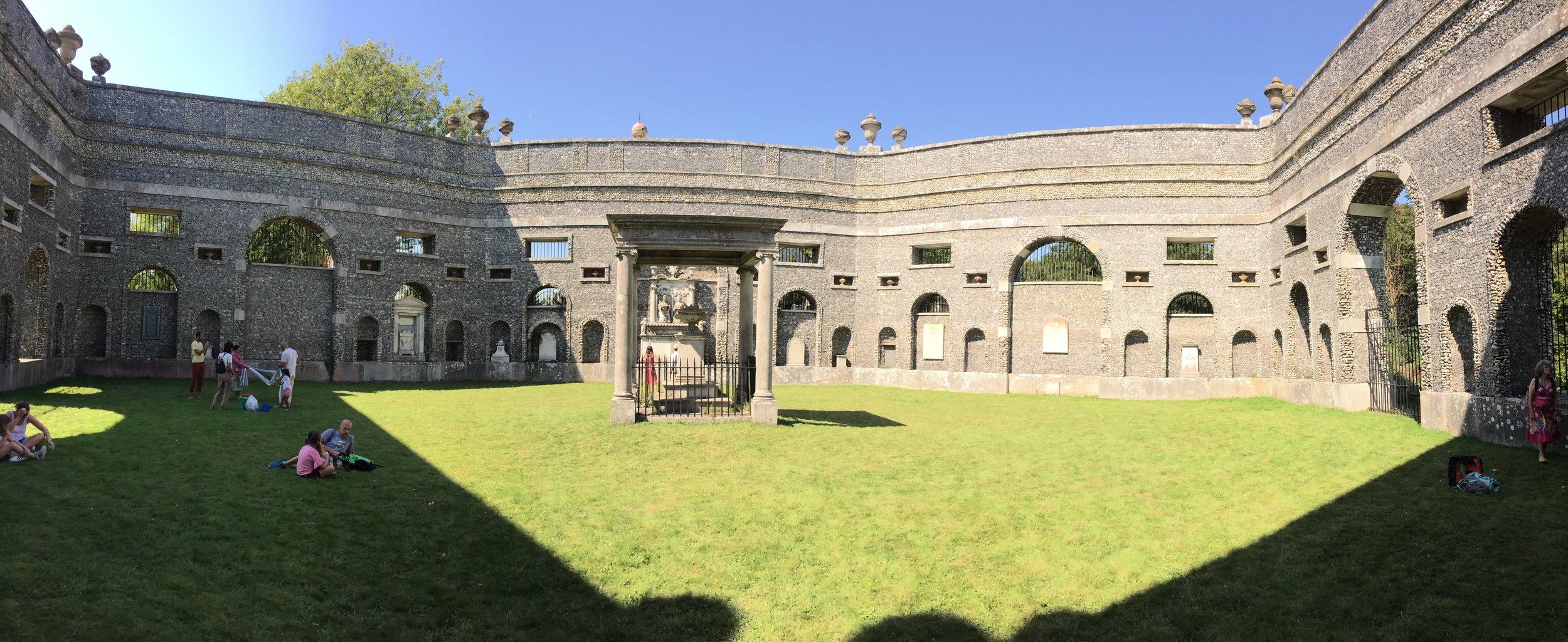
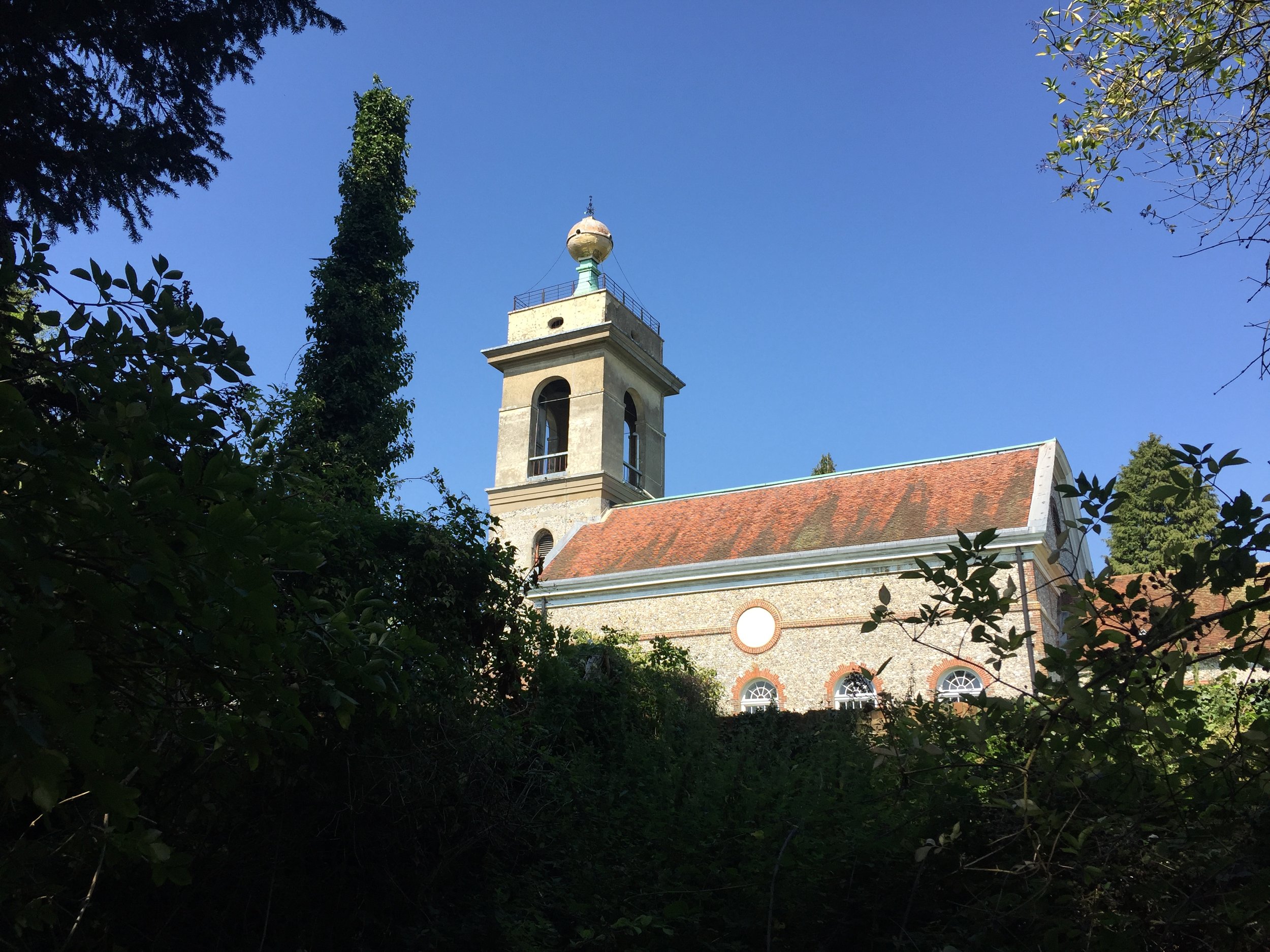
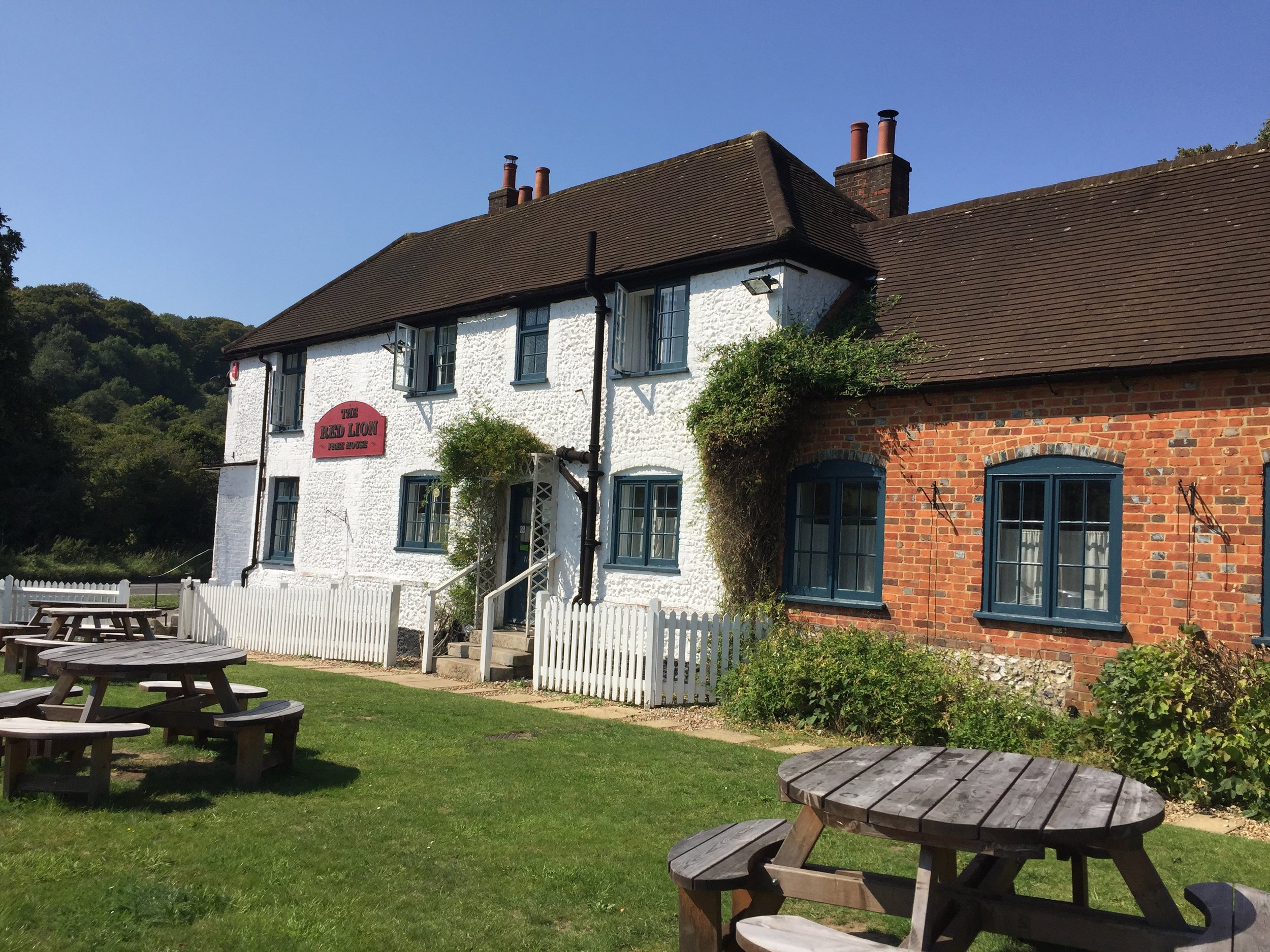
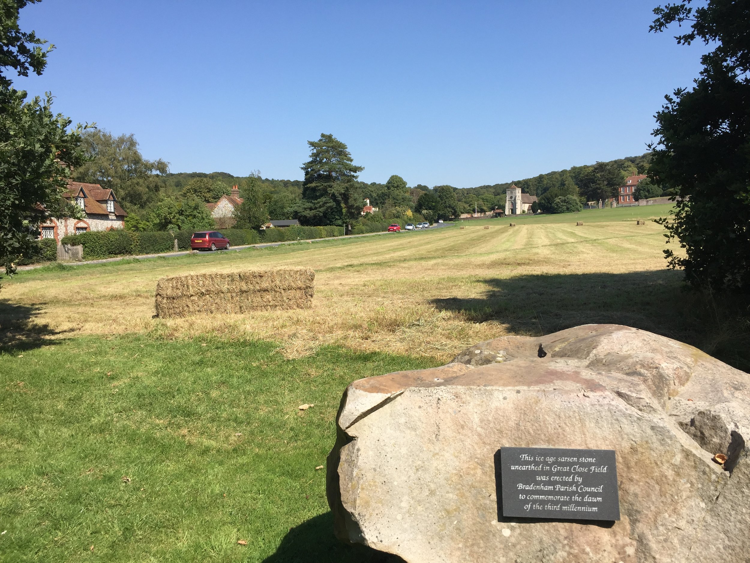
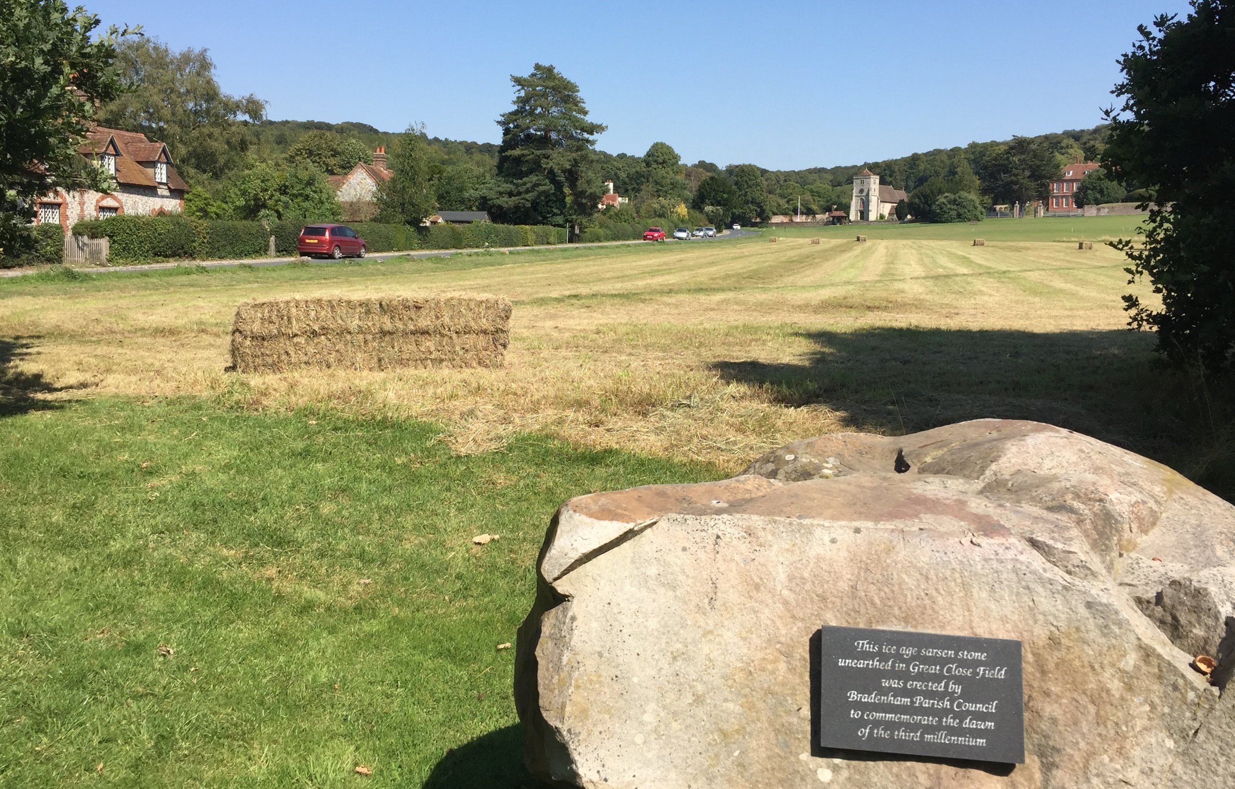
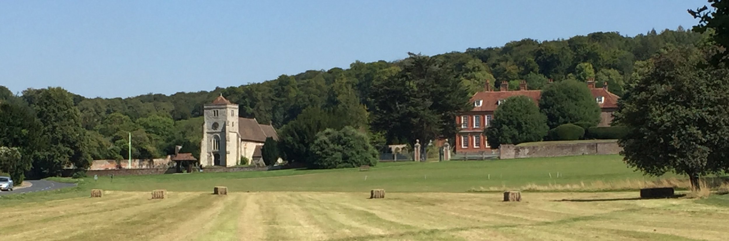
  • Wye: Source at Bradenham, runs 9 miles to the Thames at Bourne End, Buckinghamshire


Canals & other man made waterways
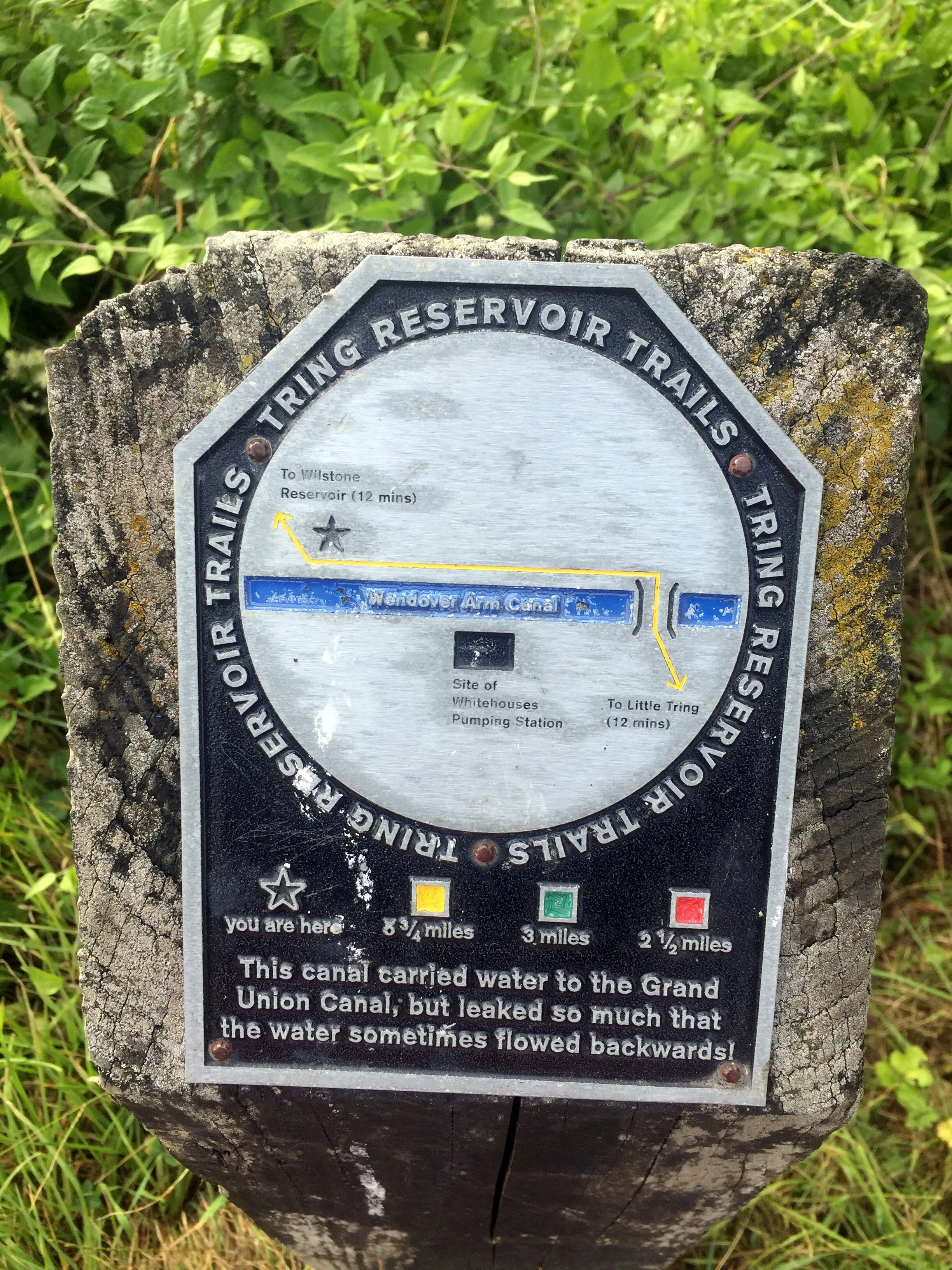
Wendover Arm Canal

Wendover Arm Canal


Chilterns Towns Taking Their Name from the Rivers.

  • Ashford - River Ash

  • Bricket Wood - Rivers Ver and Colne: "Bright-coloured small island or piece of marshland"

  • Bourne End (Buckinghamshire) - River Wye

  • Bourne End (Hertfordshire) - Bourne Gutter, a short stream that flows into the Bulbourne near Hemel Hempstead

  • Chalfont St. Giles - River Misbourne. Chalfont means "spring frequented by calves"

  • Chalfont St. Peter - River Misbourne. Chalfont means "spring frequented by calves"

  • Colnebrook - Colne Brook (obviously)

  • Colney - River Colne. Also London Colney, Colney Heath

  • Fordbridge - River Ash

  • Fulmer - Alderbourne. Means "Mere or lake frequented by birds", possibly due to the small lakes feeding the river at the end of Framewood Road

  • Gadebridge - River Gade

  • Great Gaddesden - River Gade

  • Great Missenden - River Misbourne

  • Halliford (Upper and Lower) - River Ash. Means “holy ford”

  • Little Missenden - River Misbourne

  • Leagrave - River Lee (possibly - alternative meaning exist that are not connected to the river)

  • Longford - River Colne and Wraysbury: "Long Ford across the river"

  • Loudwater - River Wye

  • Luton - River Lee: "Farmstead on the River Lee"

  • Pinner - River Pinn

  • Redbourne - River Ver: "reedy stream", reedy could be a derivation of Reade who owned the manor in the 16th century

  • Ruislip - River Pinn (could also be Yeading Brook): "leaping place across a river where rushes grow"

  • High Wycombe - River Wye

  • St Albans (Roman name = Verulamium) - River Ver

  • Stanwell - River Colne - "Stoney spring or stream"

  • Two Waters - Rivers Gade and Bulbourne

  • Watford - River Colne - "Ford used when hunting"

  • Wooburn Green - River Wye

  • Wraysbury - Wraysbury River. River could be named after the town. Strangely the river doesn't go through the town, although the Colne Brook Does

  • Uxbridge - River Colne: "Bridge of the tribe called the Wixan"

Primary sources: A Dictionary of British Place Names (Mills) and Wikipedia


Tube-style Maps


Chiltern Walks: Penn Wood
IMG_0047.jpg

Start / Finish: Penn St, Penn, Penn Street, Amersham HP7 0PX
Distance: 6.3 km (3.9 miles)
Elevation Change: +/- 75m
GPX File: get via Buy Me a Coffee
Other Routes Touched (walk): N/A
Other Routes Touched (cycle): Milton Route
Pubs / Cafes on route: The Squirrel and The Hit or Miss both at the start and end of the route
Map: OS Explorer Map (172) Chiltern Hills East
Links: Penn


Unlike many of my recent walks this had no geeky excuse to be there. No Trig Pillars, no County Tops, no National Trail to complete. Instead, this was a simple New Year’s Day walk in the heart of the Chilterns. The guidance below will help you navigate but don’t use it as a fully accurate turn-by-turn guide. Always take a map and/or a GPX route and prepare well for the weather and terrain.

The best place to start is at the Squirrel Pub where there’s good free parking on Penn Street. From here cross over the small green, past the cricket pitch and head for one of the openings in the fence. Penn Wood has a lot of paths criss-crossing it so there’s many options for walks there. We chose a diagonal North-East route that heads toward one of the main gates to the A404 at Beamond End. At this point you’ll be 1 km into the walk and you’ll turn right, heading South-West for 1.5 km to the crossing of Gravelly Way.

Continue South-West between Two Sisters Plantation and Gravelly Way Plantation then take a path crossing a field in a roughly Southerly direction. At the end of the field the path re-enters the wood and climbs steeply up to Chalk Track. Chalk Track is a long, straight Bridleway running to the South West. It eventually meets Common Wood Lane but we took a left turn about 300 metres from the end on a path that crosses Gravelly Way again. There’s a final 0.75 km climb up out of the woods, past Grove House and back to Penn Street.

Penn Street is fairly busy and the best place to walk is on the grass verge on the Northern side. It’s a very short walk along here to the first pub, the Hit Or Miss, and and even shorter one from there back to the Squirrel.


Chiltern Walks: The Hughenden Stream
View of St Michael & All Angels, Hughenden Parish Church from the Hughenden Stream

View of St Michael & All Angels, Hughenden Parish Church from the Hughenden Stream

Part of the Chiltern Rivers Series
River start:
Springs in the Hughenden Valley
River end: Confluence with River Wye in High Wycombe Town Centre
River length: 3.5 km (2.2 miles)
Walking route start: Hughenden Village Hall, HP14 4NX
Walking route end: Eden Shopping Centre,  HP11 2DQ
Walking route length: 4.1 km (2.5 miles)
Walking route elevation change: +15m /- 42m. Net -27m
GPX File: get via Buy Me a Coffee
Other routes touched (walk): Hughenden Park Boundary Walk
Other routes touched (cycle): N/A
Map: OS Explorer Map (172) Chiltern Hills East
Links: Hughenden Valley, Hughenden National Trust, High Wycombe, Dry valleys and the chalk stream at Hughenden (National Trust)


Our walk along the Hughenden stream marked the final stage of my Chiltern Rivers Adventure. I’ve been saying this for about a year and a half and keep finding streams that I didn’t know about. I’m sure that I’ll find more and I’ll do them when I find them, but for now I’m calling this done. The guidance below will help you navigate but don’t use it as a fully accurate turn-by-turn guide. Always take a map and/or a GPX route and prepare well for the weather and terrain.

What a wonderful way to finish the project too. The Hughenden Stream is short at just over 2 miles from spring to mouth, but takes in some interesting points along the way. Although Hughenden Village Hall has its own large car park there’s signs saying parking is strictly for hall use only and there's a lockable gate. Rather than risk getting locked in we parked on the road nearby.

The stream is often dry in spring and summer so we chose well to walk it on a sunny but soggy mid-winter’s day. Even so, for the first part of our walk we saw only an indentation across the field where the stream once flowed. At around 750m in we found our first physical sign of the stream with the remains of an old stone bridge fenced off from the fields.

Our first sight of actual water was in the grounds of Church Farm at the point where the Hughenden Boundary Walk intersects with our route. A bit further down you’ll enter the grounds of Hughenden Park. Here you can visit the grave of former UK Prime Minister Benjamin Disraeli at St Michael & All Angels Church.

At the Southern end of Hughenden Park the stream disappears into a housing estate. You have the choice of keeping close to the stream by walking along the busy Hughenden Road or, as we did, take the quieter Coates Lane and Hughenden Boulevard. You can pick up the stream again by following a footpath along an uncovered channel that runs South-West from Hughenden Avenue between housing. At the end of the footpath, cross the road and follow intermittently covered and exposed sections of the stream in front of the Spindle and Thread Pub and Morrision's Supermarket.

The last time that you see the uncovered stream is at the crossing of Parker Knoll Way south of Morrisons. The stream goes under the railway and flows under the town centre. For the final stretch of the walk follow Bellfield Road under the railway bridge, and cross the A40 Oxford Road to enter the Eden Shopping Centre. The Shopping Centre was built right on top of the River Wye and possibly the confluence with the Thames. I couldn’t find any details on whether the actual confluence was so I decided that it was probably between Nando’s and Wagamama’s, our final stop for the trip.

You can return to the start via the #300 bus. Check timetables for the most up to date info.

Red = the stream, blue = the walk

elevation_profile.jpg

Chiltern Hills OS Trig Pillars

Boxing Day 2019 saw the completion of my mission to find all of the Trig Pillars in the Chilterns. I used my broader definition of the Chilterns which extends beyond the boundaries of the AONB to the banks of the Thames, Lea and Colne. I also kept it to those that were accessible without trespassing, damaging crops or fences or scaring animals. That definition is somewhat subjective though as some that I’ve listed as accessible are just off the public right of way. Looking at the logs, there’s others who have successfully bagged ones I’ve listed as inaccessible but I’ve taken a more risk-averse approach, missing out on 7 pillars. As with my Chilterns Rivers adventures this has taken me to some stunning countryside that I wouldn’t have seen otherwise.


Notes to Map Key:

  • Green shaded area is the Chiltern Hills AONB (Area of Outstanding Natural Beauty)

  • Peach shaded area is the “Greater Chilterns Area”, bordered by the River Thames to the South and West, the River Lea to the North East and the River Colne to the East.

  • Green Triangles show accessible Trig Pillars: either on a public right of way or just off and accessible with care.

  • Yellow Triangles show inaccessible Trig Pilars: those on private property and not accessible without land-owners’ permission.

  • Red Triangles show destroyed or missing Trig Pillars.

  • Letters and numbers before each Trig Pillar name below refer to the grid reference in the map above.


Accessible Trig Pillars in the Greater Chilterns Area


Inaccessible Trig Pillars in the Greater Chilterns Area

Inaccessible Trig Pillars in the Chiltern Hills AONB


Destroyed Trig Pillars in the Greater Chilterns Area

Destroyed Trig Pillars in the Chiltern Hills AONB


Walking The Chiltern Way Part 1 - Stokenchurch to Cow Roast
Dawn on the Chiltern Way at Stokenchurch

Dawn on the Chiltern Way at Stokenchurch


Start: The Royal Oak Pub, Church St, Stokenchurch, High Wycombe, HP14 3TH
Finish: Cowroast Lock, 46 Wharf Ln, Tring HP23 5RE
Distance: 36.5 km (22.7 Miles)
Elevation change: +452m / -646m. Net -194m
GPX File: get via Buy Me a Coffee
Other Routes Touched (walk): The Ridgeway, Midshires Way, Risborough Blue Route, Risborough Purple Route, South Bucks Way, Grand Union Canal Towpath
Other Routes Touched (cycle): Chilterns Cycleway, NCN Route 57, Hampden Route, Harding Route, Tring Route 5, Berkhamsted Route 6
Maps:
- OS Explorer Map (171) Chiltern Hills West, Henley-on-Thames and Wallingford
- OS Explorer Map (172) Chiltern Hills East
- OS Explorer Map (181) Chiltern Hills North
Links: Chiltern Way (Chiltern Society), Stokenchurch, Bledlow, Loosley Row, Little Hampden, Cow Roast


This is the first of a series of point to point walks on the Chiltern Way. The full trail is a 134 mile (215 km) long distance path around the Chiltern Hills Area of Outstanding Natural Beauty (AONB). My friend Brian and I have been doing a section a year on or around the Winter Solstice since 2019. At the current rate we plan to be finished in December 2027. The Chiltern Way is well sign-posted however you should take a map or GPX route to keep on track and be prepared for all weathers. This post isn’t intended as a fully accurate turn-by-turn guide.

A dawn-to-dusk Winter Solstice walk has become a permanent feature of my Christmas plans. It started out a few years ago as a solo trip to escape shopping and people in general. Brian joined me for last year’s Icknield Way trip and, not only did it not kill him, he was back for more this time.

The Solstice Walk has also become a means for me to unwind my brain after the busiest 6 weeks in my job. By mid December my brain is mashed. I’m waking up at 04:00 every morning and my mind is racing at a thousand miles an hour. A full day's walking in the countryside has proven to be the perfect antidote.

I chose the Chiltern Way for this year's trip. Although I’d crossed and followed it on many smaller walks, I’d never attempted any of its 134 miles as a specific trip. On the early morning drive there I explained to Brian why I chose Stokenchurch as the start. The transmitter tower, just off the M40, is a big landmark and always reminds me of my first ultra-distance walk. In my late teens I completed Endurance 80, a 50 mile / 80k circular walk from Great Missenden. The Stokenchurch Tower marked the final corner, normally passed in the middle of the night, and a sign that we were on the home straight. Brian was particularly amused by my story of being part of the "Fastest All-Girls' Team" one year. I'll save that for another blog post though.

I knew this was going to be muddy. It got confirmation of this when I slipped over onto my arse 200 metres into the walk. What followed was the wettest, muddiest adventure since the Gower Ultra. Two weeks of rain had made most of the South of England a muddy mess.

The morning was fairly easy. It was an overcast misty day but warm enough. The trail is well sign-posted so navigation was easy. The morning hours slipped away with conversations about work, home automation, future adventures and general geekery.

We made it to The Whip Inn at Lacey Green just as it was opening for lunch. At 10 miles in it was just under half way and perfect for a refuel before the longer, tougher afternoon stretch. Tougher was an apt description as it felt significantly colder as we left. It also started raining within 30 mins and didn't stop for the rest of the trip.

By 16:00 it was fairly dark and we started relying more on my phone for navigation. There were many wooded sections which were pitch black. Wandering through cold rain in the dark is not everyone's cup of tea but it was exactly what I needed. Being completely focused on navigating to the end was the fully-present experience I needed to combat the abstract concerns of corporate working life.

Our main learning was that the trip was just a bit too far. 23 miles, of which the last 5 were in the dark, was too much in those conditions. Twenty would have been plenty. The weather made sure that we would remember that by turning up the rain intensity in the last hours. To top it off we had a nearby lightning strike in the final 100 metres.

Our plans for a celebratory drink at the end didn't happen. By the time we reached my car at Cow Roast Lock we were soaked and exhausted. All we could think about was getting home, getting dry and getting to bed.

Long. Soaking. Challenging. Hilly. Muddy. Cold.

Loved it.


Previous section: Walking The Chiltern Way Part 9: Russell’s Water to Stokenchurch (Coming in December 2027)
Next section: Walking The Chiltern Way Part 2: Cow Roast to Chalk Hill


Chiltern Walks: Naphill and West Wycombe
View across Bradenham Cricket Green to the church and manor

View across Bradenham Cricket Green to the church and manor


Start / Finish: The Black Lion, Woodlands Drive, Naphill, High Wycombe, HP14 4SH
Distance: 10 km (6.1 miles)
Elevation Change: +/- 191m
GPX File: get via Buy Me a Coffee
Other Routes Touched: None
Other Pubs / Cafes on route: The Apple Orchard Coffee Shop, West Wycombe High Street, Red Lion Team Room both at 4 km in
Map: OS Explorer Map (172) Chiltern Hills East
Links: Naphill, West Wycombe, West Wycombe Park National Trust, Hellfire Caves, Bradenham


Having been West Wycombe and Naphill a few times recently I was keen to check out a circuit that connects them. The guidance below will help you navigate but don’t use it as a fully accurate turn-by-turn guide. Always take a map and/or a GPX route and prepare well for the weather and terrain.

There’s many places that you could start, but we chose the Black Lion Pub at the Northern most point of the route. From here follow the edge of Naphill Common on a straight South-Easterly direction for ~1.5 km. Take a right turn and follow paths through fields and woodland for ~2 km to the A40 / West Wycombe High Street.

West Wycombe village is a lovely Chiltern village spoilt slightly by the really busy road that runs through the middle of it. There’s a few options for rest stops but we chose the Apple Orchard cafe behind the shop of the same name. You can also visit the West Wycombe Park National Trust property or the Hellfire Caves. Having been to both a couple of times before we moved on, heading North West out of the village. The Dashwood Mausoleum and St Lawrence Church are well worth a stop on the way.

At ~2 km North of the Mausoleum take a right-hand / Easterly footpath which takes you down the hill to the A4010 and the Red Lion Tea Room. We were there on a very hot Summer’s day and looking forward to a rest but arrived to find it closed. Continuing East the route takes you through Bradenham Village, a highlight of the walk. If you were to draw a picture of what a Chiltern village should look like, you’d probably draw Bradenham. Heading out of the village, the path climbs steeply up a wooded hill, back to Naphill Common and the Black Lion Pub.


Cycling The Tring 5 & Berkhamsted 6 Routes
Ashridge

Ashridge


Start/Finish: Aldbury Village Green, Tring HP23 5RT
Distance:
52 km (32 miles)
Elevation Change: +/- 316m
GPX File: get via Buy Me a Coffee
Other Routes Touched (Cycle): Chilterns Cycleway, Grand Union Canal Towpath
Other Routes Touched (Walk): Grand Union Wendover Arm Canal Towpath, Grand Union Aylesbury Arm Canal Towpath, Chiltern Way, The Ridgeway, Ashridge Boundary Trail
Pubs / Cafes on route: Church Farm Cafe and The Greyhound Inn (at start and end), The Greyhound Pub (4 km in), The Half Moon (16.7 km in), The Red Lion (22 km in), Waters Edge (23 km in), Bridgewater Arms (46.5 km in) plus many in Tring and Berkhamsted town centres.
Map: OS Explorer Map (181) Chiltern Hills North
Links: Hertfordshire.gov.uk leaflet on Tring 5 and Berkhamsted 6, Aldbury, Tring, Berkhamsted, Ashridge


This is actually 2 separate cycle routes with a 2.5 km overlap along Newground Road. They’re distinctive individual rides but we decided to join them together to make the most of a long drive to get there. Aldbury is a great place to start as it has a few nice pubs and free parking around the village green. The Church Farm Cafe is a great cycle cafe in Albury. It opened since we did the cycle ride but I’ve visited on a few walks through the village. It’s a good base for a coffee, cake and cycle accessories.

From Aldbury we headed South towards Cow Roast on the Tring 5 taking a clockwise route. At the Southern point near Cholesbury there’s a choice between the standard route along Shire Lane or, as we chose, the off-road option along Kiln Lane and Brown Lane. Both options join back together at Hastoe, then head North through Tring, Little Tring and Wilstone. North of Tring you’re in Canal Country as the route crosses over the Grand Union a couple of times plus both the Aylesbury and Wendover Arms. From Long Marsworth the route heads South-East back to the start at Aldbury.

Part 2 is the Berkhamsted 6 route which follows the Chilterns Cycleway on a steep climb out of Aldbury. After a sharp left (North) on New Road the route cuts through the woodland around Ashridge up to its most Northerly Point at Ringshall. Turning South, the route follows the Chilterns Cycleway for about a mile, then diverts right (South) at Little Gadsden to enter the Ashridge College Estate (see photo above). Continue South for approx 4 miles into Berkshamsted Town Centre for a rest, coffee and cake.

Compared with the scenic Ashridge Estate, the final North-Easterly stretch out of Berkshamted is fairly unremarkable. The first part to the East of Northbury is a climb up to Tinkers Lane. All that climbing is then repaid with pleasant descent back to the start.

Cycling The Assendon Stream
IMG_2444.jpg

Part of the Chilterns Rivers series
River start:
Just off B480 at Stonor, Oxfordshire
River end: Confluence with River Thames at Phyllis Court Club, Henley-on-Thames
River length: 6.5 km (4 miles)
Cycle route start / end: The Quince Tree, 21 B480, Stonor, Henley-on-Thames RG9 6HB
Cycle route length: 15.1 km (9.4 miles)
Cycle route elevation change: +/- 205m
GPX File: get via Buy Me a Coffee
Other routes touched (walk): Oxfordshire Way, Shakespeares Way, Chiltern Way
Other routes touched (cycle): Chilterns Cycleway
Map: OS Explorer 171 Chiltern Hills West, Henley-on-Thames and Wallingford
Links: Assendon Stream, Stonor, Henley-on-Thames, Jimmy The Marmoset


Having described yesterday’s Ouzel trip as “obscure and tenuous”, this one goes one step further by not even being there. The Assendon is an ephemeral chalk stream that is dry, even in wet winters. The best source that I could find on the stream is the JBA Trust Report about the last time the stream appeared in 2014. The document also shows the course of the stream, starting in Stonor Village and flowing South-East to the Thames just North of Henley-On-Thames town centre.

Cycling along the course of the stream is very straightforward as the B480 and then A4130 follow it all the way to Henley. The map in the JBA report is too low-res to tell, but it looks like the source is on the West side of the road then switches the the East side for most of the route. There’s a small green in Middle Assendon with a big ditch and a wooden bridge which I assume crosses the stream. Once you get onto the Fairmile cyclepath along the A4130 you’ll follow a long grassy ditch which becomes a concrete ditch following the pavement. Look out for the gravestone of Jimmy The Marmoset next to a tree before the stream diverts from the road under some houses. Presumably the stream meets the Thames in the grounds of the Phyllis Court Club. It’s a private club so if you’re not a member you can access the Thames via a footpath to the North.

To return to the source via a more challenging route, take the Marlow Bottom Road for 1.5km North and turn left up Icehouse Lane towards Fawley. Turn right at Dobson’s Lane, then left at St Mary The Virgin Church At Fawley. Here you can see two impressive mausolea in the grounds before you take a steep descent down to Fawley Bottom Lane. The rest of the ride is a steep climb North, then an even steeper descent on a bridleway through woodland along the boundary of the Stonor Park estate.

The Quince Tree cafe used to be a great place to start and end the ride but it closed down in 2016. Its still a good place to park but you’ll need to find other places for rest stops. For the childish amongst you there’s also the enjoyment of getting the full-house of smutty signs: Pishill, Bix Bottom, Lower Assendon and Cockslease Farm. Not that I would do such a thing …

Blue = course of the stream, red = cycle route

Elevation for cycle route


Chiltern Walks: Miswell Farm & Wendover Arm
Miswell Farm Trig pillar

Miswell Farm Trig pillar


Start / Finish: Layby on Little Tring Road, North of Tringford Pumping Station, HP23 4NR
Distance: 3.4 km (2.1 miles)
Elevation change: +/- 22 m
GPX File: get via Buy Me a Coffee
Other Routes Touched (walk): Grand Union Canal Wendover Arm
Other Routes Touched (walk): Tring Route 5
Pubs / Cafes on route: N/A
Map: OS Explorer Map (181) Chiltern Hills North
Links: Miswell Farm Trig Pillar, Wendover Arm Canal


This is a really short but interesting walk in the North Chilterns. I only discovered it when setting off to bag the Miswell Farm Trig Pillar but also found a nice circular walk around an abandoned section of the Wendover Arm of the Grand Union Canal. The guidance below will help you navigate but don’t use it as a fully accurate turn-by-turn guide. Always take a map and/or a GPX route and prepare well for the weather and terrain.

The best place to park is a small layby just North of the Tringford Pumping Station. A footpath from here leads to the West and joins a dry section of the Canal. This is in the process of being restored and presumably will be re-filled and reconnected with the wet bits at either end of the walk. About 1 km along the towpath you can cross a footbridge that marks the end of the dry section and take a steep South-Easterly path up the hill. At the top of the hill there’s a locked farm gate which gives a short-cut to the Trig Pillar at the other side of the field. For an easier and less trespassy route to the pillar, continue down the hill until you reach a footpath heading North-East at the bottom of the field. When you reach the far fence of the first field you can follow the fence until you reach the Pillar, returning the same way.

The rest of the walk follows a straight north-east line along the edges of sheepy fields until you reach the Canal. This marks the end of the Eastern part of the restored section and you can follow this to road with the Pumphouse and the layby.

elevation_profile.jpg

Cycling The River Ouzel
Bridge over the River Ouzel near Edlesborough

Bridge over the River Ouzel near Edlesborough


Part of the Chiltern Rivers Series
River start:
Dagnall, Buckinghamshire
River end: Confluence with the River Great Ouse and Newport Pagnall
River length: 32 km (~20 miles)
Cycle route start / end: Dagnall Church, HP4 1RL
Cycle route length: 31.2 km / 19.4 miles
Cycle route elevation change: +/- 191 m
GPX File: get via Buy Me a Coffee
Other routes touched (walk): Icknield Way, Grand Union Canal, Two Ridges Link
Other routes touched (cycle): NCN Route 6
Map: OS Explorer Map (181) Chiltern Hills North
Links: River Ouzel, Dagnall, Edlesborough, Leighton Buzzard


This one firmly belongs in the “obscure and tenuous” section of my Chilterns Rivers project. It counts because the source of The Ouzel is in Dagnall which is firmly within the boundary of the AONB. However, it soon escapes and 95% of its course is outside of the Chilterns. From Leighton Buzzard the river follows the course of the Grand Union Canal to Milton Keynes where it splits off and joins the River Great Ouse at Newport Pagnell. I wasn’t up for cycling the Grand Union yet again so I confined my ride to exploring the first 12km.

Dagnall Church is a good place to start the ride. From here take the B440 North and take a right onto the B489. The Ouzel rises in the farm bounded by these 2 roads and crosses the B489 before the sign for Central Bedfordshire. This is the first first and most underwhelming of the 5 road crossings en route its way to Leighton Buzzard. The rest of this outbound section is a pleasant meander through small country lanes and villages with a few pubs and cafes for rest stops along the way.

At Leighton Buzzard, the return is very simple as it follows the Grand Union Canal towpath for approx 6.5 miles to Cheddington. From here, cross over at the lock and, after a farm, follow Chapel Lane through Ivinghoe Aston back to the B489. The end point at Dagnall is 3 km from this junction.

Its a bit of a weird route but actually quite interesting. There’s good views of Ivinghoe Beacon and the Whipsnade White Lion from several parts. From Dagnall you can pick up the River Ver and trace that South to the Colne. Alternatively, the Ridgeway and Icknield Way converge at Ivinghoe Beacon.

Blue = River, Red = Cycle Route

Elevation for cycle route


Cycling The Chiltern Heritage Trails

The Chiltern Heritage Cycling Trails were established as the District Councils Millennium project. Each of the 3 routes connects scenic towns and parishes of the Chilterns AONB, and include some historic, yet not very well known, places of interest. Each route is a circuit so can be started at any point, however Amersham New Town is an obvious base. Amersham has a direct rail and Underground connection to London and good parking options.

The routes follow some sections of the 170 mile Chiltern Cycleway, so some parts will be familiar if you have done that. Signage is pretty good in most parts, although a GPS route is advisable as some junctions can be tricky.

IMG_9775.jpg

Green = Milton Route, Red = Hampden Route, Blue = Harding Route


Milton Route

Route named after: John Milton, who was an English Poet and Civil Servant. See also: Milton’s Cottage, Chalfont St Giles
Route cycled on: June 23rd 2013
Start / Finish: Amersham High Street (Free parking on Sundays)
Distance: 42km / 26 miles
Elevation Change: +/- 391m
GPX File: get via Buy Me a Coffee
Other Routes Touched (walk): Chiltern Way, Chiltern Heritage Trail, South Bucks Way
Other Routes Touched (cycle): N/A
Map: OS Explorer Map (172) Chiltern Hills East 
Links: Milton / Southern Route, Amersham, Chalfont St Peter, Chalfont St Giles, Seer Green, Penn


Hampden Route

Route named after: John Hampden, who was an early parliamentarian. See also: johnhampden.org
Route cycled on: February 24th 2019
Start / Finish: Amersham High Street (Free parking on Sundays)
Distance: 41km / 25.5 miles
Elevation Change: +/- 352m
GPX File: get via Buy Me a Coffee
Other Routes Touched (walk): Chiltern Way, South Bucks Way, Chess Valley Walk
Other Routes Touched (cycle): Chilterns Cycleway, Harding Route, NCN 57
Map: OS Explorer Map (172) Chiltern Hills East and OS Explorer Map (181) Chiltern Hills North
Links: Amersham, Little Missenden, Holmer Green, Little Kingshill, Great Missenden, The Lee, Chartridge, Chesham, Chesham Bois


Harding Route

Route named after: Thomas Harding who was burnt at the stake in 1532 for possessing a Bible when this was still forbidden.
Route cycled on: July 3rd 2019
Start / Finish:
Amersham High Street (Free parking on Sundays or after 18:00 on weekdays)
Distance: 40 km
Elevation Change: +/- 385m
GPX File: get via Buy Me a Coffee
Other Routes Touched (walk): Chess Valley Walk, Chiltern Way
Other Routes Touched (cycle): Hampden Route, Chilterns Cycleway, NCN 57
Map: OS Explorer Map (172) Chiltern Hills East and OS Explorer Map (181) Chiltern Hills North
Leaflet: Harding / North-East Route
Links: Amersham, Chenies, Flaunden, Ashley Green, Cholesbury, St Leonards, Asheridge, Chesham, Chesham Bois


Walking The Chiltern Heritage Trail

If you have completed the 3 Chiltern Heritage Cycle Trails there’s also the 83 km / 52 mile walking route. And if you’re not up for an 83 km walk in one go, you can take in the Chiltern Heritage Trail in 17 circular walks of between 7.5 and 13 km each. We chose this option, completing all 17 sections over a few years from 2020 to 2025. The advantage of this option is exploring more of the villages and side paths close to the route.

Click here for more information on the Chiltern Heritage Trail walking route.


Cycling The Beeches Cycleway and Jubilee River
IMG_1777.jpg

Start / Finish: Black Park Country Park, Black Park Rd, Slough, SL3 6DS
Distance: 36km (22 miles)
Elevation Change: +/- 156m
GPX File: get via Buy Me a Coffee
Other Routes Touched (walk): Beeches Way, Grand Union Canal Slough Arm
Other Routes Touched (cycle): NCN 61
Map: OS Explorer Map (172) Chiltern Hills East and OS Explorer Map (160) Windsor, Weybridge & Bracknell
Links: Black Park, Burnham Beeches, Burnham, Jubilee River


Having visited Black Park parkrun well over 100 times I’d often passed the signs for the Beeches Cycleway and even cycled on parts of it. This was the trip to find out where it went.

The Cycleway starts at the entrance to Black Park and follows Black Park Road North along the Western perimeter of the park. I already had a better idea and cycled through the park along the Western path until Fulmer Common Road. Turning left on here you connect back with the Cycleway heading West. Following the Beeches Cycleway takes you past Stoke Common and Farnham Common and into Burnham Beeches. From here the Cycleway turns South through Bunham Village and meets the A4 Bath Road by the railway bridge west of Taplow station.

After around 750m you’ll meet the NCN Route 61 South off the A4 and will follow it along the Jubilee River. Although the Cycleway signs were previously pointing to Dorney Lake, they seemed to stop at the A4. If you actually wanted to go to Dorney Lake you would need to turn right off the Jubilee River at Lake End Road. This would give you an option of a longer circular route using the Thames Path. Instead I continued along the Jubilee.

About 1km before the end of the Jubilee River at Datchet you’ll reach a wooden footbridge. Follow the signs for NCN 61 and cross the bridge, then the M4 crossing into Upton Court Park, home of Upton Court parkrun. Follow the NCN 61 through the Upton Court Park and Ditton Park, the North through residential areas of Langley. Just over 1km after the Grand Union Canal you’ll reach the edge of Langley Park and eventually the A420. Cross over this (carefully) and you’ll reach the South-East entrance to Black Park, From here its a few minutes ride back to the main gate.

elevation_profile.jpg

Chiltern Walks: Turville, Fingest & Ibstone
IMG_0065.jpg

Start / Finish: The Bull and Butcher Pub, Holloway Ln, Turville, RG9 6QU
Distance: 11.2 km (6.9 miles)
Elevation Change: +/- 183m
Other Routes Touched (walk): Chiltern Way
Other Routes Touched (cycle): Chiltern Cycleway
Other Pubs / Cafes on route: The Chequers Inn (1 km in) The Chilterns Fox (7.3 km in)
Map:
Ordnance Survey Explorer 171 Chiltern Hills West, Henley-on-Thames & Wallingford
Links: Turville, Fingest, Ibstone


This walk was a little longer than our recent Chiltern rambles. Our Camino adventure was fast approaching and we needed a proper practice if we're going to do 18 km every day in Spain. We'd also heard good things about the pies in the Bull and Butcher in Turville so we needed to check them out. The guidance below will help you navigate but don’t use it as a fully accurate turn-by-turn guide. Always take a map and/or a GPX route and prepare well for the weather and terrain.

Turville is an idyllic English country village in the heart of the Chilterns. So much so that its been featured in many films and TV series. We'd actually seen it a week ago in an episode of Killing Eve. Its the kind of place that's so special you don't want to blog about it in case too many other people find out about it ...

Parking in the village centre we took the footpath leading up the hill toward the windmill. Its a steep climb but we turned off the path pretty soon. I told Timi that we were going to the top of the hill so it was a relief to her that we were actually taking a flatter route around the hill.

Fingest village arrives at only 1 km into the route. If you're doing the pub crawl version of the route then the Chequers Inn will be your first stop. We avoided this one and checked out St Bartholemew's church instead. After the church/pub the route follows Chequers' Lane for just under 1km before taking a footpath west of a bend in the road.

From here the route follows a wooded valley for 3.5 km until a junction with a left hand turn and steep ascent across a field toward the Chiltern Way. This is a really lovely section and, for me, the highlight of the walk.

The Chiltern Way section is just over 1 km and takes you to Ibstone Road where you'll find the Fox Country Inn at the North of the village. Needing a rest, we popped in for a drink. It was weirdly empty for a Saturday afternoon, especially as it looked like a really nice place. The unfriendly staff could have been a clue though. We didn't stop for long. Pies at the Bull and Butcher were waiting!

Leaving the Fox we crossed the road and took the path around the Western side of Ibstone Common. From here the route follows wooded paths parallel to Ibstone Road. At the final half km, the path enters into open fields with a great view of Turville village from above. The final section is a steep descent back to the village centre.

After 11 km with fully laden rucksacks we were really looking forward to the Bull and Butcher's famous pies. Turned out that the rugby was on TV and they had stopped serving food. Doh! We had a sad packet of crisps instead and headed home.

Despite a poor experience of the pubs, the walk was amazing. This is a real gem right in the heart of the Chilterns.


Chiltern Walks: Hughenden Monument Circular
Design from the Disraeli coat of arms incorporated into the old visitor’s gates.

Design from the Disraeli coat of arms incorporated into the old visitor’s gates.


Start / Finish: Hughenden Manor, Buckinghamshire
Distance: 3.4 km (2.1 miles)
Elevation change: +/- 89m
GPX File: get via Buy Me a Coffee
Other Routes Touched (walk): Hughenden Boundary Walk
Other Routes Touched (cycle): N/A
Pubs / Cafes on route: Hughenden Manor National Trust Cafe
Map:
OS Explorer Map (172) Chiltern Hills East
Links: Hughenden National Trust, Hugenden Manor, Disreali Monument


Having already visited the Manor at Hughenden, this time we were back to explore the wider estate. The Monument Walk is a a great short stroll that reveals even more about the history of the estate. From the National Trust Visitors’ Kiosk follow the orange arrows for the 1-mile walk to the monument, The NT’s own web page on the walk is a great resource for info on the route and history of the monument. The guidance below will help you navigate but don’t use it as a fully accurate turn-by-turn guide. Always take a map and/or a GPX route and prepare well for the weather and terrain.

Although the NT’s route directs you to retrace your steps from the monument, a better option is to continue south and make it a circuit. Pass through Little Tinkers Wood, across a small housing estate then back across Coates Lane into Hughenden Park. From here head north back to the fence surrounding the Manor.

As you re-enter the grounds take a moment to look at the gates designed by Benjamin Disraeli himself. They include a Castilian Tower, representing his Jewish heritage, which he played down in his earlier carrier but re-embraced later on. After passing the gates turn left onto the North Lawn for a great view of the house to finish the walk.


Completing all Buckinghamshire parkruns
Buckinghamshire parkrun banner.JPG

There are currently 11 parkrun events in present-day Buckinghamshire. The first was Black Park which started on July 18th 2009 and the newest is Church Mead which started on April 9th 2022. The name for having completed all parkrun events in the county is “Buck'ed Up”

The Historic County of Buckinghamshire has 12 parkrun events. It includes Upton Court which is now part of present-day Berkshire.

I first completed the county on Christmas Day 2018 at Linford Wood.


The interactive maps below take you to the approximate location for the course, typically the centre of the park. See the course instructions in the parkrun page for each event for specific directions to the start. Course maps show the route at the time that I ran it and may have changed since then.


Aylesbury

  • I completed this event on: November 30th 2013 with a finish time of: 22:24 (My parkrun PB)

  • Other routes touched (walk): Round Aylesbury Walk

  • Inaugural: November 2nd 2013

  • Links: Event Home Page, Course Page, blog7t write-up


Black Park


Buckingham


Bury Field

  • I completed this event on: November 27th 2021 with a finish time of: 25:54

  • Other routes touched (walk): Ouse Valley Way

  • Inaugural: November 6th 2021

  • Links: Event Home Page, Course Page


Church Mead


Higginson, Marlow


Linford Wood


Milton Keynes


Rushmere

  • I completed this event on: January 5th 2018 with a finish time of: 25:58

  • Other routes touched (walk): Greensand Ridge Walk

  • The address for Rushmere is actually in Bedfordshire but as whole course is on the Buckinghamshire side of the border, I’m including it here.

  • Inaugural: November 7th 2015

  • Links: Event Home Page, Course Page, blog7t write-up


Wendover Woods


Wycombe Rye


Actual course outlines for the parkrun events in present-day Buckinghamshire


More parkrun posts

parkruns are free, weekly, community 5k events all around the world. I started in December 2012 and have been obsessive about it ever since. See my parkrun Collection page for details.

Featured and popular parkrun posts:


Chiltern Walks: Whiteleaf and Cadsden
IMG_9414.jpg

Start / Finish: Whiteleaf Cross car park, Peters Lane, Monks Risborough, HP27 0LH
Distance: 6.4 km (3.7 miles)
Elevation change: +/- 122m
GPX File: get via Buy Me a Coffee
Other Routes Touched (walk): The Ridgeway, Risborough Purple Route, Outer Aylesbury Ring
Other Routes Touched (cycle): Chilterns Cycleway
Pubs / Cafes on route: The Plough At Cadsden
Map:
OS Explorer Map (181) Chiltern Hills North
Links: Whiteleaf, Whiteleaf Hill, Cadsden, Windsor Hill Trig Pillar


We were on a roll with our winter walks this year. For some reason we had got out of our habit of winter walks last year. A quiet Christmas and a need to do some Camino training gave us some extra motivation to get back out. My new obsession about bagging all of the Trig Pillars in the Chilterns also gave us some new targets for the trips. The guidance below will help you navigate but don’t use it as a fully accurate turn-by-turn guide. Always take a map and/or a GPX route and prepare well for the weather and terrain.

This walk was based around finding the Windsor Hill Trig Pillar. We had come very close to it 2 years ago on our Ridgeway walk, but I wasn’t on my Trig mission back then. The pillar can be done in a fairly quick drive-by as its really close to the Whiteleaf Cross car park. You can just about see the pillar from the road but can only get to it by walking south down Peter’s Lane to the field gate. Its not on a right-of-way, but the gate was open and no-one was around so we crossed the misty field to the Pillar. On exiting the field through the same gate, you can cross the road and join the footpath to continue this 6k circular walk.

For much of the walk we had the route to ourselves. The weather probably didn’t help but I suspect that most walkers round here will stick to the Ridgeway. After a misty / spooky walk through Sargeants Wood, Cross Copice and Ninn Wood, we found civilisation again at The Plough at Cadsden. The pub is at the intersection of The Ridgeway and a couple of other paths making it very popular with walkers. Its a friendly place with good food … ideally for a stop before the climb back up to Whiteleaf Cross.

On a clearer day its worth checking out the Cross from the Ridgeway. As it was we could see bugger all from the top through the mist.


Chiltern Walks: Hedgerley Circular
IMG_9337.jpg

Start / Finish: The White Horse, Hedgerley, Village Lane, Hedgerley, Slough SL2 3UY
Distance: 9.1 km (5.6 miles)
Elevation Change: +/- 86 m
GPX File: get via Buy Me a Coffee
Other Routes Touched: None
Other Pubs / Cafes on route: None
Map: OS Explorer Map (172) Chiltern Hills East
Links: Hedgerley


This one’s not technically in the Chiltern Hills AONB, but its close enough and fits into my own “Greater Chilterns” region. Hedgerley is not a place you’ll find by accident and most people speed past it on the way to London on the M40. Its worth hunting out though as this is a nice, quiet (in most places) walk with a great pub at its centre. The guidance below will help you navigate but don’t use it as a fully accurate turn-by-turn guide. Always take a map and/or a GPX route and prepare well for the weather and terrain.

The whole route is a bow-tie shape with the White Horse pub in the centre. We’re locals and, with the wife feeling a bit ill, we decided to do it as 2 shorter walks on Christmas Day and Boxing day. This also gave us the opportunity for a selfie by the Christmas Lane sign 1.5m into the first part.

The western section is longer at ~6 km with the eastern section at just under 3.5km. Both are pleasant and relatively easy with only minor inclines. Watch out for a half-mile section on Parish Lane on the western section which has no footpath but lots of fast cars heading toward the motorway from Stoke Poges. Once past this you’ll be rewarded with a loop of Egypt Wood, a quiet woodland next to Burnham Beeches. The eastern section suffers from the noise of the M40 that runs really close to it. Don’t let that put you off though as it includes a pleasant walk through Hedgerley Green.


Chiltern Walks: Hambleden and Rotten Row
View from the east of Hambleden

View from the east of Hambleden


Start / Finish: Car park next to the Stag and Huntsman, Hambleden, Henley-on-Thames RG9 6RP
Distance: 6km (3.7 miles)
Elevation change: +/- 113m
GPX File: get via Buy Me a Coffee
Other Routes Touched (walk): Chiltern Way, Shakespeare’s Way
Other Routes Touched (cycle): Chilterns Cycleway
OS Trig Pillar: TP4092 - Huttons Farm
Pubs / Cafes on route: The Stag and Huntsman at the start and finish
Map:
OS Explorer 171: Chiltern Hills West, Henley-on-Thames and Wallingford
Links: Hambleden


This is part of a series of short circular walks in the Chilterns. The guidance below will help you navigate but don’t use it as a fully accurate turn-by-turn guide. Always take a map and/or a GPX route and prepare well for the weather and terrain.

Hambleden is a great choice for a Chiltern walk with several options for routes and ample free parking at the Stag and Huntsman. This one starts at the pub with a short walk through the village before turning right onto the first road off Pheasants Hill, Frieth Road. You’ll see a sign for Huttons Farm and some retractable entry bollards. It's a public right of way so continue on up the hill. At the top of the hill take a right, then a left at the path junctions as the route goes round the well-kept Huttons Farm estate.

The Trig Pillar that I based the walk on is buried in the hedge on the North side of the road before the East entrance to the estate. It was easy to spot on this mid-winter’s day but likely harder to find in the Summer. After the Trig Pillar, continue on for about ~0.5 km before taking a right hand turn following a path into the woods. Continue in the same North-Easterly direction to an obvious junction and follow the fence into a clearing in the trees. In ~0.5 km you’ll meet the Chiltern Way. Take the right-hand / Southerly direction up a steep bank to the road. From here follow the Chiltern Way / Shakespeare’s Way signs for 2 km through Rotten Row back to Hambleden.

The North-east Hambleden Circular route is a longer version of this walk but doesn’t include the Trig Pillar.