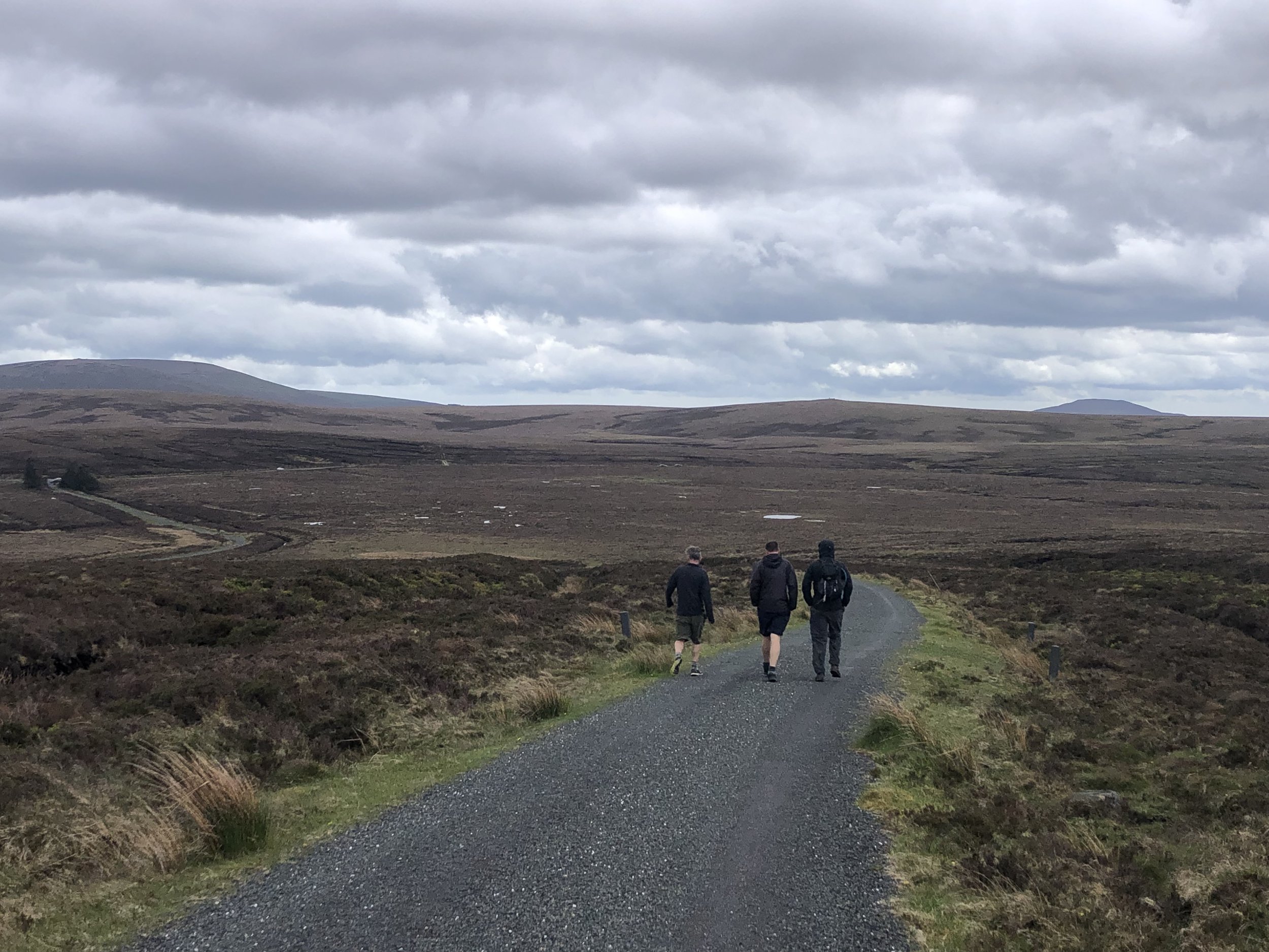
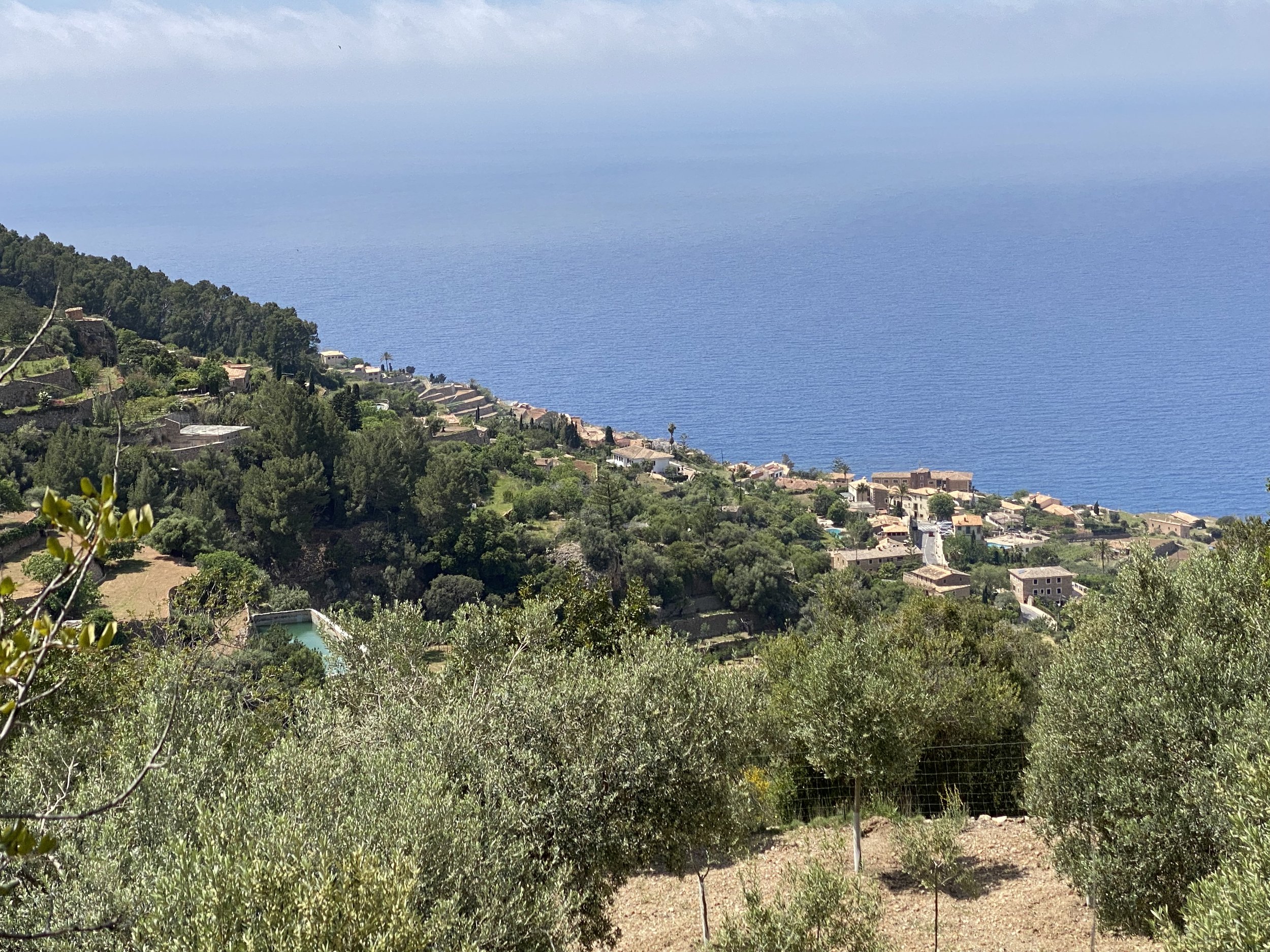
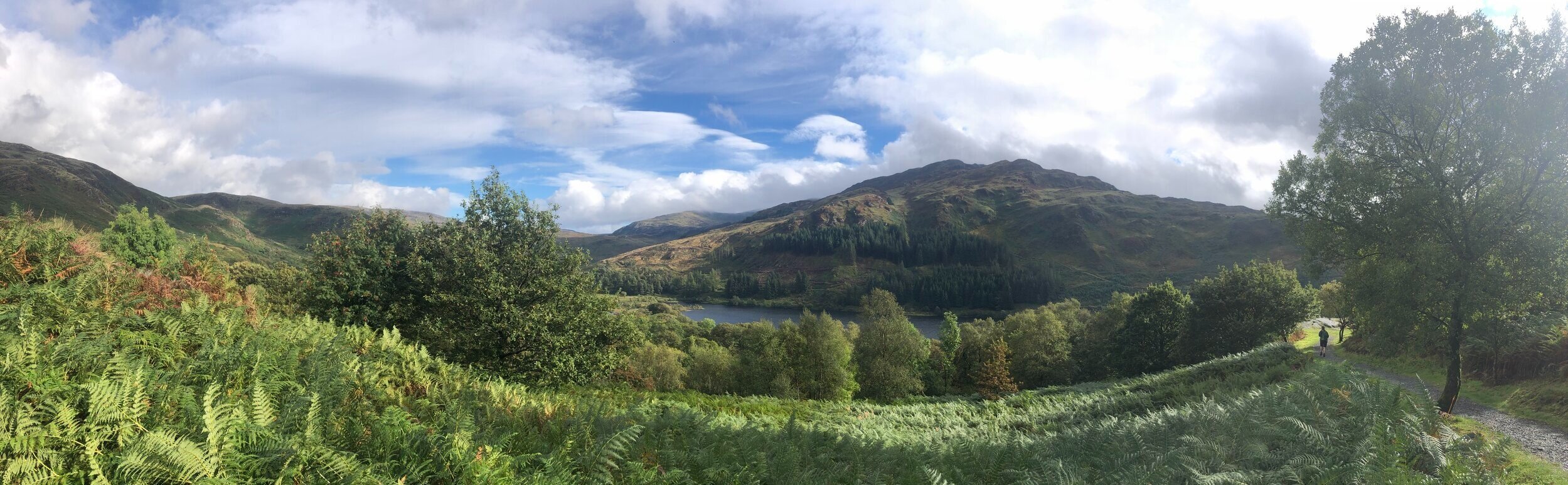
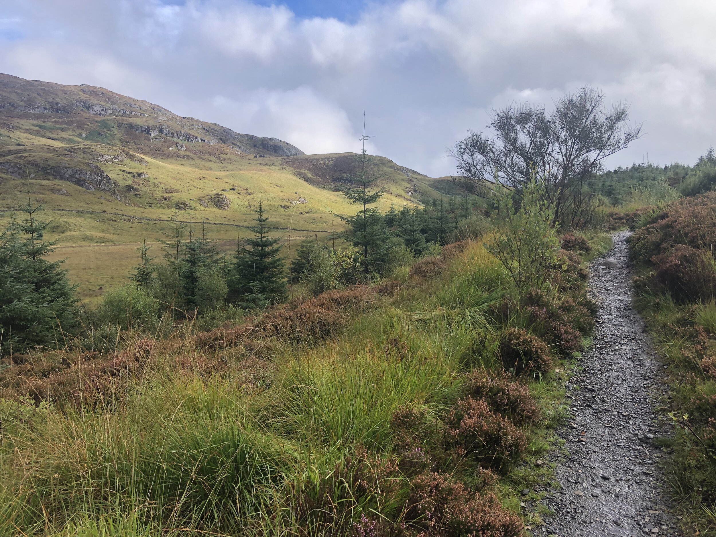
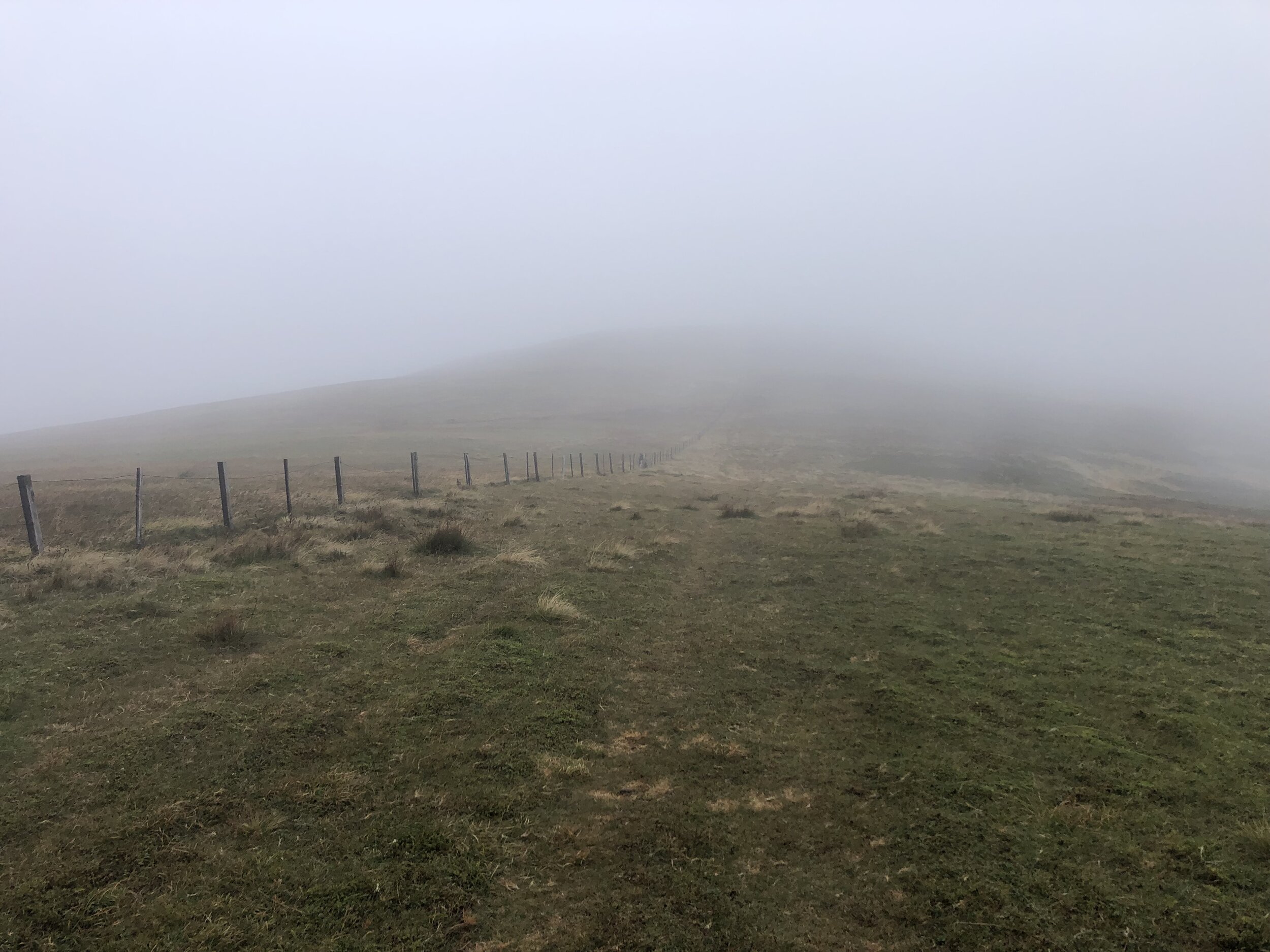
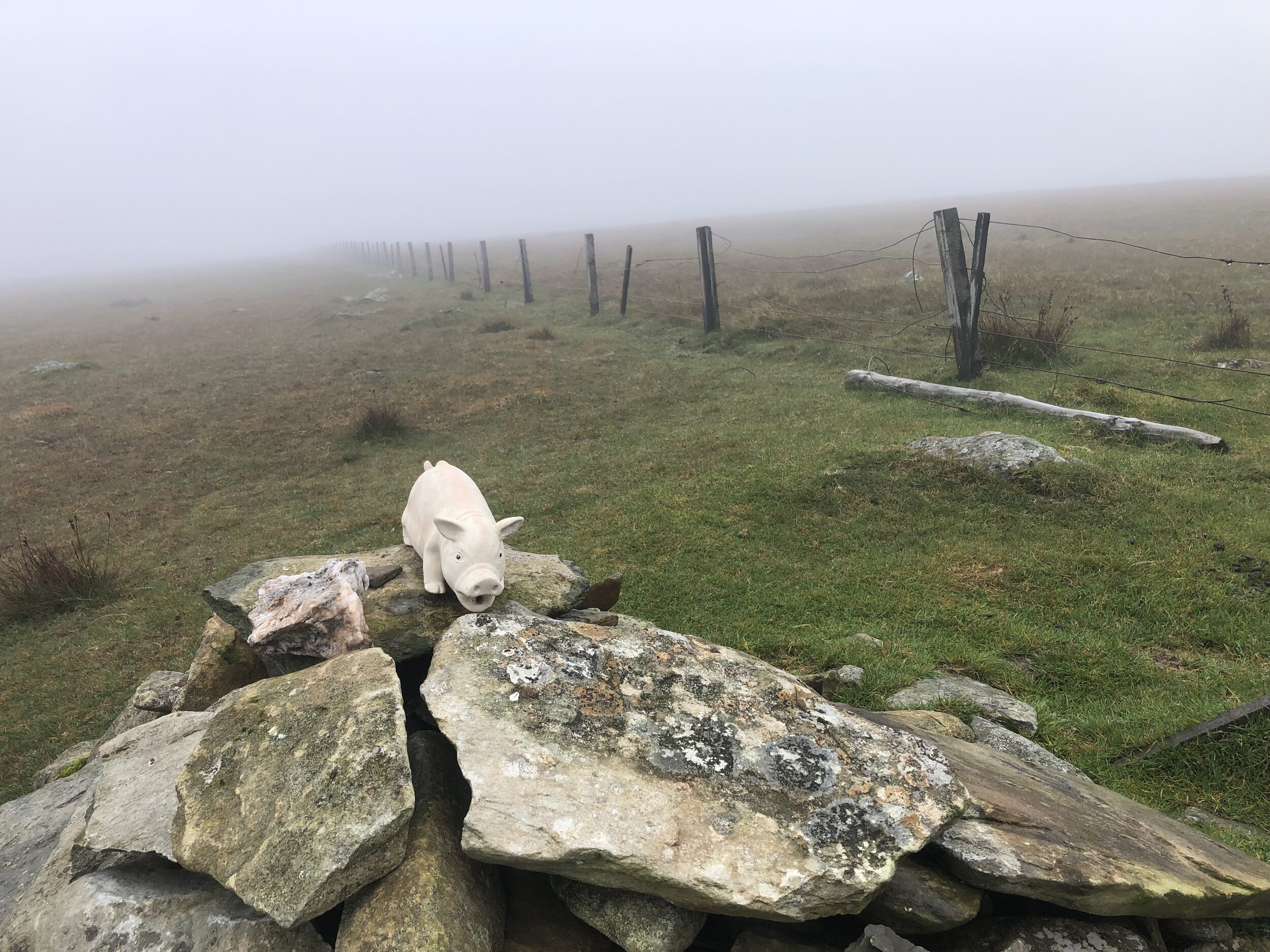
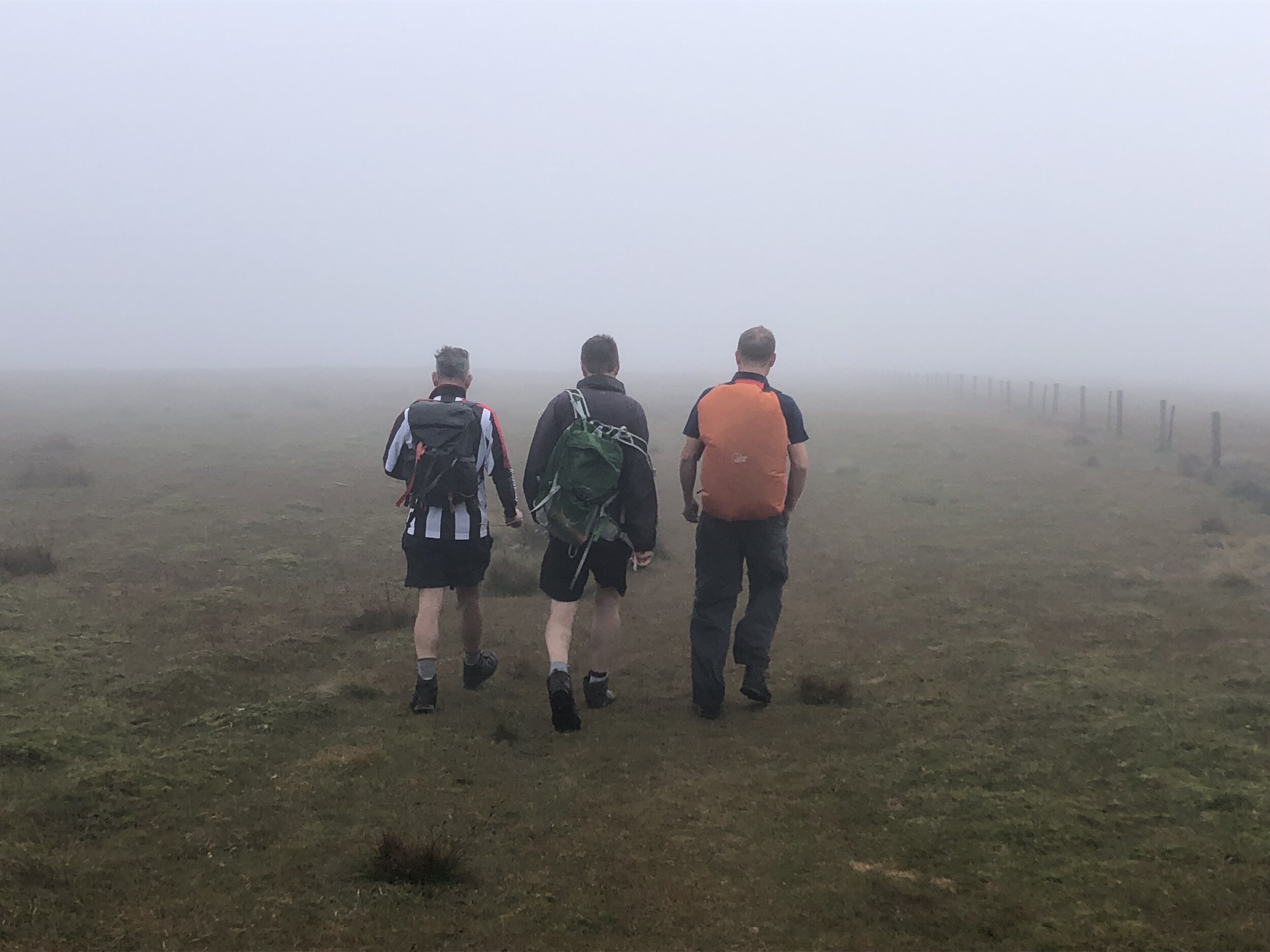
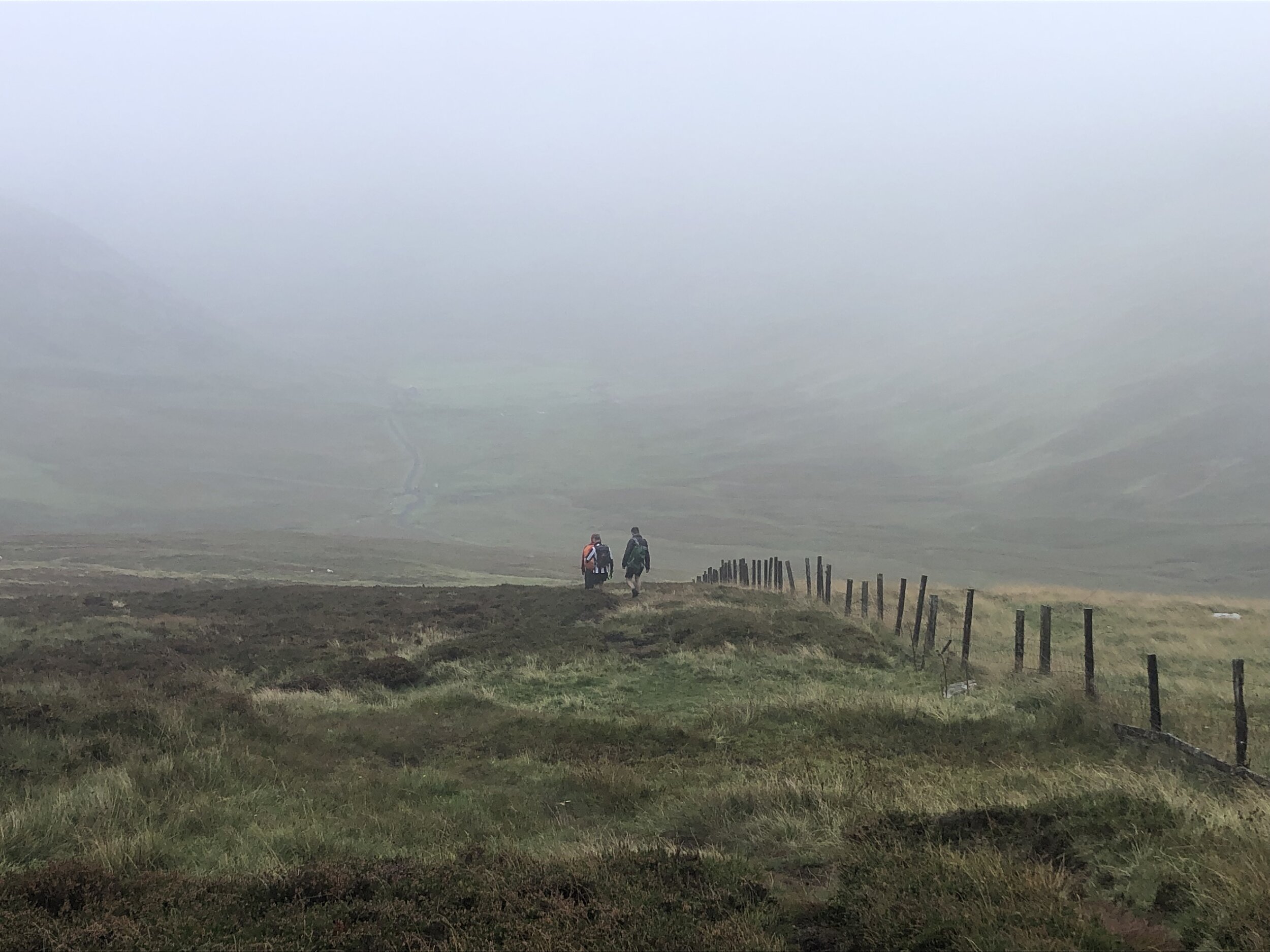
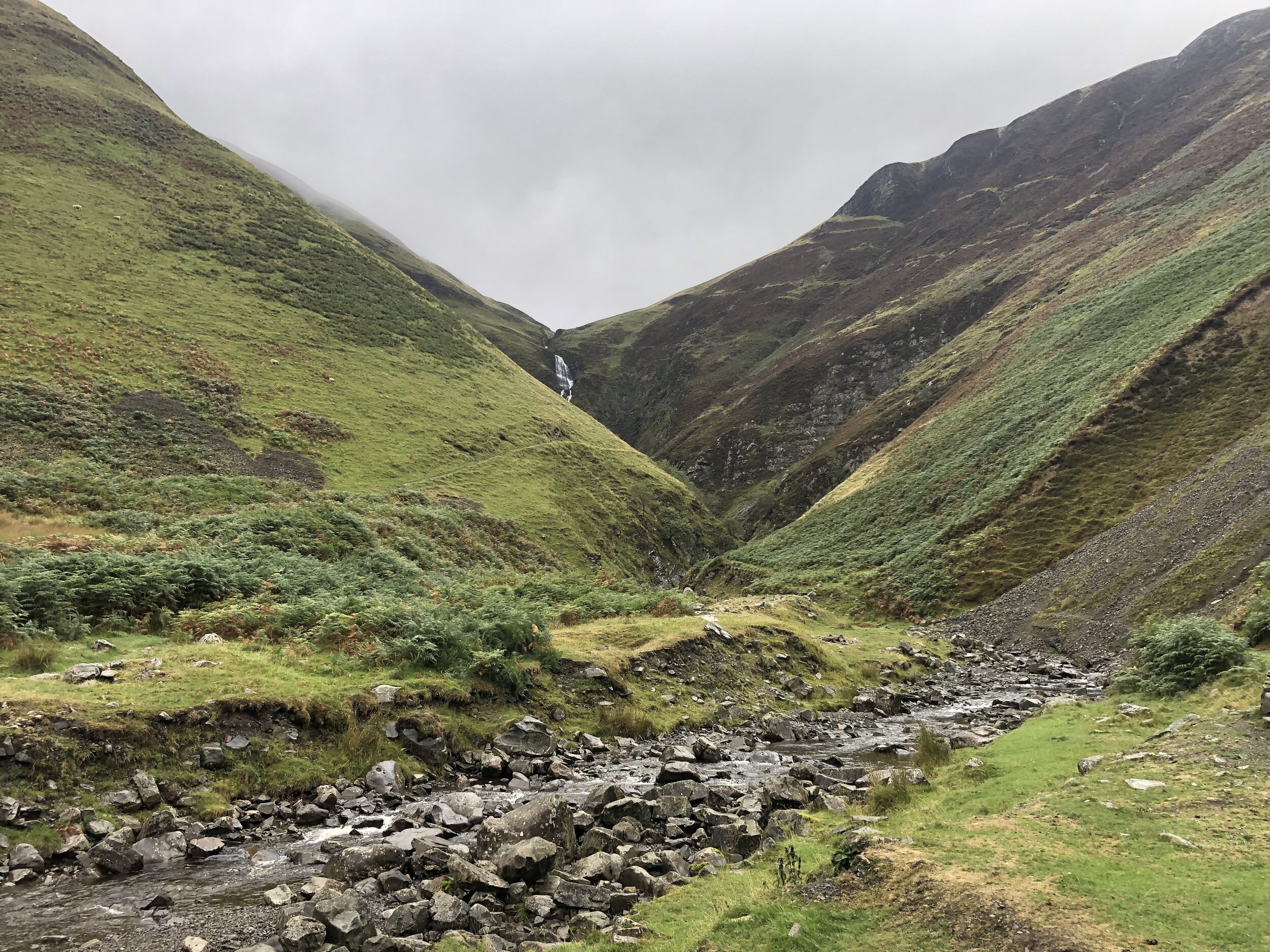
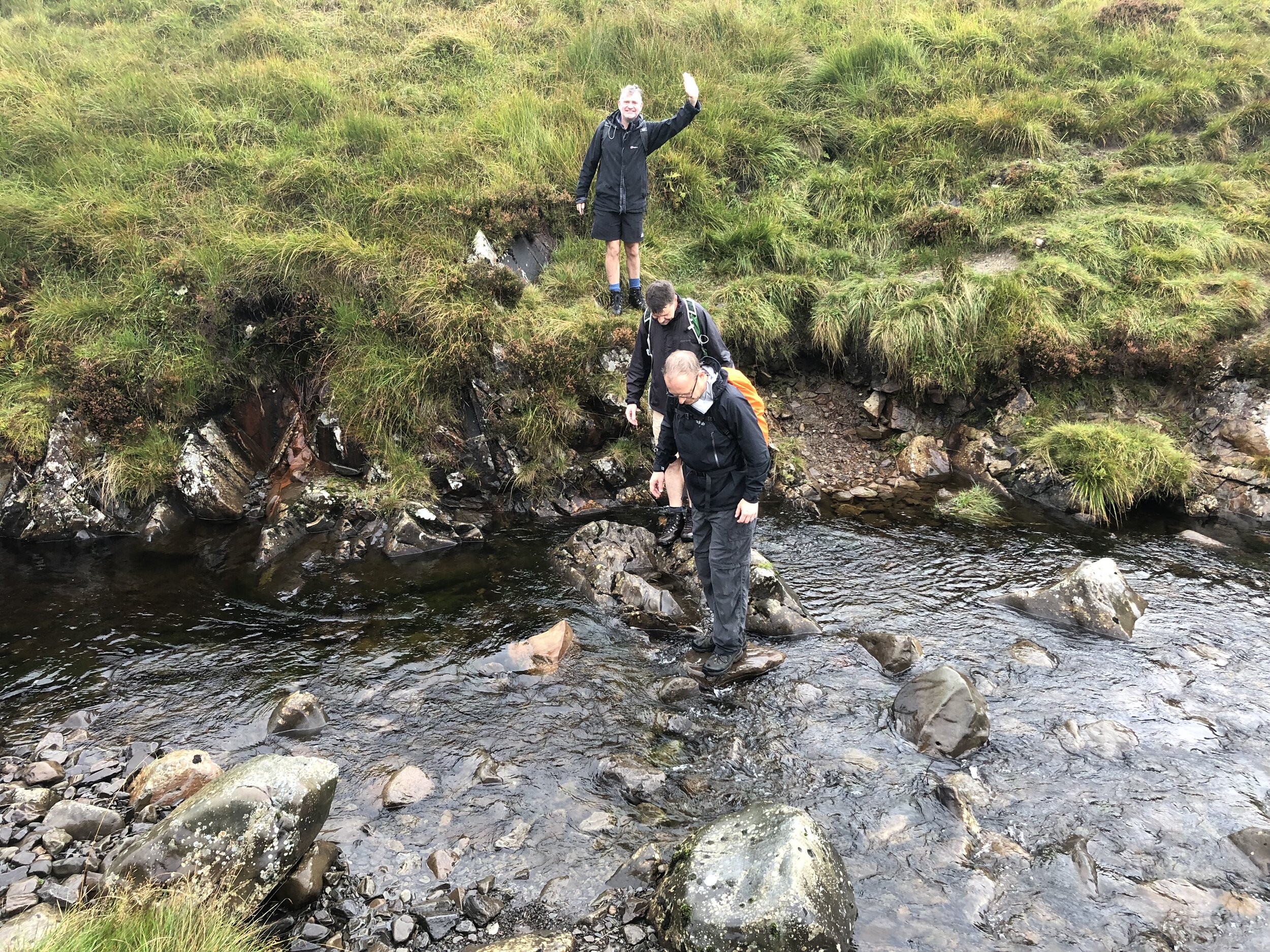
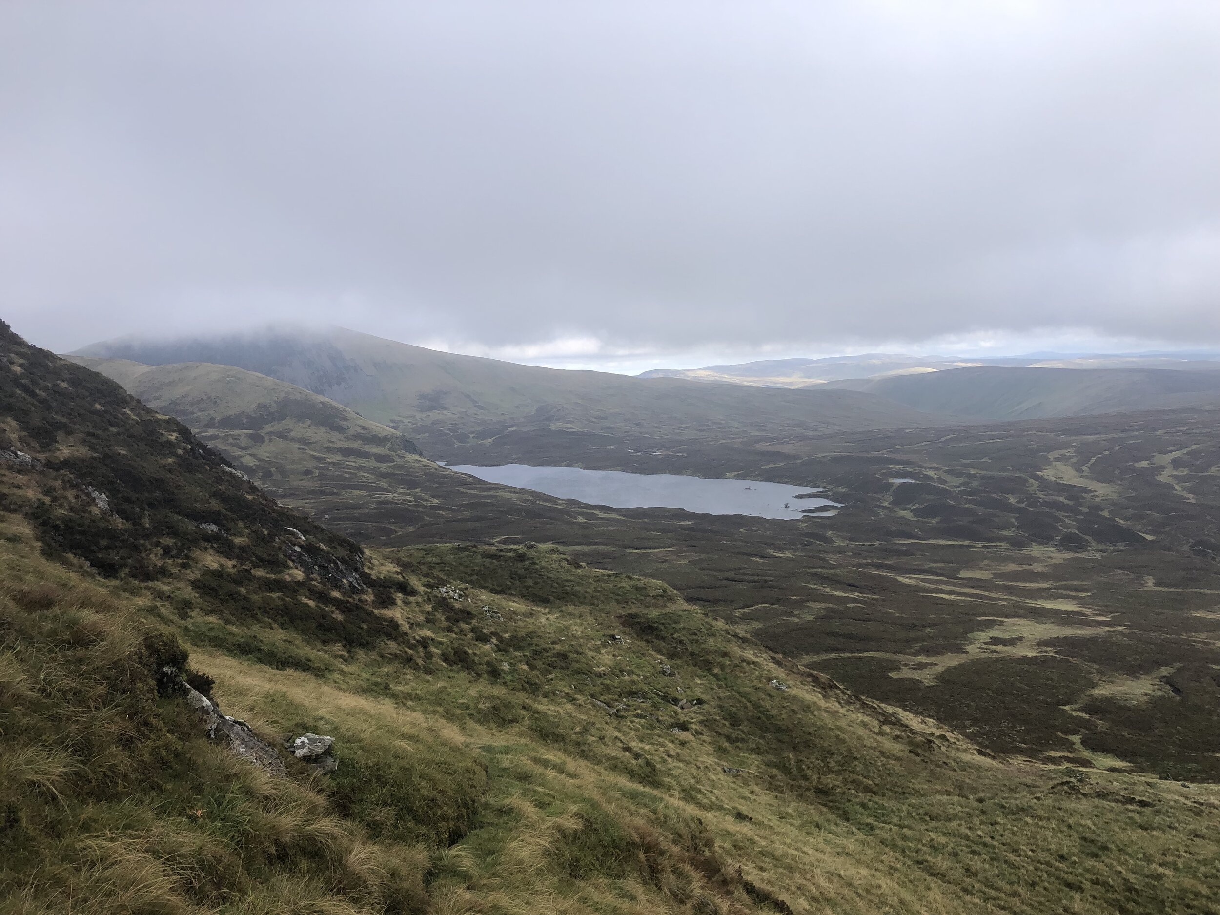
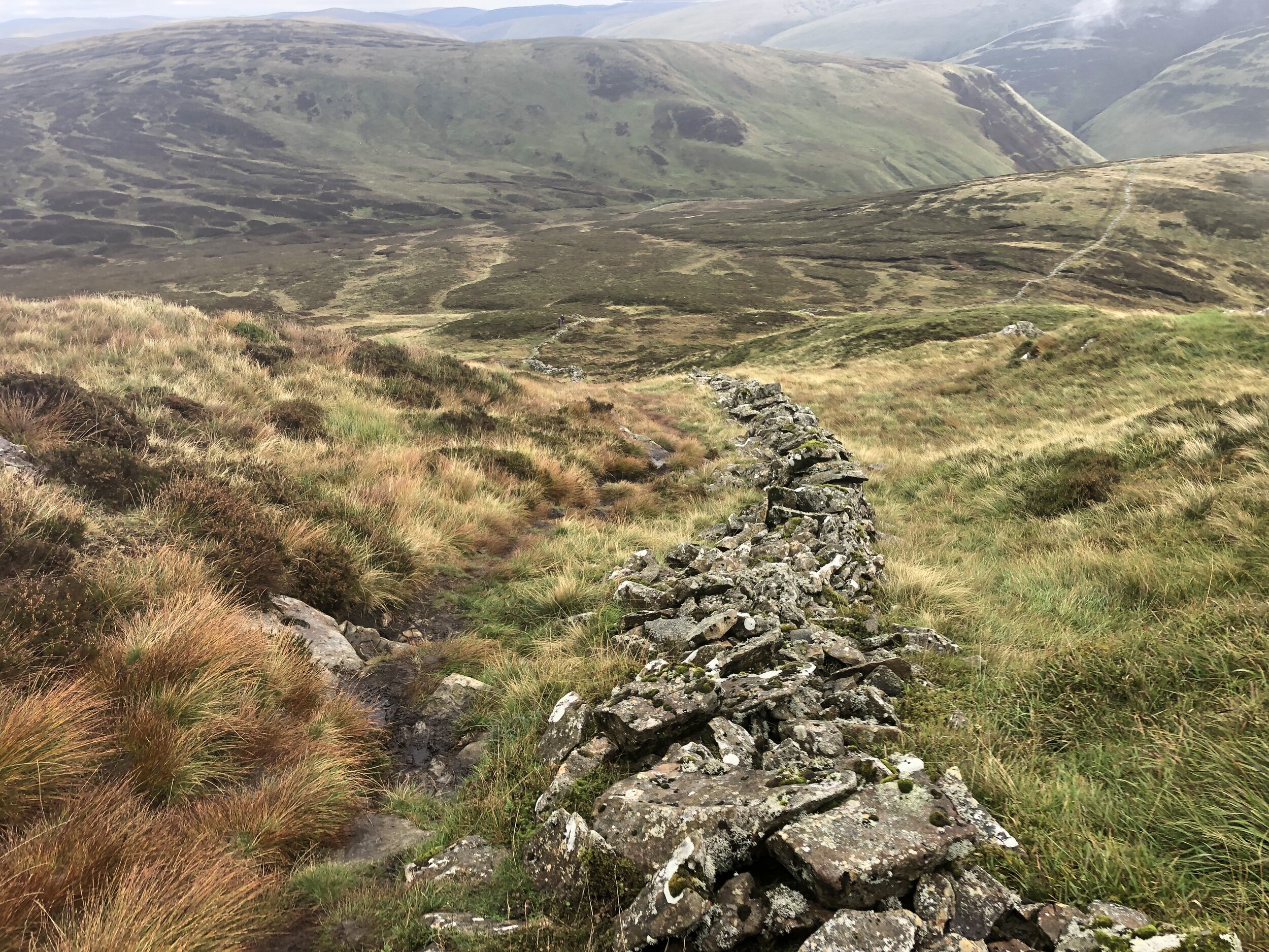
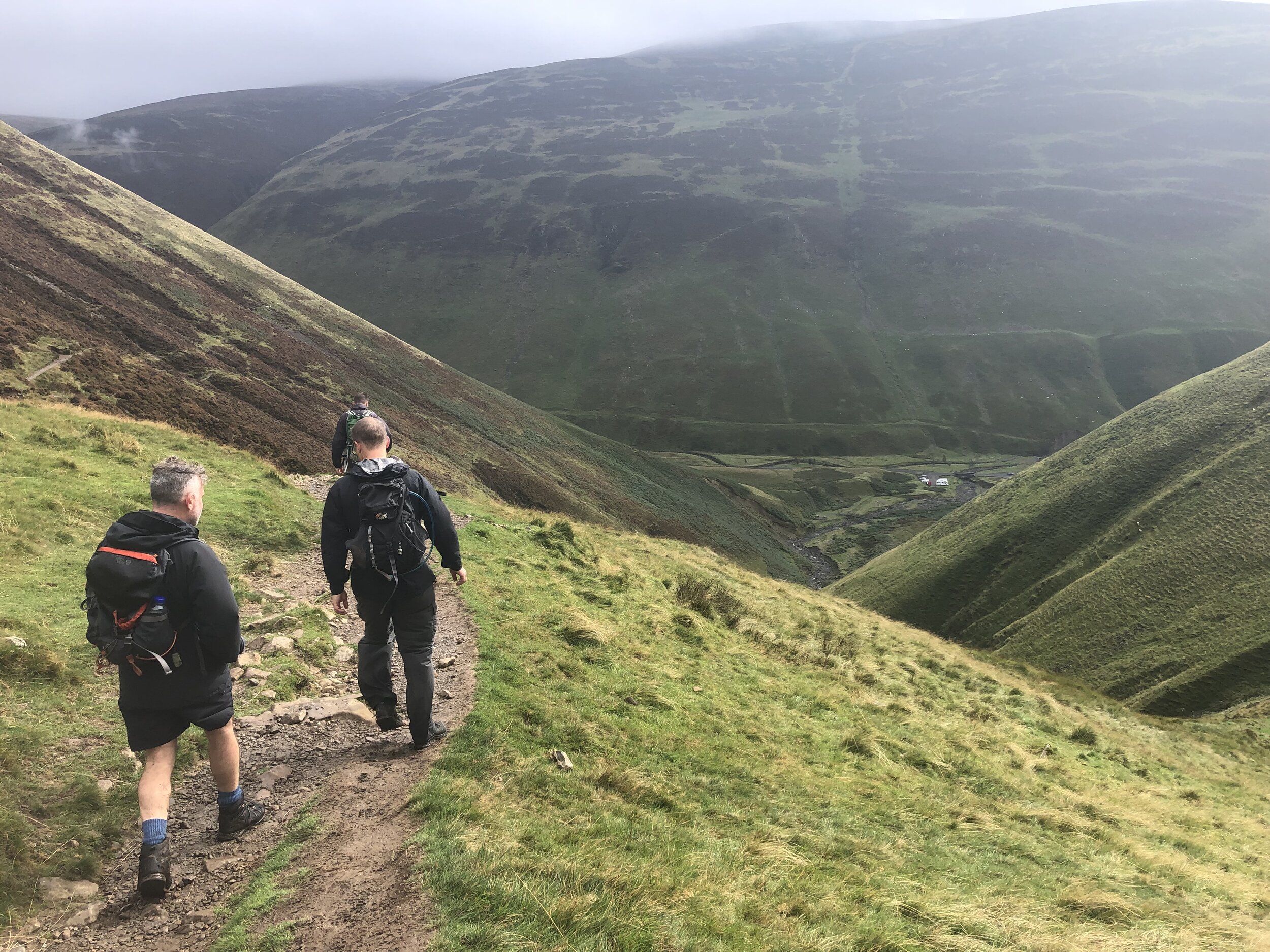
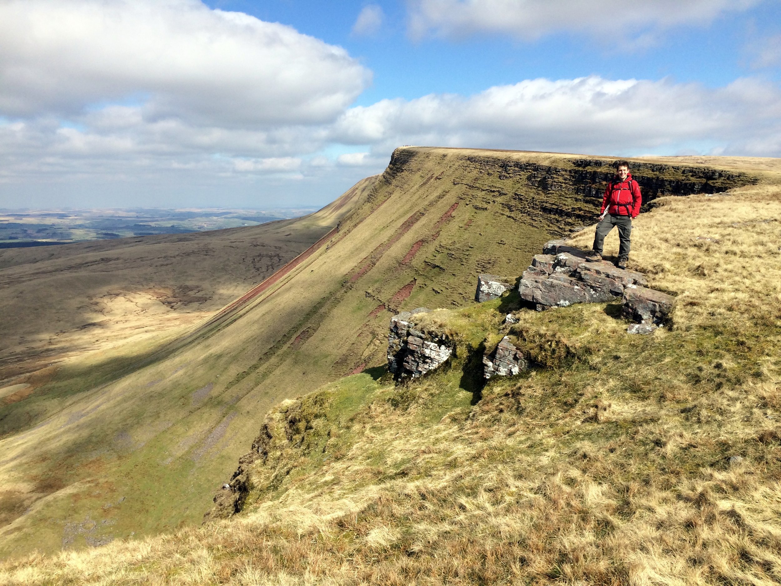
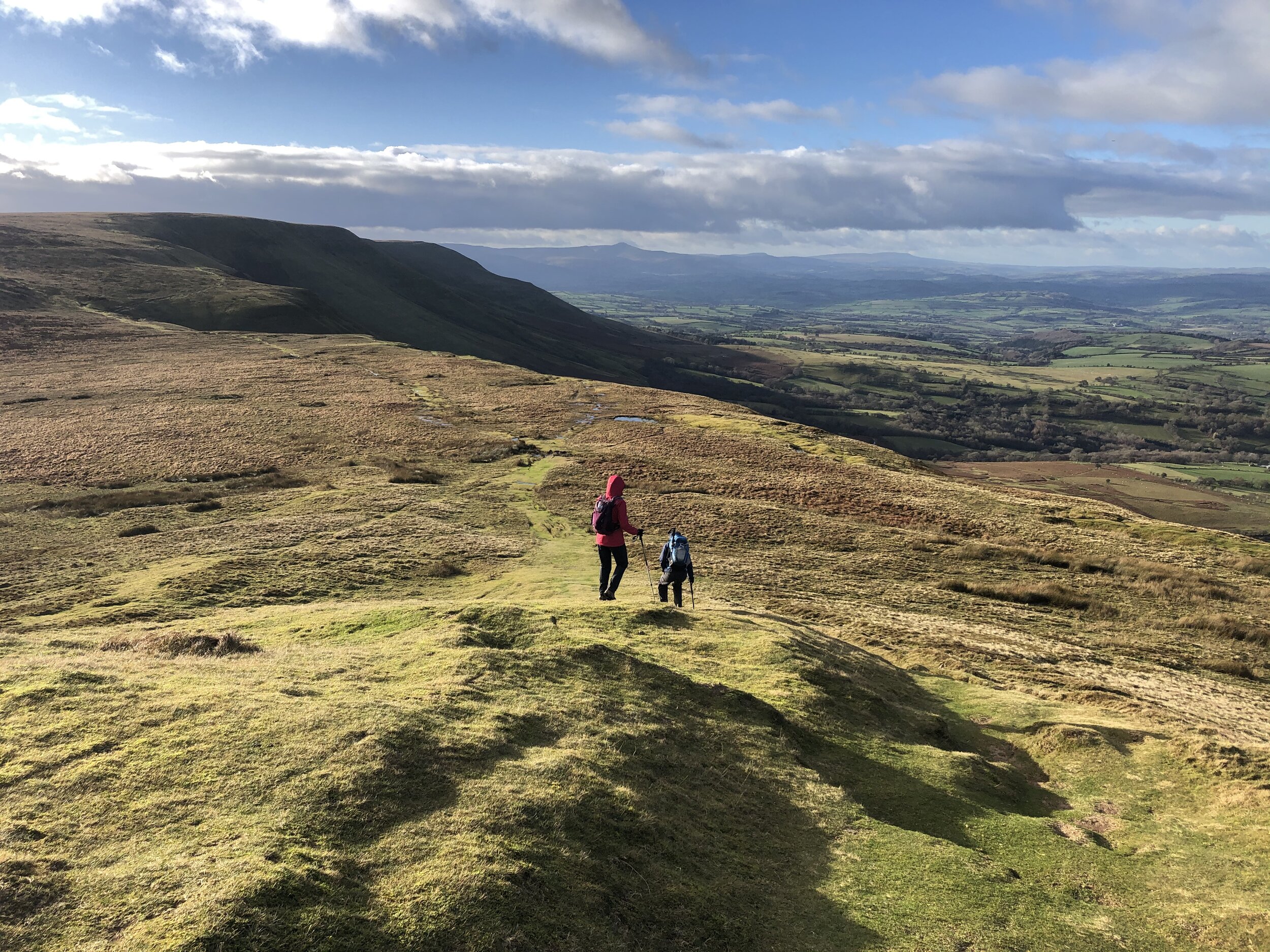
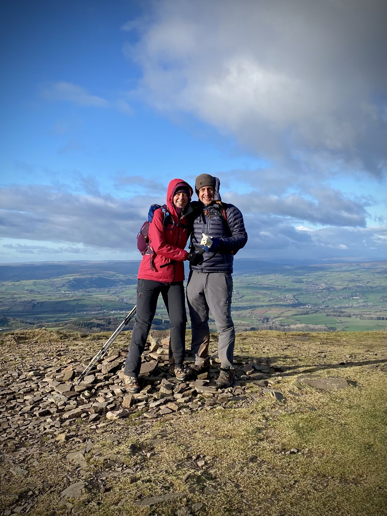
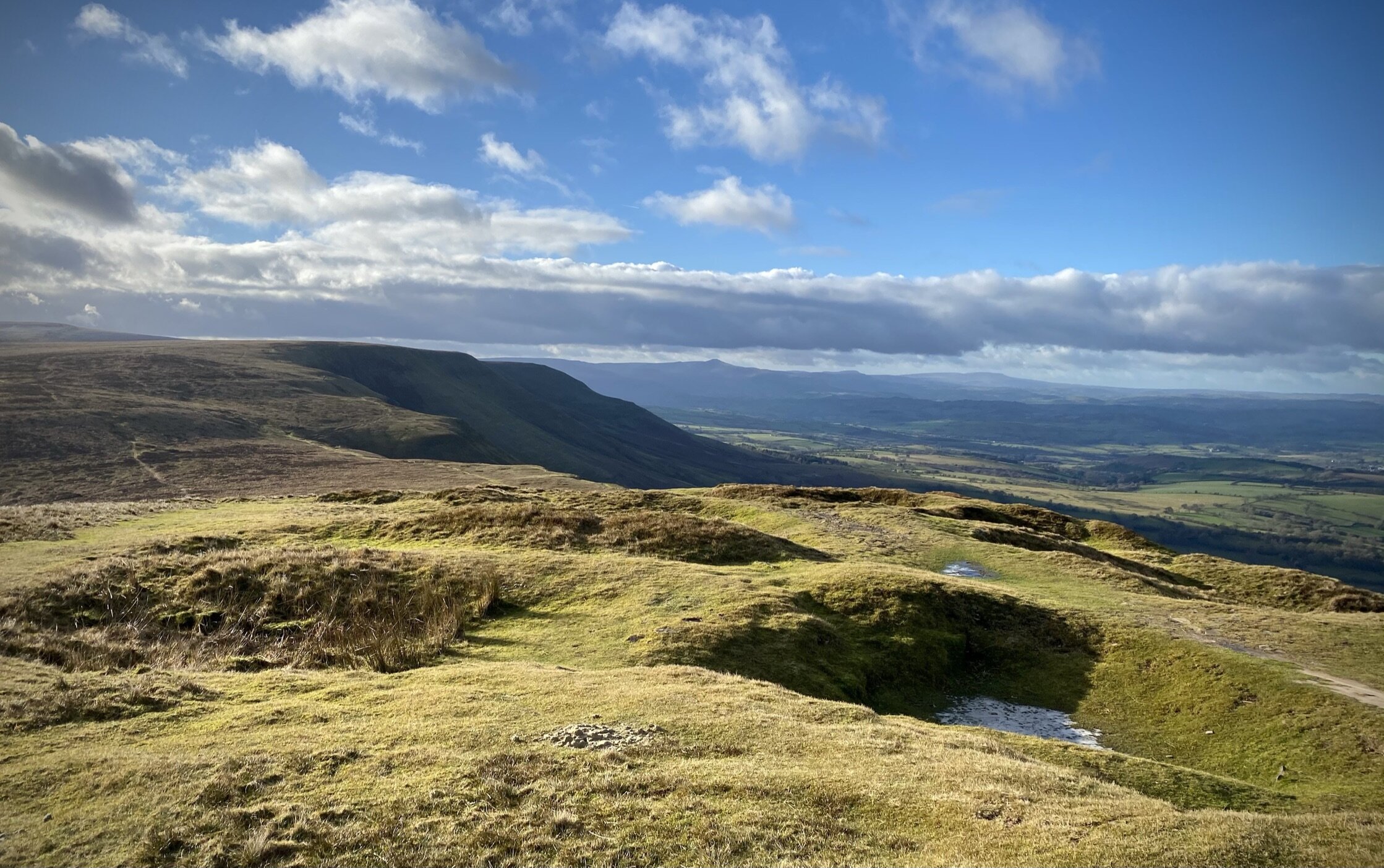
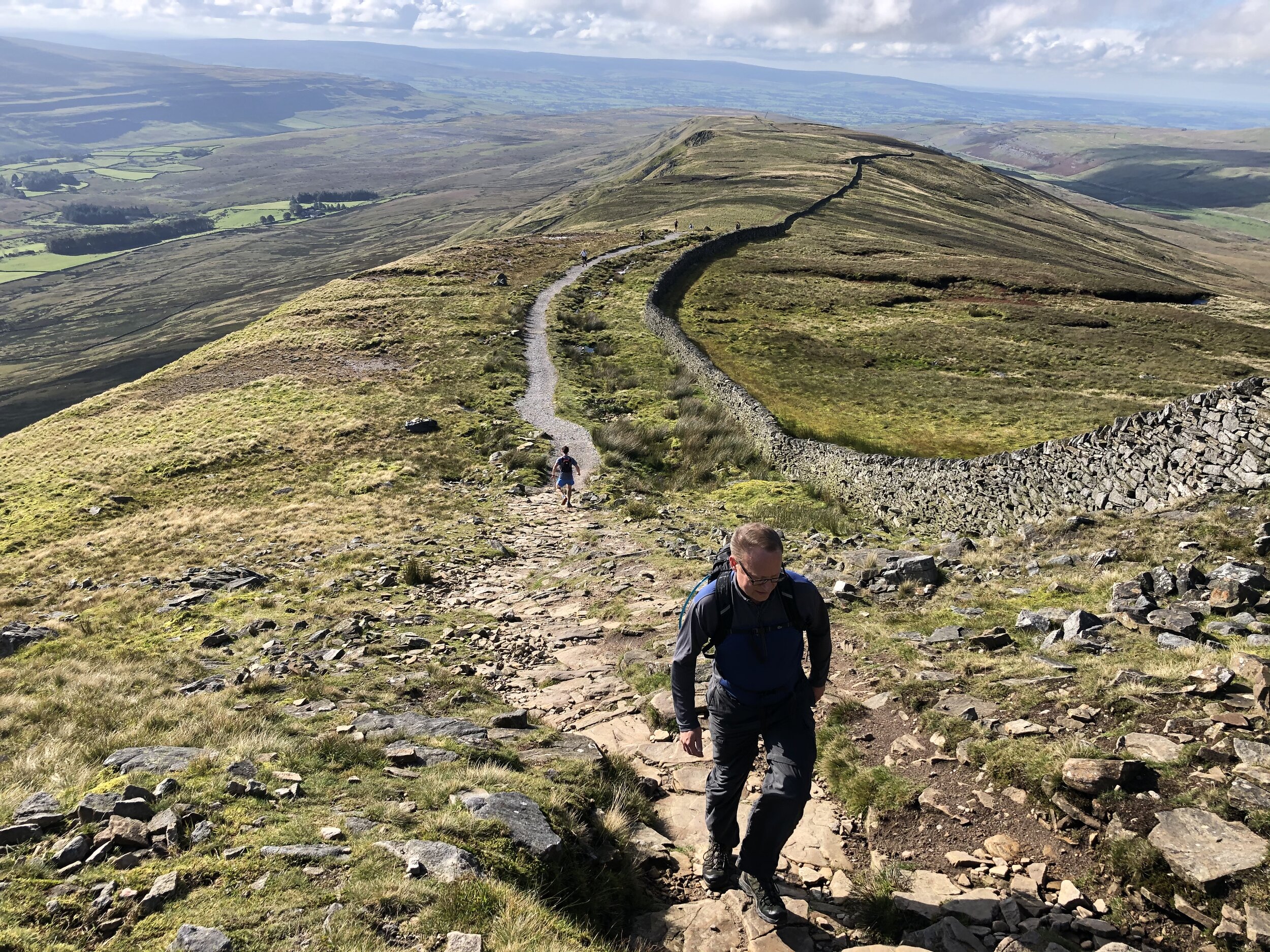
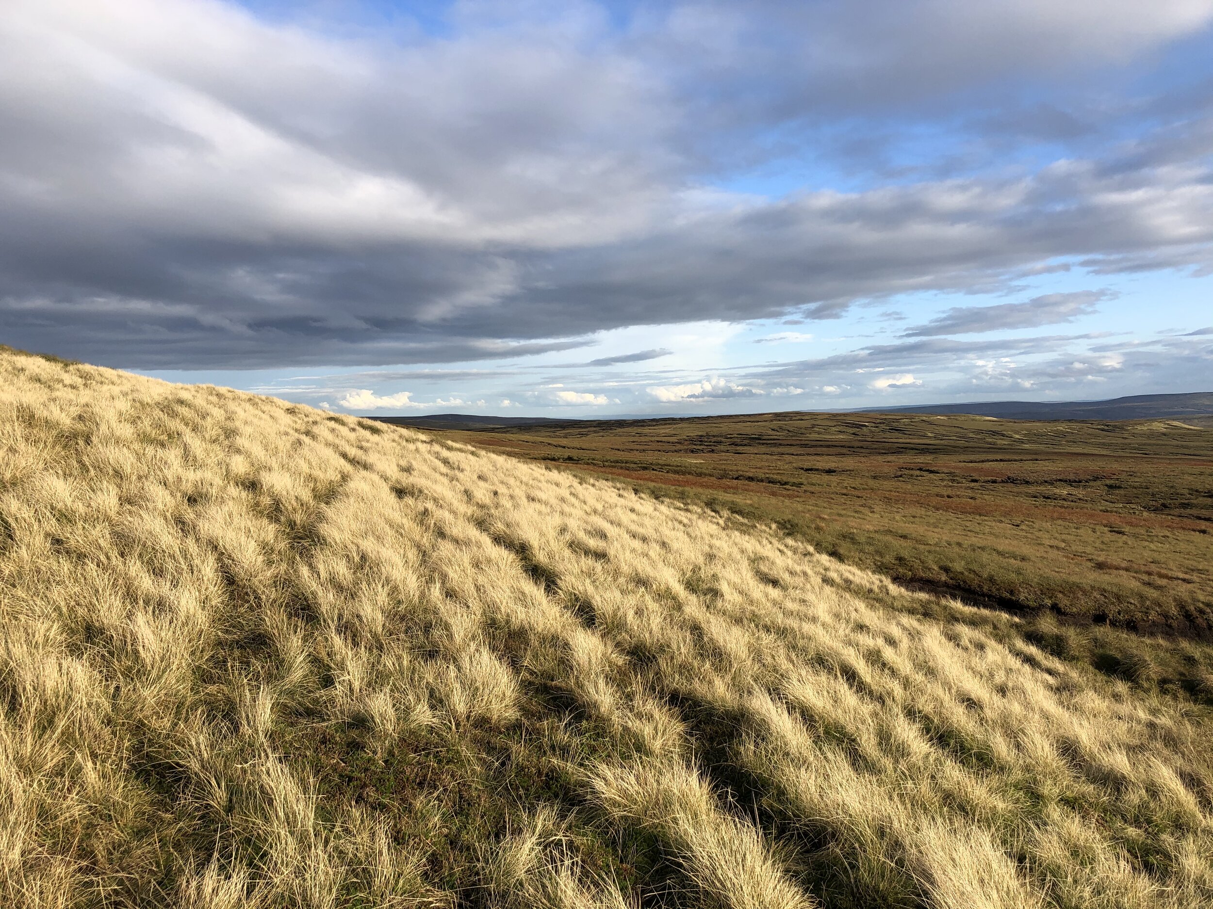
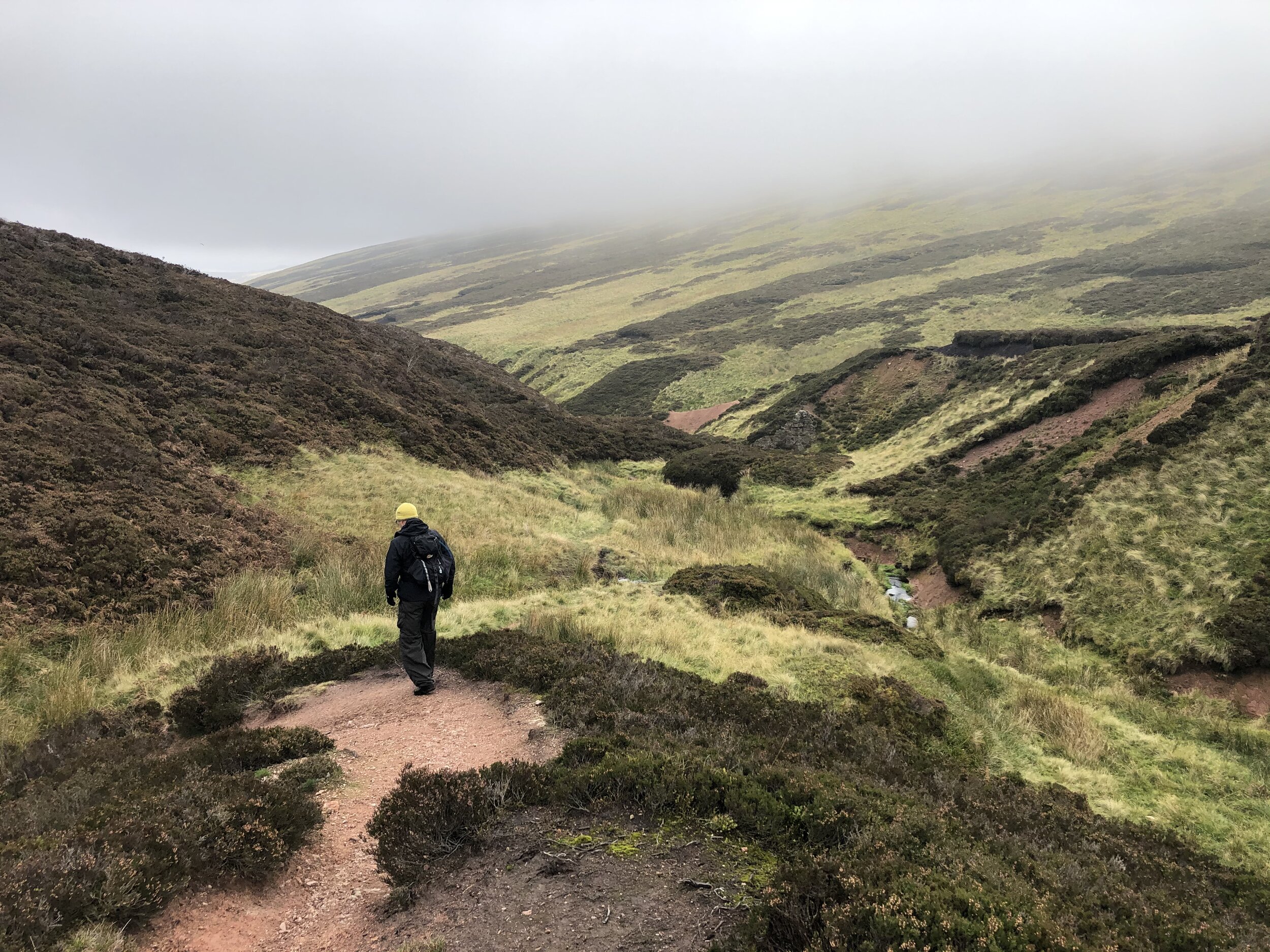
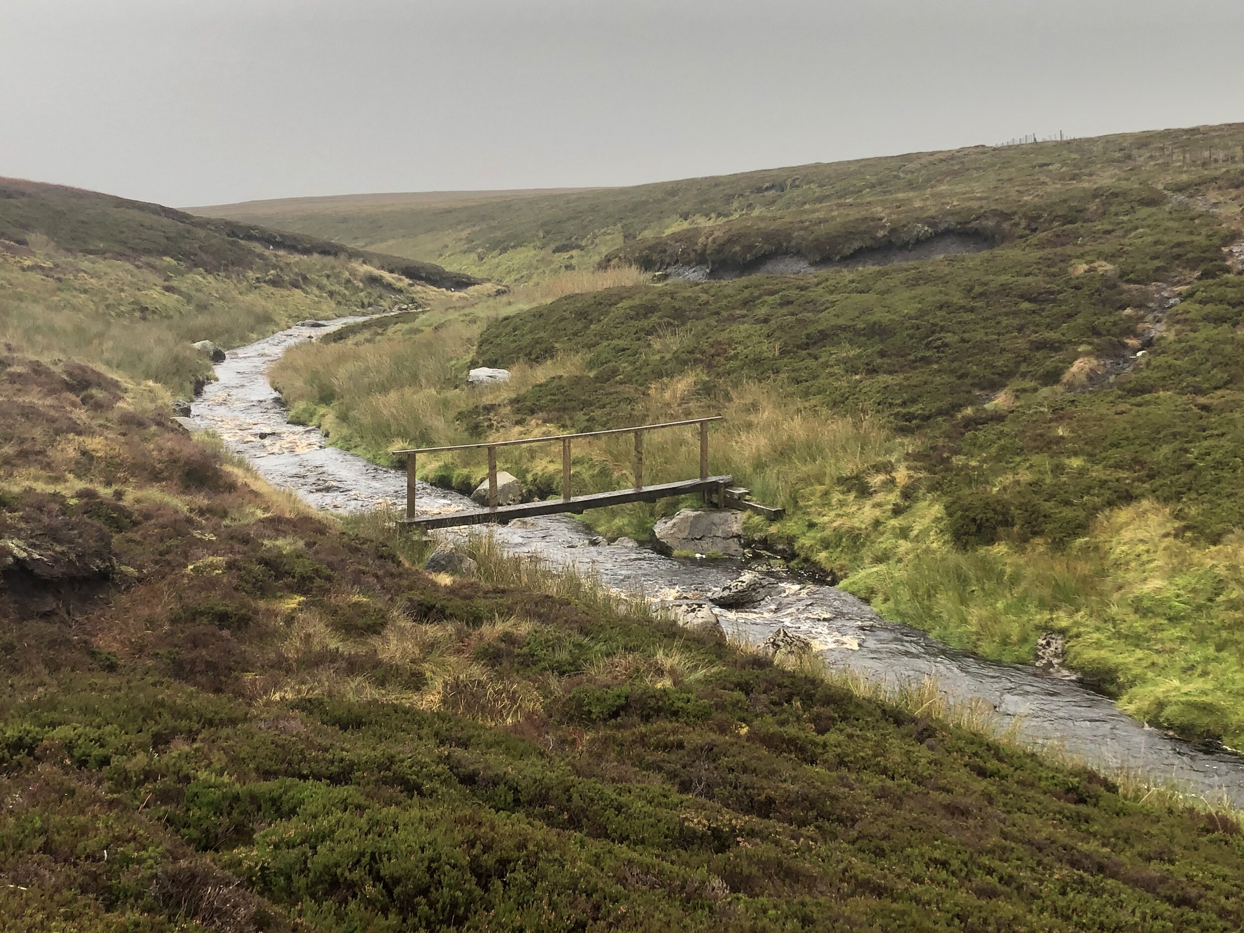
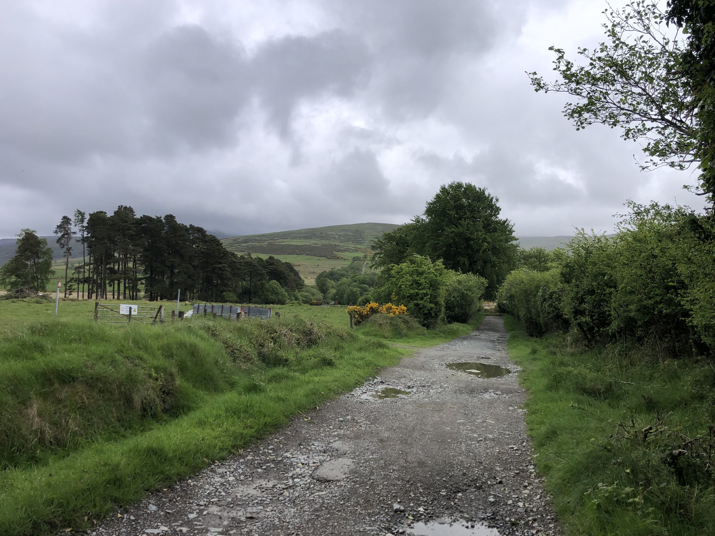
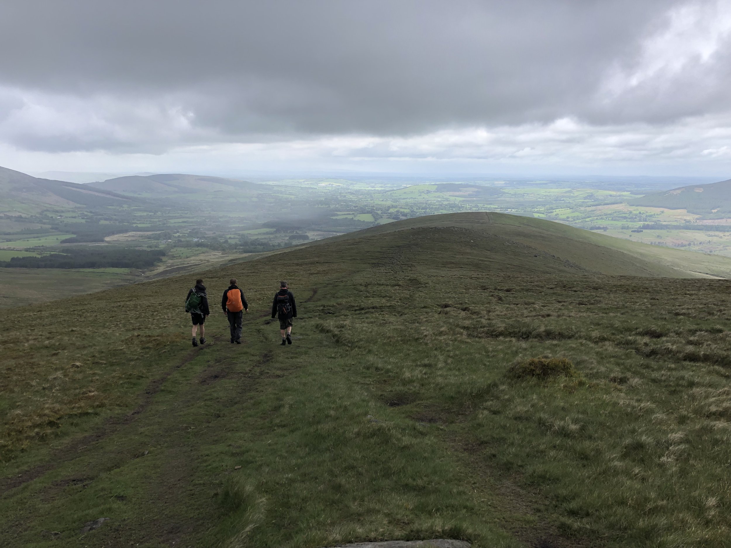
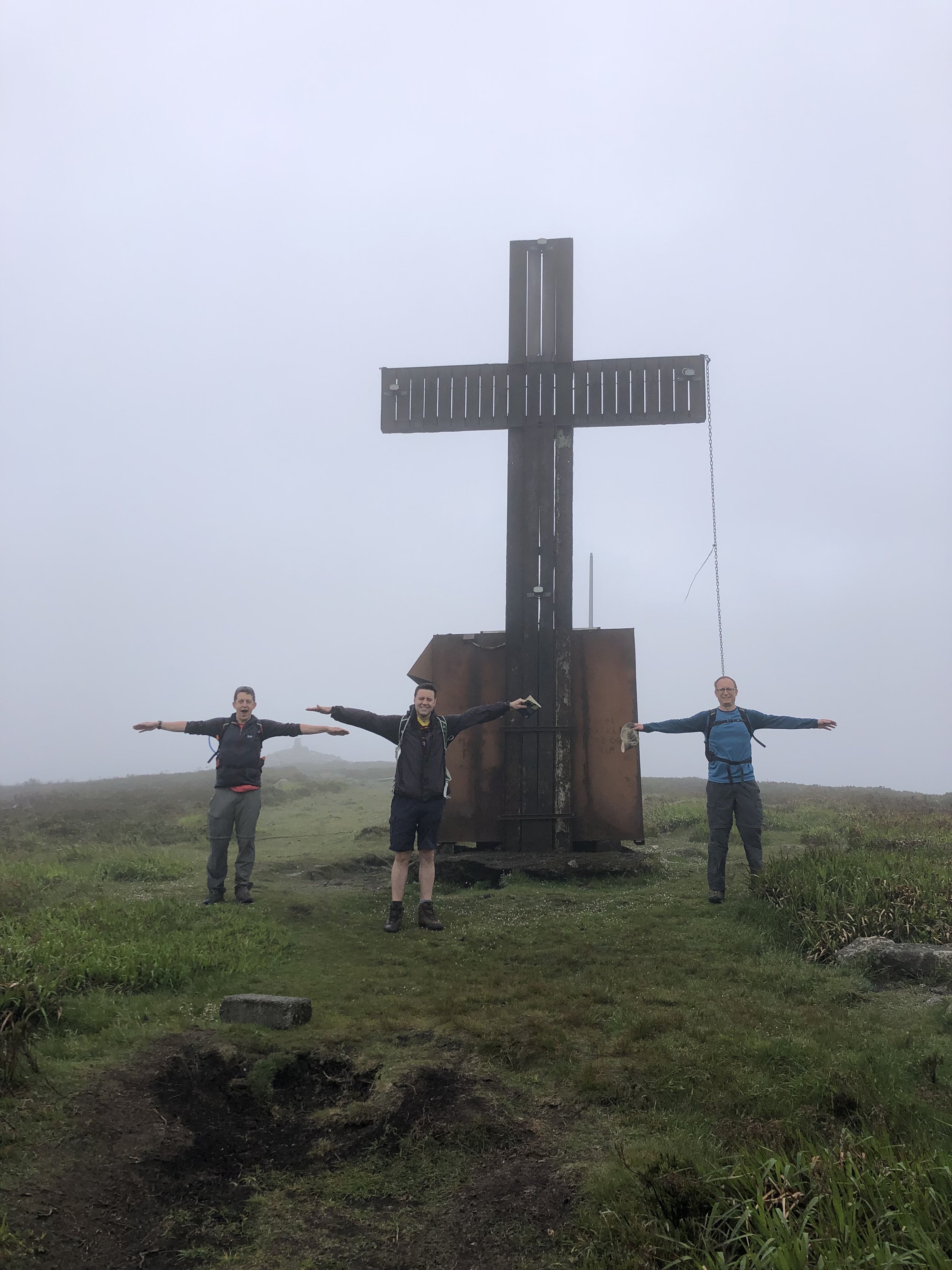
Descent of Lugnaquillia Mountain
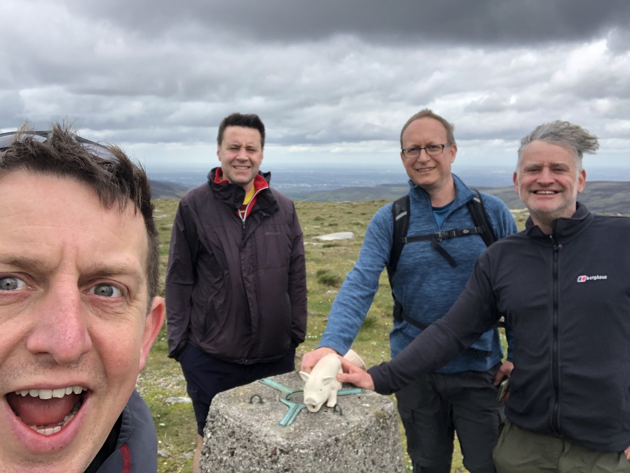
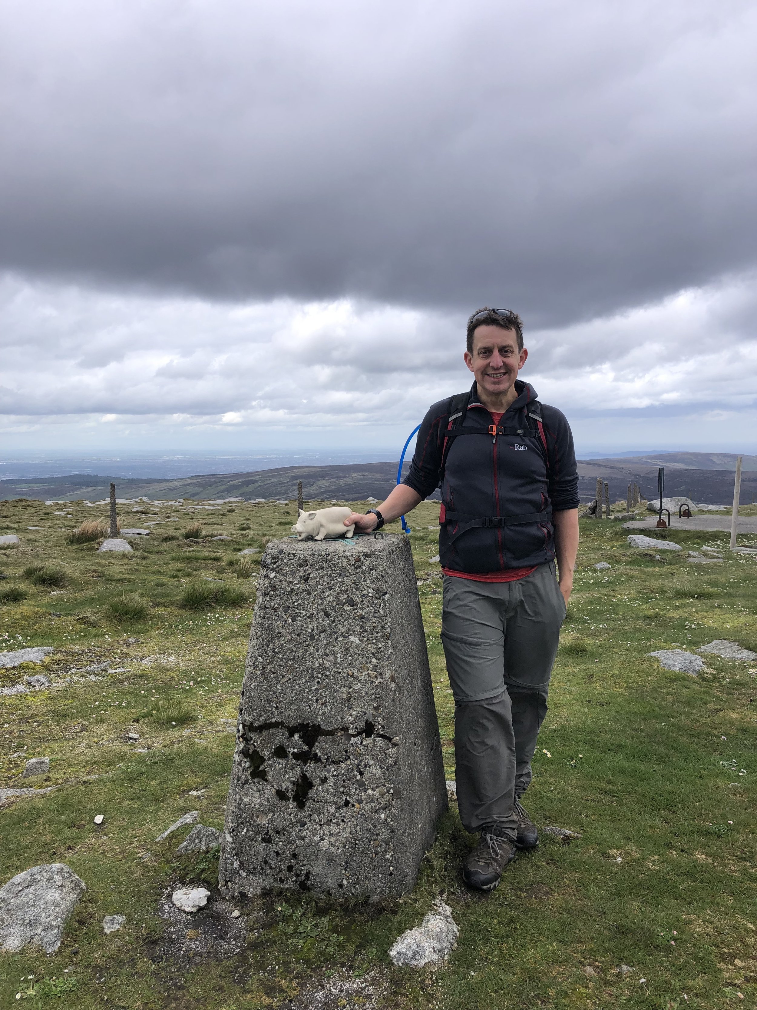
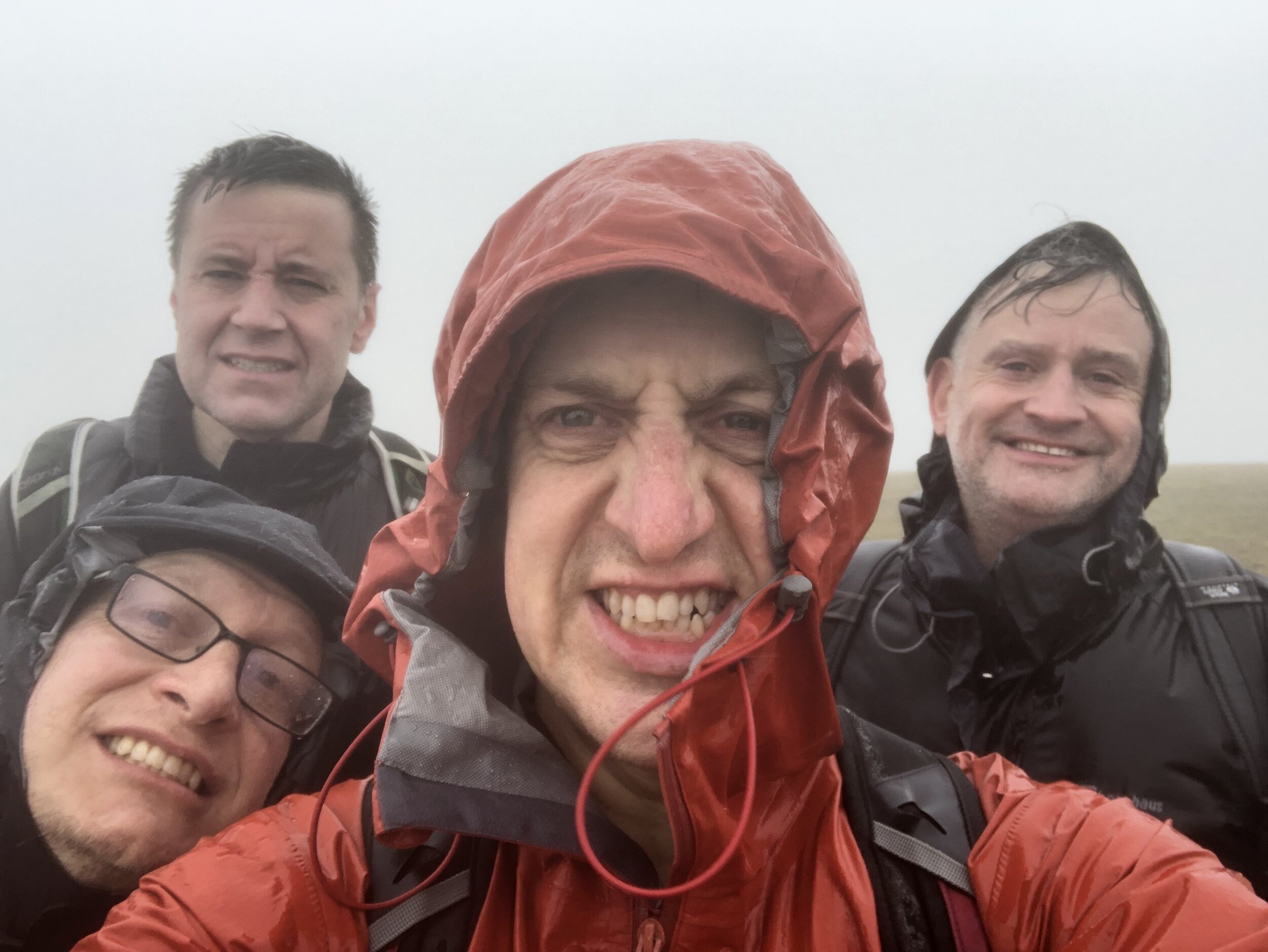
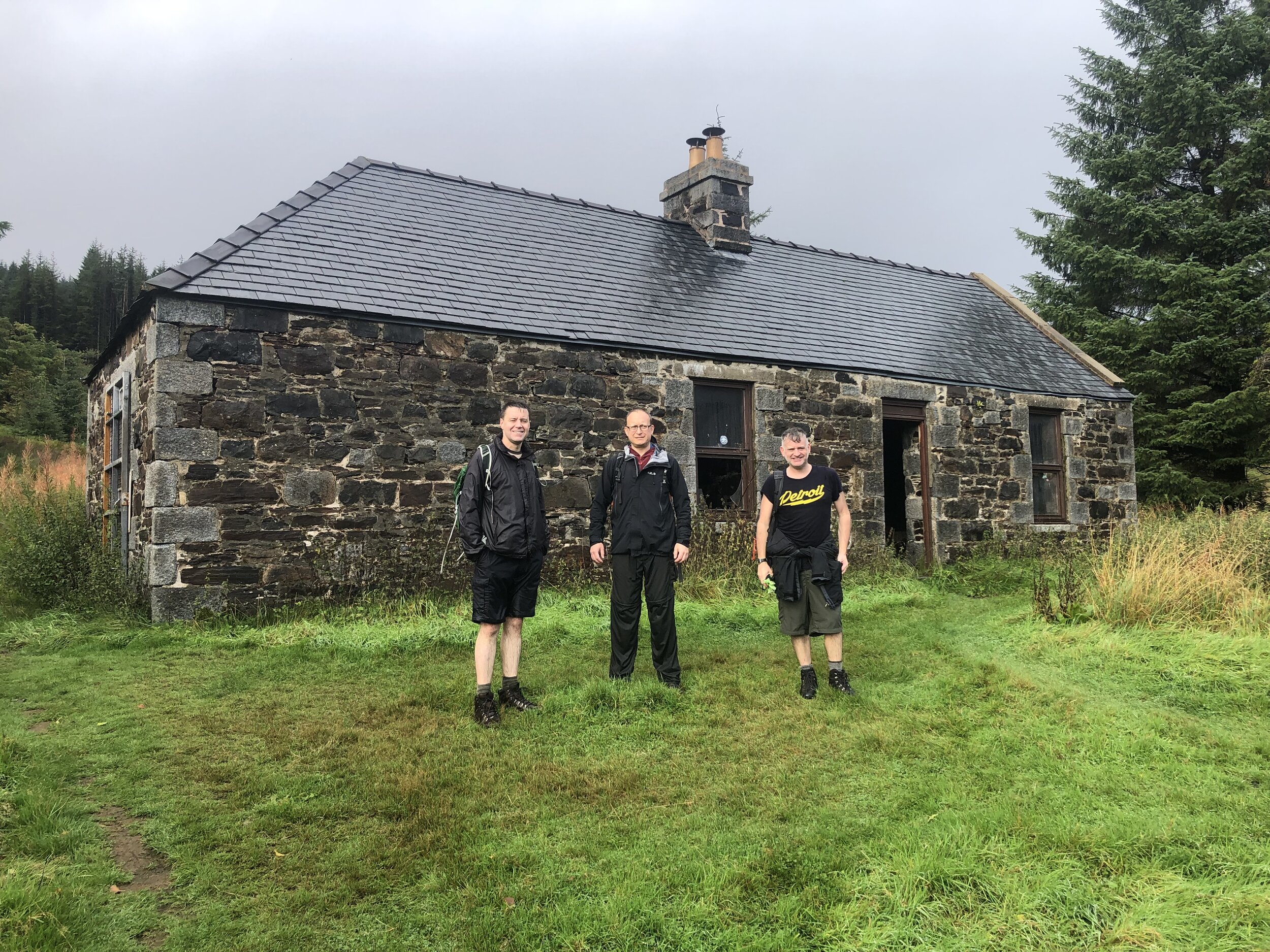
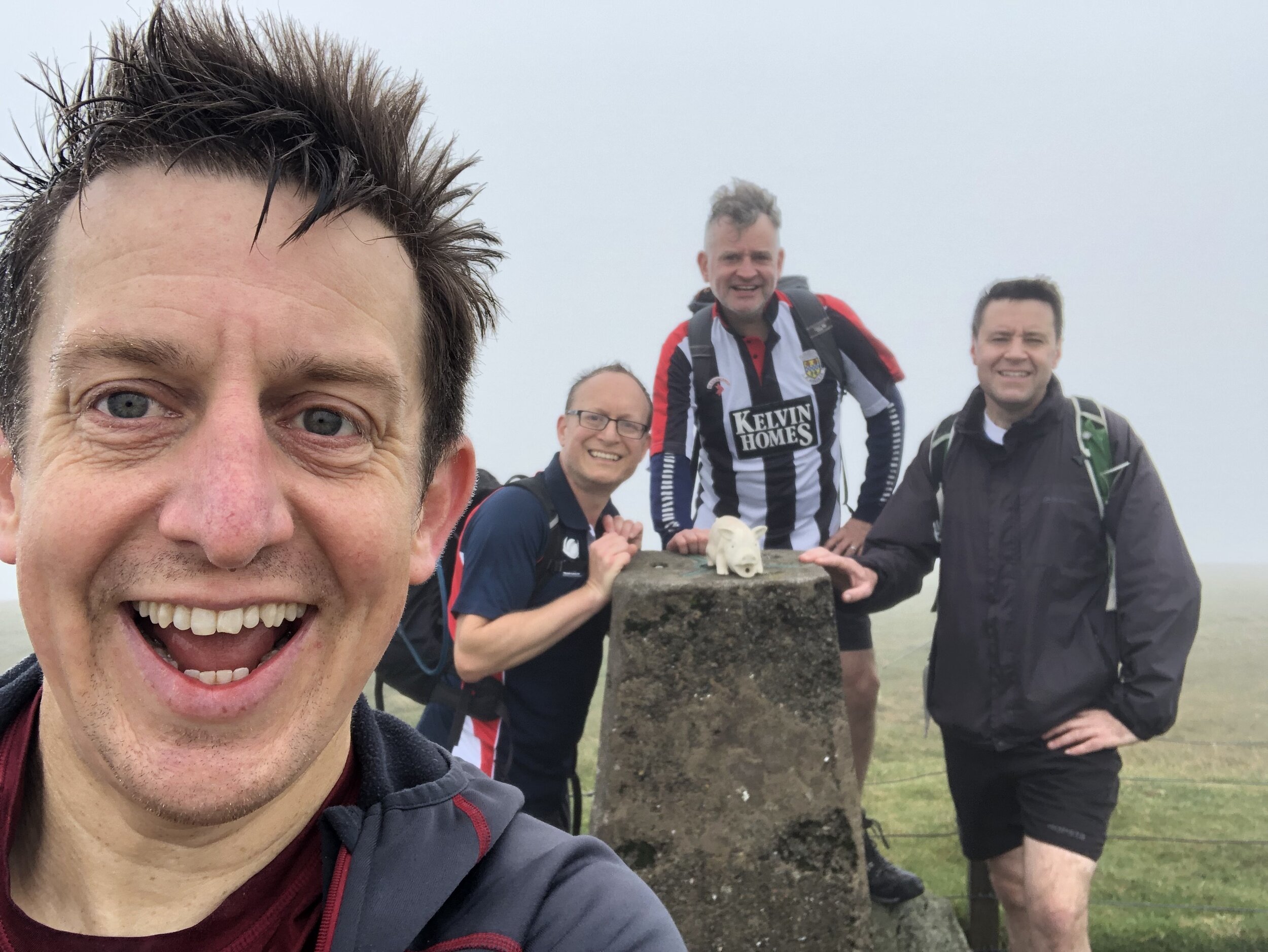
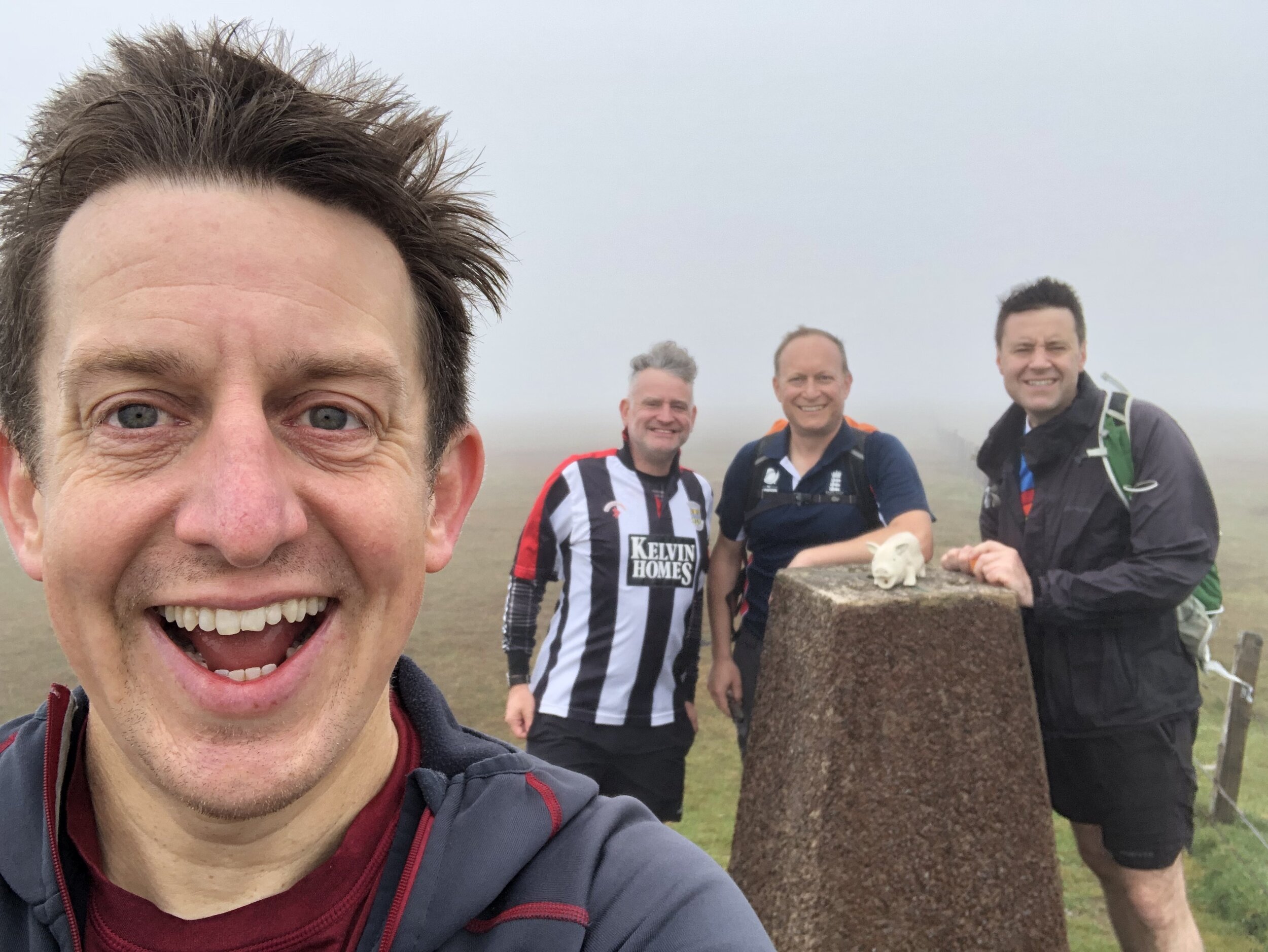
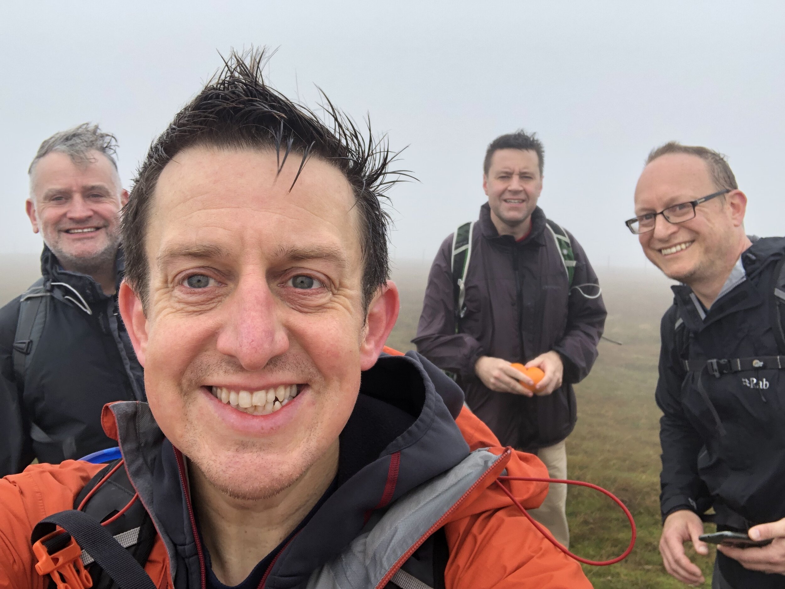
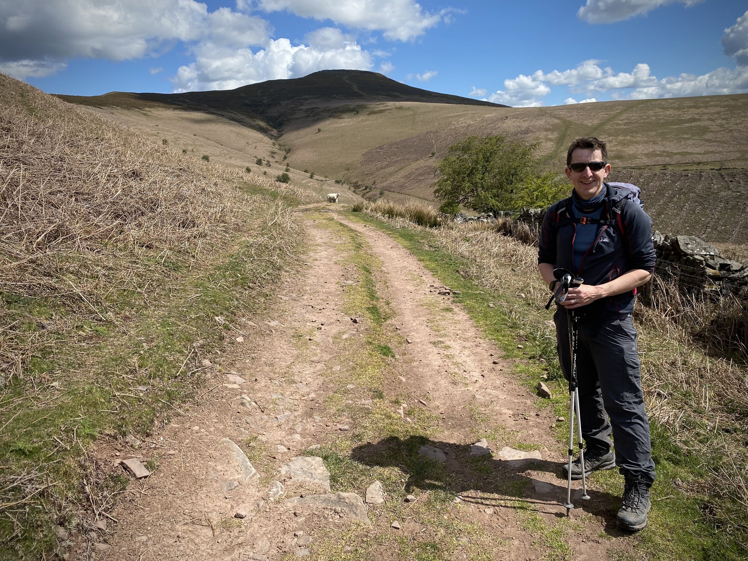
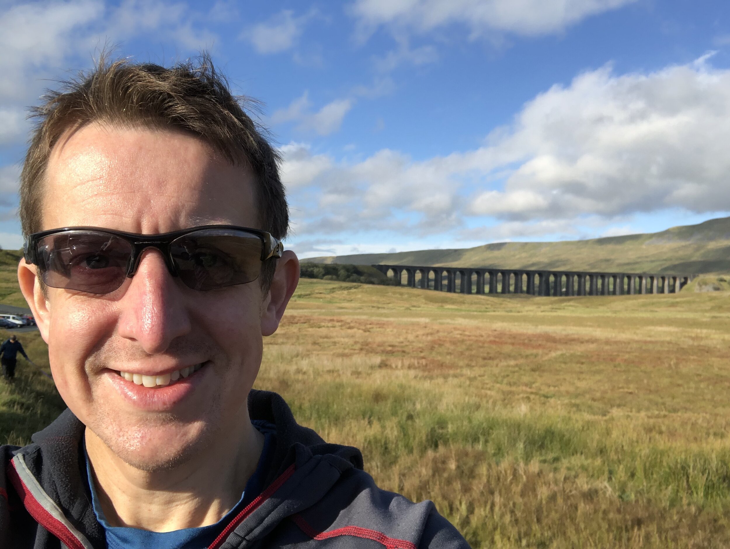
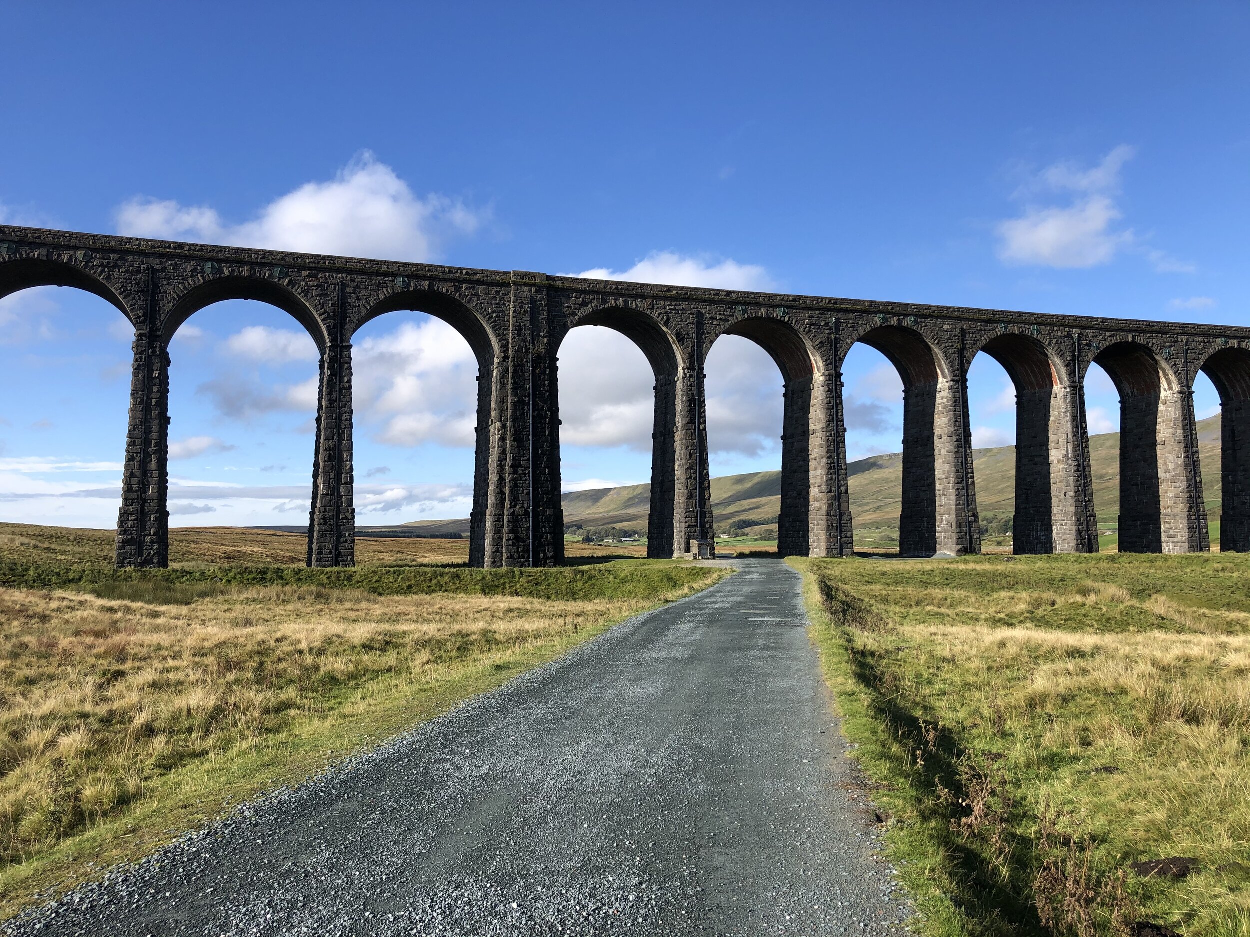
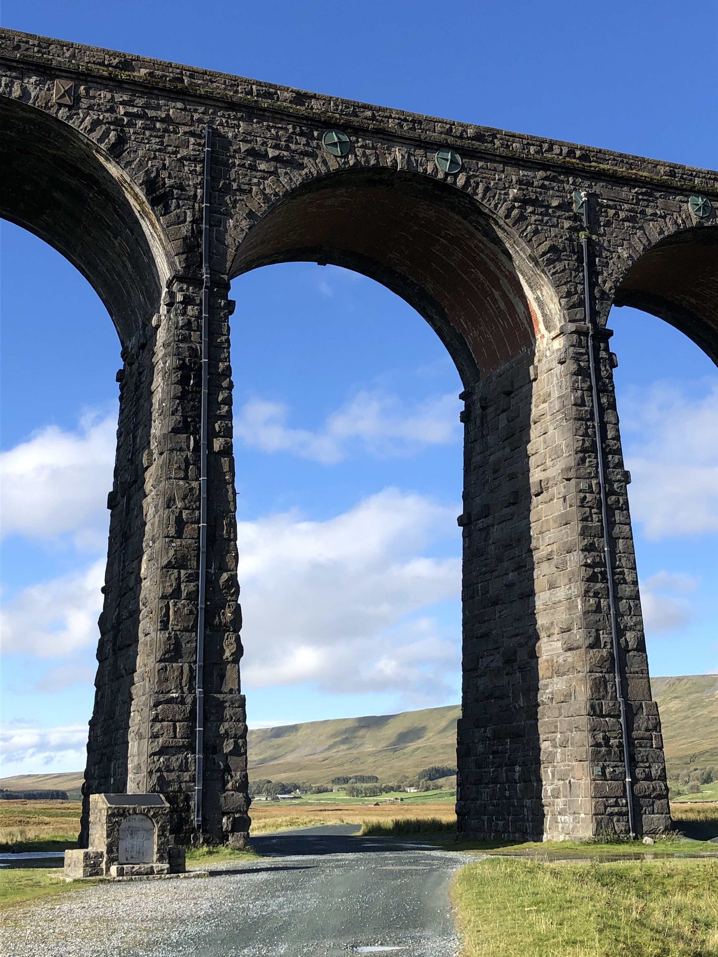
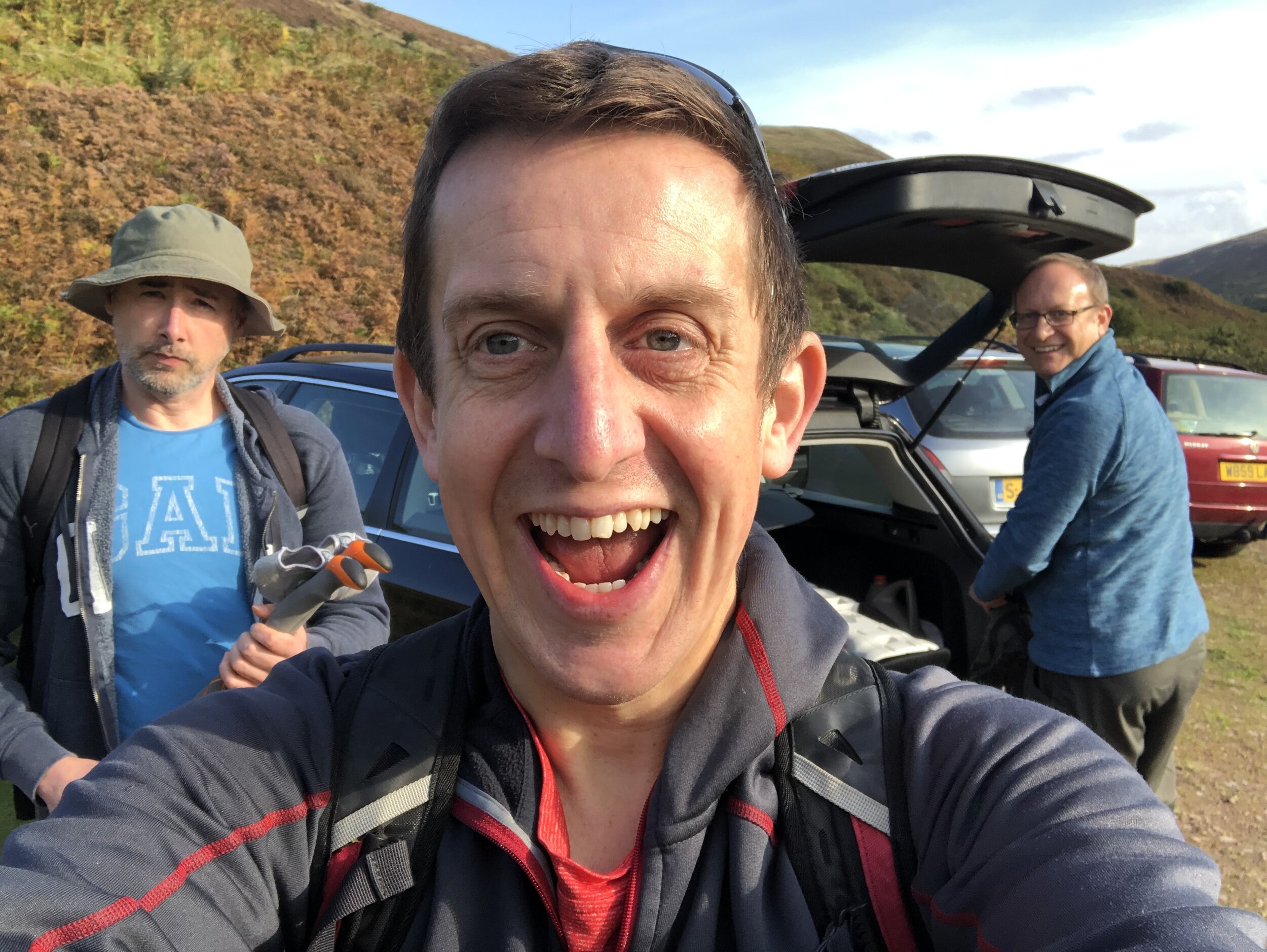
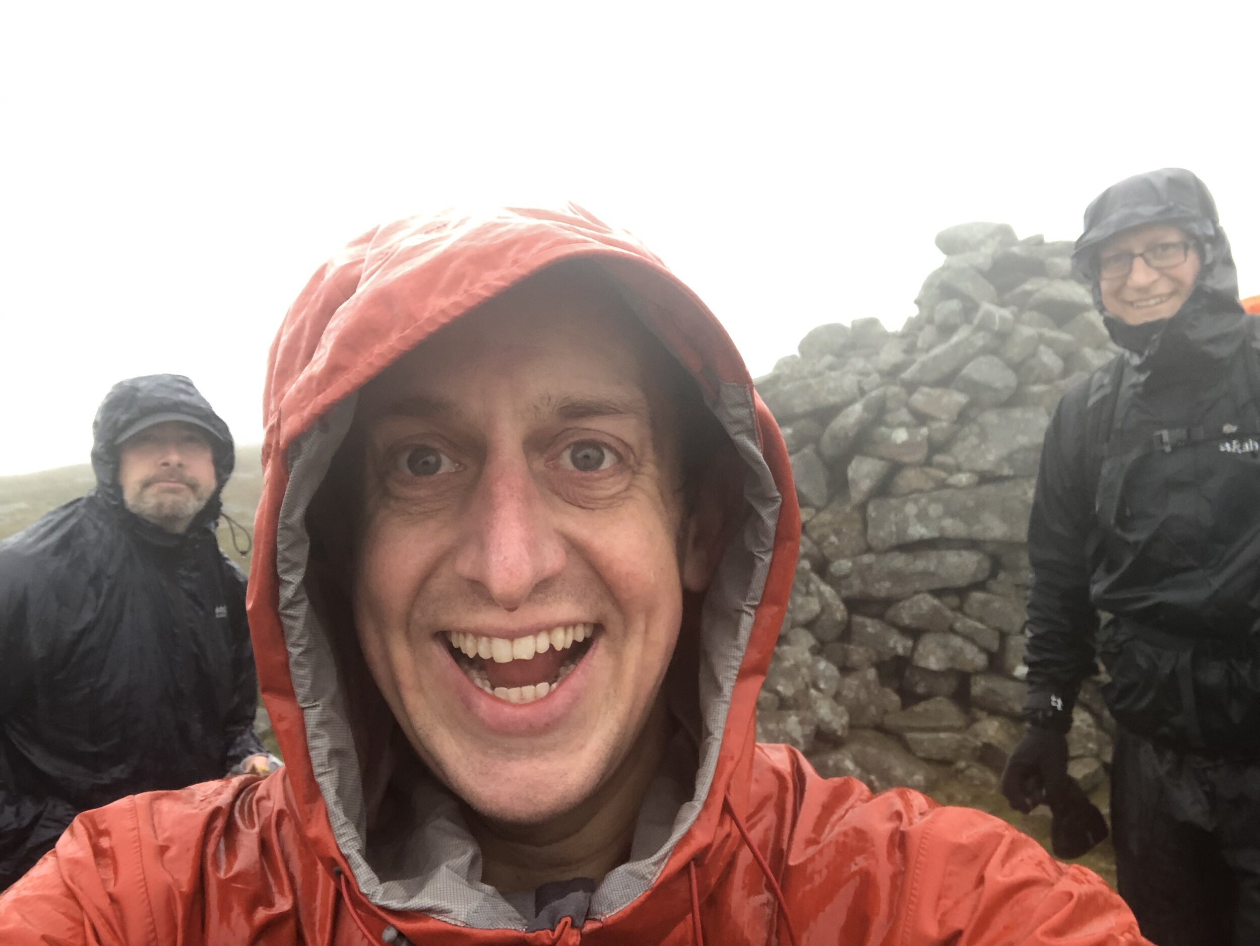
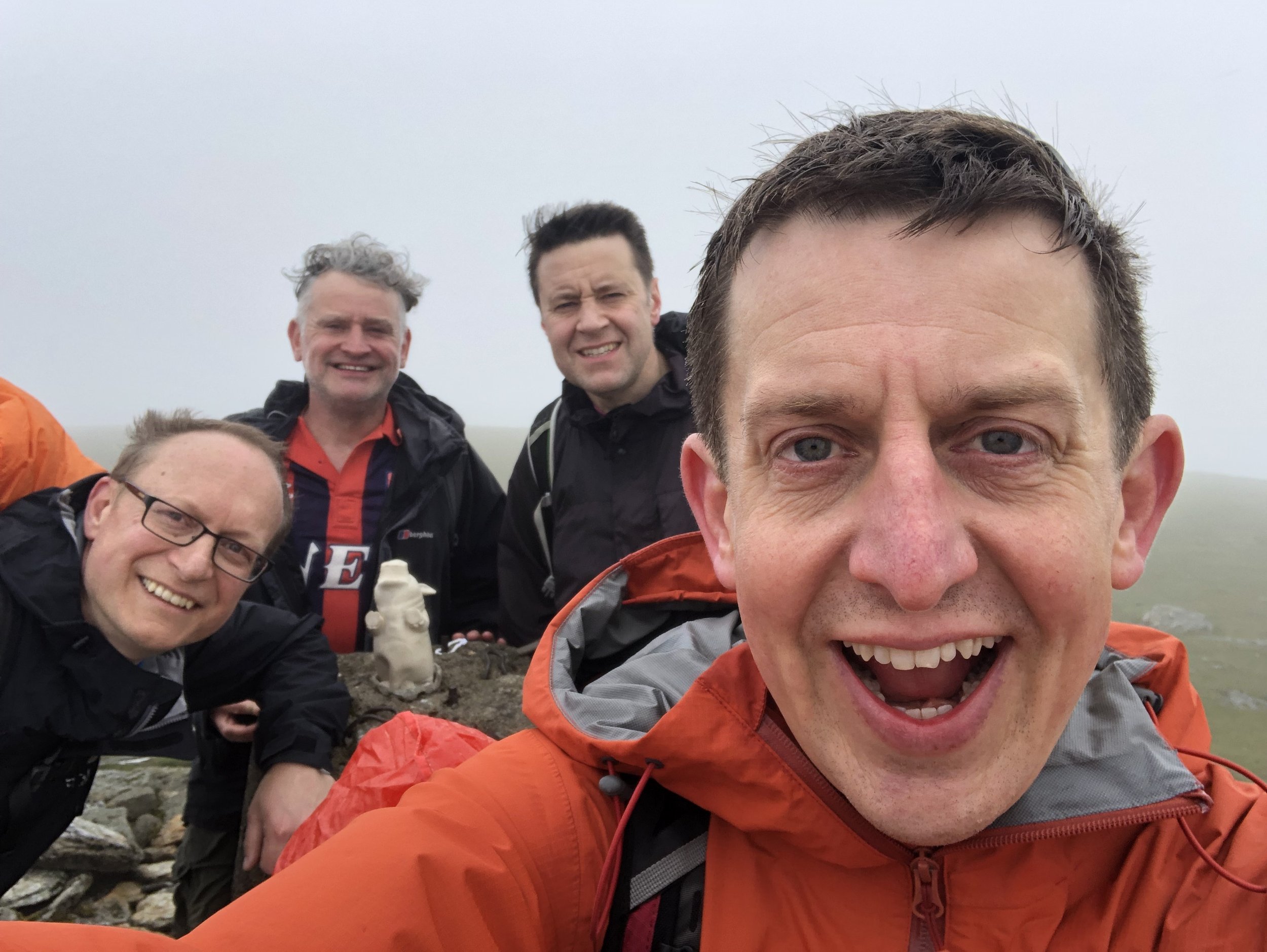
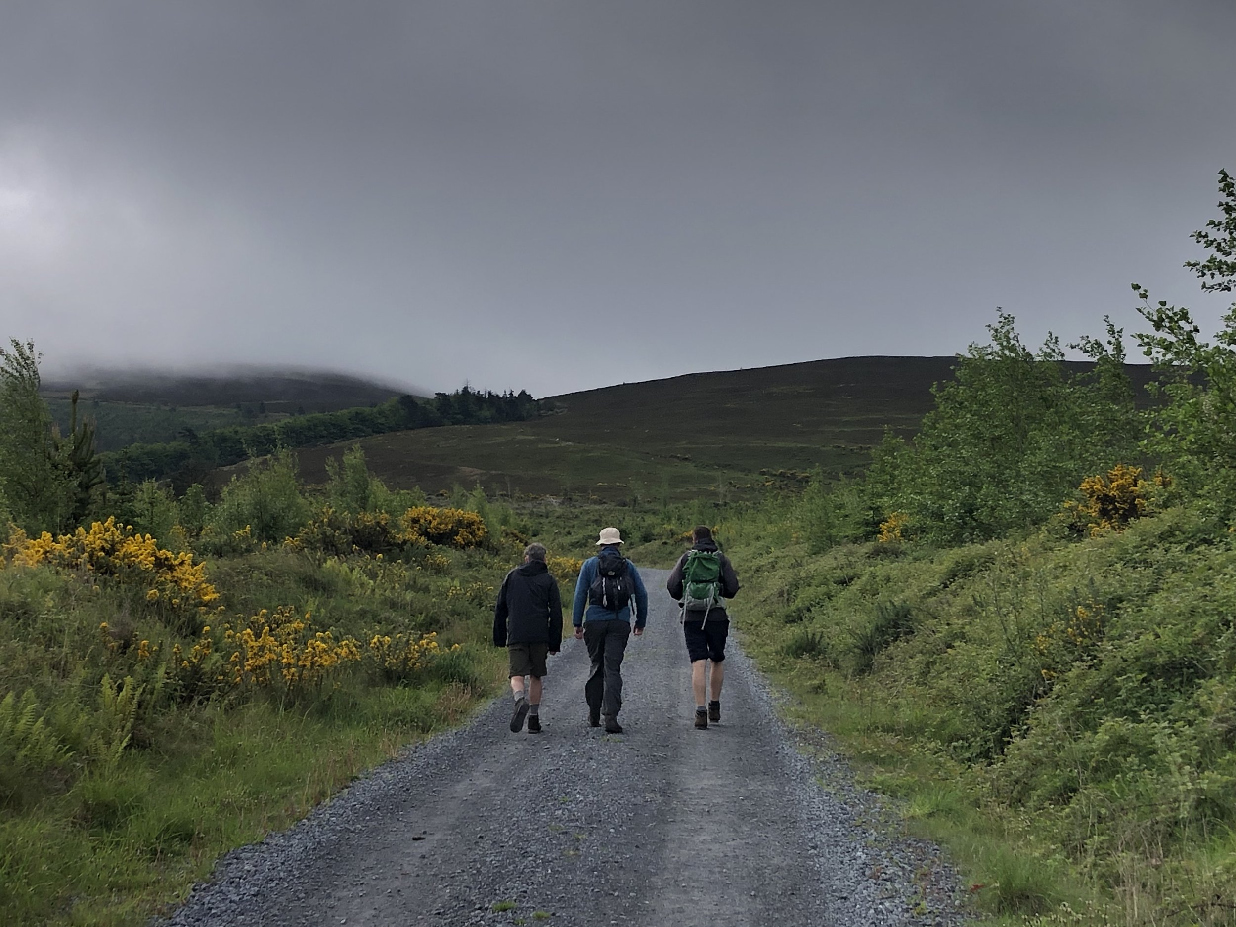
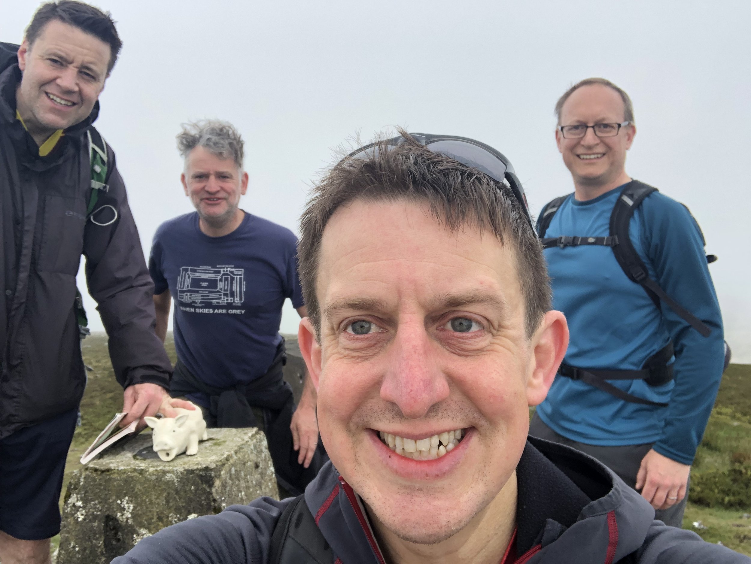
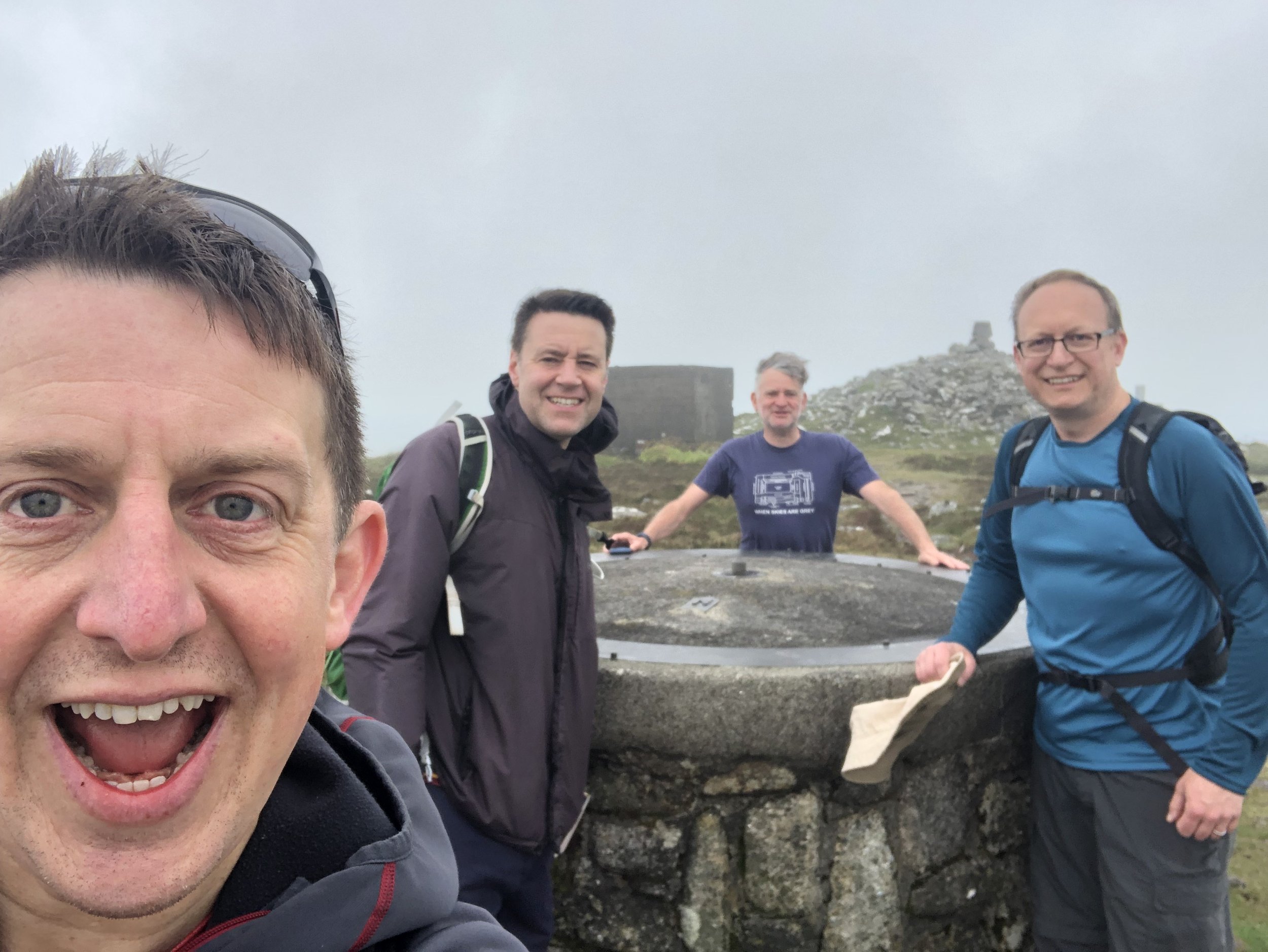
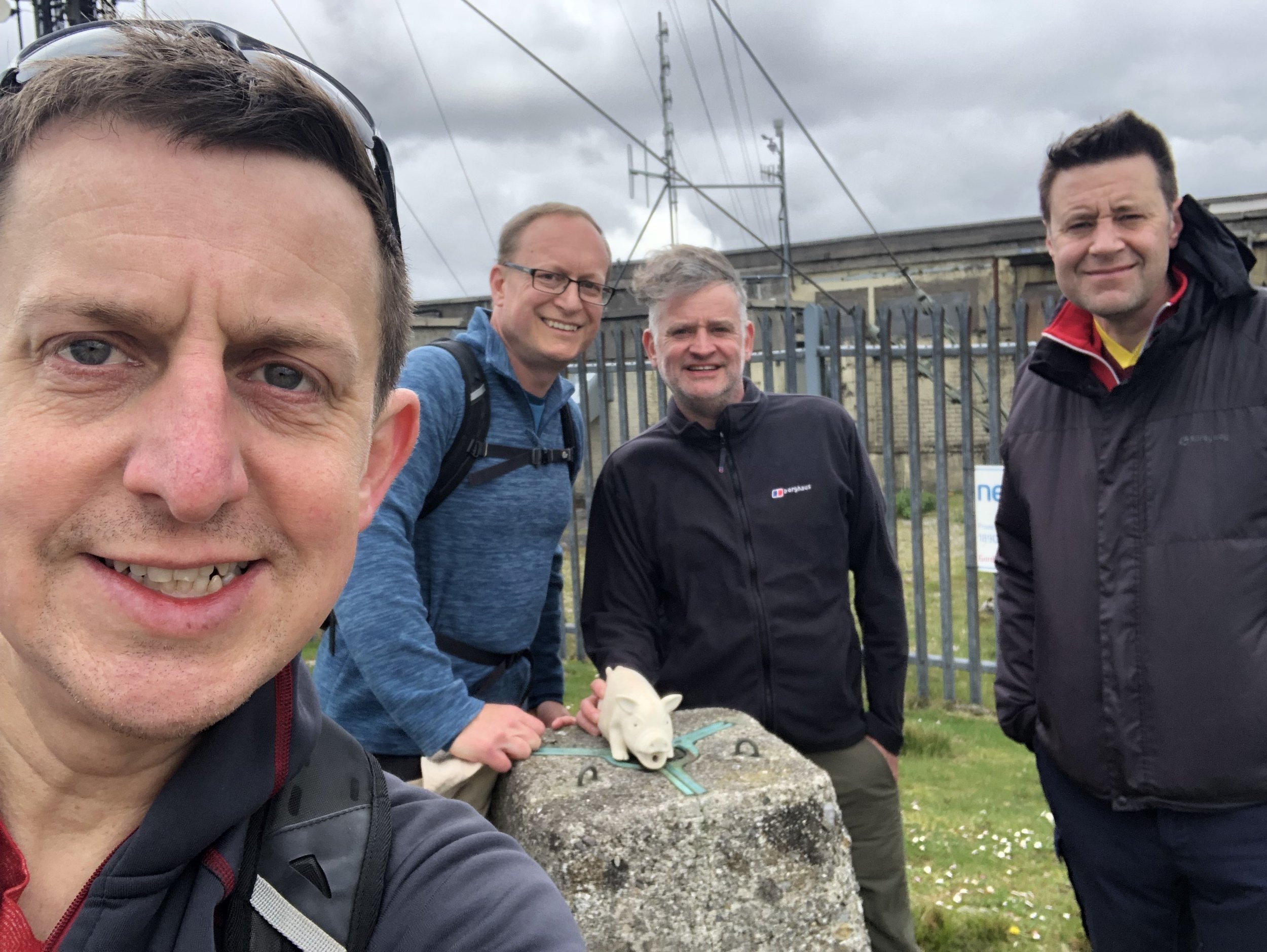
Having completed all historic county tops in England, Wales and Northern Ireland and having made a good start on Scotland, adding in the Irish collection made a lot of sense. My friends Mark, Joel and Matt had already made good progress on the Republic of Ireland and I was very happy to be invited into their newest County Top bagging trip.
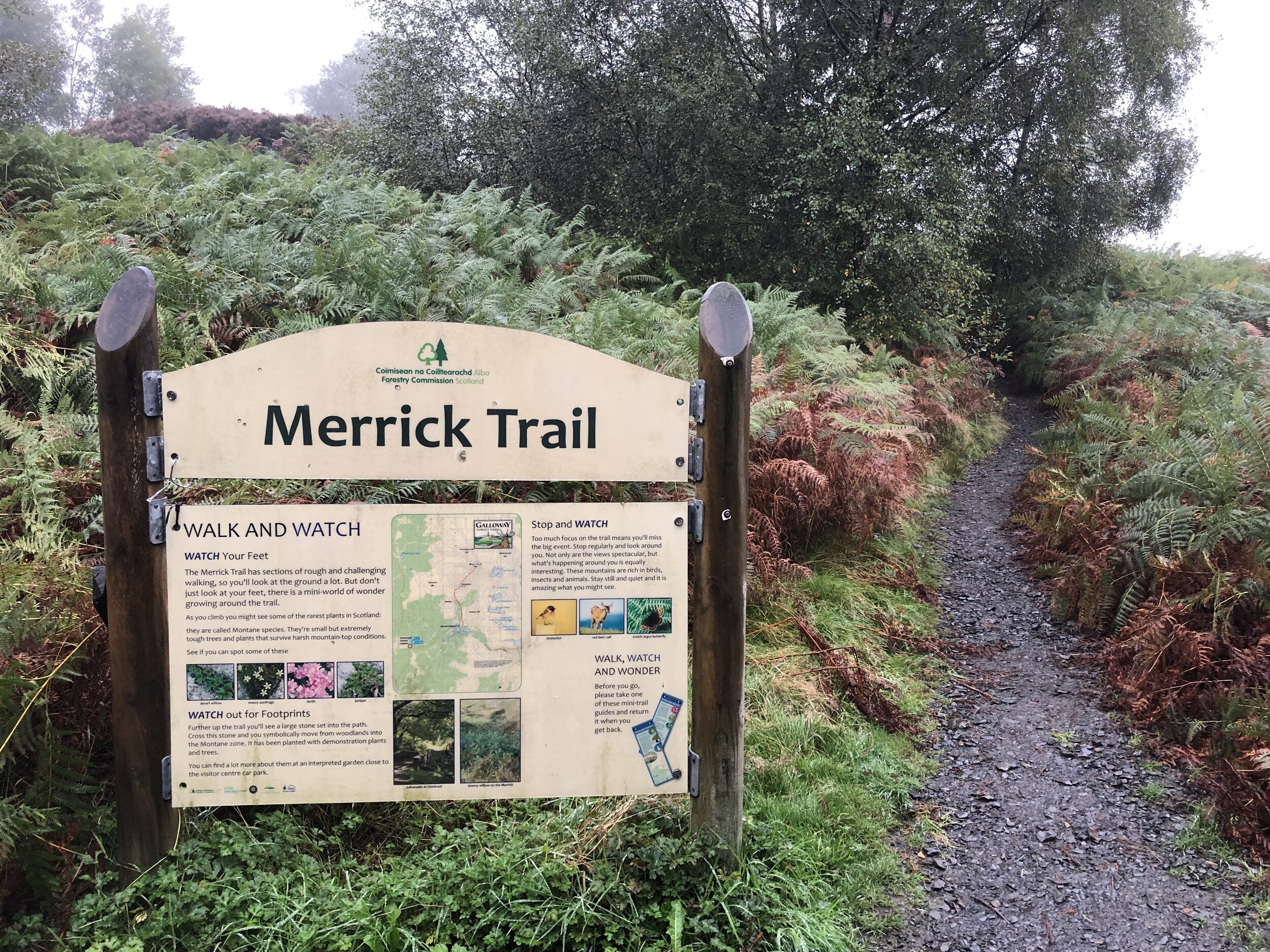
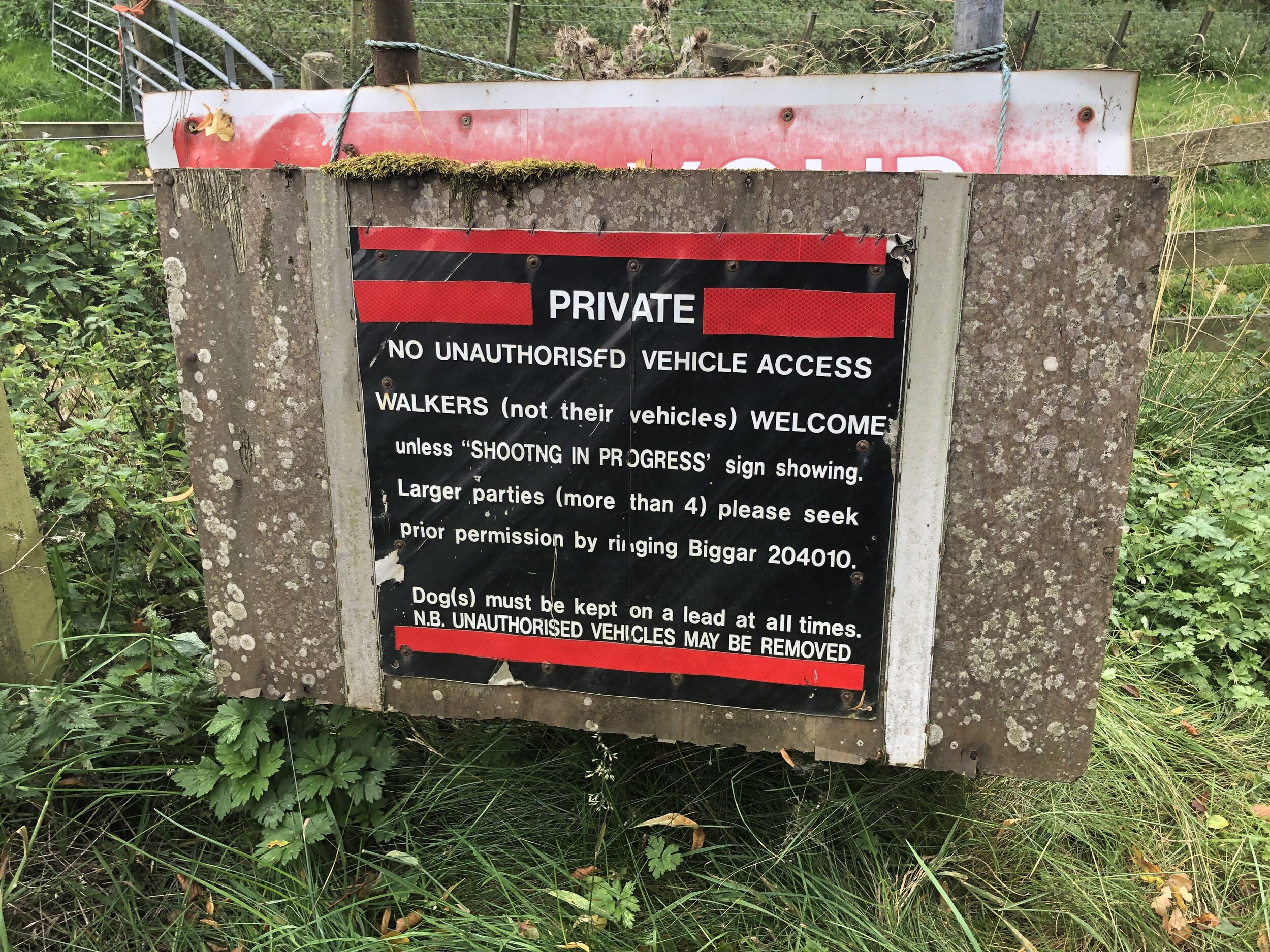
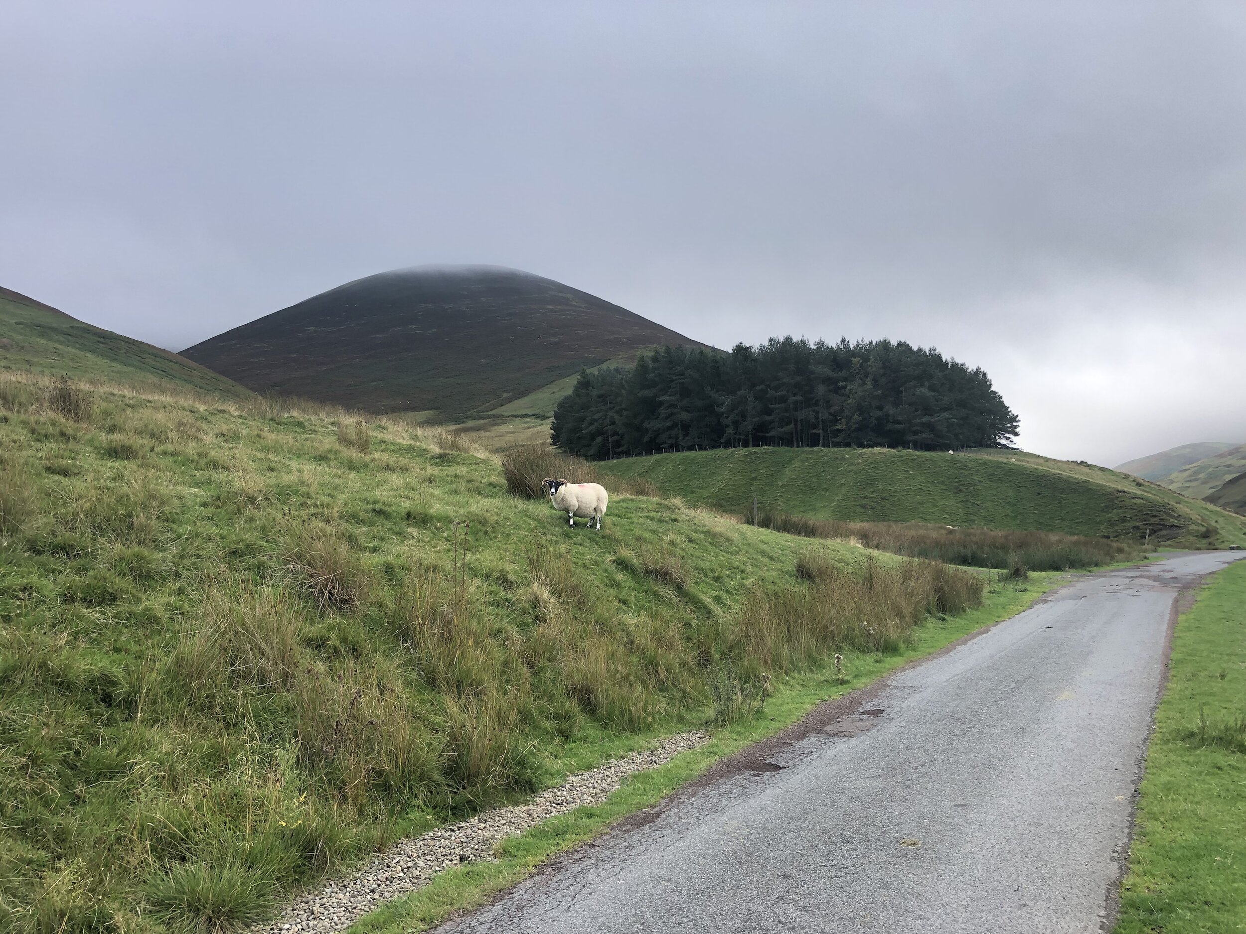
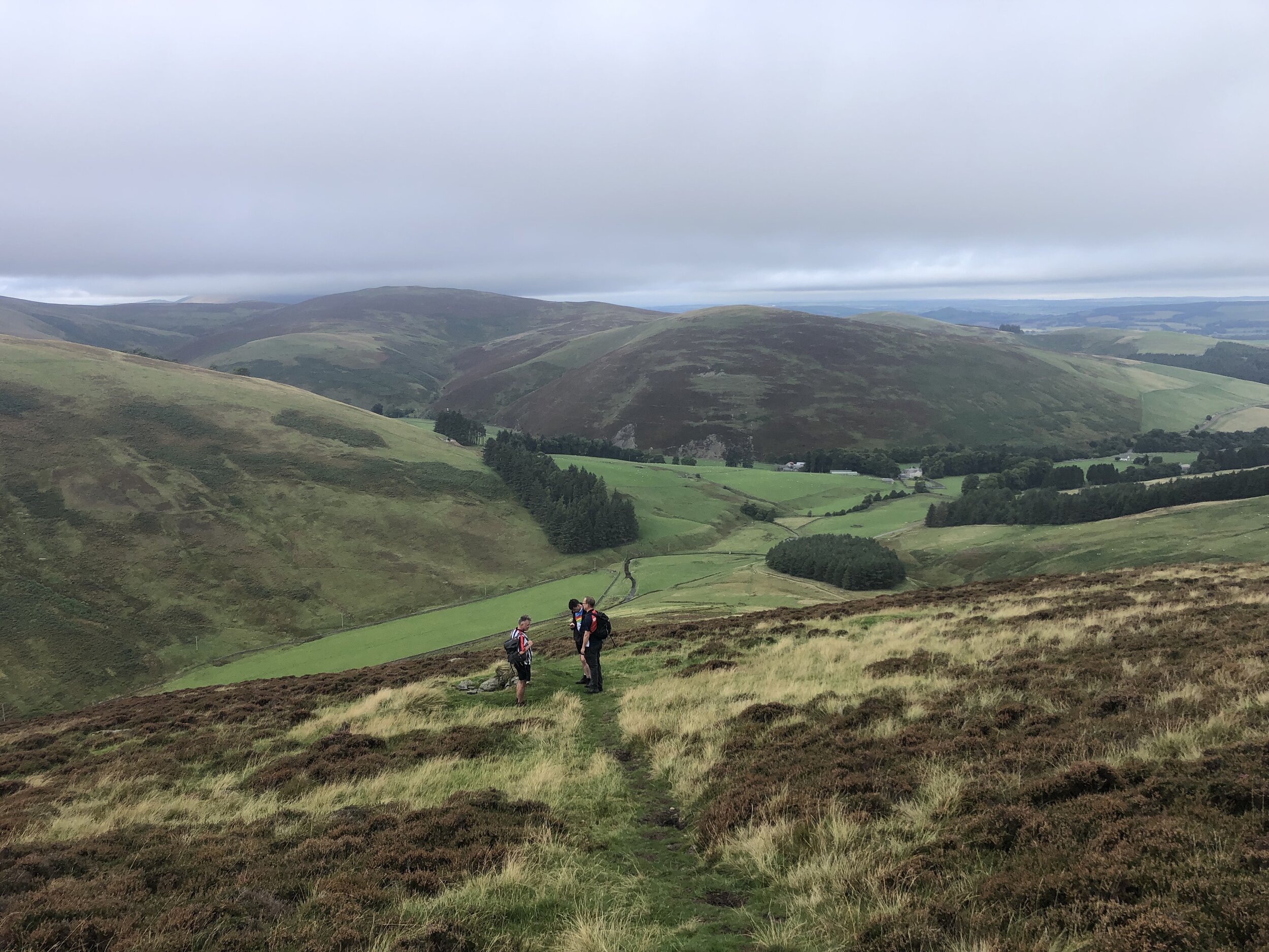
This was a extremely well planned (by Joel) weekend covering 5 peaks in 6 counties plus a parkrun to kick off the Saturday. We used the excellent book by Kieron Gribbon as a route planning guide. I won’t repeat any of the route details here as the book covers them extremely well. Walking distances and elevation gains listed here are from my own Garmin and may differ slightly from those in the book.
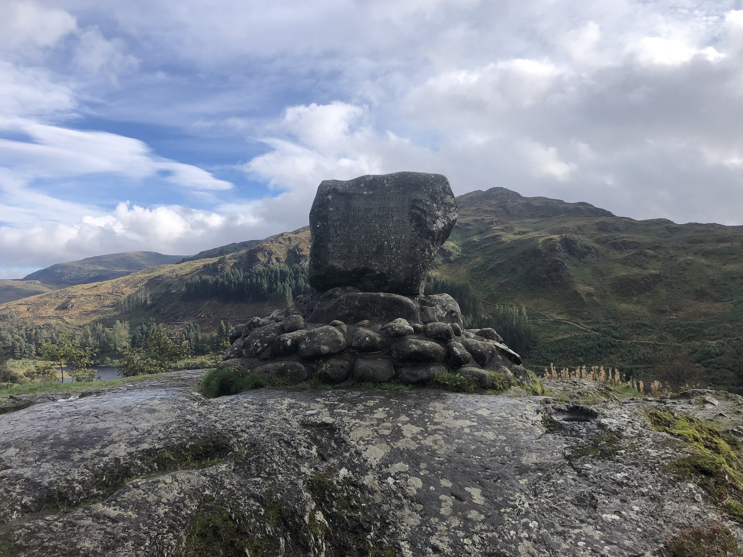
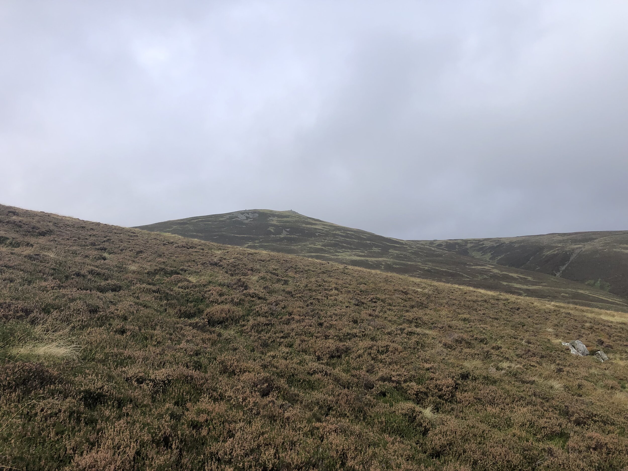
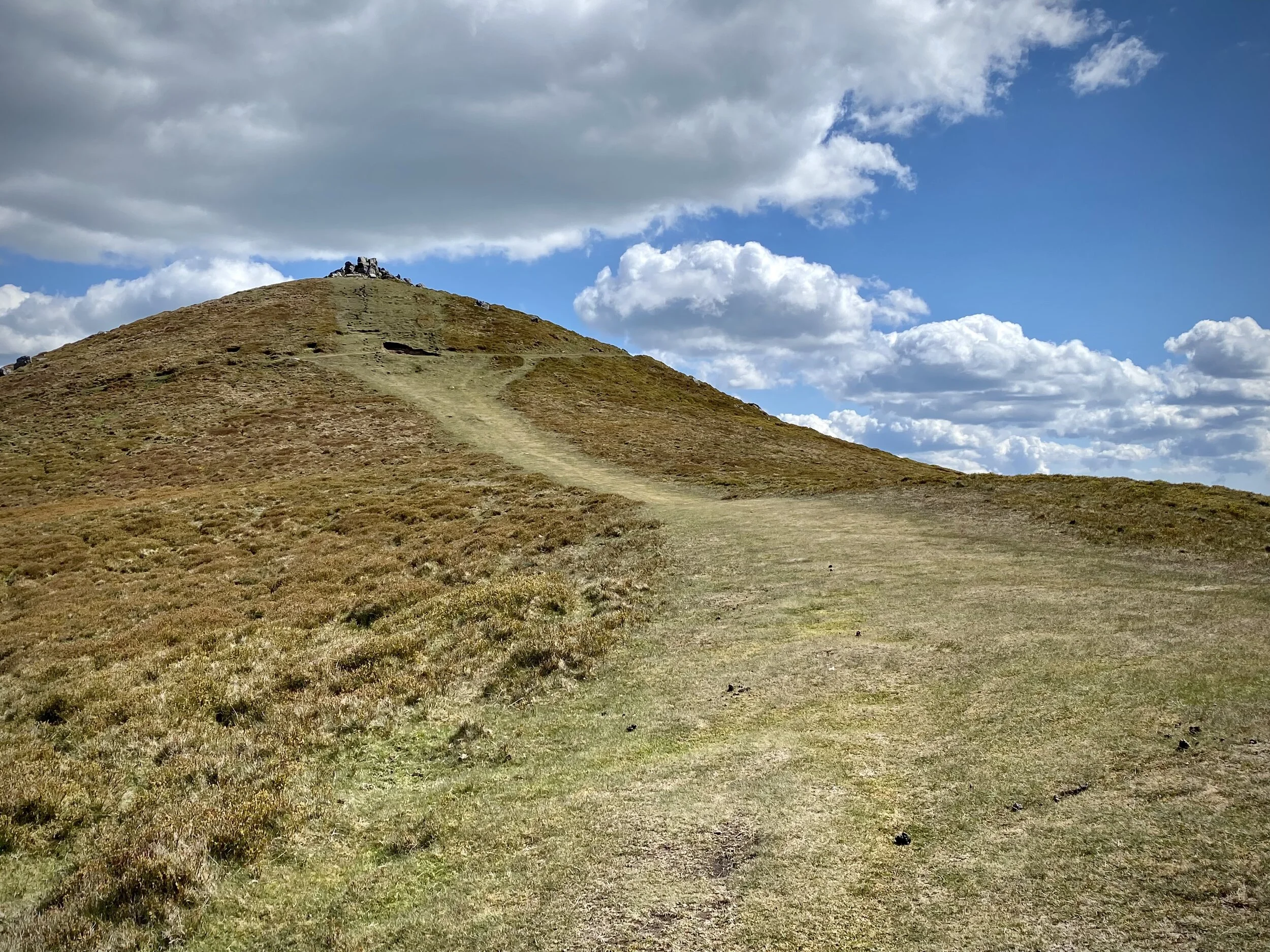
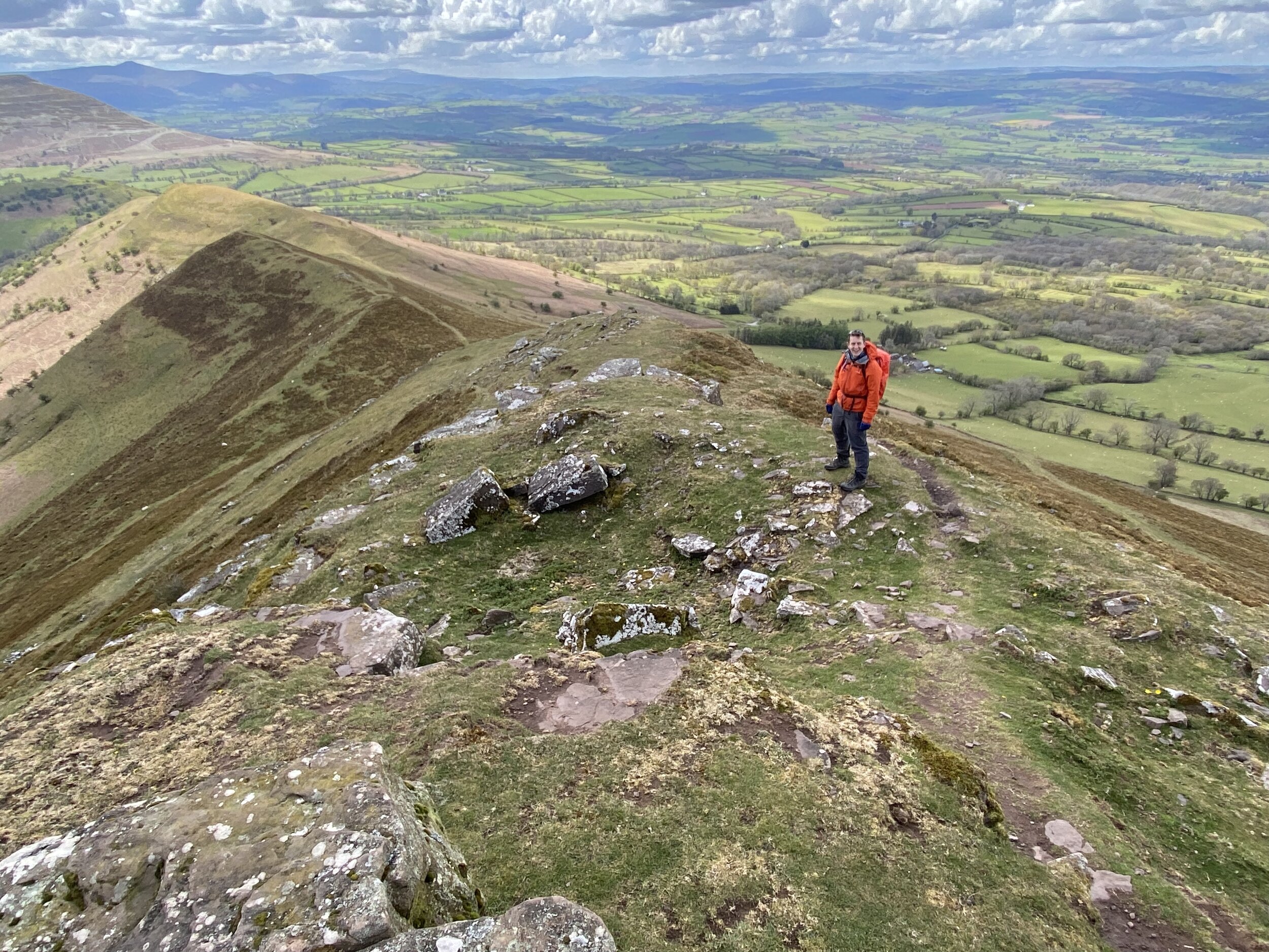
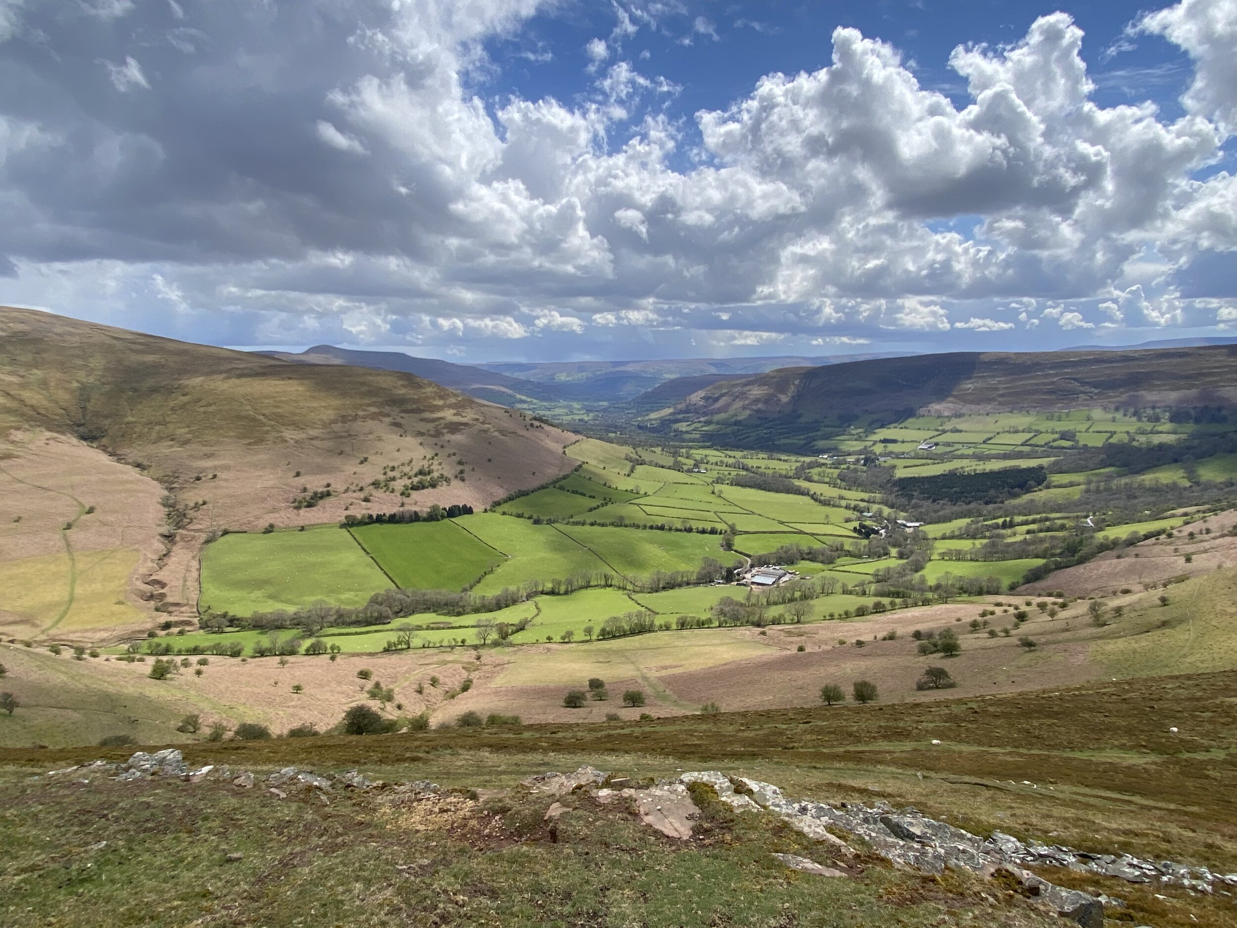
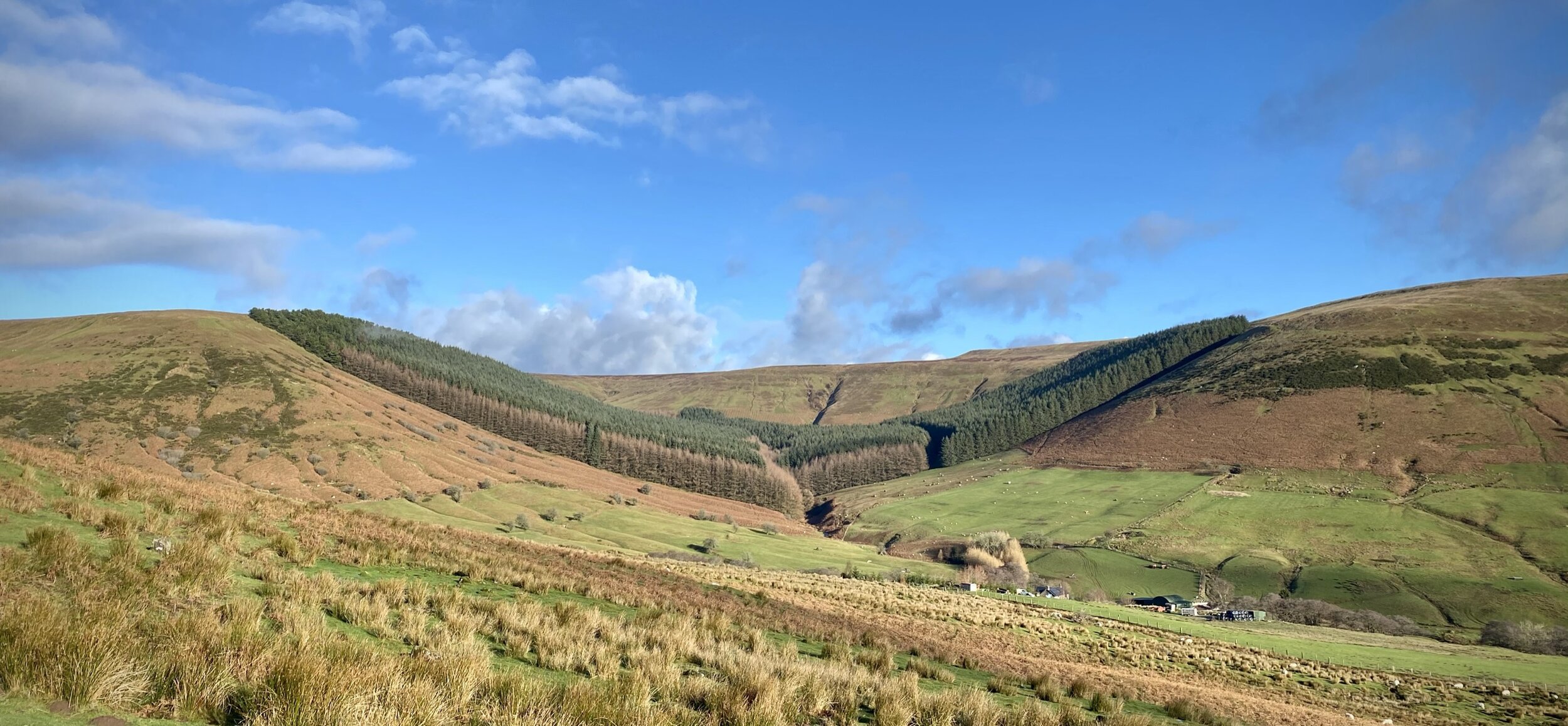
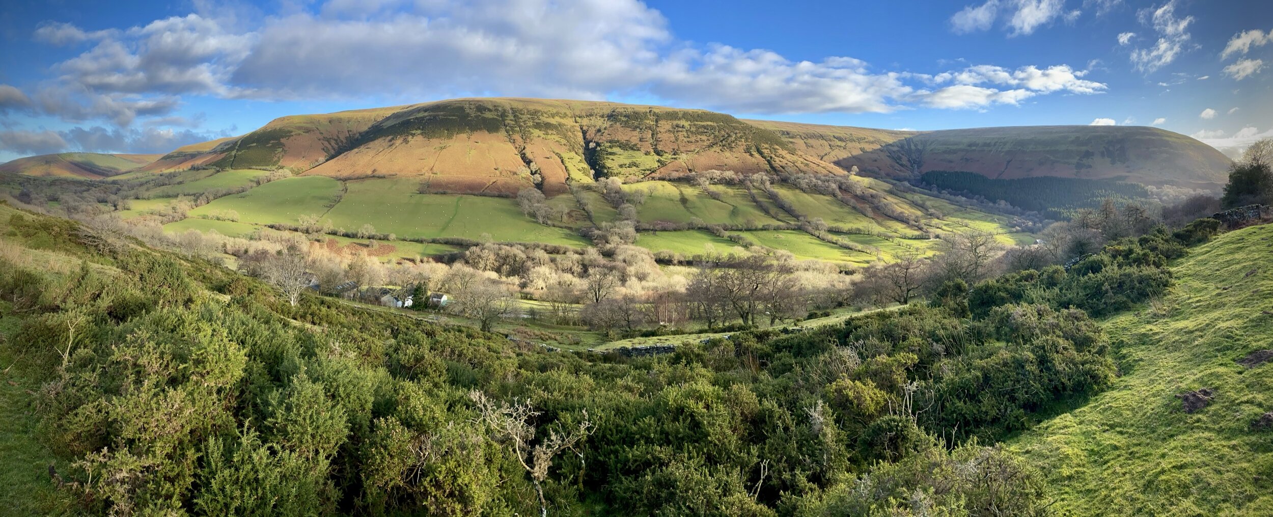
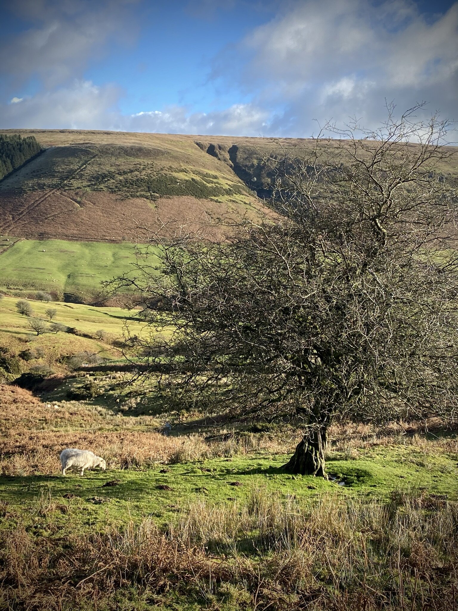
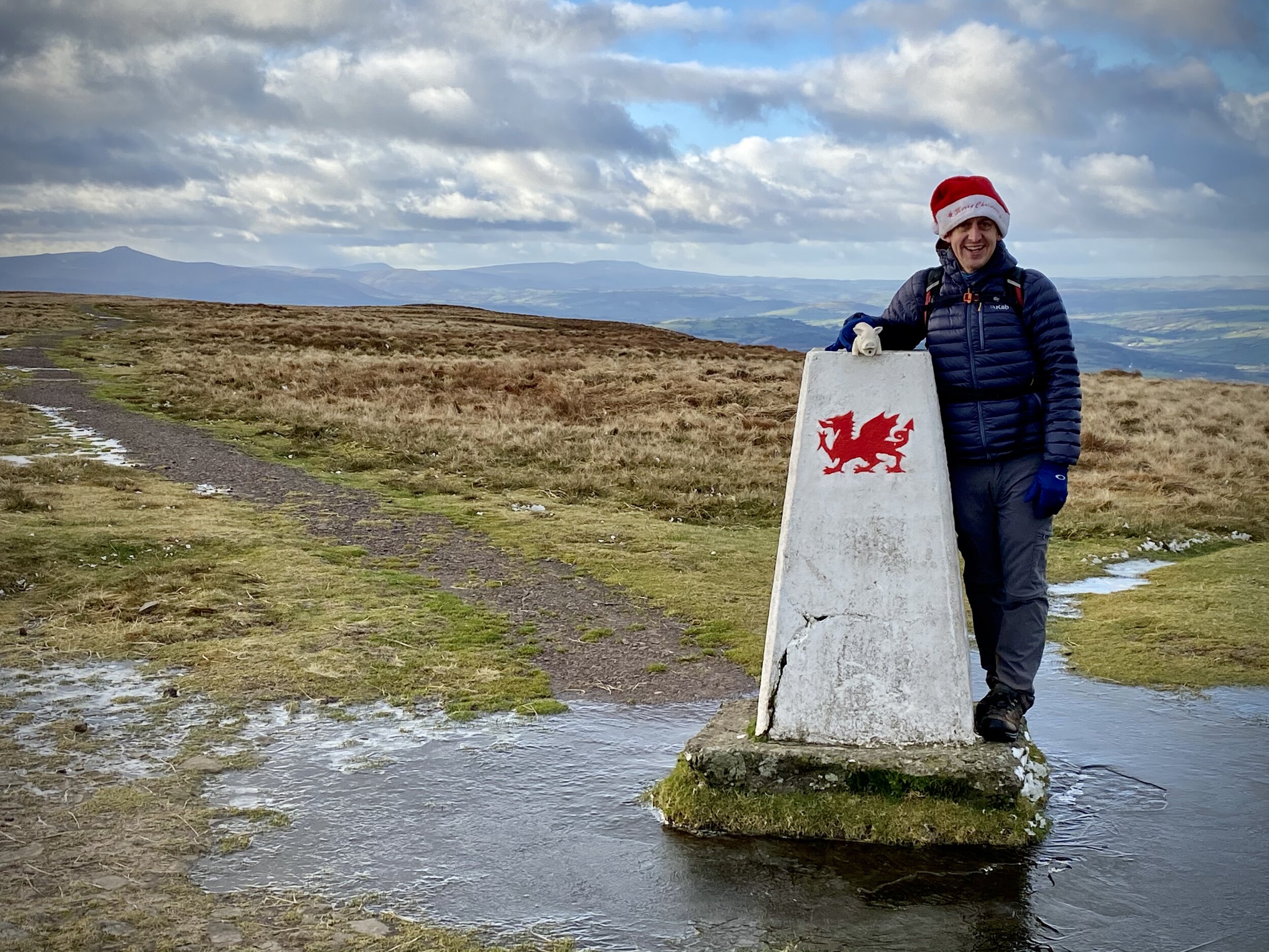
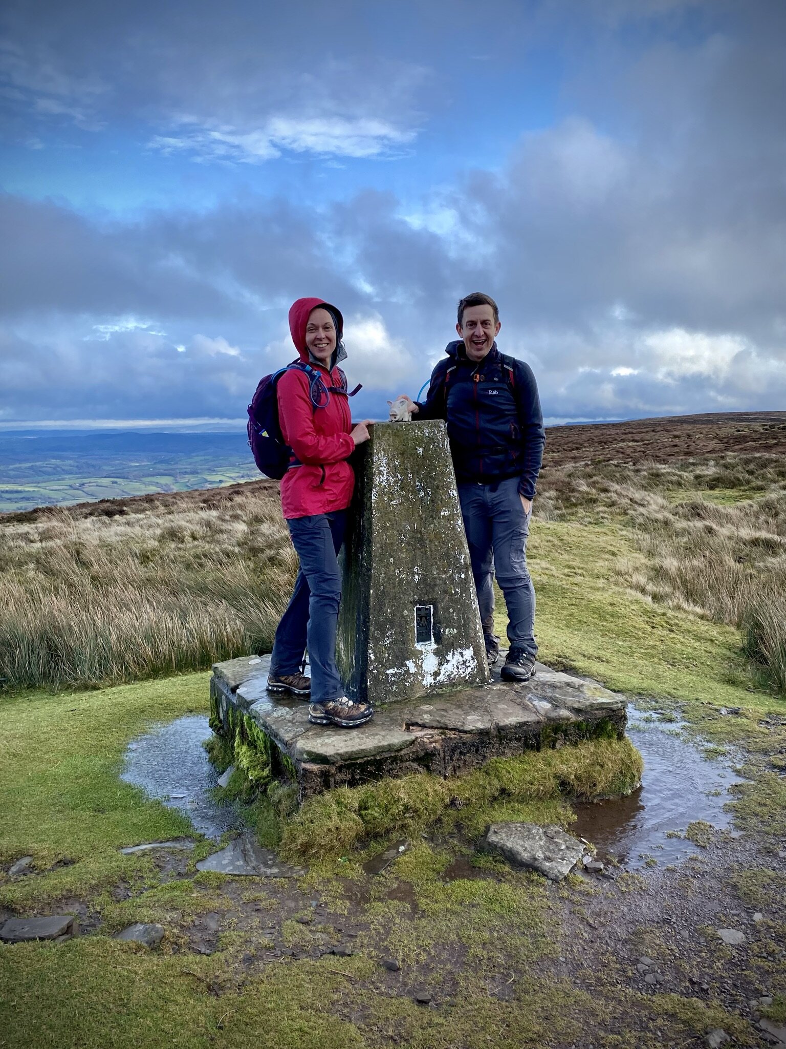
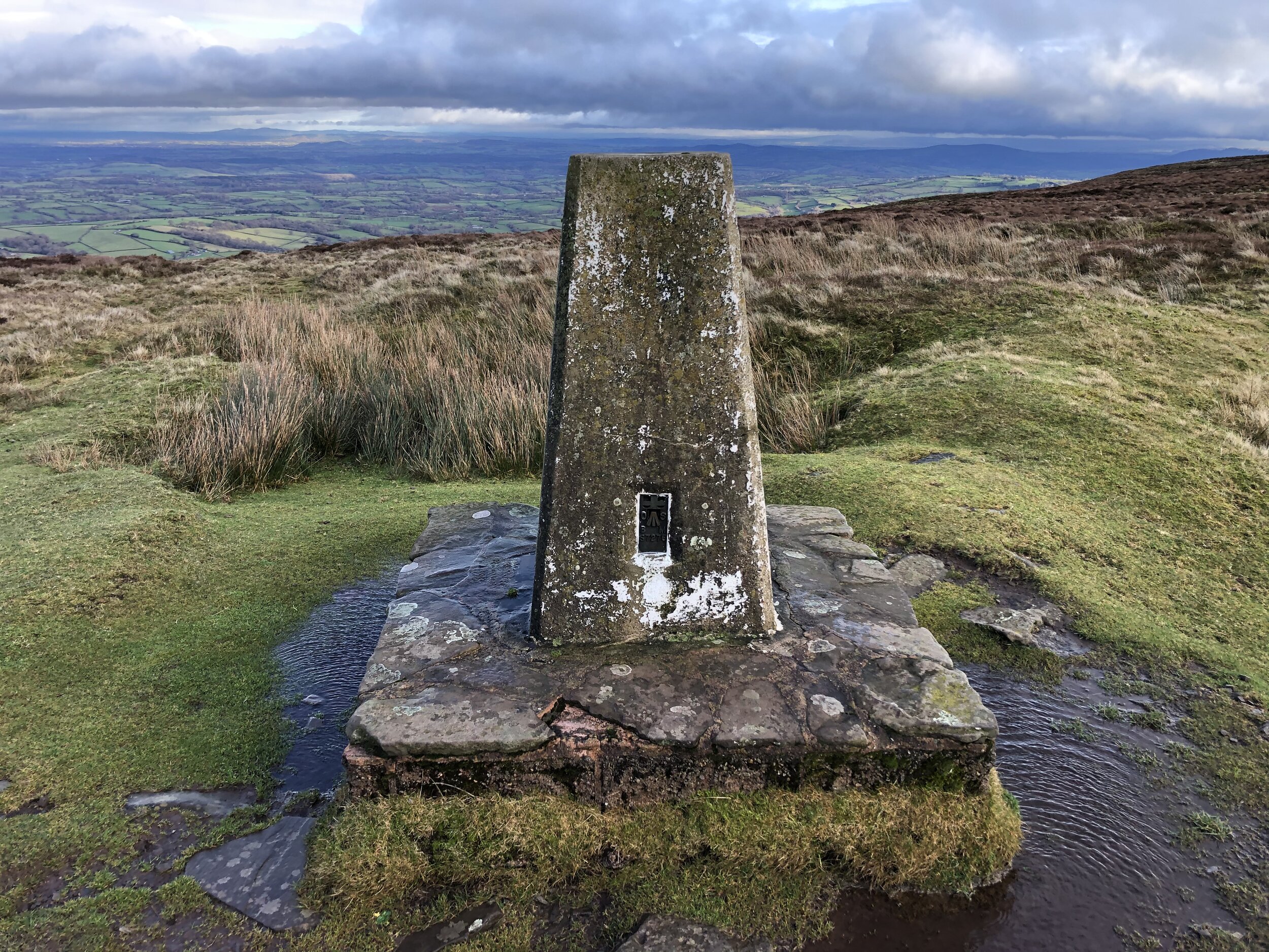
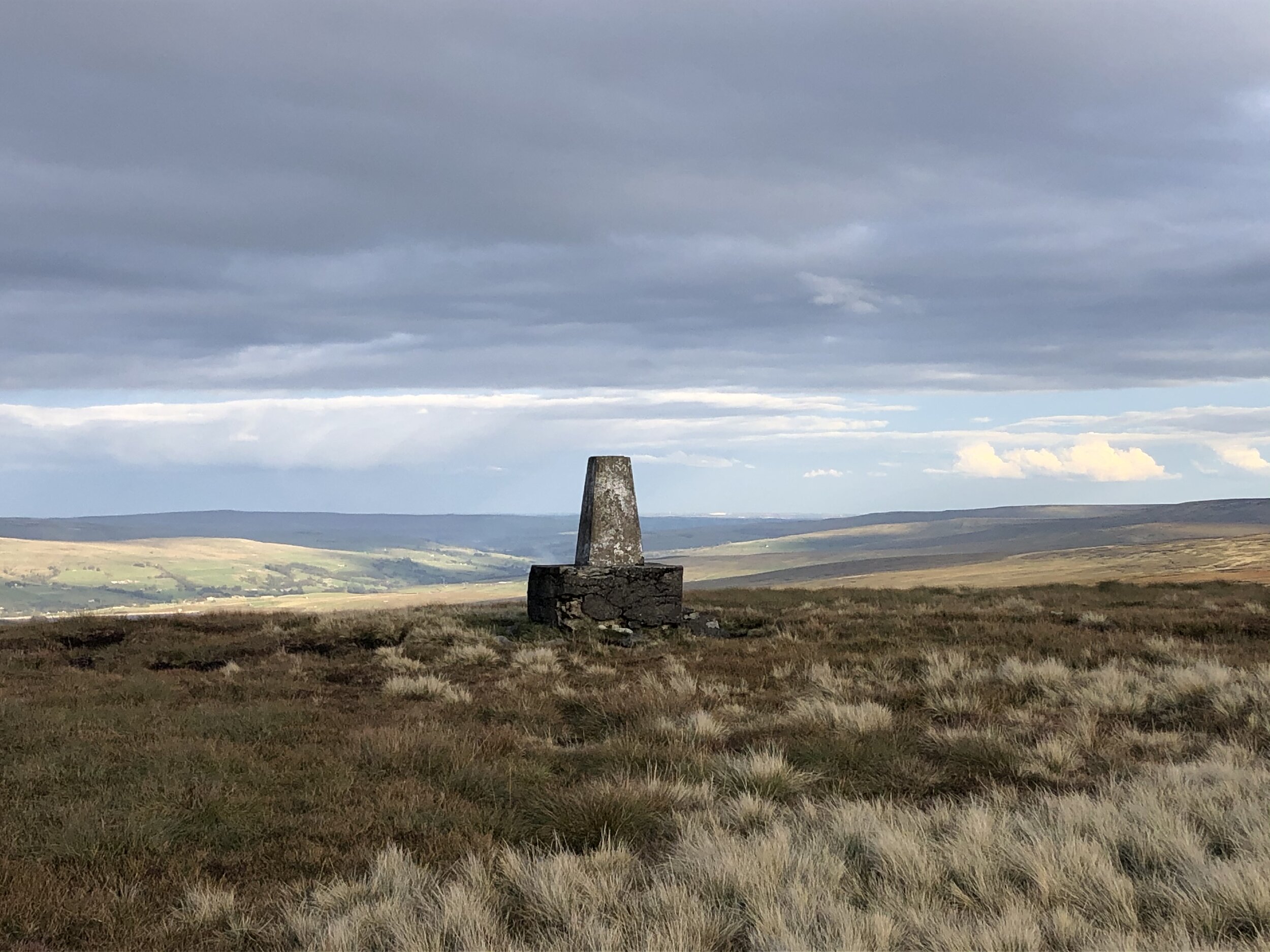
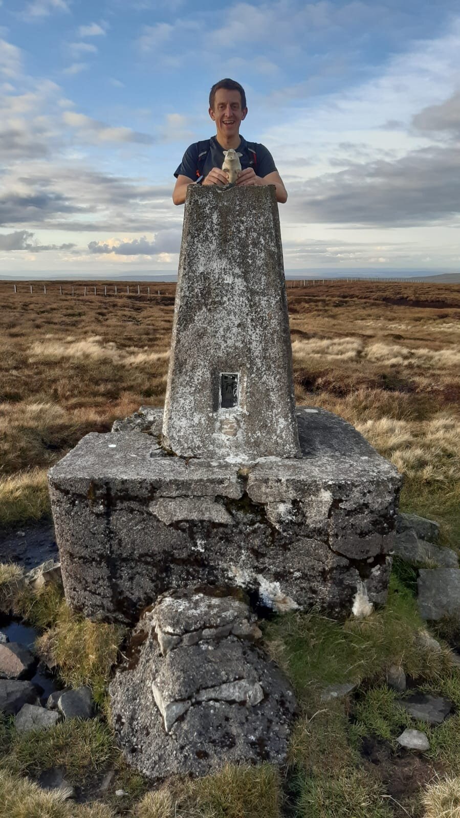
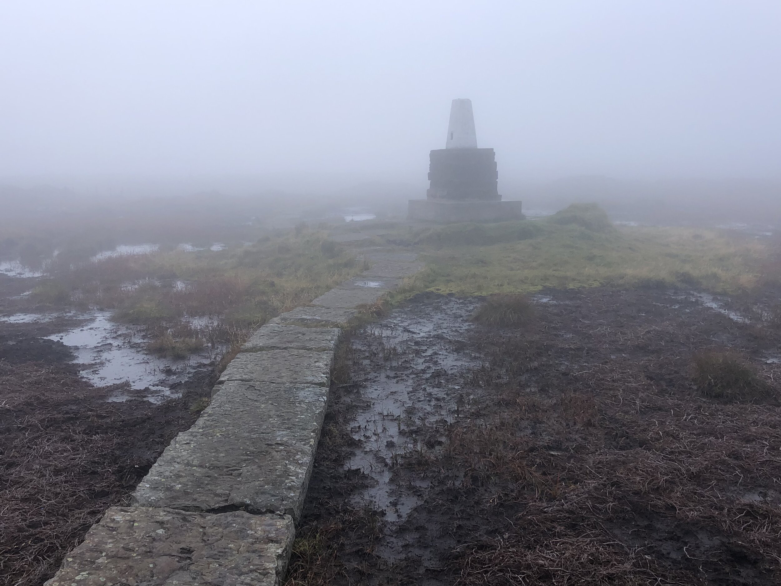
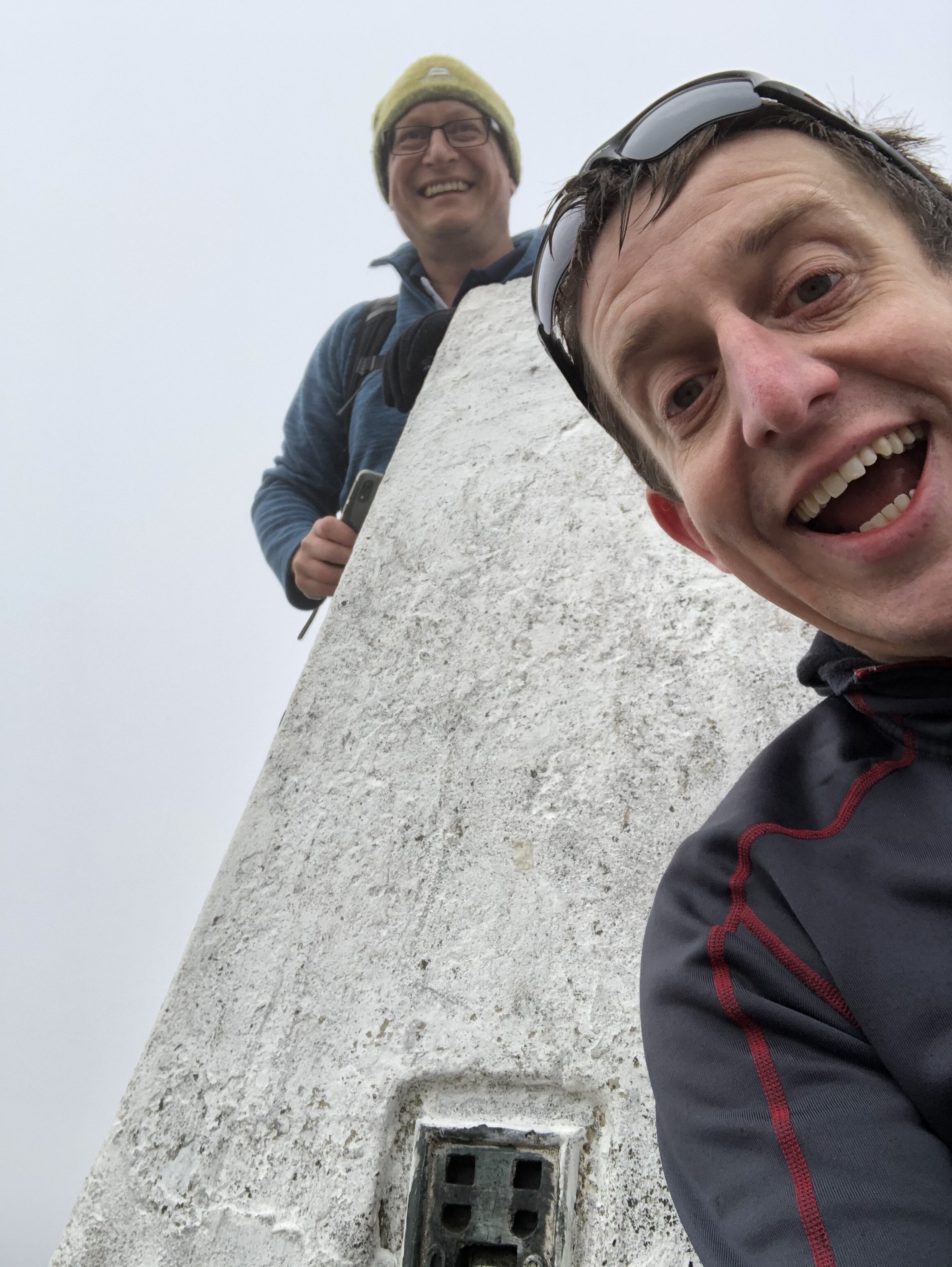
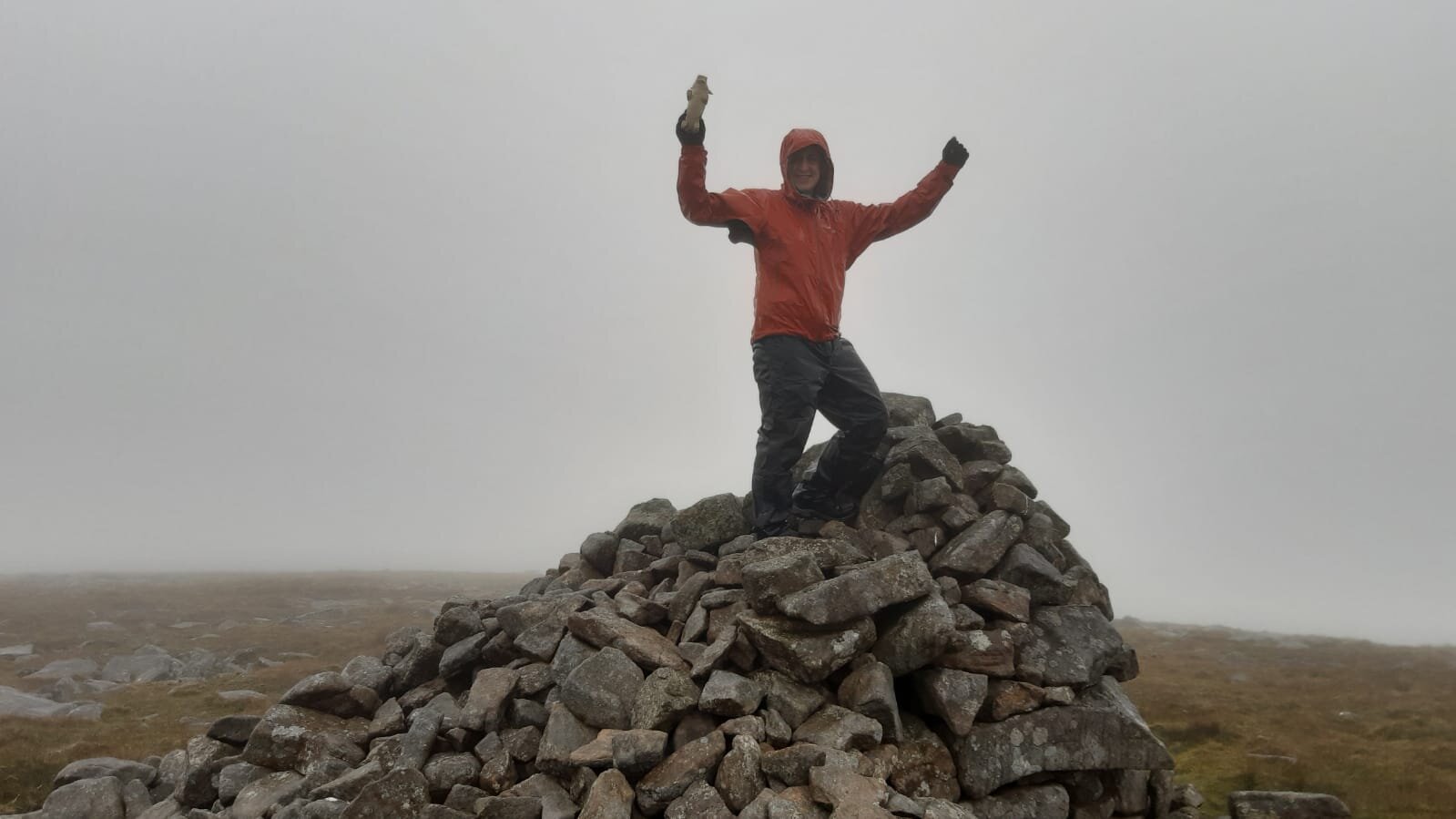
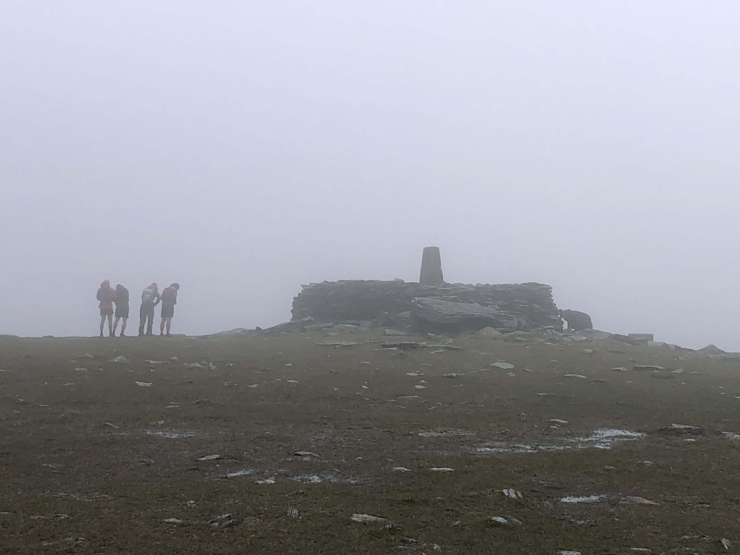
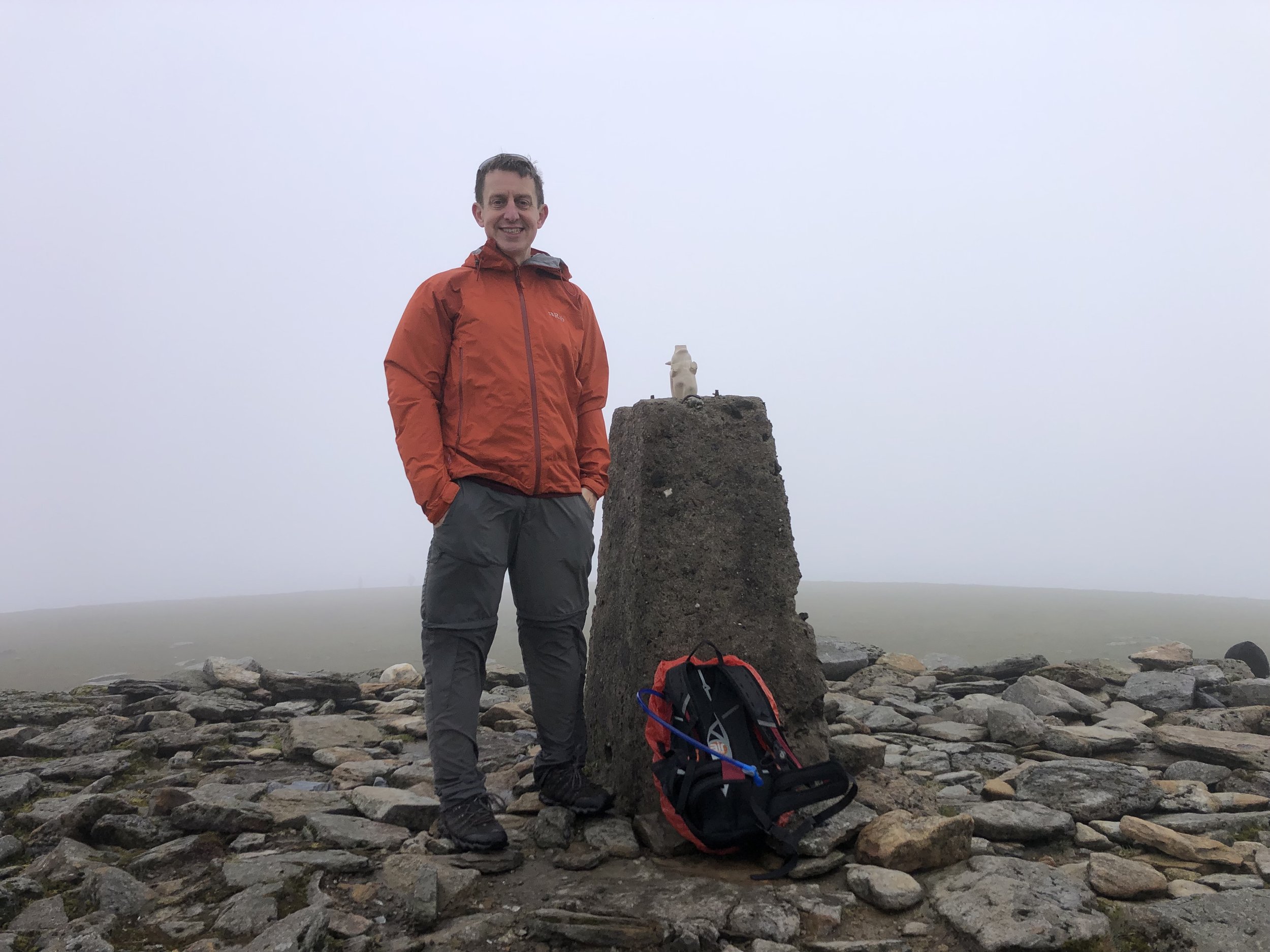
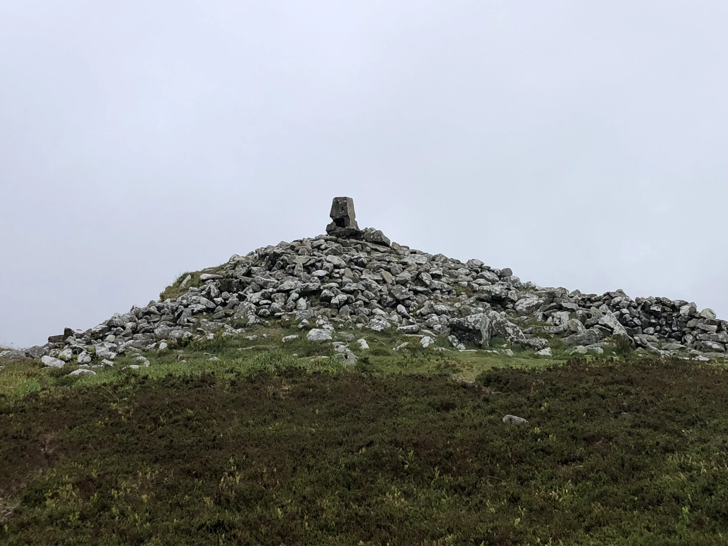
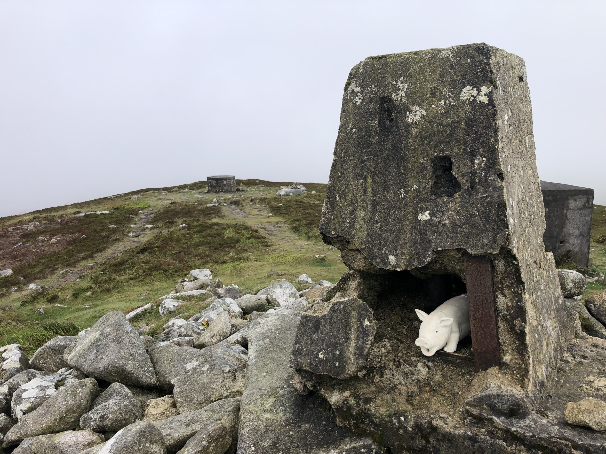
Lugnaquillia Mountain
Also known as: Log na Coille
Significance: Highest peak in County Wicklow (Historic CT)
Member of: P600, Marilyn, Furth, 100 Highest Irish Mountains, Hewitt, Arderin, Simm, Vandeleur-Lynam
Parent Peak: Peak 931. NHN = Peak 931
Elevation: 925m
Date climbed: May 21st 2022
Coordinates: 52° 58' 2'' N, 6° 27' 53'' W
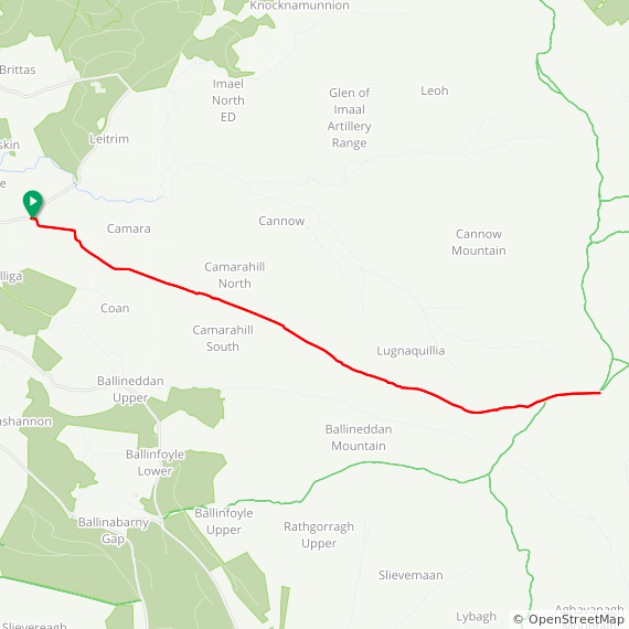
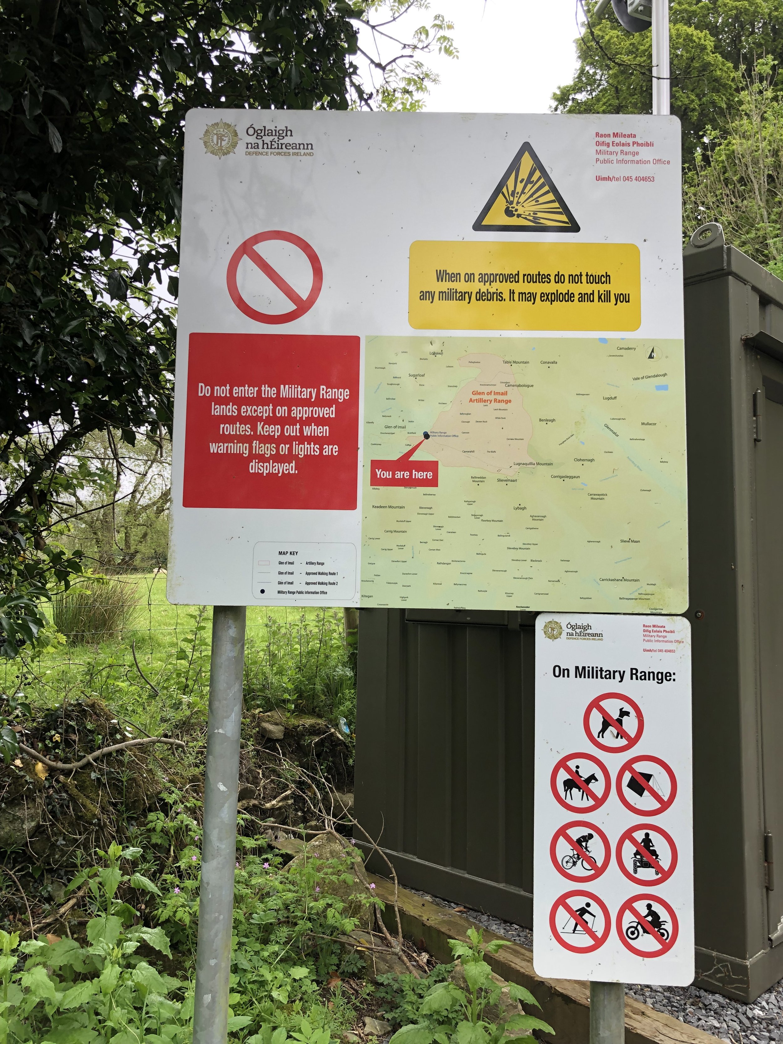
Route Start / End: Parking area next to Fenton's Imaal Bar & Lounge Glen of Imaal Bar, Colliga, Co. Wicklow
Route Distance: 13.2 km (8.2 miles)
Route Elevation Change: +/- 722m
Subsidiary tops on route: Camerahill (477m)
GPX File: get via Buy Me a Coffee
Other routes touched: none
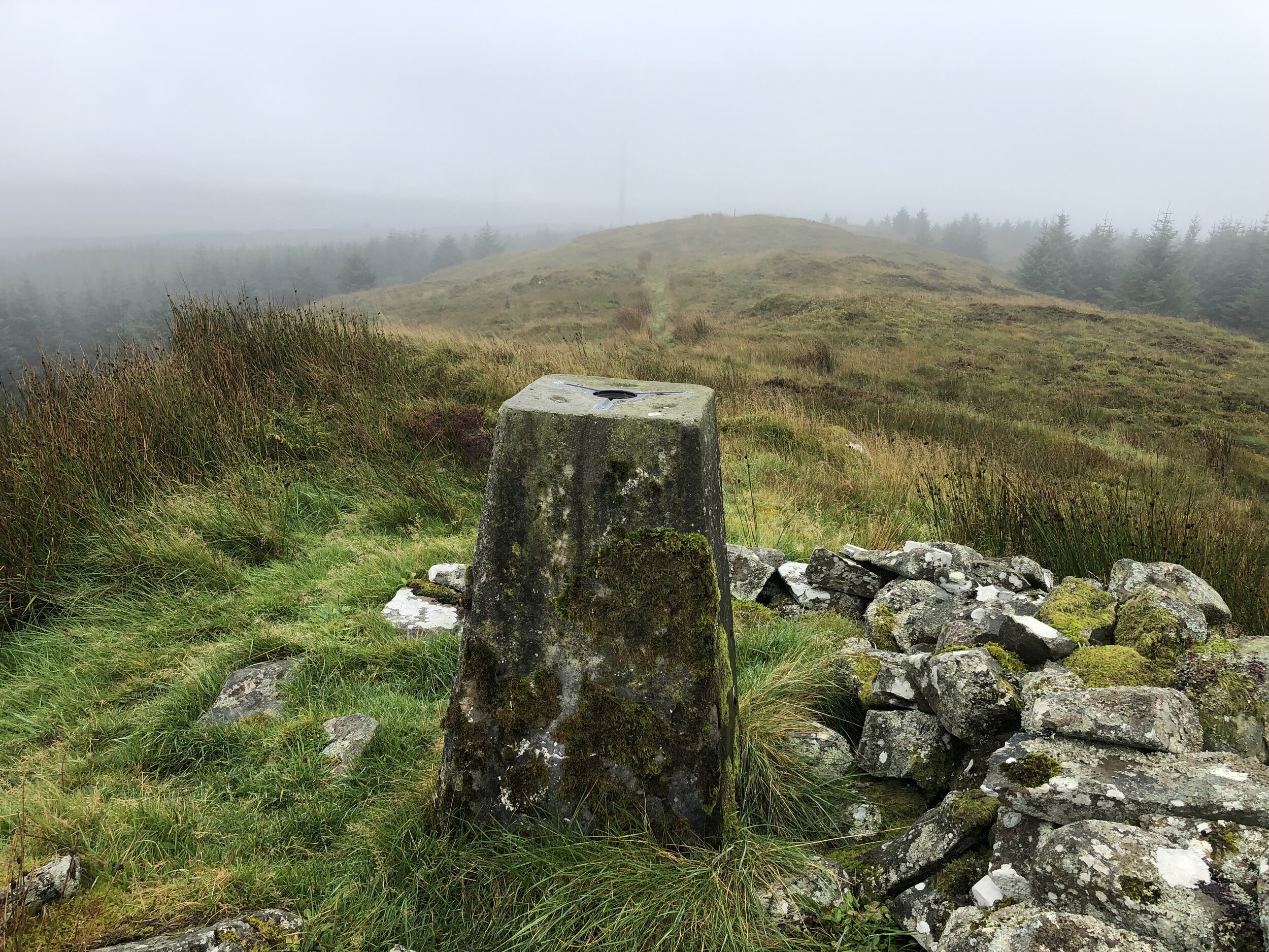
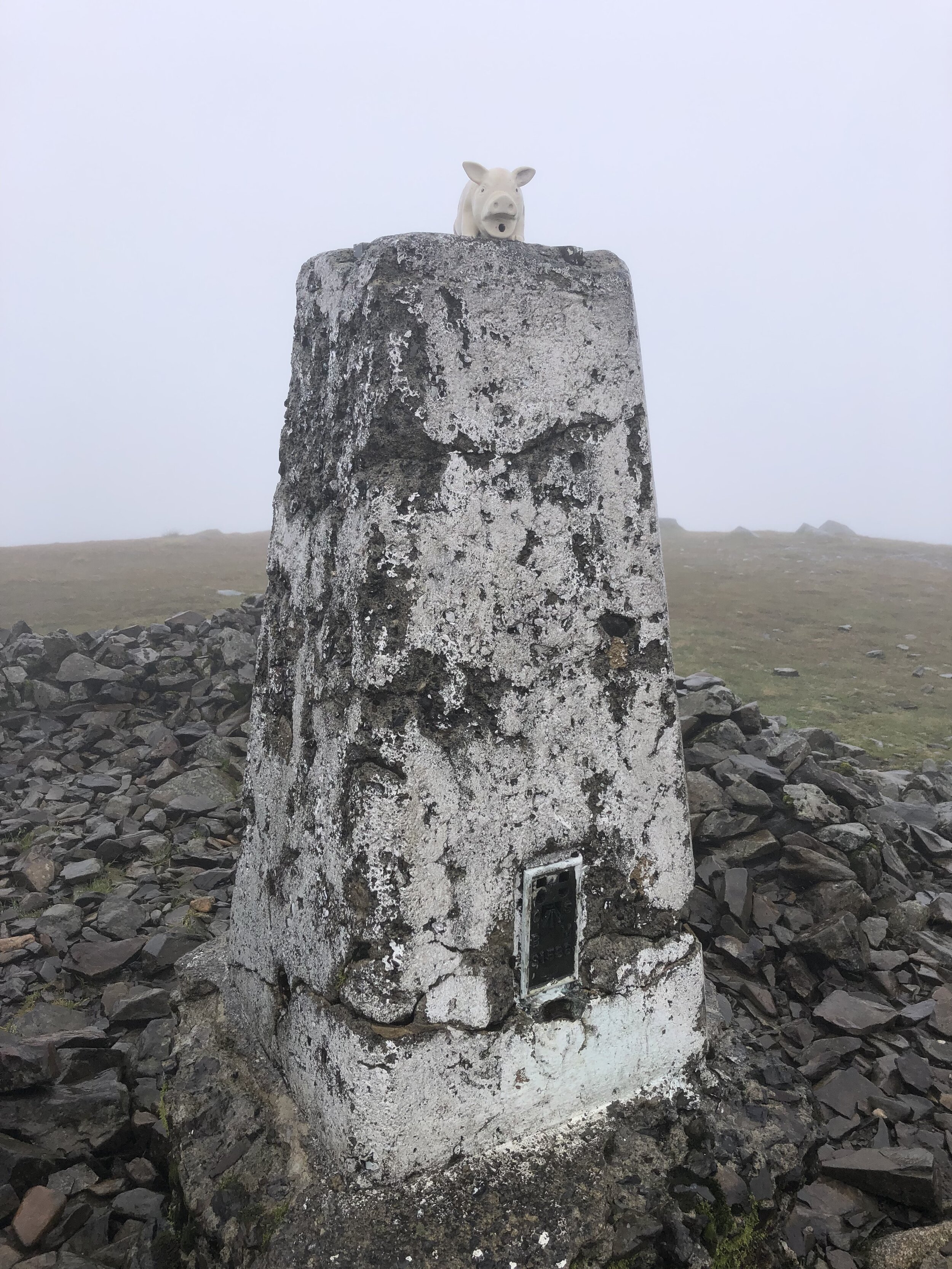
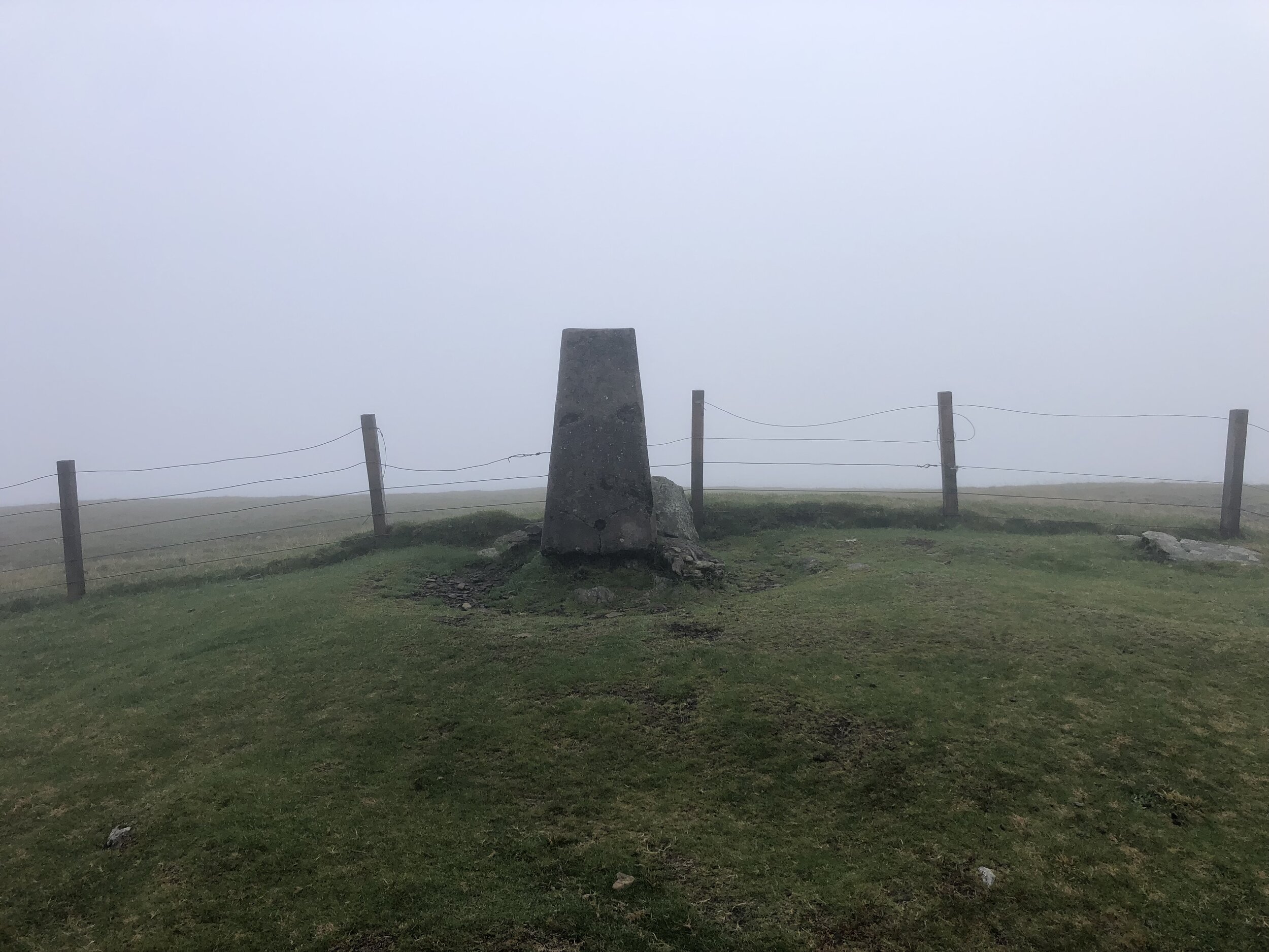
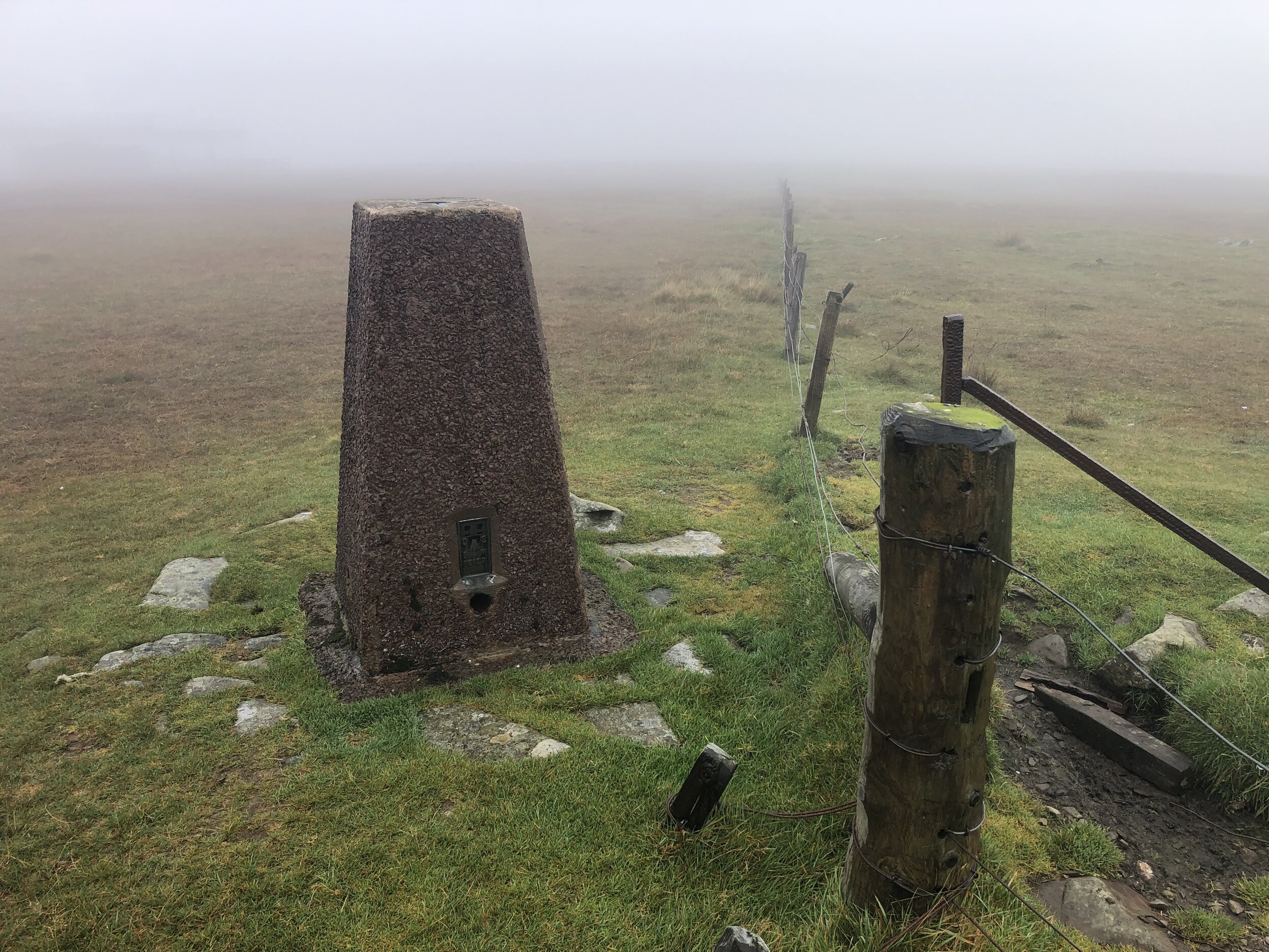
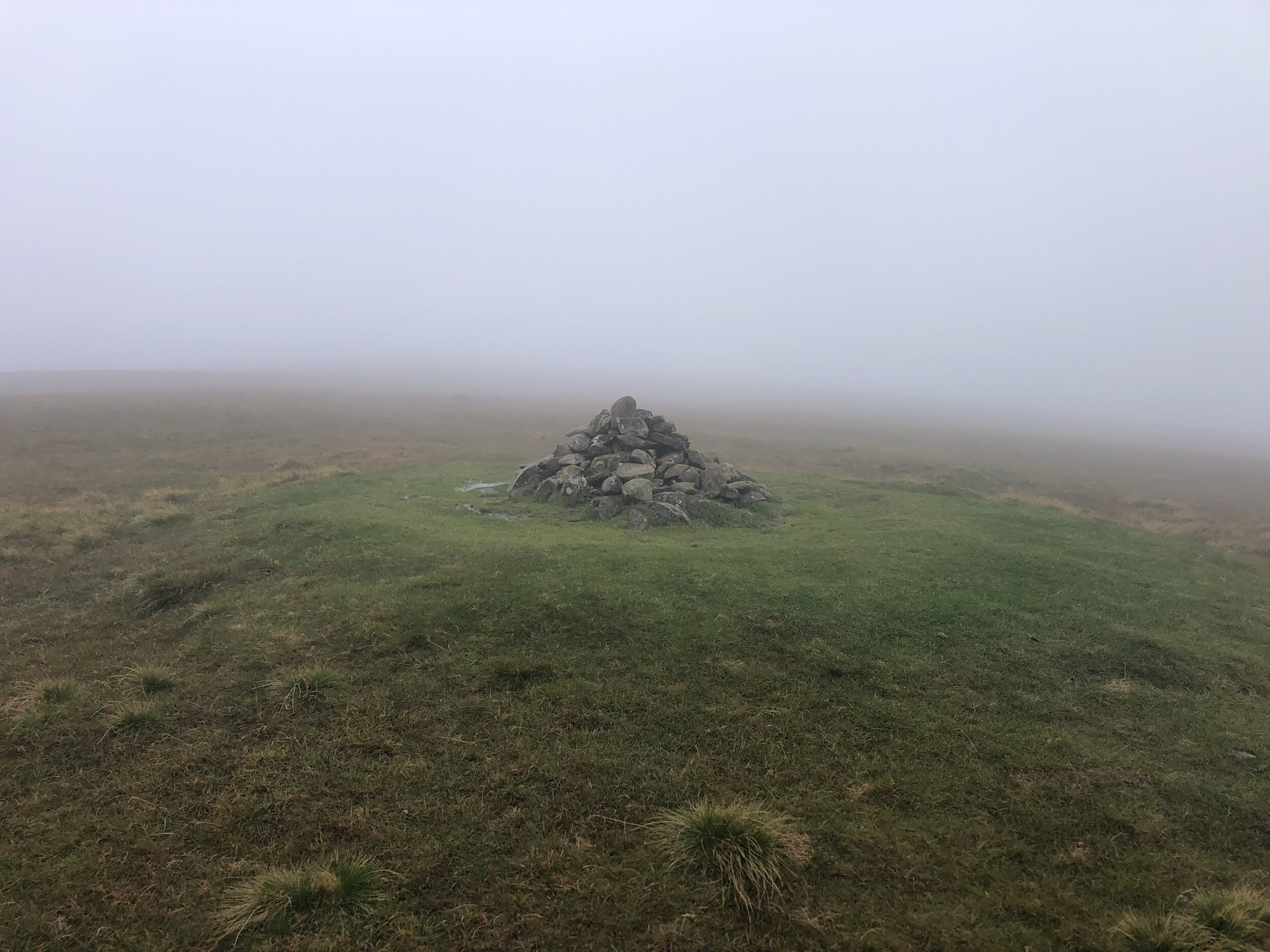
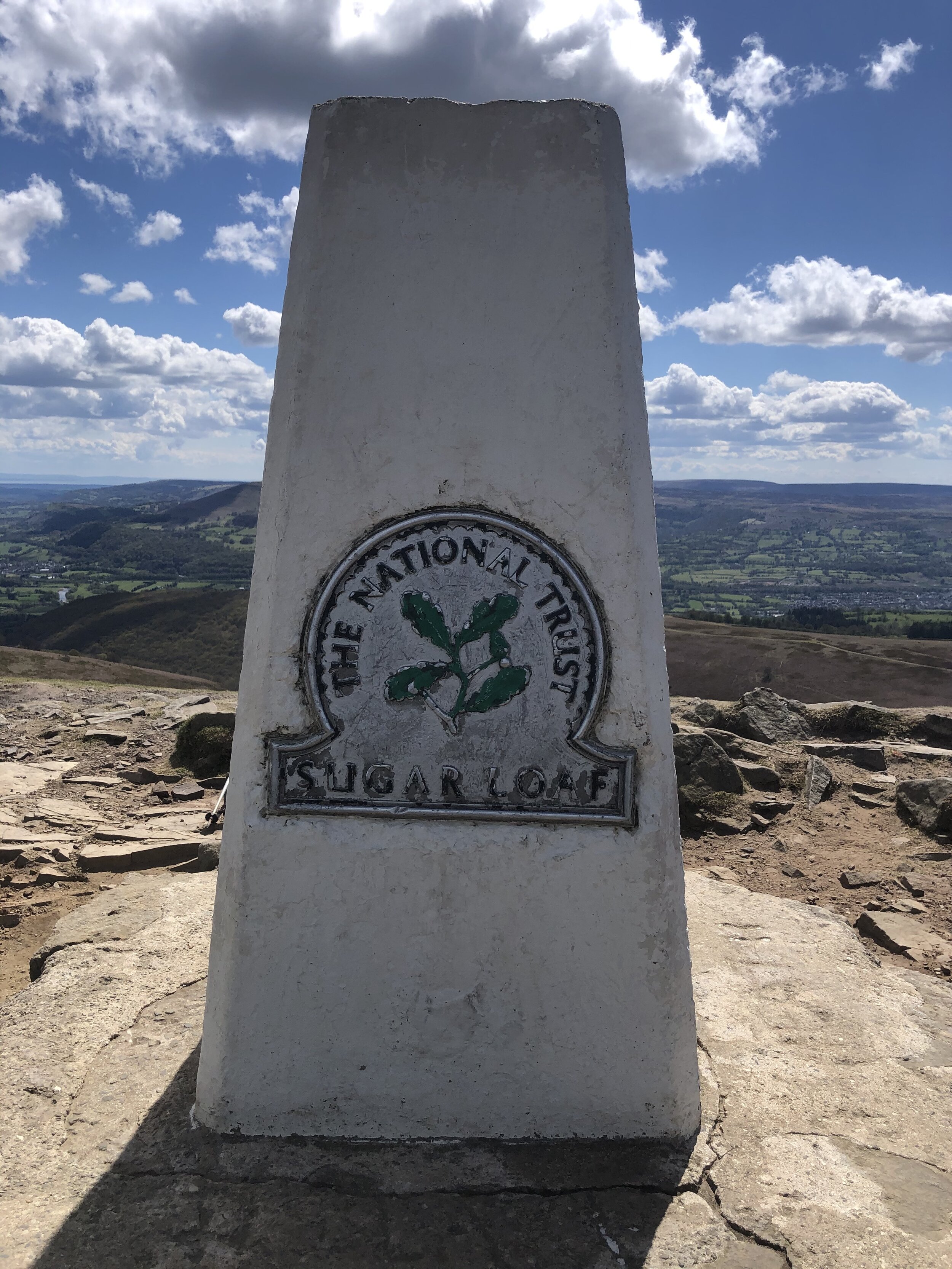
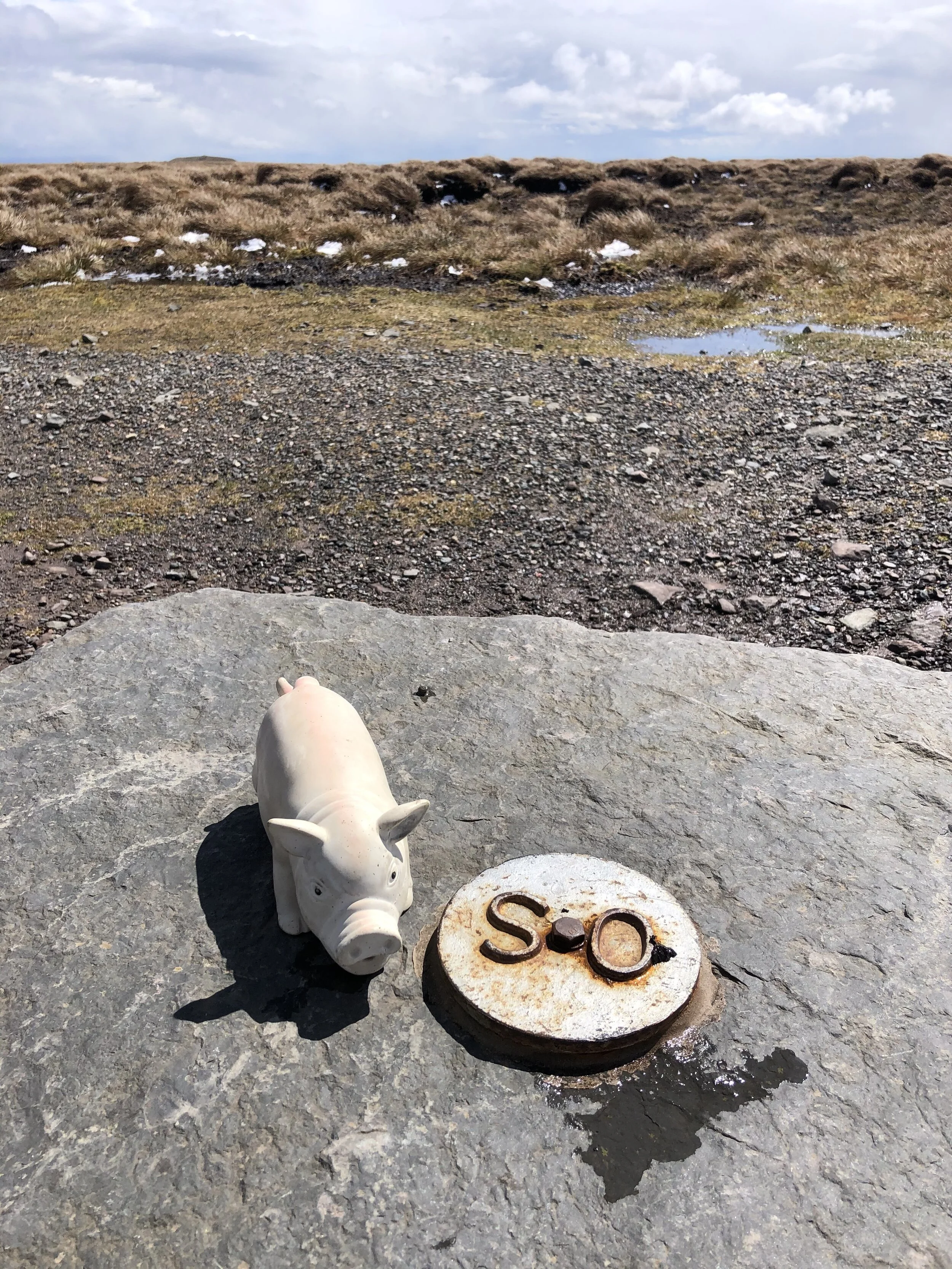
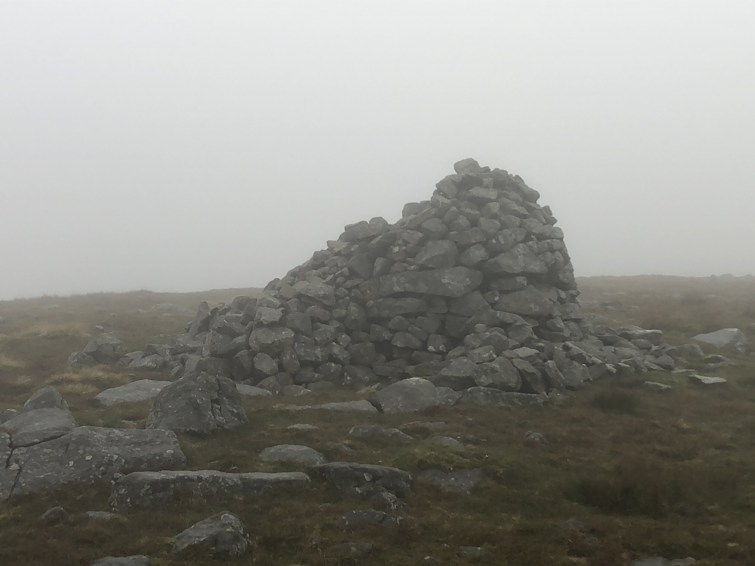
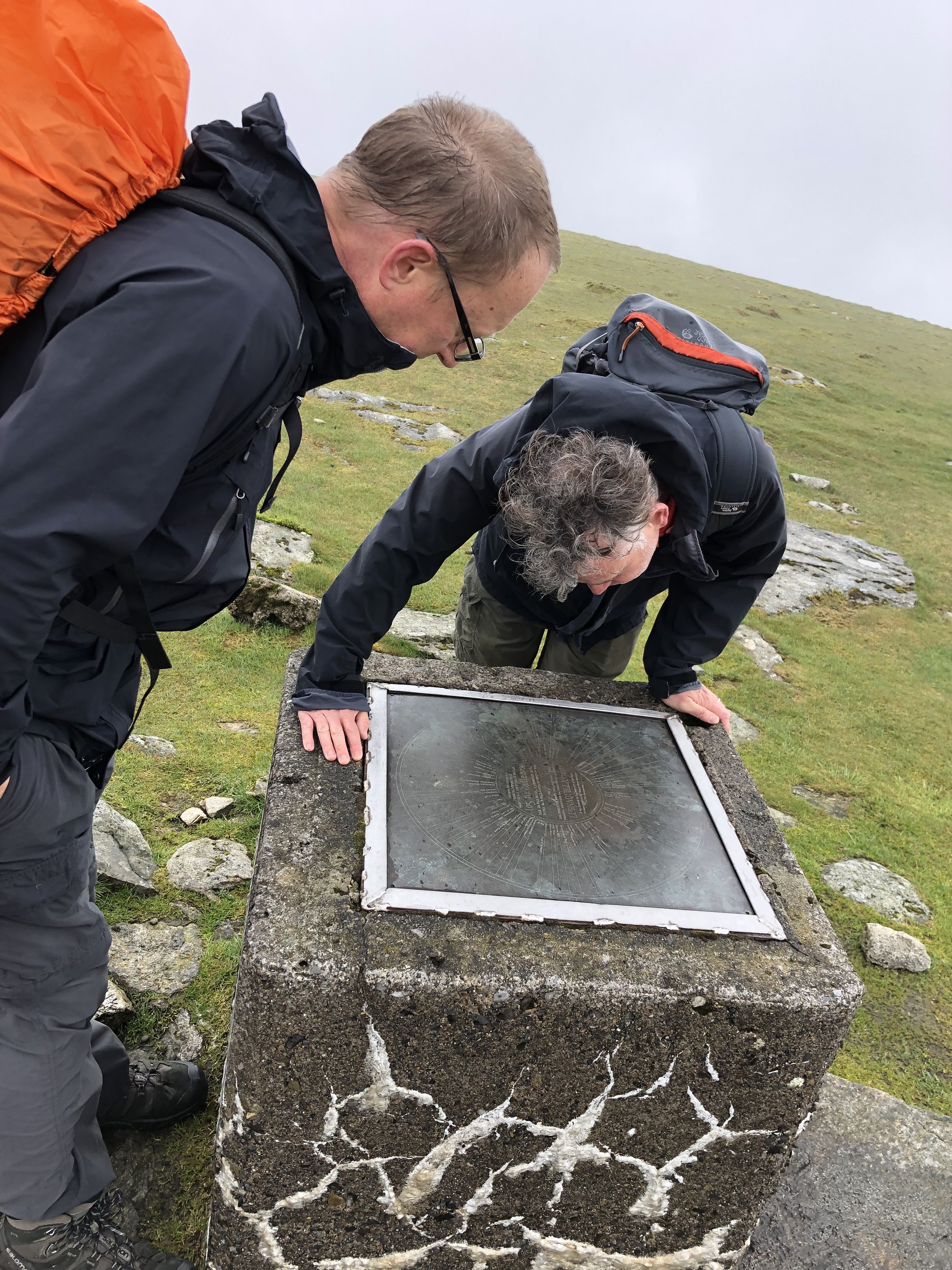
OS Trig Pillar: TP7335 - Lugnaquillia
Map: Discovery Series 56 - Wicklow, Dublin and Kildare: Wicklow. Kildare
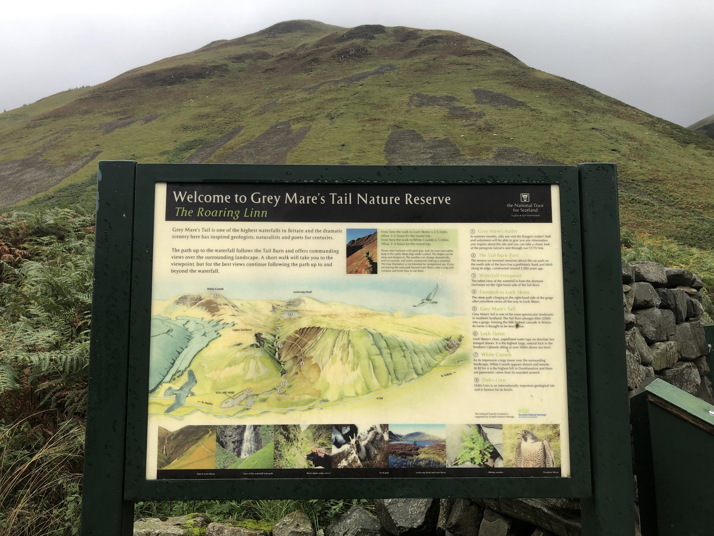
Guidebook: Ireland's County High Points (A Walking Guide) by Kieron Gribbon
Links: Wikipedia (County Wicklow), Wikipedia (Ludnaquilla), Peakbagger, Hillbagging

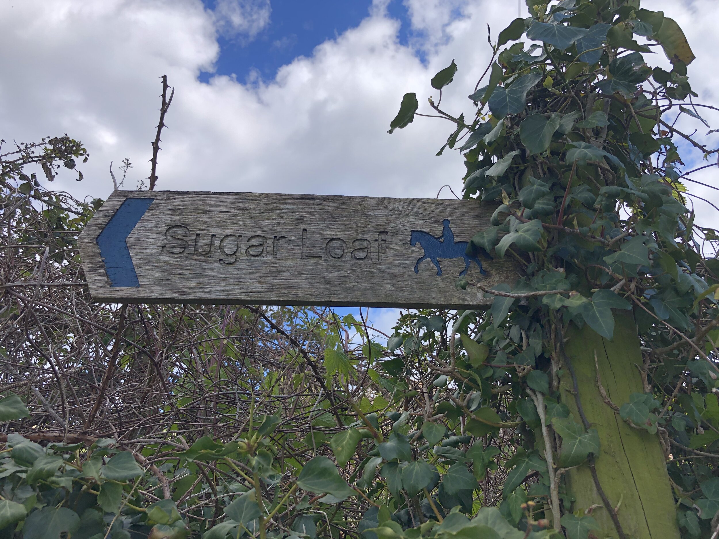
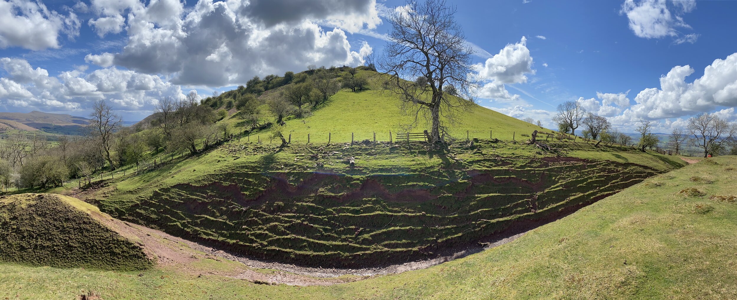
Mount Leinster
Also known as: Stua Laighean
Significance: Highest peak in County Wexford and County Carlow (Historic CT)
Member of: P600, Marilyn, Hewitt
Parent Peak: Lugnaquillia Mountain. NHN = Lugnaquillia Mountain
Elevation: 795m
Date climbed: May 21st 2022
Coordinates: 52° 37' 5'' N, 6° 46' 48'' W
Route Start / End: Mount Leinster/Nine Stones Car Park, Unnamed Rd, Co. Carlow
Route Distance: 5.4 km (3.4 miles)
Route Elevation Change: +/- 343m
Subsidiary tops on route: none
GPX File: get via Buy Me a Coffee
Other routes touched: South Leinster Way runs past the car park at the start
OS Trig Pillar: Mount Leinster (not in Trigpointing database)
Map: Carlow, Kilkenny, Wexford (Irish Discovery Series): Sheet 68
Guidebook: Ireland's County High Points (A Walking Guide) by Kieron Gribbon
Links: Wikipedia (County Wexford / County Carlow), Wikipedia (Mount Leinster), Peakbagger, Hillbagging


Brandon Hill
Also known as: Cnoc Bhreanail
Significance: Highest peak in County Kilkenny (Historic CT)
Member of: Marilyn, Arderin
Parent Peak: Blackstairs Mountain. NHN = Blackstairs Mountain
Elevation: 515m
Date climbed: May 21st 2022
Coordinates: 52° 30' 35'' N, 6° 58' 27'' W
Route Start / End: Raheendonore Car Park, Rossard, Co. Kilkenny
Route Distance: 4.8 km (3.0 miles)
Route Elevation Change: +/- 279m
Subsidiary tops on route: none
GPX File: get via Buy Me a Coffee
Other routes touched: South Leinster Way, Brandon Hill Loop
OS Trig Pillar: Brandon Hill (not in Trigpointing database)
Map: Carlow, Kilkenny, Wexford (Irish Discovery Series): Sheet 68
Guidebook: Ireland's County High Points (A Walking Guide) by Kieron Gribbon
Links: Wikipedia (County Kilkenny), Wikipedia (Brandon Hill), Peakbagger, Hillbagging


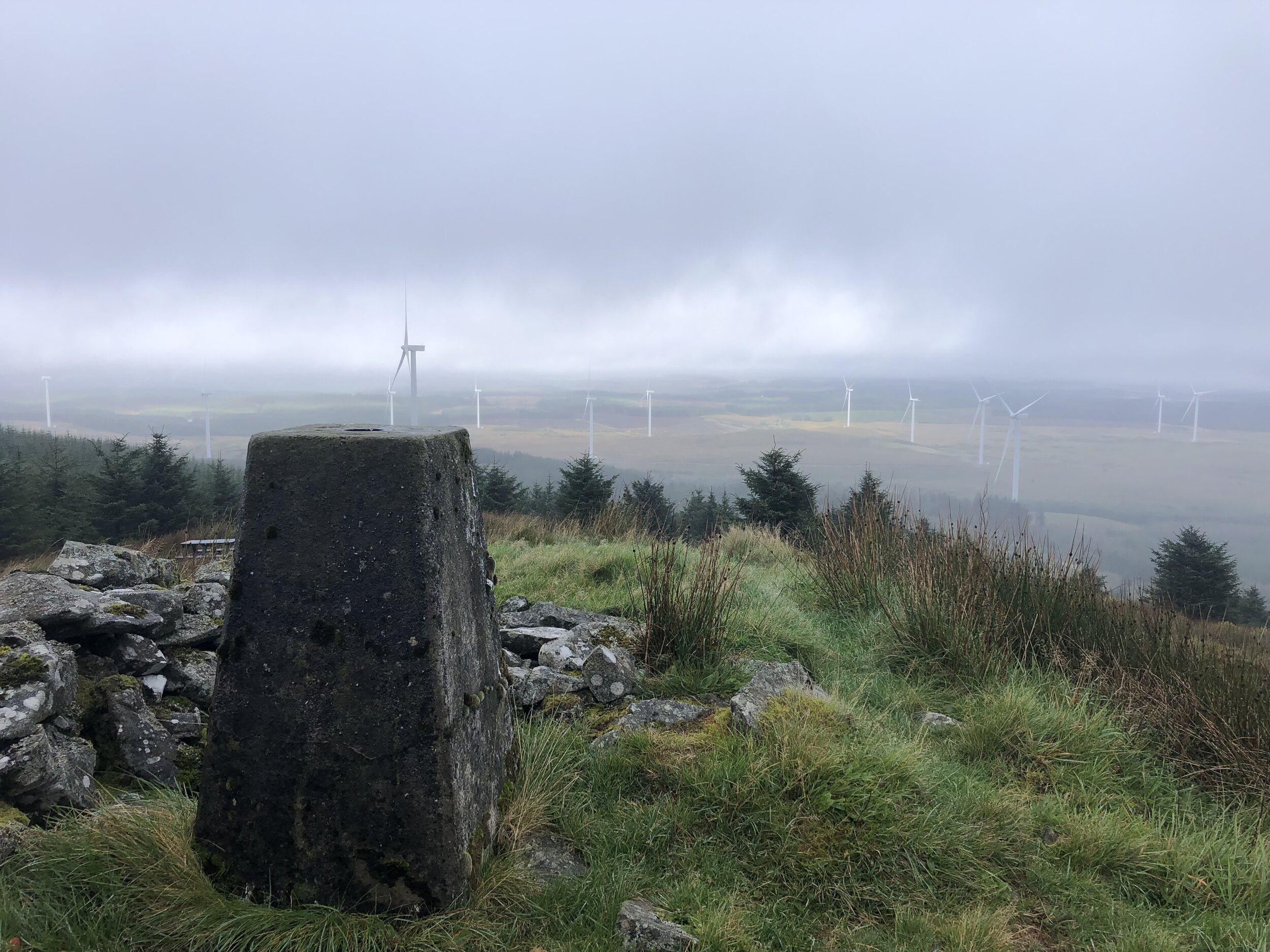
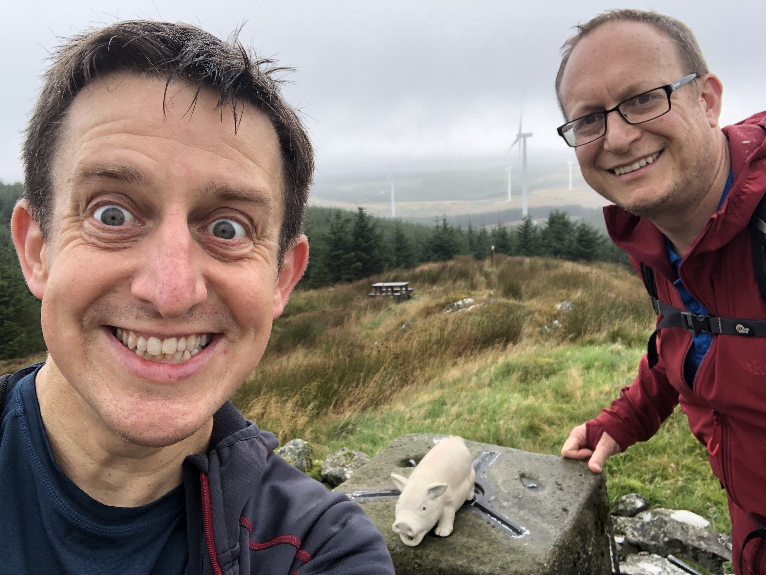
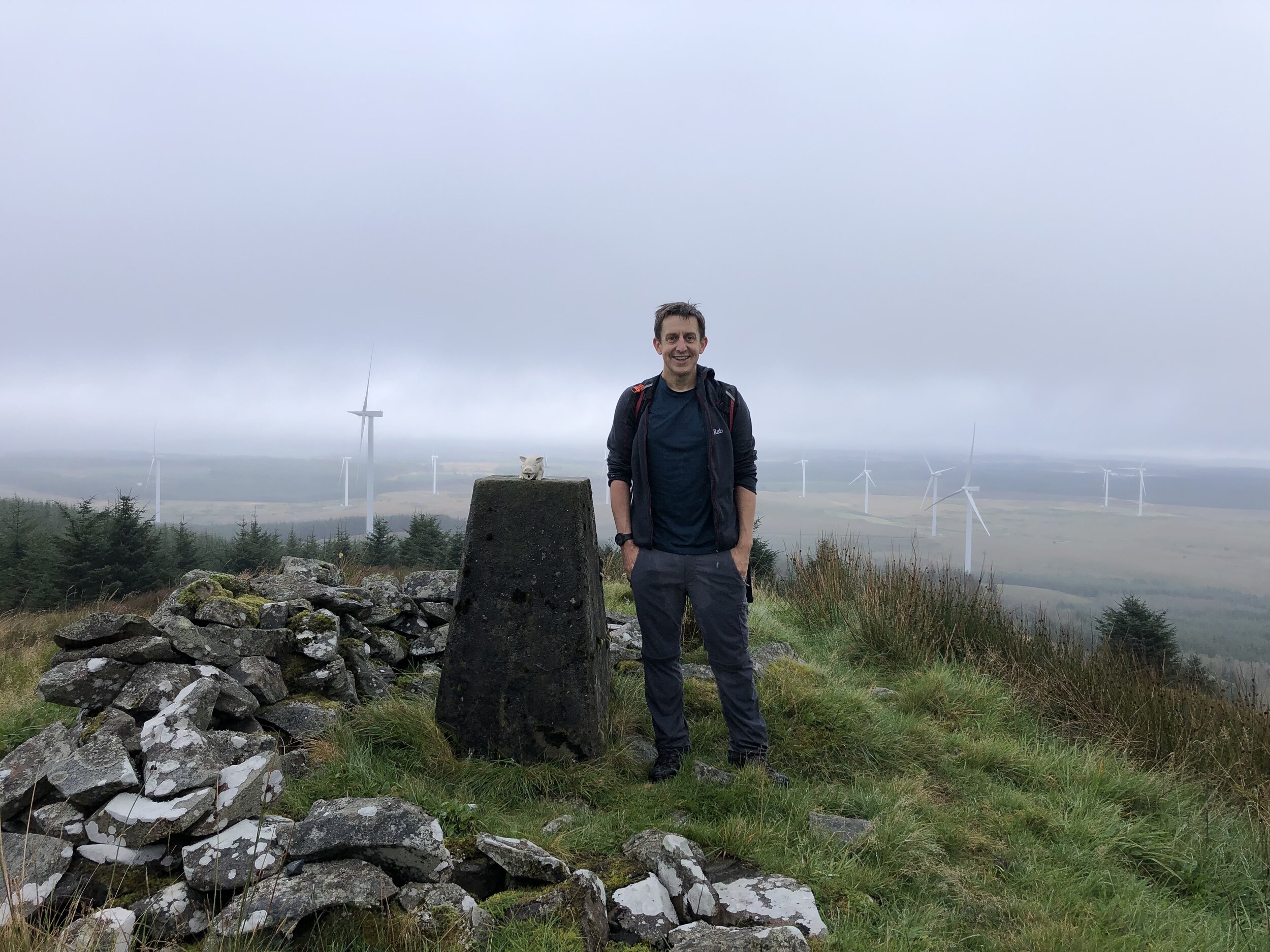
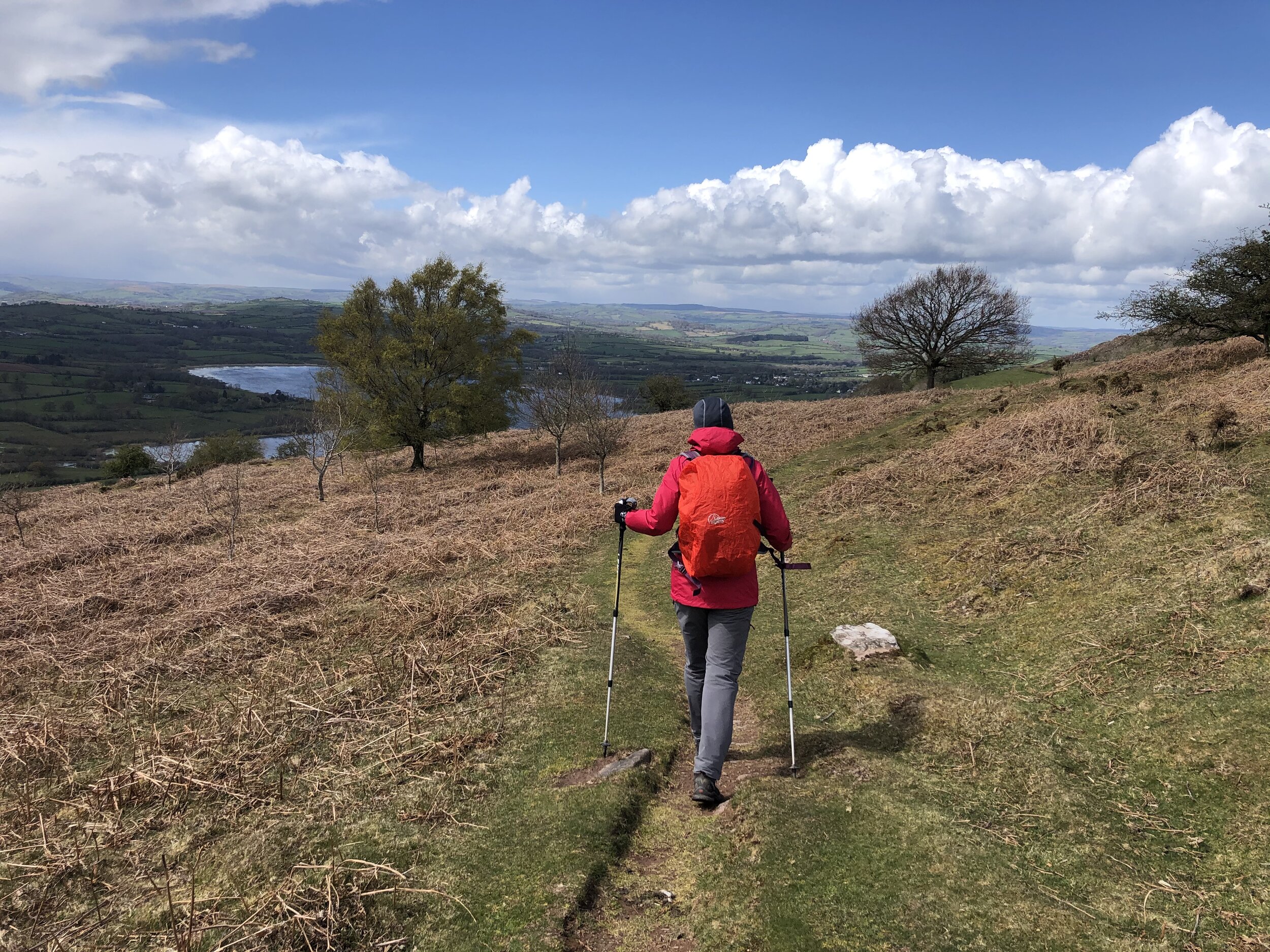
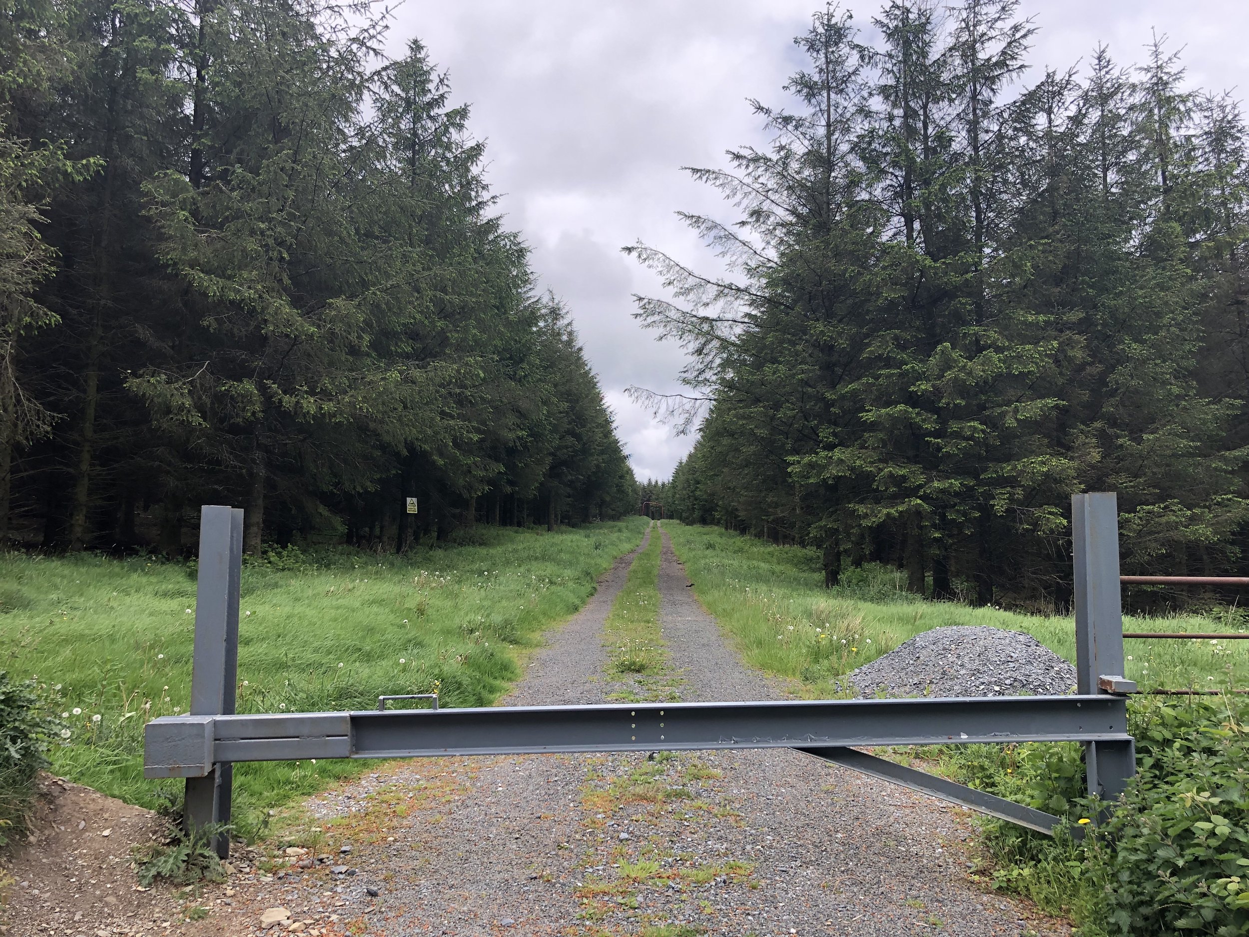
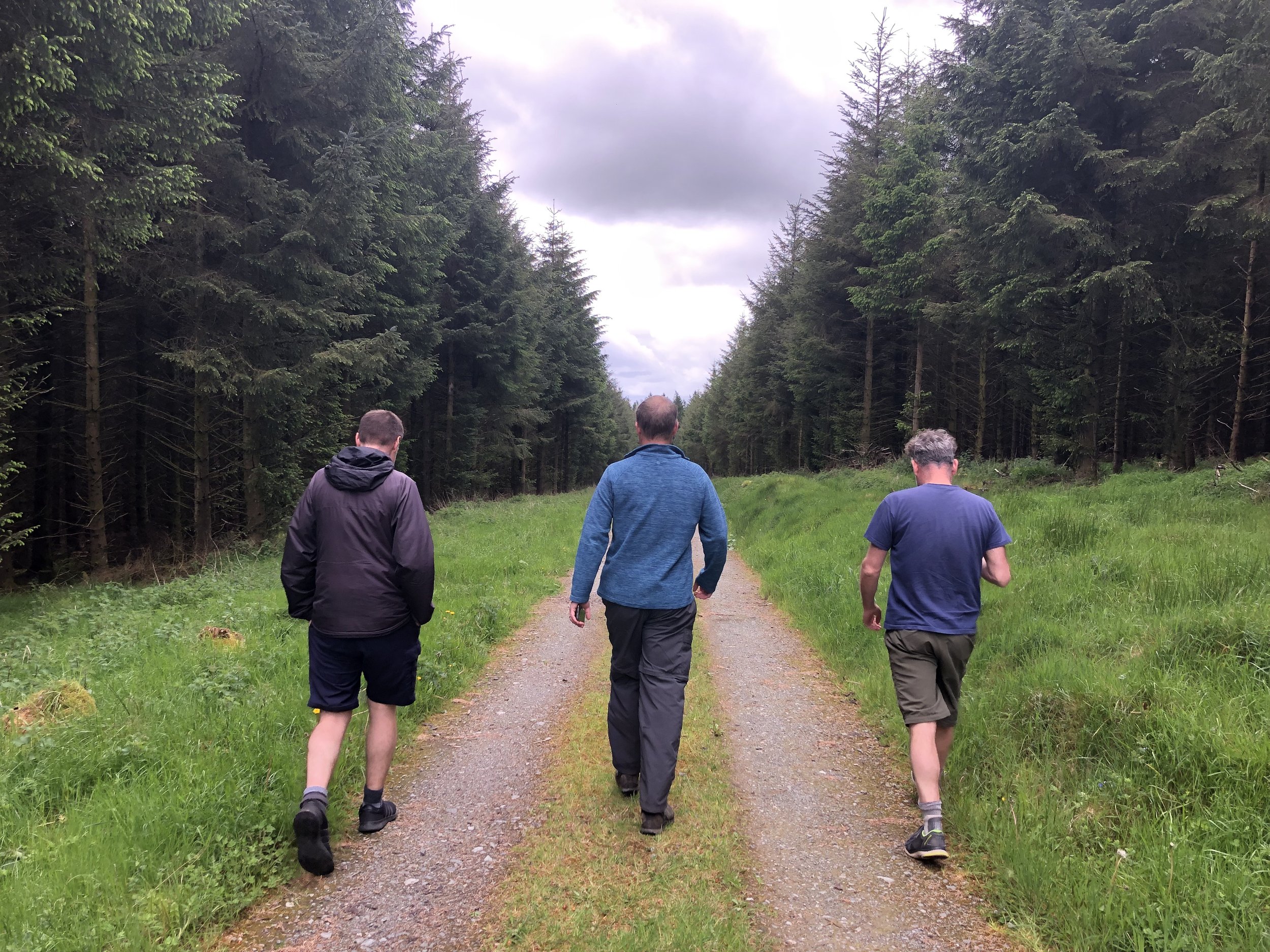
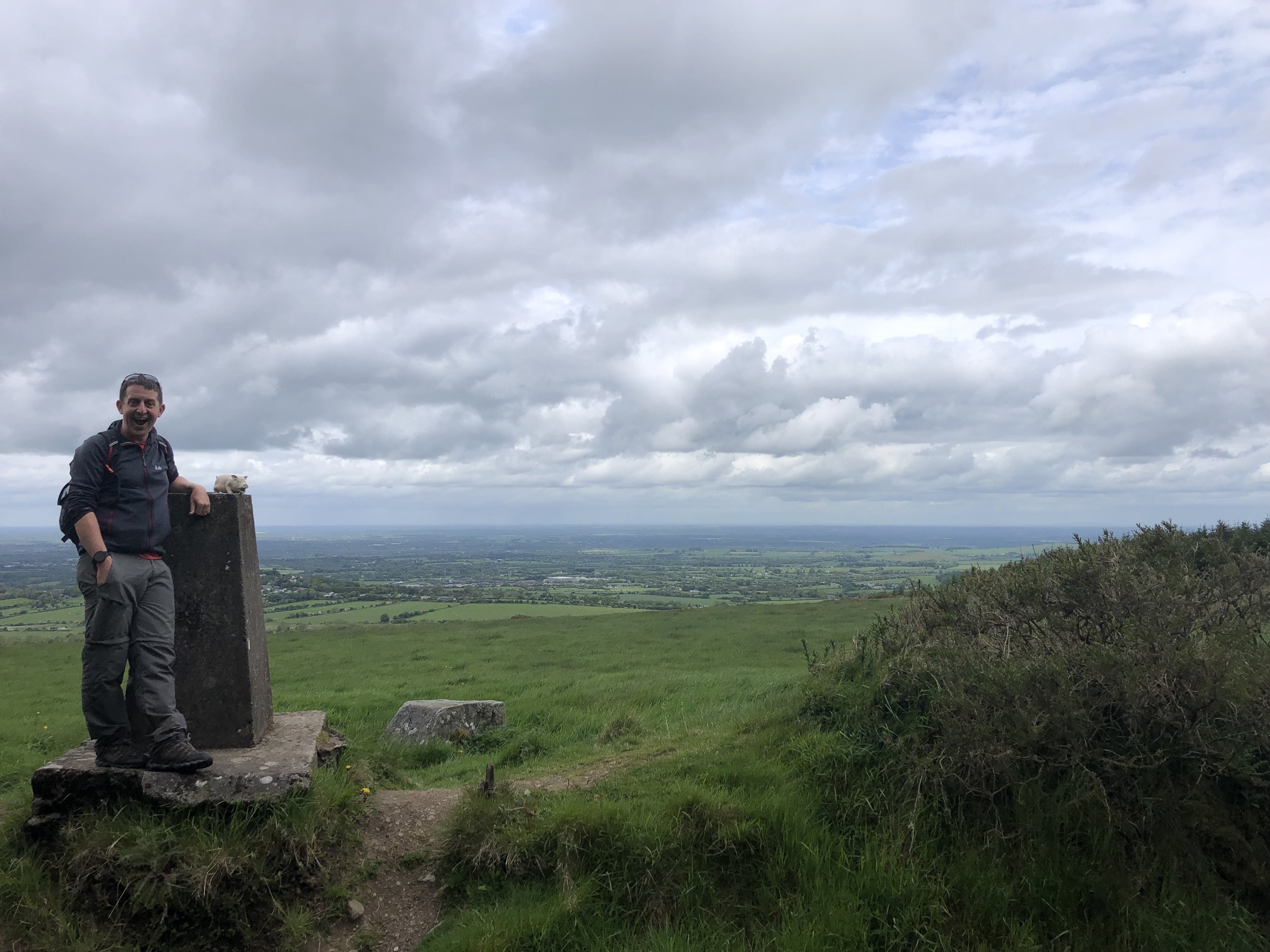
Cupidstown Hill
Also known as: Cnoc Bhaile Cupid
Significance: Highest peak in County Kildare (Historic CT)
Member of: N/A
Parent Peak: Saggart Hill. NHN = Saggart Hill
Elevation: 379m
Date climbed: May 21st 2022
Coordinates: 53° 13' 36'' N, 6° 29' 40'' W
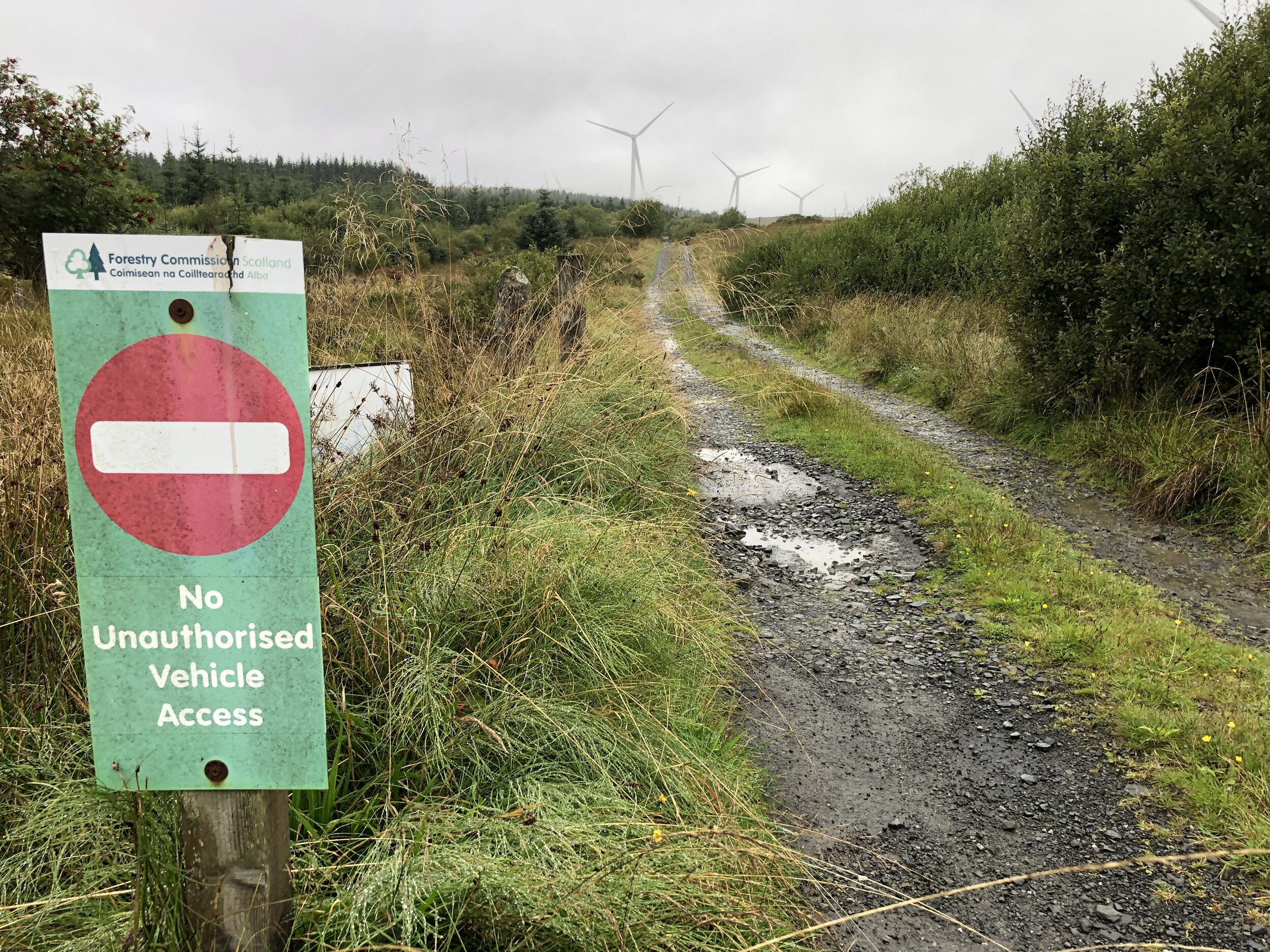
Route Start / End: Small parking space at entrance to forest track on unnamed road between the L2018 and NB1
Route Distance: 1.1 km (0.7 miles)
Route Elevation Change: +/- 19m
Subsidiary tops on route: none
GPX File: get via Buy Me a Coffee
Other routes touched: none
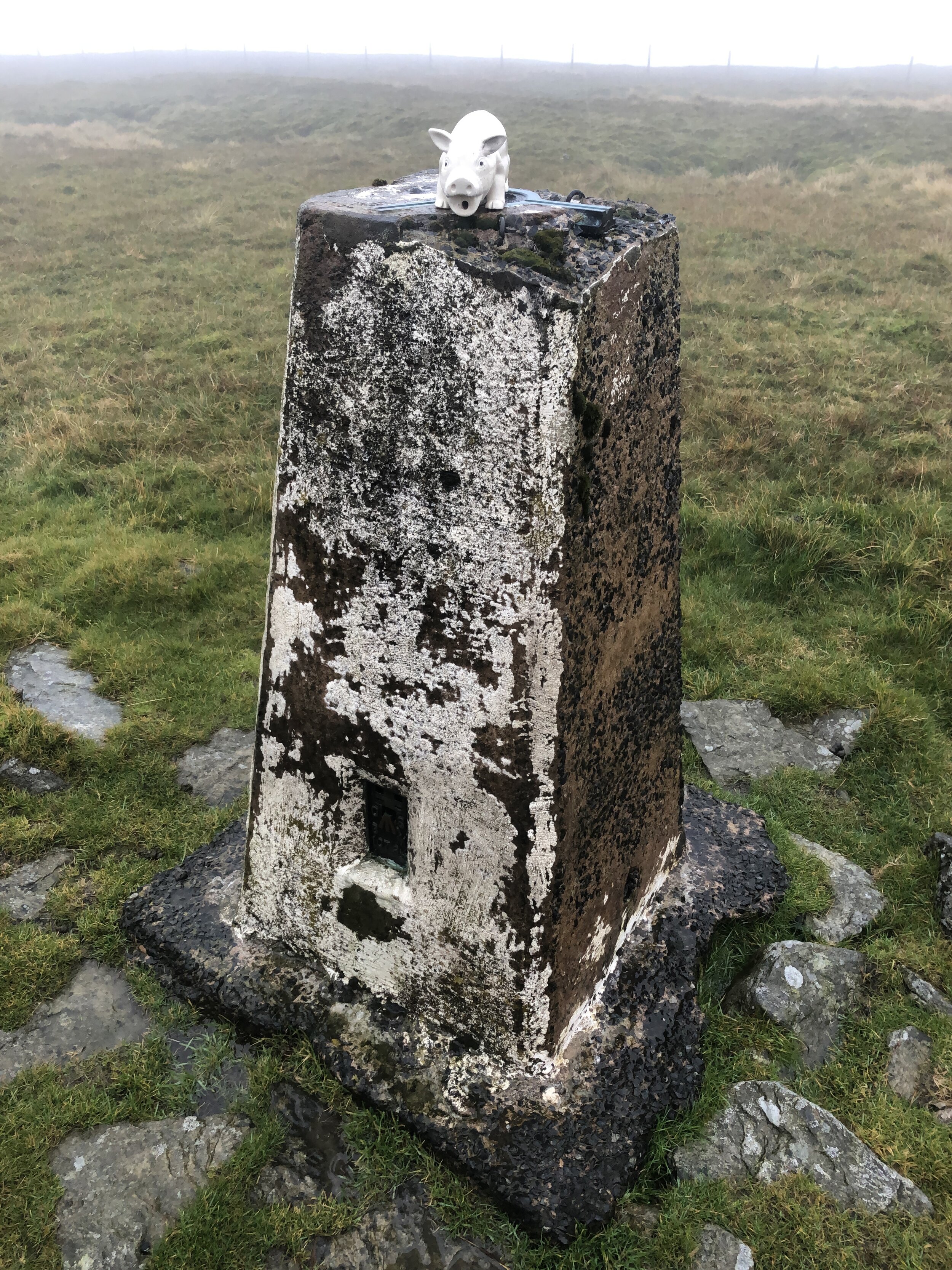
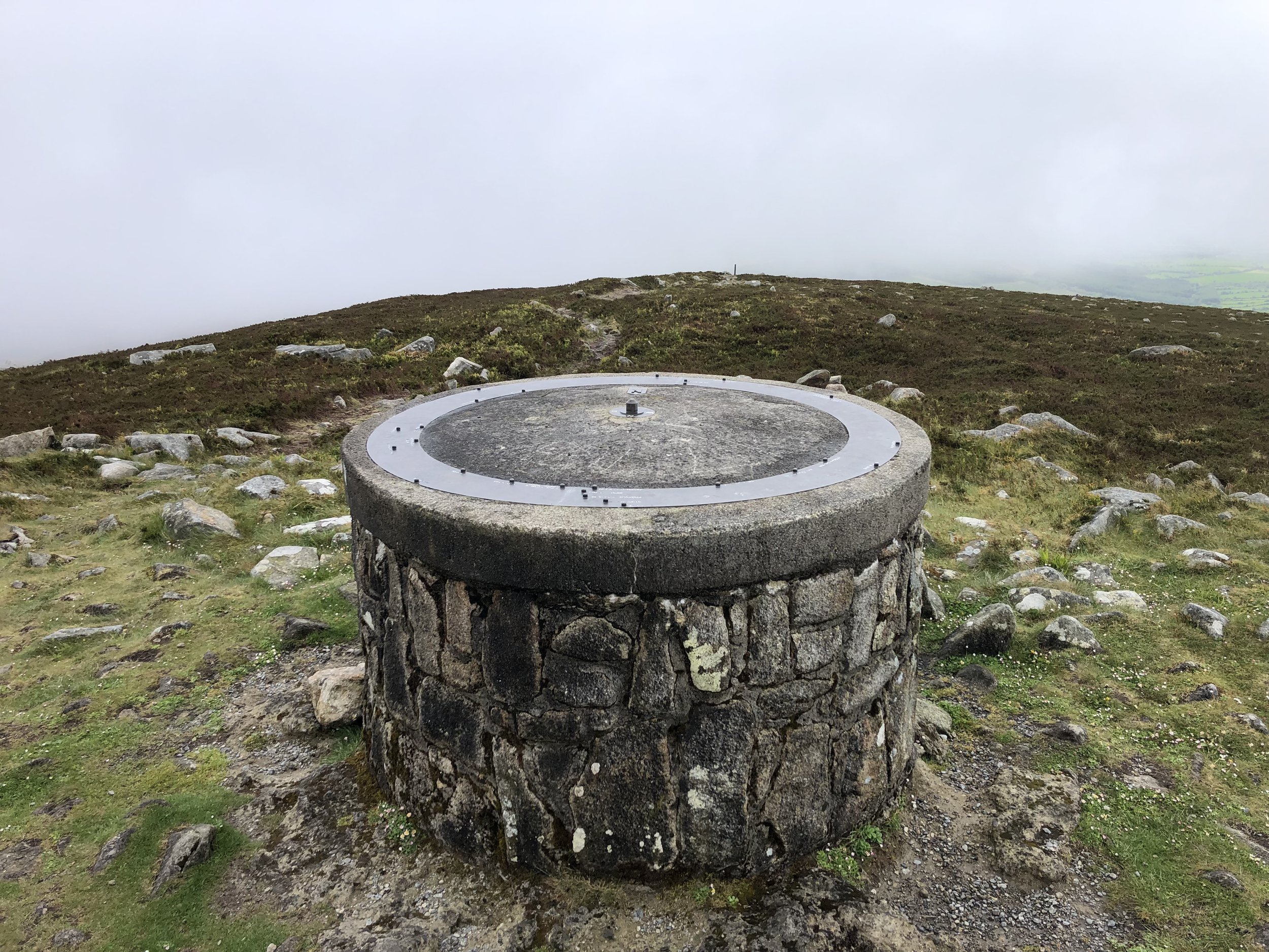
OS Trig Pillar: TP7336 - Cupidstown Hill
Map: Dublin, Kildare, Meath, Wicklow (Irish Discovery Series): Sheet 50
Guidebook: Ireland's County High Points (A Walking Guide) by Kieron Gribbon
Links: Wikipedia (County Kildare), Wikipedia (Cupidsdown Hill), Peakbagger, Hillbagging


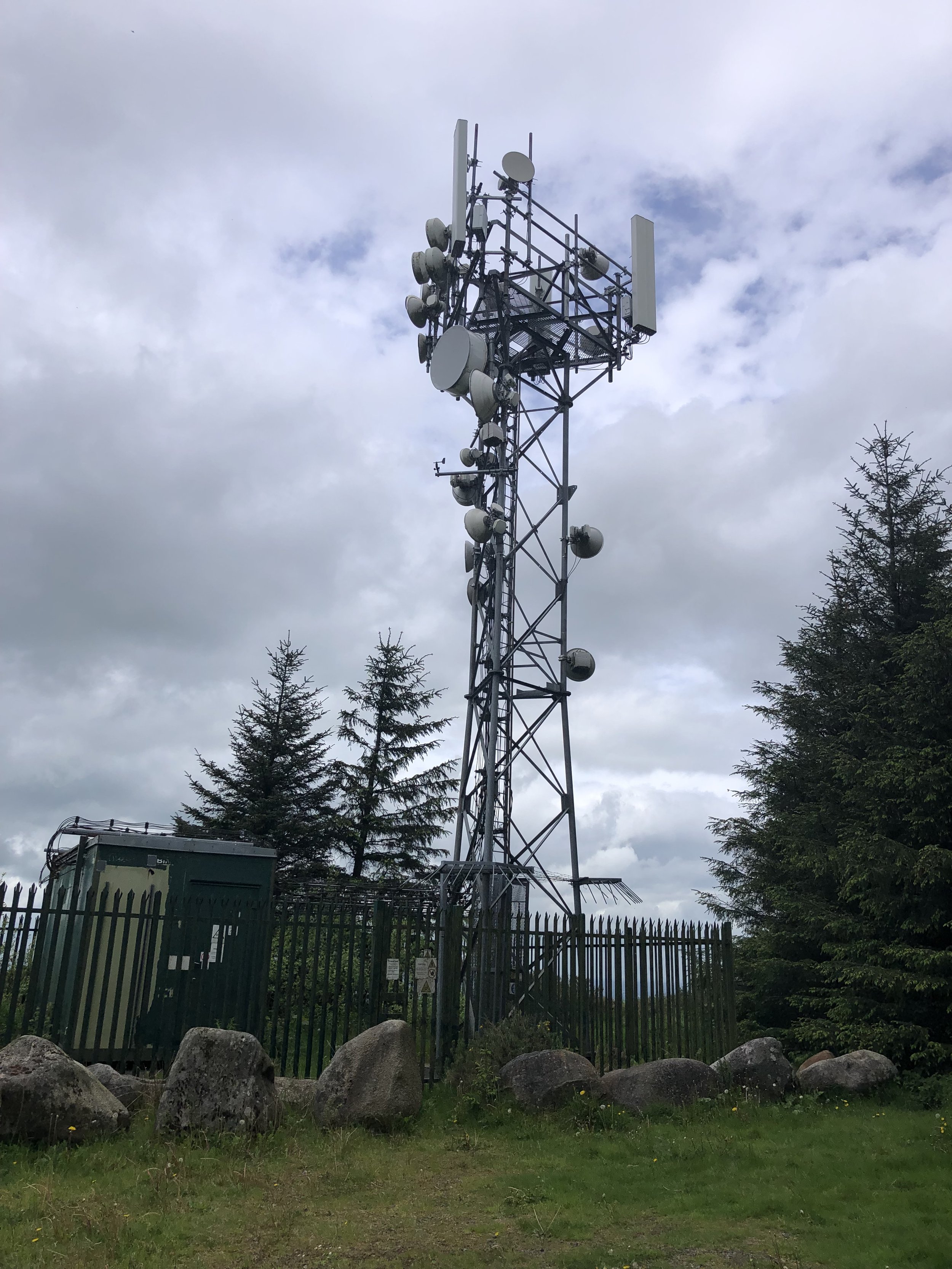

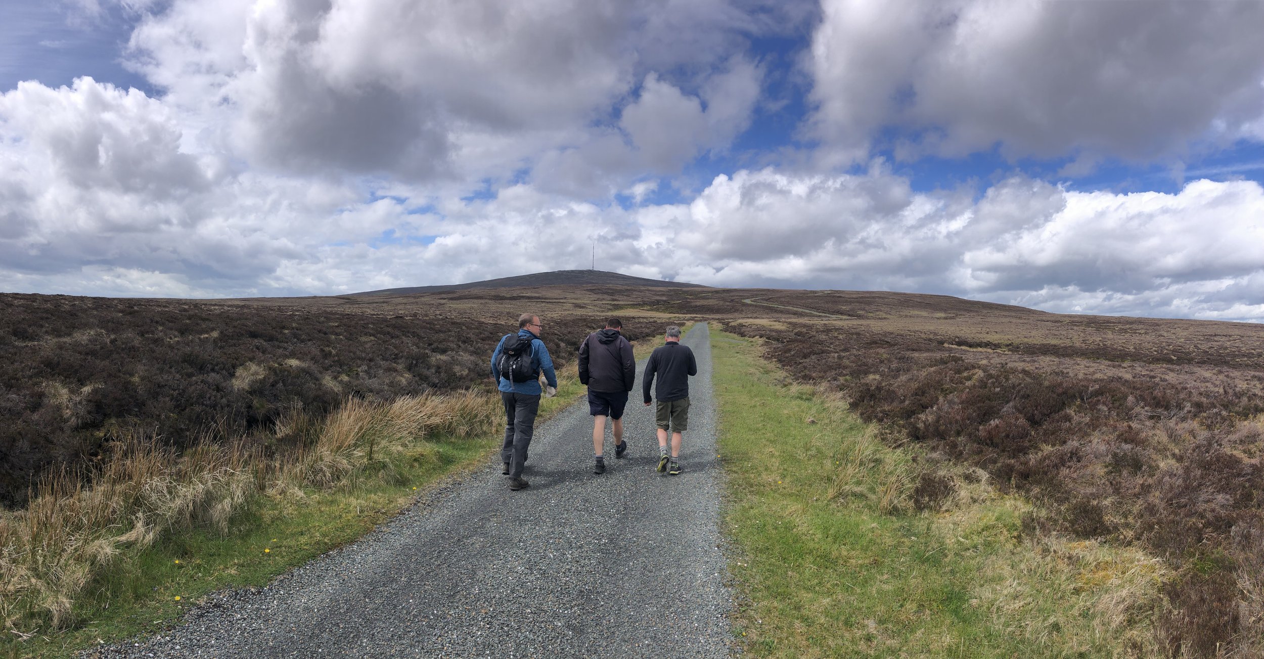
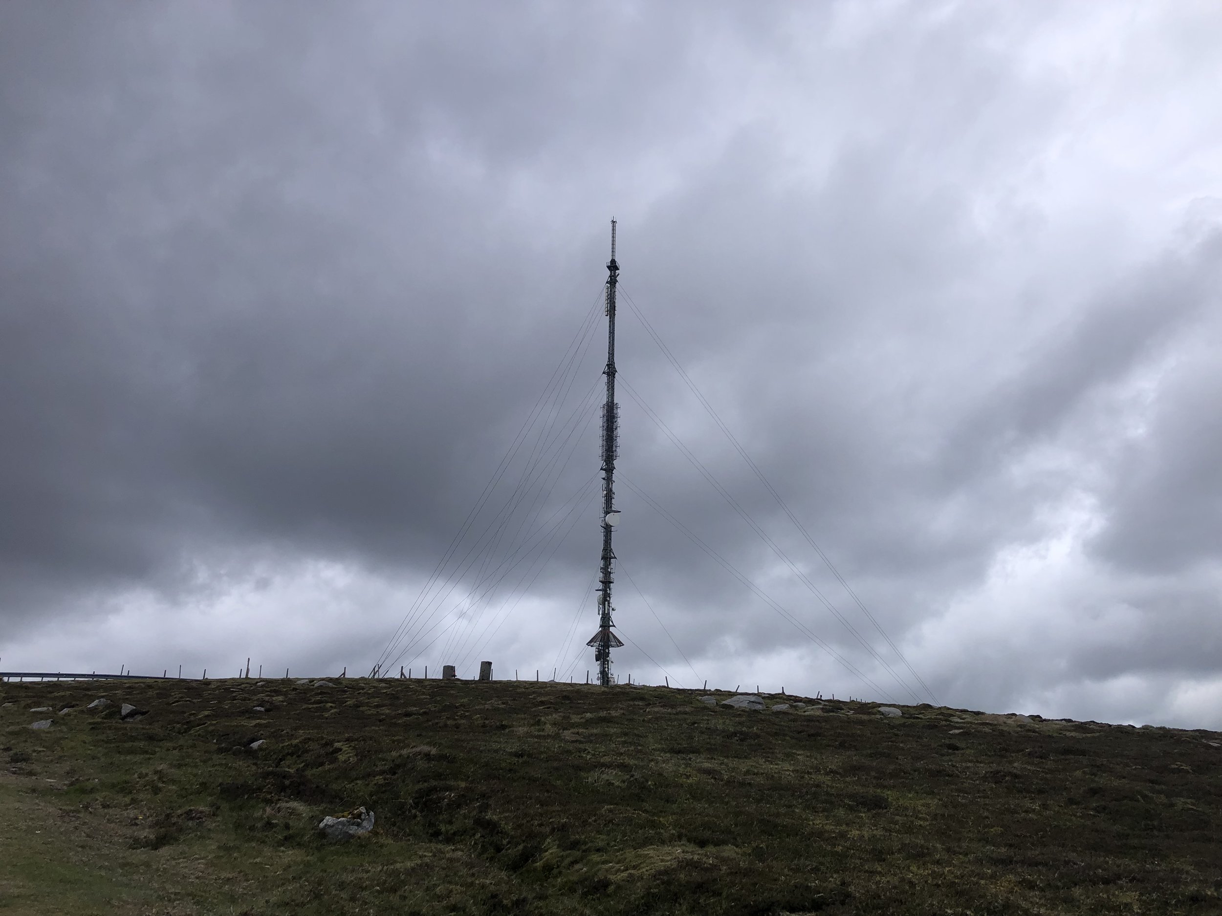
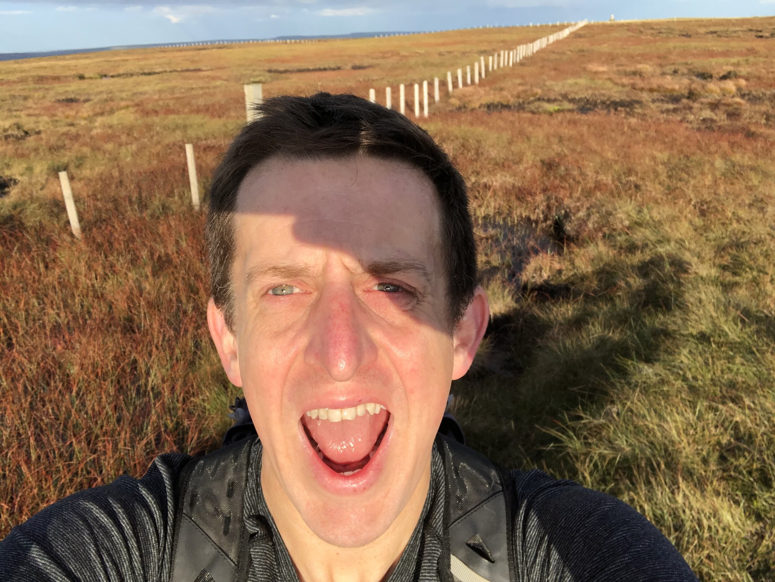
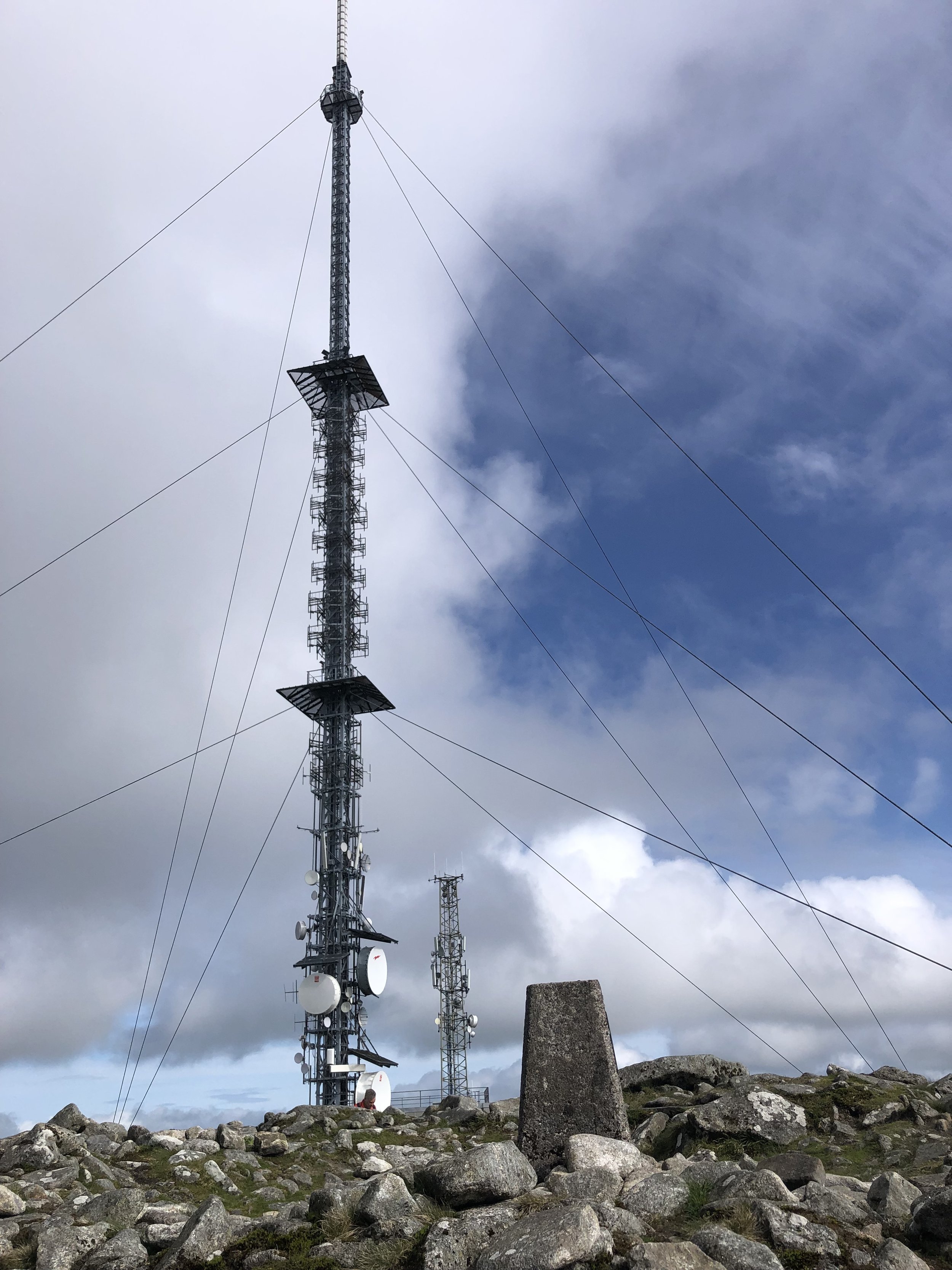
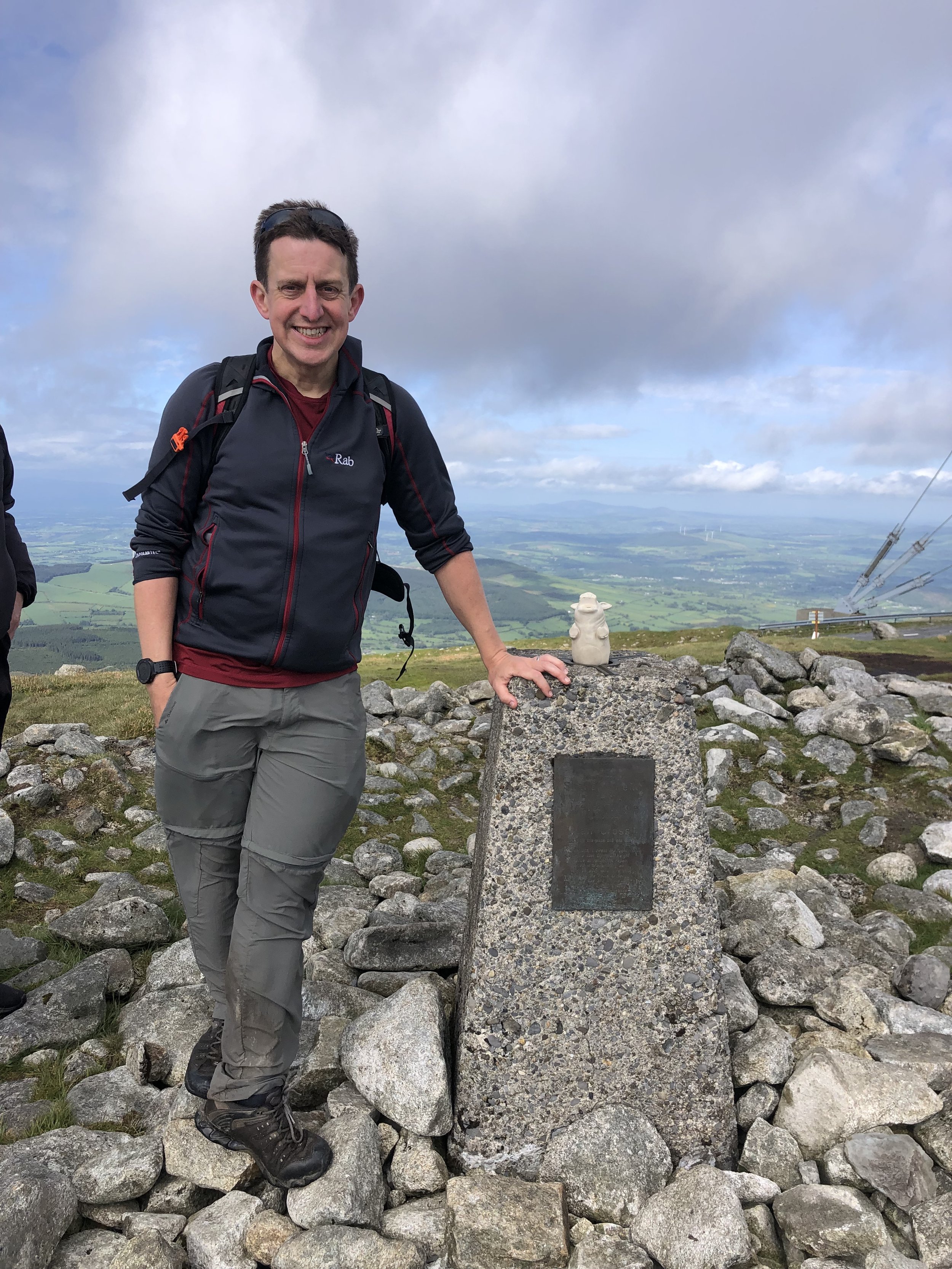
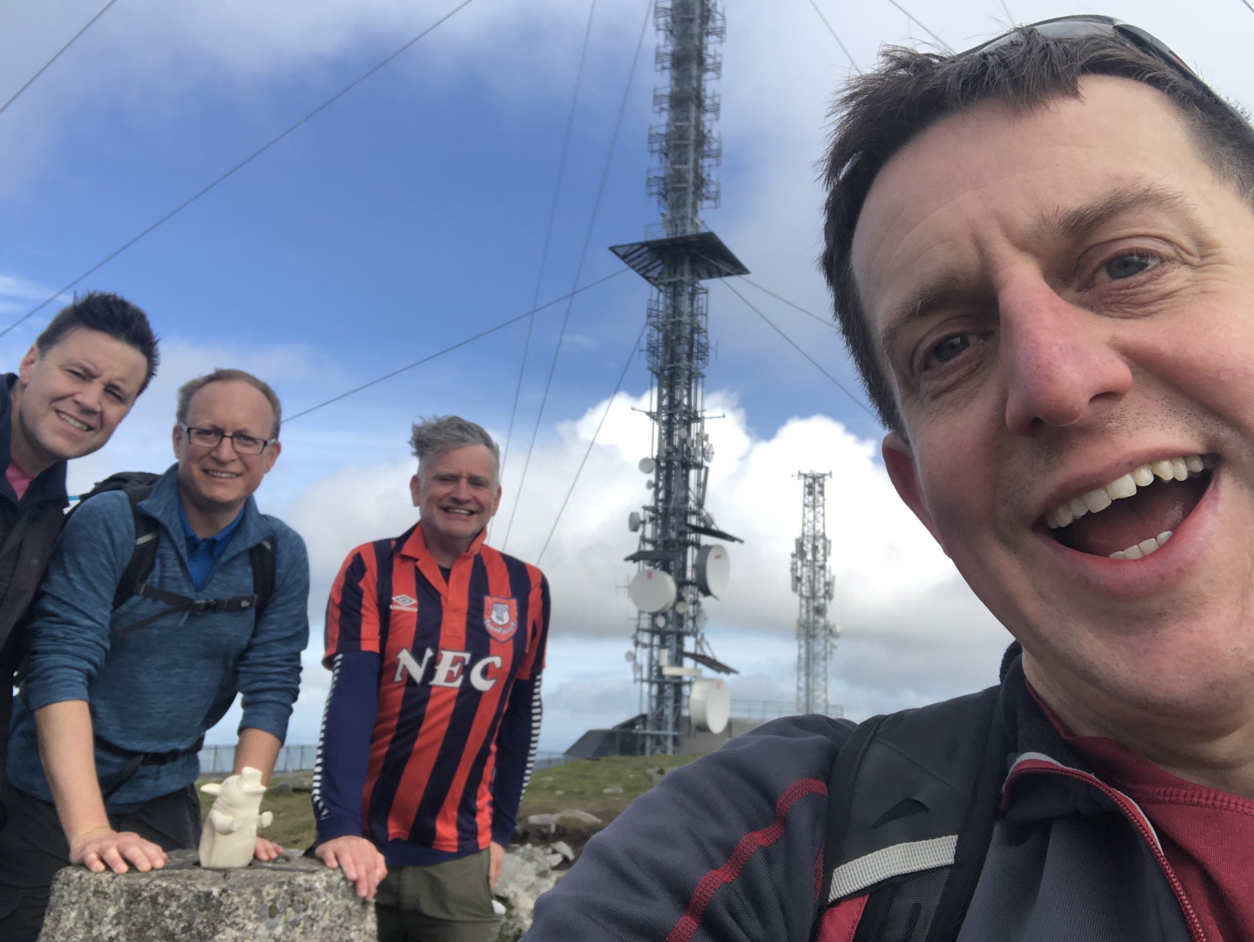
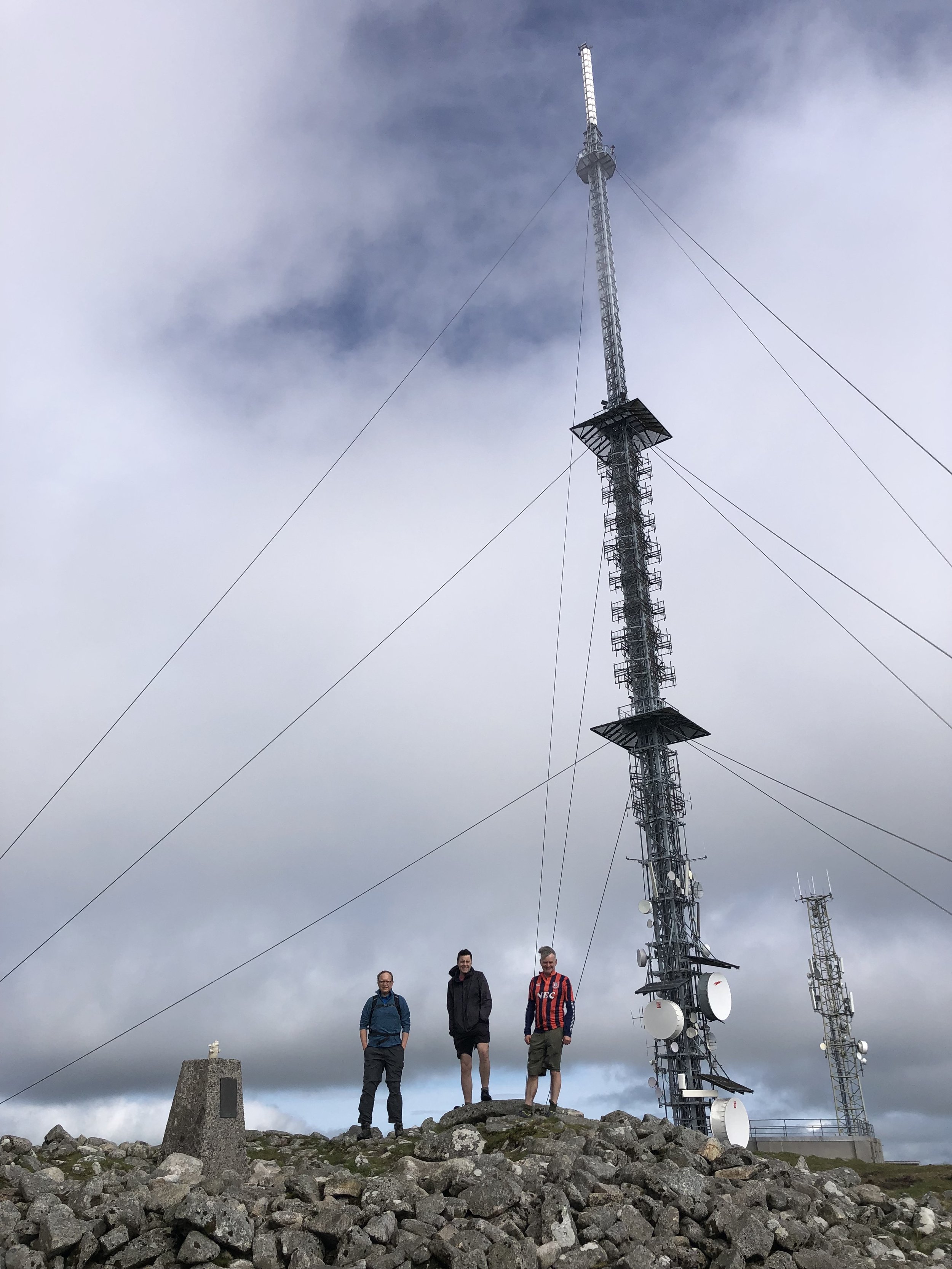
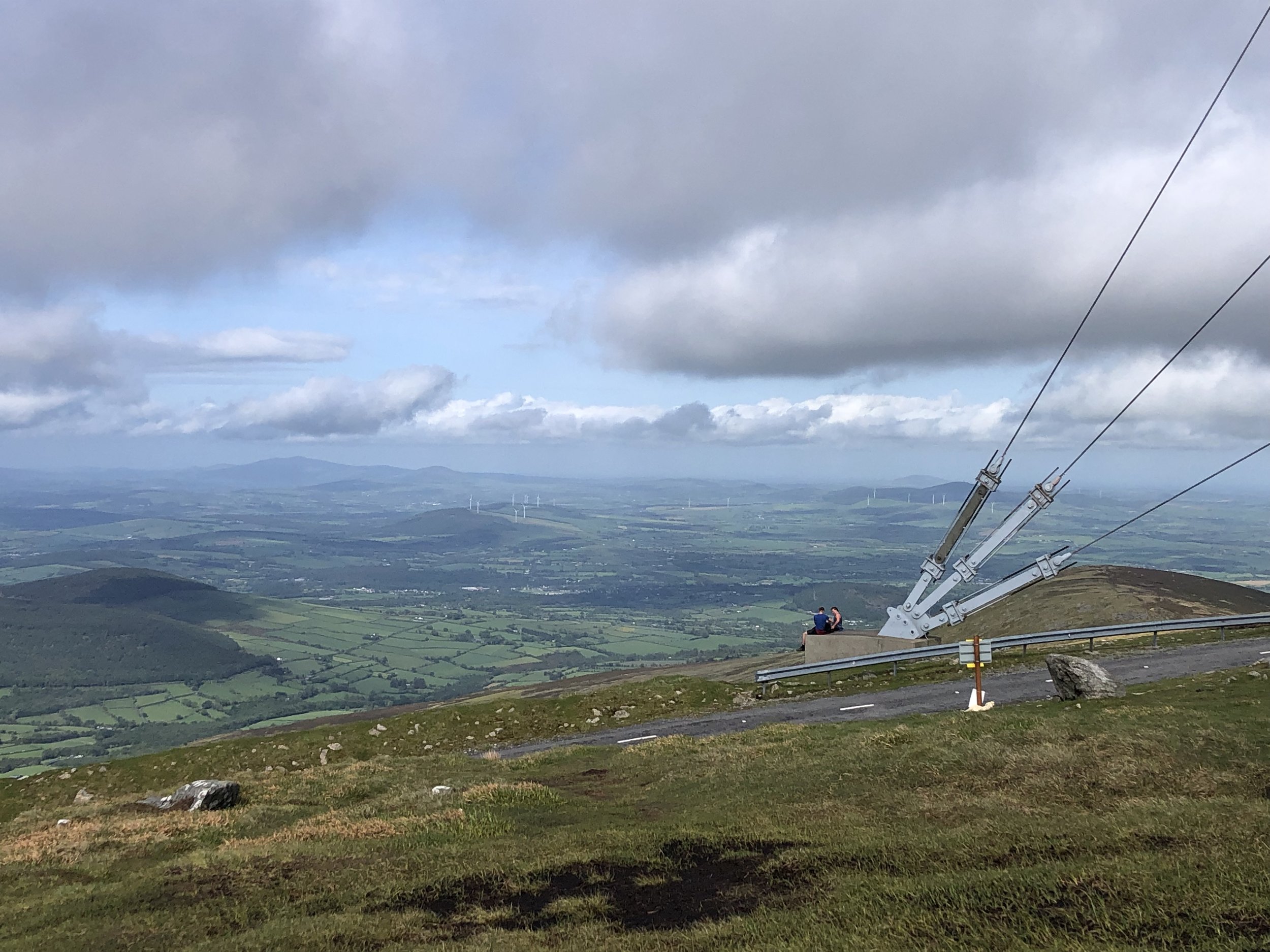
Kippure
Also known as: Cipiur
Significance: Highest peak in County Dublin (Historic CT)
Member of: 100 Highest Irish Mountains, Marilyn, Hewitt, Arderin, Simm, Vandeleur-Lynam
Parent Peak: Mullaghcleevaun. NHN = Mullaghcleevaun-East Top
Elevation: 757m
Date climbed: May 21st 2022
Coordinates: 53° 10' 41'' N, 6° 19' 55'' W
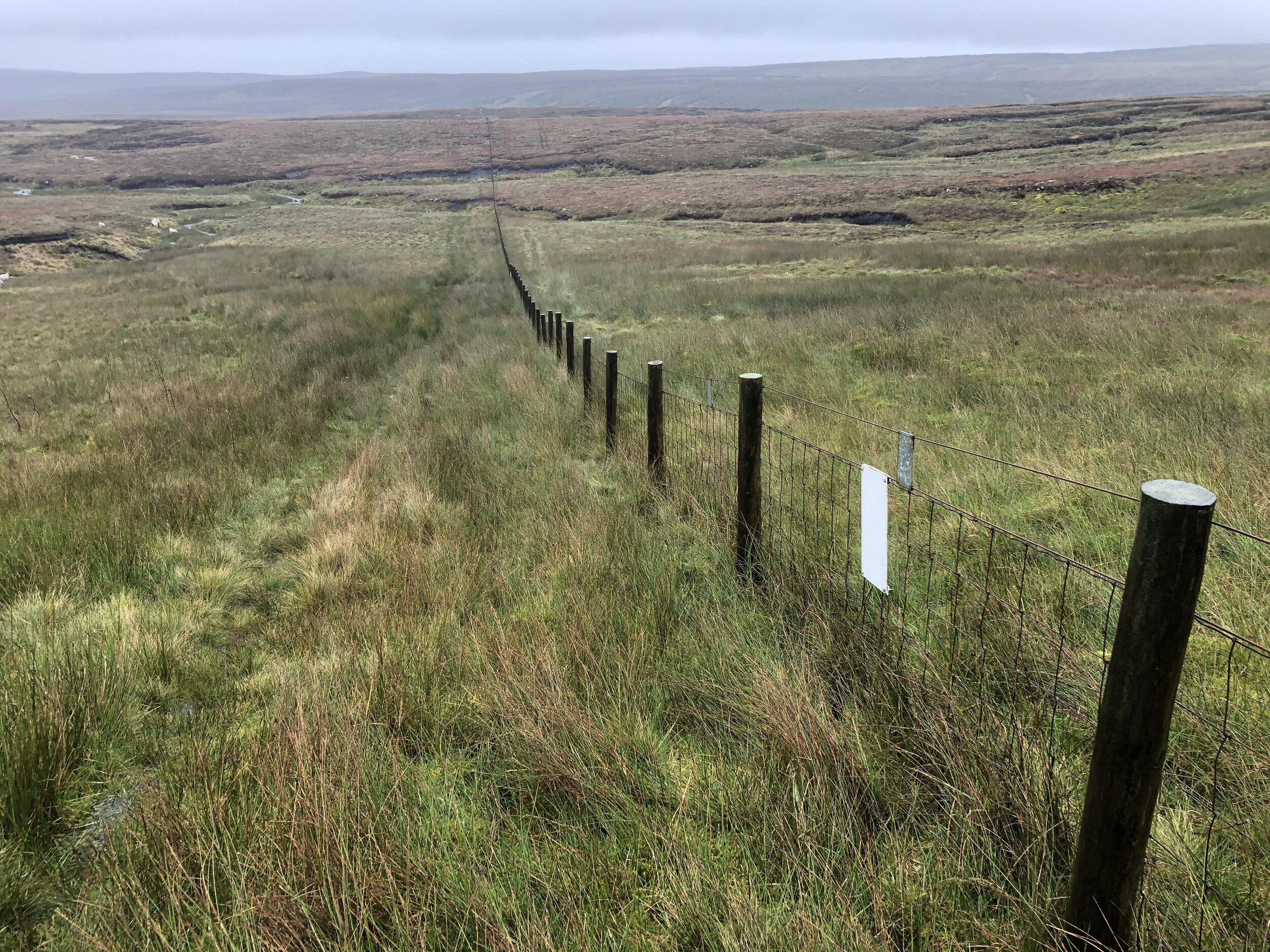
Route Start / End: Parking spots at Kippure TV Mast Entrance, Old Military Road, Powerscourt Mountain, Co. Wicklow
Route Distance: 7.2 km (4.5 miles)
Route Elevation Change: +/- 226m
Subsidiary tops on route: none
GPX File: get via Buy Me a Coffee
Other routes touched: none
OS Trig Pillar: TP7359 - Kippure New
Map: Dublin, Kildare, Meath, Wicklow (Irish Discovery Series): Sheet 50
Guidebook: Ireland's County High Points (A Walking Guide) by Kieron Gribbon
Links: Wikipedia (County Dublin), Wikipedia (Kippure), Peakbagger, Hillbagging