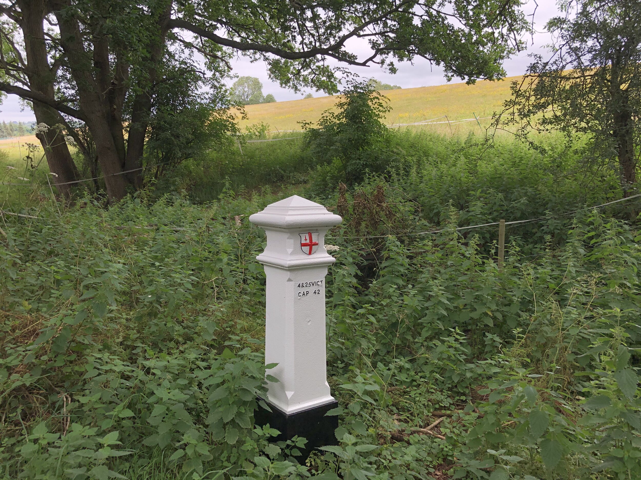
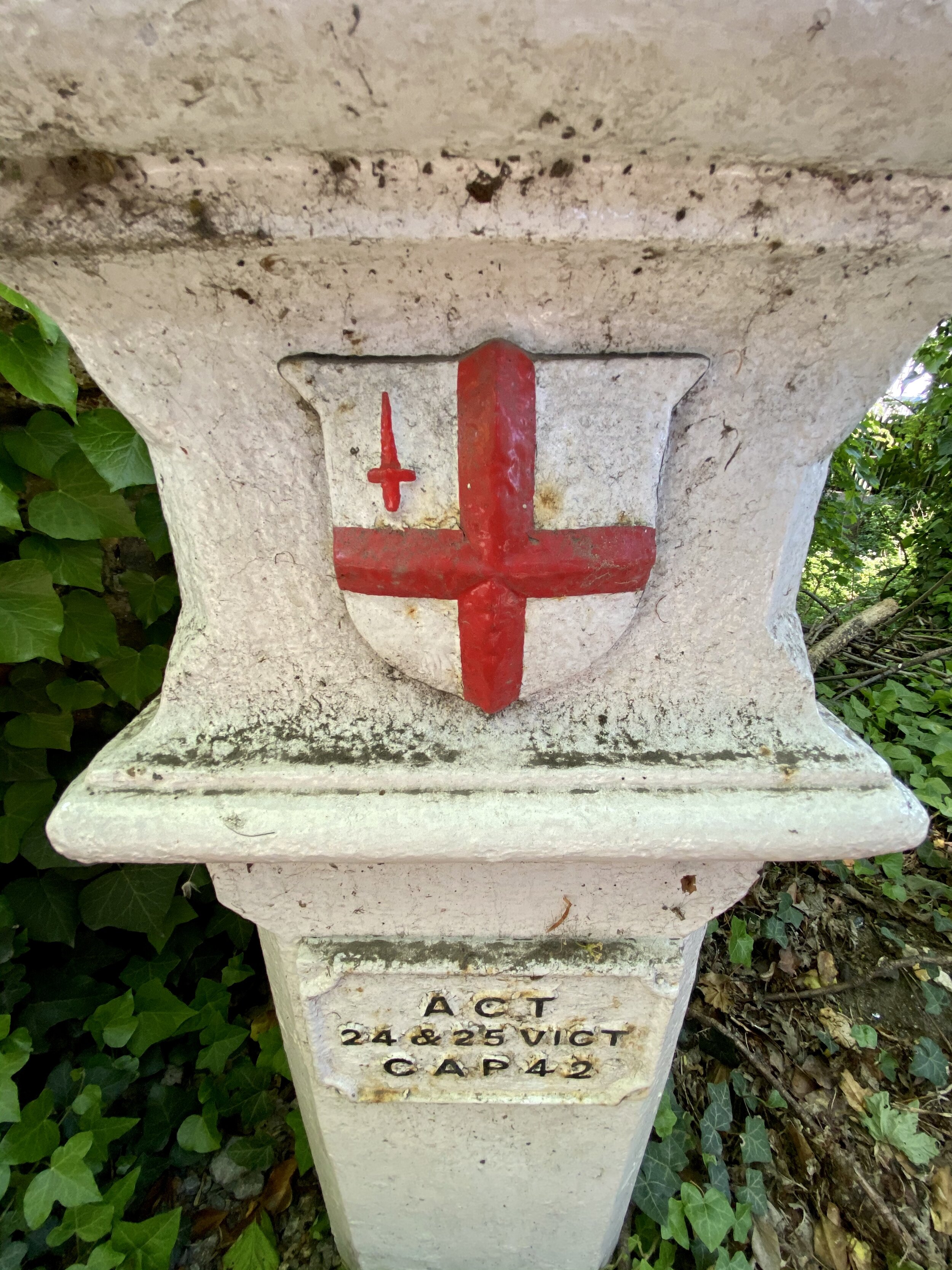
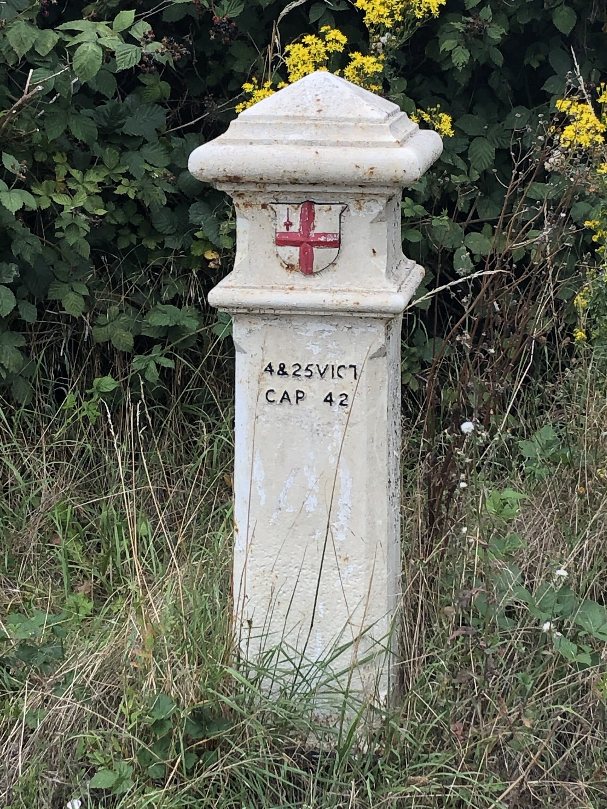
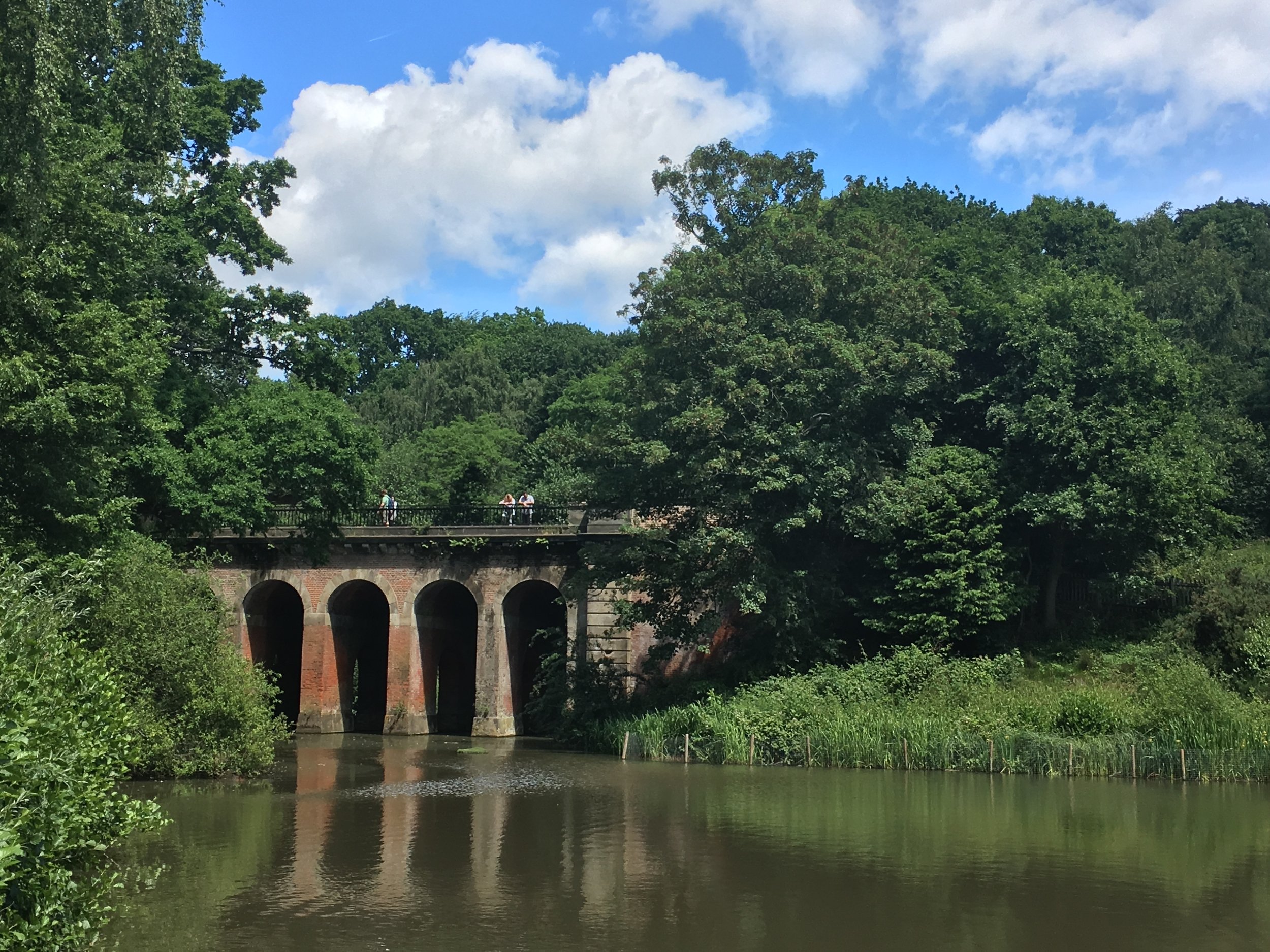
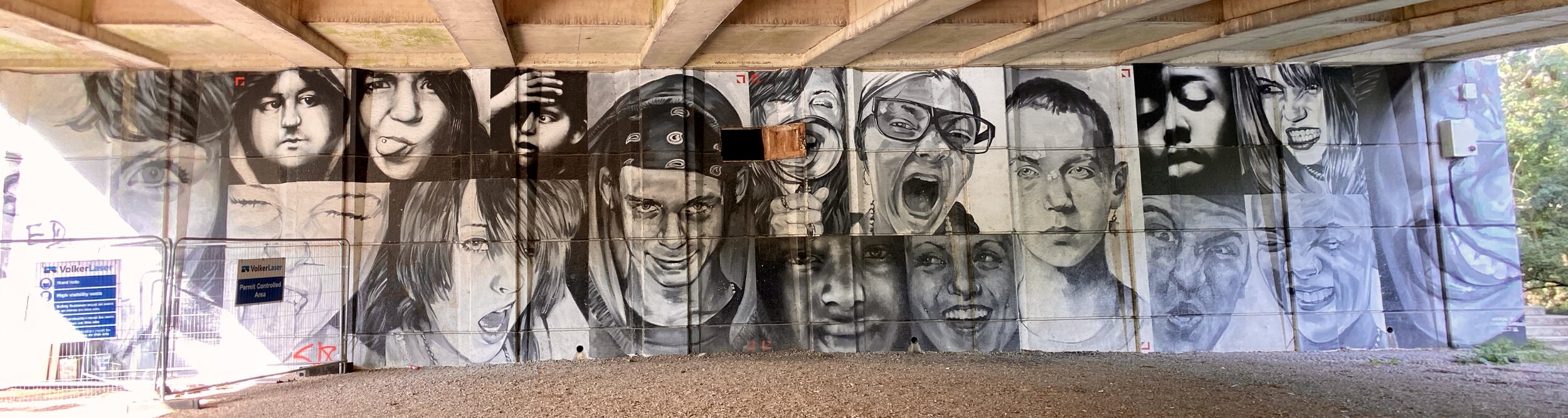
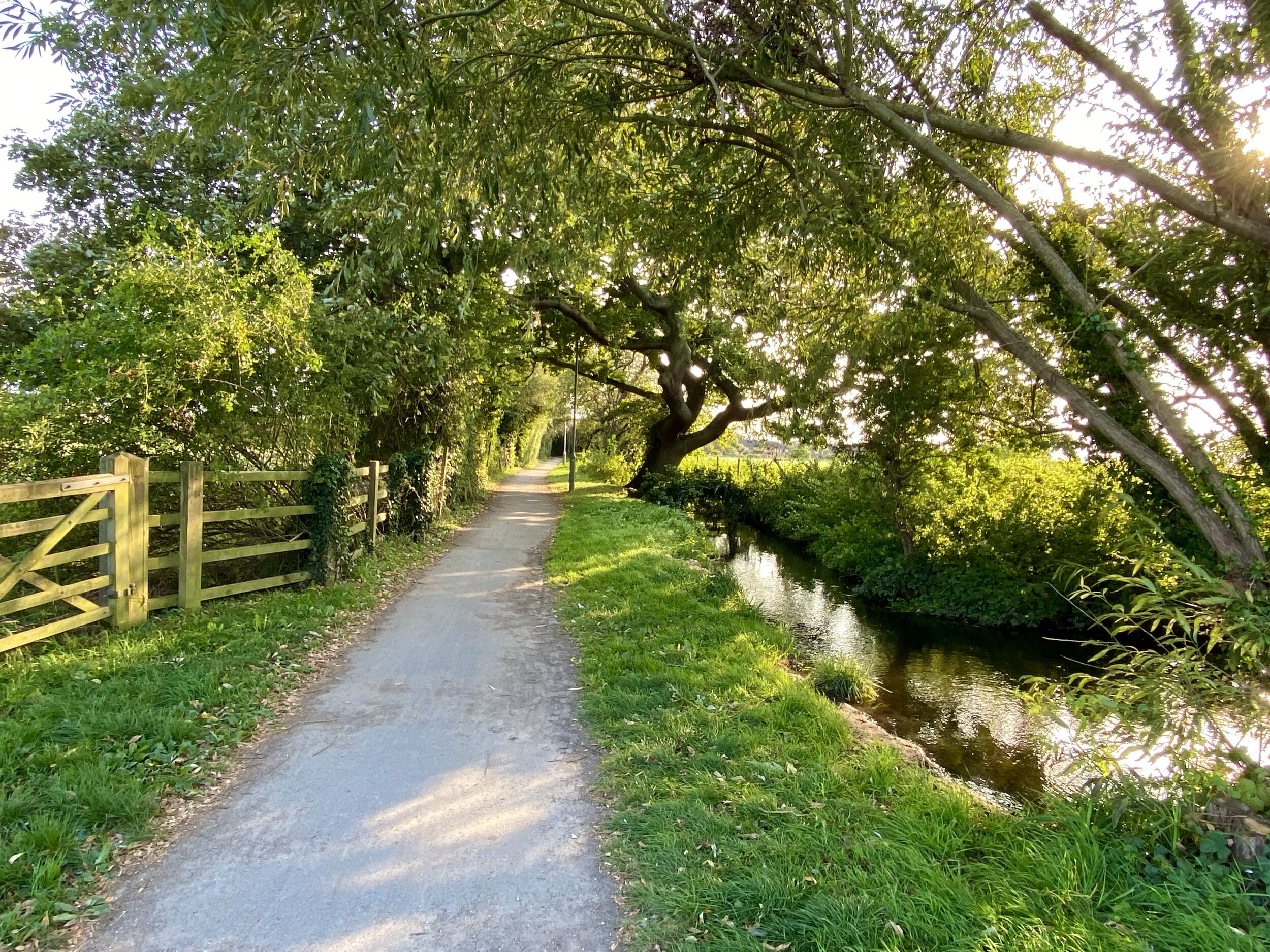
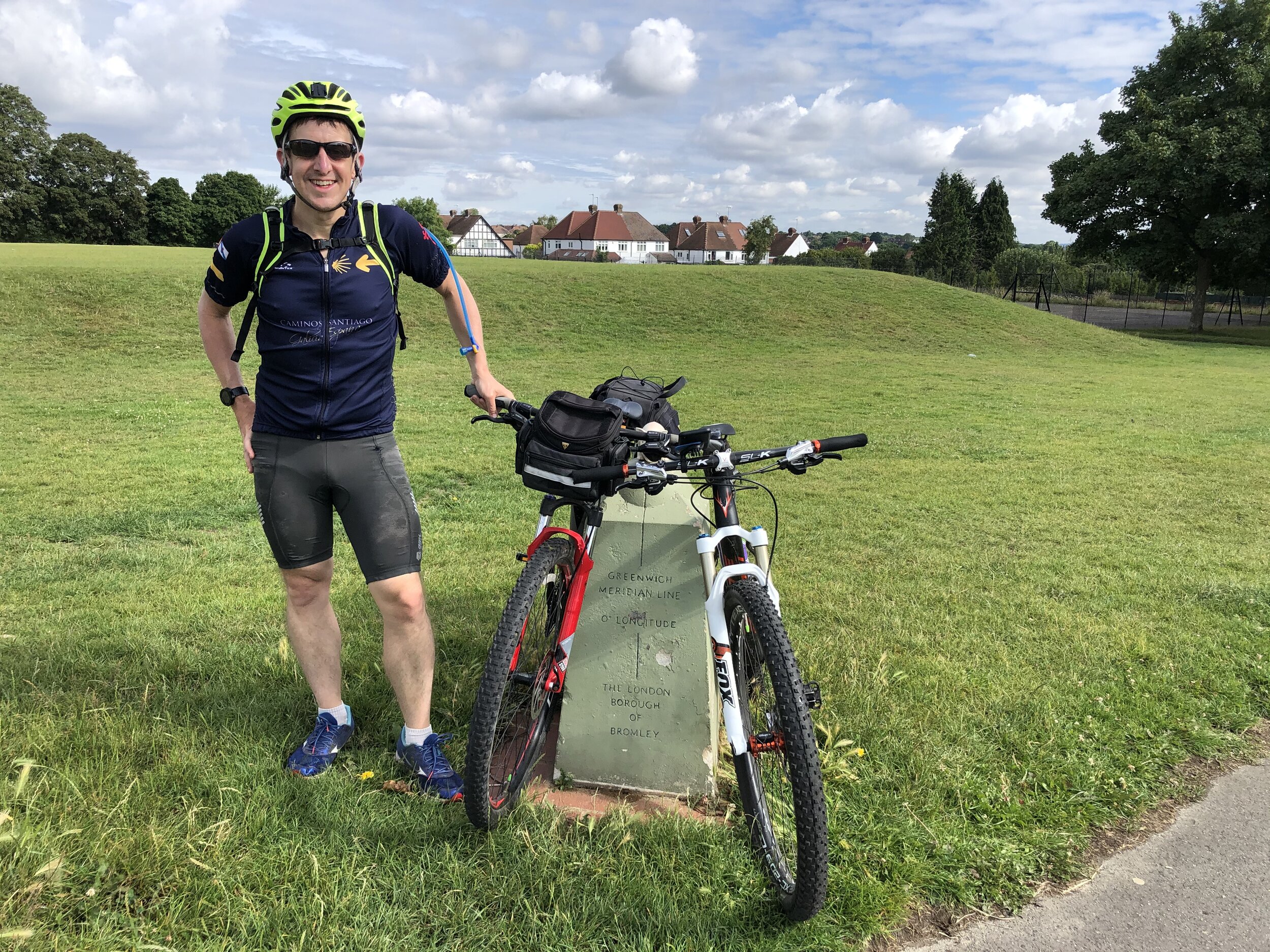
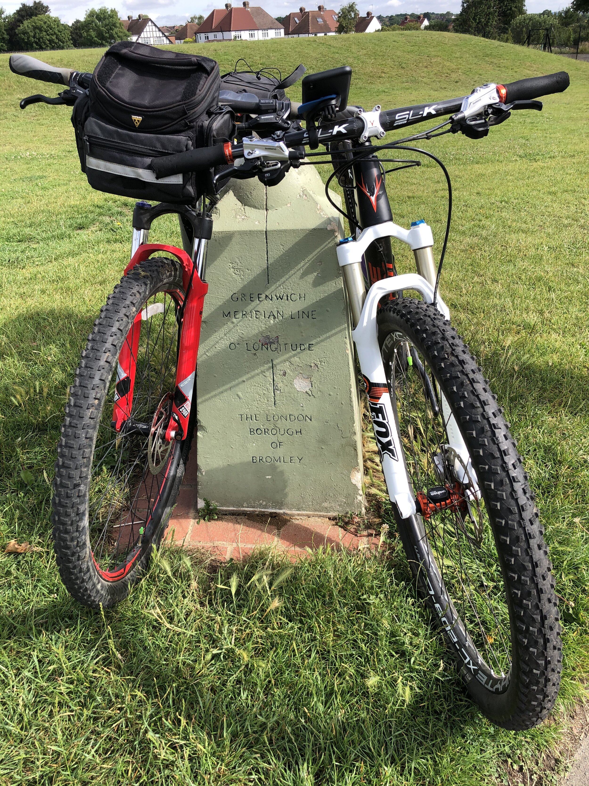
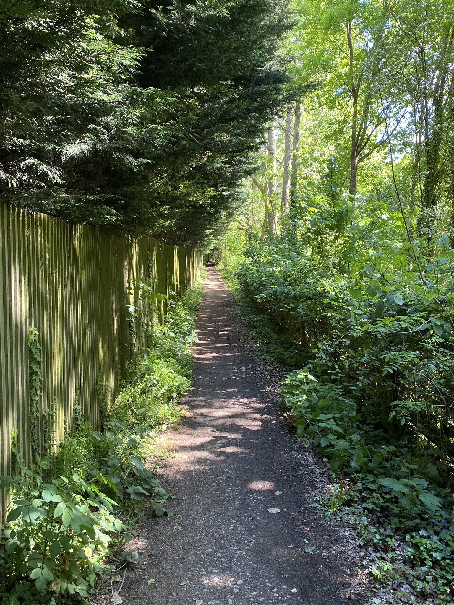
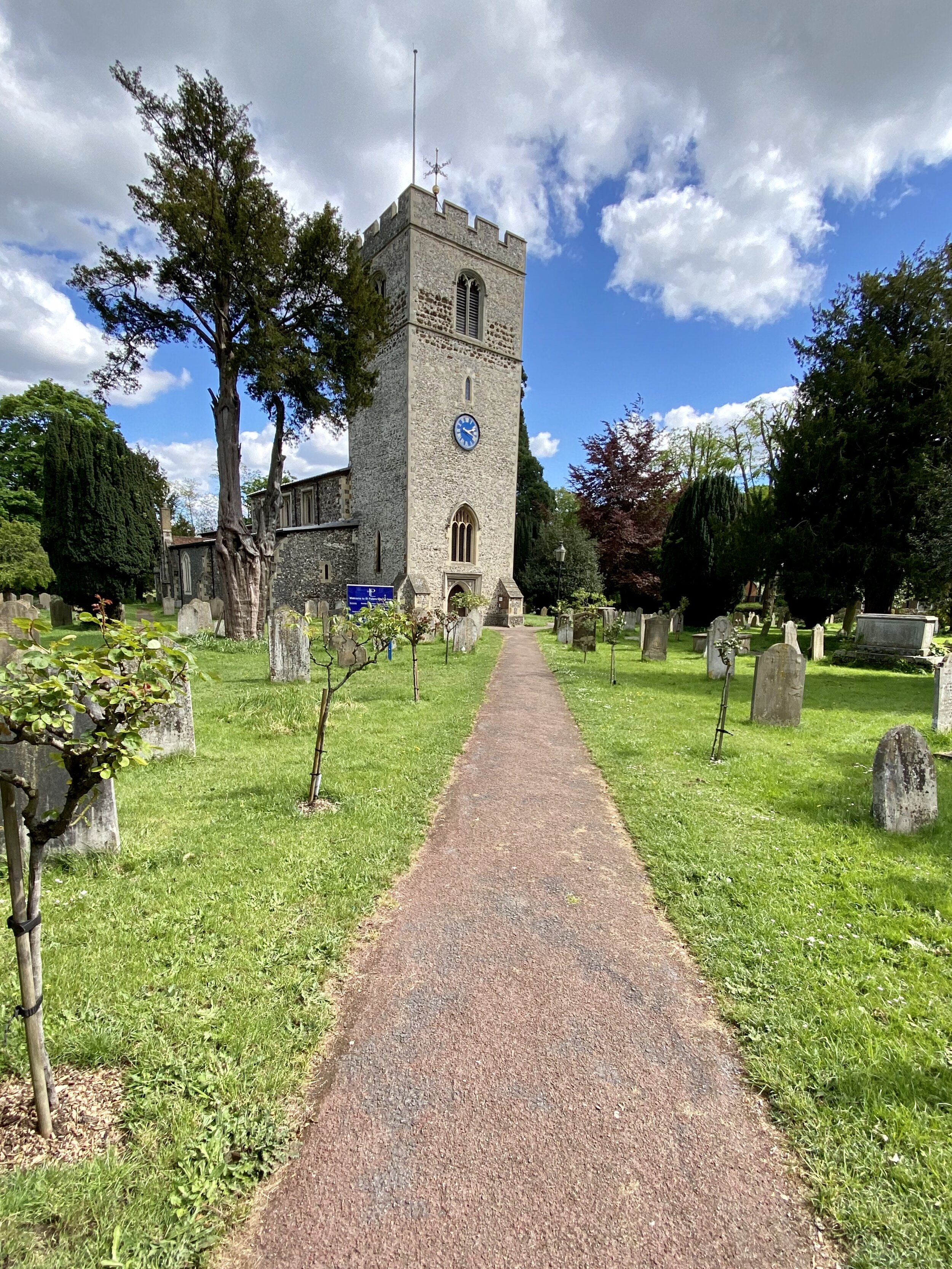
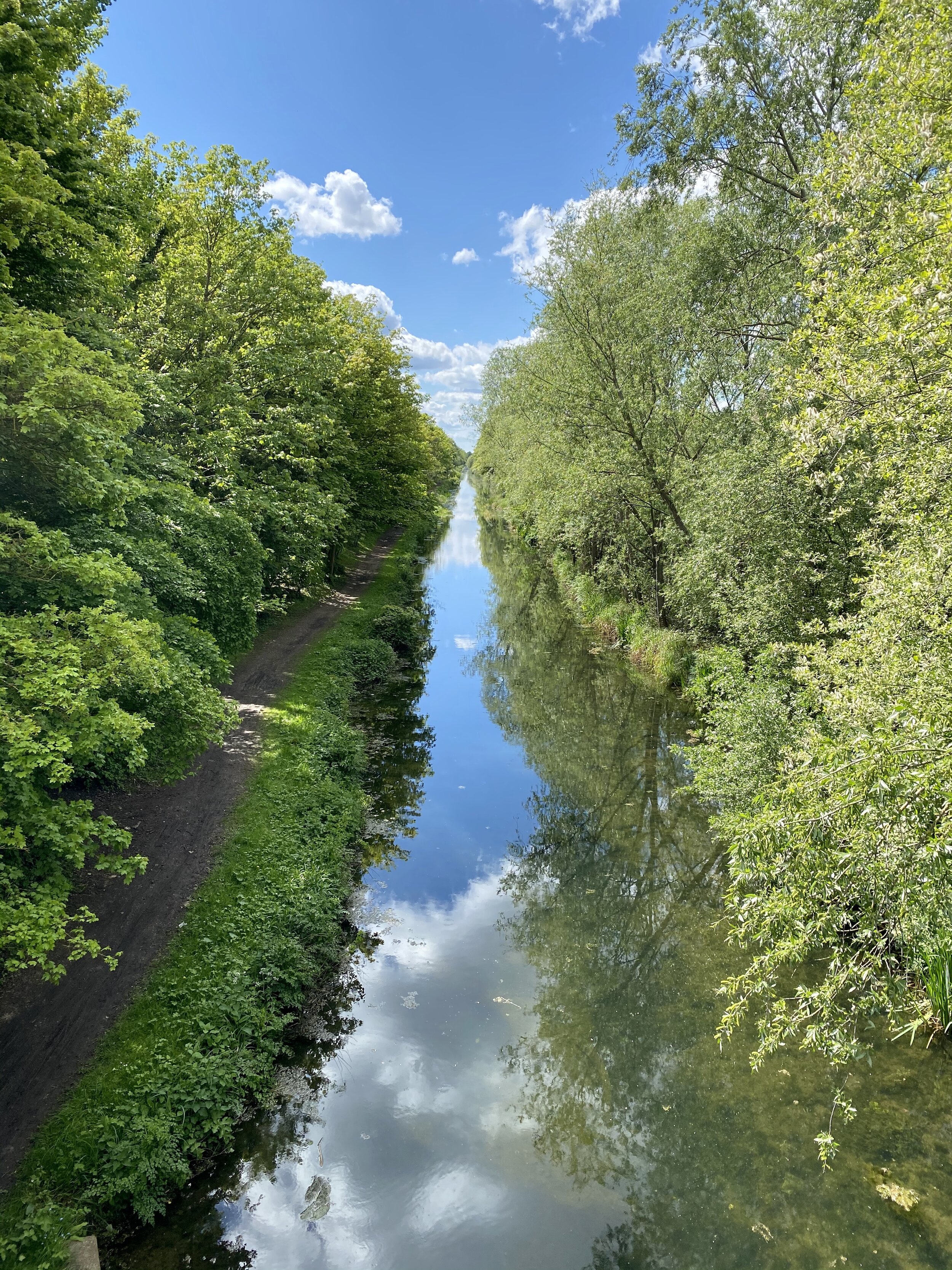
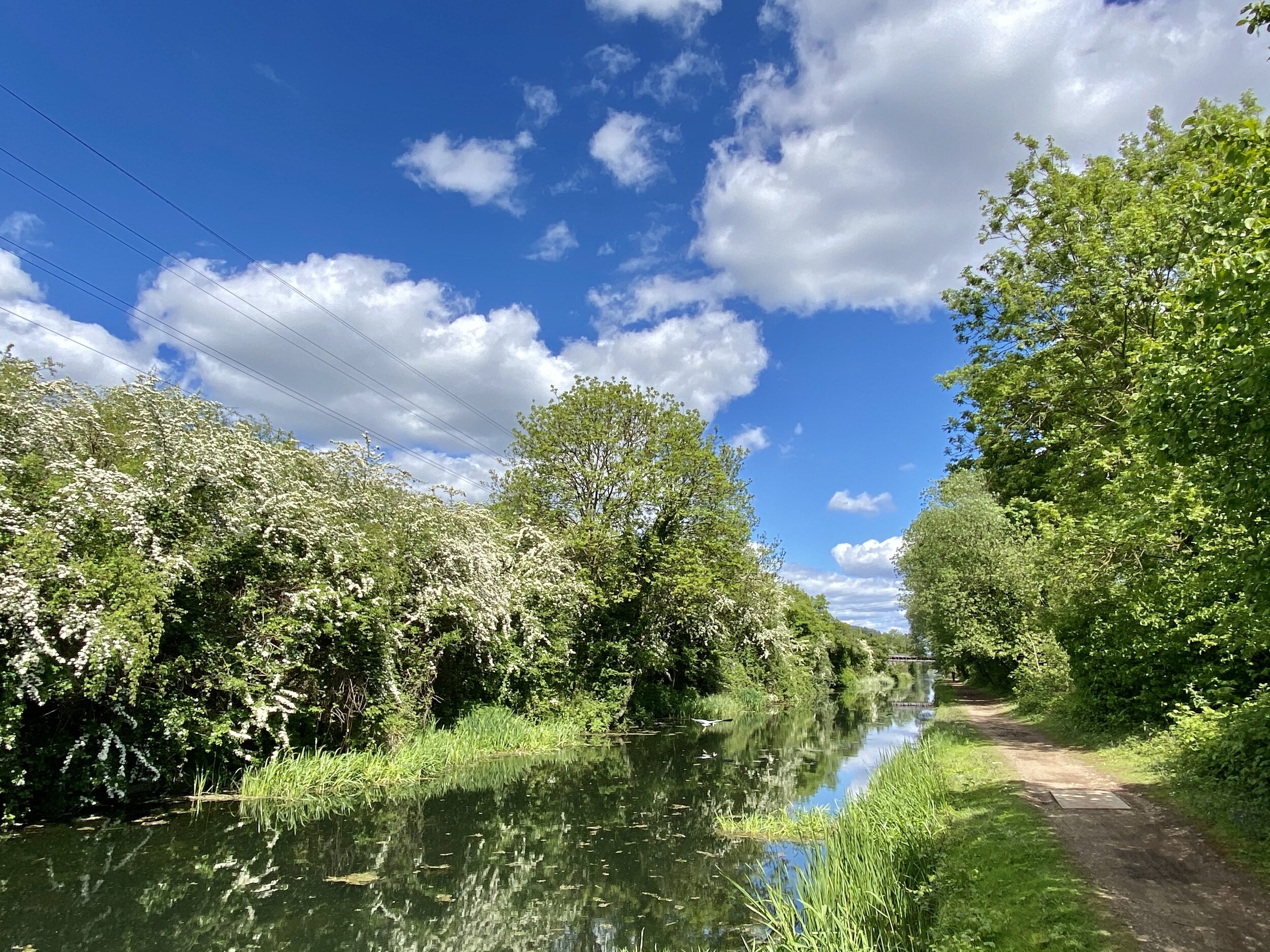
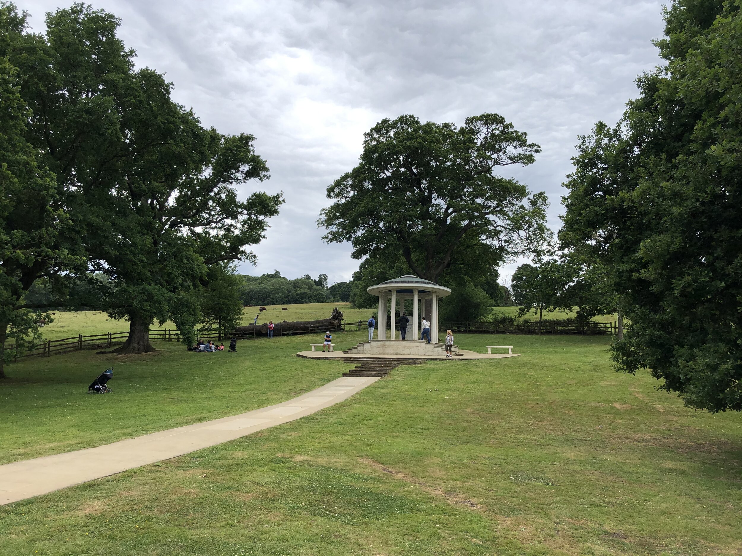
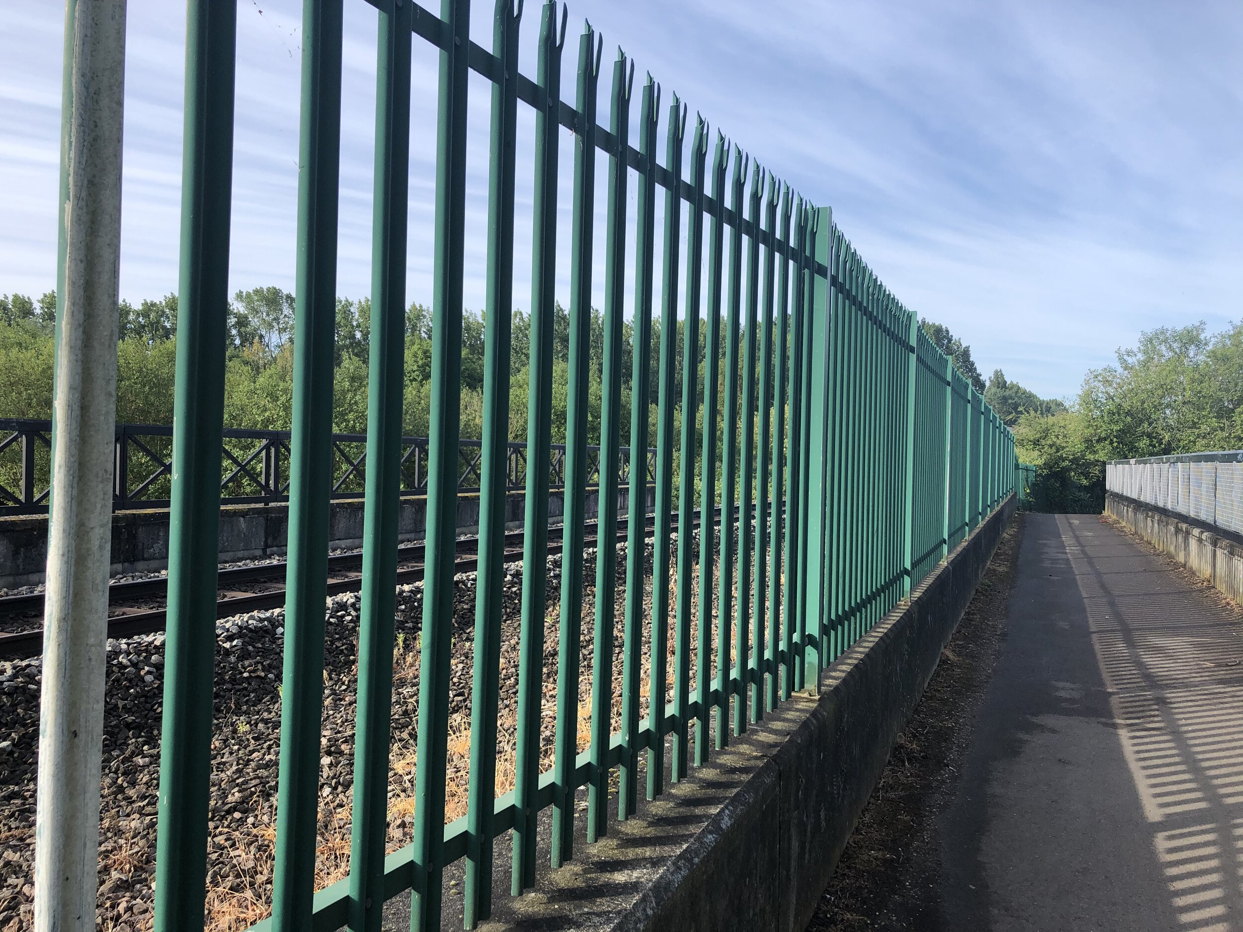
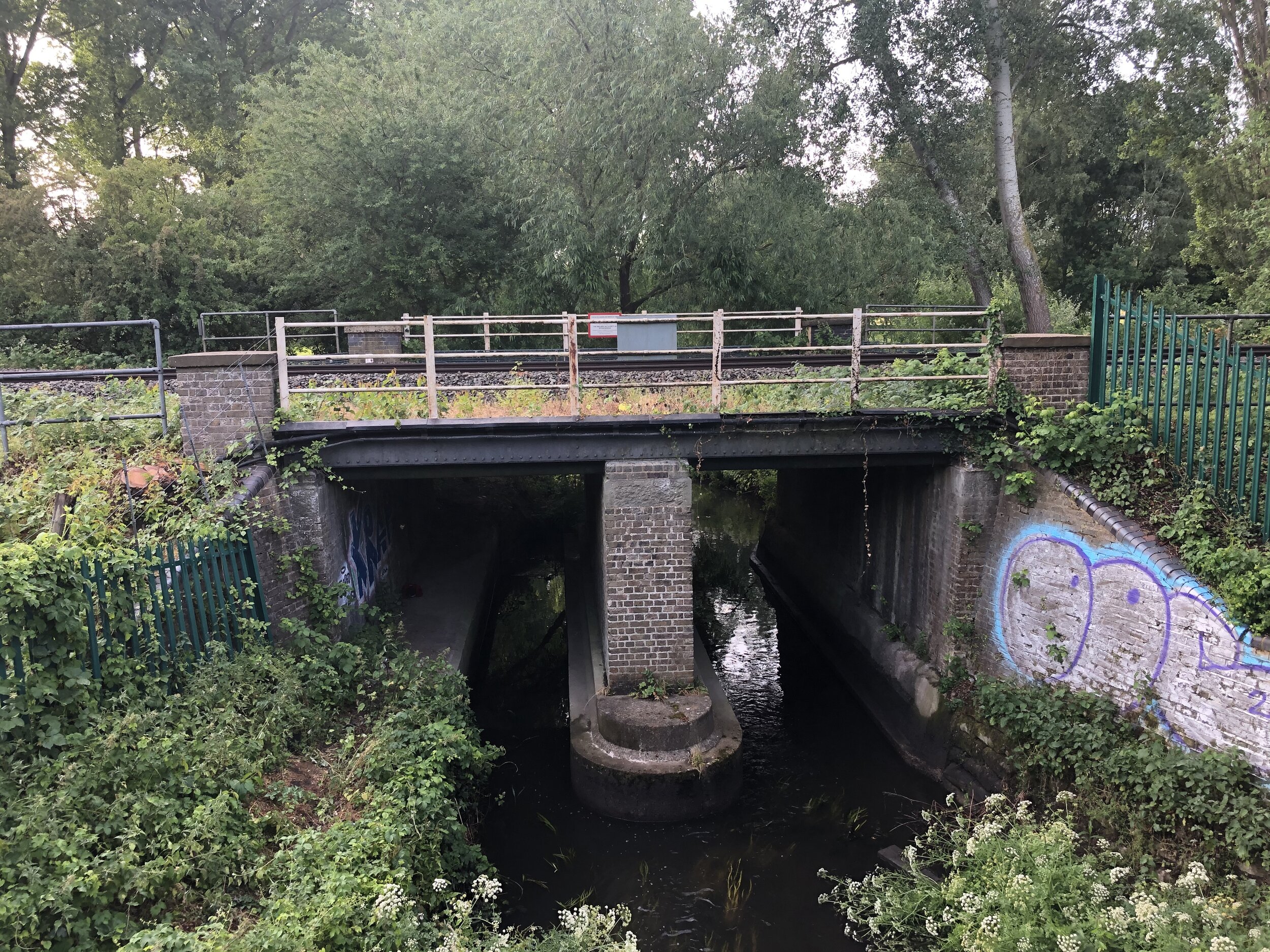
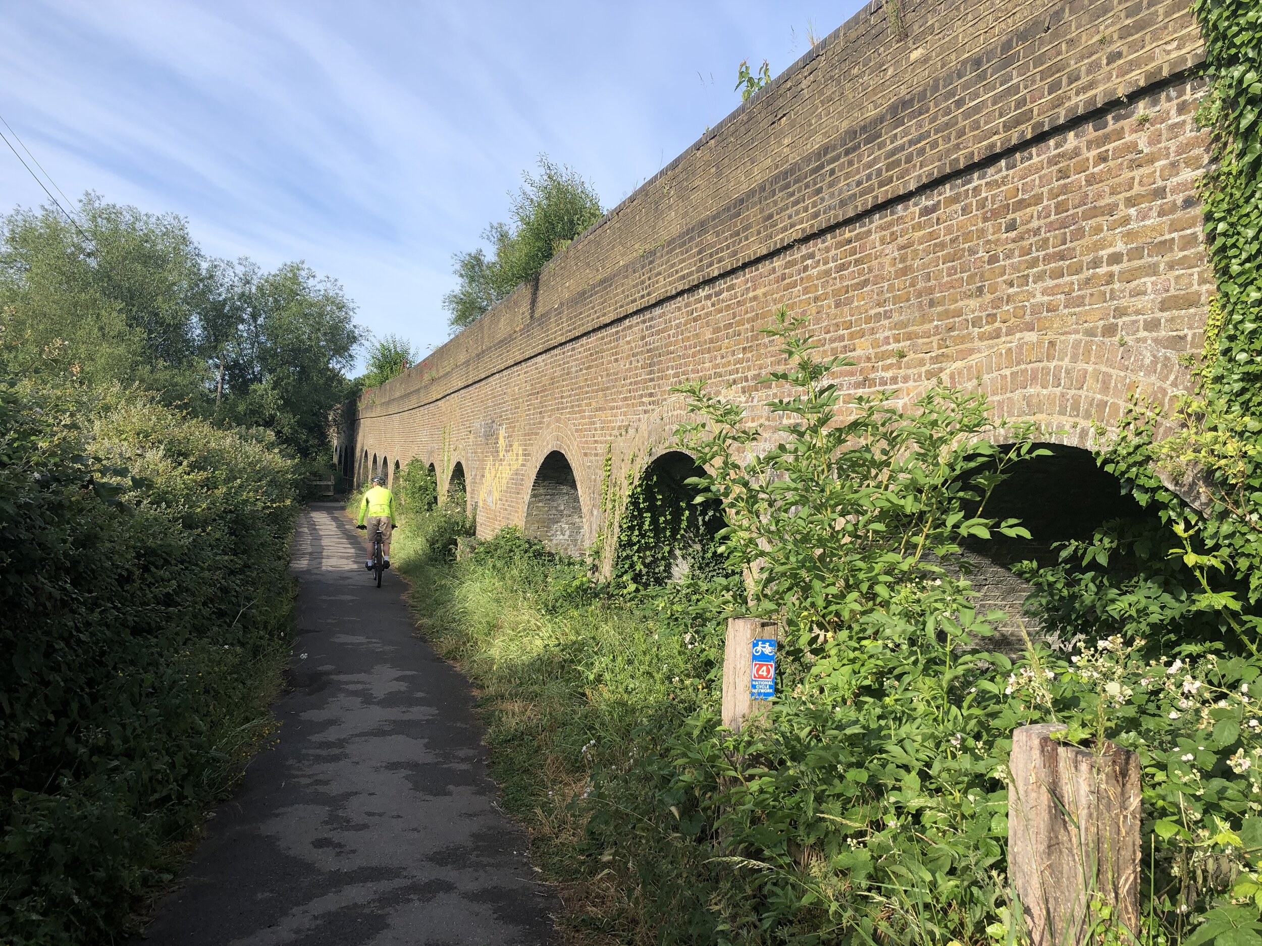
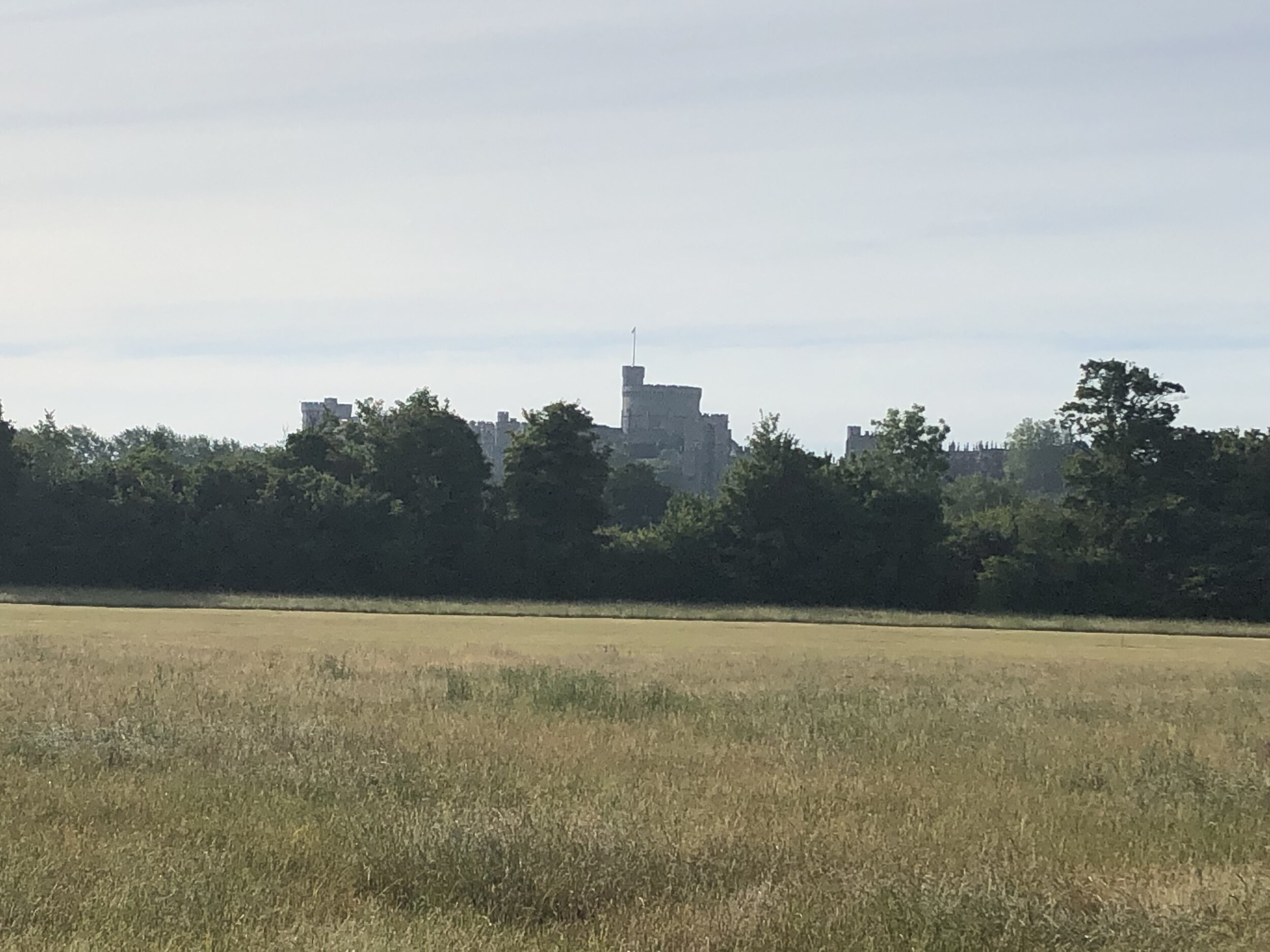
Having walked and cycled a lot of the Chilterns over the past few years I’ve become much more familiar with its landscape. I discovered the valleys in my cycling trips along the Chiltern Rivers and the high points while bagging the Trig Points. With a need to find more short local walks during the Covid Lockdowns my attention turned to finding the rail lines and stations in the AONB. All of the walks listed below the map are around 10k (~6 miles) with a start and finish at a Chiltern rail station. This list covers all stations inside the Chiltern Hills AONB, shaded in green on the map. There’s also a selection of walks covering stations in the “Greater Chiltern Area”, shaded in peach, which covers the area bounded by the north end of the AONB and the Rivers Thames, Lea and Colne.

Rail-based circular walks in the Chiltern Hills AONB
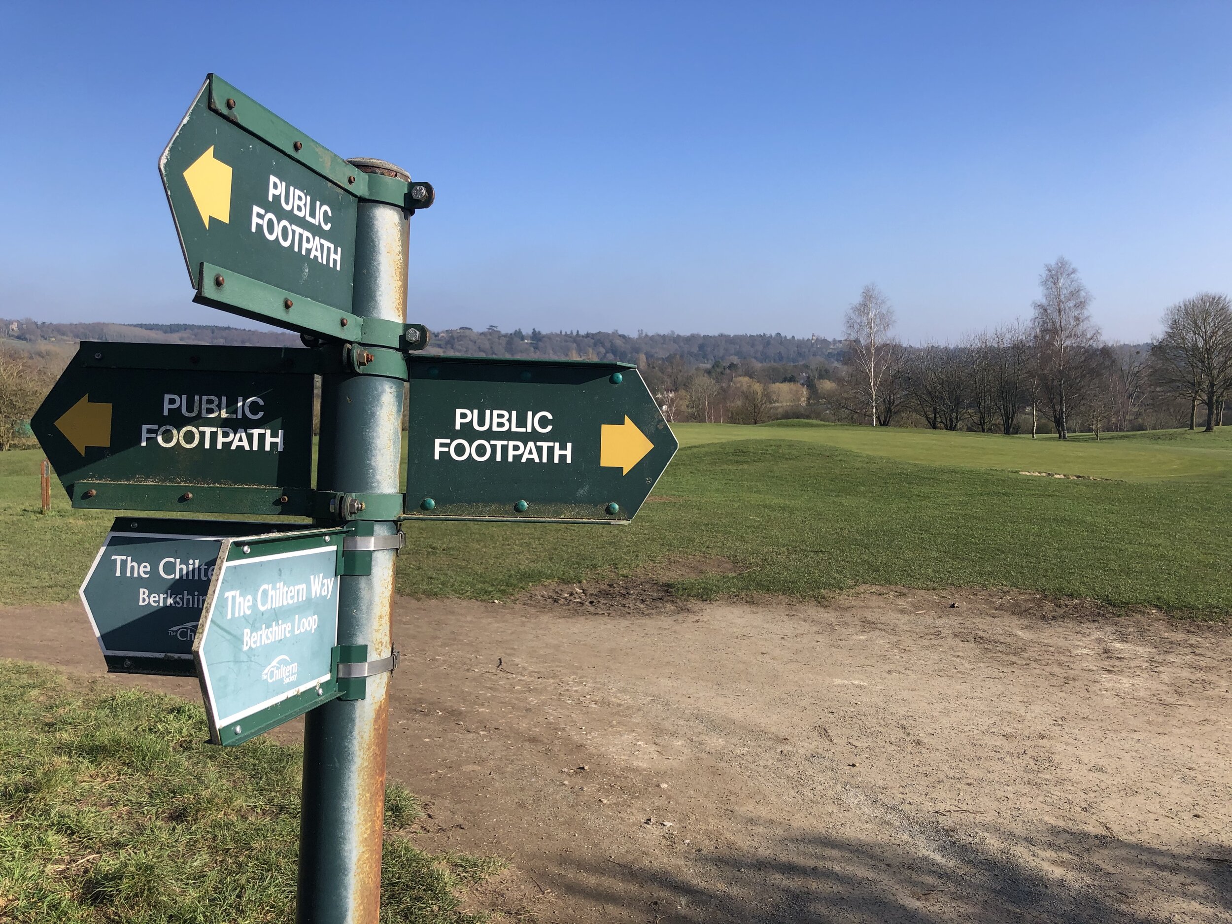
Where all or most of the walk is within the boundary of the AONB
Amersham Old and New Towns (Amersham Station): 8.3 Km. +/- 75m Elevation Gain.
Berkhamsted Castle and Common (Berkhamsted station): 10.5 Km. +/- 73m Elevation Gain.
Chesham & Tylers Hill (Chesham station): 9.3 Km. +/- 84m Elevation Gain.
Chorleywood and Chenies (Chorleywood station): 8.0 Km. +/- 85m Elevation Gain.
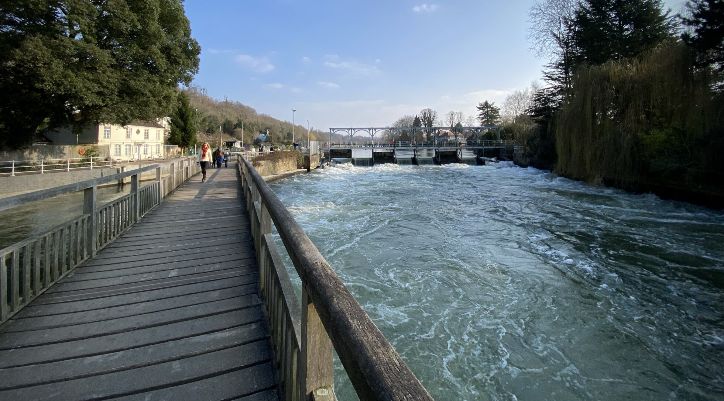
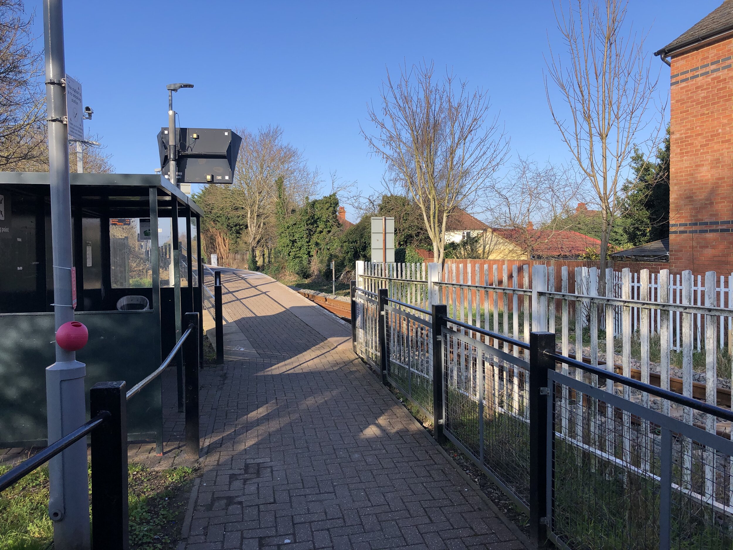
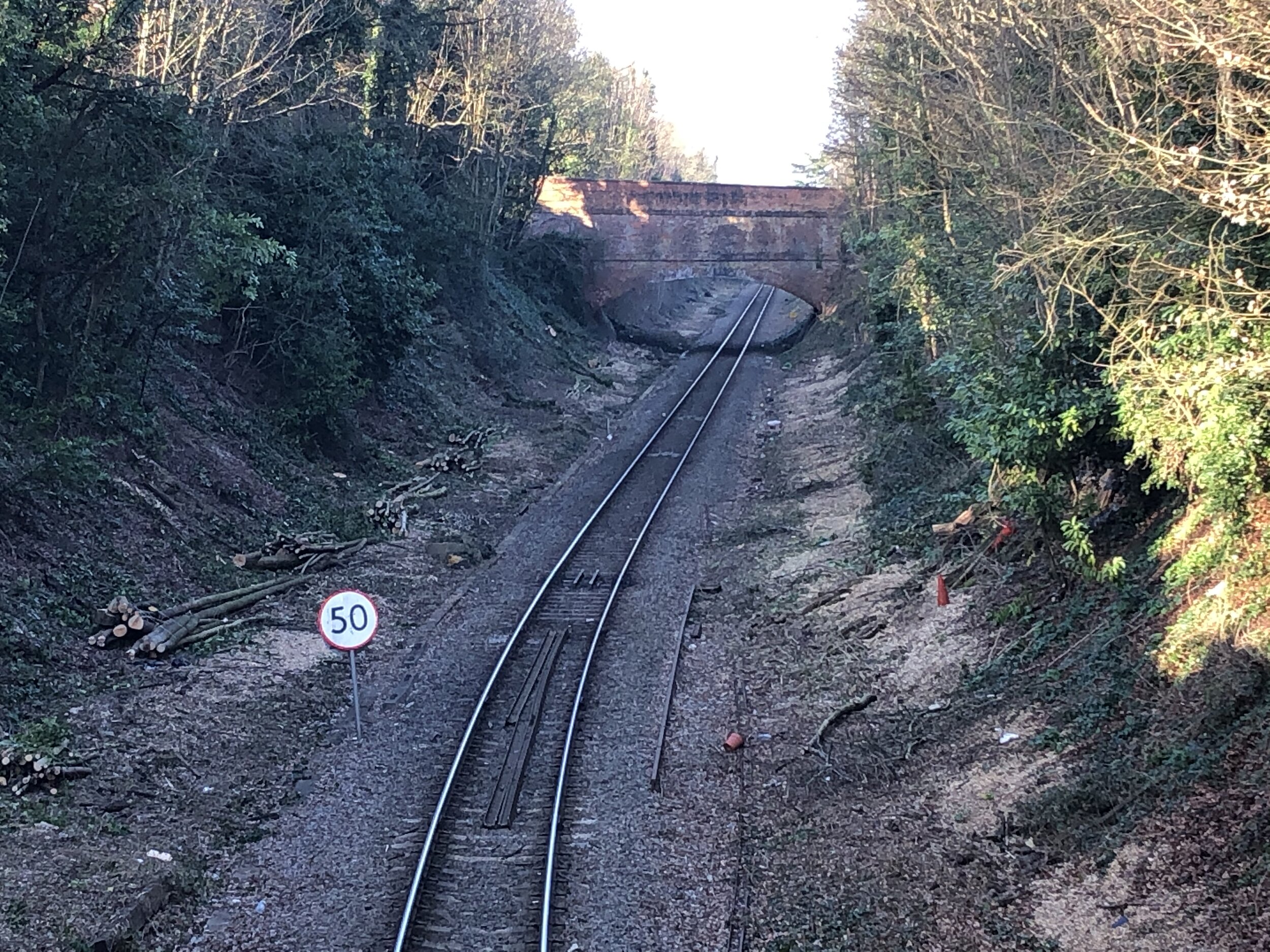
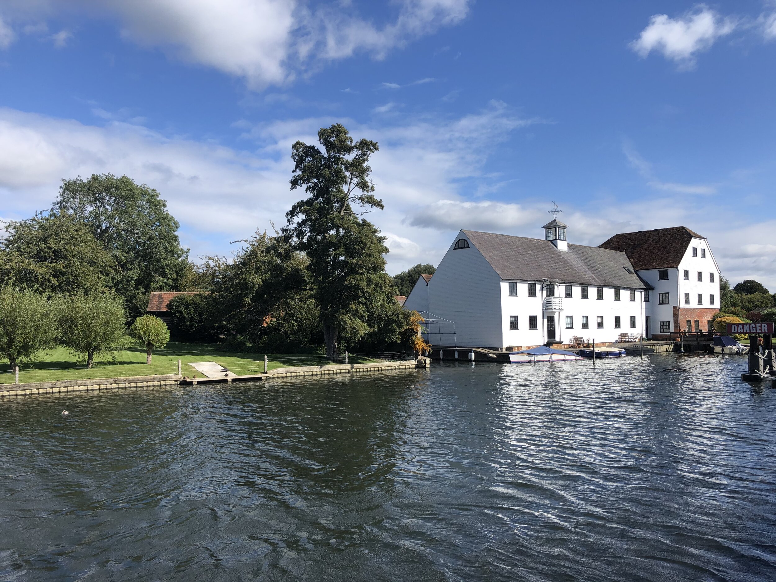
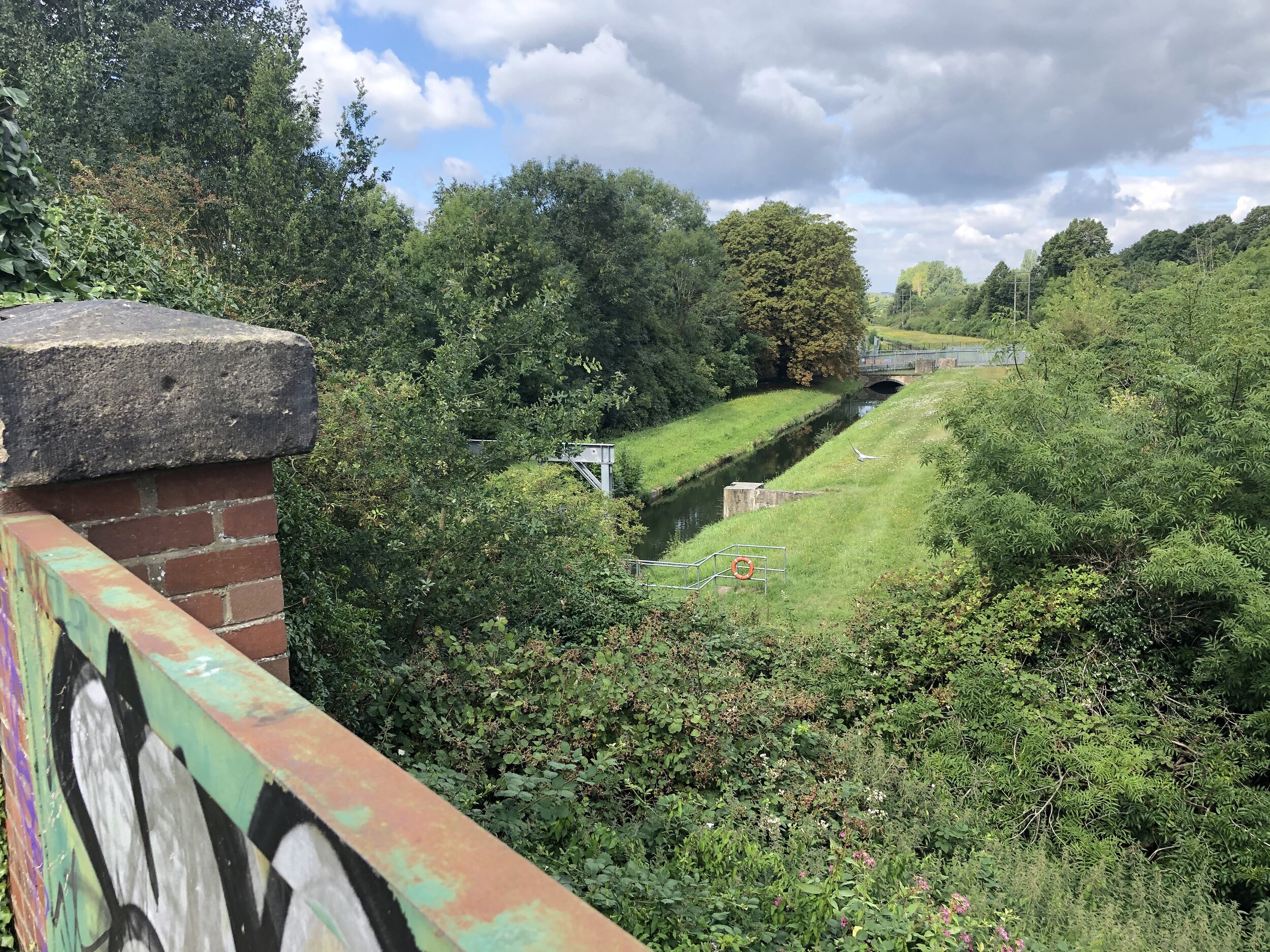
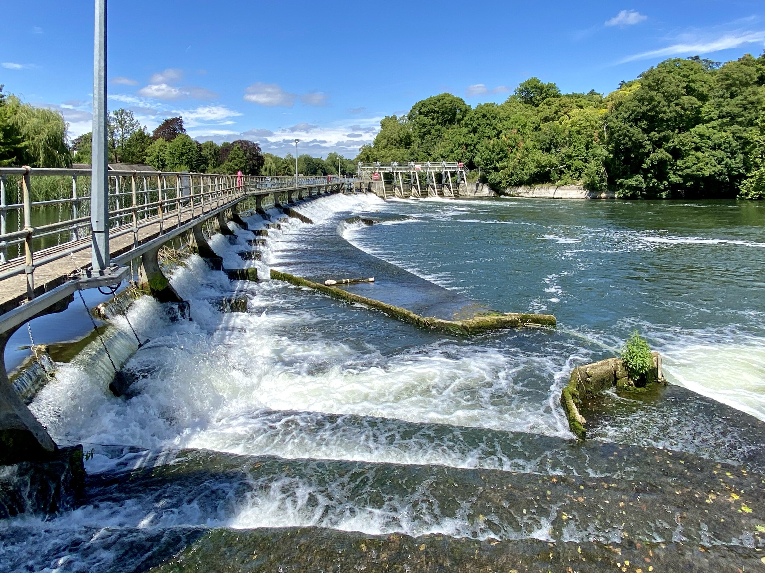
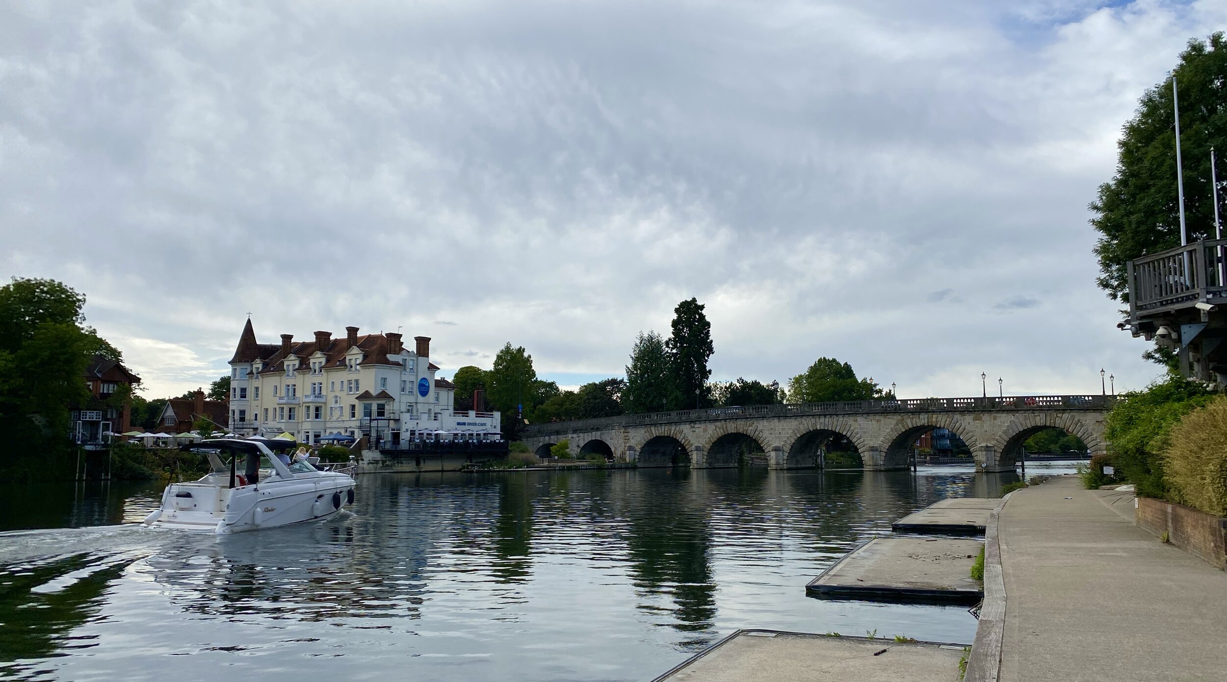
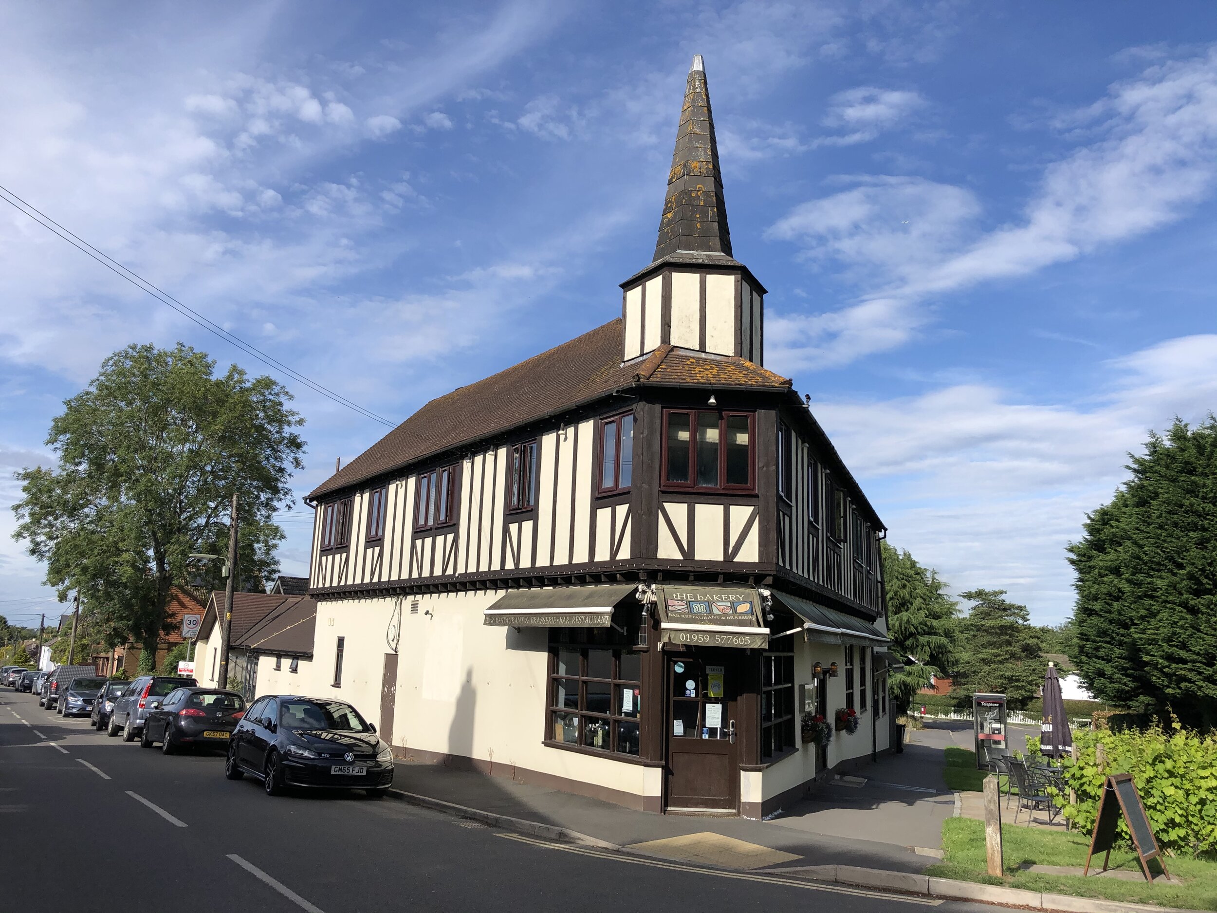
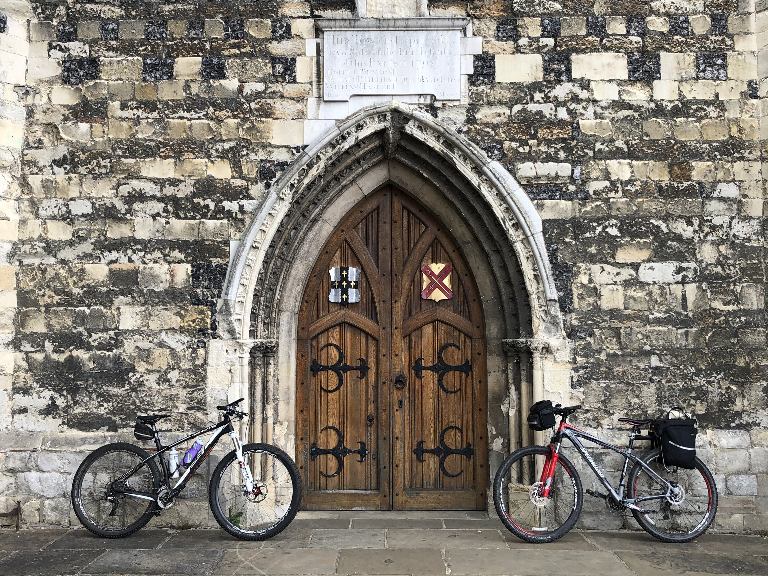
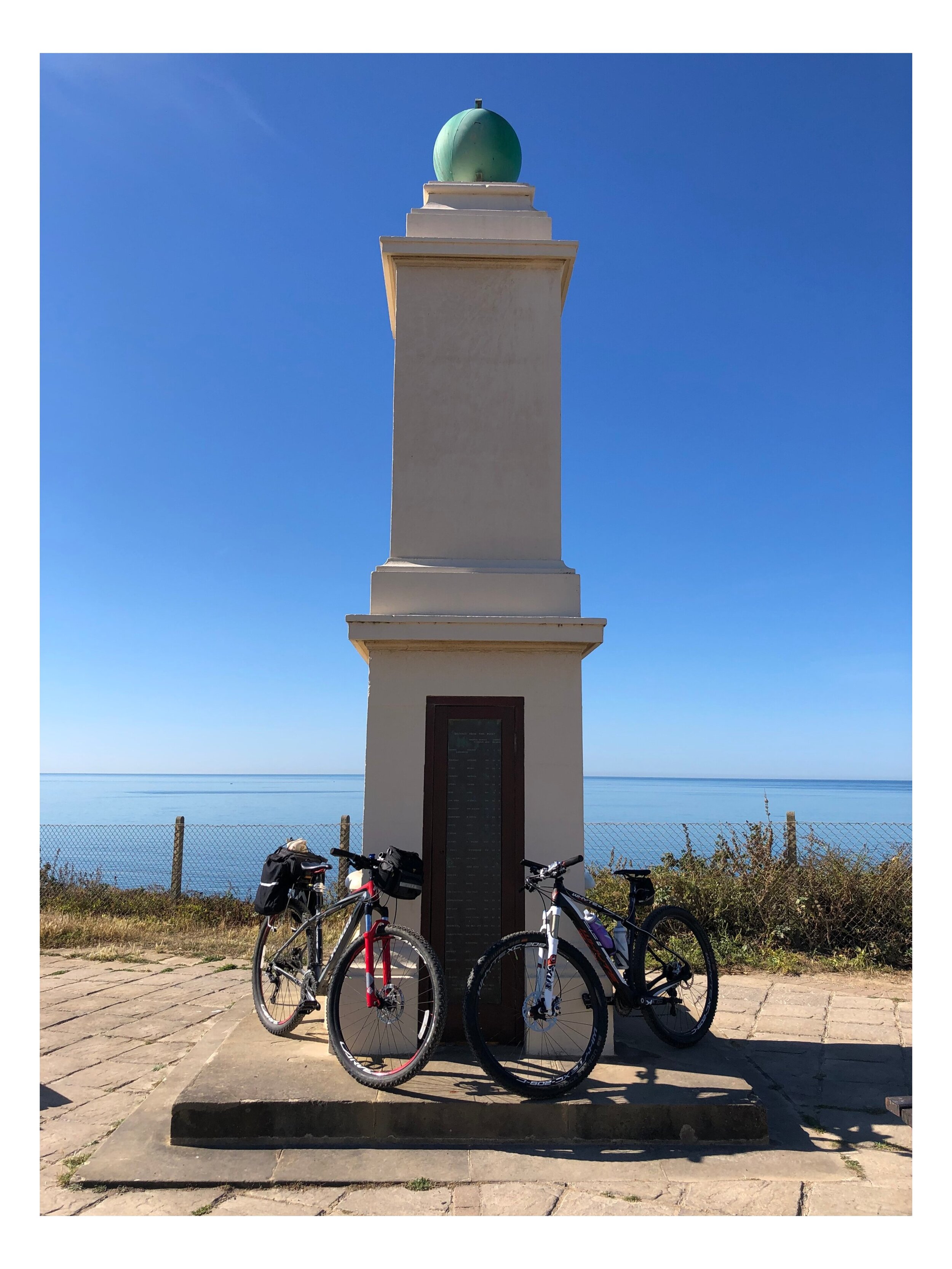
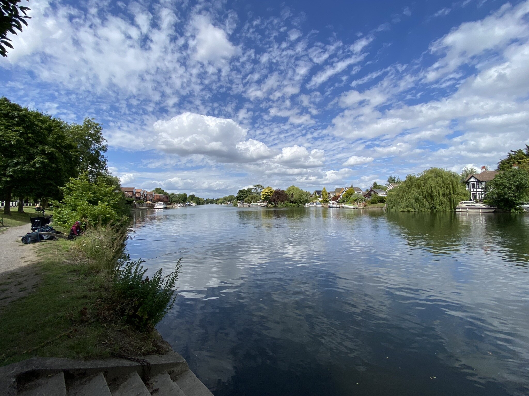
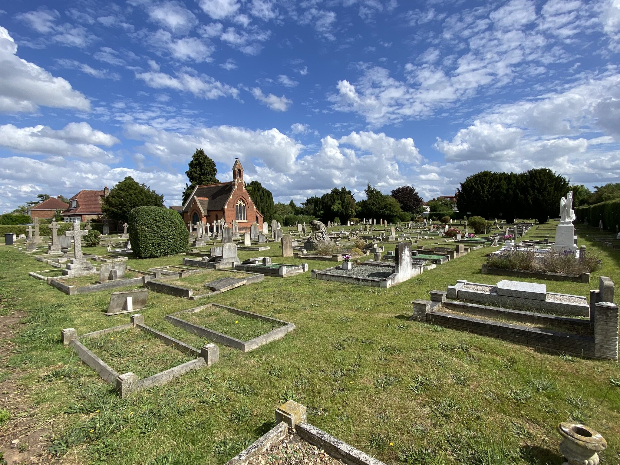
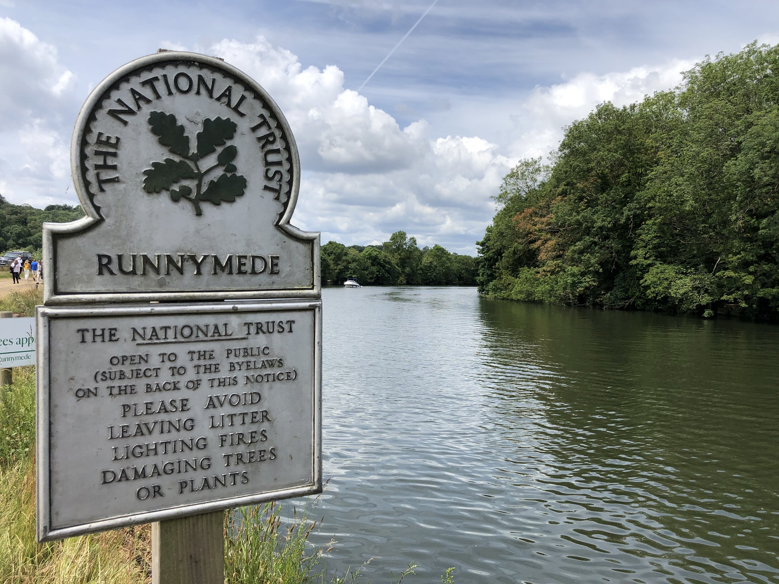
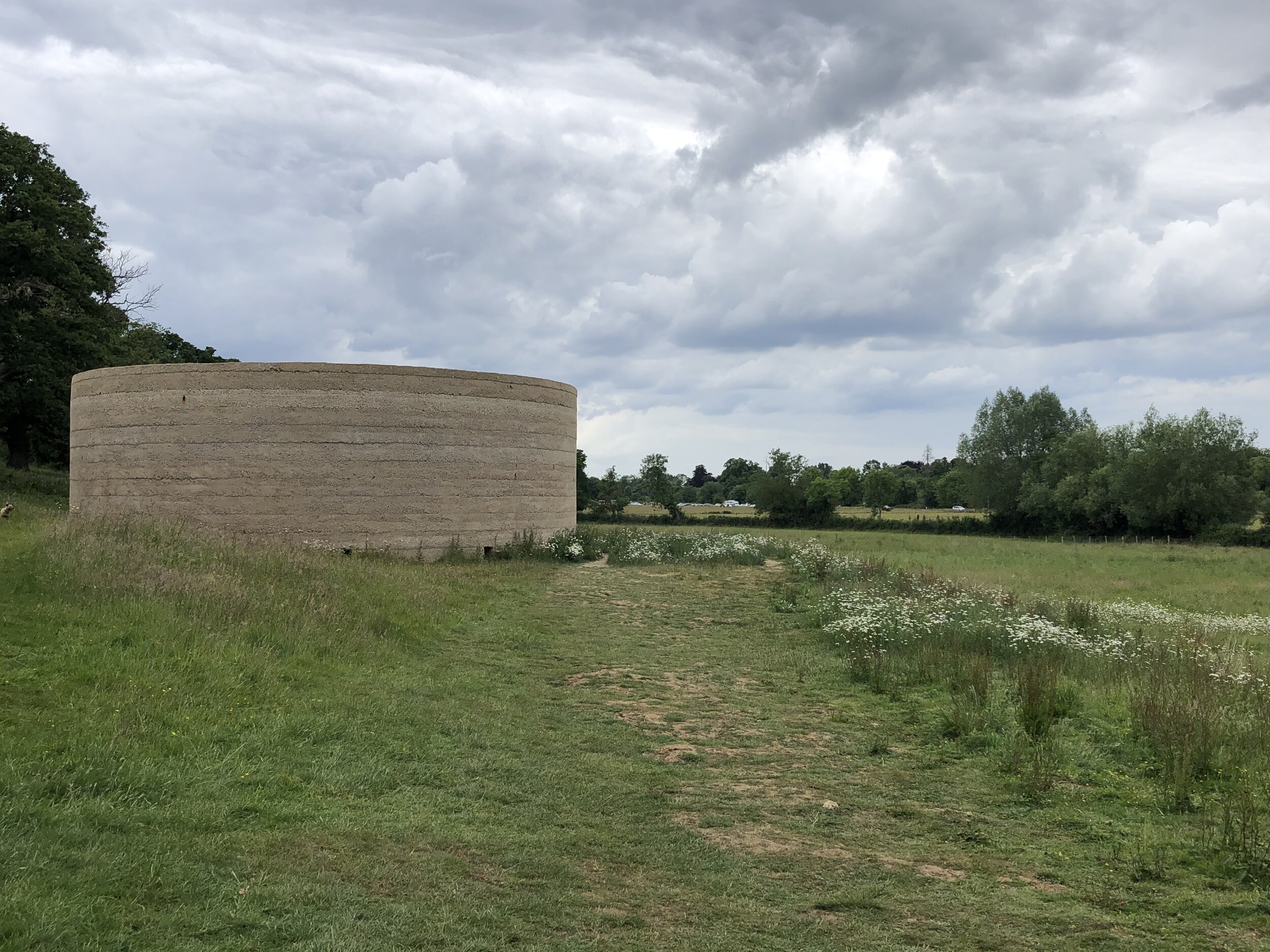
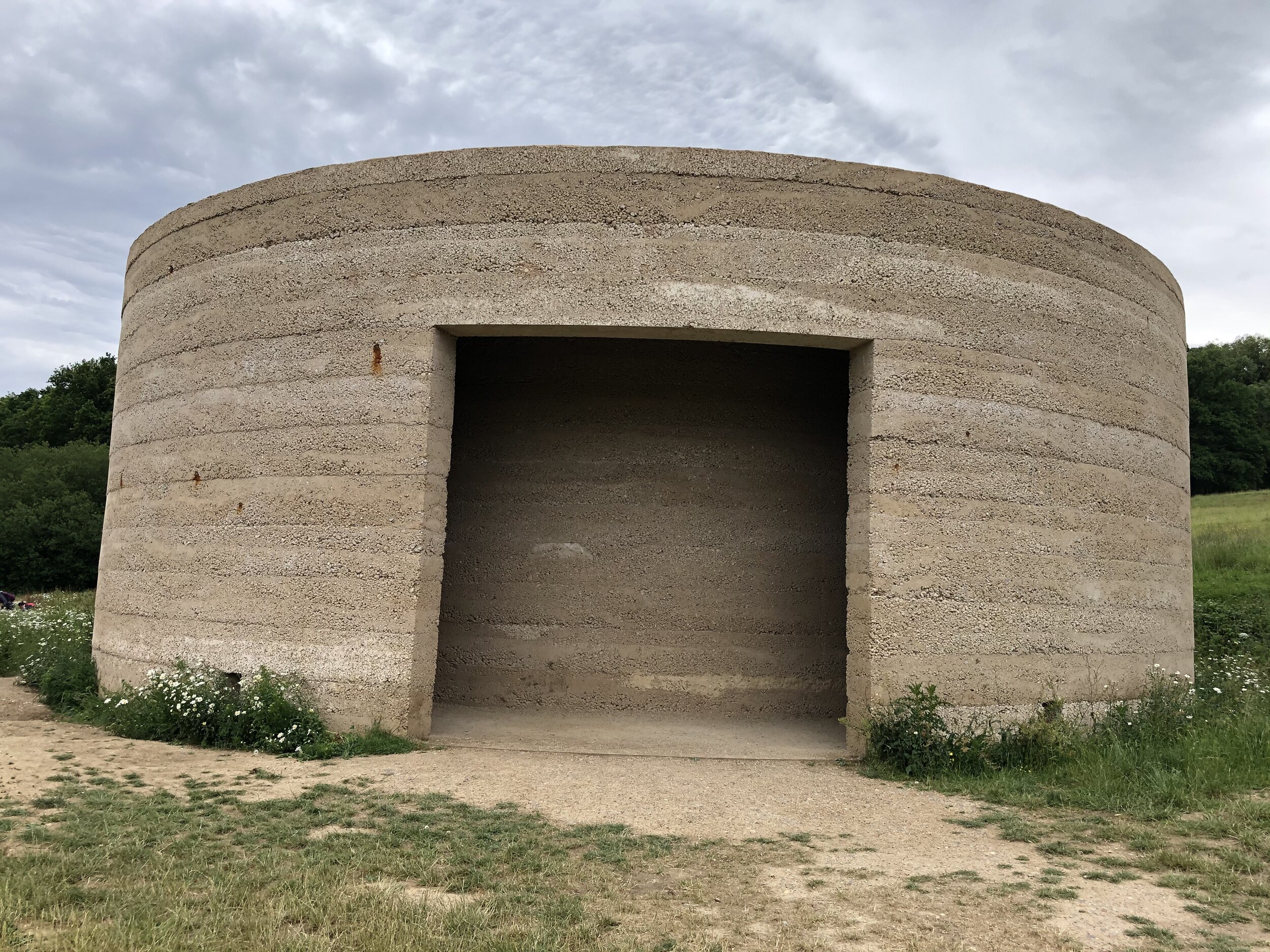
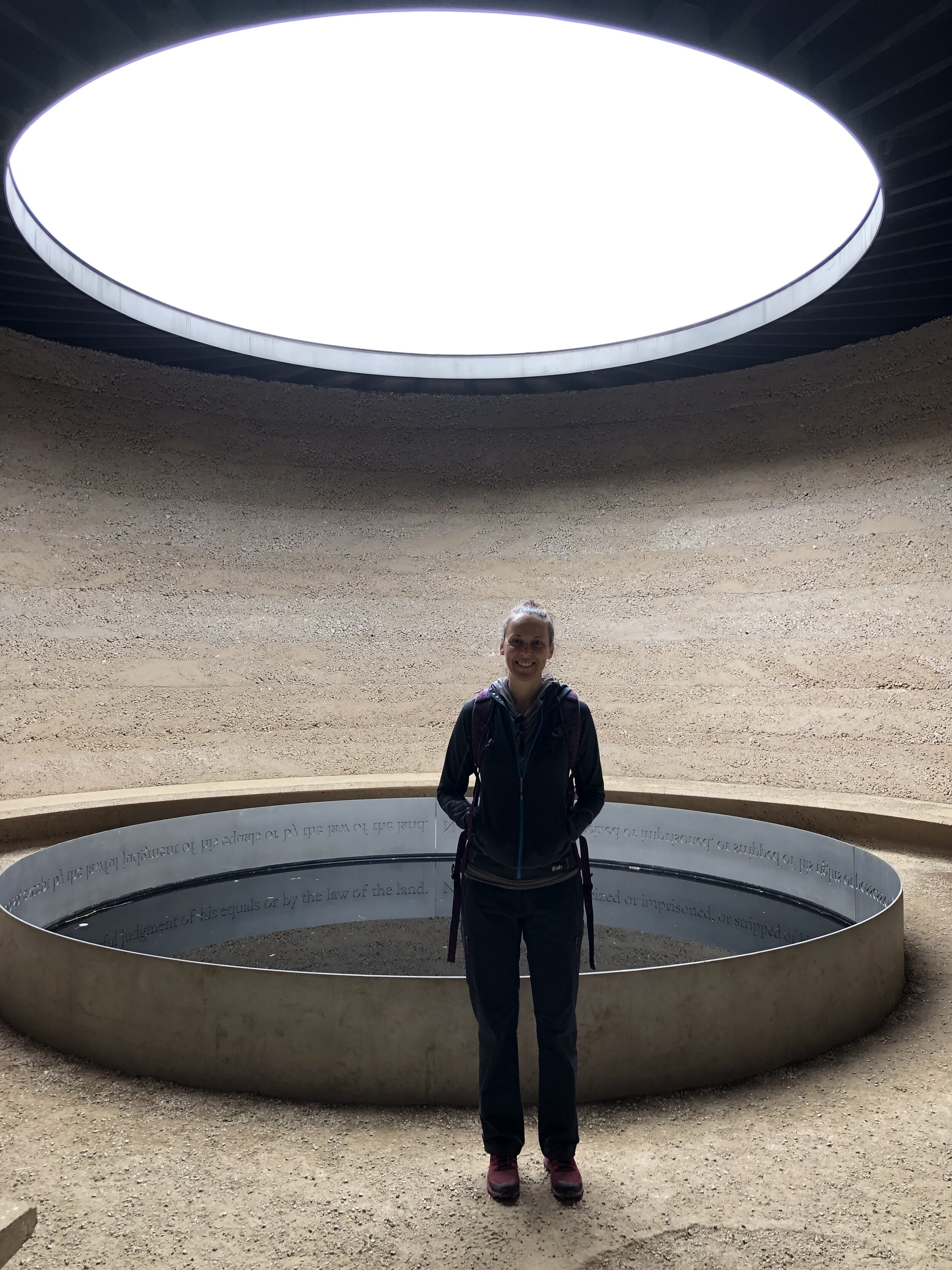
Goring & Streatley Station Circular (Goring & Streatley station): 8.9 Km. +/- 155m Elevation Gain.
Great Missenden and Ballinger (Great Missenden station): 9.8 Km. +/- 113m Elevation Gain.
Great Missenden and Little Kingshill (Great Missenden station): 10 Km. +/- 112m Elevation Gain.
Little Chalfont and Latimer (Chalfont & Latimer station): 8.4 Km. +/- 140m Elevation Gain.
Saunderton & Loosely Row (Saunderton station): 9.1 Km. +/- 125m Elevation Gain.
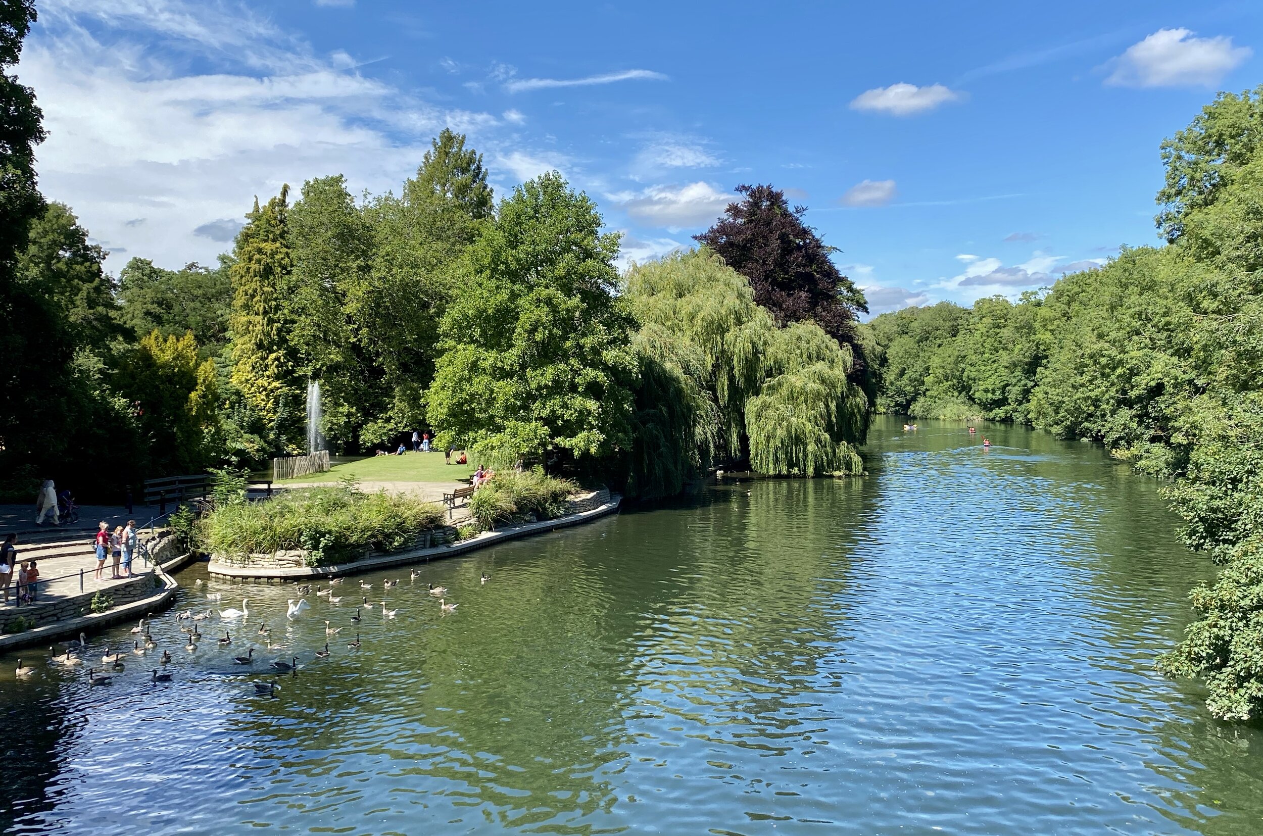
Tring Park and Northfield (Tring Station): 8.4 Km. +/- 140m Elevation Gain.
Uxbridge to Denham (Uxbridge High Street, Denham stations): 6.3 km. +/- 27m Elevation Gain.
Wendover and Coombe Hill (Wendover station): 7.3 Km. +/- 139m Elevation Gain.
Rail-based circular walks in the Greater Chilterns Area
Where all or most of the walk is outside of the boundary of the AONB
Beaconsfield, Knotty Green and Seer Green (Beaconsfield station): 10.6 Km. +/- 84m Elevation Gain.
Cassiobury, Whippendell Woods and Croxley Green: (Croxley and Watford stations): 10.1 km. +/- 84m Elevation Gain.
Rickmansworth and Chorleywood (Rickmansworth station): 9.4 Km. +/- 100m Elevation Gain.
Risborough Railways Ramble (Princes Risborough station): 10.7 Km. +/- 83m Elevation Gain.
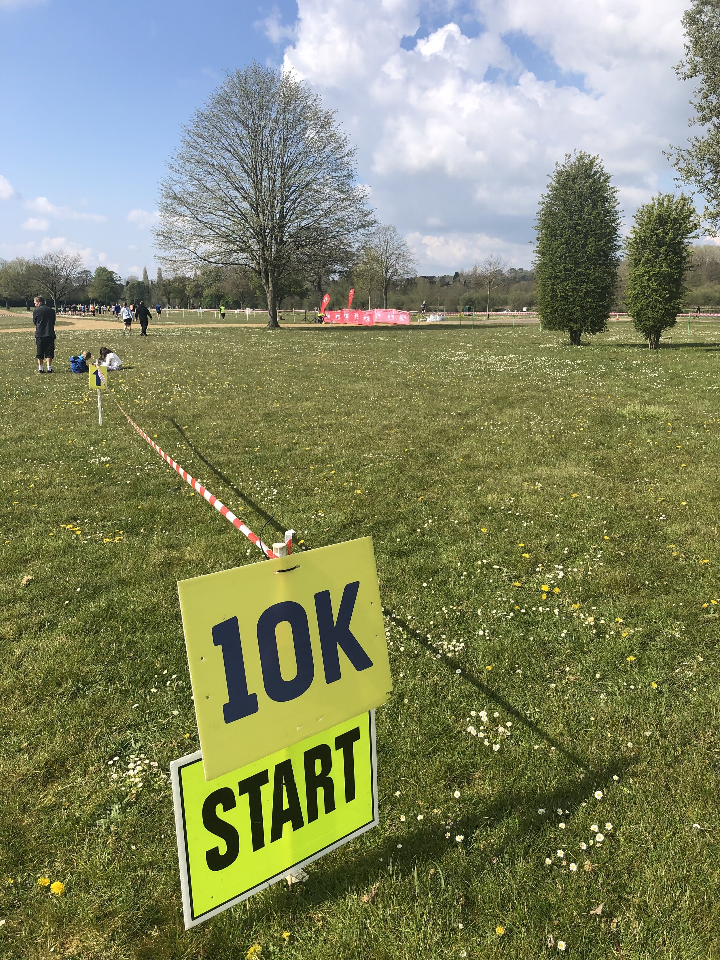
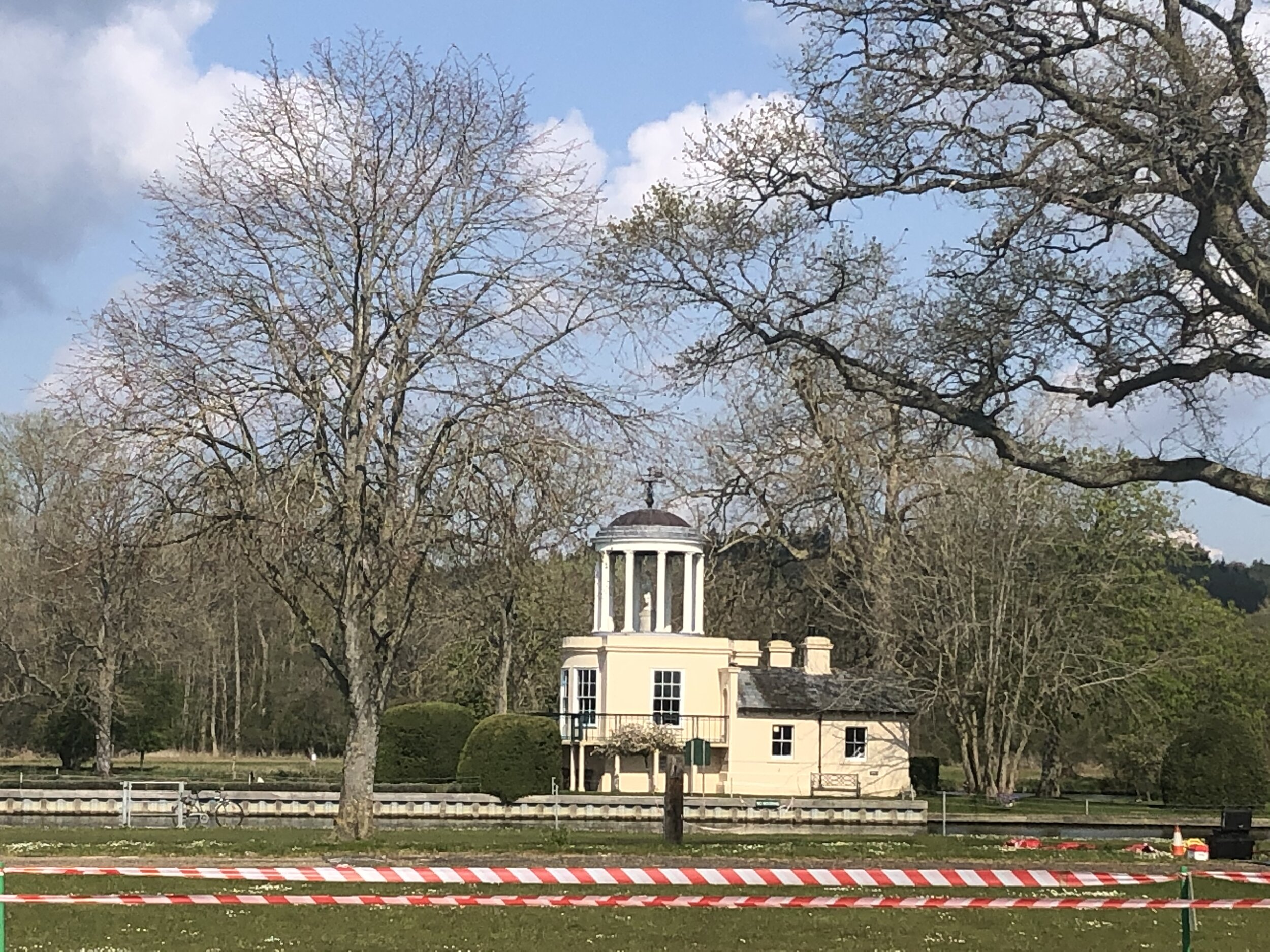
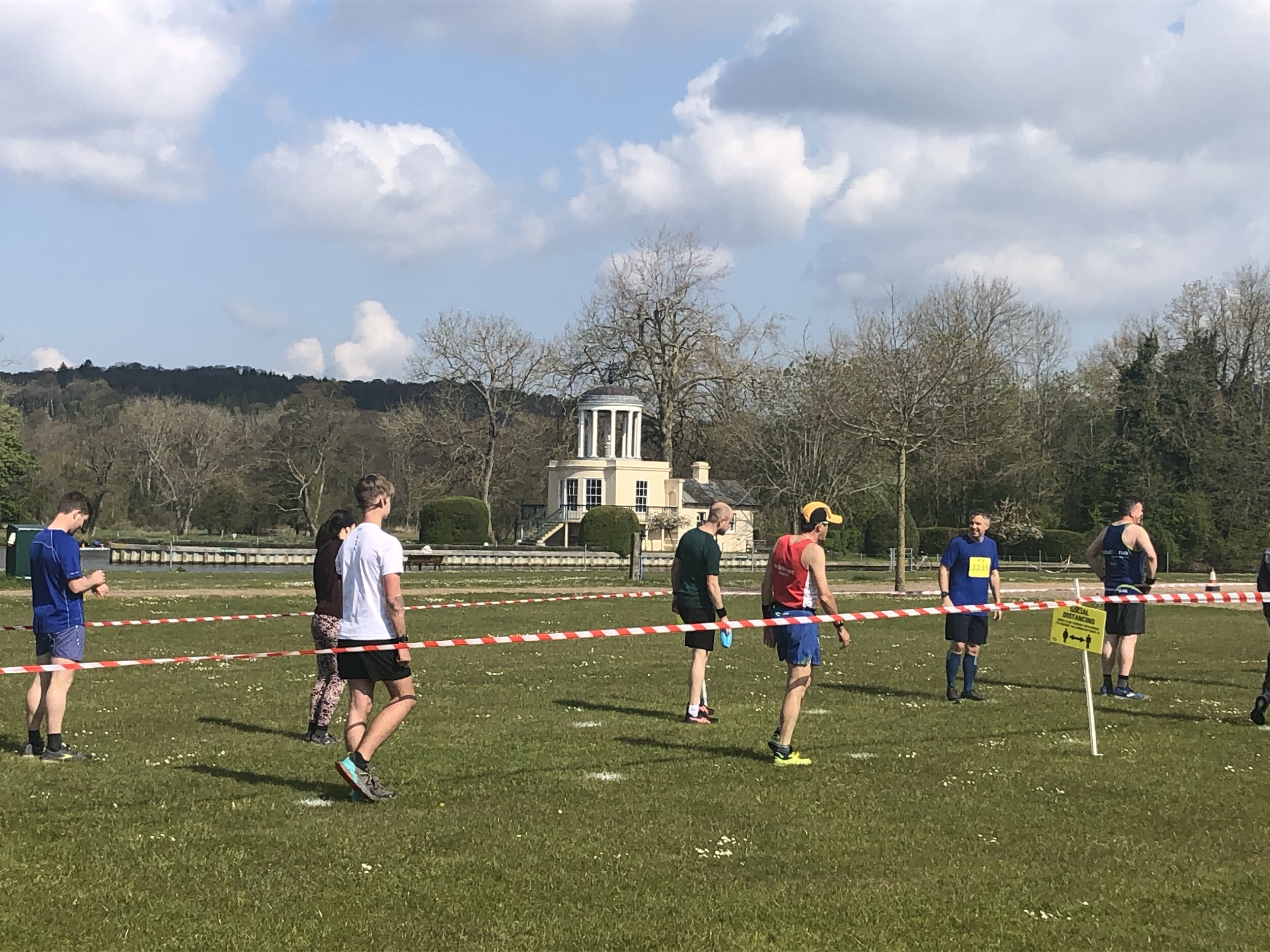
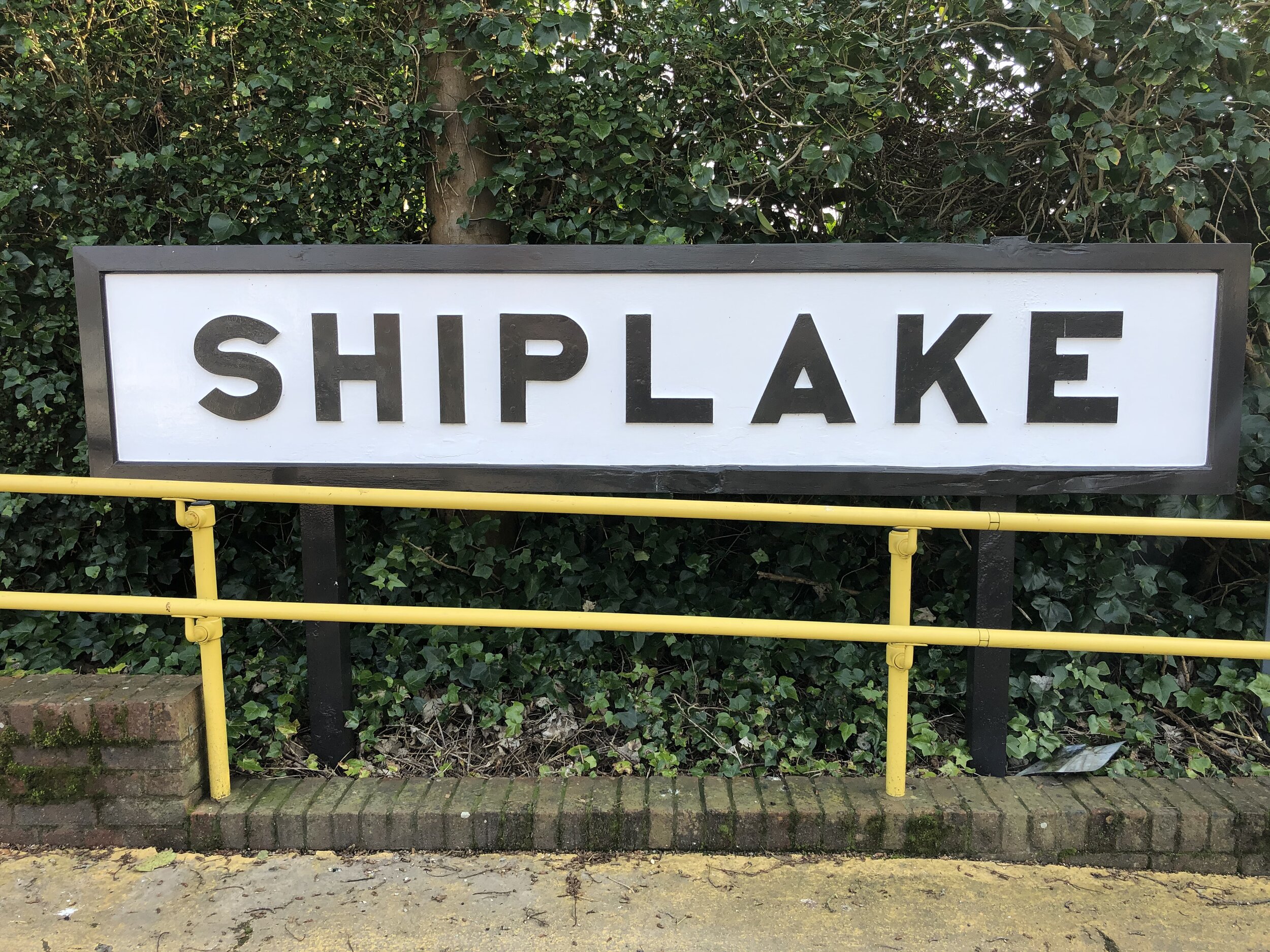
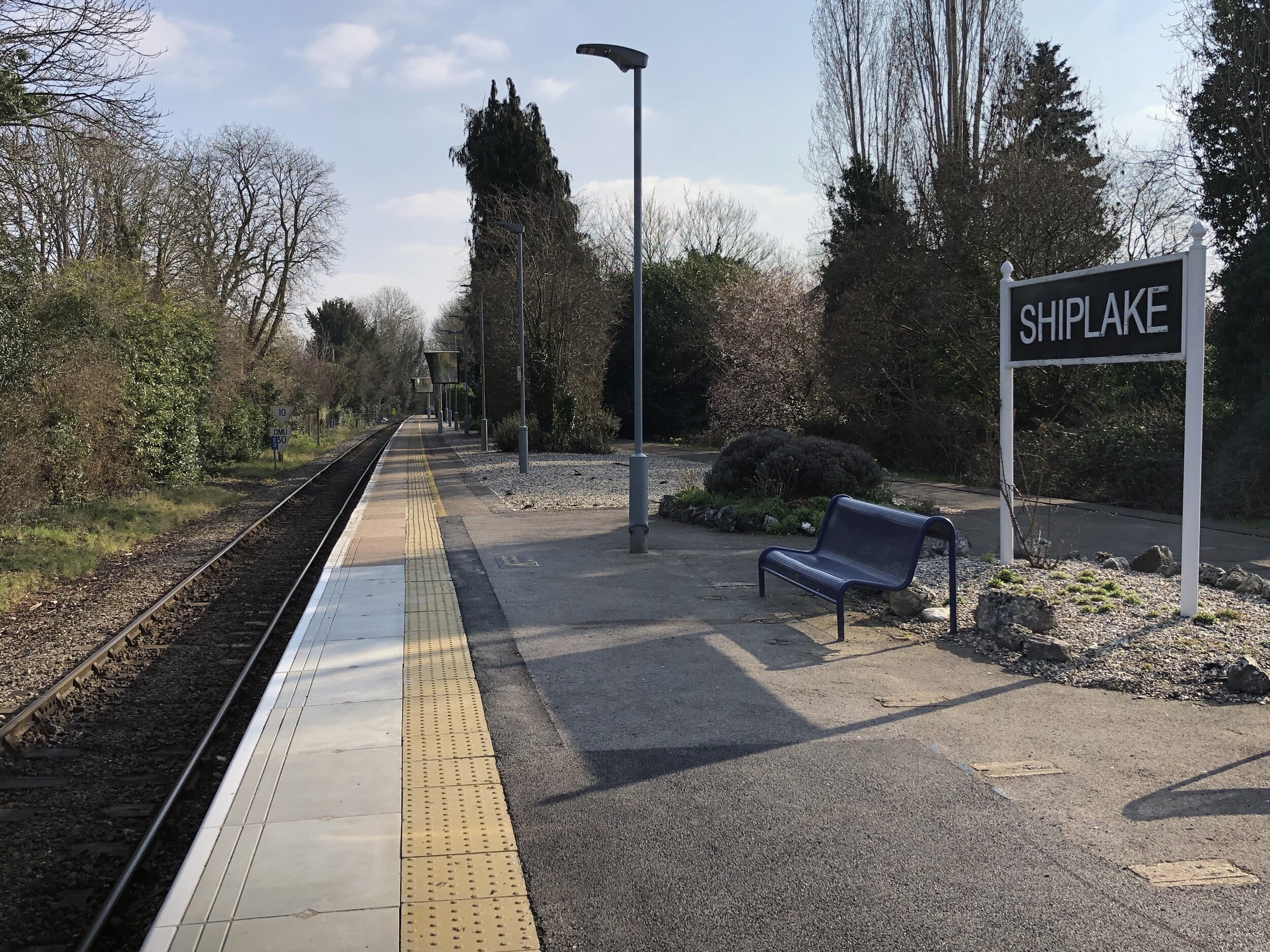
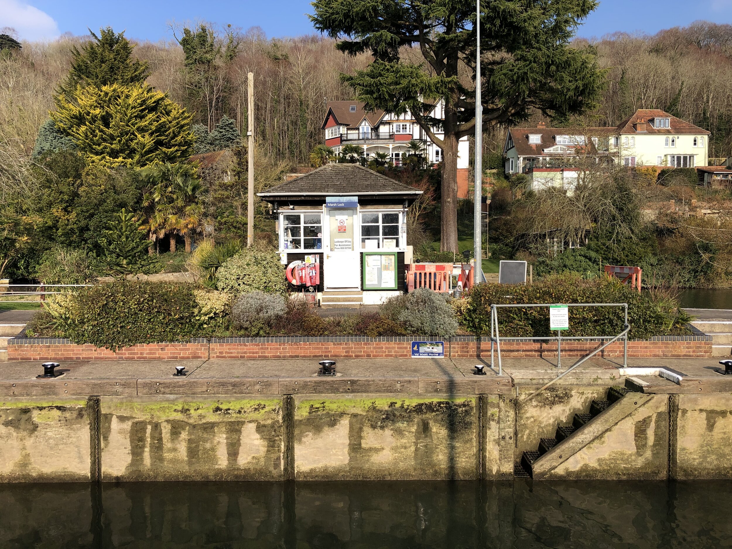
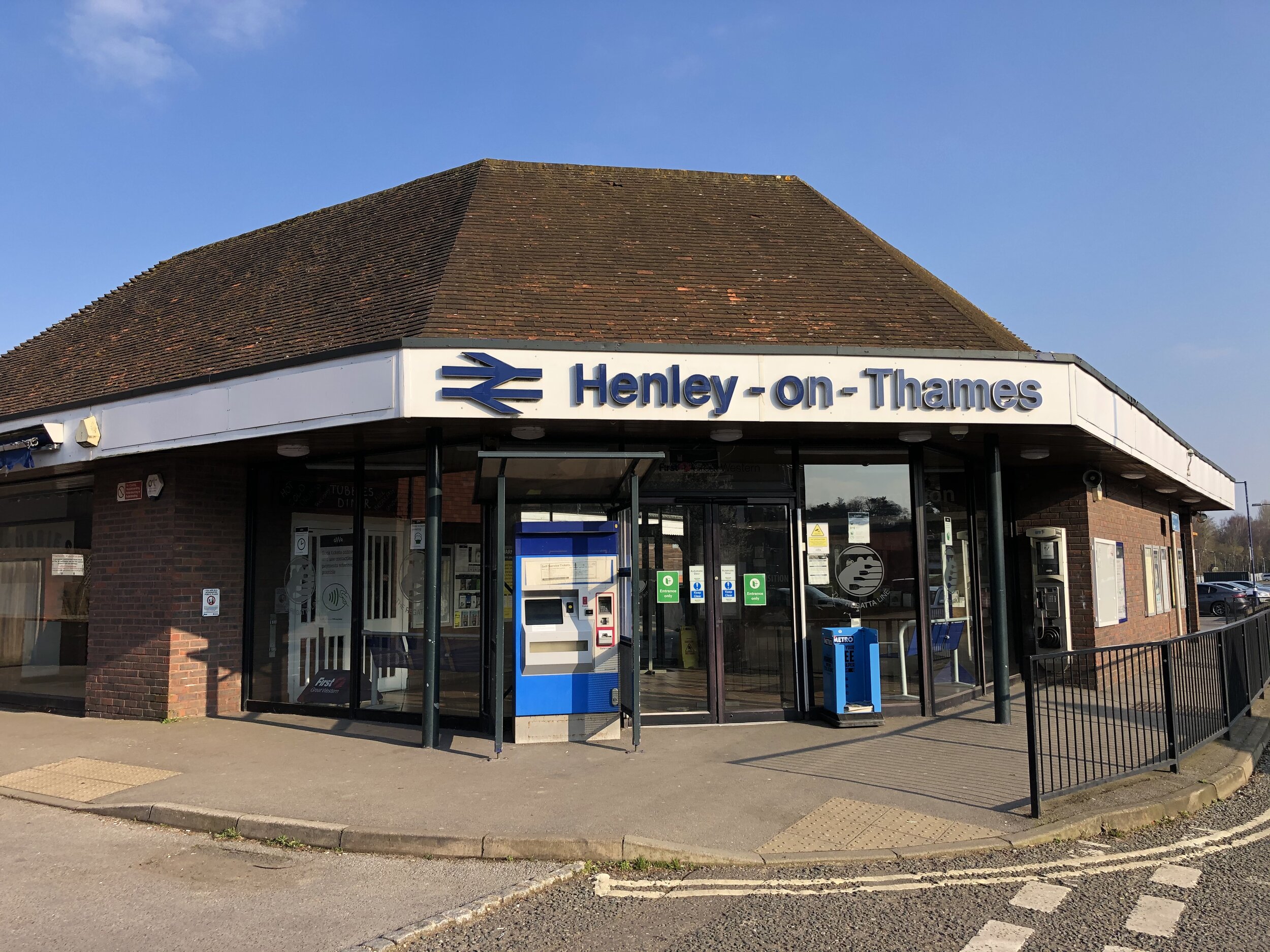
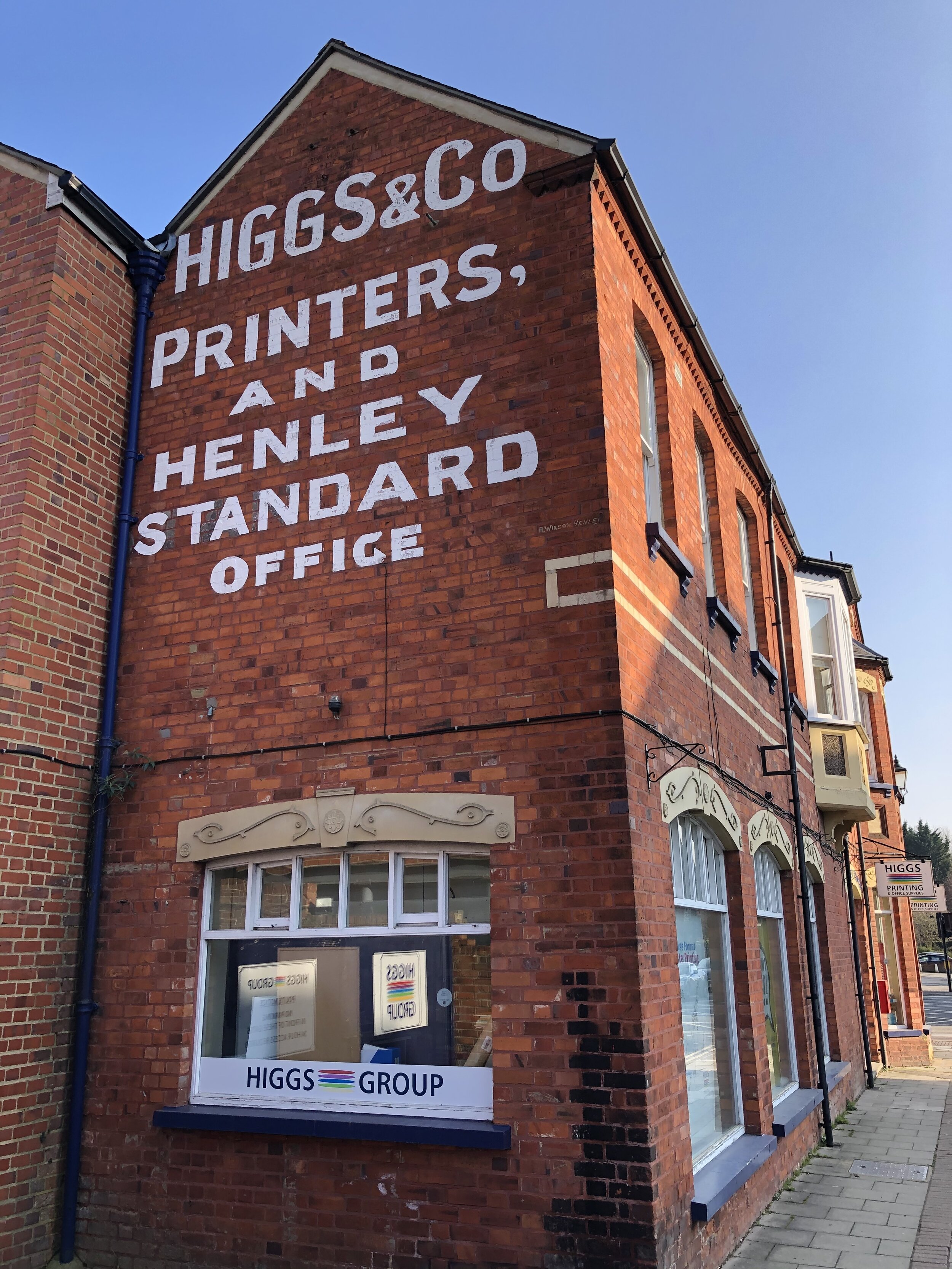
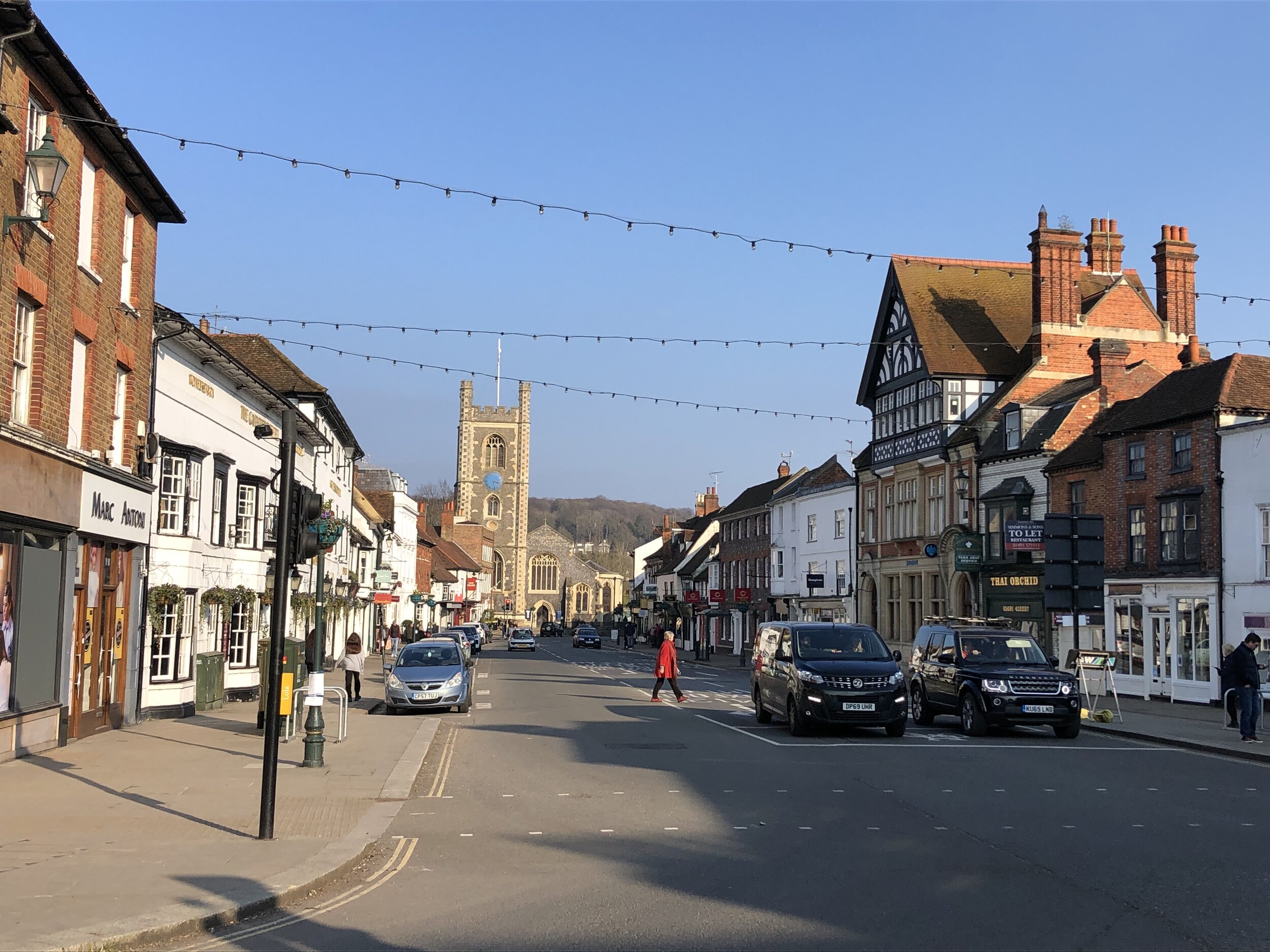
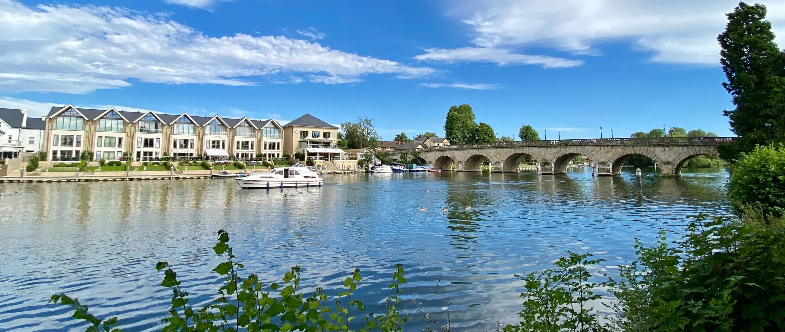
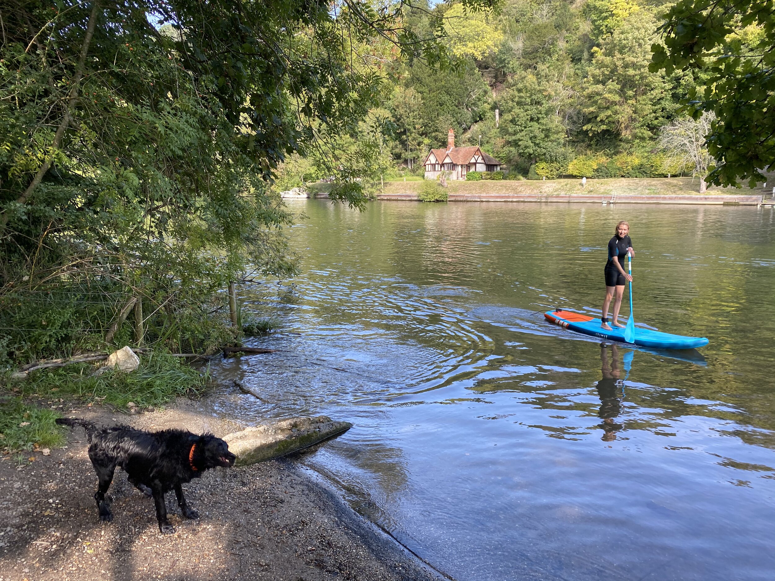
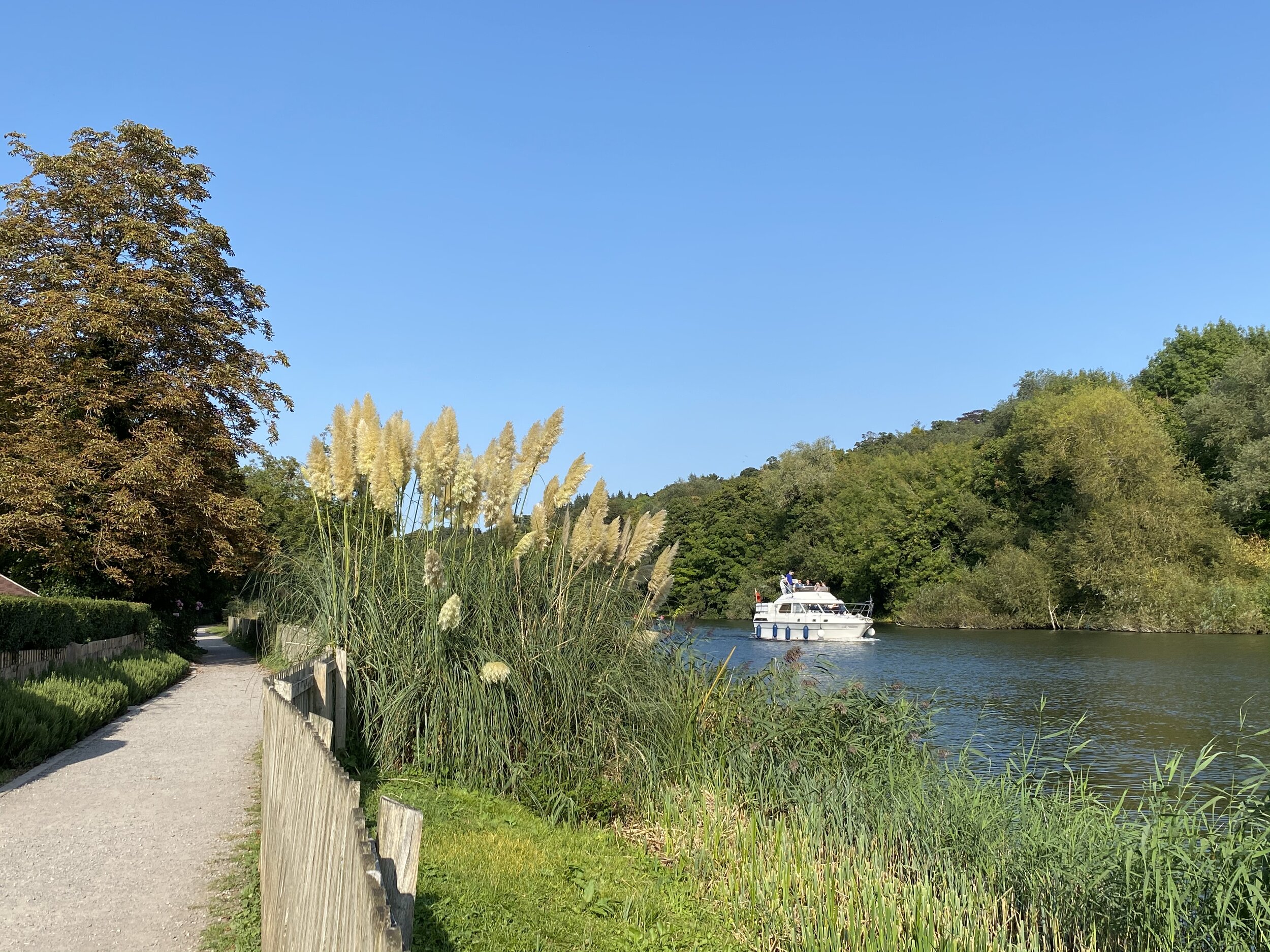
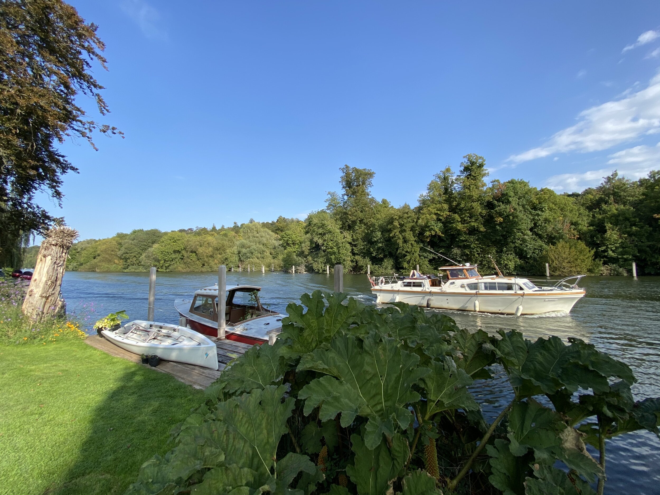
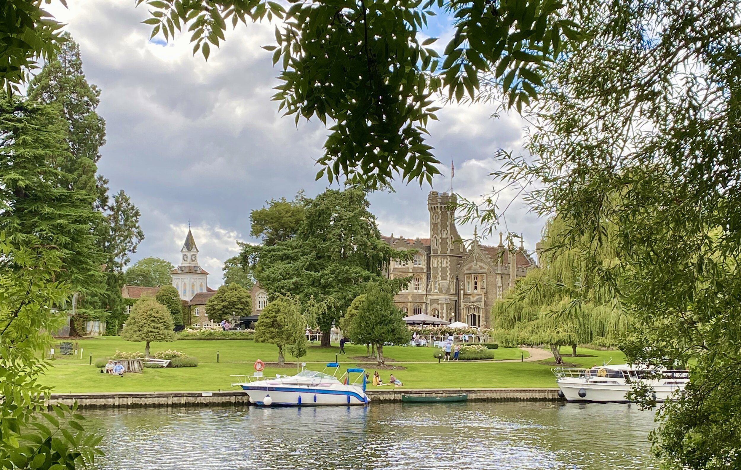
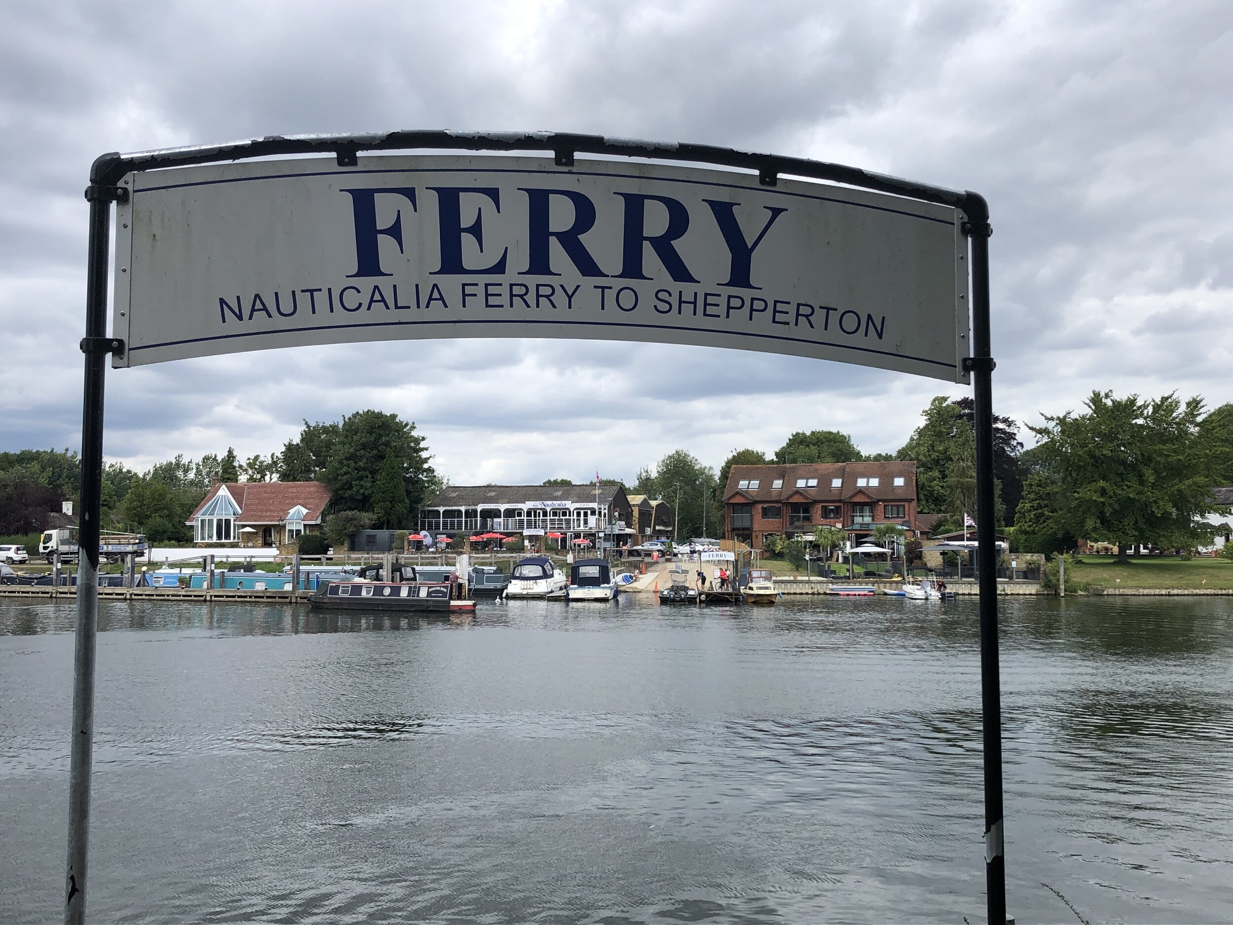
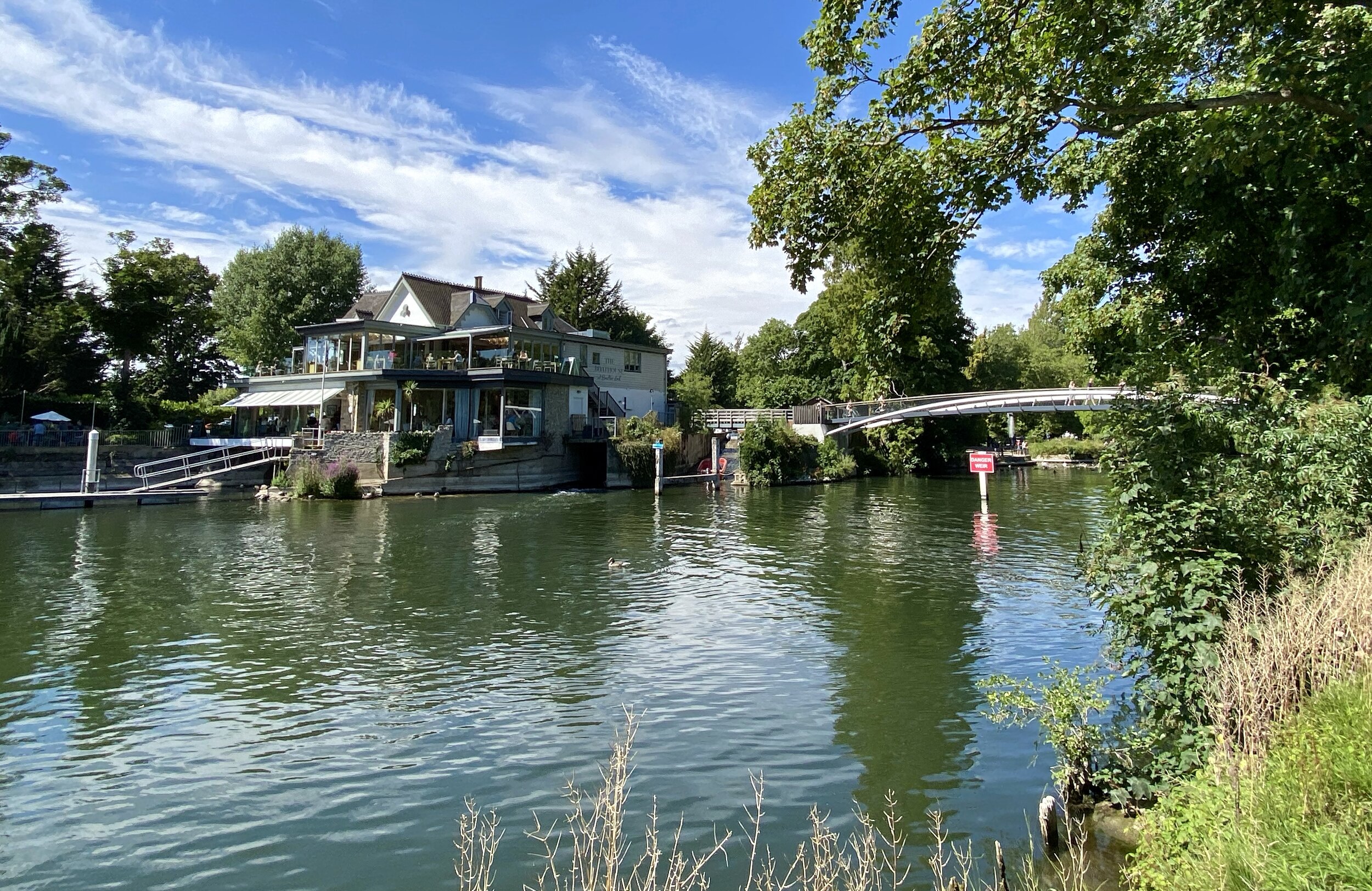
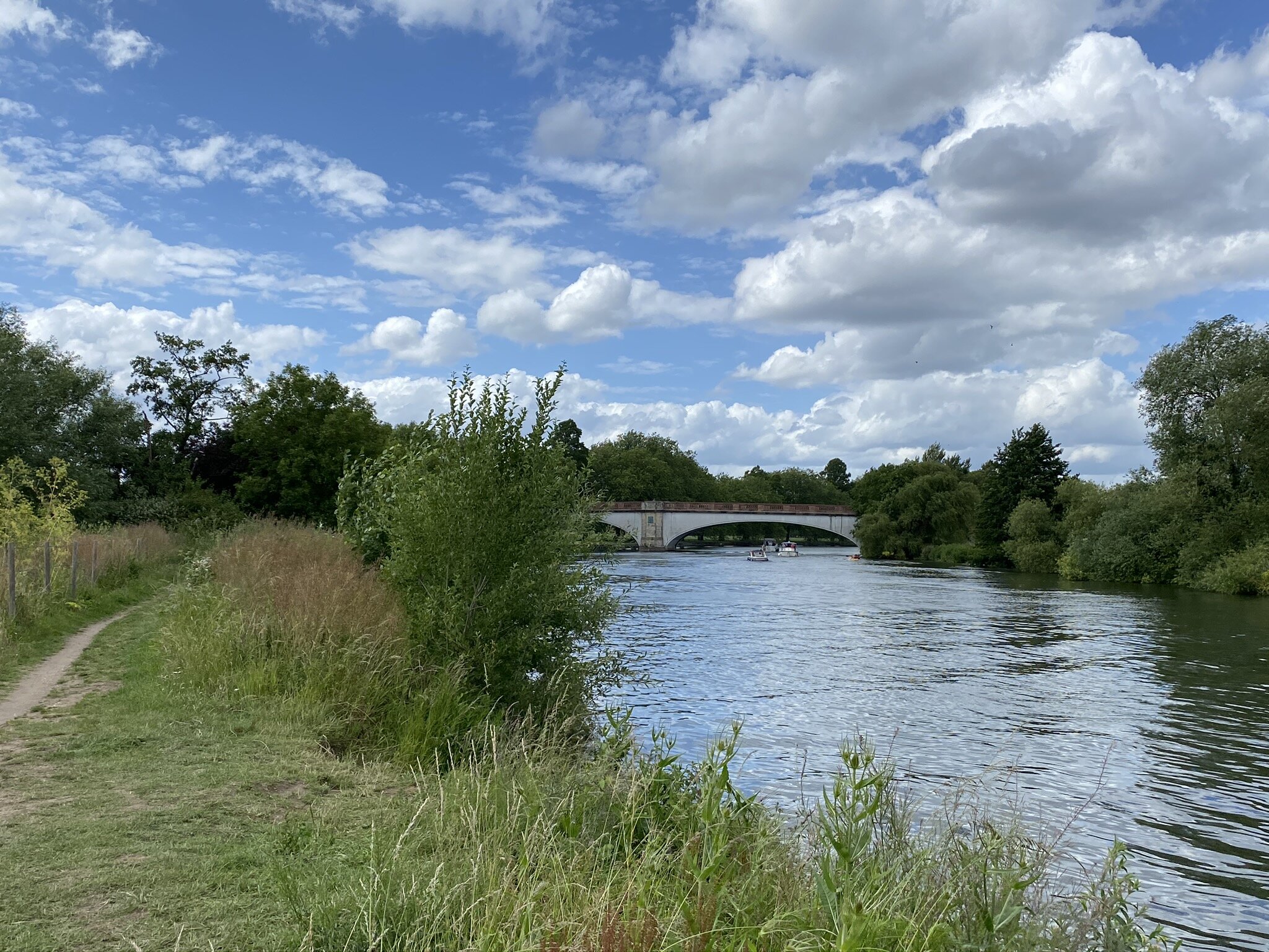
Shiplake and Henley-on-Thames (Shiplake and Henley-on-Thames stations): 8.8 Km. +/- 80m Elevation Gain.
Walking The Marlow Donkey (Bourne End and Marlow stations): 11.4 Km. +/- 65m Elevation Gain.
Rail-based point to point walks in the Greater Chilterns Area
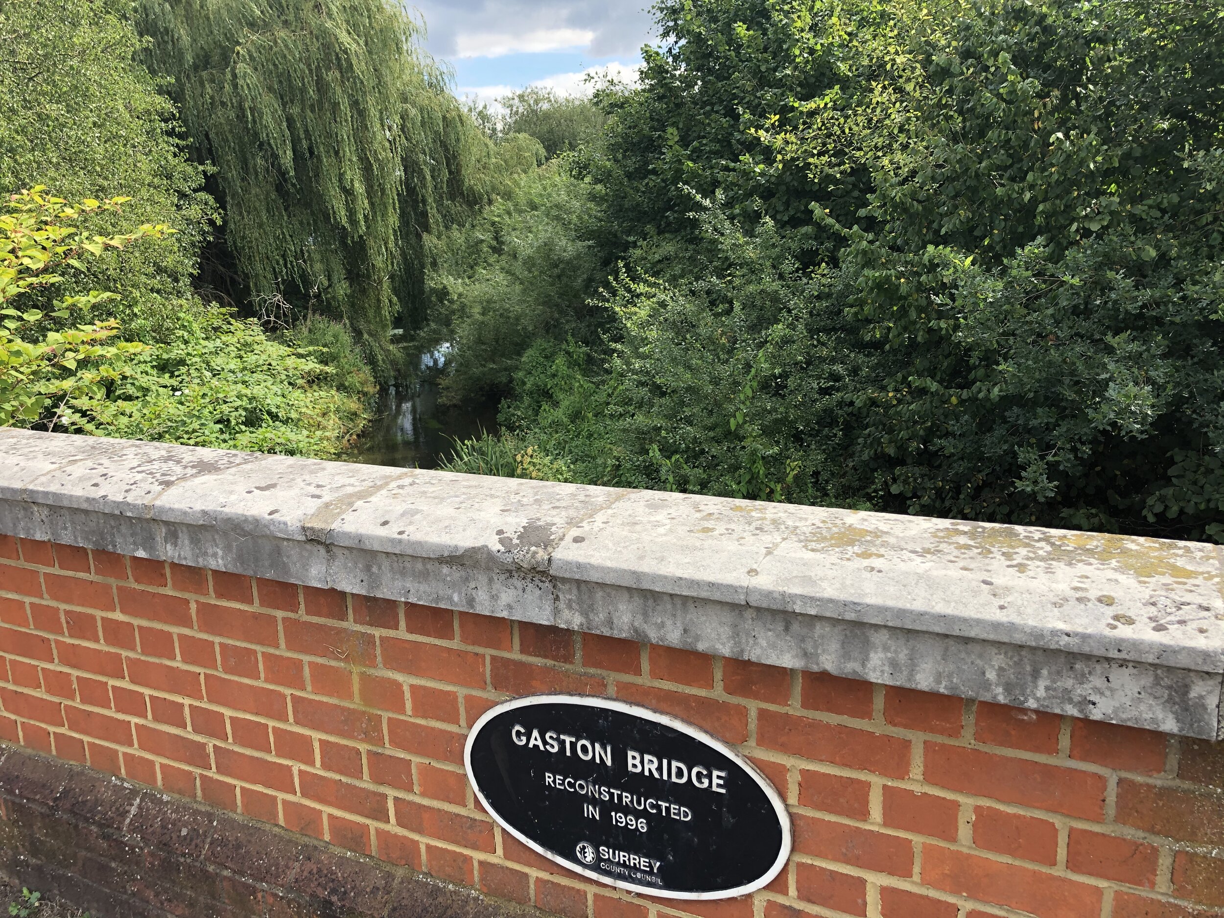
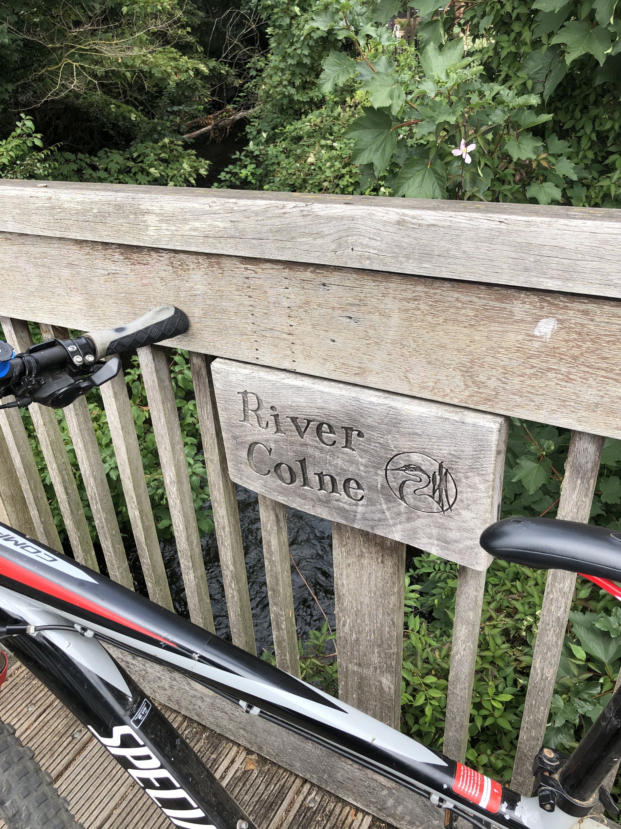
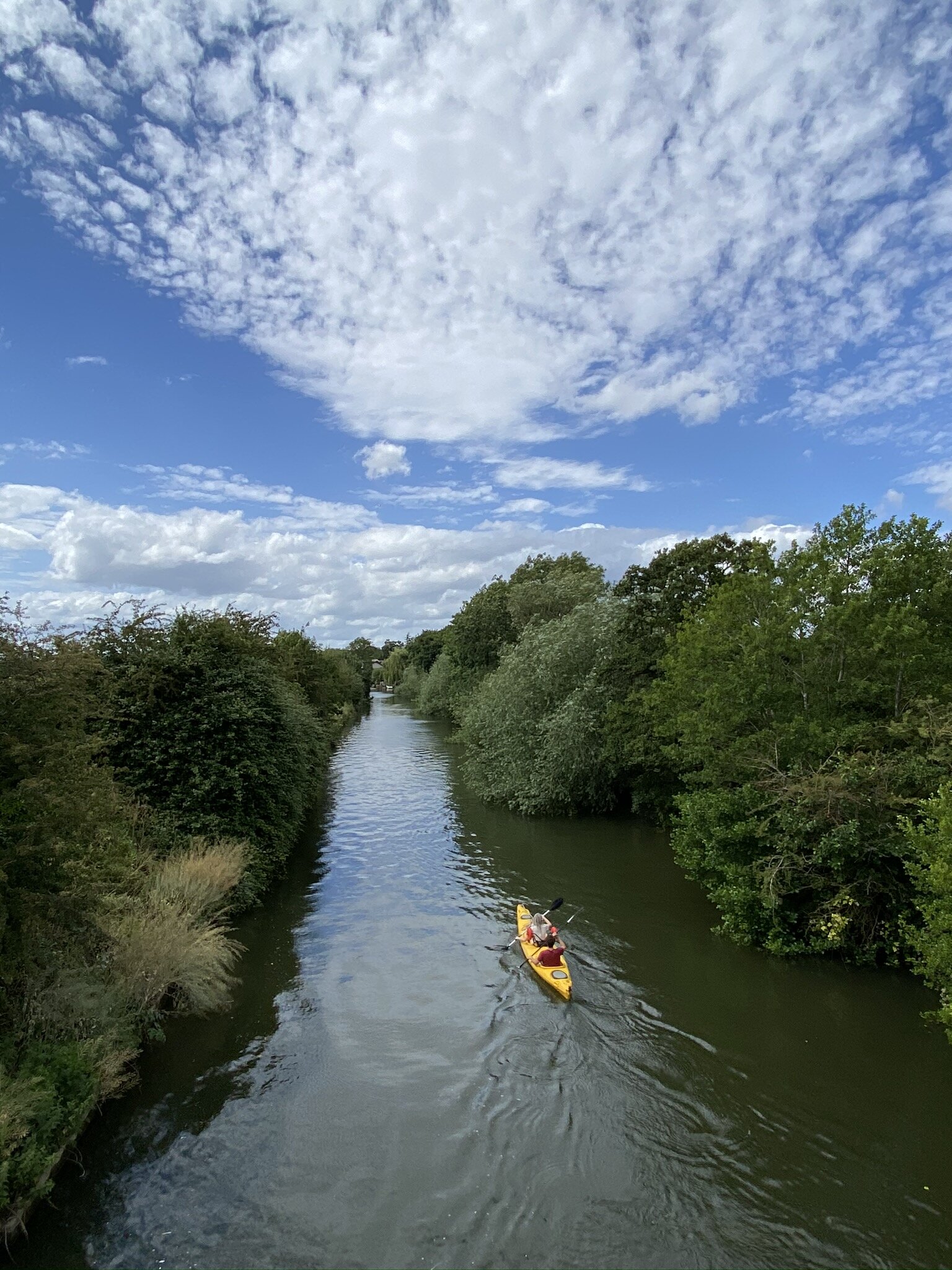
The Chess Valley Walk (Rickmansworth and Chesham stations): 17.9 Km. +309m / -256m Elevation Gain.
Walking The Abbey Line Trail (St Albans City to Watford Junction): 15 Km. -74m / -86m Elevation Gain.
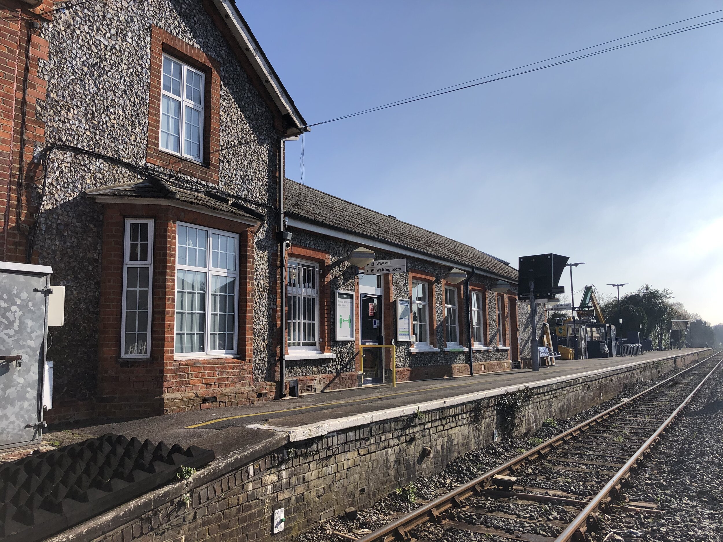
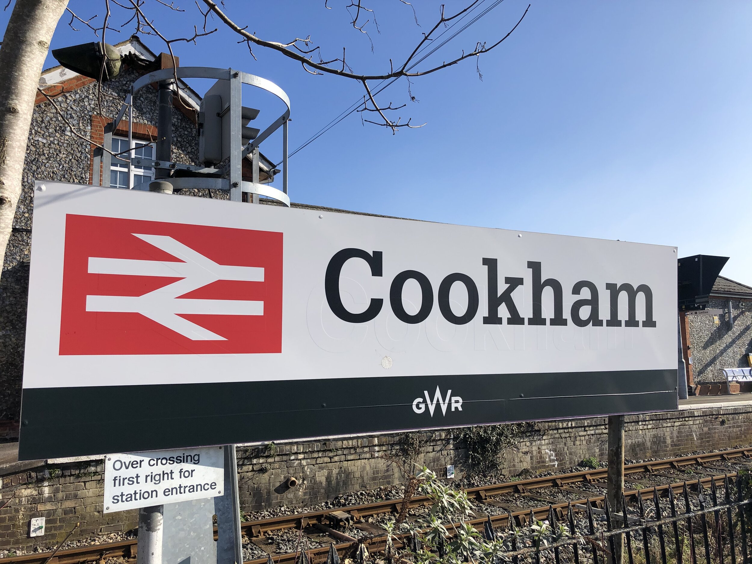
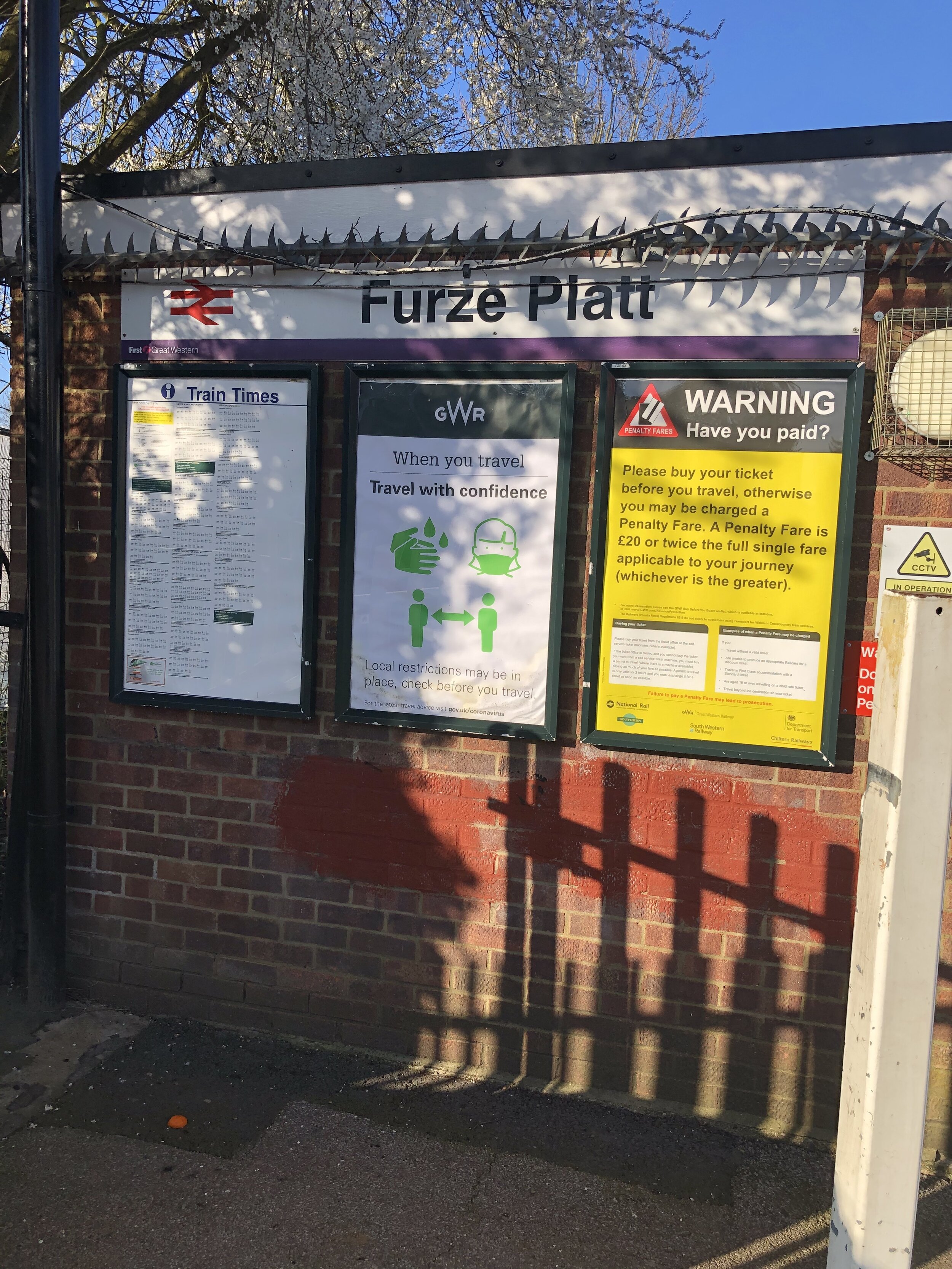
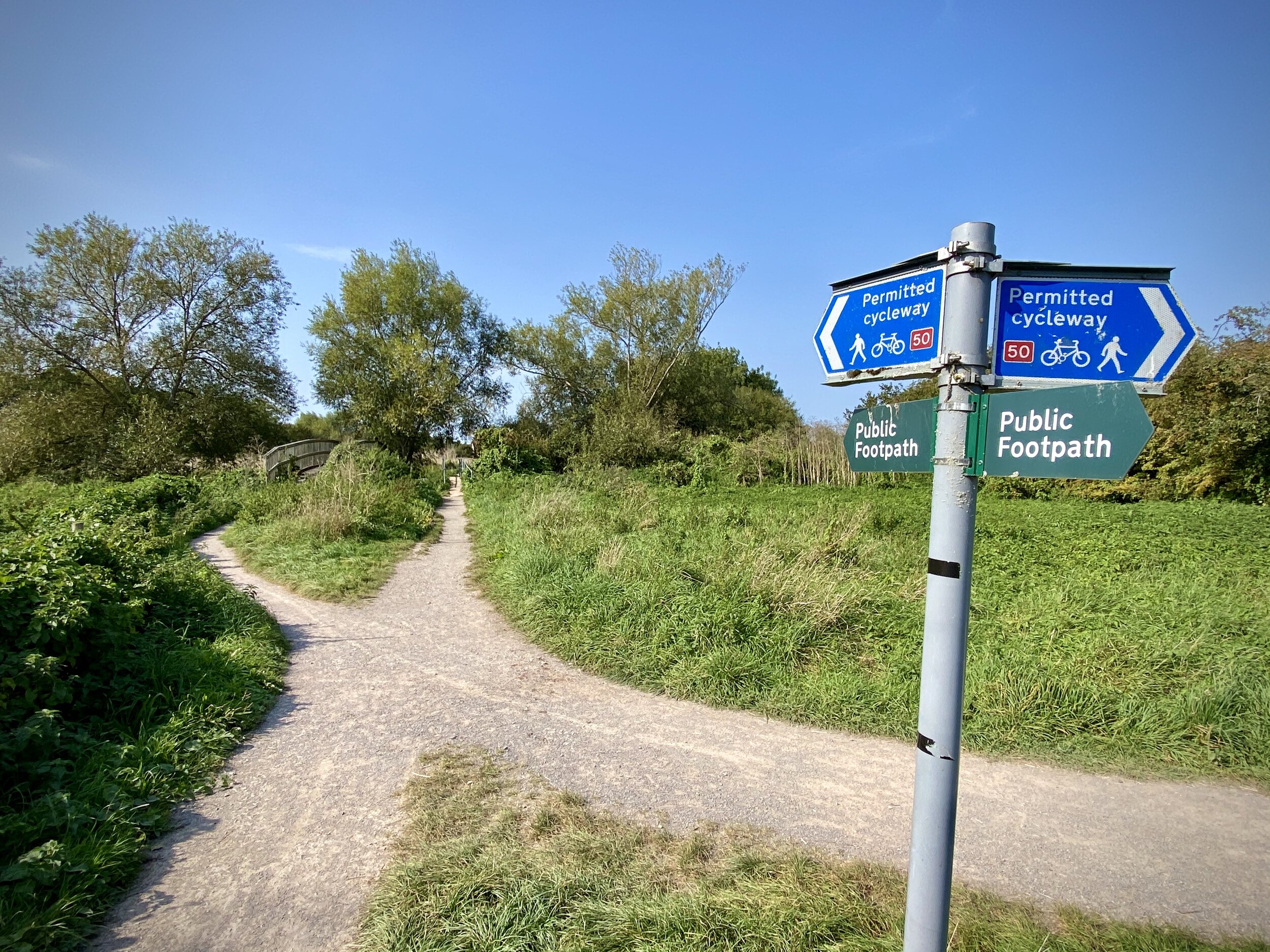
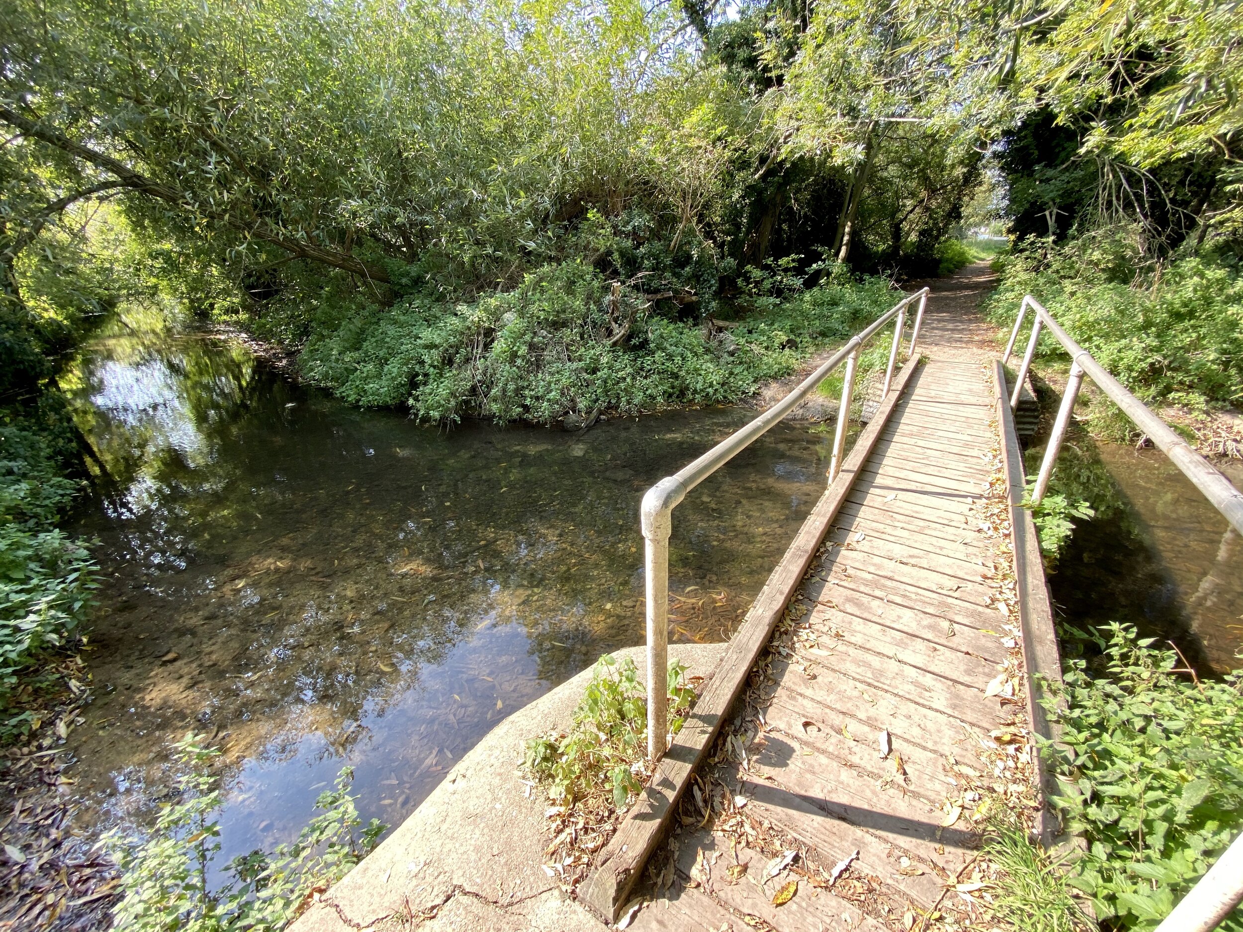
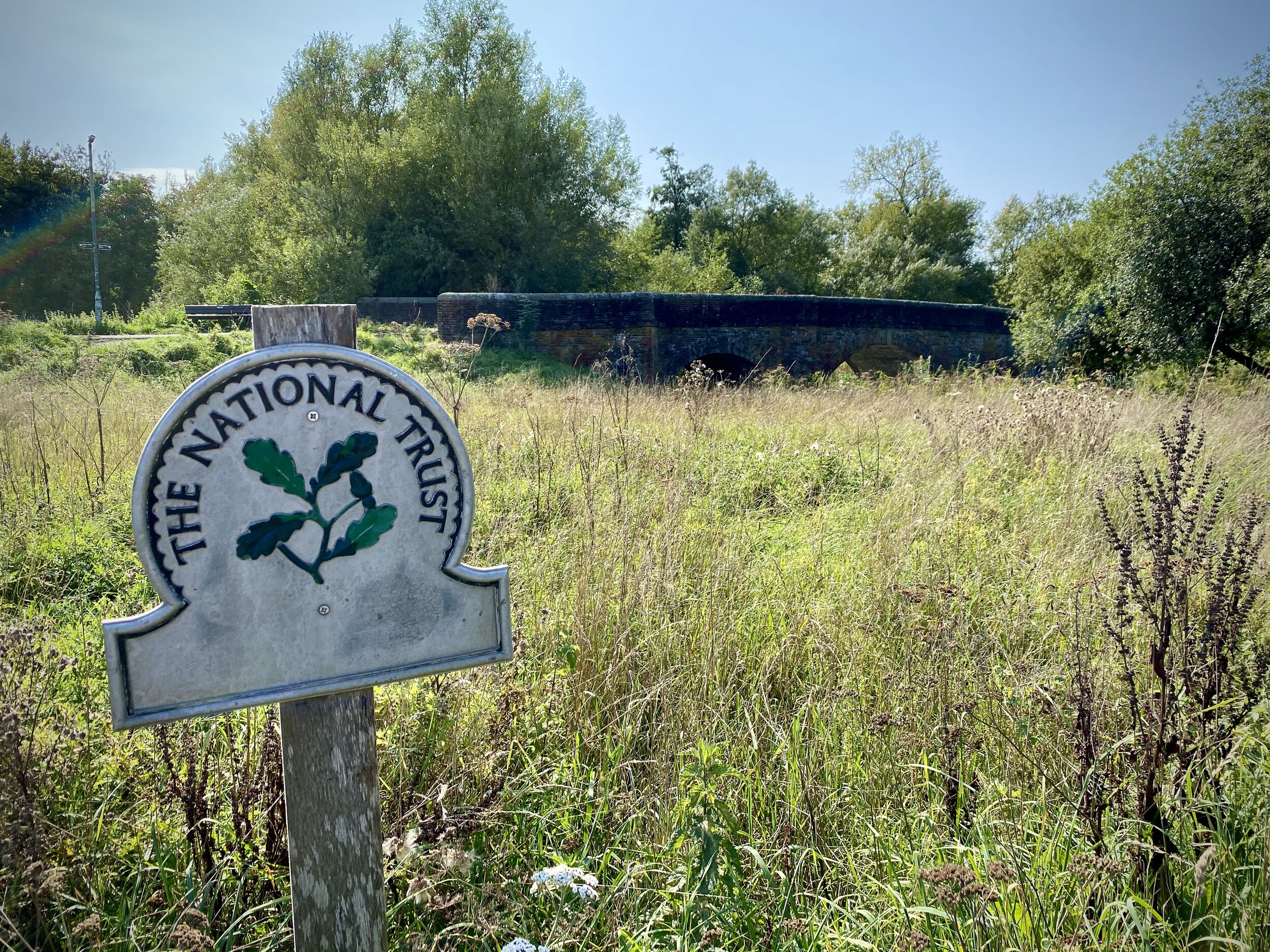
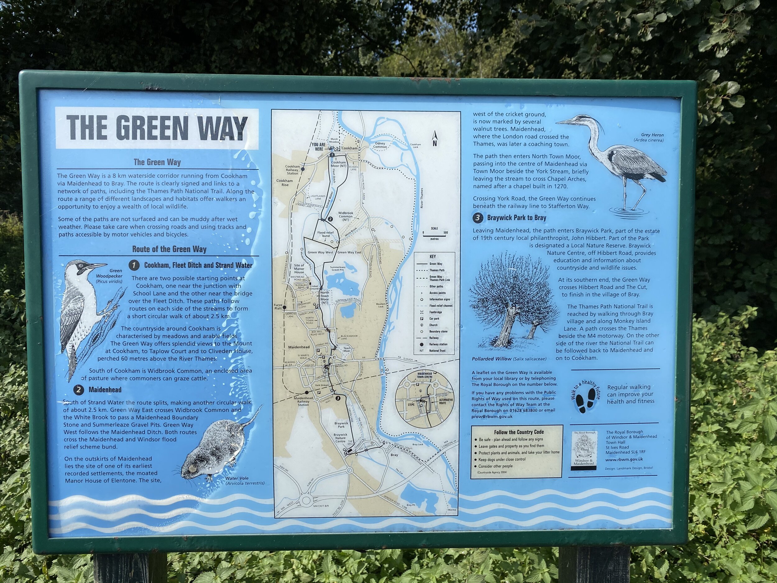
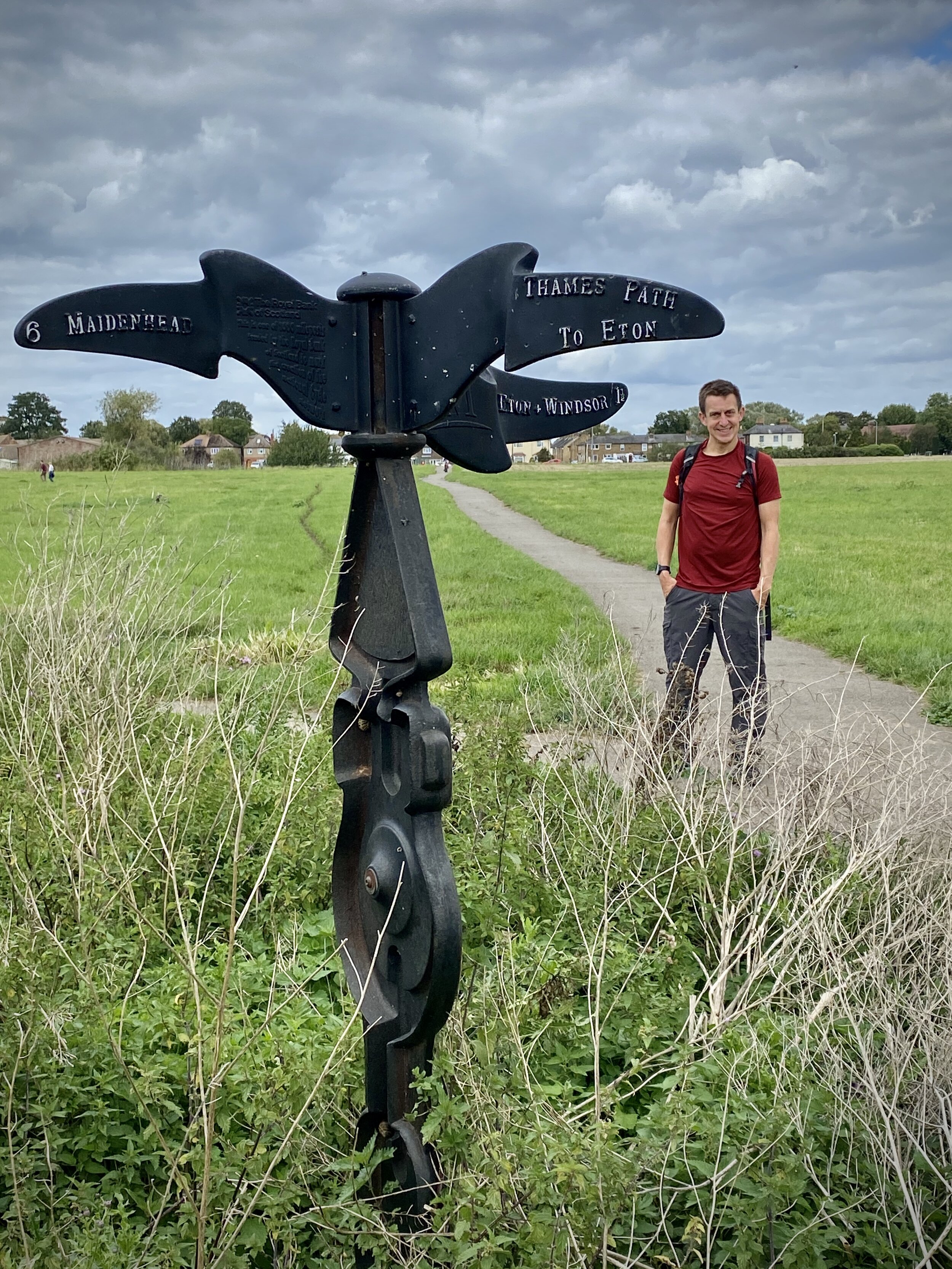
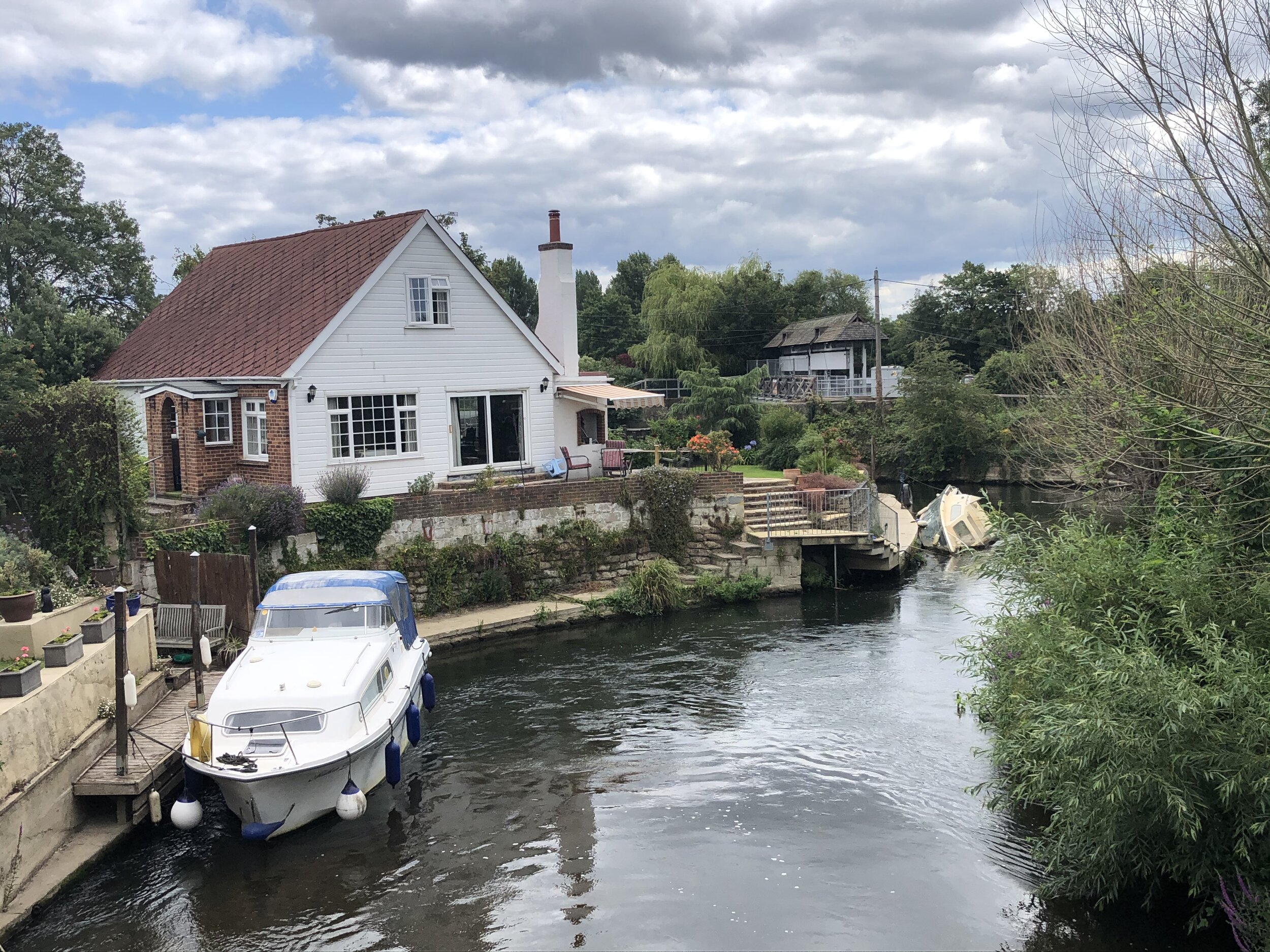
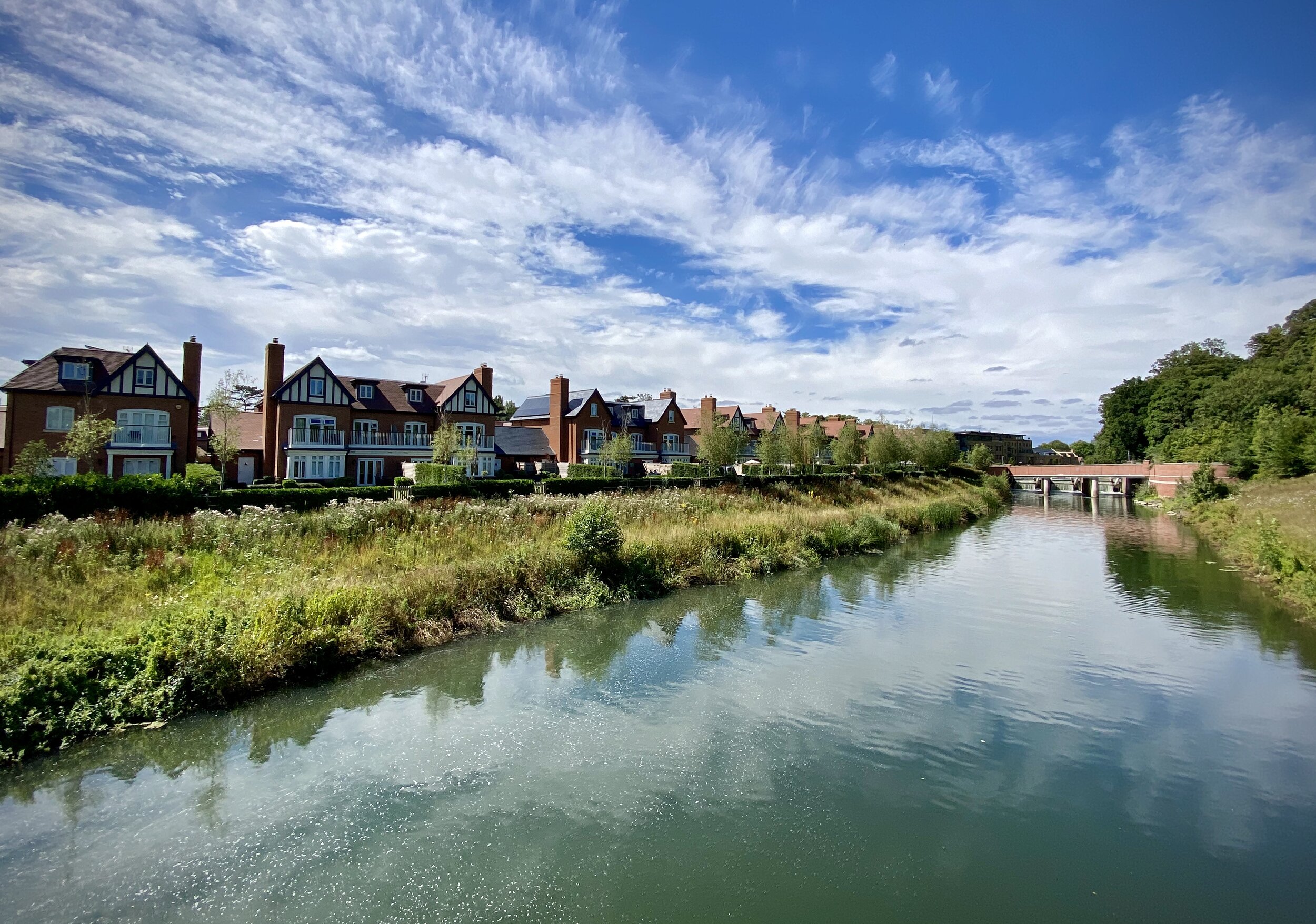
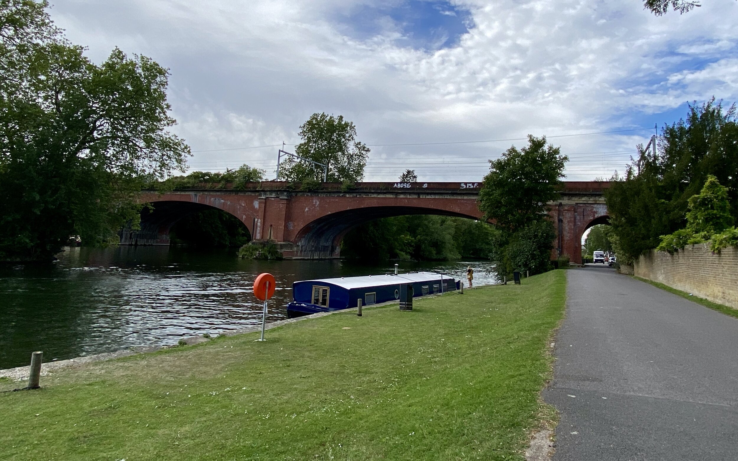
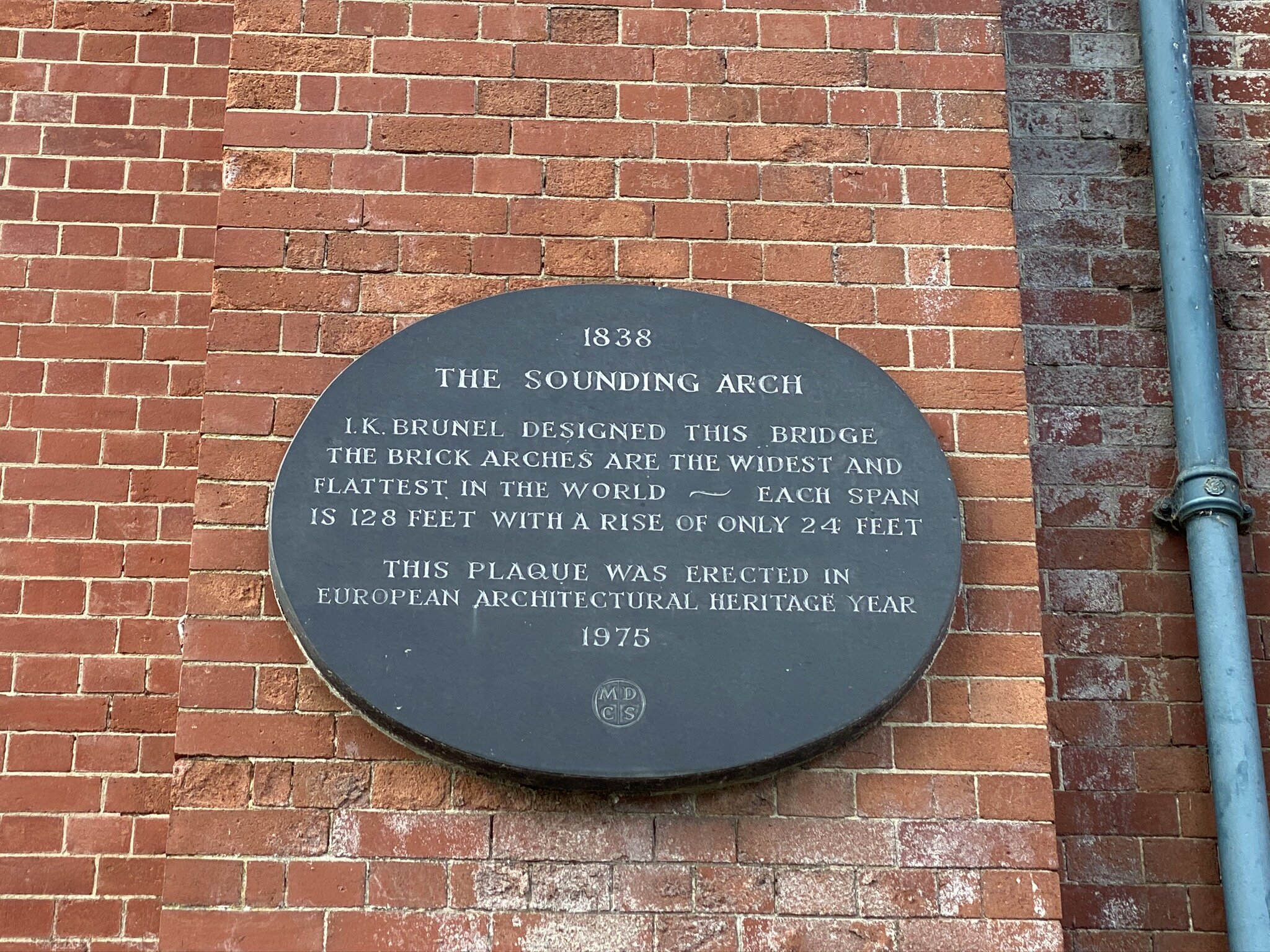
Walking The Bourne End To Maidenhead Line (Bourne End, Cookham, Furze Platt and Maidenhead stations): 9.6 Km. +60m / -58m Elevation Gain.
Walking The Wycombe to Bourne End Disused Railway (High Wycombe & Bourne End stations): 9.9 Km. +37m / -86m. Net -49m Elevation Gain.
Walking The Ebury Way Disused Railway (Watford Junction to Rickmansworth Church Street): 8.8 Km. +39m / -61m Elevation Gain.
Train out, walk back: The Chinnor and Princes Risborough Railway: 6.3 km (3.9 miles). +73m / -46m. Net = +27m. Elevation Gain.
Rail-based cycle trips in the Greater Chilterns Area
Cycling The Nickey Line, Ayot Greenway and The Alban Way: 54.2 km. +/- 364m Elevation Gain.
via the routes of the disused Harpenden to Hemel Hempstead Branch Railway, Dunstable Branch Line and Hatfield and St Albans Railway lines.Cycling The Phoenix Trail and Watlington & Princes Risborough Railway: 46.6 km. +/- 313m Elevation Gain.
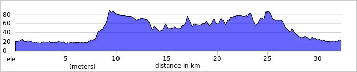
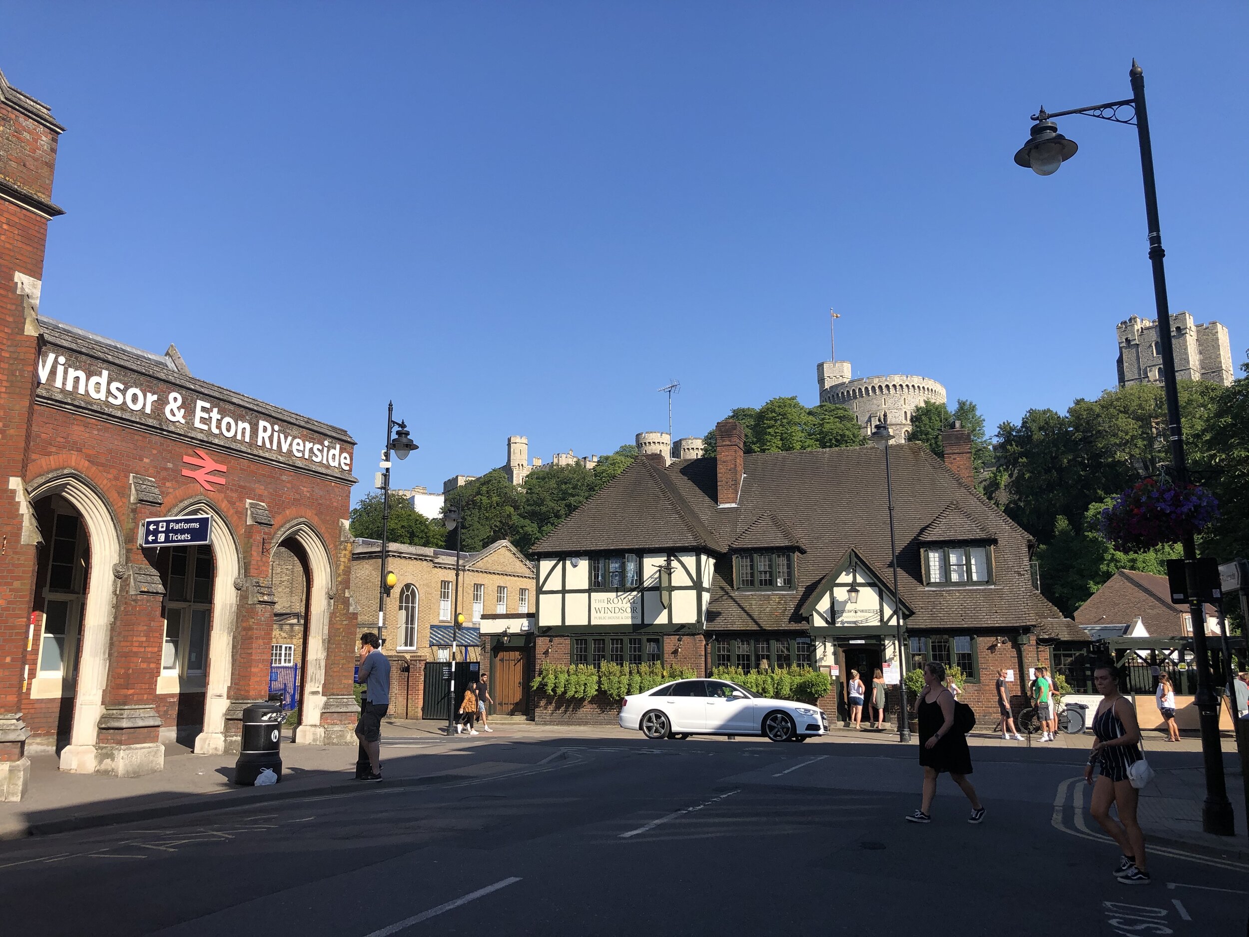
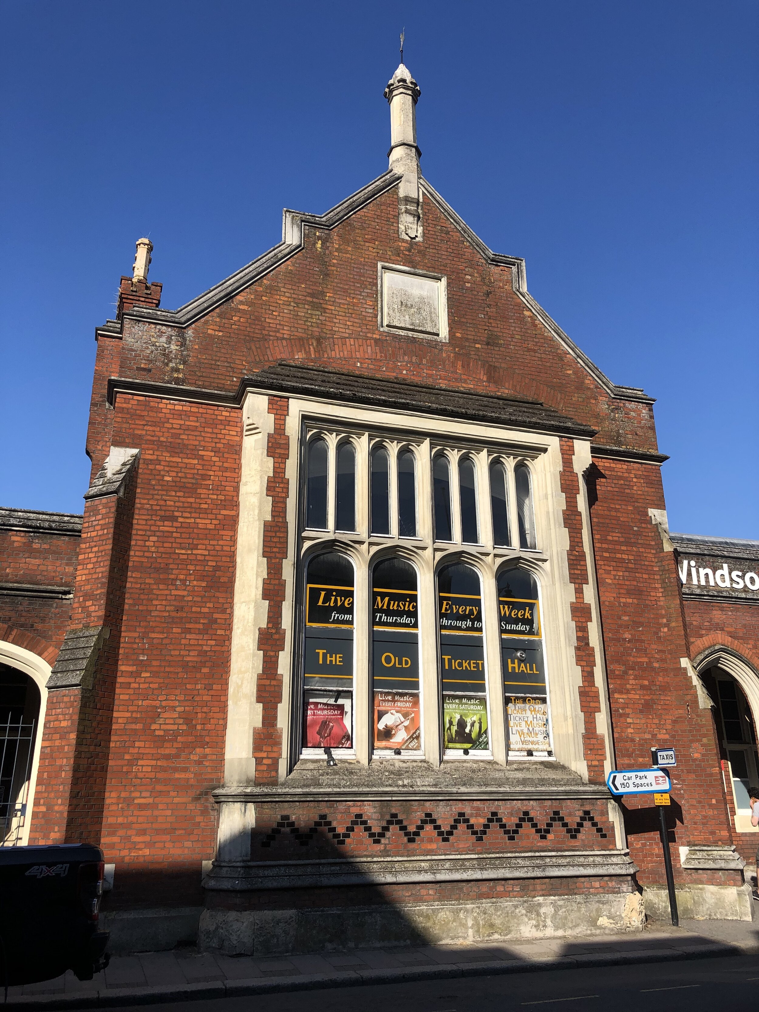
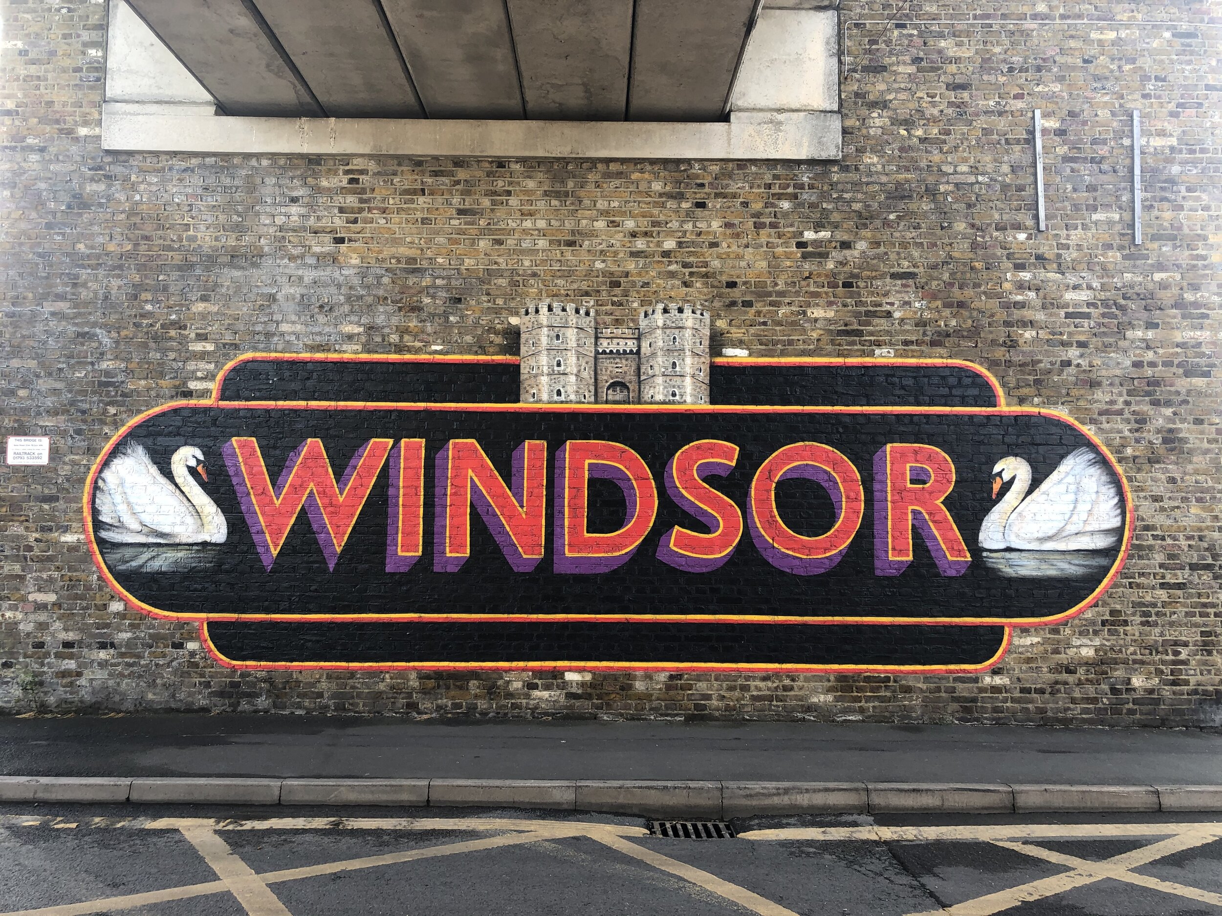
via the routes of the disused Wycombe Railway from Princes Risborough to Thame and back via the old Watlington and Princes Risborough line.Cycling The Windsor to Staines Railway: 26.3 km +/- 78m Elevation Gain.
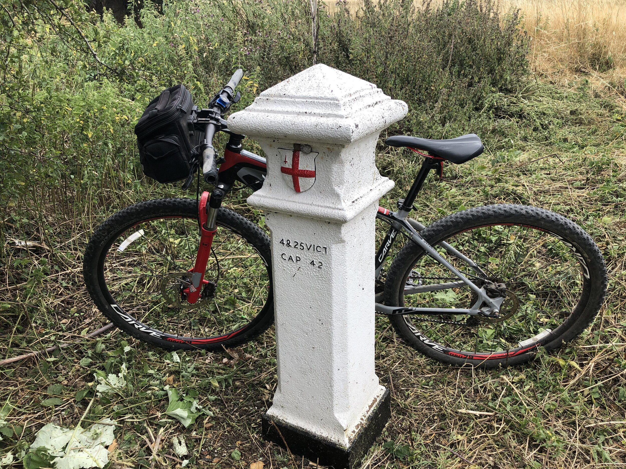
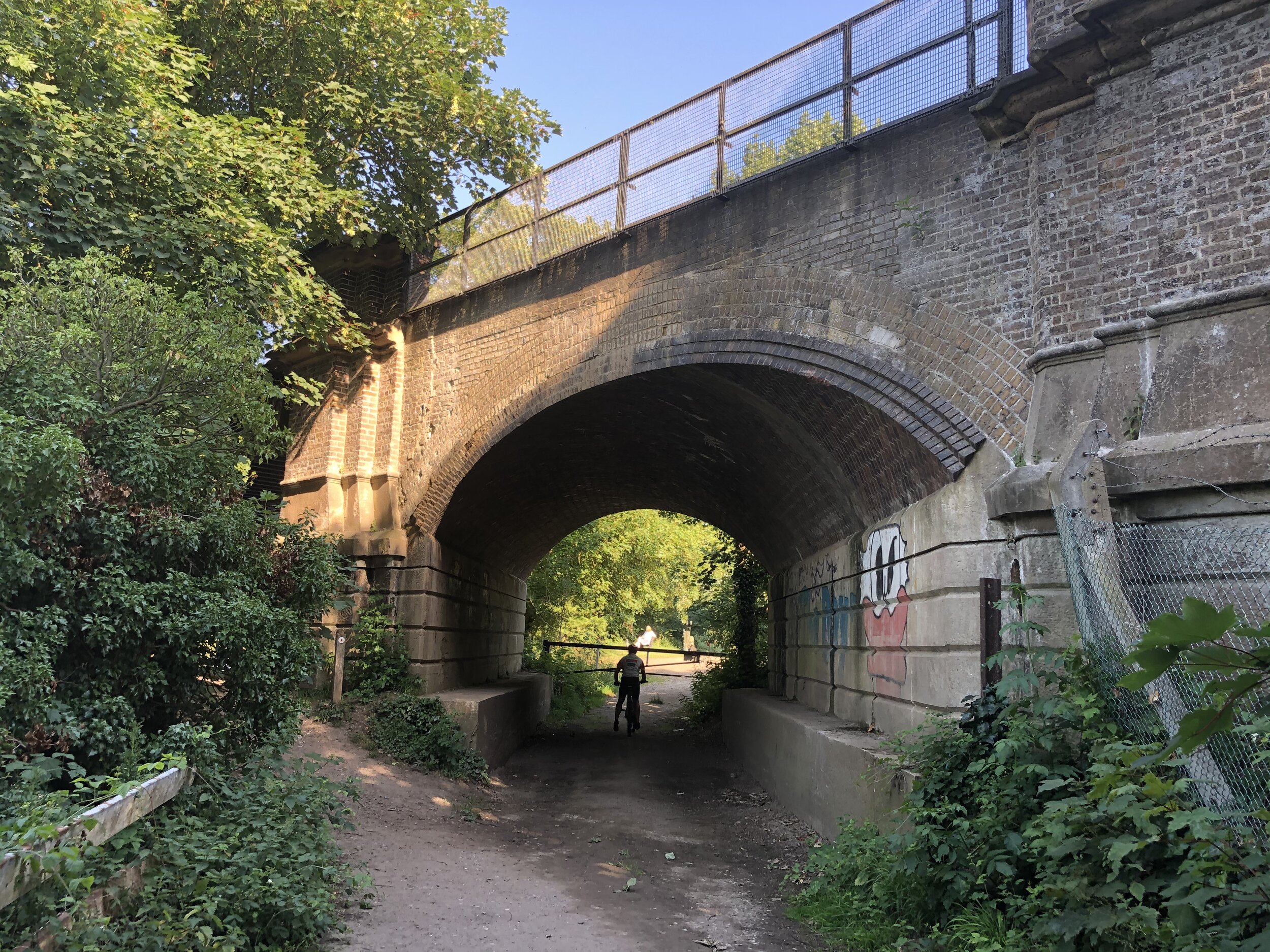
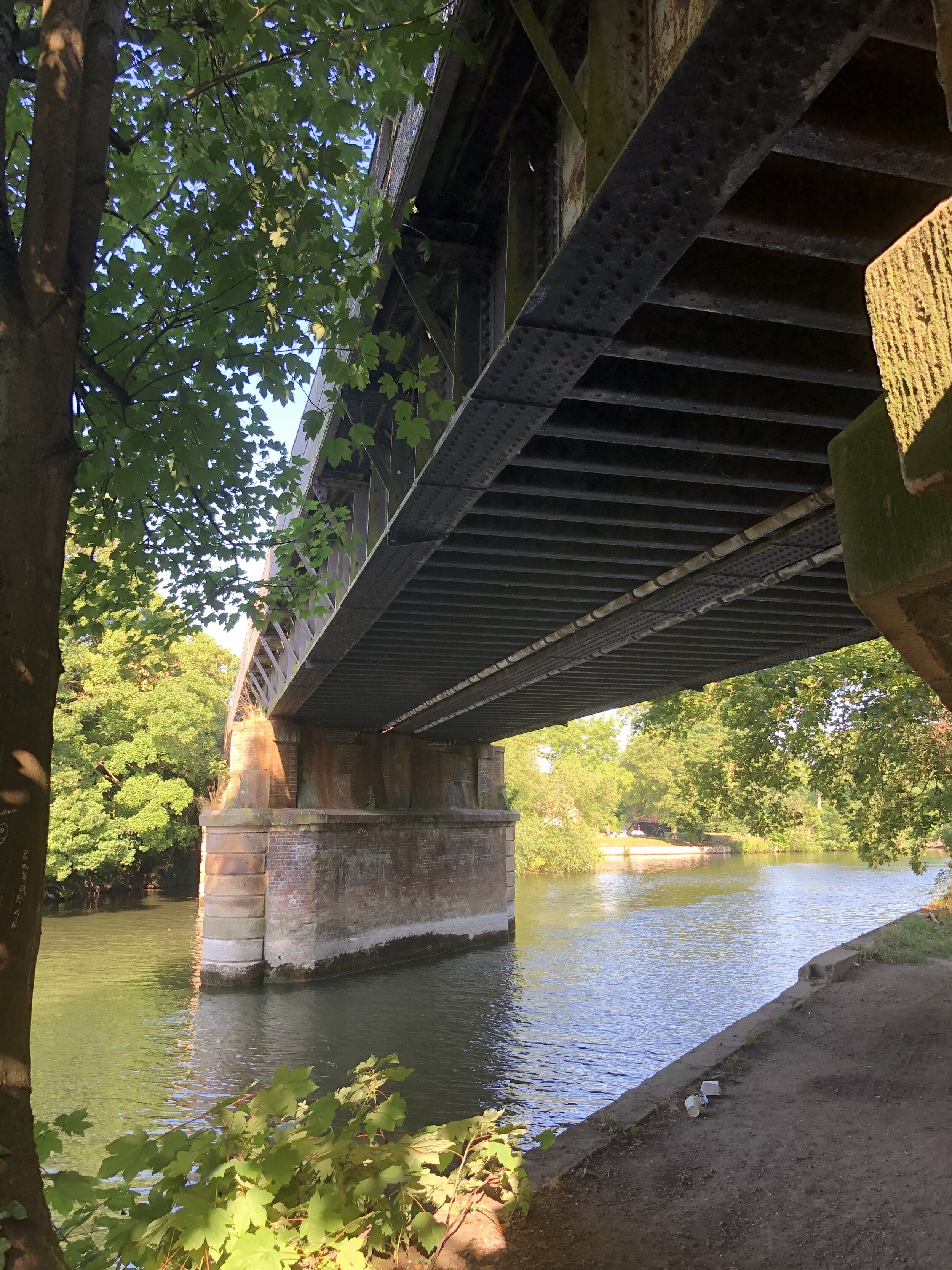
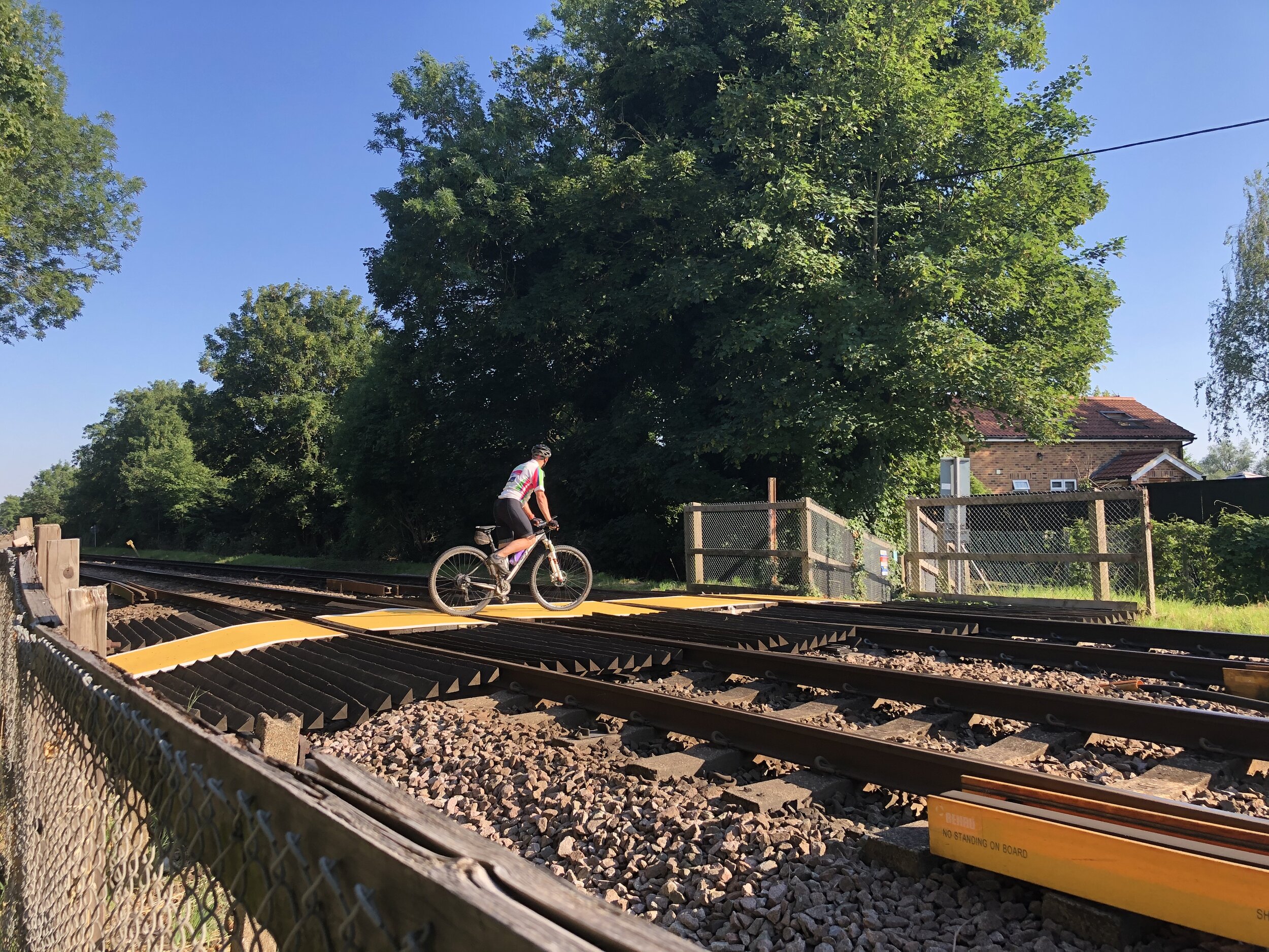
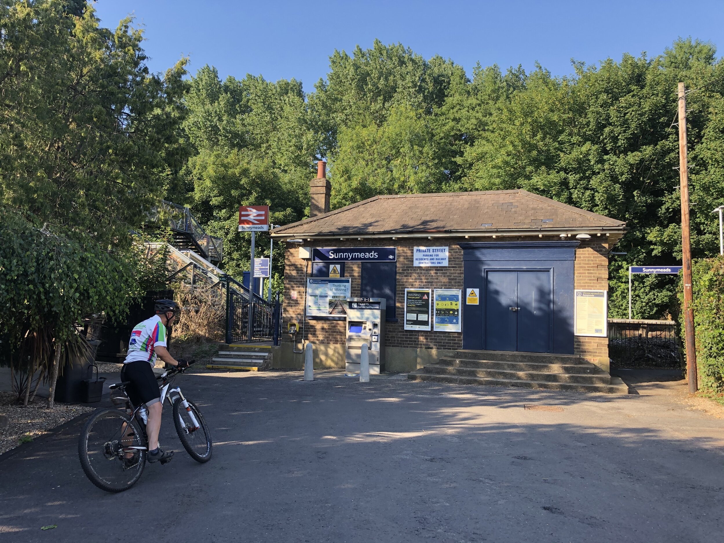
via Windsor & Eton Riverside, Datchet, Sunnymeads, Wraysbury and Staines stationsCycling The Staines West to Denham Disused Railways: 22.9 km. + 99m / -67m. Net +22m Elevation Gain
via 3 separate disused railways through West Drayton and Uxbridge