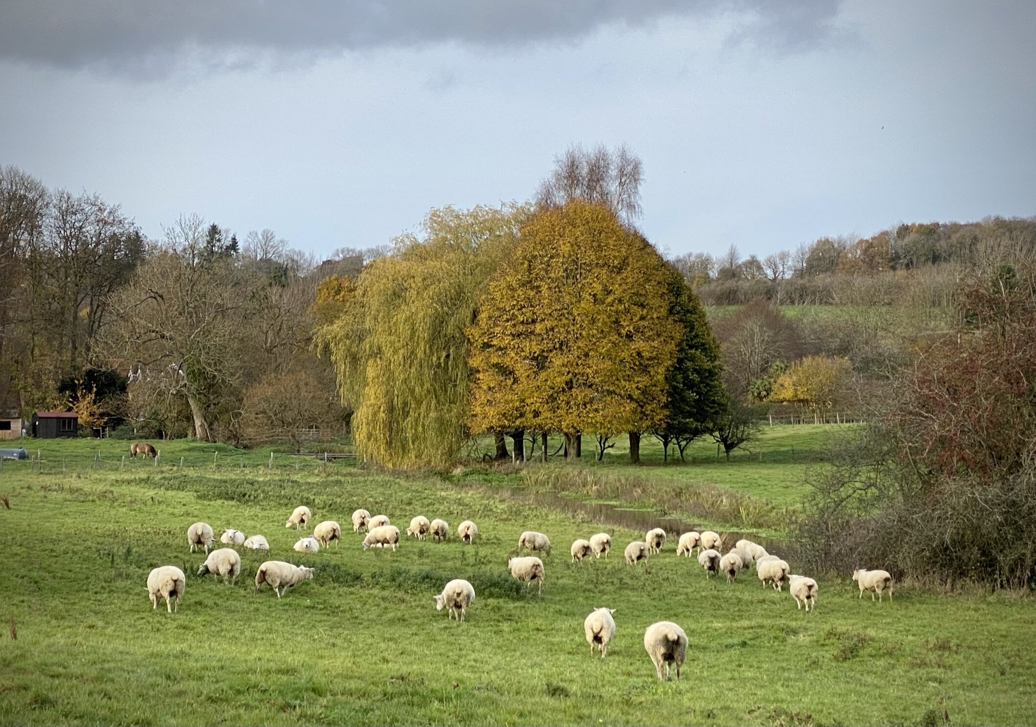
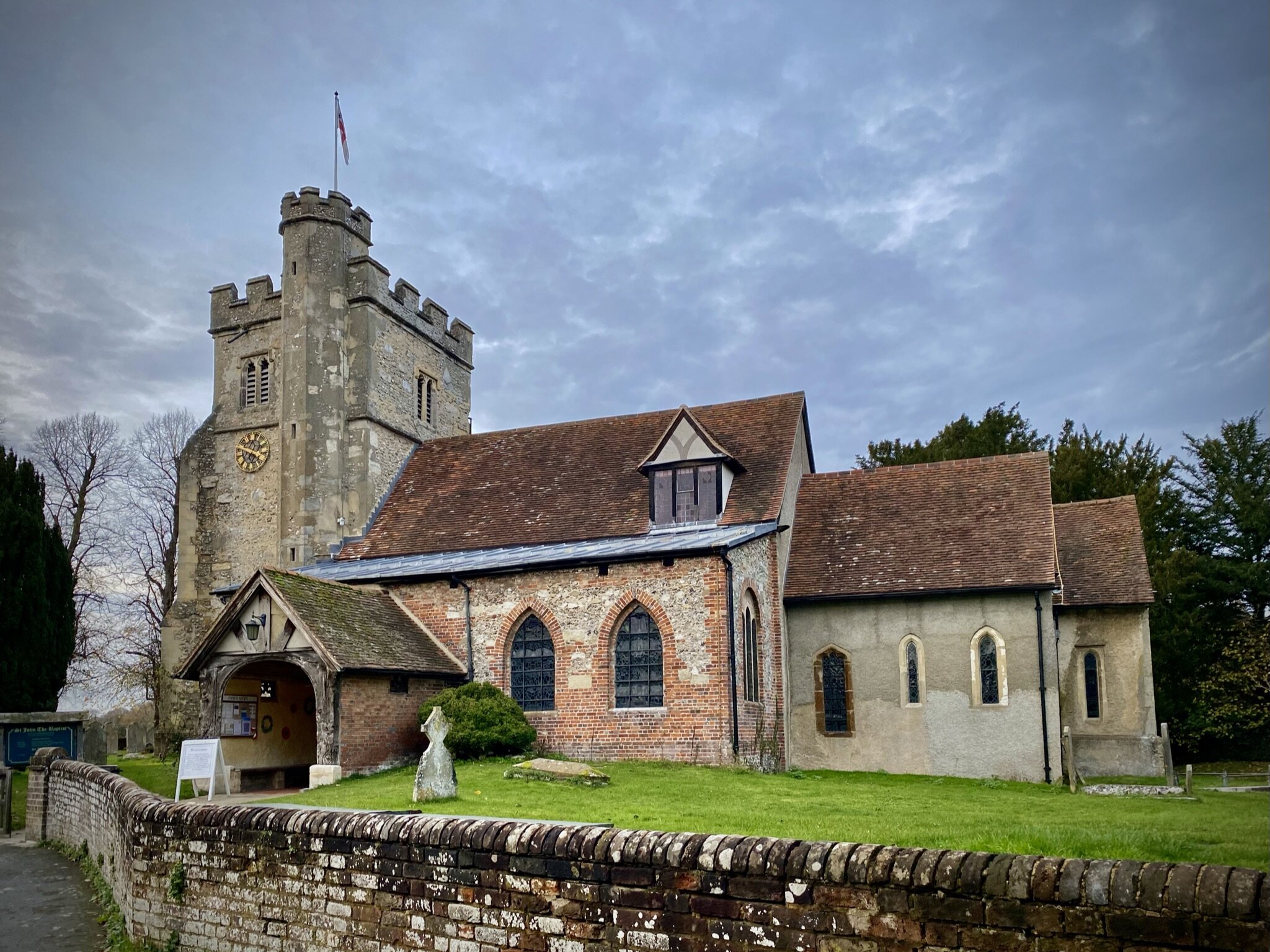
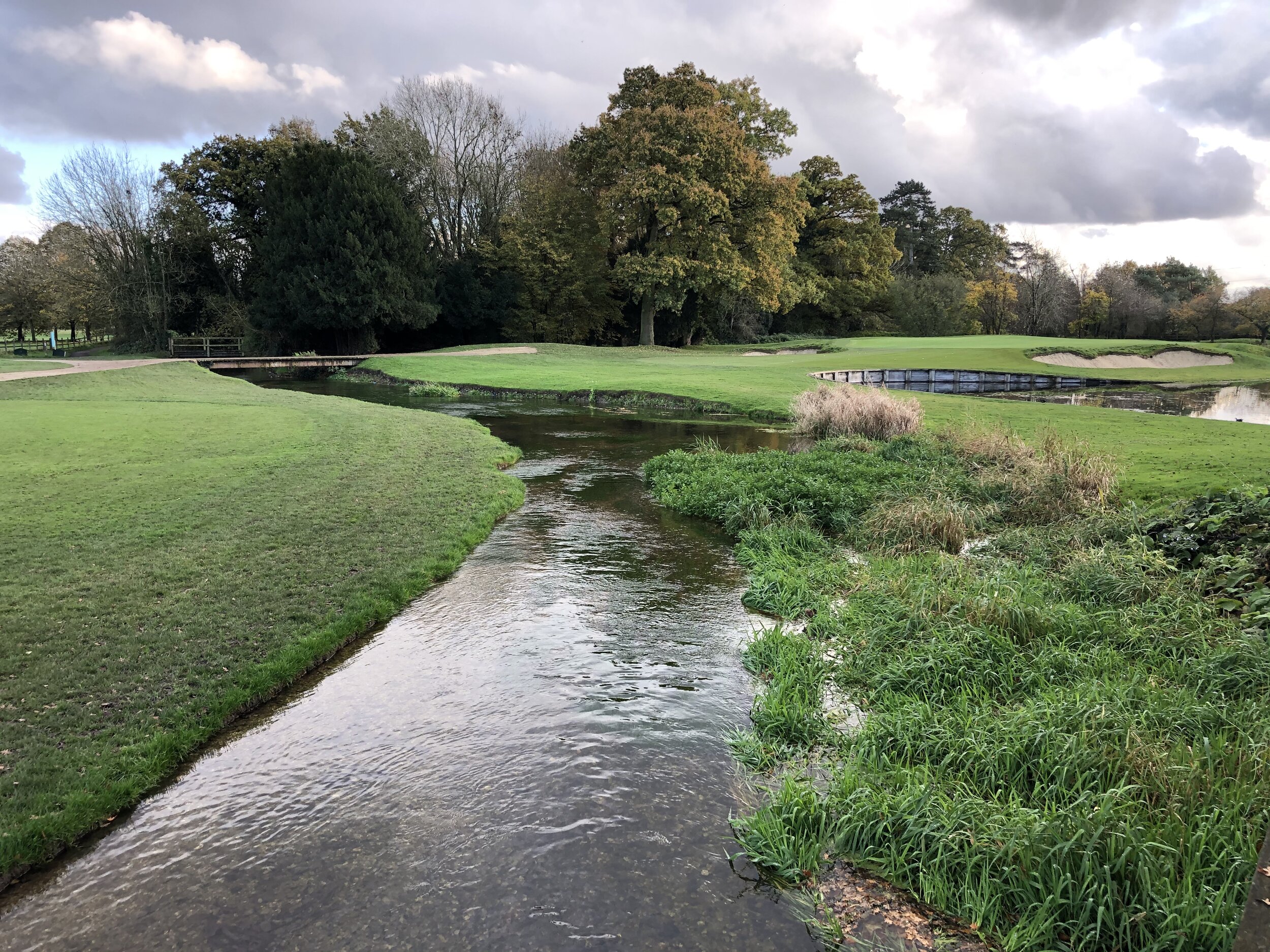
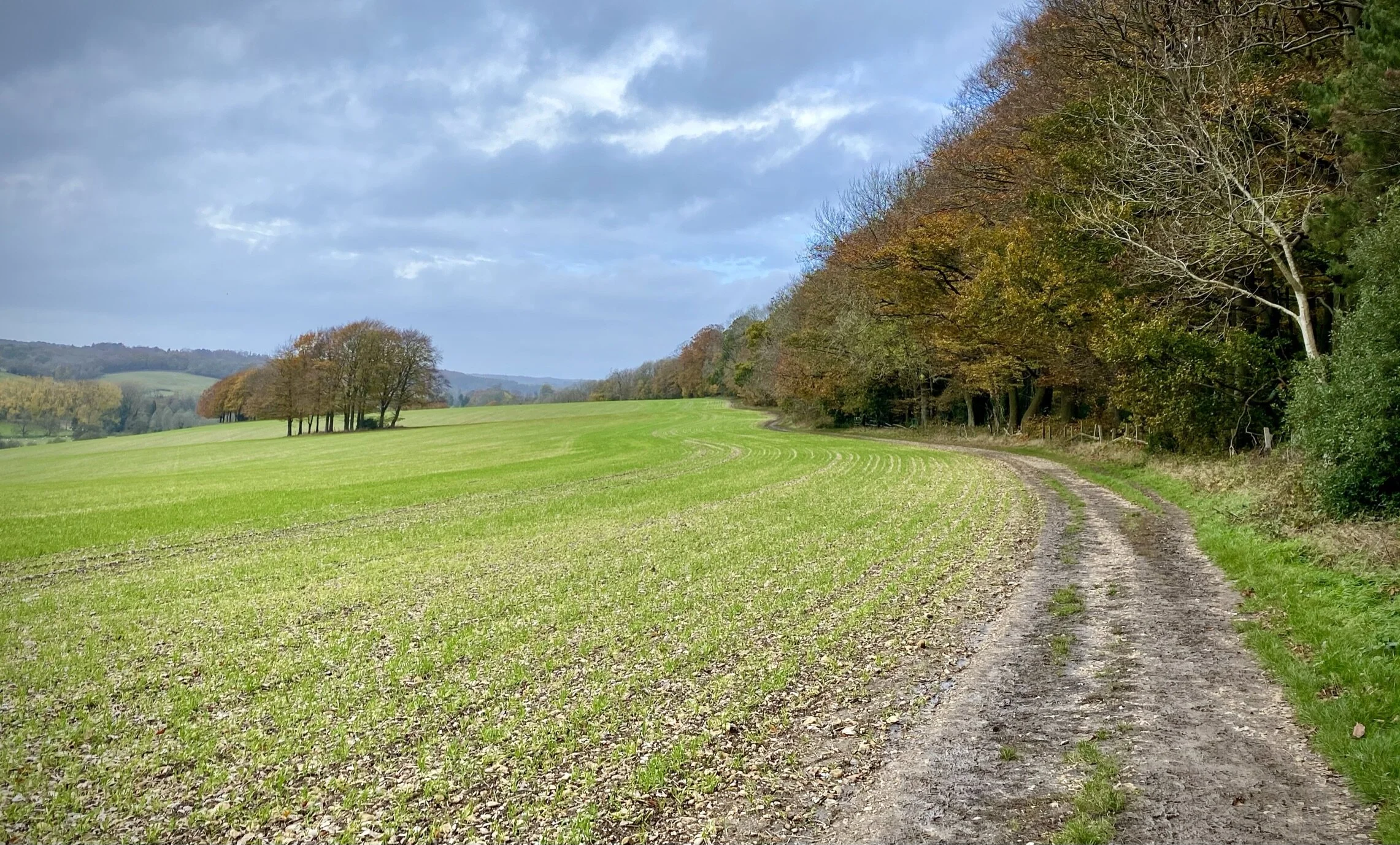
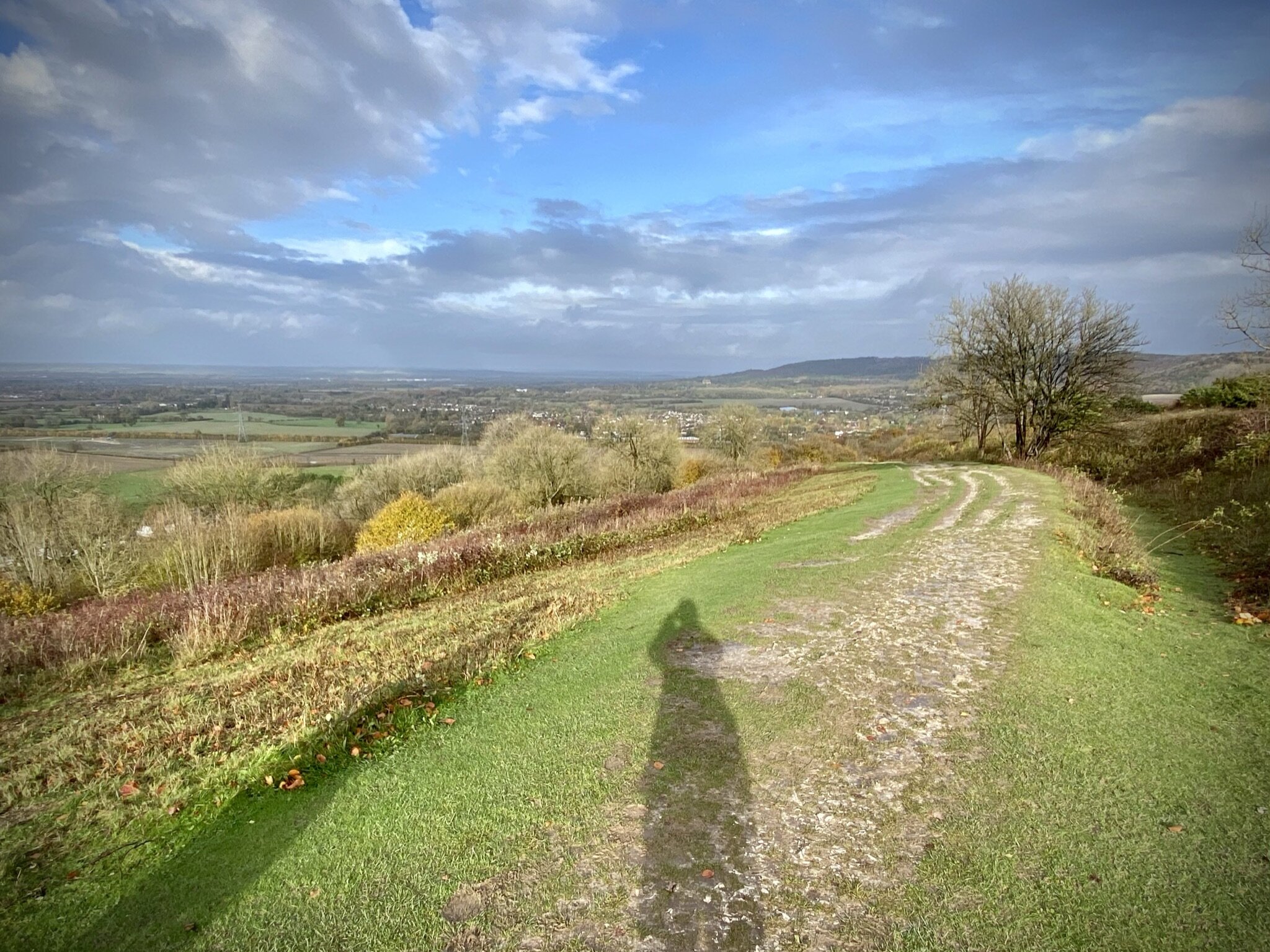
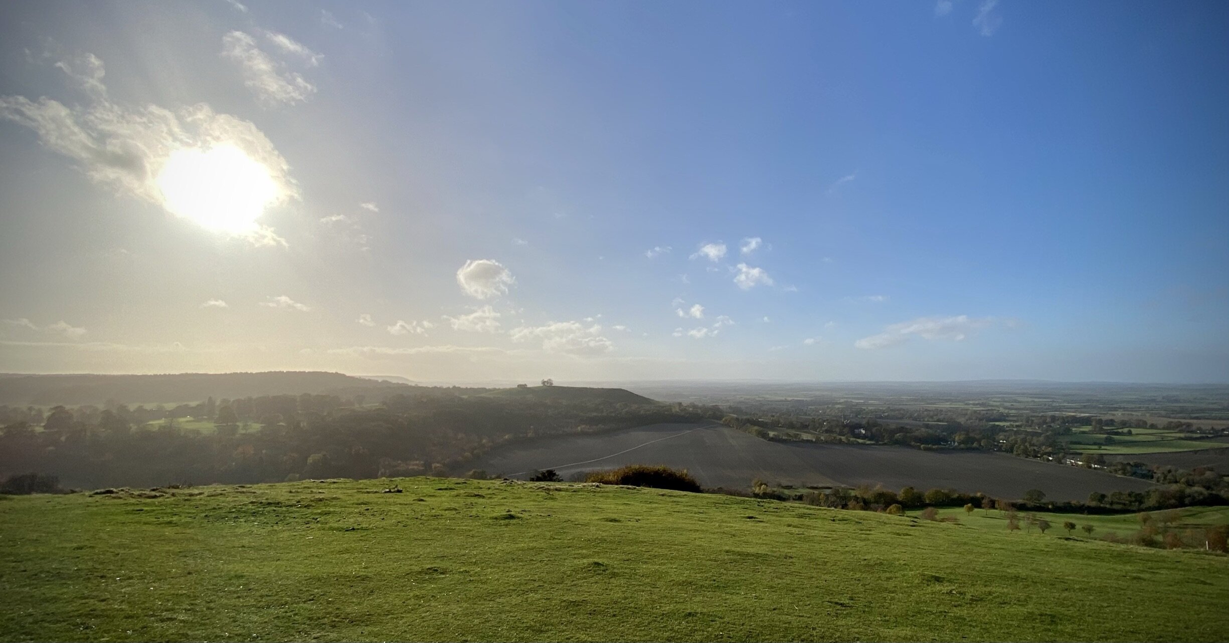
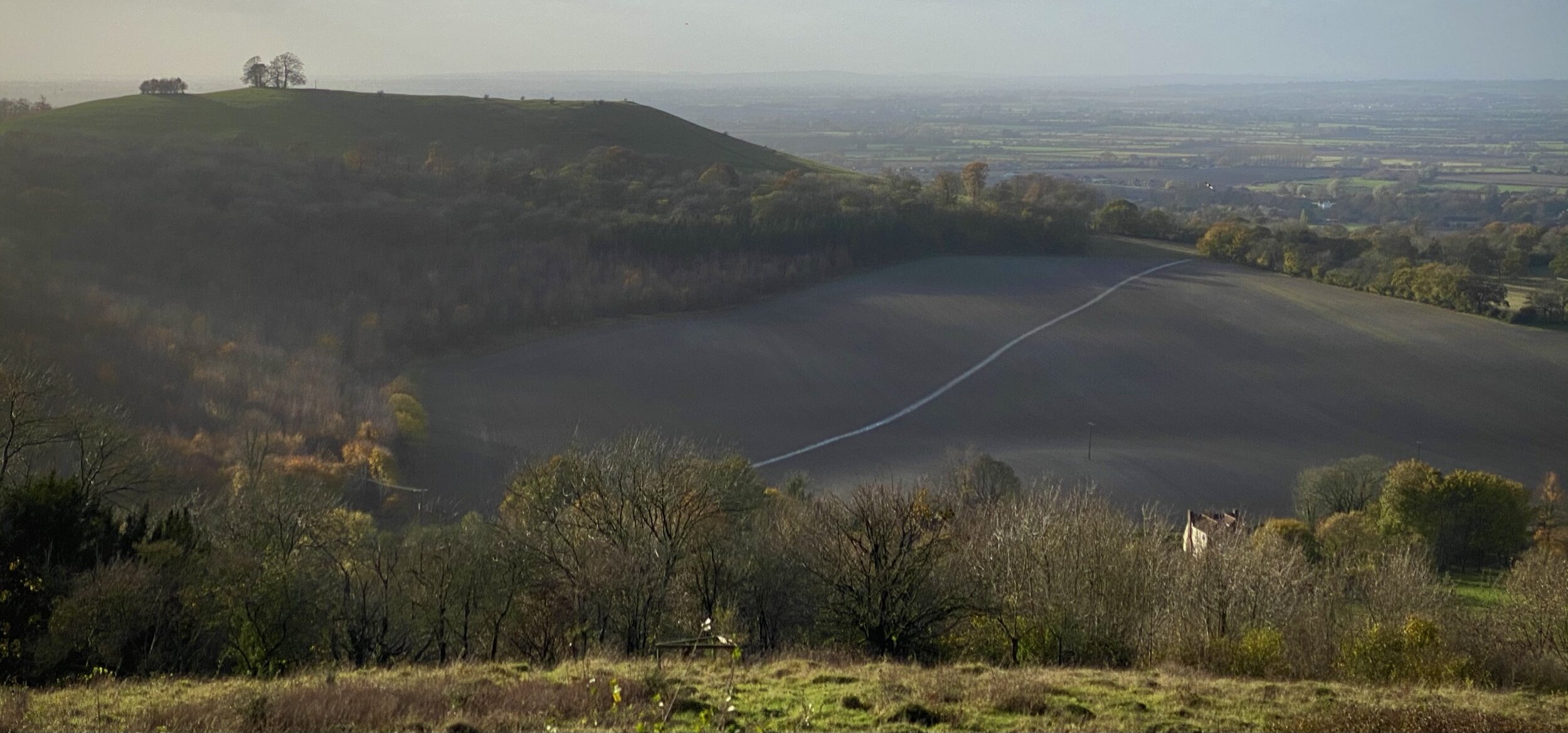
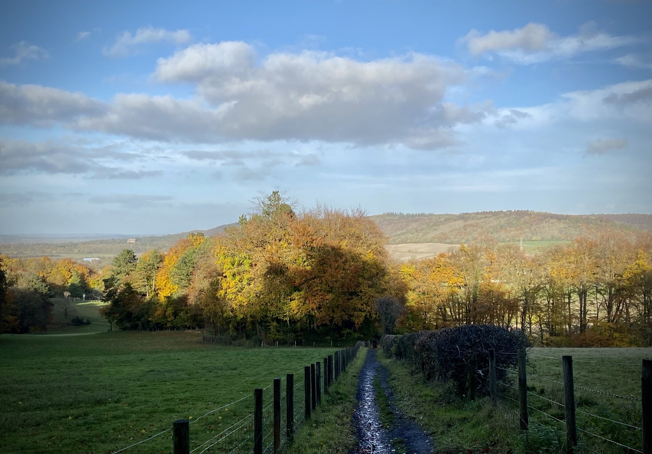
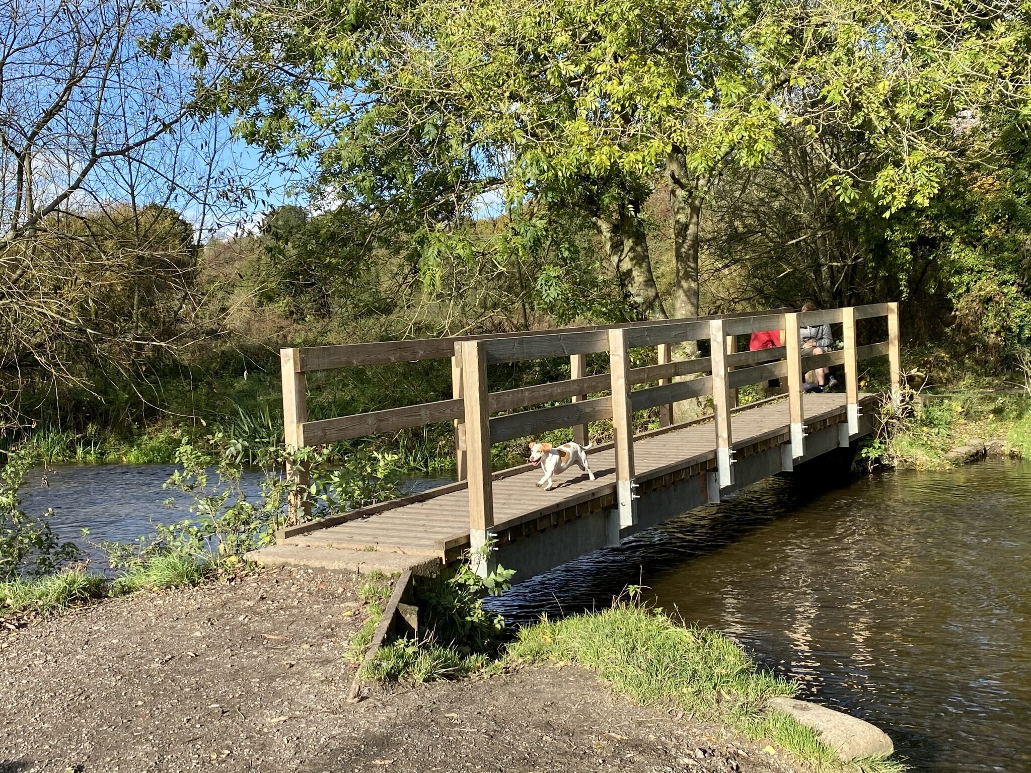
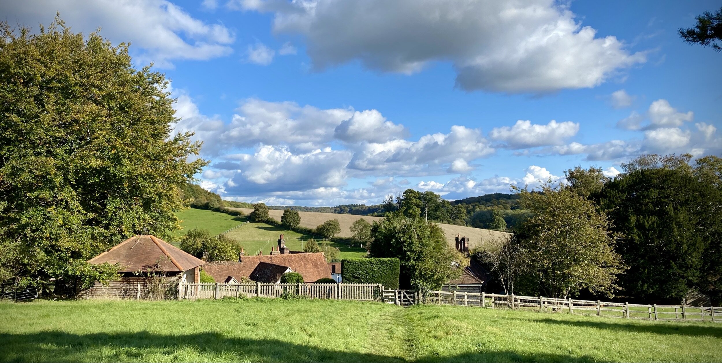
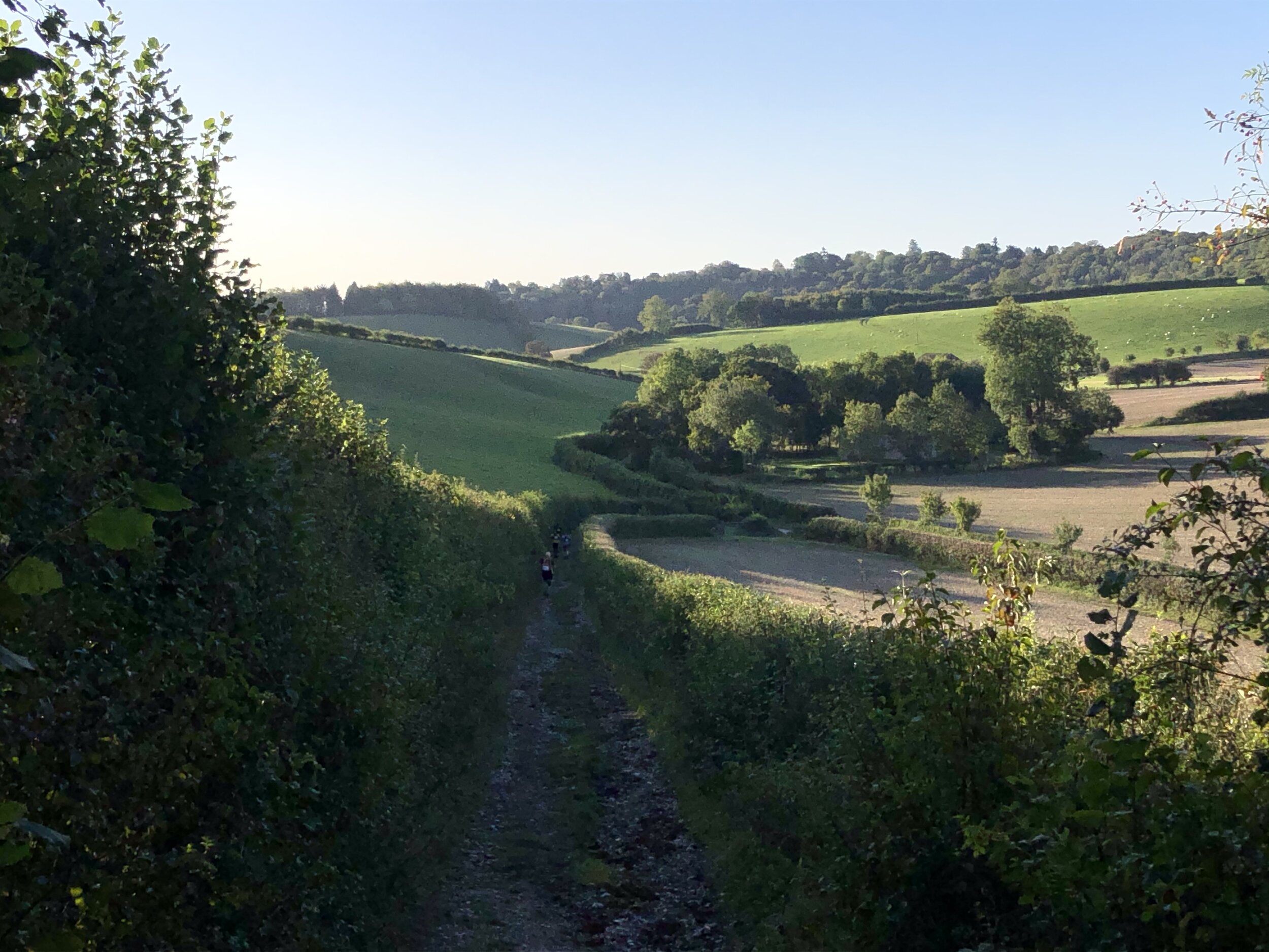
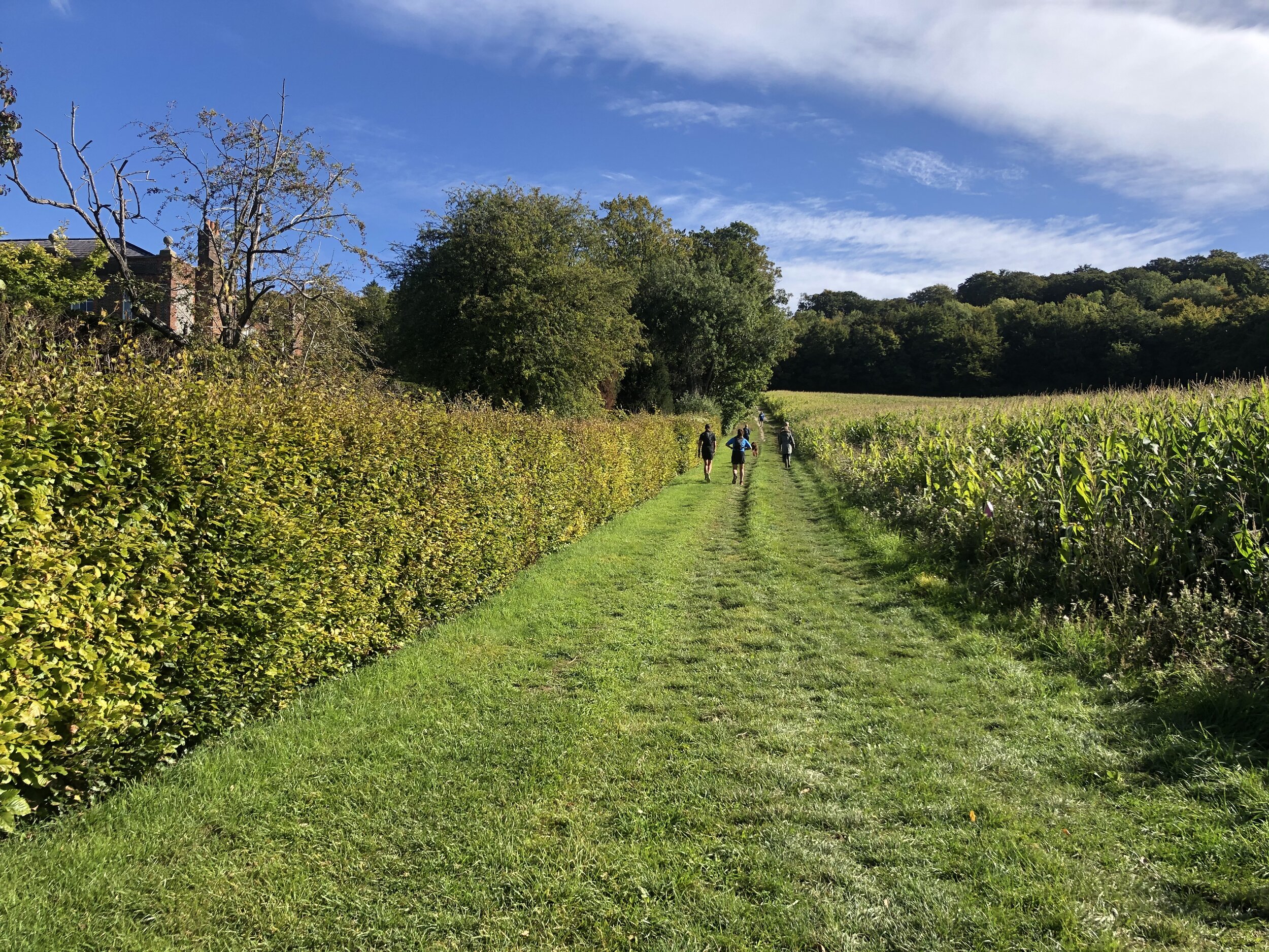
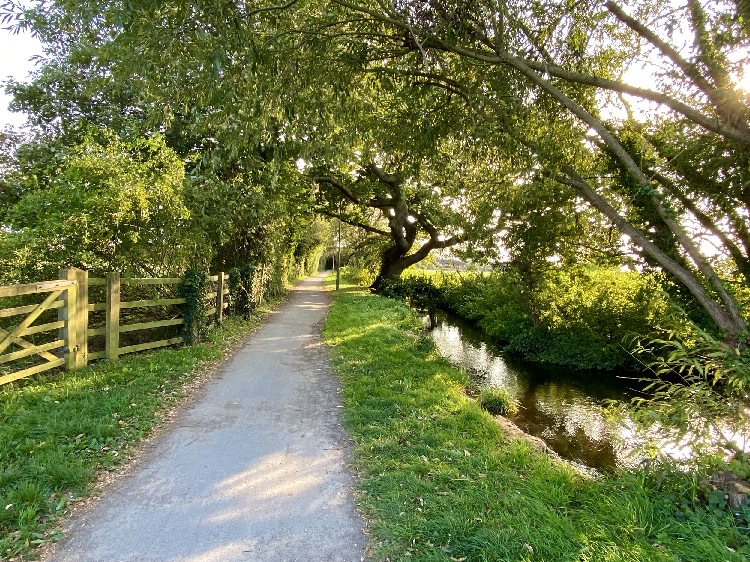
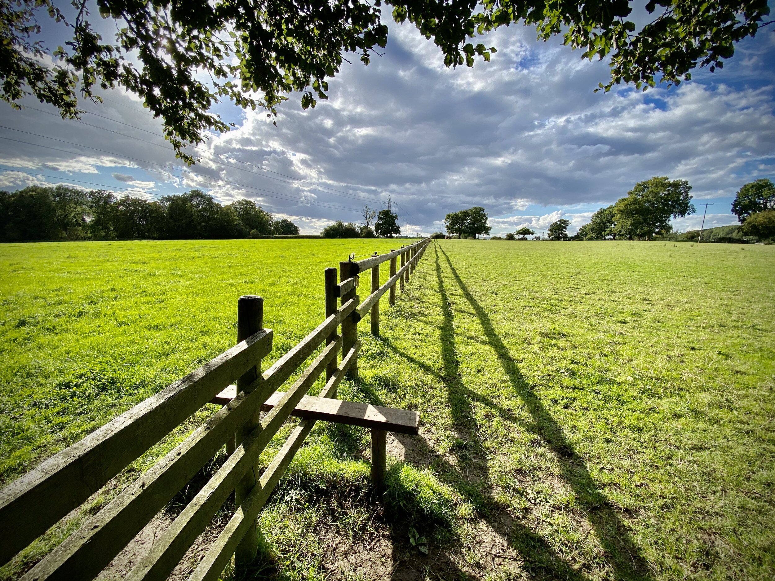
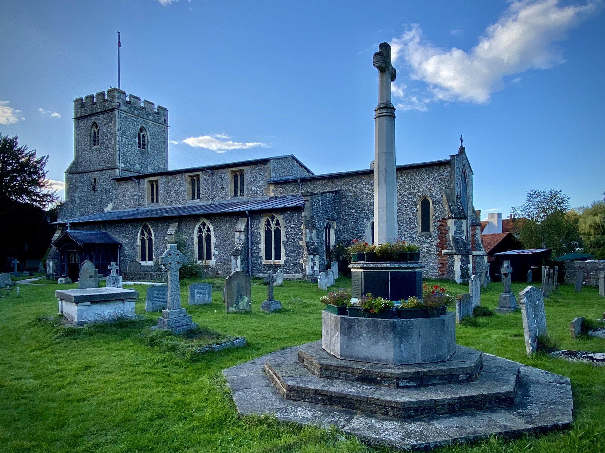
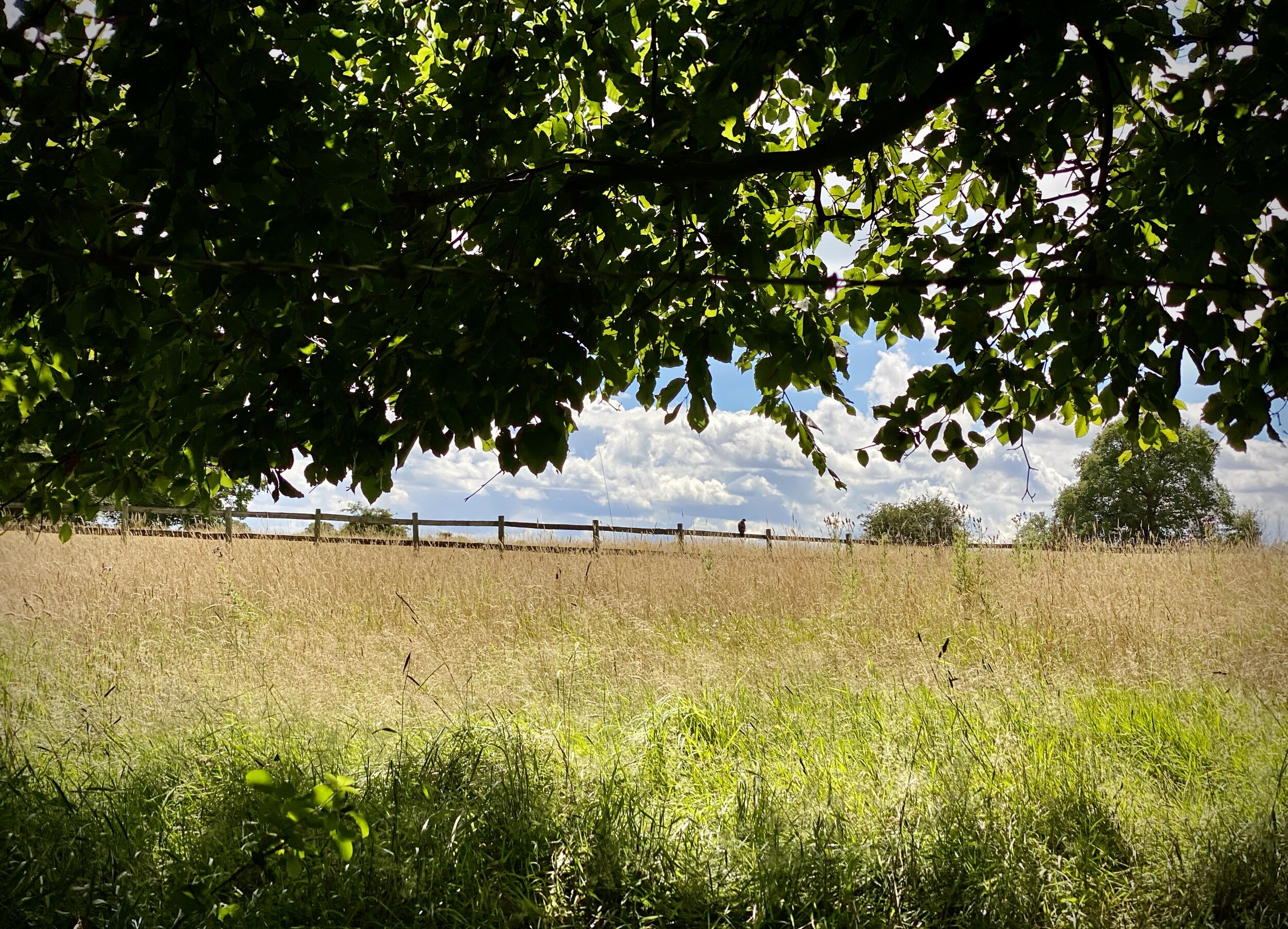
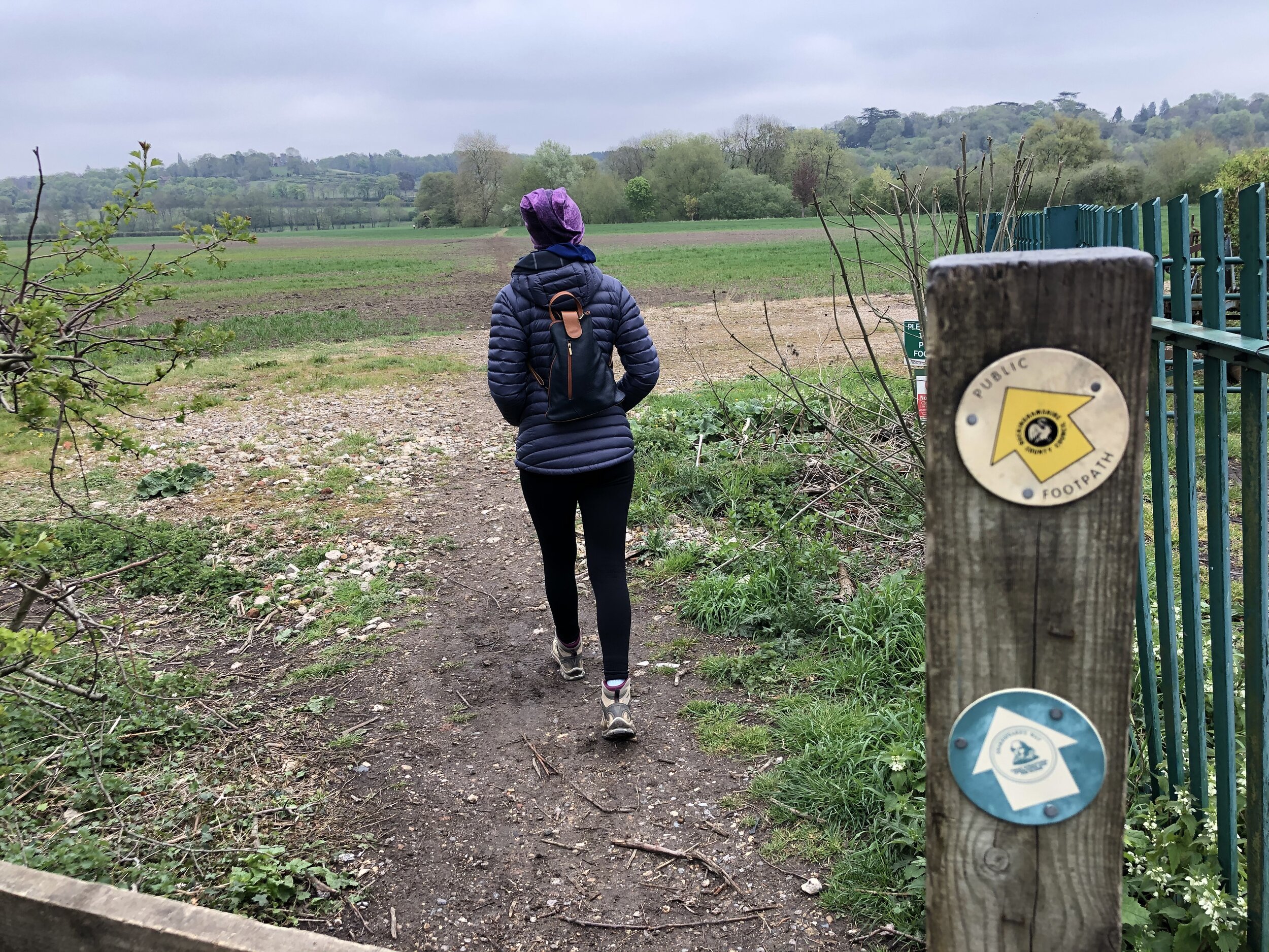
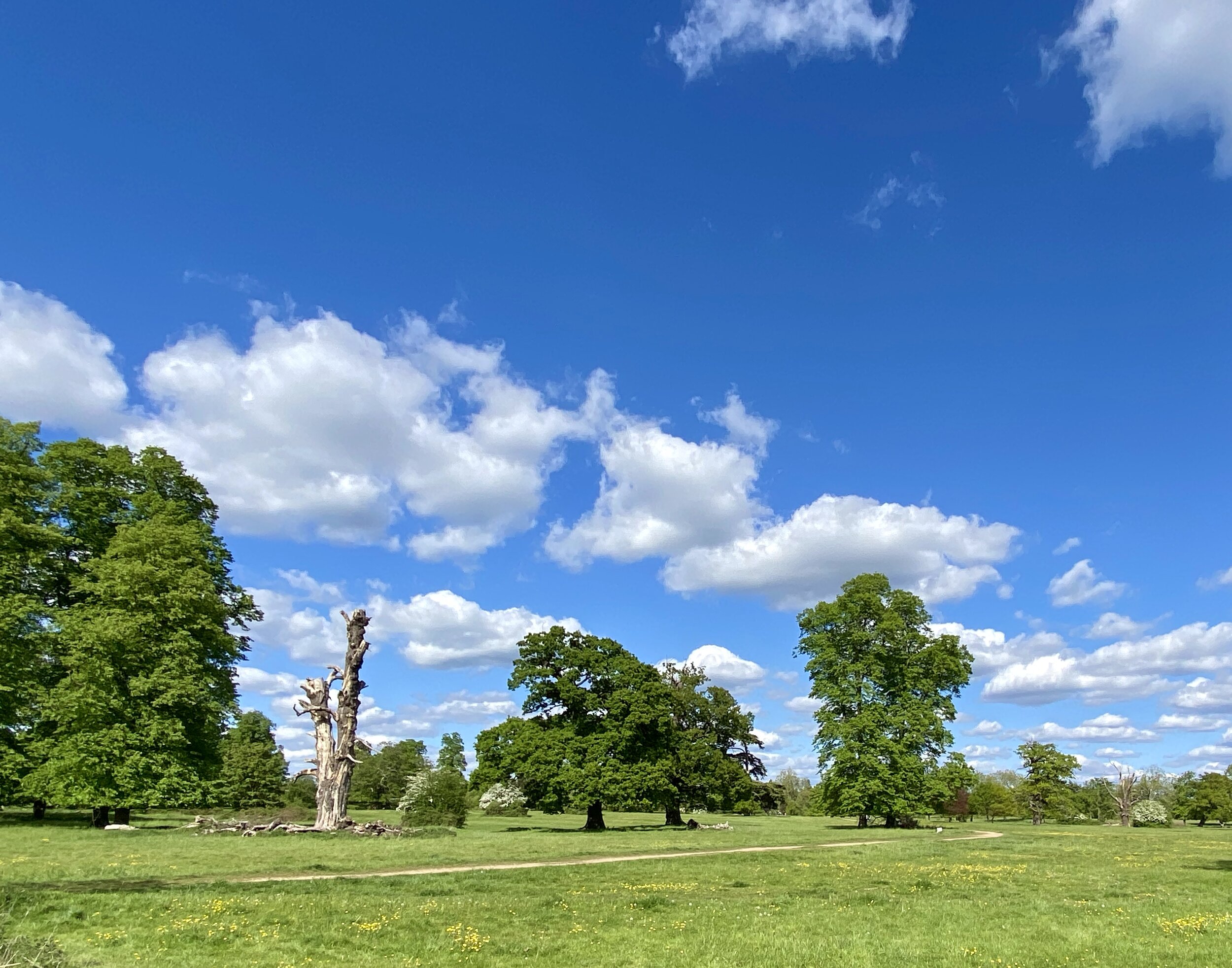
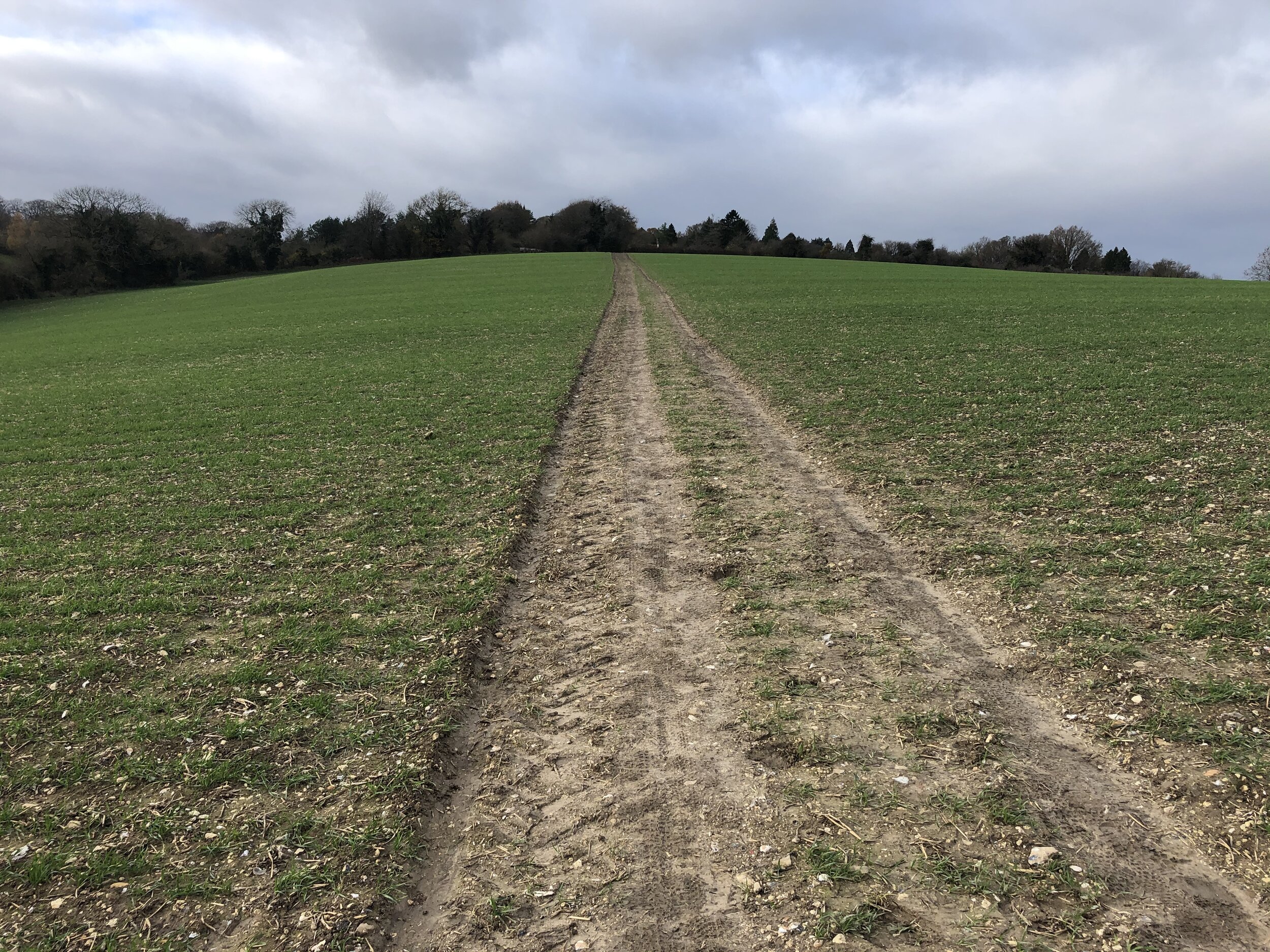
View to Little Missenden on the Chiltern Heritage Trail / South Bucks Way
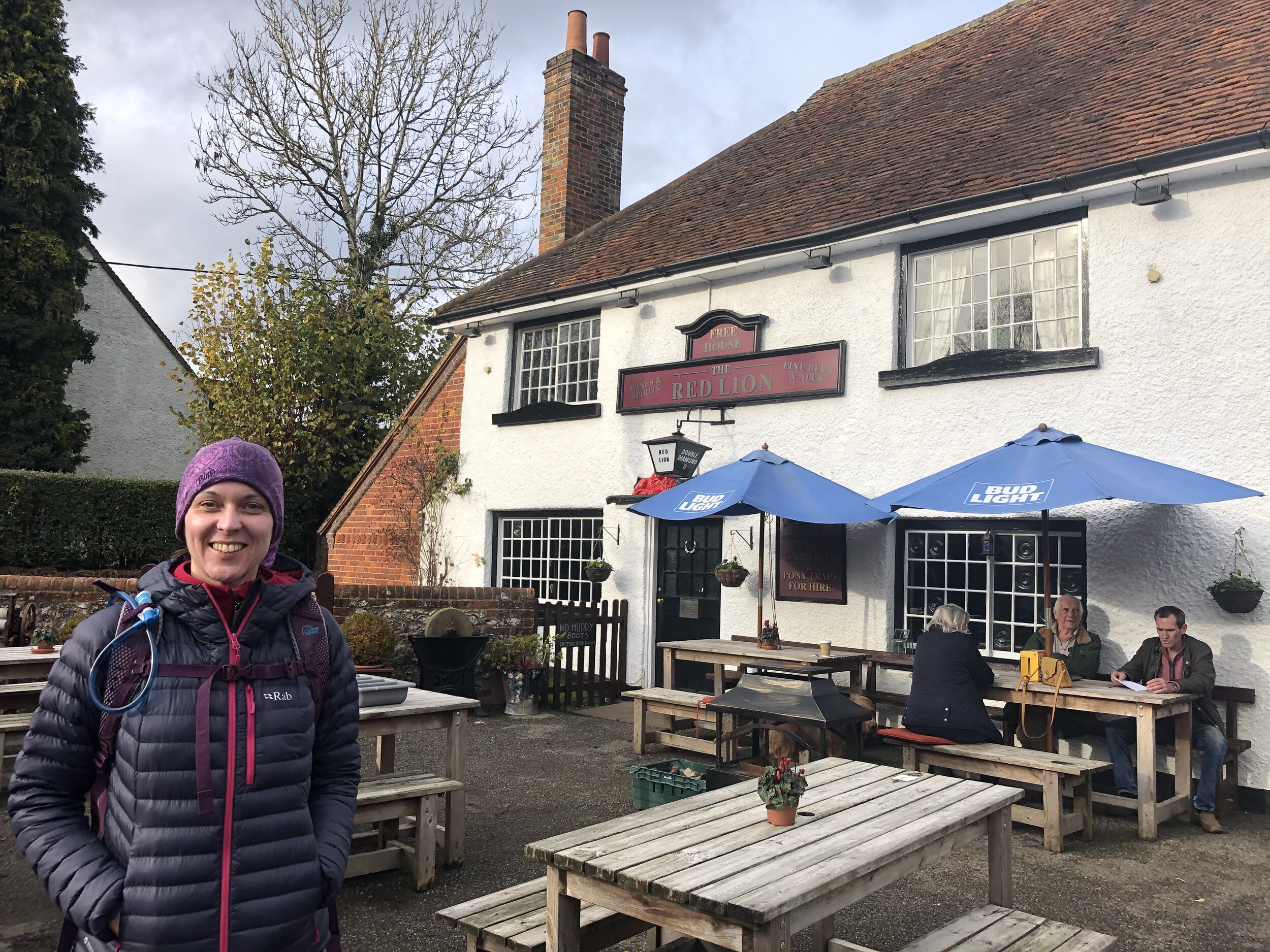
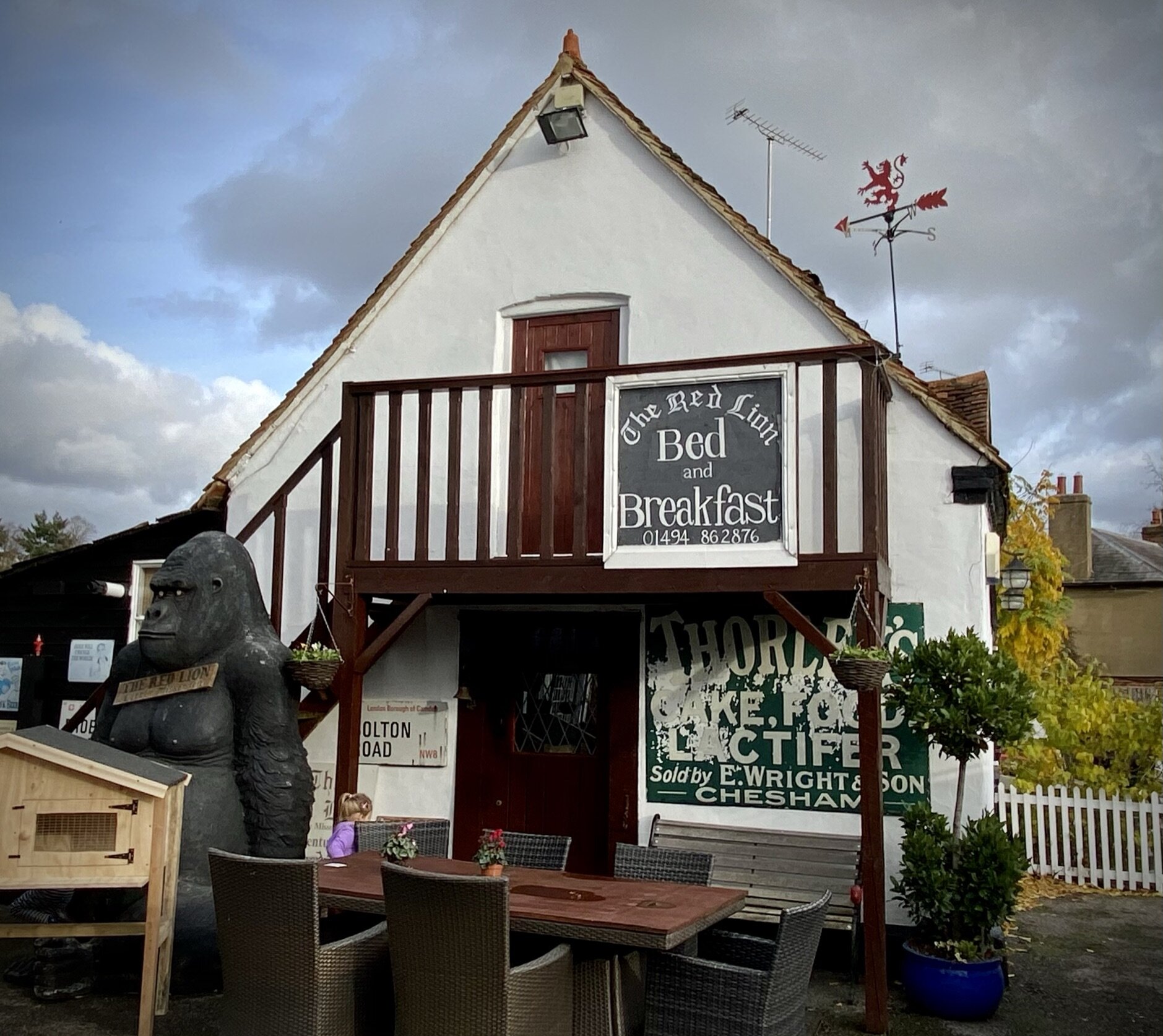
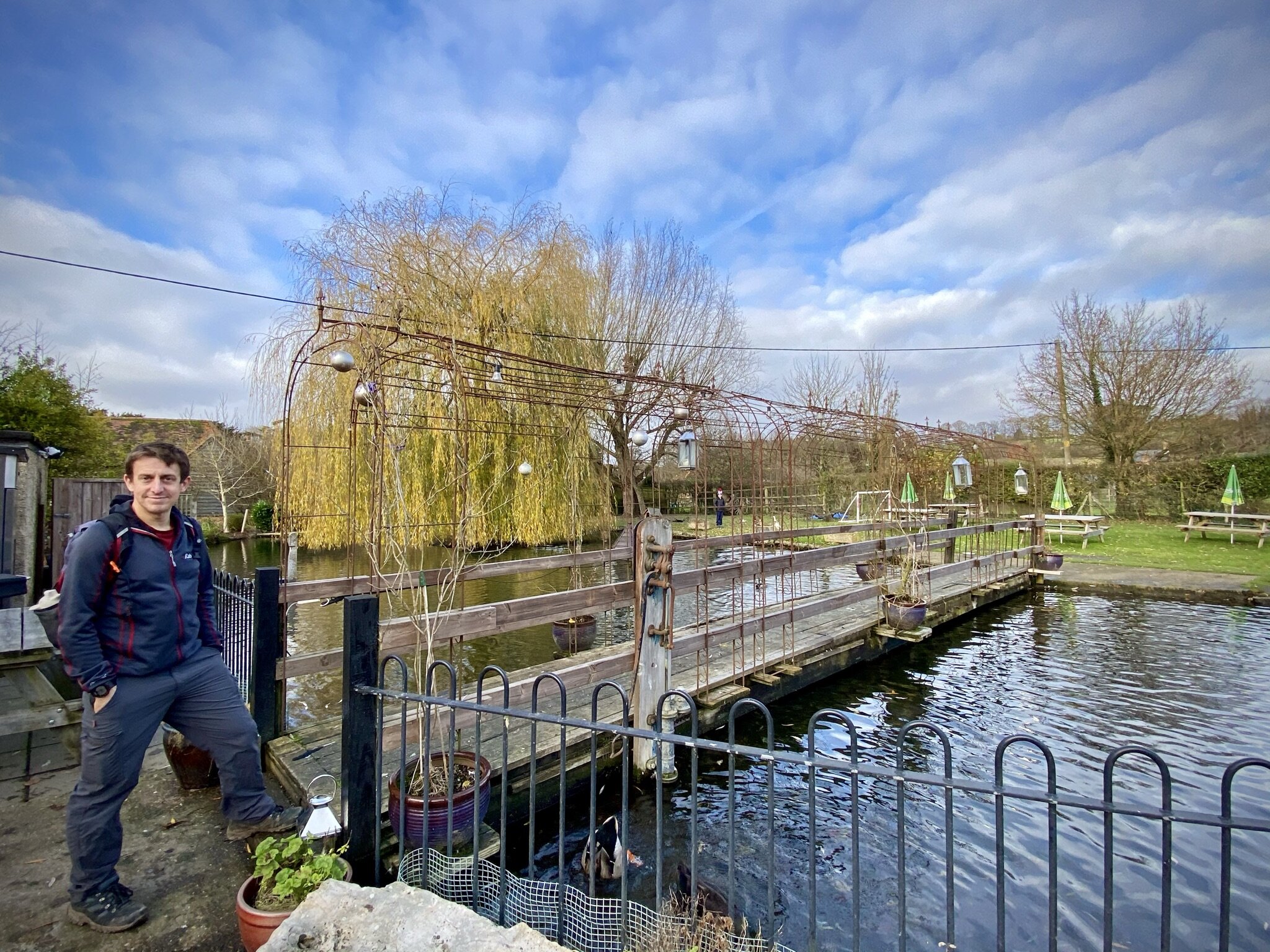
Start & Finish: The Red Lion, 1 Highmore Cottages, Little Missenden, Amersham, HP7 0RB
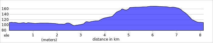
Distance: 9.9 km (6.1 miles)
Elevation change: + / - 104m
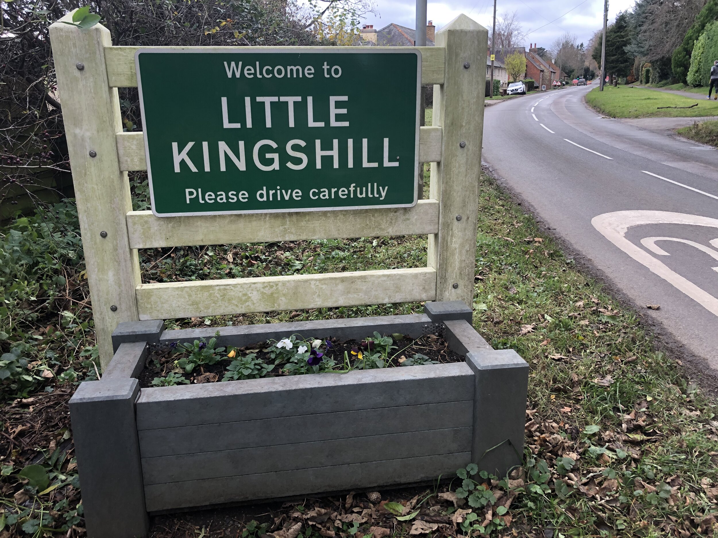
South Bucks Way section covered: Little Kingshill to Little Missenden: 3.47 km
Chiltern Heritage Trail Section Covered: Beamond End Lane to Little Kingshill Recreation Park: 6.2 km
GPX File: get via Buy Me a Coffee
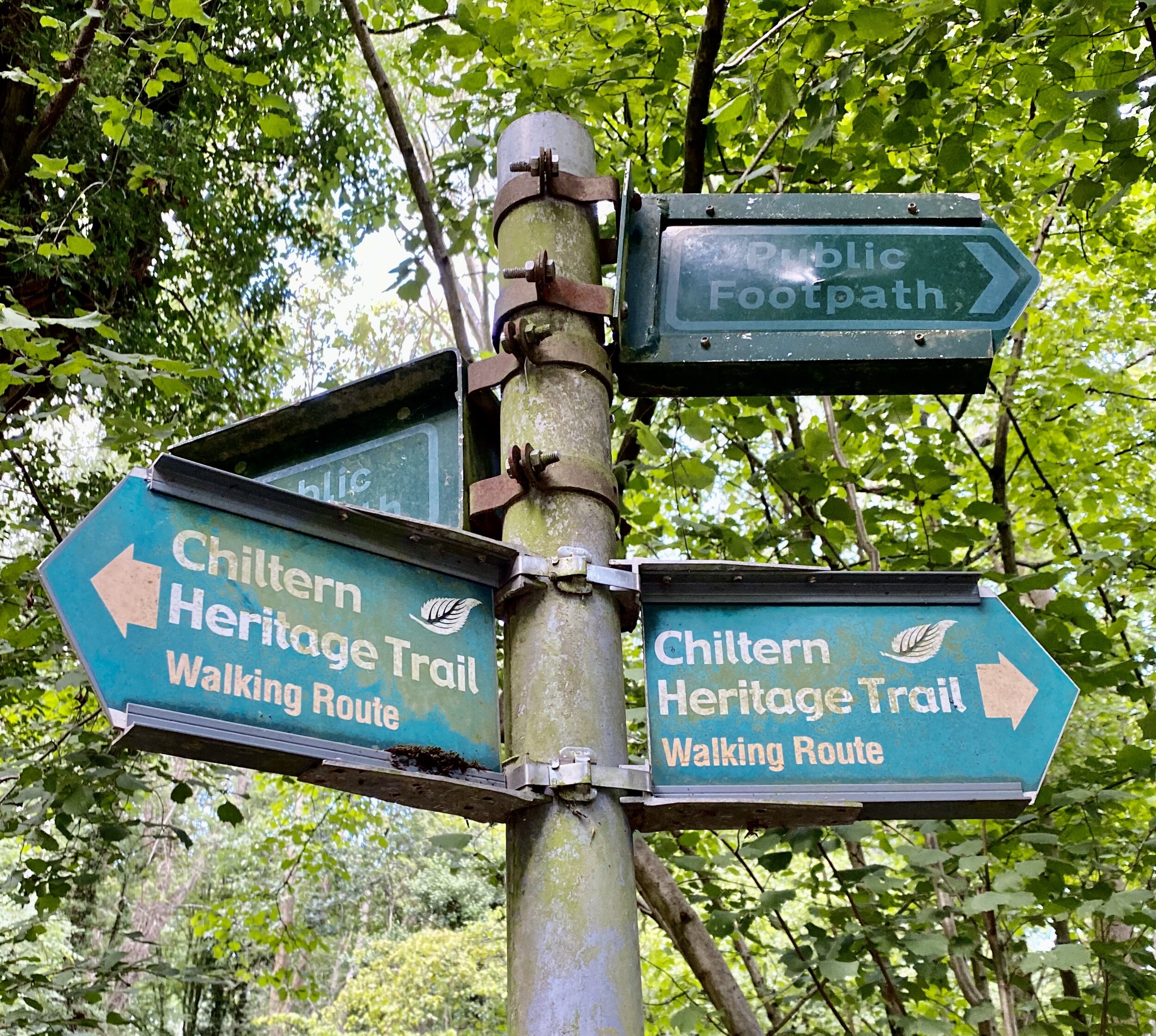
Other routes touched (walk): South Bucks Way, Chiltern Heritage Trail
Other routes touched (cycle): Chilterns Heritage Trail: Hampden Route
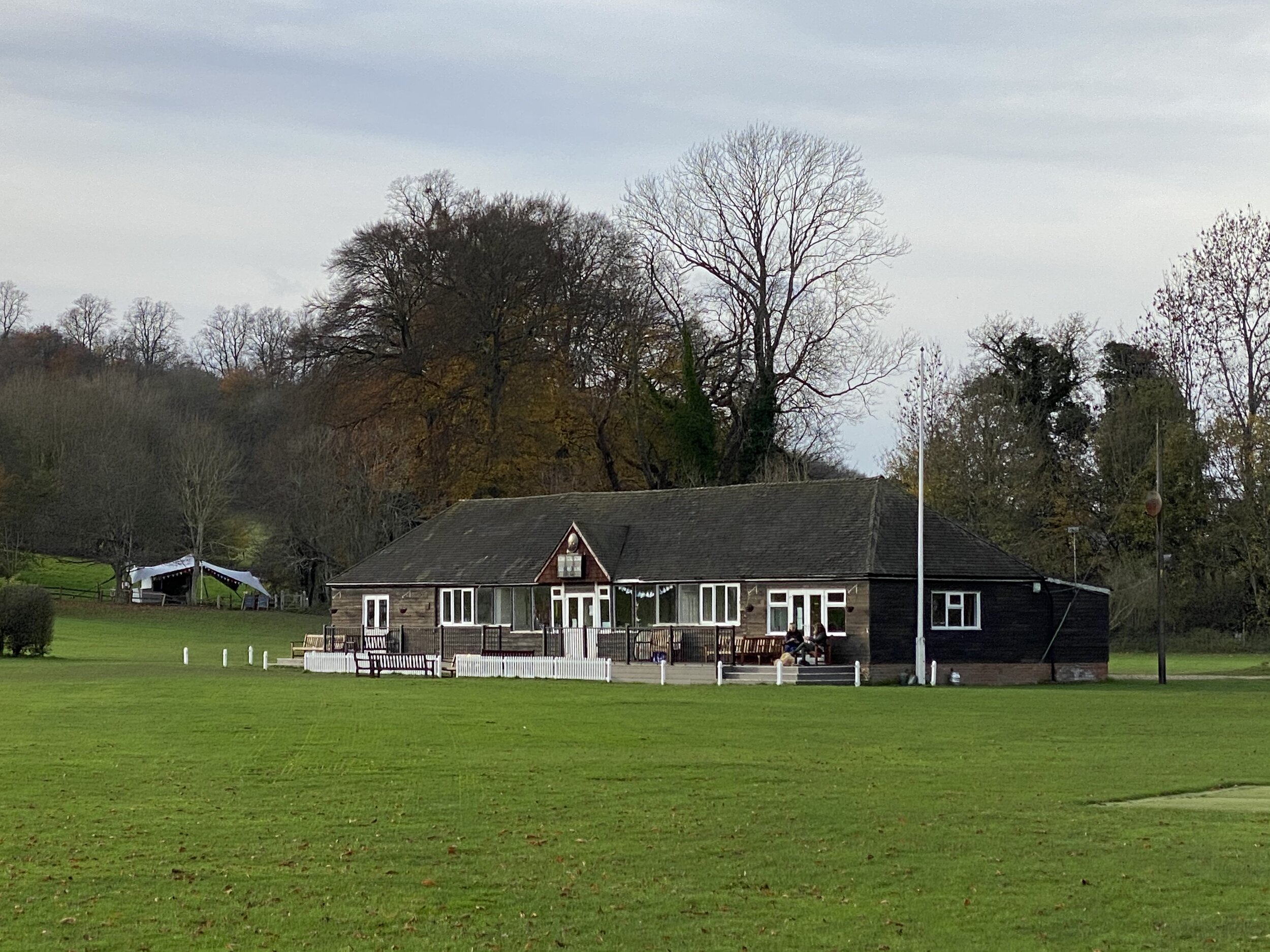
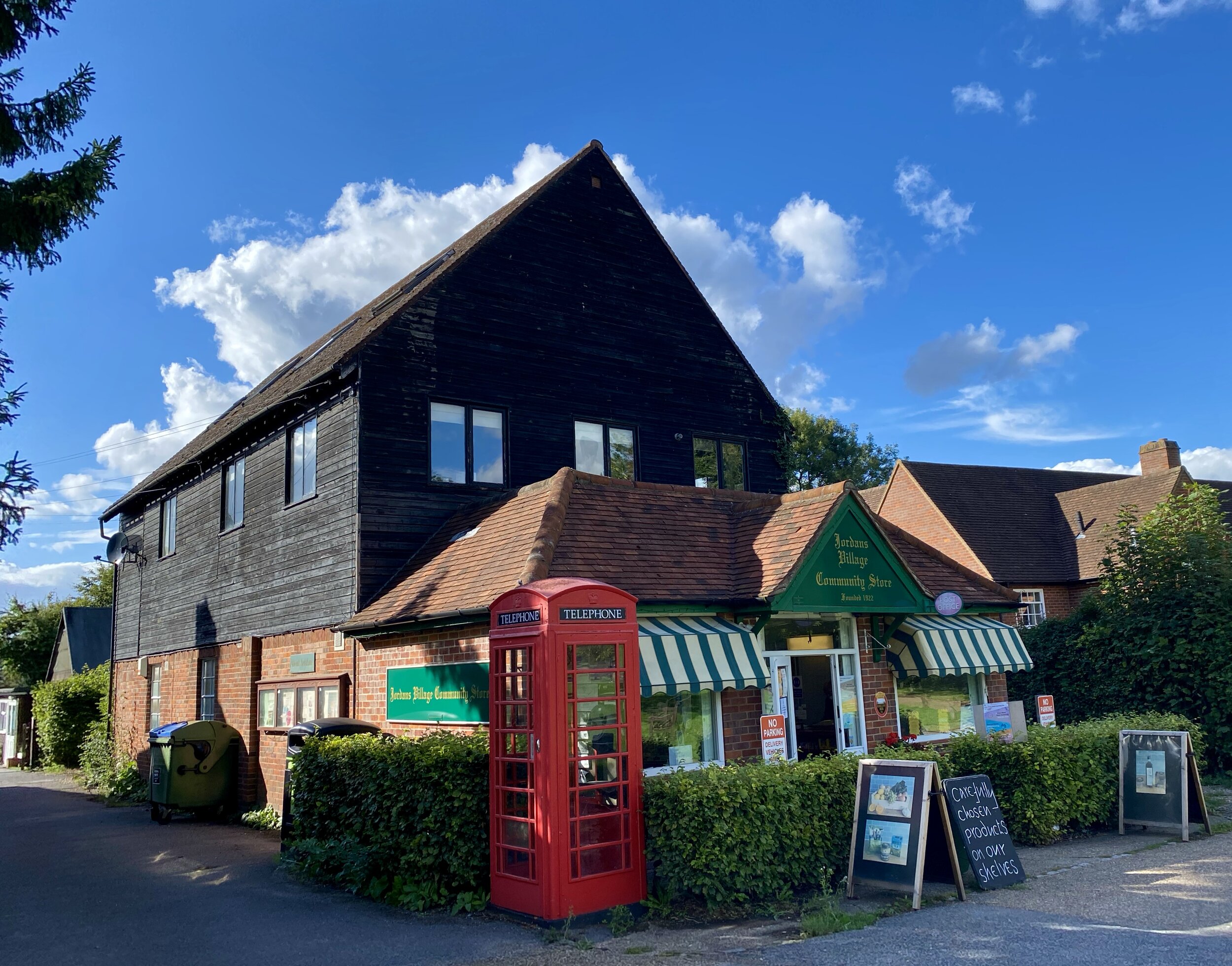
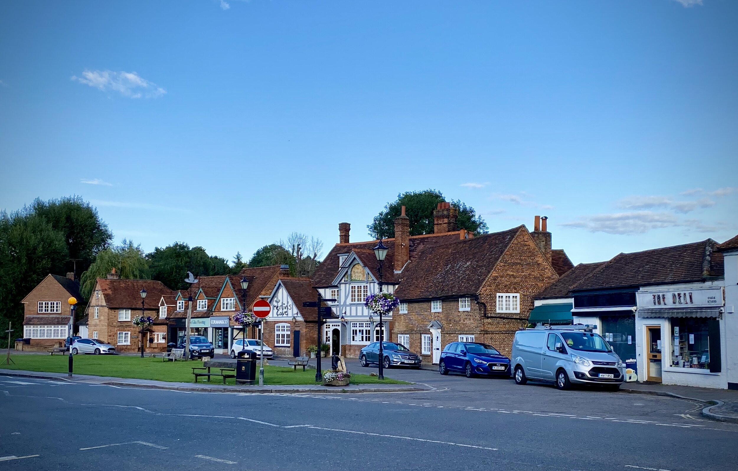
Pubs / Cafes on route: The Red Lion and The Crown Inn at the start and finish in Little Missenden. The Square and The Earl Howe in Holmer Green
Map: OS Explorer Map (172) Chiltern Hills East
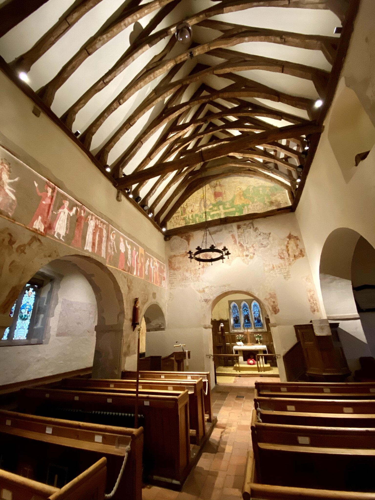
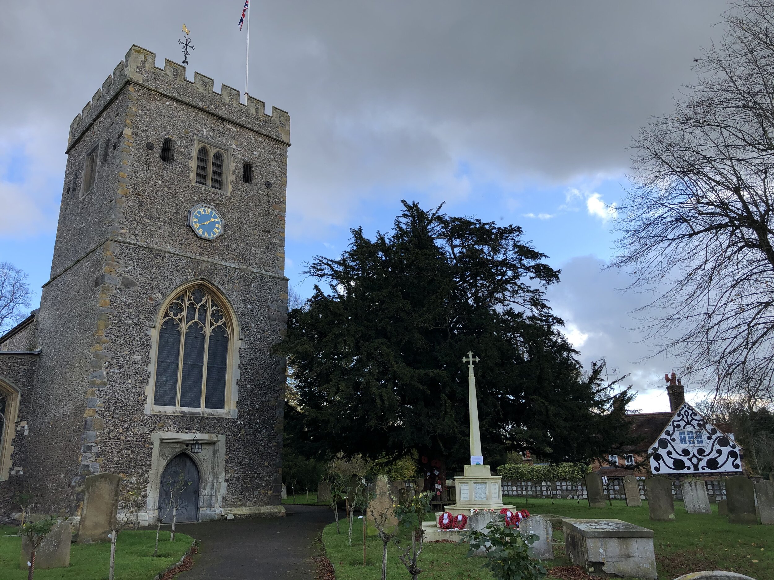
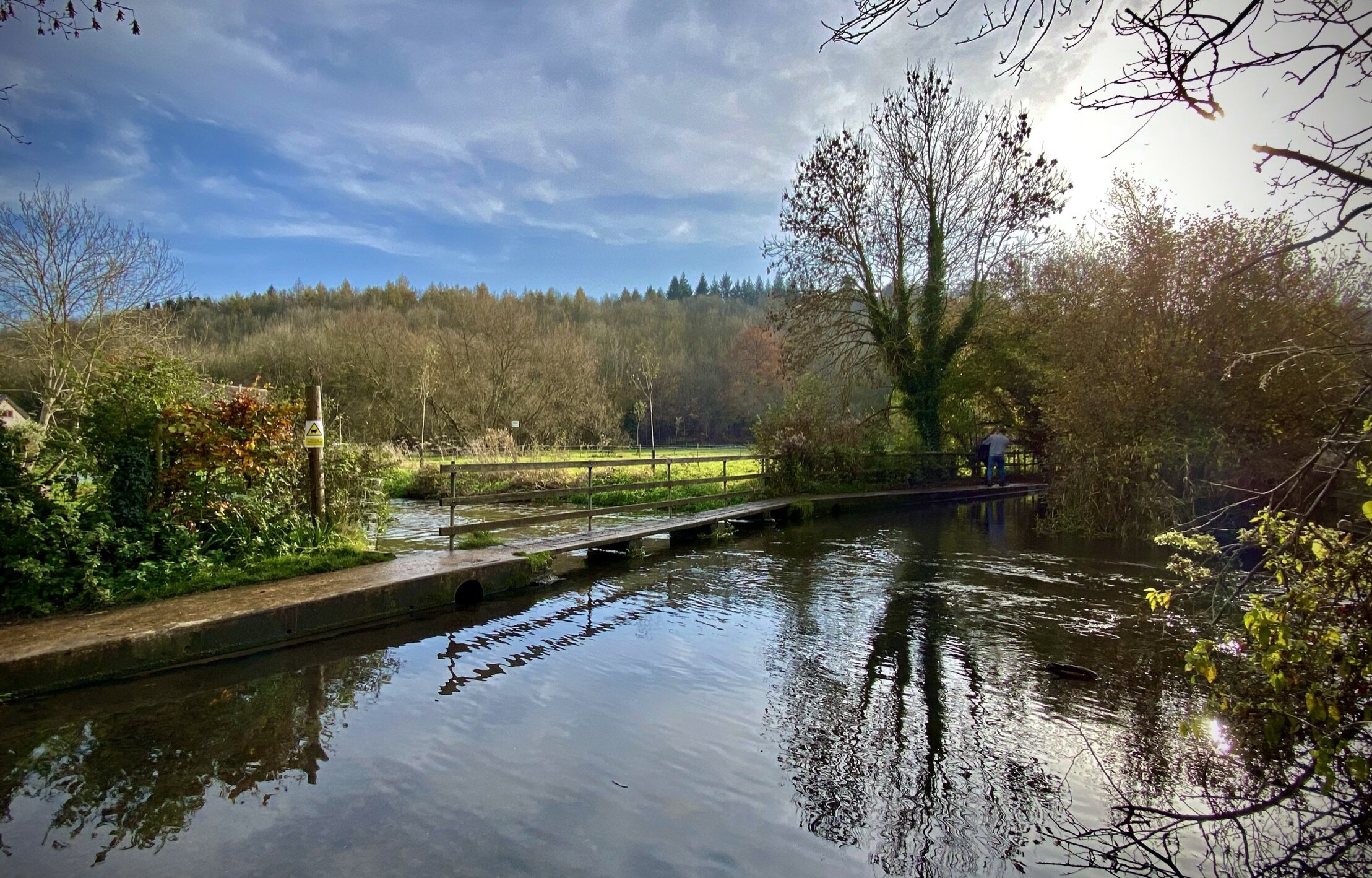
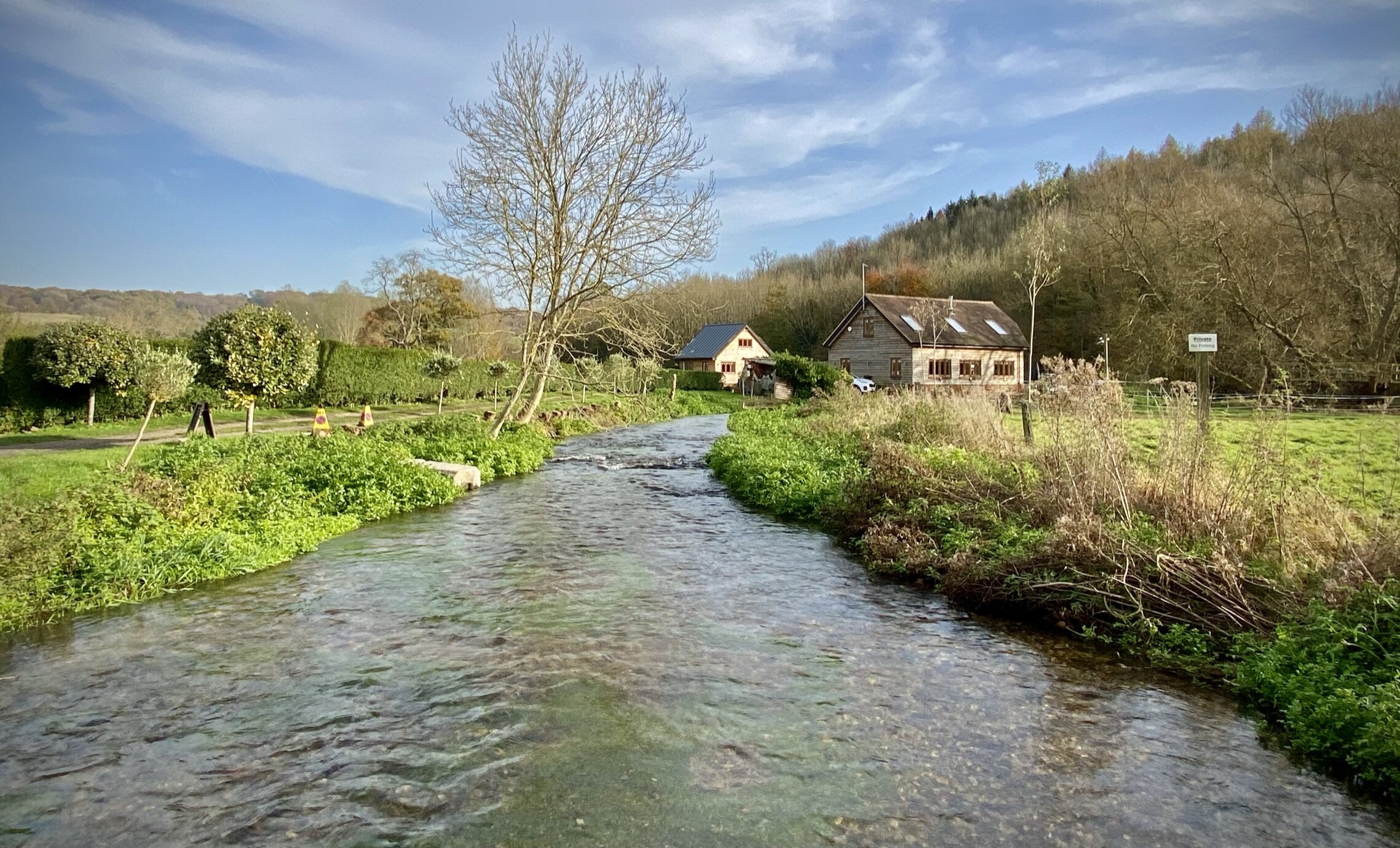
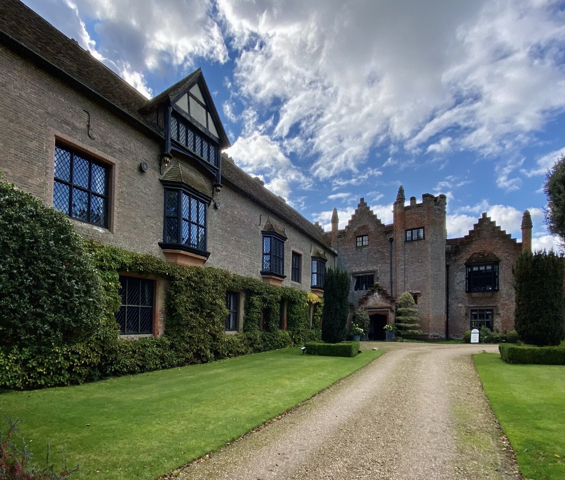
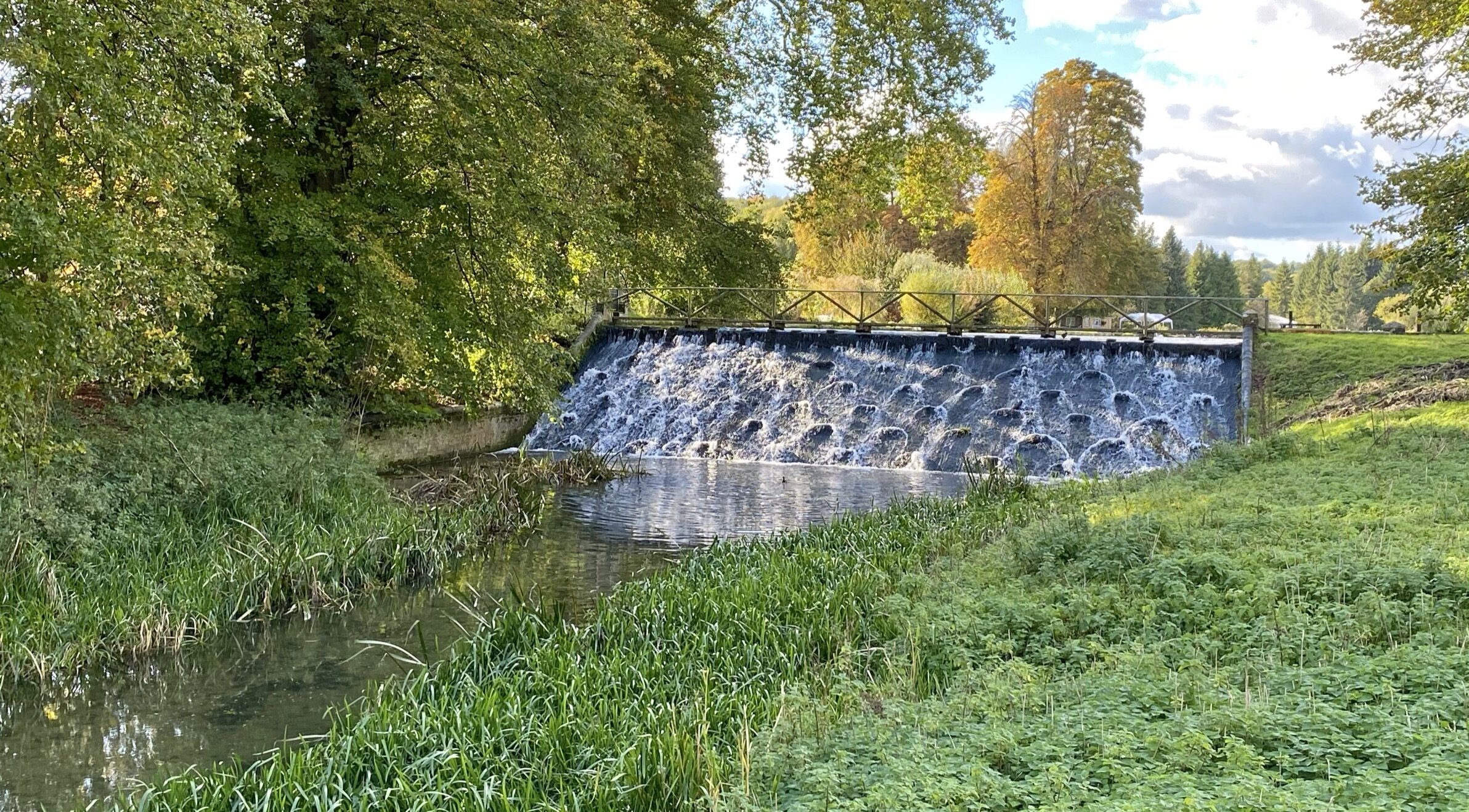
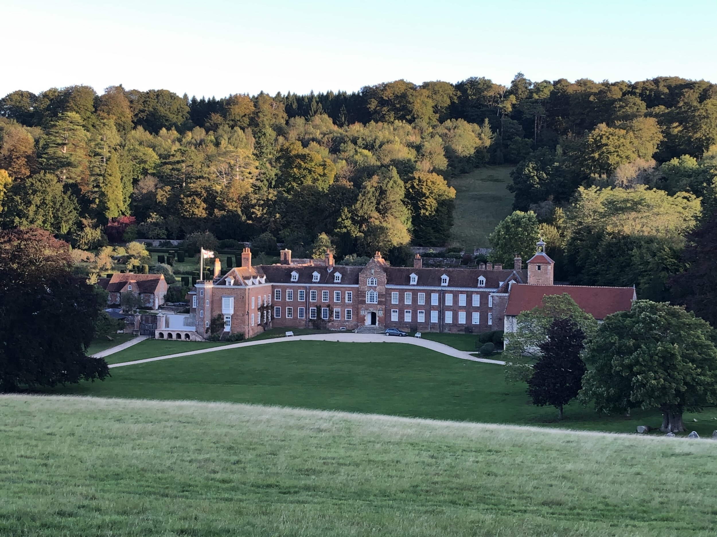
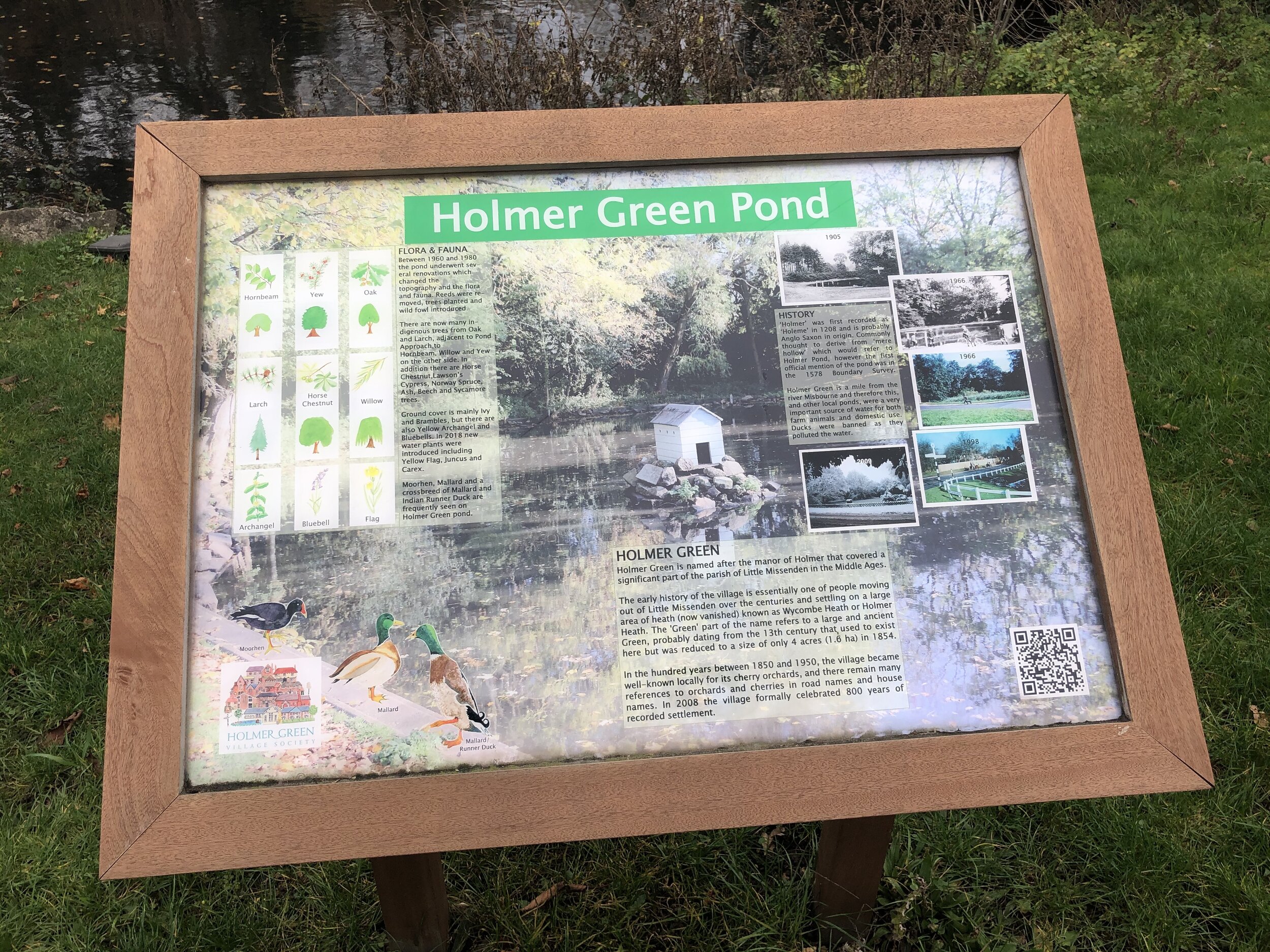
Links: River Misbourne, Little Missenden, Great Kingshill, Holmer Green
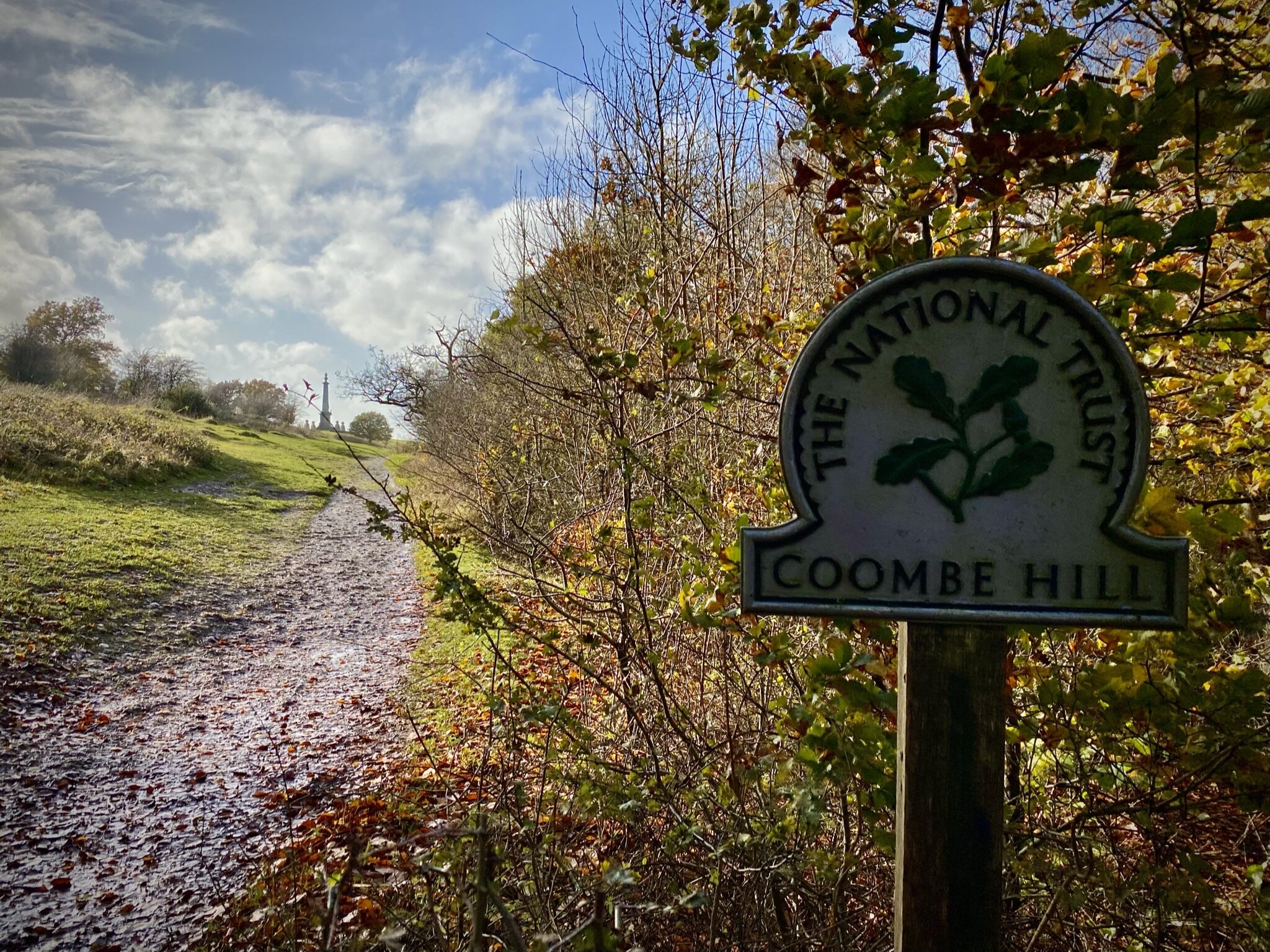
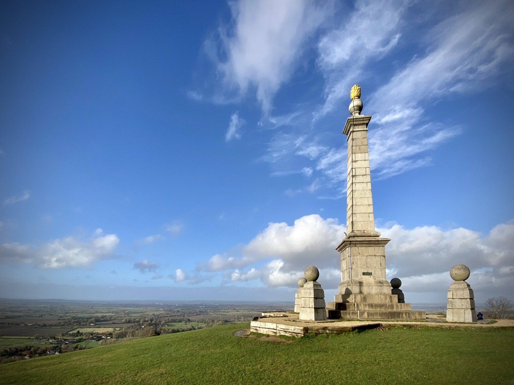
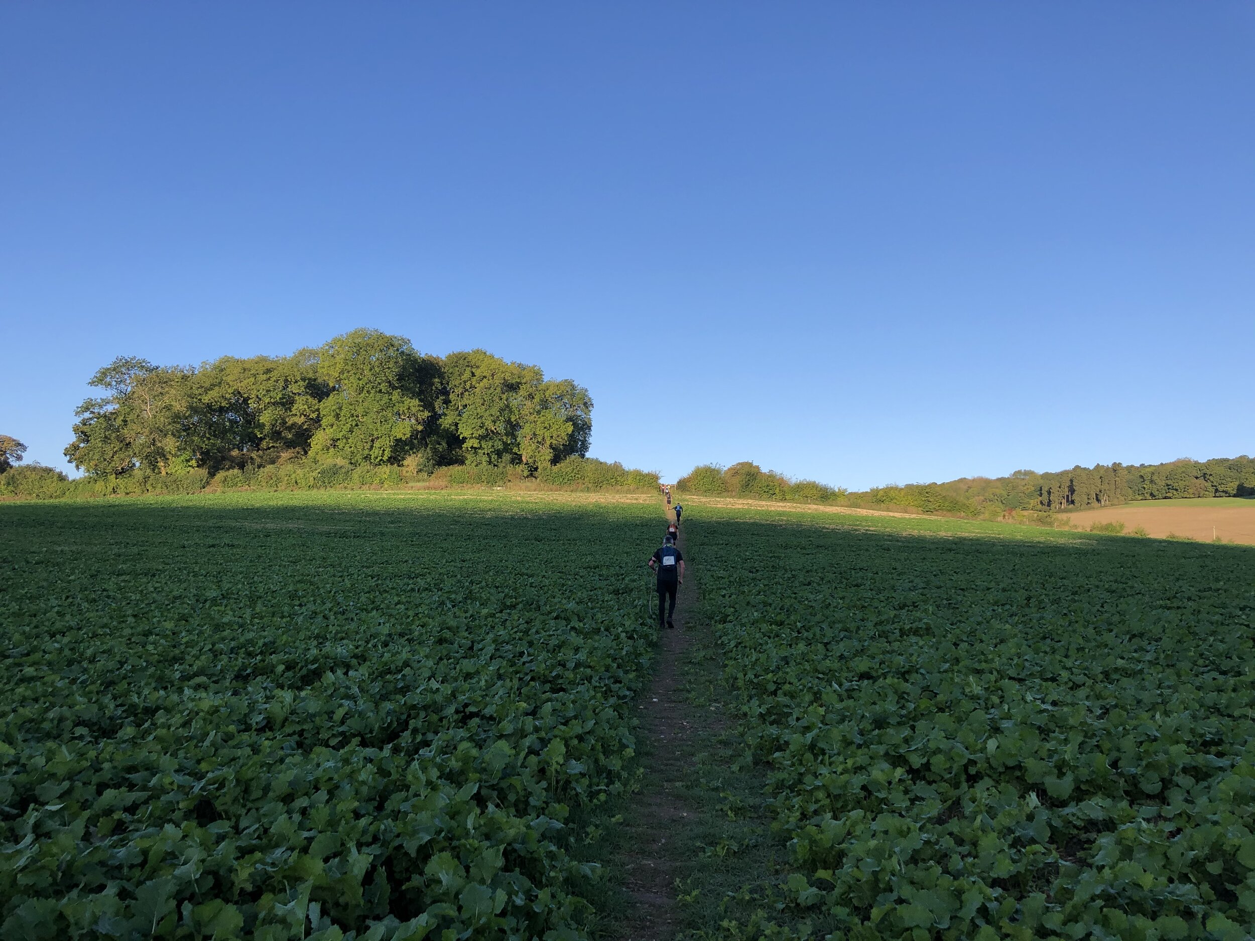
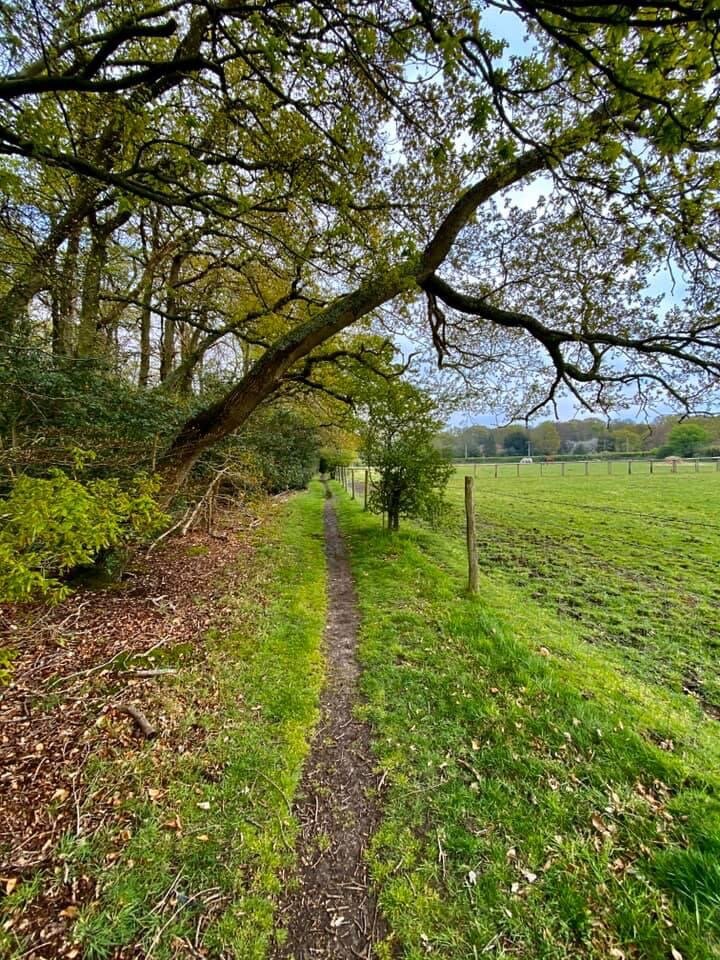
The South Bucks Way is a 37 km (23-mile) trail that promises a delightful escape for walkers and hikers. This scenic route, often overshadowed by its more famous counterparts, offers a tranquil journey through charming villages, lush countryside, and the gentle murmur of the River Misbourne. This post is part of a series of circular walks featuring the South Bucks Way. The full trail stretches from Coombe Hill near Wendover to the Grand Union Canal at Denham. Our walks take in short sections of the South Bucks Way and loop back to the start on other paths. The South Bucks Way is well sign-posted however you’ll need a map or GPX route to keep on track for the return sections of the loops. The guidance below will help but don’t use it as a fully accurate turn-by-turn guide.
The route is also part of a series of 17 walks that, between them, cover the 83 km of the Chiltern Heritage Trail. Created as a Millennium project, this trail links the towns and parishes within the district, offering stunning scenery, charming villages, and points of historical interest.
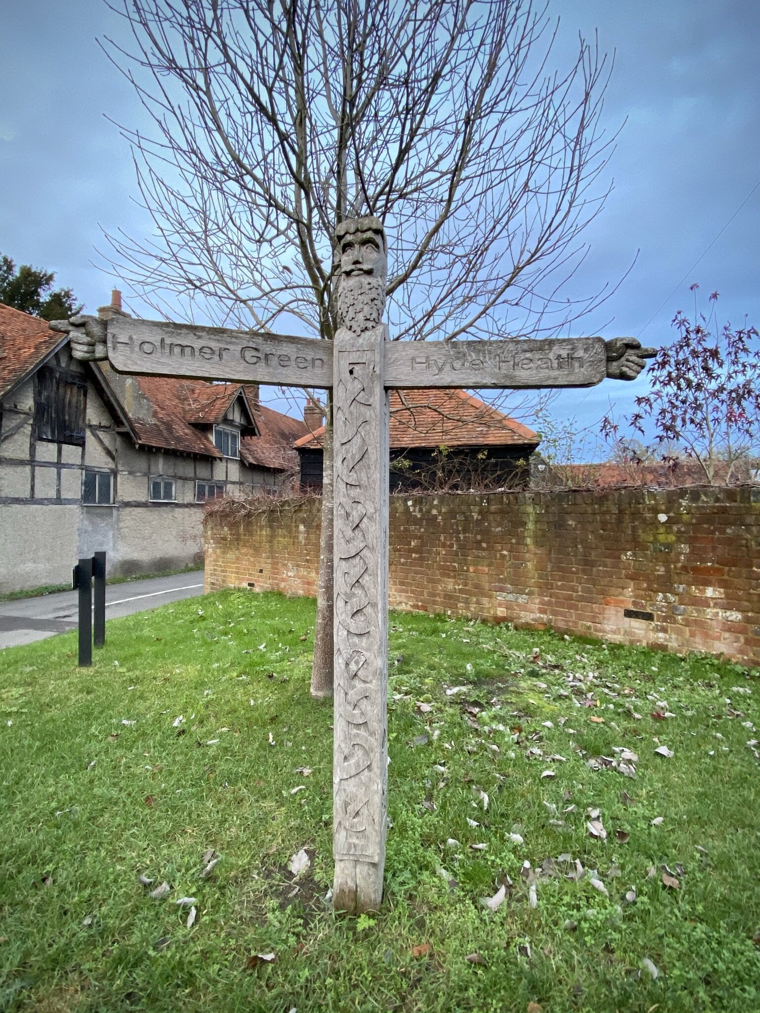
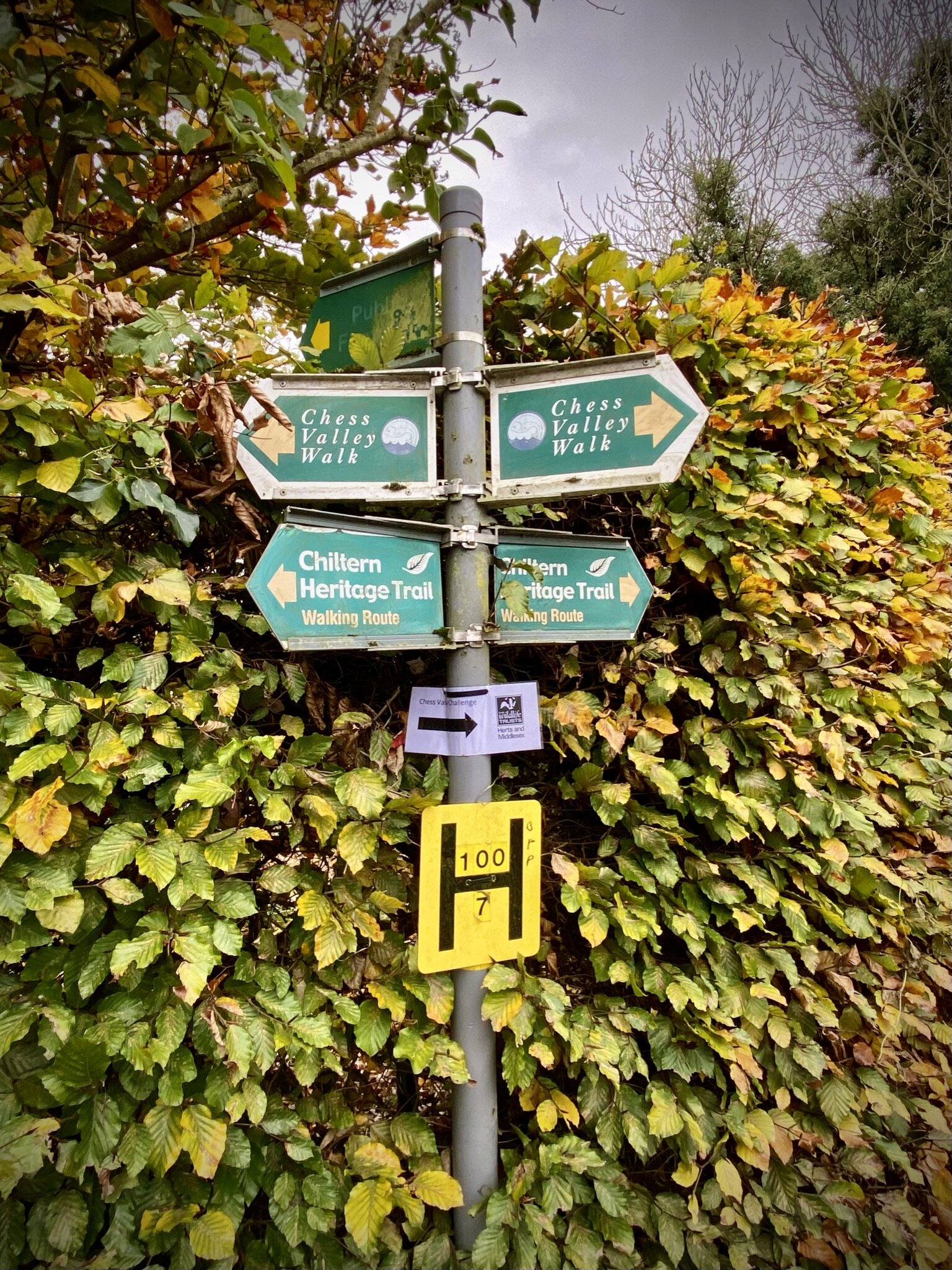
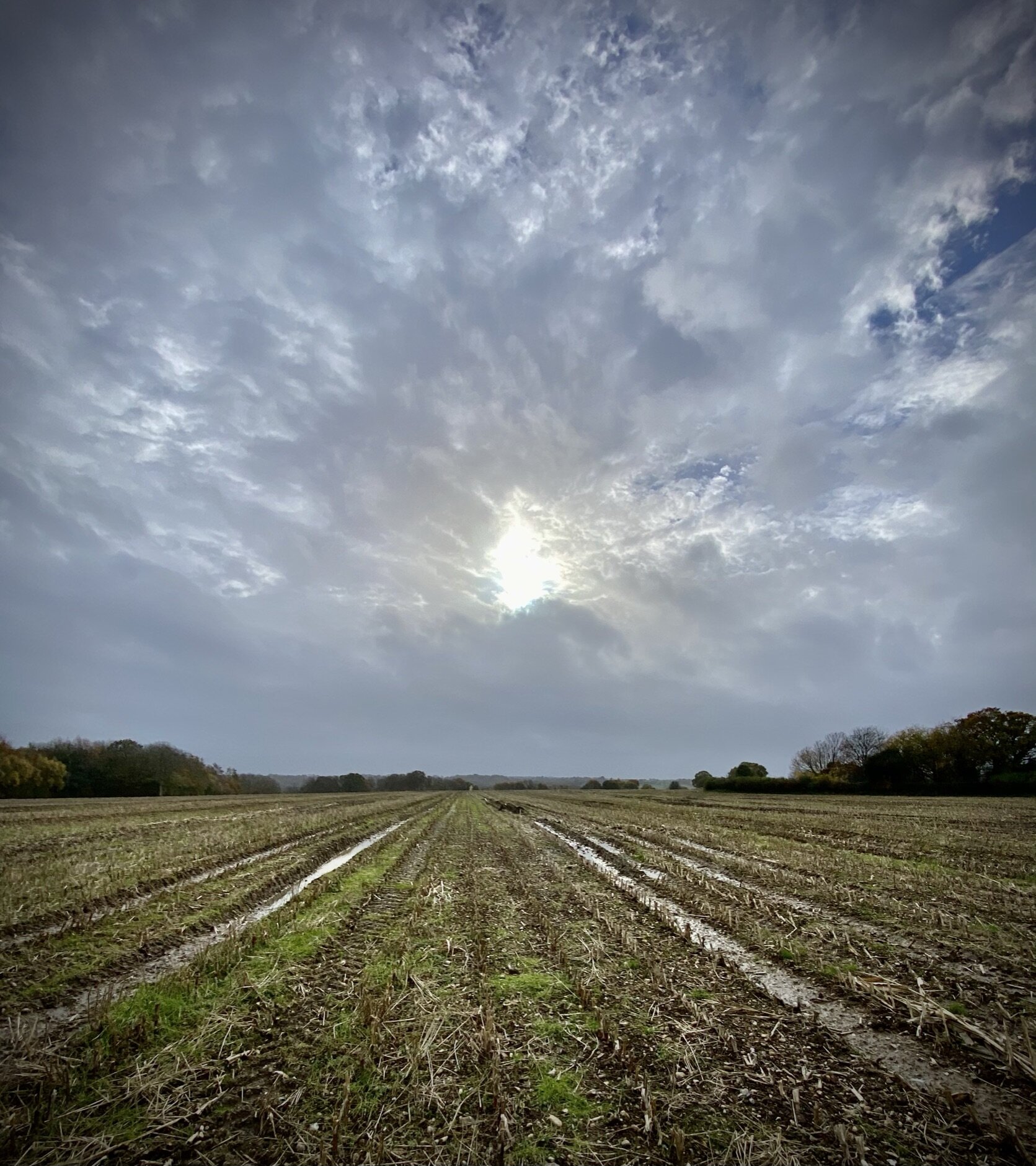
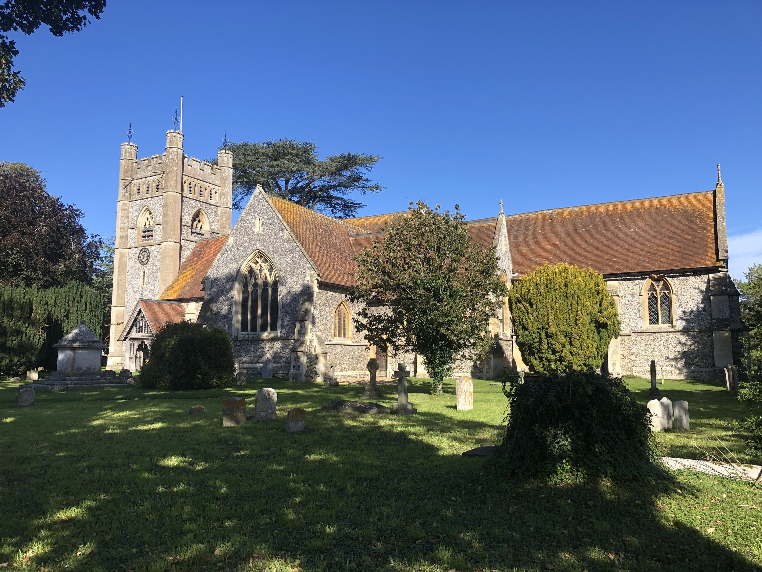
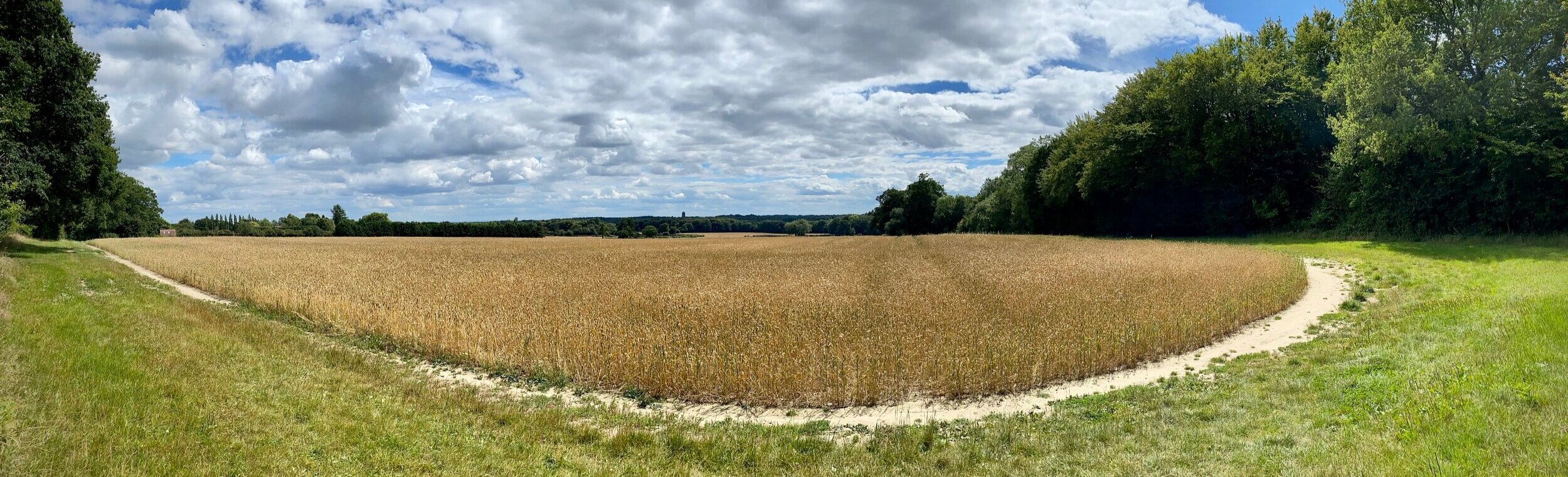
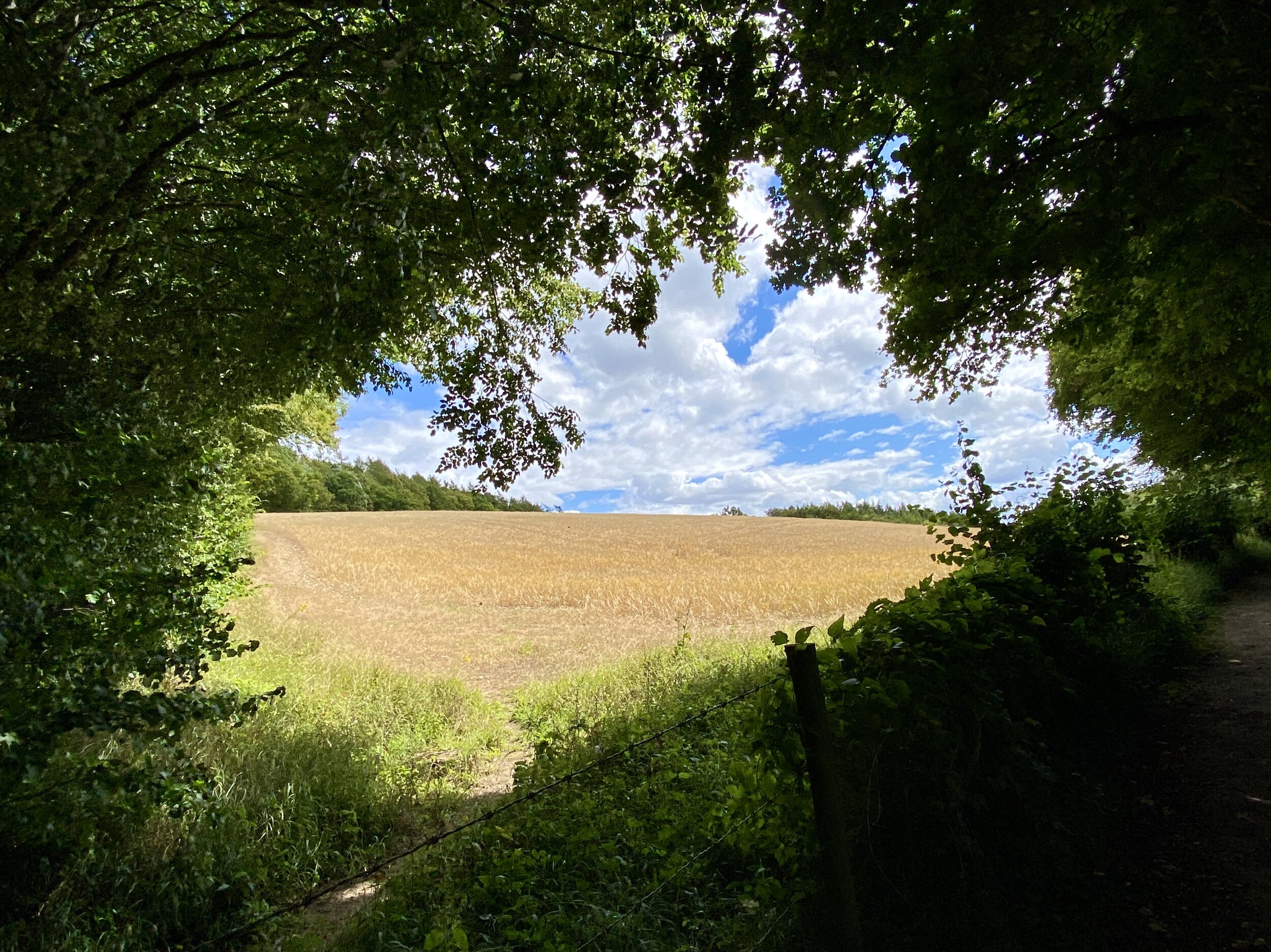
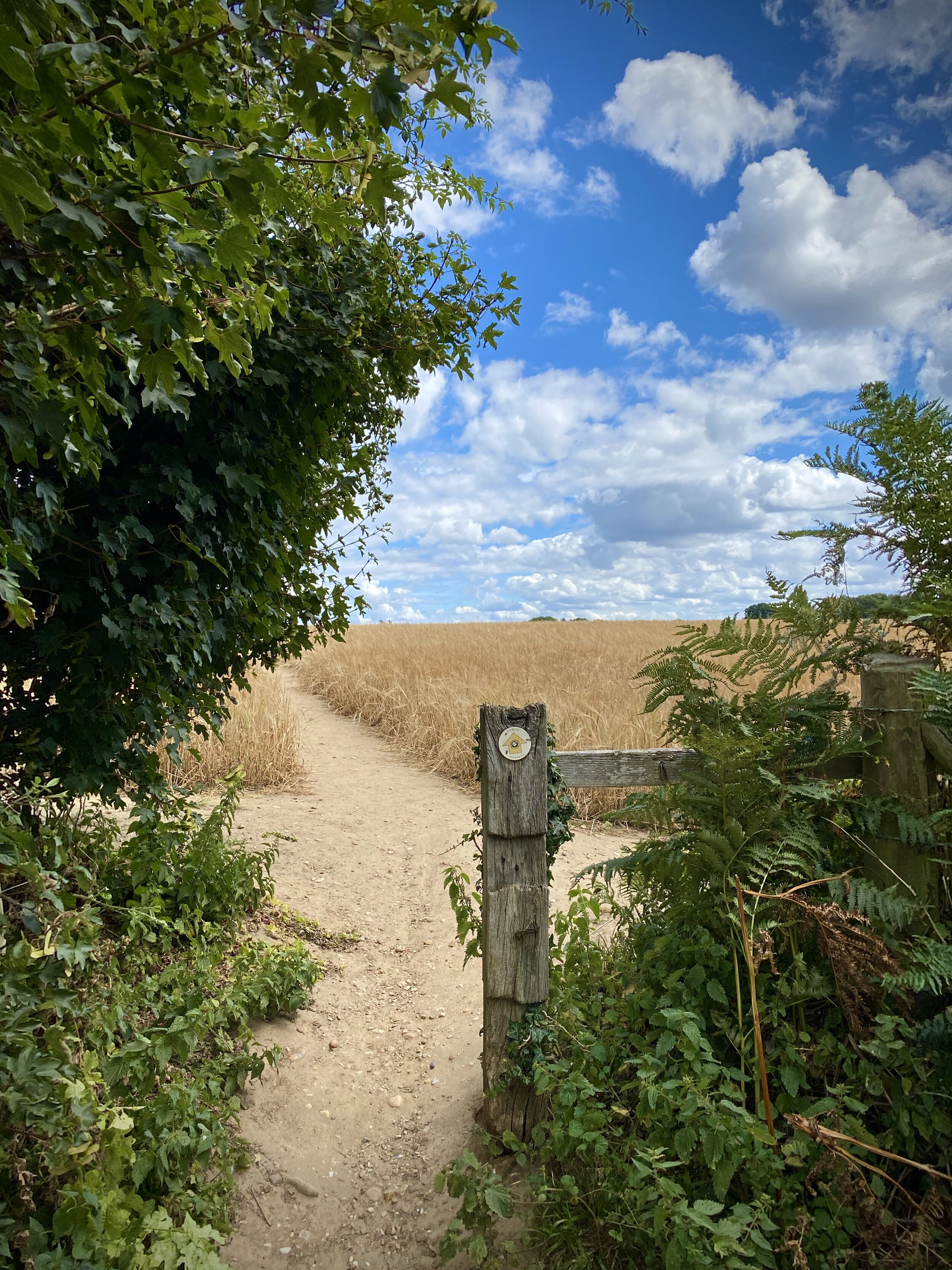
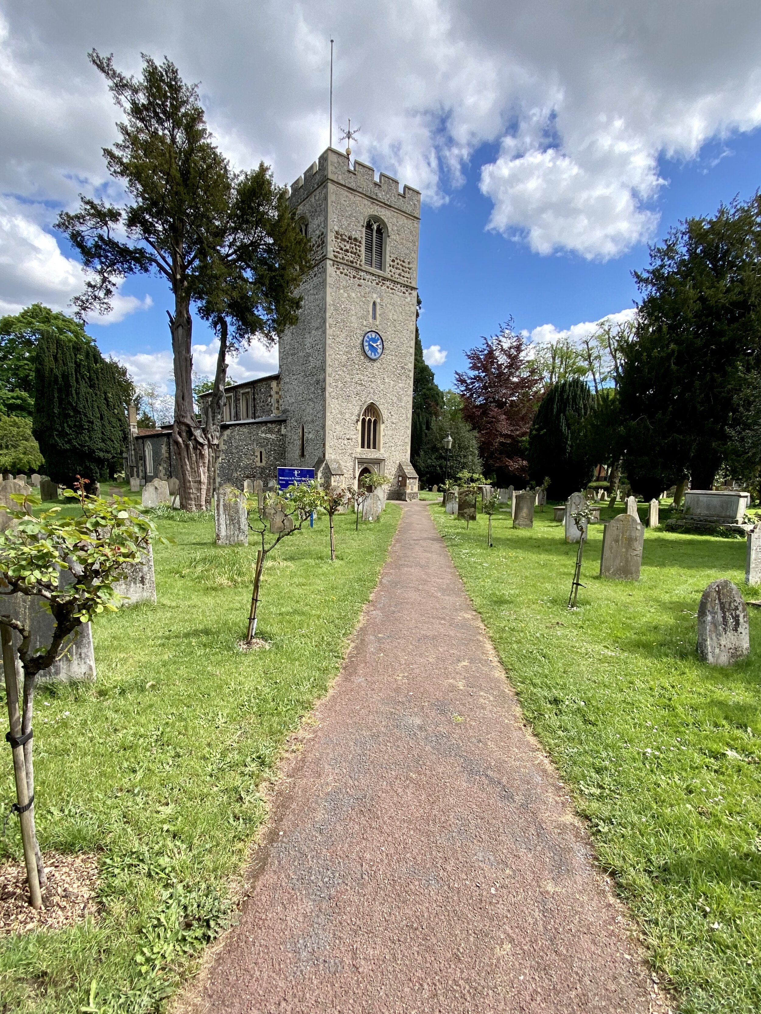
From the Crown Inn in Little Missenden village centre, cross Village Road and follow the Chiltern Heritage Trail south for 2.65 km. When you reach Beaumond End Lane, cross it to take the footpath on the other side rather than continuing along the Chiltern Heritage Trail. Cross over Sheepcote Dell Road and follow the footpath across the field to reach Hogg Lane. Take a right onto Earl Howe Lane and follow it in a northerly direction through Holmer Green village. Here you pass a few pubs and cafes for a mid-walk rest.
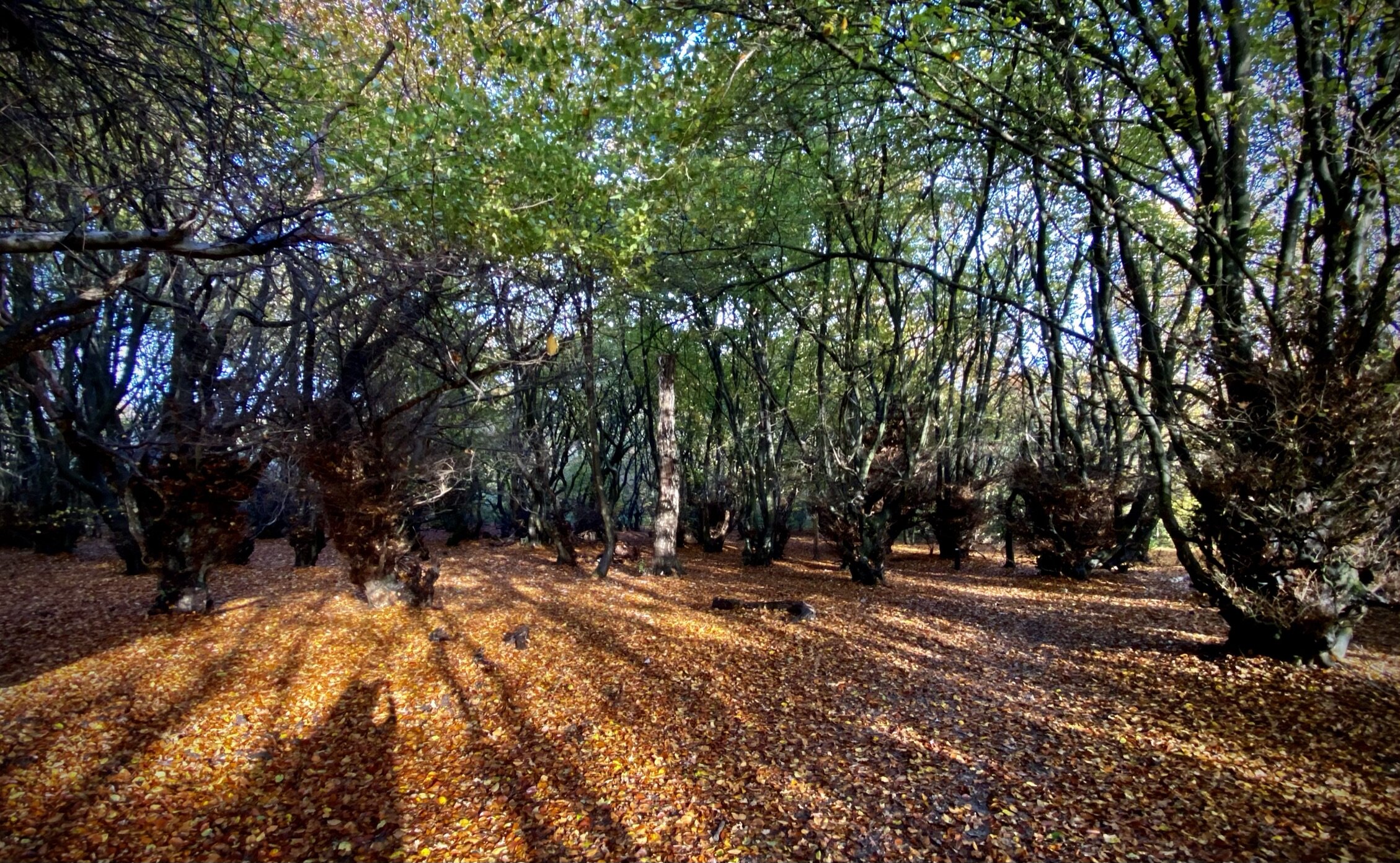
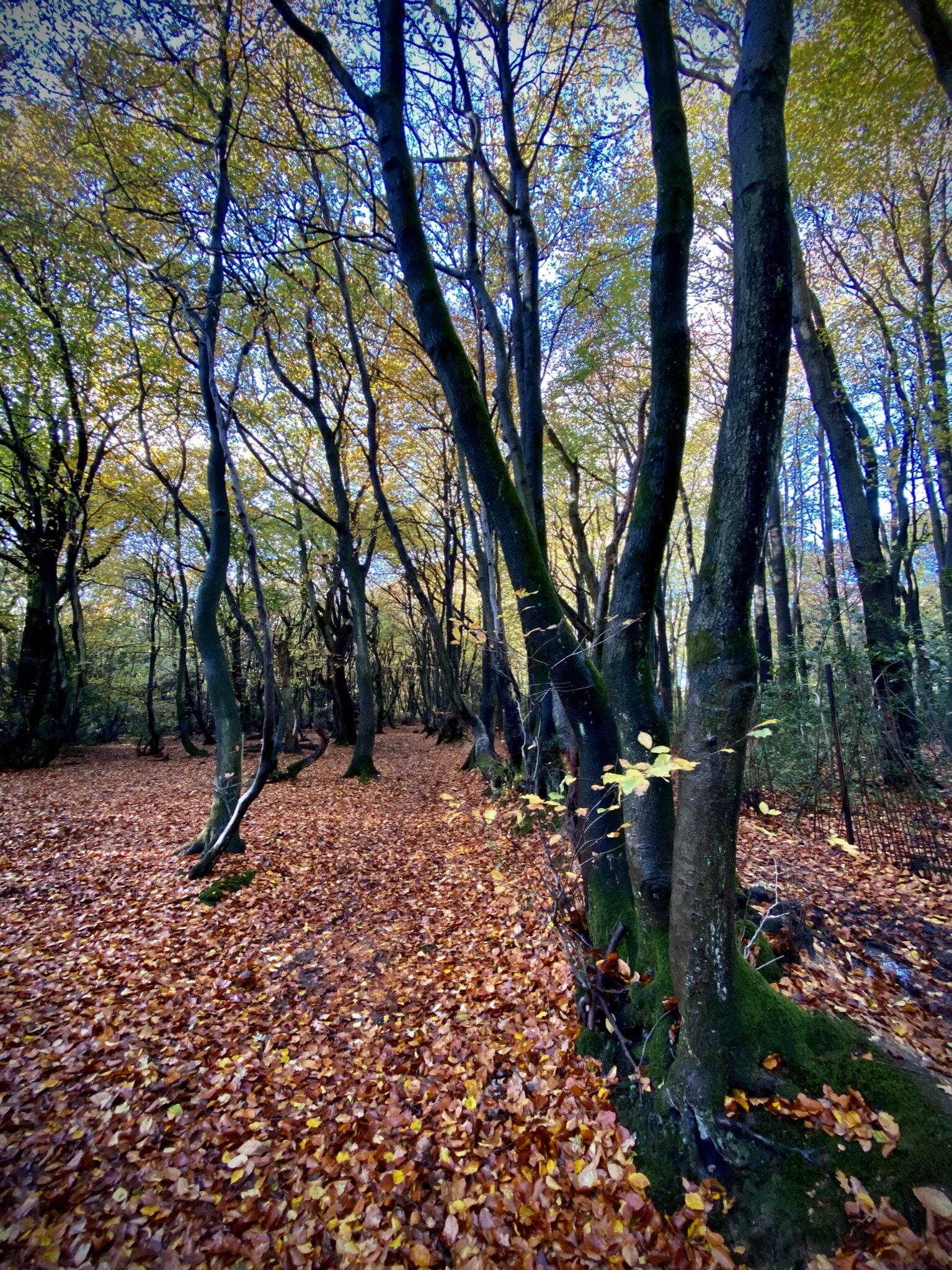
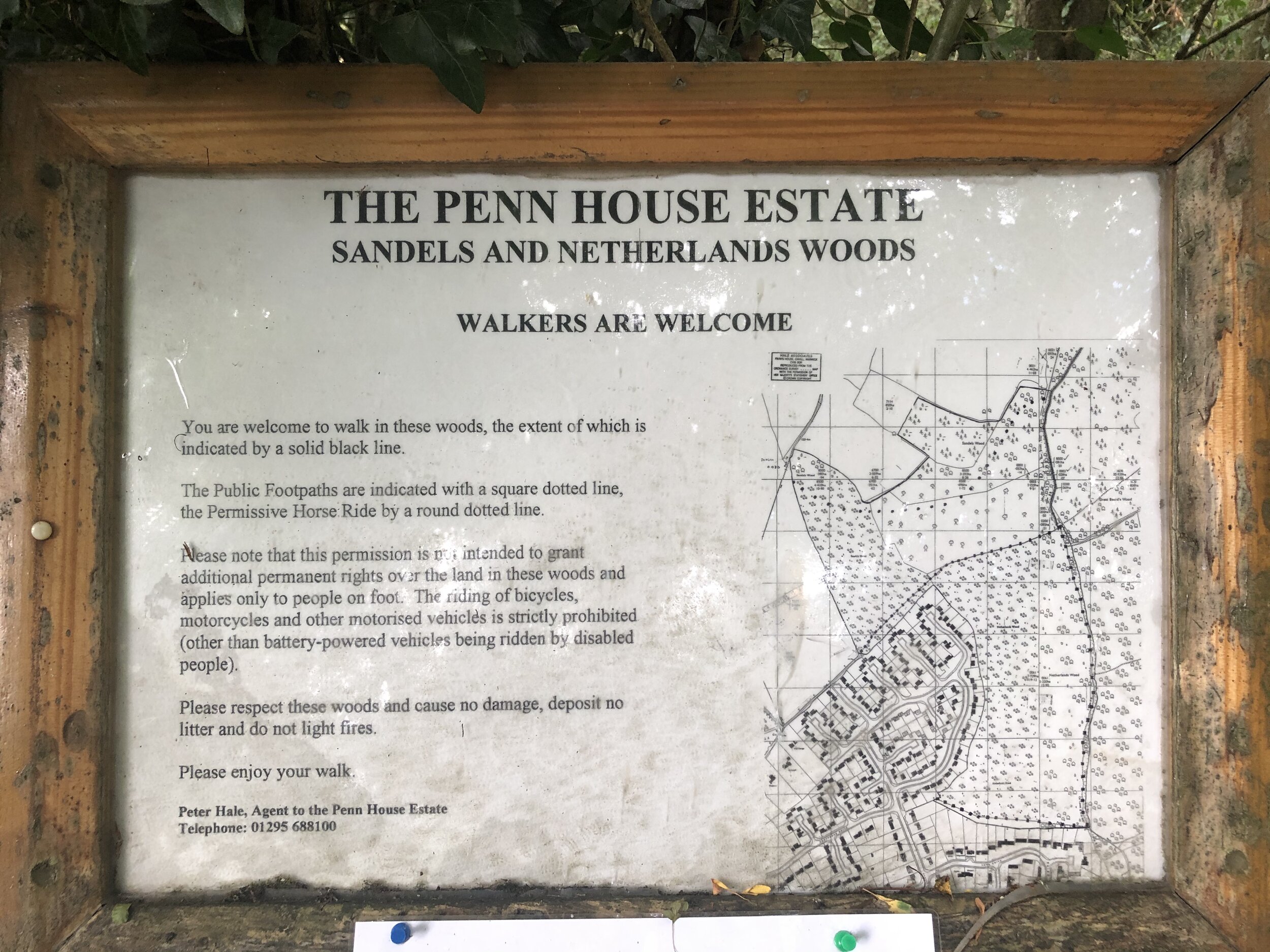
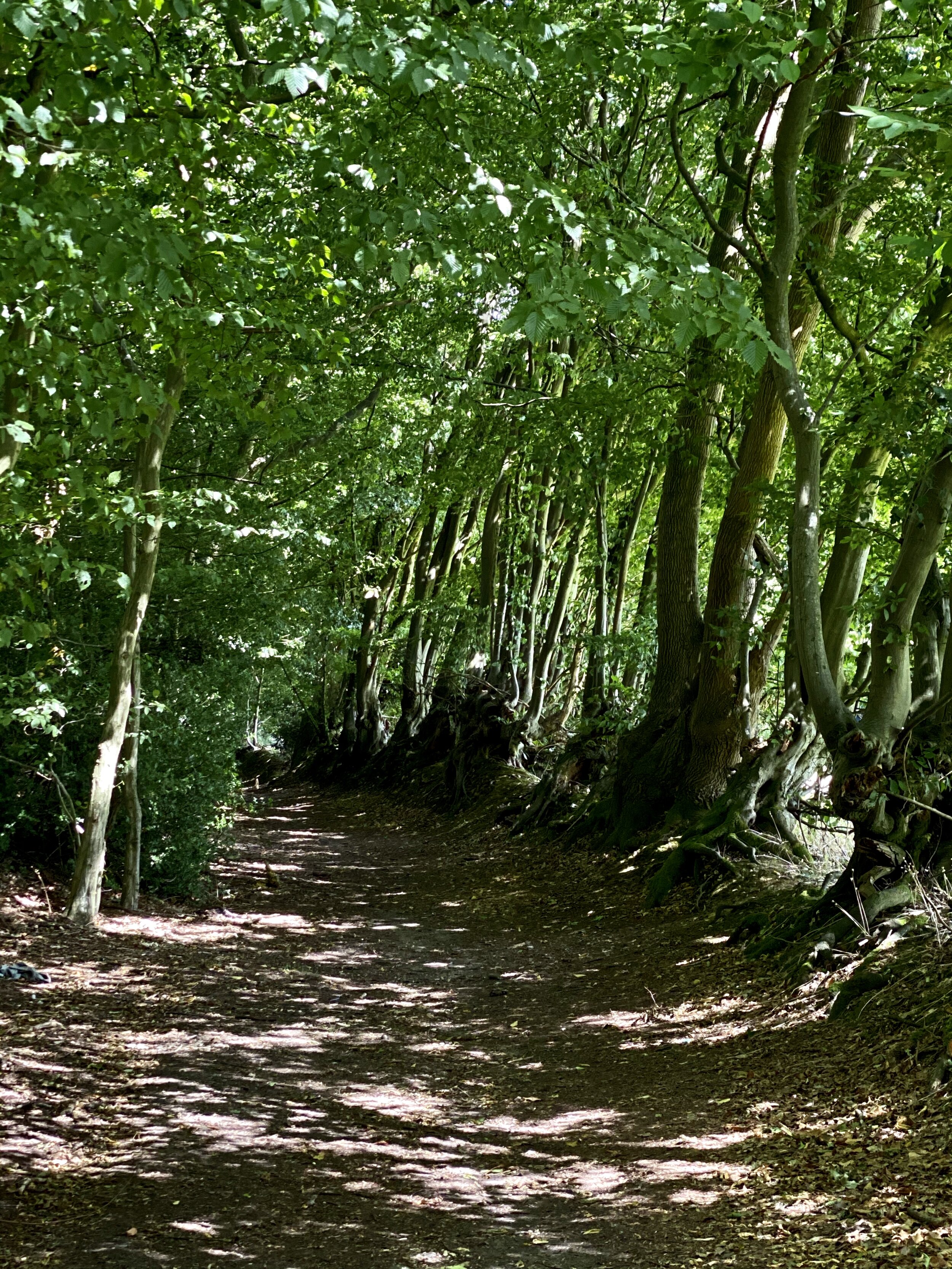
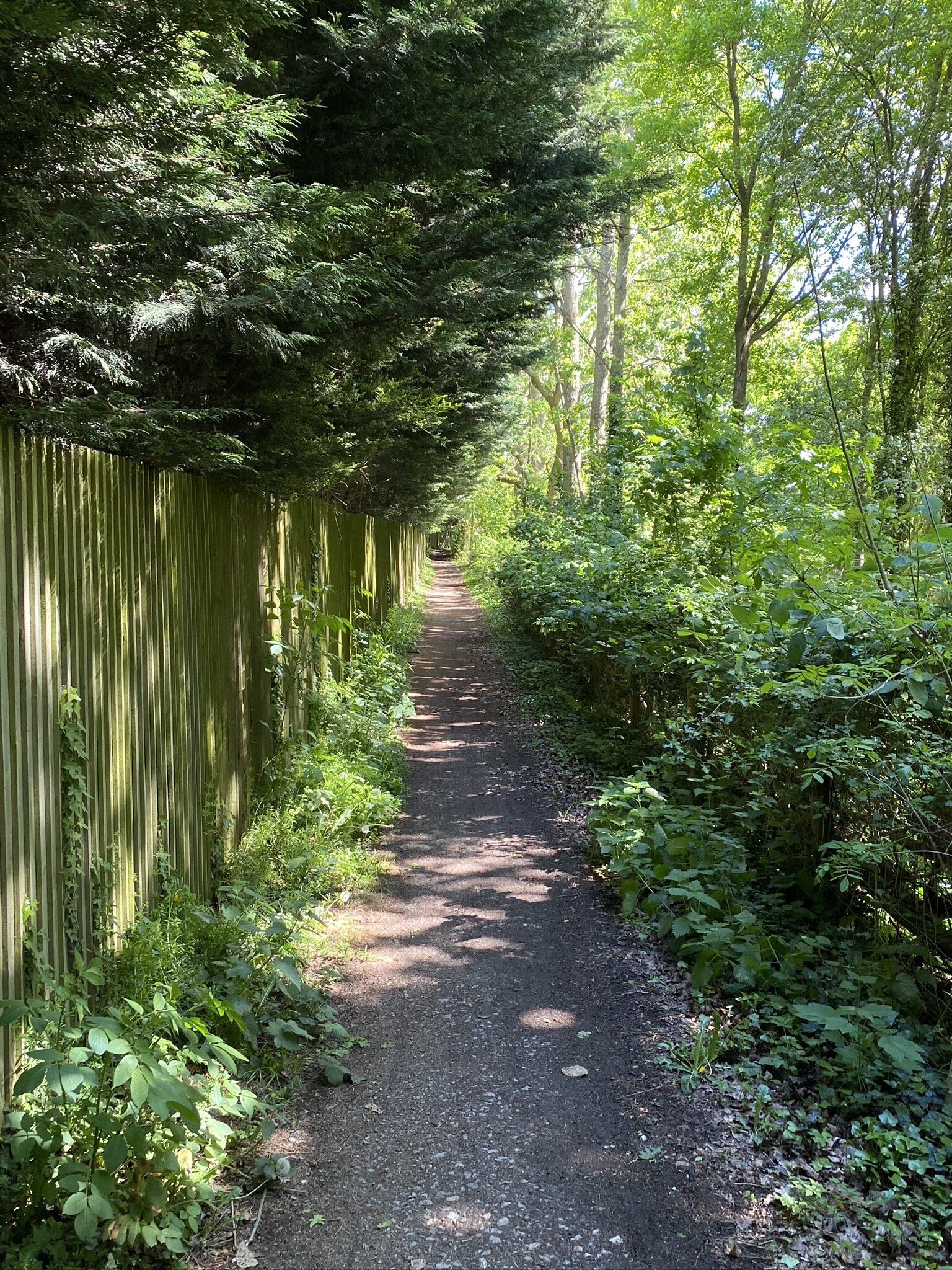
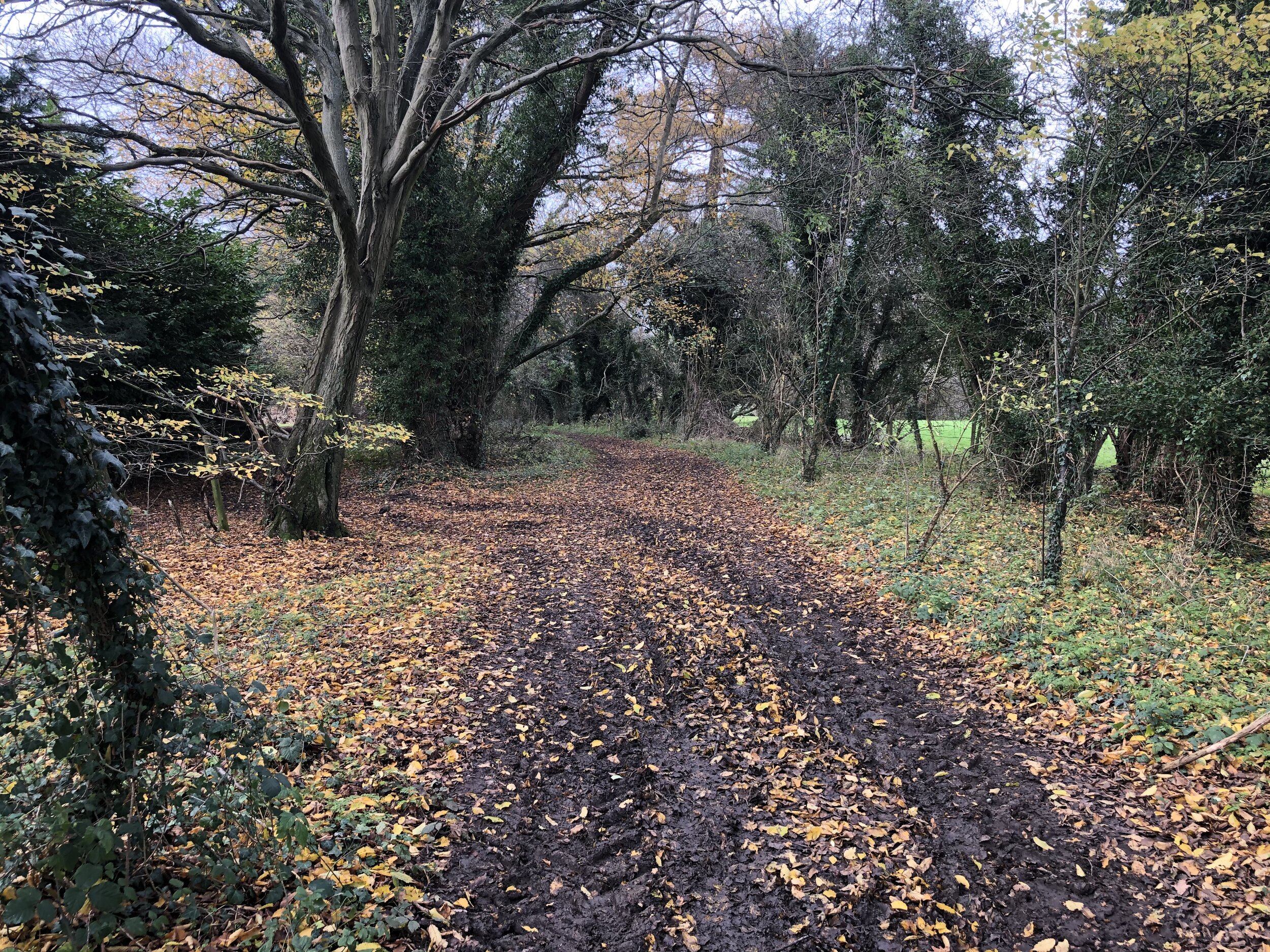
Continue up New Pond Road, take a left onto Beech Tree Road, a right onto Watchet Lane, then take the first footpath on the left. Follow the path through fields and woods in a north-westerly direction until you reach Windsor Lane in Little Kingshill. Here you’ll connect with the end of the South Bucks Way section of Part 3. Take a right onto Windsor Lane to follow the South Bucks Way/Chiltern Heritage Trail back to the start at Little Missenden.


South Bucks Way previous section (north): Great Missenden and Little Kingshill
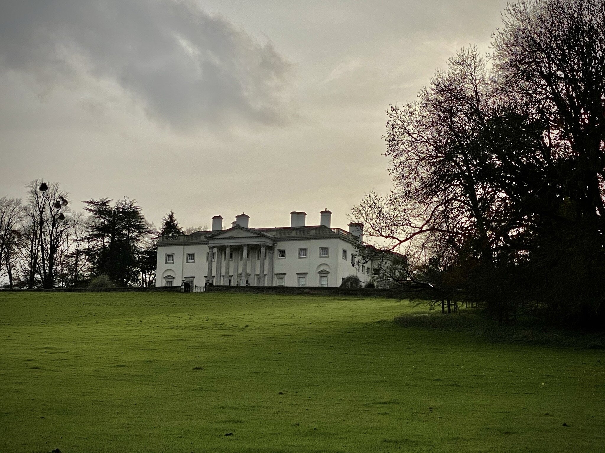
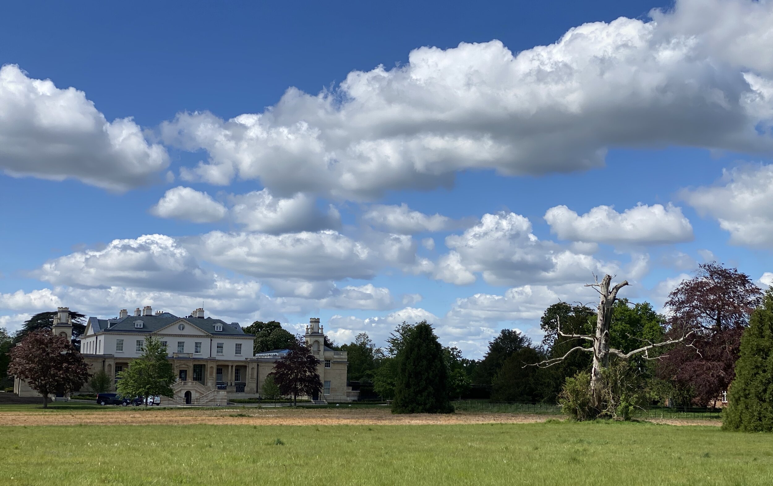
South Bucks Way next section (south): Little Missenden and Shardeloes
Chiltern Heritage Trail next section clockwise: Great Missenden and Little Kingshill
Chiltern Heritage Trail next section anti-clockwise: Amersham, Winchmore Hill and Penn