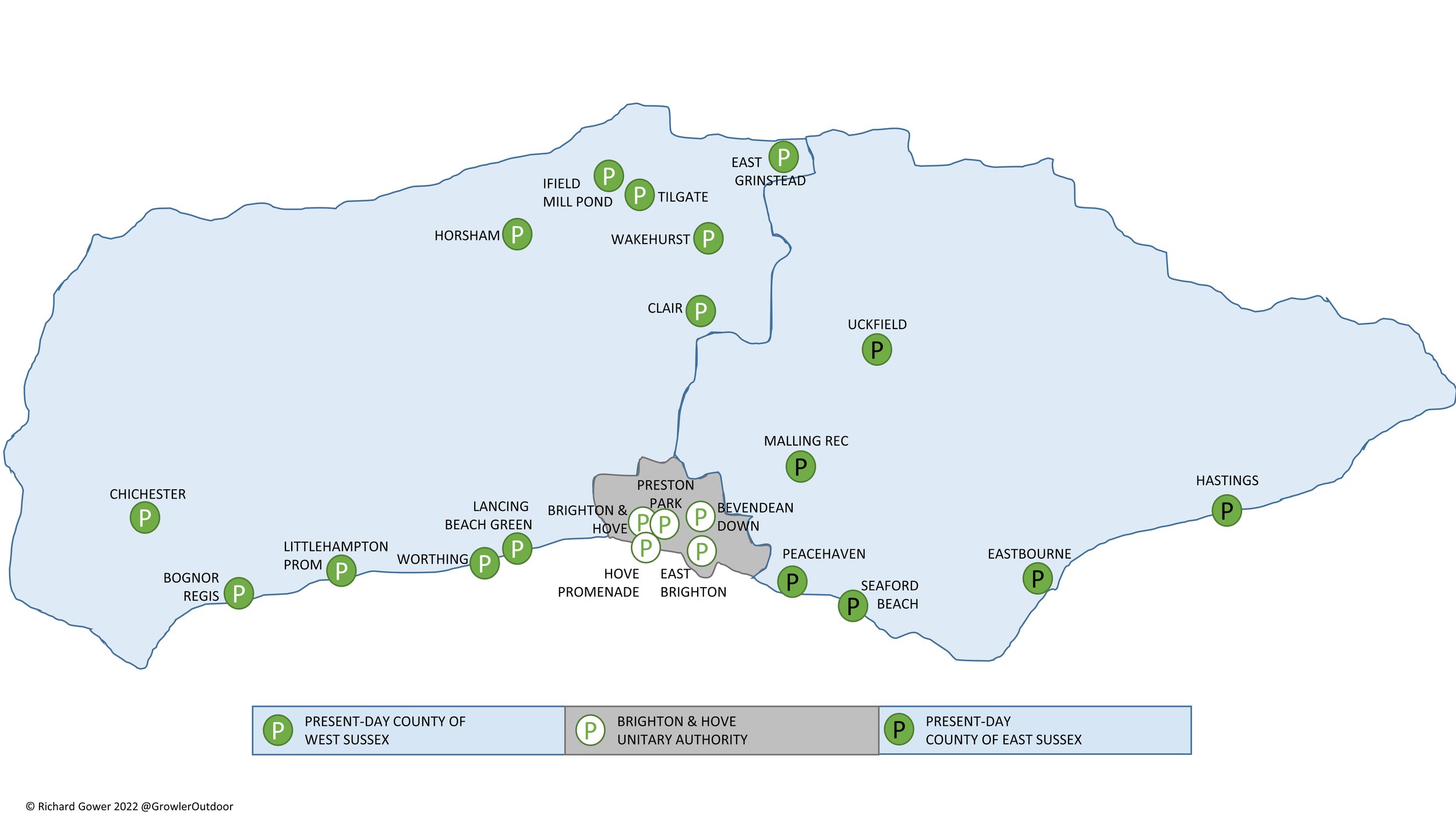
There are currently 22 parkrun events in present-day Historic County of Sussex. The Historic County is now made up of 3 present-day counties:
East Sussex with 6 parkrun events, the oldest of which is Eastbourne which started on January 28th 2012 and the newest is Malling Rec which started on July 6th 2024. I have completed 2 of these events.
West Sussex with 11 parkrun events, the oldest of which is Tilgate which started on June 9th 2012 and the newest is Wakehurst which started on April 20th 2024. I have completed 6 of these events.
Brighton and Hove with 5 parkrun events, the oldest of which is Brighton and Hove which started on November 3rd 2007 and the newest is East Brighton which started on December 8th 2018. I have only completed Bevendean Down
The name for having completed all parkrun events in the county is “Sussexful”
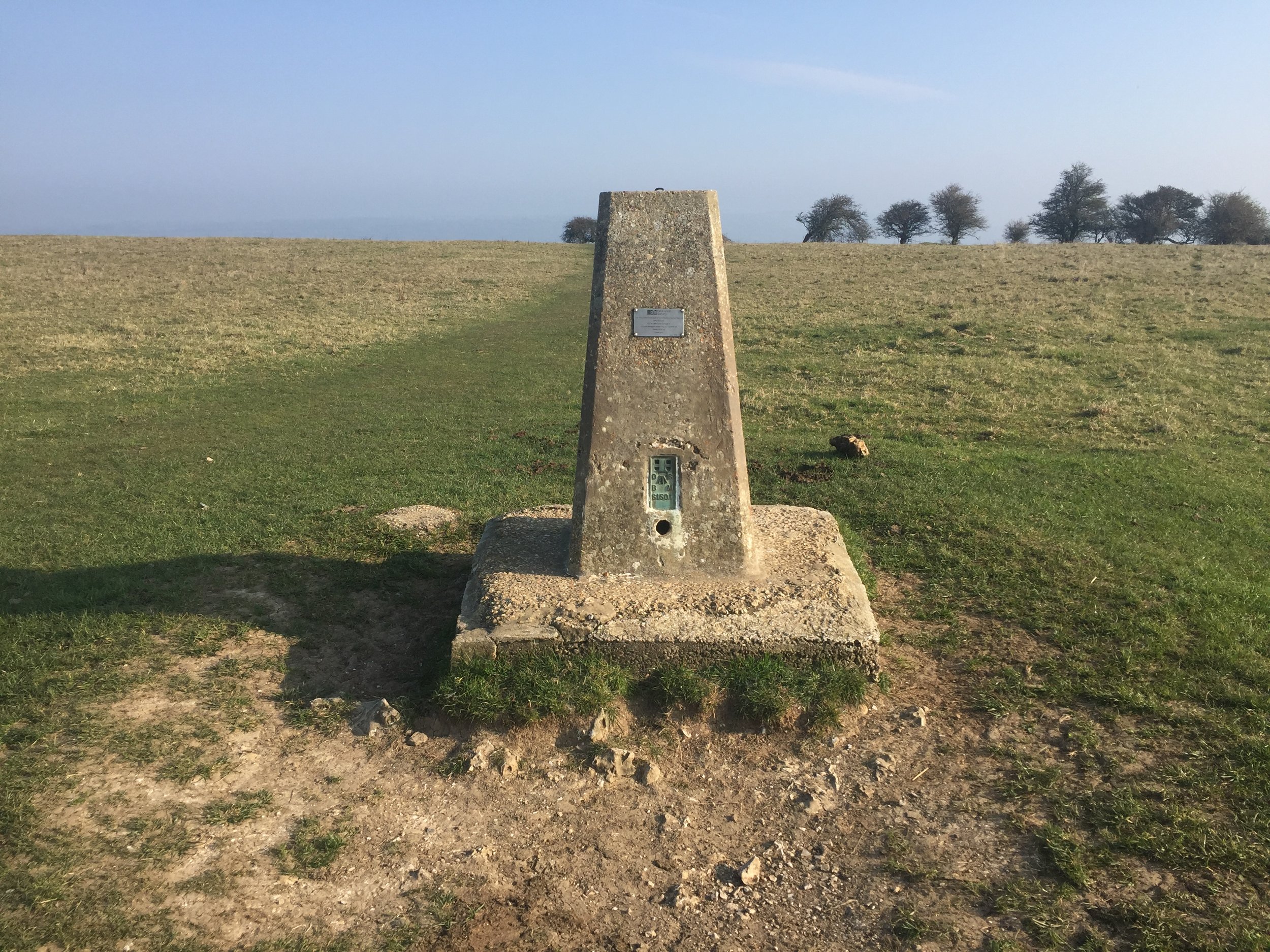
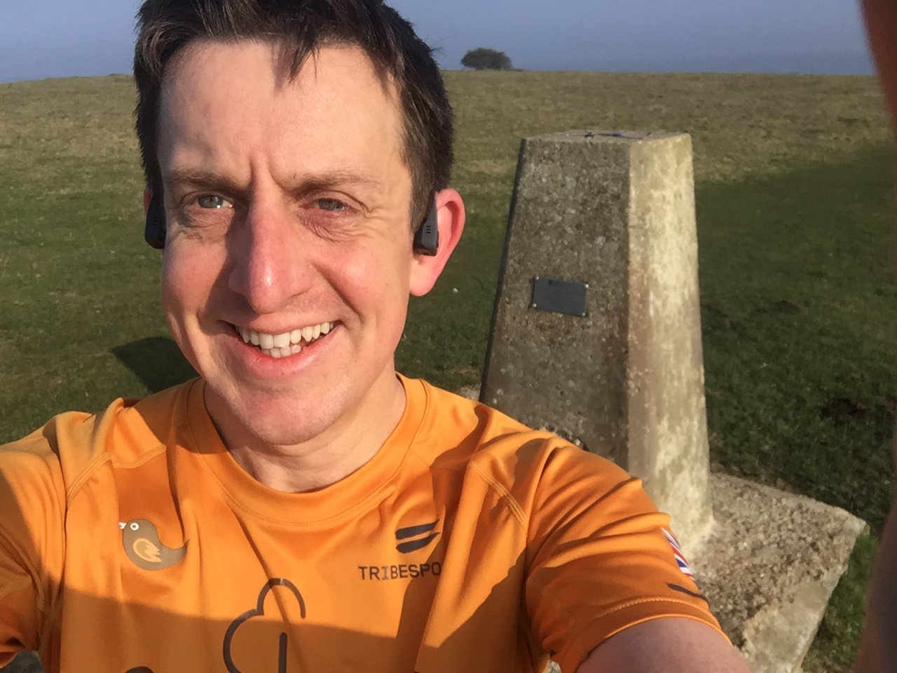
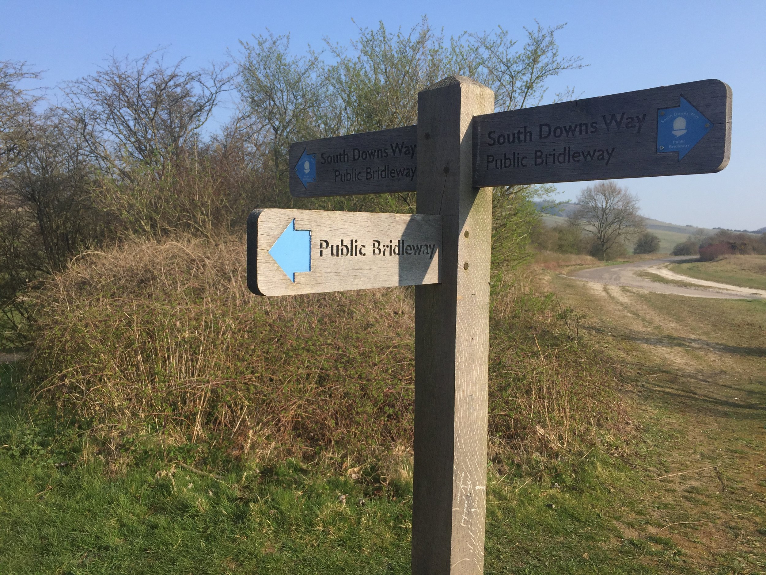
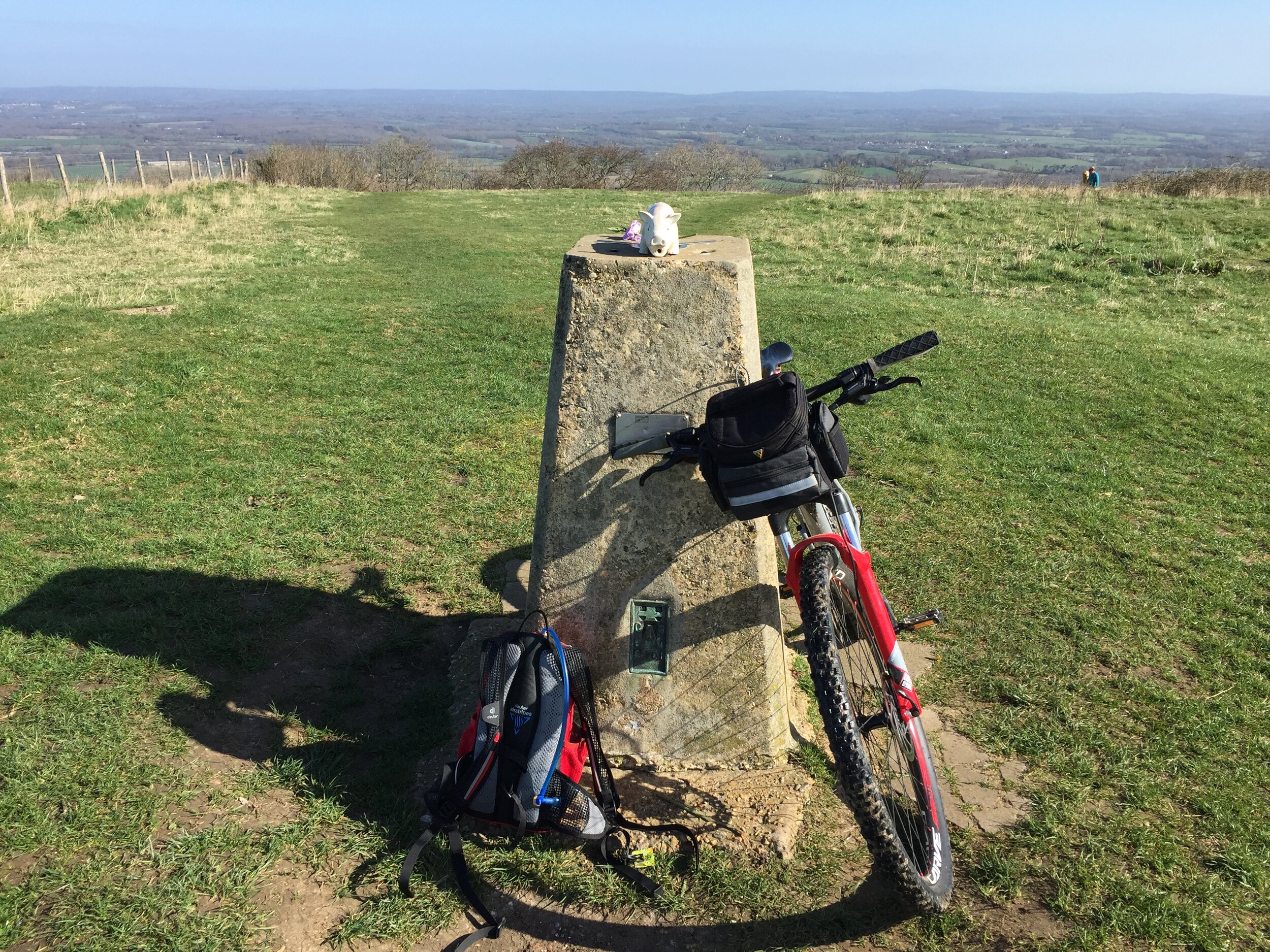
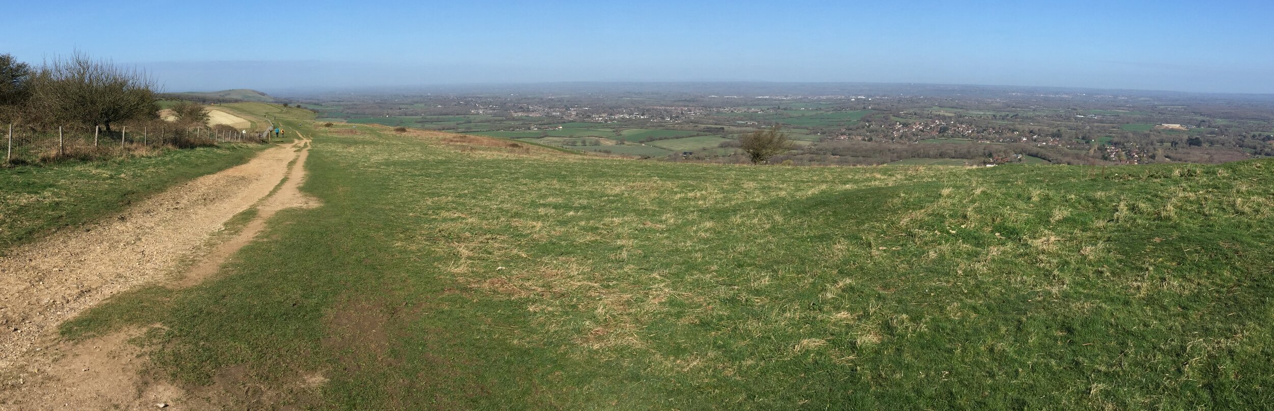
The interactive maps below take you to the approximate location for the course, typically the centre of the park. See the course instructions in the parkrun page for each event for specific directions to the start. Course maps show the route at the time that I ran it and may have changed since then.
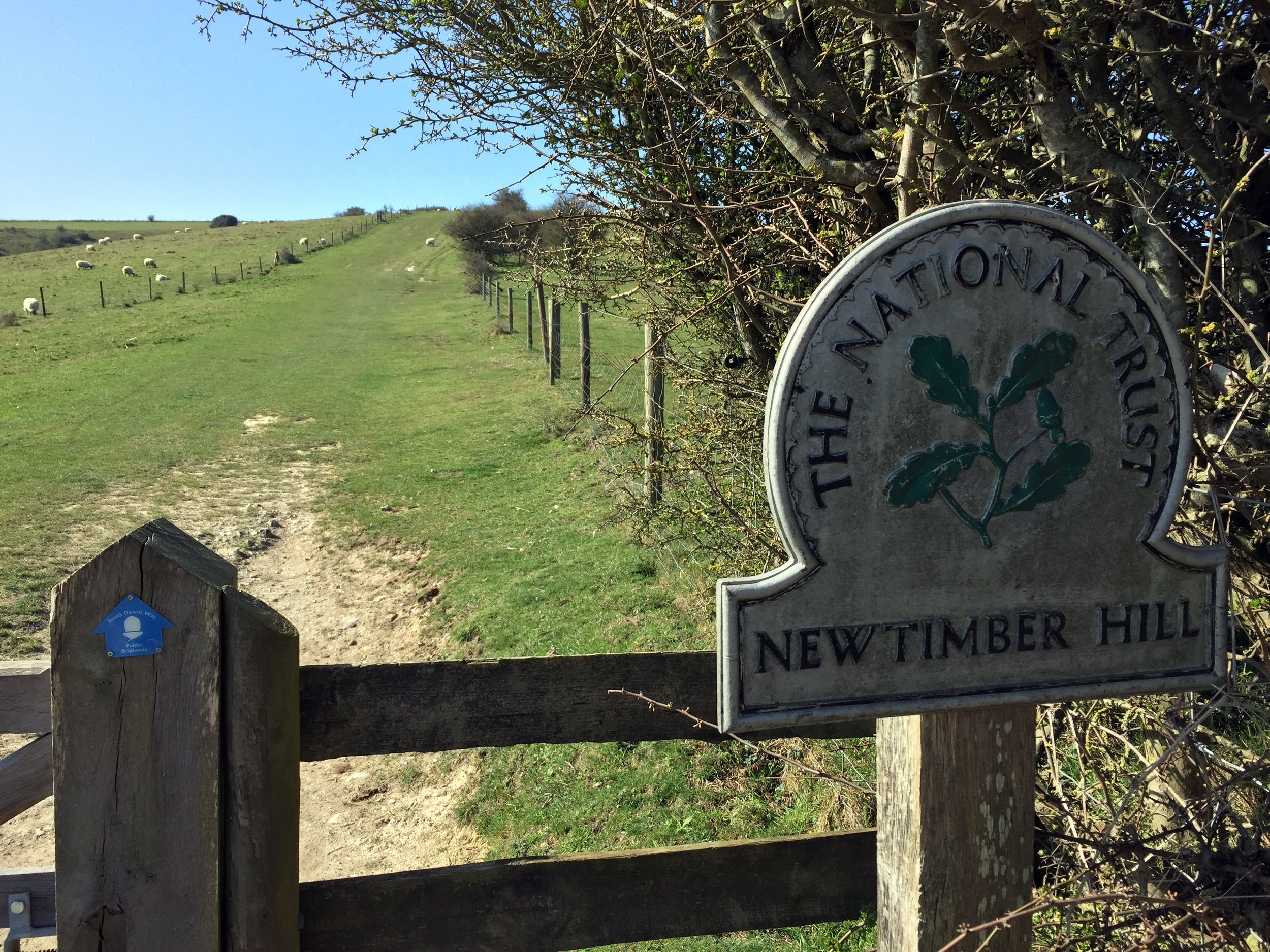
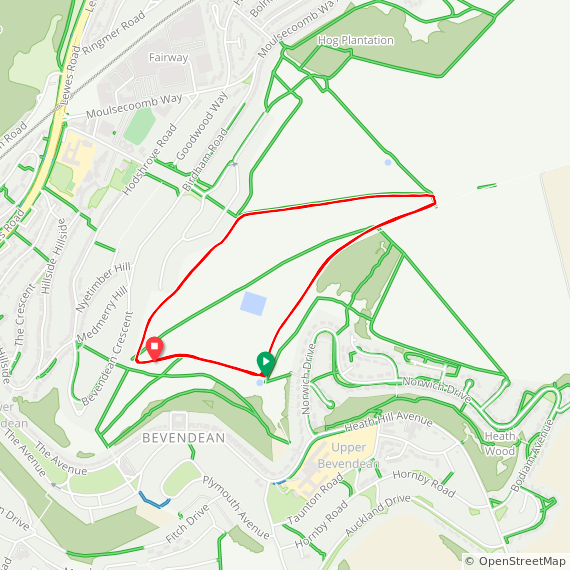
Bevendean Down
I completed this event on: June 25th 2022 with a finish time of: 27:52
Other routes touched: N/A
Present Day County: Brighton and Hove
Inaugural: February 6th 2016
Links: Event Home Page, Course Page, blog7t write-up

Bognor Regis
I have not yet completed this event
Present Day County: West Sussex
Inaugural: May 24th 2014
Links: Event Home Page, Course Page, blog7t write-up
Brighton & Hove
I have not yet completed this event
Present Day County: Brighton and Hove
Inaugural: November 3rd 2007
Links: Event Home Page, Course Page, blog7t write-up
Chichester
I have not yet completed this event
Present Day County: West Sussex
Inaugural: August 2nd 2014
Links: Event Home Page, Course Page, blog7t write-up
Clair
I completed this event on: September 7th 2019 with a finish time of: 25:21
Other routes touched: N/A
Present Day County: West Sussex
Inaugural: July 20th 2013
Links: Event Home Page, Course Page, blog7t write-up

East Brighton
I have not yet completed this event
This event is also part of parkrun Compass Club
Present Day County: Brighton and Hove
Inaugural: December 8th 2018
Links: Event Home Page, Course Page, blog7t write-up
East Grinstead
I completed this event on: November 9th 2019 with a finish time of: 28:12
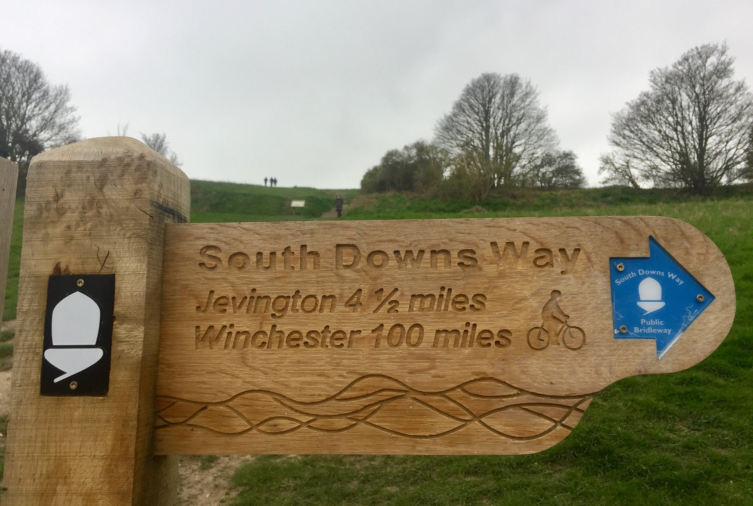
Other routes touched (walk): Sussex Border Path. The Western edge runs very close to the Greenwich Meridian Trail
This event is also part of parkrun Compass Club
This event is also part of Kent ++
Present Day County: West Sussex
Inaugural: September 9th 2017
Links: Event Home Page, Course Page, blog7t write-up
Eastbourne
I have not yet completed this event
This event is also part of parkrun Compass Club
Present Day County: East Sussex
Inaugural: January 28th 2012
Links: Event Home Page, Course Page, blog7t write-up
Hastings
I have not yet completed this event
Present Day County: East Sussex
This event is also part of Kent ++
Inaugural: April 18th 2015
Links: Event Home Page, Course Page, blog7t write-up
Horsham
I completed this event on: August 31st 2019 with a finish time of: 24:48
Other routes touched (Walk): West Sussex Literary Trail
Present Day County: West Sussex
Inaugural: September 6th 2014
Links: Event Home Page, Course Page, blog7t write-up
Horsham has an alternative location for winter parkruns at Southwater Country Park, a few miles away.
Hove Promenade
I have not yet completed this event
Present Day County: Brighton and Hove
Inaugural: July 11th 2015
Links: Event Home Page, Course Page, blog7t write-up
Ifield Mill Pond
I completed this event on: October 5th 2019 with a finish time of: 24:28
Other routes touched (Cycle): NCN 228
Present Day County: West Sussex
Inaugural: September 21st 2019
Links: Event Home Page, Course Page, blog7t write-up

Lancing Beach Green
I have not yet completed this event
Present Day County: West Sussex
Inaugural: August 25th 2018
Links: Event Home Page, Course Page, blog7t write-up
Littlehampton Prom
I have not yet completed this event
Present Day County: West Sussex
Inaugural: April 13th 2019
Links: Event Home Page, Course Page, blog7t write-up
Malling Rec
I completed this event on: July 20th 2024 with a finish time of: 27:19
Other routes touched (Walk): None, but the Sussex Ouse Valley Walk runs close to the start and end of the course.
Present Day County: East Sussex
Inaugural: July 6th 2024
Links: Event Home Page, Course Page, blog7t write-up


Peacehaven
I have not yet completed this event
Present Day County: East Sussex
Inaugural: May 20th 2017
Links: Event Home Page, Course Page, blog7t write-up
Preston Park
I have not yet completed this event
Present Day County: Brighton and Hove
Inaugural: April 20th 2013
Links: Event Home Page, Course Page, blog7t write-up
Seaford Beach
I have not yet completed this event
Present Day County: East Sussex
Inaugural: March 2nd 2019
Links: Event Home Page, Course Page, blog7t write-up
Tilgate
I completed this event on: March 23rd 2019 with a finish time of: 25:24
Other routes touched (walk): Crawley Greenway
Present Day County: West Sussex
Inaugural: June 9th 2012
Links: Event Home Page, Course Page, blog7t write-up
Uckfield
I completed this event on: May 11th 2019 with a finish time of: 26:11
Other routes touched (walk): Weald Way
Present Day County: East Sussex
Inaugural: May 4th 2019
Links: Event Home Page, Course Page, blog7t write-up
Wakehurst
I completed this event on: September 7th 2024 with a finish time of: 26:59
Other routes touched: None
Present Day County: West Sussex
Inaugural: April 20th 2024
Links: Event Home Page, Course Page, blog7t write-up


Worthing
I have not yet completed this event
Present Day County: West Sussex
Inaugural: June 11th 2016
Links: Event Home Page, Course Page, blog7t write-up
More parkrun posts

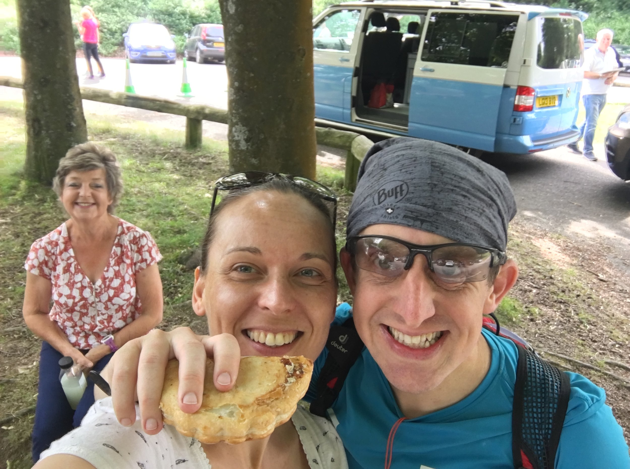
parkruns are free, weekly, community 5k events all around the world. I started in December 2012 and have been obsessive about it ever since. See my parkrun Collection page for details.
Featured and popular parkrun posts: