Completed parkrun events by Region
Completed events in date order
Data based on the awesome Running Challenges Chrome Extension

Data based on the awesome Running Challenges Chrome Extension
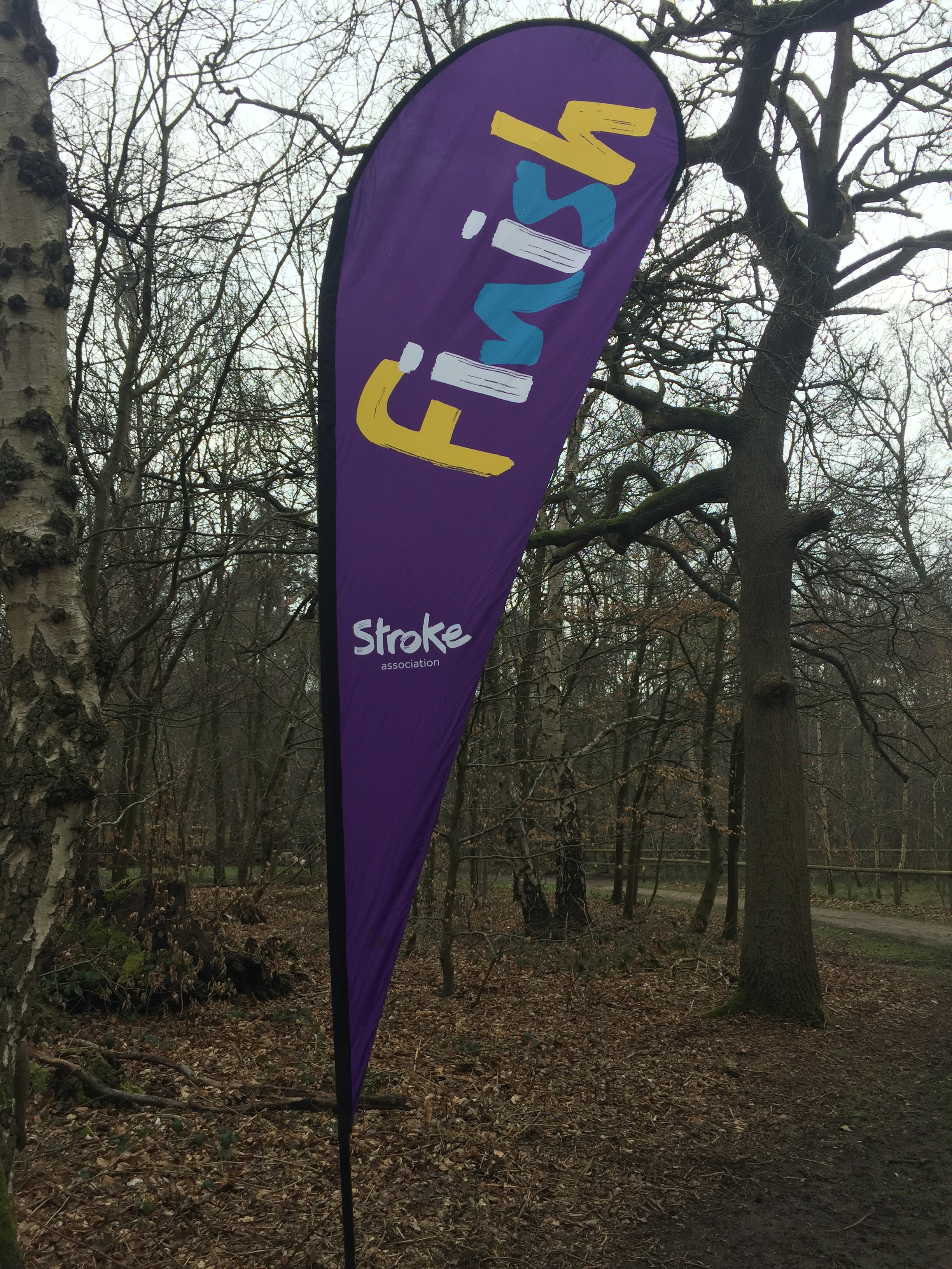
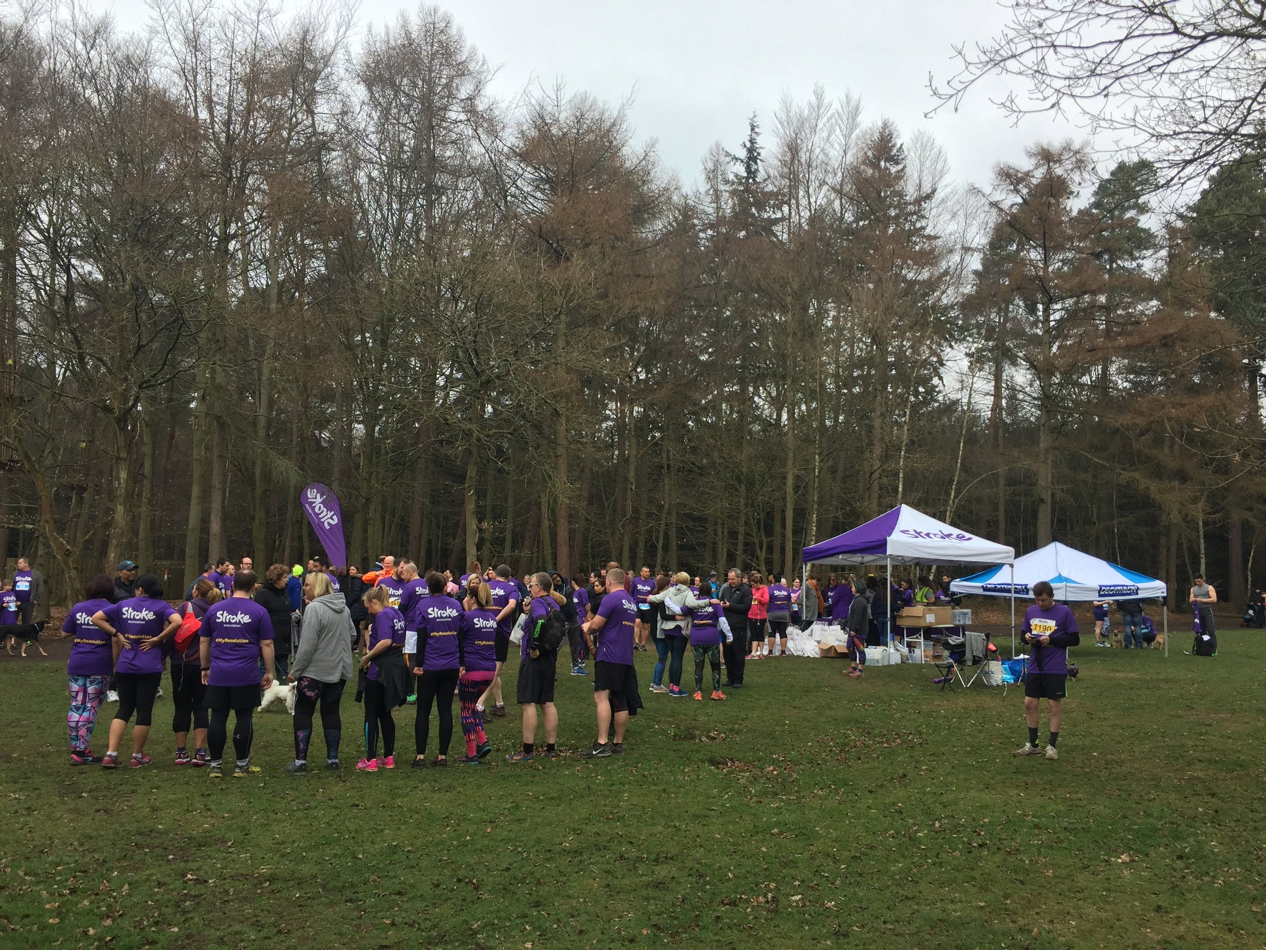
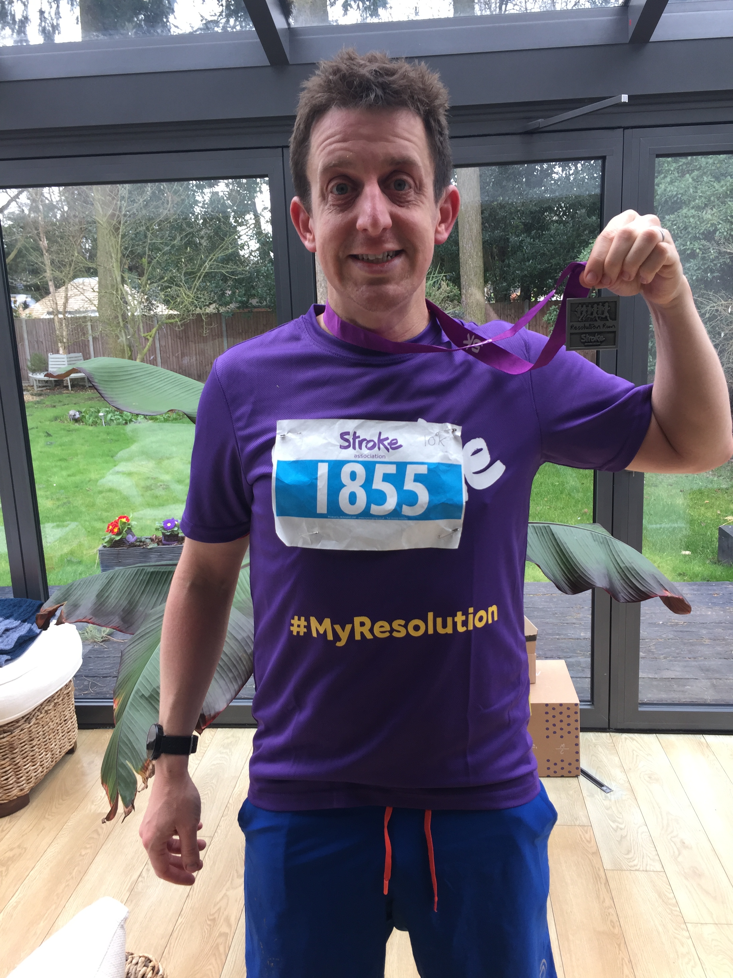
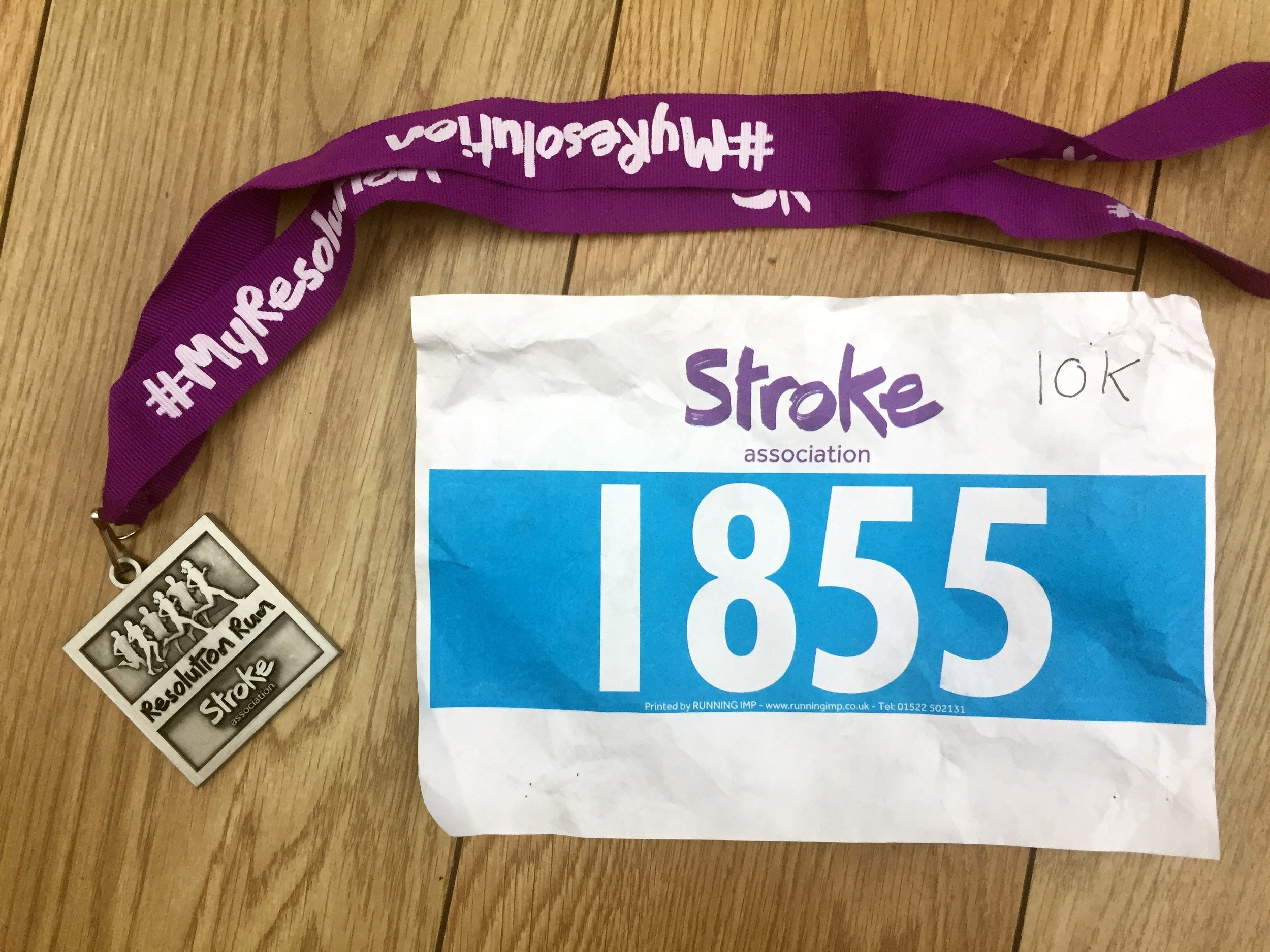
When: March 25th 2018
Where: Black Park Country Park, Buckinghamshire, UK
Course: 2 laps of the parkrun course
Other routes touched (walk): Beeches Way
Other routes touched (cycle): None
Finish time: 55 mins
Good to be back in action after a winter of cancelled events.
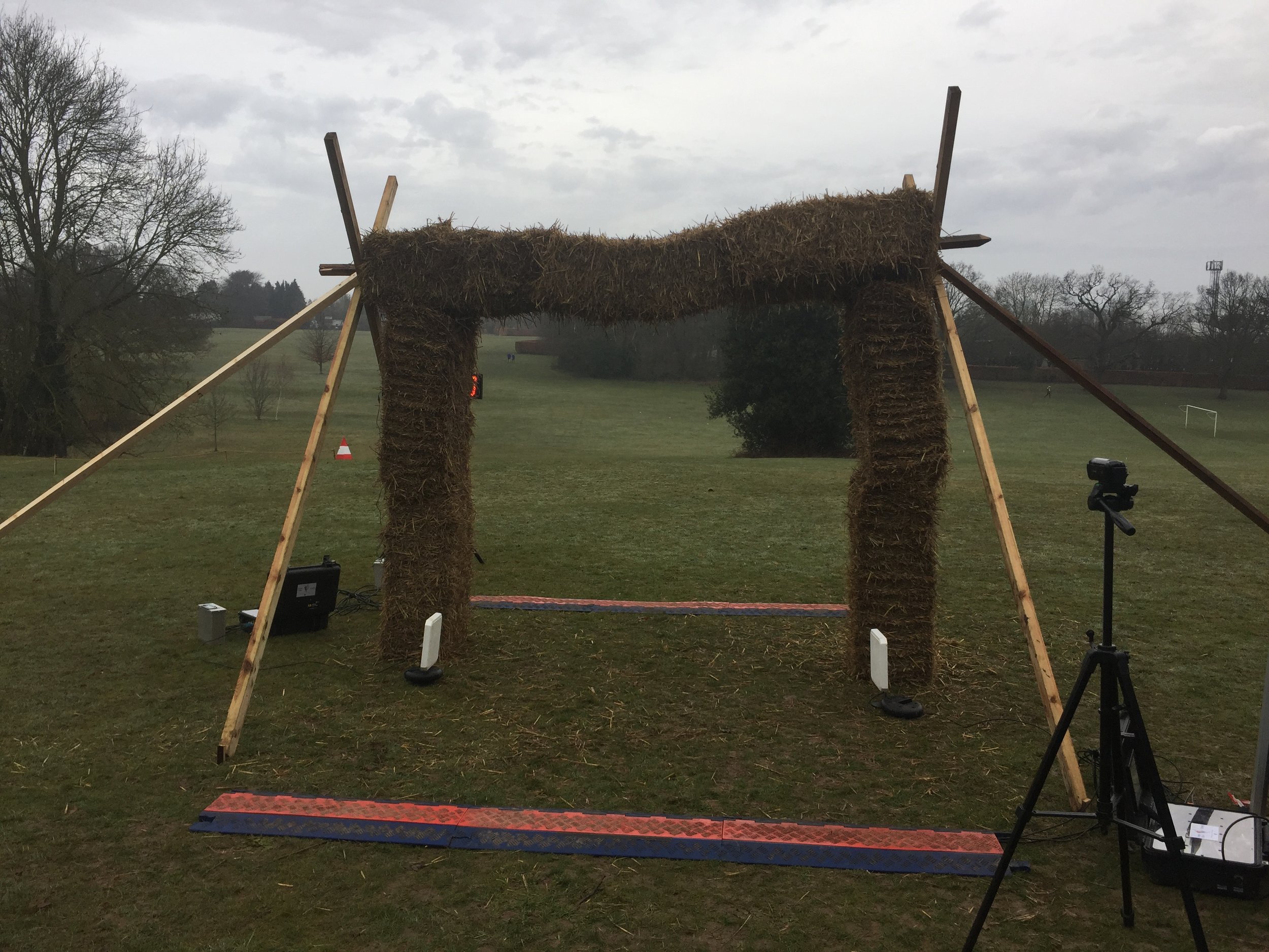
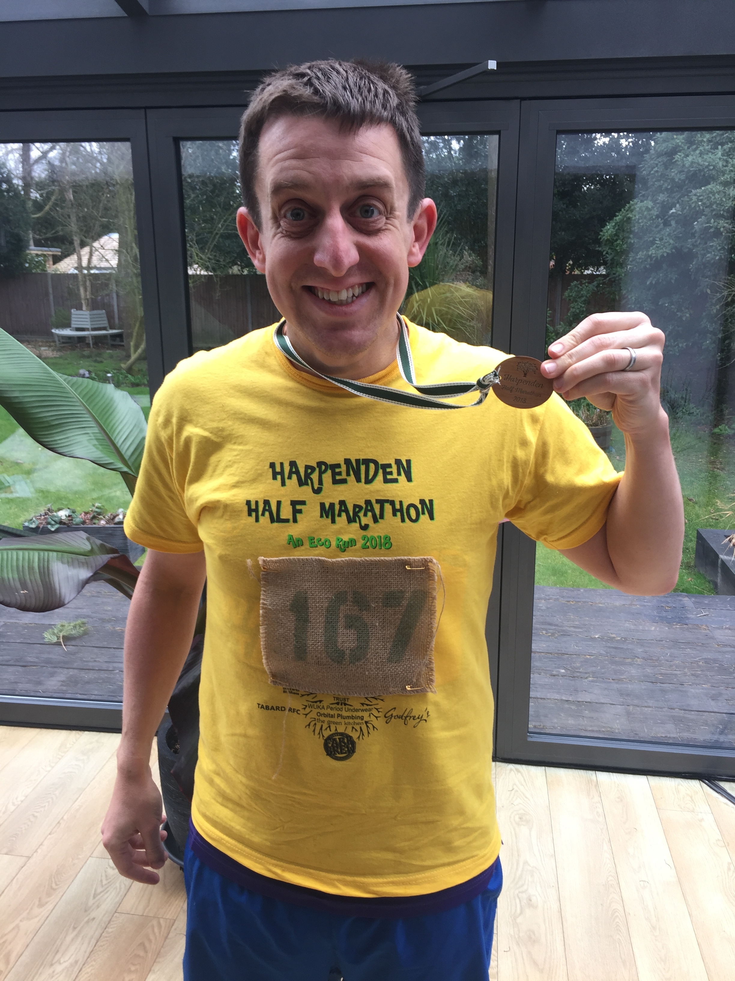
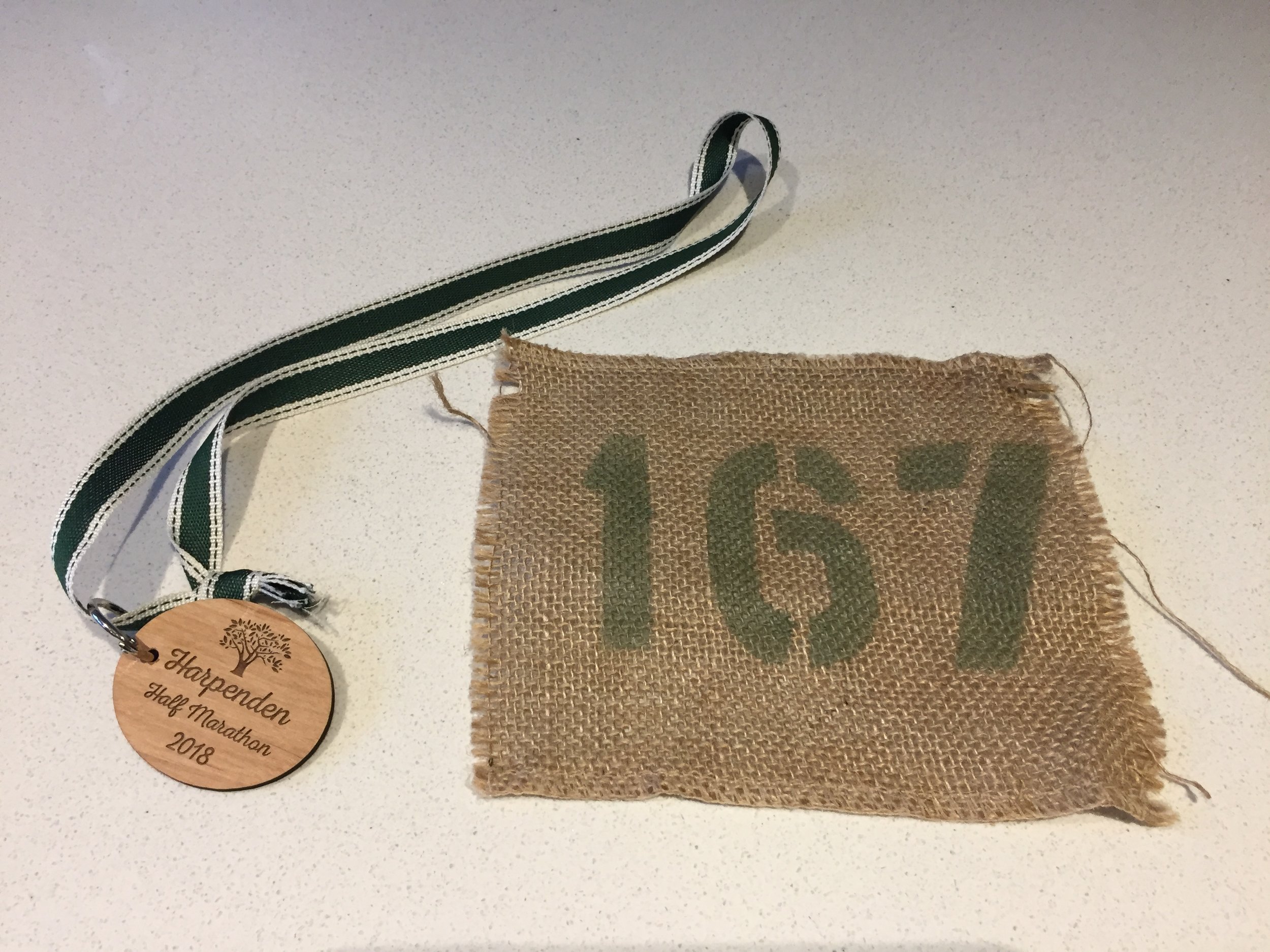
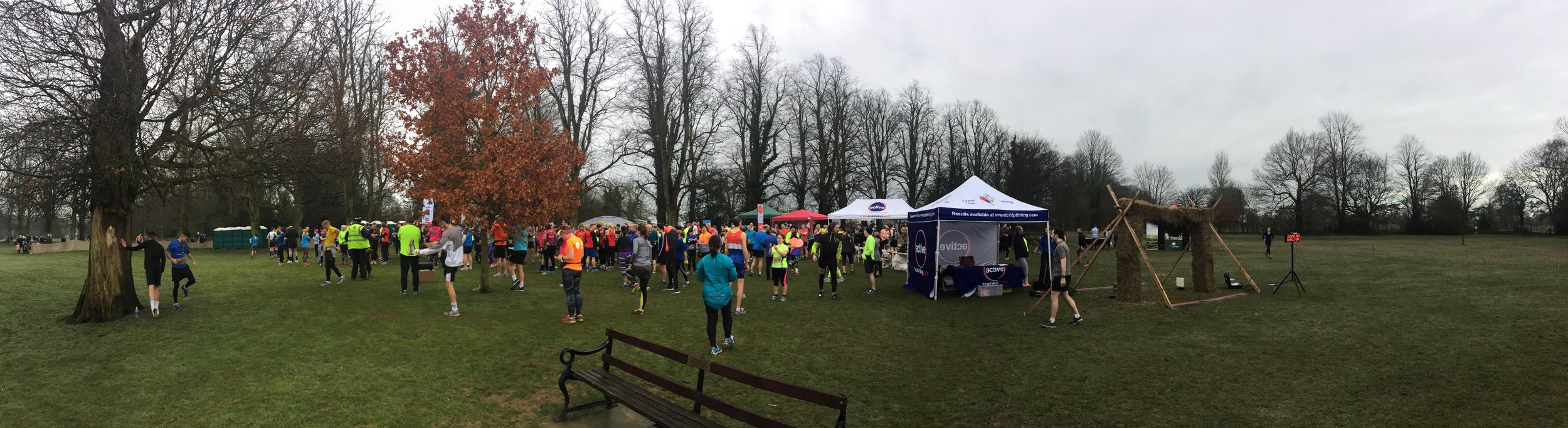
When: March 11th 2018
Where: Harpenden, Hertfordshire, UK
Course: Muddy mixed terrain starting and ending at Rothamsted Park, leading out to the Rothamsted Estate, the Nicky Line and some nice residential streets of Harpenden.
Other routes touched (walk): Nicky Line, Chiltern Way
Other routes touched (cycle): NCN 57
Finish time: 2:05
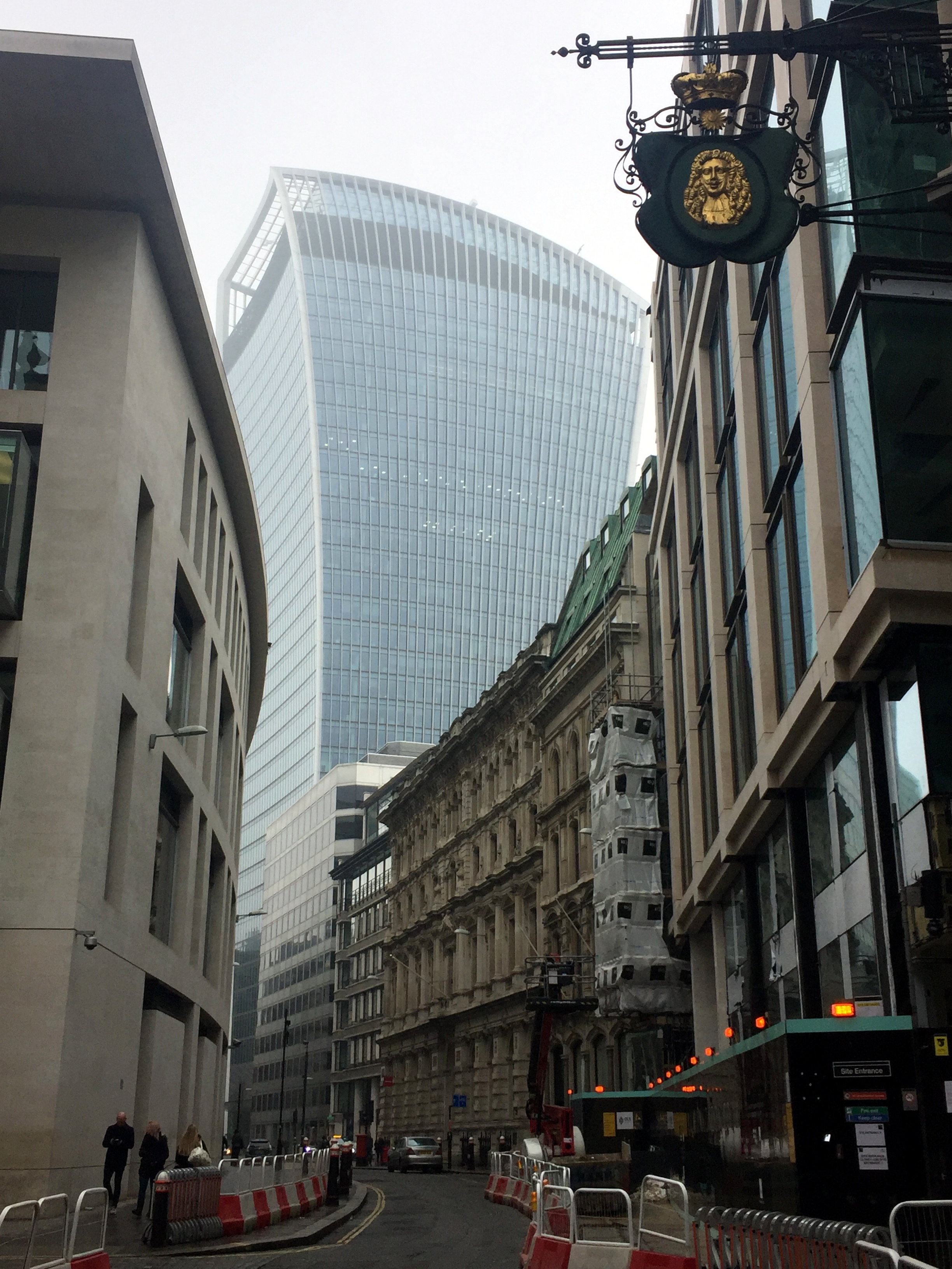
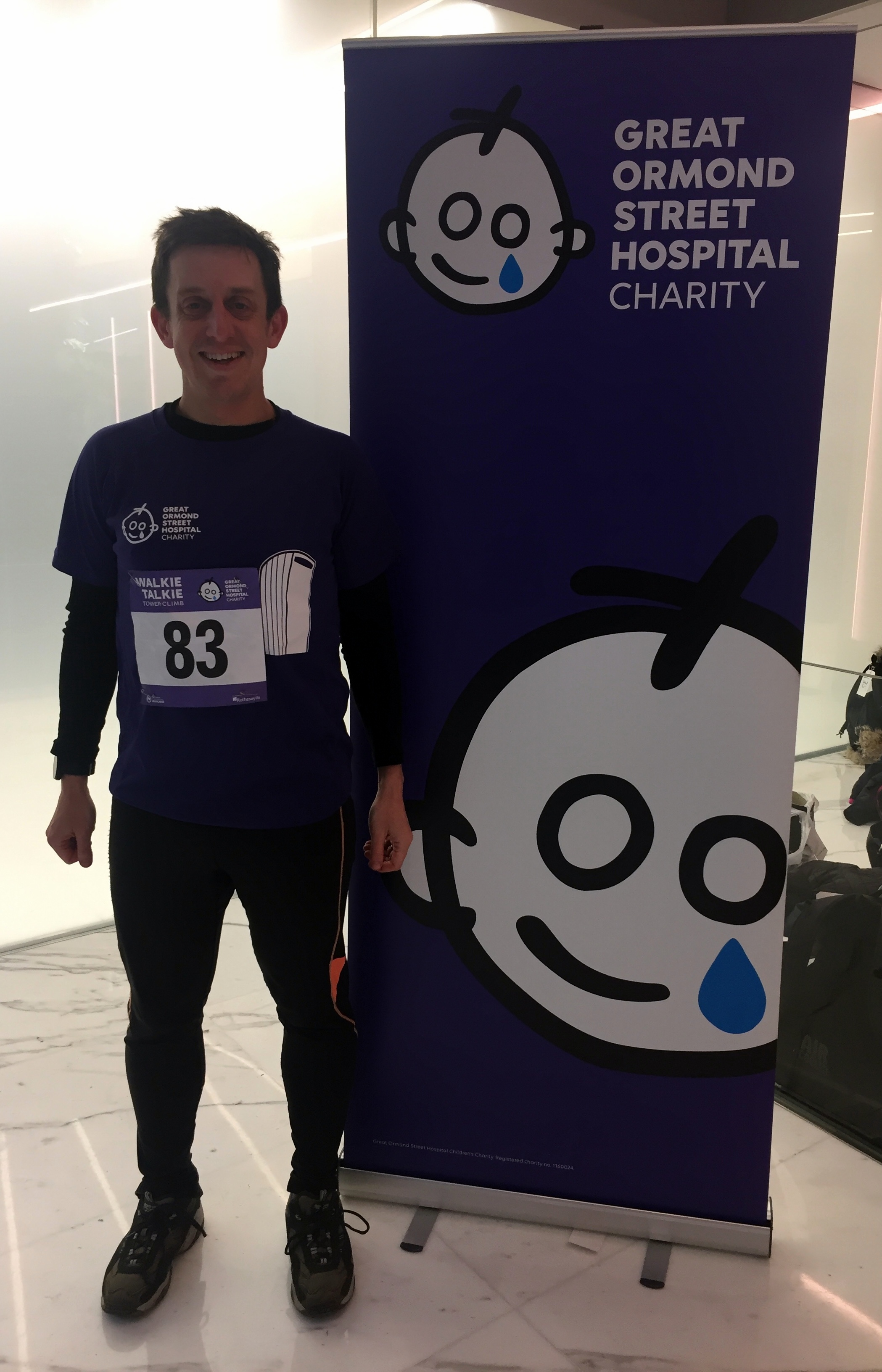
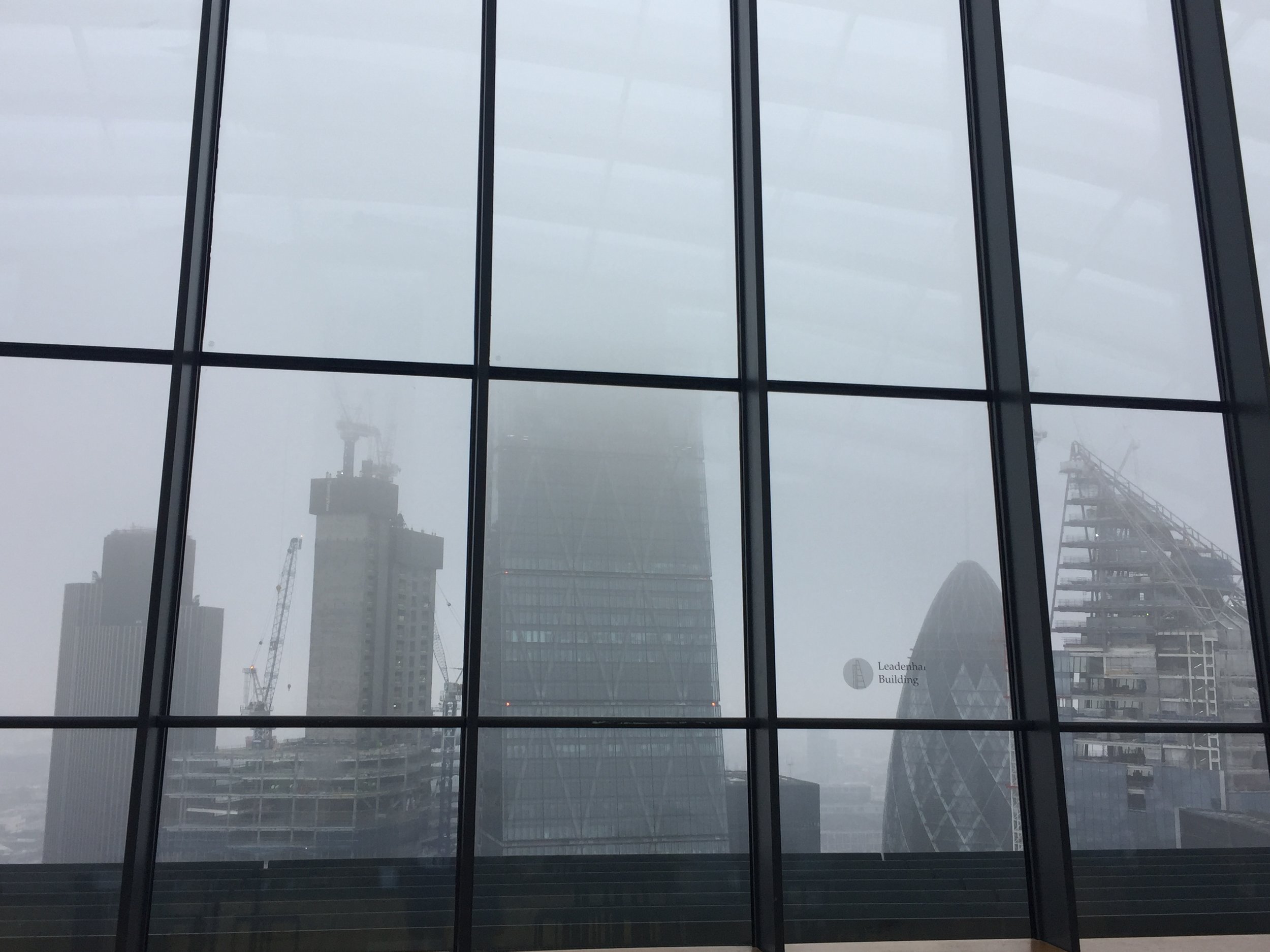
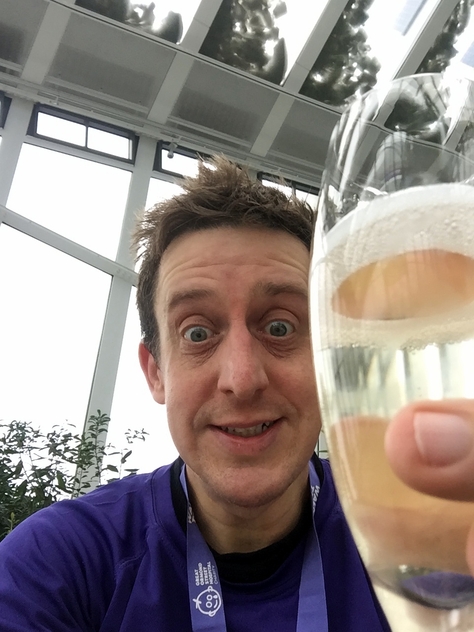
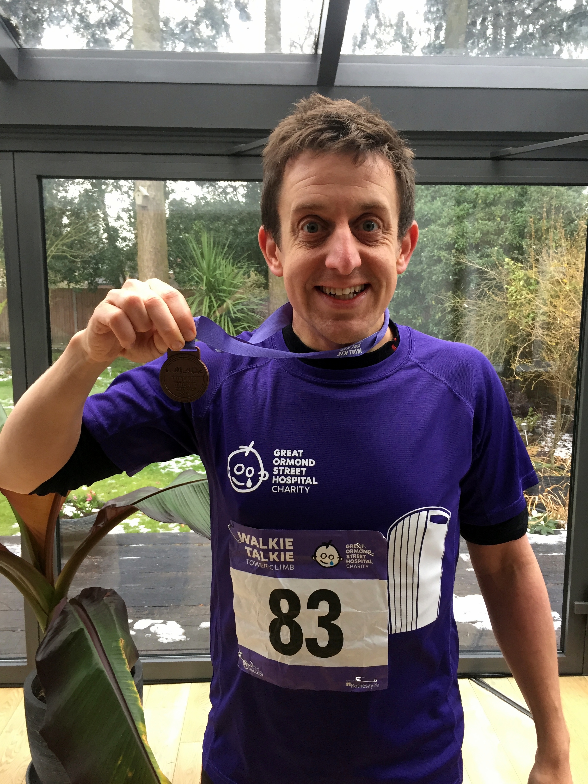
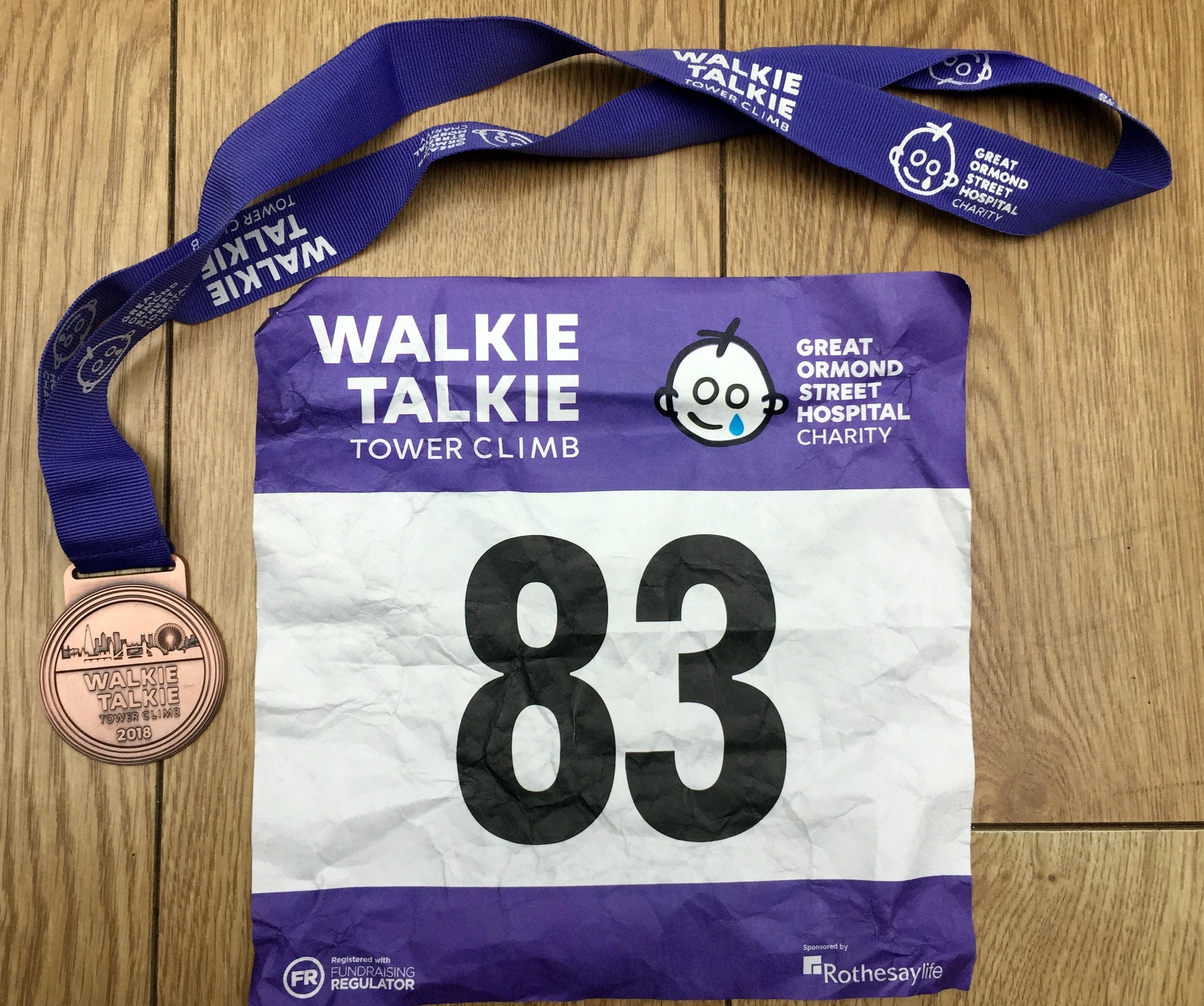
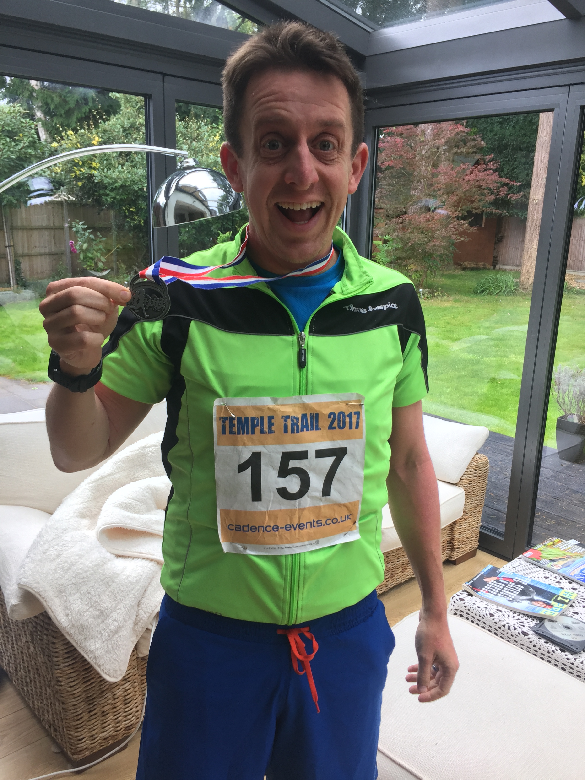
When: March 3rd 2018
Where: 20 Fenchurch Street, London
Floors: 36
Steps: 828
Finish time: 6 minutes, 49 seconds
Charity: Great Ormond Street Children's Hospital
My donation / sponsorship total: £250
Run: 455 miles
Cycle: 1,256 miles
Trek: 284 miles
Total = 1,975 miles
Trek = recorded hiking & walking events, not general steps.
1 Ultra Marathon
10 Half Marathons
44 Total parkruns
25 New parkruns
4 New County Tops (Goatfell, Kinder Scout, Cheeks Hill, Black Hill)
2 New Countries (Romania, Peru)

Stats from 2010 .. first year of tracking via Garmin
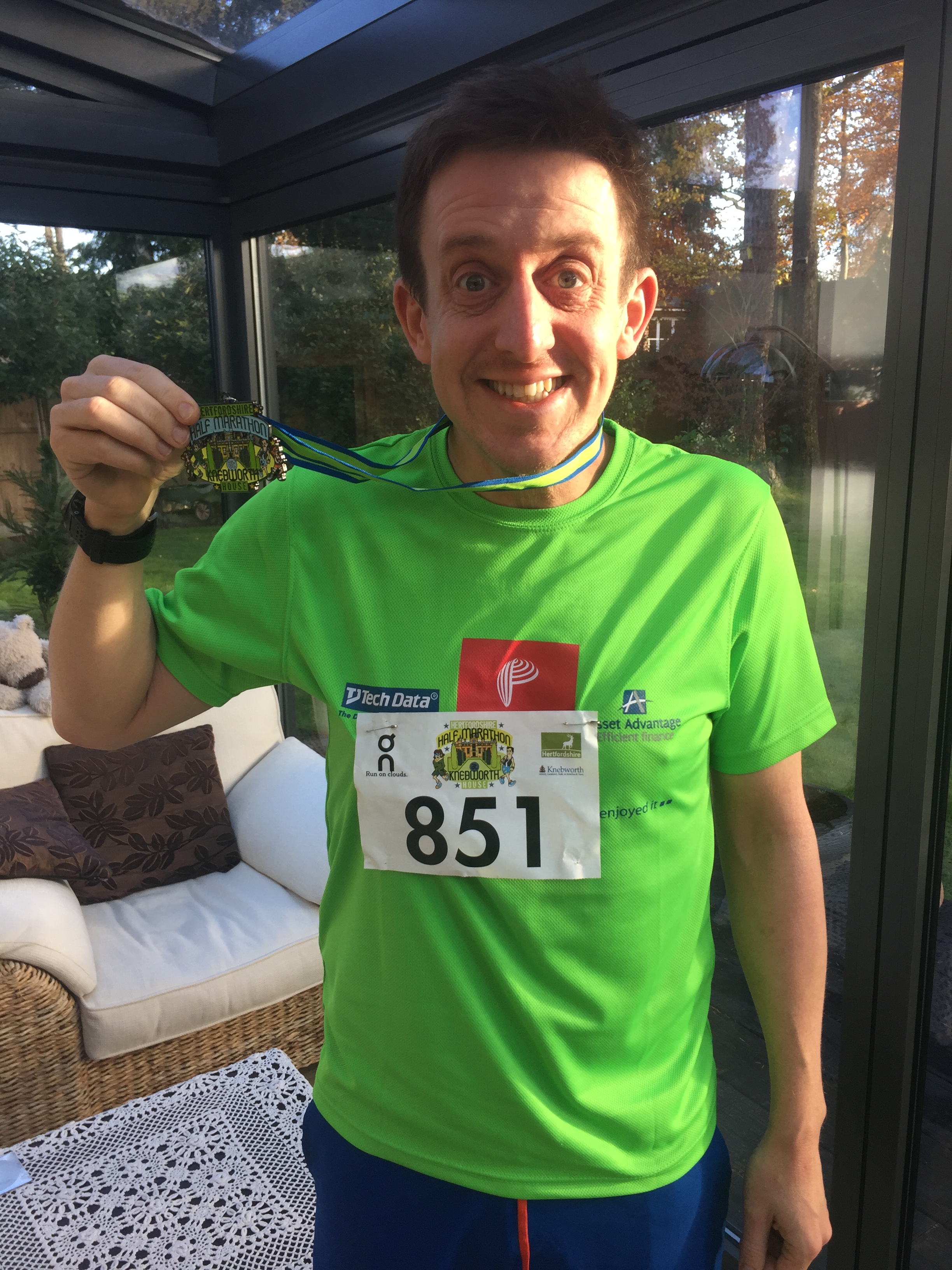
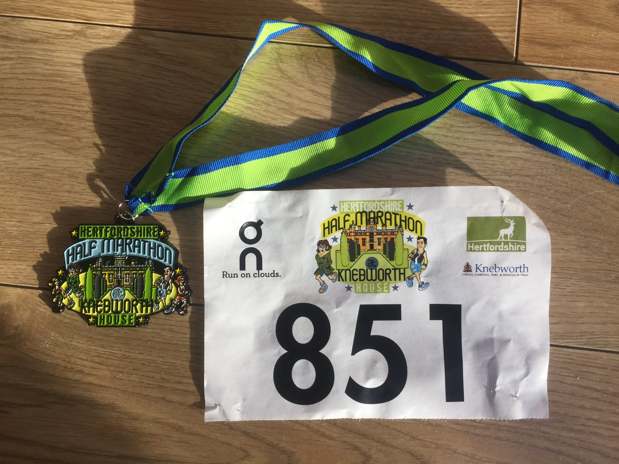
When: November 19th 2017
Where: Knebworth House, Hertfordshire, UK
Course: Hertfordshire country lanes with Start and Finish at Knebworth house. Undulating.
Other routes touched (walk): None
Other routes touched (cycle): NCN 12
Finish time: 1:58

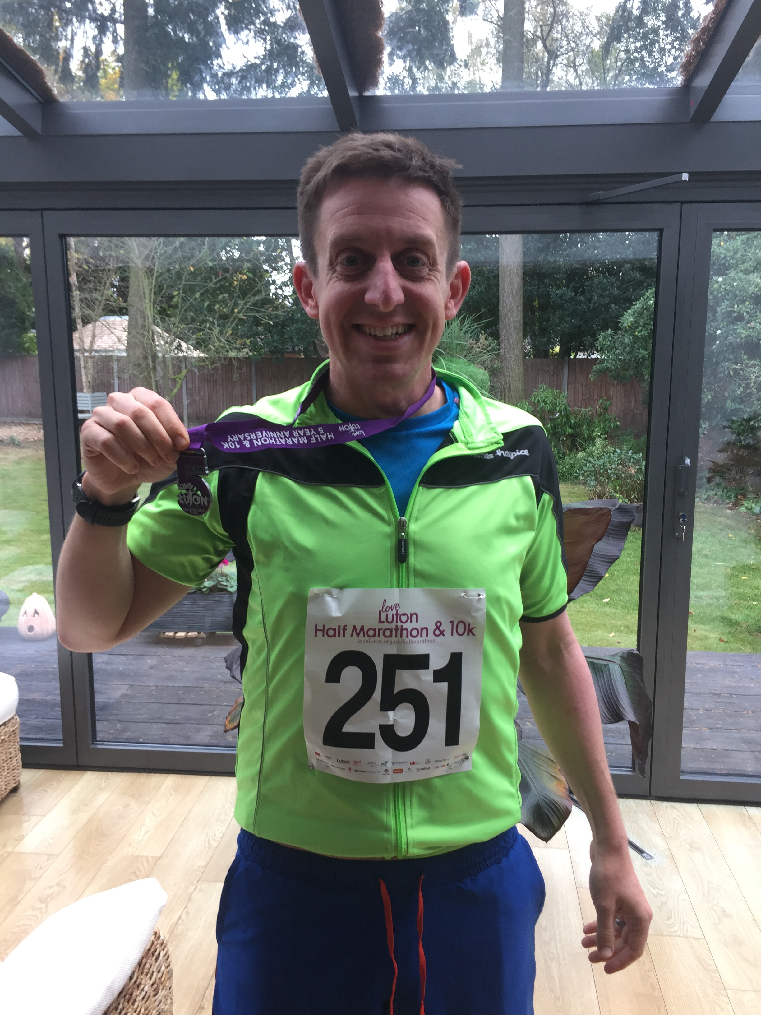
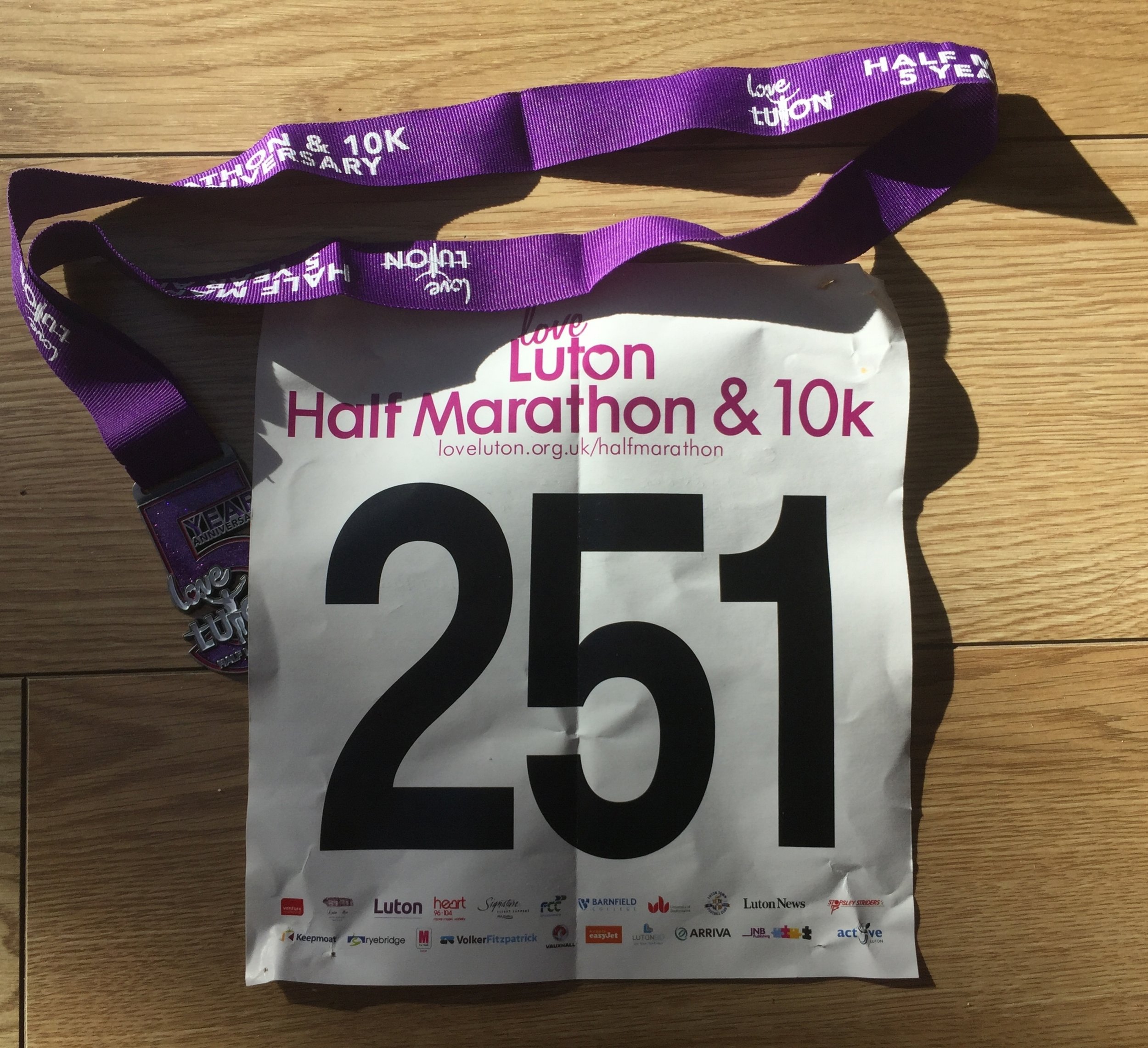
When: October 29th 2017
Where: Luton, Bedfordshire, UK
Course: Tarmac, mix of park and city. Starts at Stockwood Discovery Centre, through Luton Hoo Estate, City Centre, Wardown Park, ending in the Town Hall Square.
Other routes touched (walk): Lea Valley Walk,
Other routes touched (cycle): NCN 6
Finish time: 1:59

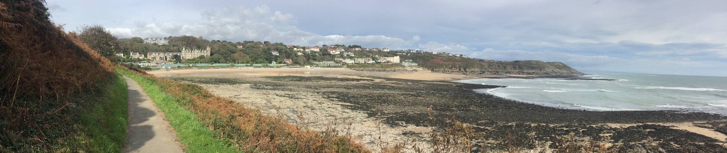
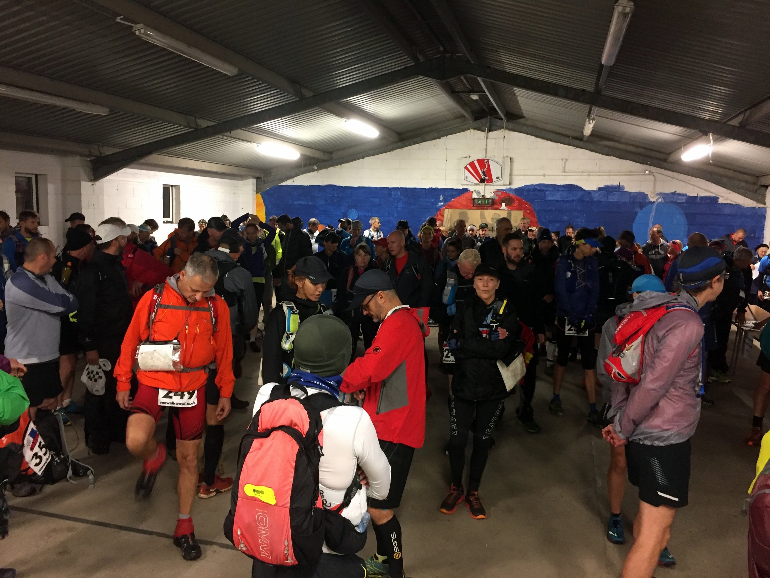
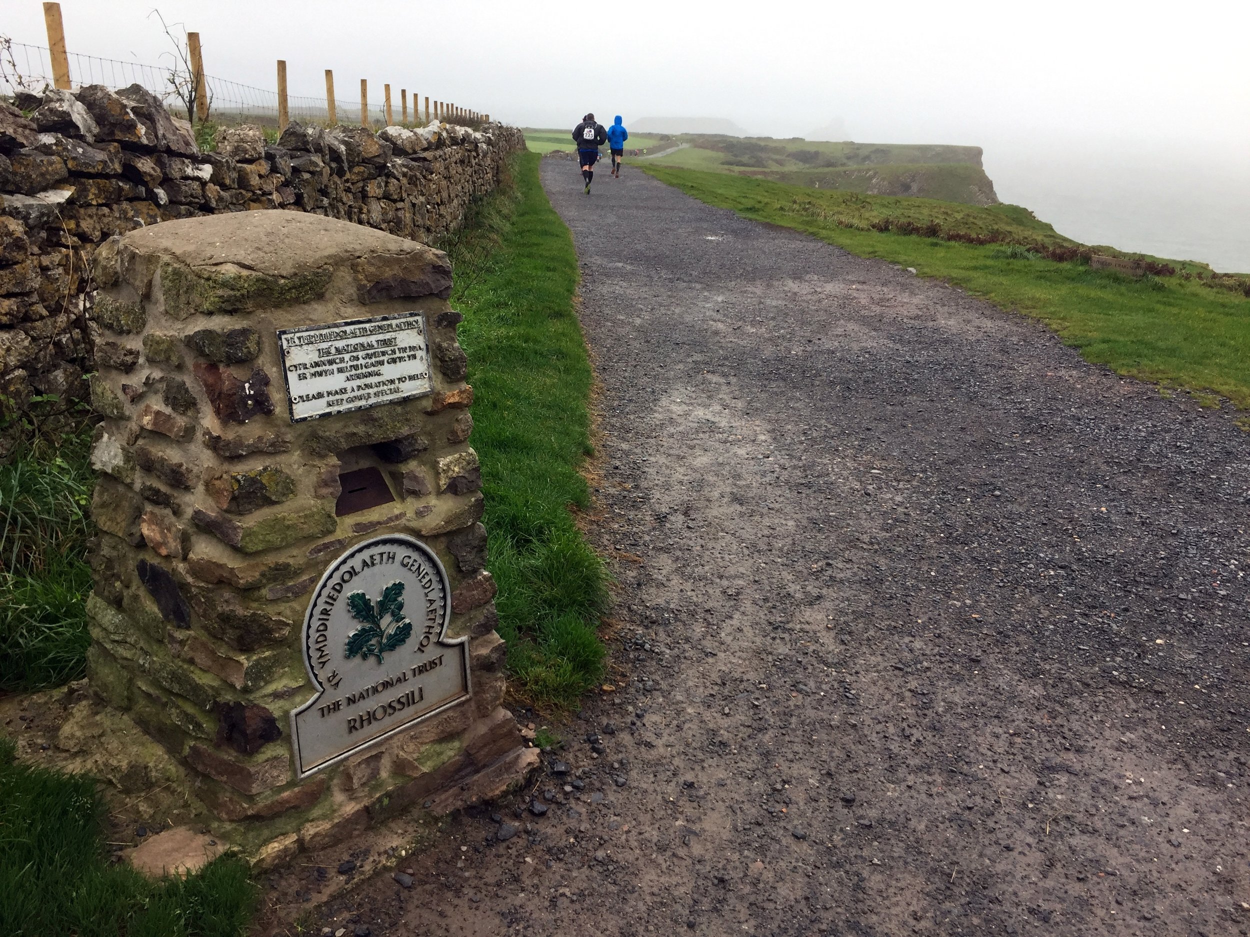
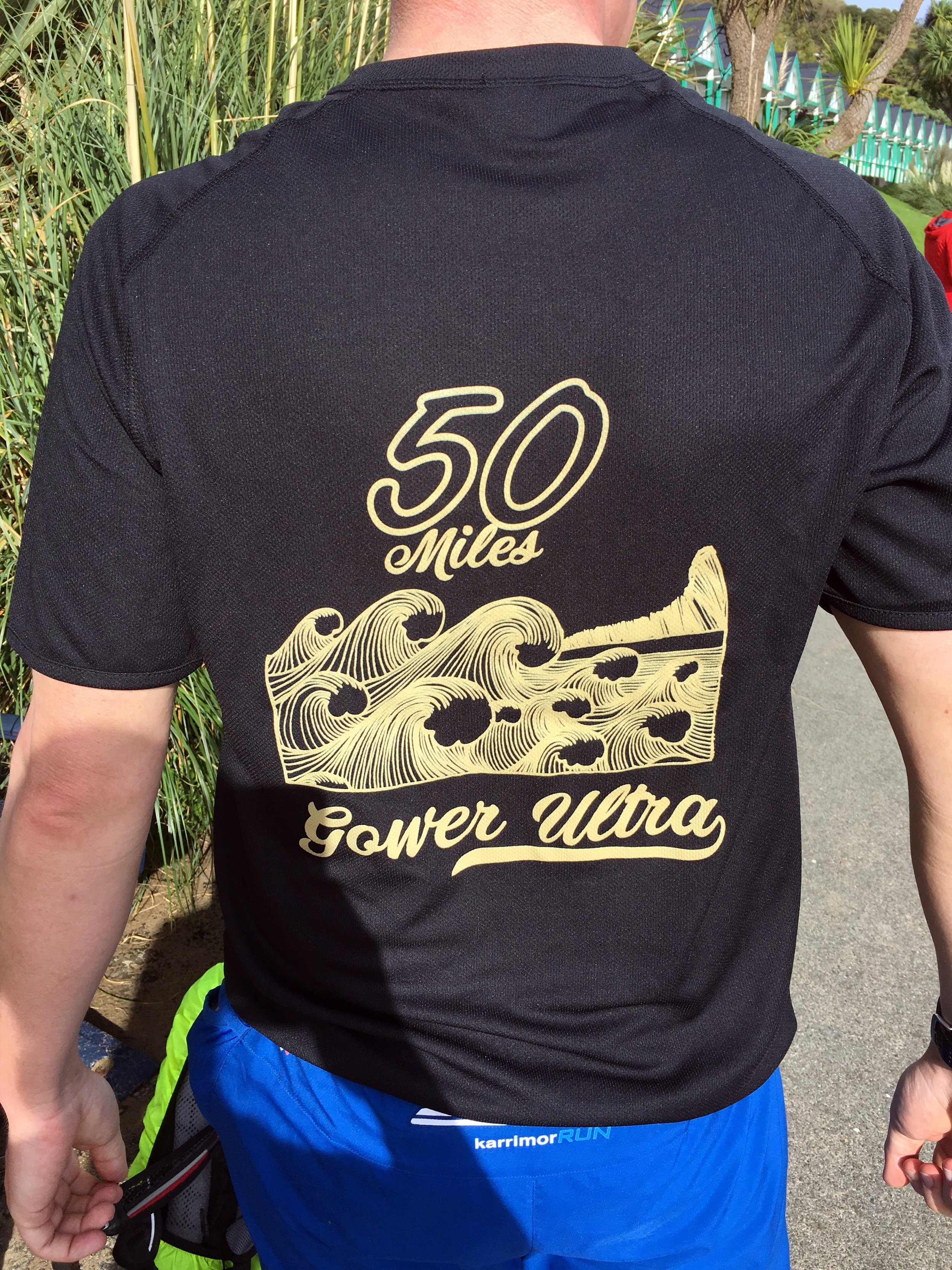
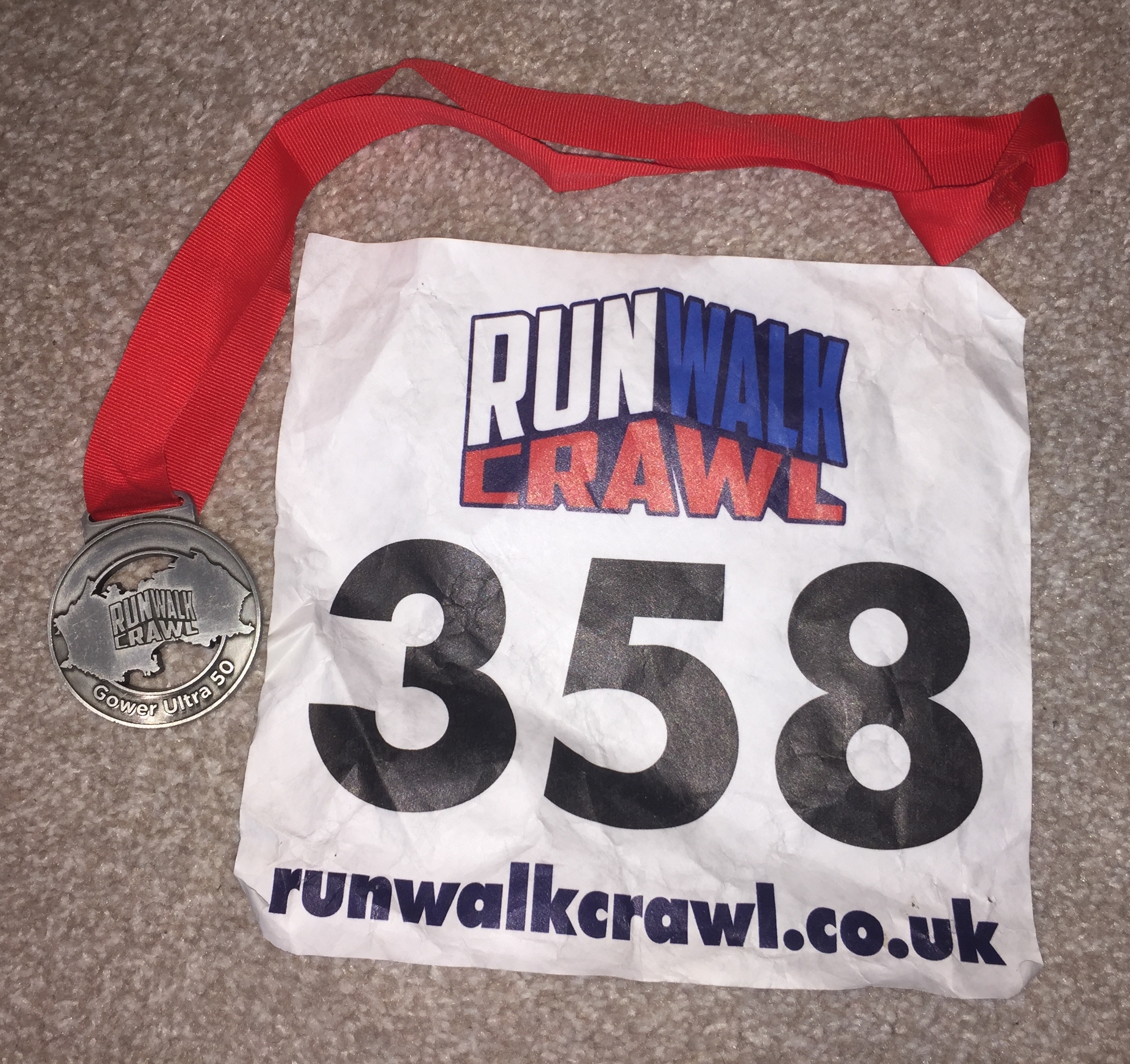
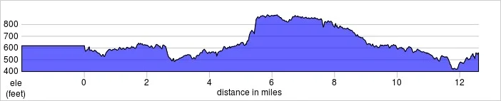
When: October 7th 2017
Start & Finish: The St Madoc Centre, Llanmadoc, Swansea, SA3 1DE
Distance: 79.8 km (49.6 miles)
Elevation: +/- 881m
GPX File: get via Buy Me a Coffee
Other routes touched (walk): Wales Coast Path, The Gower Way
Other routes touched (cycle): NCN 4
Map: OS Explorer Map (164) Gower, Llanelli
Finish time: 15 hours 30 minutes
Links: Gower Peninsula, Rhossili & South Gower Coast National Trust, The Mumbles
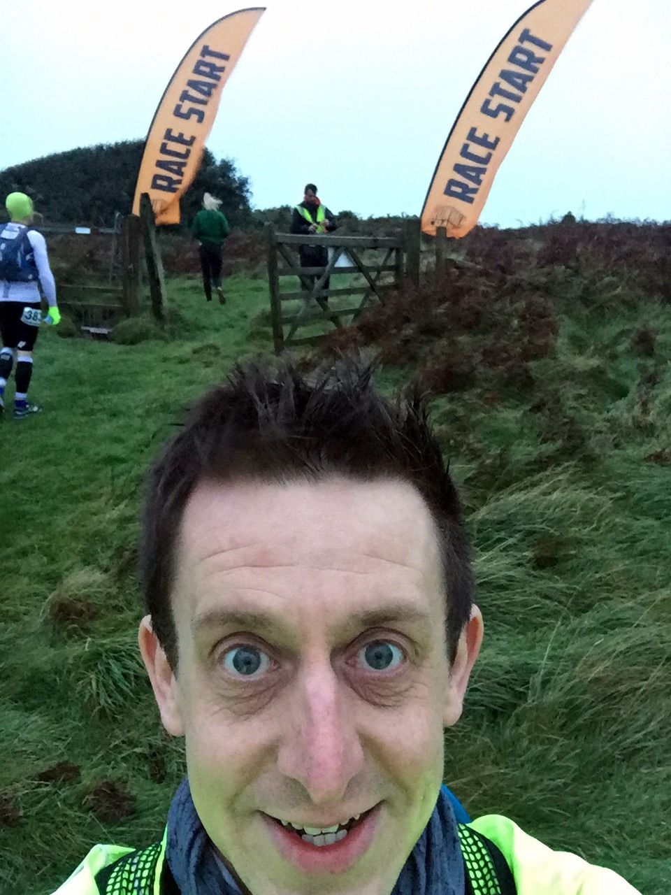
After last year’s Race To The Stones I thought that I had scratched my Ultramarathon itch. That one was the event that first got me excited about doing an Ultra. Now that I had done 2 I was happy that I didn’t need to do more. That feeling lasted 6 weeks until I saw an ad for the Gower Ultra. It had my name all over it. I signed up straight away, 1 year before the race.
A year later and I was still excited. My usual support crew, Timi and Mum, were there. We drove down the night before, staying half a mile from the start. The plan was the same: I would run the first 20 or so miles on my own while they have a leisurely breakfast and we would meet around lunchtime.
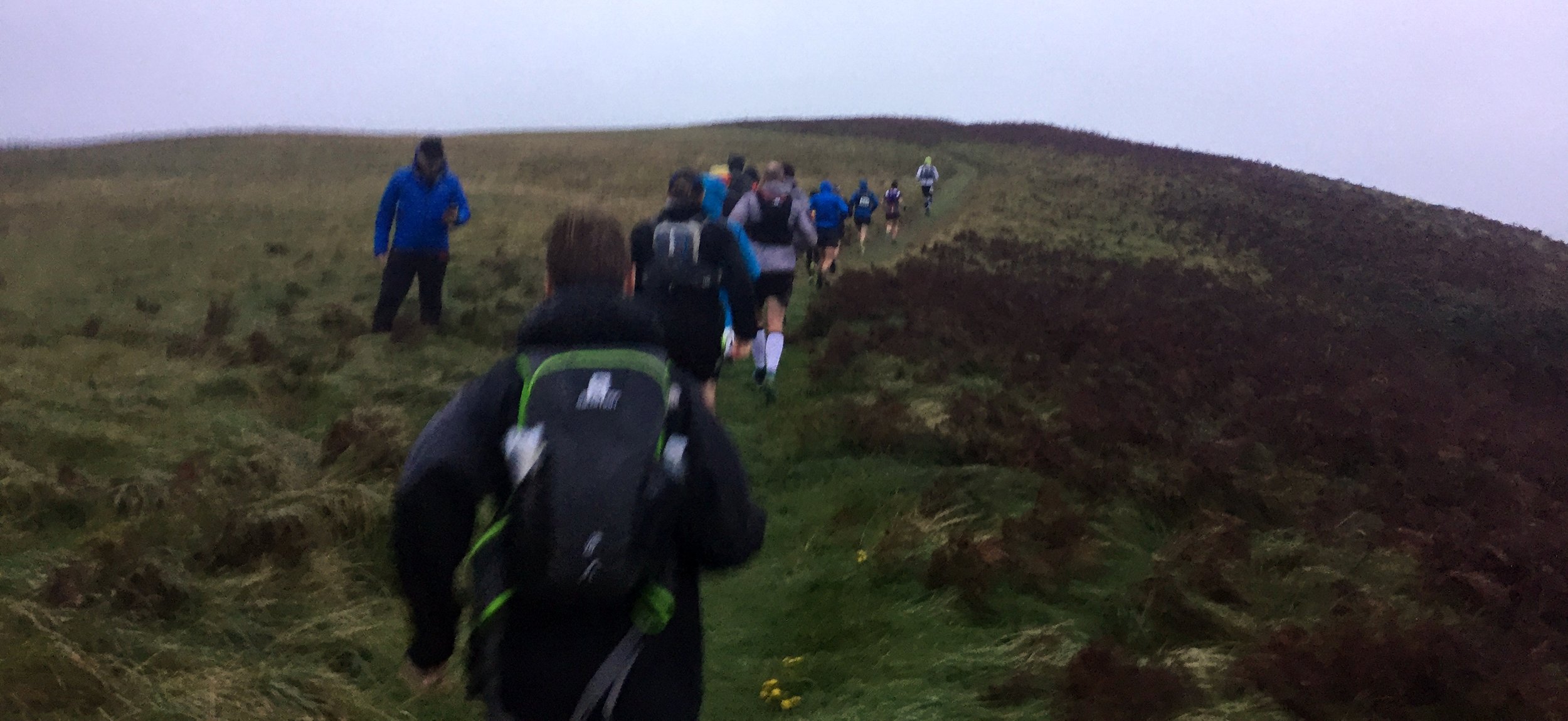
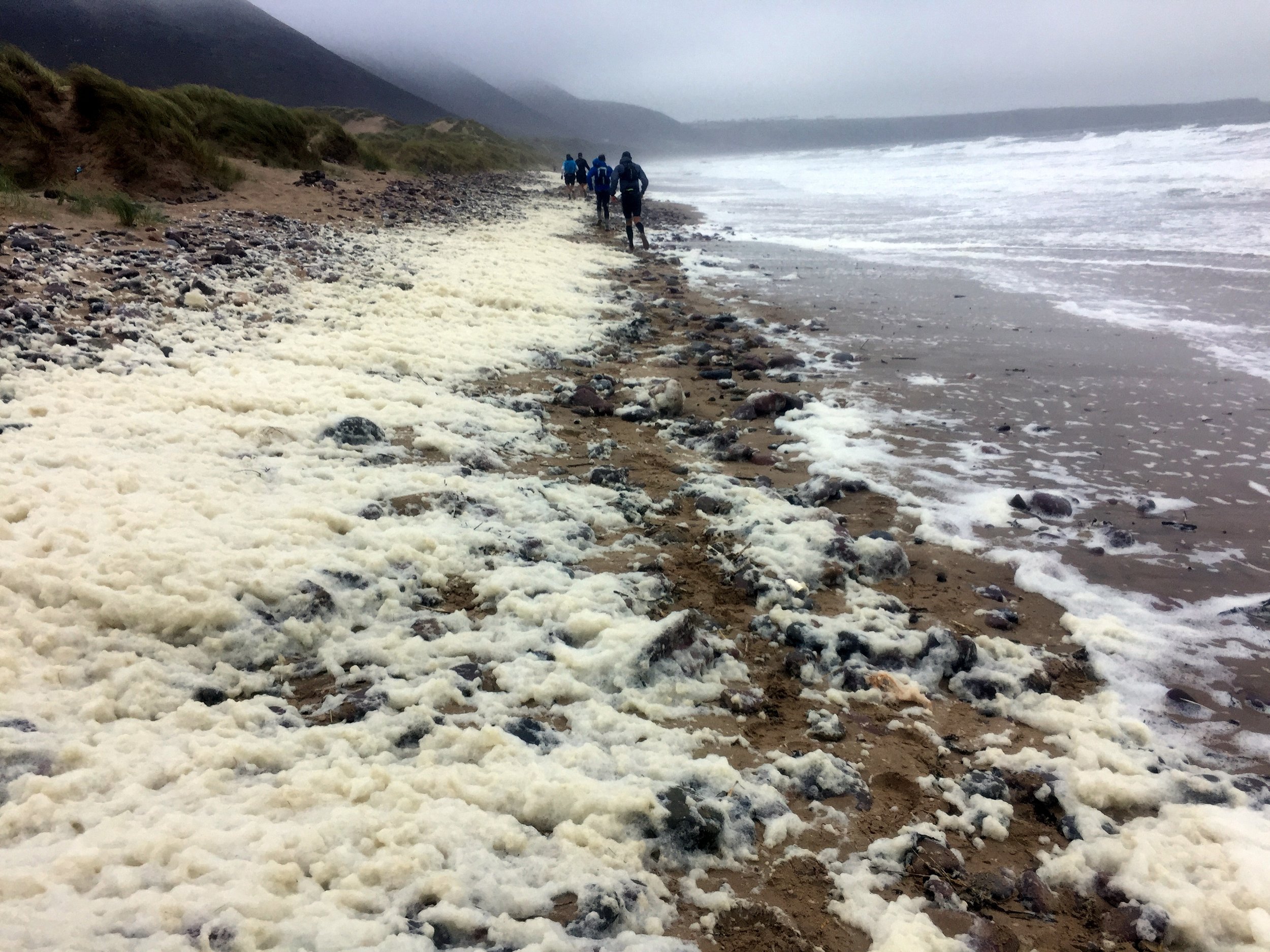
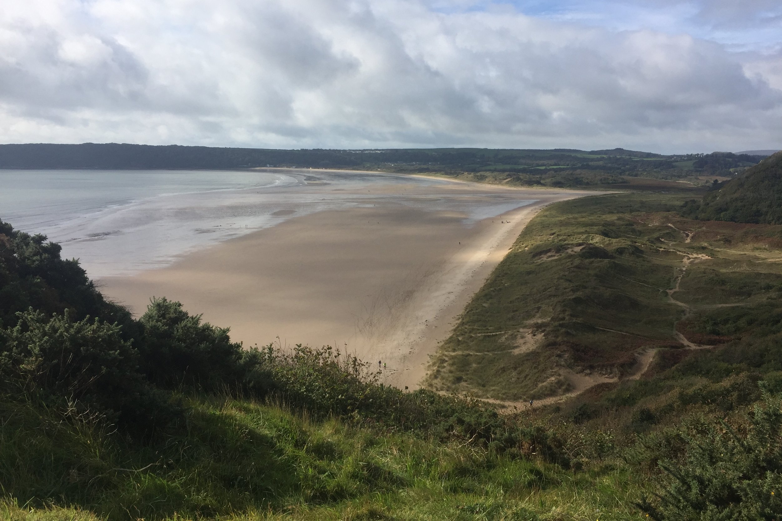
The start was great, along sandy dunes leading down to Rhosilli Bay. The tide was half out but slowly coming inwards. Through much of the beach section there was an equal mix of stones and sand. The sand was easier to run on so I kept on it, only moving onto the stones every few minutes when the tide came in further. That worked well ... until it didn’t, with a sleepy lack of concentration resulting in a major soaking from a wave. I was only 3 miles into a 50 mile run and my feet were already drenched.
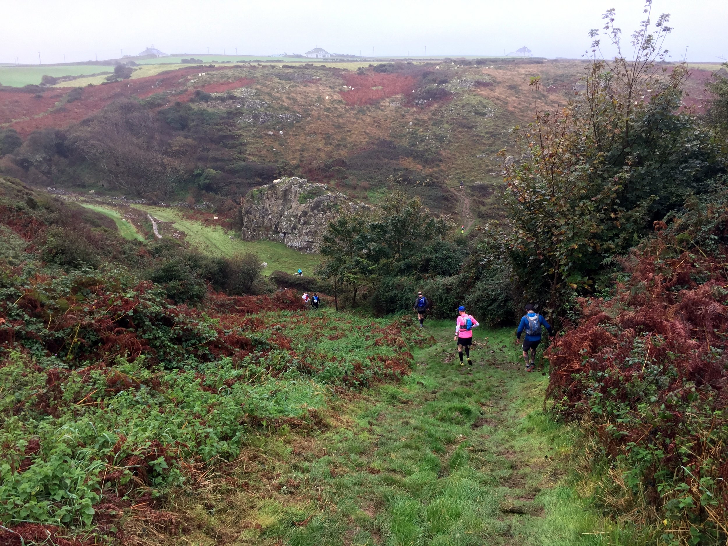
I was exactly on plan by Port Eynon where I met up with Timi and Mum for the first time. Mobile signal was poor and my texts calling for new socks hadn’t got through. I decided to carry on a get re-socked at the next meeting point at Oxwich Bay. By the time I got there I was already 30 minutes behind, not having factored the cliffs, mud and beach into the plan.
Having learnt from Race To The Stones I had increased my minutes-per-mile on my plan. I reckoned on 13 minutes-per-mile for the first 15 miles with an extra minute per mile for further 10 mile blocks. That seemed pretty realistic when sitting in from of my computer at home. The reality was that this was a tough course and the wettest weather in the event’s history.
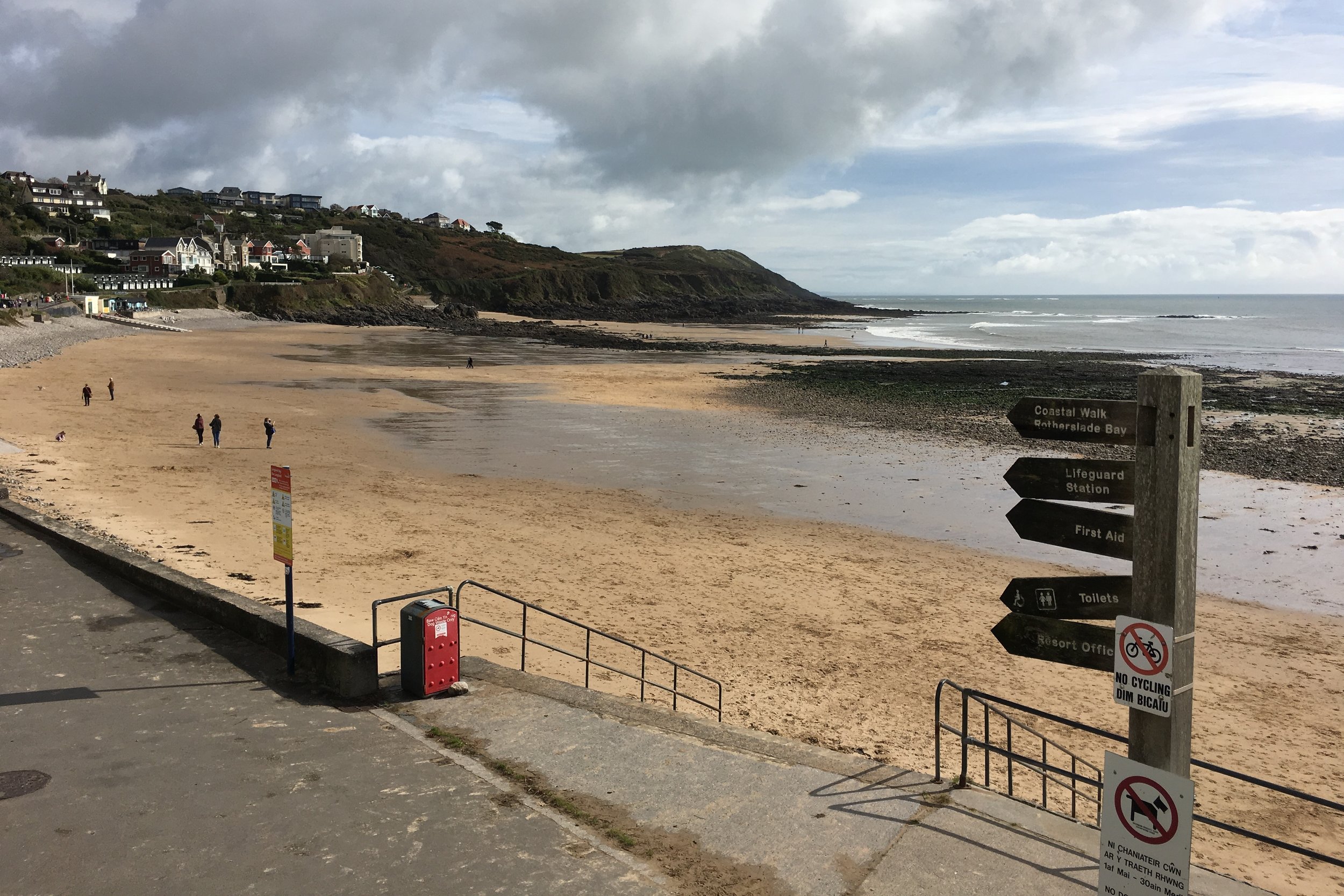
By 20 miles the plan had gone out the window. At Langland, where the route leaves the coast, I was 2 hours behind. With a 16.5 hour cut-off I had enough time to take it slow. From here, it was only about finishing.
The inland section began with a marshy common, drenching me again. I had no more dry socks so I had to carry on. I even decided not to look at my feet at the checkpoints. I knew it wasn’t going to be pleasant and seeing them wouldn’t help my motivation.
By the time I reached the north coast it was dark. Something in my trainer popped painfully. Probably a blister, possibly a toe. I was still 15 miles off and now hobbling at a 23-minute-mile pace. Timi and Mum were now stopping every 2 miles, also directing other runners who were wandering off-route in the dark.
The trickiest part was at mile 40 where the route follows a tidal road. The instructions were clear that there was a higher ground alternative. It had been over 12 hours since anyone had read that and, after all, how bad could it be? Pretty bad as it turned out. The tide was coming in pretty fast and was already covering the road. I got to a point where it was up to my knees but decided to carry on as I could see the other side only a few metres away.
A couple of miles further on Timi and Mum were waiting at a junction. They had driven further but had to return as the water was now really deep. They were directing us half a mile up a small lane to the main road on higher ground. We heard later that one girl had attempted the tidal road and had water up to her chest.
The final few miles were a slow muddy slog. My head torch had run out of battery and all the spare batteries so I was using the light on my phone. Cars were roaming around the country lanes at the end looking for lost runners.
After a final steep cliff, I closed the 50 mile loop and crossed he finish line in 15.5 hours. It was by far the hardest and most painful thing I’ve ever done.
Back at the hotel we examined my feet. The burst blister was actually a burst toe and there were deep prune grooves all over. I’ve not posted the photos of them here. You’d not eat for days if you saw them. Needless to say Timi wasn’t impressed. Maybe I’ll leave it a few weeks before signing up for my next one ....
Part of the Chiltern Rivers Series
River start: Near the Black Horse Pub, Aylesbury Road, North of Great Missenden town centre.
River end: Confluence with the River Colne at Denham Country Park, Buckinghamshire
River length: 27 km (17 miles)
Running route start / end: Black Horse pub to Denham Lock
Running route length: 28.6 km (17.7 miles)
Running route elevation change: +102m / - 107m. Net -5m
GPX File: get via Buy Me a Coffee
Other routes touched (walk): South Bucks Way, Chiltern Way, London Loop, Grand Union Canal Towpath
Other routes touched (cycle): Hampden Route, Milton Route, NCN routes 6, 61,
Map: OS Explorer Map (172) Chiltern Hills East, OS Explorer Map (181) Chiltern Hills North
My latest in the Chilterns Rivers Project and a final (and only) long-run before the Gower Ultra. It's only really suitable for walking or running as the paths are not cycle friendly. The A413 is the closest cycle alternative but it's not very interesting.
There's not a single sign-posted route for this one so here's how it's done.
With your back to the Black Horse pub, run south along Aylesbury Road / High Street, through Great Missenden centre until the junction with the A413. An alternative is to take the South Bucks Way behind the pub, running parallel to the road and following the river more closely.
Turn right onto the A413, following it for just under a mile until Highmore Cottages, the lane leading into Little Missenden. ** WARNING - this is a busy road with no pavement so be extra careful ** There's no footpath alternative without a major diversion.
After approx 2 miles, Highmore Cottages will turn left crossing under the A413. Before this turn, take a right turn onto the South Bucks Way,
Follow the South Bucks Way for just over a mile, through the Shardloes Estate to Amersham Cricket Club. Follow footpath signs to Amersham High Street.
Follow Amersham High Street, turning left into St Mary's church opposite Whielden Street. Turn right at the Misbourne, following footpaths leading behind Tesco to Station Road.
Turn right at Station Road, cross the roundabout and follow the A355 for about 100 metres until you see the footpath leading south-east across the fields.
Continue on the footpaths (signed Chiltern Heritage Trail) running parallel with the river until Chalfont St Giles.
At Chalfont St Giles, cross the main village road, taking the footpath along the right/west side of the church. After the path crosses the river, do not continue on the Chiltern Way, instead, take a sharp right following a path that continues to follow the Misbourne until Chalfont St Peter.
At Chalfont St Peter take the A413 underpass opposite the Greyhound pub. Immediately exiting the underpass, turn right and follow the path parallel to the A413.
Just after passing Woodside Hill, take the footpath that crosses Gerrard's Cross Golf Club. Watch out for golf balls as the path crosses the fairway three times.
After the golf course, the path goes into a wood (often muddy underfoot) and follows a small lake.
At the T-junction it's not possible to follow the river. Turn left and follow the path up the hill, then diagonally crossing a field until a gate by a care home. Turn right along the drive until Denham Lane.
Follow Denham Lane / (becoming Slade Oak Lane) downhill, past Denham Golf Club station bearing left onto Old Rectory Lane. Continue until the junction with the A412.
Cross the A412 and turn right, following the footpath and take the first left onto Village Road.
Follow Village Road through Denham Village until you reach the South Bucks Way on the left.
Take the South Bucks Way crossing Buckinghamshire Golf Course and past the Colne Visitors Centre.
After the Colne Valley Regional Park Car Parks, cross a field and along the Colne until a footbridge.
The path meets the Grand Union Canal just after the footbridge. The confluence of the Misbourne and the Colne is just on the right of the towpath as you look right towards Uxbridge.

Red = River Misbourne, Blue = the route described above. The route stays tight to the river except for a small section west of Gerrards Cross crossing the M25
When: September 17th 2017
Where: Marlborough, Wiltshire UK
Course: Circular off-road/trail route starting and ending at Marlborough Rugby club. Hilly and often boggy through woods along Fyfield Down.
Other routes touched (walk): Wessex Ridgeway, Great Stones Way, White Horse Trail, The Ridgeway,
Other routes touched (cycle): NCN 45, 254, 403
Finish time: 2:10
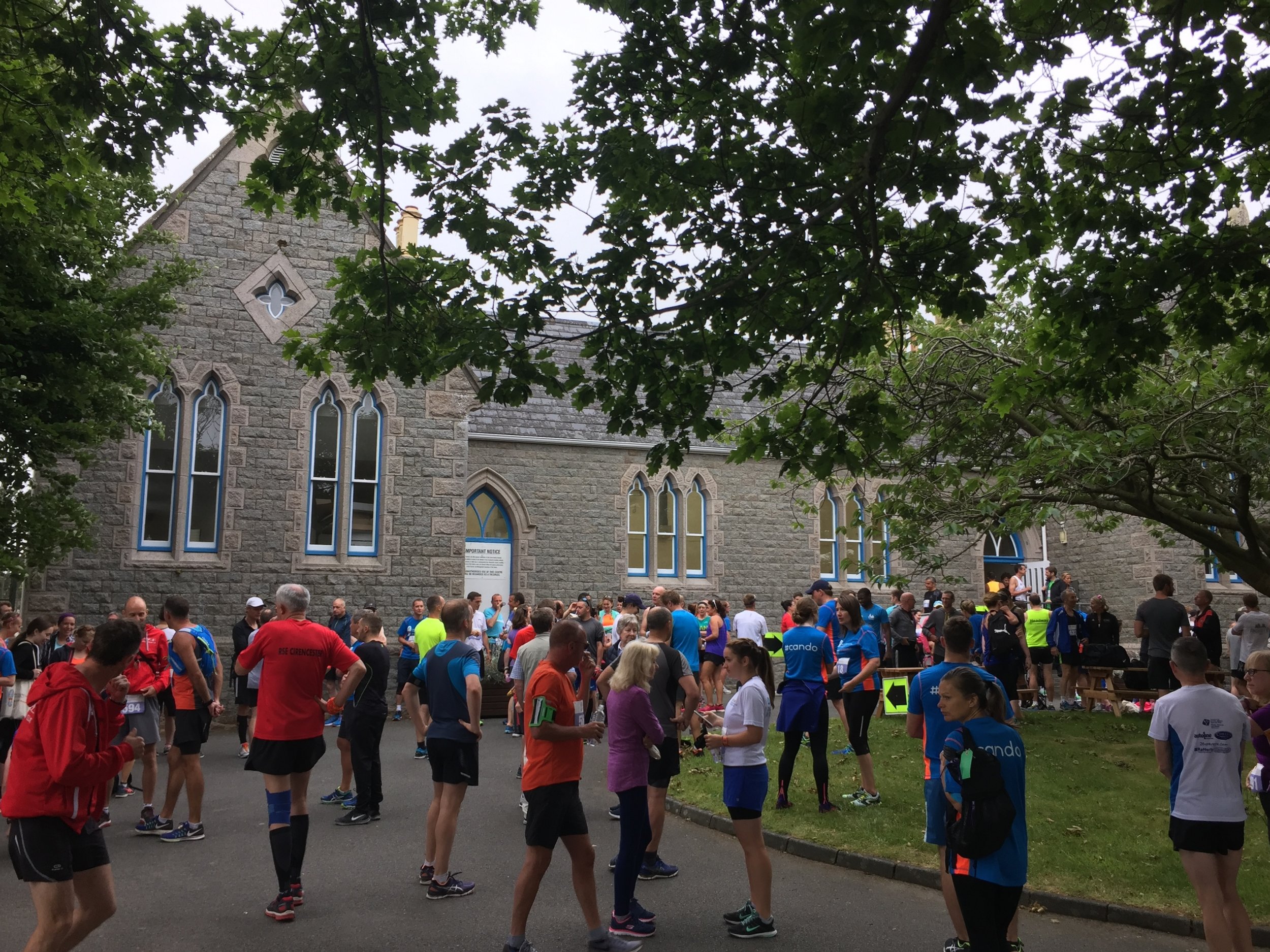
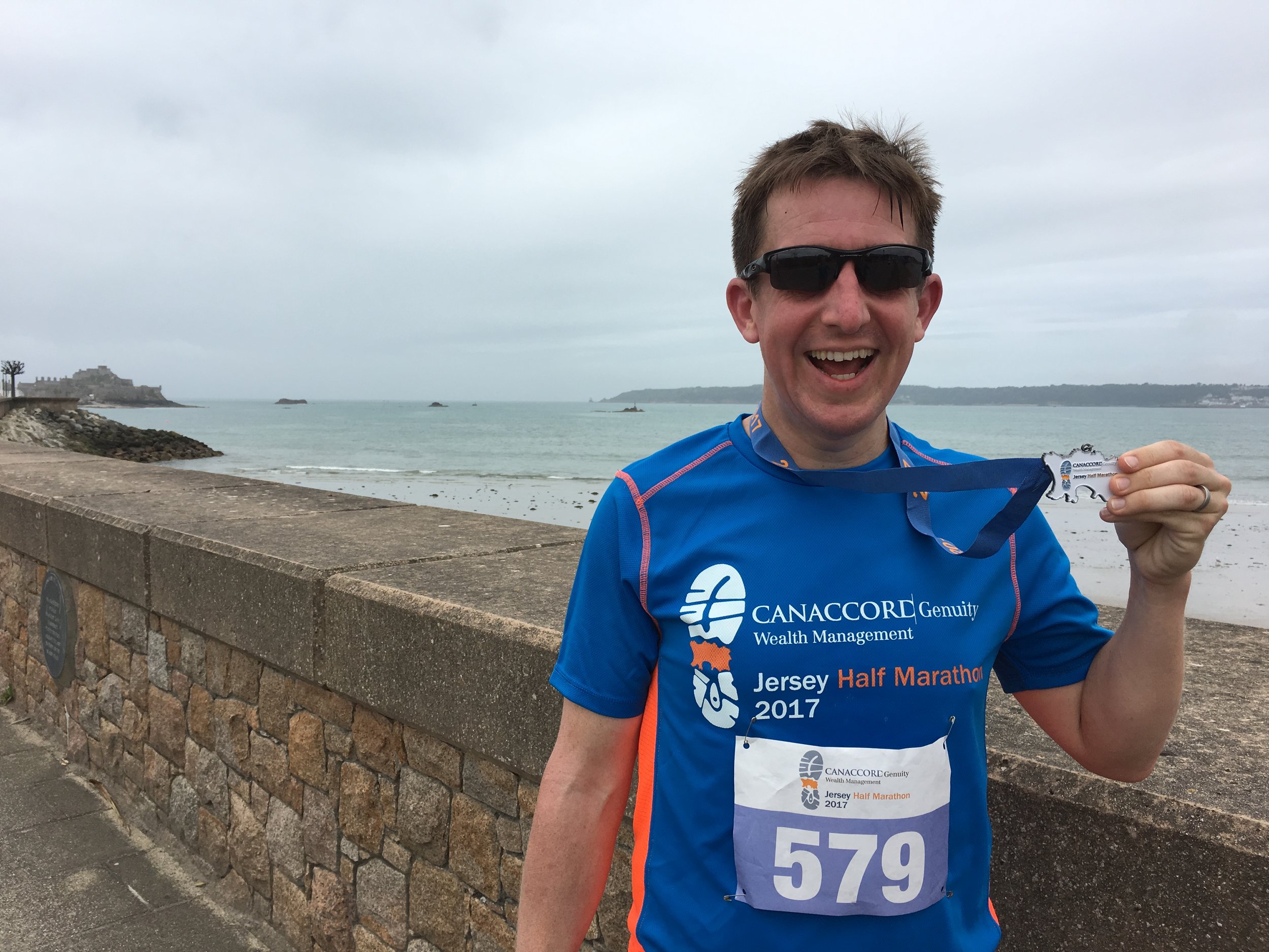
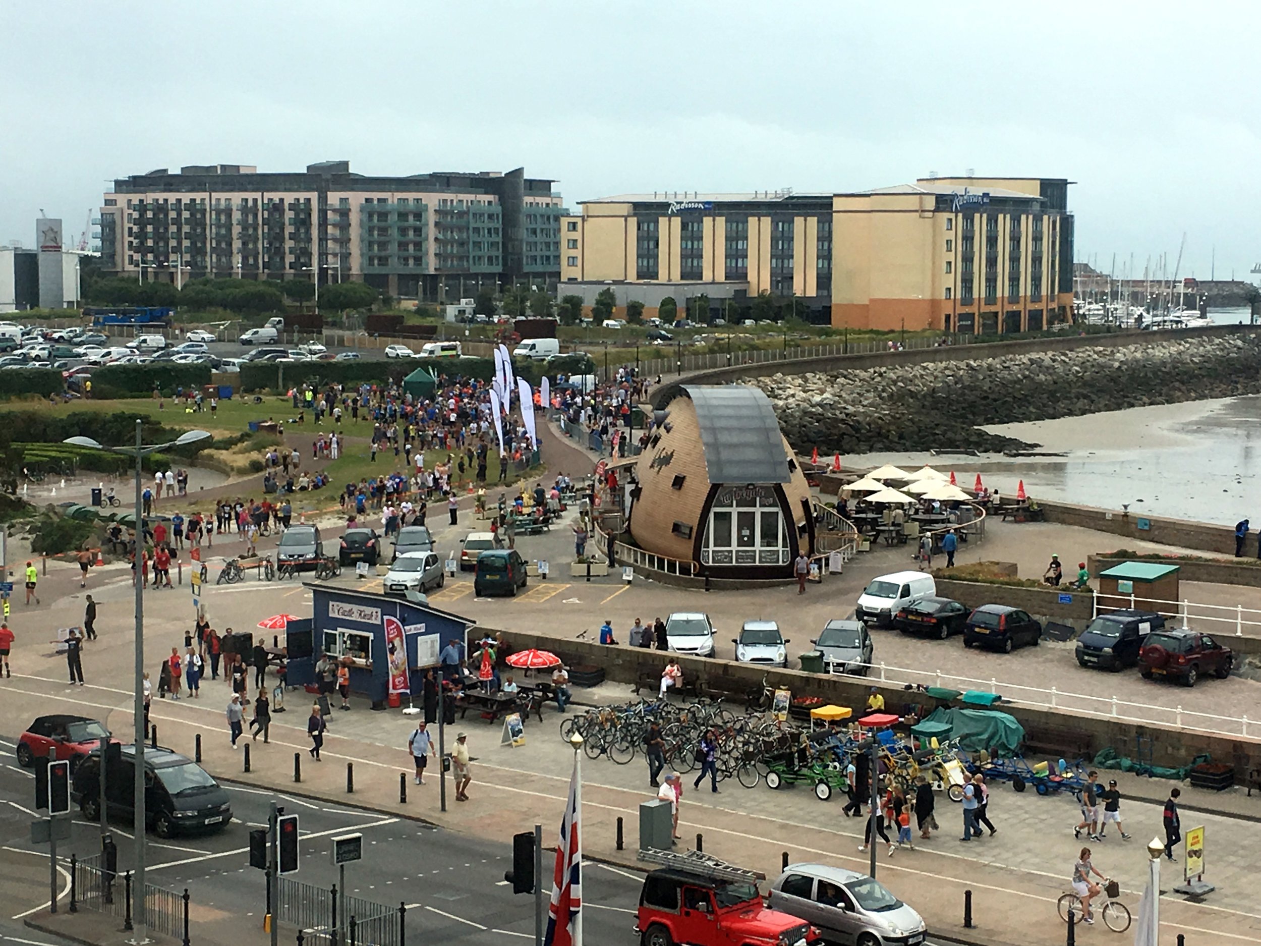
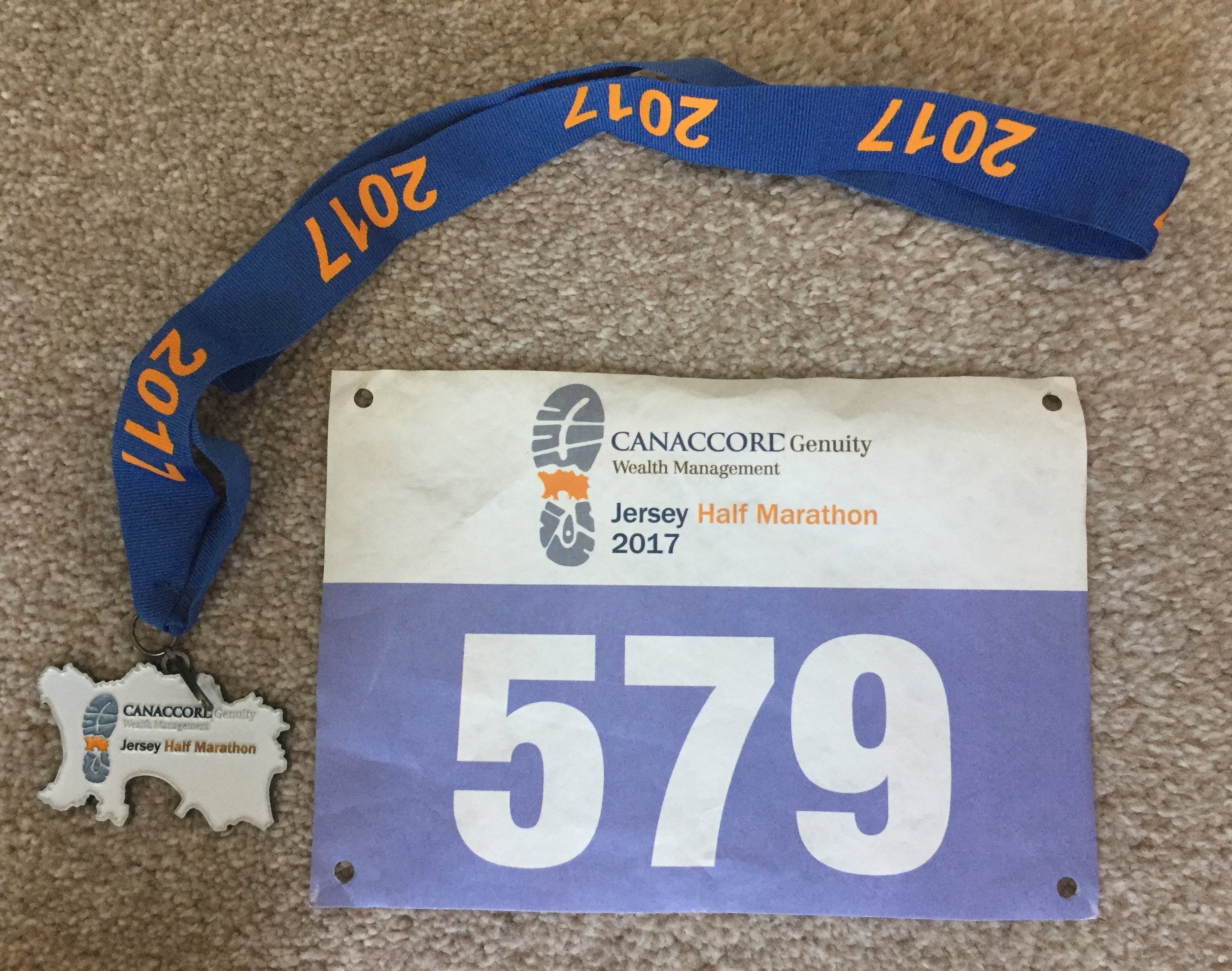
When: June 11th 2017
Where: Jersey, Channel Islands
Course: Point-to-point from St Ouen to St Helier. First 2 miles down-hill to the north west coast then 5 miles along western coastal roles. Follows the old railway line, now a cycle path to St Aubin with the final 3 miles on the promenade of St Aubin's bay
Other routes touched (walk): None
Other routes touched (cycle): Jersey Cycle Route 1
Finish time: 1:59
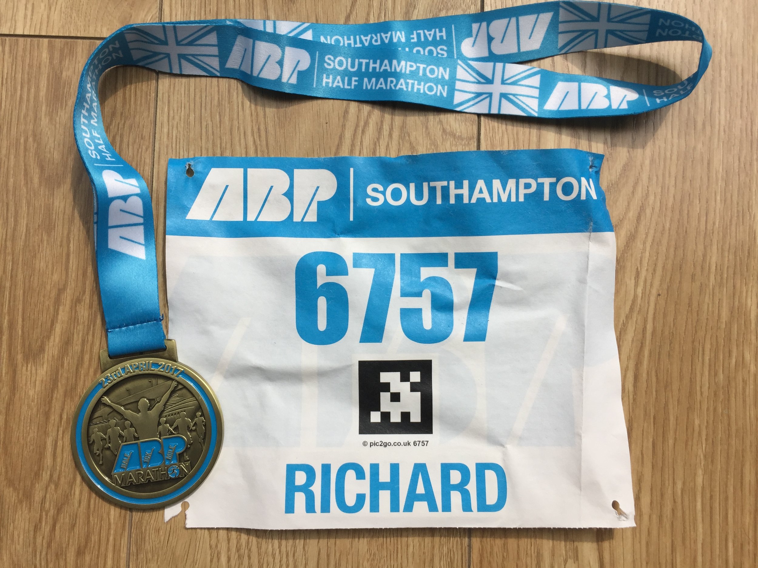
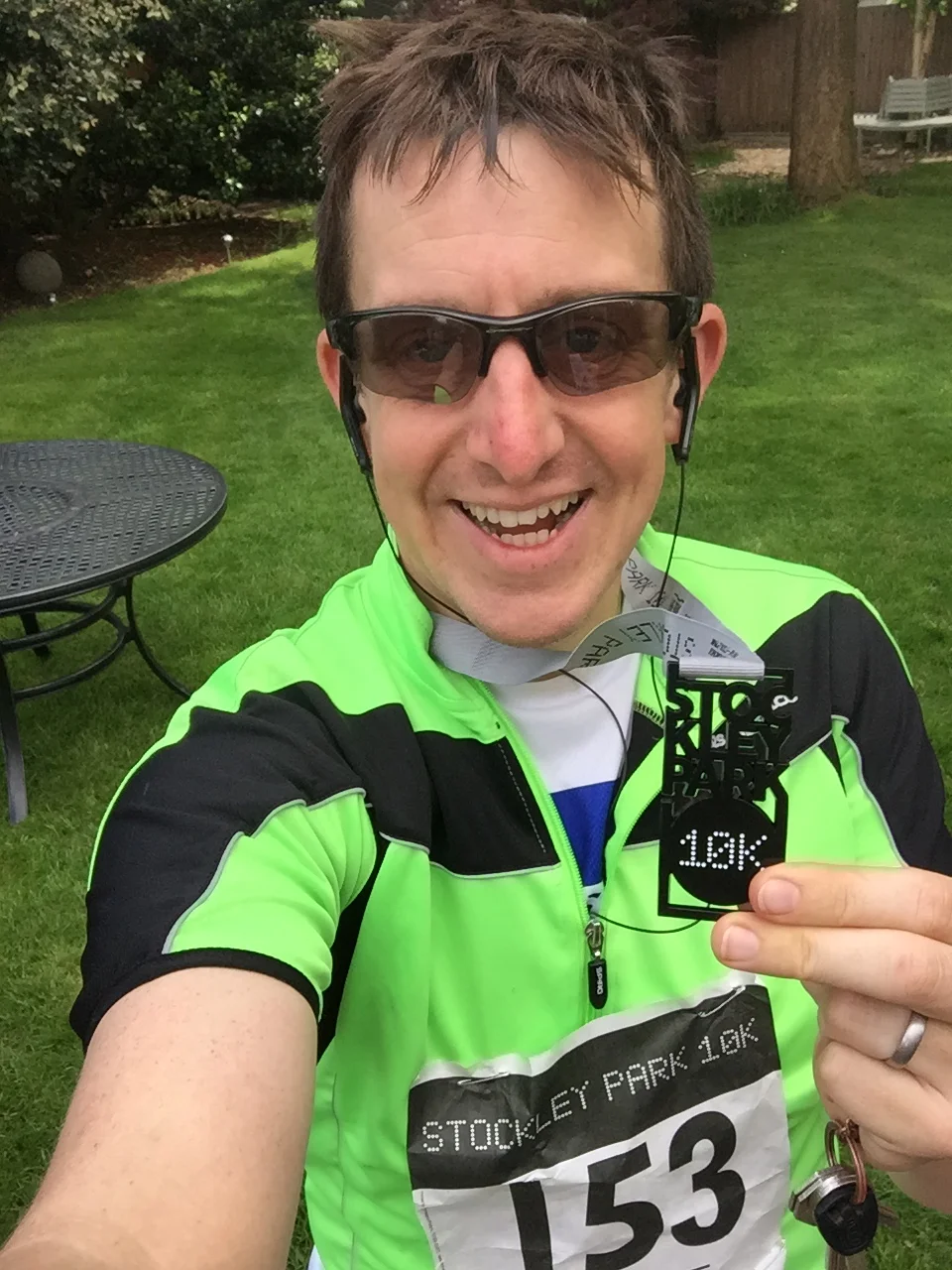
When: April 23rd 2017
Where: Stockley Park, Uxbridge
Course: Loops of Stockley Park Golf Course & Country Park with start and end in Stockley Park Business Park
Other routes touched: None
Finish time: 56m

When: April 23rd 2017
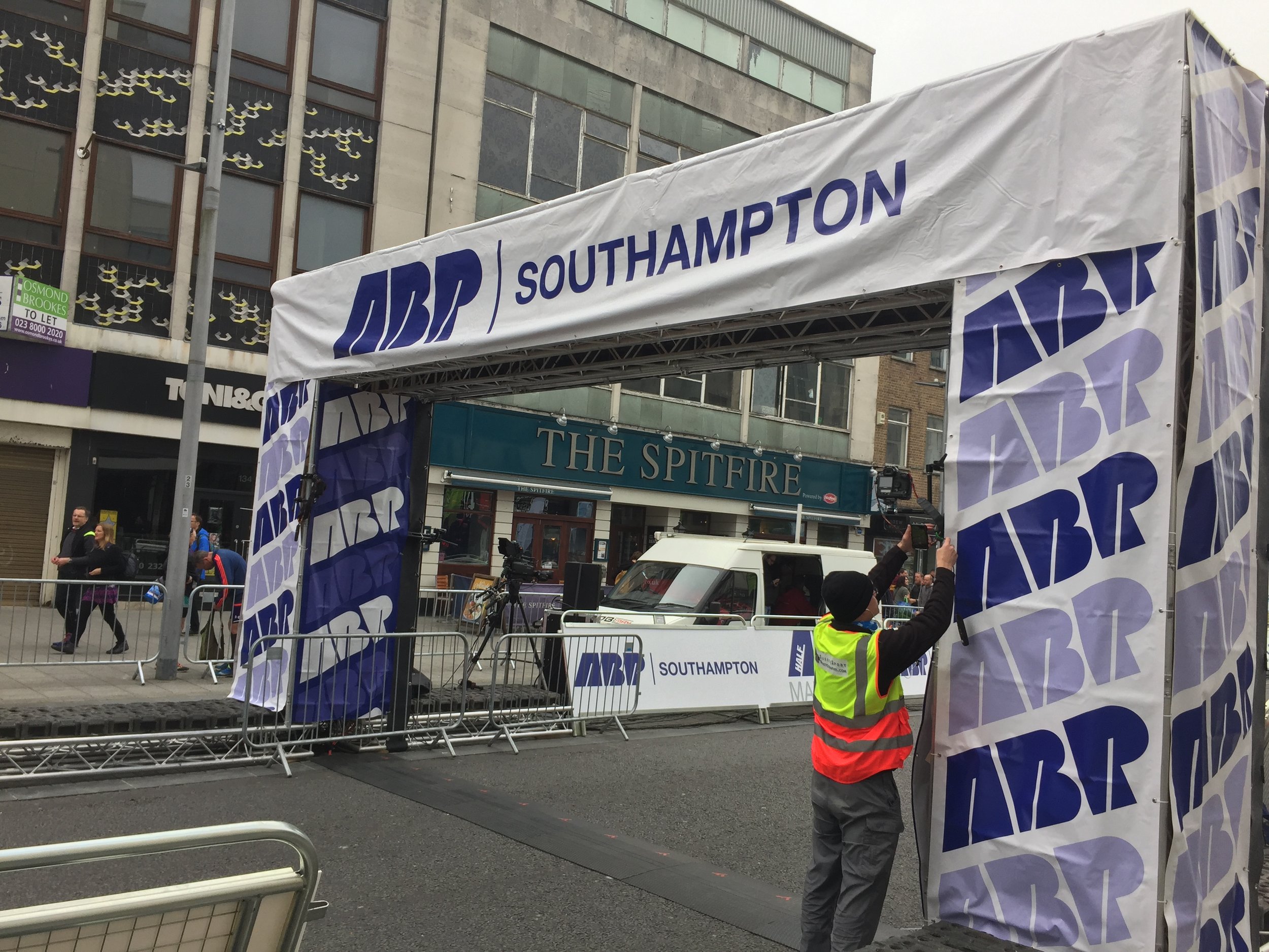
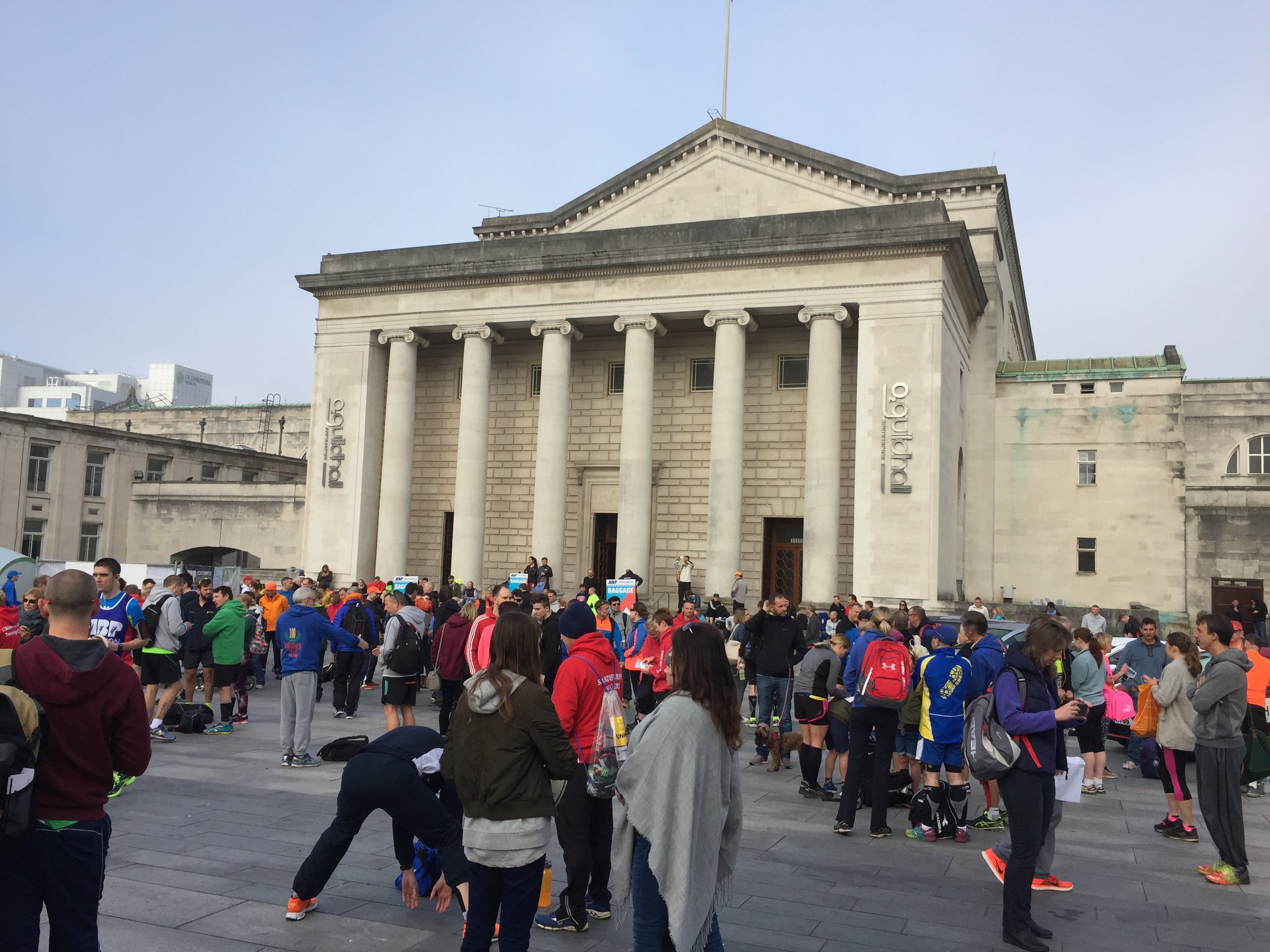
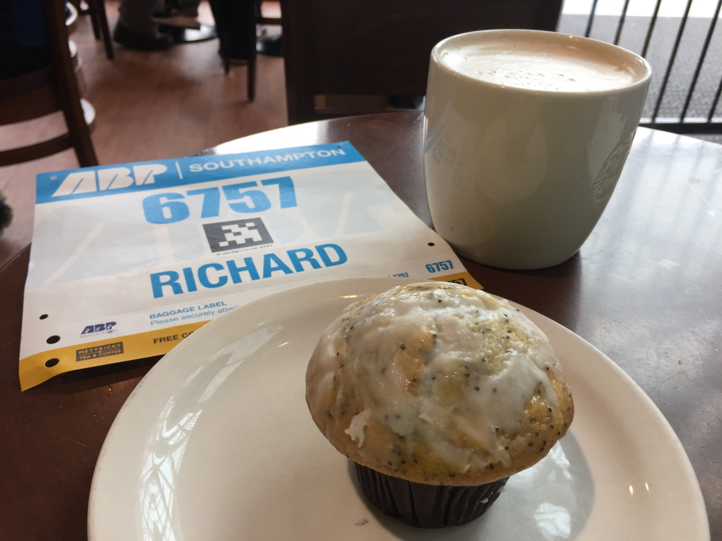
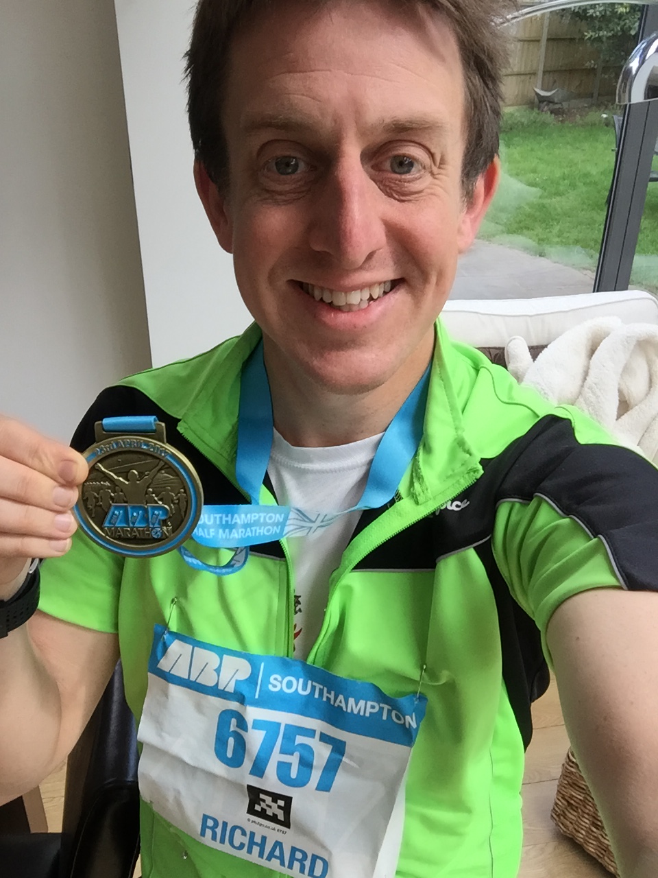
Where: Southampton, Hampshire, UK
Course: Mix of city centre, country parks and bridges over the River Itchen. Through the football stadium at mile 10.
Other routes touched (walk): Itchen Way, Solent Way,
Other routes touched (cycle): NCN 2, 23, 236
Finish time: 1:55
A highlight of today's Half Marathon was seeing how many people had misread the online registration form. There was a section that asked how you want your name to appear on your Race Number. Most got it right and wrote in their name, nickname, charity or running club. It's mainly there for spectators to cheer you on as you run past. Some clearly misunderstood and had "yes", "no" or "N/A" printed on them. There was even one guy who would have had people shouting "Well done ..."Just the number please"" as he ran by. Fail
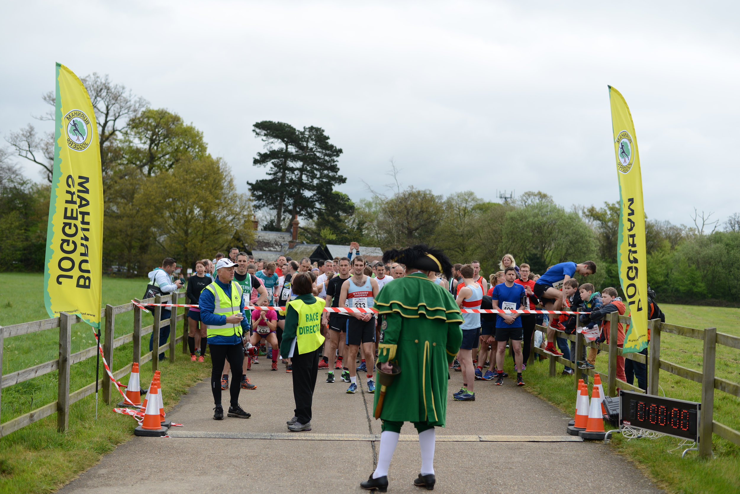
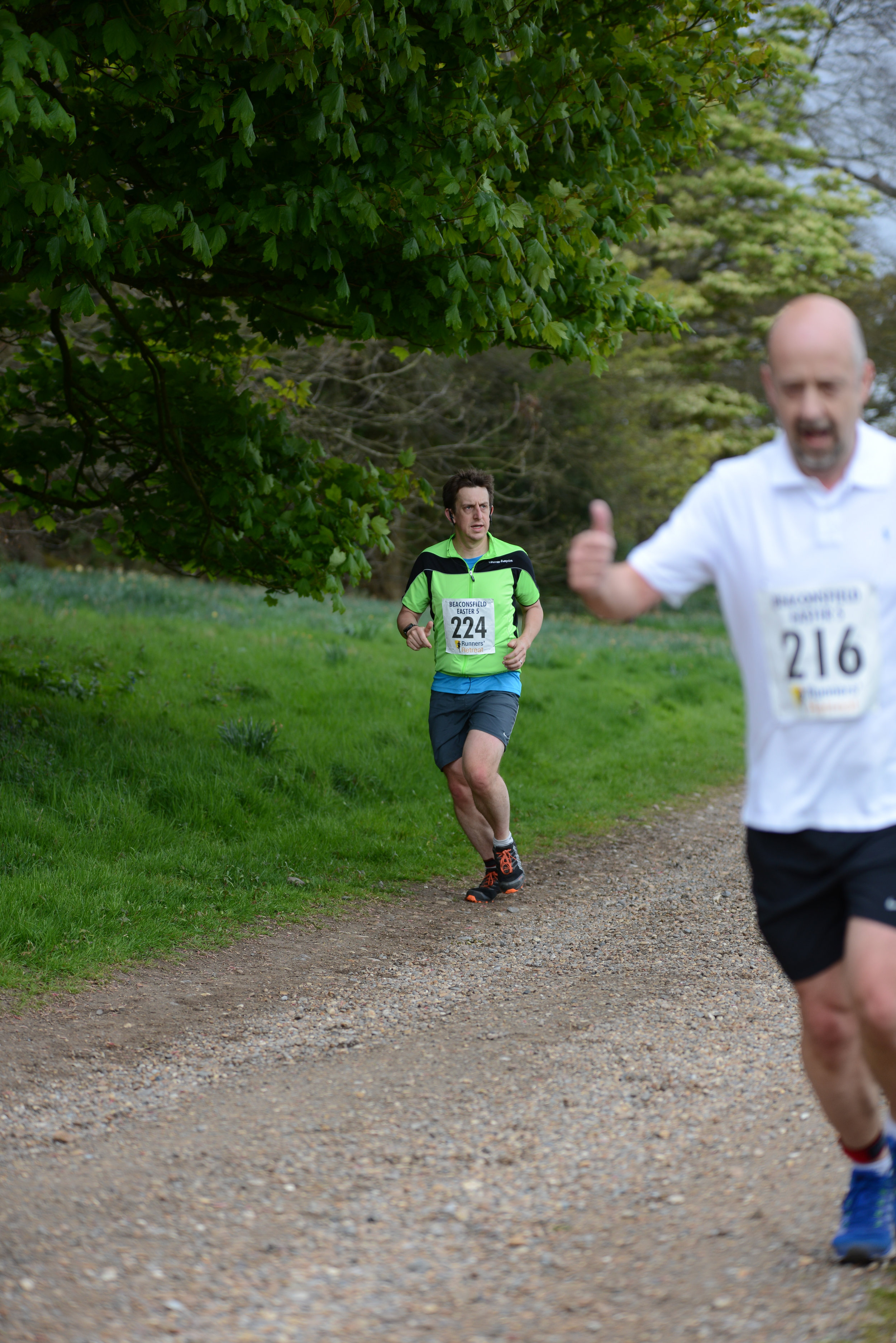
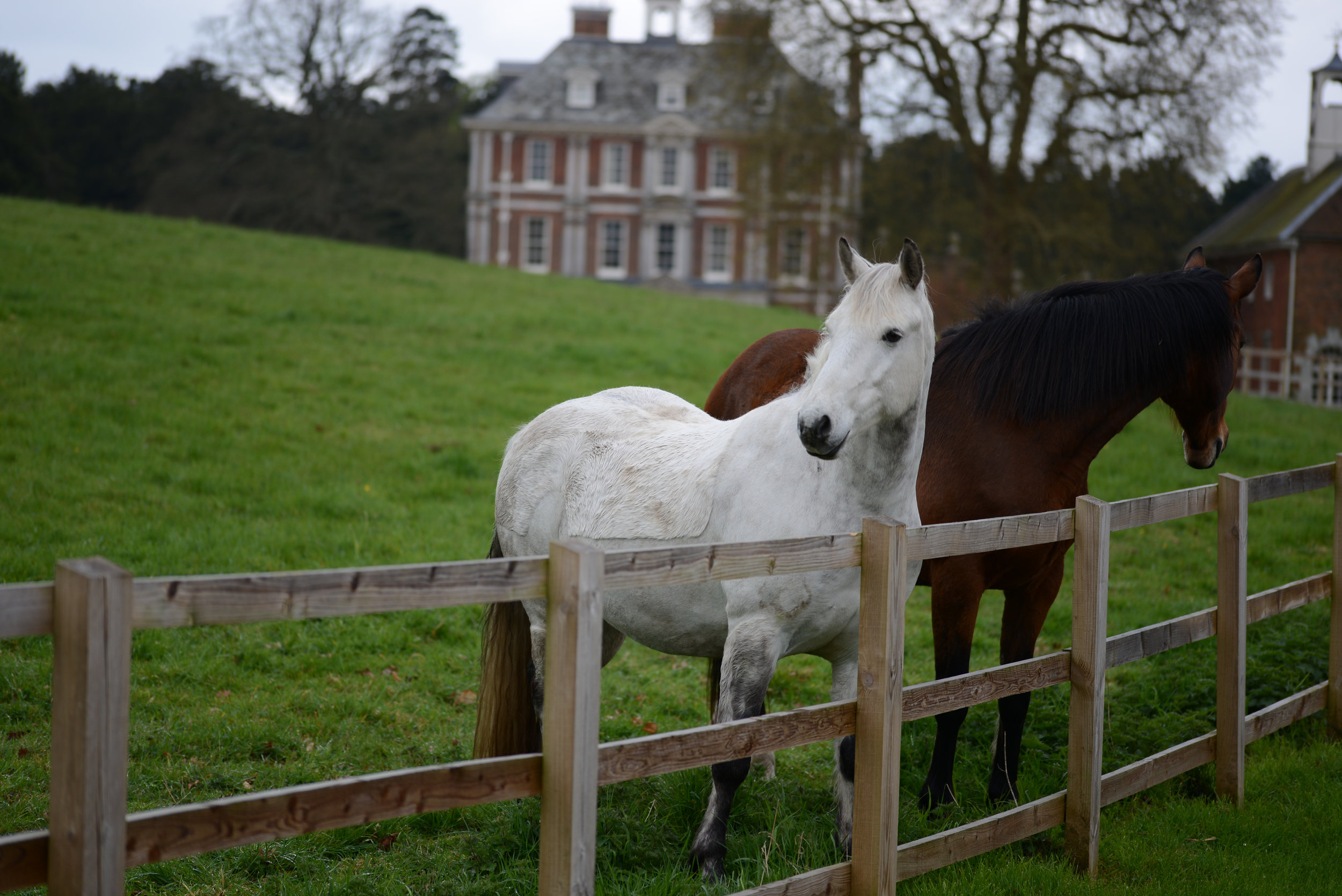
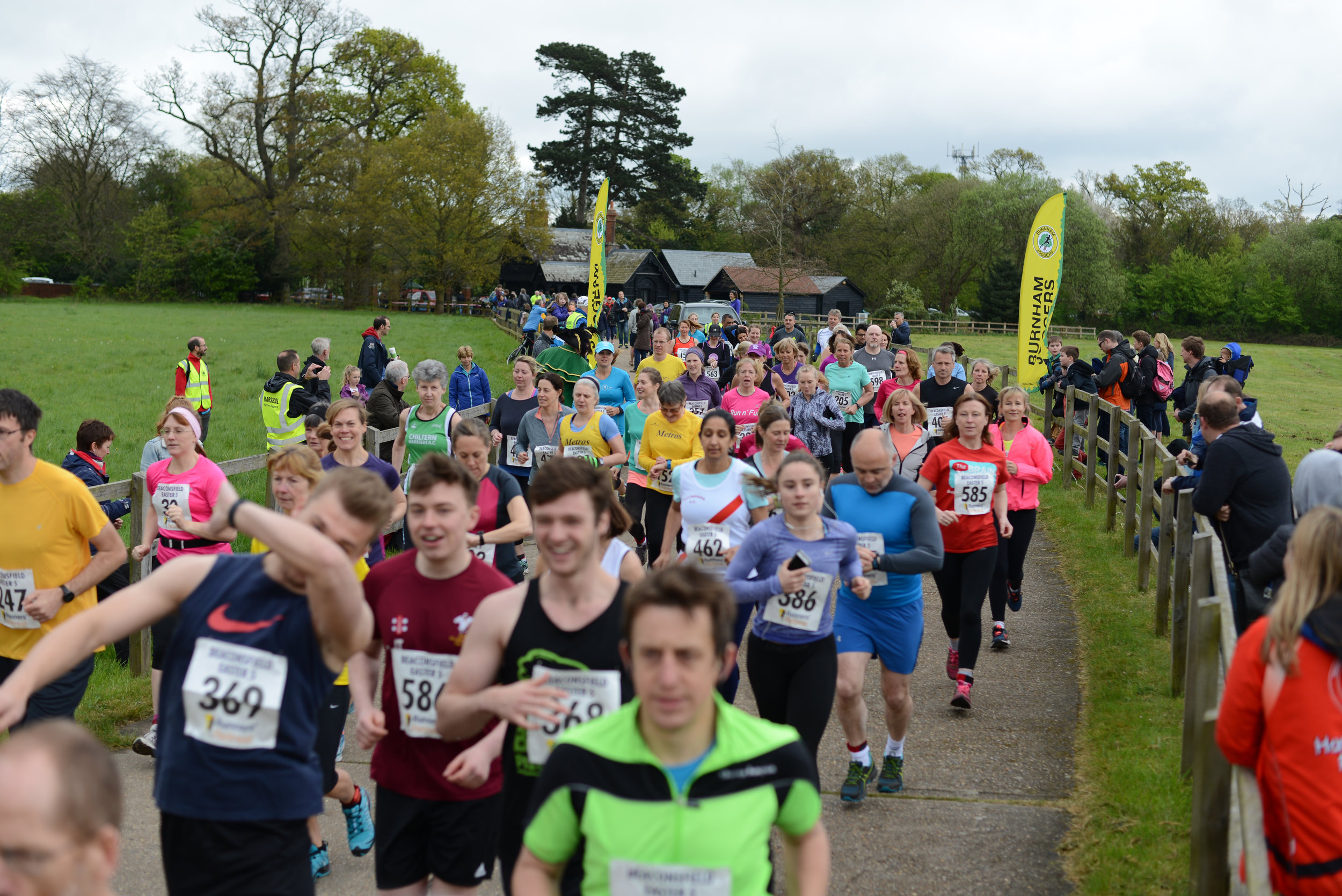
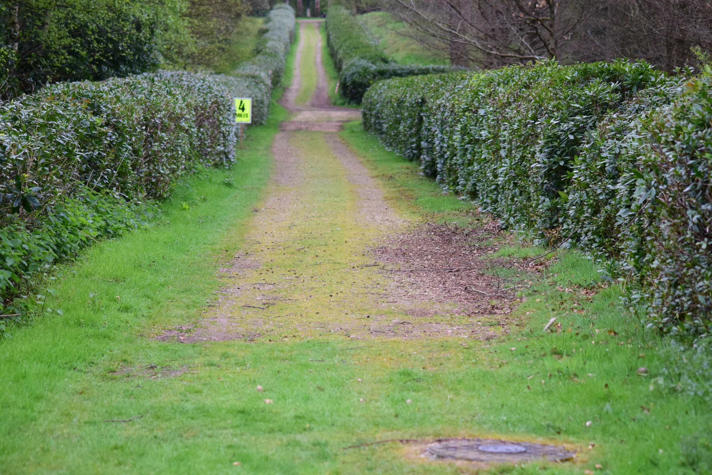
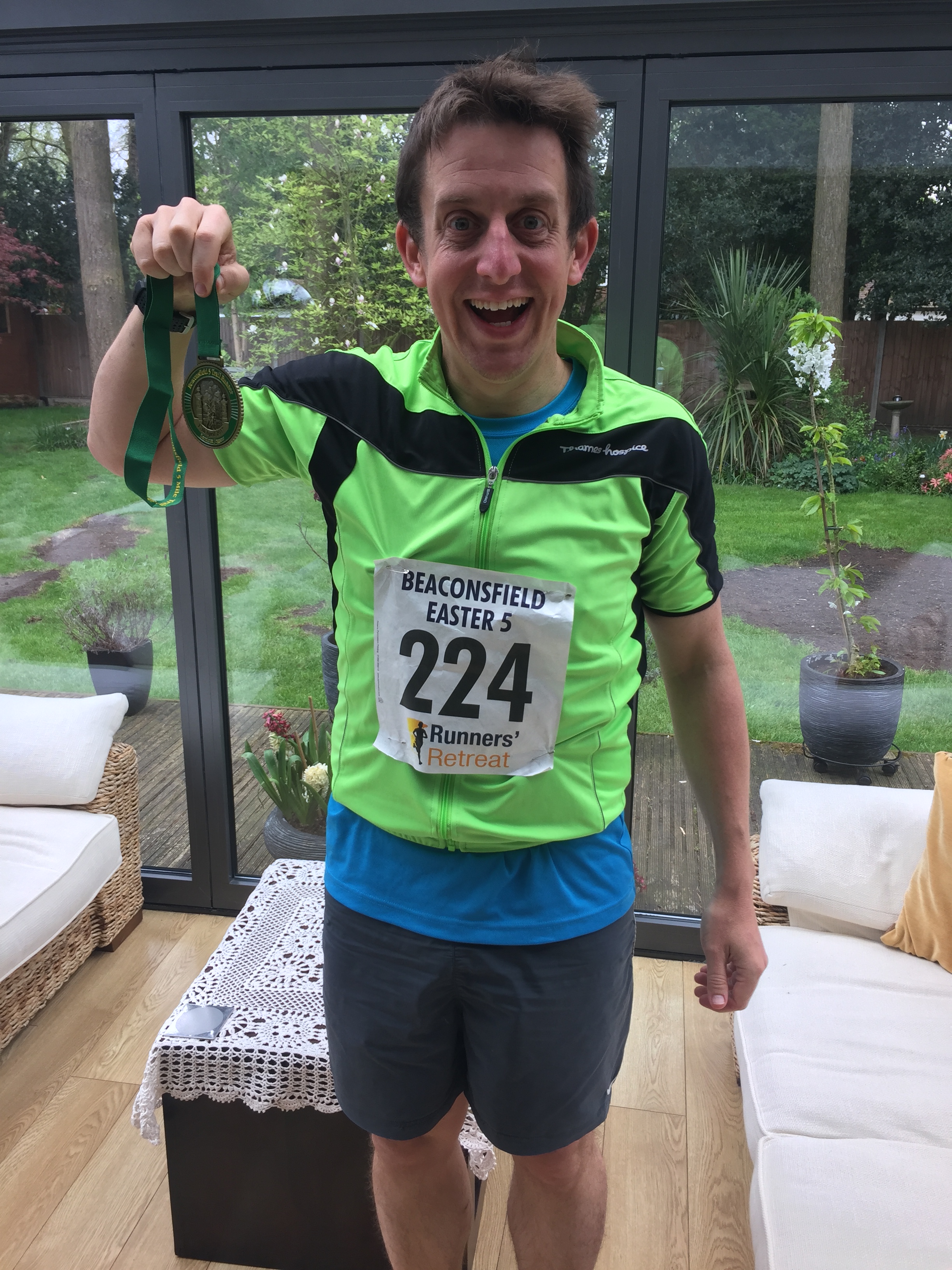
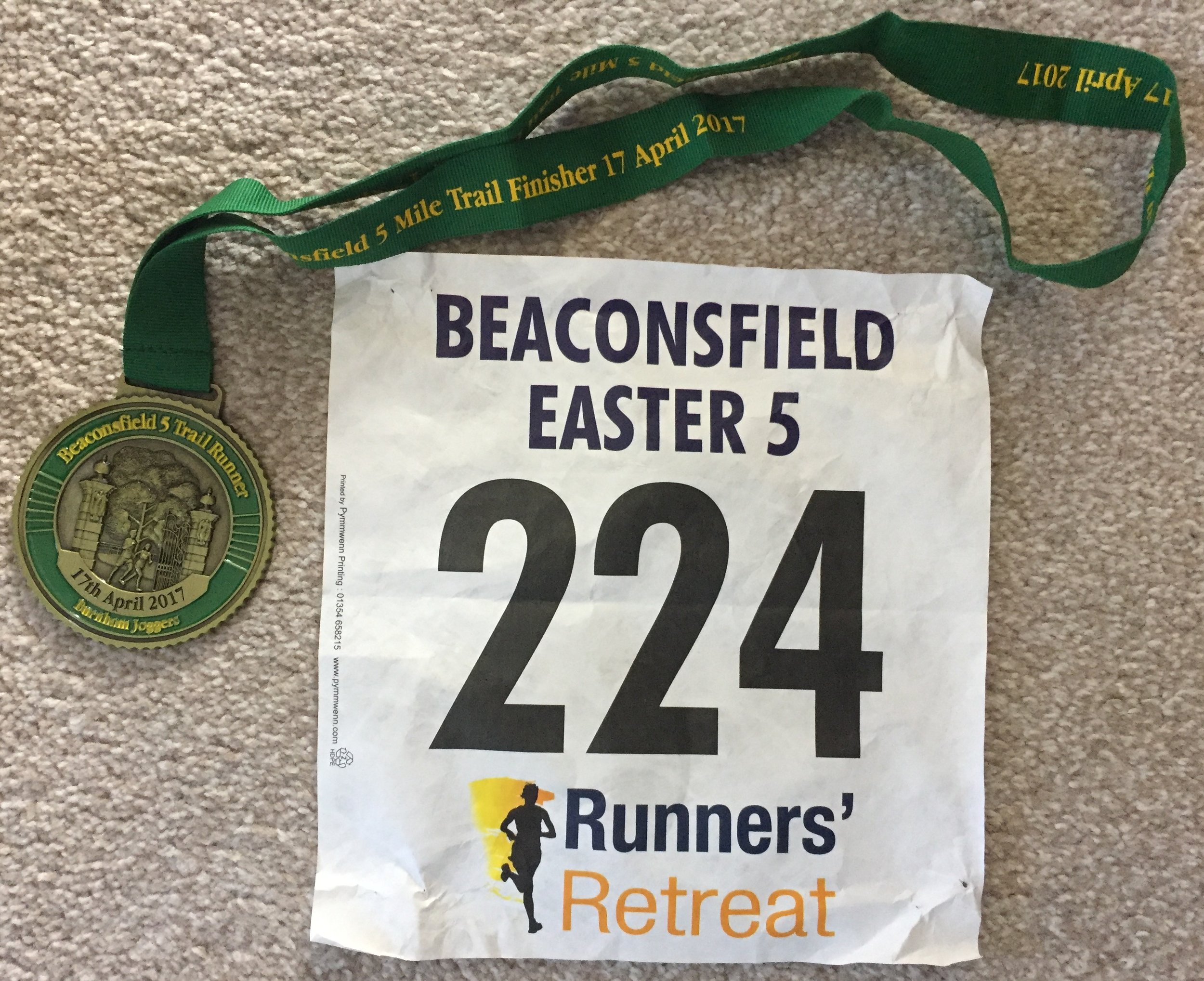
When: April 16th 2017
Where: Hall Place, Beaconsfield
Course: Start at Beaconsfield Rugby Club, then over the motorway for a circuit of Hall Place (normally closed to the public)
Other routes touched: None
Finish time: 44m
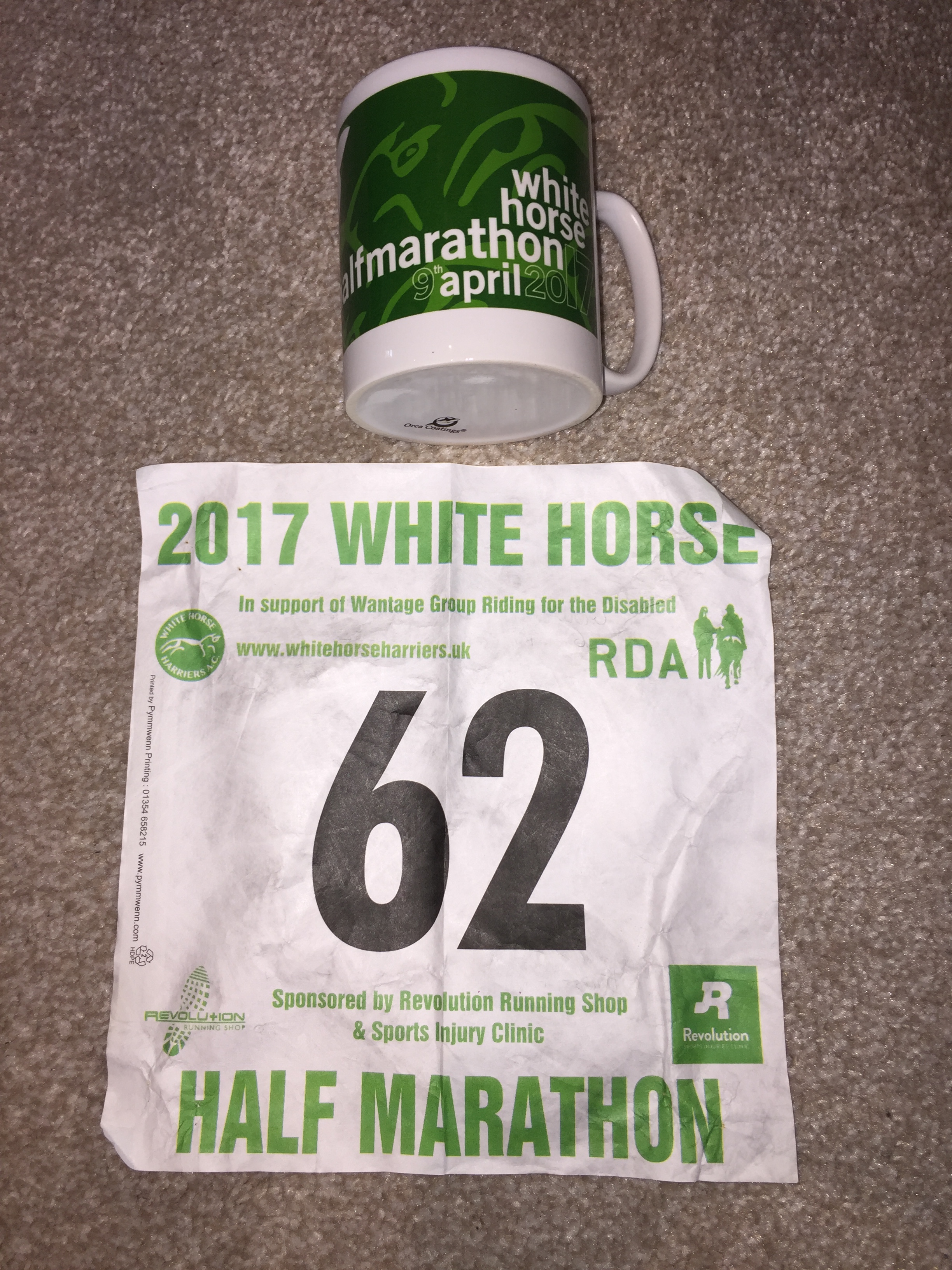
When: April 9th 2017
Where: Grove, Oxfordshire, UK
Course: Mostly flat country roads around Grove, Denchworth, Lyford, Charney Bassett and Goosey
Other routes touched: None
Finish time: 2:10 ... Hot and slow!

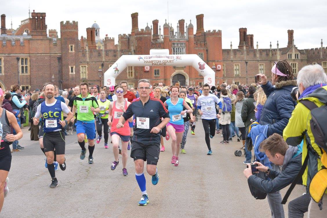
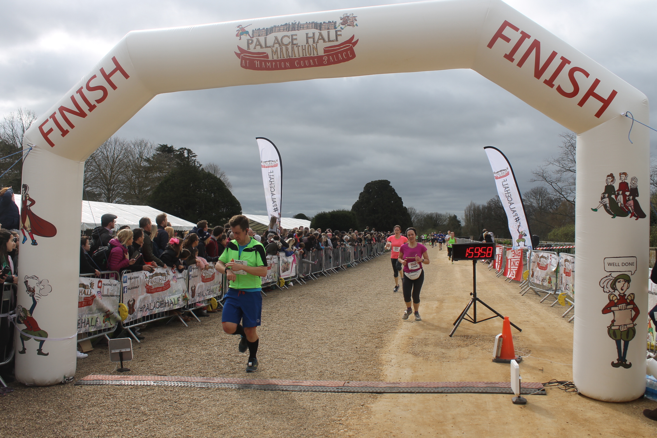
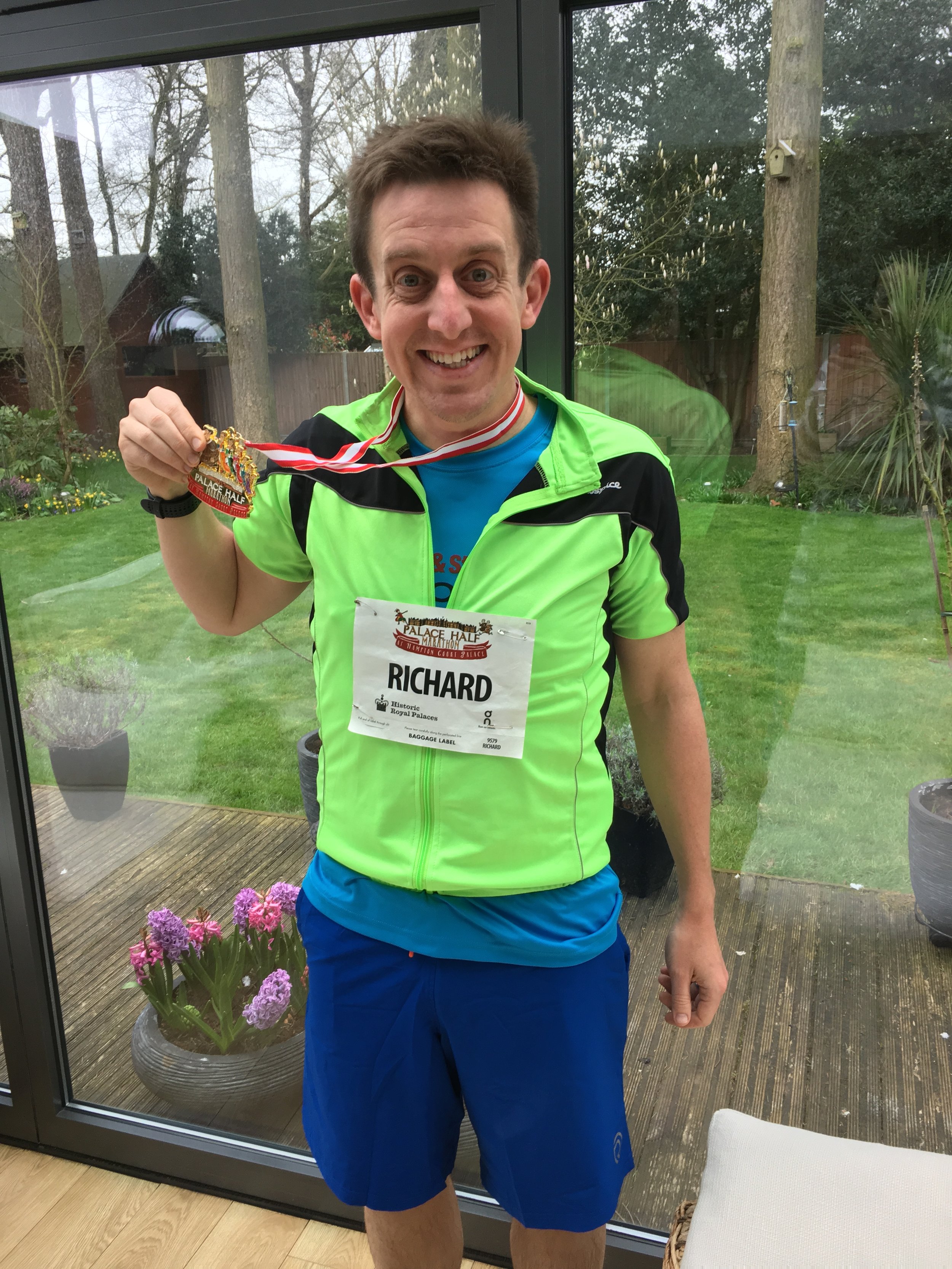
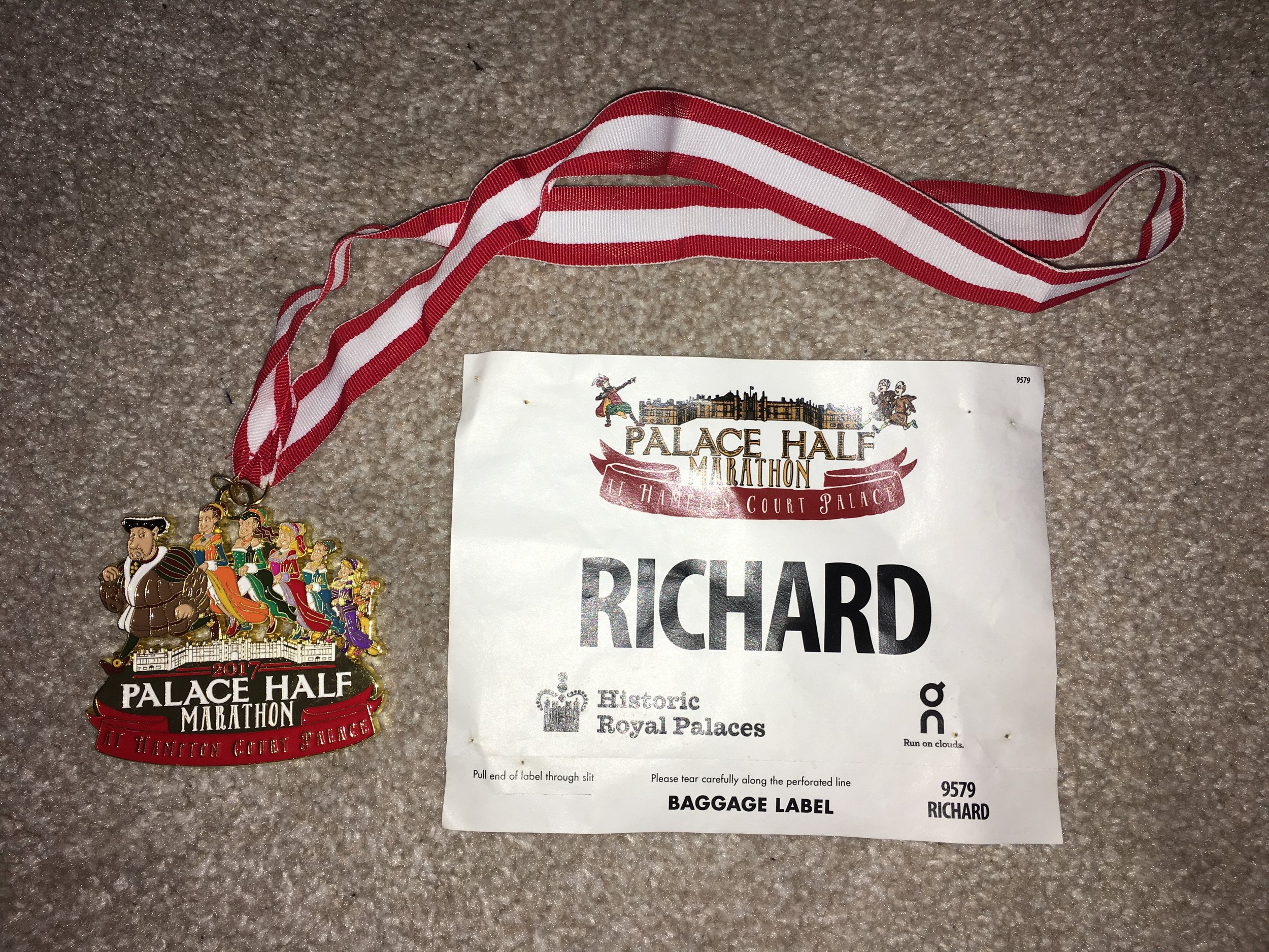
When: March 19th 2017
Where: Hampton Court Palace, Surrey, UK
Course: Thames Path between Hampton Court and Kingston, on road to Thames Ditton, off road through Hampton Court Golf Club
Other routes touched (walk): Thames Path
Other routes touched (cycle): NCN 4
Finish time: 1:57
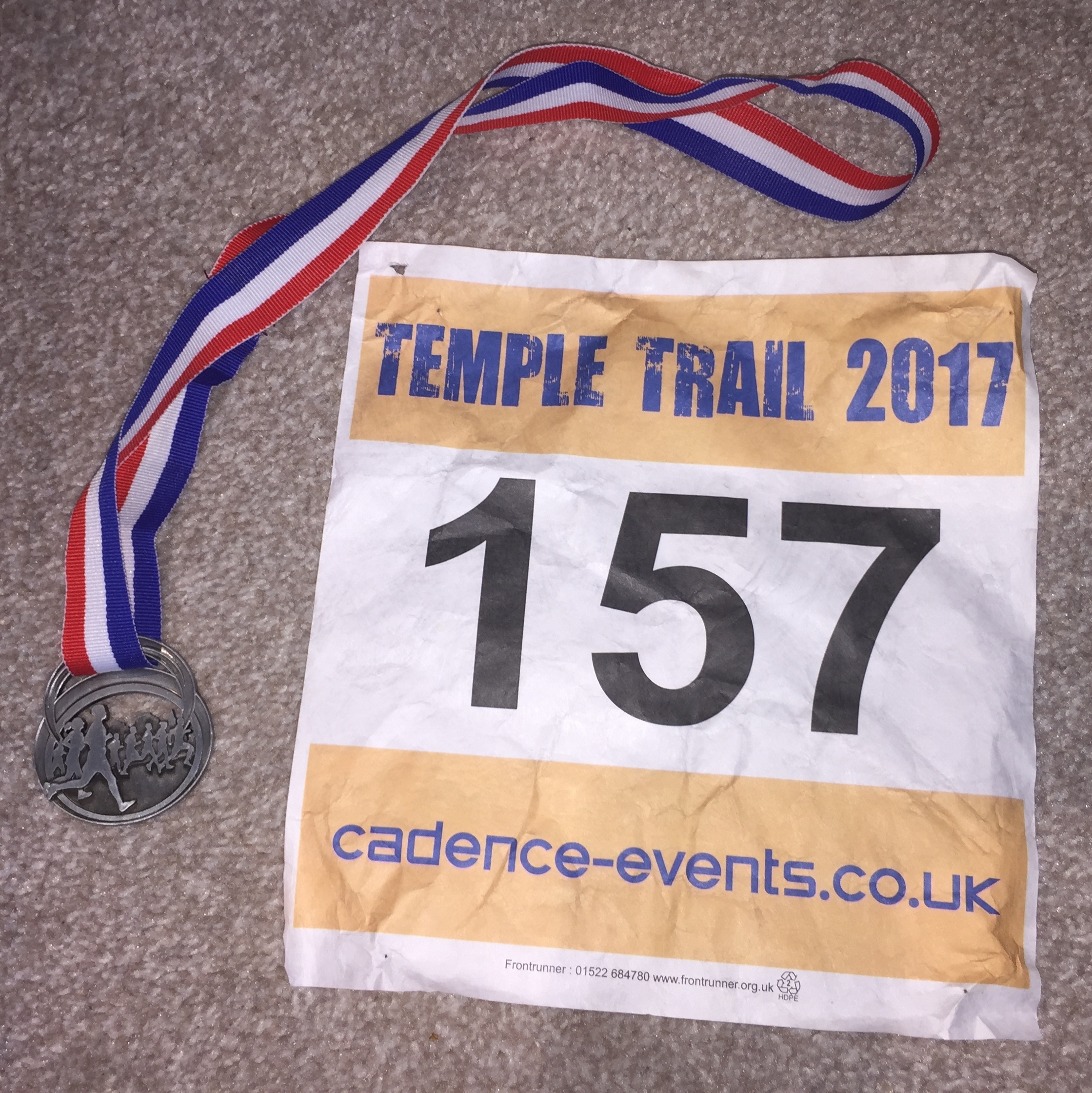
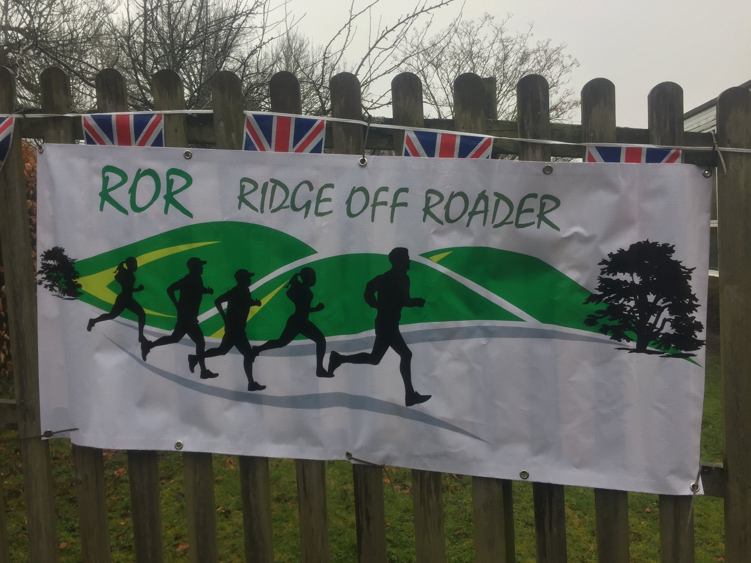
When: March 12th 2017
Where: Bledlow Ridge, Chiltern Hills, UK
Course: Very hilly, muddy off-road course following some of the Ridgeway
Other routes touched (walk): Chiltern Way, The Ridgeway, Midshires Way,
Other routes touched (cycle): Chilterns Cycleway
Finish time: 2:46 (slow!)
When: March 11th 2017
Where: Black Park, Buckinghamshire
Course: 2 laps of Black Park, home of the Black Park parkrun. Done at night with headtorches
Other routes touched (walk): Beeches Way
Other routes touched (cycle): None
Finish time: 54m


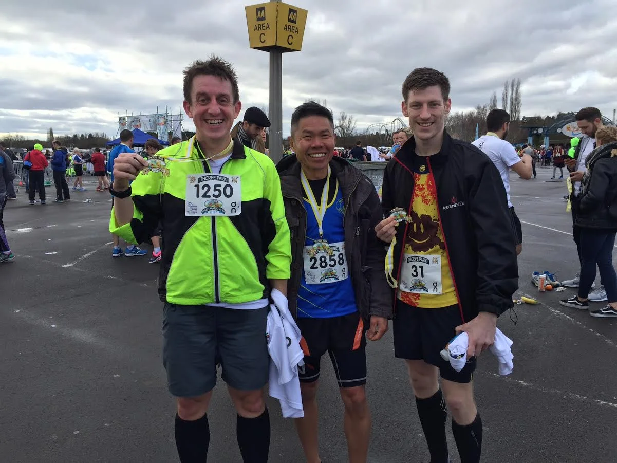
When: February 26th 2017
Where: Thorpe Park, Chertsey, UK
Course: On-road, start and end at Thorpe Park, out to Egham, Virgina Water & Lyne
Other routes touched: None
Finish time: 2:00
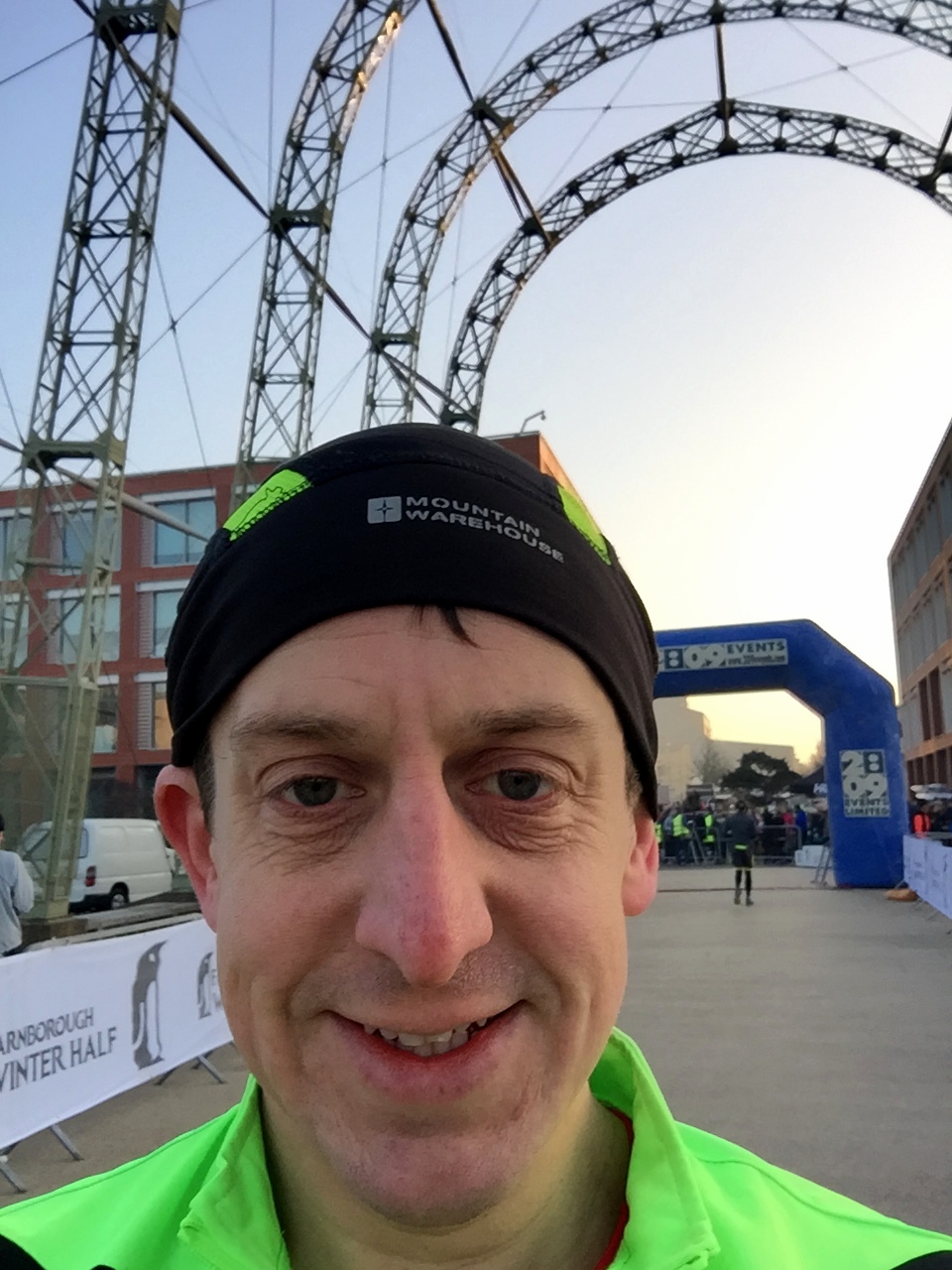
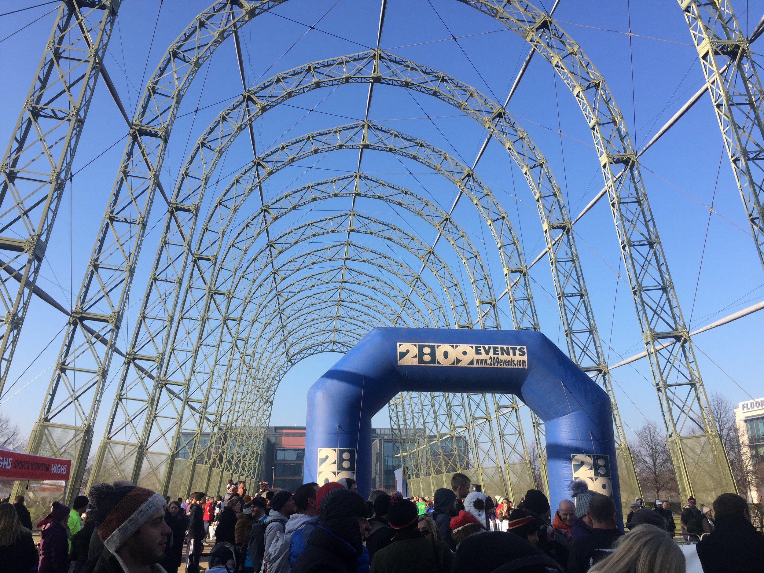
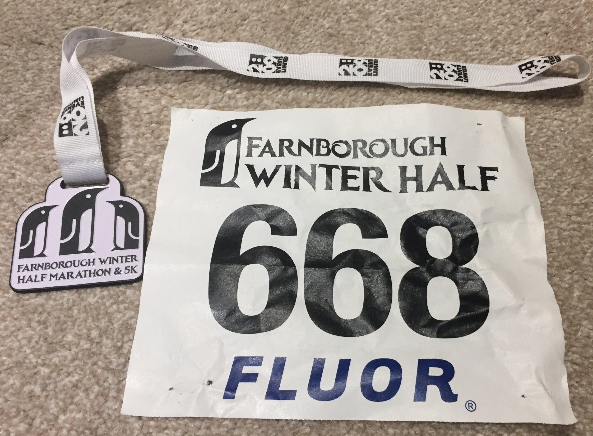
When: January 22nd 2017
Where: Farnborough Airport, Hampshire
Course: Mostly airport perimeter roads, plus off-road trails & Basingstoke Canal
Other routes touched (walk): Basingstoke Canal Towpath
Other routes touched (cycle): None
Finish time: 1:53