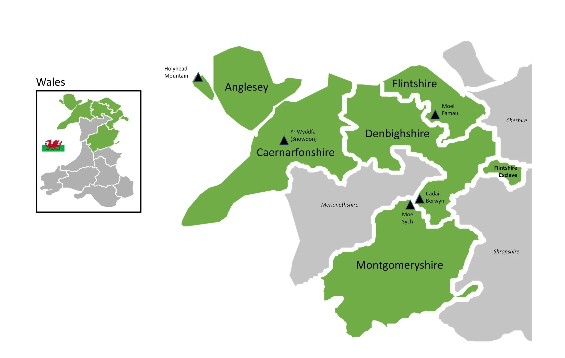
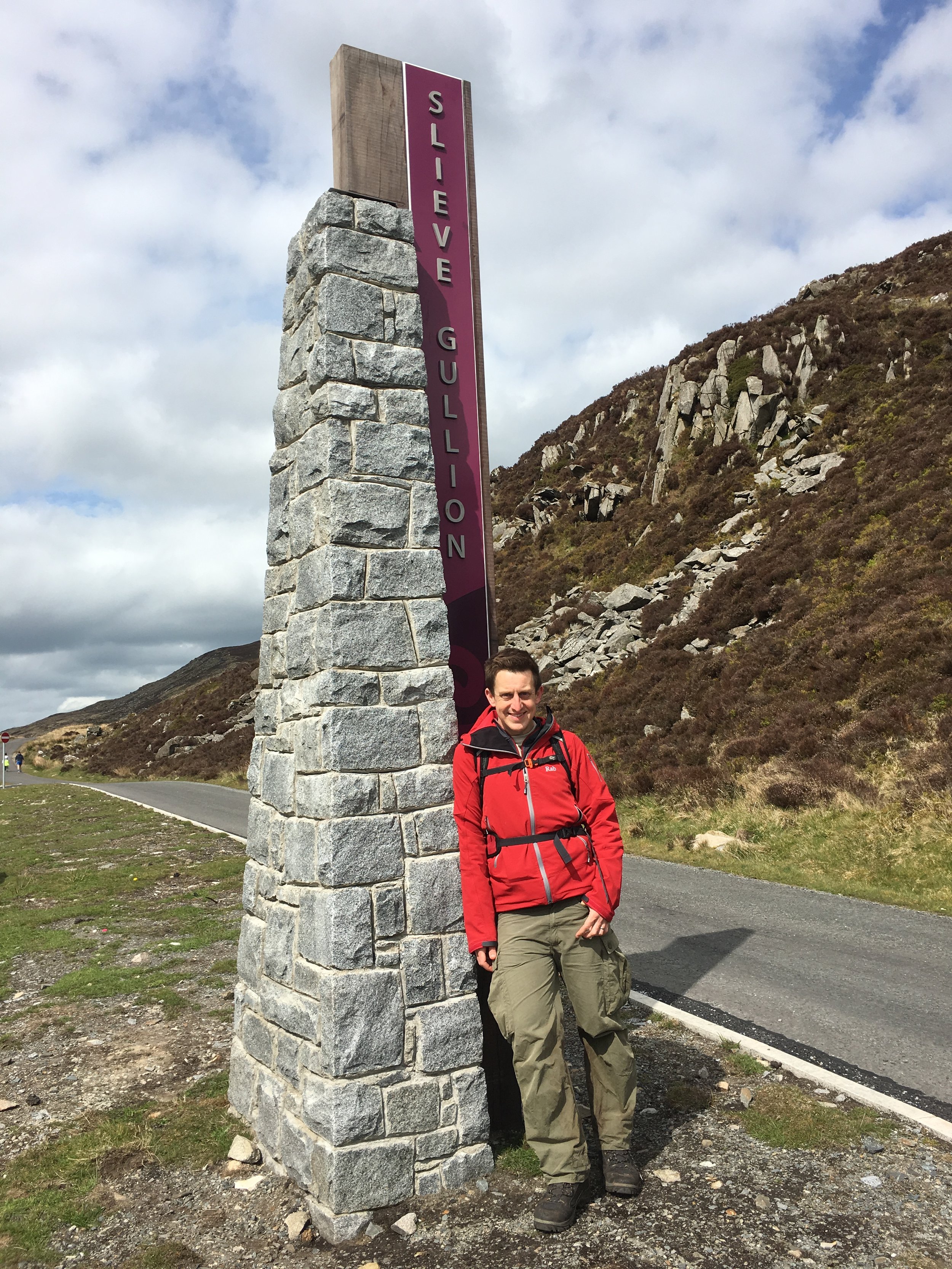
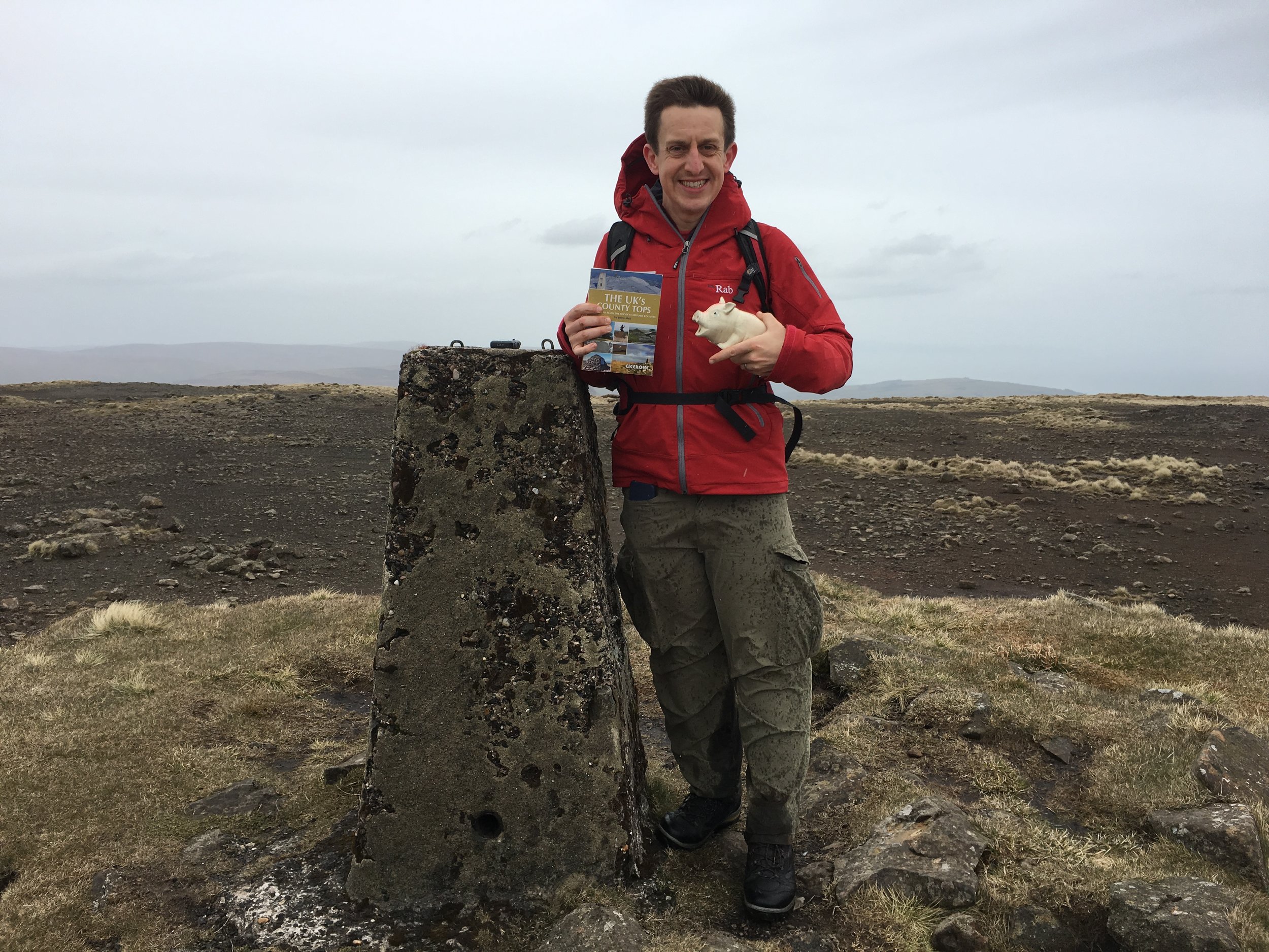
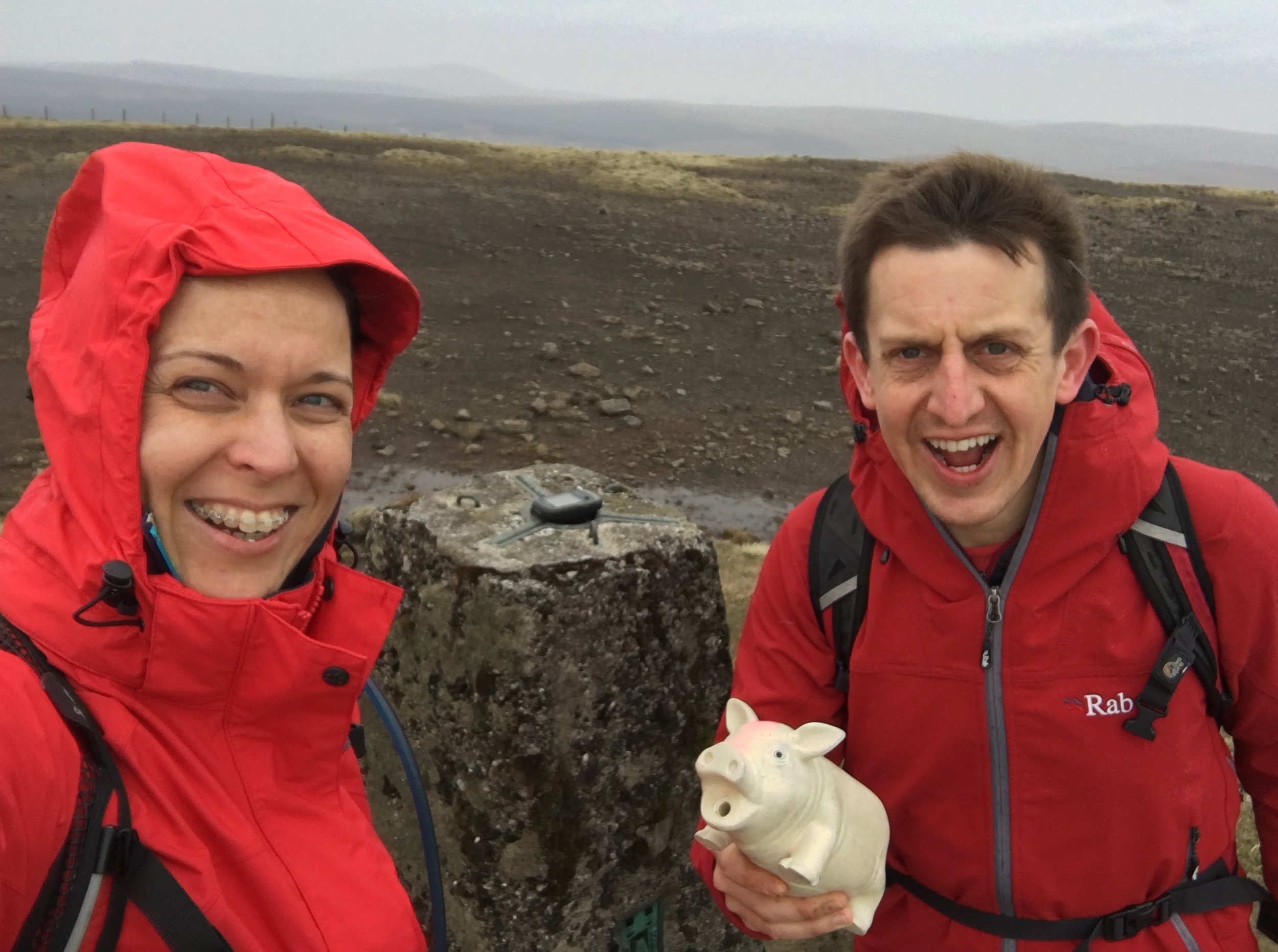
Snowdon
Also known as: Yr Wyddfa
Significance: Highest peak in Caernarfonshire (Historic County Top), Gwynedd (Preserved County and Principal Area), Snowdonia National Park High Point, Wales Country Top
Member of: Marilyn, Furth, Hewitt, Nuttall, Welsh 3000s
Parent Peak: Ben Nevis.
Nearest Higher Neighbour: Stob Binnein
Elevation: 1,085m
Date climbed: 25th July 2016 (and several times before)
Coordinates: 53°4′6.59″N 4°4′34.43″W
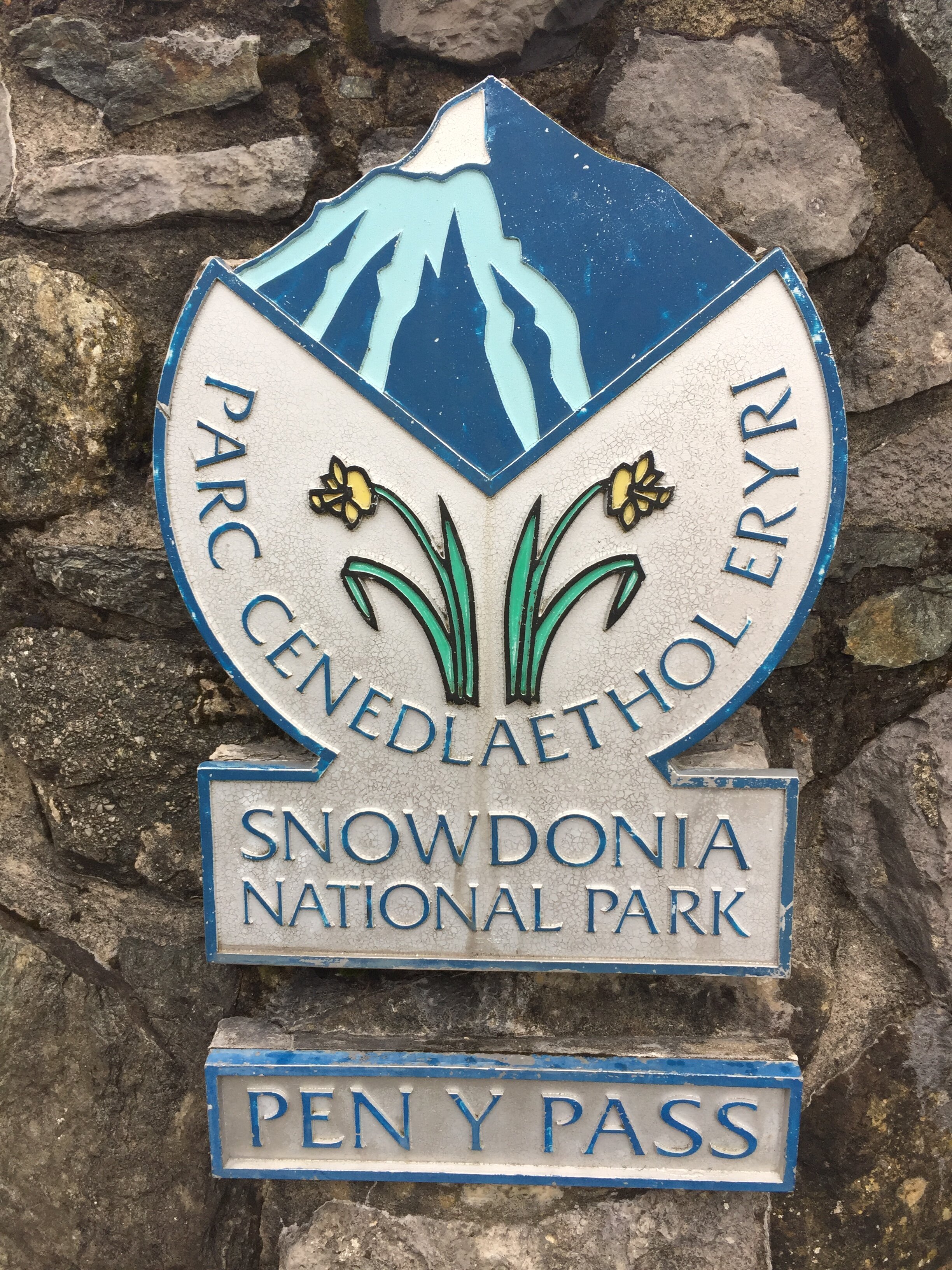
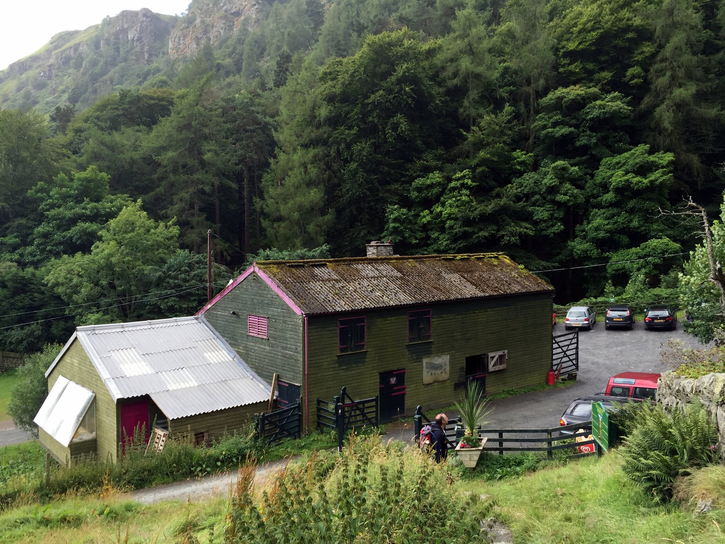
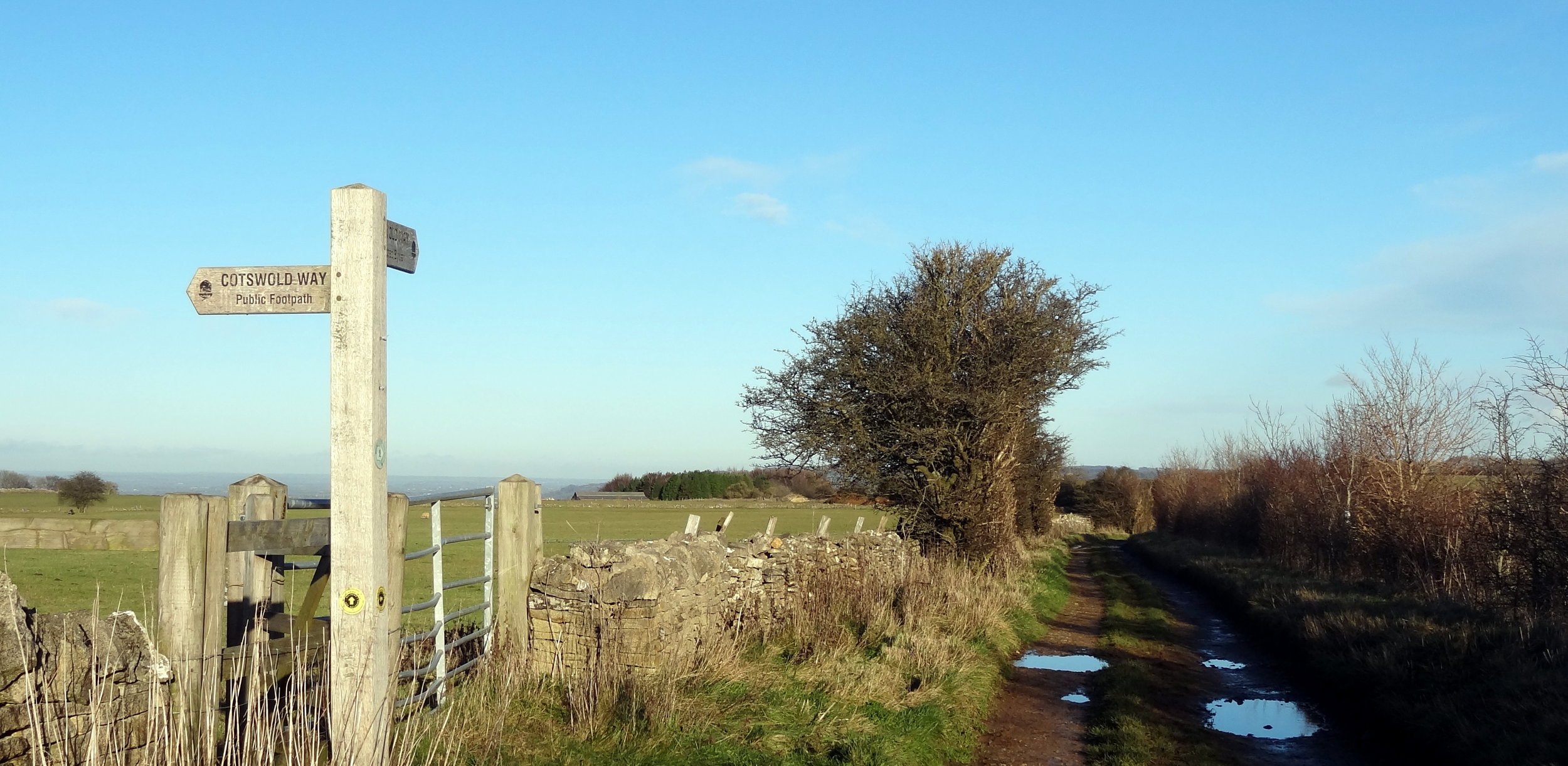
Route Start / End: Pen Y Pass car park
Route Distance: 12.4 km (7.7 miles)
Route Elevation Change: +/- 874m
Subsidiary tops on route: Y Lliwedd
GPX File: get via Buy Me a Coffee
Other routes touched (walk): Pyg Track, Llanberis Path, Snowdon Ranger Path, Watkin Path, Miners Track
Other routes touched (cycle): None
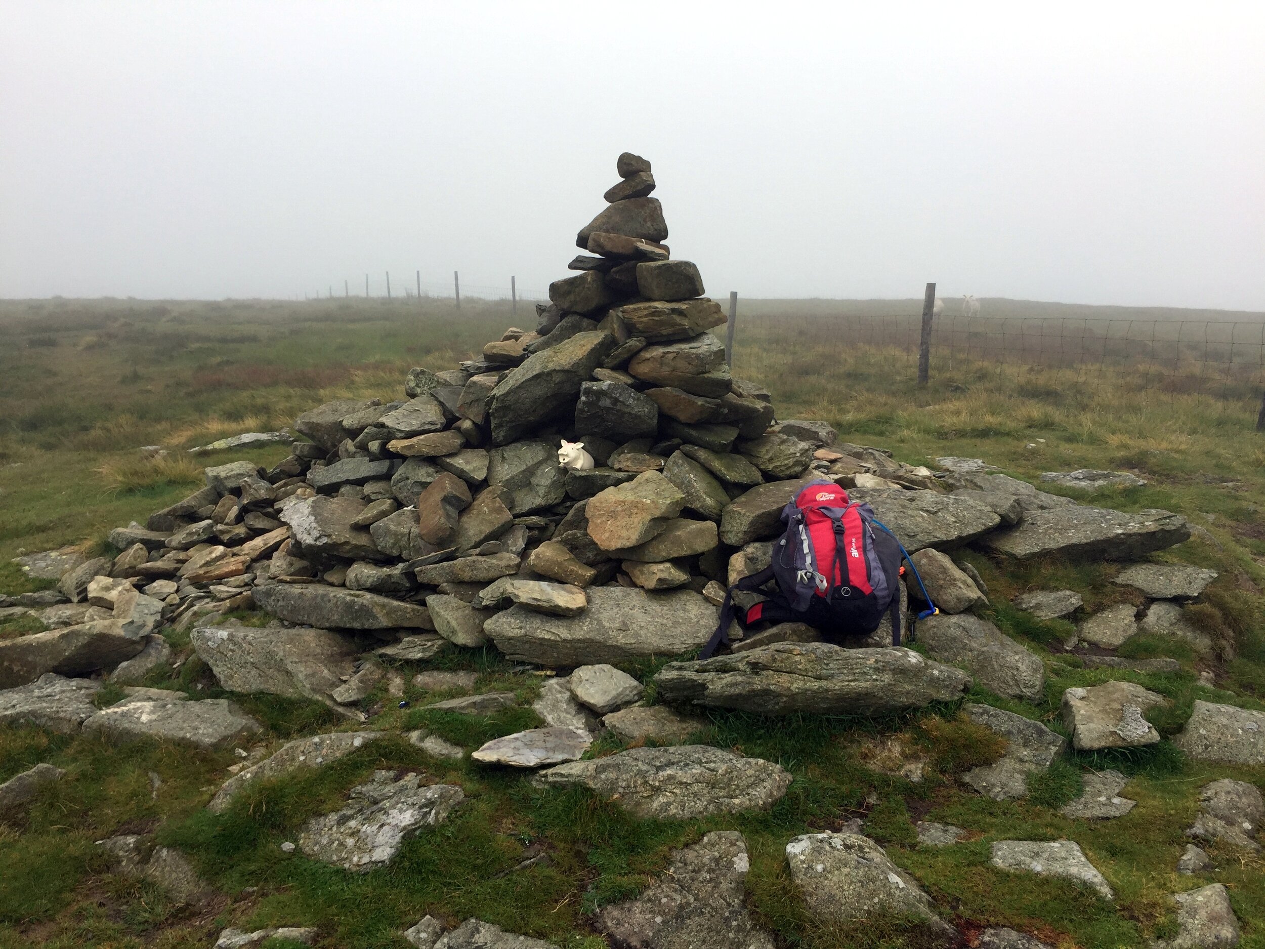
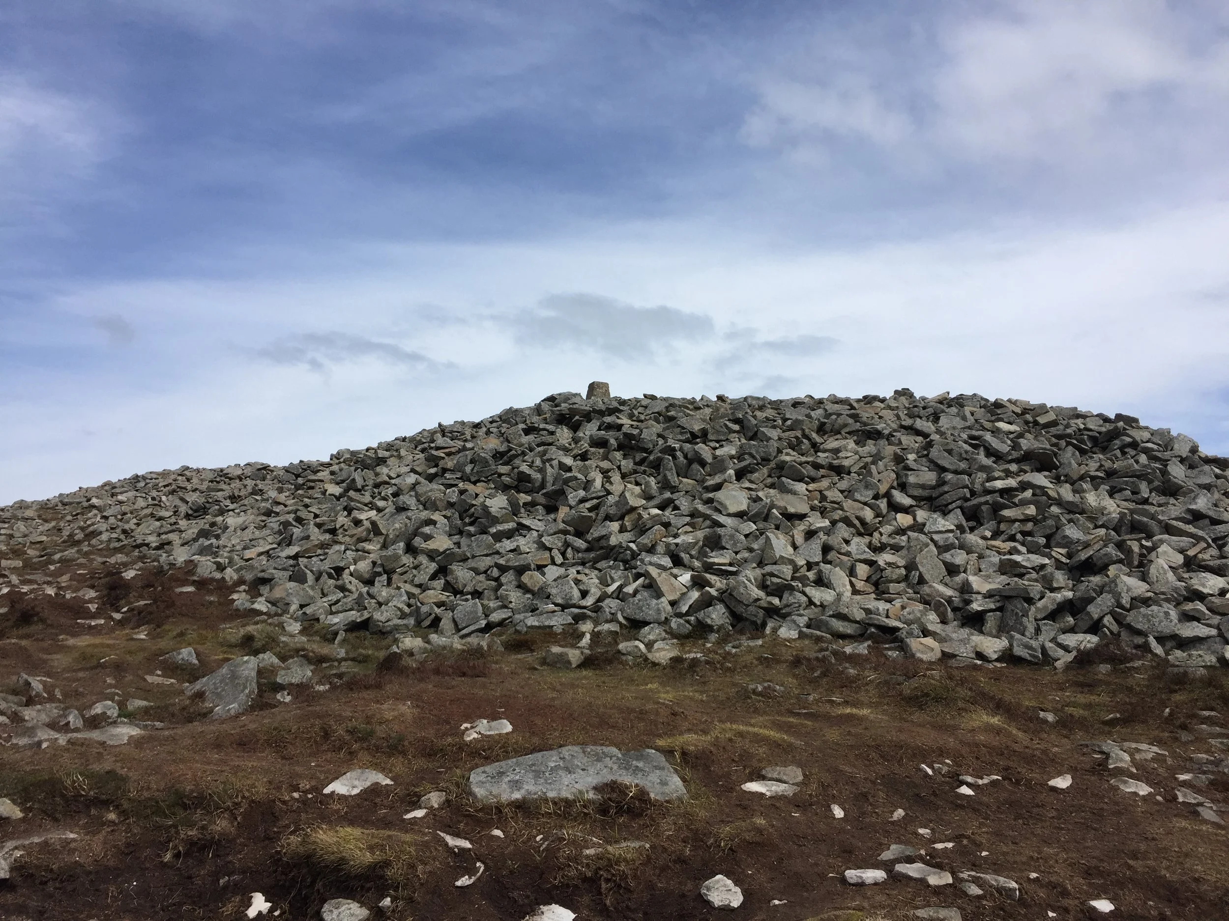
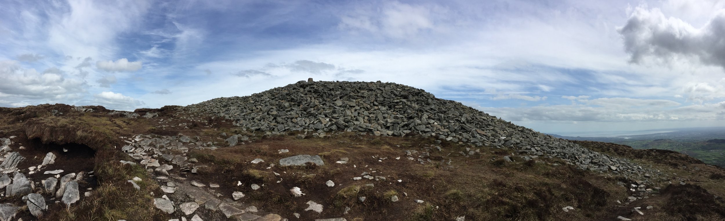
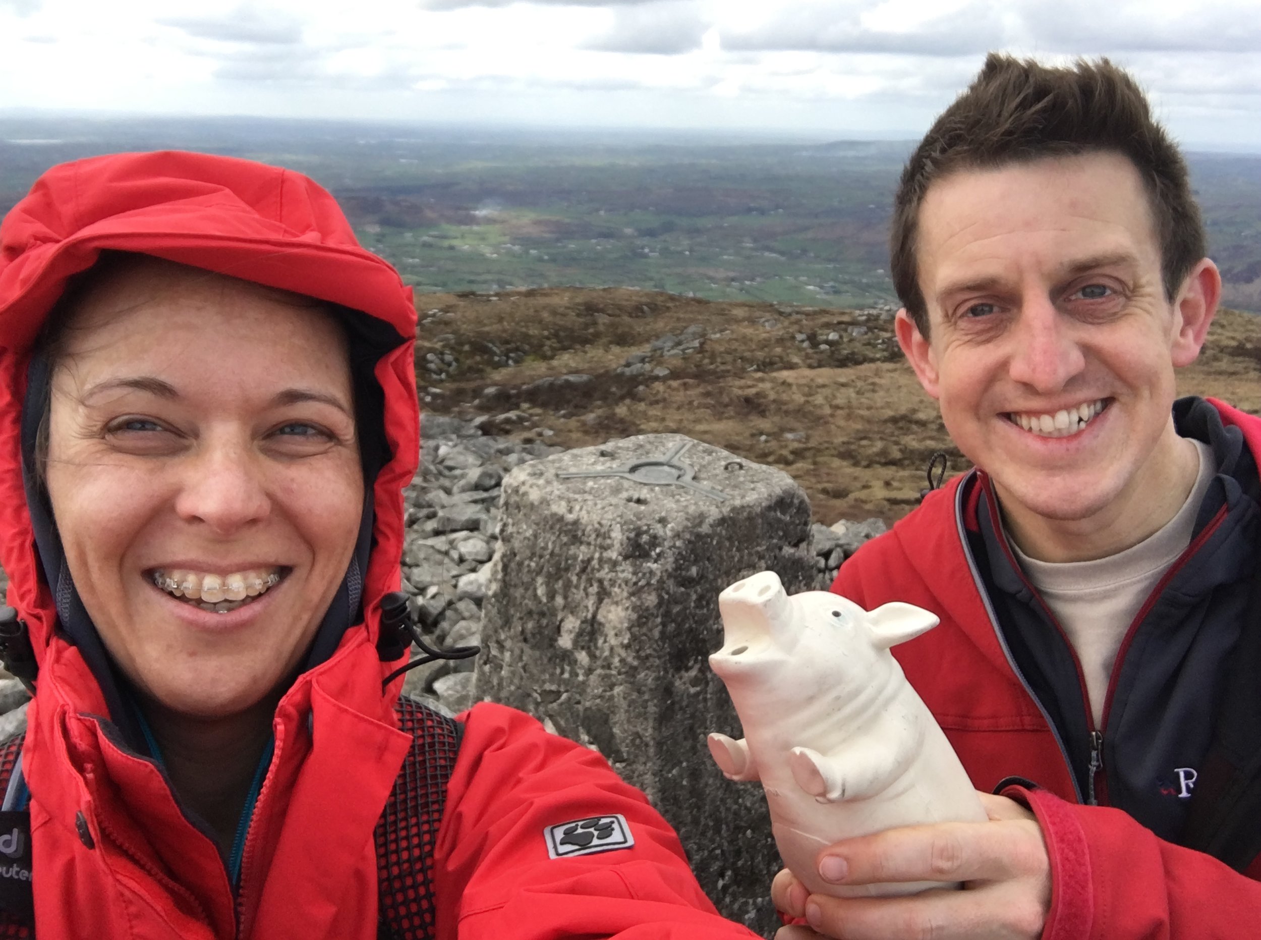
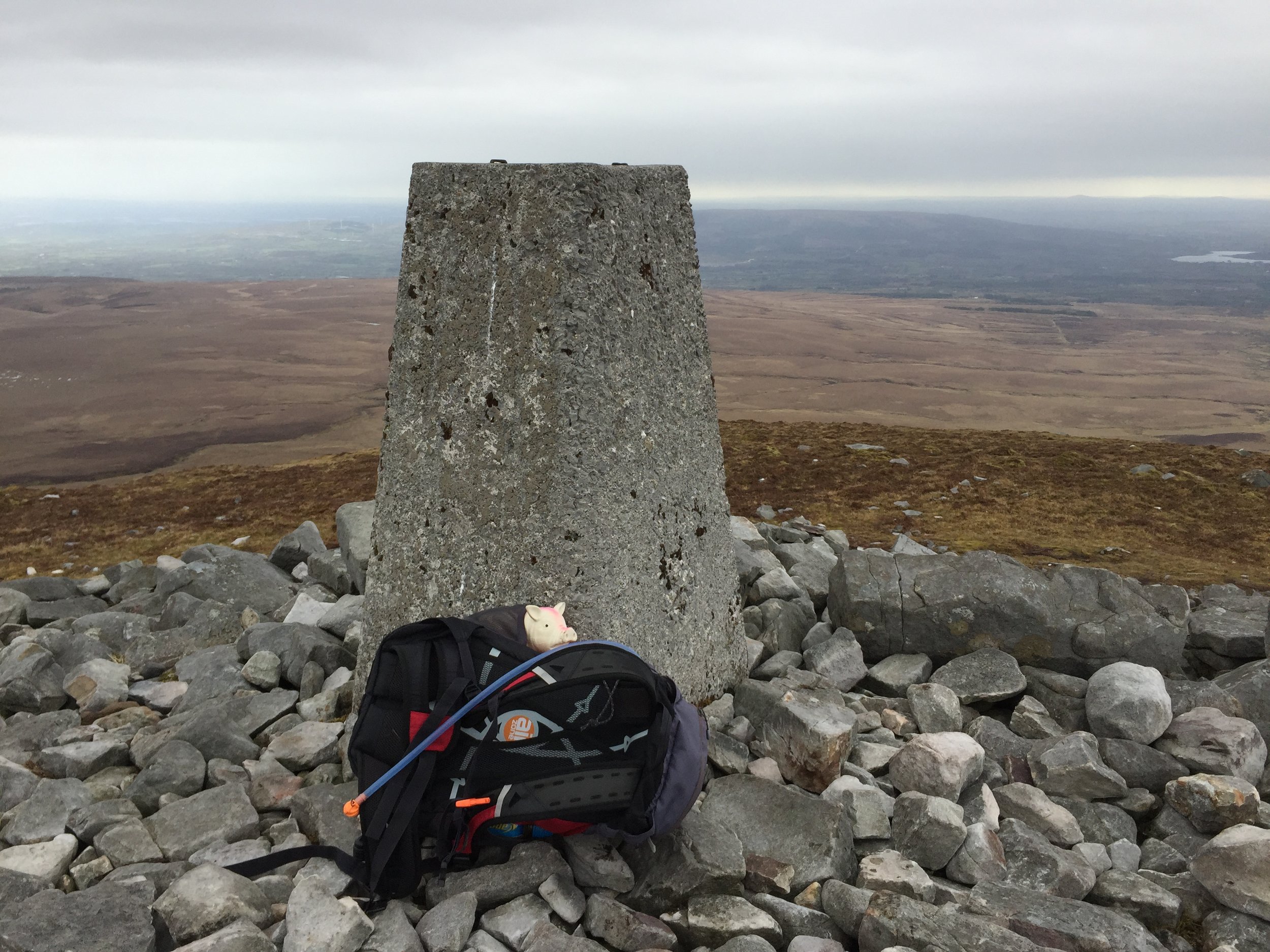
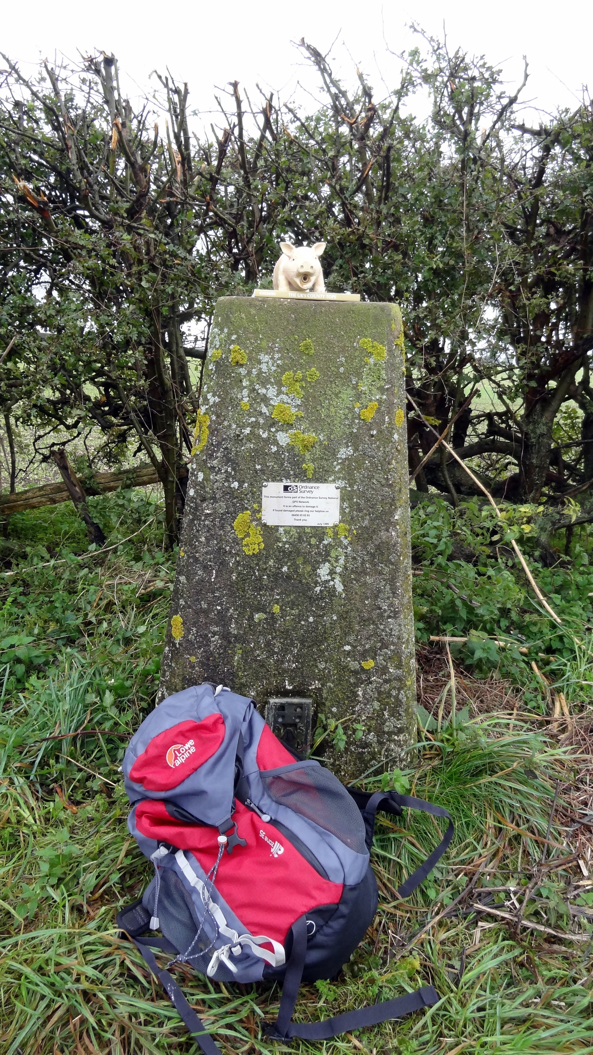
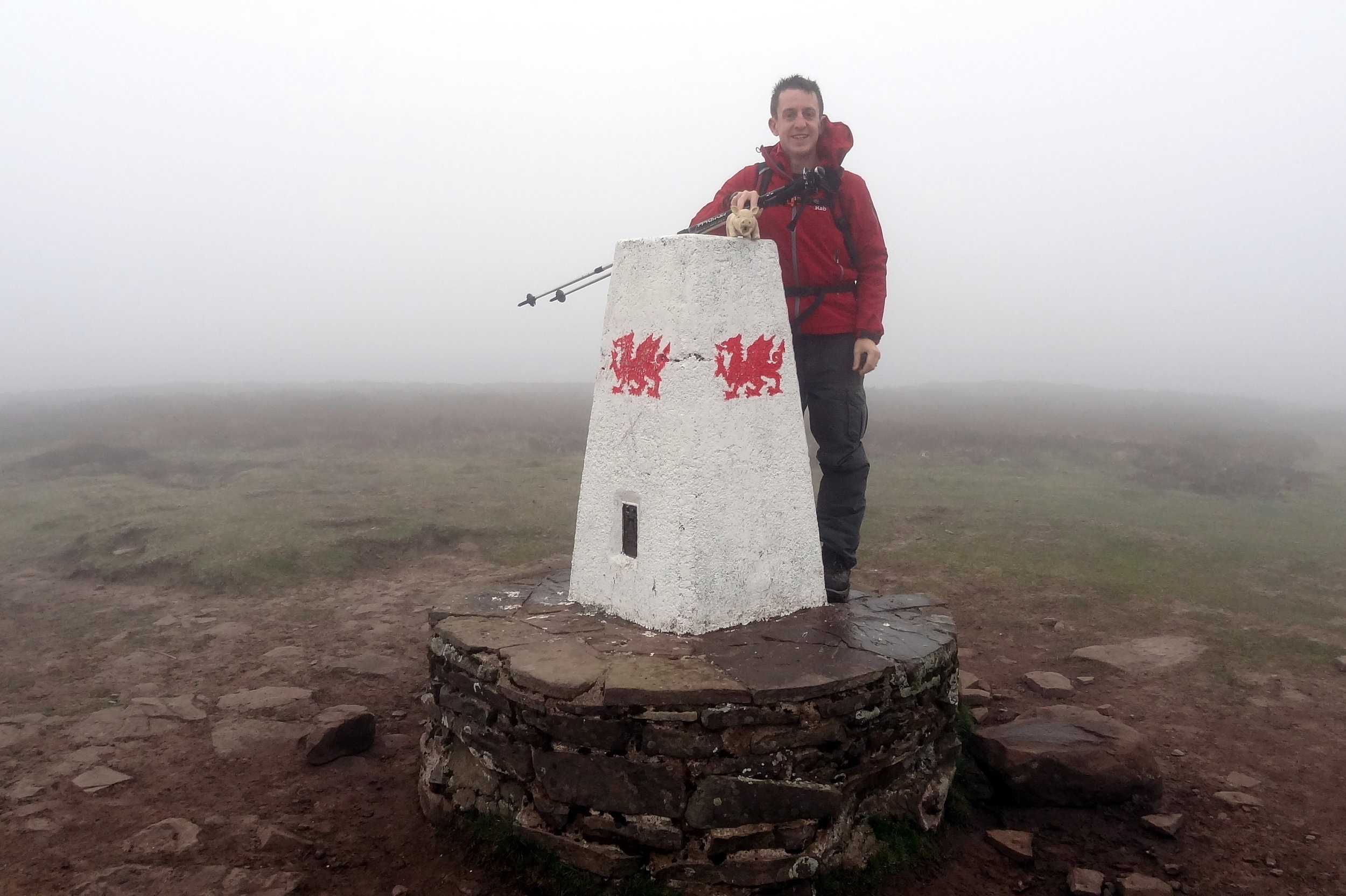
OS Trig Pillar: TP6043 - Snowdon Summit
Map: OS Explorer OL17 Snowdon & Conwy Valley
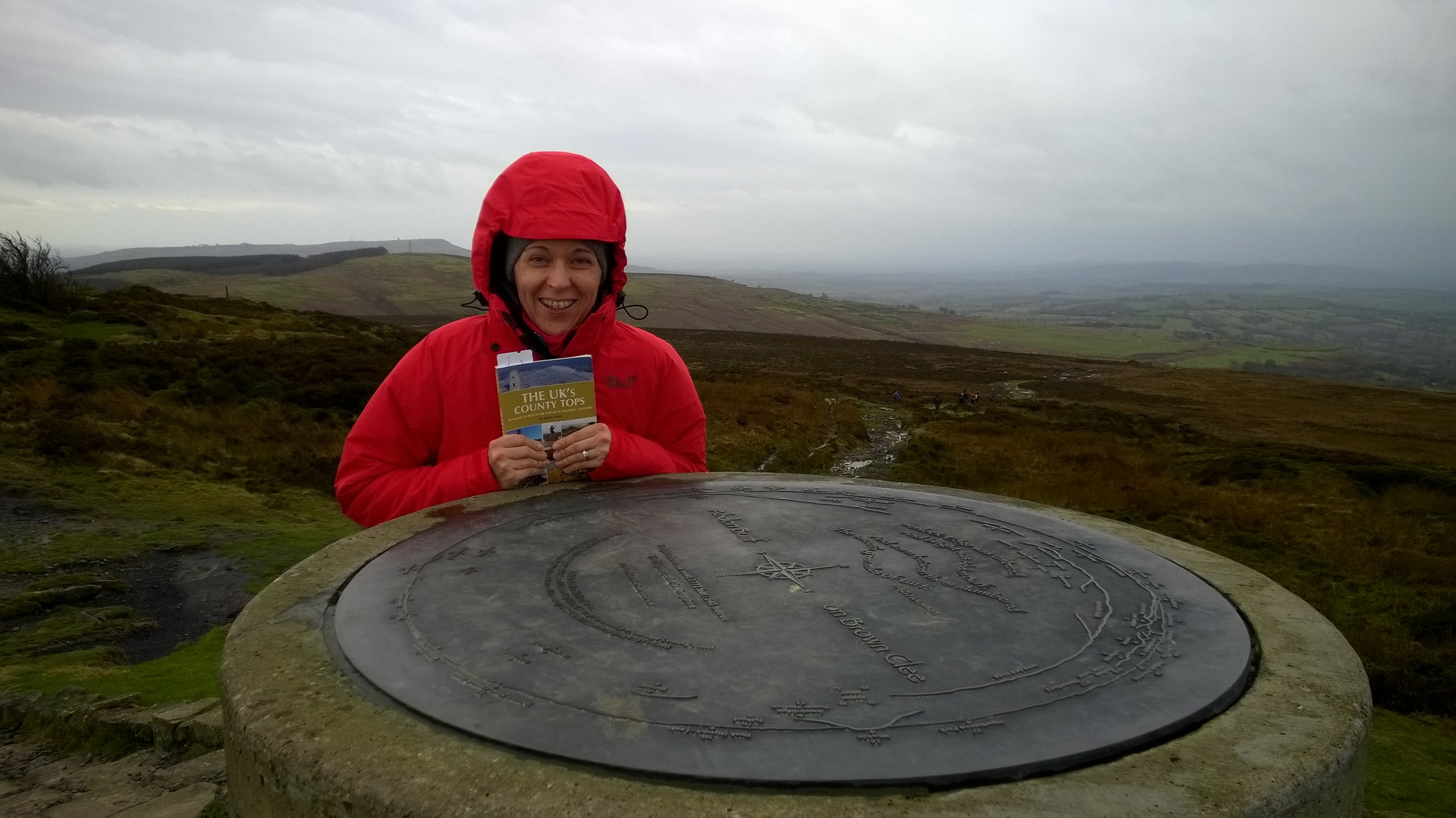
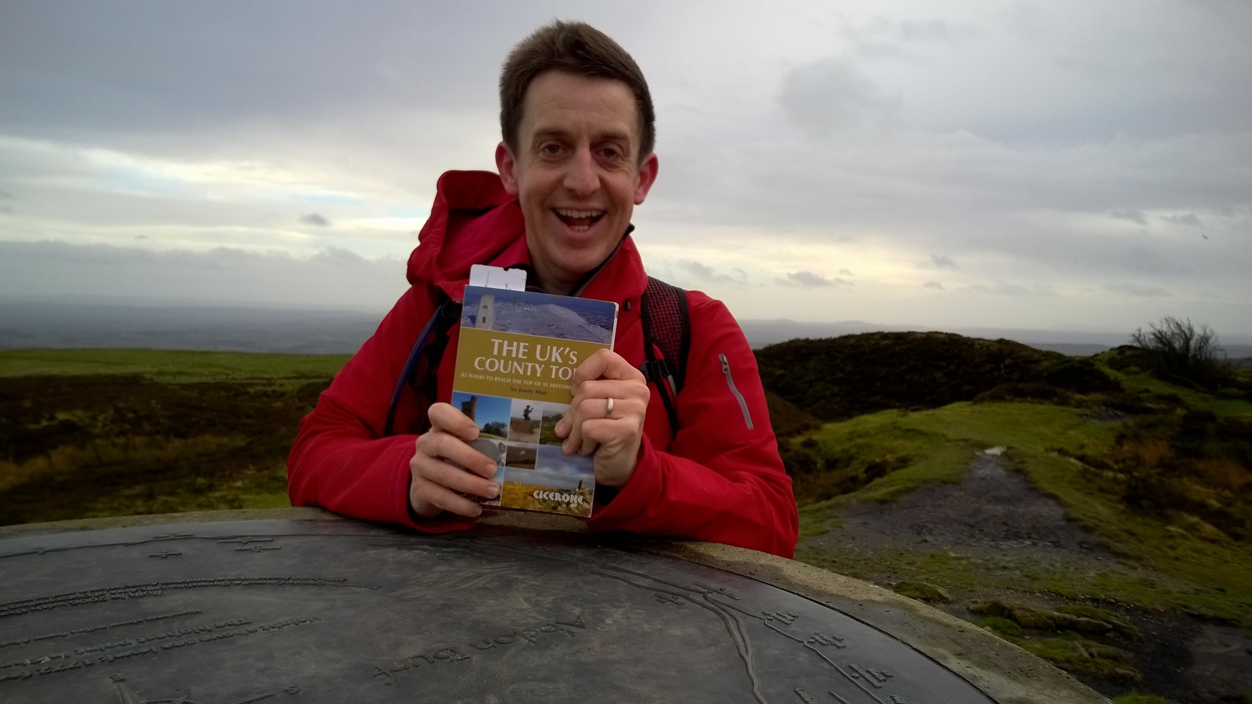
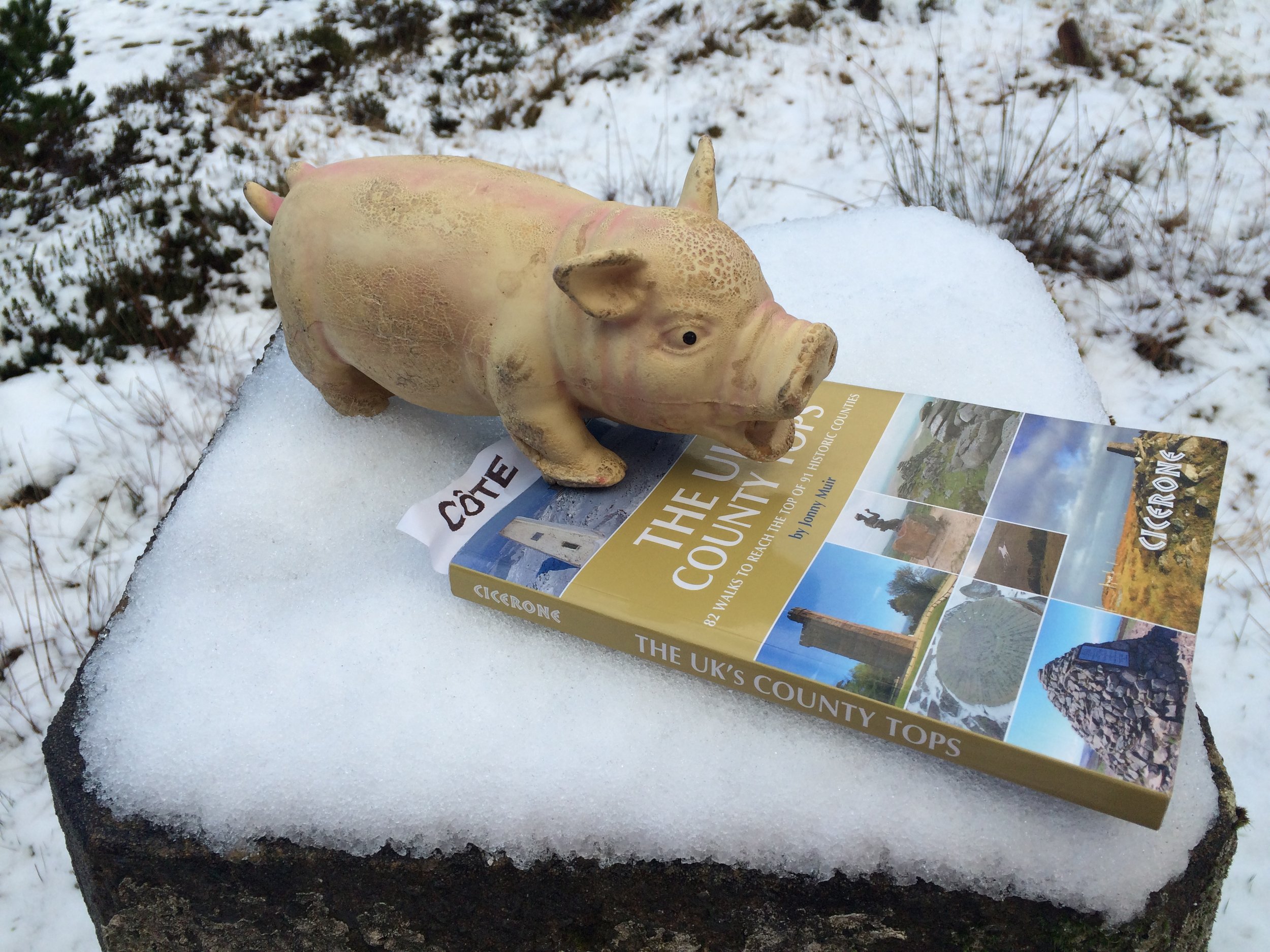
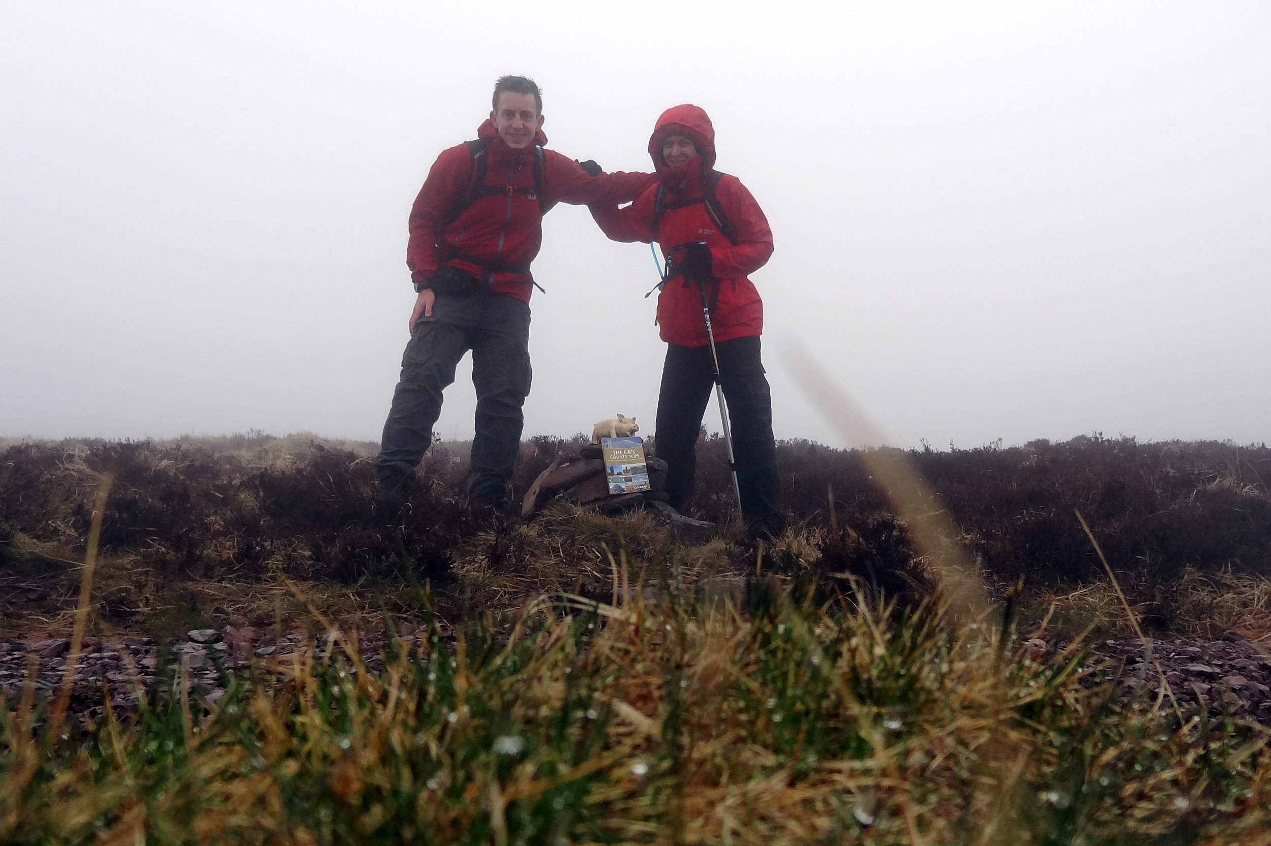
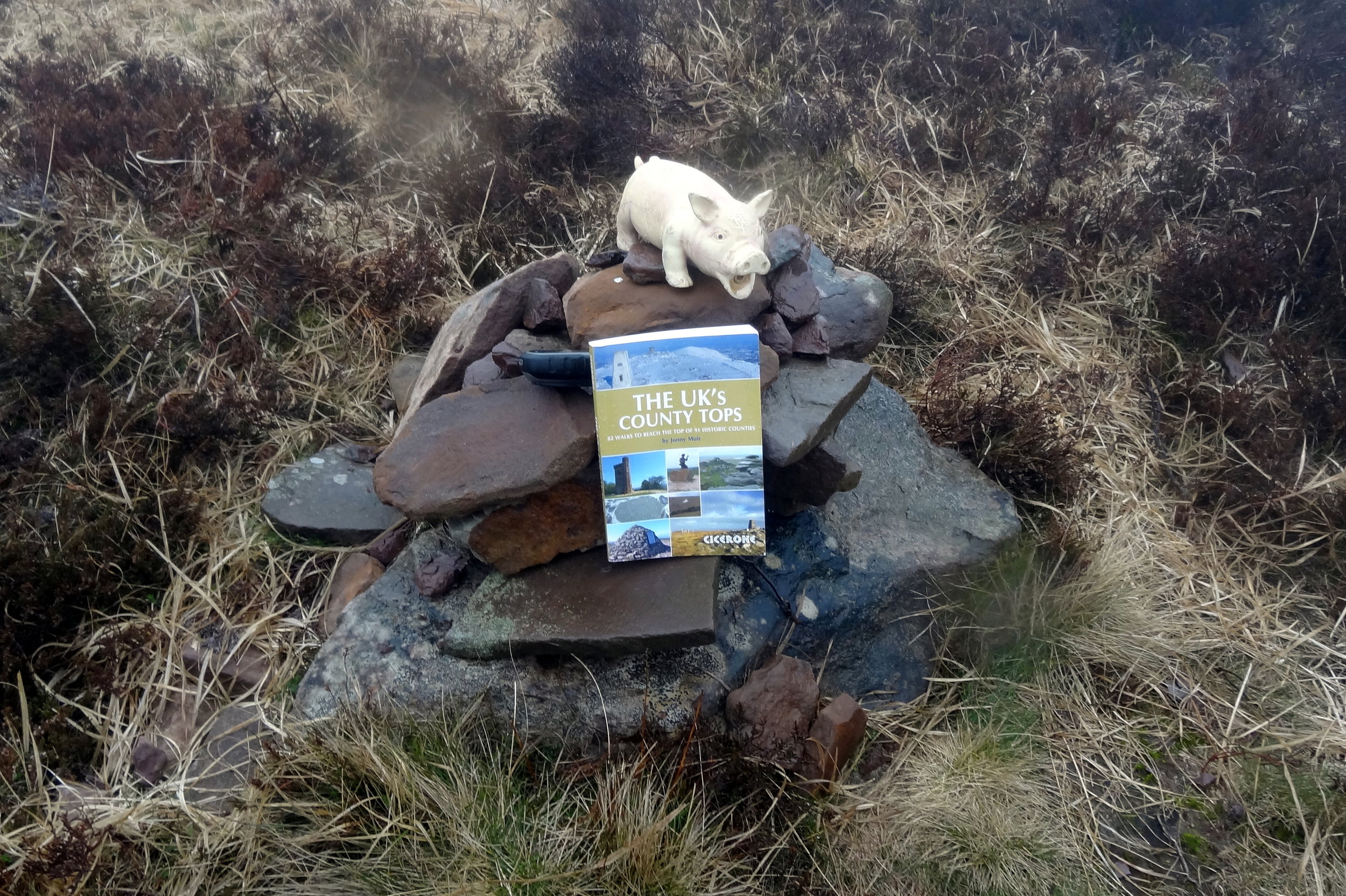
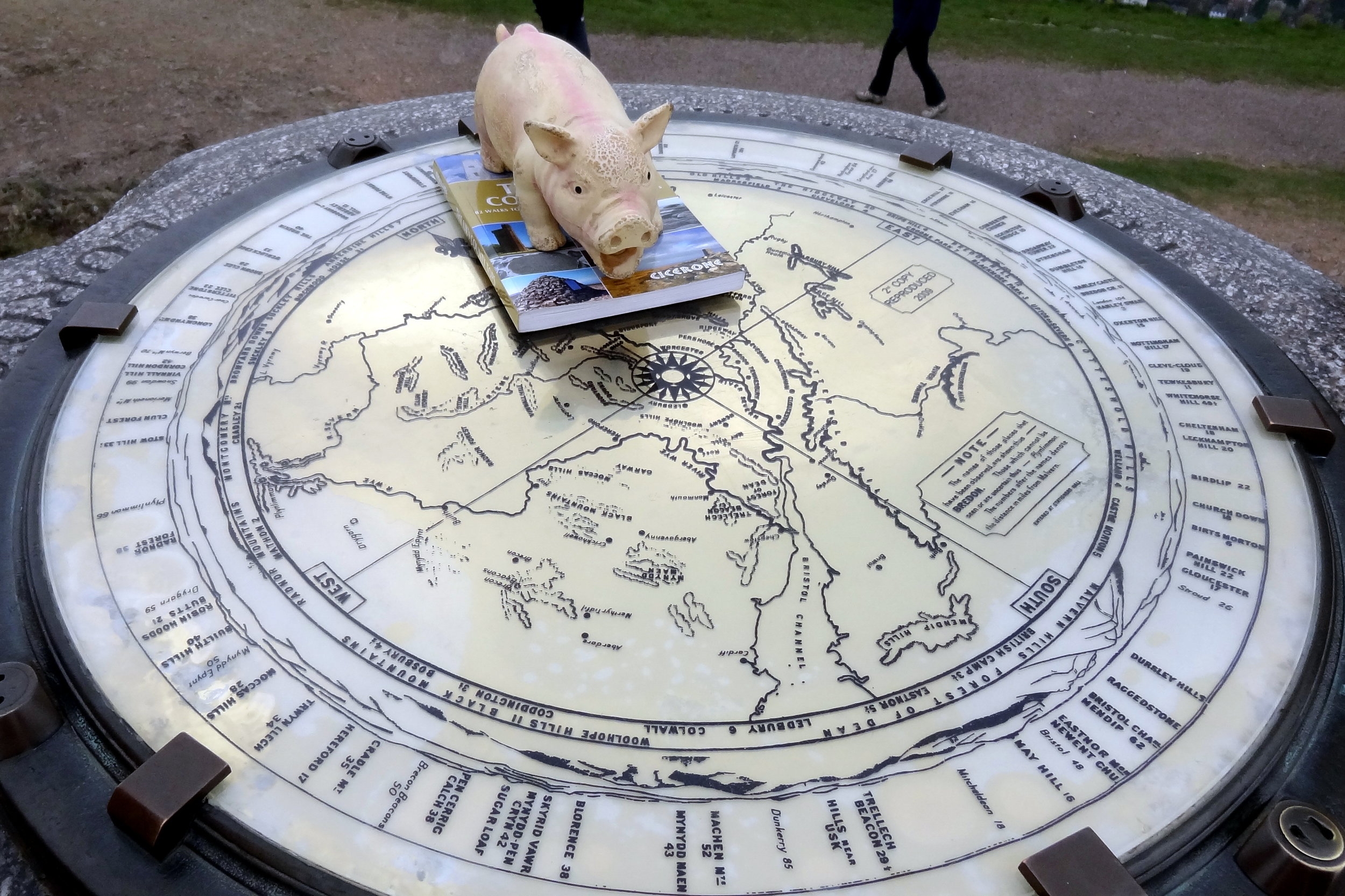
Guidebook: The UK's County Tops (Jonny Muir)
Links: Wikipedia (Caernarfonshire), Wikipedia (Snowdon), Peakbagger, Hillbagging
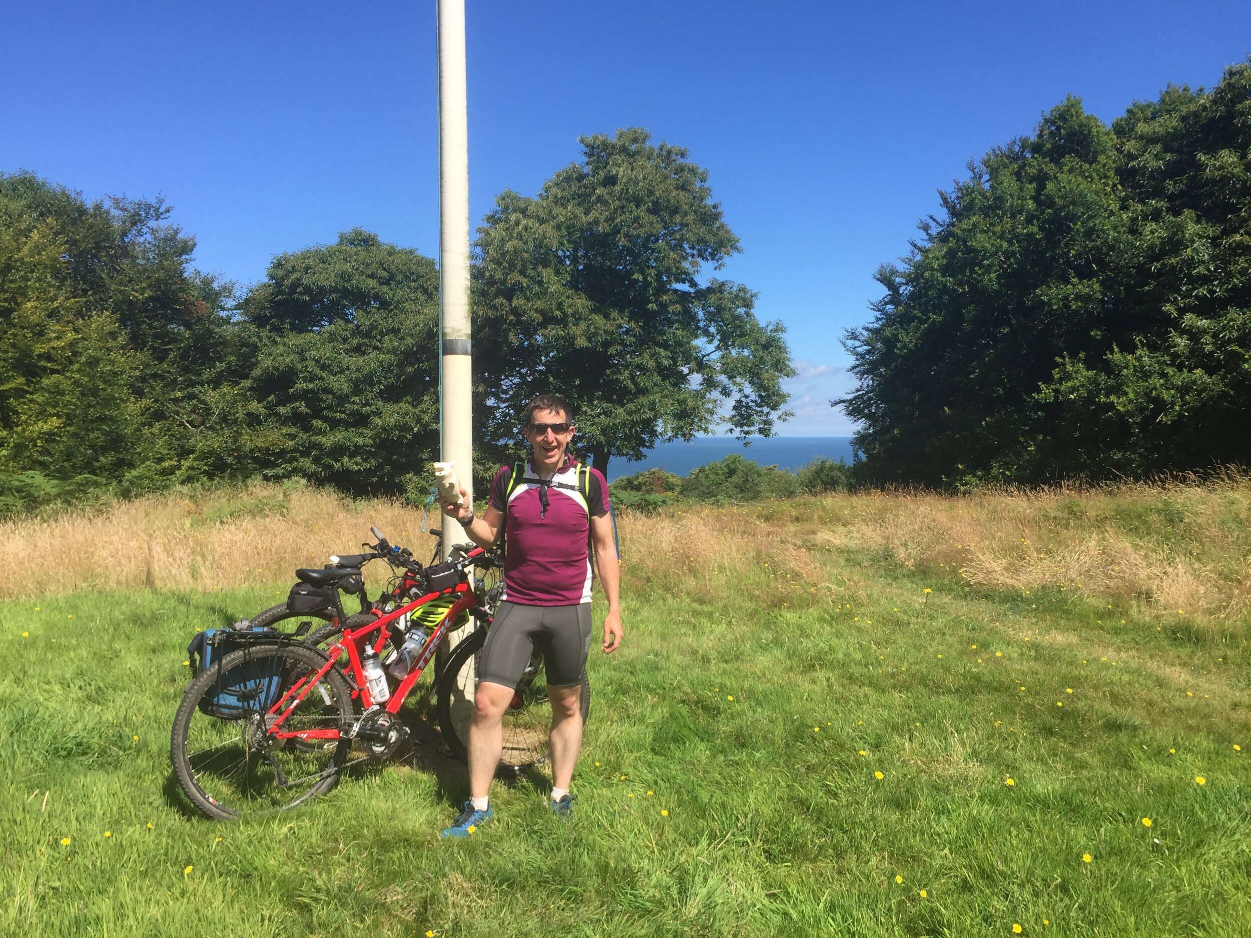
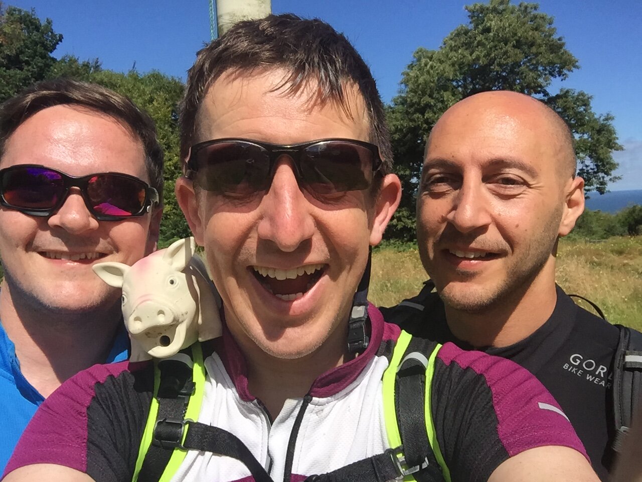
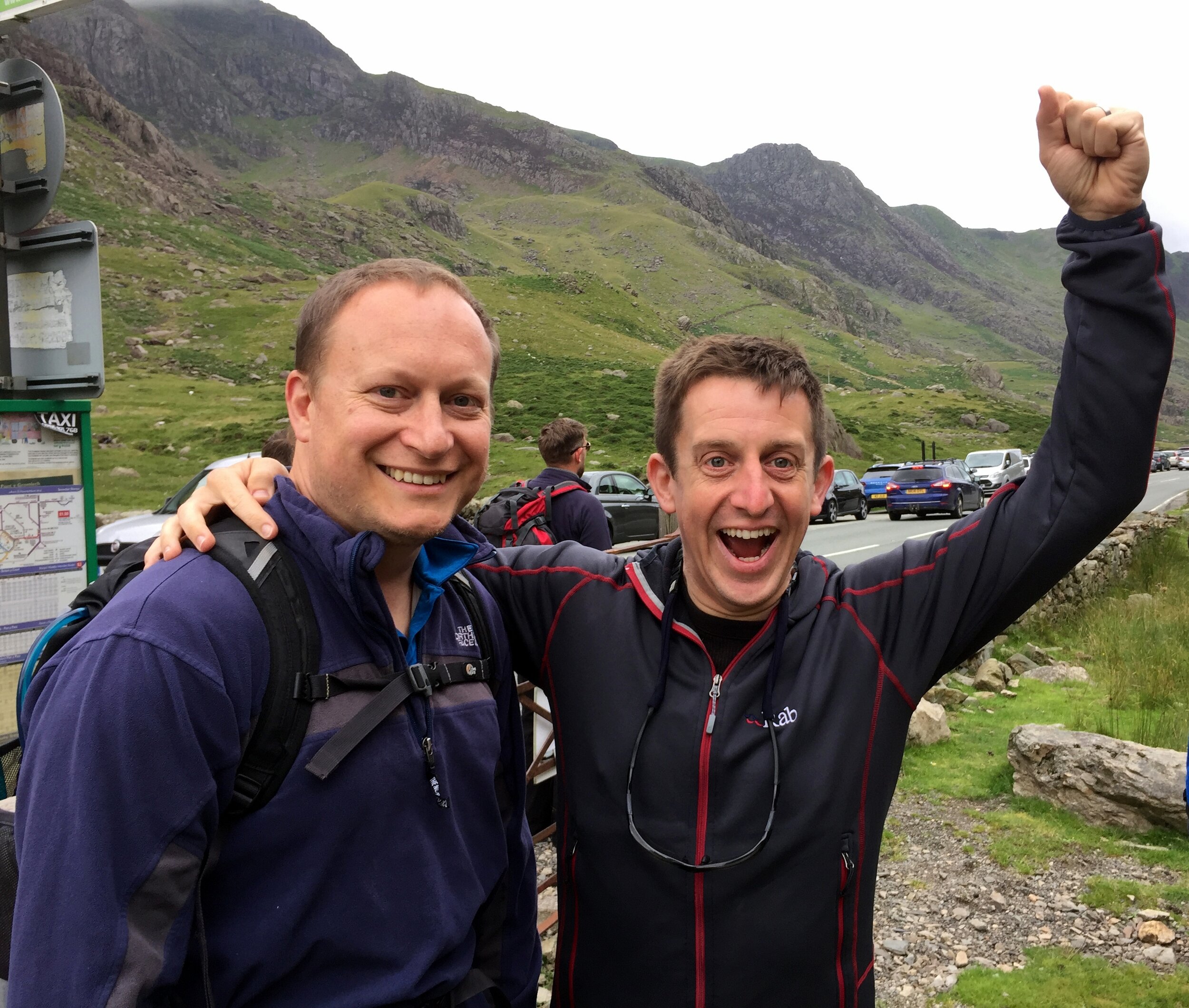
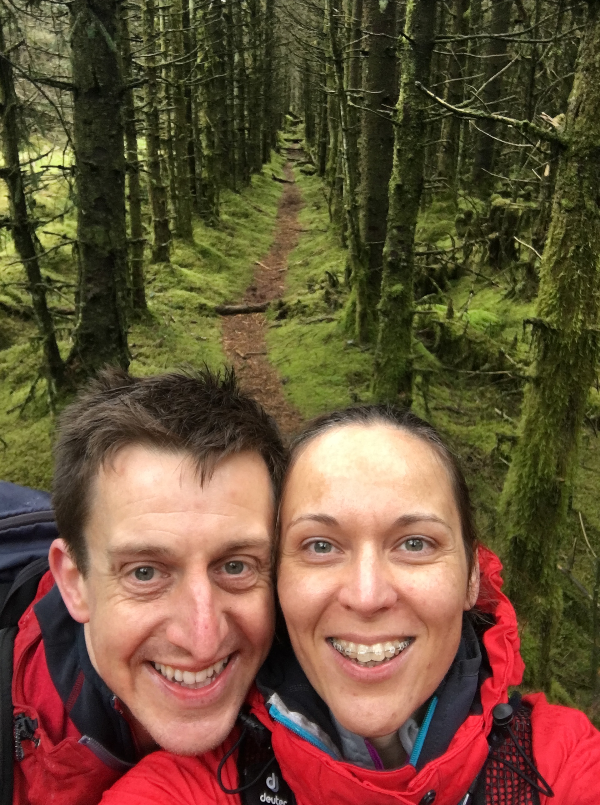
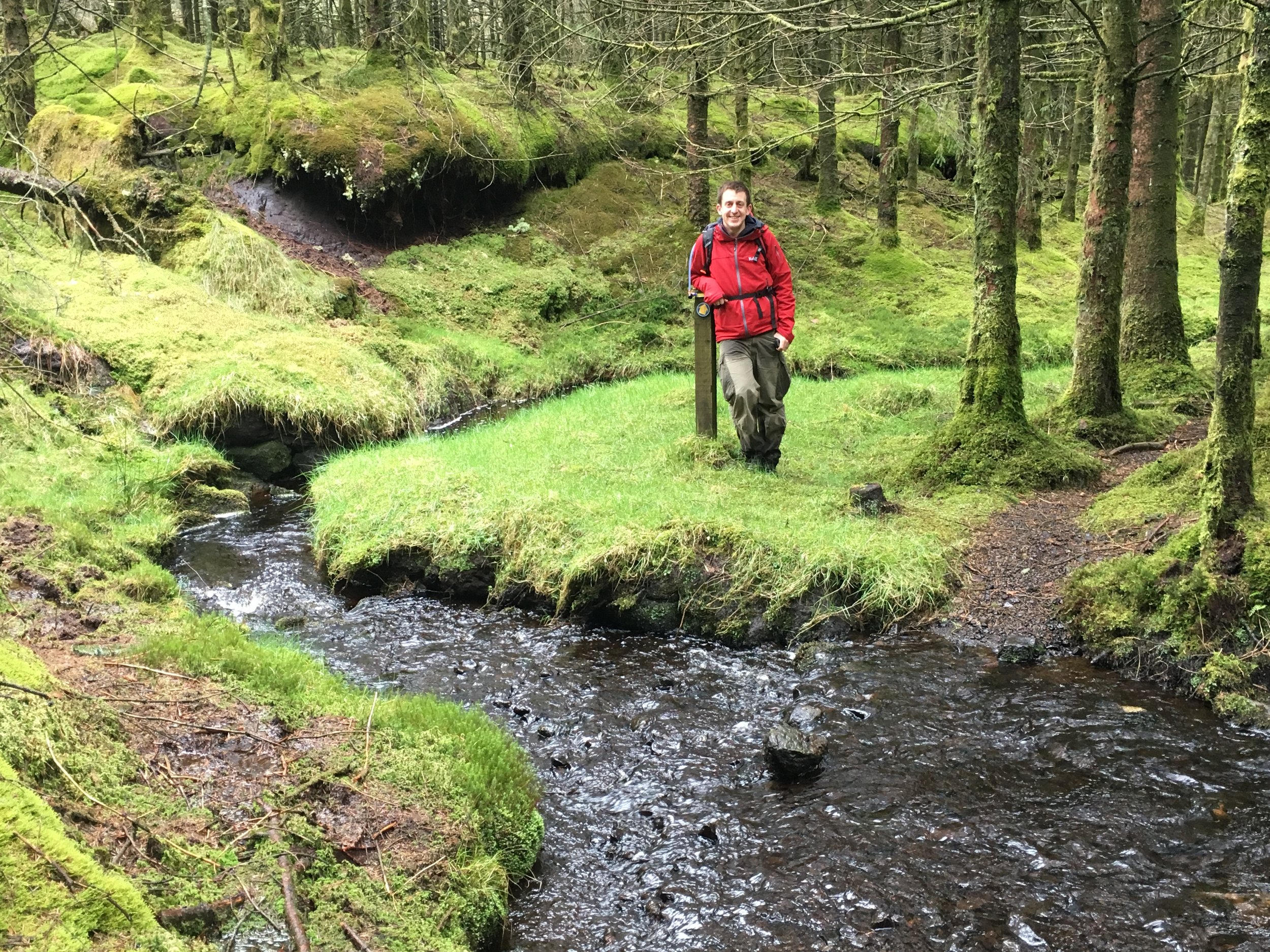
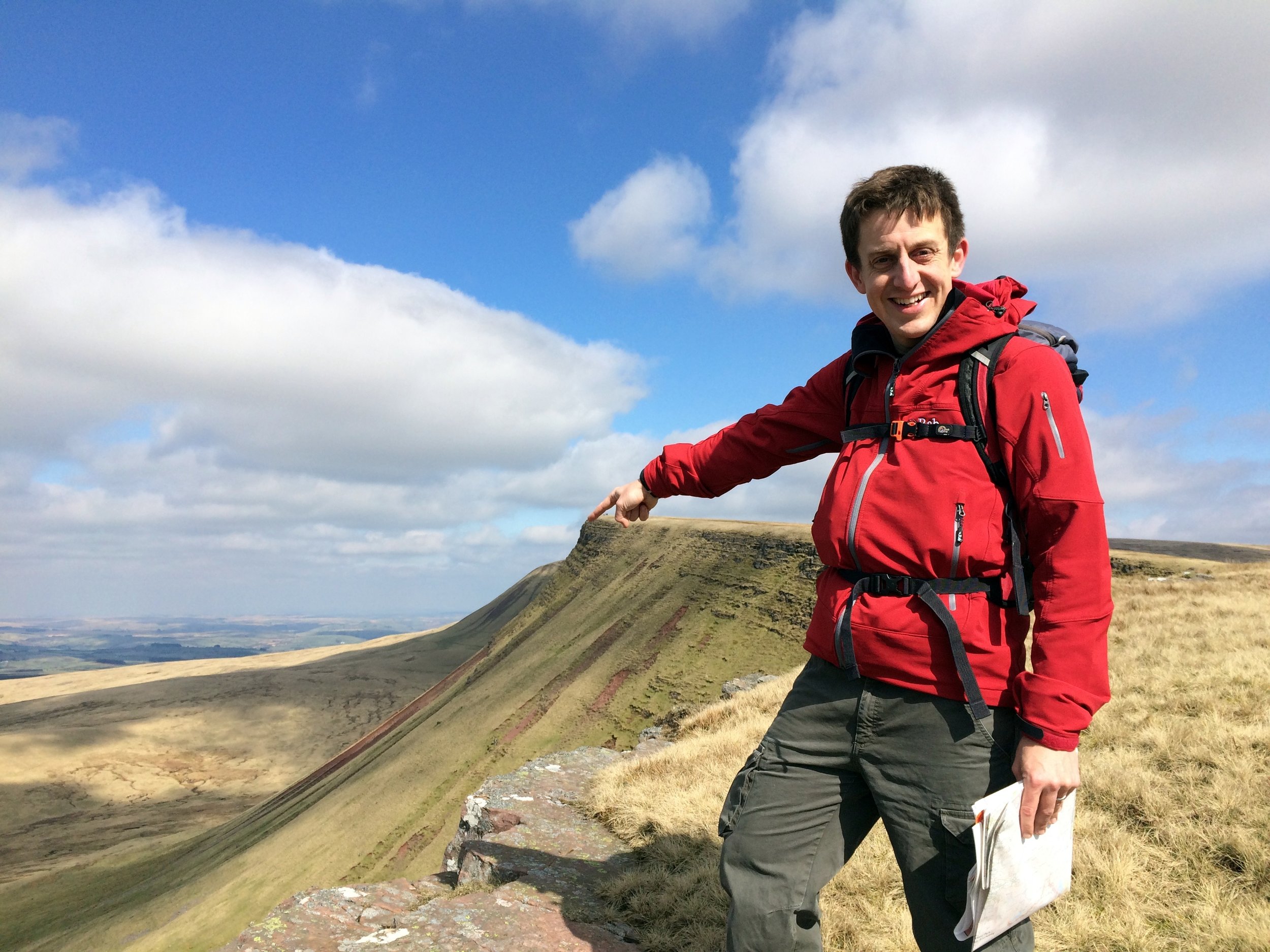
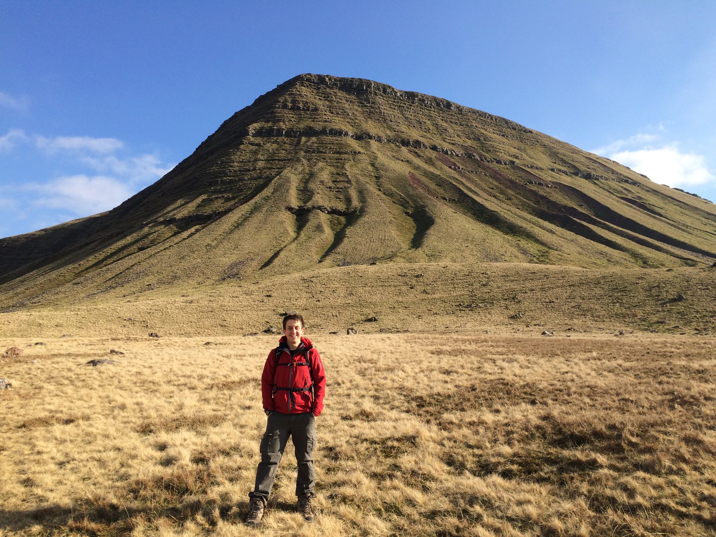
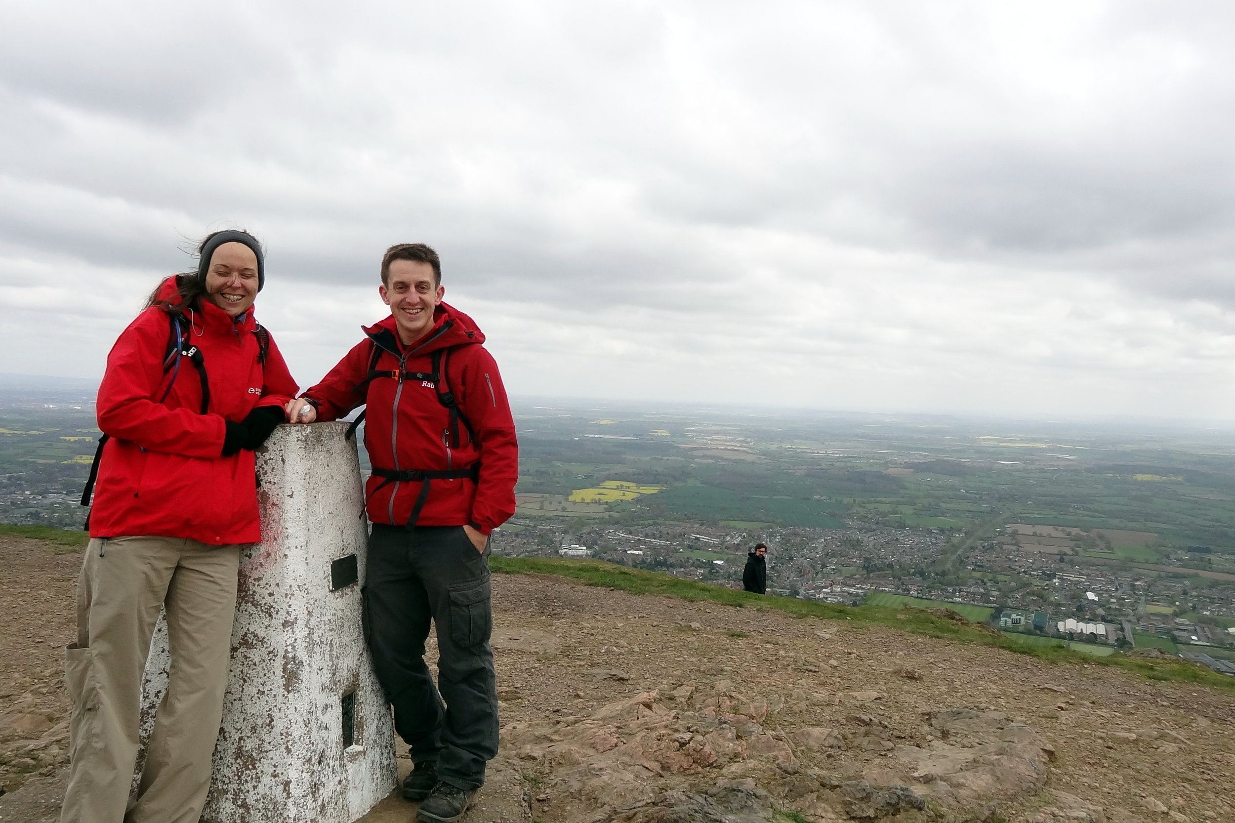
Before the trip I wasn't hugely excited about doing Snowdon again. I'd been up there at least 4 times before and would have rather spent the time on a new peak. Mark, my fellow County Topper, hadn't done it before so we needed to include it. Chris, the third of our group had literally no idea where he was so had no opinion on the matter.
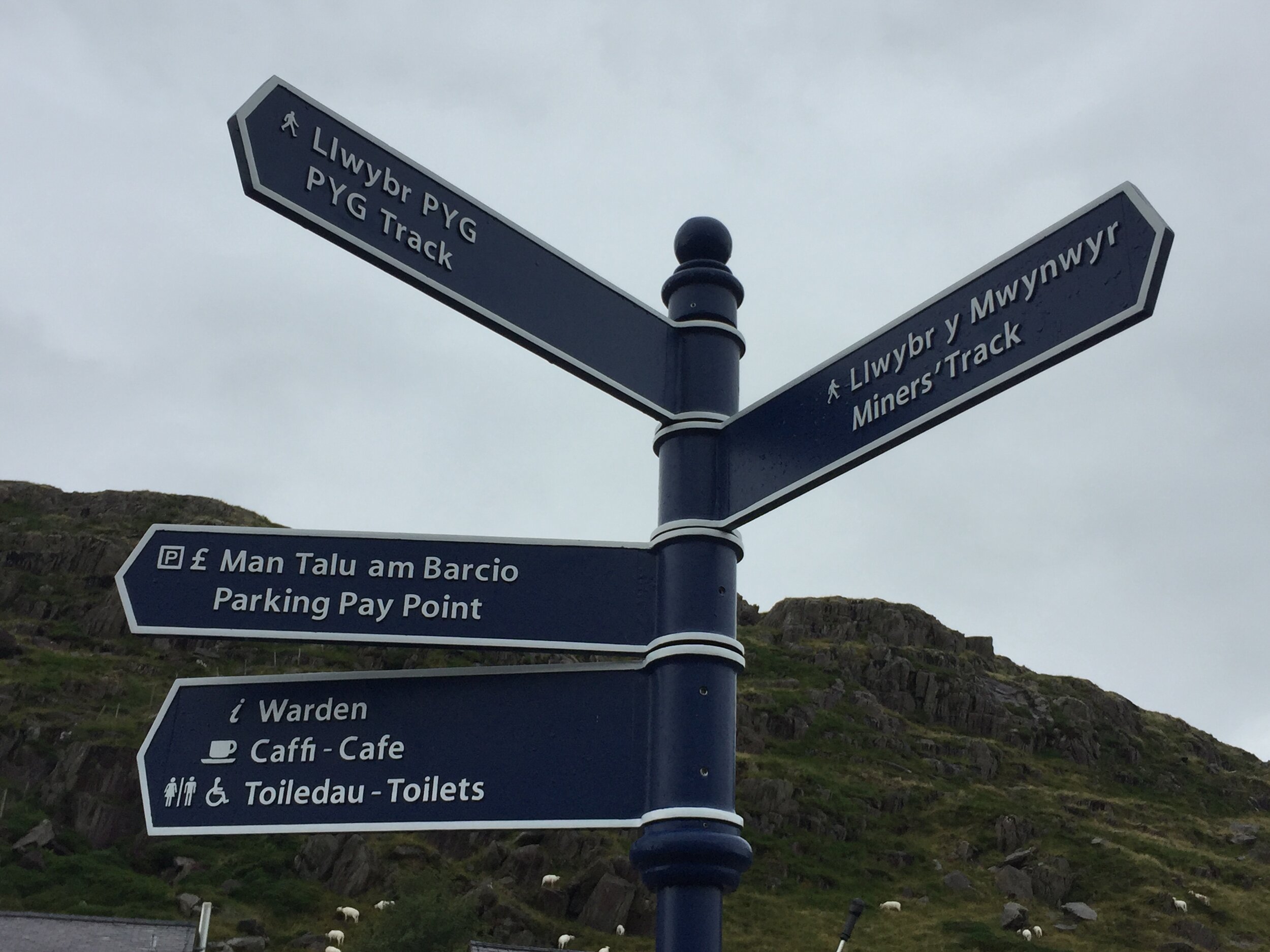
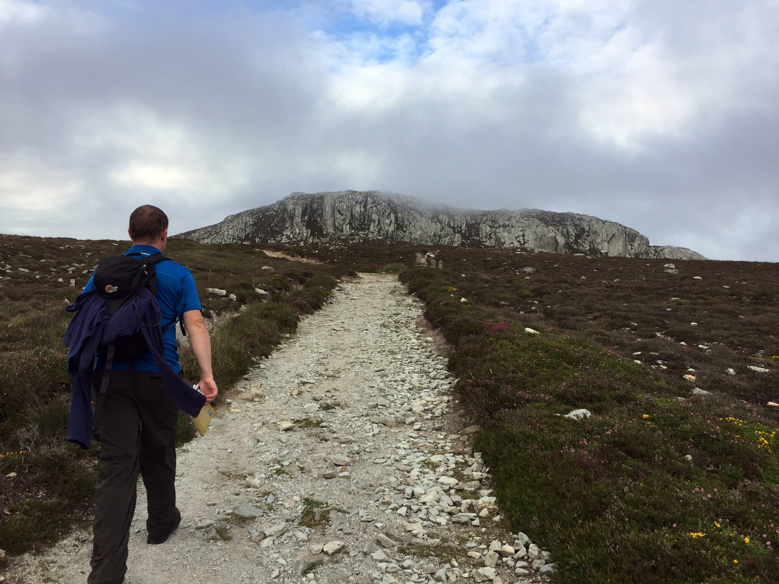
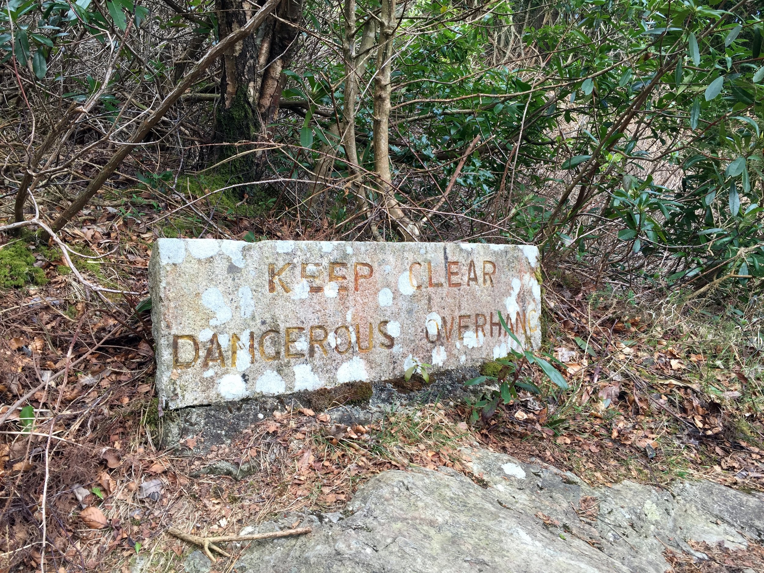
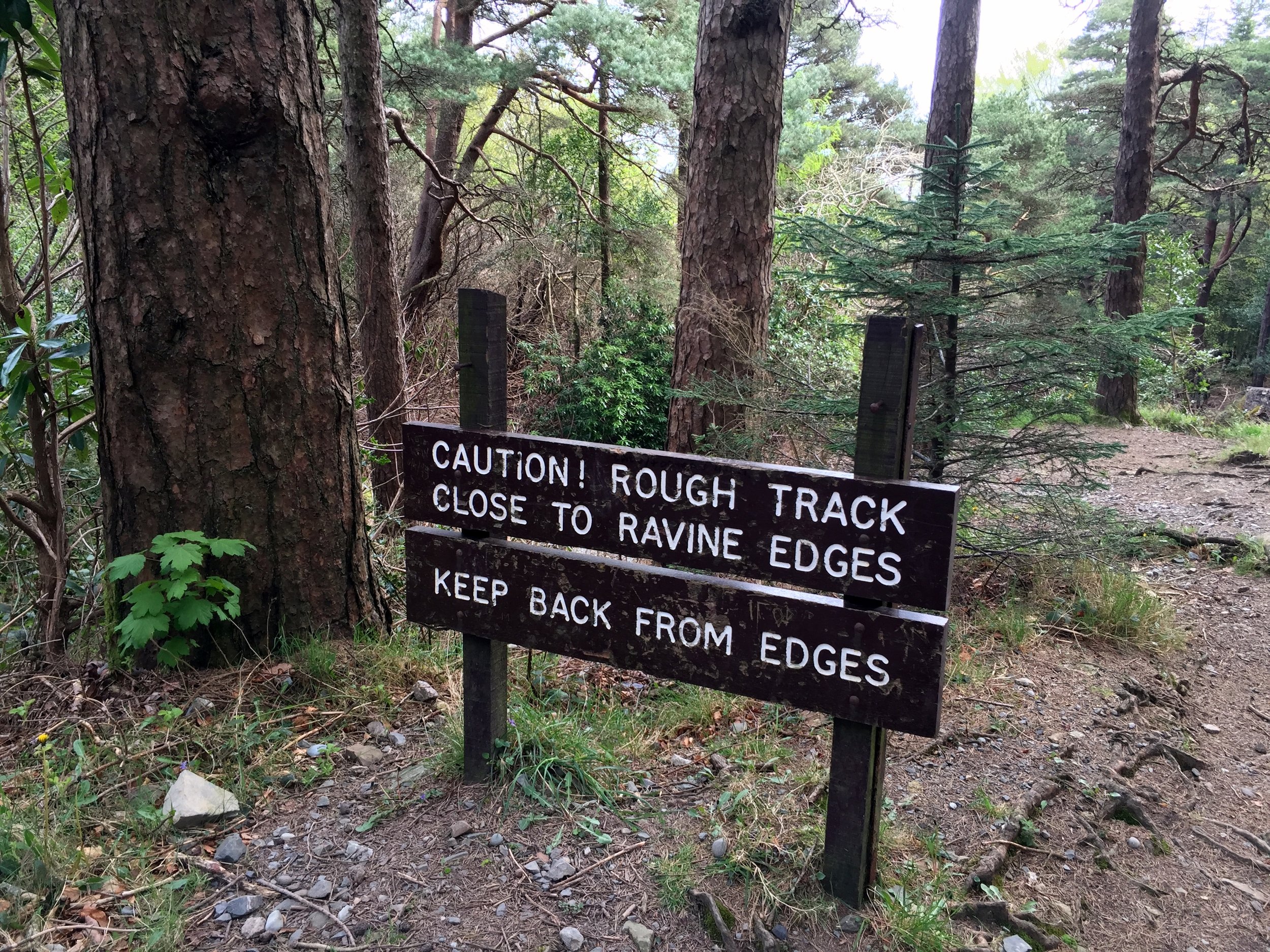
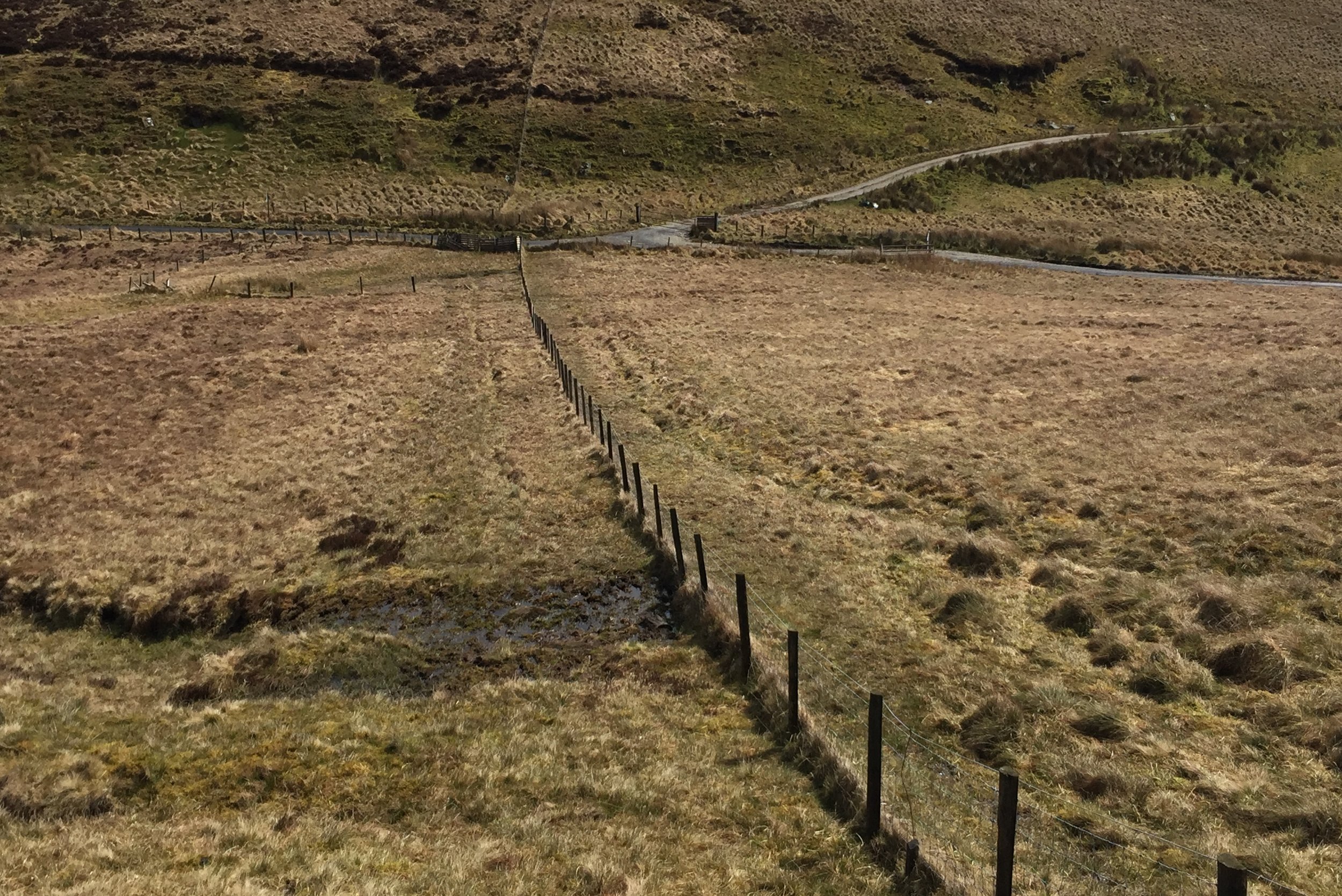
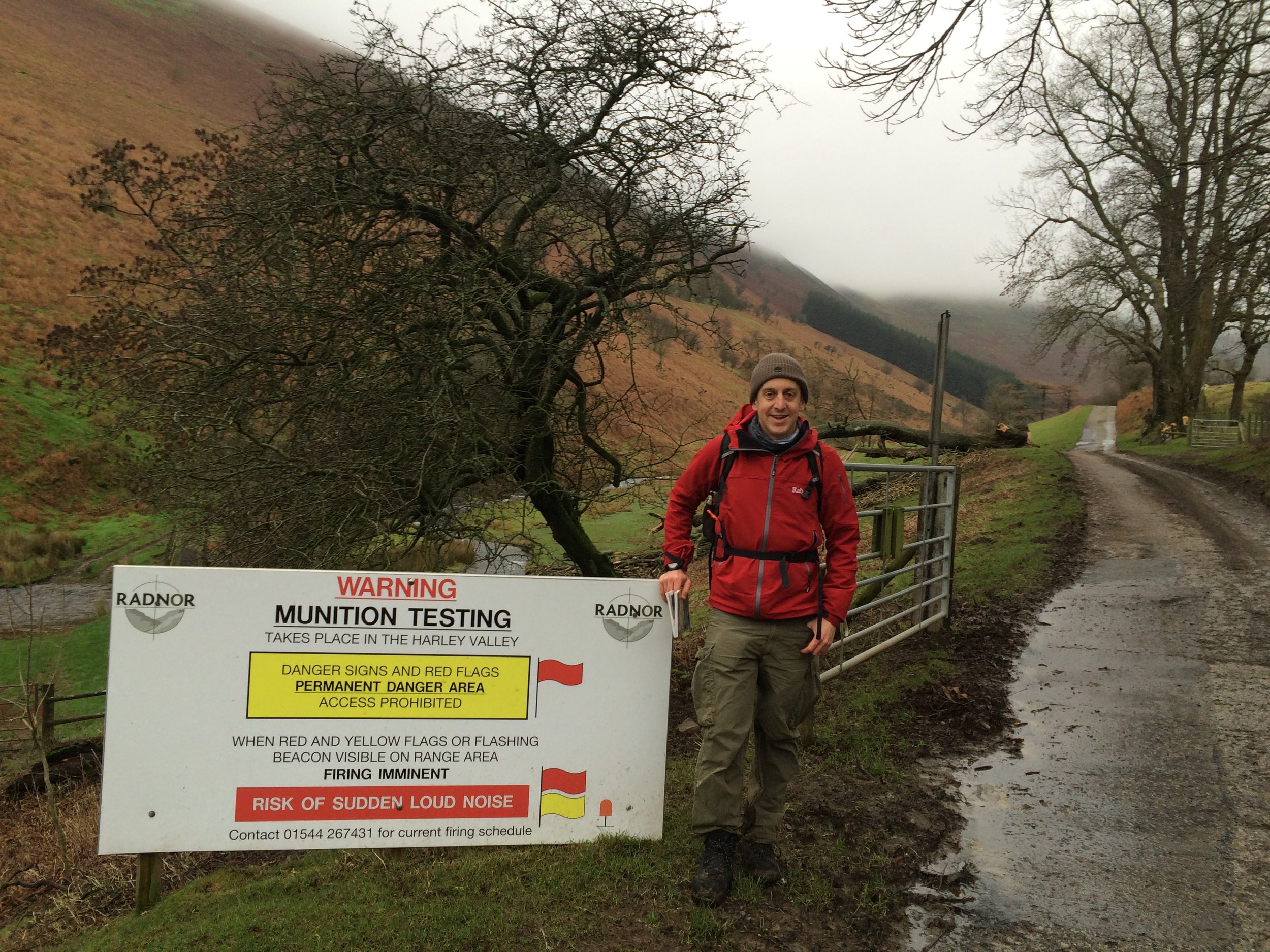
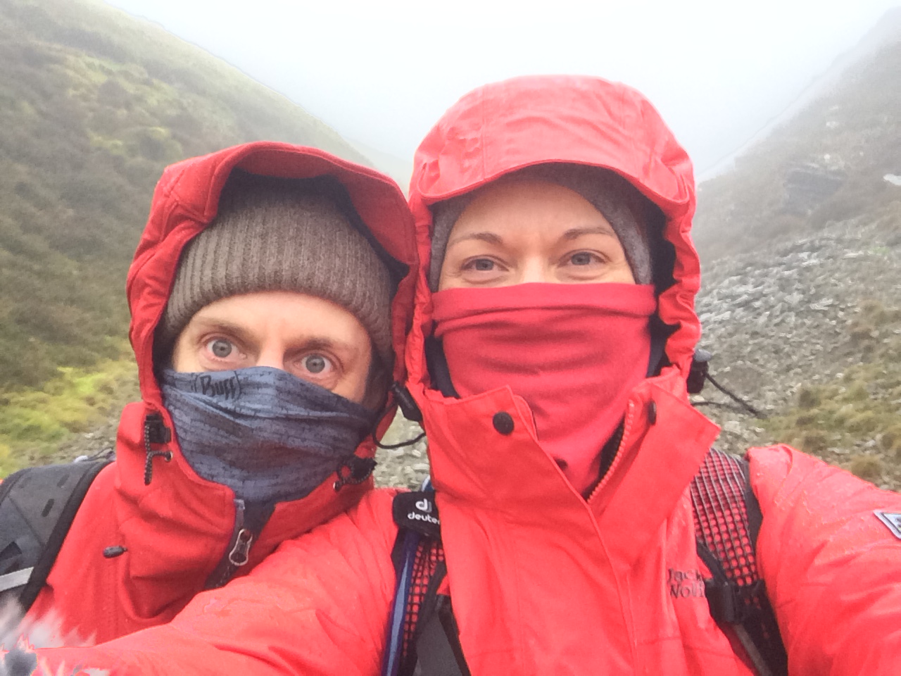
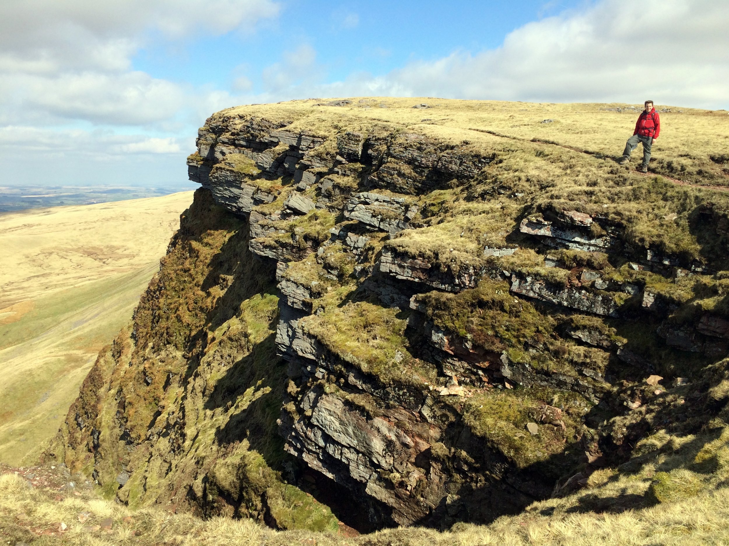
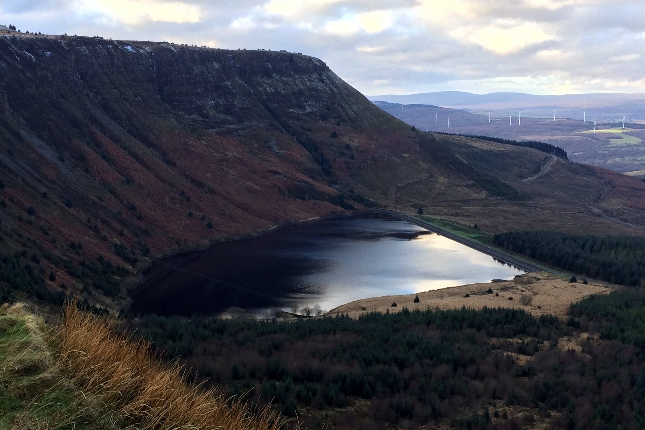
Our plan was to do the Snowdon Horseshoe including the knife-edge Crib Goch. This excited me as I hadn't done any of that route before, normally sticking to the Watkin or Llanberis paths. I was a bit nervous about Crib Goch so I did a bit of Internet research on it the night before. I'm fine with heights but get nervous of slipping so I wanted to find out more about it. It turned out that this kind of research is much the same as looking up the cause of an itchy rash in the Web (You are definitely going to die). Our breakfast time meeting about the route was a good decider to not do it. We were discussing kit and Chris was talking about how proud he was of his new £9.99 waterproofs. He was also not sure about whether he would need to take a backpack or any water. That was it ... Pyg Track to the summit, no Crib Goch.
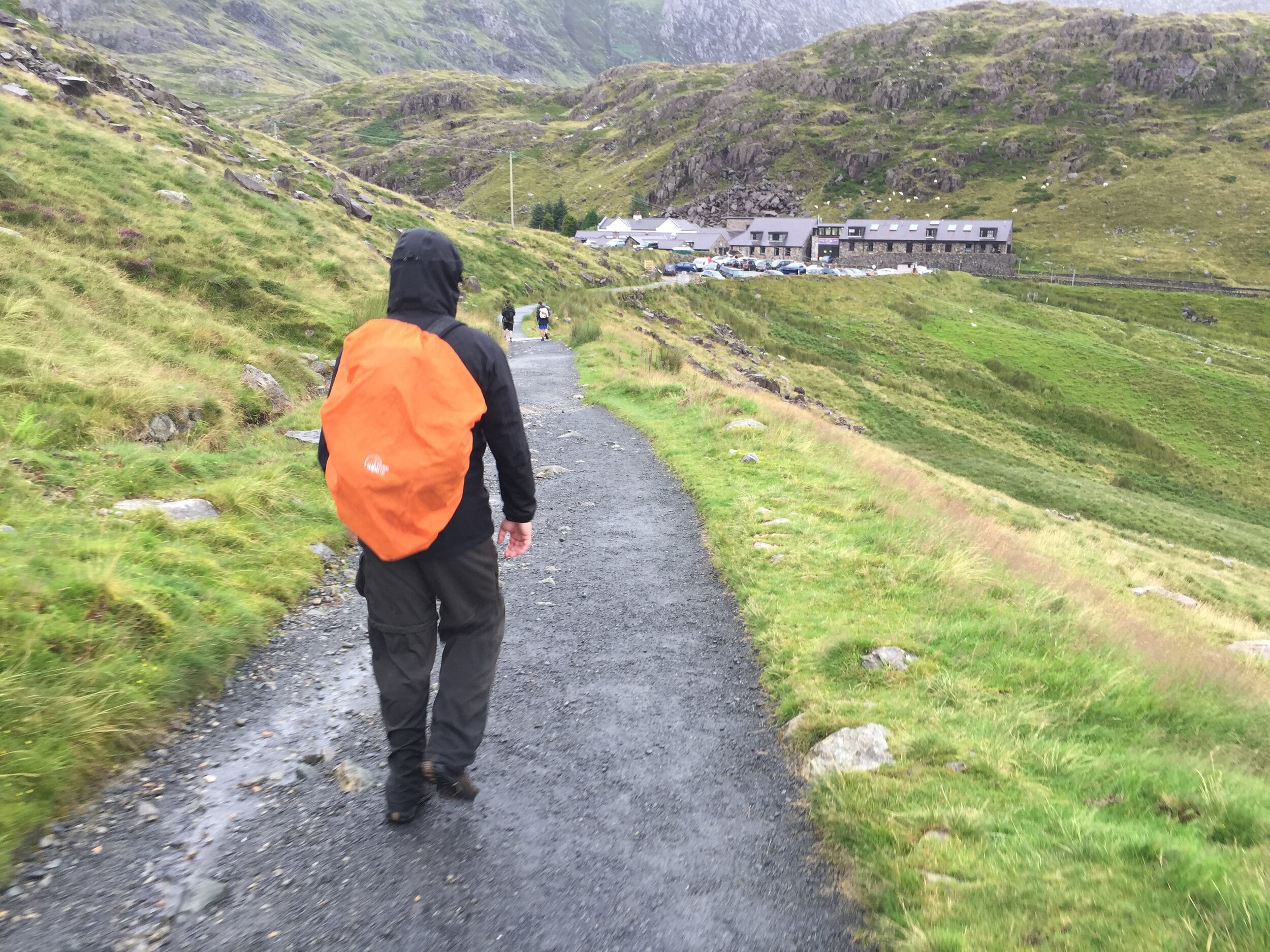
Despite leaving the B&B early, we soon became an hour and a half behind schedule. The Pen Y Pass Car park gets full really early so we had to go to the next lay-by a couple of miles along the road to Llanberis. The good news was that there’s a regular bus service connecting the stops on the road. The bad news is that non-one, including us, could work out what the bus timetable was telling us. Convinced that the bus would be imminent, we waited an hour before getting into a taxi exactly 30 seconds before the bus came round the corner.
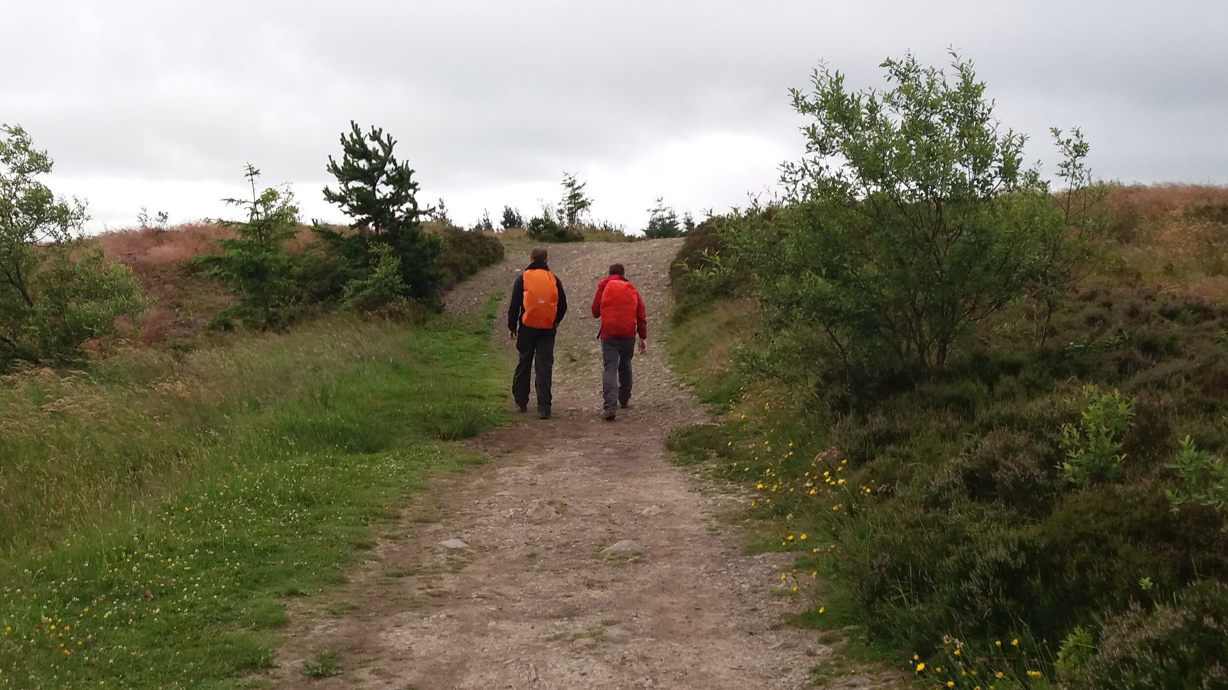
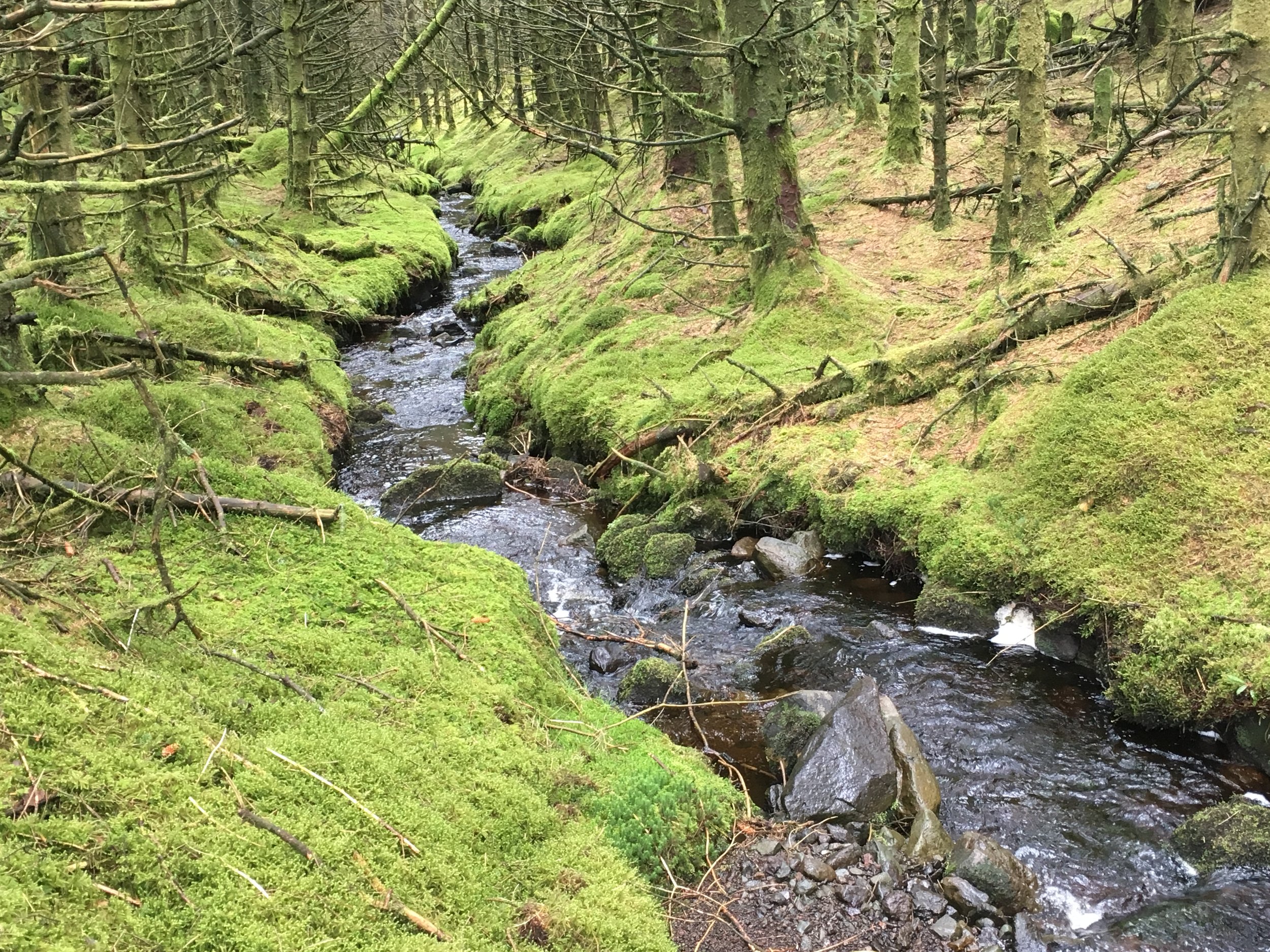
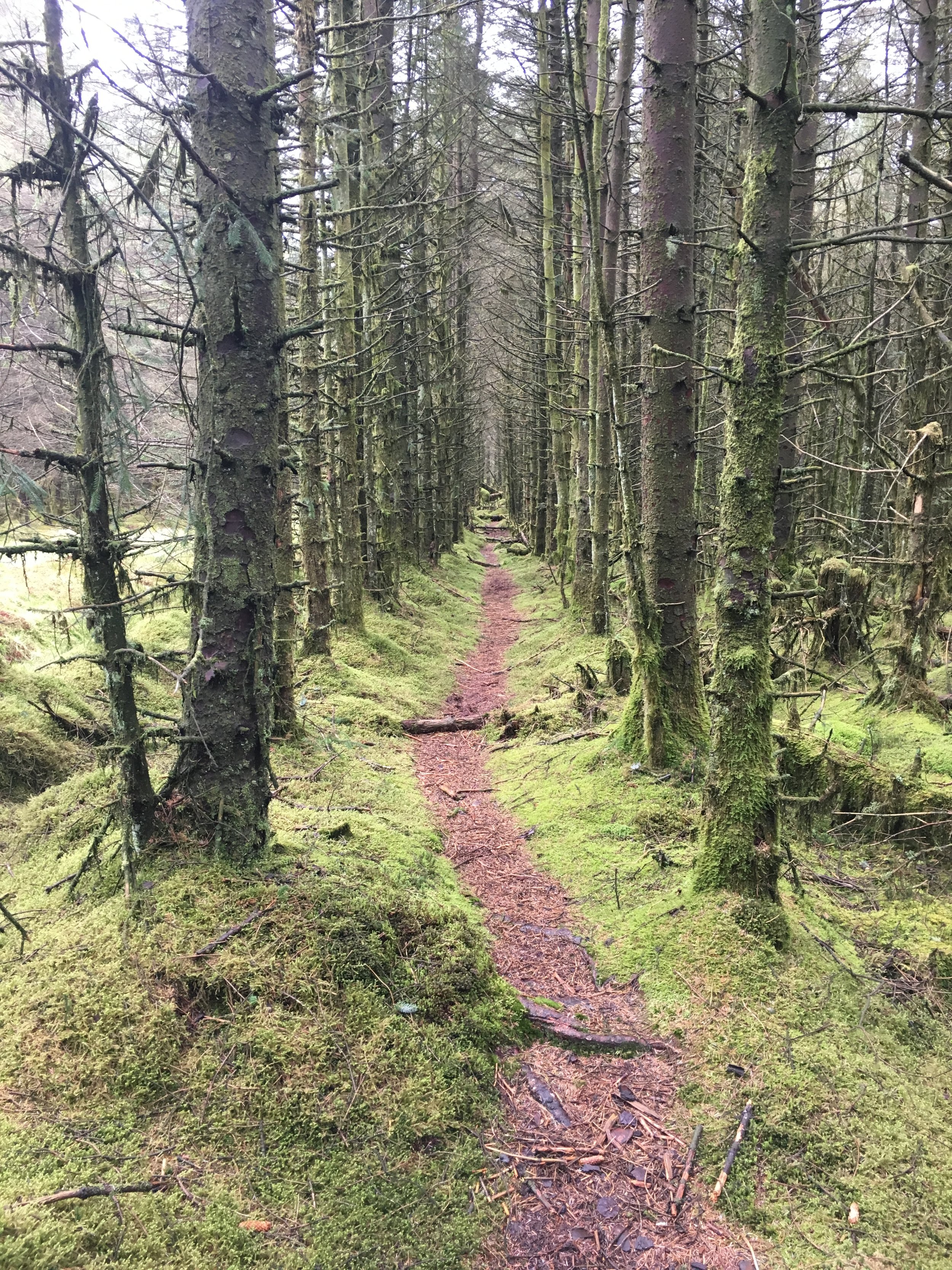
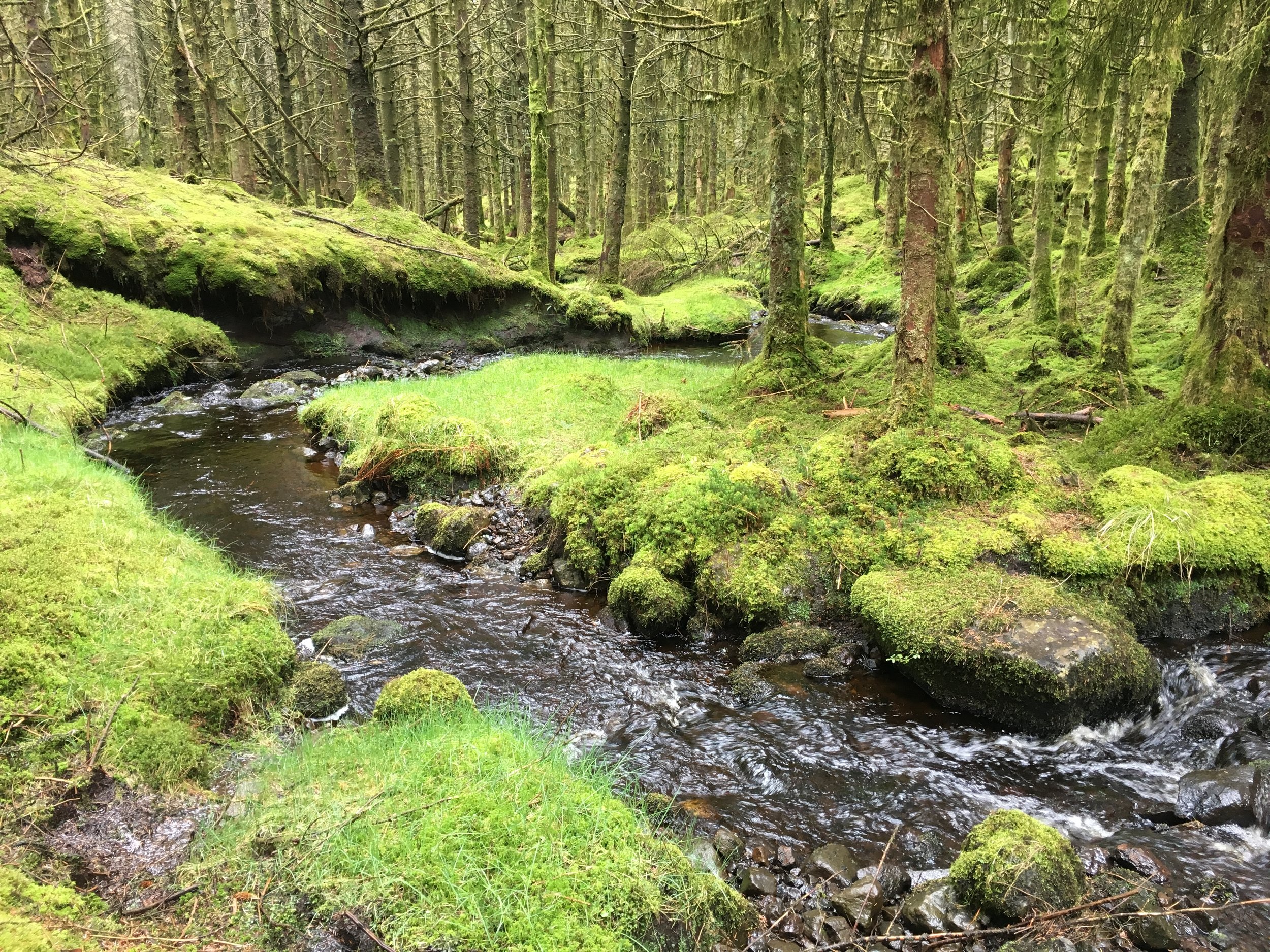
Heading away from Pen Y Pass on the Pyg Track, the sky was overcast and the rain came within 10 minutes. This was further confirmation that our plan to avoid Crib Goch was the best idea ever. I also got the opportunity to stoke my amusement of people on mountains who are unprepared for the the conditions. £9.99 waterproofs were the height of preparedness compared the the walkers in jeans and t shirts and some carrying babies up the highest mountain in Wales.
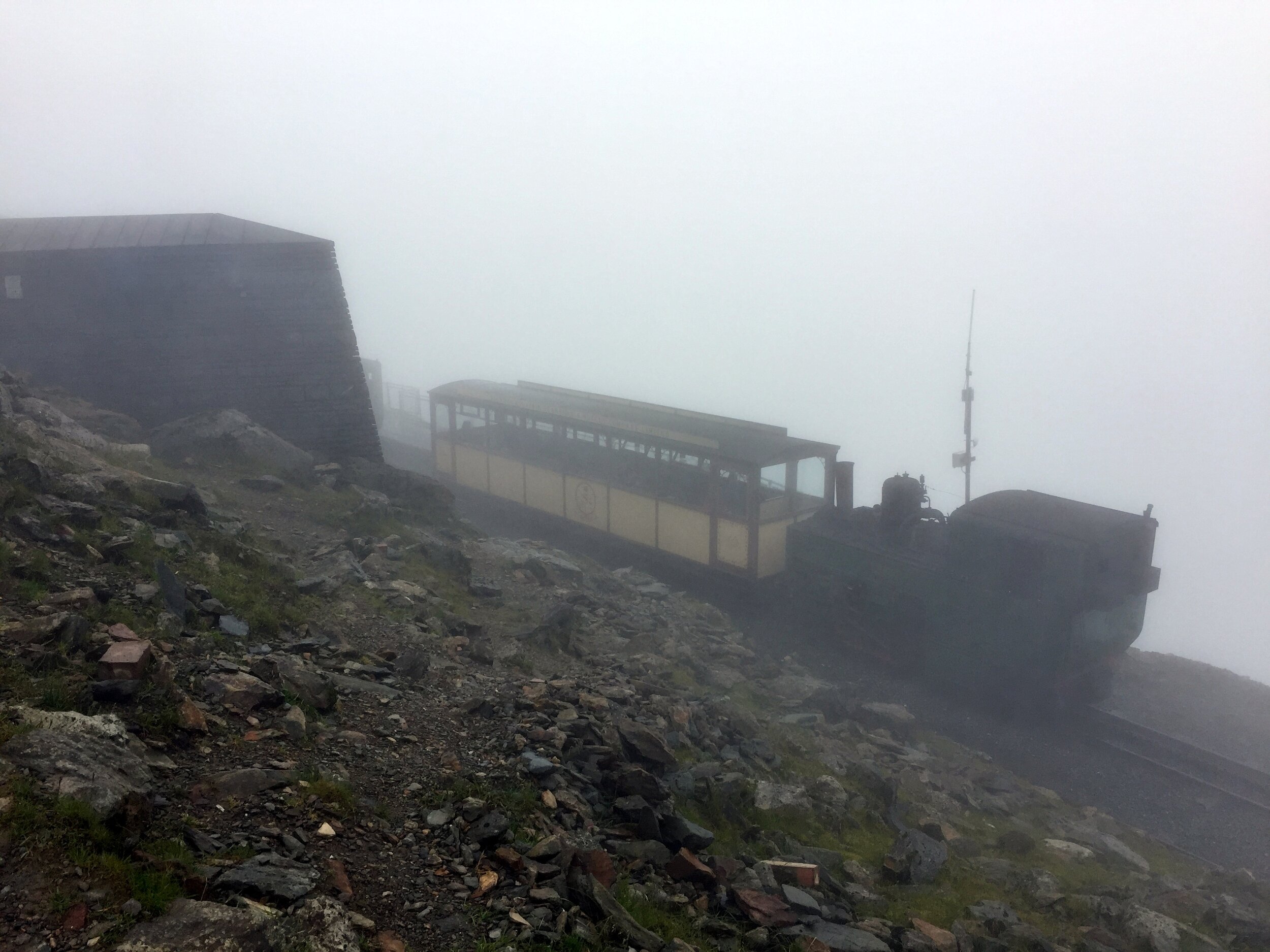
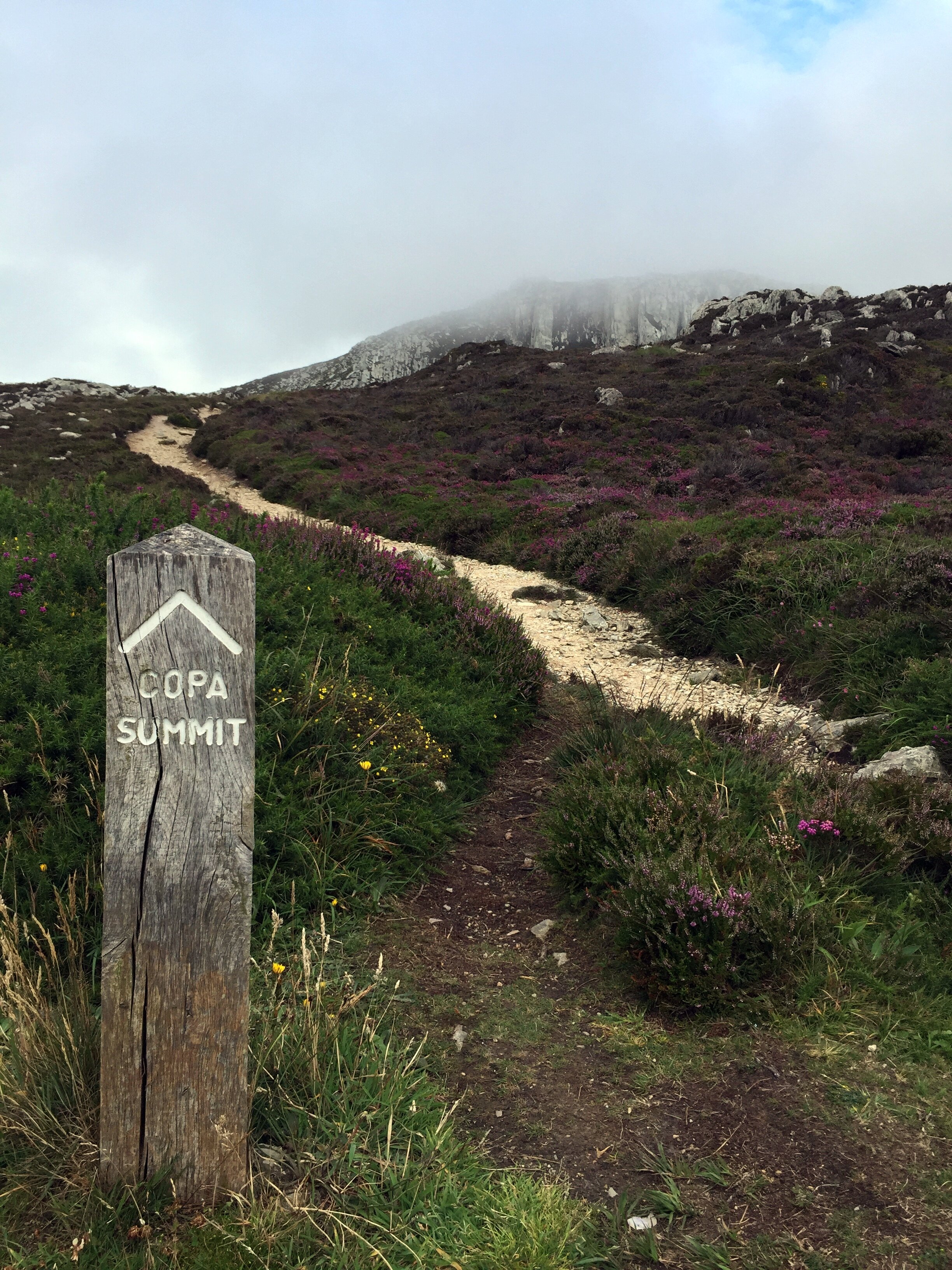
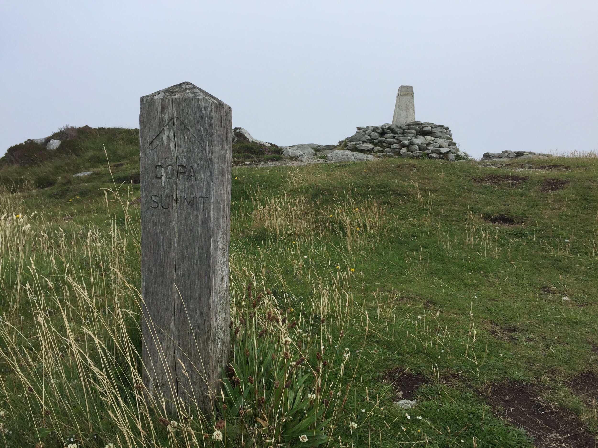
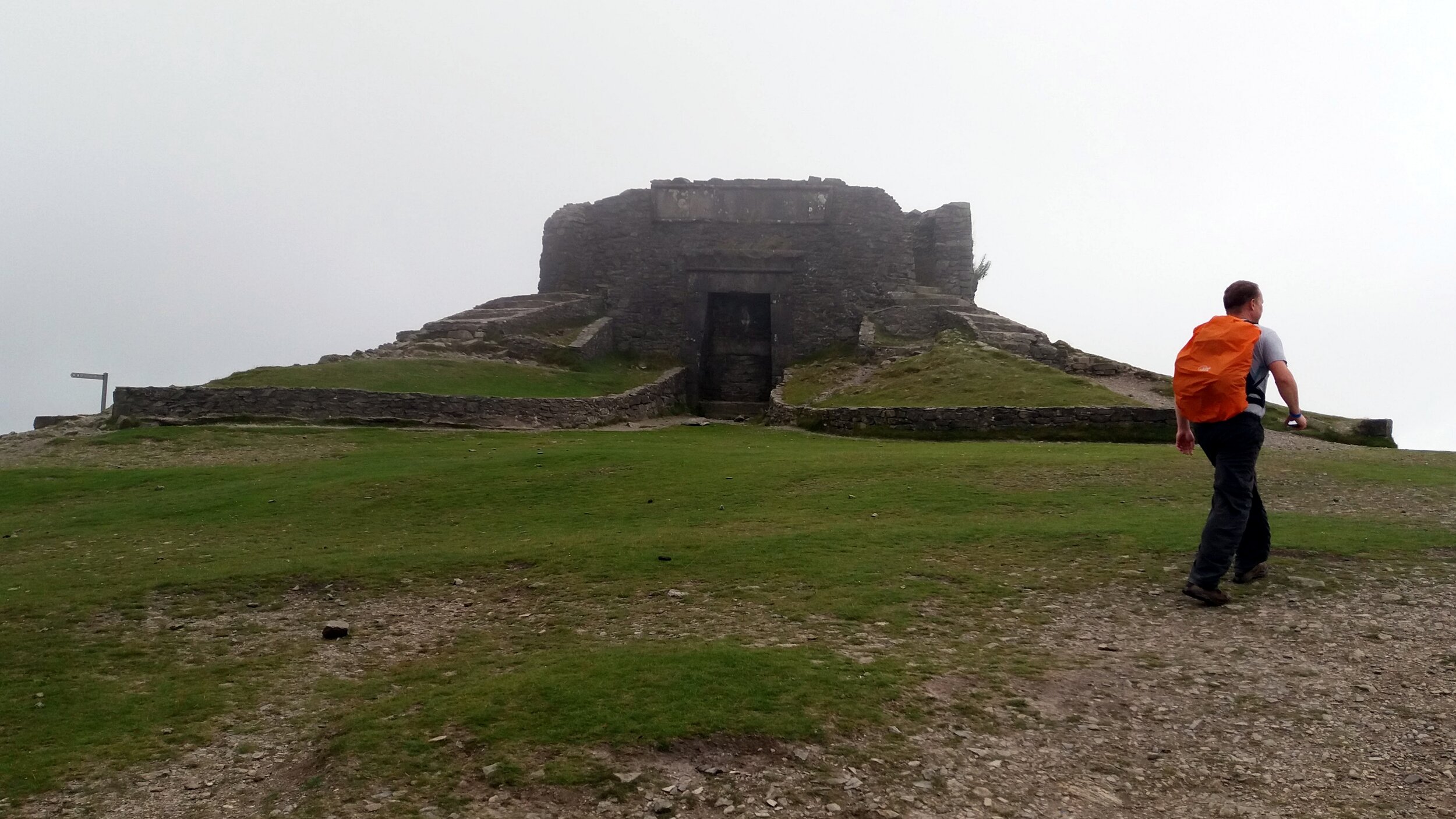
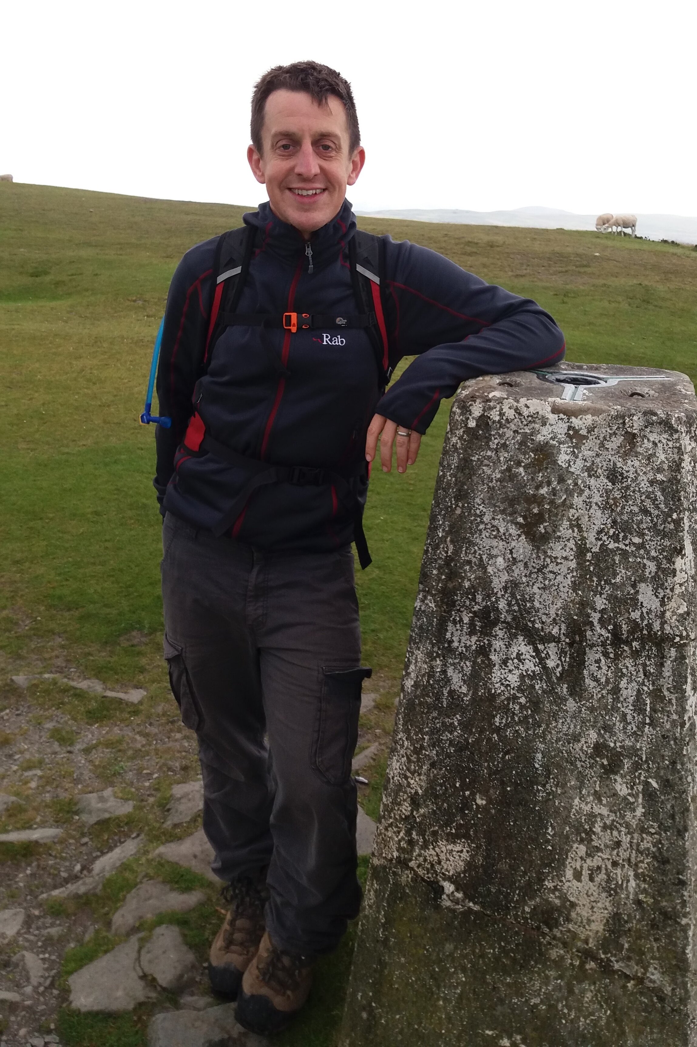
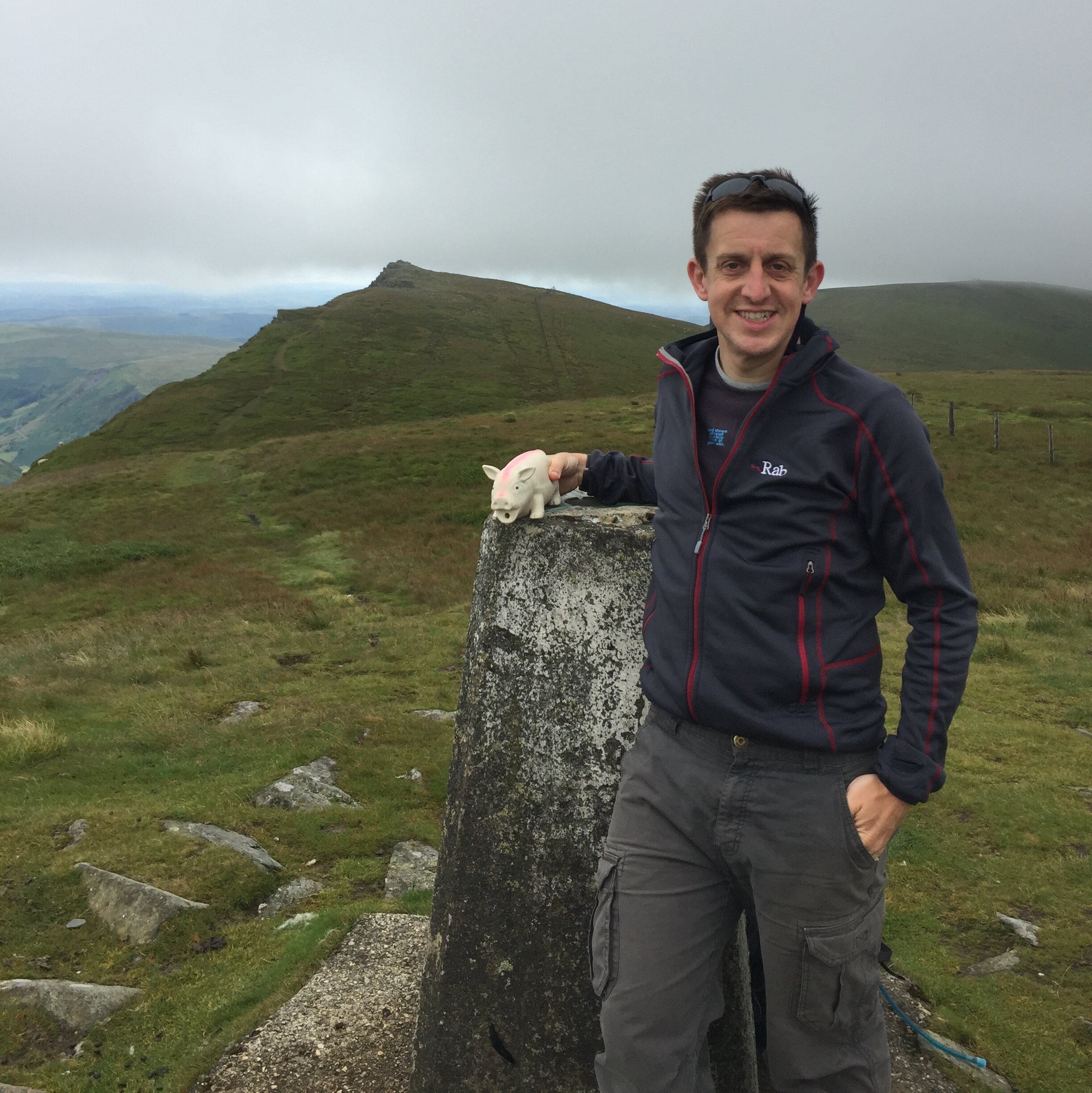
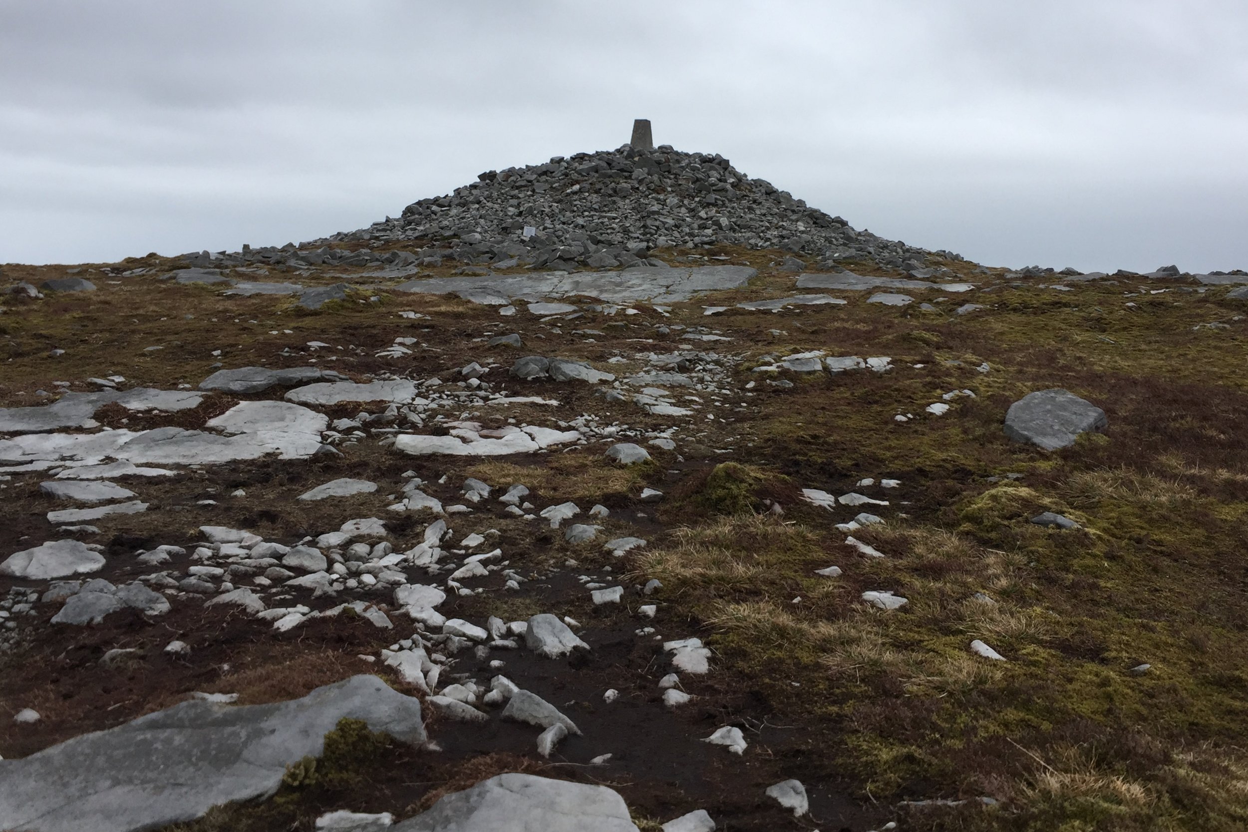
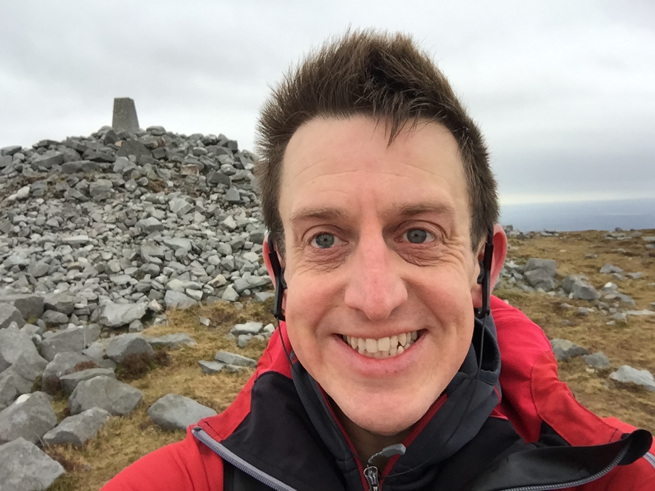
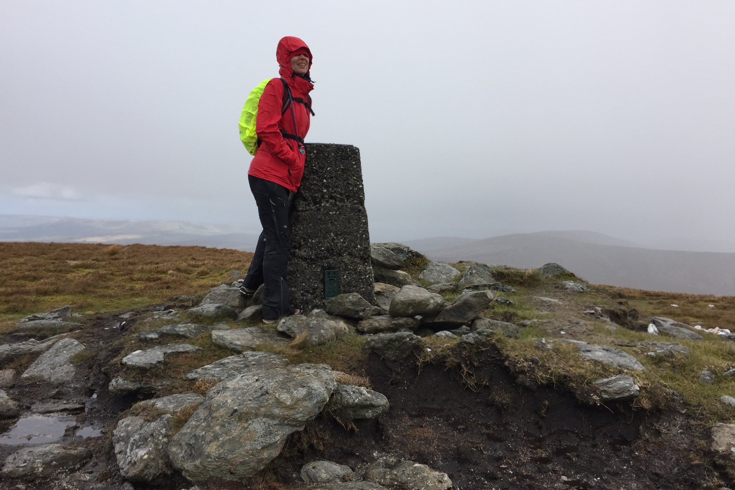
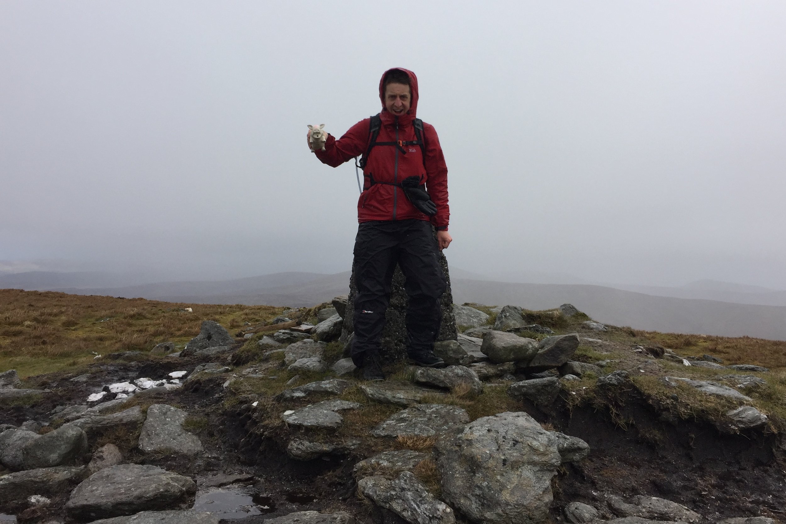
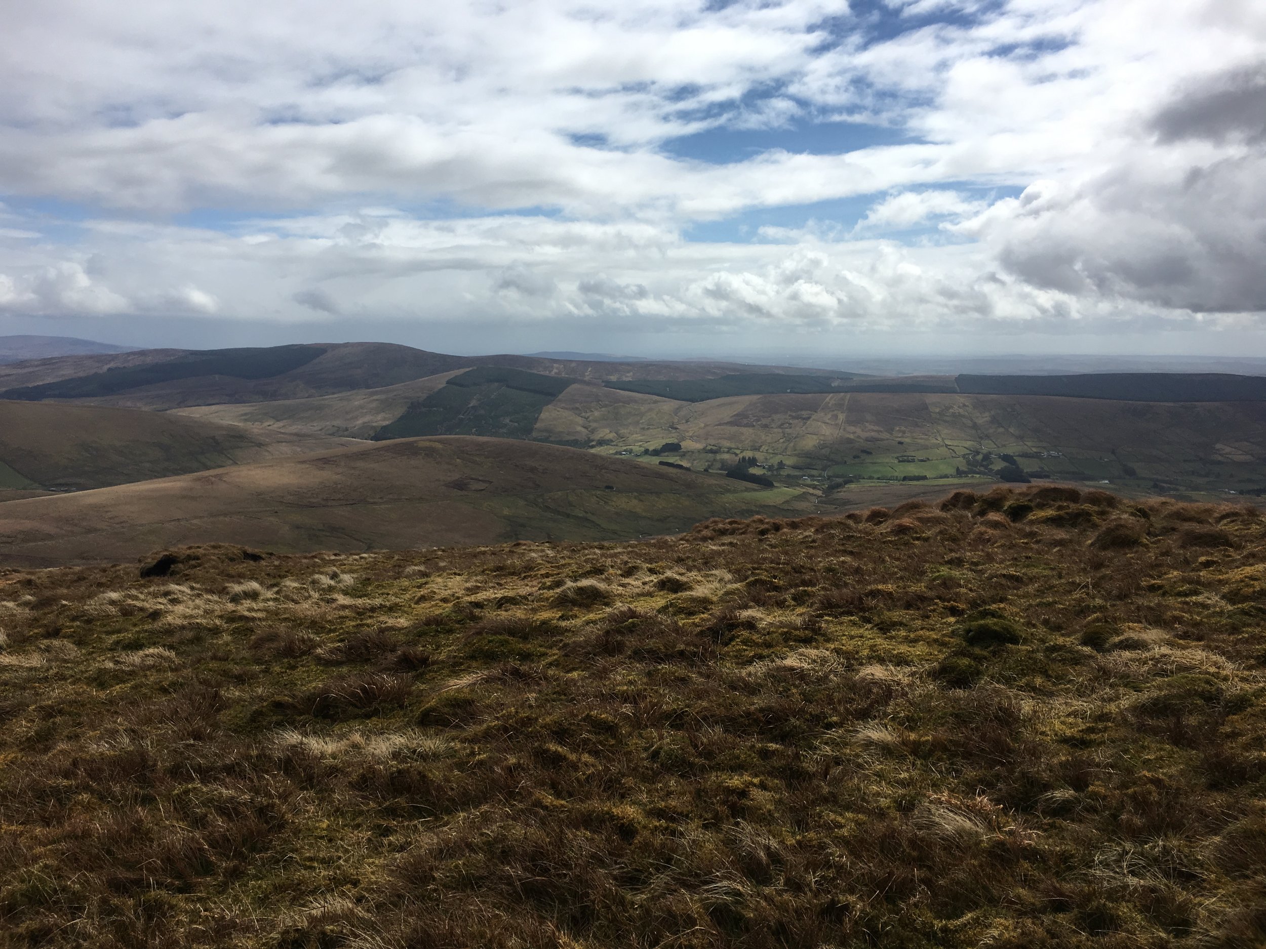
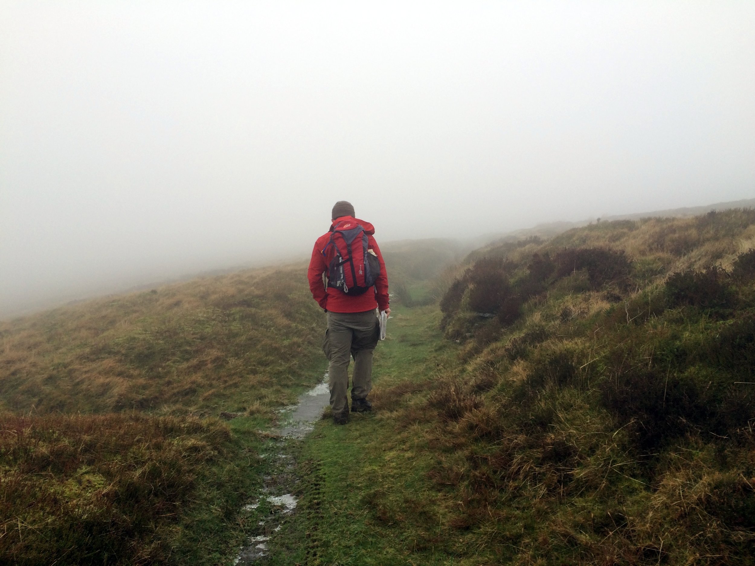
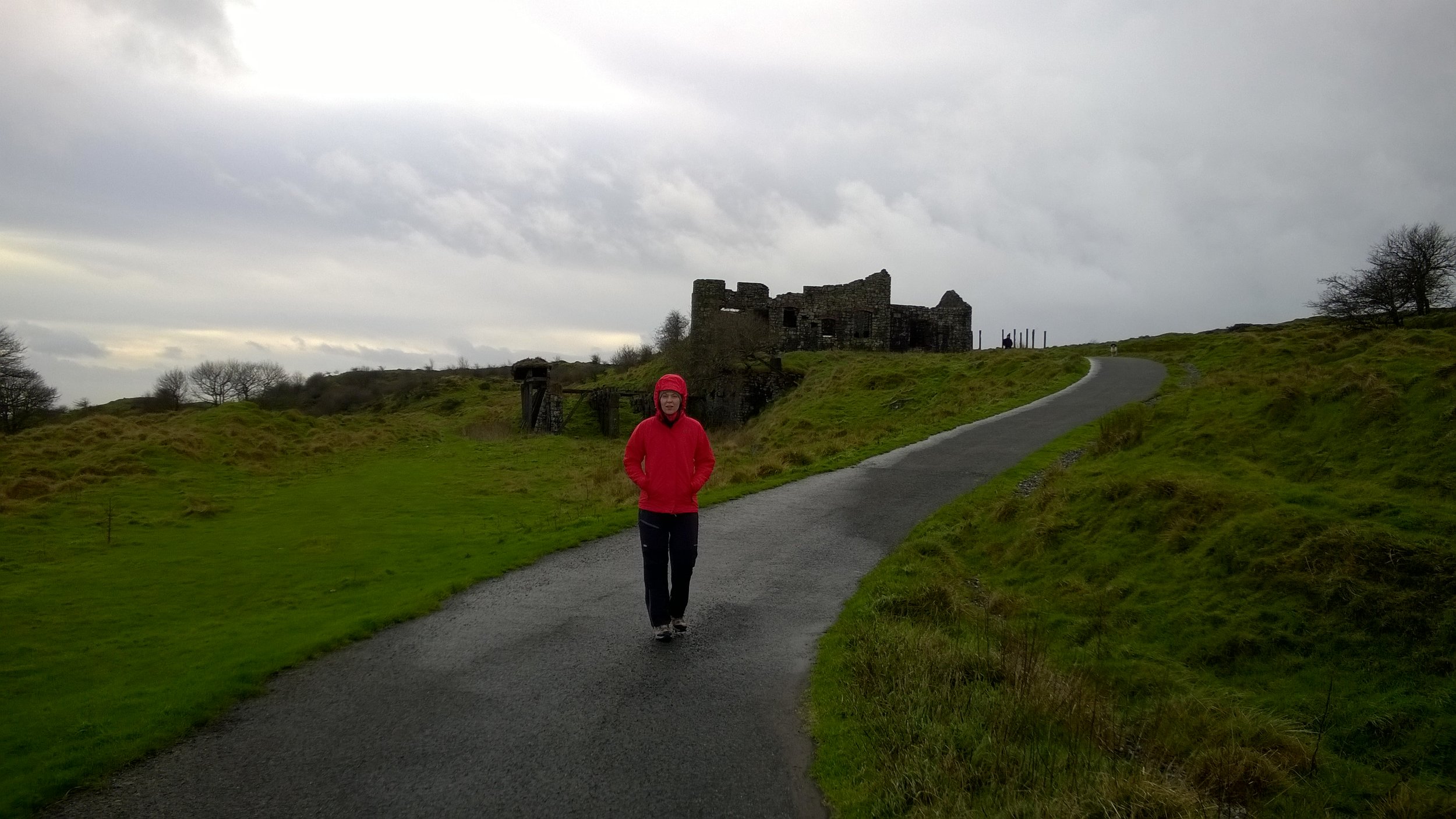
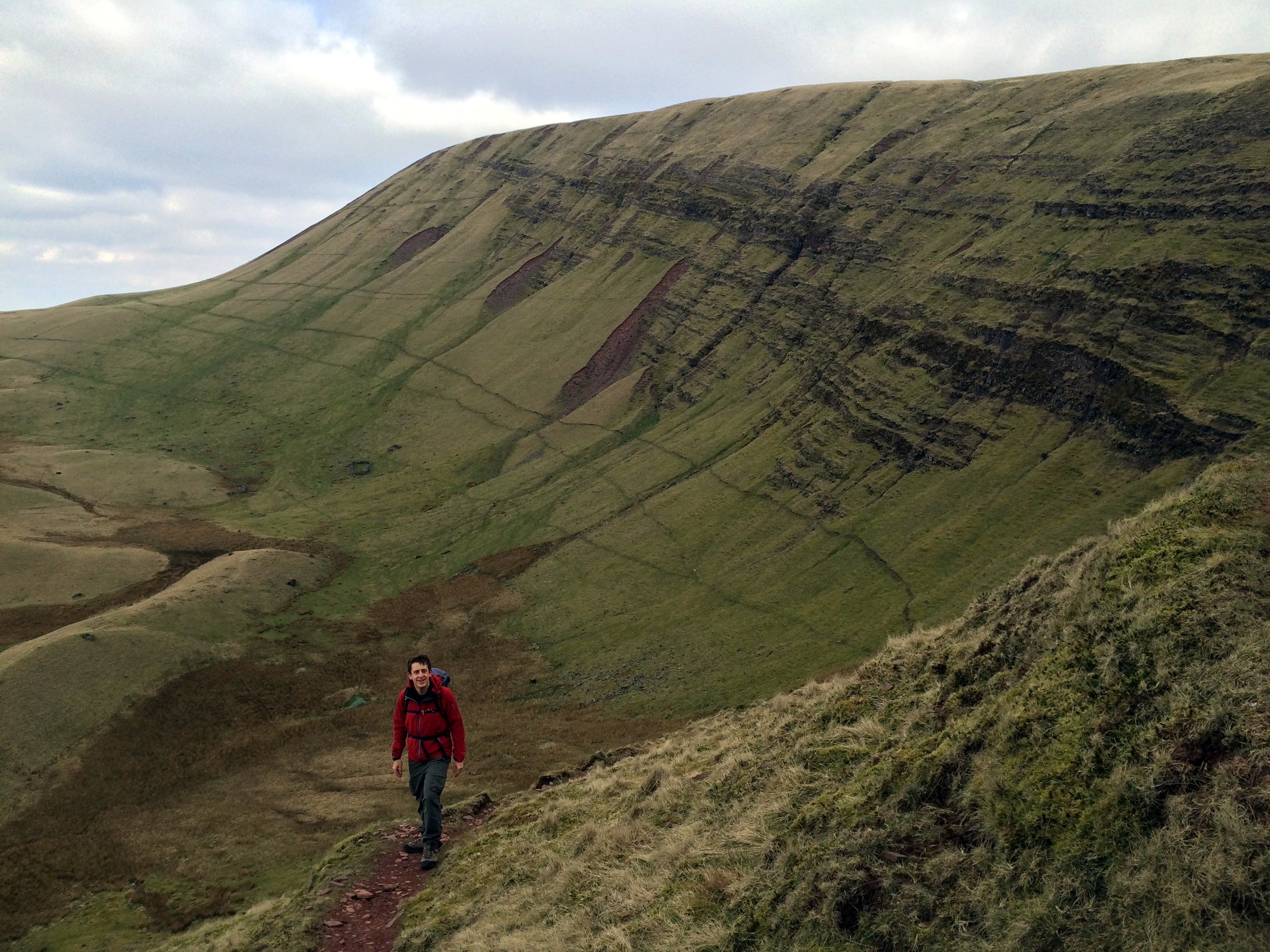
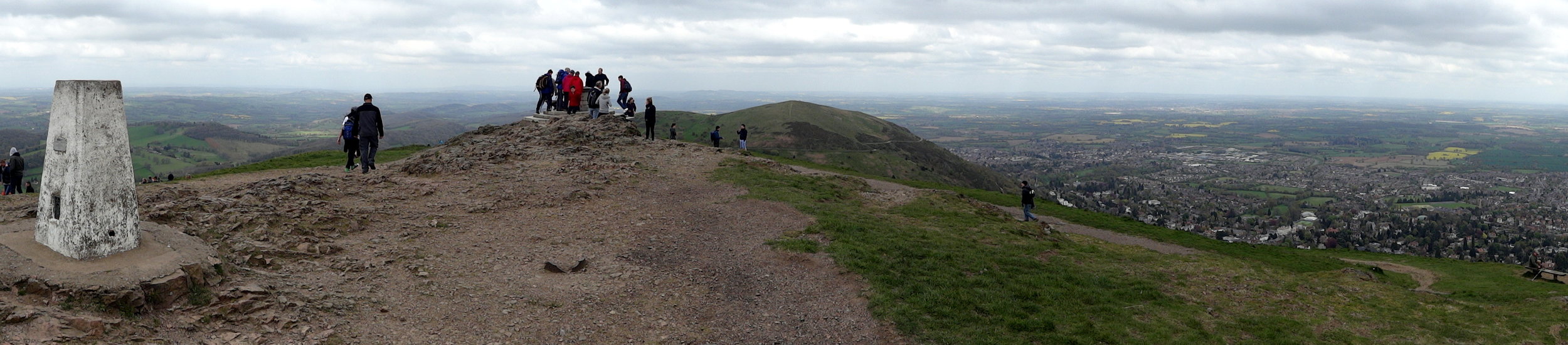
Just beyond the cloud line we joined the familiar Llanberis Path and reached the summit. Apparently the view is amazing, but in the 5 times I've been there, it's only been dirty fog. After a quick stop at the summit cafe we started the descent along the Watkin Path. I done the Watkin a couple of times in reverse and remember the steep part near the top to be a bit of a wobbly scramble. We must have gone off track on those previous attempts as the path down was significantly more straightforward than I remembered.
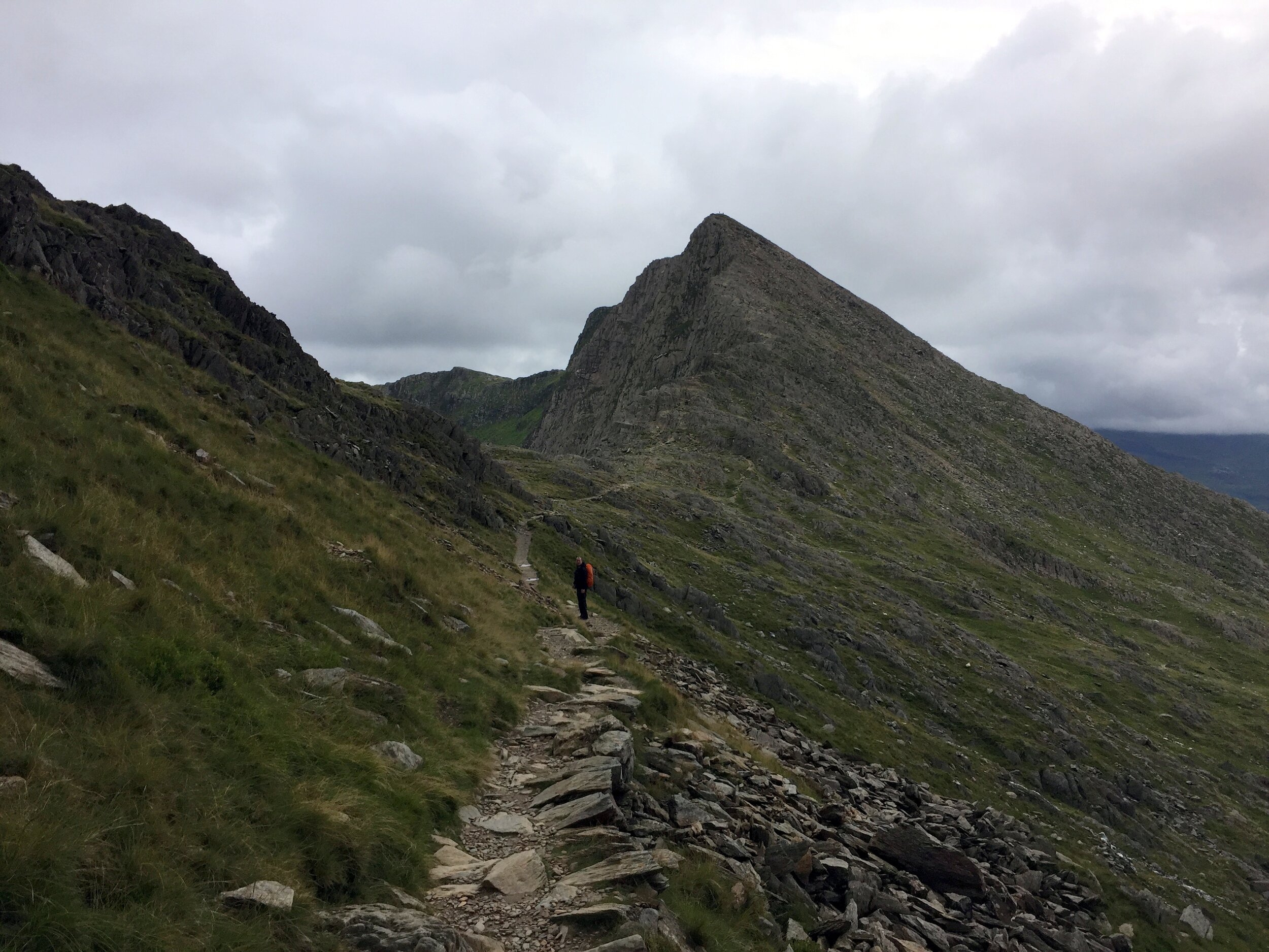
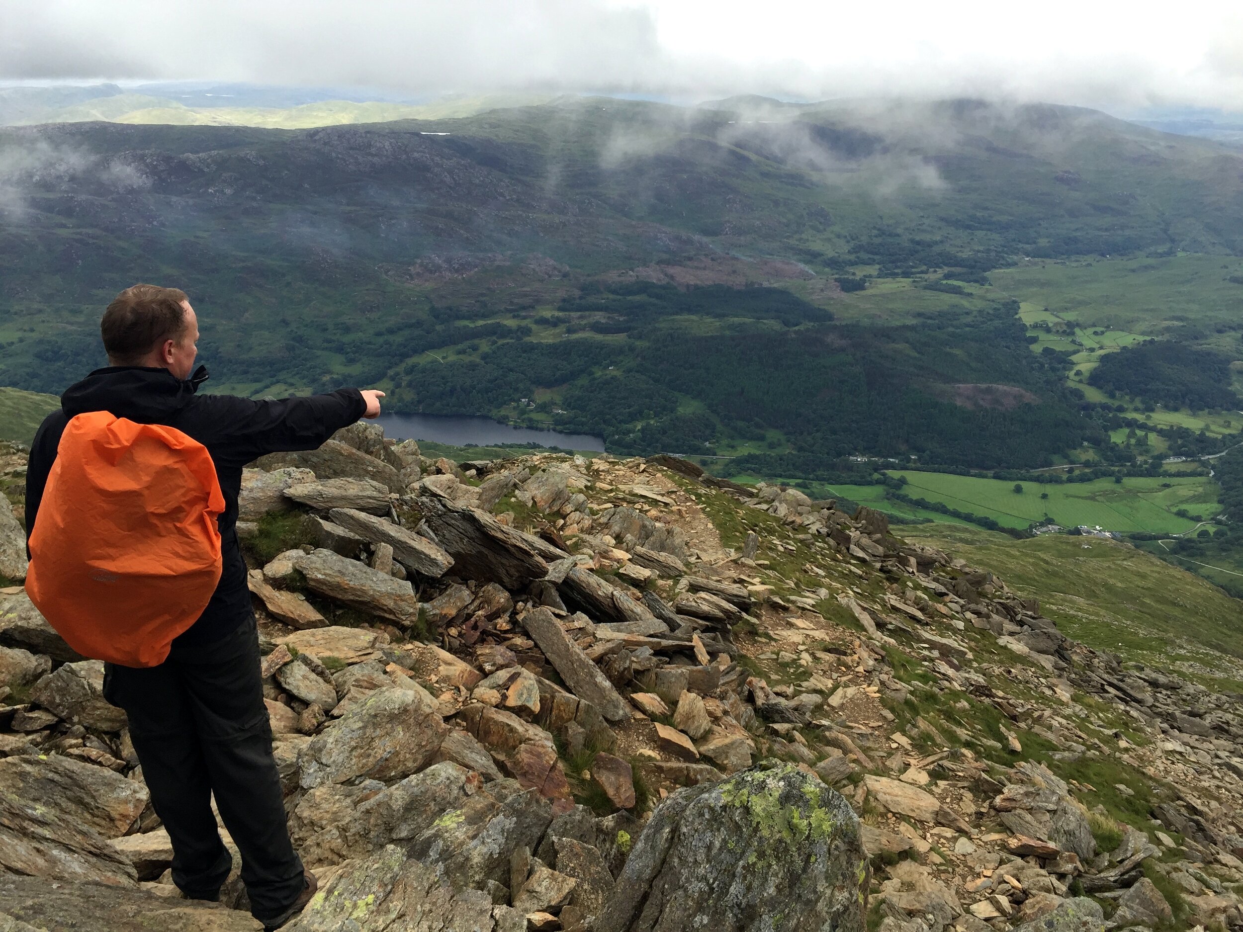
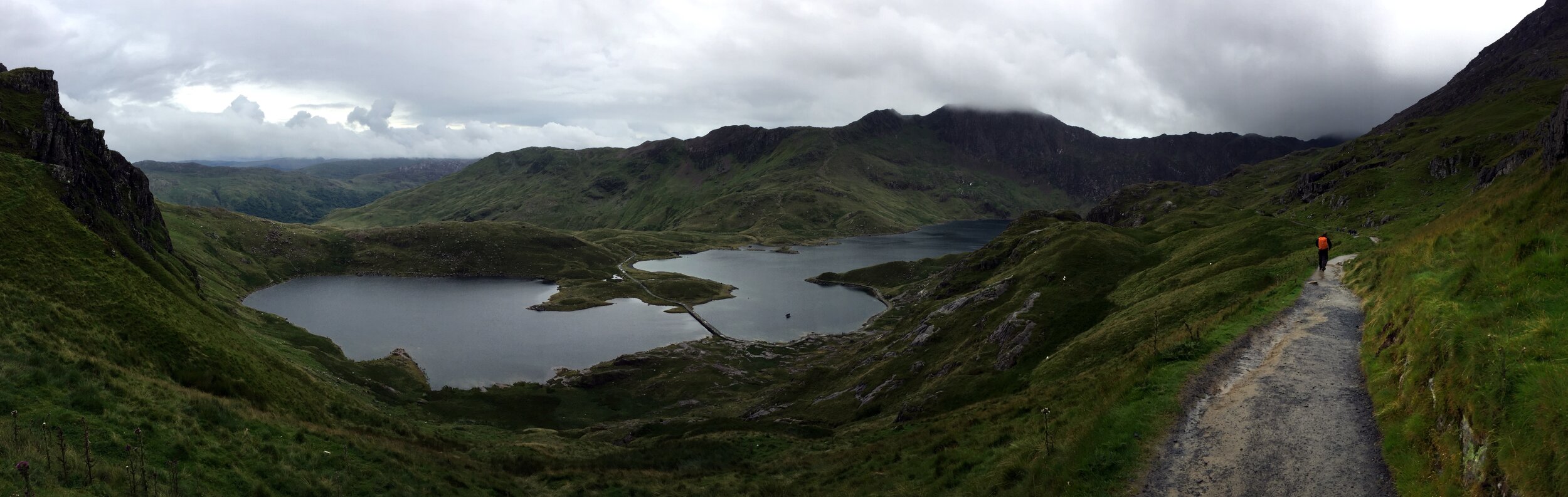
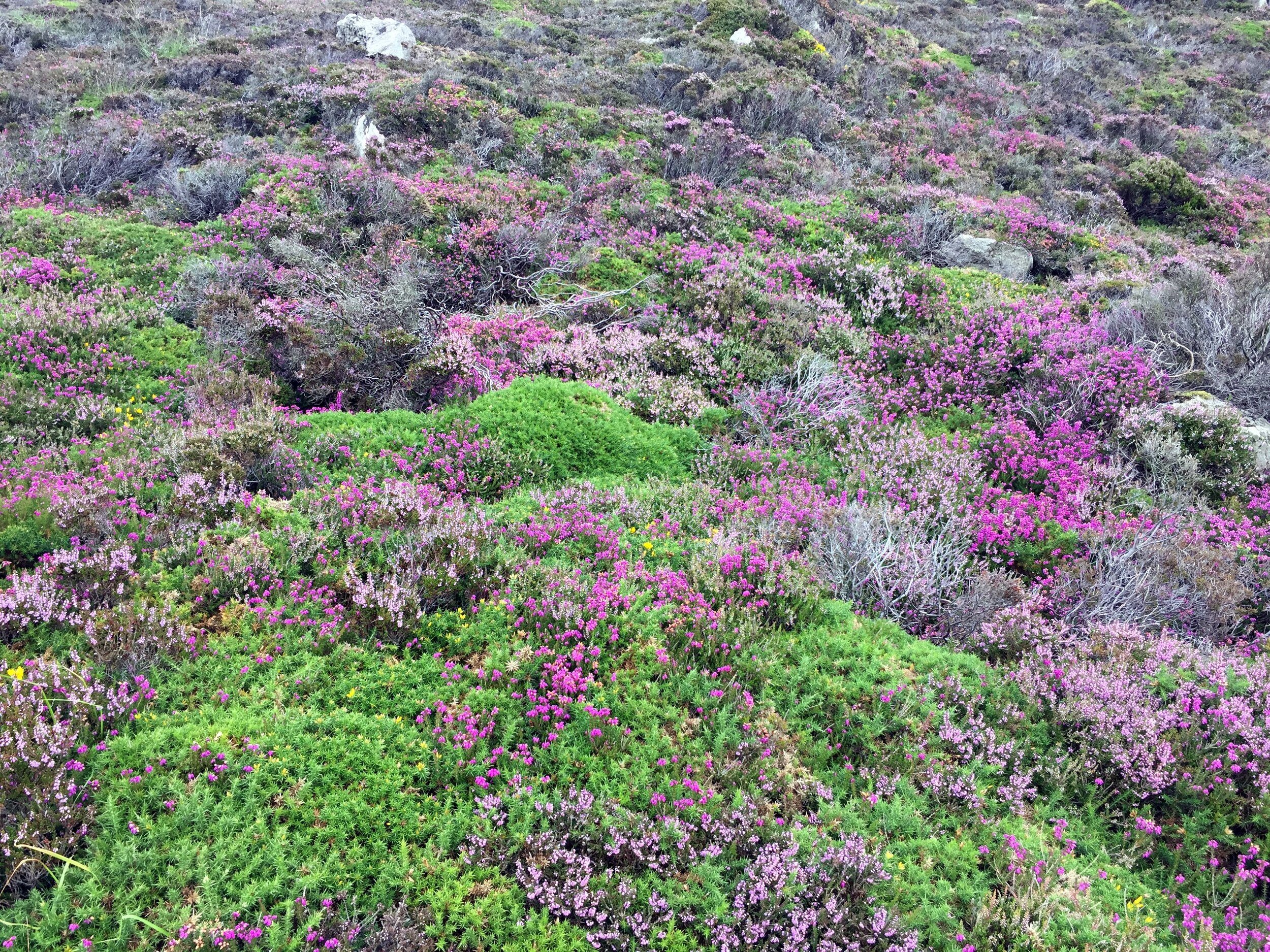
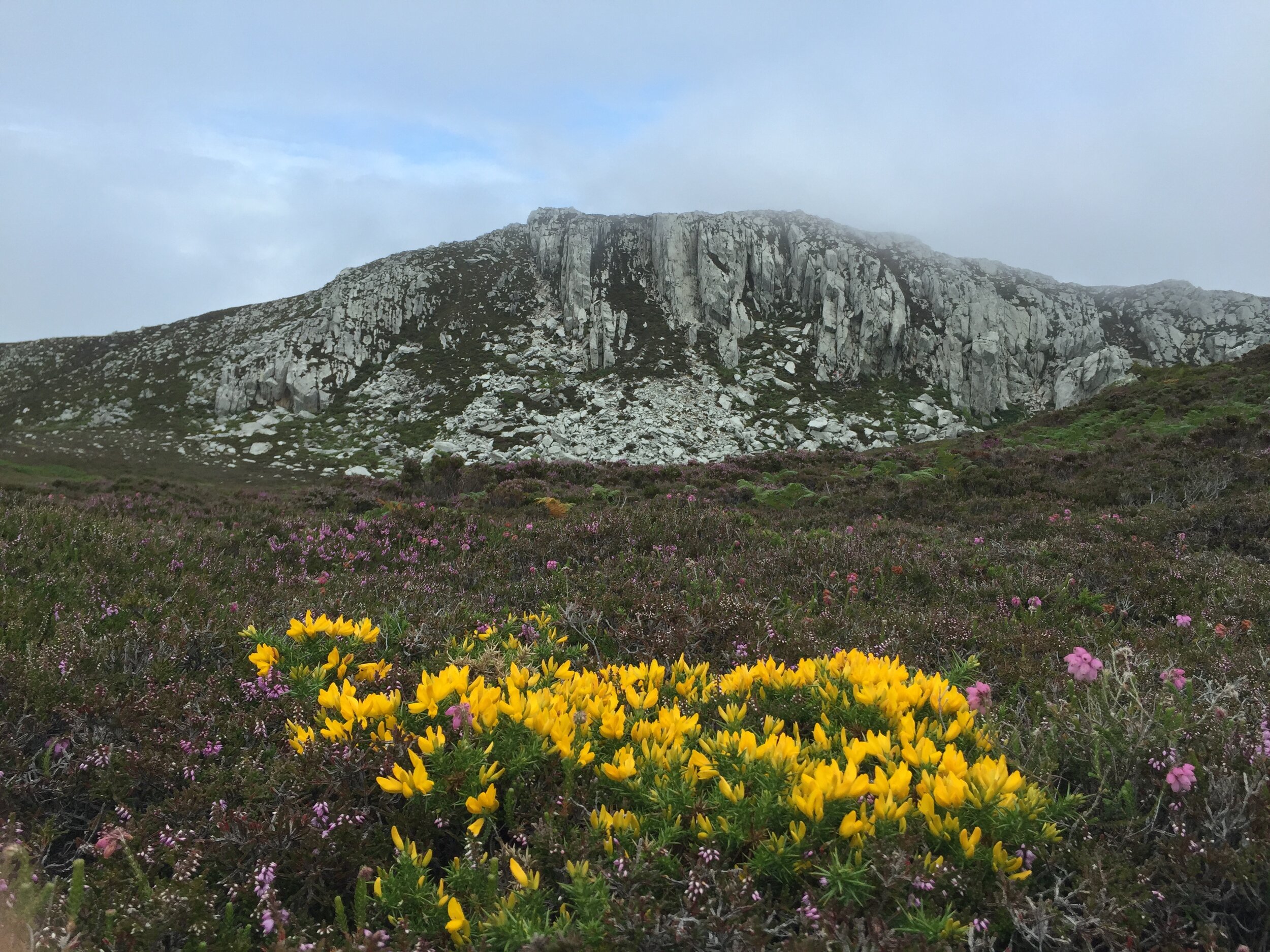
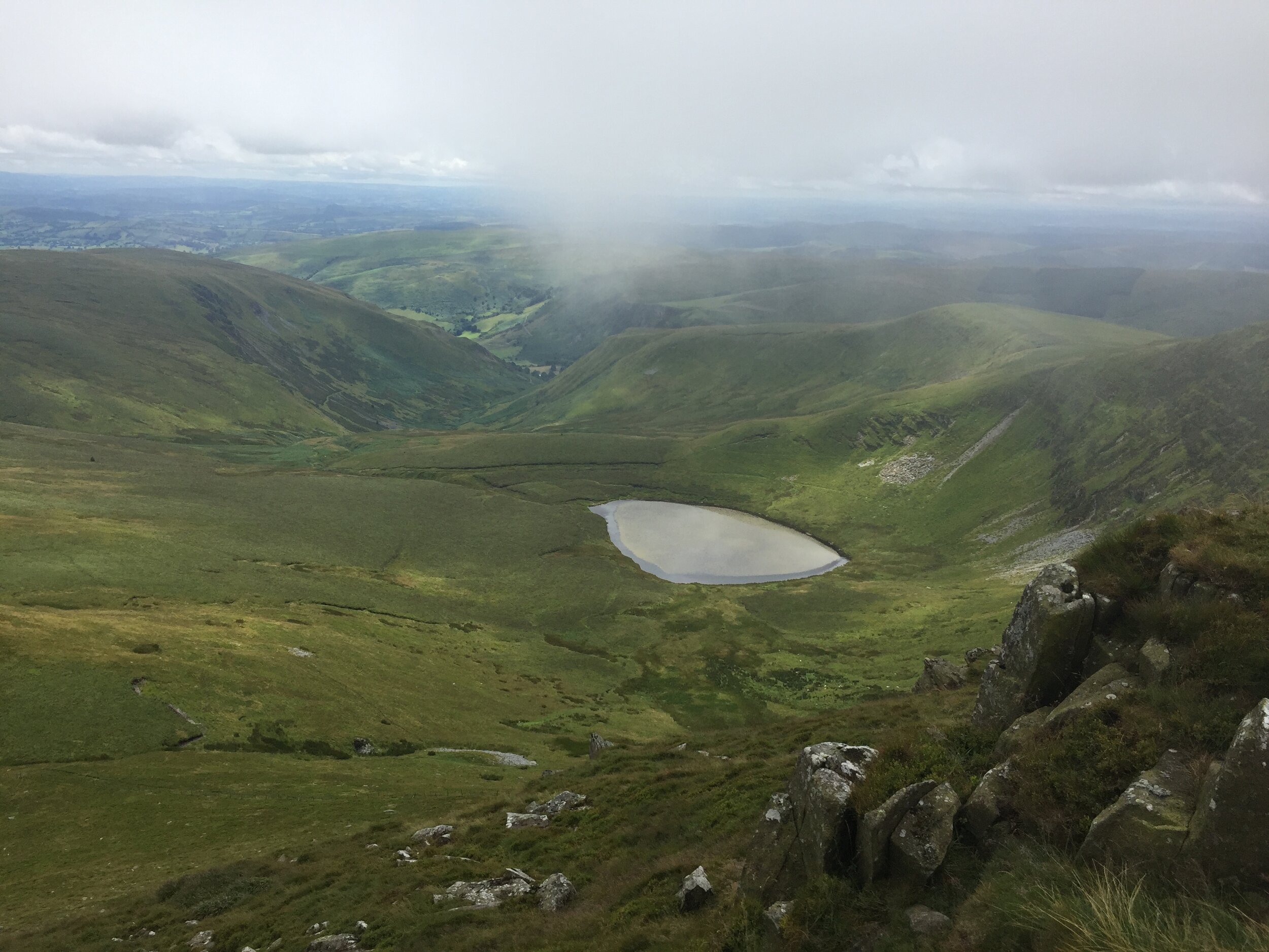
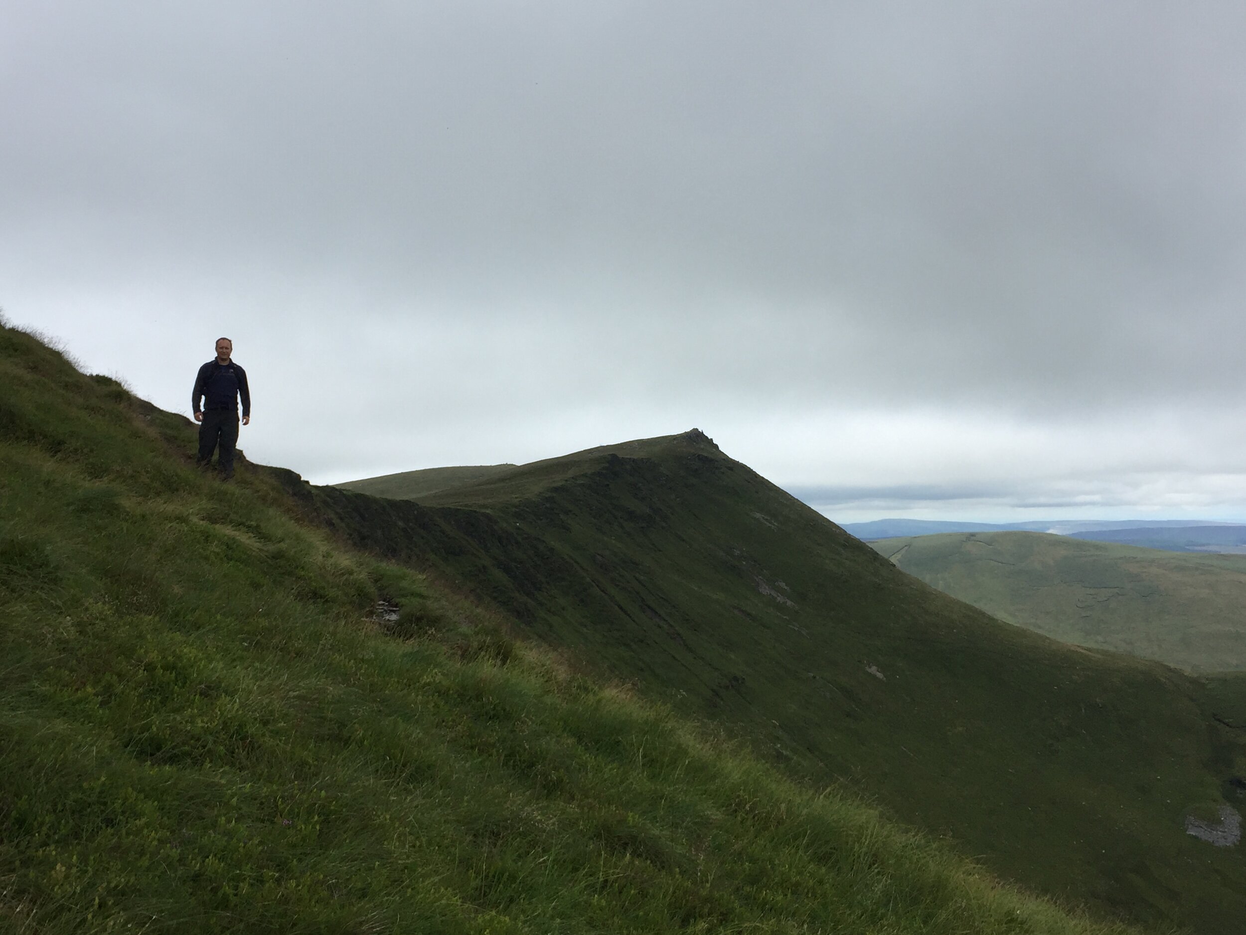
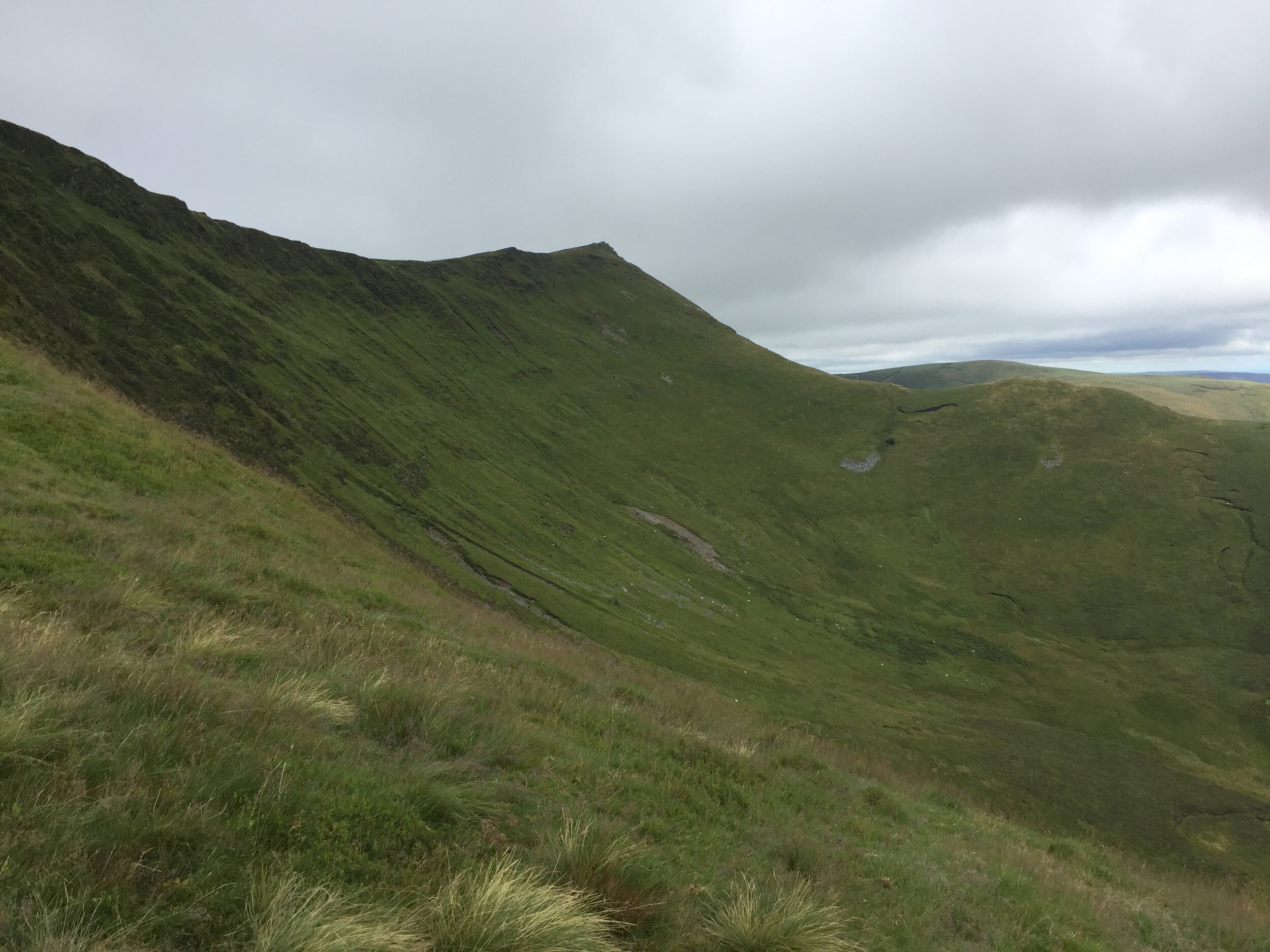
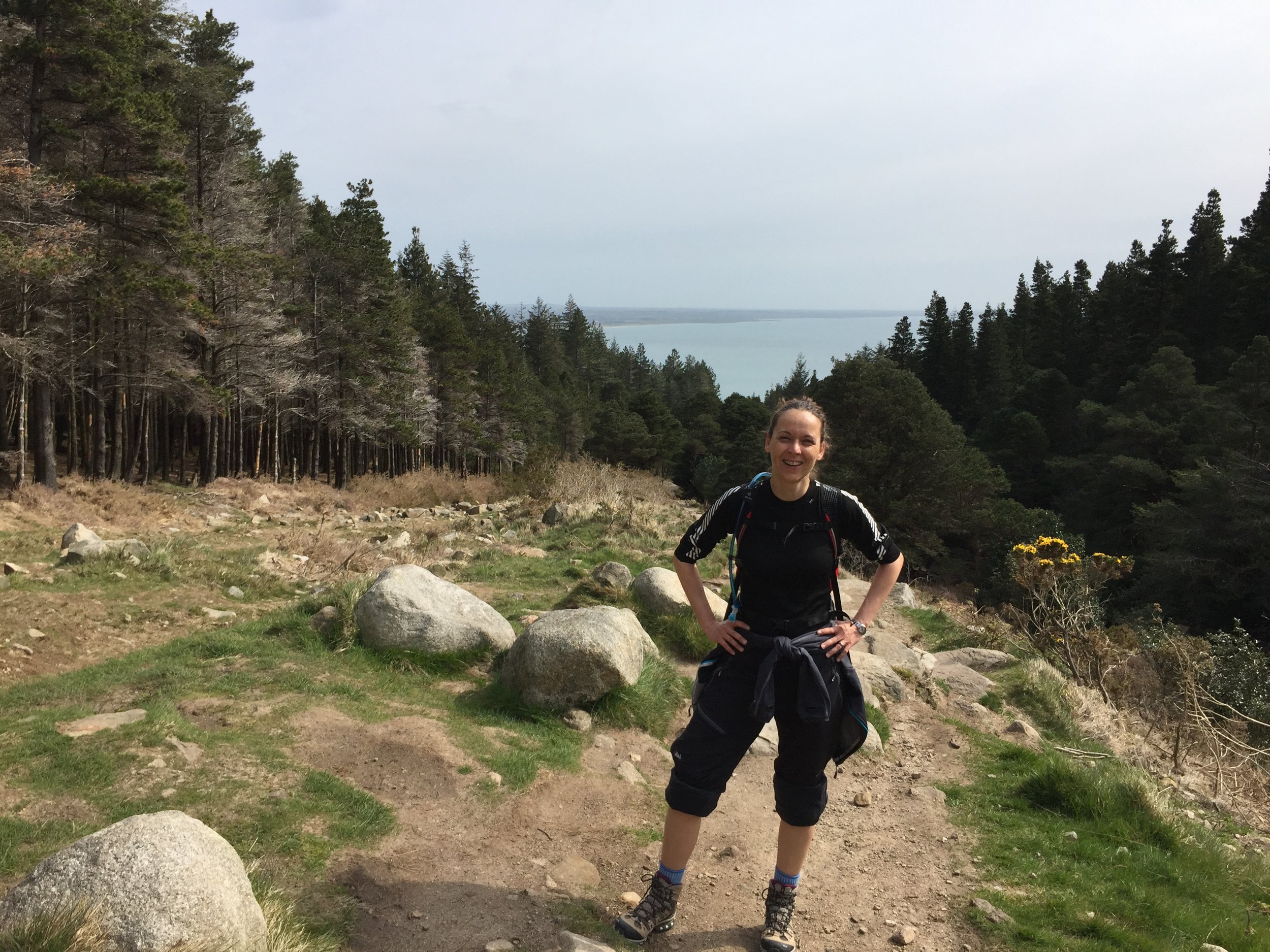
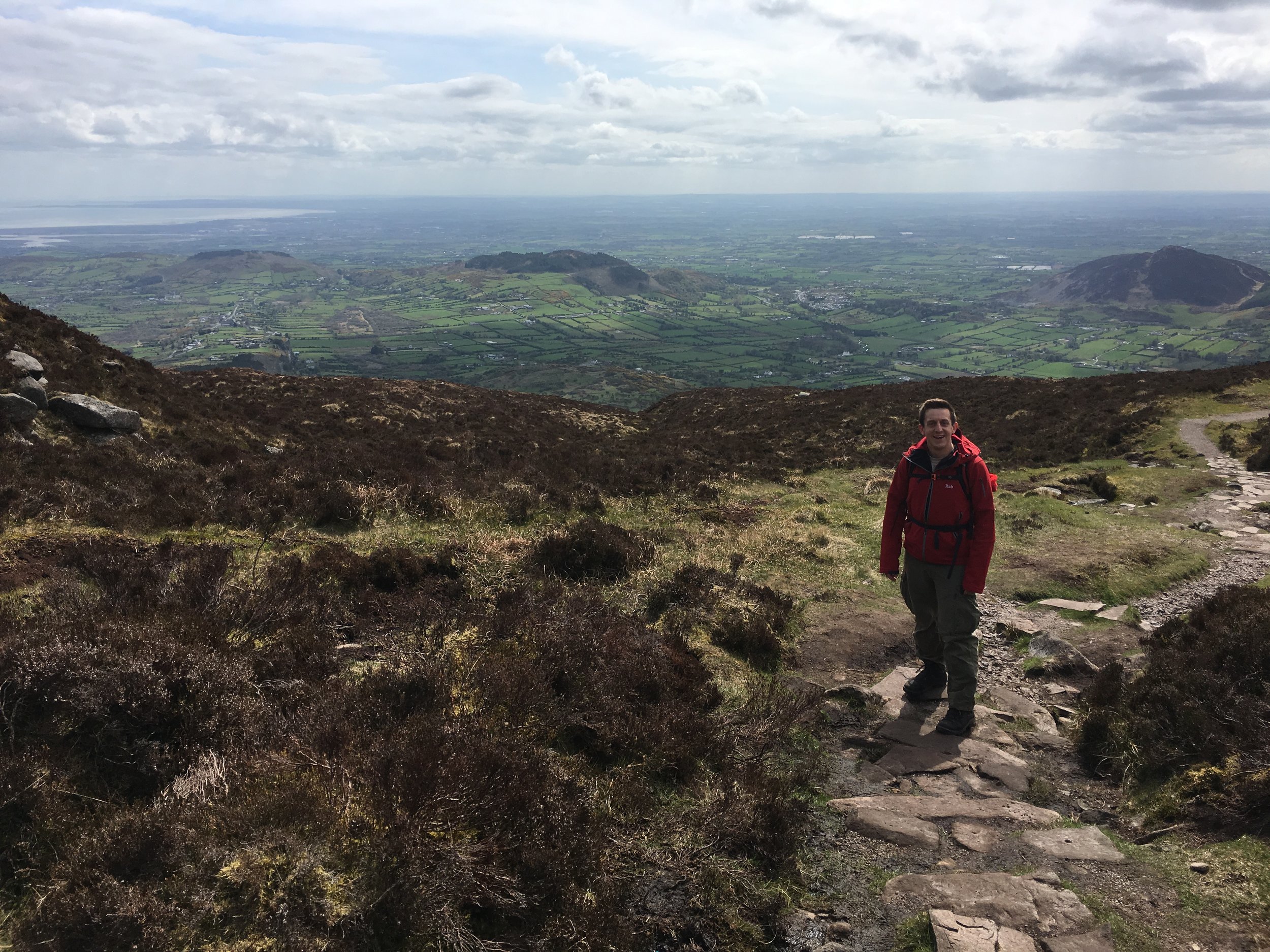
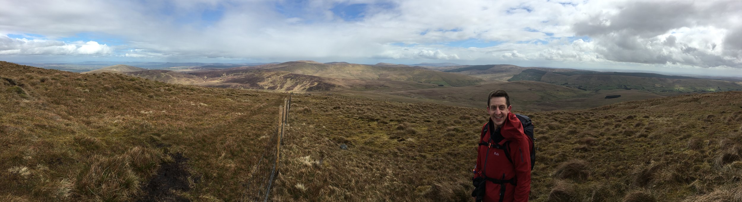
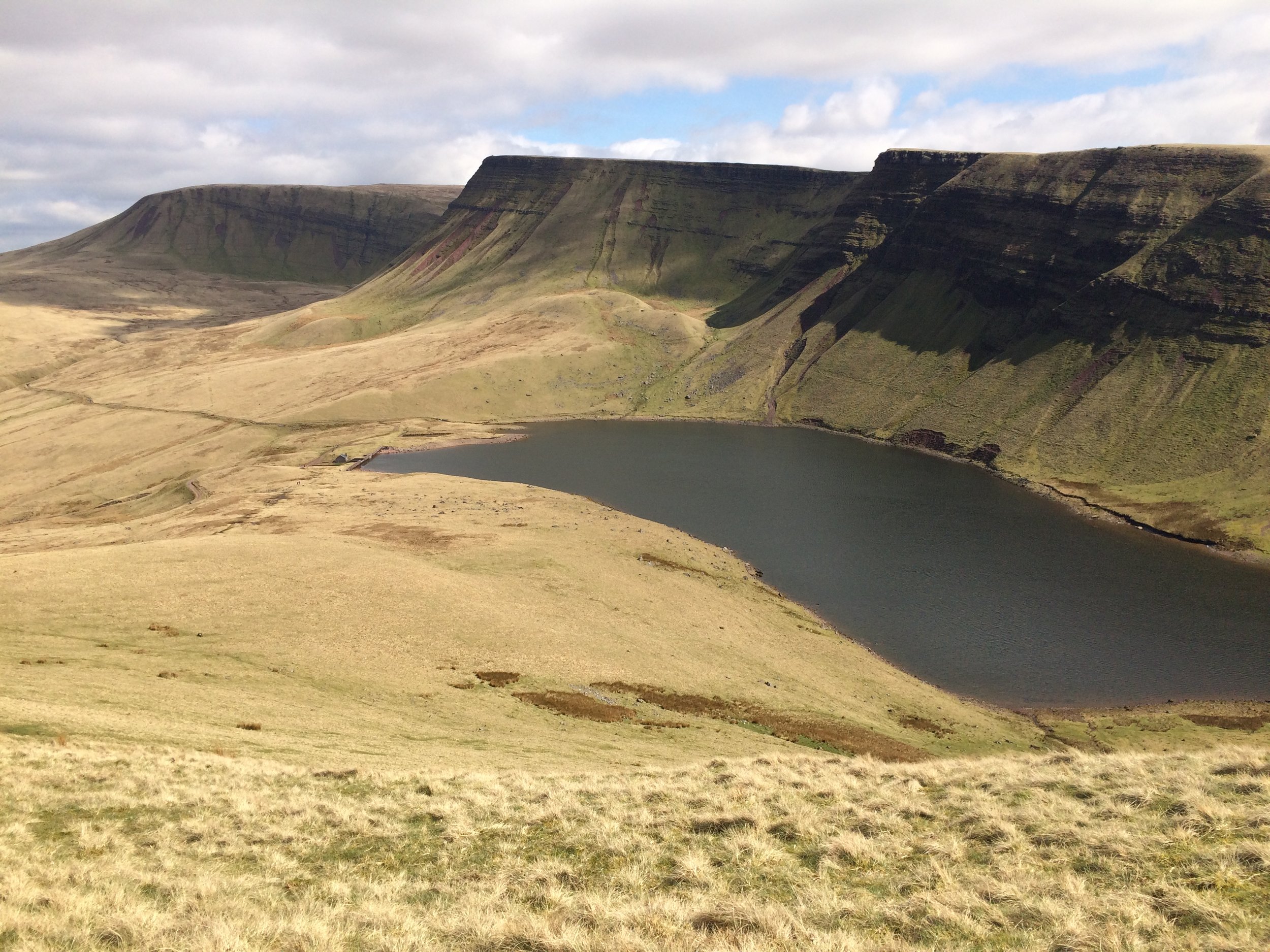
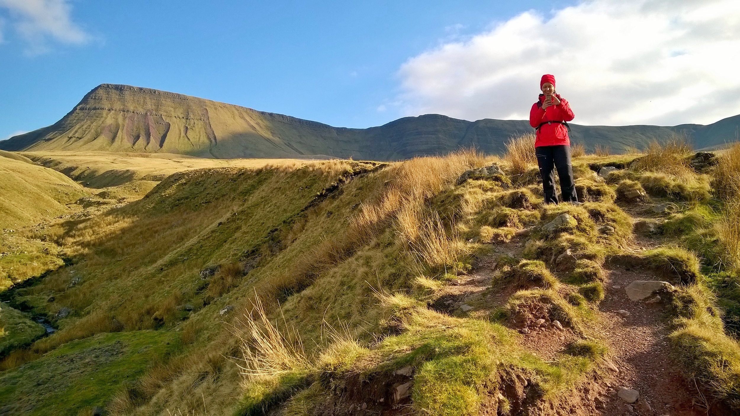
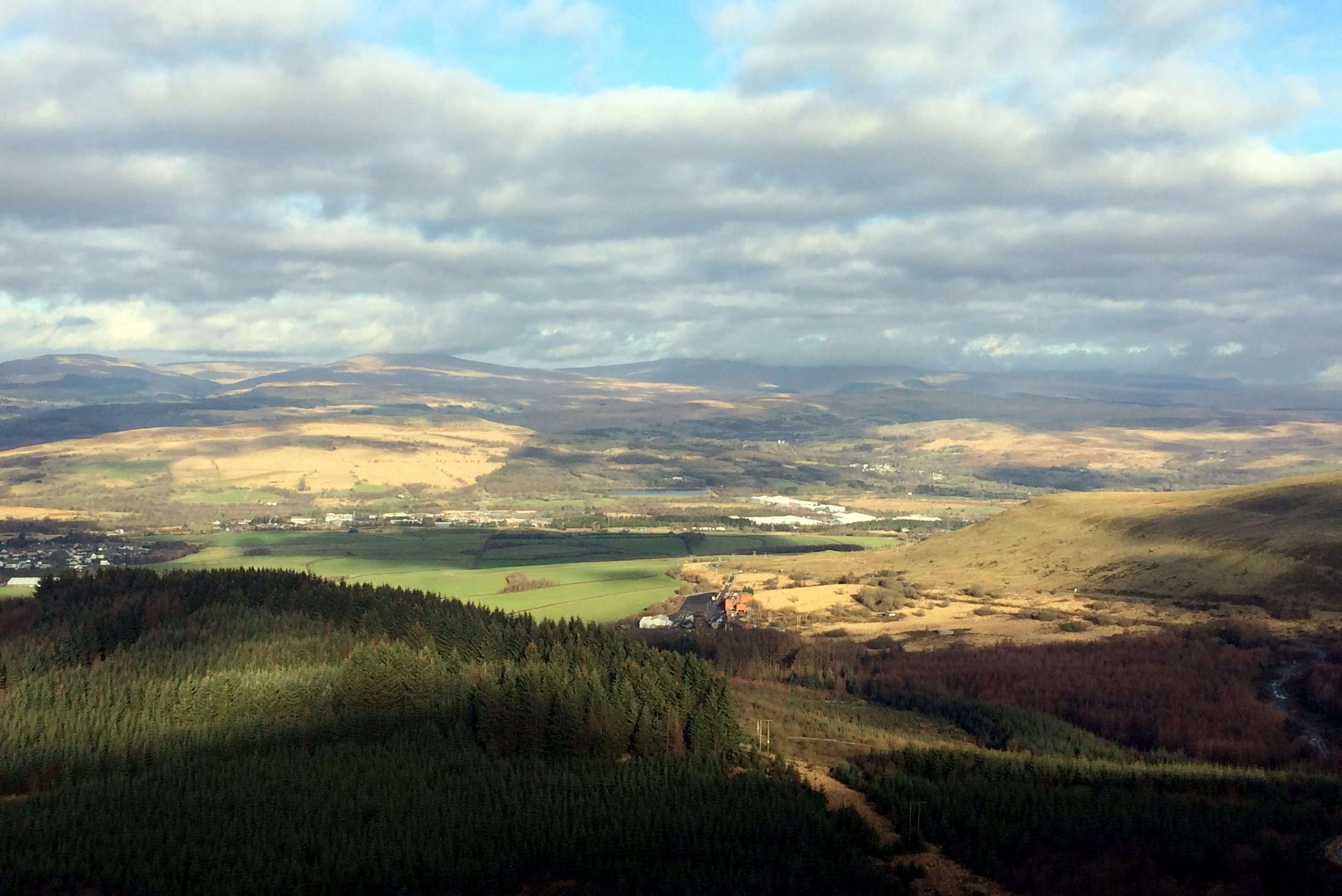
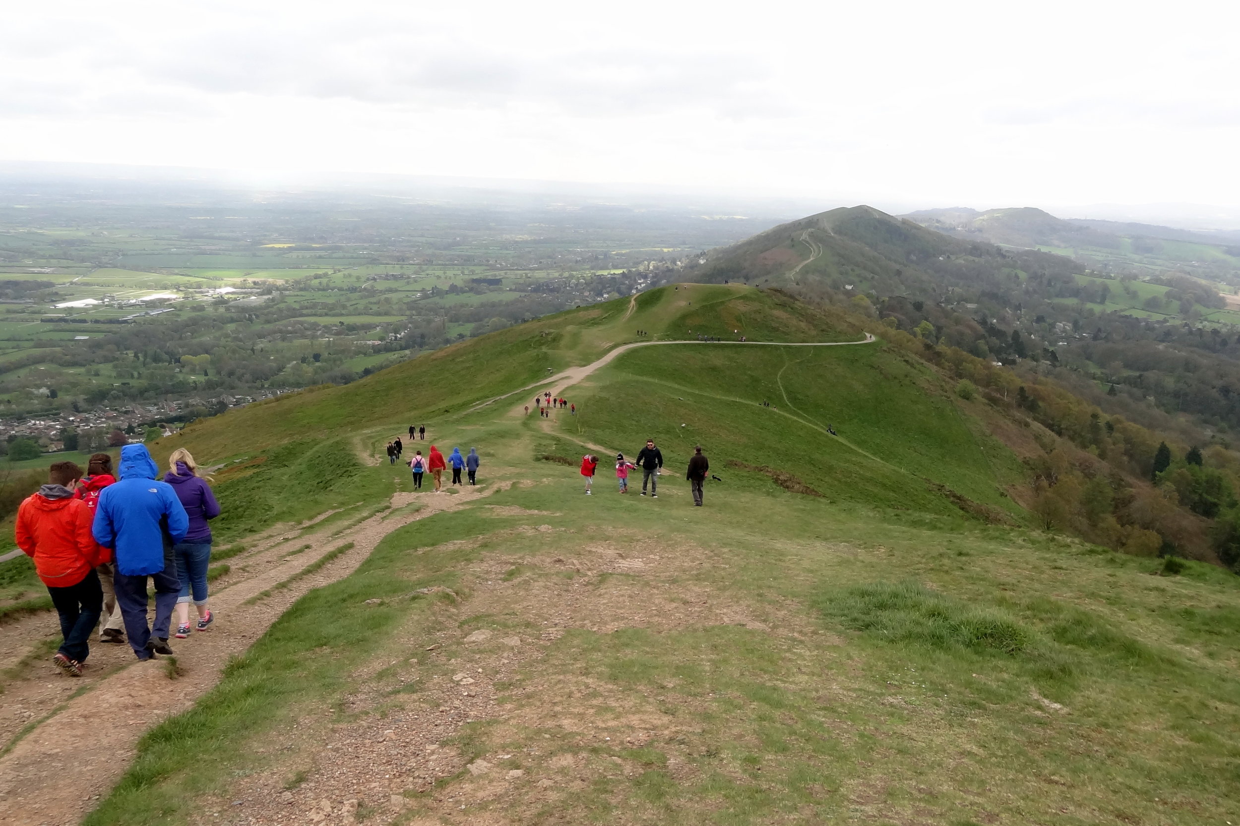
At Bwlch Ciliau we left the Watkin and ascended again to Y Lliwedd. This was a new summit for me and, at 898m, it was taller than the majority of County Tops. With some amazing views, my previous disinterest in climbing Snowdon again was long gone.
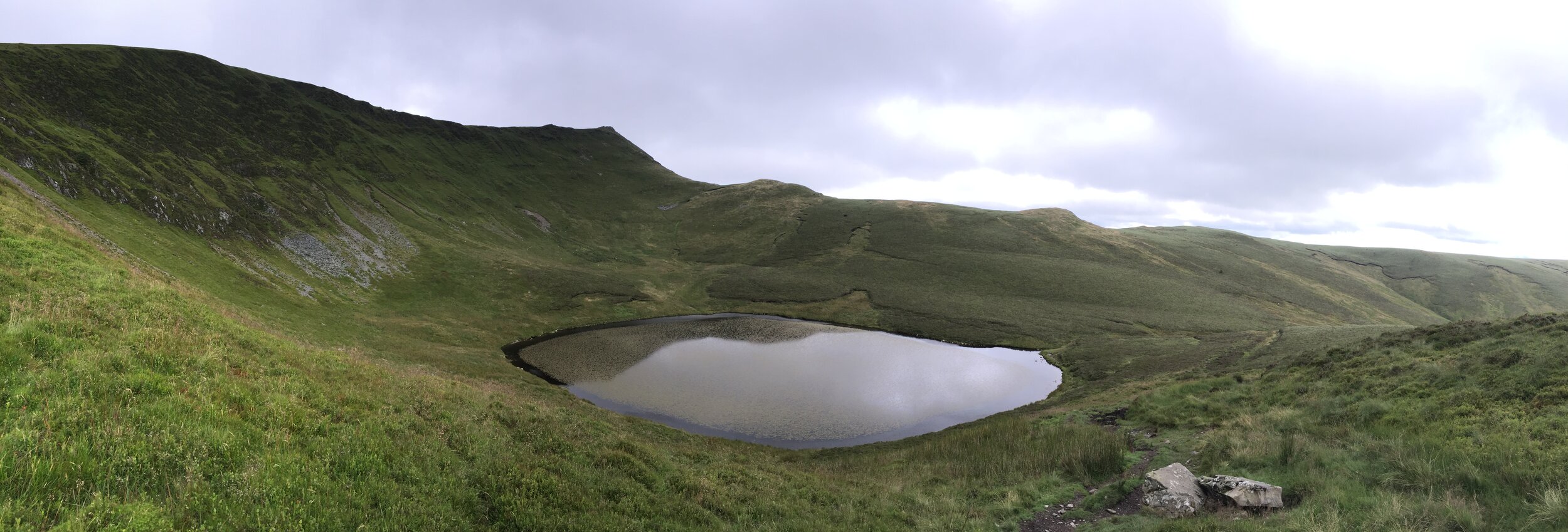
At the bottom of Lliwedd Bach, the final peak of the Horseshoe, we joined the Miners Track on relatively flat ground. Mark, who was just ahead of Chris and I, had got talking to a lone walker by the reservoir. The guy had done Crib Goch that morning and still looked petrified by the experience. He'd got to the knife edge relatively easily only to have got caught in a strong downpour right at the top. After our breakfast decision Mark and I were worried about whether missing it would take some of the enjoyment out of the day. As it happened, the day was awesome and the had the added bonus of not shitting ourselves and/or falling off.
Snowdon done ... Next stop: Holyhead Mountain.