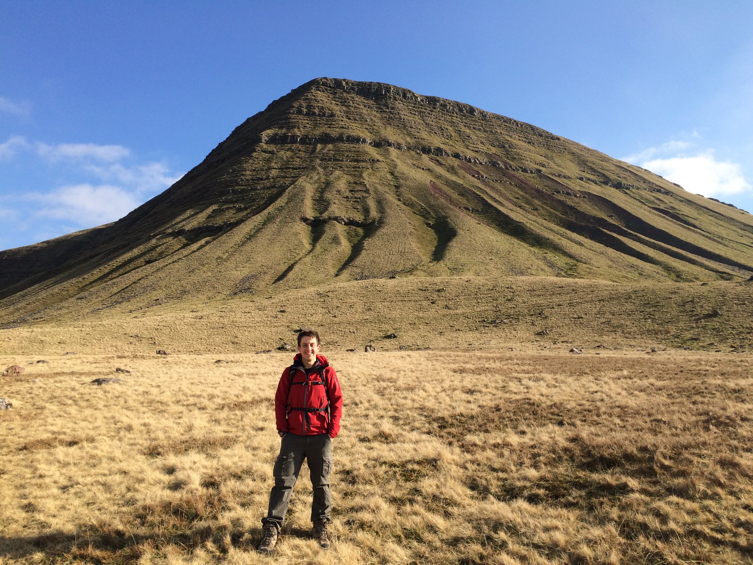
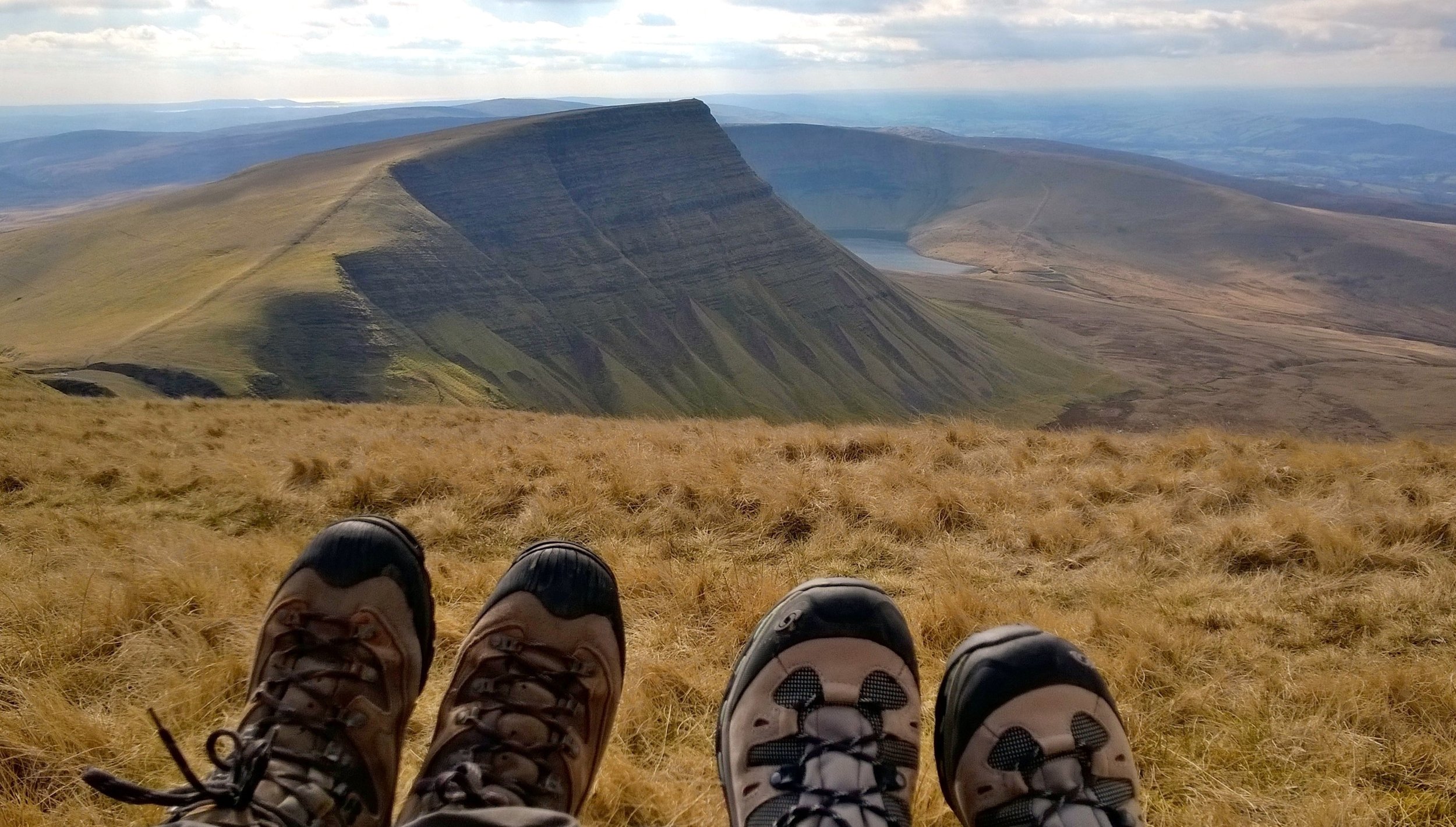
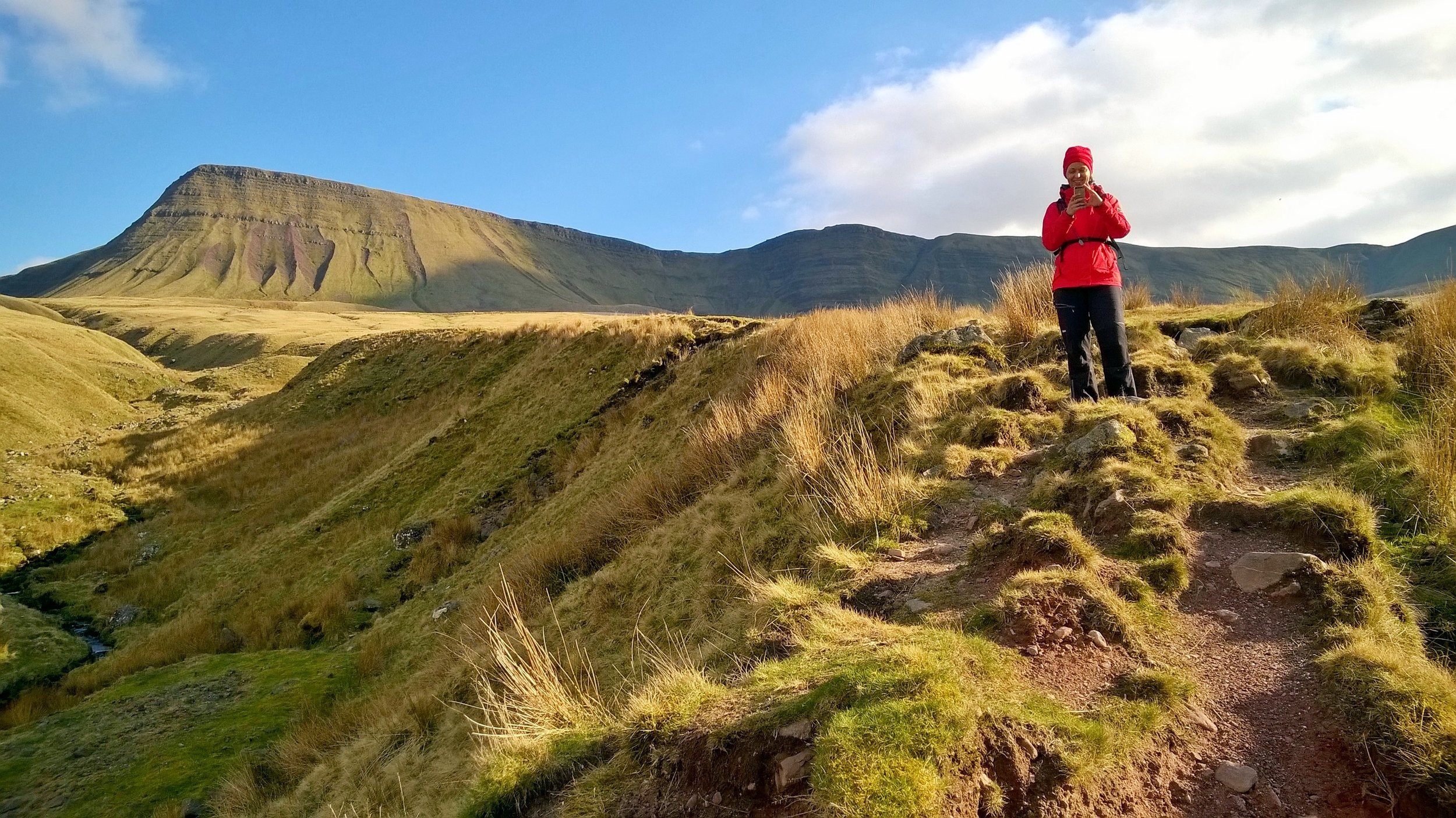
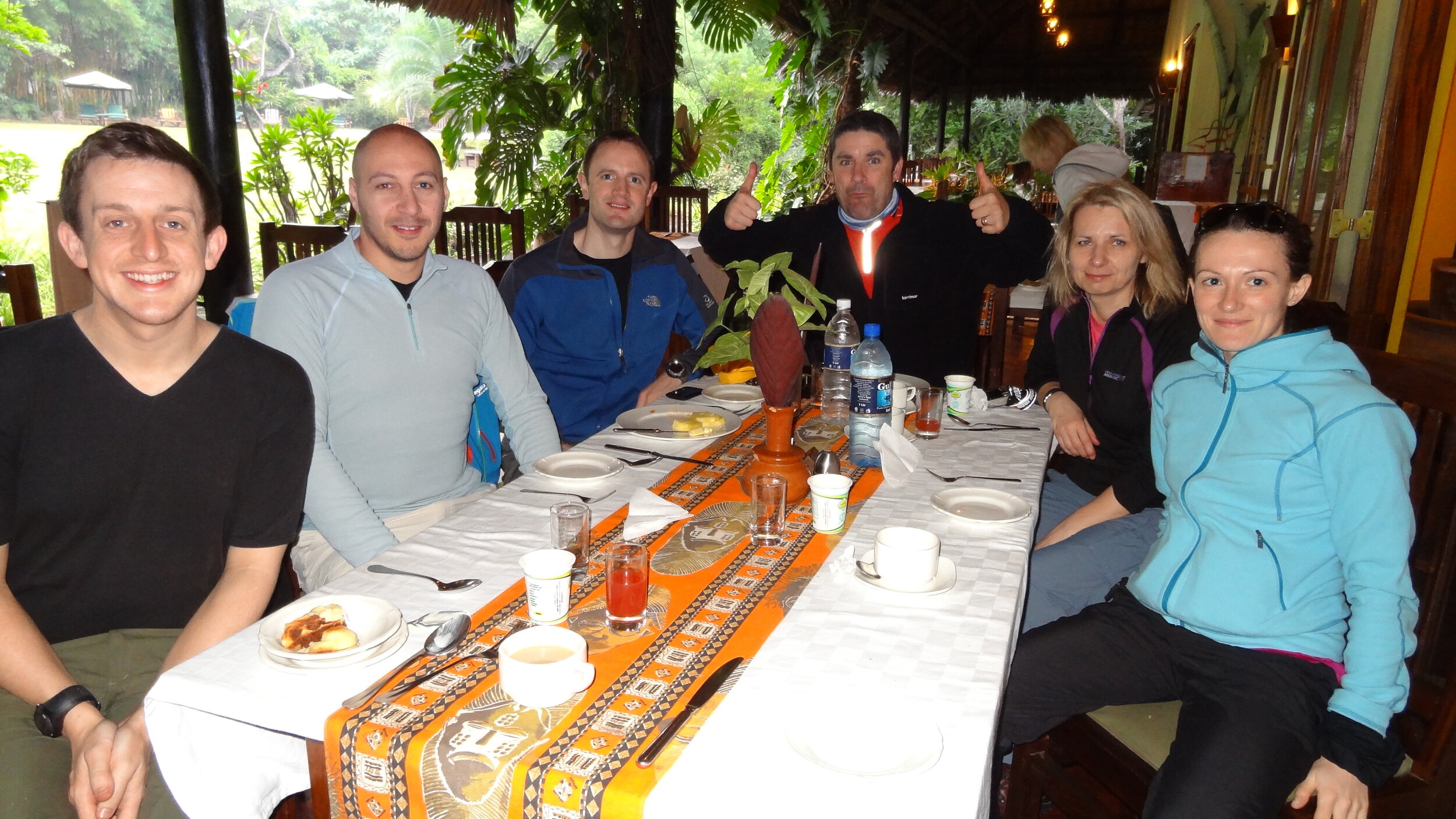
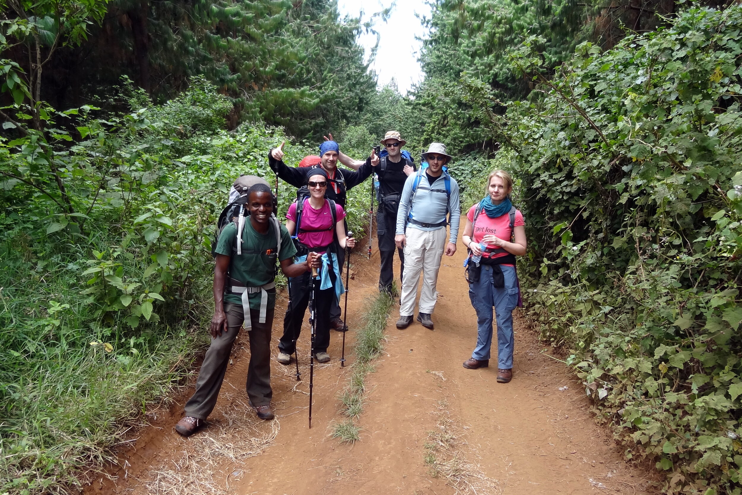
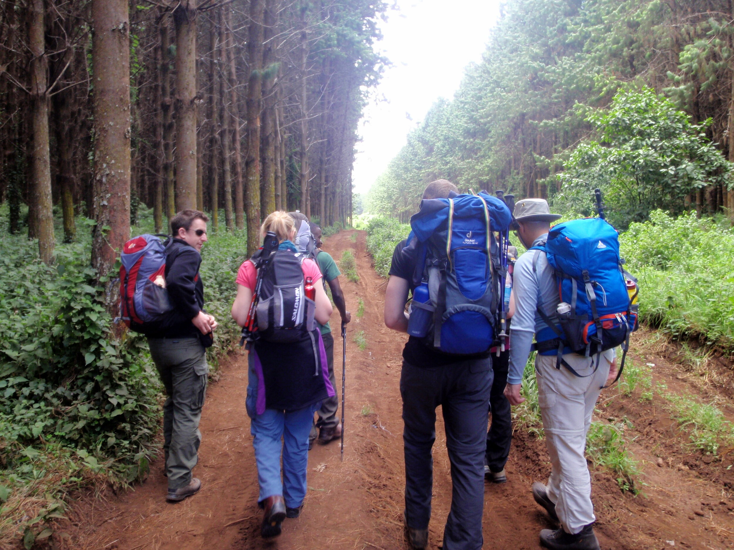
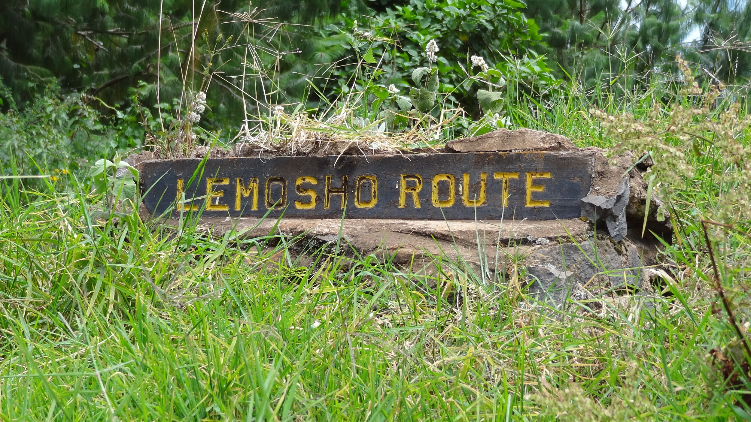
Posts tagged Mountain
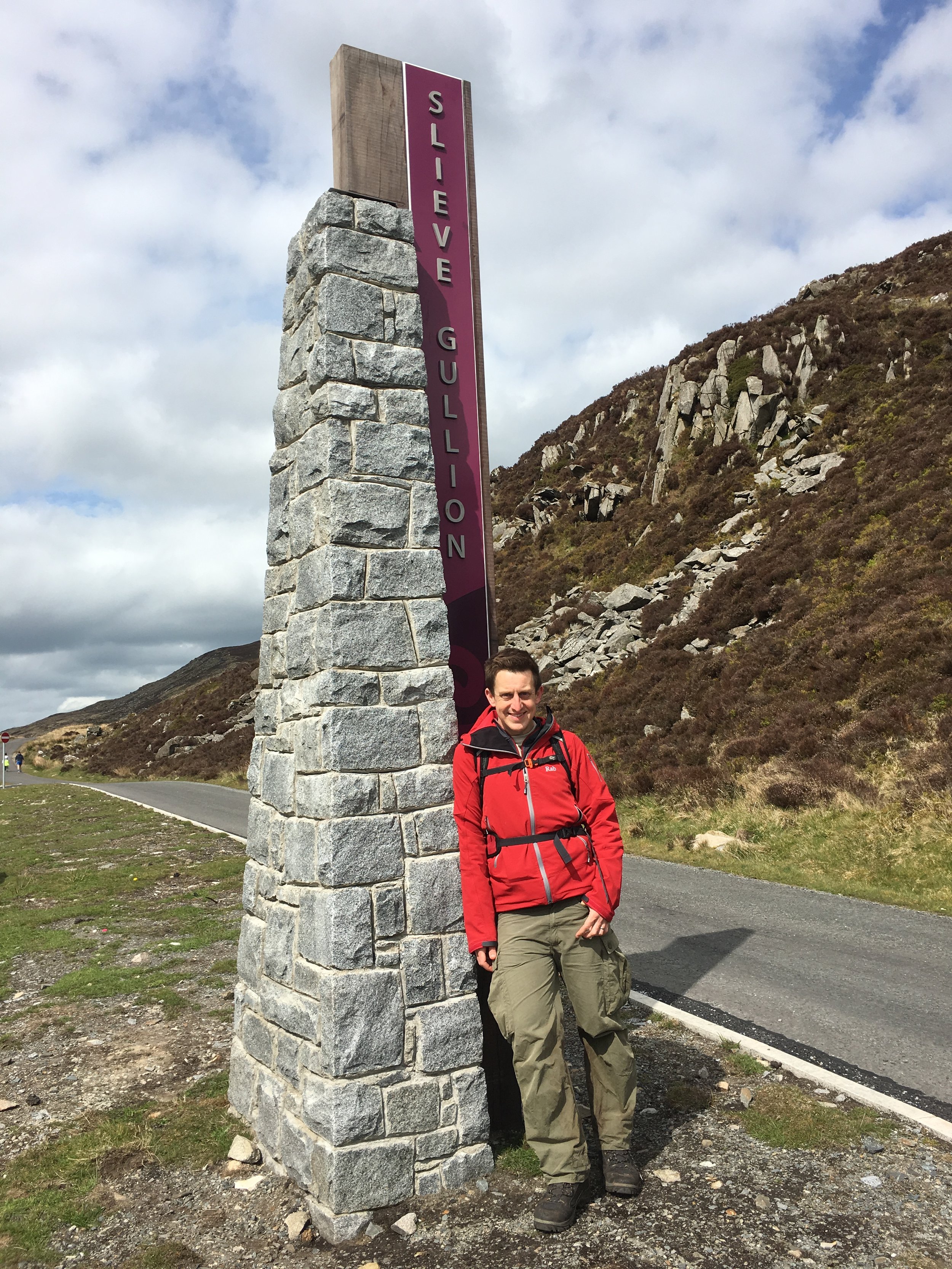
Slieve Gullion: Armagh County Top

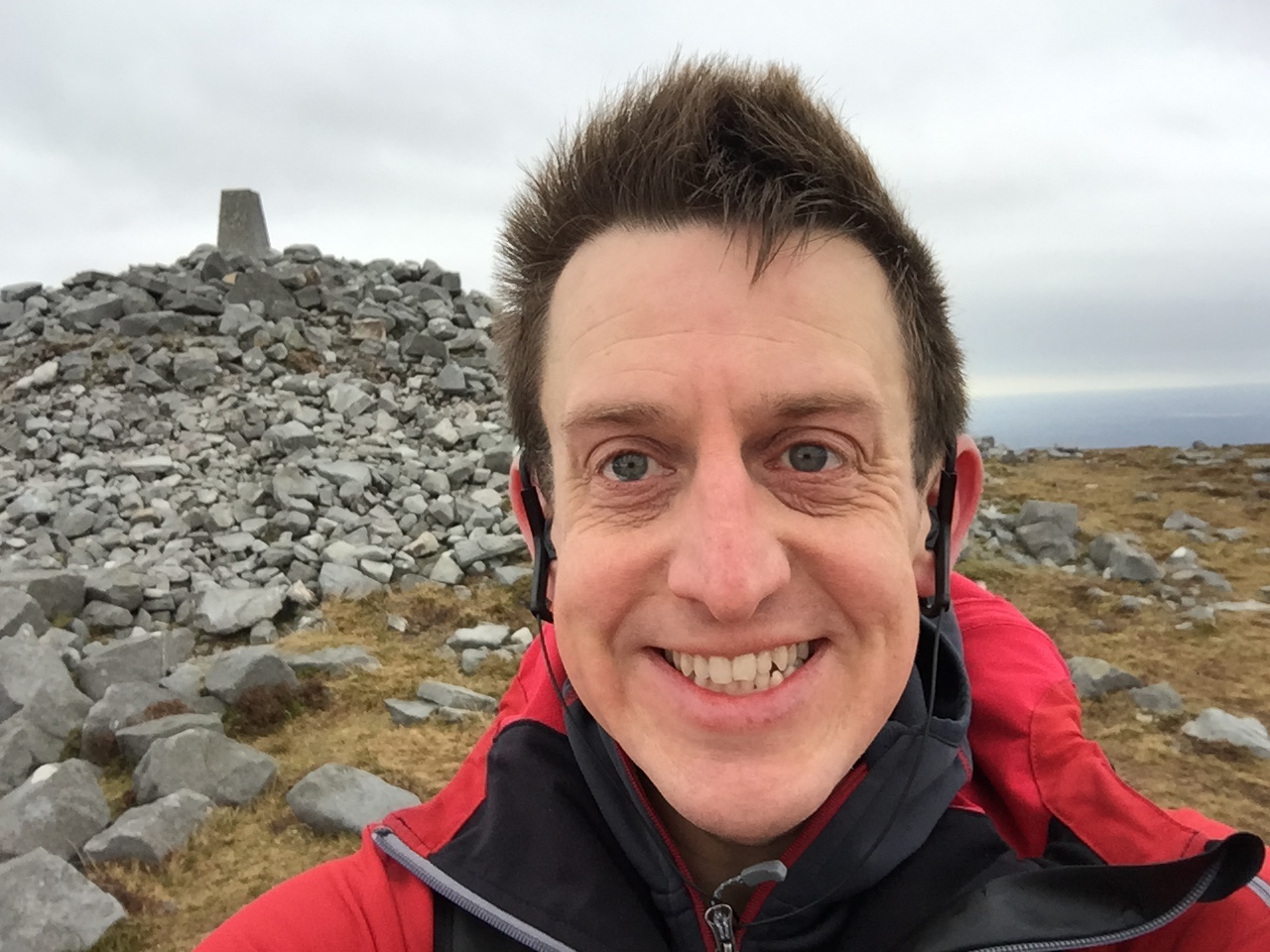
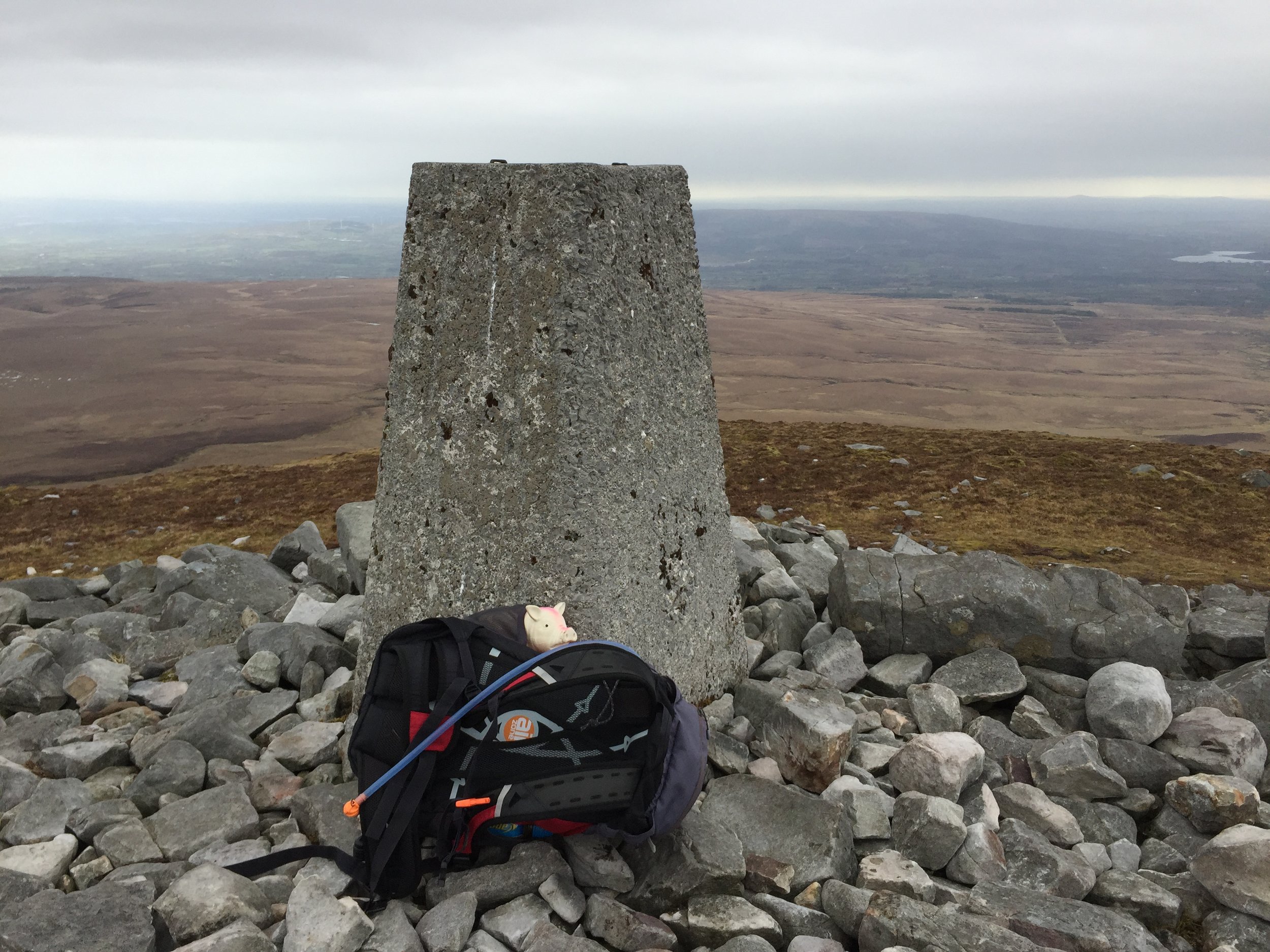
Slieve Gullion summit


Also known as: Sliabh gCuillinn
Significance: 
Highest peak in County Armagh (Historic County Top), Ring of Gullion National Landscape High Point
Member of: Marilyn
Parent Peak: TBC.
Nearest Higher Neighbour: Slieve Foye
Elevation: 576m
Date climbed: May 5th 2016
Coordinates: 54.1214° N, 6.4304° W


Route Start / End: Slieve Gullion viewing platform car park, Ring of Gullion AONB
Route Distance: 2.8 km (1.7 miles)
Route Elevation Change: +/- 196m
Subsidiary tops on route: None
GPX File: get via Buy Me a Coffee
Other routes touched: None
OS Trig Pillar: TP7352 - Slieve Gullion
Guidebook: The UK's County Tops (Jonny Muir)
Links:
  Wikipedia (County Armagh), Wikipedia (Slieve Gullion), Peakbagger, Hillbagging


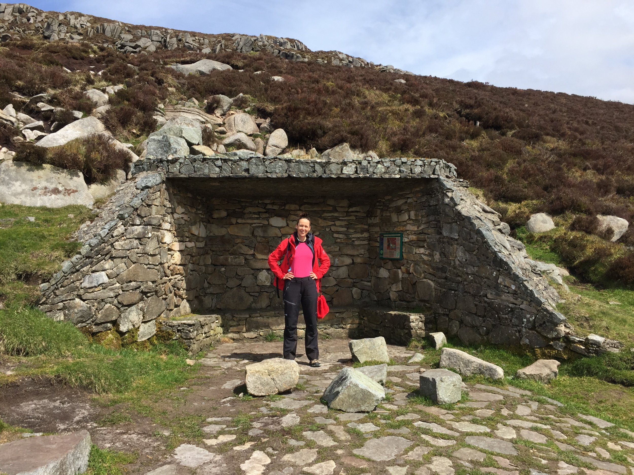
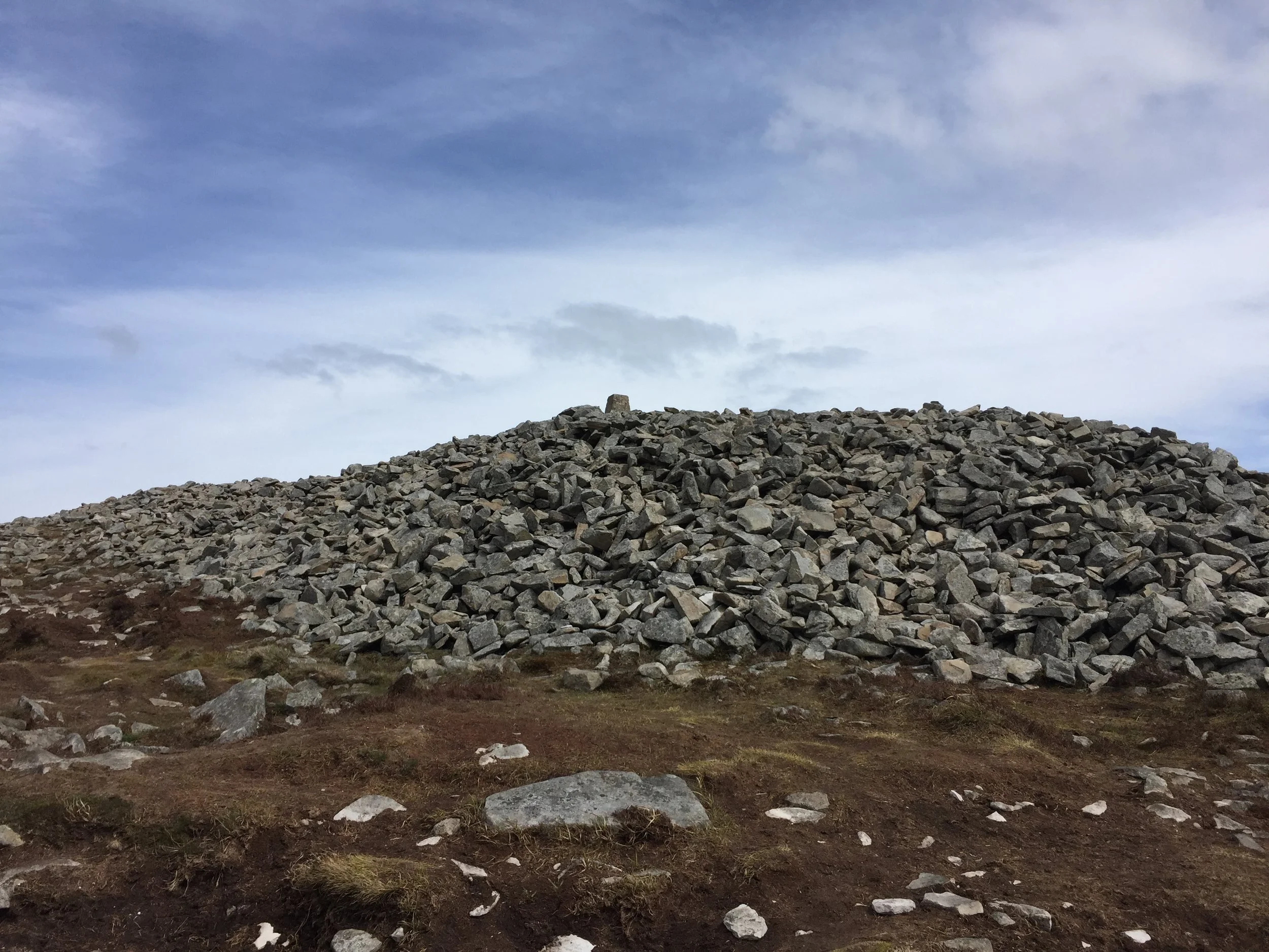
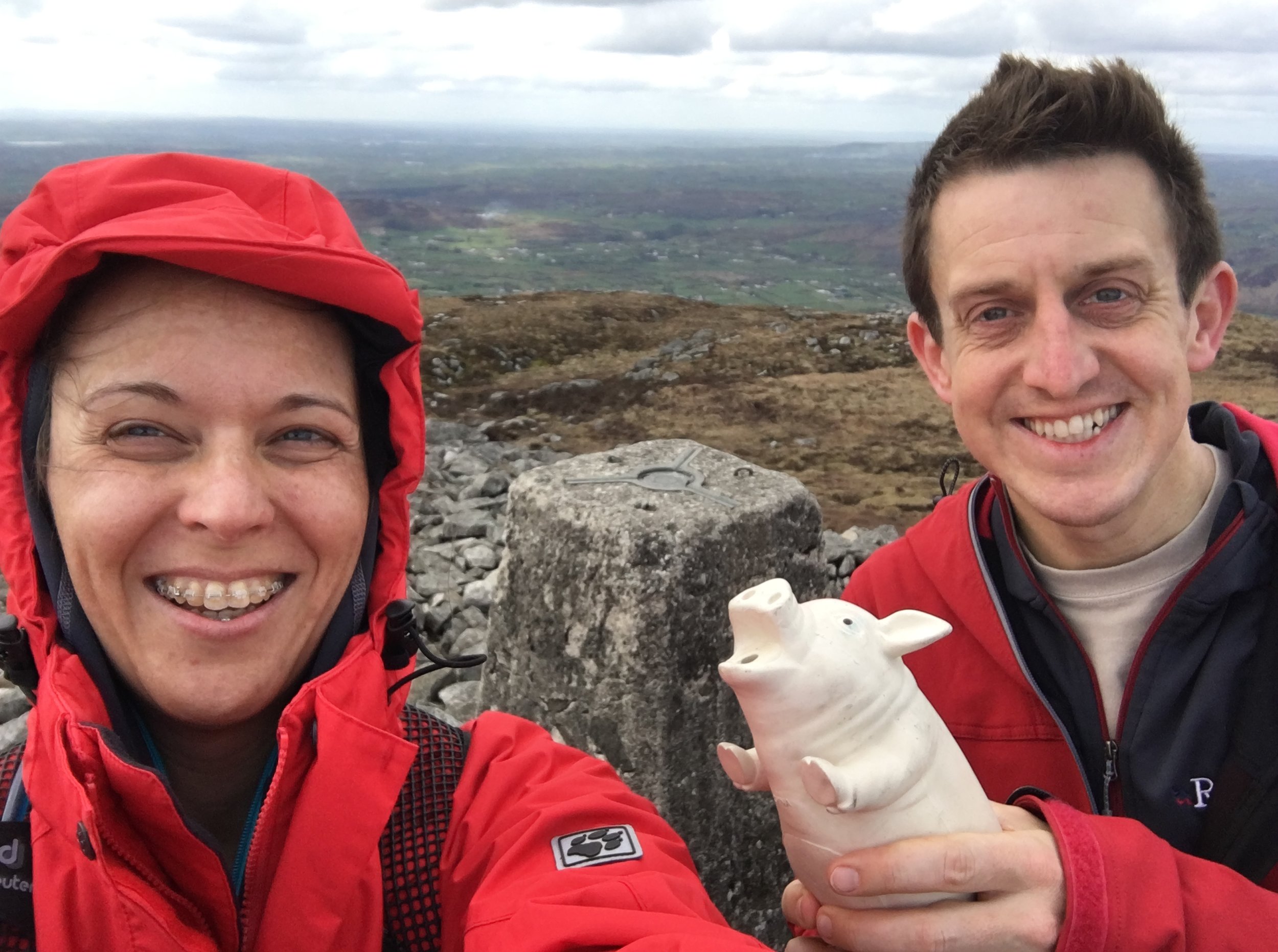
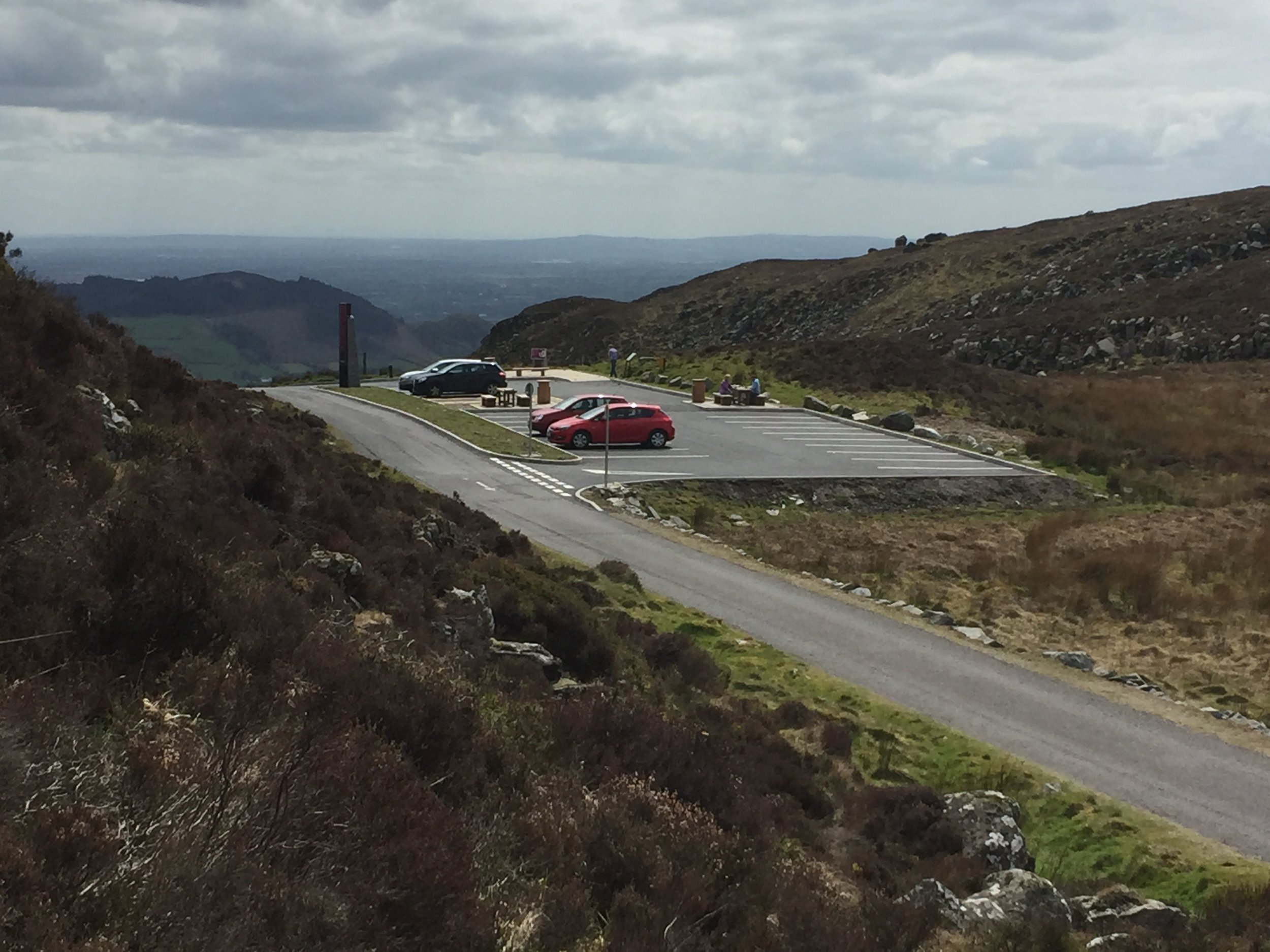
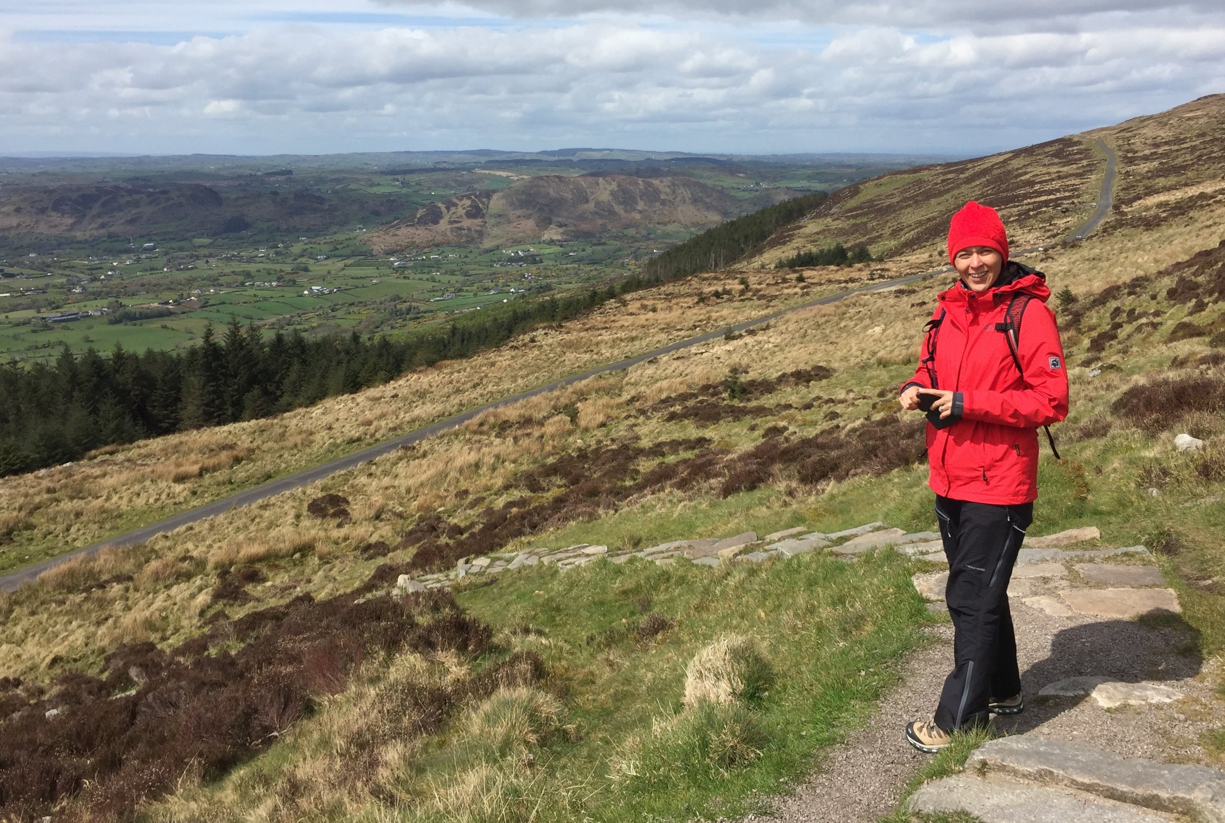
This trek was part of a tour of the Historic County Tops of Northern Ireland that Timea and I did in May 2016.

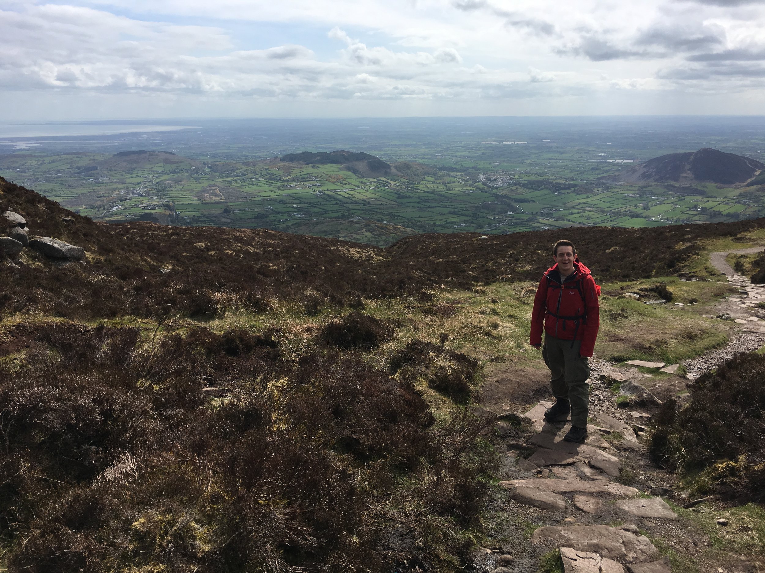
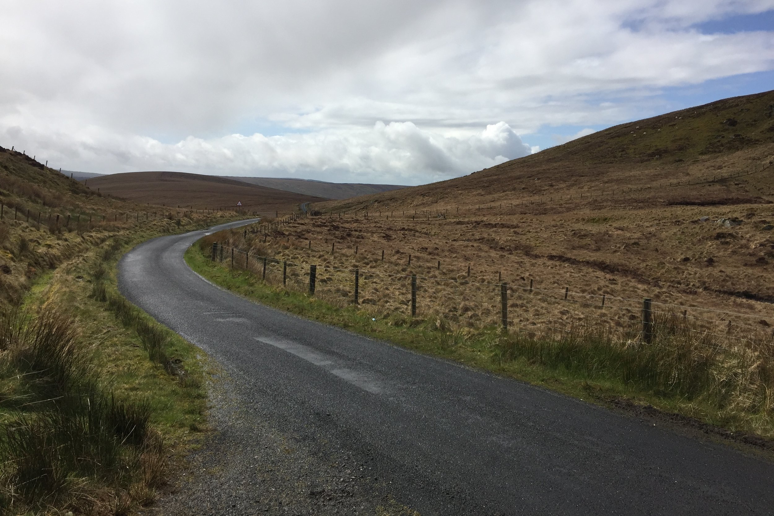
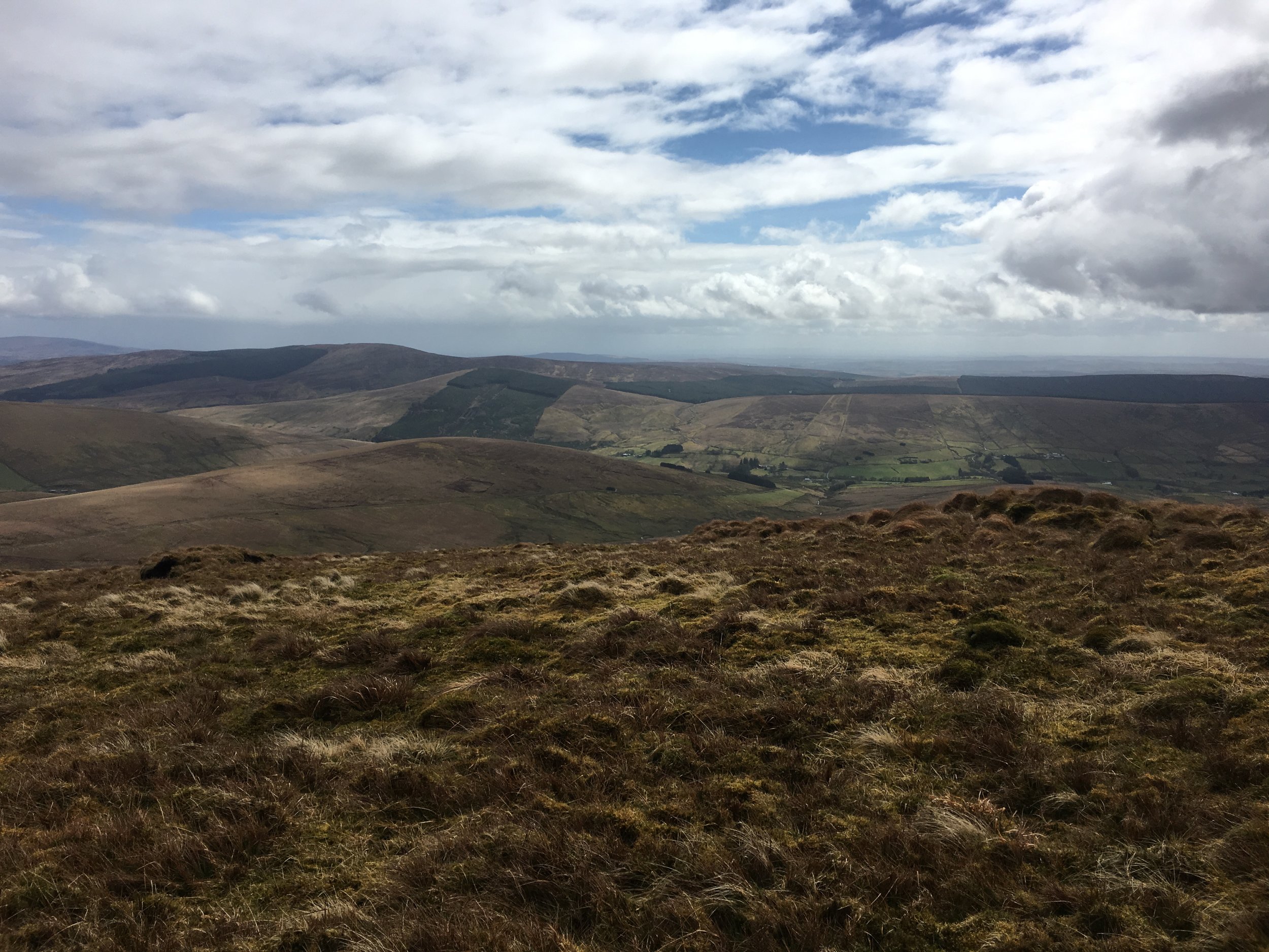
Slieve Gullion was a short walk after a long drive from Donegal. The trek was unexpectedly enjoyable as It looked fairly boring in the book but we really liked it. The mountain road up to the car park was worth the trip there in itself. From the parking spot, the trail snakes up for just over half a mile to the very obvious summit point. We had a clear day and could see for miles.

This was my birthday and the anniversary of our summit day on Mount Toubkal. Whilst a significantly smaller trek than Toubkal, this was still an amazing adventure day.


Cuilcagh: Fermanagh and Cavan County Tops

Cuilcagh summit


Also known as: Binn Chuilceach
Significance: 
Highest peak in County Fermanagh (Historic County Top)
Member of: Marilyn, Hewitt
Parent Peak: TBC. Nearest Higher Neighbour: Croaghgorm
Elevation: 666m
Date climbed: May 4th 2016
Coordinates: 54.2017° N, 7.8123° W


Route Start / End: Cark park at Cuilcagh Mountain Park
Route Distance: 13.5 km (8.4 miles)
Route Elevation Change: +/- 897m
Subsidiary tops on route: None
GPX File: get via Buy Me a Coffee
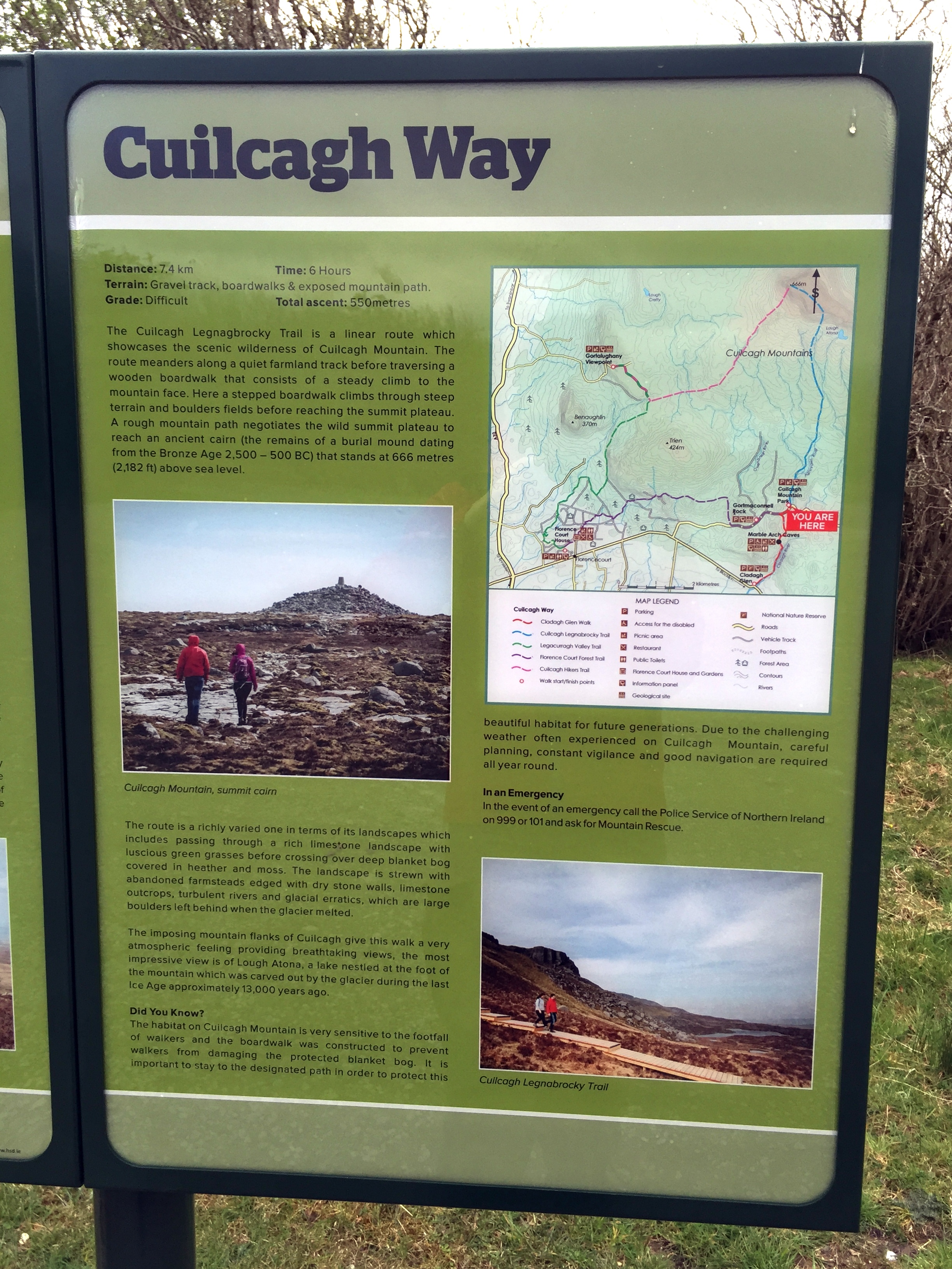
Other routes touched (walk): Cuilcagh Way
Other routes touched (cycle): None
OS Trig Pillar: TP7344 - Cuilcagh
Guidebook: The UK's County Tops (Jonny Muir)
Links: Wikipedia (County Fermanagh), Wikipedia (Cuilcagh), Peakbagger, Hillbagging


This trek was part of a tour of the Historic County Tops of Northern Ireland that Timea and I did in May 2016. Cuilcagh would be the first of the 2 more challenging County Tops of the trip. Timi decided to have a spa day at the hotel so I headed out on my own.

The start is near the Visitors' Centre for the Marble Arch Caves, part of the UNESCO Geopark that covers a lot of the surrounding area. The Visitors Centre sells maps which was pretty handy I'd found that OS maps of Northern Ireland pretty hard to find. From the Visitors Centre, turn right out of the car park and you'll see the car park for the Lenocky Trail very shortly on the left hand side.

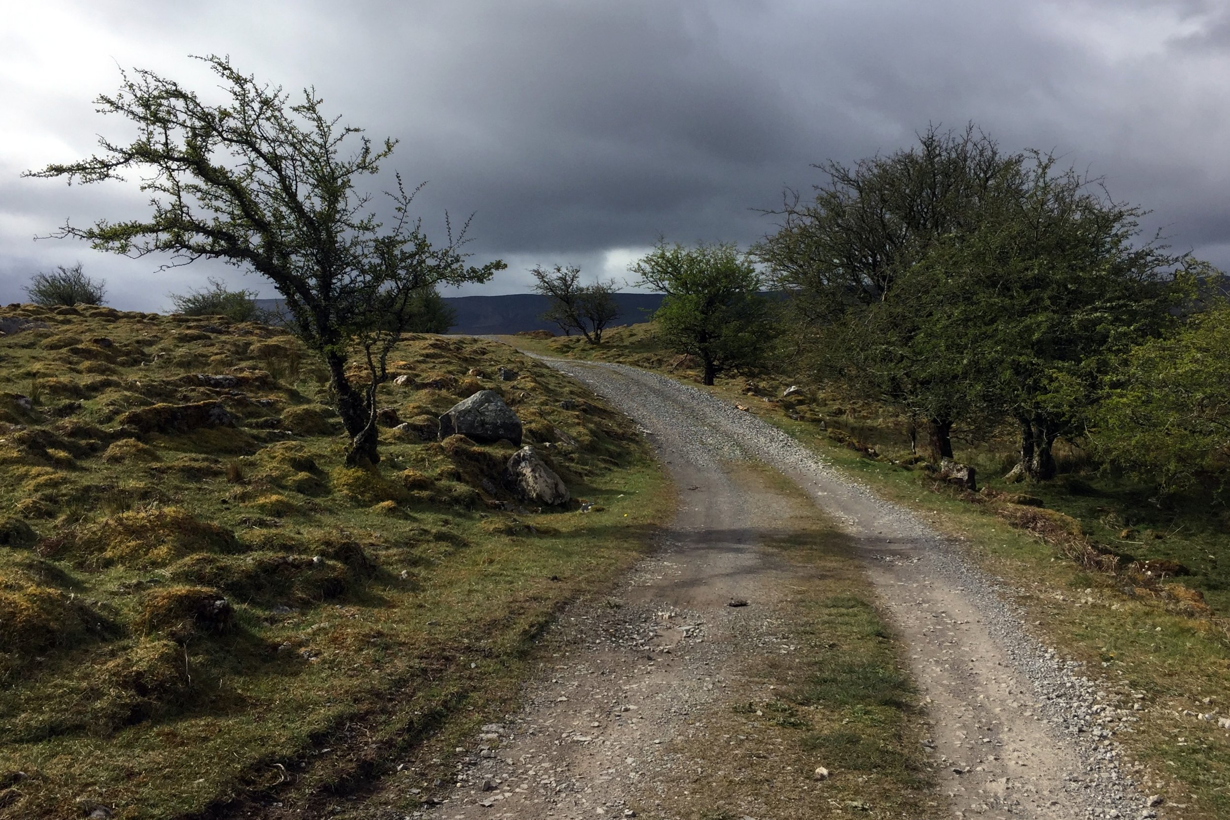
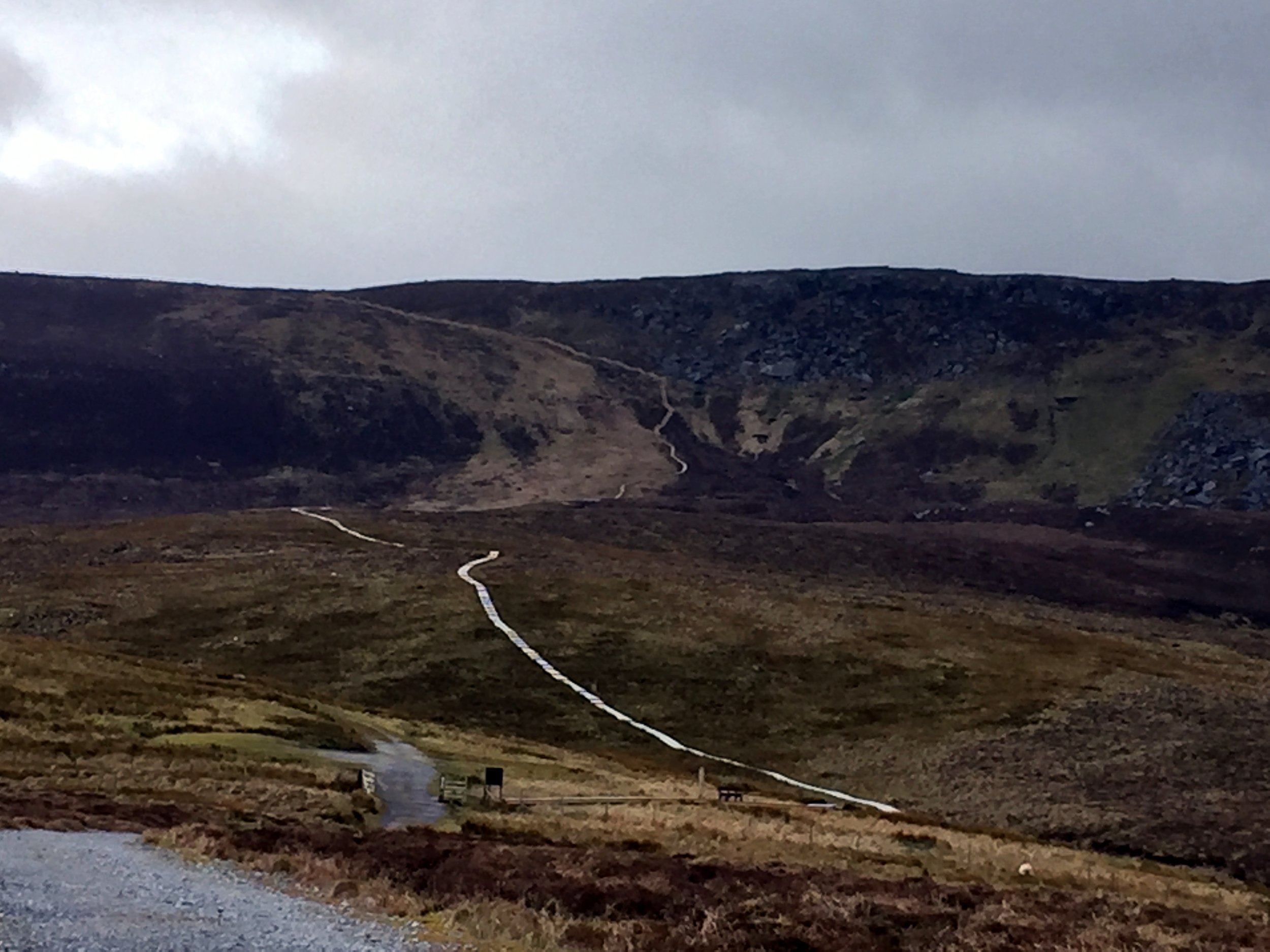
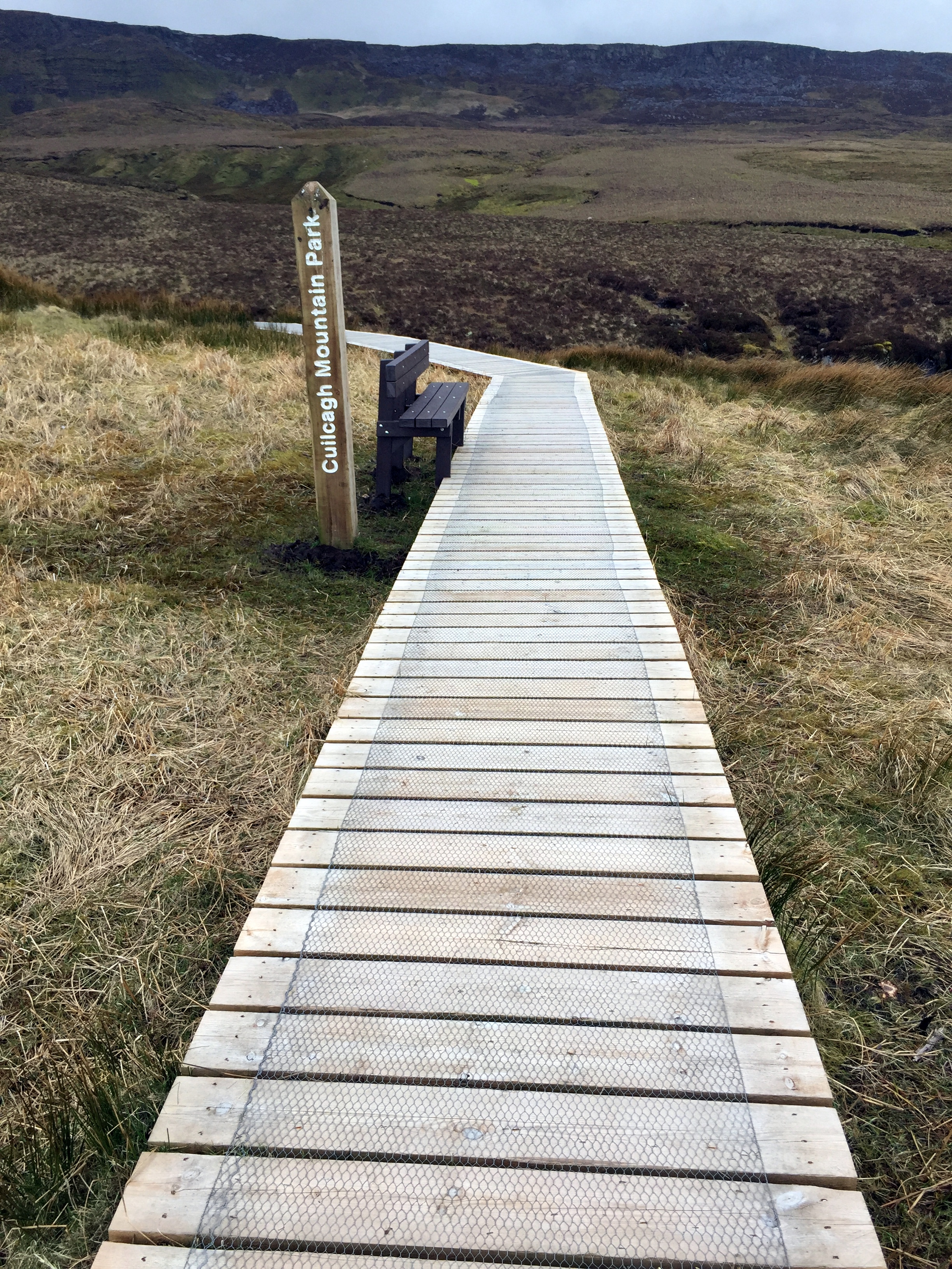
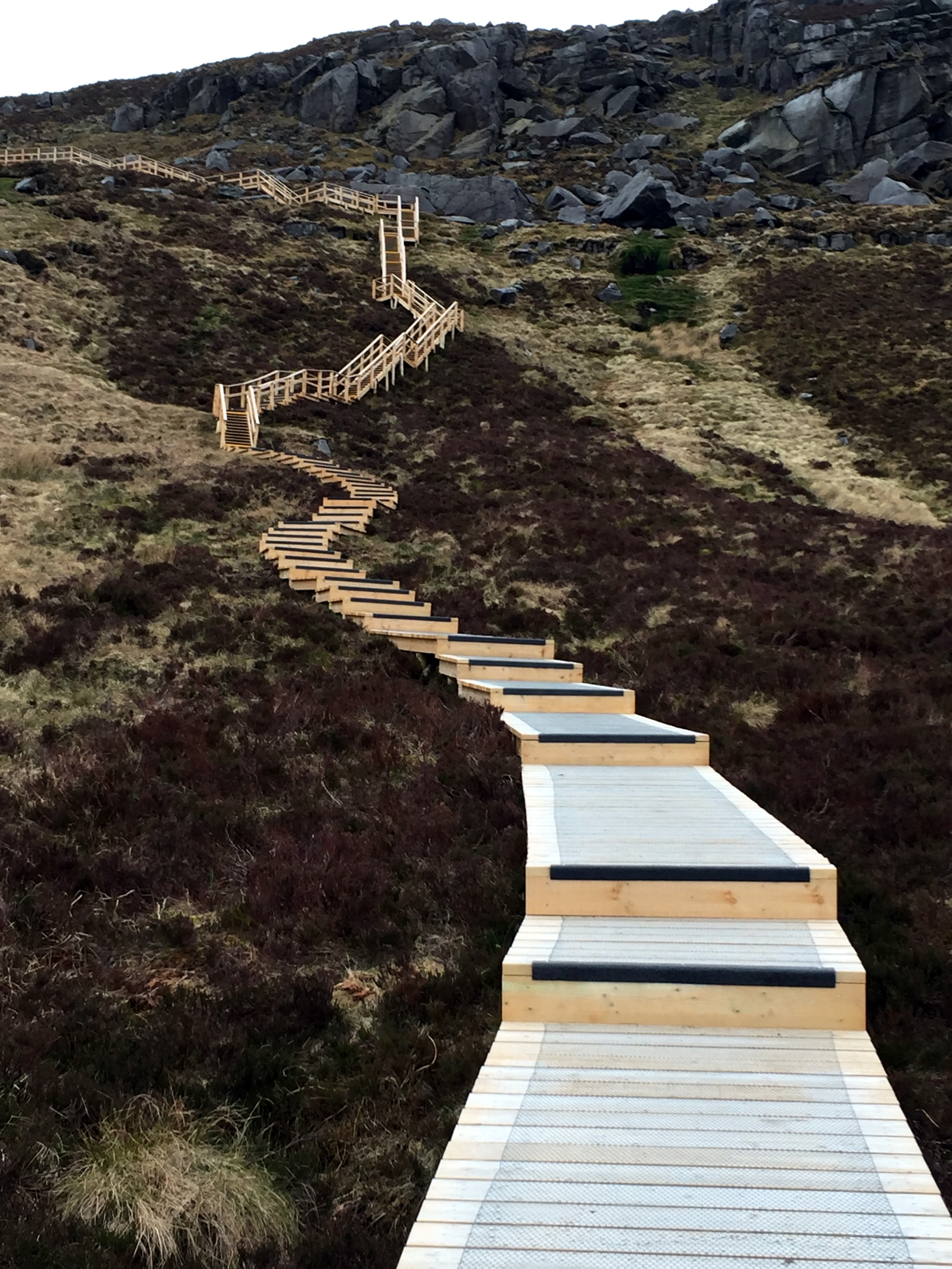
The walk starts along a well maintained farm track heading South towards the mountain. You only have to walk a few minutes before Cuilcagh and the route to it are fully visible. The first 2.5 miles are a very gentle gradient along this track, making it pretty straightforward for most walkers. The next section is a wooden Boardwalk which looked like it had been recently made. It is raised by about half a metre to protect the ground underneath. This also makes the next half mile section significantly easier. At the step section leading up the cliffs the boardwalk turns into a well constructed staircase with railings to hang onto.

The boardwalk ends at the plateau and from there the summit is about 800m further. Up to now the navigation had been extremely simple, but this next section requires some care, especially in poor visibility. If you are using a GPS device, as I was, I recommend marking a waypoint at the top of the boardwalk. The top is just under the ridge and you can't see it until you get right to the edge and look down.

As the boardwalk ends, the trail heads across rocks and peat and is occasionally marked by the Cuilcagh Way's yellows leaf insignia, painted on some of the larger rocks. About half way on this section you'll reach a fence with a small opening. Through here turn left and follow the fence for about 50 metres then the summit will come into view directly ahead of you.

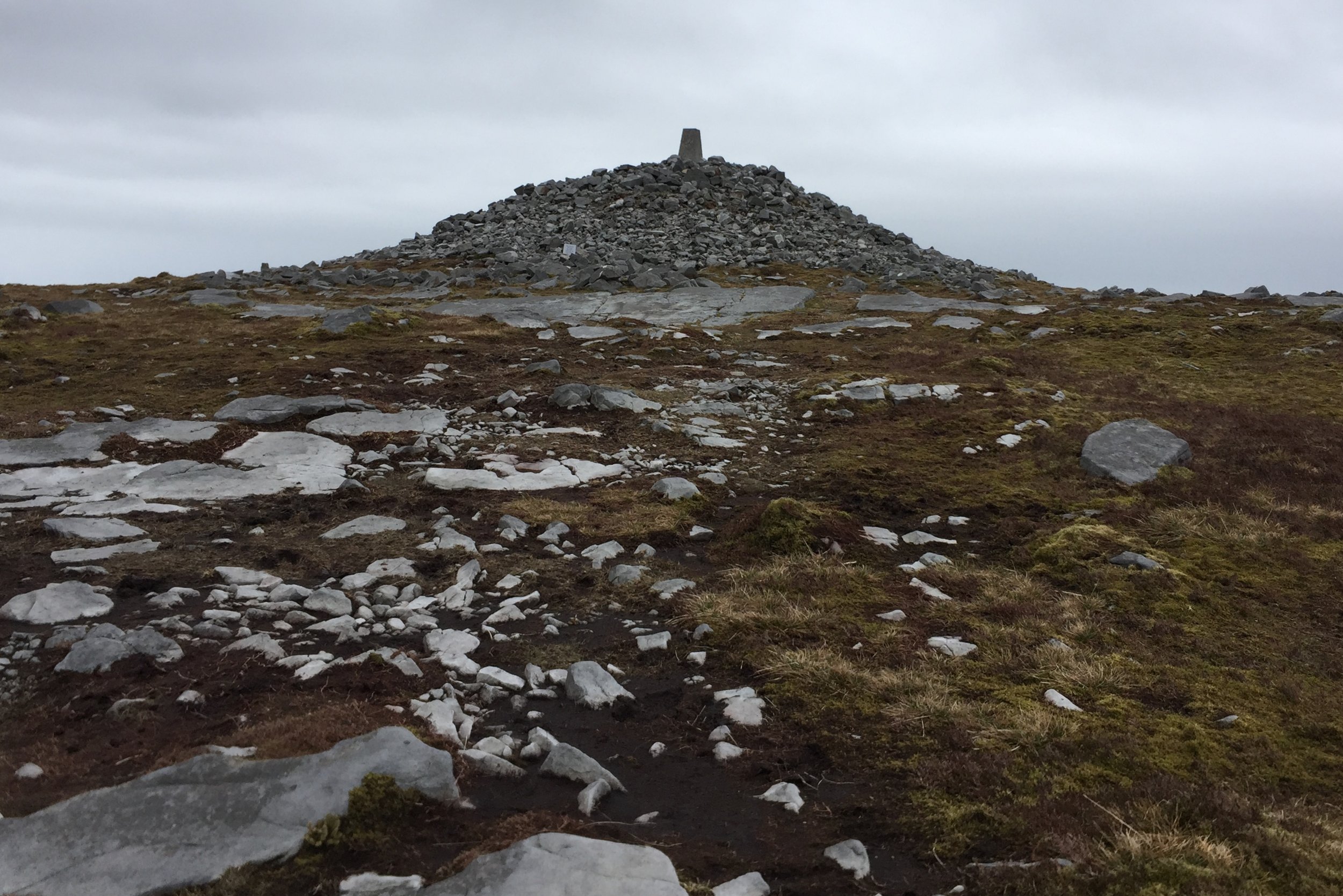
The summit is a Trig Point built up on a mound of rocks. It's rare that I can see much at all from the tops, but today was clear and I could see for miles across both Northern Ireland and the Republic. Cuilcagh sits right on the international border and is the County Top for both Fermanagh in the UK and Cavan in Ireland. The border is not marked so I had to use a combination of my Garmin and Google Maps to make sure I'd walked across both countries at the summit.

The way back was simple, especially as the visibility was good. This is the point to use the GPS waypoint to find the top of the boardwalk. Just after the boardwalk ended and I'd got back on the farmers track I saw the first signs of other people. Up til now I'd been on my own, and we didn't see anyone at all on the Trostan and Sawel treks. I'd been wondering if trekking is just not as popular in this area as treks like these on the mainland UK would attract many more people.


Sawel Mountain: Londonderry and Tyrone County Tops

View from the ascent


Also known as: Samhail Phite Meabha
Significance: 
Highest peak in County Londonderry and County Tyrone (Historic County Top), Sperrins National Landscape High Point
Member of: Marilyn, Hewitt
Parent Peak: TBC.
Nearest Higher Neighbour: Errigal
Elevation: 678m
Date climbed:  May 3rd 2016
Coordinates: 54.8189° N, 7.0386° W


Route Start / End: Layby just past cattle-grid on highest point of Park-Sperrin road
Route Distance: 6.4 km (3.4 miles)
Route Elevation Change: +/- 593m
Subsidiary tops on route: None
GPX File: get via Buy Me a Coffee
Other routes touched (walk): Sperrins Challenge Walk
Other routes touched (cycle): None
OS Trig Pillar: TP7350 - Sawel
Map: OS Northern Ireland Activity Maps: The Sperrins (for Sawel Mountain)
Guidebook: The UK's County Tops (Jonny Muir)
Links:  Wikipedia (County Londonderry), Wikipedia (County Tyrone), Wikipedia (Sawel Mountain), Peakbagger, Hillbagging


This trek was part of a tour of the Historic County Tops of Northern Ireland that Timea and I did in May 2016.

After a rest day at the Giants Causeway we drove South for an hour and a half to find Sawel Mountain. This is clearly not a popular route as the path is not signposted and you need to be careful to find the right spot on Sperrins road to start. Its fairly straightforward, however, and there's a good parking spot just before the cattle grid on the high point of the road.

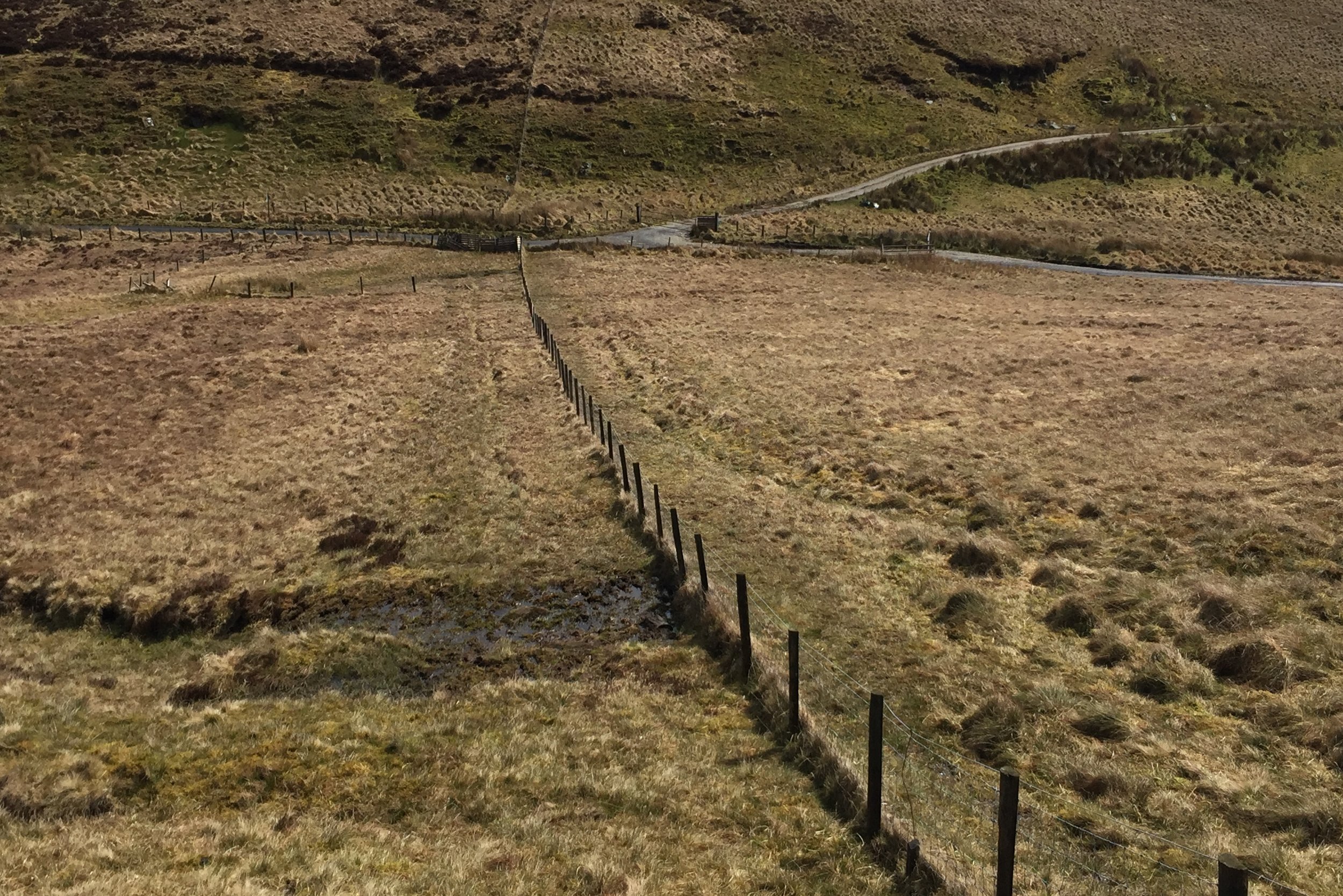
Navigation is fairly simple as you just follow the fence from the cattle grid all the way up to (almost) the summit. Following either side of the fence is OK although we had to cross over a few times and found the south side to be generally dryer that day. 

The ascent was a boggy slog taking about an hour and a half. Near the summit the fence veers off to the south for a few hundred metres before taking a right angle to the west. The summit is an obvious Trig Point about 80 metres up from the fence.

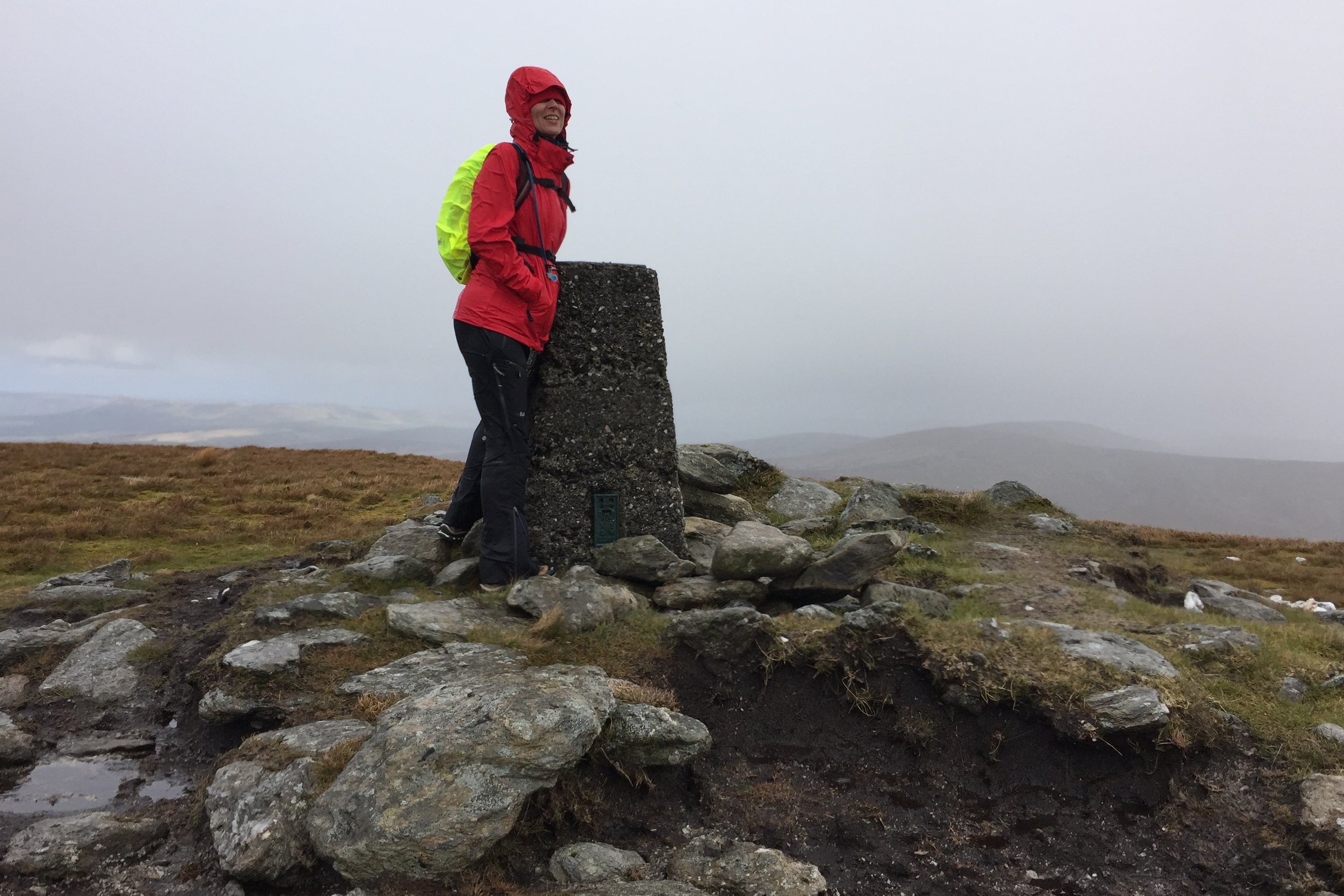
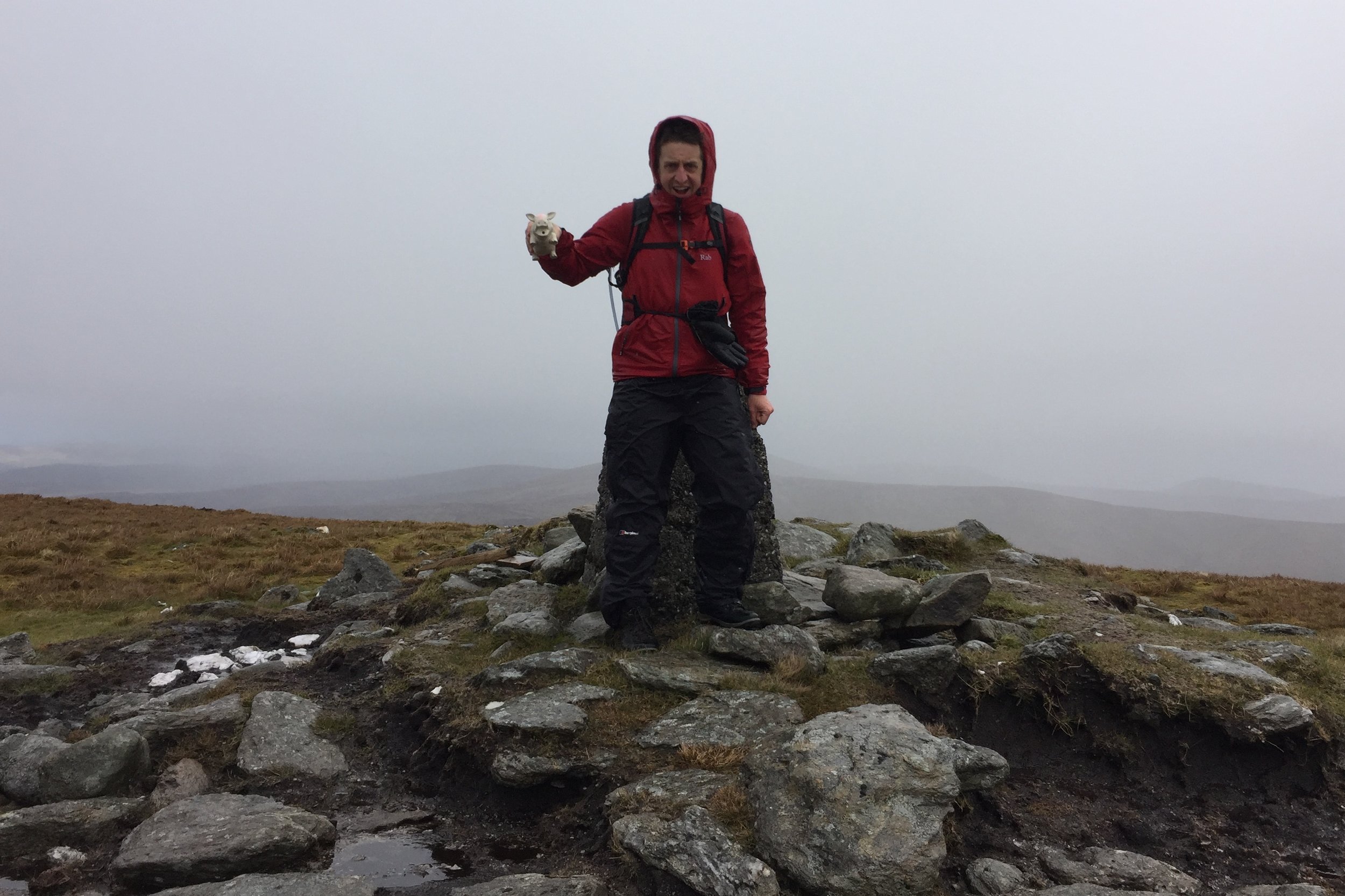
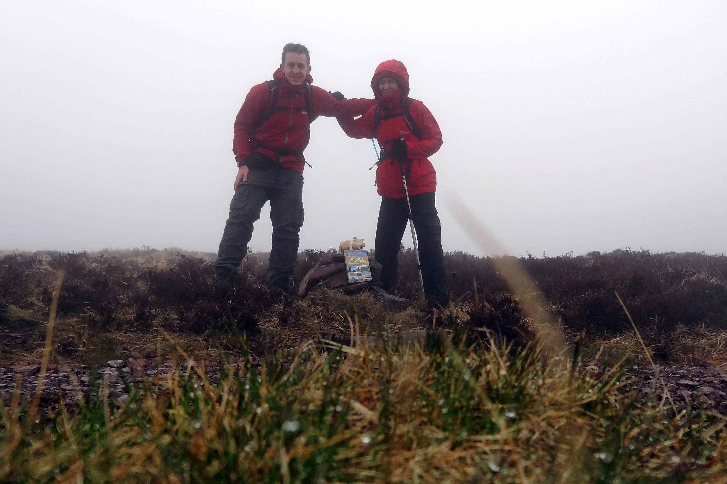
It was hailing and blowing a gale when we got to the Trig Point so we didn't hang around for long. We did hop back over the fence for a few minutes to find the closest bit of high ground to claim the County Tyrone high point.


Great Rhos: Radnorshire County Top
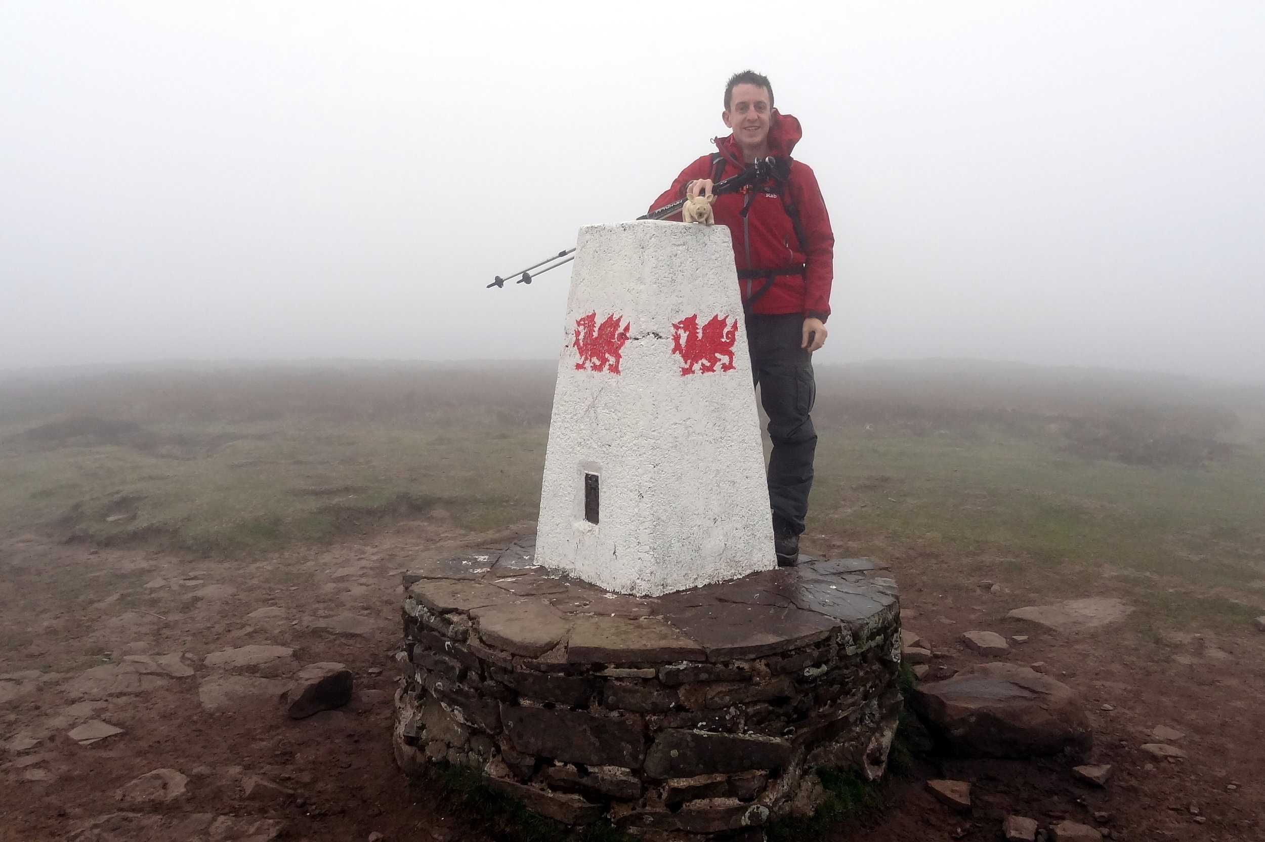
WP_20160101_005.jpg

Significance: Highest peak in Radnorshire (Historic CT)
Member of: Marilyn, Hewitt, Nuttall
Parent Peak: Plynlimon. NHN = Twmpa
Elevation: 660m
Date climbed: New Years Day 2016
Coordinates: 52.2671°N 3.1998°W
Route Start / End: out and back from parking space near church at New Radnor High Street
Route Distance: 6 km (3.7 miles)
Route Elevation Change: +/- 416m
Subsidiary tops on route: none
GPX File: get via Buy Me a Coffee
Other routes touched: none
OS Trig Pillar: TP5567 - Radnor Forest
Map: OS Explorer 200 Llandrindod Wells & Elan Valley & Rhayader
Guidebook: The UK's County Tops (Jonny Muir)
Links: Wikipedia (Radnorshire), Wikipedia (Great Rhos), Peakbagger, Hillbagging

Pretty much no-one that I know has heard of Great Rhos. As a County Top it a bit of an undiscovered gem, sitting on its own in mid-Wales far enough away from both the Brecon Beacons and the Snowdonia peaks.

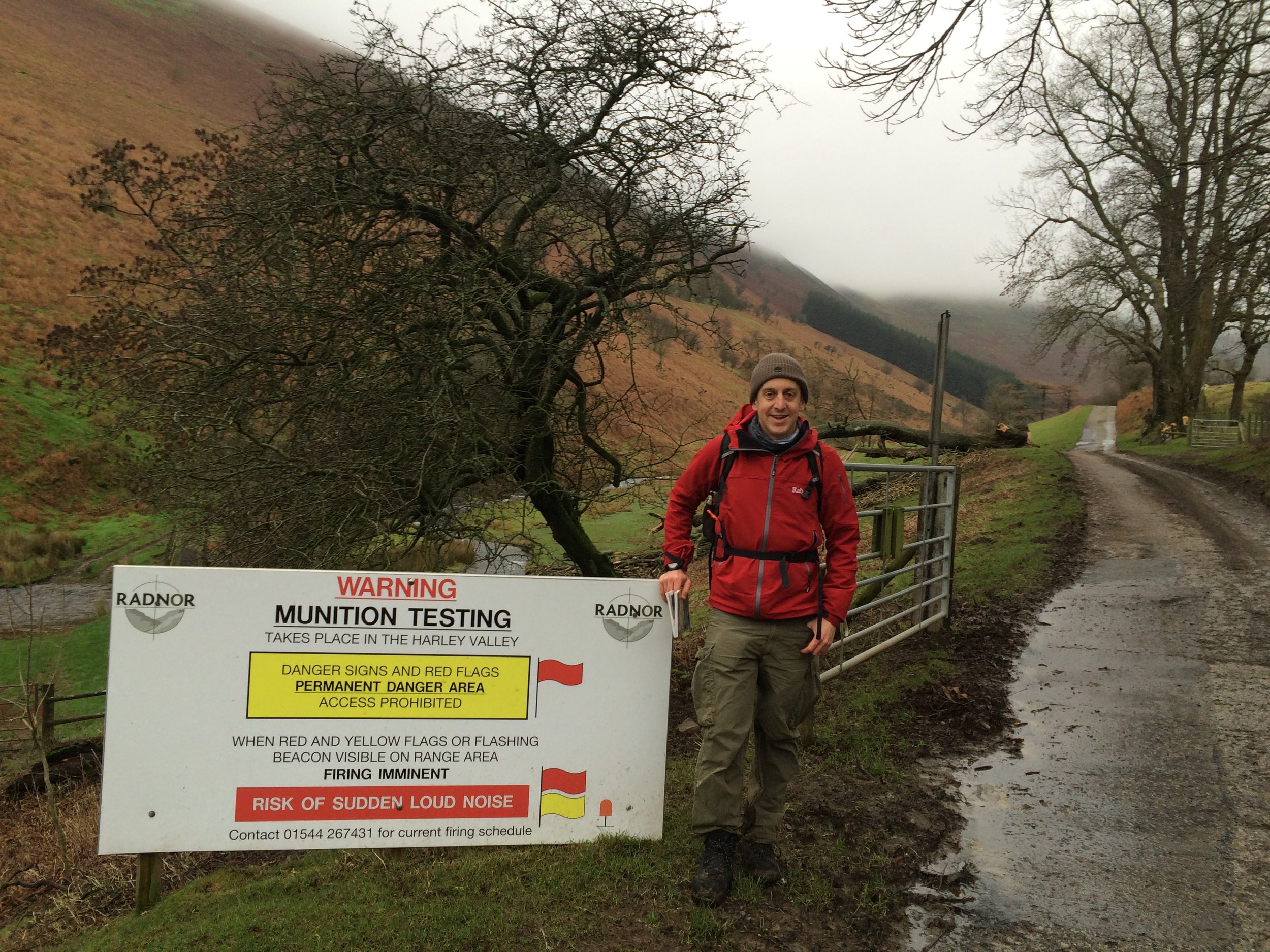
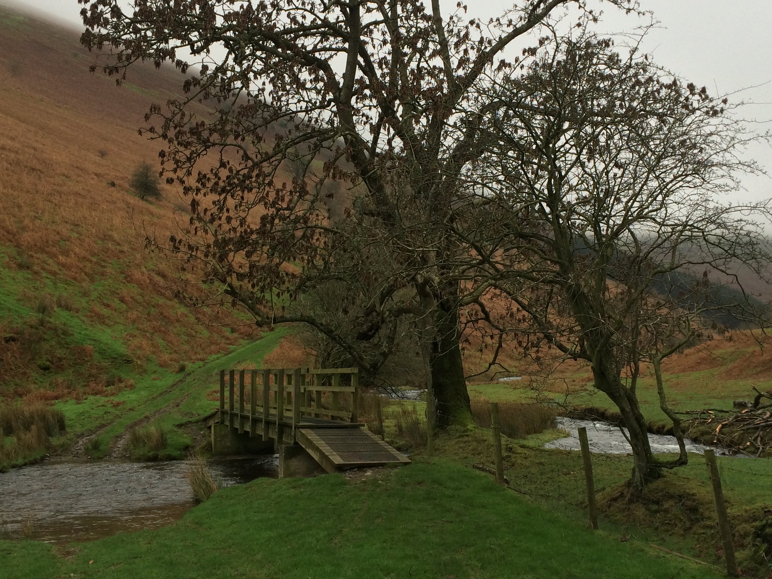
The obvious route starts from New Radnor where there's ample on-street parking. From the village centre, take the footpaths to the gates of the munition testing range. Cross the stream then take the path to the west of the valley. At the top of the valley you pass a warning sign and the valley disappears behind the Three Riggles. Follow the path north towards the summit until you reach a boundary fence and another warning sign. By this point you've pretty much done all of the elevation and the actual top, marked by a Trig Pilar is best found using a GPS device. 

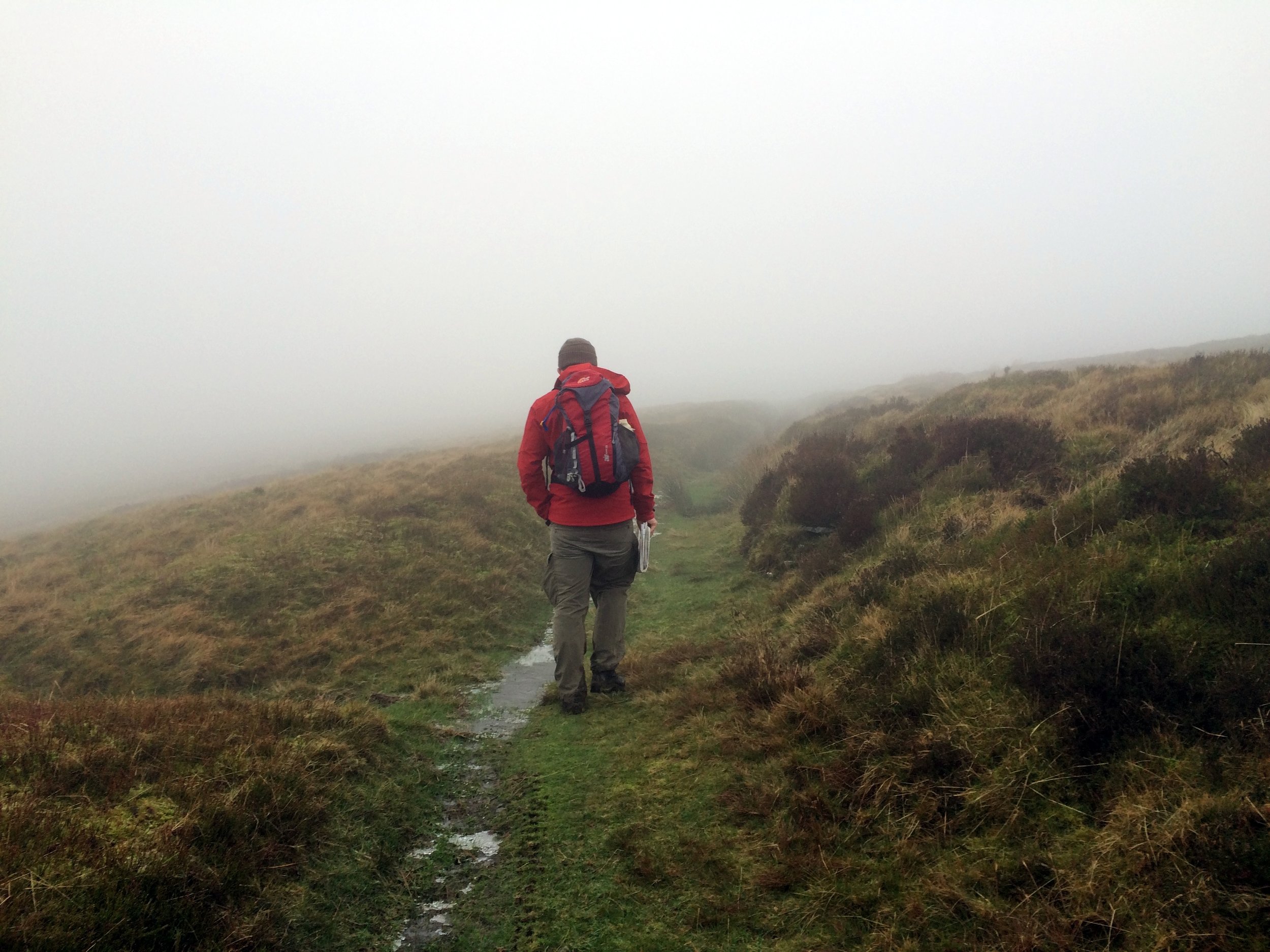
A nice New Year's Day walk for us with chilly but clear weather at the bottom and yet another cloud covered summit. 

trip-7471905-map-full - Great Rhos.png
elevation_profile - Great Rhos.jpg


Brown Clee Hill: Shropshire County Top
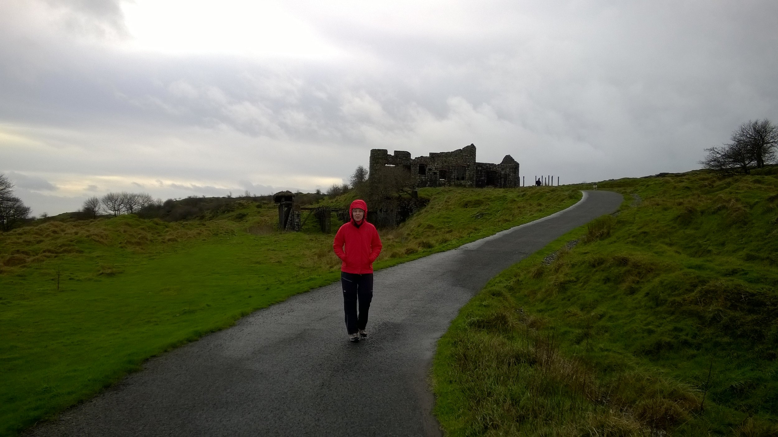
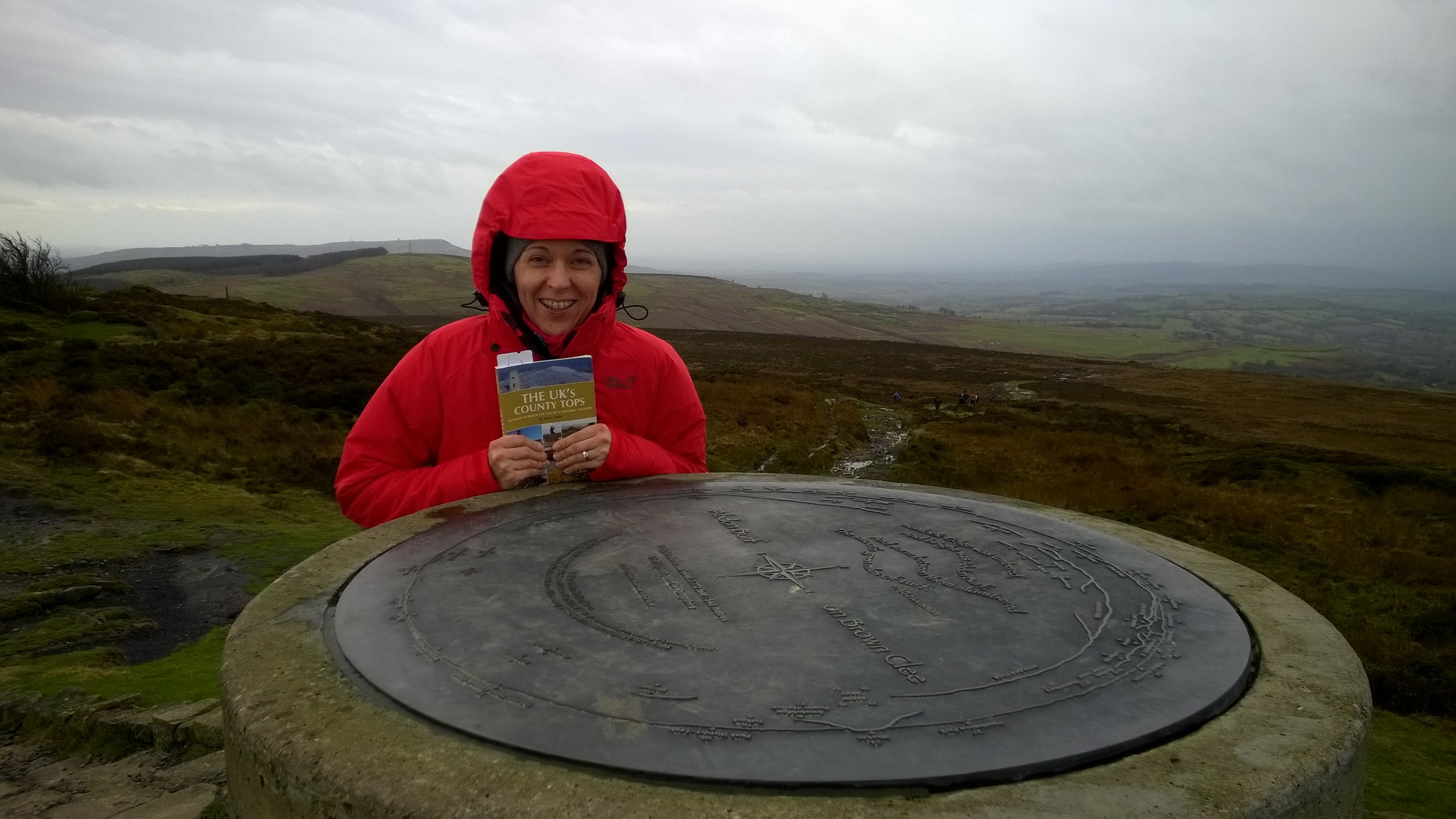
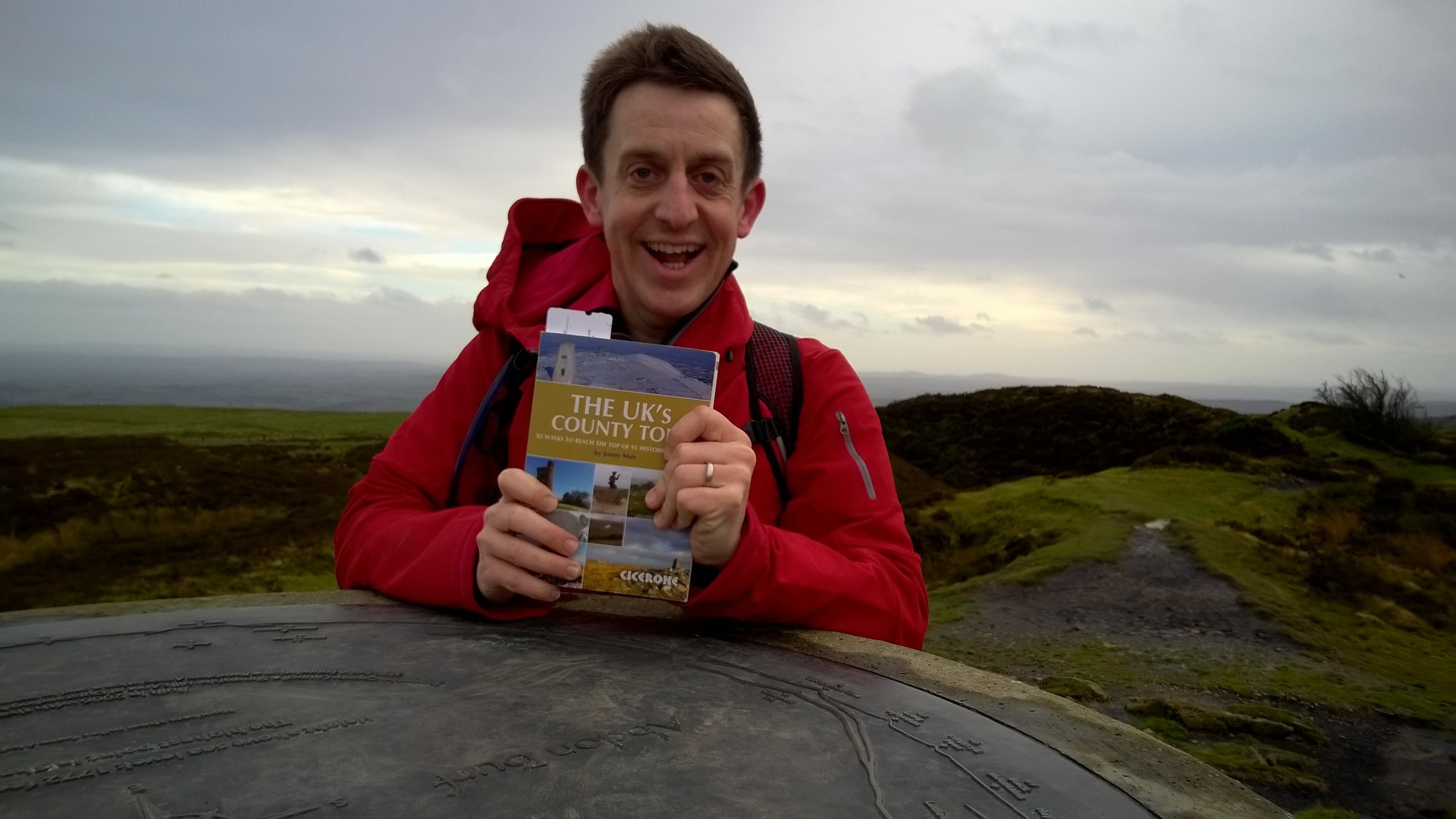
WP_20151231_008.jpg

Also known as: Abdon Burf
Significance: 
Highest peak in Shropshire (Historic County Top), Shropshire Hills National Landscape High Point
Member of: Marilyn
Parent Peak: Plynlimon
Nearest Higher Neighbour: Beacon Hill, Wales
Elevation: 540m
Date climbed: 31st December 2015
Coordinates: 52°28′30″N 2°36′02″W


Route Start / End: Layby on Park Gate Road
Route Distance: 4.9 km (3 miles)
Route Elevation Change: +/- 214m
Subsidiary tops on route: None
GPX File: get via Buy Me a Coffee
Other routes touched (walk): Shropshire Way Main Route (South)
Other routes touched (cycle): None
Map: OS Explorer 217 The Long Mynd & Wenlock Edge
Guidebook: The UK's County Tops (Jonny Muir), Walking the County High Points of England (David Bathurst)
Links: Wikipedia, Peakbagger, Trigpointing


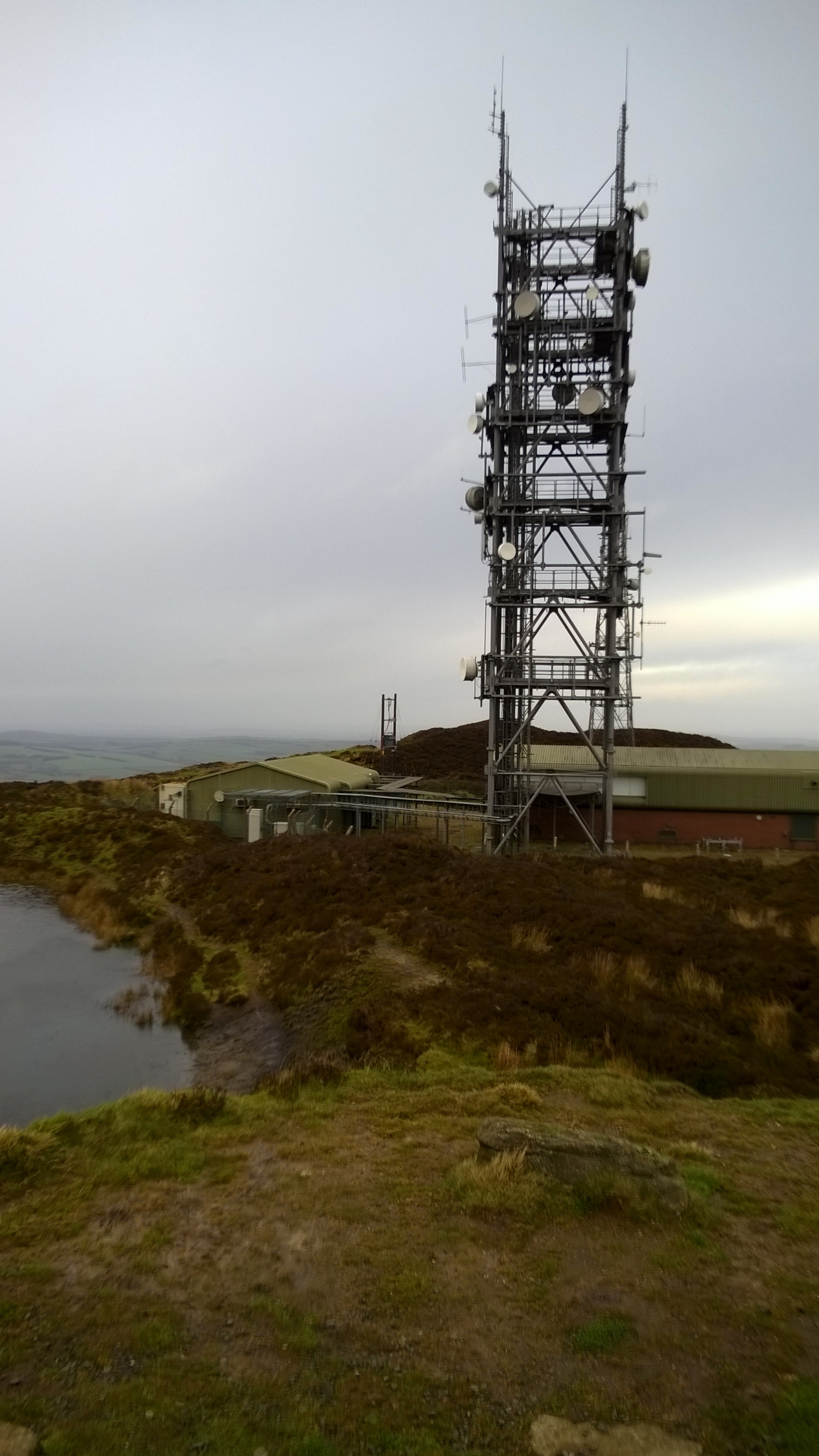
When planning a trip to Brown Clee Hill, don't be fooled that Google Maps shows you can drive all the way up the service Road to the transmitter. This would make it a 5 min walk, but the road is restricted and there's a locked gate where it meets the main road.

When you get to the forest there's a few routes up. We didn't find the one shown in the book, but it's not a problem as long as you're heading uphill. When you get to the open ground beyond the treeline, you'll easily see the transmitter at the summit. Take any safe path and you'll hit the service road, then he top is just to the south of the transmitter. We were there on New Year’s Eve and it was blowing a gale so we didn't hang around for long. 

The descent was more easily navigable. We went back downtime service road for a few hundred metres and took the footpath right before the ruined building. At the treeline we turned left and took the bridal path for about 100 meters, re-entering the forest at a wooden gate. From there we followed a mountain bike trail back to the footpath at the bottom of the forest.

A short but pleasant walk, nice to blow off the cobwebs in the winter but best attempted on a sunny day.

trip-7471902-map-full - Brown Clee.png
elevation_profile - Brown Clee.jpg


OTHER HIGH POINT IN Shropshire


Walking Mount Toubkal, Morocco's Highest Peak
IMG_4019.JPG

The idea for our Mount Toubkal trip came about 6 months earlier when Timi was making plans for my 40th birthday. Rather than having a big party I wanted to do something special together and Timi found an escorted trip run by Audley, the travel agency we’d used for our honeymoon. From the start I knew that it would be a special trip, not just because it would be a great adventure, but because we would be doing it together. Timi had got more into trekking in the last couple of years but this would be a huge step. At 4,167m, 3 times higher than the UK’s tallest peak, this would be a serious mountain.


Day 1: Imlil to Refuge Toubkal Les Mouflons

Date: May 4th 2015
Start:
Kasbah du Toubkal, Imlil, 42152, Morocco
Finish:
Refuge Toubkal Les Mouflons
Distance: 10.4 km (6.5 miles)
Elevation change: +1,317m / -20m. Net +1,297m
GPX File: get via Buy Me a Coffee
Other Routes Touched (Cycle): None
Other Routes Touched (Walk): None

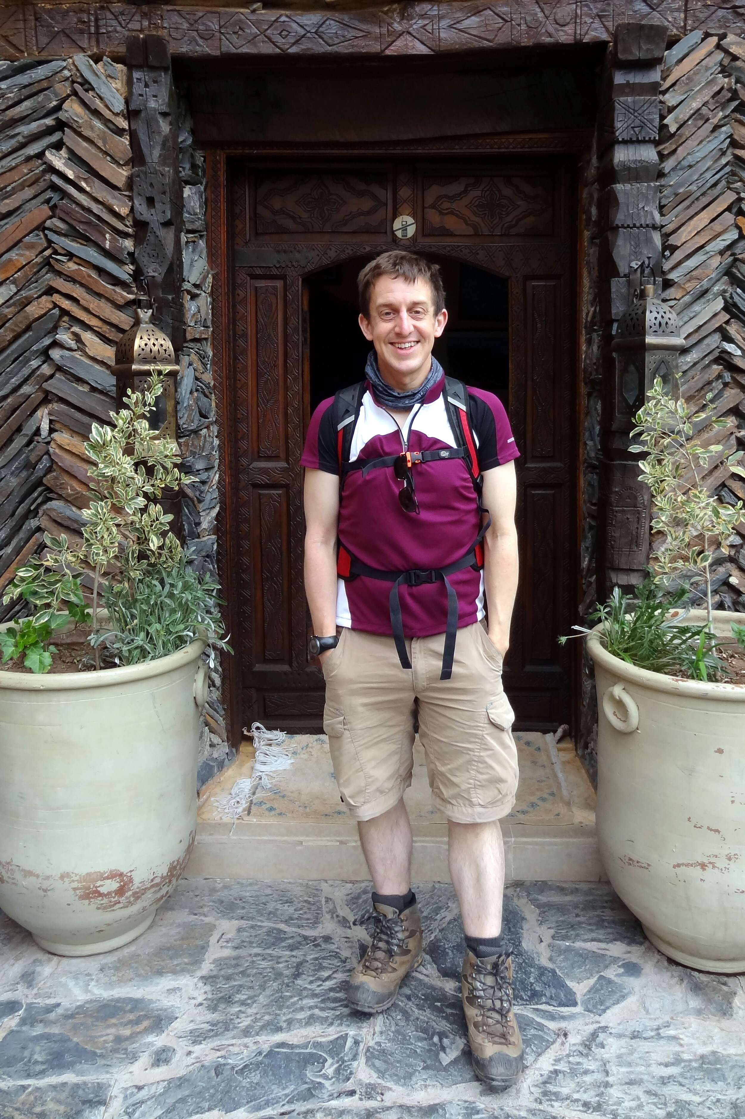
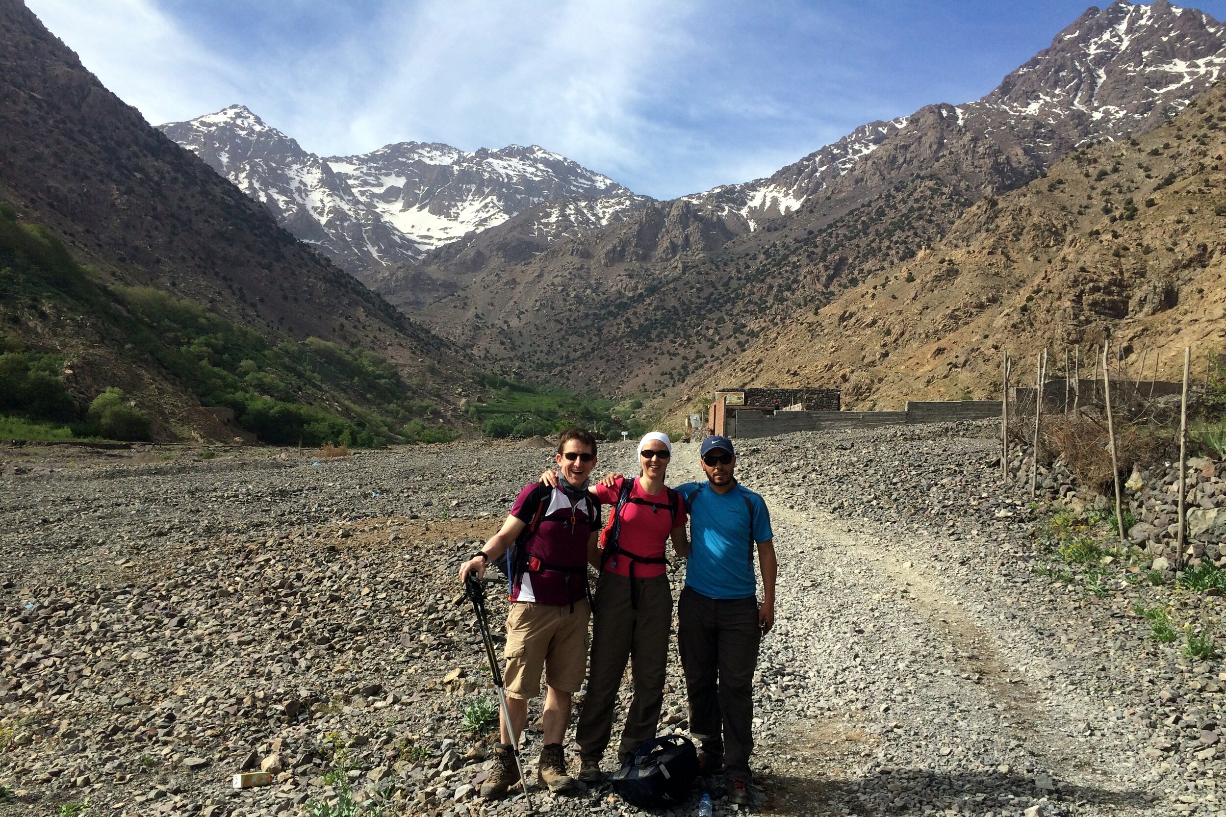
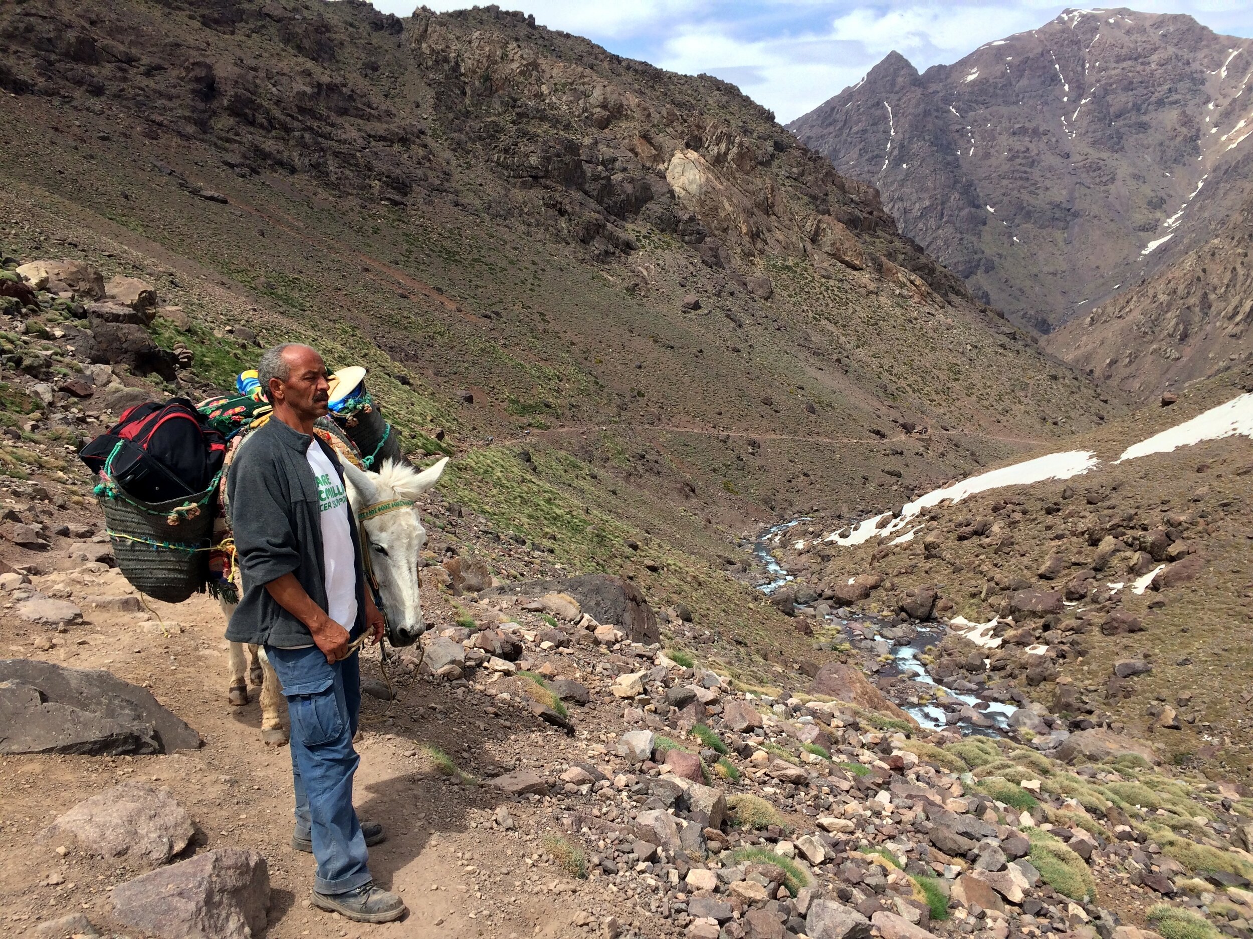
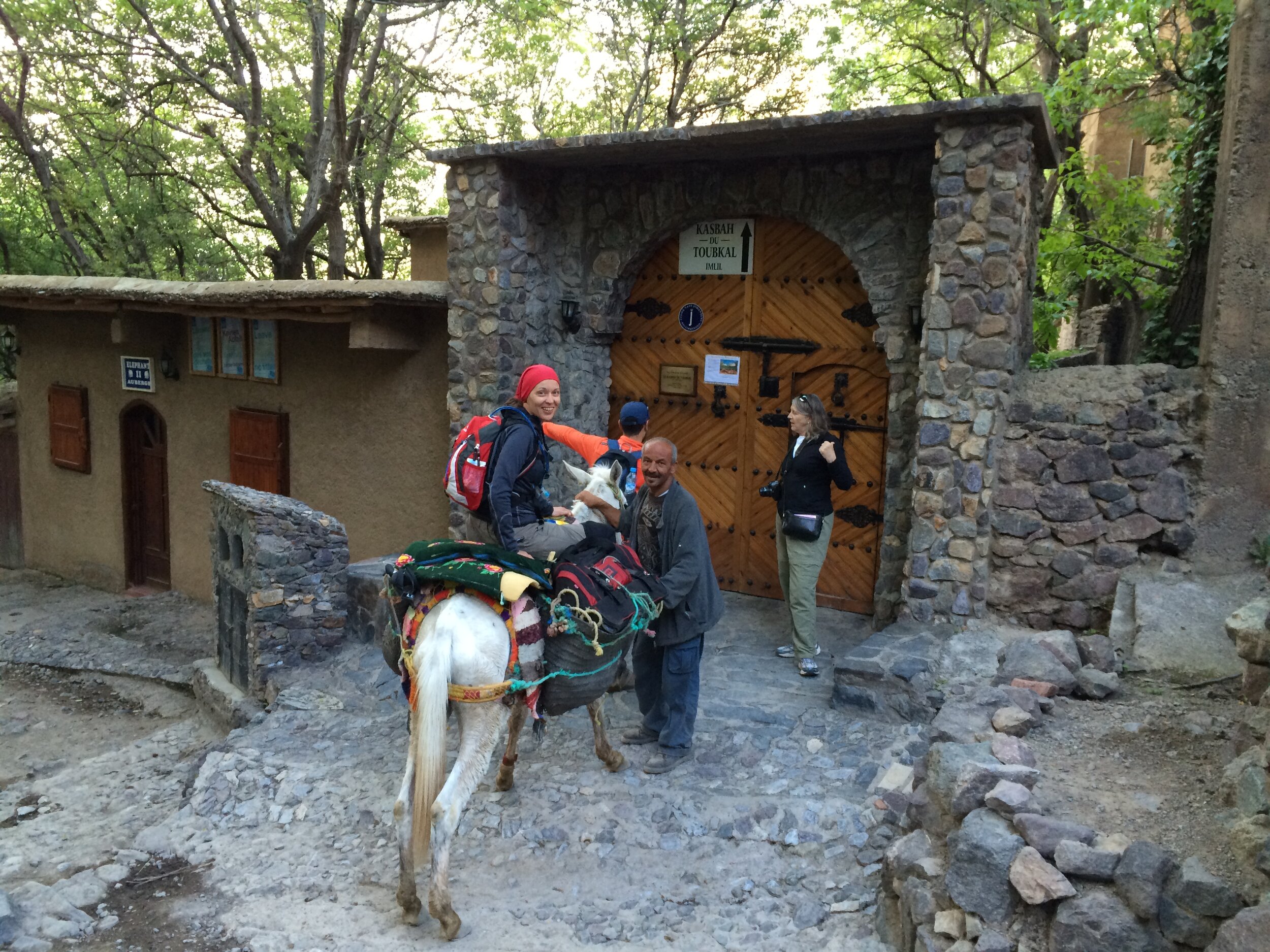
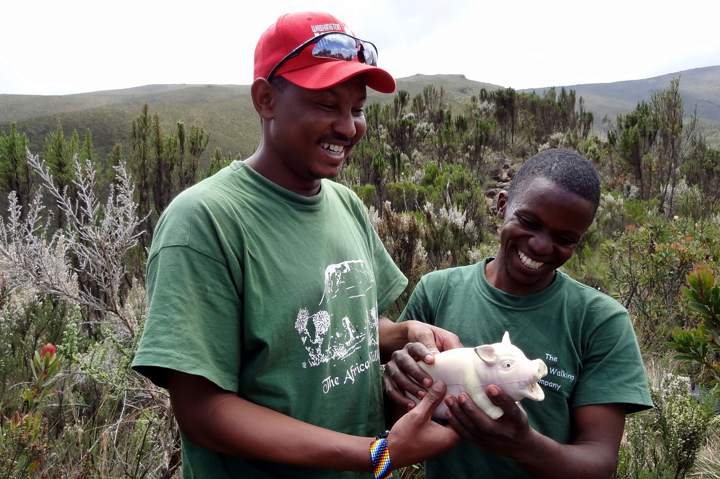
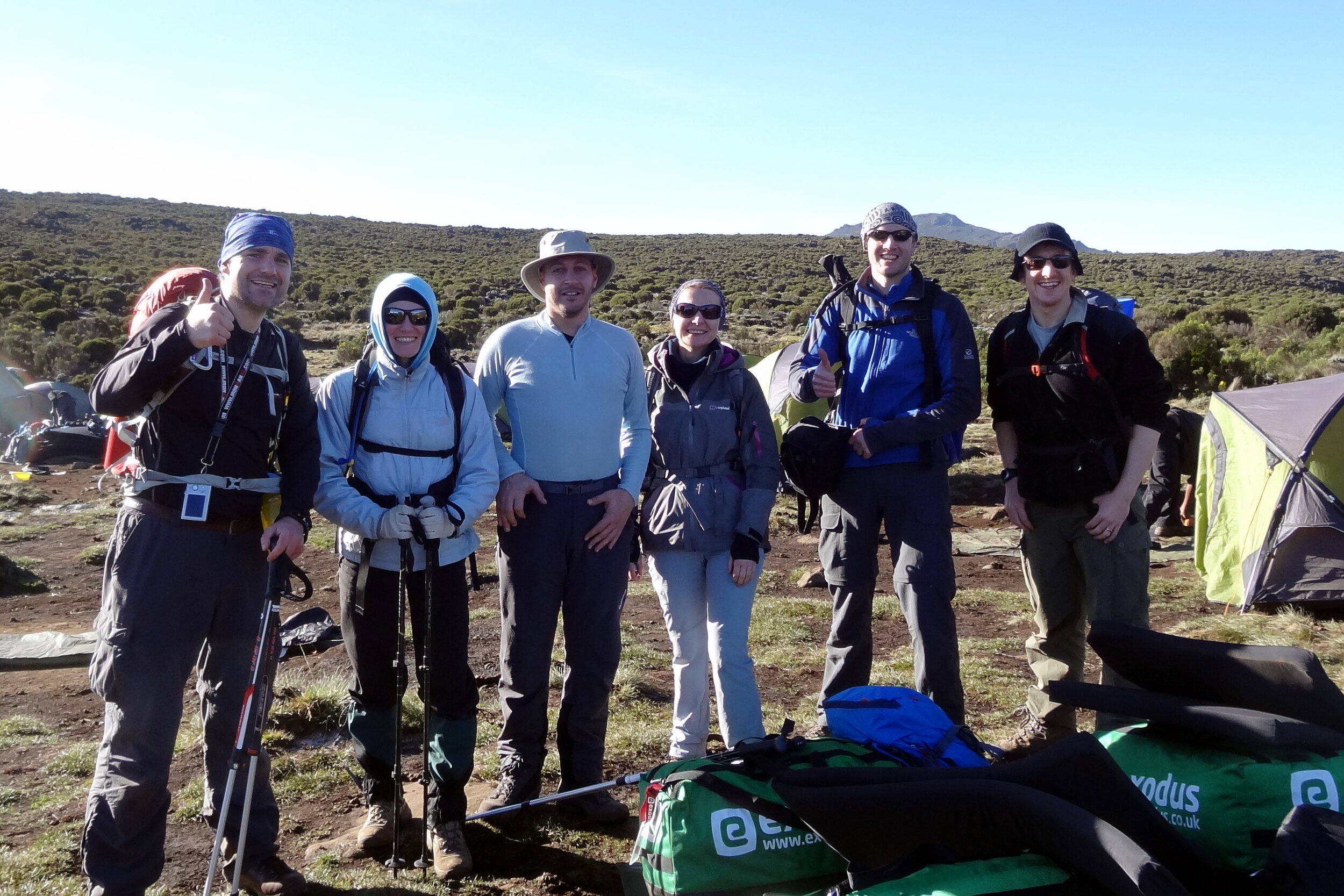
Our trek to the highest point in North Africa started from Kasbah du Toubkal in Imlil, the mountain’s trailhead village. We met our guide Mo at 09:00 on the morning of the trek. Mo introduced us to the team who would be accompanying us up the mountain. This included 5 mules and 4 muleteers who would carry our bags, the food and the overnight camp. Mo plus 1 mule, who we named Terry, and his muleteer walked with us whilst the rest went ahead.

The first day of the trek followed a river up the valley towards Basecamp. We had walked the first hour of it the previous day on an acclimatization hike to Aroumd, the village where the road ends. It was a nice warm day and we walked the 10k in shorts and t-shirts.

We got to know our guide Mo well over the course of the trip. Mo is short for Mohammed which is an Arabic name although he’s actually a Berber. Mo explained that the Berbers are the original inhabitants of much of North Africa and their culture has evolved with the various occupiers over the centuries. Their original name is Amazigh but when the Romans invaded they named them Berbers (“Barbarians”) due to their different language and customs. This naming is linked to the Bavarians in Southern Germany whom the Romans regarded similarly.

When the Arabs invaded in the 7th Century it brought a new language, religion and customs. The French occupation from the 1920s then introduced a third language. Although Mo considers himself to be a Muslim, he prefers to follow the spirit of the faith rather than practice it strictly. In talking to Mo it was clear that he had strong values around people and being honest. These are particularly good virtues to have when you trust your life to someone up a very high mountain.

About every kilometre there was a small Berber-run shop selling food, drink and souvenirs to the passing trekkers. We stopped at one of these for lunch which was a very large meal of meatballs, pasta and salad. We chatted to a young guy from Chicago whom we had seen a few times on the way. He was on his own with just one porter to carry his bags. His plan was to walk up to the summit then parachute down whilst filming it on his Go-Pro. His trip was a complete contrast to ours as he seemed to have just turned up without much of a plan, least of all about how his descent would go.

At one stop on route Mo pointed out that many of the mules supporting other groups were heavily overloaded. The 5 mules that carried our gear may sound a lot, but the camping and cooking equipment and the clothing for the trip soon adds up. 2 people’s gear split between 5 mules is a safe weight per animal. Many groups were going up with mules carrying twice our amount. It wasn’t nice to see, especially when we saw one fall over on a tricky corner due to the weight of his load.

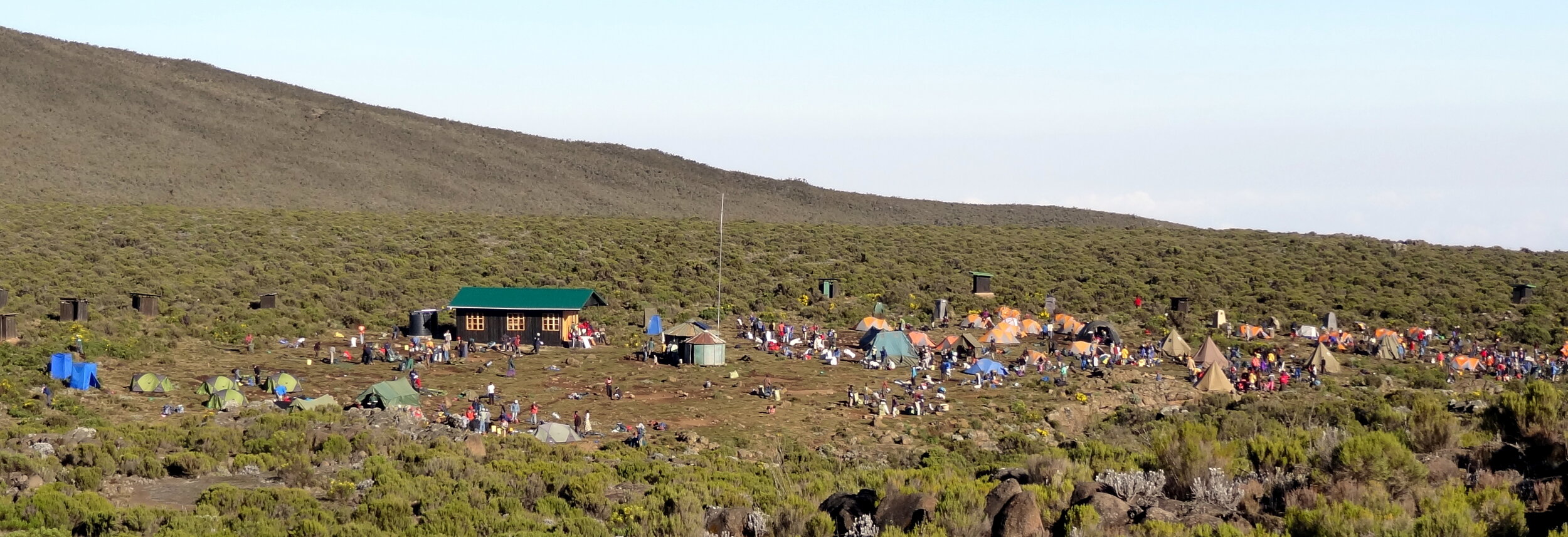
As we approached our camp for the night we were reaching the snowline and the free-flowing rivers and waterfalls were turning to snow and ice. Camp was a flat(ish) area next to the river, just short of Basecamp. When we arrived we rested by the river whilst the muleteers set up camp and prepared the evening meal.

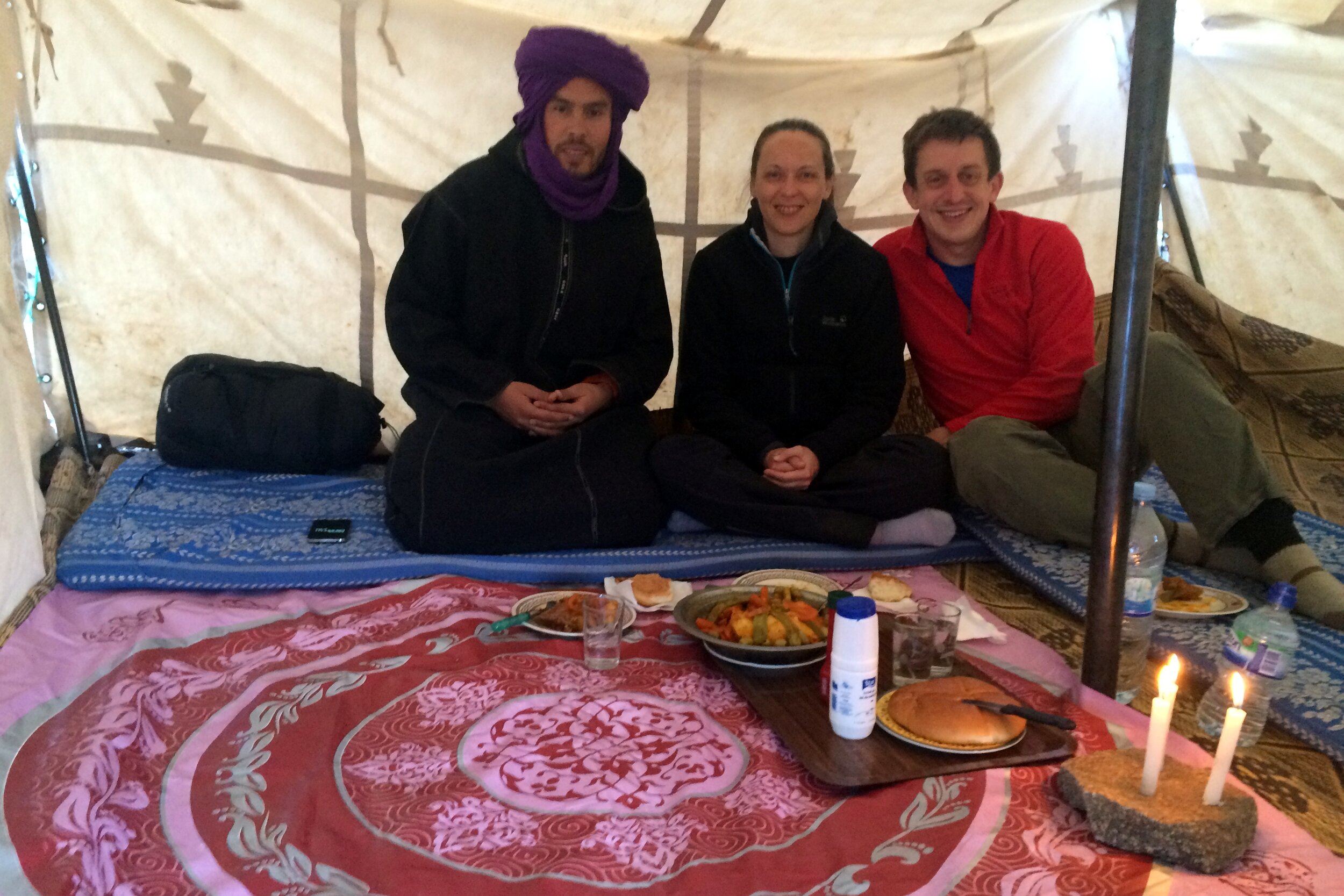
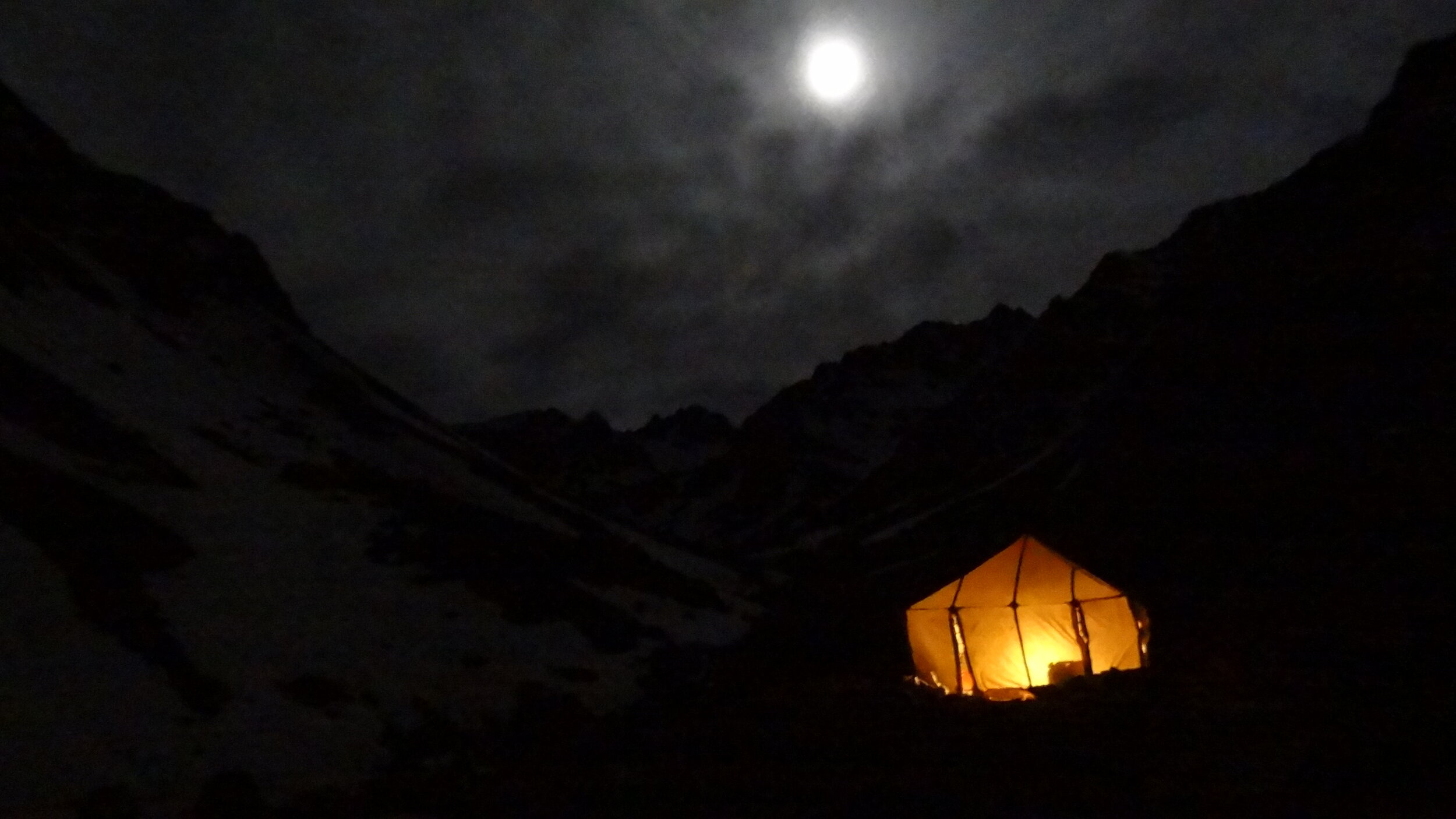
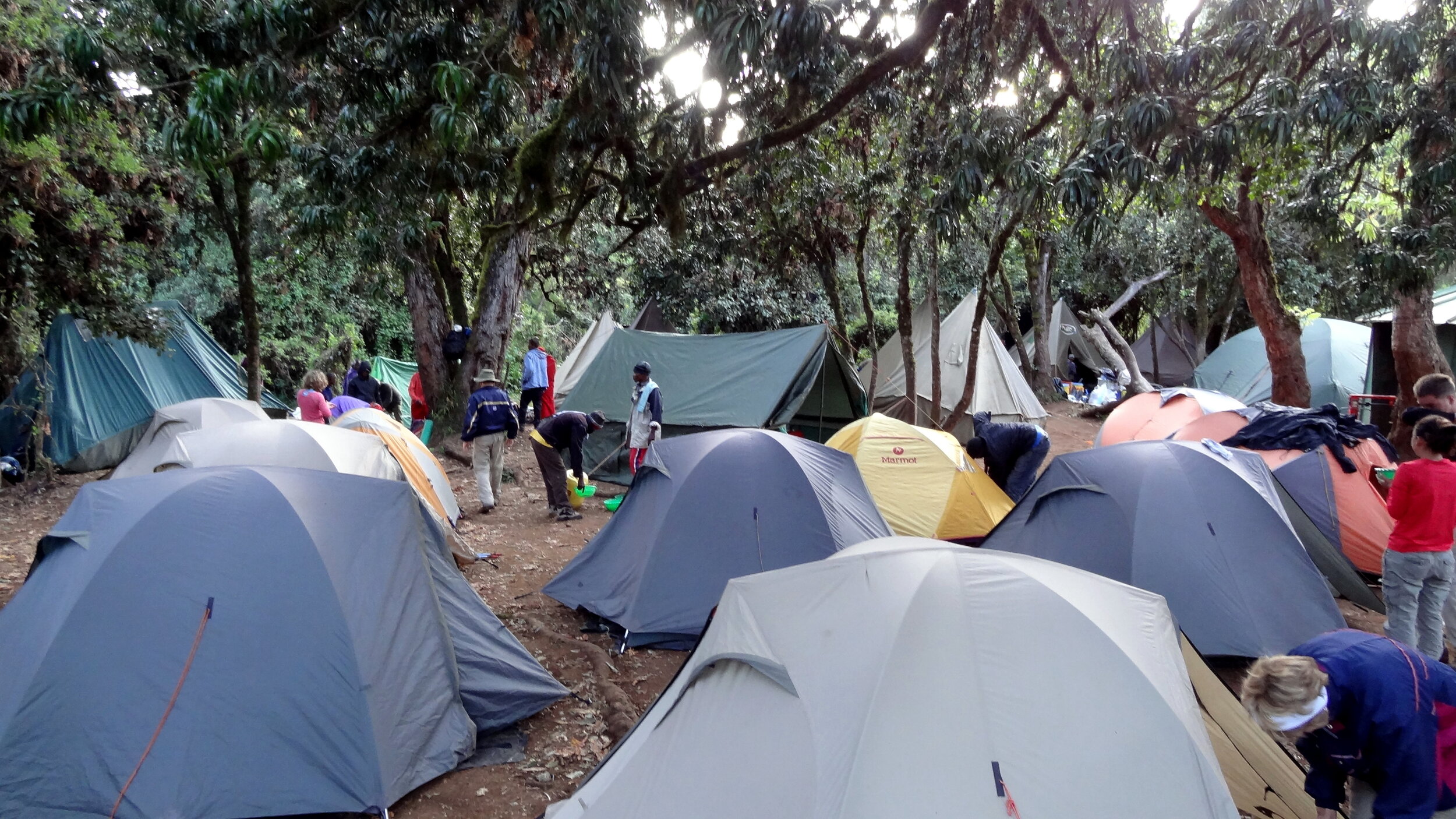
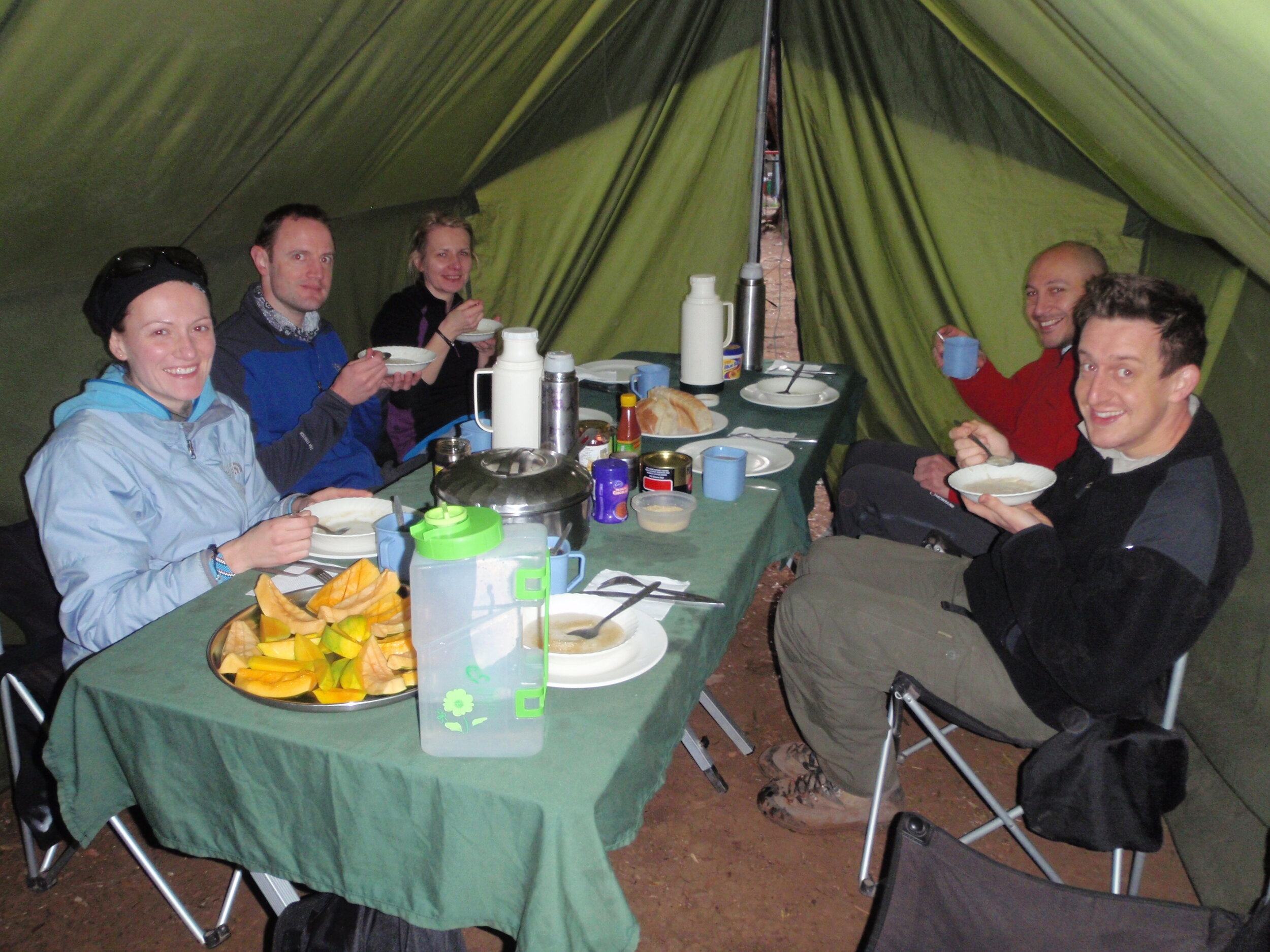
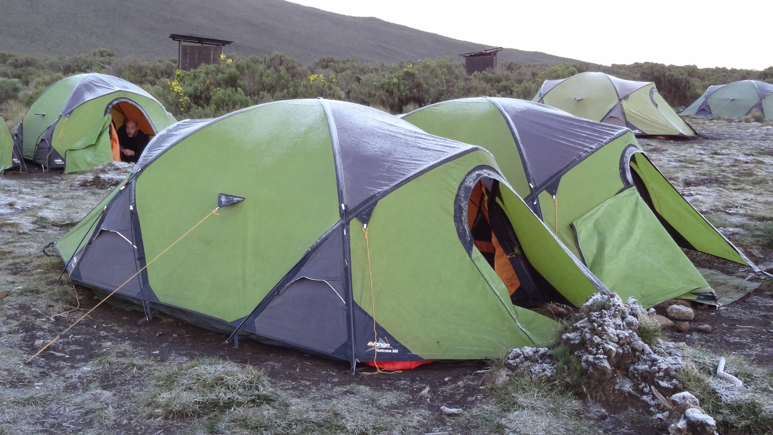
Camp was 5 tents, 1 for us, 1 for Mo, a toilet tent plus a dining tent and a kitchen tent. The 4 muleteers would sleep in the dining & kitchen tents once we’d gone to bed. After another big meal we retired to our own tent for a few hours of restless sleep before the big summit day. The nice surprise of the night was the birthday present that Timi had brought with her and showed me that evening. It was a 15 minute video she had made of birthday wishes from my friends. It was a lovely thought and was really funny.It also made the remoteness of the location feel much closer to home.


Day 2: Refuge Toubkal Les Mouflons to Imlil

Date: May 5th 2015
Start:
Refuge Toubkal Les Mouflons
Finish: Kasbah du Toubkal, Imlil, 42152, Morocco
Distance: 17.9 km (11.1 miles)
Elevation change: +1,020m / -2,331 m. Net -1,331m
GPX File: get via Buy Me a Coffee
Other Routes Touched (Cycle): None
Other Routes Touched (Walk): None

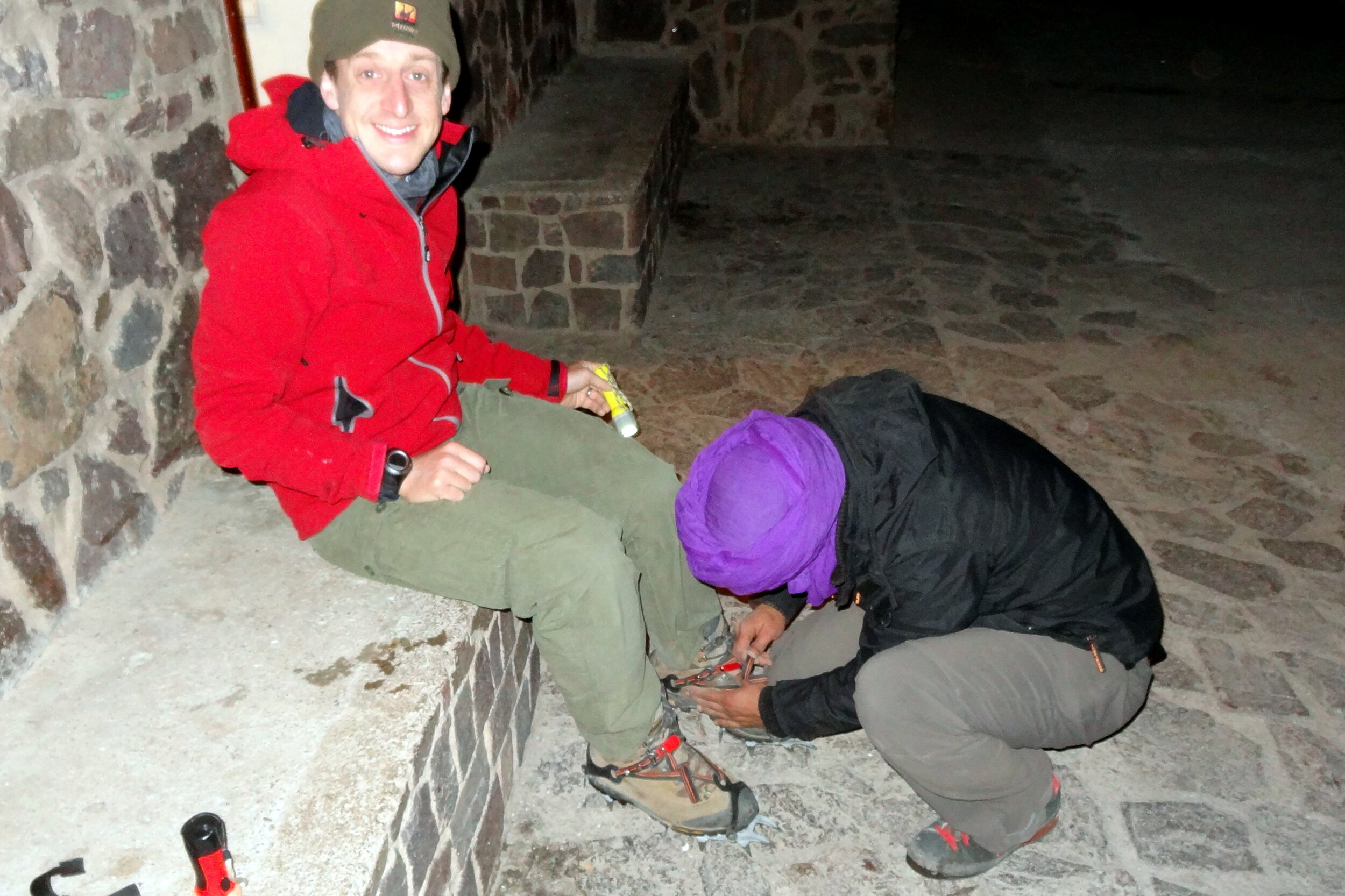
Day 2 started with a 04:00 alarm call and a dark stumble to the dining tent for breakfast. After getting kitted up and with head-torches on we started the ascent at 05:00. In 45 minutes we reached Basecamp, otherwise known as the Neltner Refuge. This is the part where the trail takes a sharp and steep turn to the left away from the river. We stopped for a while to strap crampons to our boots before tackling the snowy slope.

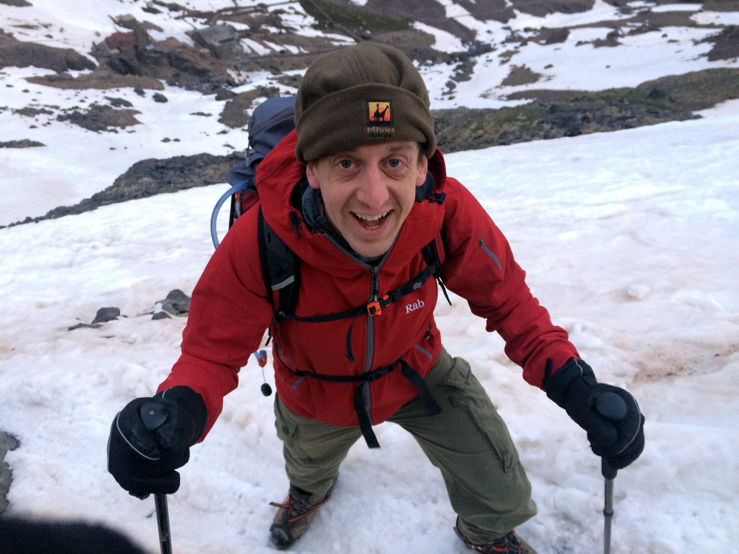
The first section from the Refuge was a hard slog up a kilometre of a steep snowy climb. We were still warming up and waking up and the dark didn’t help either. By the end of this part our energy levels were pretty low. This was the point that was the hardest for Timi and she was questioning whether she could complete the whole climb. A rest on a rock, some water and a bag of Haribo did the trick and we continued again for the next section.

The ascent flattened out a bit and we took another hour to reach the top of the snow and ice. Now we could take our crampons off and walk the rest of the way on rock. This was also the point where the views became stunning as we could now see over the other side of the mountain across the High Atlas and beyond to the Sahara. In the distance we could see the parachute guy who we met the previous day slowly walking down. Obviously the parachute jump didn’t seem like such a good idea from the top.

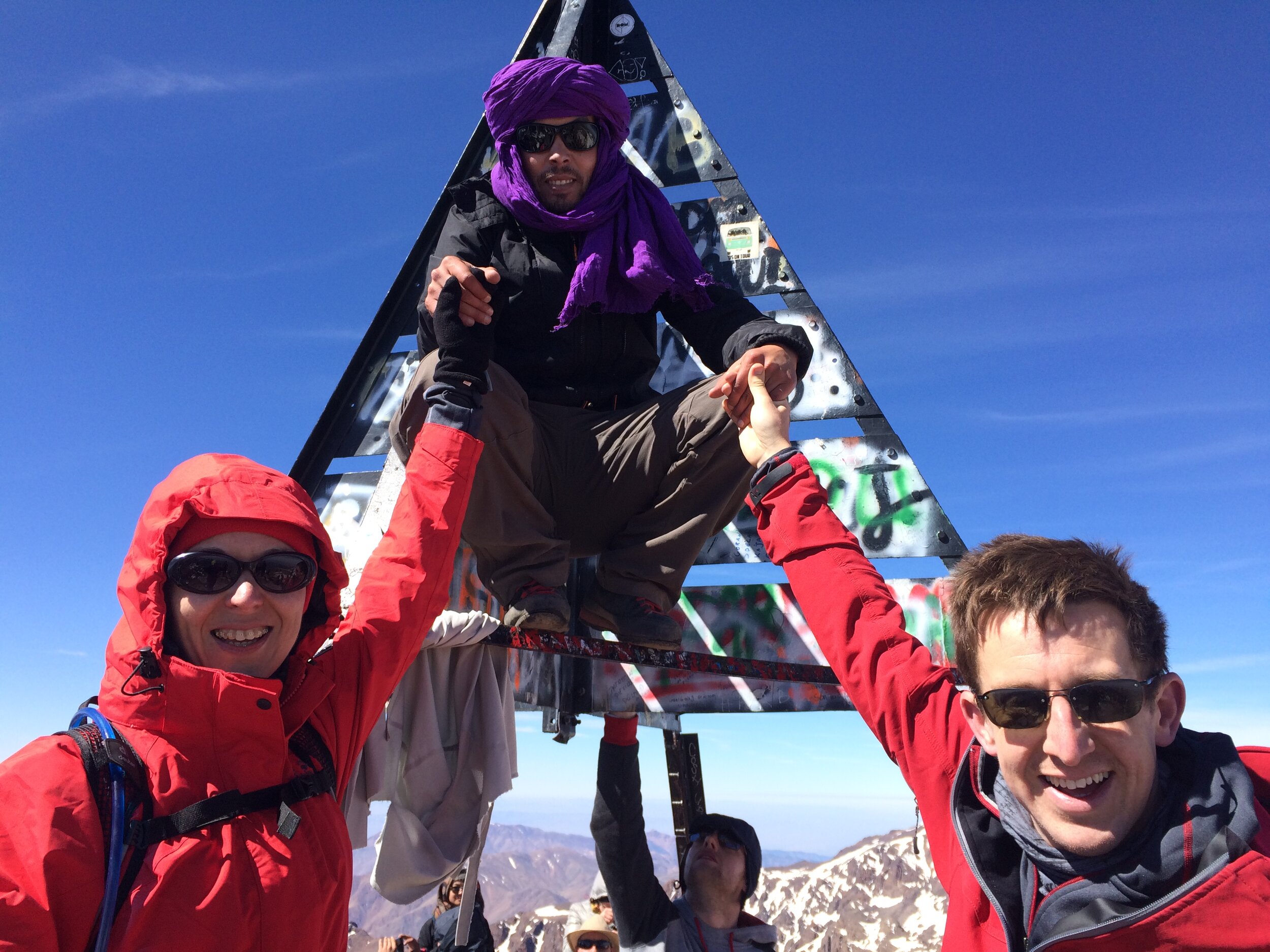
After another 30 minutes we could finally see the metal pyramid that marked the summit. Toubkal is positioned within a range of other peaks and there’s many twists and turns before you get to the top, so the summit is hidden for most of the trip. Suddenly we could see it, still a long way off but it was a morale booster as we knew we would make it.

The final section was steep and rocky and required careful footwork. There was a particularly scary 10 metre section that was a thin ledge of snow and ice over a sheer drop. Crossing it meant stepping into the compacted footprints in the snow left by the previous walkers. A slip would have been disastrous.

Finally we reached the Summit and entered into quite a party atmosphere of celebrating trekkers. It was really emotional for Timi as the 4 hours of focus and determination gave way to the huge sense of pride and achievement of getting there.

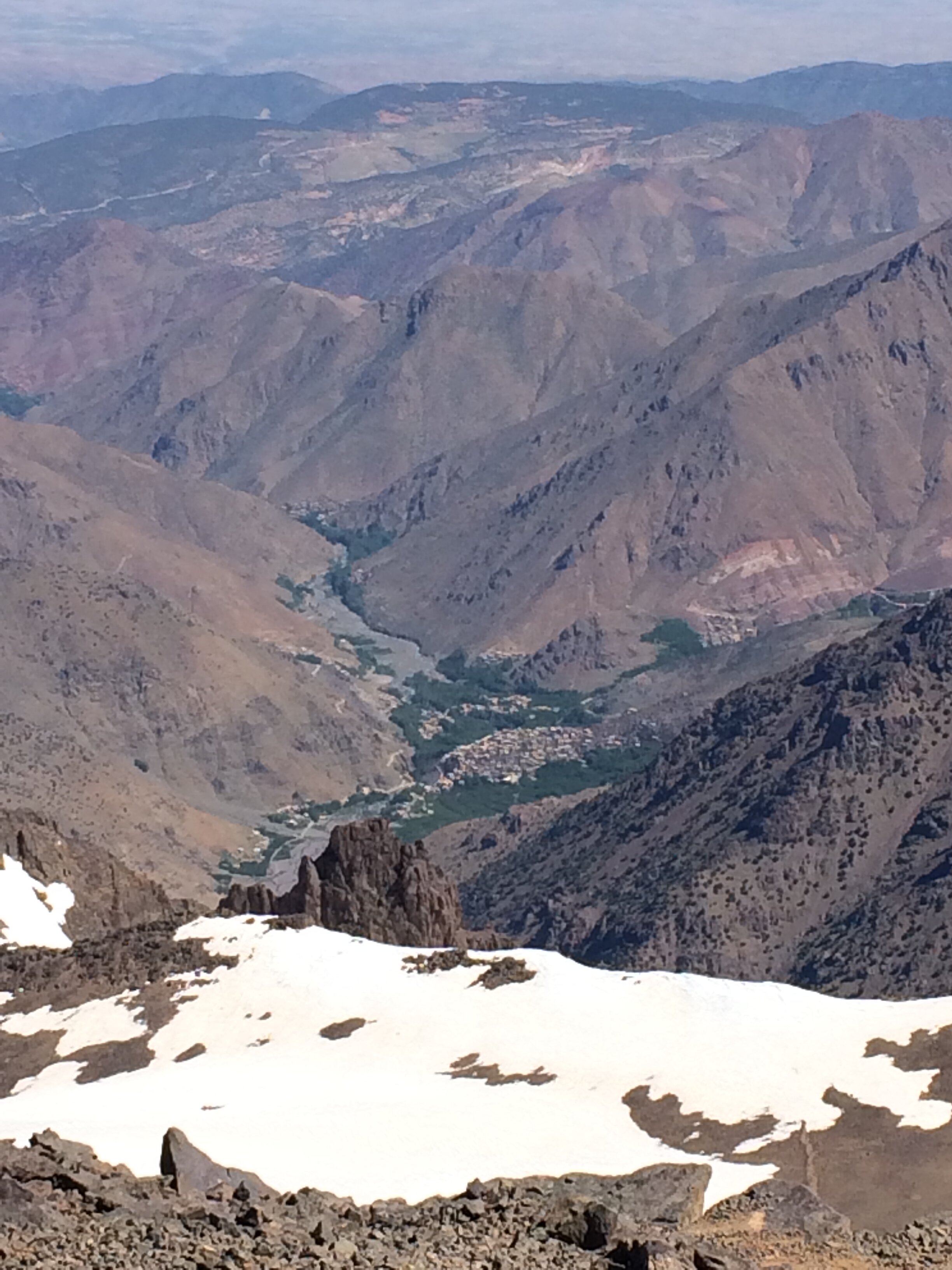
We took some time at the top to take photos, take in the view, rest and have lunch. From the Northern side of the plateau we could see all the way down to the start and end point at Imlil. It was a very long way in the distance and a daunting prospect as we would have to get all the way back down there before the evening.

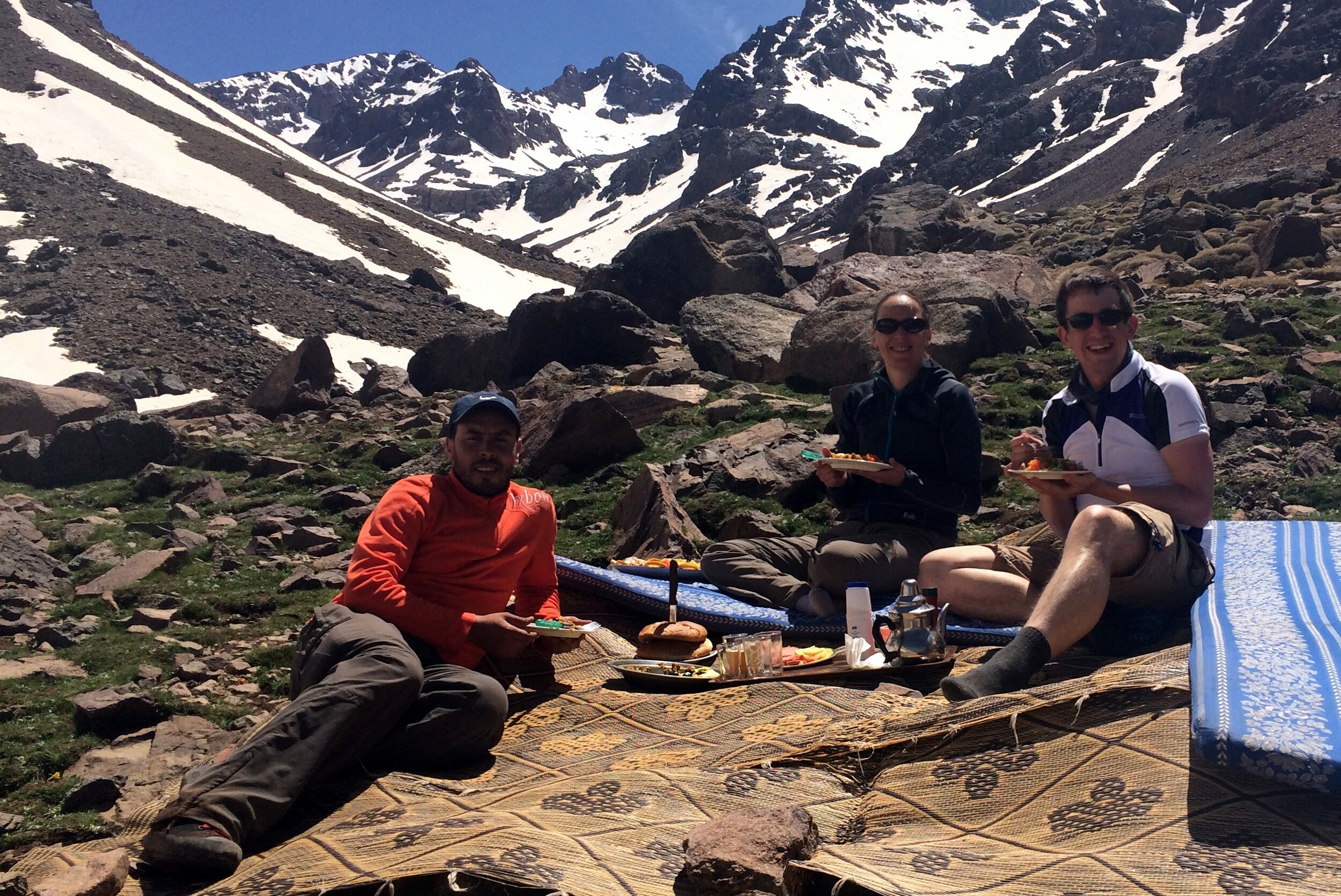
As we ate lunch and looked across to the other Mountains, Mo told us stories of helicopter crashes in the area. I’m not sure if it was the best time for such stories, but they were interesting nonetheless. One crash happened only a few months ago when a helicopter was called out to rescue a distressed trekker and it hit the side of the mountain. Mo also told us of another story going back to the 1980s of an American Military helicopter crashing into the mountain during the winter. It was carrying weapons and money and was only found the following spring. The story is that the locals “retrieved” the contents and although the government got the weapons, the money was never seen again. There’s a rumour that the money found in the crash was used to fund the renovation of the Neltner Refuge. The descent was significantly easier and started off well. We were nervous about going back over the scary icy section but Mo took us a different way that avoided it. After about 20 minutes Timi was feeling pain in her knee. Mo had a knee support handy which helped a lot but it was still a worry as there was a lot of down still to go.

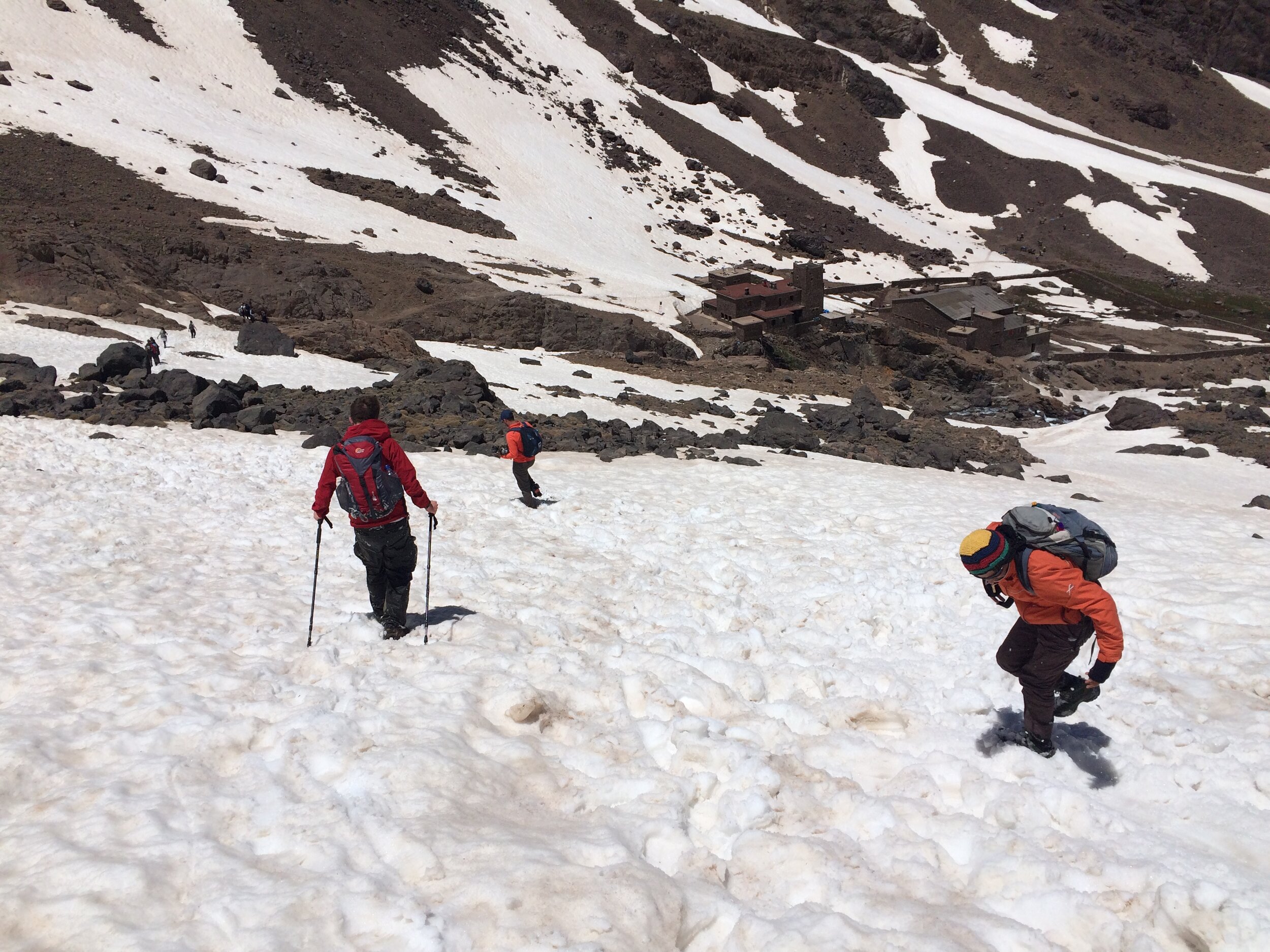
We reached the snowline again and Mo decided that we didn’t need to put the crampons back on. I wasn’t sure if this was a good idea as the first section was steep and I’m a bit nervous of slippery descents. Mo helped us down the tricky bits until it flattened out. Then came the fun part. Previous trekkers had created toboggan runs in the snow that were easy to follow. All we had to do was sit down in them, put our feet up and let gravity do the rest. We were able to take these runs down all the way to the Refuge. It was fun and exhilarating and was a great way to get down without putting pressure on Timi’s knee. We made the total descent to the Refuge in just over an hour, a quarter of the time it took to walk up.

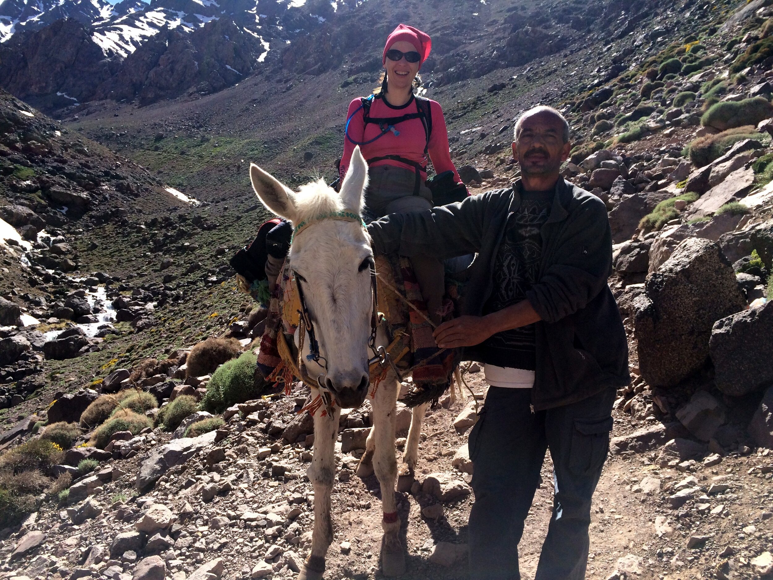
After a late lunch at our camp it was time to walk back to the Kasbah. Timi swapped walking for mule riding and she and Terry (the Mule) headed down the rocky path with Mo and the muleteer in front and me behind. The mules are amazing in how they can negotiate the uneven, often steep, trails with a fully laden pack. At a fast pace we were back down in 3 hours, arriving back at the Kasbah just before 19:00.

The rest of the evening was short. Despite being hungry and less than 100m from the dining room, we couldn’t find the energy to walk anymore and went straight to bed. All-in-all, a long, challenging, exhausting, exciting, fun and inspirational day.

Reflecting back on the trip a few weeks later, it was exactly the right way to celebrate my 40th birthday. Getting older doesn’t bother me as long as I’ve made the most of the time that I’ve had so before. So far I’ve loved all of it.

route-26643732-map-full.png
elevation_profile (1).jpg
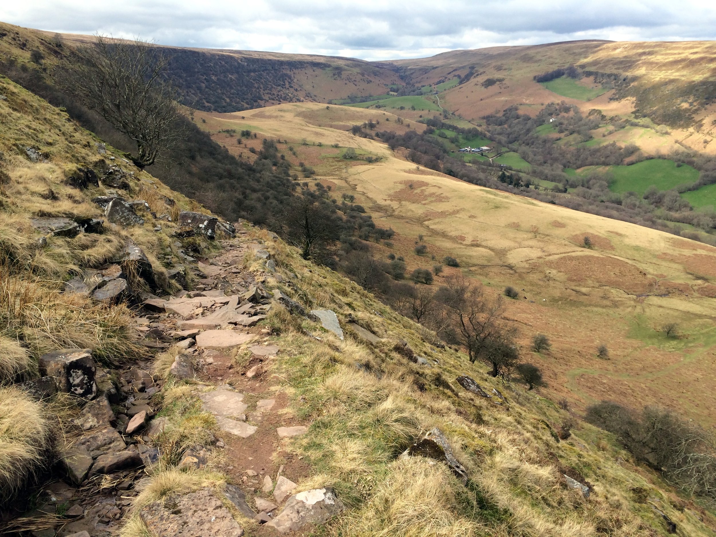
Chwarel y Fan: Monmouthshire County Top
Summit of Chwarel y Fan

Summit of Chwarel y Fan


Significance: Highest peak in Monmouthshire (Historic CT)
Member of: Hewitt, Nuttall
Parent Peak: Waun Fach. NHN = Pen y Gadair Fawr
Elevation: 679m
Date climbed: 5th April 2015
Coordinates: 51°57′30″N 3°04′51″W 
Route Start / End: Llanthony Priory, Llanvihangel Crucorney, Abergavenny, NP7 8DQ
Route Distance: 14.1 km (8.8 miles)
Route Elevation Change: +/- 470m
Subsidiary tops on route: Bal-Mawr (599m)
GPX File: get via Buy Me a Coffee
Other routes touched (walk): Beacons Way
Other routes touched (cycle): None
Map: OS Explorer OL13 Brecon Beacons National Park
Guidebook: The UK's County Tops (Jonny Muir)
Links: Wikipedia (Monmouthshire), Wikipedia (Chwarel y Fan), Peakbagger, Hillbagging


OTHER HIGH POINTS IN NORTH WALES


Fan Foel: Carmarthenshire County Top
IMG_3574.jpg

Significance: Highest peak in Carmarthenshire (Historic CT)
Member of: N/A
Parent Peak: Fan Brycheiniog. NHN = Fan Brycheiniog - Twr y Fan Foel
Elevation: 781m
Date climbed: April 4th 2015
Coordinates: 51° 53' 14'' N, 3° 42' 49'' W
Route Start / End: Llyn y Fan Fach Car Park, Llanddeusant SA19 9UN
Route Distance: 9.9 km (6.1 miles)
Route Elevation Change: +/- 540m
Subsidiary tops on route: Bannau Sir Gaer (Picws Du), Waun Lefrith
GPX File: get via Buy Me a Coffee
Other routes touched (walk): Beacons Way, South Wales Traverse
Other routes touched (cycle): None
Map: OS Explorer OL12 Brecon Beacons National Park - Western & Central Areas
Guidebook: The UK's County Tops (Jonny Muir)
Links: Wikipedia (Carmarthenshire), Wikipedia (Fan Brycheiniog), Peakbagger, Hillbagging


This one is the highest peak in Carmarthenshire but only counts as a sub-peak of Fan Brycheiniog so it doesn’t count as a Marilyn, Nuttall or Hewitt in its own right. Looking back on this one I wish I’d made the extra effort to bag the higher peak too. Even so, this was an amazing walk on a clear spring day with views for miles. It was much less crowded than the Brecon Beacons too.


route-29027815-map-full.png


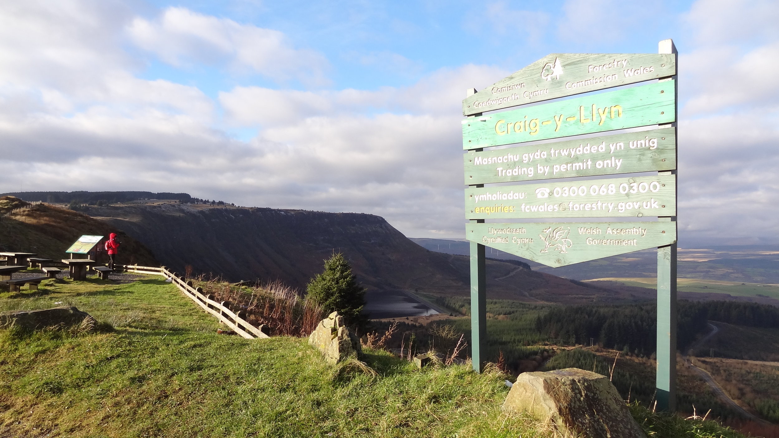
Craig y Llyn: Glamorganshire County Top
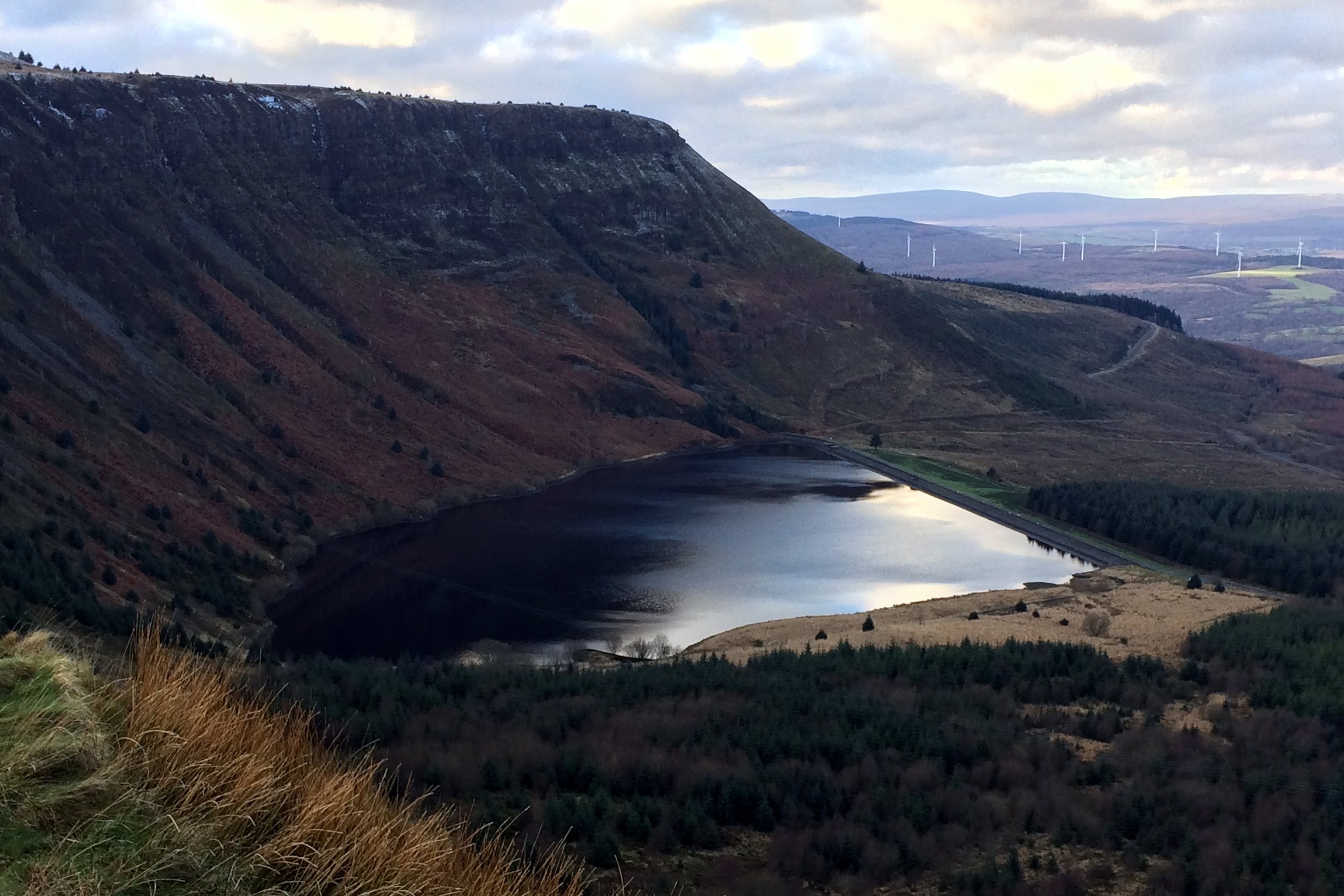
View from the path to Craig y Llyn

View from the path to Craig y Llyn


Significance: Highest peak in Glamorganshire (Historic CT), High Point of South Glamorgan Preserved County, High Point of Neath Port Talbot Principal Area
Member of: Marilyn
Parent Peak: Fan Nedd
Elevation: 150m
Date climbed: 30th December 2014
Coordinates: 51°42′57″N 3°35′06″W 
Route Start / End: Rhigos Viewpoint, Rhigos Road, Rhigos, CF42 5RY
Route Distance: 5.2 km (3.2 miles)
Route Elevation Change: +/- 126m
Subsidiary tops on route: Craig y Llyn East Slope (590): High Point of Mid Glamorgan Preserved County and Rhondda Cynon Taff Principal Area
GPX File: get via Buy Me a Coffee
Other routes touched (walk): None
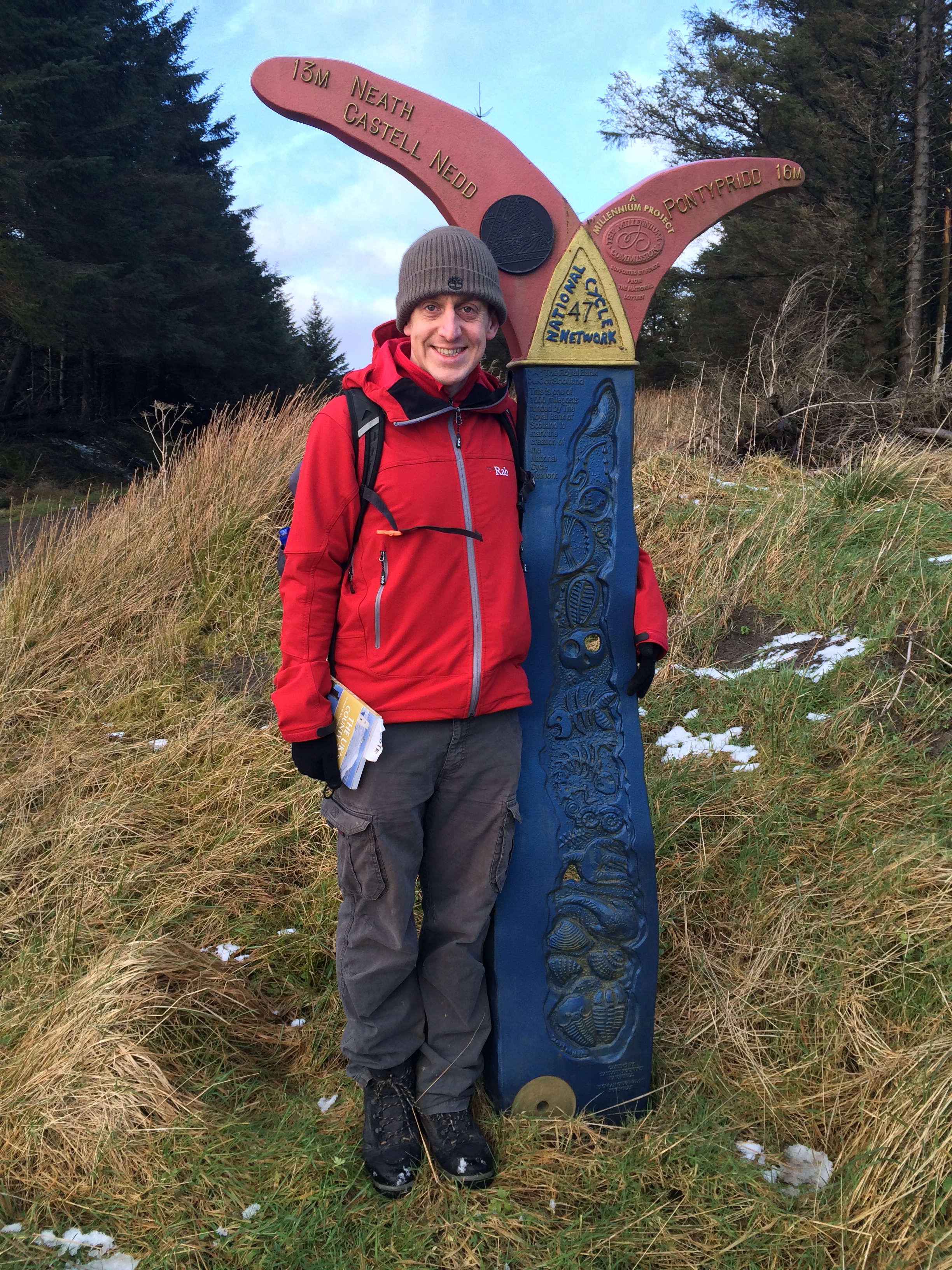
Other routes touched (cycle):
NCN 47
Map: OS Explorer Map (166) Rhondda and Merthyr Tydfil
Guidebook: The UK's County Tops (Jonny Muir)
Links: Wikipedia, Peakbagger, Trigpointing


OTHER HIGH POINTS IN Glamorganshire


Black Mountain: Herefordshire County Top

Also Known As: Twyn Llech (Welsh)
Significance: Highest peak in Herefordshire (Historic CT).
Member of: Marilyn, Hewitt, Nuttall
Parent Peak: Waun Fach. NHN = Rhos Dirion
Elevation: 703m
Date climbed: April 20th 2014
Coordinates: 52°00′30″N 3°05′05″W
Route Start / End: Gospel Pass Car Park, Capel-y-ffin, Abergavenny, NP7 7NP
Route Distance: 8 km (5 miles)
Route Elevation Change: +/- 196m
Subsidiary tops on route: Hay Bluff (677m)
GPX File: get via Buy Me a Coffee
Other routes touched: Offa’s Dyke Path
OS Trig Pillar: TP5402 - Pen-Y-Beacon
Map: OS Explorer OL13 Brecon Beacons National Park
Guidebook: The UK's County Tops (Jonny Muir), Walking the County High Points of England (David Bathurst)
Links: Wikipedia (Herefordshire), Wikipedia (Black Mountain), Peakbagger, Hillbagging


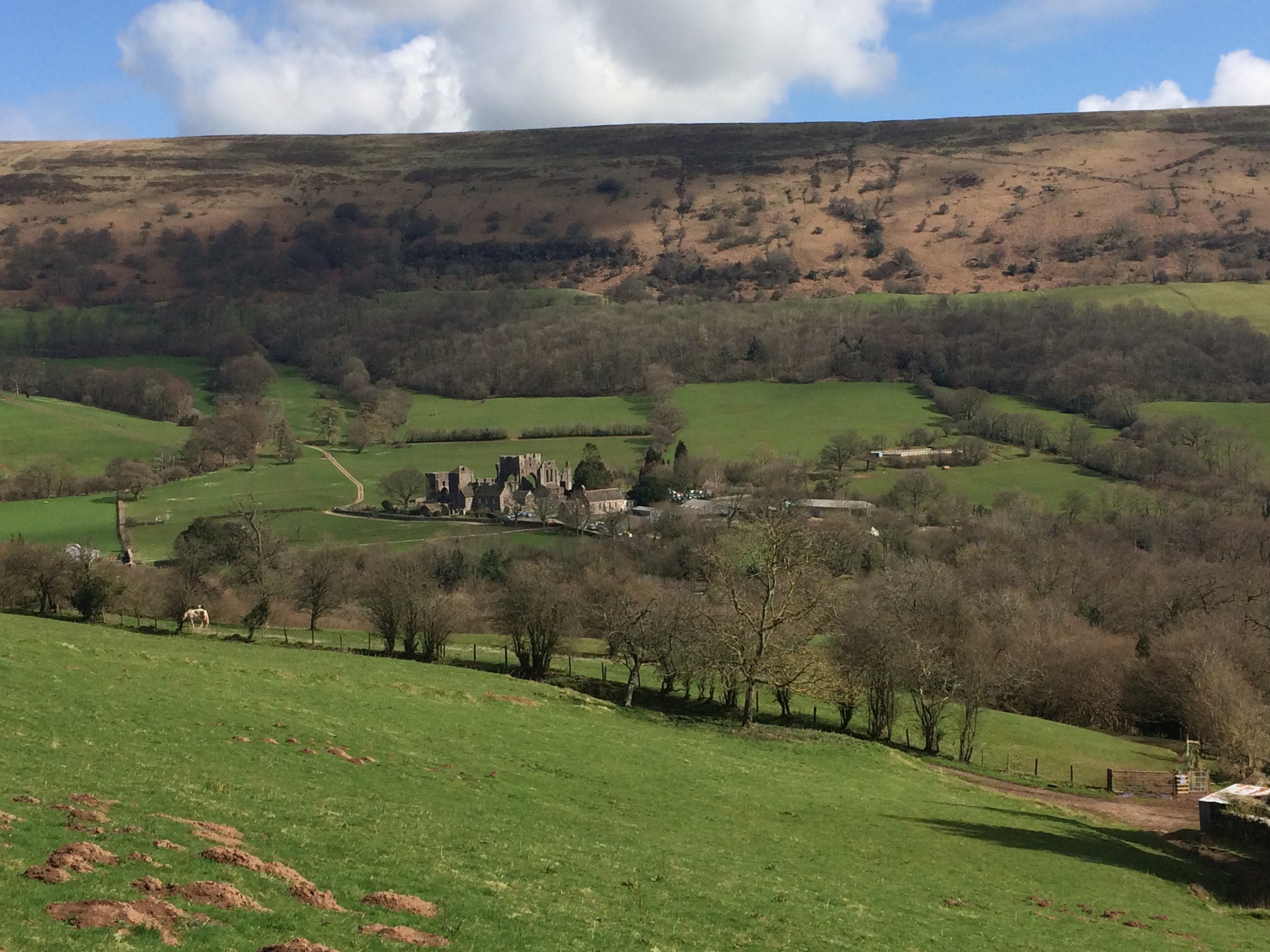
If I had known that I’d be returning to the Ewyas valley many times in the future I probably wouldn’t have attempted this on on such a rainy day. As it happened we were on the last day of a long weekend in the Brecon Beacons and I was eager to bag this one.

Although Black Mountain is the high point of Herefordshire, an English County, much of the walk is in Wales. The obvious starting point is the car park at the top of Gospel Pass. From here there’s a well trodden path up the side of the valley to the Hay Bluff Trig Pillar. From the pillar, take the south-easterly path to join Offa’s Dyke. Continue for ~1.2k until you get to the high point. There’s nothing here except for a small group of stones. As visibility was very poor and it was raining a lot, we quickly retraced our steps back to the parking spot.

In the following years a good friend of ours would move to the valley and we have done a lot more walks near there. With better weather and more time I would plan a different walk that includes both Twmpa and Black Mountain.


Worcestershire Beacon: Worcestershire County Top
Summit of Worcestershire Beacon

Summit of Worcestershire Beacon


Significance: Highest peak in Worcestershire (Historic County Top), Malvern Hills National Landscape
Member of: Marilyn, Hardy
Parent Peak: Hergest Ridge.
Nearest higher Neighbour: Titterstone Clee Hill
Elevation: 425m
Date climbed: 19th April 2014
Coordinates: 52°06′17″N 2°20′25″W


Route Start / End: Beacon Road Car Park, Beacon Rd, Malvern, WR14 4EH
Route Distance: 2.8 km (1.7 miles)
Route Elevation Change: +/- 110m
Subsidiary tops on route: Summer Hill (383m)
GPX File: get via Buy Me a Coffee
Other routes touched (walk): Geopark Way, Three Choirs Way
Other routes touched (cycle): none
OS Trig Pillar: TP0724 - Malvern
Map:
OS Explorer Map (190) Malvern Hills & Bredon Hill
Guidebook: The UK's County Tops (Jonny Muir), Walking the County High Points of England (David Bathurst)
Links: Wikipedia (Worcestershire), Wikipedia (Worcestershire Beacon), Peakbagger, Hillbagging


elevation_profile.jpg


OTHER HIGH POINT IN Worcesterhire


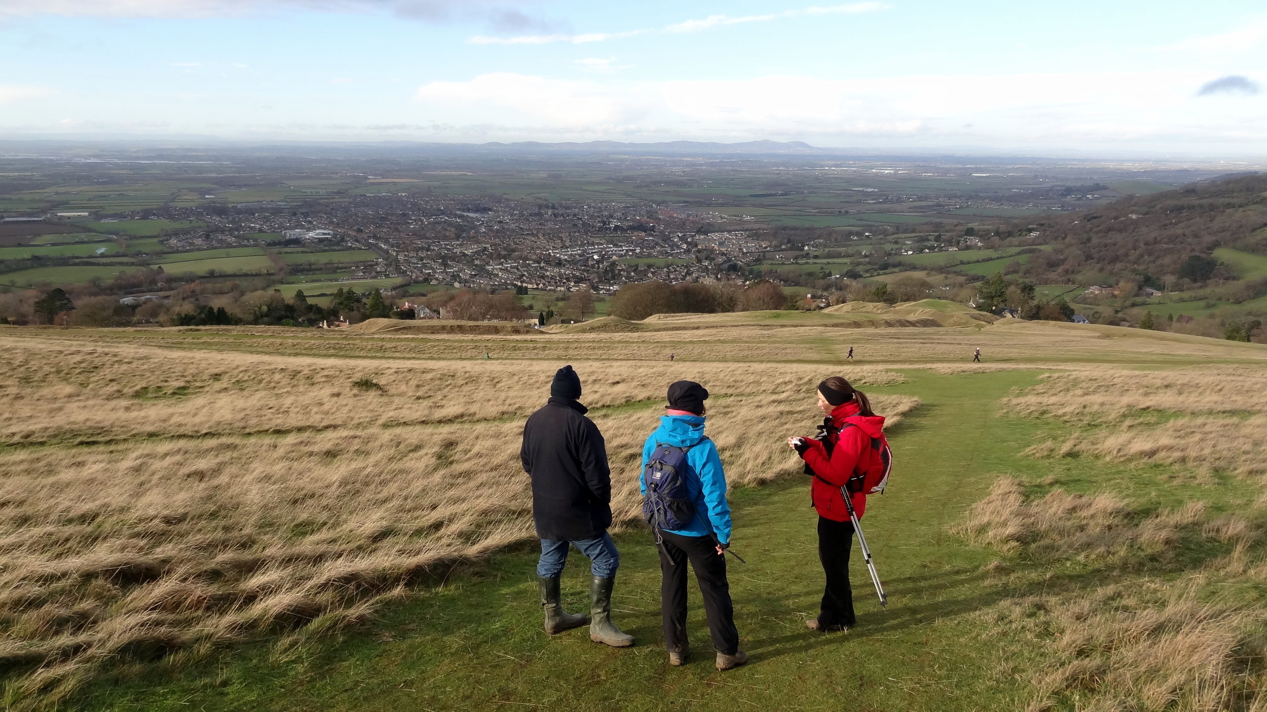
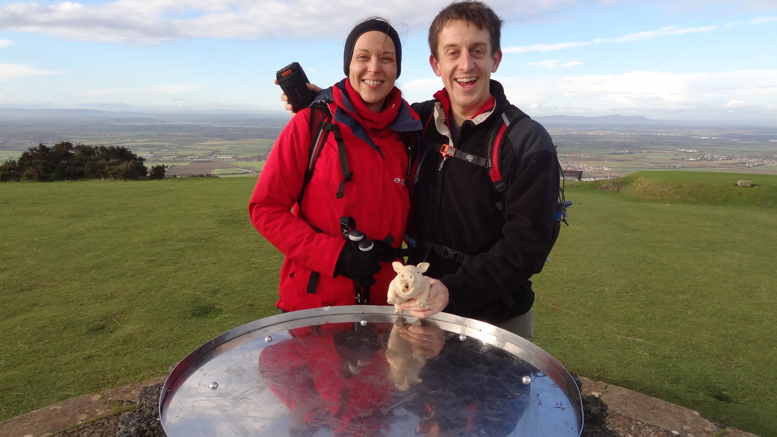
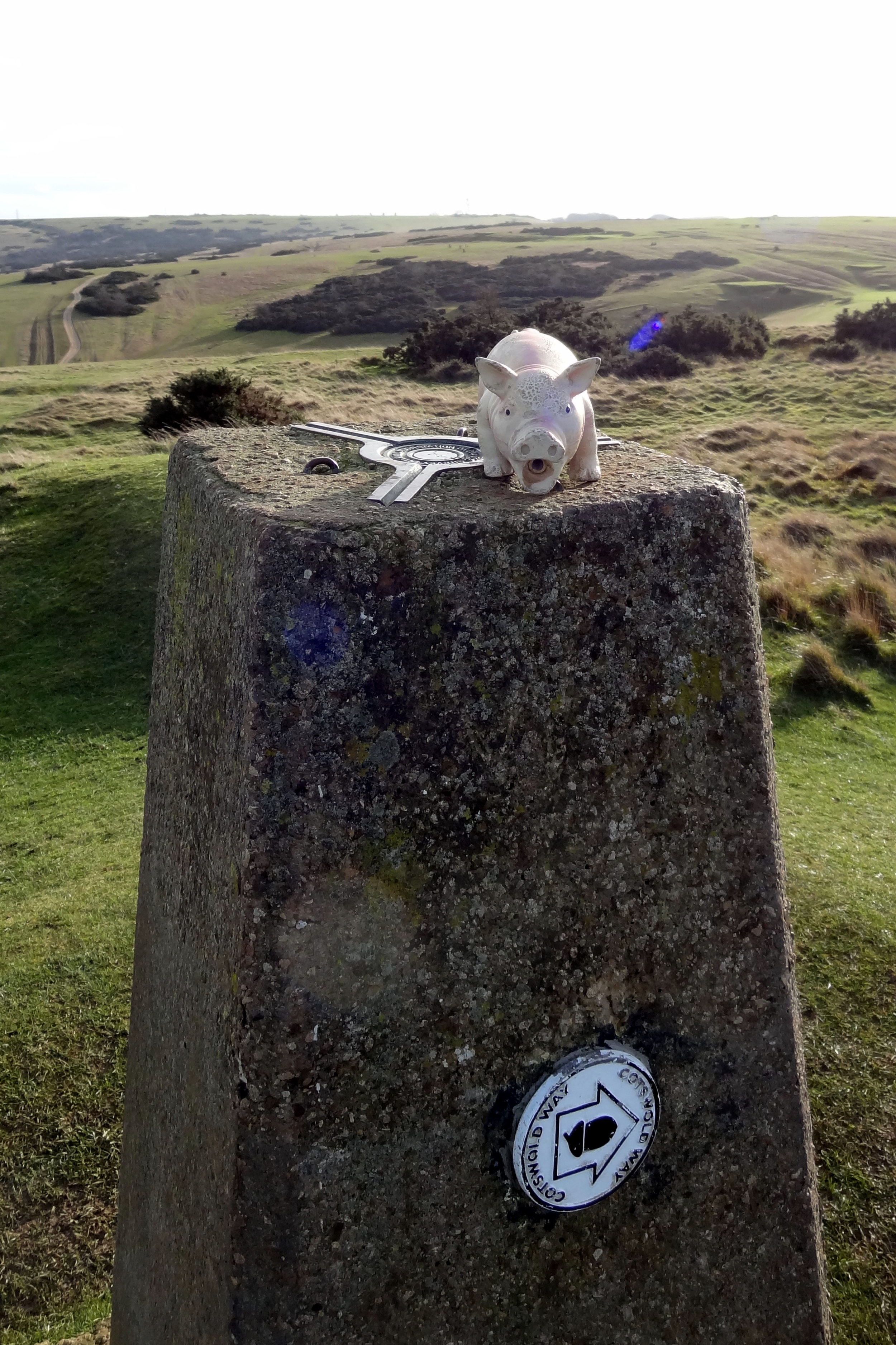
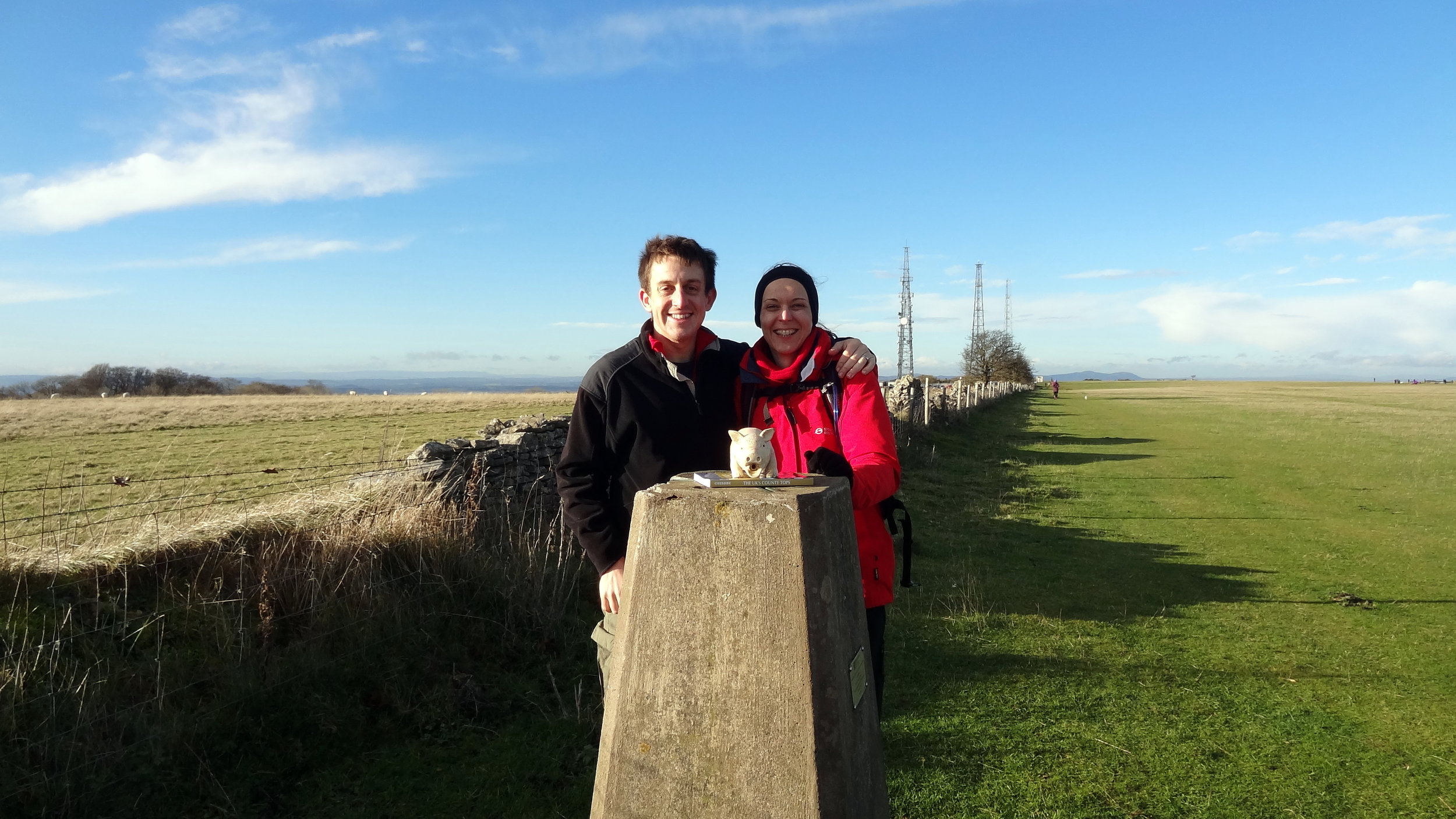
Cleeve Hill: Gloucestershire County Top
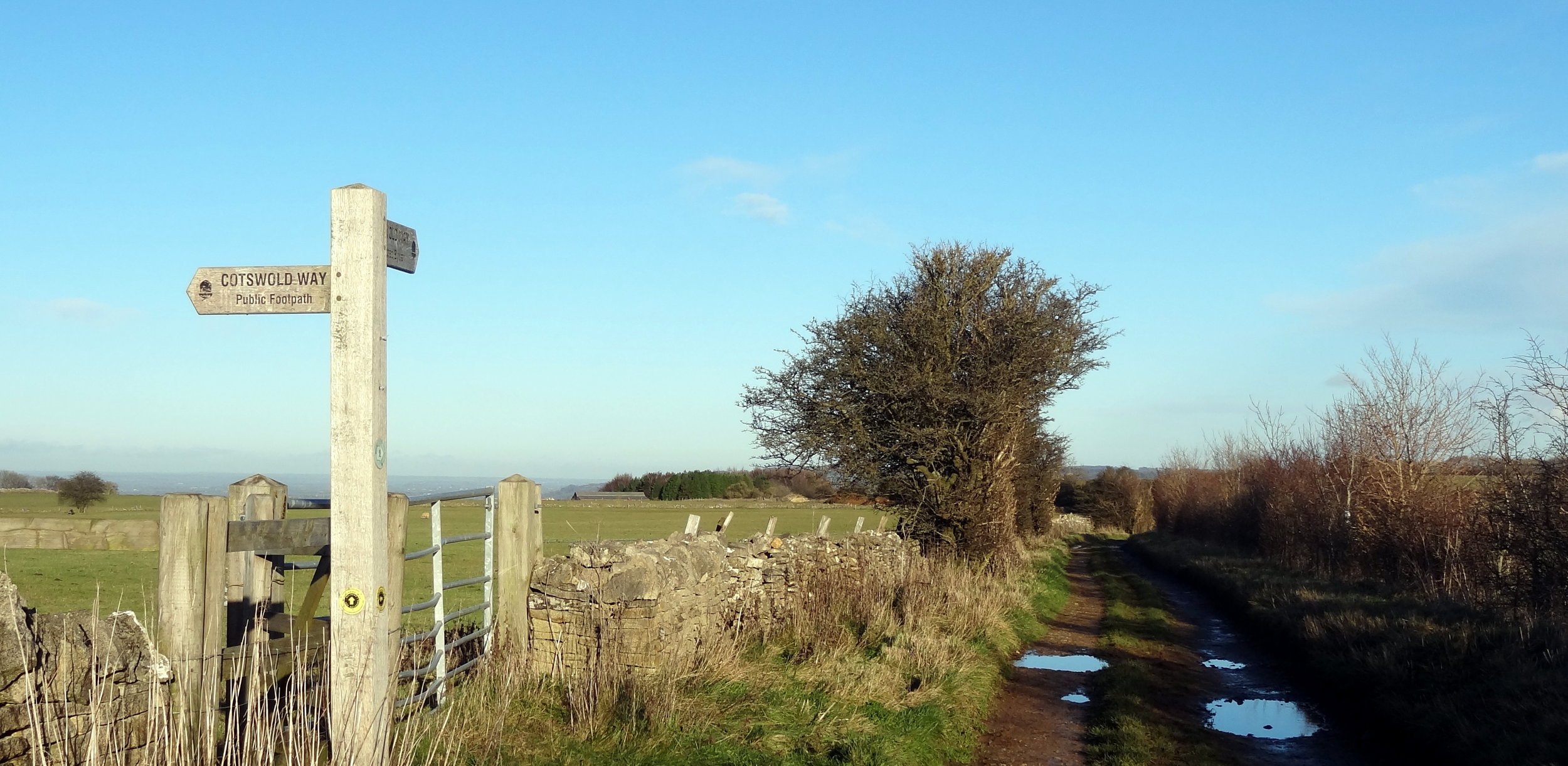
Cotswold Way junction near the summit.

Cotswold Way junction near the summit.

Significance: Highest peak in Gloucestershire (Historic County Top), Cotswolds National Landscape High Point
Member of: Marilyn
Parent Peak: The Wrekin.
Nearest Higher Neighbour: Herefordshire Beacon
Elevation: 330m
Date climbed: 8th December 2013
Coordinates: 51.920°N 2.007°W
   
Route Start / End: Rising Sun Hotel, Rising Sun Lane, Cleeve Hill, Cheltenham, GL52 3PX
Route Distance: 12 km (7.5 miles)
Route Elevation Change: +/- 304m
Subsidiary tops on route: Cleeve Hill (317)
GPX File: get via Buy Me a Coffee
Other routes touched (walk): Cotswold Way, Winchcombe Way (West), Isbourne Way
Other routes touched (cycle): none
OS Trig Pillar: TP0007 - Cleeve Hill
Map: OS Explorer Map (179) Gloucester, Cheltenham and Stroud
Guidebook: The UK's County Tops (Jonny Muir), Walking the County High Points of England (David Bathurst)
Links: Wikipedia (Gloucestershire), Wikipedia (Cleeve Hill), Peakbagger, Hillbagging


OTHER HIGH POINT IN Gloucestershire


The South West England County Tops

Dunkey Beacon, Somerset County Top


Having 6 County Tops in the bag, I was now ready for a longer multi-day trip to climb a few more remote ones. We went with a group of friends, some in it for the County Tops, others along for the ride. We headed down to Cornwall on a Friday afternoon for the start of the peaks of the South West. We started in Cornwall with the furthest away peak and worked our way back towards home.


Brown Willy

Significance: Highest peak in Cornwall (Historic County Top), Cornwall National Landscape High Point
Member of: Marilyn
Parent Peak: High Willhays.
Nearest Higher Neighbour: Cox Tor
Elevation: 420m
Date climbed: 20th April 2013
Coordinates: 50°35′20″N 4°36′08″W

Route Start / End: Rough Tor Car Park, Roughtor Road, Camelford, PL32 9QJ
Route Distance: 8 km (5 miles)
Route Elevation Change: +/- 400m
Subsidiary tops on route: Showery Tor (385m), Little Rough Tor (373m), Rough Tor (400m)
GPX File: get via Buy Me a Coffee
Other routes touched: N/A
OS Trig Pillar: TP1710 - Brown Willy
Map: OS Explorer 109: Bodmin Moor
Guidebook: The UK's County Tops (Jonny Muir), Walking the County High Points of England (David Bathurst)
Links: Wikipedia (Cornwall), Wikipedia (Brown Willy), Peakbagger, Hillbagging

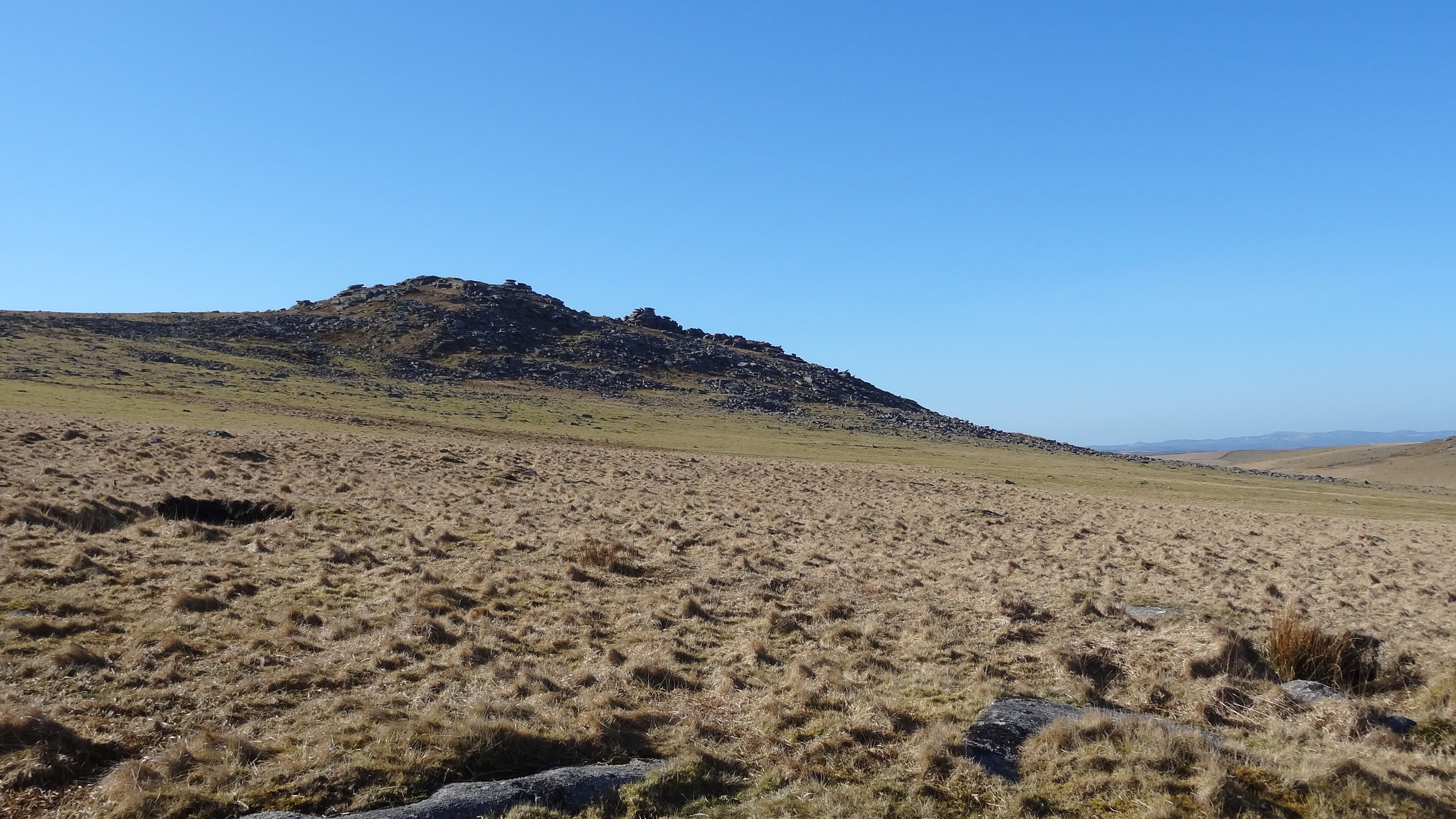
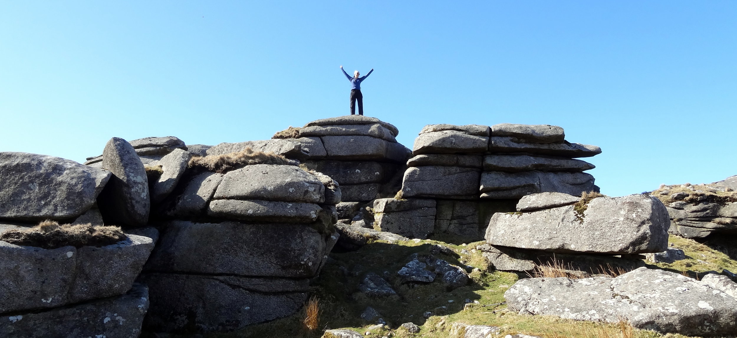
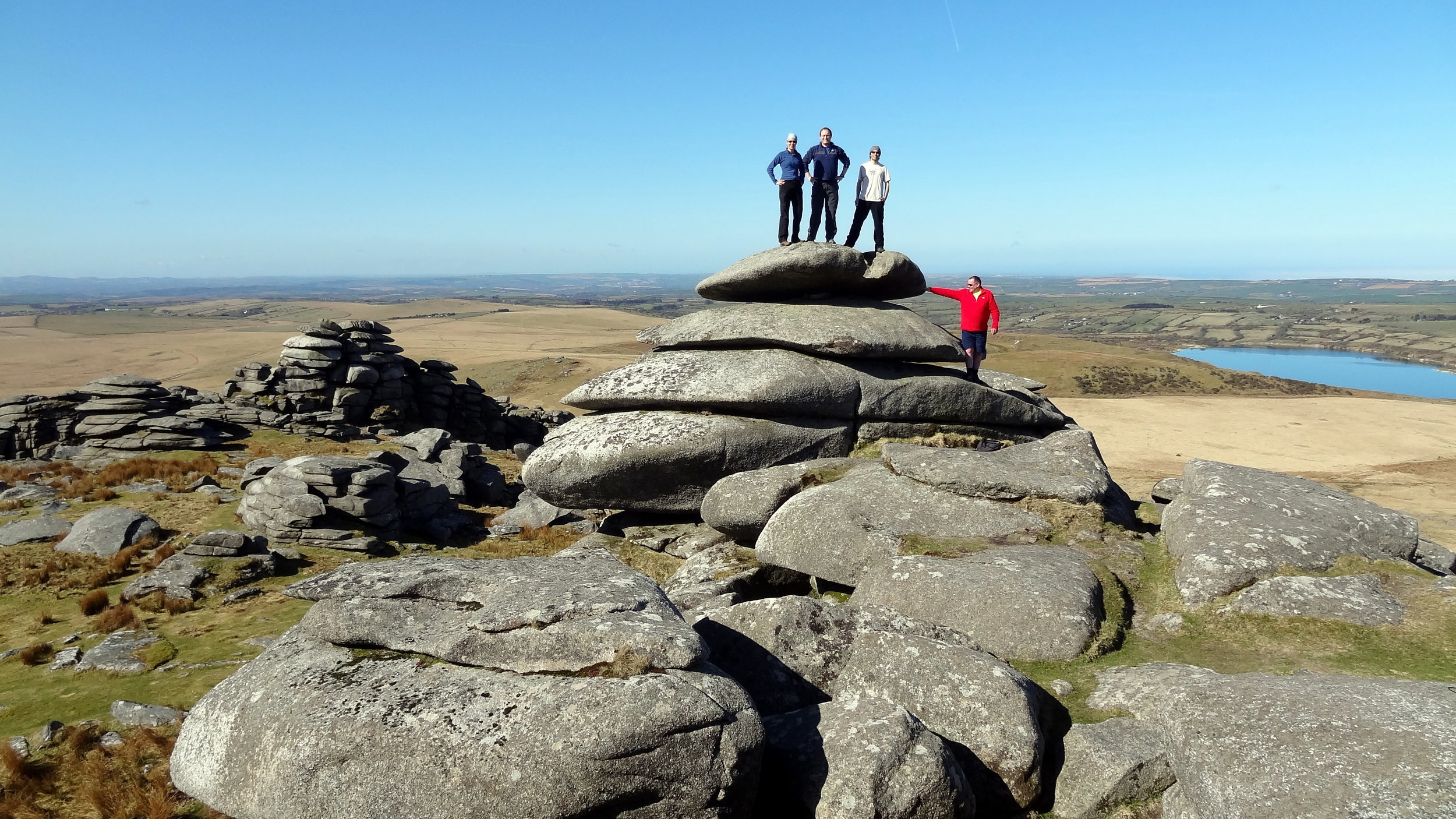
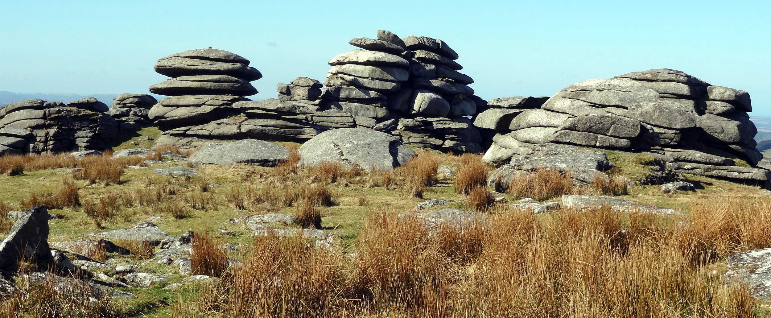
Brown Willy is in a remote patch of Bodmin Moor, roughly in the centre of the county. By the time you’ve reached the car park you’re already at 260m elevation so the walk only adds another 160m. It’s a fairly quick out and back to bag the summit but worth a couple of diversions to Rough Tor, Little Rough Tor and Showery Tor in the way.


High Willhays

Significance: Highest peak in Devon (Historic County Top), Dartmoor National Park High Point
Member of: Marilyn, Hewitt, Nuttall
Parent Peak: Cross Fell.
Nearest Higher Neighbour: Garreg Las
Elevation:
 621m
Date climbed: 20th April 2013
Coordinates: 50°41′06″N 4°00′36″W

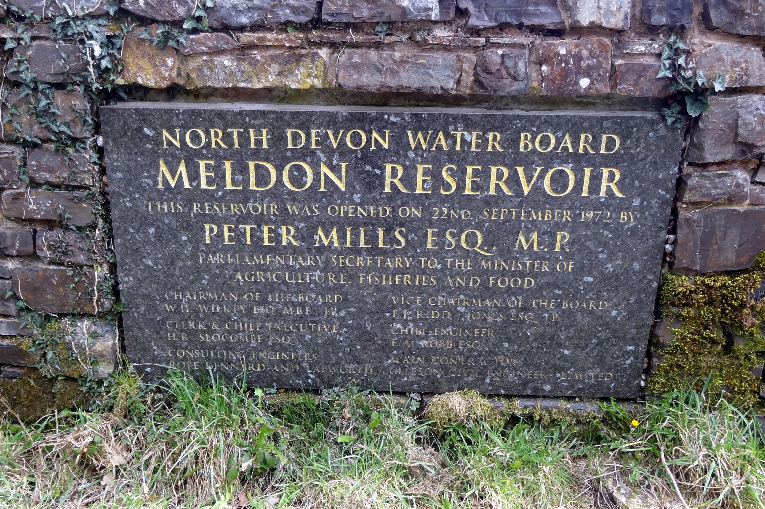
Route Start / End: Meldon Reservoir Car Park, Okehampton, EX20 4LU
Route Distance: 6.4 km (4 miles)
Route Elevation Change: +/- 395m
Subsidiary tops on route: Yes Tor (619m)
GPX File: get via Buy Me a Coffee
Other routes touched (walk): Mary Michael Pilgrims Way
OS Trig Pillar: TP7101 - Yes Tor
Map: OS Explorer OL28: Dartmoor
Guidebook: The UK's County Tops (Jonny Muir), Walking the County High Points of England (David Bathurst)
Links: Wikipedia (Devon), Wikipedia (High Willhays), Peakbagger, Hillbagging

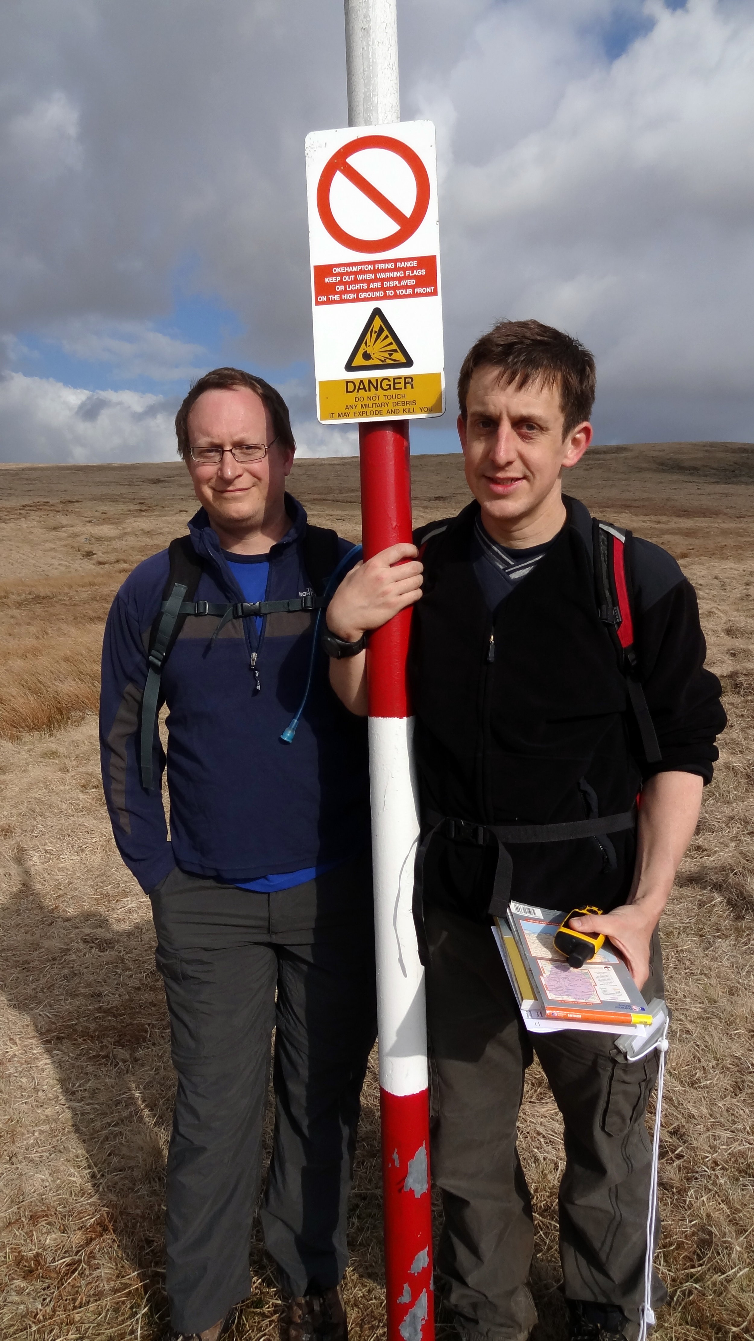
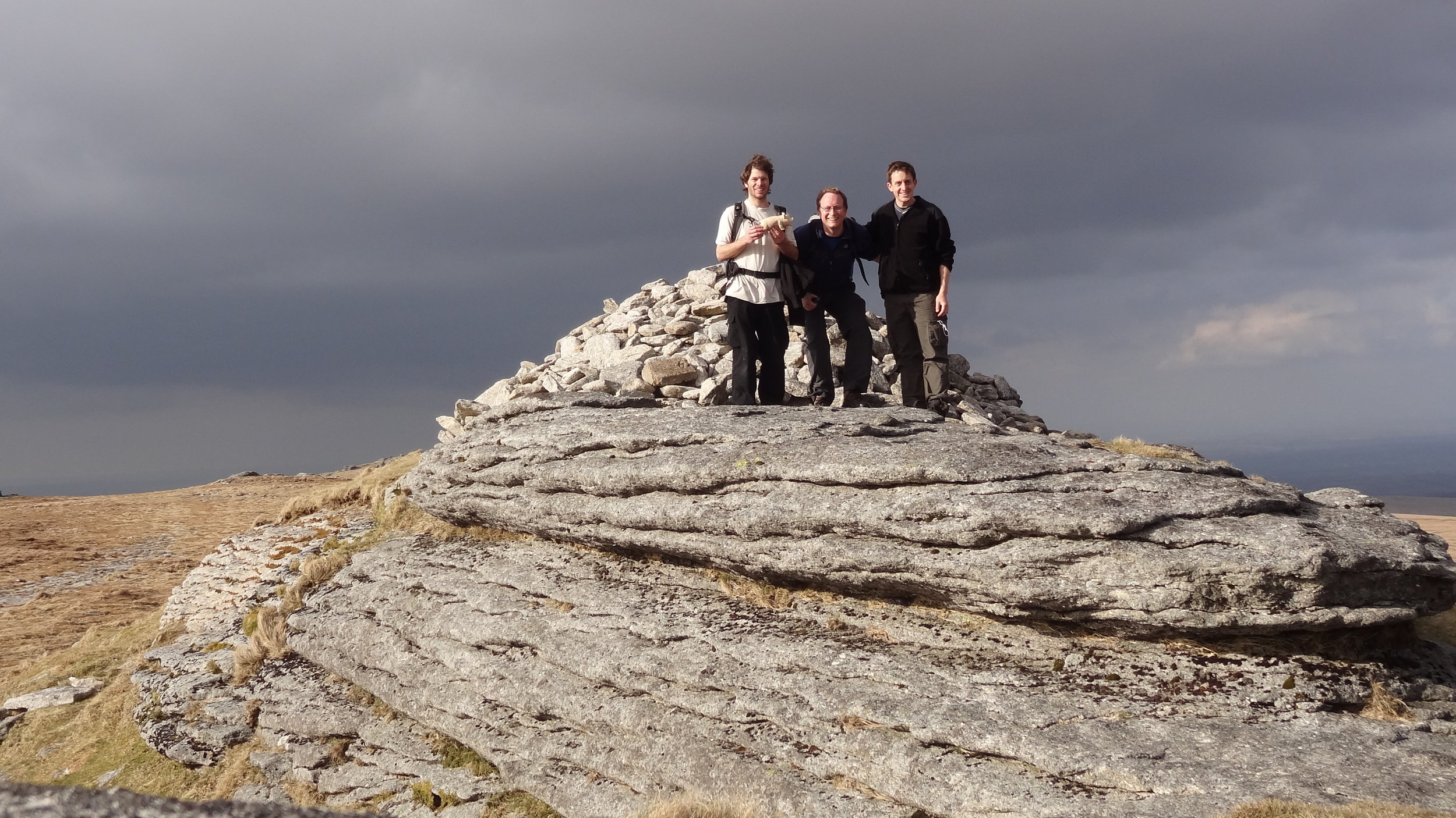
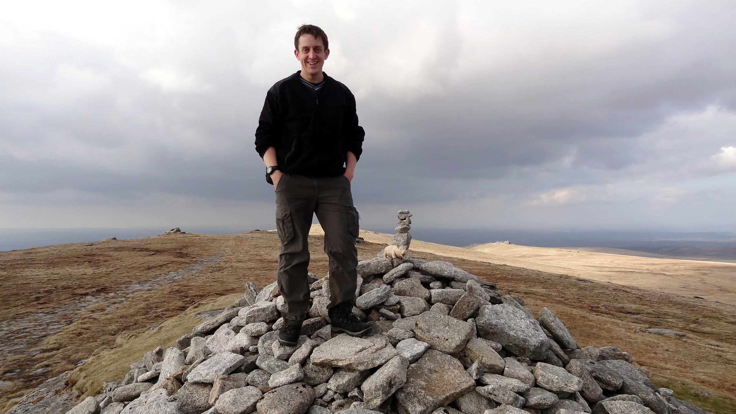
High Willhays is the highlight of this collection of four peaks. It’s the highest and it’s a great circular walk. Note that the summit is on a Military firing range so check firing times before you leave to make sure that access is open.

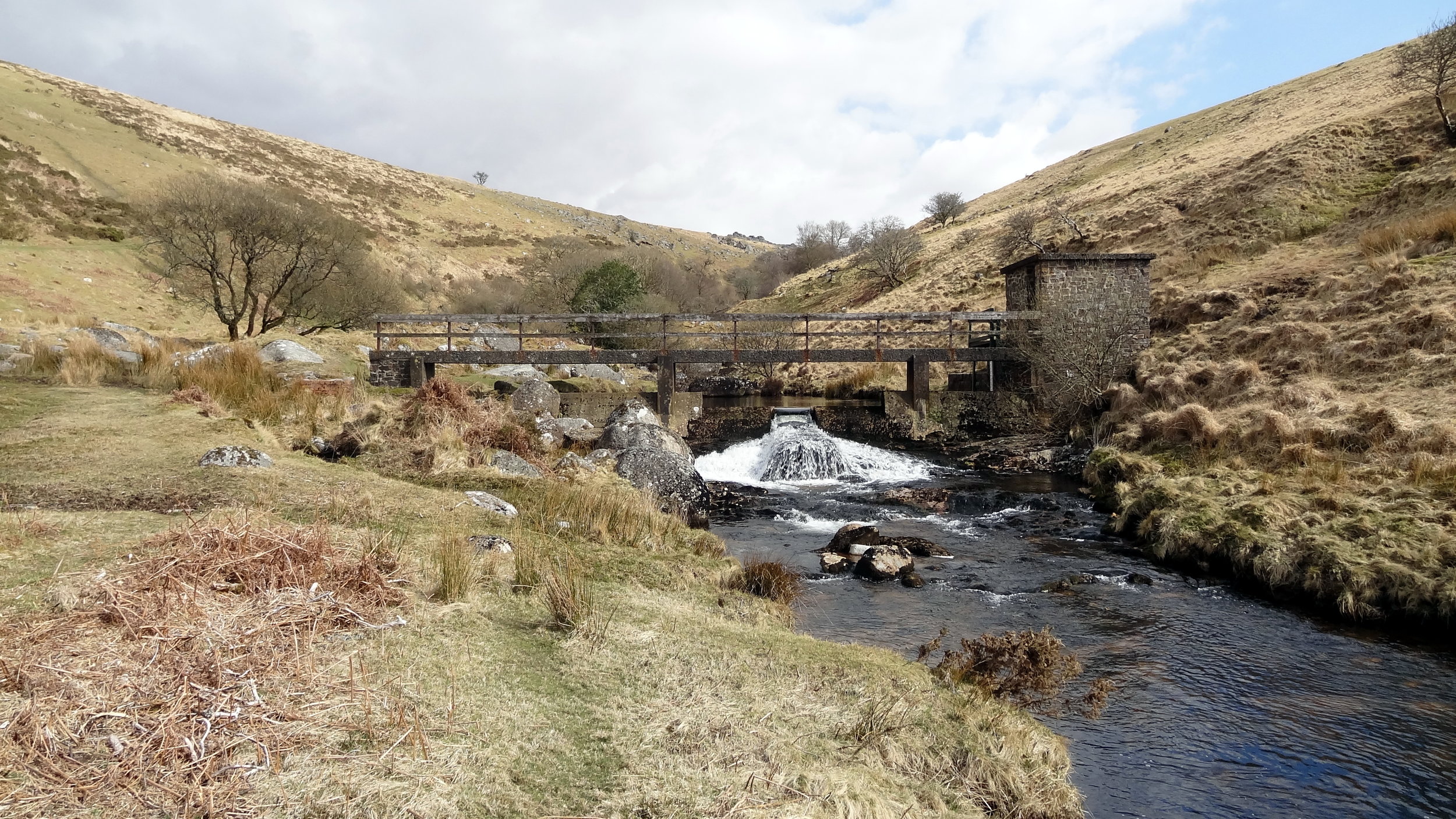
From the Meldon Reservoir car park walk in a south easterly direction across the top of the reservoir dam wall. Take a right and follow the path on the southern edge of the reservoir and continue south on the path following the West Oke River. At ~5km from the car park you can take a path that climbs up the hill in a north-westerly direction to Fordlands Ledge. Here you'll join the Mary Michael Pilgrims Way. Continue up the hill until you reach the summit of High Willhays. From High Willhays continue north to Yes Tor.

From Yes Tor we took a bearing and followed a direct line in a north-westerly direction to meet the track at 50°41'51.3"N 4°01'39.2"W. This track takes you in a northerly direction, curving to the west and returns to the reservoir then back to the start.

elevation_profile (1).jpg

Dunkery Beacon

Significance: Highest peak in Somerset (Historic County Top), Exmoor National Park High Point
Member of: Marilyn
Parent Peak: High Willhays.
Nearest Higher Neighbour: Werfa
Elevation:
 519m
Date climbed: 21st April 2013
Coordinates: 51.16197°N 3.58736°W

Route Start / End: Dunkery Beacon Parking, Cutcombe, Minehead, TA24 7AT
Route Distance: 2.7 km (1.7 miles)
Route Elevation Change: +/- 120m
Subsidiary tops on route: none
GPX File: get via Buy Me a Coffee
Other routes touched (walk): Macmillan Way West
OS Trig Pillar: TP7321 - Dunkery
Map: OS Explorer OL9: Exmoor
Guidebook: The UK's County Tops (Jonny Muir), Walking the County High Points of England (David Bathurst)
Links: Wikipedia (Somerset), Wikipedia (Dunkery Beacon), Peakbagger, Hillbagging

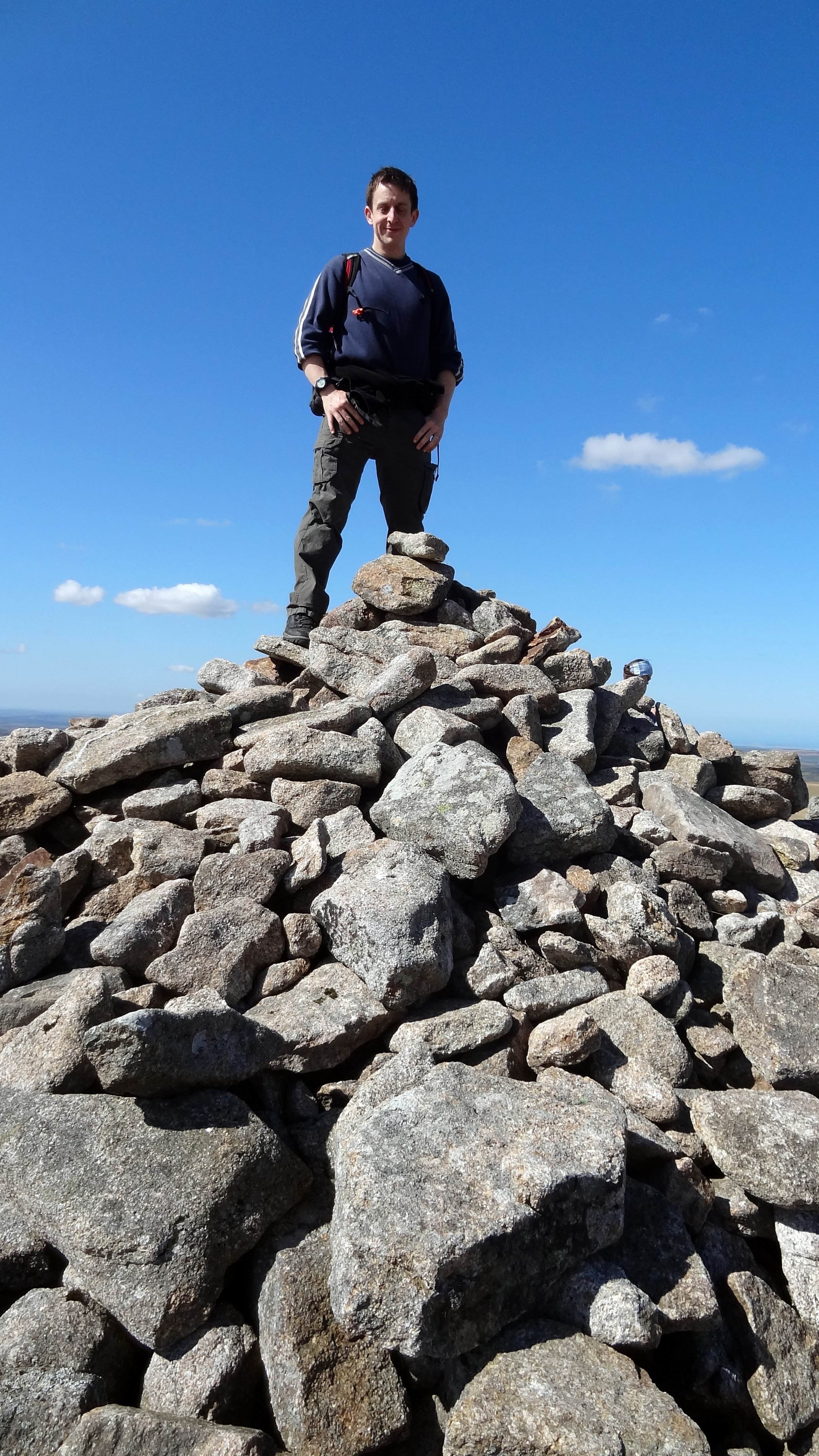
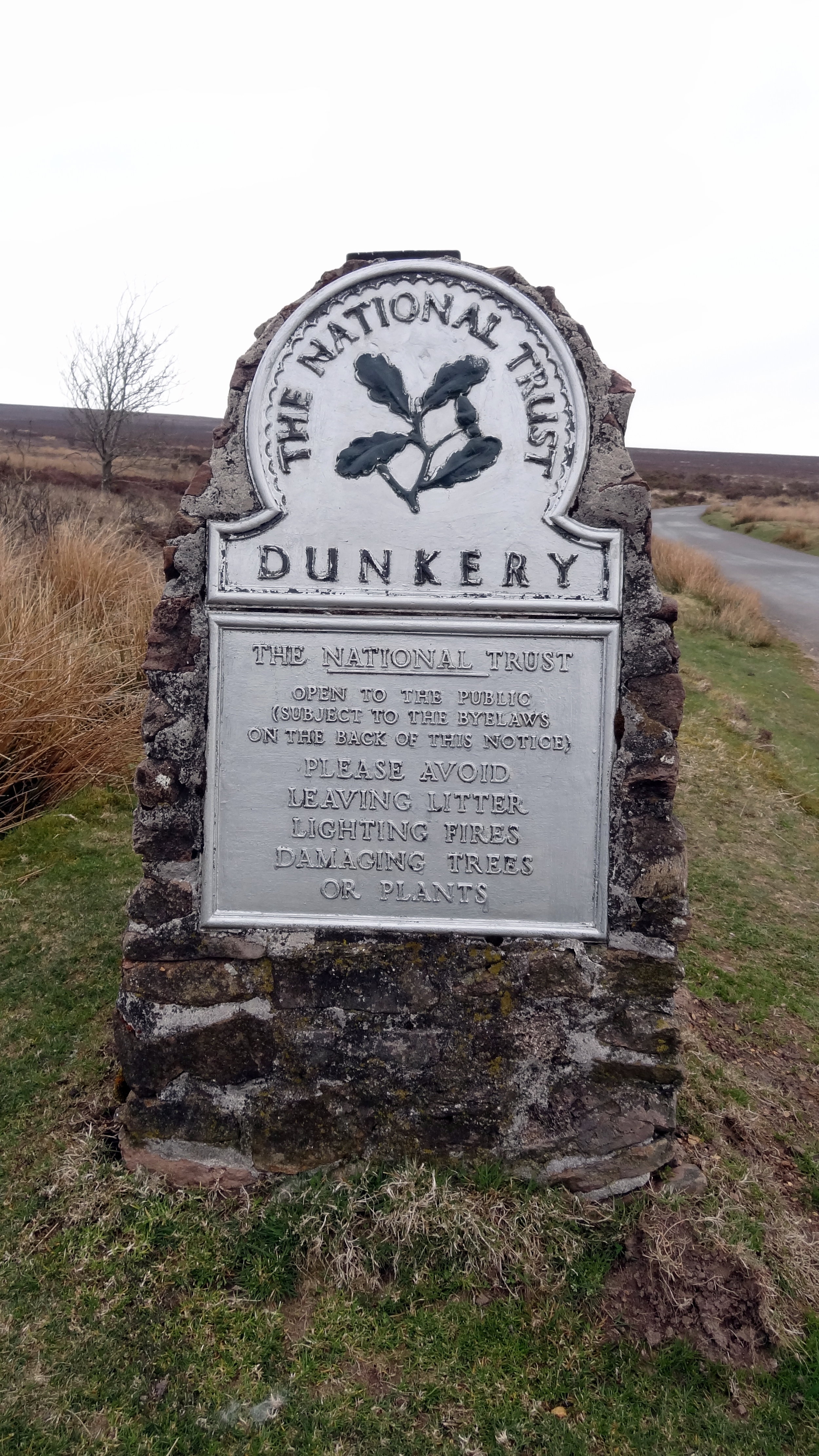
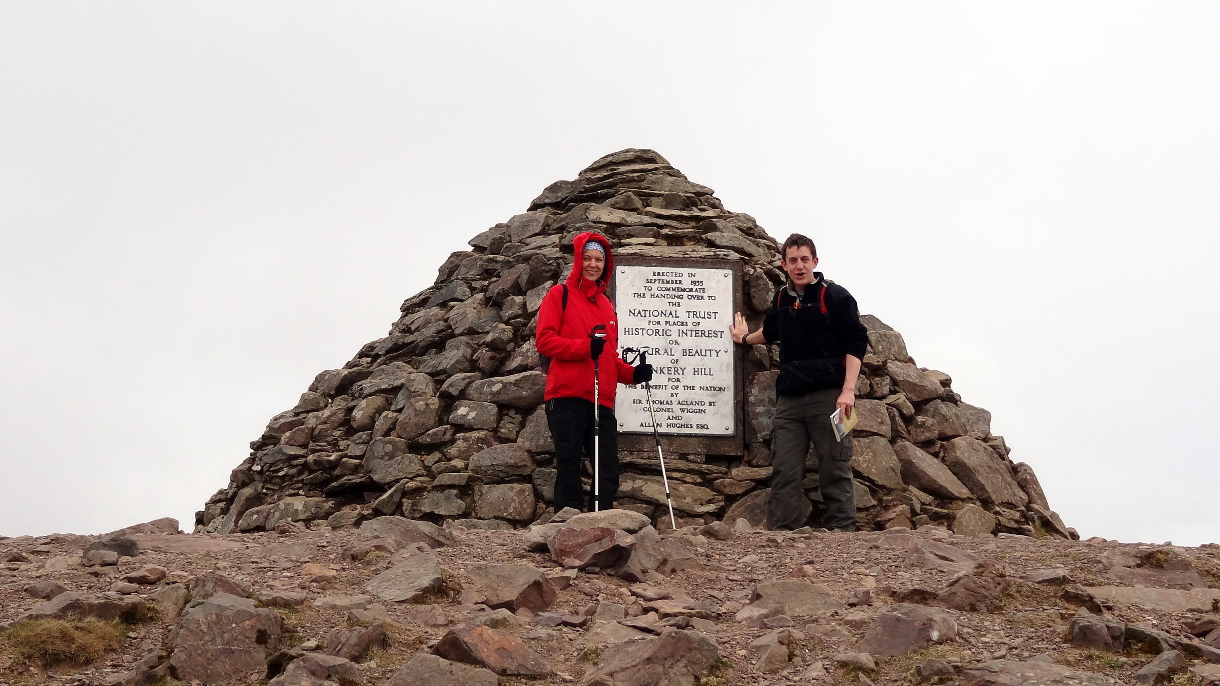
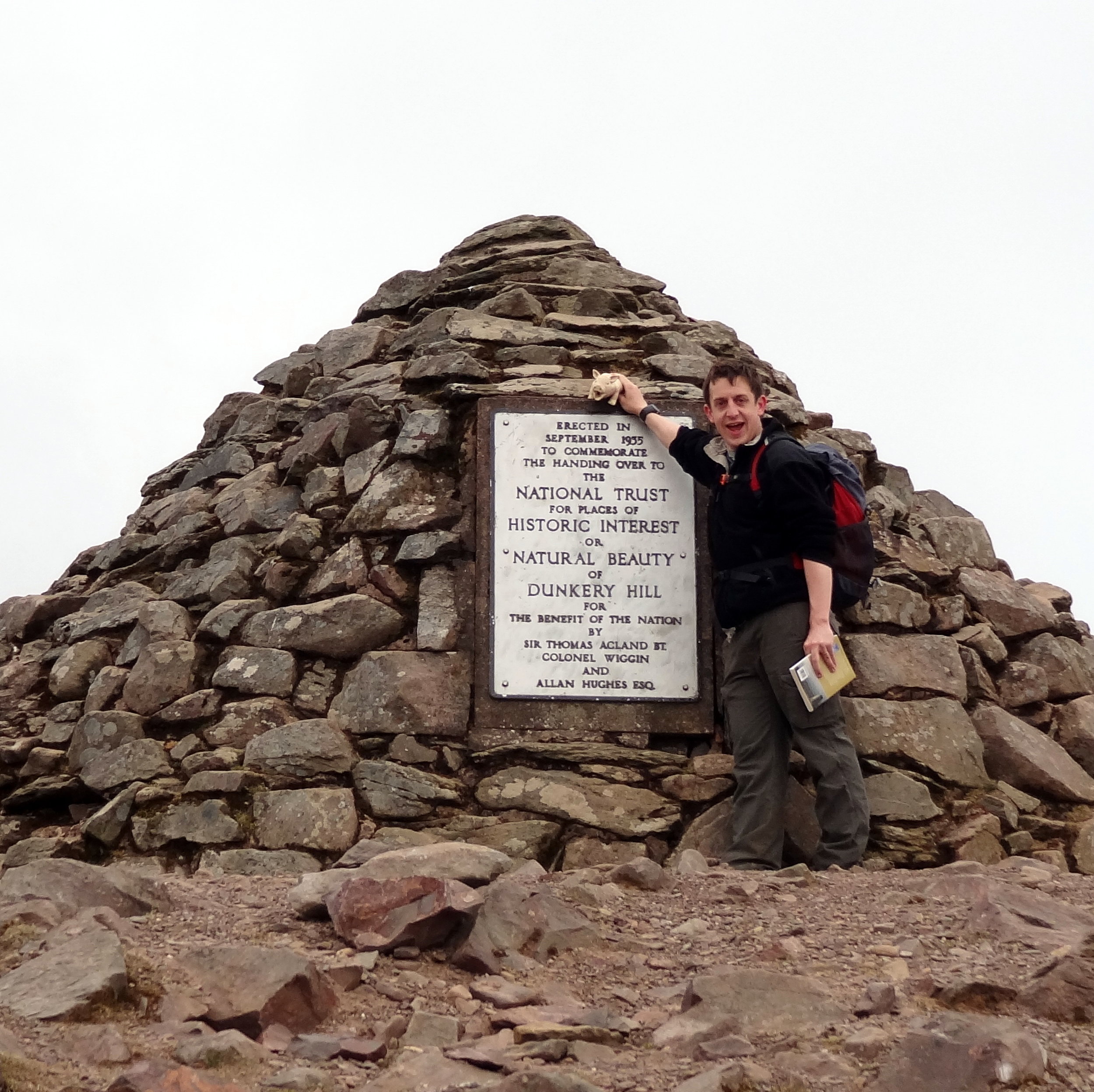
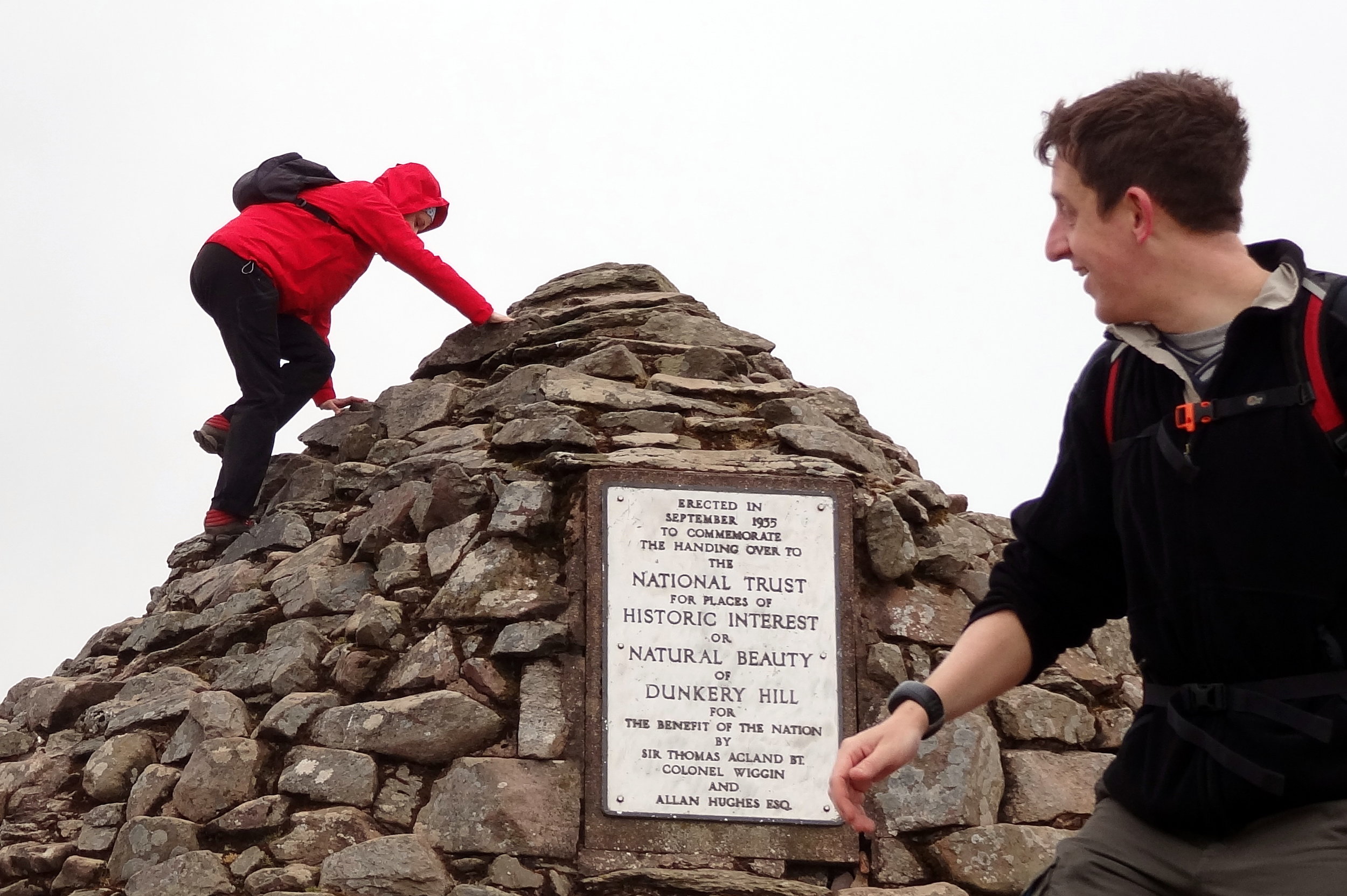
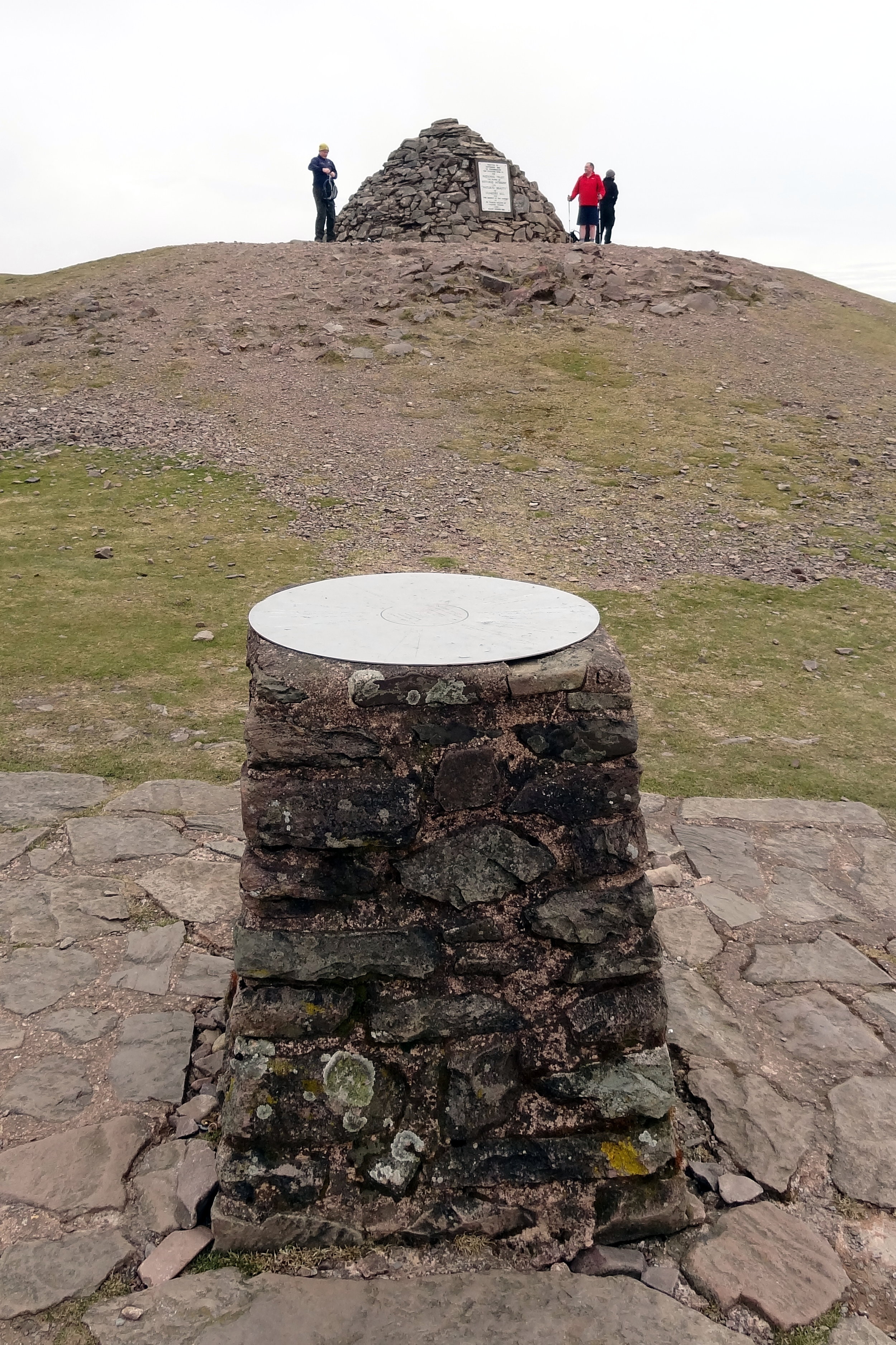
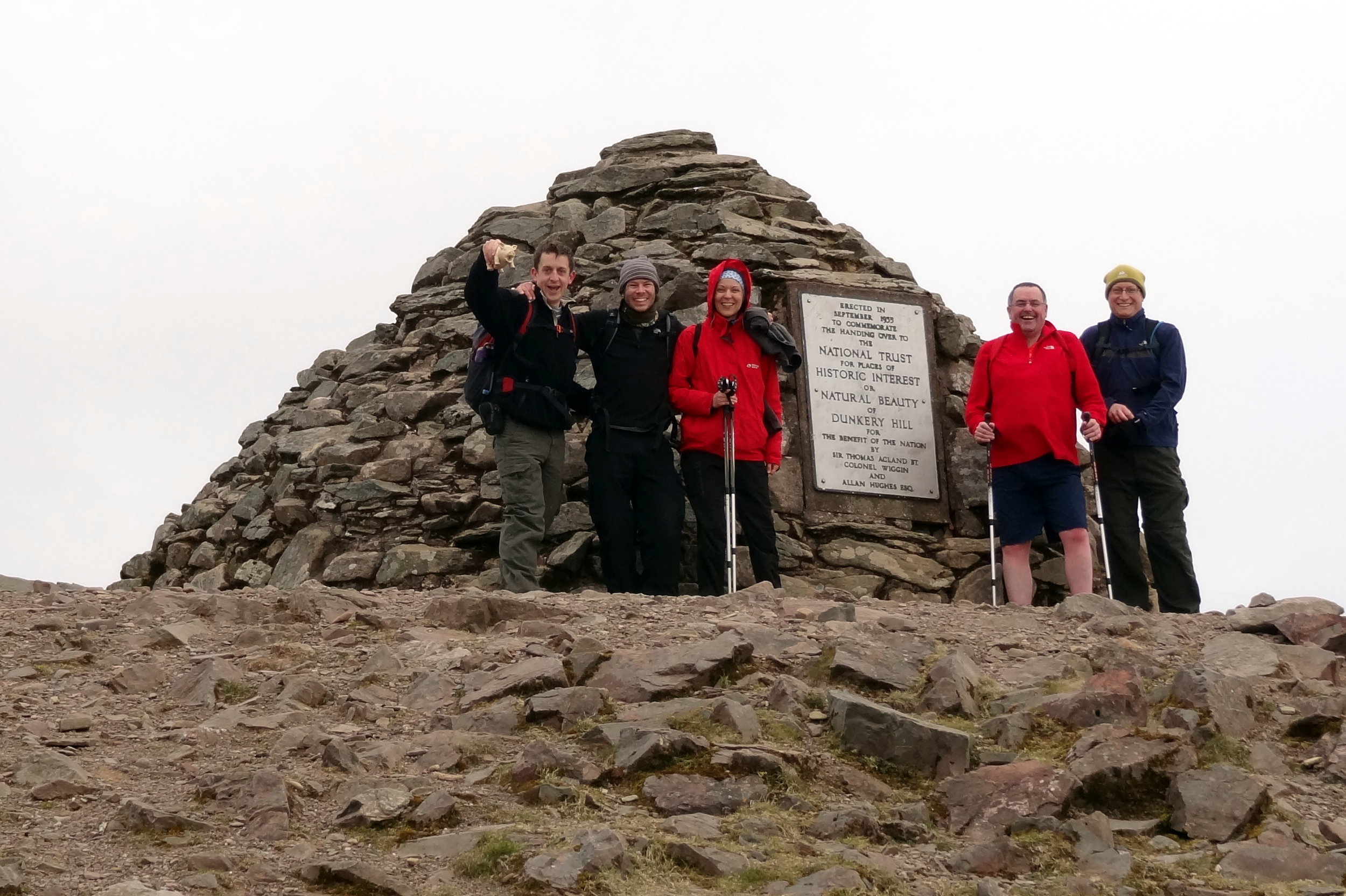
Like Brown Willy, Dunkery Beacon is a quick out and back from a convenient car park. The Trig Pillar at the summit is long gone but it’s been replaced by a massive pile of stones and a plaque commemorating the handover of the hill to the National Trust.

From the car park it's only a 1.5km route to the summit. We made a small circle of it by taking the westerly path up and easterly down. The hill is also on the Macmillan Way so can be bagged on a longer trek


Lewesdon Hill

Significance: Highest peak in Dorset (Historic County Top), Dorset National Landscape High Point
Member of: Marilyn
Parent Peak: Staple Hill (Somerset)
Nearest Higher Neighbour: Staple Hill
Elevation:
 185m
Date climbed: 21st April 2013
Coordinates: 50°48′28″N 2°47′59″W 

Route Start / End: Parking spot on junction of B3162 and Coombe Lane
Route Distance: 2.2 km (1.4 miles)
Route Elevation Change: +/- 112m
Subsidiary tops on route: none
GPX File: get via Buy Me a Coffee
Other routes touched: none
Map: OS Explorer 116: Lyme Regis and Bridport
Guidebook: The UK's County Tops (Jonny Muir), Walking the County High Points of England (David Bathurst)
Links: Wikipedia (Dorset), Wikipedia (Lewesdon Hill), Peakbagger, Hillbagging, National Trust

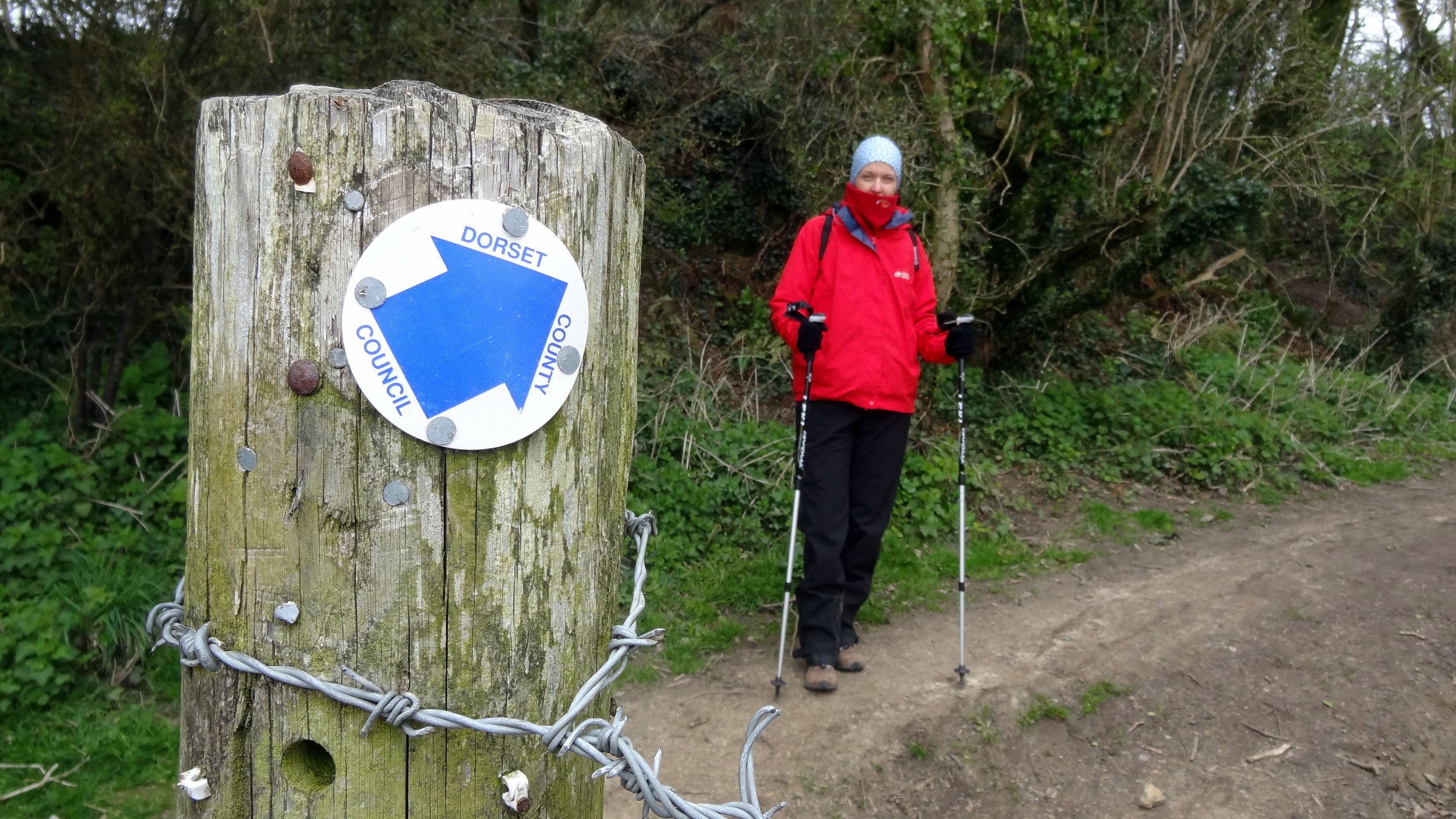
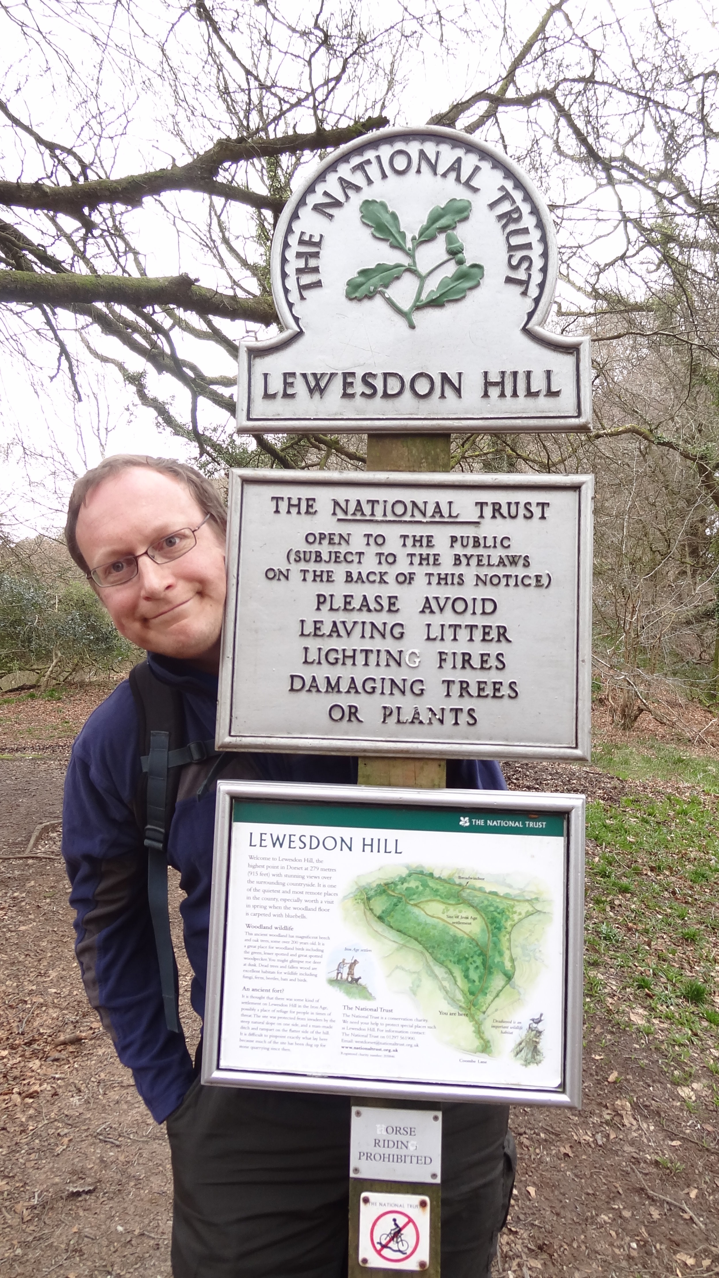
We unintentionally saved the least interesting of the four peaks til last. Lewesdon Hill, the high point of Dorset is most easily done on a short out-and-back walk from parking spaces on the B3162 near Bucks Head Cottage. From here walk ~200m along Coombe Lane then take a footpath on the right. The summit is approximately 1km from where you parked. We didn't find anything of interest to mark the summit.

Slightly further to the north is the Wessex Ridgeway which gives you options to bag this hill as a part of a more interesting longer distance trek.


Other High Points In Cornwall

  • Telegraph Tower, Higher Newford (51m) Isles of Scilly Administrative County High Point: Peakbagger / Hillbagging

Other High Points In Devon

Other High Points In Dorset

Other High Points In Somerset


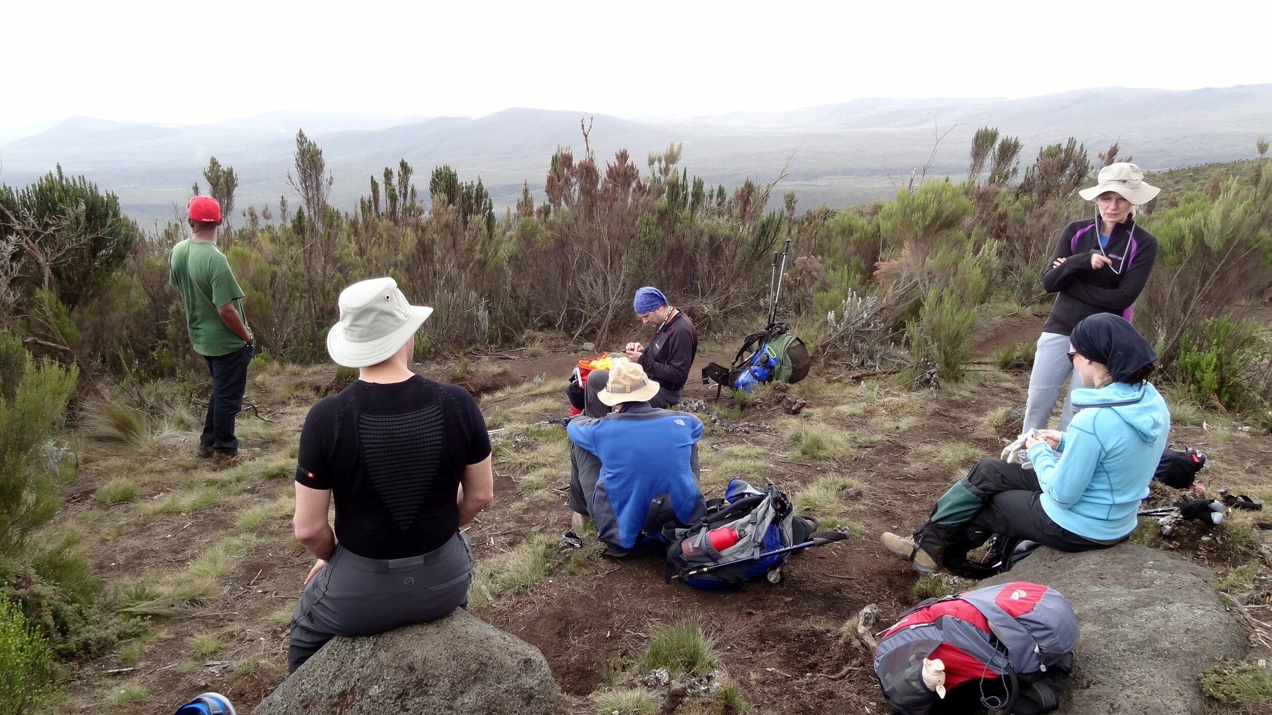
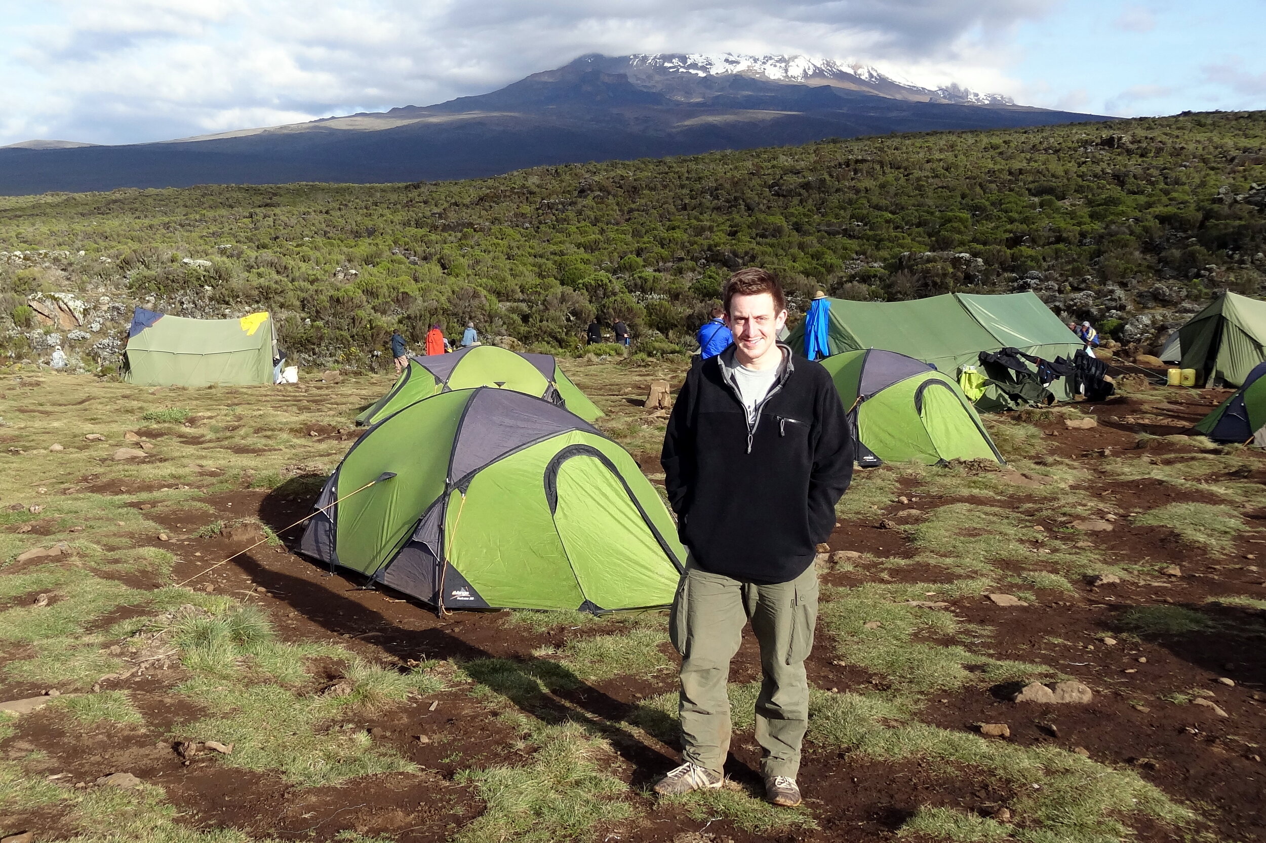
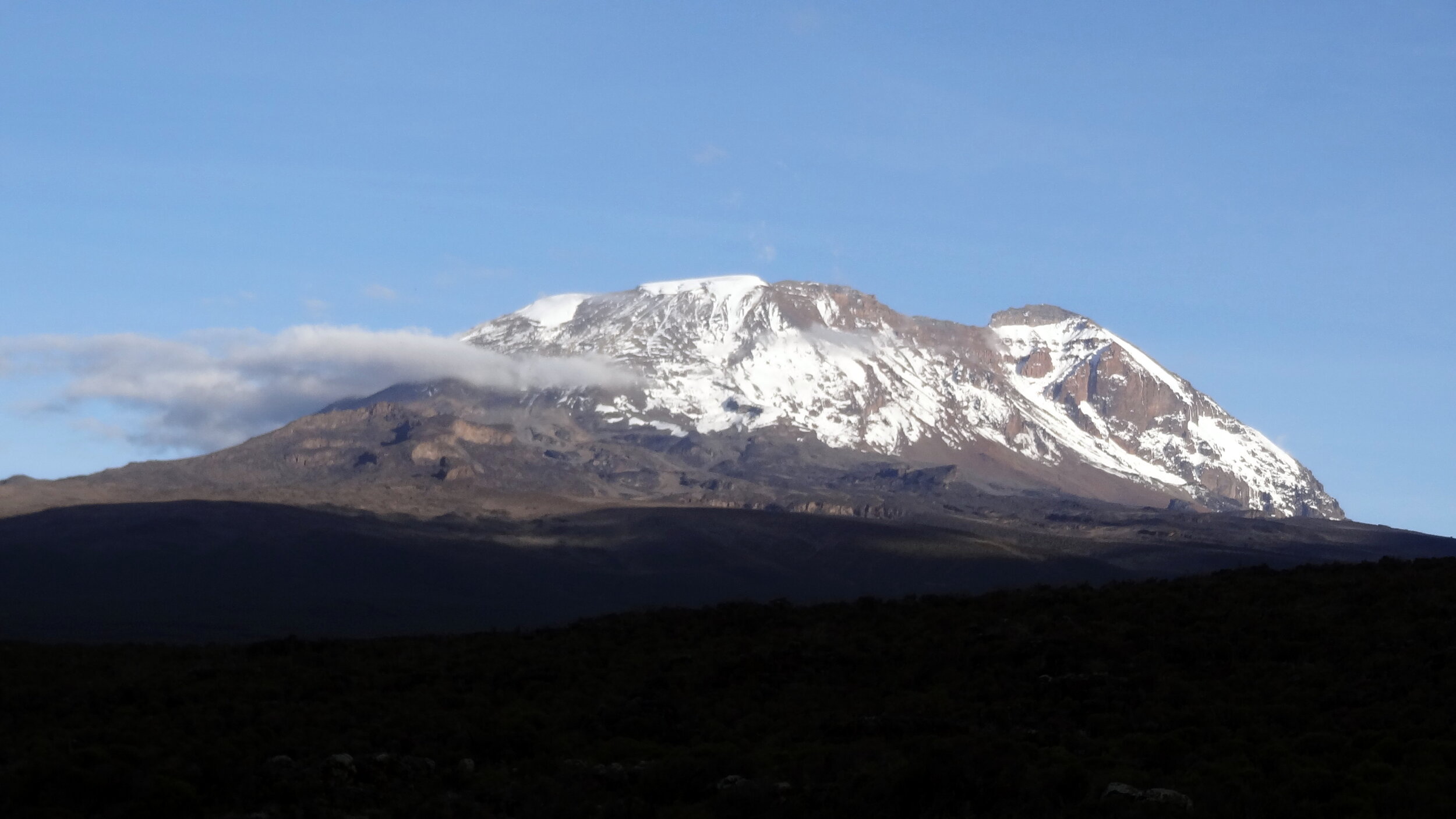
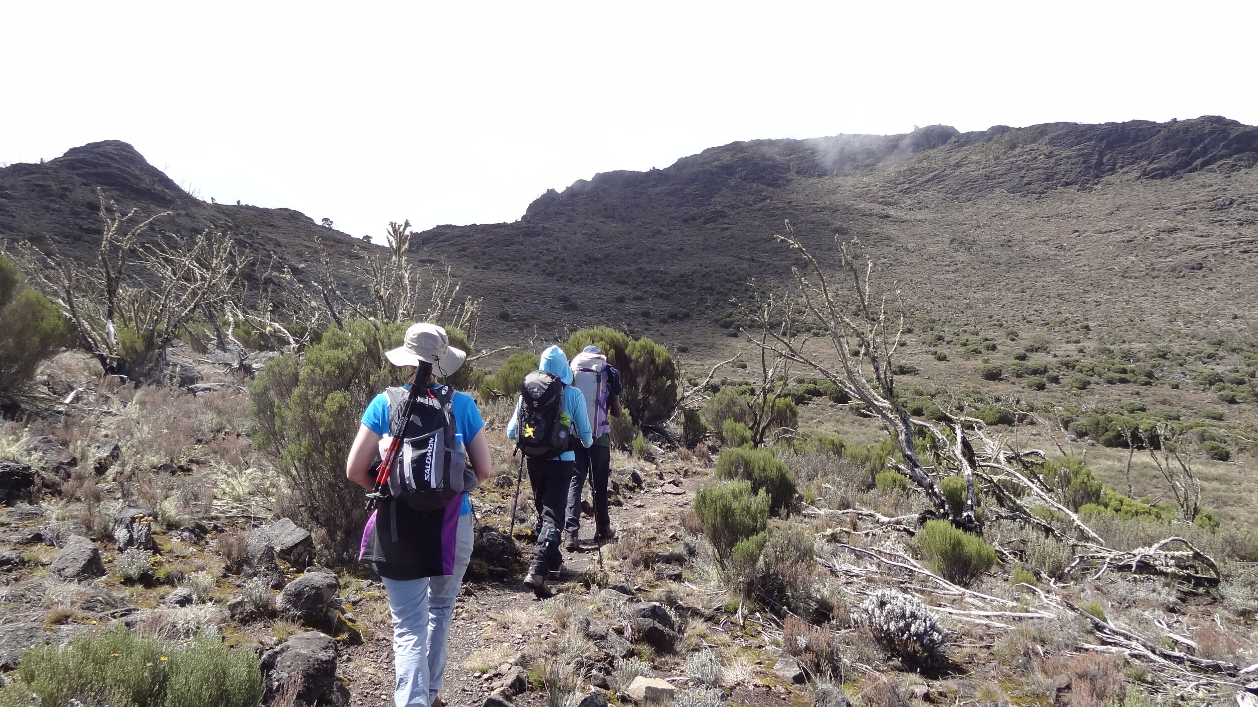
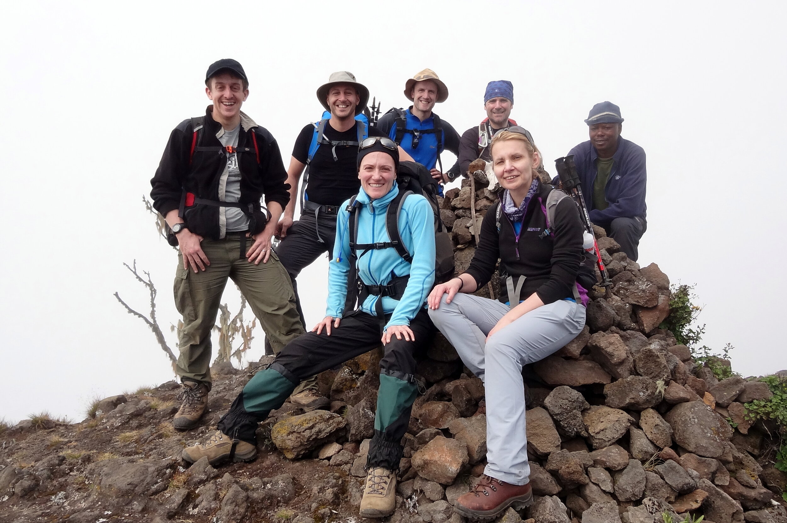
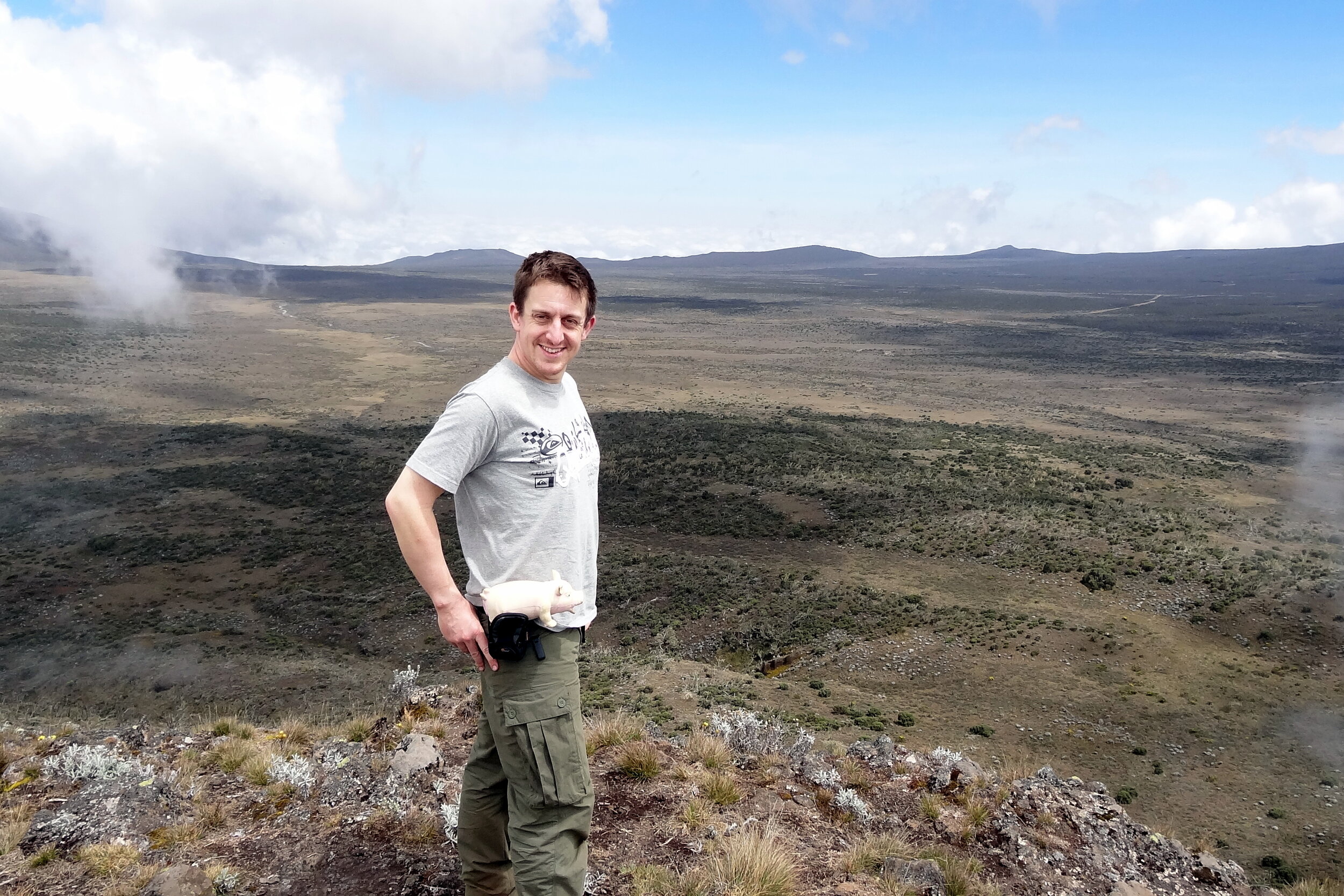
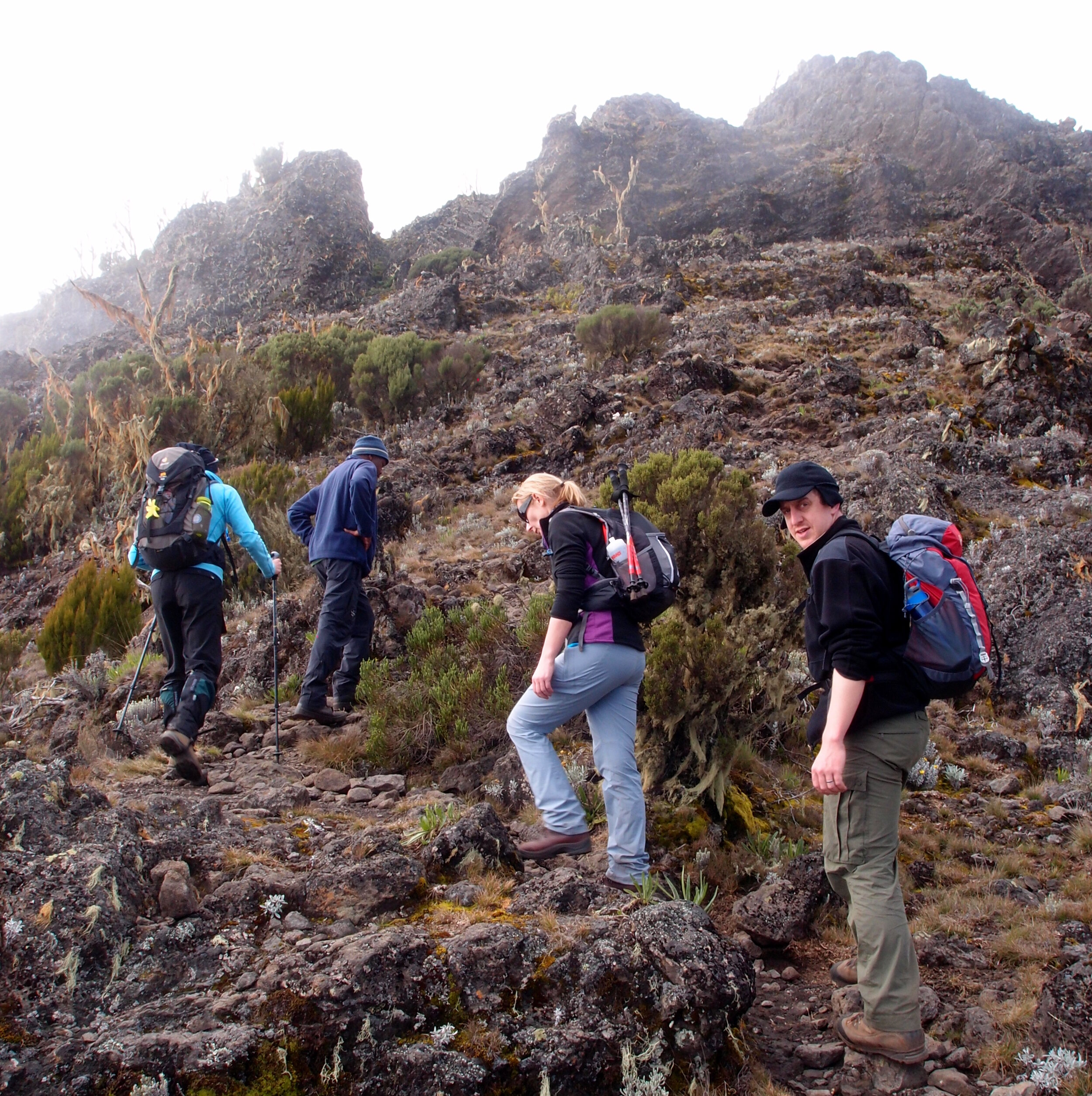
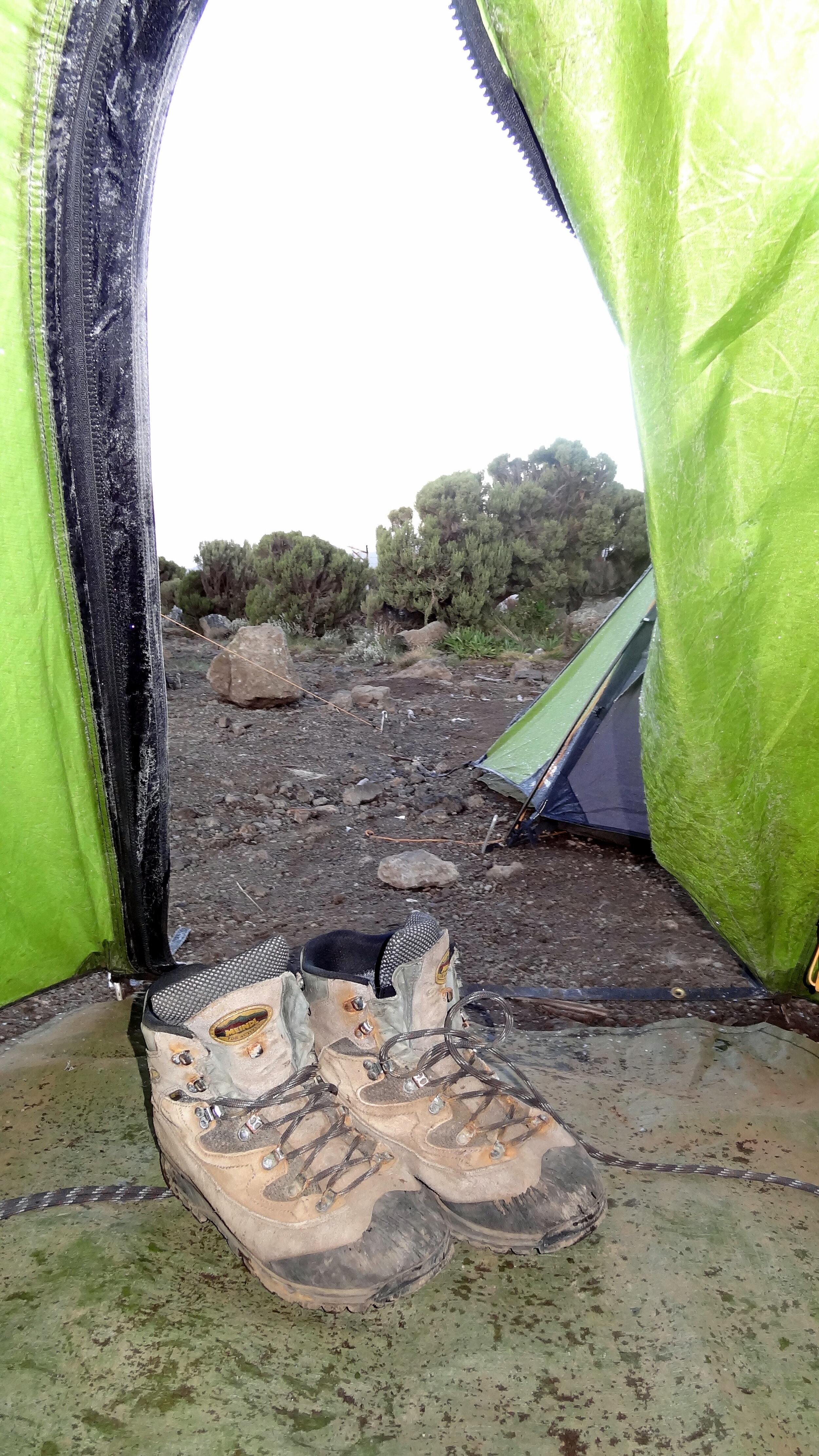
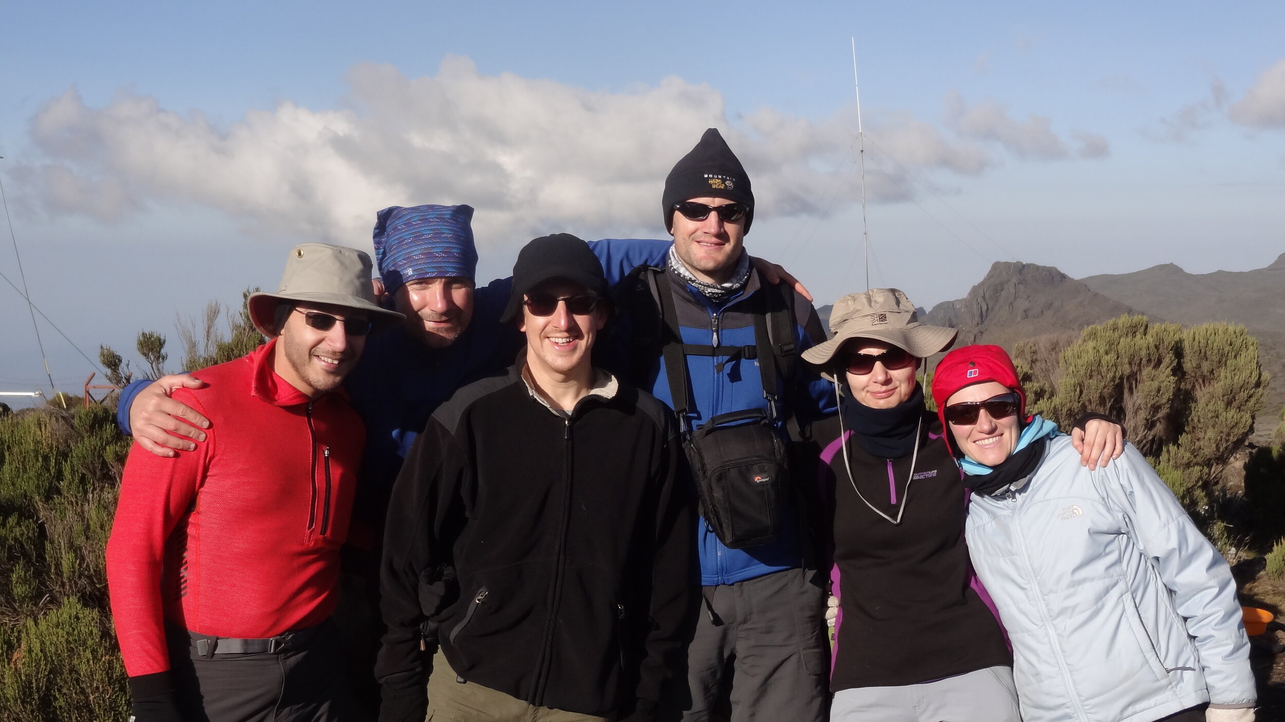
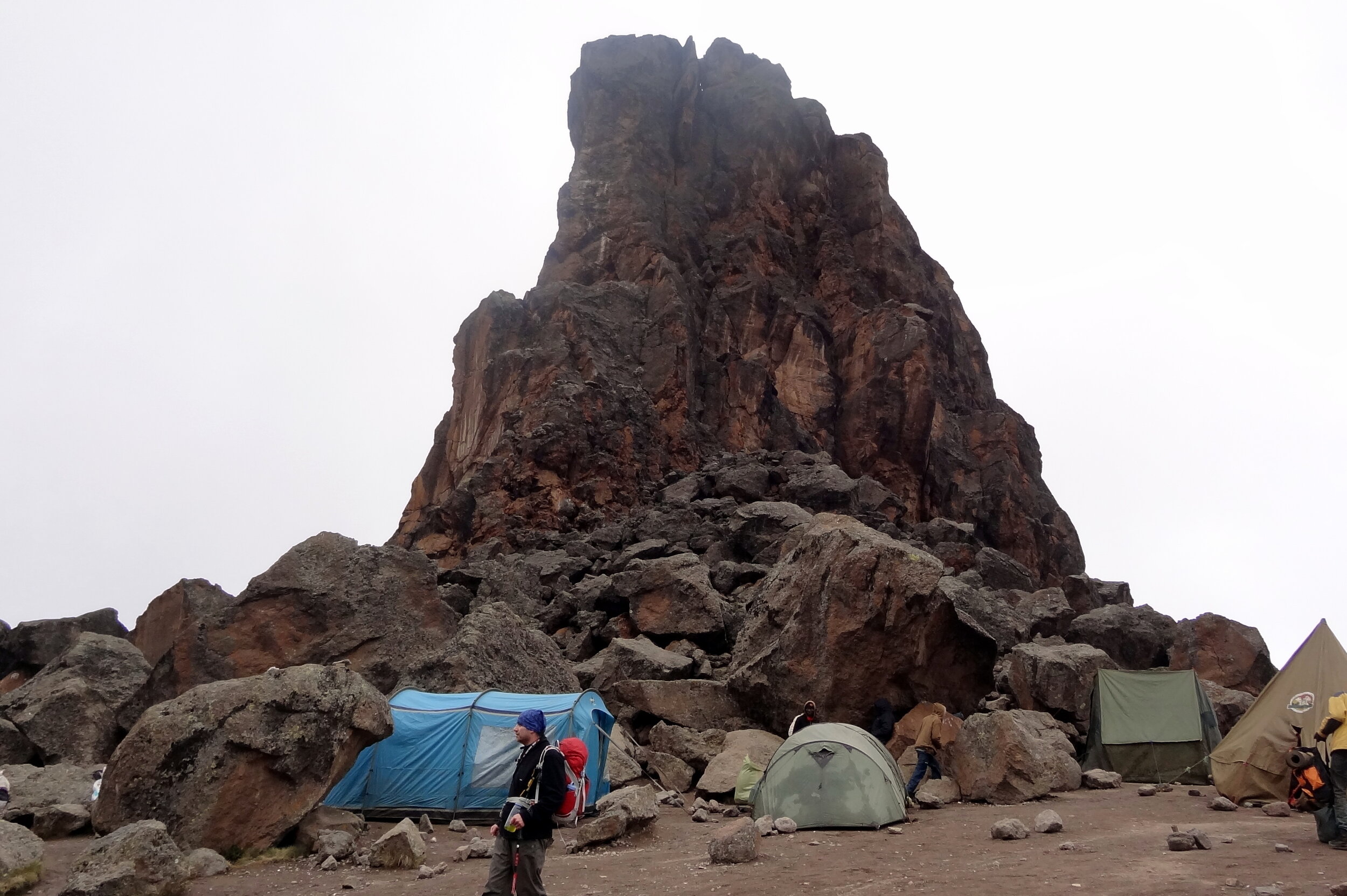
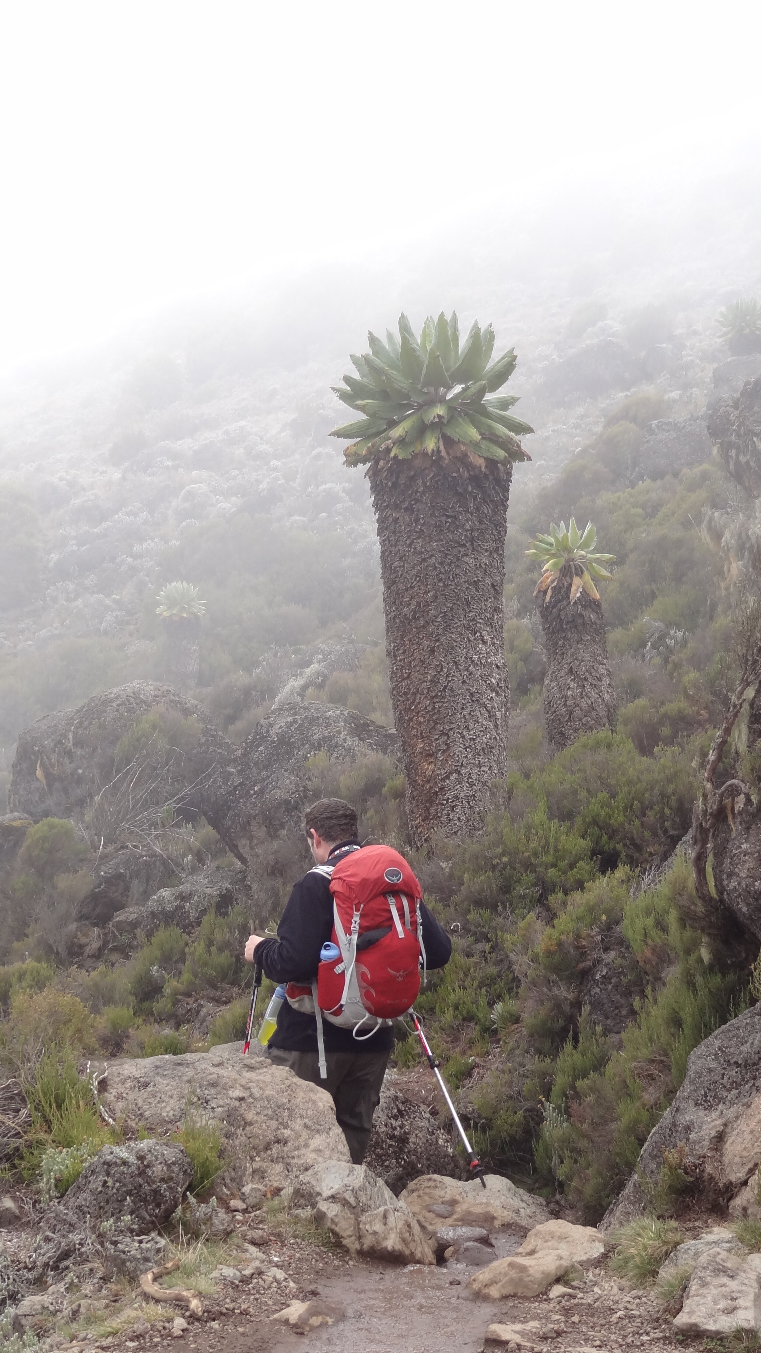
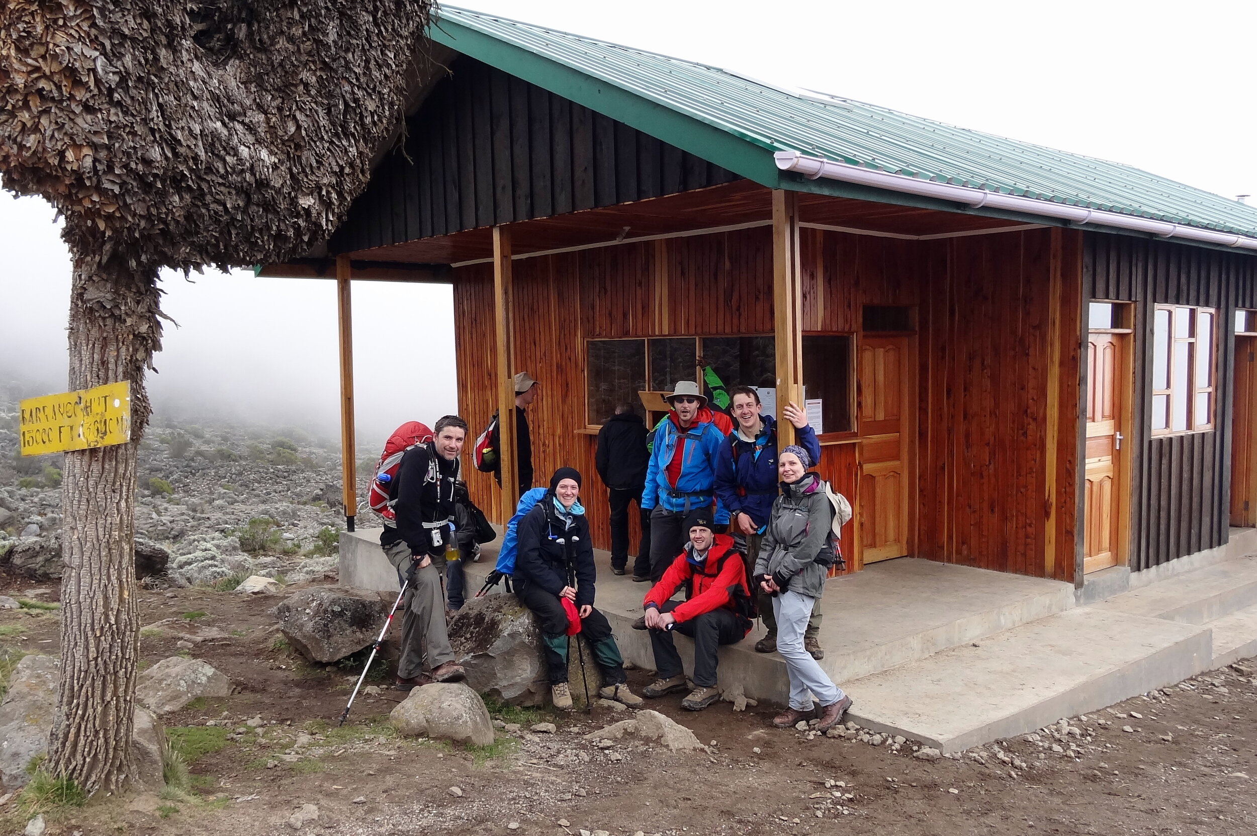
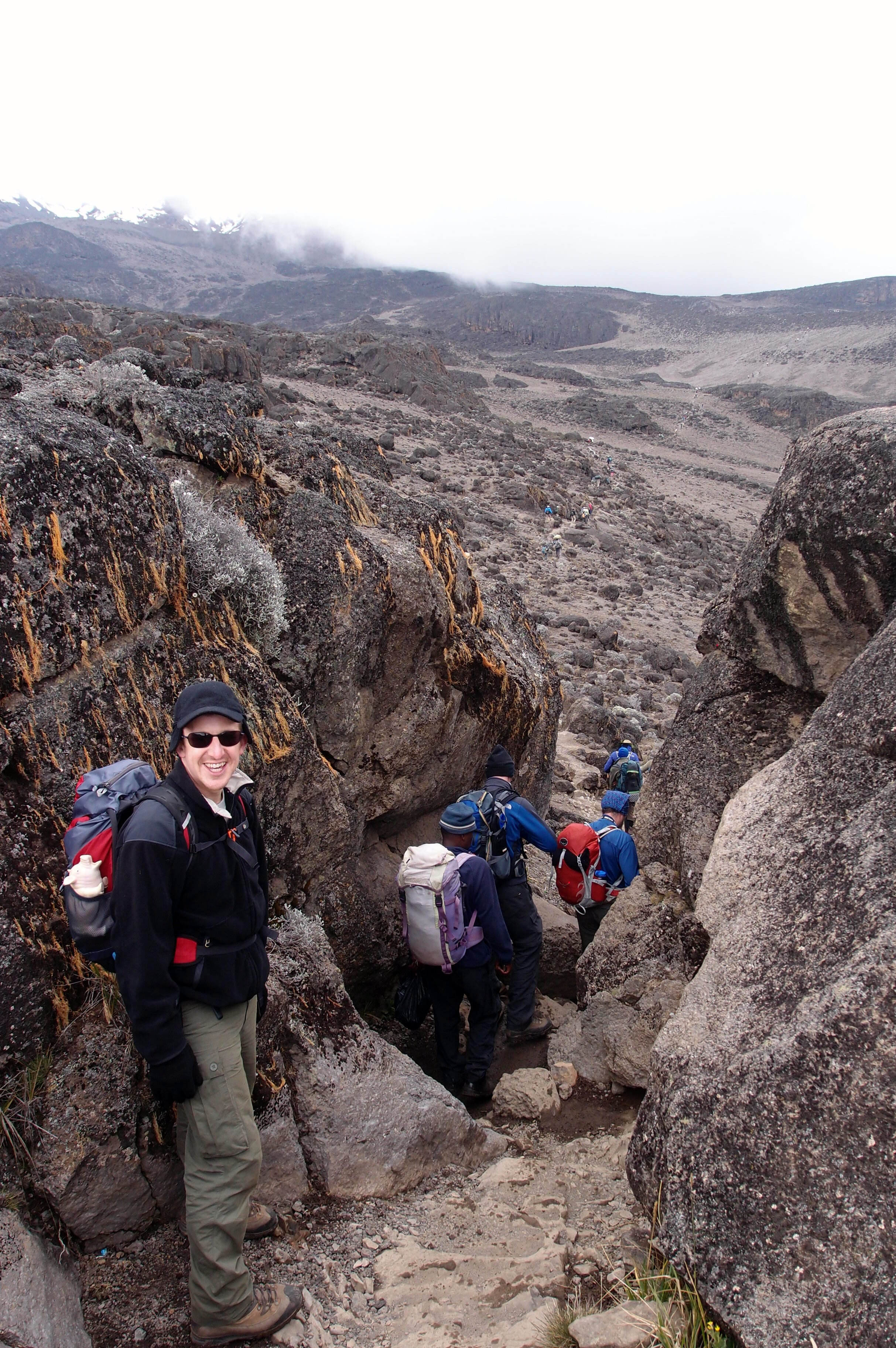
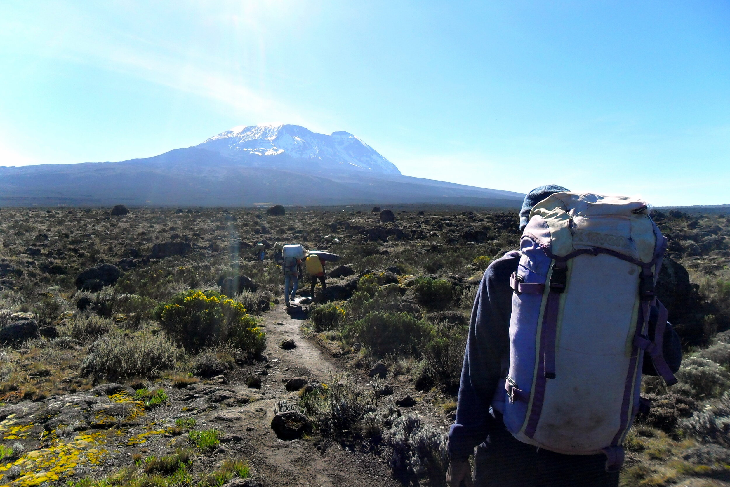
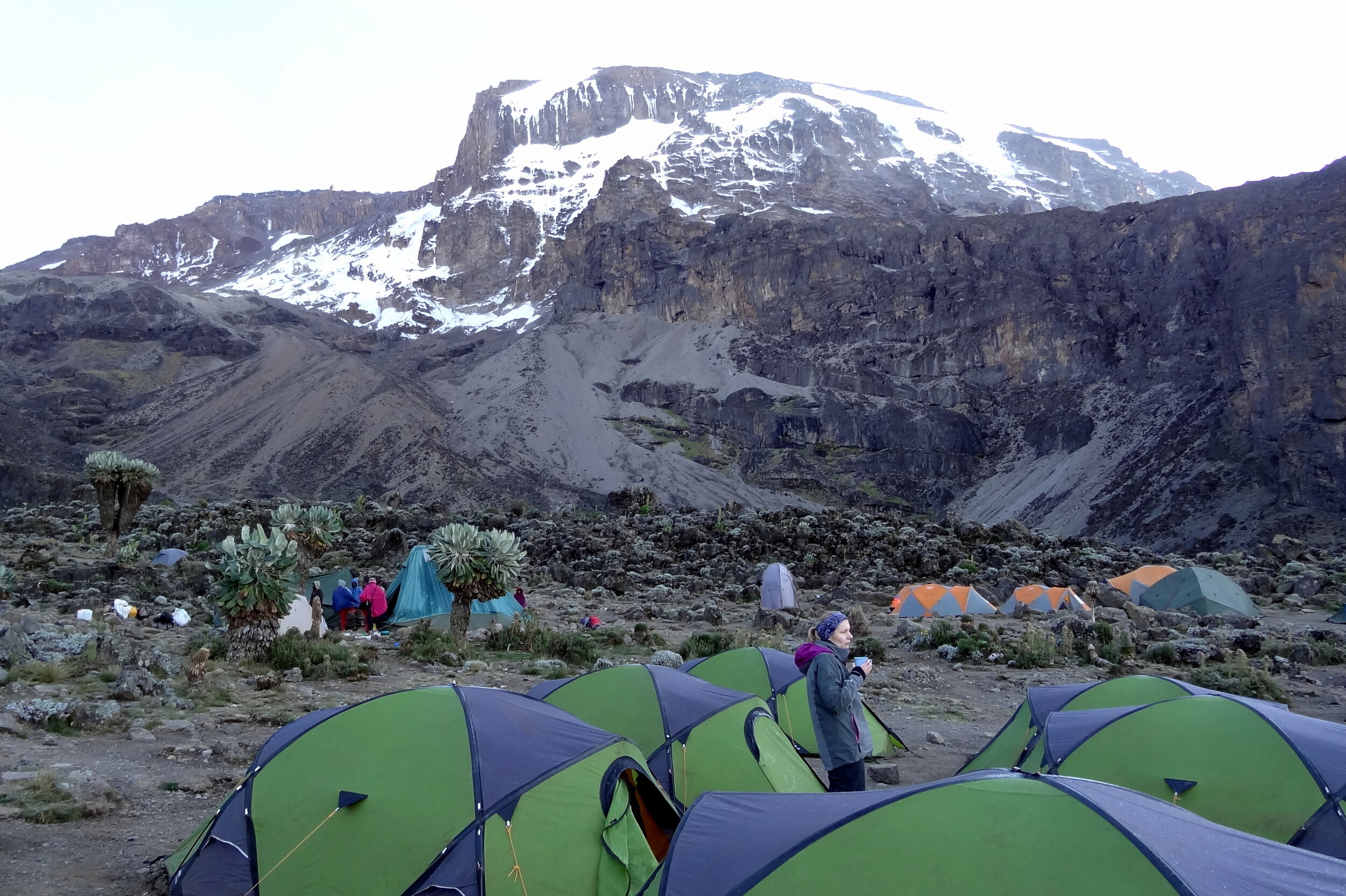
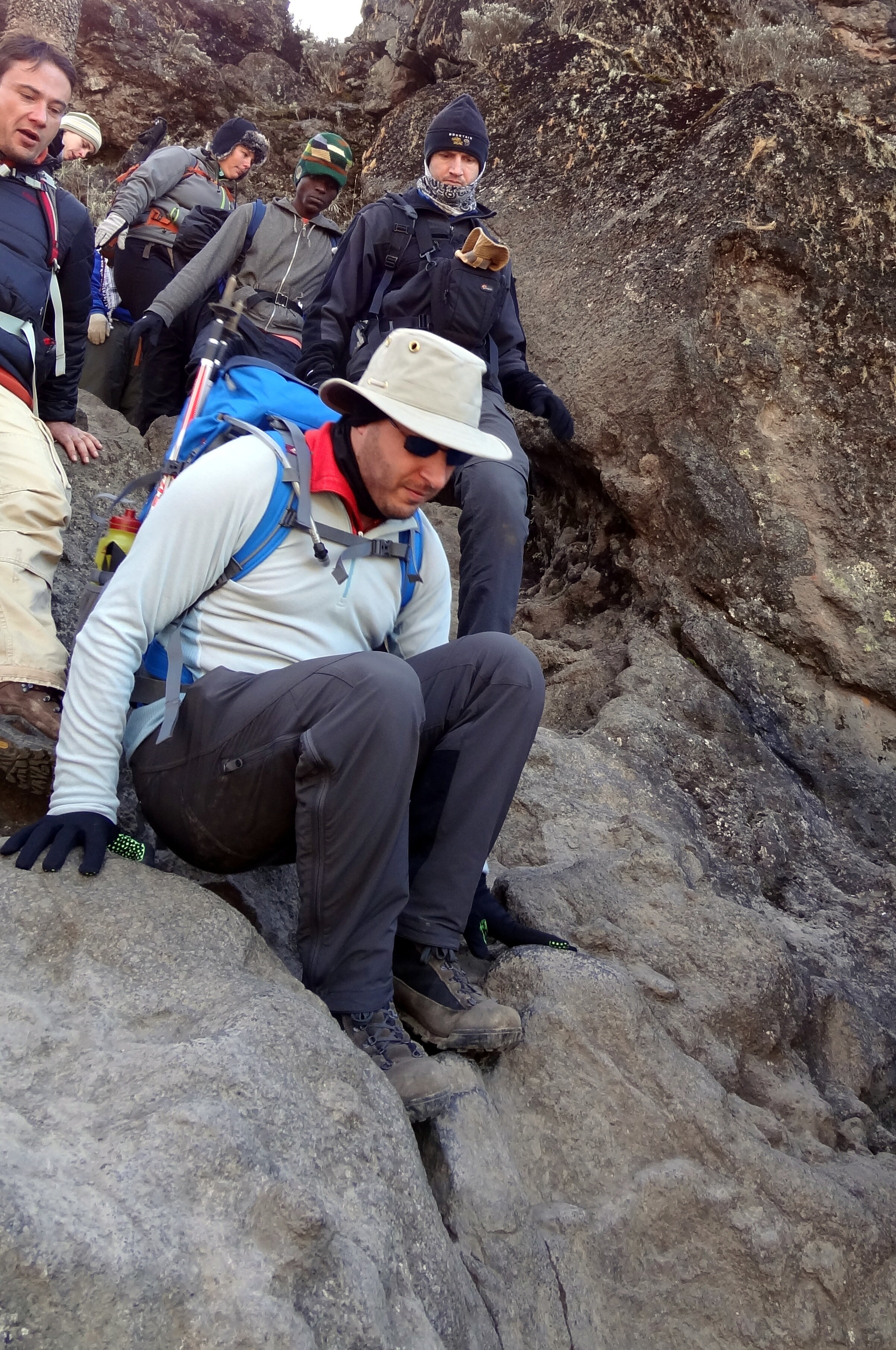
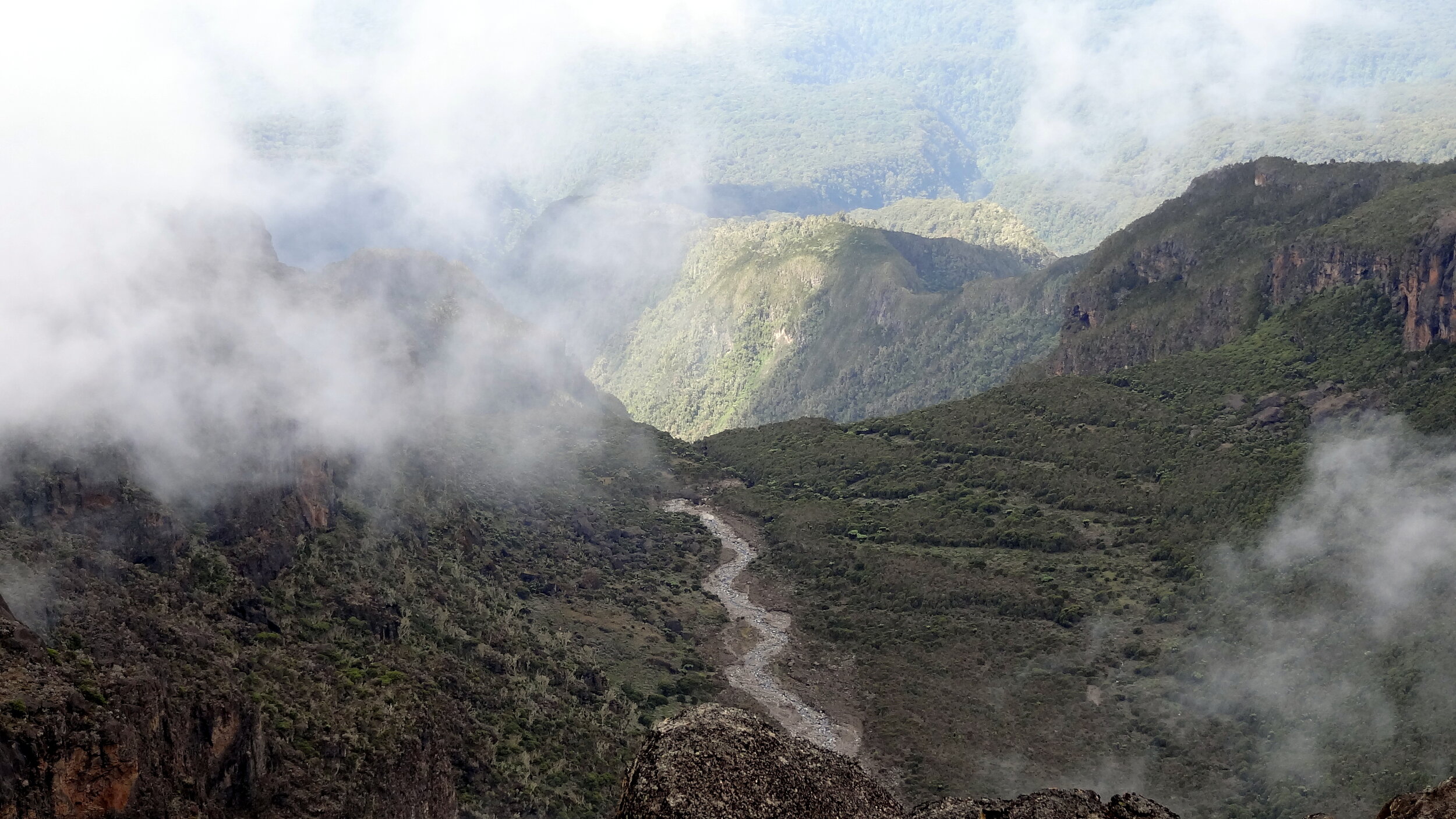
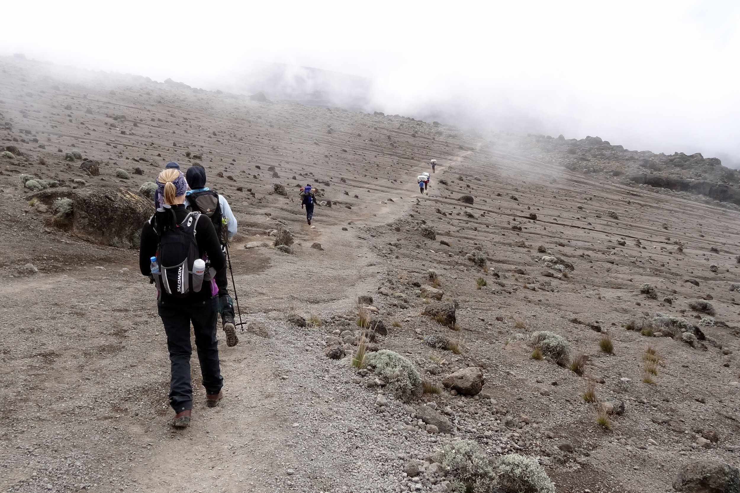
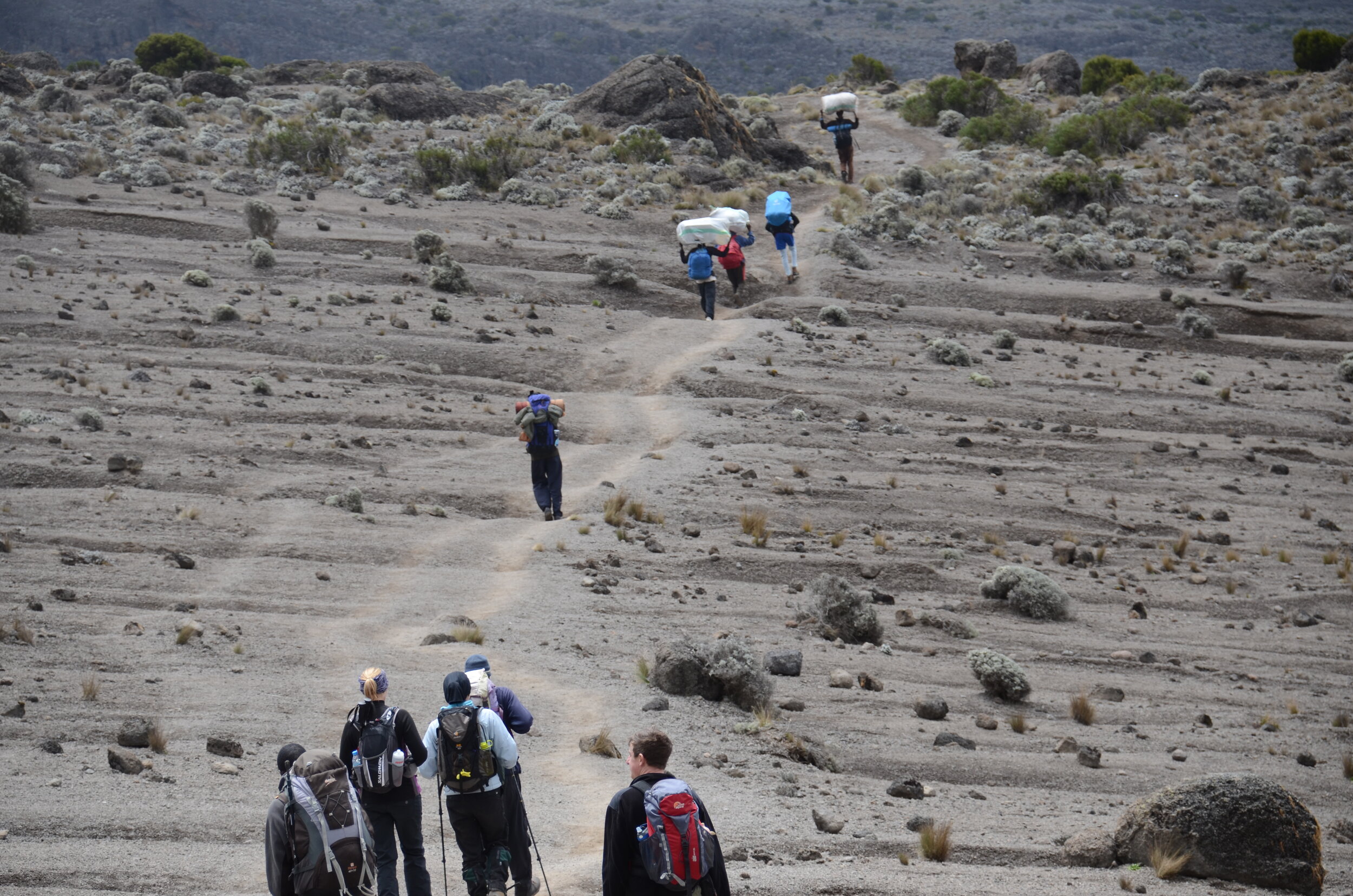
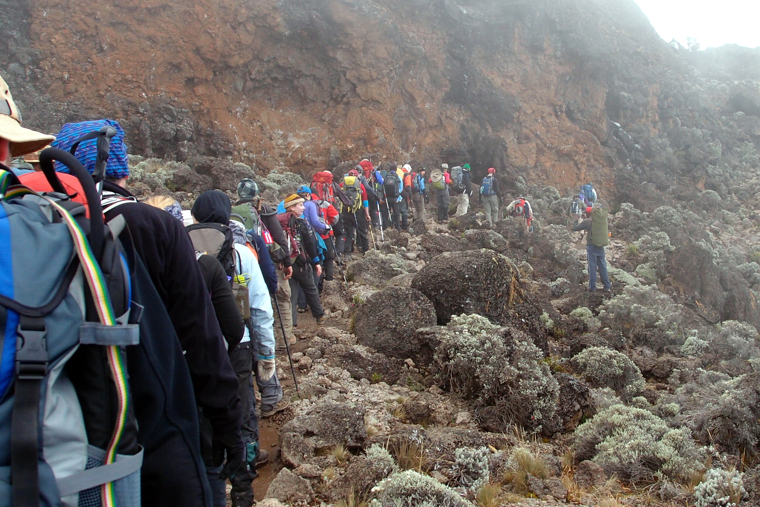
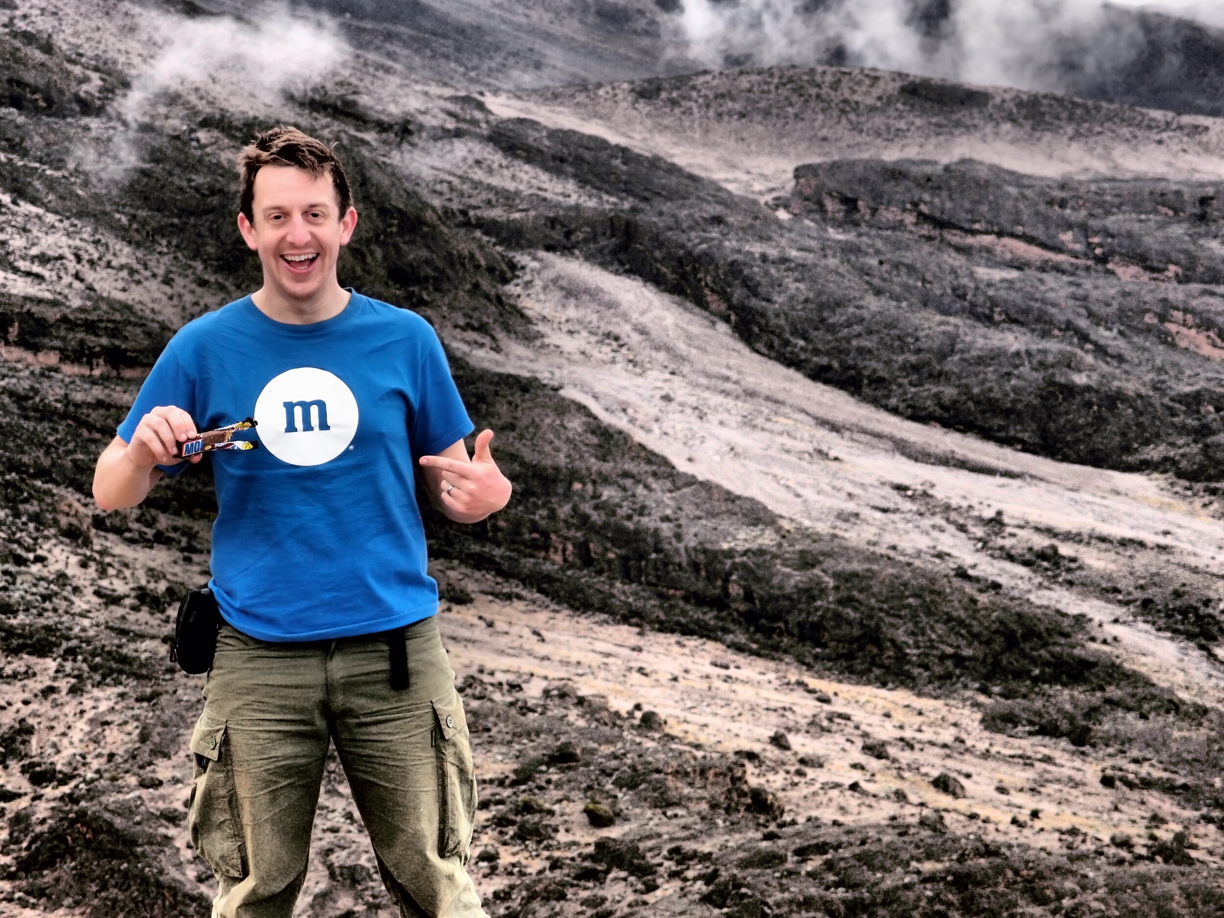
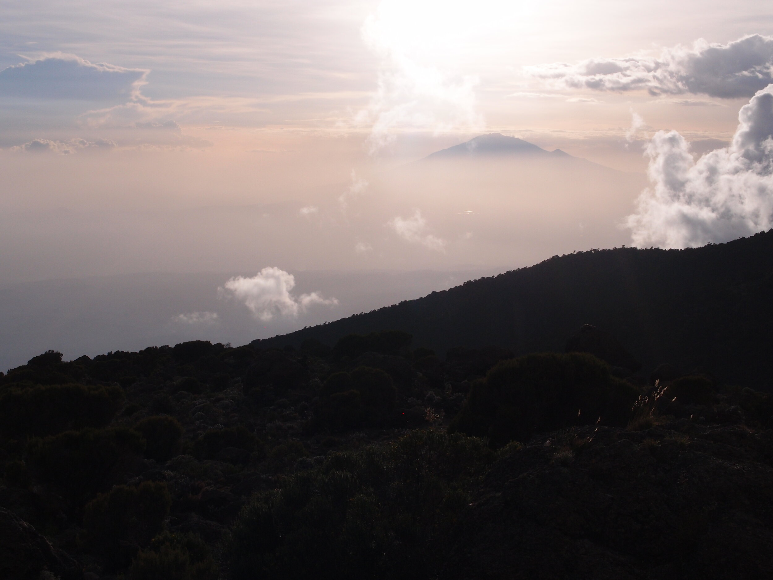
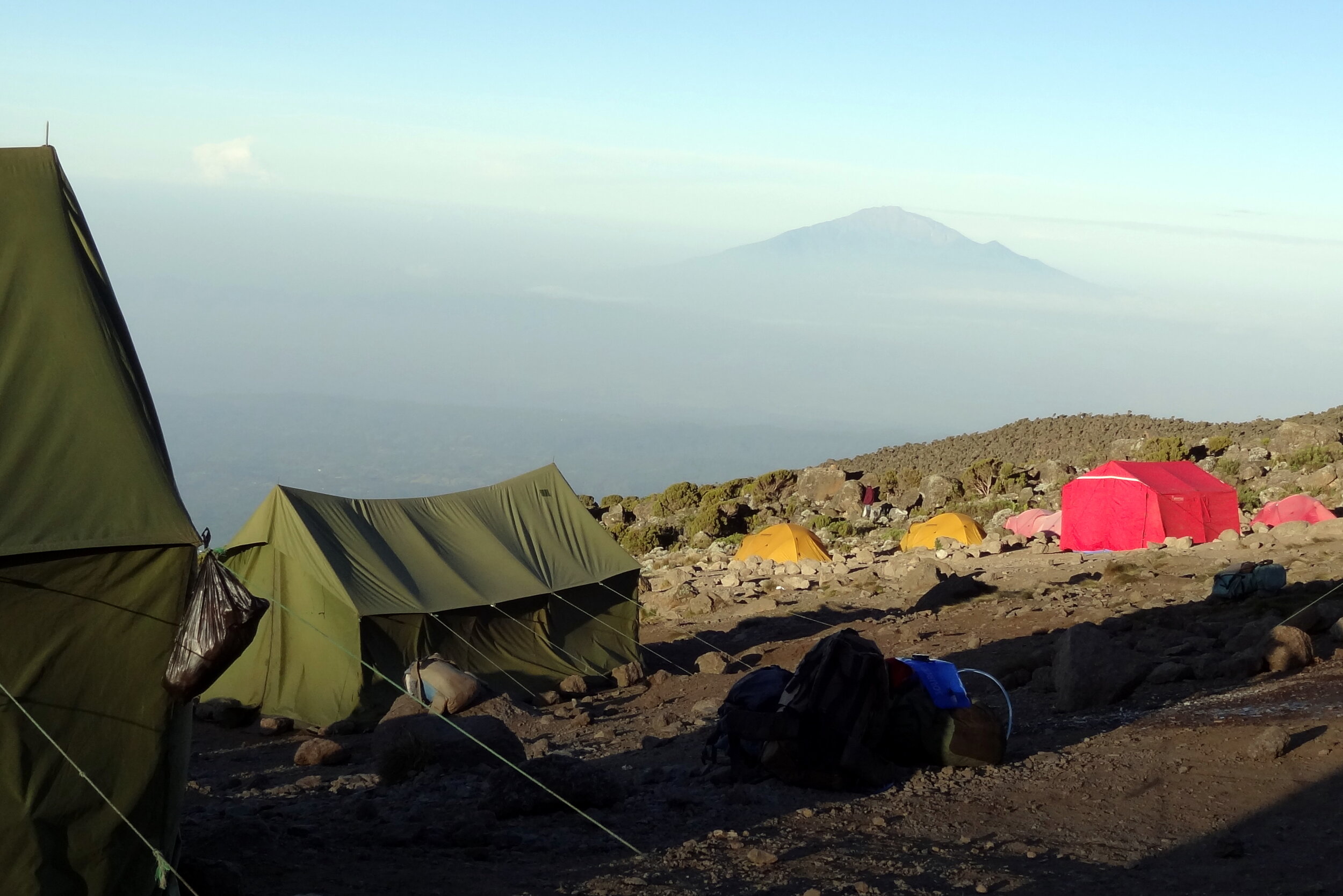
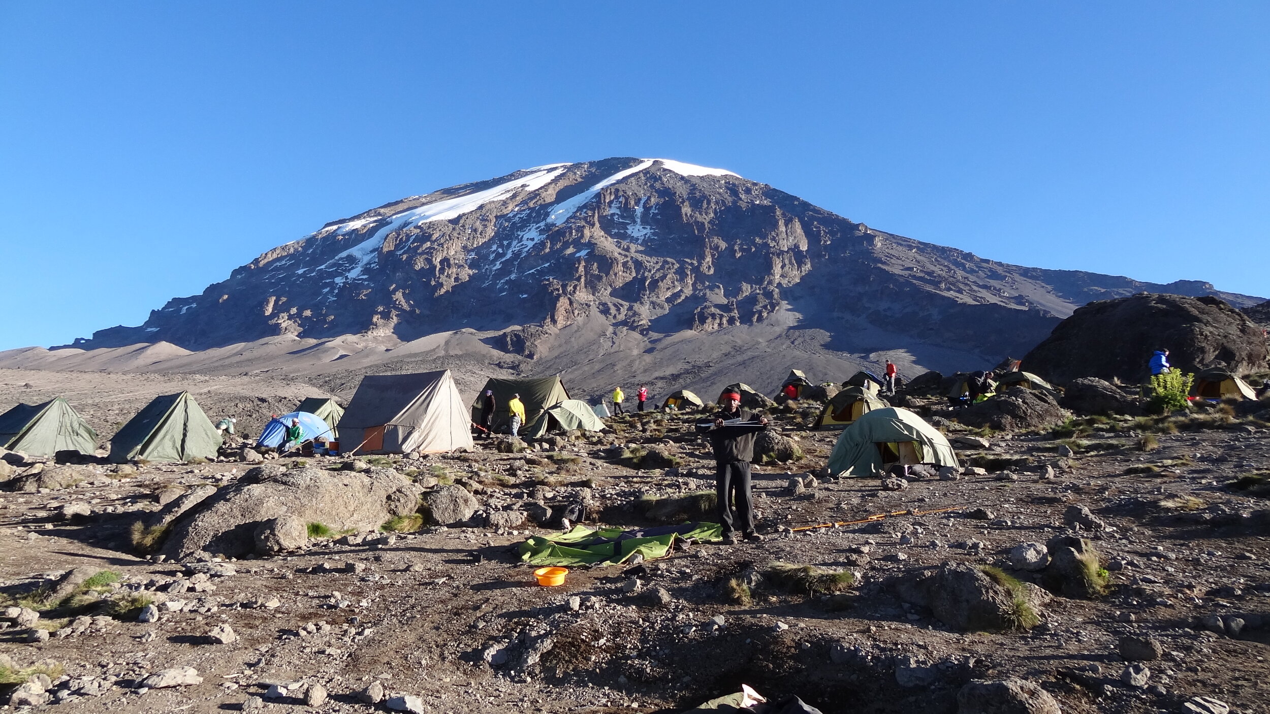
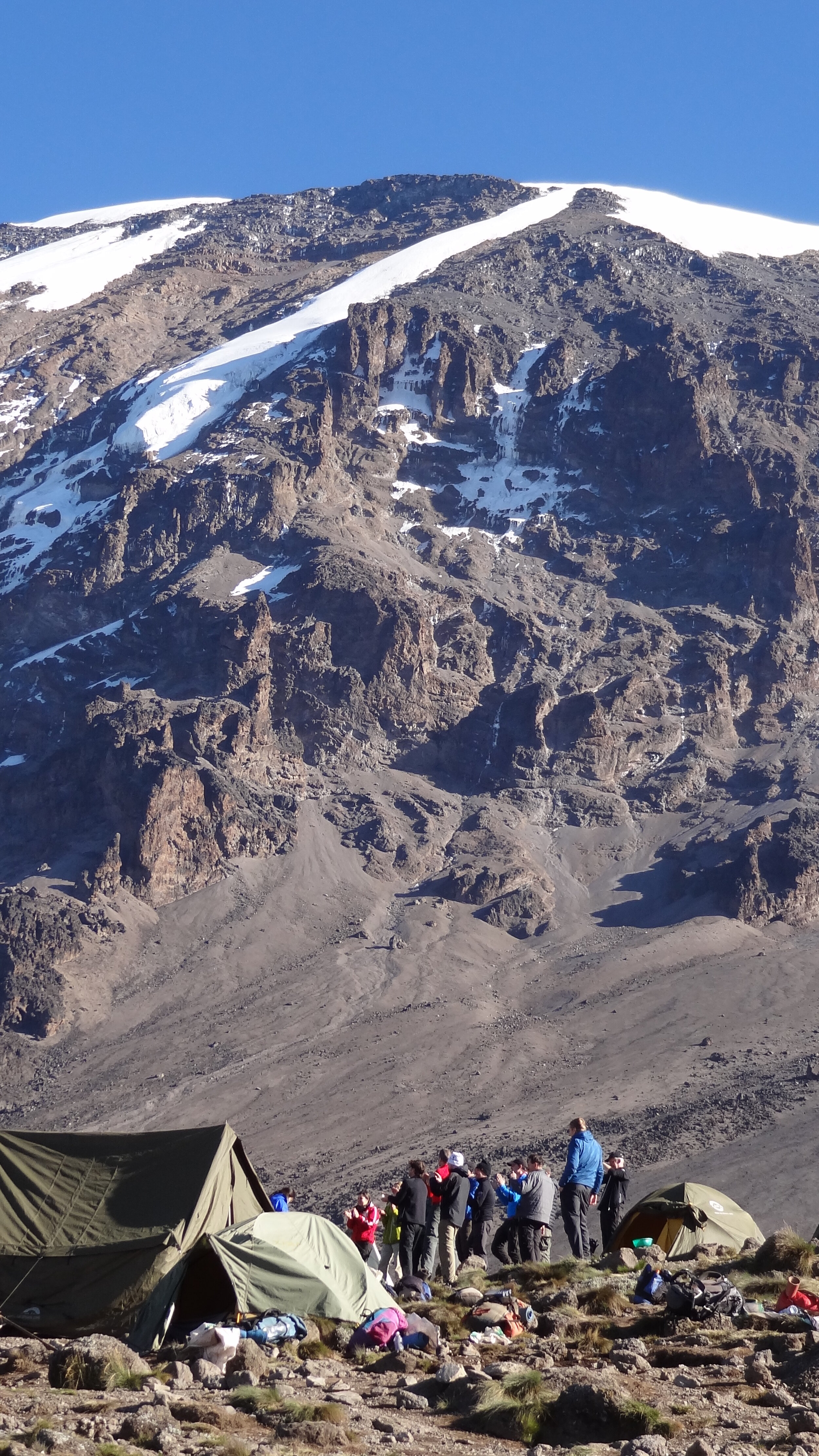
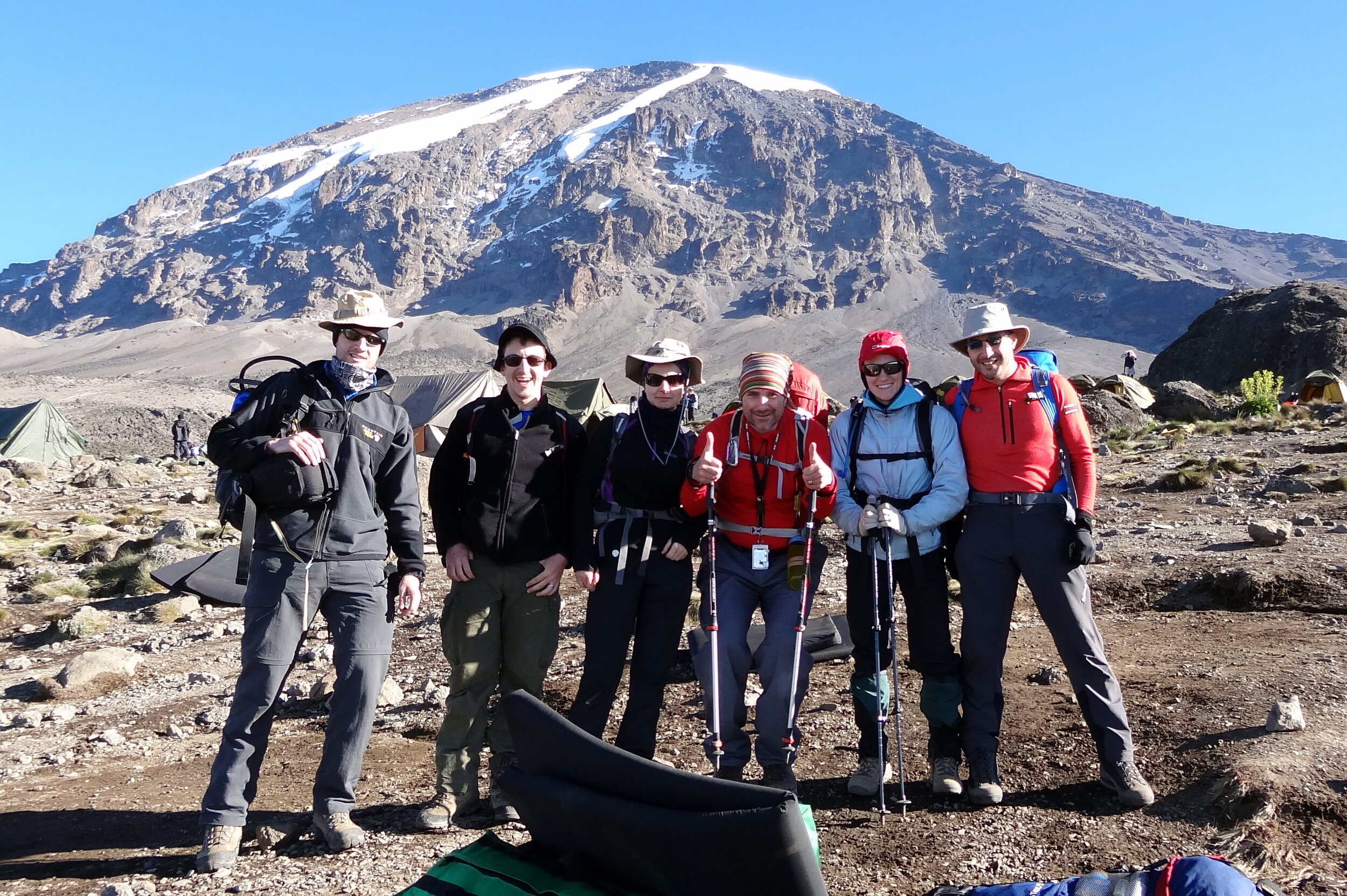
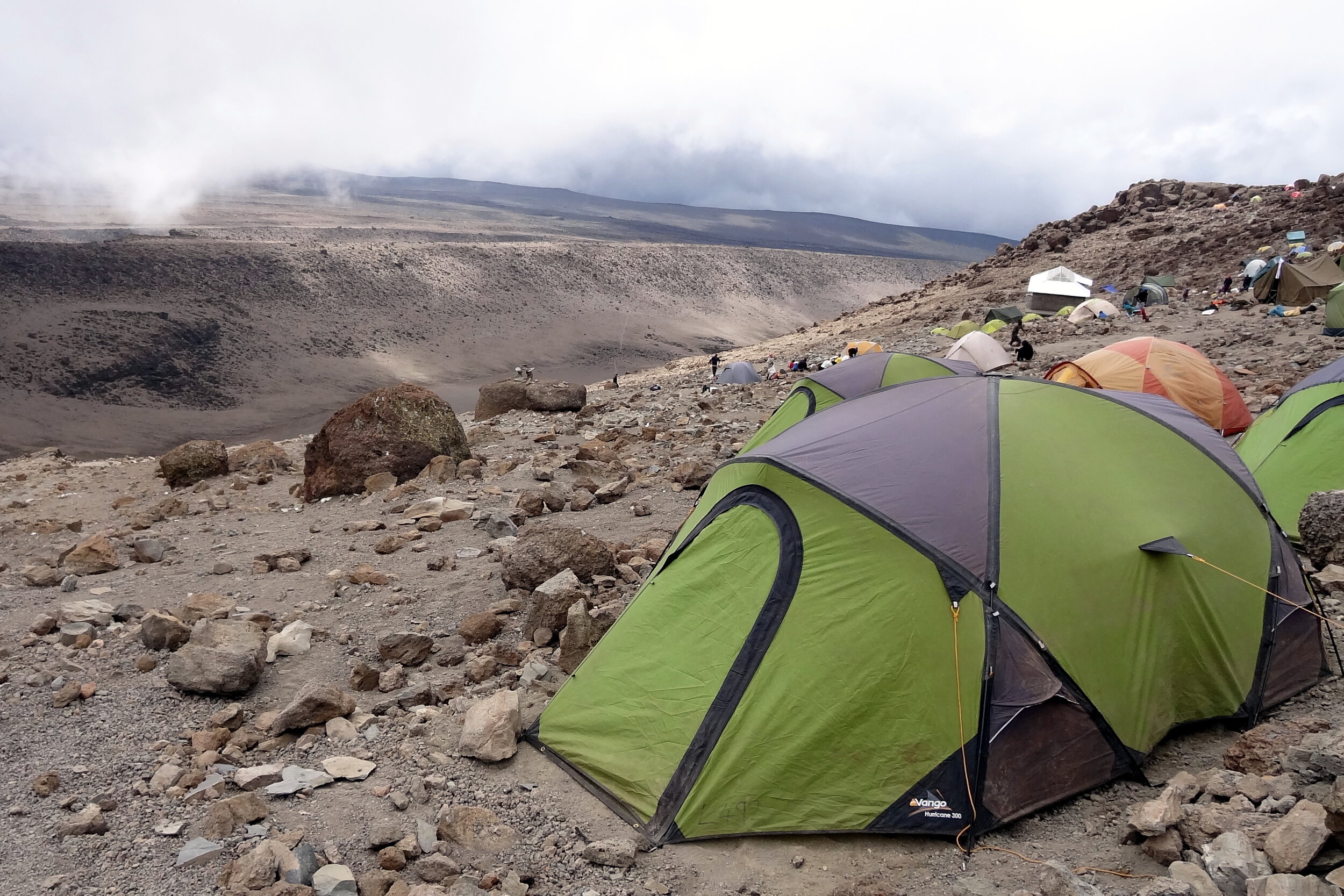
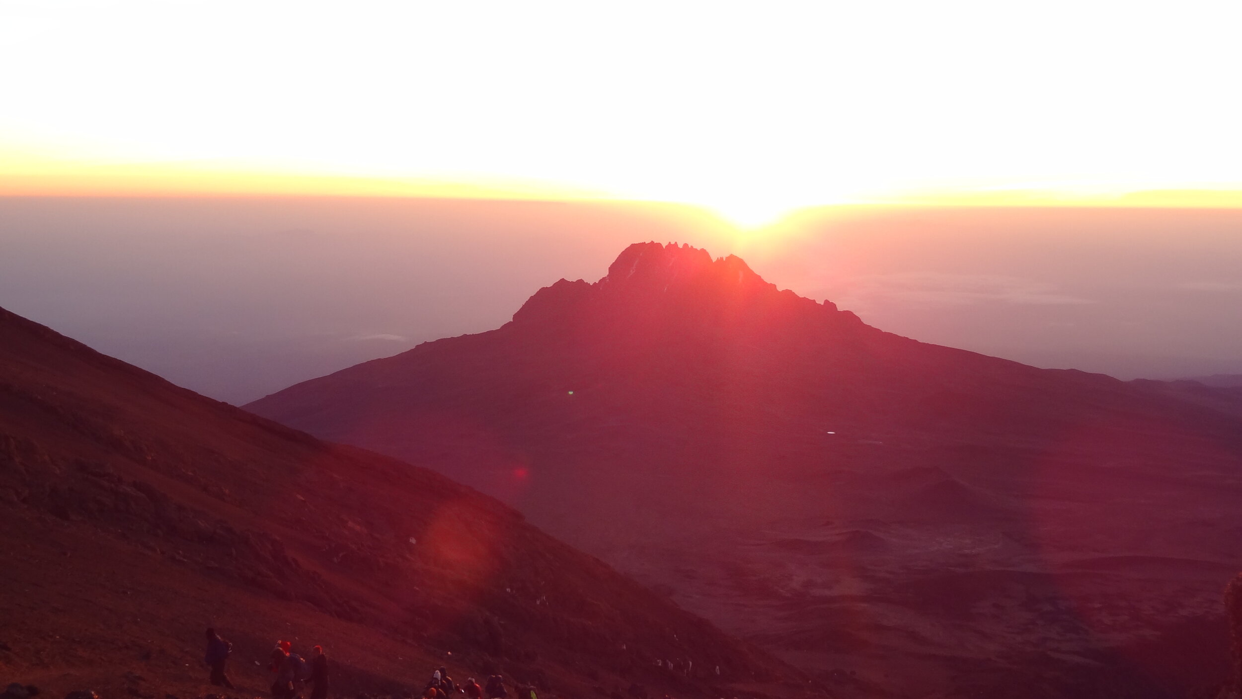
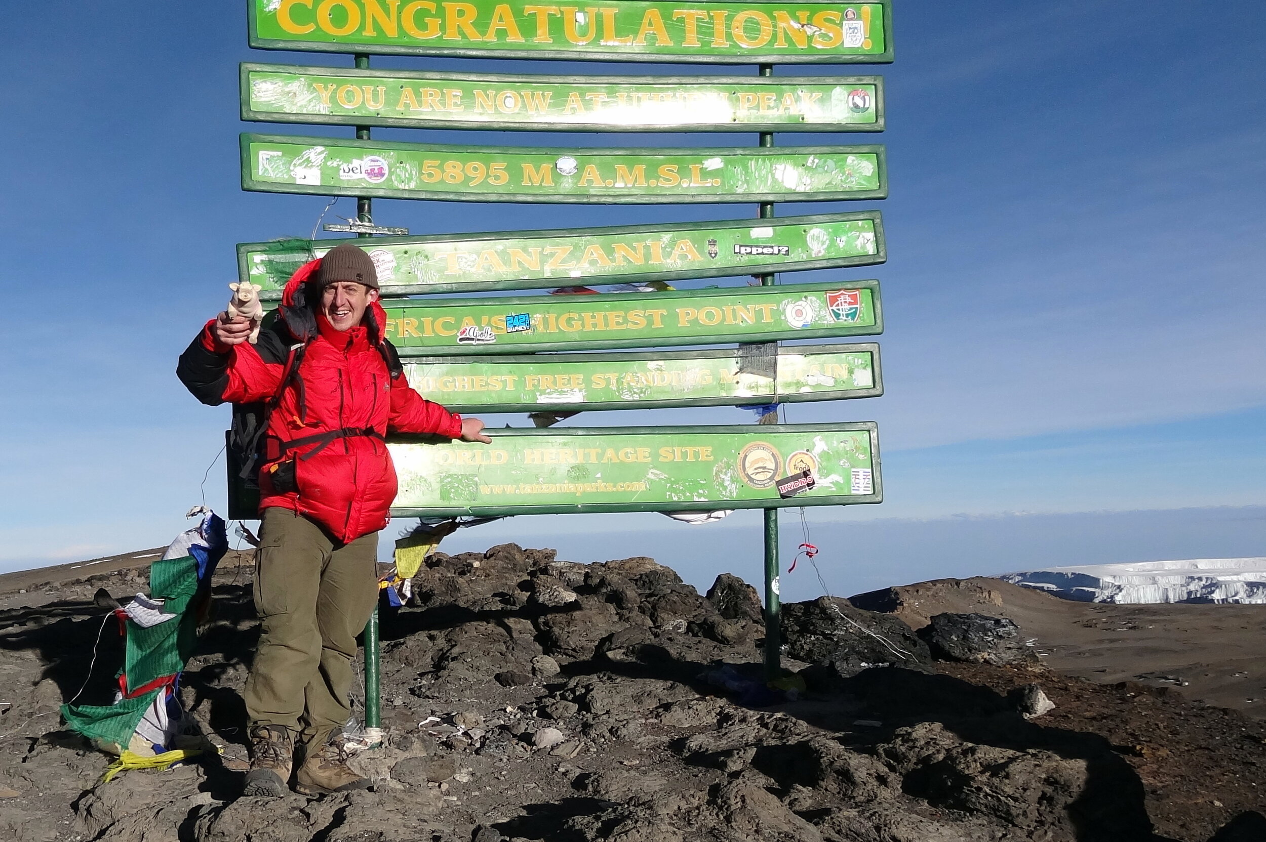
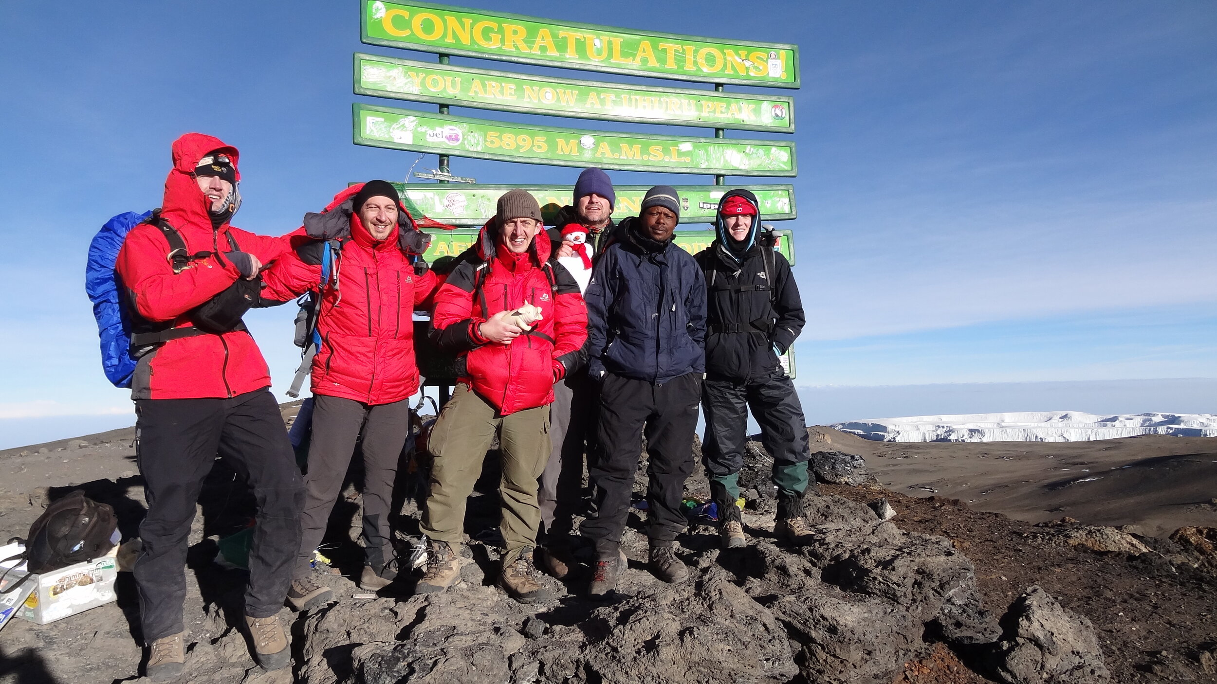
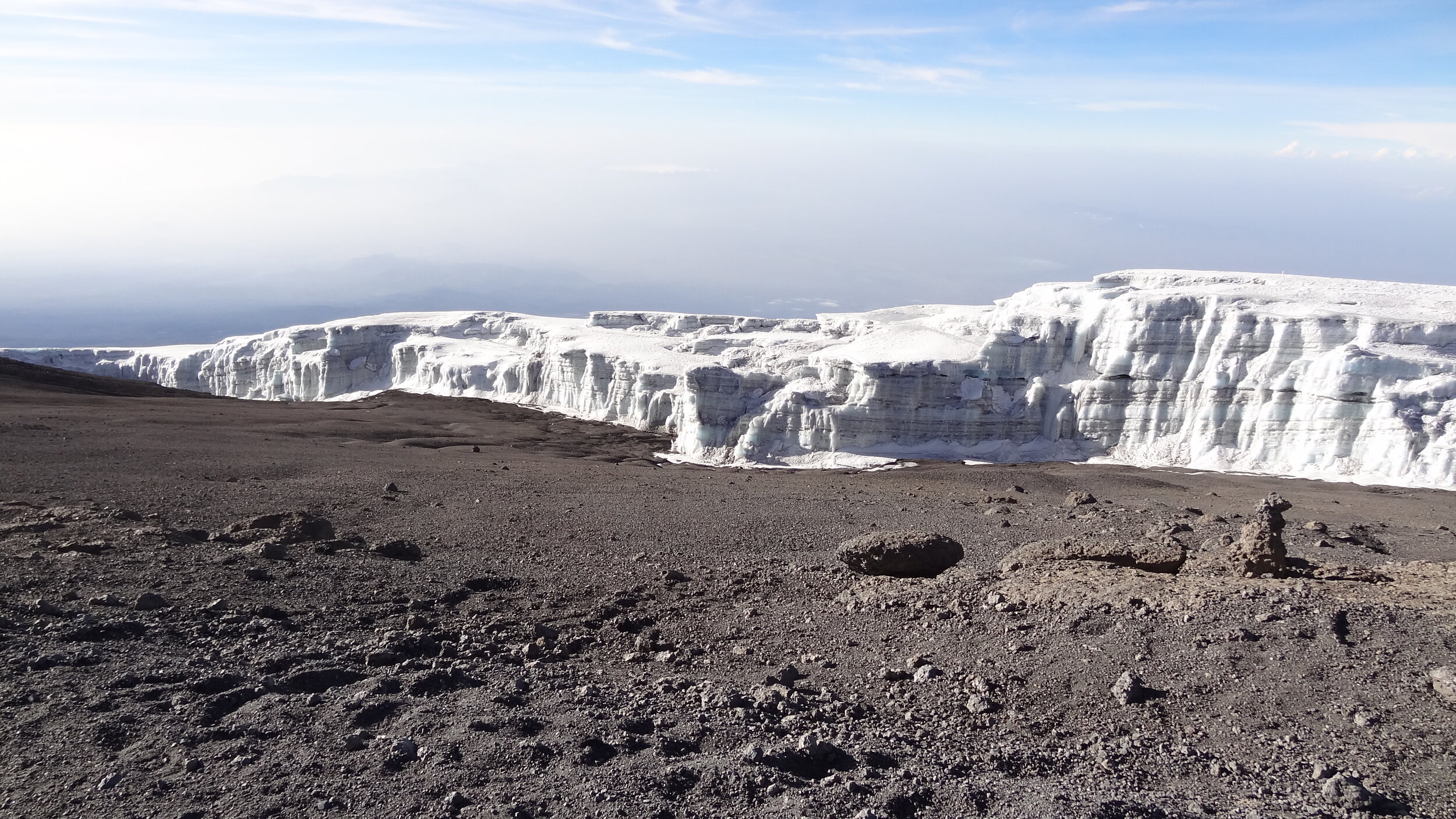
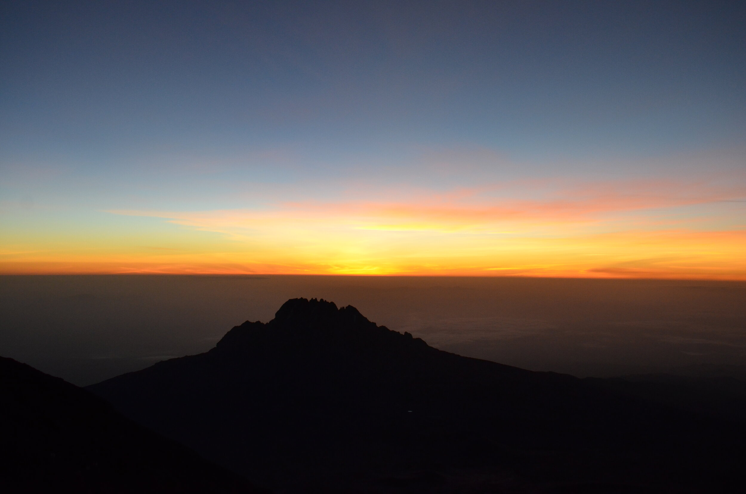
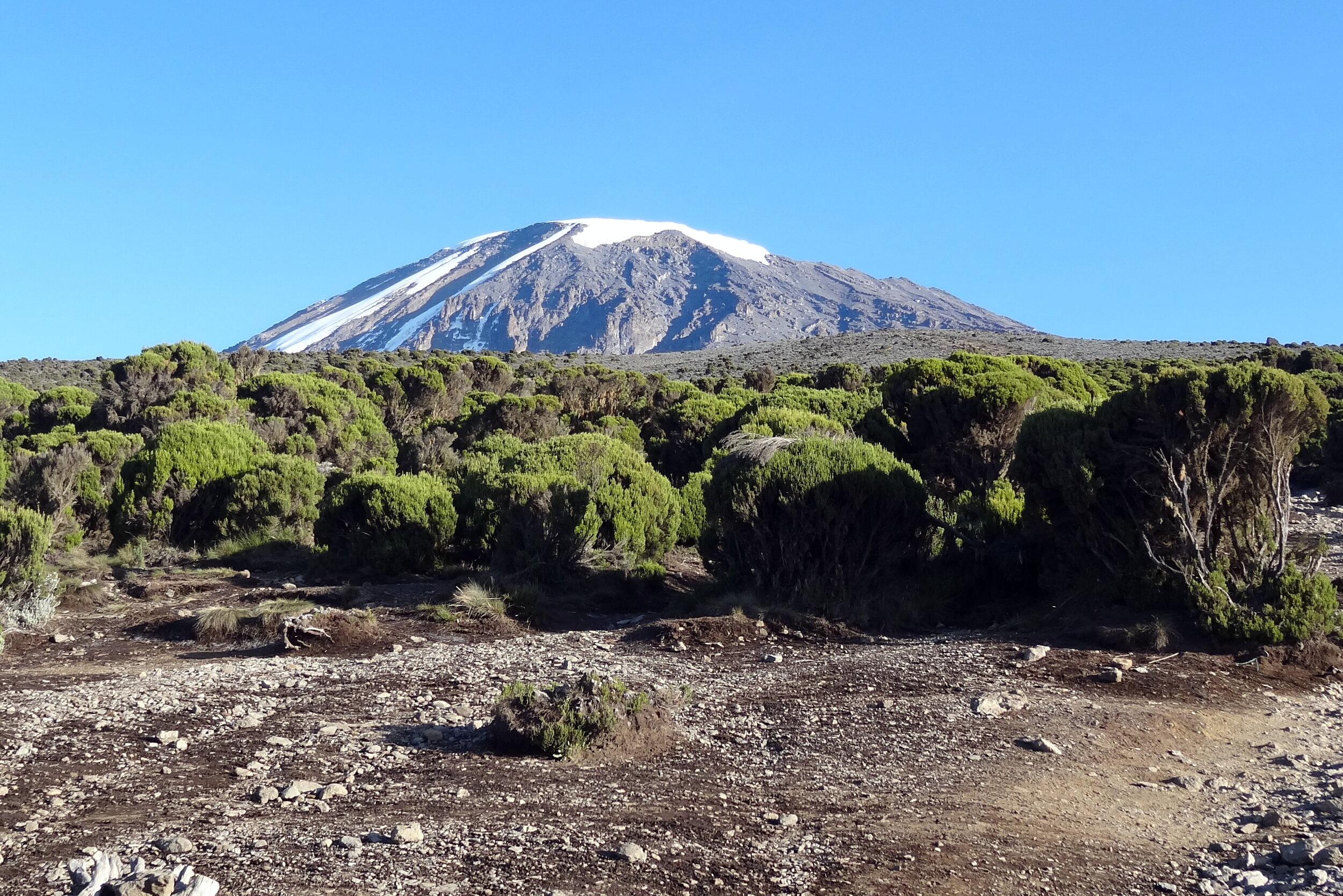
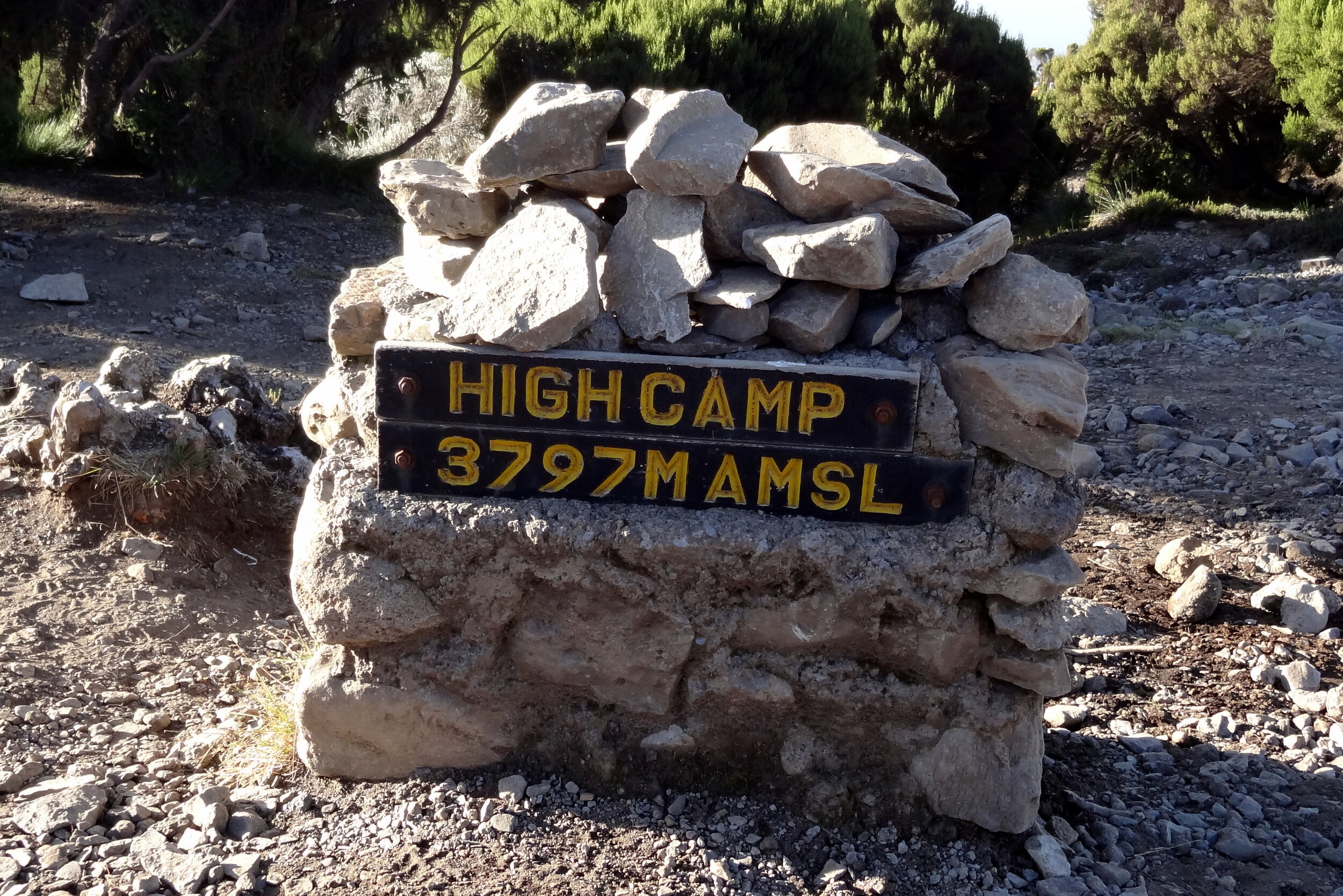
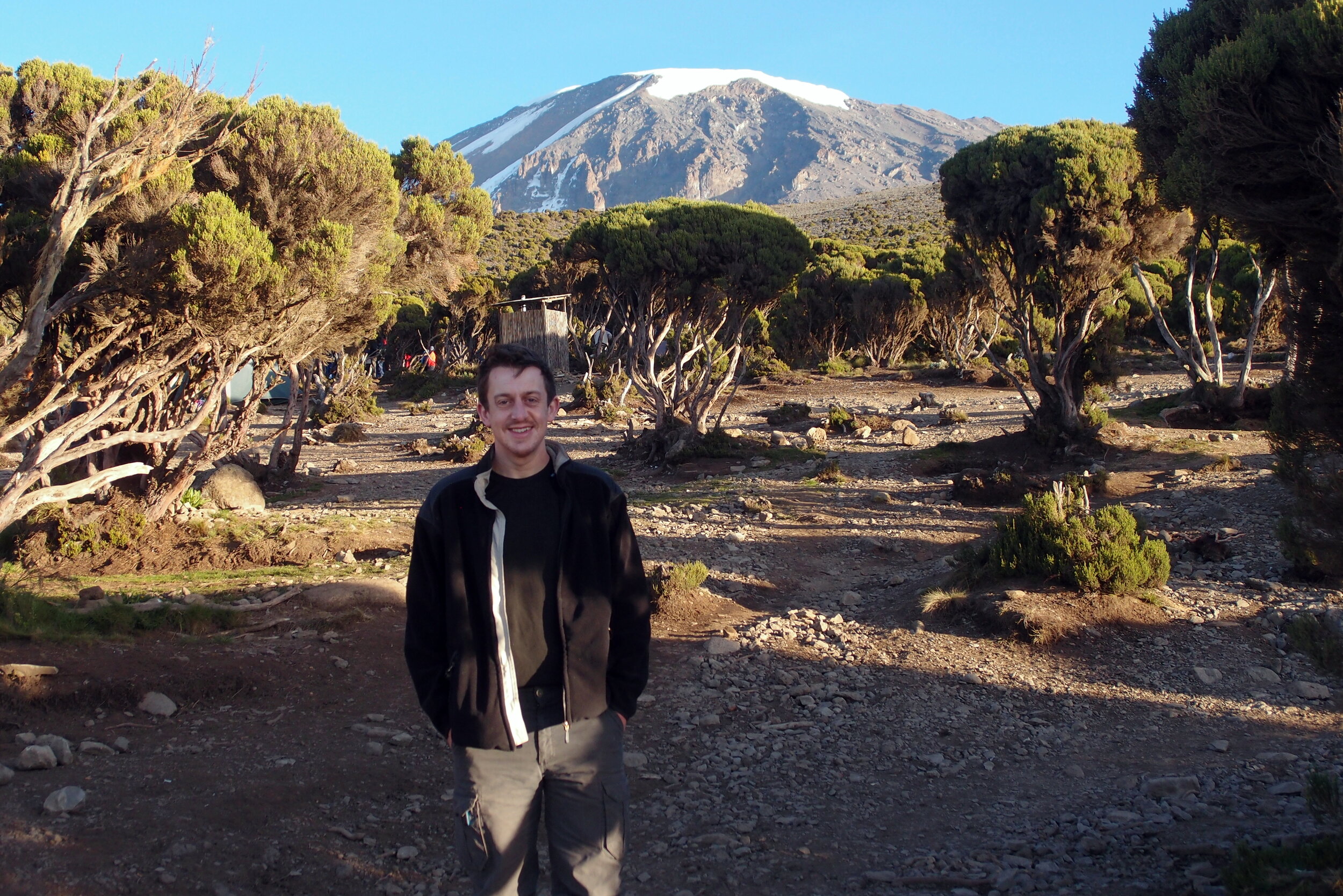
Walking Kilimanjaro by the Lemosho Route
Kili Lisa 15-02-2013 06-14-30.jpg

Day 1: Lemosho Glades to Lemosho Forest Camp

Date: February 8th 2013
Start:
Parking at end of dirt road, Lemosho Glades, ~2,230m elevation
Finish:
Lemosho Forest Camp, Mti Mkubwa, ~2,650m elevation
Distance: 4.7 km (2.9 miles)
Elevation change: +422m / -5m. Net +418m
GPX File: get via Buy Me a Coffee
Other Routes Touched (Walk): Northern Circuit
Other Routes Touched (Cycle): None


Day 2: Lemosho Forest Camp to Shira One Camp

Date: February 9th 2013
Start: Lemosho Forest Camp, Mti Mkubwa, ~2,650m elevation
Finish: Shira One Camp, ~3,500m elevation
Distance: 9 km (5.6 miles)
Elevation change: +890m / -83m. Net +807m
GPX File: get via Buy Me a Coffee
Other Routes Touched (Walk): Northern Circuit
Other Routes Touched (Cycle): None


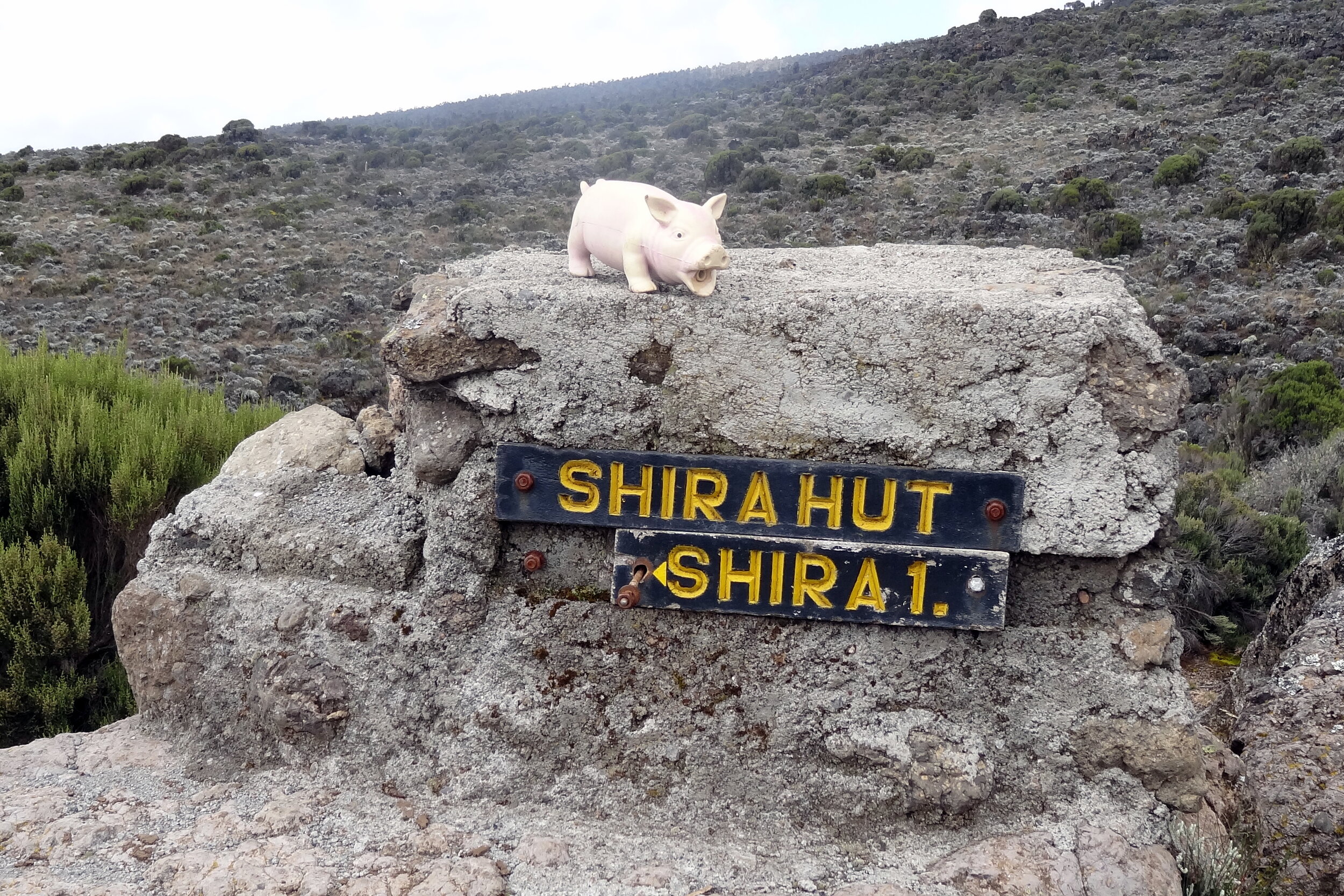
Day 3: Shira One Camp to Shira Hut

Date: February 10th 2013
Start: Shira One Camp, ~3,500m elevation
Finish: Shira Hut, ~3,840m elevation
Distance: 7.4 km (4.6 miles)
Elevation change: +386m / -3m. Net +383m
GPX File: get via Buy Me a Coffee
Other Routes Touched (Walk): Northern Circuit, Shira Route
Other Routes Touched (Cycle): None


Day 4: Shira Hut to Barranco Camp

Date: February 11th 2013
Start: Shira Hut, ~3,840m elevation
Finish: Barranco Camp, ~3,900m elevation
Distance: 9.8 km (6.1 miles)
Elevation change: +732m / -651m. Net -81m
GPX File: get via Buy Me a Coffee
Other Routes Touched (Walk): Machame Route,
Other Routes Touched (Cycle): None

elevation_profile.jpg

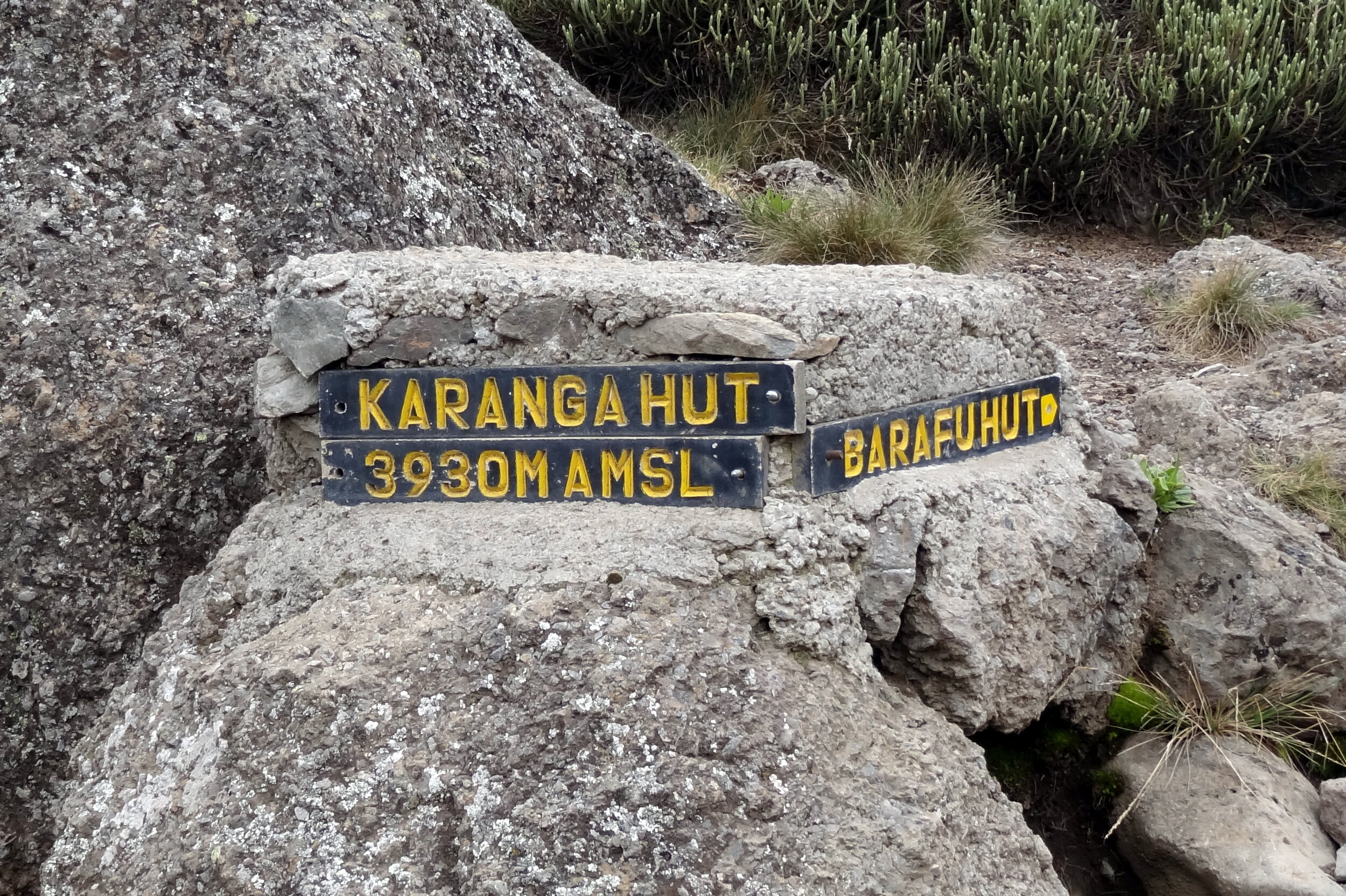
Day 5: Barranco Camp to Karanga Camp

Date: February 12th 2013
Start: Barranco Camp, ~3,900m elevation
Finish: Karanga Camp, ~4,000m elevation
Distance: 4.9 km (3.0 miles)
Elevation change: +335m / -279m. Net +56m
GPX File: get via Buy Me a Coffee
Other Routes Touched (Walk): Umbwe Route, Machame Route,
Other Routes Touched (Cycle): None


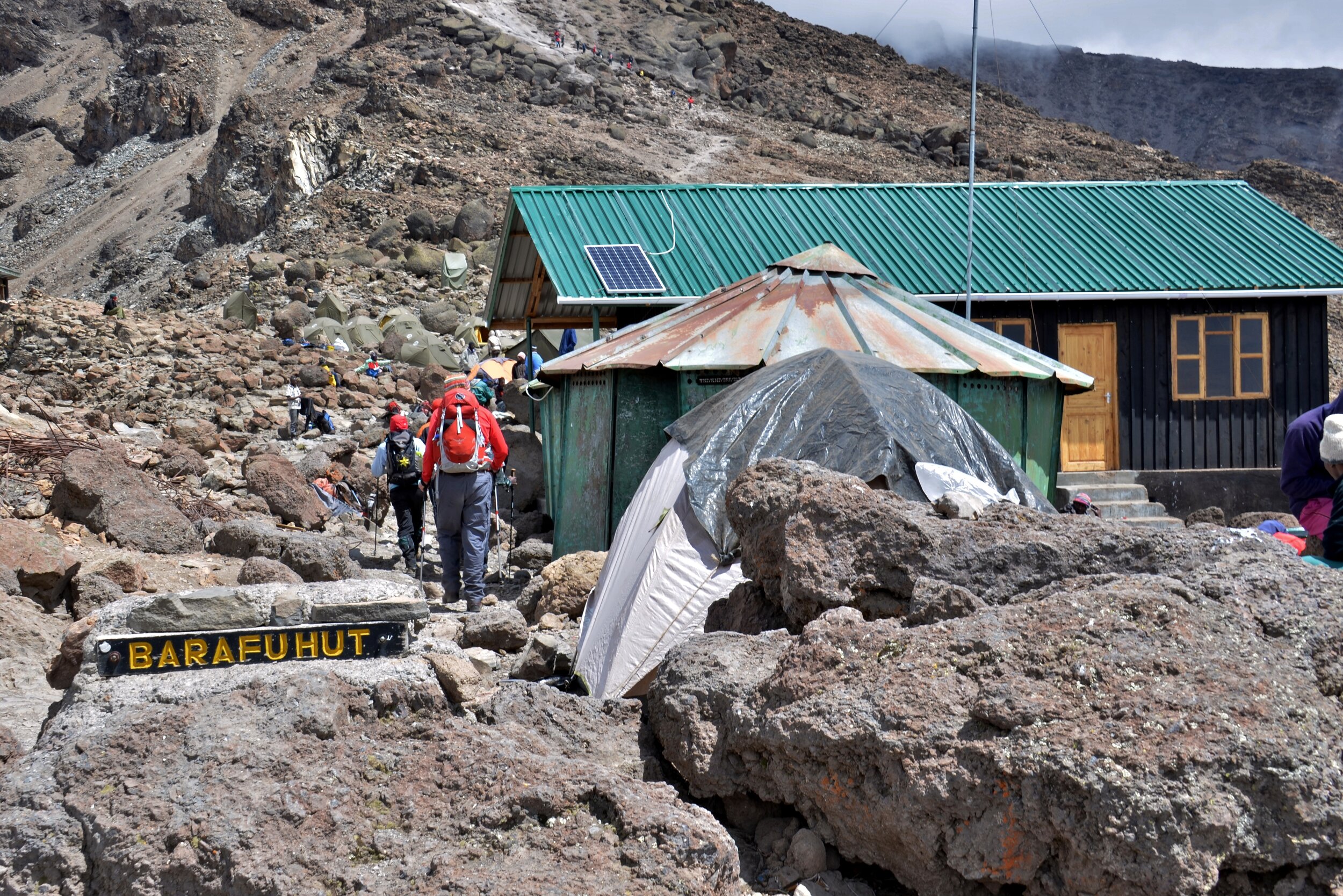
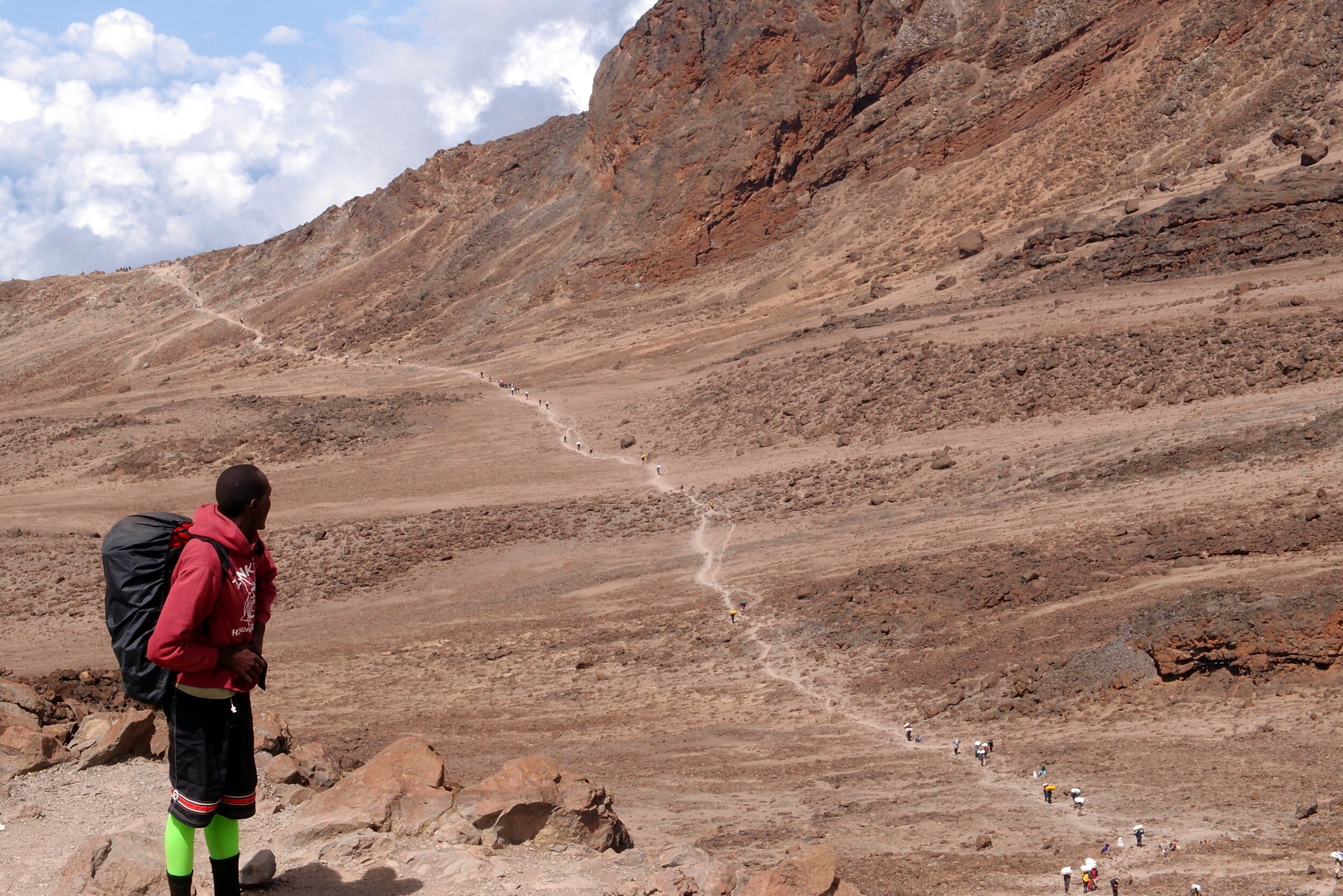
Day 6: Karanga Camp to Barafu Camp

Date: February 13th 2013
Start: Karanga Camp, ~4,000m elevation
Finish: Barafu Camp, ~4,600m elevation
Distance: 3.8 km (2.4 miles)
Elevation change: +593m / -0m. Net +593m
GPX File: get via Buy Me a Coffee
Other Routes Touched (Walk): Umbwe, Machame, Mweka
Other Routes Touched (Cycle): None


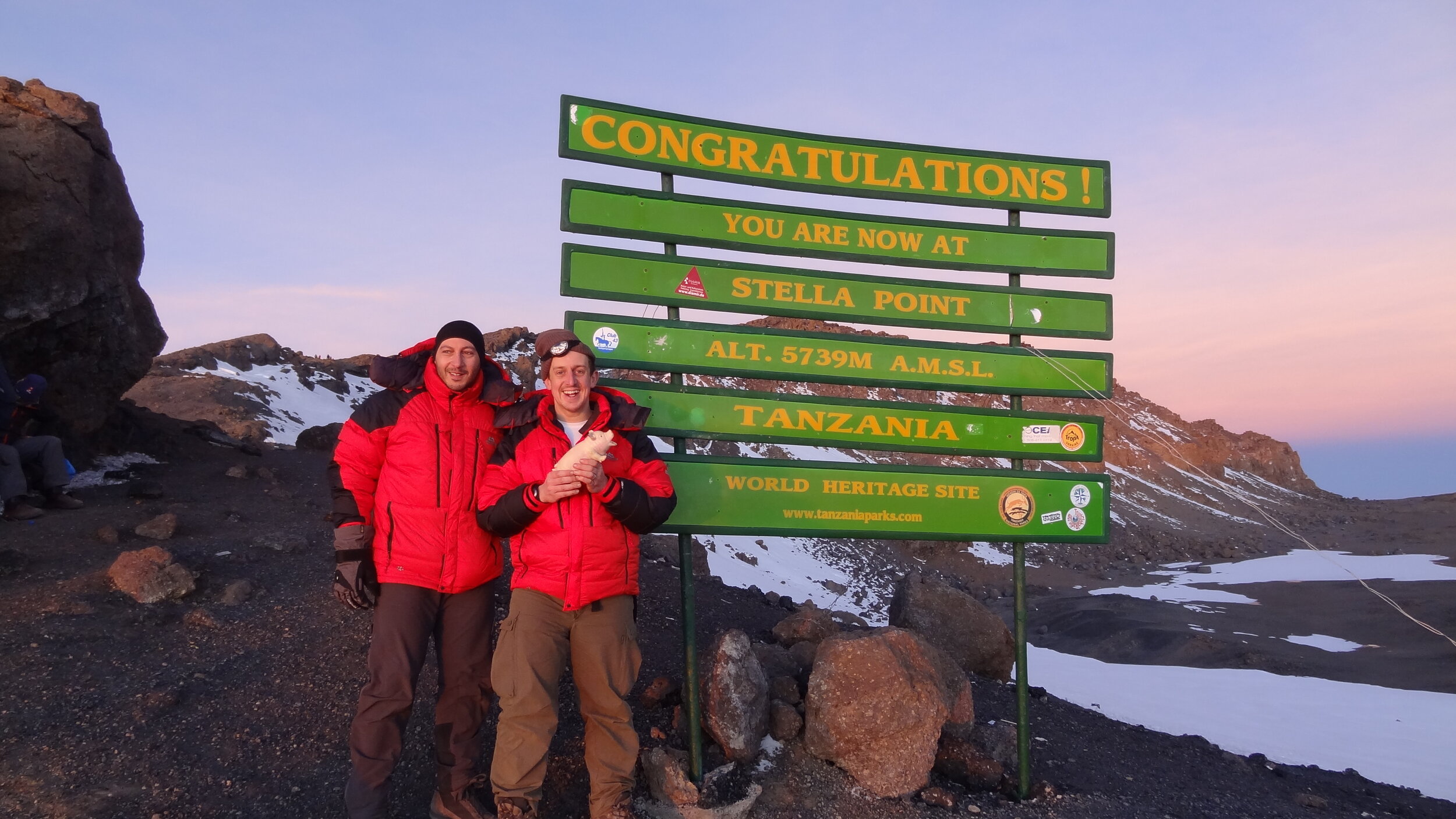
Day 7: Barafu Camp to Millenium Camp via Ulhuru Peak

Date: February 14th 2013
Start: Barafu Camp, ~4,600m elevation
Finish: Millenium Camp, ~3,800m elevation
Distance: 13.6 km (8.5miles)
Elevation change: +1,217m / -2,062m. Net -845m
GPX File: get via Buy Me a Coffee
Other Routes Touched (Walk): Umbwe, Machame, Mweka, Northern Circuit, Rongai, Marangu
Other Routes Touched (Cycle): None


Day 8: Millenium Camp to Mweka

Date: February 15th 2013
Start: Millenium Camp, ~3,800m elevation
Finish: Mweka, ~1,650m elevation
Distance: 11.5 km (7.1 miles)
Elevation change: +0m / -2,142m. Net -2,142m
GPX File: get via Buy Me a Coffee
Other Routes Touched (Walk): Mweka
Other Routes Touched (Cycle): None


The Complete Route

Each colour represents 1 day from North-West (red) to South-East (blue)


Photos by Richard Gower, Brian Gatt, Simon Livings, Lisa Zardoni, Anna Mansley and Kevin Doble

Scafell Pike: Cumberland County Top
Track to Scafell Pike from New Dungeon Ghyll Hotel

Track to Scafell Pike from New Dungeon Ghyll Hotel


Significance: Highest peak in Cumberland (Historic CT), Cumbria (Ceremonial CT), Lake District National Park High Point, England Country Top
Member of: Marilyn, Hewitt, Hardy, Wainwright, Nuttall
Parent Peak: Snowdon. NHN = Carnedd Llewelyn
Elevation: 978m
Date climbed: 22nd May 2005 and July 29th 2012
Coordinates: 54.4542° N, 3.2116° W
Route Start / End: New Dungeon Ghyll Hotel, Ambleside, LA22 9JX
Route Distance: 22 km (13.7 miles)
Route Elevation Change: +/- 1,062m
Subsidiary tops on route: Esk Pike, Broad Crag
GPX File: get via Buy Me a Coffee
Other routes touched (walk): Cumbria Way
Other routes touched (cycle): N/A
OS Trig Pillar: TP5828 - Sca Fell
Map: OS Explorer OL6: The English Lakes - South Western area and OS Landranger 90: Penrith & Keswick
Guidebook: The UK's County Tops (Jonny Muir), Walking the County High Points of England (David Bathurst)
Links: Wikipedia (Cumberland), Wikipedia (Scafell Pike), Peakbagger, Hillbagging


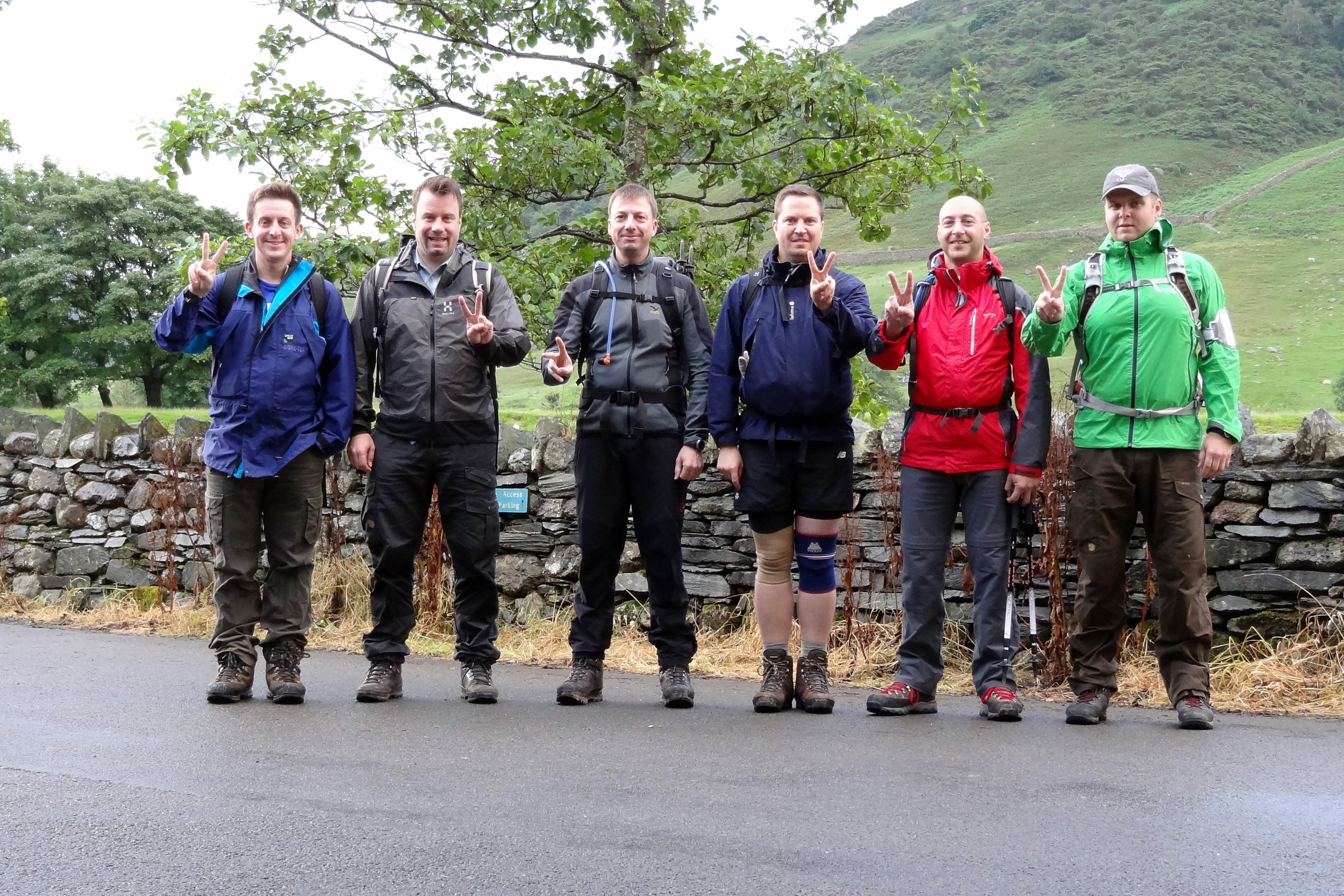
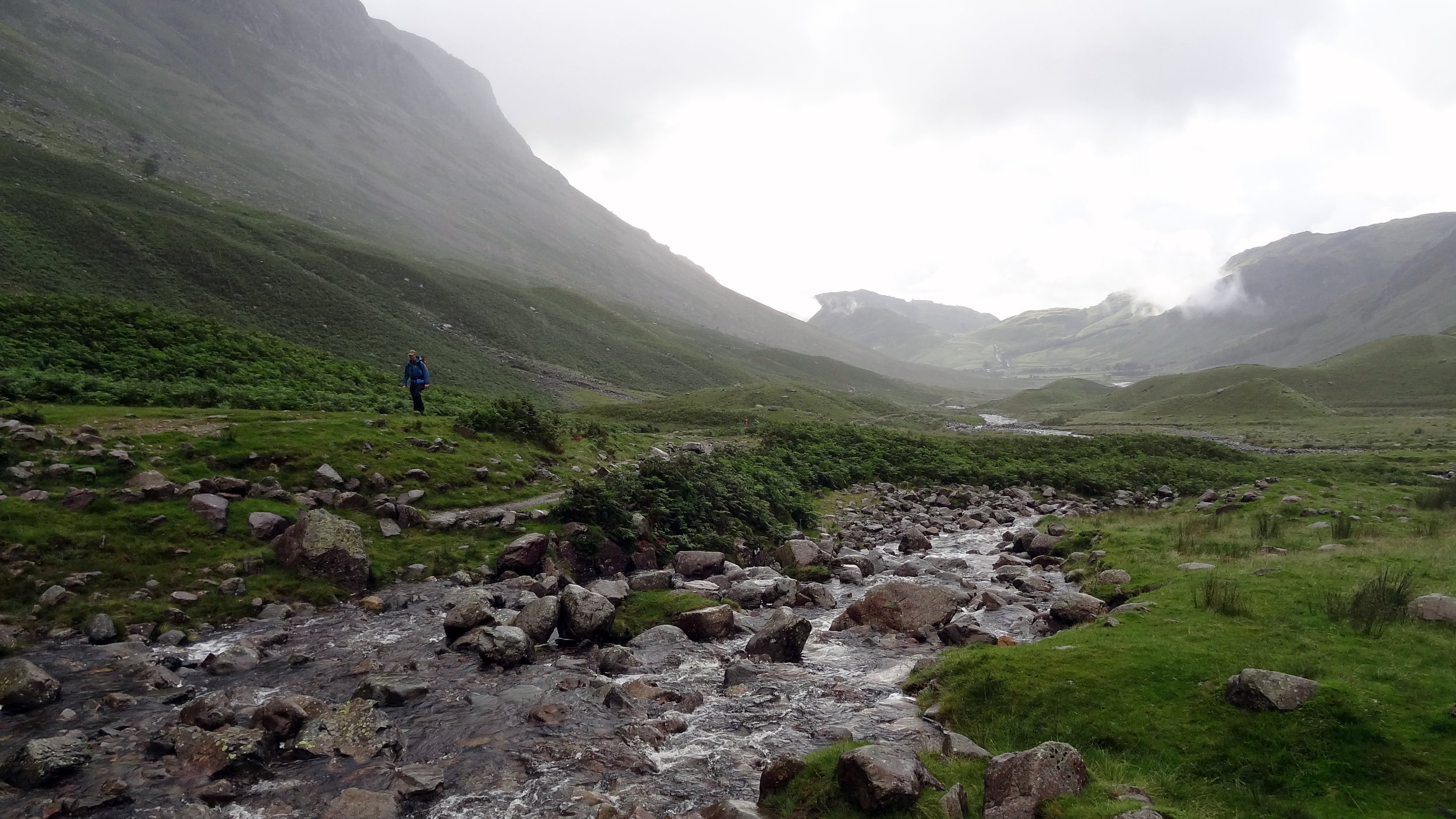
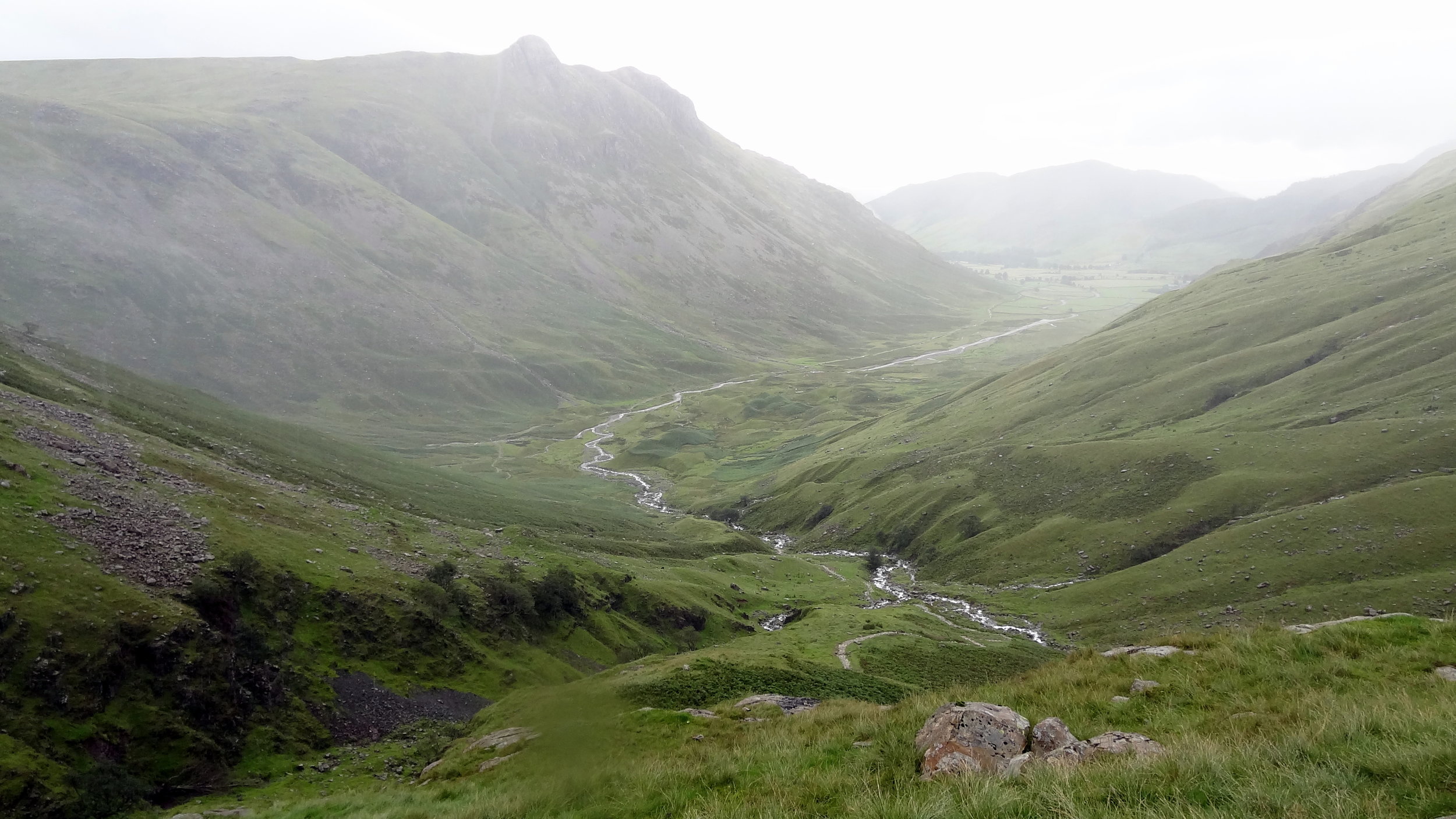
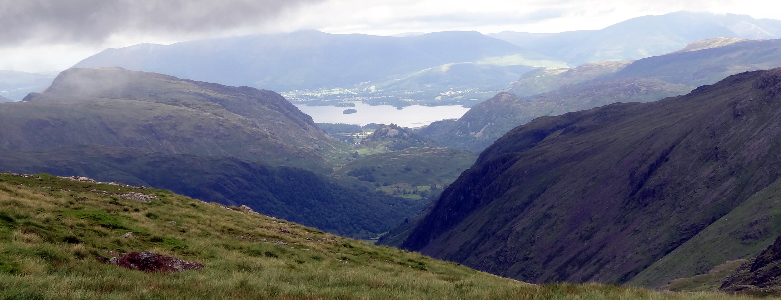
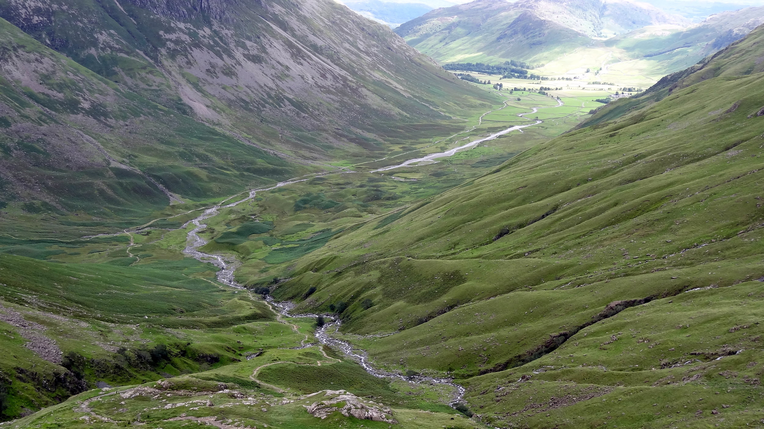
I can’t remember how many times I’ve done Scafell Pike. It was probably 4 times, the first 2 being in Venture Scouts a long time before I started obsessively tracking everything. The most recent two times were part of 36-hour unofficial Three Peaks Challenges. It was the most recent ascent that will be the most memorable and the reason why I’ll never do Scafell Pike again.

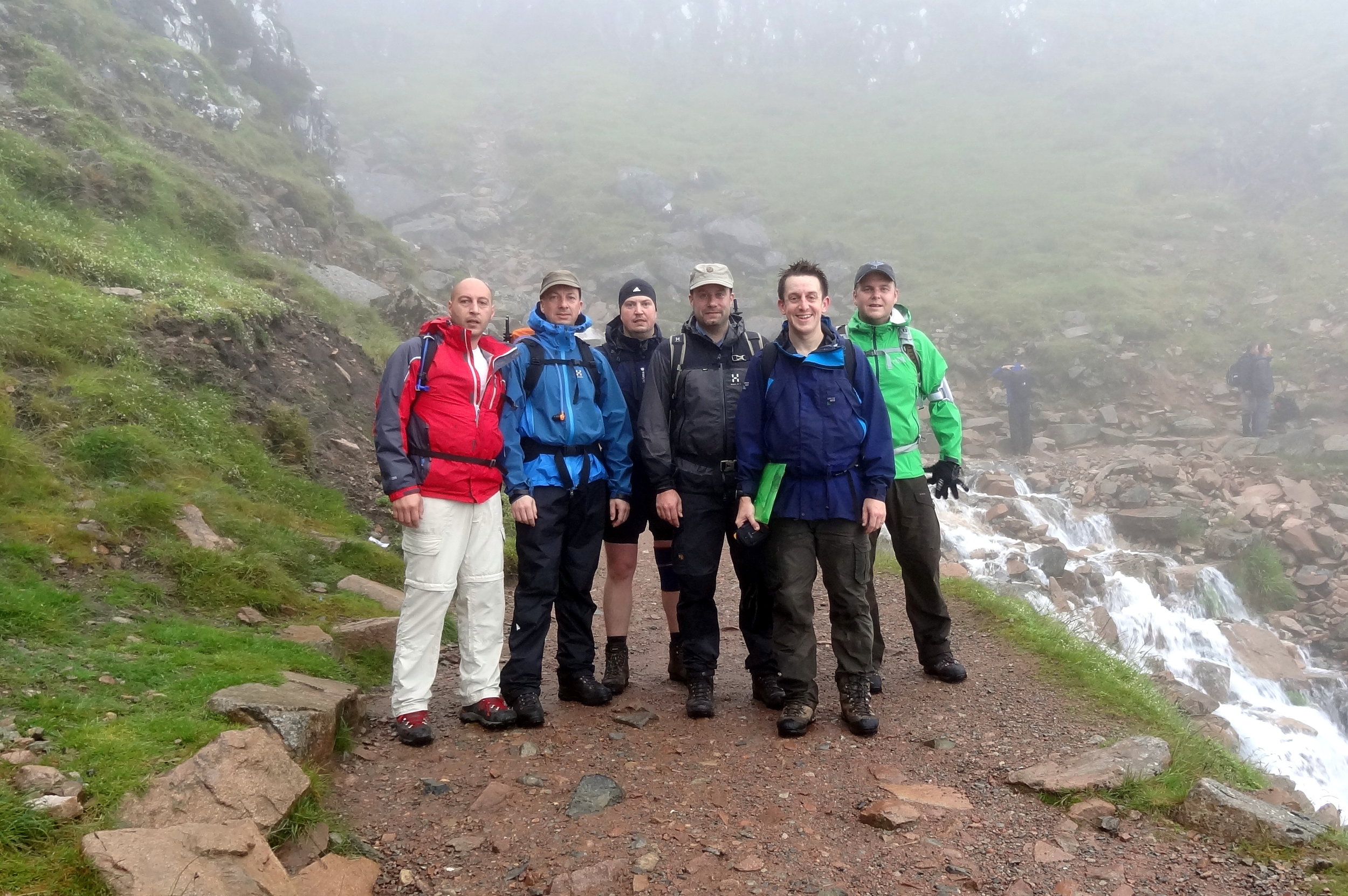
It was my second trip there as a part of a 36 hour 3 Peaks Challenge. Ben Nevis went well and we got to the Scafell Pike start point early. Having done the mountain a few times before I chose the Old Dungeon Ghyl route for a change.

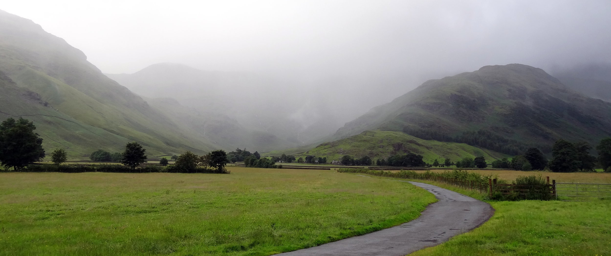
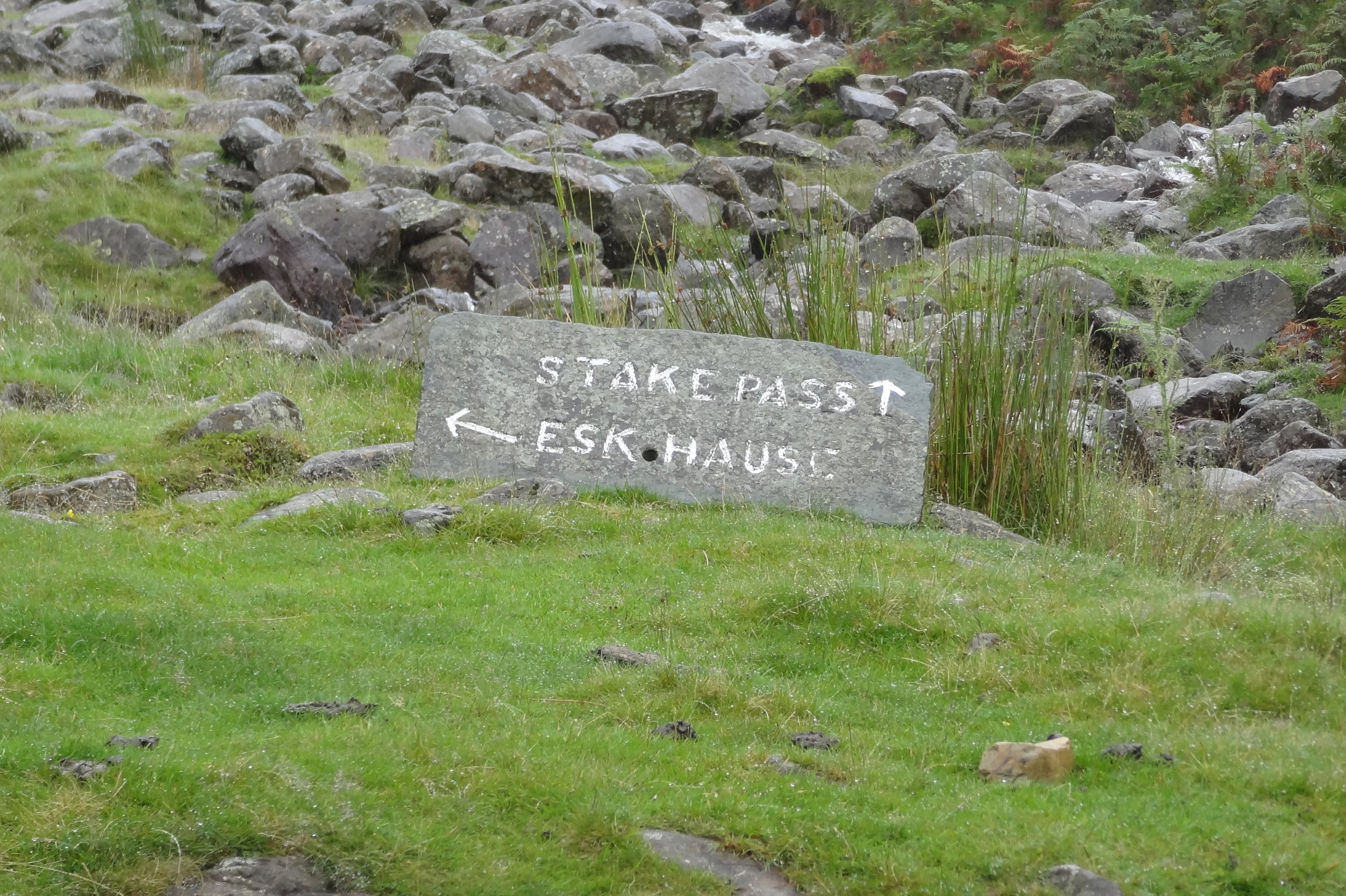
The plan was to follow the Cumbria Way from Old Dungeon Ghyl, then approach the summit from the east via Angle Tarn, Esk Haus and Broad Crag.

This was in the days before I meticulously planned every route on RideWithGPS and follow it by iPhone. Back then I had the OS Explorer map and a basic Garmin device that jus had the coordinates of the summit. Rather than following the trail heading north-west from Angle Tarn I took a path to the south-west to Esk Pike.

It was at the top of Esk Pike that I figured that we weren’t in the right place. Visibility was very low but I managed to find a clear spot to get a view of the area. Yes, we we’re definitely in the wrong place and had accidentally bagged an extra summit. Normally I would have styled it out and pretended that it was all part of the planned route. My prolonged look of confusion and map studying gave the game away and it was obvious that this wasn’t part of the plan.

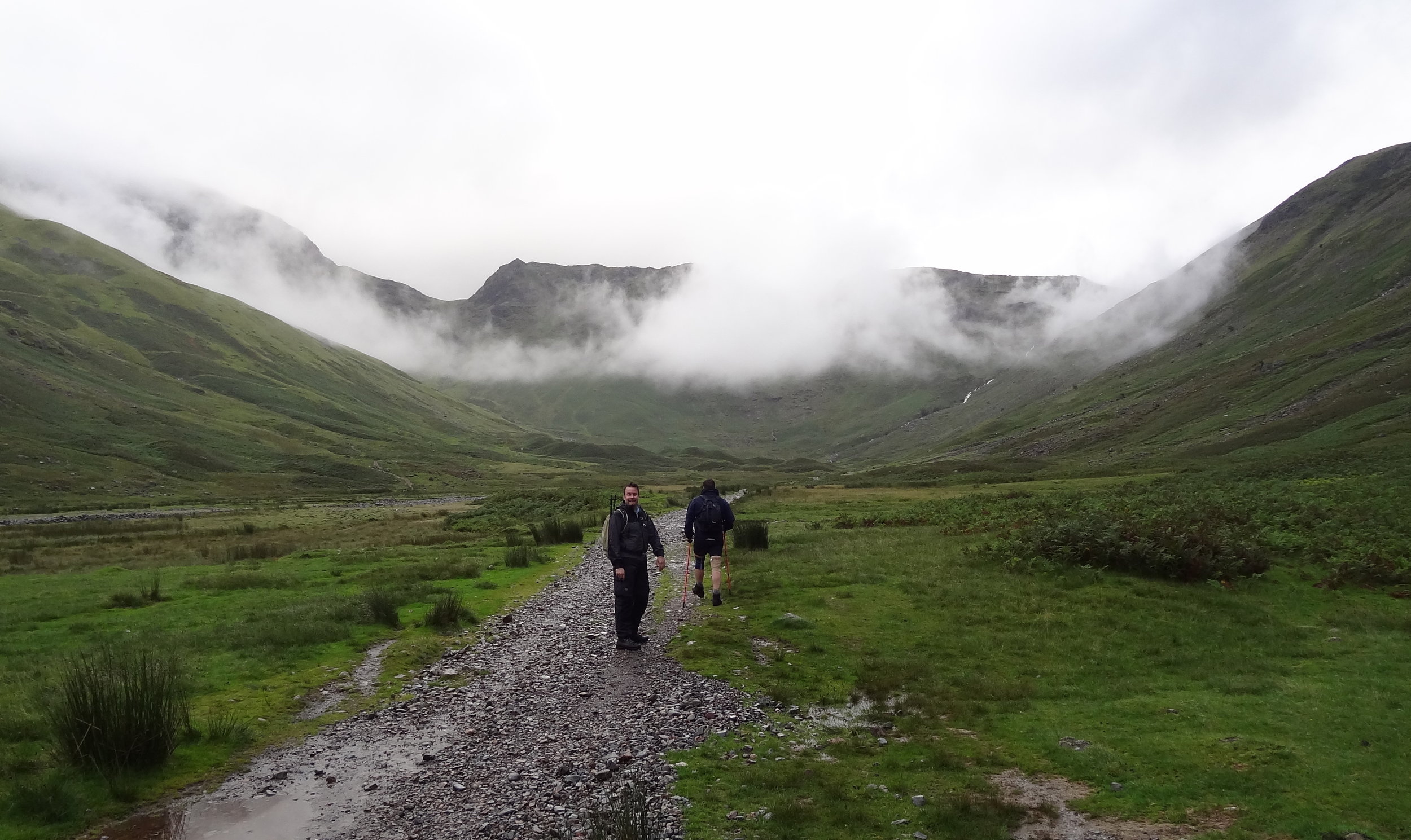
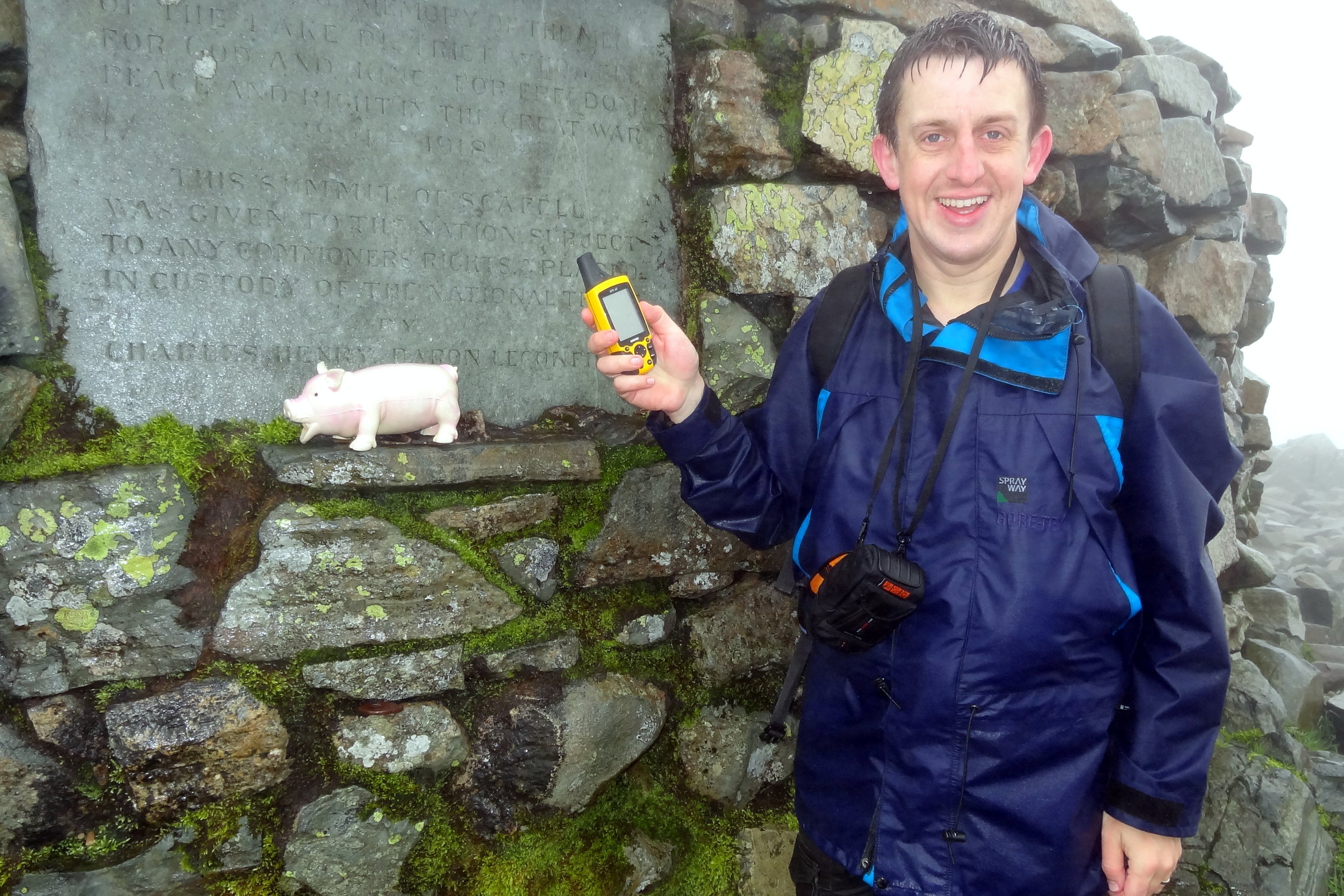
We descended the “Bonus Peak”, got back on track and started the proper ascent to Scafell Pike. Once we were past the cloud line it was properly grim. Visibility stayed low and there was a constant drizzle. Finally we got to the summit, took a few photos and quickly turned around to descend. My first ascent of Scafell Pike had been a pleasant walk on a clear summer’s day. This wasn’t that day.

By the time we returned to the car park at the bottom we’d been out for over 9 hours. We had only planned for 5 hours and we were going to do Snowdon later in the day. After our Scafell adventure nine of us wanted to see another mountain that day. We ditched the idea of going to Snowdon and headed to Chester for a curry, some beers and a lot of post-hike analysis of my navigation skills.


Ben Nevis: Inverness-shire County Top
View from the Pony Track

View from the Pony Track


Also known as: Beinn Nibheis
Significance: Highest peak in Inverness-shire (Historic County Top), Highland (Council Top), Mainland Great Britain/Scotland/UK Country Top, Ben Nevis and Glen Coe NSA High Point
Member of: Munro, Marilyn
Parent Peak: N/A.
Nearest Higher Neighbour: Melderskin, Norway
Elevation: 1,344m
Date climbed: 21st May 2005 and July 28th 2012
Coordinates: 56.7969° N, 5.0036° W

Route Start / End: Ben Nevis Inn, Achintee Rd, Achintee, Fort William, PH33 6TE
Route Distance: 15.5 km (9.6 miles)
Route Elevation Change: +/- 1,306m
Subsidiary tops on route: none
GPX File: get via Buy Me a Coffee
Other routes touched: none
OS Trig Pillar: TP1289 - Ben Nevis
Map: OS Explorer 392: Ben Nevis and Fort William
Guidebook: The UK's County Tops (Jonny Muir), Cicerone Guide: Ben Nevis and Glen Coe
Links: Wikipedia (Inverness-shire), Wikipedia (Ben Nevis), Peakbagger, Hillbagging


I’ve completed two ascents of the UK’s tallest mountain. Both were on unofficial self-organised Three Peaks Challenges. We weren’t bothered by doing it in the normal 24 hour window, so did it in a more leisurely 36 hours. This allows for an overnight stay and removes the need for a support driver.

On my first attempt we completed the challenge in a whisker under the 36 hours. We stayed in Fort William on the night before, did Ben Nevis in the morning, lunch in the Ben Nevis Inn, and drove to a hotel near Scafell Pike. On the second day we did an early ascent of Scafell Pike, then drove to Snowdonia for the Snowdon ascent.

My second Three Peaks attempt, with a different group, didn’t go quite so well. We ended up doing four peaks, but not the ones that we intended. I’ll save that story for the Scafell Pike post.

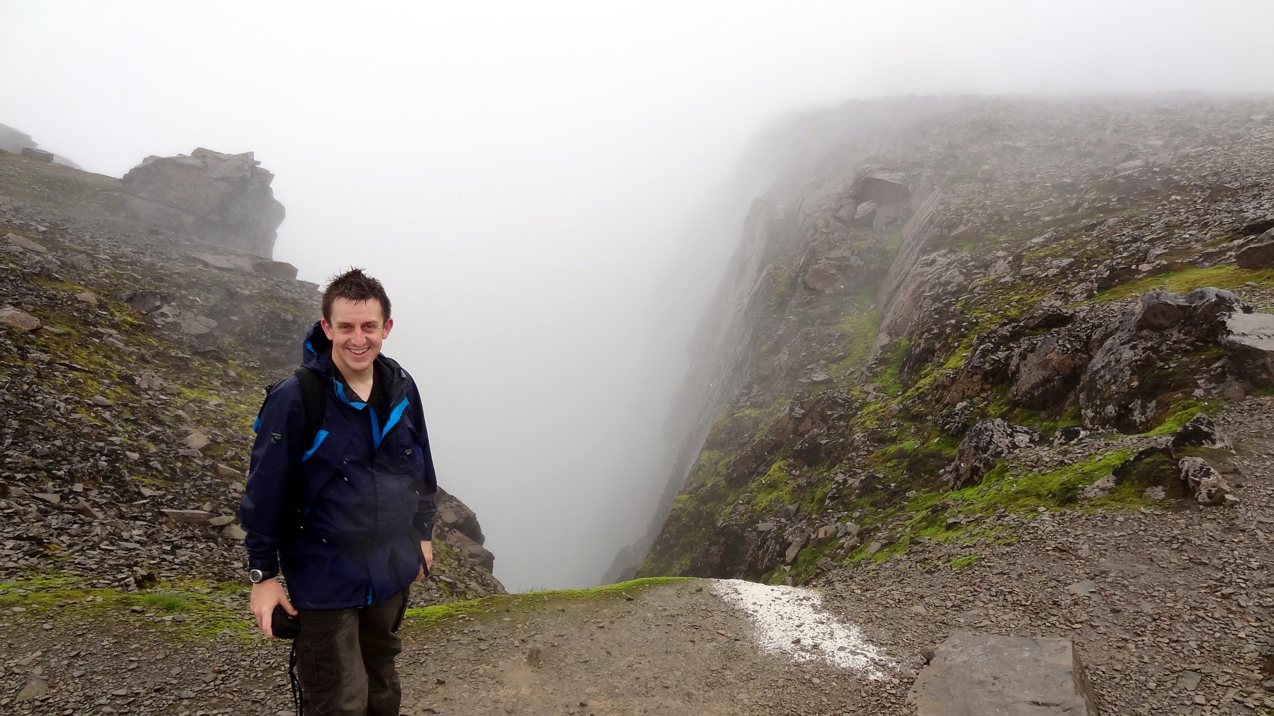
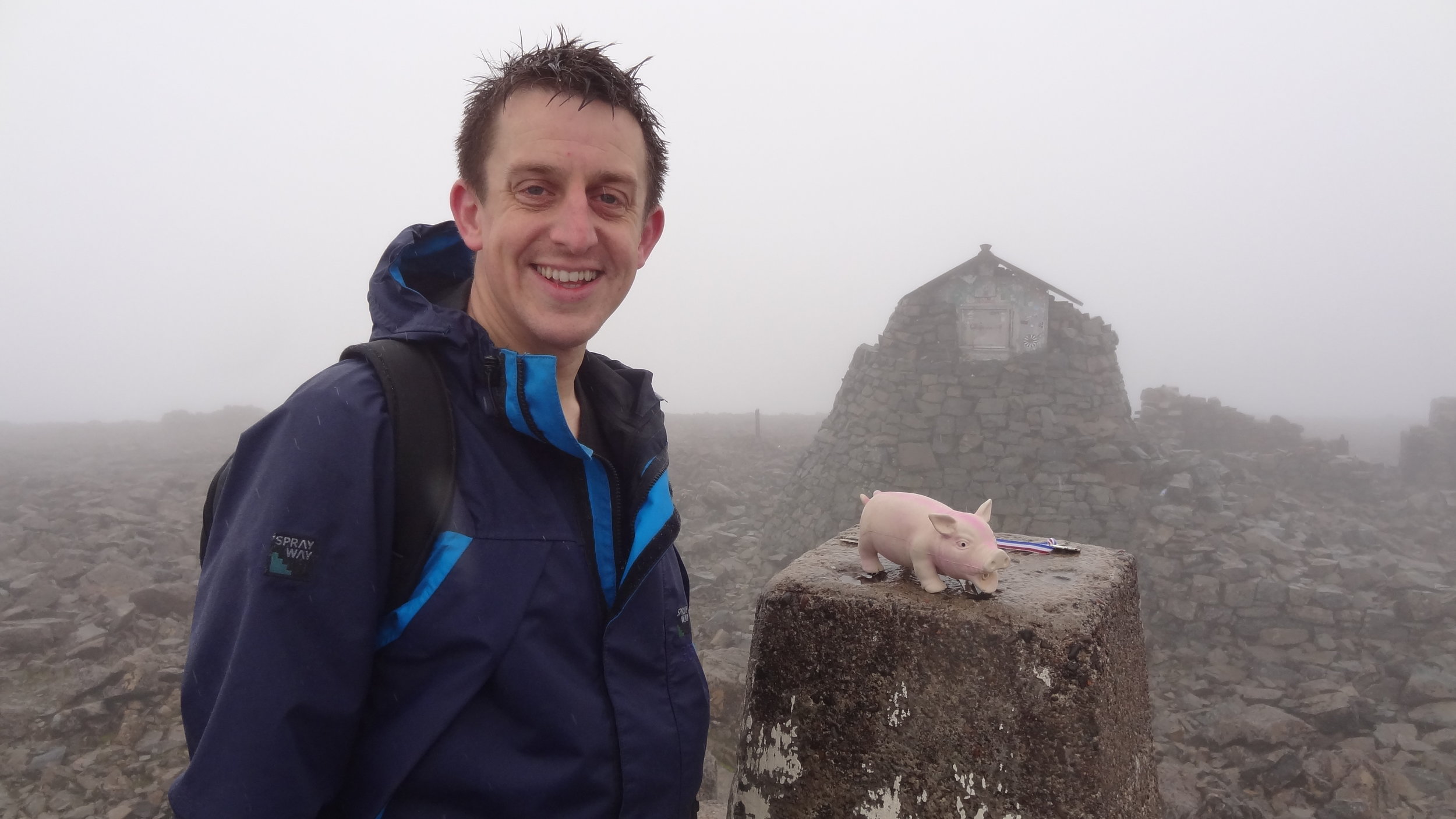
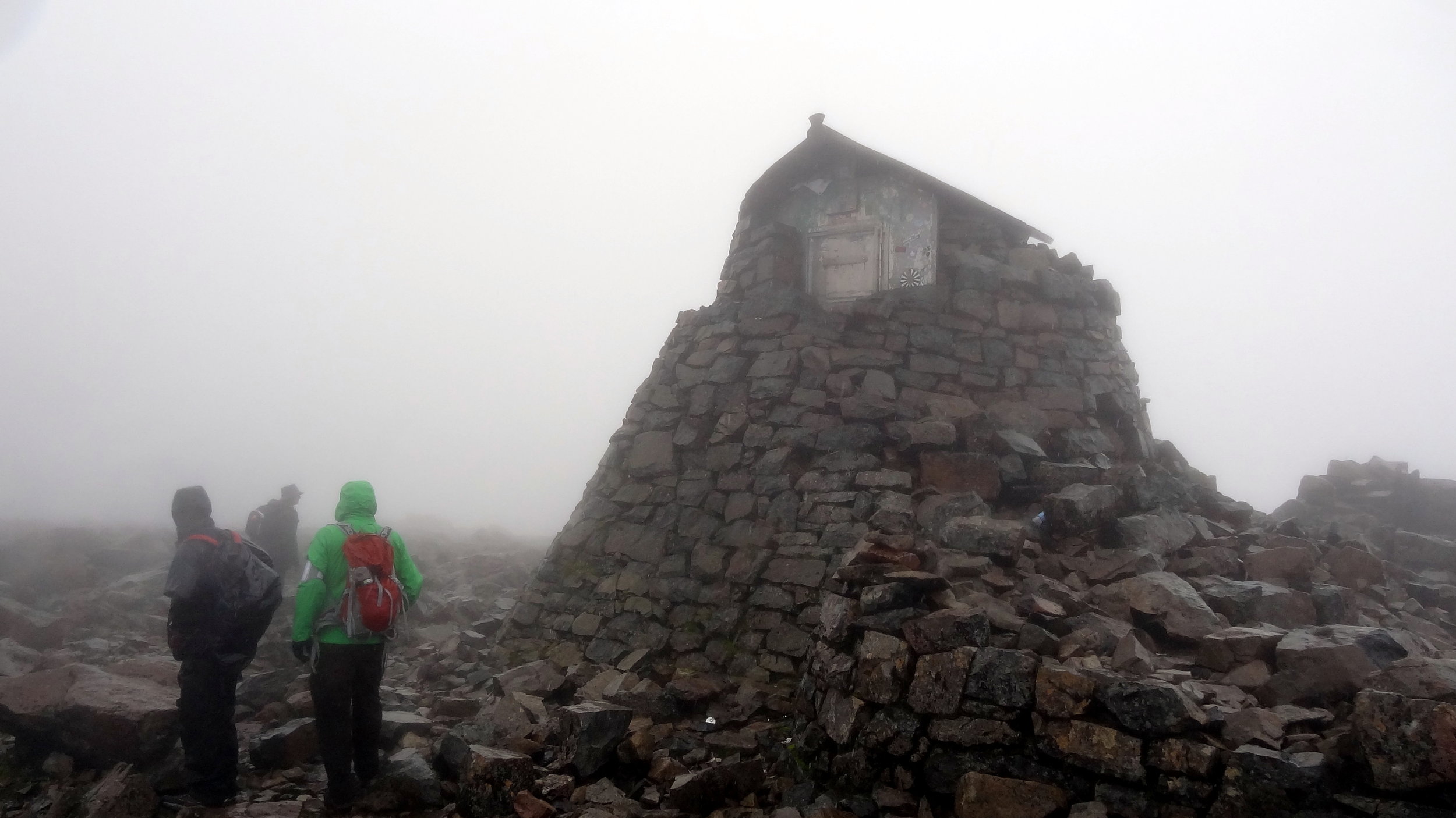
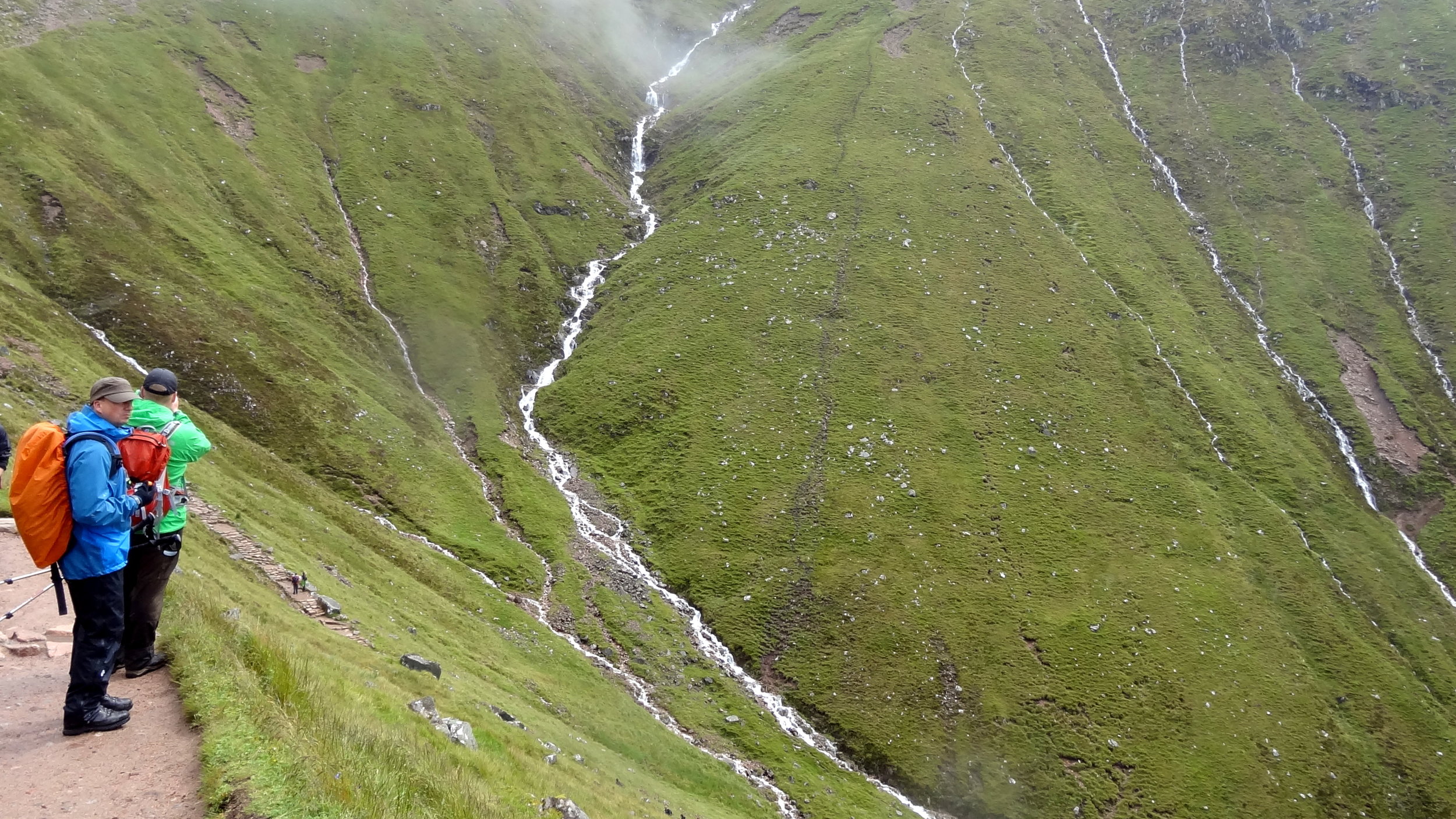
Unless you’re particularly adventurous and very experienced there’s one route up and down a Ben Nevis: The Pony Track. It’s a safe route with little navigation required. On both of my ascents the visibility at the top was extremely poor and the return from the summit to the track wasn’t obvious. Yes, it’s a relatively easy climb but don’t beget caught out and do all the usual mountain prep and precautions.


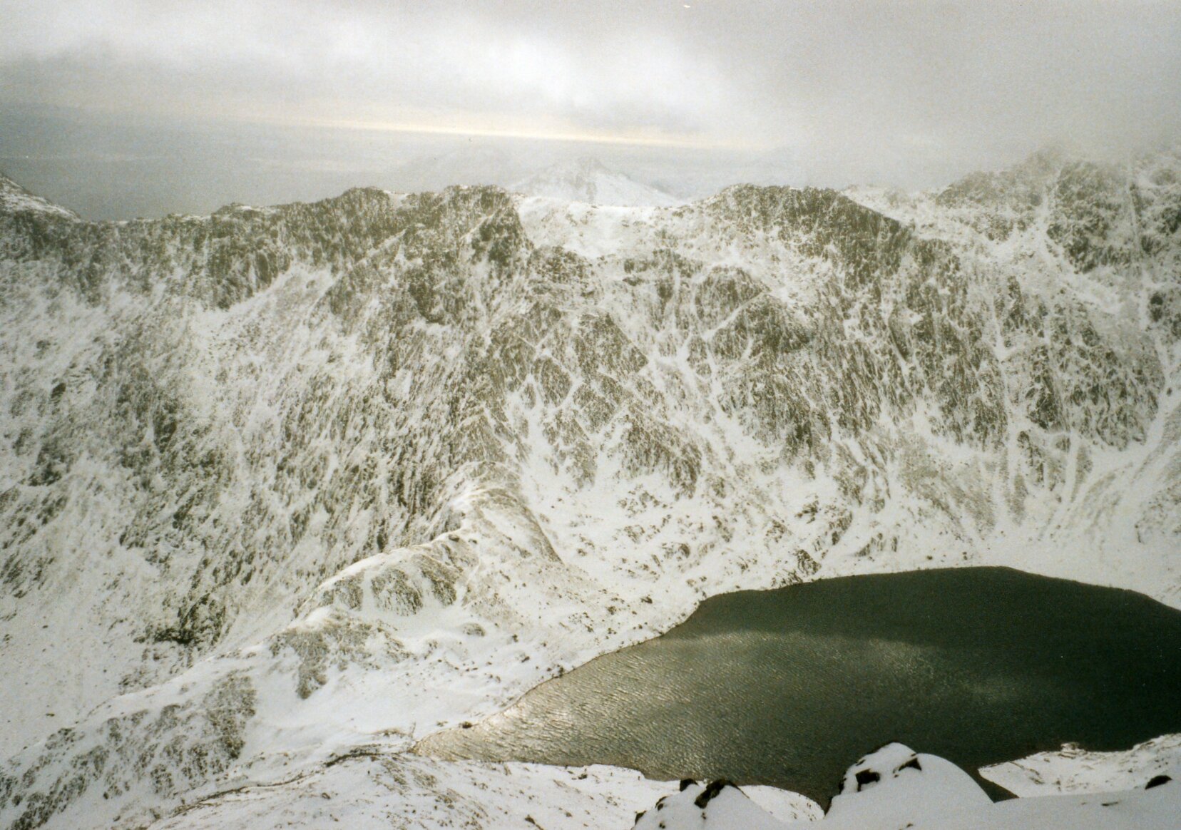
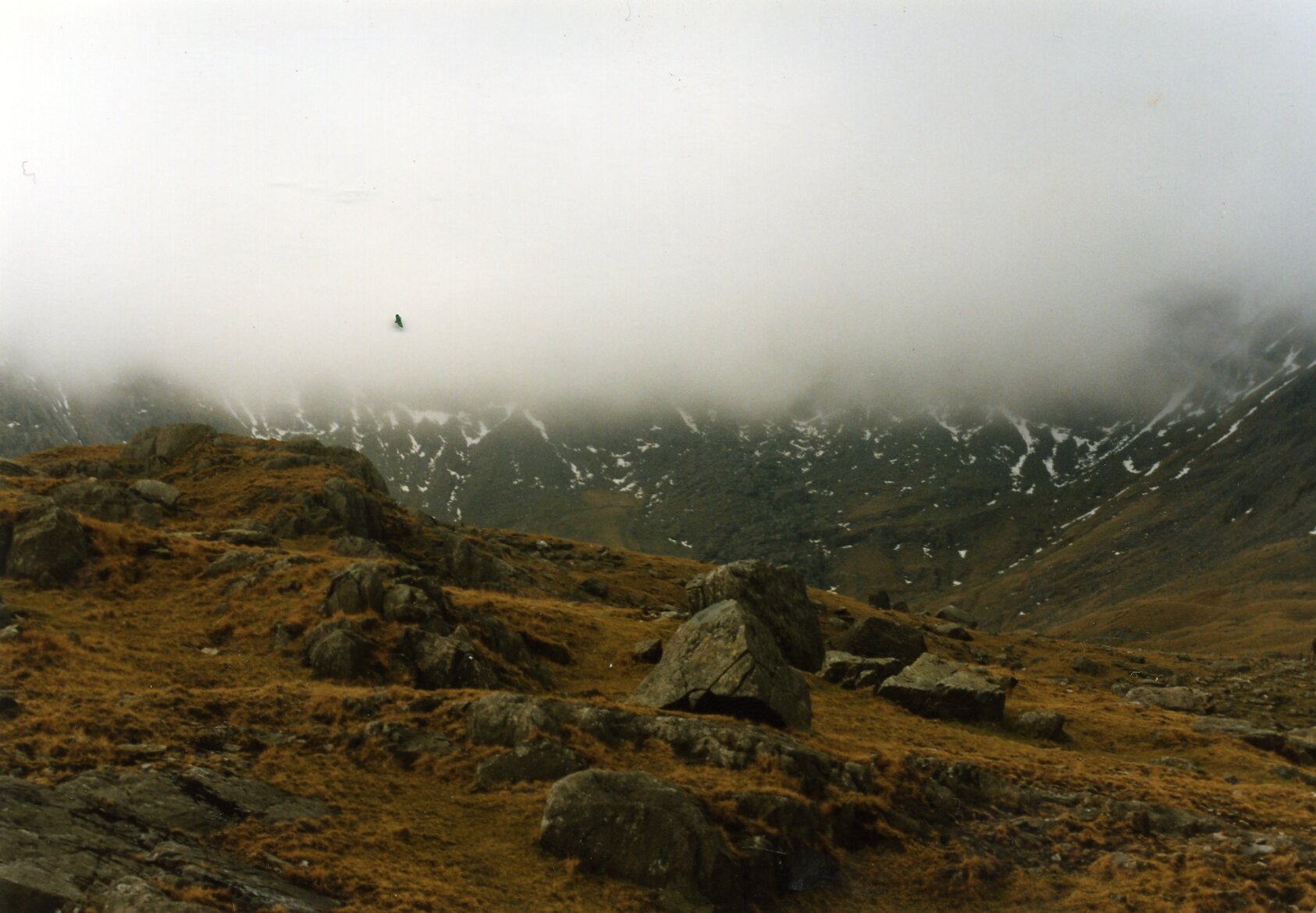
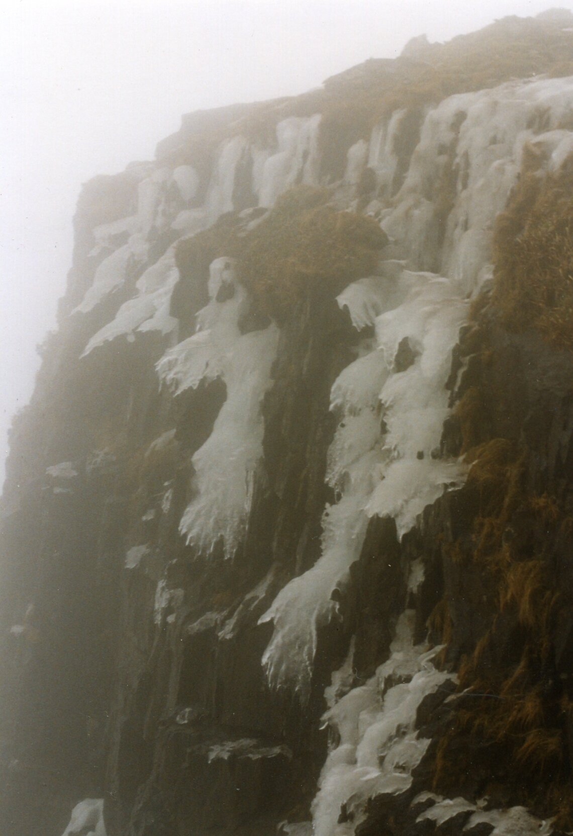
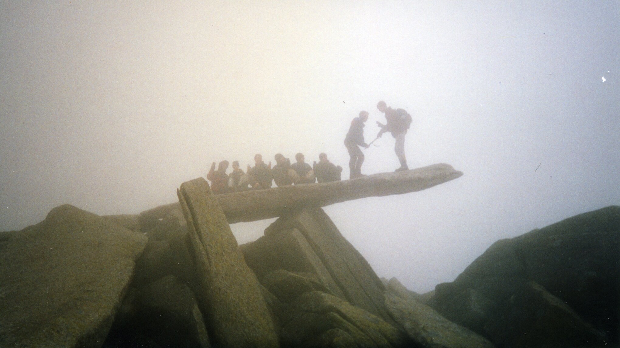
Tryfan & The Glyderau: a night to remember

I often brought up "Best Day / Worst Day" as a conversation starter on nights out. With a bit of alcohol it could often be quite revealing about newly found friends. Prior to my wedding day my own Best Day would vary. My Worst Day was always the same: the night we called out Mountain Rescue on the Glyderau.

Although I'd recounted the story many times I've not written about it until now, nearly 30 years later. It was the evening that drilled into me a respect of both the mountains and the need to prepare for any eventuality.

It was March 1993 and I was part of a group of Venture Scouts and leaders on a mountain leadership course. It was a mix of learning about mountain skills, practical experience and an end of winter social event.

While spring is emerging in a lot for the country, March is still very much winter in Snowdonia. Even in the best of weather this is a place where treks need careful consideration. In winter you really need your wits about you. Detailed planning, appropriate clothing, backup food and escape routes are all essential precautions.

As with the previous 2 years that I'd joined the trip, our main walk was Tryfan and the Glyderau. It's a challenging 10k circular walk taking in 3 summits between 918 and 1001 metres. Each year the weather had closed in and we descended early using our escape routes.

This particular year I was leading a group of 6. As usual we parked at Idwall Cottage Youth Hostel at the western end of Llyn Ogwen. Unlike previous attempts we took a clockwise route taking in Tryfan first.

Tryfan is a beast. From a distance it looks like Godzilla and is scary enough to put off many inexperienced hikers. Assuming you're a good scrambler with head for heights, it's relatively straightforward. By contrast we found that climbing Glyder Fawr via the Devil's Kitchen on previous trips much trickier.

We got up an over Tryan without problems and started heading south toward Glyder Fach. Here we met another group from the same course who had approached from the east on a different route. From here were were on the same route up and over the Glyderau. The other group were friends of ours and we came together as a larger group. This was the main mistake as it led to one large group travelling more slowly than two smaller ones. One girl in the other group was also having knee issues, adding more time to the ascent.

After submitting Glyder Fach the clouds came in. It was cold and we were clearly behind schedule. I made the decision to take the emergency route descending to the north from the next summit, Castell y Gwynt. The route was clear, but had several steep sections. The group stuck together, helping each other down. It was safe but slow.

By 16:00 we were not far from the bottom of the mountain. What lay in the middle was a stream and a waterfall over a short but steep cliffs. It would have been doable earlier in the day, but light was quickly fading and it was clear that we were not going to get 14 of us down safely.

The plan was for two of us to make our way down the waterfall to the car park and call for help. The others would stay where they were with two of the oldest in the group in charge to keep them together. They had enough food and clothing so would have been fine as long as they didn't leave that spot.

Chris and I slowly made our way down the waterfall. The rocks were sharp and my trousers got snagged on a few, ripping a large hole in the back. Not far from the base of the falls we found the path that followed the east side of Llyn Idwal to the car park.

By now it was clear to the leaders at the base that we were long past our planned finish time. We met one of those leaders half way back along the lake path as he had come to find us. We took him back to the base of the waterfall to show him where we had come down. The group was not far up and we could clearly see their torch lights.

Chris and I were taken back to the bunkhouse to wait there until the others could be brought down. Meanwhile 17 members of Ogwen Mountain Rescue stopped whatever they were doing that evening and and headed to Llyn Idwal.

The 5 hours between us getting to the bunkhouse and the first of the others returning were nerve-racking. We were safe, but what about the others? They seemed safe enough where we left them but what if they moved and fell? What if something went wrong when they were being helped down? My mind played out the aftermath of a worst case scenario. This was what makes it easy for me to pick this as my Worst Day.

The others slowly came down and arrived at the bunkhouse from 02:00 in the morning. One girl had been screaming and was freaking out the others. They got her down and back first. The others came back by 03:30. Everyone was safe and relieved to be back in the warm.

Everyone went through their own process of closure. There was the inevitable inquest run the local Scout region. Some of us did some fund raising for Ogwen Mountain Rescue, this time on the significantly flatter Thames Path. Four of us had a need to complete the route, although doing it in winter wasn't a criteria. We returned in the summer on a clear dry day and finished the full 10k circuit without a hitch.

The main legacy for me is in my approach to the mountains. I've done a walking leadership course at Plas-y-Brenin, got better equipment, maps and GPS devices. I only go in smaller groups and in summer conditions. I save the more challenging routes for times when I'm part of a group that's being lead by a qualified guide. Maybe it was my Worst Day, but for the lessons that lead to all the safe treks that I've enjoyed since then, it could be one of the best.
Tryfan

Member of: Marilyn Hewitt, Welsh 3000, Nuttall, Furth
Parent Peak: Glyder Fawr
Elevation: 917m
Coordinates: 53° 6' 54'' N, 3° 59' 51'' W
Links: Wikipedia / Peakbagger / Hillbagging / National Trust


Glyder Fawr

Member of: Marilyn, Hewitt, Welsh 3000s, Nuttall, Furth
Parent Peak: Snowdon
Elevation: 1001m
Coordinates: 53° 6' 5'' N, 4° 1' 45'' W
Links: Wikipedia / Peakbagger / Hillbagging

Glyder Fach

Member of: Hewitt, Welsh 3000s, Nuttall, Furth
Parent Peak: Glyder Fawr
Elevation: 994m
Coordinates: 53° 6' 17'' N, 4° 0' 30'' W
Links: Wikipedia / Peakbagger / Hillbagging


The Route - all peaks

Route Start / End: Ogwen Car Park, Bethesda, Bangor, LL57 3LZ
Route Distance: 9.8km (6 miles)
Route Elevation Change: +/- 857m
Subsidiary tops on route: Castell y Gwynt (972m)
GPX File: get via Buy Me a Coffee
Other routes touched: Welsh 3000s, Snowdonia Slate Trail


route-37149331-map-full  - Tryfan Glyderau.png
elevation_profile - Tryfan Glyderau.jpg