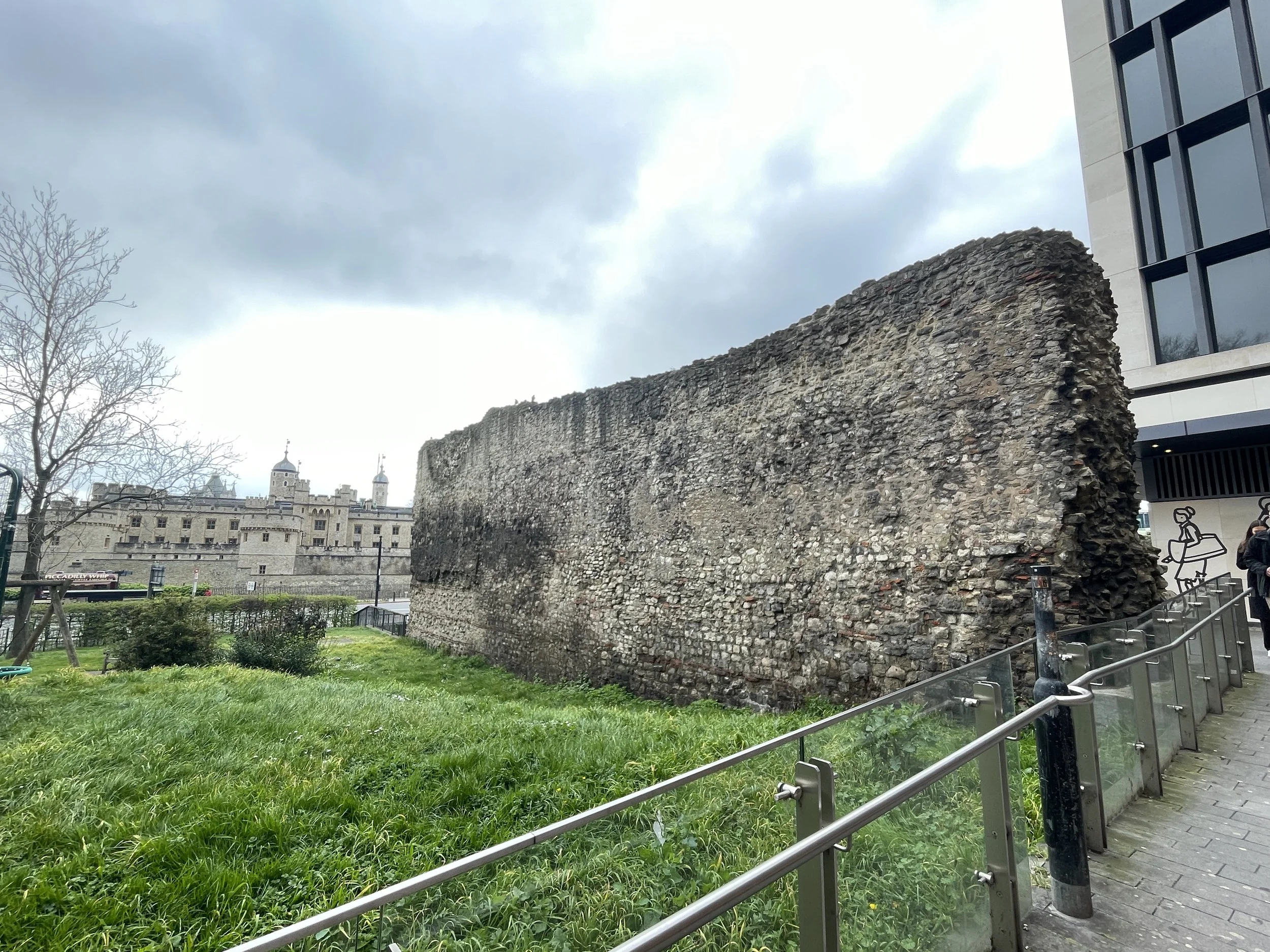
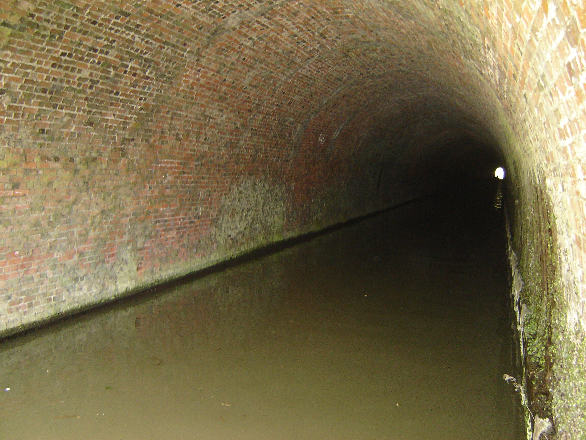
View to the city on the northern section
Start & Finish: Old Deer Park Car Park, Park Lane, Richmond, TW9 2RA
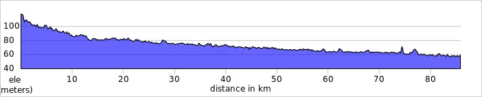
Distance: 127 km / 79 miles
Elevation Change: + / - 1,017m
GPX File: get via Buy Me a Coffee
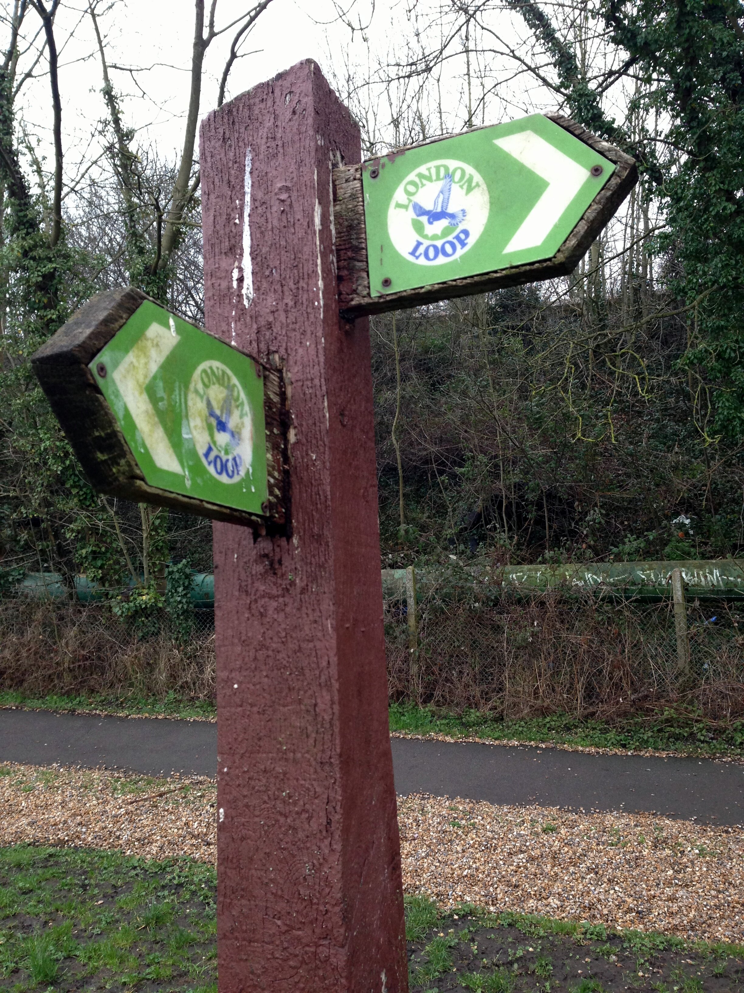
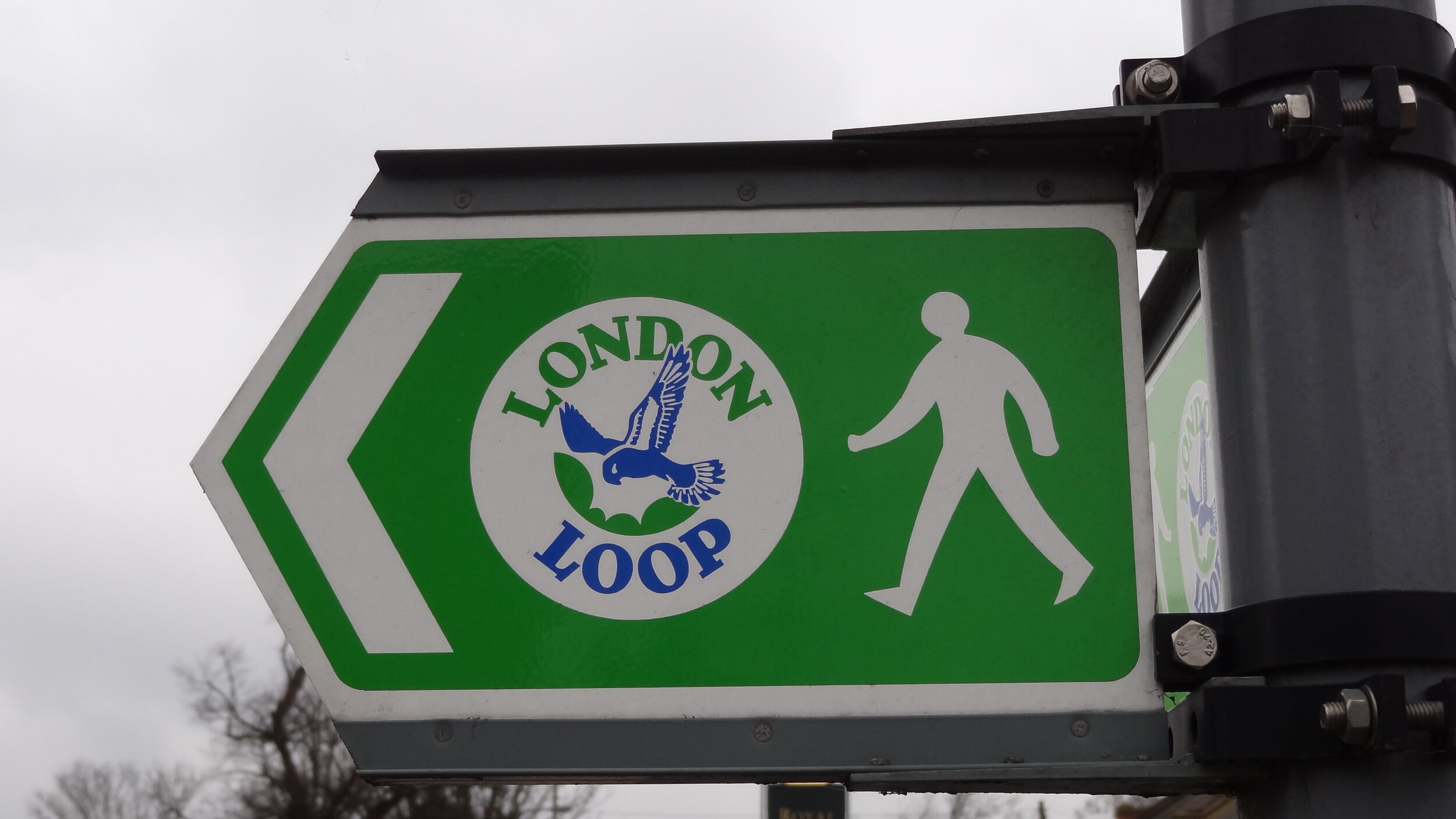
Other Routes Touched (Walk): Thames Path, Wandle Trail, Green Chain Walk, King John’s Walk, Explore Charlton Trail, Jubilee Greenway, The Greenway, Lea Canal Towpath, Lea Valley Walk, New River Path, Grand Union Canal Towpath
Other Routes Touched (Cycle): NCN 1, 13, 20, 21, 4 / CS 1, 2, 3
Guidebook: The Capital Ring by Colin Saunders. Arum Press.
Maps:
- OS Explorer Map (161) London South, Westminster, Greenwich, Croydon, Esher & Twickenham
- OS Explorer Map (173) London North, The City, West End, Enfield, Ealing, Harrow & Watford
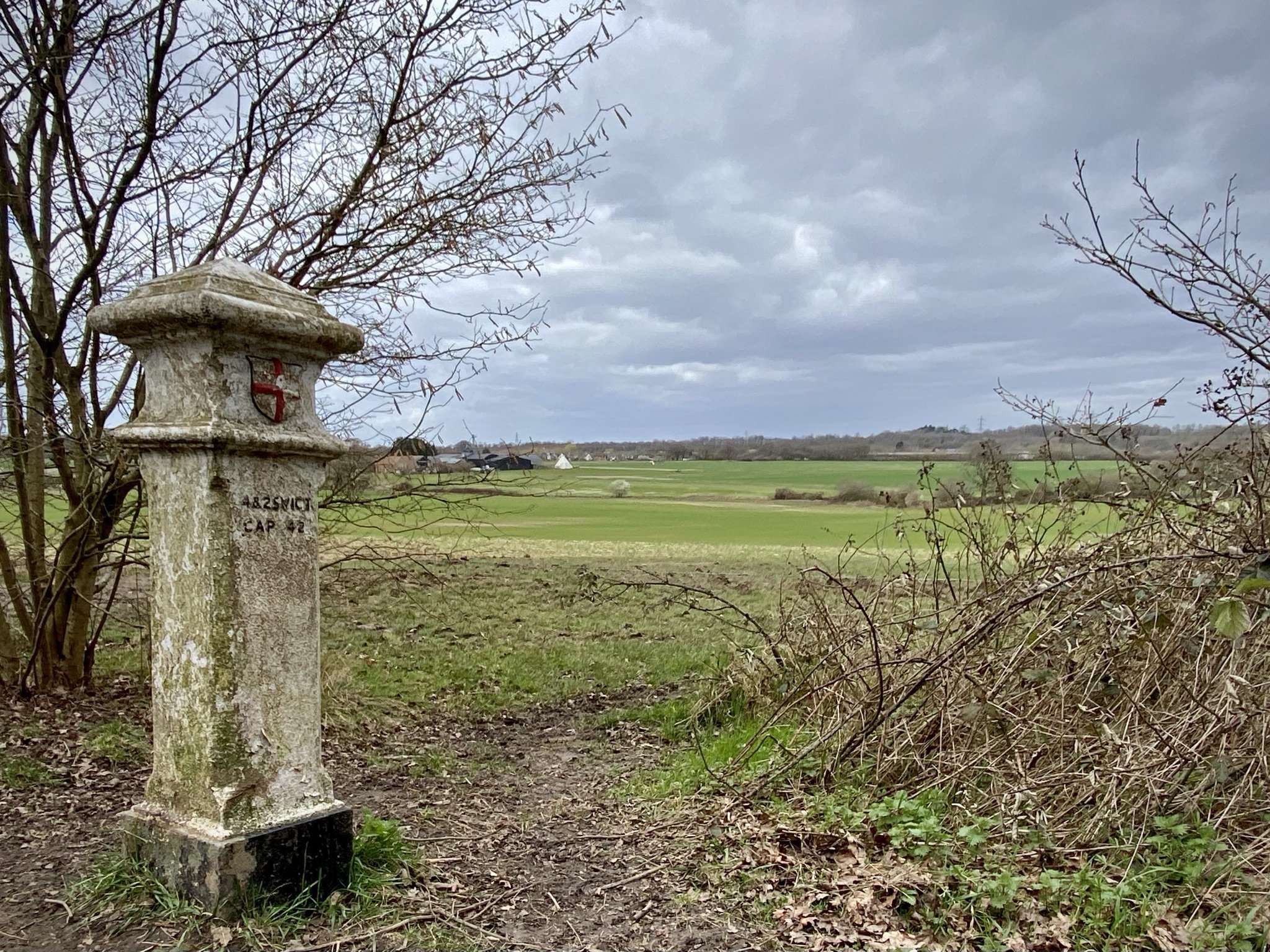
The Capital Ring is a 78 mile walking route circling inner and central London. It was established in 2005 as a continuous signposted route that takes in many of London’s parks and green spaces. Whilst there are many books and articles detailing how to walk it, there’s very little in the way of advice for cyclists. That’s probably intentional as some parts, particularly Richmond Park and Wimbledon Common, specifically prohibit cycling along the route.
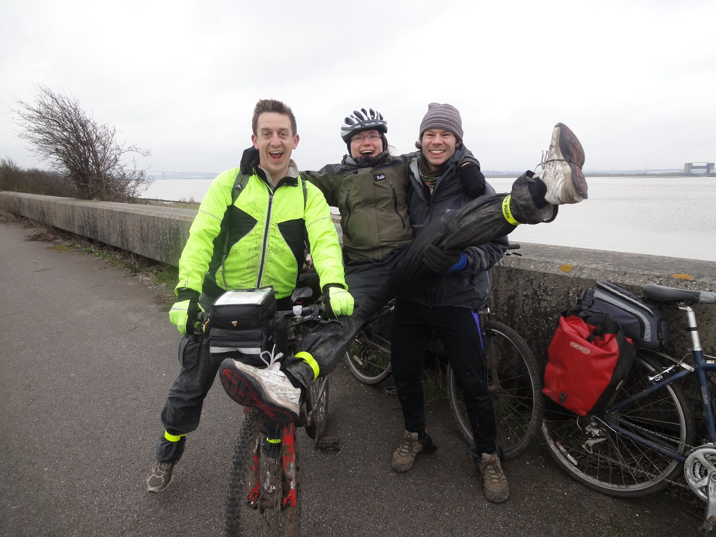
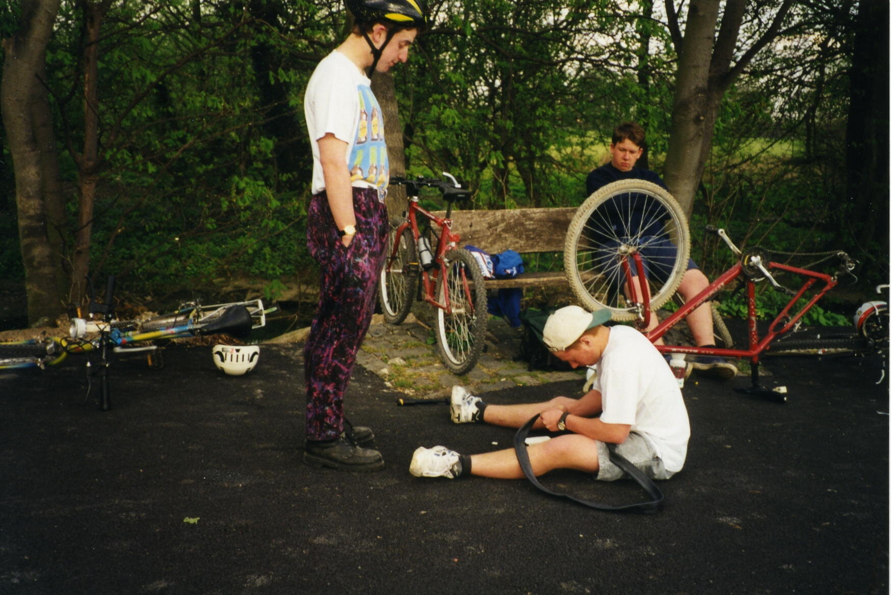
My first attempt at cycling the Capital Ring was in 2013, 6 months after a successful 2-day adventure on its big sister, the 150 mile London Loop. Having found the Loop relatively straightforward I considered the Ring to be easy. My first attempt with 2 friends failed spectacularly with a combination of my ineffective navigation, Brian’s broken bike and Ray’s broken body. A broken chain en-route to the start and some confusion over the meet-up point meant an 11 am start, far too late for a 70+ miler on an autumn day. We decided to see how far we could get and less than 20 miles in we realised it wasn’t going to happen. We ended up with a smaller 45 mile trip. A nice day but we hadn’t conquered the Capital Ring.
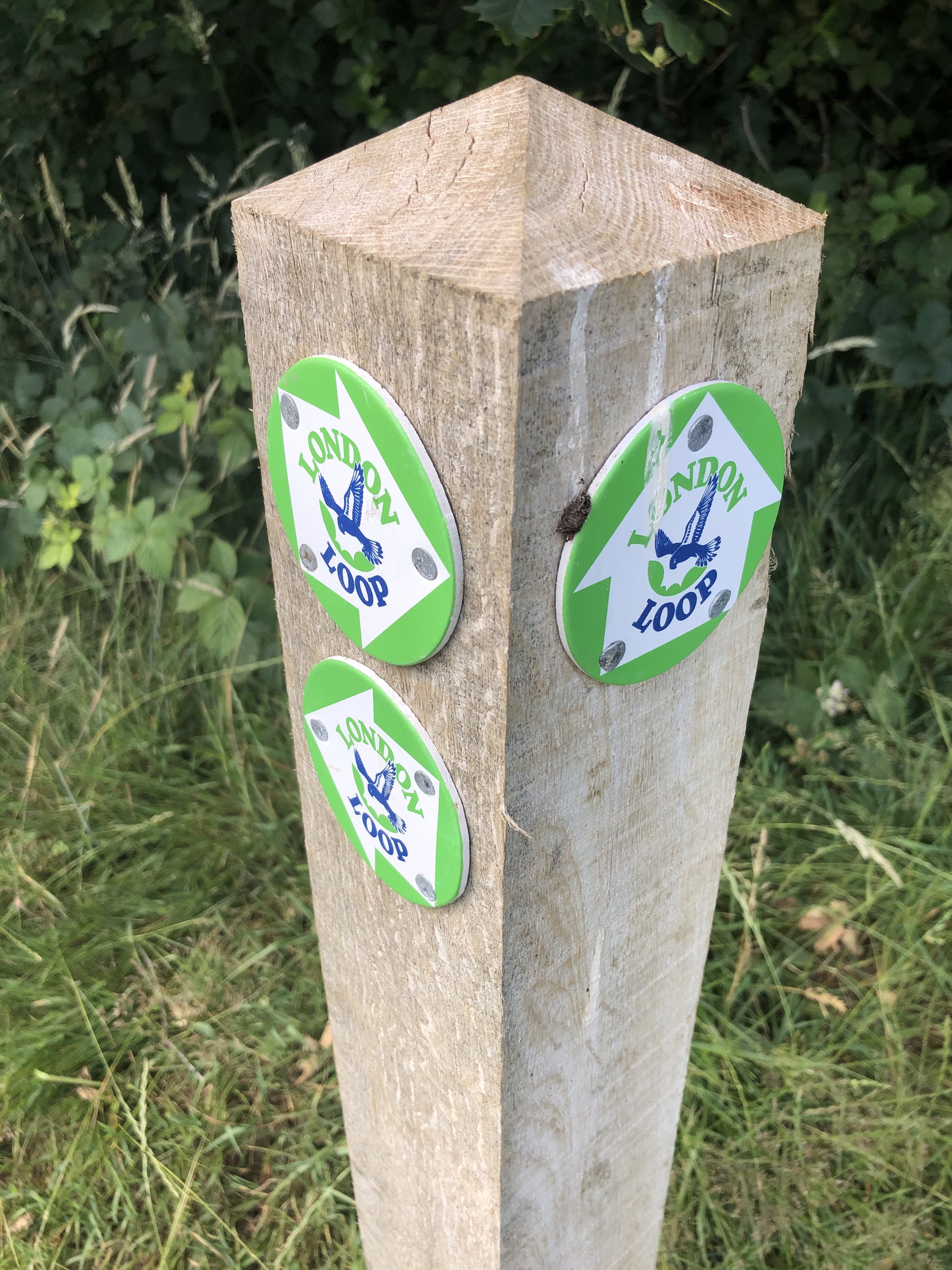
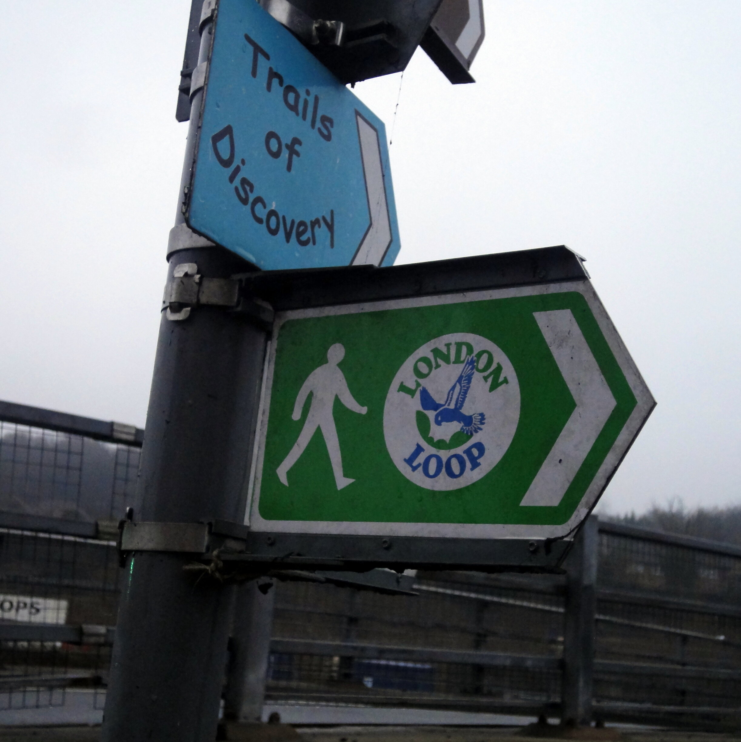
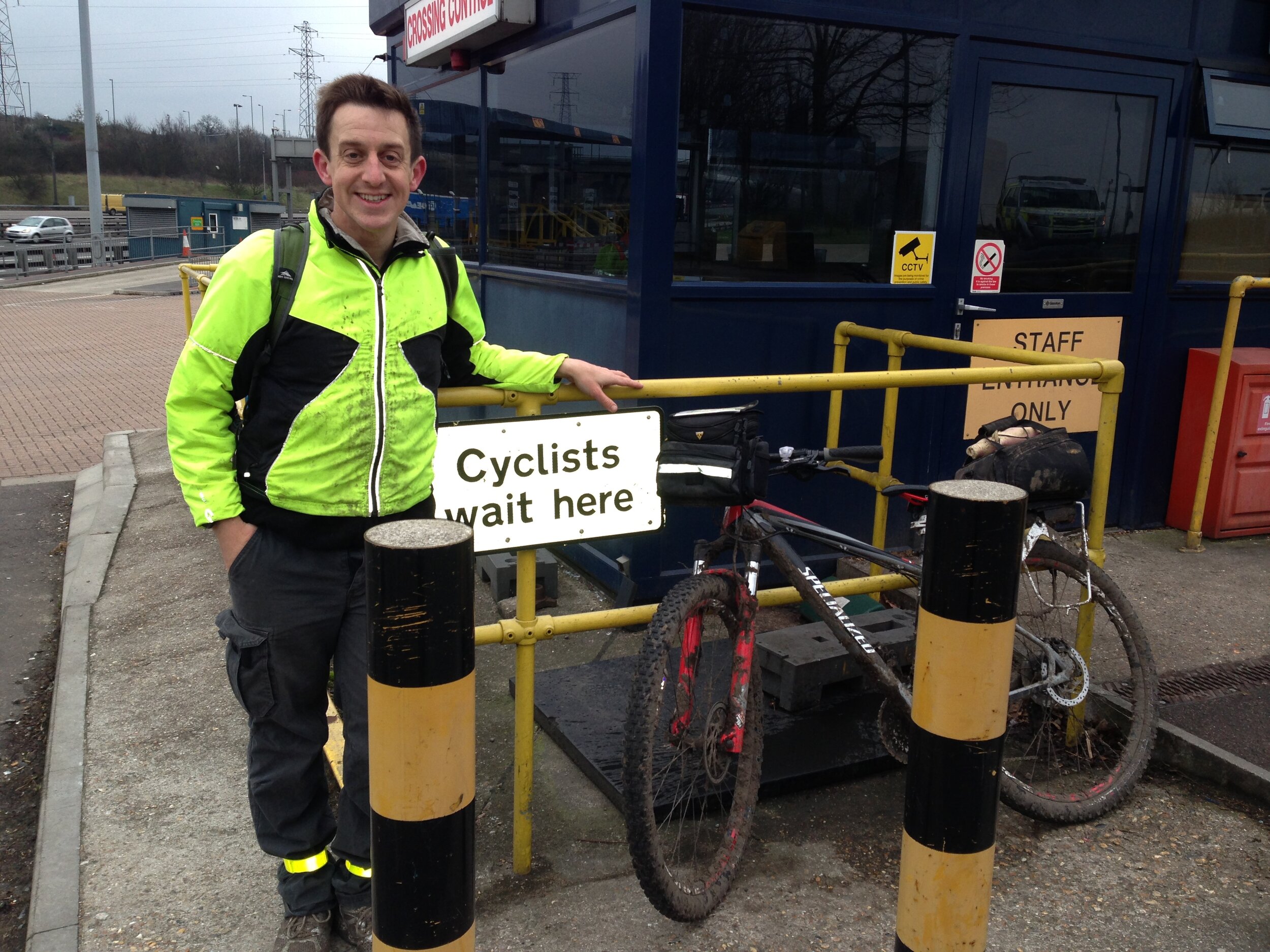
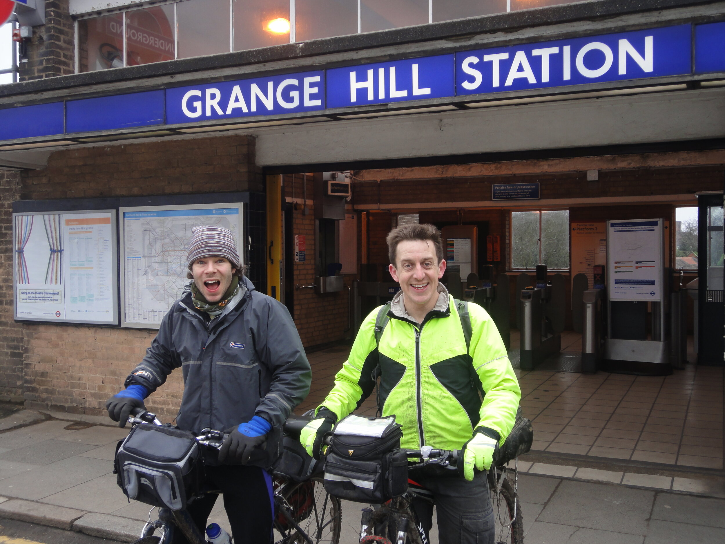
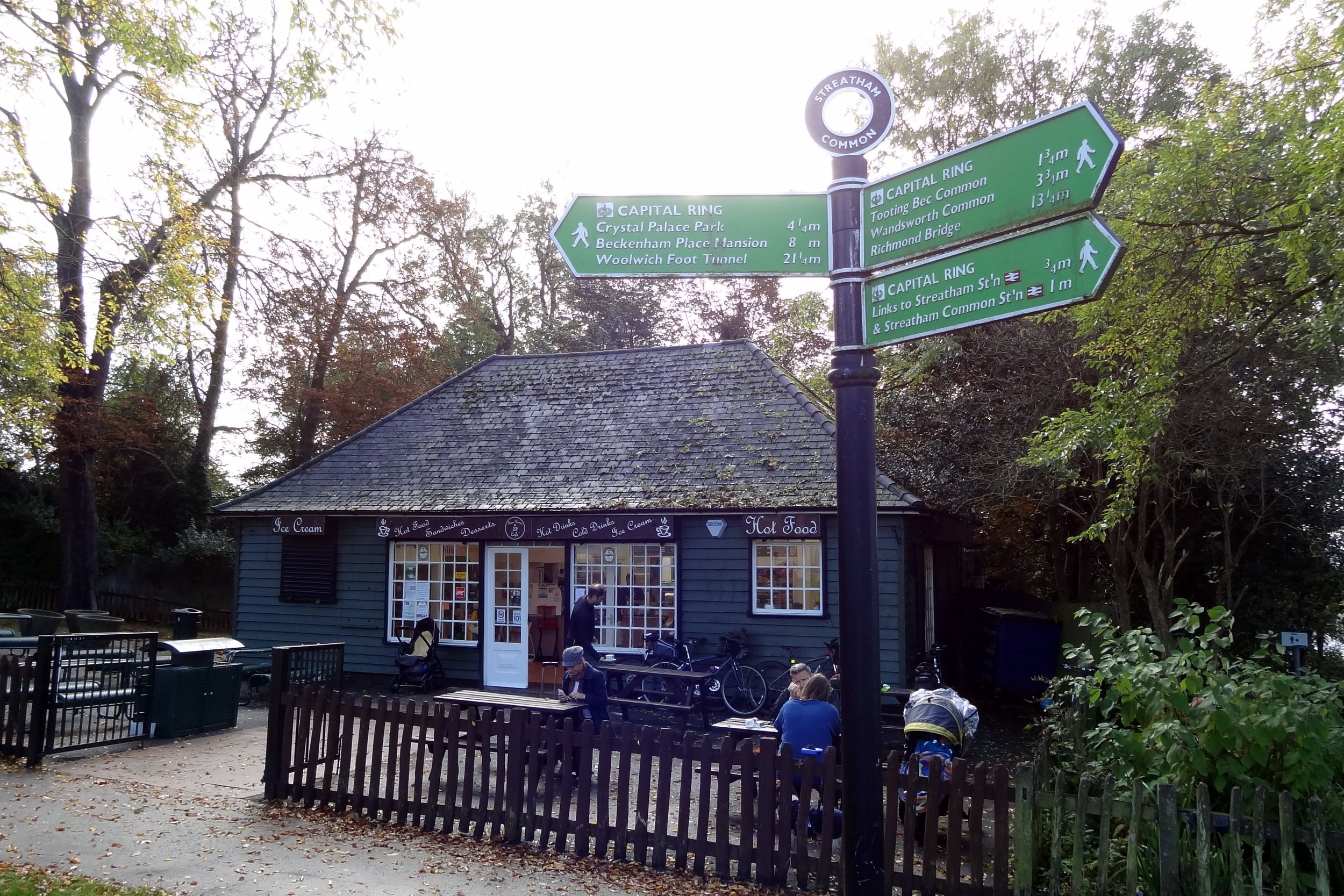
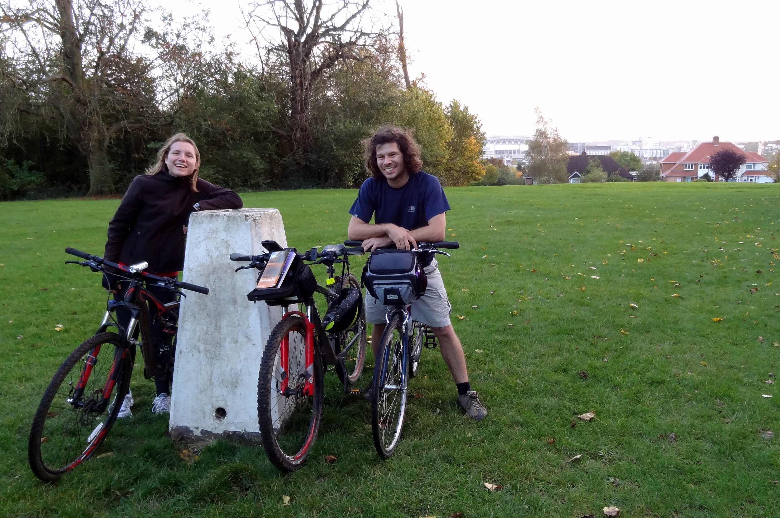
I’d learnt my navigation lesson by the 2nd attempt 1 year later. Previously I’d been relying only on Colin Saunders’ excellent guide to the route. It's appropriately detailed and, whilst great for walkers, it's not something that you can read whilst cycling at speed. Although the route is well signposted it'seasy to miss the signs every now and then. The solution for attempt 2 was a handlebar mounted iPhone case and a cycling app with a GPX file of the route. This was the single most important reason that we were able to complete the route in a day.
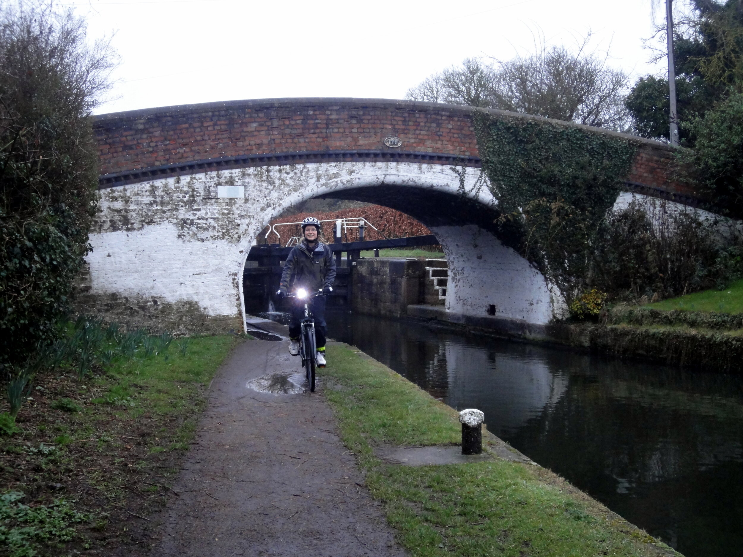
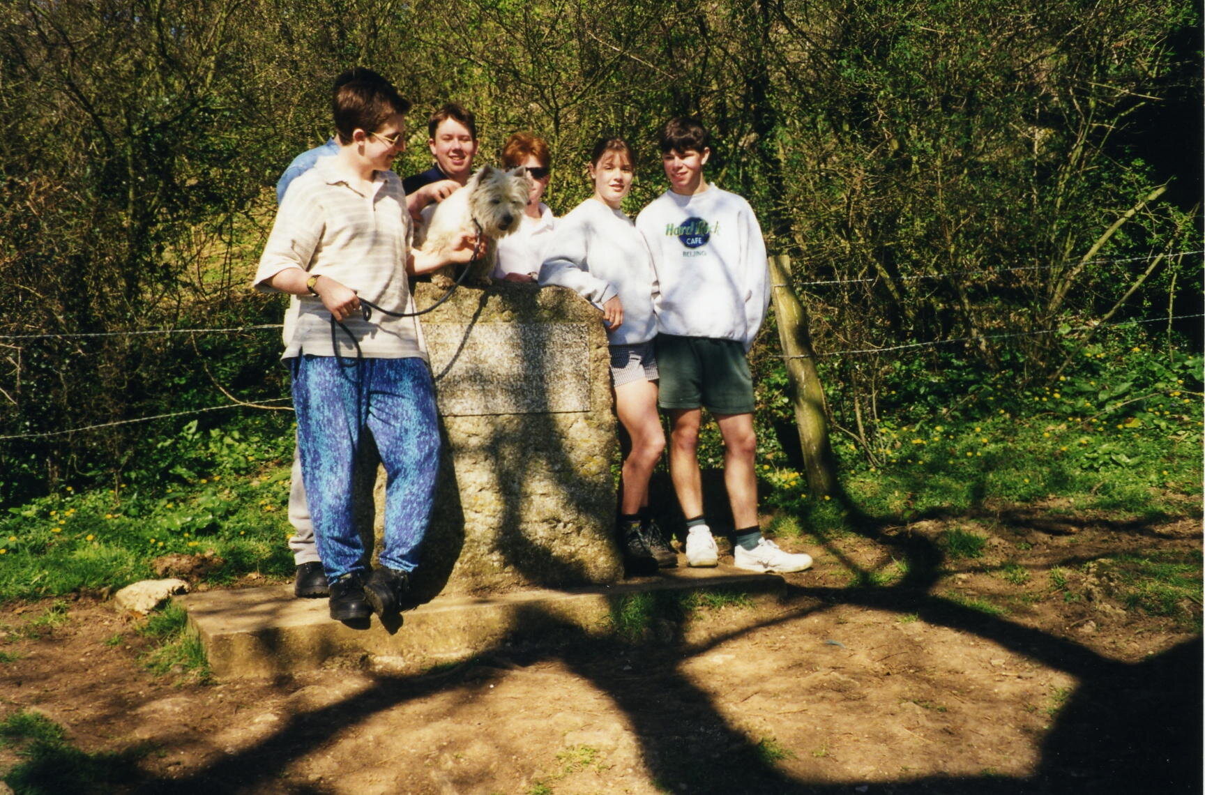
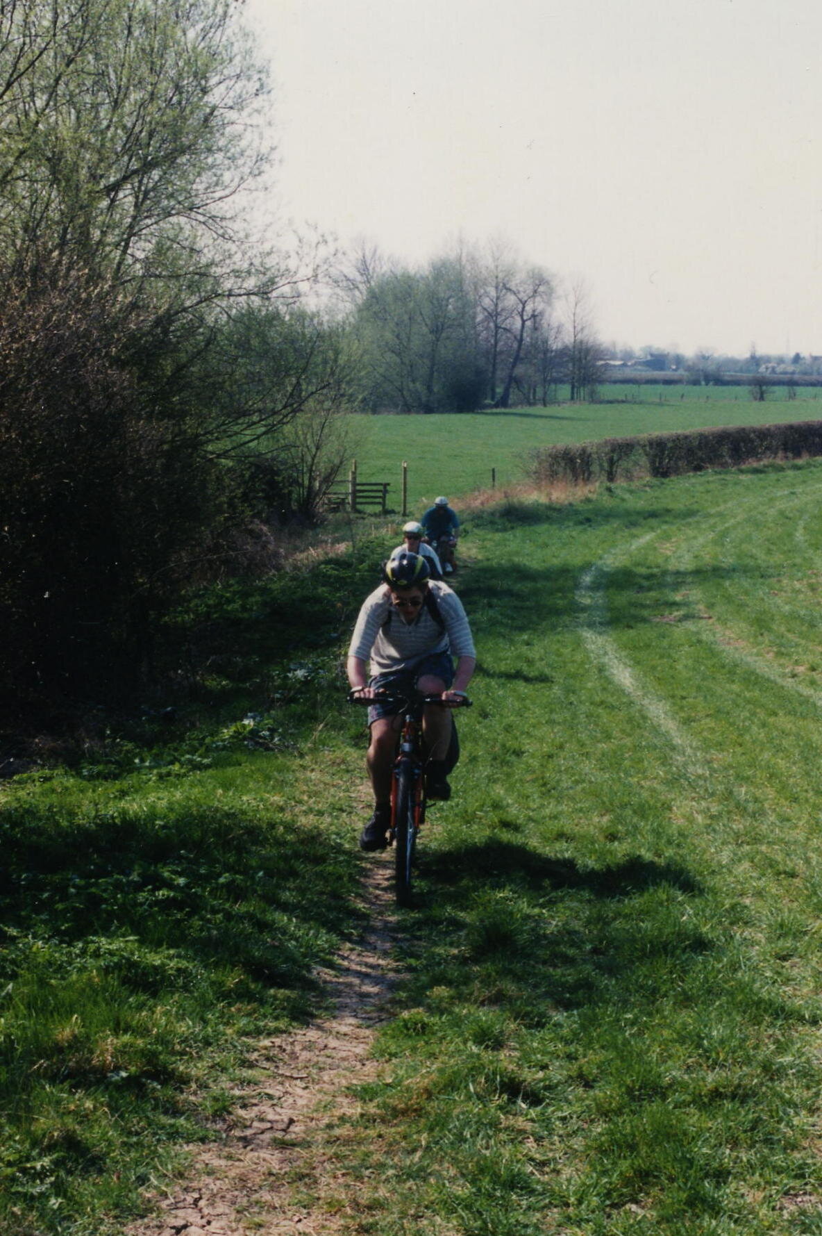
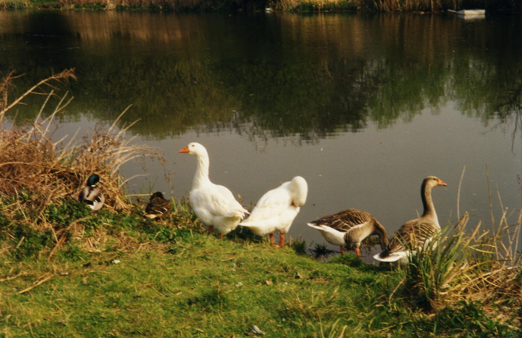
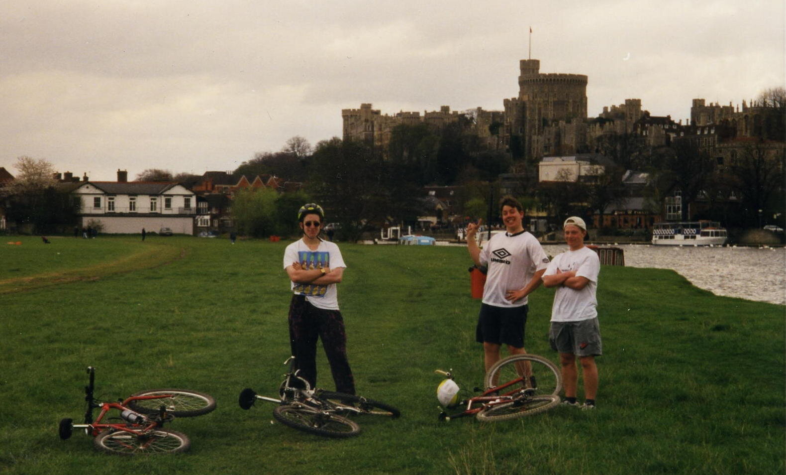
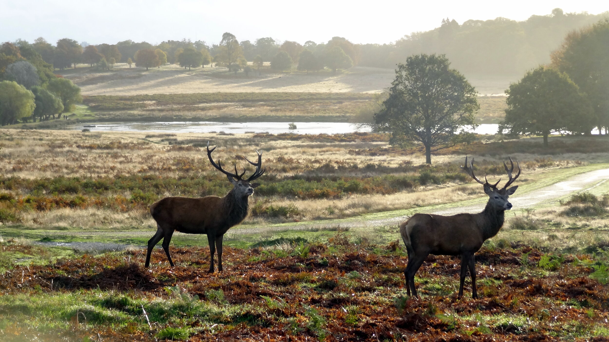
The route itself is a well thought-out mix of some well-known and unfamiliar parts of London. Although the official start is the Woolwich tunnel on the eastern side, you can pick it up wherever you want. We started on the far west at Richmond Bridge going anti-clockwise. This gave us some amazing early-morning views across Richmond Park and some great photo opportunities with the deer. The official Capital Ring route through the park prohibits cycling so its important to take a detour here to avoid annoying the early morning walkers and the potential £50 fine for cycling on the wrong paths.
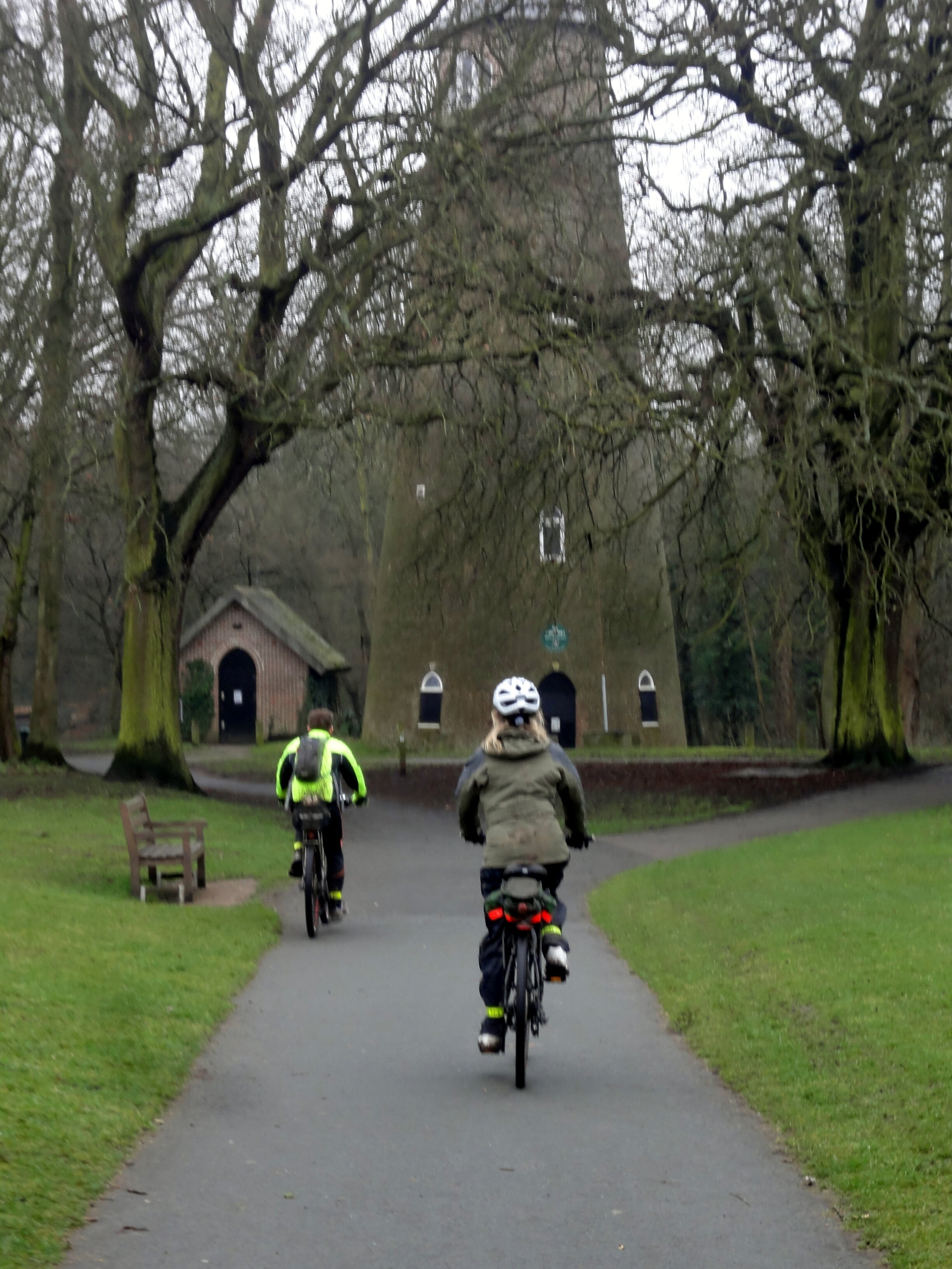
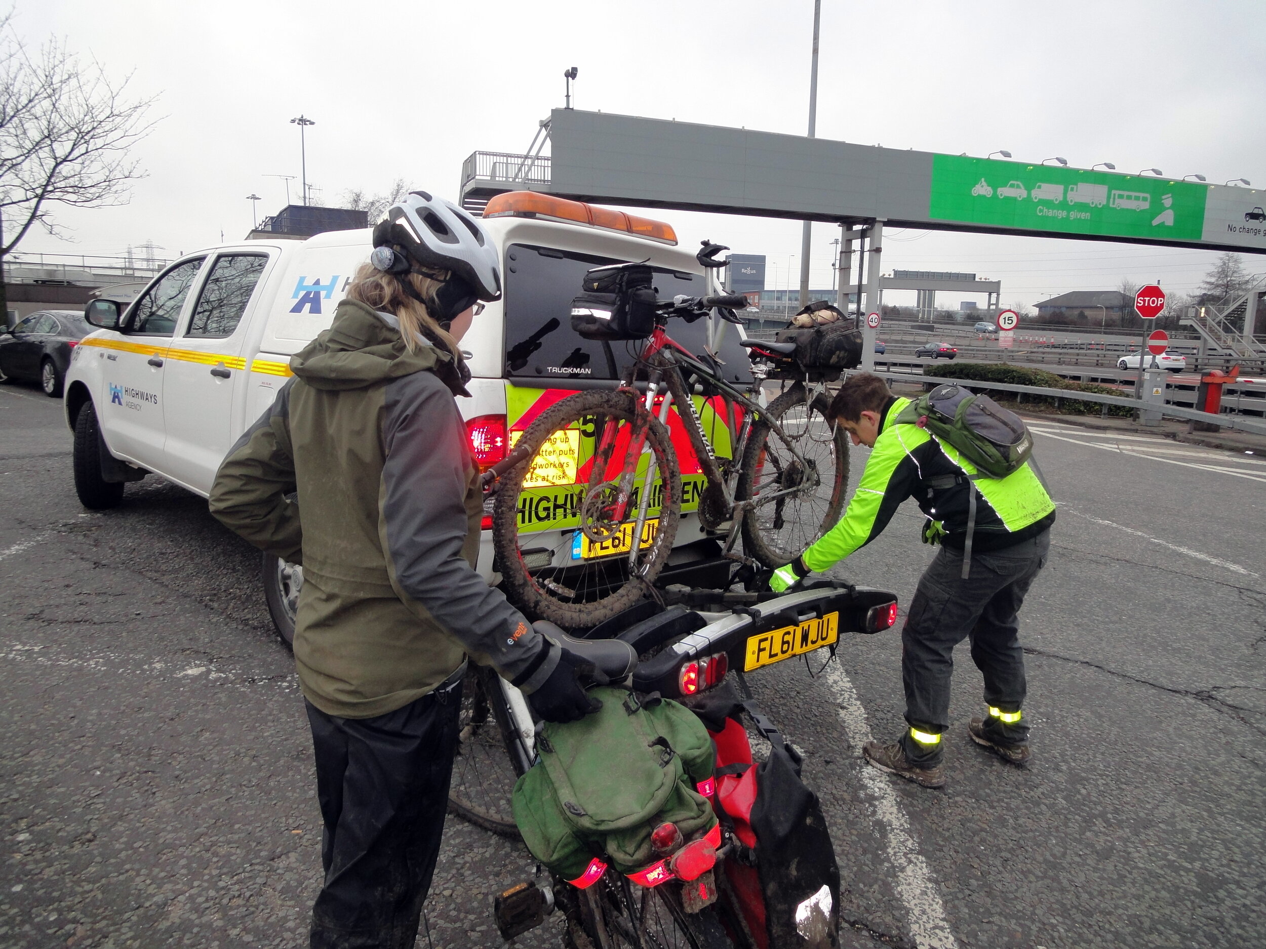
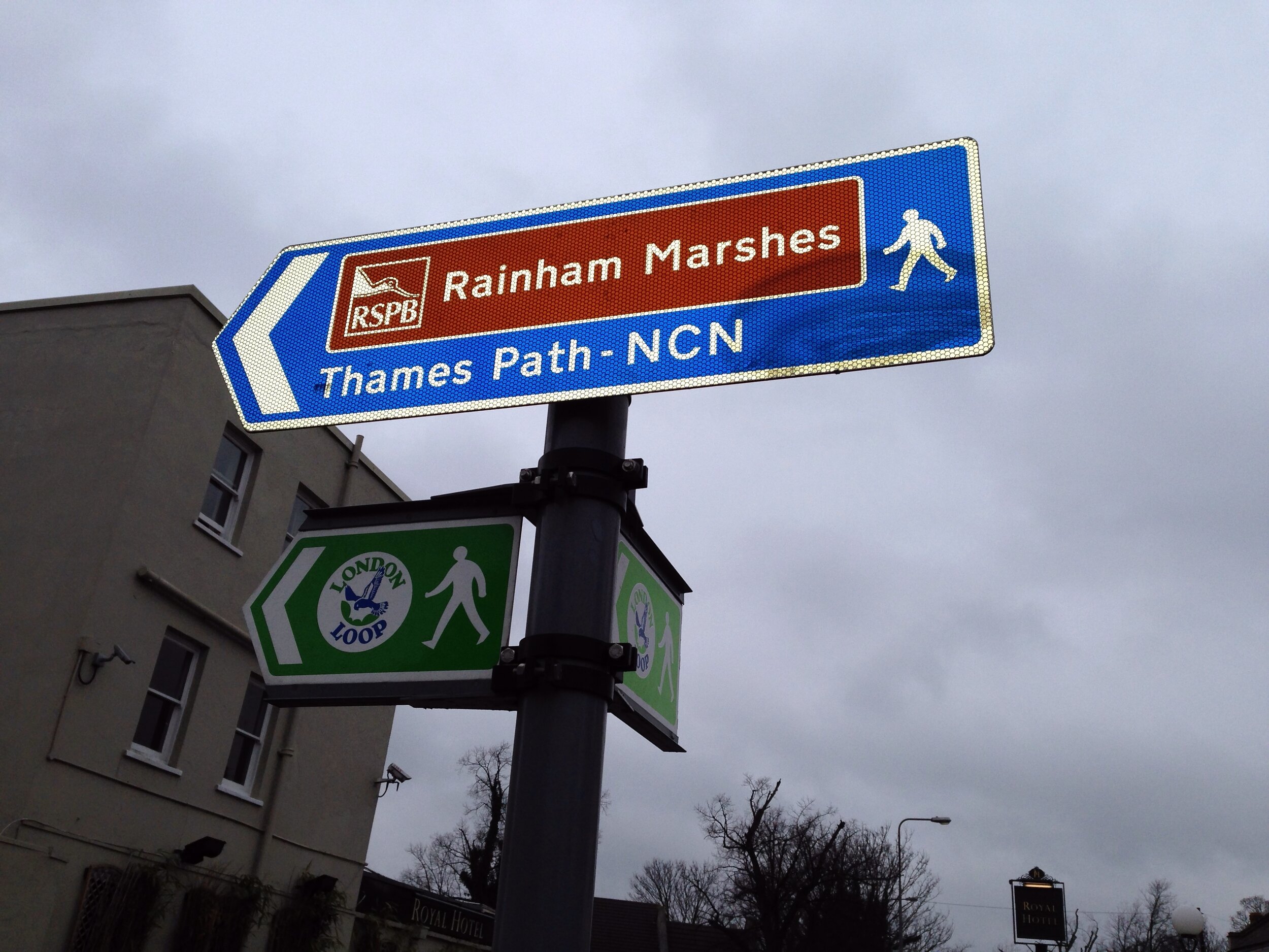
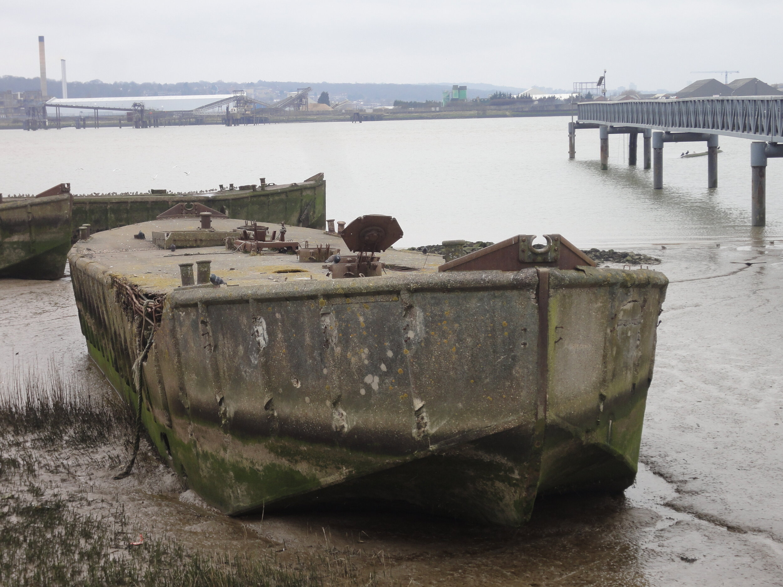
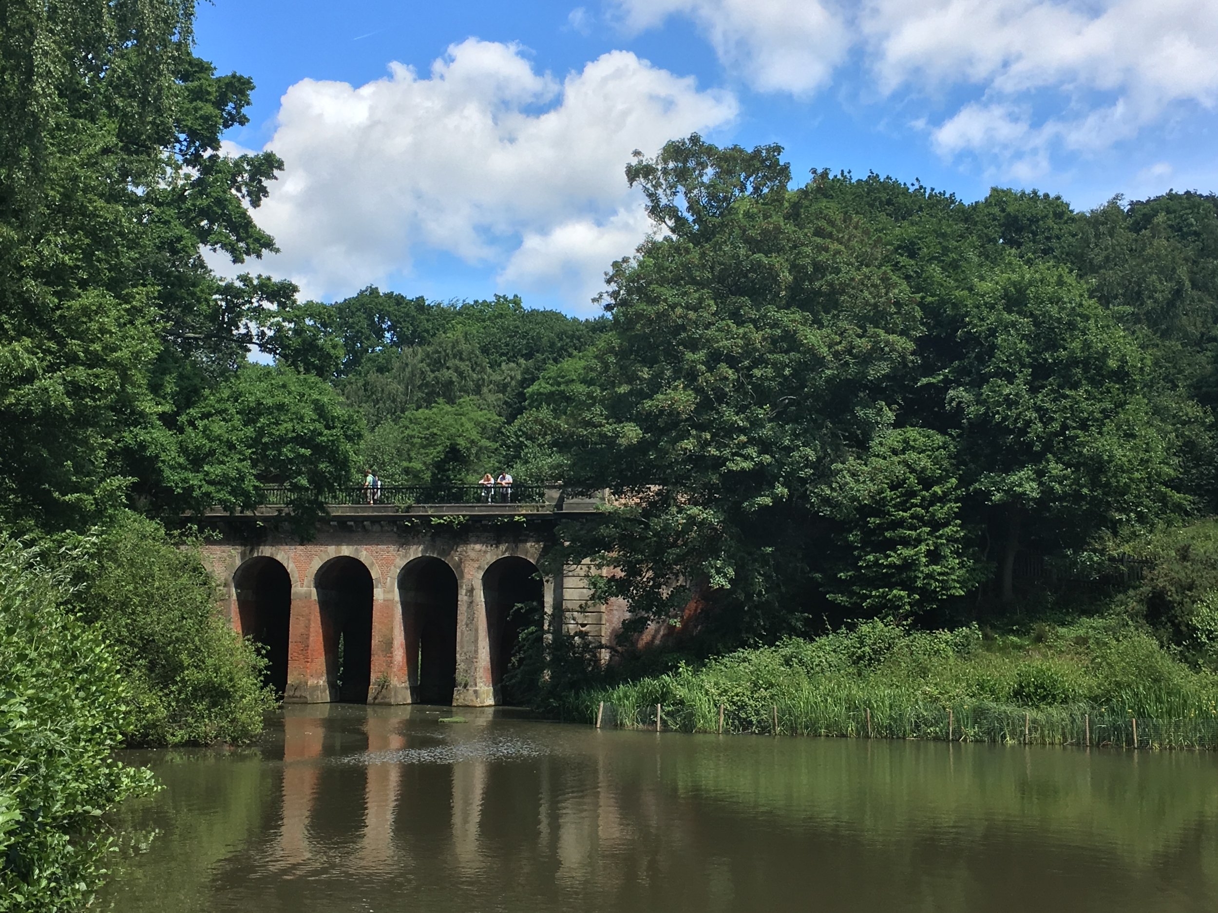
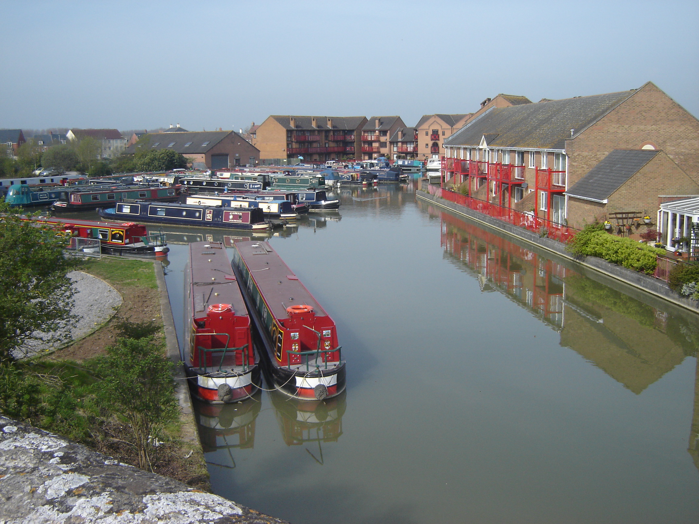
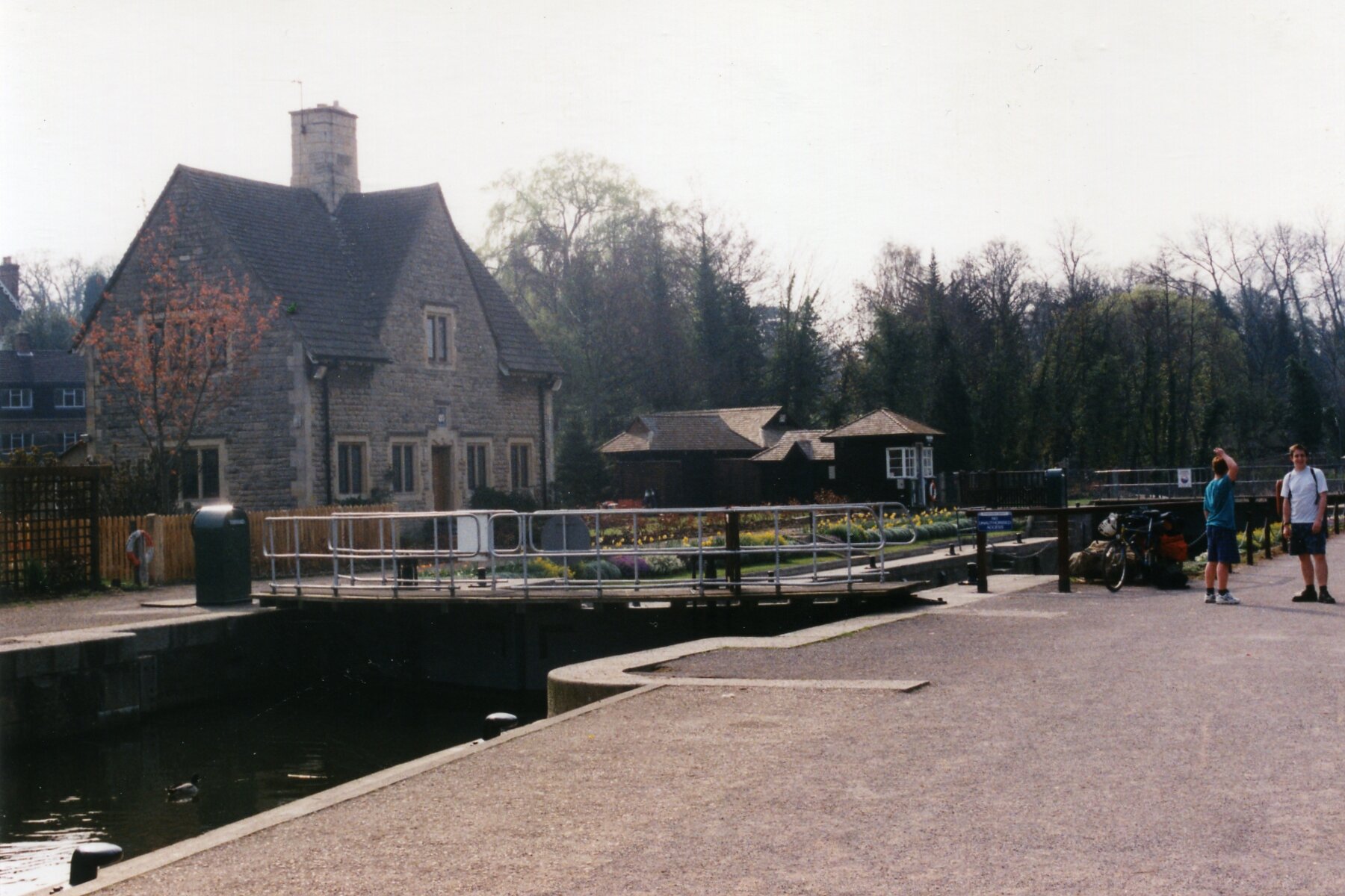
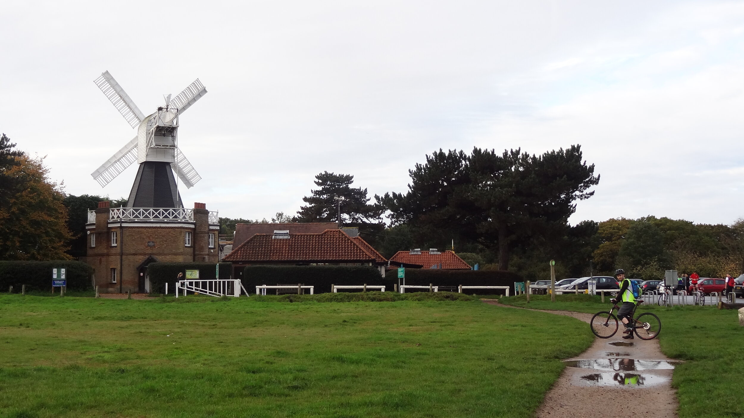
The rest of the south side is fairly scenic taking in Wimbledon Common, Streatham and on to Eltham. The route crosses the river at the Woolwich Foot Tunnel before the less than scenic parts around London City Airport and Barking. The route gets interesting again when it joins a long stretch of converted railway called the Greenway taking you to the Queen Elizabeth Olympic Park.
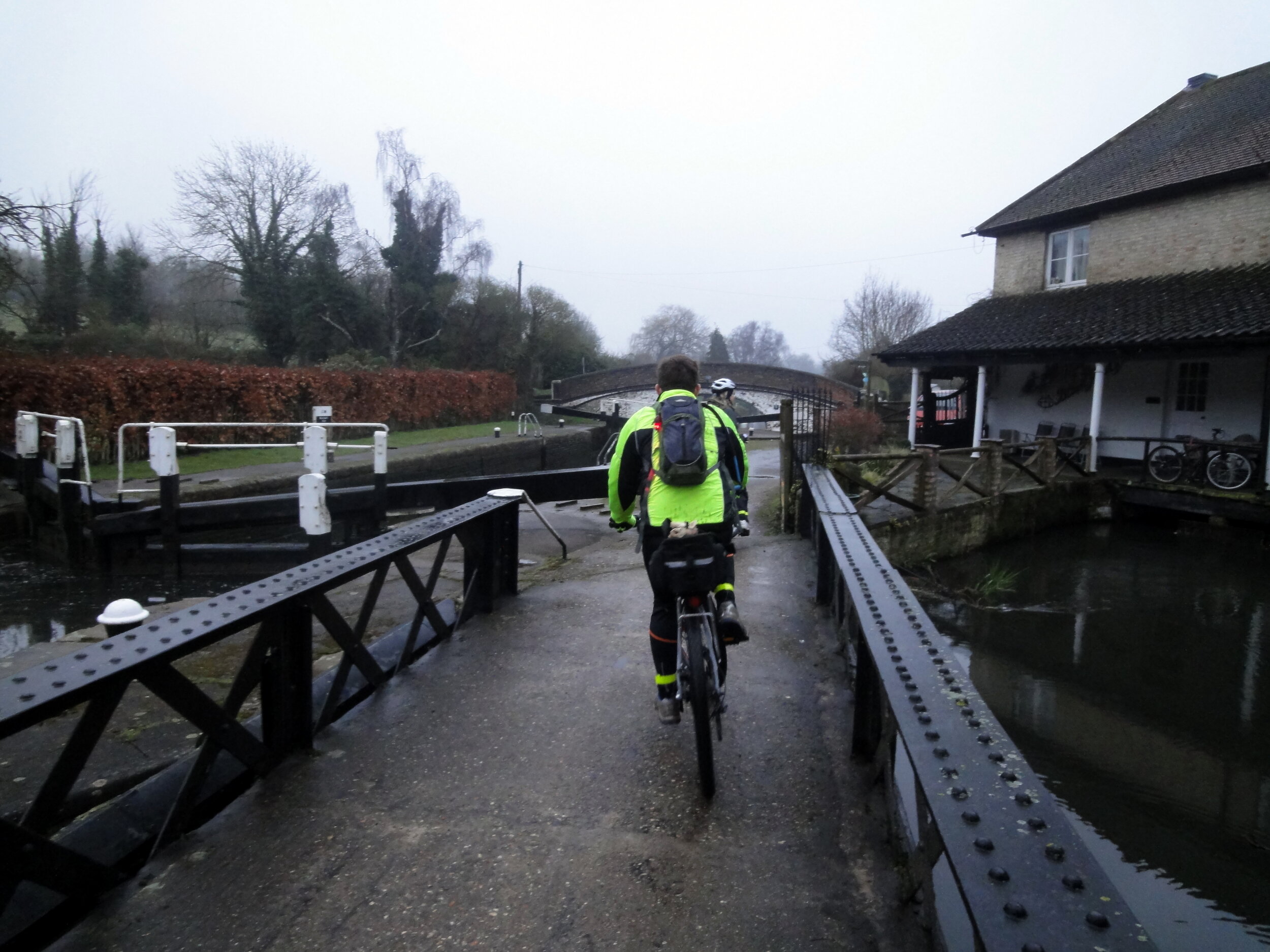
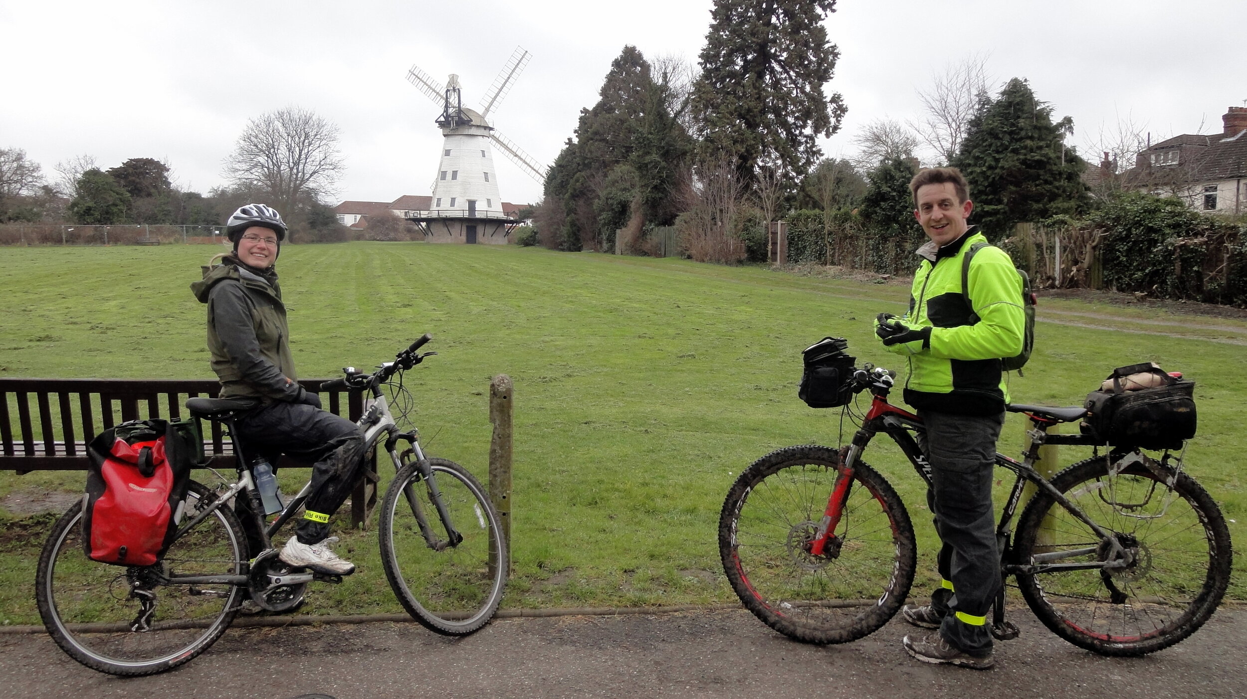
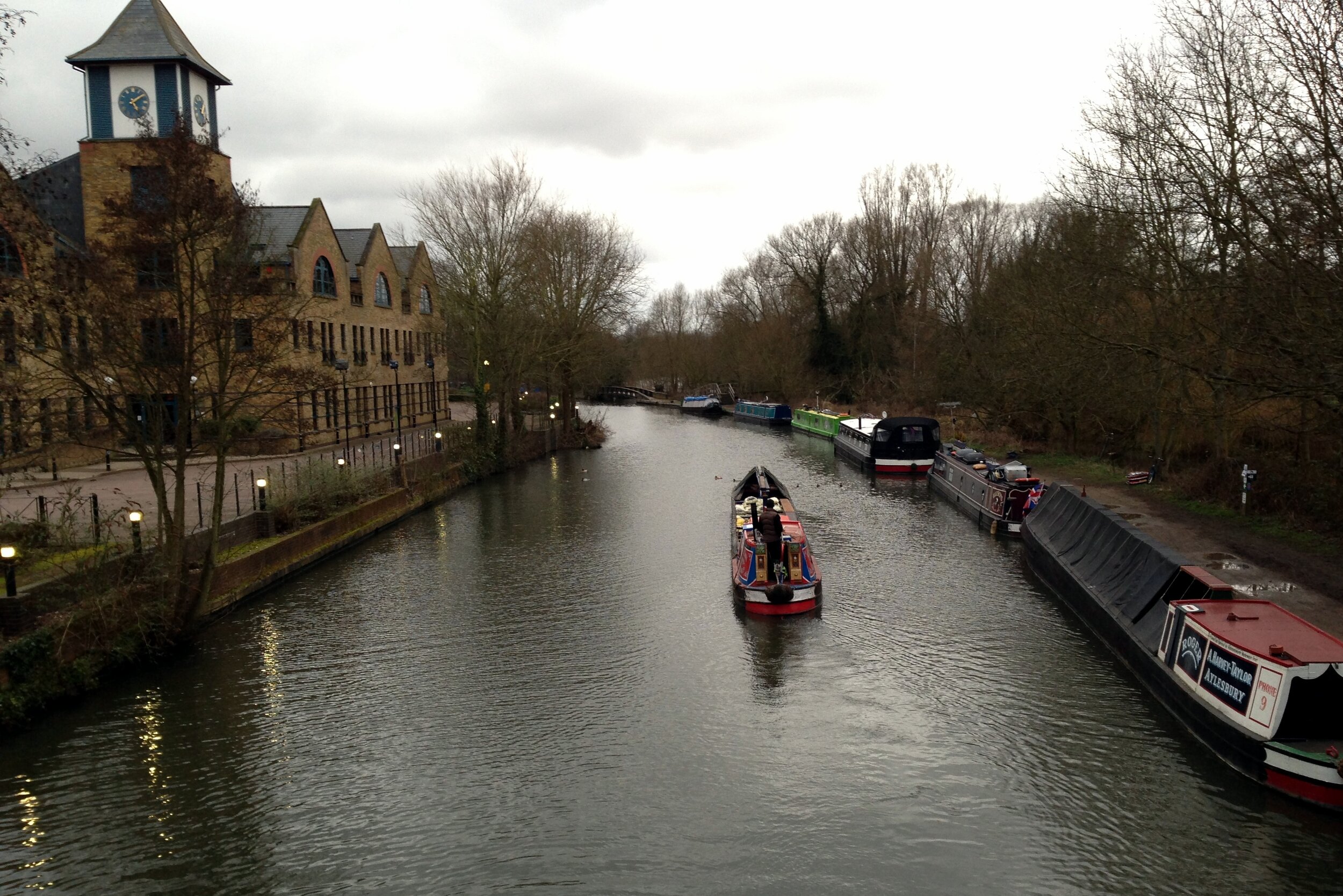
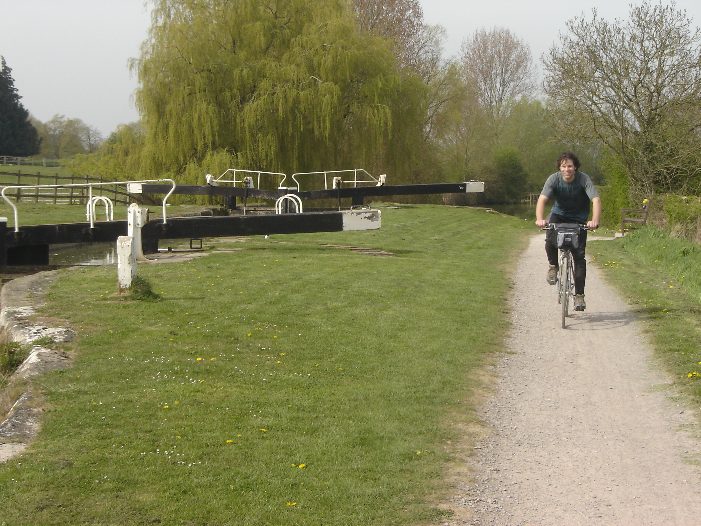
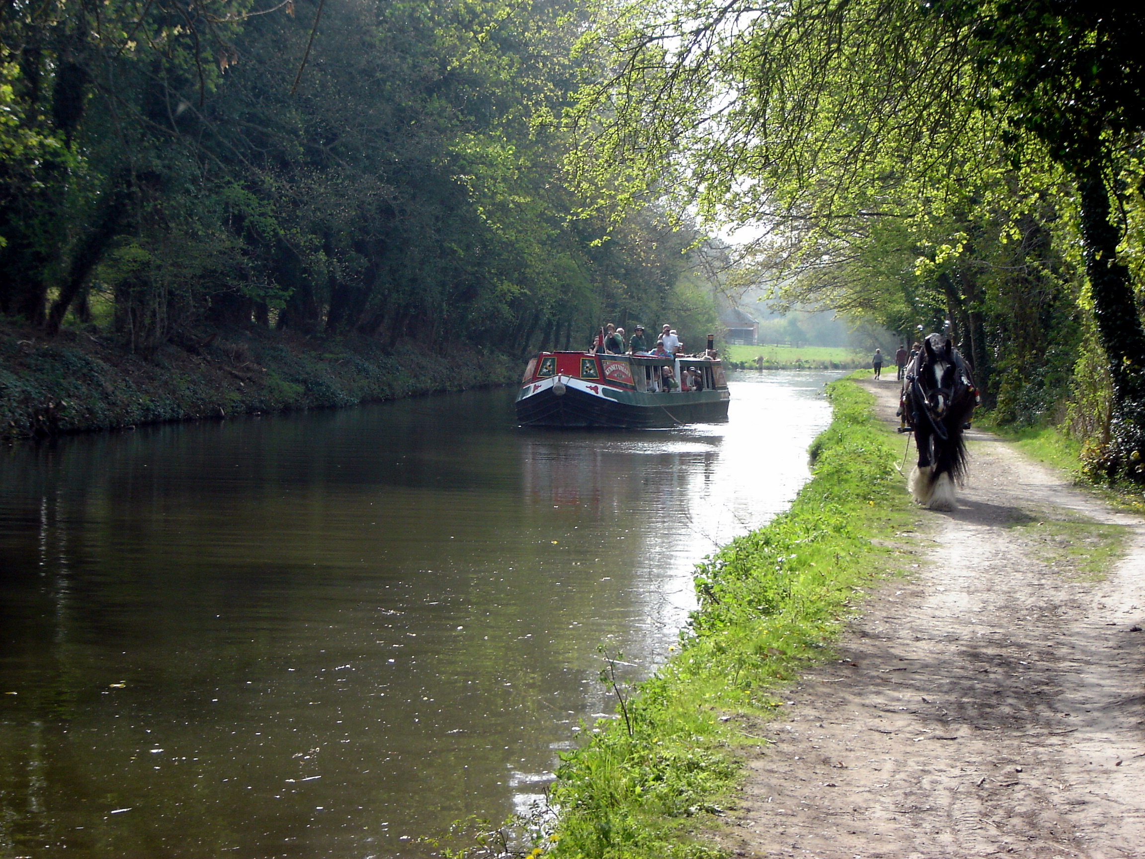
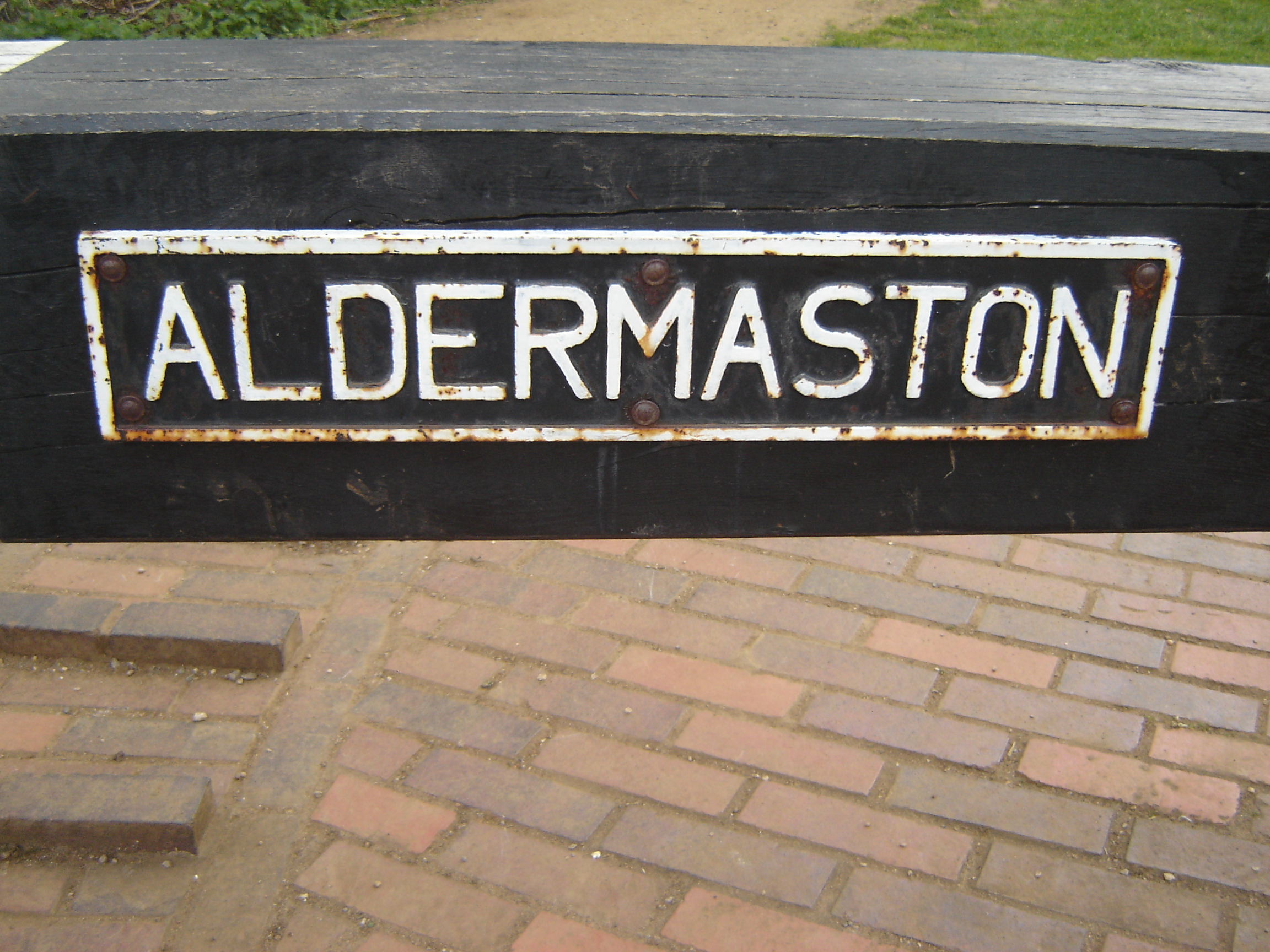
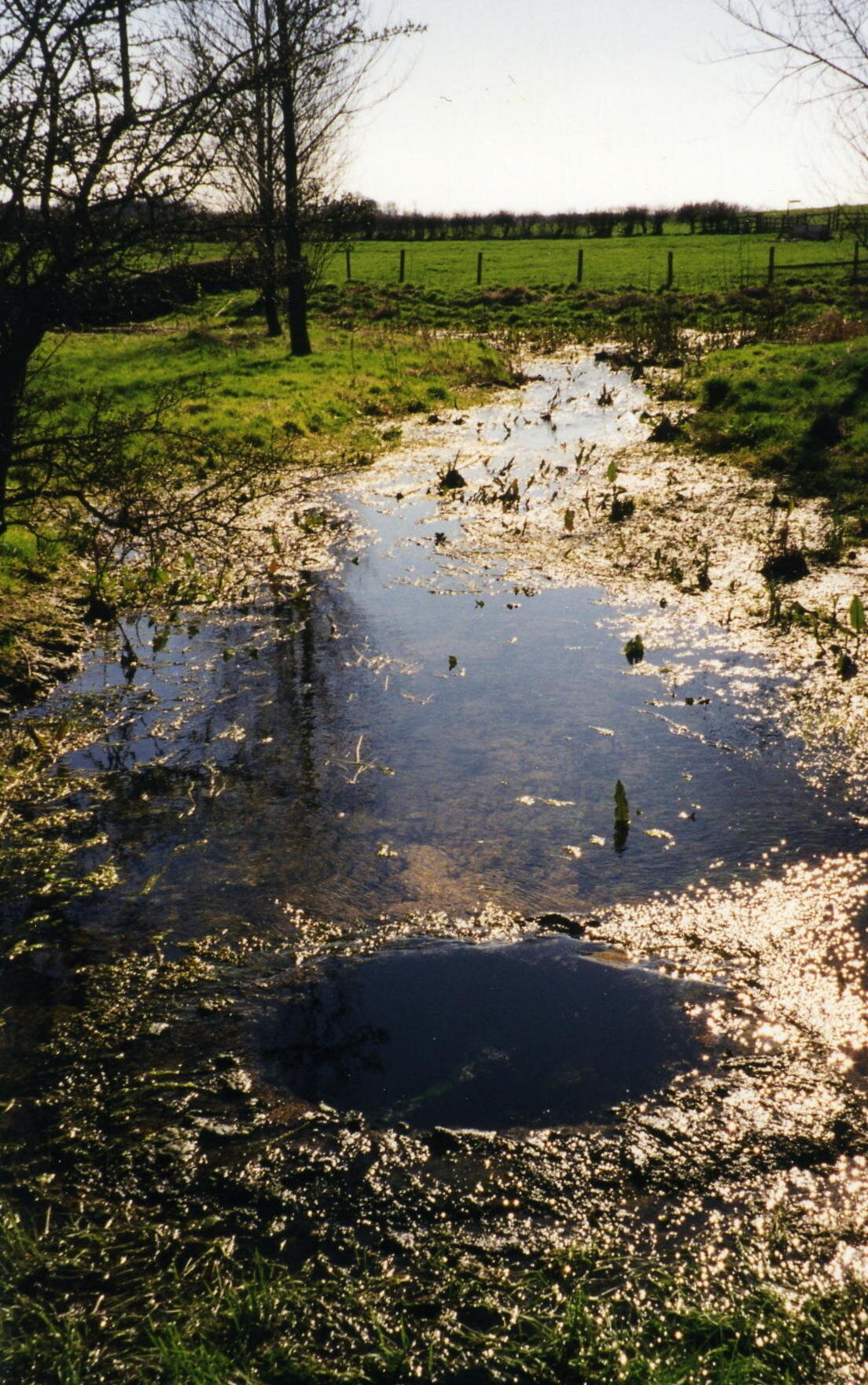
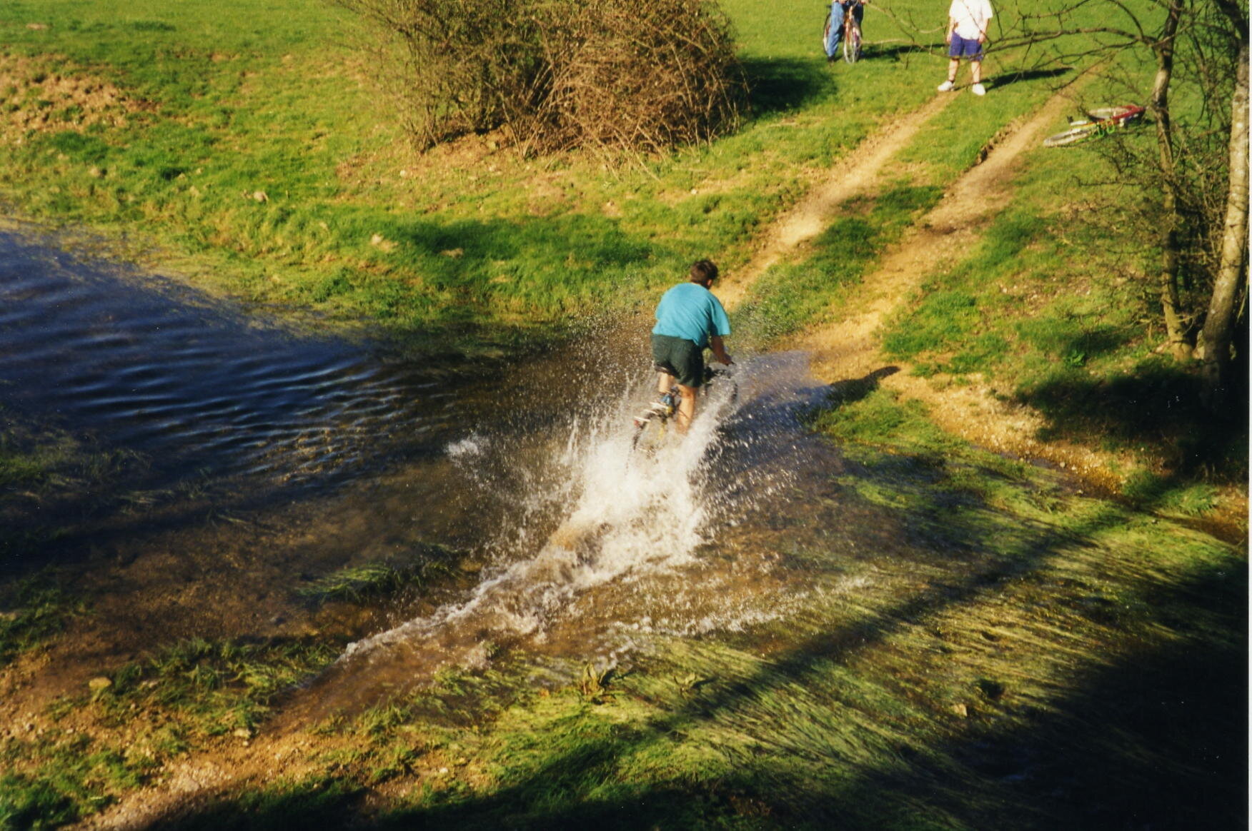
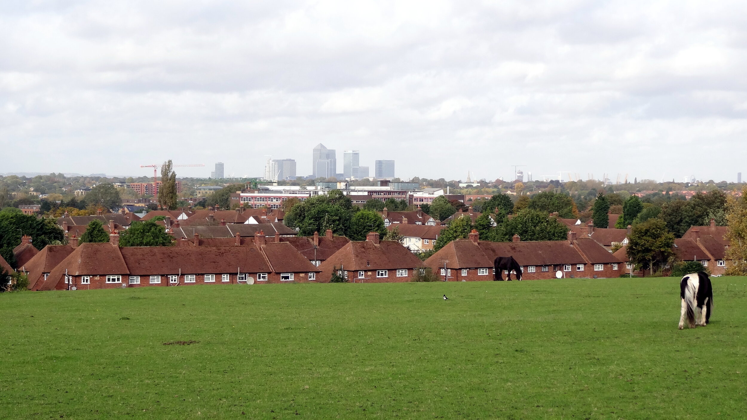
The North London section is mostly a nice combination of canals and parks with some busy sections around the A1/A406 road links near Brent Cross. This section reaches its literal peak at Harrow On The Hill which, based on our chosen start point, came just as the sun went down and tiredness set in. From Harrow it's down-hill all the way back to Richmond Bridge. The official route takes advantage of canal and stream towpaths although we took an alternative road-based route trying to avoid falling into the Grand Union in the dark.
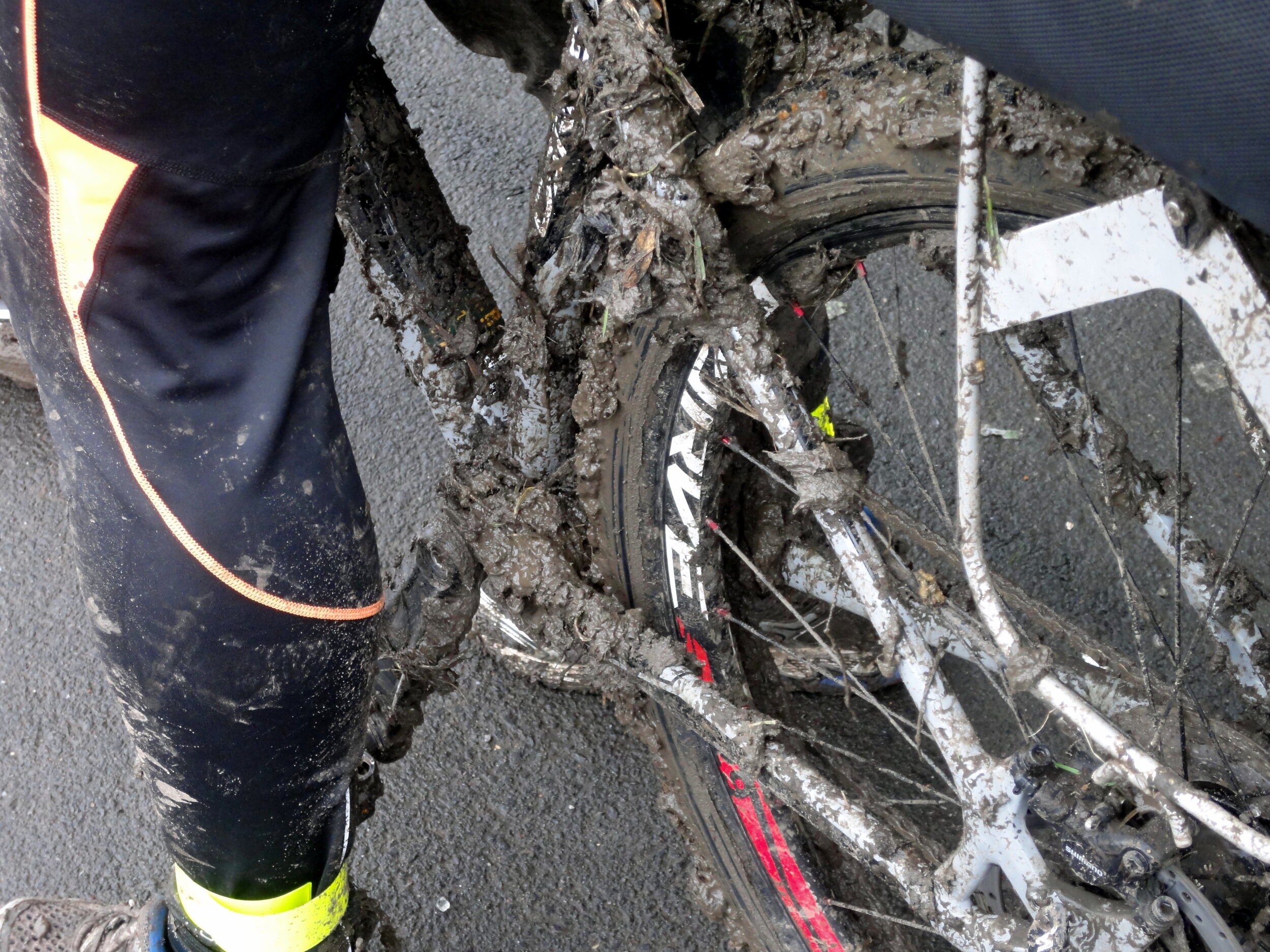
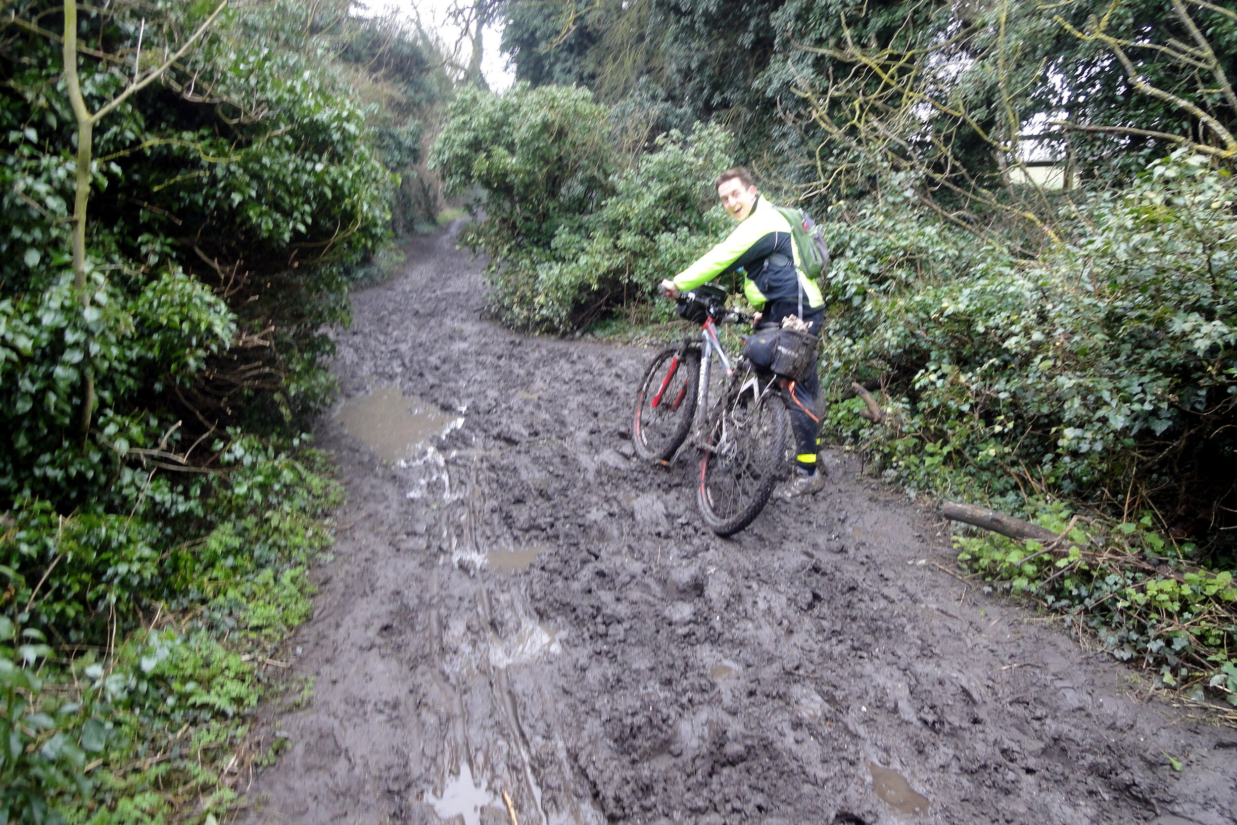
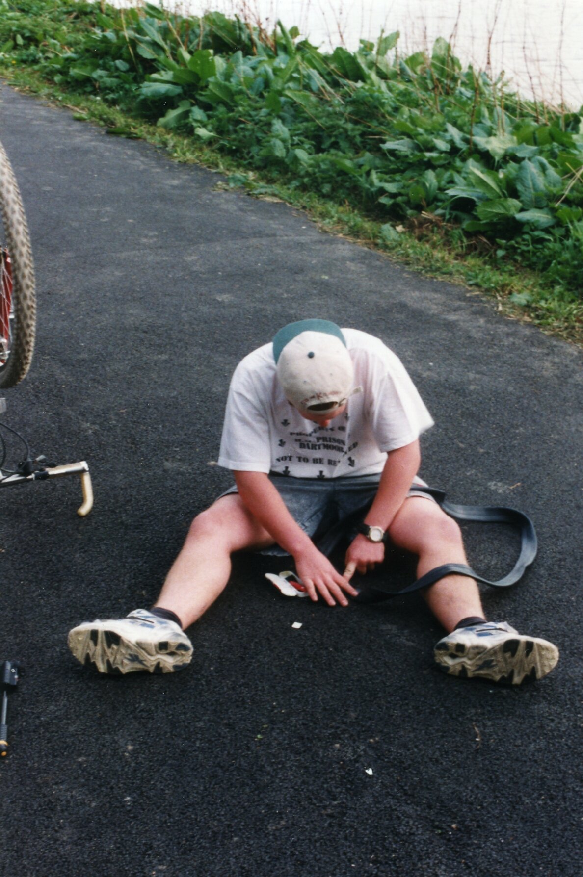
Our experience proved that cycling the Capital Ring is both practical and rewarding. There’s no detailed guide to cycling the Ring yet, so I recommend some careful planning and being prepared for some spontaneous detours. I would say that ~90% of the route is cycle friendly with easy alternatives for the rest. A good GPS device will help you get back on track when you get lost or need to make a detour to avoid a muddy hill. For enjoyment go for 2 days and take a slow pace. This will give you time to read the guide book as you go and learn about the interesting places along the way. The 1 day version we did becomes a very different experience altogether as it's more of a physical and navigational challenge. Either way it's an incredibly rewarding route and a unique way to see the Capital.


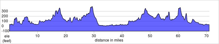
Capital Ring Elevation Profile
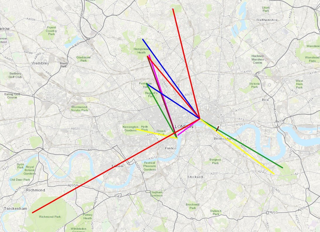
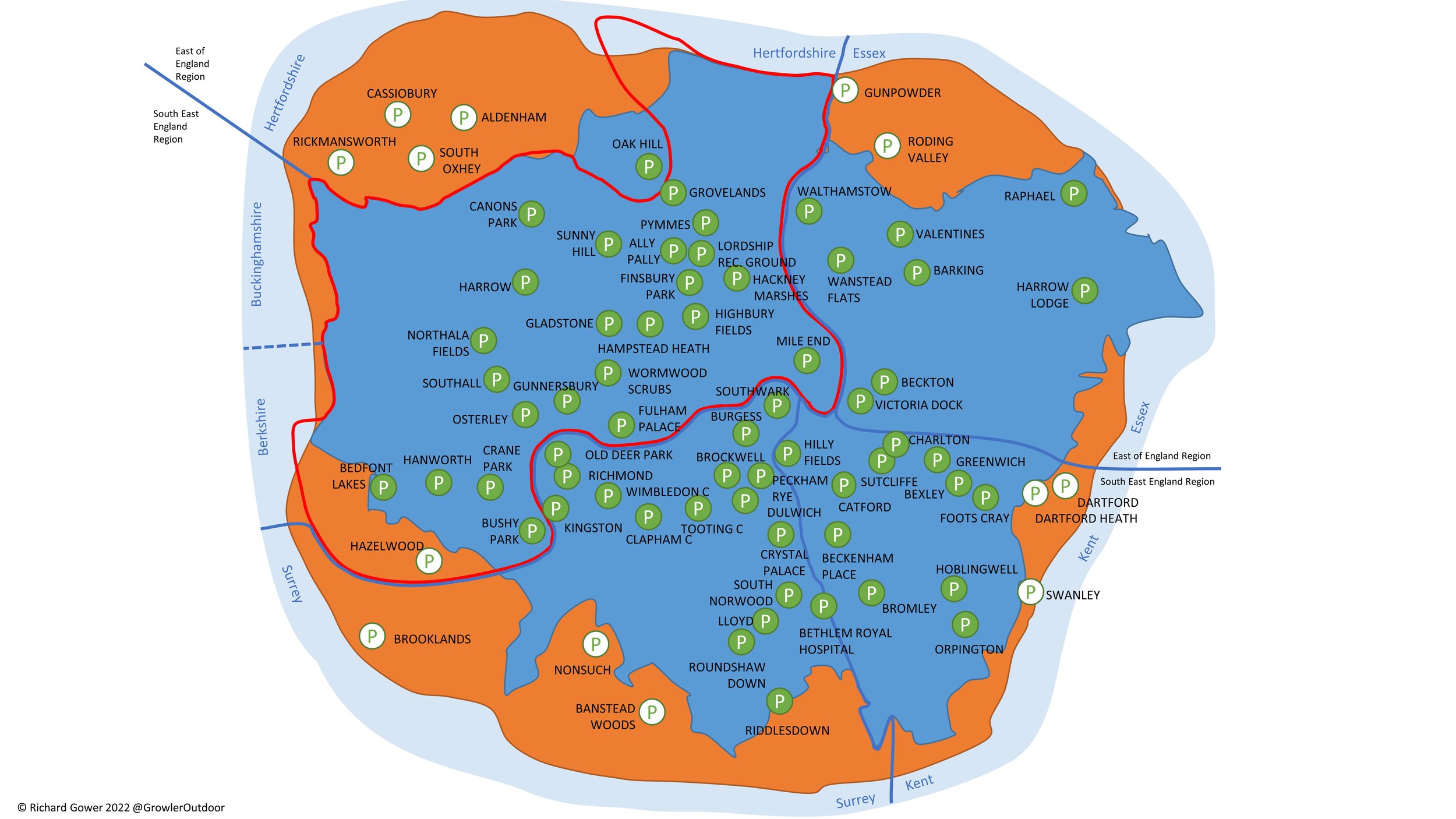
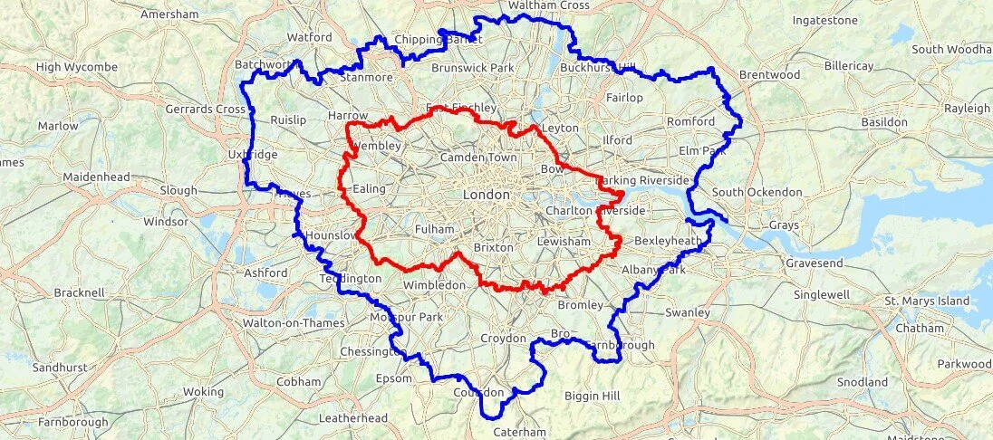
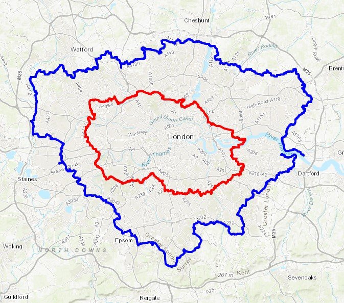
The Capital Ring and The London Loop

London Loop in Blue, Capital Ring in Red. Base map from OpenStreetMap