Posts tagged Surrey Hills
Walking The North Downs Way Part 1 - Farnham to Puttenham

Following the River Wey at Farnham


Start: Farnham Station, Farnham, GU9 8AG
Finish
: The Good Intent Pub, 60-62 The Street, Puttenham, Guildford, GU3 1AR
Distance: 10.6 km (6.6 miles)
Elevation change: +118m / -100m. Net +8m
GPX File: get via Buy Me a Coffee
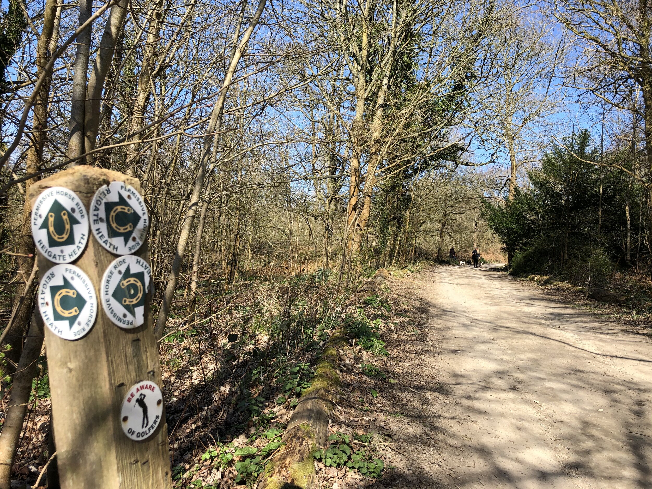
Other routes touched (walk): Puttenham Walk (SCC)
Other routes touched (cycle): NCN 22
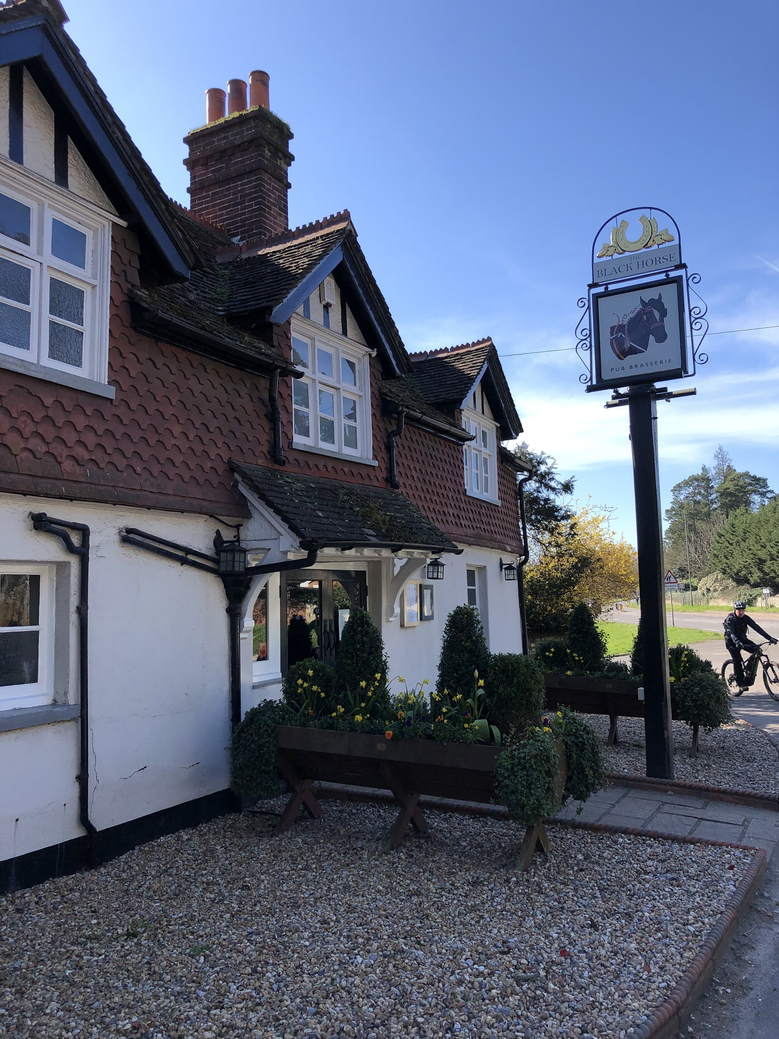
Pubs / Cafes on route: None on route but several in Farnham plus the Good Intent Pub at the end
Map: OS Explorer Map (145) Guildford and Farnham
Guidebook: The North Downs Way National Trail from Farnham to Dover (Cicerone)
Links: Farnham, Farnham Railway Station, Puttenham


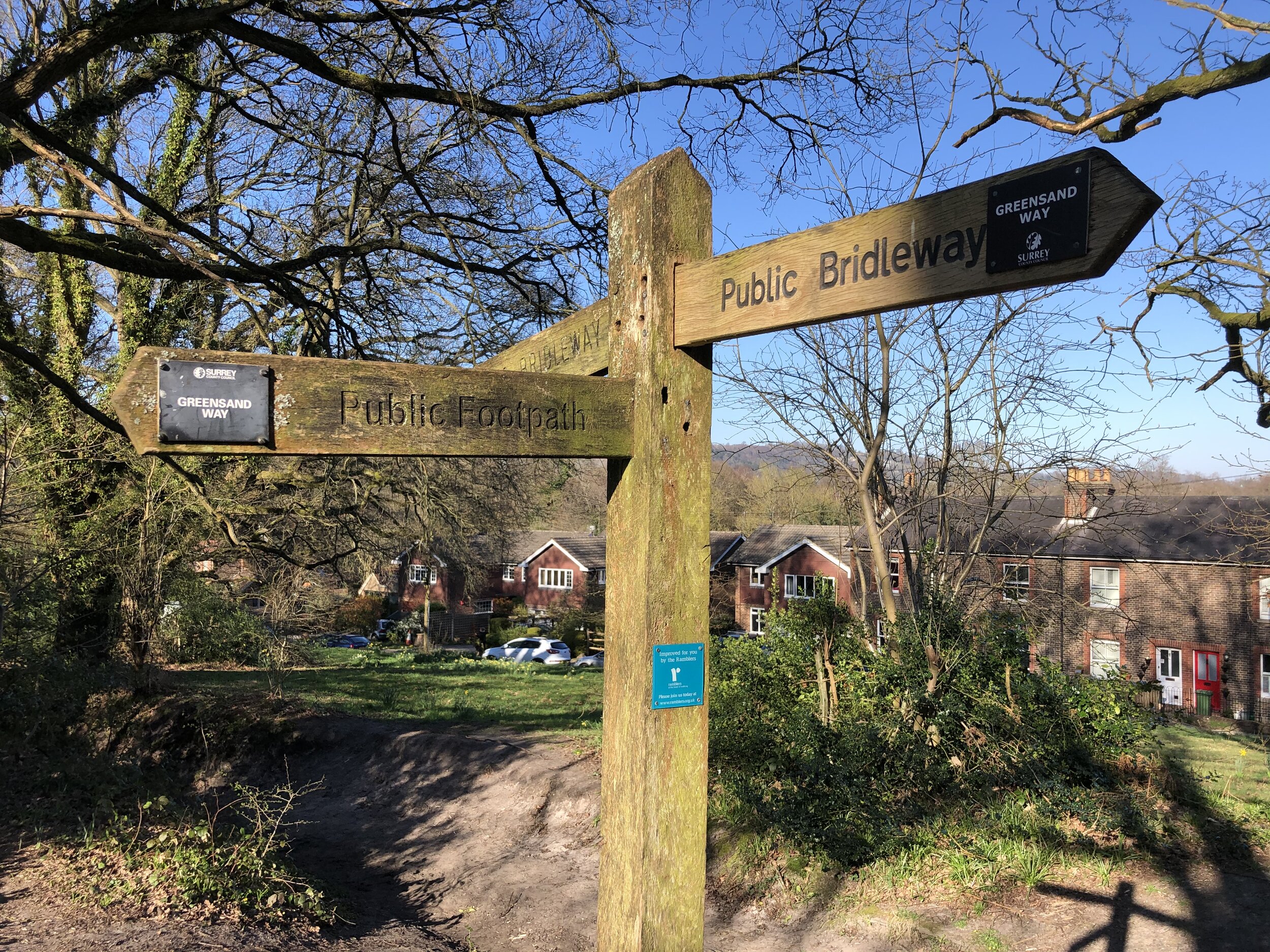
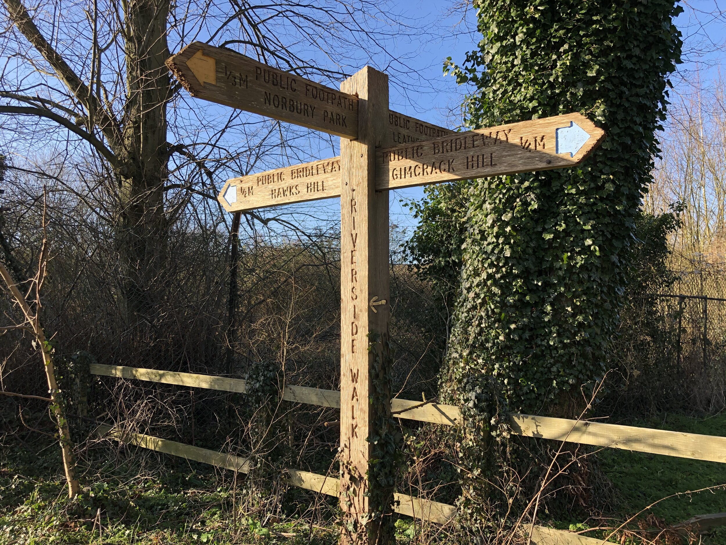
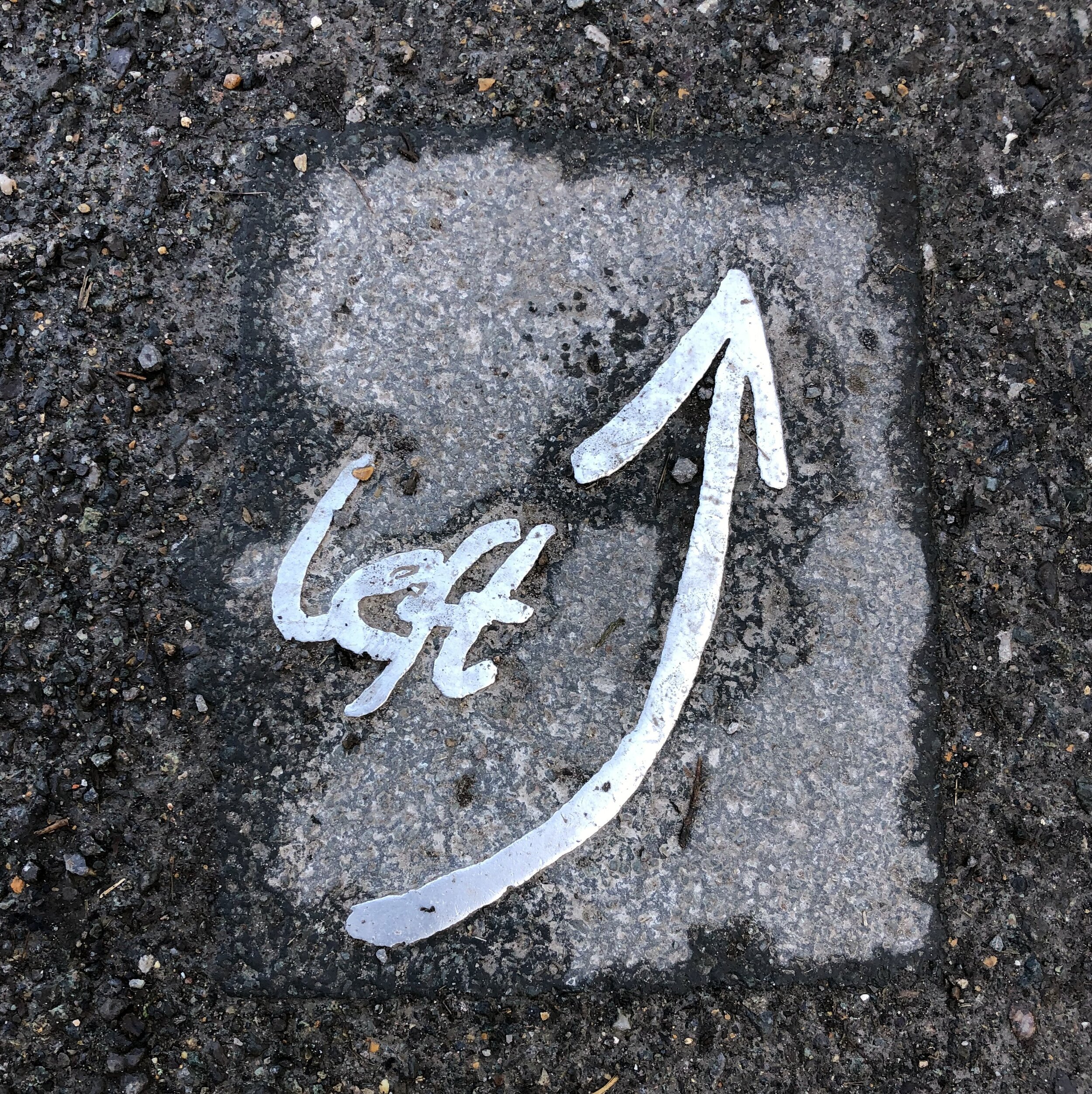
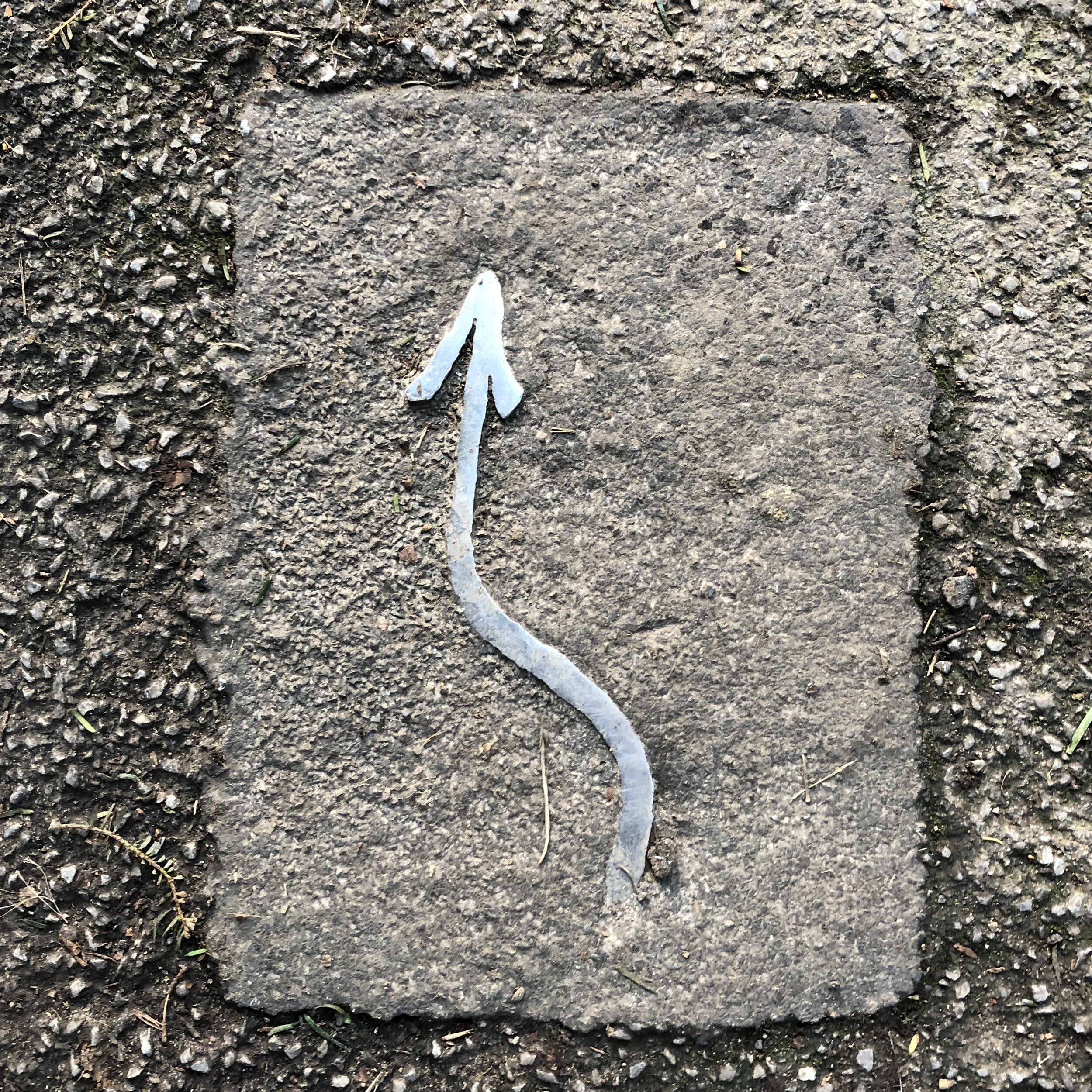
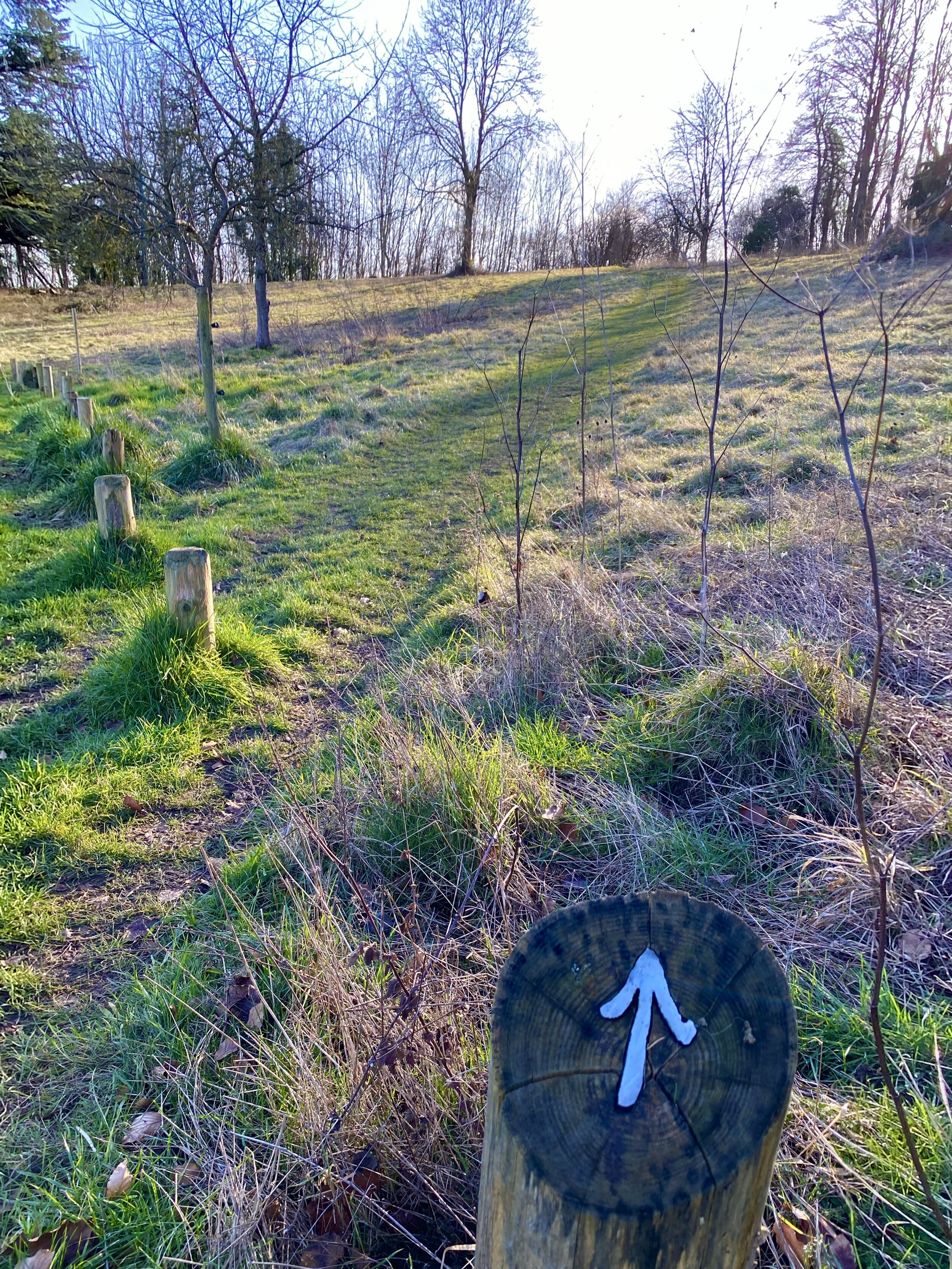
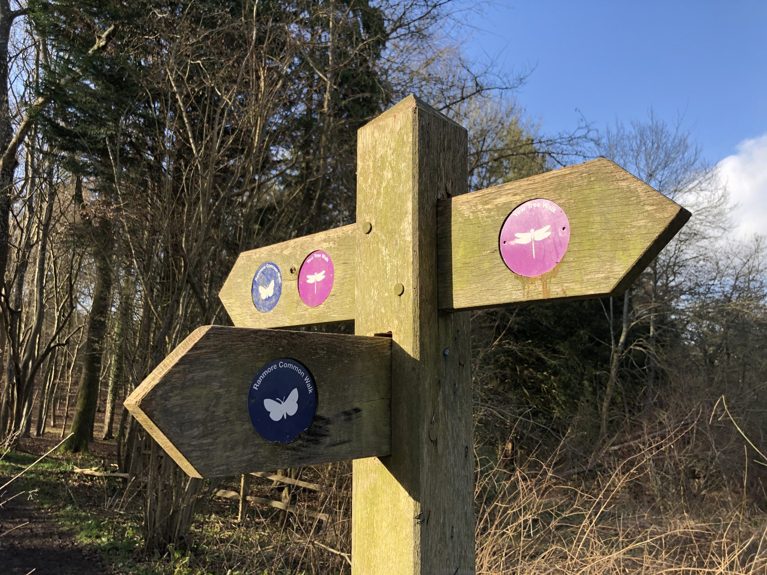
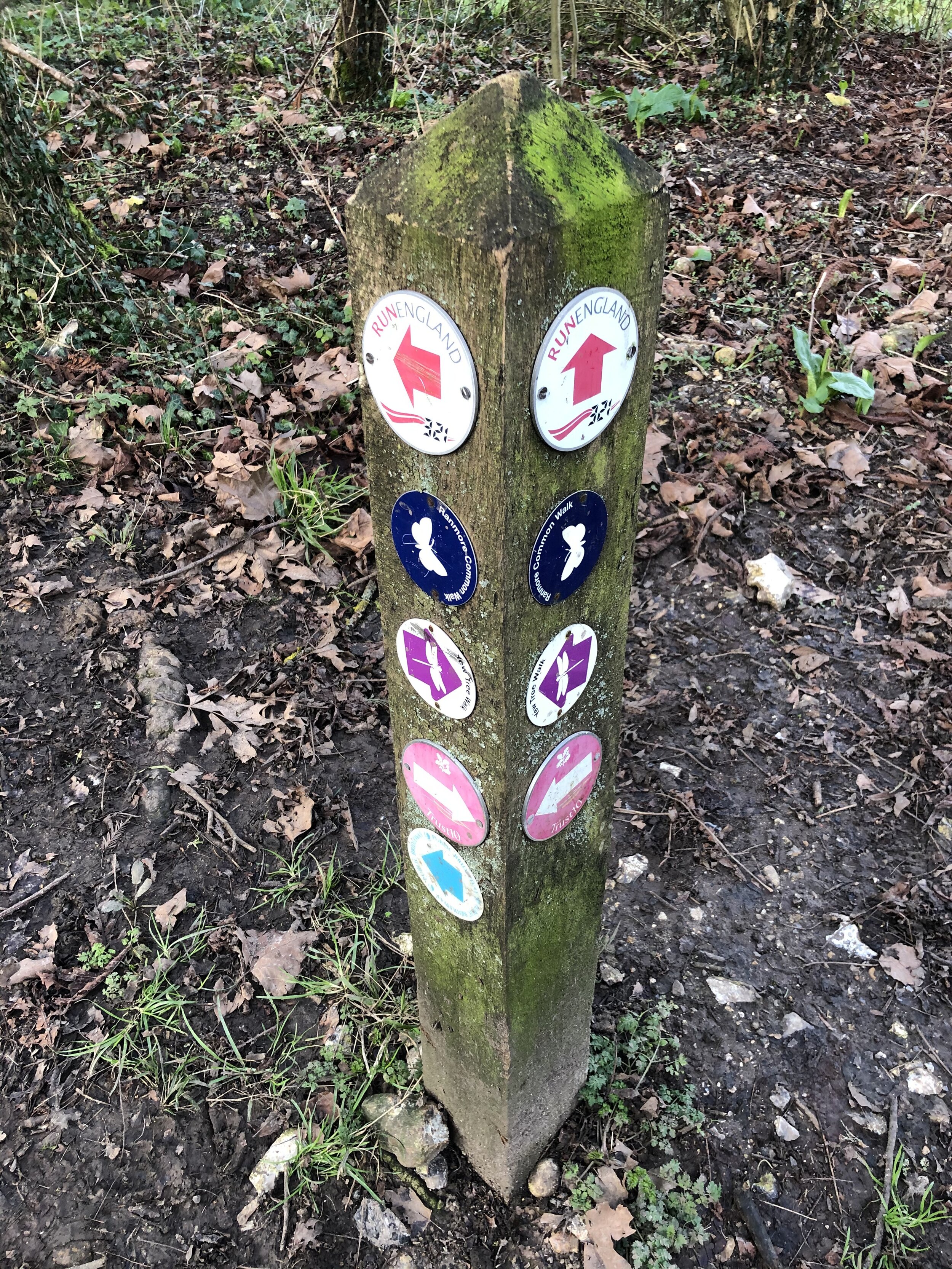
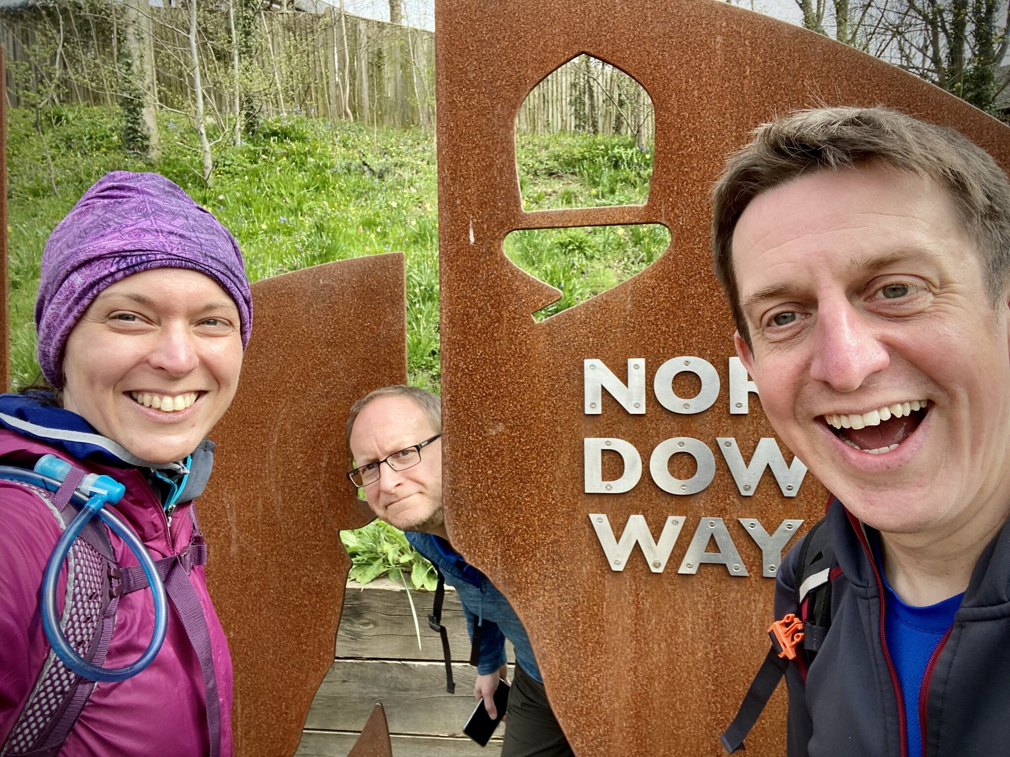
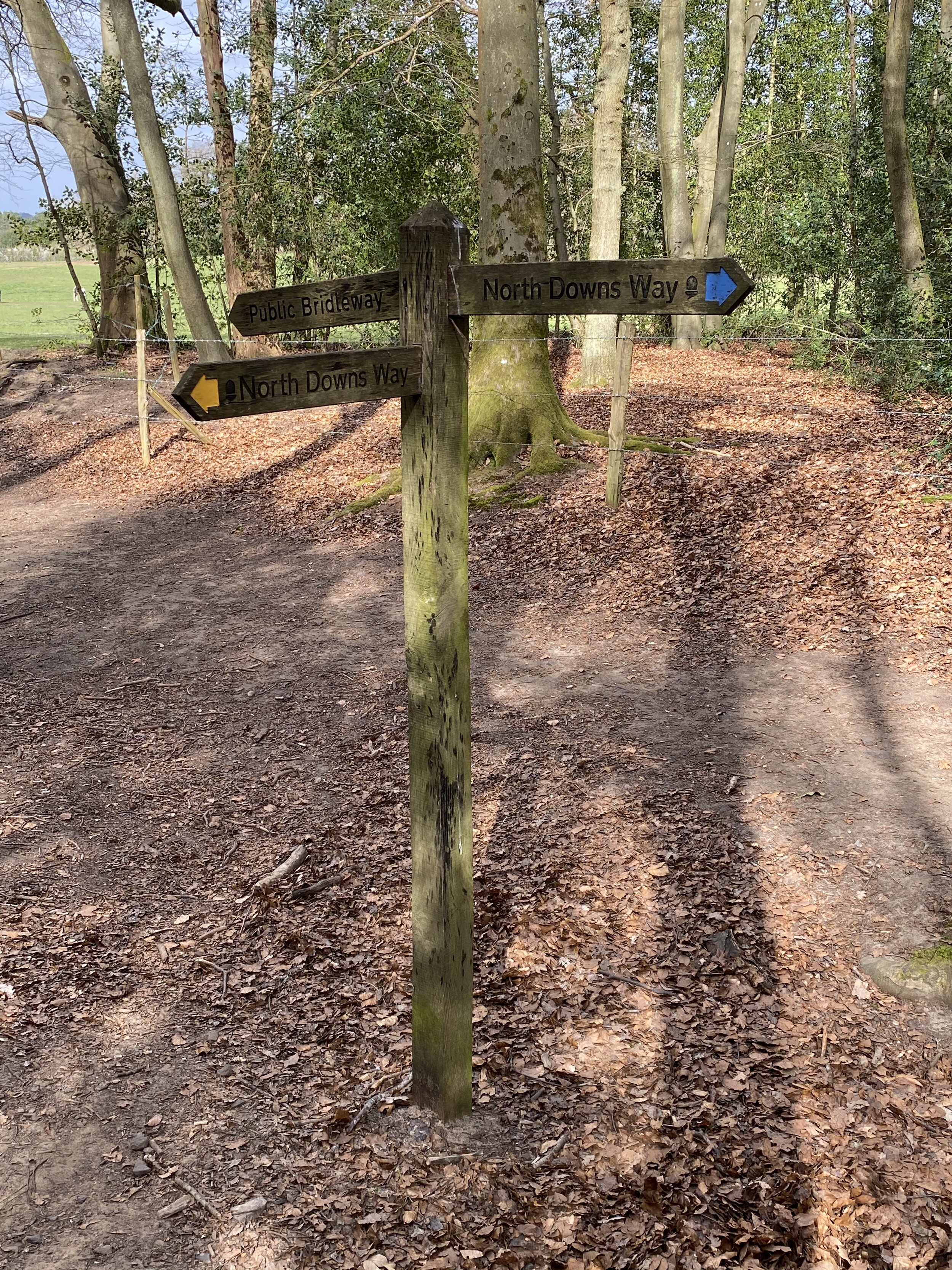
This is the first of a series of short point-to-point walks along the North Downs Way. The full trail is a long distance path stretching from Farnham in Surrey to Dover in Kent. Our walks took in short sections of 10 km to 13 km which we did with a friend over the course of a couple of years when our schedules coincided. The North Downs Way is well signposted however I highly recommend taking a map or GPX route to keep you on track. The Cicerone book on the trail is a great guide to the points of interest along the way.

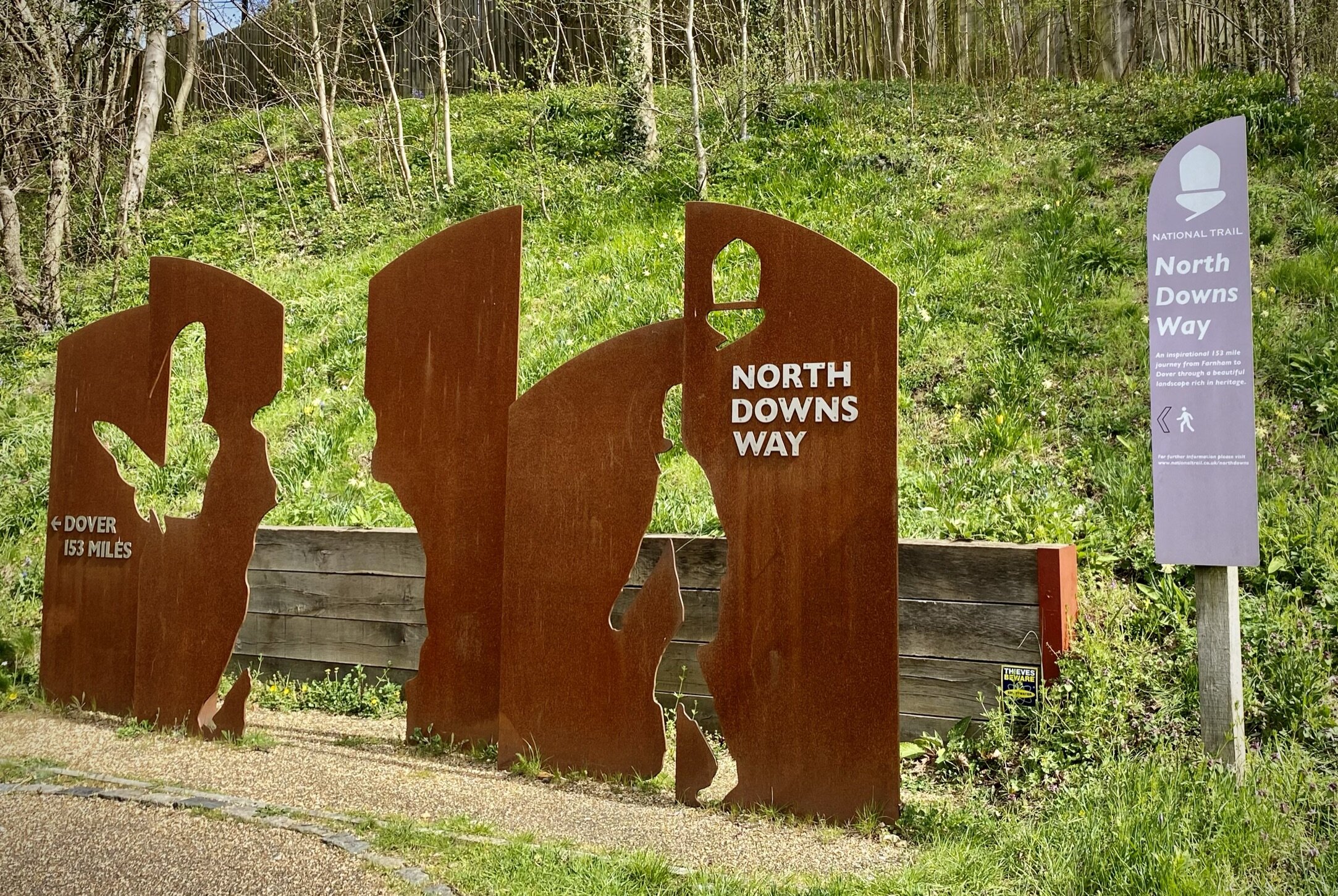
For this section we left one car in the car park behind Farnham Railway Station and the other outside the Good Intent Pub in Puttenham. From the Farnham Station car park it’s less than 100m to walk to the large sign that marks the official start of the North Downs Way at Hickley’s Corner on the A31. It struck me as an odd place to start the trail as this is a very busy junction and not representative of the rest of the trail.

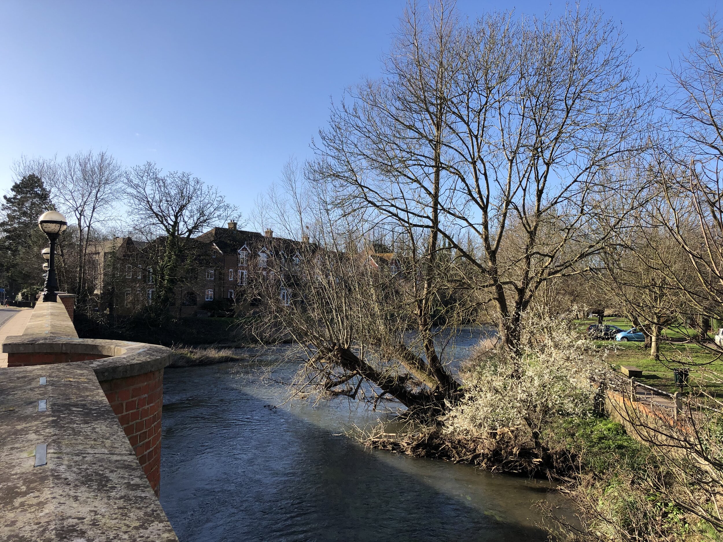
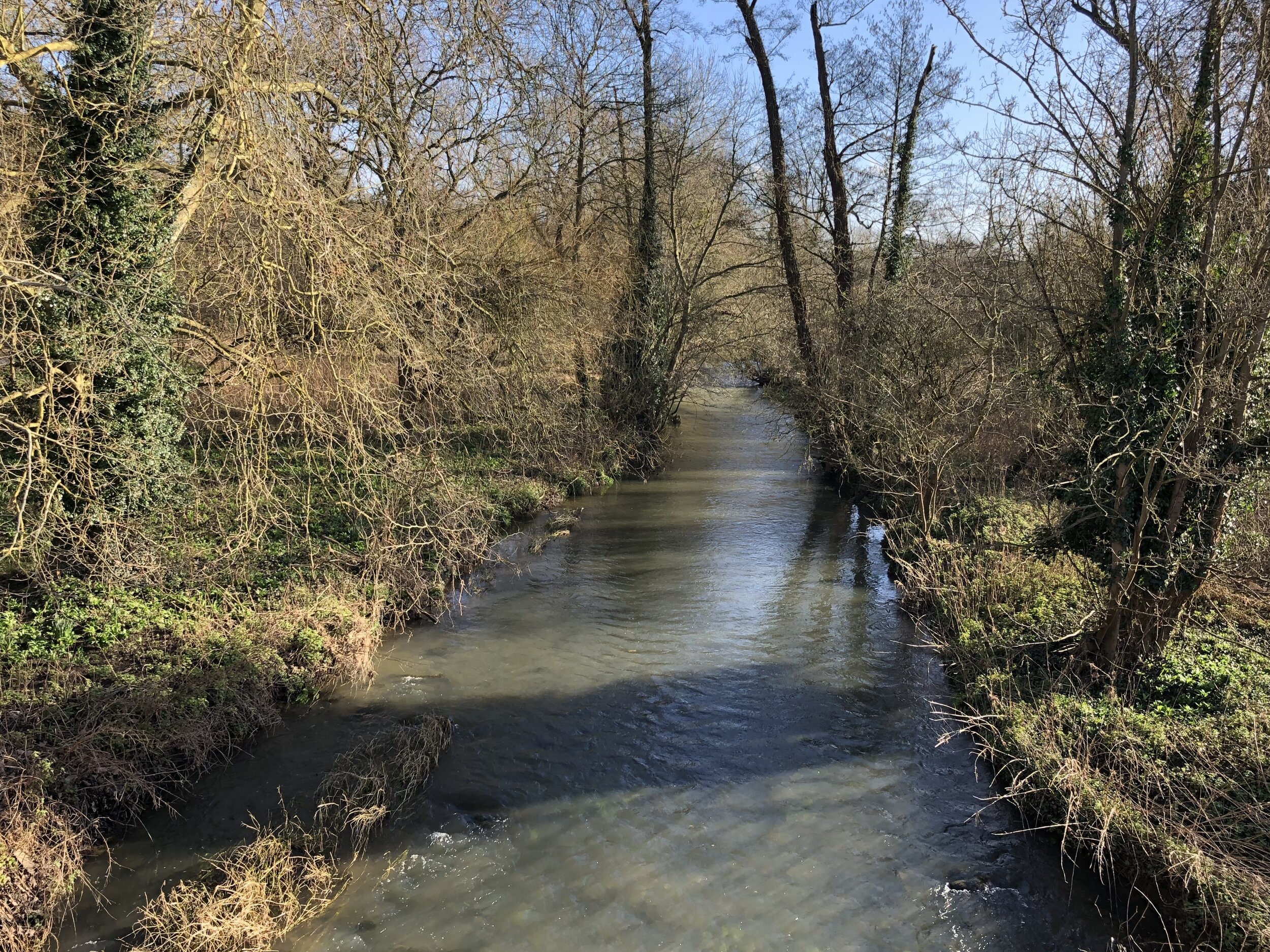
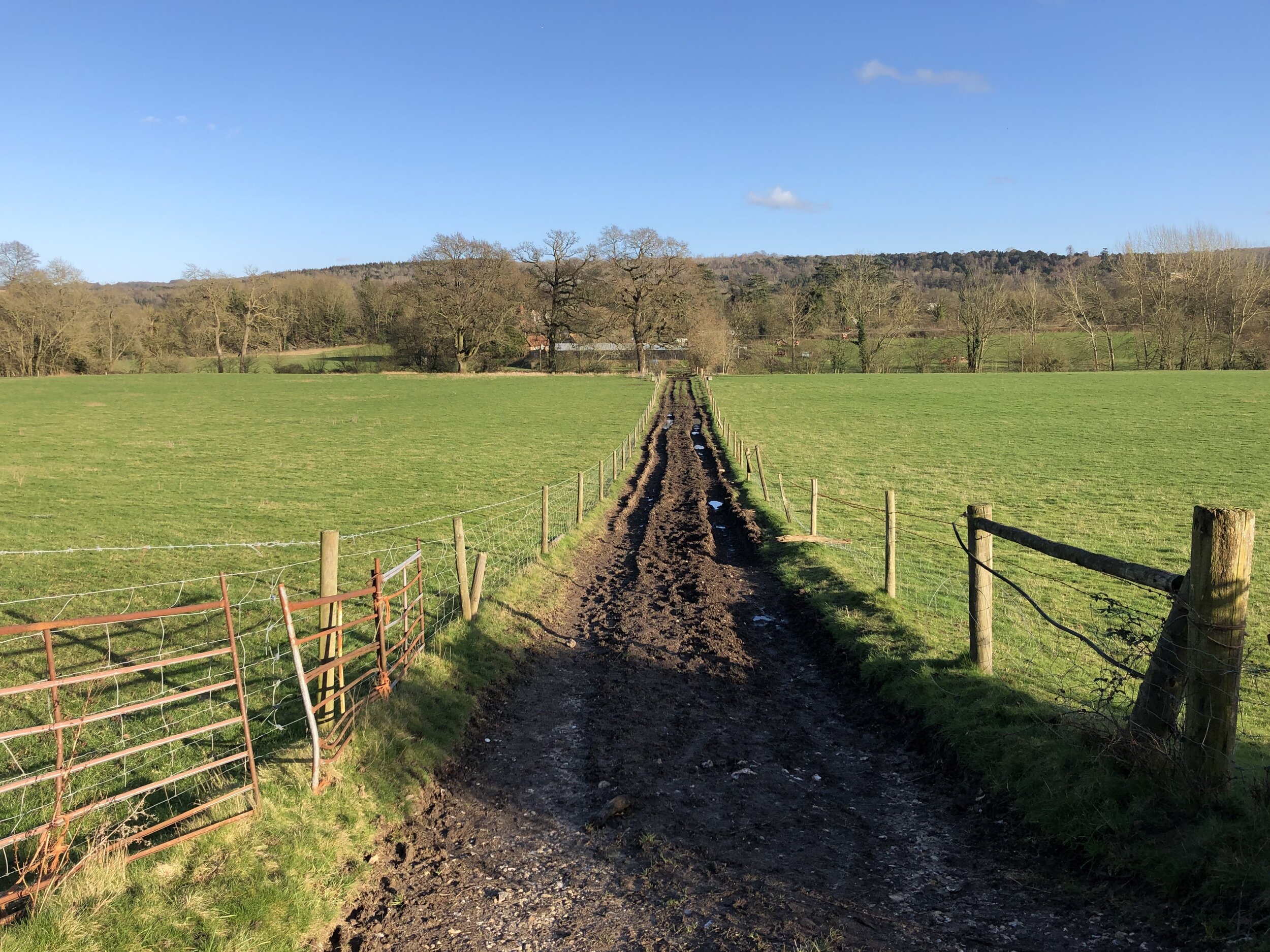
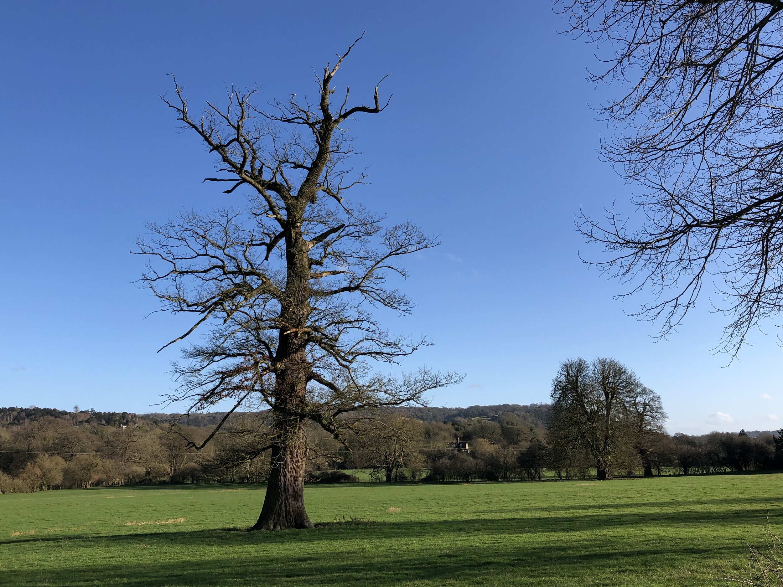
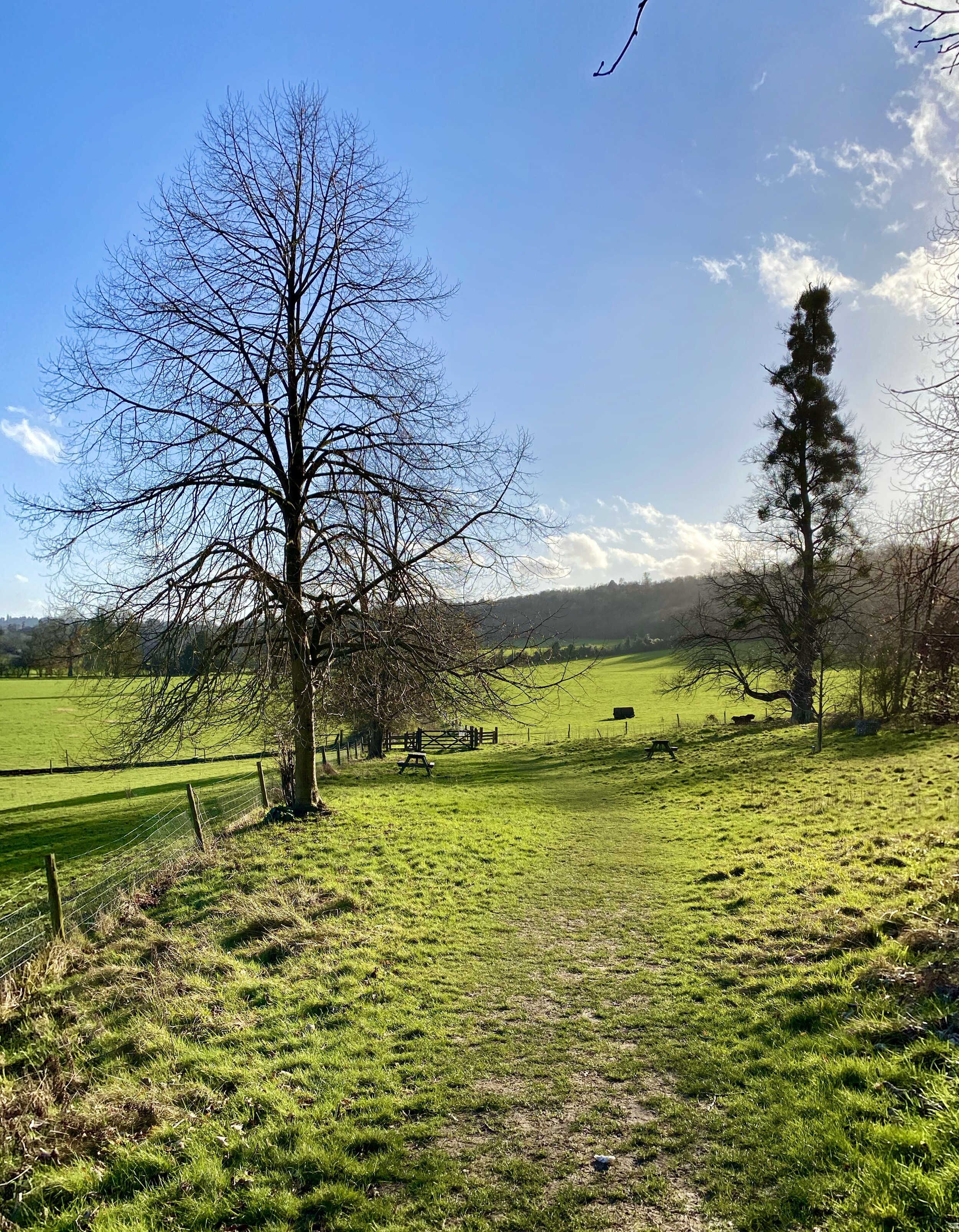
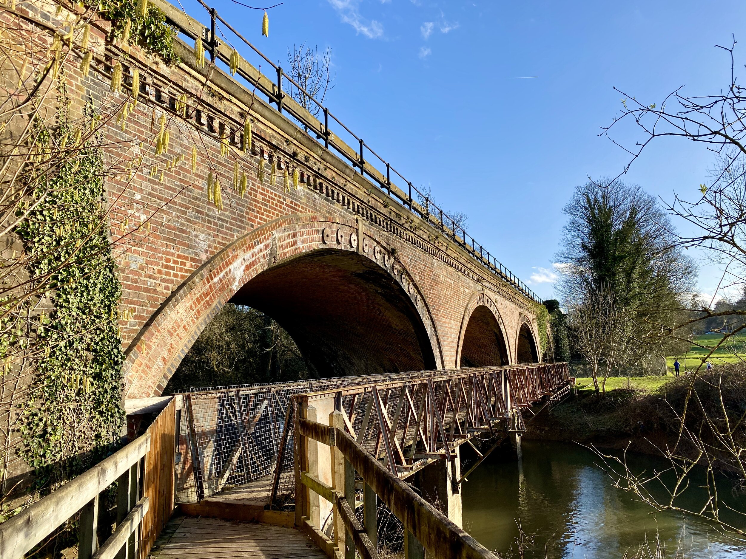
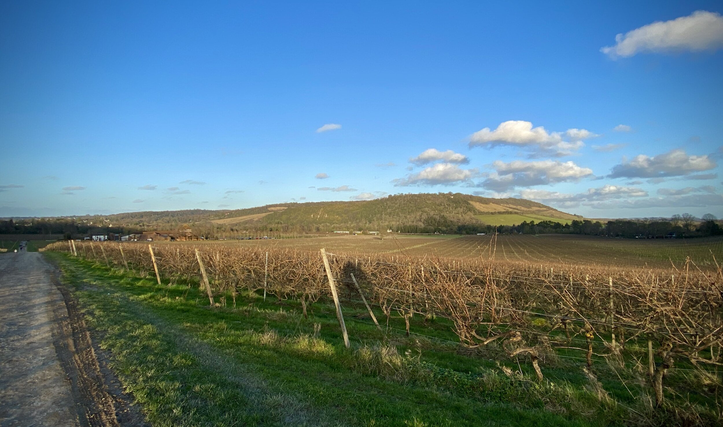
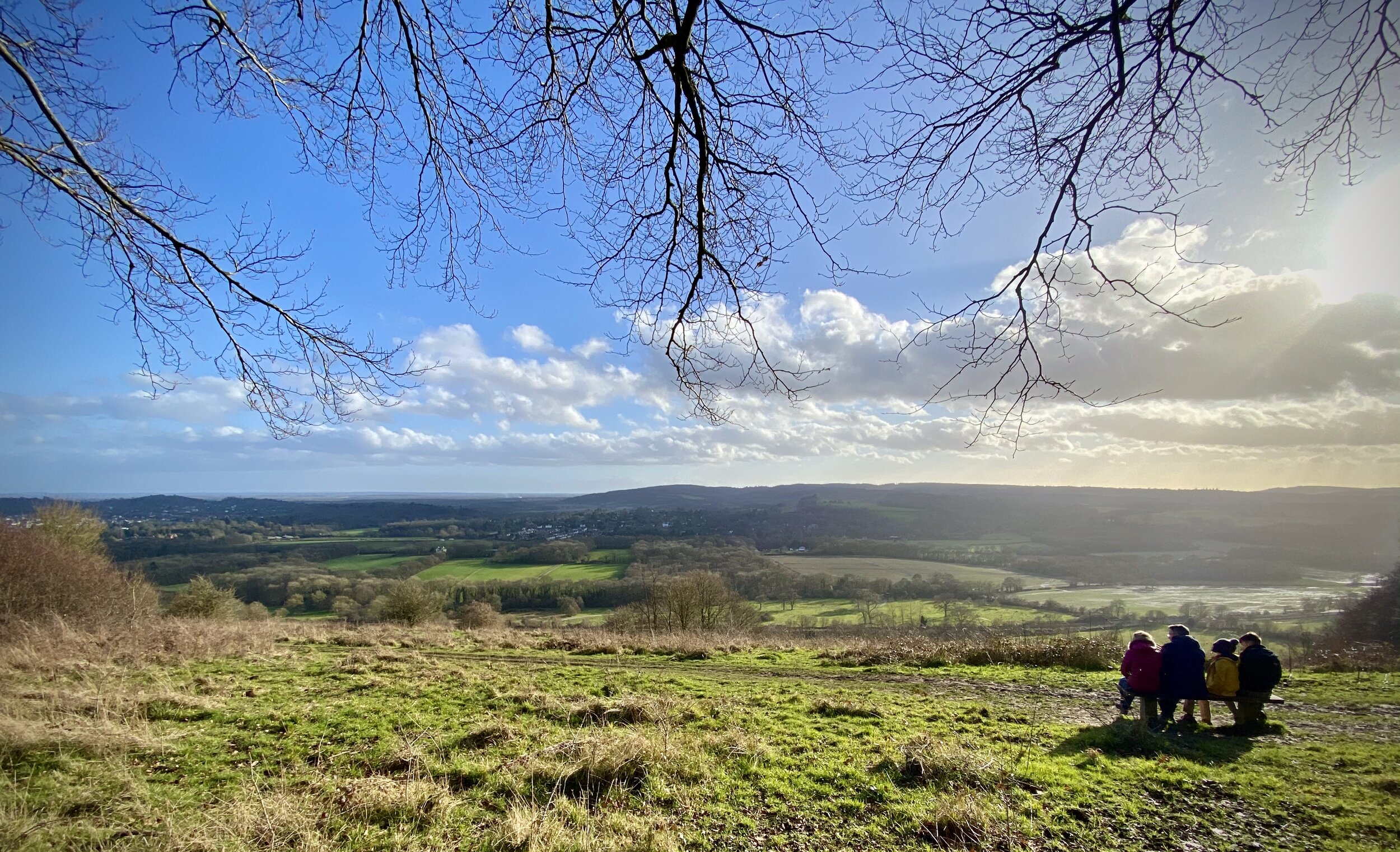
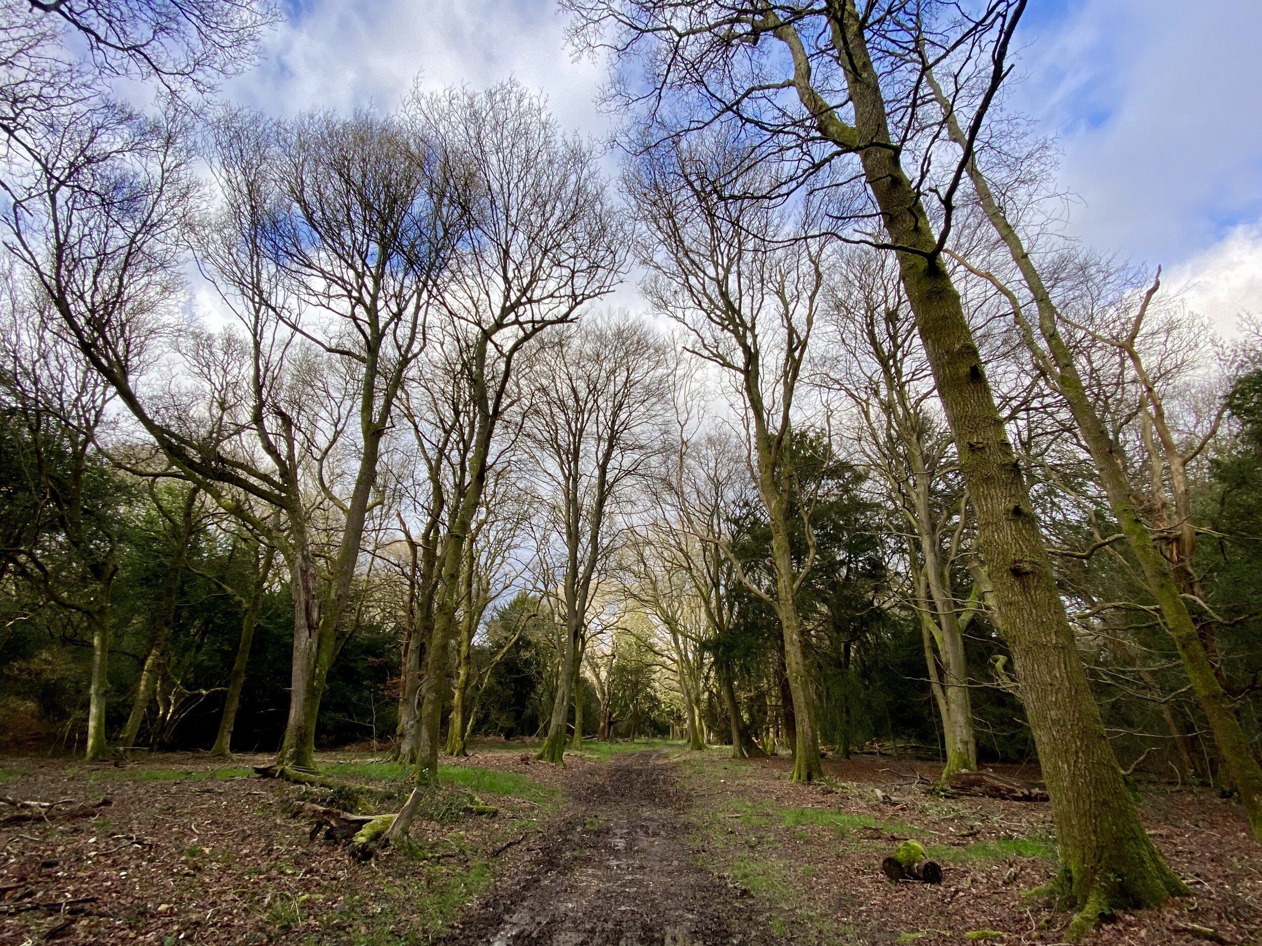
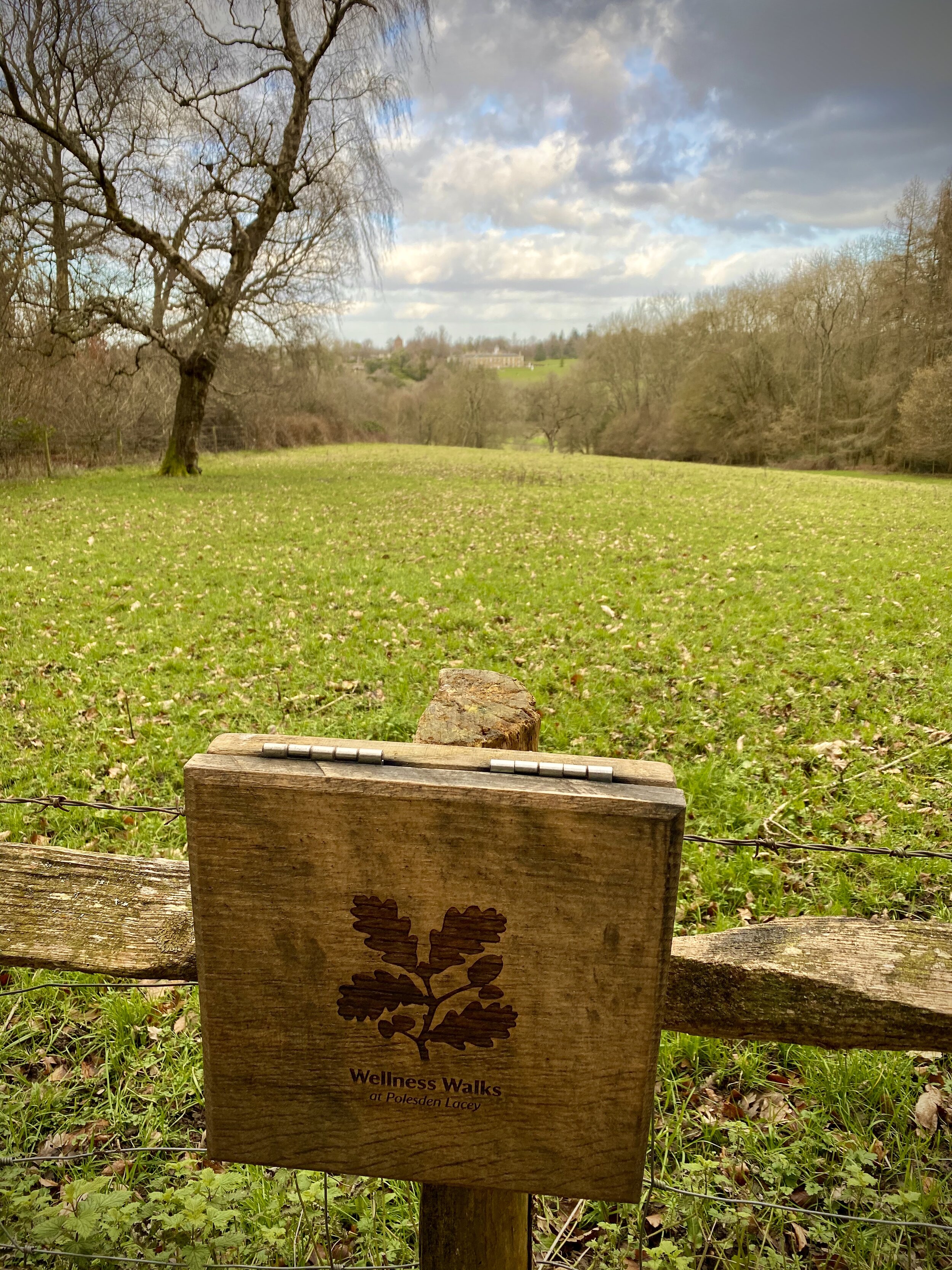
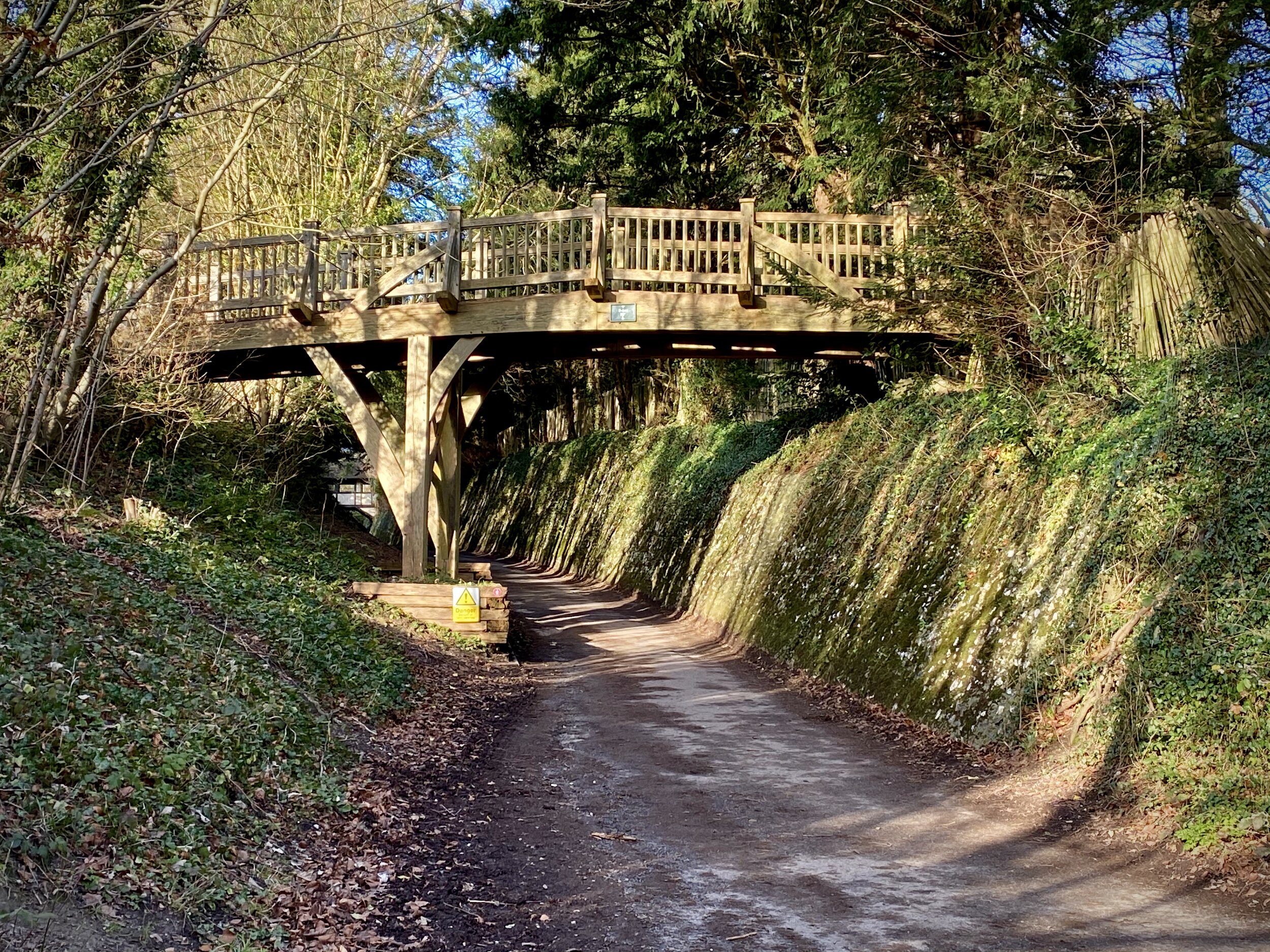
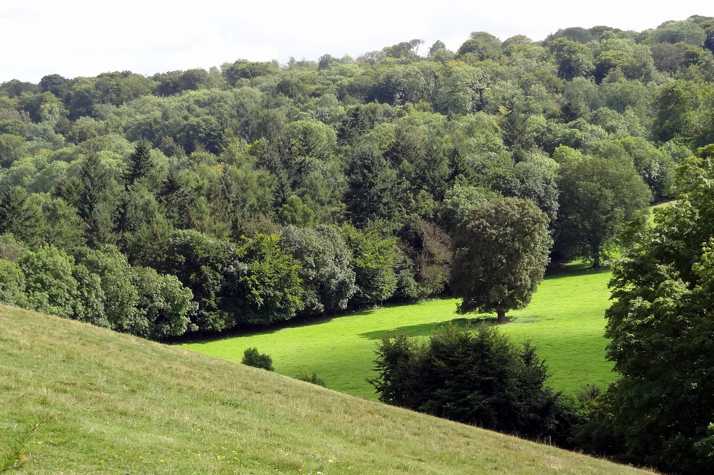
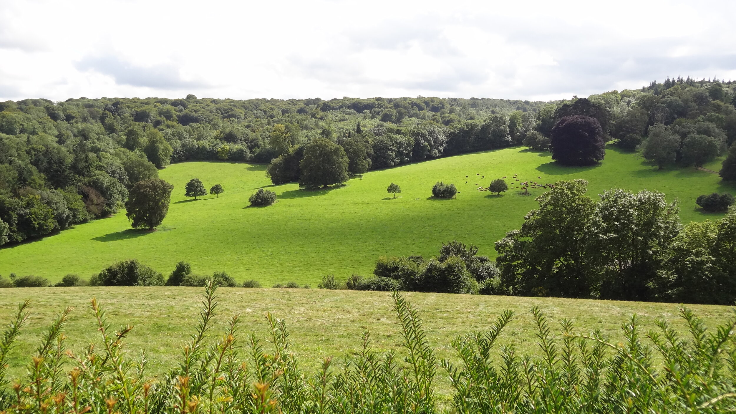
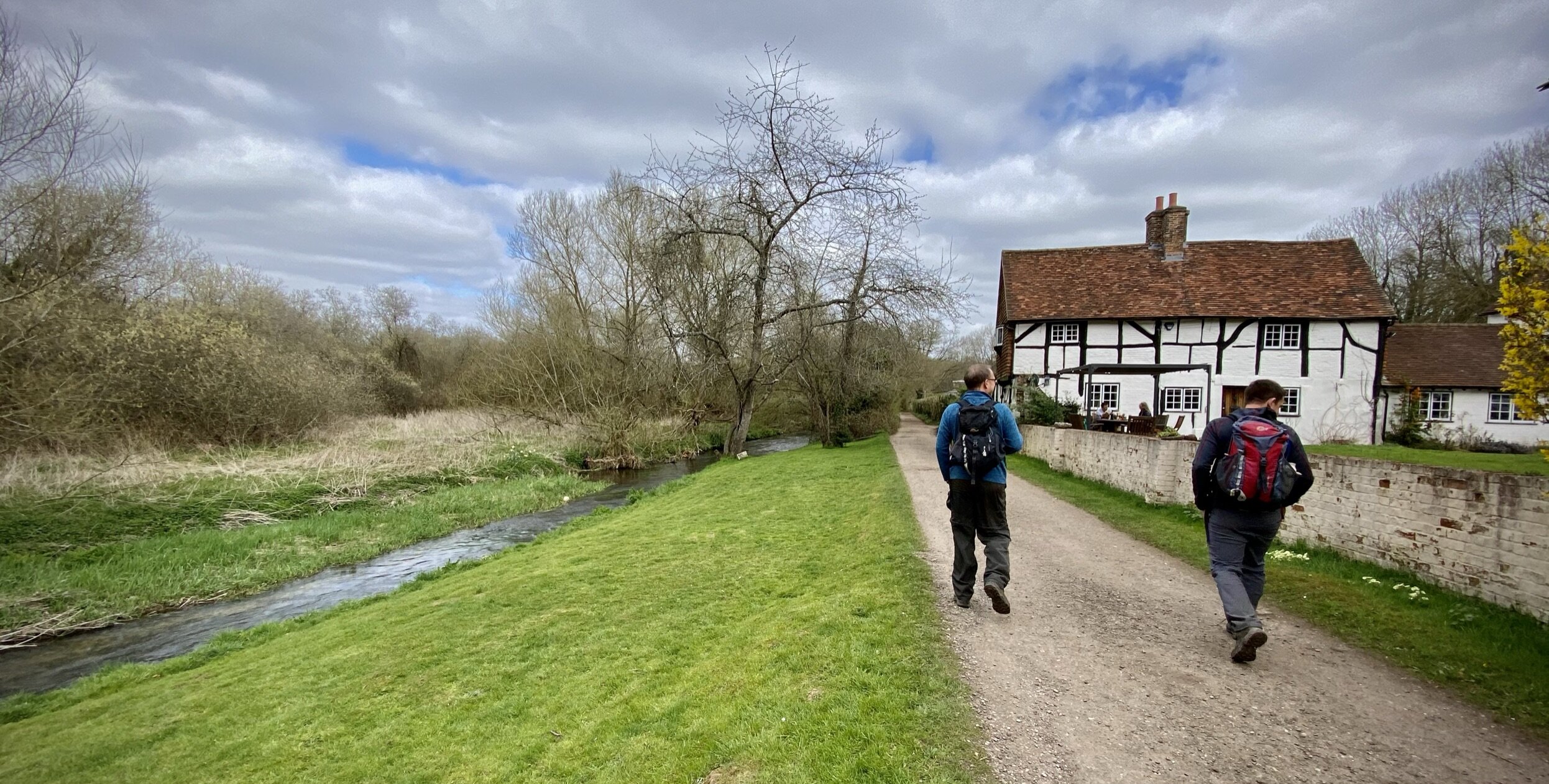
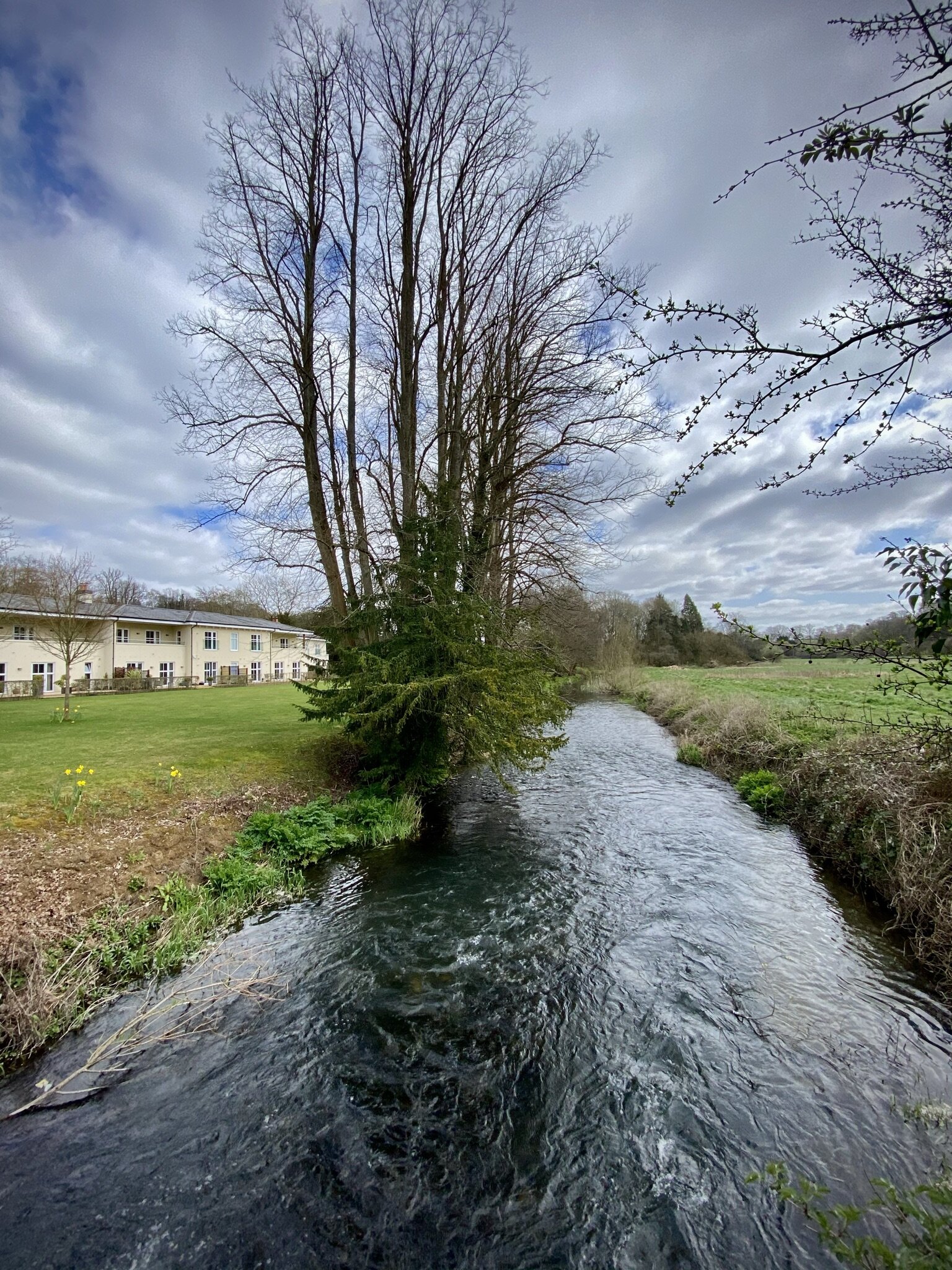
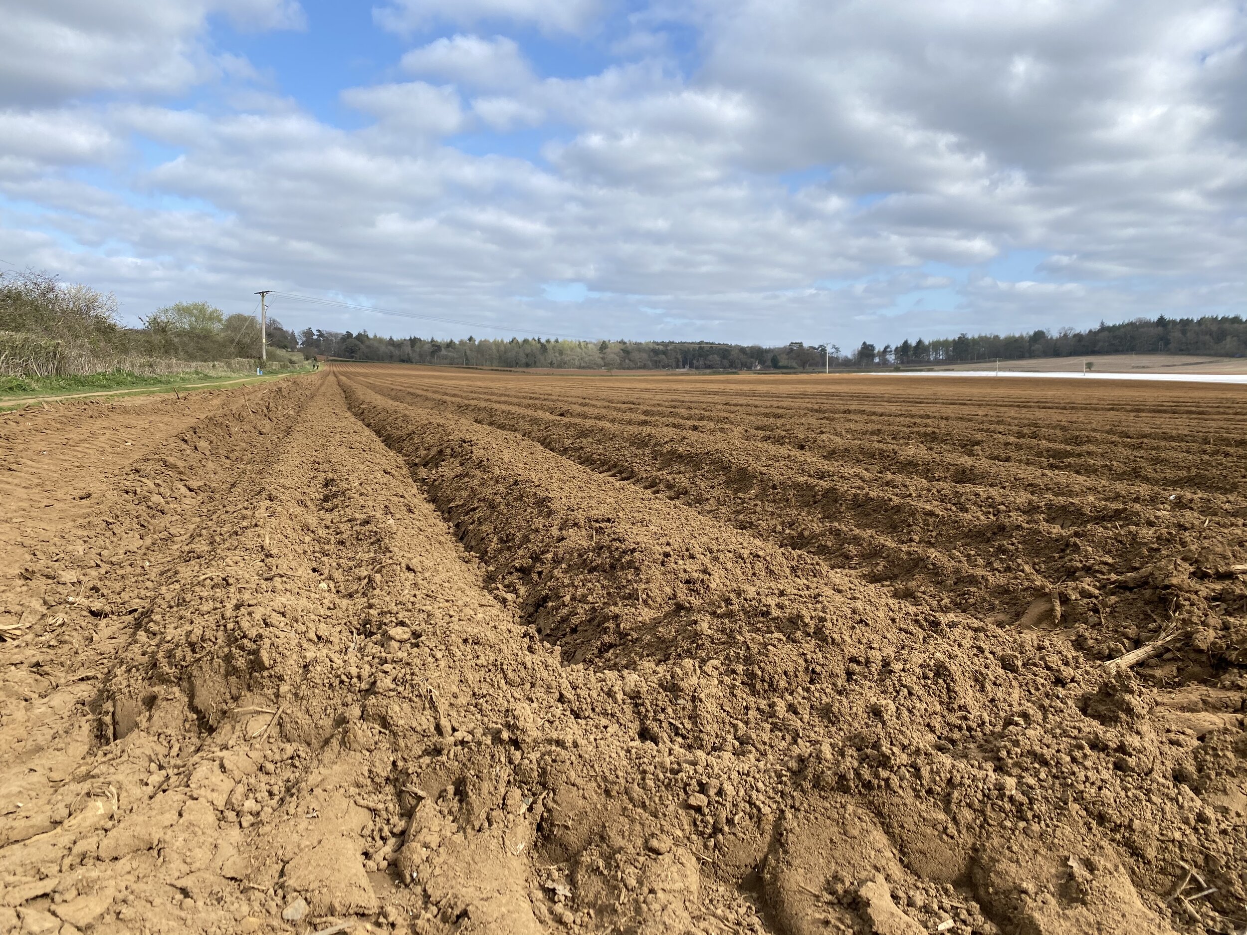
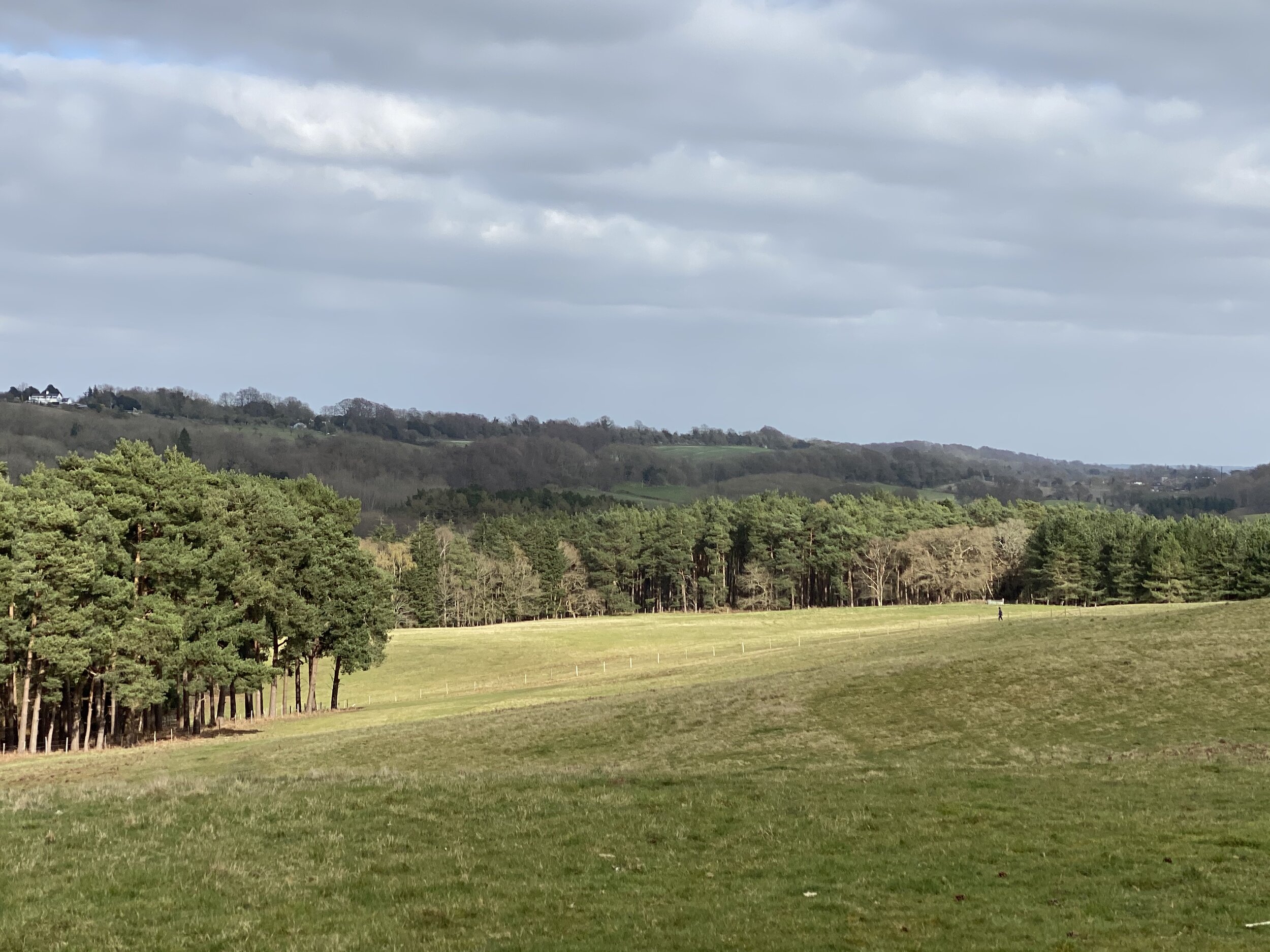
The trail follows the right hand side of the A31 for 100m in a northerly direction before you take onto Darville Lane. Follow this onto Snailslynch and you’ll soon be walking next to the River Wey. At the 4km mark you’ll enter into the Surrey Hills Area of Outstanding Natural Beauty (AONB) after crossing Crooksbury Road. From here the trail keeps to the northern edge of the AONB through to Tatsfield in Kent.


route-32429568-map-full.png
elevation_profile (1).jpg


Walking The Box Hill Hike
View from the OS Trig Pillar at Box Hill

View from the OS Trig Pillar at Box Hill


Start & Finish: The National Trust Car Park, Zig Zag Rd, Tadworth KT20 7LB
Distance: 11.2 km (7 miles)
Elevation change: + / - 370 m
GPX File: get via Buy Me a Coffee
Other routes touched (walk): North Downs Way, Thames Down Link
Other routes touched (cycle): NCN 22
Other Pubs / Cafes on route:
The Running Horses Mickleham
Map: OS Explorer Map (146) Dorking, Box Hill and Reigate
Links: National Trust Box Hill, Box Hill Hike Route Guide PDF, Trigpointing: TP1553 - Box Hill, Trigpoiting: TP4791 - Mickleham Down, Peakbagger: Box Hill


The Box Hill Hike is a classic of the Surrey Hills trails. It’s a bit longer, a bit steeper and a bit more enjoyable that others that we’ve been to in the area recently. The National Trust’s PDF on the walk gives a clear description on the route so I won’t repeat it here. My additional notes on the route are:

  • The official start and finish points are at the National Trust Visitors’ Centre at the top of Zig Zag Road. They have a car park there but it can be extremely popular in Summer weekends or Bank Holidays. There’s alternative on-street parking further round the route in Box Hill Village or Mickleham.

  • The route is well signposted but all signs point in an anti-clockwise direction. If you’re going clockwise, as we did, you’ll need to keep a closer watch out for the signs as some will be facing away from you as you pass them.

  • Baggers of OS Trig Points will find 2 pillars on route, one (Box Hill) very near the National Trust Car Park at the start and the other on Mickleham Down.

elevation_profile.jpg

Walking the Reigate Mills and Pillboxes Trail
View from Galley Hill Windmill

View from Galley Hill Windmill


Start / Finish: The Black Horse Pub, 93 West St, Reigate, RH2 9JZ
Distance: 7.3 km (4.5 miles) … although the Explore Surrey PDF has it at 6.5 km
Elevation Change: +/- 71m
GPX File: get via Buy Me a Coffee
Other Routes Touched (walk): Greensand Way
OS Trig Pillar: TP5633 - Reigate Heath
Cafe / pub on route: Black Horse Pub (at start and end) / Skimmington Castle Pub (at 6.2 km in)
Map: OS Explorer Map (146) Dorking, Box Hill and Reigate
Links: Explore Surrey - Reigate Mills and Pillboxes, Reigate, Reigate Heath


The Mills and Pillboxes Trail is an easy, scenic walk around Reigate Heath, Shag Brook and the River Mole. This was our latest walk in the Explore Surrey series whose website is a rich source of information about getting out and about in the county. It was our 5th of their walks and was a nice way to escape the house during the COVID-19 lockdown whilst socially distancing.

As with all of their routes, their PDFs have all the details so I won’t cover them again here. The only additional thing to note is that the PDF guide starts and end the walk at the Black Horse Pub. If you’re driving there’s alternative car parking at Flanchford Road Car Park which will reduce the length of the walk by approx 1 km.
At the Galley Hill Windmill you can also bag the Reigate Heath Trig Pillar. It's on the North Side of the windmill near a bench. There's lots of bracken around it but it was easy to spot and access when we were there.


elevation_profile.jpg

Walking The Mole Gap Trail
Rail bridge, just north of Westhumble

Rail bridge, just north of Westhumble


Start: Leatherhead Railway Station, Station Approach, Leatherhead KT22 7SW
Finish:
Dorking Railway Station, Station Approach, Dorking RH4 1TF
Distance: 9.5 km (5.9 miles)
Elevation Change: +91m / - 100m
GPX File: get via Buy Me a Coffee
Other Routes Touched (walk): Ranmore SCC, North Downs Way, Norbury Park Walk
Other Routes Touched (run): Mole Valley parkrun, Surrey Bacchus Wine Half Marathon
Other Routes Touched (cycle): NCN 22
Cafe / pub on route: Pilgrim Cycles at Boxhill and Westhumble Station / The Stepping Stones Pub, Westhumble
Map: OS Explorer 146 Dorking, Box Hill & Reigate
Links: Explore Surrey - Mole Gap Trail, River Mole, Leatherhead, Leatherhead Station, Westhumble, Boxhill and Westhumble Station, Denbies, Dorking, Dorking Station


The Mole Gap Trail is an easy, scenic walk roughly following the River Mole. This was our latest walk in the Explore Surrey series whose website is a rich source of information about getting out and about in the county. It was our 3rd of their walks and it proved to be just as rewarding as the others. As with all of their routes, their PDFs have all the details so I won’t cover them again here. Instead, here’s a few other things to note:

The route is well signposted with silver metal arrows and messages, mostly on the ground but also on some footpath signposts. There’s a lot of different trails following or crossing this route, so be careful not to get taken off in the wrong direction. As much as you could just as easily take the opposite route starting from Dorking, the South-facing route from Leatherhead makes more sense as you’re following the direction of the arrows.

The Pilgrim Cycles cafe at Box Hill and Westhumble Station is a great place to stop for a rest at about 2 thirds of the way in. I particularly liked the old signs including one from the 2012 Olympics Cycling route.

According to Country Walking Magazine, the Mole Gap Trail is the shortest trail in Britain that is waymarked on the ground, labelled with the green diamonds of a recreational route on the OS Explorer map and has it’s own name on the map and isn’t part of a longer trail.


elevation_profile (1).jpg

Walking The Prospects of Polesden SCC Circular
Steer’s Field

Steer’s Field


Start / Finish: Polesden Lacey National Trust Car Park, Great Bookham, Leatherhead, RH5 6BD
Distance: 8.3 km (5.2 miles)
Elevation Change: +/- 169m
GPX File: get via Buy Me a Coffee
Other Routes Touched (walk): Ranmore SCC, North Downs Way, Yew Tree Walk,
Other Routes Touched (run): Trust 10 (Running) Route, Surrey Bacchus Wine Half Marathon
Other Routes Touched (cycle): N/A
Cafe on route: The Granary Cafe at Polesden Lacey National Trust
Map: OS Explorer 146 Dorking, Box Hill & Reigate
Links: Explore Surrey - Prospects of Polesden Circular, Polesden Lacey National Trust, Ranmore Common


This was our second of the Surrey County Council (SCC) Walks and a return visit to the Polesden Lacey National Trust Estate. The Explore Surrey leaflet contains all of the directions, so I’ve not included them here. Instead, here’s a few other things to note:

We parked at the National Trust Car-park rather than Denbies Hillside Carpark as mentioned in the leaflet. National Trust parking is free for members or a small charge for non-members. There’s also the Granary Cafe which is a good (and only) place on the route.

Unlike its sister route, the Ranmore Circular, the Prospects of Poleden is not signposted so you’ll need a map or GPS route. The Yew Tree Walk follows much of the same route, but not all of it so don’t strictly follow the blue Yew Tree roundels.


Trust 10 Polesden Lacey

When: December 22nd 2019
Where: Polesden Lacey National Trust, Great Bookham, Dorking, Surrey, RH5 6BB
Course: Muddy, hilly, twisty, turny trail route out and back from Polesden Lacey NT Car Park.
Other routes touched (walk): Prospects of Polesden (SCC), Ranmore (SCC)
Other routes touched (cycle):
N/A
Finish time: 64 minutes

Camera was broken today so here’s some Polesden pix from an earlier visit on a brighter day.

elevation_profile - Trust 10 Polesden Lacey.jpg
Walking The Ranmore SCC Circular
Denbie’s Wine Estate

Denbie’s Wine Estate


Start / Finish: Denbie’s Wine Estate, London Rd, Dorking, RH5 6AA
Distance: 10km (6.2 miles)
Elevation Change: +/-220m
GPX File: get via Buy Me a Coffee
Other Routes Touched (walk): Mole Gap Trail, North Downs Way, Prospects of Polesden SCC
Other Routes Touched (run): Mole Valley parkrun, Surrey Bacchus Wine Half Marathon
Other Routes Touched (cycle): Norbury Park Off-Road Cycle & Walk SCC
Pubs / Cafes on route: Denbies Vinyard Cafe at start and end.)
Map: OS Explorer 146 Dorking, Box Hill & Reigate
Links: Explore Surrey - Ranmore Circular (PDF), Westhumble, Boxhill and Westhumble Station, Denbies, Ranmore Common, Denbies Hillside National Trust


The Explore Surrey’s guide to this walk starts the route at Boxhill and Westhumble station. If you’re driving, as we were, then Denbie’s Wine Estate is a great place to start. Denbies have obviously caught on to the benefits of attracting outdoor people as I’ve found myself visiting there 3 times in the last 6 months for different events. Most significantly for walkers, the visitors’ centre sits just off the North Downs Way and at the junction of 2 other trails.

From the Denbies car park the route heads north-west through the vinyard, joining the North Downs Way near the top of the hill. This 2 km section along the National Trail gives you some great views across to Box Hill, the Mole Valley and Dorking. Just past St Barnabas Church, the route leaves the North Downs Way and joins the Prospects of Polesden SCC trail down through the woods to the quaint Tanners Hatch YHA.

On the final section heading back east towards Westhumble we briefly diverted off the trail for a spot of Trigpointing. Trig Pillar TP2480 - Crabtree Cottages can be found about 100 metres down Crabtree Lane hiding behind bracken but easily accessible. After rejoining the main route there’s a steady descent down to Westhumble and a final 1km South through the houses back to Denbies.

Four a much better description of the route check out the PDF linked above. Its a really great walk in the Surrey Hills and we’ll definitely be back to do some of the other trails that we cross on the route.

Surrey Bacchus Wine Half Marathon

When: September 9th 2018
Where: Denbies Wine Estate, Surrey, UK
Course: Single lap hilly trail race that looks like a waving alien on its side. Starts and ends in Denbies Wine Estate, Dorking and passes through National Trust land, Dorking Wood and Ashcombe Wood.
Other routes touched (walk): North Downs Way, Ranmore SCC, Prospects of Polesden SCC, Mole Gap Trail
Other routes touched (cycle): None
Finish time
: 2 hours 11 minutes


Half Marathon #46 of 50 and my favourite so far. There were 5 wine stops along the route with wines from the Denbies Wine estate, plus pizza, cake and music. Basically, a big party with a bit of running in between.