Medieval Waverley Circular Walk
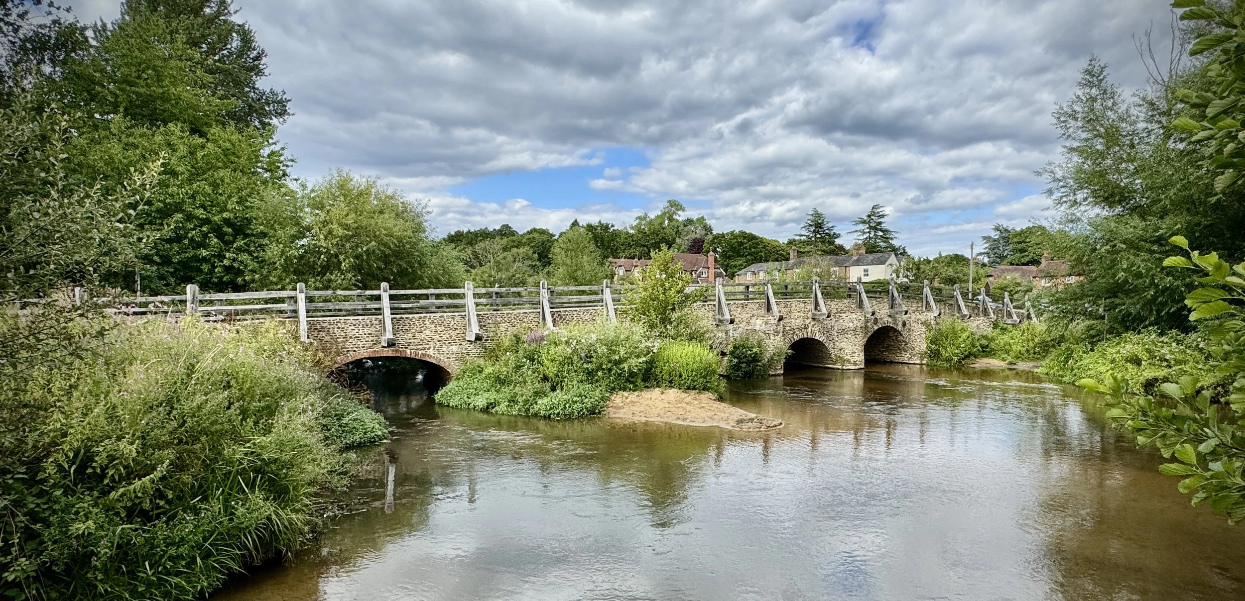
Tilford Bridge
Start and Finish: Parking on Tilford Green, 2 Tilford Street, Tilford, Farnham, GU10 2BN
Distance: 9.3 km (5.8 miles)
Elevation Change: +/- 170m
GPX File: get via Buy Me a Coffee
Other Routes Touched (walk): None
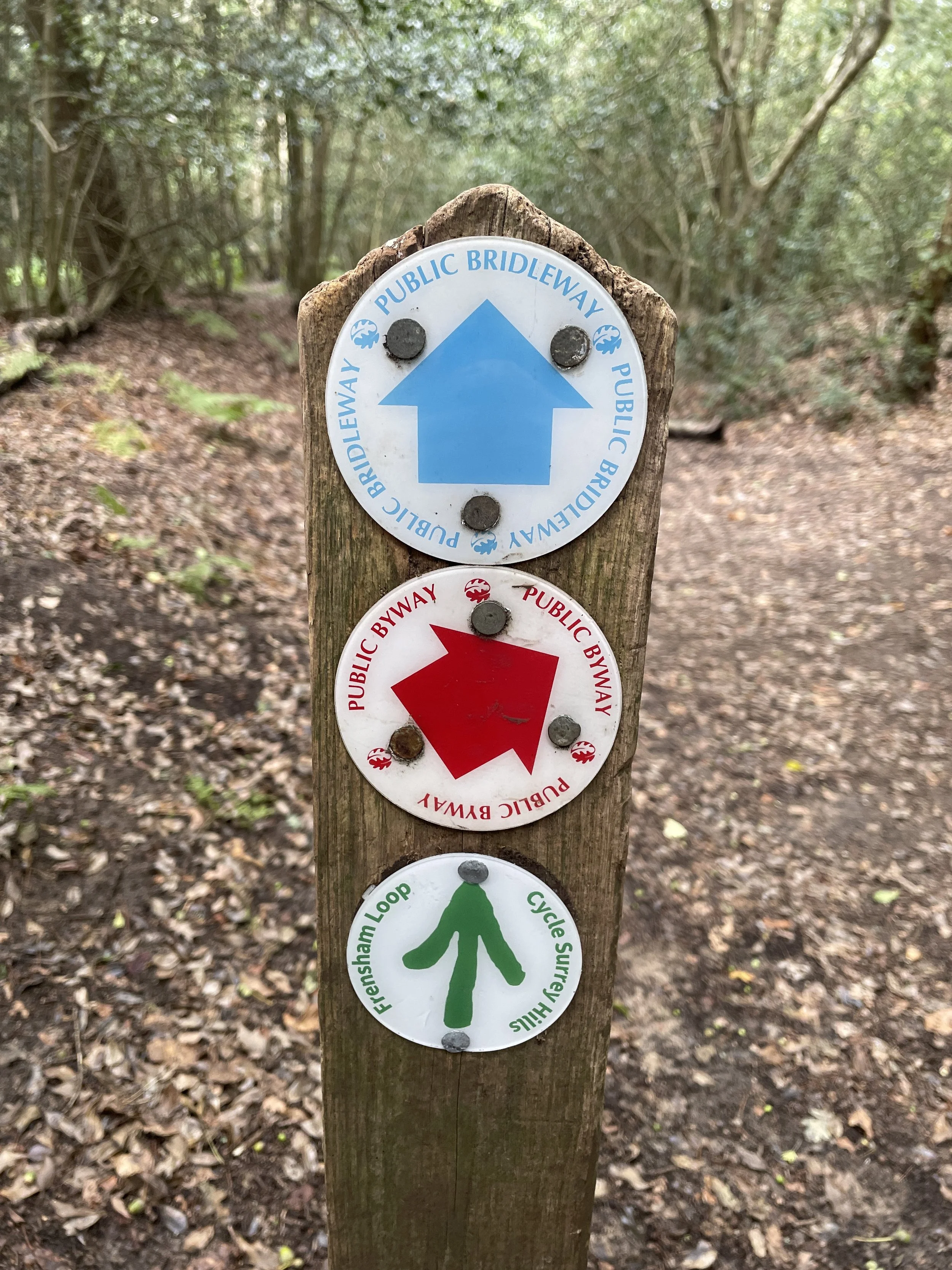
Other Routes Touched (cycle): Surrey Cycleway
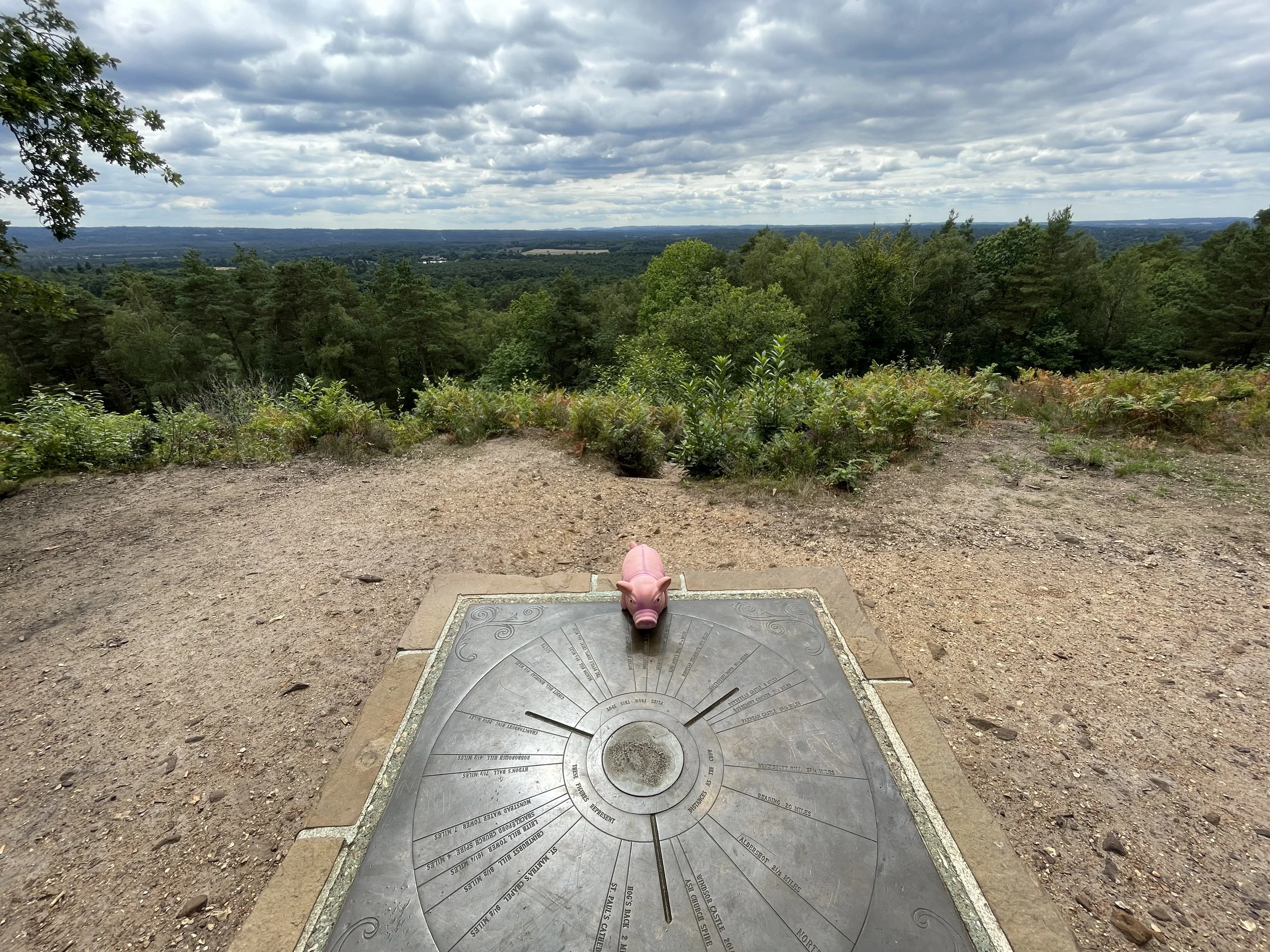
OS Trig Pillar: TP2614 - Crooksbury Hill
Cafe / pubs on route: The Barley Mow Tilford (at start and end), The Barley Mow in The Sands (4.2 km in)
Map: Guildford & Farnham Map | Godalming & Farnborough | Ordnance Survey | OS Explorer Map 145
Links: River Wey, Tilford, Waverley, Waverley Abbey, Seale and Sands, Surrey’s Countryside: Medieval Waverley
We did this walk as an epilogue to our Walking the River Wey and Wey Navigation series. In those 9 walks we followed the Wey from its confluence with the Thames at Weybridge to Eashing, the final place you can access via footpath. Further upstream to the south-east you’ll find Tilford, with a medieval bridge that spans the river near where it splits and leads to 2 different sources.
This walk is part of Surrey County Council’s “Surrey Countryside” walks and is well documented on their web-site. I won’t repeat anything here as it’s a great guide to the walk.


River Wey Previous section: Walking the River Wey Part 9: Godalming and Eashing