Chiltern Walks: Flamstead and Redbourn

Fields to the west of Redbourn
Start & Finish: Free car park on West Common, Redbourn, St Albans AL3 7ND
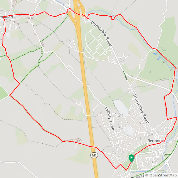
Distance: 11.4 km (7 miles)
Elevation change: +/- 98m
Hertfordshire Way section covered: Flamstead to Redbourn: 4.2 km
GPX File: get via Buy Me a Coffee
Other routes touched (walk): Hertfordshire Way, Chiltern Way, Ver Valley Walk, River Ver Trail
Other routes touched (cycle): NCN 57
Pubs / Cafes on route: The Spotted Dog or The Three Blackbirds in Flamstead at 6.5 km in and several options in Redbourn at the start and end.
Map: St Albans & Hatfield Map | Hemel Hempstead & Welwyn Garden City | Ordnance Survey | OS Explorer Map 182
Links: Flamstead, Redbourn, River Ver
The Hertfordshire Way offers an incredible opportunity to circumnavigate one of England's home counties, revealing its hidden charms and surprising variety. This circular long-distance footpath, stretching around 273 km (170 miles), guides walkers through the county's most picturesque landscapes, proving that green spaces are never far, even in this area close to London. We walked the Chilterns part of the Hertfordshire Way in 15 sections over a couple of years. We used my “Greater Chilterns” definition that takes the trail from the River Lea near Wheathampstead to the River Colne near Garston. This route is one of those 15 circular walks.
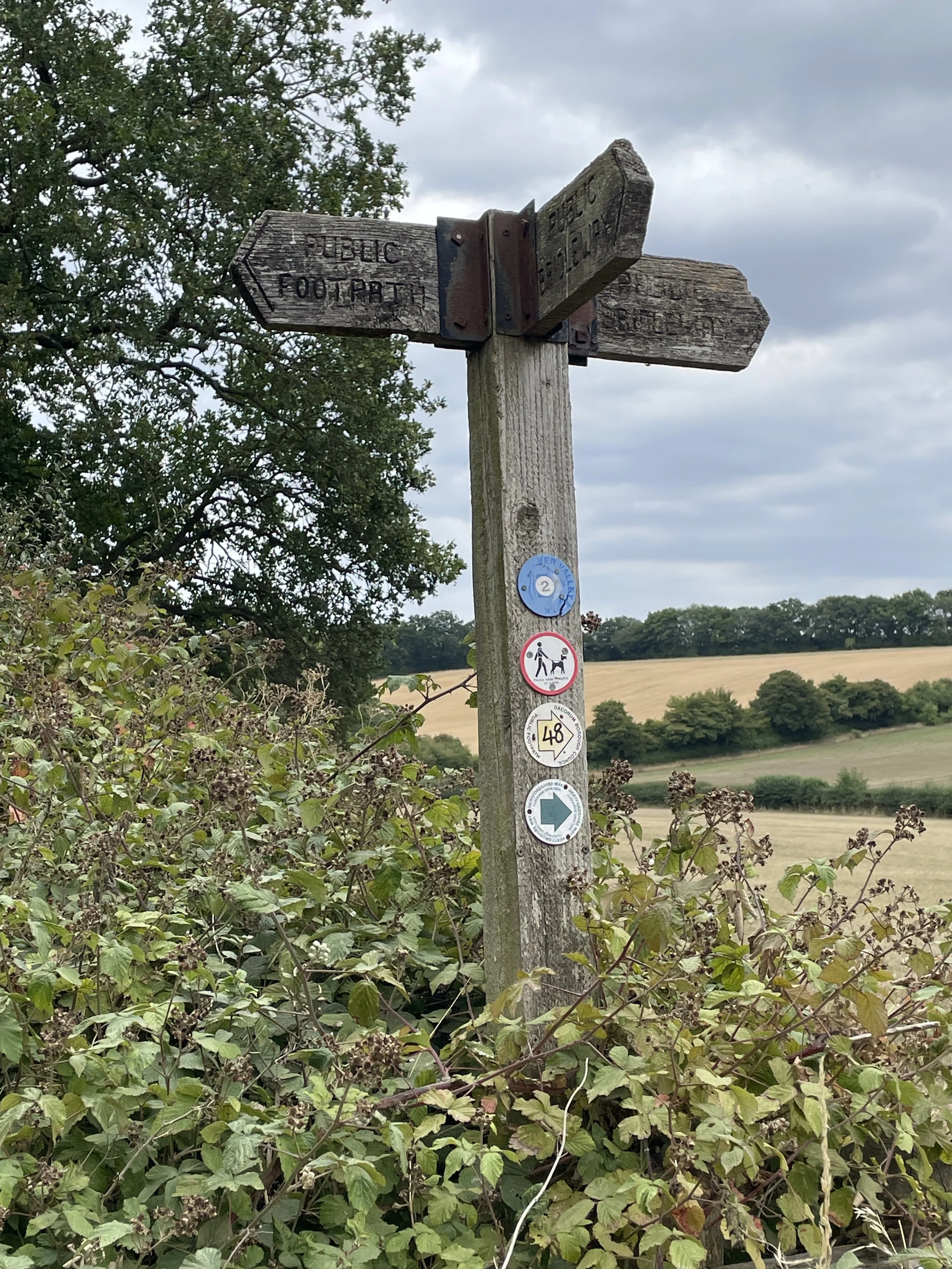
The guidance below will help you navigate but don’t use it as a fully accurate turn-by-turn guide. Always take a map and/or a GPX route and prepare well for the weather and terrain.
For this walk we parked at the free car park on West Common near the cricket club. Walk along the tree-lined avenue in a north-easterly direction to Redbourn High Street. Cross over onto Watersend Road, following the River Ver Trail as it runs parallel to the River Ver. After 5km you’ll reach the M1 junction. This isn’t a pleasant section and be careful as you navigate the motorway underpass and cross the roundabout on the western side. Once across the junction you’ll be back into quieter farm and woodland on the 1 km section to Flamstead. You’re now over half way into the route and it’s a good chance to stop for a rest in either the Spotted Dog or Three Blackbirds.
At the junction of Flamstead High Street and Chapel Road you’ll pick up the Hertfordshire Way heading south along Trowley Hill Road. Approximately 0.5 km south of the Three Blackbirds you’ll take a footpath on the left as Trowley Hill Road curves to the west. Continue along the Hertfordshire Way initially in a southerly direction then curving towards the east. You’ll cross over the M1 again, but this time it’s a lot easier as it’s over a traffic-free bridge. Continue along the Hertfordshire Way back to the start at West Common, Redbourn.


Hertfordshire Way next section clockwise: Redbourn and Redbournbury
Hertfordshire Way next section anti clockwise: Flamstead and Markyate