Chiltern Walks: Coleman Green and Wheathampstead
Walking through Devil’s Dyke, Wheathampstead
Start & Finish: East Lane Car Park, 13 East Lane, Wheathampstead, St Albans, AL4 8SB
Distance: 9.1 km (5.7 miles)
Elevation change: +/- 99m
Terrain: Field-edge paths, ancient earthworks at Devil's Dyke and riverside trails along the Lea.
Hertfordshire Way section covered: Hammonds House Farm to the River Lea: 4.15 km
GPX File: get via Buy Me a Coffee
Other routes touched (walk): Hertfordshire Way, The Romans and Nomandsland, Devil’s Dyke and Nomansland, The Old Railway and River Lea, Lea Valley Walk
Other routes touched (cycle): NCN 6, 57, Ayot Greenway
Pubs / Cafes on route: Several in Wheathampstead at the start and finish plus the John Bunyan pub at Colman Green (5.5 km in)
Map: St Albans & Hatfield Map | Hemel Hempstead & Welwyn Garden City | Ordnance Survey | OS Explorer Map 182
Links: Hertfordshire Way,, Wheathampstead, Nomansland Common, Heartwood Forest, Devil's Dyke, Wheathampstead Station, River Lea
The Hertfordshire Way offers an incredible opportunity to circumnavigate one of England's home counties, revealing its hidden charms and surprising variety. This circular long-distance footpath, stretching around 273 km (170 miles), guides walkers through the county's most picturesque landscapes, proving that green spaces are never far, even in this area close to London. We walked the Chilterns part of the Hertfordshire Way in 15 sections over a couple of years. We used my “Greater Chilterns” definition that takes the trail from the River Lea near Wheathampstead to the River Colne near Garston. This route is one of those 15 circular walks.
Walking Directions
For this walk we parked at the free car park on East Lane, Wheathampstead. Be careful not to use the car park next to it that is for customers of the Bull Pub. The guidance below will help you navigate but don’t use it as a fully accurate turn-by-turn guide. Always take a map and/or a GPX route and prepare well for the weather and terrain.
Walk in a southerly direction down Wheathampstead High Street, continuing onto the B651 “The Hill” for approximately 2 km until you reach the corner of Nomansland Common.
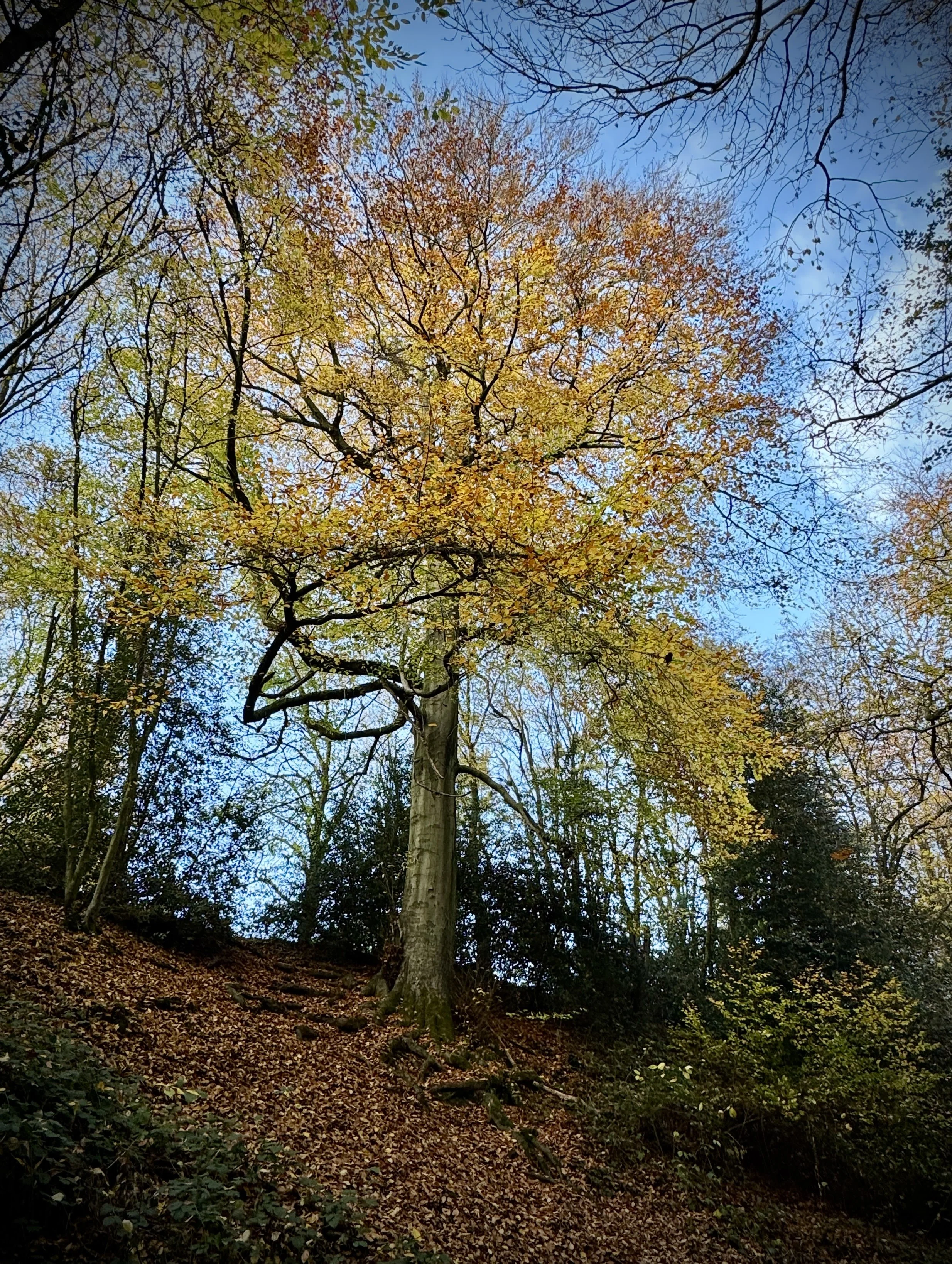
Take a left onto a footpath just before Drovers Lane and follow it in an easterly direction through fields, across Coleman Green Lane and into Heartwood Forest. After passing through the farm buildings at Hammonds House farm you’ll reach the Hertfordshire Way at Hammonds Lane.
Take a left onto the Hertfordshire Way, following it in an east/north-easterly direction. After ~300m leave take the footpath on the left to leave Hammonds Lane but keep on the Hertfordshire Way. Follow the edge of the woods for ~700m then take a left to leave the tree line and continue along the Hertfordshire Way across the fields to Coleman Green.
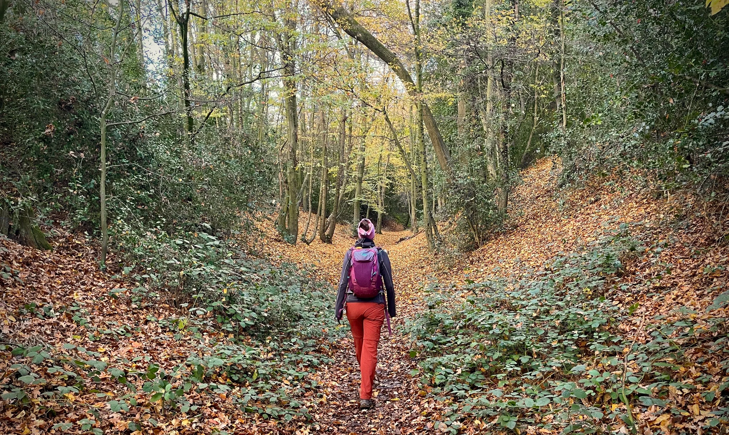
Just under 1 km from Coleman Green take a right onto Devil’s Dyke Lane. You can continue along the Lane, but I highly recommend finding the path on the right running through Devil’s Dyke. This is the remains of a prehistoric defensive ditch which is generally agreed to have been part of the defences of an Iron Age settlement belonging to the Catuvellauni tribe of Ancient Britain.
At the end of Devil’s Dyke Lane cross over Marford Road and continue along Sheepcote Lane until you reach the River Lea. The river is the boundary of what I call the Greater Chilterns Area and and is the final part of this series of walks along the Chilterns part of the Hertfordshire Way. There’s one final surprise in this walk though.
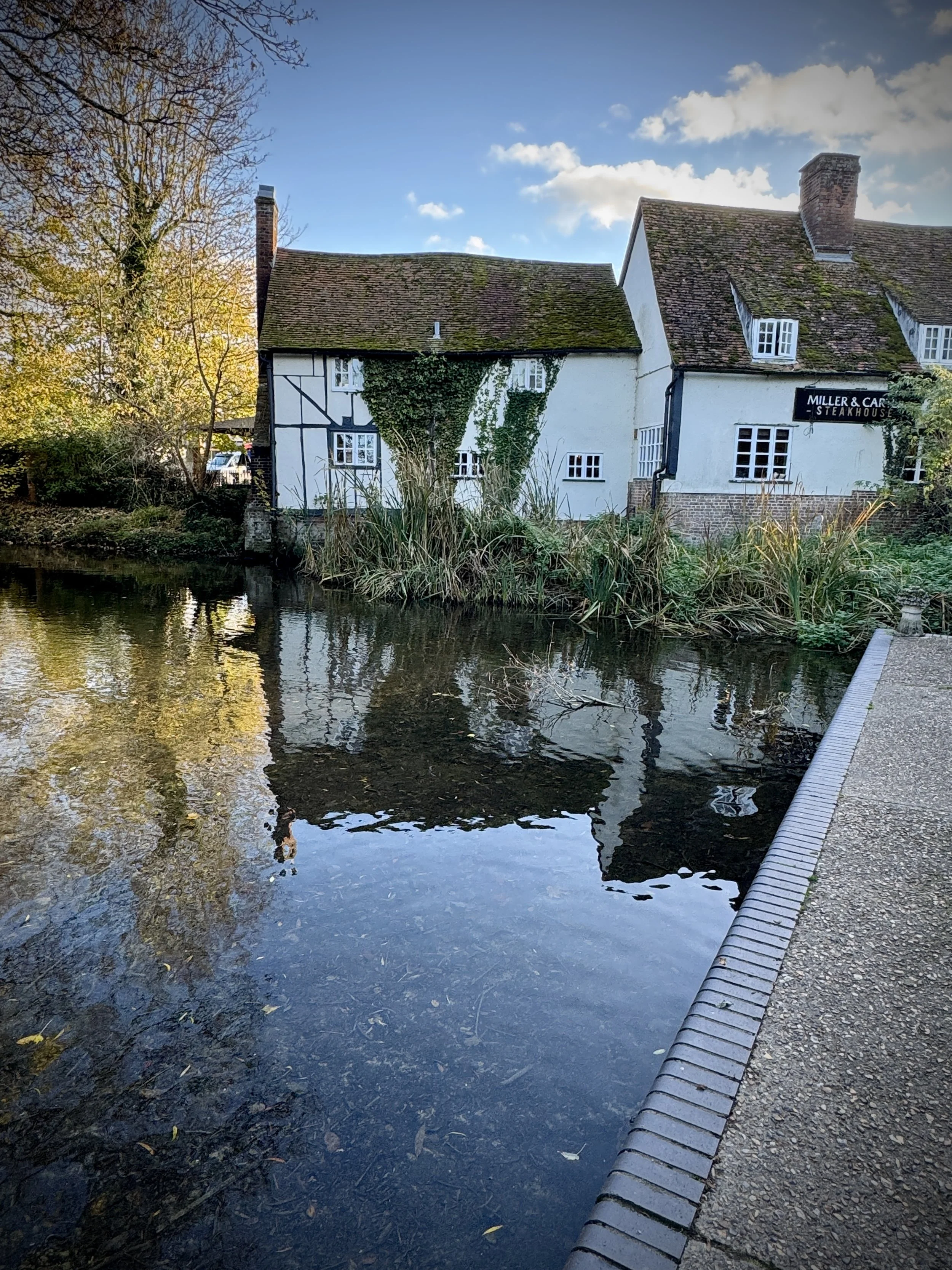
North of the River Lea take a left onto the Ayot Greenway. This is part of a disused railway path that connects Wheathampstead to Welwyn Garden City. We’re following a short section of it as it runs parallel to the River Lea to the remains of Wheathampstead Station. The Station is worth a visit as it’s been nicely preserved with information boards describing its history. After the station walk down Station Road to cross over the River Lea and back to the start of the walk.
Points of Interest along or near to the Route
Devil’s Dyke: This impressive Iron Age earthwork is thought to have been the original capital of the Catuvellauni tribe before they moved to Verulamium. It is a rare surviving example of pre-Roman defensive ramparts.
John Bunyan’s Chimney: At Coleman Green, you will find the ruins of a cottage chimney where John Bunyan, author of The Pilgrim’s Progress, is said to have stayed and preached.
Wheathampstead Station (Abbey Line): Although the station closed in 1965, the platform has been partially restored and features a statue of George Bernard Shaw, who was a frequent traveller on this line.
St Helen’s Church: Located in the heart of Wheathampstead, this church dates back to at least 1280, though it is believed an earlier Saxon church occupied the site.
The River Lea: The trail follows sections of the Lea, a historic chalk stream that has shaped the valley’s landscape and supported local milling for centuries.


Hertfordshire Way next section clockwise: Wheathampstead and Ayot St Lawrence
Hertfordshire Way next section anti clockwise: Sandridge and Heartwood Forest